




Archaeological circular hiking trail - Obergurgl (small round)

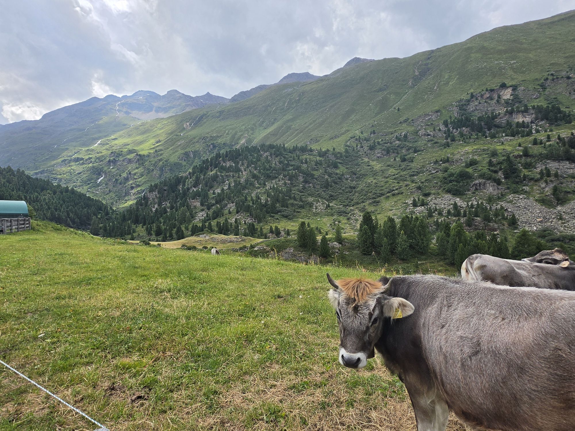
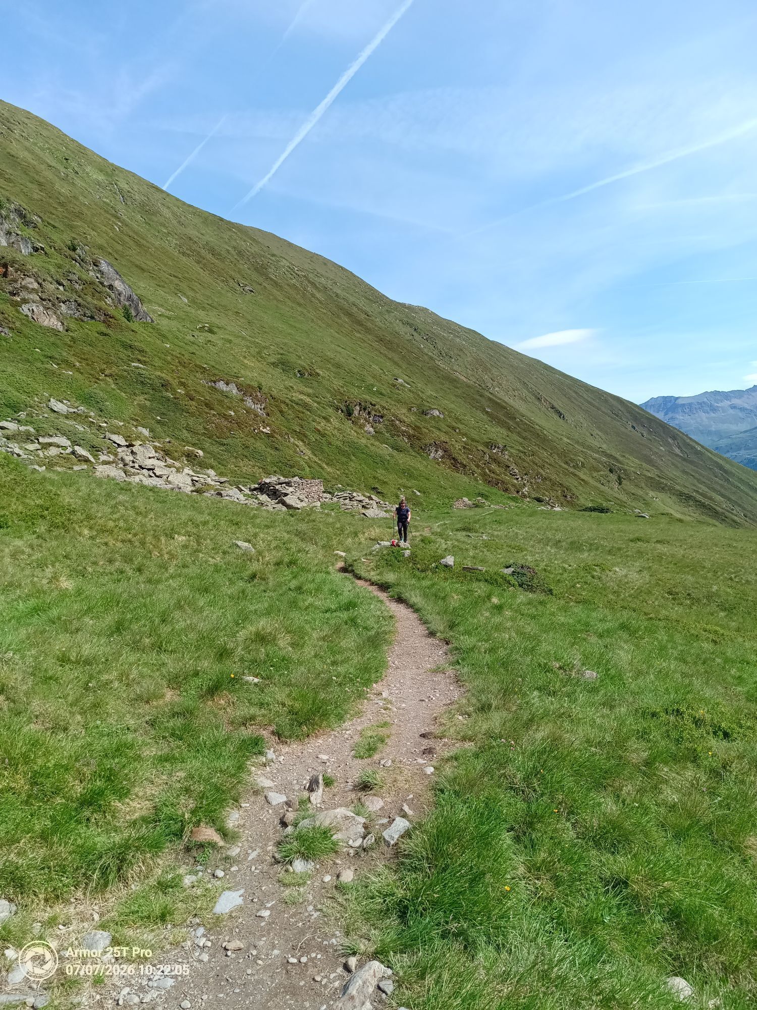
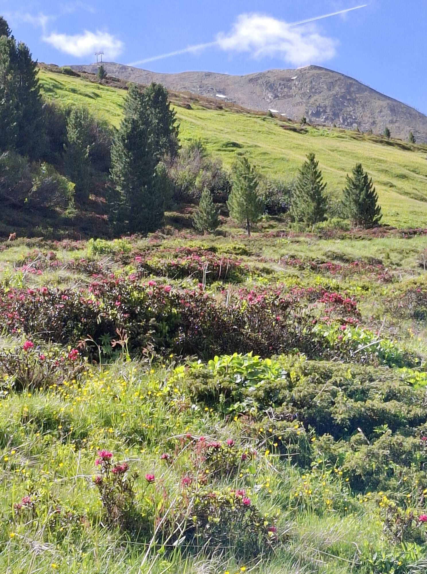
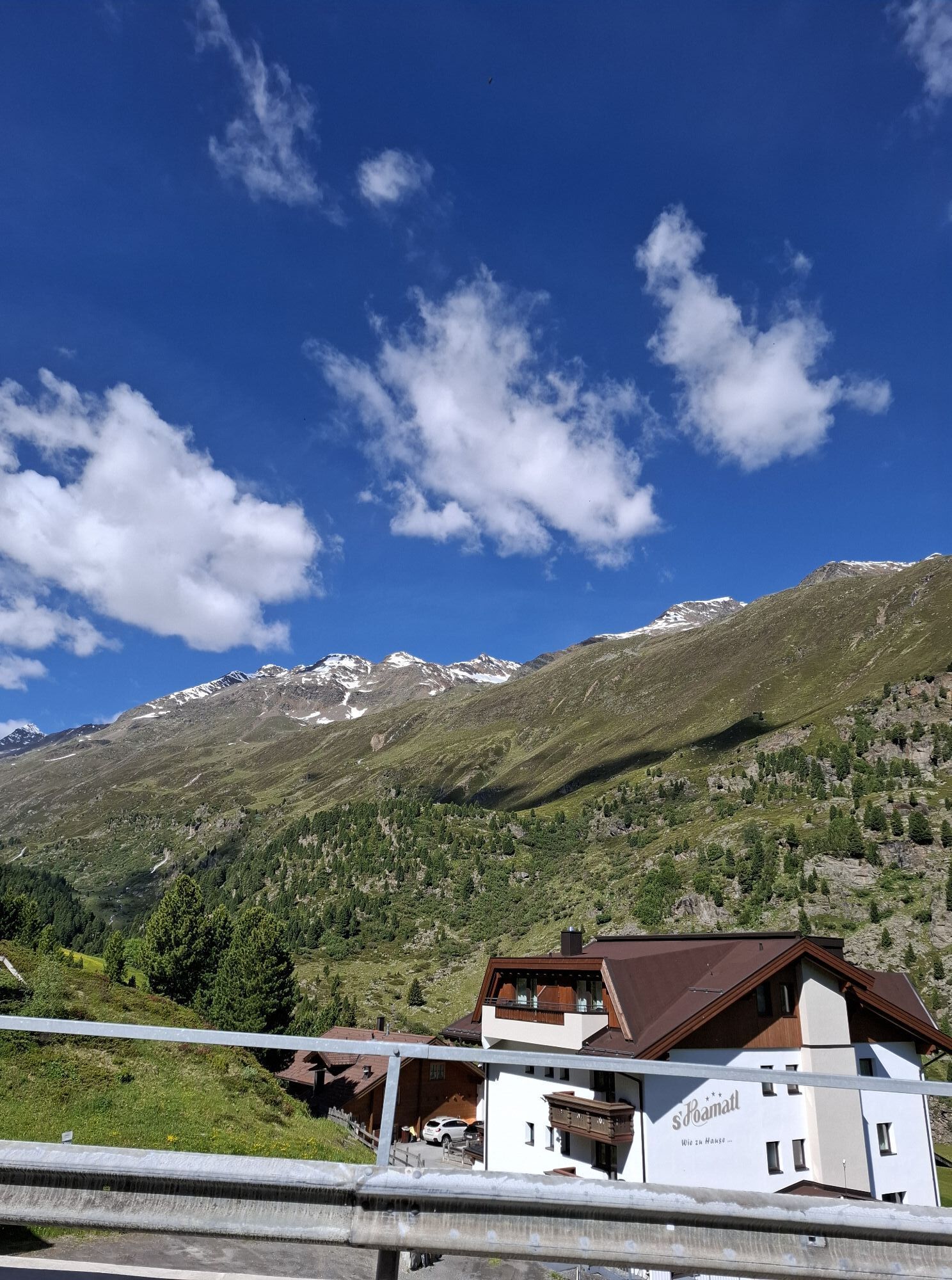
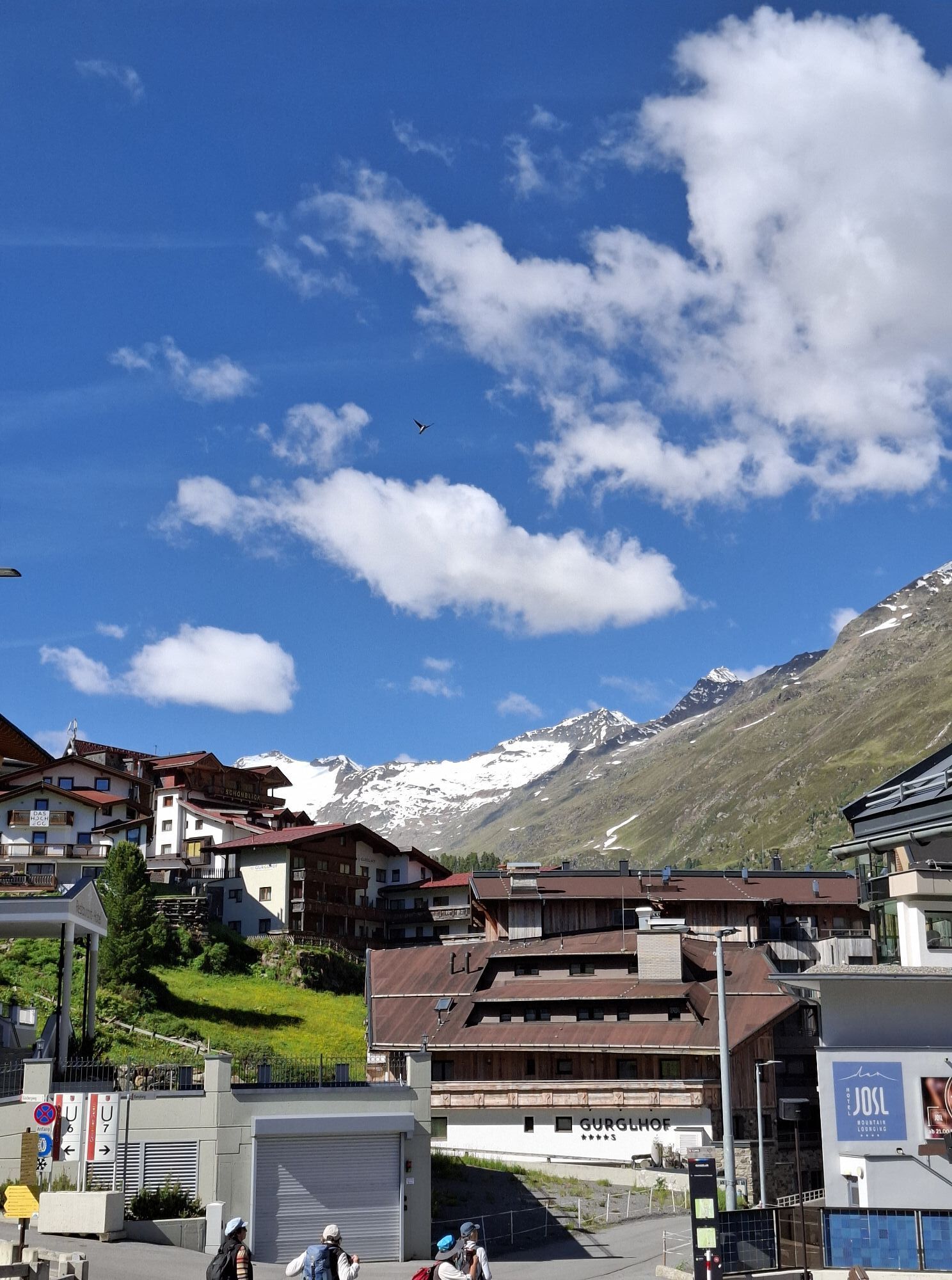

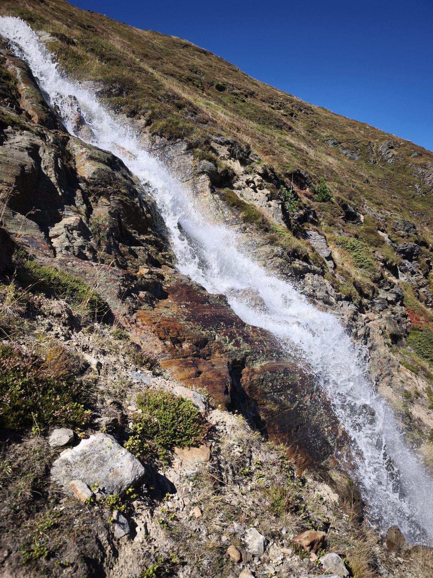
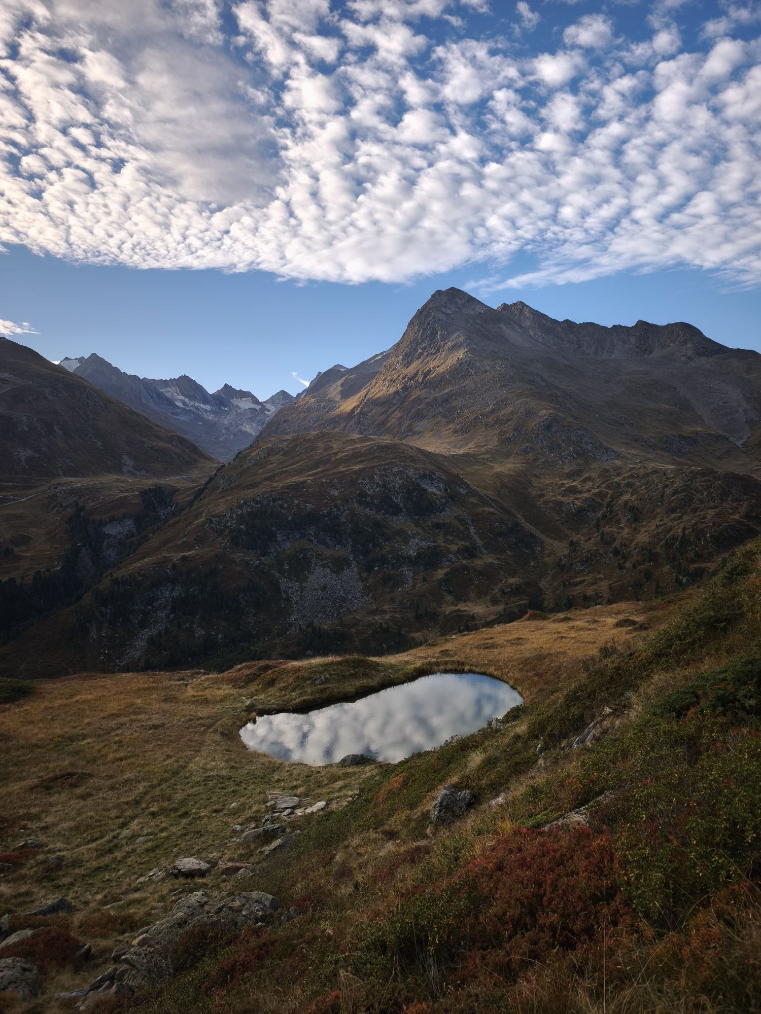
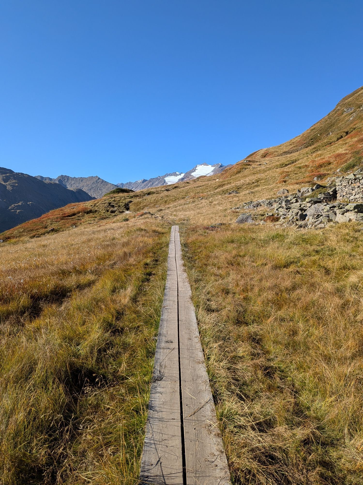
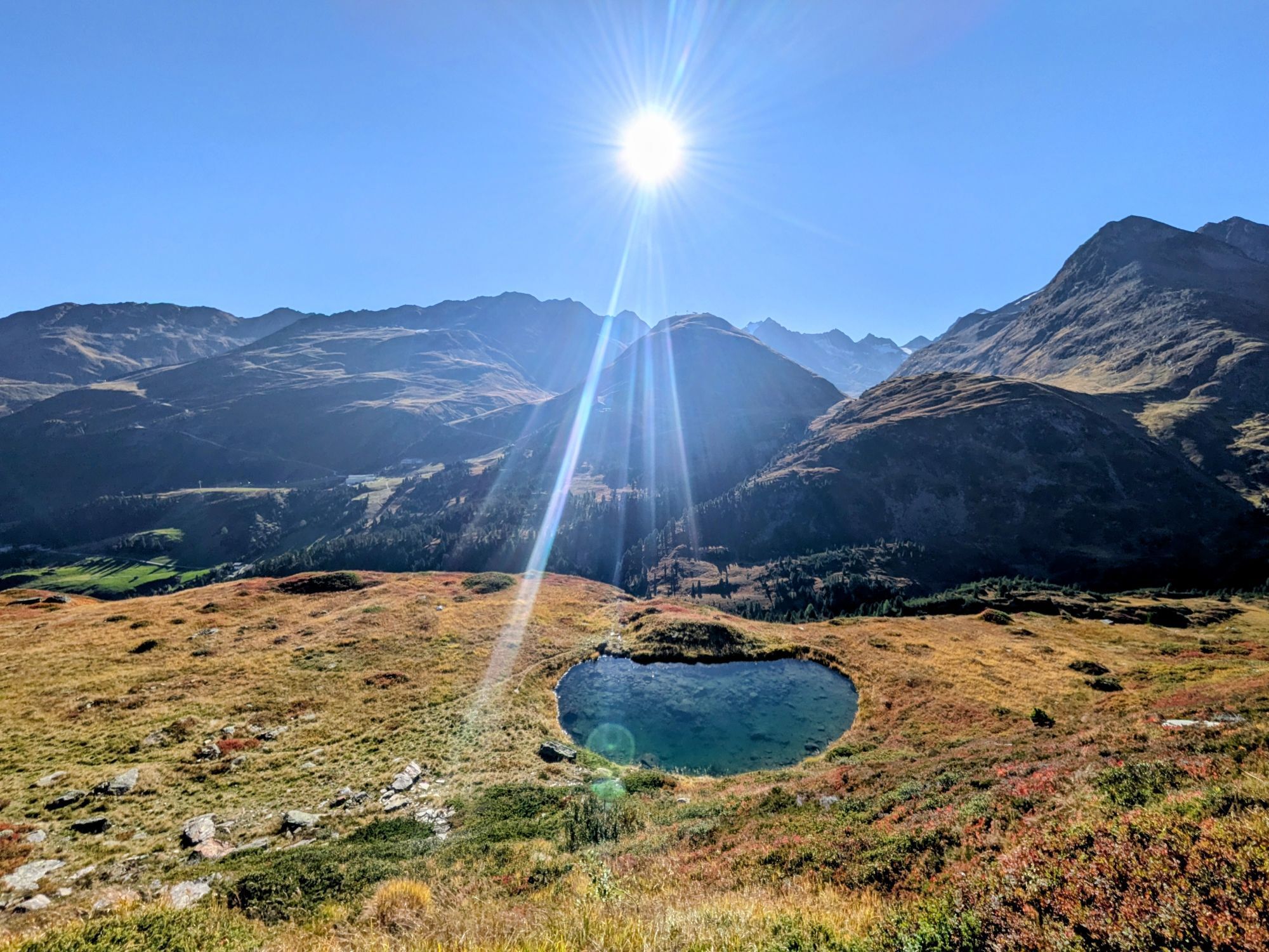
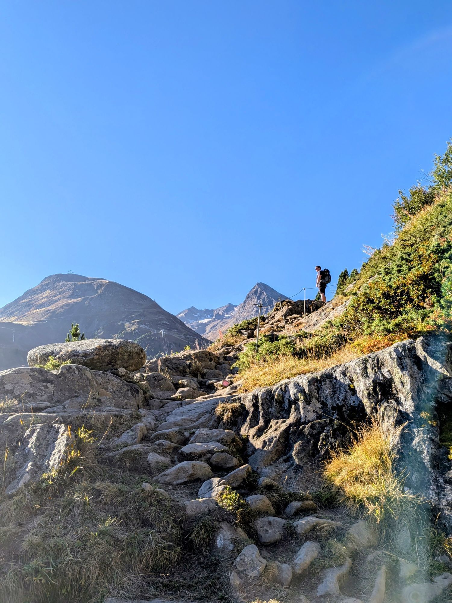
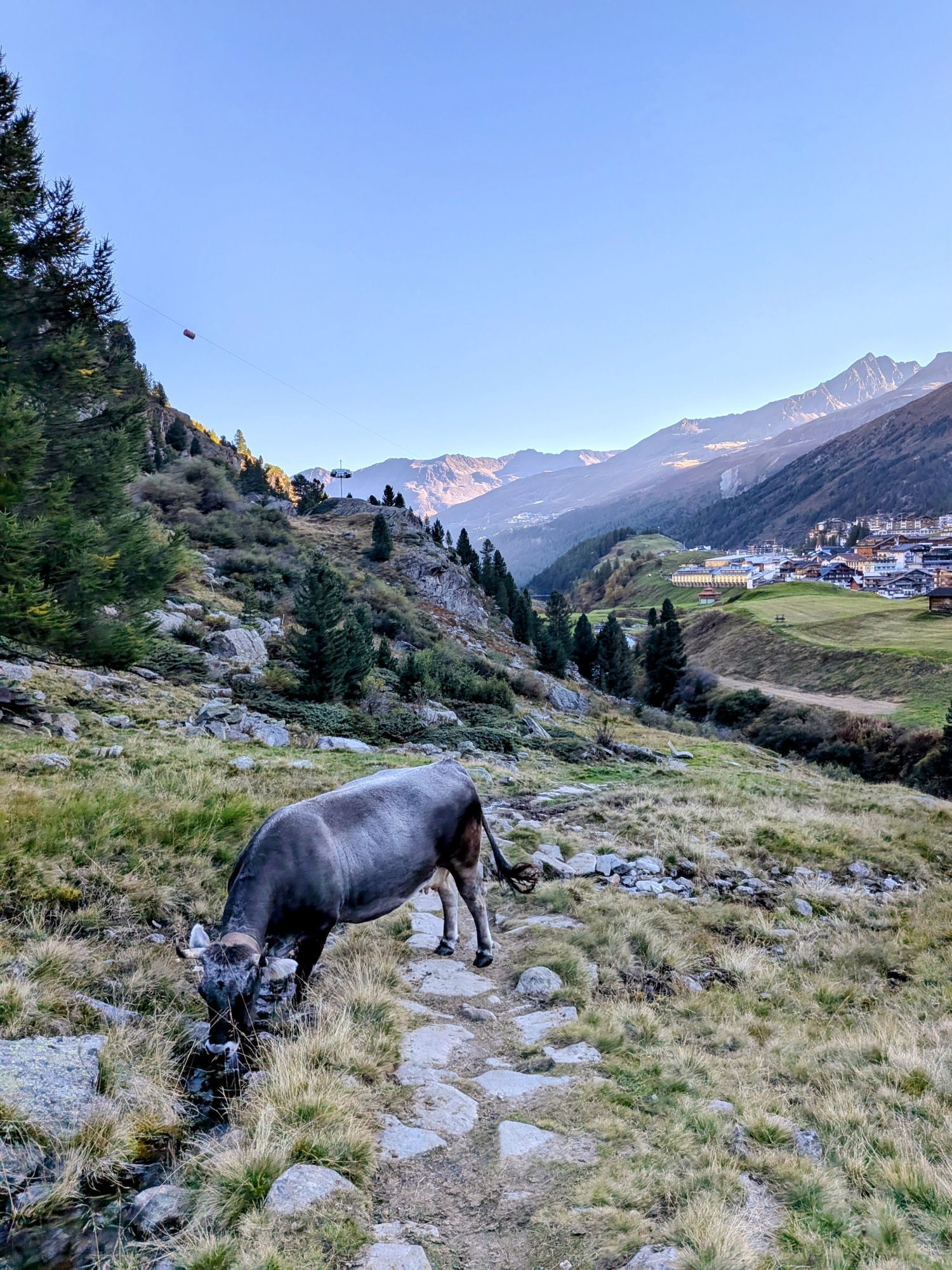
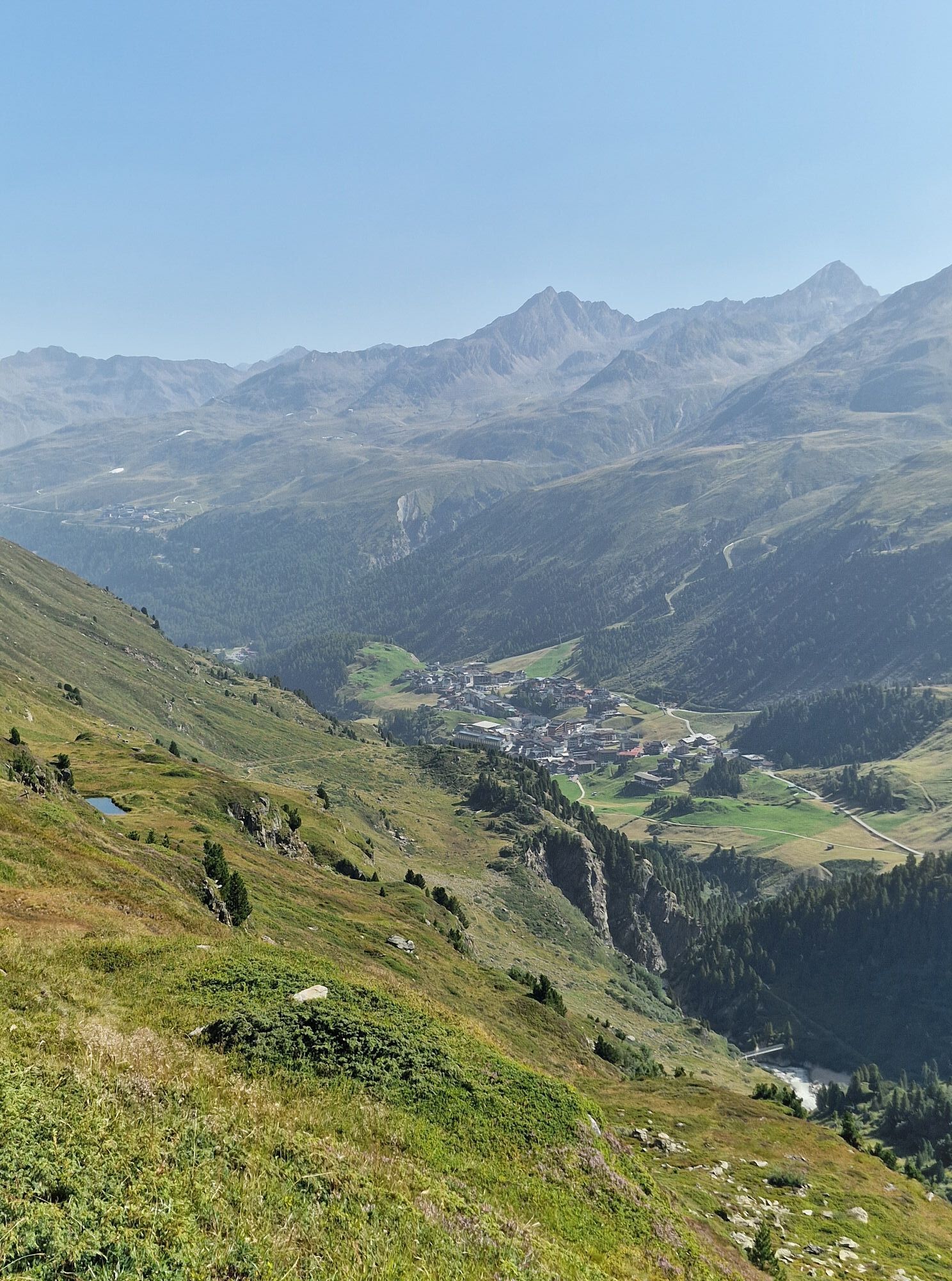

From Obergurgl towards Zirbenalm and to the entrance of the Zirbenwald. At the junction, go right down to the Gurgler Ache, cross the bridge and follow the path towards Beilstein. At Beilstein, a path...
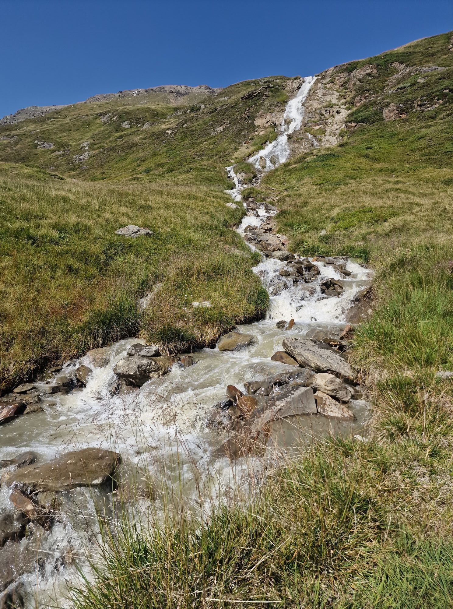
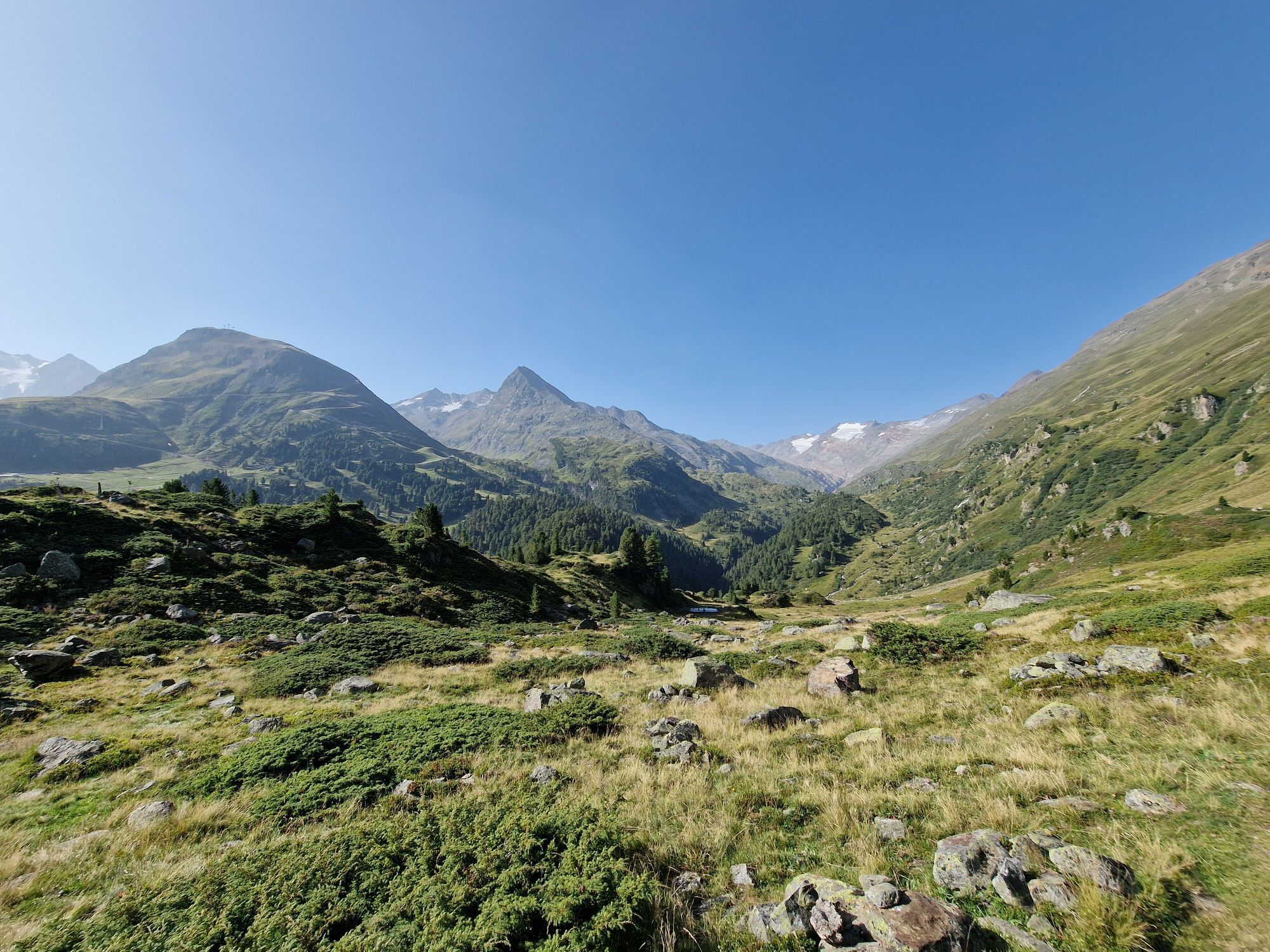
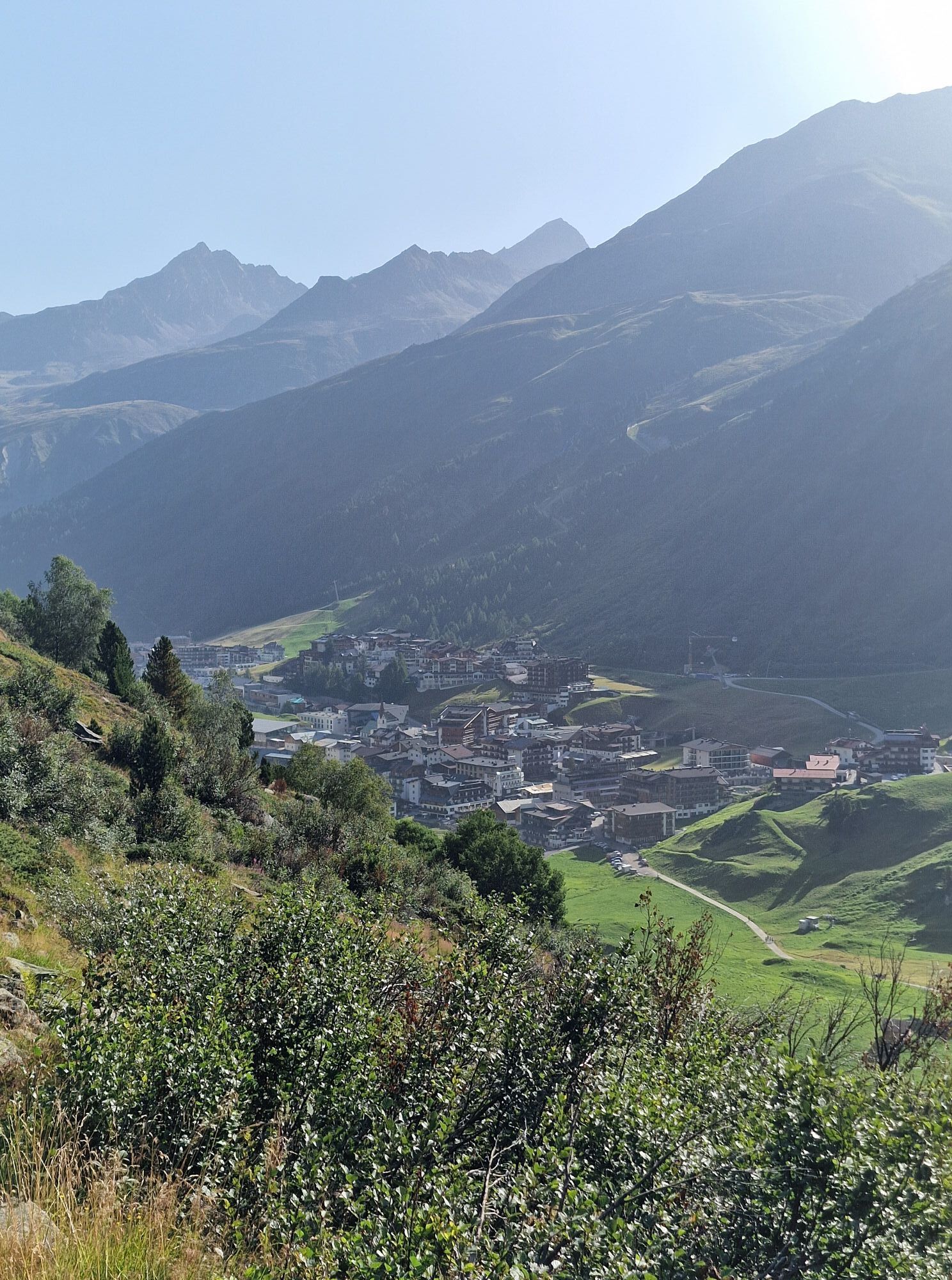
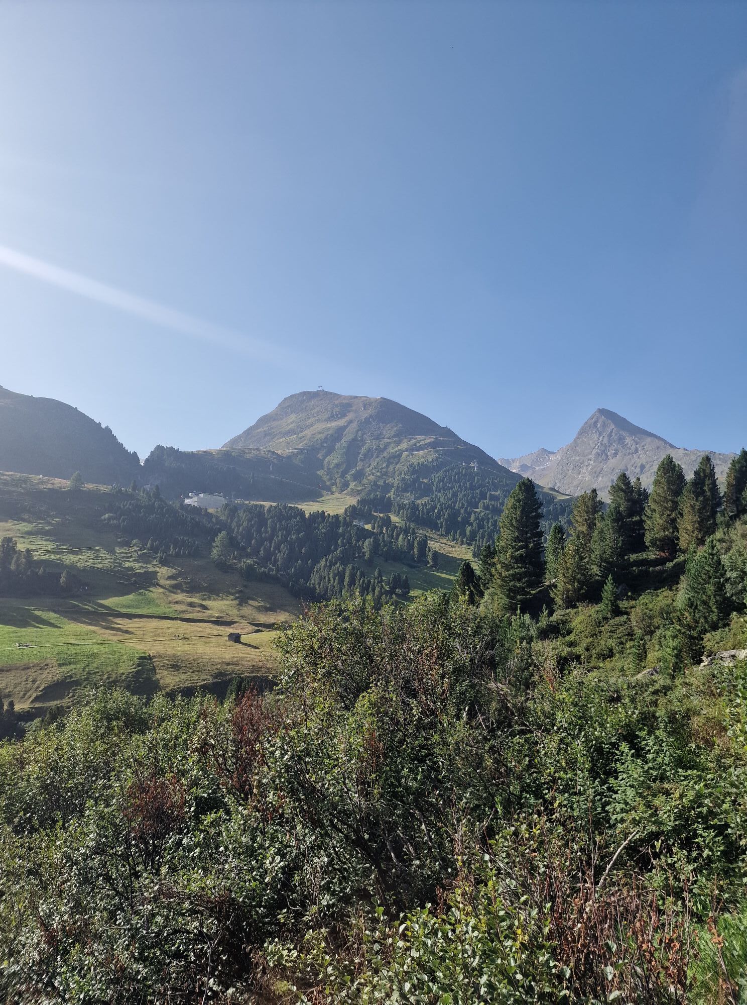
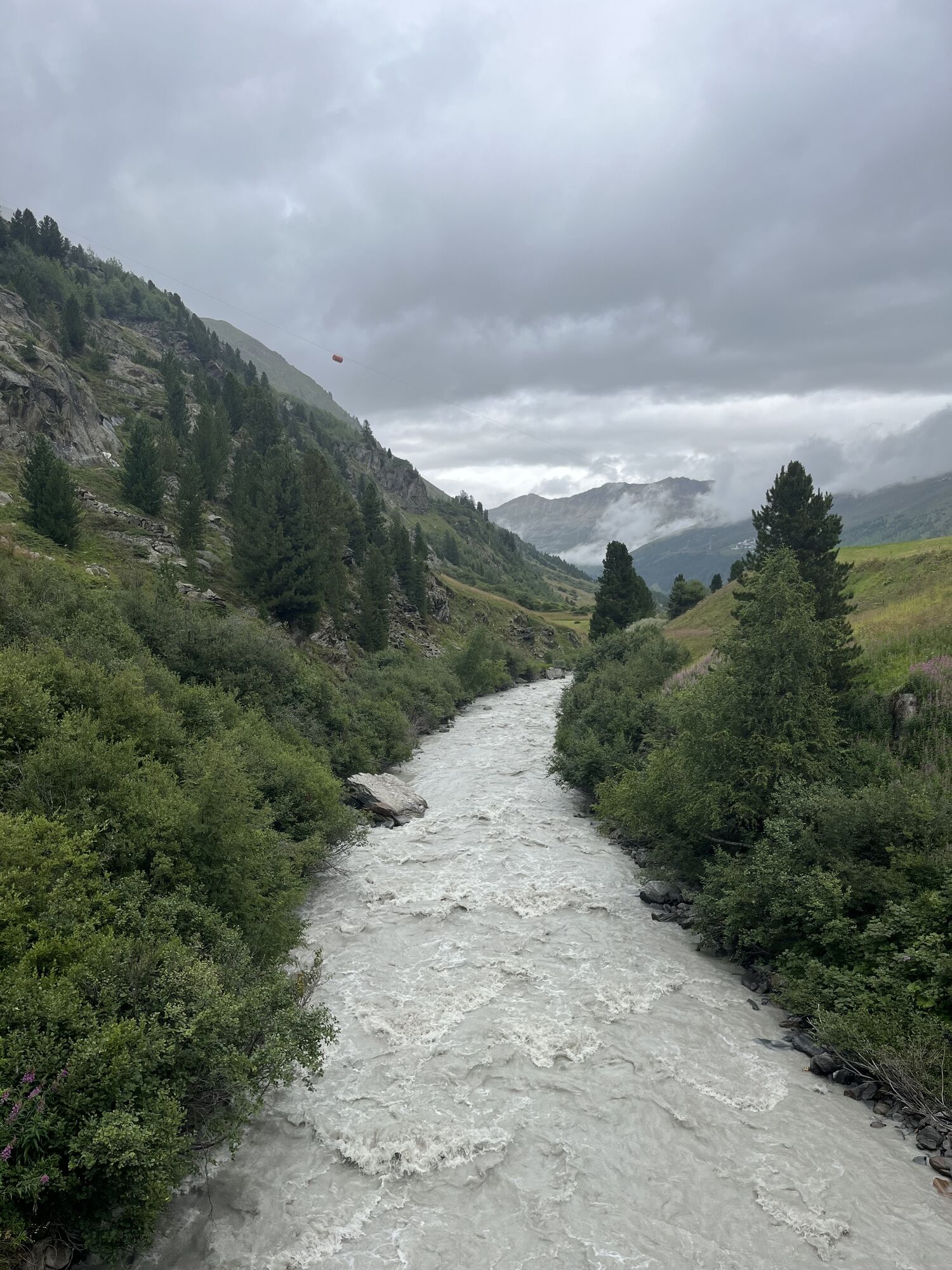
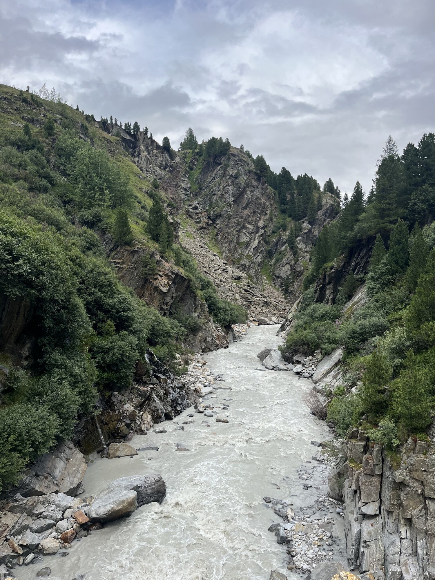
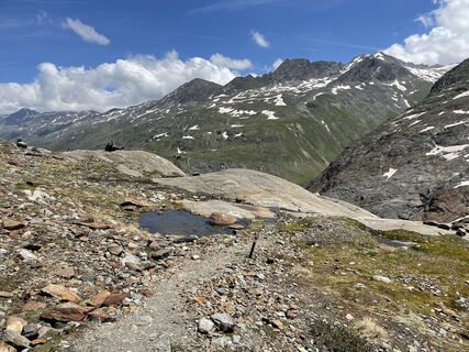
From Obergurgl towards Zirbenalm and to the entrance of the Zirbenwald. At the junction, go right down to the Gurgler Ache, cross the bridge and follow the path towards Beilstein. At Beilstein, a path leads uphill towards Küppele Alm. Once you arrive at the Ramolweg, follow it downhill towards Gurgl back to the town center.

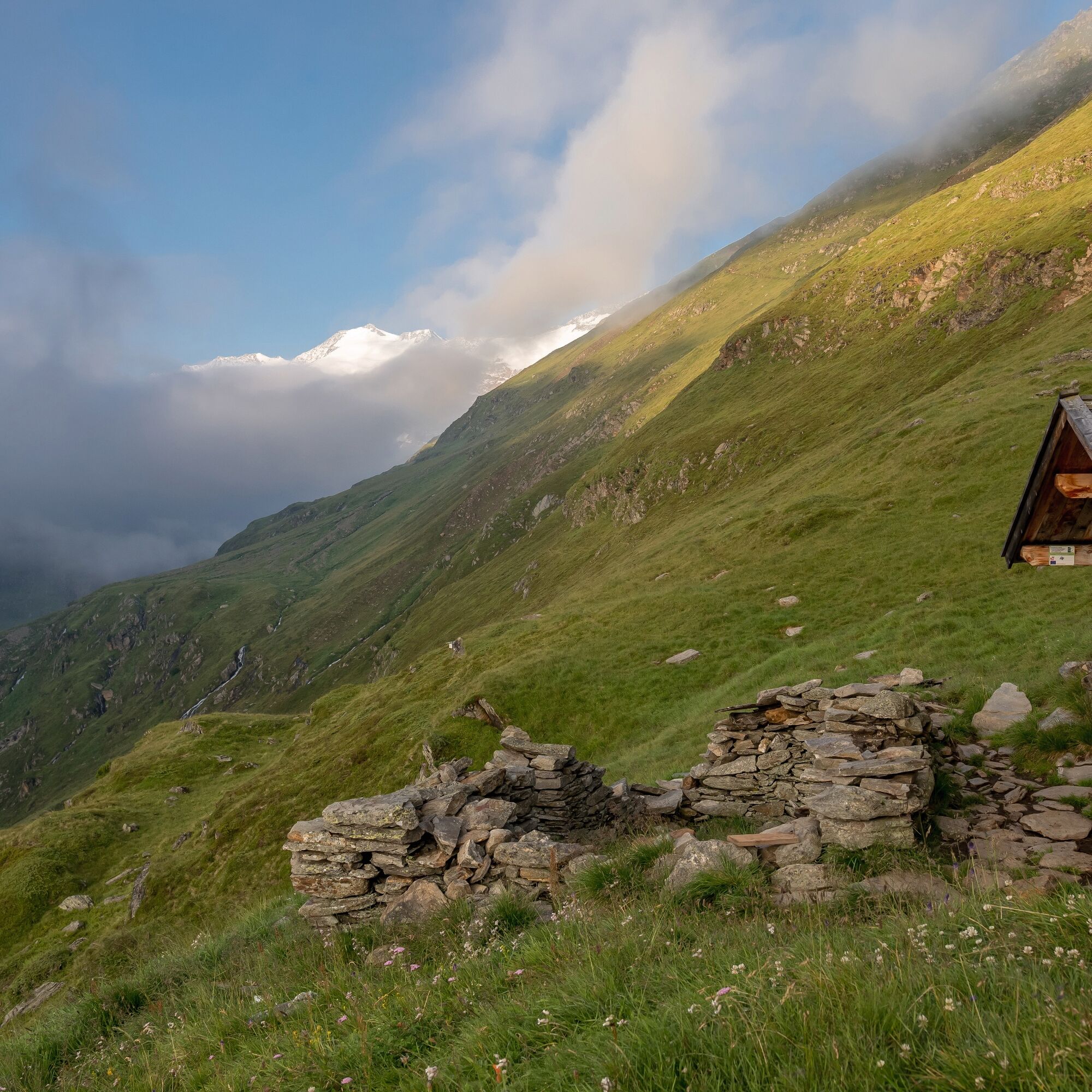
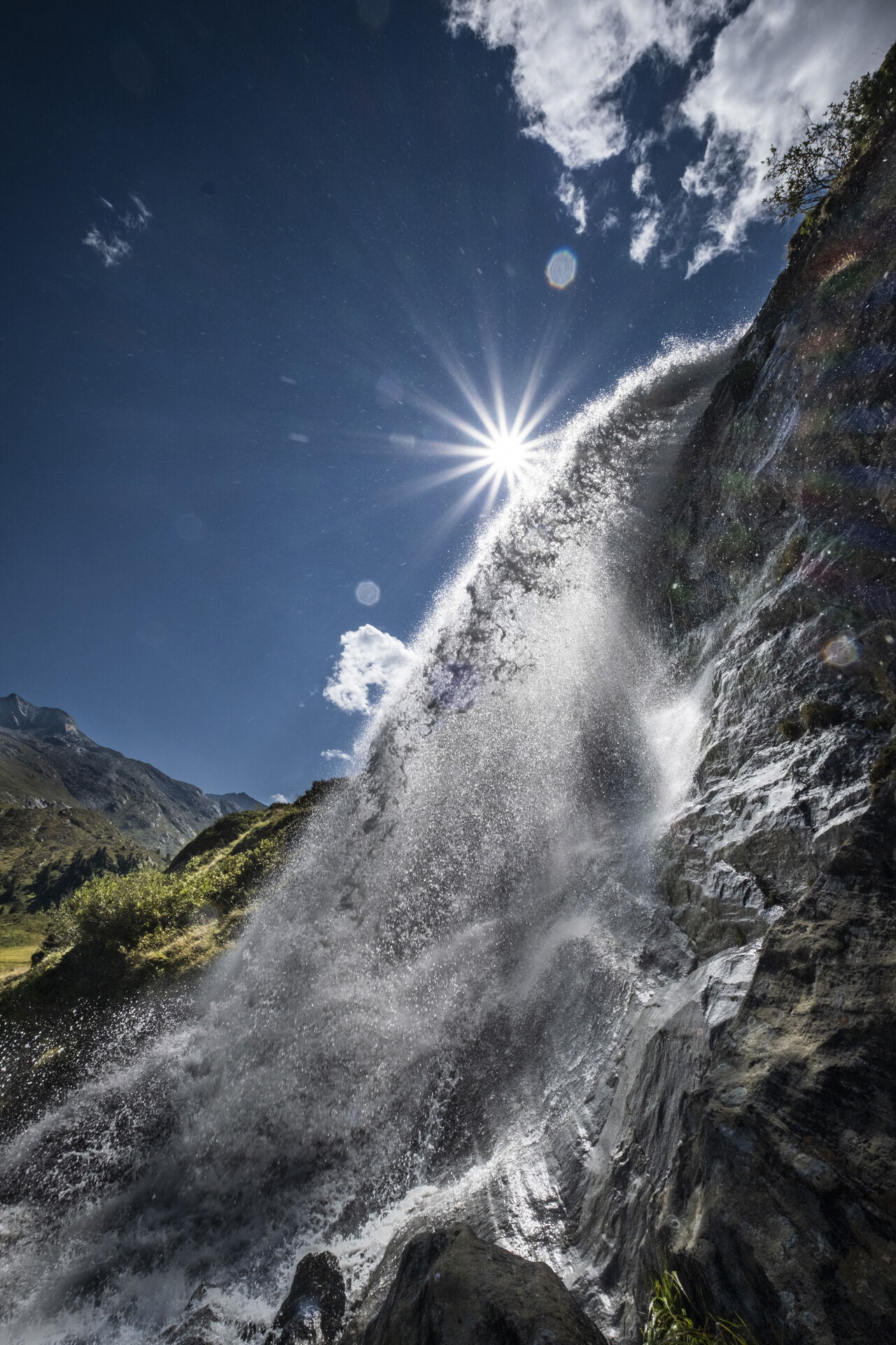
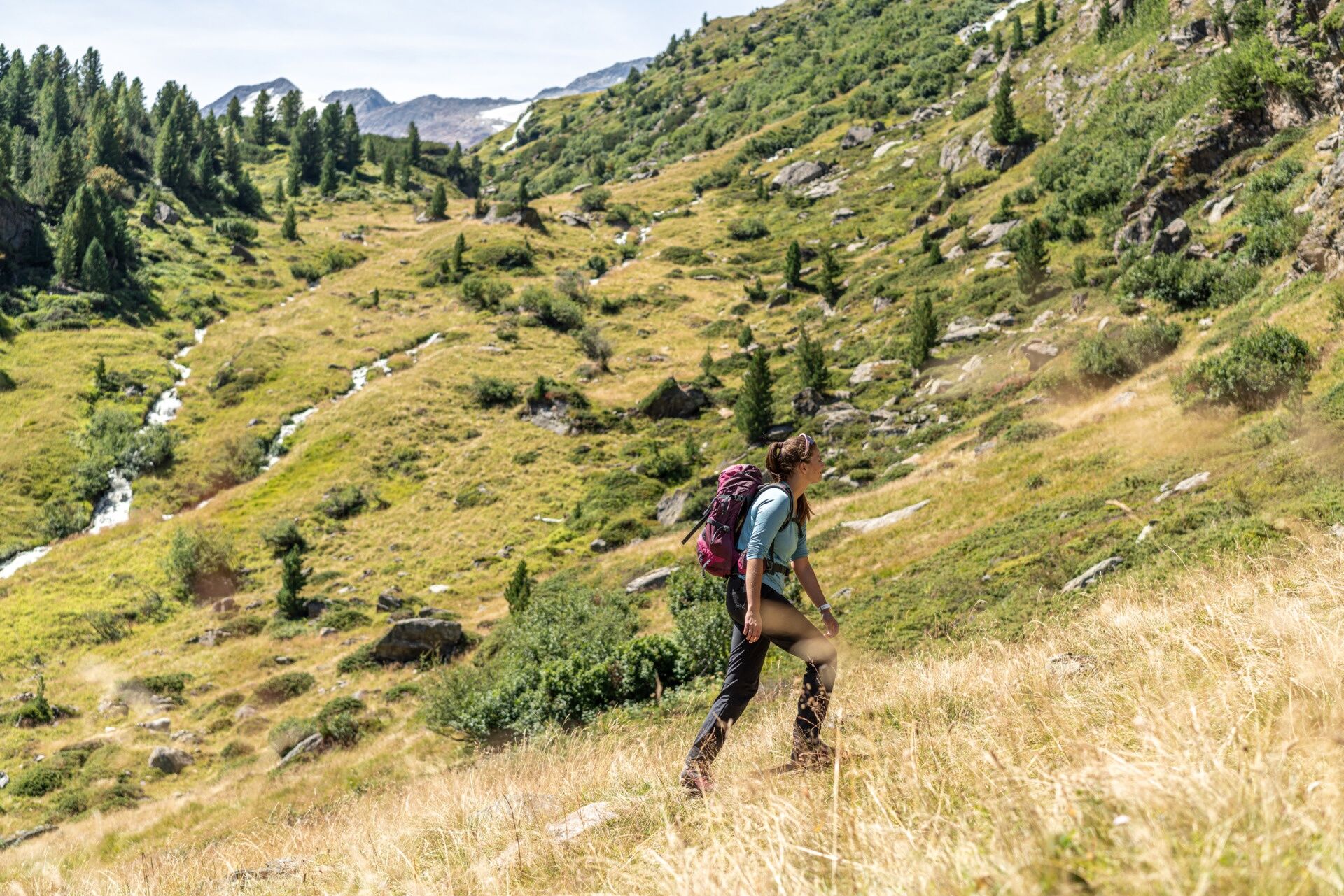
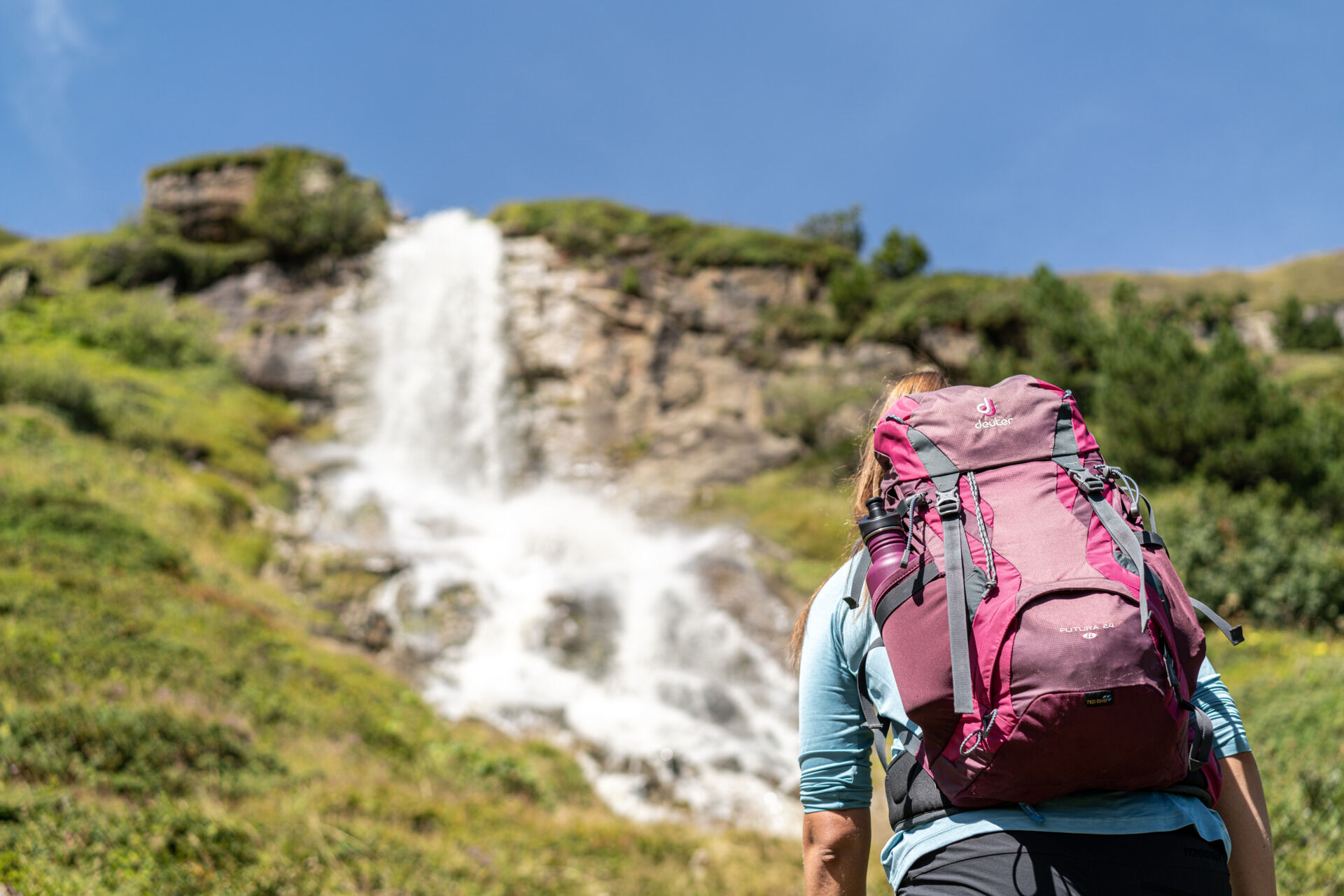

From Obergurgl towards Zirbenalm and to the entrance of the Zirbenwald. At the junction, go right down to the Gurgler Ache, cross the bridge and follow the path towards Beilstein. At Beilstein, a path leads uphill towards Küppele Alm. Once you arrive at the Ramolweg, follow it downhill towards Gurgl back to the town center.
Ano
Appropriate equipment such as breathable and weather-appropriate outdoor clothing, ankle-high hiking boots, wind, rain and sun protection, a hat, and possibly gloves, is required for all hikes and routes. Carrying a first aid kit, a mobile phone and possibly a hiking map, as well as sufficient provisions for hikes without a place to rest, is necessary.
Moderately difficult mountain trail; suitable for sure-footed and experienced hikers.
Good physical condition, mountain experience and mountain equipment (see under equipment) necessary. Please check the current weather report at: https://www.oetztal.com/de/sommer.html.
Obergurgl is located in the west of Austria in the federal state of TIROL, in a southern side valley of the Inn valley – the ÖTZTAL. For your car journey, plan the optimal route from your home location online with the route planner: https://www.google.at/maps
Travel comfortably and safely by train to the Ötztal train station. The final stop or exit point is ÖTZTAL station. Afterwards, travel conveniently and quickly by public transport or local taxi companies throughout the valley to your desired destination! The current bus timetable is available at: http://fahrplan.vvt.at
The following parking options are available in Gurgl:
Parking garage village center Obergurgl (go down right in front of the church), paid | € 2.00 first hour, for every additional 1/2 hour € 1.00 up until max. € 16.00 for 24 hours
Parking garage village entrance – Festkoglbahn valley station, paid | € 6.00 from 8:00 am to 8:00 pm, € 10.00 from 8:00 pm to 8:00 am
Parking lot Hochgurglbahn valley station, free – no overnight parking
Parking lot Top Mountain Crosspoint, free
Part of an original Ötztal Trek stage.
More information about hiking in the Ötztal: https://www.oetztal.com/wandern



Webové kamery z prohlídky
-
Obergurgl
-
Hochgurgl
-
Obergurgl
-
Gaisberg
-
Top Mountain Crosspoint Hochgurgl
-
Top Mountain Crosspoint Hochgurgl
-
Top Mountain Crosspoint Hochgurgl
-
Top Mountain Crosspoint Hochgurgl
-
Top Mountain Crosspoint Hochgurgl
-
Obergurgl
-
Obergurgl
-
Obergurgl
-
Obergurgl
-
Obergurgl
-
Obergurgl
-
Obergurgl
-
Top Mountain Crosspoint Hochgurgl



Oblíbené prohlídky v okolí
-
4.8
Vent - Kreuzspitze
Turistika 20.6 km -
4.3
Vorderkaser - Eishof / Texelgruppe
světloTuristika 4.83 km -
4.6
Vent - Wilder Mann - Breslauer Hütte - Stableinalm
středníTuristika 7.25 km -
4.9
Pfossental - vom Vorderkaser auf die Stettinerhütte
středníTuristika 23.7 km -
3.8
Breslauer Hut
středníTuristika 4.75 km -
4.6
Hochwilde - Pfelders
středníVysokohorská turistika 22.1 km -
4.4
Hochtour Wildspitze, 3.768m
středníVysokohorská turistika 9.75 km -
4.9
Seeber-See Rundweg
světloHorská turistika 7.96 km -
3.5
Tiefenbachglacier - Mountaineering Village Vent
středníTuristika 10.8 km -
4.8
Spronser Seen lakes: At the heart of the Texelgruppe Nature Park
heavyTuristika 15.1 km
Pěší turistika a stopování


Nenechte si ujít nabídky a inspiraci pro vaši příští dovolenou
Vaše e-mailová adresa byl přidán do poštovního seznamu.


