


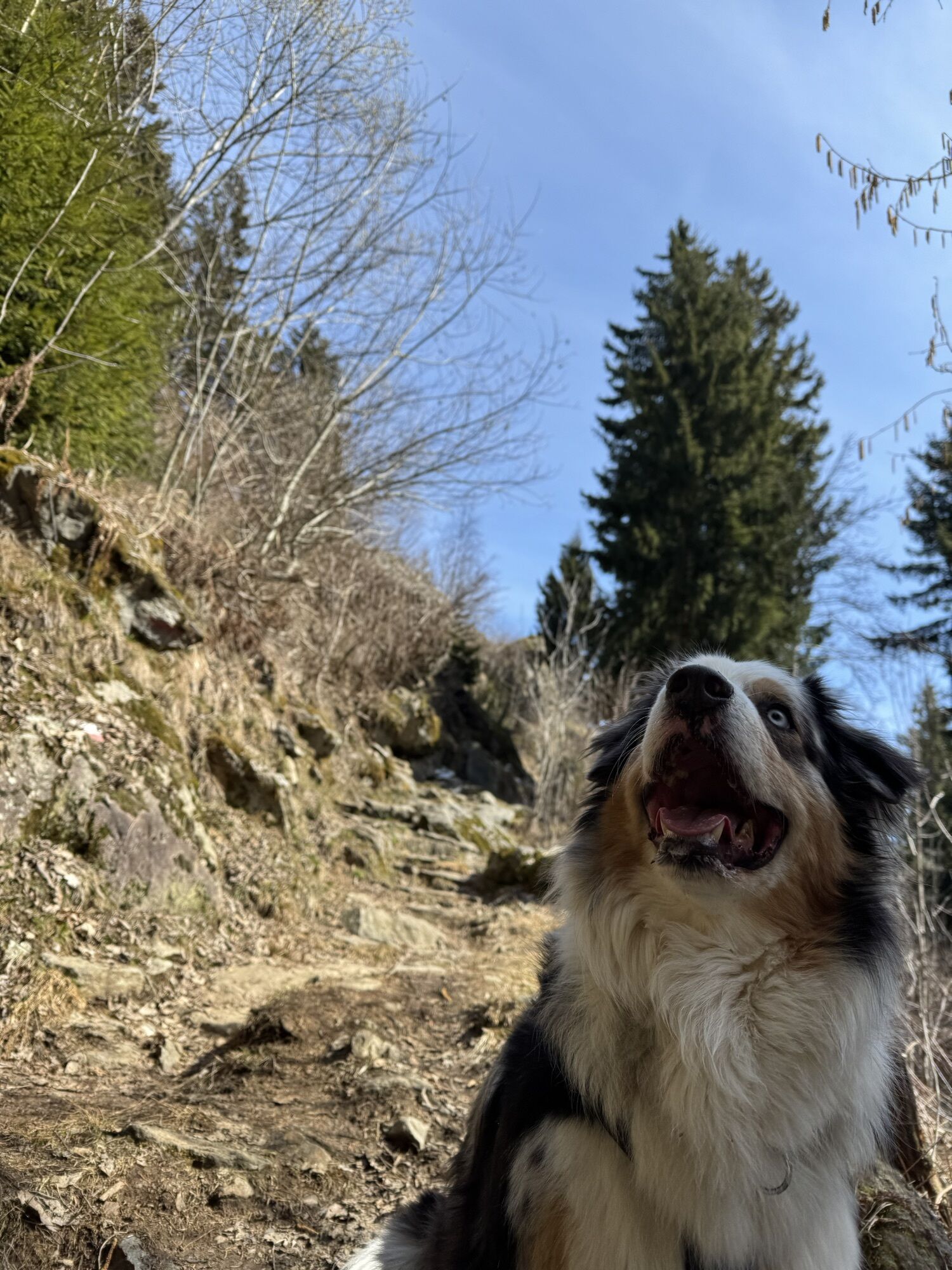
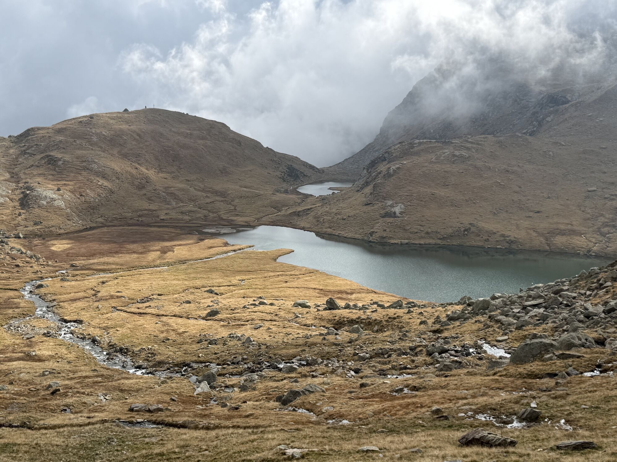
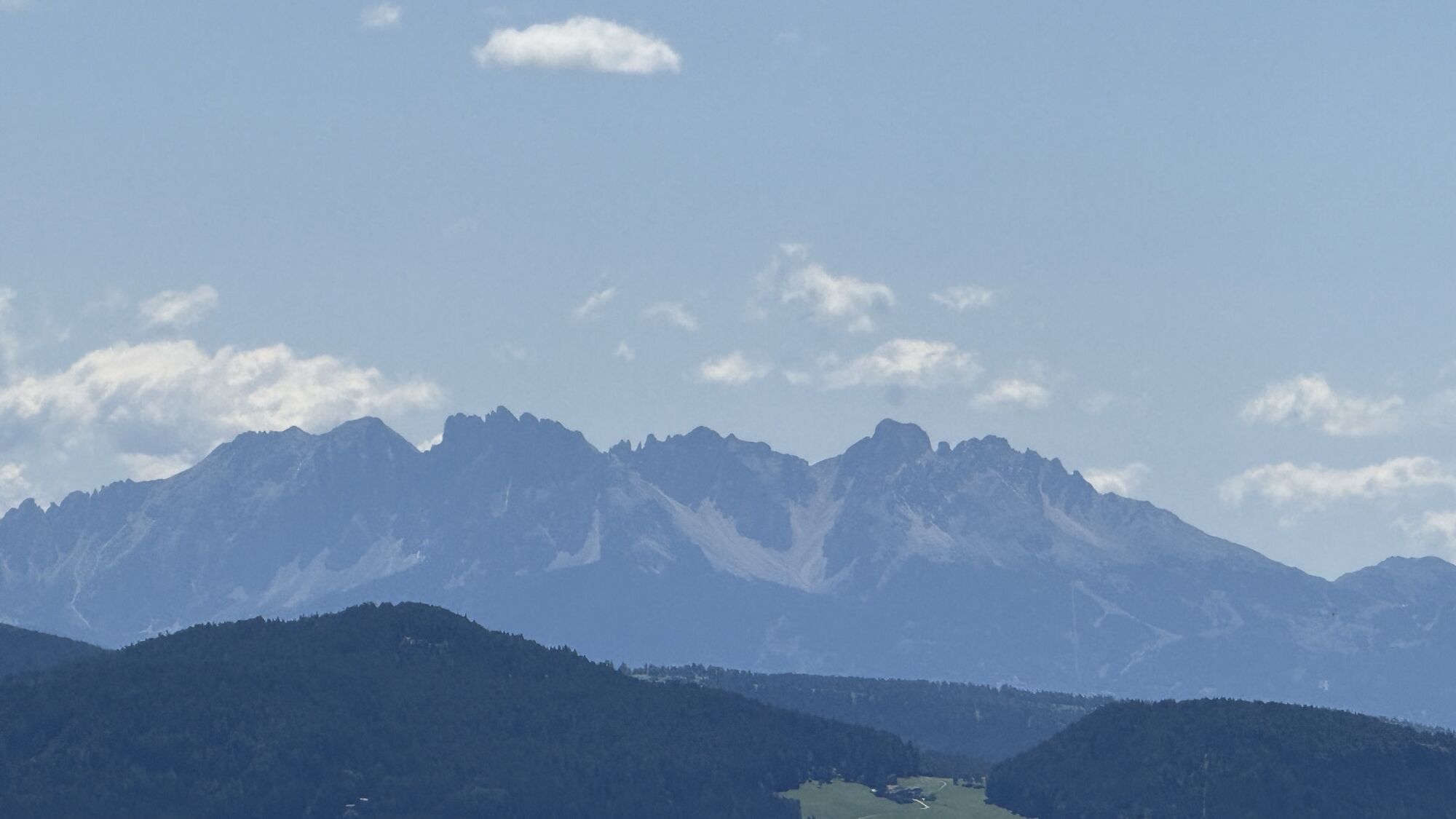
Spronser Seen lakes: At the heart of the Texelgruppe Nature Park
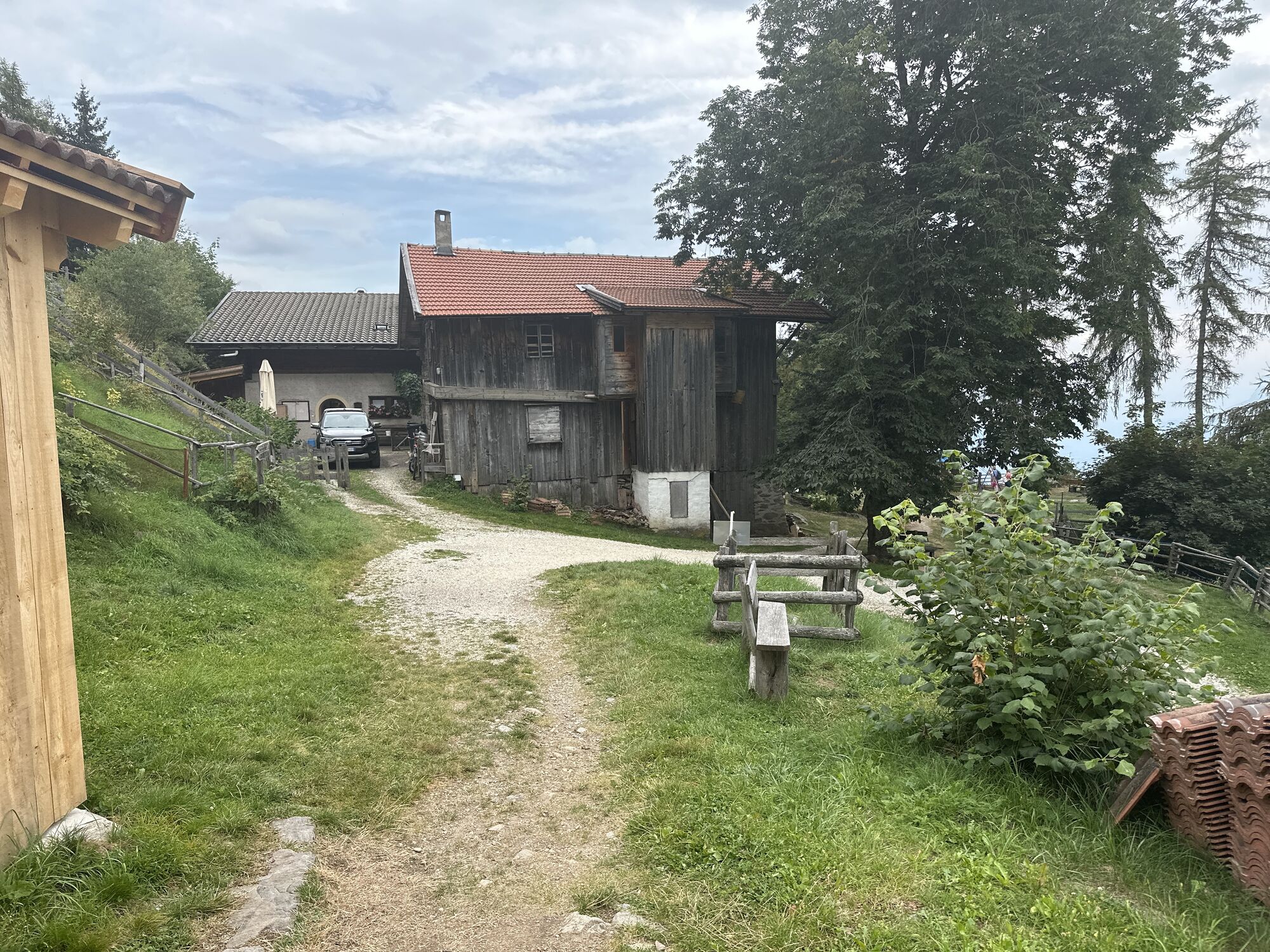
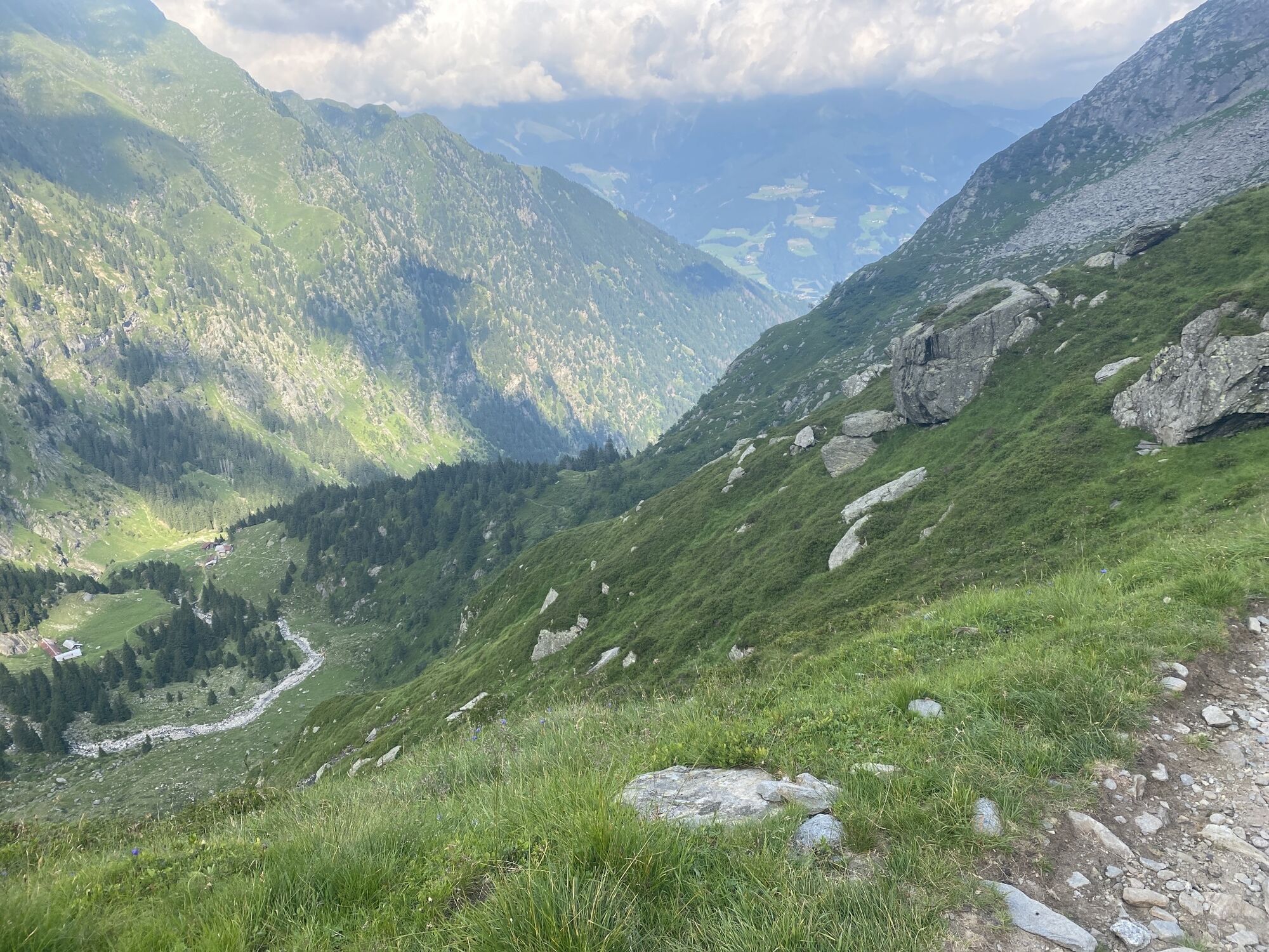
The starting point of this tour is Pfelders/Plan (1,628 m) in the Passeiertal valley. Take trail no. 6 up to the Faltschnal Alm mountain hut, cross the Faltschnaltal valley and continue until the Faltschnaljöchl...
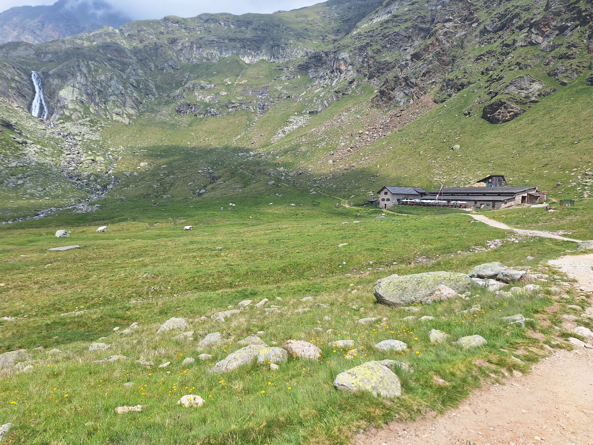
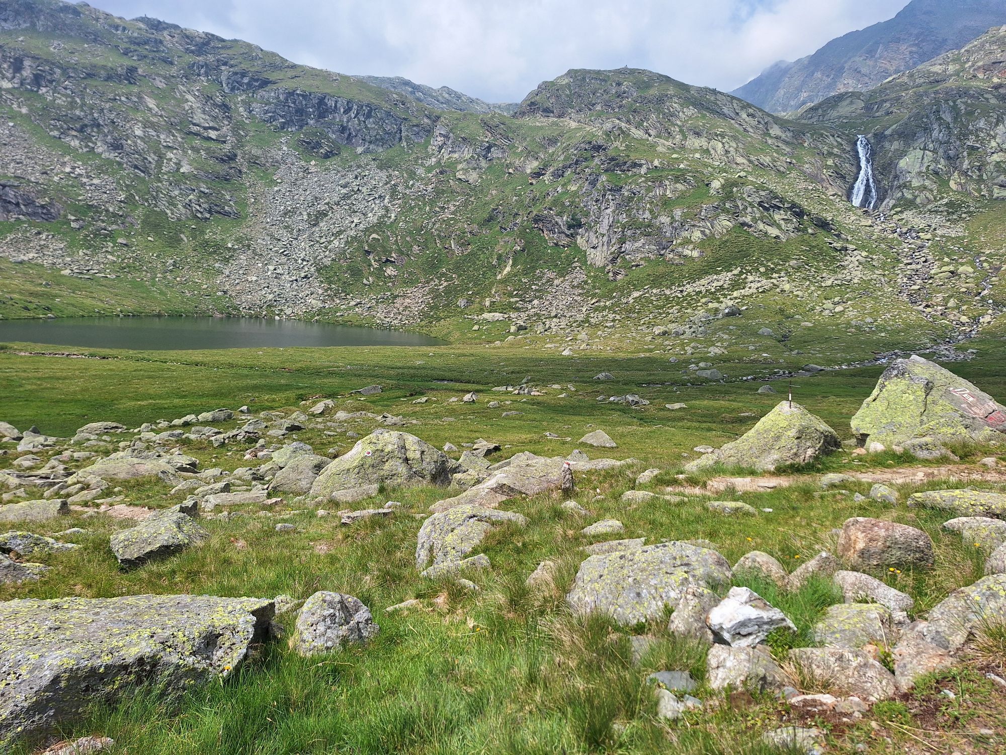
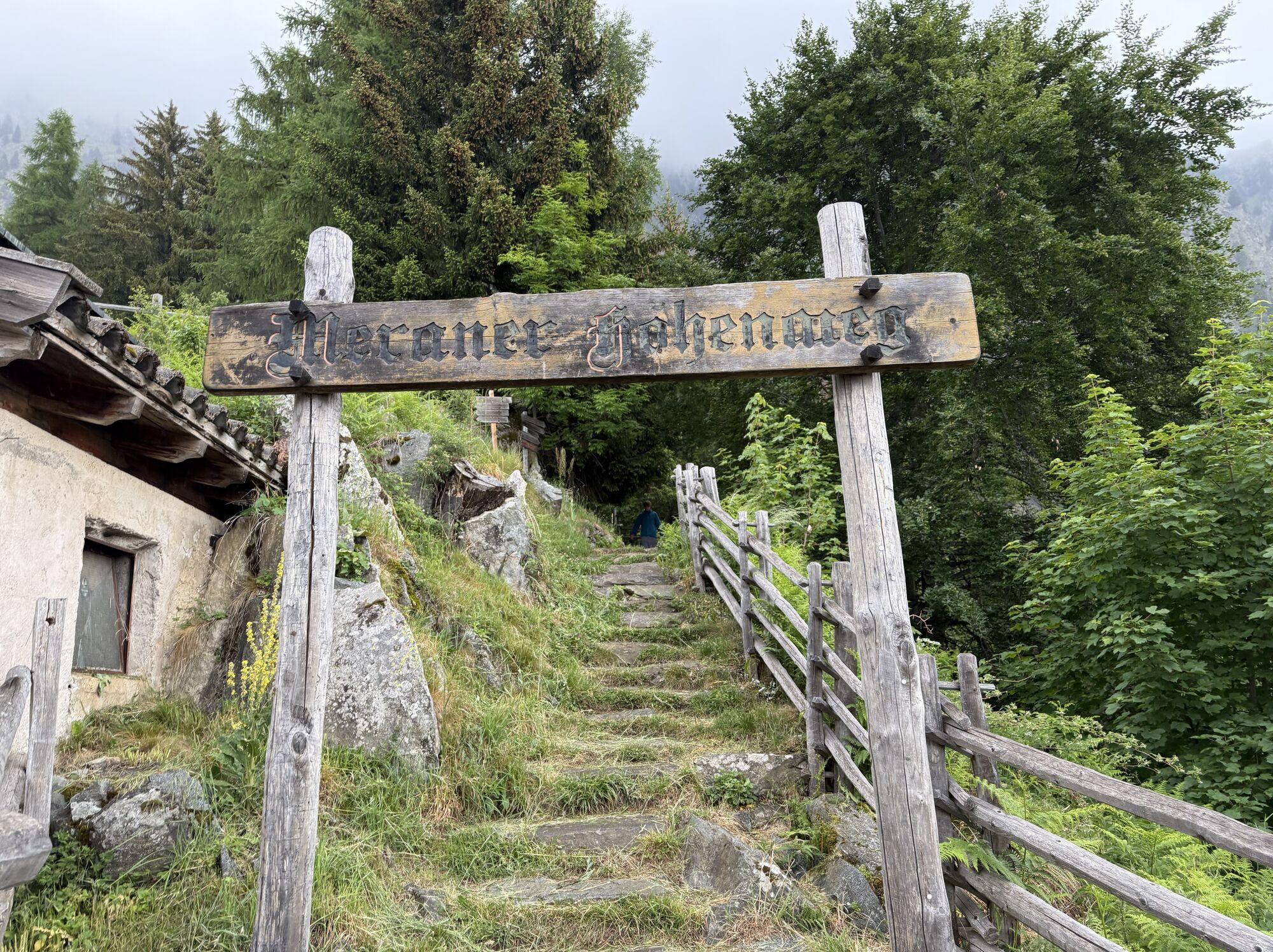
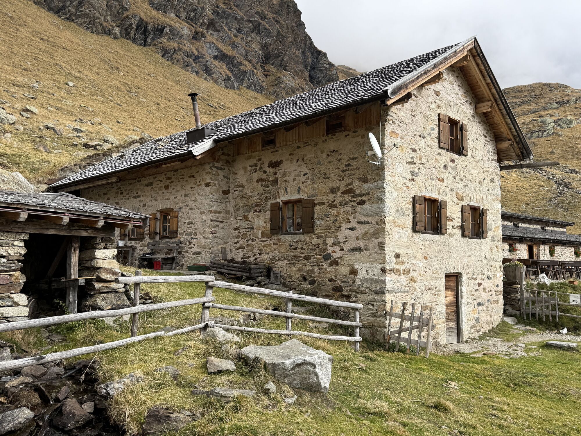
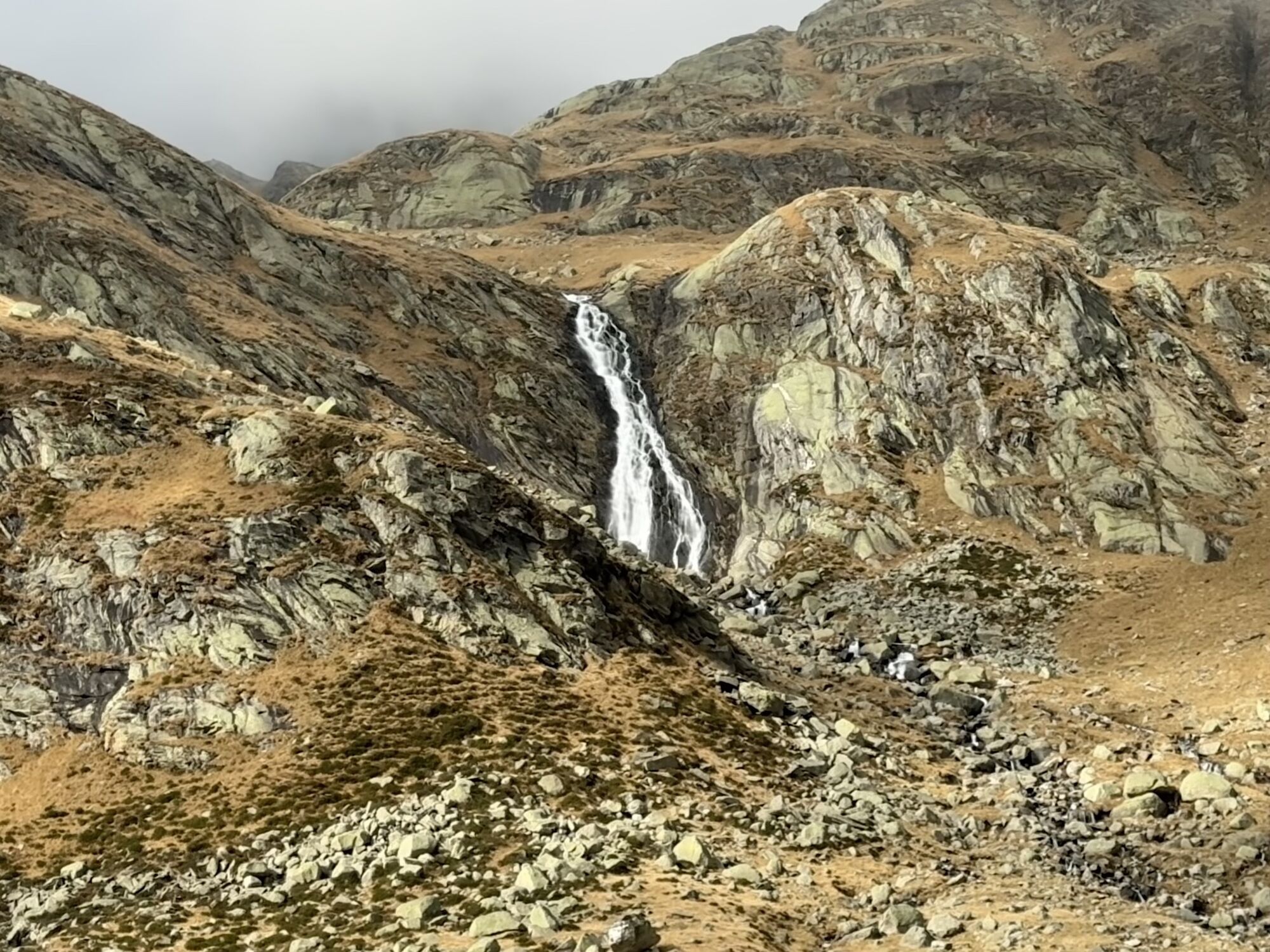
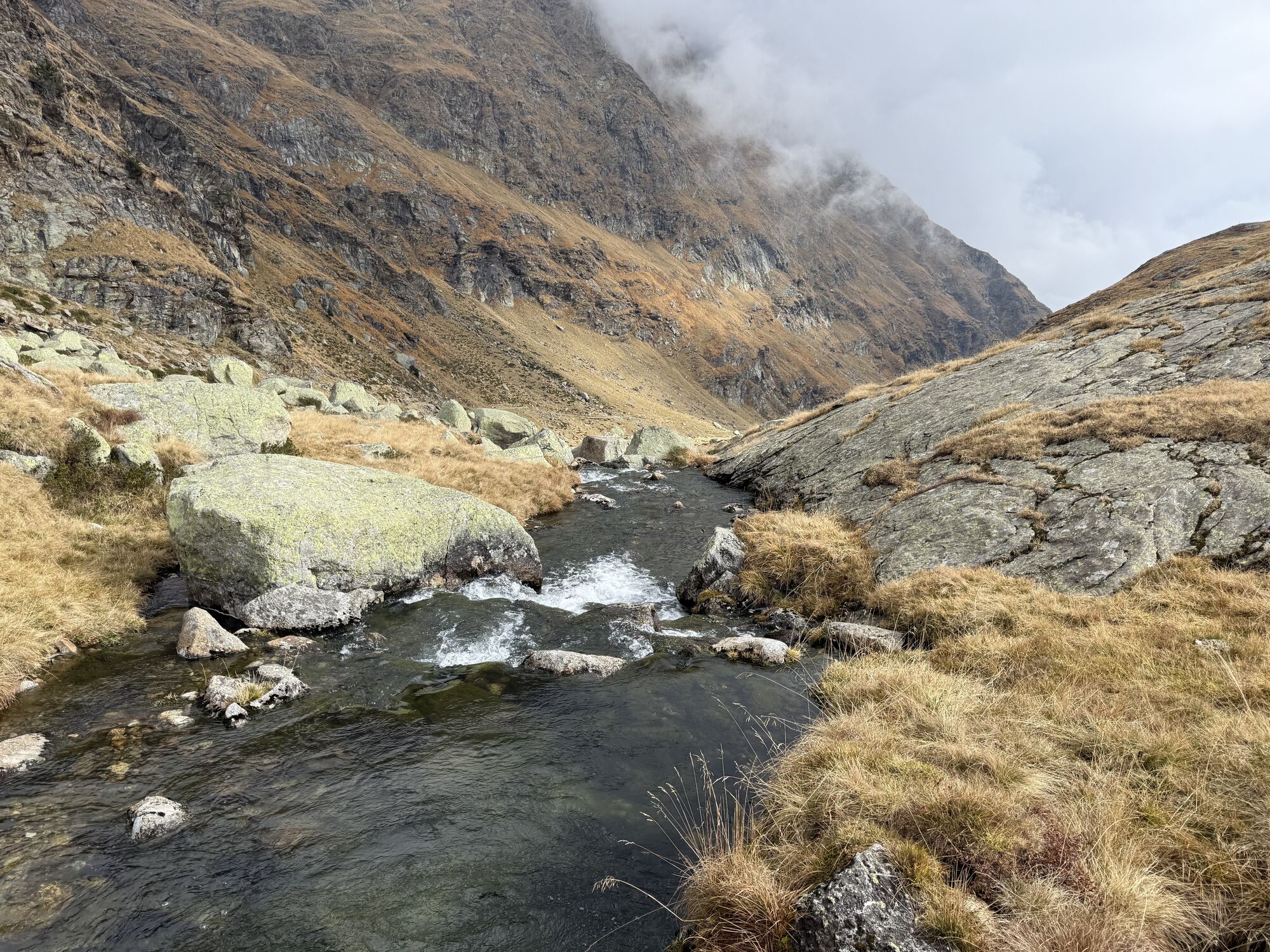
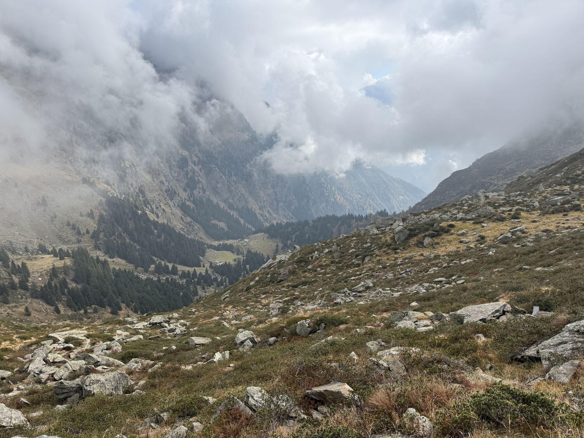
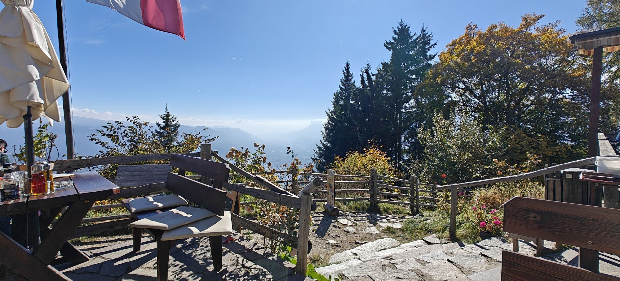
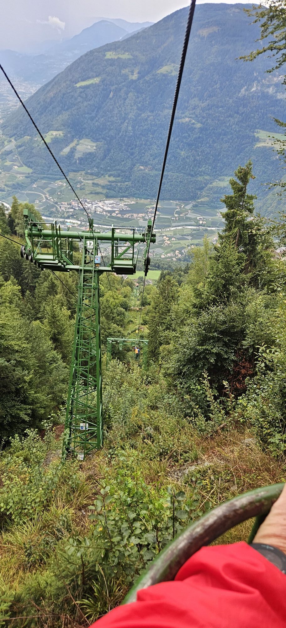
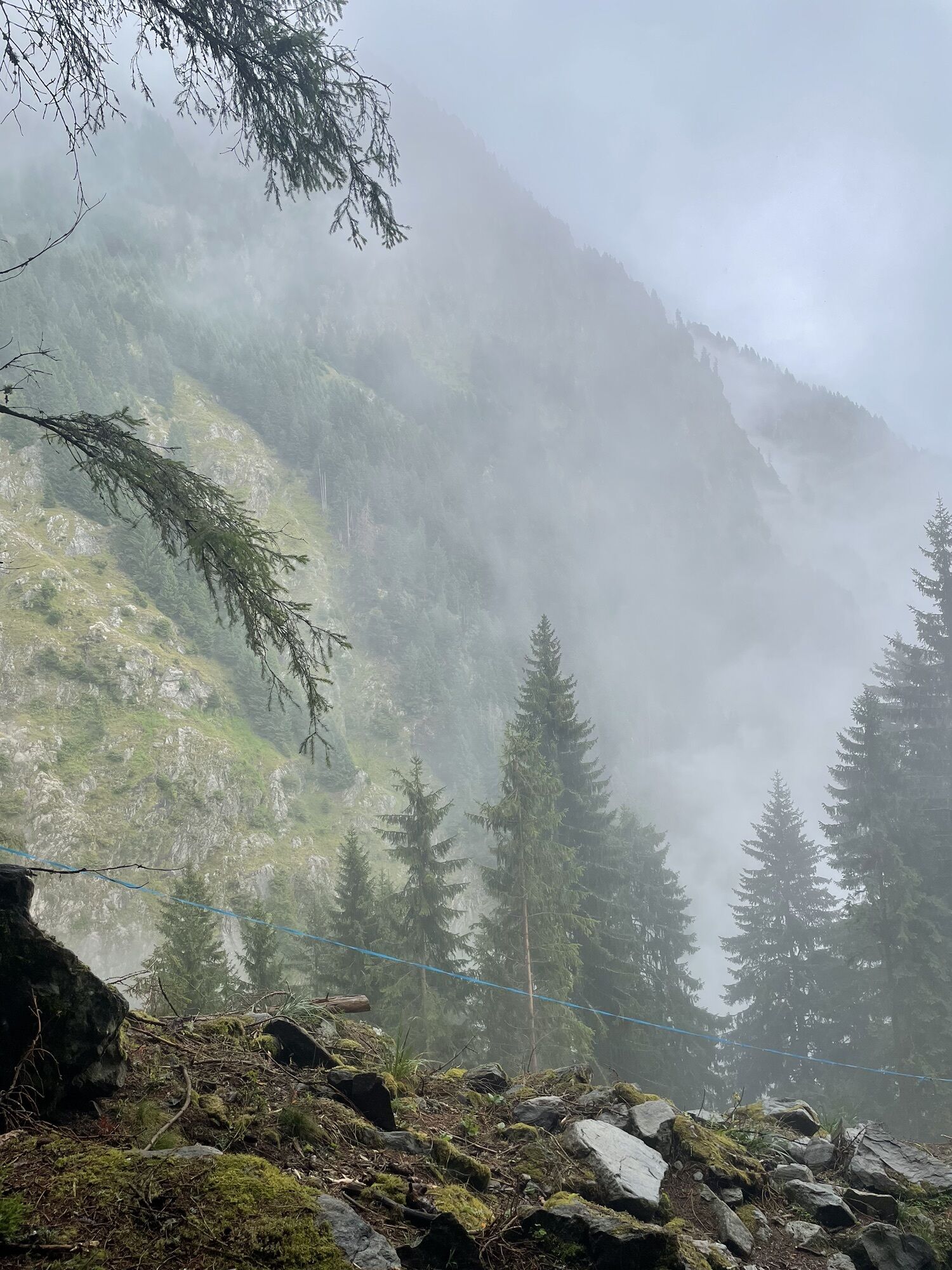
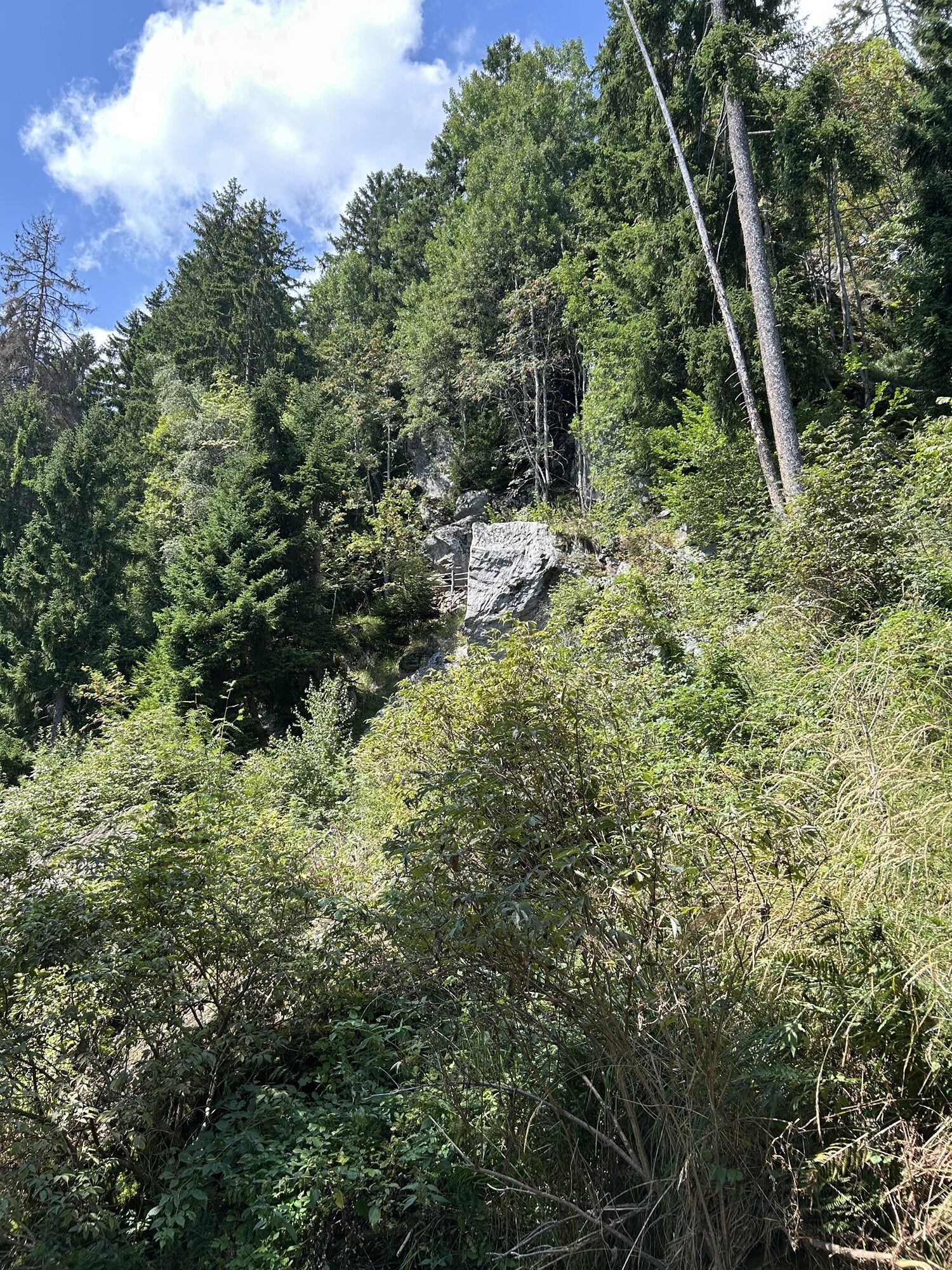
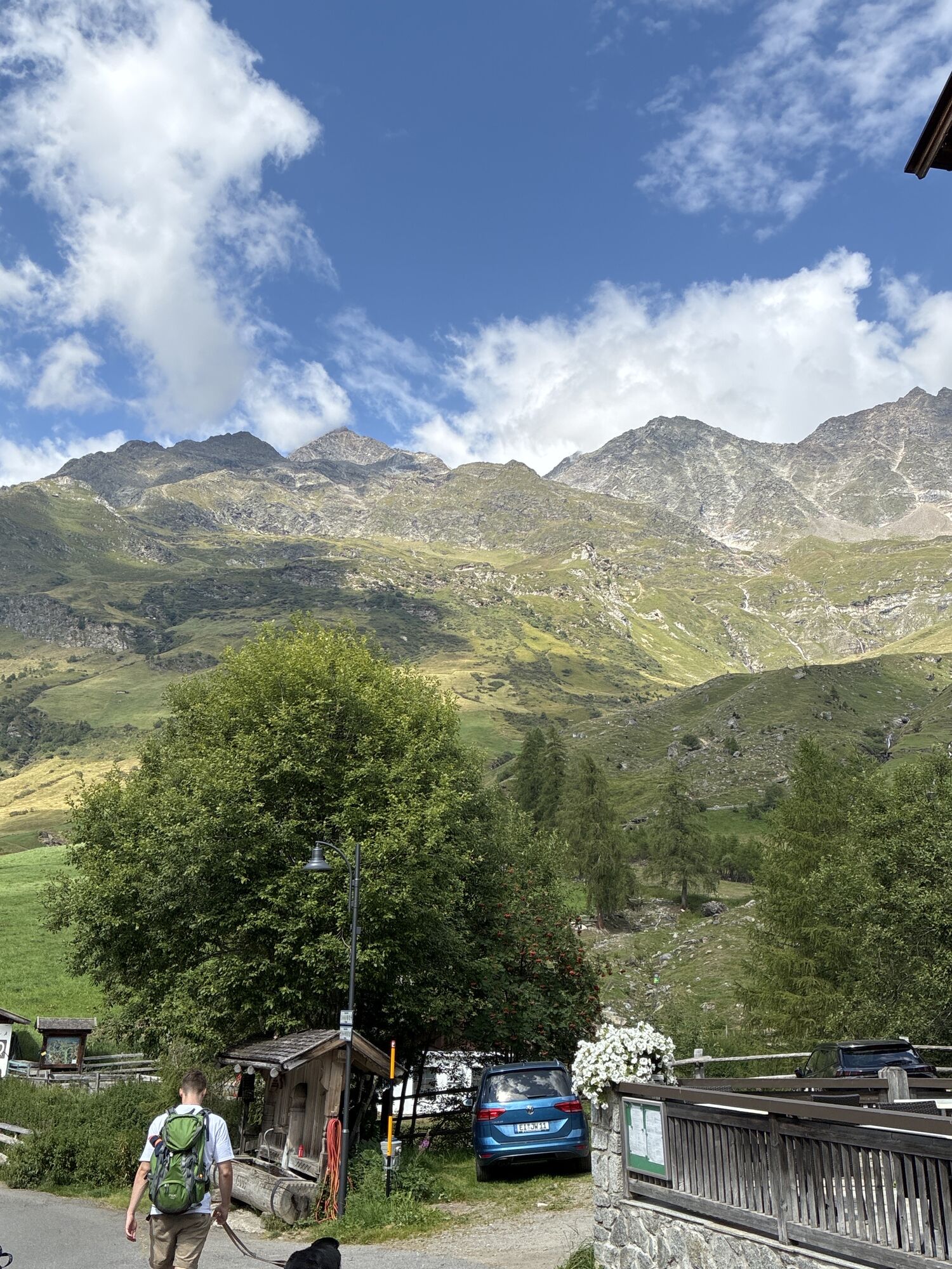
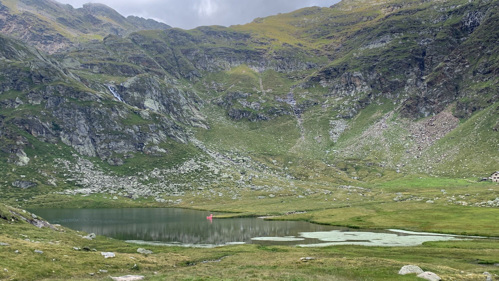
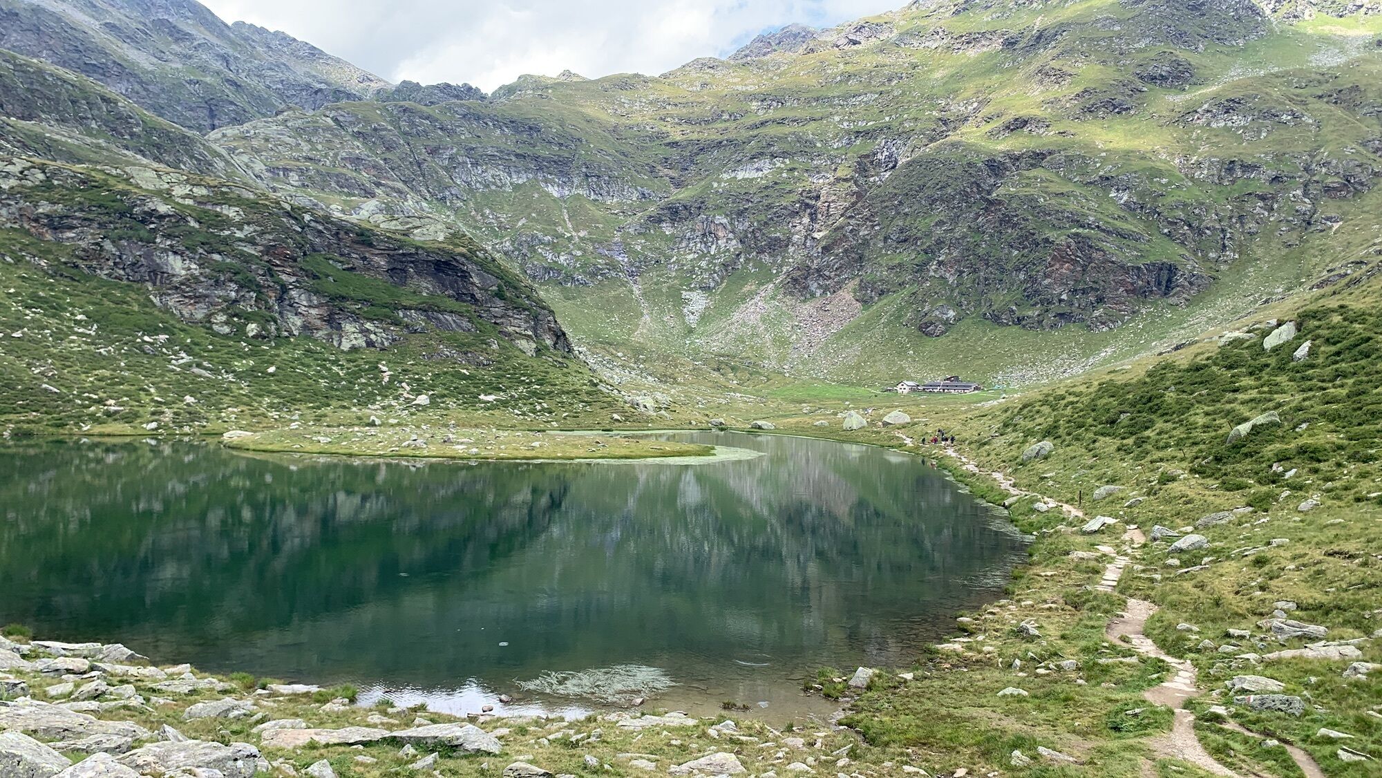
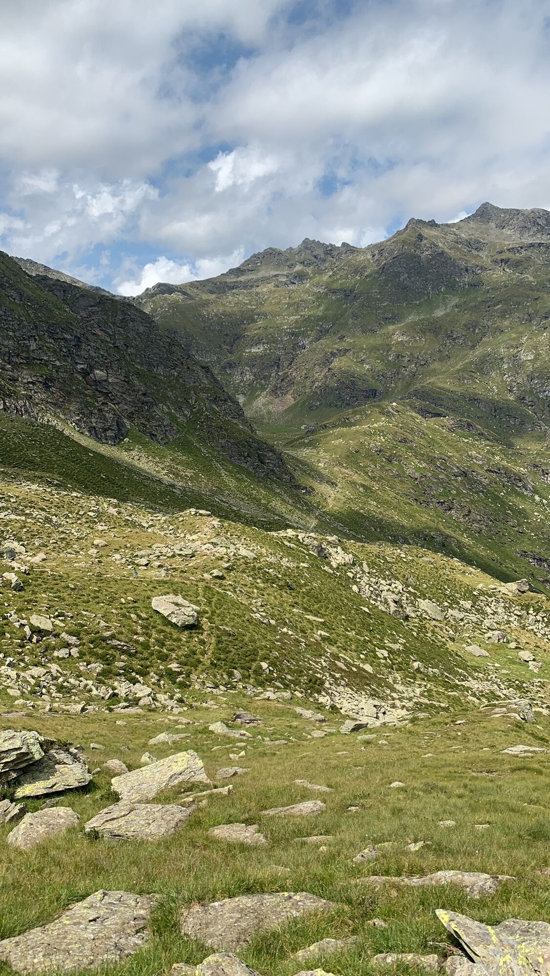
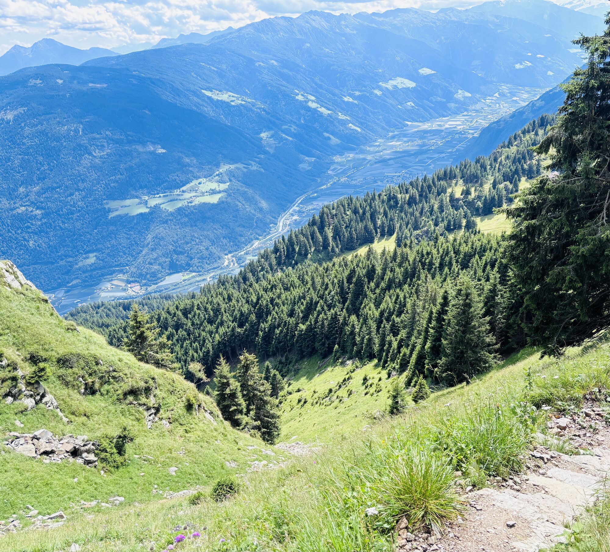
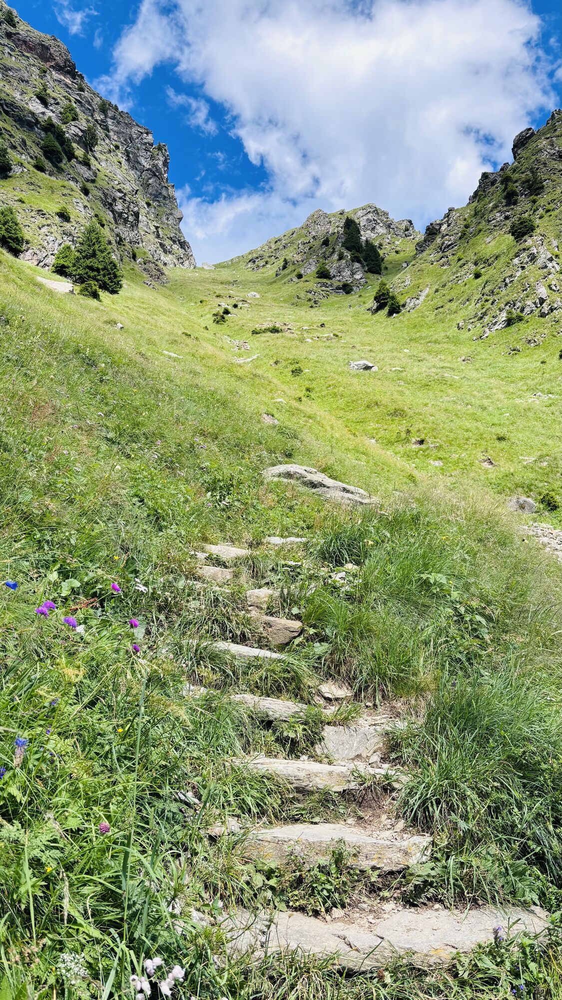
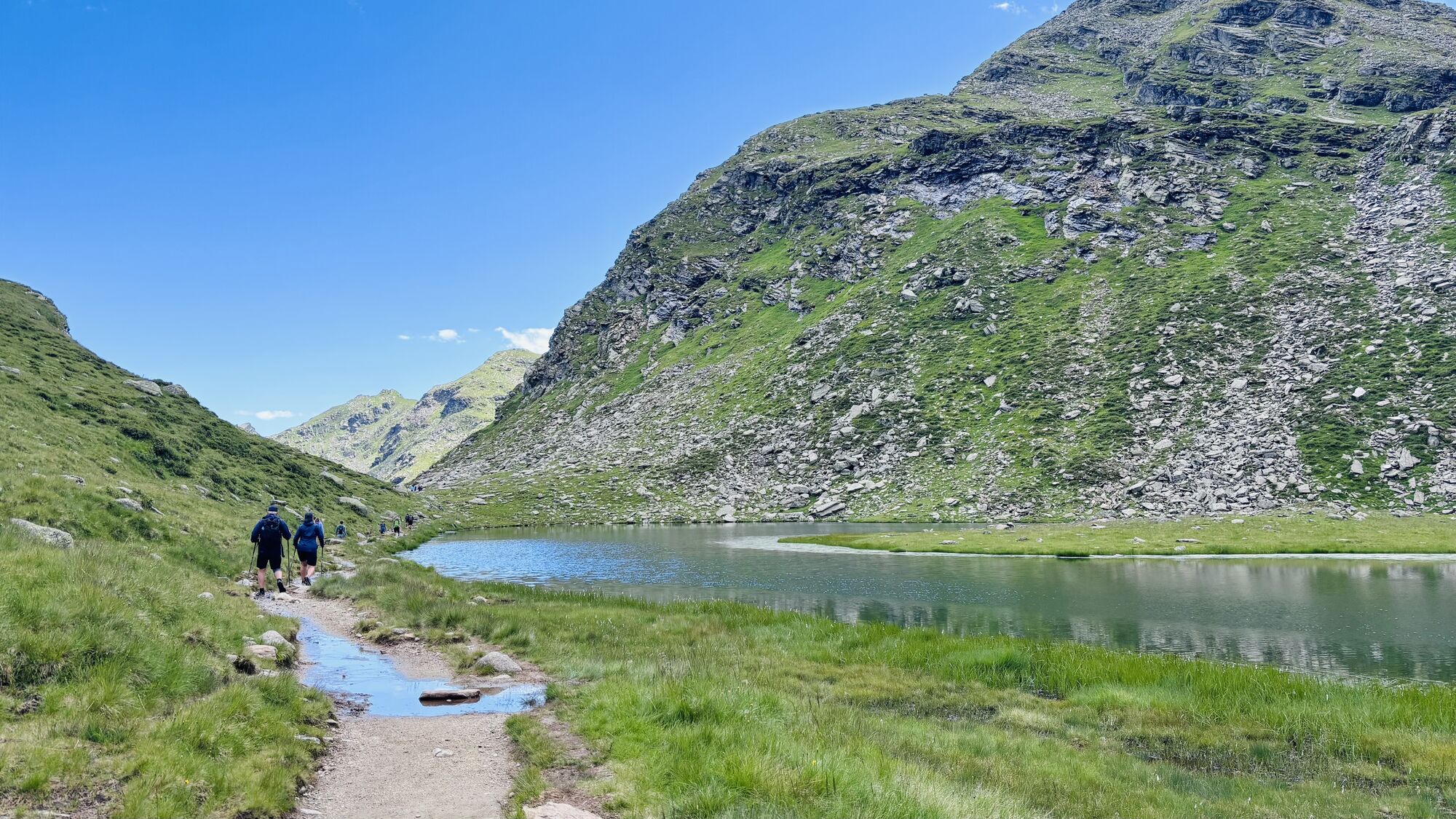
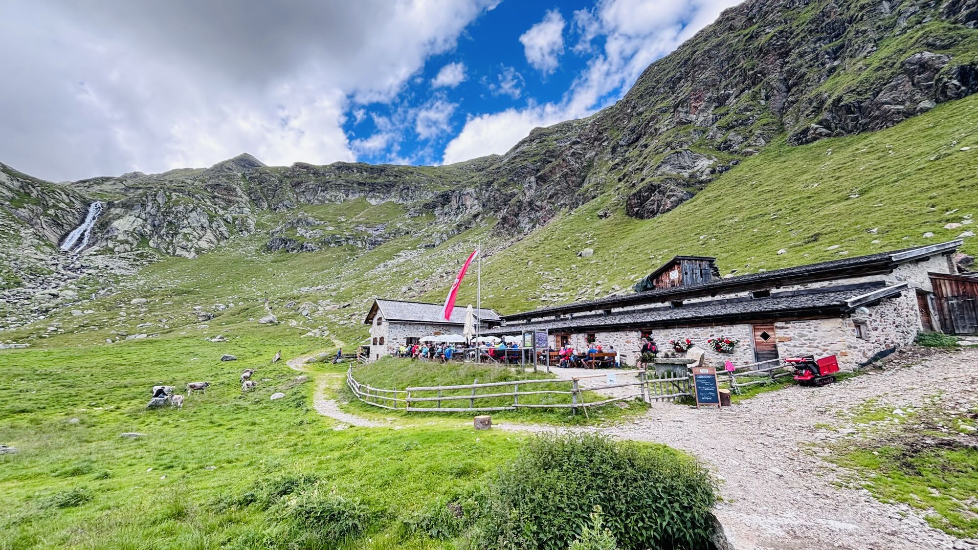
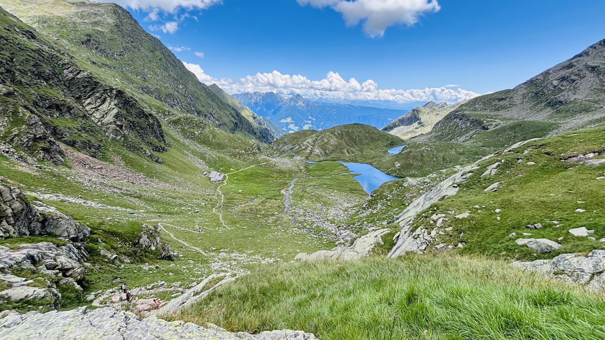
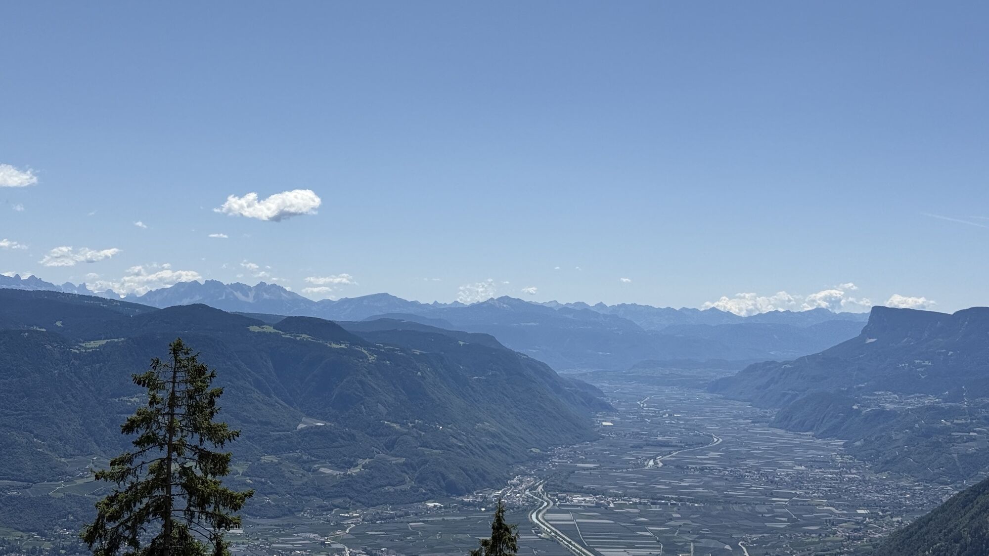
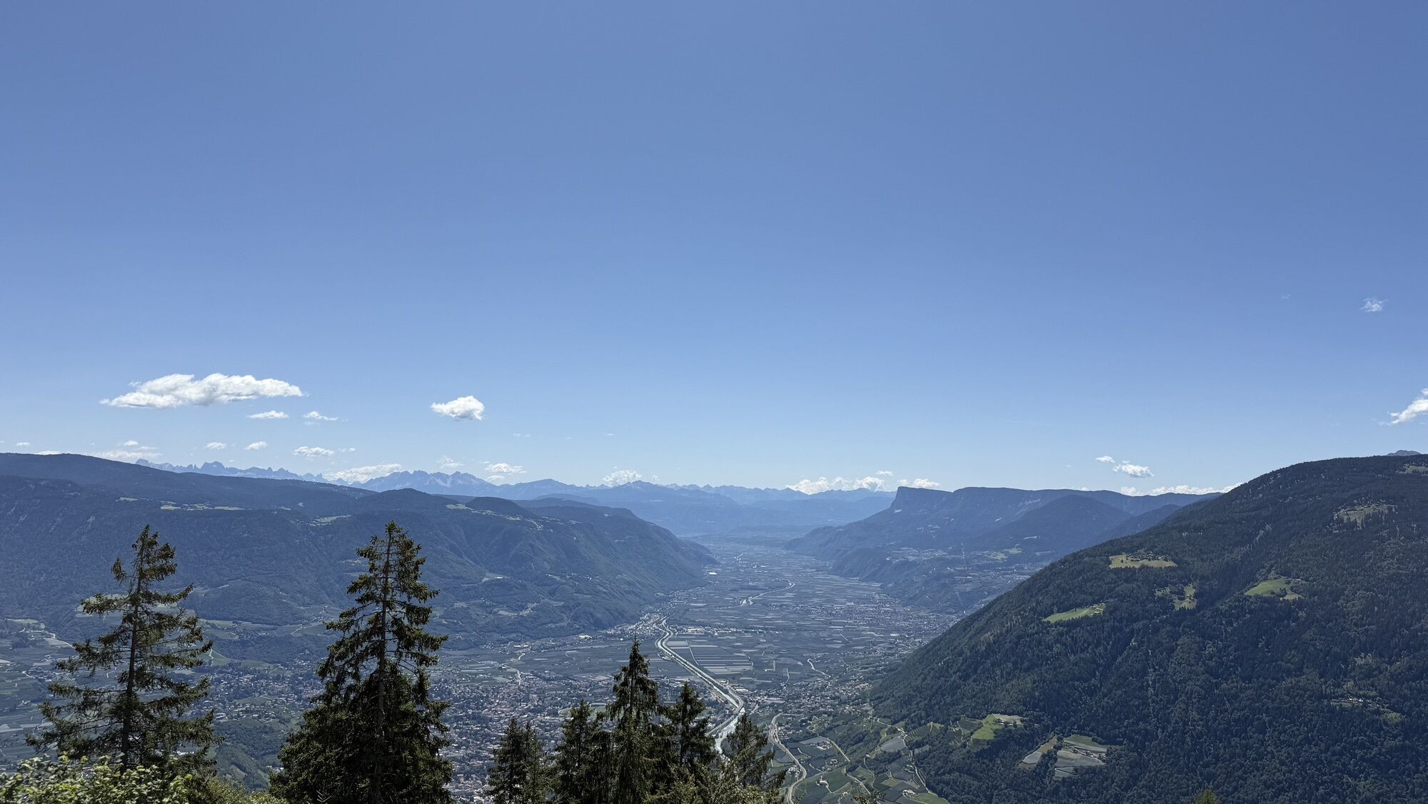
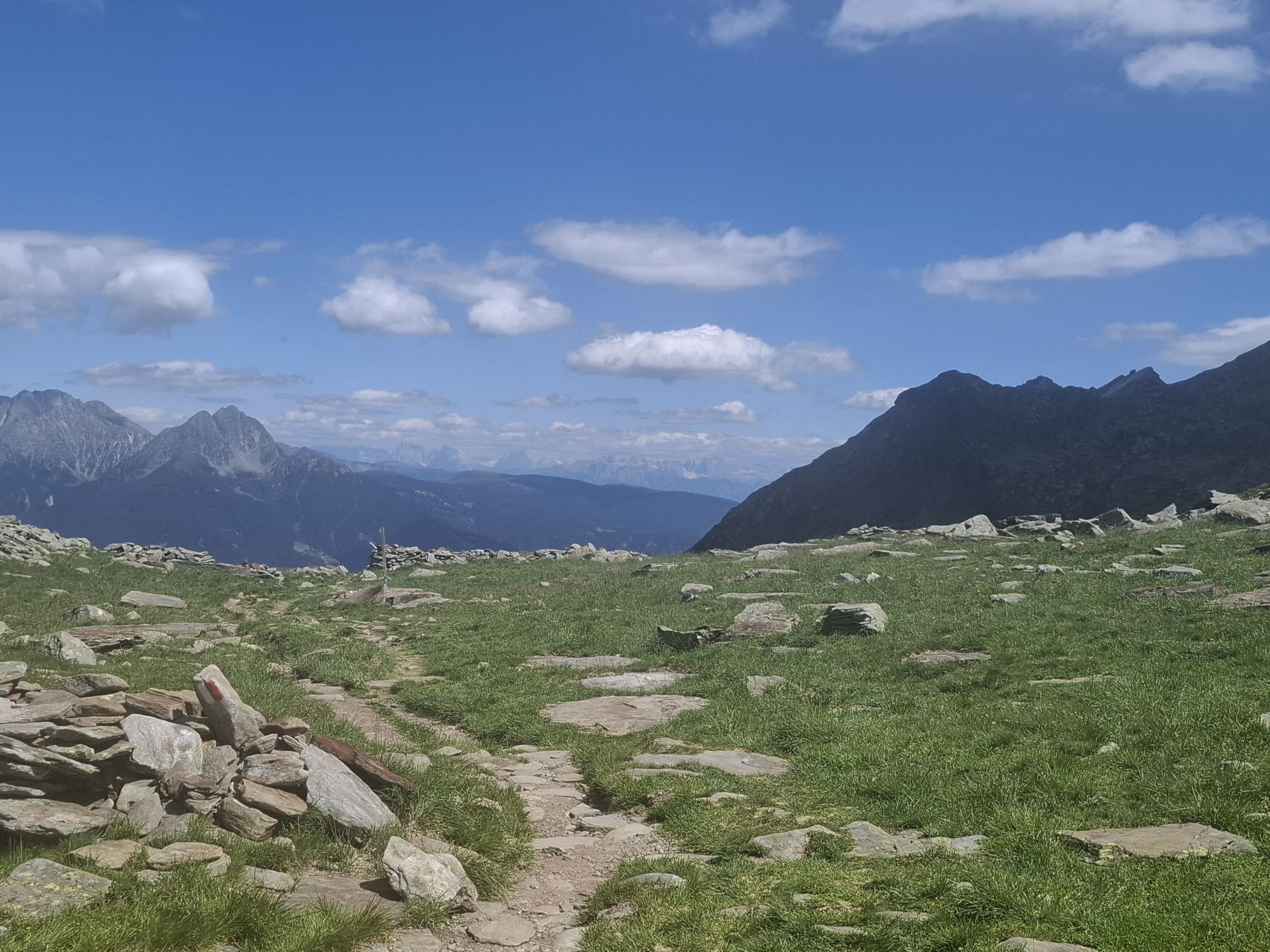
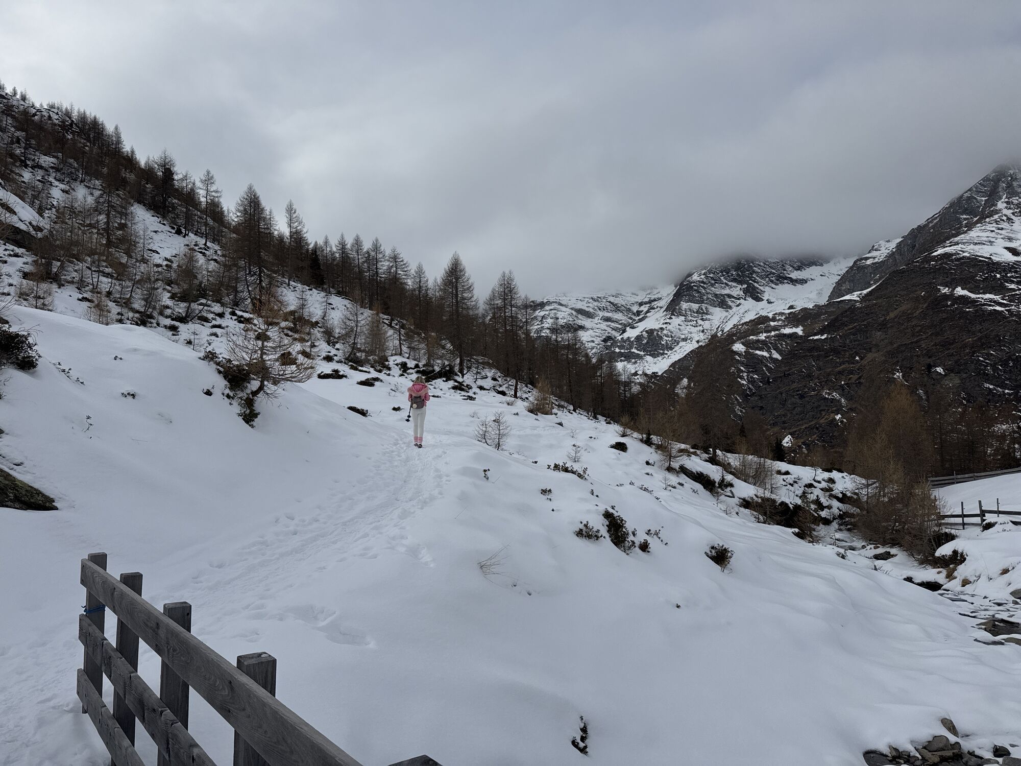
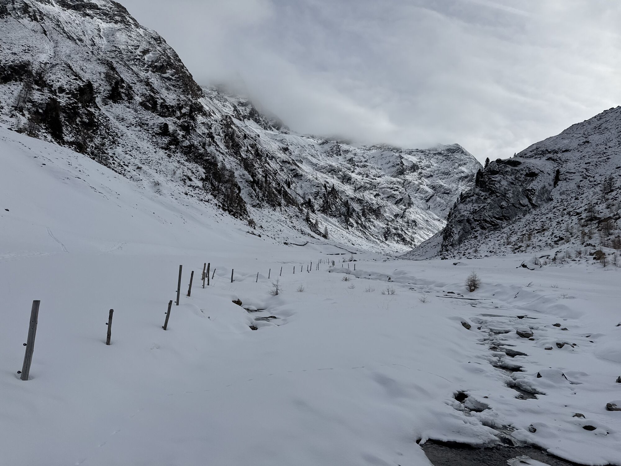
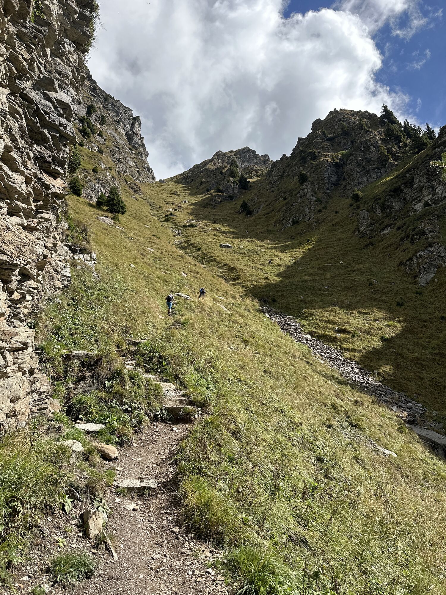
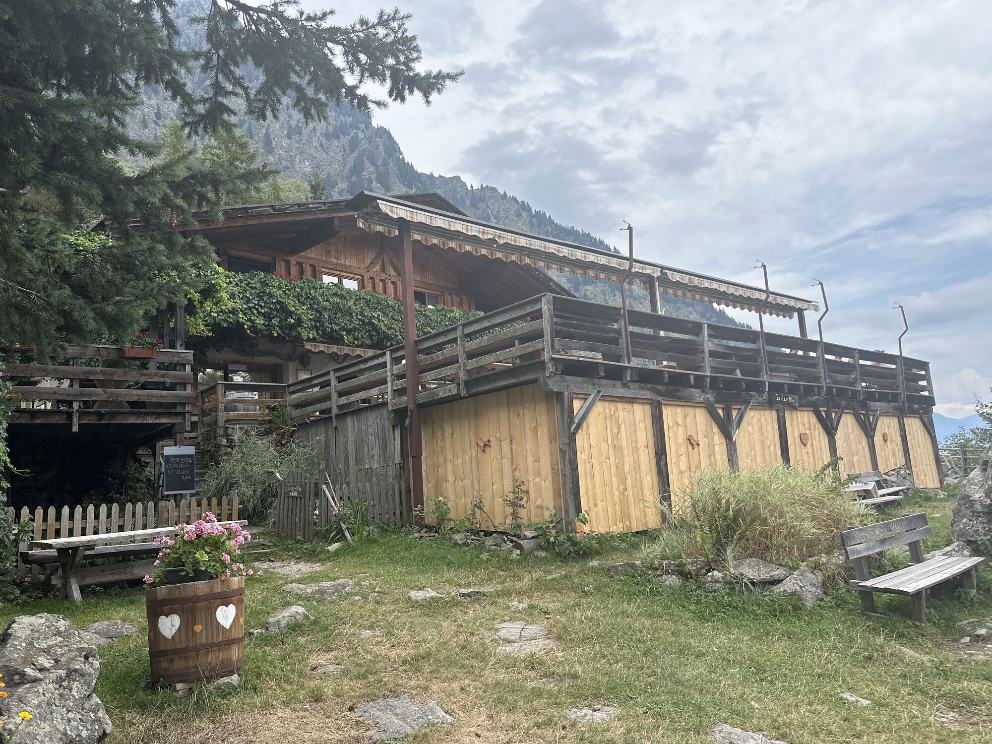
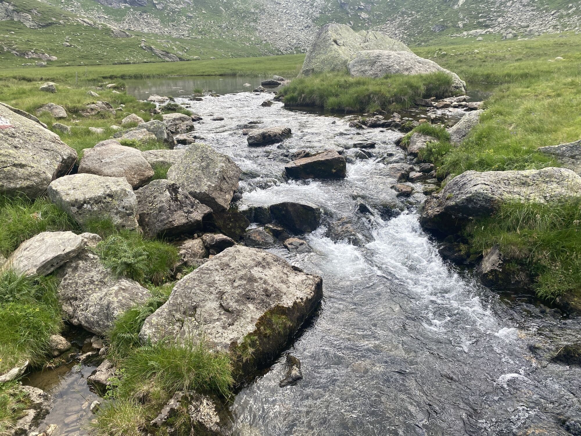
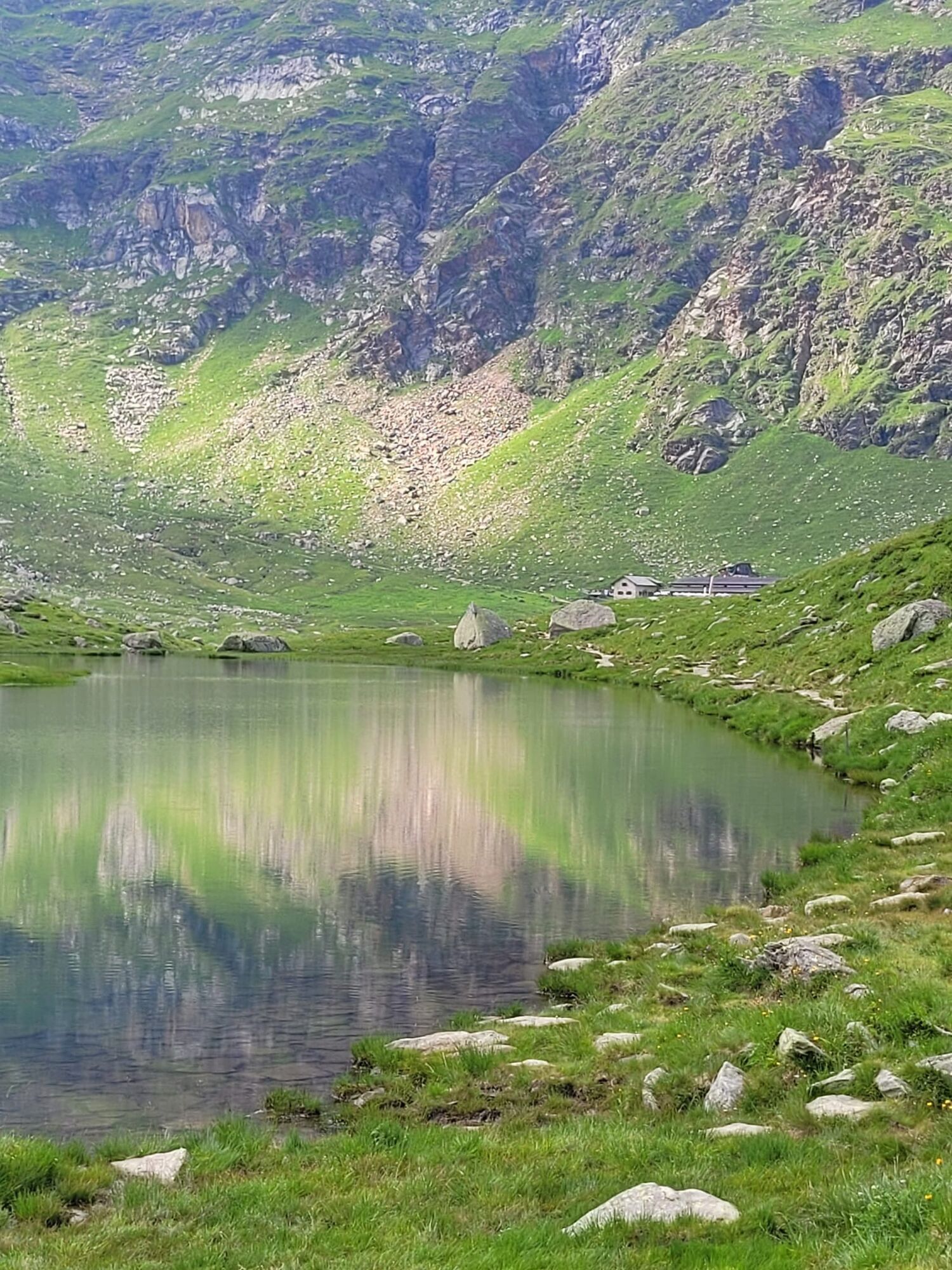
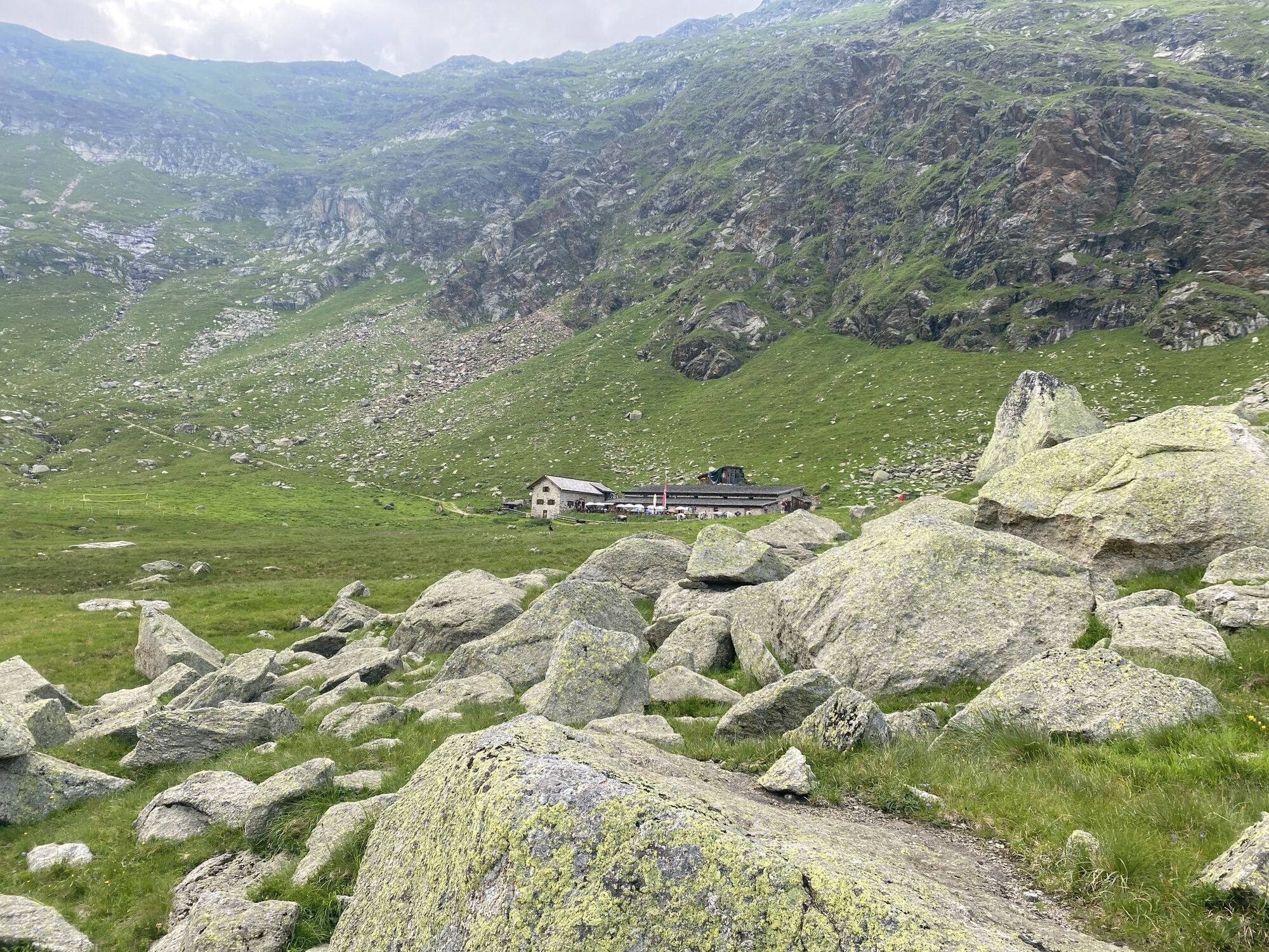
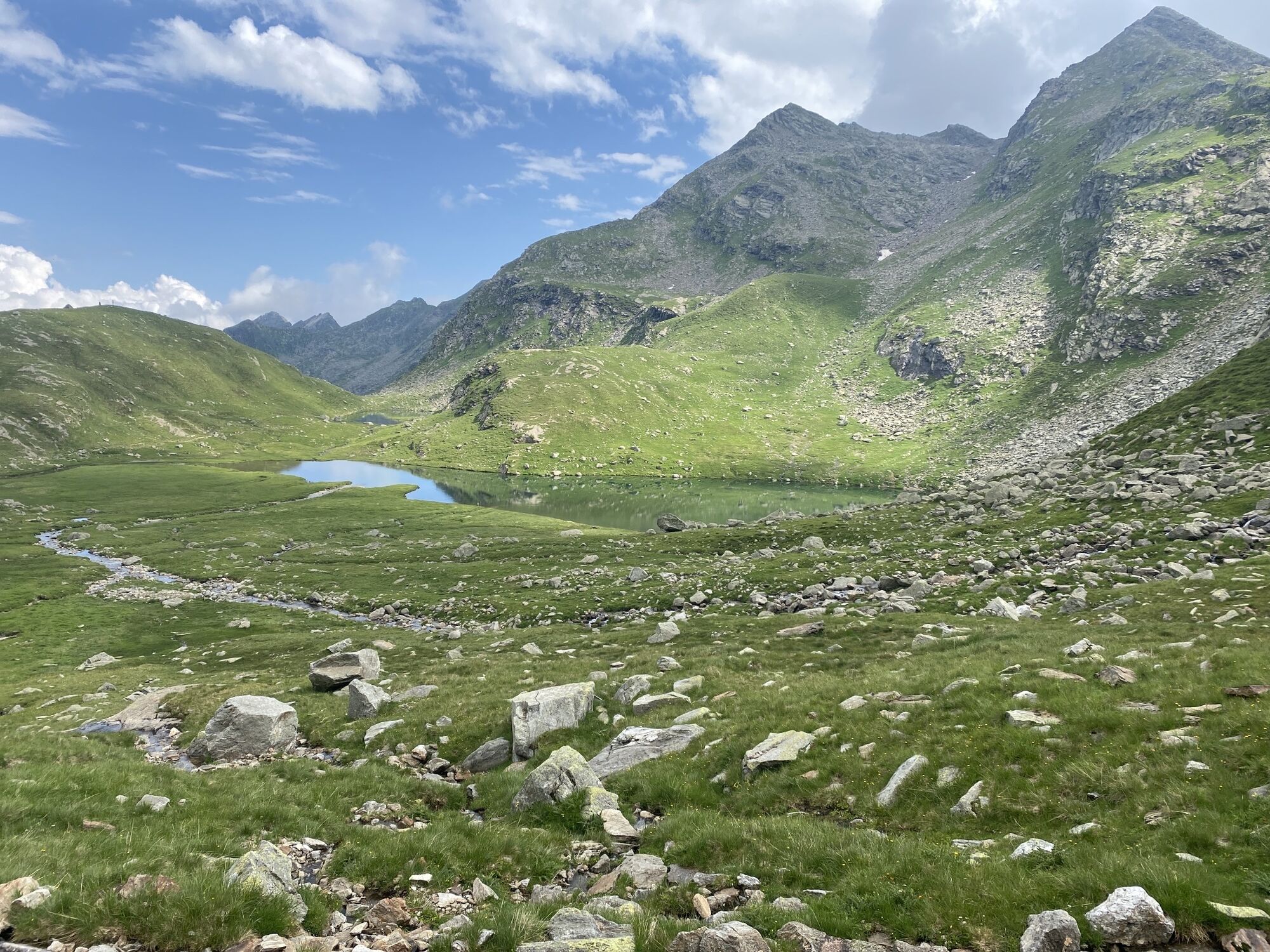
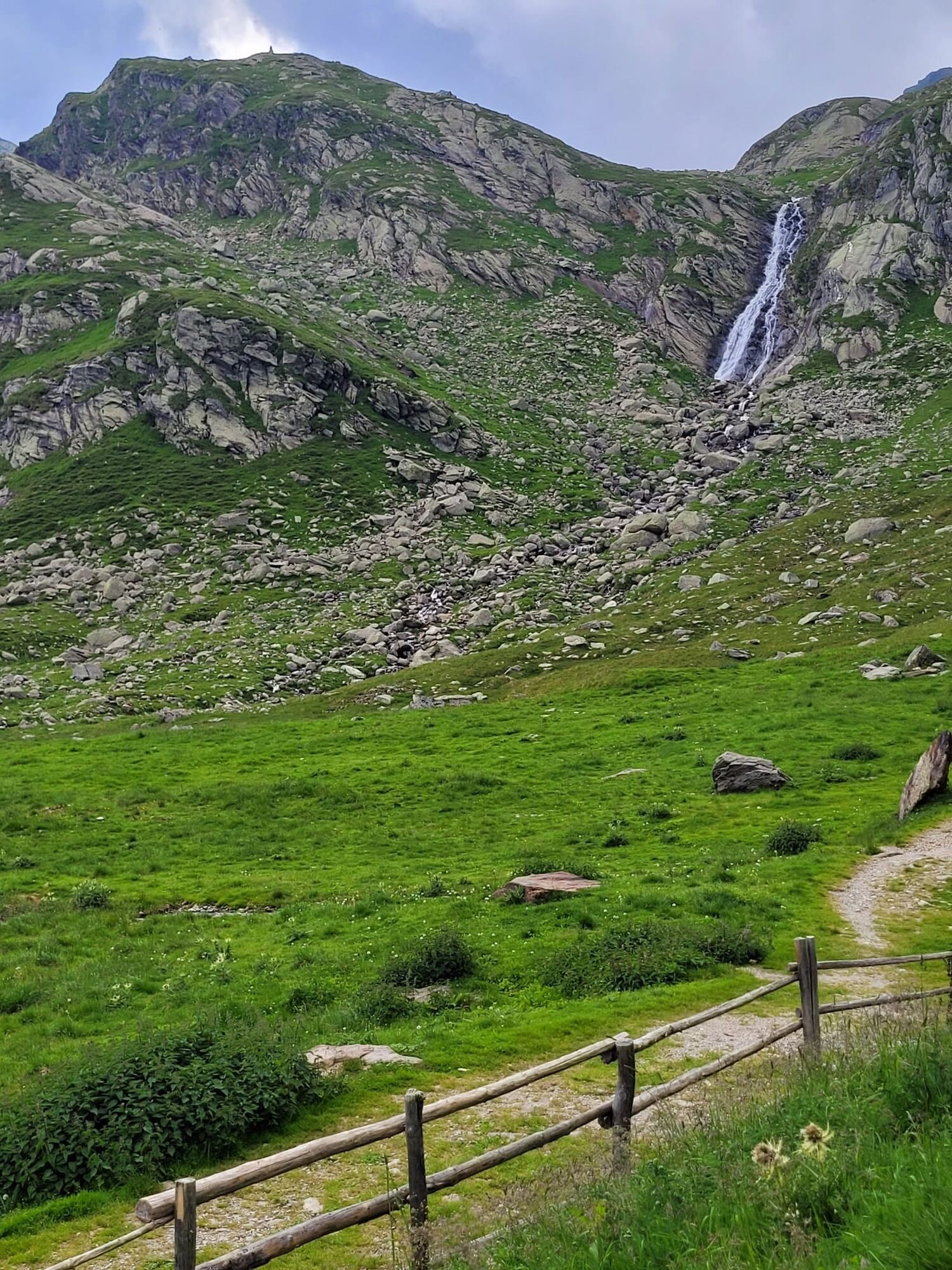
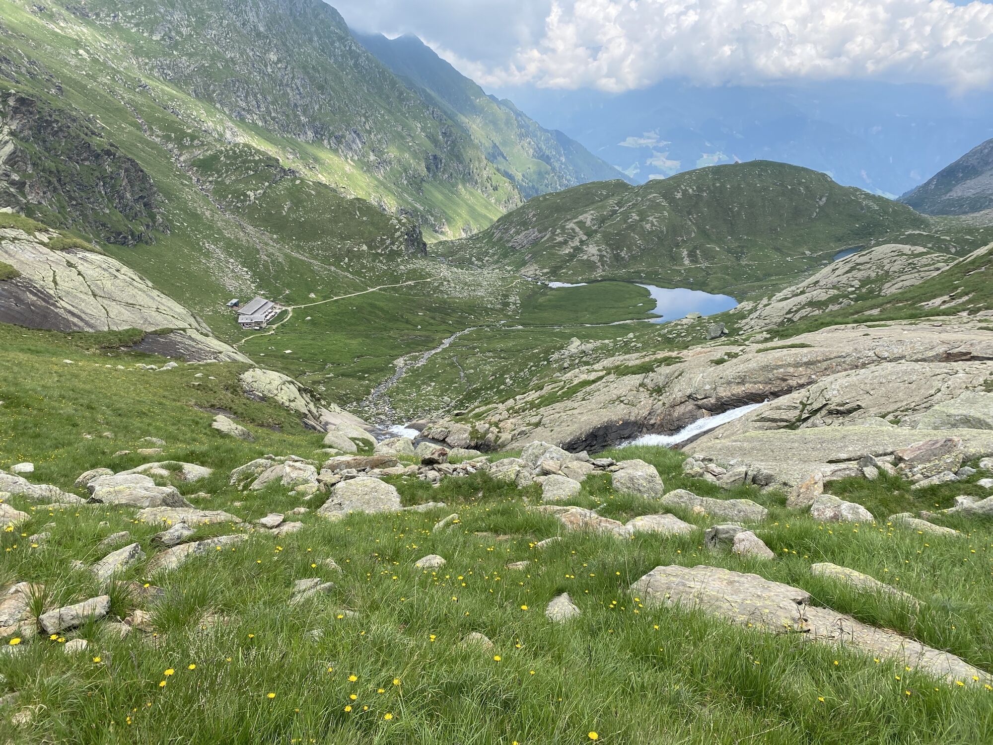
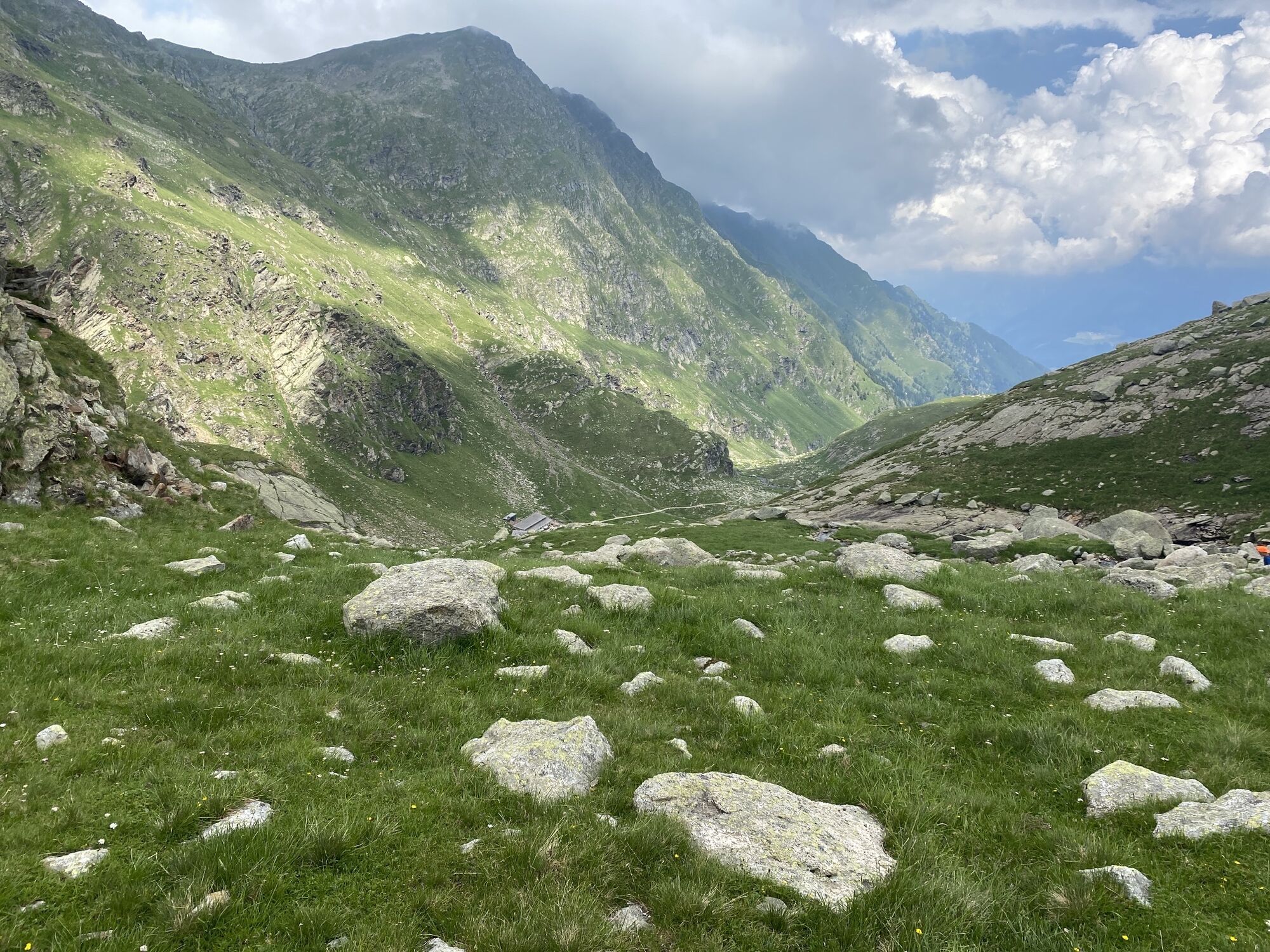
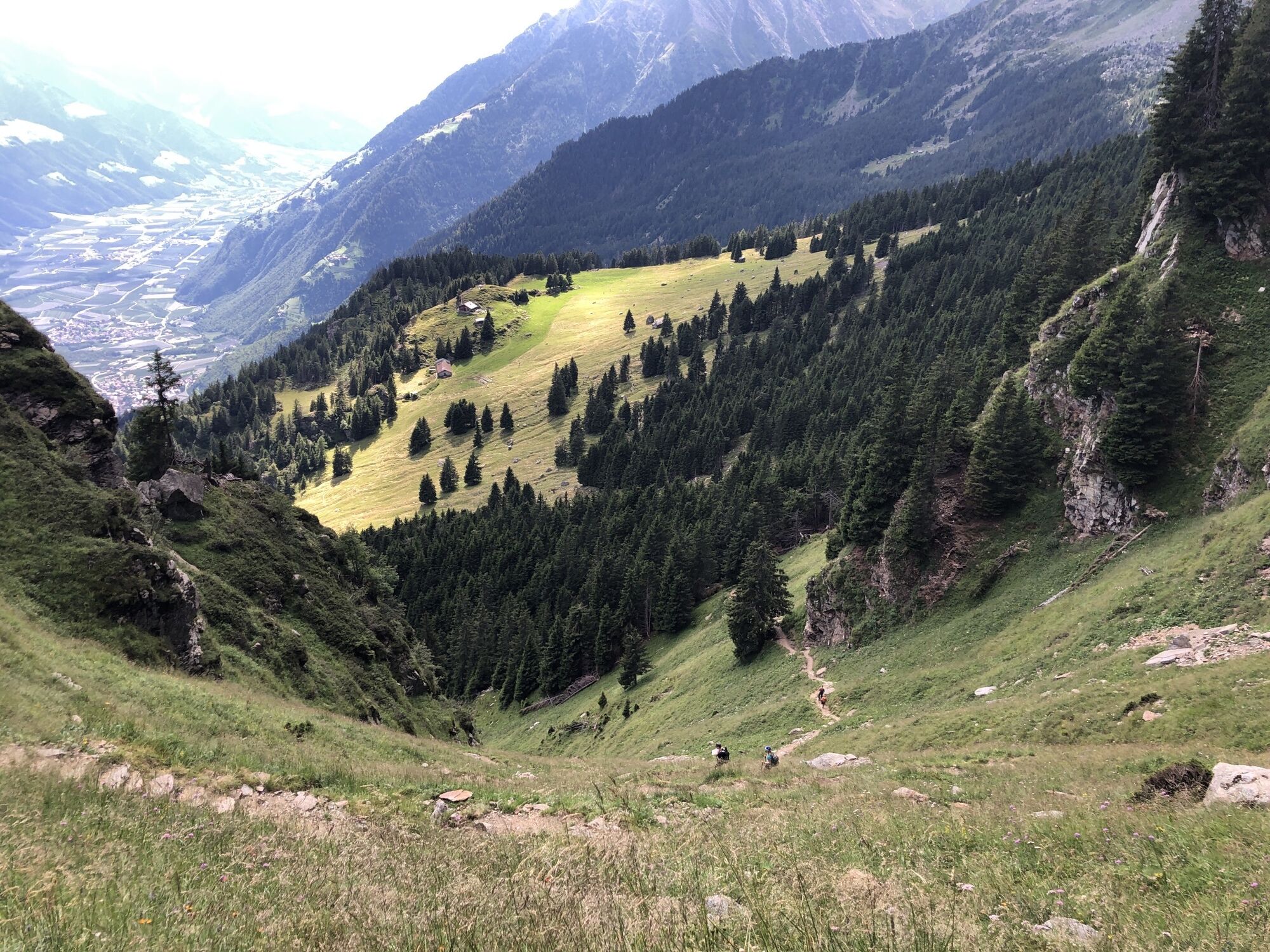
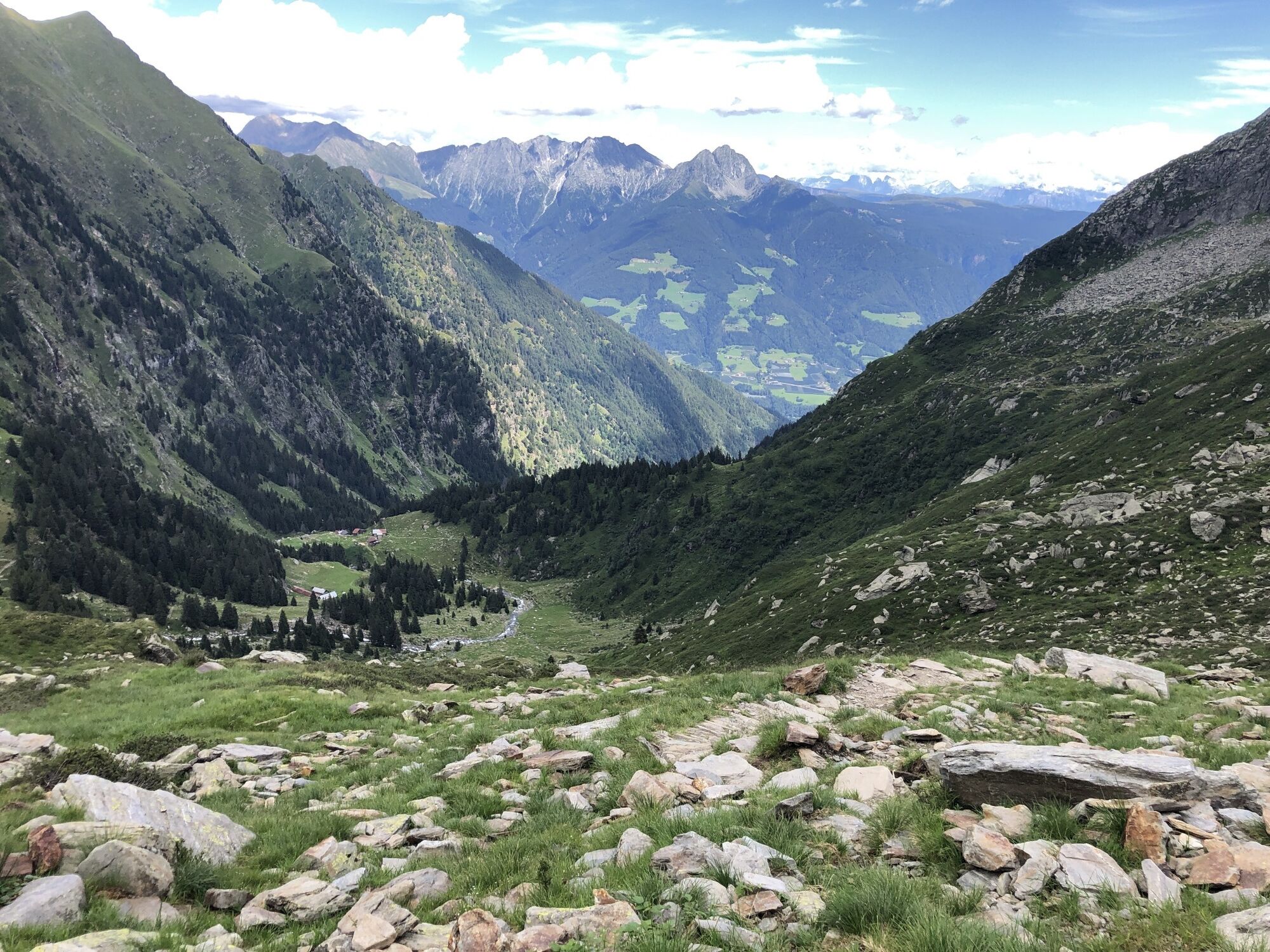
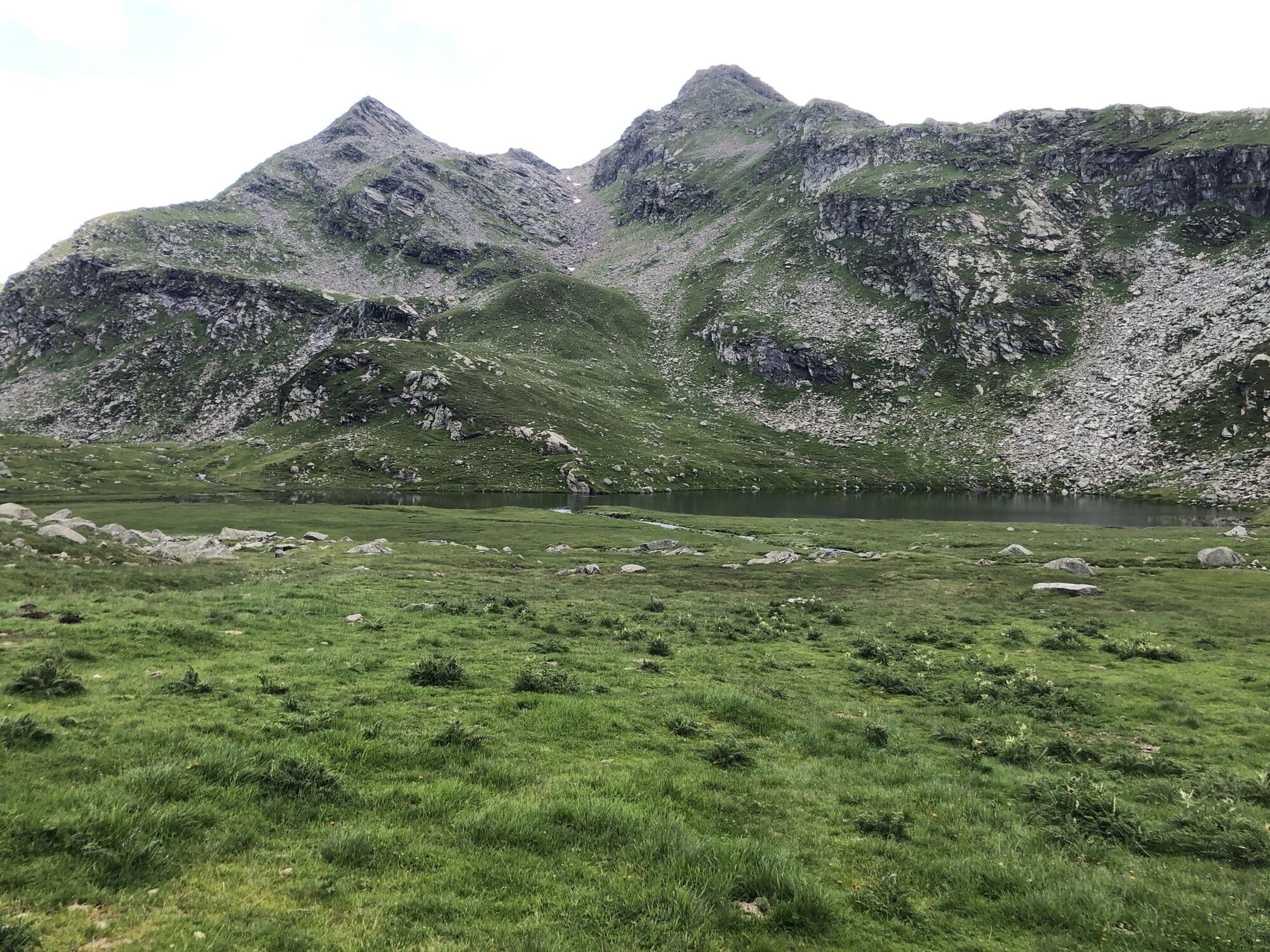
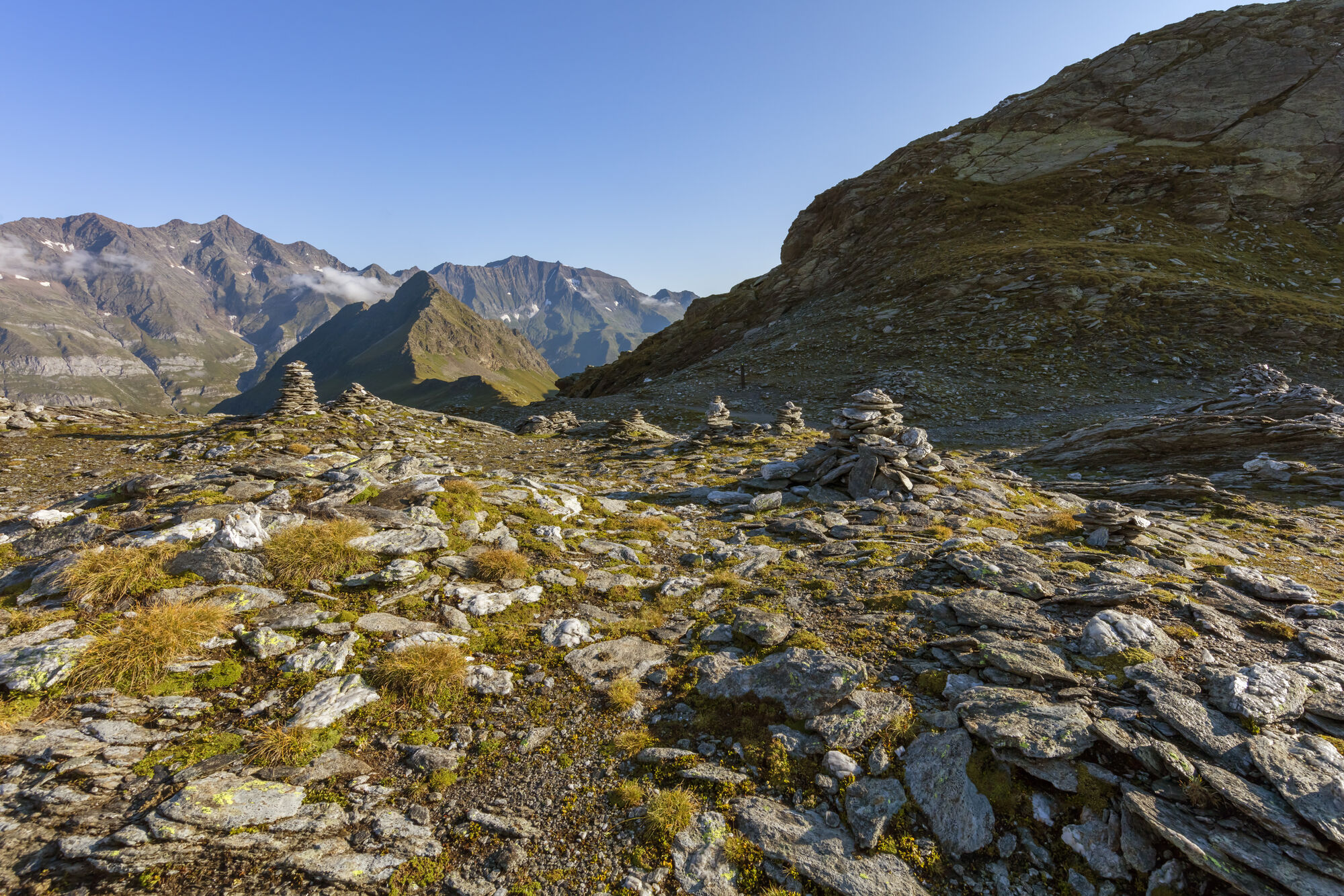
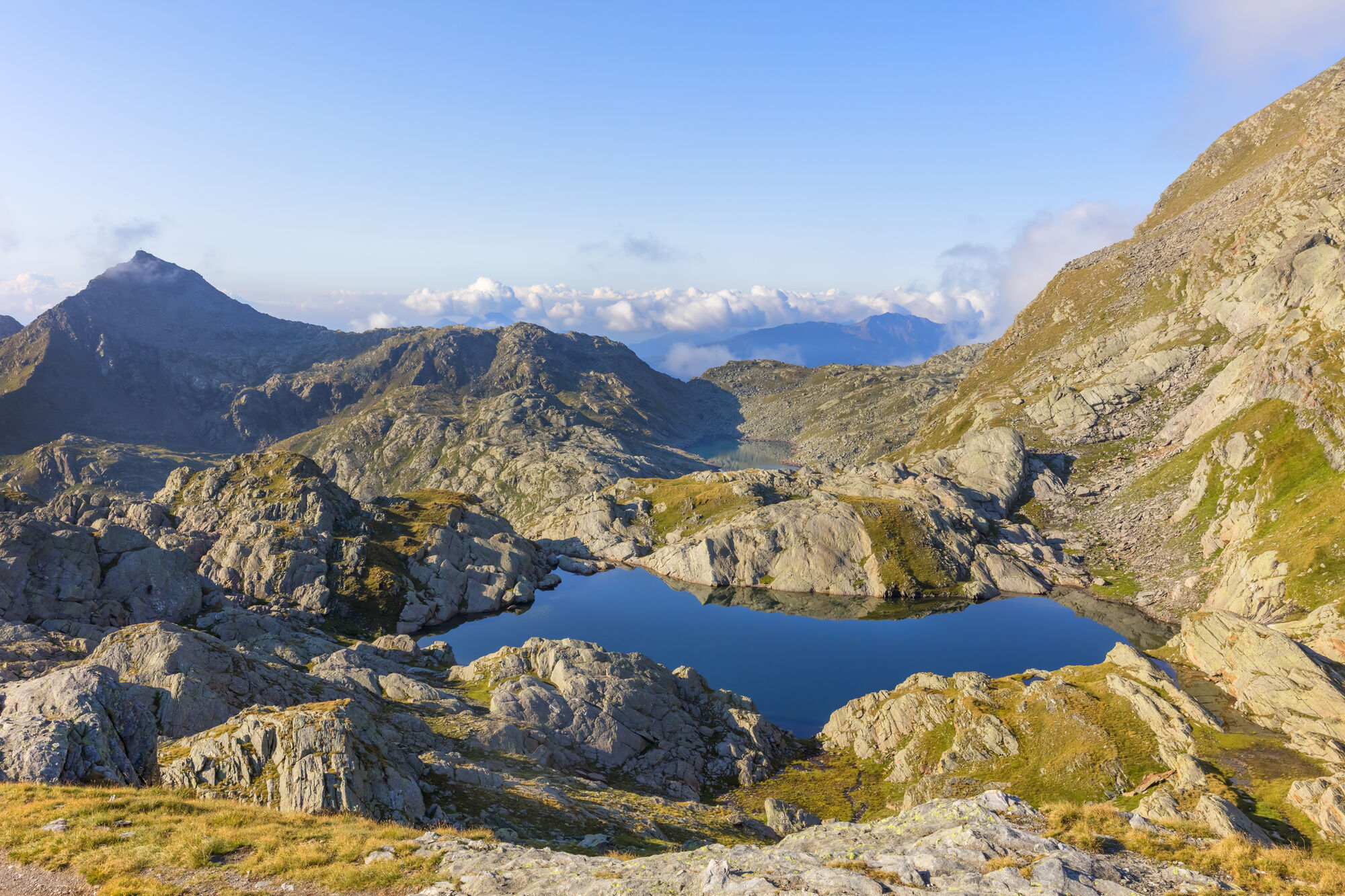
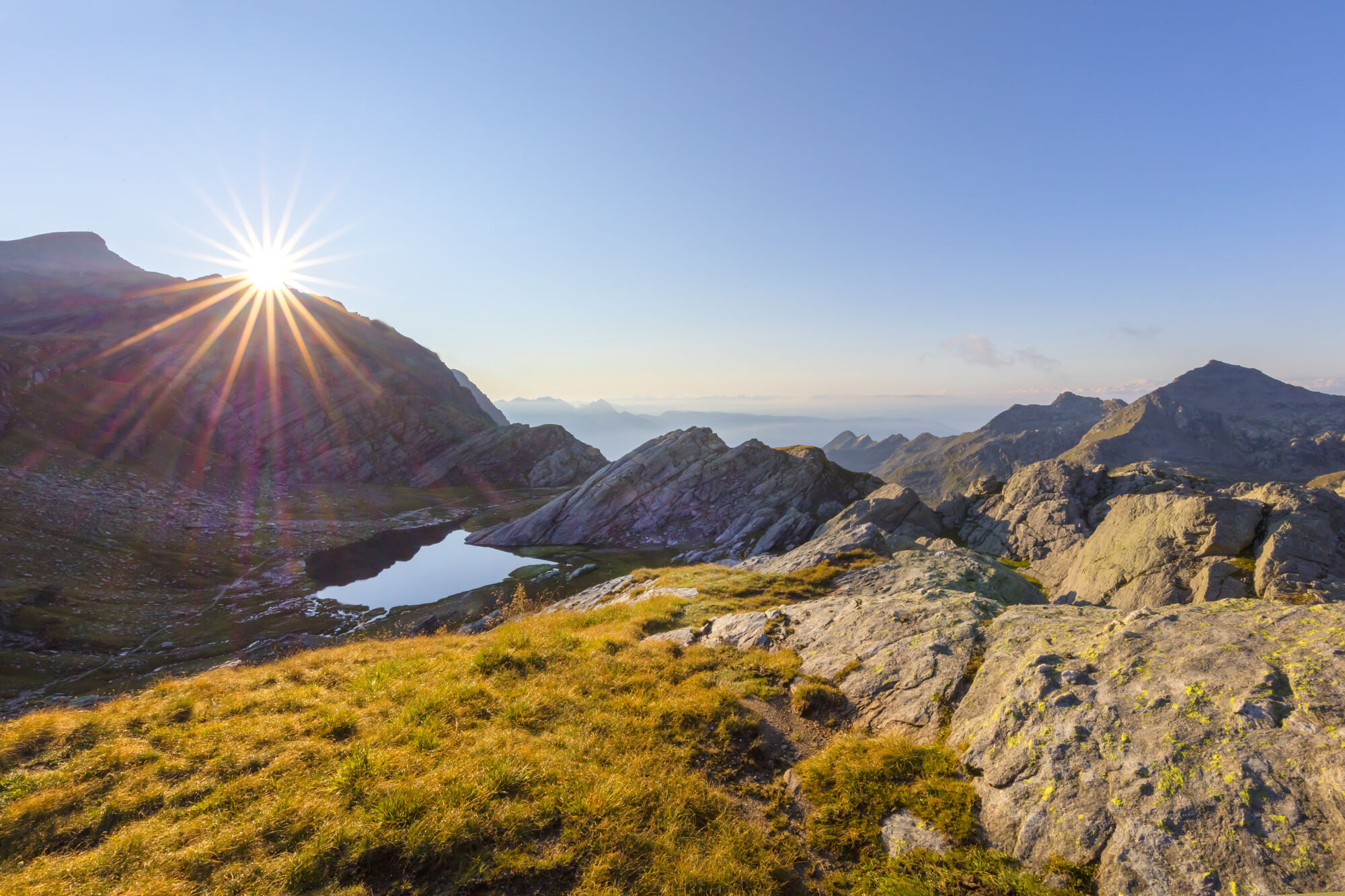
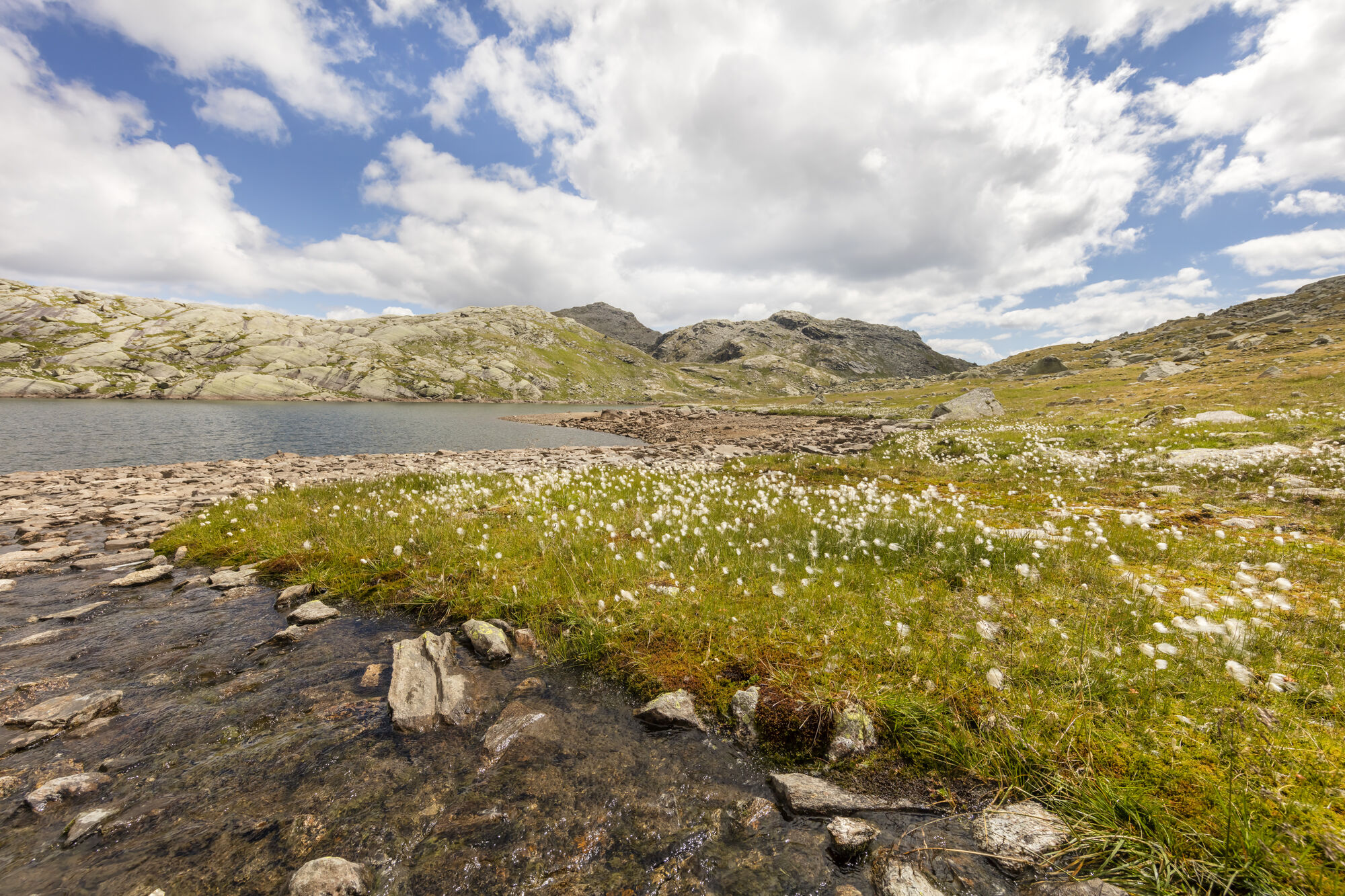
The starting point of this tour is Pfelders/Plan (1,628 m) in the Passeiertal valley. Take trail no. 6 up to the Faltschnal Alm mountain hut, cross the Faltschnaltal valley and continue until the Faltschnaljöchl pass and then until the Spronser Joch pass (2,581 m), the highest point of the tour with a view of (almost) all the Spronser Seen lakes. Descend along trail no. 6 past the crystal clear, colorful mountain lakes down to the Oberkaser Alm mountain hut (2,314 m). Trail no. 22 then leads past the Kaserlacke and the Pfitscherlacke lakes until the junction with trail no. 25B that you follow up until the Taufenscharte pass (about 100 metres of altitude difference). Descend along the rather steep trail with serpentines until you meet trail no. 24 (Meraner Höhenweg high alpine trail) and follow it until the Leiter Alm mountain hut, where you take the gondola basket lift to Vellau/Velloi and then the chair lift or bus back to Algund/Lagundo.
Ano
Ano
Ano
Ano
Ano
Ano
Take the Brenner motorway until you get to Bozen Süd, then the MEBO clearway until the exit for Meran Süd. Then, follow the signage for Jaufenpass / Timmelspass / Passeiertal via Riffian-St. Martin-St. Leonhard, Moos until you reach Pfelders in Passeier.
Mit dem Bus 213 von Algund oder dem Citybus bzw. der Vinschgau Bahn nach Meran Haltestelle Bahnhof; Bus 240 nach Pfelders.
Rathaus Algund (gebührenpflichtig)
Öffentlicher Parkplatz (Praderplatz) nähe Bahnhof Meran,
ACHTUNG: dienstags und freitags verboten!
Oblíbené prohlídky v okolí
- 4,7
Algund Waalweg canal trail
světloTuristika 4,45 km - 4,6
Aschbach / Rio Lagundo – Naturnser Alm mountain pasture - Vigiljoch/San Vigilio
středníTuristika 10,3 km - 4,3
Vorderkaser - Eishof / Texelgruppe
světloTuristika 4,83 km - 4,9
Hirzer Almenrunde
světloHorská turistika 9,02 km - 4,5
Leiter Alm mountain hut – Hochganghaus refuge - Gamplweg trail – Velloi
středníTuristika 9,77 km - 4,7
Naturns Unterstellbahn bis Texelbahn auf dem Meraner Höhenweg
středníTuristika 9,77 km - 5,0
From Algund/Lagundo to the Schlundenstein rock and Plars Waalweg canal trail to Parcines
světloTuristika 10,7 km - 4,6
Leiteralm - Hochmuth - Vellau - Rundweg
světloTuristika 5,89 km - 4,6
Passerschlucht
světloTuristika 8,84 km - 4,6
Meran Tappeinerweg
světloTuristika 6,77 km
Pěší turistika a stopování


Nenechte si ujít nabídky a inspiraci pro vaši příští dovolenou
Vaše e-mailová adresa byl přidán do poštovního seznamu.