




Sebenalm (1,650 m)

Úroveň obtížnosti: T2
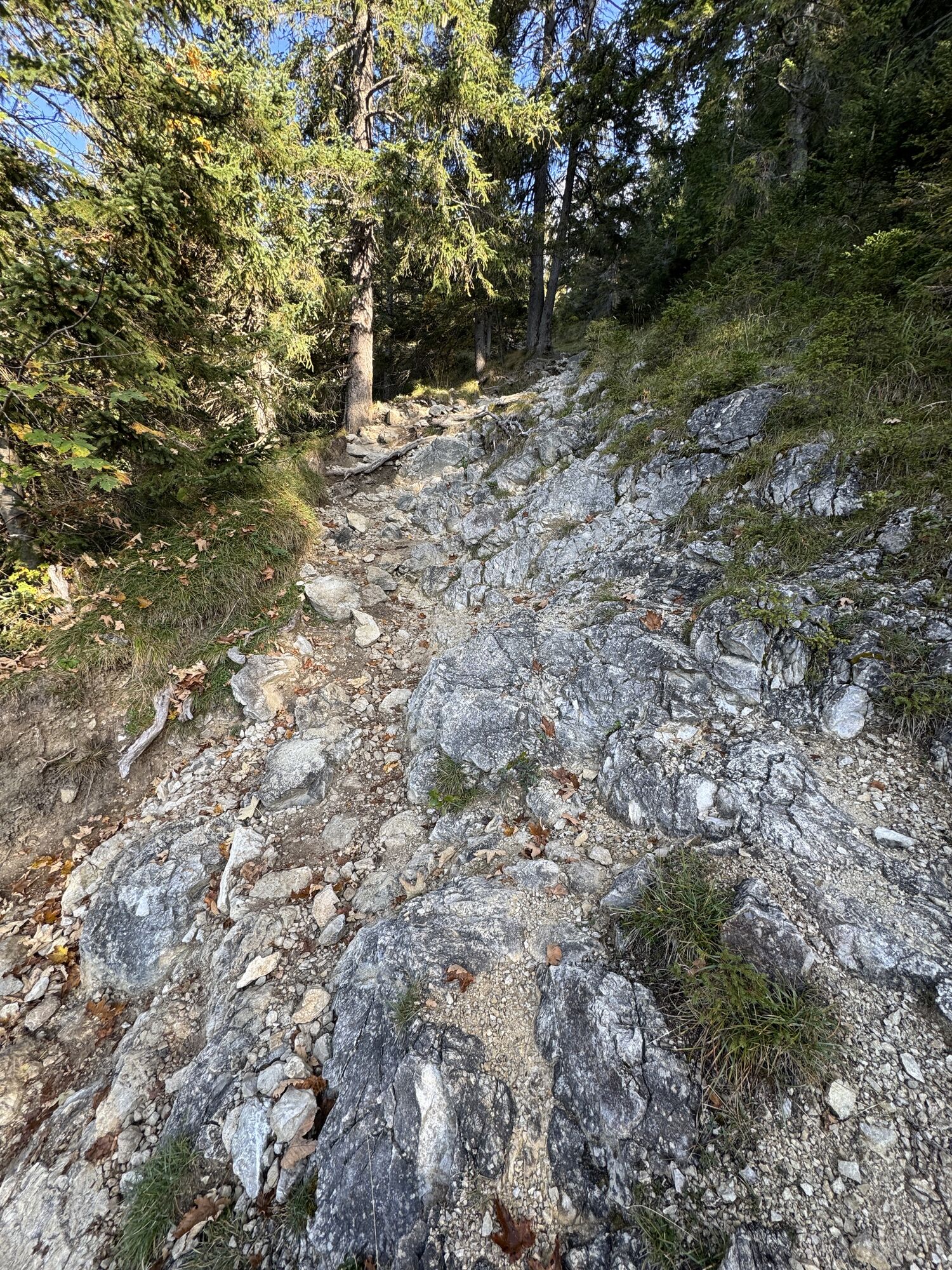
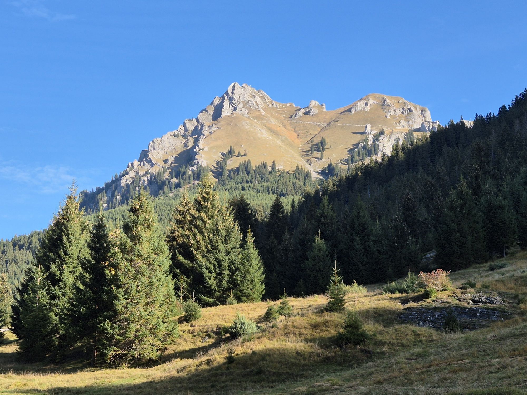
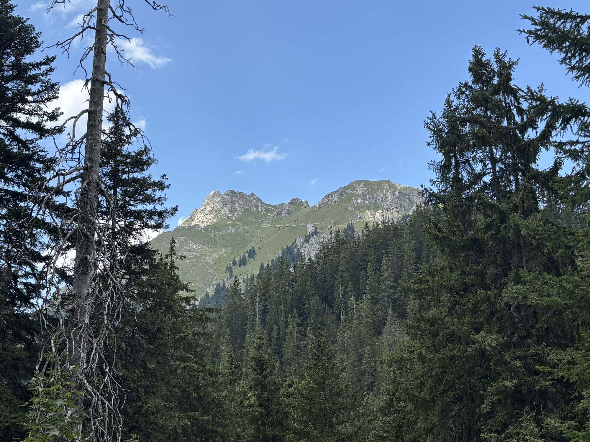
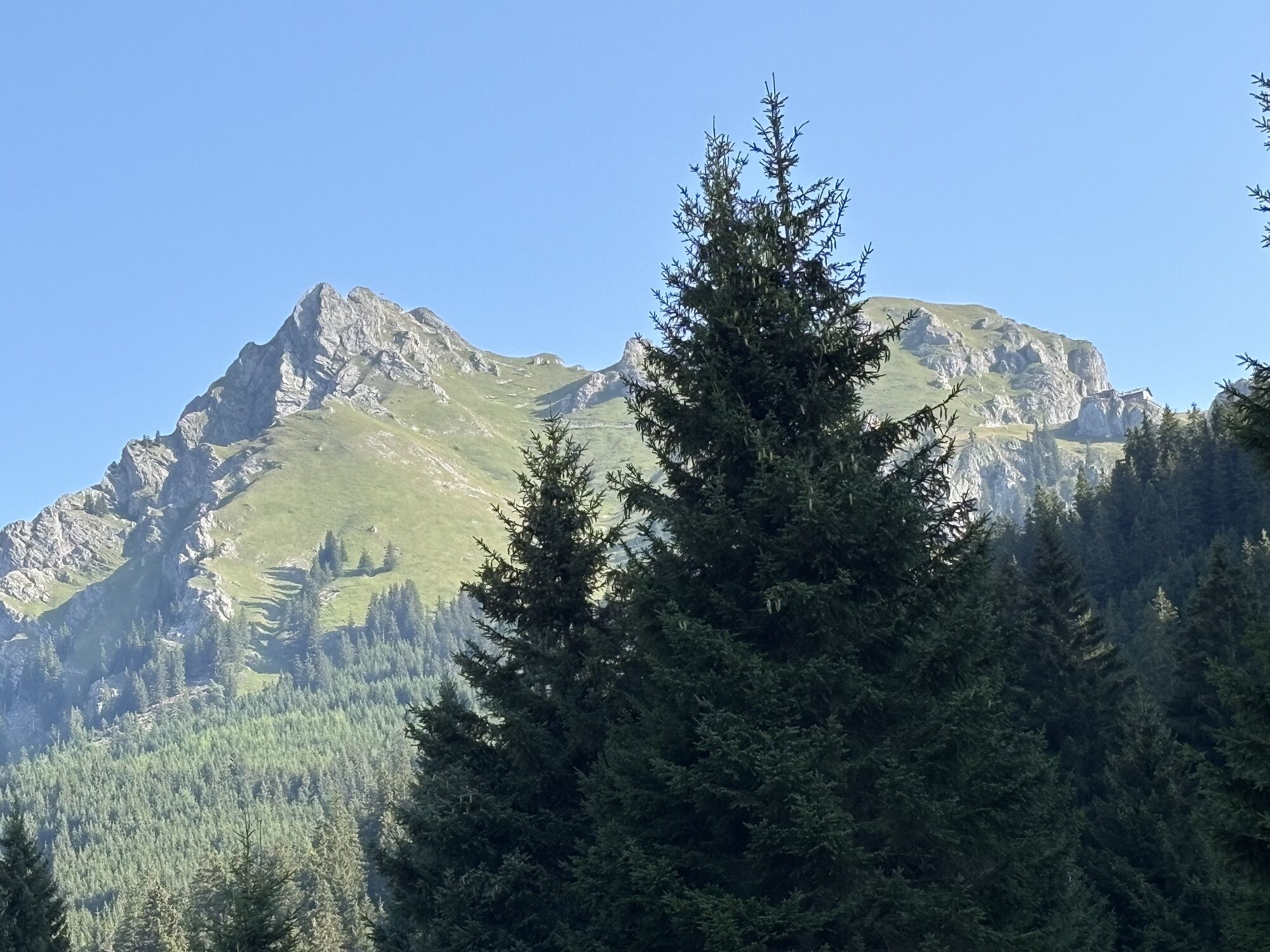
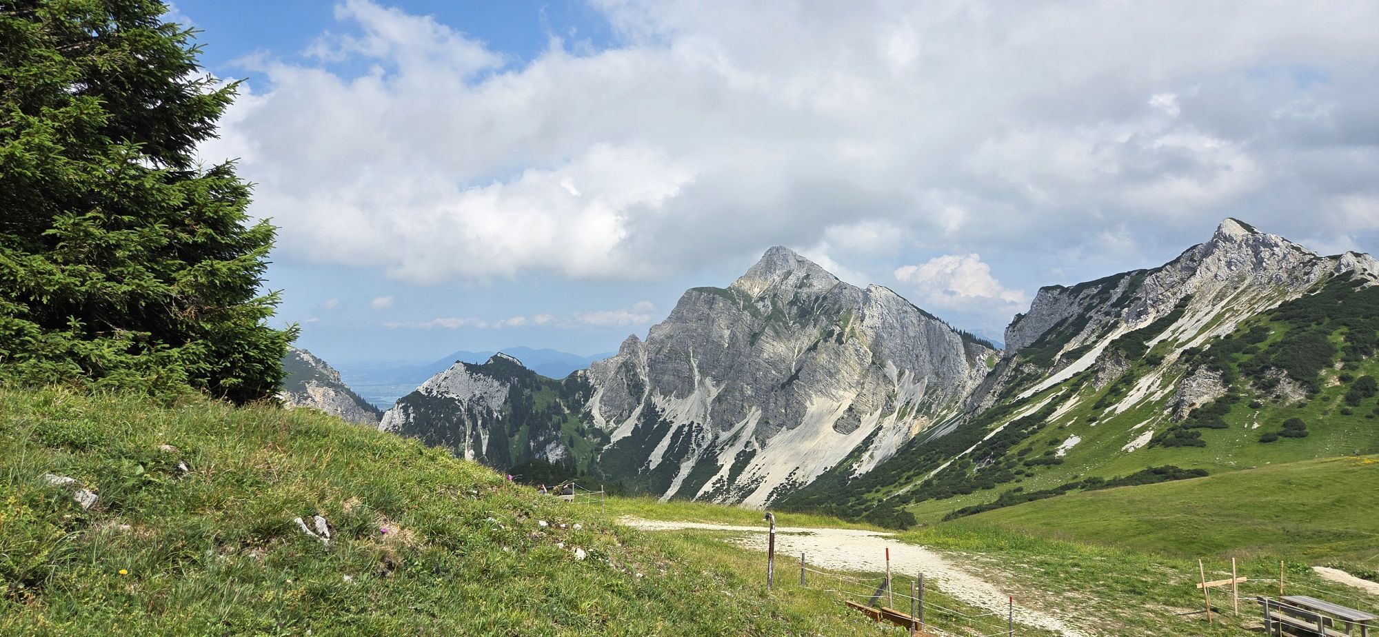
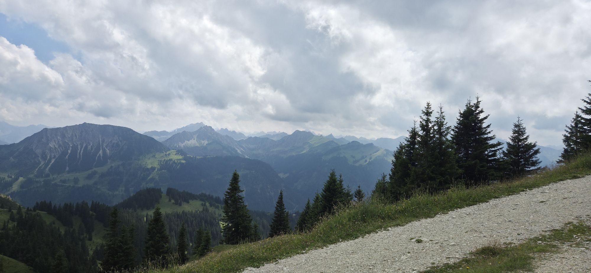
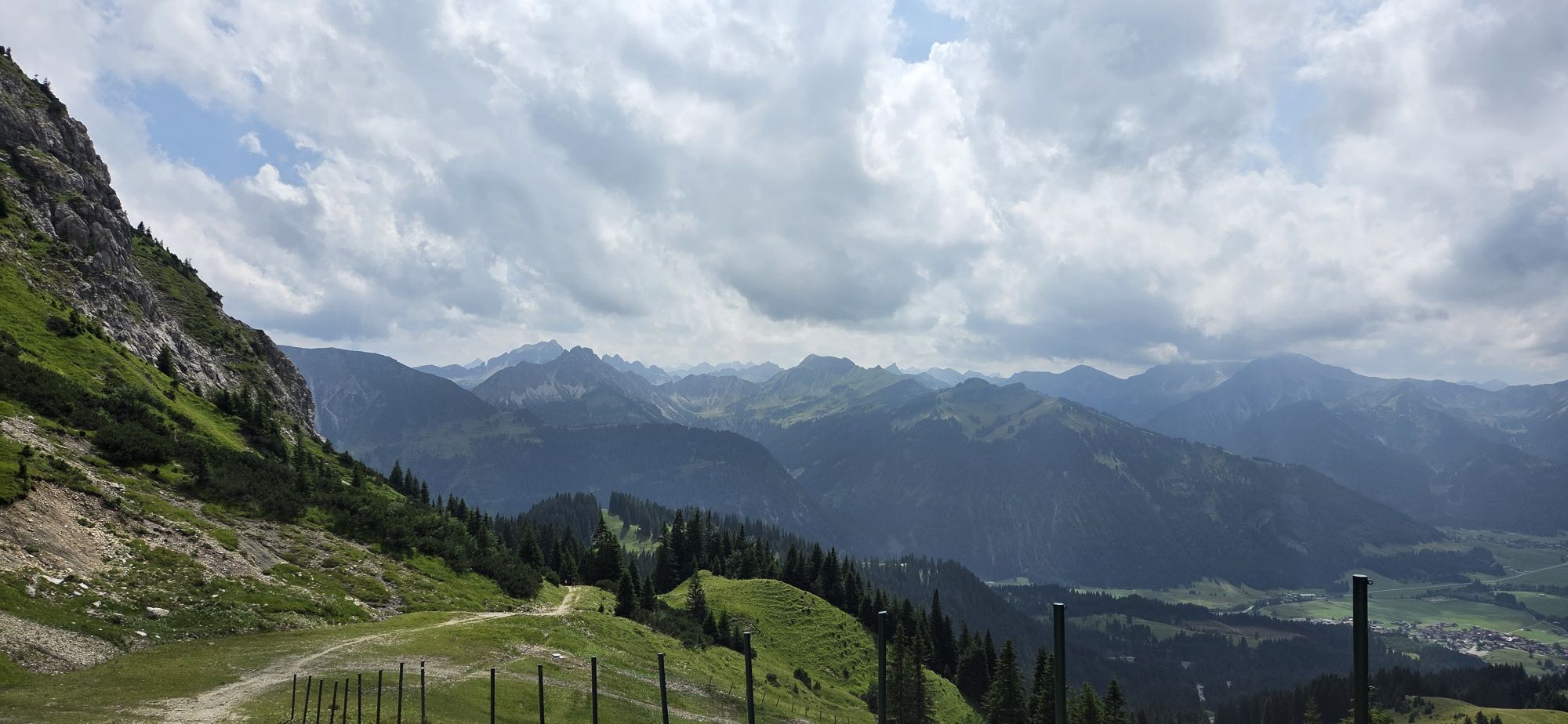
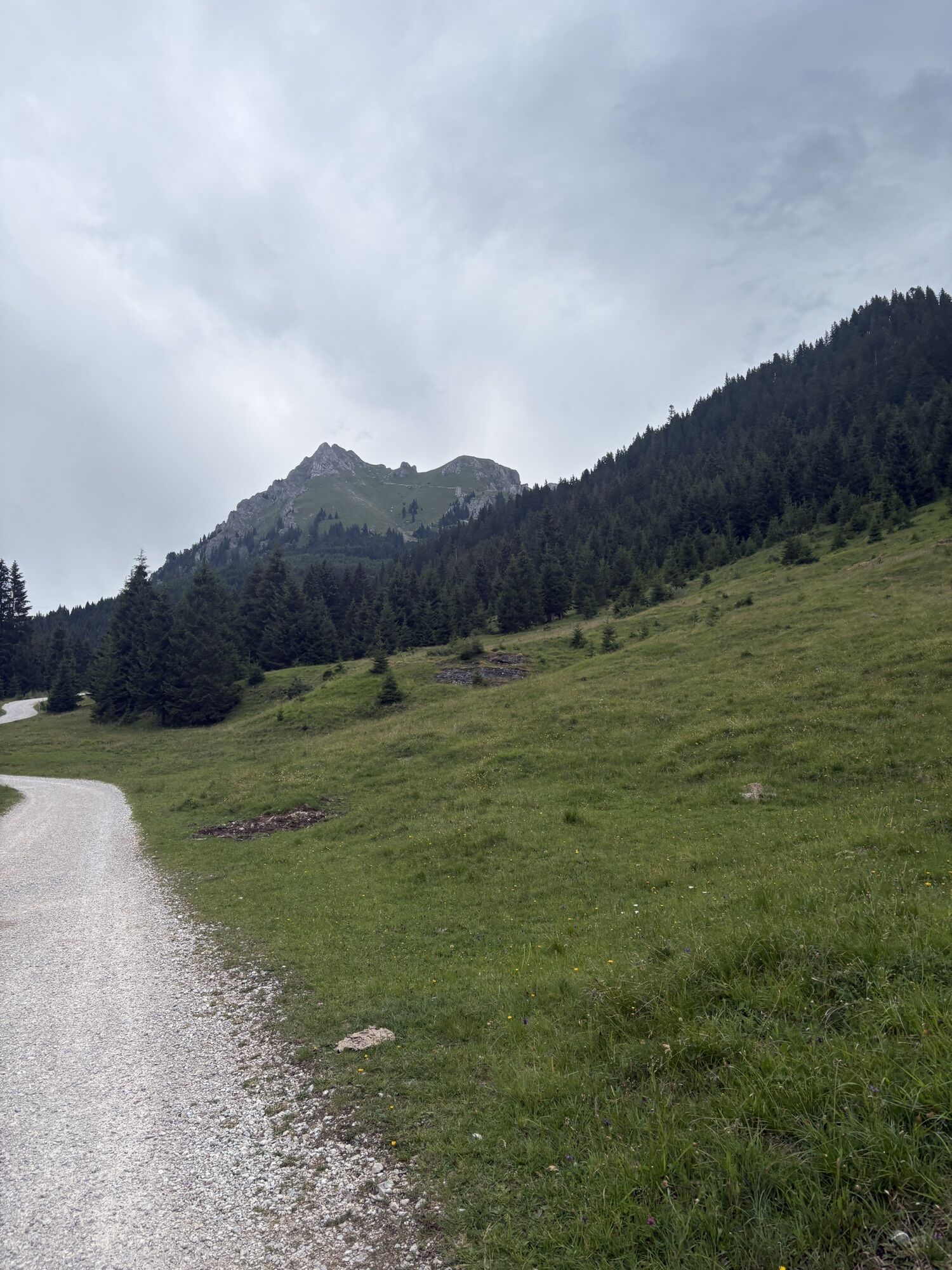
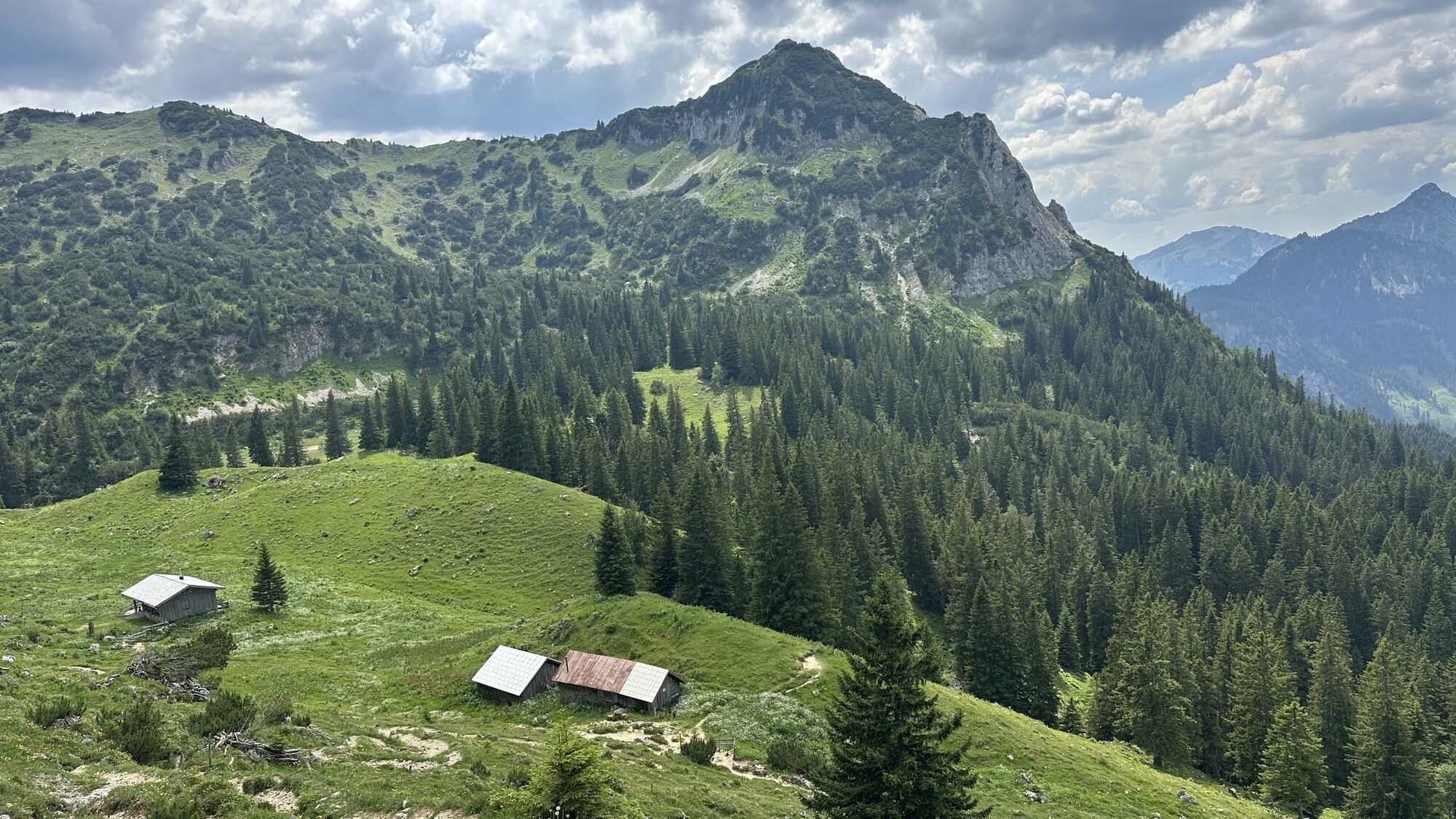
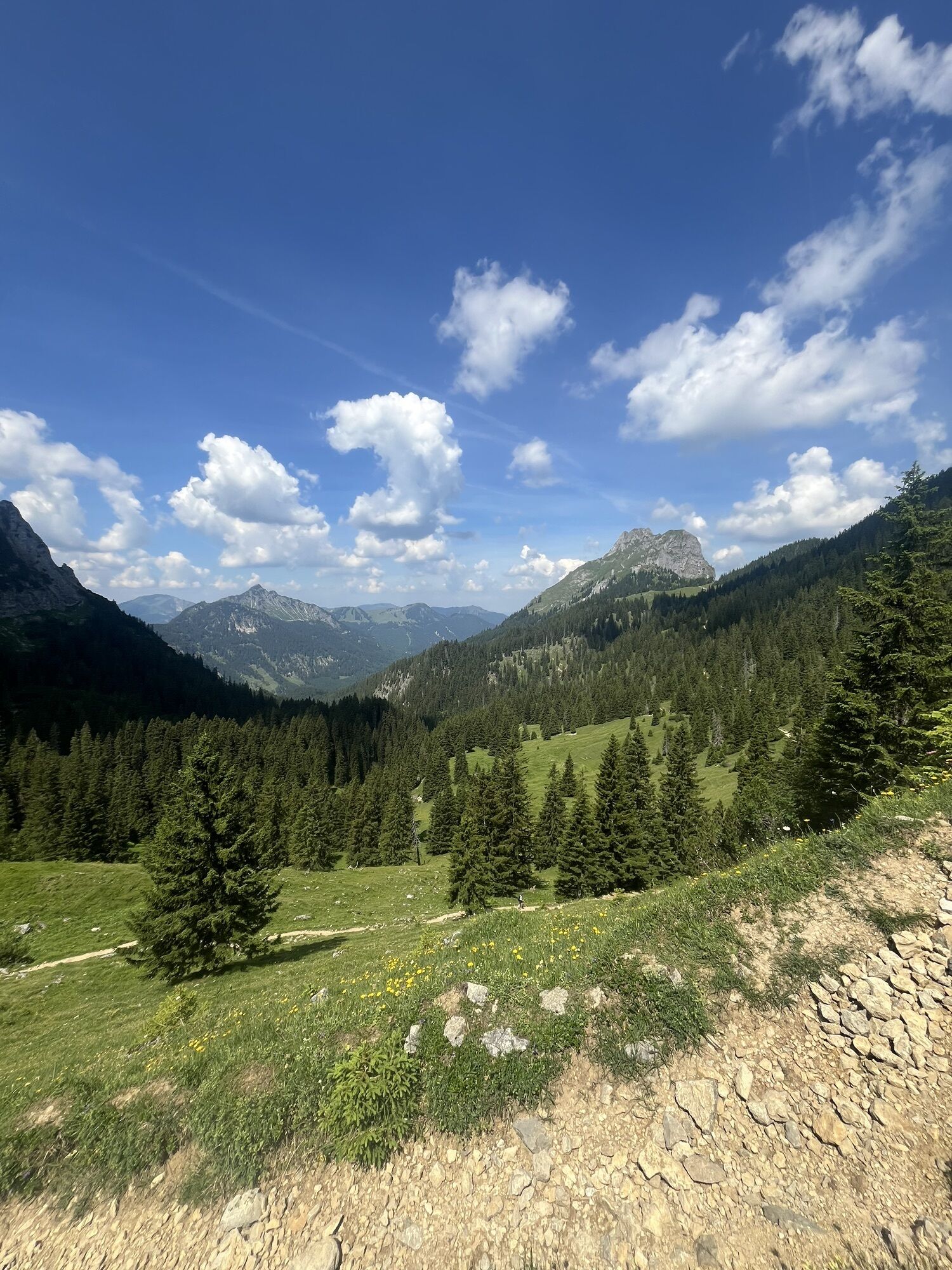
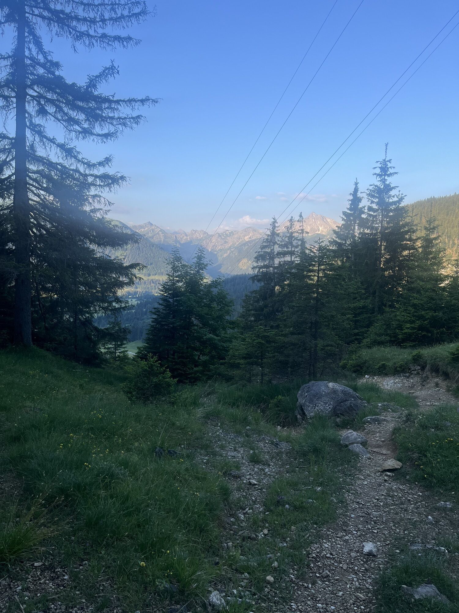
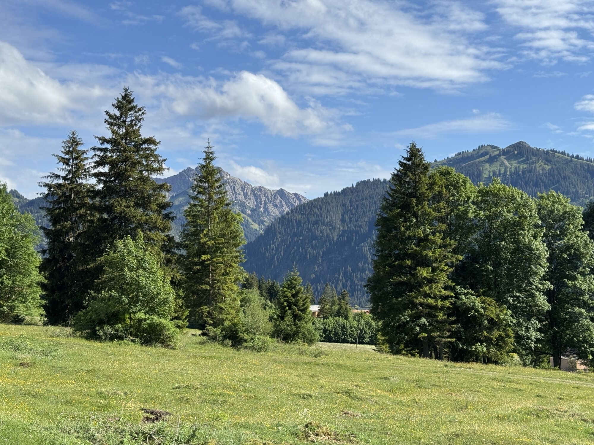
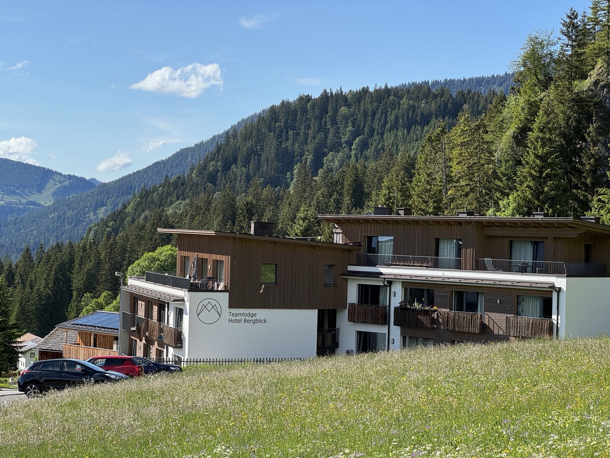
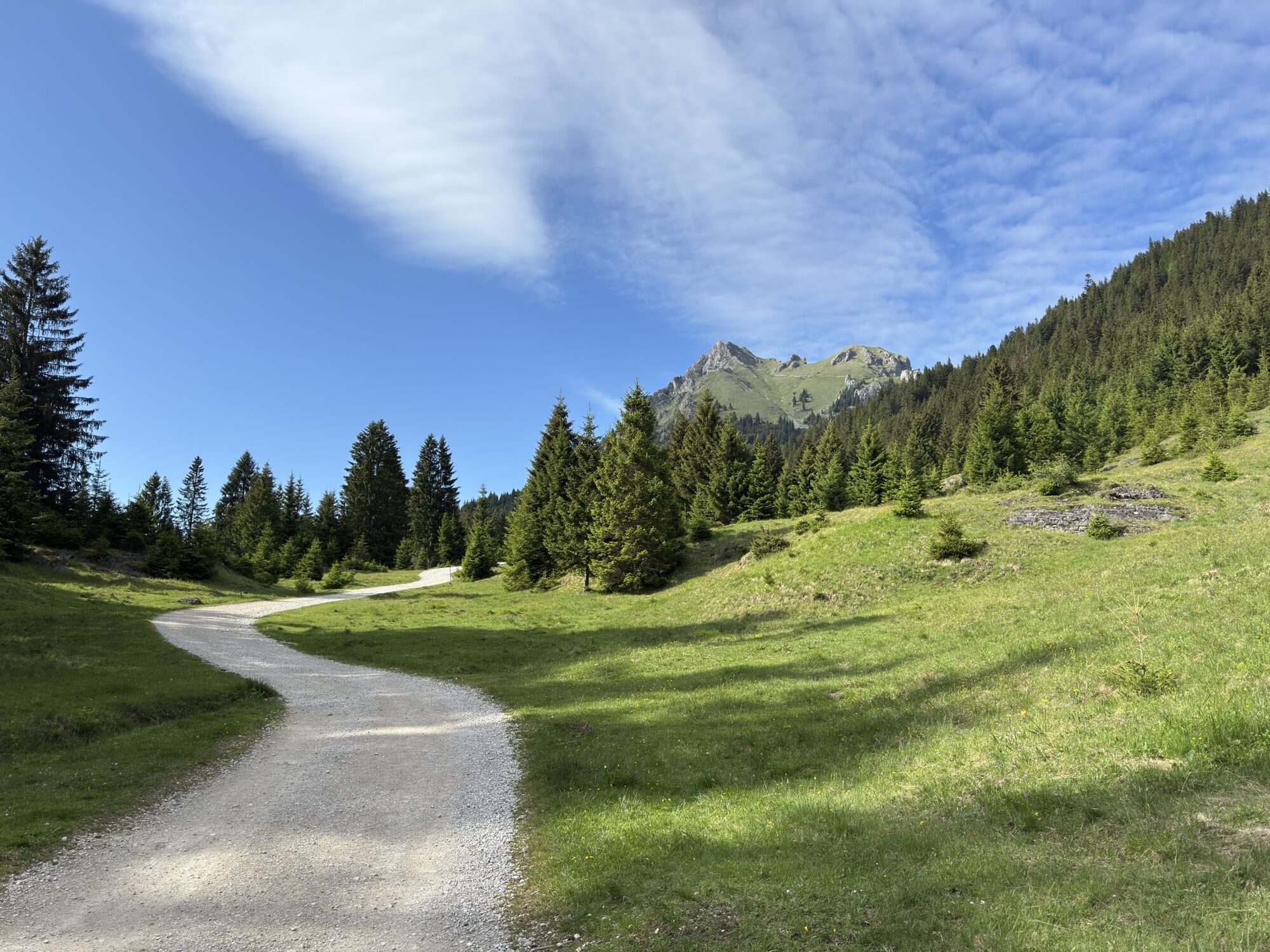
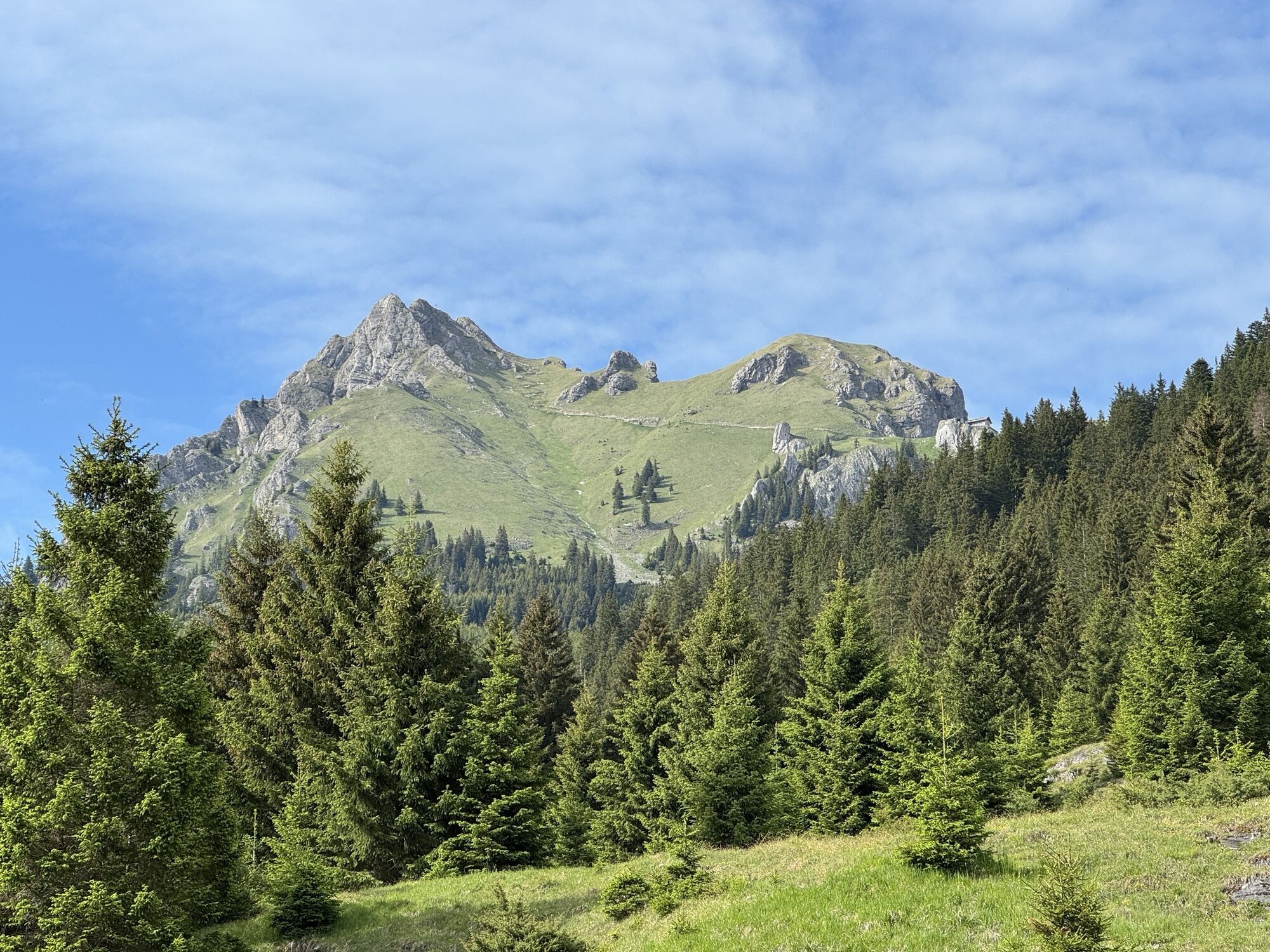
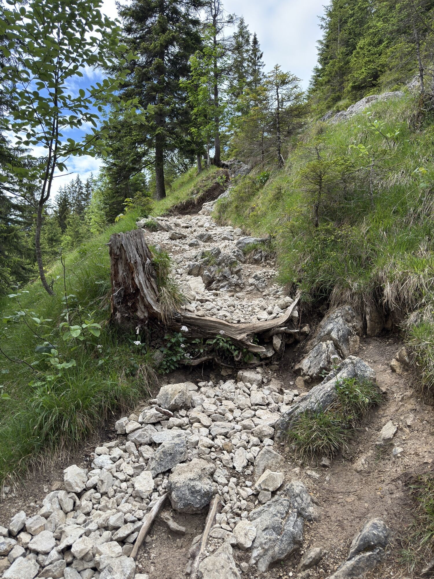
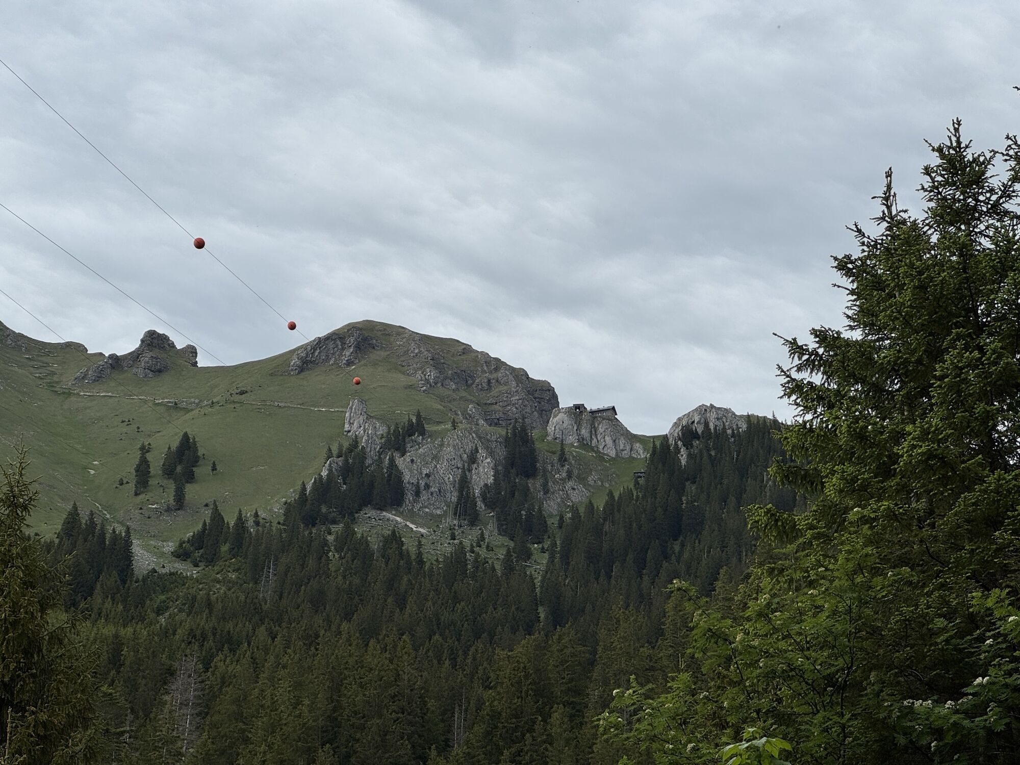
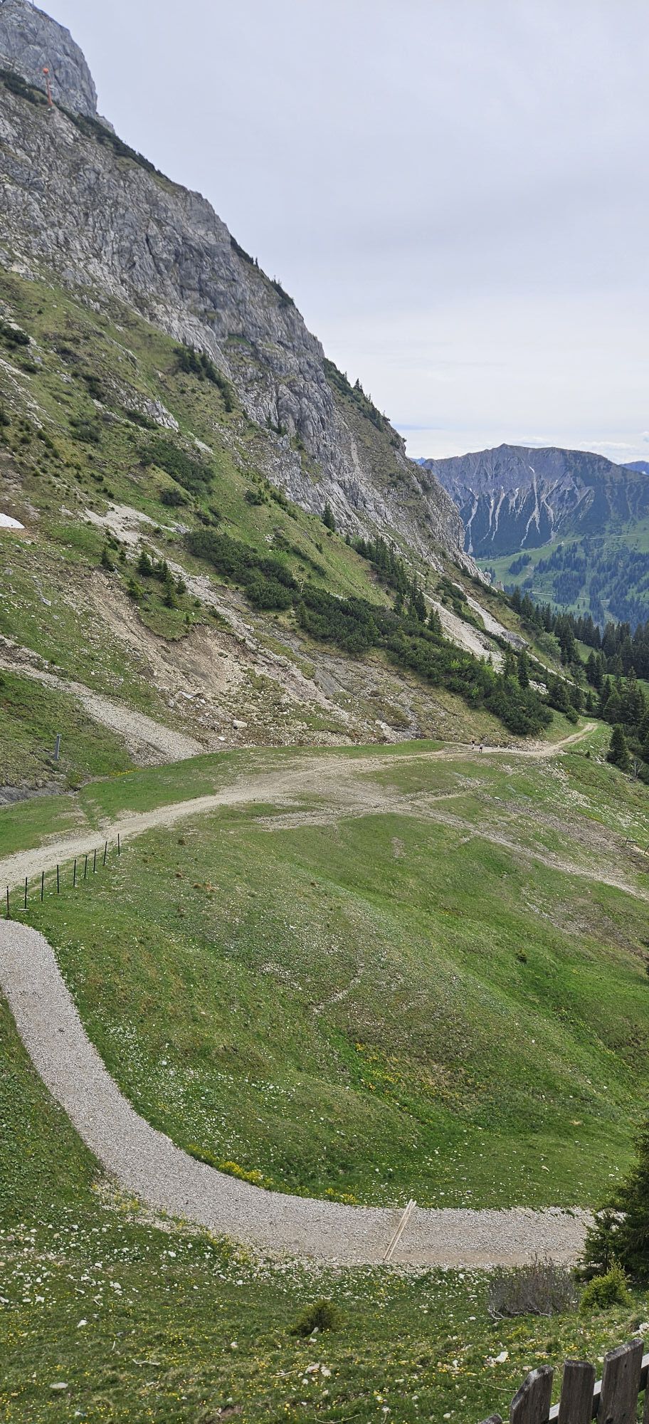

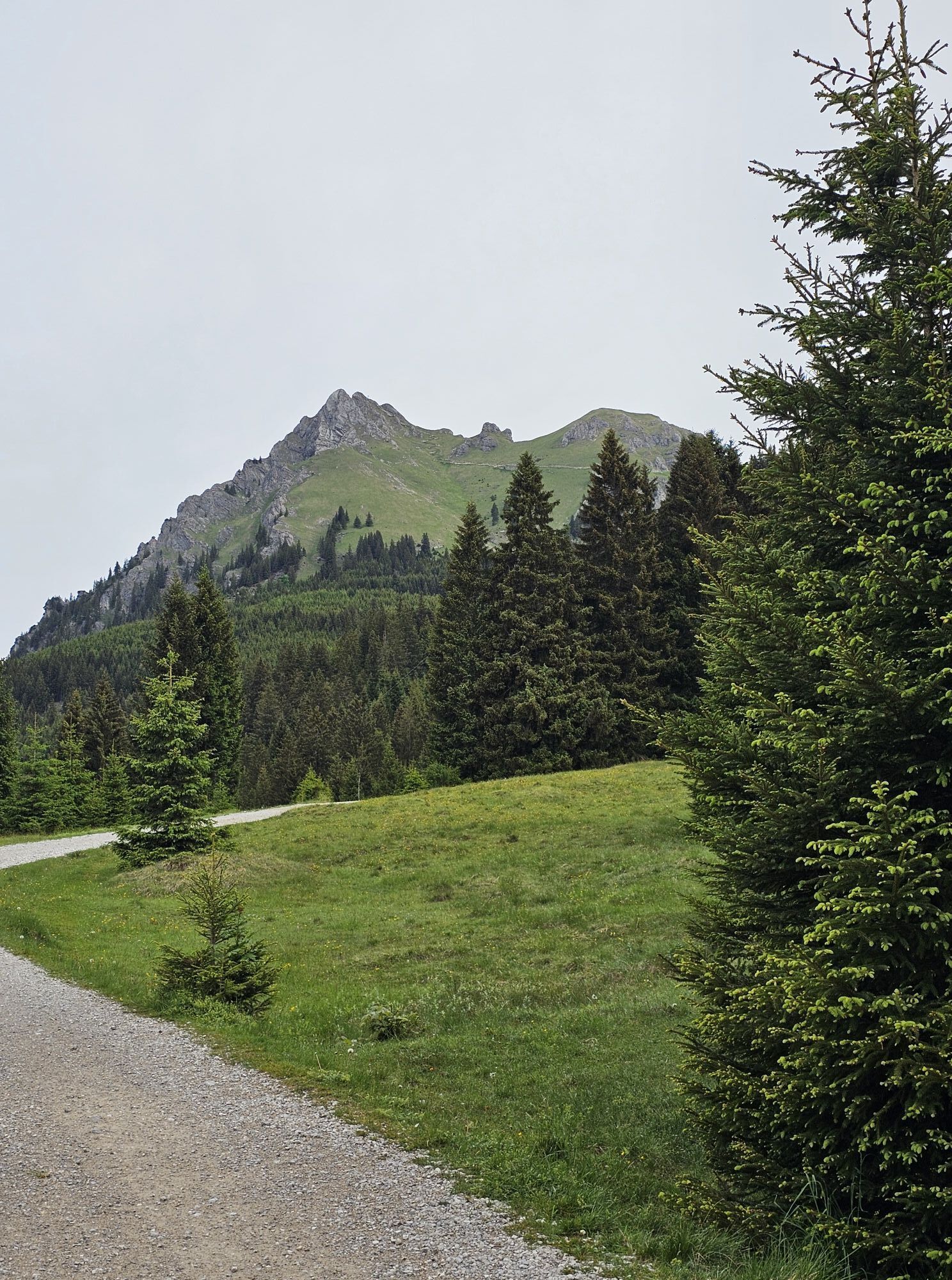
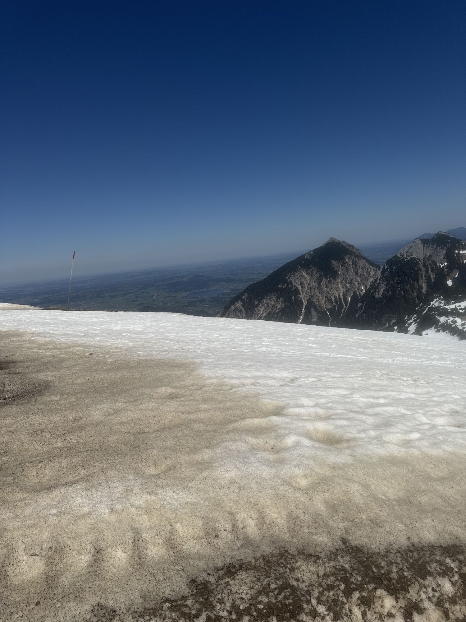
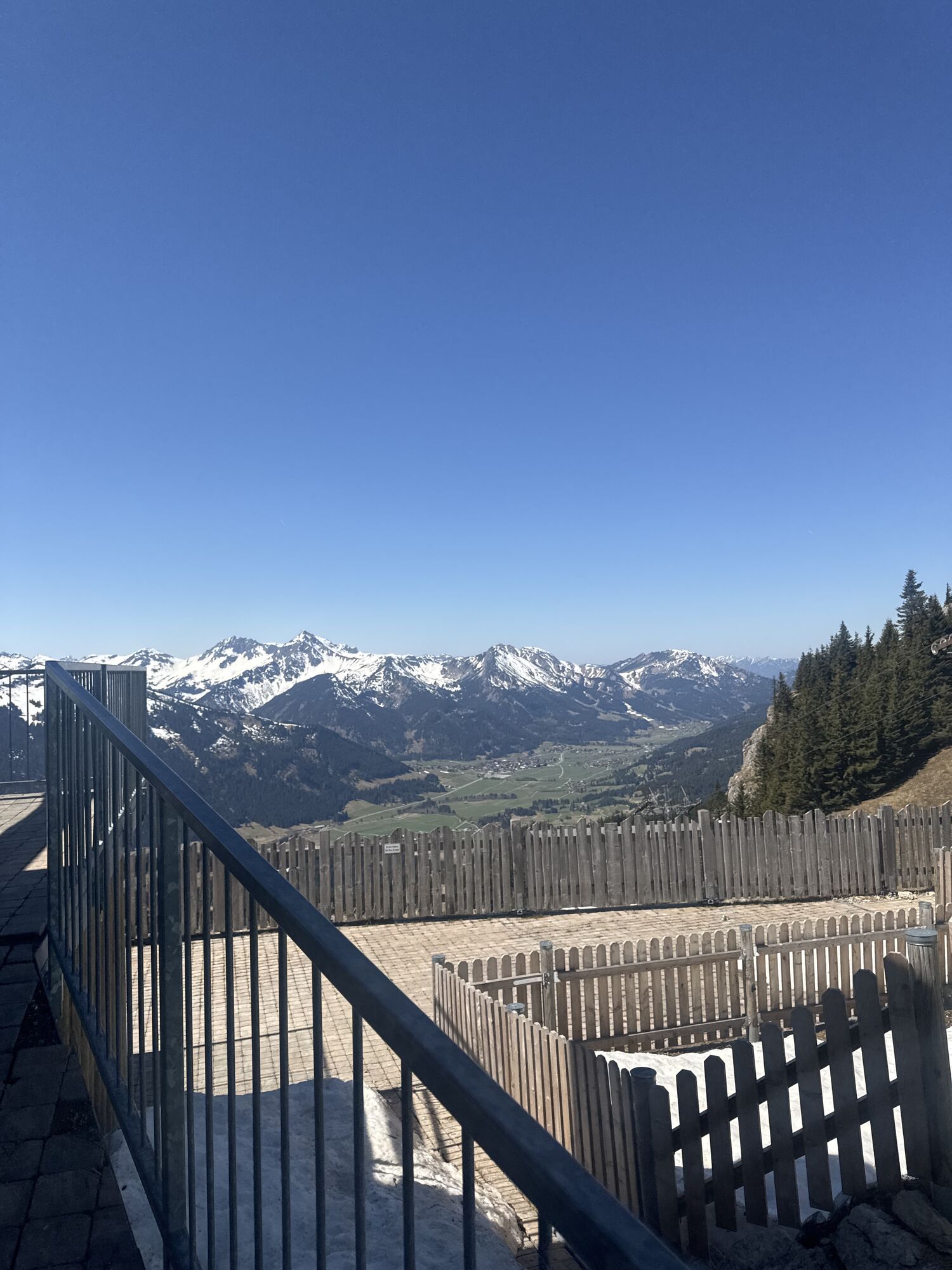
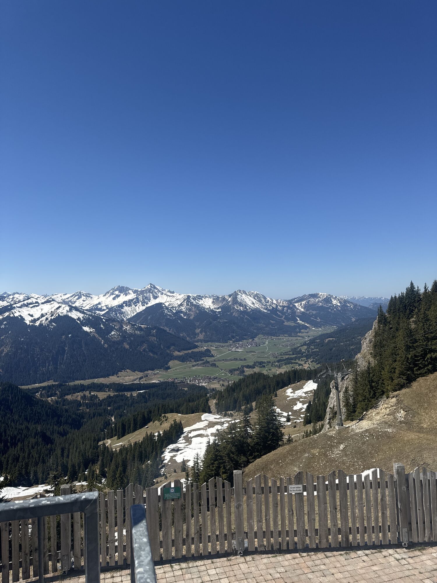




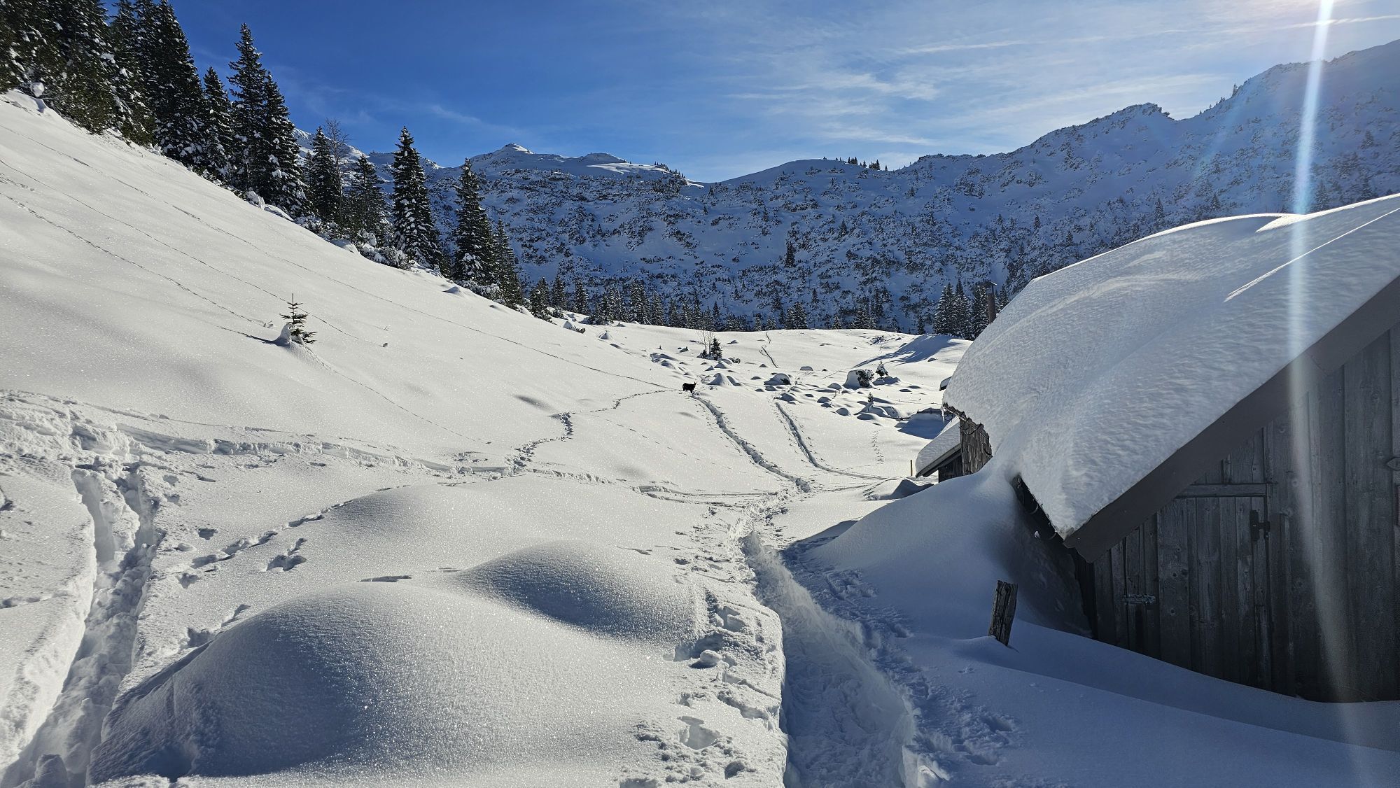
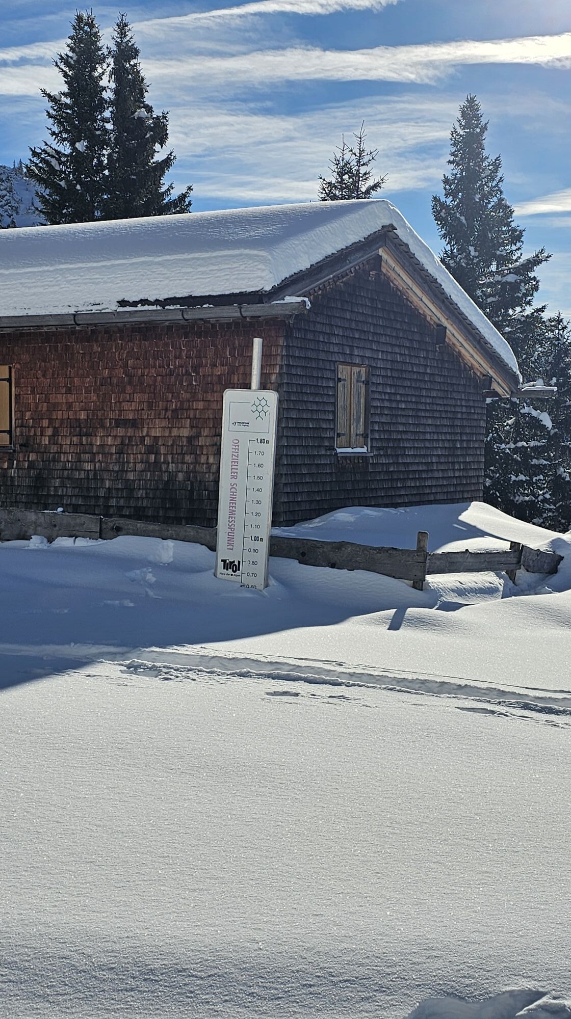
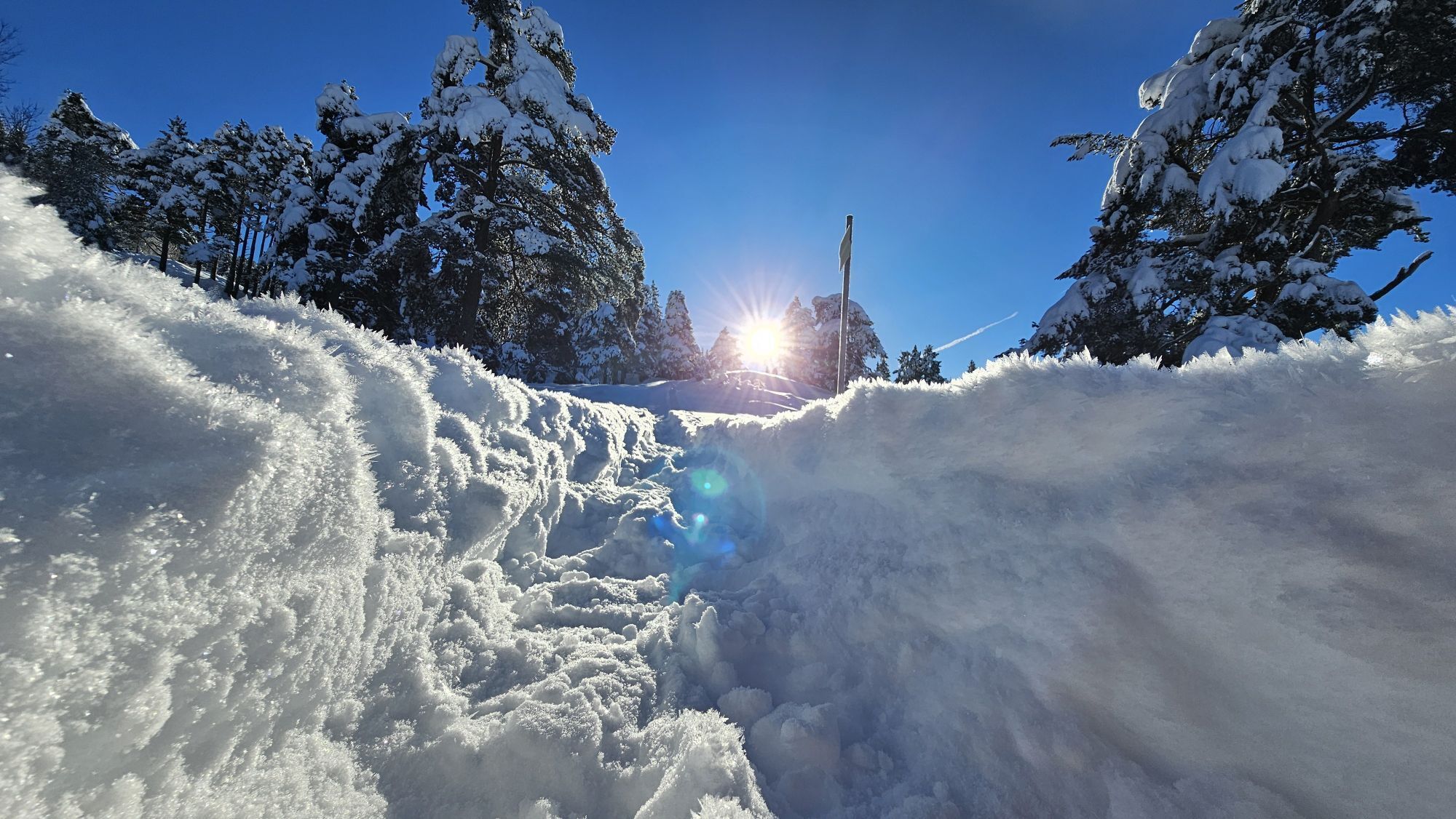
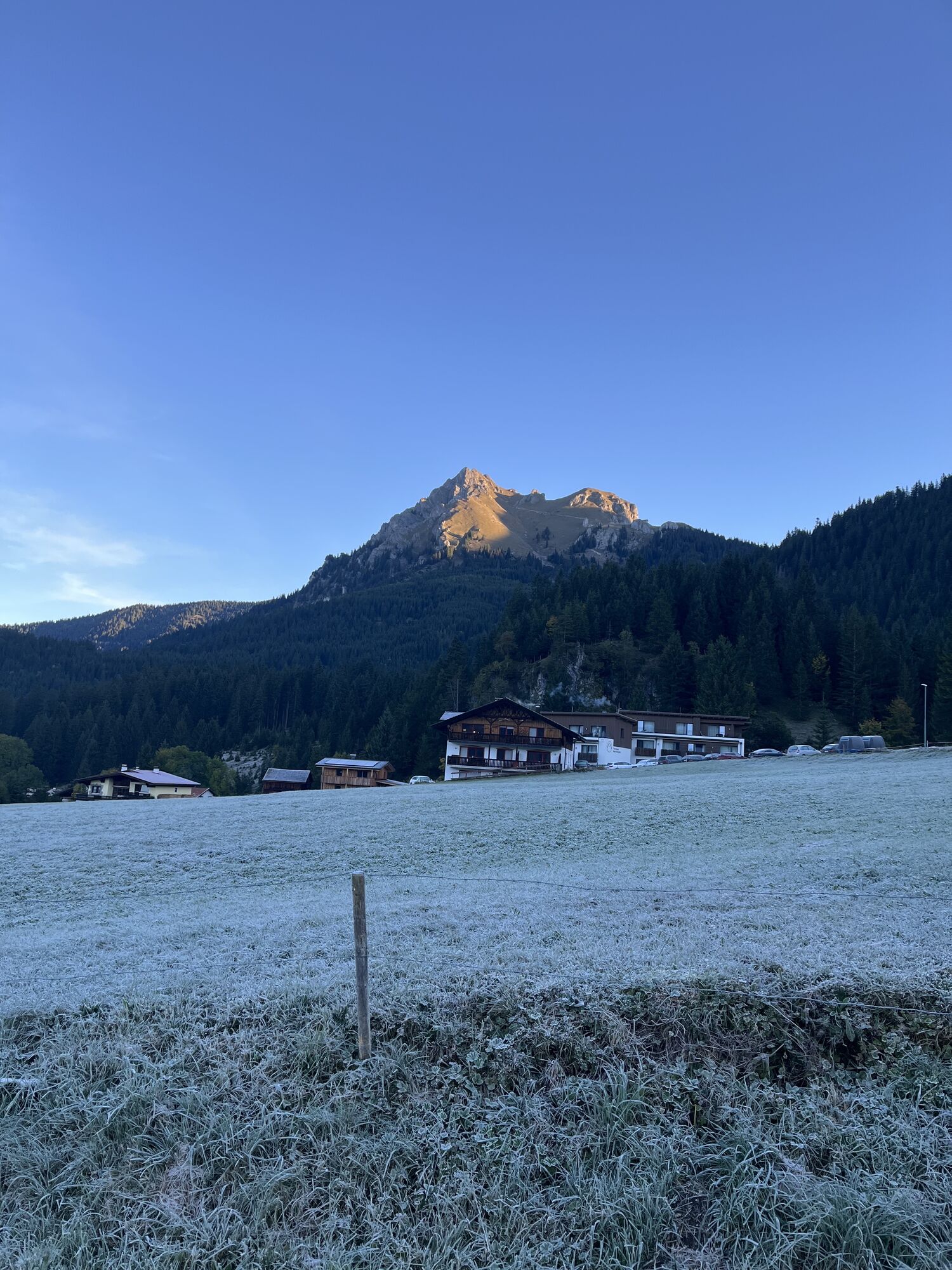


Starting from Grän with the gondola lift to the Füssen Jöchle, mountain station Sonnenalm. Descent to the Vilser Alm (overnight possibility), approx. 1 1/2 hours. Ascent to the Vilser Jöchle, approx. 1...
Starting from Grän with the gondola lift to the Füssen Jöchle, mountain station Sonnenalm. Descent to the Vilser Alm (overnight possibility), approx. 1 1/2 hours. Ascent to the Vilser Jöchle, approx. 1 3/4 hours. Descent to the Sebenalm (no hut) and Enge, approx. 1 1/2 hours, back via Lumberg to Grän, approx. 1/2 hour. (Descent from Vilser Alm to Vils possible, approx. 3/4 hour) Total walking time approx. 5 1/2 hours. Starting from Vils, the hike begins at the car park below the gravel pit in Vils.
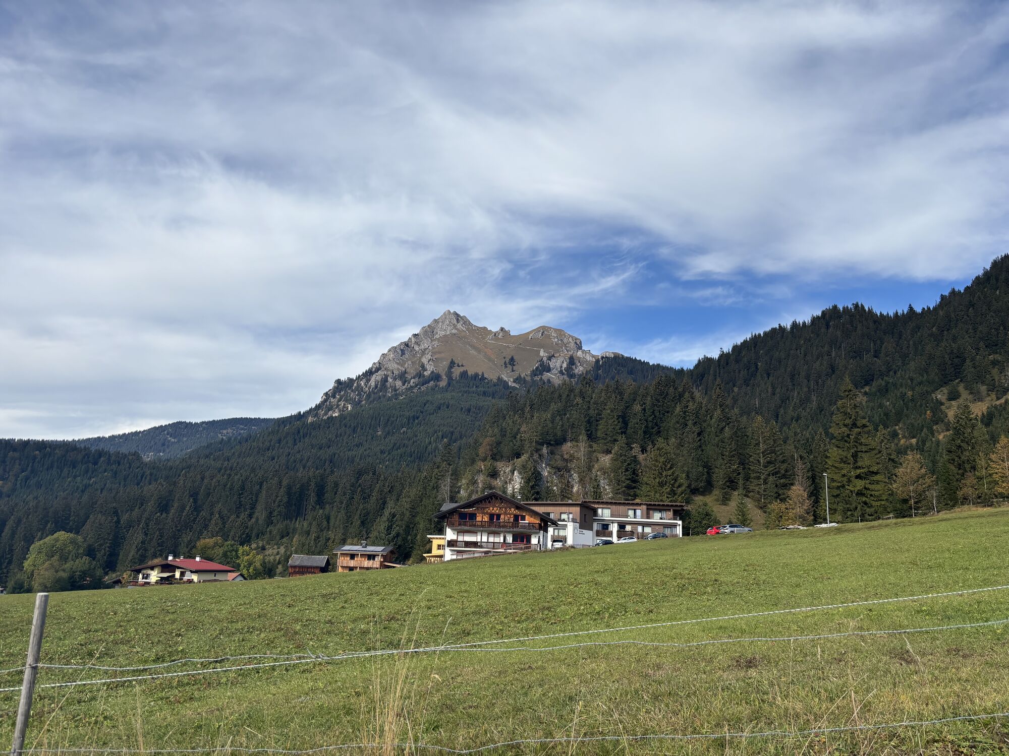
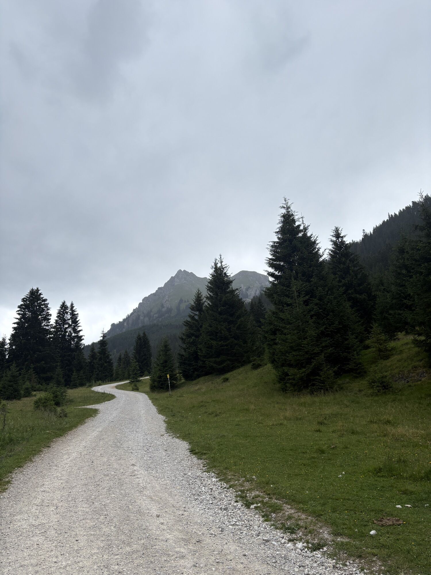
From there the road leads up to the Vilser Alm. Shortly before the destination, the Vilser Alm, a waterfall with a small reservoir invites you to refresh yourself. After about 3.5 km, approx. 1 1/2 hours, the Alm is reached before going back down the forest road into the valley. Total walking time approx. 3 hours.

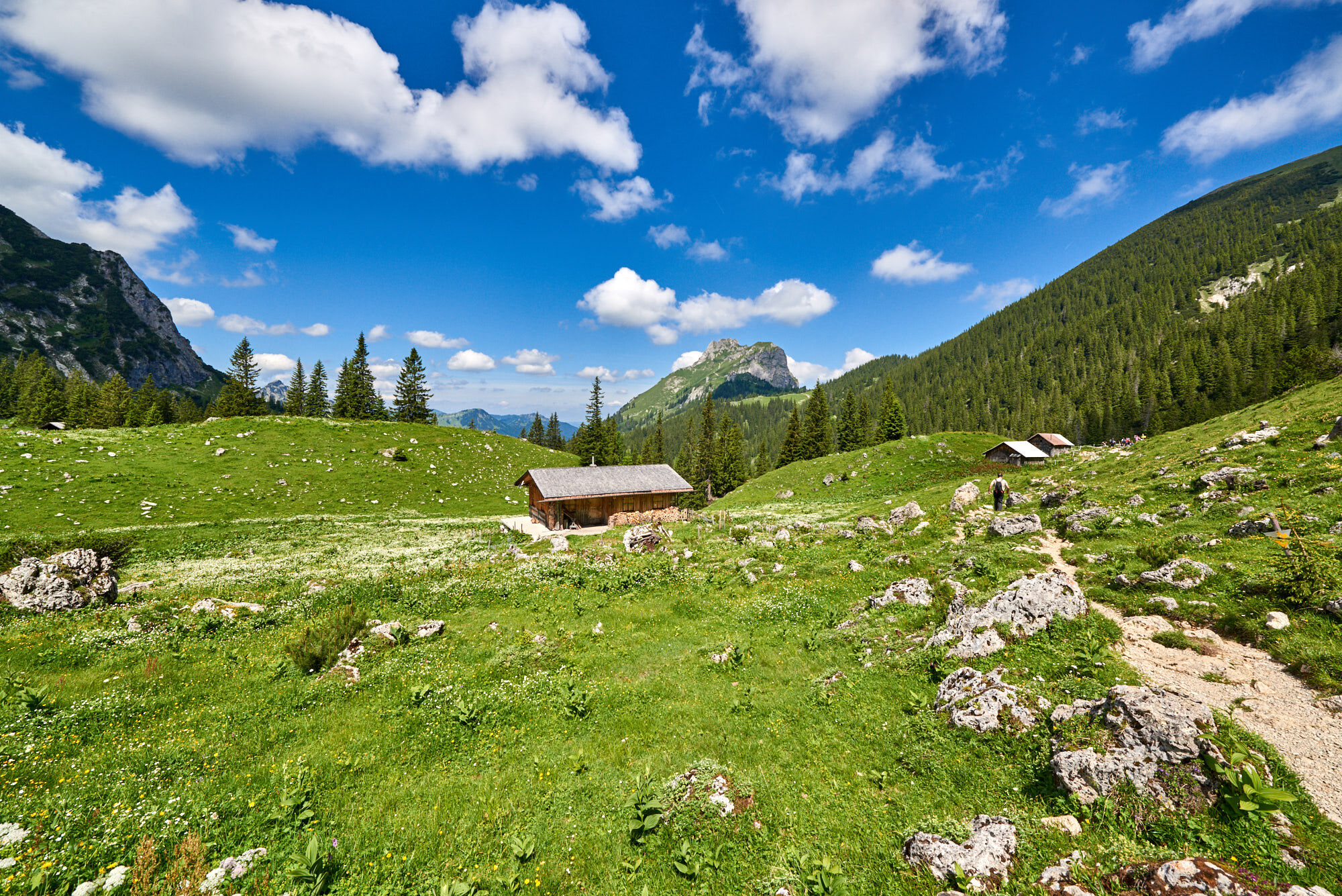
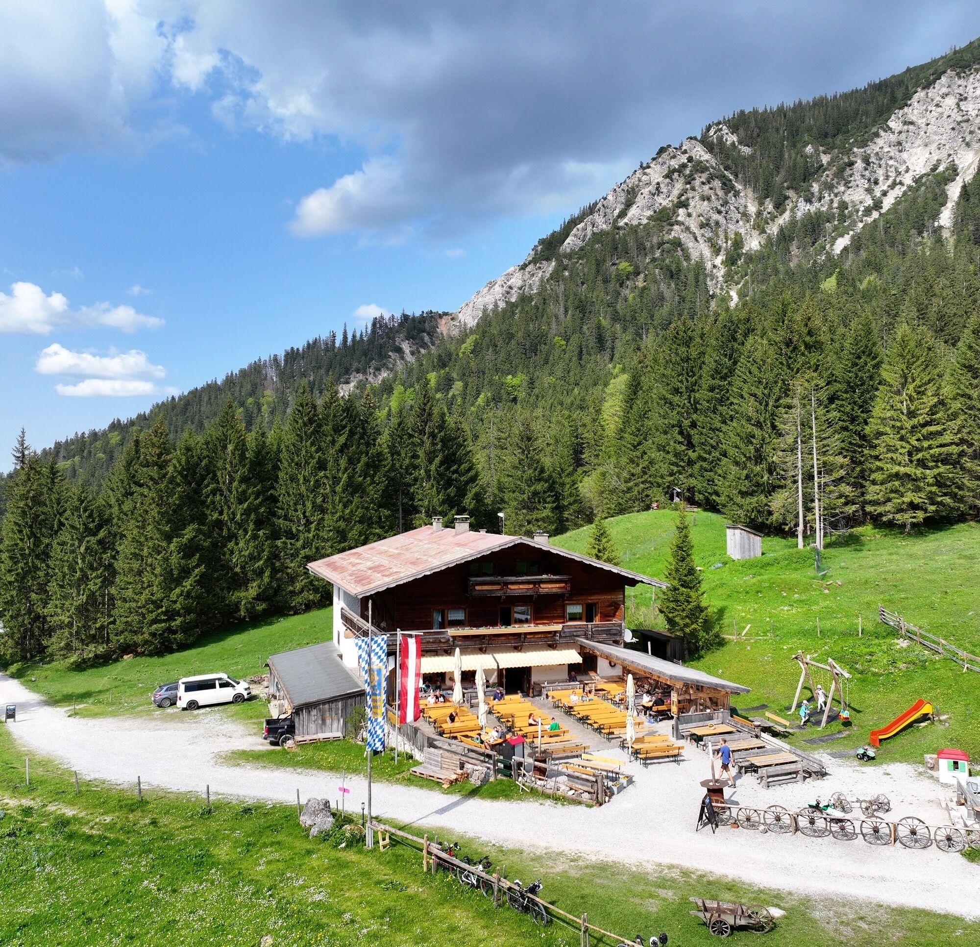
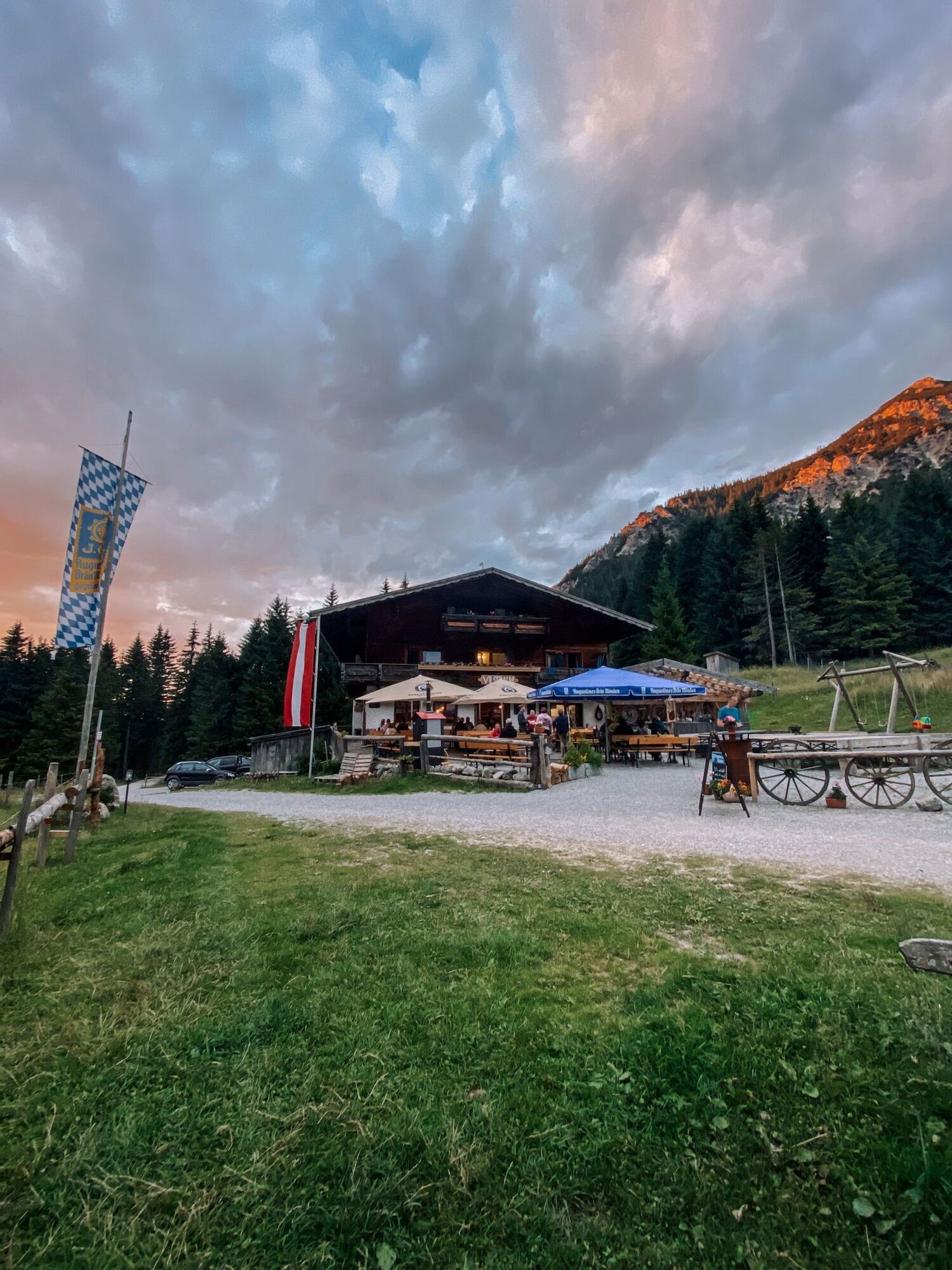

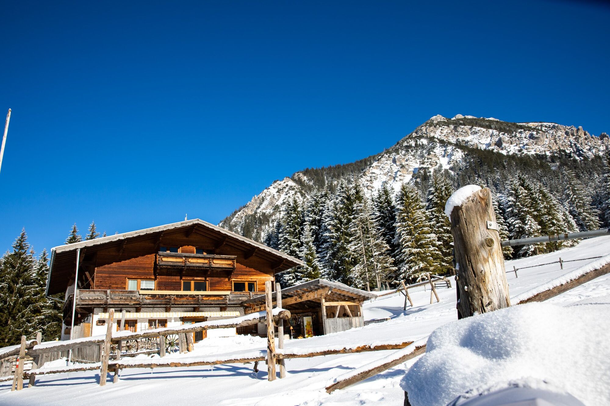
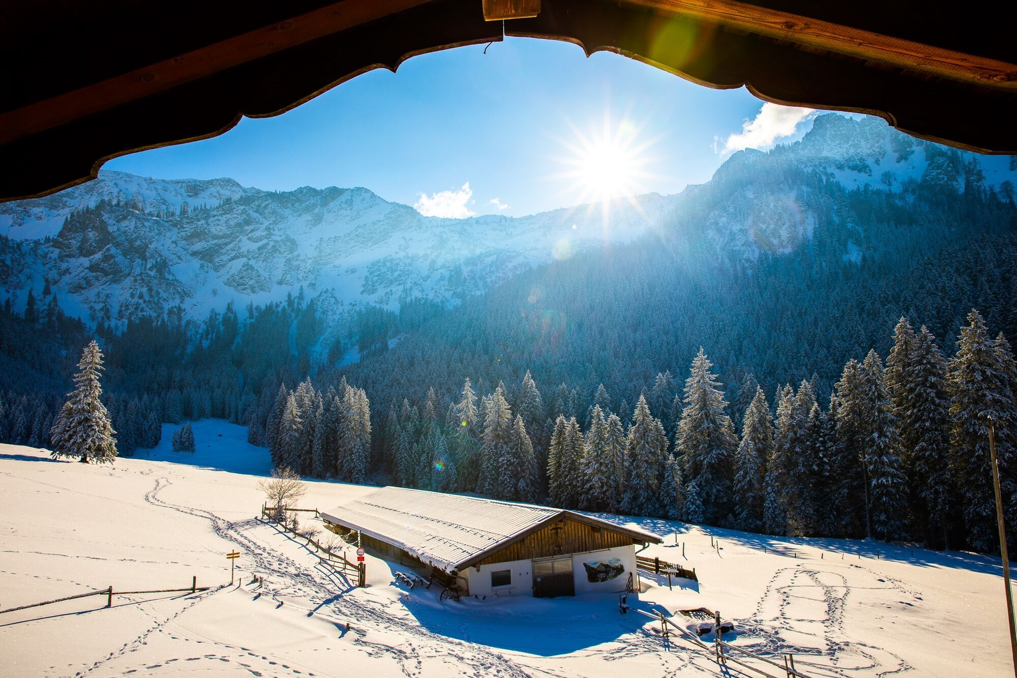
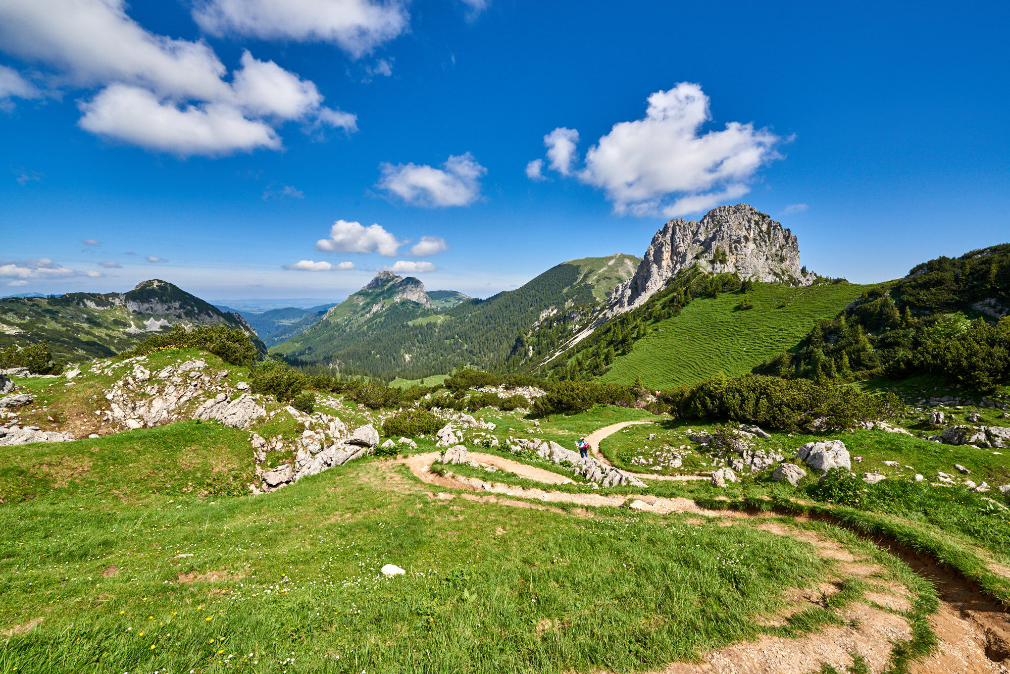
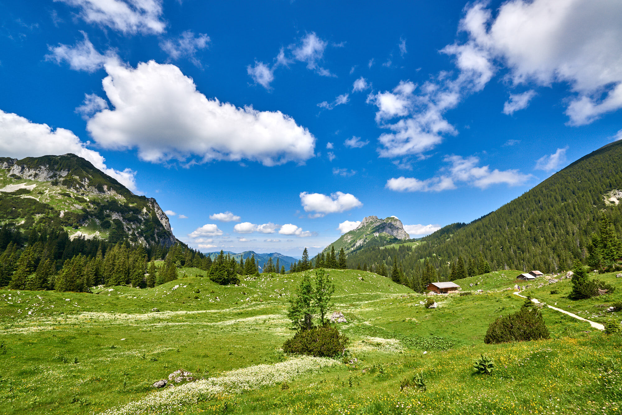
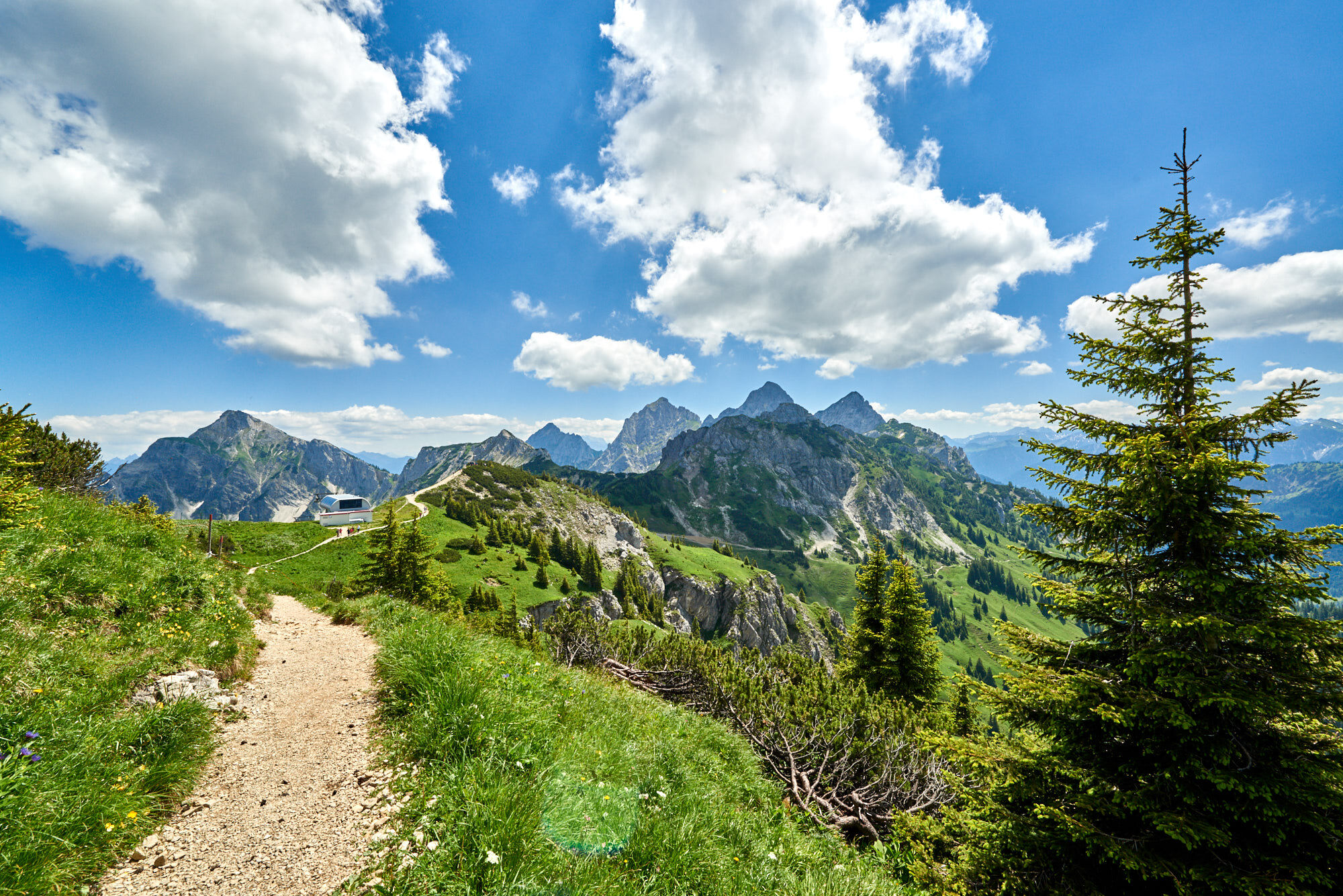
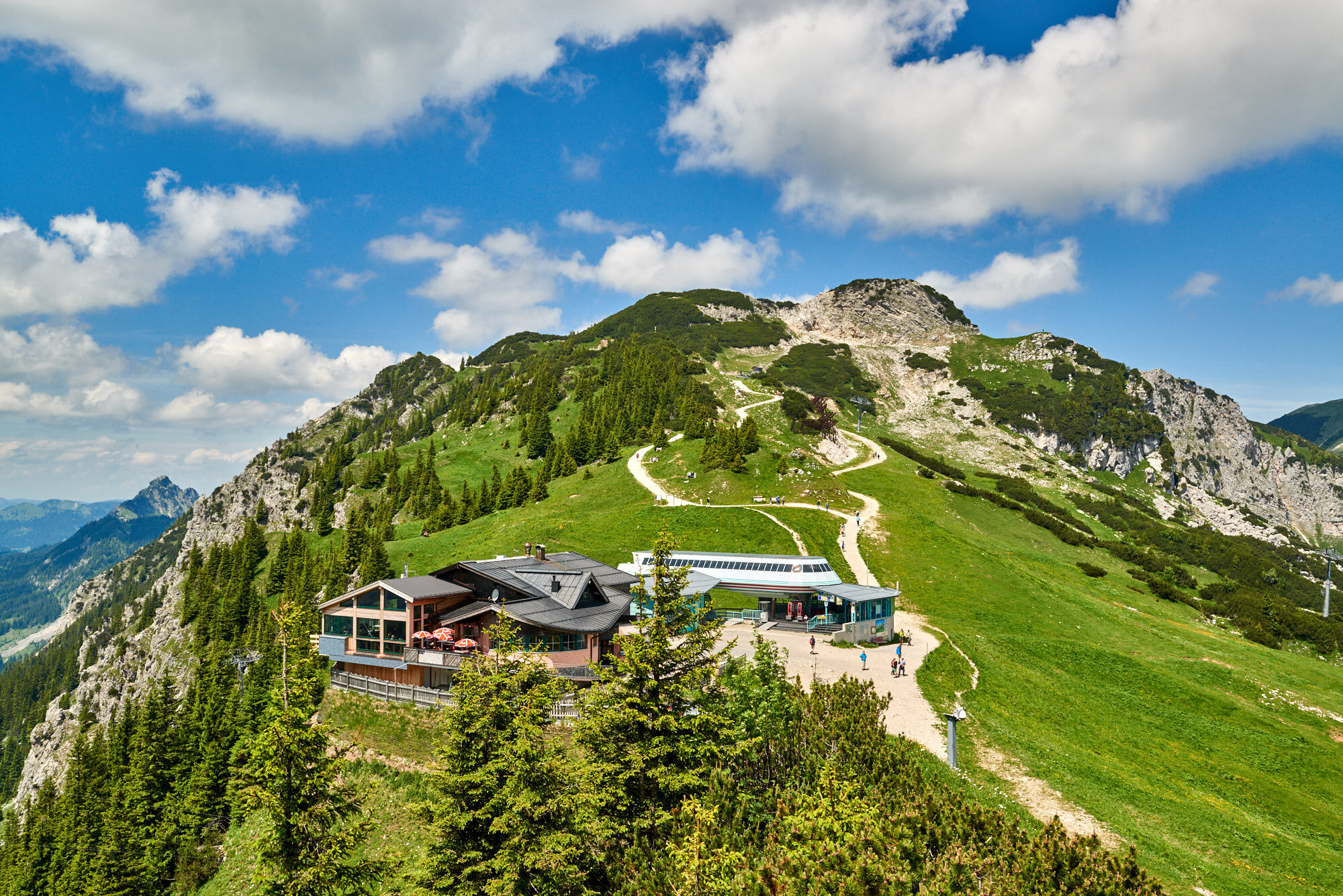

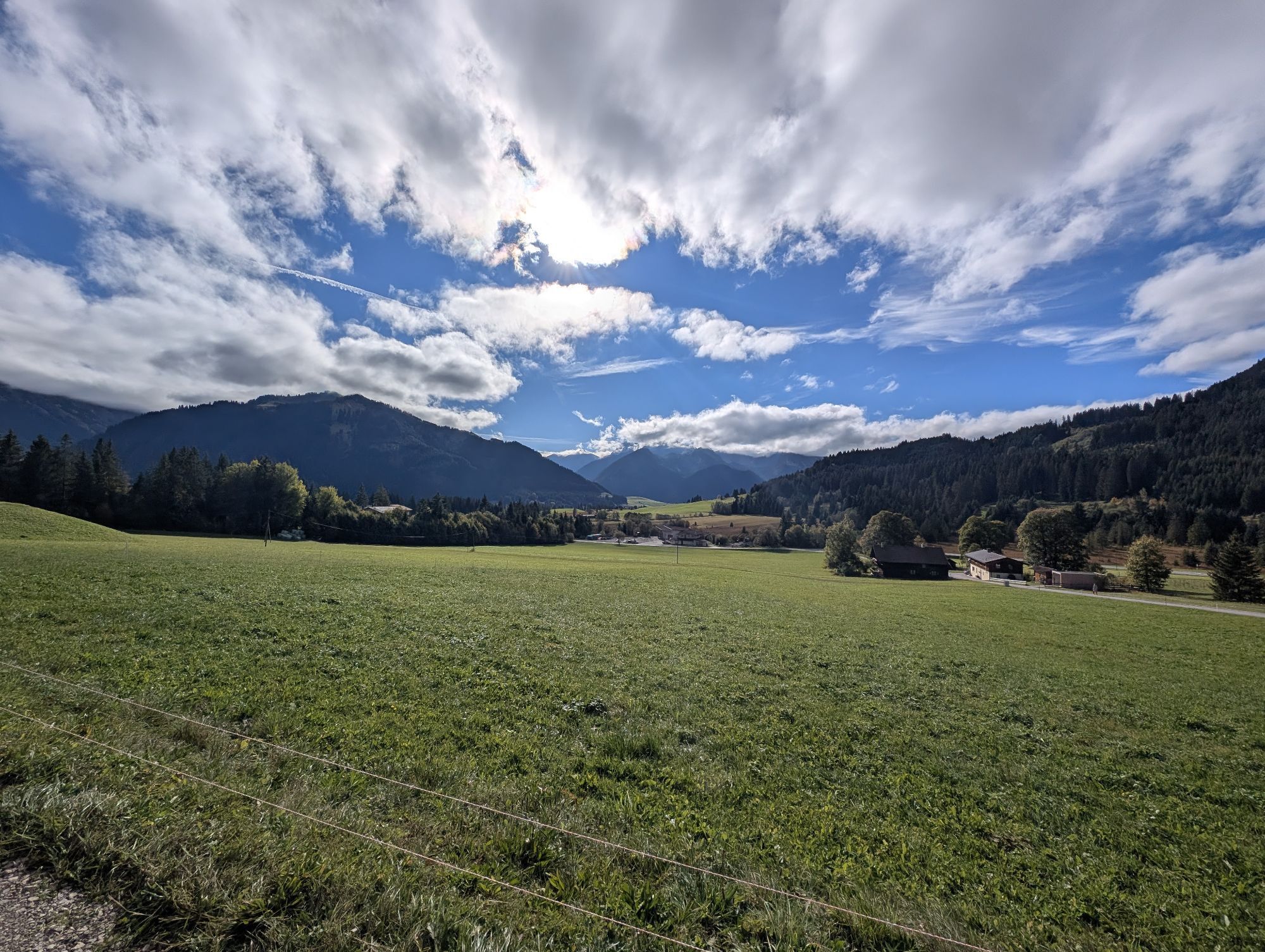
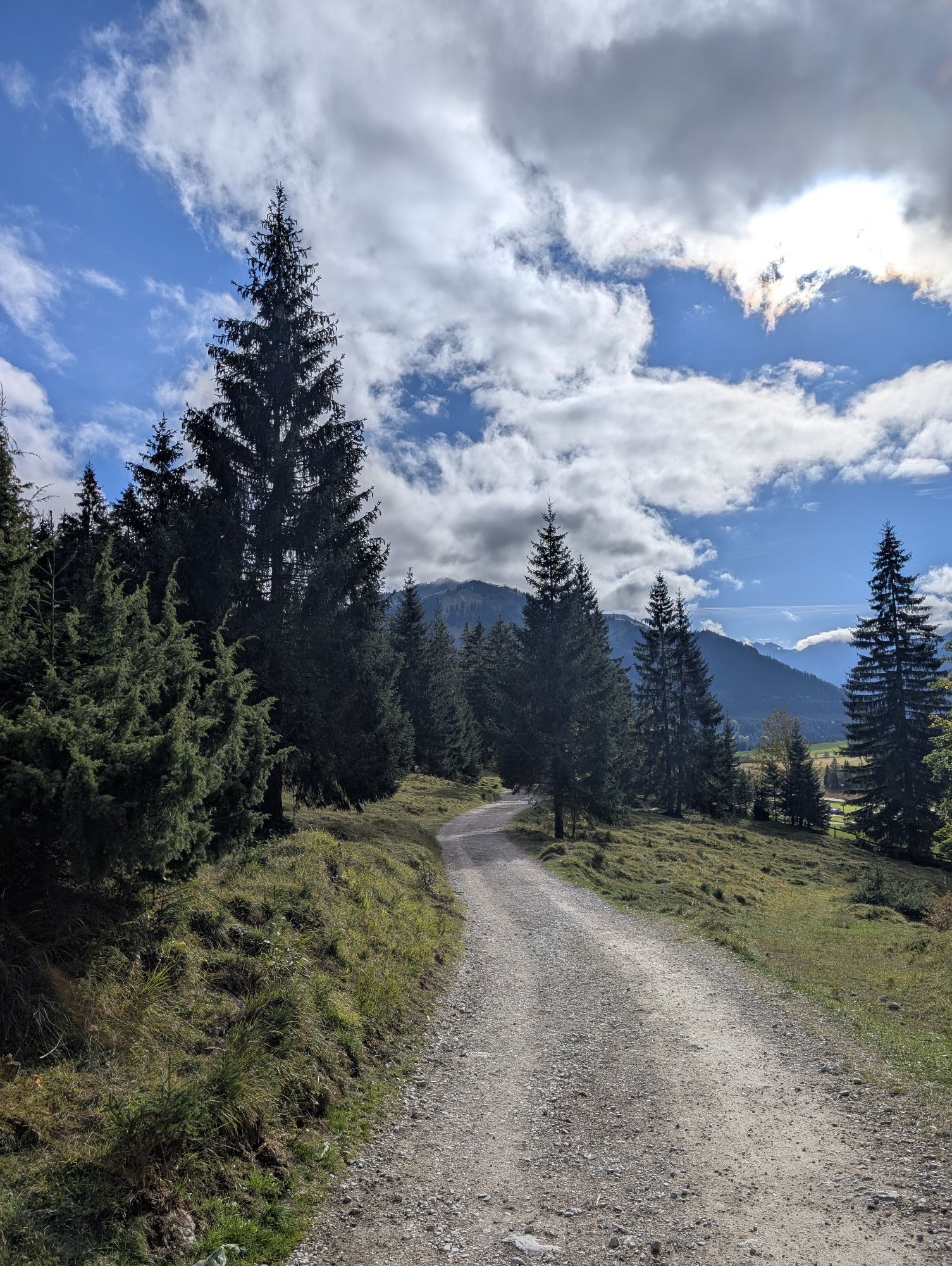
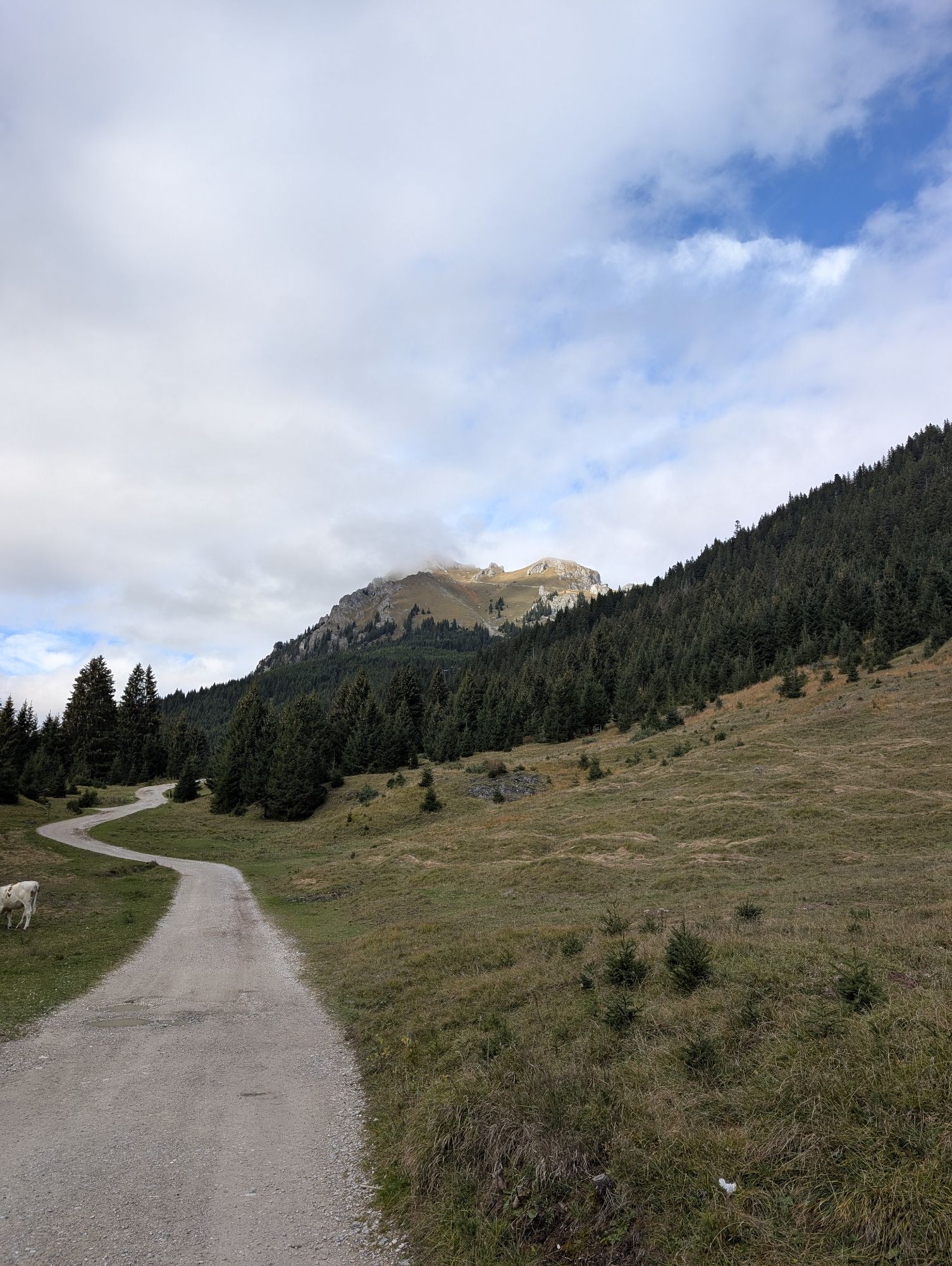
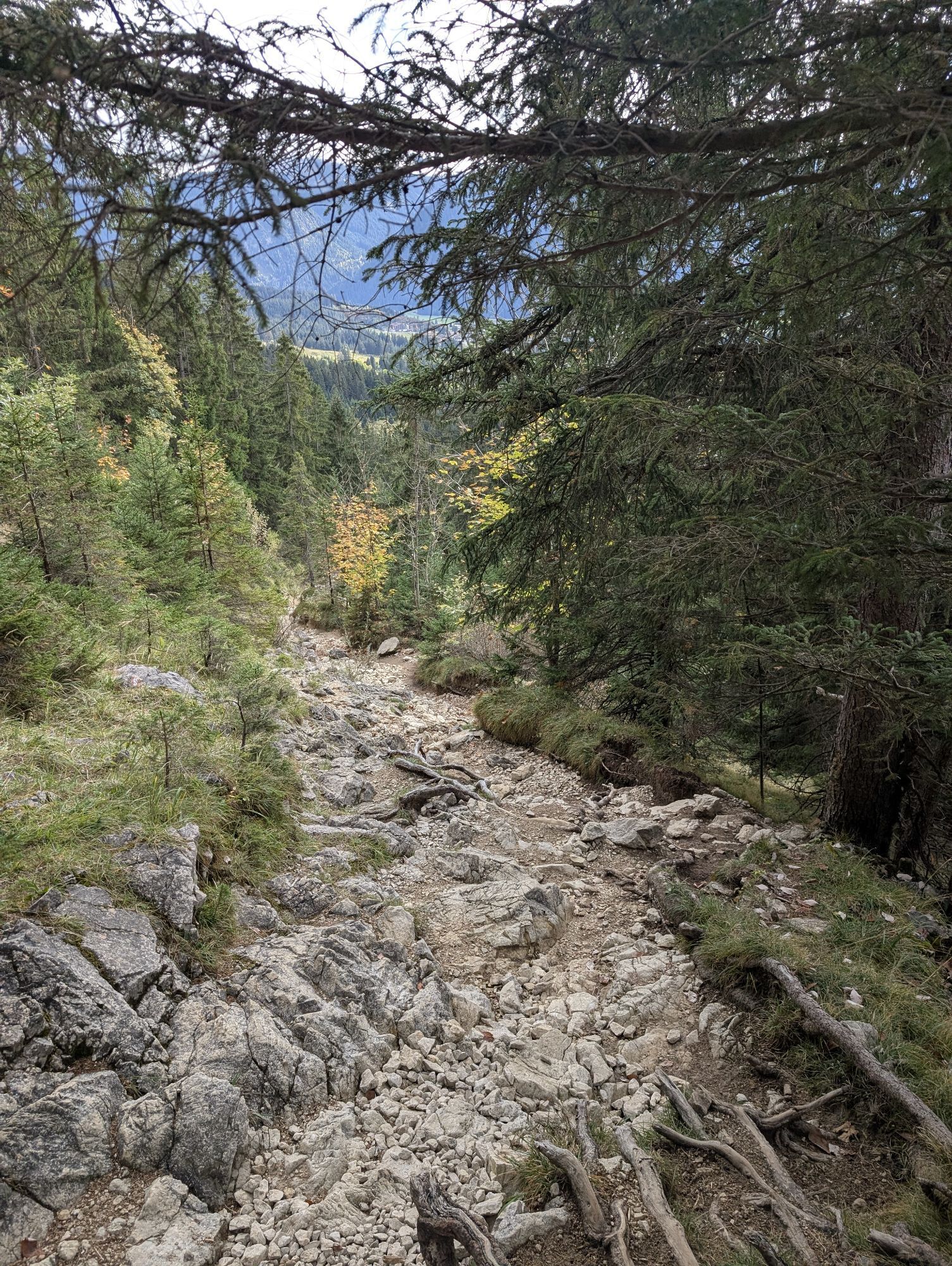
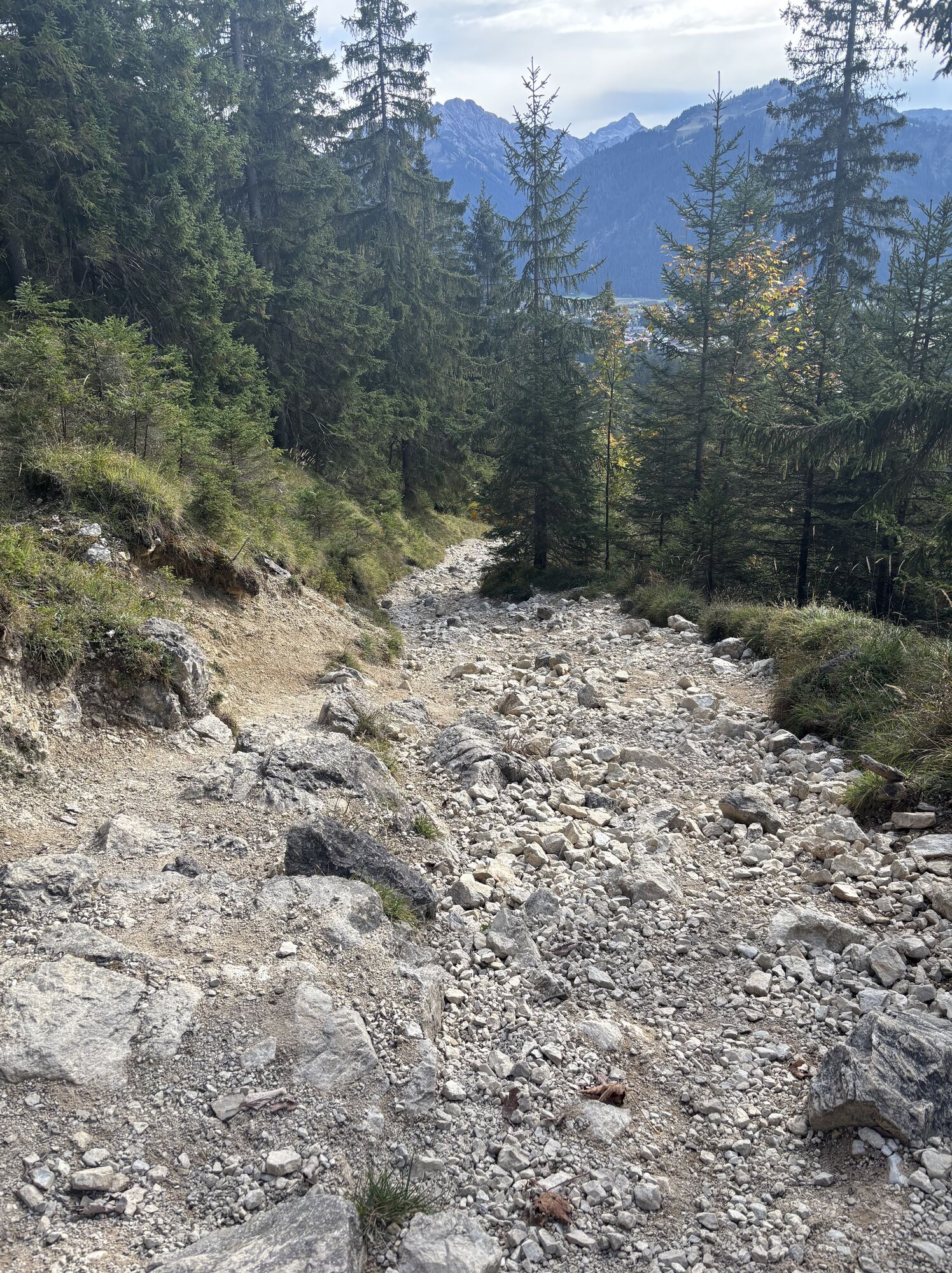
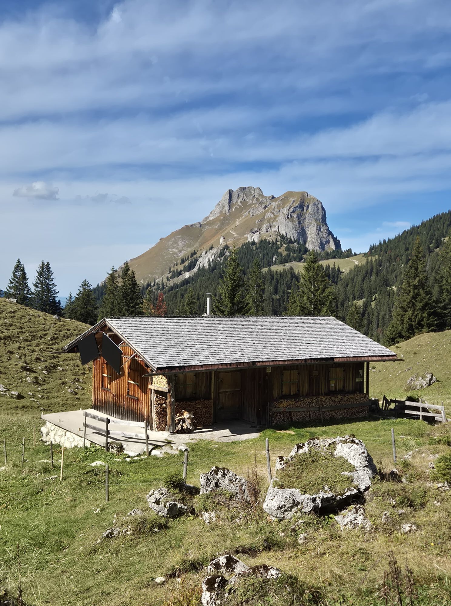
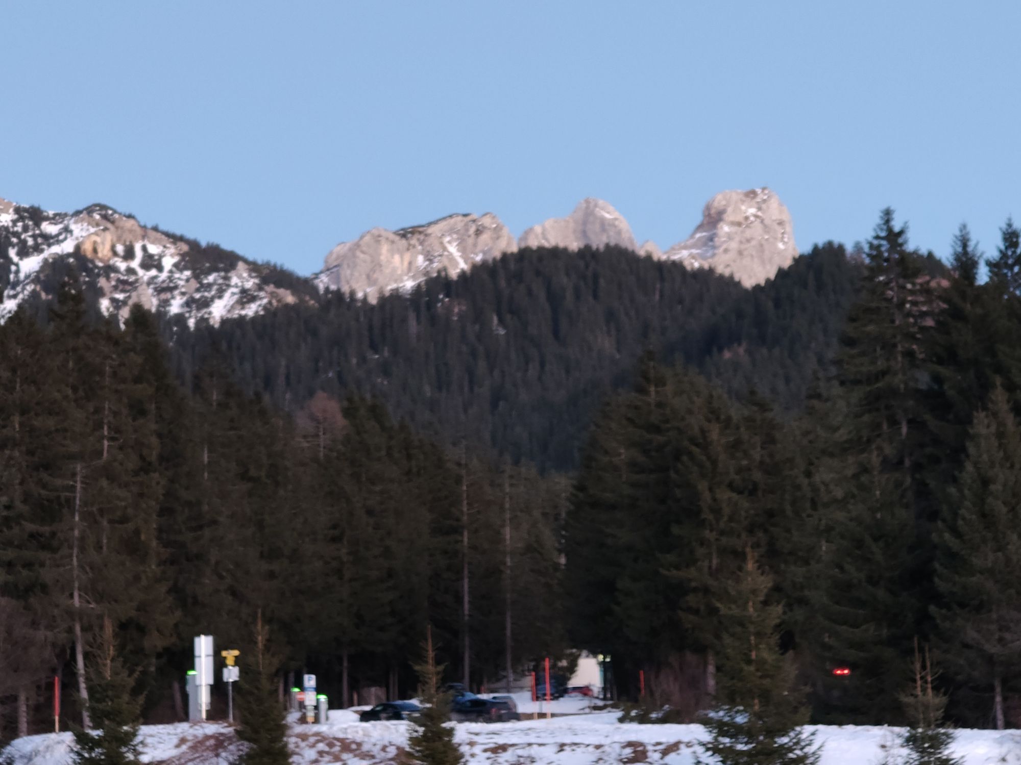
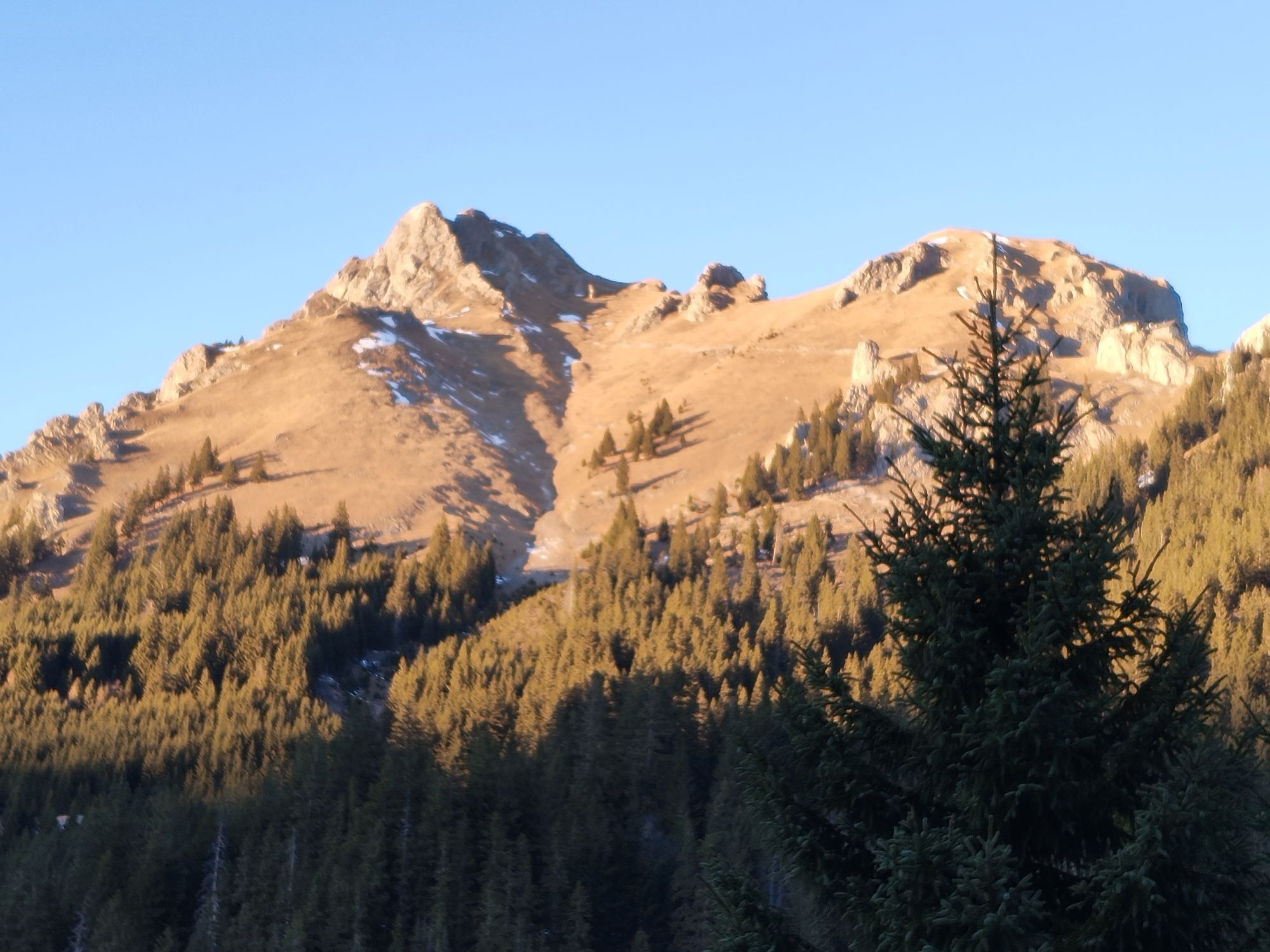
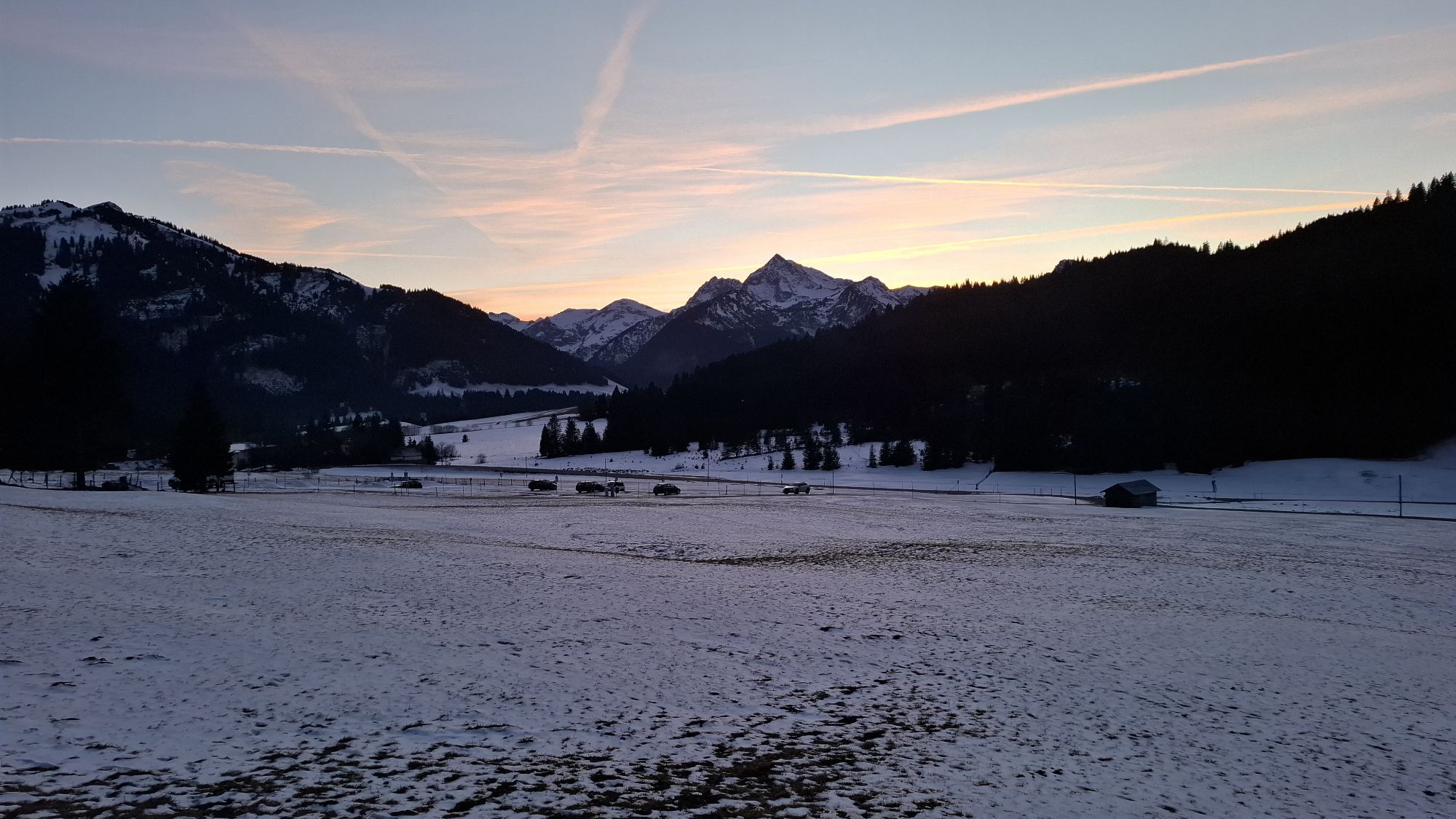
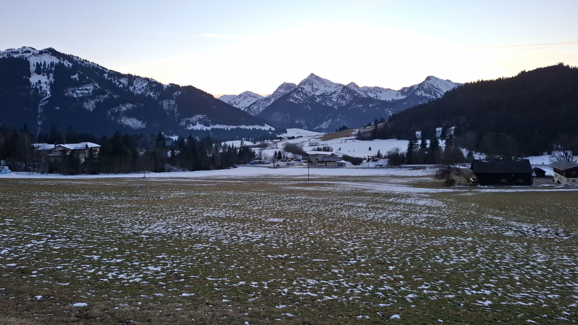
With the 8-person gondola lift, you quickly reach the actual starting point of the hike - the Füssen Jöchle. Upon arrival at the mountain station, you can see to the north the south face of the Sebenkopf, a beautiful climbing route. The hike begins on the marked hiking trail with a longer descent over hilly pastureland to the Vilser Alm with a view of an interesting mountain backdrop. From the alpine hut, go back a short distance south, then turn right, cross the Kühbach through forested area on the mountain hiking trail past the Daurachalpe (no hut) to the Vilser Jöchle (here there is also the option to climb the Brentenjoch and return to the Vilser Jöchle by the same route). From here the descent continues to the Sebenalm (no hut), further to the junction of the Aggensteinweg, towards Enge via Lumberg back to Grän to the car park of the Sonnenbergbahn.
Ano
Personal mountaineering equipment must be safe, functional, and meet the respective technical standards. Every hiker is recommended to inform themselves about the planned routes in alpine specialist literature or on site.
It should be noted that there is an increased risk of accidents and injuries in mountaineering. Despite careful route planning, a basic risk always remains. Preparing for the route through endurance training, appropriate technical training and further education, as well as personal caution, reduces the risk of accidents and dangers. But never forget that the weather in the mountains can change very quickly. Stay on the marked hiking trails.
On the A7 motorway take the exit "Oy-Mittelberg" onto the B310 towards Wertach and Oberjoch. Then follow the signs "Tannheimer Tal" B199 to Grän. From the Tyrolean side via Reutte on the B198 towards Lechtal to Weißenbach, over the Gaichtpass along the B199 to Grän.
By train to Sonthofen, Pfronten/Ried or Reutte, then by bus to Grän. Bus stop Füssen Jöchle.
You can park at Grän, lift car park Füssen Jöchle, paid parking.
T2
There are overnight accommodations both at the Sonnenalm (mountain station Füssen Jöchle) and at the Vilser Alm.
Those who want to include the Brentenjoch (2000m) can follow the ridge north from the Vilser Jöchle to the summit.
Webové kamery z prohlídky
-
Tannheim
-
Neunerköpfle Mittelstation
-
Haldensee - Neunerköpfle
-
Skizentrum Steinach / Pfronten
-
Pfronten - Boutique Hotel Blaue Burg Falkenstein
-
Neunerköpfle Mittelstation
-
Neunerköpfle Mittelstation
-
Neunerköpfle Mittelstation
-
Neunerköpfle Mittelstation
-
Neunerköpfle Mittelstation
-
Neunerköpfle Mittelstation
-
Neunerköpfle Mittelstation
-
Pfronten - Ostlerhütte
-
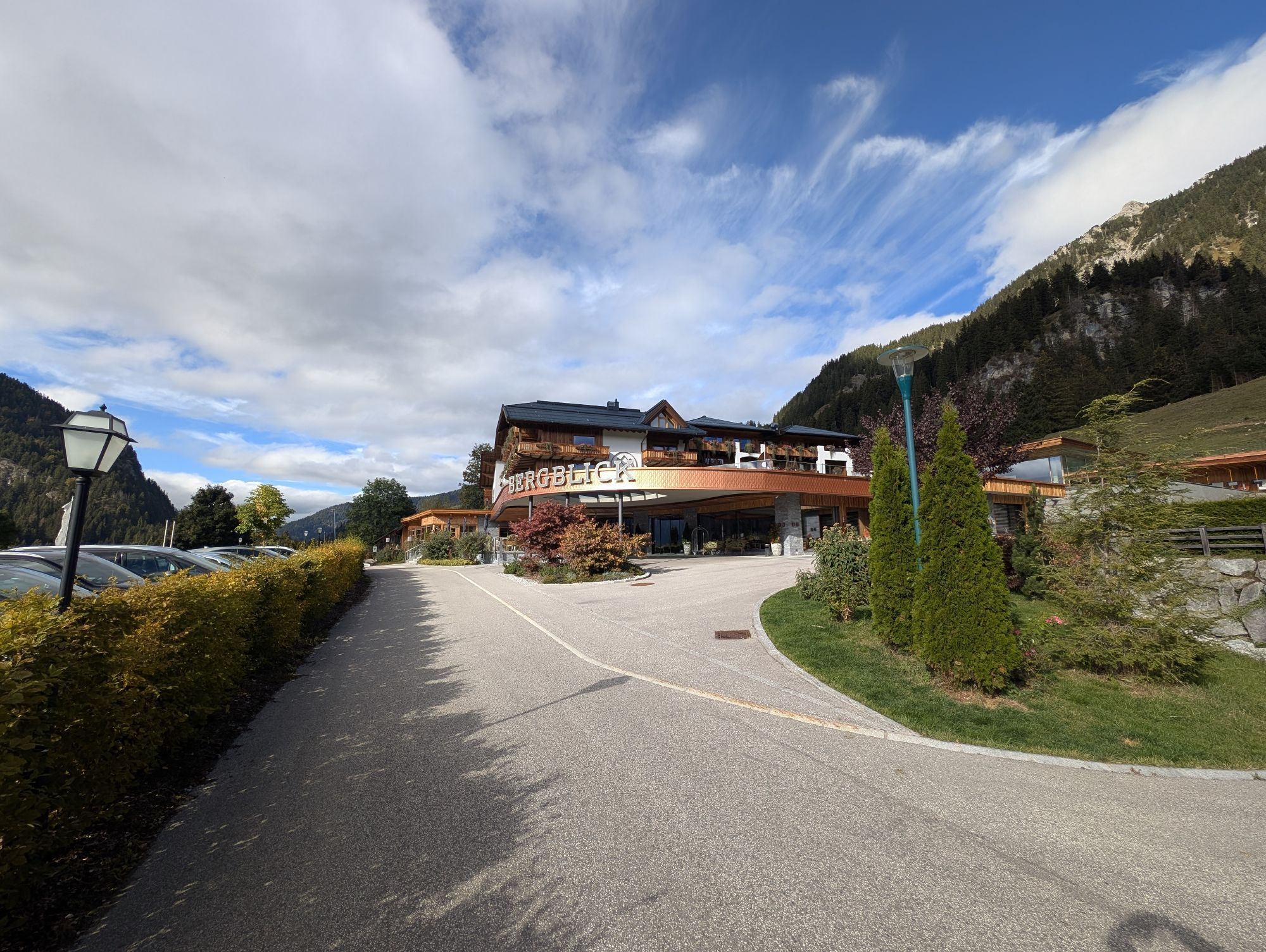
Grän - Hotel Bergblick
-
Füssener Jöchle Bergstation
-
Füssener Jöchle Bergstation
-
Füssener Jöchle Bergstation
-
Füssener Jöchle Bergstation
-
Füssener Jöchle Bergstation
-
Füssener Jöchle Bergstation
-
Tannheimertal
-
Breitenbergbahn - Pfronten
-
Pfronten - Skizentrum
-
Füssener Jöchle Bergstation
-
Füssener Jöchle Bergstation
-
Haller
-
Gundhütte - Tannheimertal
-
Talstation Neunerköpfle - Tannheim

Oblíbené prohlídky v okolí
-
4.9
Hiking tour to Breitenberg
heavyTuristika 15.6 km -
4.8
To the Bad Kissinger Hut via the Gräner Höhenweg
středníTuristika 13.0 km -
4.7
Mountain hike to the Aggenstein
heavyTuristika 15.3 km -
4.7
Panorama route to the Ostlerhütte
středníTuristika 5.11 km -
4.6
Around Weißensee
světloTuristika 6.12 km -
4.5
Circular hike Dreh- and Rohrkopfhütte
světloTuristika 8.76 km -
4.1
Drehhütte
světloTuristika 3.34 km -
4.4
Rundwanderung Stuibenfälle
středníTuristika 3.92 km -
4.9
Tegelberg | Branderschrofen | Neuschwanstein
středníTuristika 14.8 km -
4.4
Cultural trail Schutzengelweg
středníTuristika 5.13 km
Pěší turistika a stopování


Nenechte si ujít nabídky a inspiraci pro vaši příští dovolenou
Vaše e-mailová adresa byl přidán do poštovního seznamu.


