







Circular route from Ötztal train station via Imst and Haiming


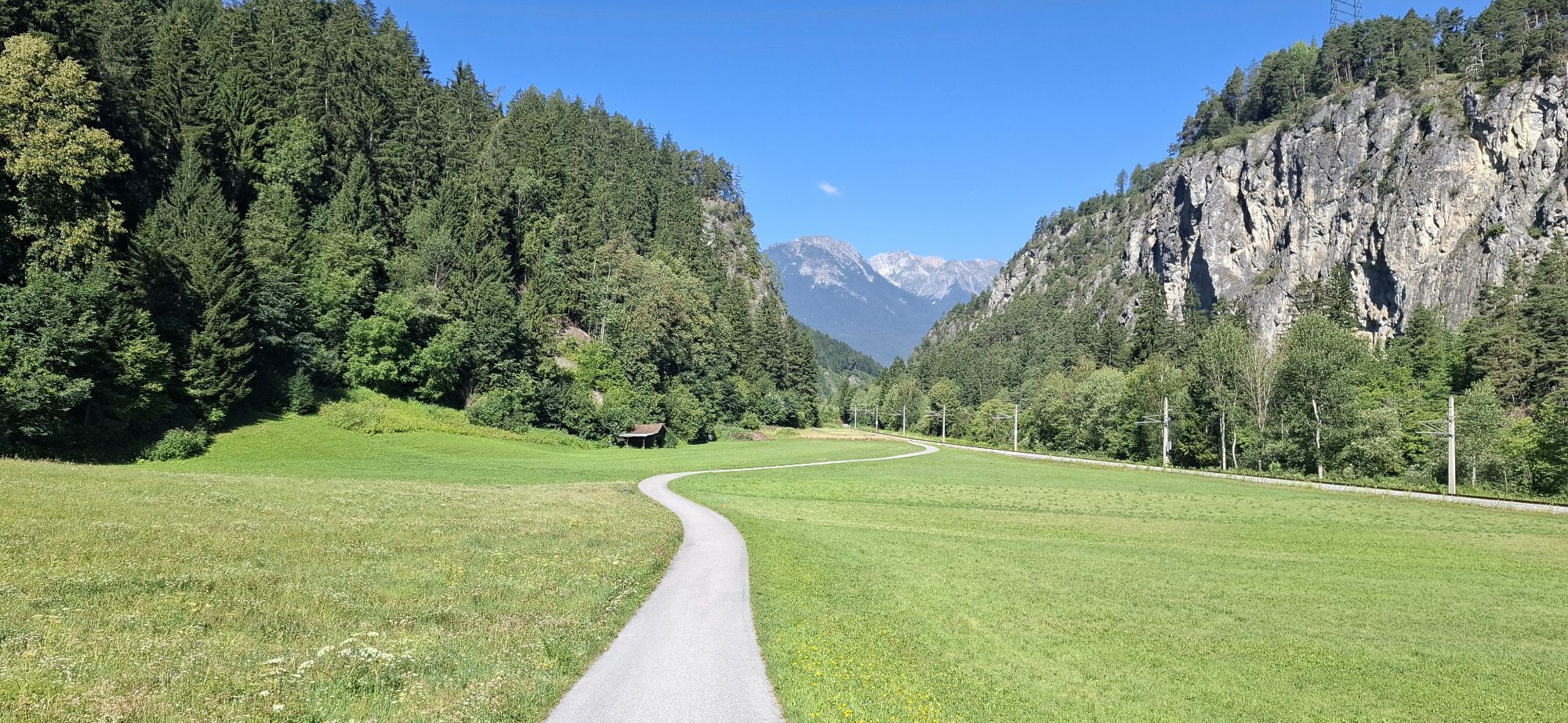
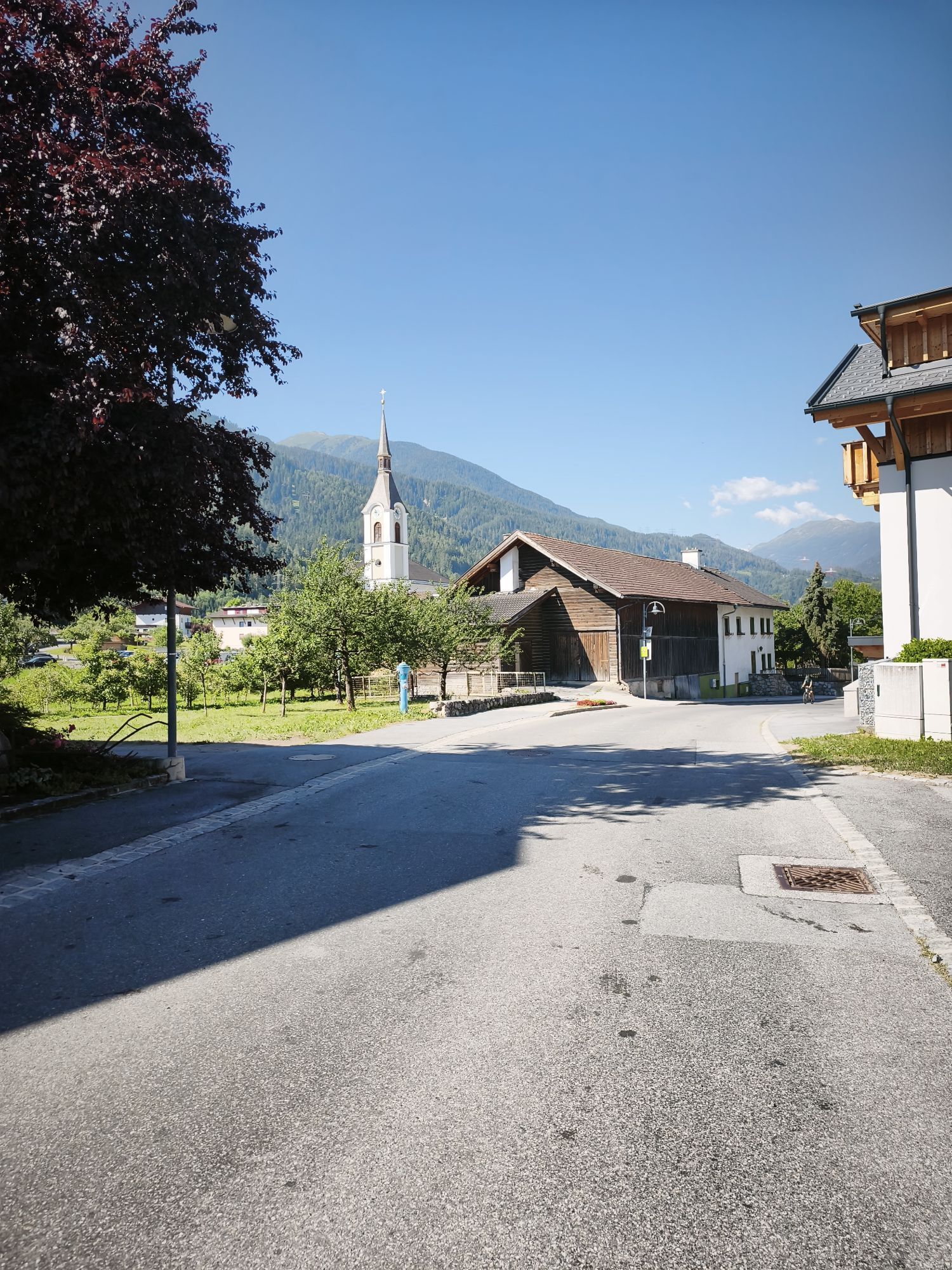
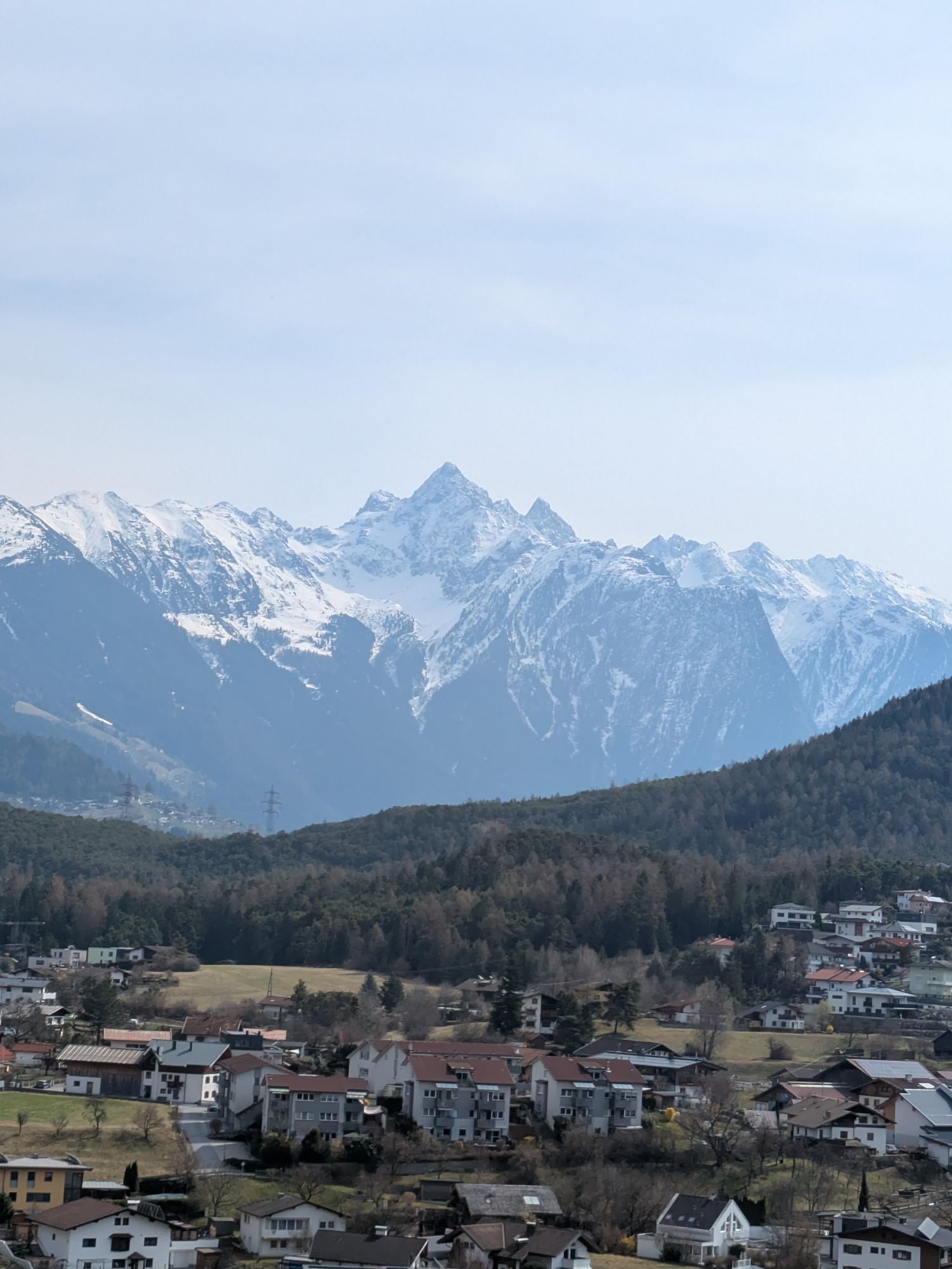
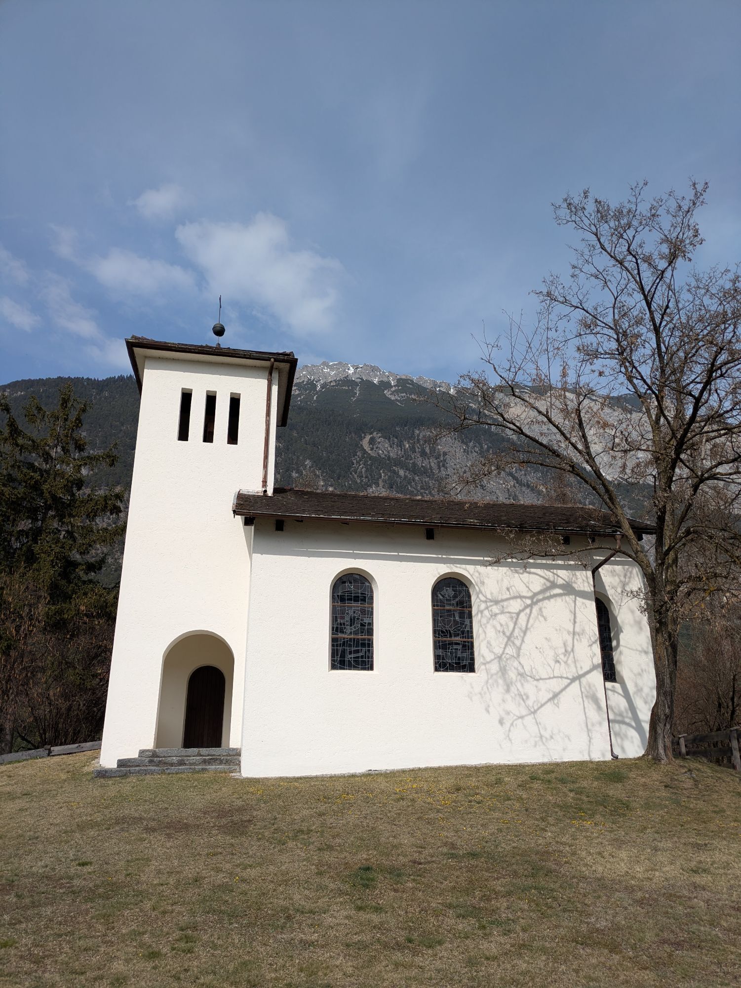
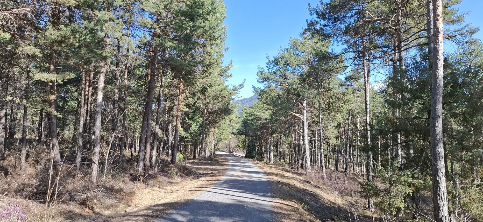
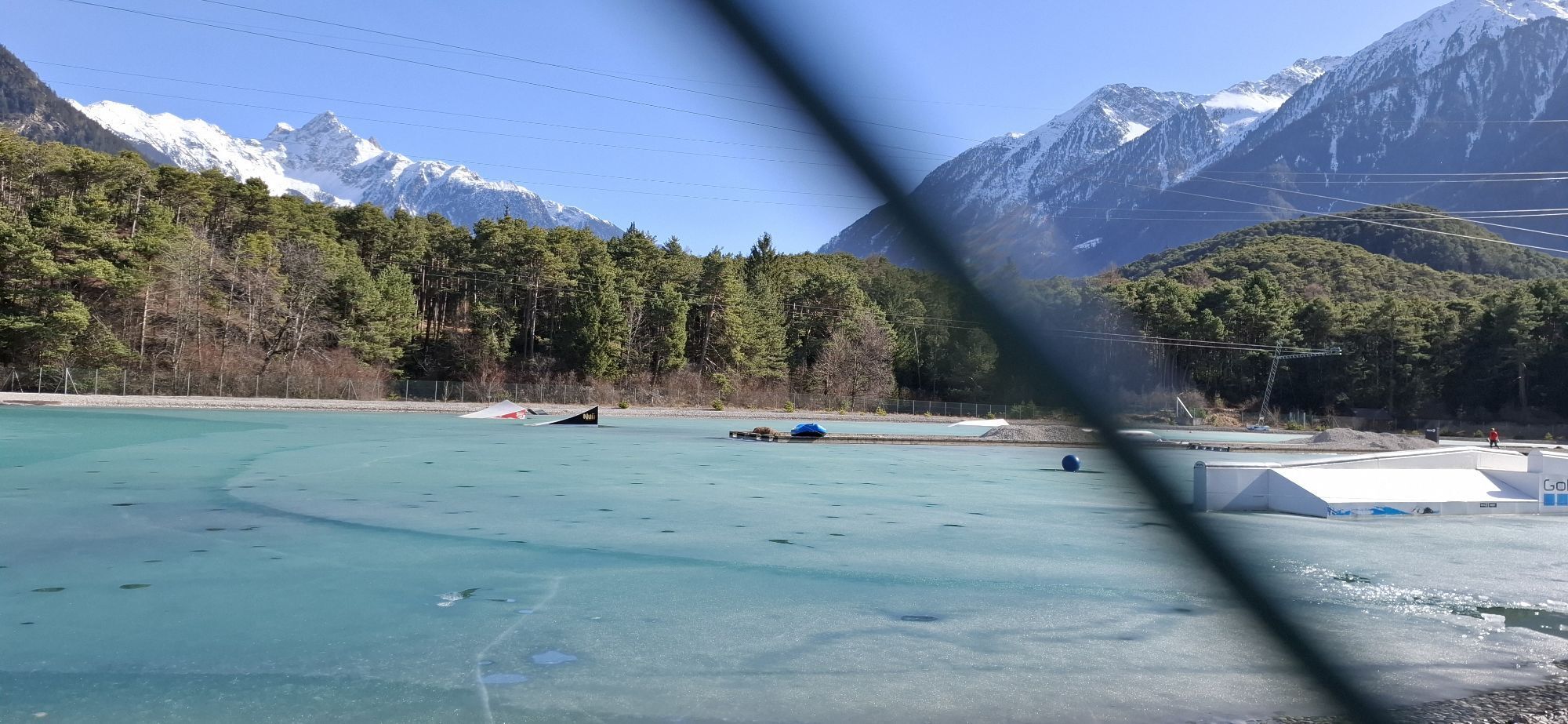


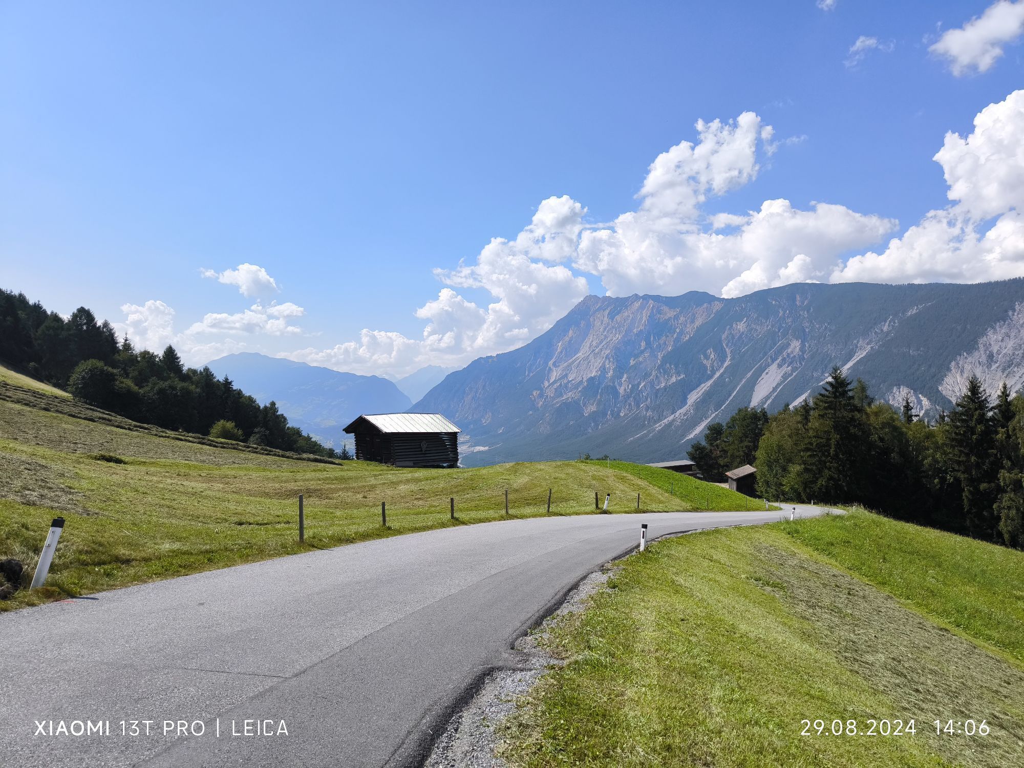
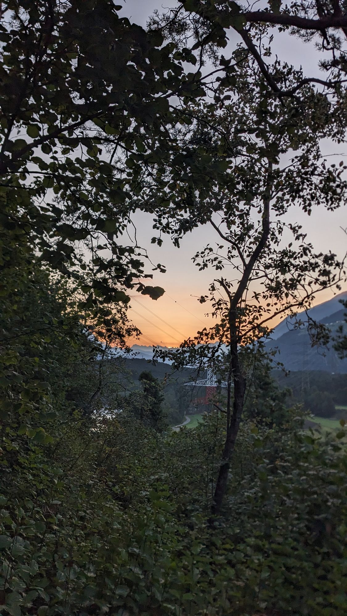
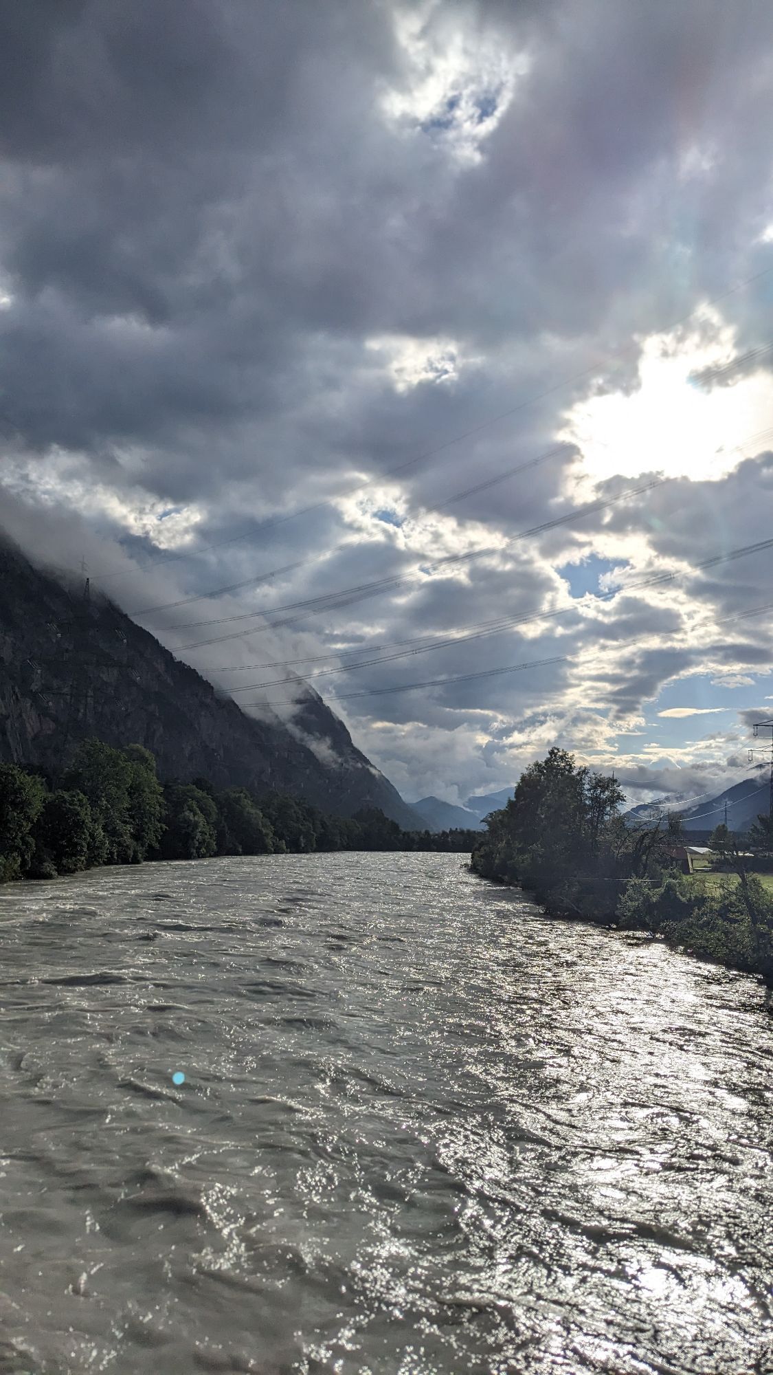
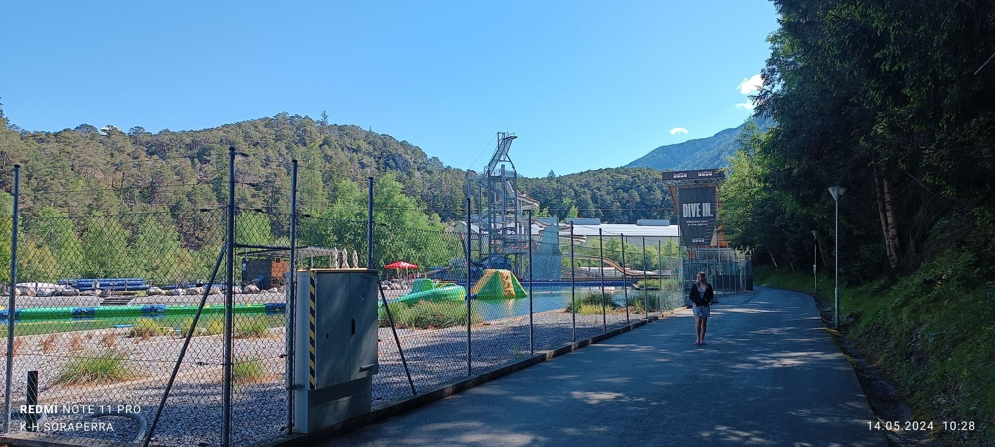
The bike tour starts from Parking Area 47 (free of charge). Here you follow the signposts for the Inn Valley bike path westwards. The route continues to Roppen and through the Imst Gorge to Imst train...
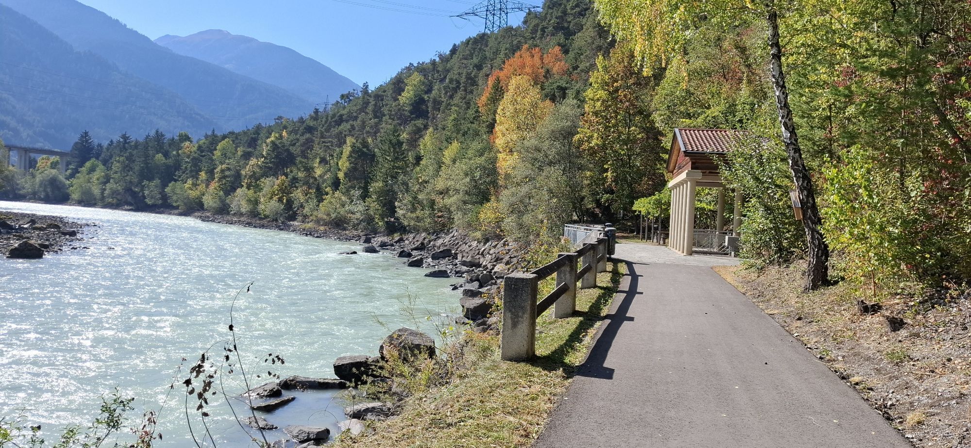
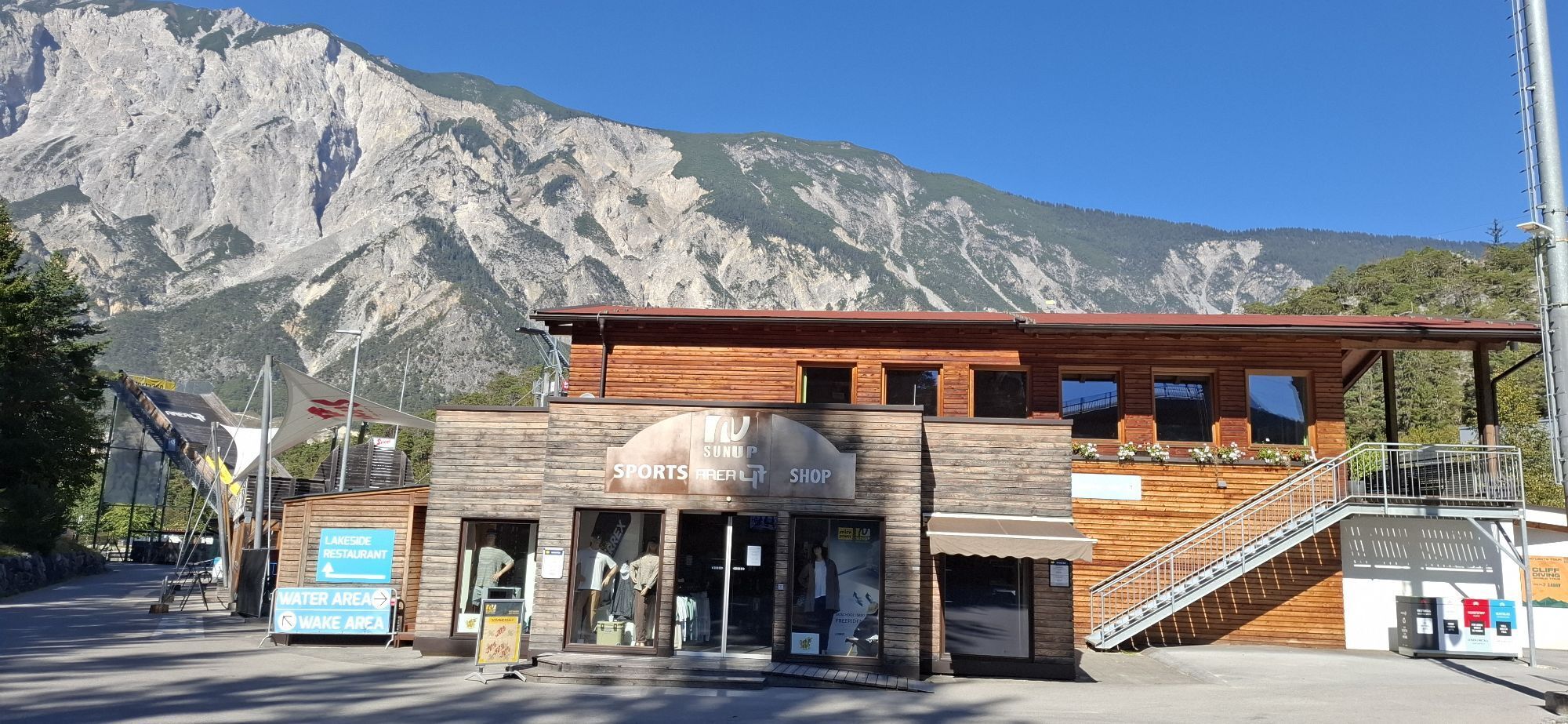
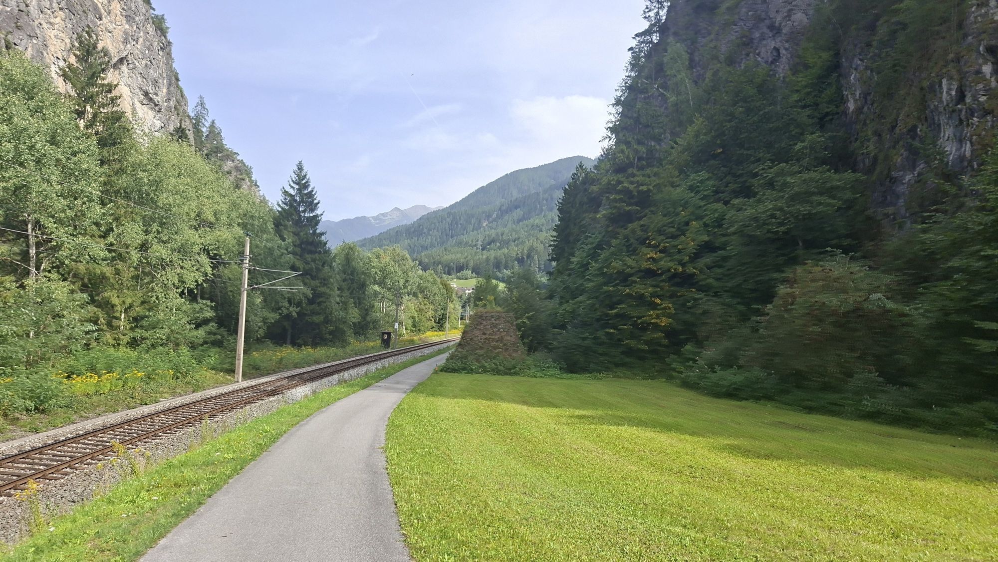
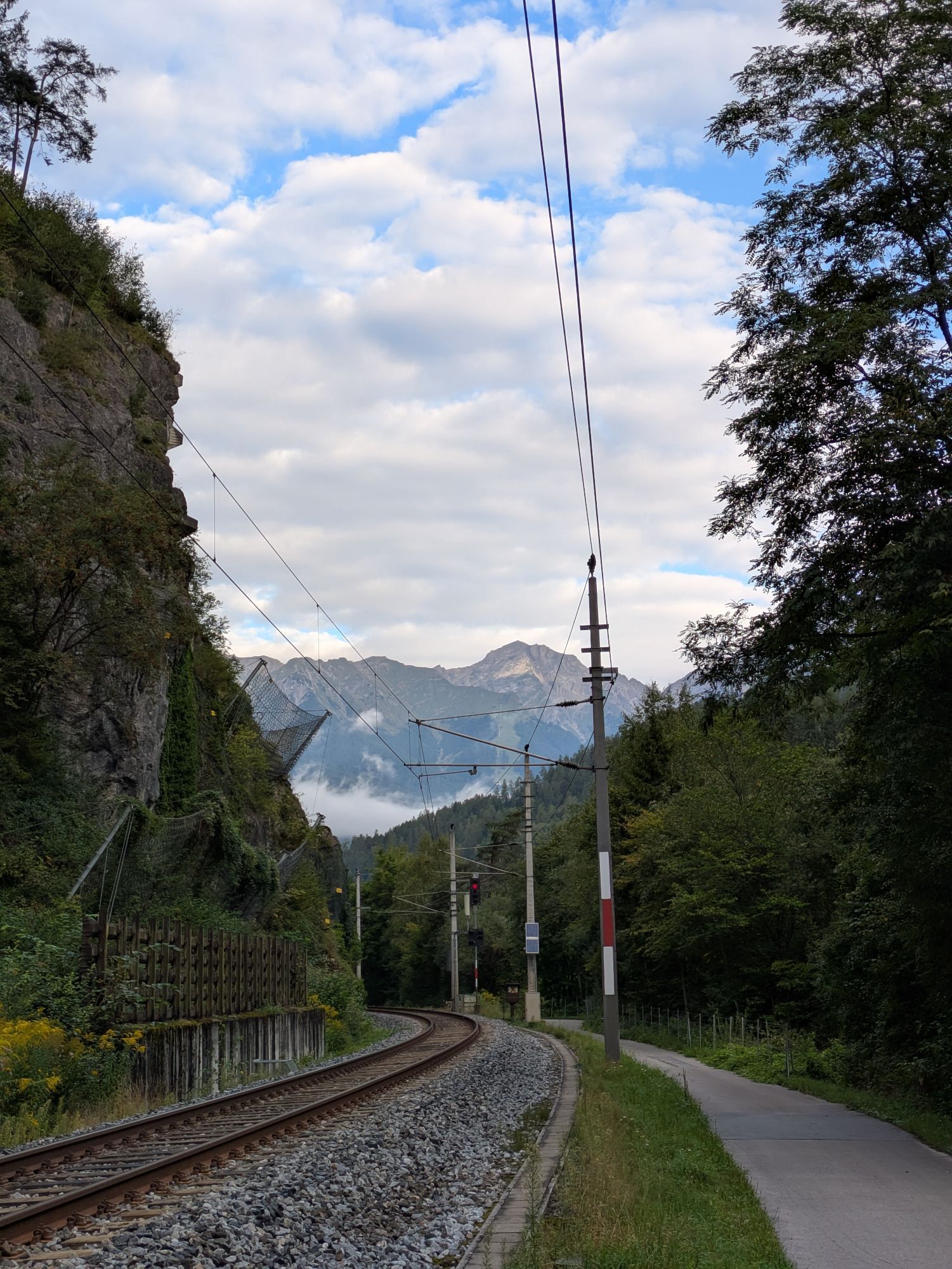
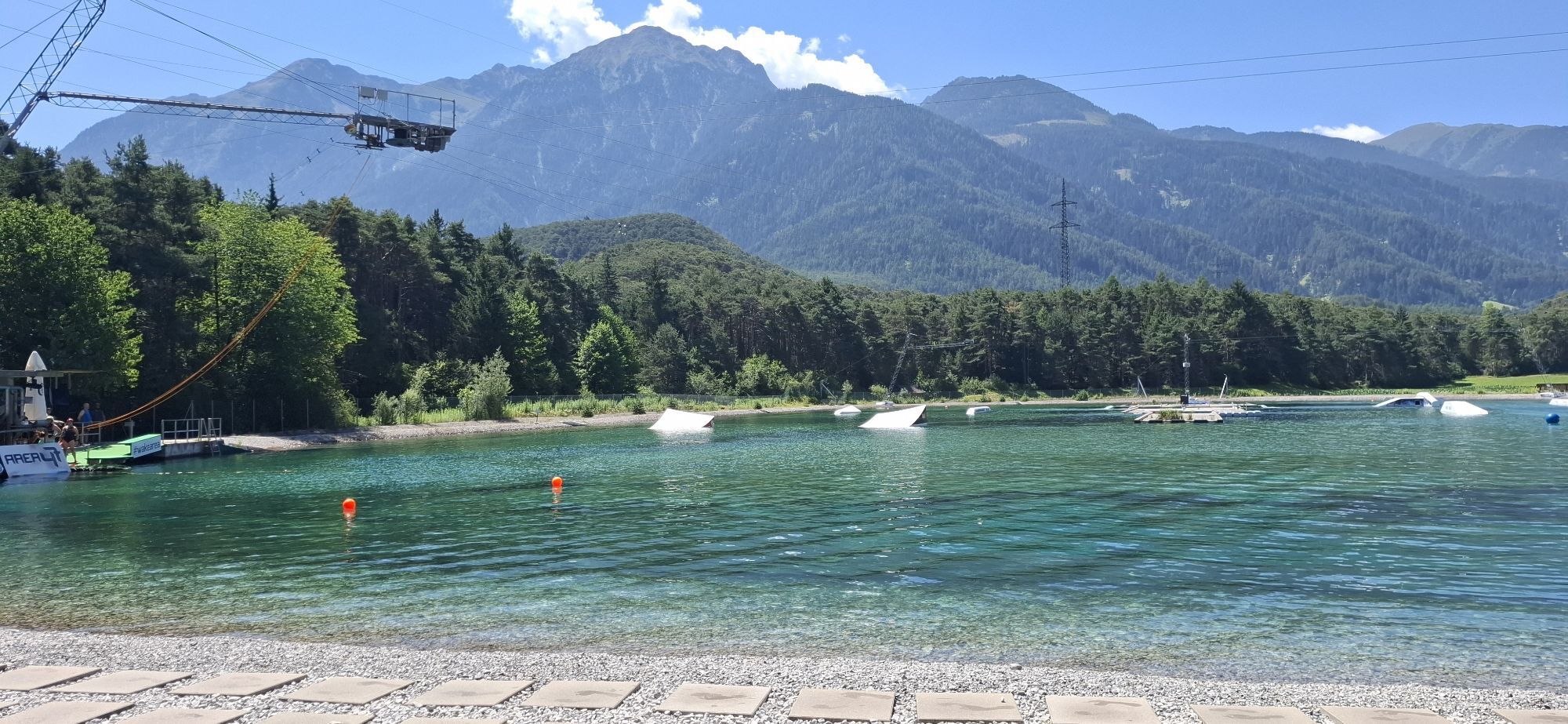
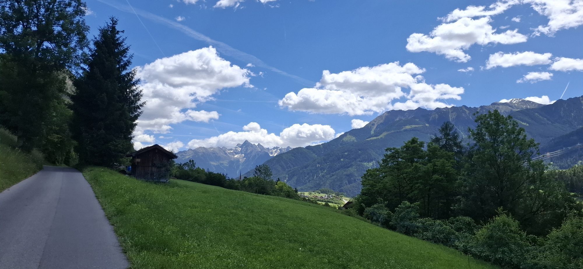
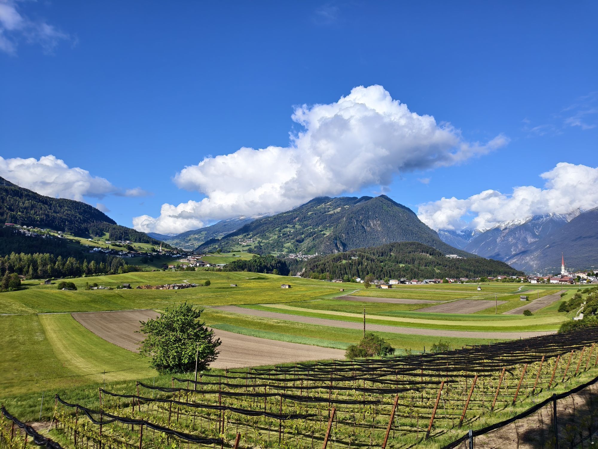
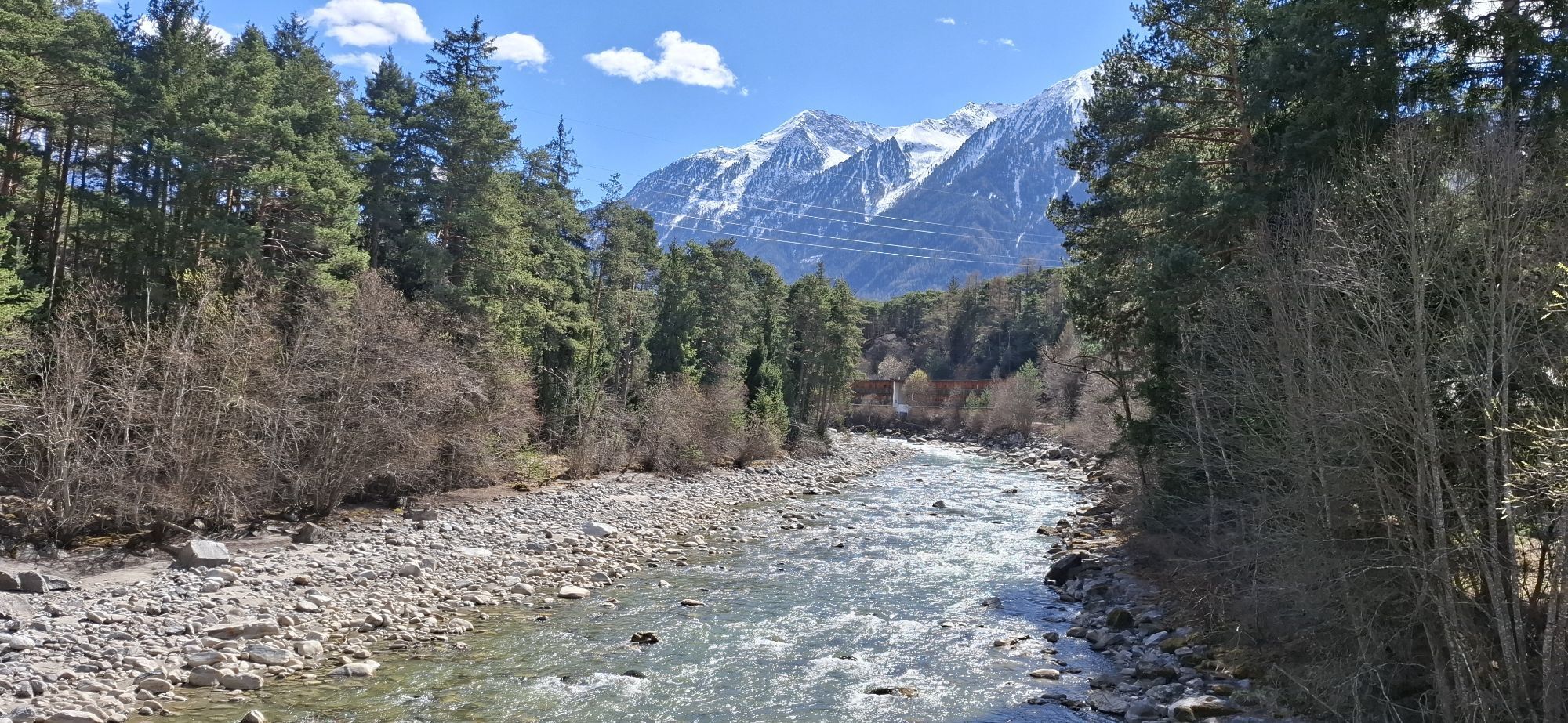
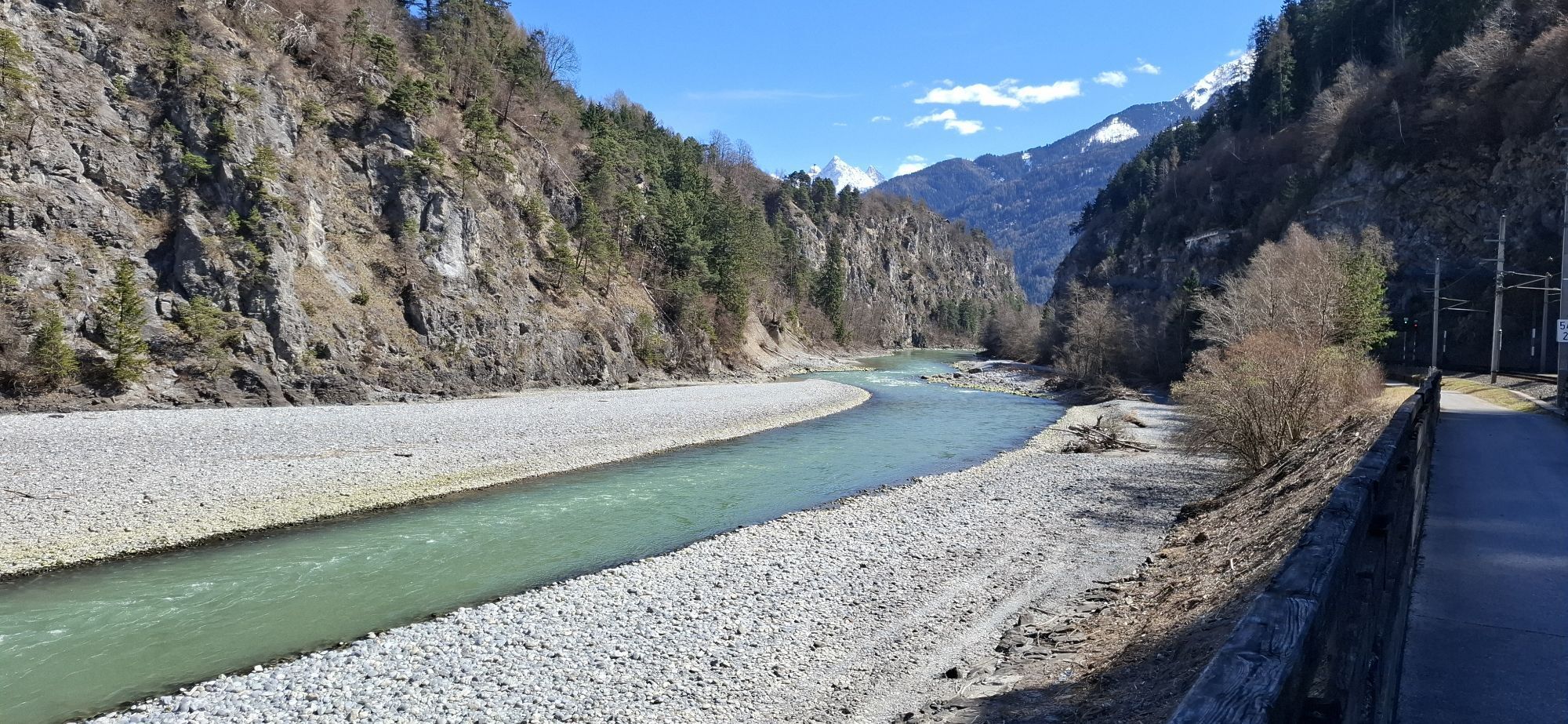
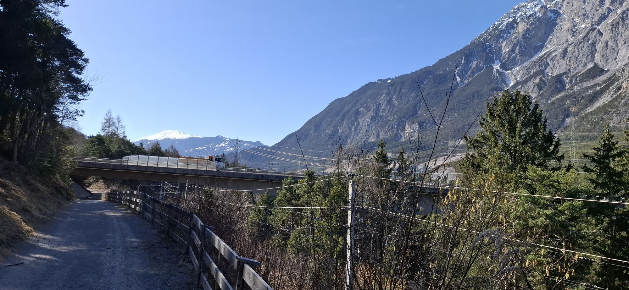
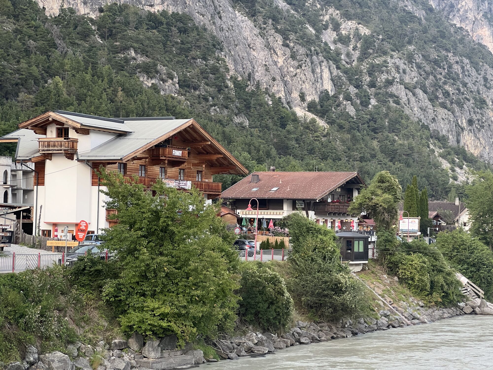
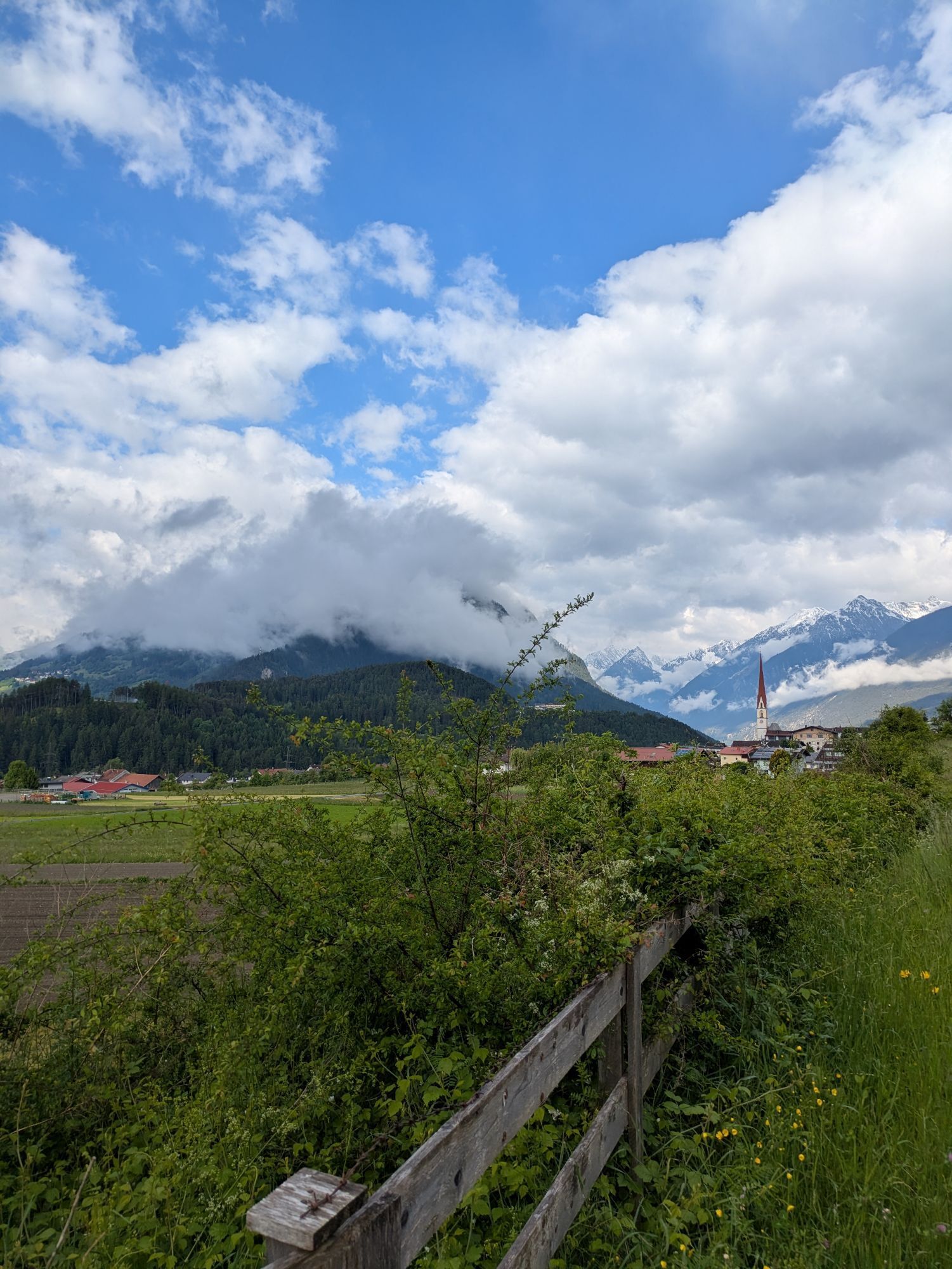
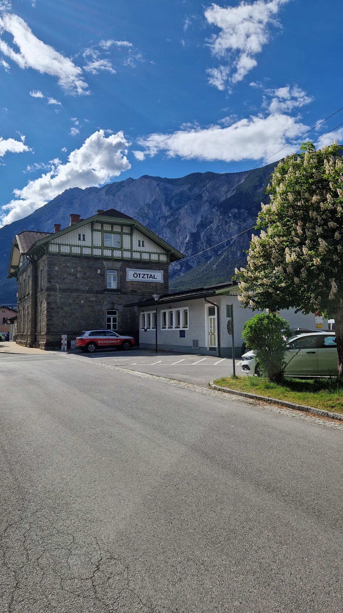
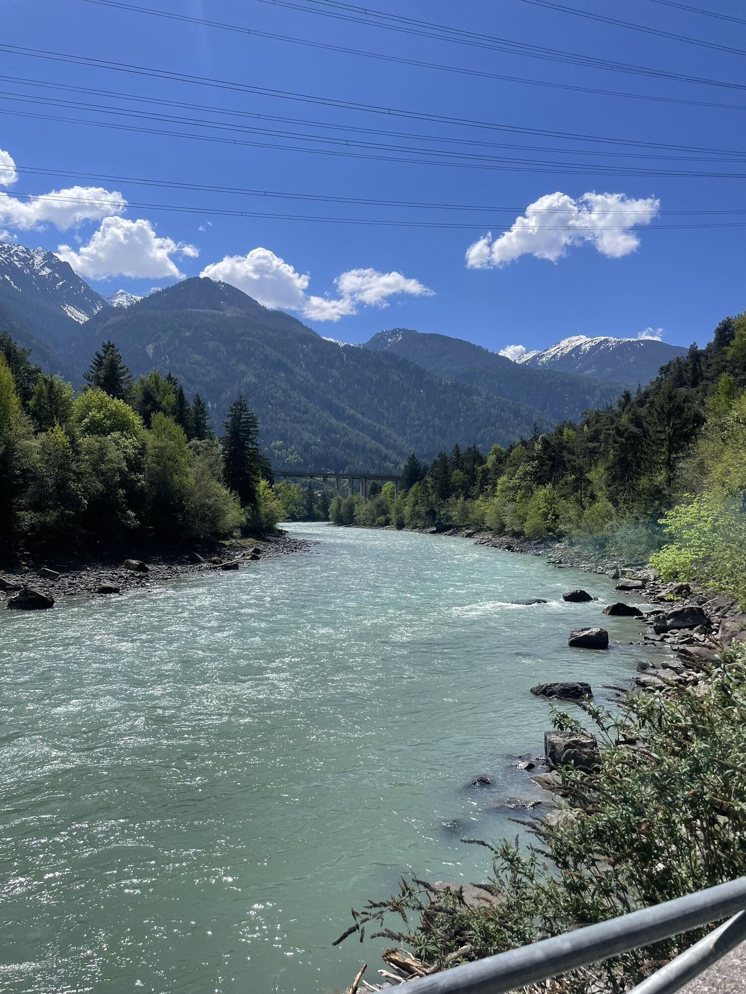
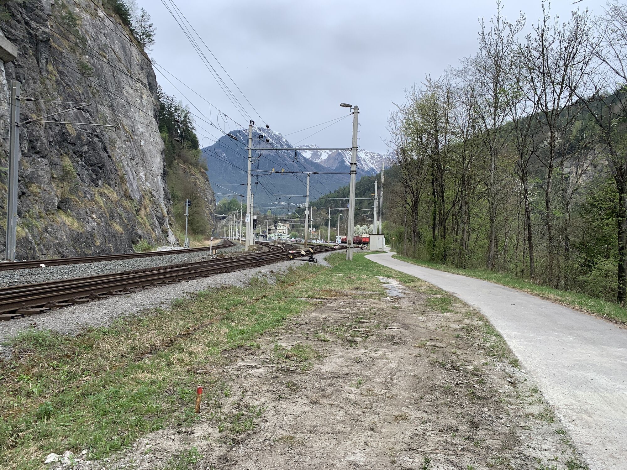
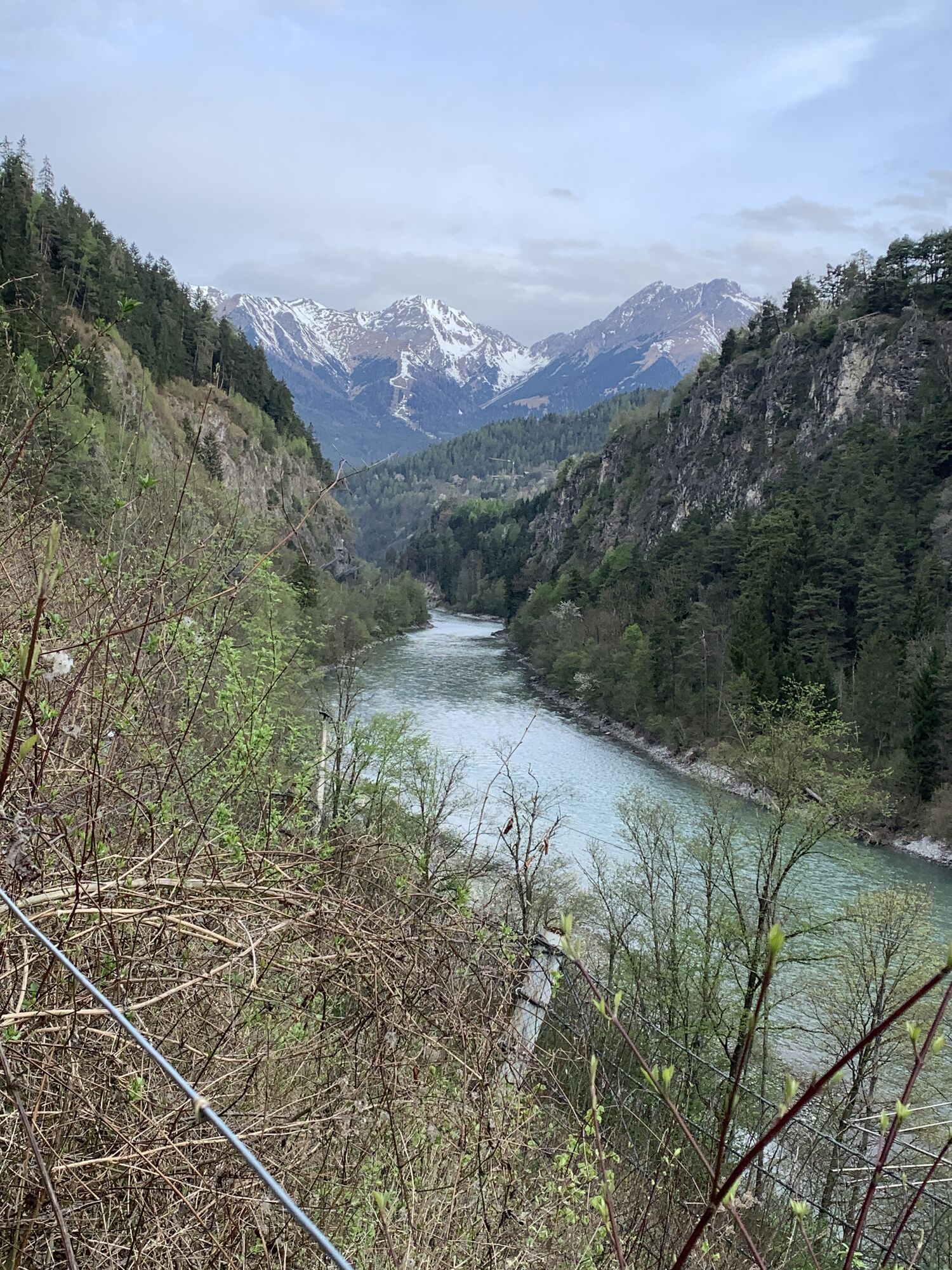
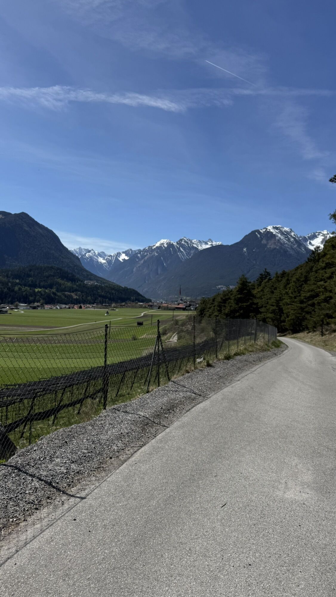
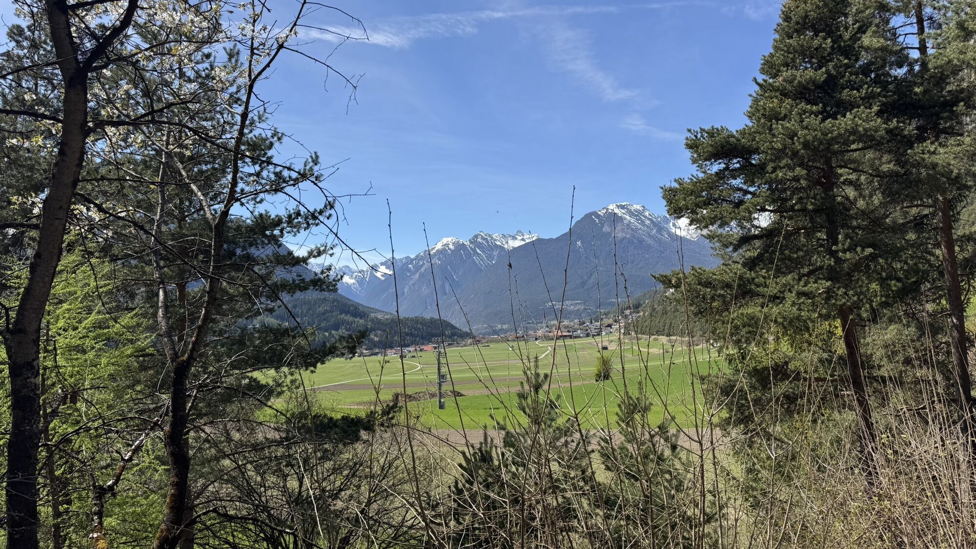
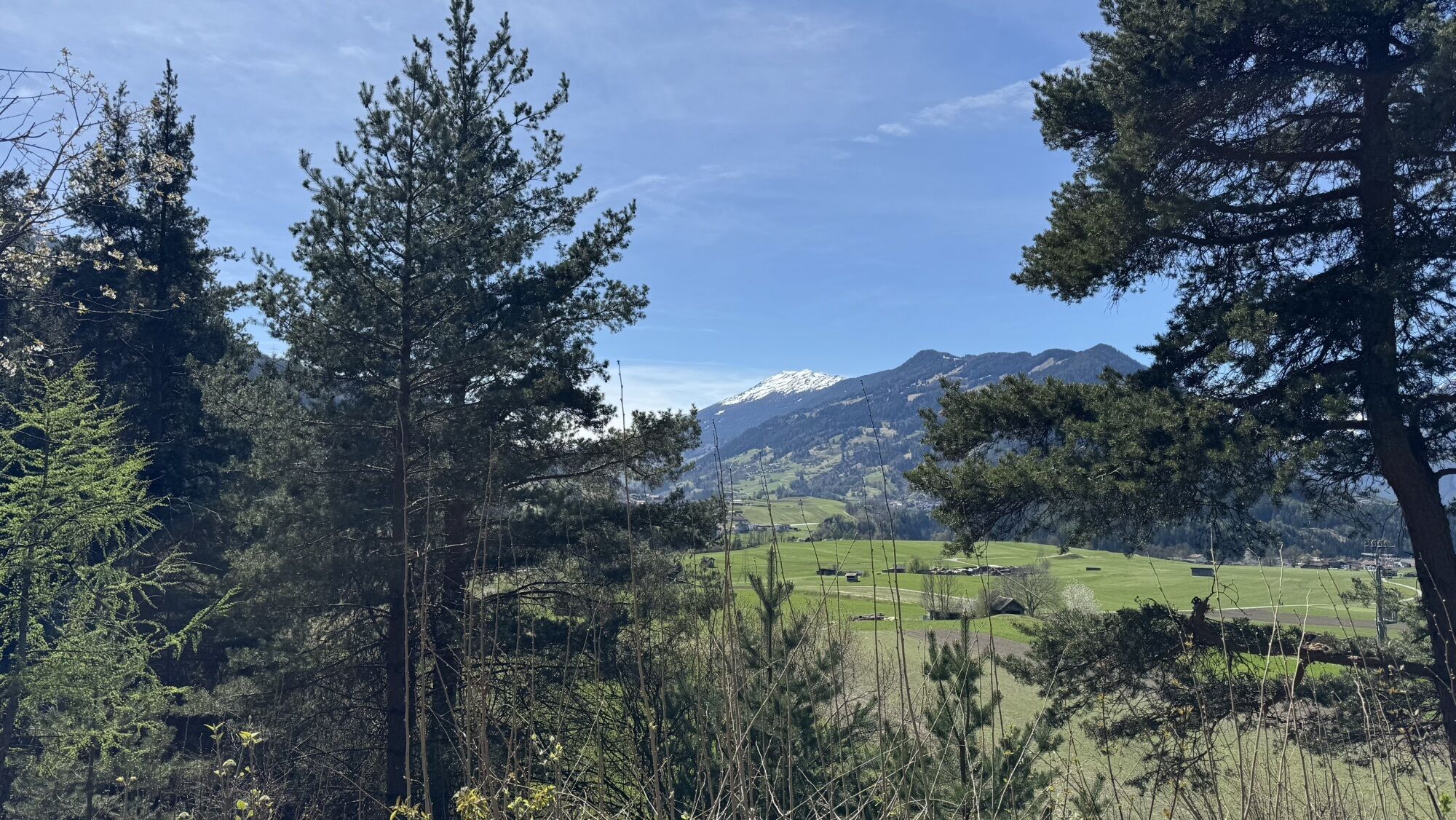
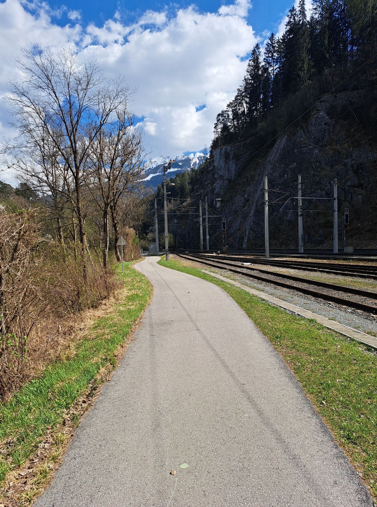
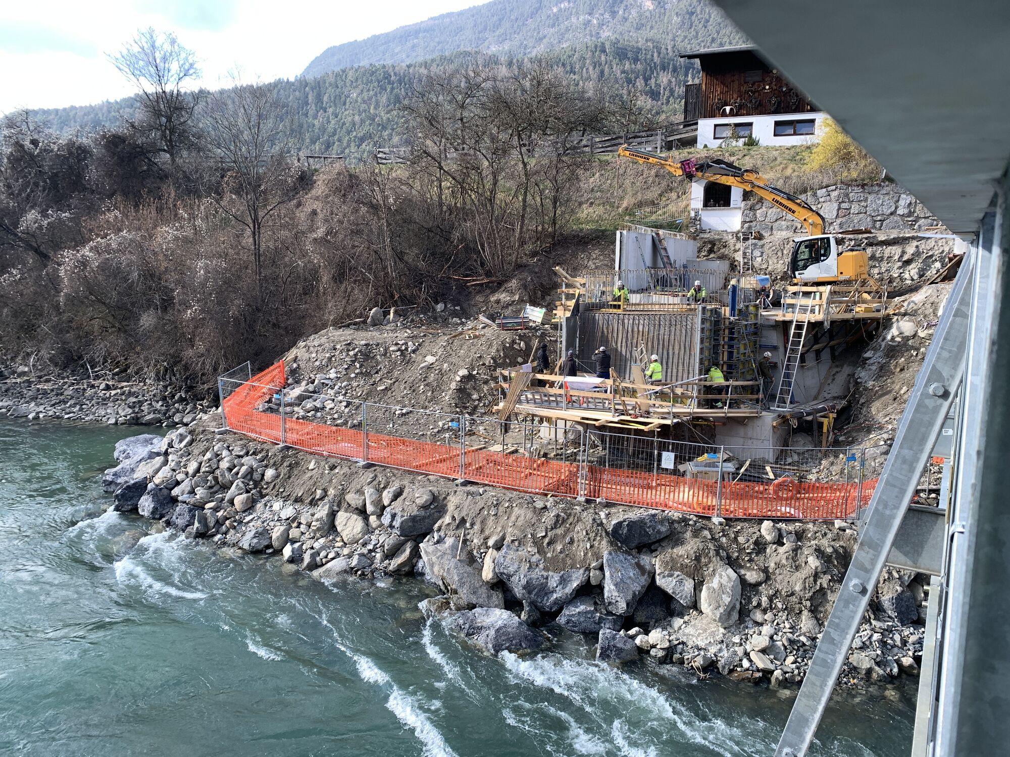
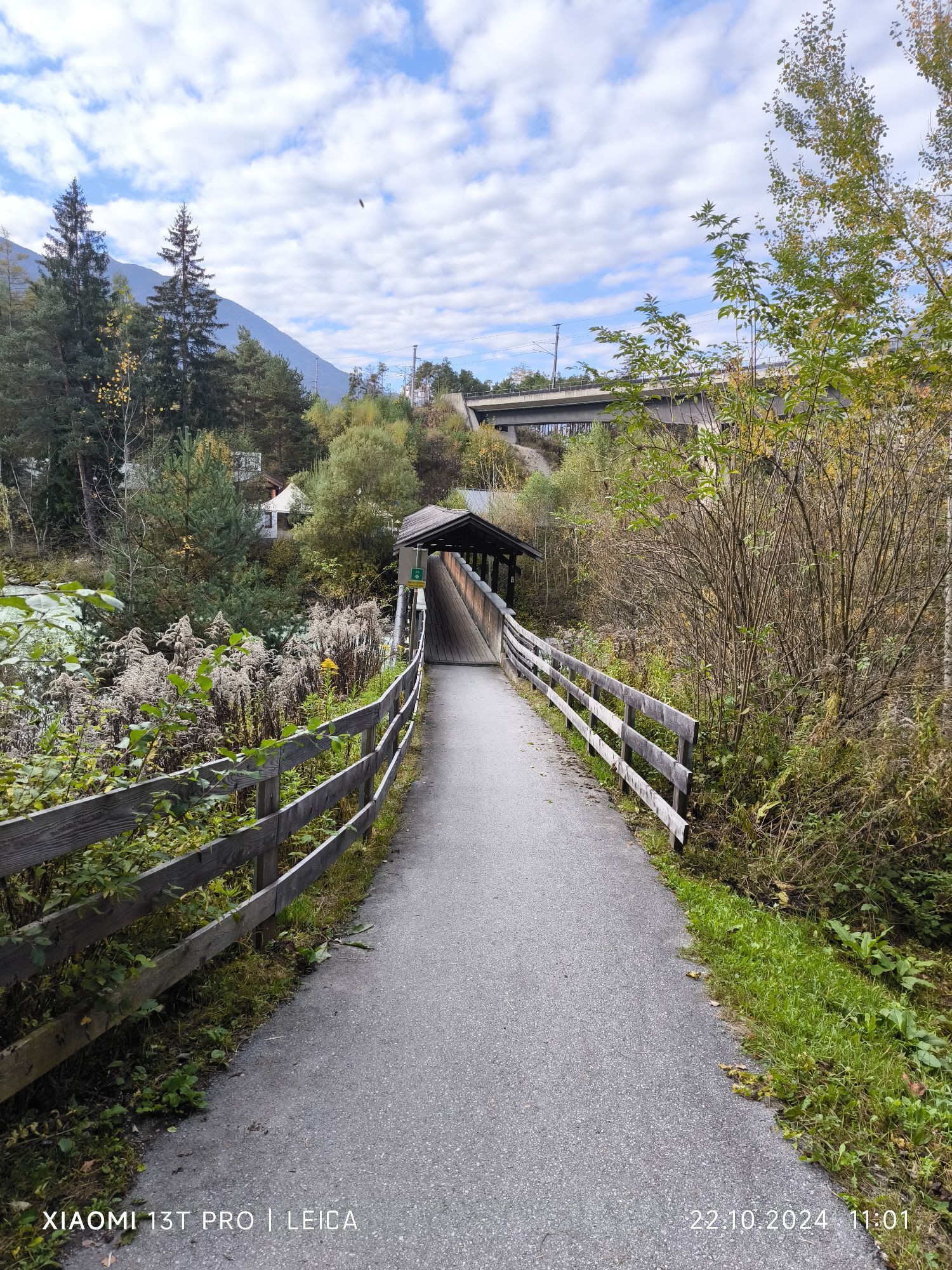
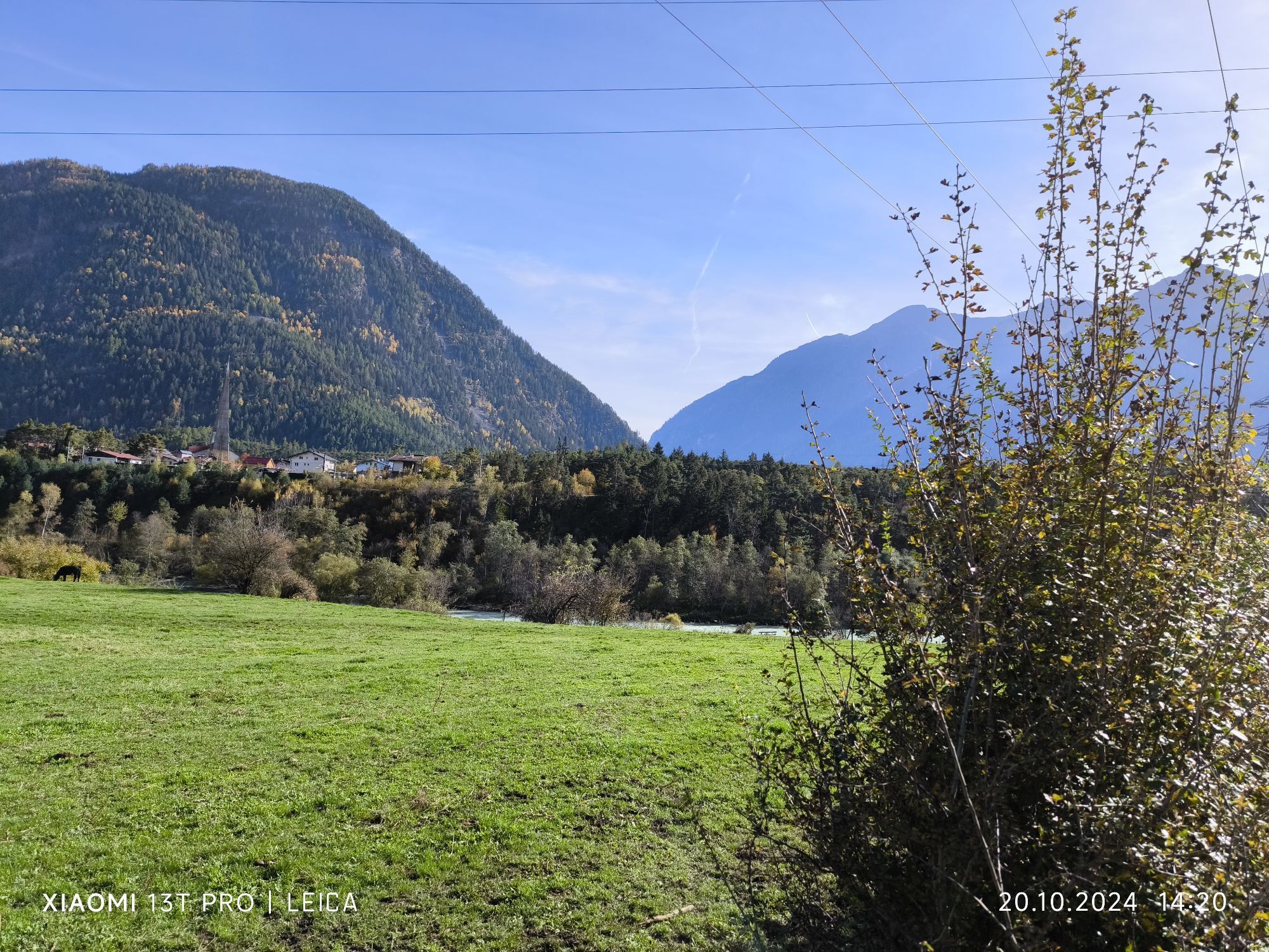
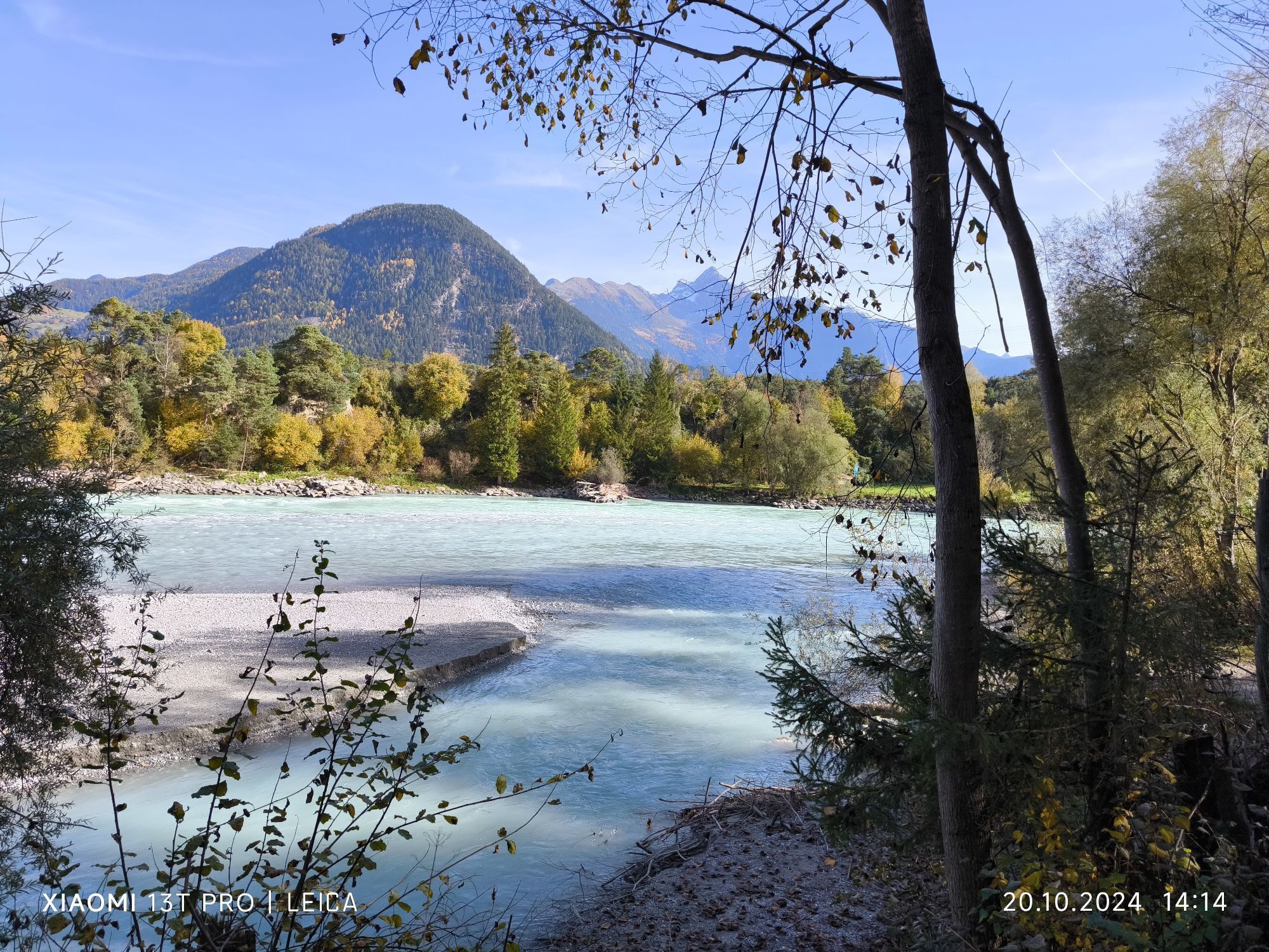
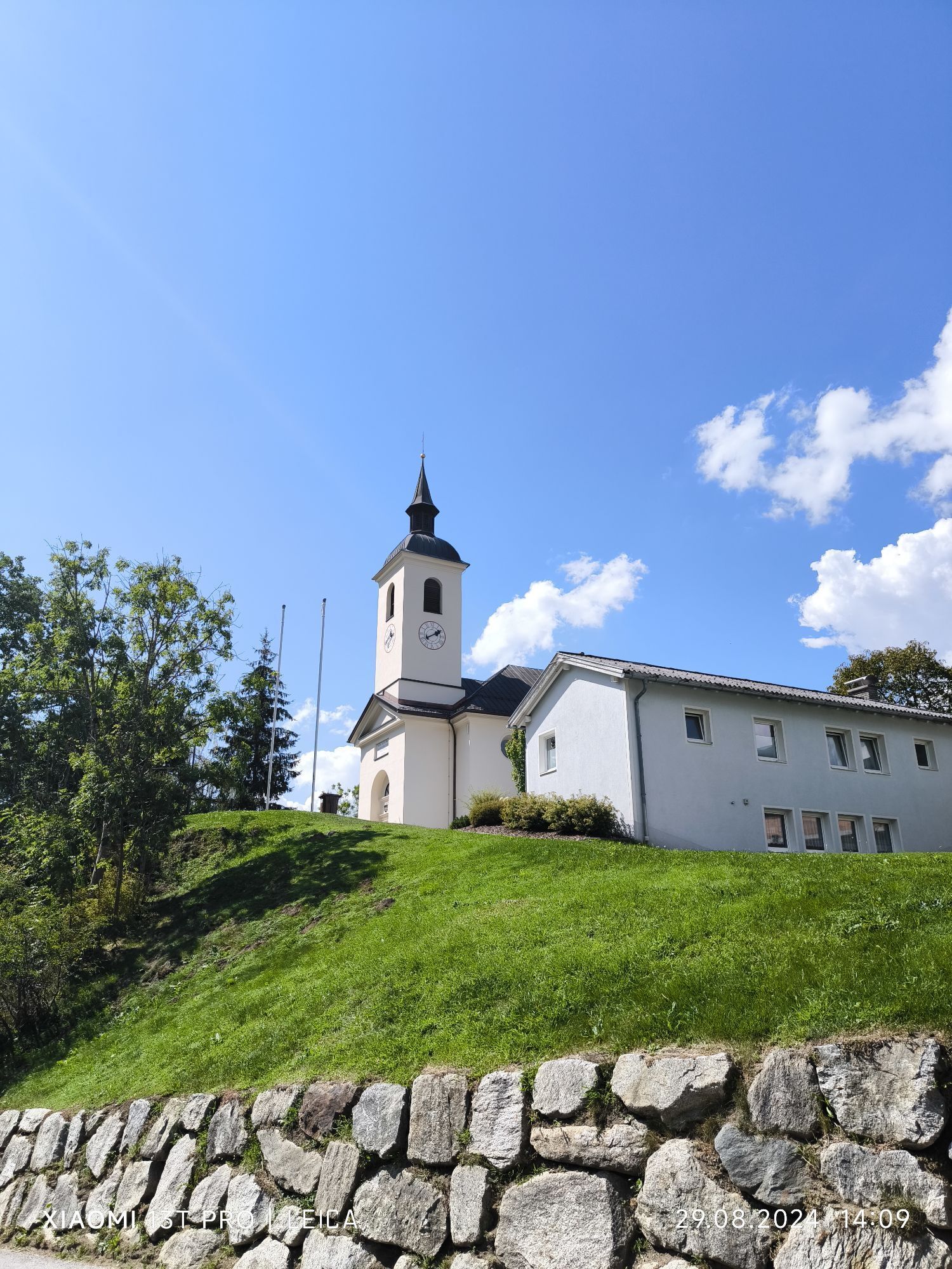
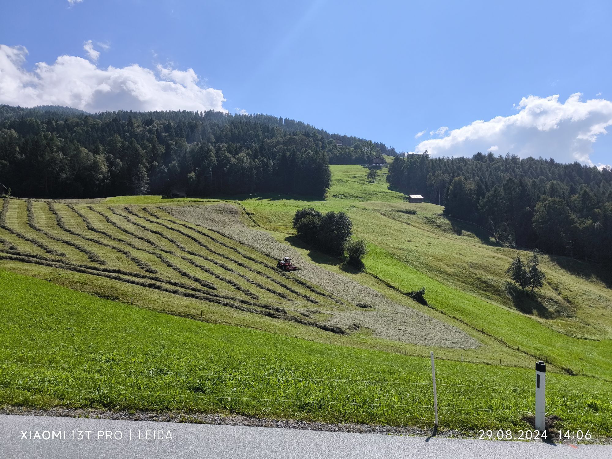
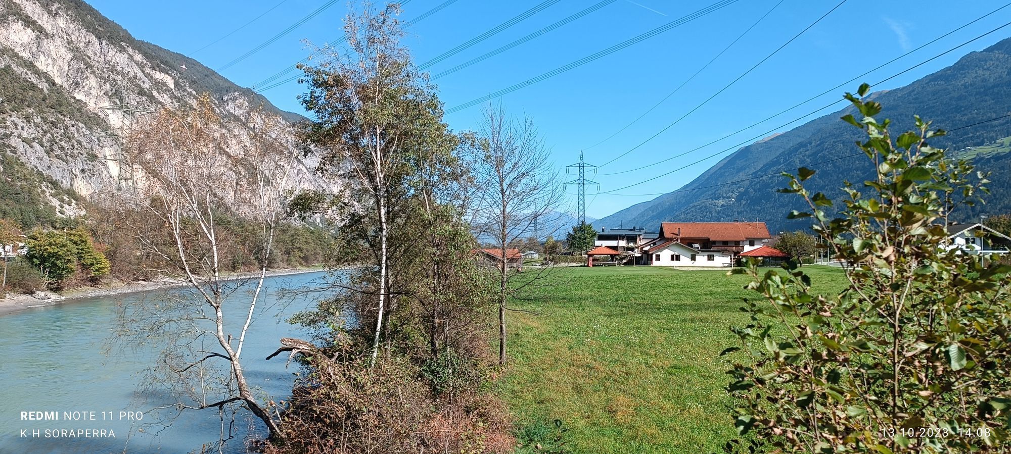
The bike tour starts from Parking Area 47 (free of charge). Here you follow the signposts for the Inn Valley bike path westwards. The route continues to Roppen and through the Imst Gorge to Imst train station. From there, the bike tour leads uphill to Karres along the bike path. Here, you choose the narrow path running parallel to the road and leading into the forest. Upon reaching Karres, you ride over the hamlet Trankhütte to Roppen at the end of the plateau. Along the Inn River, the bike path runs past the Roman bath to the hamlet Schlierenzau near Haiming. At the rafting center, you cross the Inn River and continue through the village of Haiming to the Waldbad Sports Center. Here, you follow the Ötztal bike path until reaching the starting point, Parking Area 47.

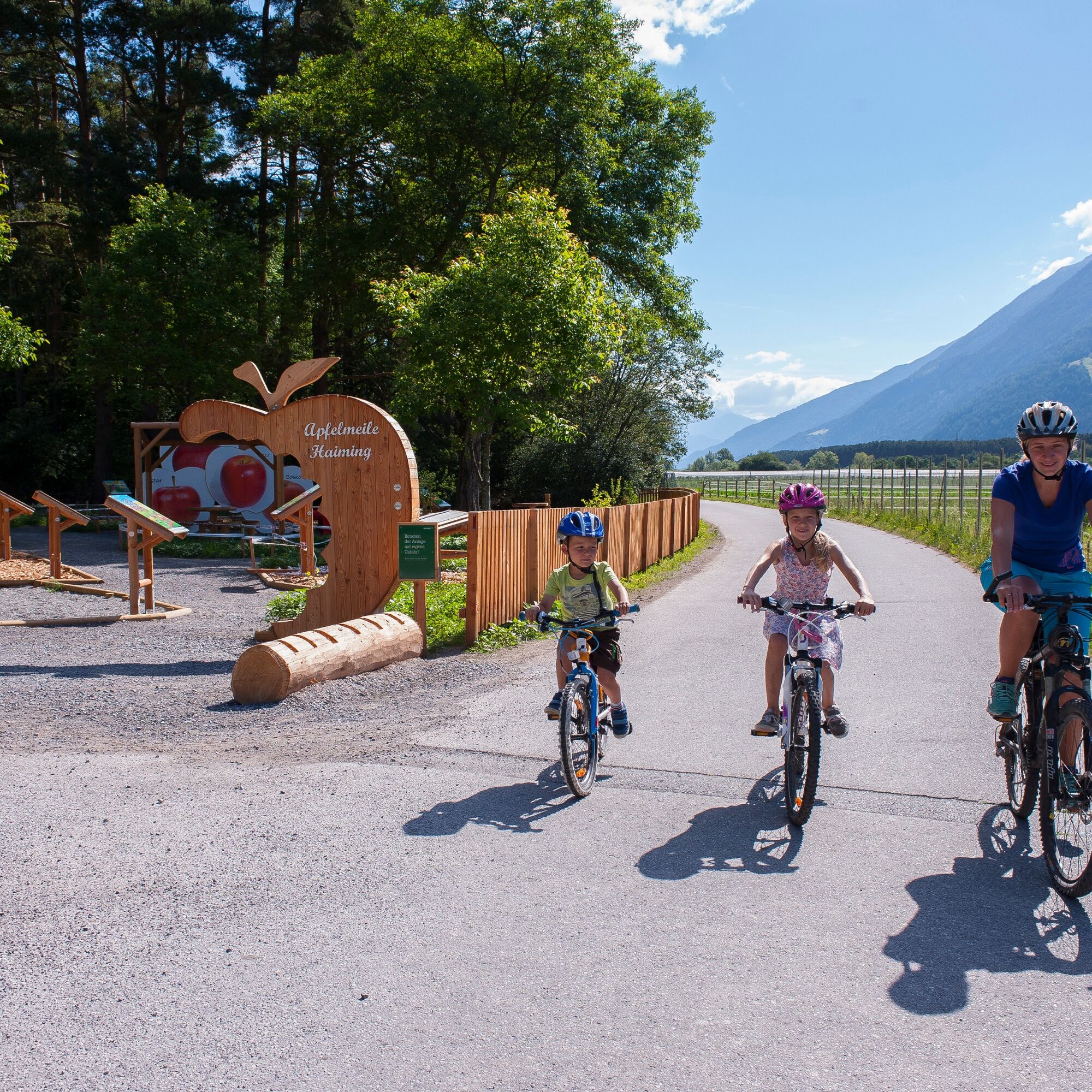
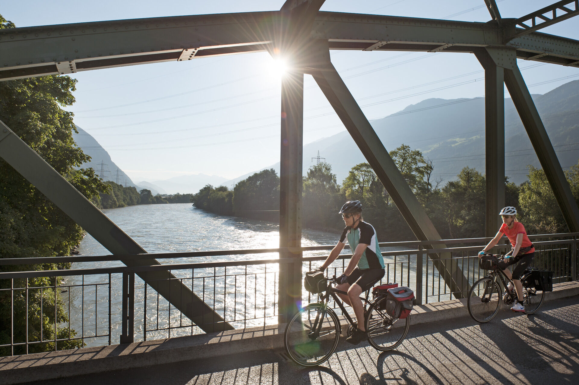
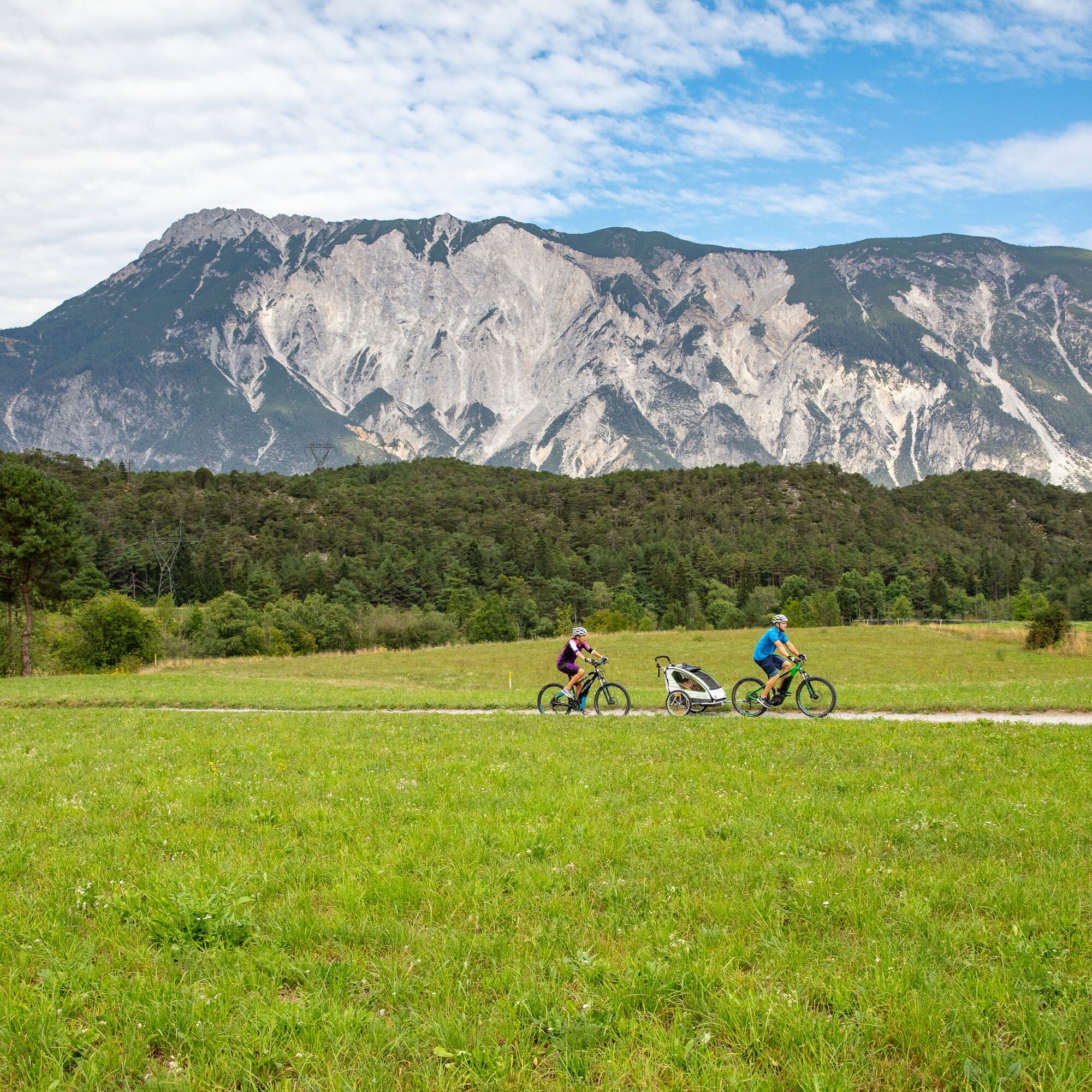
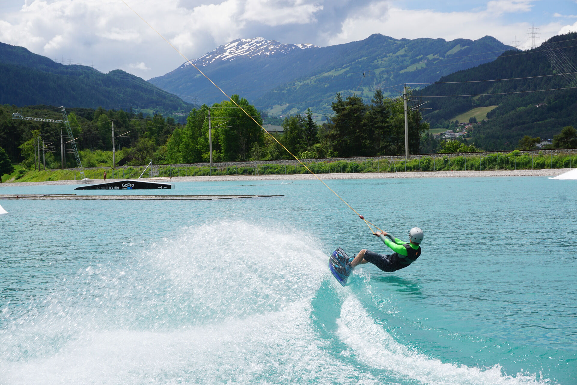
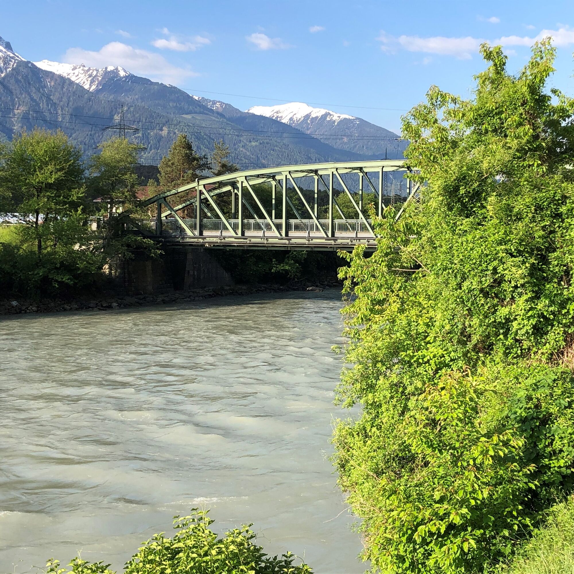

The bike tour starts from the parking lot (free of charge). Here you follow the signposts for the Inn Valley bike path westwards. The route continues to Roppen and through the Imst Gorge to Imst train station. From there, the bike tour leads uphill to Karres along the bike path. Here, you choose the narrow path running parallel to the road and leading into the forest. Upon reaching Karres, you ride over the hamlet Trankhütte to Roppen at the end of the plateau. Along the Inn River, the bike path runs past the Roman bath to the hamlet Schlierenzau near Haiming. At the rafting center, you cross the Inn River and continue through the village of Haiming to the Waldbad Sports Center. Here, you follow the Ötztal bike path until reaching the starting point Parking Area 47.
Ano
Suitable equipment such as breathable clothing and weather-appropriate outdoor clothing, bicycle helmet, gloves, sunglasses, and a GPS device or map material. On bike rides without opportunities to stop for food, sufficient provisions are necessary.
Family-friendly cycling or mountain bike route suitable also for regular bicycles with good road surface (gravel, asphalt, and similar ground). The gentle climbs do not require special fitness or riding skills. The focus is on enjoyable cycling.
The car drive to ÖTZTAL. Located in Tyrol, the Ötztal branches off to the south as the longest side valley of the Eastern Alps. Travel by car leads vacationers via the Inn valley to the valley entrance and further along the Ötztal. In addition to the toll motorway, country roads can also be used. The route planner lets you determine your trip quickly and comfortably.
To the route planner: https://www.google.at/maps.
Travel comfortably and safely by train to the Ötztal train station. The final stop or exit point is the ÖTZTAL train station. Afterwards, you can conveniently and quickly travel through the entire valley to your desired destination using public transport or local taxi companies! The current bus schedule is available at: fahrplan.vvt.at
The following parking options are available:
Parking Area 47 | free of chargeWebové kamery z prohlídky

Oblíbené prohlídky v okolí
-
4.7
Trip Tirol ➤ Hike to the Blue Grotto in Rosengarten Gorge Imst
středníTuristika 4.86 km -
4.4
Hike Stuibenfall - Umhausen
světloTuristika 2.95 km -
4.4
Stuibenfall Umhausen circular hike
světloTuristika 9.32 km -
4.5
Oetz - Piburger See - Oetz
středníTuristika 7.16 km -
4.3
Umhausen - Stuibenfall - Umhausen
středníTuristika 7.94 km -
4.7
Summit route Faltegartenköpfl
středníTuristika 4.04 km -
4.6
Summit route Weather Cross from Hochoetz
středníTuristika 3.06 km -
4.8
lake Piburger See
světloTuristika 2.75 km -
4.1
Arzkasten - Lehnberghaus
světloTuristika 3.08 km -
4.8
"Miners trail"
středníTuristika 10.8 km
Pěší turistika a stopování


Nenechte si ujít nabídky a inspiraci pro vaši příští dovolenou
Vaše e-mailová adresa byl přidán do poštovního seznamu.





