






"Miners trail"

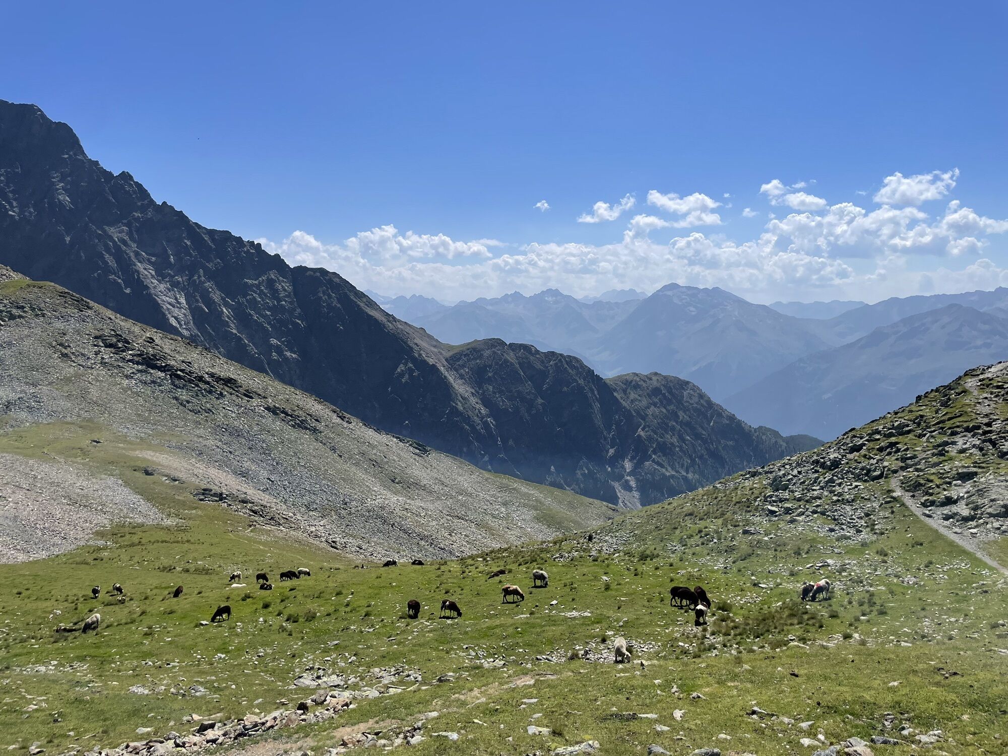
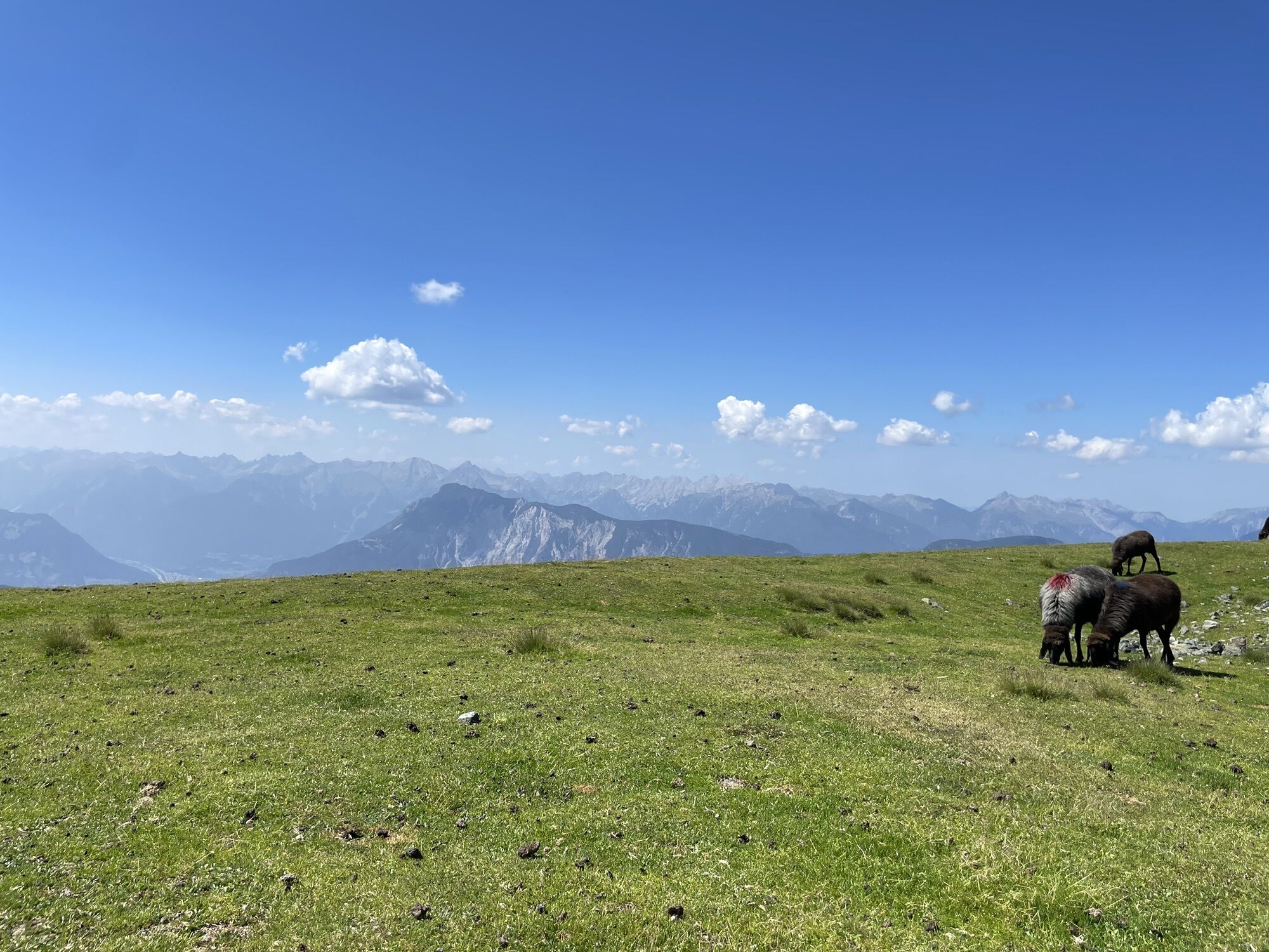
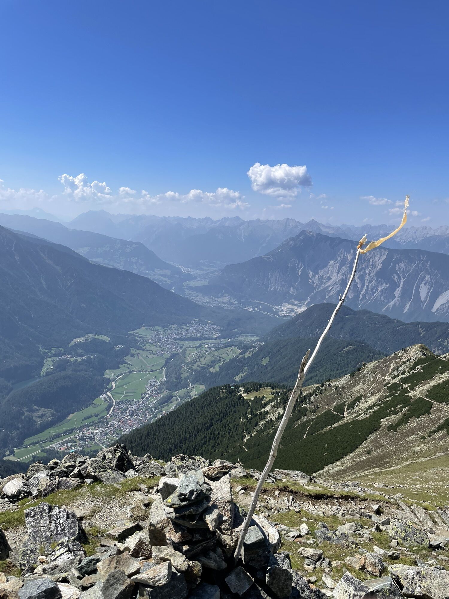
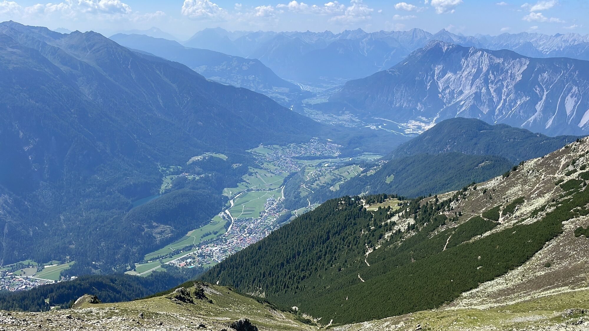
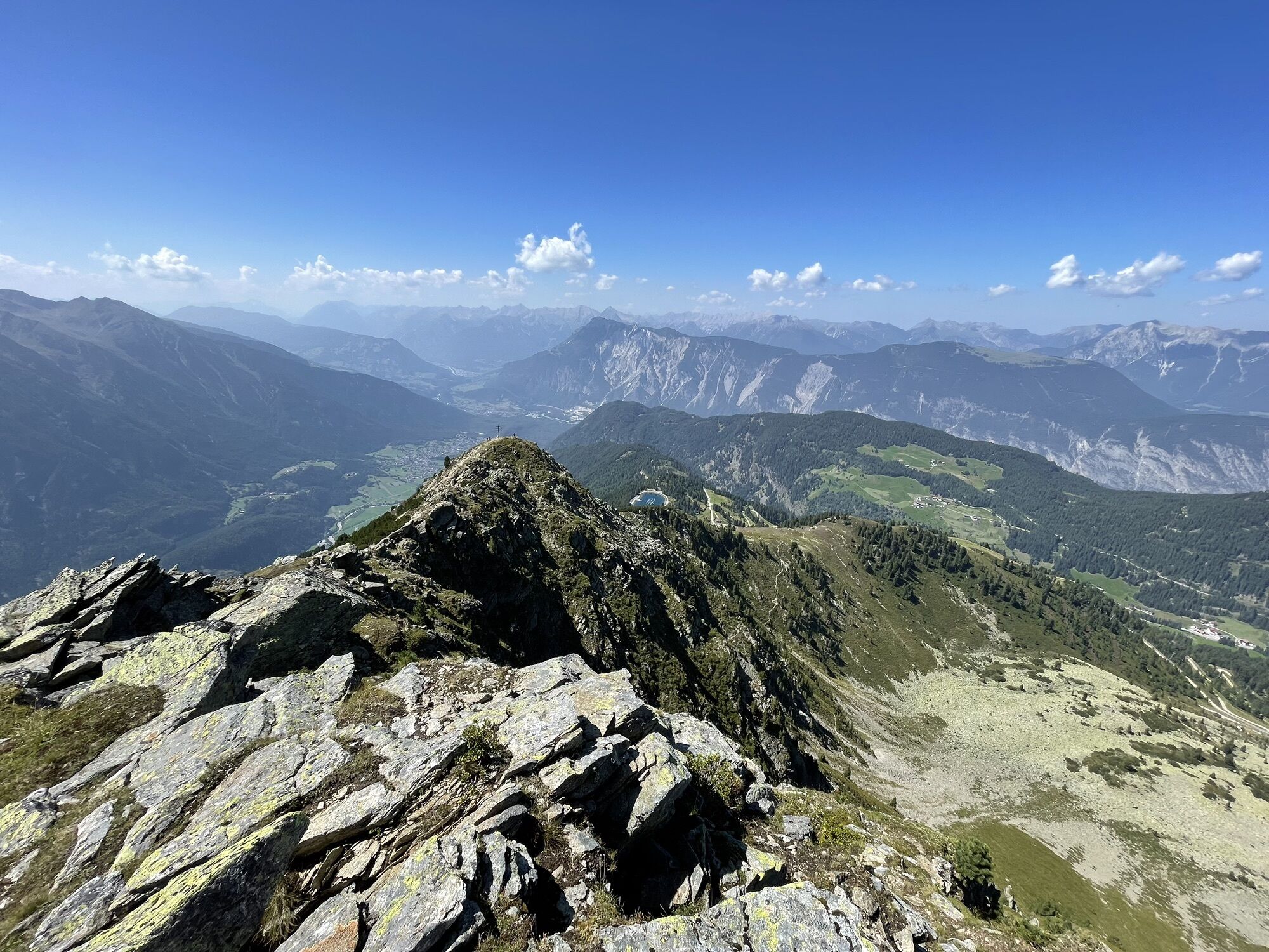
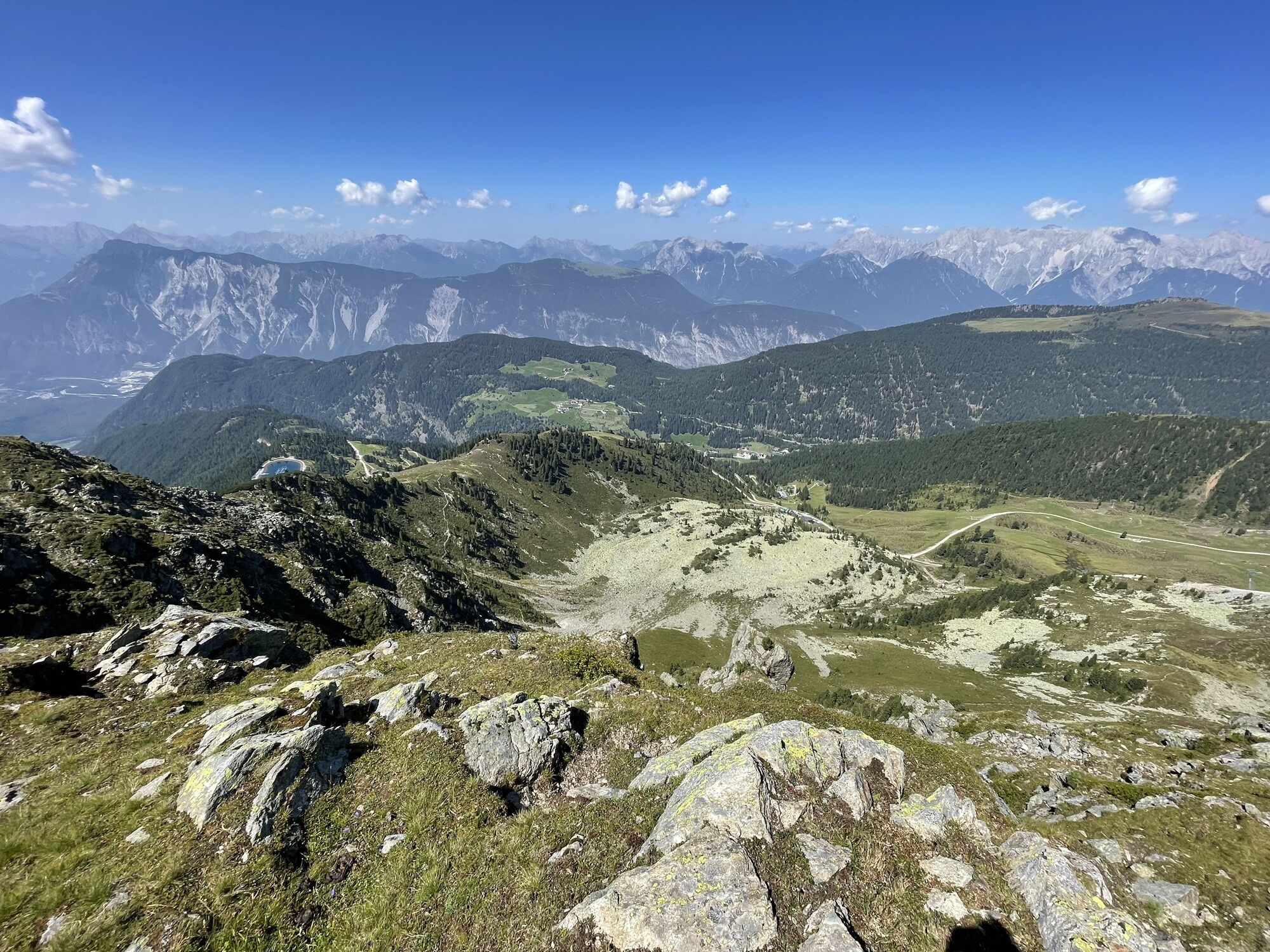
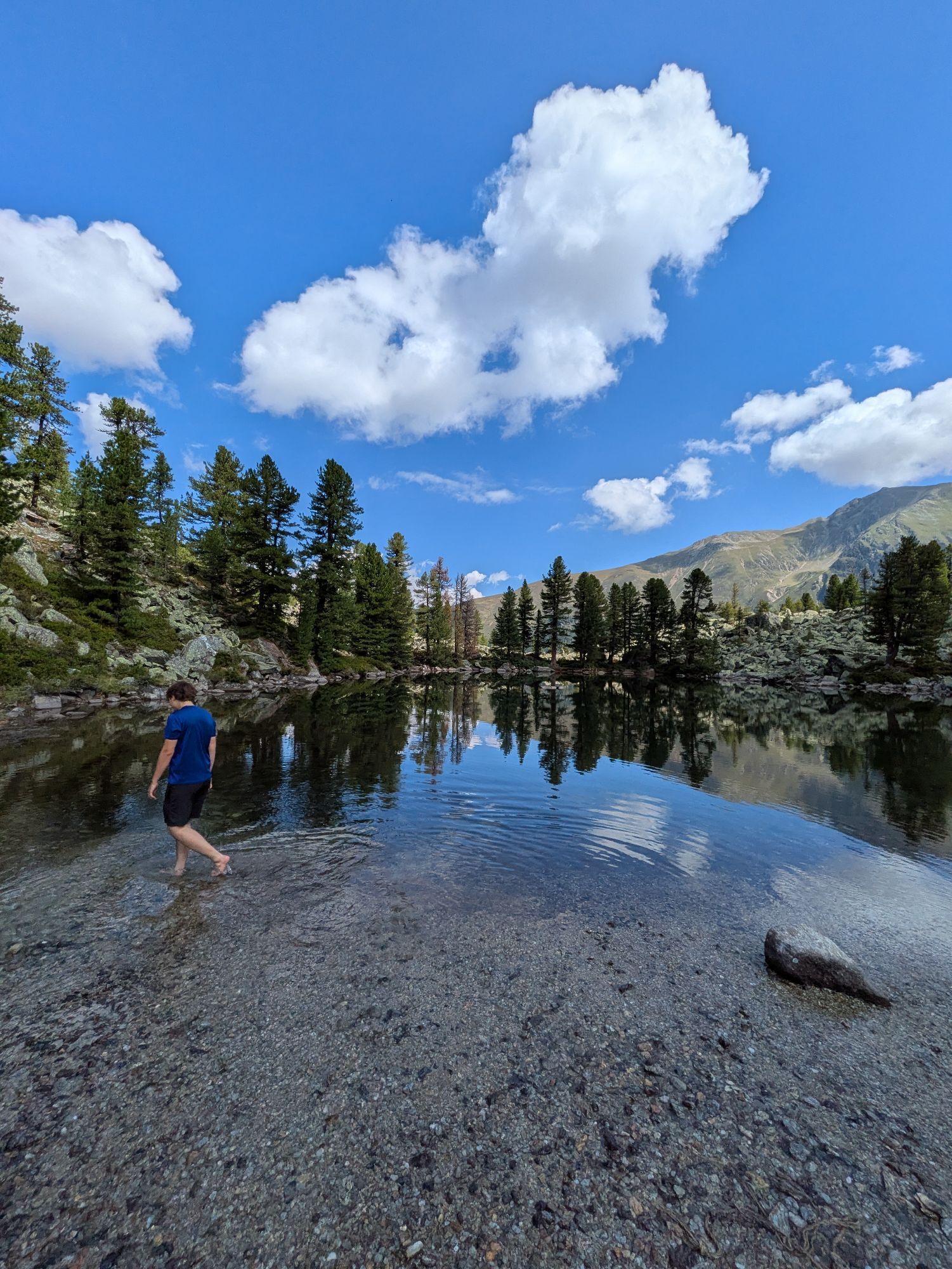
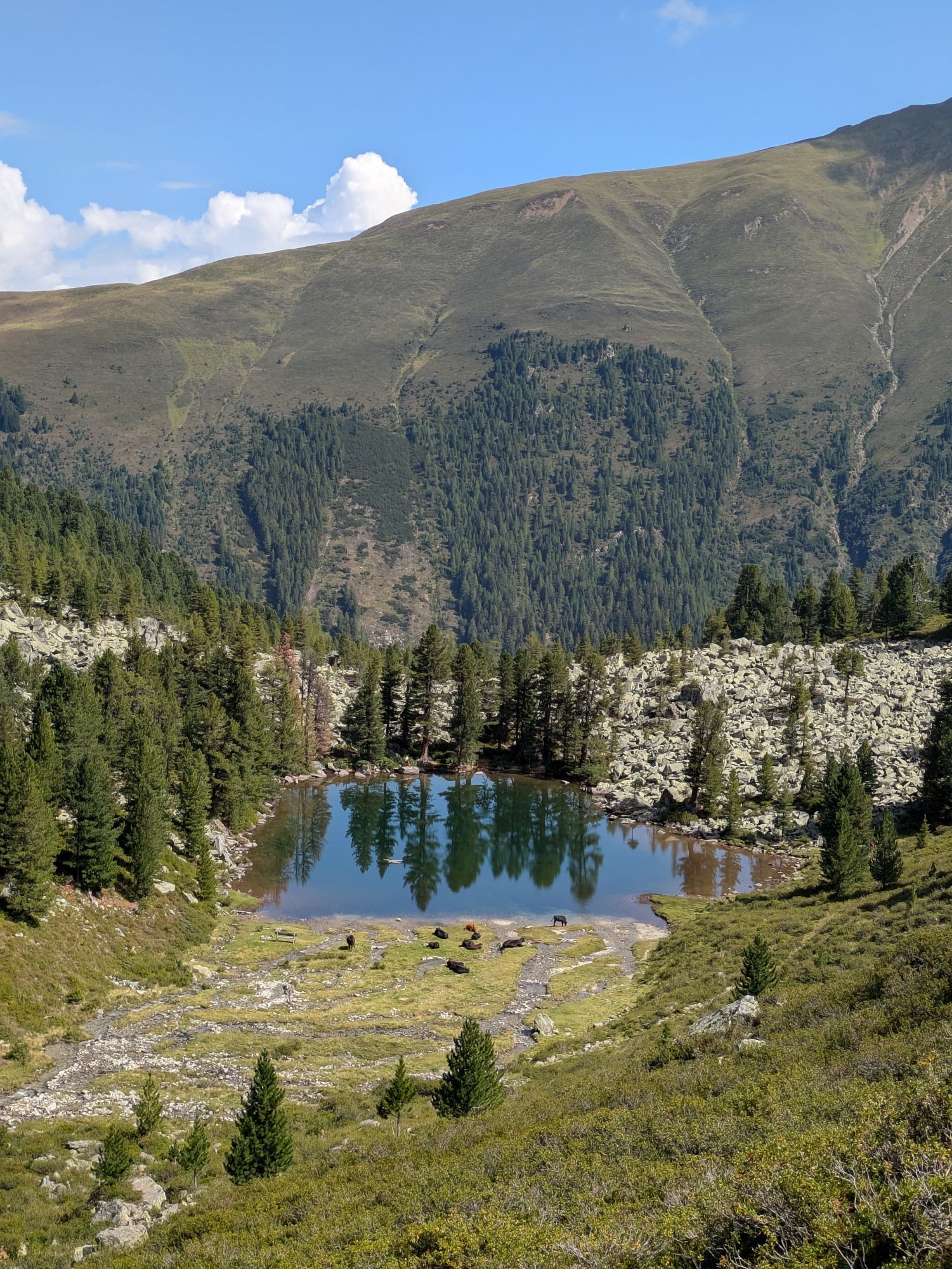
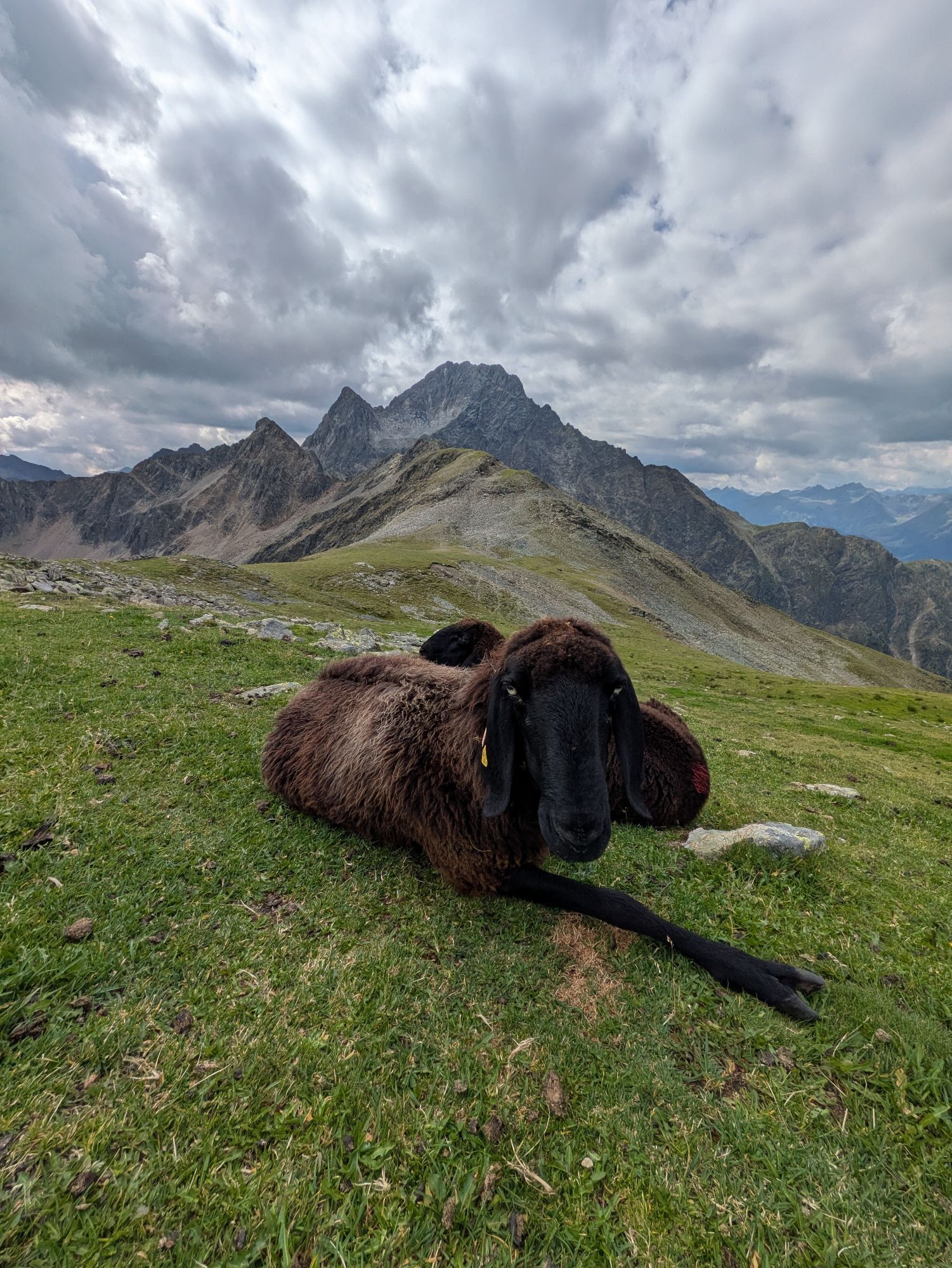
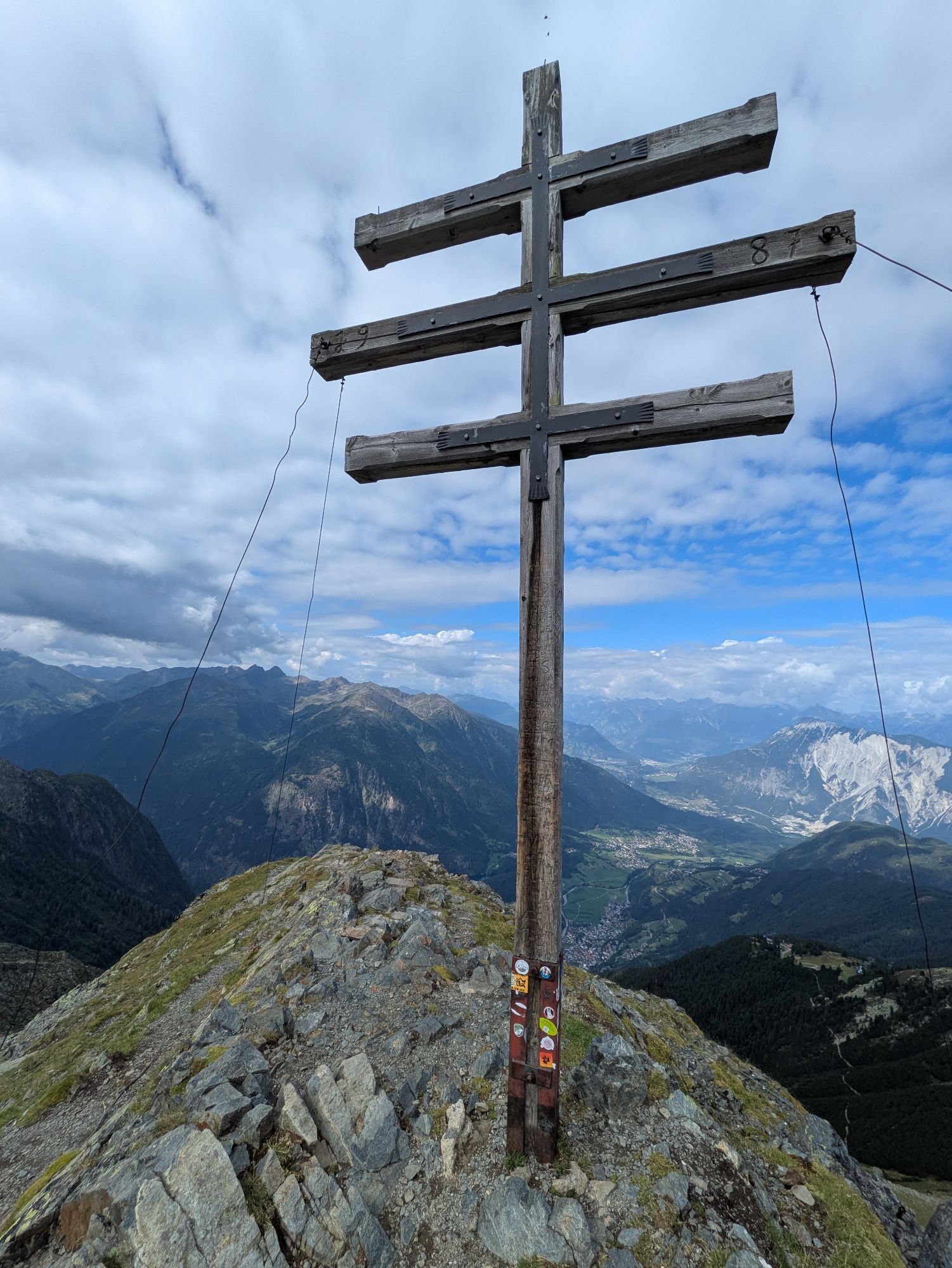
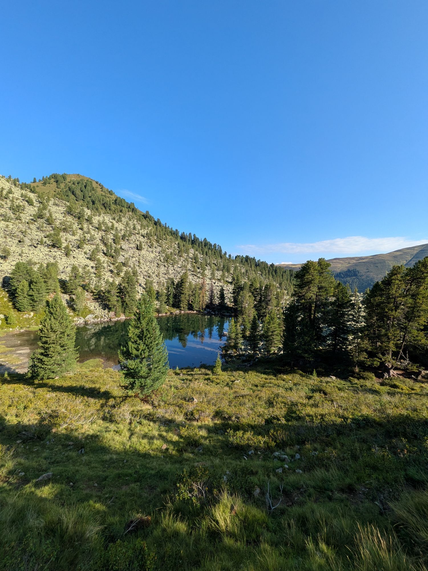
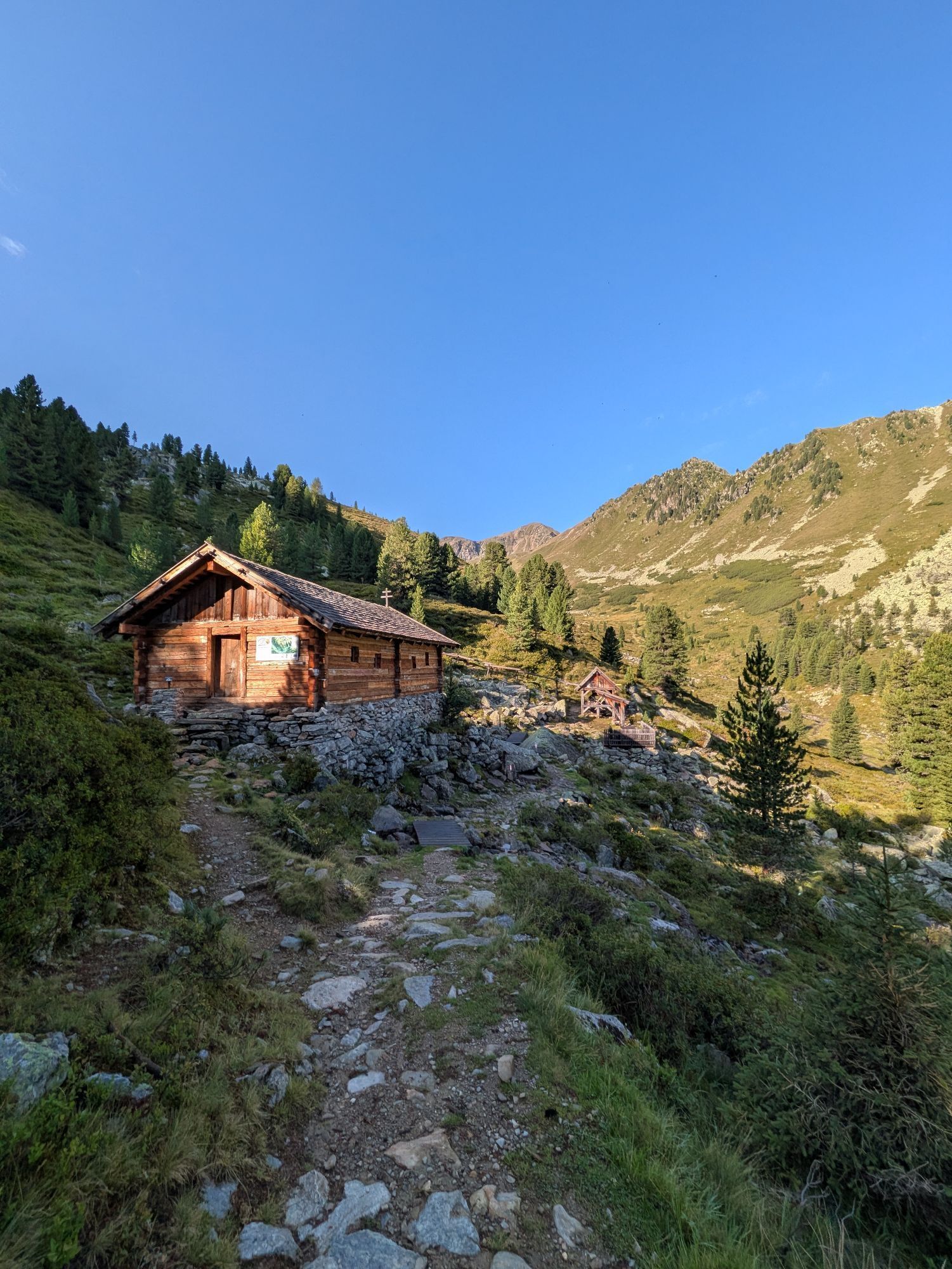
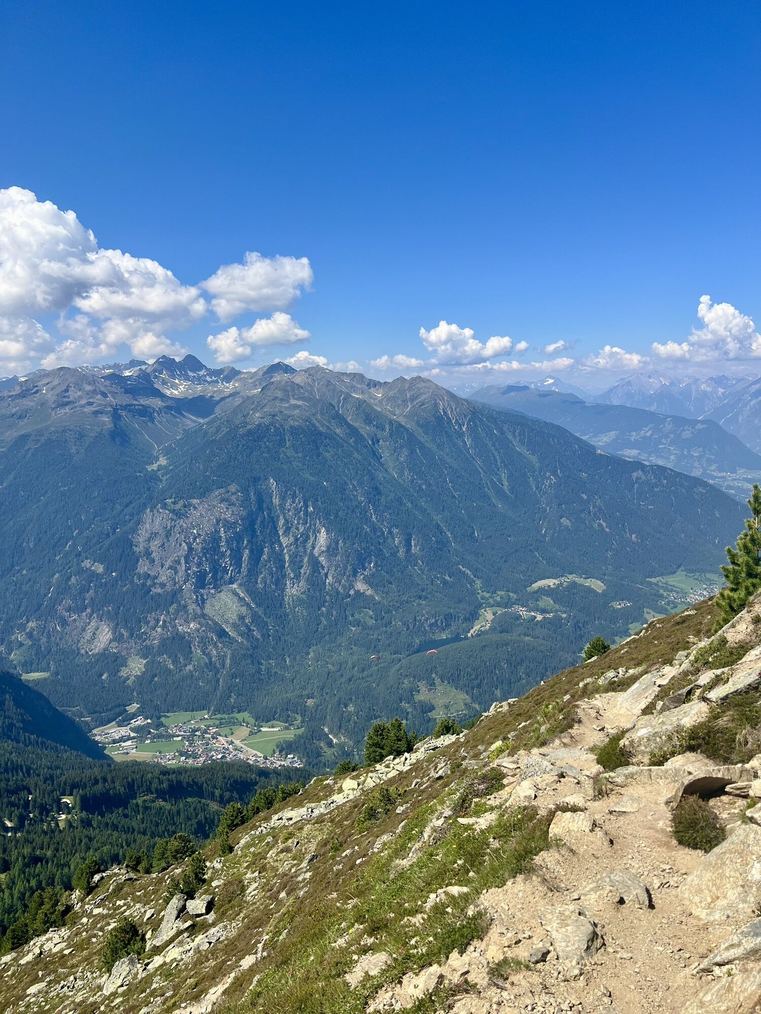
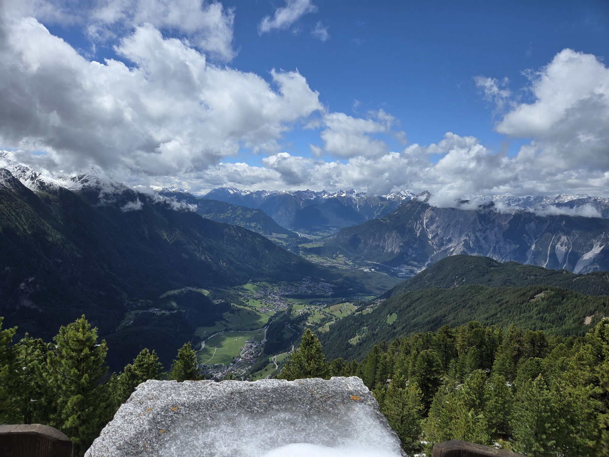
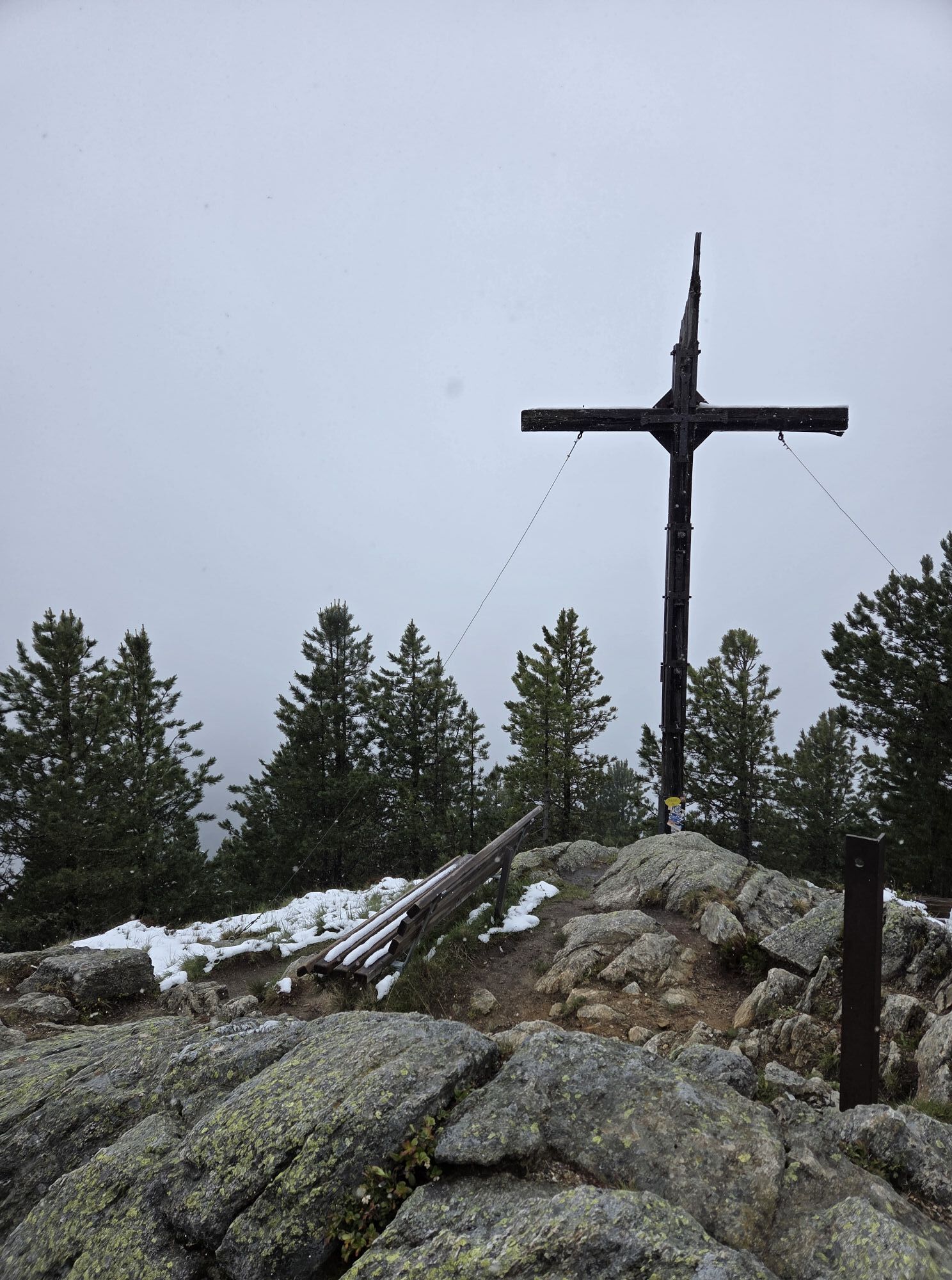
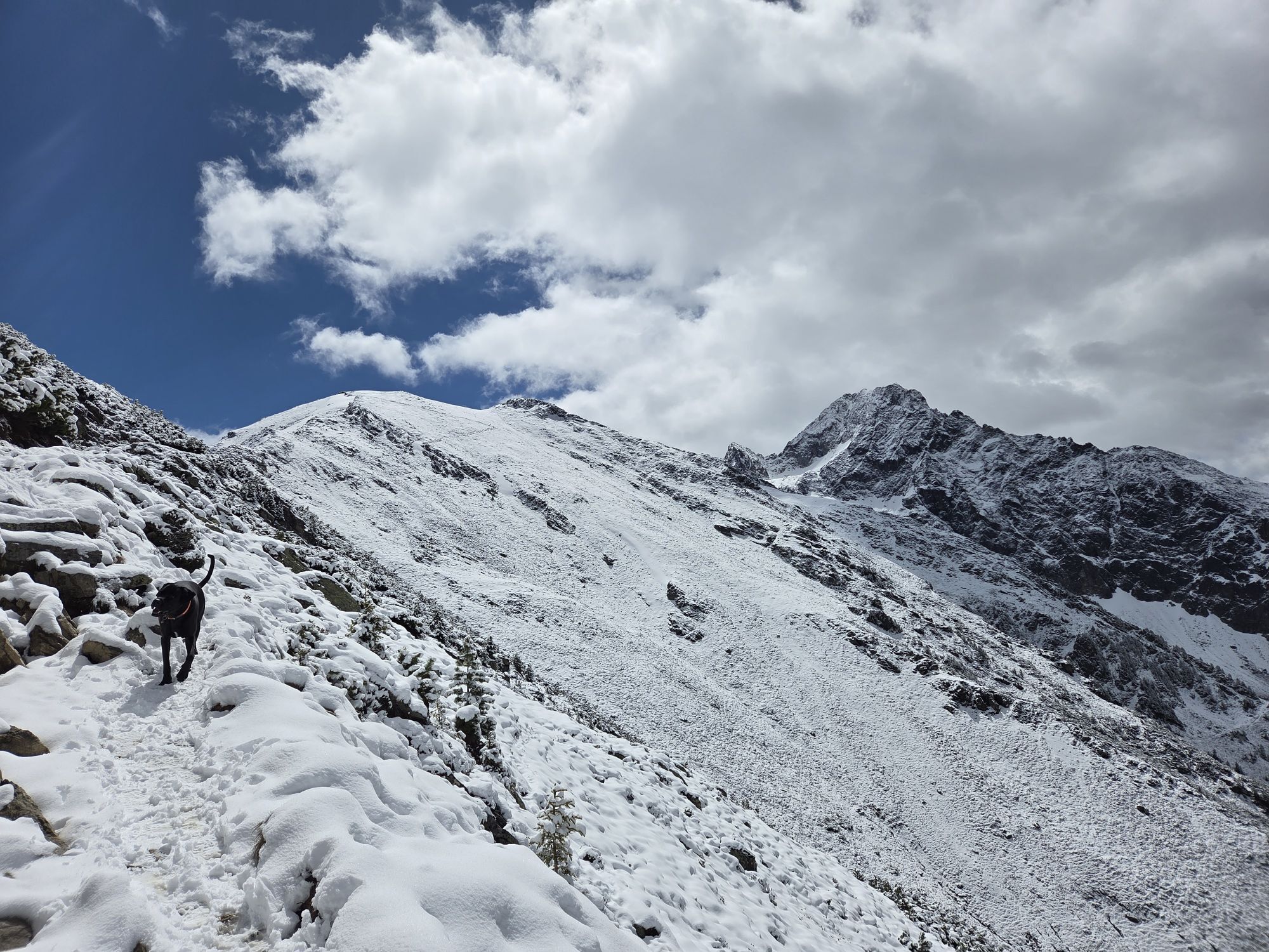
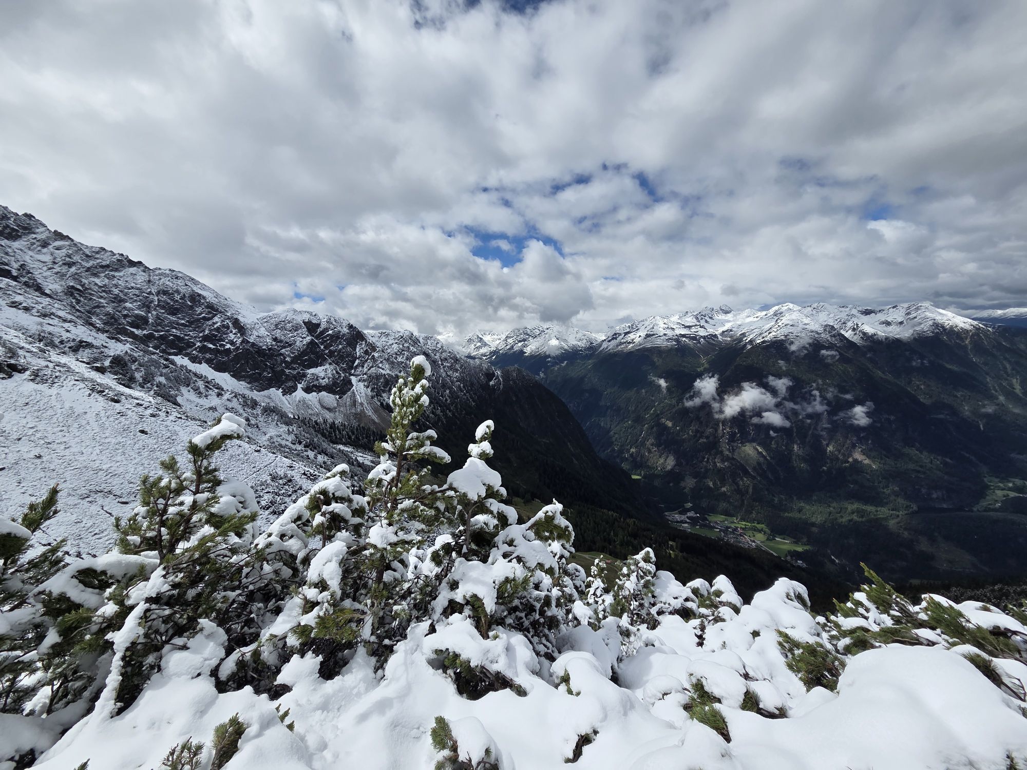
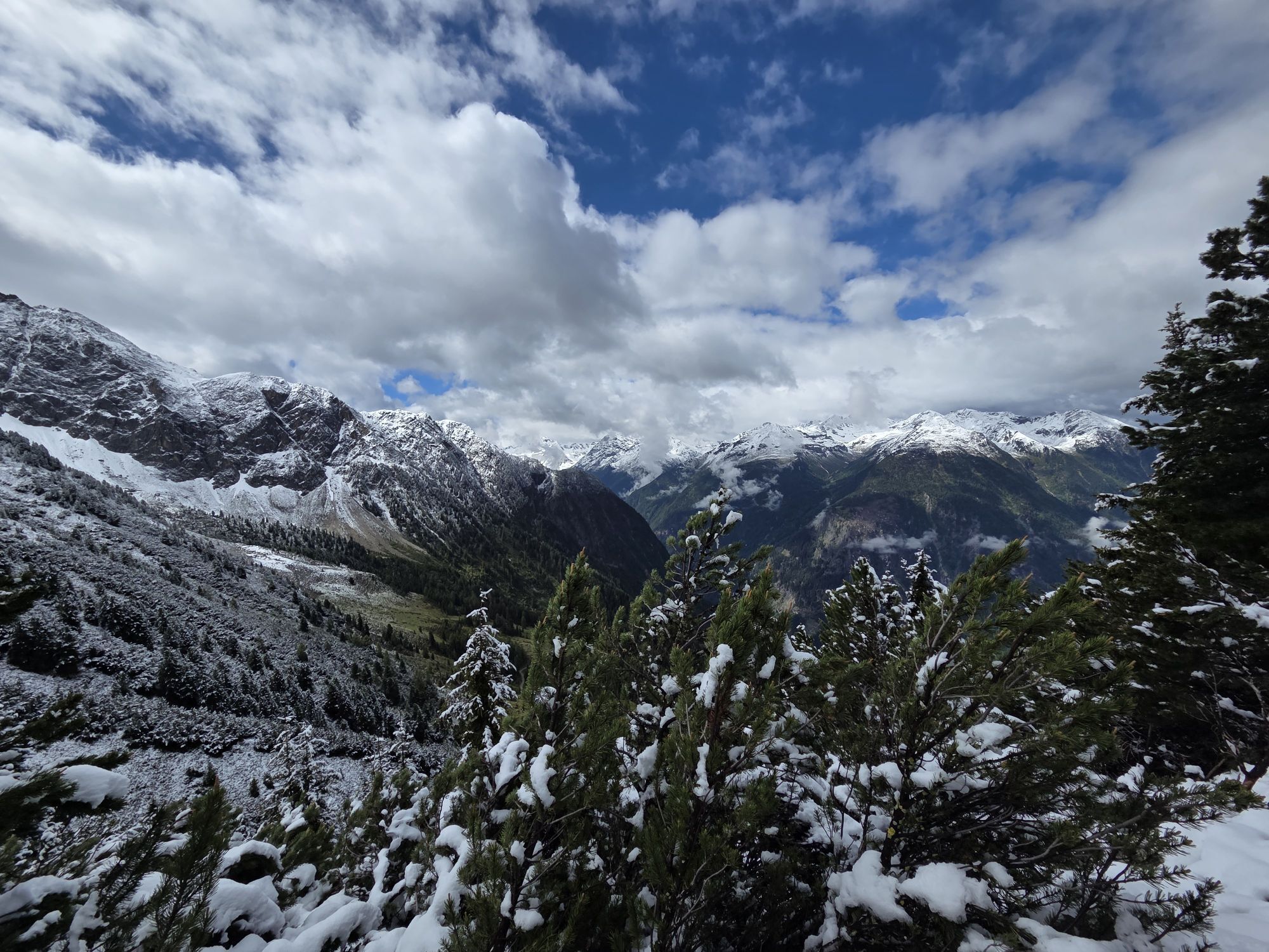
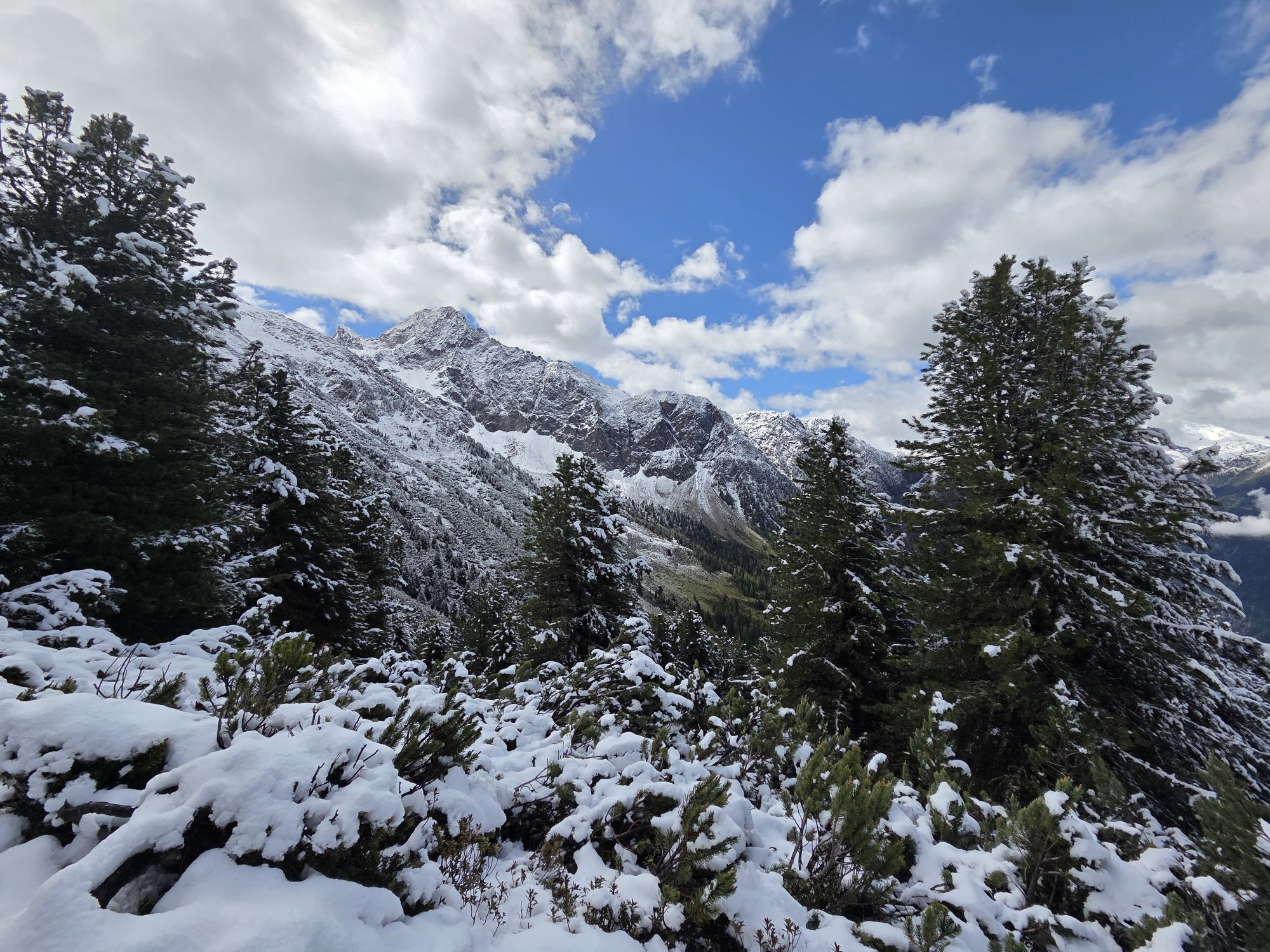
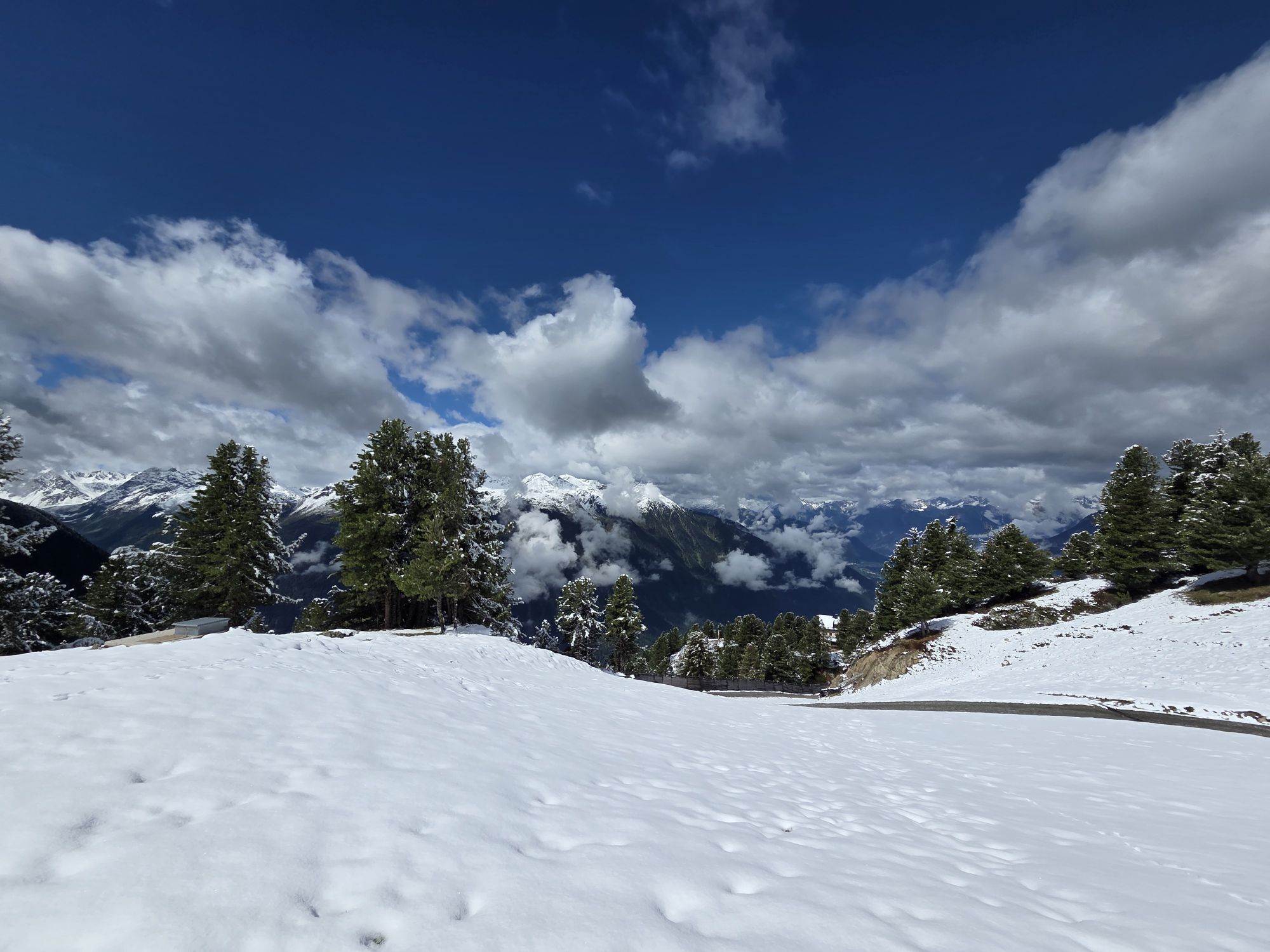
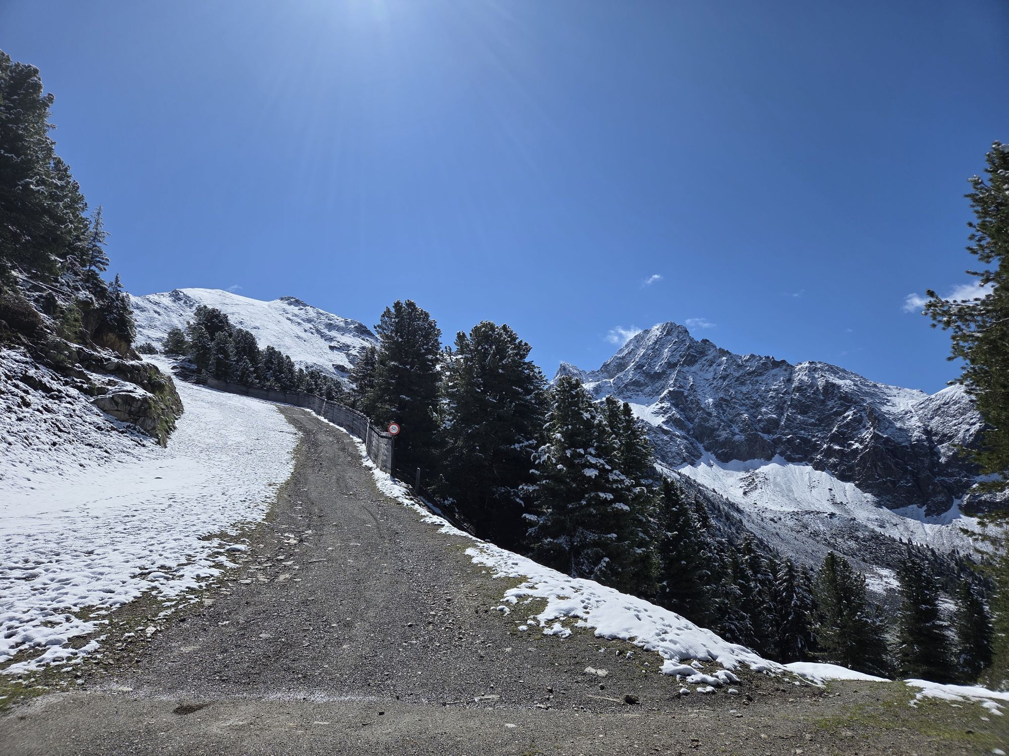
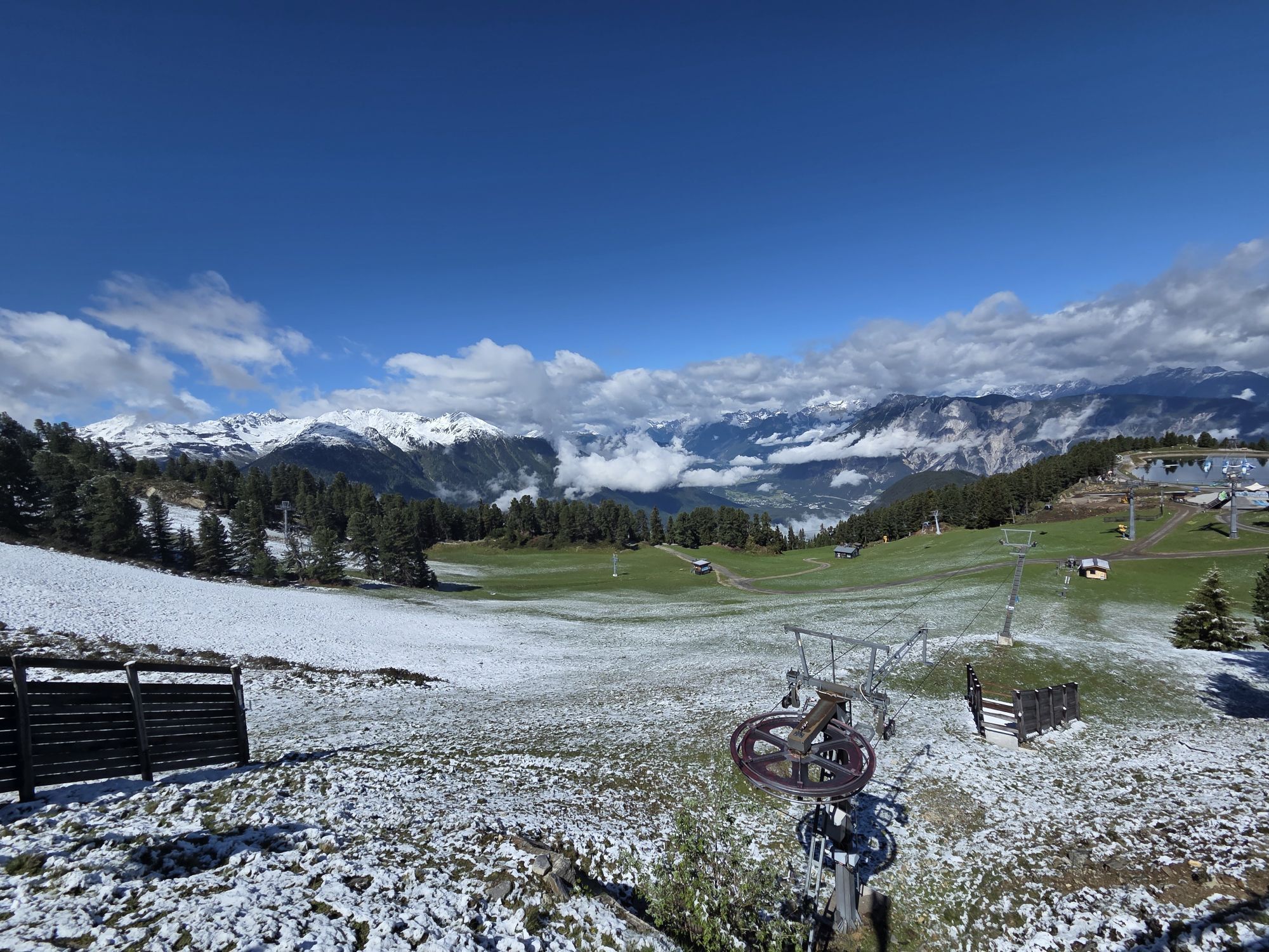
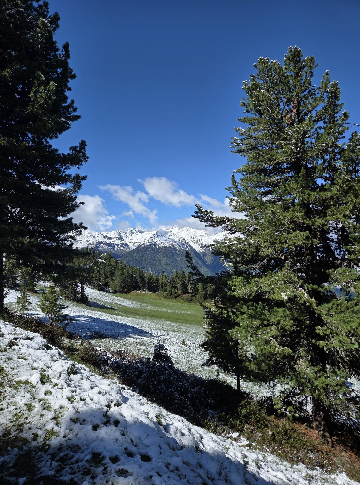
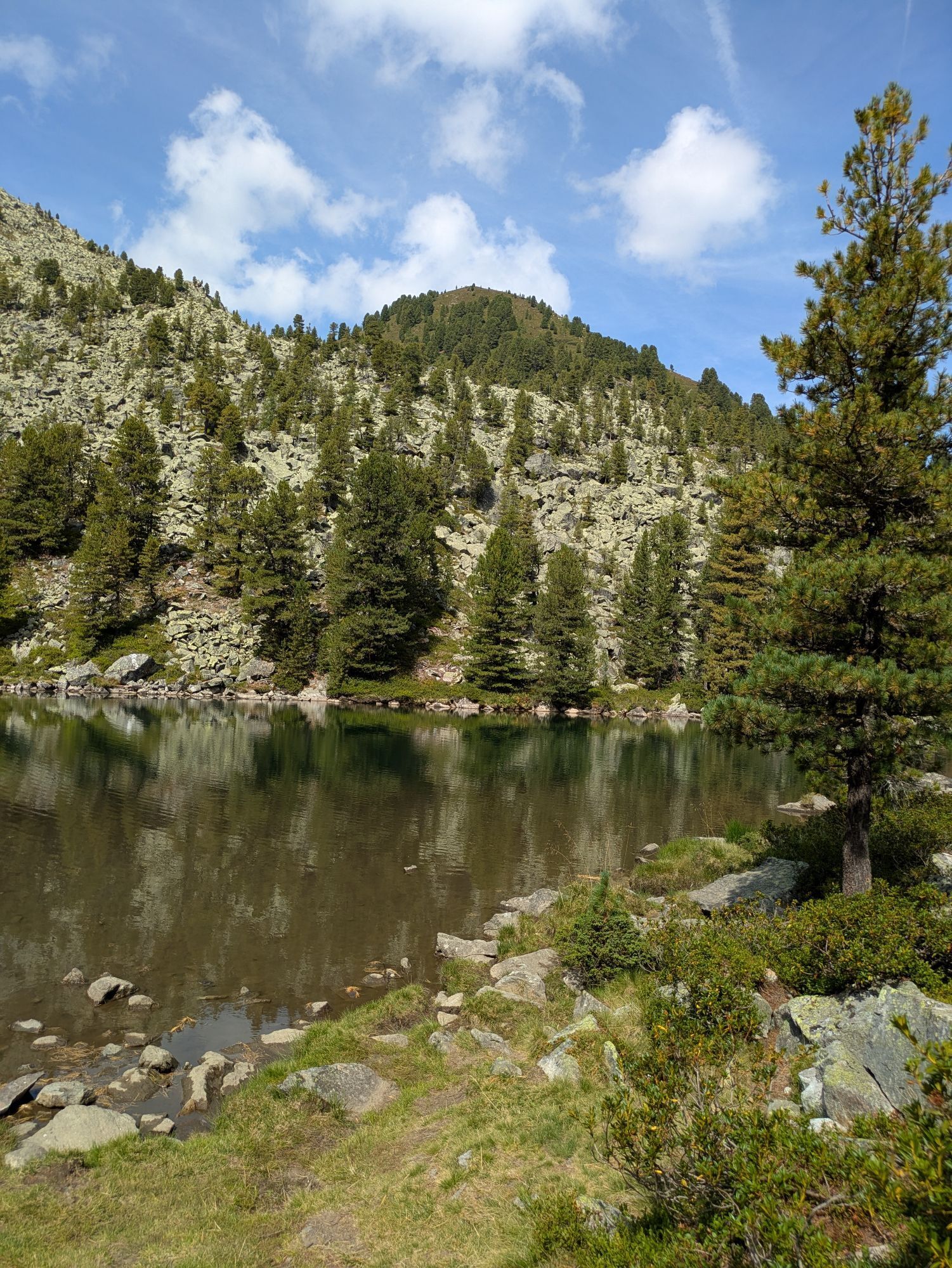
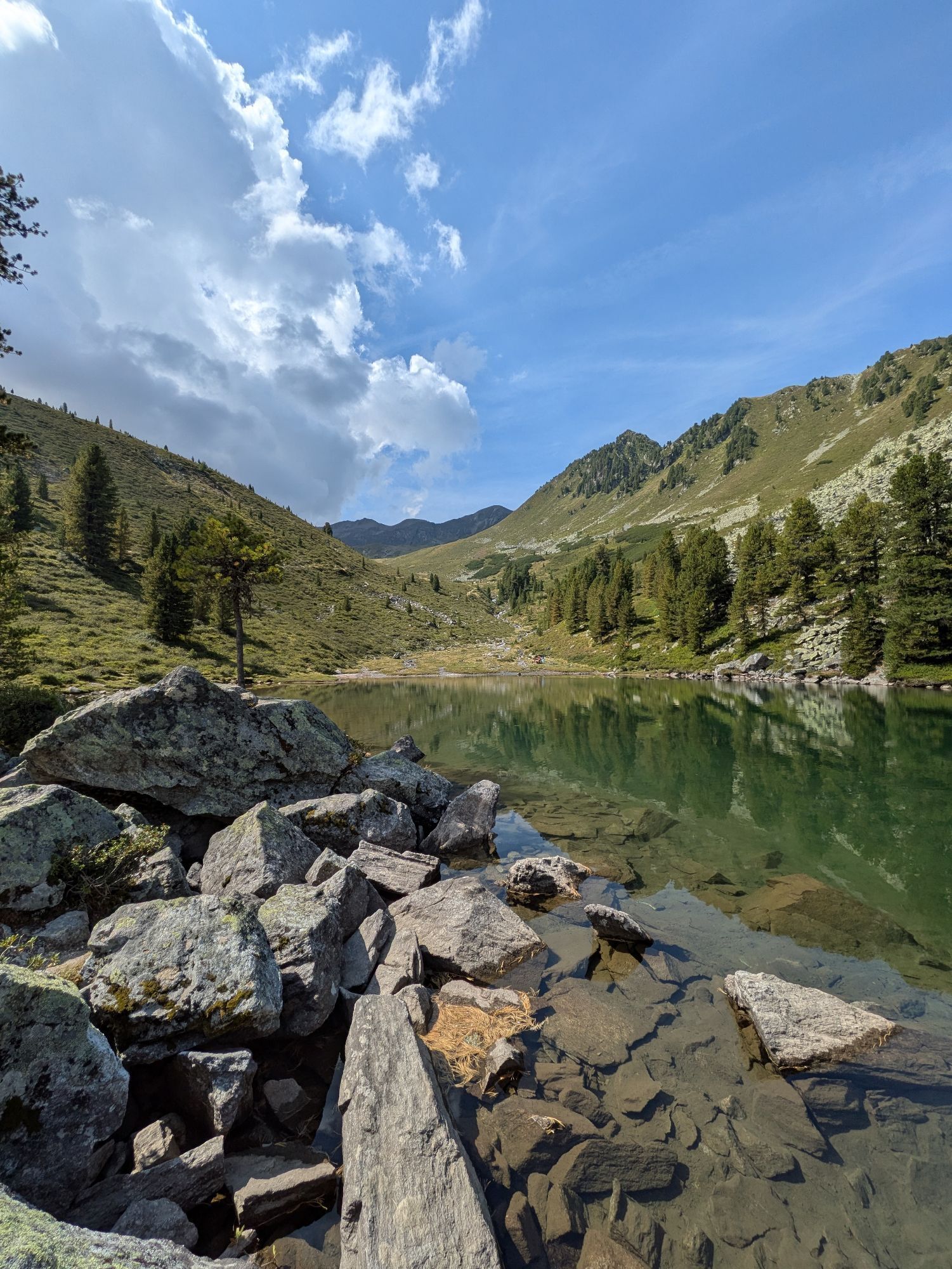
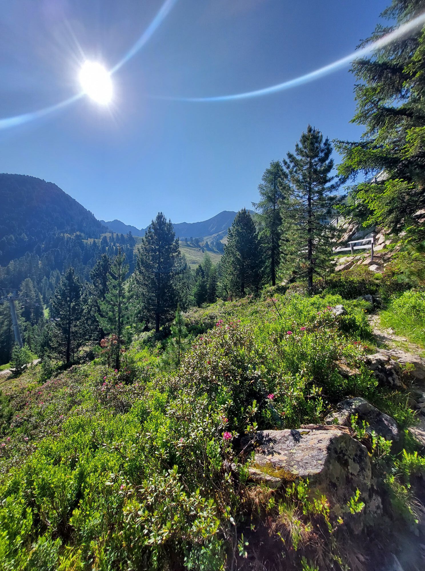
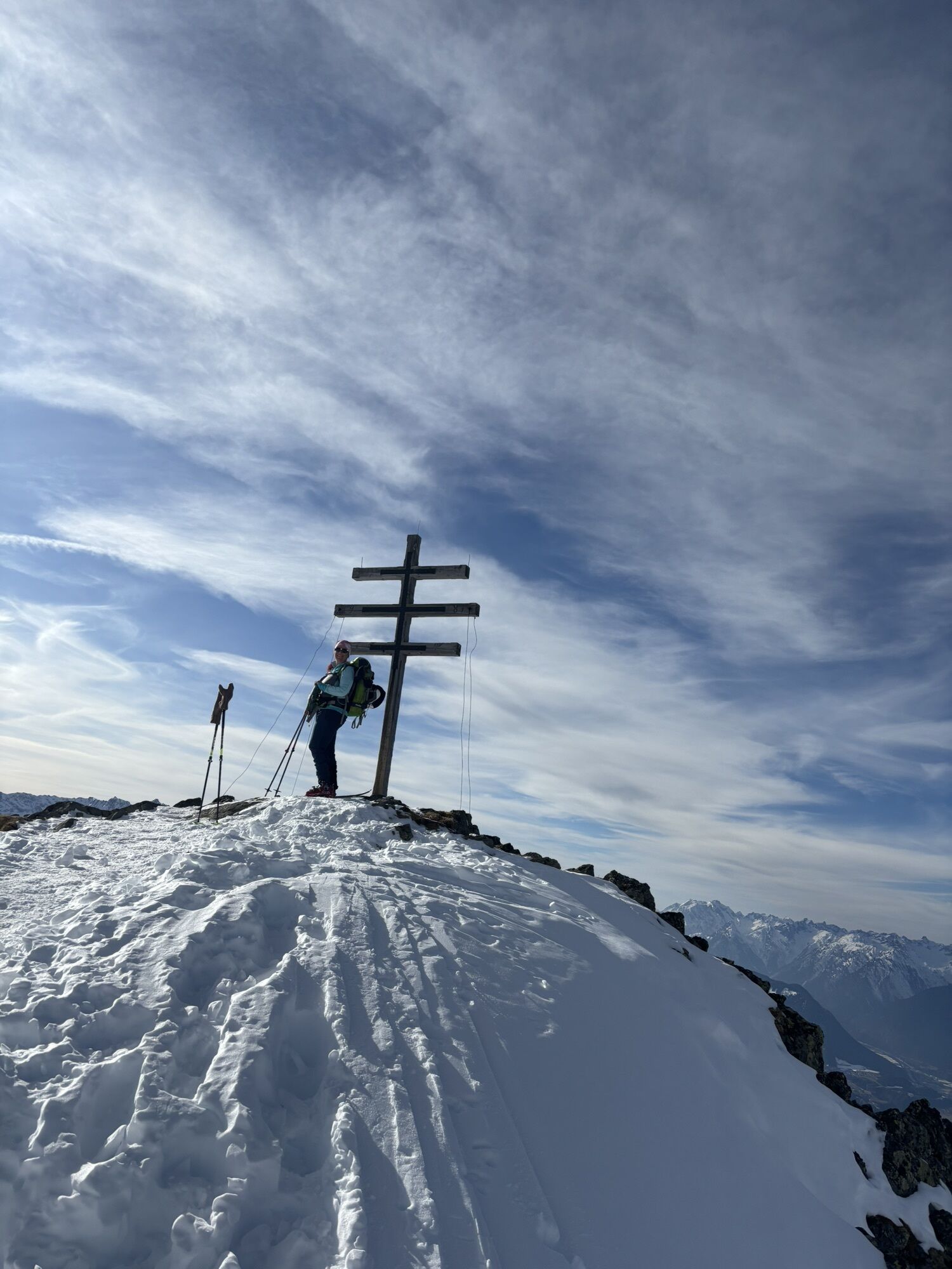
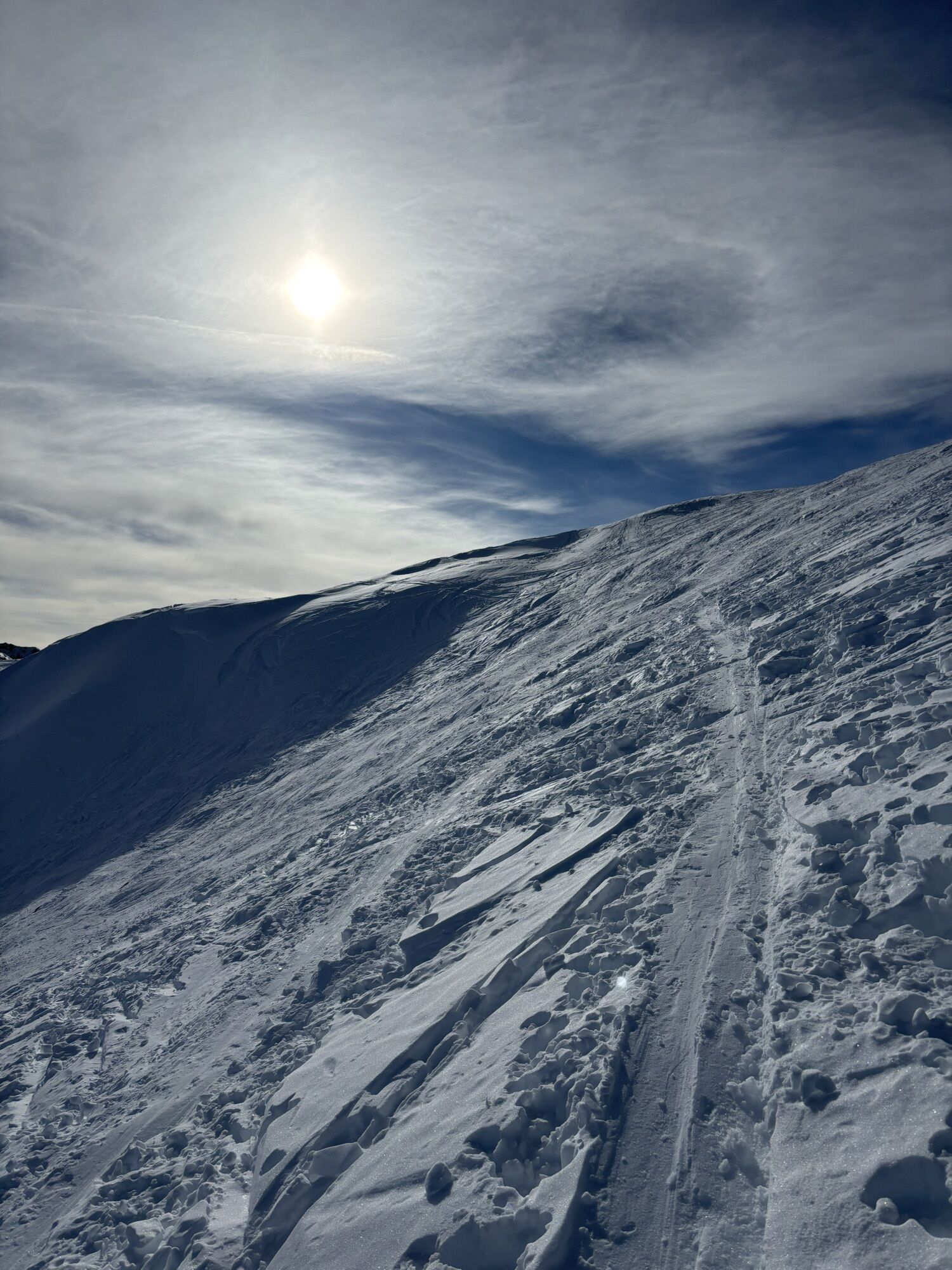
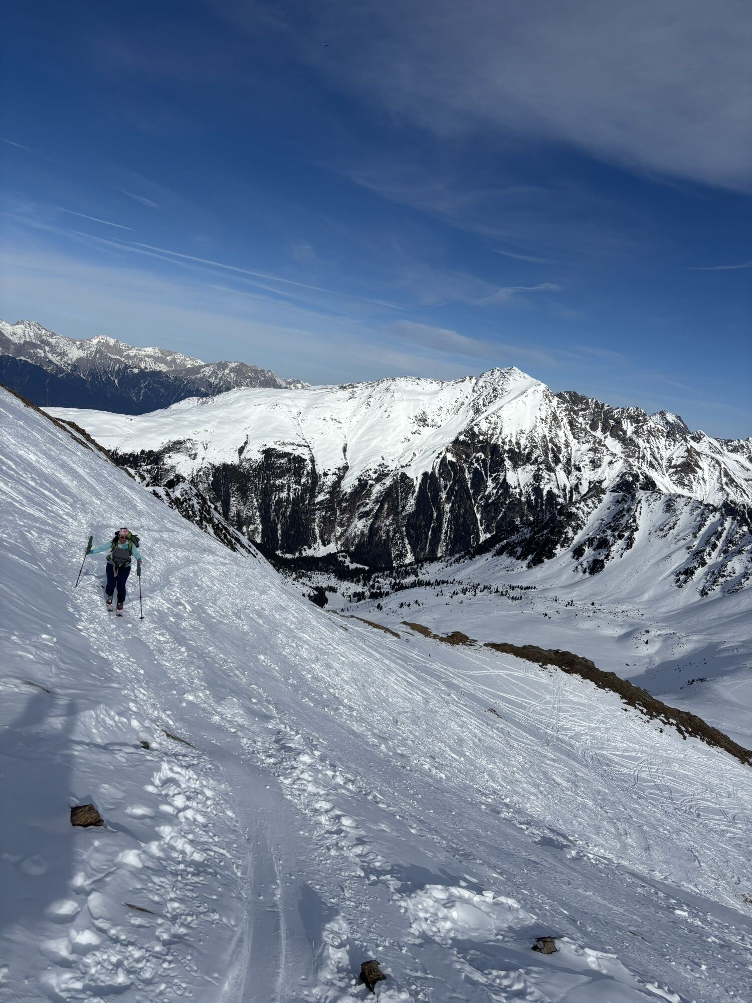
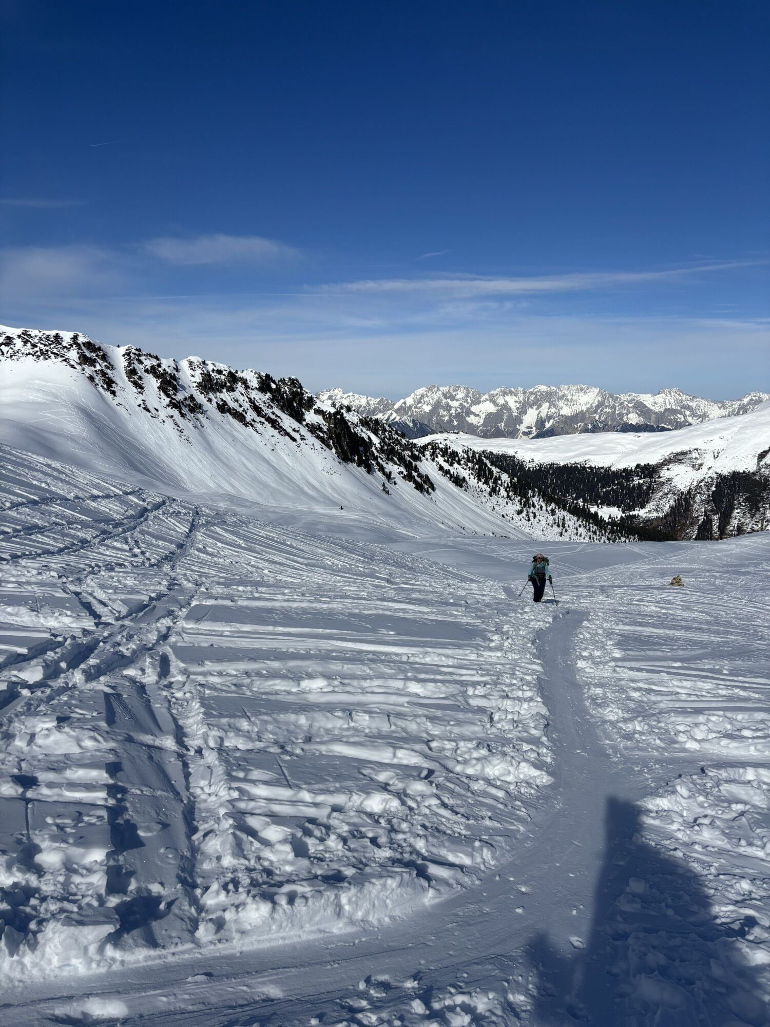
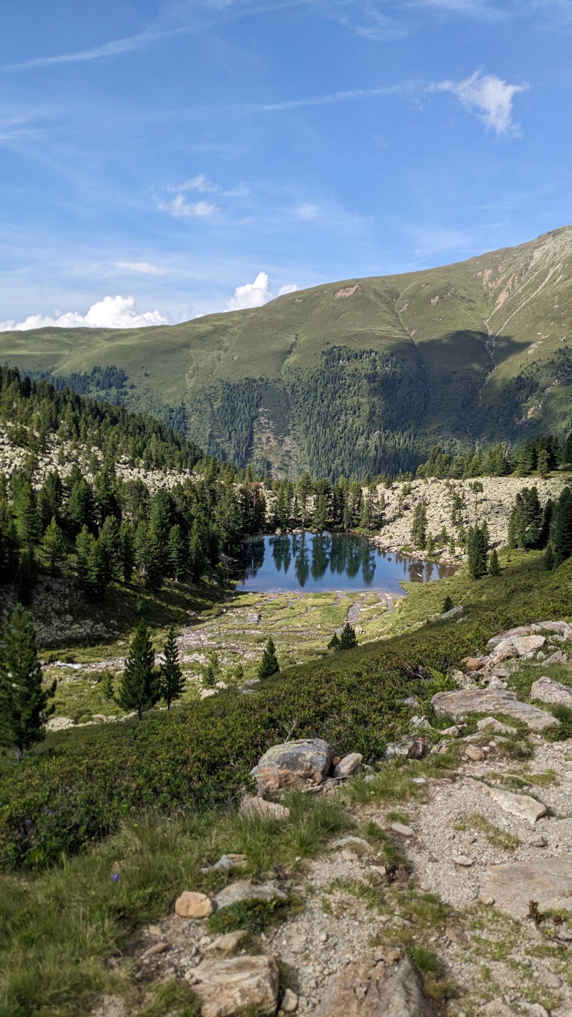
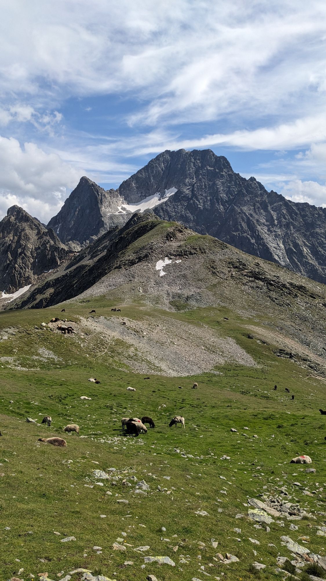
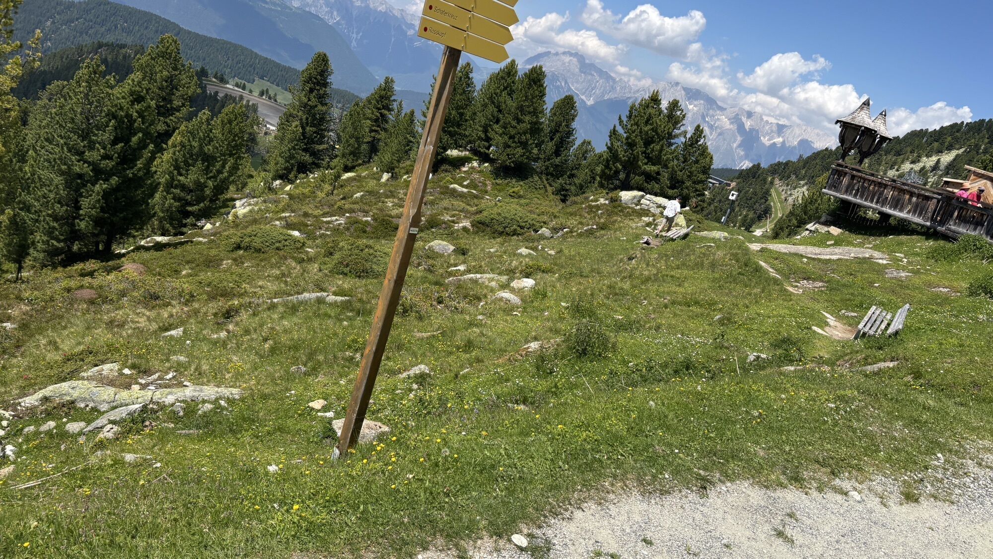
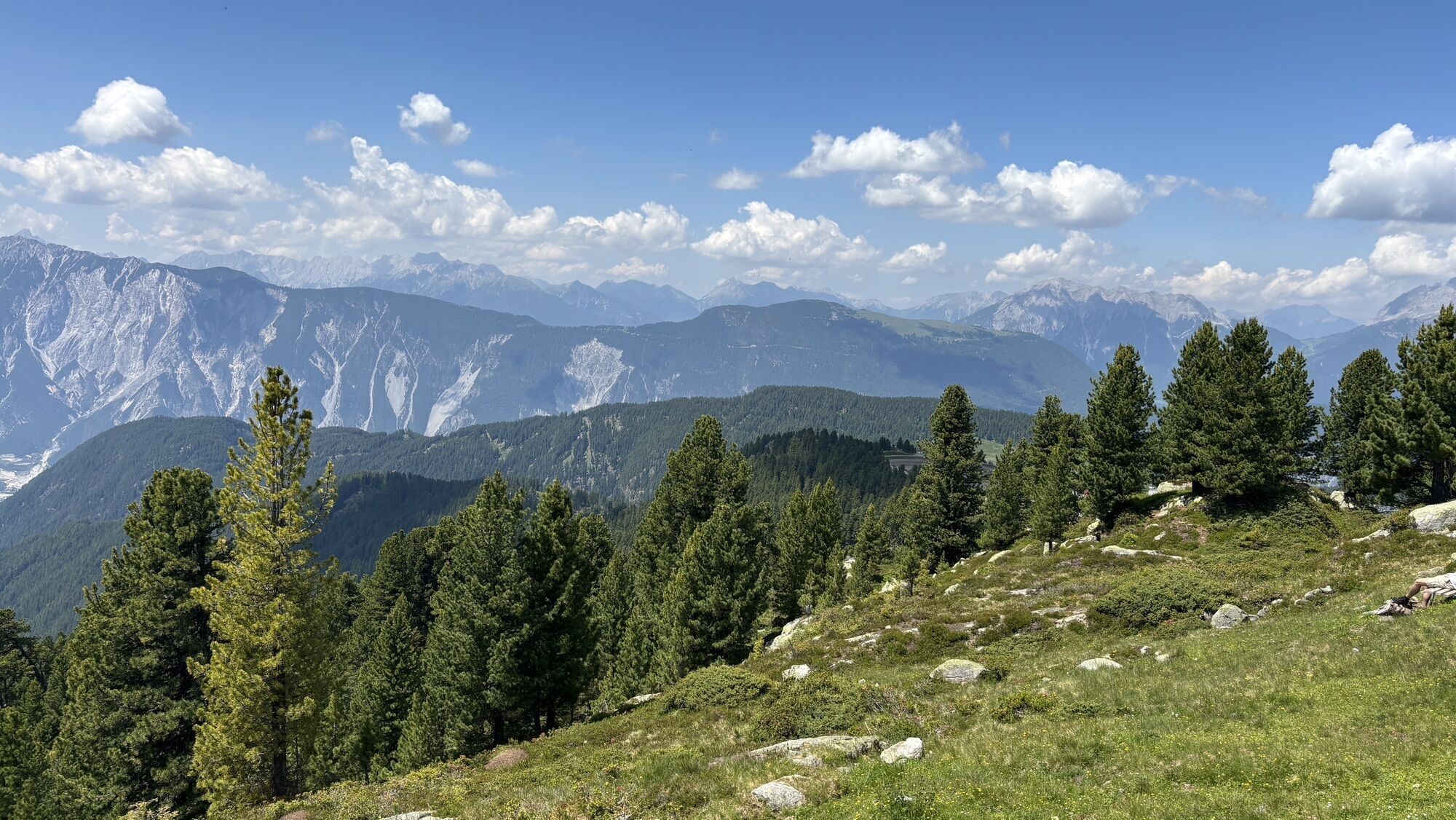
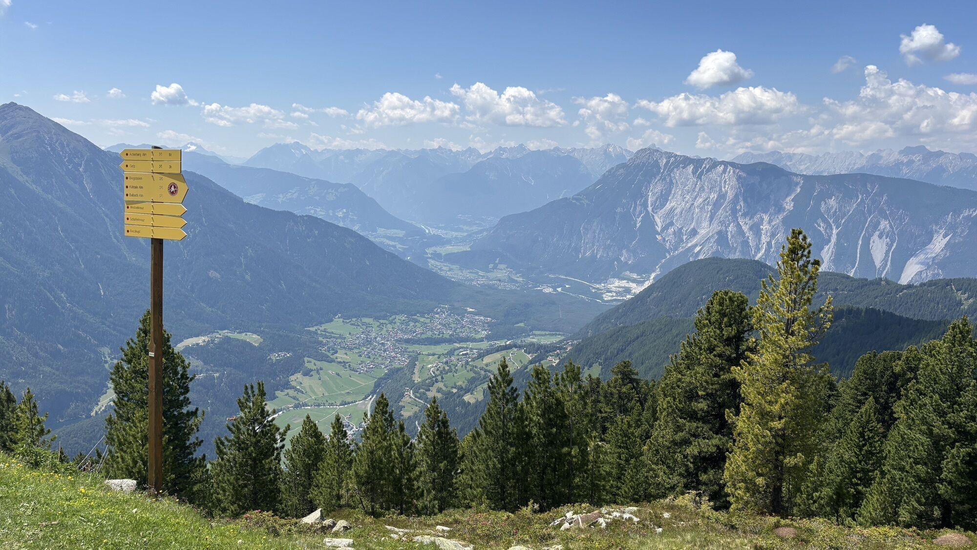
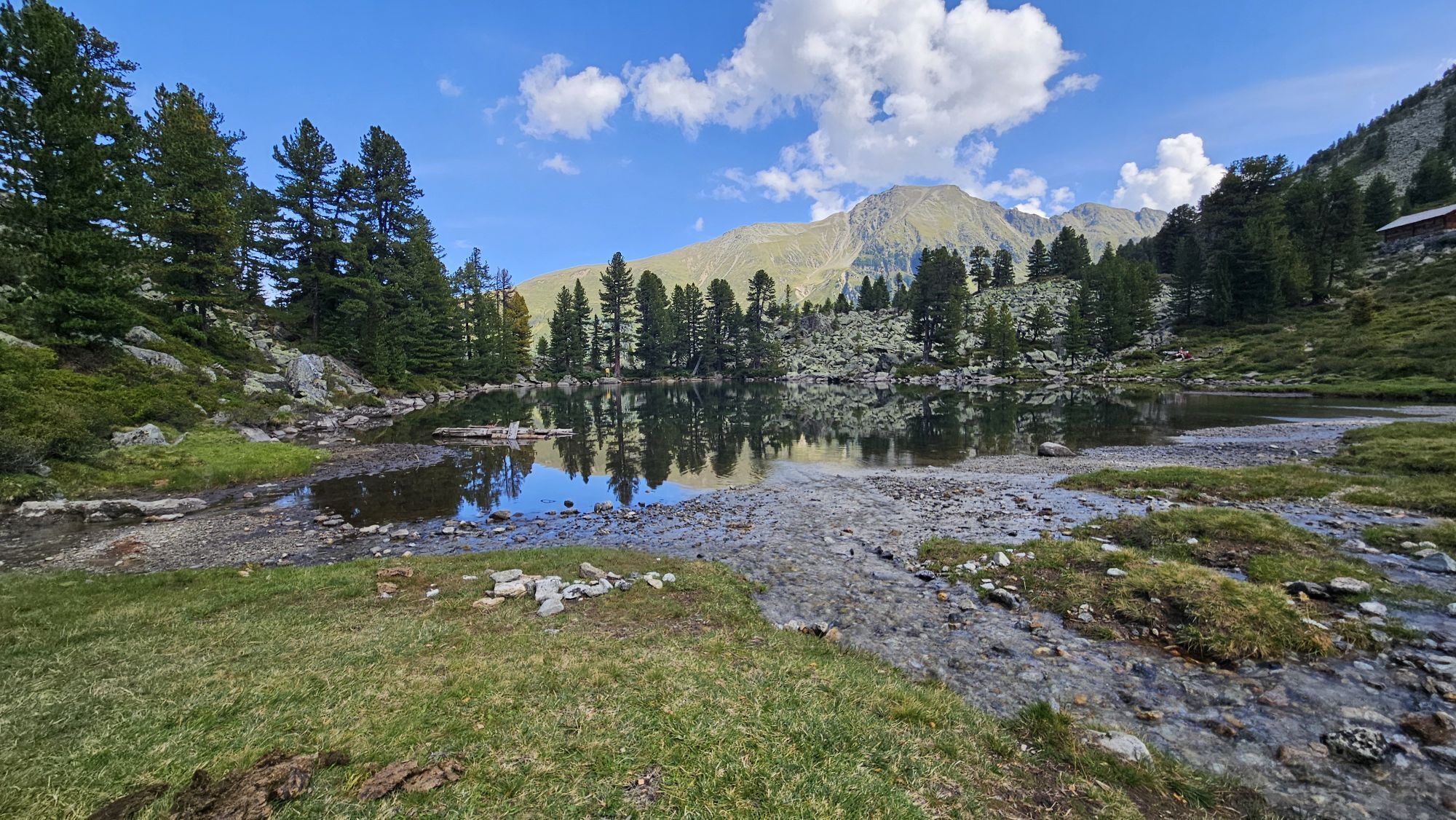
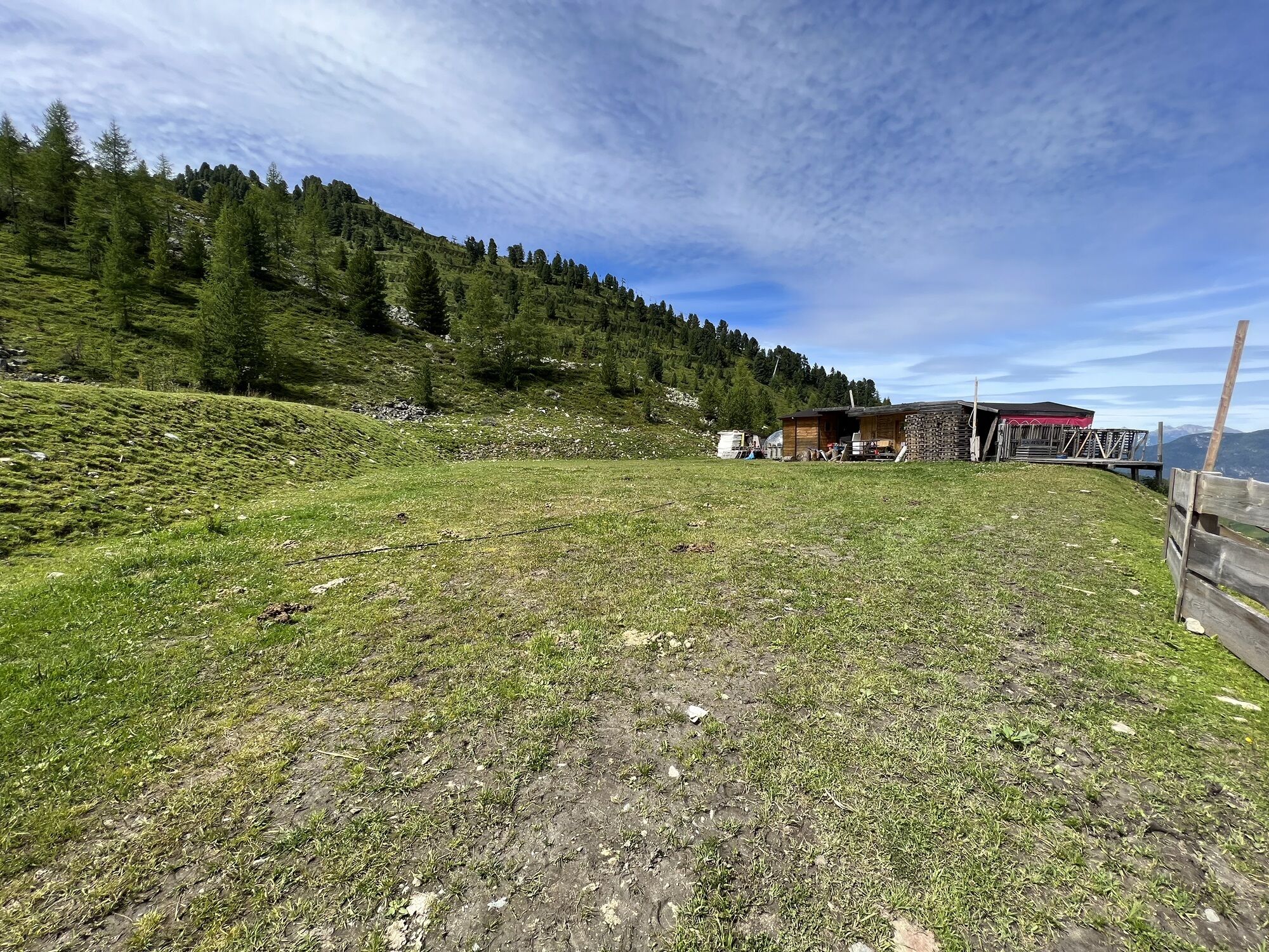
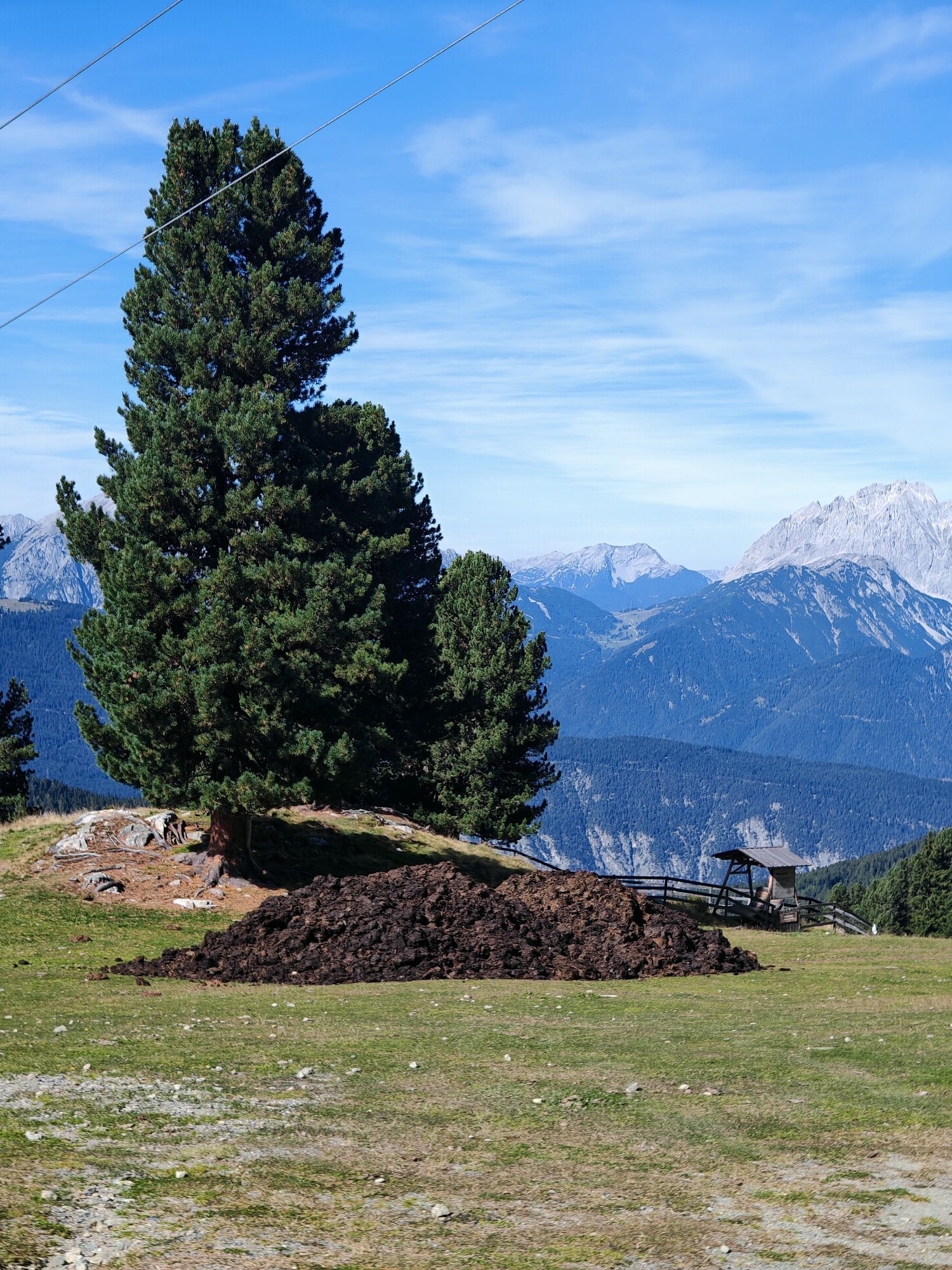
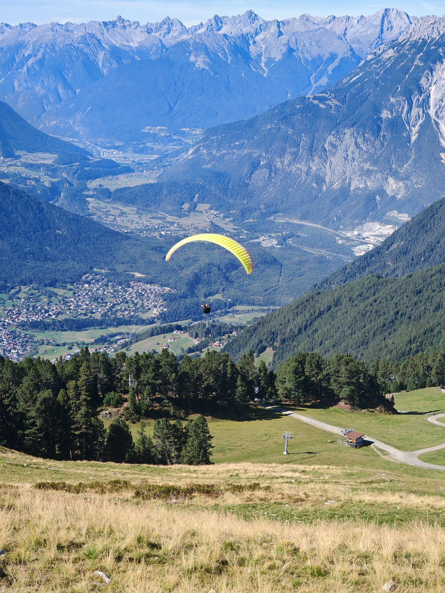
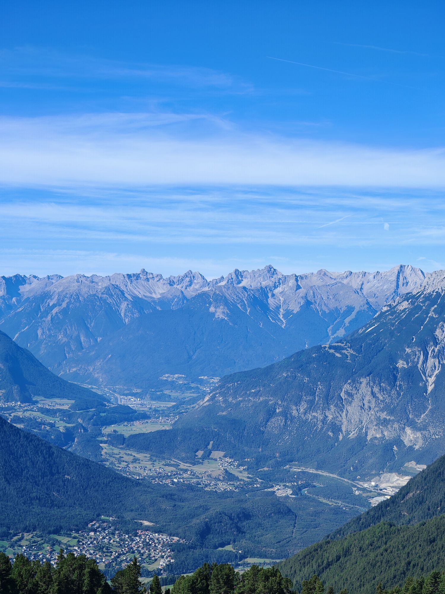
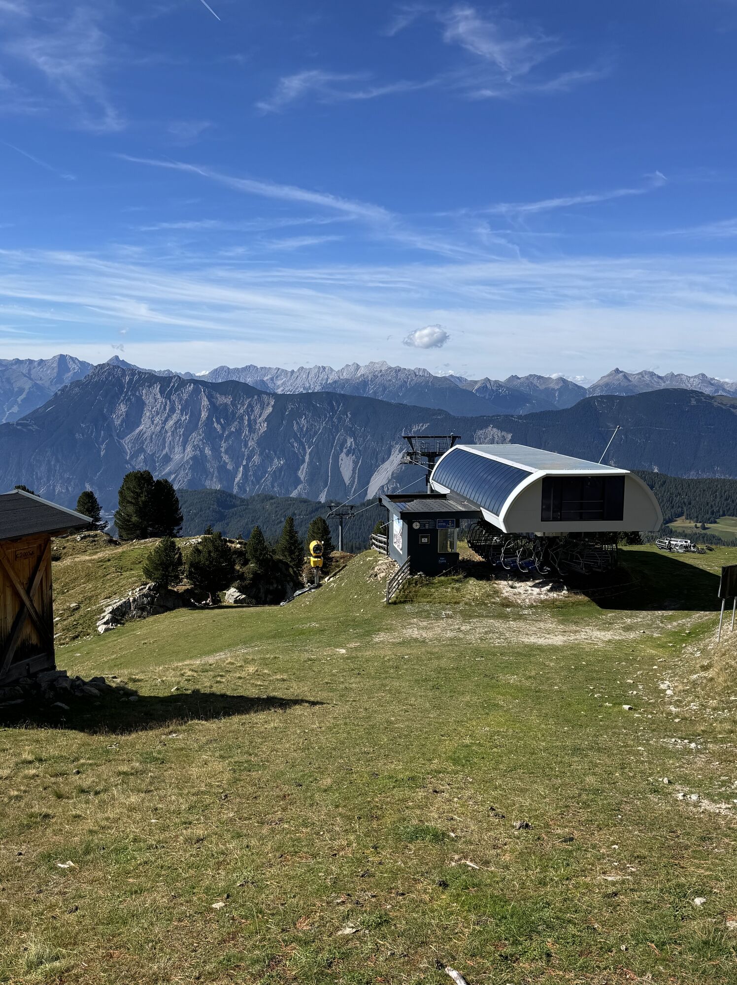
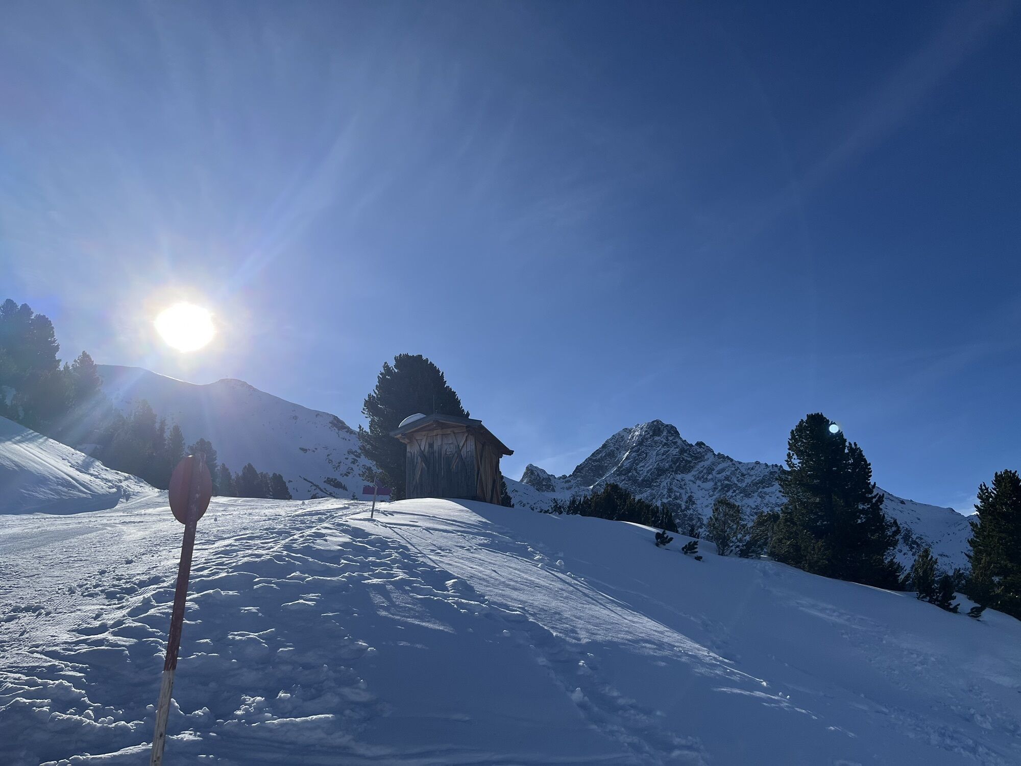
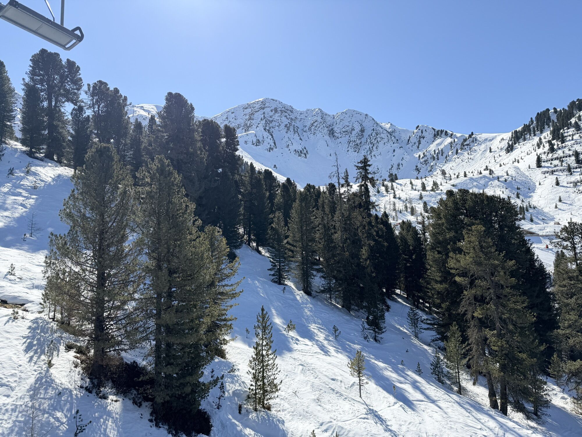
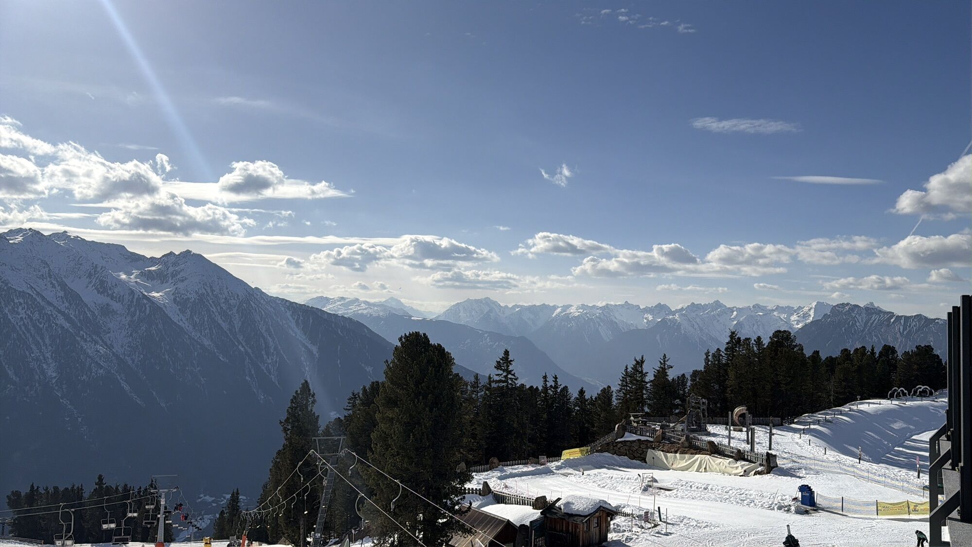
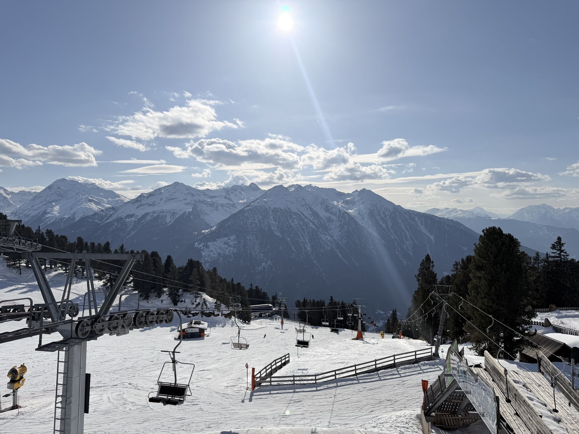
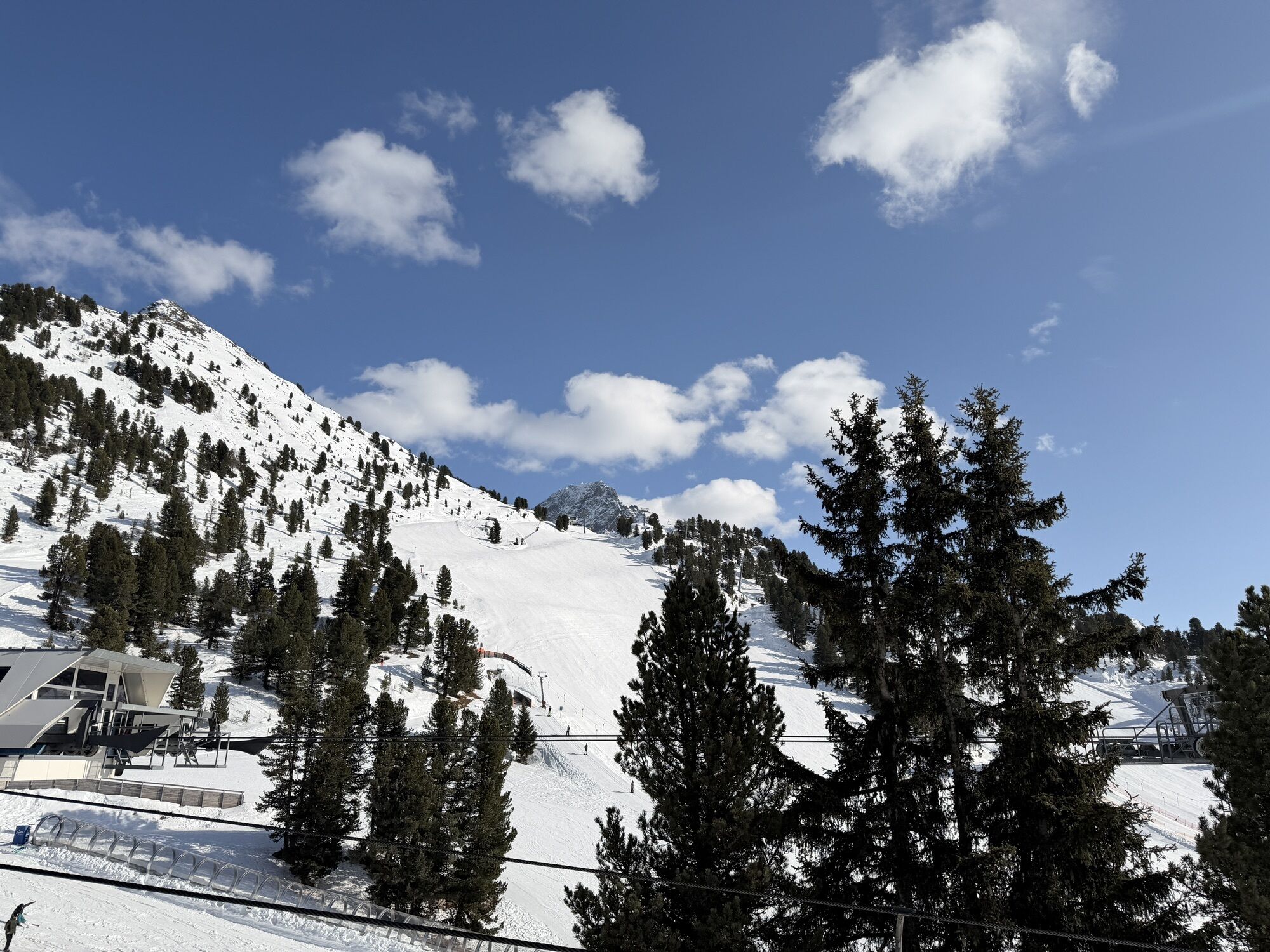
The miners‘ trail from Hochoetz – Kühtai – Ochsengarten lures you into a landscape in which miners using nothing more than their sheer physical strength mined yellow copper ore, pyrites and galena around...
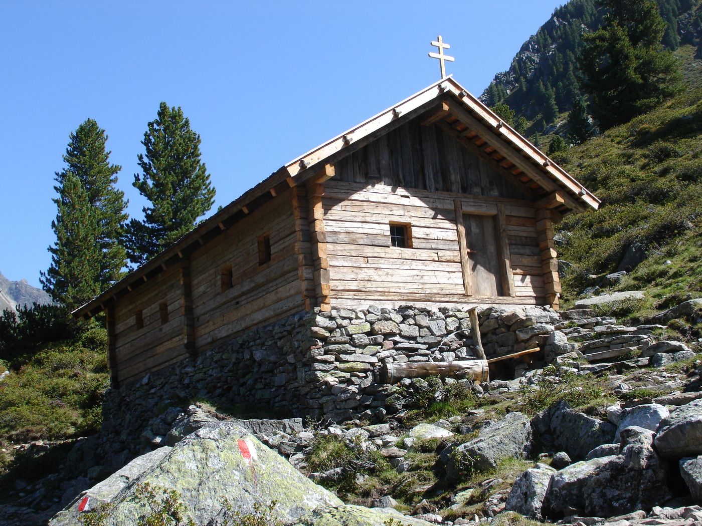
The miners‘ trail from Hochoetz – Kühtai – Ochsengarten lures you into a landscape in which miners using nothing more than their sheer physical strength mined yellow copper ore, pyrites and galena around 350 years ago. At 2,500 m. above sea level, up to 400 miners were engaged in breaking up the ore and transporting it down into the valley using mules and horses. The mountain path leads you from the Hochoetz panoramic restaurant via the Bielefeld Hut to the Wetterkreuz. From there, continue via the Wörgetal (valley) to the restored miner’s house with the crushing mill (a sort of stone mill in which the ore was broken up).
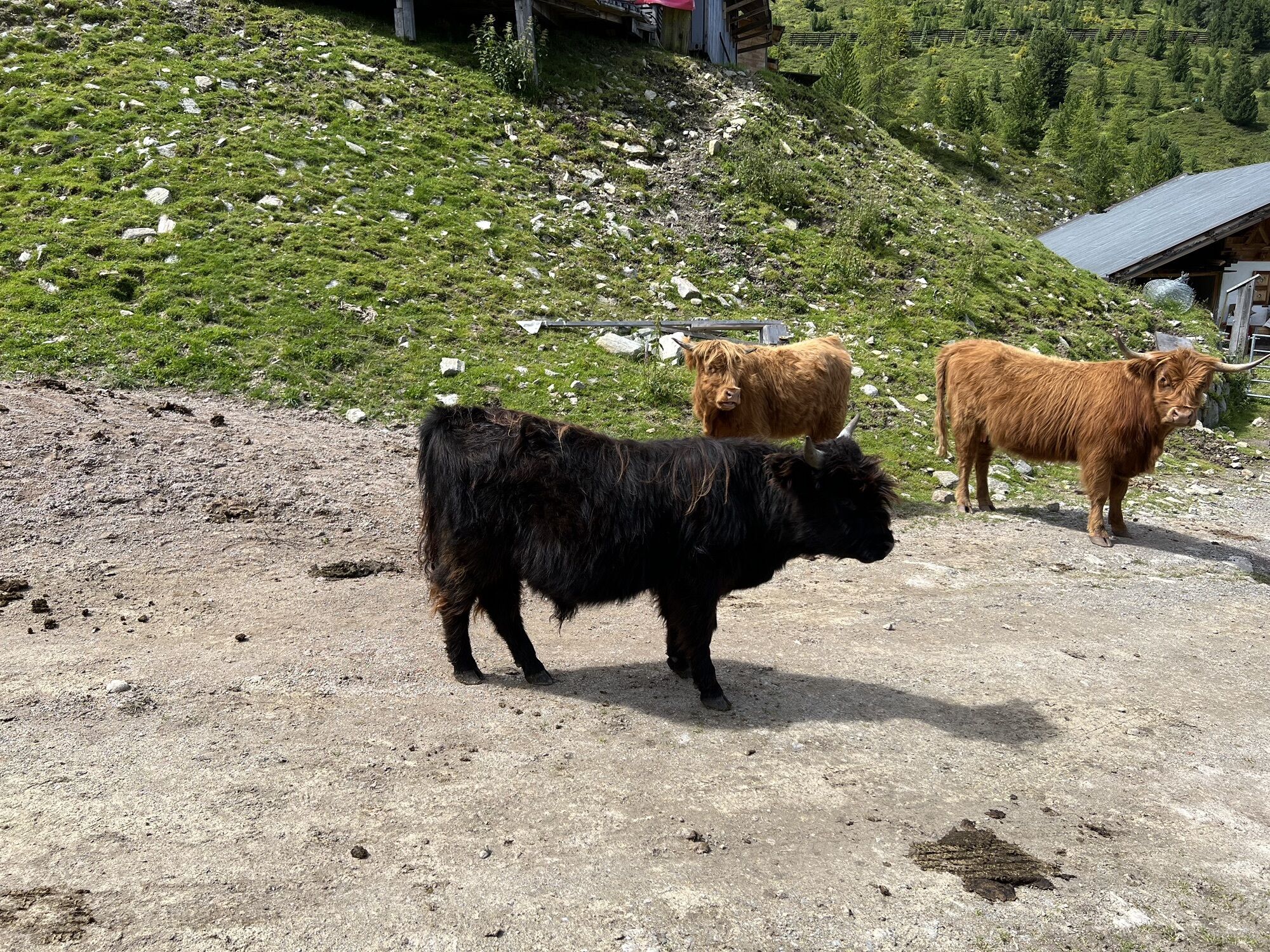
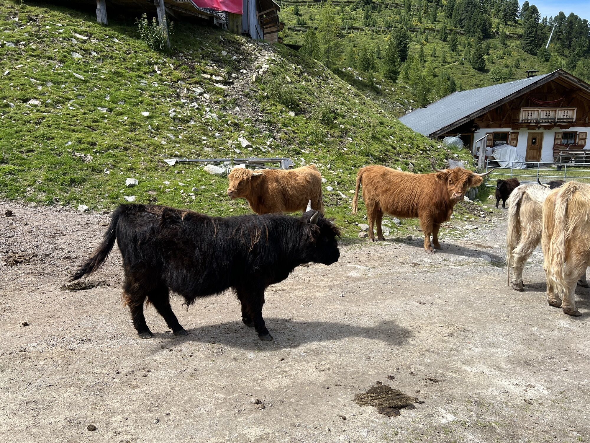
From the miners’ house, continue to the Obere Issalm (no longer used), and then to the Balbach Alp, which is still being farmed. The last point on the walk is Kühtaile Alp before the circular tour brings you back again to the panoramic restaurant.
Tip:
Other variations for this trail are possible. Have a look into the map "Miner's trail"



Tour 2:
Ausgangspunkt ist der Parkplatz der Acherkogelbahn in Oetz (820m) - Bergfahrt mit der Acherkogelbahn bis Bergstation in Hochoetz (2.020m) - Balbachalm (1.957m) - Obere Iss (1.932m) - Knappenhaus mit Pochwerk beim Puchersee (2.002m) - Obere Iss (1.932m) - Isserbrücke (1.745m) - Mareil (1.730m) - Marlstein (1.785m) - Ochsengarten (1.507m) Gehzeit ca. 4,5 Stunden
Tour 3:
Ausgangspunkt ist der Parkplatz an der Talstation der Drei-Seen-Bahn in Kühtai (1.956m) - Längentalstausee (1.904m) - Mittergrat Hütte (1.956m, nicht bewirtschaftet) - Obere Iss (1.932m) - Knappenhaus mit Pochwerk beim Puchersee 2.002m) - Obere Iss (1.932m) - Balbachalm (1.957m) - Bergstation Acherkogelbahn in Hochoetz (2.020m) Gehzeit ca. 4,5 Stunden
Tour 4:
Ausgangspunkt ist der Parkplatz an der Talstation der Ochsengartenbahn in Ochsengarten (1.507m) - Balbachalm (1.957m) - Obere Iss (1.932m) - Knappenhaus mit Pochwerk beim Puchersee (2.002m) - Obere Iss (1.932m) - Balbachalm (1.957m) - Talstation Ochsengartenbahn in Ochsengarten (1.507m) Gehzeit ca. 5,5 Stunden
Tour 5:
Ausgangspunkt ist der Parkplatz Isserbrücke (1.745m, nach Gasthof Mareil rechts 500m) - Obere Iss (1.932m) - Knappenhaus mit Pochwerk beim Puchersee (2.002m) - Obere Iss (1.932m) - Parkplatz Isserbrücke (1.745m) Gehzeit ca. 2 Stunden
Tour 6:
Ausgangspunkt ist der Parkplatz an der Talstation der Drei-Seen-Bahn in Kühtai (1.956m) - Kaiser-Franz-Josefs-Weg - Isser Brücke (1.745m) - Obere Iss (1.932m) - Knappenhaus mit Pochwerk beim Puchersee (2.002m) - Obere Iss (1.932m) - Mittergrathütte (1.956m, nicht bewirtschaftet) - Längentalstausee (1.904m) - Talstation der Drei-Seen-Bahn in Kühtai (1.956m) Gehzeit ca. 4 Stunden
Tour 7:
Ausgangspunkt ist der Parkplatz an der Talstation der Drei-Seen-Bahn in Kühtai (1.956m) - Längentalstausee (1.904m) - Mittertal (1.985m) - Wörgetal Sattel (2.572m) - Wörgetal - Knappenhaus mit Pochwerk beim Puchersee (2.002m) - Obere Iss (1.932m) - Mittergrathütte (1.956m, nicht bewirtschaftet) - Längentalstausee (1.904m) - Talstation der Drei-Seen-Bahn in Kühtai (1.956m) Gehzeit ca. 6 Stunden
Tour 8:
Ausgangspunkt ist der Parkplatz an der Talstation der Ochsengartenbahn in Ochsengarten (1.507m) - Balbachalm (1.957m) - Obere Iss (1.932m) - Knappenhaus mit Pochwerk beim Puchersee (2.002m) - Obere Iss (1.932m) - Isserbrücke (1.745m) - Mareil (1.730m) - Marlstein (1.785m) - Talstation der Ochsengartenbahn in Ochsengarten (1.507m) Gehzeit ca. 5,5 Stunden
Panoramic restaurant, Bielefelder Hütte, Kühtaile Alm, Balbach Alm
and with some variations also the Dortmunder Hütte in Kühtai
Tourist Office Oetz
Ano
Ano
Ano
Ano
different variations possible
cable car station Oetz


Webové kamery z prohlídky



Oblíbené prohlídky v okolí
-
4.4
Hike Stuibenfall - Umhausen
světloTuristika 2.95 km -
4.4
Stuibenfall Umhausen circular hike
světloTuristika 9.32 km -
4.5
Oetz - Piburger See - Oetz
středníTuristika 7.16 km -
4.4
Hundstalsee
středníTuristika 7.35 km -
4.5
KÜHTAI: Kühtai (2020) - Sulzkogel (3016) - Mute (2398)
středníVysokohorská turistika 15 km -
4.3
Lampsenspitze, Sellrain, Tirol
středníLyžařská trasa 4.97 km -
4.3
Umhausen - Stuibenfall - Umhausen
středníTuristika 7.94 km -
4.7
Summit route Faltegartenköpfl
středníTuristika 4.04 km -
4.6
Summit route Weather Cross from Hochoetz
středníTuristika 3.06 km -
4.8
lake Piburger See
světloTuristika 2.75 km
Pěší turistika a stopování


Nenechte si ujít nabídky a inspiraci pro vaši příští dovolenou
Vaše e-mailová adresa byl přidán do poštovního seznamu.





