






Ötztal Trek Stage 21

Úroveň obtížnosti: T5





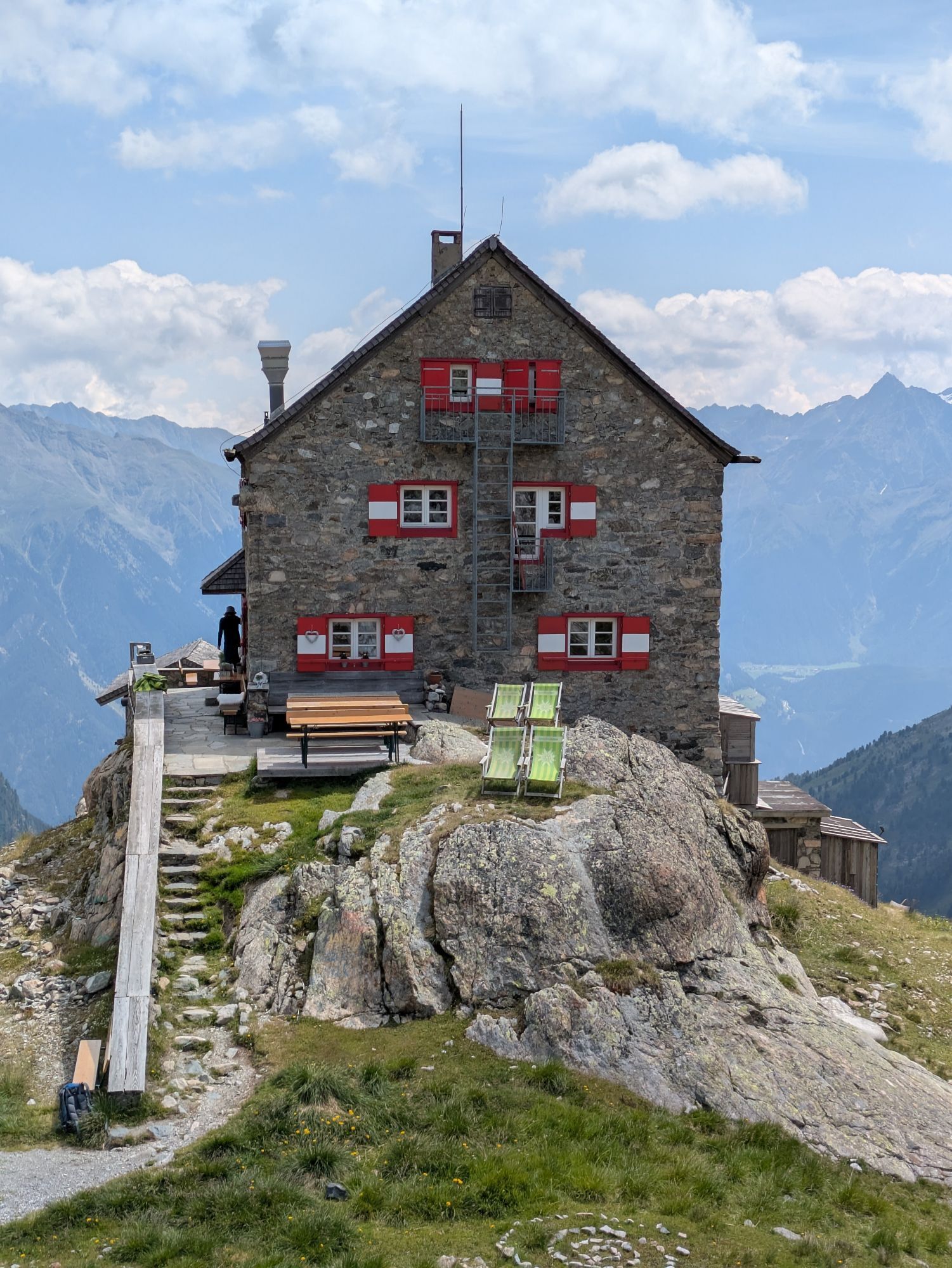
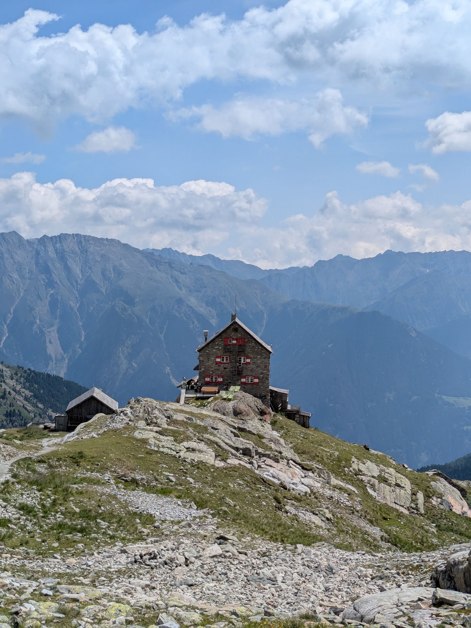
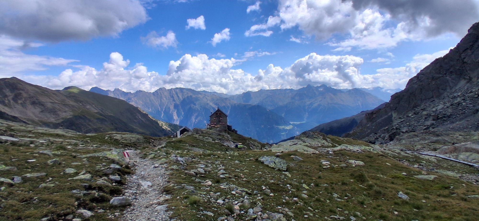
Route: path Requirements: sure-footedness, confidence on heights Black mountain path Difficulties: no special difficulties Equipment: normal hiking equipment Accommodation, dining: Frischmann Hut, Erlanger...
Route: path
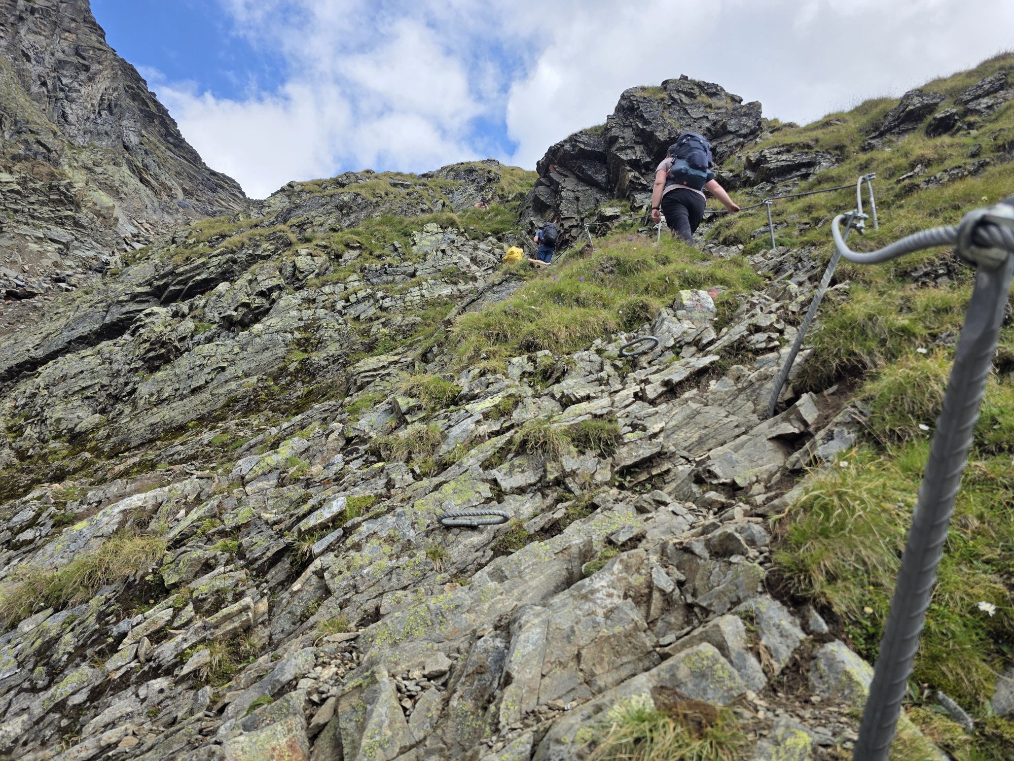
Requirements: sure-footedness, confidence on heights
Black mountain path
Difficulties: no special difficulties
Equipment: normal hiking equipment
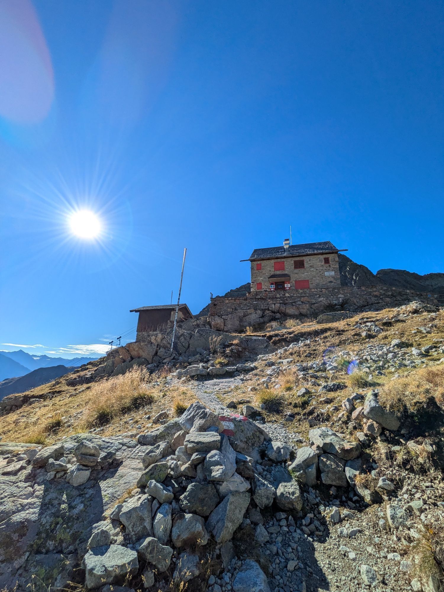
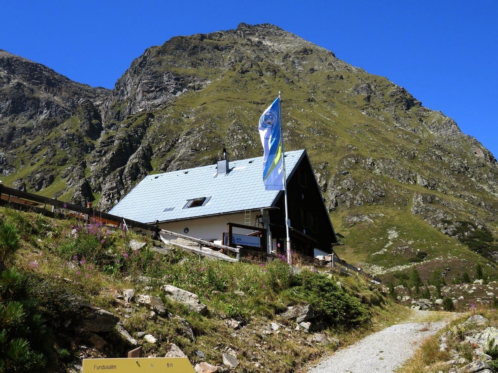
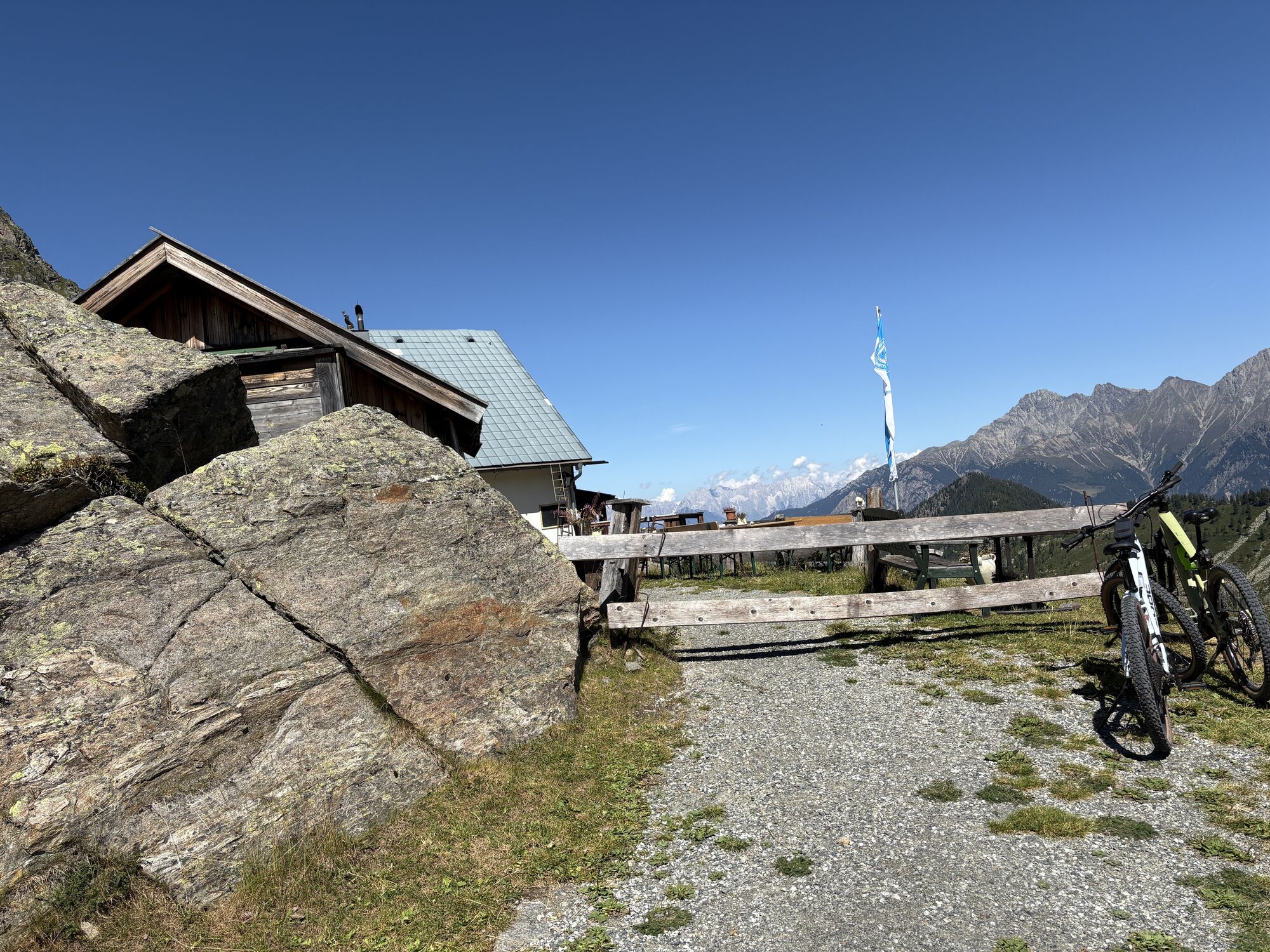
Accommodation, dining: Frischmann Hut, Erlanger Hut
Access/exit points: Umhausen – Frischmann Hut (approx. 3.5 h ascent, approx. 2.5 h descent; alternatively taxi shuttle Umhausen – Hintere Fundusalm – then about 30 min ascent to Frischmann Hut); Köfels (municipality of Umhausen) – Frischmann Hut (approx. 2.5 h ascent, approx. 2 h descent); Umhausen – Erlanger Hut (approx. 4.5 h ascent, approx. 3.5 h descent; alternatively taxi shuttle Umhausen – junction towards Vordere Leierstalalm – then about 2 h ascent to Erlanger Hut, approx. 1.5 h descent); Taxi ScharfetterT +43 (0) 5255 5858


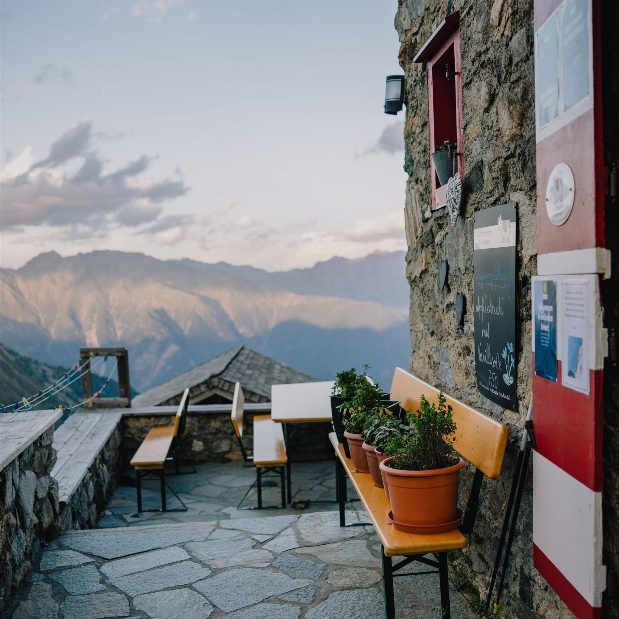

THREE-THOUSANDER AIR WITH MOUNTAIN LAKE
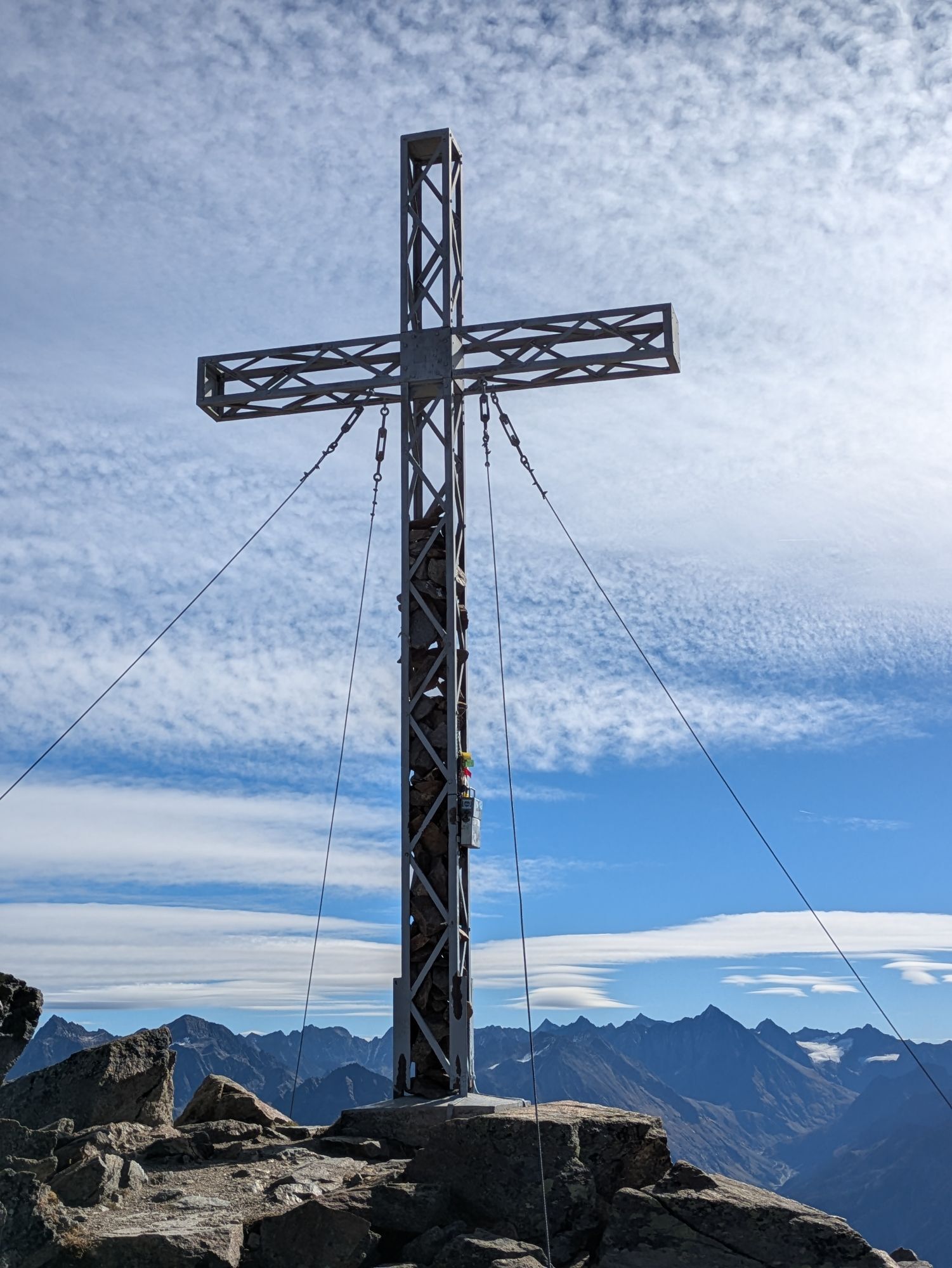
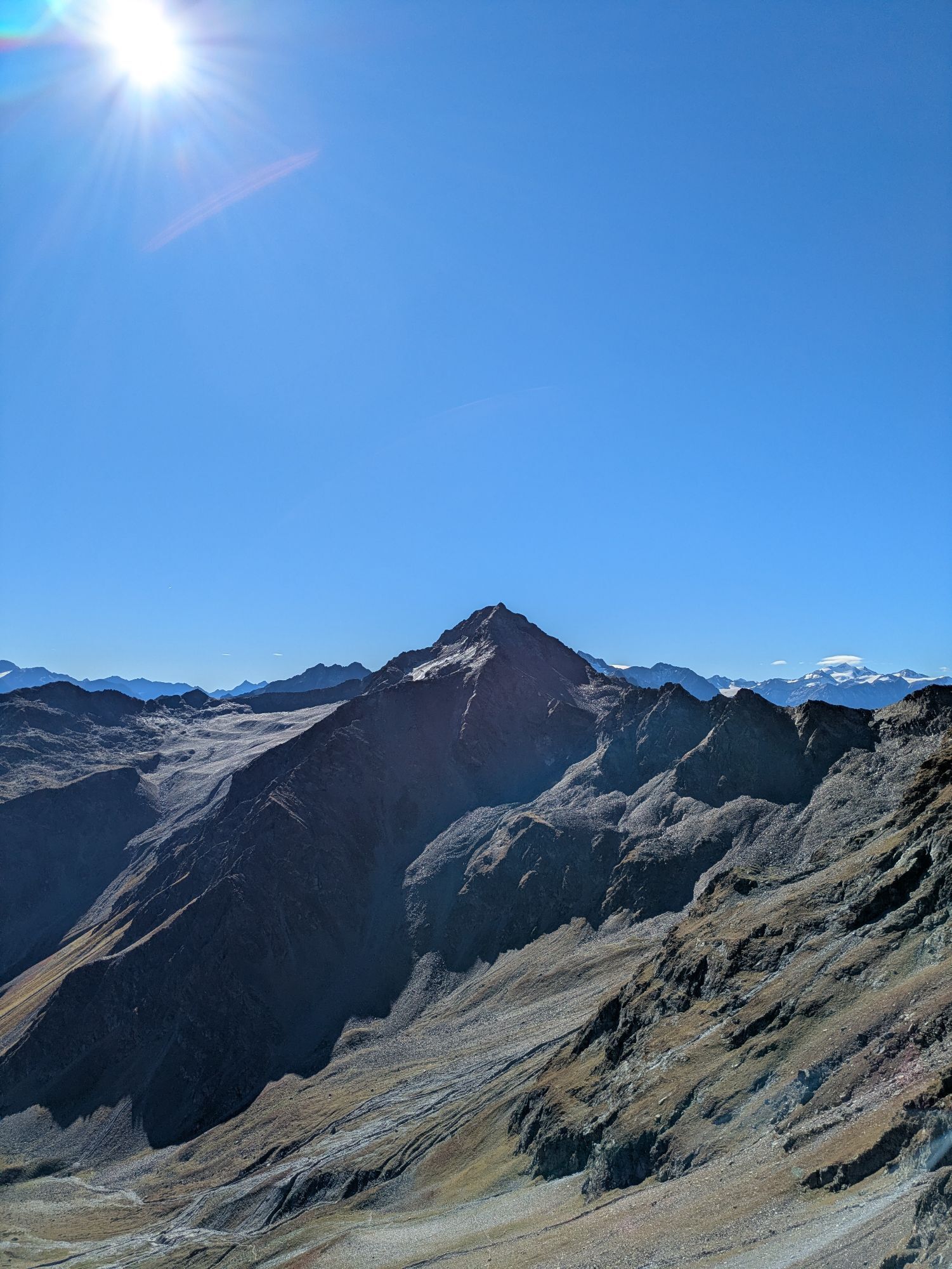
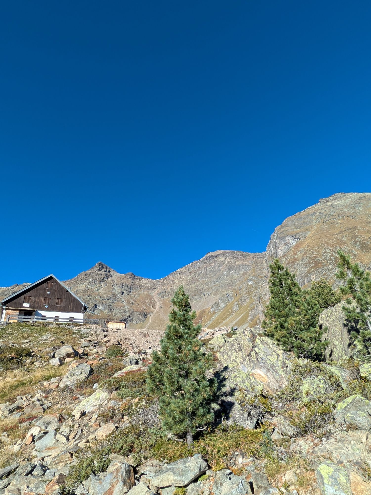
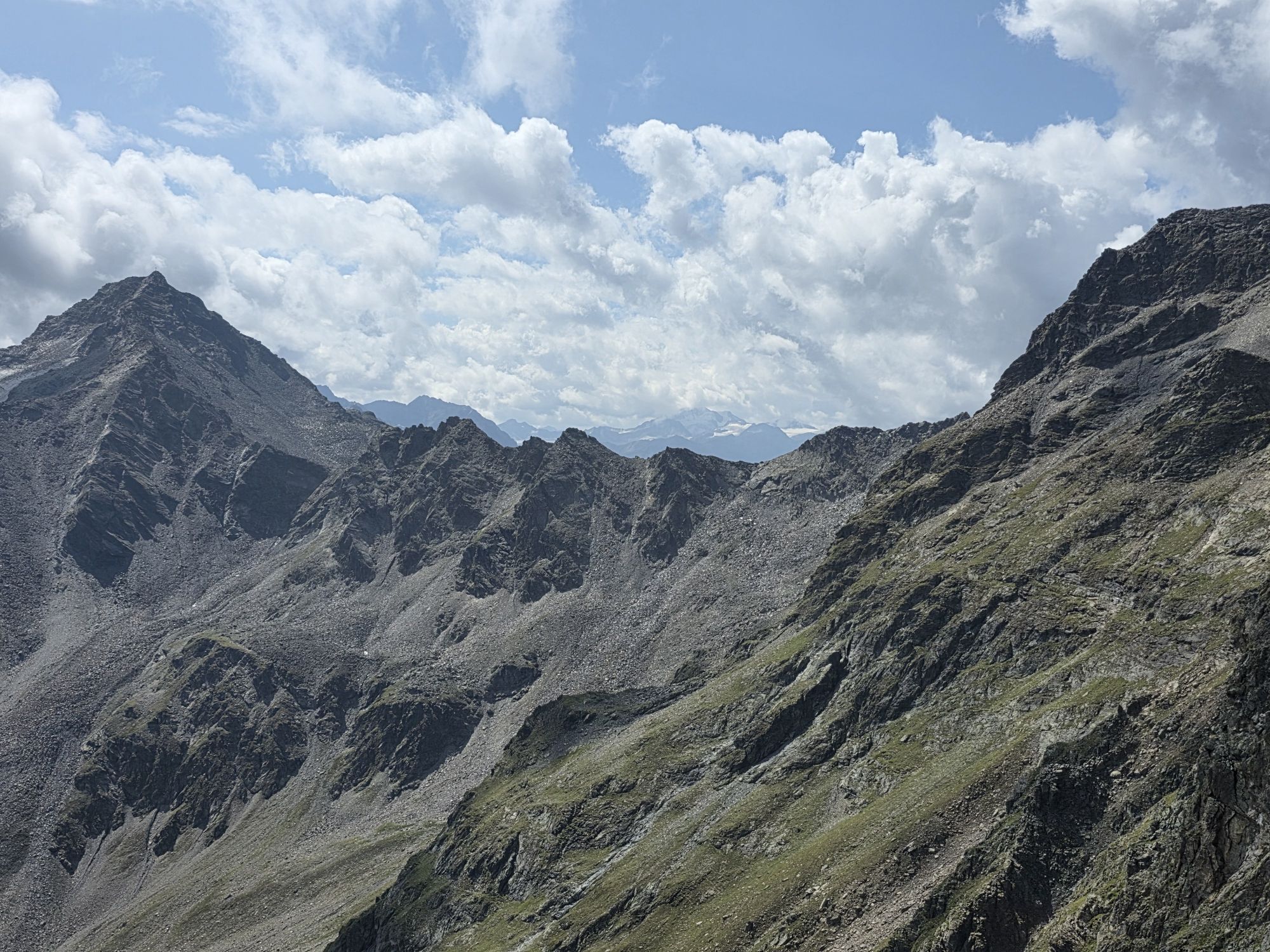
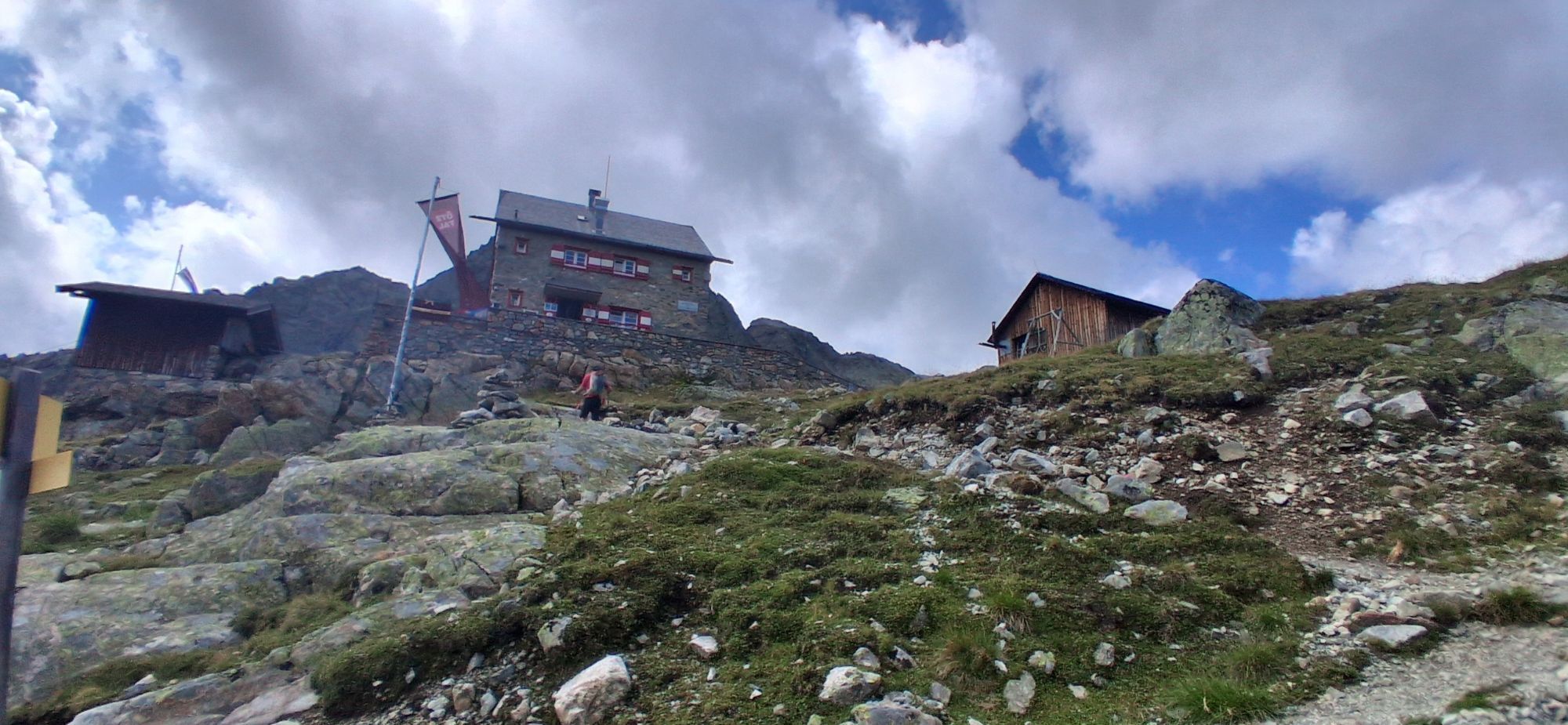
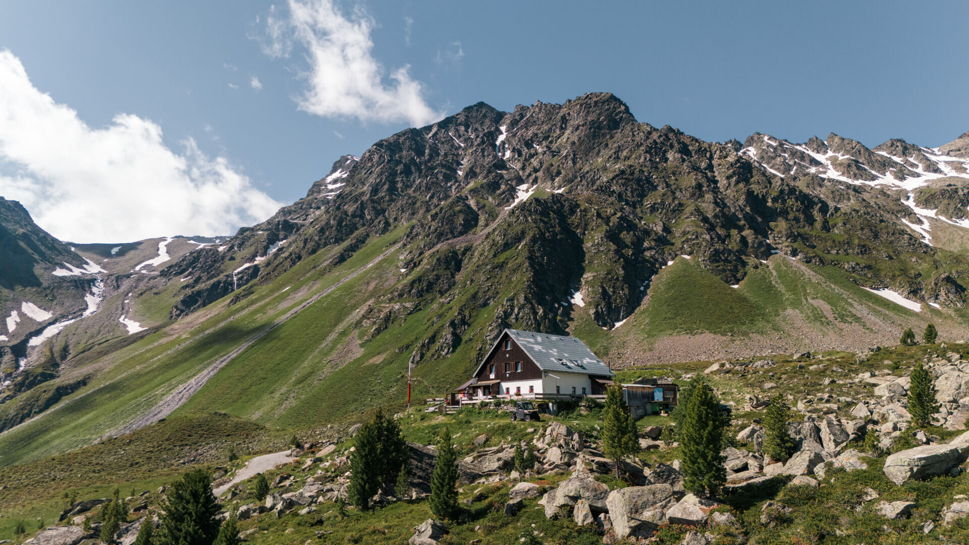
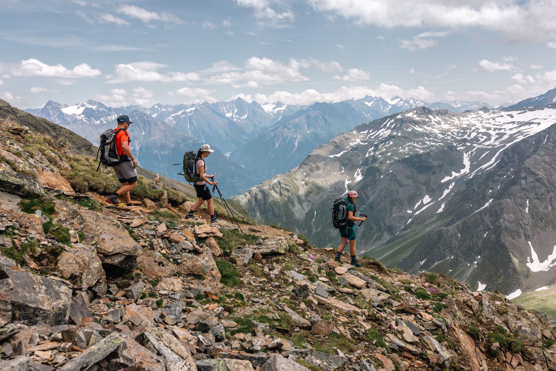
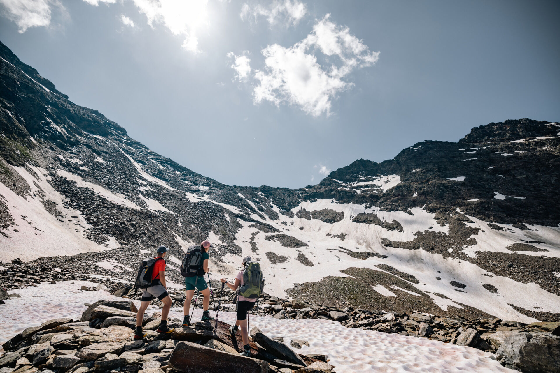
From the hut, you climb into the Funduskar and follow the well-prepared path in steep terrain upward to below the Fundusfeiler gully. The last 150 vertical meters from the Feilerscharte to the scenic Fundusfeiler (3,079 meters) are a must!
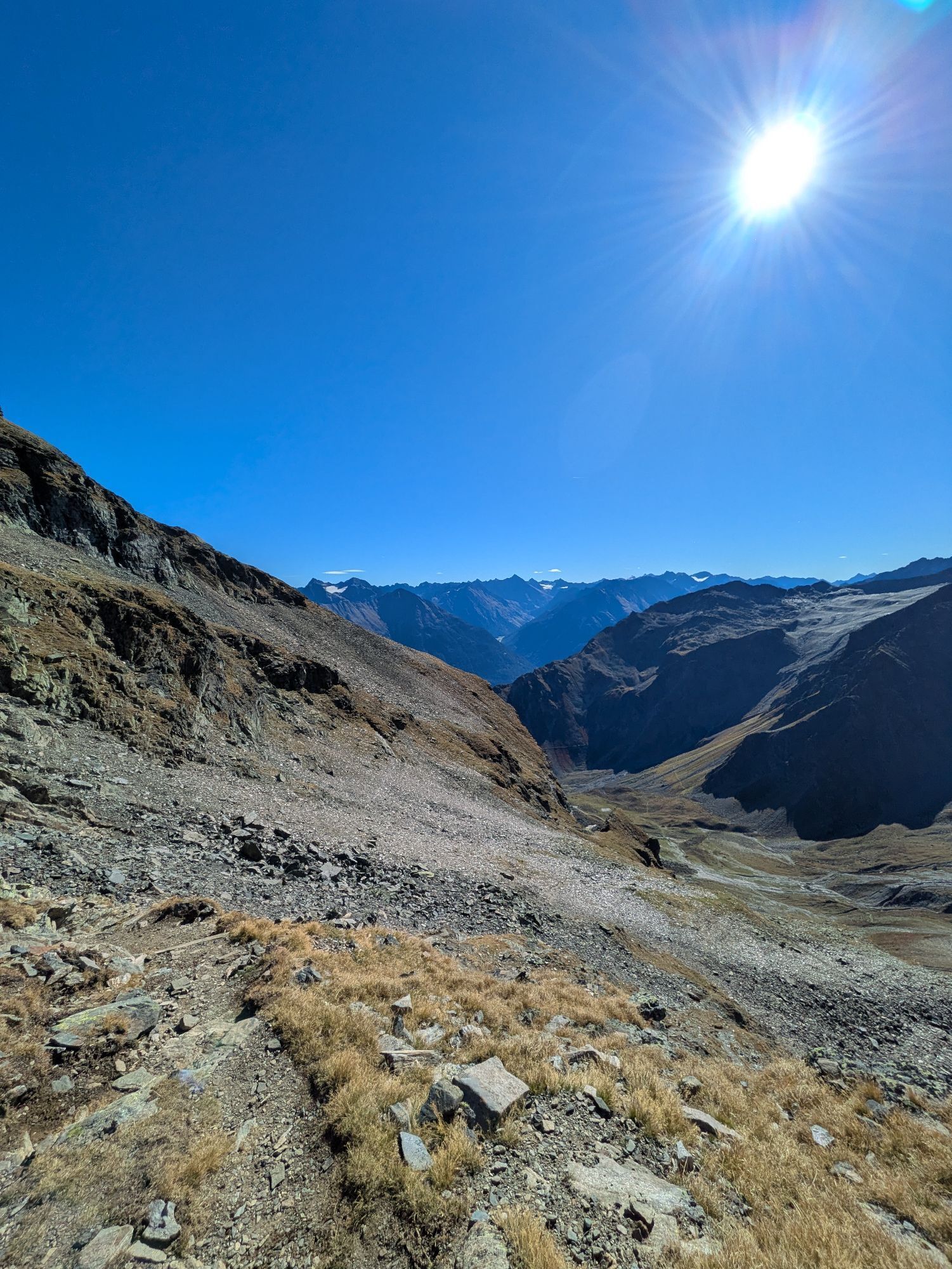
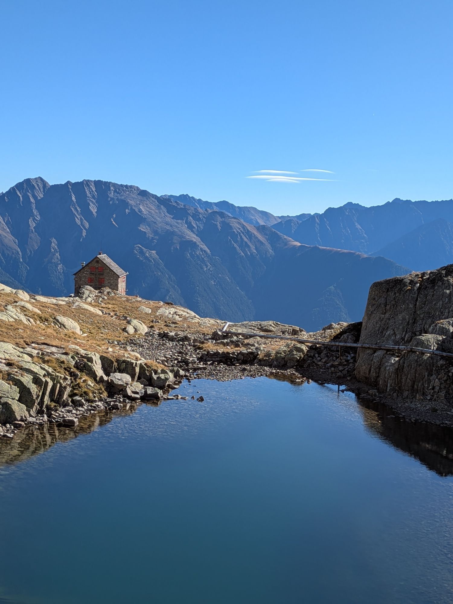
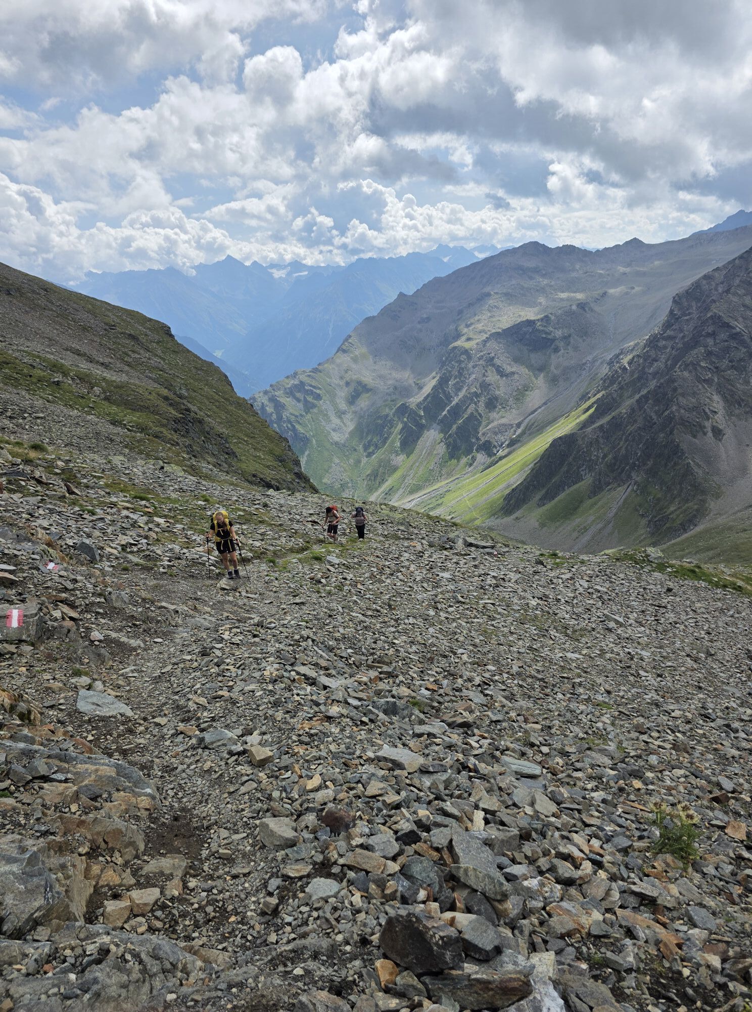
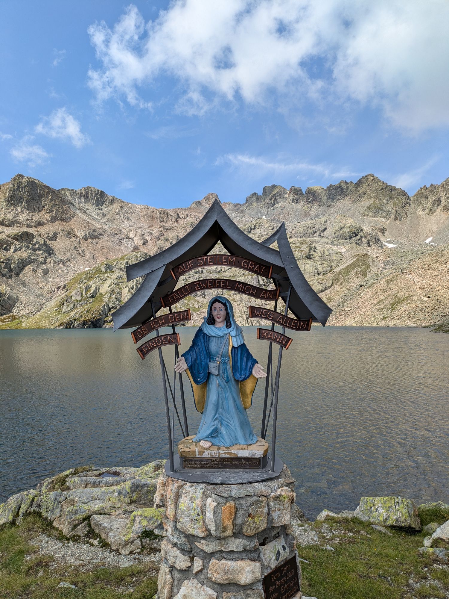
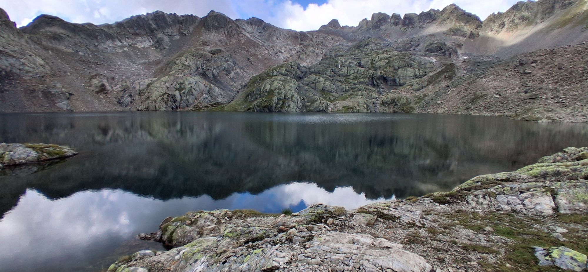
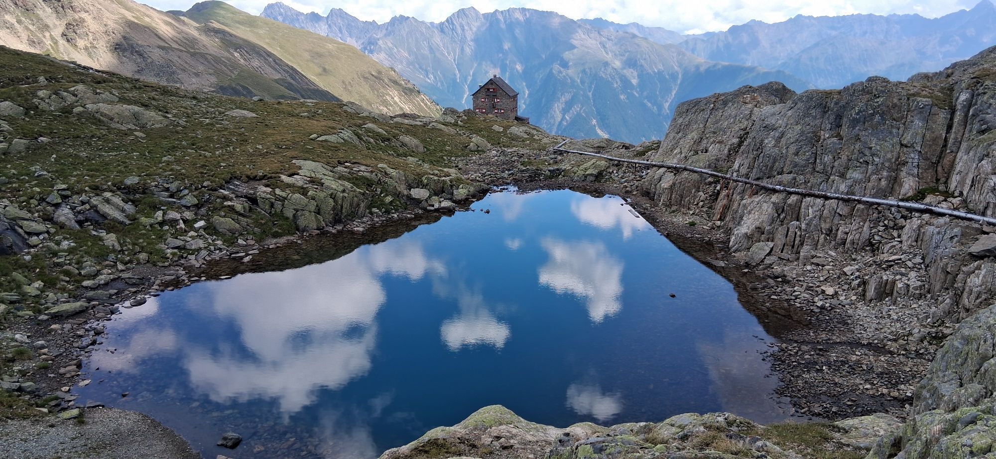
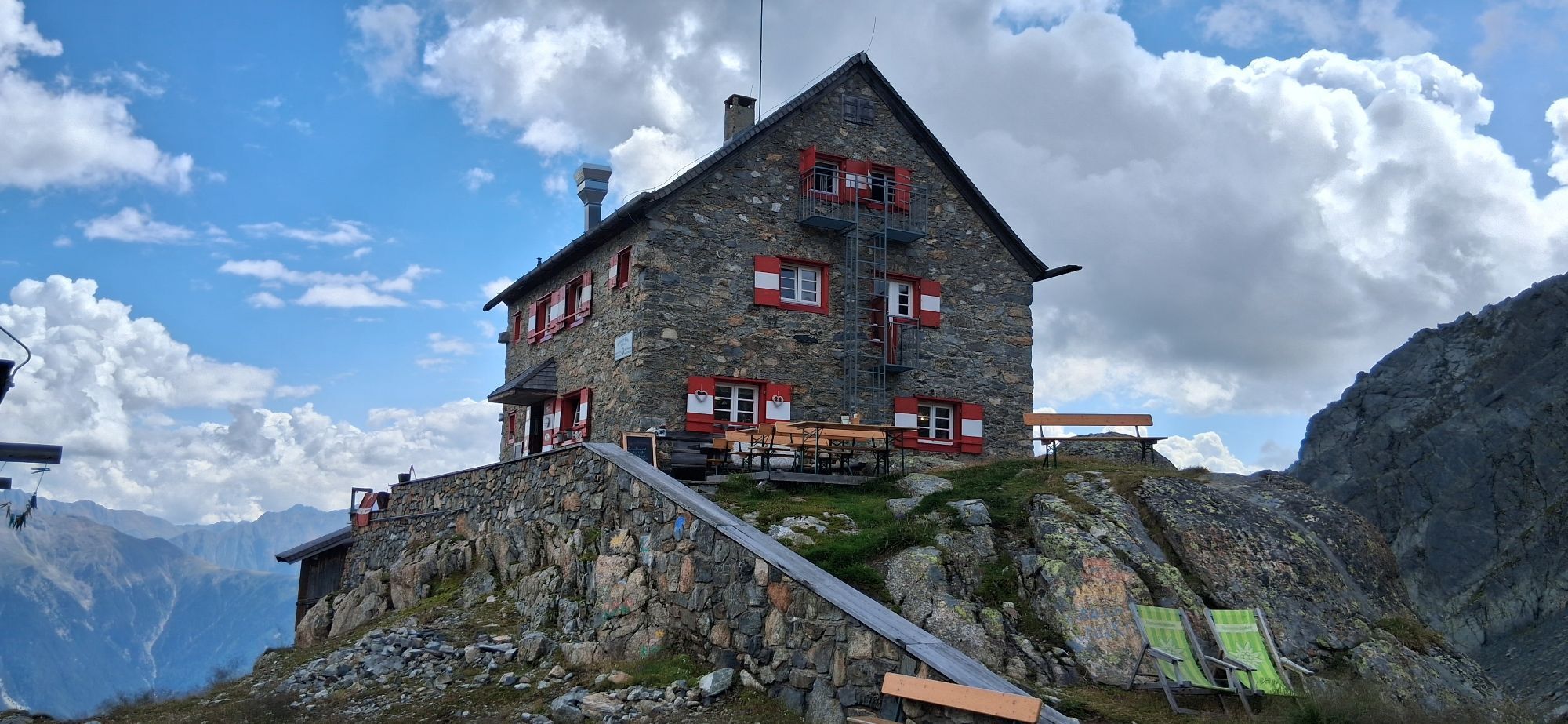
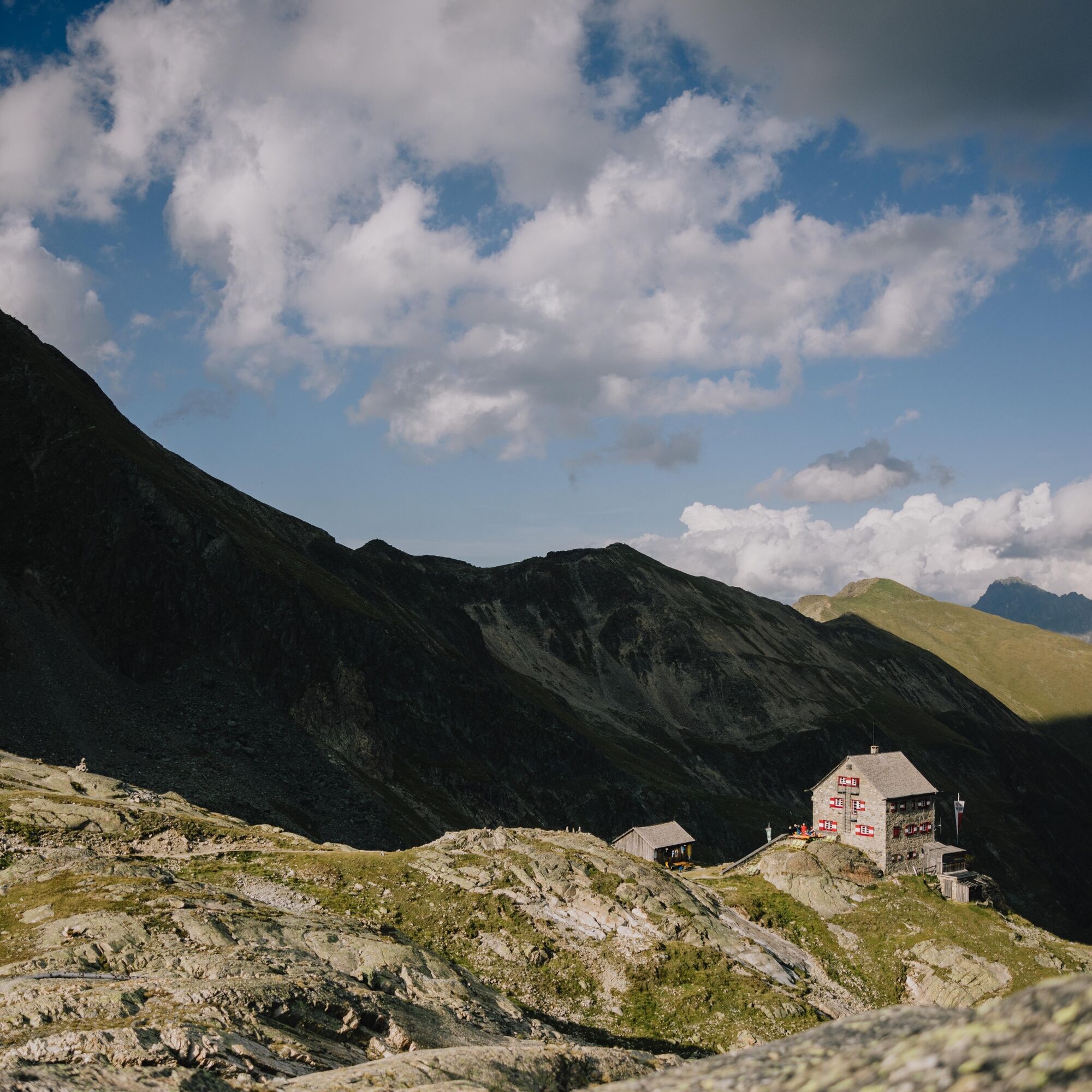
Then it goes north down into the so-called "Black Hole." Afterwards, at a route fork, keep right and walk through beautiful alpine terrain west above the Leierstal. The path then winds in switchbacks up a steep slope to a kind of saddle. Beyond that, the crystal-clear Wettersee appears. From there, you only walk a few more vertical meters downhill to the lake and reach the Erlanger Hut within a few minutes.
Appropriate equipment such as breathable and weather-adapted outdoor clothing is required for all hikes and routes. Carrying a first aid kit, a mobile phone, and possibly a hiking map, as well as sufficient provisions for hikes without dining options, is necessary.
Suitable for sure-footed, confident on steep terrain, and alpine-experienced mountaineers; very good physical condition, alpine experience and mountaineering equipment (see under equipment), sometimes alpine safety gear, good weather conditions recommended. Please pay attention to the current weather report.
Driving to the ÖTZTAL. Located in Tyrol, the ÖTZTAL branches off to the south as the longest side valley of the Eastern Alps. Traveling by car takes visitors through the Inn valley to the valley entrance and then further along the Ötztal. In addition to the toll motorway, country roads can also be used. With the route planner, you can quickly and conveniently determine your drive: To the route planner: https://www.google.at/maps
Travel comfortably and safely by train to the Ötztal train station. The final stop or exit point is the ÖTZTAL station. Afterwards, you can travel conveniently and quickly using public transport or local taxi companies throughout the valley to your desired destination.
The current bus schedule is available at: http://fahrplan.vvt.at
The following parking options are available in Umhausen:
- Mure parking lot | free of charge
- Bischoffsplatz parking lot | paid | multi-day tickets possible
- at the Engelswand climbing garden parking lot | no multi-day tickets possible
T5
Did you know that…
...the Waalweg in the Fundus once supplied water to Köfels?
More information about hiking in the Ötztal: www.oetztal.com/wandern
Stage 21 as a day route (reverse)
Hut taxi from Tumpen towards Armelen Hut (exit at Abzw. Gehsteigalm, approx. 1,600 m) - Erlanger Hut (2,541 m) - Fundusfeiler (3,079 m) - Frischmann Hut (2,192 m) - Descent to Hintere Fundusalm (1,964 m), from here hut taxi to Umhausen
Please note that the start and end points are not the same. If possible, use public transport or make sure you can get back to your car at the end of your hikes.
DAY TIP
Frischmann Hut (2,192 m) – Waalweg Fundus - Frischmann Hut (2,192 m)
From the Frischmann Hut, the path begins in the rear Fundustal, leads eastward to Köfler Scharte at 2,088 meters, and continues to the rear Fundusalm. The Waalweg in the rear Fundustal is probably unique due to its exposed location above the tree line and terrain (over 50% consists of primary rock debris).
Difficulty, walking time: easy hike; 1.35 h
Elevation gain: 120 m ascent and descent
Webové kamery z prohlídky



Oblíbené prohlídky v okolí
-
4.7
Winnebachsee Hut – Längenfeld/Gries
středníTuristika 4.74 km -
4.7
Winter circular route Brandalm/Burgstein - Längenfeld 204
středníZimní turistika 5.44 km -
4.4
Hike Stuibenfall - Umhausen
světloTuristika 2.95 km -
4.4
Stuibenfall Umhausen circular hike
světloTuristika 9.32 km -
4.5
Oetz - Piburger See - Oetz
středníTuristika 7.16 km -
4.5
Hohe Geige über Gawinden und den Westgrat
heavyTuristika 14.3 km -
4.5
KÜHTAI: Kühtai (2020) - Sulzkogel (3016) - Mute (2398)
středníVysokohorská turistika 15 km -
4.4
Rundwanderung Hängebrück3
světloTuristika 6.32 km -
4.3
Umhausen - Stuibenfall - Umhausen
středníTuristika 7.94 km -
4.9
"Miners trail"
středníTuristika 10.8 km
Pěší turistika a stopování


Nenechte si ujít nabídky a inspiraci pro vaši příští dovolenou
Vaše e-mailová adresa byl přidán do poštovního seznamu.





