
European E5 long-distance hiking trail – King's Segment – Vent to Obergurgl (alternative route)
heavy
Pořiďte si tuto prohlídku do mobilního telefonu
European E5 long-distance hiking trail – King's Segment – Vent to Obergurgl (alternative route)
heavy
dálková pěší trasa
20.24
km
Naskenujte QR kód a spusťte navigaci v aplikaci bergfex.


Pěší turistika a stopování




European E5 long-distance hiking trail – King's Segment – Vent to Obergurgl (alternative route)
heavy
Vzdálenost
20.2
km
Doba trvání
09:30
h
Ascent
1519
hm
Hladina moře
1883 -
3167
m

Navigujte po trase v aplikaci
Nainstalujte si aplikaci zdarma a mějte trasu vždy na očích díky GPS navigaci a sledování polohy.
Využijte nyní službu „ bergfex “ v aplikaci
Naskenuj QR kód pomocí fotoaparátu
Jakmile je aplikace nainstalována, obsah se otevře přímo. Pokud aplikaci ještě nemáš, budeš přesměrován na stránku, kde si ji můžeš zdarma stáhnout.
Úroveň obtížnosti: T4
Stažení skladby
European E5 long-distance hiking trail – King's Segment – Vent to Obergurgl (alternative route)
heavy
dálková pěší trasa
20.24
km
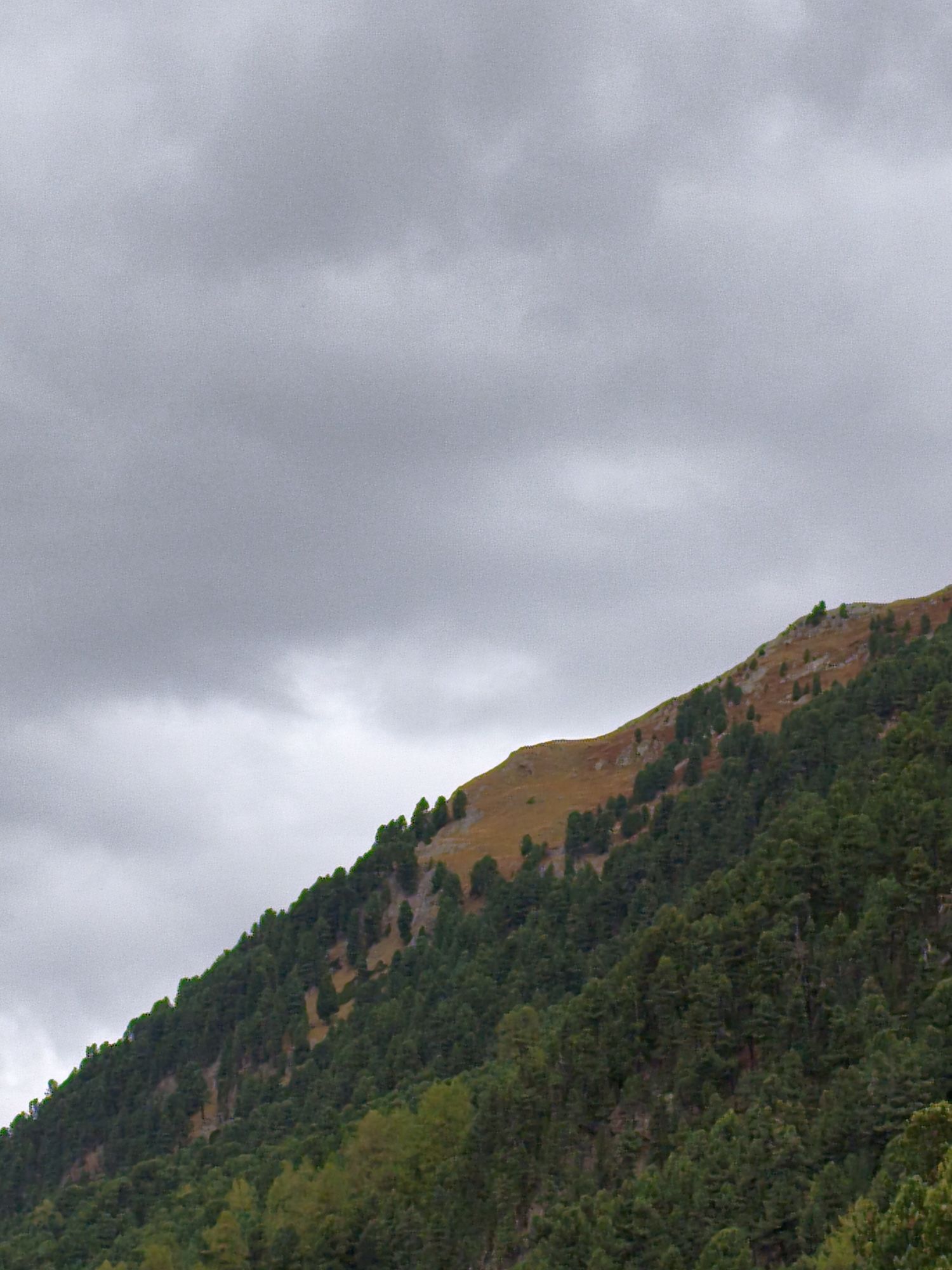
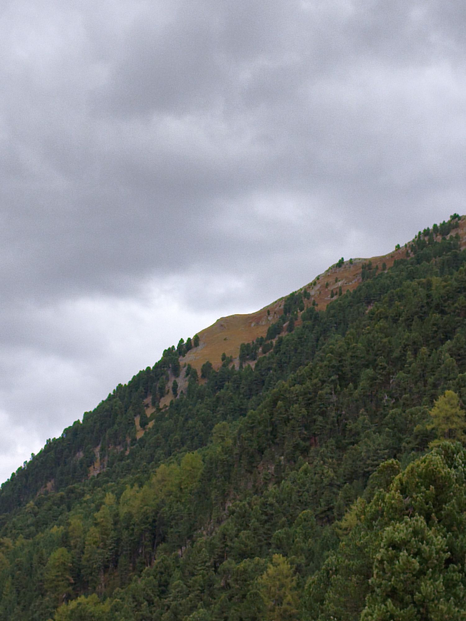
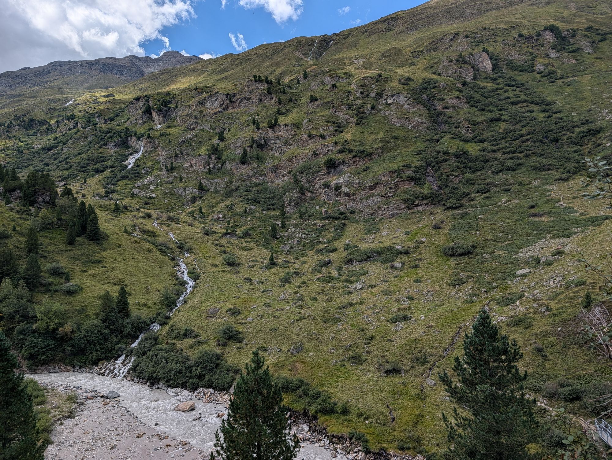
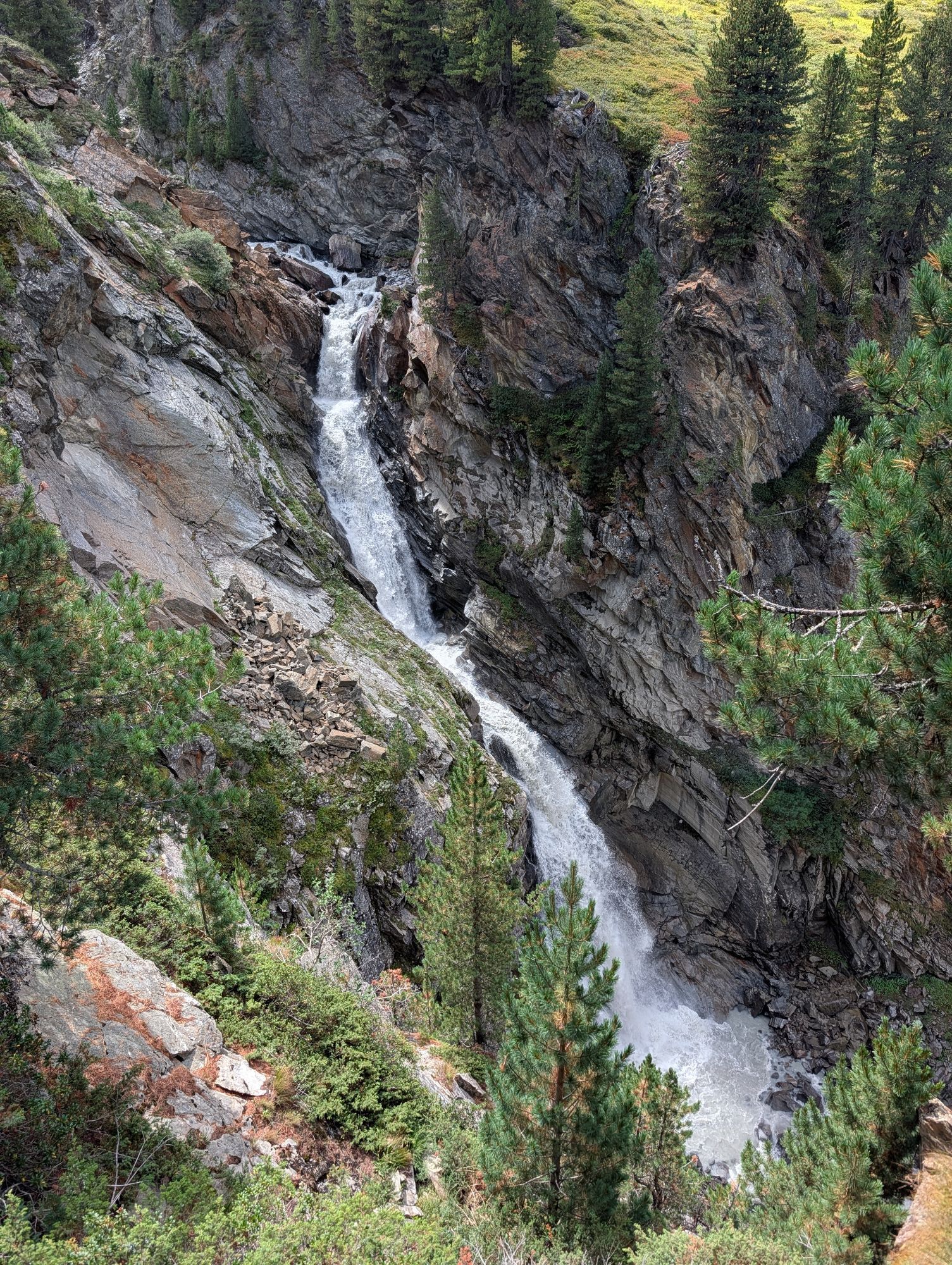
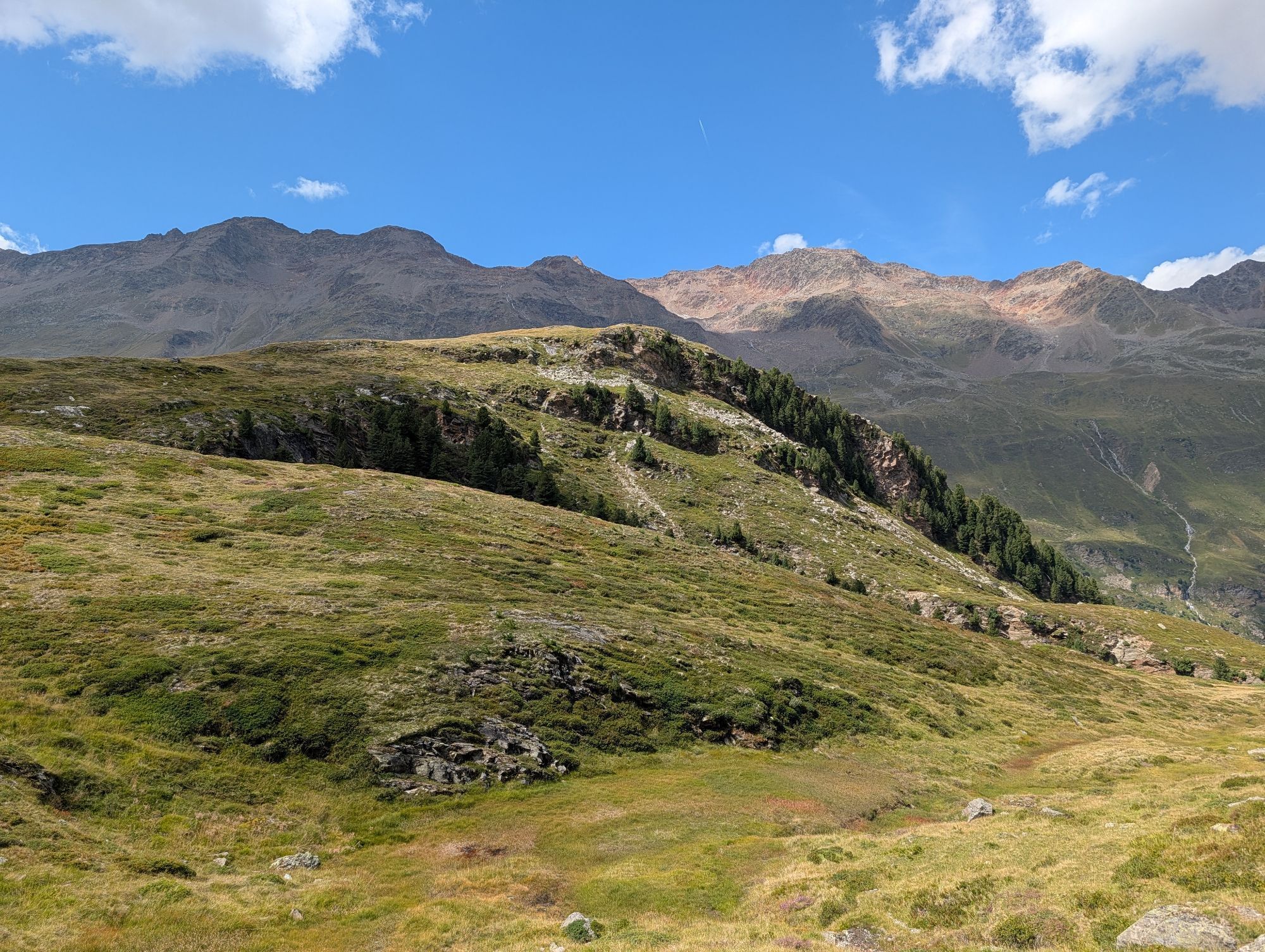
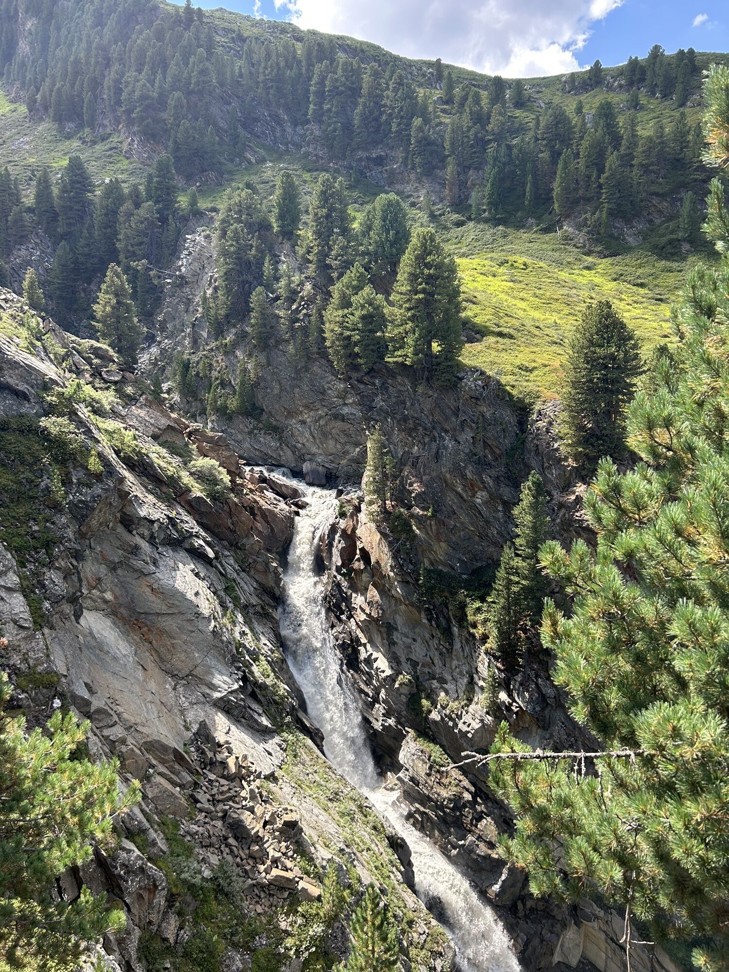
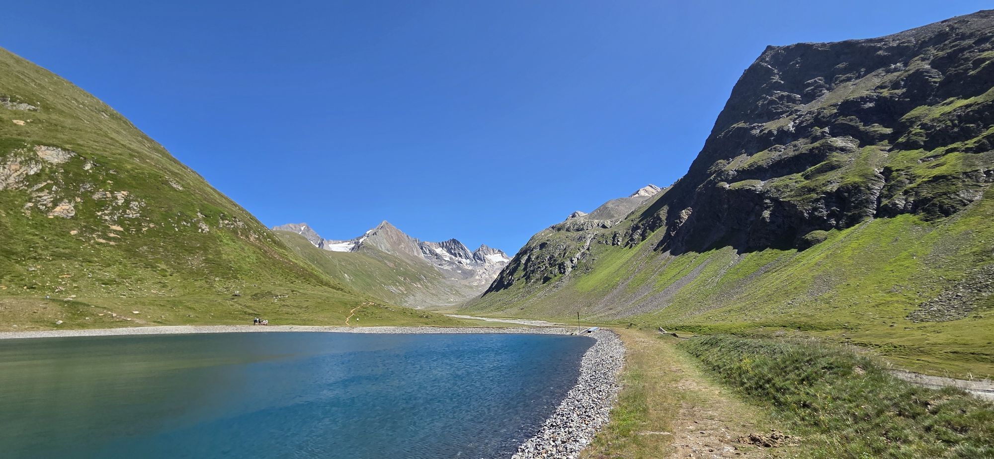
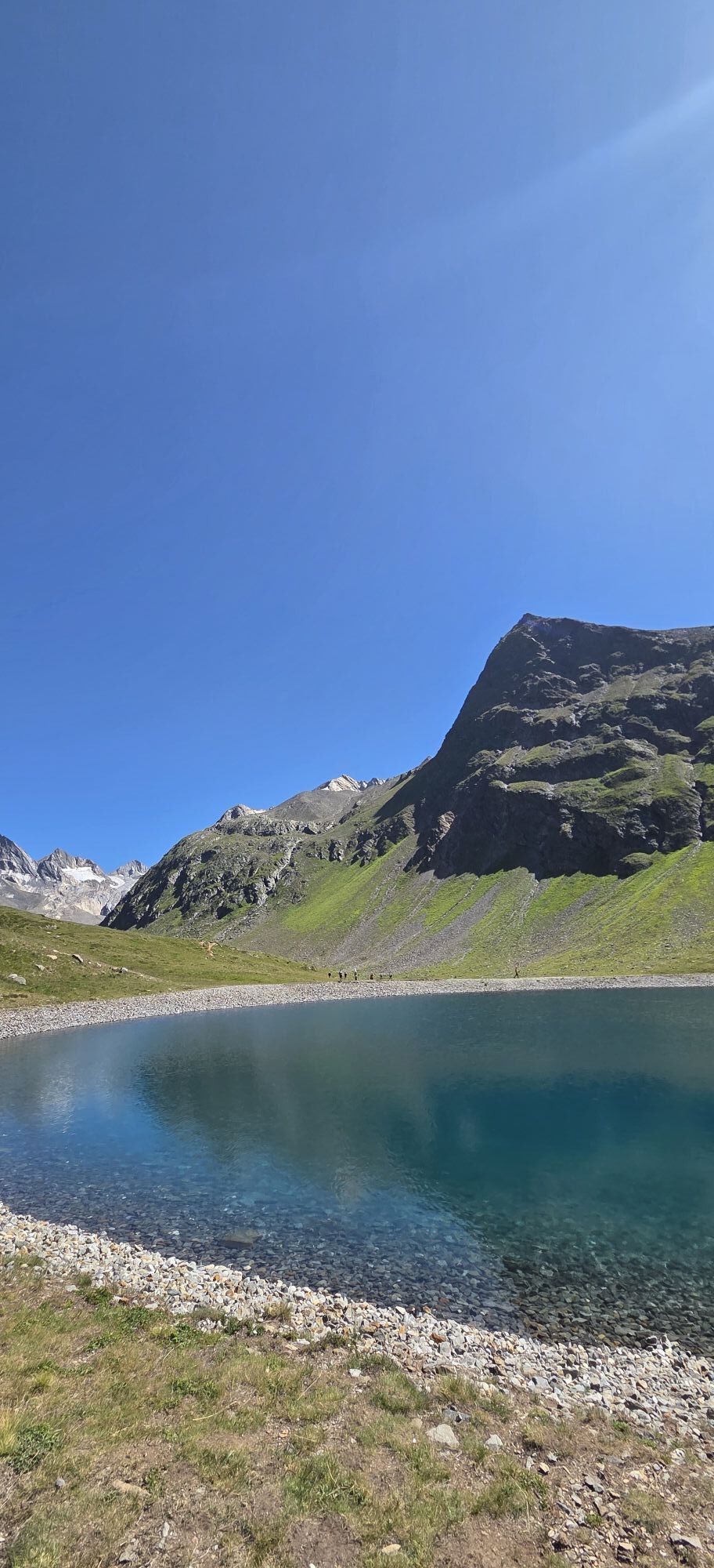
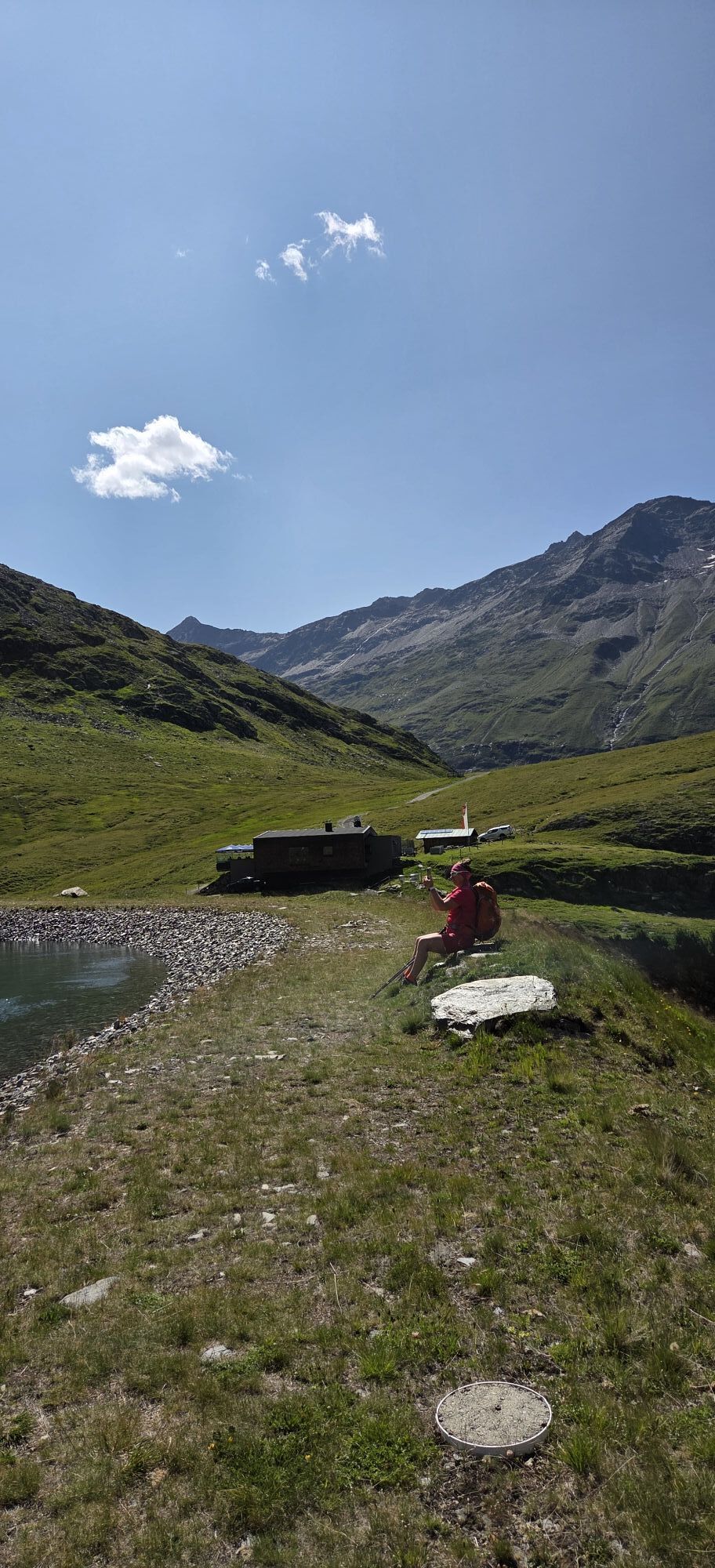
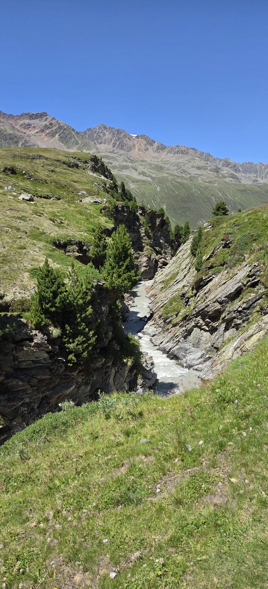
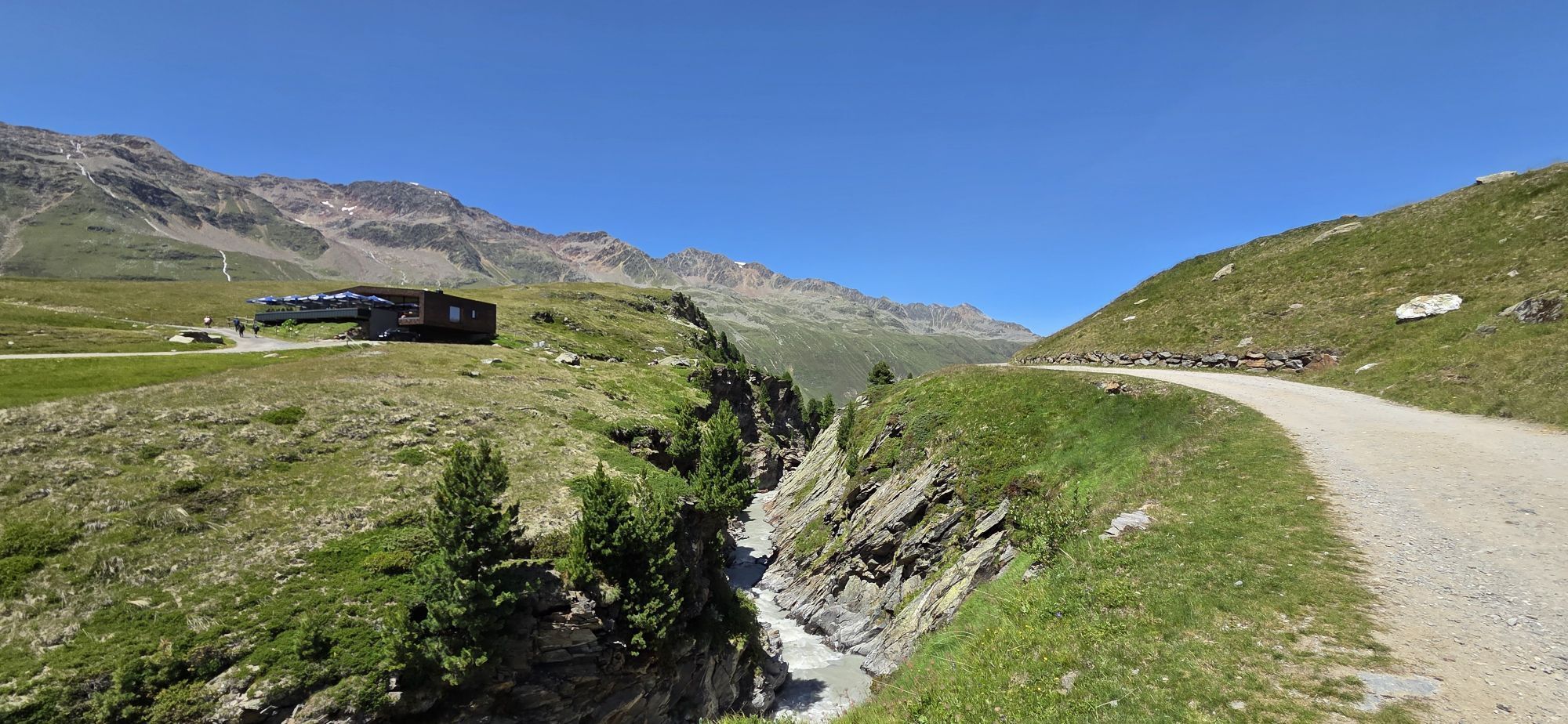
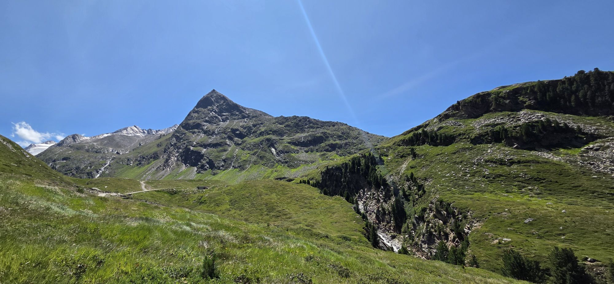
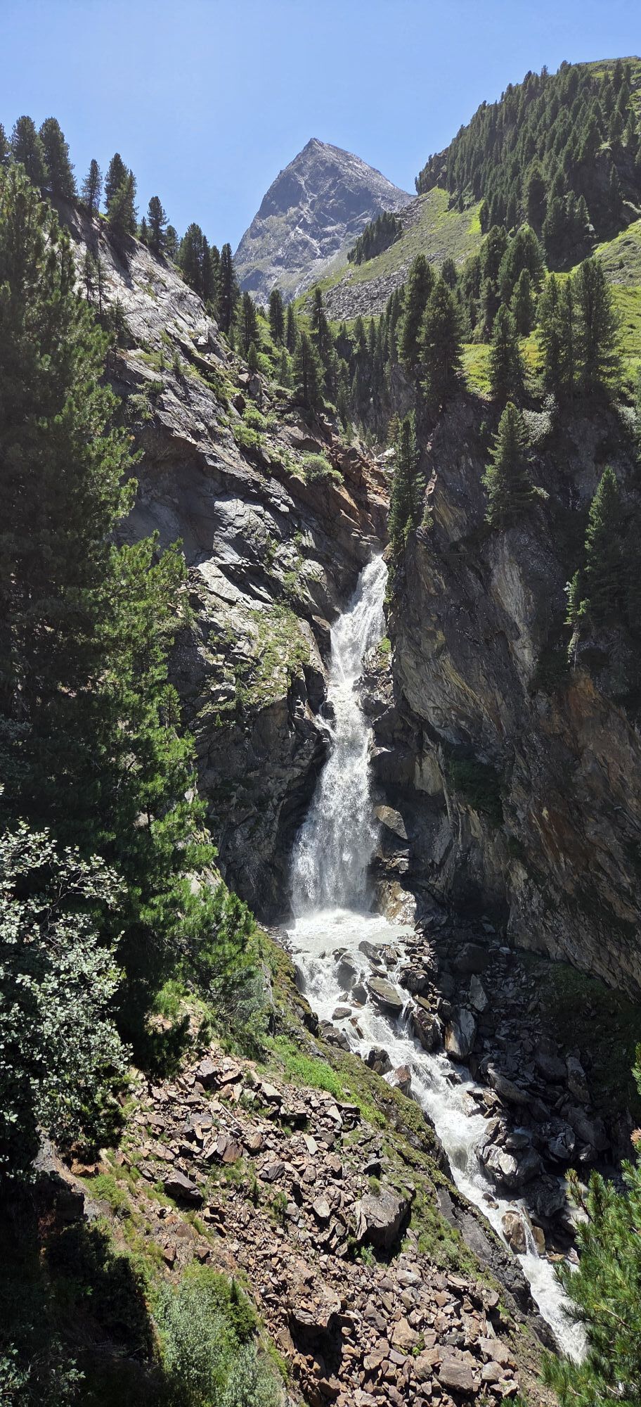
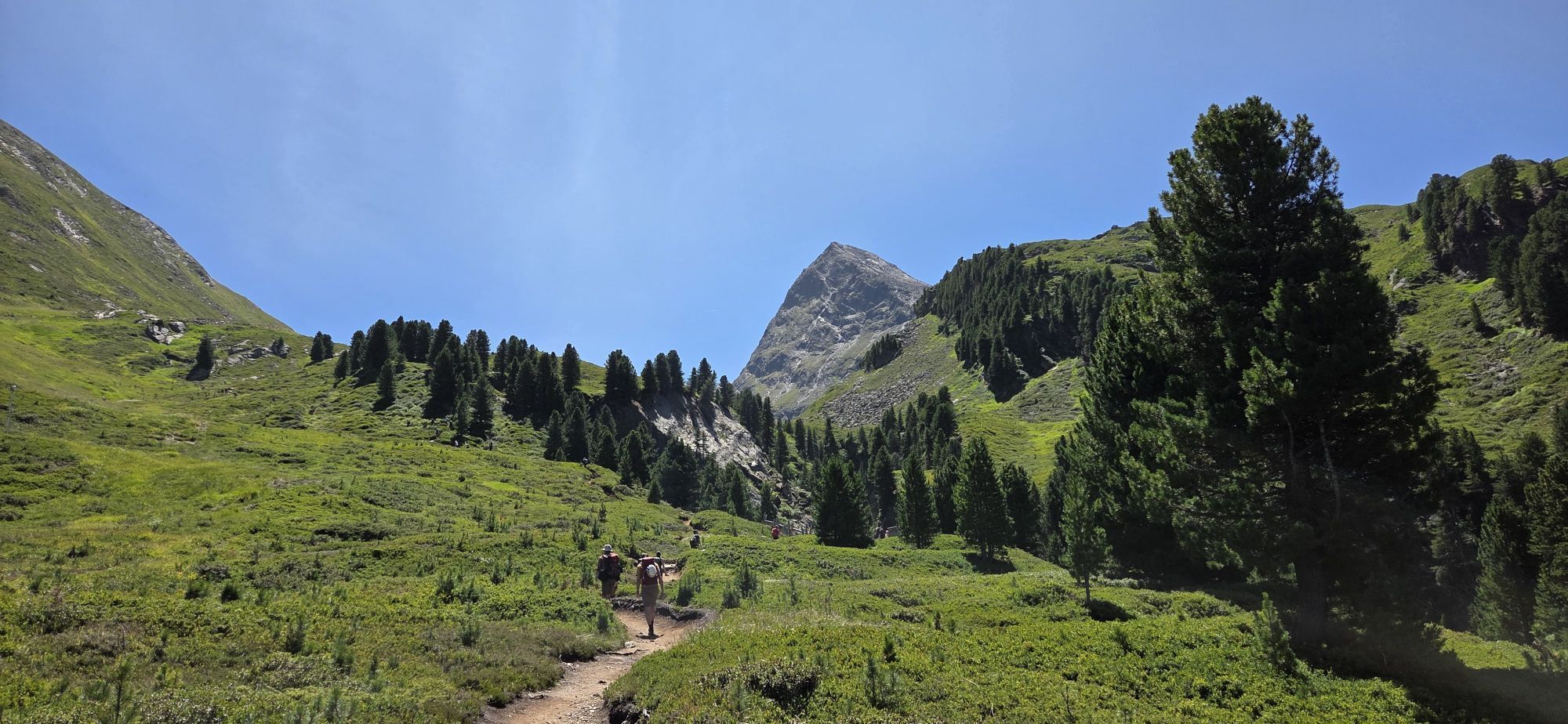
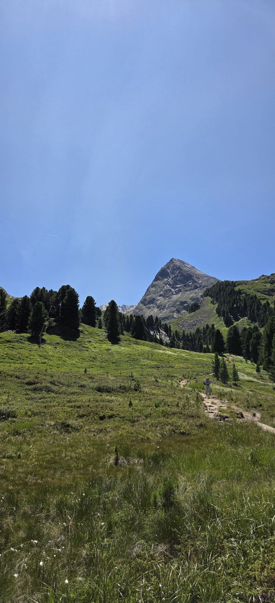
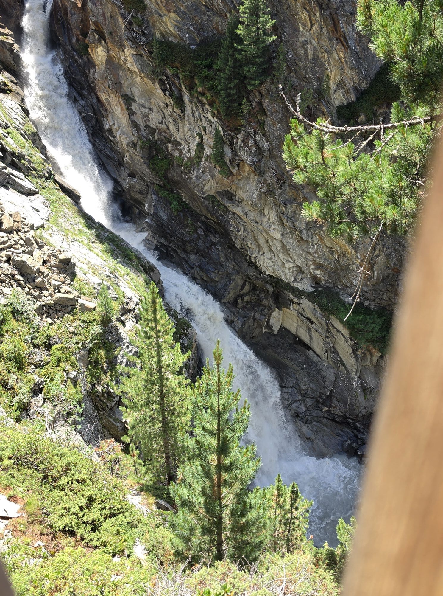
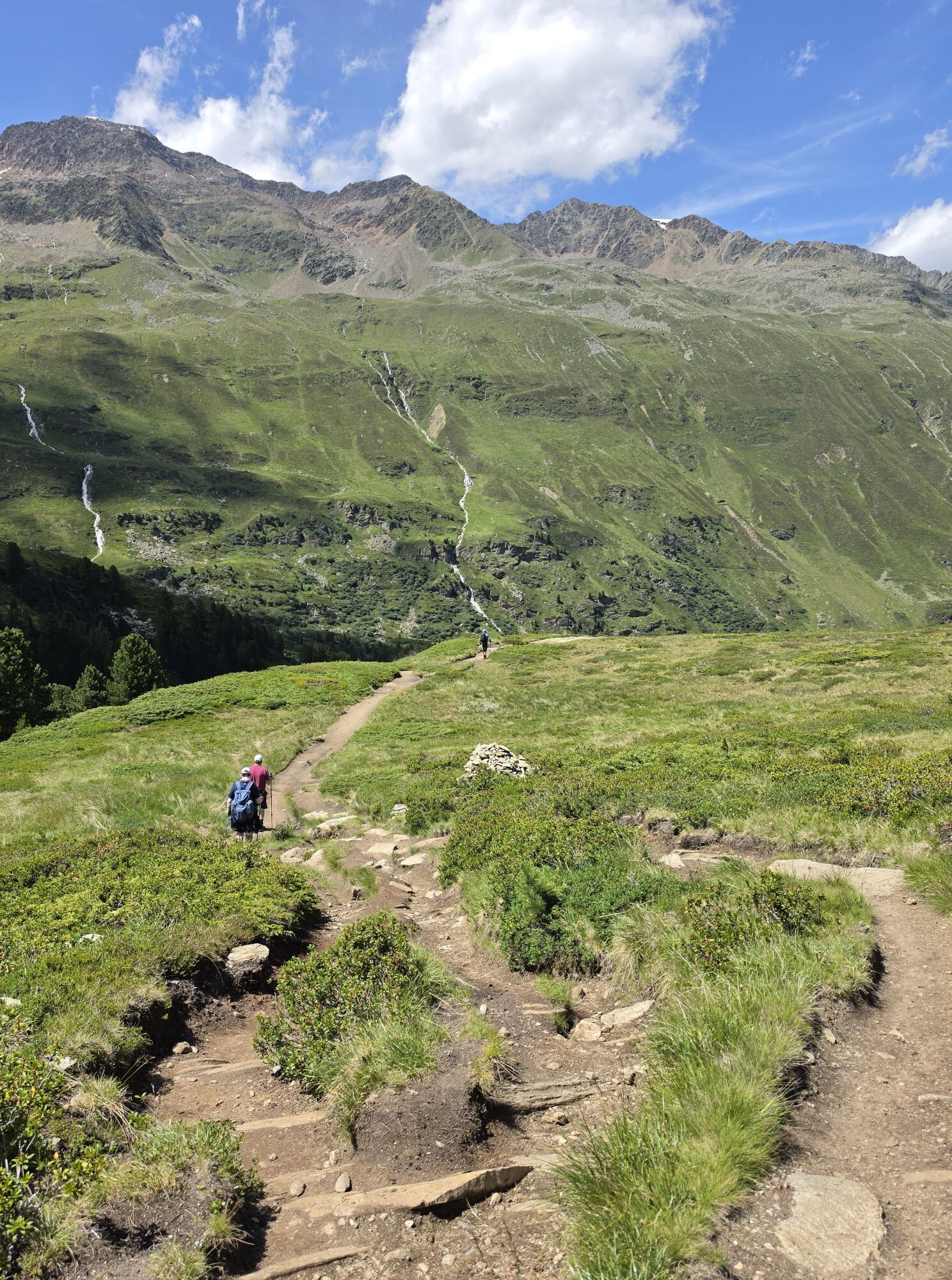
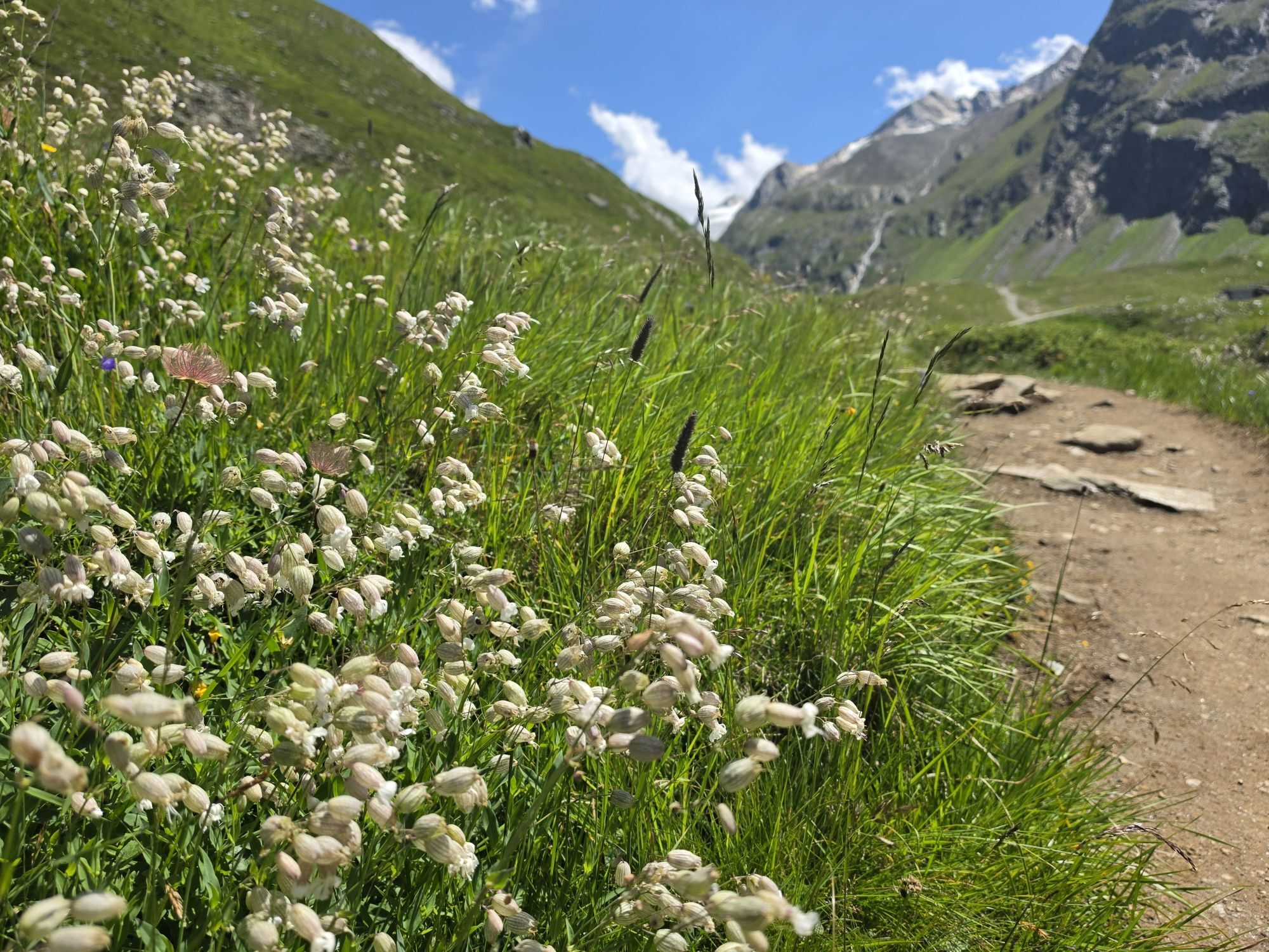
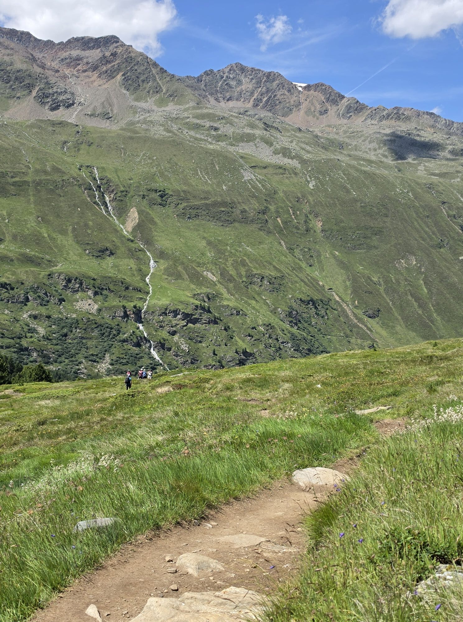
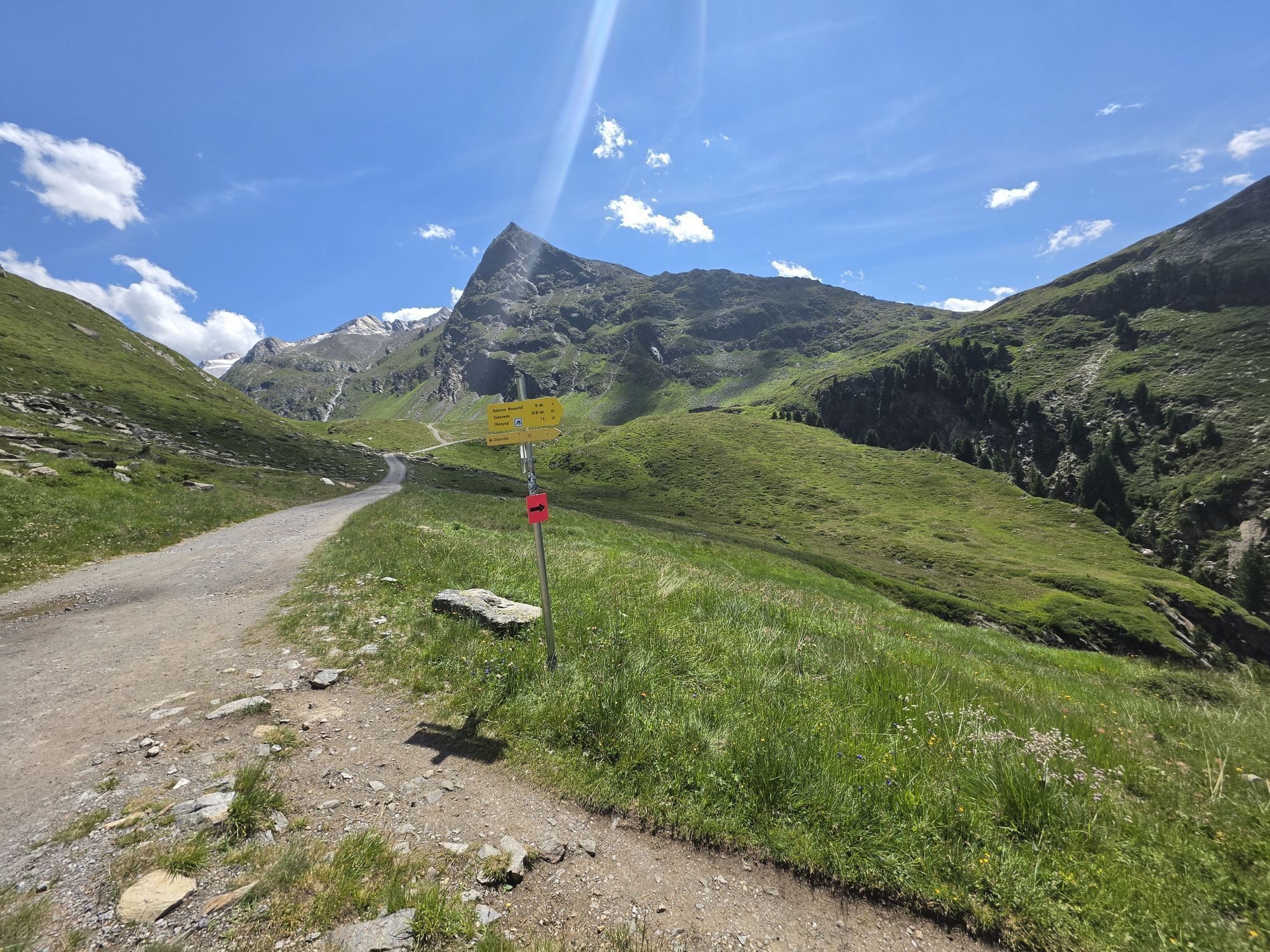
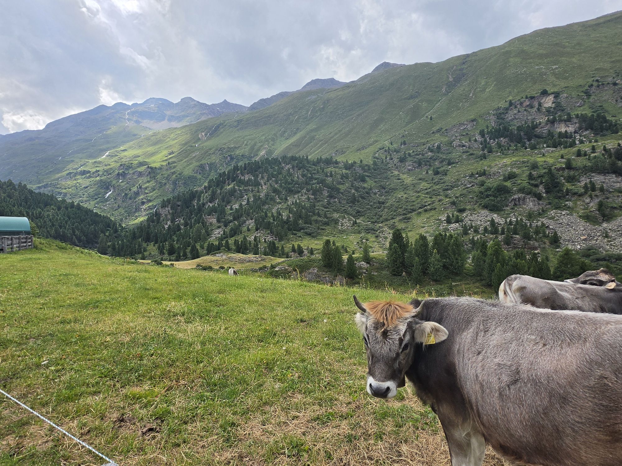


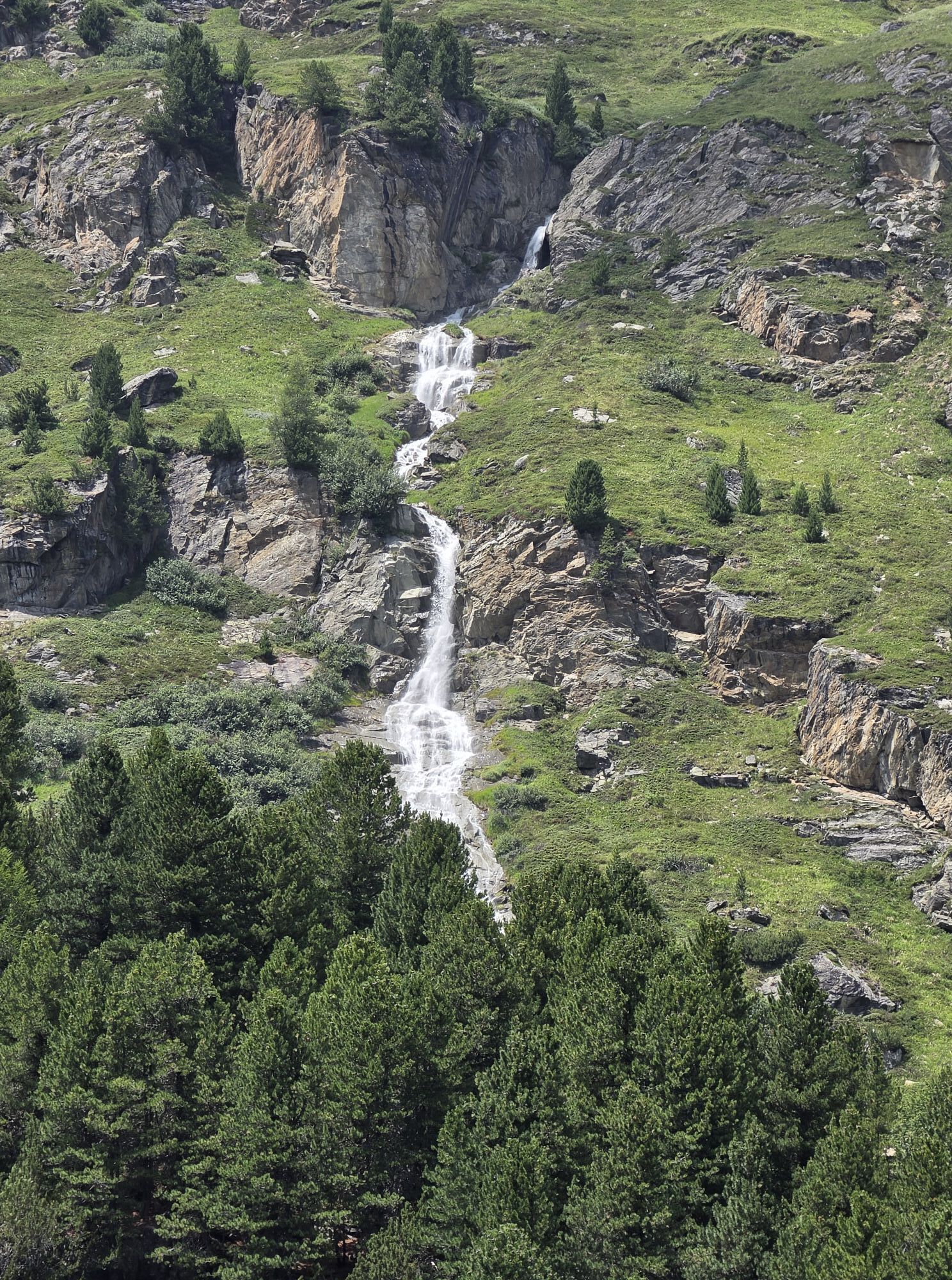

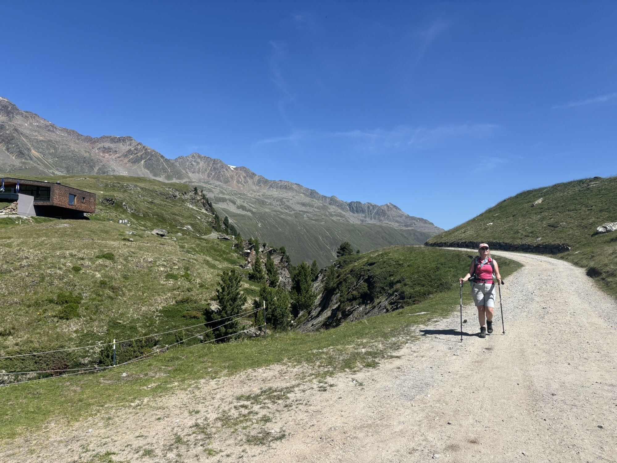
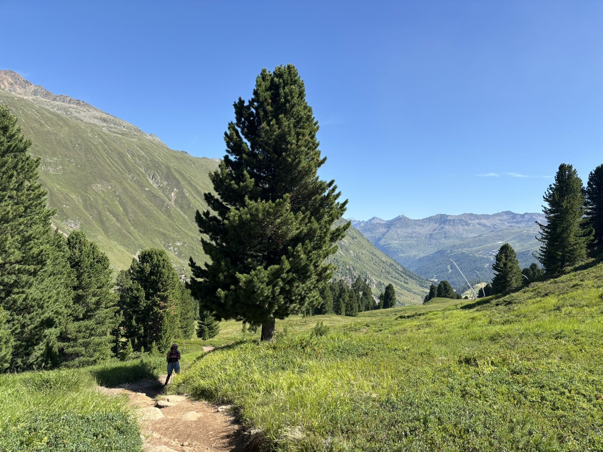

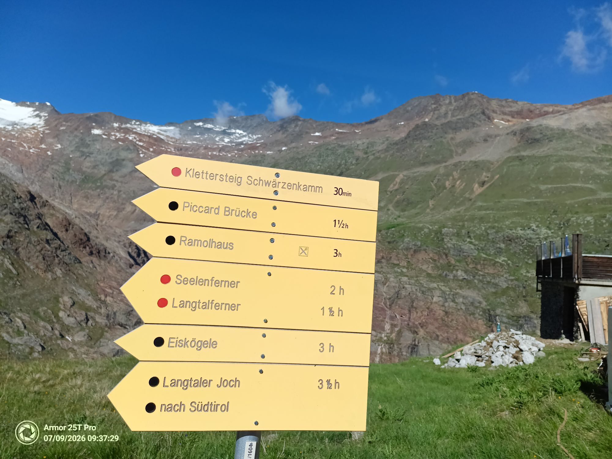
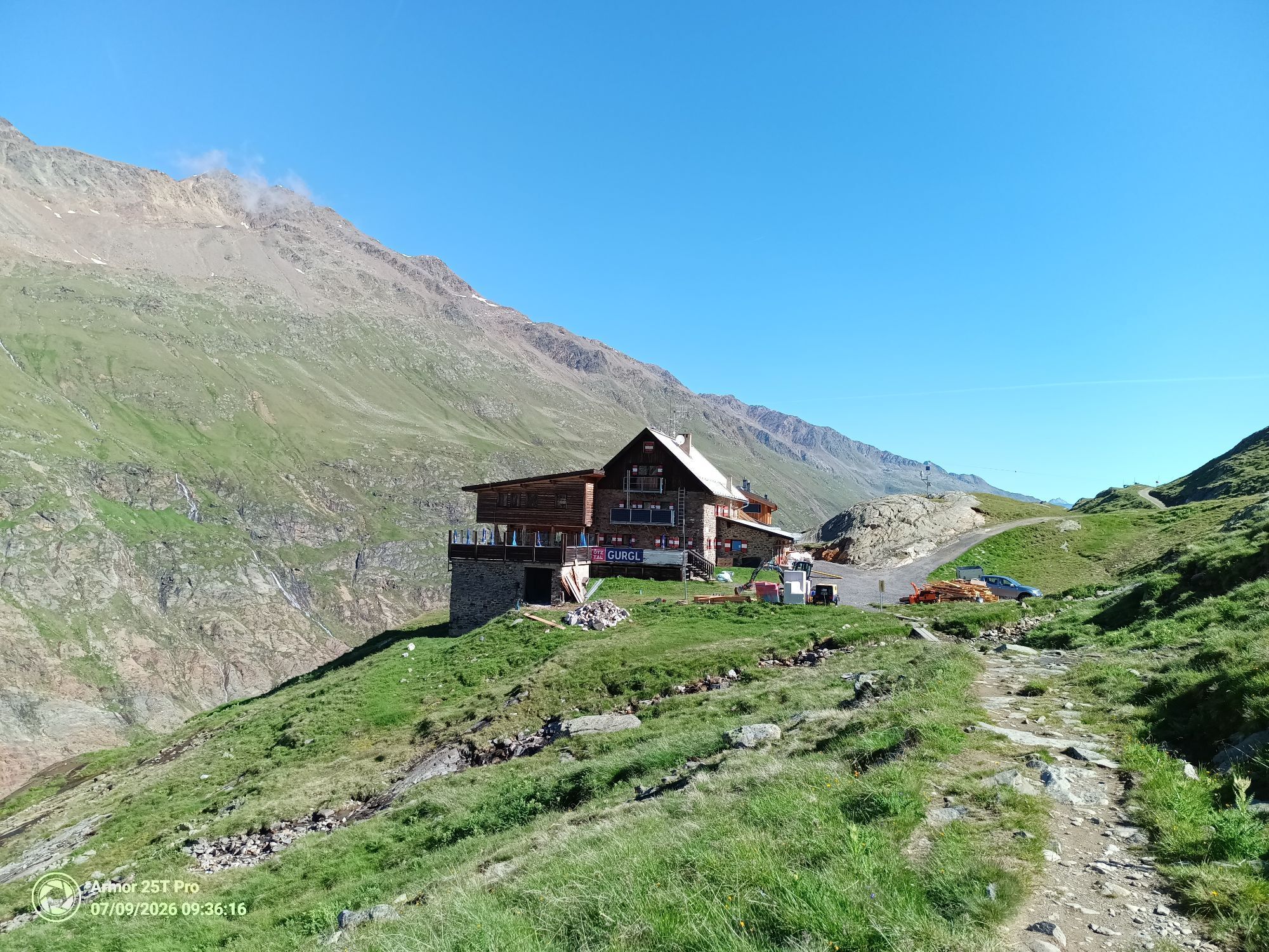


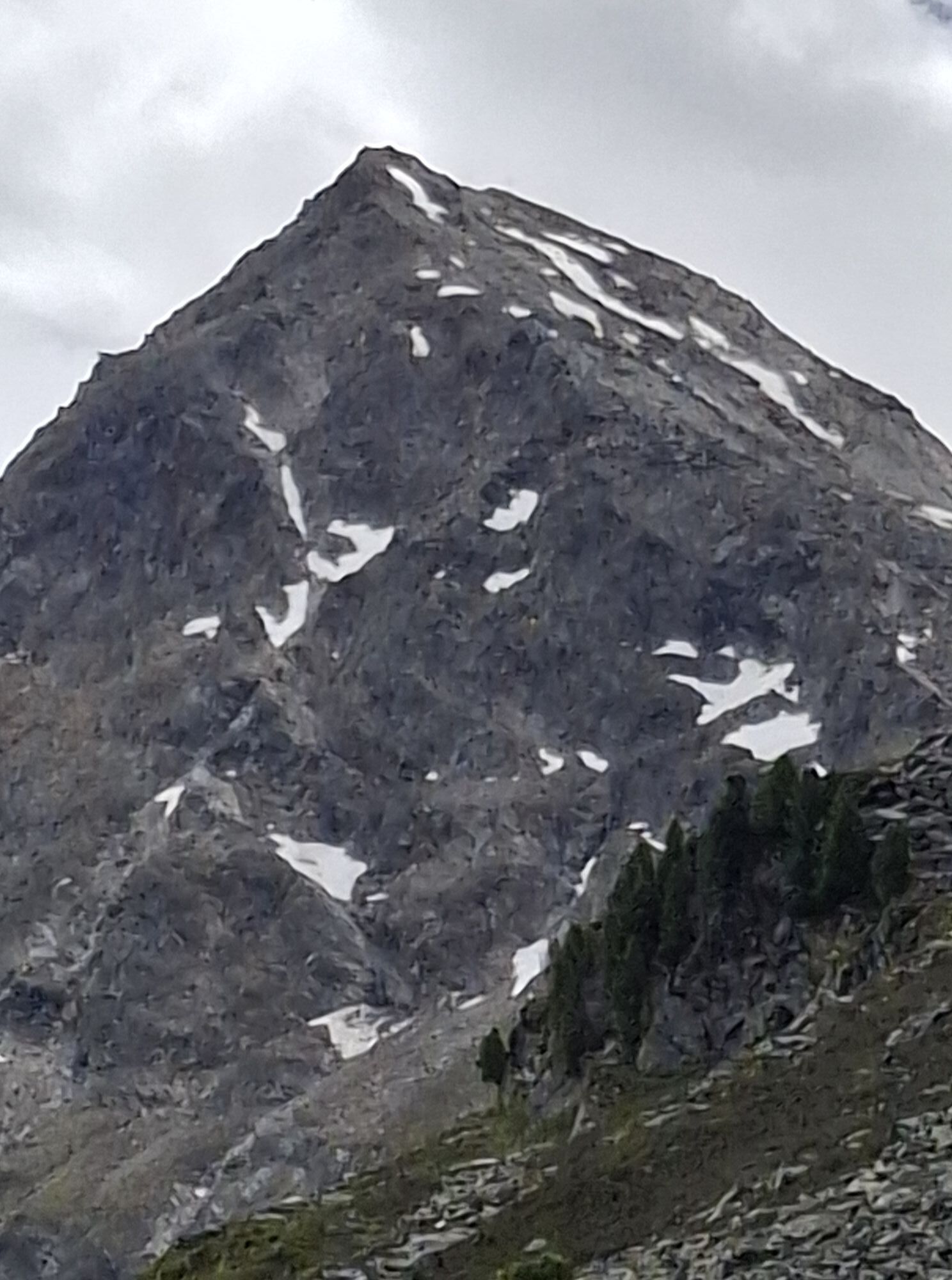
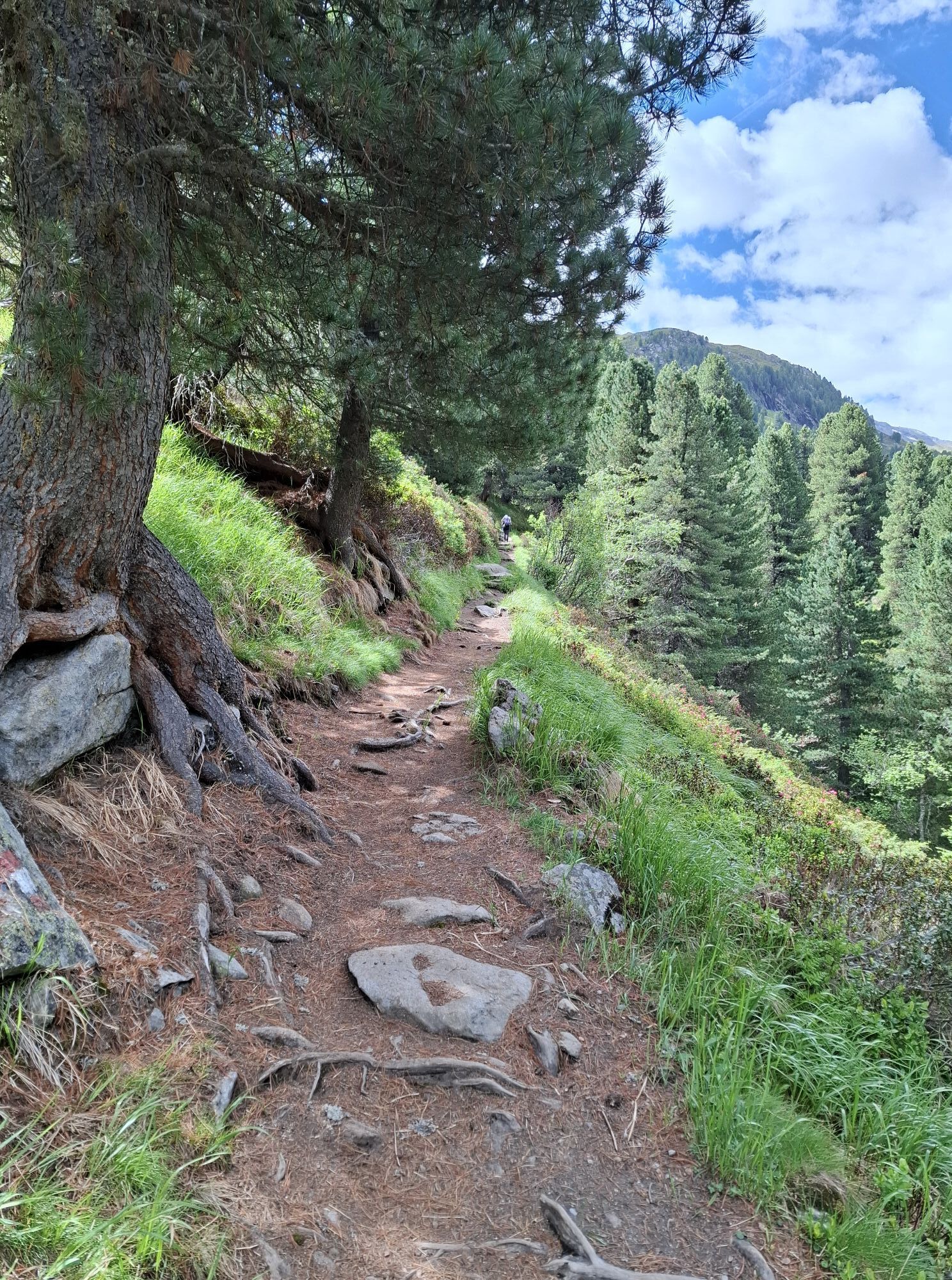
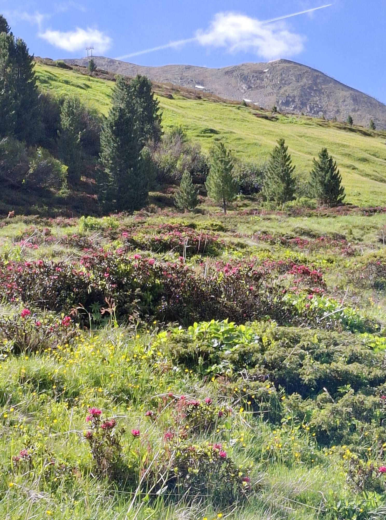
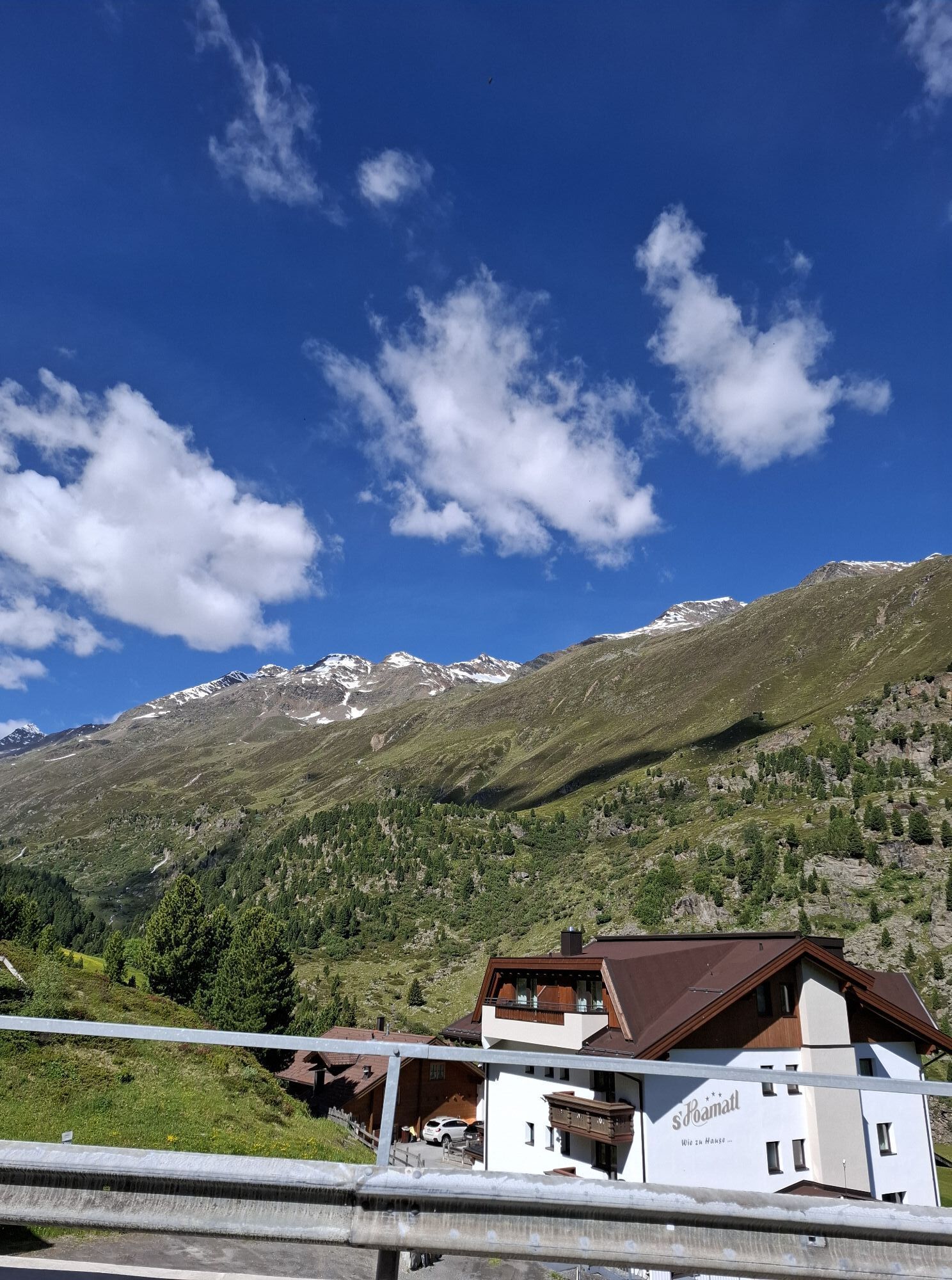
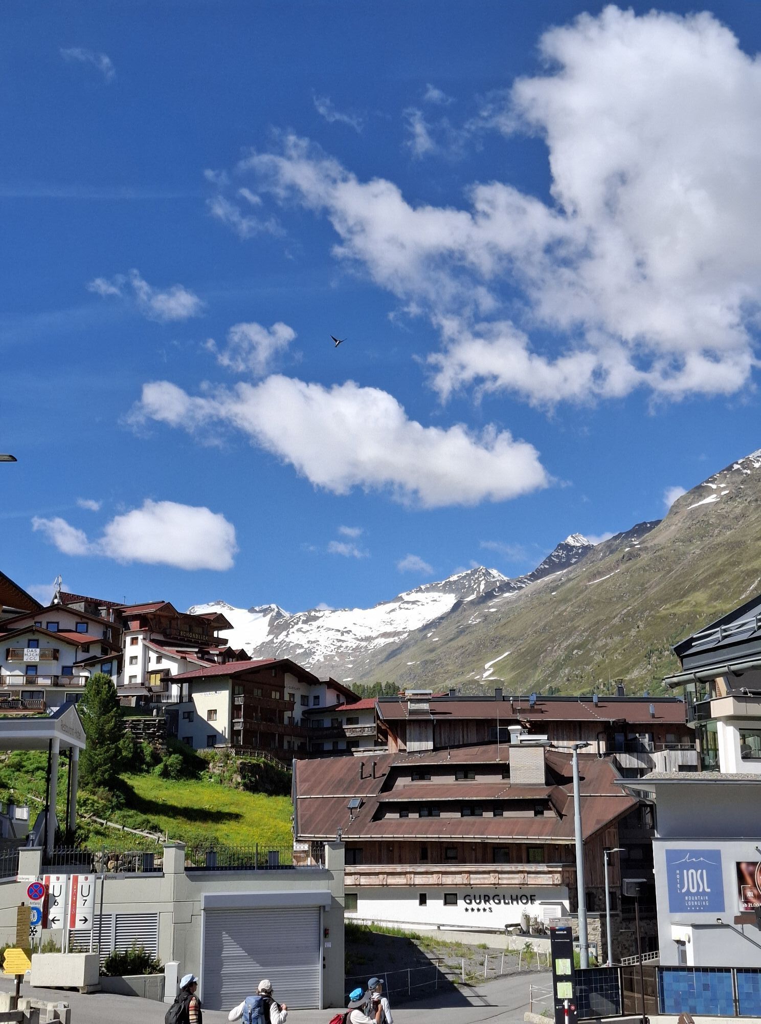
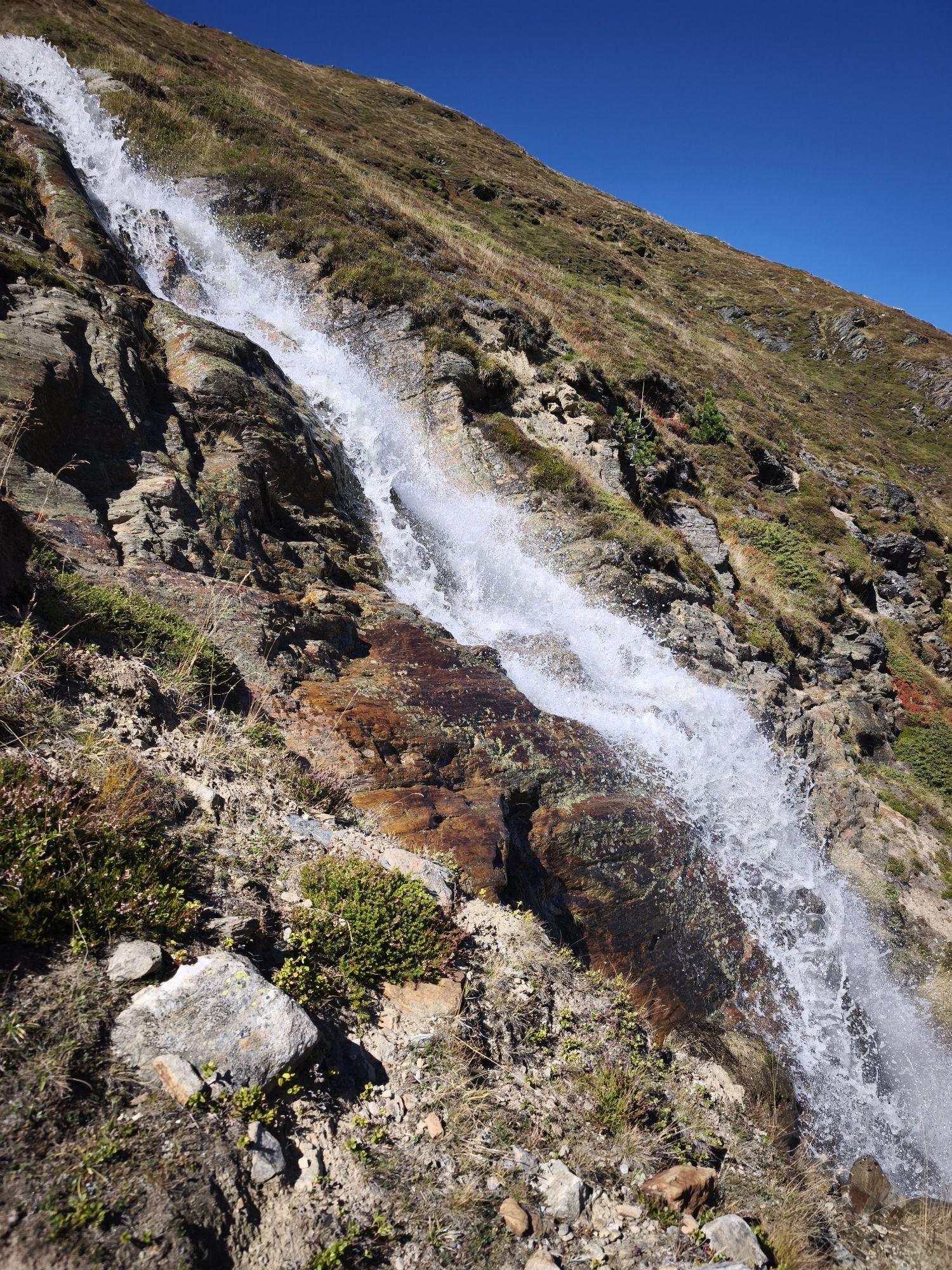
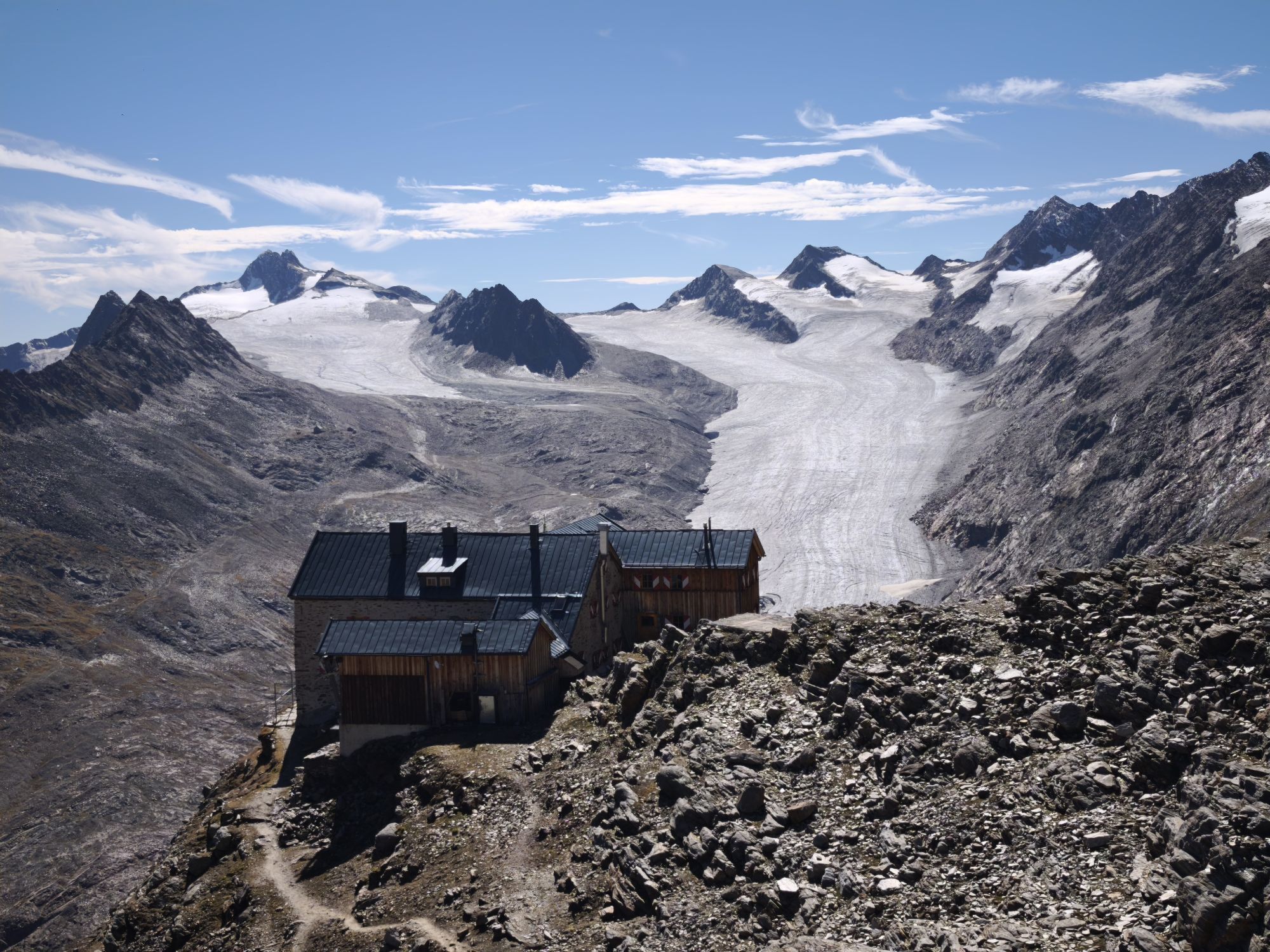
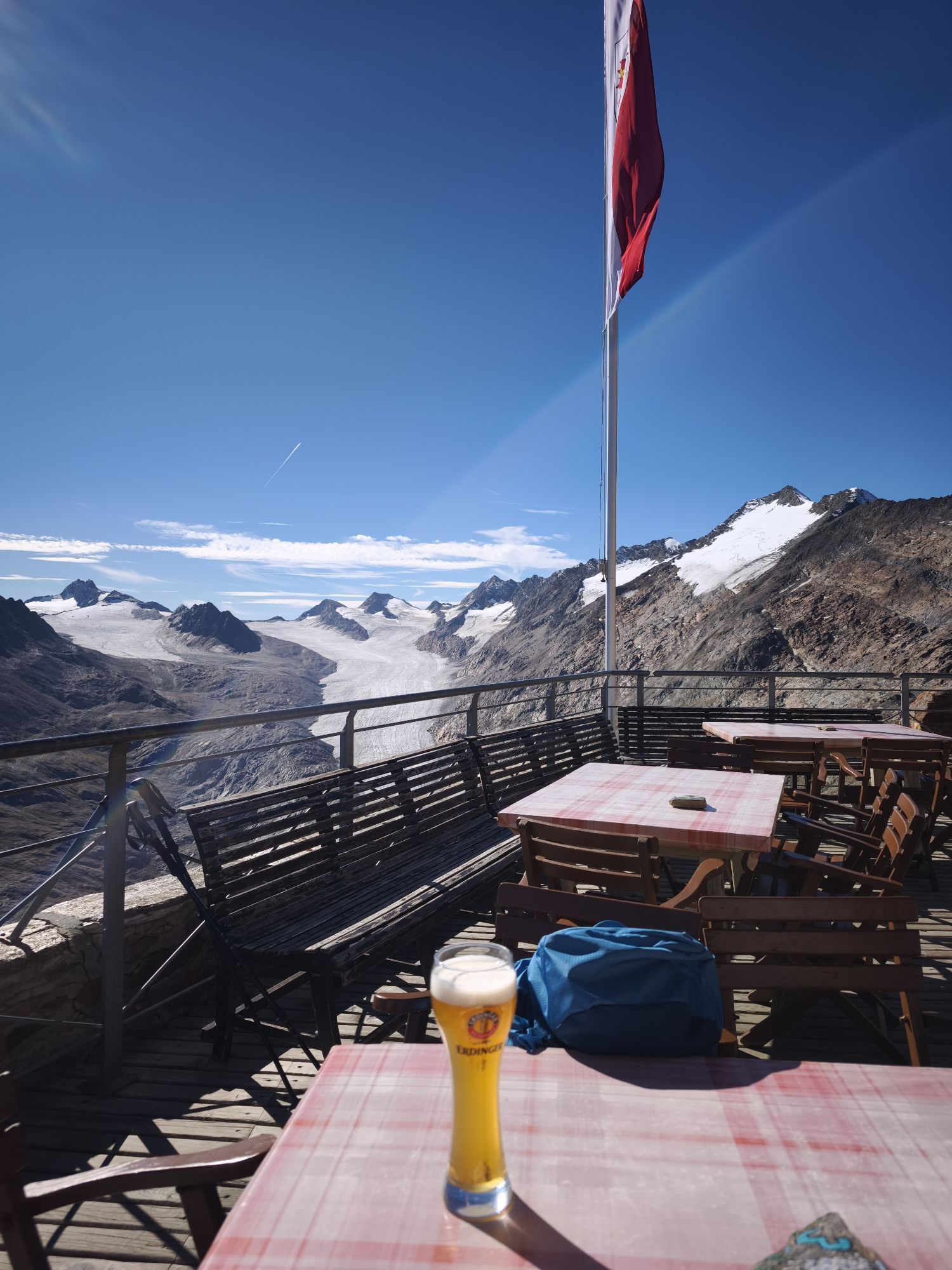
This E5 segment in high-alpine terrain is physically challenging and full of scenic highlights. Starting in the mountaineering village of Vent, a rather steep trail will take you across the Ramoljoch saddle...
Popis
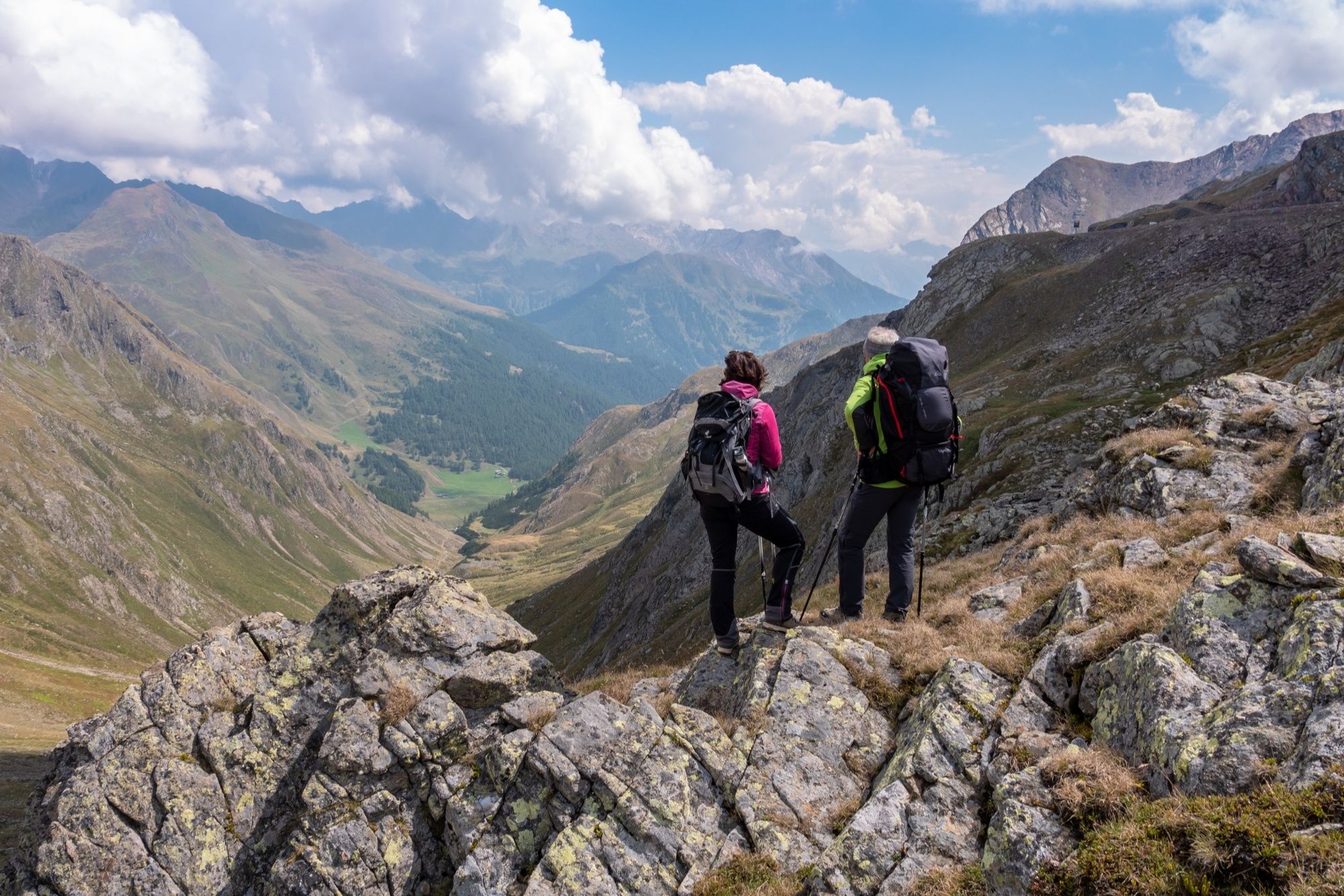
This E5 segment in high-alpine terrain is physically challenging and full of scenic highlights. Starting in the mountaineering village of Vent, a rather steep trail will take you across the Ramoljoch saddle (3,189 m) to Obergurgl. Right below the Ramolhaus Hut, there is the Piccard rope bridge across the Gurgler Ferner gorge. You will also be passing the Langtalereck Hut along the way. Make sure to stop at the viewing point on your way down. The views of the Gurglertal valley and the massive peaks at the end of the Ötztal valley are absolutely breathtaking. This challenging hike goes through the Ötztal Nature Park and the mystical Arolla Pine Forest before ending in Obergurgl, the highest Austrian village with a church at 1,930 m.
Trasa
Vent
(1883 m)
Vesnice
0.2 km
Kapelle in Vent
(1885 m)
Místo konání bohoslužeb
0.4 km
Ramolhaus
(3004 m)
Úkryt
7.9 km
Langtalereckhütte
(2428 m)
Úkryt
12.6 km
Rotmooswasserfall
(2116 m)
Vodopád
17.2 km
Obergurgl
(1907 m)
Vesnice
20.2 km
St. Johannes Nepomuk
(1907 m)
Místo konání bohoslužeb
20.2 km
Trasa
European E5 long-distance hiking trail – King's Segment – Vent to Obergurgl (alternative route)
heavy
dálková pěší trasa
20.24
km
Wildspitze
(1883 m)
Stanice gondoly
0.2 km
Vent
(1883 m)
Vesnice
0.2 km
Gampenlift
(1892 m)
Stanice gondoly
0.2 km
Kapelle in Vent
(1885 m)
Místo konání bohoslužeb
0.4 km
Bergstation Materialseilbahn Ramolhaus
(3003 m)
Stanice gondoly
7.8 km
Ramolhaus
(3004 m)
Úkryt
7.9 km
Langtalereckhütte
(2428 m)
Úkryt
12.6 km
Talstation Materialseilbahn Ramolhaus
(2451 m)
Stanice gondoly
12.9 km
Rotmooswasserfall
(2116 m)
Vodopád
17.2 km
Obergurgl
(1907 m)
Vesnice
20.2 km
St. Johannes Nepomuk
(1907 m)
Místo konání bohoslužeb
20.2 km
Autor
Poskytuje Ötztal



Informace o příjezdu
Příjezd
The Ötztal is a southern side valley of the Inn valley. For your arrival by car, you can plan the best route from your home town with the route planner online at www.google.at/maps
Veřejná doprava
Enjoy a both comfortable and relaxing train ride to the train station in Ötztal Bahnhof. You get off the train in ÖTZTAL Bahnhof where you change to a public bus or local taxi. The current bus schedule can be found at: http://fahrplan.vvt.at
Další informace a tipy
Úroveň obtížnosti
T4
Oceňování

Webové kamery z prohlídky
-
Obergurgl
-
Hochgurgl
-
Venter Seilbahnen - DSL Wildspitze
-
Obergurgl
-
Alt Vent
-
Gaisberg
-
Vent
-
Top Mountain Crosspoint Hochgurgl
-
Top Mountain Crosspoint Hochgurgl
-
Top Mountain Crosspoint Hochgurgl
-
Top Mountain Crosspoint Hochgurgl
-
Top Mountain Crosspoint Hochgurgl
-
Vent
-
Vent
-
Obergurgl
-
Obergurgl
-
Obergurgl
-
Obergurgl
-
Obergurgl
-
Obergurgl
-
Top Mountain Crosspoint Hochgurgl

Všechny webové kamery na mapě
Nainstaluj si aplikaci zdarma a porovnej si živé záběry z několika míst, než vyrazíš.
Využijte nyní službu „ bergfex “ v aplikaci
Naskenuj QR kód pomocí fotoaparátu
Jakmile je aplikace nainstalována, obsah se otevře přímo. Pokud aplikaci ještě nemáš, budeš přesměrován na stránku, kde si ji můžeš zdarma stáhnout.
Aktivity na trase


Oblíbené prohlídky v okolí
-
4.8
Vent - Kreuzspitze
Turistika 20.6 km -
4.3
Vorderkaser - Eishof / Texelgruppe
světloTuristika 4.83 km -
4.6
Vent - Wilder Mann - Breslauer Hütte - Stableinalm
středníTuristika 7.25 km -
4.9
Pfossental - vom Vorderkaser auf die Stettinerhütte
středníTuristika 23.7 km -
3.8
Breslauer Hut
středníTuristika 4.75 km -
4.6
Hochwilde - Pfelders
středníVysokohorská turistika 22.1 km -
4.4
Hochtour Wildspitze, 3.768m
středníVysokohorská turistika 9.75 km -
4.9
Seeber-See Rundweg
světloHorská turistika 7.96 km -
3.5
Tiefenbachglacier - Mountaineering Village Vent
středníTuristika 10.8 km -
4.8
Spronser Seen lakes: At the heart of the Texelgruppe Nature Park
heavyTuristika 15.1 km

Pěší turistika a stopování

Více než 550.000 návrhů výletů, podrobné mapy a intuitivní plánovač tras dělají z aplikace nezbytnou výbavu pro všechny milovníky přírody.

Nenechte si ujít nabídky a inspiraci pro vaši příští dovolenou
Přihlaste se k odběru newsletteru
Chyba
Došlo k chybě. Zkuste to prosím znovu.
Děkujeme za vaši registraci
Vaše e-mailová adresa byl přidán do poštovního seznamu.
Zájezdy po celé Evropě
Rakousko
Švýcarsko
Německo
Itálie
Slovenia
Francie
Nizozemsko
Belgie
Polsko
Lichtenštejnsko
Česko
Slovensko
Španělsko
Chorvatsko
Bosna a Hercegovina
Lucembursko
Andorra
Portugal
Iceland
United Kingdom
Ireland
Greece
Albania
North Macedonia
Malta
Norway
Montenegro
Moldova
Kosovo
Hungary
San Marino
Romania
Estonia
Latvia
Belarus
Cyprus
Lithuania
Serbia
Bulgaria
Monaco
Denmark
Sweden
Finland


