







Senselerweg: From the Voldertalhütte over the Naviser Jöchl to the Zehenter Alm

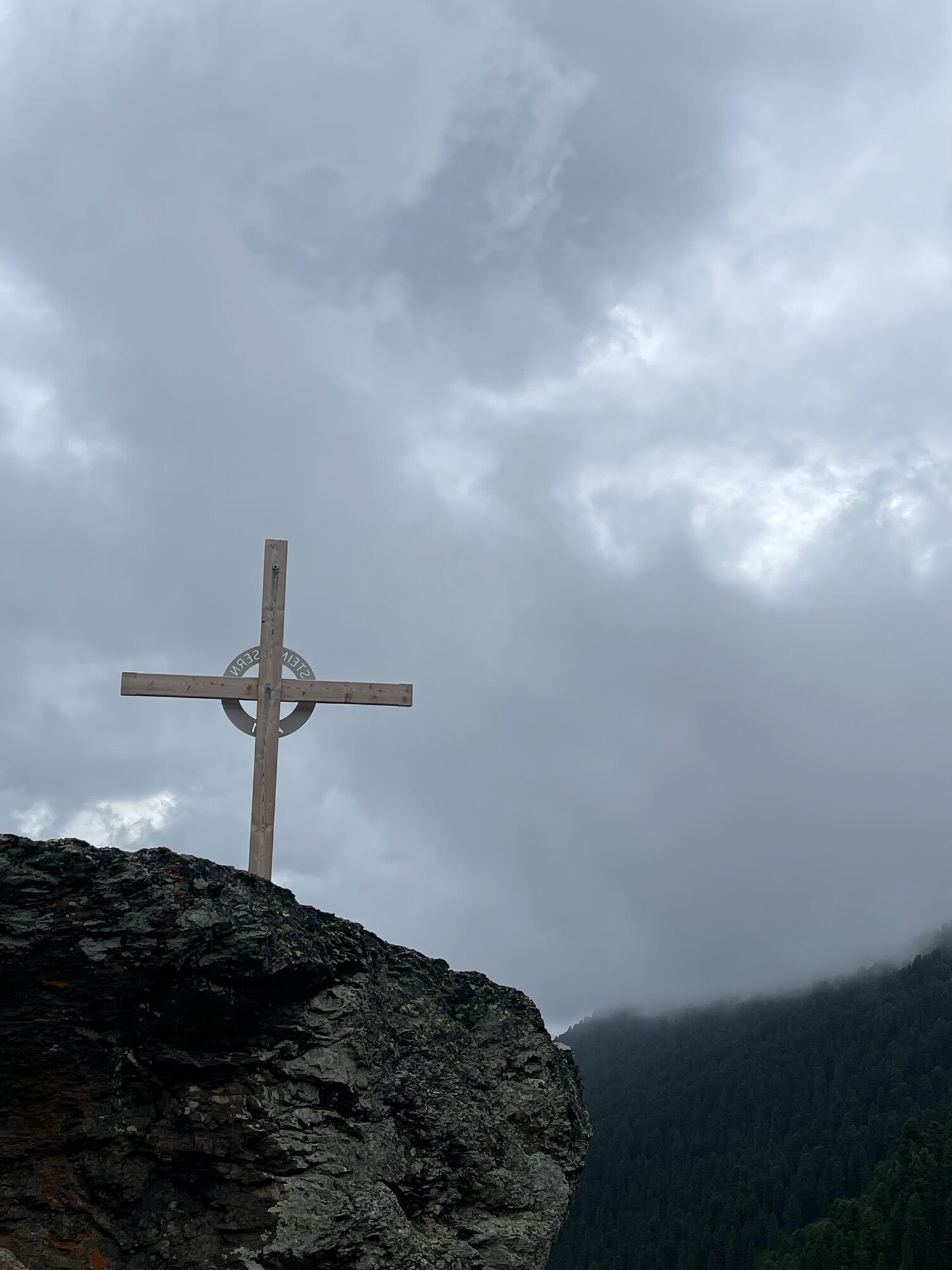
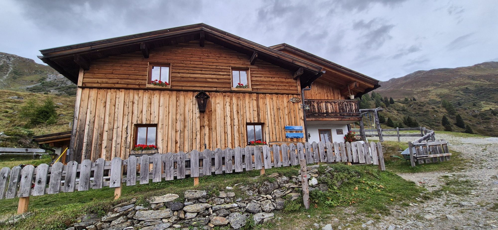
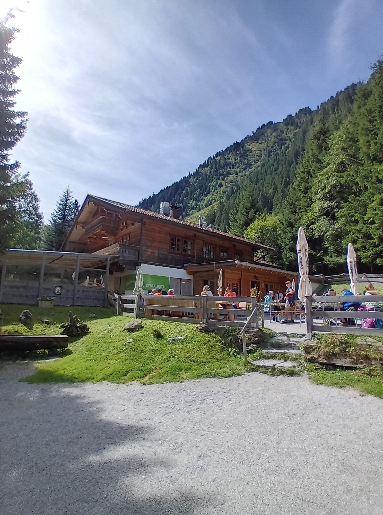
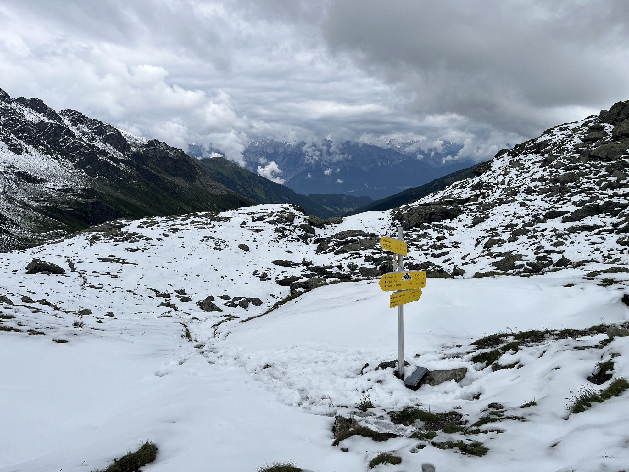
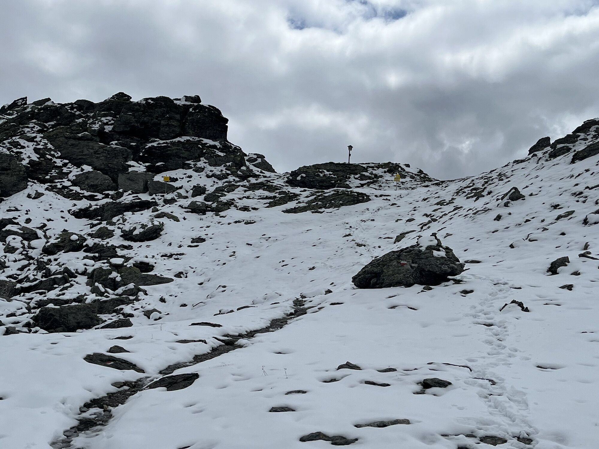
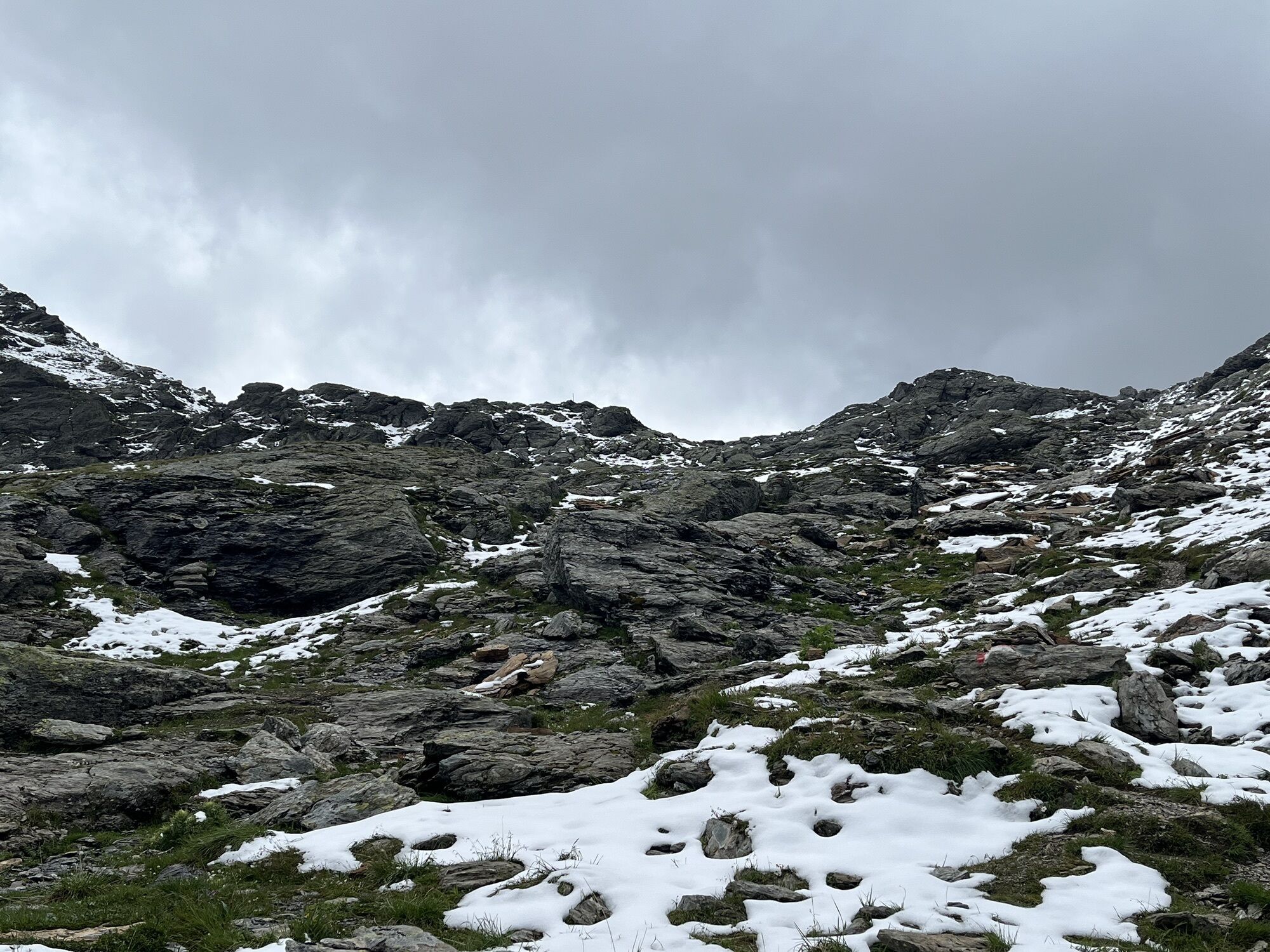

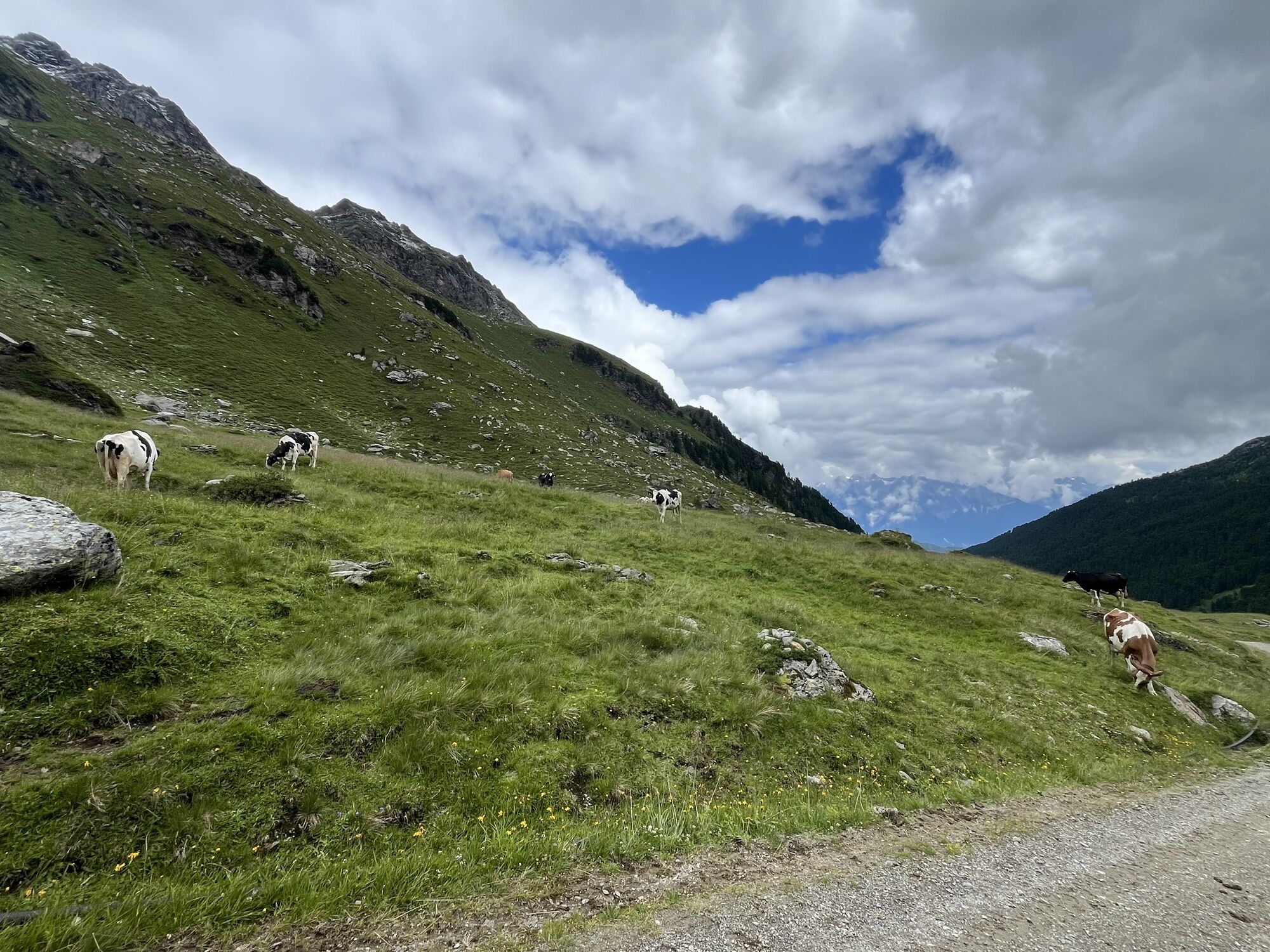
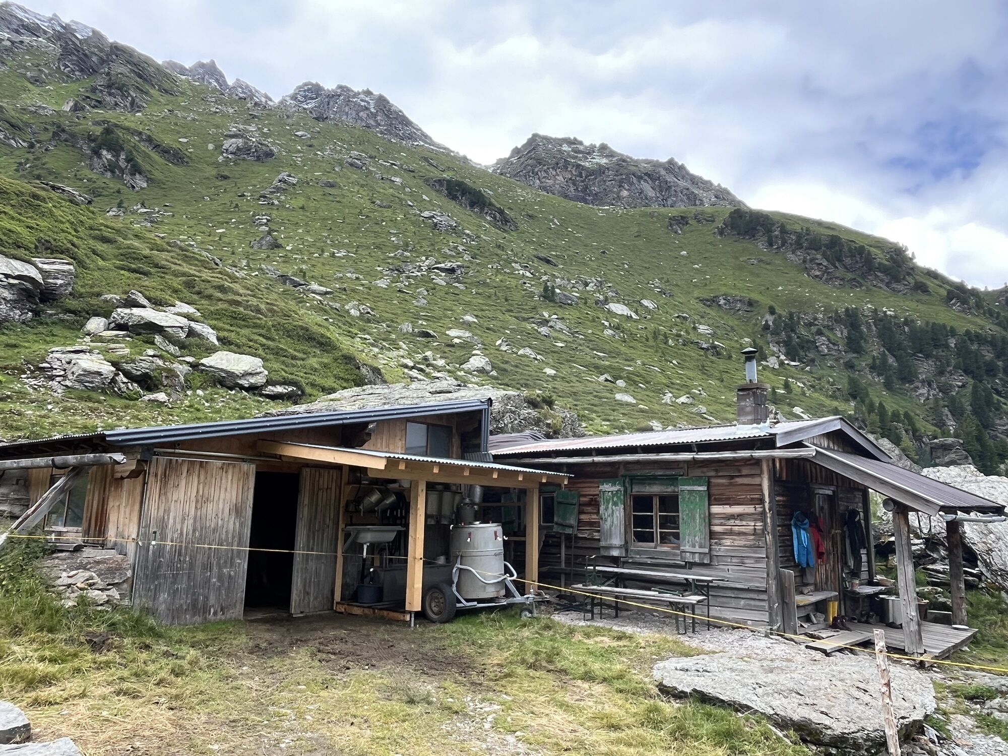
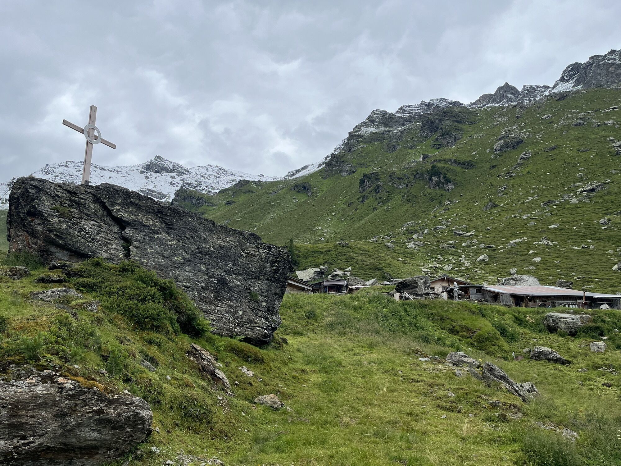
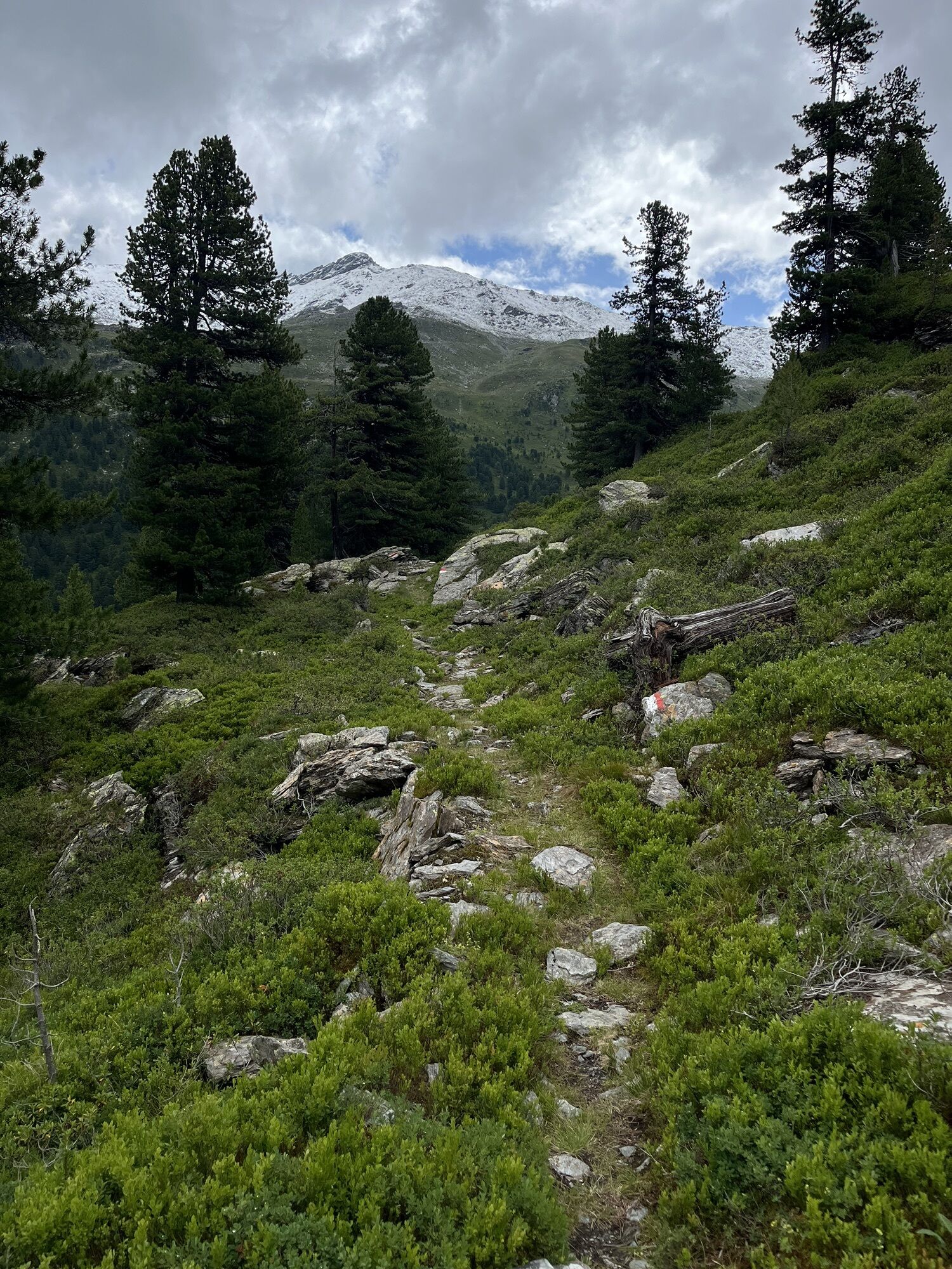
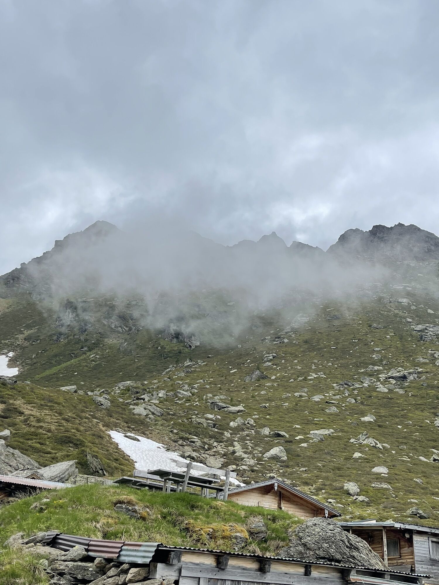
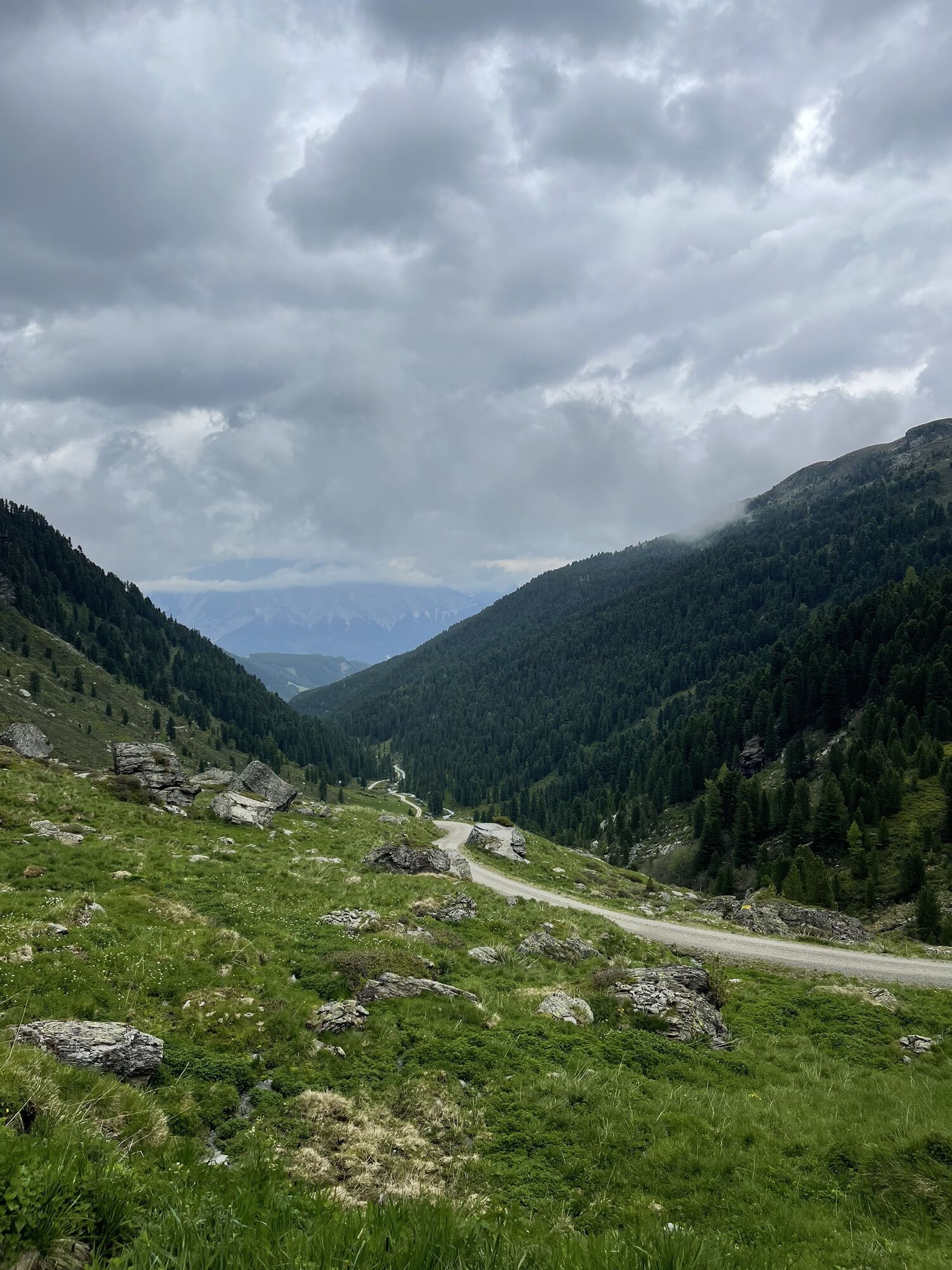
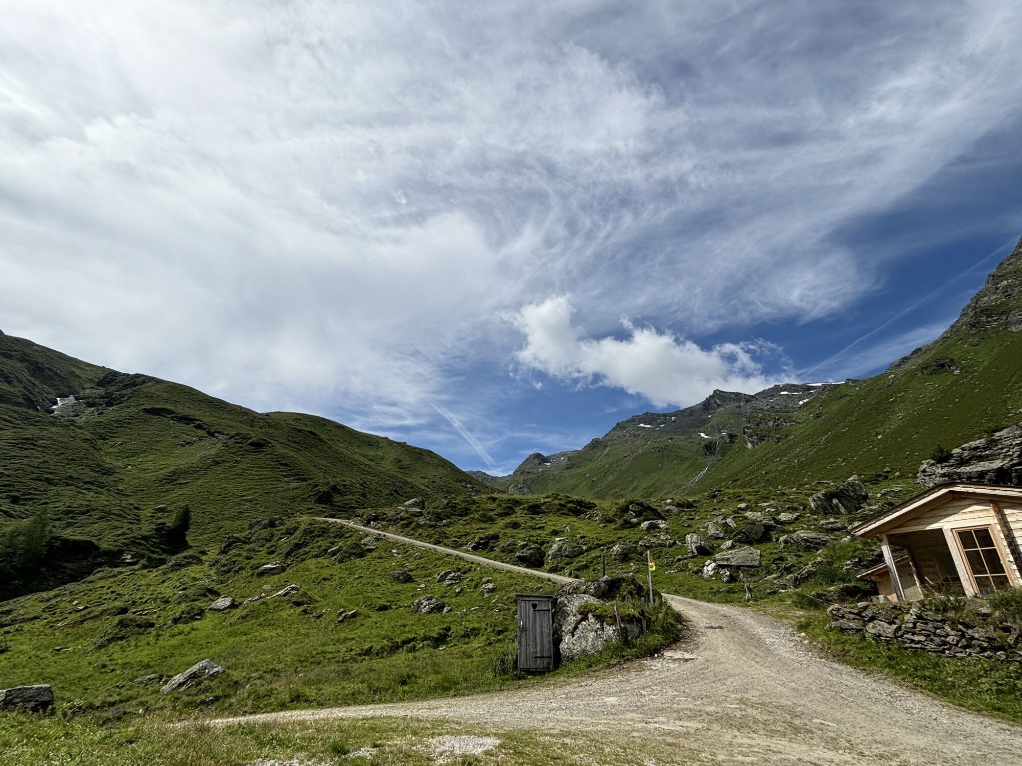
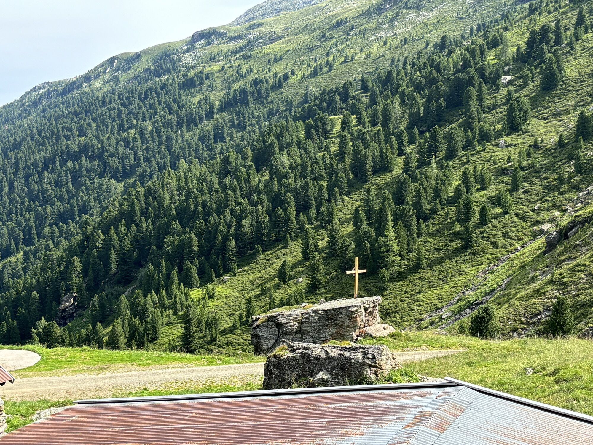
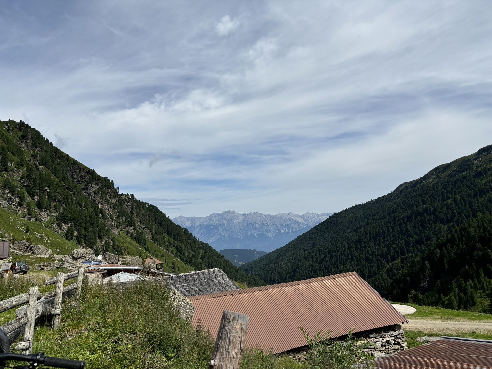
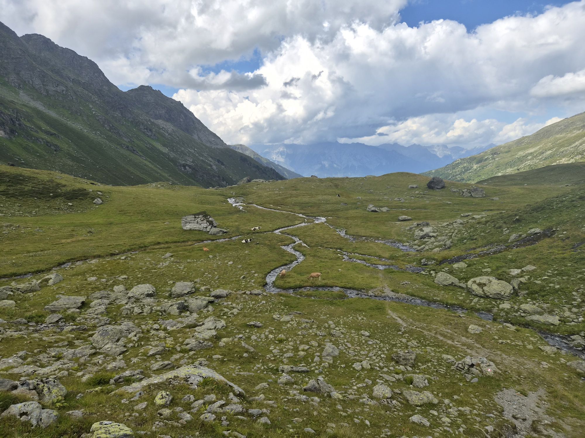
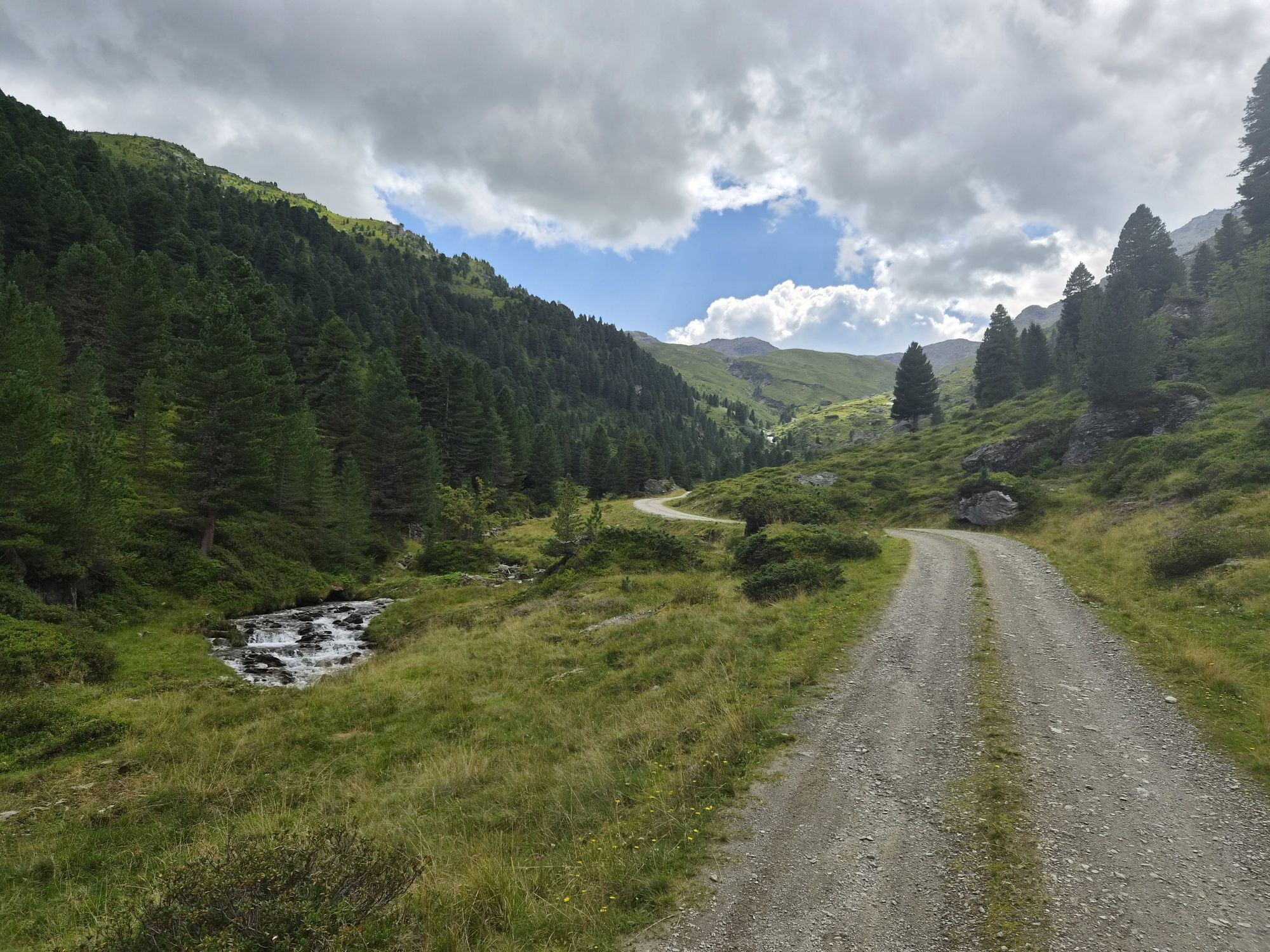
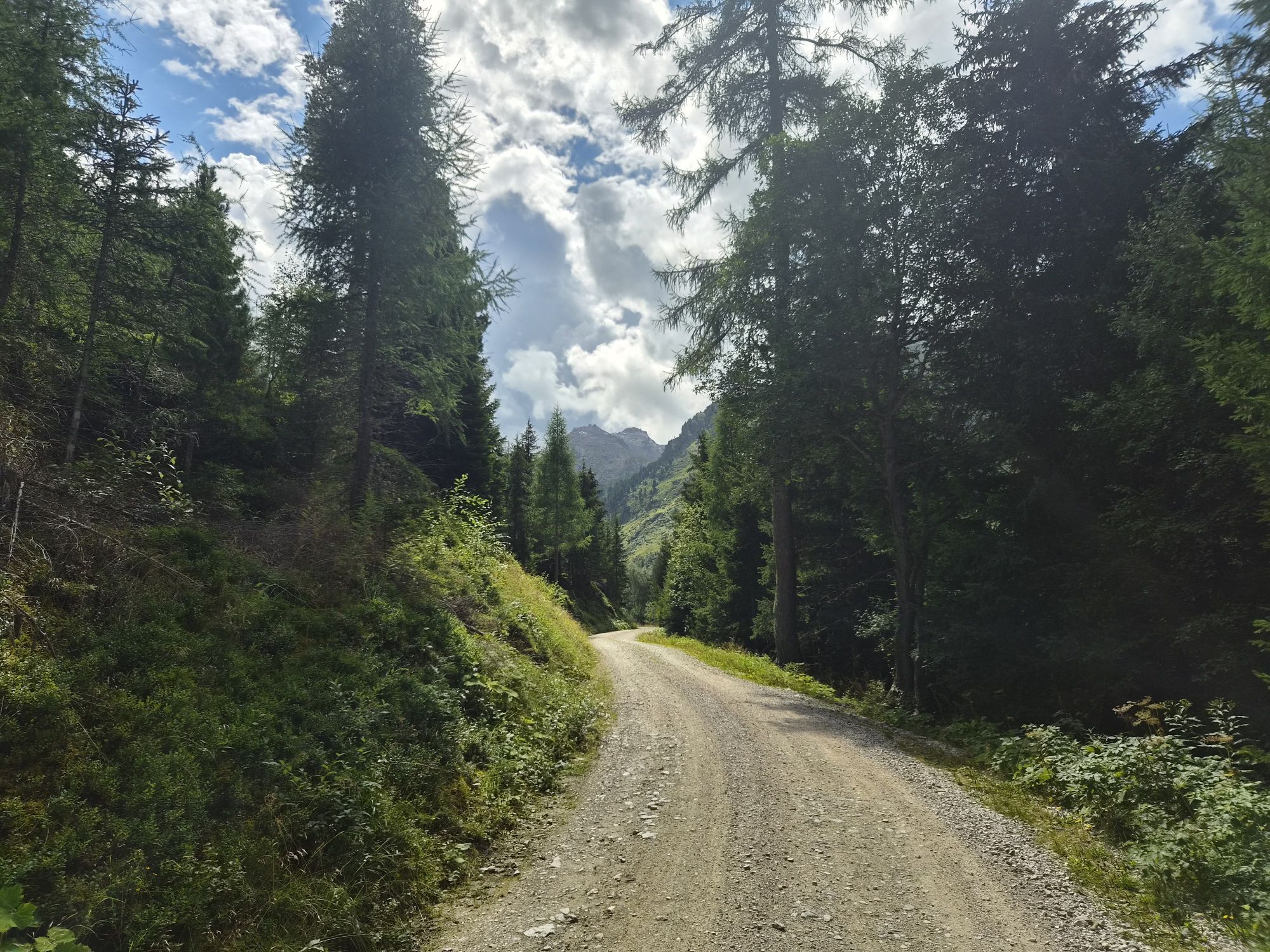
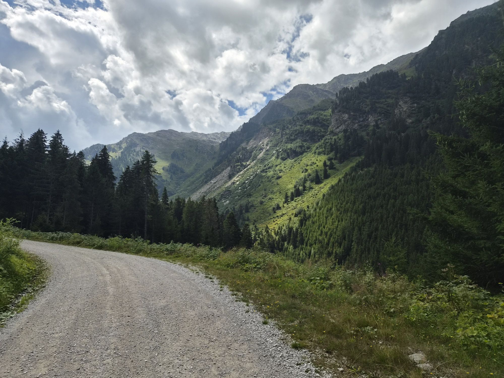
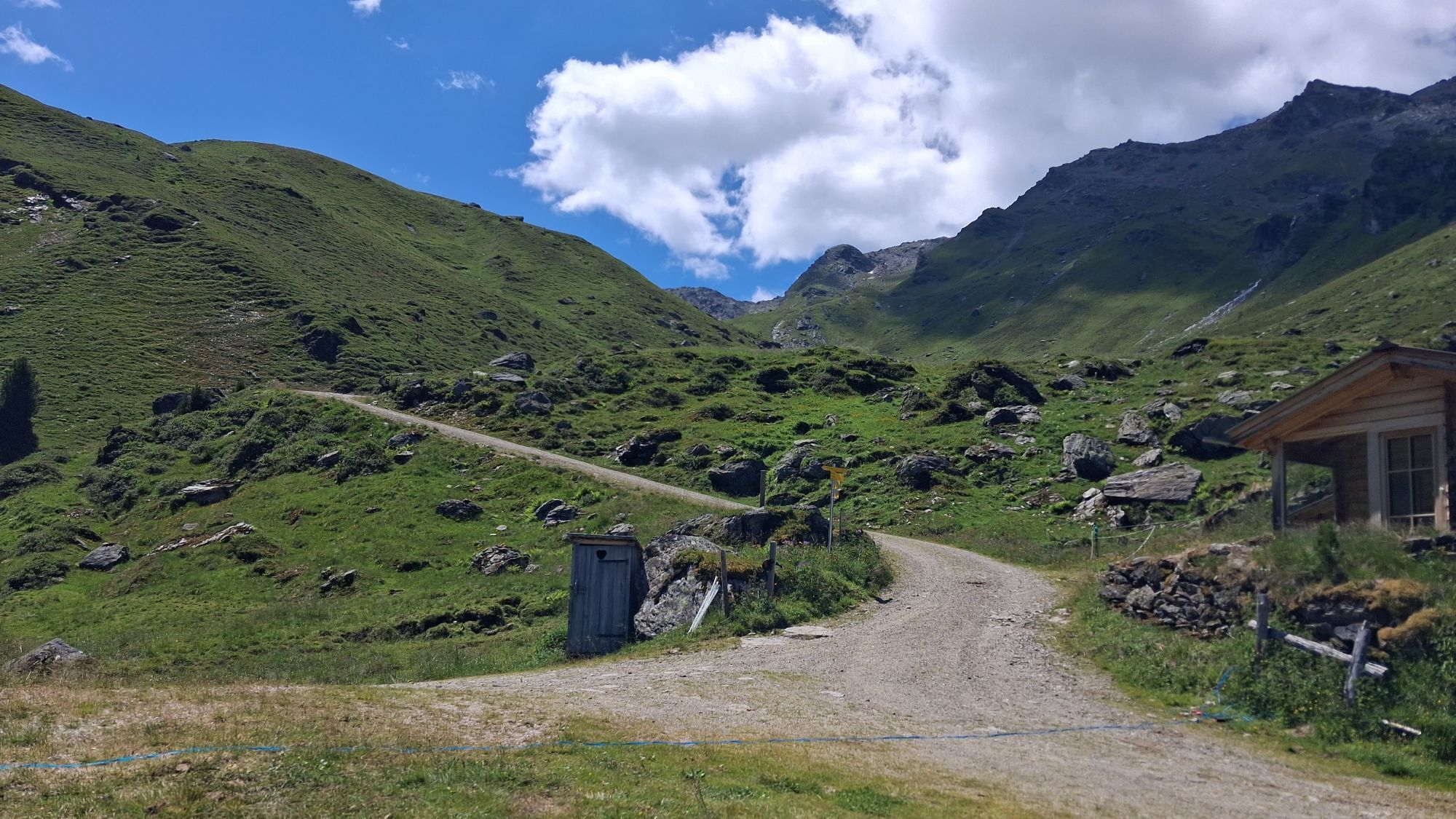
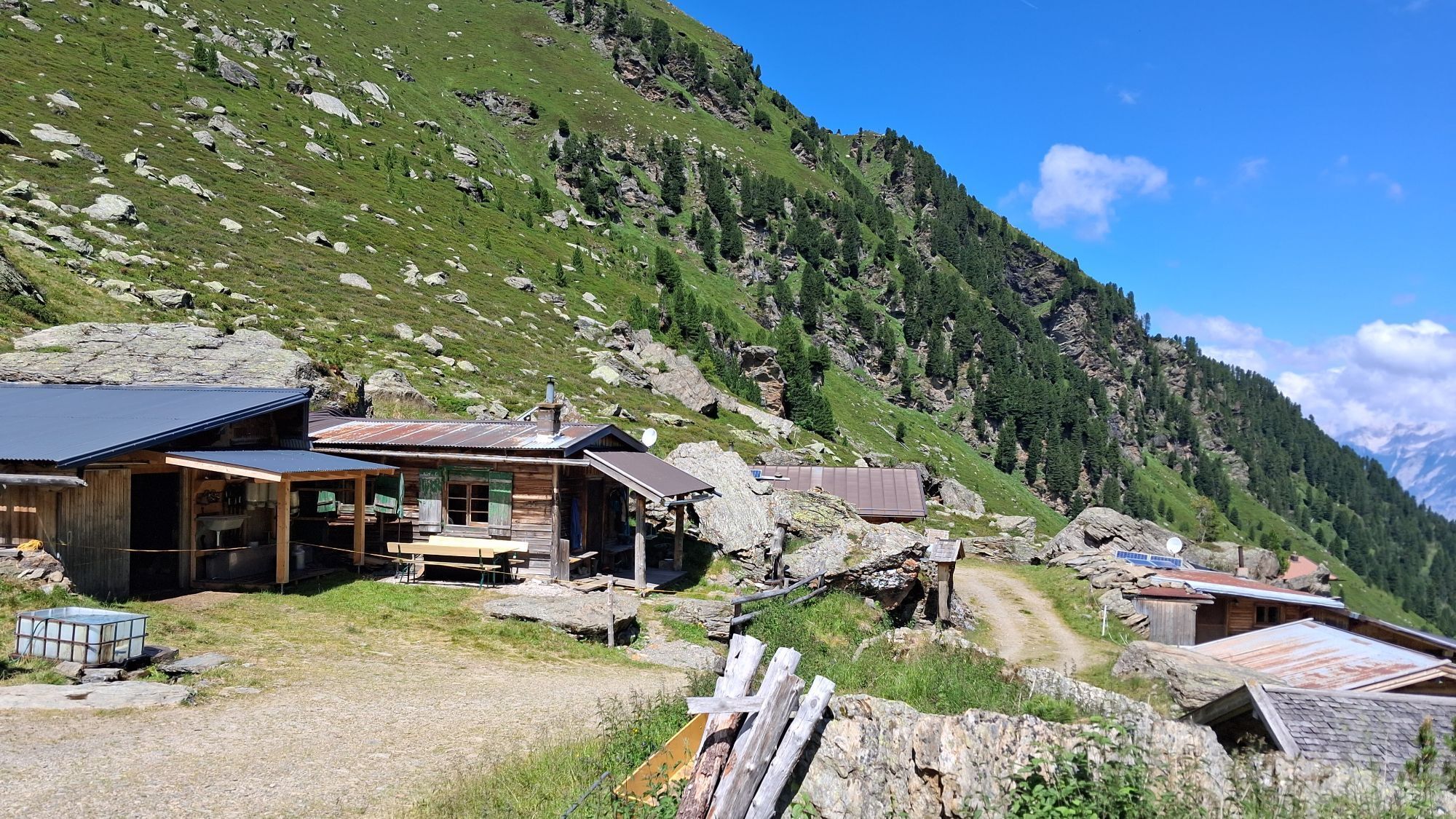

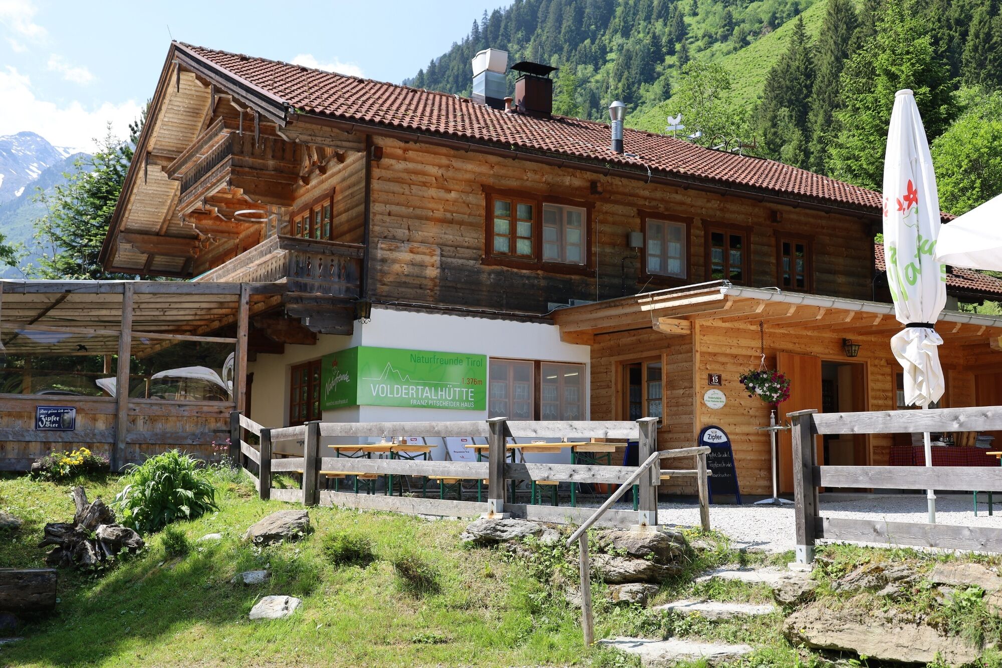


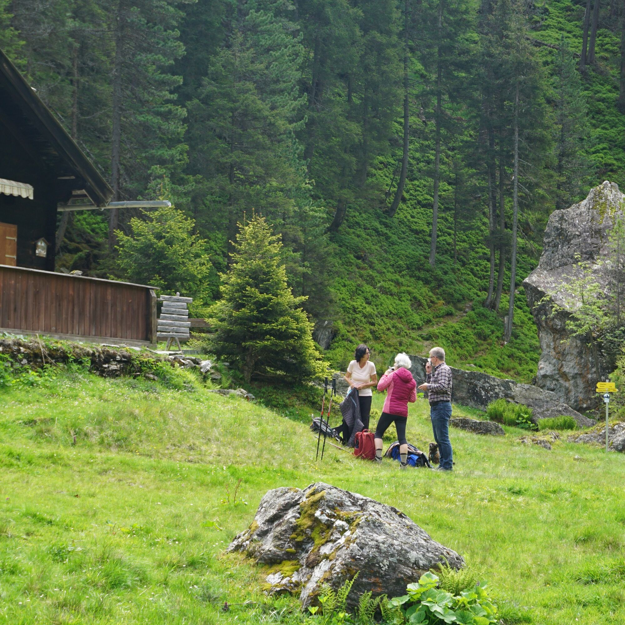
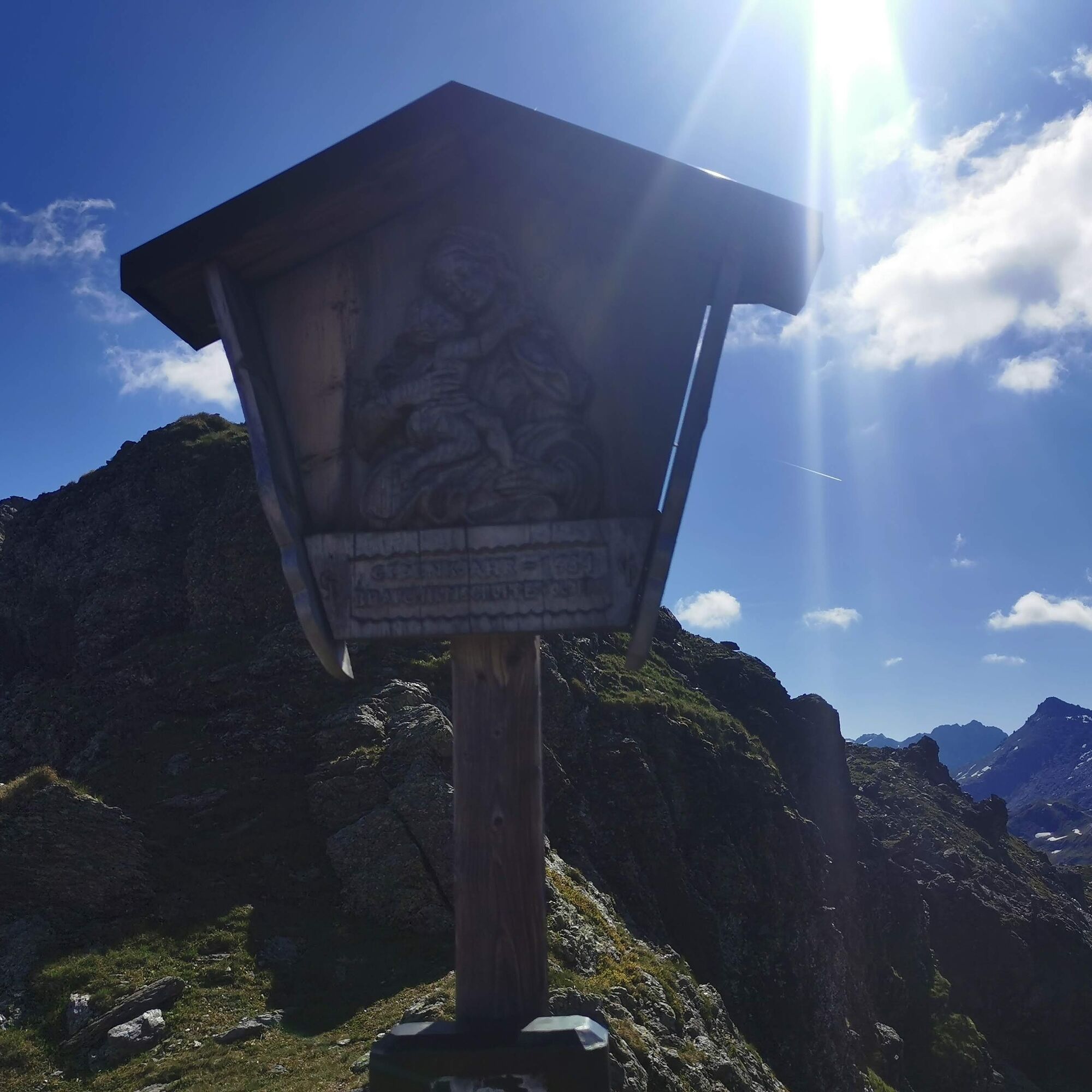
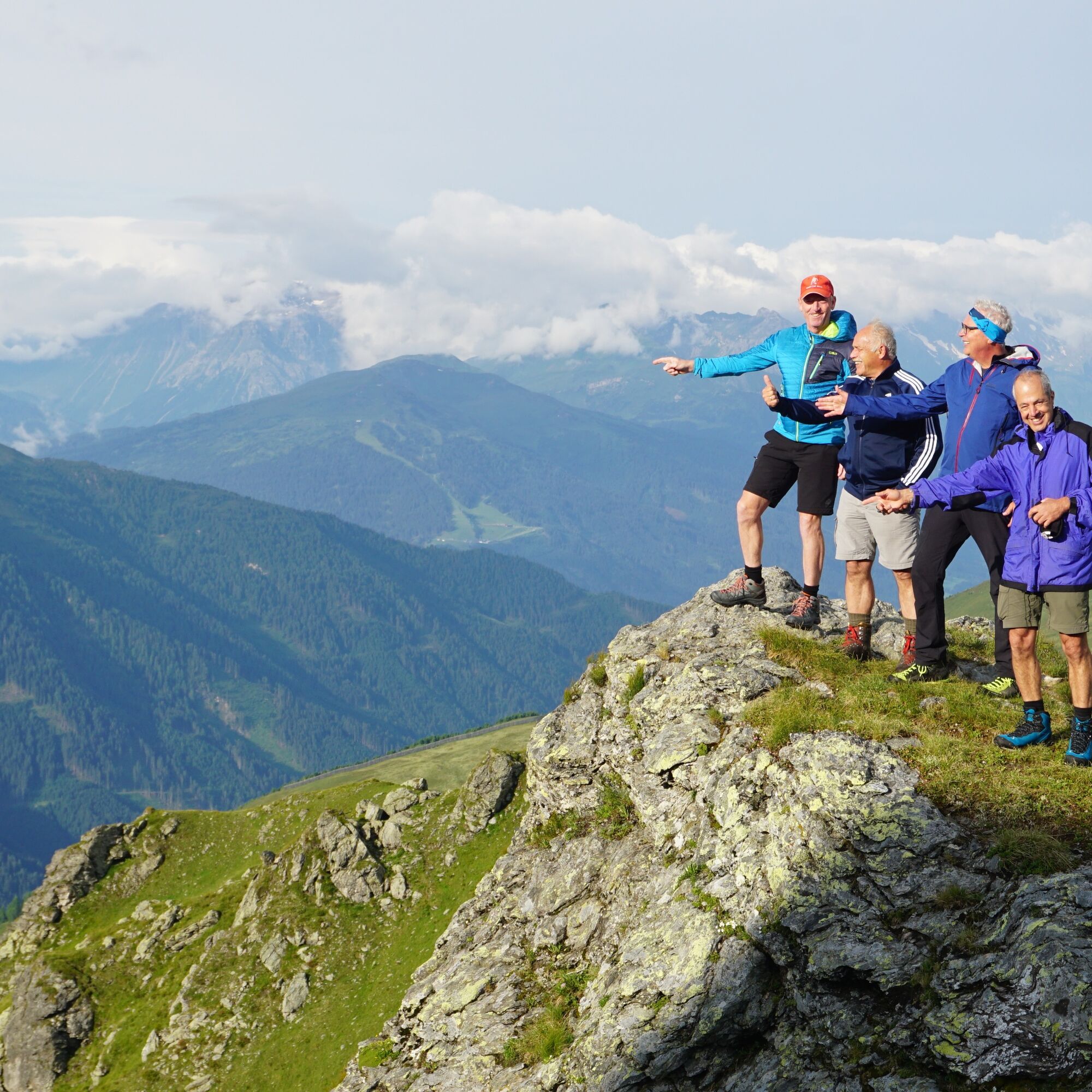

From the Voldertalhütte you go back about 100 m on the forest road and reach the path into the valley. Follow this until the junction "Schwarzbrunn". Follow the path to Schwarzbrunn and then the trail uphill to the Steinkasernalm. At the Klausboden you reach the forest road again and follow it to Steinkasernalm. From the Steinkasernalm continue along the forest road to the junction "Naviser Jöchl", trail no. 331. From the Naviser Jöchl descend further on trail 331 and reach the Zehenter Alm. The day's goal of the 2nd day.
Zehenter Hut or Zehenter Alm at 1880m altitude. Seven beds.
WARNING: Cash only
Address: 6145 Navis
Phone: +43 664 38 08 360
Owner family: Johann Peer with Annemarie
If you want to interrupt or descend from the Senselerweg, continue following the forest road to Peeralm. From there continue to Navis to the first bus stop.
Bus information
Webové kamery z prohlídky

Oblíbené prohlídky v okolí
-
4.9
Patscherkofel Gipfelrunde mit Zirbenweg
světloTuristika 6.52 km -
4.6
Patscherkofl
středníTuristika 18.5 km -
4.3
Up to the Largoz
středníTuristika 7.01 km -
4.1
Innsbruck/ Igls: Patscherkofel
Mountainbike 14.1 km -
4.0
Der Zirbenweg, vom Patscherkofel über den Zirbenweg nach Tulfes
světloTuristika 6.94 km -
4.7
Klassische Startrunde zum „Einwandern“
světloTuristika 8.77 km -
4.3
Patscherkofel Gipfel
středníTuristika 8.09 km -
3.6
Thaur - Thaurer Alm
heavyMountainbike 7.36 km -
4.8
Wanderung zum Tuxerjochhaus
středníTuristika 6.72 km -
4.6
Skitour - Gipfelroute Patscherkofel
světloLyžařská trasa 2.97 km
Pěší turistika a stopování


Nenechte si ujít nabídky a inspiraci pro vaši příští dovolenou
Vaše e-mailová adresa byl přidán do poštovního seznamu.





