







Circular route 3 - Mariental/Drachenschlucht/Elfengrotte

Úroveň obtížnosti: T2
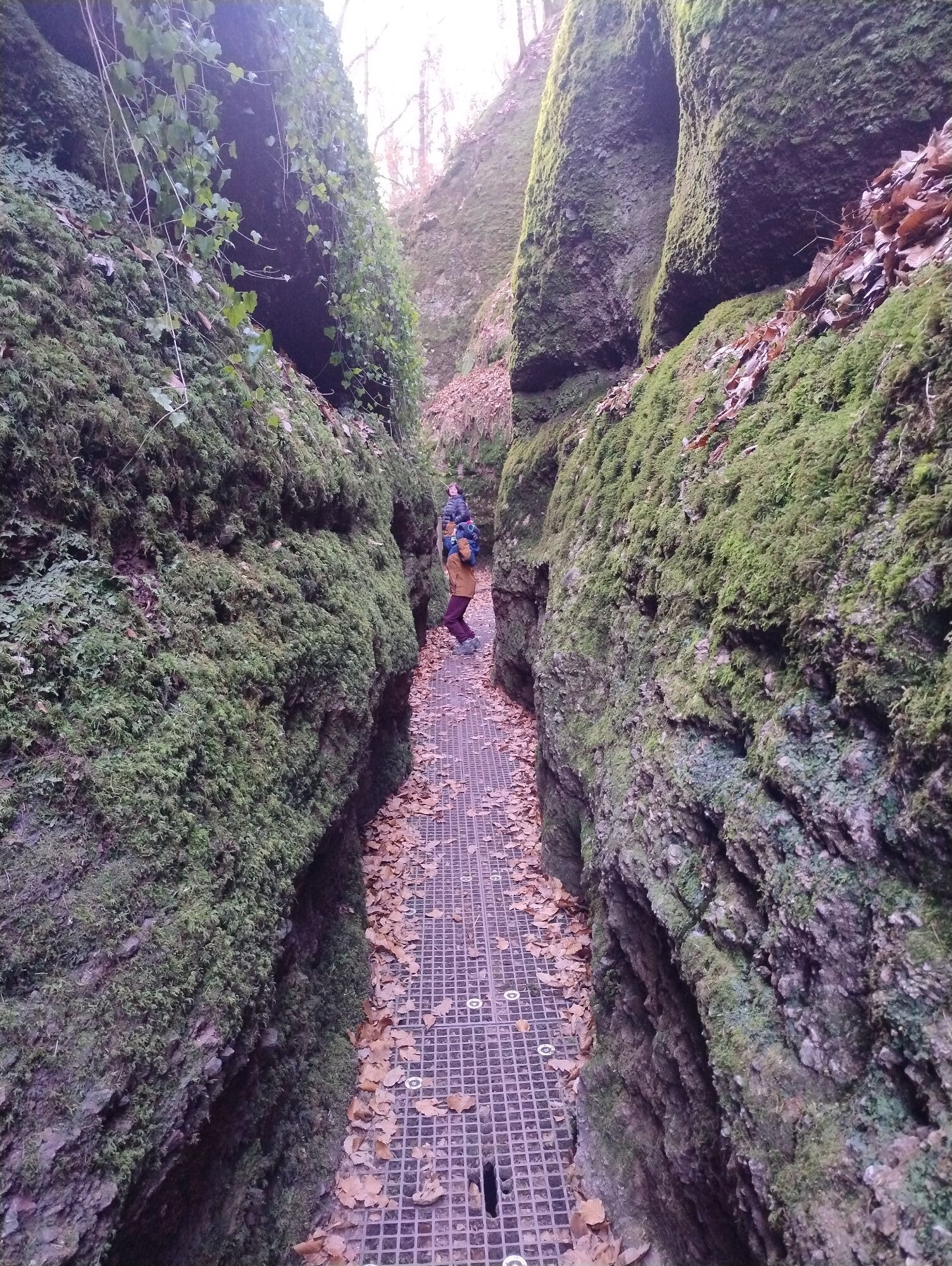
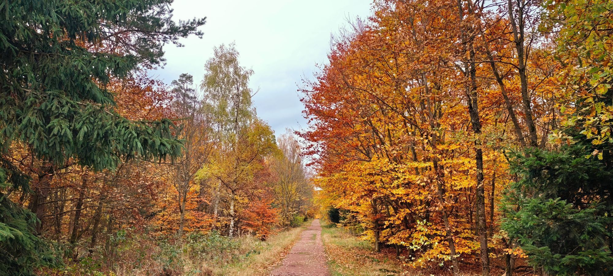
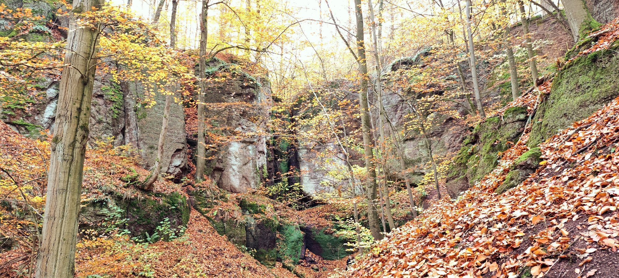
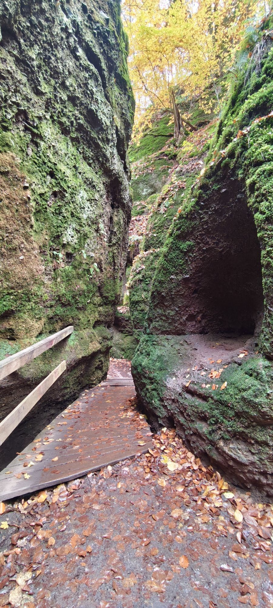
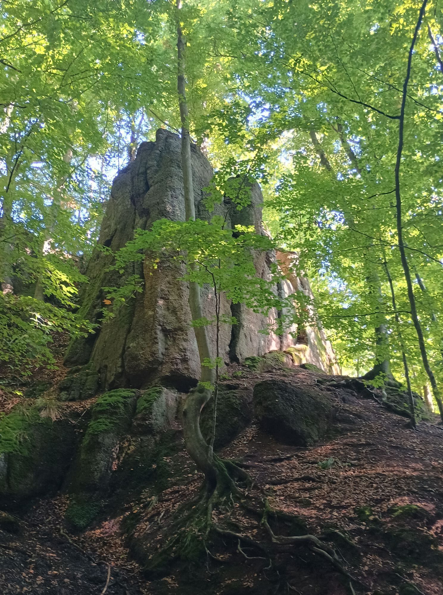
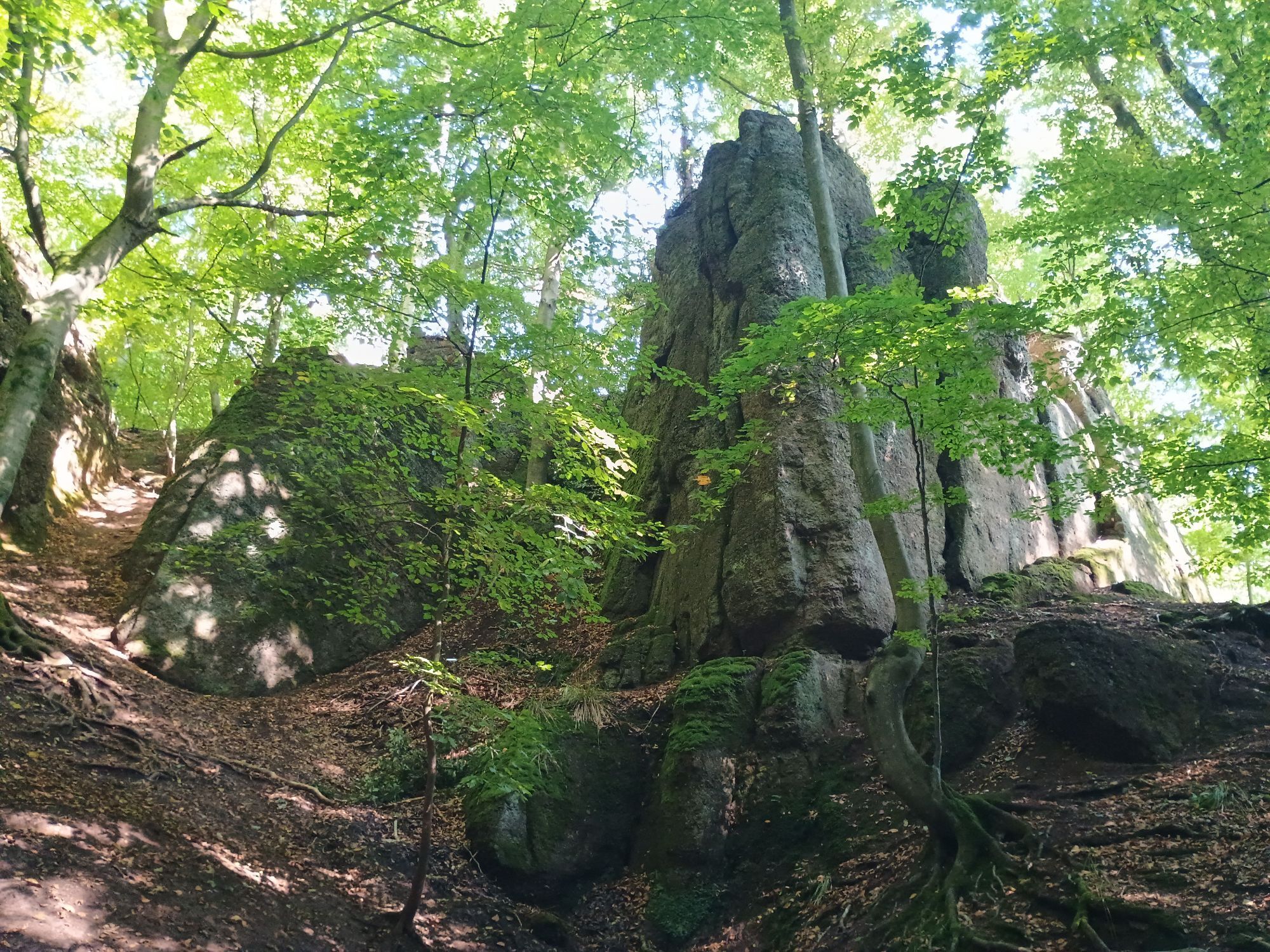
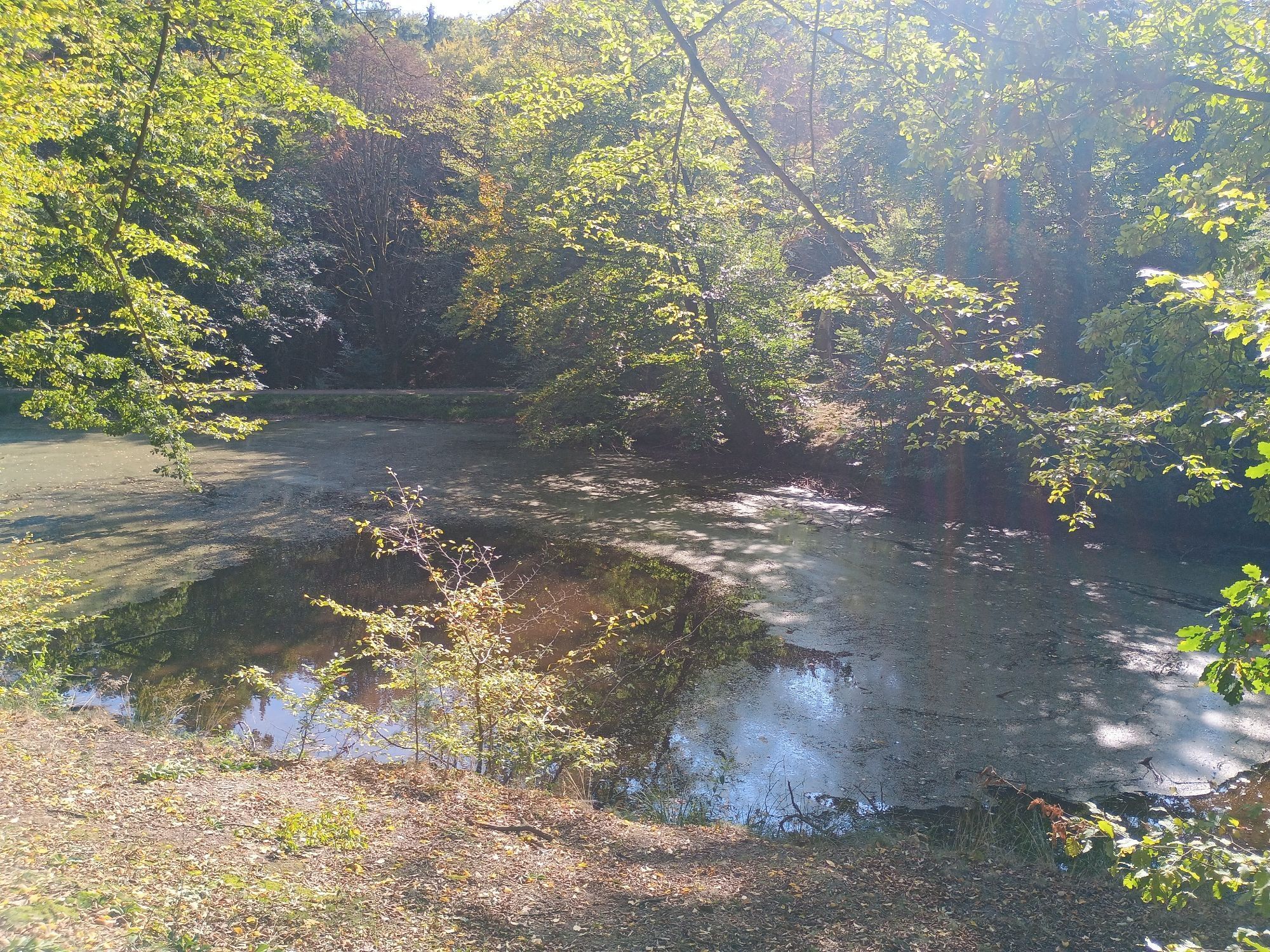
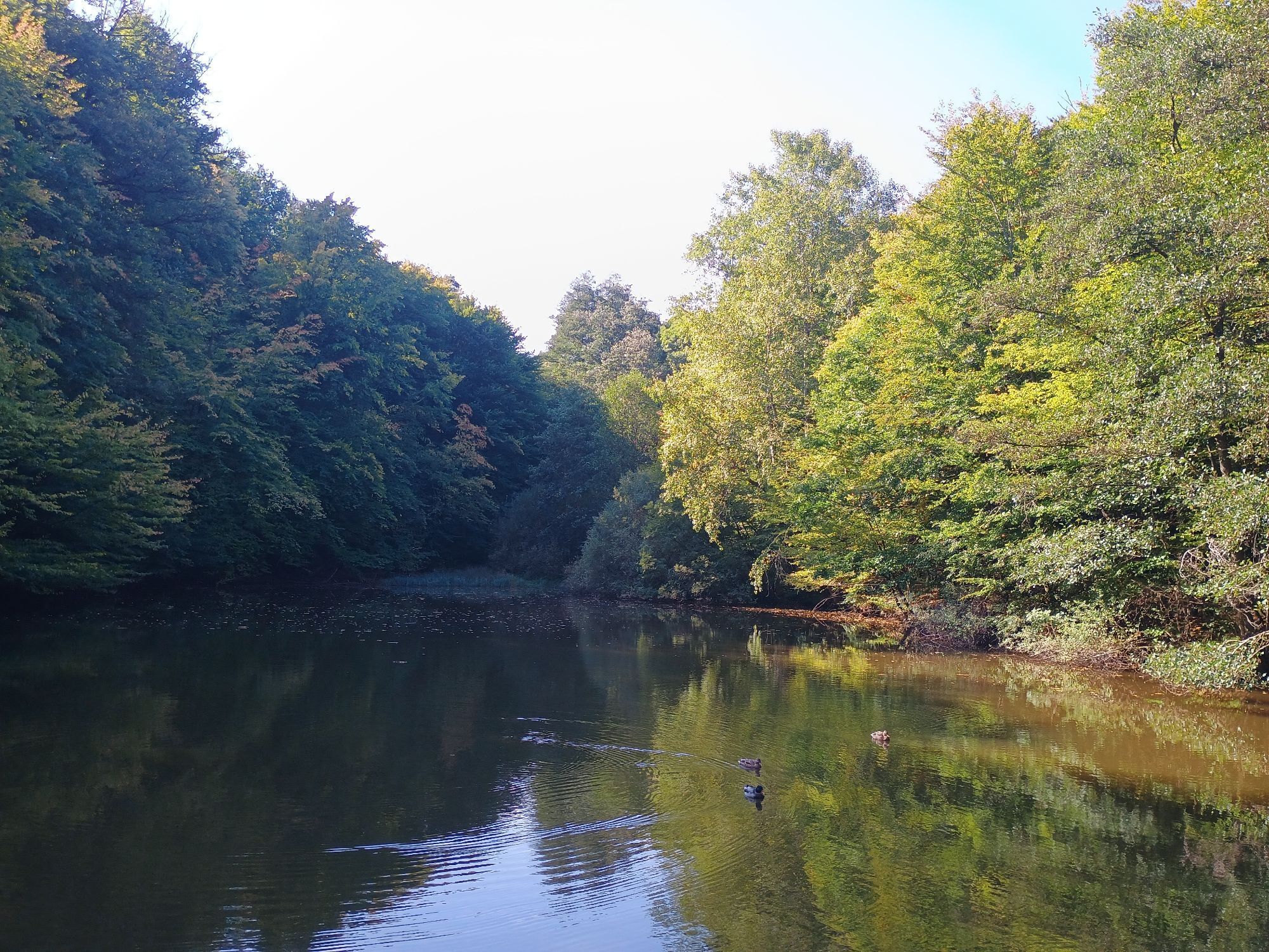
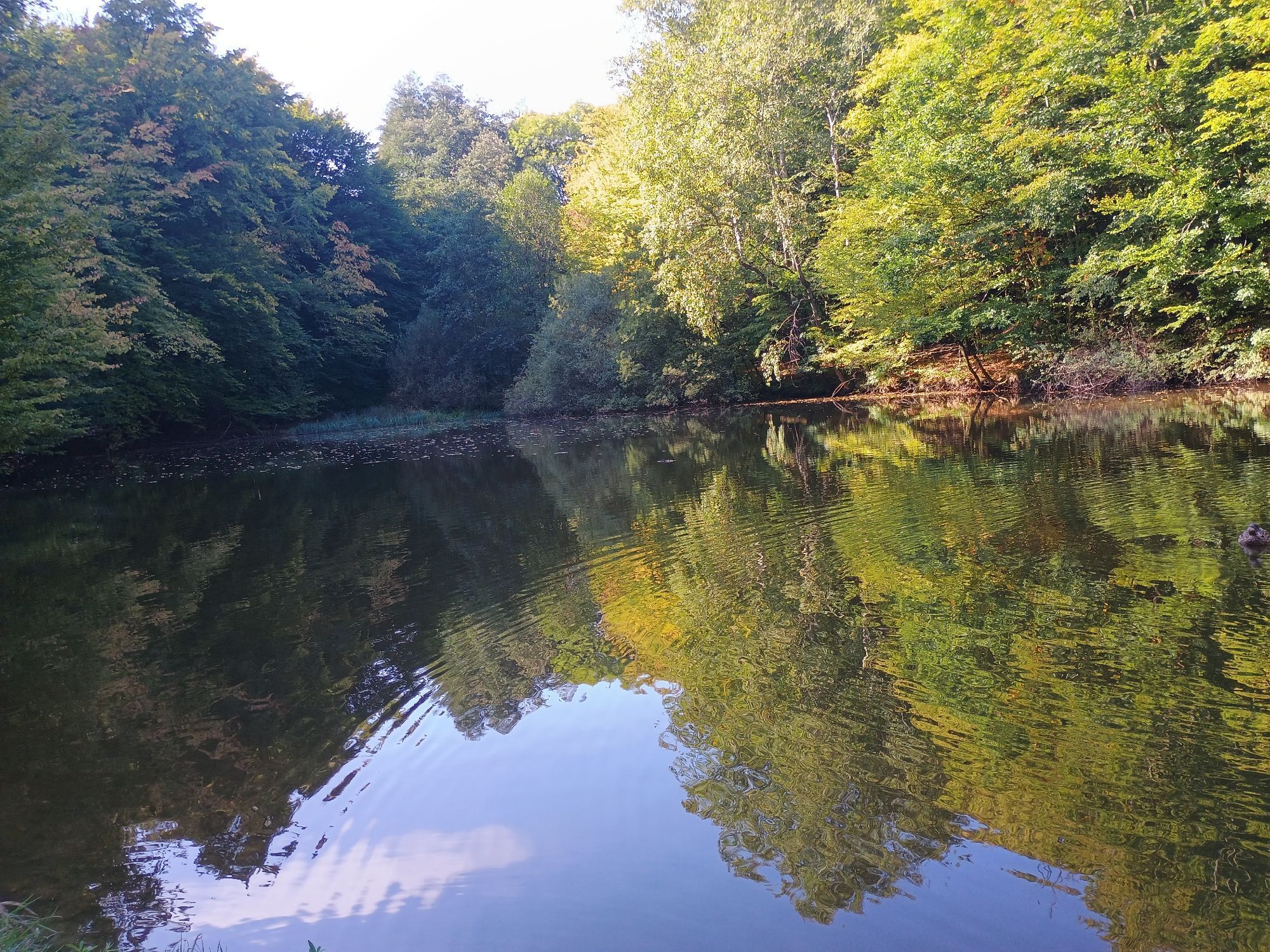
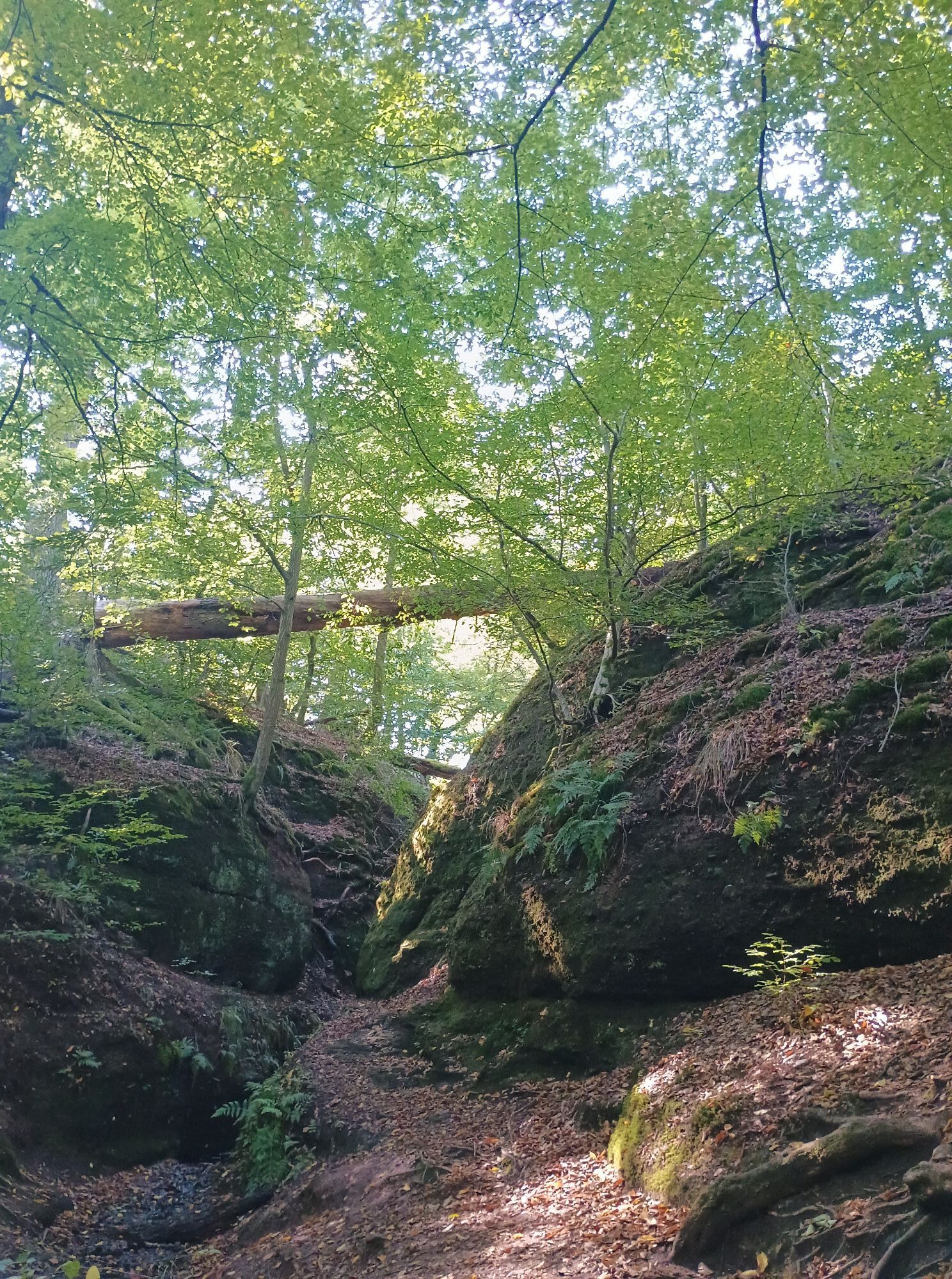
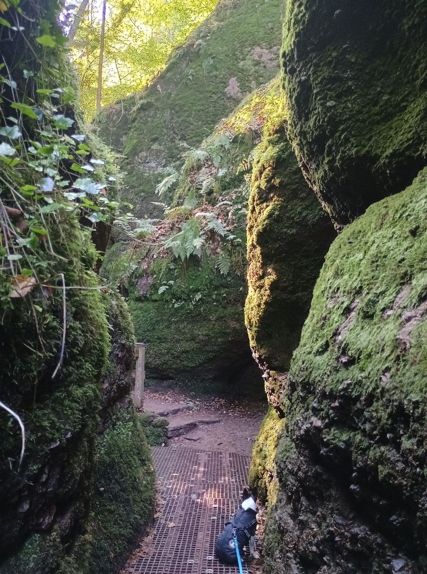
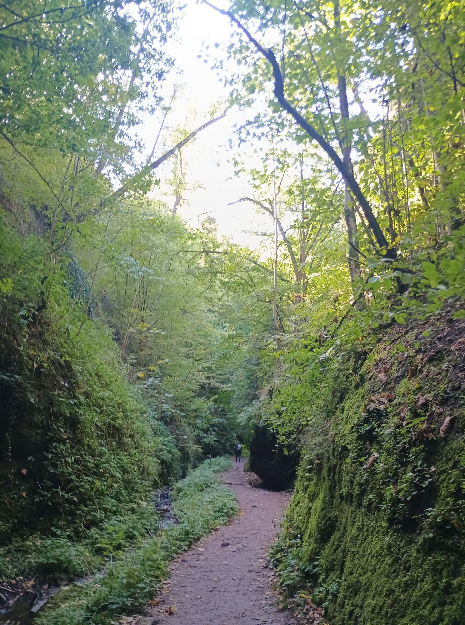
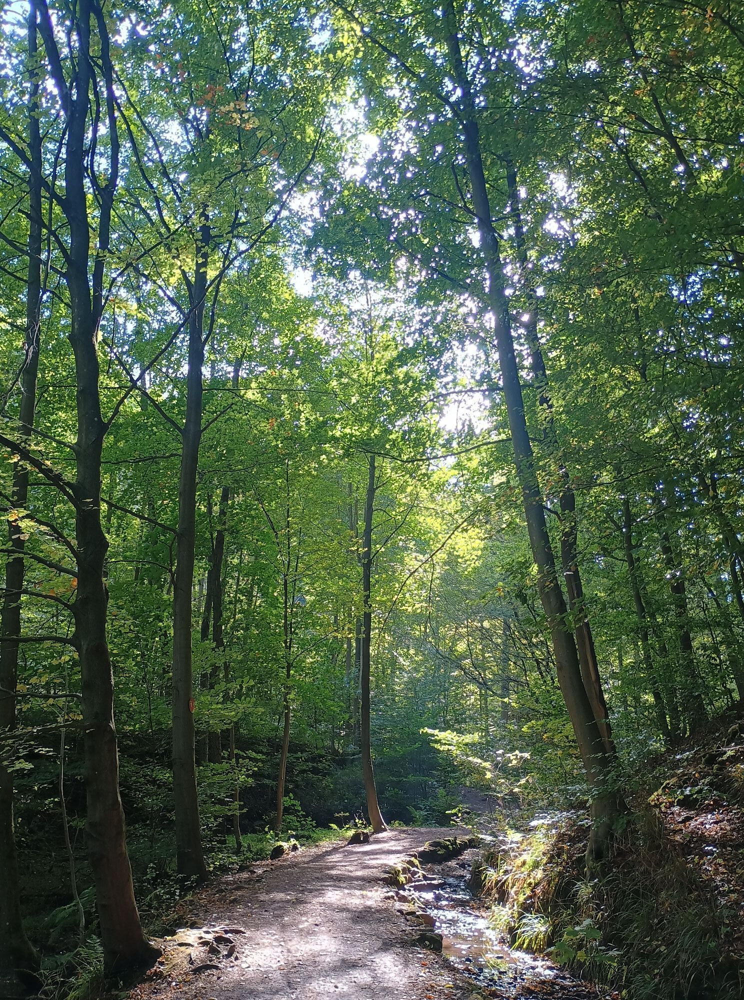

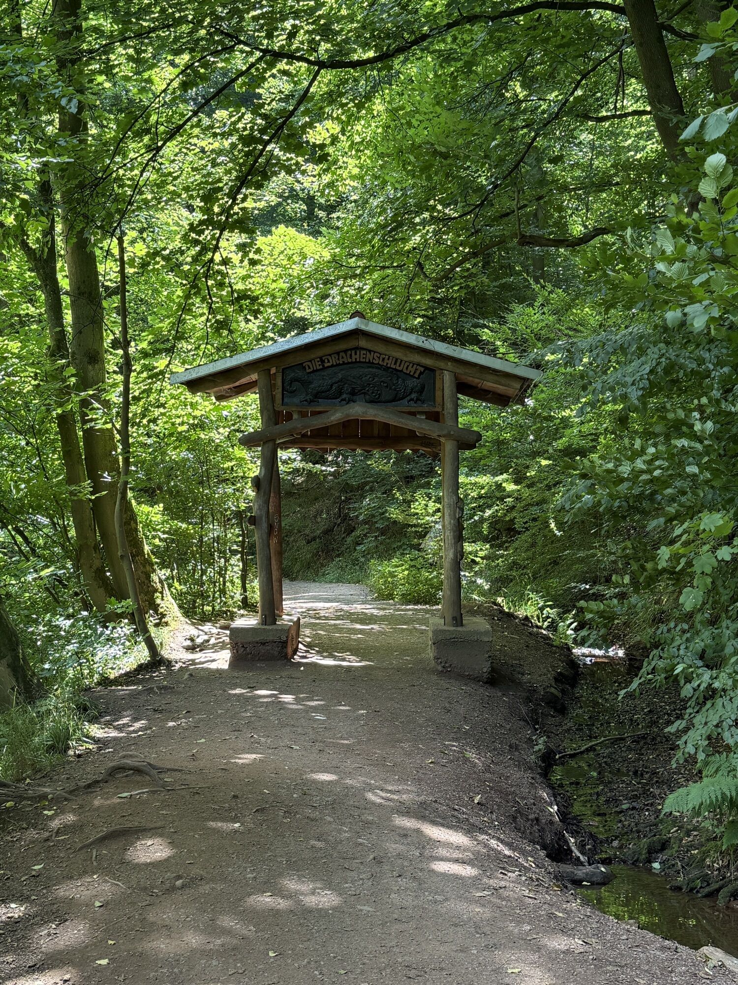
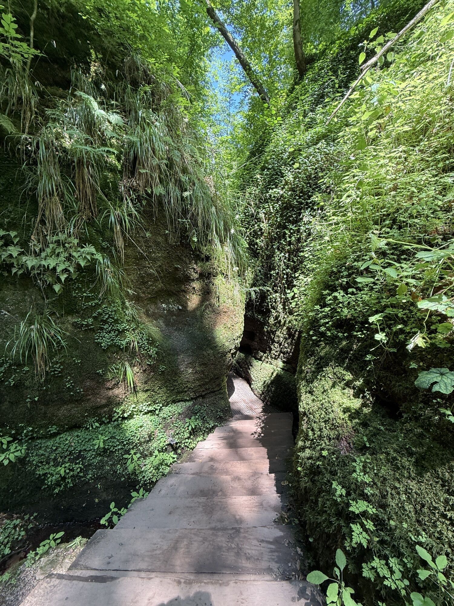
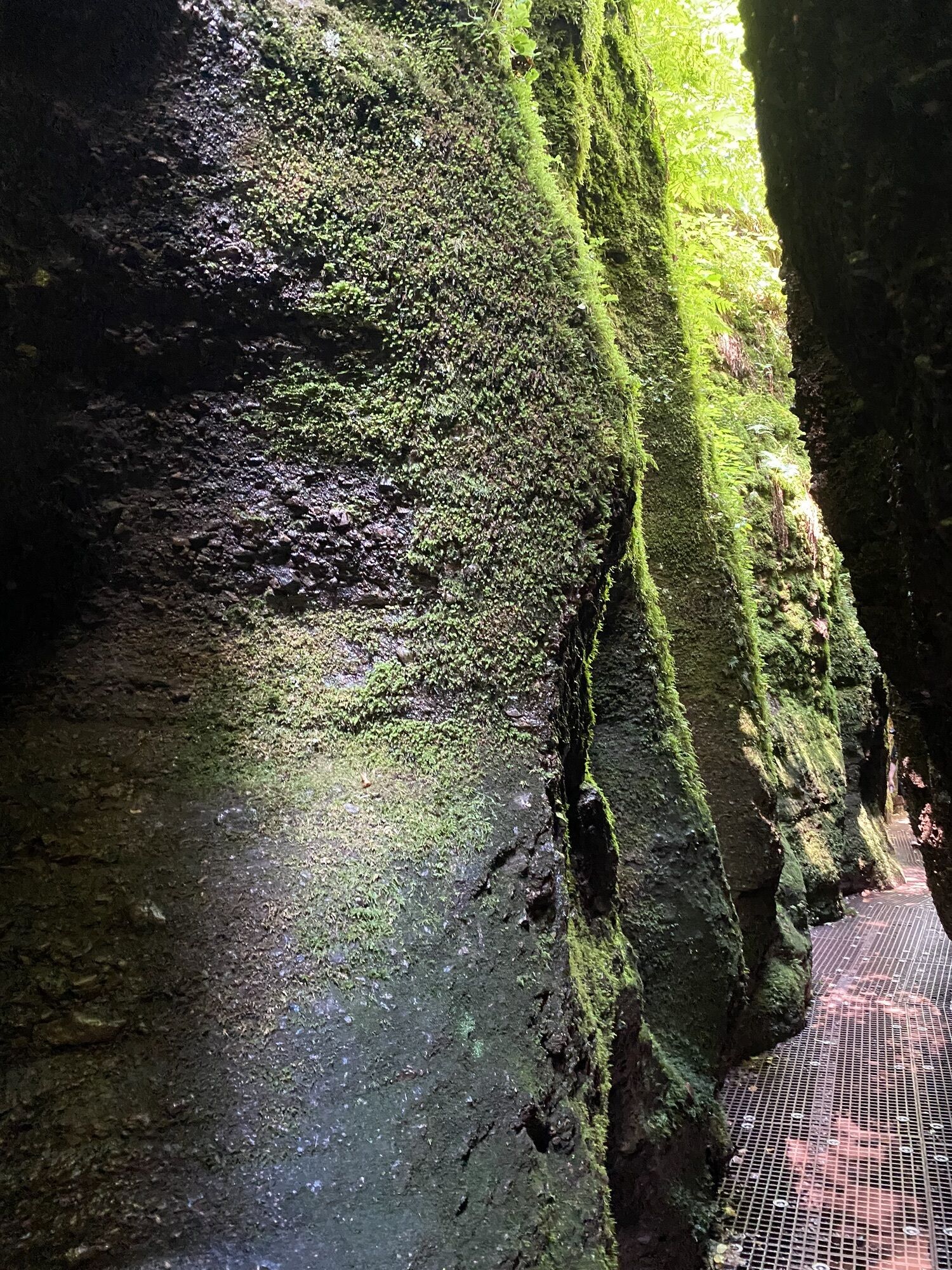
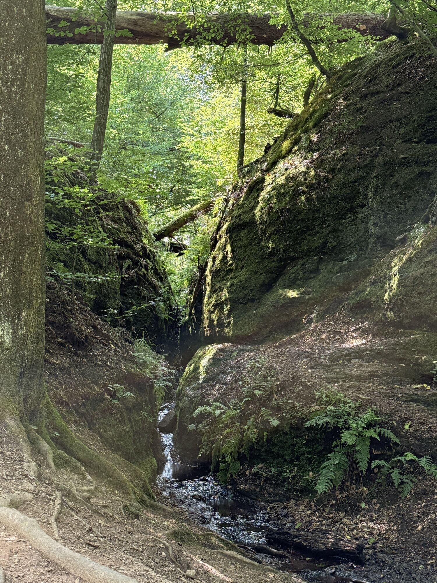
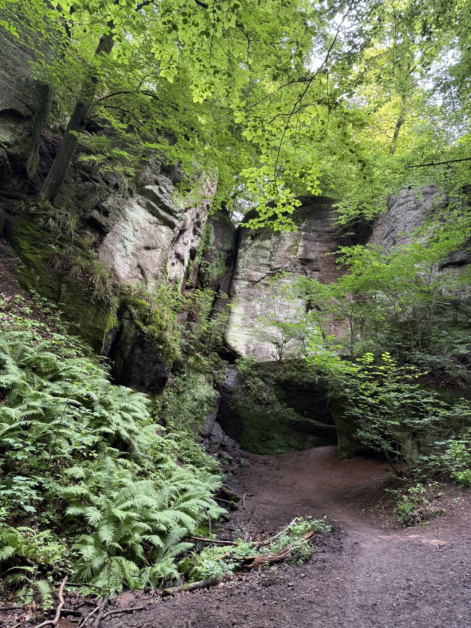
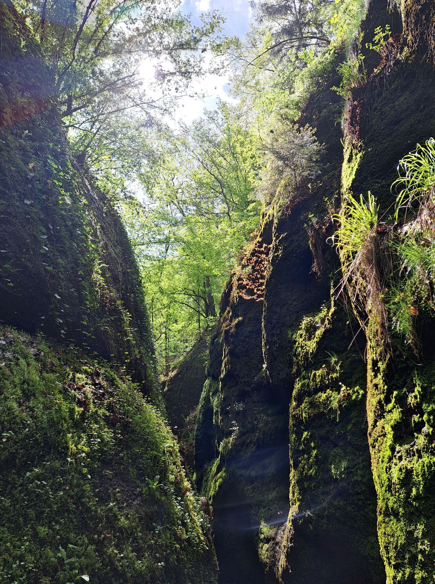
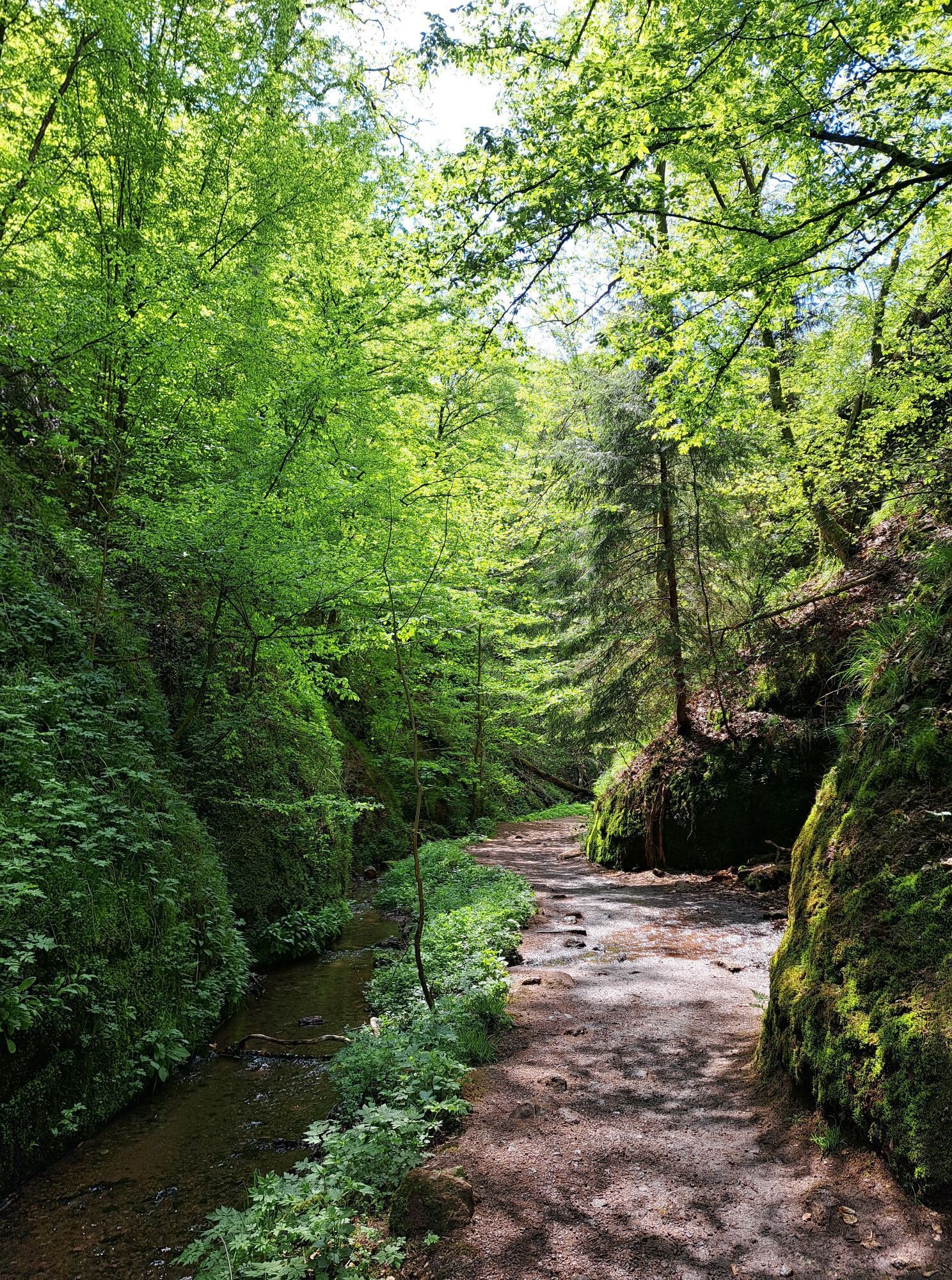
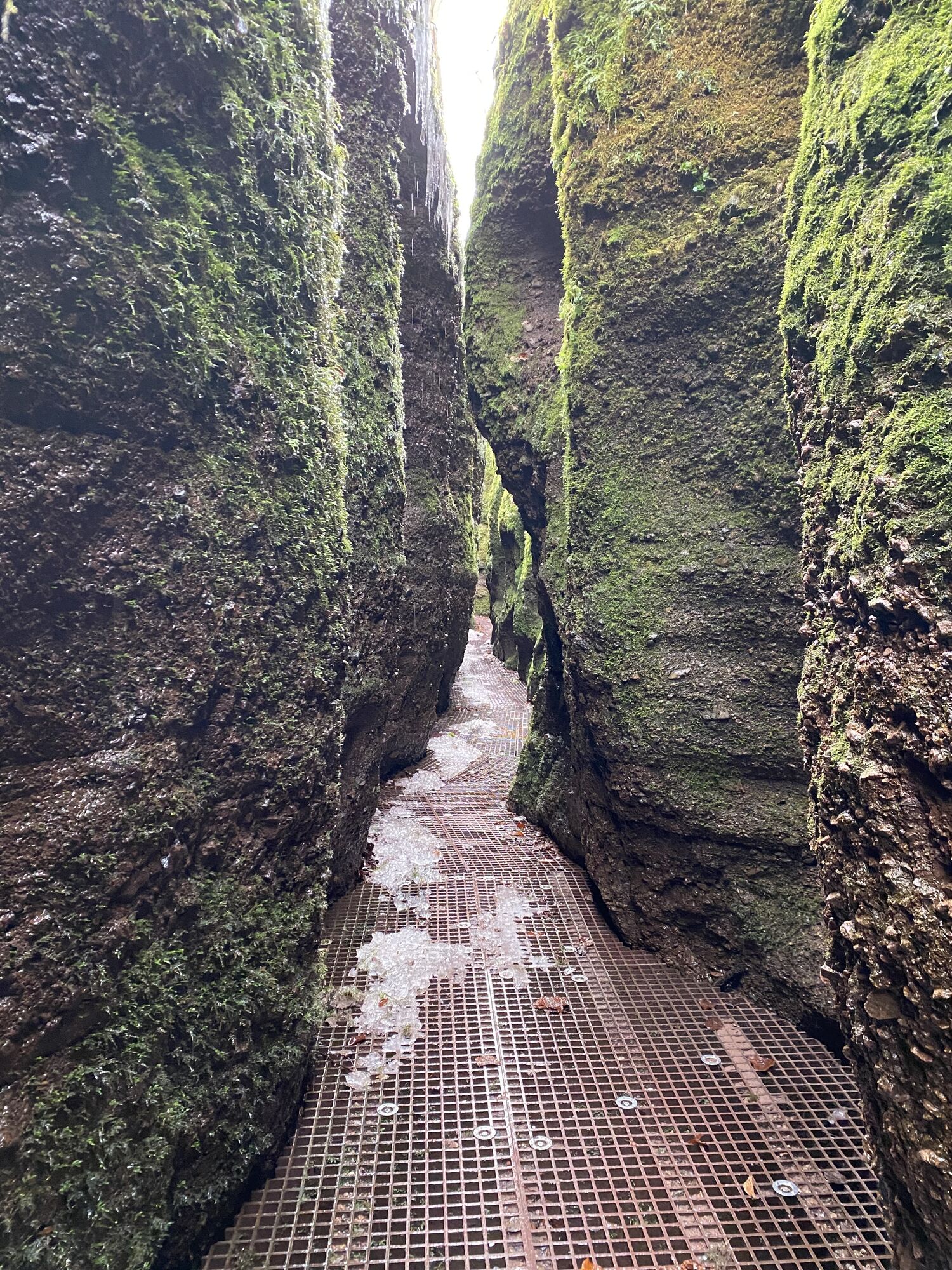
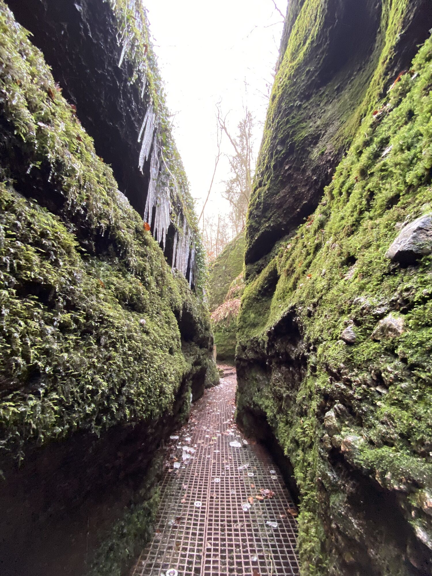
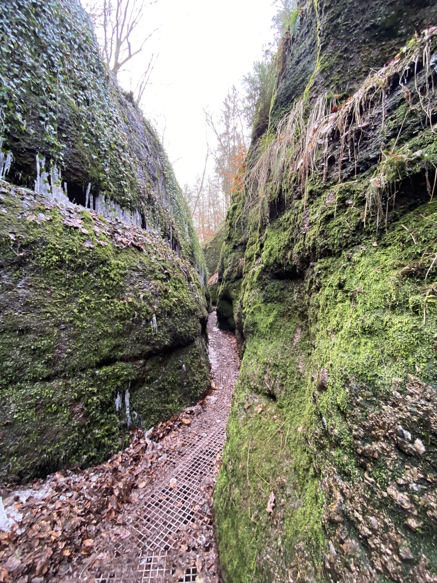
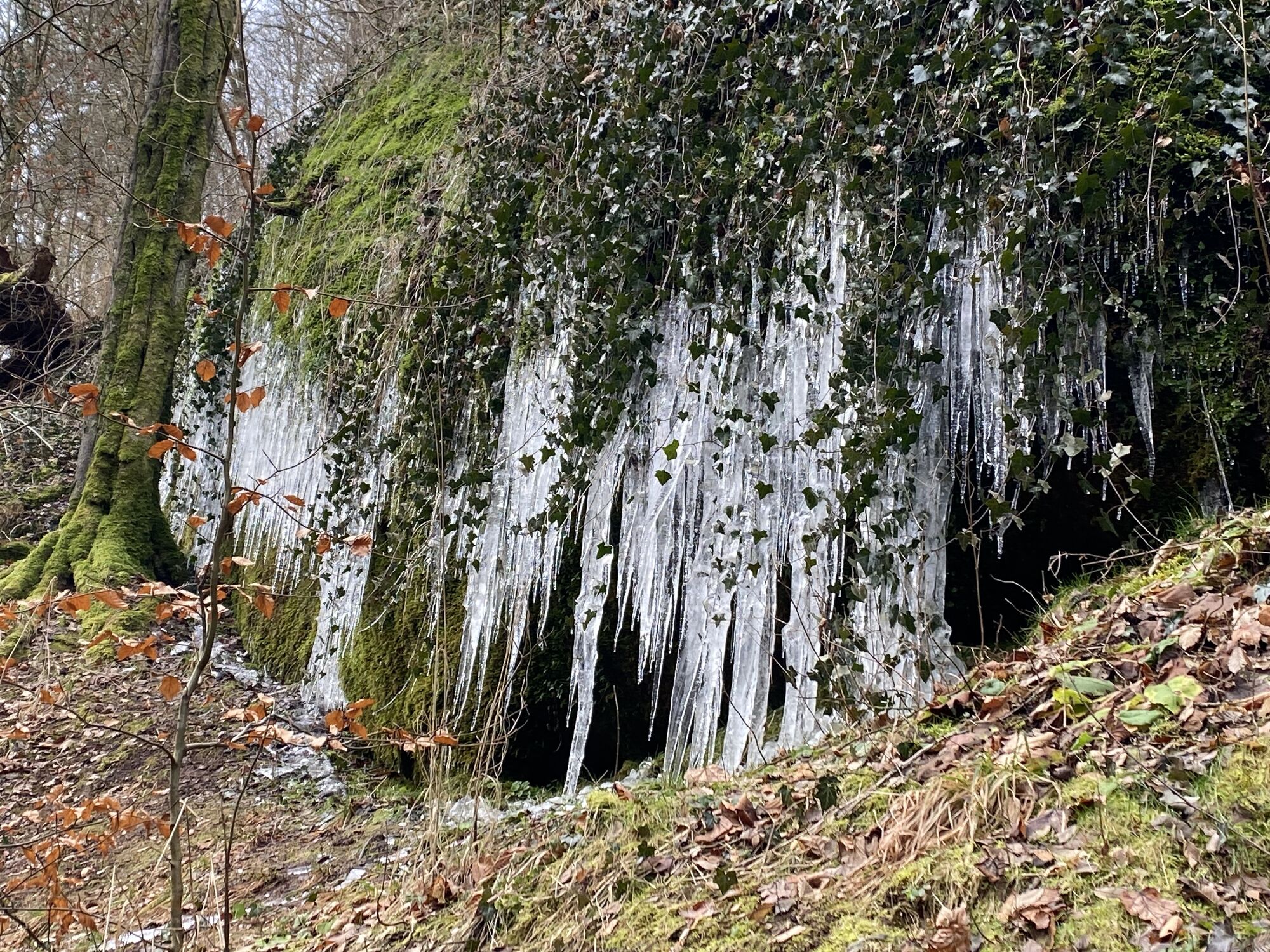
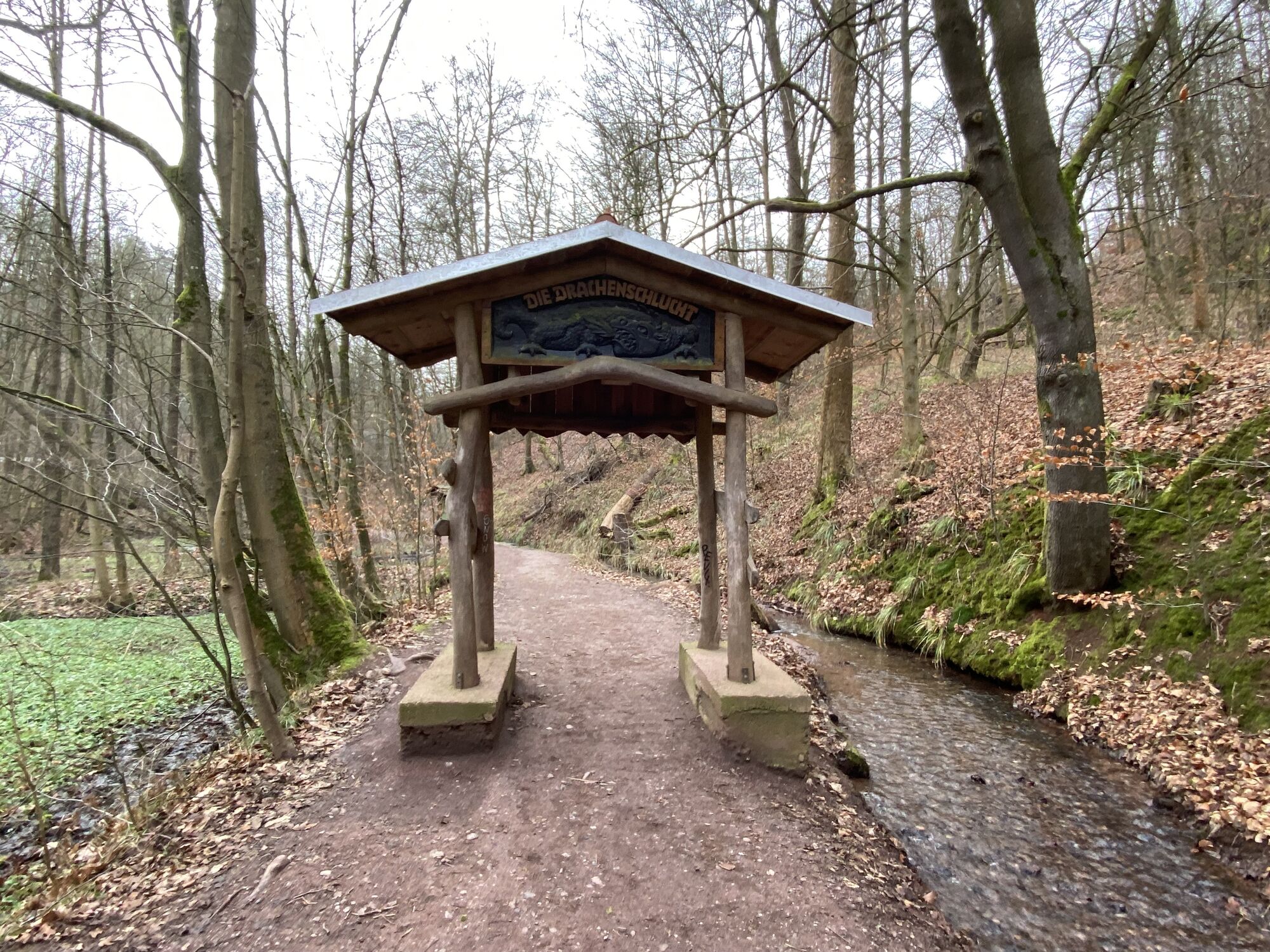
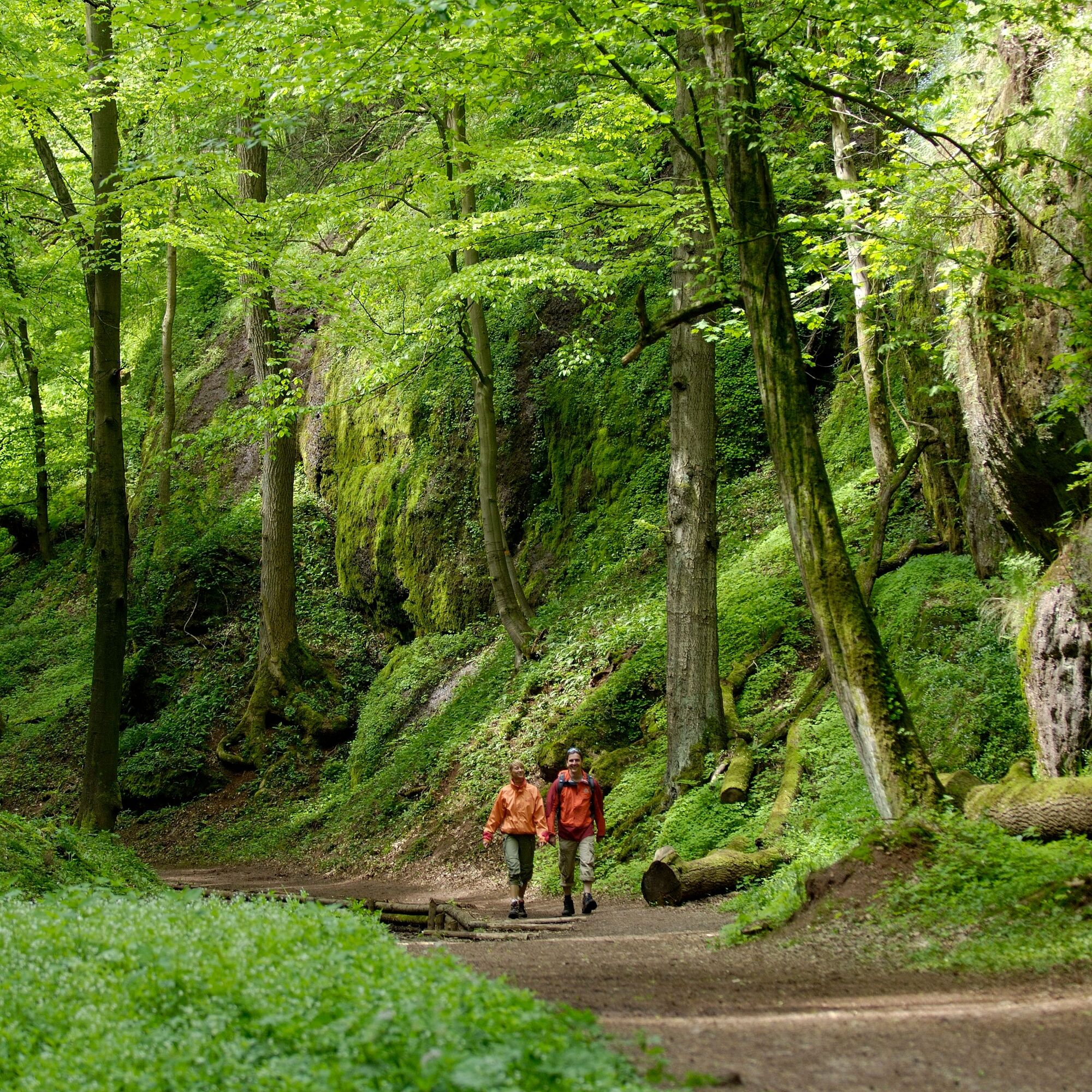
After crossing the B19, you hike through the romantically wild part of the Drachenschlucht. Then the path leaves the gorge and leads towards the Knöpfelsteiche. Here a seating area invites you to linger...
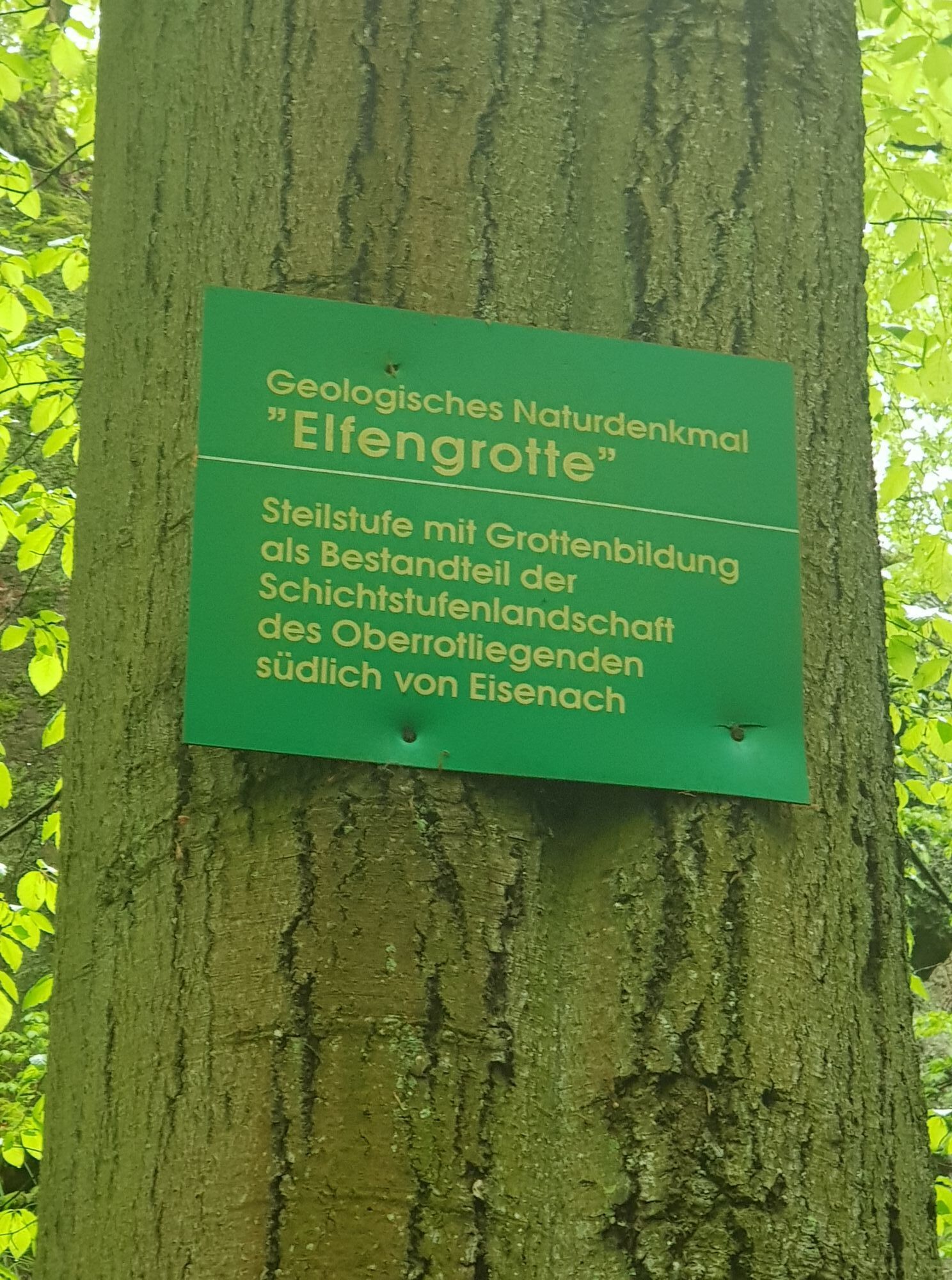
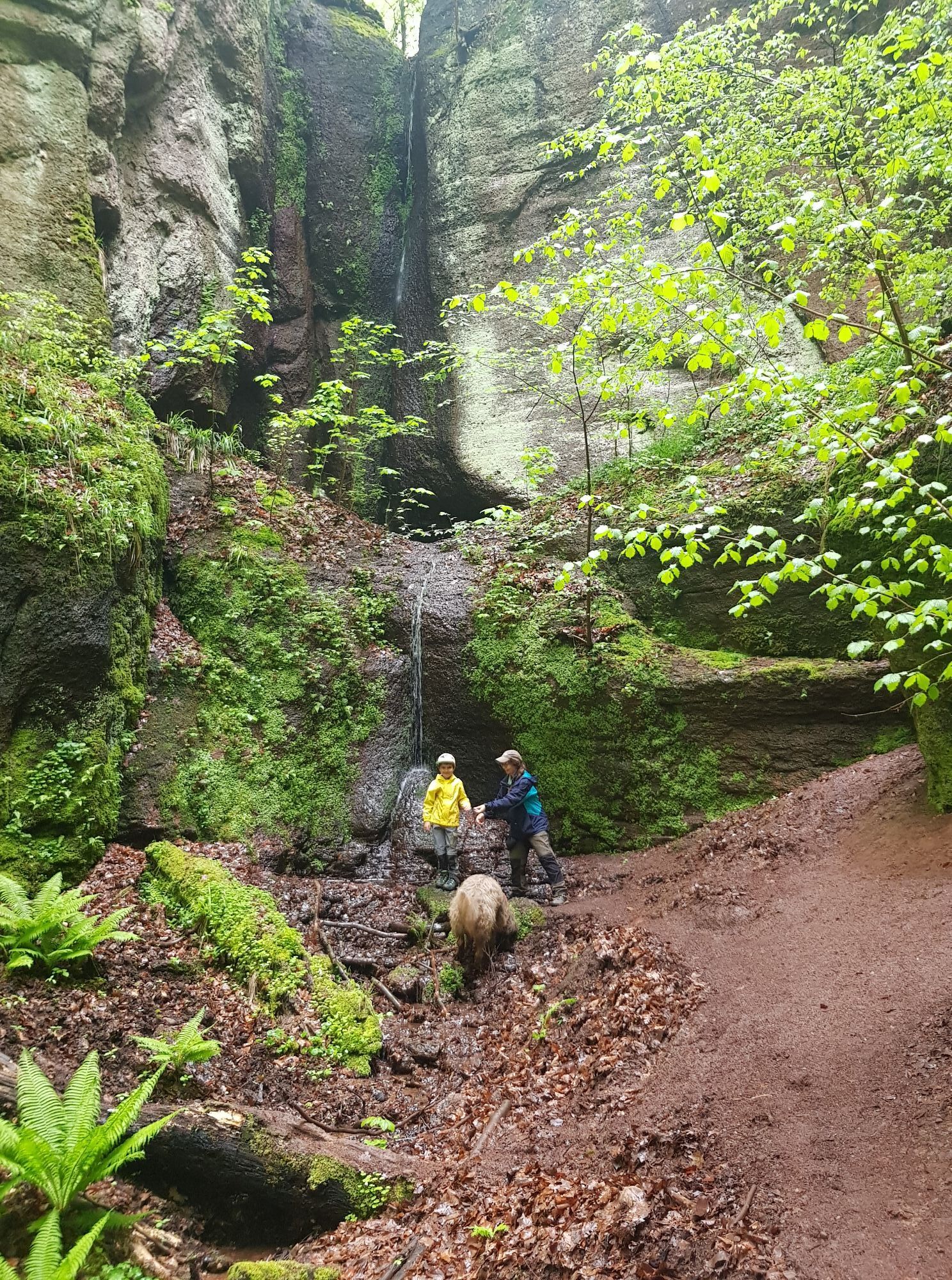
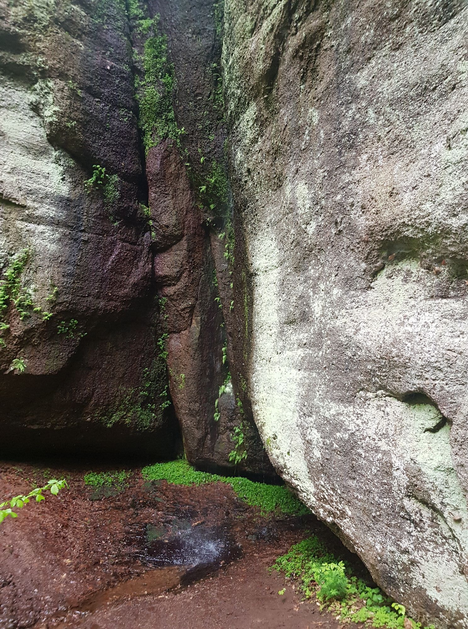
After crossing the B19, you hike through the romantically wild part of the Drachenschlucht. Then the path leaves the gorge and leads towards the Knöpfelsteiche. Here a seating area invites you to linger and enjoy. The path continues to the geological natural monument "Elfengrotte". The cliff is a rock about 11 m high with cave formations and belongs to a series of geological natural monuments of the step landscape near Eisenach. A short detour to the small waterfall is worthwhile to complete the experience.

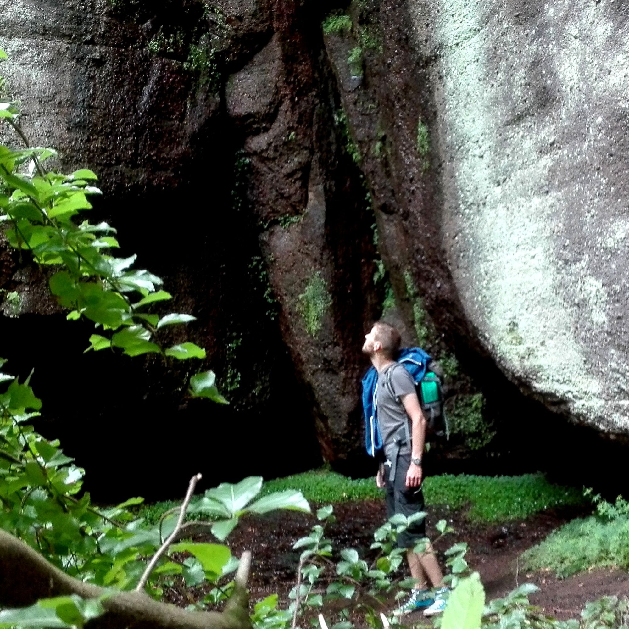
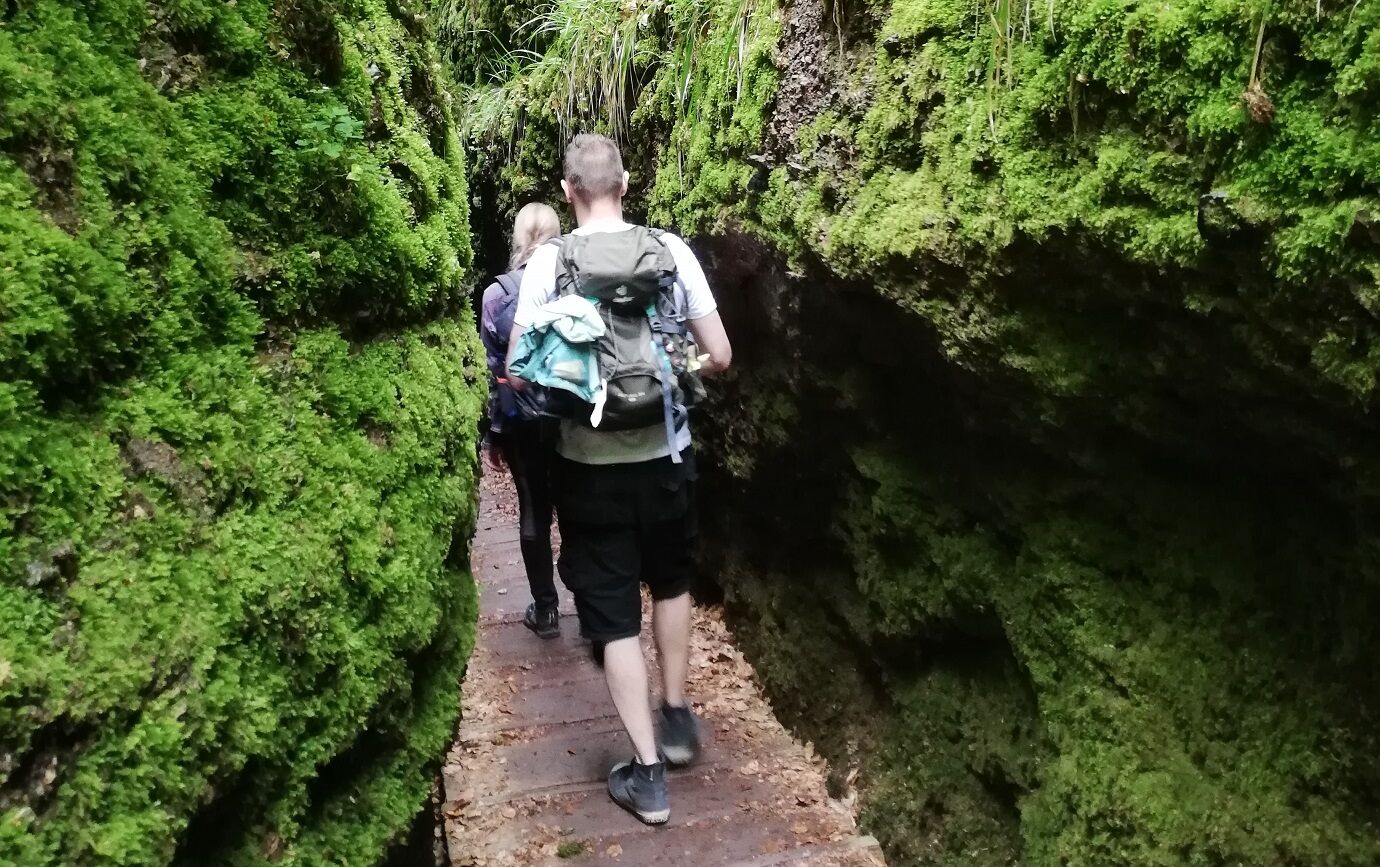
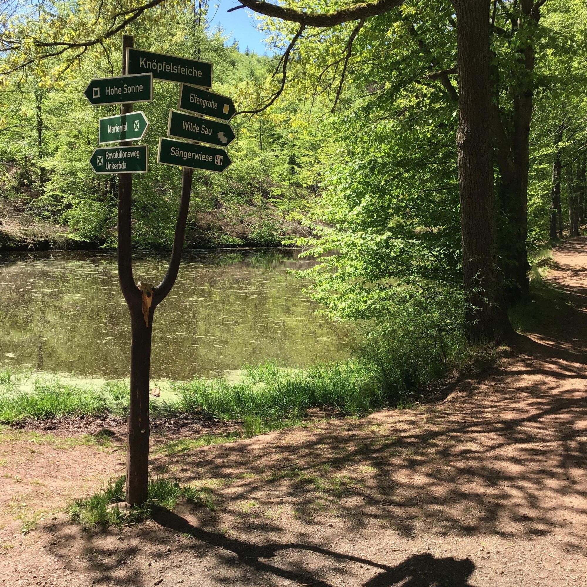
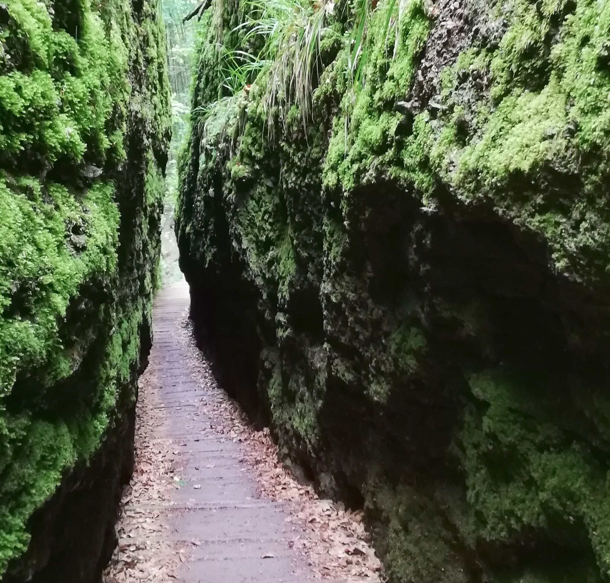

Wichmannpromenade - Drachenschlucht - Knöpfelsteiche - Elfengrotte - Wichmannpromenade
Ano
Sturdy footwear
Please behave considerately and quietly in the forest to protect flora and fauna. Follow the instructions of the forestry staff and observe restrictions due to forestry work.
Coming from the A4, take exit 40a (Eisenach-East). Then continue on B84 towards Eisenach to the junction "Eisenach-Eaststadt". Continue straight on B19 to the station and further south through the city. Follow B19 towards Wilhelmstahl / Etterwinden and Bad Salzungen to the Phantasie hiking parking lot or Mariental parking lot or use the parking lots in the city or the parking garage at the station.
WARNING: Mariental is a popular excursion destination, especially on weekends many day-trippers visit the region. Please do NOT park along the heavily trafficked federal road (no parking) when parking lots are full. Public transport is therefore recommended for arrival.
Use the Deutsche Bahn travel information. This portal also lists all regional transport providers.
City bus Eisenach: Line 3 from "ZOB/Main Station", "Karlsplatz" or "Ernst-Abbe-Gymnasium" to the stop "Mariental (Drachenschlucht)" or with regional bus line 190 from "ZOB/Main Station", "Karlsplatz" or "Ernst-Abbe-Gymnasium" to the stop "Mariental (Drachenschlucht)"
City bus line: 3
Regional bus line: 190
P+R parking lot at Phantasie
P+R parking lot Mariental
Parking Eisenach center "Alte Brauerei" (line 3 or 190 from/to Ernst-Abbe-Gymnasium)
Parking garage Tor zur Stadt (line 3 or 190 from/to ZOB)
T2
A short detour to the small waterfall is worthwhile to complete the experience.


Oblíbené prohlídky v okolí
- 5.0
EA1 - Circular route - Gorge tour near Eisenach - Thuringian Forest
středníTuristika 9.68 km - 3.9
EA2 - circular hiking route - "The Beauties of Eisenach" - Thuringian Forest
středníTuristika 9.96 km - 5.0
Wartburg und Drachenschlucht
středníTuristika 15.1 km - 4.7
IVV PW + GTW "In Luther's footsteps - Luther, dragons, landgraves, rose miracle..."
středníTuristika 15.8 km - 4.8
Hike - "Rennsteig-Leiter Eisenach" Thuringian Forest
středníTuristika 3.58 km - 4.5
Circular hike - Legendary Hörselberge - Great Hörselberg near Eisenach - Thuringian Forest
středníTuristika 10.6 km - 4.7
Hike - Rennsteig - Stage 1 - From Hörschel to Ascherbrück / Ruhla
heavyTuristika 19.1 km - 5.0
EA3 - Circular hiking trail - "Wartburg Experience Route" - Thuringian Forest
středníTuristika 6.14 km - 4.0
Circular hiking trail - "Große Bermerrunde" - Ruhla - Thuringian Forest
světloTuristika 8.14 km Circular hike - From the Rennsteig start via the "Stedtfeld Mining Educational Trail" near Eisenach - Thuringian Forest
středníTuristika 11.0 km

Pěší turistika a stopování


Nenechte si ujít nabídky a inspiraci pro vaši příští dovolenou
Vaše e-mailová adresa byl přidán do poštovního seznamu.





