







EA1 - Circular route - Gorge tour near Eisenach - Thuringian Forest

Úroveň obtížnosti: T1
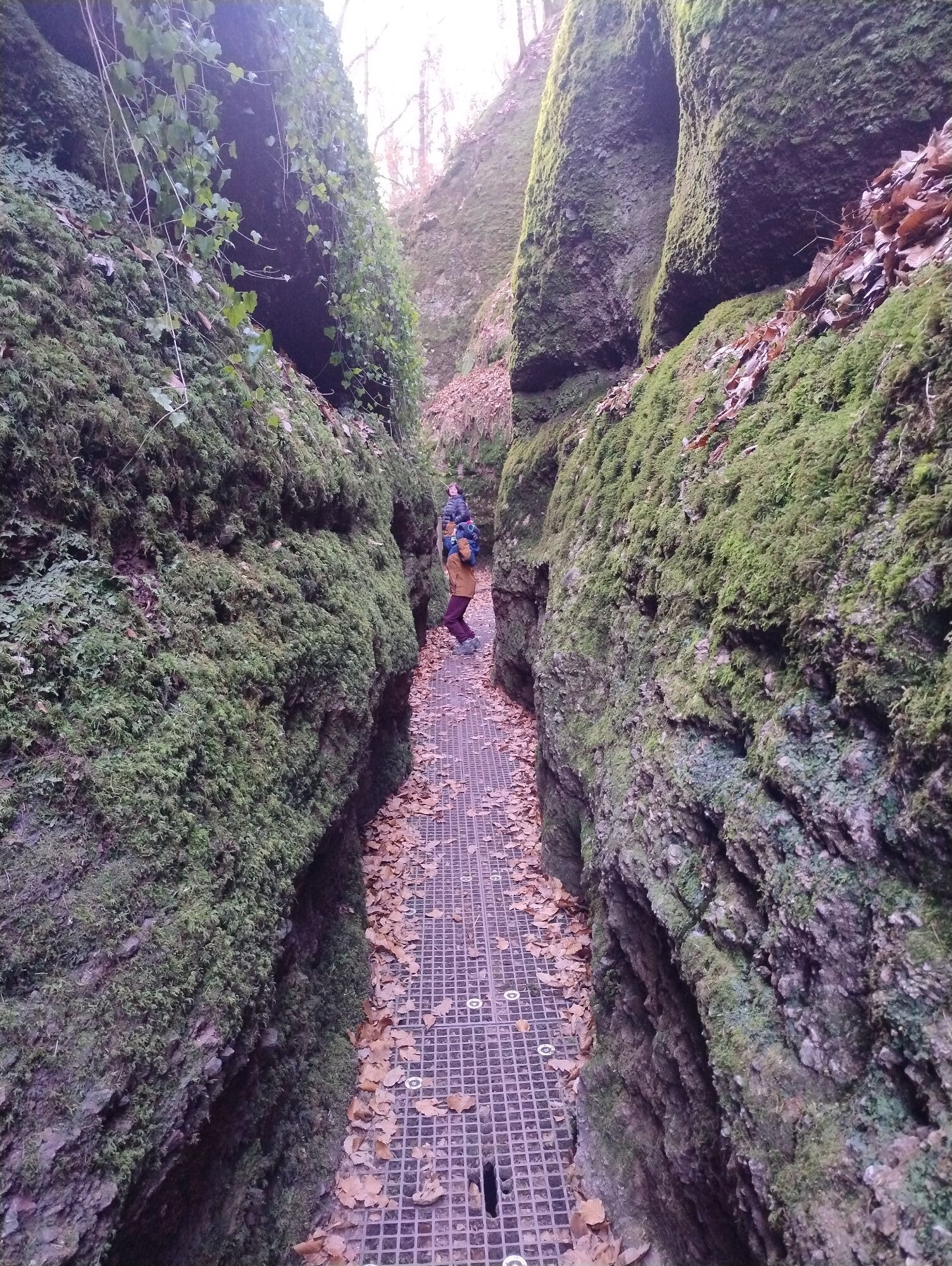
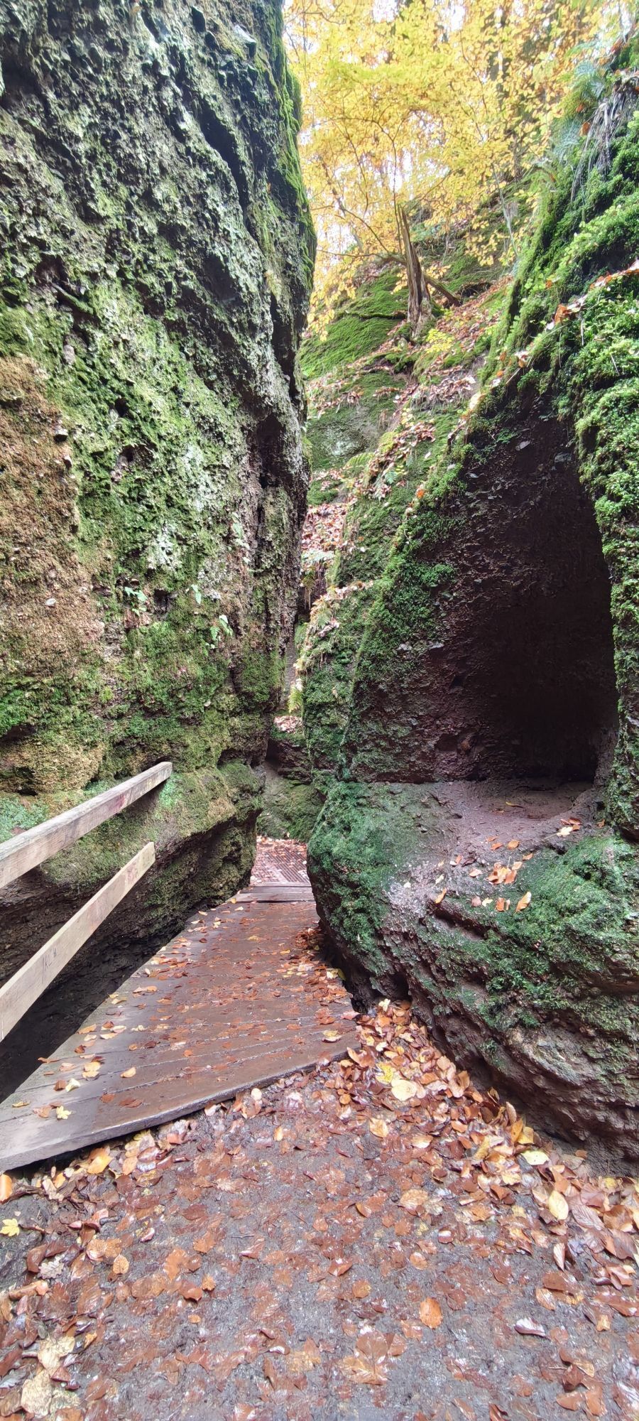
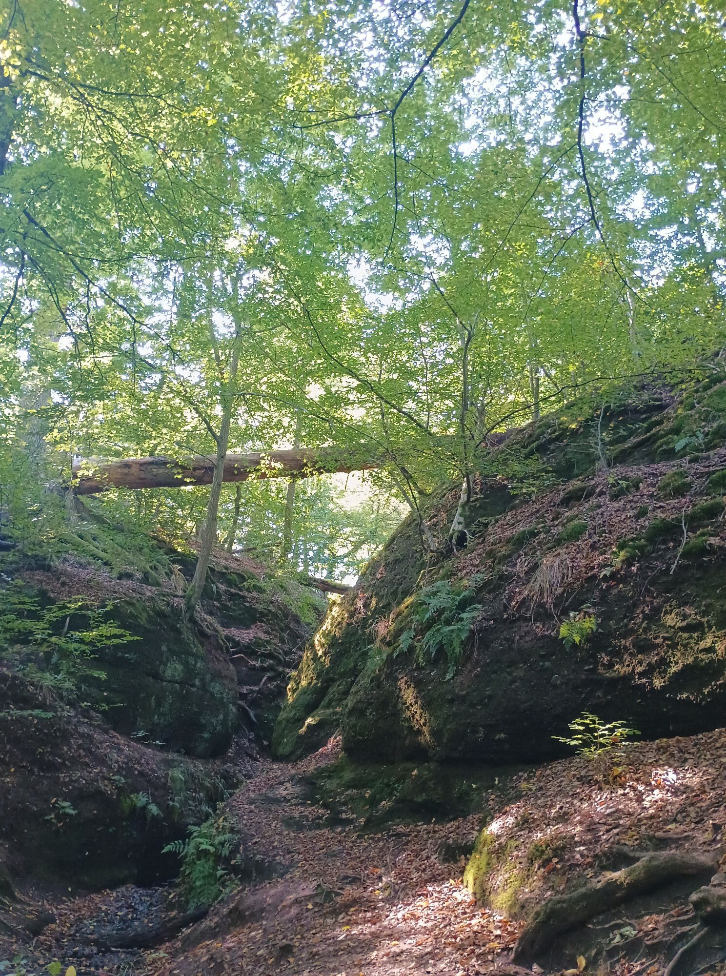
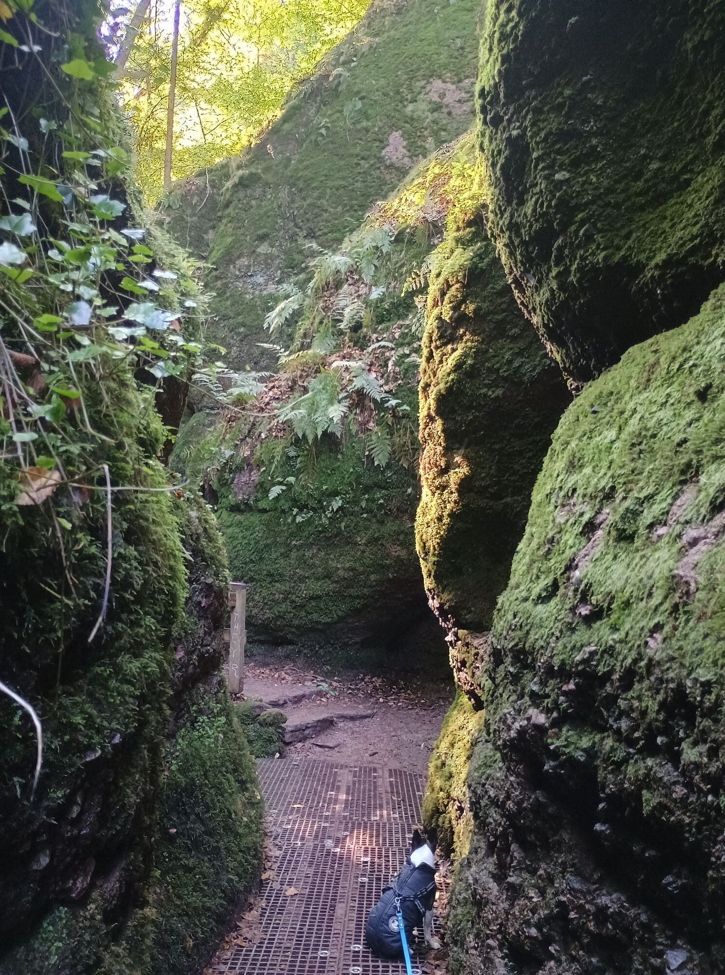

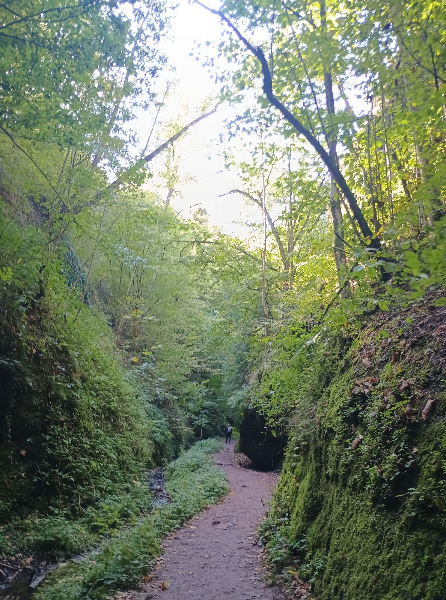
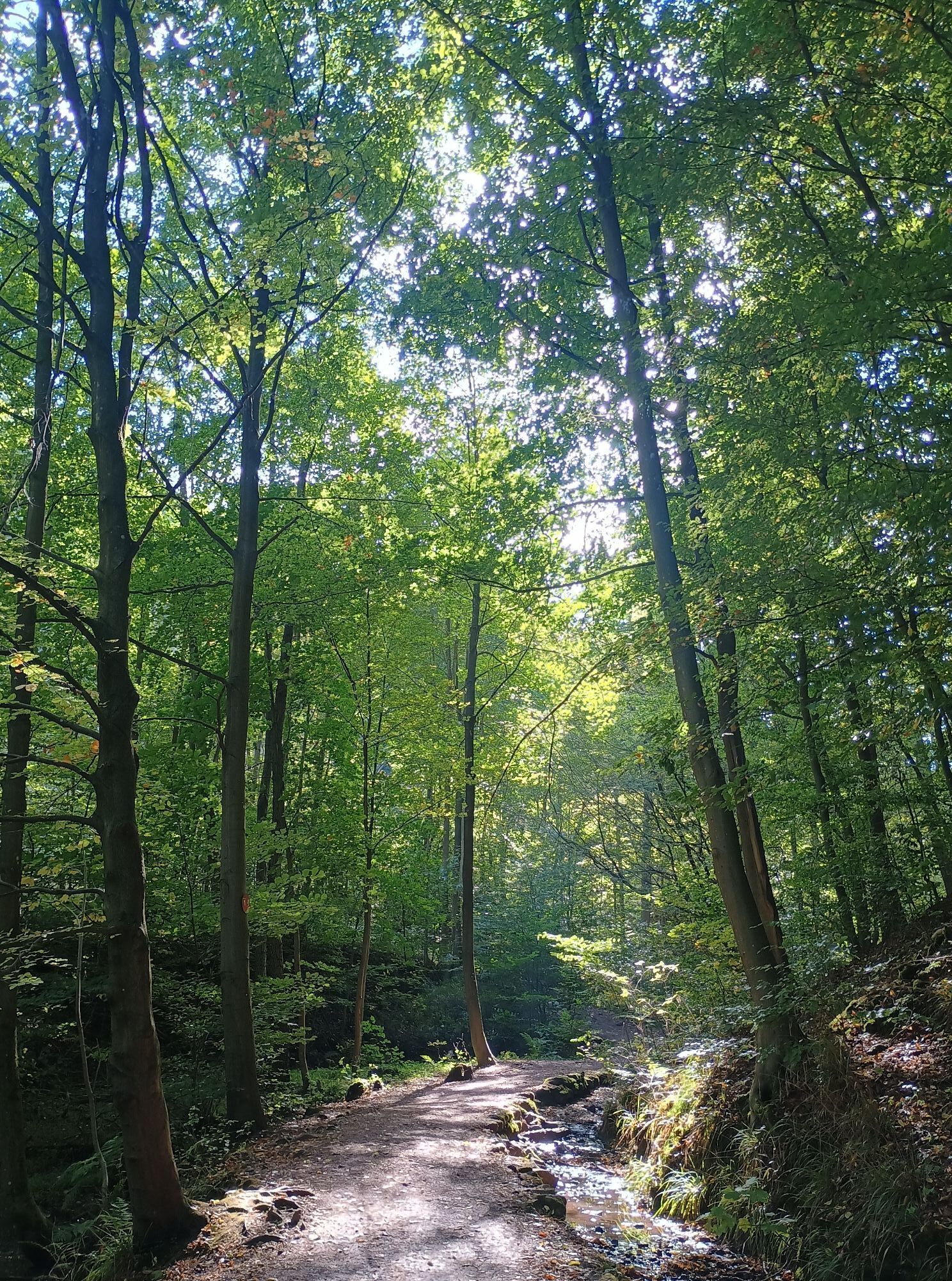


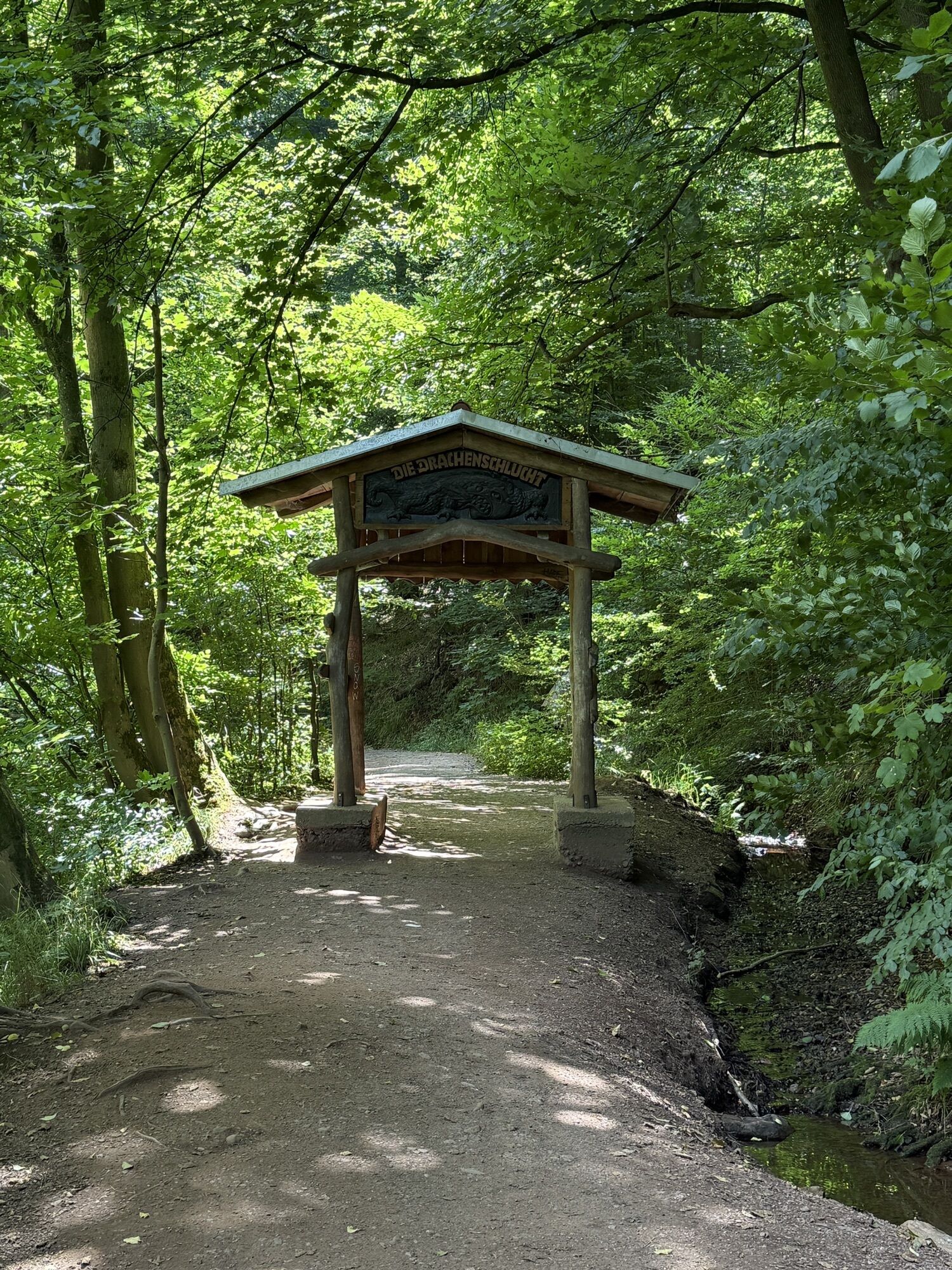
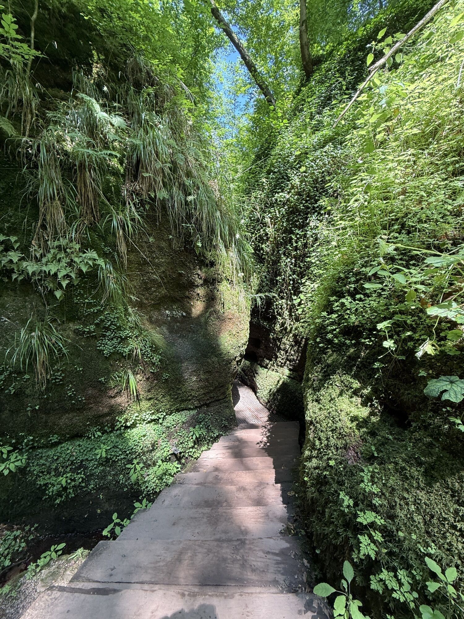
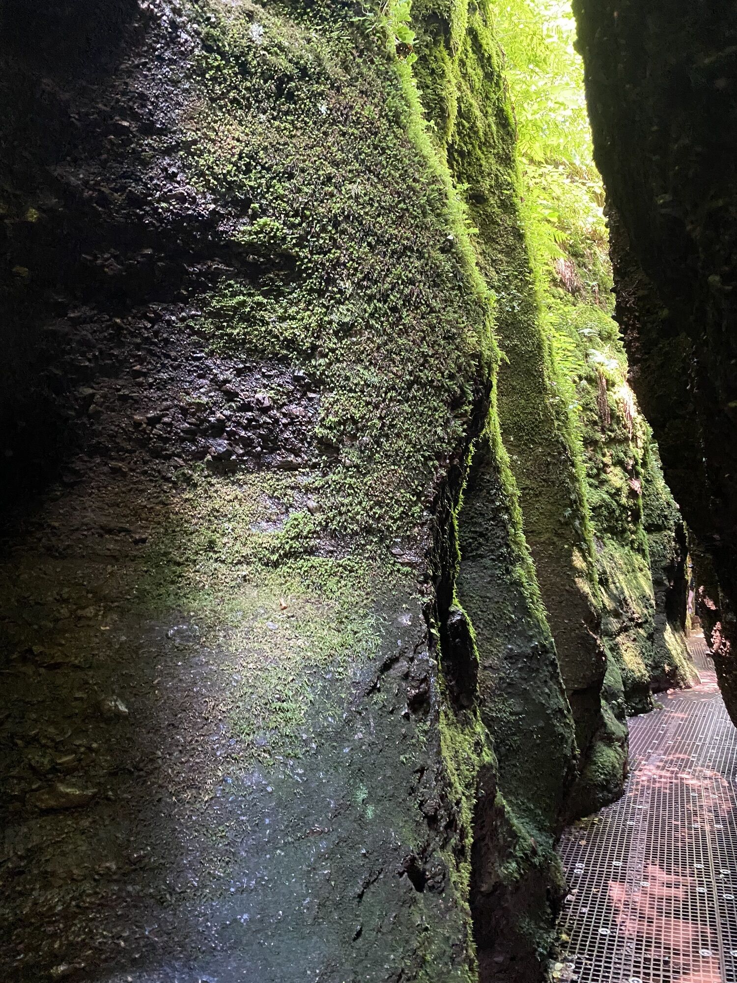
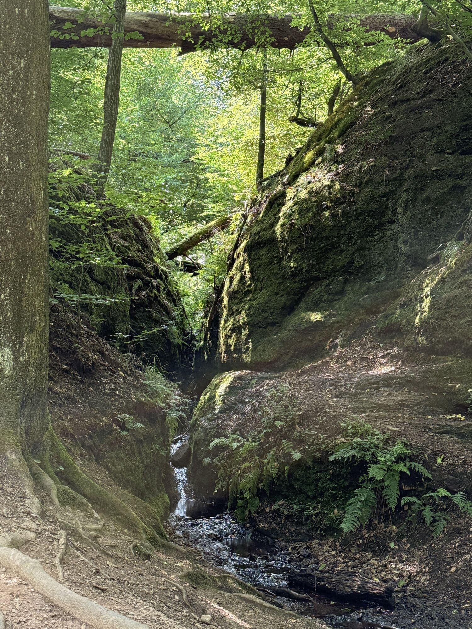
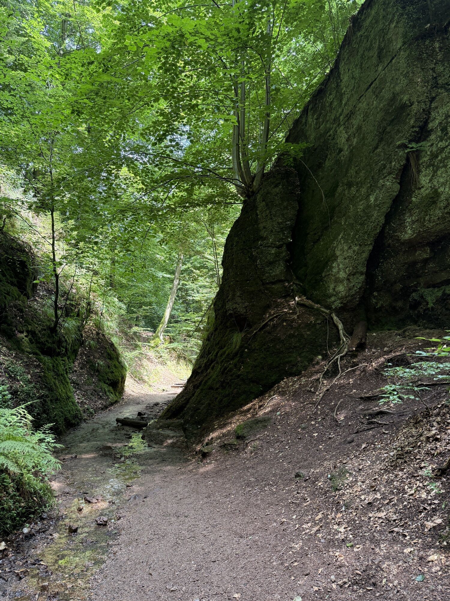
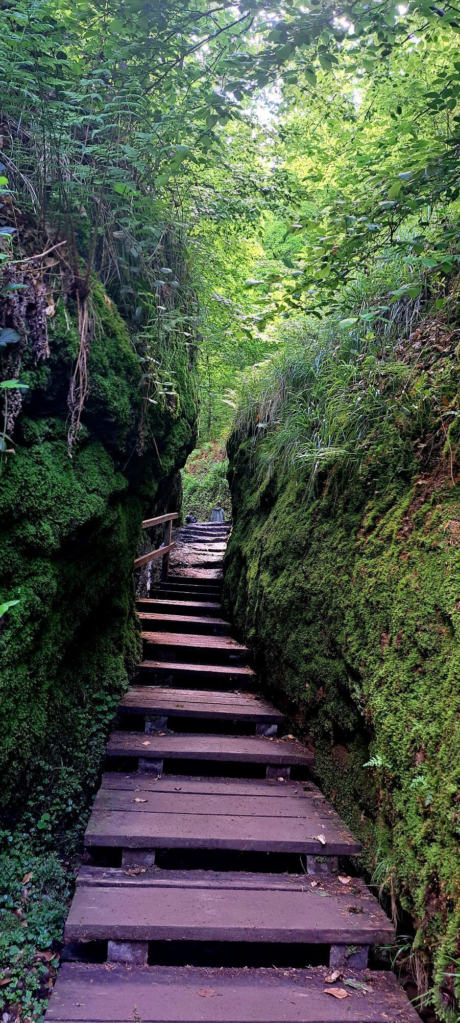
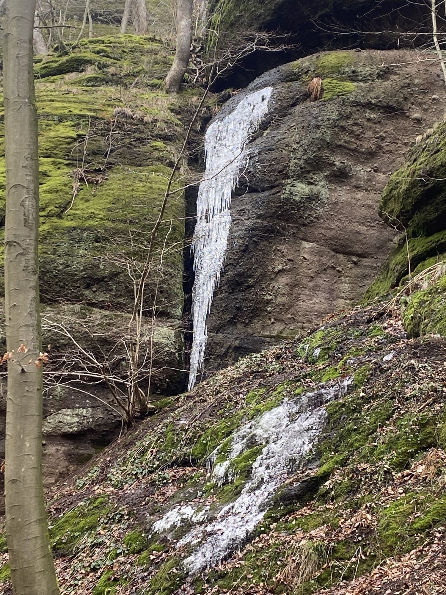
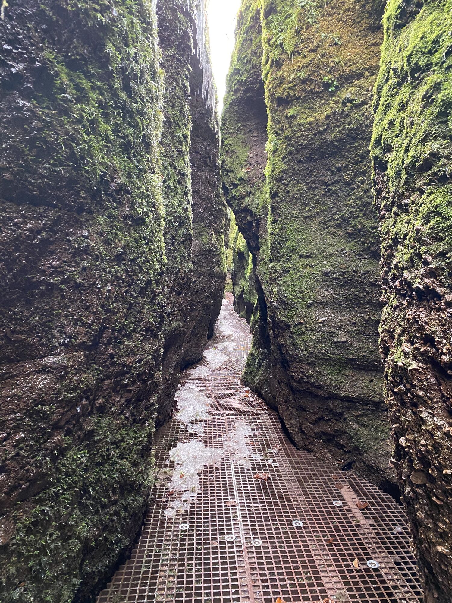
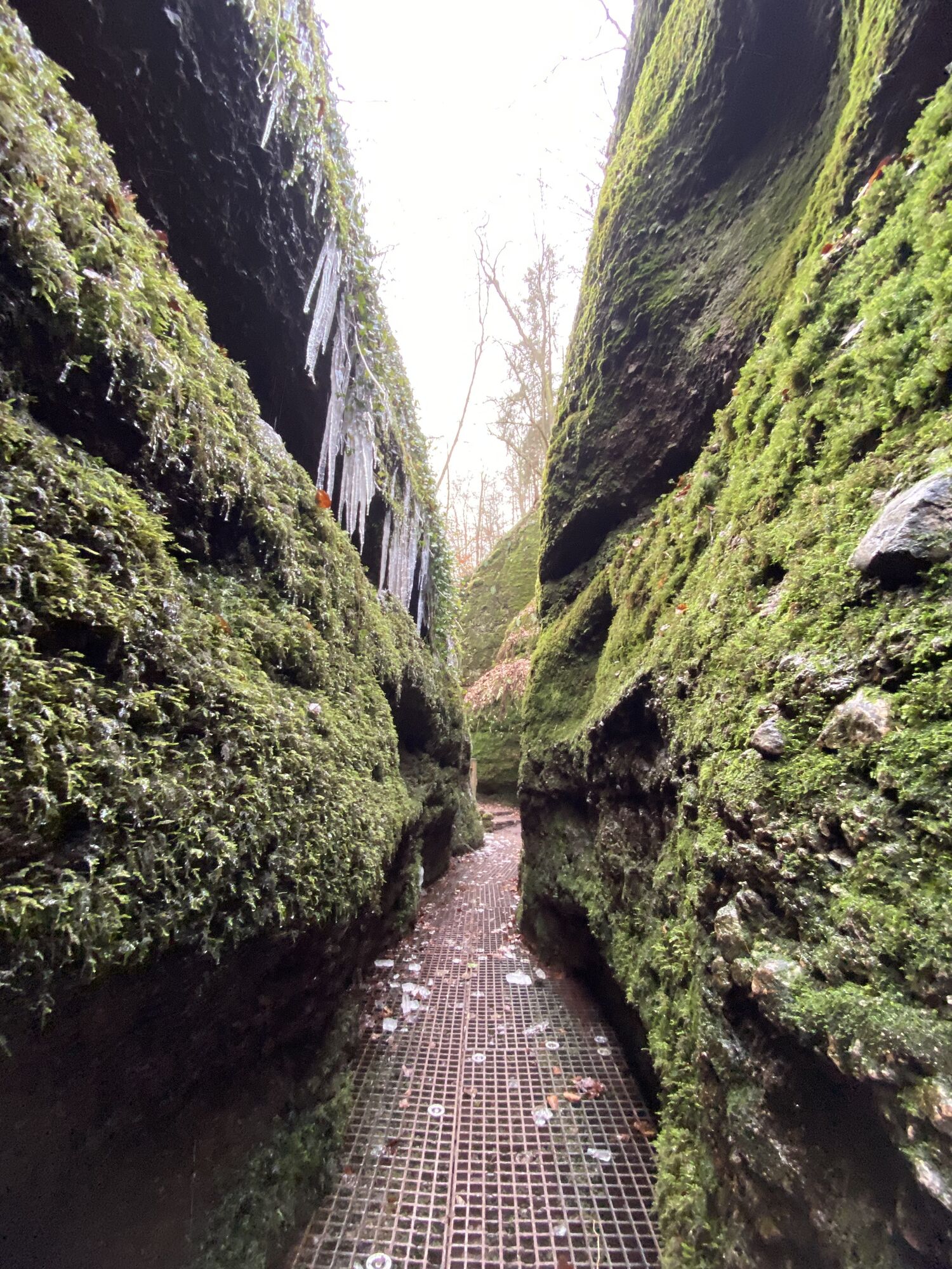
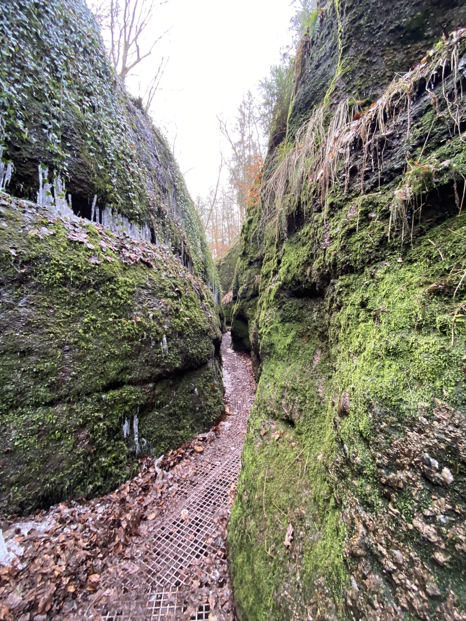
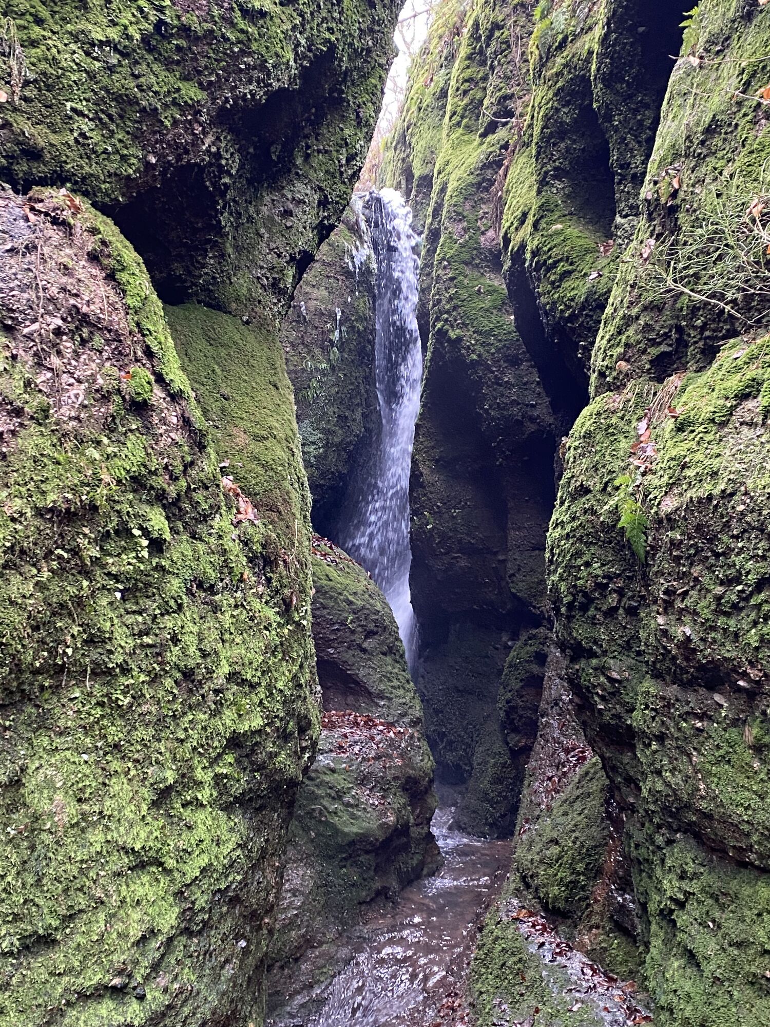
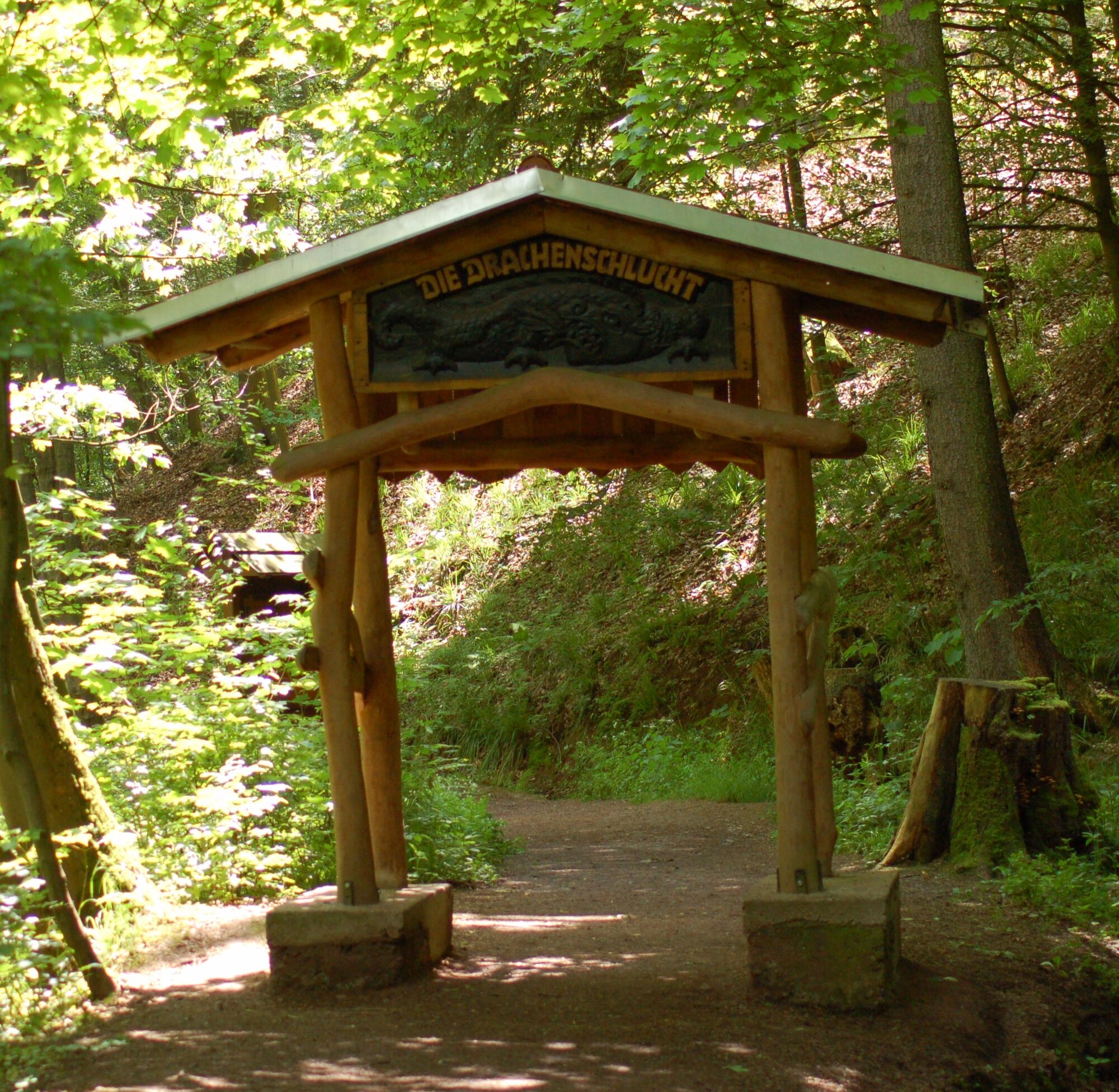
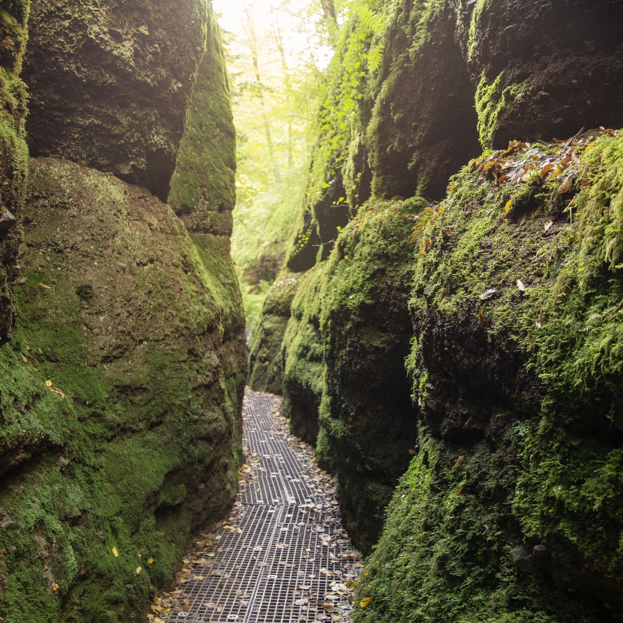
In the legendary Drachenschlucht south of Eisenach, romantics, nature lovers and geologists all get their money's worth. In the narrow gorge you hike on boardwalks over a rushing brook.
Roaring water beneath...
In the legendary Drachenschlucht south of Eisenach, romantics, nature lovers and geologists all get their money's worth. In the narrow gorge you hike on boardwalks over a rushing brook.
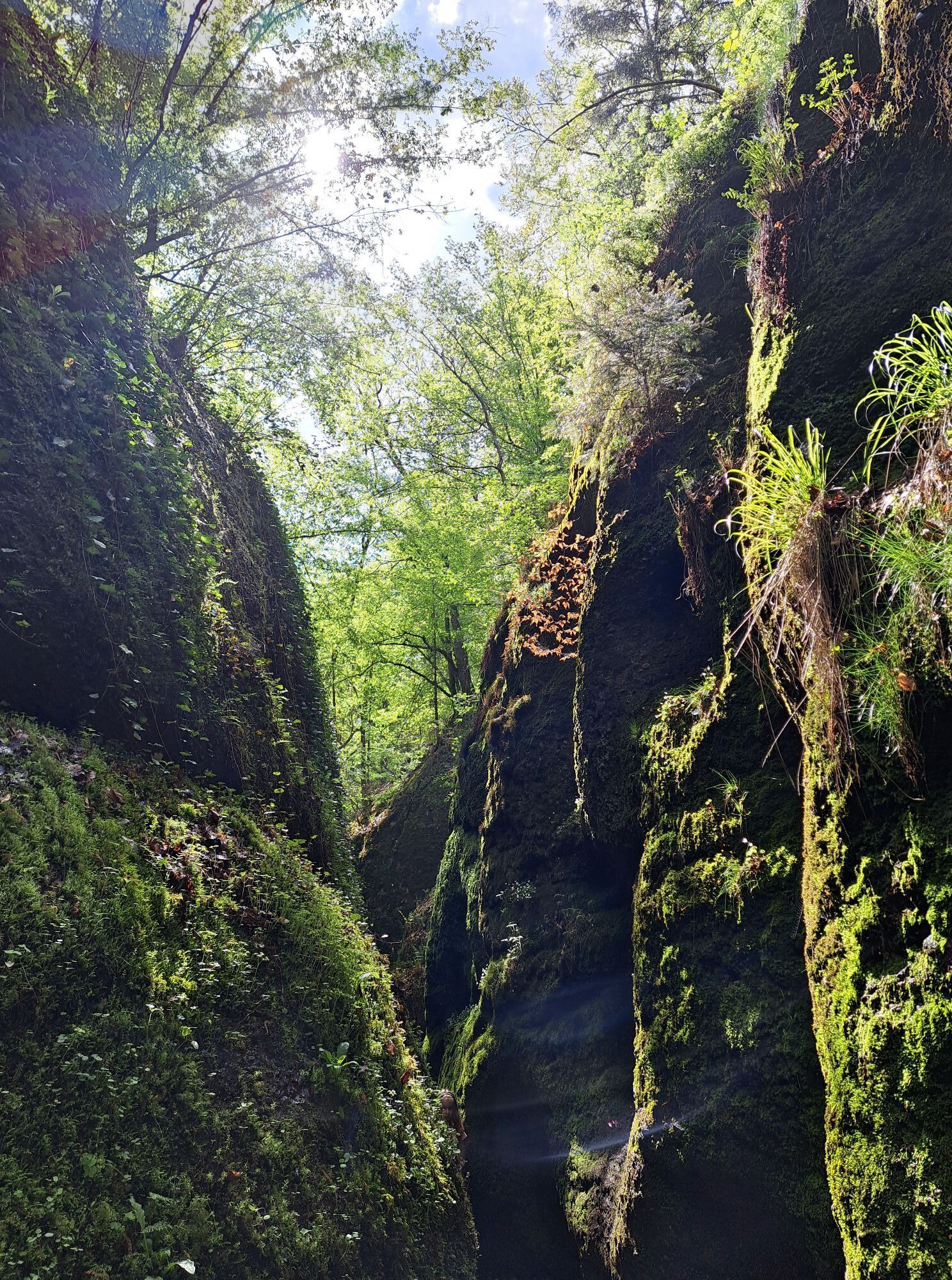
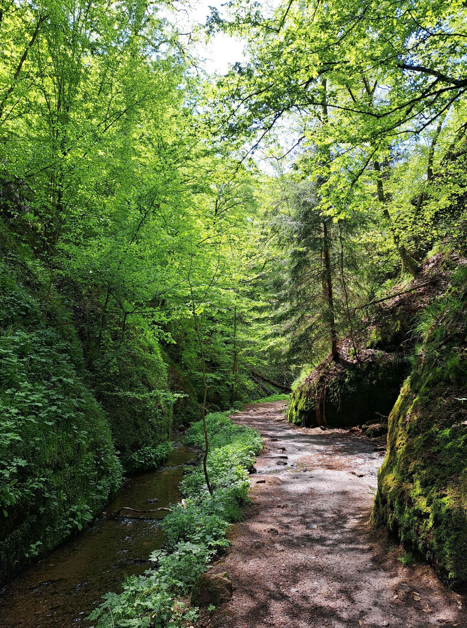
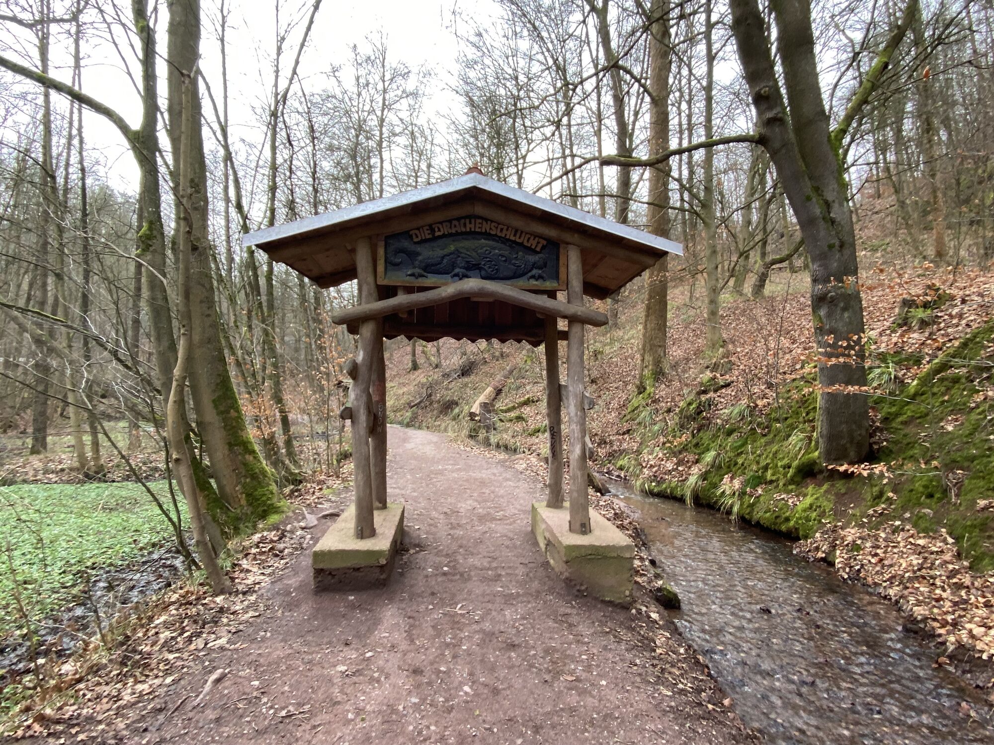
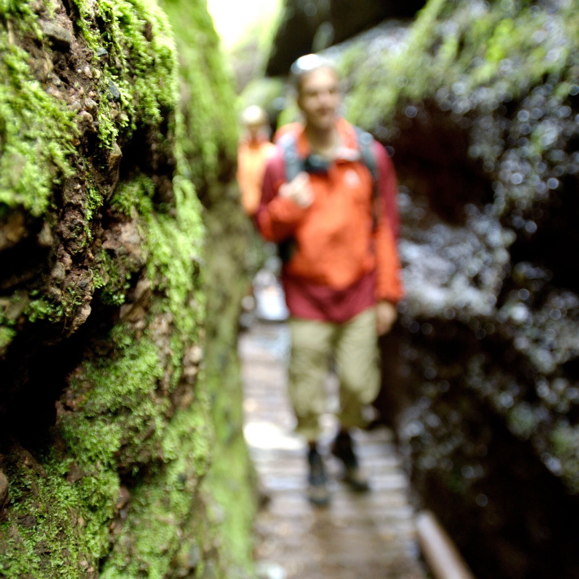
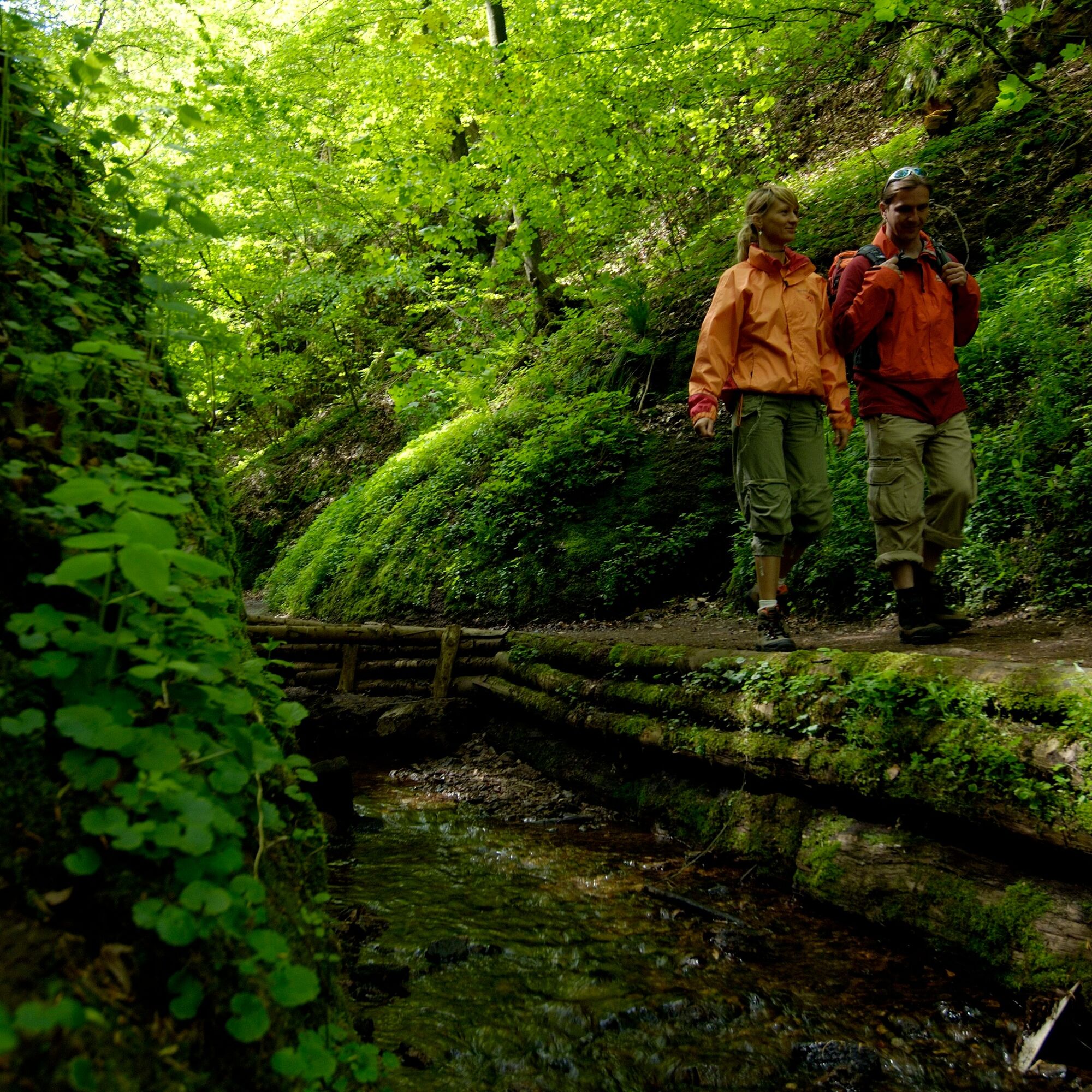
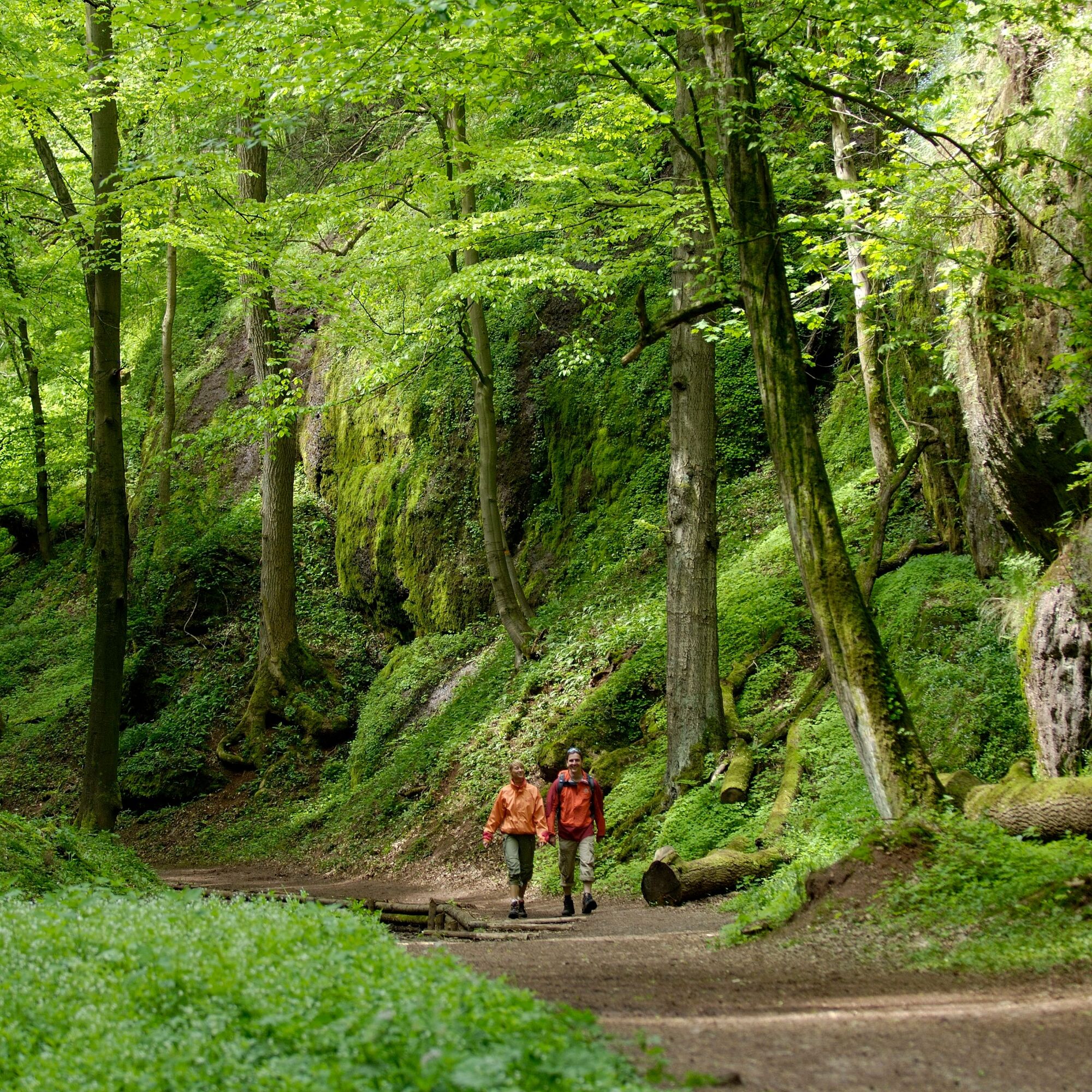
Roaring water beneath your feet, millions of glittering water droplets on moss-covered rocks barely more than a man's width apart – the Drachenschlucht is one of Thuringia's most exciting geotopes. Over millions of years, the water of a brook has cut almost ten meters deep into the red rocks below the Wartburg. A path has been established through the approximately 200 meters long gorge, where you can walk directly above the small brook through the fantastic rock formations.
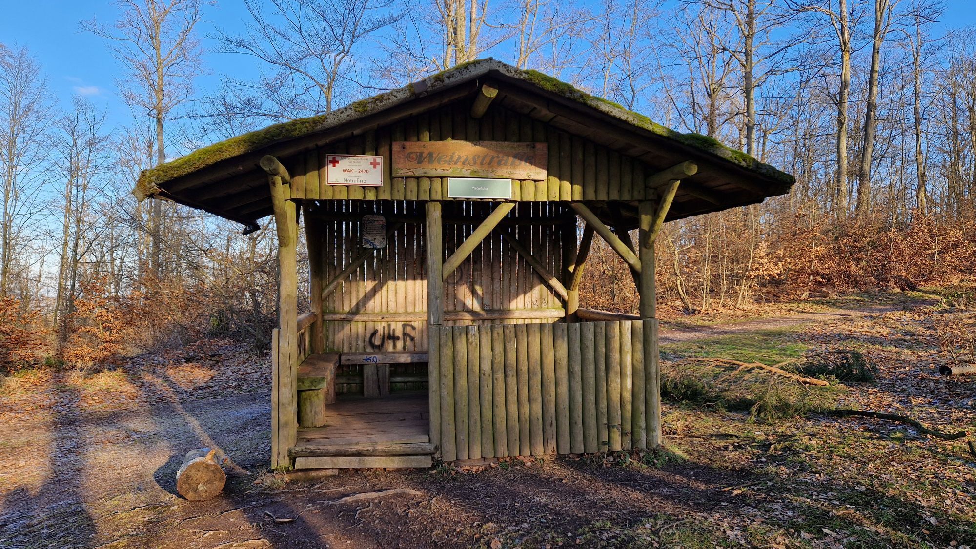
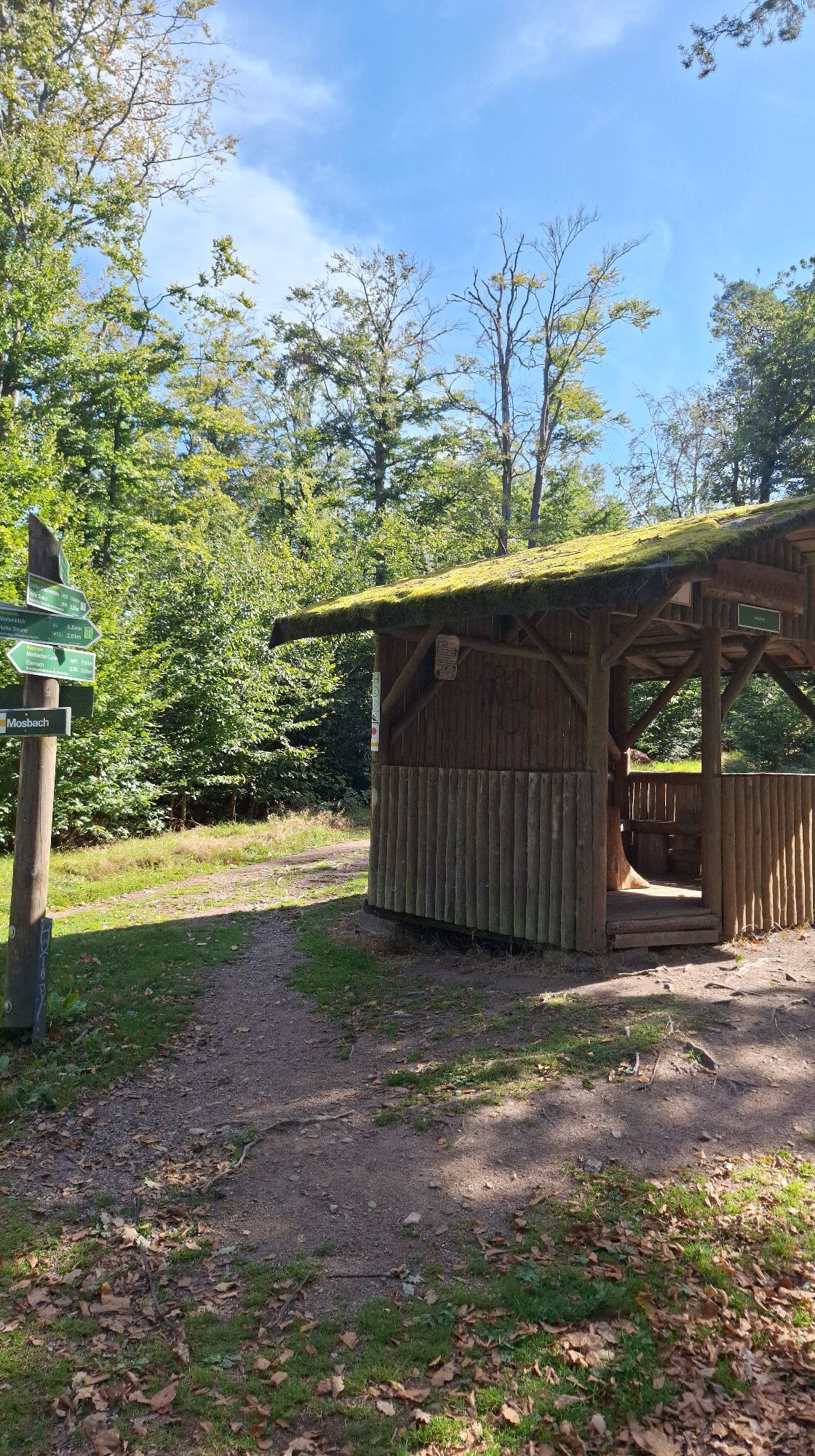
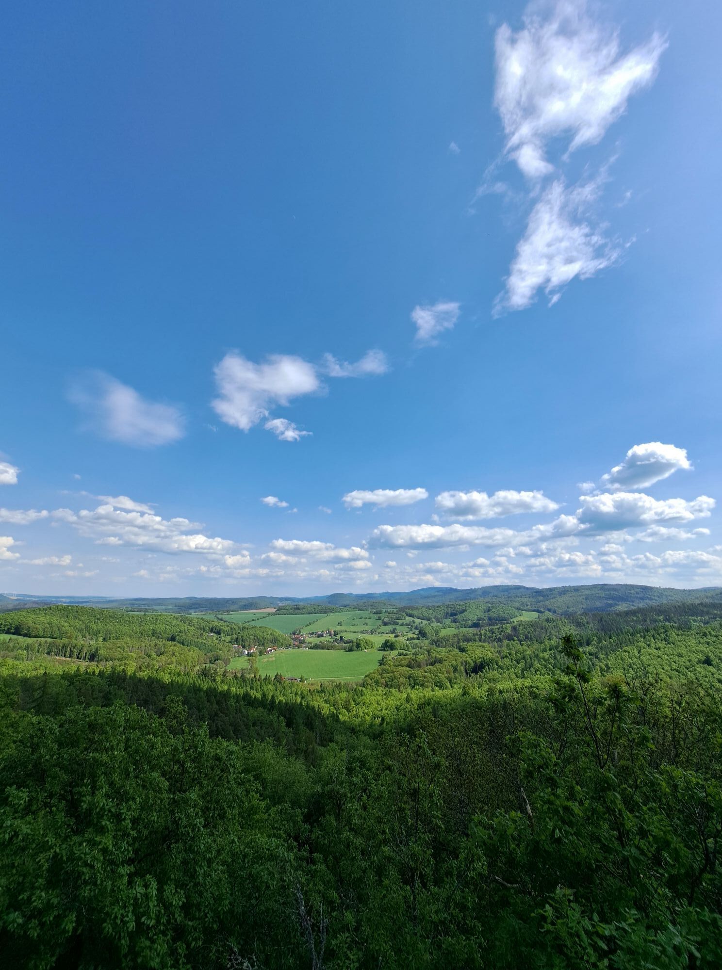
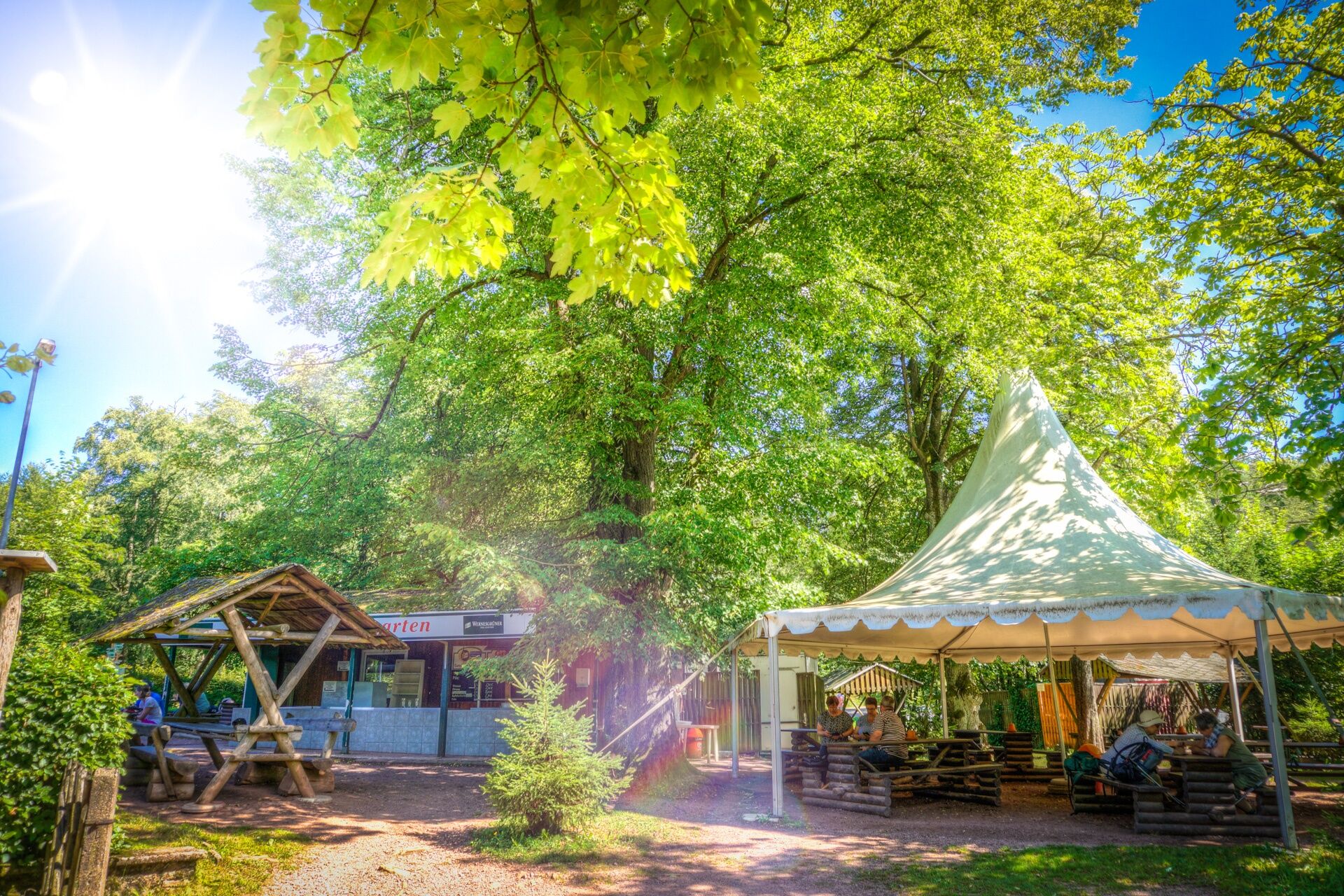
You start your route in Mariental near Eisenach and walk through the impressive Landgrafenschlucht up to the Great Drachenstein. After enjoying the magnificent view there, follow the Wine Street to the Hohe Sonne directly on the Rennsteig. After a short break at the Grill Hohe Sonne, descend through the Drachenschlucht, ending back in Mariental.
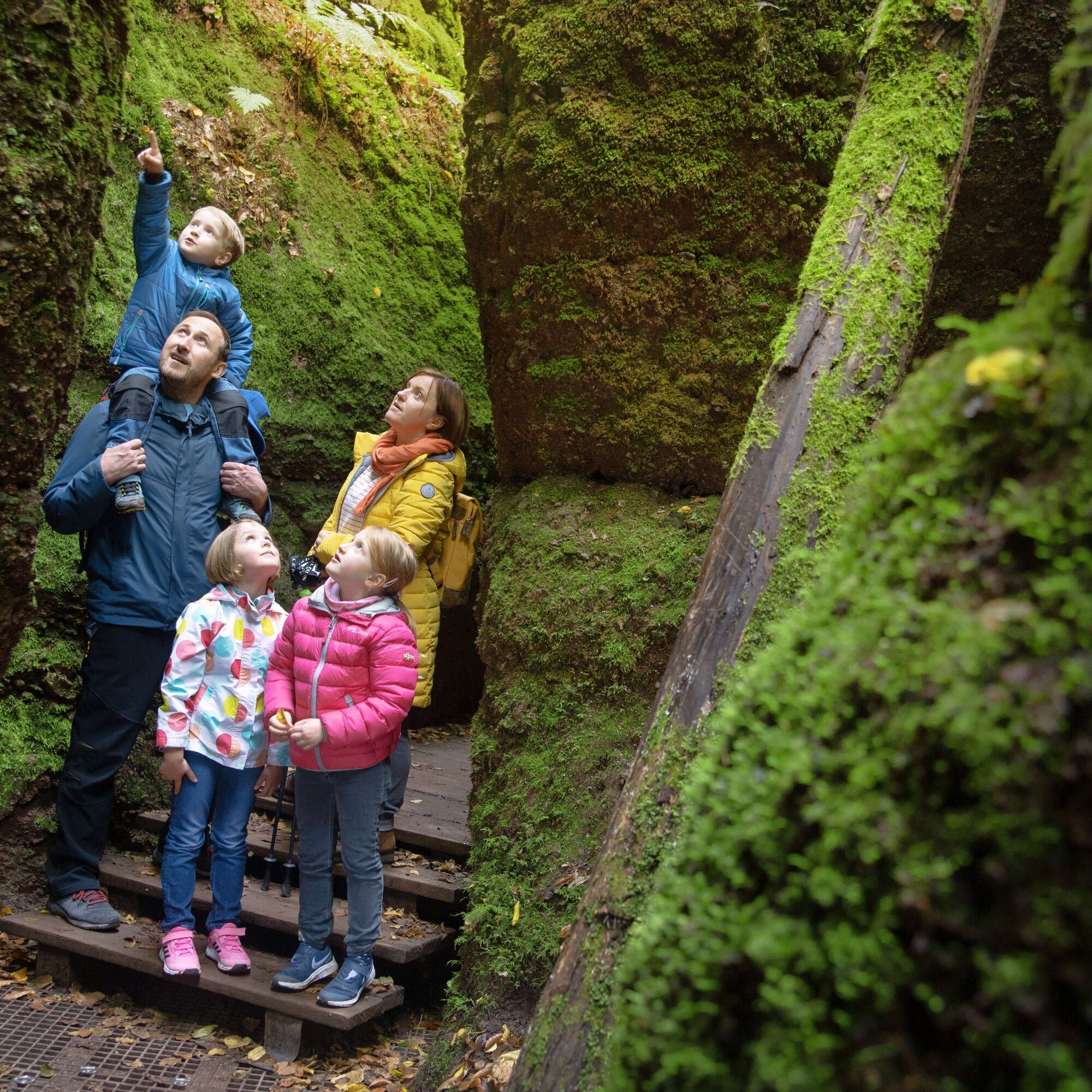
The route is especially exciting and fascinating for children. There is much to discover and explore. TIP: For all little guests, there is a dragon quiz to take away at the Tourist Information office at the market. After the hike, winners with correct answers can pick up a small gift.
ATTENTION: Mariental is a popular excursion destination, especially on weekends many day trippers visit the region. Please do NOT park along the heavily traveled federal road if parking lots are full (parking prohibited). Public transport is therefore recommended. More information about departure times can be found under Arrival.
Guided hike offers can be found here.
DOWNLOADS and LINKS:
Hiking map of the Drachen- and Landgrafenschlucht in PDF format The Drachenschlucht - website of the Tourist Information Eisenach Find accommodations nearby - Eisenach directoryHike through another gorge near Eisenach:
Circular hike - "Through the romantic Johannistal" near Eisenach


Circular hike Drachen- and Landgrafenschlucht:
Mariental – Wichmannpromenade - Drachenschlucht – Hohe Sonne – Wine Street – Great Drachenstein – Landgrafenschlucht – Wichmannpromenade – Mariental
Drachenschlucht:
Mariental – Wichmannpromenade - Drachenschlucht – Hohe Sonne (detour to Wartburg possible) or vice versa
Ano
Sturdy footwear, rainwear
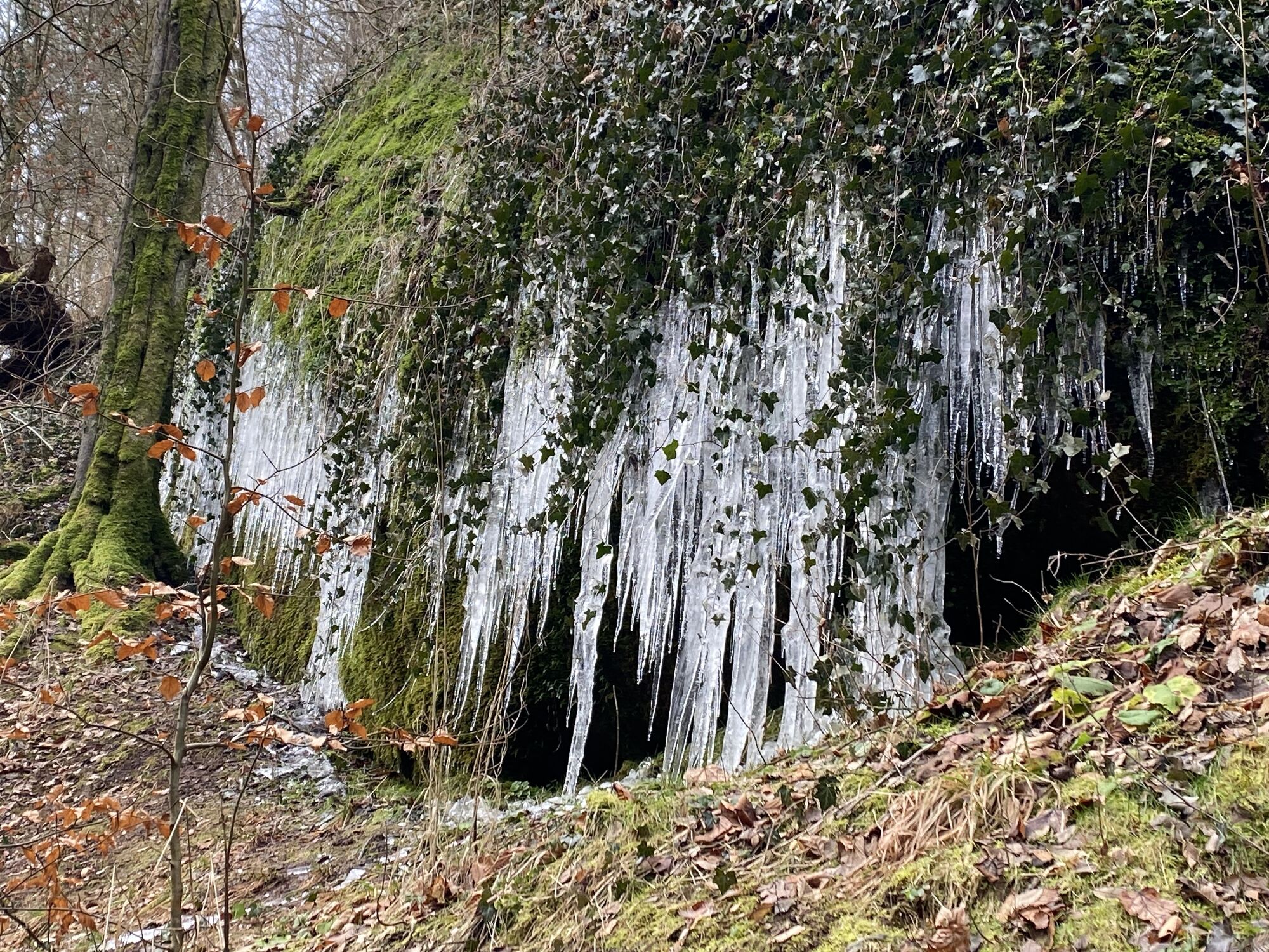
Be careful of slippery and slick spots when walking through the gorge. The watercourse of the brook is partly located directly under the hiking trail. During ice and snow, accessibility is limited.
Please behave considerately and quietly in the forest to protect flora and fauna. Follow the instructions of the forestry staff and pay attention to restrictions due to forestry work.
Coming from the A4 take exit 40a (Eisenach-East). Then continue on B84 towards Eisenach until the junction "Eisenach-East city". Continue straight on B19 to the station and further south through the city. Follow B19 towards Wilhelmstahl / Etterwinden and Bad Salzungen. Follow the road for about 4 km to "Hohe Sonne".
ATTENTION: The Mariental is a popular excursion destination, especially on weekends many day-trippers visit the region. Please do NOT park along the heavily traveled federal road when parking lots are full (parking prohibited). Public transport is therefore recommended.
Use the German Rail travel information. All regional transport providers are also listed on this portal.
Eisenach city bus: line 3 from "ZOB/Main station", "Karlsplatz" or "Ernst-Abbe-Gymnasium" to the stop "Mariental (Drachenschlucht)" or with regional bus line 190 from "ZOB/Main station", "Karlsplatz" or "Ernst-Abbe-Gymnasium" to the stop "Mariental (Drachenschlucht)" or "Hohe Sonne"
City bus line: 3
Regional bus line: 190
Parking spaces:
Hohe Sonne
P+R parking lot at Phantasie
P+R parking lot Liliengrund
Parking lot at Prinzenteich
Parking Eisenach center "Alte Brauerei" (line 3 or 190 from/to Ernst-Abbe-Gymnasium)
Parking garage Gate to the city (line 3 or 190 from/to ZOB)
T1
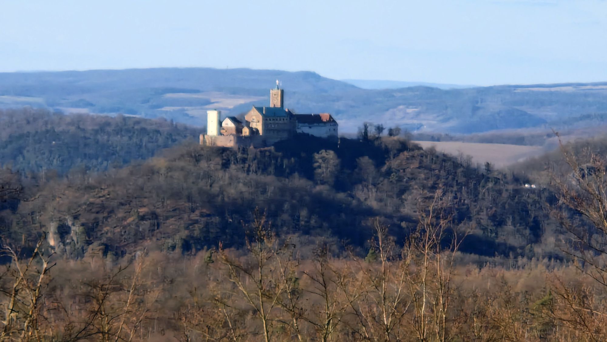
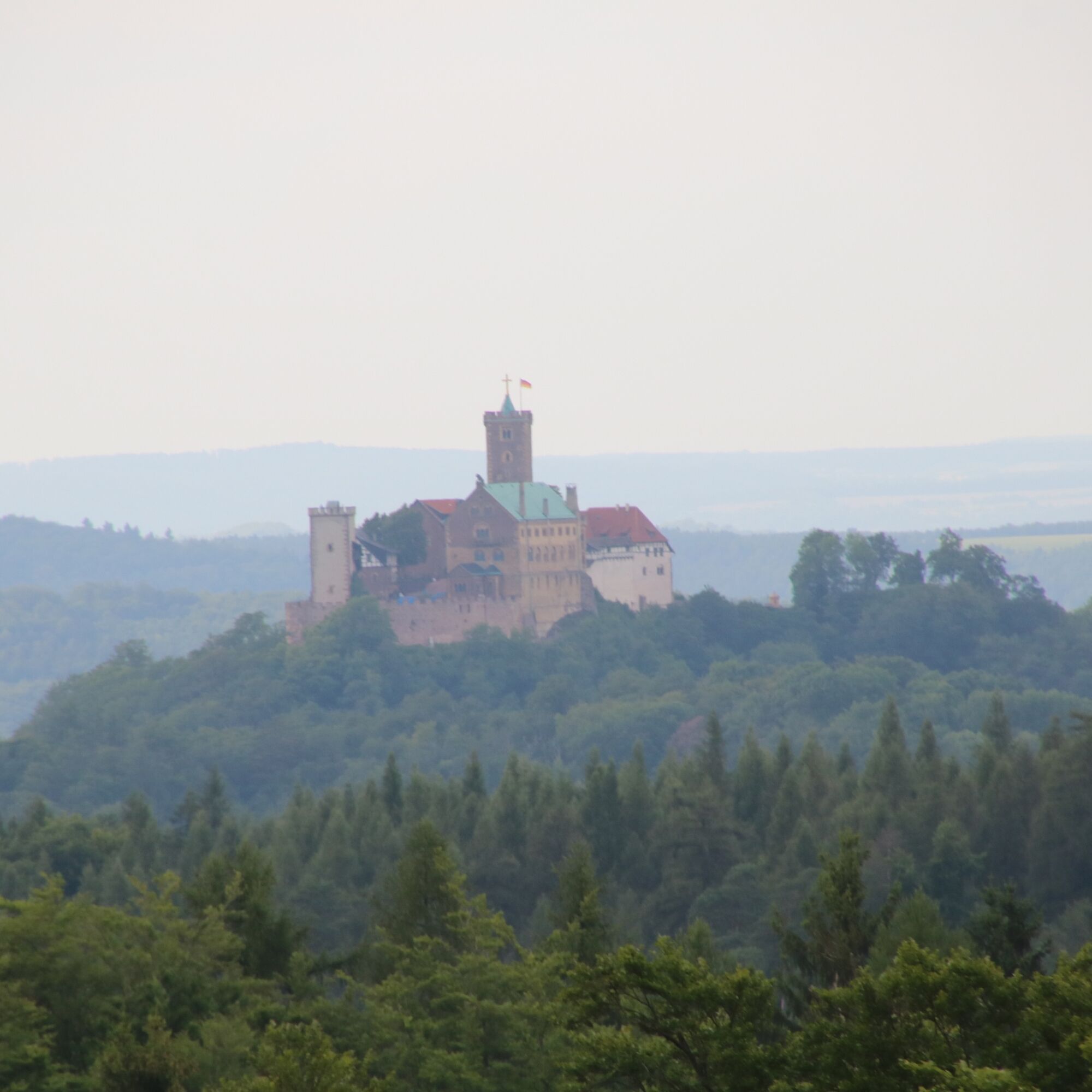
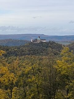
Directly at the Hohe Sonne you have a wonderful view towards Wartburg. The atmosphere is especially impressive in the morning or evening hours.


Aktivity na trase
-

Eisenach, Thüringen/Deutschland
25.09.2026 – Turistika -

Eisenach, Thüringen/Deutschland
07.09.2026 – Turistika -

Eisenach, Thüringen/Deutschland
02.09.2026 – Turistika -

Wanderung Drachenschlucht Eisenach
23.08.2026 – Turistika -

Gerstungen, Thüringen/Deutschland
15.08.2026 – Elektrokola -
Eisenach, Thüringen/Deutschland
06.08.2026 – Turistika -

Eisenach, Thüringen/Deutschland
29.07.2026 – Turistika -
Eisenach, Thüringen/Deutschland
03.07.2026 – Turistika -

Schluchtentour bei Eisenach
05.06.2026 – Turistika -
Schluchtentour bei Eisenach
05.06.2026 – Turistika -
Eisenach, Thüringen/Deutschland
28.03.2026 – Turistika -

Eisenach, Thüringen/Deutschland
14.03.2026 – Turistika -

Eisenach, Thüringen/Deutschland
23.10.2025 – Procházka -

Eisenach, Thüringen/Deutschland
14.10.2025 – Turistika -

Eisenach, Thüringen/Deutschland
13.09.2025 – Turistika -

Eisenach Navigieren
17.01.2025 – Další -

Eisenach Landgrafen/Drachenschlucht
20.06.2024 – Turistika -

Eisenach, Thüringen/Deutschland
21.04.2024 – Turistika
Oblíbené prohlídky v okolí
-
3.9
EA2 - circular hiking route - "The Beauties of Eisenach" - Thuringian Forest
středníTuristika 9.96 km -
5.0
Wartburg und Drachenschlucht
středníTuristika 15.1 km -
4.7
IVV PW + GTW "In Luther's footsteps - Luther, dragons, landgraves, rose miracle..."
středníTuristika 15.8 km -
5.0
Circular route 3 - Mariental/Drachenschlucht/Elfengrotte
středníTuristika 3.54 km -
4.8
Hike - "Rennsteig-Leiter Eisenach" Thuringian Forest
středníTuristika 3.58 km -
4.5
Circular hike - Legendary Hörselberge - Great Hörselberg near Eisenach - Thuringian Forest
středníTuristika 10.6 km -
4.8
Inselsberg tour - Tour 2 - Bad Tabarz
heavyTuristika 15.1 km -
3.7
Backofenloch circular route - route 6 - Bad Tabarz
středníTuristika 7.04 km -
4.7
Hike - Rennsteig - Stage 1 - From Hörschel to Ascherbrück / Ruhla
heavyTuristika 19.1 km -
3.2
Von Friedrichroda zum großen Inselsberg
středníTuristika 22.4 km
Pěší turistika a stopování


Nenechte si ujít nabídky a inspiraci pro vaši příští dovolenou
Vaše e-mailová adresa byl přidán do poštovního seznamu.





