







Hike - Sallmannshäuser Rennsteig - from Ruhla to Sallmannshausen

It is also called the "Junkerschen Rennsteig", the path that leads from Ruhlaer Häuschen via Marksuhl to the Werra. It was the historian Christian Junker who first (even before Julius von Plänckner) wrote...
It is also called the "Junkerschen Rennsteig", the path that leads from Ruhlaer Häuschen via Marksuhl to the Werra. It was the historian Christian Junker who first (even before Julius von Plänckner) wrote a comprehensive description of the Thuringian Rennsteig in 1703. But his high route ran downwards from Ruhla towards the southern edge of the Thuringian Forest.
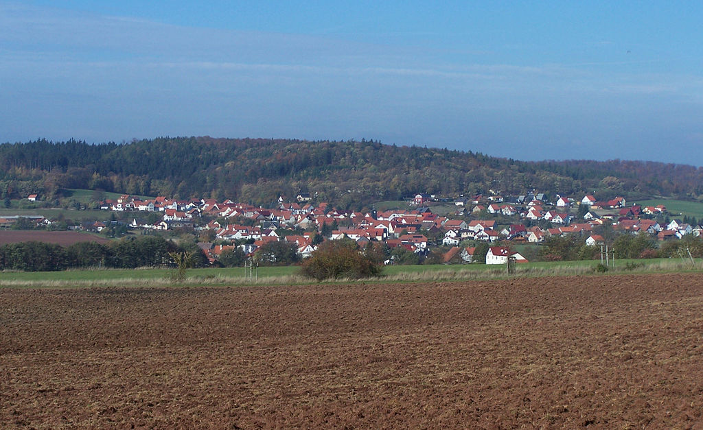
Today, the route is a welcome alternative to the Rennsteig and offers natural added value along the path to the Werra, away from the much-used high trail. The special feature of this hiking trail is that it does not pass through a single inhabited place along its entire length of about 28 km. From start to finish, you walk through pure nature, through the Thuringian Forest, the meadows of the southern slope, and the Böller just before the destination.
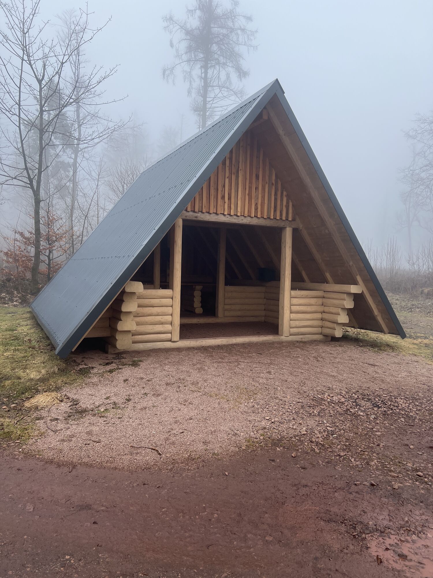
You leave the Rennsteig at Ruhlaer Häuschen near the Schlauchental meadows. In the 18th century, a small hunting lodge stood here. This is immediately followed by a steep descent past the Elte spring and further towards federal road 19. In the northern direction is Etterwinden. Along the forest edge you follow the path until you meet Thuringia's best-known trail network: the Luther Trail. It continues through the forest almost up to Eichberg. At the shelter, turn west. Through the deep mixed forests you pass Milmesberg. Here you have a wonderful view towards Wartburg. Above Marksuhl, you cross the railway track of the South Thuringia Railway on the Herrschaftsbrücke and continue past the Römbach spring and Wilhelmsbuche through the forest. As soon as you reach open land again, you pass the Jakobsweg and continue west past Oberellen until you reach the Thuringian Luther Trail again.
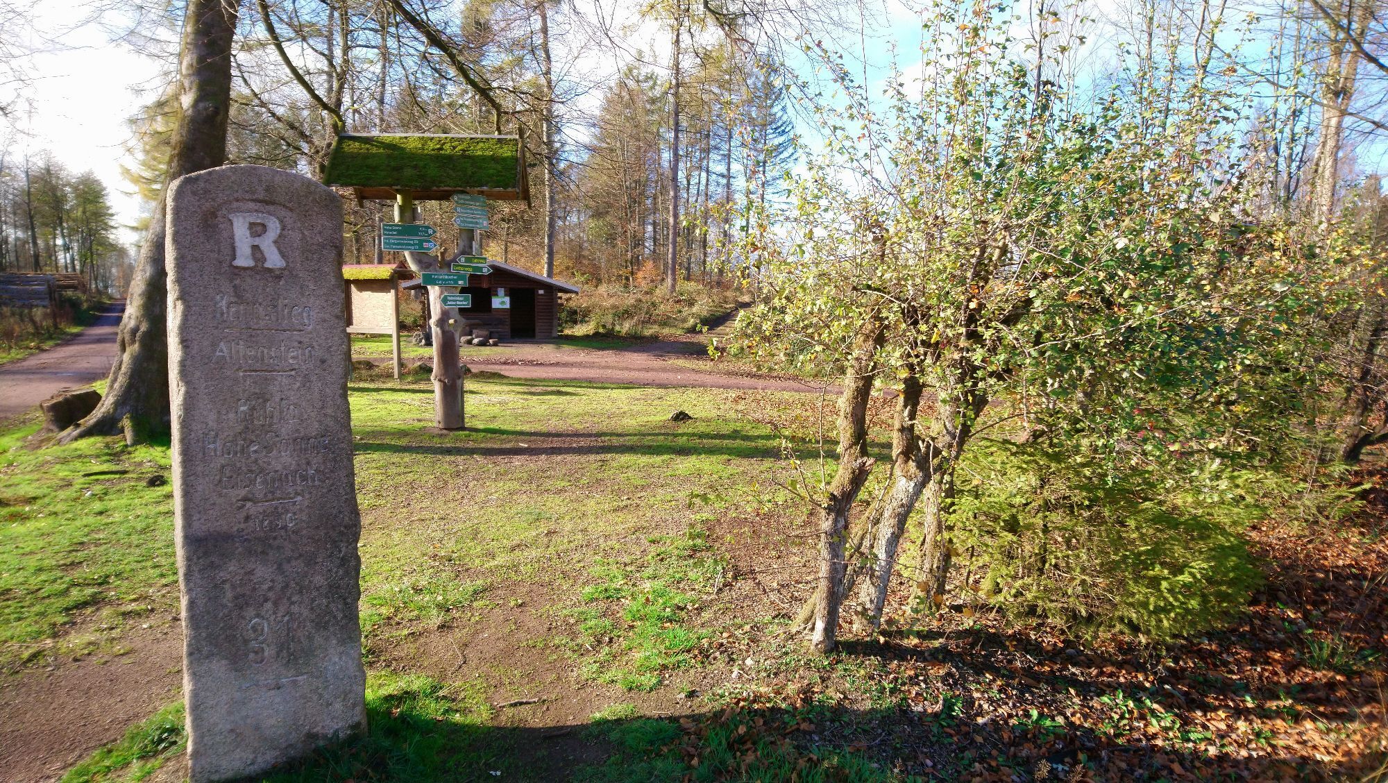
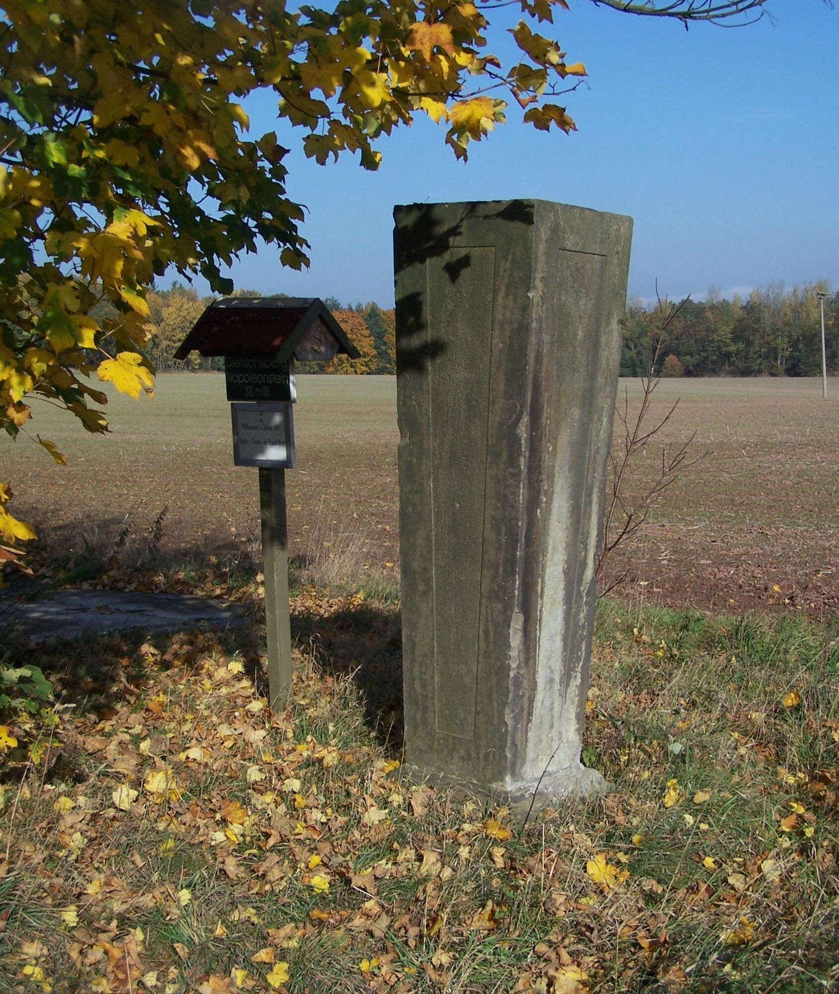
Until shortly before Herda, the Sallmannshausen Rennsteig follows the same route past Napoleonstein and then turns north. After crossing a country road, you reach the former NVA military training area near Lutzberg. Through the "Böller" you walk almost 5 km straight ahead until you finally arrive in Sallmannshausen. Here, the old weir at the Werra mill is particularly worth seeing. There is a great photo spot on the opposite riverbank on the small island.

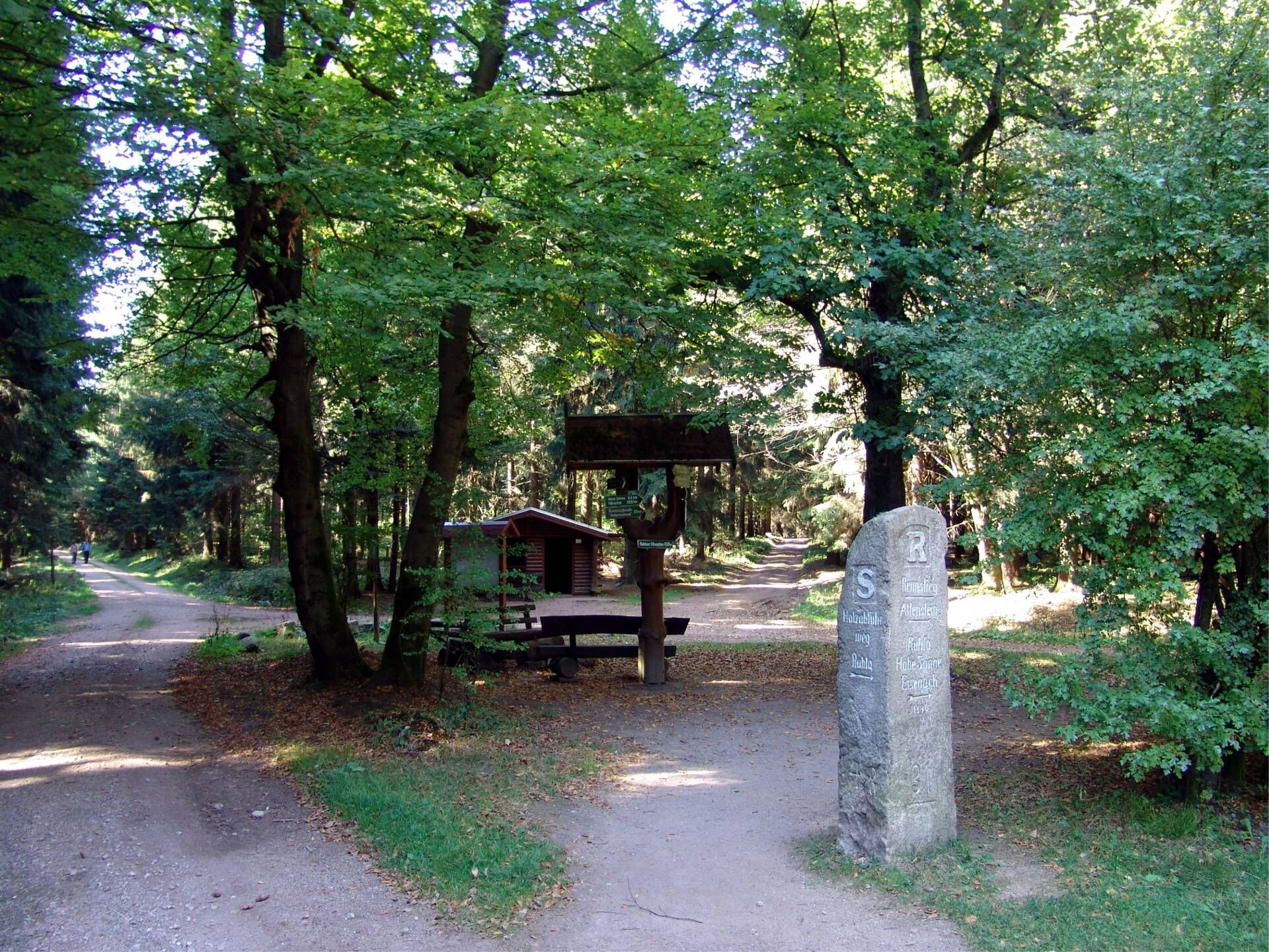
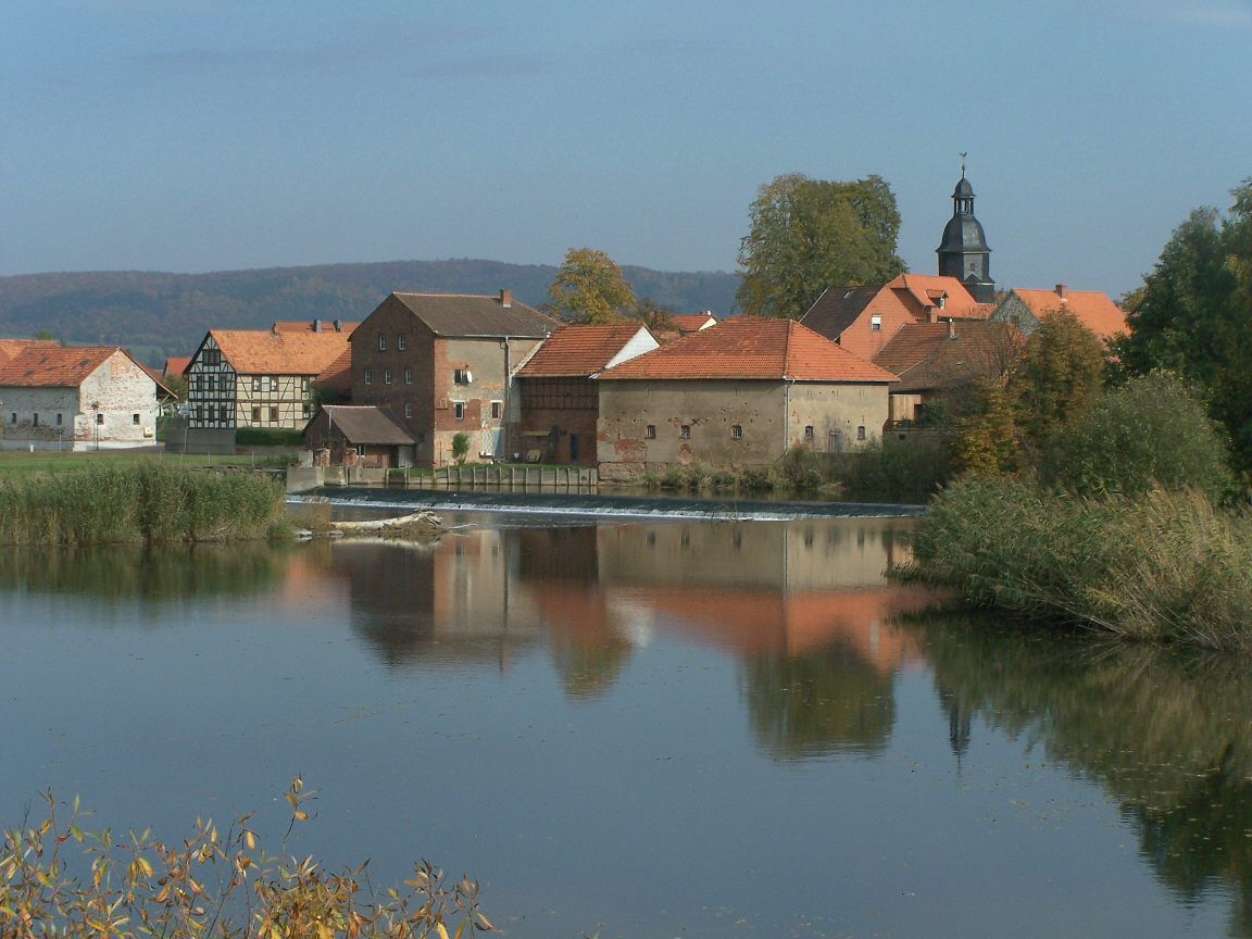
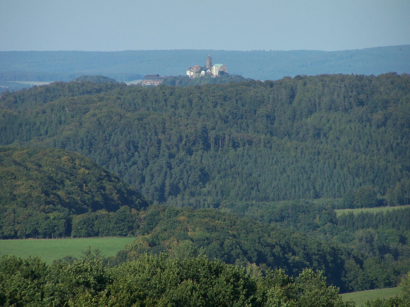
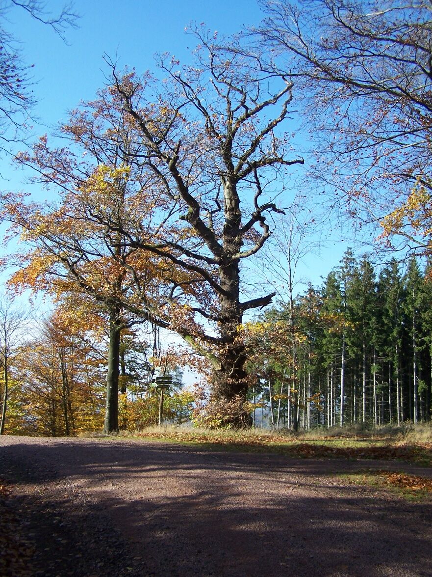



Ruhlaer Häuschen - Eltquelle - Kisseleiche - Rhönblick - Obere Suhlquelle - Wiedheide - Milmesberg - Herrschaftsbrücke - Wilhelmsbuche - Oberellen (village) - Napoleonstein - Böller - Sallmannshausen
Sturdy footwear
Drink reserve
First aid kit
GPS navigation device or smartphone
The hiking trail runs along the entire route away from inhabited areas.
Coming from the A4, take exit 40b (Sättelstädt) towards Wutha-Farnroda. Then follow B88 towards Thal and turn right towards Ruhla.
You can reach Ruhla from Eisenach (Deutsche Bahn) via bus line 43 of the Verkehrsgesellschaft Wartburgkreis mbH. The bus runs to Ruhla town hall. The short ascent to the Rennsteig must be done on foot.
Use the Deutsche Bahn travel information for a connection query.
BACK TO RUHLA:
You can access a direct connection search from Sallmannshausen back to Ruhla here:
Travel information Sallmannshausen → Ruhla
The time parameters are always set to current. Change the time specifications as you wish and enter your exact travel date for a secure connection search.
The average travel time back to Ruhla is about 1.5 - 2 hours.
It is best to use the parking lots in Ruhla at the town hall (Google NAV point) and walk to Ascherbrück on foot.
In Marksuhl there is one of the oldest inns in all of Thuringia. The guest and lodging house "Zum goldnen Engel" was already mentioned in 1490 and still offers regional cuisine at a high level today.

Oblíbené prohlídky v okolí
-
5.0
EA1 - Circular route - Gorge tour near Eisenach - Thuringian Forest
středníTuristika 9.68 km -
3.9
EA2 - circular hiking route - "The Beauties of Eisenach" - Thuringian Forest
středníTuristika 9.96 km -
5.0
Wartburg und Drachenschlucht
středníTuristika 15.1 km -
4.7
IVV PW + GTW "In Luther's footsteps - Luther, dragons, landgraves, rose miracle..."
středníTuristika 15.8 km -
5.0
Circular route 3 - Mariental/Drachenschlucht/Elfengrotte
středníTuristika 3.54 km -
4.8
Hike - "Rennsteig-Leiter Eisenach" Thuringian Forest
středníTuristika 3.58 km -
4.7
Hike - Rennsteig - Stage 1 - From Hörschel to Ascherbrück / Ruhla
heavyTuristika 19.1 km -
5.0
EA3 - Circular hiking trail - "Wartburg Experience Route" - Thuringian Forest
středníTuristika 6.14 km -
4.0
Circular hiking trail - "Große Bermerrunde" - Ruhla - Thuringian Forest
světloTuristika 8.14 km -
4.5
Circular hiking trail - "Gerberstein" - Ruhla - Thuringian Forest
středníTuristika 5.40 km

Pěší turistika a stopování


Nenechte si ujít nabídky a inspiraci pro vaši příští dovolenou
Vaše e-mailová adresa byl přidán do poštovního seznamu.





