






Hike - On the mining educational trail from Stedtfeld near Eisenach to the Rennsteig - Thuringian Forest

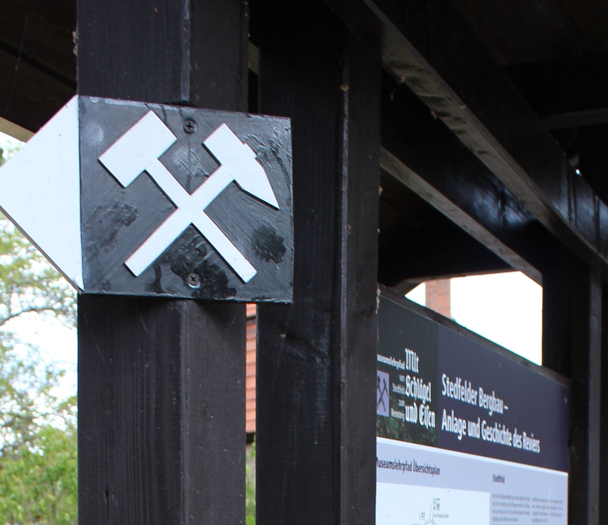
The historic mining educational trail starts at Stedtfeld Castle and passes various stations of the region's medieval copper shale mining. Along the way, nine information boards provide insights into the...
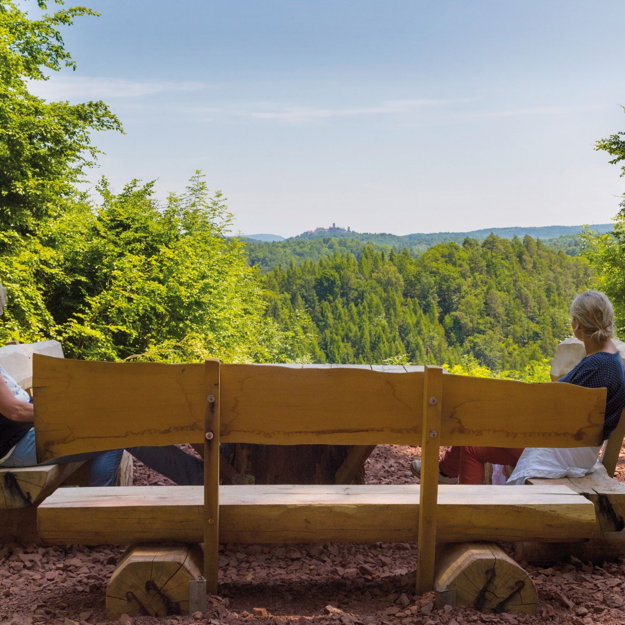
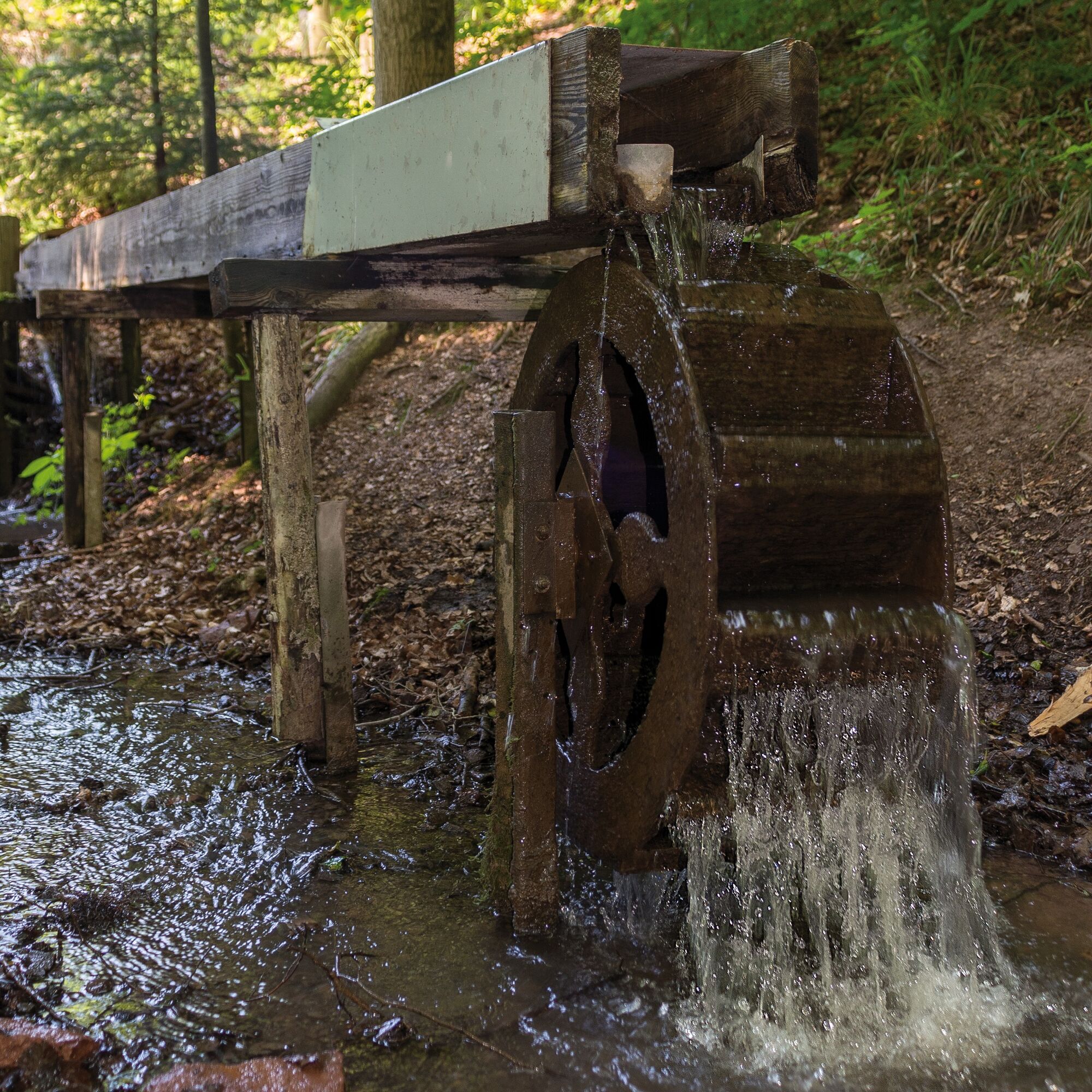
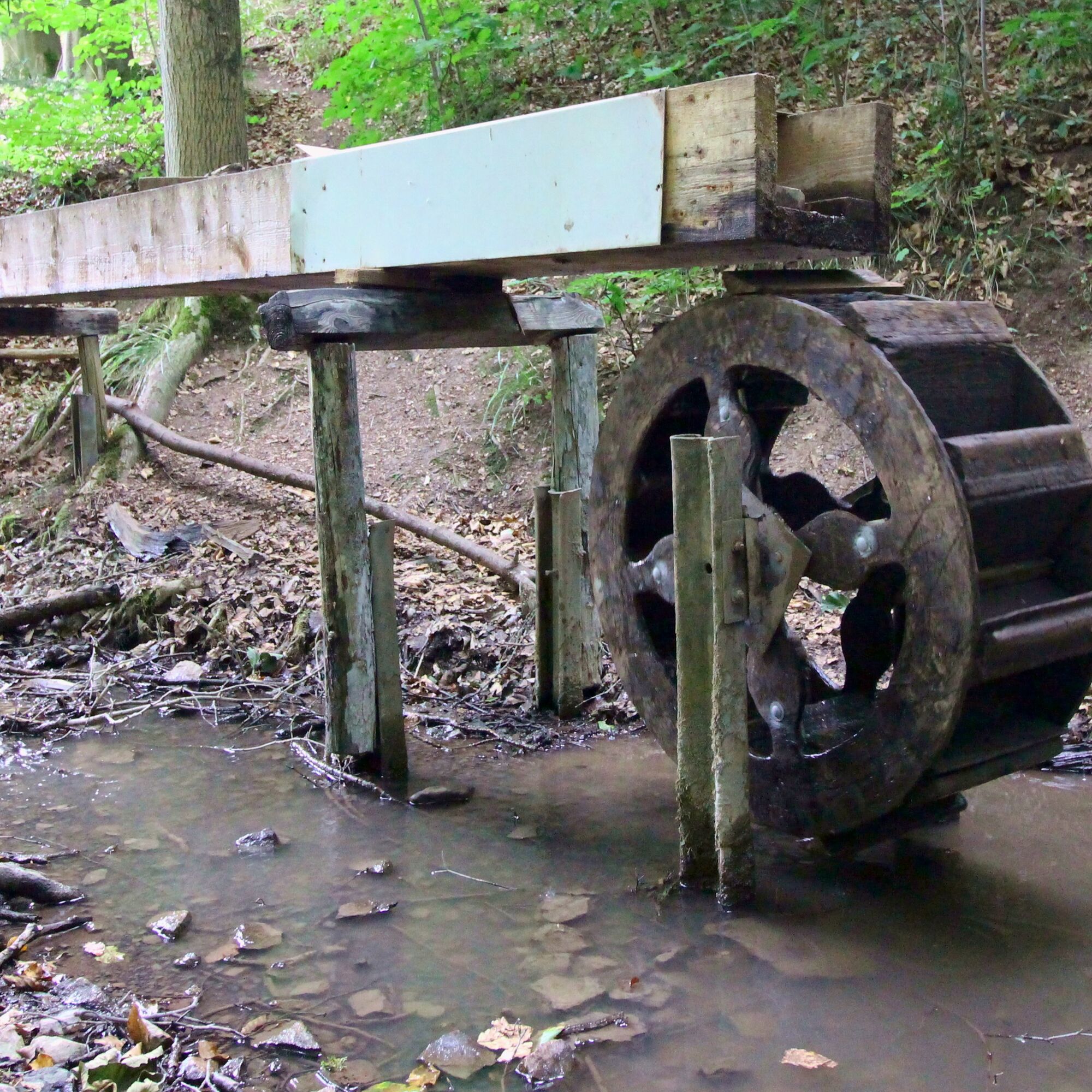
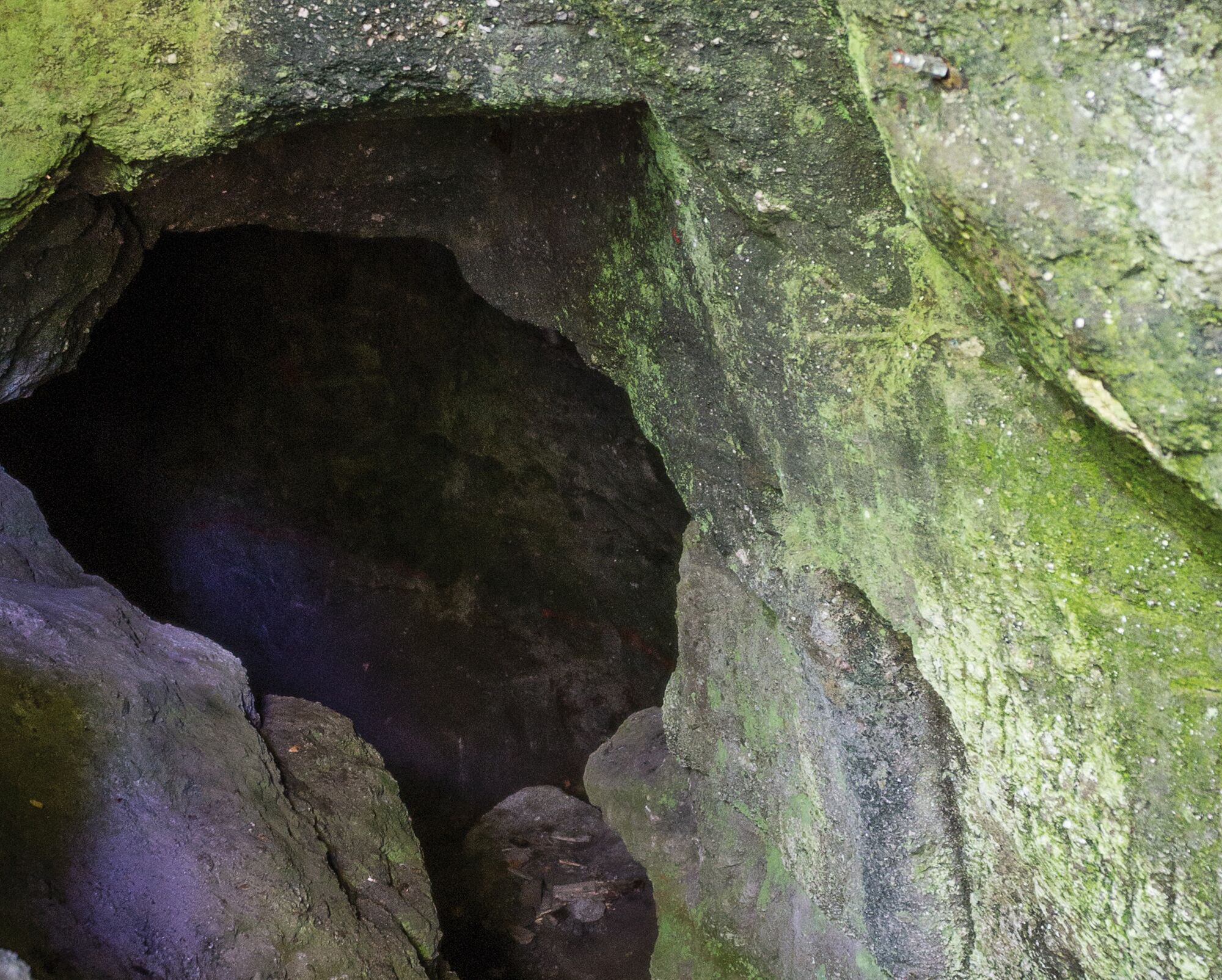
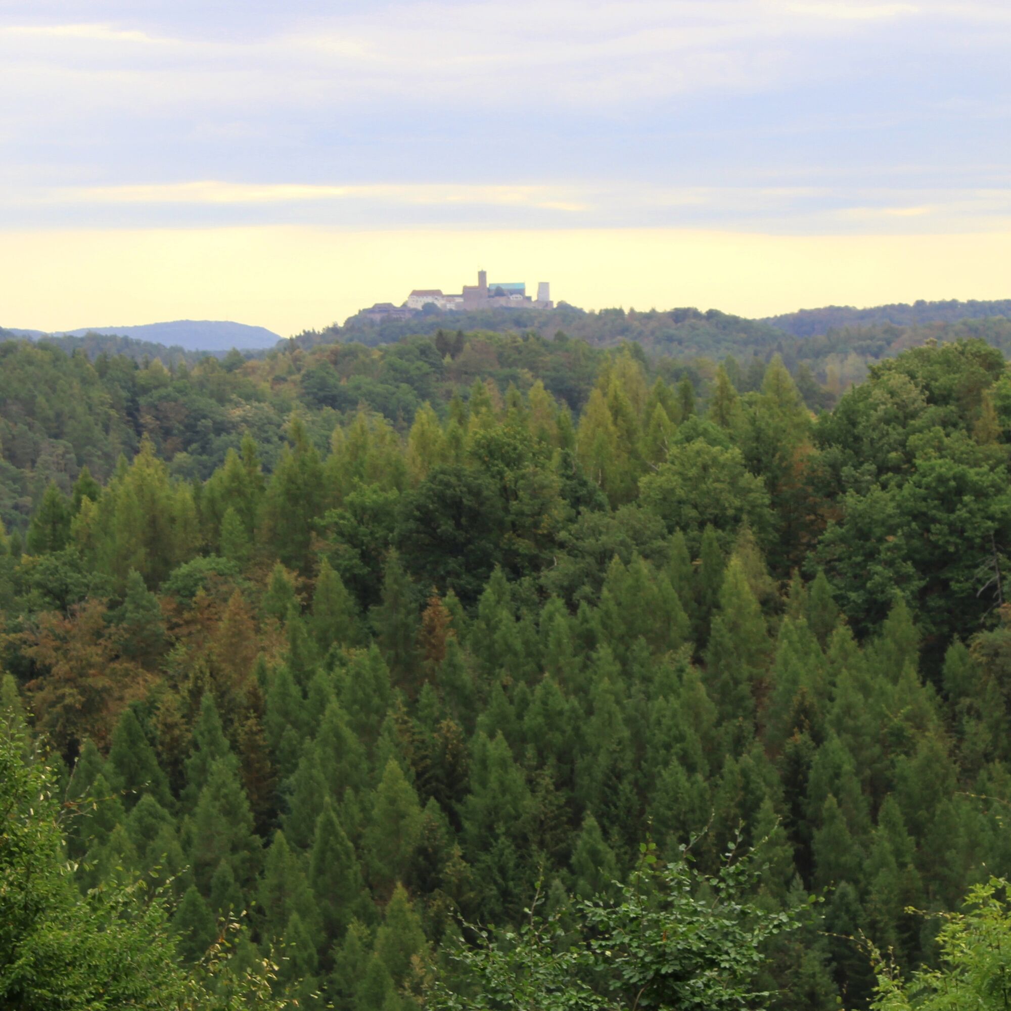
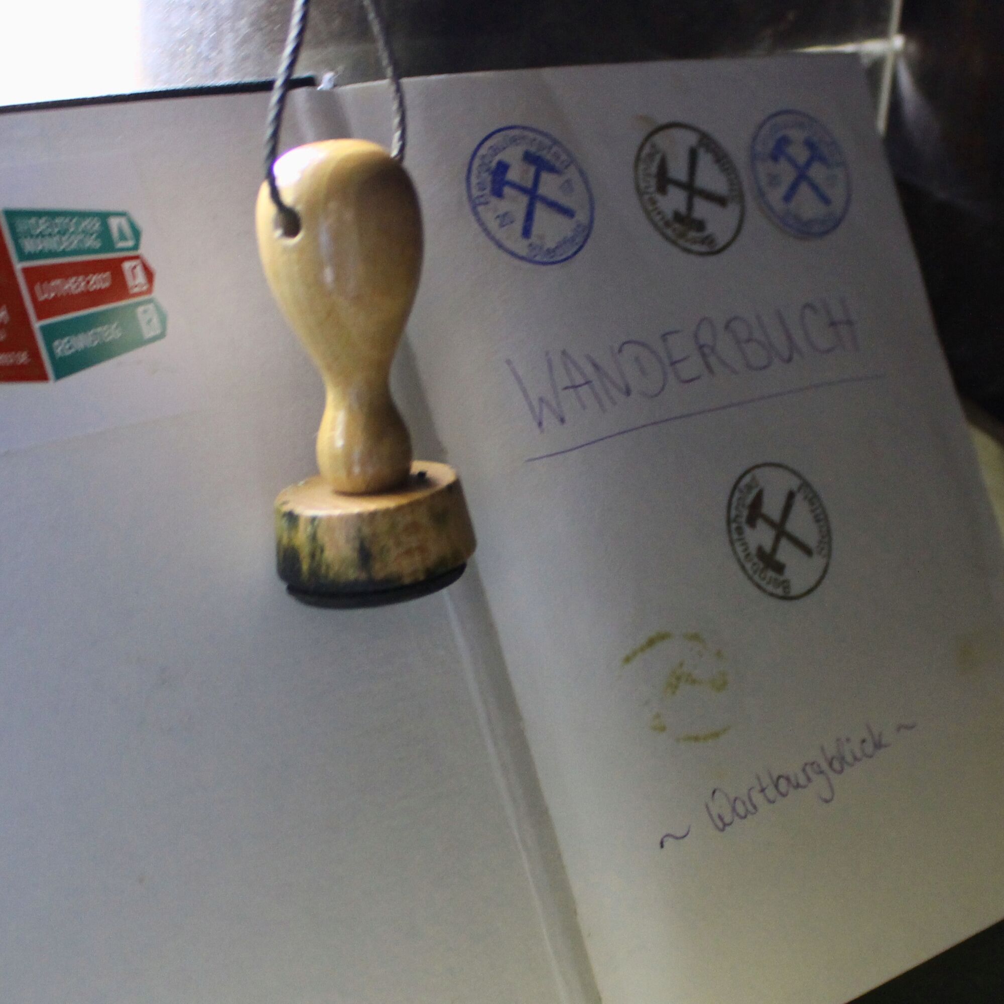
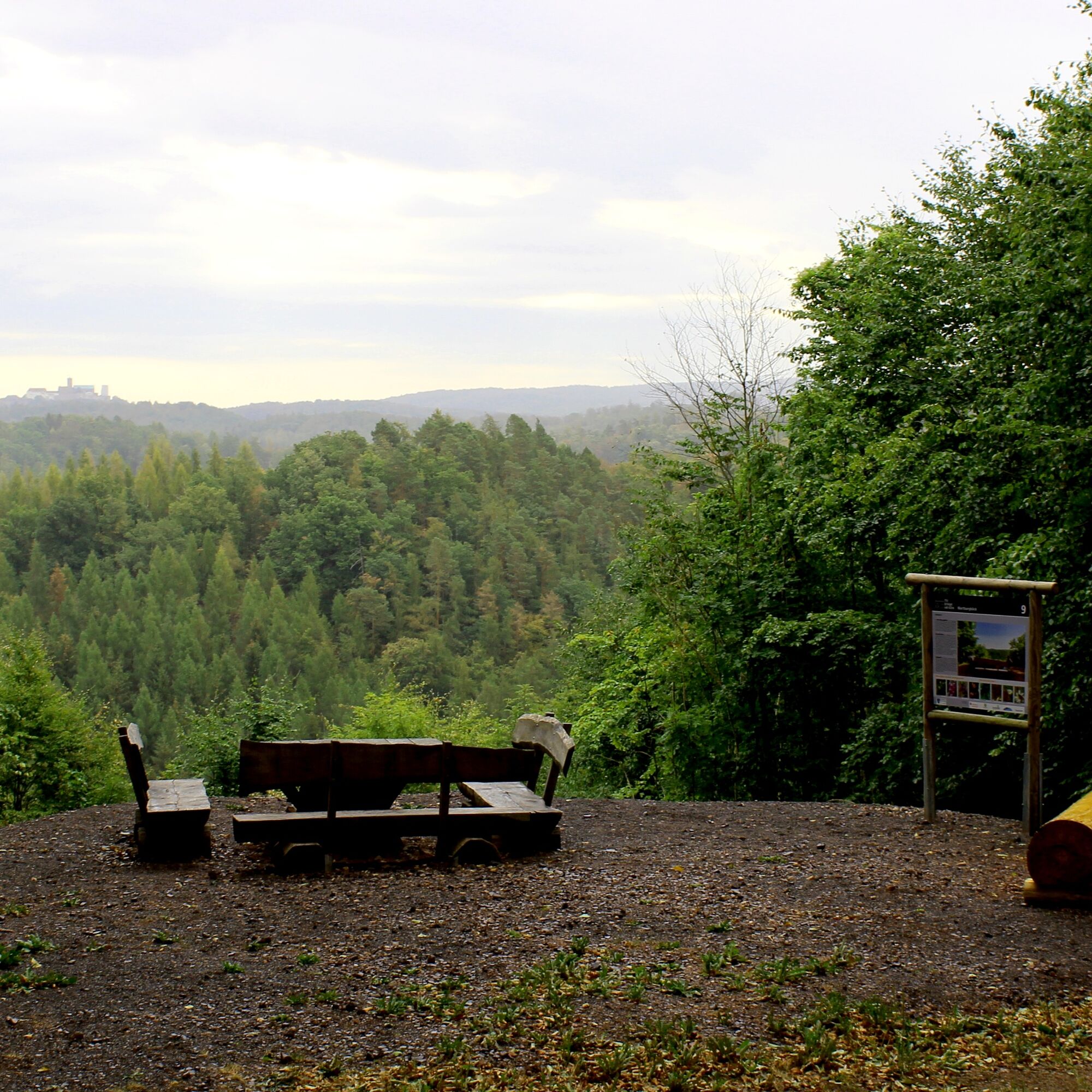
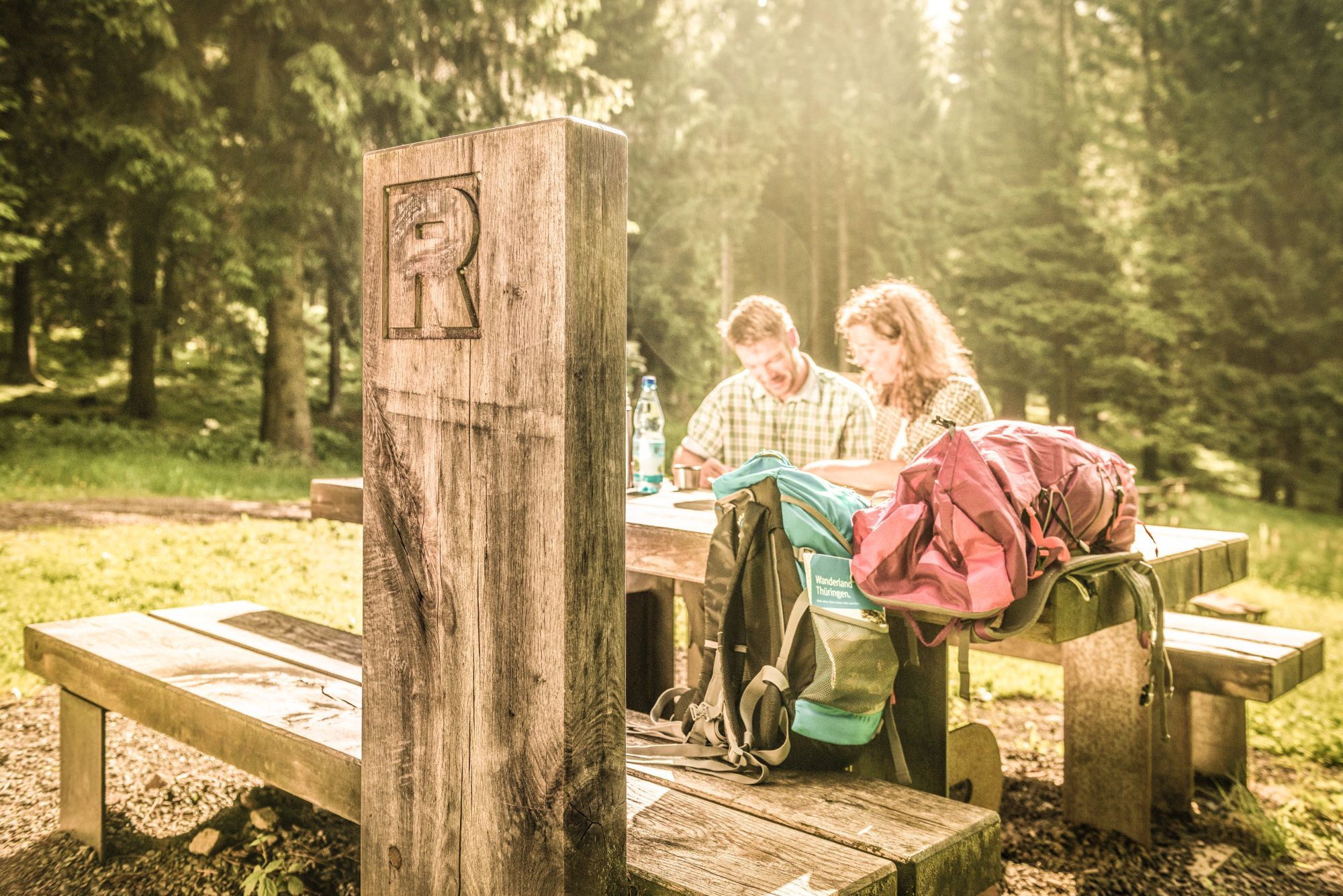
The historic mining educational trail starts at Stedtfeld Castle and passes various stations of the region's medieval copper shale mining. Along the way, nine information boards provide insights into the daily life and working methods of the miners. Today, tunnels, shafts, and a channel that directs water onto an overshot wheel can be admired. At some points, the mining spirit Carly August offers useful information. The last station rewards all hikers with a great view of the Wartburg and invites to rest on a seating group. A shelter with a hiking book and stamp is also available. The museum educational trail ends here.
To avoid retracing the same path, there is the option to continue via the border gate, then along the Rennsteig to the shelter "Fleeting Deer", and then turn sharply right after about 140 m (about 80 m before the Tiroler Platte) onto a paved hiking path (Rangengraben). You return to the Rangen Meadow and from there can hike the mining educational trail back to Stedtfeld.
Alternatively, you can continue along the Rennsteig to Hörschel or walk to the bus stop at Vacher Stein (approx. 3.5 km) and take bus 52 towards Eisenach from there.
This route as a circular hike: From the Rennsteig start via the "Stedtfeld mining educational trail" near Eisenach

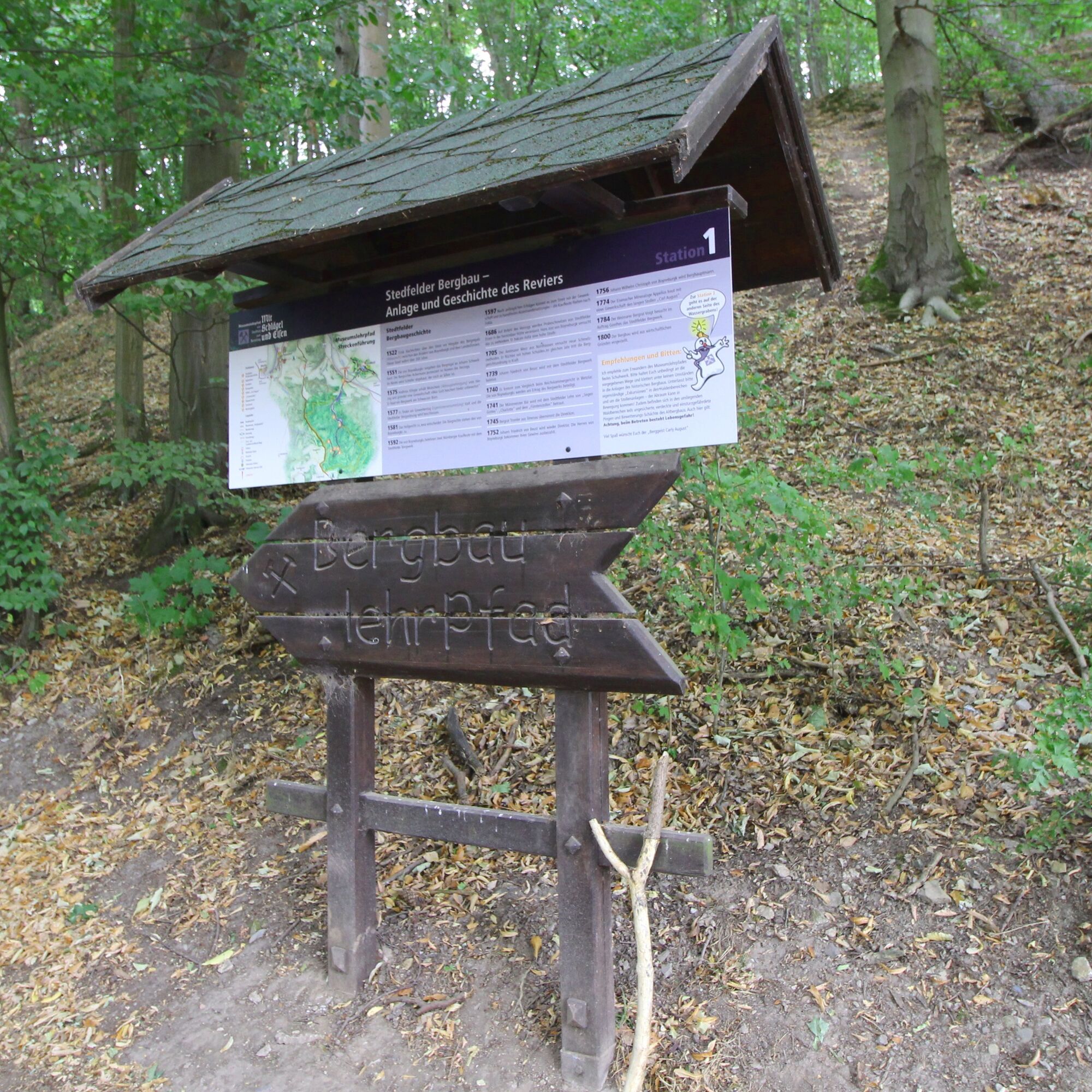
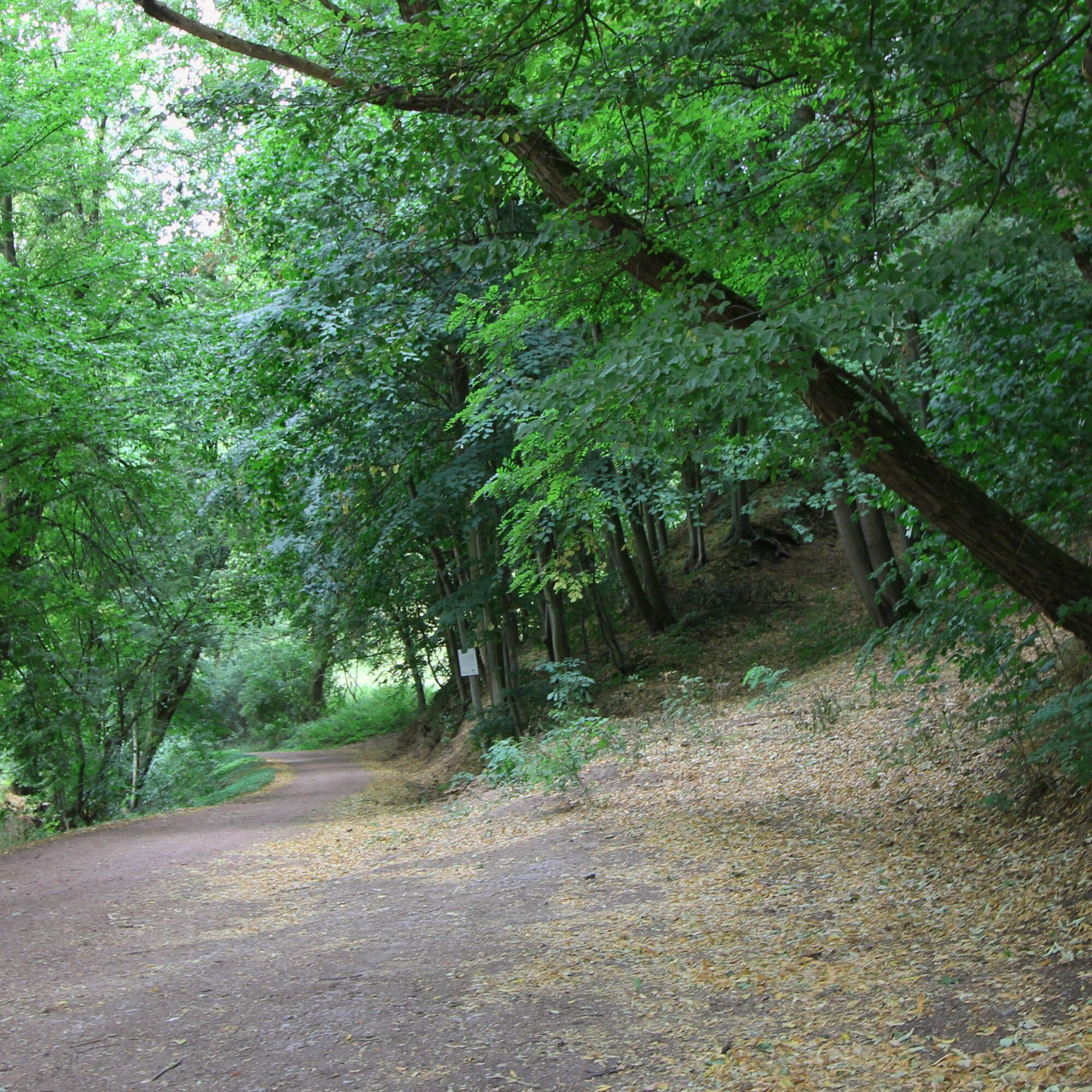
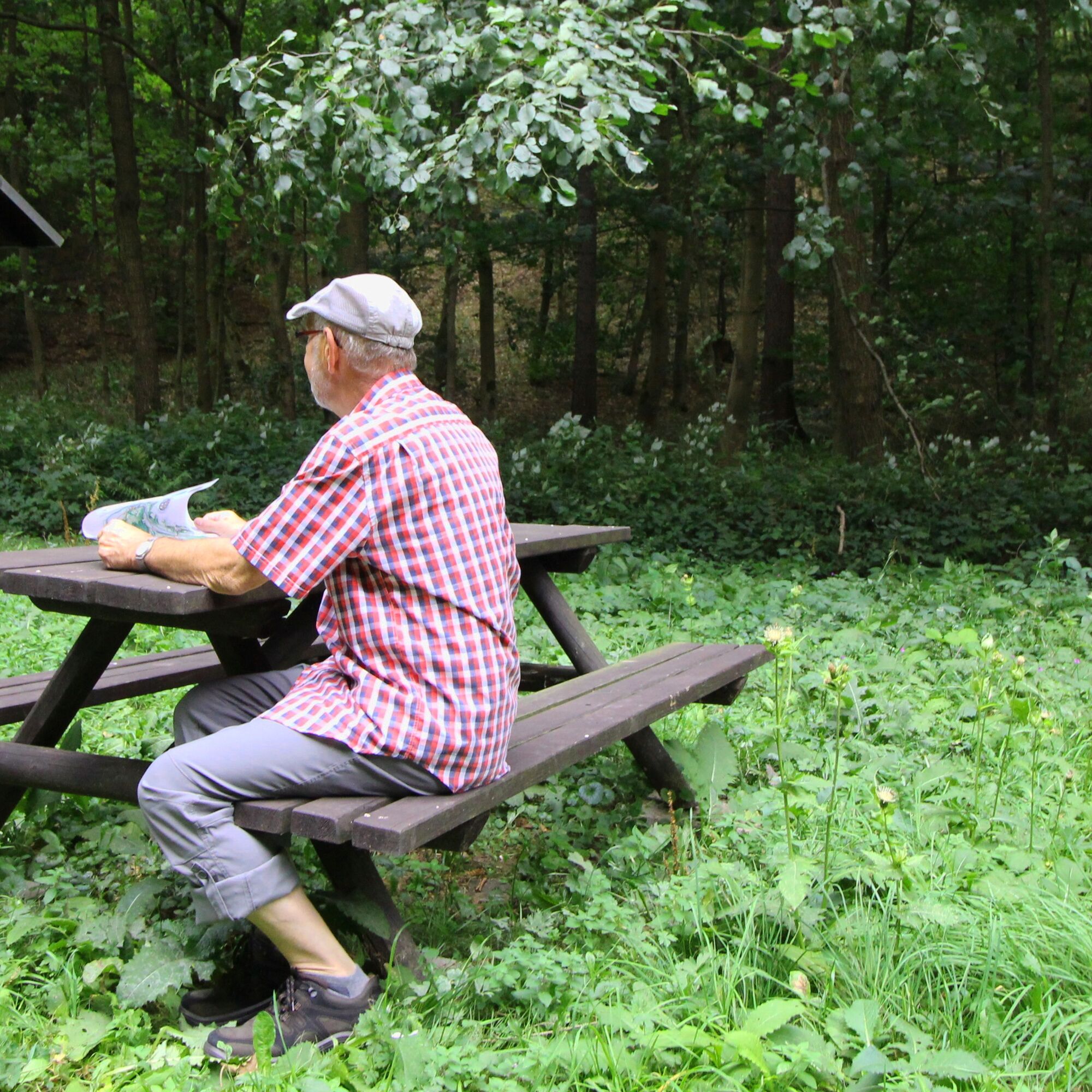
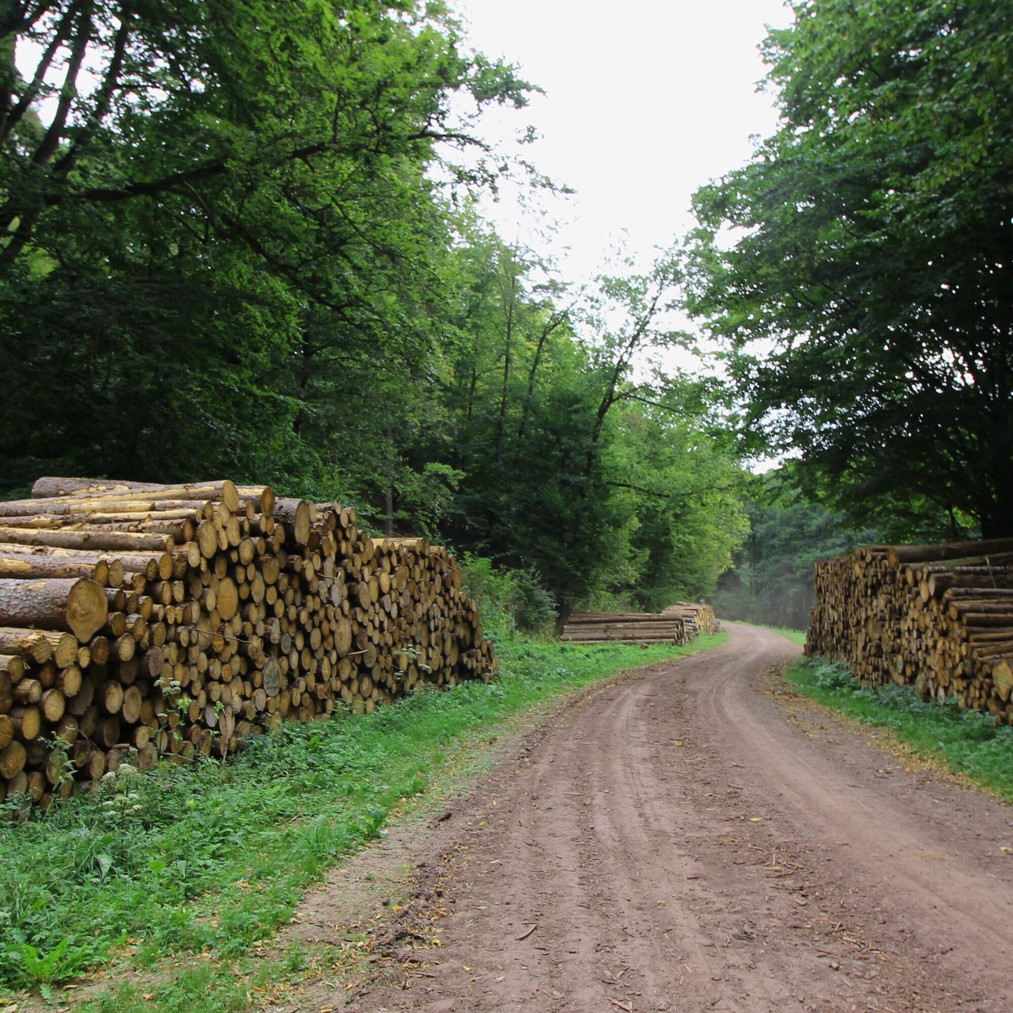
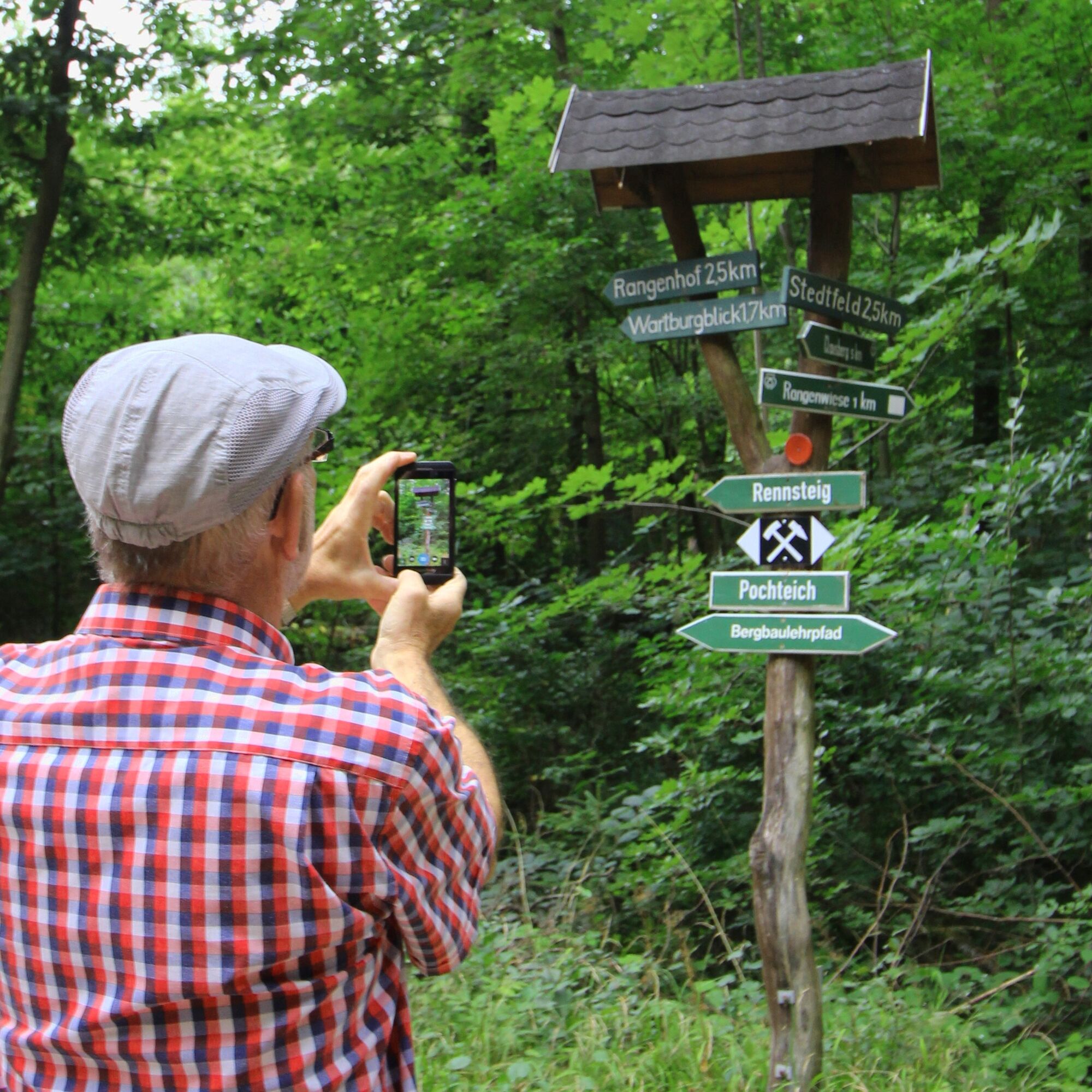
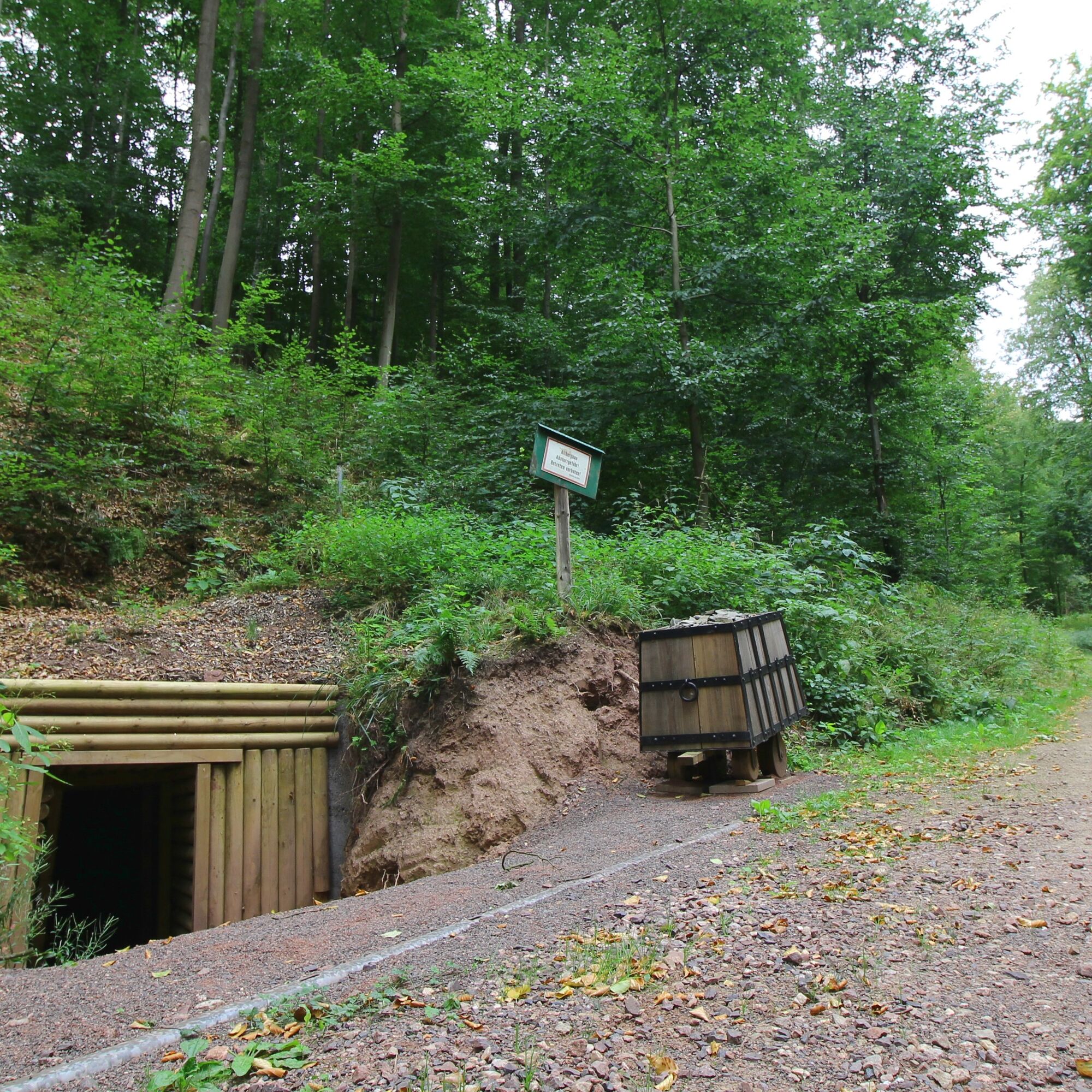
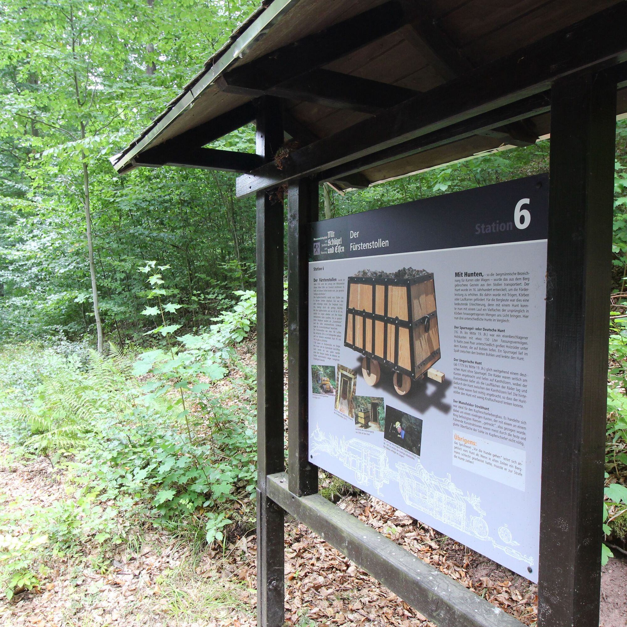
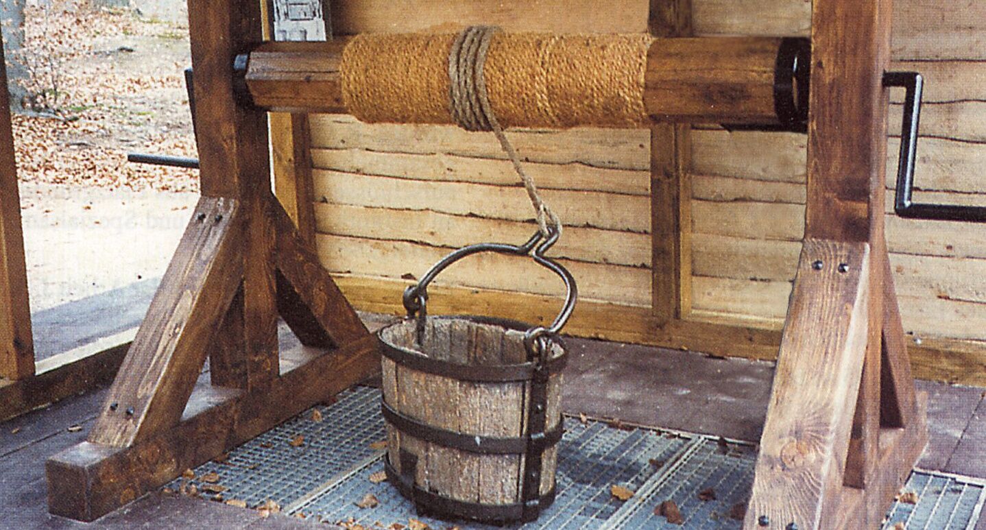
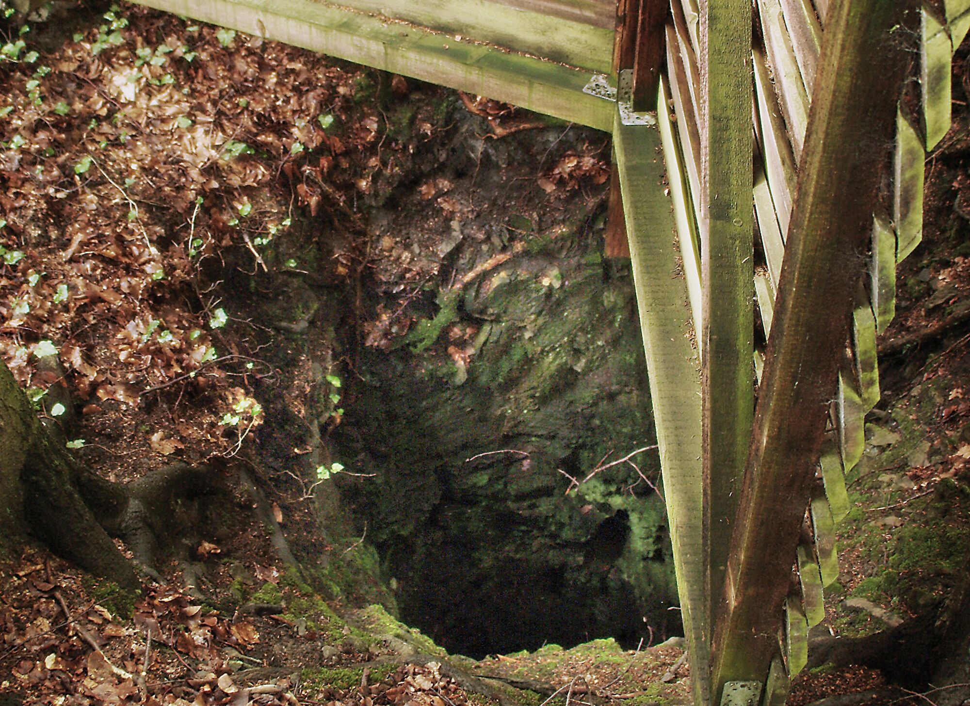
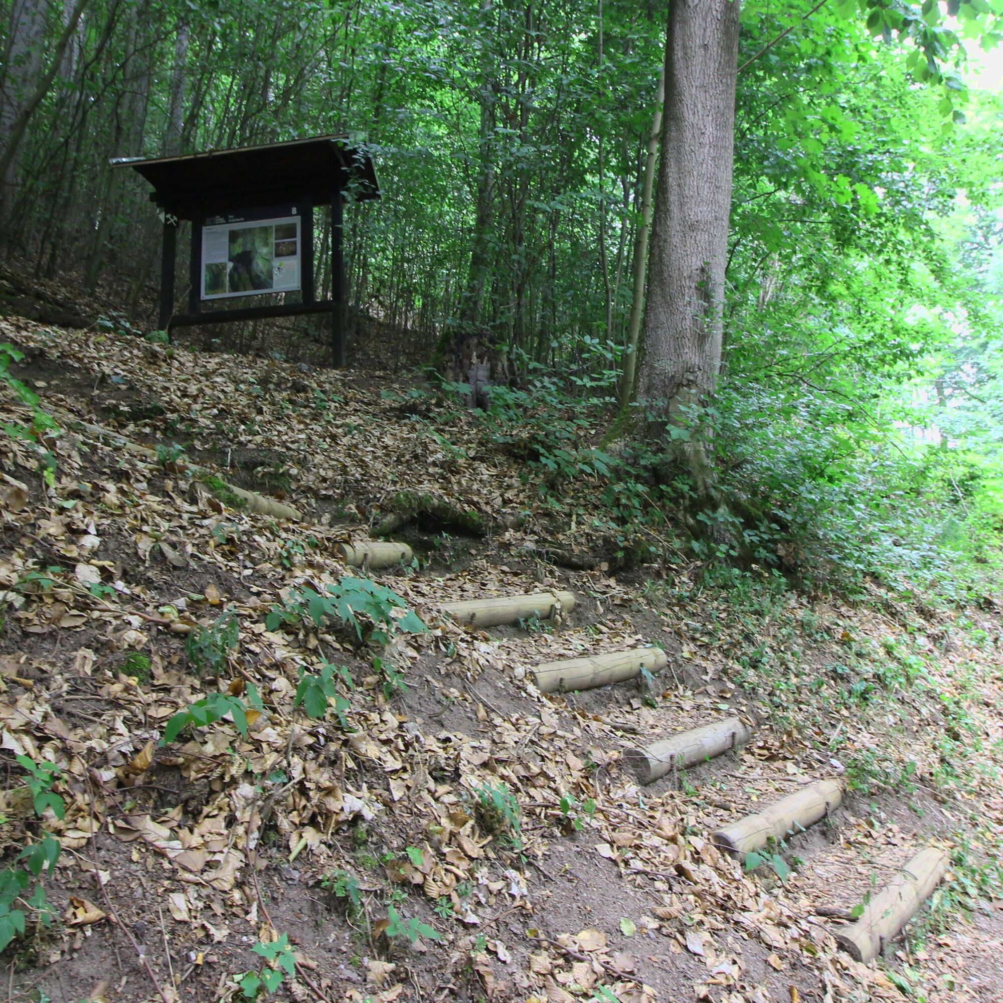
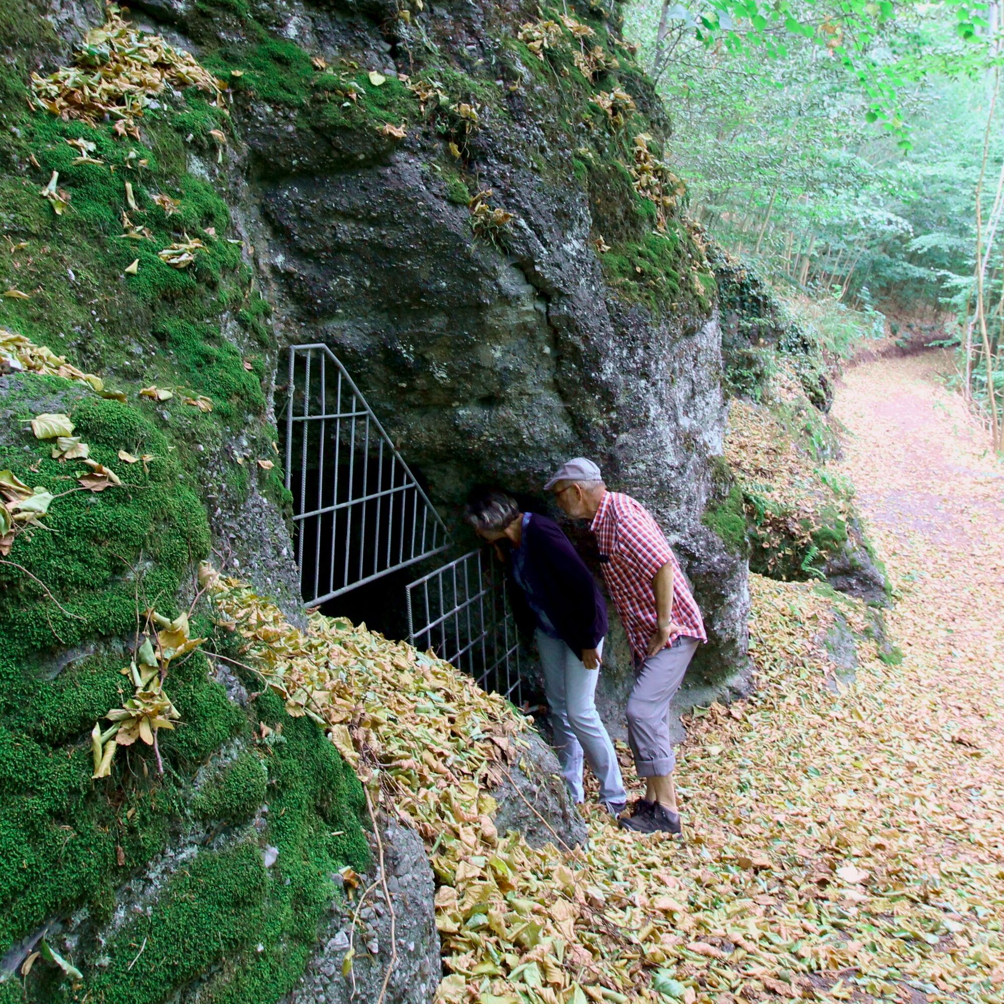
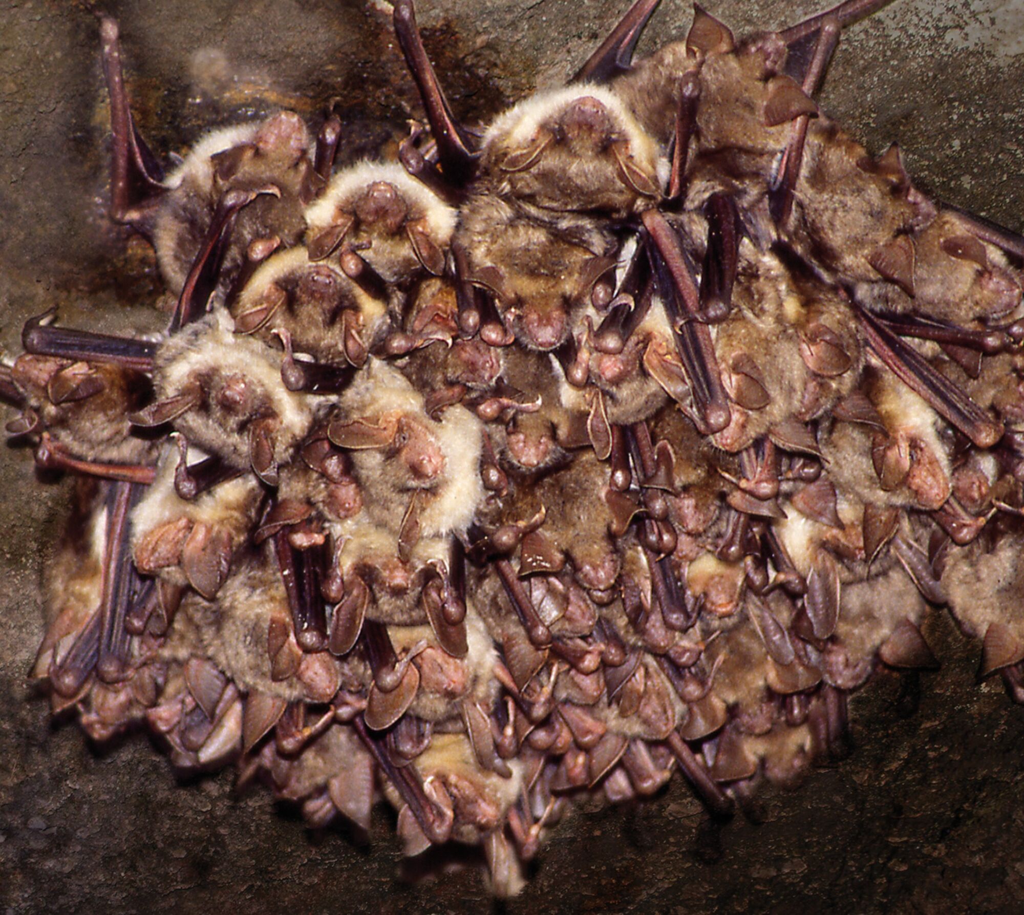

Lower Castle Stedtfeld - Gipsmühle – Copper Smelter - Rangen Meadow – Artificial Mine Drain - Ententeich – Pochteich - Mine Manager's House – The deep tunnel "Carl August" - The Prince's Tunnel - Plateau at the Earth Shaft - Earth Shaft - Wartburg View ( - Rennsteig - Stedtfeld)
Ano
Ano
Sturdy footwear and weather-appropriate clothing.
The entire area is an old mining region. For safety reasons, the paths must not be left. Entry to the historic facilities is prohibited. Especially in the spoil heap area and in the tunnel systems, the debris can become unstable (danger to life)!
Please behave considerately and quietly in the forest to protect the flora and fauna. Follow the instructions of the forestry staff and observe restrictions due to forestry work.
You can reach the Eisenach district of Stedtfeld via the A4 motorway exit Eisenach West and via the state road 1021. Directional signs are on the road in both directions.
Use the Deutsche Bahn travel information. This portal also lists all regional transport providers.
Take the regional train to/from Hörschel station towards Bebra/Eisenach (7 min) or bus line 2 to/from Stedtfeld (approx. 25 min).
After finishing the route at the "Wartburg View," you can walk about 3.5 km to the bus stop at Vachaer Stein. From there you can take buses 110, 117, 118, 119 or 180 towards Eisenach. Current bus line 52 timetable here.
Parking at the castle (Google NAV point) and on the roadside behind the railway barrier at station 1.
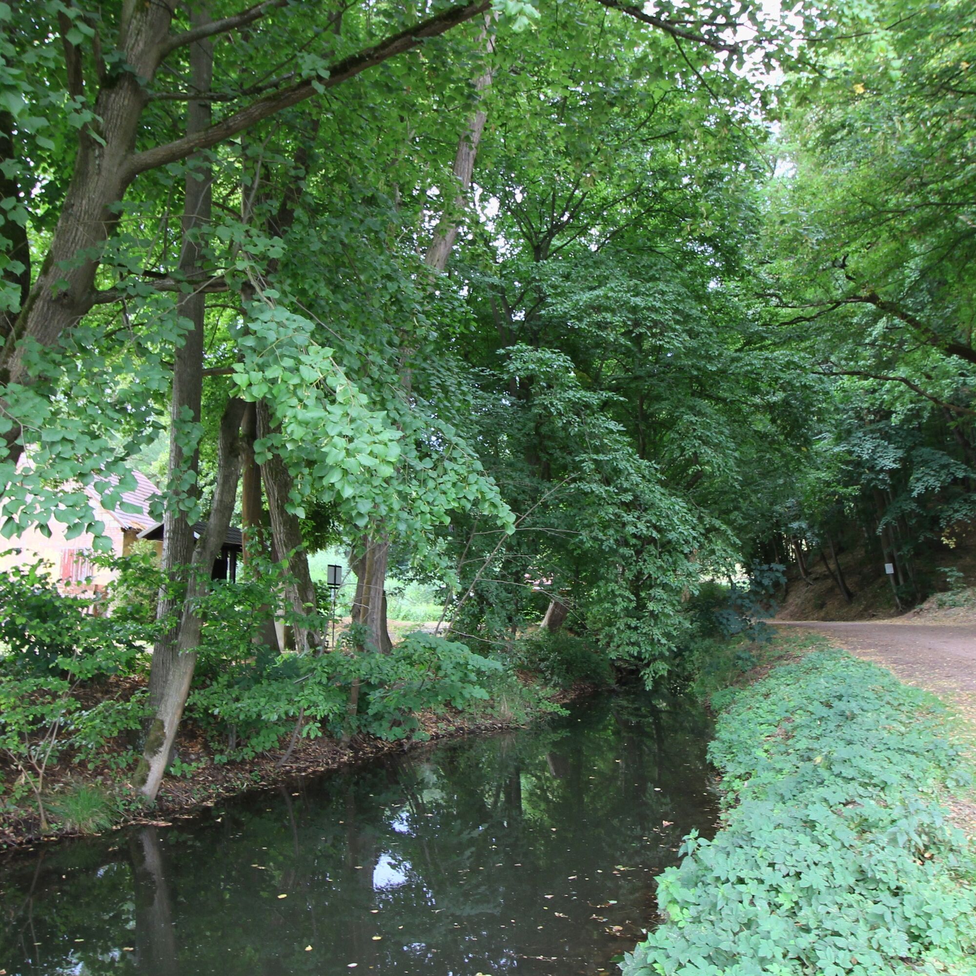
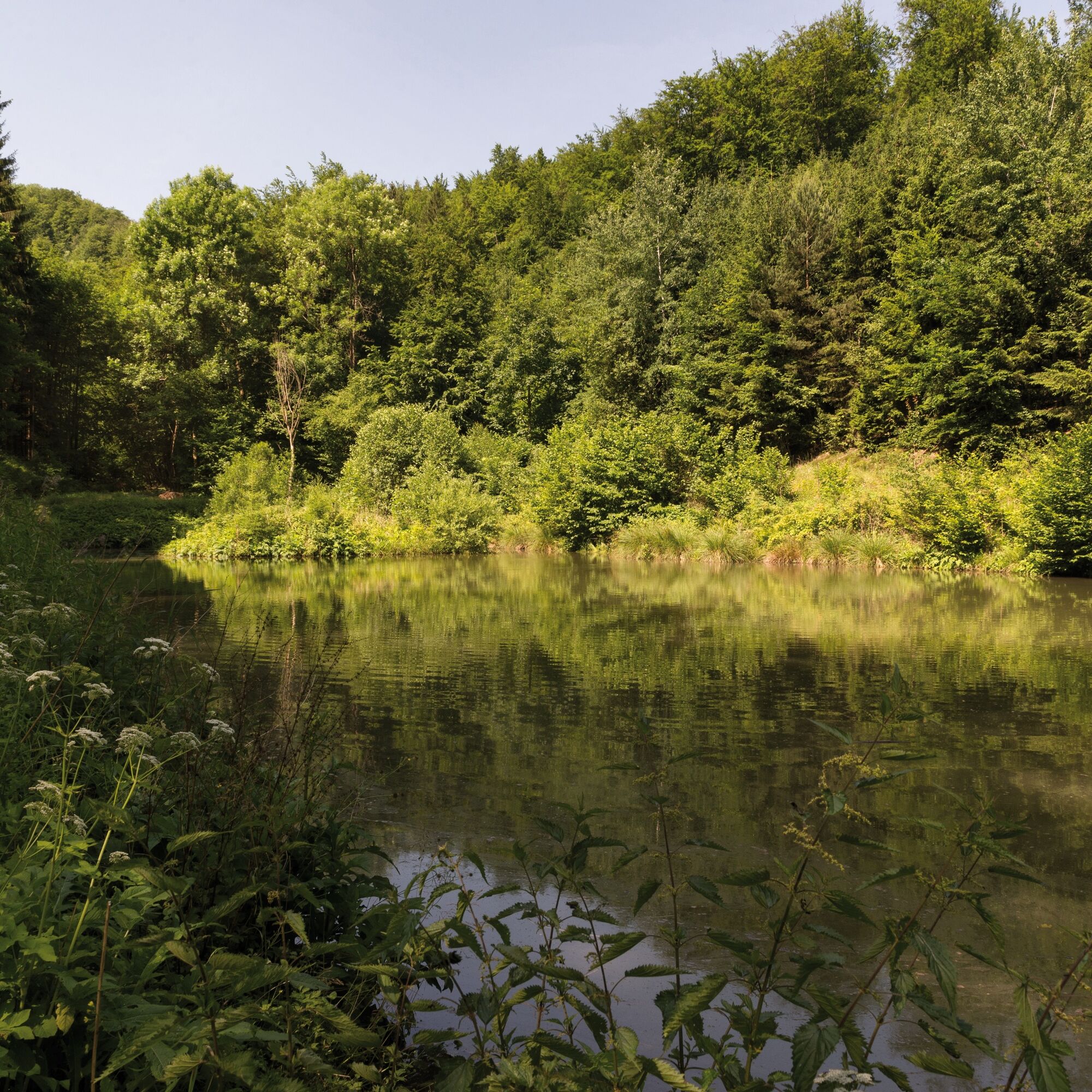
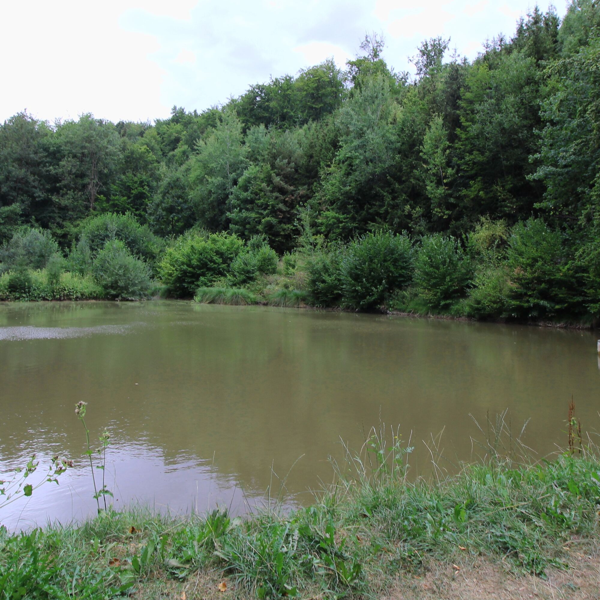
Below the Pochteich, a former water retention basin, there is a functioning overshot water wheel.
Oblíbené prohlídky v okolí
-
5.0
EA1 - Circular route - Gorge tour near Eisenach - Thuringian Forest
středníTuristika 9.68 km -
3.9
EA2 - circular hiking route - "The Beauties of Eisenach" - Thuringian Forest
středníTuristika 9.96 km -
5.0
Wartburg und Drachenschlucht
středníTuristika 15.1 km -
4.7
IVV PW + GTW "In Luther's footsteps - Luther, dragons, landgraves, rose miracle..."
středníTuristika 15.8 km -
5.0
Circular route 3 - Mariental/Drachenschlucht/Elfengrotte
středníTuristika 3.54 km -
4.8
Hike - "Rennsteig-Leiter Eisenach" Thuringian Forest
středníTuristika 3.58 km -
4.5
Circular hike - Legendary Hörselberge - Great Hörselberg near Eisenach - Thuringian Forest
středníTuristika 10.6 km -
4.7
Hike - Rennsteig - Stage 1 - From Hörschel to Ascherbrück / Ruhla
heavyTuristika 19.1 km -
5.0
EA3 - Circular hiking trail - "Wartburg Experience Route" - Thuringian Forest
středníTuristika 6.14 km -
4.0
Circular hiking trail - "Große Bermerrunde" - Ruhla - Thuringian Forest
světloTuristika 8.14 km
Pěší turistika a stopování


Nenechte si ujít nabídky a inspiraci pro vaši příští dovolenou
Vaše e-mailová adresa byl přidán do poštovního seznamu.





