






Hiking trail - Schustersteig from Pößneck to Rudolstadt - Thuringian Forest
The Schustersteig is the path the shoemakers of Pößneck used to take when they brought their products to Rudolstadt. When there was a market in Rudolstadt, according to old tradition, the craftsmen, journeymen,...
The Schustersteig is the path the shoemakers of Pößneck used to take when they brought their products to Rudolstadt. When there was a market in Rudolstadt, according to old tradition, the craftsmen, journeymen, and apprentices would start from Pößneck around 2 a.m., perhaps with some long shafts over their shoulders or pulling a fully loaded handcart behind them, and then set off expectantly on the Schustersteig through the heath.
You can discover the following picture panels and stone monuments:
Hunter's panel - as a boundary marker between the Saale-Orla district and the Saalfeld-Rudolstadt district Luther memorial stone Krötenpfütze (toad puddle) Milestone near the Hangeiche Hangeiche Collection stone Schleierstein (veil stone)The respective explanations can partly be found on the picture panels.

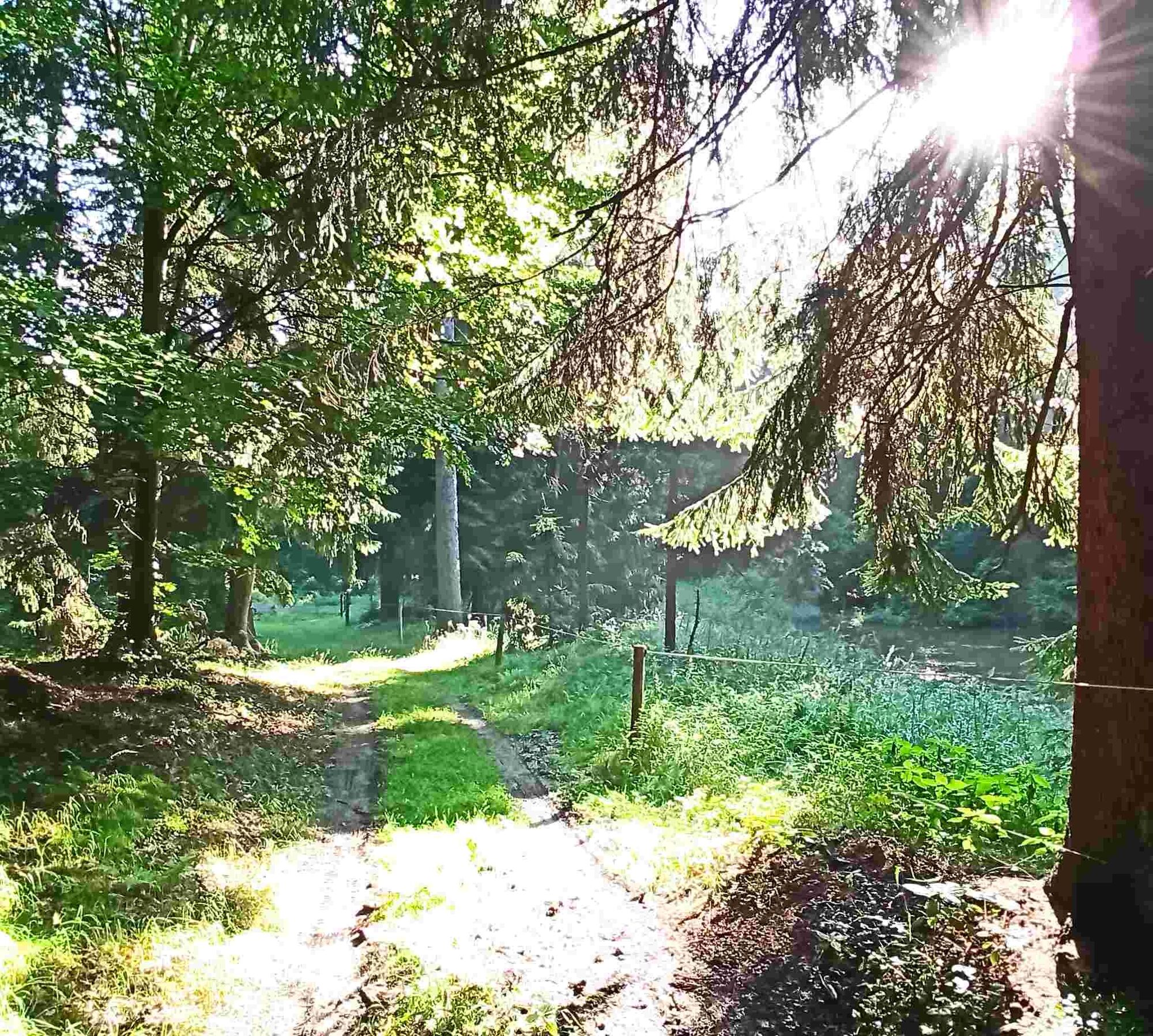
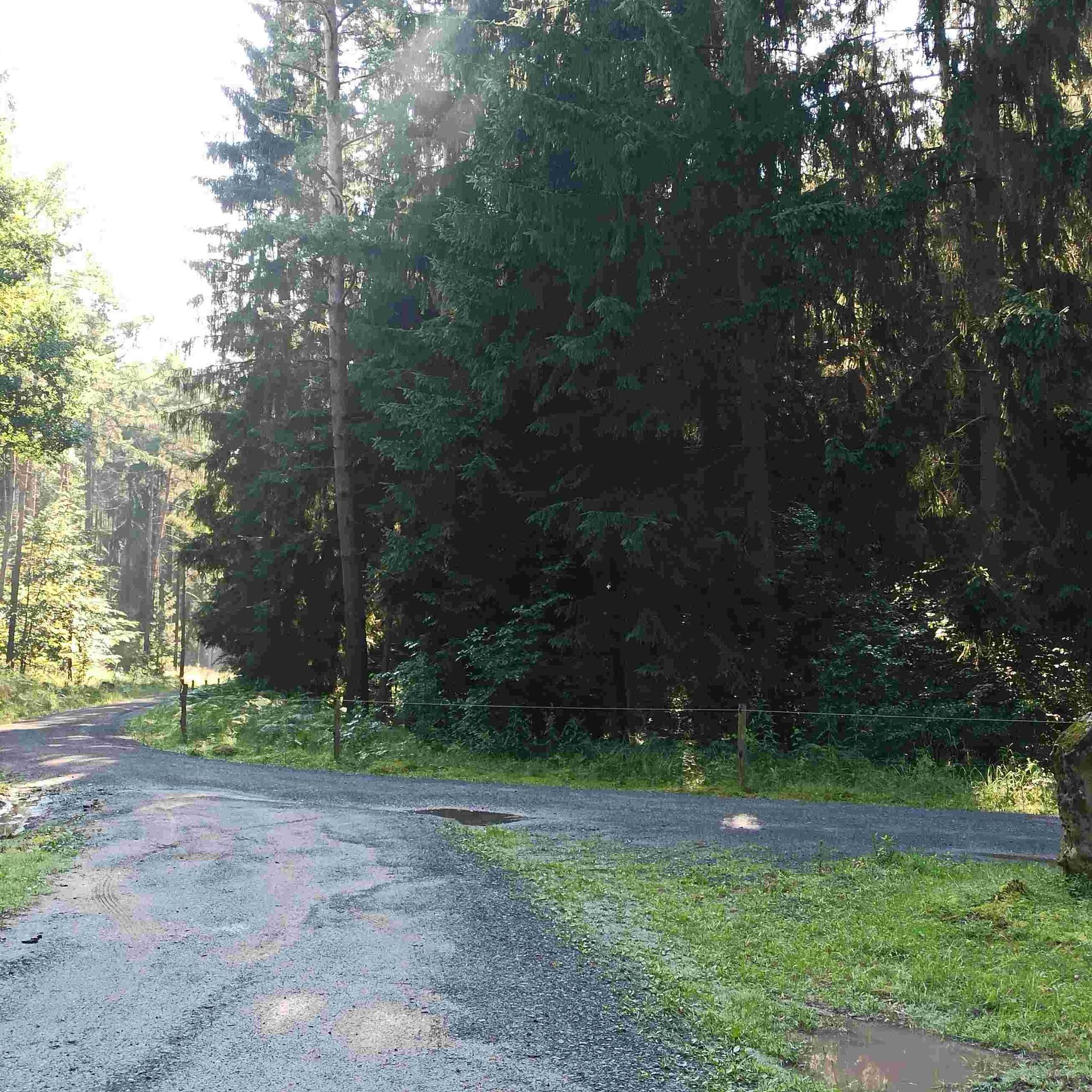


Pößneck lower station - Pößneck Bad am Wald - Schlettwein Silos - Herschdorf Speicher - Trannroda - Sorgenberg - Sandberg - Dachsberg - Krötenpfütze - Hangeiche - Drei Kienbäume - Langenschade - Marienturm - Cumbach - Rudolstadt Station
- weather-appropriate clothing
- sturdy footwear
- day backpack
- first aid kit
- mobile phone
- Please stay on the marked paths
- please leash your dog in the nature reserve
- please remember sufficient drinking water and provisions!
Start in Pößneck:
Autobahn A9 to exit 26 Triptis. Continue on B281 towards Saalfeld, past Neustadt an der Orla to Pößneck. Follow the B281 through Pößneck to the roundabout and then turn north into Orlamünder Straße (signposted hospital). Follow Orlamünder Straße or signs to "Bad am Wald".
Start in Rudolstadt:
Autobahn A71 - exit Stadt Ilm and continue on B90 to Rudolstadt.
Autobahn A4 - exit Göschwitz and continue on B88 to Rudolstadt.
Start in Pößneck:
The railway line Leipzig - Saalfeld runs through Pößneck, stopping at the "upper station". From there, bus line B goes to the "lower station".
The train from Jena stops directly at the "lower station".
Start in Rudolstadt:
Train and bus station directly at the starting point of the Schustersteig.
In Pößneck:
There are free parking options at the "lower station" in Pößneck or you can use the public and free parking lot at "Bad am Wald".
In Rudolstadt:
There are sufficient parking options in Rudolstadt, including directly next to the station.
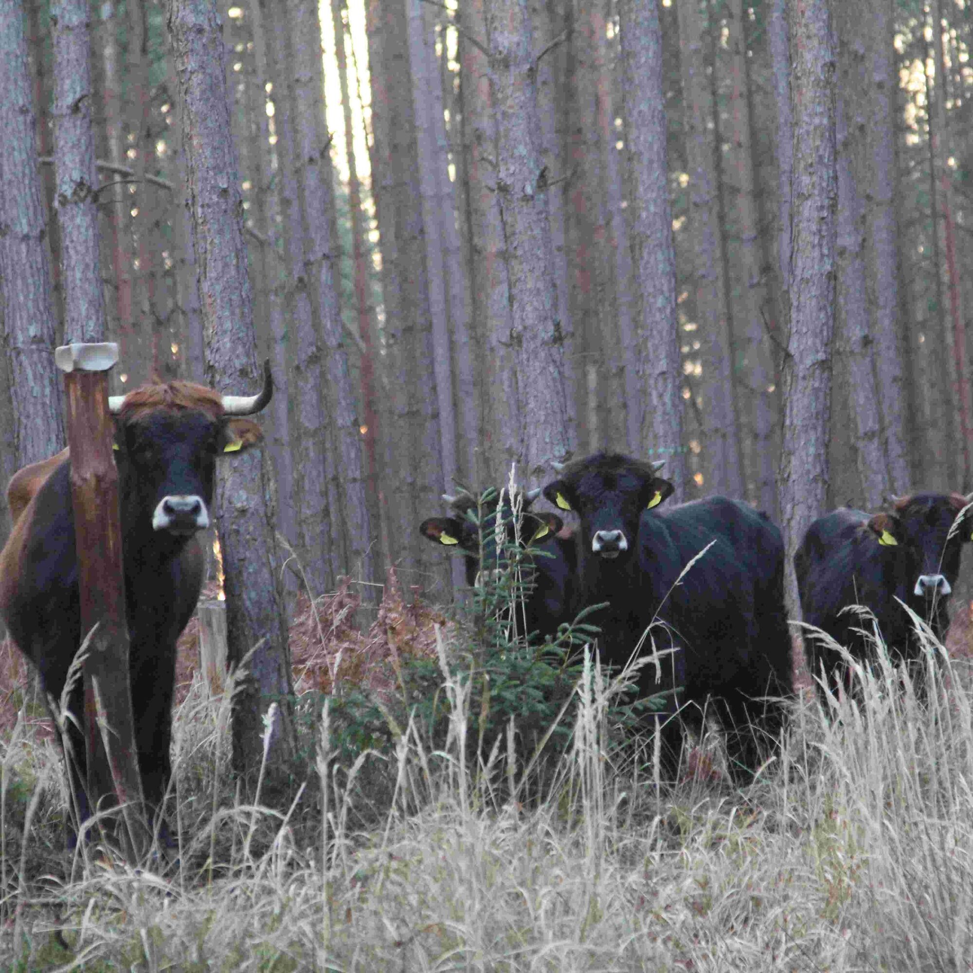
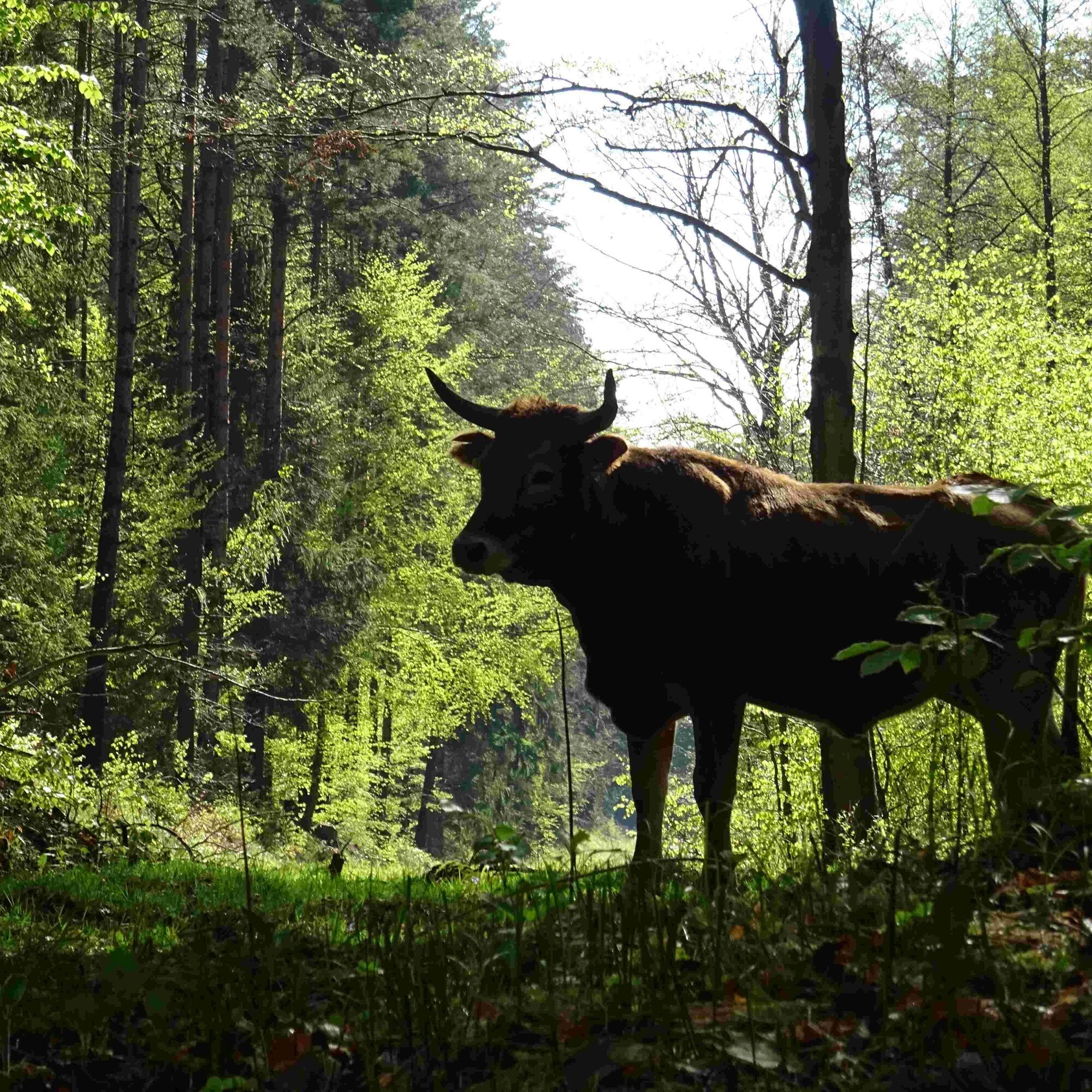
free-ranging Taurus cattle and the Marienturm viewpoint.
Oblíbené prohlídky v okolí
- 4.9
Circular hiking trail - H5 "The Water Route" - Thuringian Forest
středníTuristika 6.58 km - 4.8
Circular hiking trail - "To the most beautiful viewpoints" - Thuringian Forest
středníTuristika 12.8 km - 4.7
Circular hiking route - H3 "The Bird's Eye View" - Thuringian Forest
středníTuristika 8.78 km - 4.0
Zur Jagdanlage Rieseneck bei Hummelshain
světloTuristika 5.21 km - 5.0
Hohenwarte Reservoir Way - Section 2 - Camping Wilhelmsdorf Portenschmiede → Ziegenrück
heavyTuristika 18.2 km - 4.0
Circular route - "Wichtelweg" - Wilhelmsdorf
světloTematická stezka 2 km - 5.0
Zwischen Leubengrund und Hummelshain
světloTuristika 9.28 km - 5.0
Kulm route
středníTuristika 9.39 km - 3.0
Circular route - "On archaeological trail of King Otto I." - Saale region
světloTuristika 6.55 km - 4.0
Circular hike - "Round route 3" - start and finish country hotel Edelhof Kolkwitz - Thuringia
středníTuristika 9.42 km
Pěší turistika a stopování


Nenechte si ujít nabídky a inspiraci pro vaši příští dovolenou
Vaše e-mailová adresa byl přidán do poštovního seznamu.





