







Urwaldpfad Eisenach - Thuringian Urwaldpfade

Úroveň obtížnosti: T1

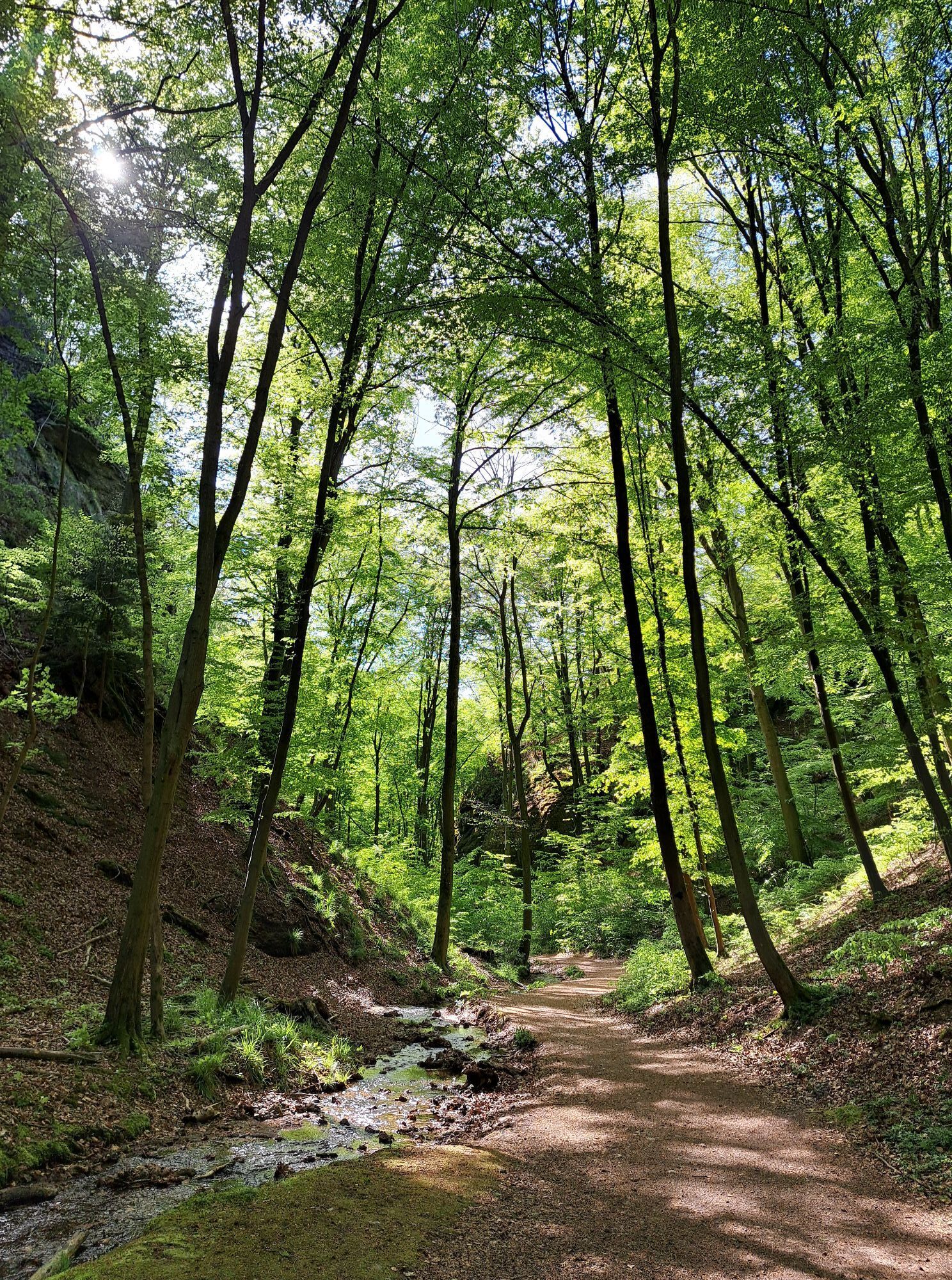
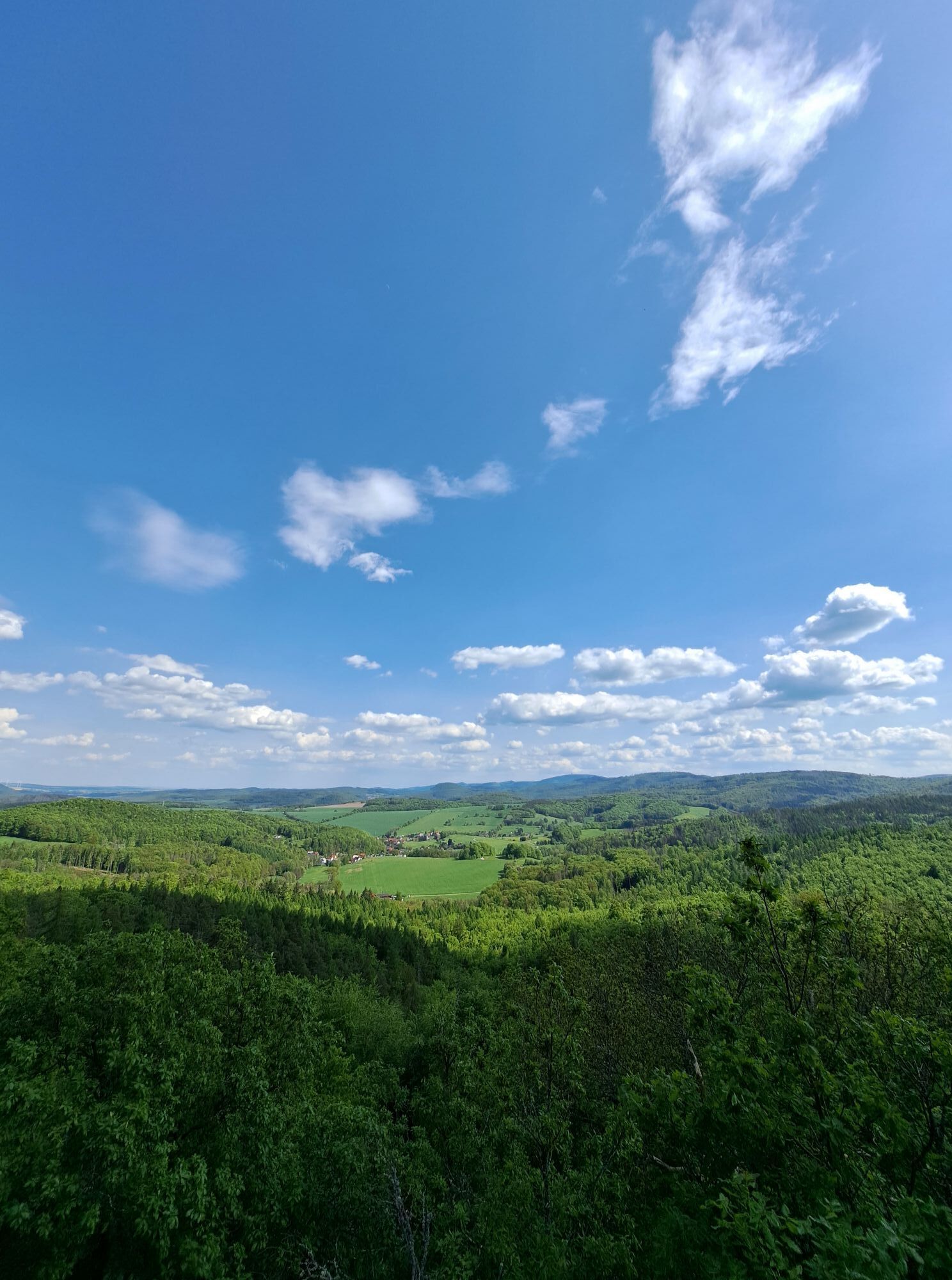
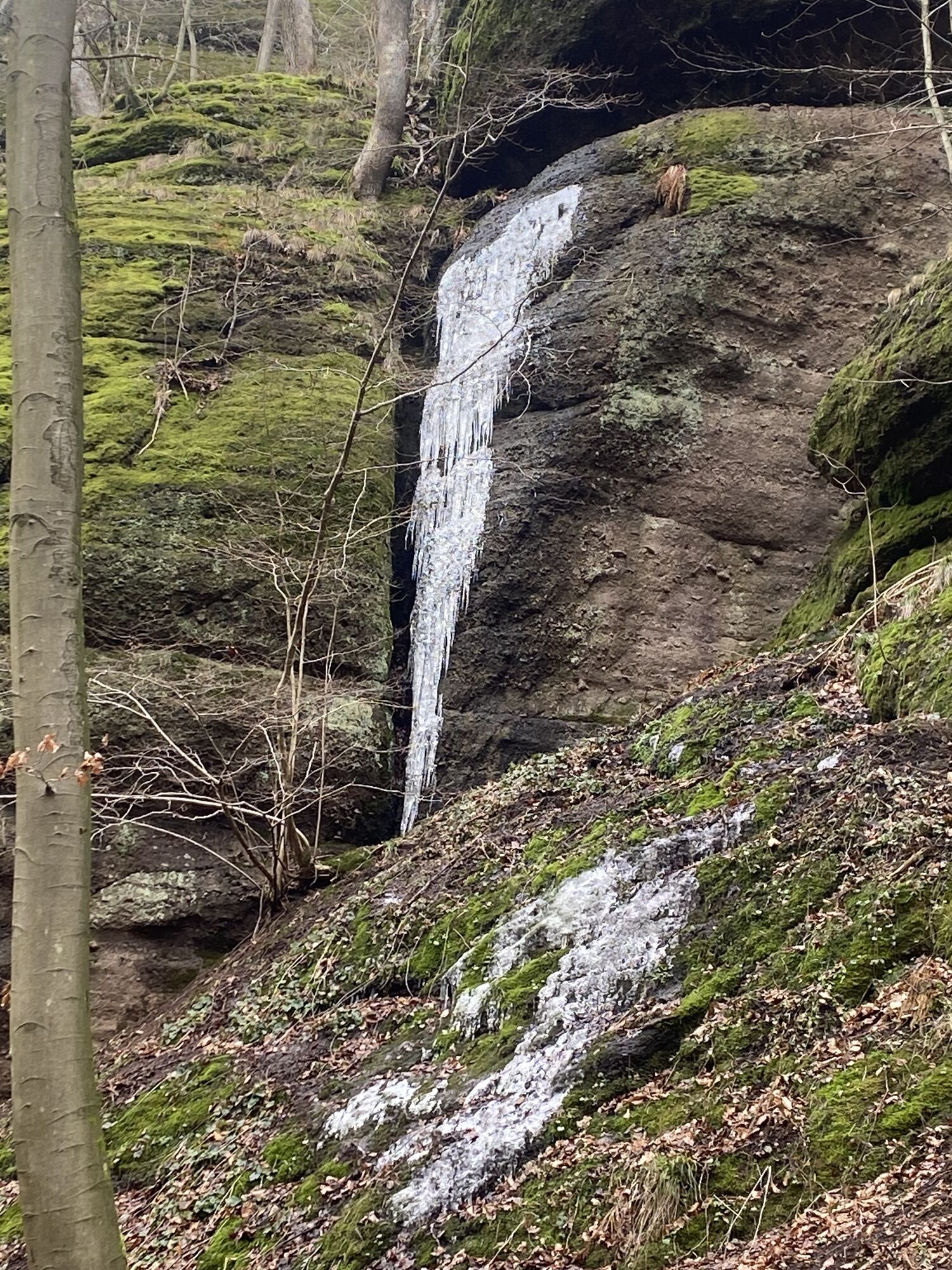
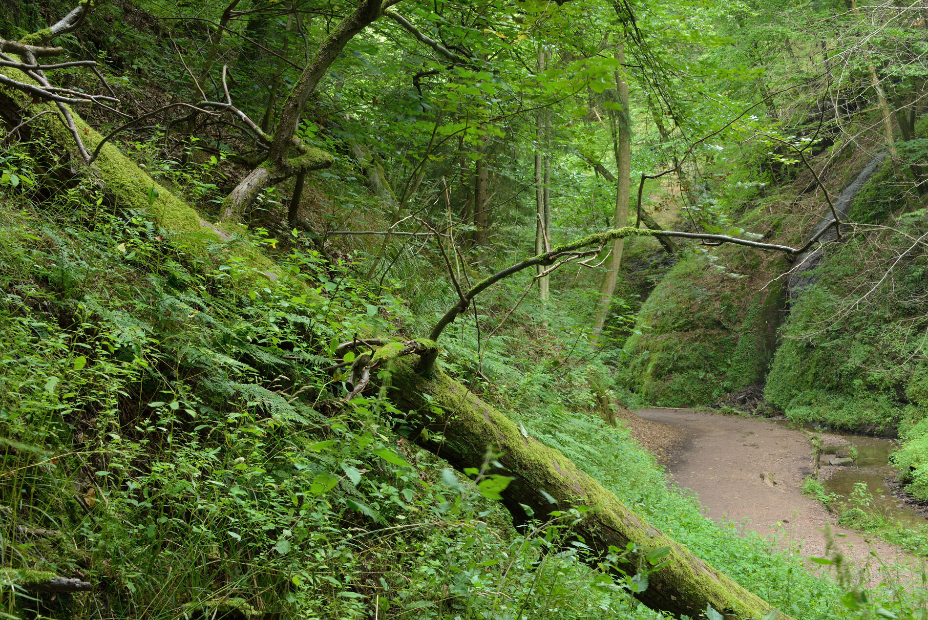
The forests around Eisenach are characterized by deep gorges, impressive rocks, and many rest areas with wonderful views.
The approximately 8 km long Urwaldpfad starts at the “Phantasie” parking lot (Wartburg...
The forests around Eisenach are characterized by deep gorges, impressive rocks, and many rest areas with wonderful views.
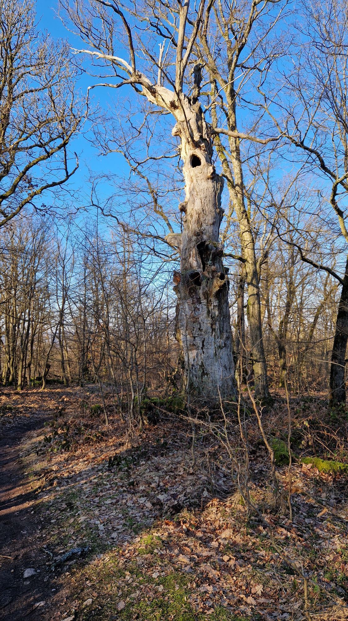
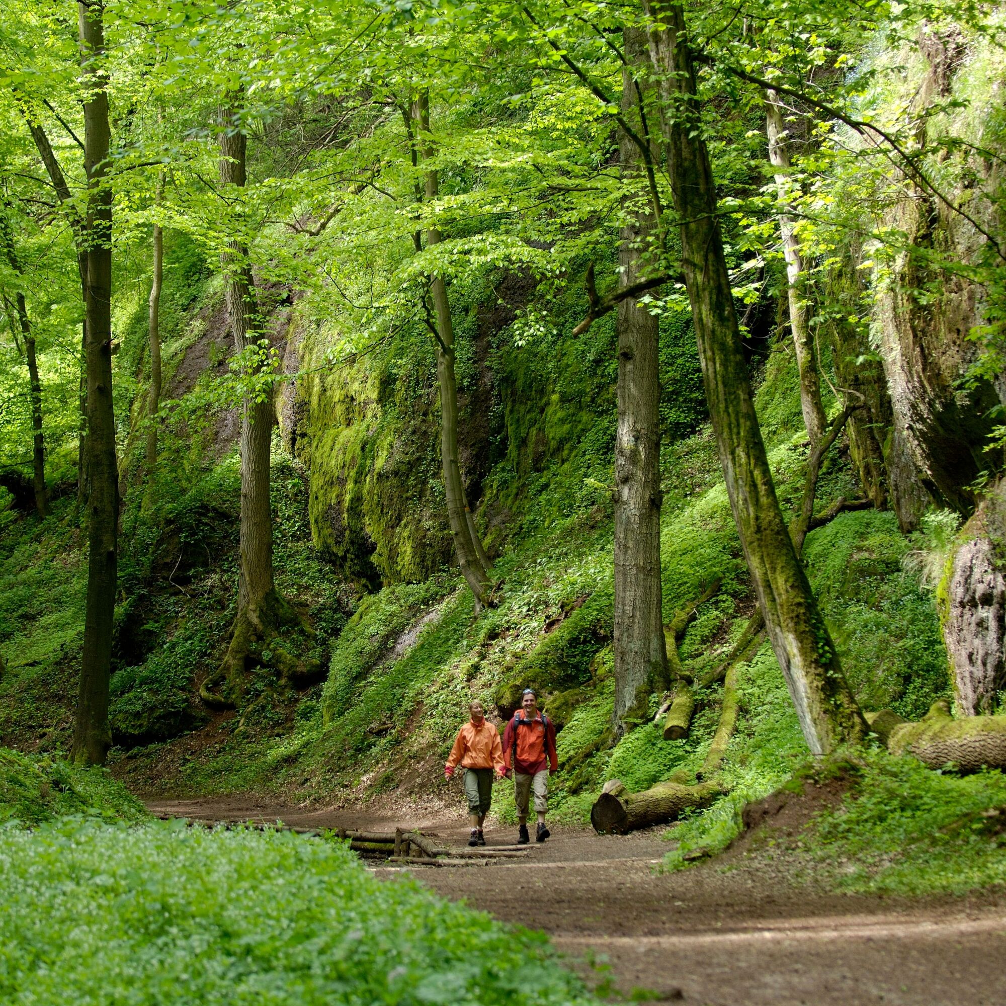
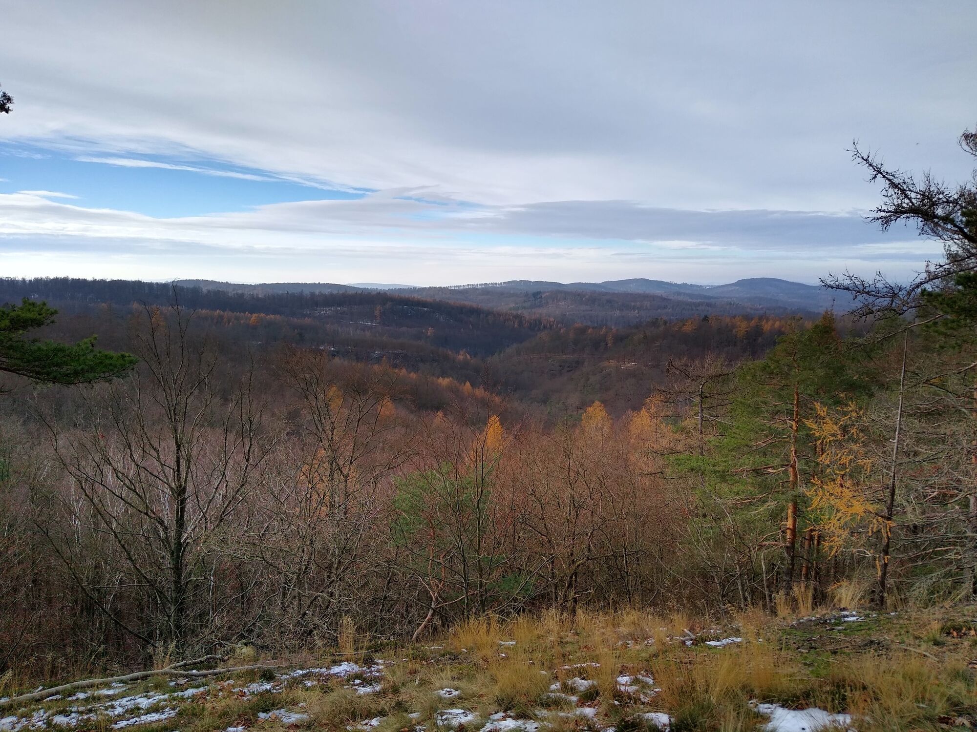
The approximately 8 km long Urwaldpfad starts at the “Phantasie” parking lot (Wartburg P3) and first leads to the “Urwaldpfad portal” and then to the entrance of the Landgrafenschlucht. From here, the moderate route goes uphill through the impressive gorge. Along the path, you can discover cool wet habitats and lively beech forests. The ascent to Großer Drachenstein is rewarded with a great view of the Thuringian Forest. Through old dry oak forests, the path leads from here past the Carolinenblick, which invites you to take a break with its beautiful view of the Wartburg, back to the hiking parking lot.
This varied circular hiking trail through intact forest is part of the WWF project Thuringian Urwaldpfade.

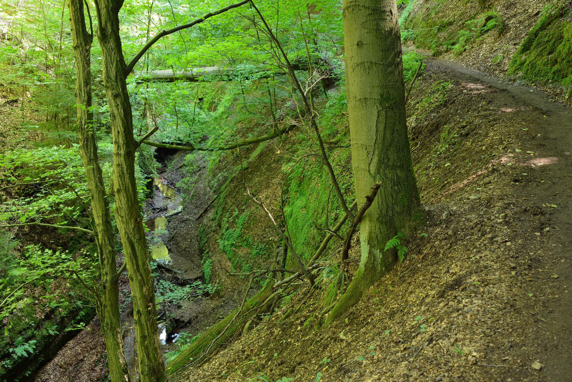
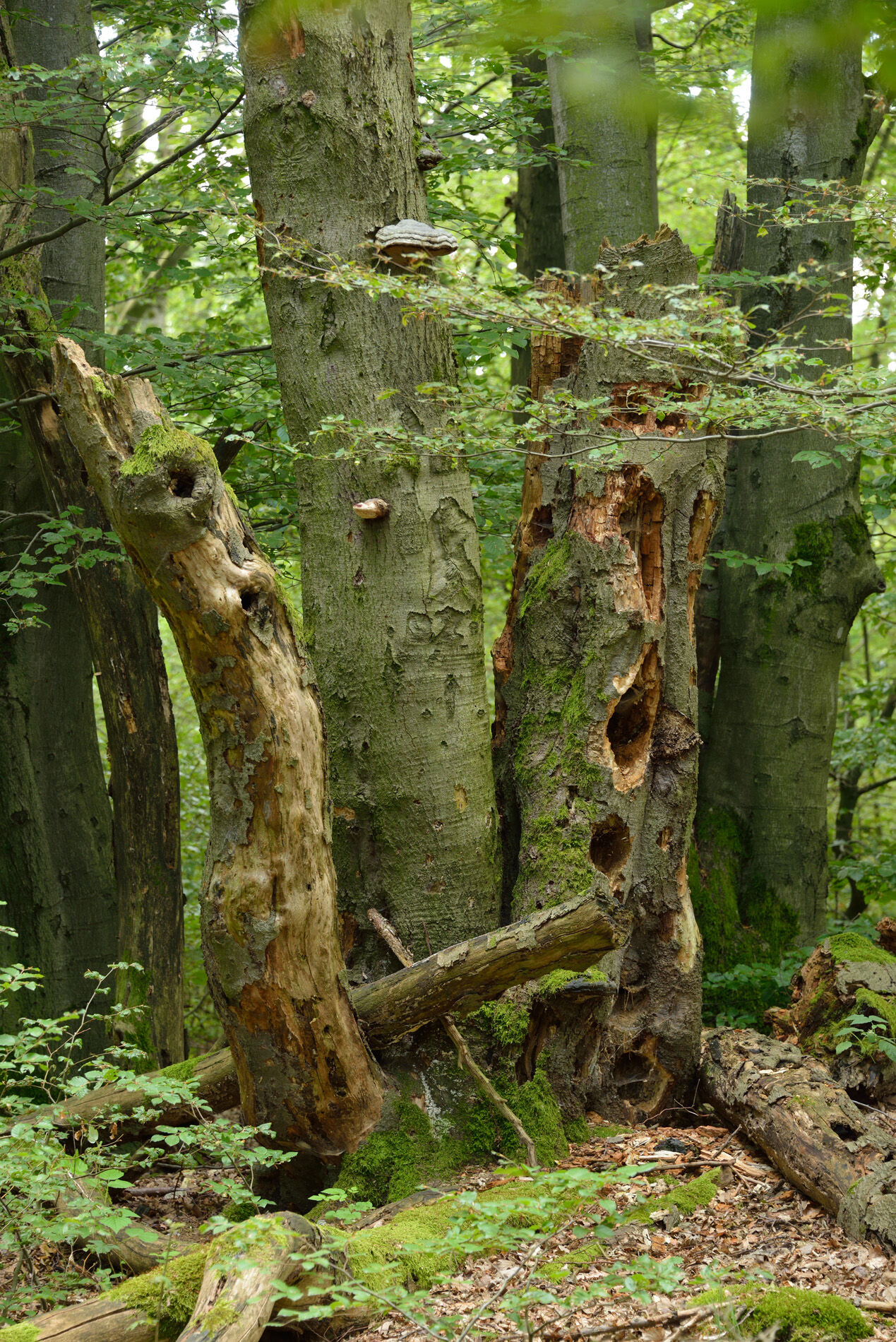
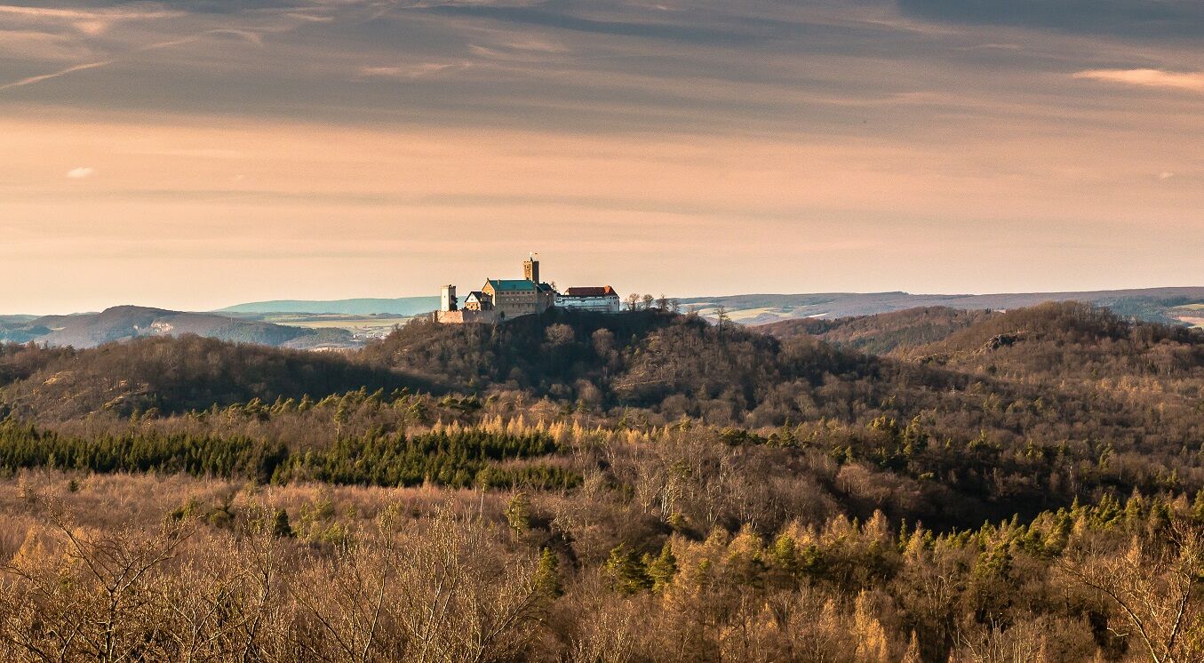
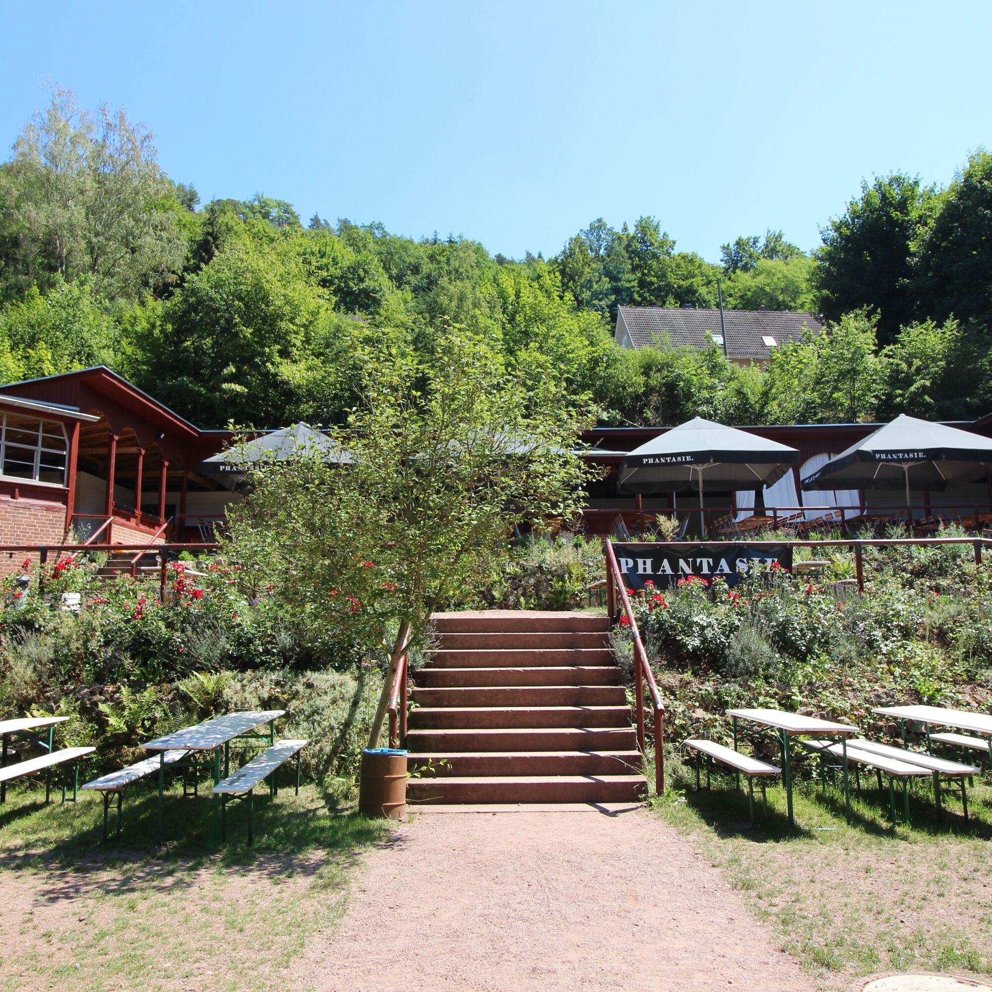

The entrance portal of the Urwaldpfad Eisenach is located a few minutes south of the Wartburg P3 parking lot (alternatively, you can also use the P1 or P2 parking lots). From the parking lot, follow the footpath (Wichmannpromenade) out of town towards Landgrafenschlucht. After about 300 meters, you will reach the starting point of the Urwaldpfad Eisenach, where you will find a large wooden sculpture and two information boards. Here you can learn about the route and the special features of the "wild Eisenach forests".
The Urwaldpfad is marked with a black and white beetle symbol. At a brisk walking pace, the route takes about 2:30 hours. If you want to take a little more time to enjoy the nature and the beautiful views, you should plan for about 4 hours.
The starting point is also the destination of the circular hiking trail. A few meters behind the wooden art stele, you have to decide in which direction you want to walk the path. The present description follows the route counterclockwise.
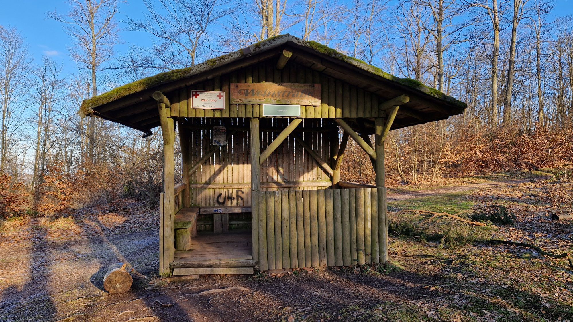
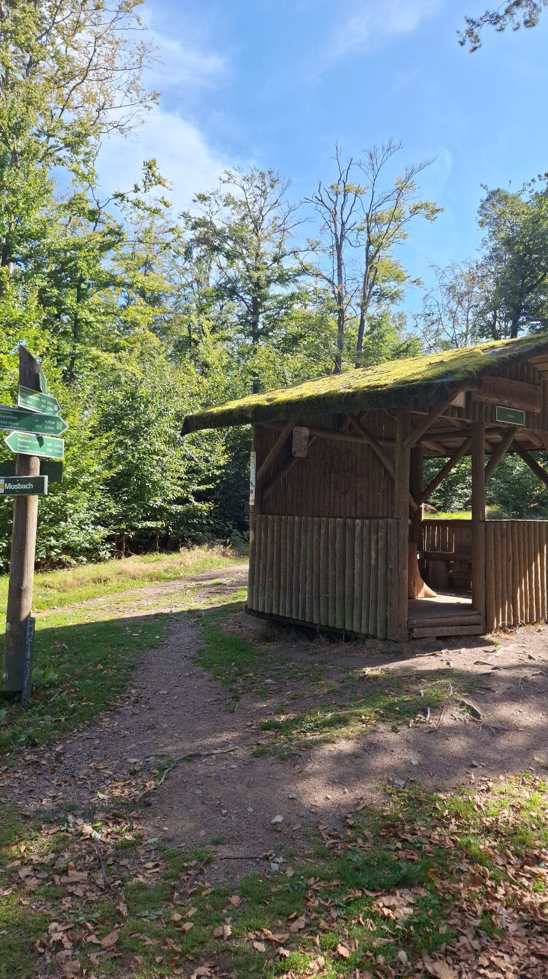
Keep to the right and follow the Wichmannpromenade straight to the entrance of the Landgrafenschlucht. From here, the path leads uphill through the gorge. Follow the signs towards Weinstraße, cross it, and continue towards "Großer Drachenstein." Seating and a view towards the Thuringian Forest invite you to linger here. The Großer Drachenstein is the highest point of the hike (470 m above sea level). From here, follow the path until you reach a junction with a small shelter. From here, follow Weinstraße towards Eisenach. After about 1 km, turn left towards Carolinenblick, which you will reach after about another kilometer. Here, a great view over the treetops in the direction of Wartburg opens up.
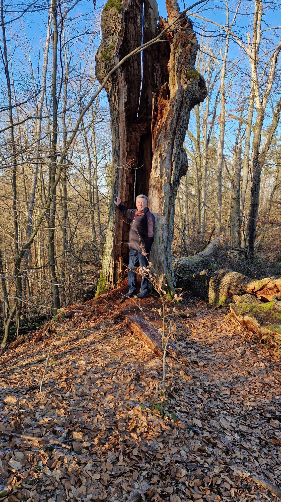
Soon after, you will reach the Herzogseiche, near which a seating area invites you to take a break. Here, seven paths cross. Follow the signs towards Dornheckenweg. This path leads you above and parallel to the Landgrafenschlucht back to the starting point.
Ano
Sturdy footwear
Rain protection
Food and water
It can be partly wet and muddy in the Landgrafenschlucht.
By car, you can reach Eisenach via the A4 motorway (exit Eisenach-West or Eisenach-East) or via federal roads B7, B19, and B84.
The starting point for the hike is located in Mariental on the southern outskirts of Eisenach on the B19. Enter the following address into your navigation system: Mariental 33, 99187 Eisenach. This is the address of the Wartburg P3 hiking parking lot (see below).
Use the travel information service of the Deutsche Bahn. This portal also lists all regional transport providers.
Eisenach city bus: Line 3 from "ZOB/Main station," "Karlsplatz," or "Ernst-Abbe-Gymnasium" to the stop "Mariental (Drachenschlucht)" or with regional bus line 190 from "ZOB/Main station," "Karlsplatz," or "Ernst-Abbe-Gymnasium" to the stop "Mariental (Drachenschlucht)"
City bus line: 3
Regional bus line: 190
Parking lots:
P+R parking lot at the Phantasie
P+R parking lot Mariental
Parking lot at Prinzenteich
Parking lot Eisenach center "Alte Brauerei" (Line 3 or 190 from/to Ernst-Abbe-Gymnasium)
Parking garage Tor zur Stadt (Line 3 or 190 from/to ZOB)
T1
You want not only to experience nature but also to protect it? Here you can find everything about the donation hike in autumn "Hiking for biodiversity"
Oblíbené prohlídky v okolí
-
5.0
EA1 - Circular route - Gorge tour near Eisenach - Thuringian Forest
středníTuristika 9.68 km -
3.9
EA2 - circular hiking route - "The Beauties of Eisenach" - Thuringian Forest
středníTuristika 9.96 km -
5.0
Wartburg und Drachenschlucht
středníTuristika 15.1 km -
4.7
IVV PW + GTW "In Luther's footsteps - Luther, dragons, landgraves, rose miracle..."
středníTuristika 15.8 km -
5.0
Circular route 3 - Mariental/Drachenschlucht/Elfengrotte
středníTuristika 3.54 km -
4.8
Hike - "Rennsteig-Leiter Eisenach" Thuringian Forest
středníTuristika 3.58 km -
4.5
Circular hike - Legendary Hörselberge - Great Hörselberg near Eisenach - Thuringian Forest
středníTuristika 10.6 km -
4.8
Inselsberg tour - Tour 2 - Bad Tabarz
heavyTuristika 15.1 km -
4.7
Hike - Rennsteig - Stage 1 - From Hörschel to Ascherbrück / Ruhla
heavyTuristika 19.1 km -
3.2
Von Friedrichroda zum großen Inselsberg
středníTuristika 22.4 km
Pěší turistika a stopování


Nenechte si ujít nabídky a inspiraci pro vaši příští dovolenou
Vaše e-mailová adresa byl přidán do poštovního seznamu.





