







TEAG RENNSThike World Championship 40-km Ahorn-Marsch

Úroveň obtížnosti: T2
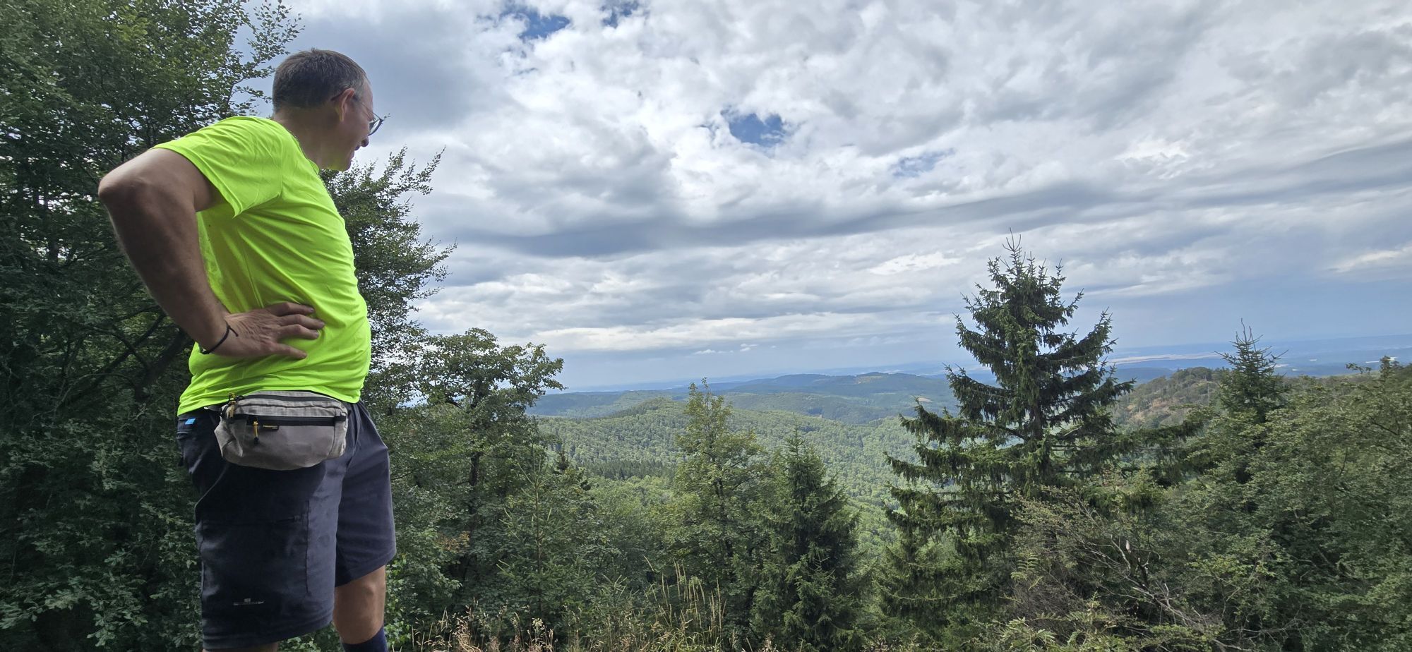
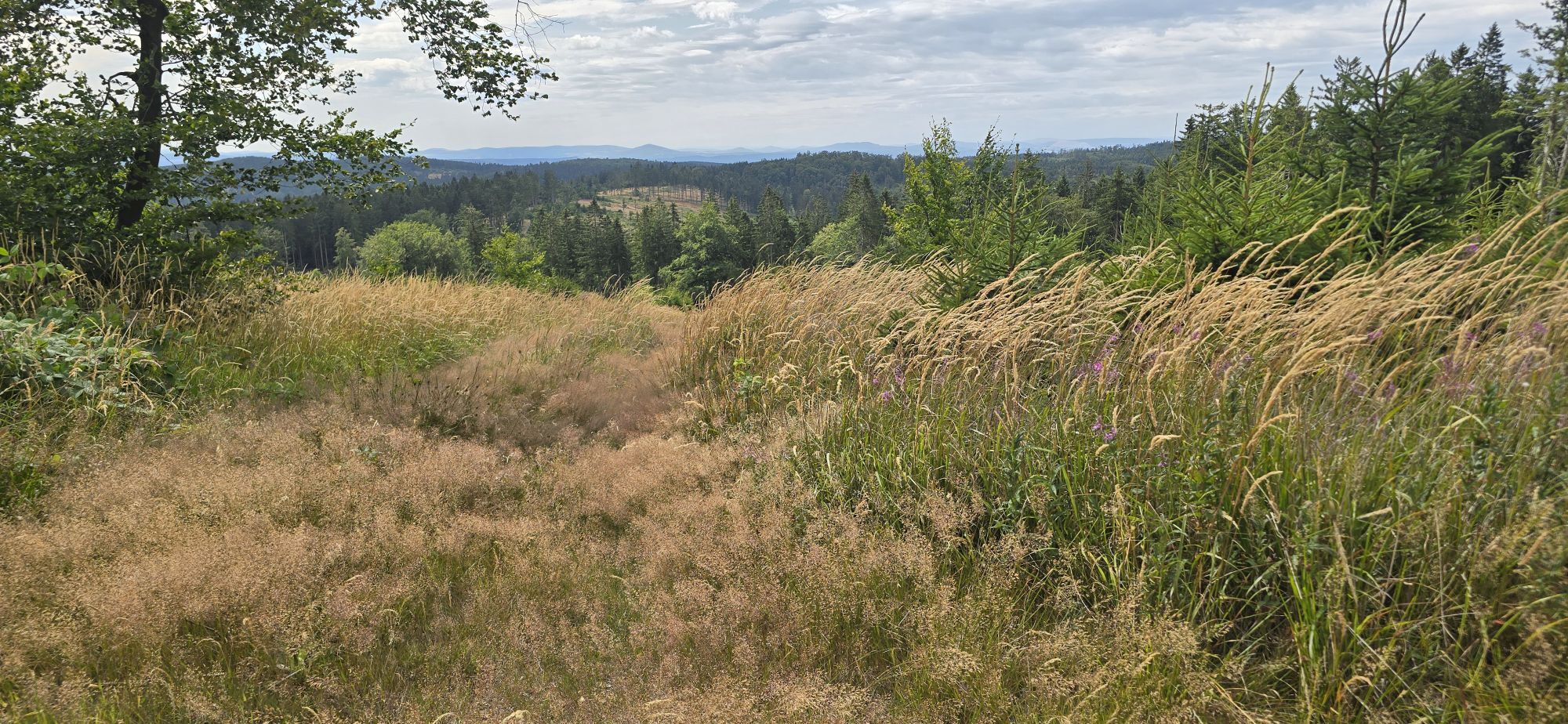
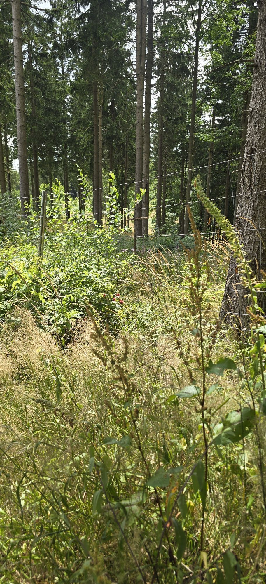
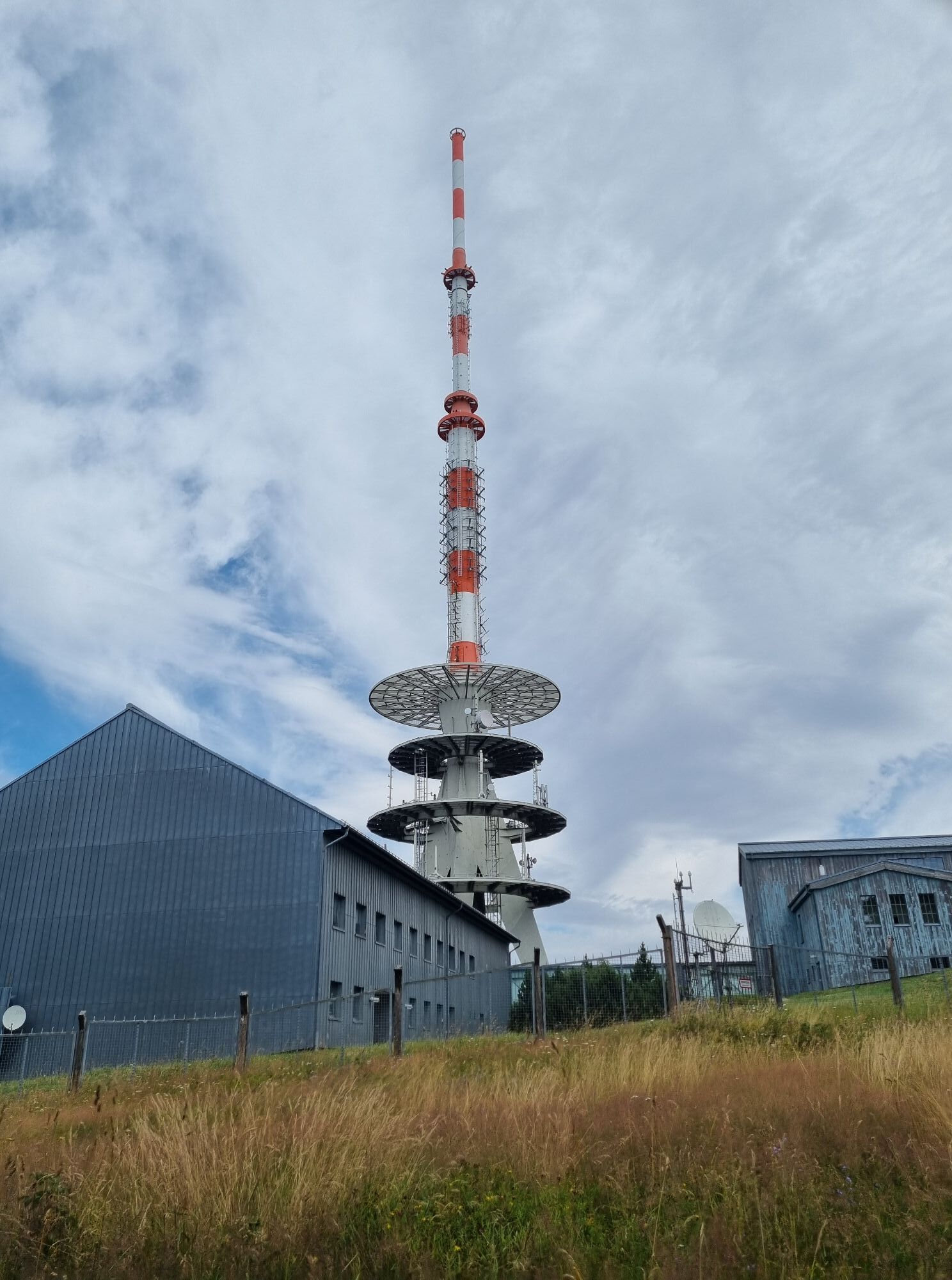
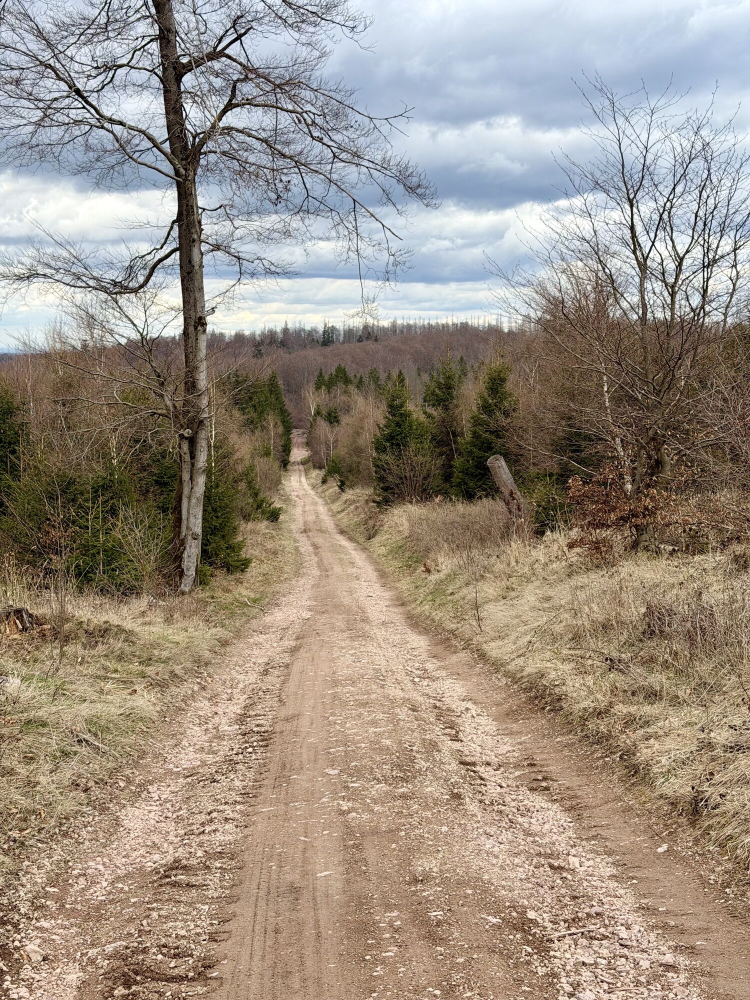
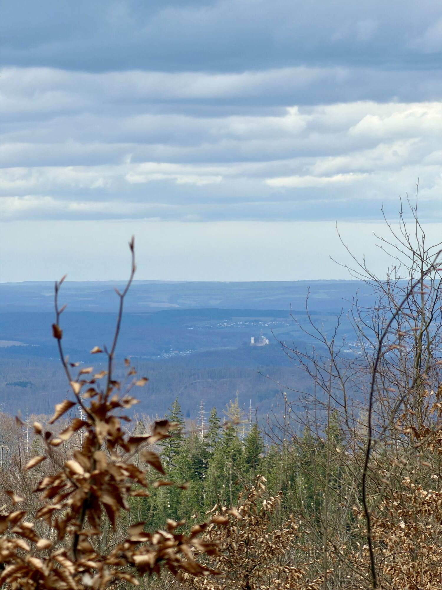
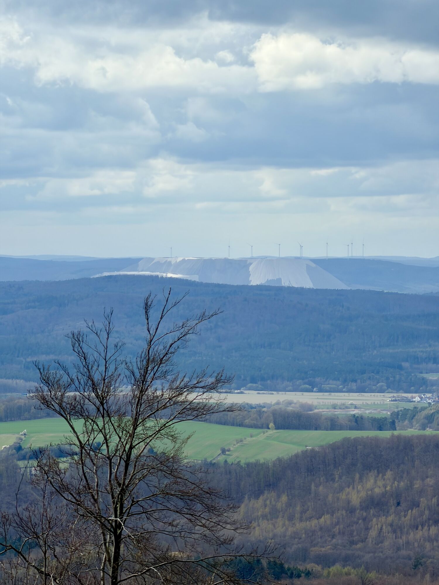
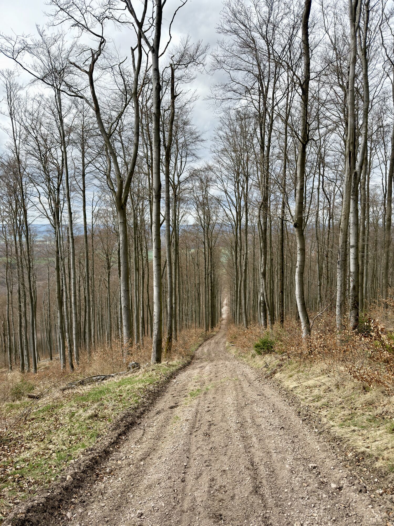
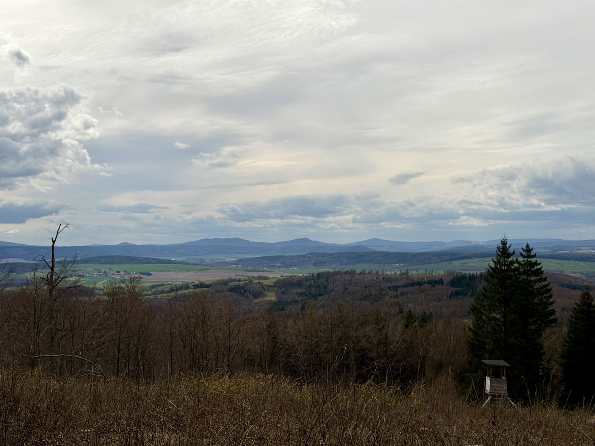
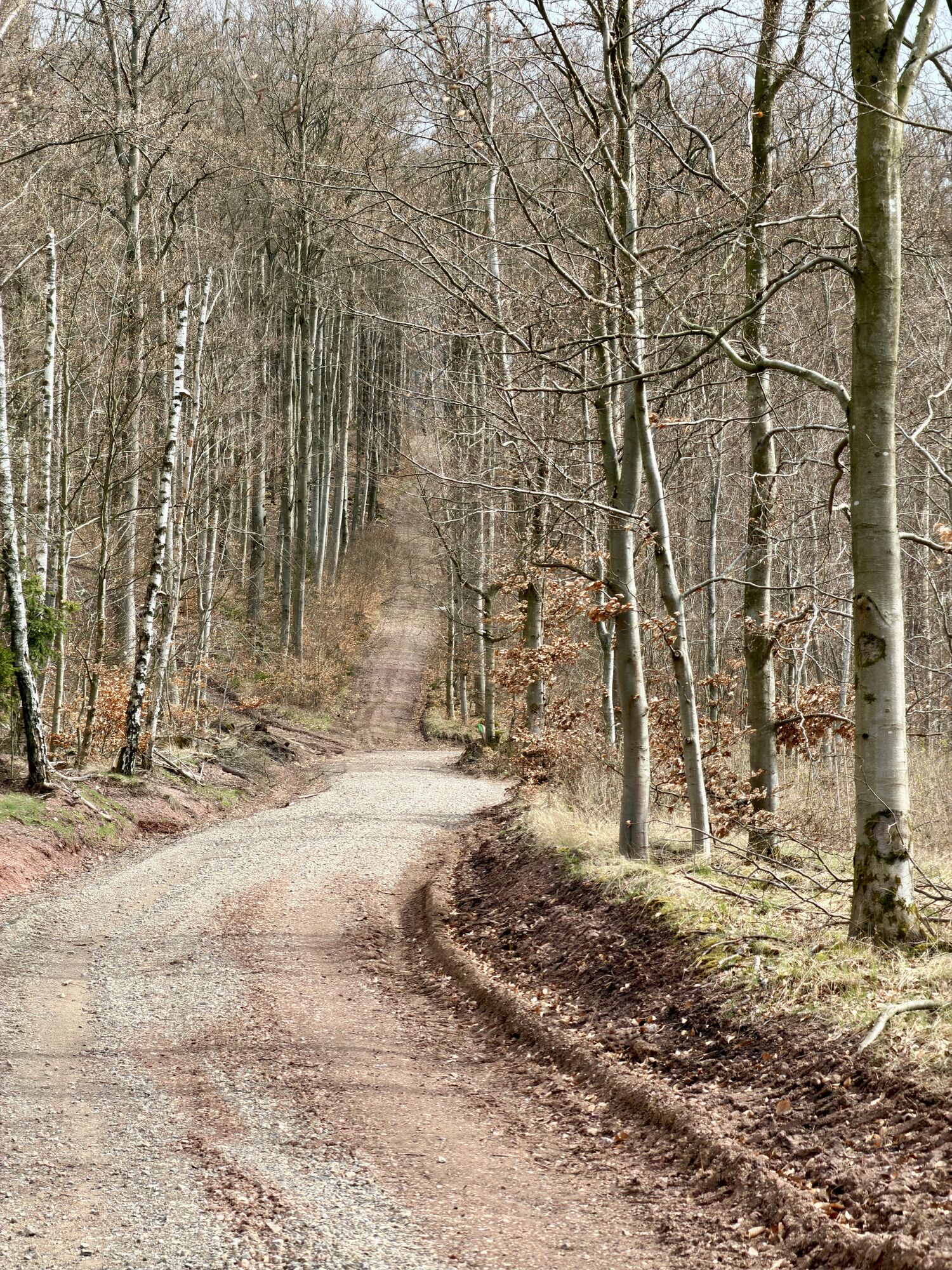
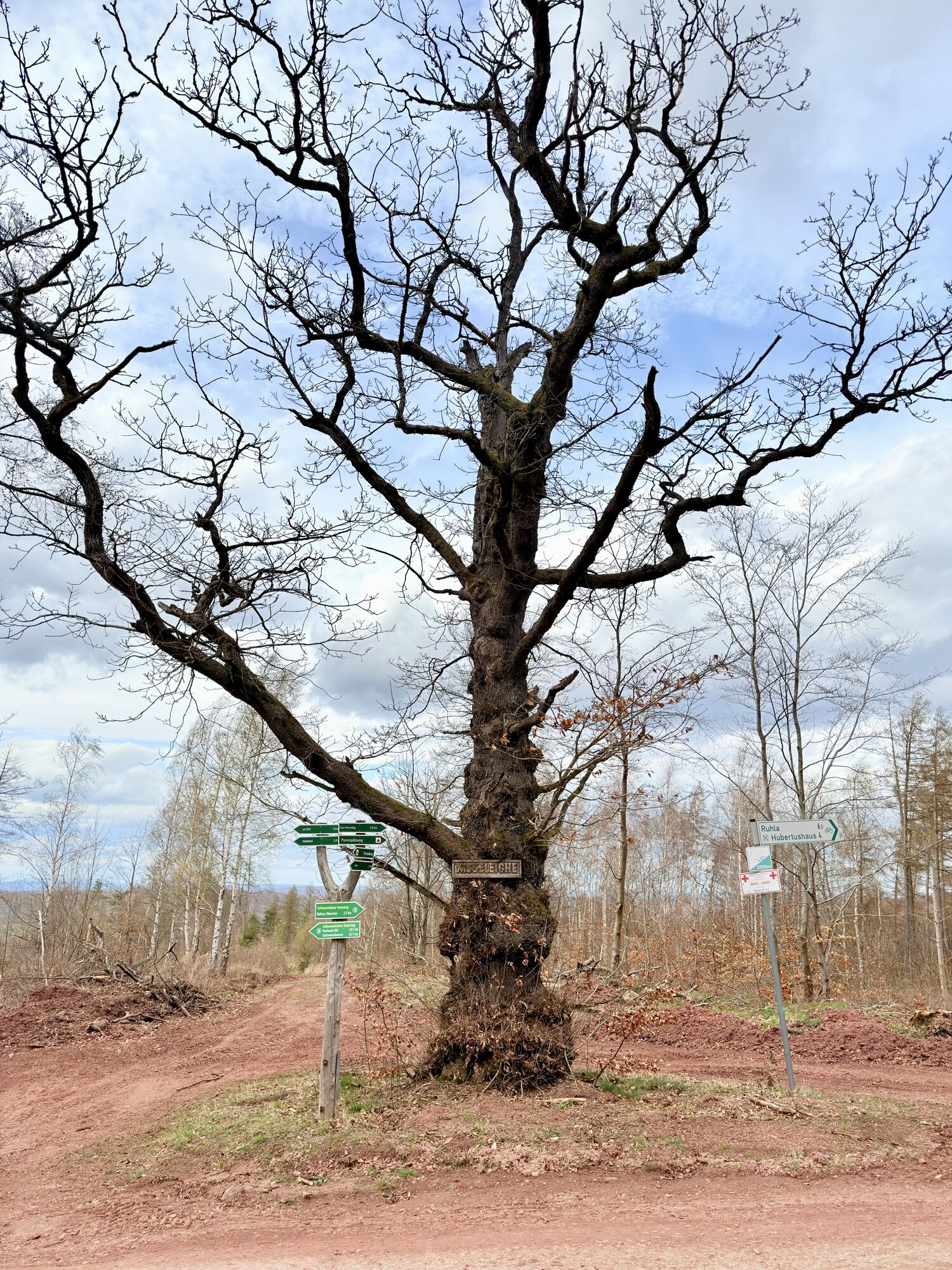
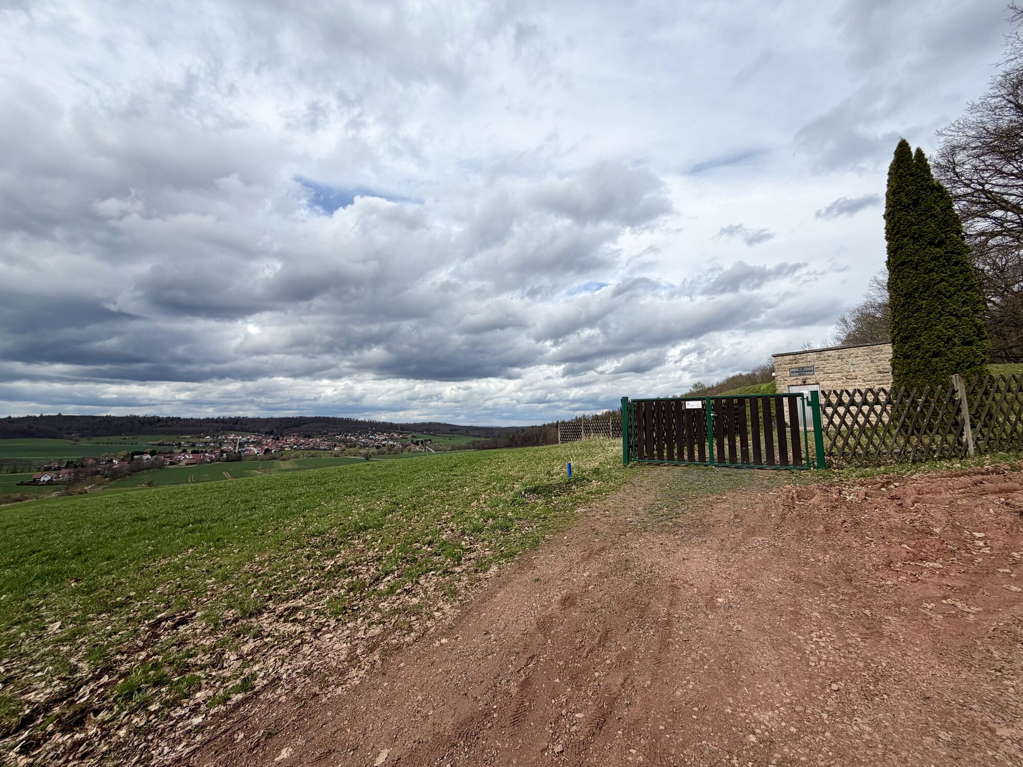


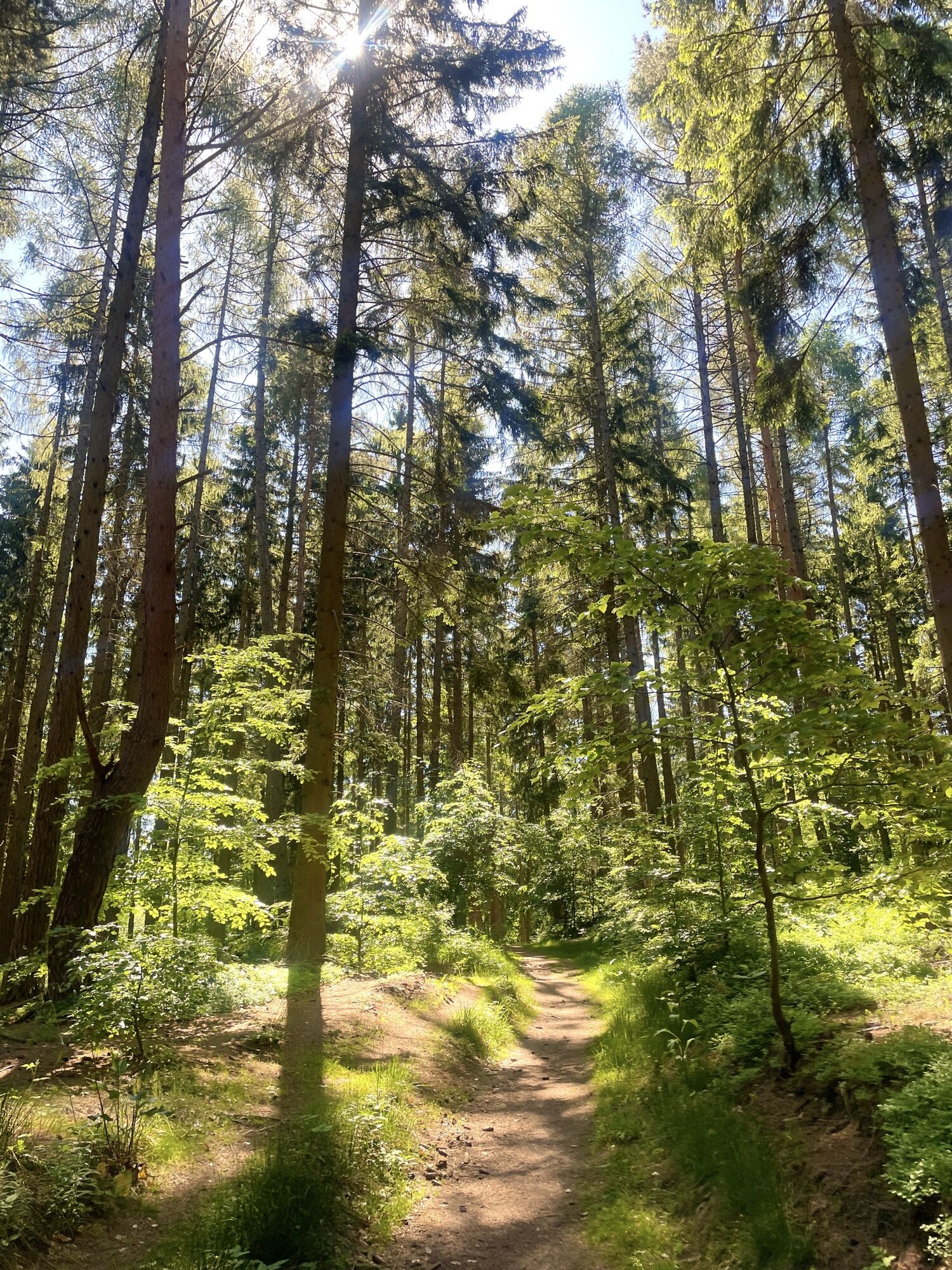
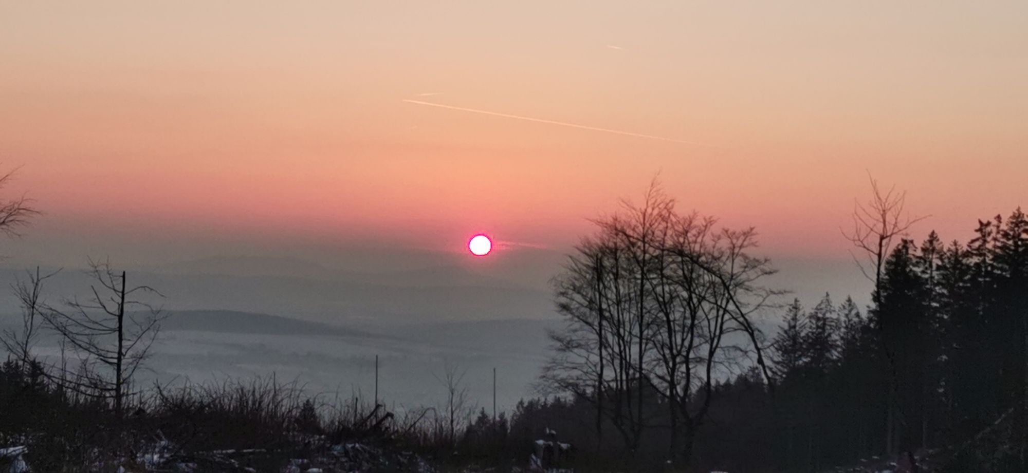
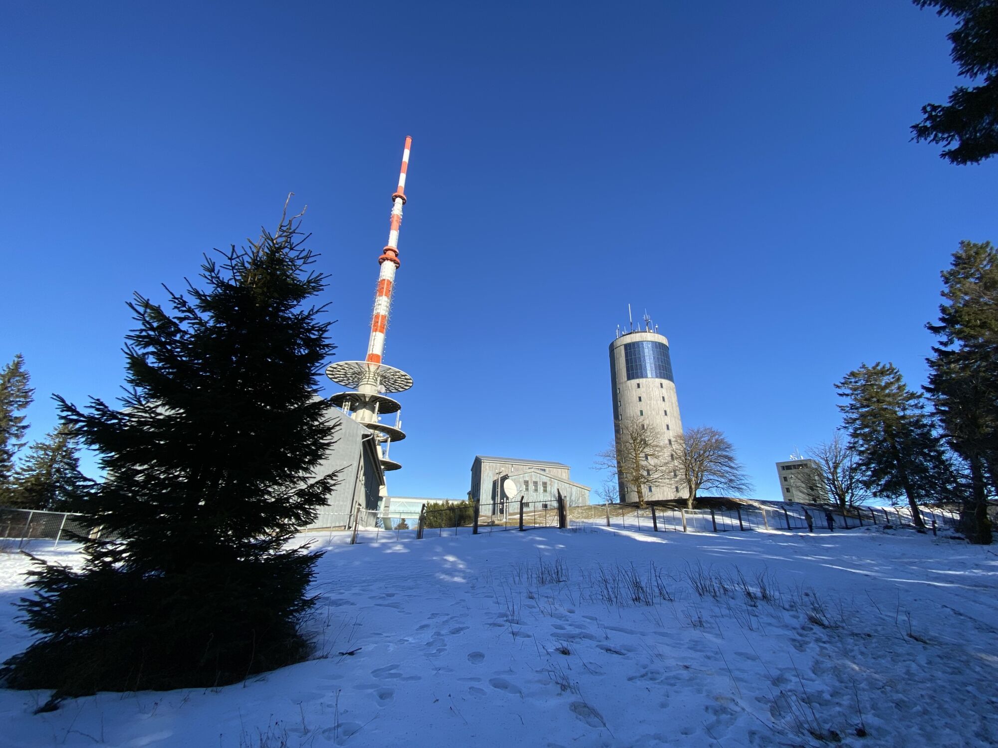
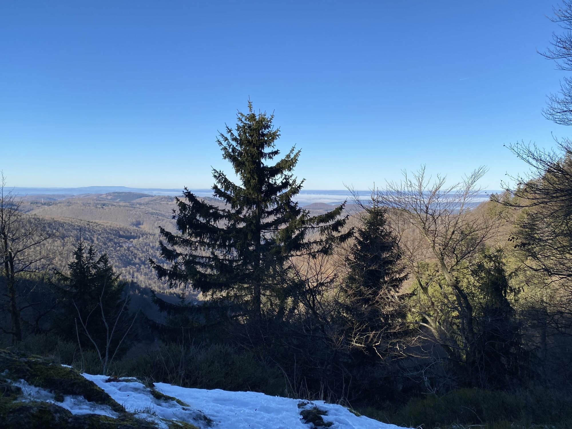
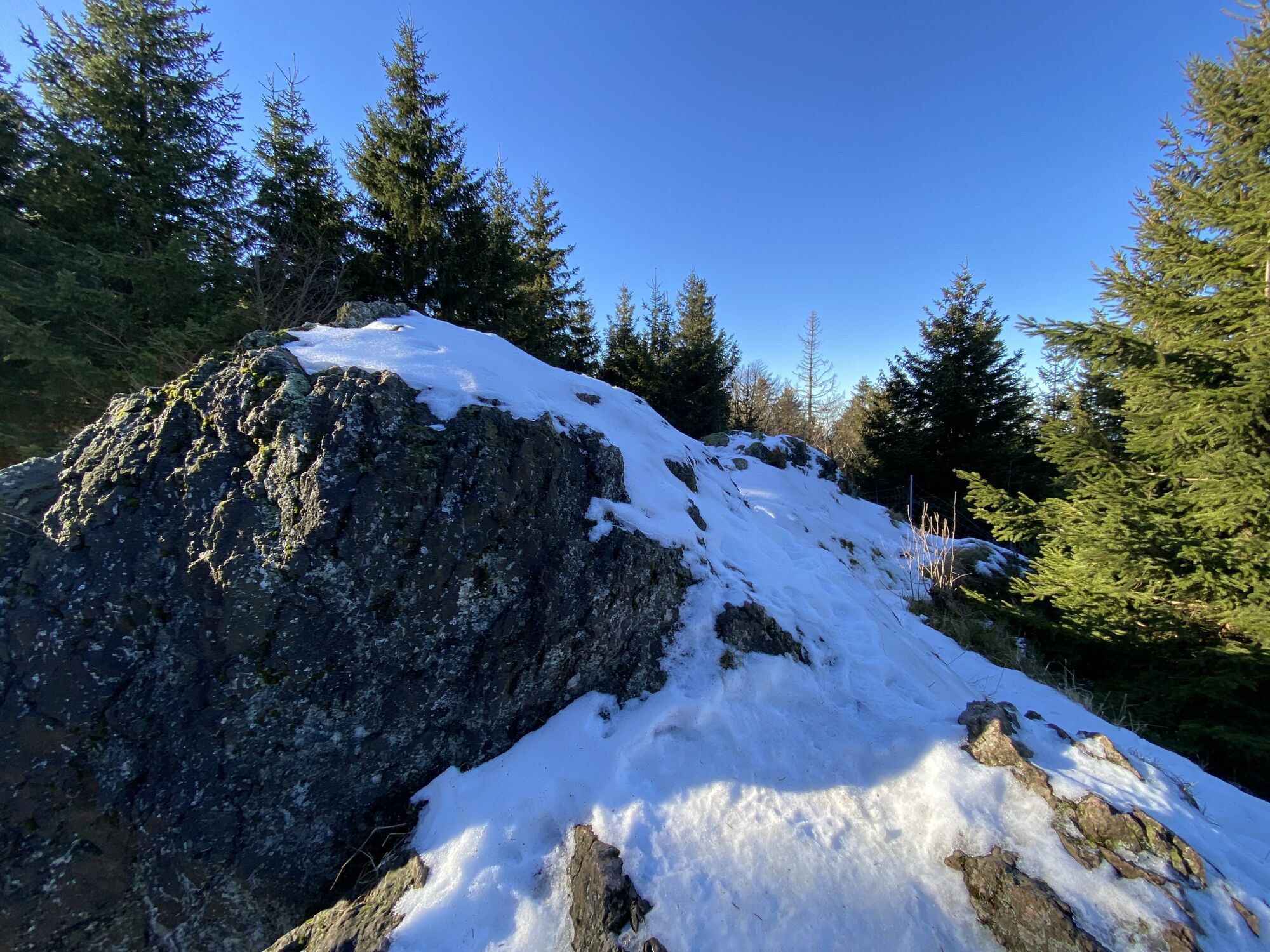
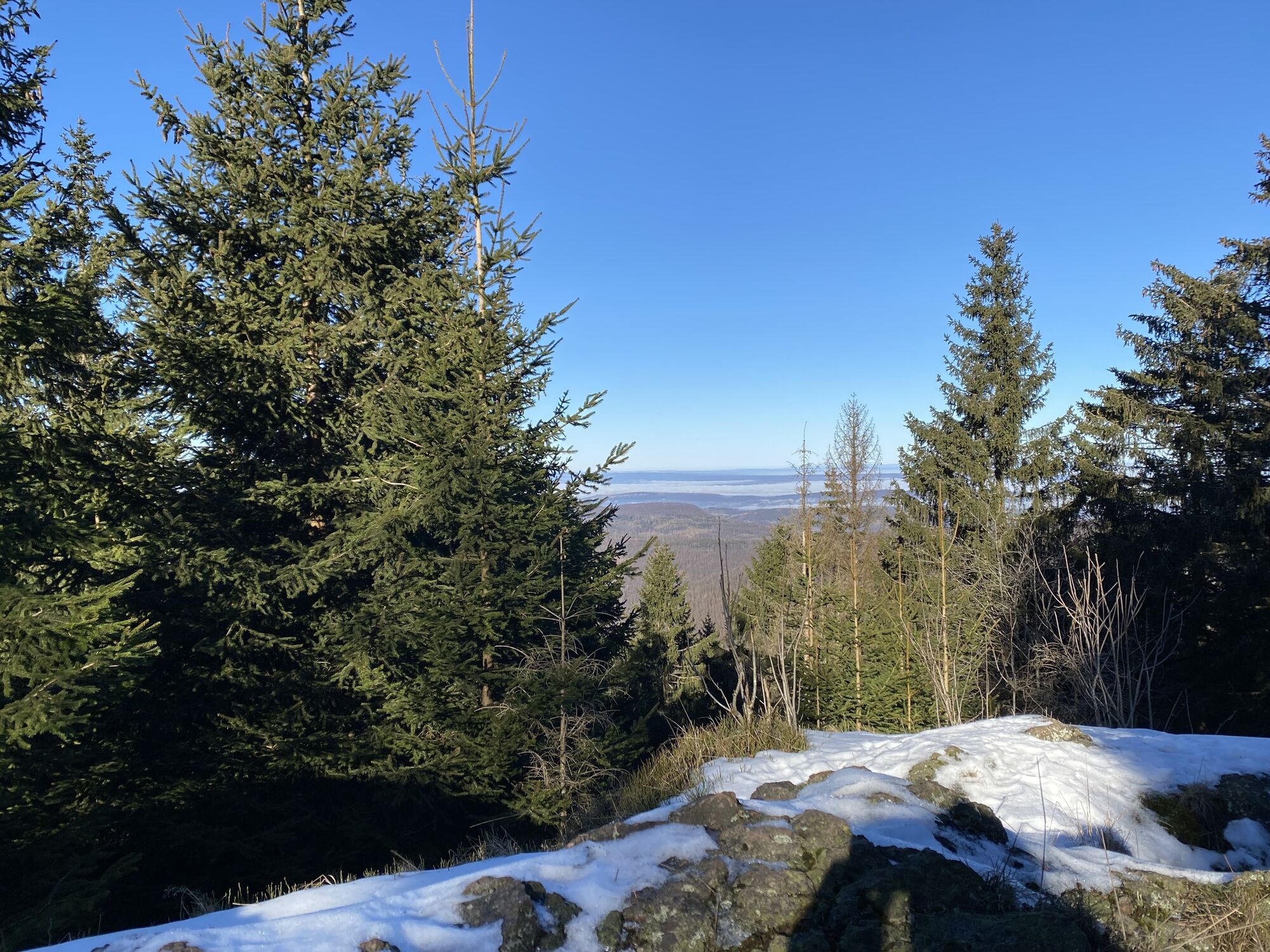

The Ahorn-Marsch begins at the Ahorn-Berghotel with a refreshment and starts below it in the spa park with login at the ECP (Success Control Point). From now on, the hiker initially stays on the Lutherweg,...
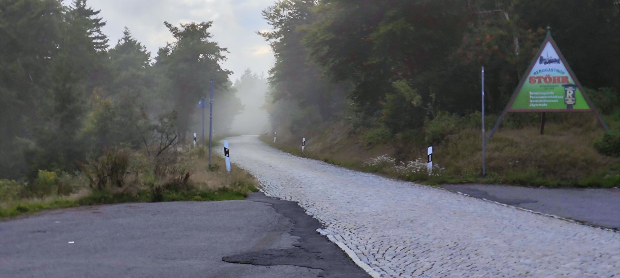
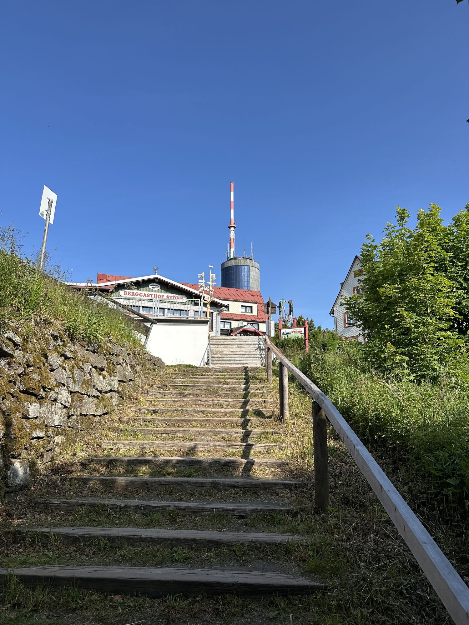
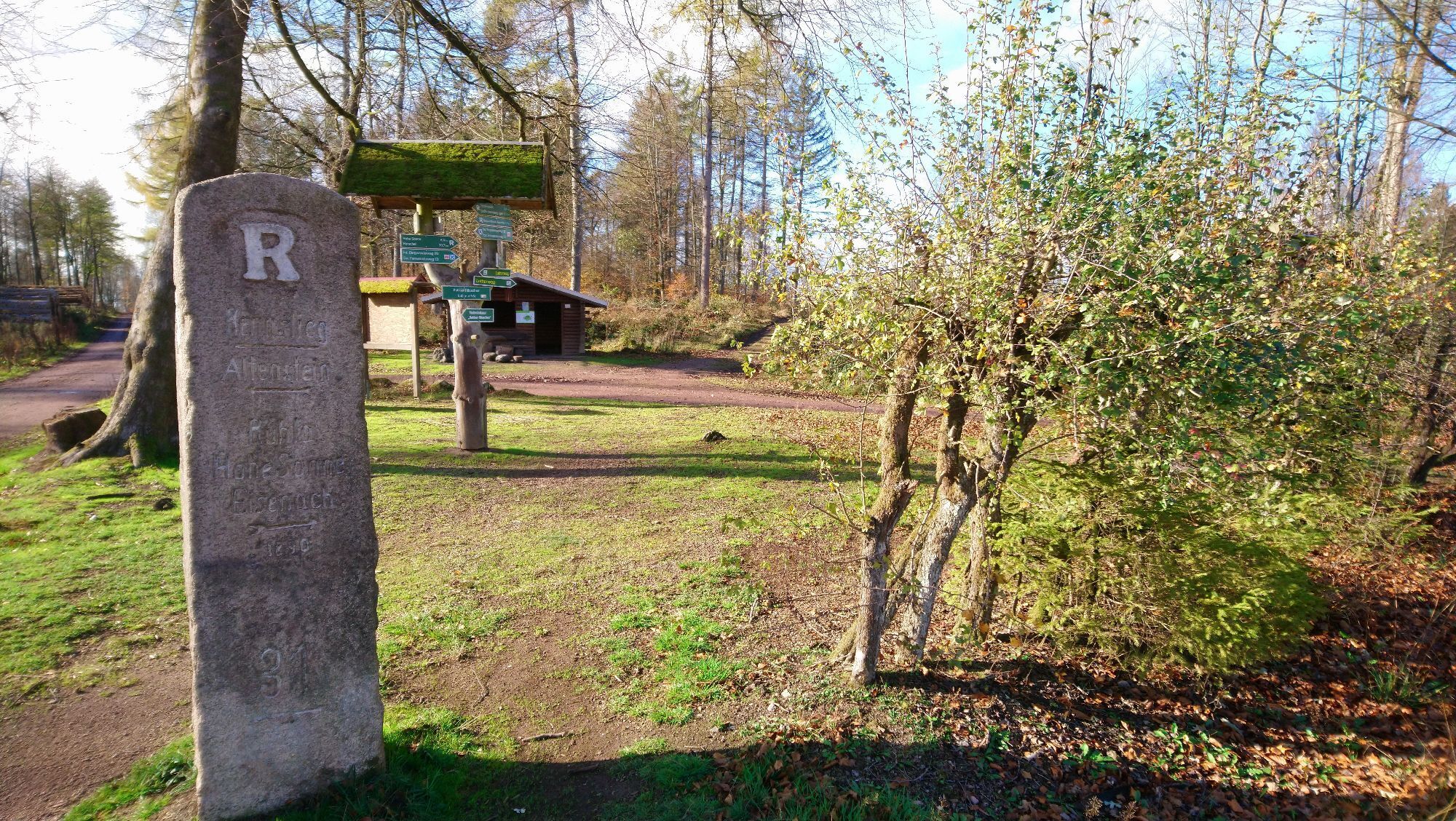
The Ahorn-Marsch begins at the Ahorn-Berghotel with a refreshment and starts below it in the spa park with login at the ECP (Success Control Point). From now on, the hiker initially stays on the Lutherweg, also called Förster's Promenade or Benedictine path, passing Europe's largest Marian cave and leaving the Lutherweg into Bad Tabarz. First, there is the supply point at the Hotel zur Post and immediately afterwards the ECP at the tourist info. Then the steady ascent to the Großer Inselsberg follows, from where the Rennsteig with its white "R" leads to the Hohe Sonne near Eisenach. Prior to this, there are further ECP logins at Großer Inselsberg / Berggasthof Stöhr, Dreiherrnstein / Waldschänke, Ascherbrück / Pummpälz info board, Hohe Sonne / Pummpälz info board. Before crossing the B19, the last section of the Rennsteig towards Hörschel / Werra with the same route length is left to turn onto the Lutherweg to the destination world champion city Gumpelstadt. The ECP login takes place at Campingpark Altenberger See / reception, Luther's home place Möhra / Luther monument and finally Gumpelstadt / St. George Church Pummpälz info board.

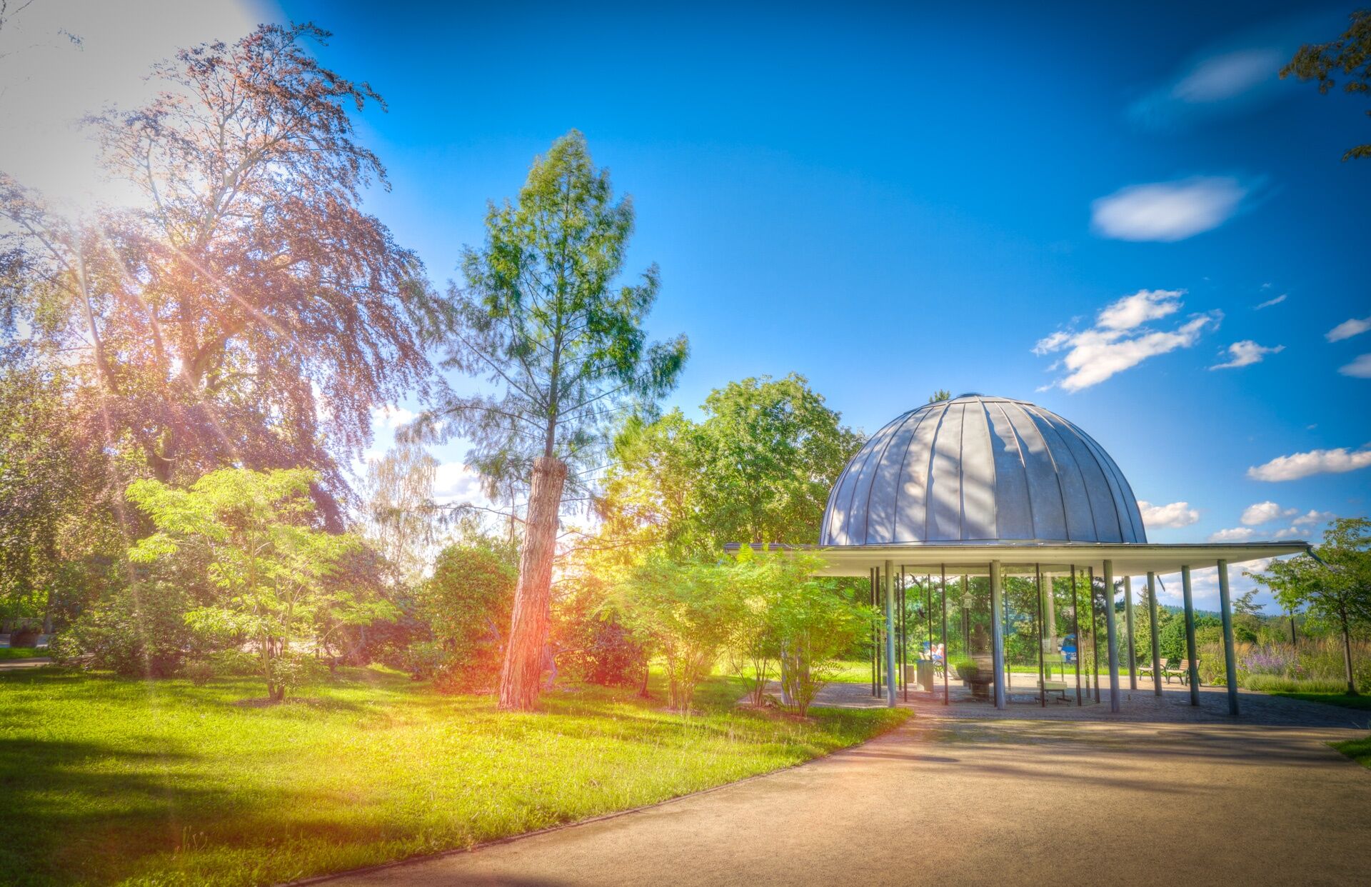
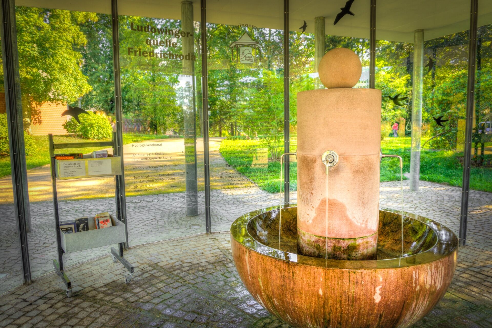
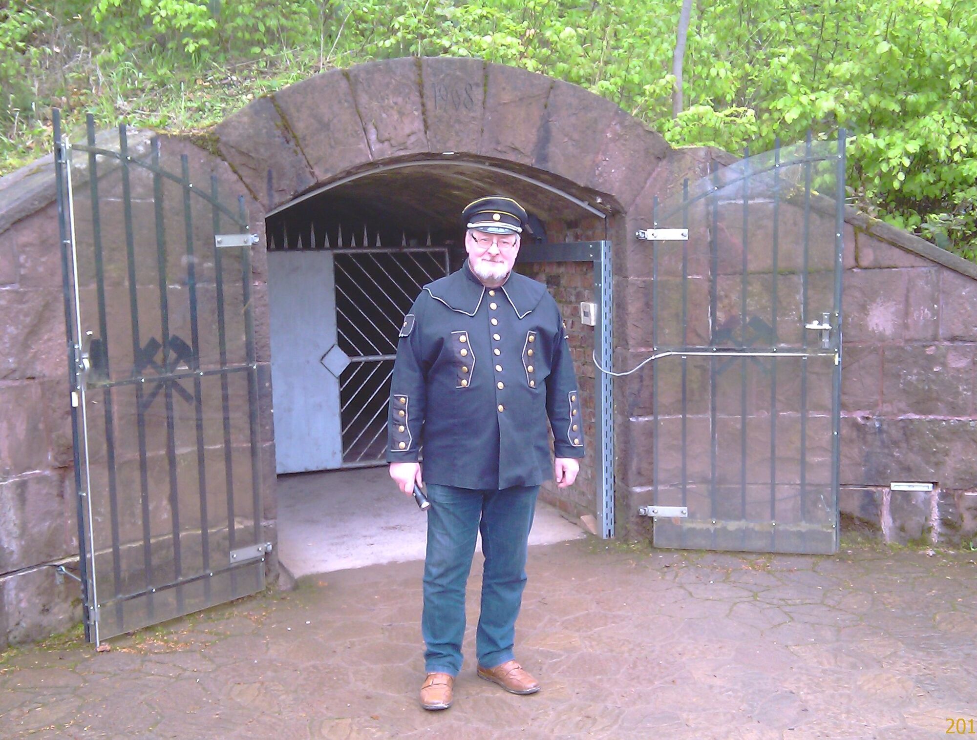
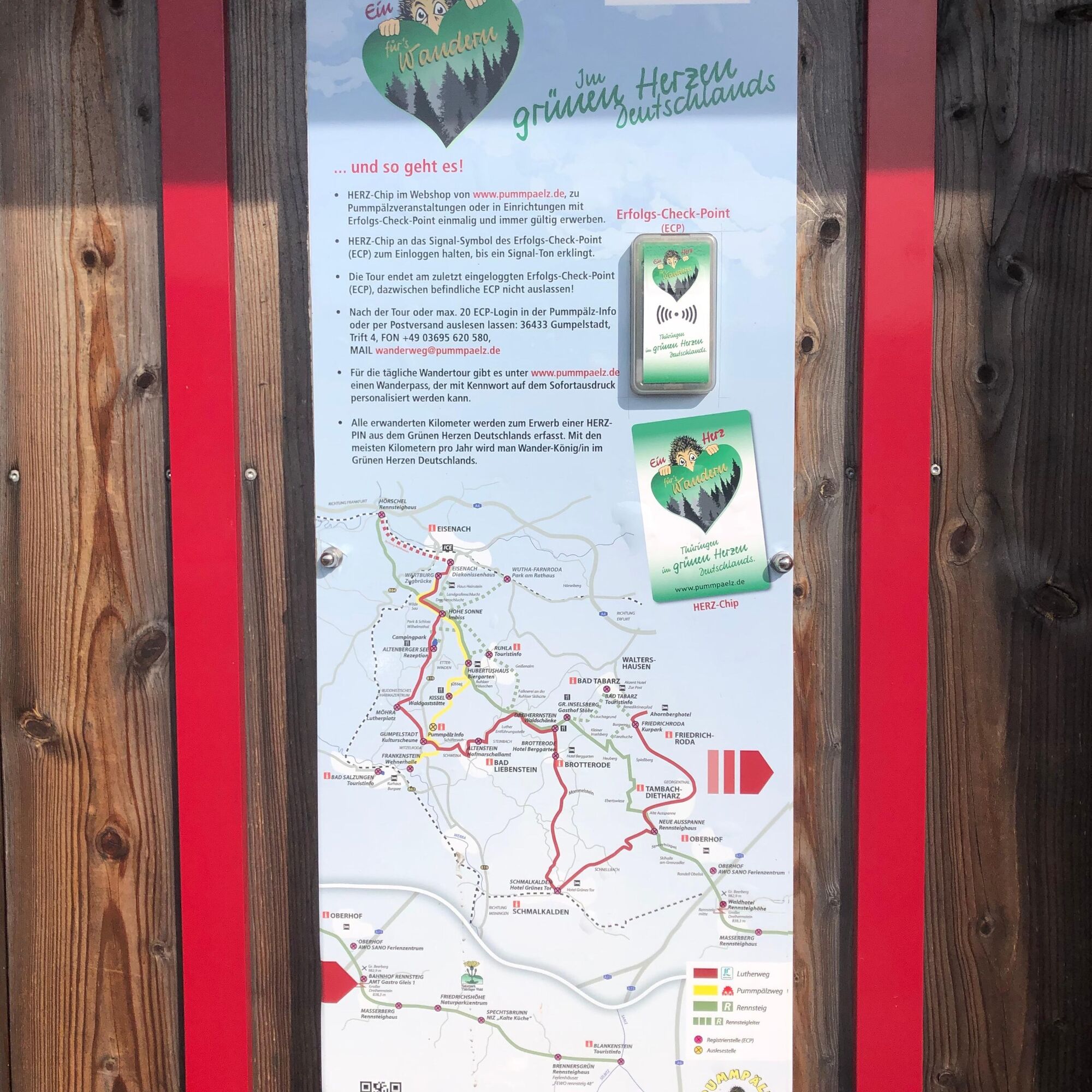
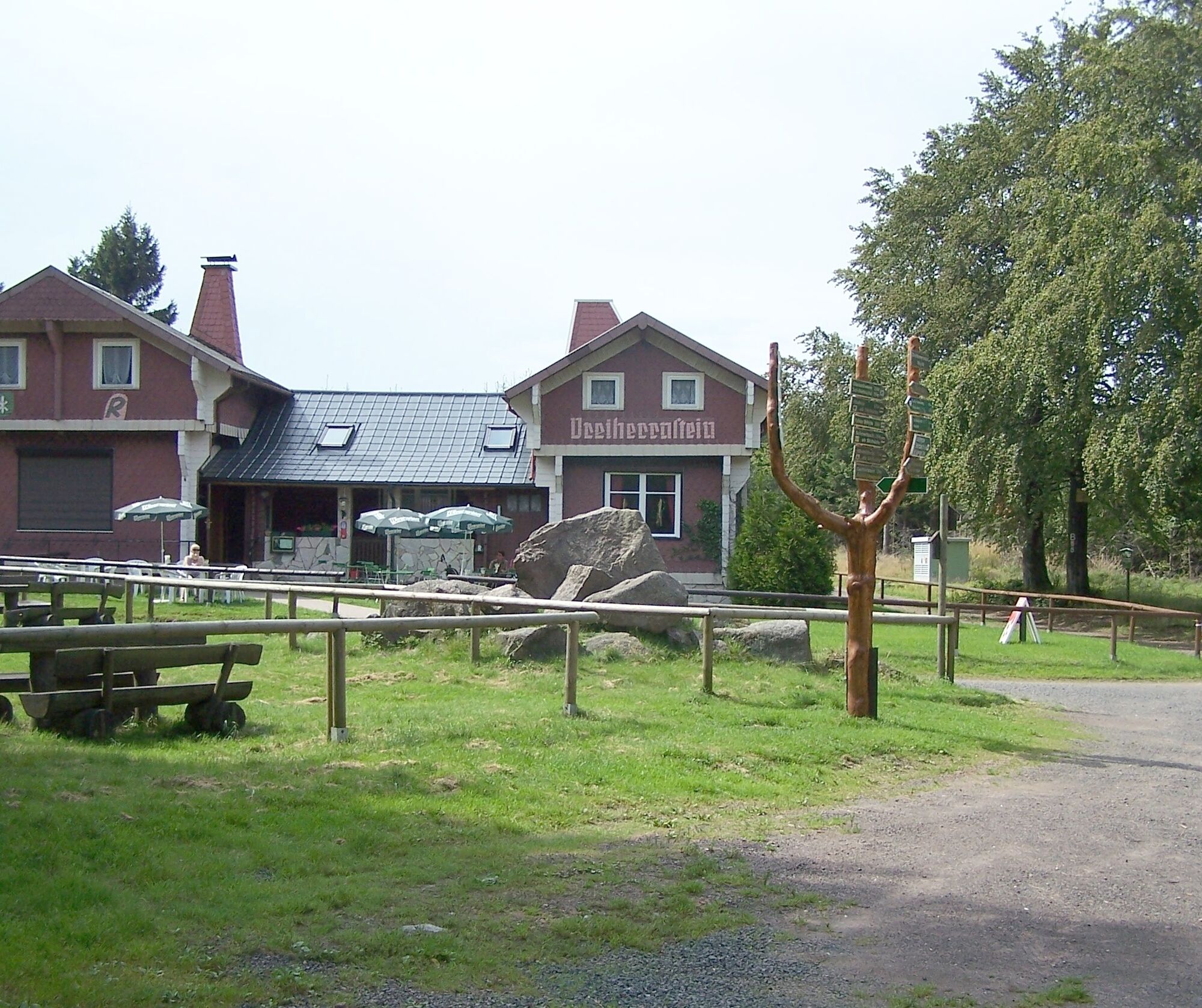
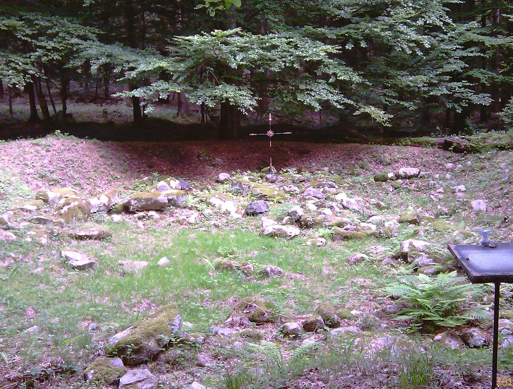
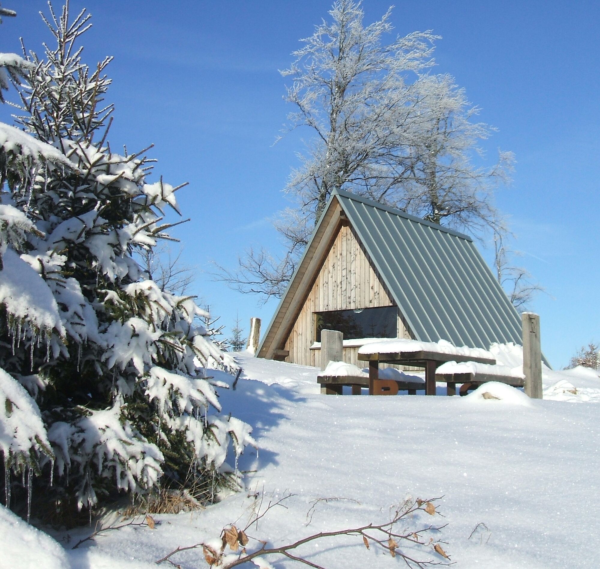
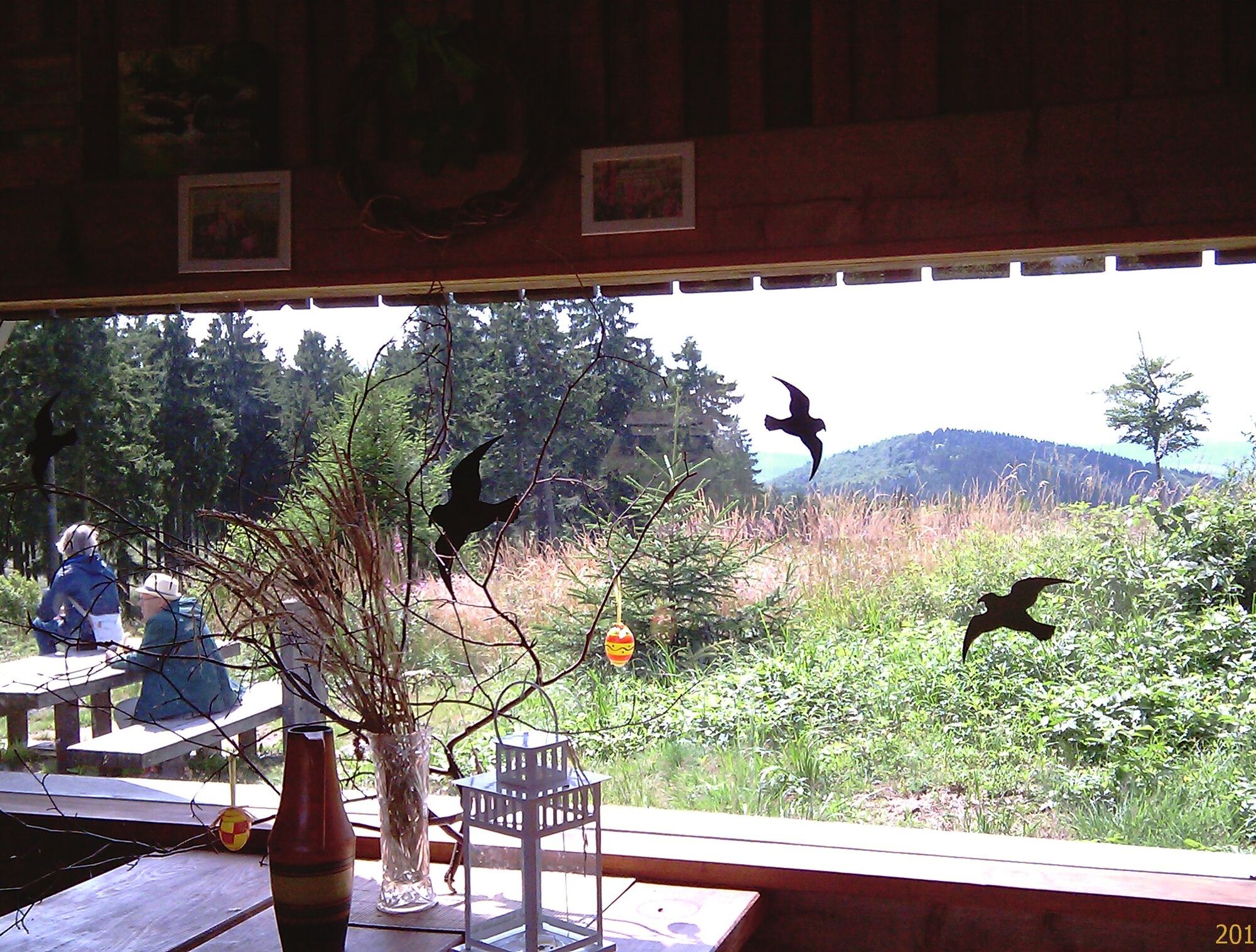
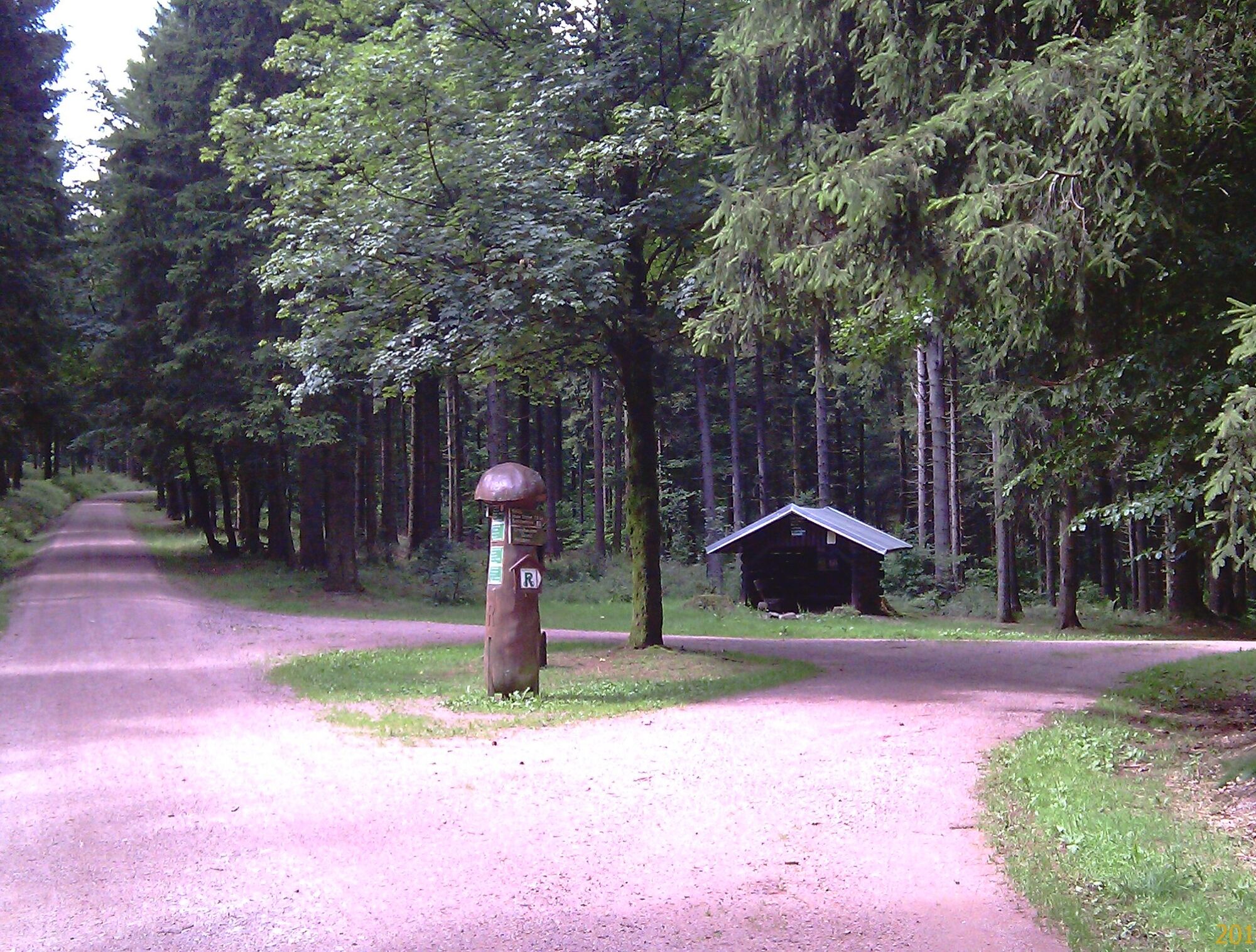
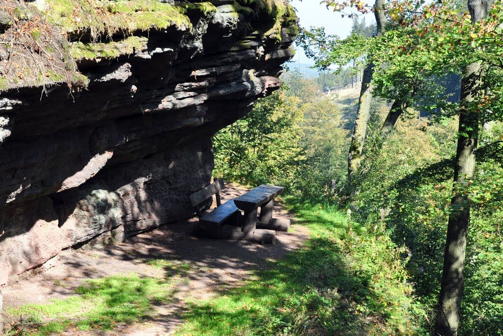
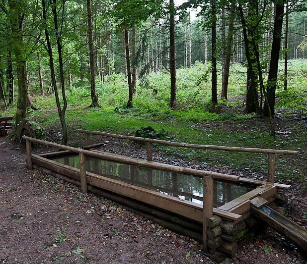
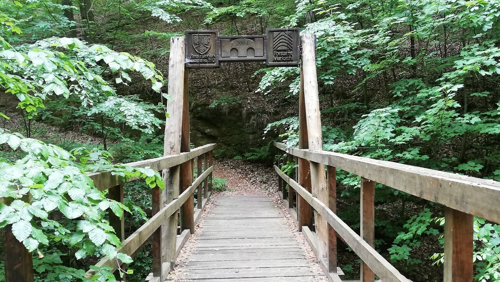
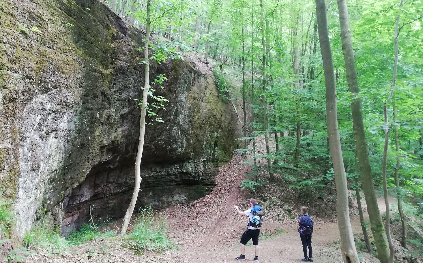
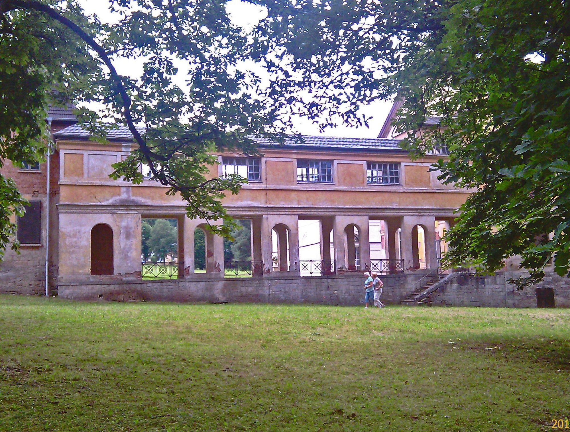

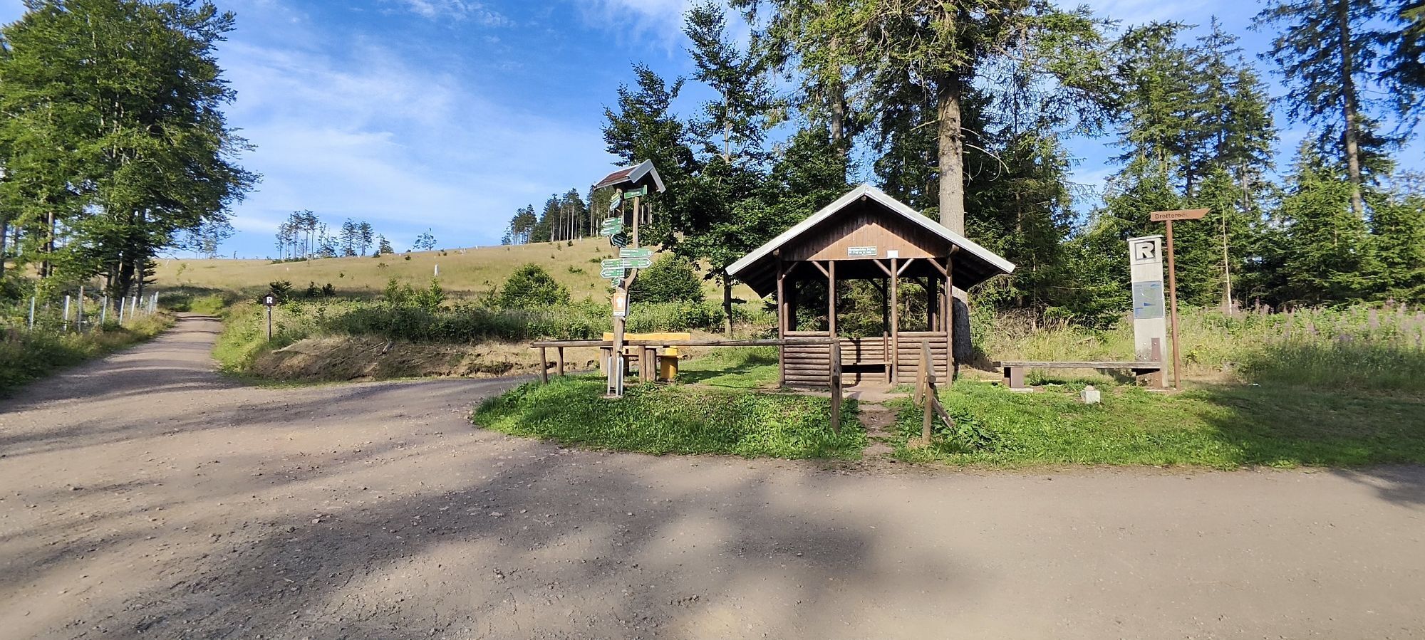
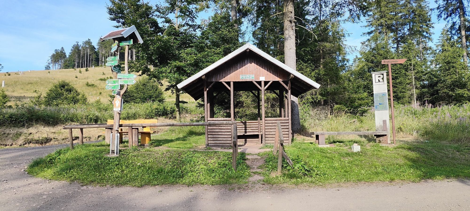
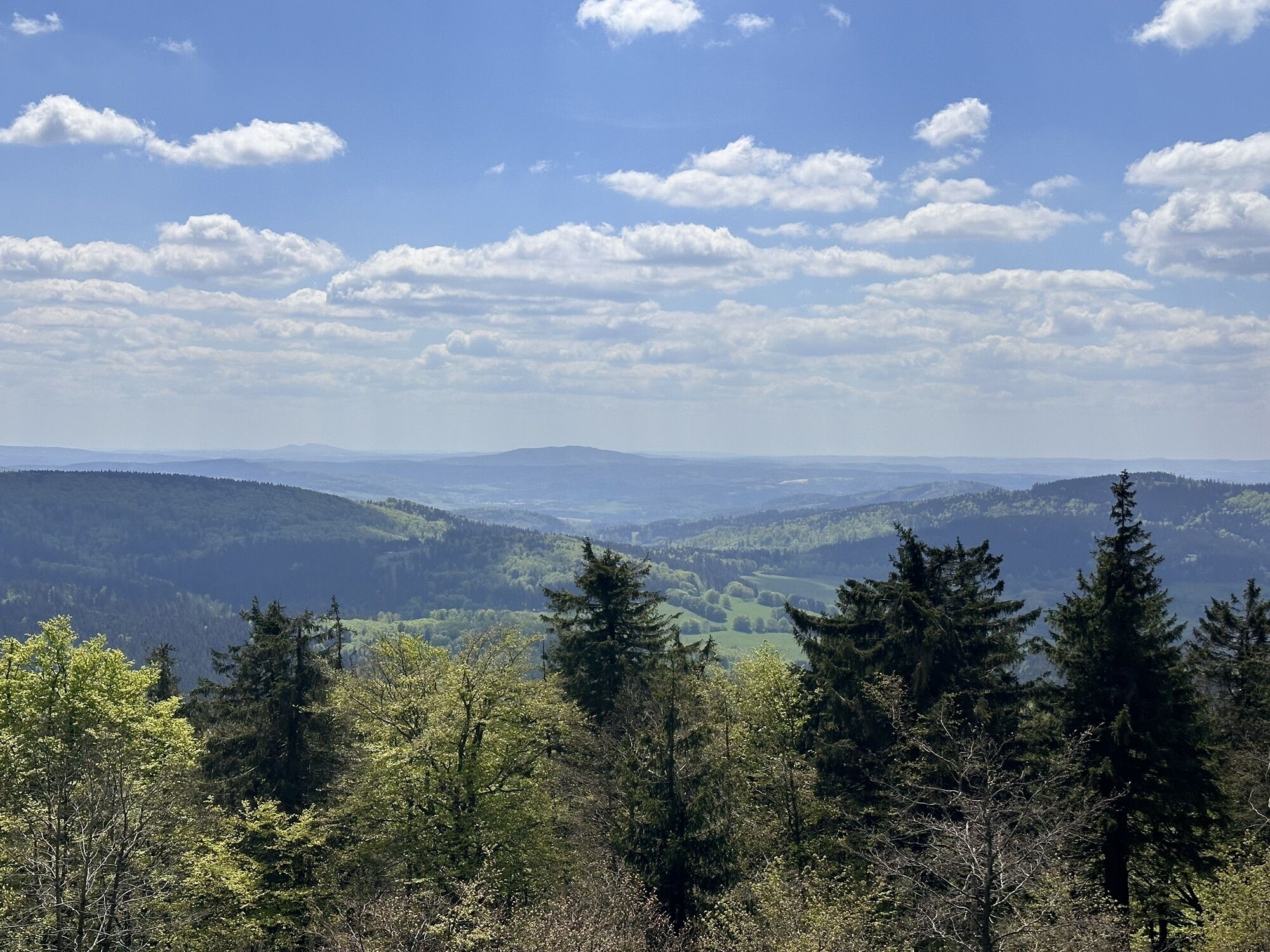
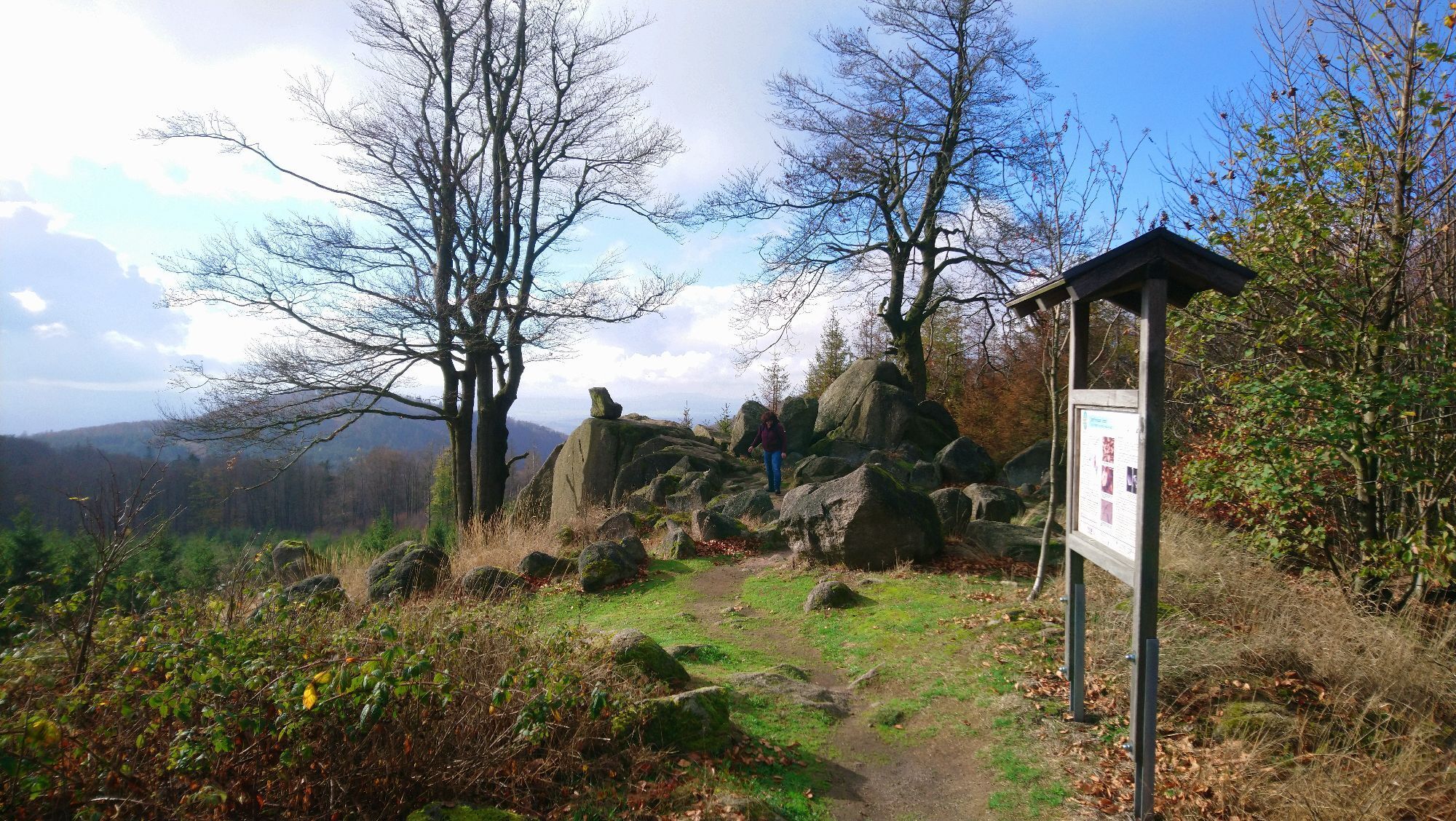
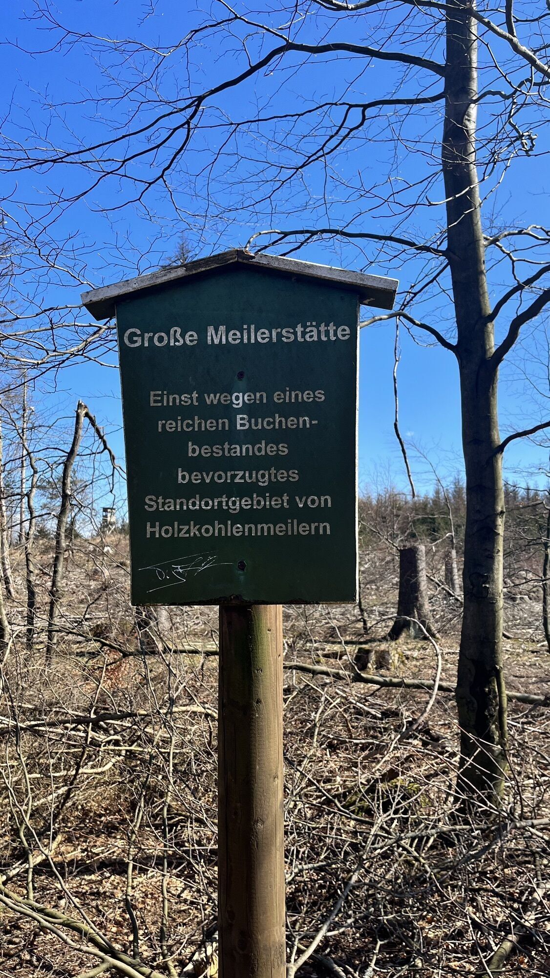
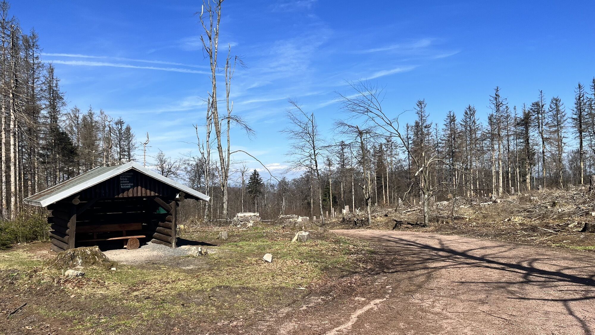
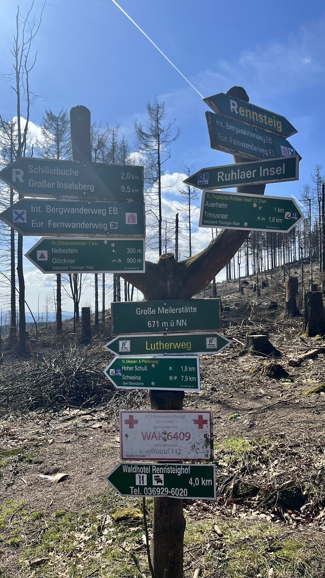
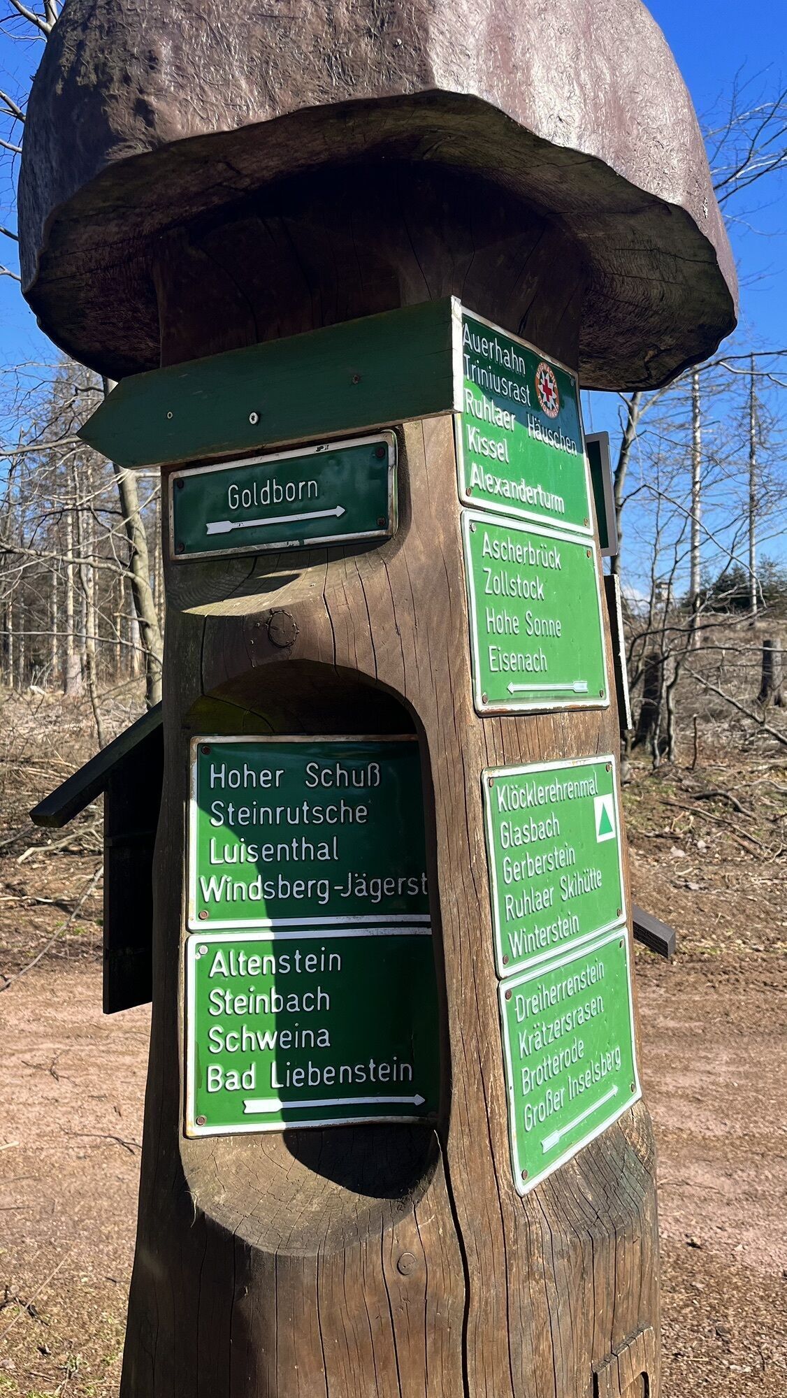
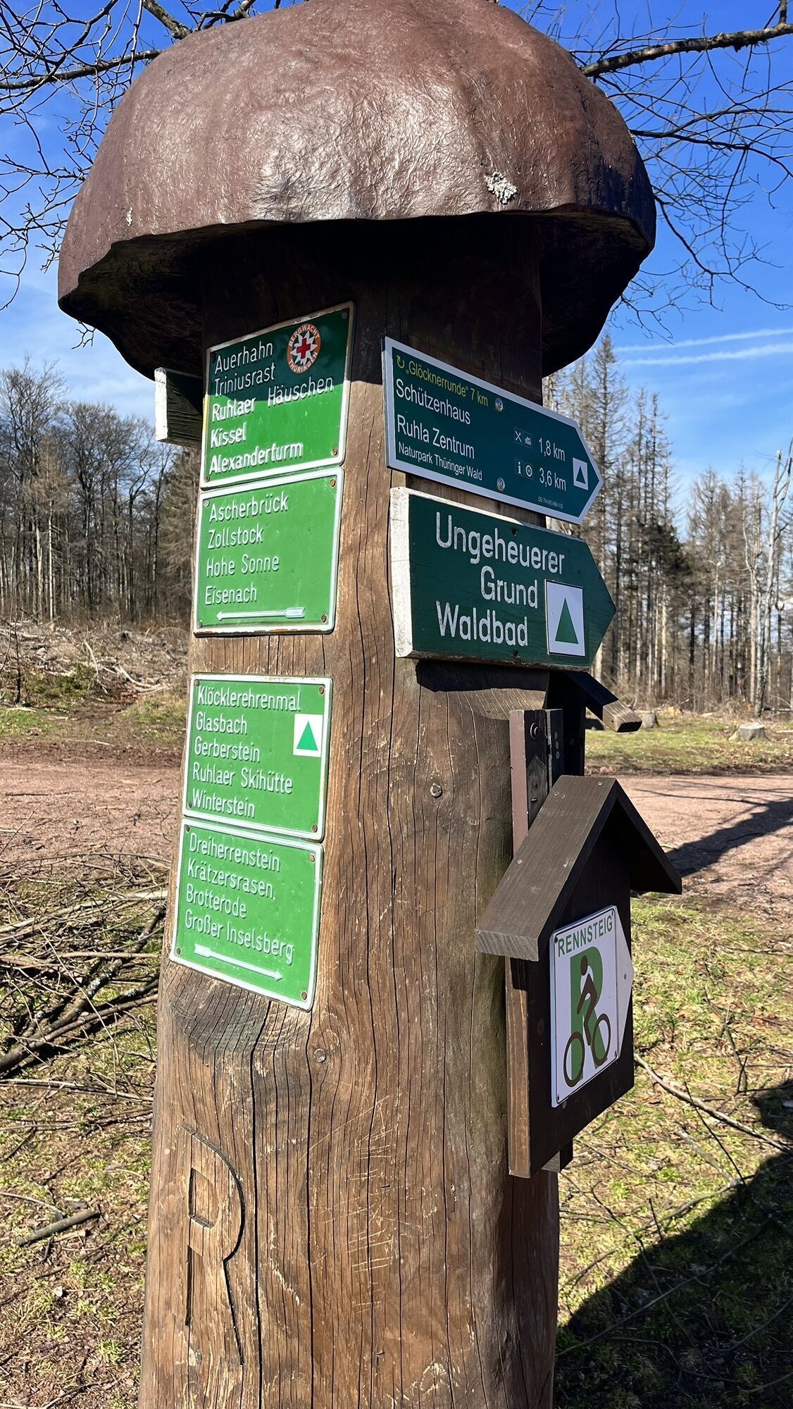
The main components of the route, the Rennsteig marked very well with the white "R" up to the Hohe Sonne and from there further along the Lutherweg with the green Fraktur "L" as the trail marking, lead the hiker to the destination and at the same time the capital of Pummpälz, the world championship city Gumpelstadt, which has now been incorporated into the district, garrison, and spa town Bad Salzungen on the Werra. At the beginning of the hike, you say goodbye to the health climate spa Friedrichroda and reach the quaintly situated Bad Tabarz via the Benedictine path. From here it goes steeply up to the most beautiful mountain in Thuringia with its panoramic 360° view with an observation tower. The altitude meters are now conquered, but the supply point for the Brotteröder winter sportsmen at the Brotteröder hut, the Dreiherrnstein, the rock sea of the Klöckner, Große Meilerstätte, the Auerhahn shelter of the Ruhla mountain rescue service, the merging Pummpälzweg up to the Hohe Sonne lead downhill but must first be mastered. At the Hohe Sonne, whose hunting lodge is being saved from final decay by the dukes of Saxony-Weimar-Eisenach on private initiative, it goes down into the valley over the Hochwaldgrotte to the park and castle of the dukes, another delicacy in redevelopment. Past the tranquil Alenberger Lake of the Eisenach camping park and the ECP, the hiker strives through oak forests over the Möhrsche Kuppe, past probably the only Buddhist center to Luther's home town, where everything is Luther. The path to the destination leads through the Moorgrund, the bottom of a primeval sea that extended up to the well-known Klöckner at 700 m above sea level as the Ruhla island. Whoever now arrives in the world championship city of Gumpelstadt fortunately does not have to swim, but we better not ask in what condition one feels after the enormous marathon ascent.
Ano
Wearing sturdy footwear and suitable weatherproof clothing is recommended.
Each participant must register their mobile phone number before the start and should always be reachable during the hike. Furthermore, carrying a headlamp with sufficient spare batteries is mandatory. In principle, there is a general smoking ban as well as a ban on lighting fires, and dogs must be kept on a leash, which requires a high level of responsibility from dog owners during the time of fawn setting.
Coming from the A4 take exit 41b (Gotha-Boxberg) and continue south on L1026 towards Waltershausen / Schnepfenthal. Follow the road further towards Reinhardsbrunn / Friedrichroda
You can reach Friedrichroda by the Thuringian Forest Railway trains from Gotha (connection to DB).
Use the German Rail travel portal for travel planning at the following
Link:→ Arrival to Friedrichroda
Return to Friedrichroda: Bus line 844 runs directly back to Friedrichroda (Current timetable information and connection query)
If you have questions, please send an e-mail to wanderweg@pummpaelz.de
Car park at Friedrichroda sports pool (Google NAV point)
T2
Pummpälzweg e.V.
World Champion City Gumpelstadt
Trift 436433 Bad Salzungen
Tel.: +49 3695 620 580
Fax: +49 3695 85 20 86
Mail: wanderwegpummpaelzde
Web: www.rennsteig-wander-wm.de
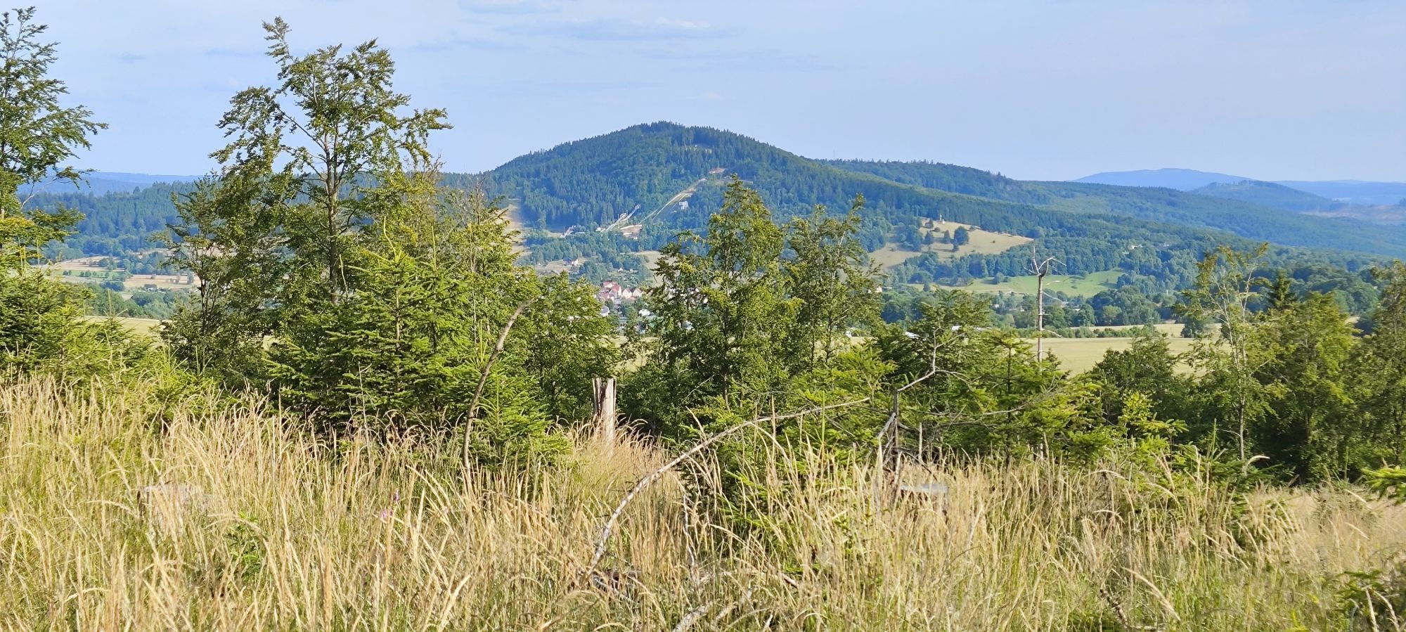
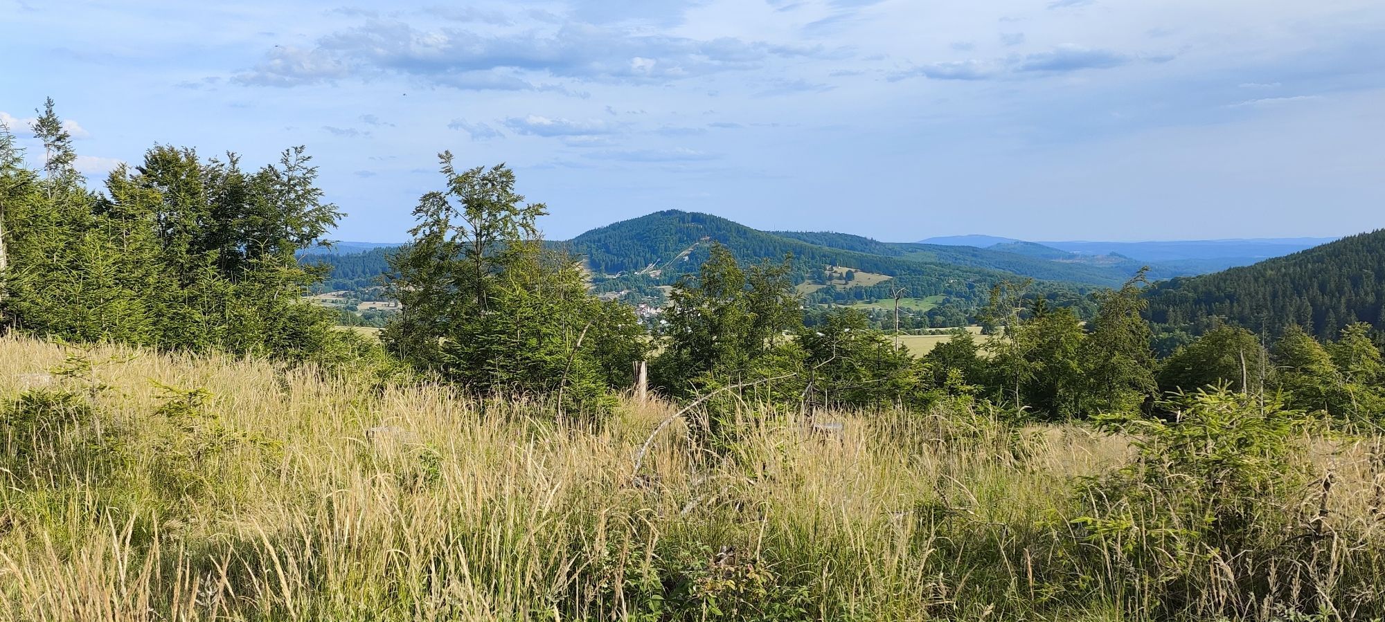
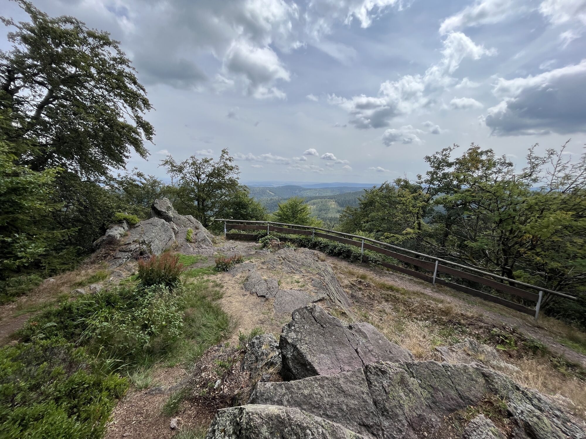
Thuringia's most beautiful mountain Großer Inselsberg with 916.5 m above sea level.
Webové kamery z prohlídky

Oblíbené prohlídky v okolí
- 5.0
EA1 - Circular route - Gorge tour near Eisenach - Thuringian Forest
středníTuristika 9.68 km - 4.6
Summit and panoramic route - Route 1 - Bad Tabarz
středníTuristika 10.9 km - 3.9
EA2 - circular hiking route - "The Beauties of Eisenach" - Thuringian Forest
středníTuristika 9.96 km - 5.0
Wartburg und Drachenschlucht
středníTuristika 15.1 km - 4.7
IVV PW + GTW "In Luther's footsteps - Luther, dragons, landgraves, rose miracle..."
středníTuristika 15.8 km - 3.8
Wanderung zum Spitterfall
středníTuristika 14.6 km - 5.0
Circular route 3 - Mariental/Drachenschlucht/Elfengrotte
středníTuristika 3.54 km - 4.8
Hike - "Rennsteig-Leiter Eisenach" Thuringian Forest
středníTuristika 3.58 km Tabarzer Vulkansteig
středníTuristika 9.91 km- 4.5
Circular hike - Legendary Hörselberge - Great Hörselberg near Eisenach - Thuringian Forest
středníTuristika 10.6 km
Pěší turistika a stopování


Nenechte si ujít nabídky a inspiraci pro vaši příští dovolenou
Vaše e-mailová adresa byl přidán do poštovního seznamu.





