







MTB Saalfeld 08: Luisenturm and Liebhabertheater circular route

Úroveň obtížnosti: S2
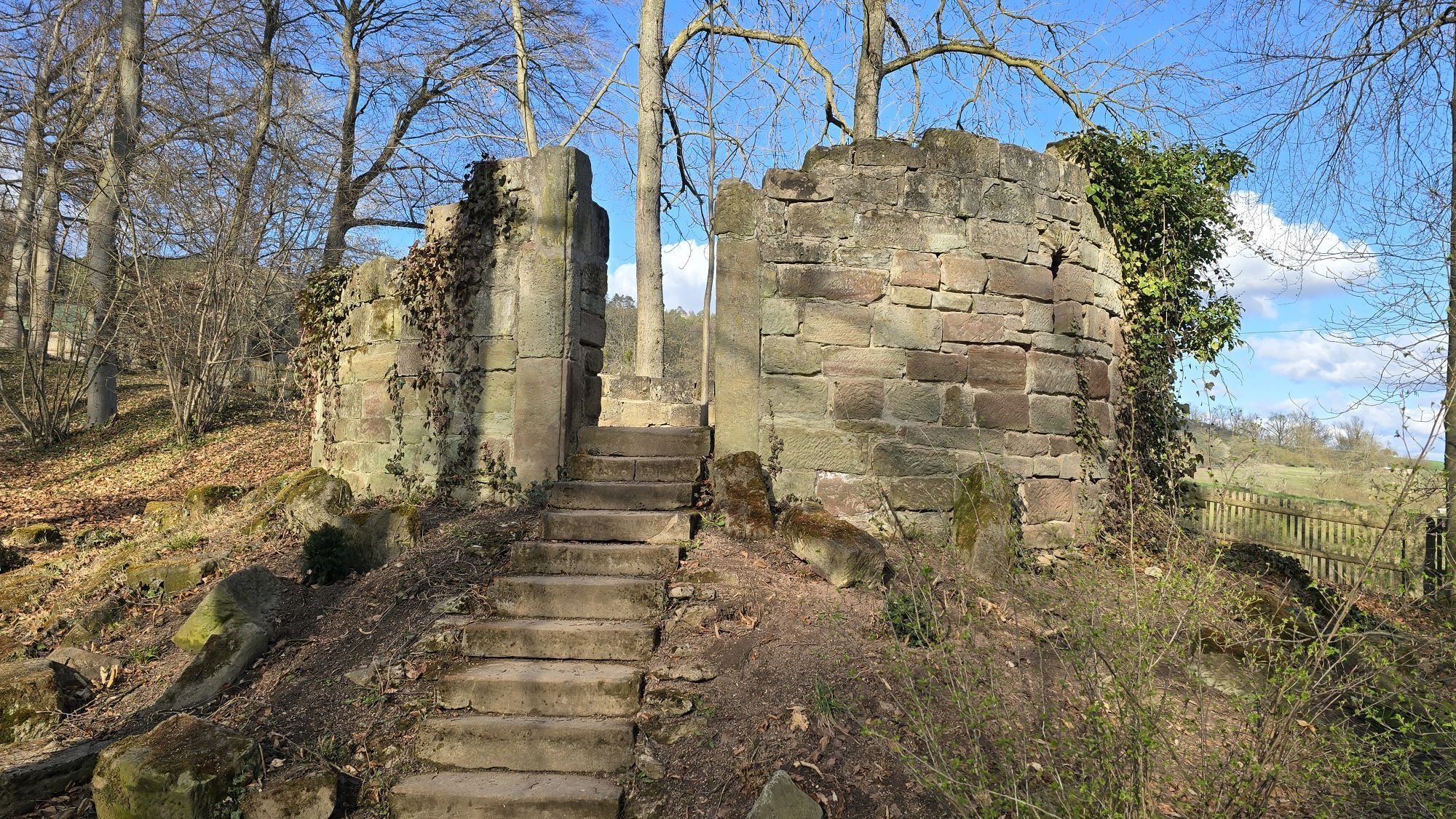
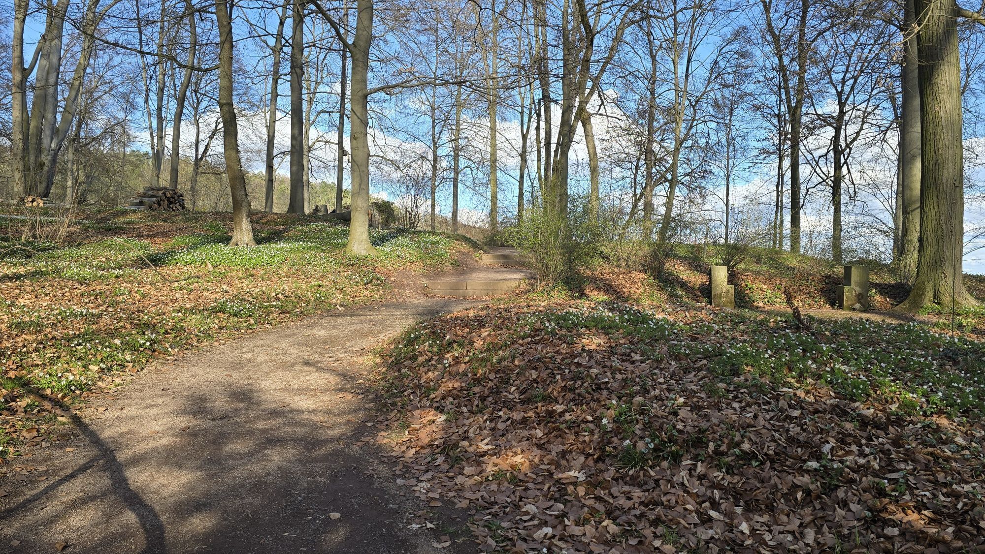
Starting from Saalfeld, the route initially follows the Saale towards the Remschützer Sandberge - sand and sandstone were mined here in the 19th and 20th centuries. From there, it continues through the...
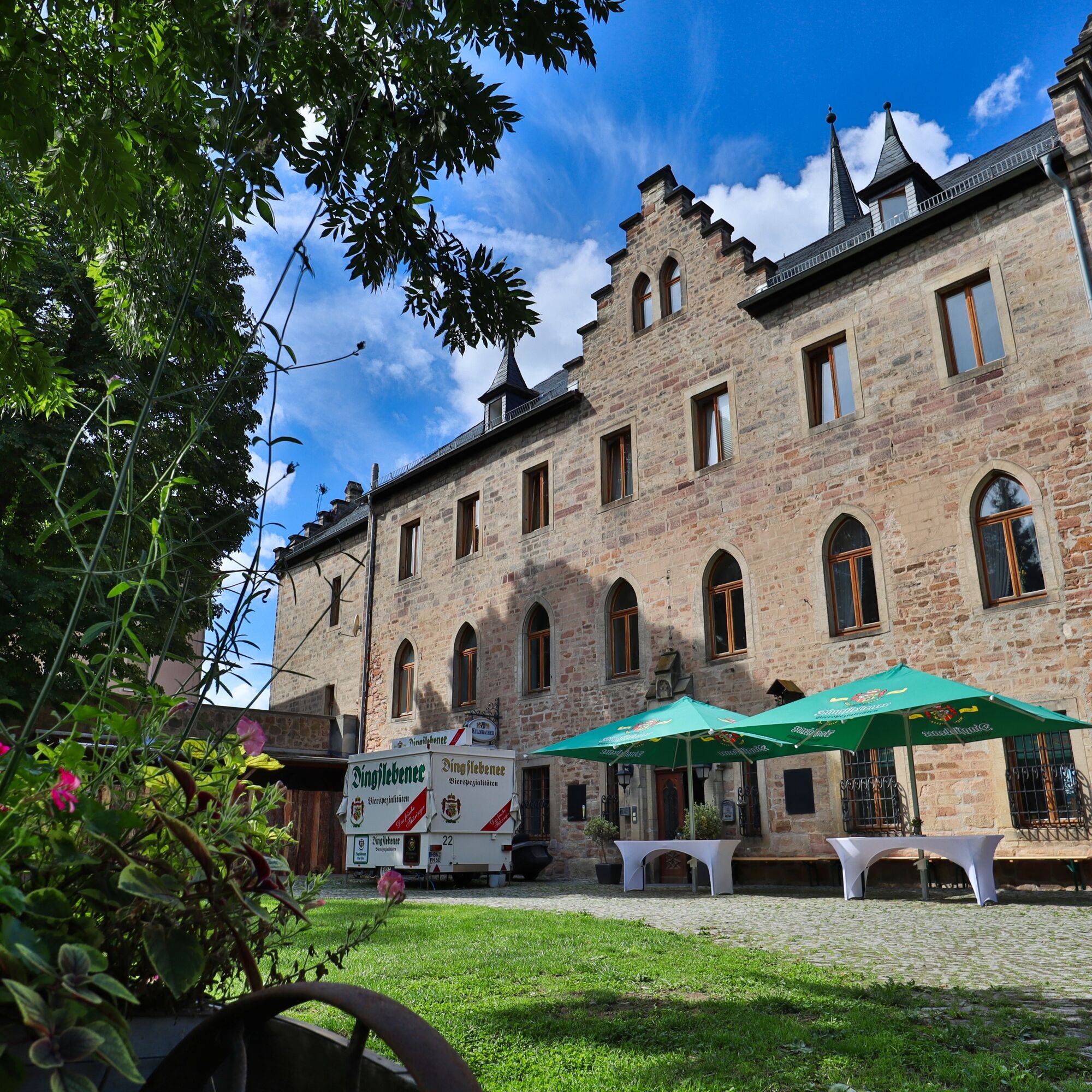
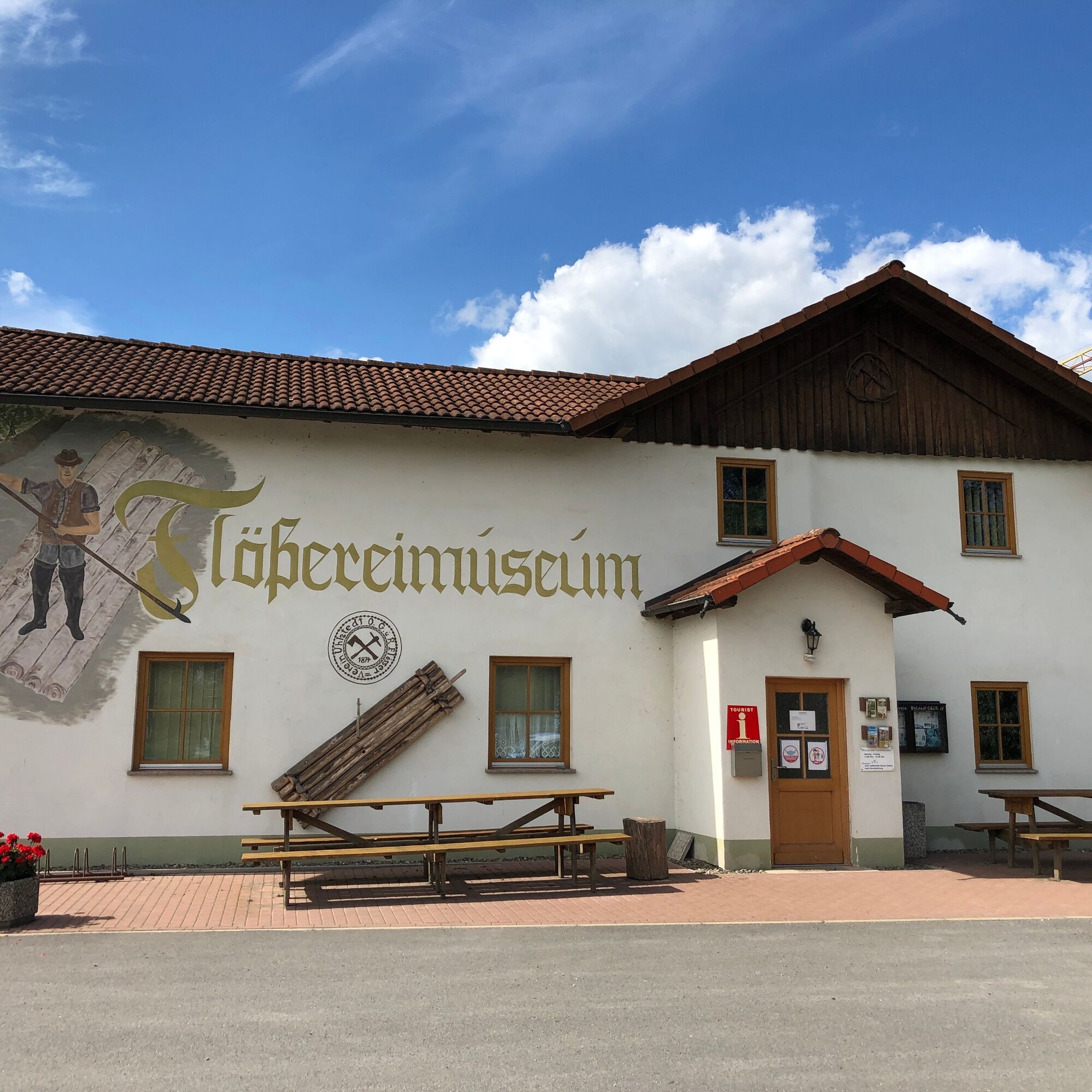
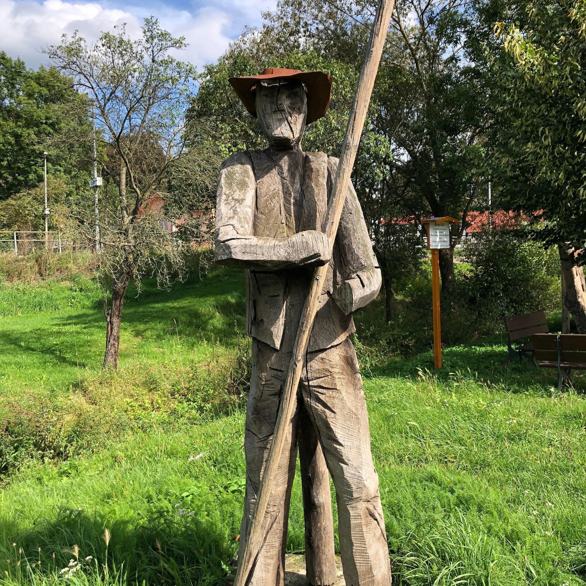
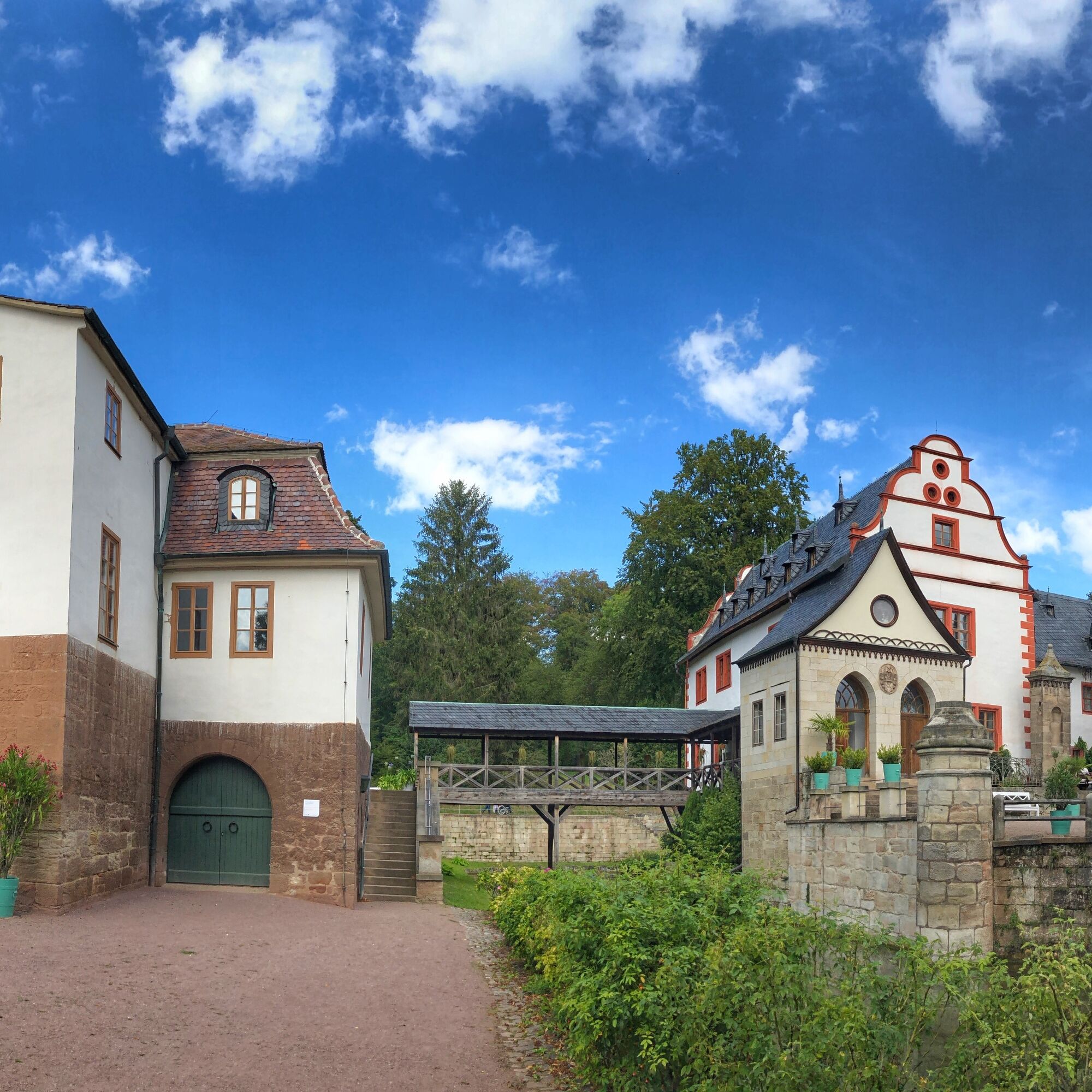
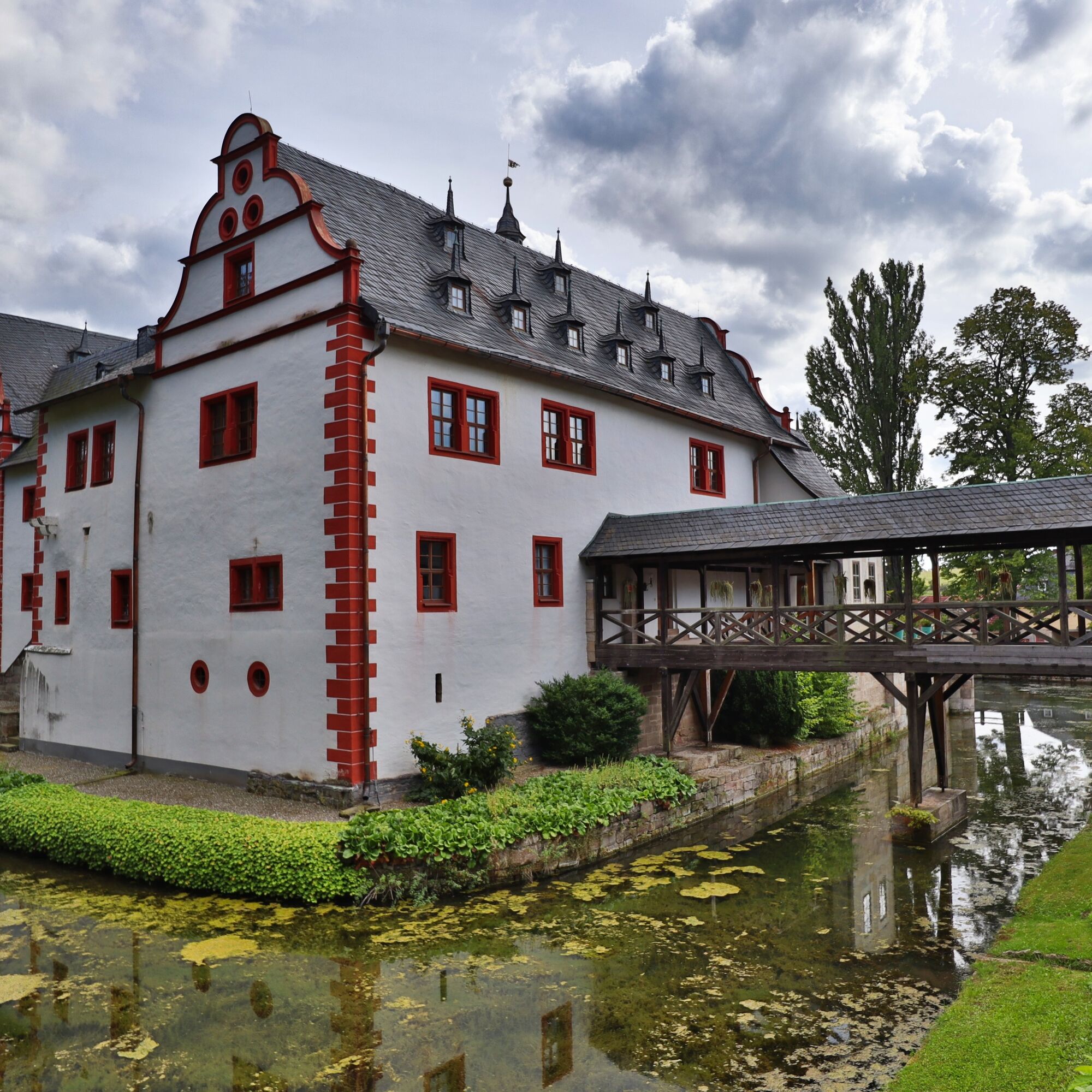
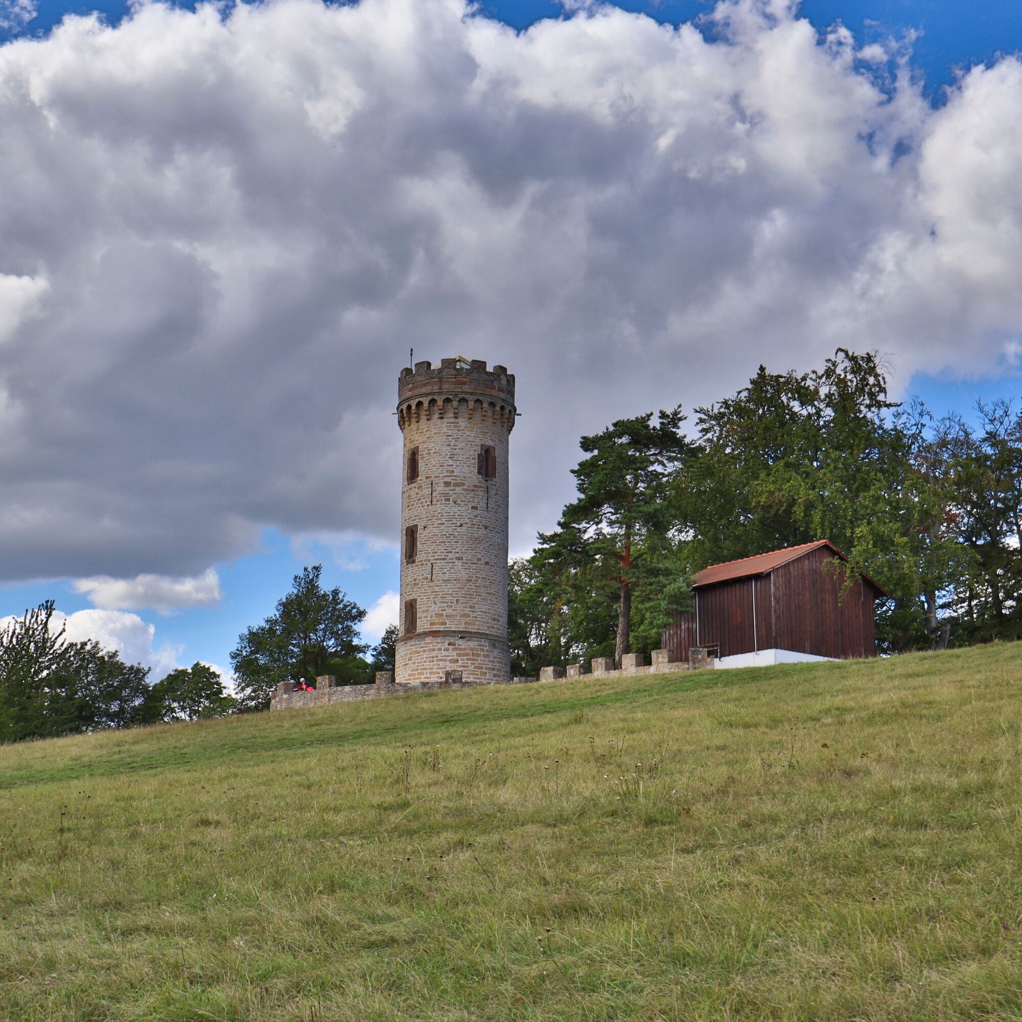
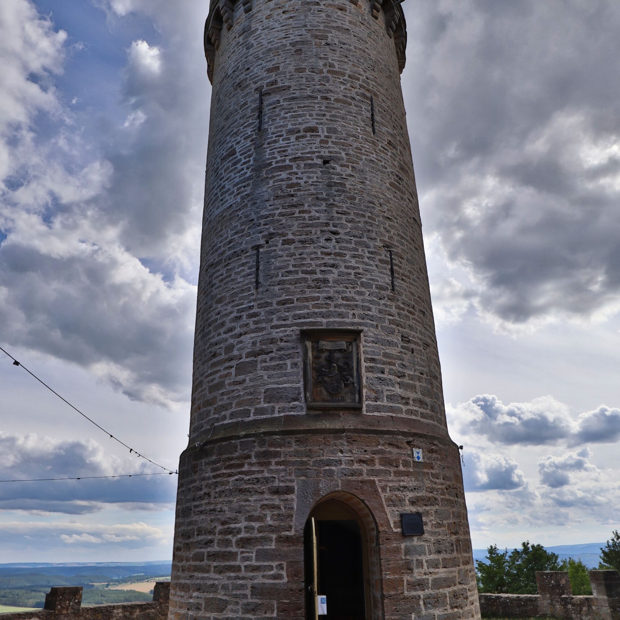
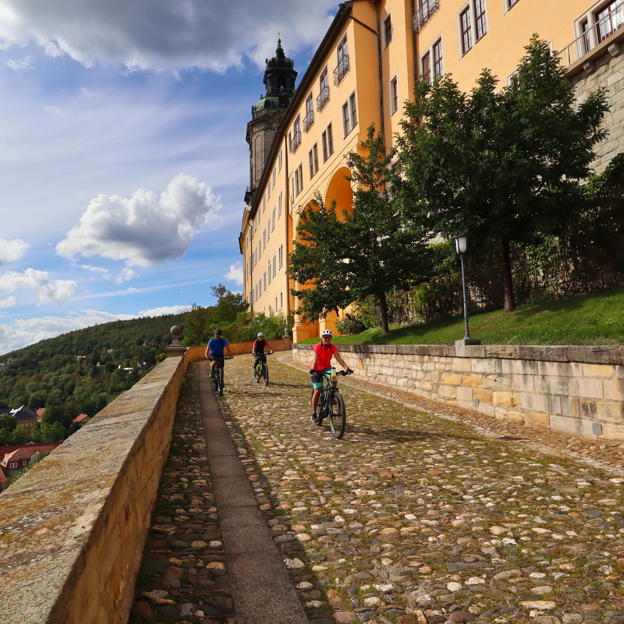
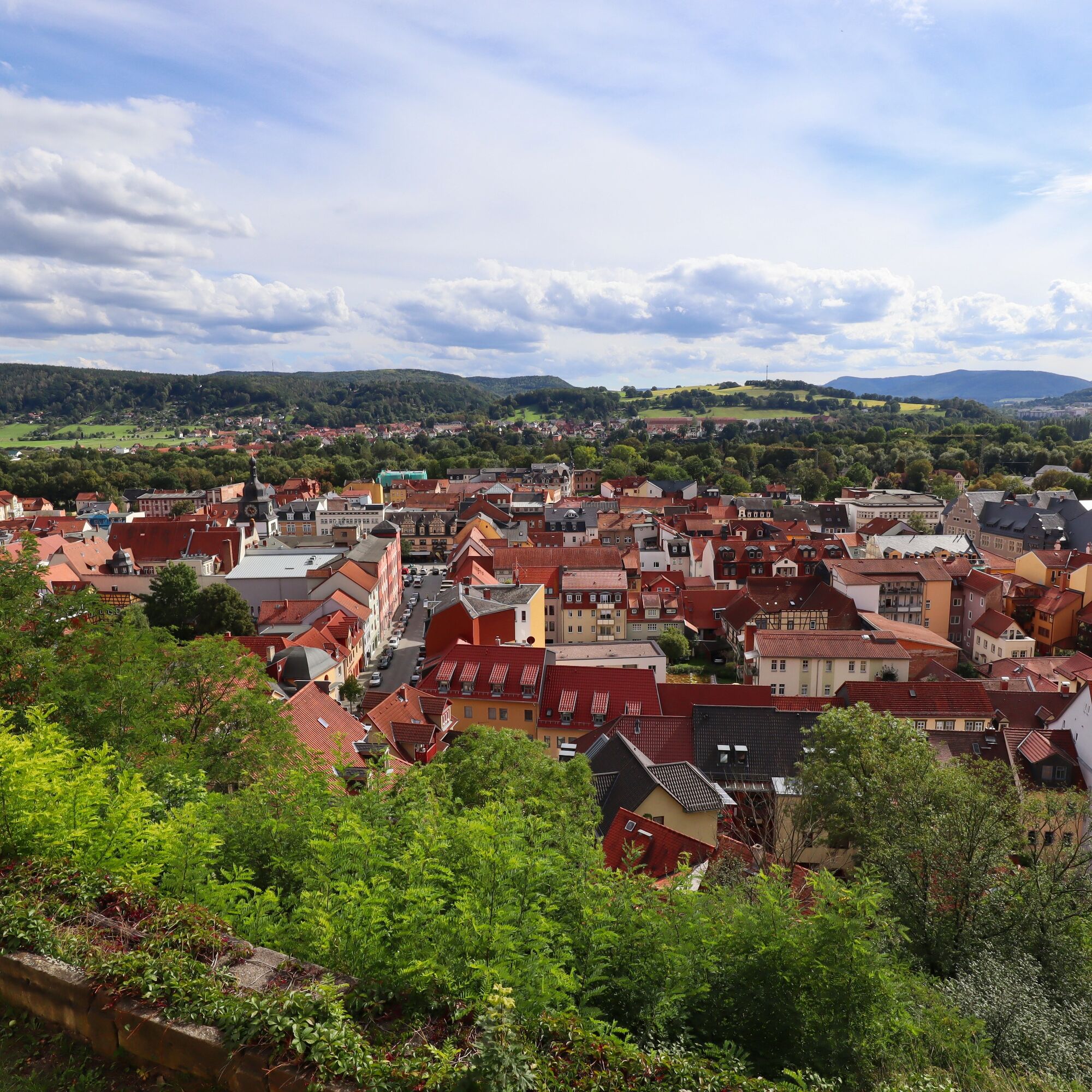
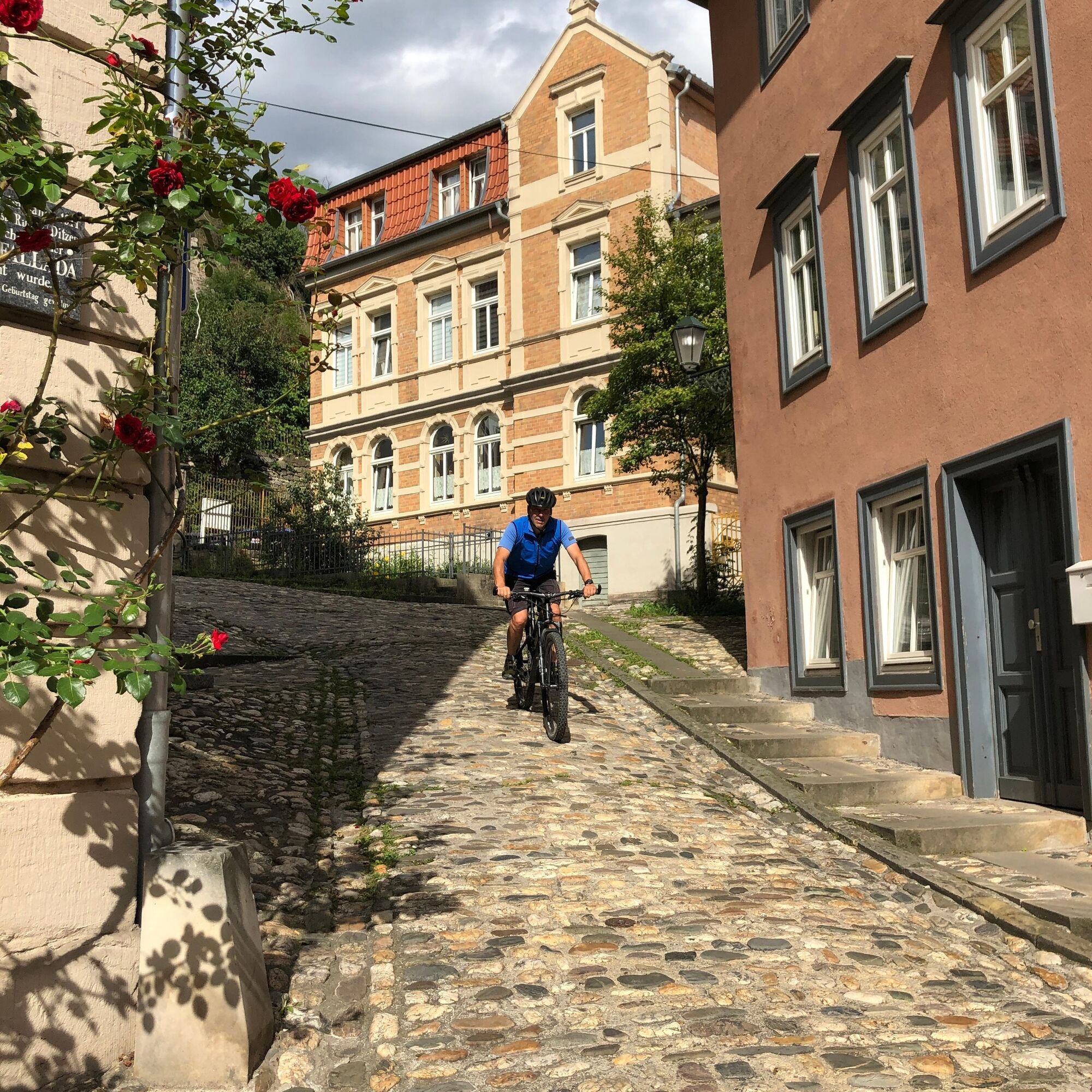
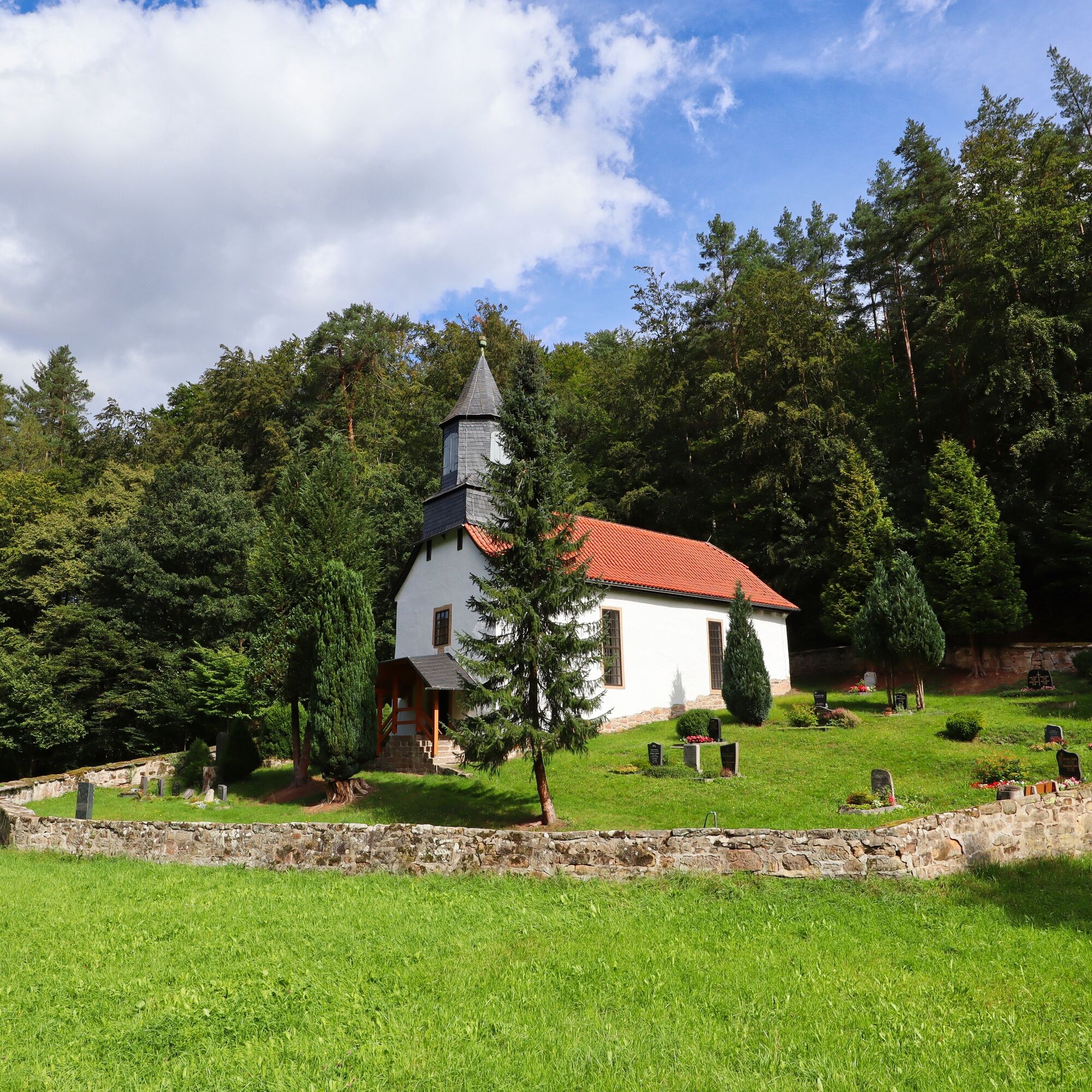
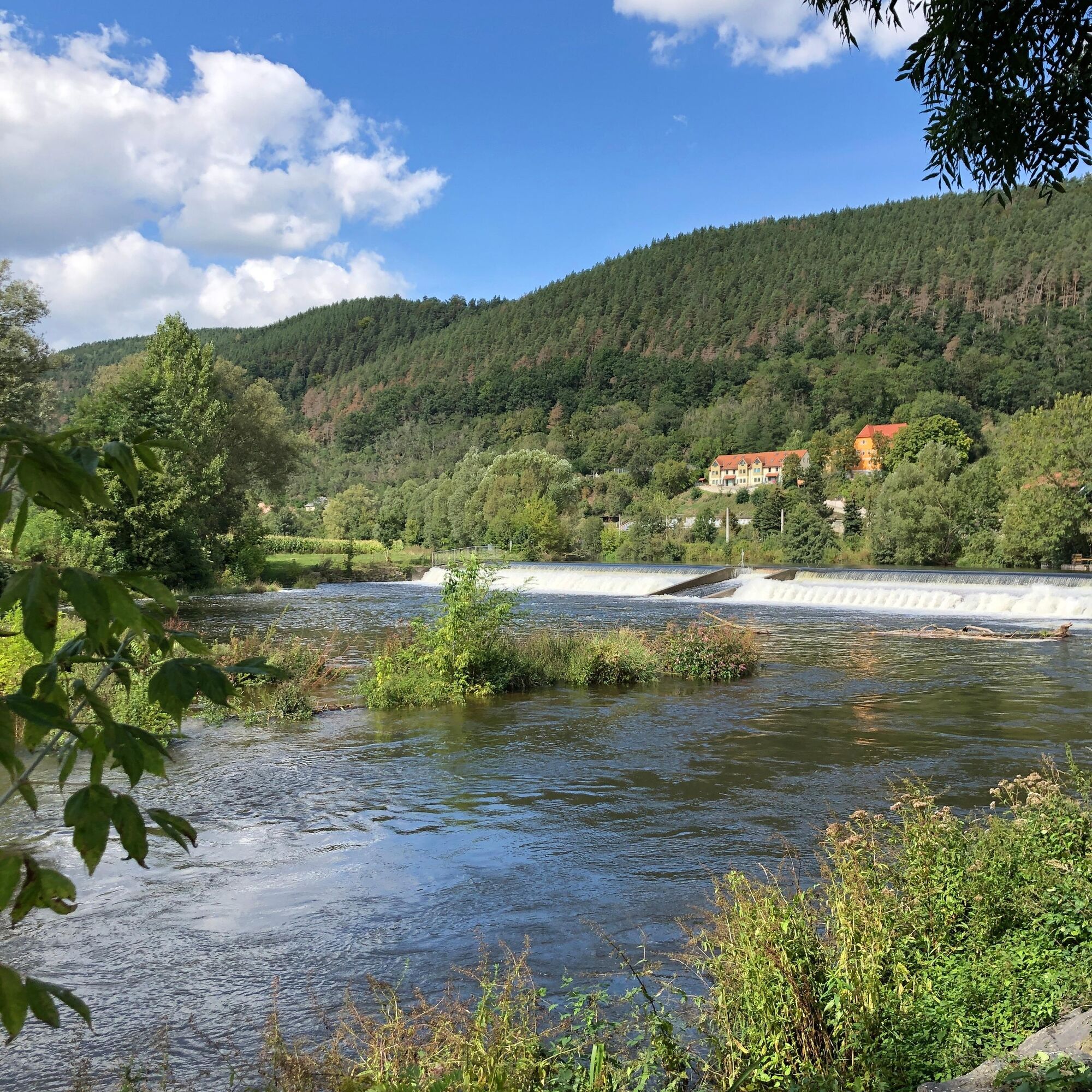
Starting from Saalfeld, the route initially follows the Saale towards the Remschützer Sandberge - sand and sandstone were mined here in the 19th and 20th centuries. From there, it continues through the Grauwinkeltal and the Uhlstädter Heide towards Weißenbach. Across the Pfaffensteig, a wonderful 1.5 km long single trail, you reach the village of Weißenbach in the Teufelsgrund. Past the idyllic church comes soon after the Weissenburg Castle with beer garden and then the Rafting Museum. Here you can discover a lot of interesting facts about the history and technology of rafting on the Saale. The route then continues on lightly trafficked paved roads through Partschefeld and Kleinkochberg to the Luisenturm with a unique panoramic view over the region. The next highlight of the route is the Watercastle and Liebhabertheater Kochberg - it was once the country seat of Goethe's beloved Frau von Stein. Through a picturesque valley, past the romantic Weitersdorf chapel, it continues via Teichweiden to Rudolstadt. Here lies another highlight of the route - the Heidecksburg. A tour through the baroque castle and a view over the city are worthwhile. Via one of the castle entrances, the route leads towards the marketplace and town hall. Then follows the attractive Heinrich-Heine-Park and the open-air museum "Thuringian Farmhouses". Along the Saale, the route finally leads back to the starting point.

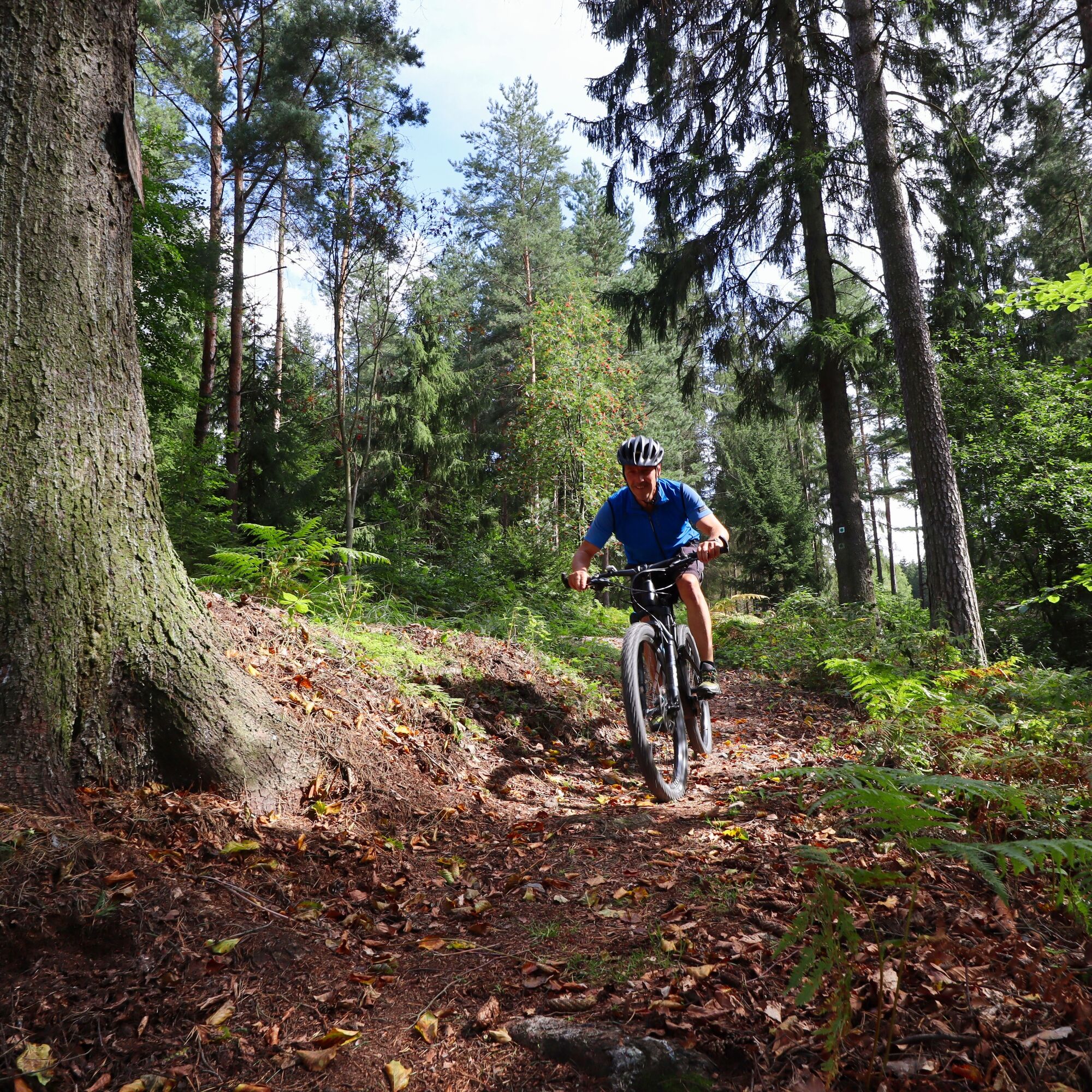
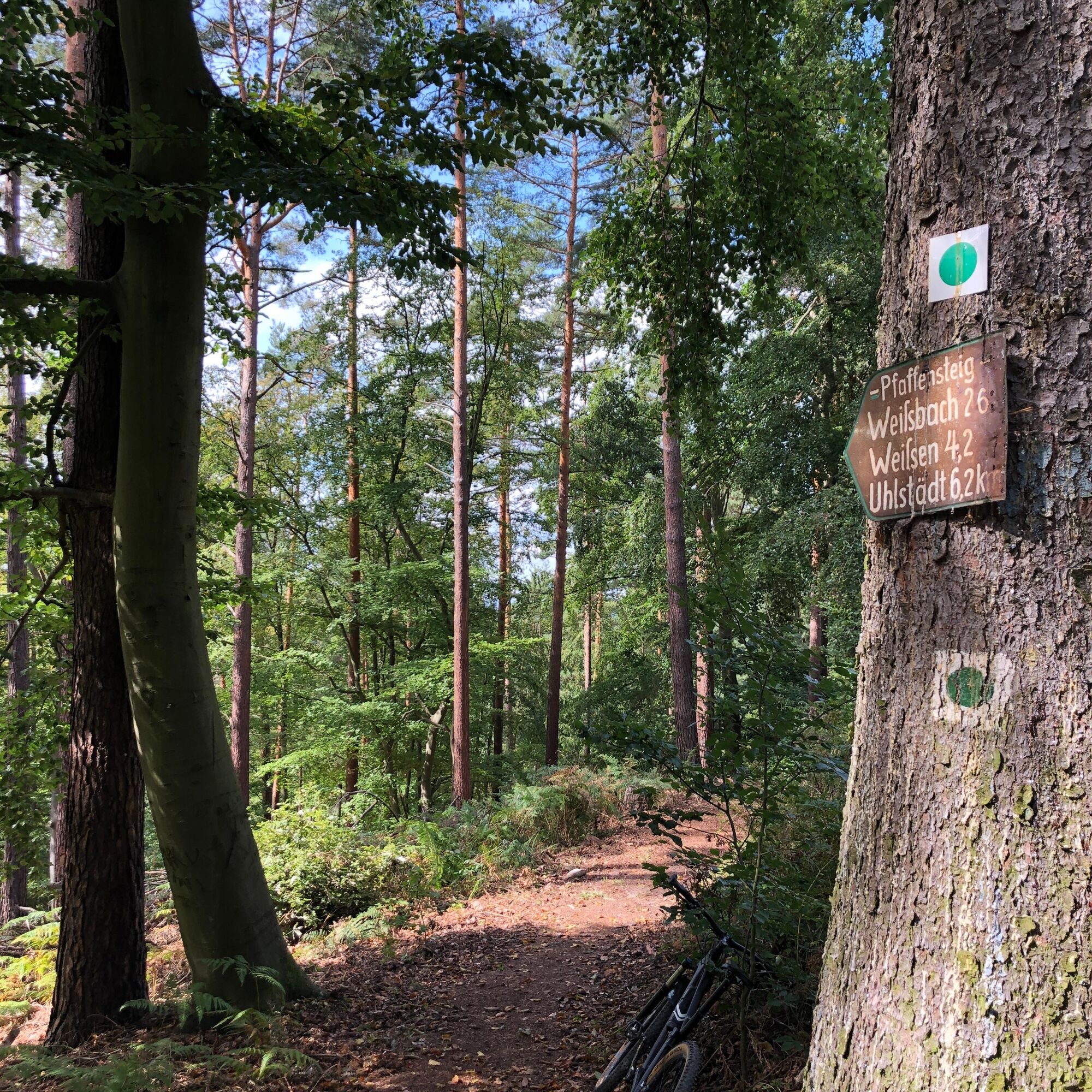


Saalfeld - Weißen - Uhlstädt - Luisenturm - Großkochberg - Saalfeld
A full-suspension mountain bike is sensible but not a requirement. A bicycle helmet is part of the basic equipment, of course. Cycling glasses and gloves are recommended. A small day backpack with some provisions and drinks can’t hurt.
â Bike recommendation: All routes are, of course, also rideable with a modern and well-equipped e-mountain bike.
The route is not signposted.
Riding the route is at your own risk.
There is currently an increased risk in the forest due to dying trees.
Further information can be found in the Thuringian Forest Law.
Trail tolerance: On large parts of the route you will be alone and lonely. Of course, there will also be path sections or places where you will meet other nature lovers, whether hikers, riders, or others. All user groups in the forest share the joy of outdoor activity. Therefore, a friendly and respectful interaction is a matter of course. As a mountain biker, you ride defensively when you meet others. A brief stop and a friendly greeting goes a long way for a good image of mountain bikers!
From the west:
Take exit Stadilm at the A71 and continue on B90 to SaalfeldFrom the south:
Exit Eisfeld at the A73 and follow B281 towards Neuhaus am Rennweg On B85 from KronachFrom the east:
Exit Lobenstein at the A9 and follow B90 towards Lobenstein Exit Triptis at the A9 and follow B281 towards PößneckFrom the north:
Exit Jena-Göschwitz at the A4 and follow B88 towards RudolstadtBy train to Saalfeld station. Saalfeld is very well and regularly accessible with bike transport via various regional express connections from the regions of Erfurt, Leipzig, Gera, and Nuremberg.
You can use the German Rail travel portal for travel planning at the following link:
From Saalfeld station follow the signs to the Saale cycle path: after about 800 m you will reach the cycle path via the Carl-Zeiss-Bridge, then downstream towards Weidig.
Various free and paid parking lots are available in Saalfeld city area.
There are sufficient parking spaces at the station (Google NAV point) and at Wedig (Google NAV point).
S2
For a stress-free retracing of the route, the author recommends using the GPS track of the route (GPX). Navigation with a GPS device or a smartphone app makes finding the way much easier in some sections.
Oblíbené prohlídky v okolí
-
4.8
Circular hiking trail - "To the most beautiful viewpoints" - Thuringian Forest
středníTuristika 12.8 km -
4.0
Zur Jagdanlage Rieseneck bei Hummelshain
světloTuristika 5.21 km -
Circular hike - "Friedrich Fröbel" - Bad Blankenburg
heavyTuristika 14.1 km -
5.0
Zwischen Leubengrund und Hummelshain
světloTuristika 9.28 km -
4.0
Circular hike - "Round route 3" - start and finish country hotel Edelhof Kolkwitz - Thuringia
středníTuristika 9.42 km -
5.0
Kulm route
středníTuristika 9.39 km -
3.0
Circular route - "On archaeological trail of King Otto I." - Saale region
světloTuristika 6.55 km -
5.0
Circular hiking route - Zechstein reef Altenburg - Pößneck - Orla valley
světloTuristika 3.22 km -
Circular hike - "Blossom Magic" Großkochberg Saale-Ilmplatte - Großkochberg
středníTuristika 6.30 km -
Hiking trail - Schustersteig from Pößneck to Rudolstadt - Thuringian Forest
středníTuristika 25.8 km
Pěší turistika a stopování


Nenechte si ujít nabídky a inspiraci pro vaši příští dovolenou
Vaše e-mailová adresa byl přidán do poštovního seznamu.





