







"Nature Park Route Thuringian Forest" - Stage 1 - From Hörschel to Friedrichroda
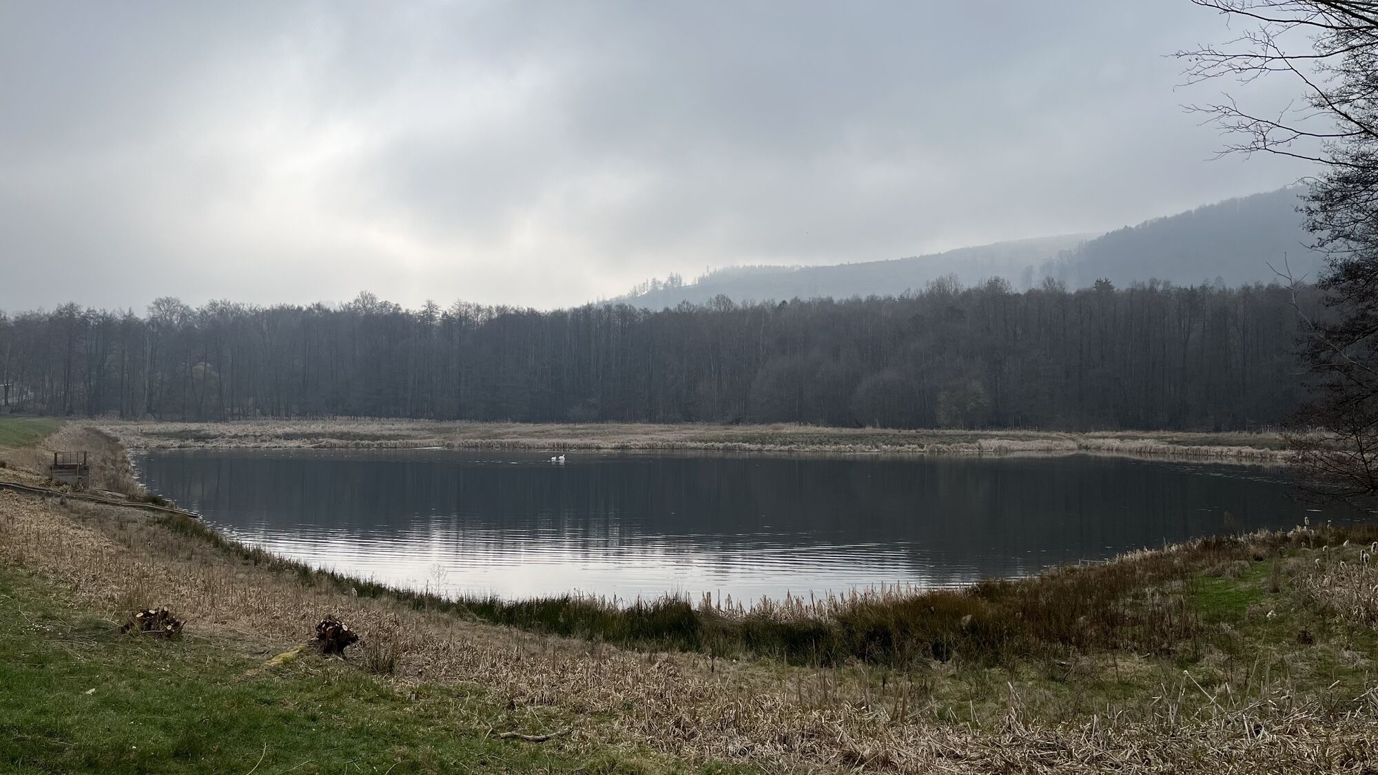
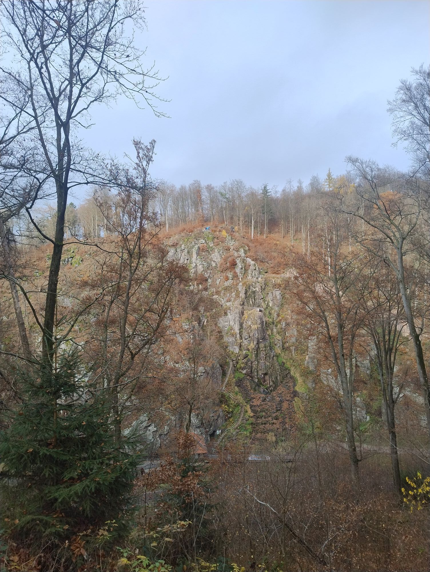
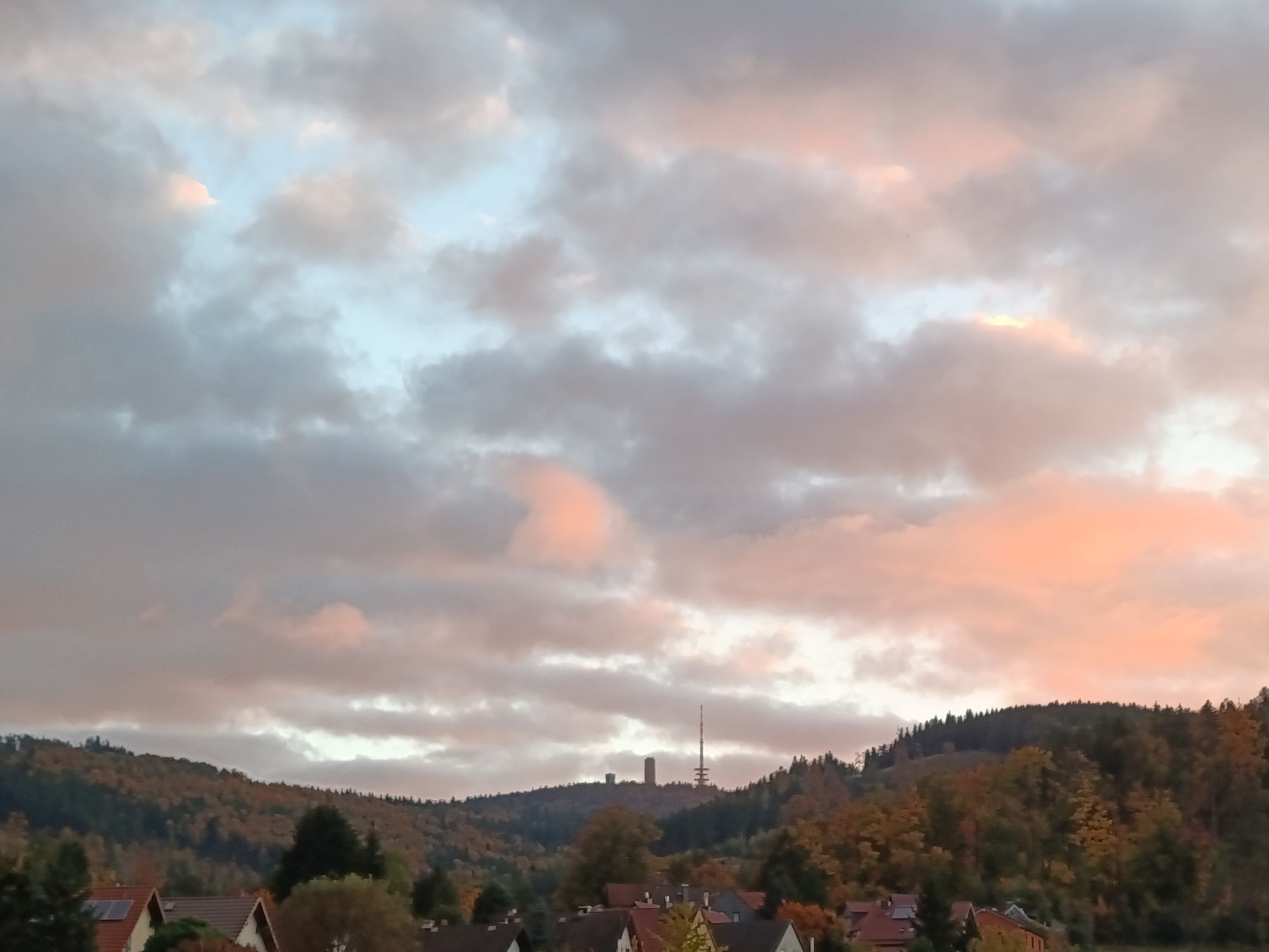
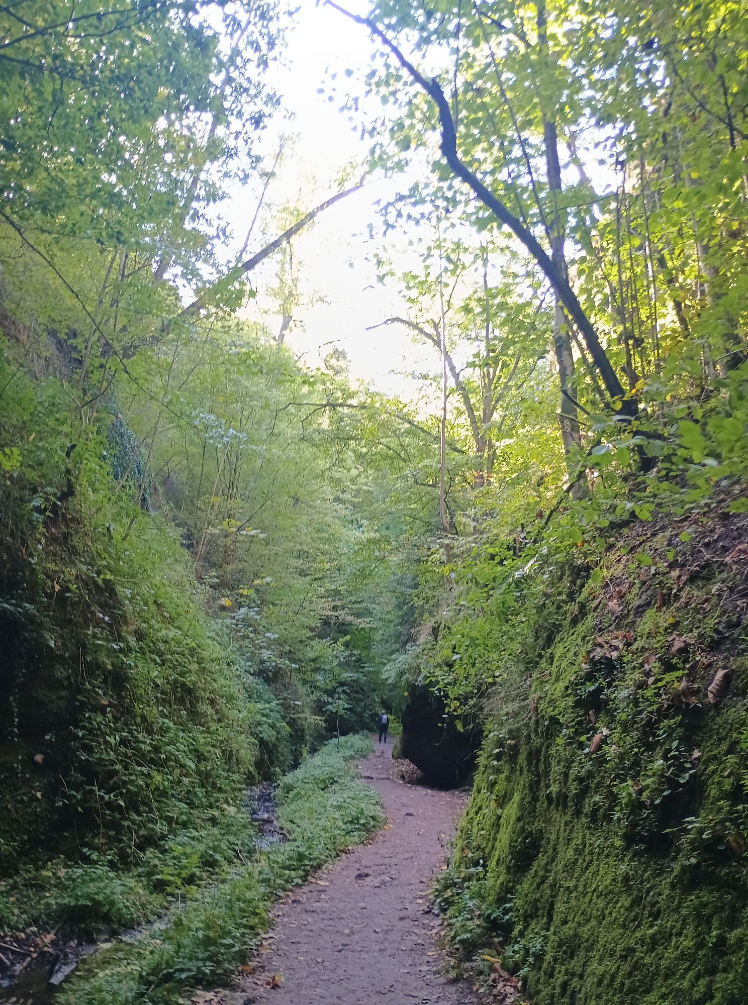
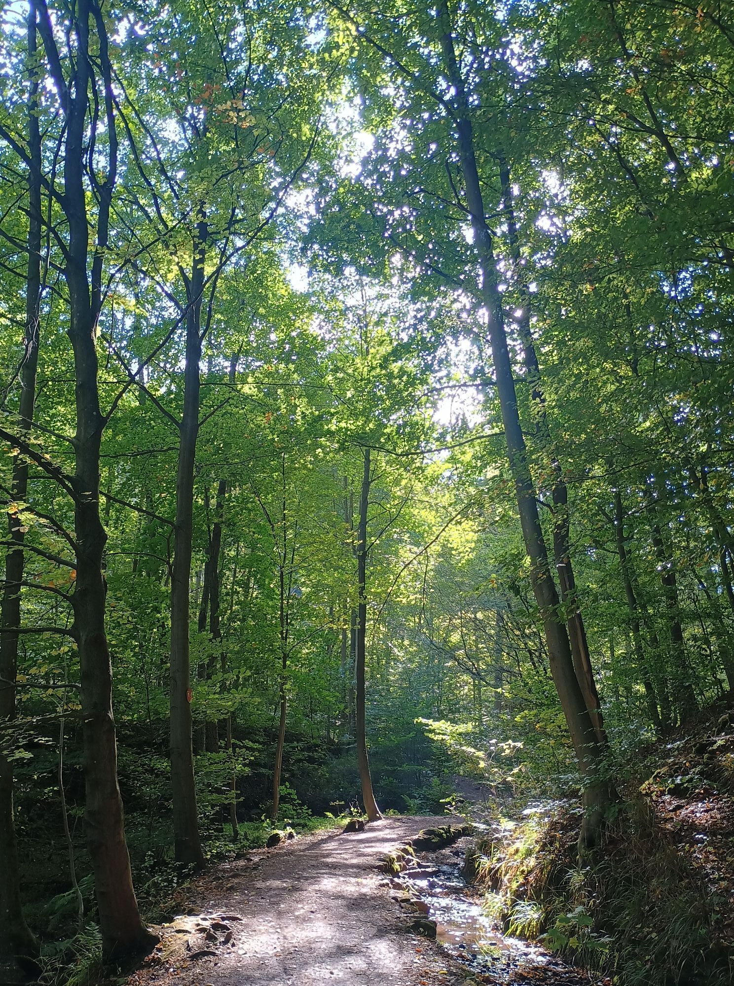
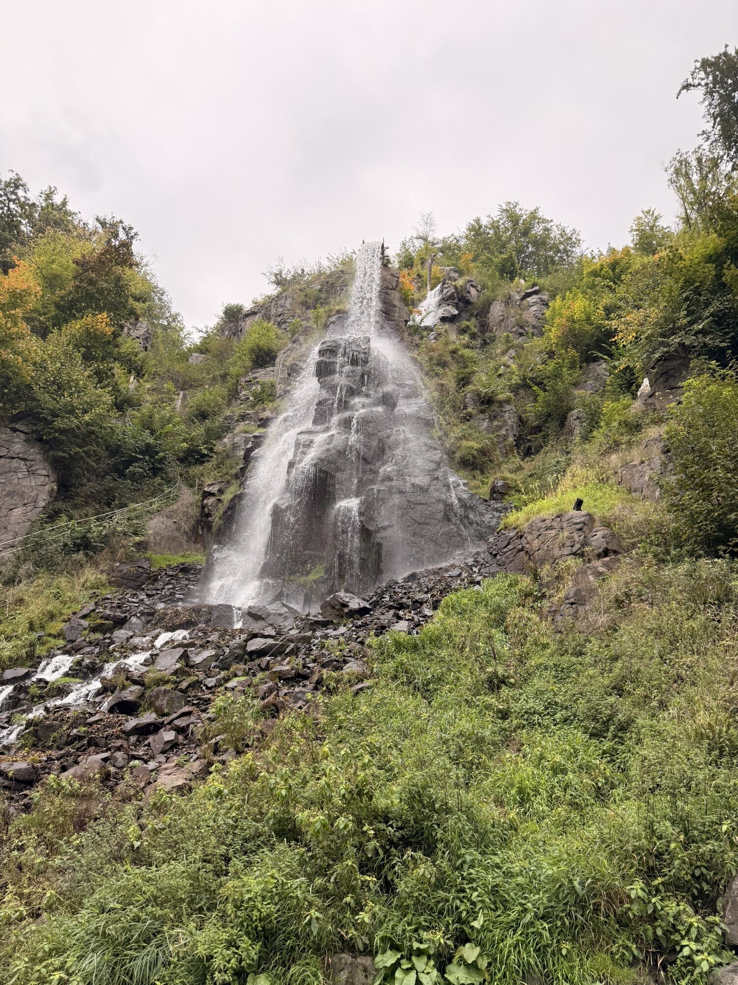
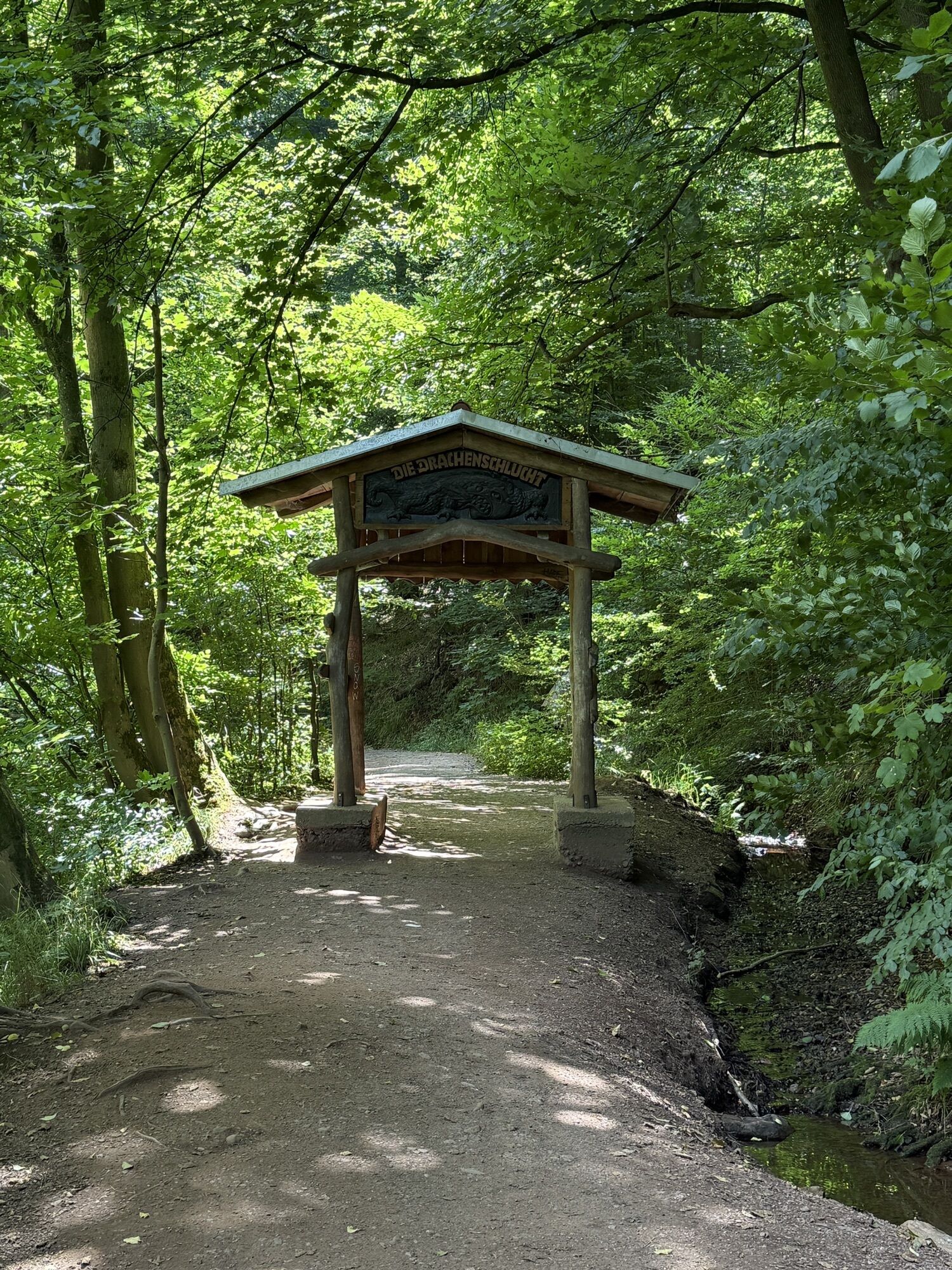
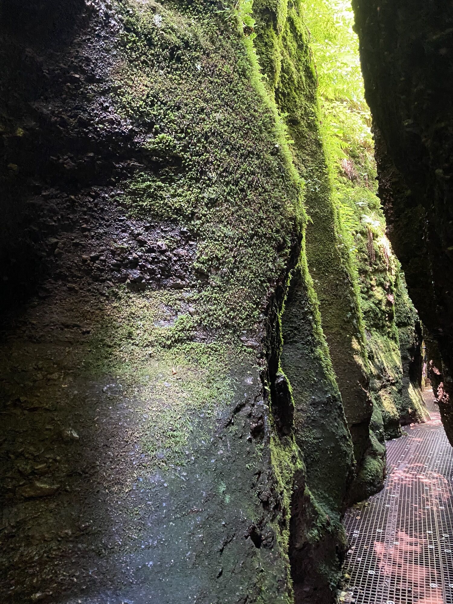
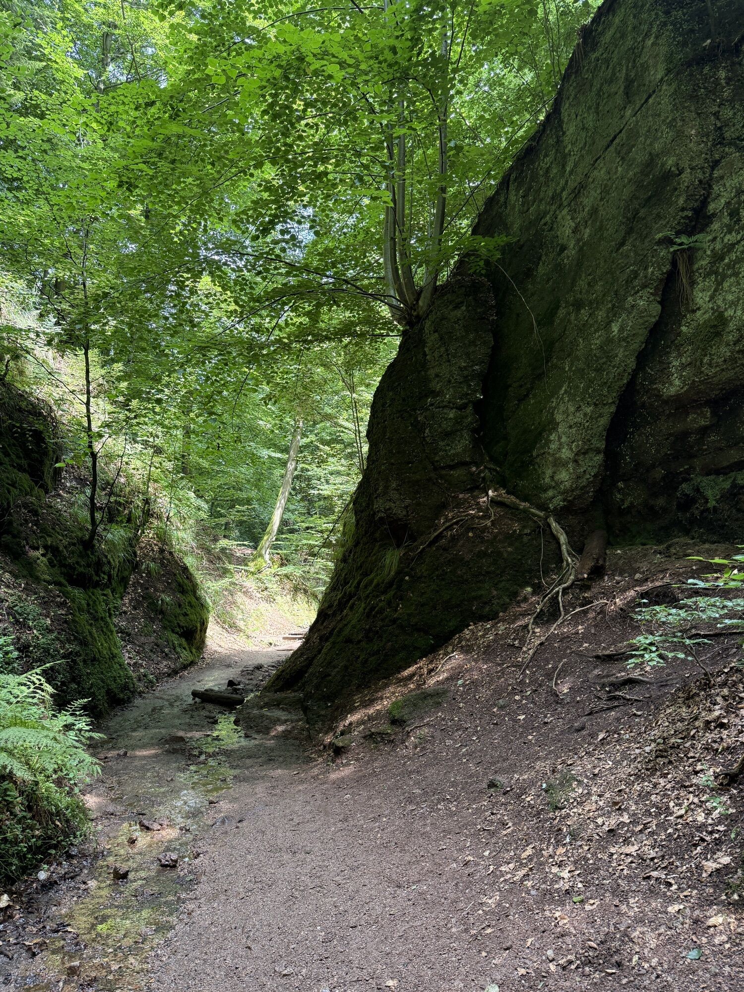
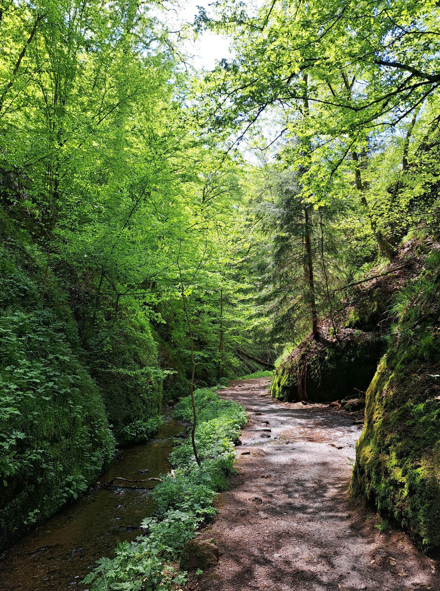
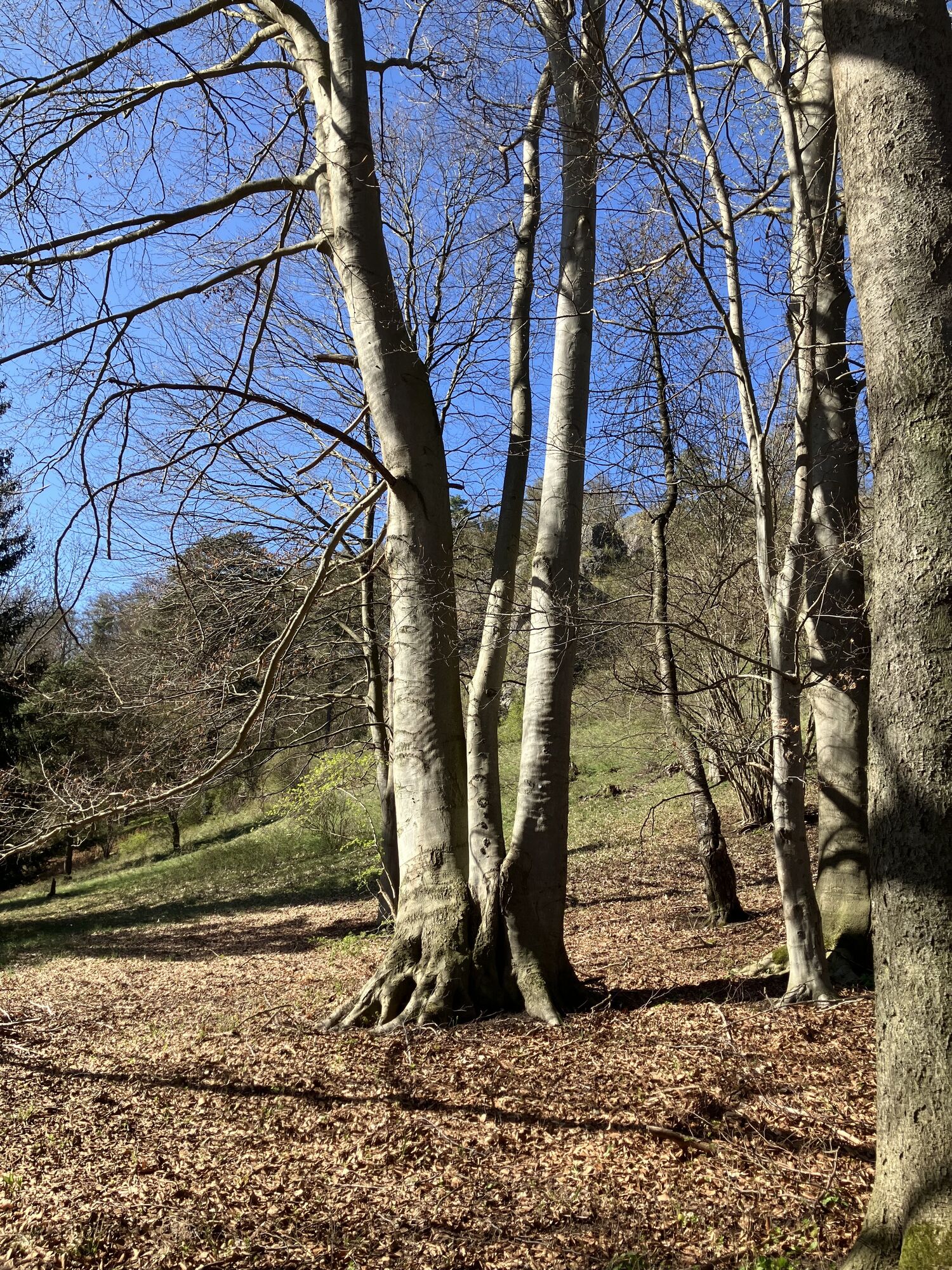
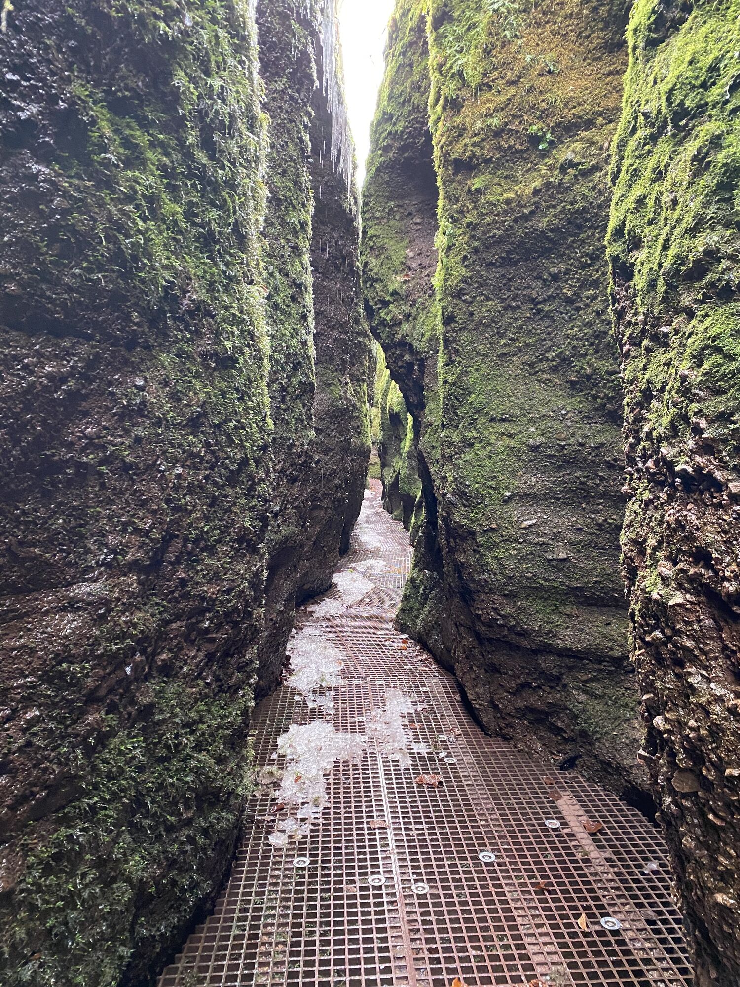
The first stage of the Nature Park Route Thuringian Forest takes you on a picturesque journey from the Eisenach district of Hörschel to Friedrichroda. Starting in Hörschel, a charming town on the Werra...
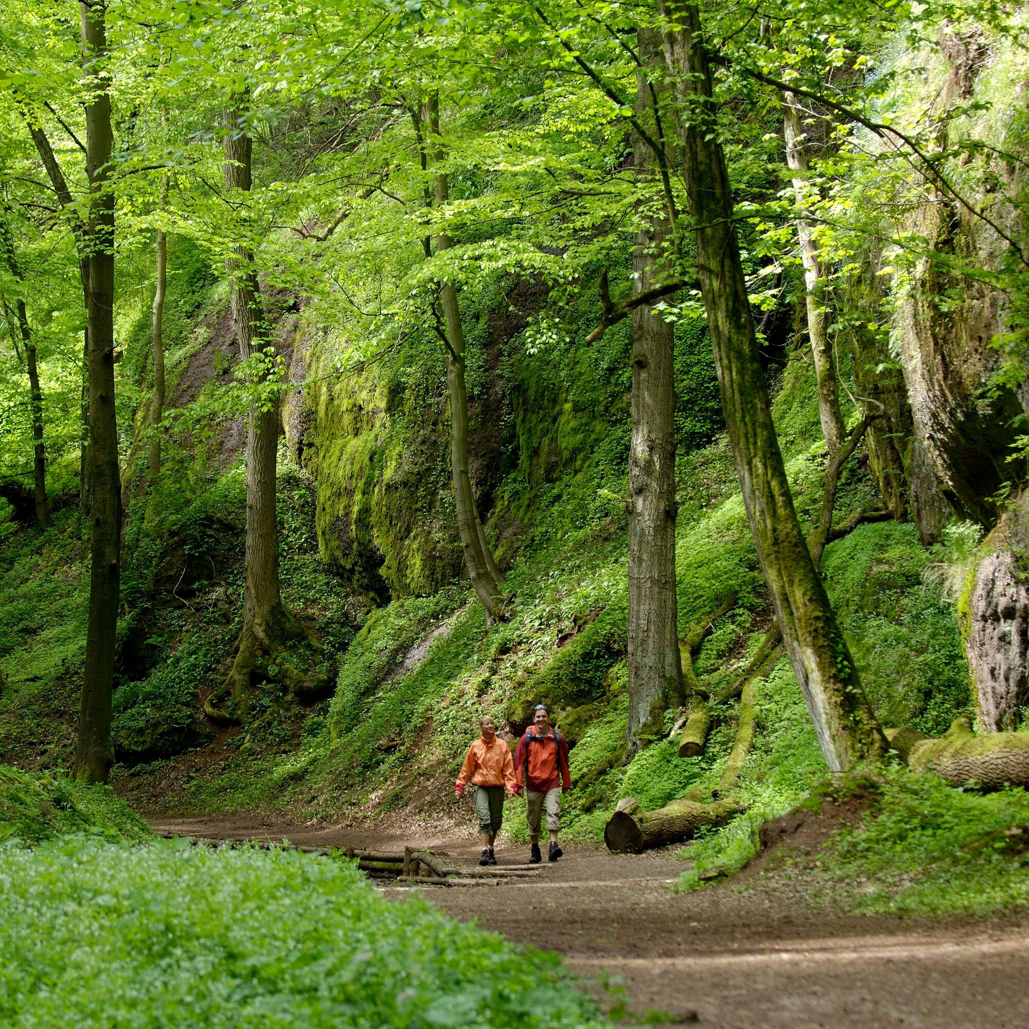
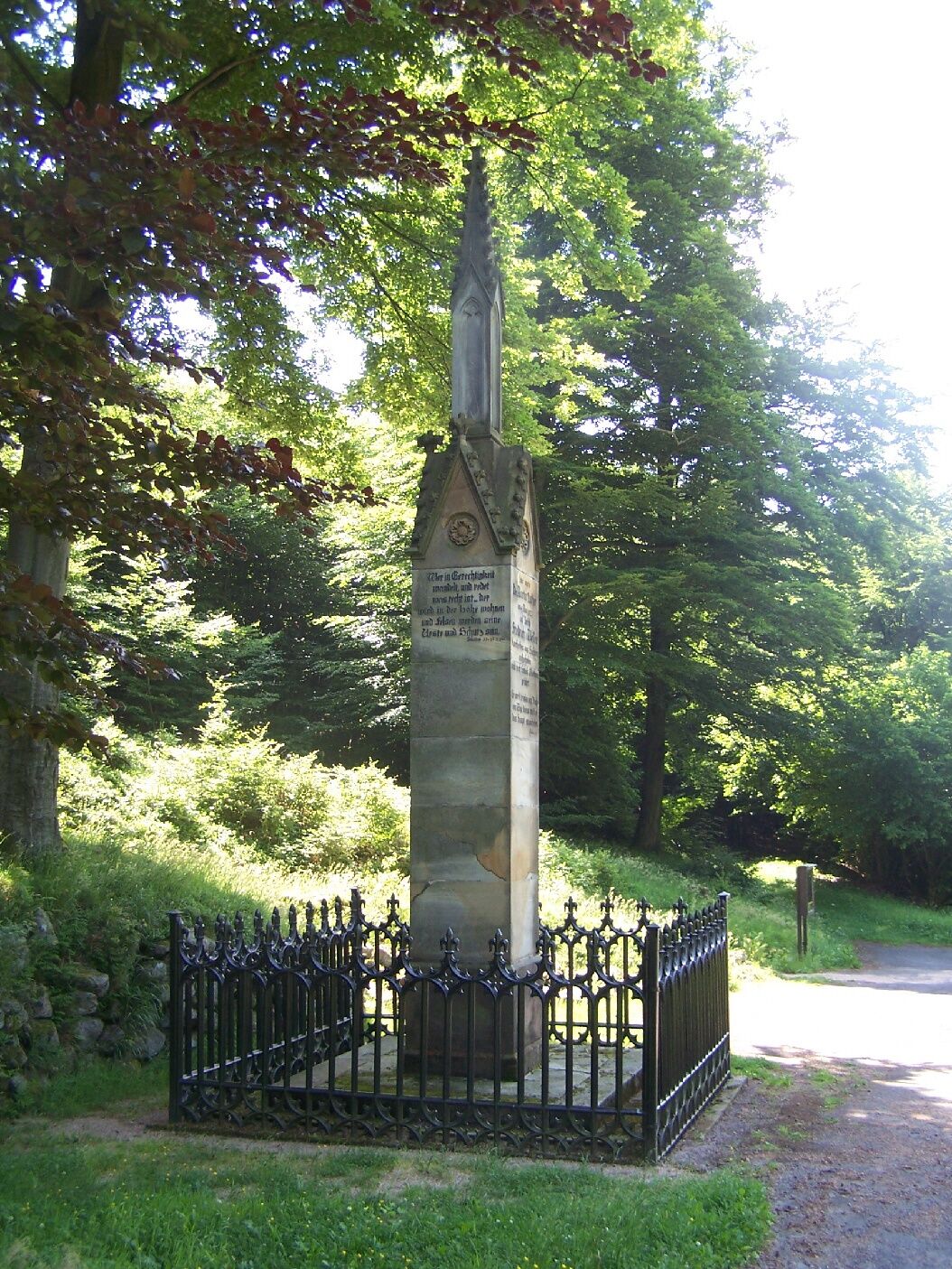
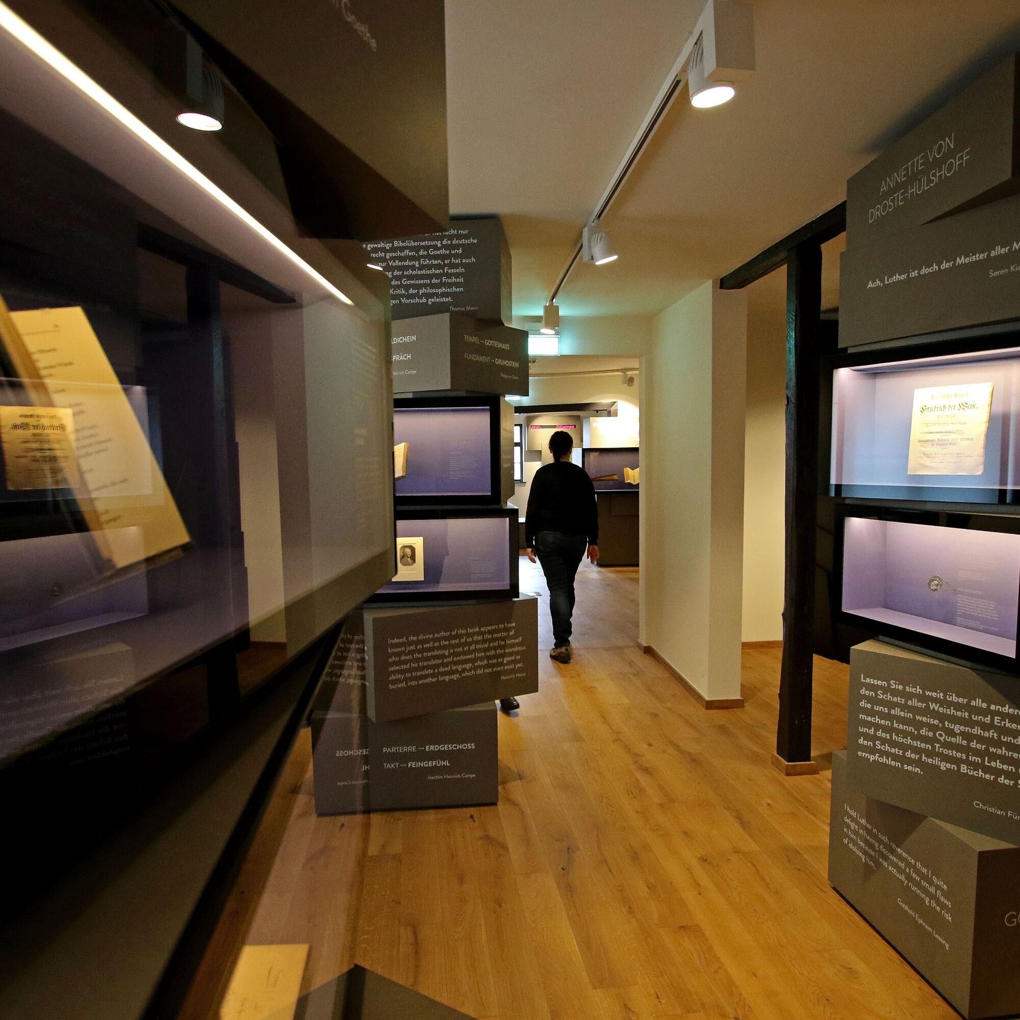
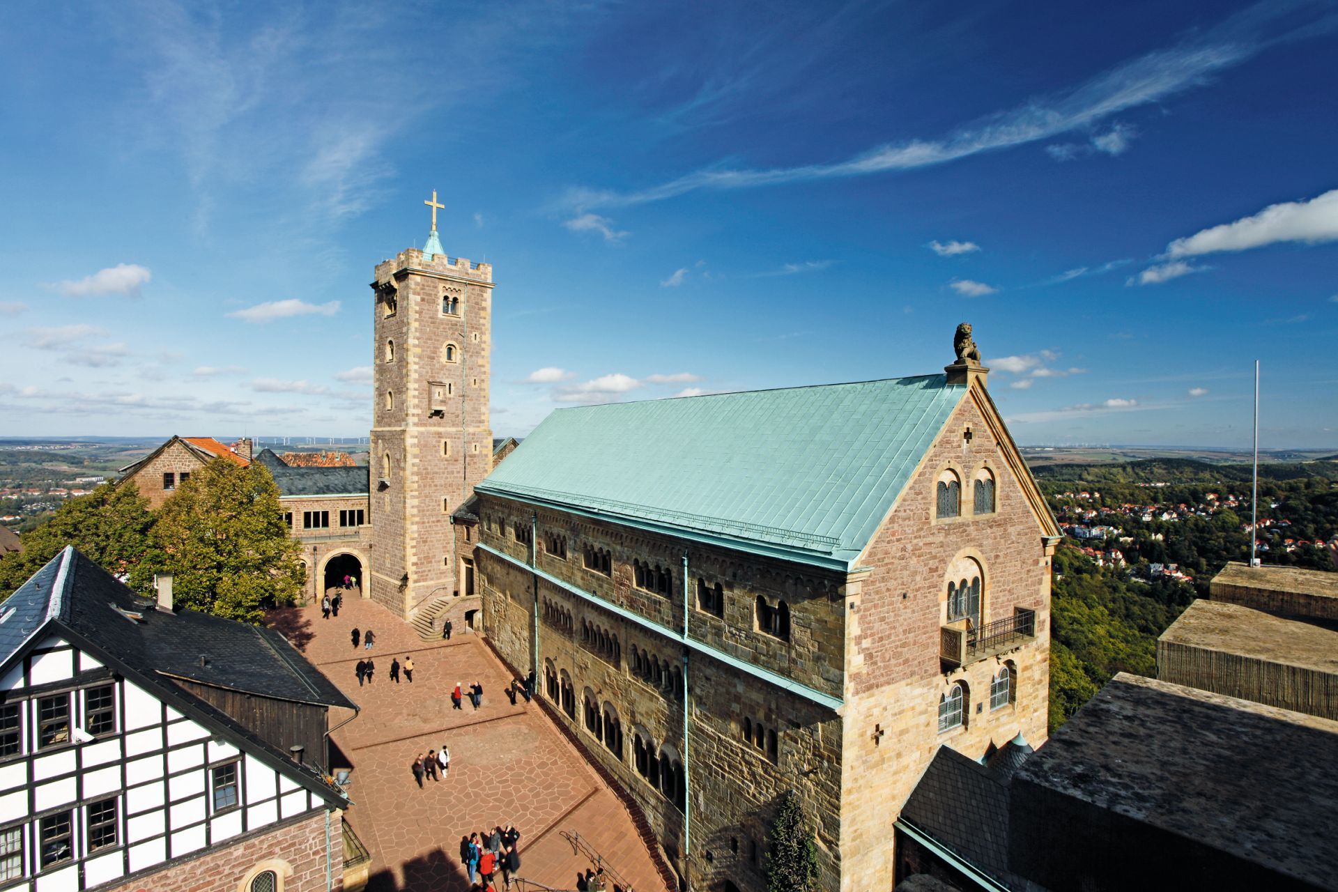
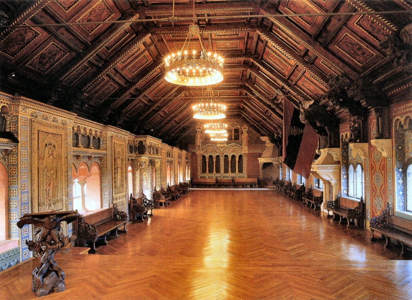
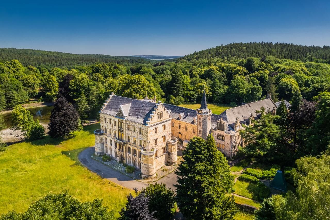
The first stage of the Nature Park Route Thuringian Forest takes you on a picturesque journey from the Eisenach district of Hörschel to Friedrichroda. Starting in Hörschel, a charming town on the Werra River, the route winds through the Green Heart of Germany. Passing Oberellen and Wilhelmsthal with its castle, you reach the historic town of Eisenach, where the imposing Wartburg Castle towers, a must for every culture enthusiast. It then continues through the idyllic Ruhla and Bad Liebenstein, known for its healing thermal springs. The route takes you from the picturesque Brotterode-Trusetal past the Großer Inselsberg to Bad Tabarz. Finally, the stage ends in Friedrichroda, a spa town enchanted by its natural beauty and tranquility. This stage is not only a journey through the breathtaking landscape of the Thuringian Forest but also a discovery tour through the rich history and culture of the region. Enjoy the ride on this unique route that leads you to some of the most beautiful places and views that the Thuringian Forest has to offer.

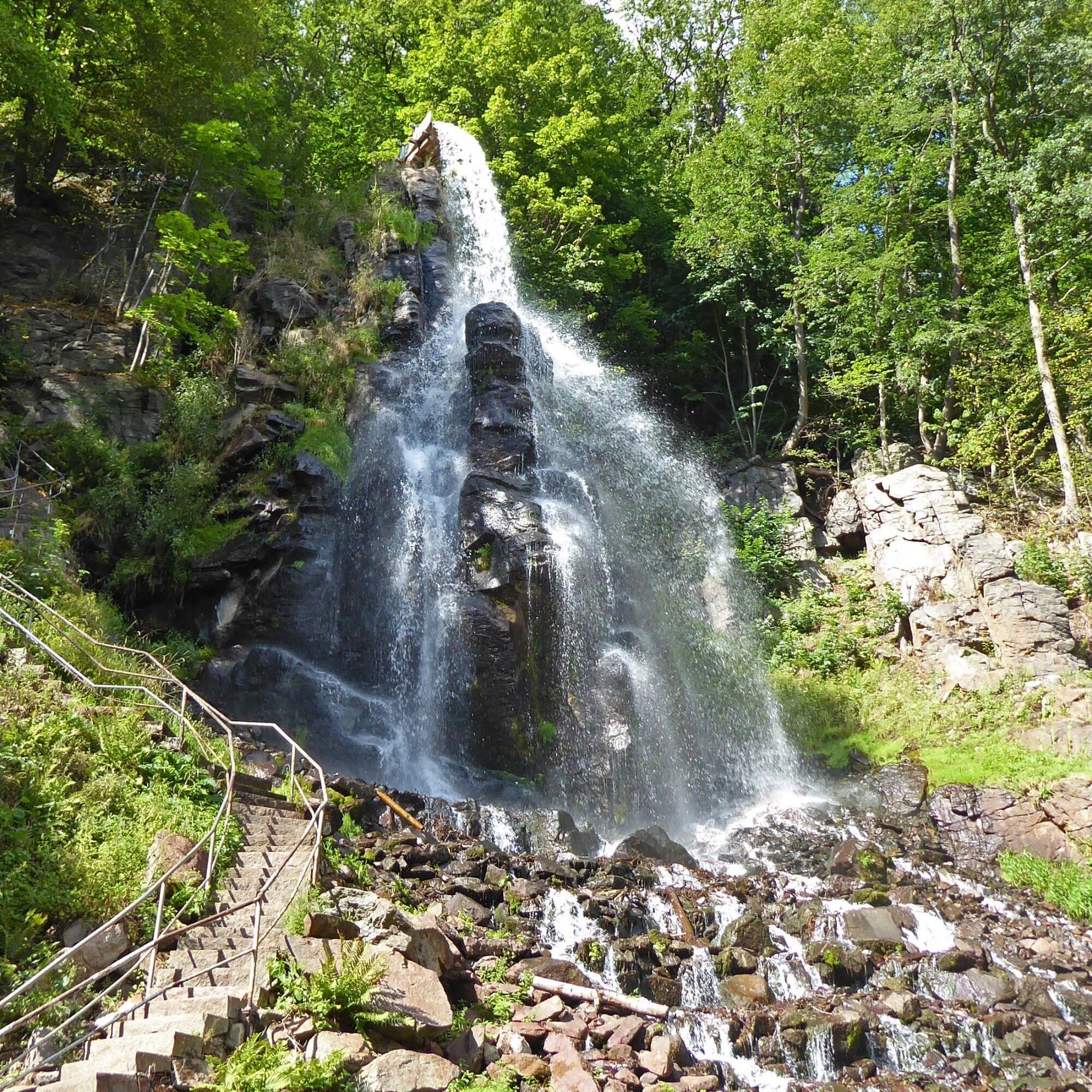
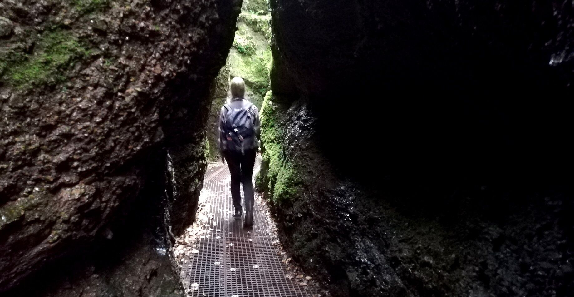
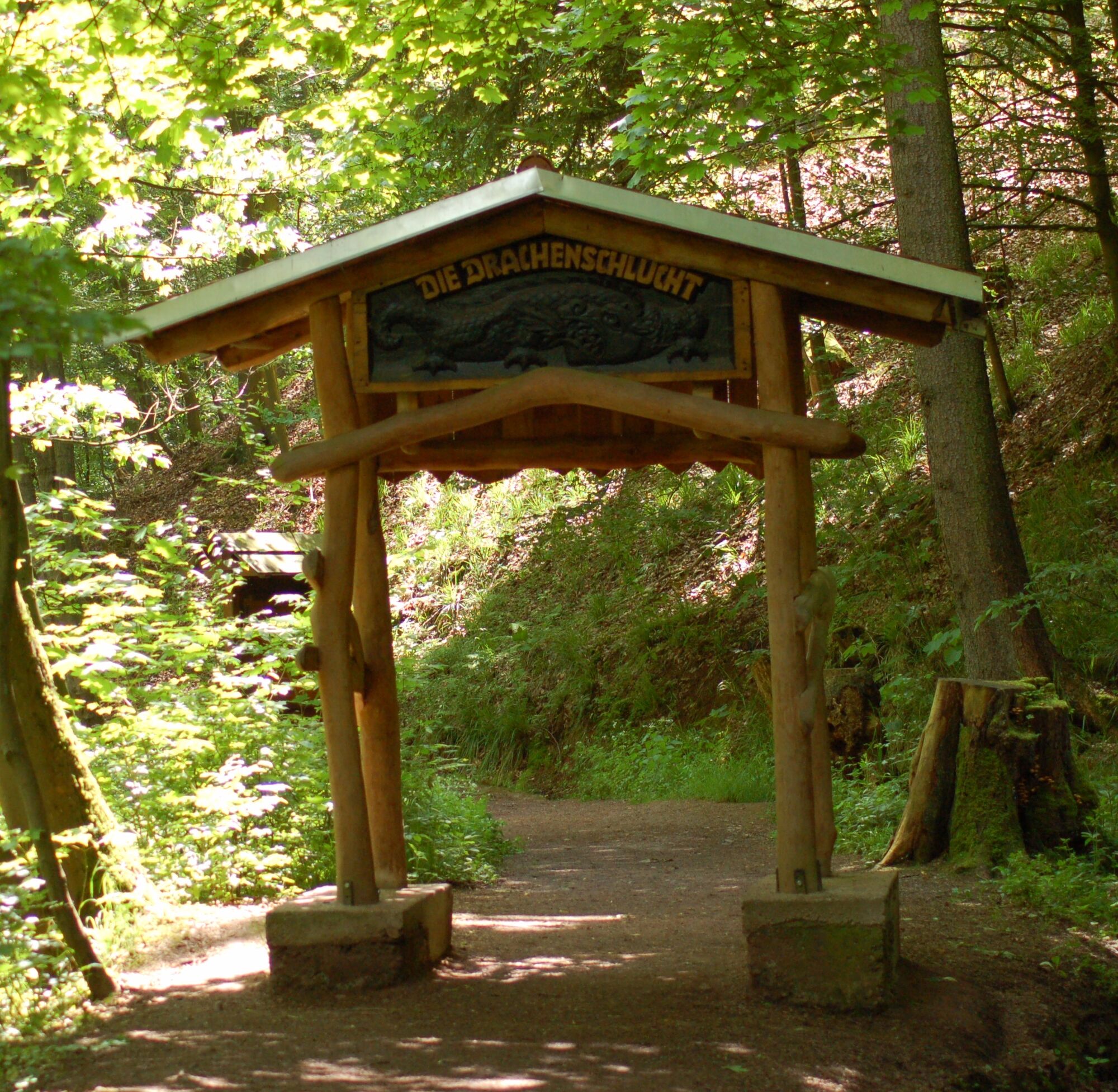
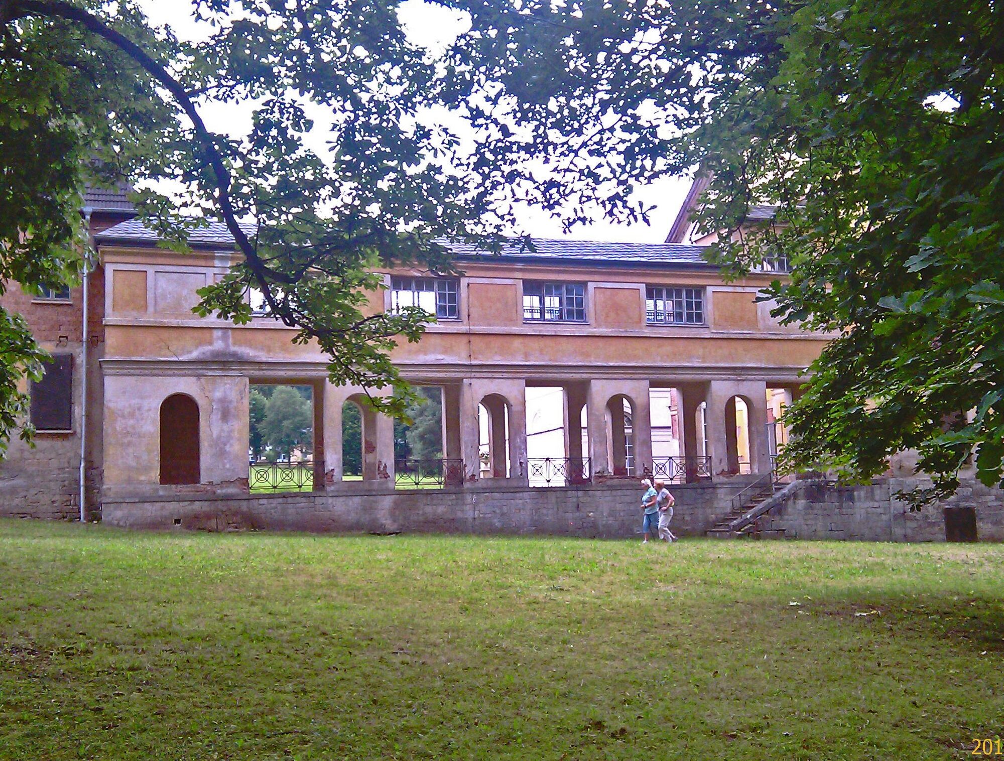

Ano
Mandatory equipment for winter
Winter tires: Legally required in Germany in winter road conditions (M+S or snowflake symbol).
Route notes & special features
The route leads over the Rennsteig and through elevations around 900 m.
Weather and road conditions can change quickly – especially at transitions between valleys and plateaus.
The route is not continuously cleared like highways, so anticipatory driving is important.
The Nature Park route runs on public roads. Please especially watch for other road users on the winding stages. The route frequently crosses popular cycling and hiking trails.
To Hörschel:
Coming from the A4, exit 39 (Eisenach-West) and continue on the B7 towards Creuzburg, then at the second roundabout continue on the L1017 to Hörschel.
Train stations
Förtha (Kr Eisenach)Eisenach WestEisenach Main StationWuthaWaltershausenWaltershausen SchnepfenthalReinhardsbrunn-Friedrichroda stopsHörschelNeuenhof, sports fieldNeuenhofNeuenhof, schoolWarthaGöringenLauchrödenFörthaGartenstraßeUnkerodaWolfsburg/UnkerodaWilhelmsthaler SeeHohe SonneEisenach, Drachenschlucht / MarientalEisenach, Liliengrund P+REisenach, LiliengrundEisenach, Prinzenteich P+REisenach, Wartburgallee / ReutervillaEisenach, Wandelhalle / KartausgartenEisenach, Ernst-Abbe-GymnasiumEisenach, KarlsplatzEisenach ZOBEisenach, Langensalzaer StraßeEisenach, AltstadtstraßeEisenach, Weimarische StraßeEisenach, Gothaer StraßeEisenach, AuestraßeEisenach, RothenhofWutha-Farnroda, EichrodtWutha-Farnroda, PetkusWutha-Farnroda, stationWutha-Farnroda, HörselberghalleWutha-Farnroda, MölmenWutha-Farnroda, Am SchunkenhofeWutha-Farnroda, Ruhlaer StraßeWutha-Farnroda, Klein BerlinchenThal, post officeThal, SchreiberbrunnenRuhla, stationRuhla, Bahnhofstraße / clubhouseRuhla, WiesenstraßeRuhla, Zum LandgrafenRuhla, town hallRuhla, local museumRuhla, fire stationRuhla, swimming poolGlasbachLuther's kidnapping spotSteinbach, GlasbachstraßeBad Liebenstein, animal parkBad Liebenstein, ZOBBad Liebenstein, primary schoolBad Liebenstein, Barchfelder StraßeBad Liebenstein, REWEBad Liebenstein, tourist informationBad Liebenstein, theaterBad Liebenstein, InselbergstraßeBairodaTrusetal, bus stationTrusetal, HammerrasenJunction Laudenbach, Trusetal waterfallBrotterode, headquartersBrotterode, ZiehwerkBrotterode, BahnhofstraßeBrotterode, schoolBrotterode, marketBrotterode, Schmalkalder StraßeBrotterode, BerggartenKleiner InselsbergInselsberg ski liftBad Tabarz, InselsbergstraßeBad Tabarz, laundryWaltershausen Upper Forest GateGoethestraßeIbenhainer StraßeWaltershausen, SchnepfenthalReinhardsbrunn pondsFriedrichroda, churchRennsteig parking lotHohe SonneParking lot Wartburg P2Parking lot Wartburg "P3"Parking lot Eisenach South CenterCity gateAltenstein P2tegut parking lotParking lot ice cream parlorParking lot at town hallEdeka parking lotTrusetal sound trailTrusetal waterfallKleiner InselsbergHiking parking lot
From the tower on the Großer Inselsberg, you have a magnificent view over the sea of forest and the Rennsteig.
Nature Park Gate Eisenach EA5 - Nature Park Trail "Gottlob König" Eisenach Nature Park Gate Alte Ruhl - Ruhla Nature Park Trail Circular Hike - "Knife & Pipe Path" - Bad Liebenstein - Ruhla - Thuringian Forest Nature Park Gate Schleifkotengrund - Steinbach - Bad LiebensteinNature Park Trail Circular Hike - "Knife & Pipe Path" - Bad Liebenstein - Ruhla - Thuringian Forest
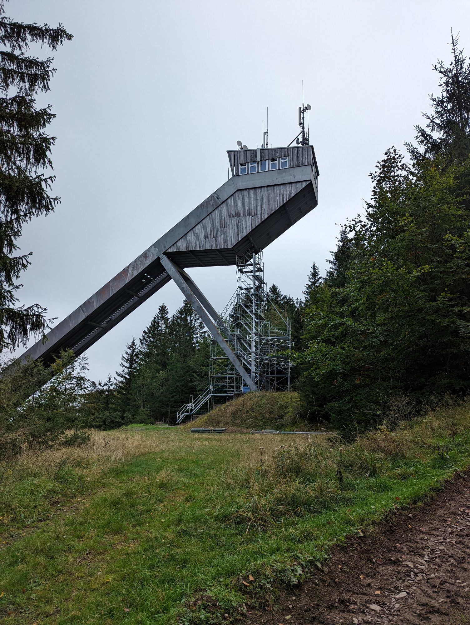
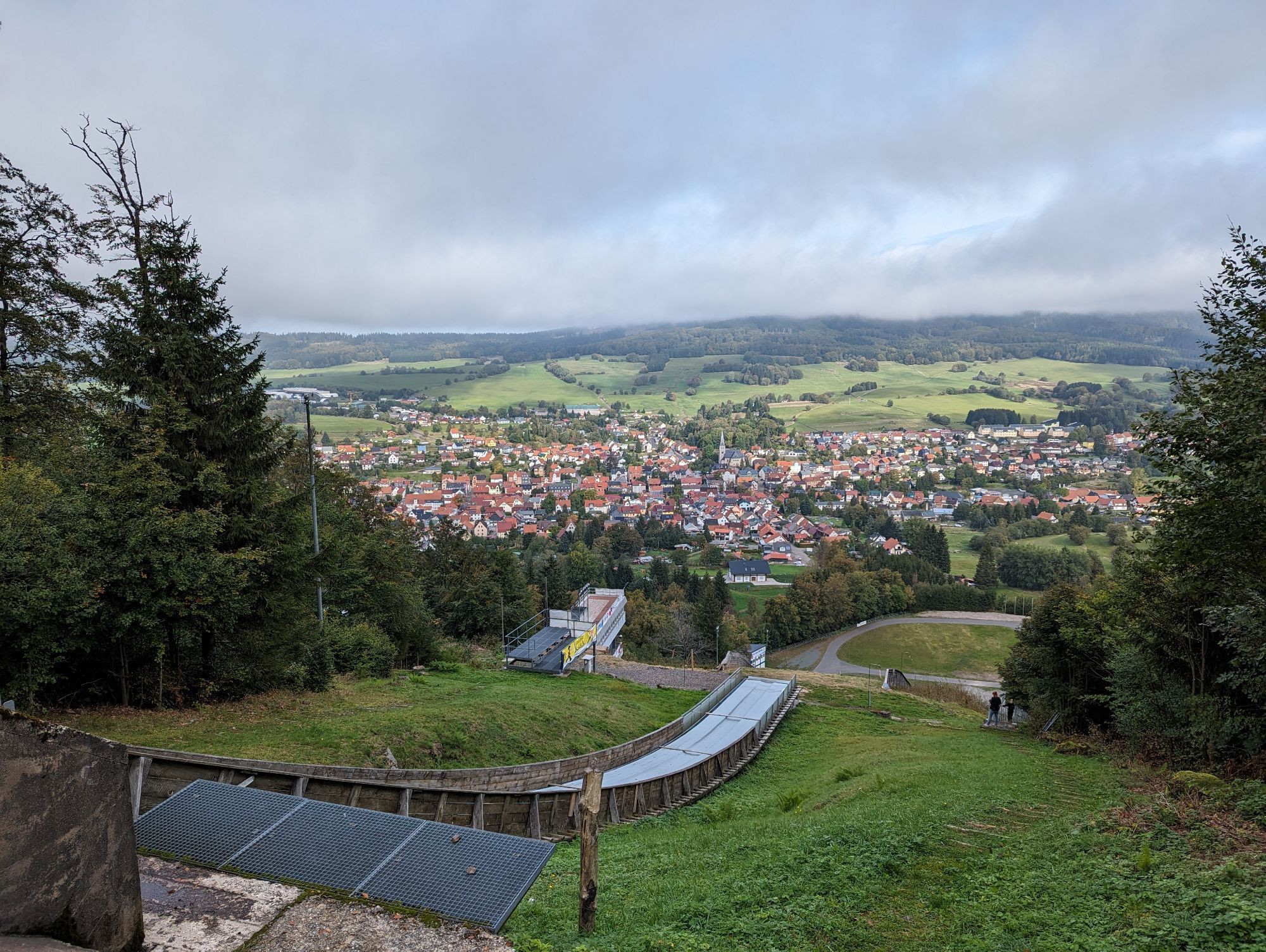
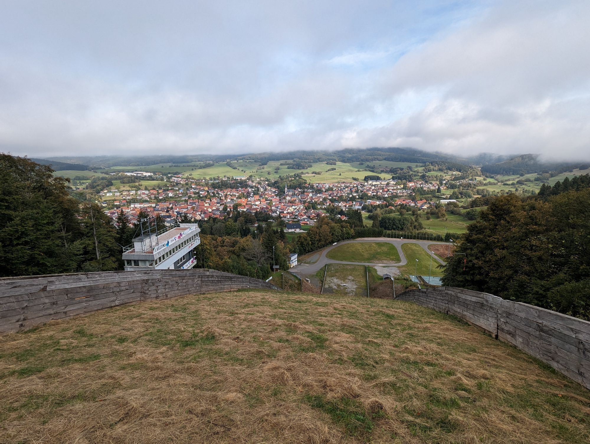
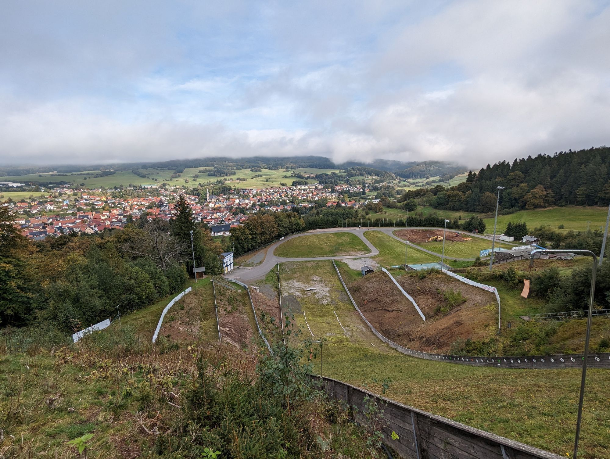
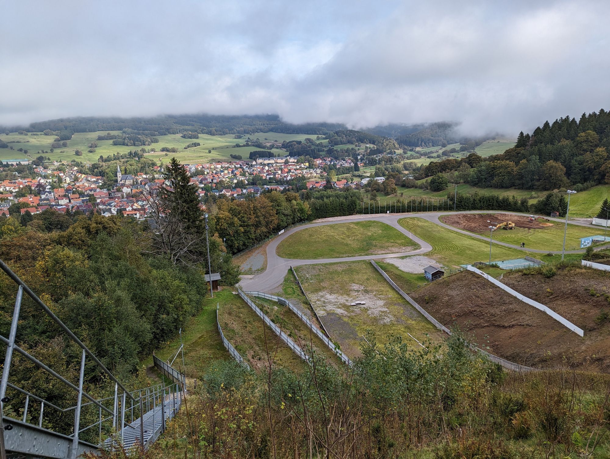
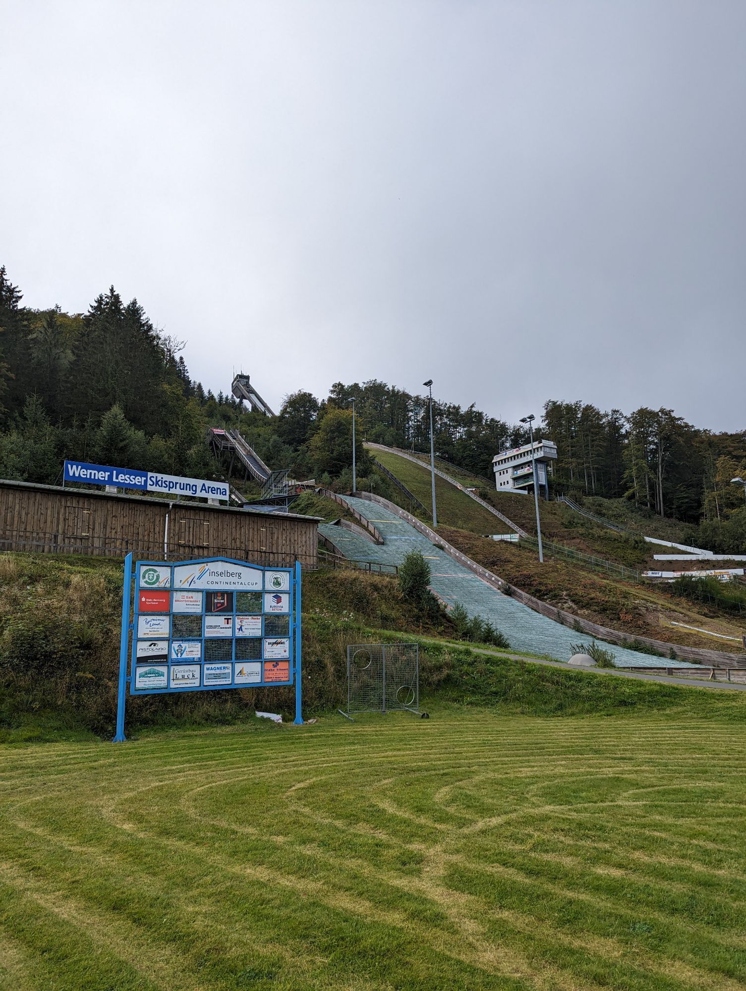
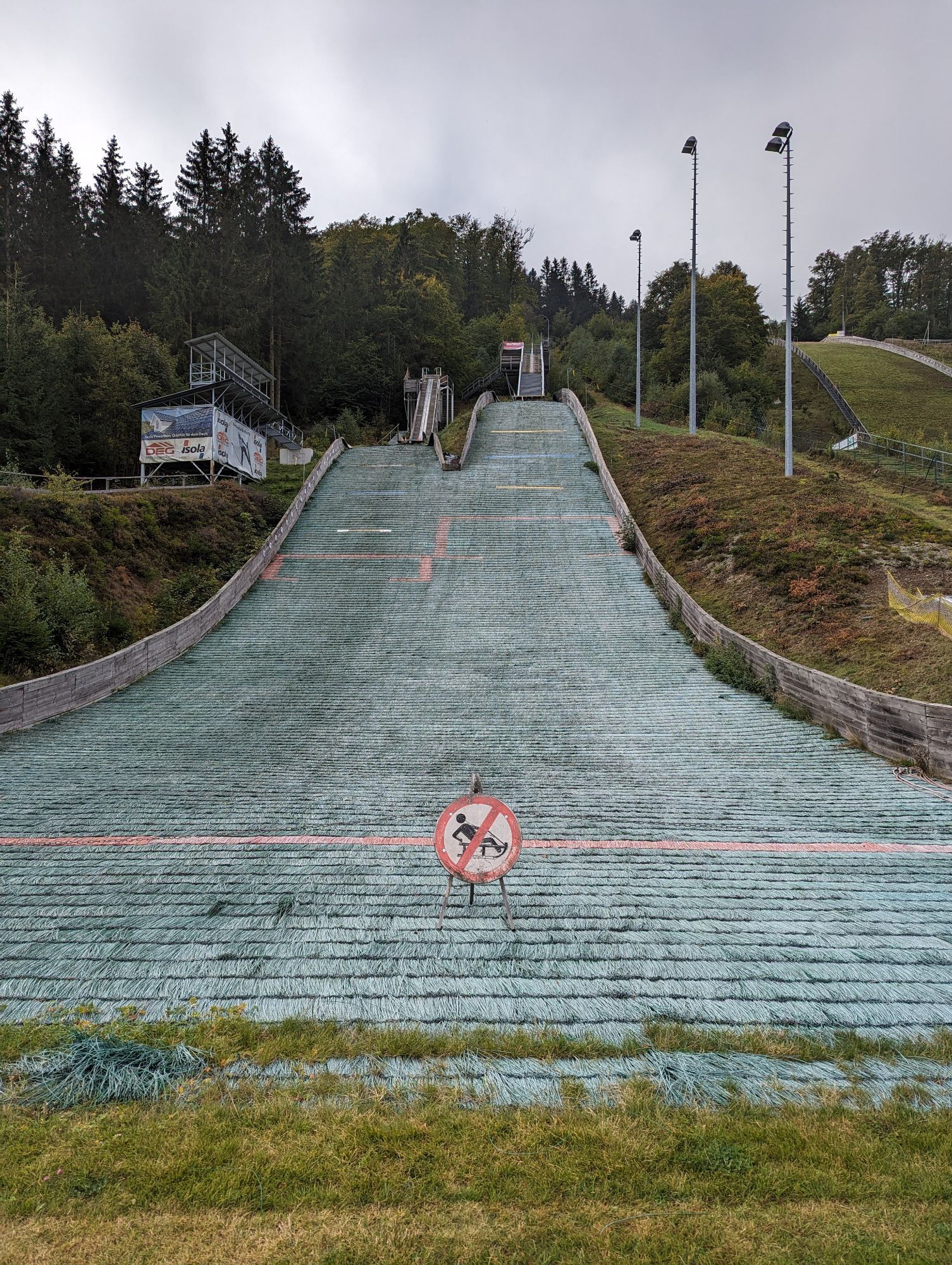
Nature Park Gate Axdorf - Brotterode-Trusetal Nature Park Trail - Ski Jump Views - Panorama Trail - Brotterode - Thuringian Forest Nature Park Gate Kukuna - Bad Tabarz Panorama Circular Trail - Route 3 - Nature Park Trail - Bad Tabarz Nature Park Gate - Kühles Tal - Friedrichroda Nature Park Trail - Kühles Tal - Friedrichroda
Získejte přehled
Vždy živě na místě s více než 9 500 webkamerami. bergfex Jako uživatel Pro si nyní můžete zobrazit odpovídající webové kamery pro mnoho prohlídek v aplikaci prohlídky z. Můžete si tak přímo prohlédnout aktuální podmínky.
Oblíbené prohlídky v okolí
-
5.0
EA1 - Circular route - Gorge tour near Eisenach - Thuringian Forest
středníTuristika 9.68 km -
4.5
Summit and panoramic route - Route 1 - Bad Tabarz
středníTuristika 10.9 km -
3.9
EA2 - circular hiking route - "The Beauties of Eisenach" - Thuringian Forest
středníTuristika 9.96 km -
4.7
IVV PW + GTW "In Luther's footsteps - Luther, dragons, landgraves, rose miracle..."
středníTuristika 15.8 km -
5.0
Wartburg und Drachenschlucht
středníTuristika 15.1 km -
4.8
Hike - "Rennsteig-Leiter Eisenach" Thuringian Forest
středníTuristika 3.58 km -
5.0
Circular route 3 - Mariental/Drachenschlucht/Elfengrotte
středníTuristika 3.54 km -
4.5
Circular hike - Legendary Hörselberge - Great Hörselberg near Eisenach - Thuringian Forest
středníTuristika 10.6 km -
Tabarzer Vulkansteig
středníTuristika 9.91 km -
4.8
Inselsberg tour - Tour 2 - Bad Tabarz
heavyTuristika 15.1 km
Pěší turistika a stopování


Nenechte si ujít nabídky a inspiraci pro vaši příští dovolenou
Vaše e-mailová adresa byl přidán do poštovního seznamu.





