
Itinerary Blenio–Lukmanier : stage Biasca–Olivone
střední
Pořiďte si tuto prohlídku do mobilního telefonu
Itinerary Blenio–Lukmanier : stage Biasca–Olivone
střední
Jízda na kole
24.84
km
Naskenujte QR kód a spusťte navigaci v aplikaci bergfex.


Pěší turistika a stopování



Itinerary Blenio–Lukmanier : stage Biasca–Olivone
střední
Vzdálenost
24.8
km
Doba trvání
02:10
h
Ascent
529
hm
Hladina moře
290 -
892
m

Navigujte po trase v aplikaci
Nainstalujte si aplikaci zdarma a mějte trasu vždy na očích díky GPS navigaci a sledování polohy.
Využijte nyní službu „ bergfex “ v aplikaci
Naskenuj QR kód pomocí fotoaparátu
Jakmile je aplikace nainstalována, obsah se otevře přímo. Pokud aplikaci ještě nemáš, budeš přesměrován na stránku, kde si ji můžeš zdarma stáhnout.
Stažení skladby
Itinerary Blenio–Lukmanier : stage Biasca–Olivone
střední
Jízda na kole
24.84
km
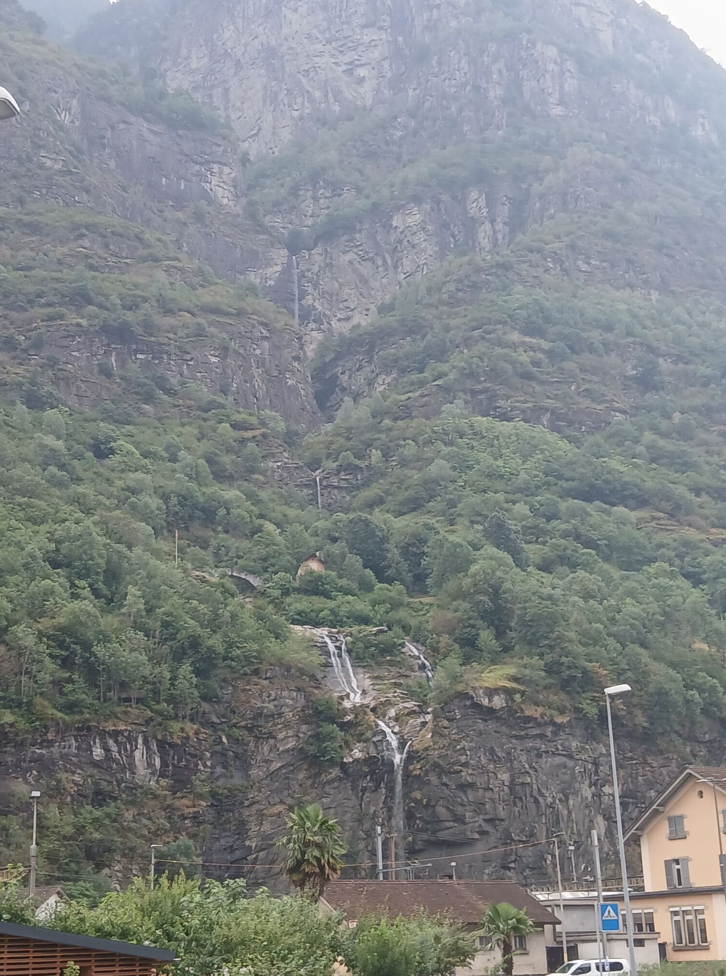


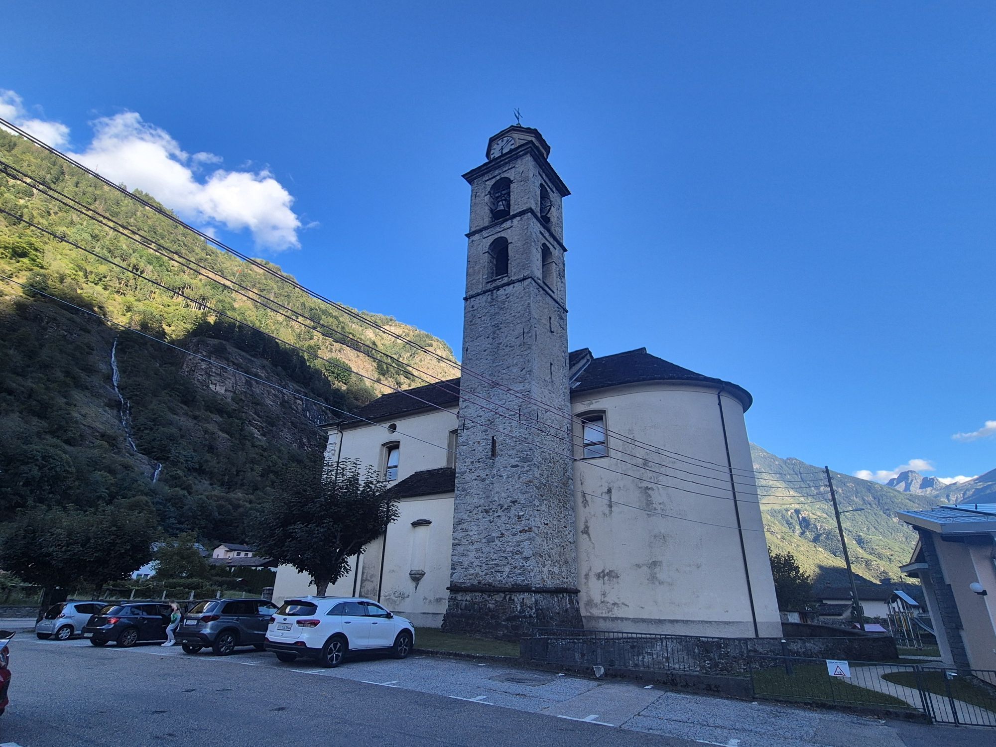
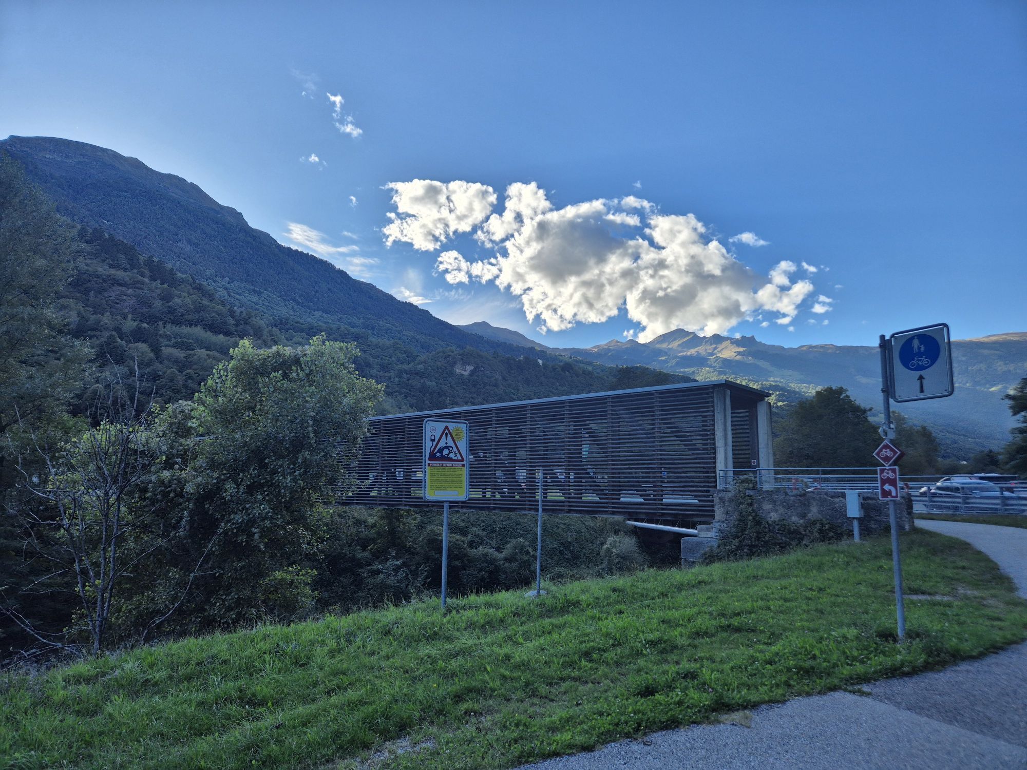
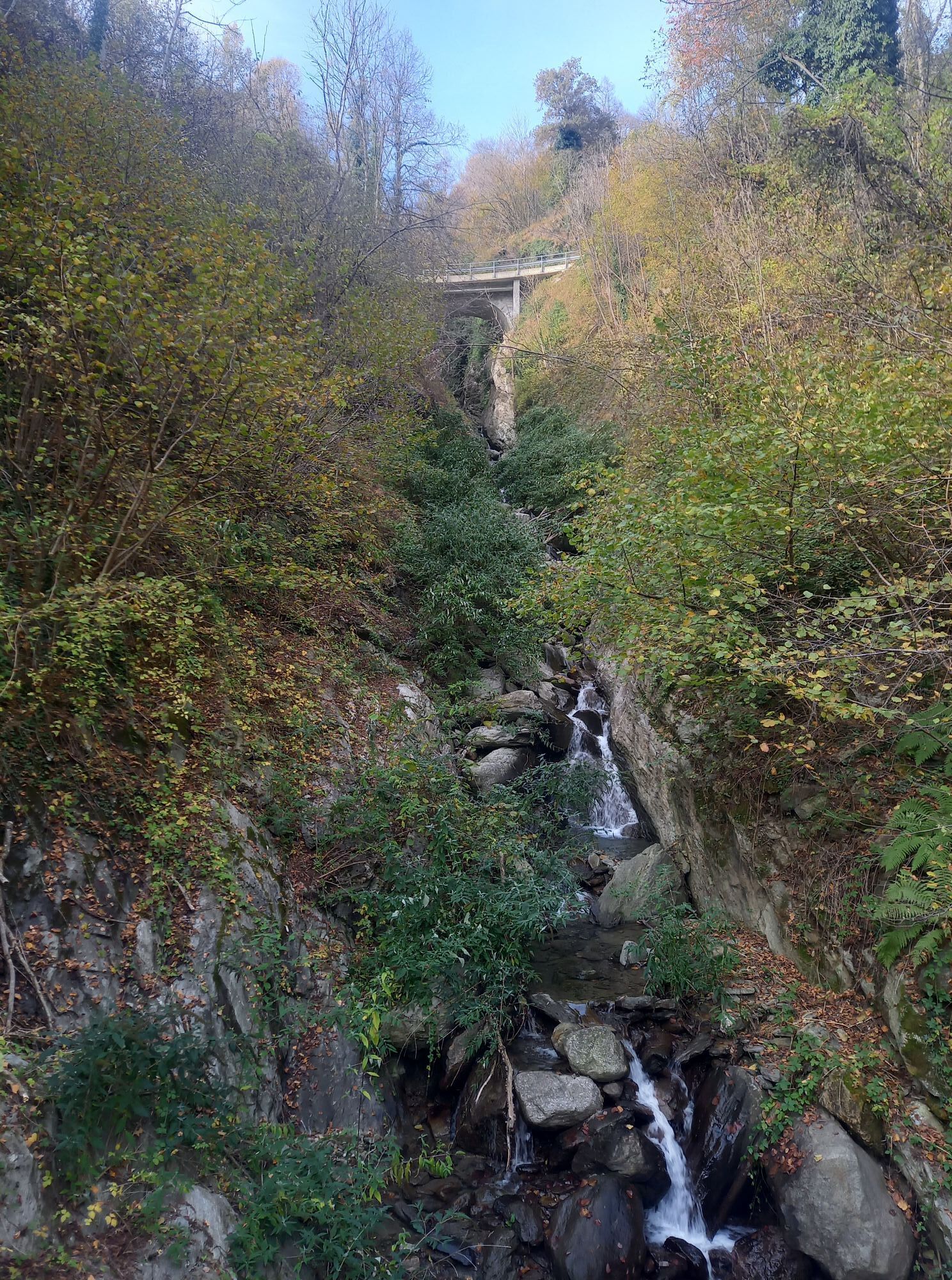
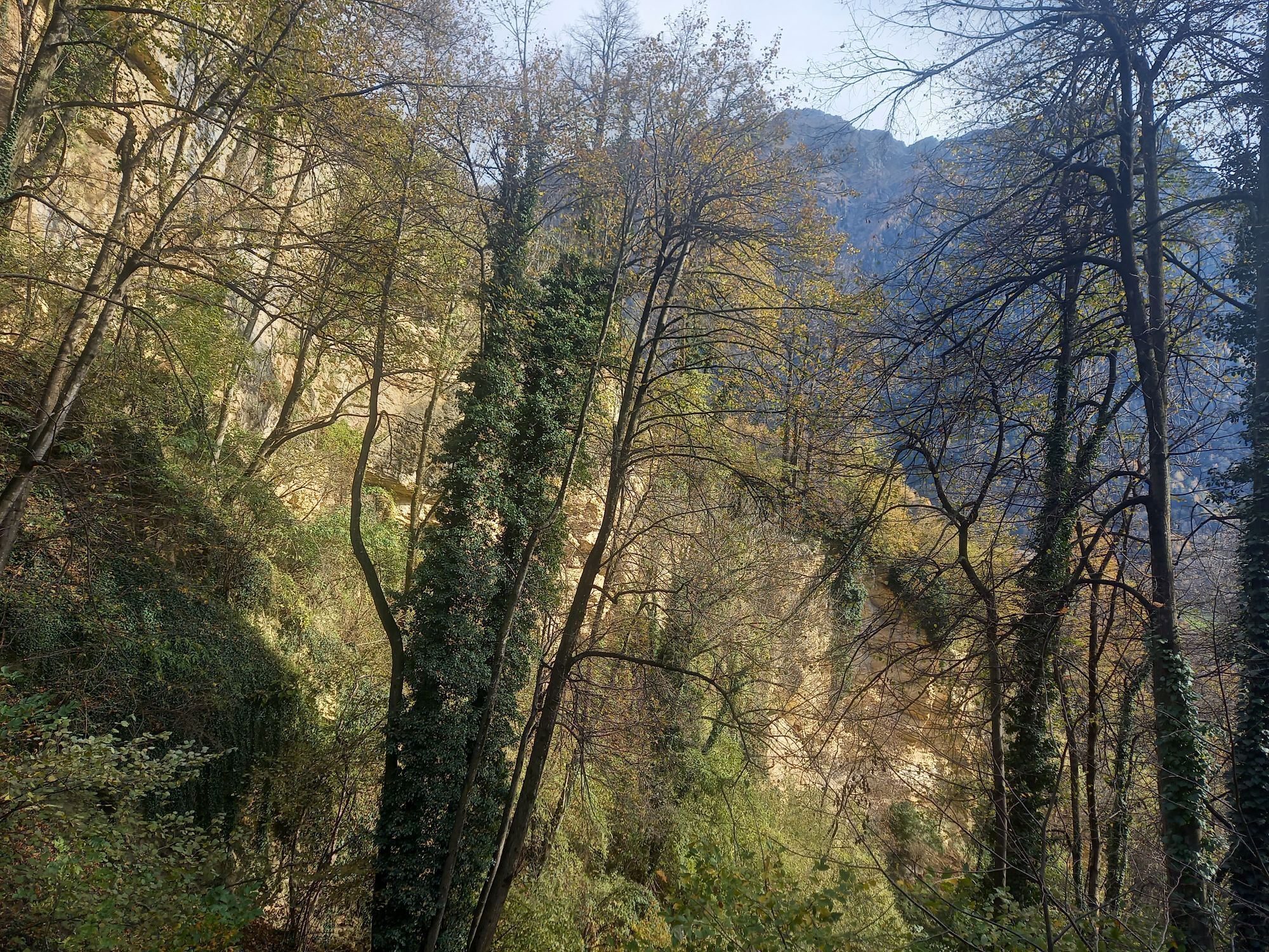
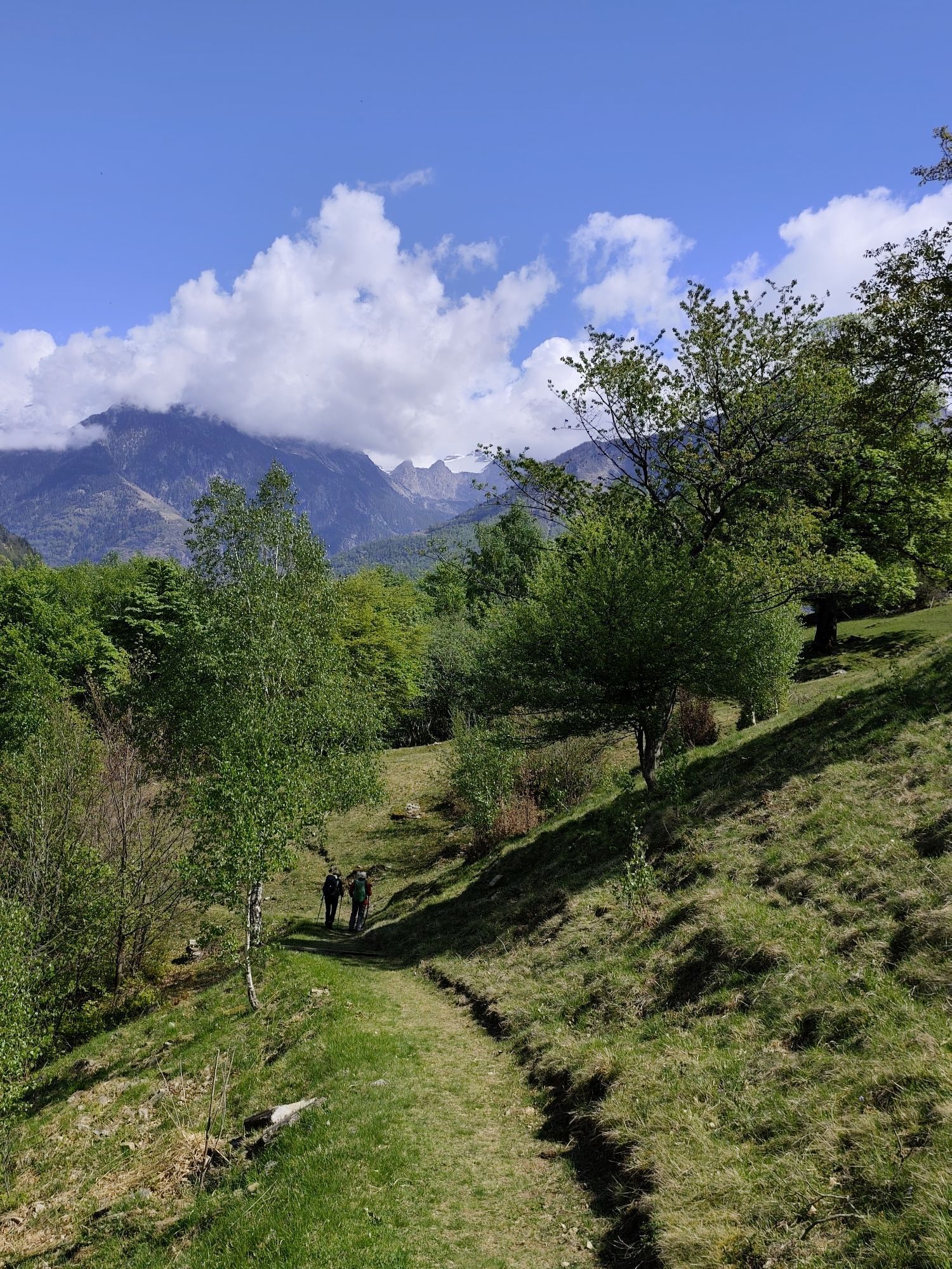
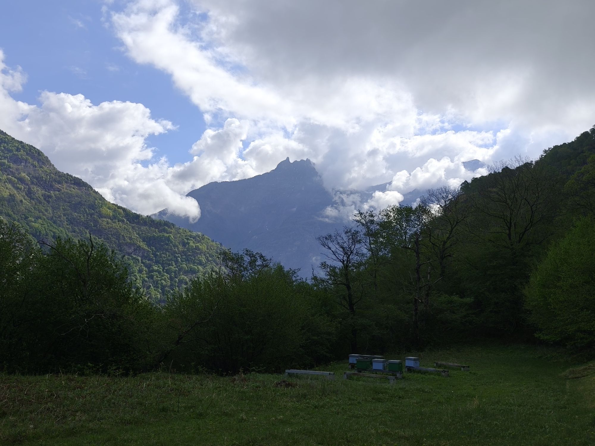
Through the sunny Valle di Blenio up to the Lucomagno Pass, one of the most beautiful mountain pass landscapes in Switzerland. Passing along the artificial lake in the Val Medel, with rhododendrons and...
Popis
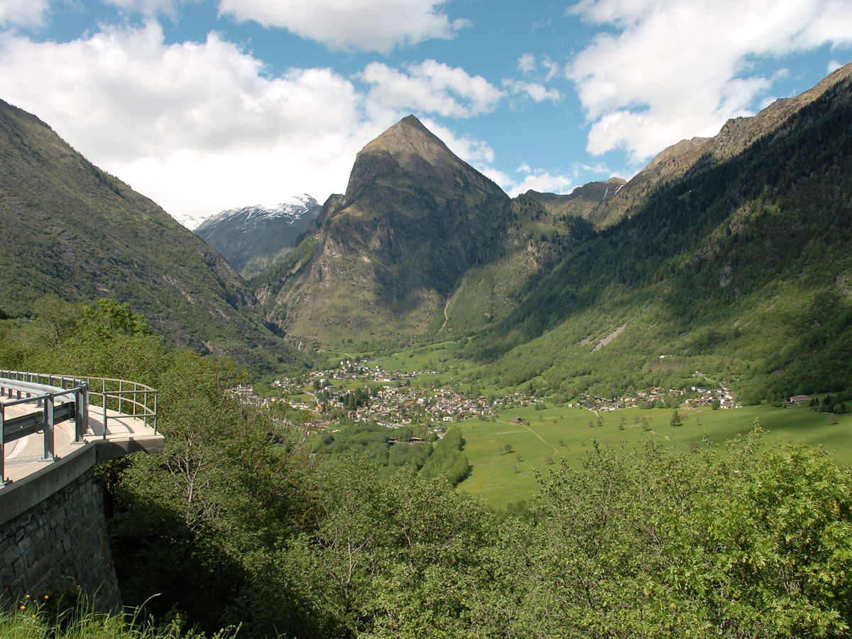
Through the sunny Valle di Blenio up to the Lucomagno Pass, one of the most beautiful mountain pass landscapes in Switzerland. Passing along the artificial lake in the Val Medel, with rhododendrons and the rushing water in the Höllenschlucht gorge, you reach the destination: Disentis.
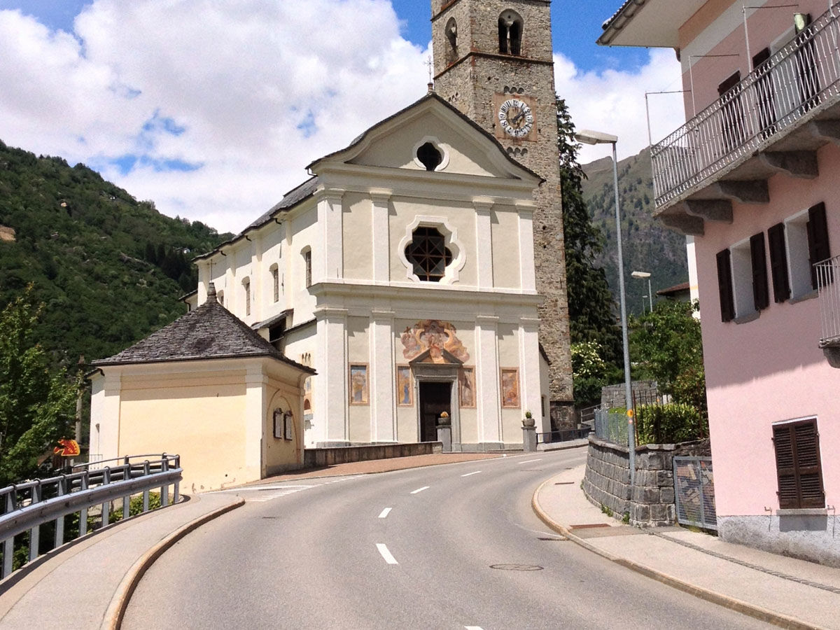
The starting point is Biasca, the center of the Ambrosian valleys Leventina, Riviera and Blenio. On the lower slopes of the Brenno valley extend wide chestnut forests; chestnuts, once considered a "poor man’s fruit," are often left on the ground today. In the Serravalle castle, before Ludiano, Emperor Barbarossa stopped; the ruins still testify to his power. In the sunlit valley, agriculture is practiced on terraces. High up, isolated on an alpine pasture, stands one of the most impressive Romanesque buildings in Ticino, San Carlo di Negrentino, with its magnificent frescoes. Butterflies accompany us during the ascent while the landscape changes; in the quiet alpine valley Santa Maria the fir trees smell of resin and the tinkling of cowbells follows us up to the Lucomagno Pass.
After crossing the Lucomagno Pass, we follow the artificial lake in Val Medel, where fragrant rhododendrons, dark wooden houses and the rush of water in the Höllenschlucht gorge accompany us to Disentis.
Blenio - Lucomagno route - Discover the complete route
Trasa
Biasca
(301 m)
Vesnice
1.2 km
Chiesa di Santa Maria Assunta
(396 m)
Místo konání bohoslužeb
6.9 km
Chiesa di Santa Maria Nascente
(440 m)
Místo konání bohoslužeb
9.5 km
Boscero
(489 m)
Vypořádání
12.1 km
Chiesa di San Giorgio
(625 m)
Místo konání bohoslužeb
15.6 km
Oratorio di Sant'Antonio da Padova
(650 m)
Místo konání bohoslužeb
16.1 km
Oratorio di San Francesco Saverio
(719 m)
Místo konání bohoslužeb
18.3 km
Trasa
Itinerary Blenio–Lukmanier : stage Biasca–Olivone
střední
Jízda na kole
24.84
km
Biasca
(293 m)
Železniční stanice
0.0 km
Nazionale
(292 m)
Restaurace
0.0 km
Lucomagno
(292 m)
Restaurace
0.1 km
Biasca
(301 m)
Vesnice
1.2 km
Piazzora
(320 m)
Vypořádání
1.7 km
Loderio
(359 m)
Vypořádání
4.0 km
Rampeda
(455 m)
Vypořádání
4.2 km
Ca d Iö
(458 m)
Sousedství
6.8 km
Chiesa di Santa Maria Assunta
(396 m)
Místo konání bohoslužeb
6.9 km
Al Borgo
(405 m)
Sousedství
6.9 km
Semione
(399 m)
Vesnice
7.0 km
Capèla da Cuscnich
(412 m)
Místo konání bohoslužeb
7.4 km
Ludiano
(477 m)
Vesnice
8.2 km
Chiesa di San Secondo
(473 m)
Místo konání bohoslužeb
8.5 km
Chiesa di San Pietro
(447 m)
Místo konání bohoslužeb
9.2 km
Chiesa di Santa Maria Nascente
(440 m)
Místo konání bohoslužeb
9.5 km
Motto (Blenio)
(443 m)
Vypořádání
9.5 km
Marogno
(454 m)
Vypořádání
9.8 km
Chiesa dei Santi Luca e Fiorenzo
(469 m)
Místo konání bohoslužeb
11.0 km
Crespögn
(480 m)
Sousedství
11.3 km
Dongio
(478 m)
Vypořádání
11.6 km
Boscero
(489 m)
Vypořádání
12.1 km
Roccabella
(499 m)
Vypořádání
12.4 km
Scaradra
(514 m)
Vypořádání
12.5 km
Pozzo
(533 m)
Vypořádání
12.9 km
Stallaccia
(524 m)
Vypořádání
13.2 km
Acquarossa
(430 m)
Vesnice
13.5 km
Stazione
(536 m)
Restaurace
13.7 km
Cará Comprovasco
(545 m)
Sousedství
13.7 km
Comprovasco
(537 m)
Vypořádání
13.7 km
Chiesa dei Santi Giacomo, Bartolomeo e Vincenzo di Paola
(553 m)
Místo konání bohoslužeb
13.9 km
Prugiasco
(621 m)
Vesnice
14.9 km
Chiesa parrocchiale di Sant'Ambrogio
(629 m)
Místo konání bohoslužeb
14.9 km
Chiesa di San Giorgio
(625 m)
Místo konání bohoslužeb
15.6 km
Castro
(641 m)
Vesnice
16.0 km
Oratorio di Sant'Antonio da Padova
(650 m)
Místo konání bohoslužeb
16.1 km
Oratorio di Santa Maria Maddalena
(697 m)
Místo konání bohoslužeb
17.5 km
Cappella di Sant'Anna
(713 m)
Místo konání bohoslužeb
17.6 km
Ponto Valentino
(716 m)
Vesnice
17.7 km
Osteria del Ponte
(718 m)
Restaurace
18.0 km
Chiesa di San Martino
(719 m)
Místo konání bohoslužeb
18.1 km
Oratorio di San Francesco Saverio
(719 m)
Místo konání bohoslužeb
18.3 km
Grumarone
(752 m)
Sousedství
20.7 km
Ristorante Centrale
(777 m)
Restaurace
21.1 km
Chiesa parrocchiale di San Vittore Mauro
(787 m)
Místo konání bohoslužeb
21.3 km
Aquila
(779 m)
Vesnice
21.3 km
Olivone
(900 m)
Vesnice
24.7 km
Autor
Poskytuje Bellinzona e Valli Turismo
Prohlídku Itinerary Blenio–Lukmanier : stage Biasca–Olivone zajišťuje outdooractive.com.


Bezpečnostní pokyny
This route runs on roads open to motorized traffic, obey the traffic rules: www.prudenza-precedenza.ch
Další informace a tipy
Tipy
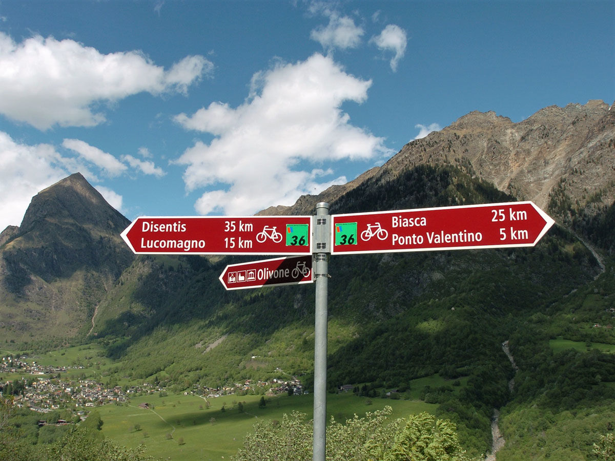
Follow the bicycle logo shown on the red signs: Blenio Lucomagno route no. 36
Zatím žádné recenze

Všechny webové kamery na mapě
Nainstaluj si aplikaci zdarma a porovnej si živé záběry z několika míst, než vyrazíš.
Využijte nyní službu „ bergfex “ v aplikaci
Naskenuj QR kód pomocí fotoaparátu
Jakmile je aplikace nainstalována, obsah se otevře přímo. Pokud aplikaci ještě nemáš, budeš přesměrován na stránku, kde si ji můžeš zdarma stáhnout.
Oblíbené prohlídky v okolí
-
4.8
Tibet Suspension Bridge Route Riasc
světloTuristika 6.12 km -
Furggelti 2712m
heavyTuristika 18.7 km -
4.5
Carassino Valley Via Alta
Turistika 14.0 km -
Trailrun - Zerfreilahorn circuit
heavyTrailrunning 21.3 km -
5.0
Discovering the Lakes of Chièra
středníTuristika 8.19 km -
3.0
Faido and the Piumogna waterfall
Turistika 6.94 km -
3 day route Greina-Lucomagno: Capanna Scaletta - Capanna Bovarina (Stage 2)
střednídálková pěší trasa 13.3 km -
Lago d'Efra Trail
heavyTrailrunning 13.6 km -
Crown Hike (12 stages)
heavydálková pěší trasa 213.1 km -
Selvasecca Forest Reserve, Lucomagno
světloTuristika 3.98 km
Pěší turistika a stopování

Více než 550.000 návrhů výletů, podrobné mapy a intuitivní plánovač tras dělají z aplikace nezbytnou výbavu pro všechny milovníky přírody.

Nenechte si ujít nabídky a inspiraci pro vaši příští dovolenou
Přihlaste se k odběru newsletteru
Chyba
Došlo k chybě. Zkuste to prosím znovu.
Děkujeme za vaši registraci
Vaše e-mailová adresa byl přidán do poštovního seznamu.
Zájezdy po celé Evropě
Rakousko
Švýcarsko
Německo
Itálie
Slovenia
Francie
Nizozemsko
Belgie
Polsko
Lichtenštejnsko
Česko
Slovensko
Španělsko
Chorvatsko
Bosna a Hercegovina
Lucembursko
Andorra
Portugal
Iceland
United Kingdom
Ireland
Greece
Albania
North Macedonia
Malta
Norway
Montenegro
Moldova
Kosovo
Hungary
San Marino
Romania
Estonia
Latvia
Belarus
Cyprus
Lithuania
Serbia
Bulgaria
Monaco
Denmark
Sweden
Finland


