







Lago d'Efra Trail

Úroveň obtížnosti: T2

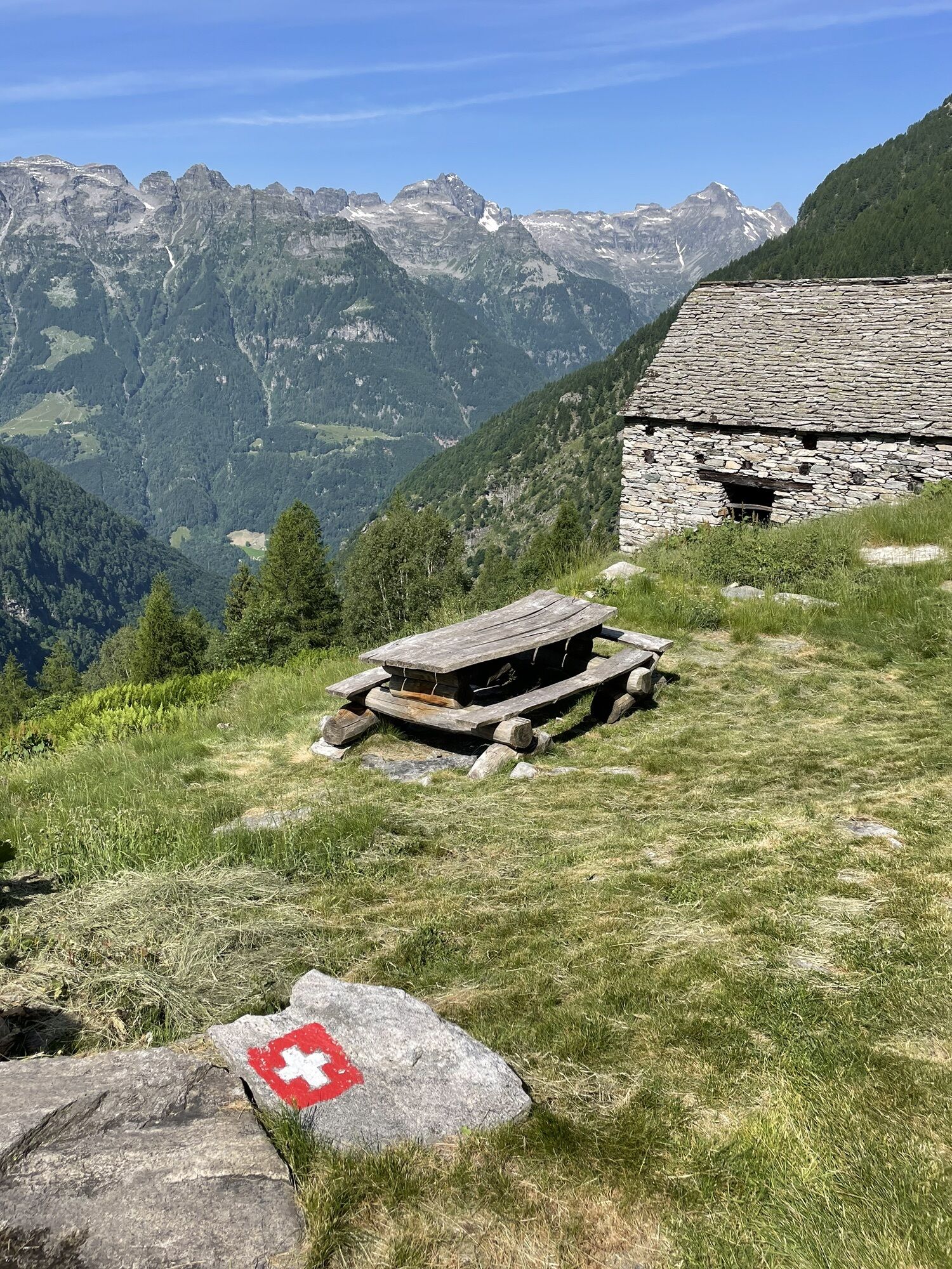


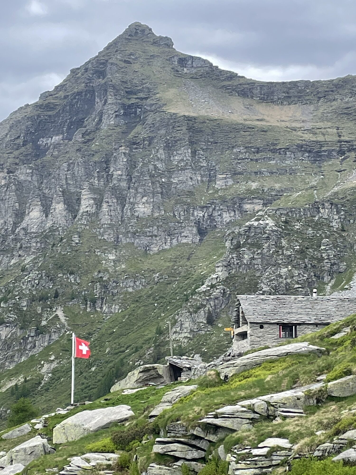
The starting point is Frasco (885 m) in the Verzasca Valley, accessible by car or bus. The path starts above the historic Albergo Efra and leads into the valley of the same name. Albergo Efra was built...
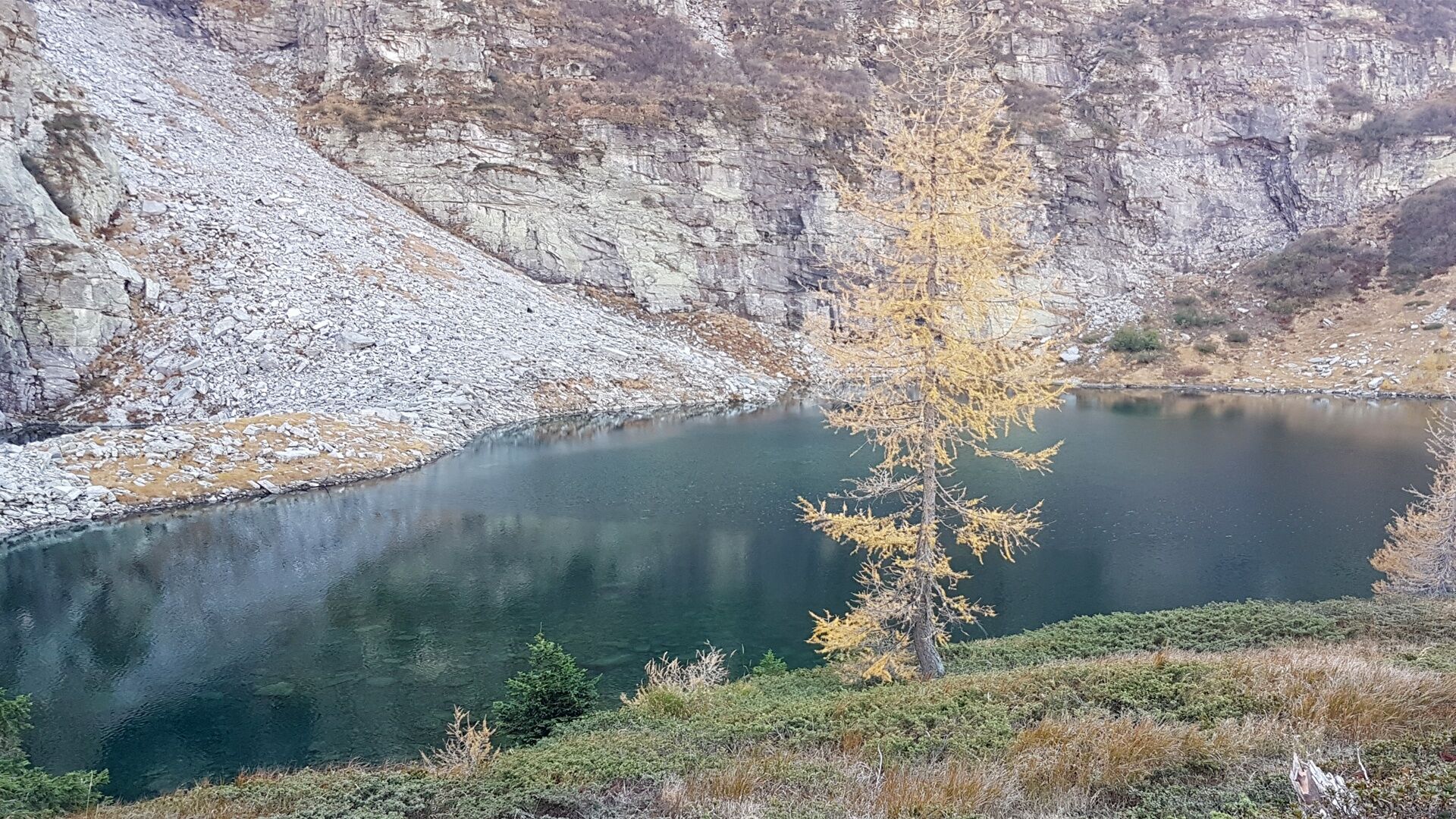
The starting point is Frasco (885 m) in the Verzasca Valley, accessible by car or bus. The path starts above the historic Albergo Efra and leads into the valley of the same name. Albergo Efra was built in 1930 and was for a long time the only tourist infrastructure in the entire valley. It mostly hosted guests from England at that time. The first stop is Alpe Efra (1686 m), from where you reach the small lake (1836 m).
The altitude difference is 962 m. The path is not difficult but requires good footwear. Capanna Efra is about 30 minutes from the lake. Valle d'Efra offers many other trails: via the Gagnone (2215 m) and Rampi (2366 m) passes you reach Valle Leventina.
You start from Frasco near the parish church (885 m) on an asphalted municipal road through the hamlet of Scimarmota, from where a forest path follows the right bank of the Riale d'Efra (stream) up to Monti Montada (1196 m). Numerous switchbacks lead partly through the forest up the mountain to Corte di Fondo (1686) to finally reach Alpe d'Efra.
At Alpe d’Efra there is a fountain where you can quench your thirst. On a panoramic path, you go a short stretch heading south across the pastures to the Efra lake (1836 m). From the lake to Capanna d’Efra (2039 m) northeast between pastures and stones to Corte di Cima, where the hut is located, which is run by the Verzaschese hiking club and reachable in another half hour from the lake.

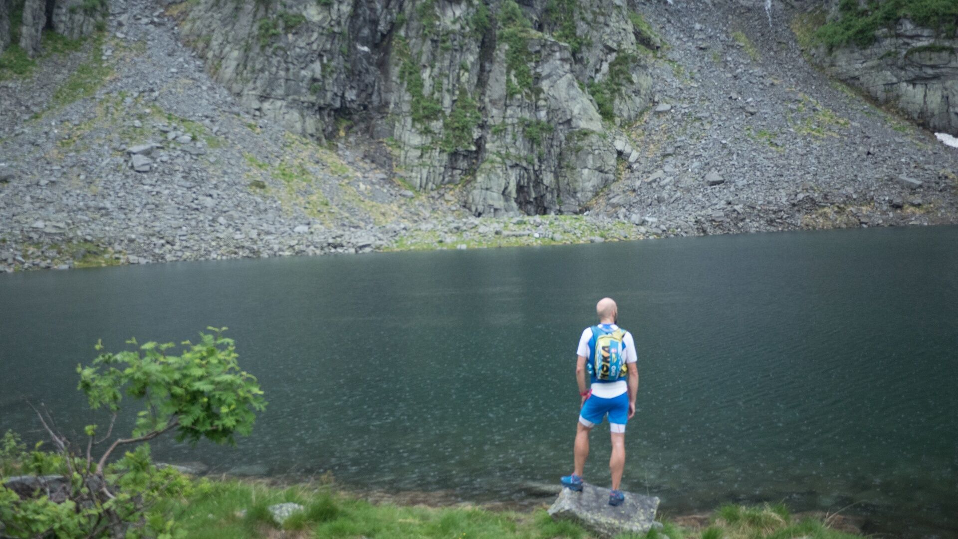
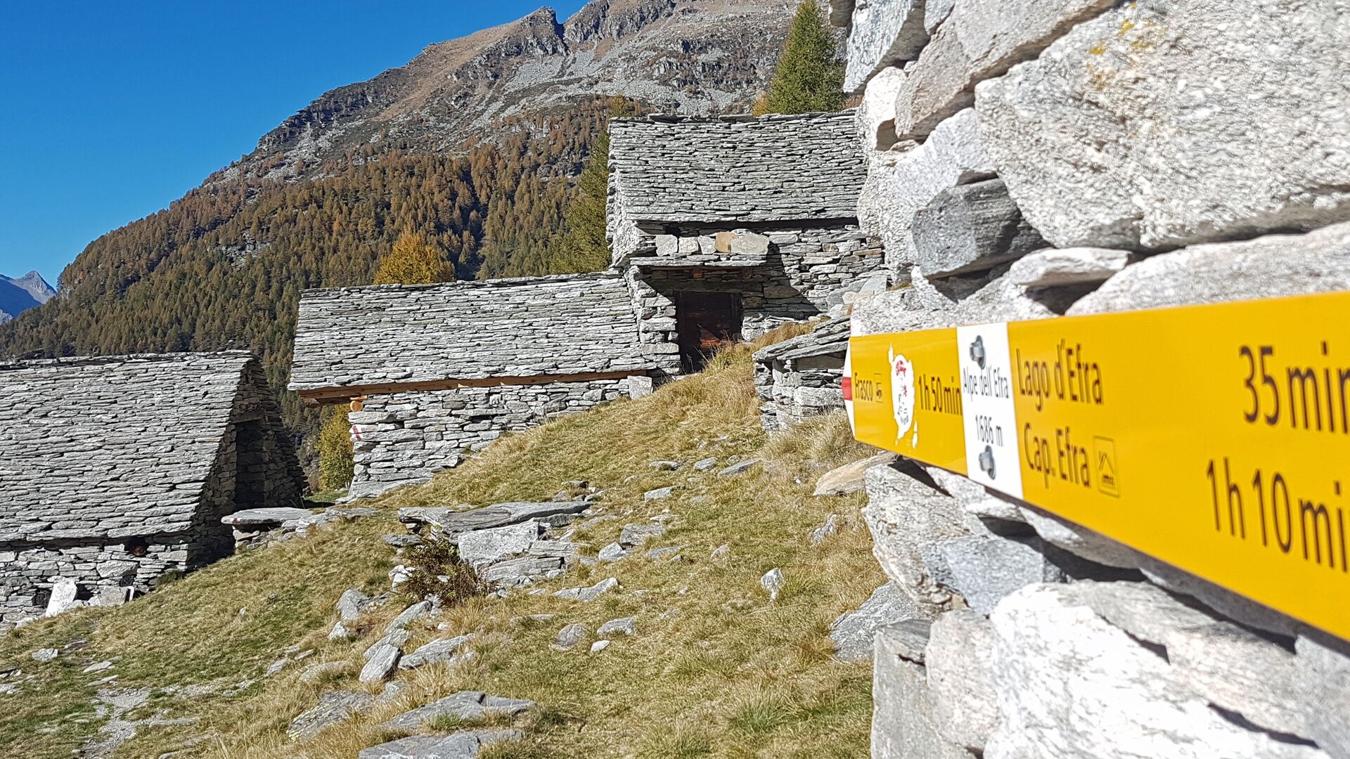


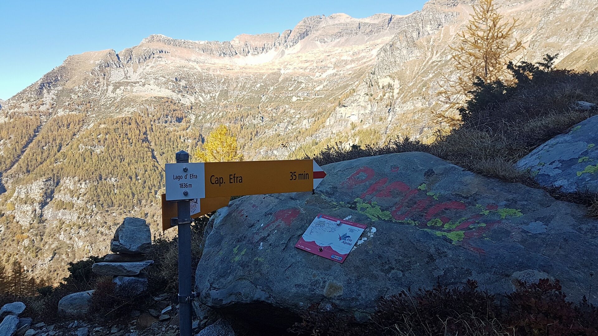

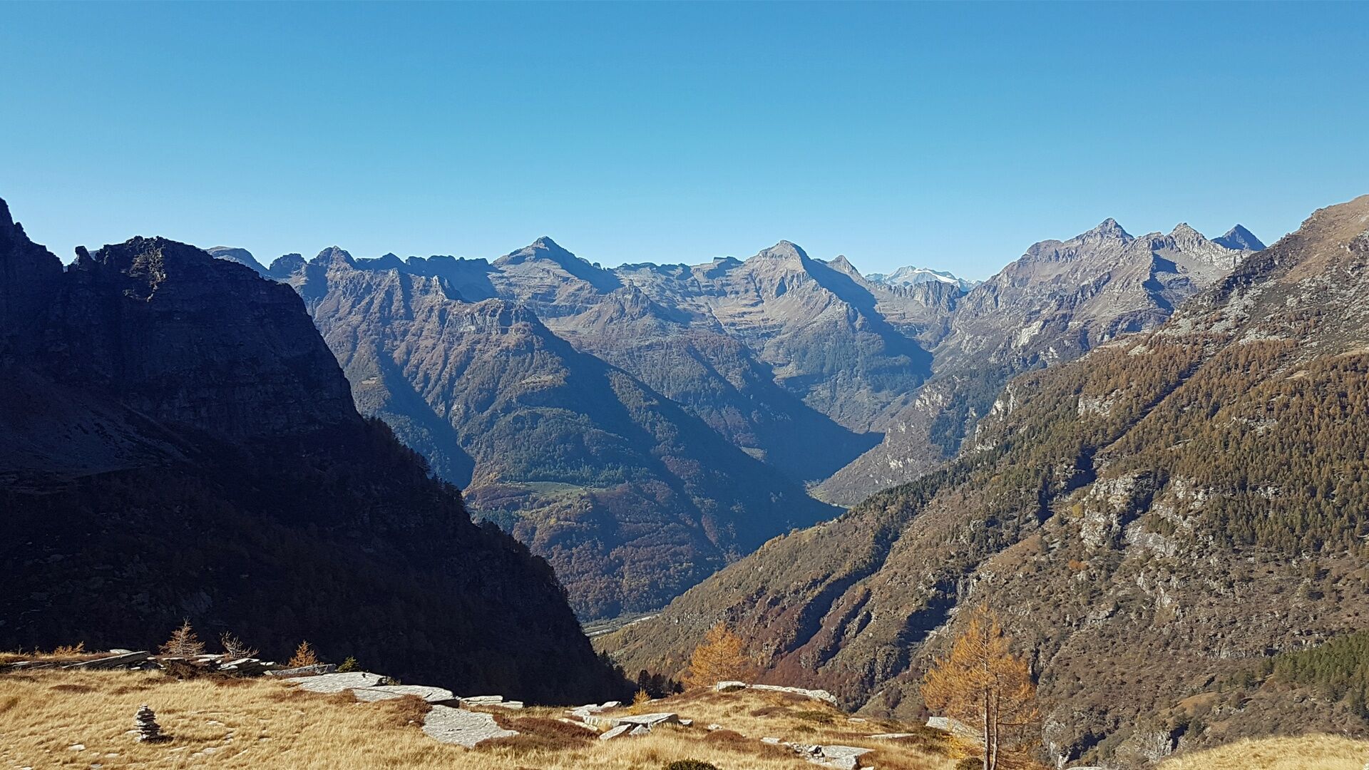

Frasco-Mont Val d'Efra-Chigno-Lago d'Efra-Capanna Efra-Lago d'Efra-Chigno-Mont Val d'Efra-Frasco
ð Clothing:
Functional, breathable shirt Trailrunning shorts or leggings Sports socks Light wind/rain jacket Hat or headband Sunglasses with UV protectionð Shoes:
Trailrunning shoes with good grip𥤠Hydration:
Trailrunning backpack or hip belt At least 1 liter of water Energy bars, gels, or dried fruitsð§ Safety:
Charged mobile phone Map or GPS track of the route Whistle Small first aid kit Rescue blanketâï¸ Additional tips:
Sunscreen Anti-chafing cream Trailrunning poles (optional)Some sections are very steep.
Poor reception along the entire route with numerous spots without network.
Return trip from Frasco: Take bus no. 321 towards Locarno Stazione. Get off at the station.
More information: www.sbb.ch
T2


Oblíbené prohlídky v okolí
-
4.7
Verzasca Dam-Mergoscia-Corippo-Lavertezzo
středníTuristika 13.0 km -
4.8
Valle del Salto round route (SvizzeraMobile 611)
středníTuristika 8.84 km -
5.0
Lavertezzo-Brione Verzasca
světloTuristika 6.50 km -
3.3
Entlang der Verzasca von Sonogno via Brione nach Lavertezzo
světloTuristika 14.5 km -
4.5
Revöira Ethnographic Trail (SwitzerlandMobility 629)
středníTuristika 7.97 km -
Via Alta Vallemaggia - 1st stage: Cimetta-Capanna Alpe Nimi
heavyTuristika 10.2 km -
4.0
Vogorno-Alpe Bardughè-Vogorno
středníTuristika 12.2 km -
Sentiero Verzasca (SvizzeraMobile 74)
střednídálková pěší trasa 34.4 km -
4.5
Brione Verzasca-Sonogno
světloTuristika 8.28 km -
5.0
Valle Verzasca Trail
středníTrailrunning 24.1 km
Pěší turistika a stopování


Nenechte si ujít nabídky a inspiraci pro vaši příští dovolenou
Vaše e-mailová adresa byl přidán do poštovního seznamu.





