


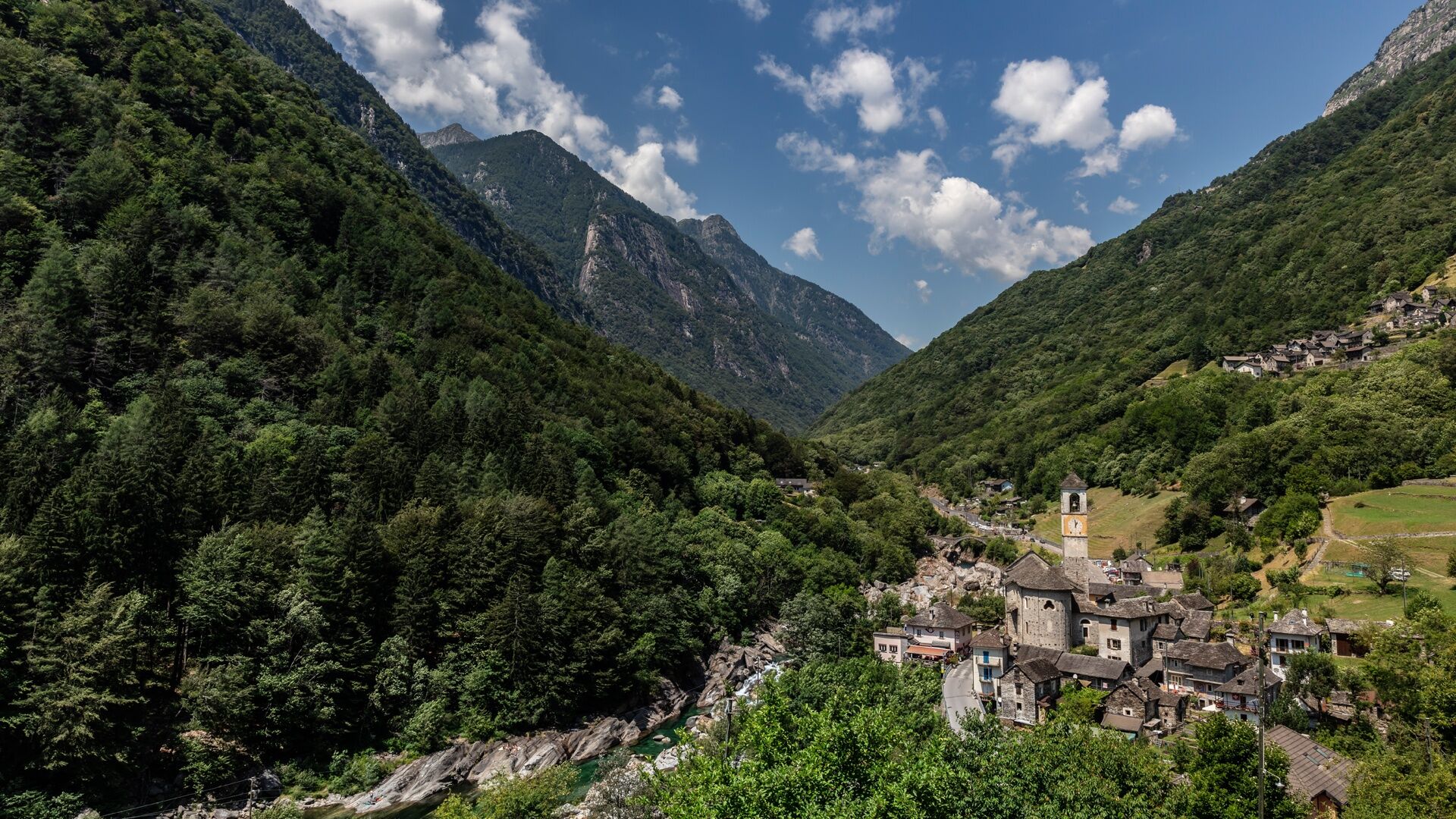
Lavertezzo-Brione Verzasca
Úroveň obtížnosti: T1
Fotografie našich uživatelů
-
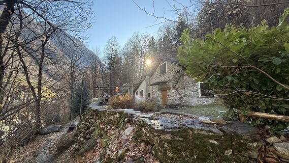
 © KAMartinVytvořeno dne 15.12.2024
 -
 © KAMartinVytvořeno dne 15.12.2024
 -
 © KAMartinVytvořeno dne 15.12.2024
 -
 © KAMartinVytvořeno dne 15.12.2024
 -

 © Silvia CapelliVytvořeno dne 05.11.2021
 -
 © Silvia CapelliVytvořeno dne 05.11.2021
 -
 © Silvia CapelliVytvořeno dne 05.11.2021
 -
 © Aurelian BöhlerVytvořeno dne 27.10.2025


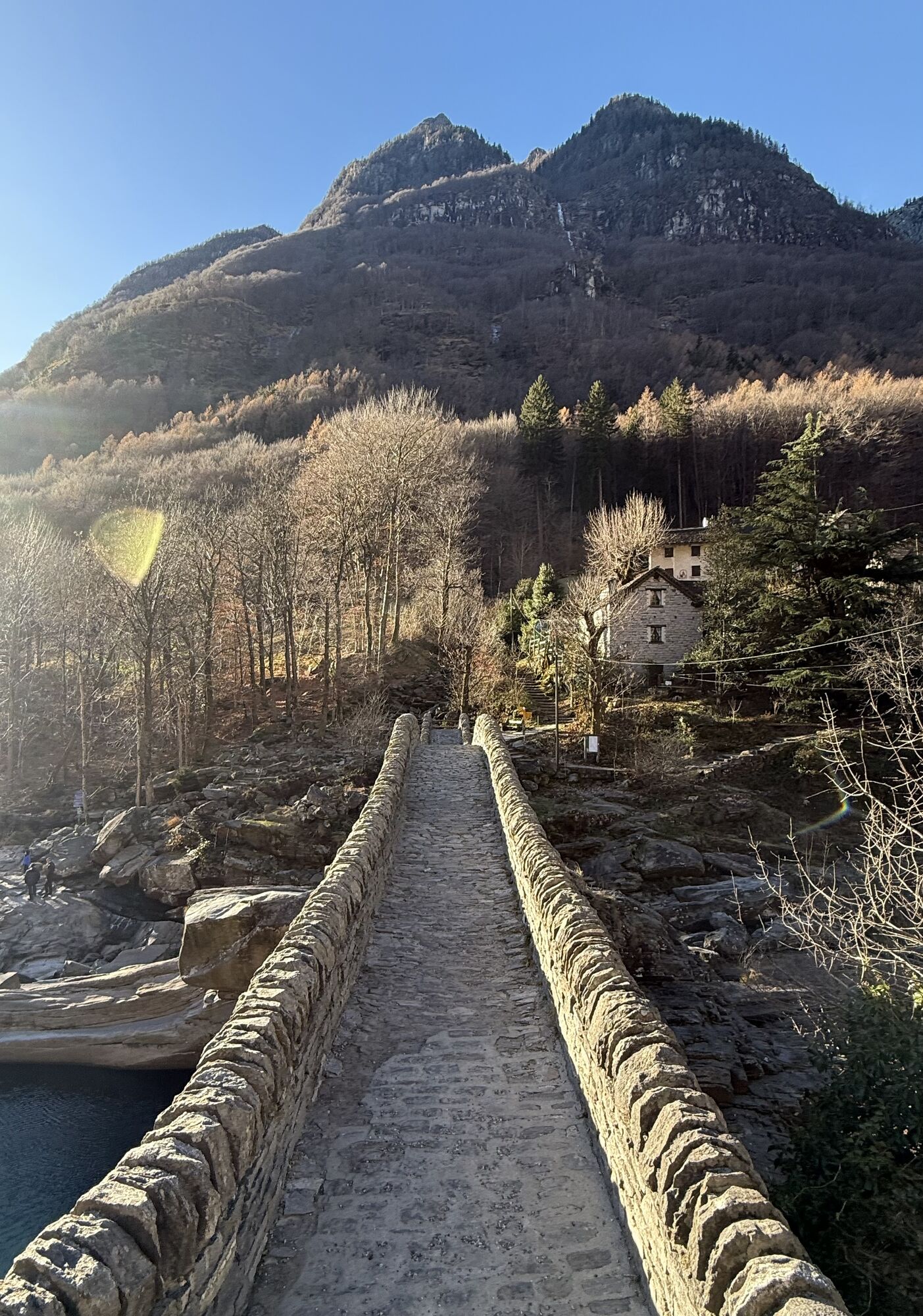


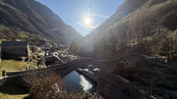
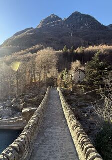
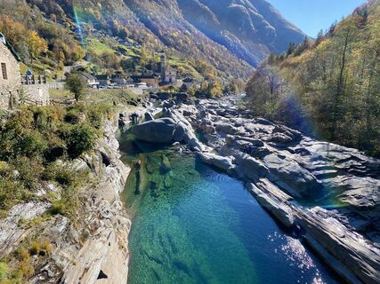
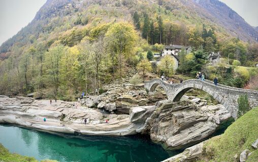
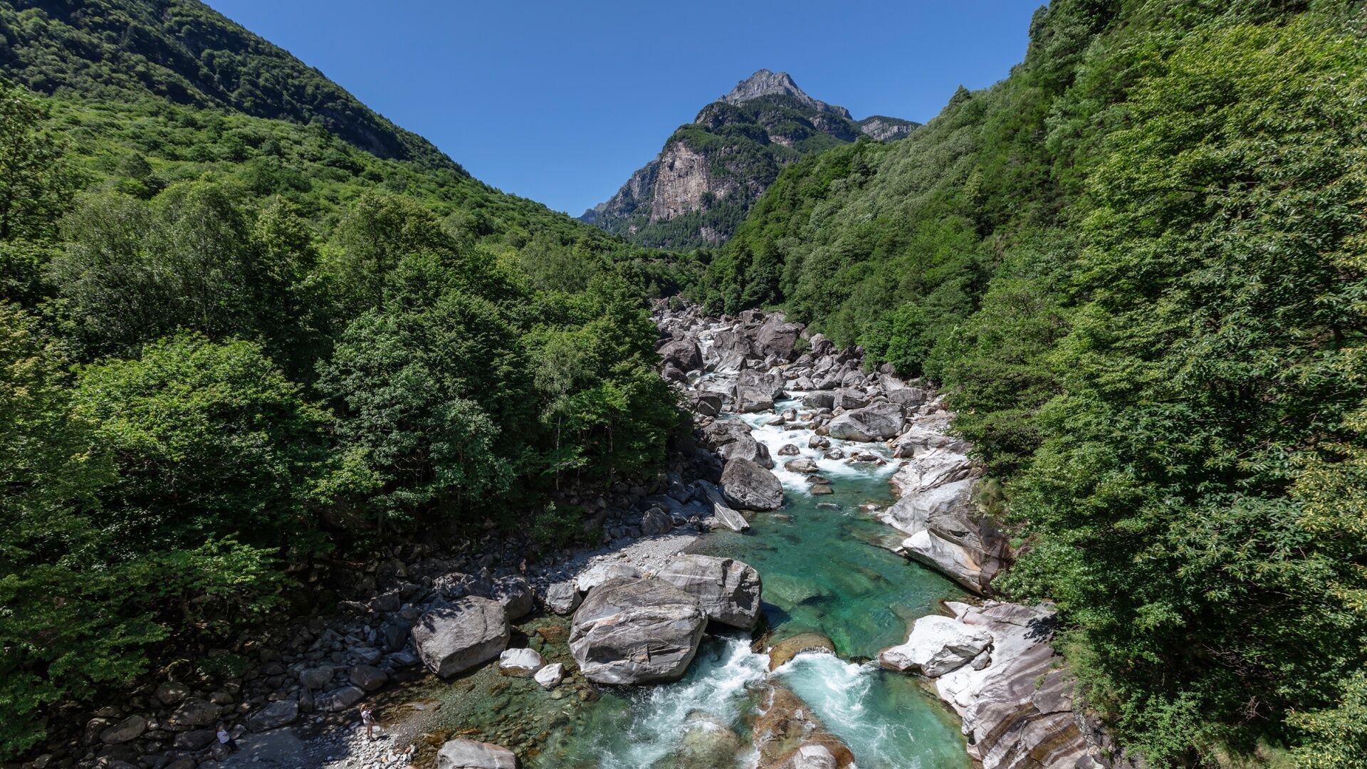
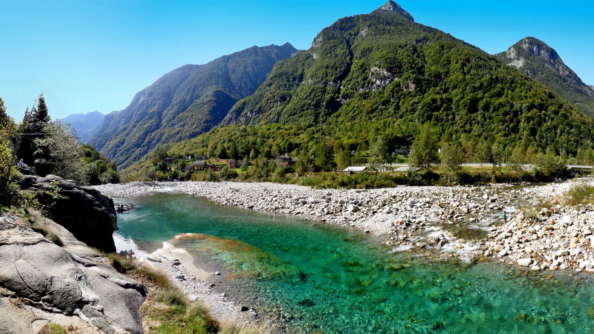
In Lavertezzo, cross the two-arch bridge "Ponte dei Salti" overlooking the emerald waters of the Verzasca and follow the path that leads into the valley towards Brione Verzasca. Shortly after, you arrive...
In Lavertezzo, cross the two-arch bridge "Ponte dei Salti" overlooking the emerald waters of the Verzasca and follow the path that leads into the valley towards Brione Verzasca. Shortly after, you arrive at a picnic area with chalets. A little further along, going up the river, you can see the Orgnana waterfall.
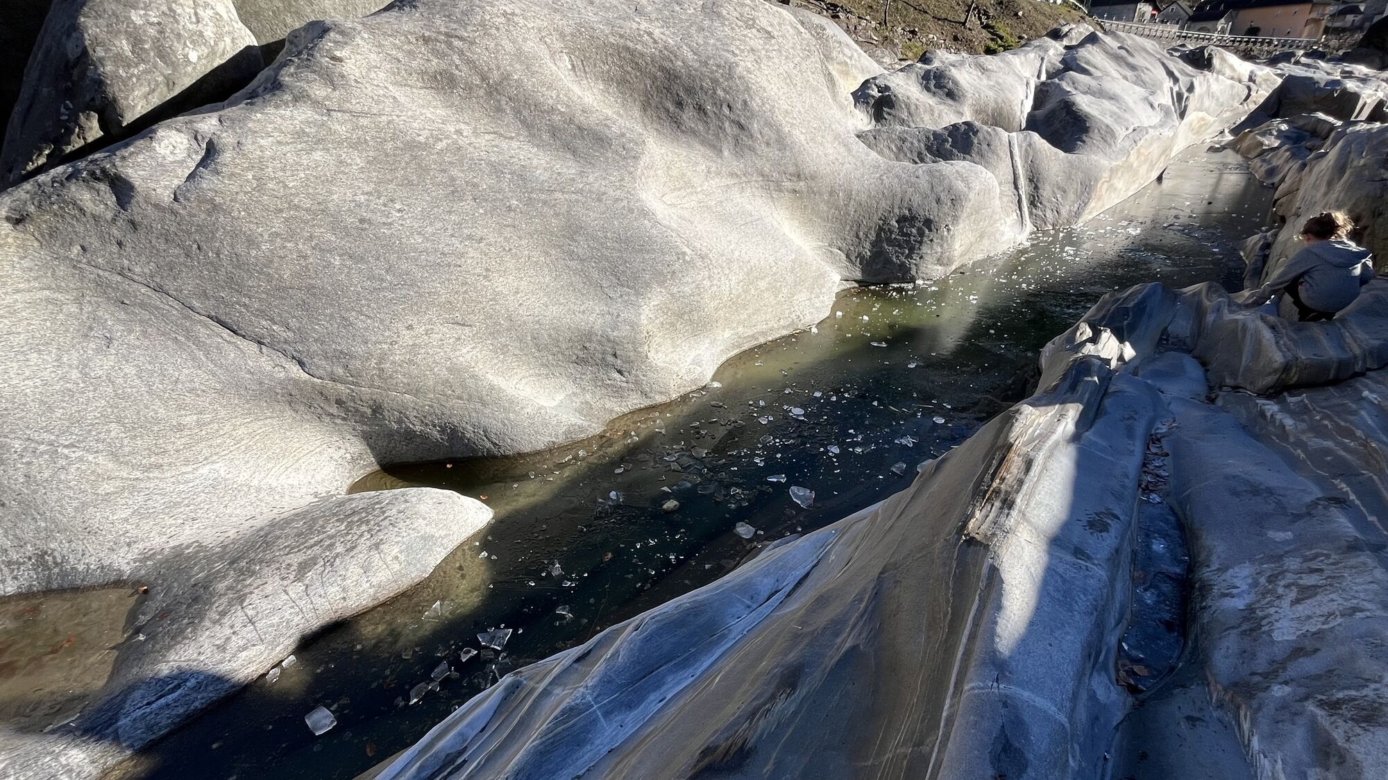
In Ganne, cross the bridge and upon reaching the other riverbank, climb a little by stairs before going down again. You can also swim in the river, but be cautious!
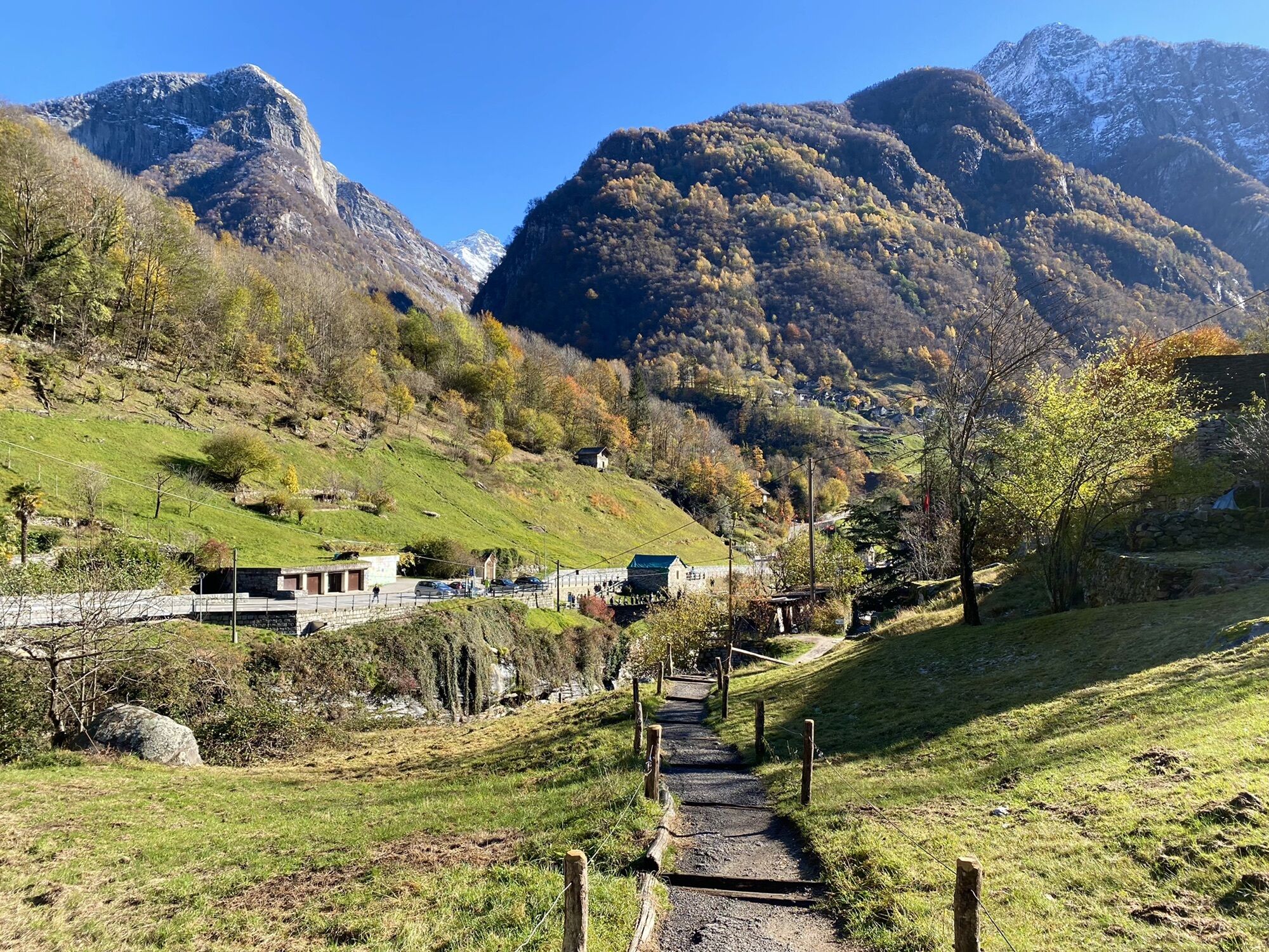
Brione Verzasca is also a popular destination for bouldering enthusiasts because of its granite blocks. The bus line (Locarno-Tenero-Sonogno) passes through here. The route can be done in both directions, there are restaurants in Lavertezzo and Brione Verzasca.
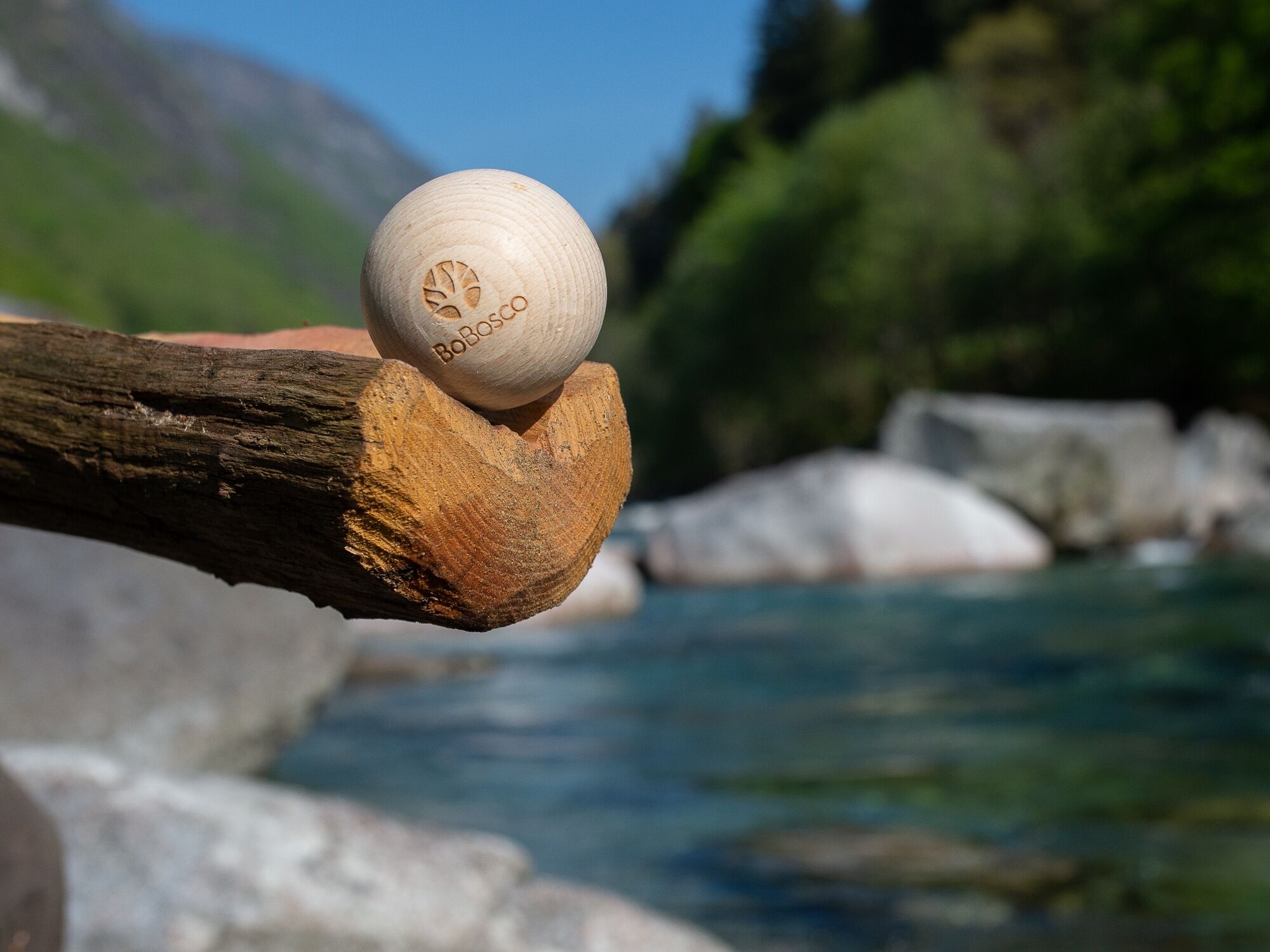
Tip: those who do the route from Brione Verzasca to Lavertezzo can try the "Boccia al bosco," a wooden bocce course with thirteen stations.

Lavertezzo, Village-Ganne-Brione Verzasca, Village
Ano
Hiking backpack (approx. 20 liters) with rain cover
Sturdy and comfortable shoes
Clothing suitable for weather conditions and durable, layering principle, and possibly trekking poles
Sun and rain protection
Provisions and drinking water
First aid kit
Pocket knife
Cell phone, possibly headlamp
Map material
Swiss Trails - Safe hiking
T1


Oblíbené prohlídky v okolí
-
4.8
Avegno-Ponte Brolla-Avegno
středníTuristika 8.56 km -
4.3
Revöira Ethnographic Trail (SwitzerlandMobile 629)
středníTuristika 7.97 km -
3.5
Entlang der Verzasca von Sonogno via Brione nach Lavertezzo
světloTuristika 14.5 km -
4.8
Verzasca Dam-Mergoscia-Corippo-Lavertezzo
středníTuristika 13.0 km -
5.0
Valle del Salto round route (SvizzeraMobile 611)
středníTuristika 8.84 km -
Maggia-Someo-Maggia
světloTuristika 15.5 km -
Sentiero Verzasca (SvizzeraMobile 74)
střednídálková pěší trasa 34.4 km -
5.0
Verzasca Dam-Monti di Motti-Verzasca Dam
středníTuristika 9.31 km -
4.5
Sculpture Trail
světloTematická stezka 2.49 km -
4.0
Vogorno-Alpe Bardughè-Vogorno
středníTuristika 12.2 km
Pěší turistika a stopování


Nenechte si ujít nabídky a inspiraci pro vaši příští dovolenou
Vaše e-mailová adresa byl přidán do poštovního seznamu.