







Grebenzenrunde

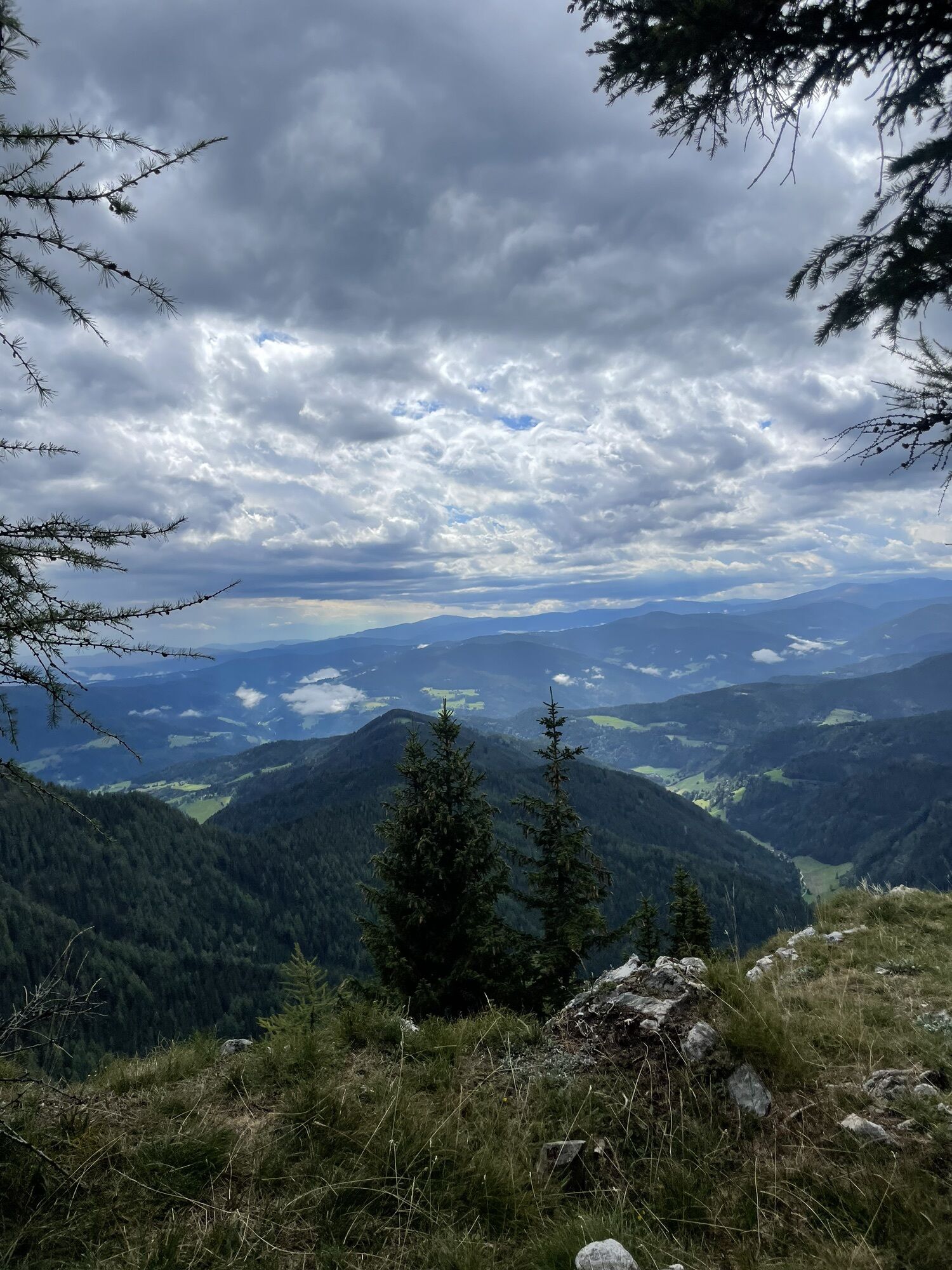
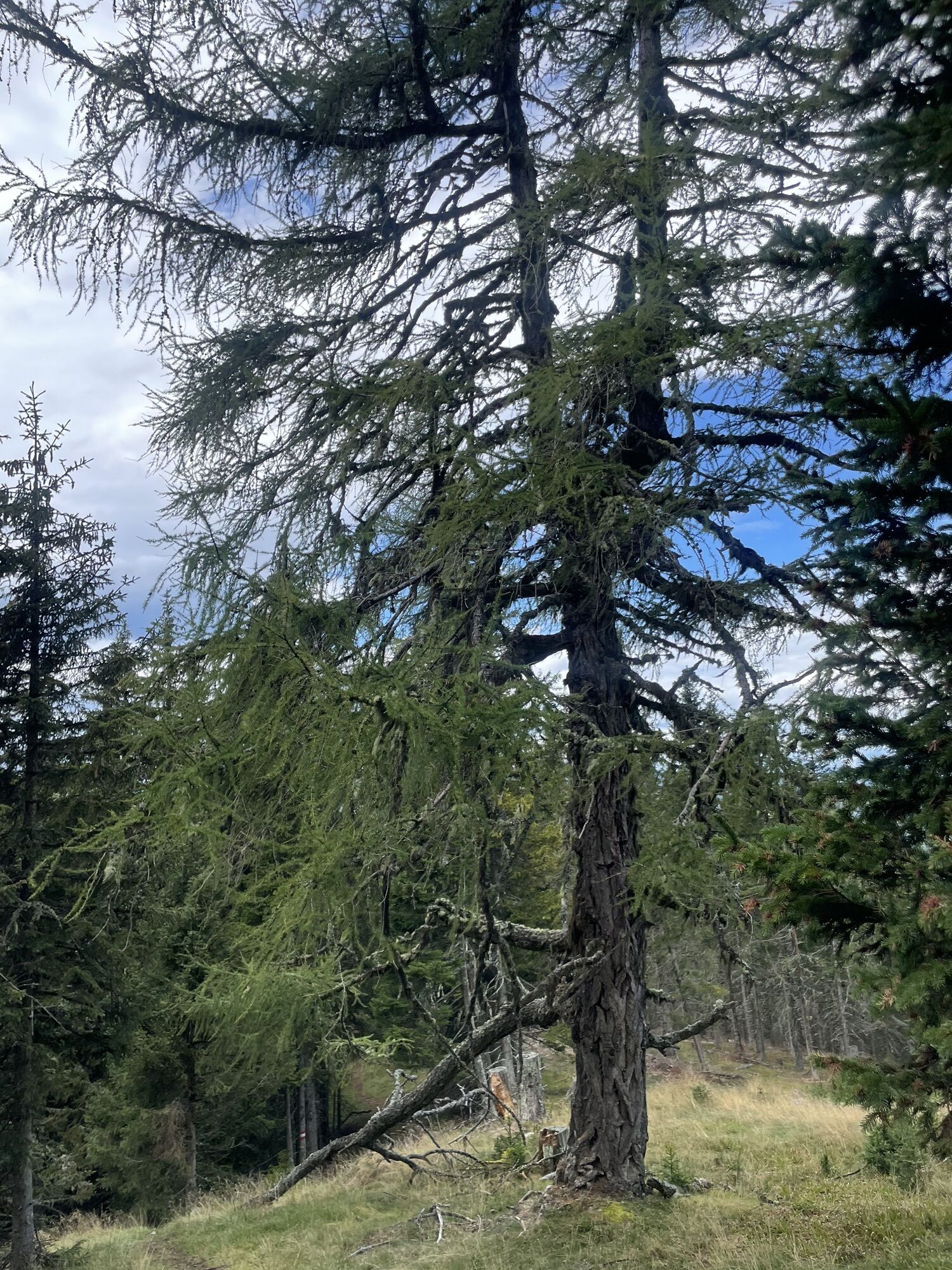
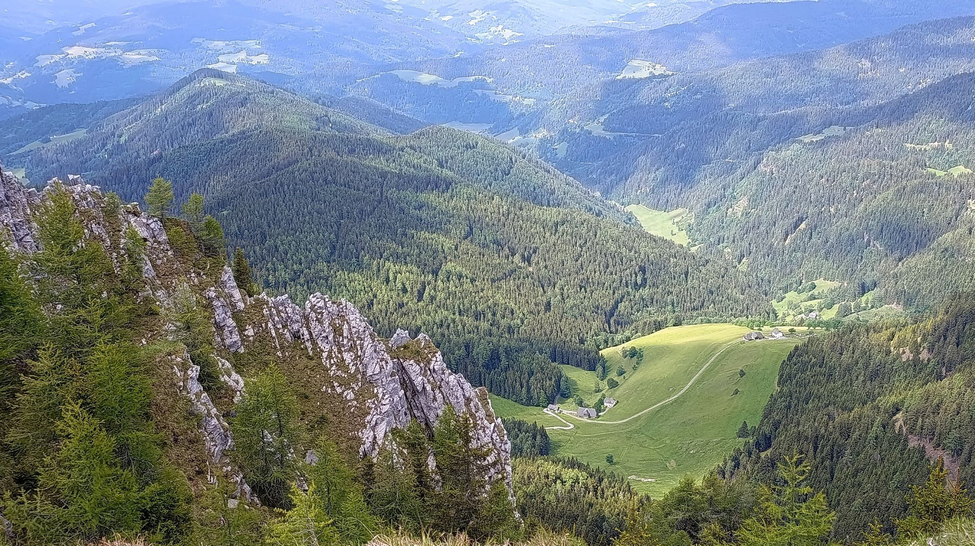
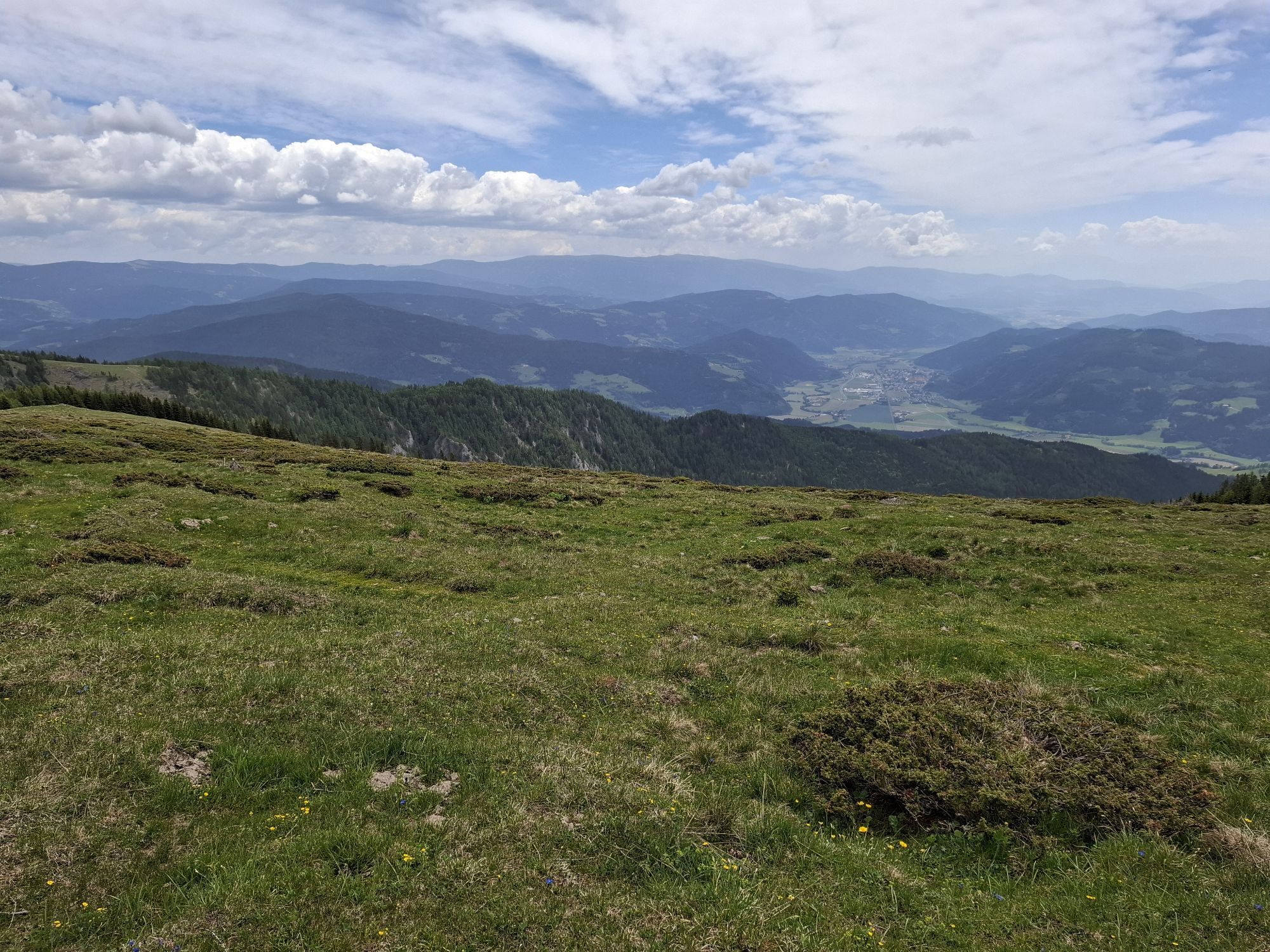
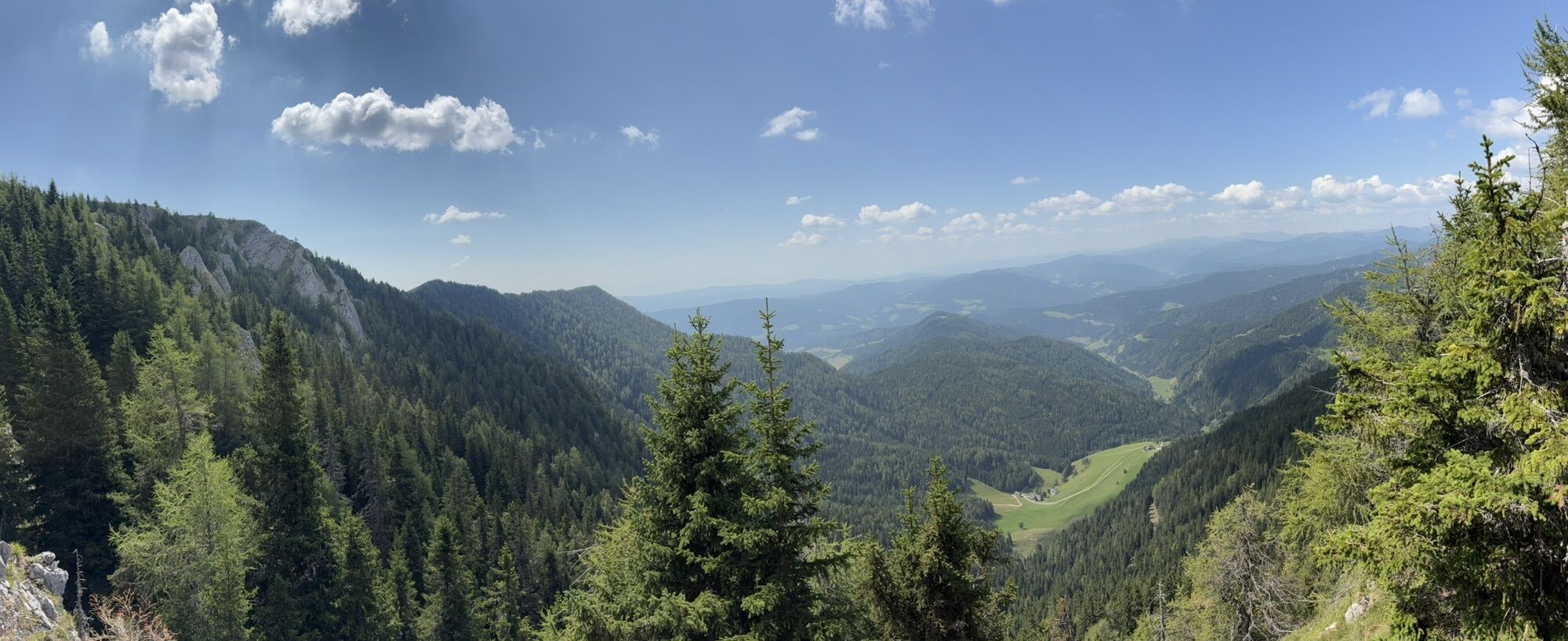
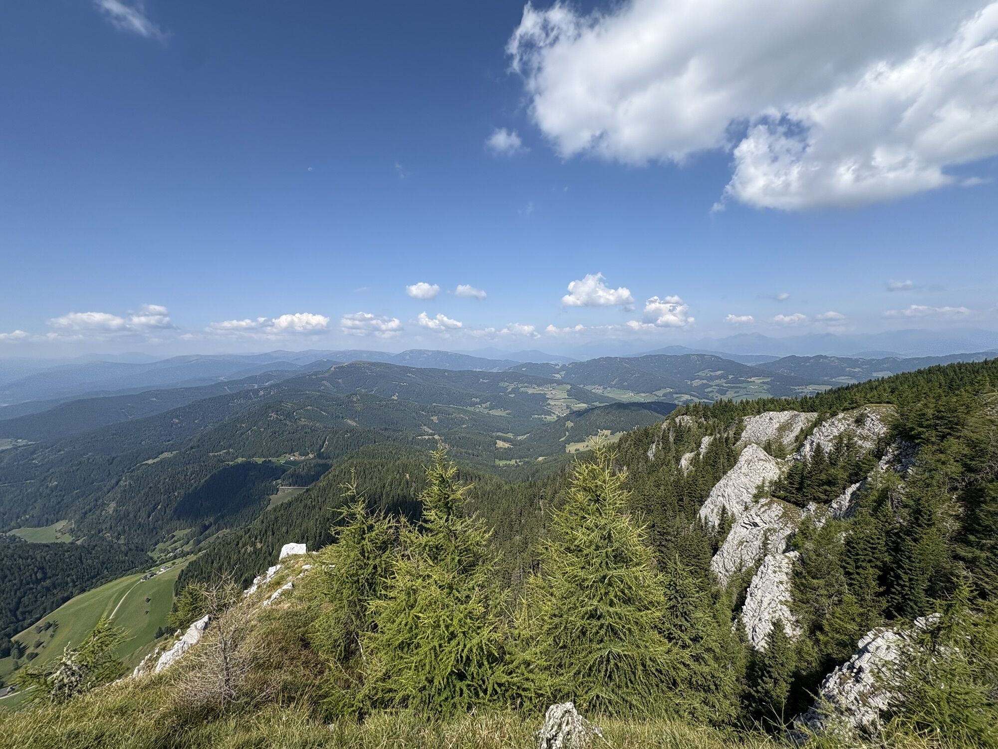
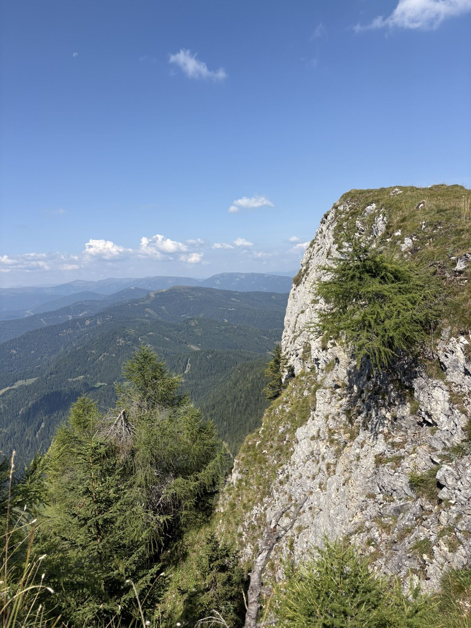
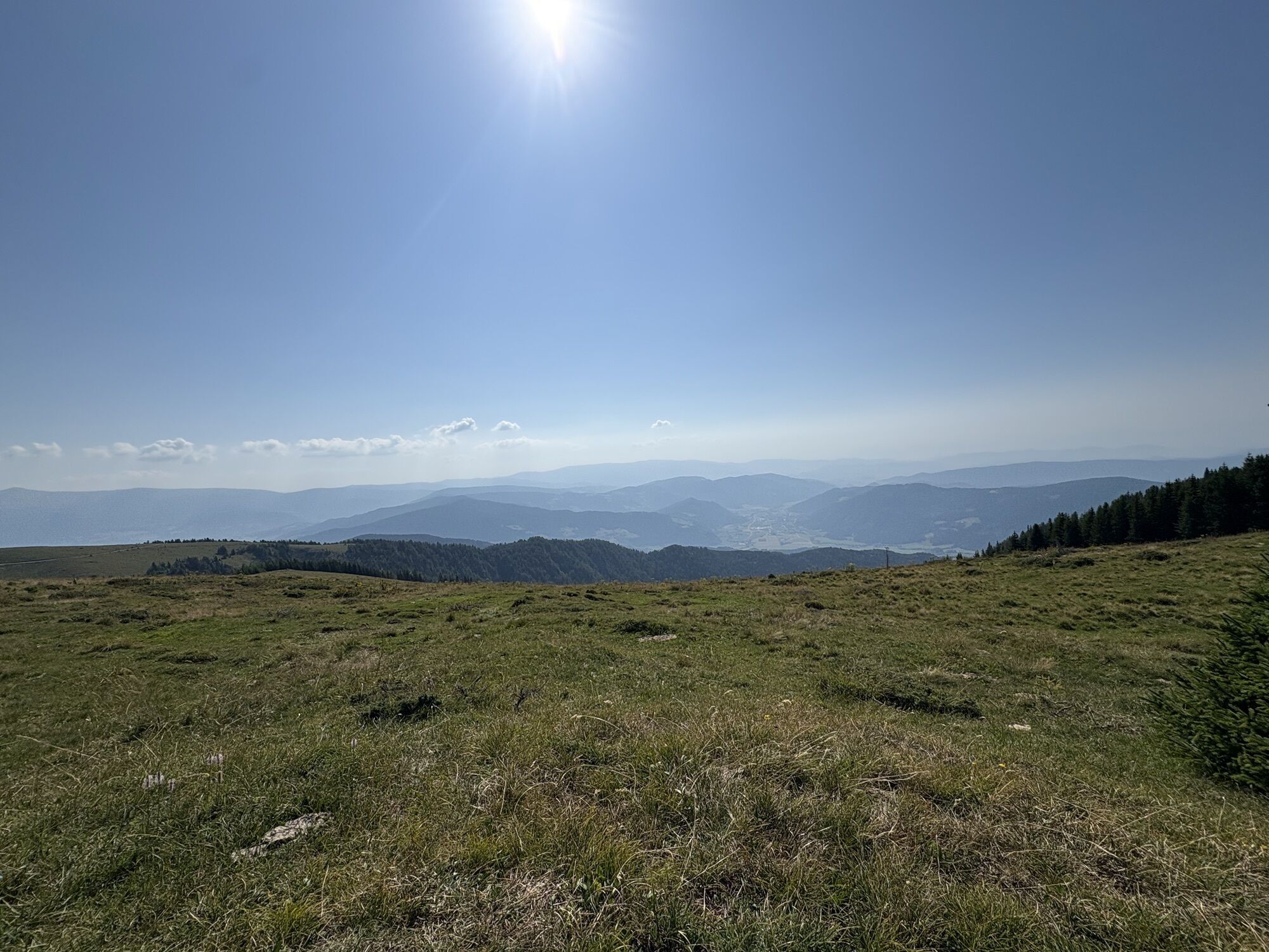
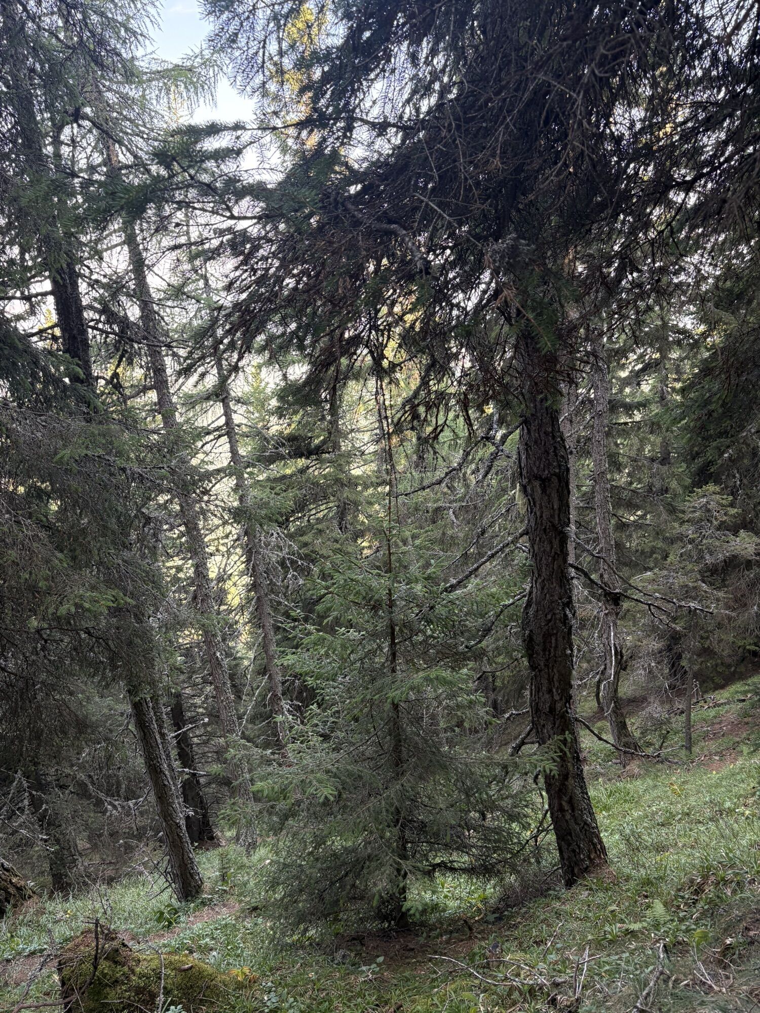
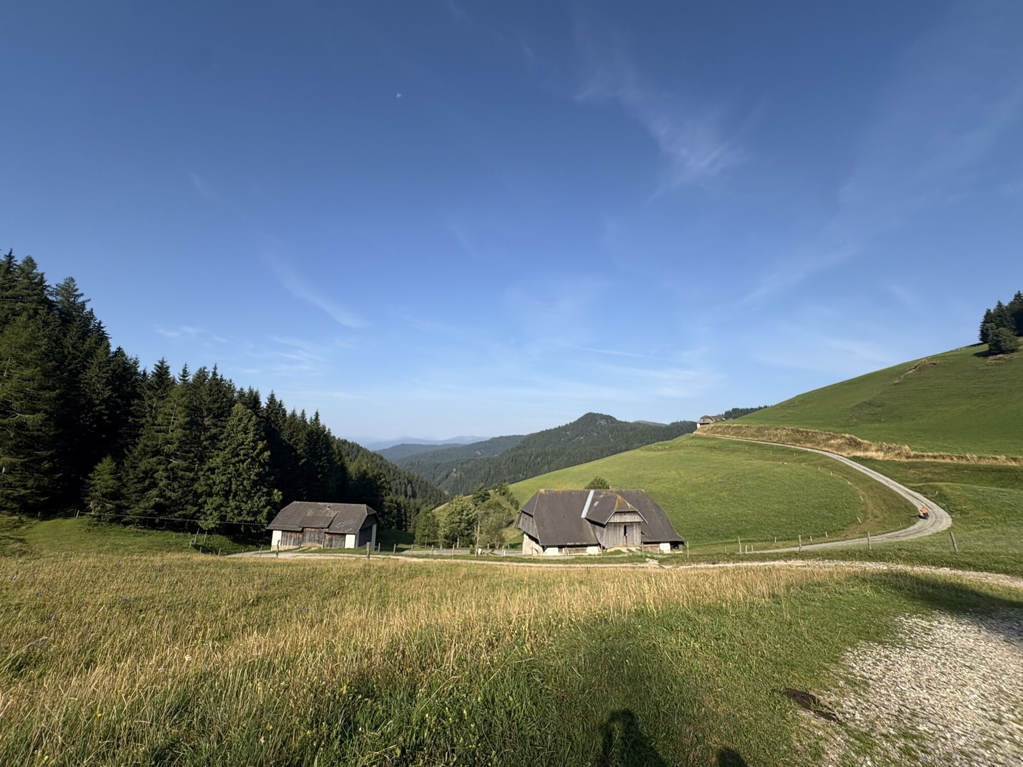
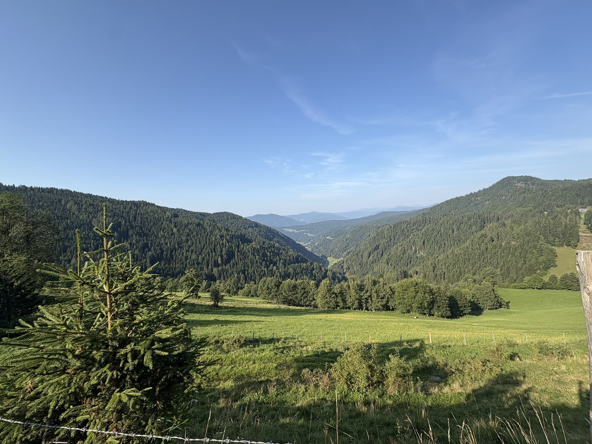
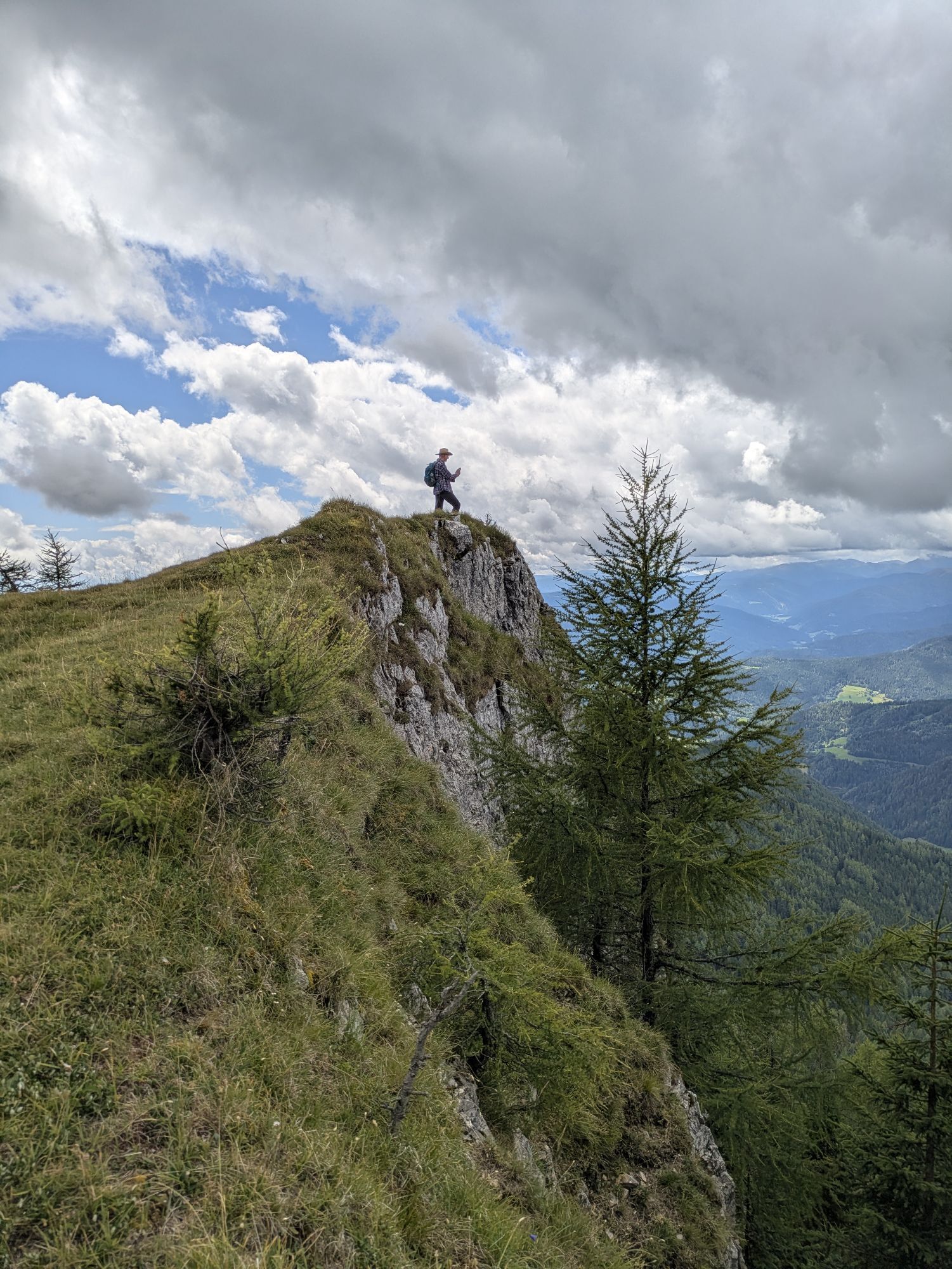
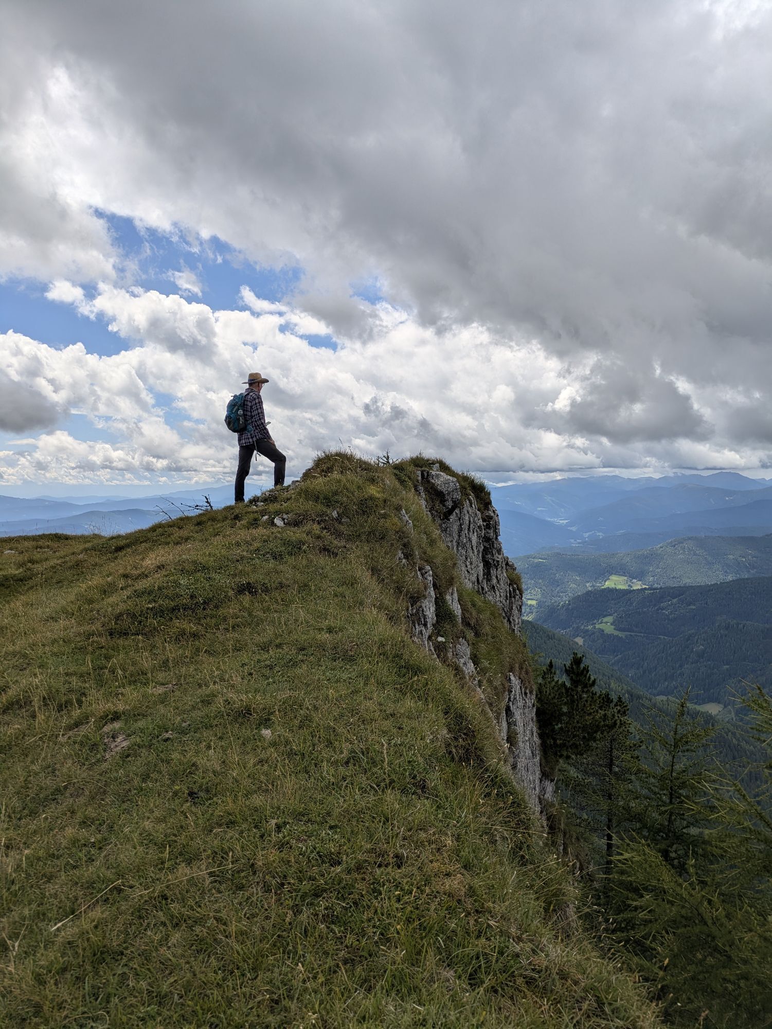
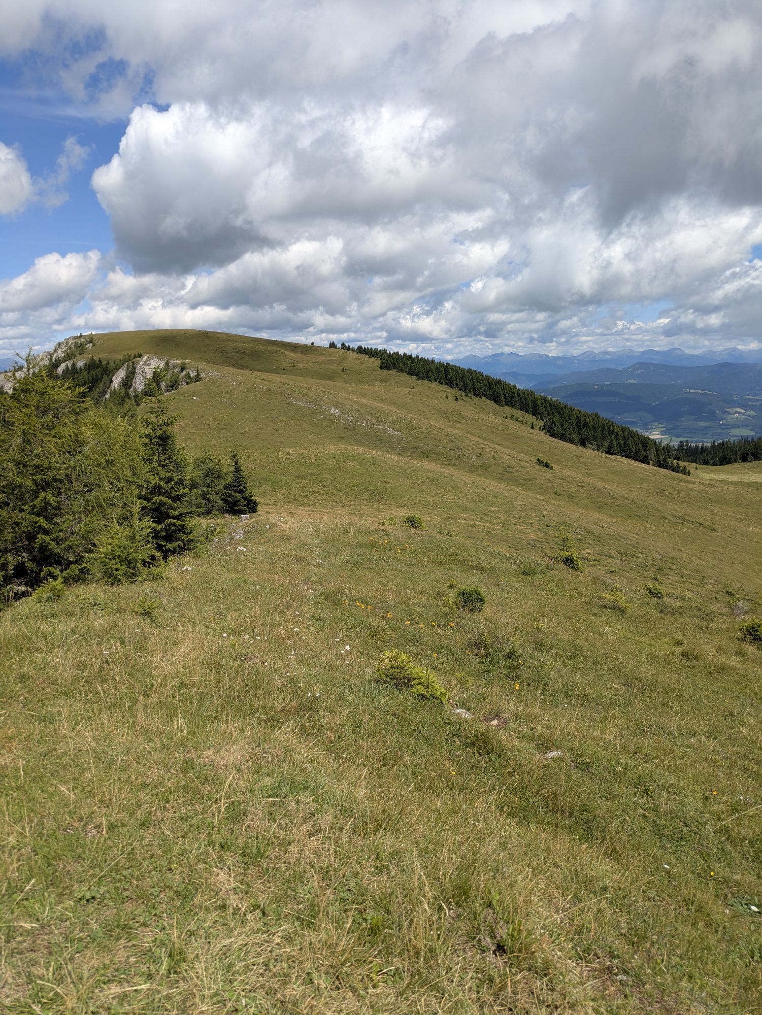
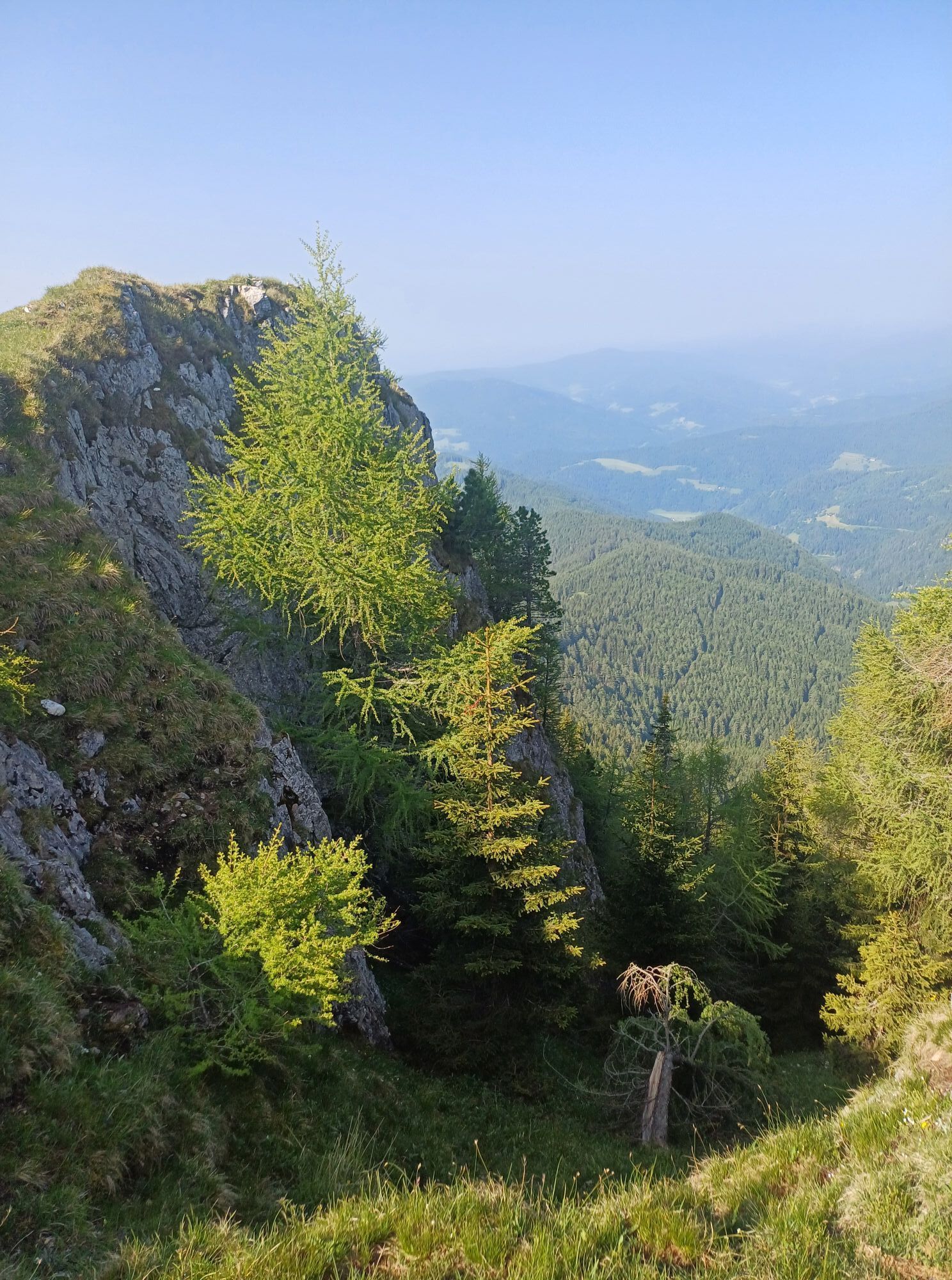
The starting point is the Auerlingsee near the Metnitz valley. From here follow the signs towards Dreiwiesenhütte. Upon reaching the Grebenzen Nature Park, continue along the ridge towards "Scharfes Eck"....
The starting point is the Auerlingsee near the Metnitz valley. From here follow the signs towards Dreiwiesenhütte. Upon reaching the Grebenzen Nature Park, continue along the ridge towards "Scharfes Eck". Shortly before Scharfes Eck, descend again through a somewhat steeper wooded area. You reach a gravel road – from here, continue along the gravel road (passing through two farms) back to Auerlingsee.
The Grebenzen route is a wonderful circular hike that starts in St. Lambrecht. From here the path leads towards the Grebenzen Nature Park, through diverse landscapes with meadows, forests, and alpine sections. This hike offers a perfect mix of sporting challenge and enjoyment of nature and is ideal for all who want to experience the beauty of Styria.

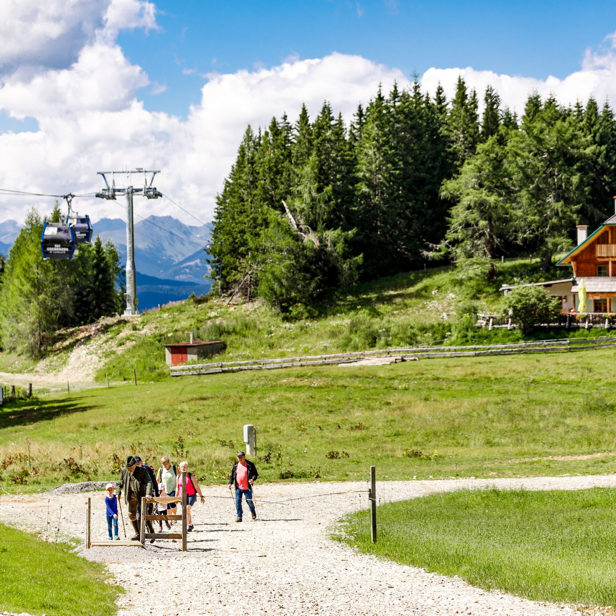
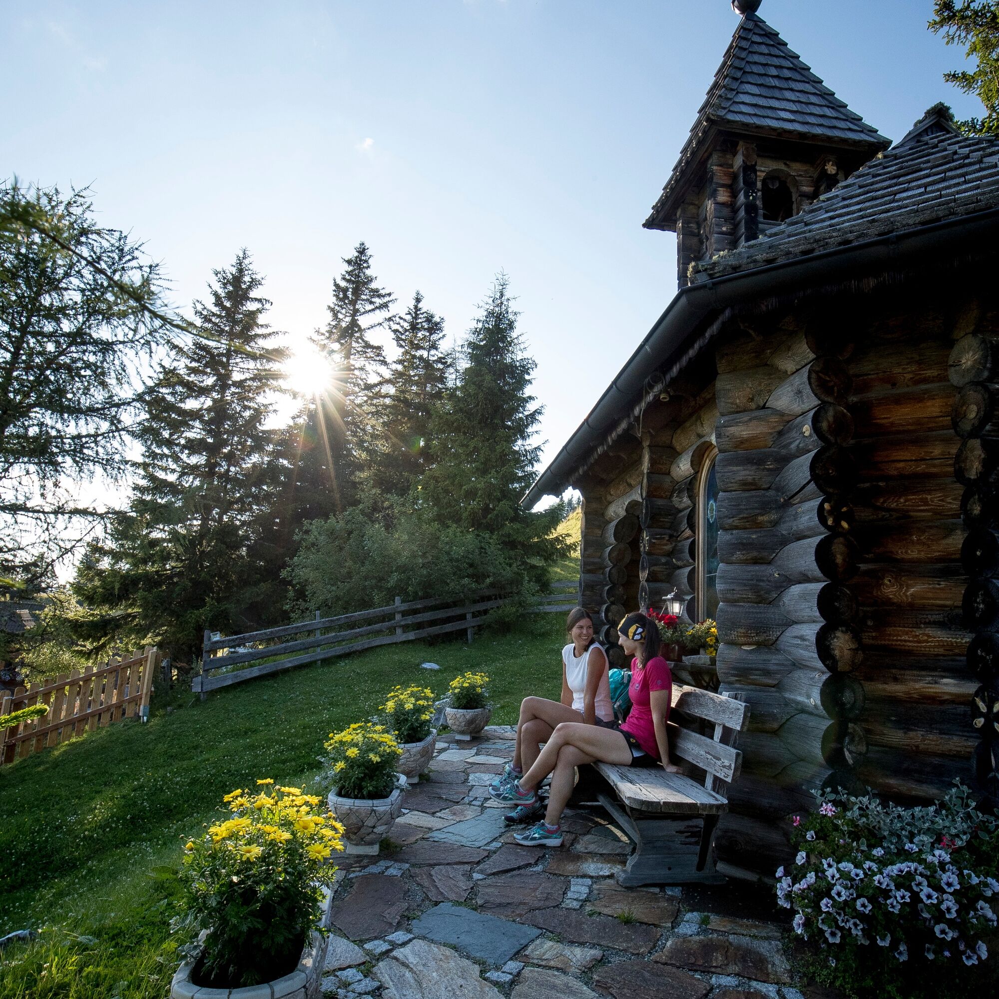
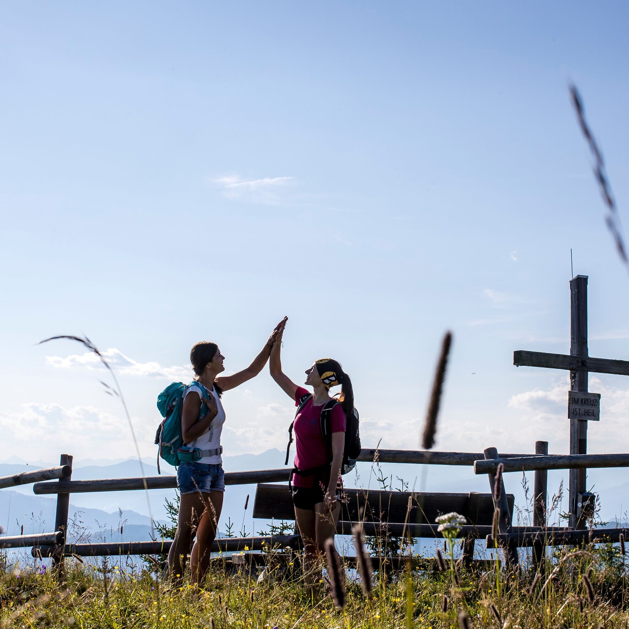

The Grebenzen route runs on the following marked paths:
- Carinthian border path: Auerlingsee - turnoff Dreiwiesenhütte (Path 137: side path Dreiwiesenhütte/Grebenzen - Gunzenberg Alm)
- Path 8: Gunzenberg Alm - Scharfes Eck
- Path 7: Scharfes Eck - Auerlingsee
Sturdy footwear, water bottle, suitable clothing
inform someone where you are going and when you will be back
see route planner
see oebb route planner
Parking possible along the road at Auerlingsee.
you can find it at the relevant information office
Stop at the Dreiwiesenhütte - short detour!

Webové kamery z prohlídky


Oblíbené prohlídky v okolí
-
4.8
Graggerschlucht
středníTematická stezka 3.91 km -
4.4
4 Seen Wanderung
světloTuristika 7.65 km -
4.6
Höhenweg Scharfes Eck
středníTuristika 6.18 km -
4.5
Castle Hiking Trail Friesach
světloTuristika 5.21 km -
4.7
Steinschloss Rundwanderweg
středníTuristika 6.31 km -
5.0
Kuhalm
středníTuristika 16.8 km -
4.8
Grebenzen Runde
středníTuristika 13.7 km -
4.9
Gragger Schlucht und Jakobi Kirche,Sankt Marein bei Neumarkt
světloTuristika 12.8 km -
4.7
Höhenweg Scharfes-Eck vom Grebenzenhaus
středníTuristika 10.6 km -
4.7
Schitour Grebenzen
středníLyžařská trasa 8.66 km
Pěší turistika a stopování


Nenechte si ujít nabídky a inspiraci pro vaši příští dovolenou
Vaše e-mailová adresa byl přidán do poštovního seznamu.





