


Schöckl from Steingraben over Niederer Schöckl - The most beautiful aspect of the Schöckl
Fotografie našich uživatelů
-
 © teatimeVytvořeno dne 01.06.2025
 -
 © christian_75Vytvořeno dne 08.05.2026
 -
 © ewald ertlVytvořeno dne 01.05.2026
 -
 © ewald ertlVytvořeno dne 01.05.2026
 -
 © christian_75Vytvořeno dne 24.04.2026
 -

 © Mario SchlemmerVytvořeno dne 23.04.2026
 -
 © Mario SchlemmerVytvořeno dne 23.04.2026
 -
 © christian_75Vytvořeno dne 17.04.2026
 -

 © Birgit ZückertVytvořeno dne 08.04.2026
 -
 © Lea WidowitzVytvořeno dne 07.04.2026
 -
 © christian_75Vytvořeno dne 25.03.2026
 -
 © Manuela OswaldVytvořeno dne 08.03.2026
 -
 © Lukas HörzVytvořeno dne 28.02.2026
 -
 © Lukas HörzVytvořeno dne 28.02.2026
 -
 © Franz HasenbergerVytvořeno dne 26.02.2026
 -
 © Franz HasenbergerVytvořeno dne 26.02.2026
 -
 © Robert EllmaierVytvořeno dne 25.02.2026
 -
 © Robert EllmaierVytvořeno dne 25.02.2026
 -
 © Robert EllmaierVytvořeno dne 25.02.2026
 -
 © schenkeliVytvořeno dne 07.02.2026
 -
 © MariettaVytvořeno dne 30.01.2026
 -
 © MariettaVytvořeno dne 30.01.2026
 -
 © Zudong FuVytvořeno dne 24.01.2026
 -
 © Christian SchellneggerVytvořeno dne 10.01.2026
 -

 © Petra JostVytvořeno dne 03.01.2026
 -
 © rpitzVytvořeno dne 08.12.2025
 -
 © Tamara Schwarz 2Vytvořeno dne 18.11.2025
 -
 © Mathi BergVytvořeno dne 20.10.2025
 -
 © Jennifer HerbstVytvořeno dne 31.08.2025
 -
 © Jennifer HerbstVytvořeno dne 31.08.2025
 -
 © Timon BertignollVytvořeno dne 23.08.2025
 -
 © Timon BertignollVytvořeno dne 23.08.2025
 -
 © Timon BertignollVytvořeno dne 23.08.2025
 -
 © Timon BertignollVytvořeno dne 23.08.2025
 -
 © Timon BertignollVytvořeno dne 23.08.2025
 -
 © Timon BertignollVytvořeno dne 23.08.2025
 -
 © Timon BertignollVytvořeno dne 23.08.2025
 -
 © Robert GerardVytvořeno dne 11.05.2025
 -
 © Dragoljub IlicVytvořeno dne 11.05.2025
 -
 © Dragoljub IlicVytvořeno dne 11.05.2025
 -
 © Dragoljub IlicVytvořeno dne 11.05.2025
 -
 © Dragoljub IlicVytvořeno dne 11.05.2025
 -
 © Dragoljub IlicVytvořeno dne 11.05.2025
 -
 © Dragoljub IlicVytvořeno dne 11.05.2025
 -

 © Andrea Opitz-JandrisitsVytvořeno dne 22.03.2025
 -
 © Andrea Opitz-JandrisitsVytvořeno dne 22.03.2025
 -
 © Andrea Opitz-JandrisitsVytvořeno dne 22.03.2025
 -
 © Andrea Opitz-JandrisitsVytvořeno dne 22.03.2025


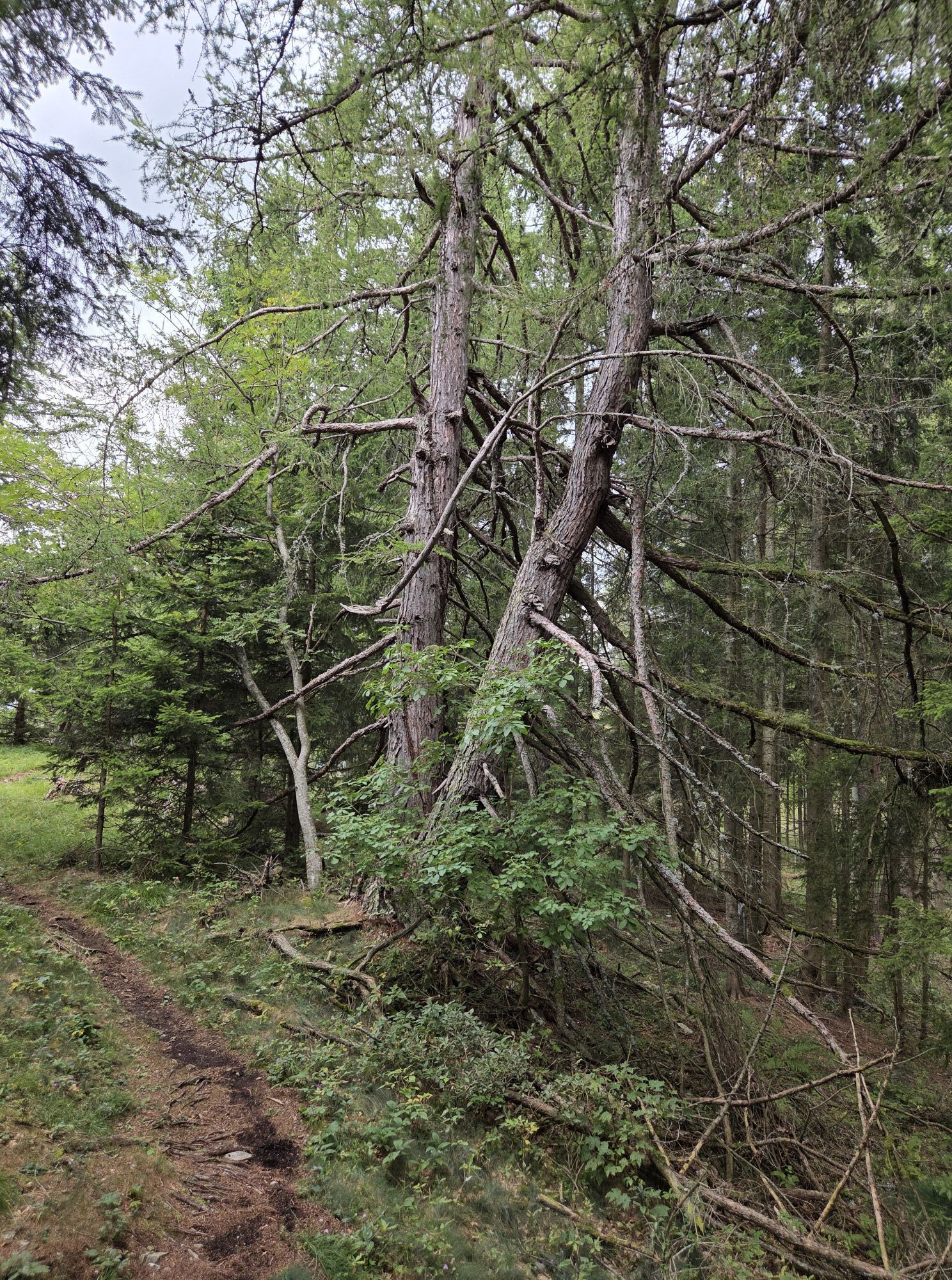


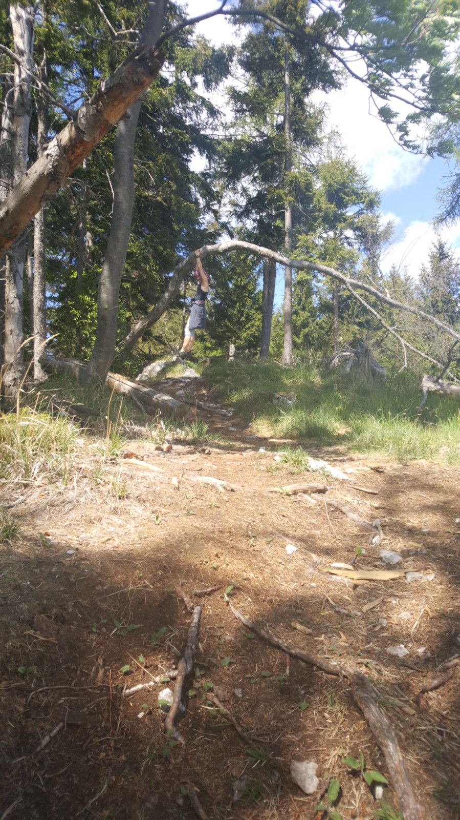
At the beginning the path follows some serpentines of an abandoned forest path which is partly very pleasant (earthy) and partly more difficult (stony) to walk. At the end of the forest path we walk a...
At the beginning the path follows some serpentines of an abandoned forest path which is partly very pleasant (earthy) and partly more difficult (stony) to walk.
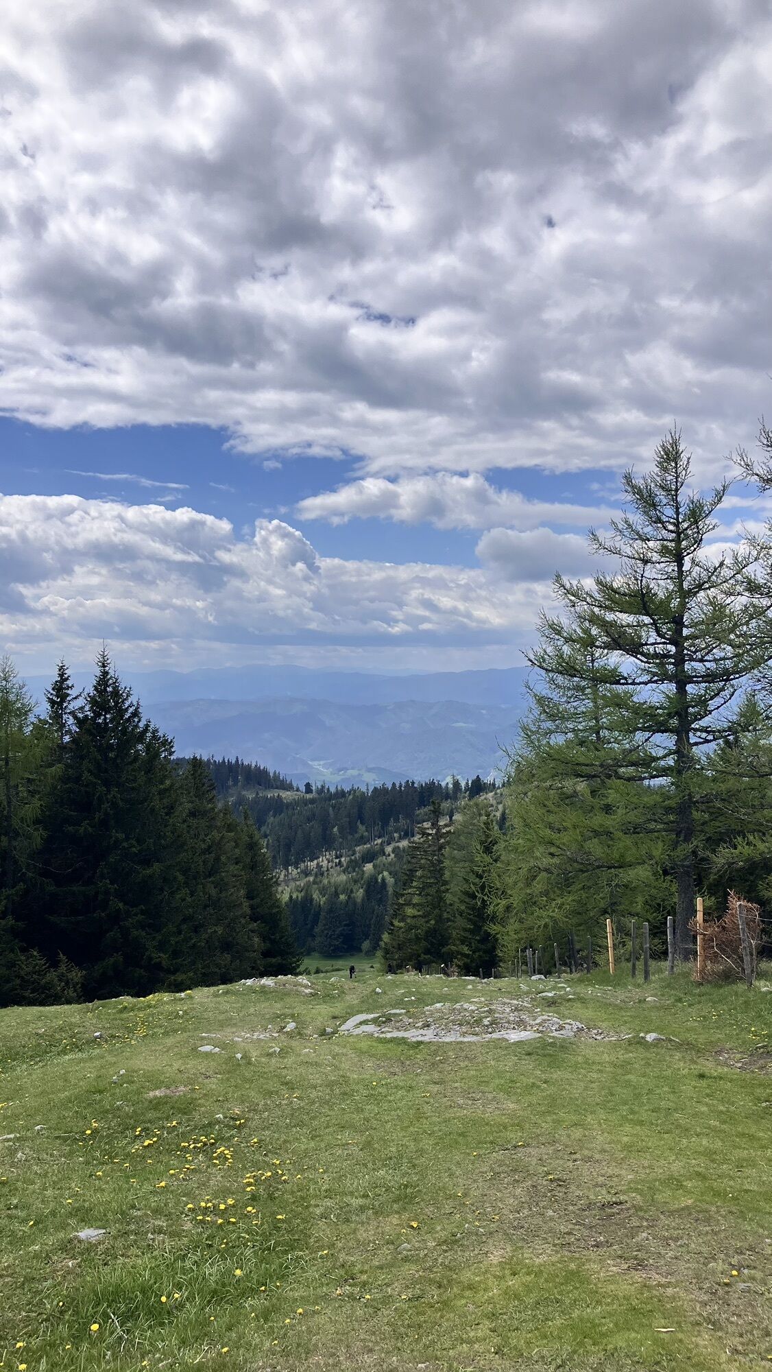
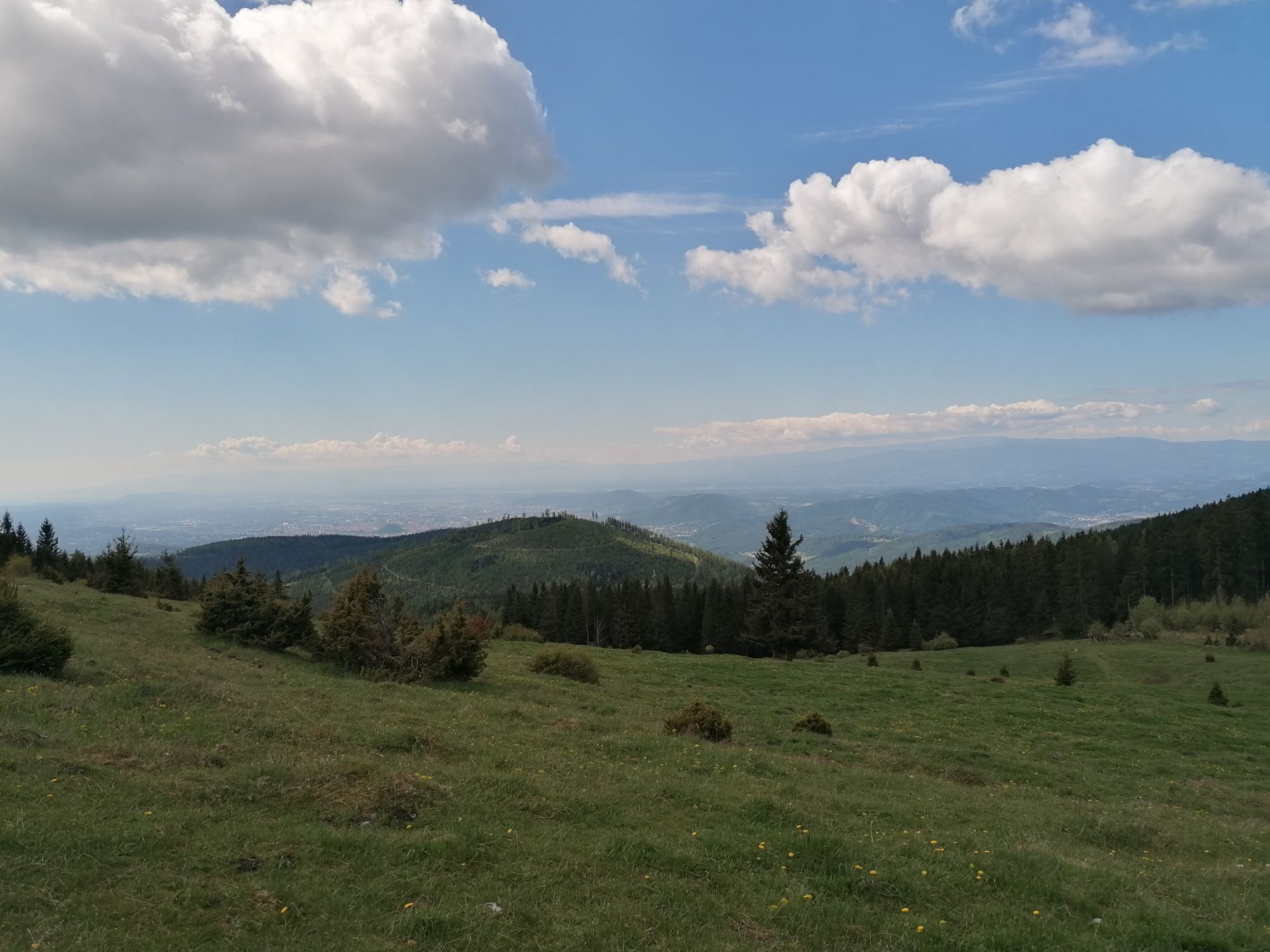
At the end of the forest path we walk a few hundred metres along a meadow path and can already catch the first glimpses of the beautiful view on the right.
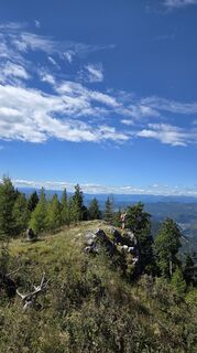
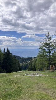
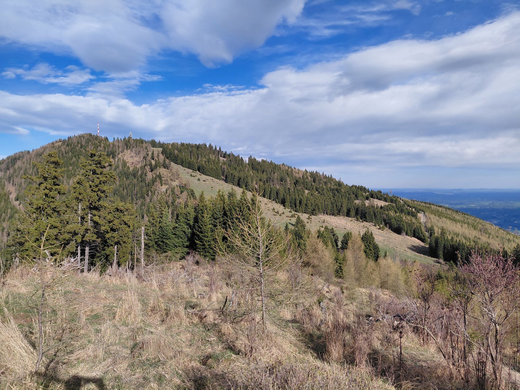
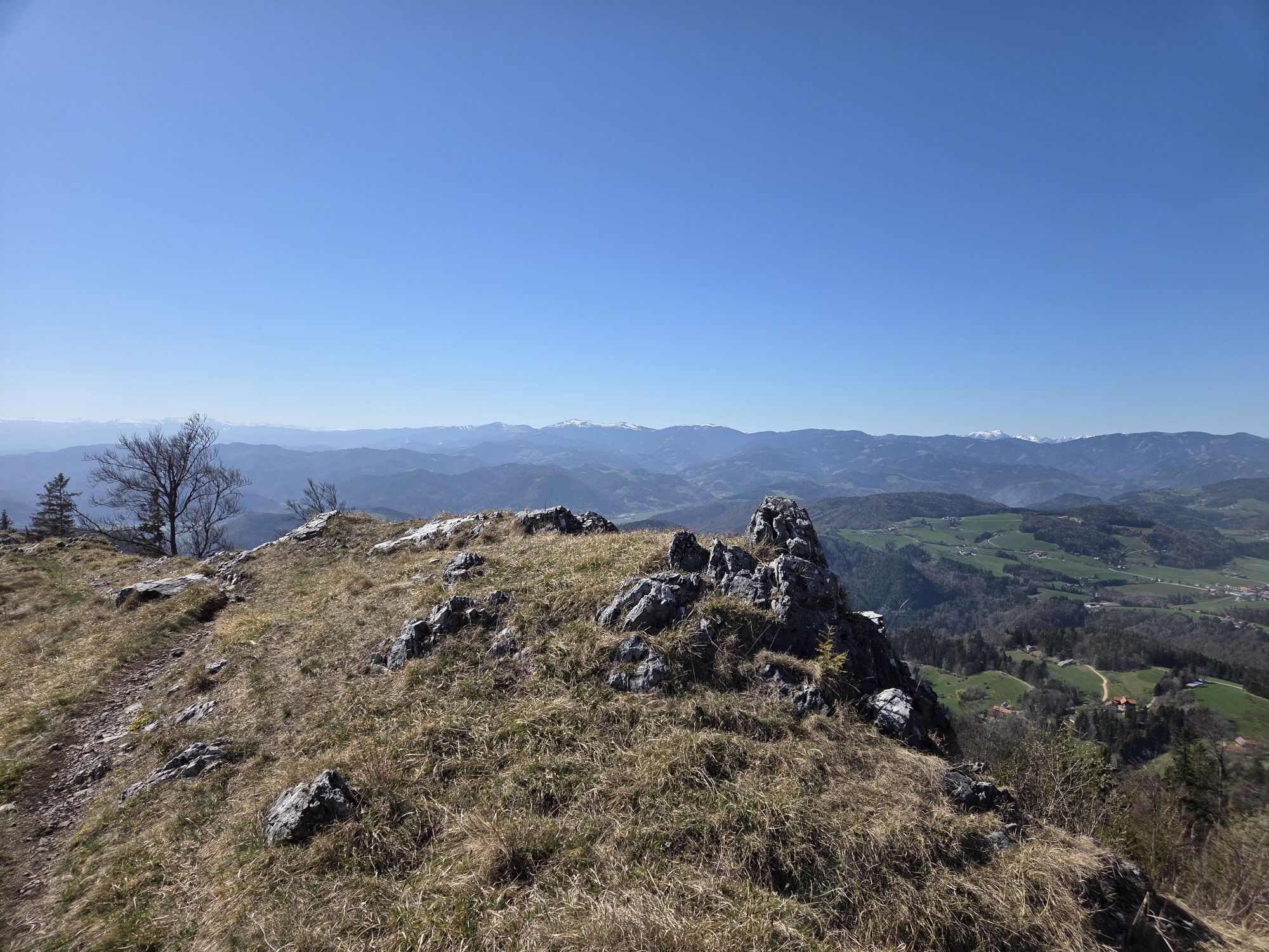
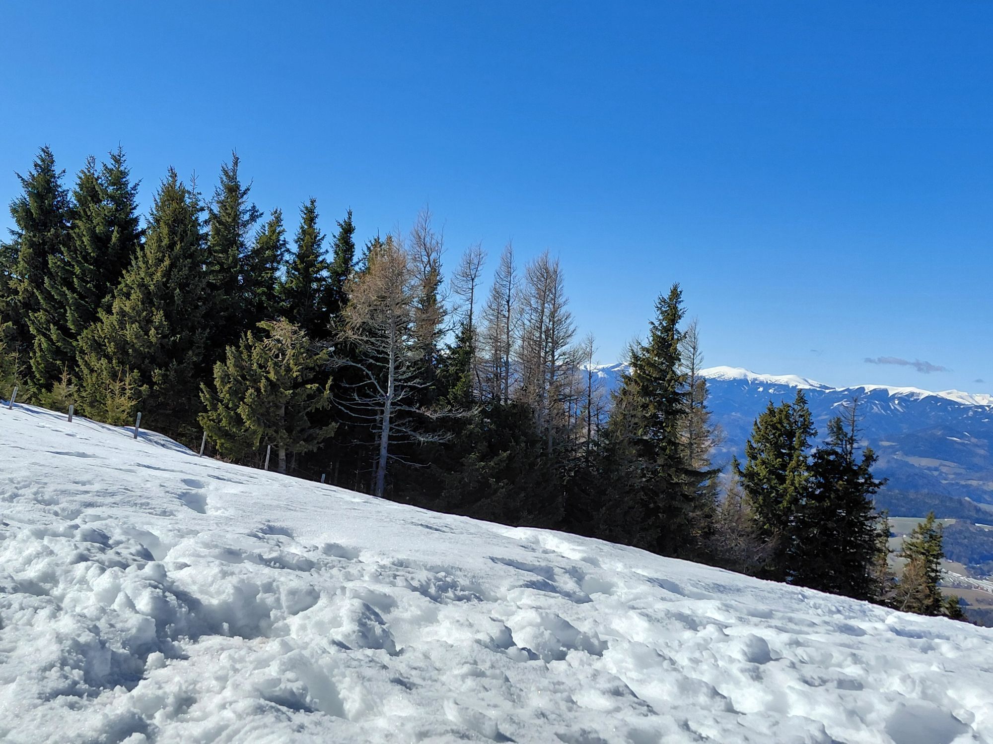
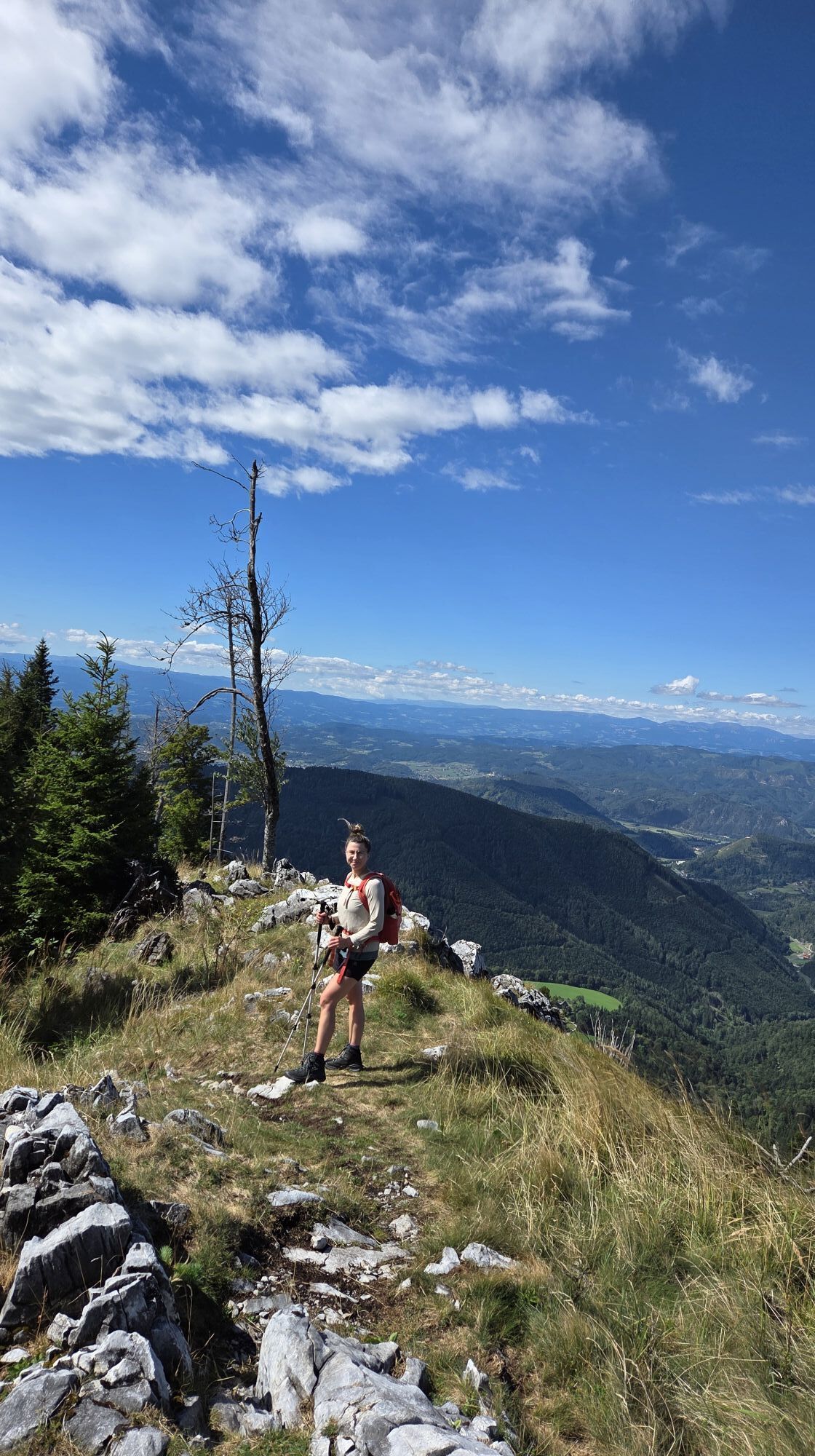
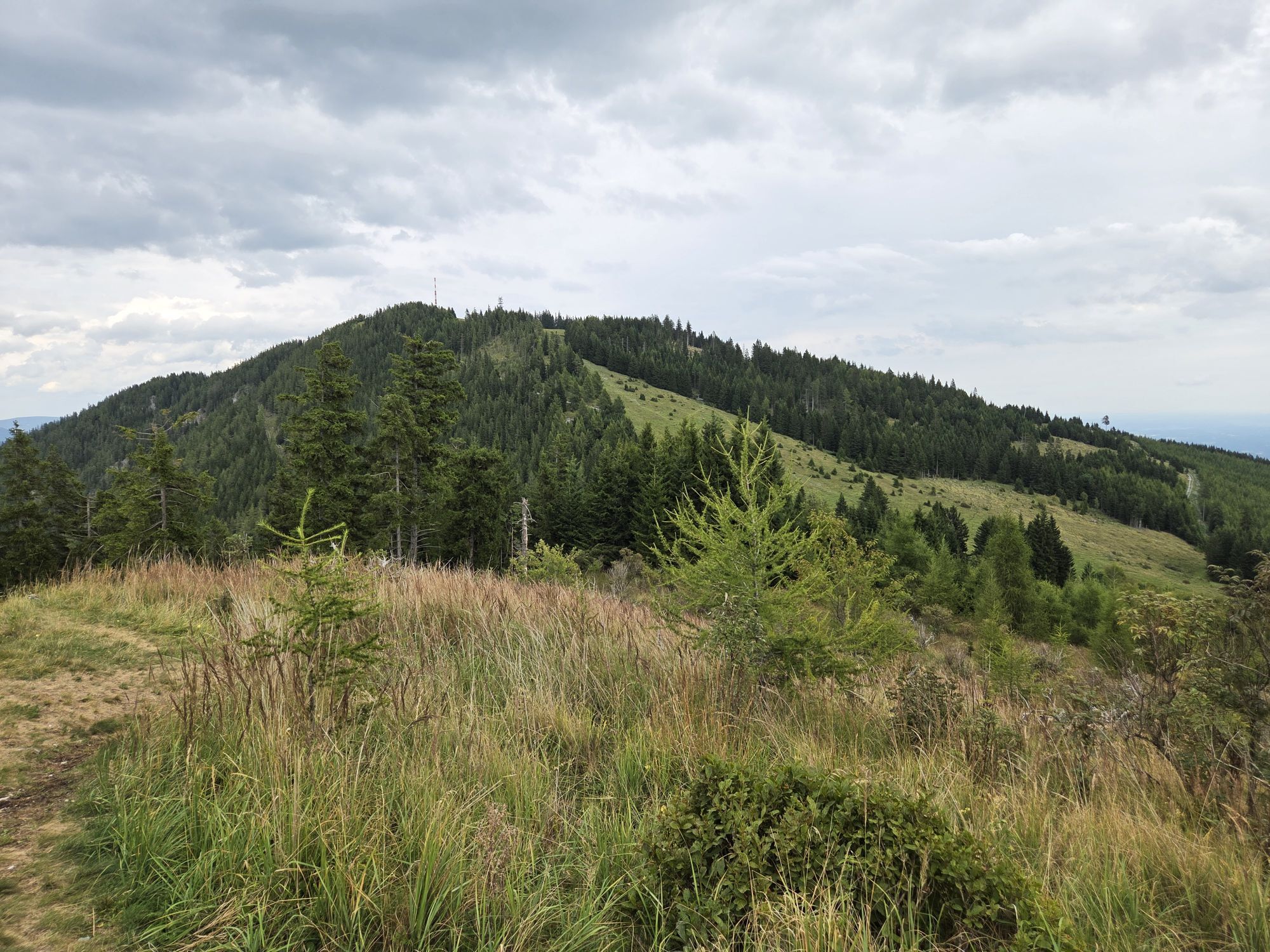
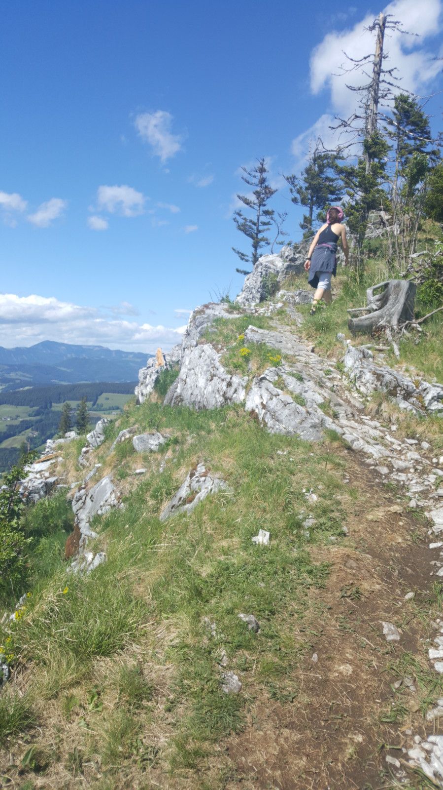
After the meadow path we arrive at the trail that leads along the entire ridge. Here, forest, meadow and rock alternate until the end.
The last meters of the forest path, the meadow path and the first 1.5 km of the trail include almost all the high meters of the tour, which means some relatively steep ascents.
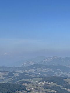
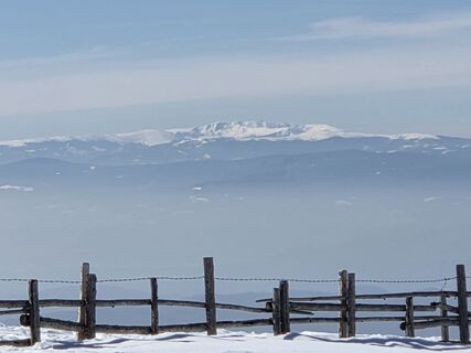
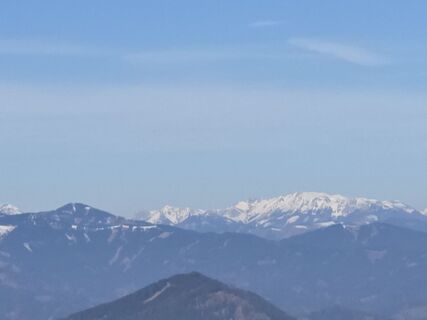
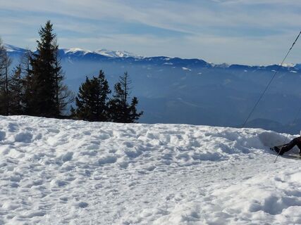
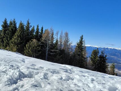
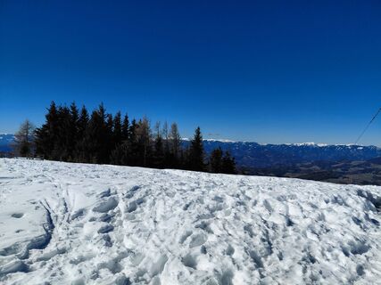
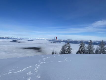
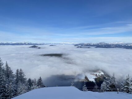
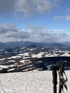
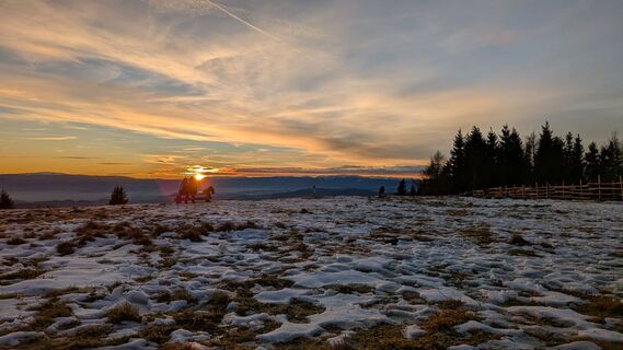
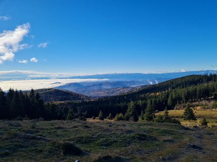
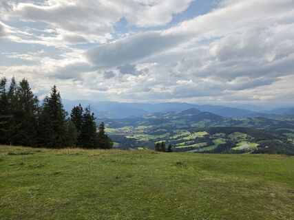
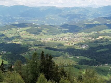
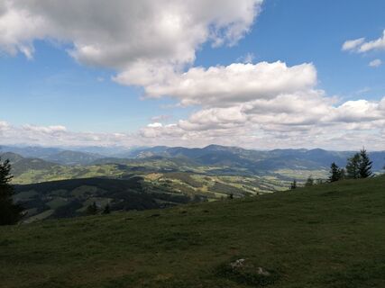
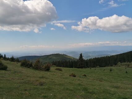
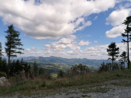
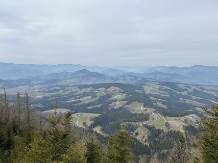
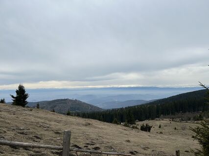
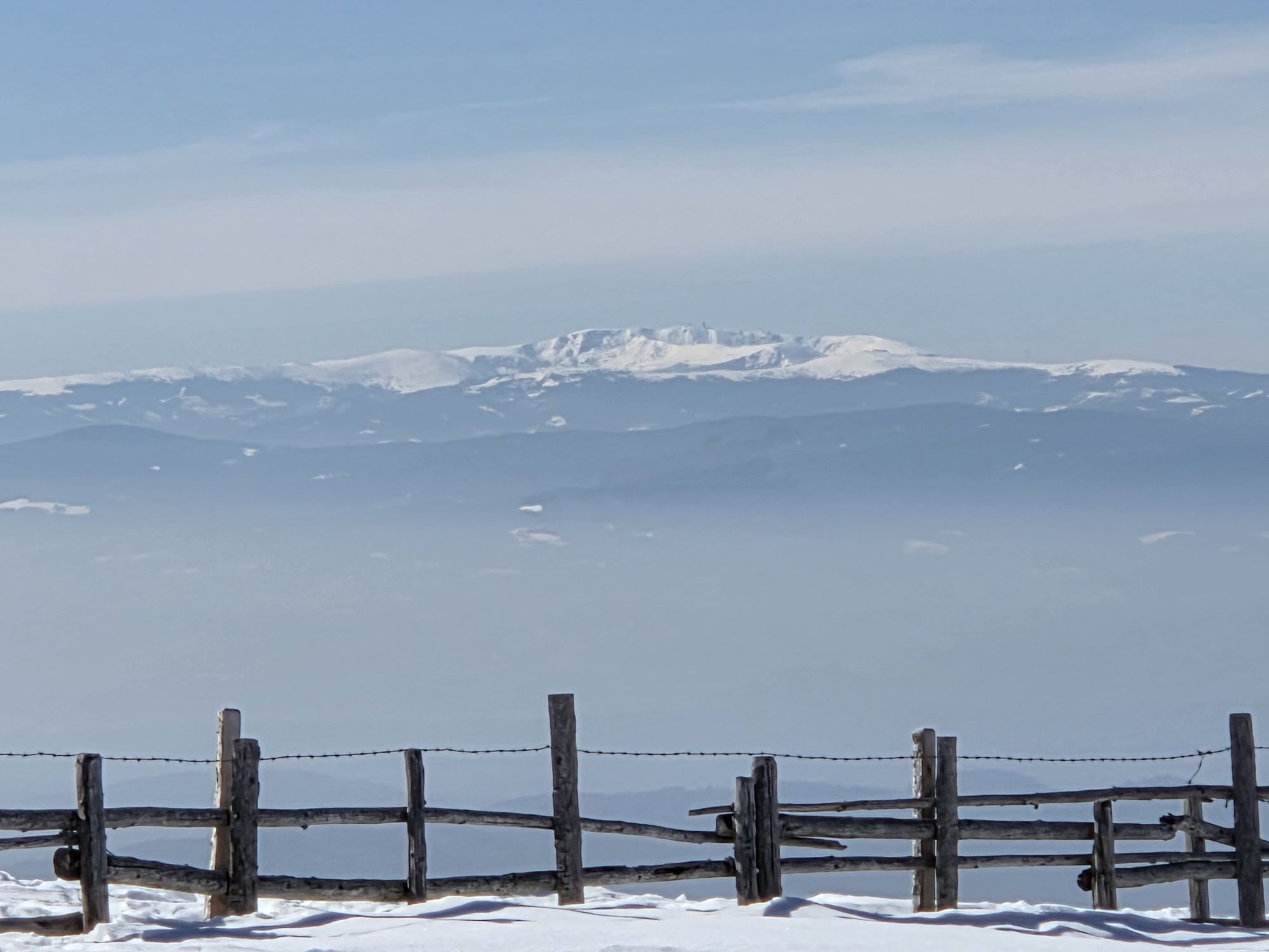
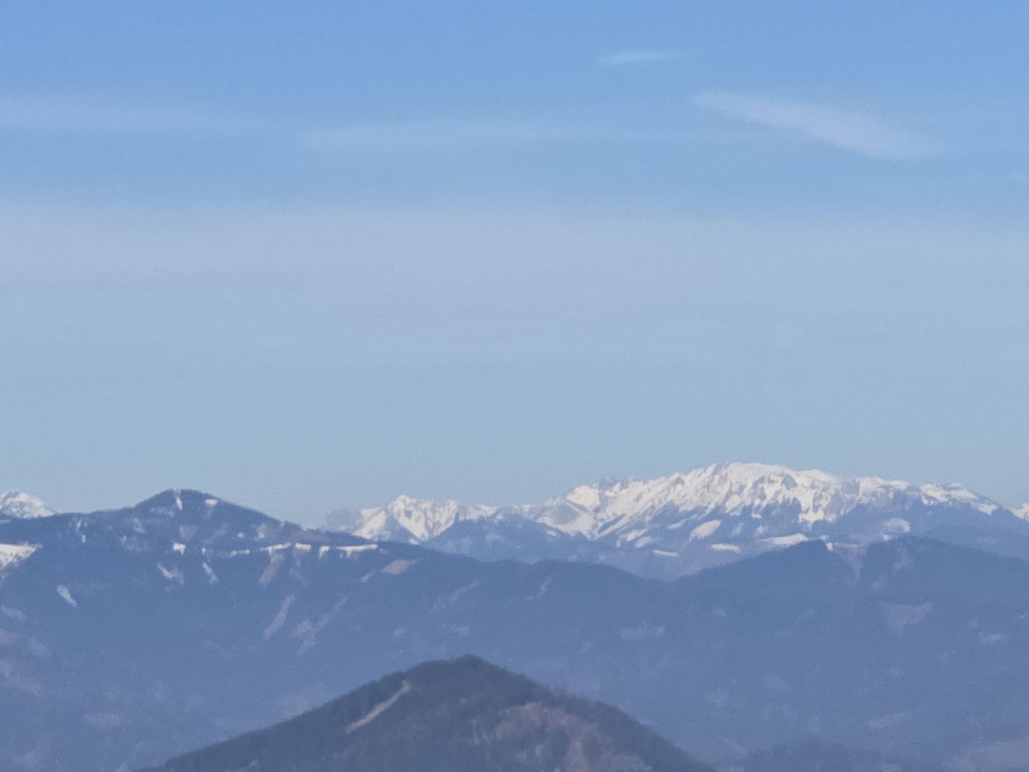
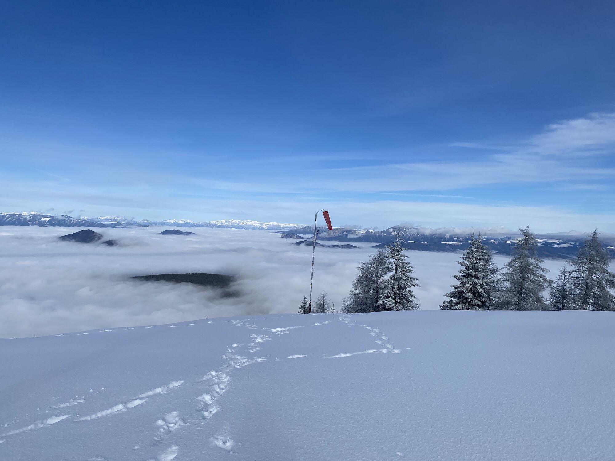
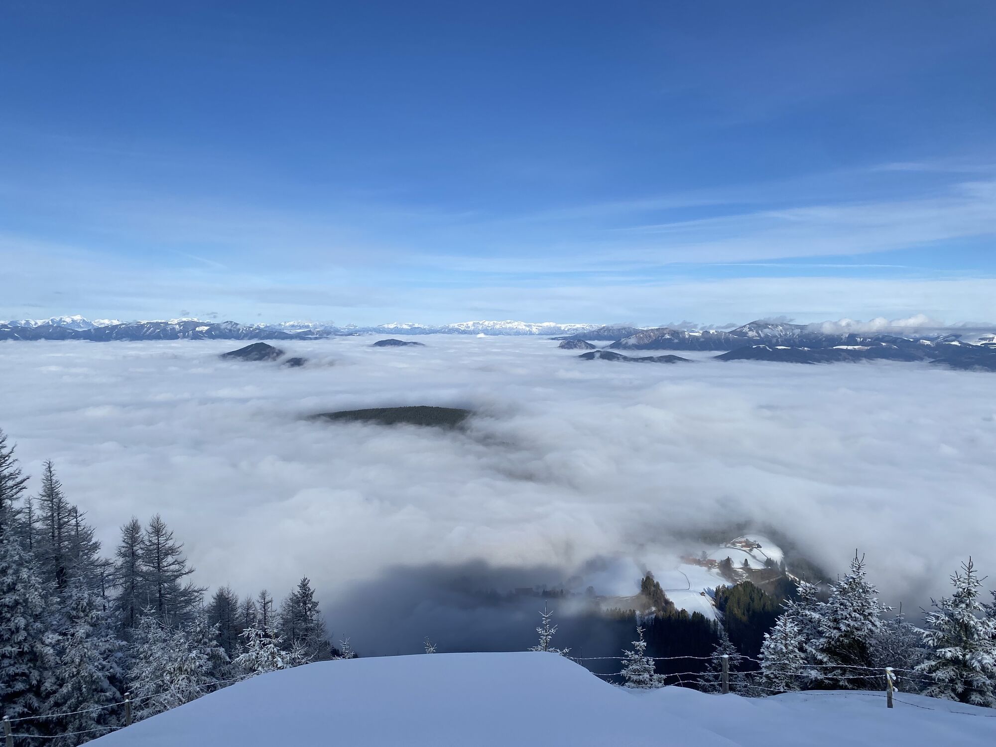
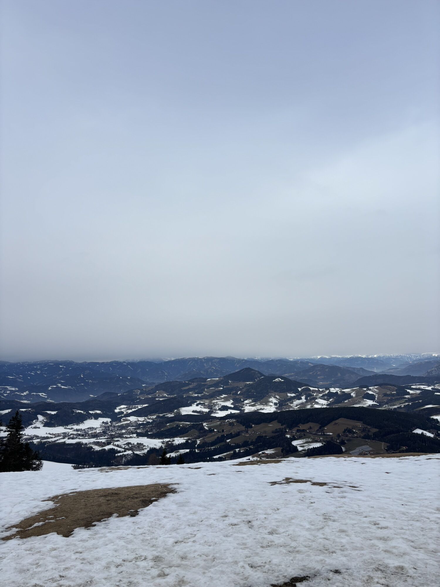
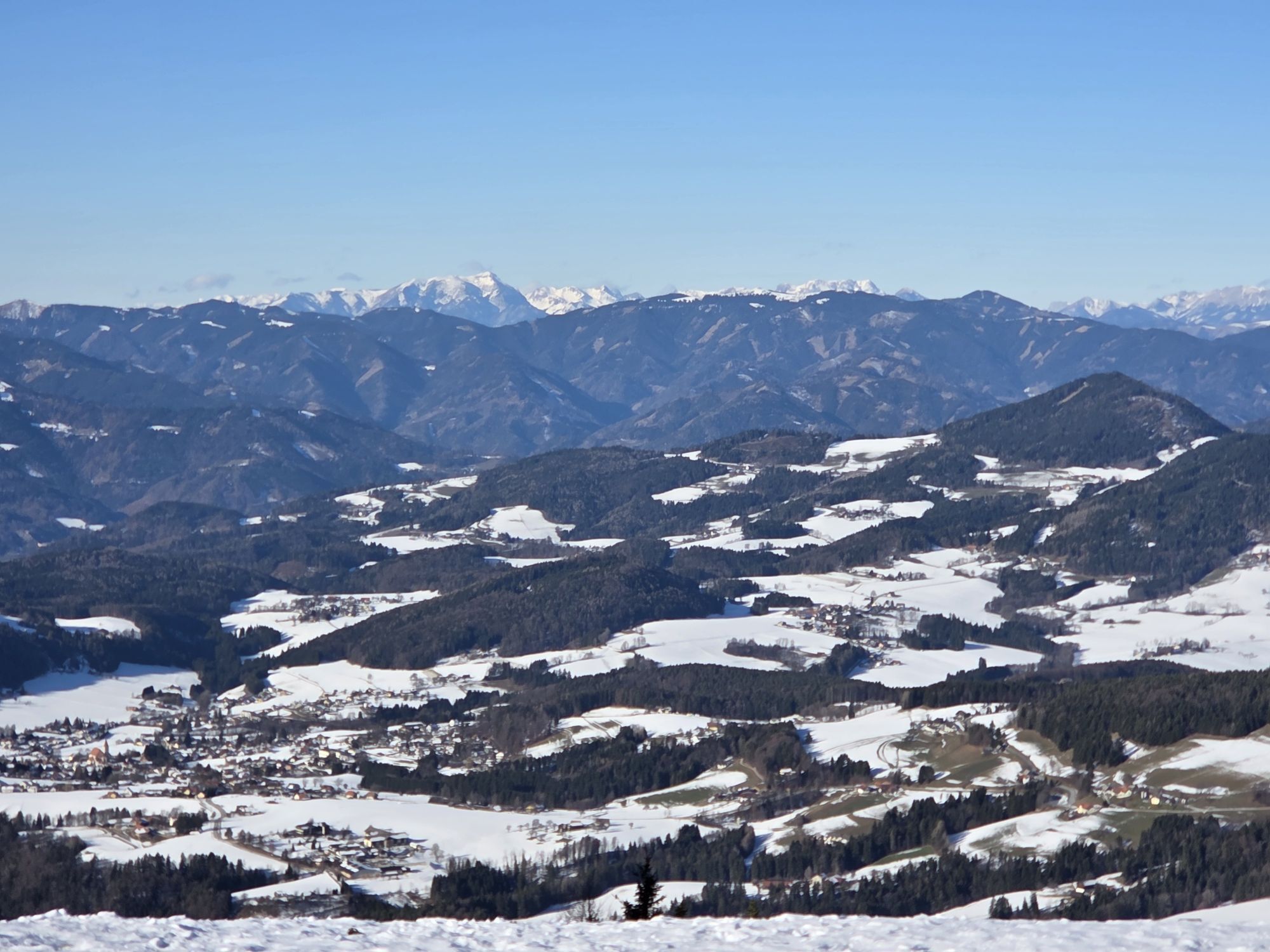
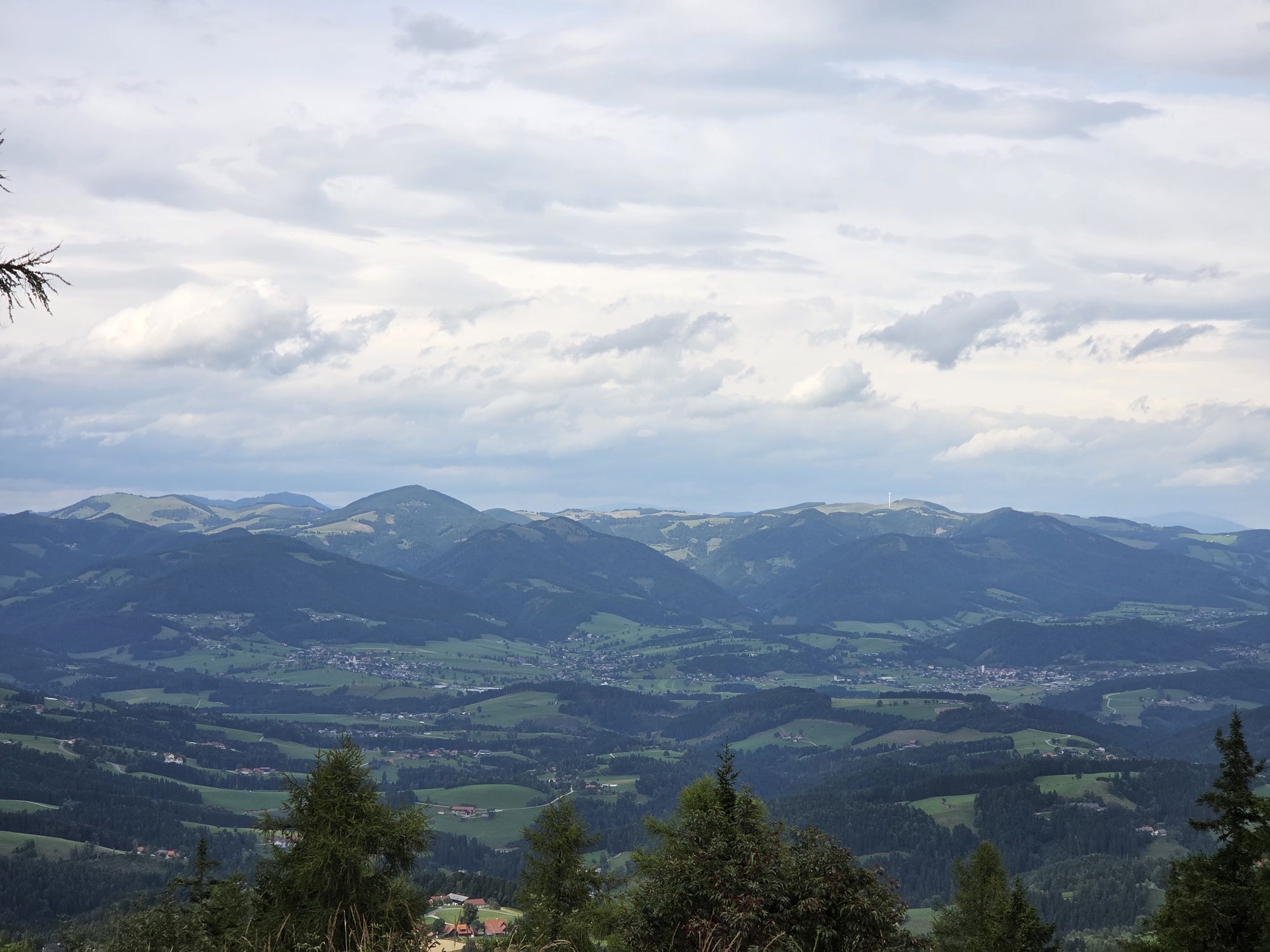
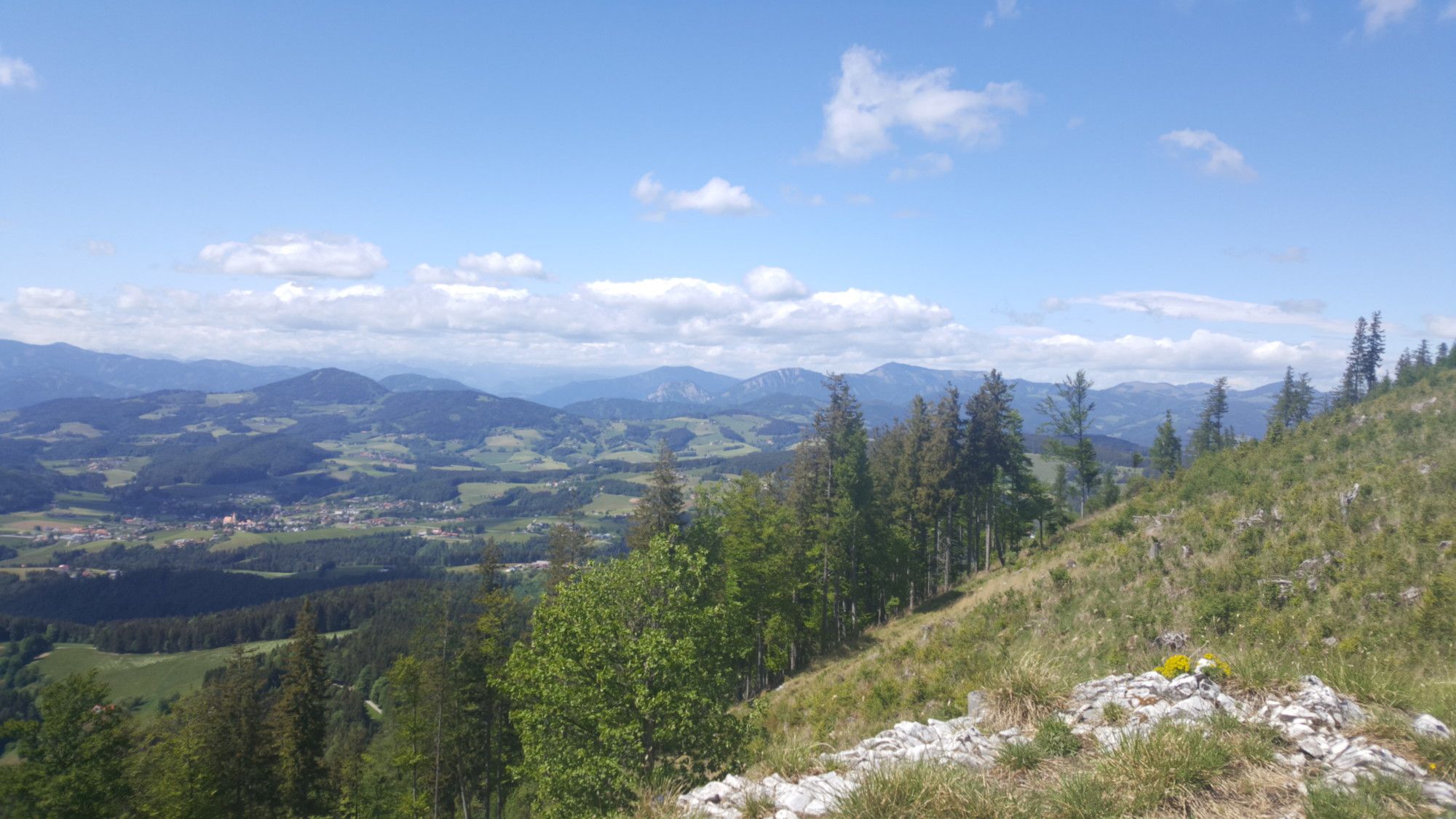
The upper part of the trail then offers spectacular views, first of all of the Graz mountains in the northwest and then into the Graz basin in the southeast, directly along cliffs, some of them quite high.
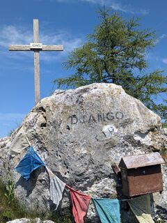
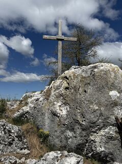
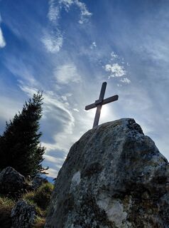
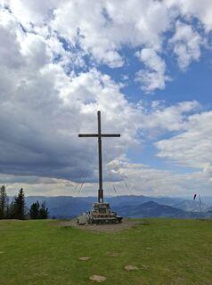
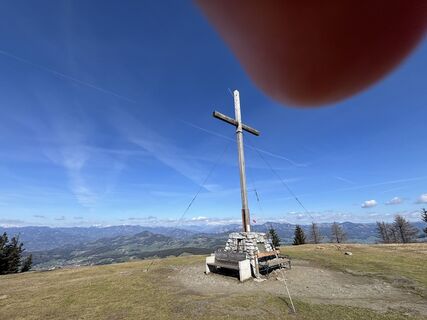
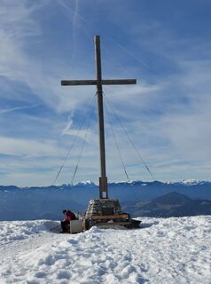
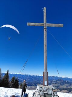
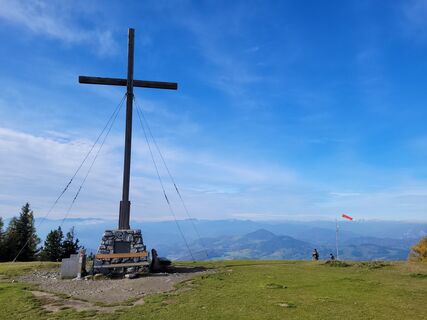
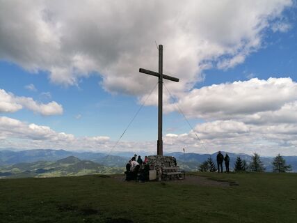
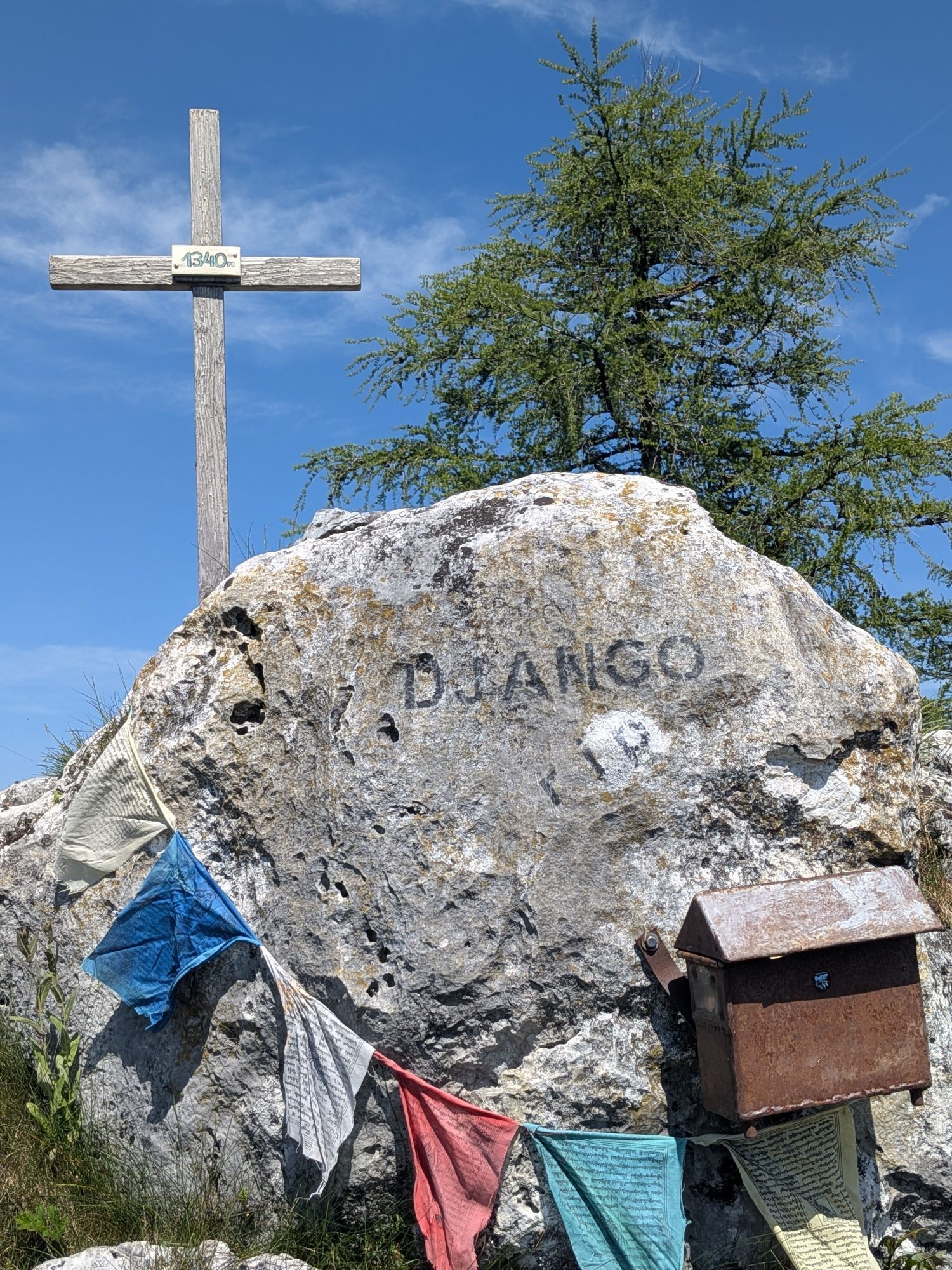
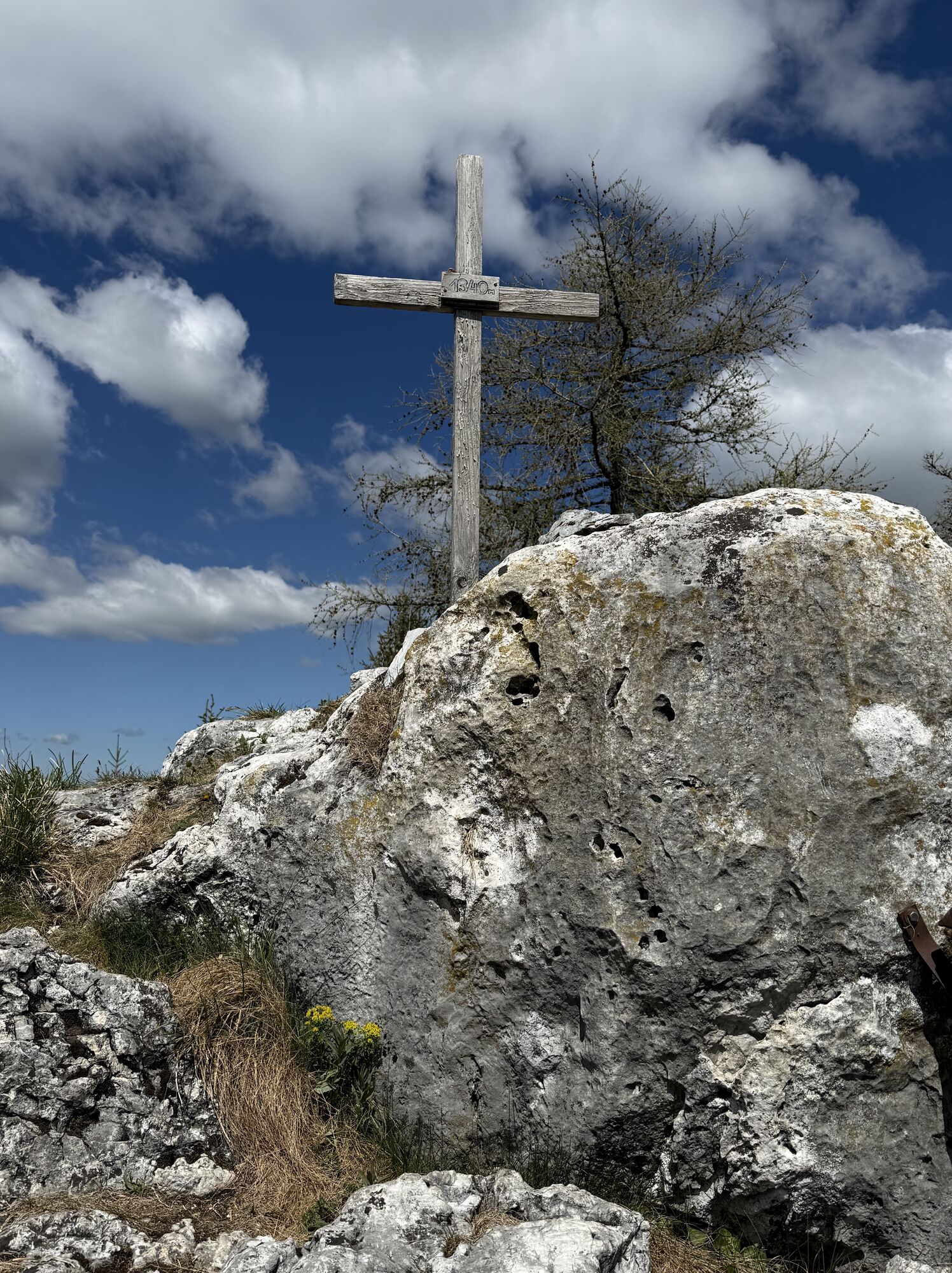
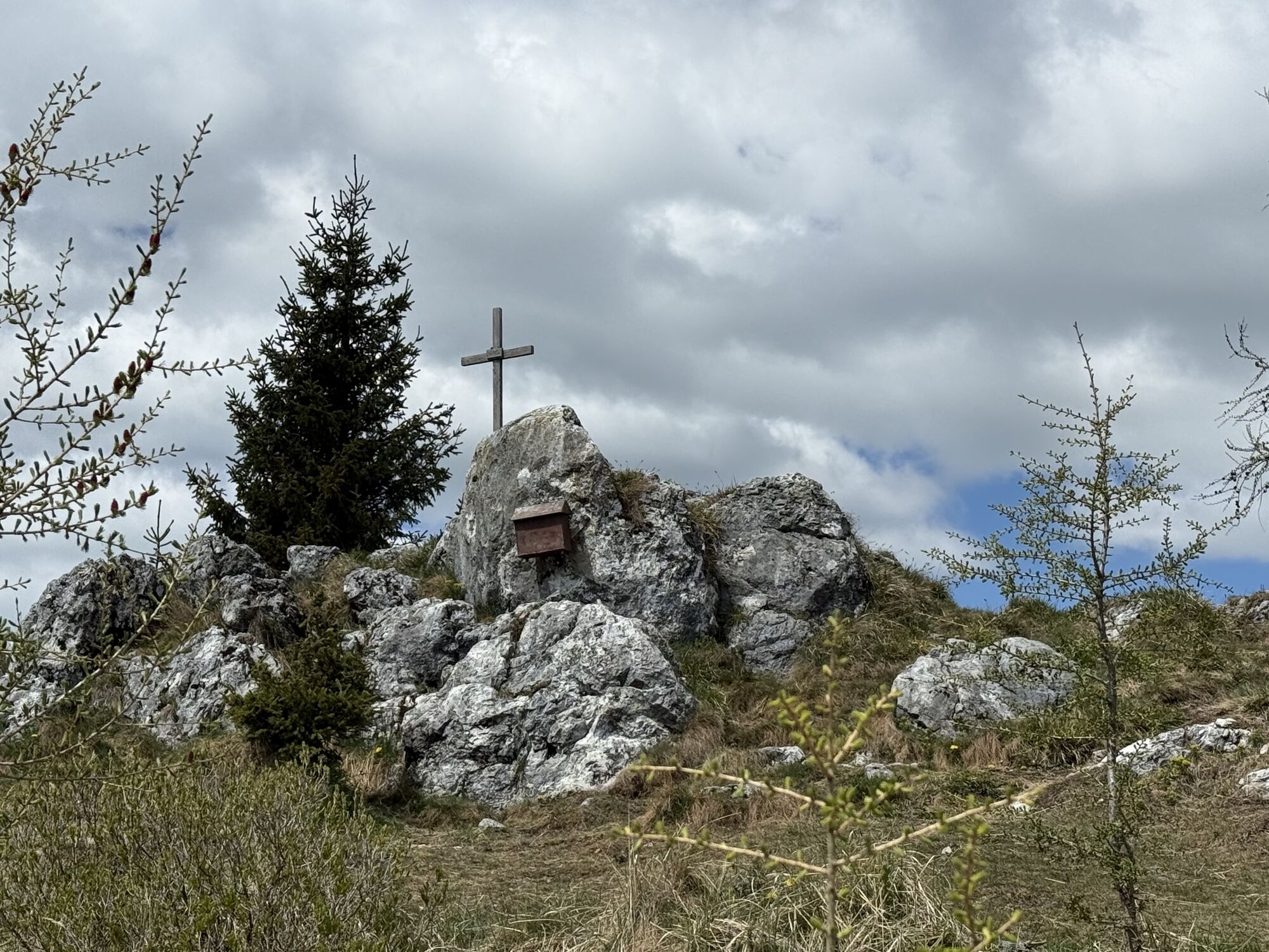
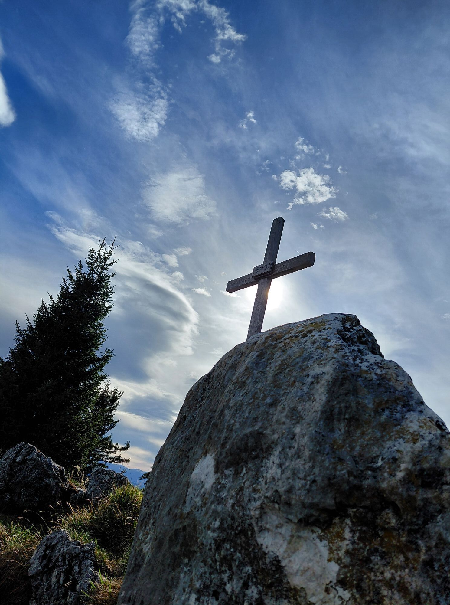
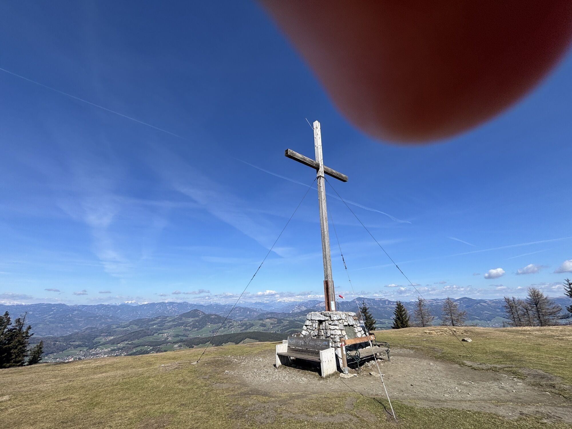
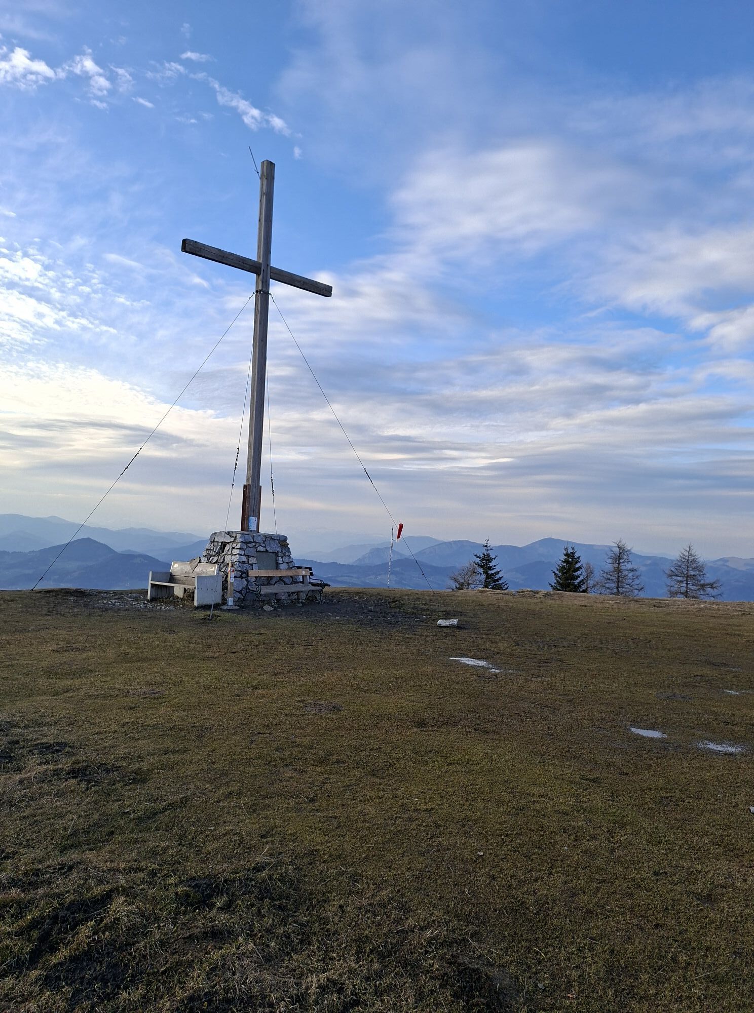
After a good two hours (at a moderate pace) you will reach the summit cross of the Niederer Schöckl, which invites you to take a short break.
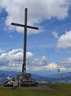
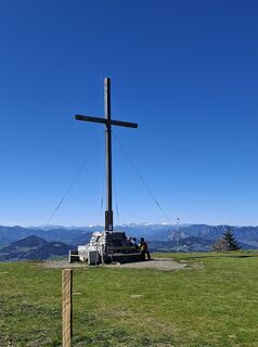
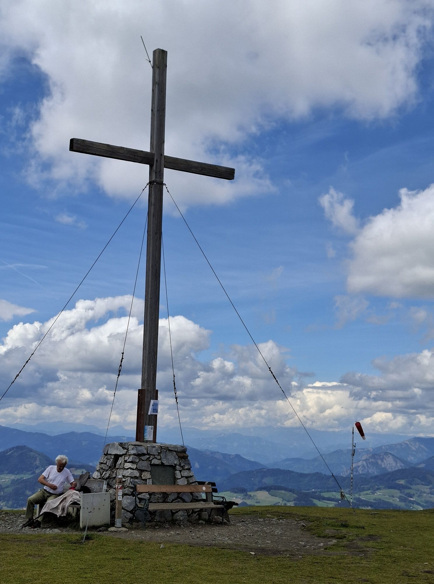
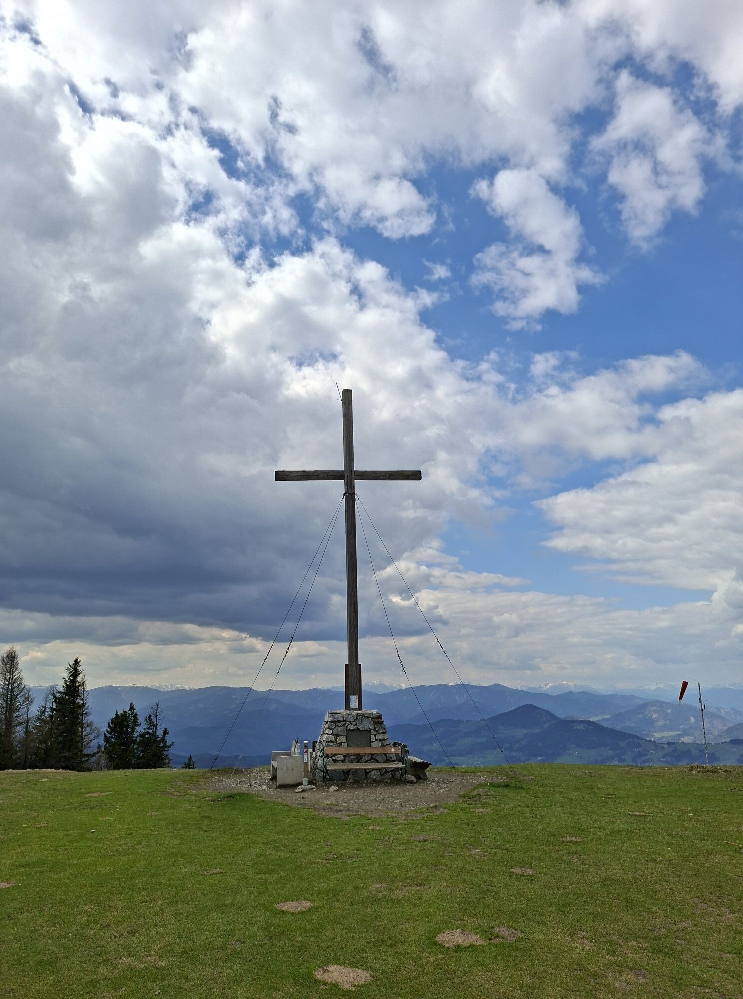
From there, the trail continues down a small slope and on the opposite side to the western summit of the Schöckl and the destination is reached.
To return, take the same path. Alternatively you can take the cable car down or descend via the hiking trails to the southeast.
(Translated with DeepL.com)


After you have reached the Schöckl you can also take the cable car or go down on the south-eastern side if you have a good chance to get back to the parking lot, have arrived otherwise or want to go on.
After reaching the summit cross at the Schöckl, there are several taverns at the Schöckl at one' disposal (Stoawandlhüttn, Stubenberghaus, Alpengasthof, S'Wirtshaus).
Ano
Ano
Ano
Ano
Take the exit Gratkorn Süd on the A2 motorway and drive in the direction of Graz. At the city border turn left towards Andritz. Look out for the junction to the left in the direction of Sattegg and take it. Continue straight on until you reach Leber. There turn right into Steingraben until you reach the small parking lot on the right side.
There is a parking lot directly at the beginning of the track
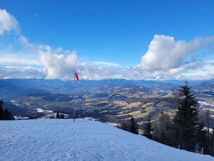
Due to the hike on the ridge it can get very windy here.
Webové kamery z prohlídky
Oblíbené prohlídky v okolí
-
4.4
Dürntal - Raabklamm - Arzberg - Runde
středníTuristika 7.79 km -
4.7
Kesselfallrundweg (R6)
středníTuristika 2.95 km -
4.5
Schöckl-Runde, Schöcklkreuz-Plenzengreith
světloTrailrunning 7.82 km -
4.8
Haneggkogel-Runde
světloTuristika 8.43 km -
4.7
Königgraben - Gamskogel - Bärenhöhle - Königgraben
středníTuristika 5.60 km -
4.7
Kleine Raabklamm über Hohenkogl: Parkplatz vor dem Ortskern Oberdorf- Bärntal - Kleine Raabklamm - über Hohenkogl - retour nach Oberdorf
světloTuristika 6.91 km -
4.1
Große Raabklamm-Runde, Arzberg
středníTuristika 13.9 km -
4.1
Schartnerkogel und Gamskogel Rundwanderung
středníTuristika 10.1 km -
4.0
Papst-Franziskus Pilgerweg von Graz nach Weiz
středníPoutní stezka 24.1 km -
5.0
Enzenbach -Kaschelsteig -Mühlbacherhütte
středníTuristika 9.34 km
Pěší turistika a stopování


Nenechte si ujít nabídky a inspiraci pro vaši příští dovolenou
Vaše e-mailová adresa byl přidán do poštovního seznamu.