


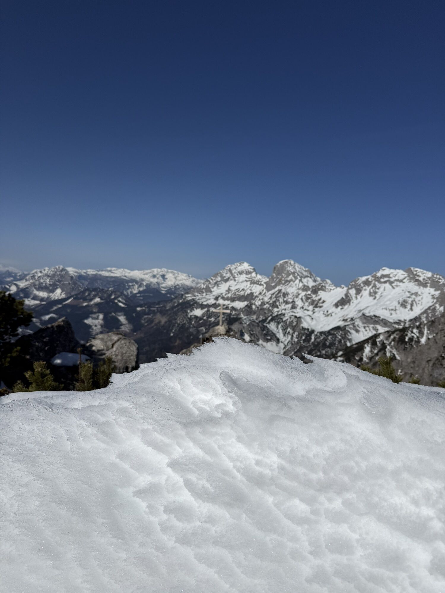
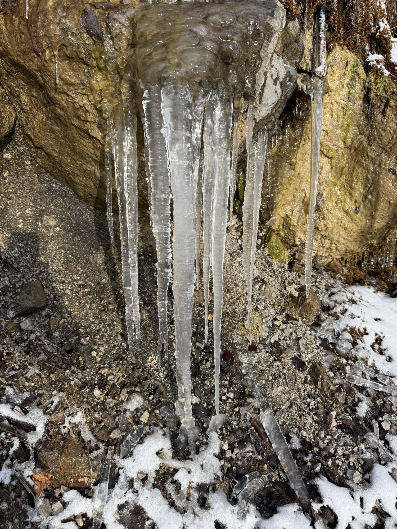
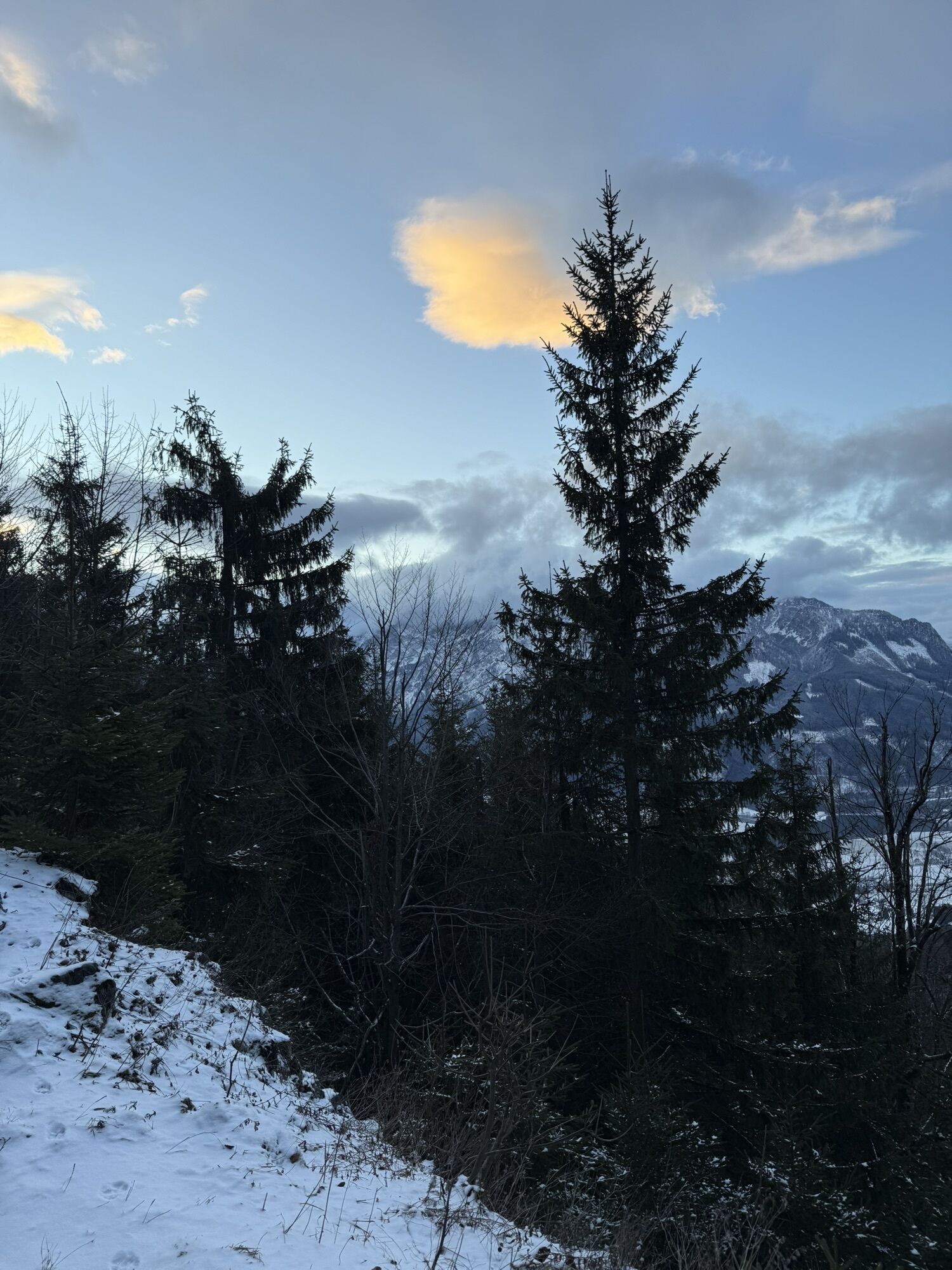
Admonter Haus und Natterriegel
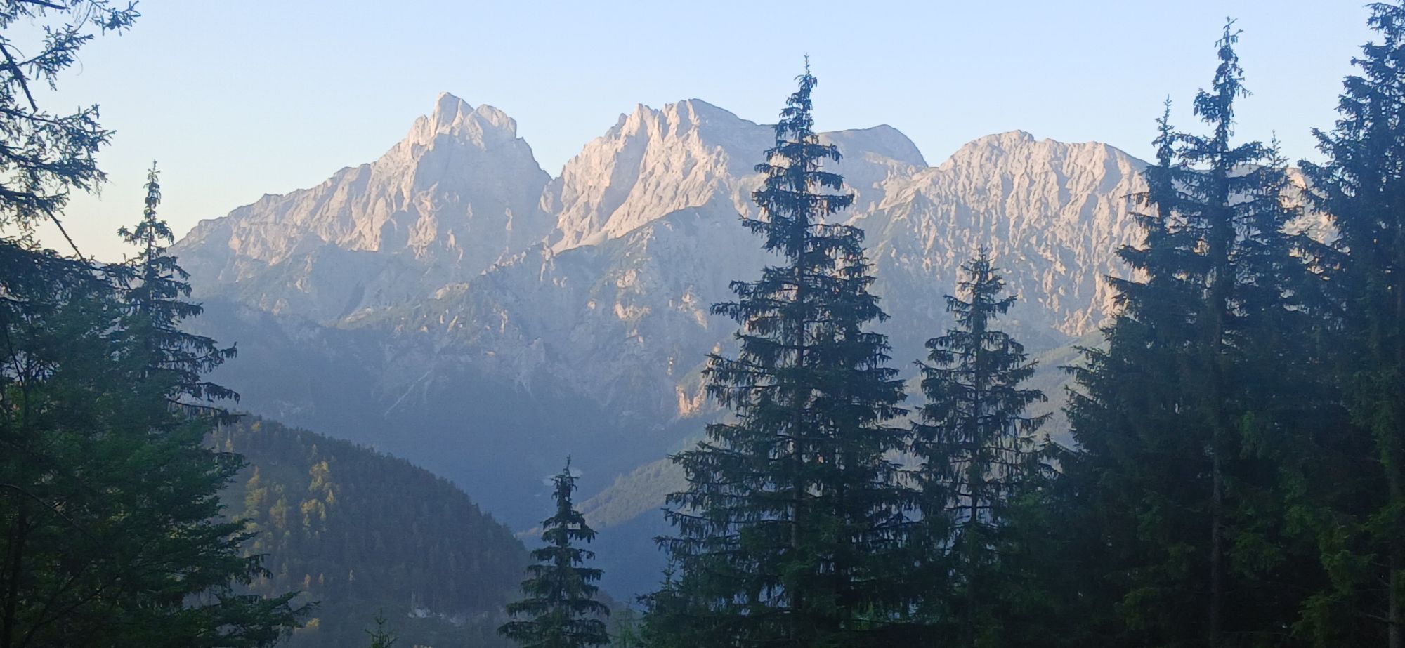
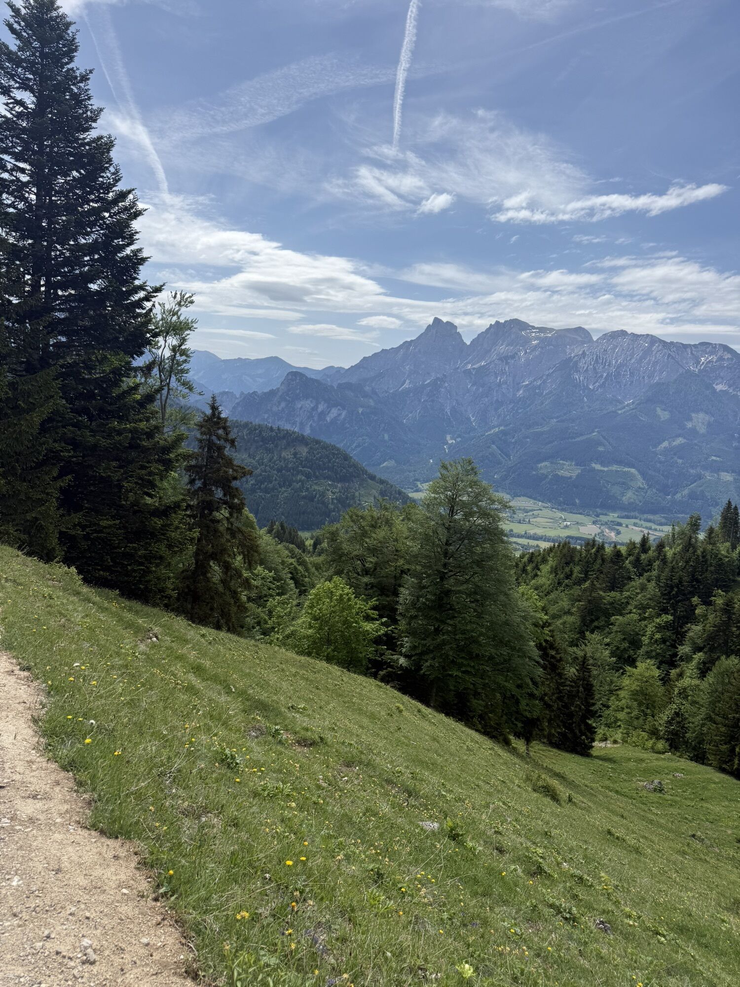
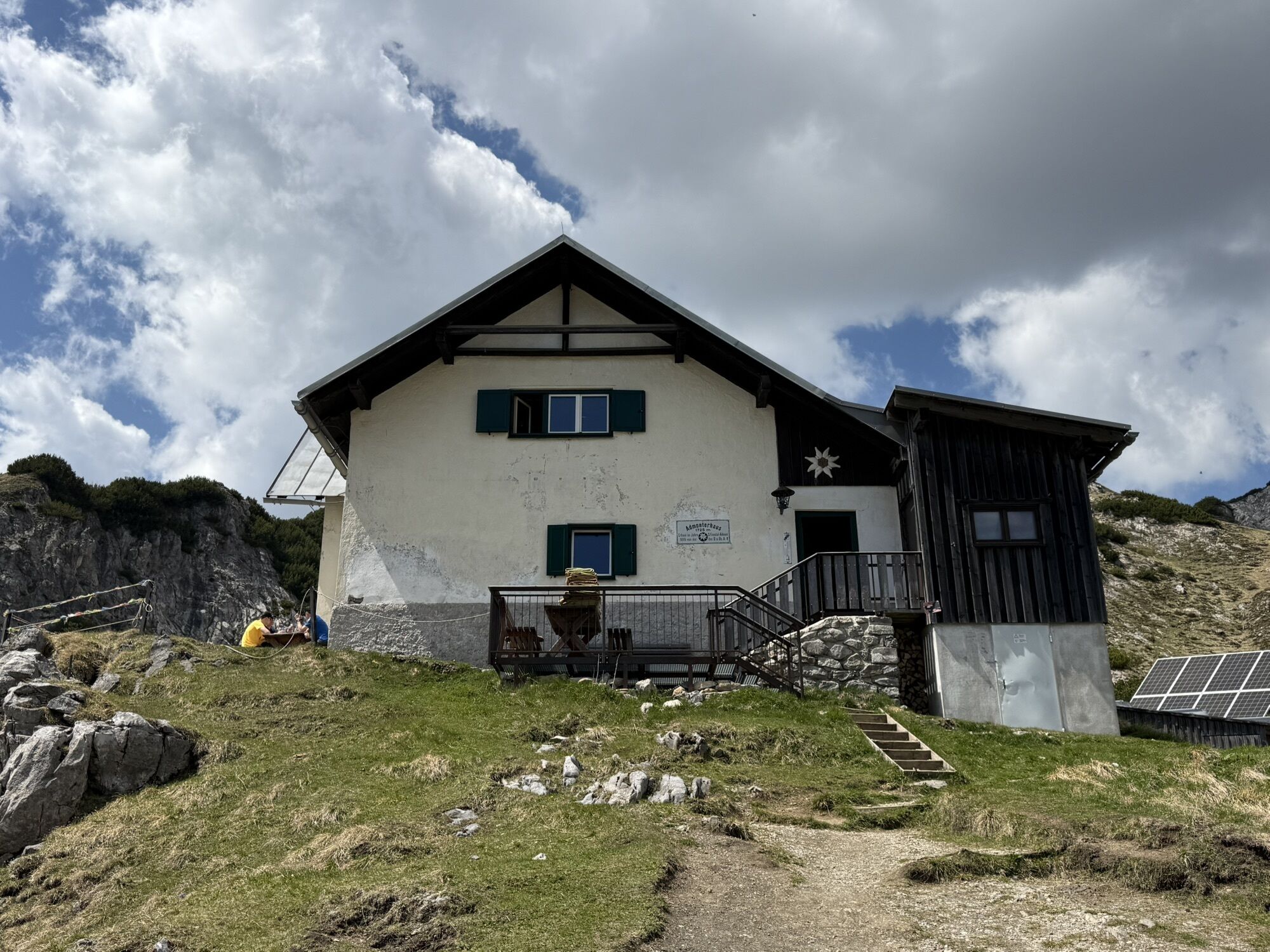
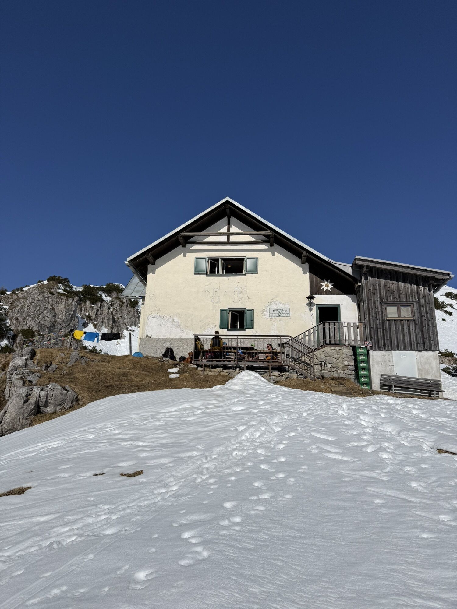


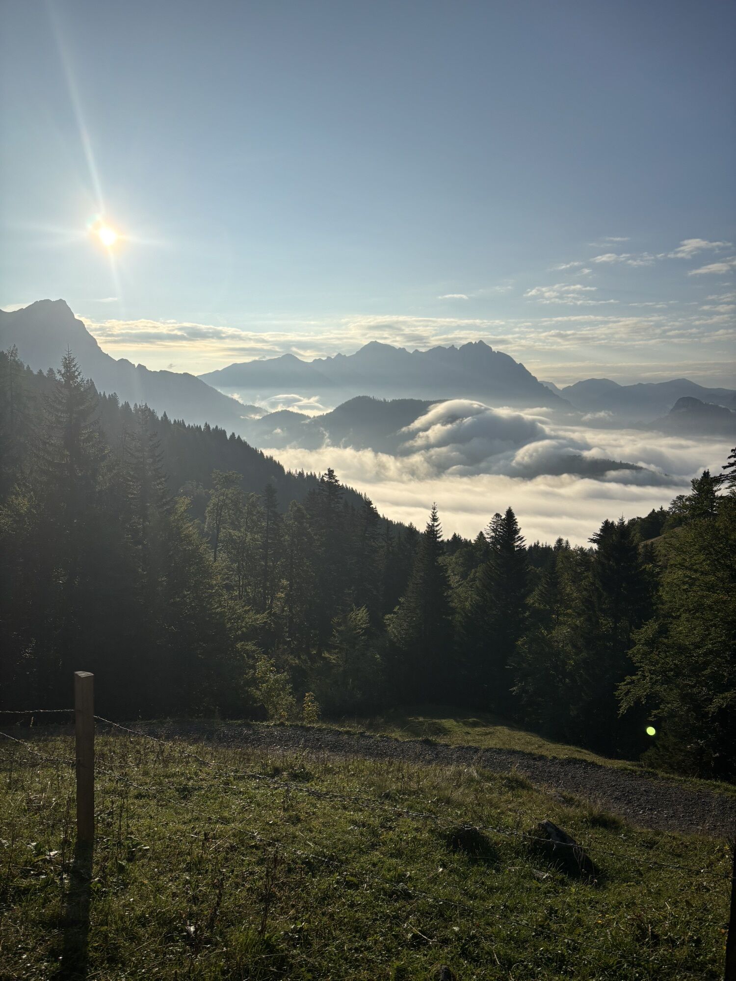
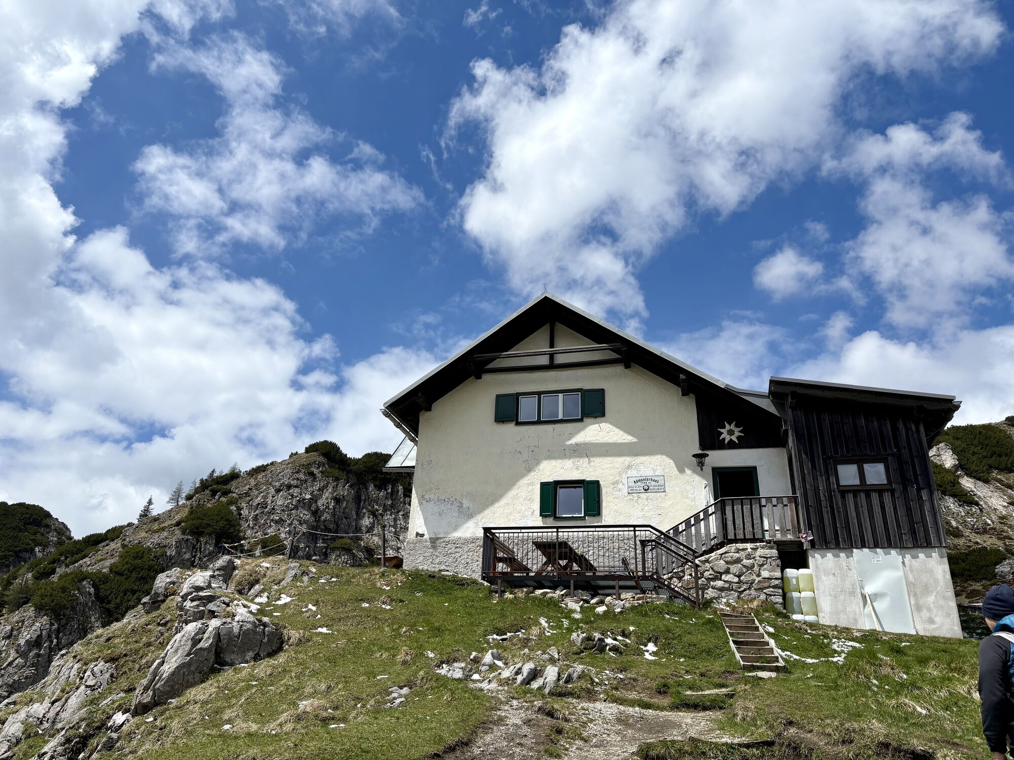

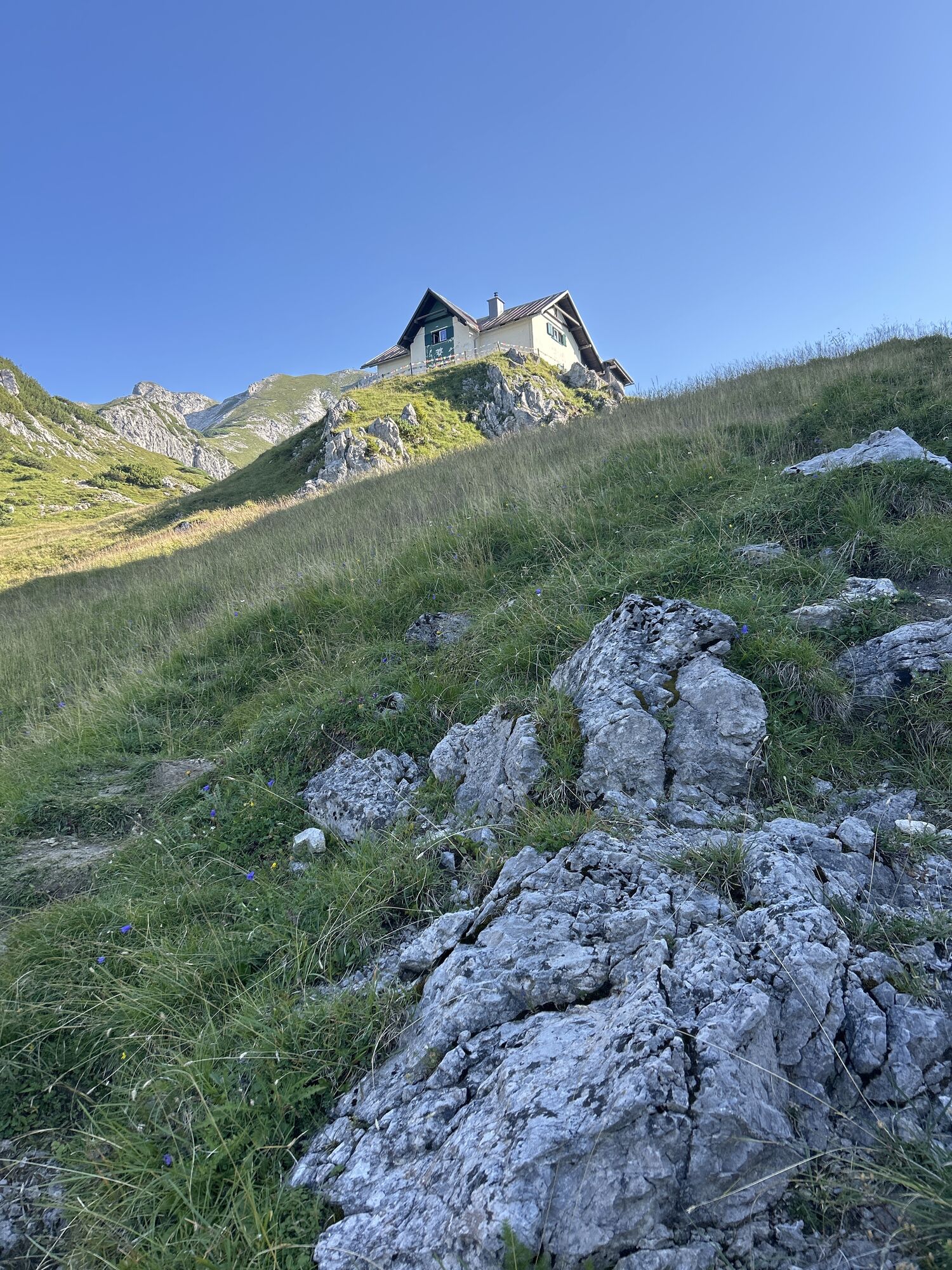
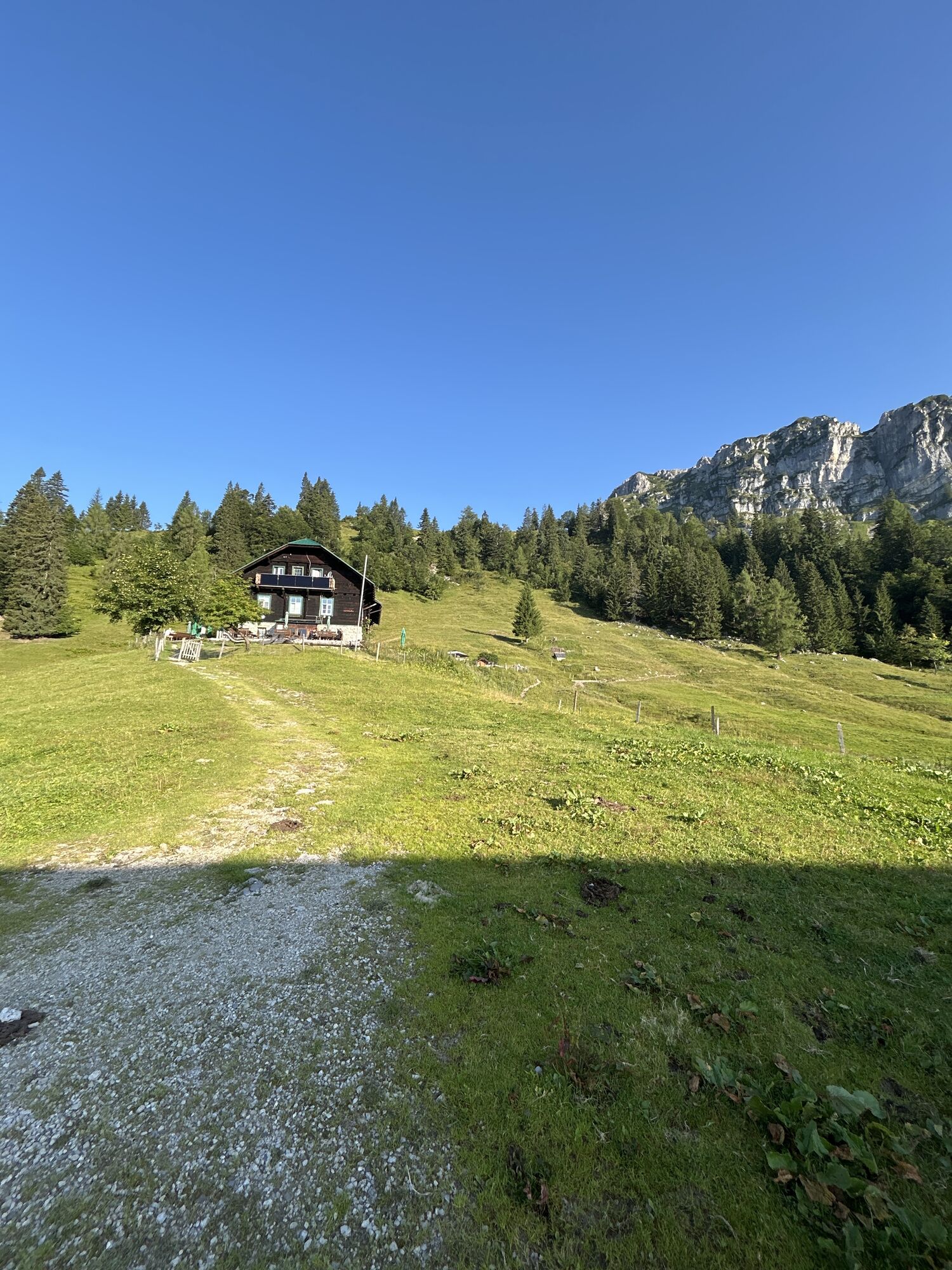
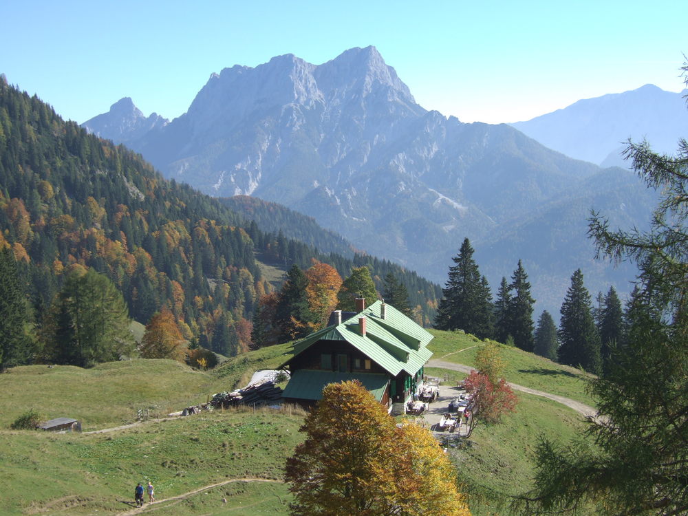
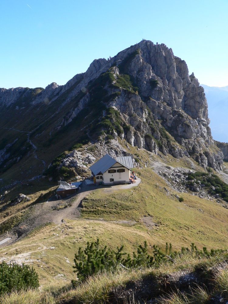
Vom Buchauer Sattel gehen wir den markierten Wanderweg Nr. 636, der immer wieder die Forststrasse kreuzt, zum Grabneralm Haus ( 1391 m) und in einer weiteren Stunde zum Admonter Haus ( 1723m), das idyllisch...
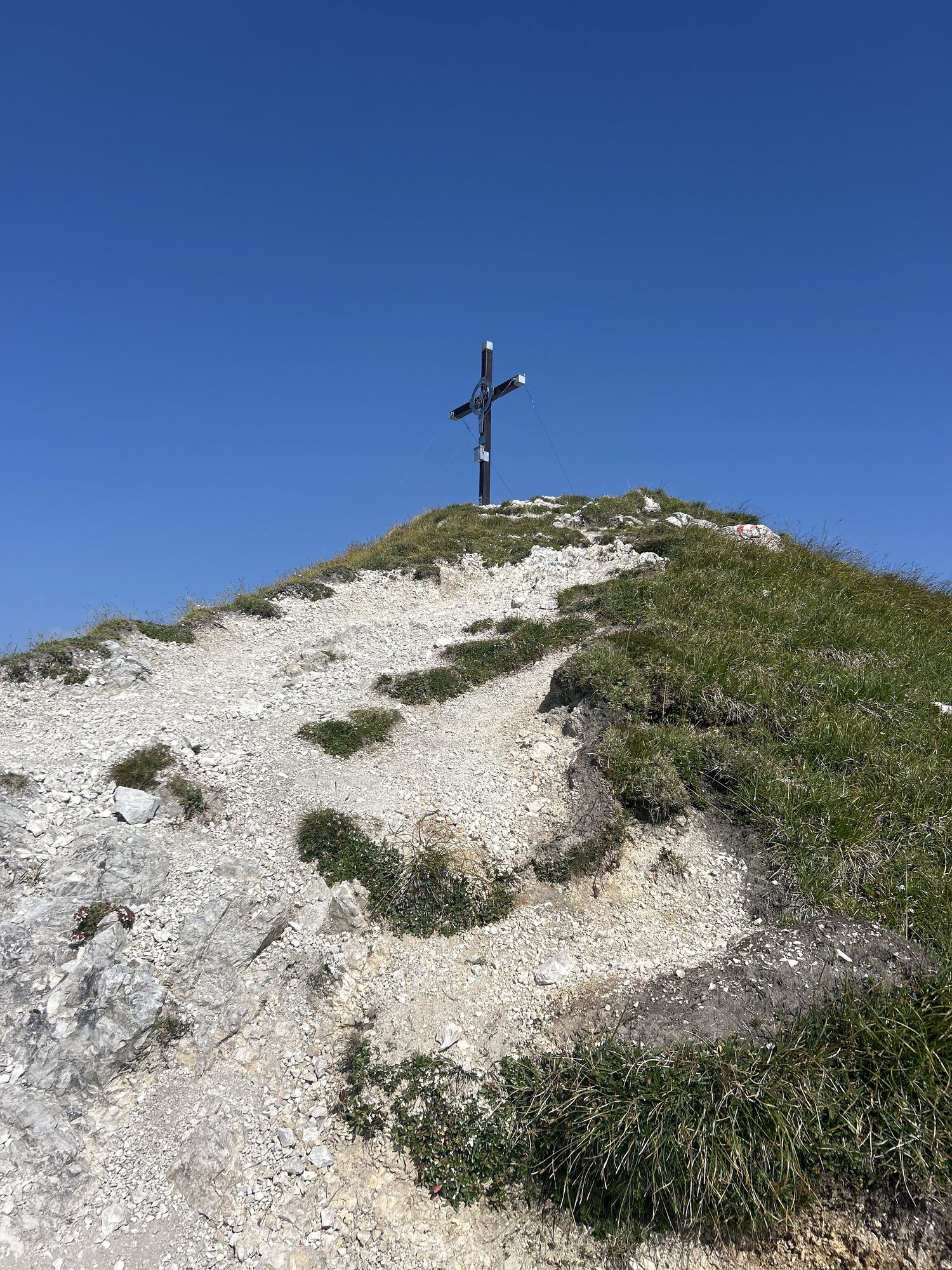
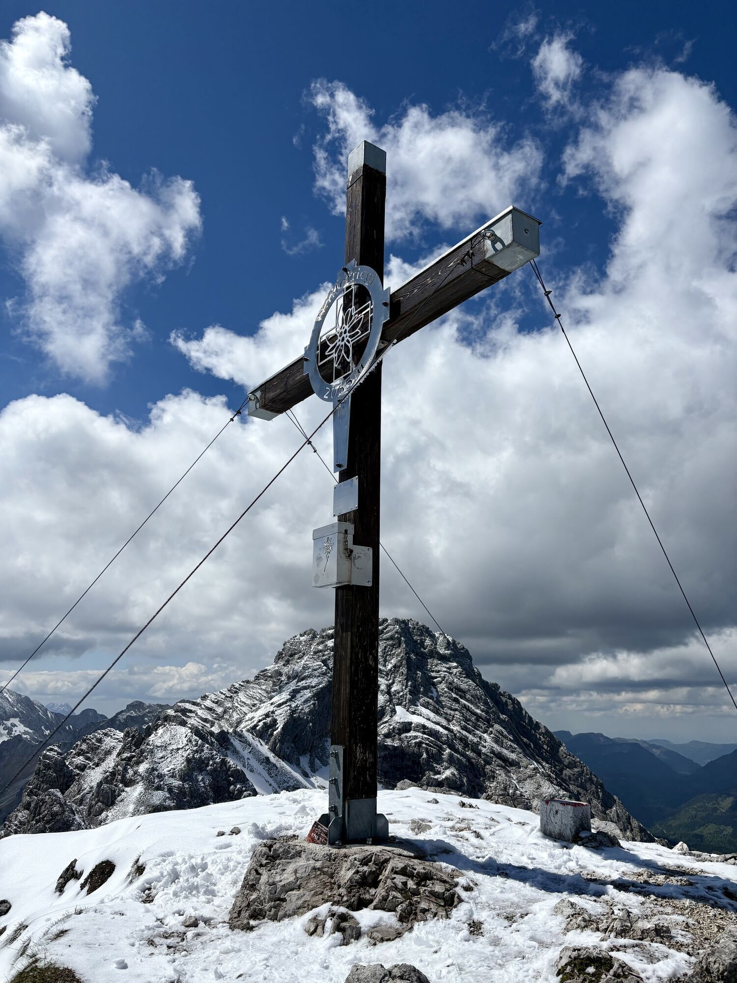
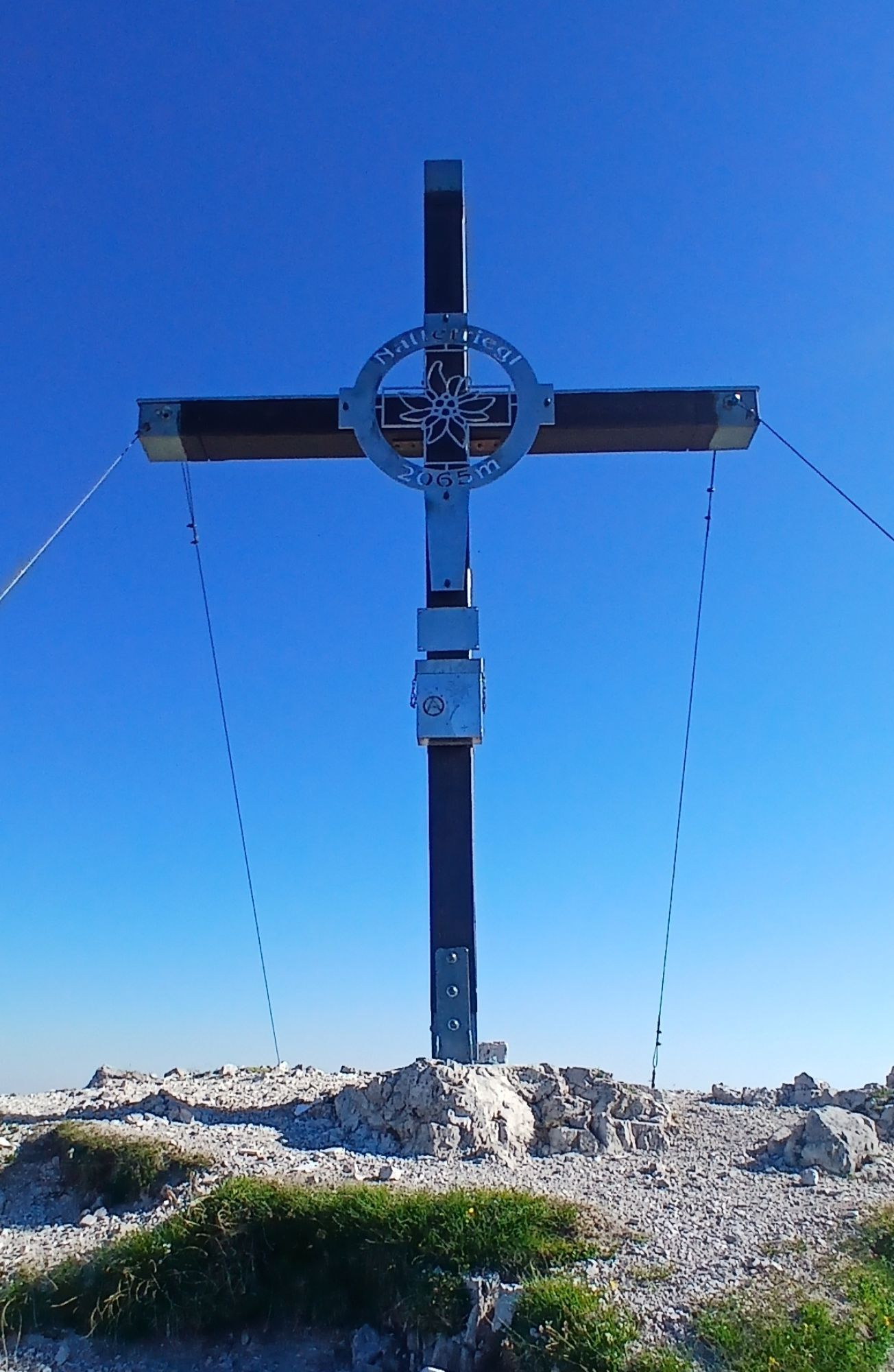
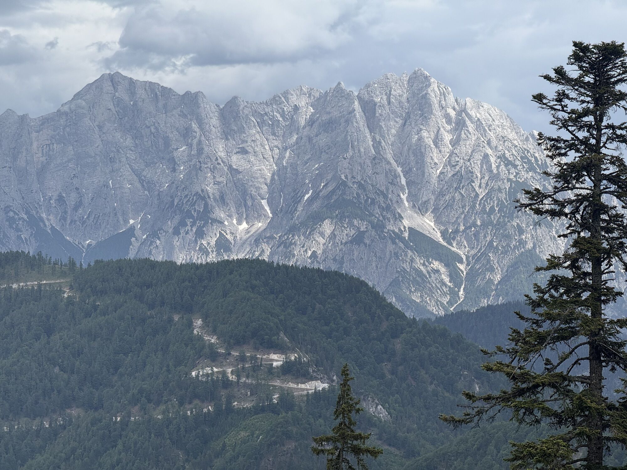
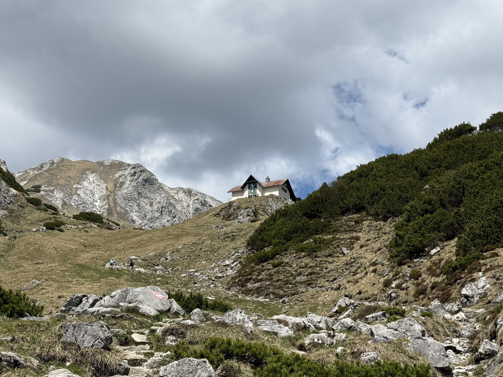
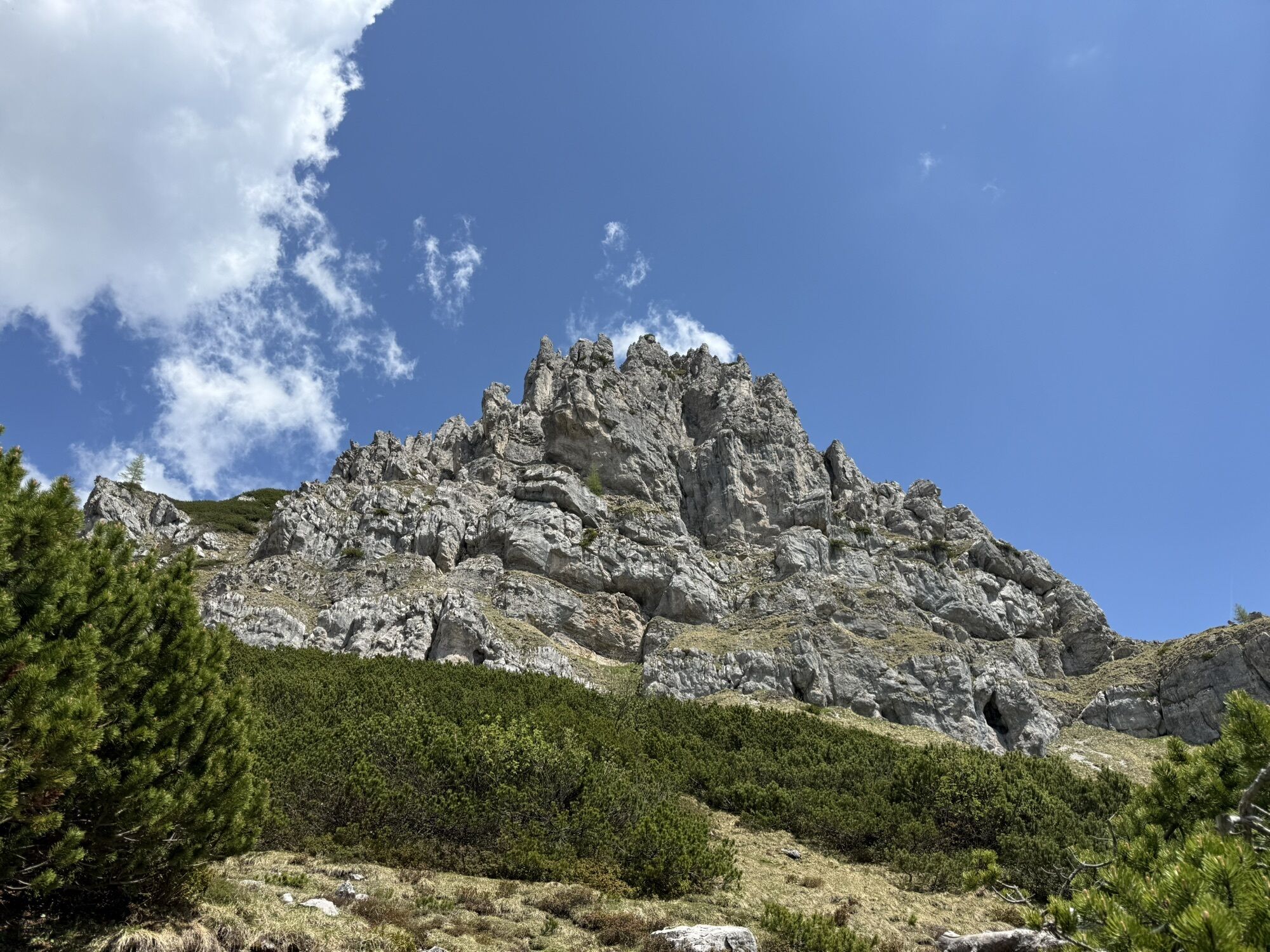
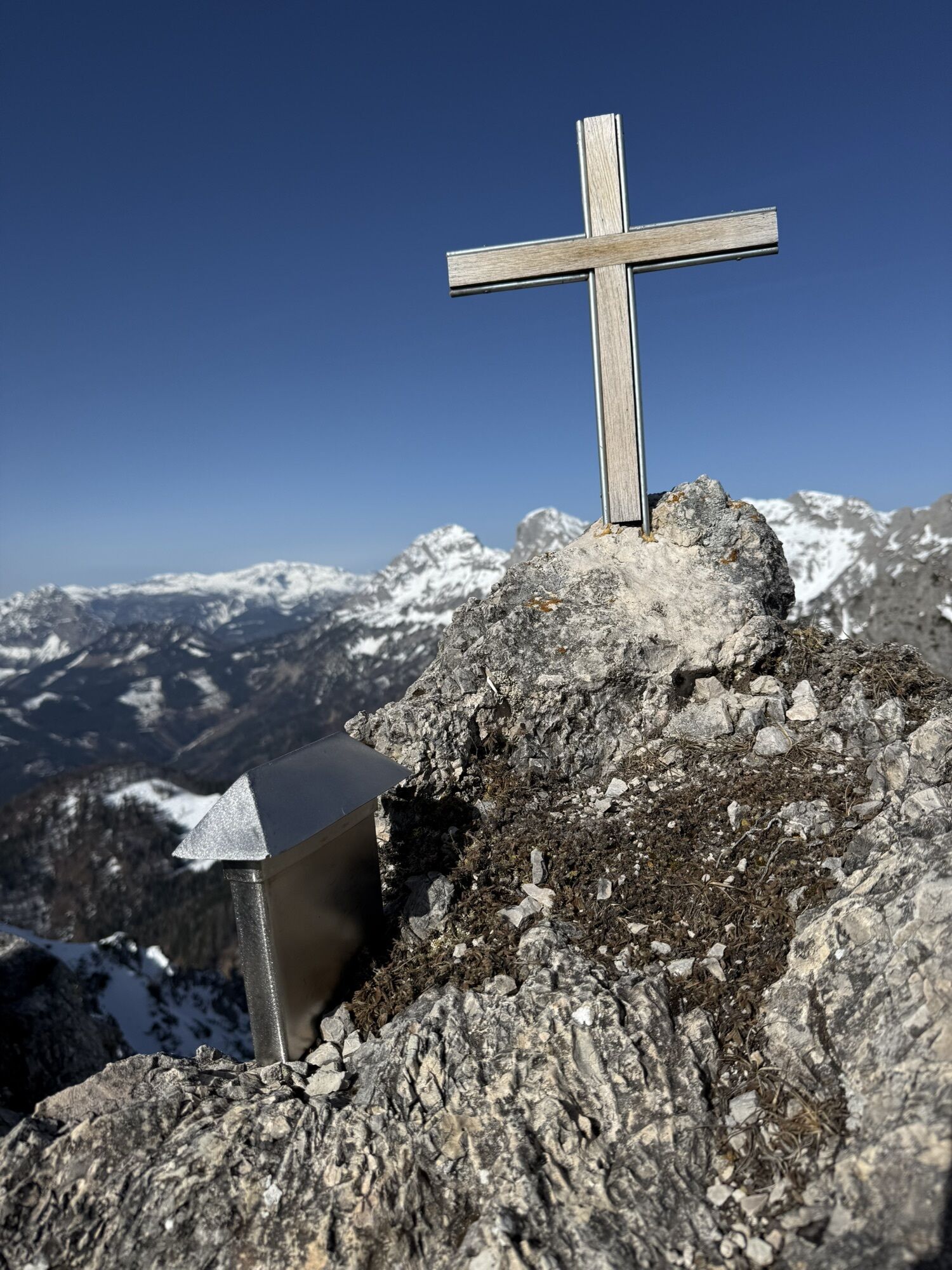
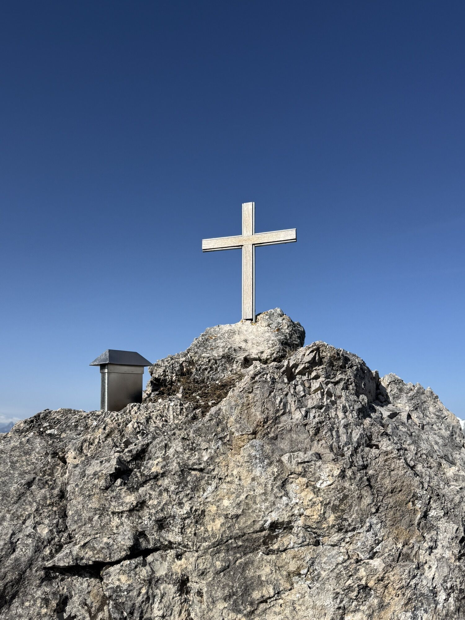
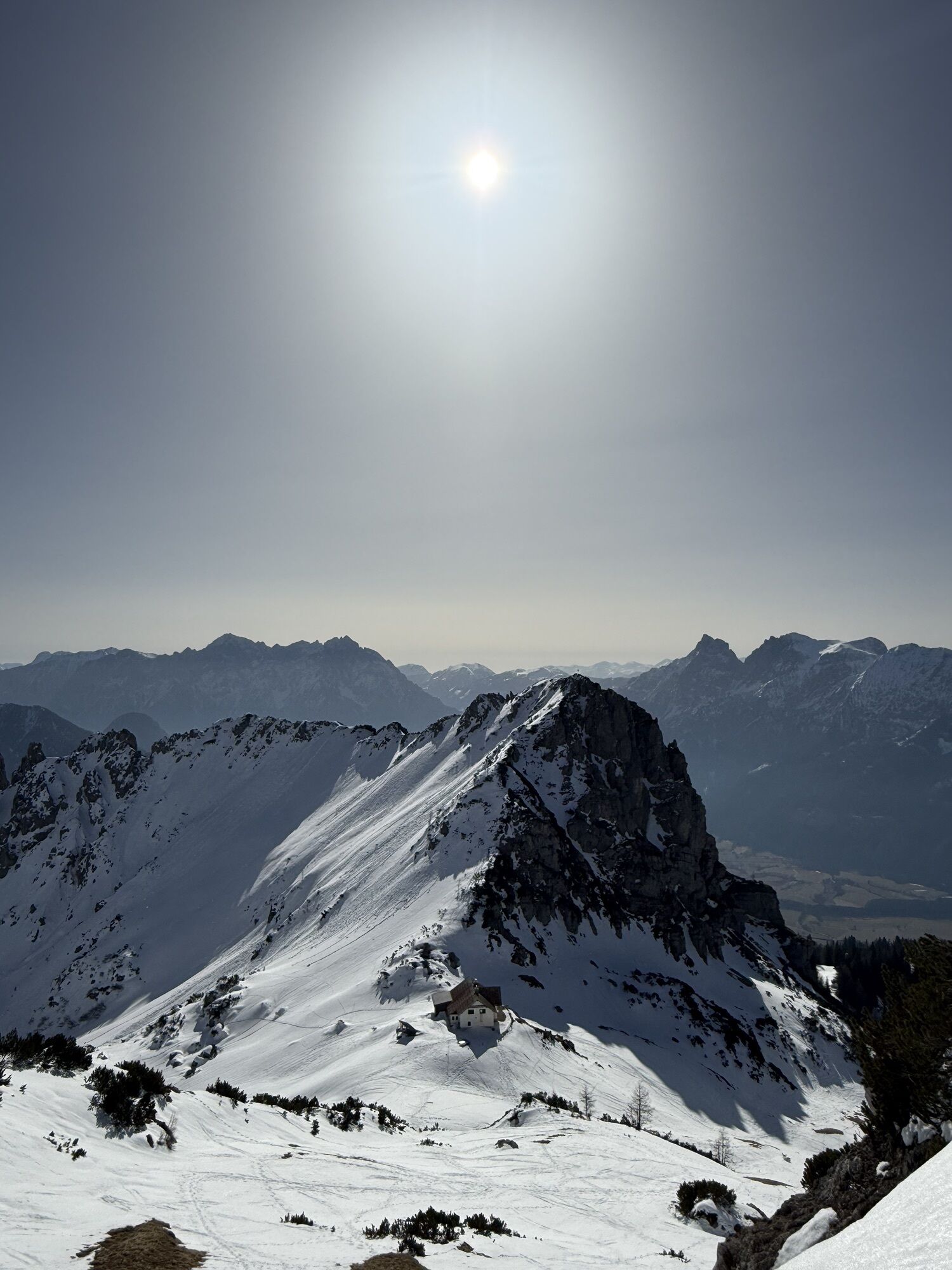
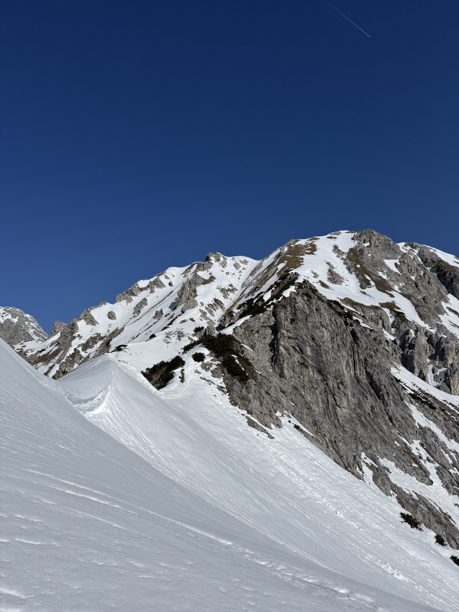
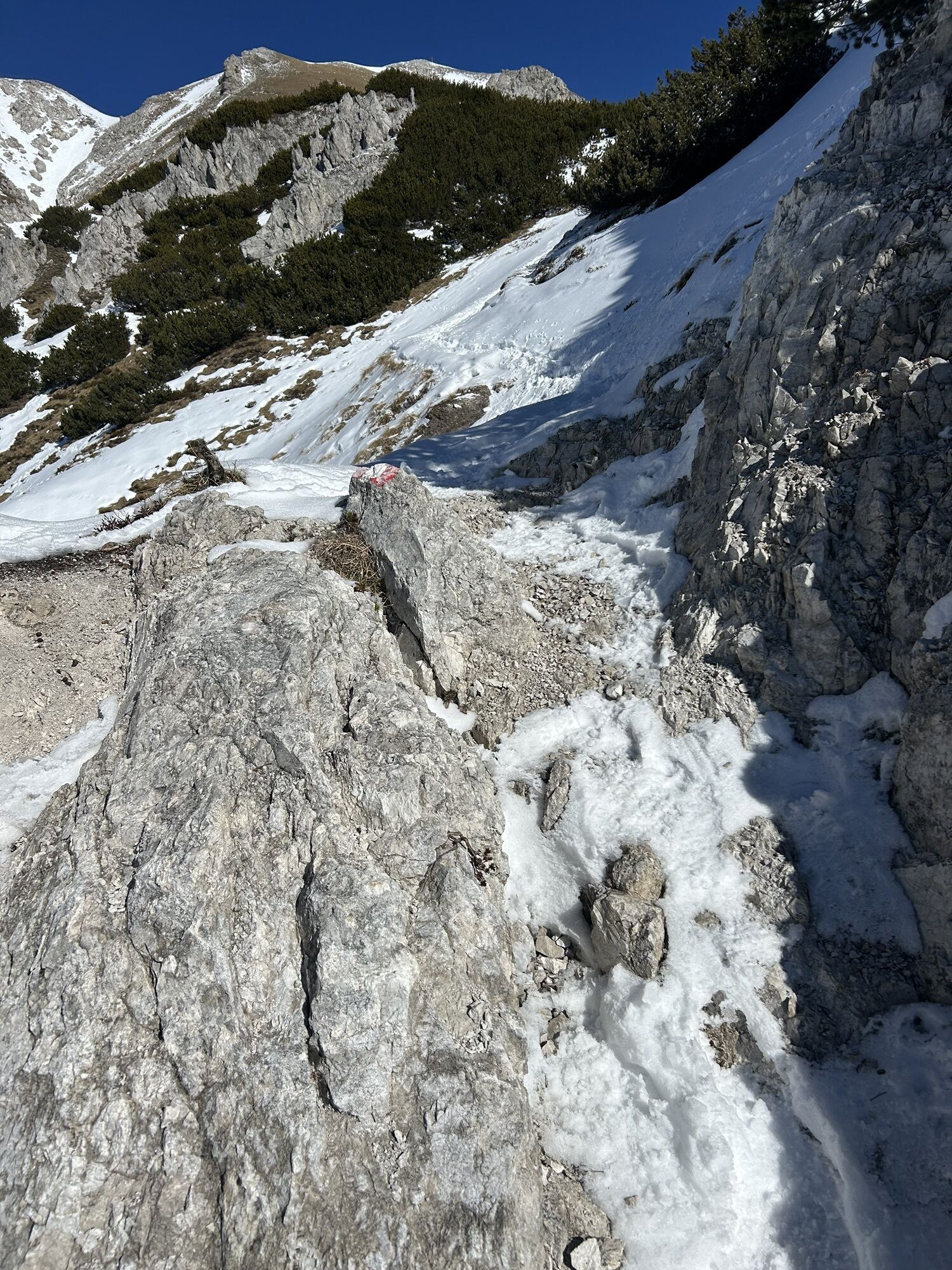
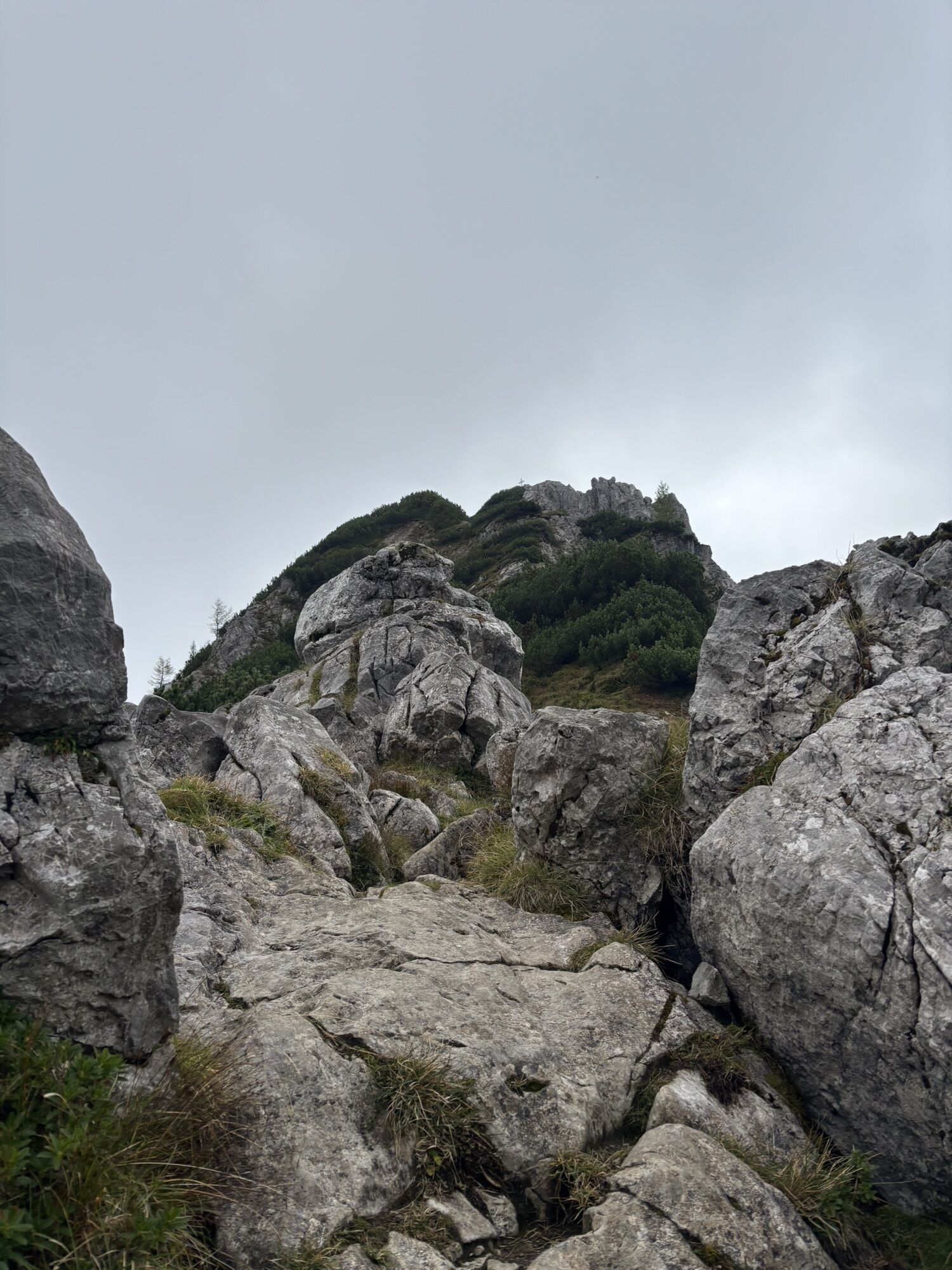
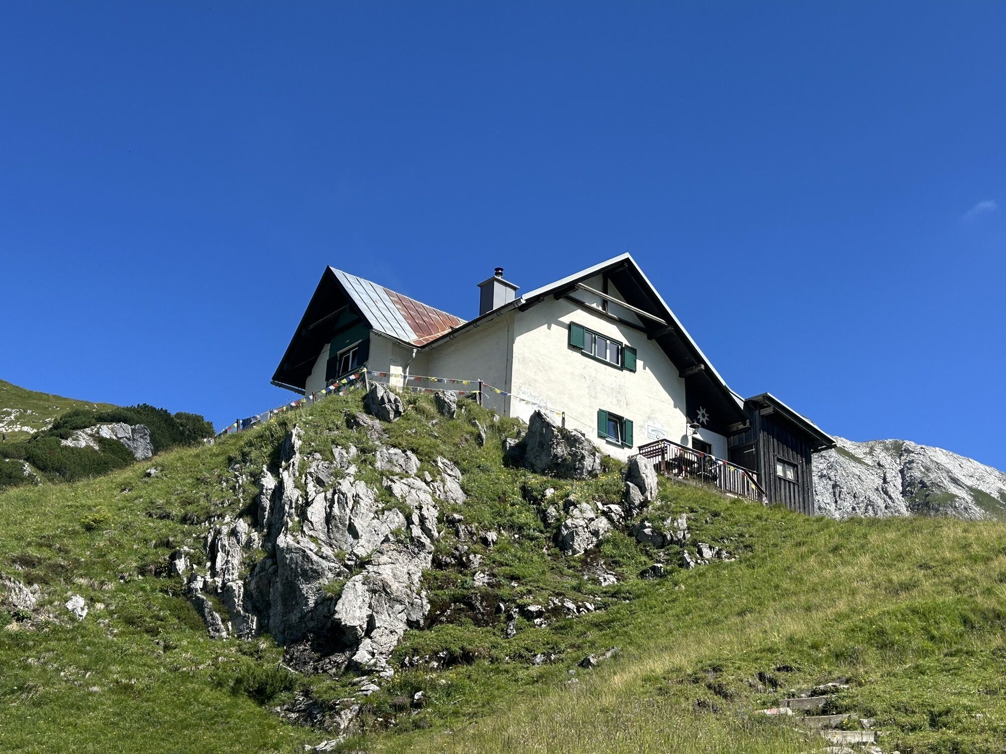
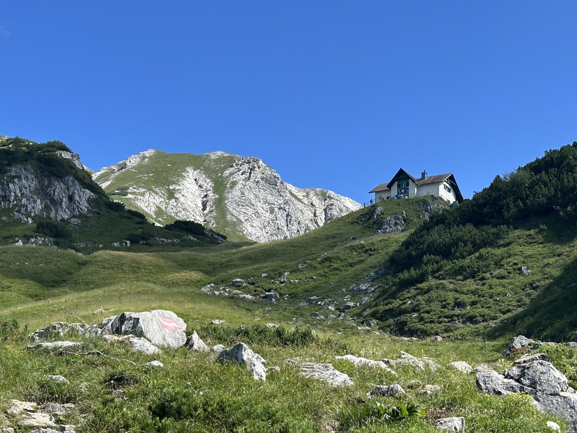
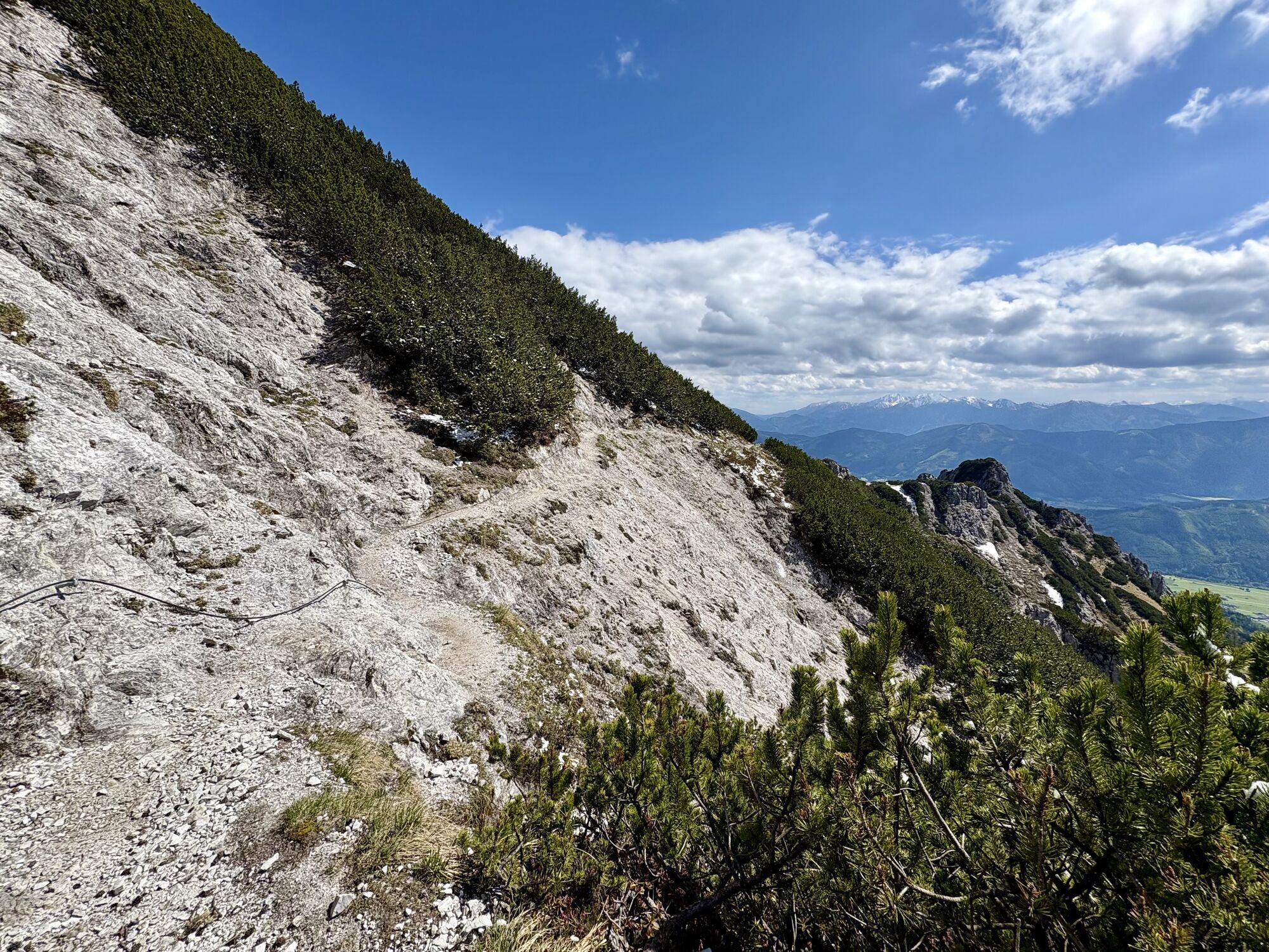
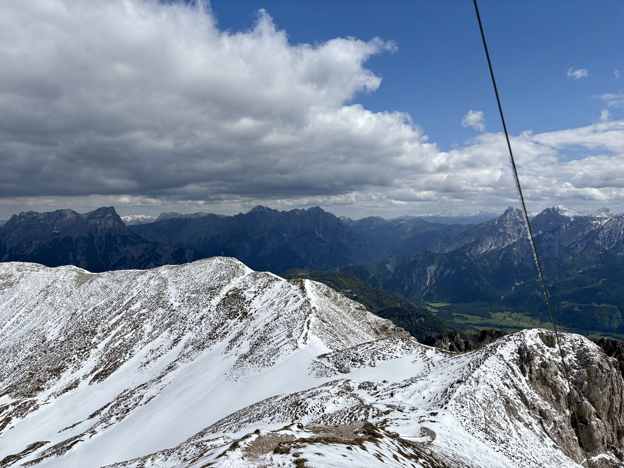
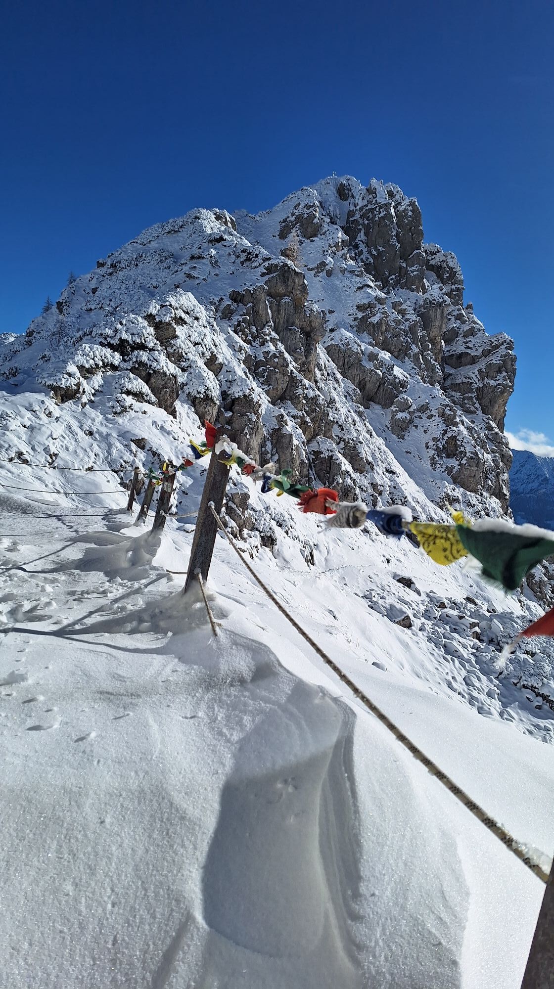
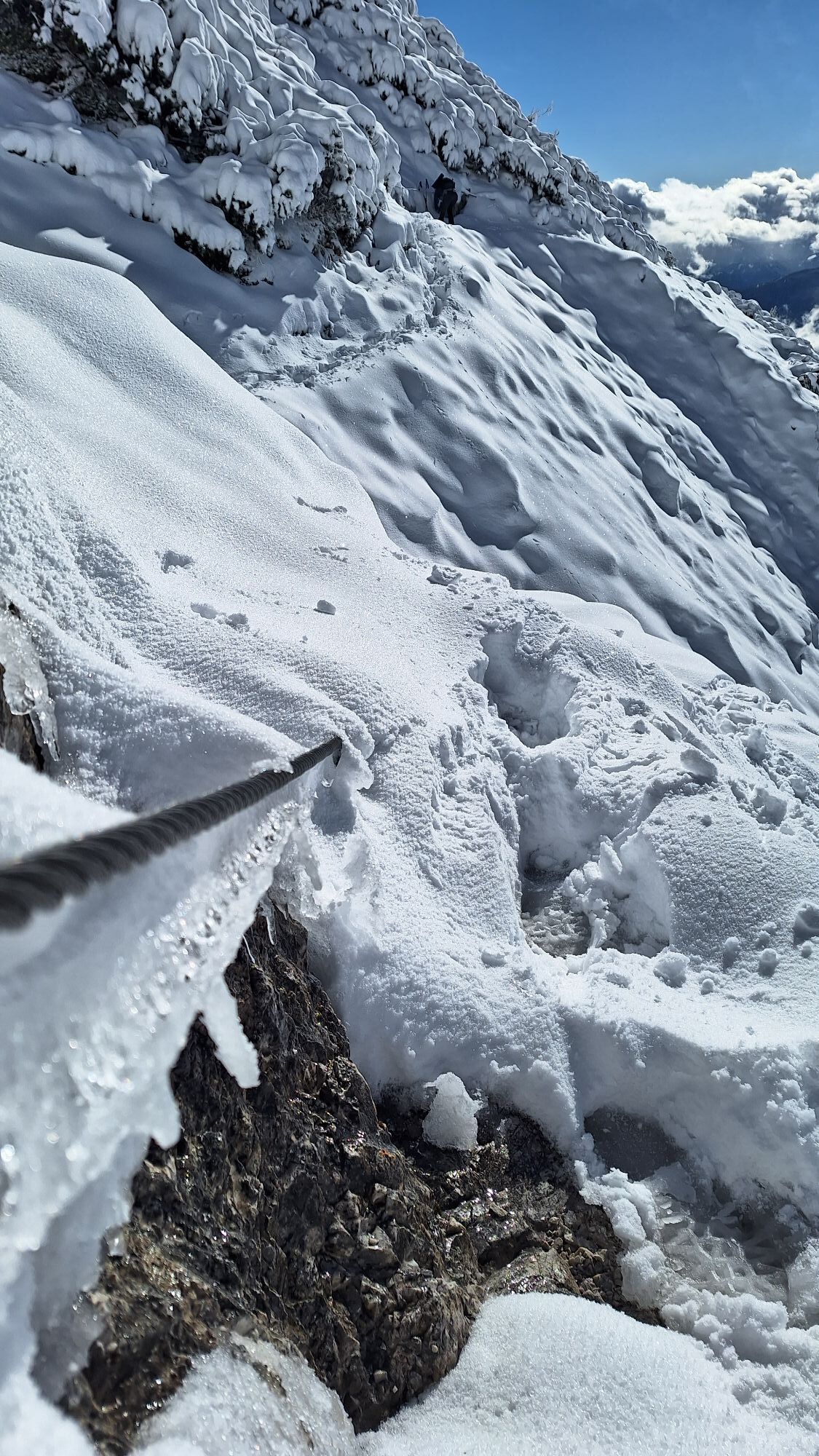
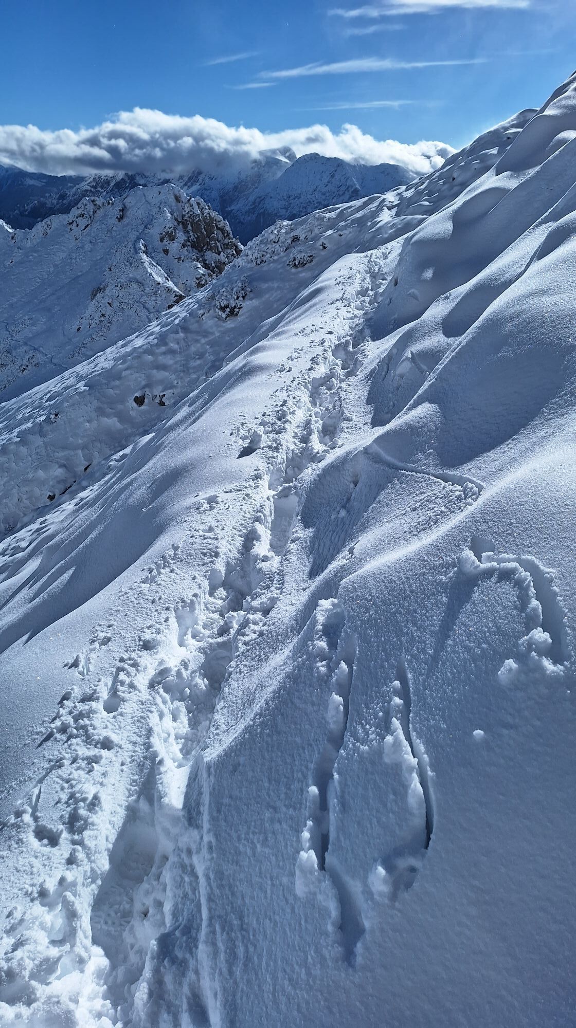
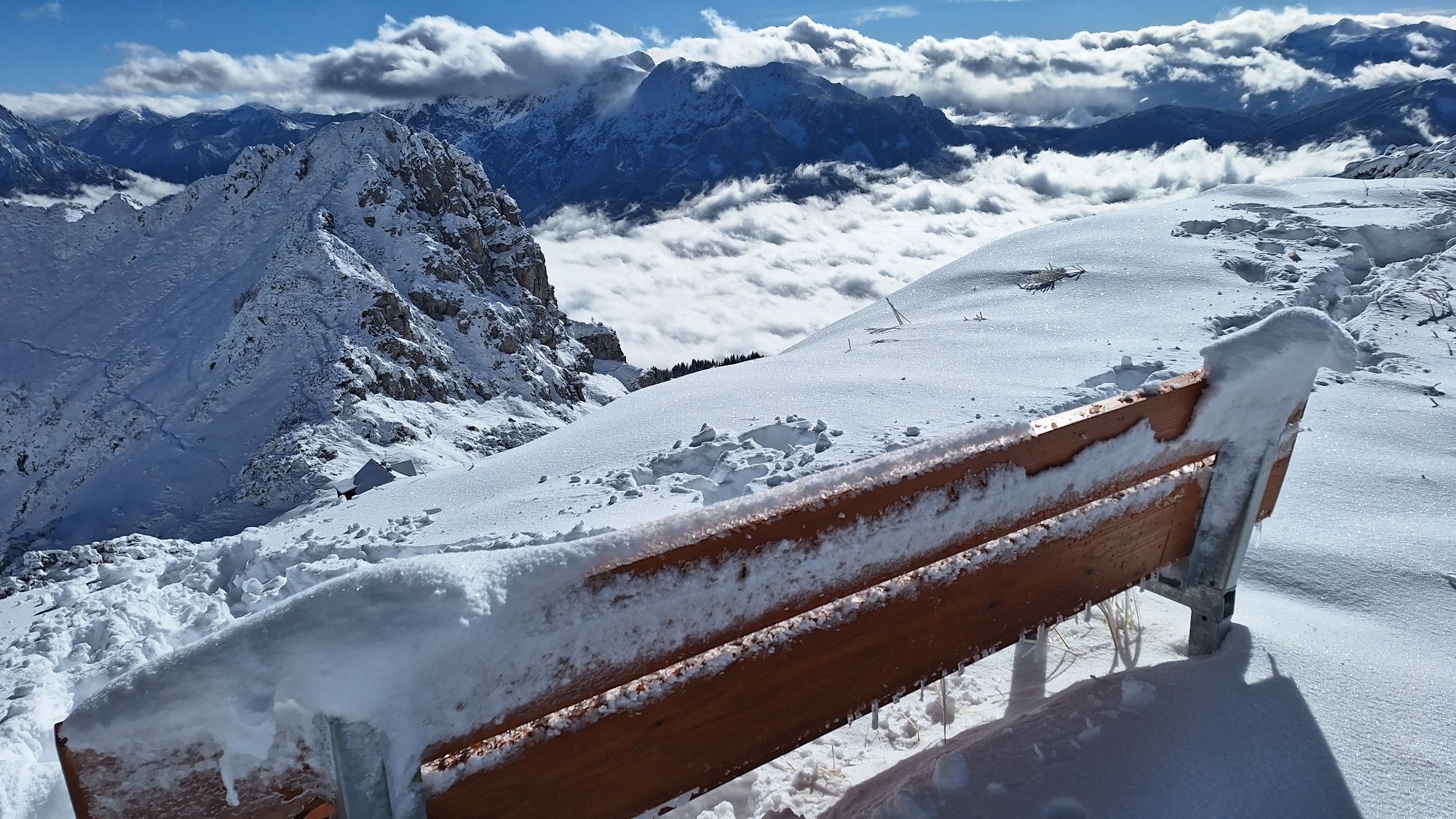
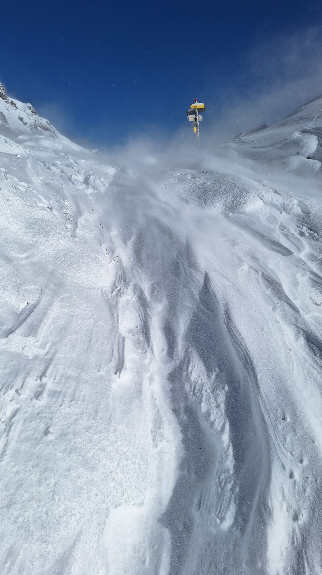
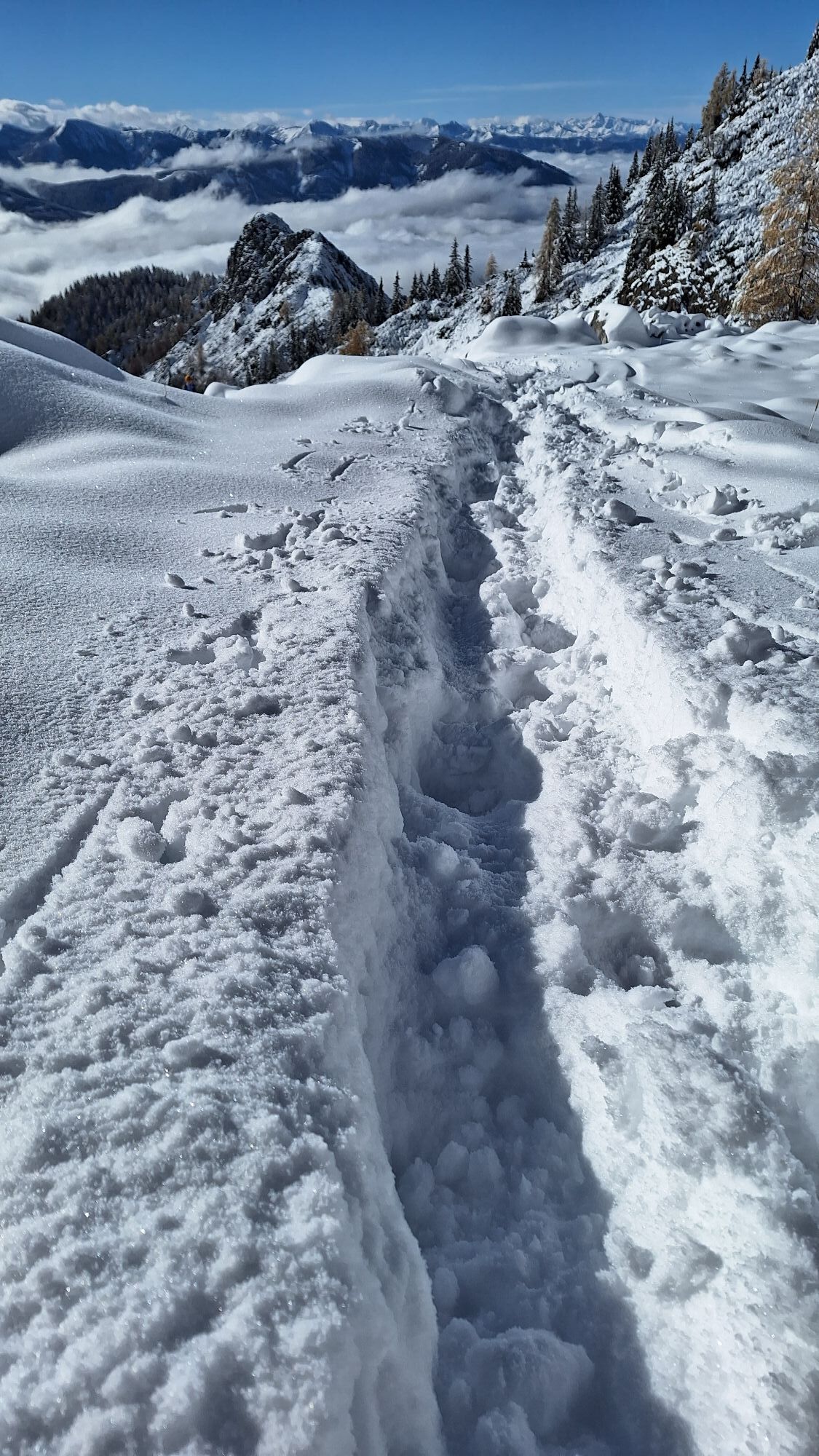
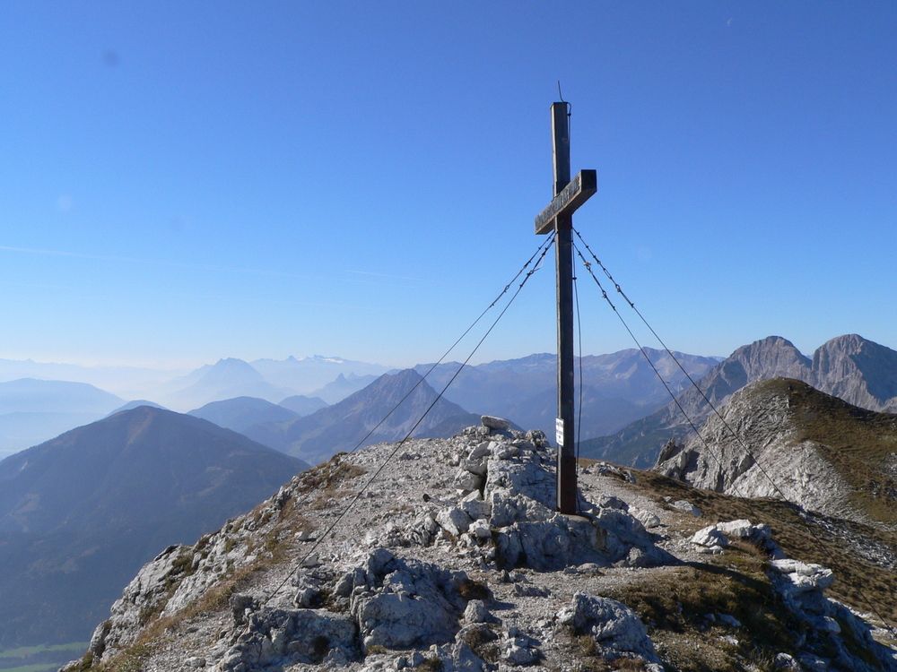
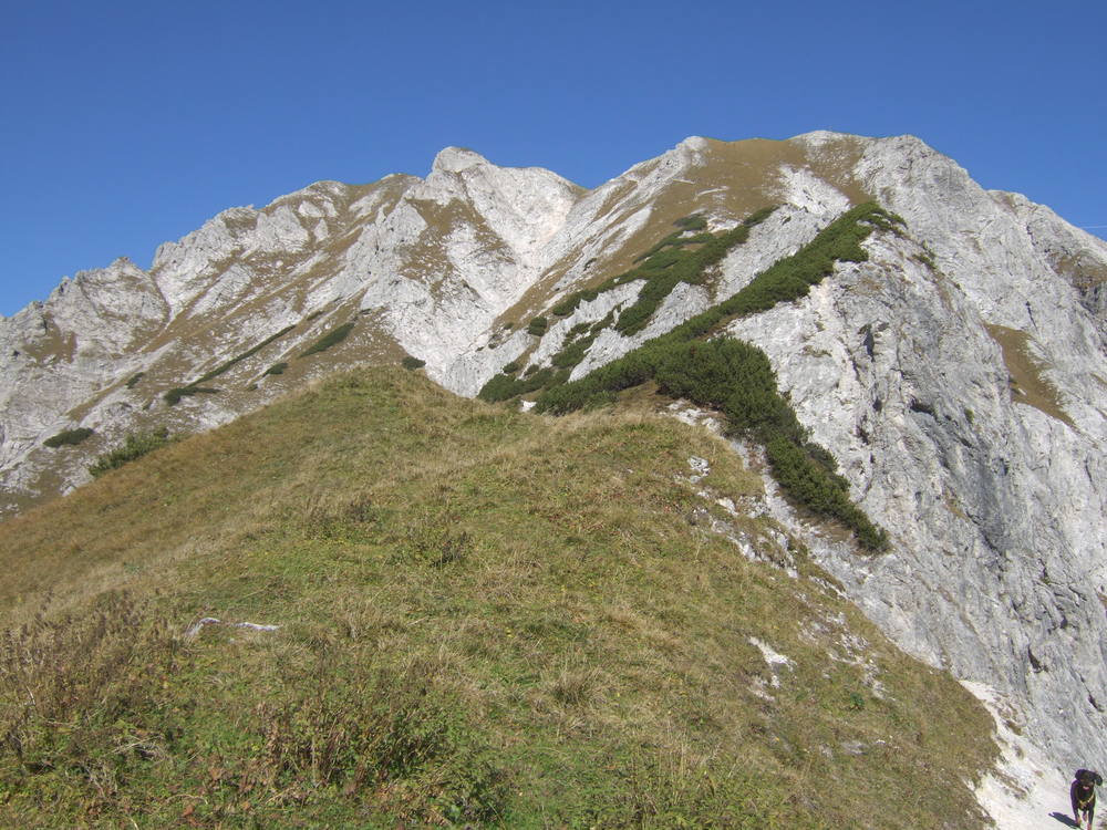
Vom Buchauer Sattel gehen wir den markierten Wanderweg Nr. 636, der immer wieder die Forststrasse kreuzt, zum Grabneralm Haus ( 1391 m) und in einer weiteren Stunde zum Admonter Haus ( 1723m), das idyllisch am Grabner Törl liegt. Trittsichere Bergwanderer steigen vom Admonter Haus über einige mit Drahtseilen versicherte Schrofen auf den Natterriegel und den benachbarten Mittagskogel mit seinem großen Gipfelkreuz. Geübte können noch weiter auf die Bärenkarmauer ( 2172 m), auch Hexentrurm genannt, gehen. Dieser Weiterweg erfordert Schwindelfreiheit und Trittsicherheit und ist auch teilweise mit Drahtseilen versichert. ( Vom Natterriegel zur Bärenkarmauer muß man etwa 1.5 Stunden rechnen).


Wanderung vom Grabneralmhaus auf den Grabnerstein ( 1847m )
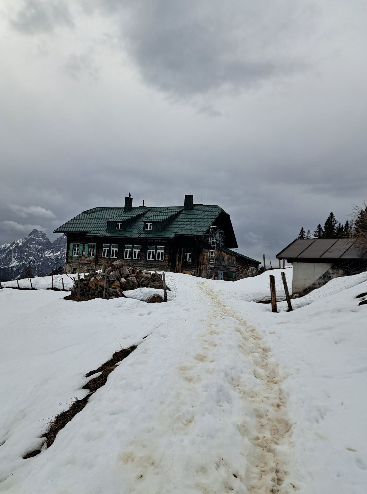
Admonter Hütte, Grabneralmhaus
ÖK Nr. 99 Rottenmann
Ano
von Admont oder St. Gallen auf den Buchauer Sattel
Oblíbené prohlídky v okolí
- 4,2
Gstatterboden: Tamischbachturm
Turistika 8,23 km - 4,2
Gstatterboden: Gr. Buchstein auf dem Normalweg
Turistika 15 km - 4,8
Ennstalerhütte Normalweg
středníTuristika 14,9 km - 4,7
Kaiserau - Klinkehütte - Lahngangkogel - Wagenbänkalm
středníTuristika 9,57 km - 4,7
Von Johnsbach zur Mödlingerhütte zum Heldenkreuz
středníTuristika 11,9 km - 4,6
Natterriegel über Mittagskogel
heavyTuristika 14,6 km - 4,6
Über die Gsengscharte auf die Haindlkarhütte
středníTuristika 8,38 km - 4,6
Über den Wasserfallweg auf die Planspitze und über die Hesshütte hinunter nach Johnsbach
heavyTematická stezka 14,1 km - 3,9
Dr. Vogelgesang-Klamm
světloTuristika 2,67 km - 4,5
Von der Bosruckhütte auf den Großen Pyhrgas
heavyTuristika 9,57 km
Pěší turistika a stopování


Nenechte si ujít nabídky a inspiraci pro vaši příští dovolenou
Vaše e-mailová adresa byl přidán do poštovního seznamu.