
Kirche der Siebenten-Tags-Adventisten - Seckauer Zinken - Maieranger Kogel - Hochreicharthütte
heavy
Pořiďte si tuto prohlídku do mobilního telefonu
Kirche der Siebenten-Tags-Adventisten - Seckauer Zinken - Maieranger Kogel - Hochreicharthütte
heavy
Turistika
29.08
km
Naskenujte QR kód a spusťte navigaci v aplikaci bergfex.


Pěší turistika a stopování



Kirche der Siebenten-Tags-Adventisten - Seckauer Zinken - Maieranger Kogel - Hochreicharthütte
heavy
Vzdálenost
29.1
km
Doba trvání
10:13
h
Ascent
2353
hm
Hladina moře
627 -
2390
m

Navigujte po trase v aplikaci
Nainstalujte si aplikaci zdarma a mějte trasu vždy na očích díky GPS navigaci a sledování polohy.
Využijte nyní službu „ bergfex “ v aplikaci
Naskenuj QR kód pomocí fotoaparátu
Jakmile je aplikace nainstalována, obsah se otevře přímo. Pokud aplikaci ještě nemáš, budeš přesměrován na stránku, kde si ji můžeš zdarma stáhnout.
Stažení skladby
Kirche der Siebenten-Tags-Adventisten - Seckauer Zinken - Maieranger Kogel - Hochreicharthütte
heavy
Turistika
29.08
km
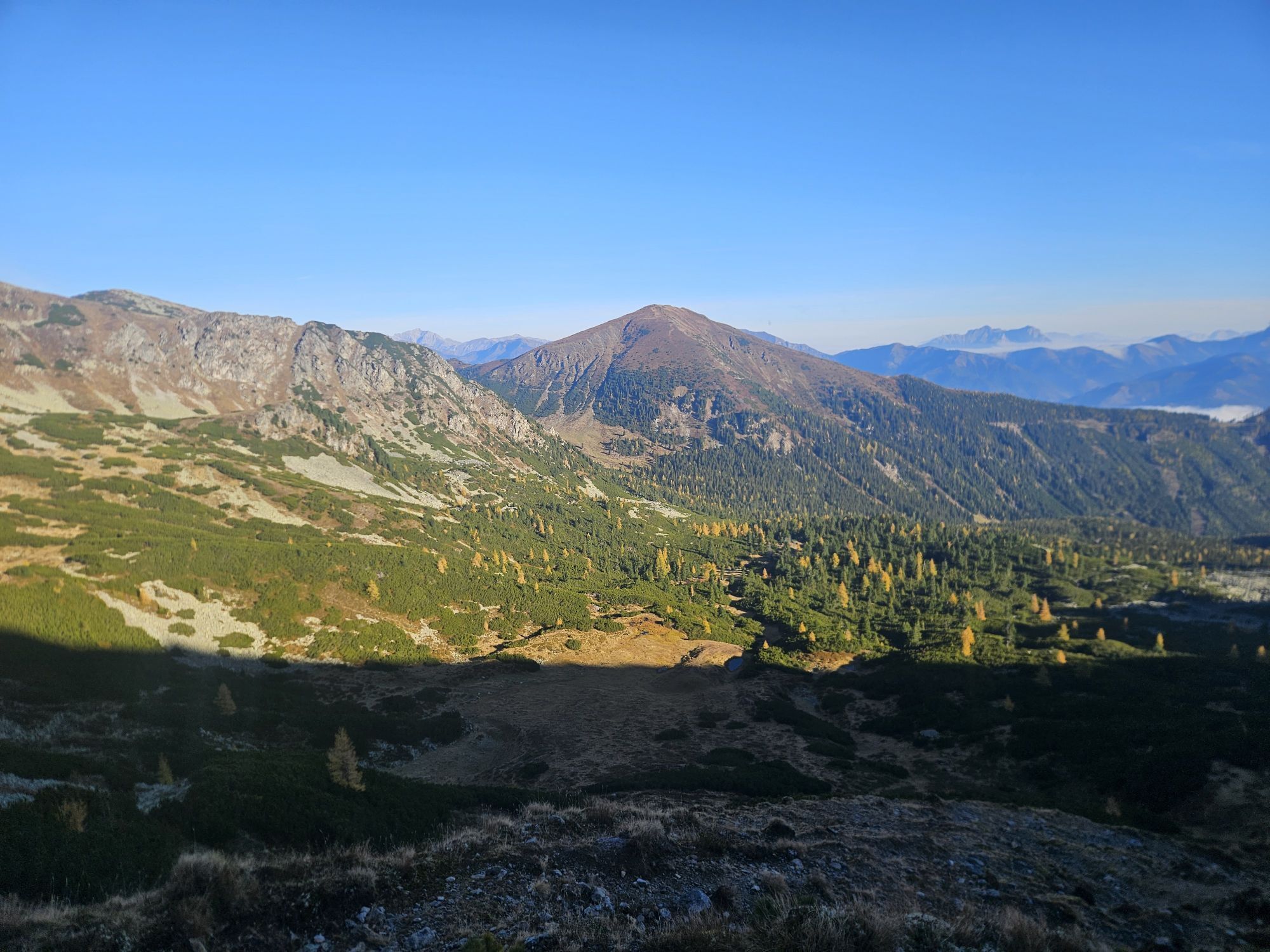
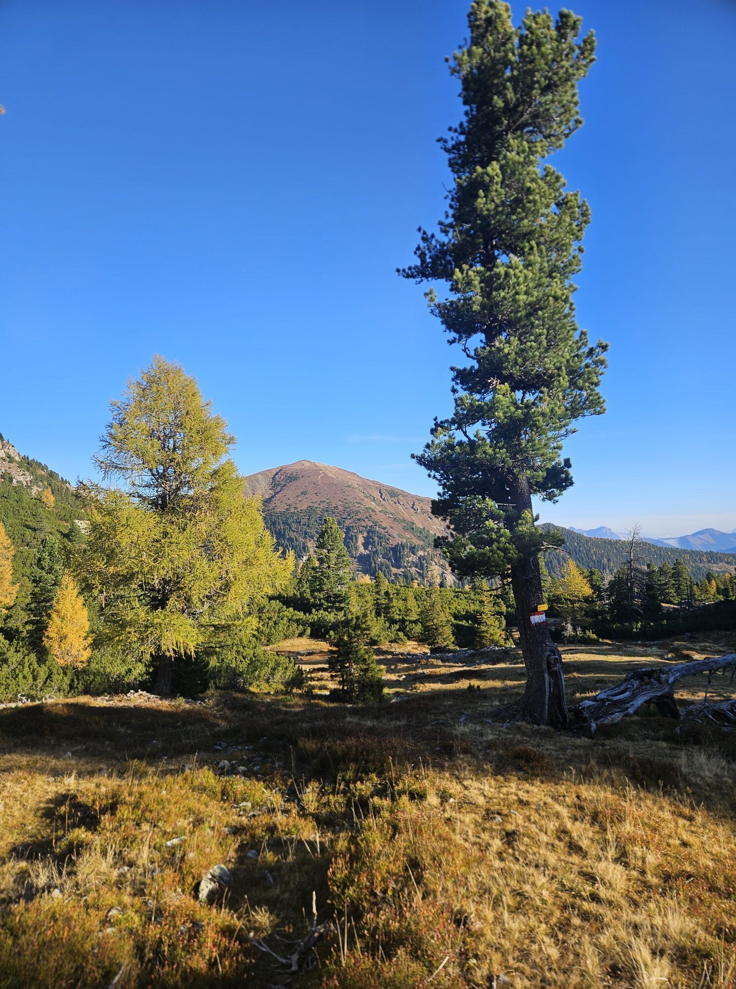
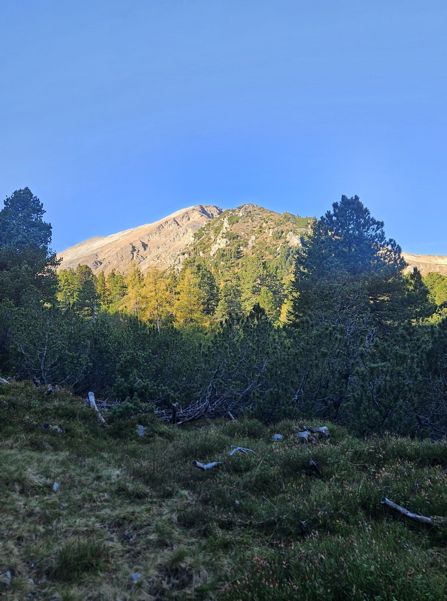
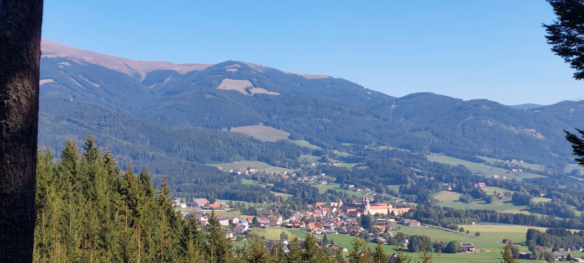
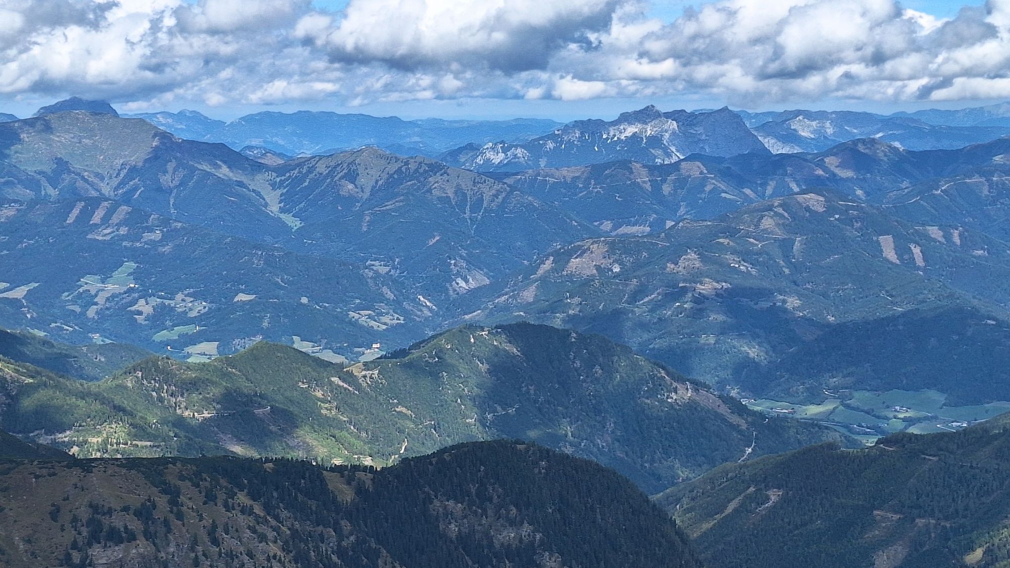
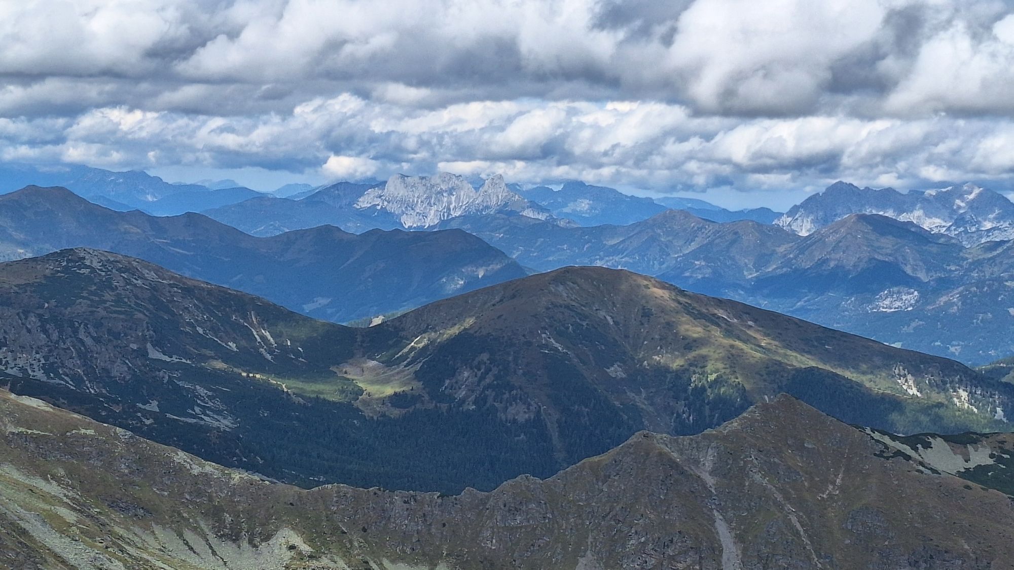
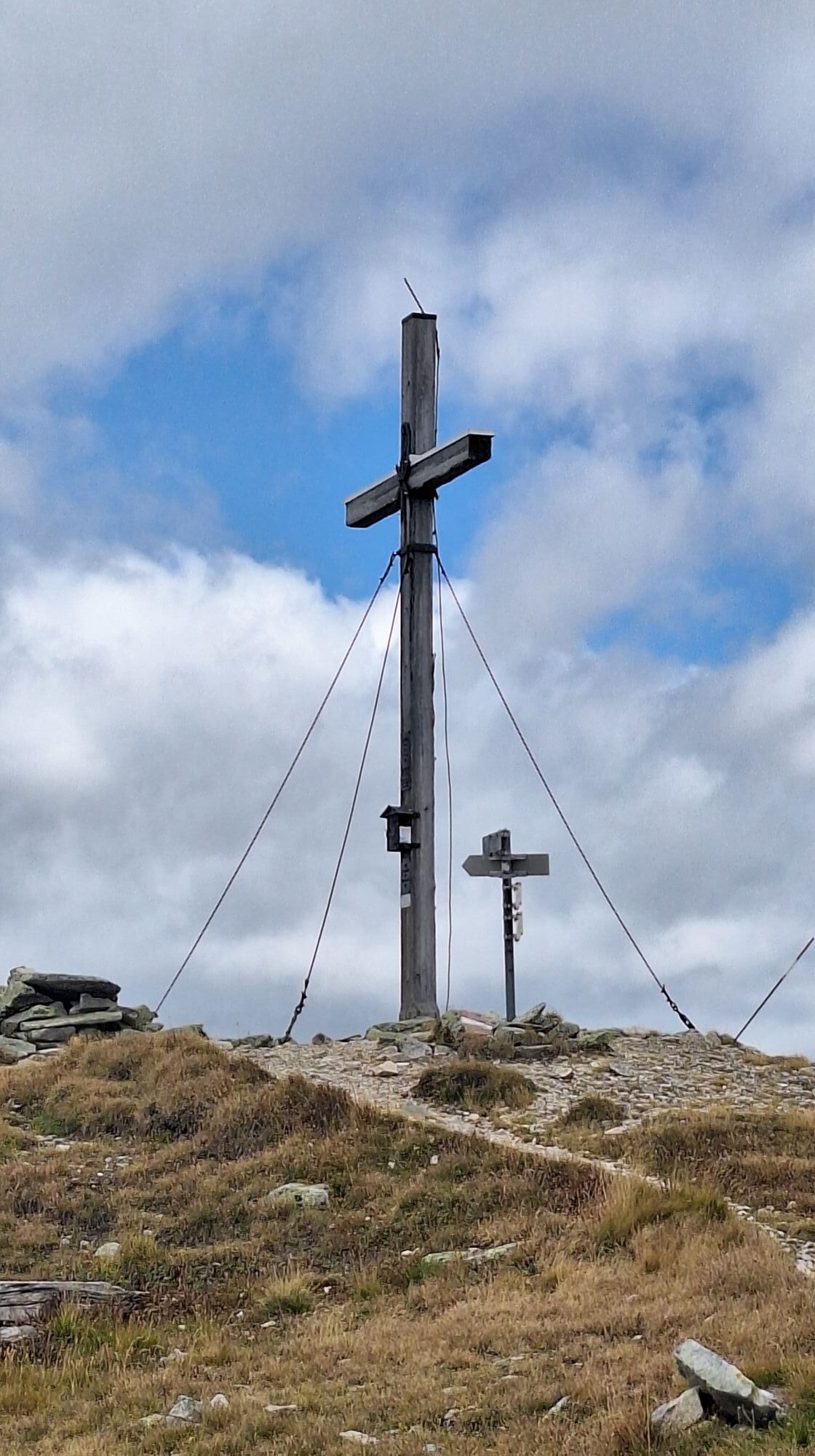
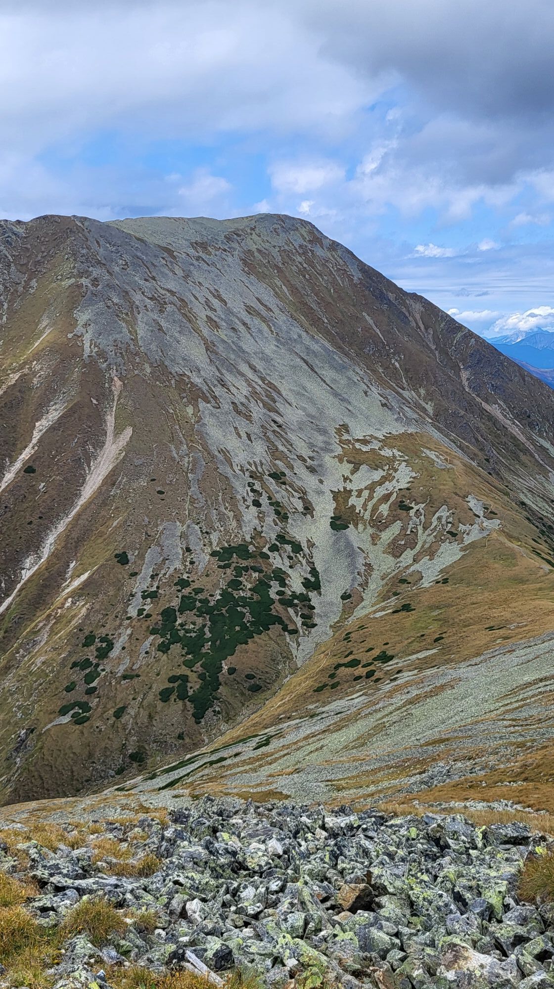

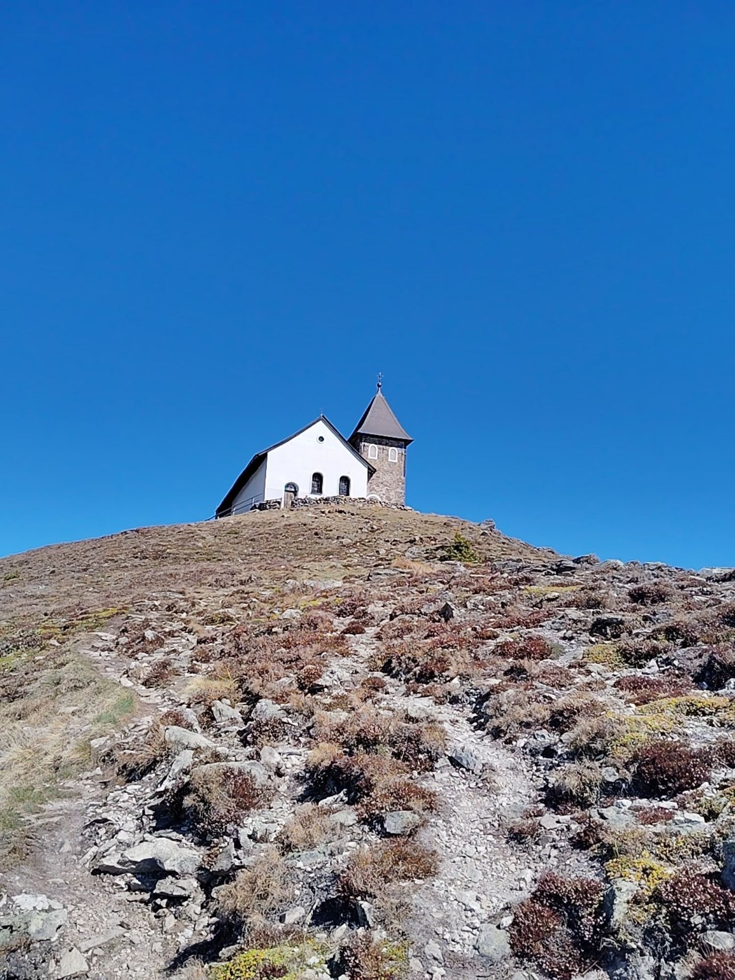


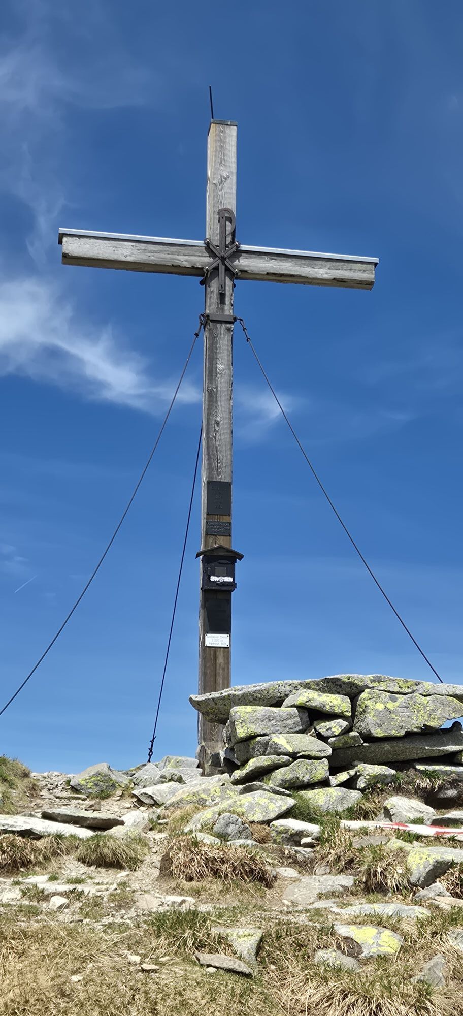
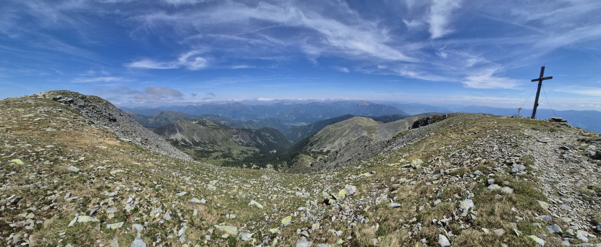

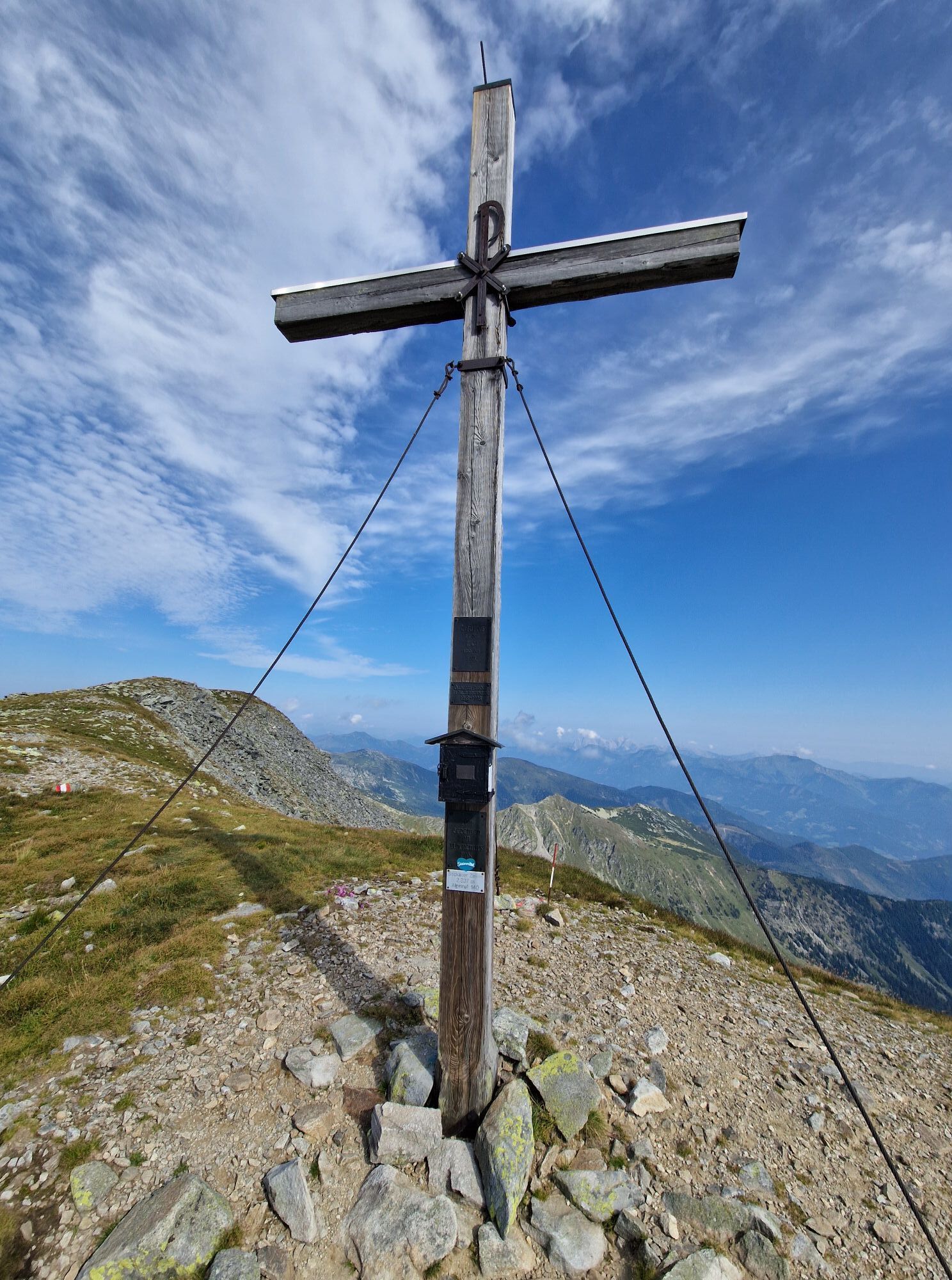


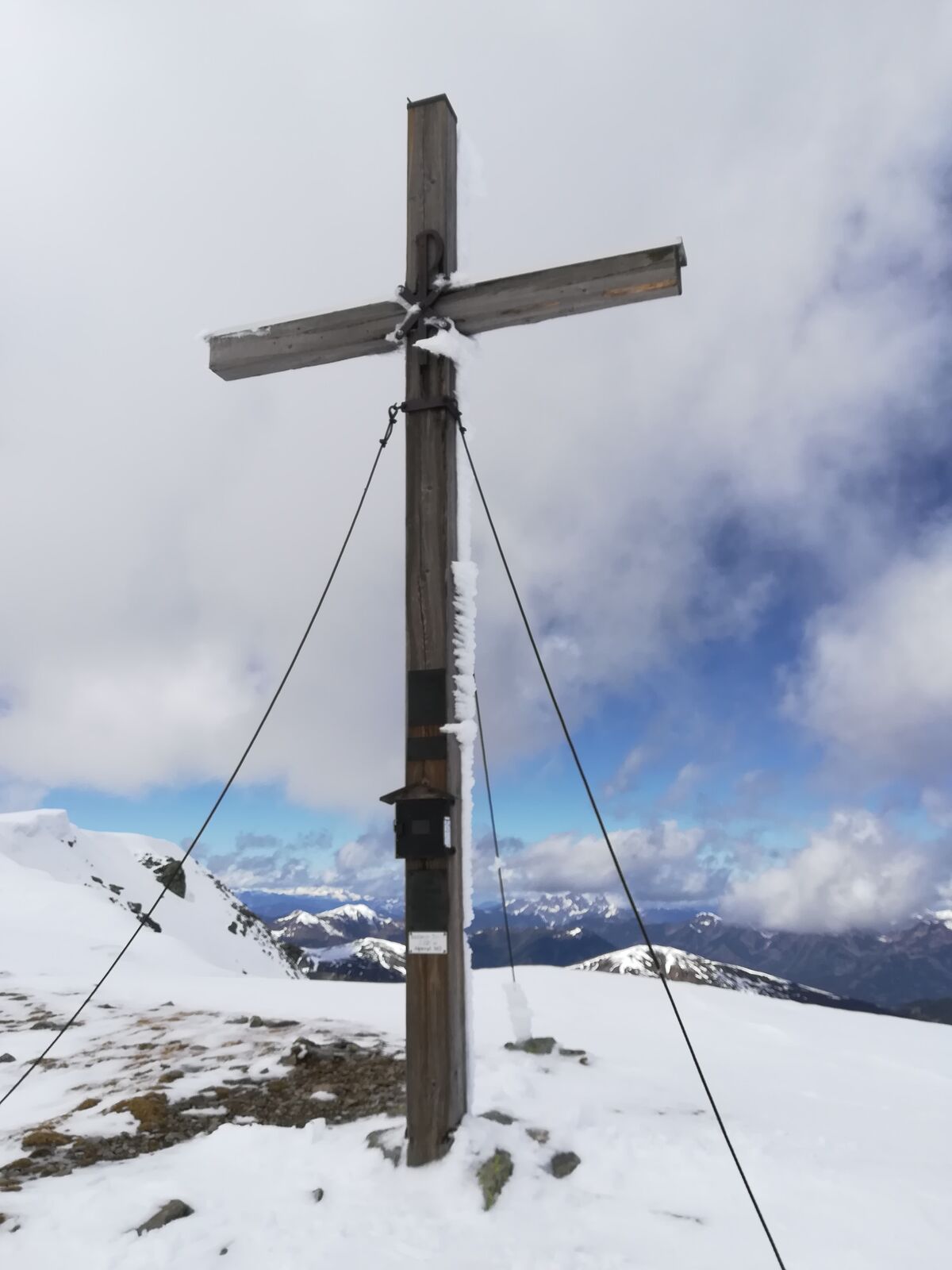
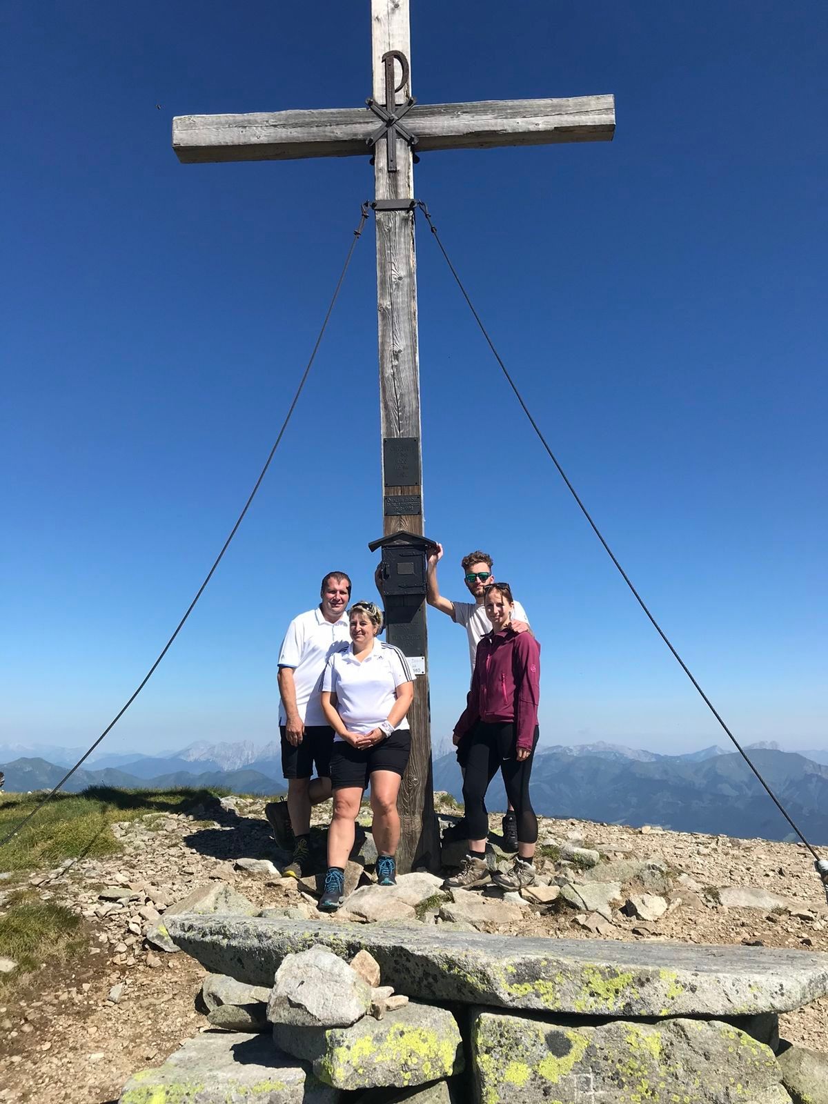


Trasa
Kirche der Siebenten-Tags-Adventisten
(630 m)
Místo konání bohoslužeb
0.2 km
Braunikapelle
(684 m)
Místo konání bohoslužeb
2.7 km
Brunnerkreuz
(767 m)
Místo konání bohoslužeb
4.2 km
Seckauer Zinken
(2397 m)
Summit
21.1 km
Kleiner Zinken
(2348 m)
Summit
21.6 km
Maieranger Kogel
(2356 m)
Summit
23.7 km
Brandstättertörl
(2021 m)
Horské sedlo
26.1 km
Trasa
Kirche der Siebenten-Tags-Adventisten - Seckauer Zinken - Maieranger Kogel - Hochreicharthütte
heavy
Turistika
29.08
km
Kirche der Siebenten-Tags-Adventisten
(630 m)
Místo konání bohoslužeb
0.2 km
Knittelfeld
(644 m)
Město
1.1 km
Biserica Ortodoxă Română „Sf. Arhangheli Mihail și Gavriil“ Knittelfeld
(647 m)
Místo konání bohoslužeb
1.2 km
Neuhautzenbichl
(655 m)
Vesnice
1.9 km
Braunikapelle
(684 m)
Místo konání bohoslužeb
2.7 km
Brunnerkreuz
(767 m)
Místo konání bohoslužeb
4.2 km
3 Felsen
(947 m)
Koridor/terén
5.8 km
Hart
(910 m)
Vypořádání
10.6 km
Seckauer Zinken
(2397 m)
Summit
21.1 km
Kleiner Zinken
(2348 m)
Summit
21.6 km
Vorwitzsattel
(2100 m)
Horské sedlo
22.8 km
Maieranger Kogel
(2356 m)
Summit
23.7 km
Brandstätter Kogel
(2234 m)
Summit
25.1 km
Brandstättertörl
(2021 m)
Horské sedlo
26.1 km
Hochreicharthütte
(1481 m)
Úkryt
29.0 km


Zatím žádné recenze
Webové kamery z prohlídky

Všechny webové kamery na mapě
Nainstaluj si aplikaci zdarma a porovnej si živé záběry z několika míst, než vyrazíš.
Využijte nyní službu „ bergfex “ v aplikaci
Naskenuj QR kód pomocí fotoaparátu
Jakmile je aplikace nainstalována, obsah se otevře přímo. Pokud aplikaci ještě nemáš, budeš přesměrován na stránku, kde si ji můžeš zdarma stáhnout.
Oblíbené prohlídky v okolí
-
4.7
"Pletzen 2345m" Der eindrucksvolle Aussichtsgipfel in den Seckauer Tauern
světloSněžnice 15.8 km -
4.1
Tremmelberg "Turm im Gebirge" über Vorder-Tremmel
světloTuristika 9.37 km -
4.6
Rosenkogel- Lorettokapelle
Turistika 3.66 km -
4.6
Hochreichhart-Hirschkarlgrat-Geierhaupt
heavyTuristika 16.2 km -
4.1
Ruinen-Rundwanderweg Fohnsdorf
světloTuristika 7.83 km -
4.4
Seckauer Zinken von der Bodenhütte aus
heavyTuristika 12.1 km -
4.5
Seckauer Zinken
Turistika 9.19 km -
4.8
Hochreichhart über Schmähhausrücken
heavyTuristika 9.50 km -
4.4
Hochalm / Maria Schnee mit Hund
středníTuristika 11.0 km -
3.8
Hochalm - Maria Schnee von Seckau
středníTuristika 17.7 km
Pěší turistika a stopování

Více než 550.000 návrhů výletů, podrobné mapy a intuitivní plánovač tras dělají z aplikace nezbytnou výbavu pro všechny milovníky přírody.

Nenechte si ujít nabídky a inspiraci pro vaši příští dovolenou
Přihlaste se k odběru newsletteru
Chyba
Došlo k chybě. Zkuste to prosím znovu.
Děkujeme za vaši registraci
Vaše e-mailová adresa byl přidán do poštovního seznamu.
Zájezdy po celé Evropě
Rakousko
Švýcarsko
Německo
Itálie
Slovenia
Francie
Nizozemsko
Belgie
Polsko
Lichtenštejnsko
Česko
Slovensko
Španělsko
Chorvatsko
Bosna a Hercegovina
Lucembursko
Andorra
Portugal
Iceland
United Kingdom
Ireland
Greece
Albania
North Macedonia
Malta
Norway
Montenegro
Moldova
Kosovo
Hungary
San Marino
Romania
Estonia
Latvia
Belarus
Cyprus
Lithuania
Serbia
Bulgaria
Monaco
Denmark
Sweden
Finland


