


Winter hiking at Arthurhaus
Úroveň obtížnosti: 1
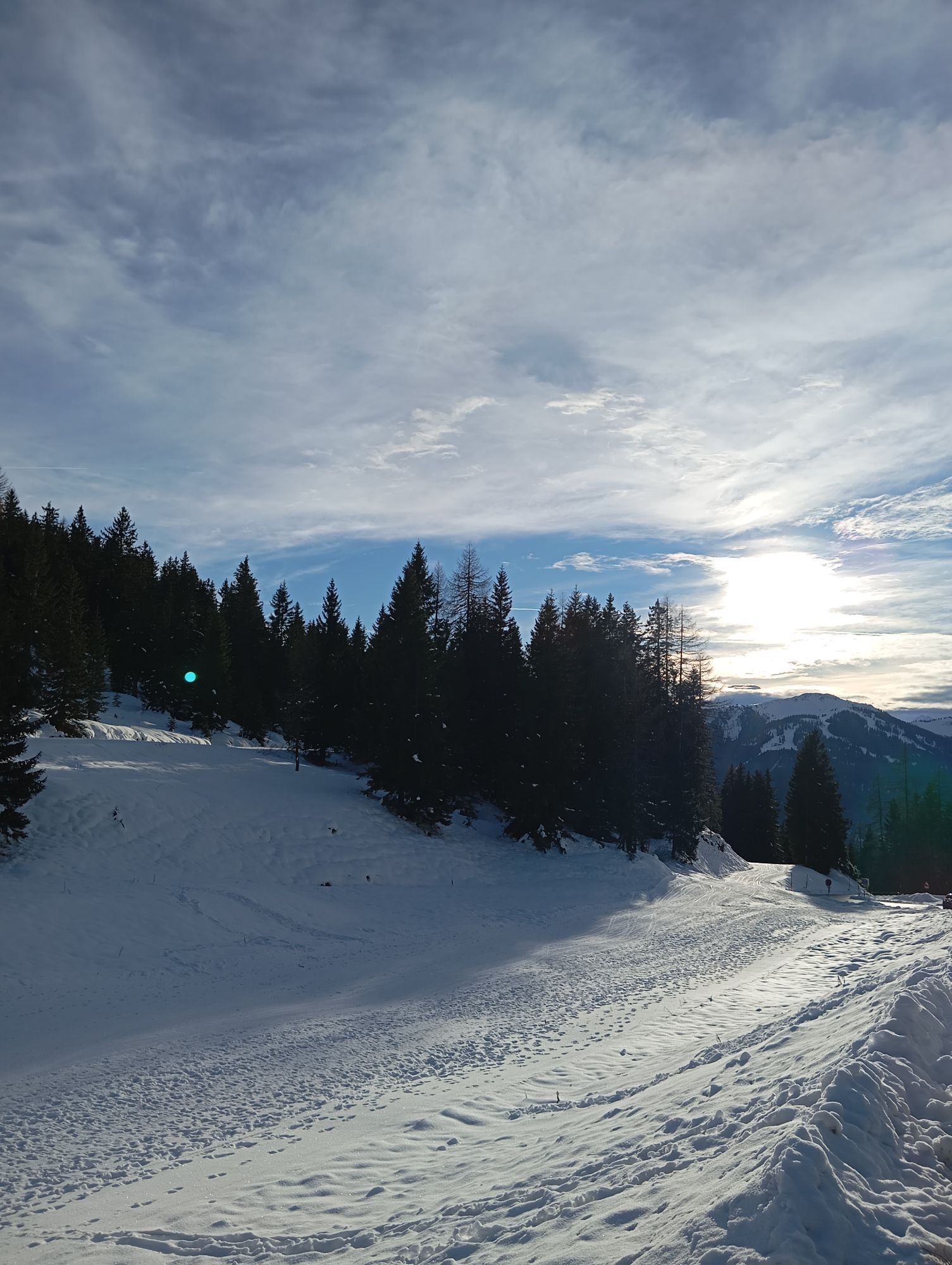
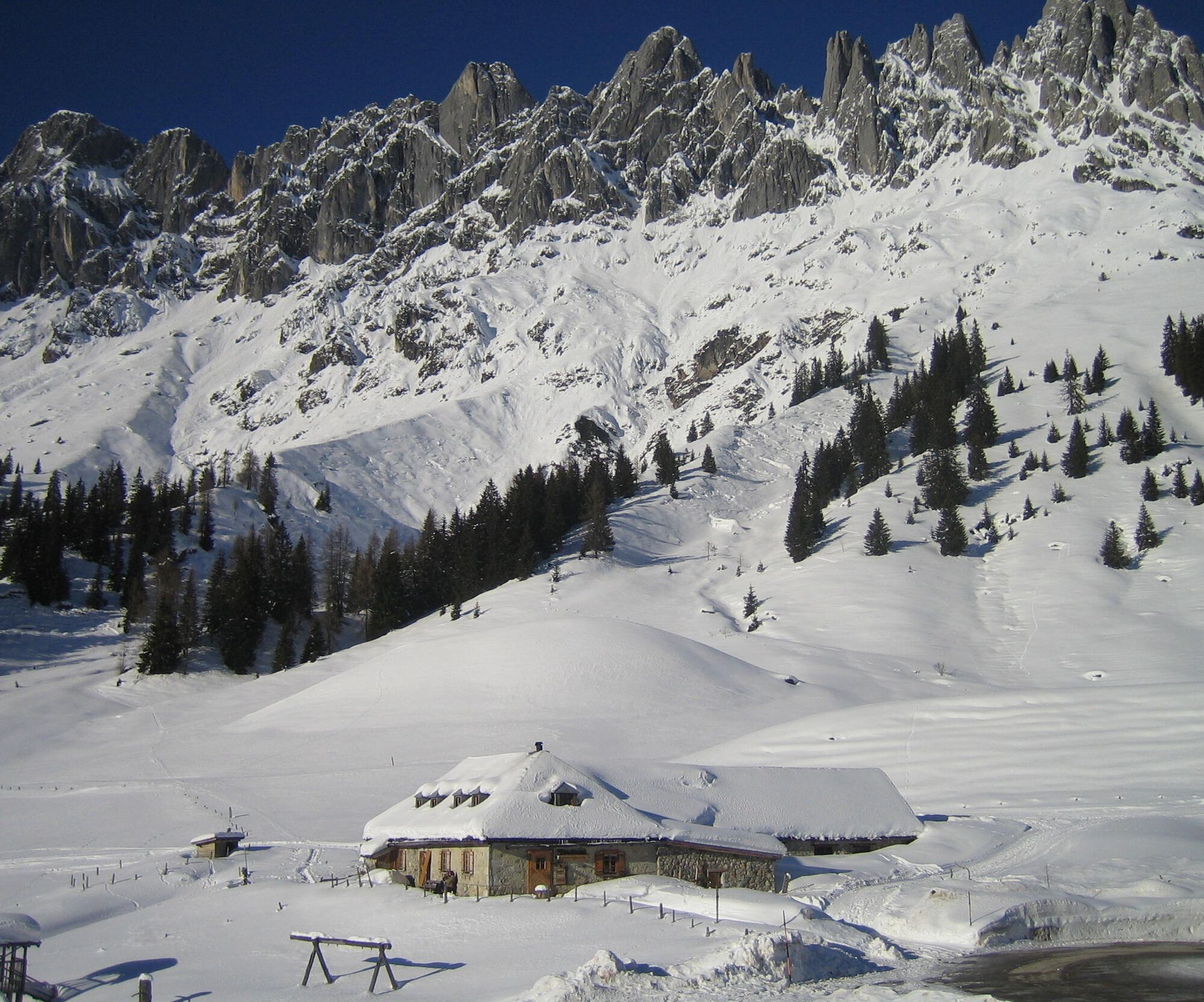
Get ready for a winter adventure in the Hochkeil ski area! From the Berghotel Arthurhaus, start directly on the path along the ski slope to the entry point at the plate lift. Here your adventure begins!...
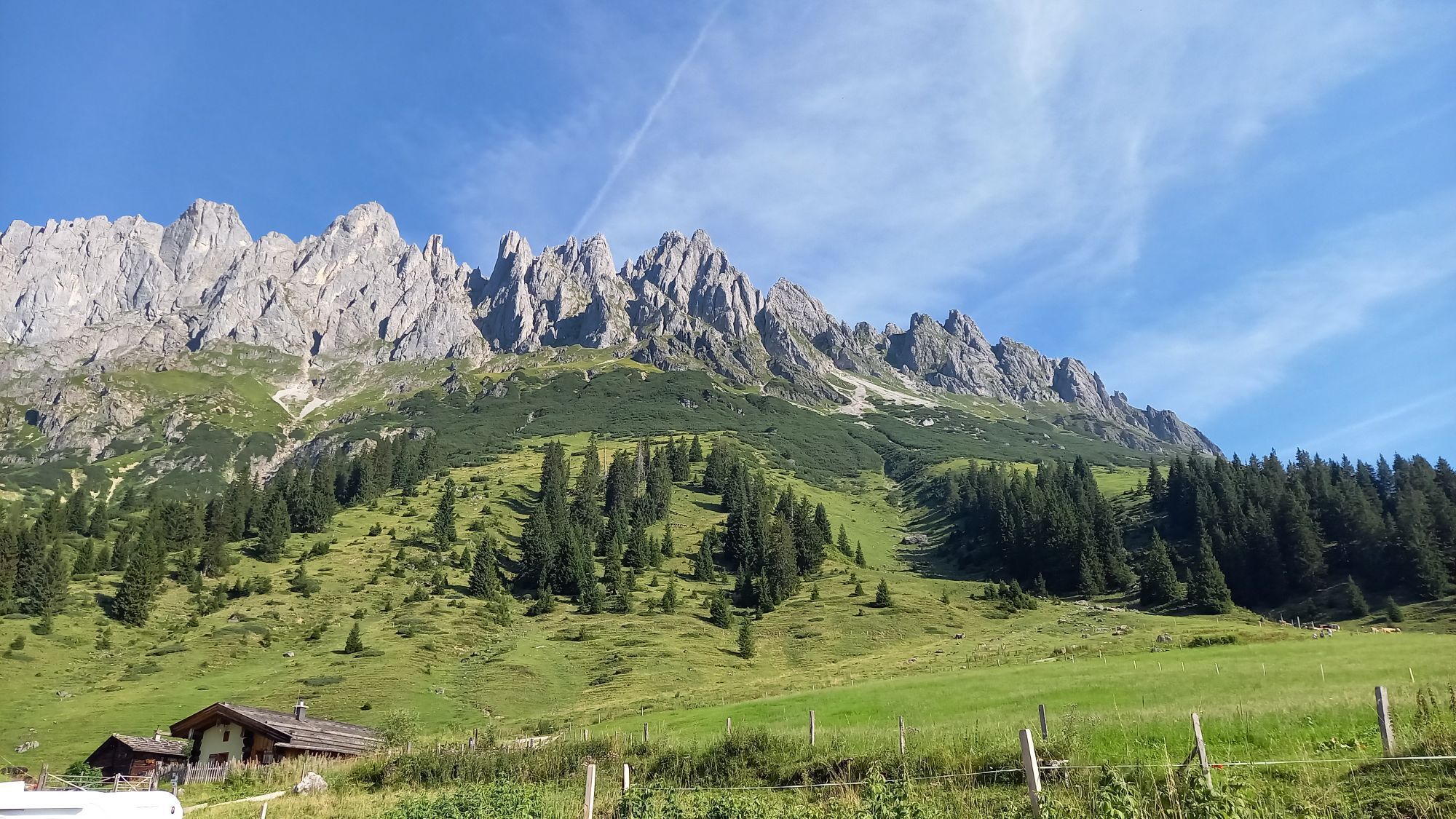
Get ready for a winter adventure in the Hochkeil ski area! From the Berghotel Arthurhaus, start directly on the path along the ski slope to the entry point at the plate lift. Here your adventure begins! Between the lift hut and the cozy wooden hut, the winter hiking trail takes you through the snowy, idyllic landscape. You will feel the fresh mountain air and hear the crunching of the snow under your shoes as you walk along the trail. The picturesque winter landscape offers you breathtaking views and the perfect setting for a sporty hike. Take the opportunity to leave the stress of everyday life behind and enjoy the peace of nature. Every step brings you closer to the perfect winter experience. Grab your equipment, put on your winter hiking boots and let's go!

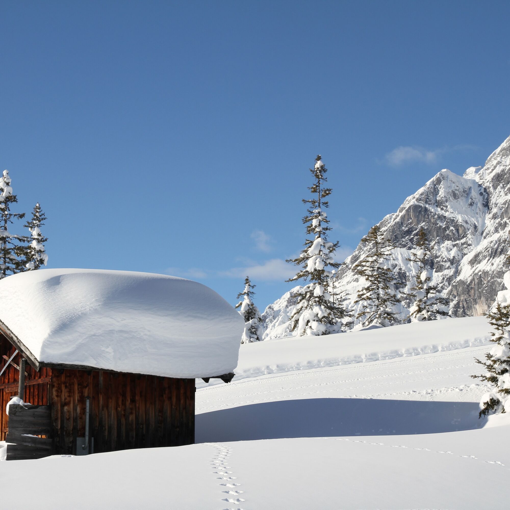
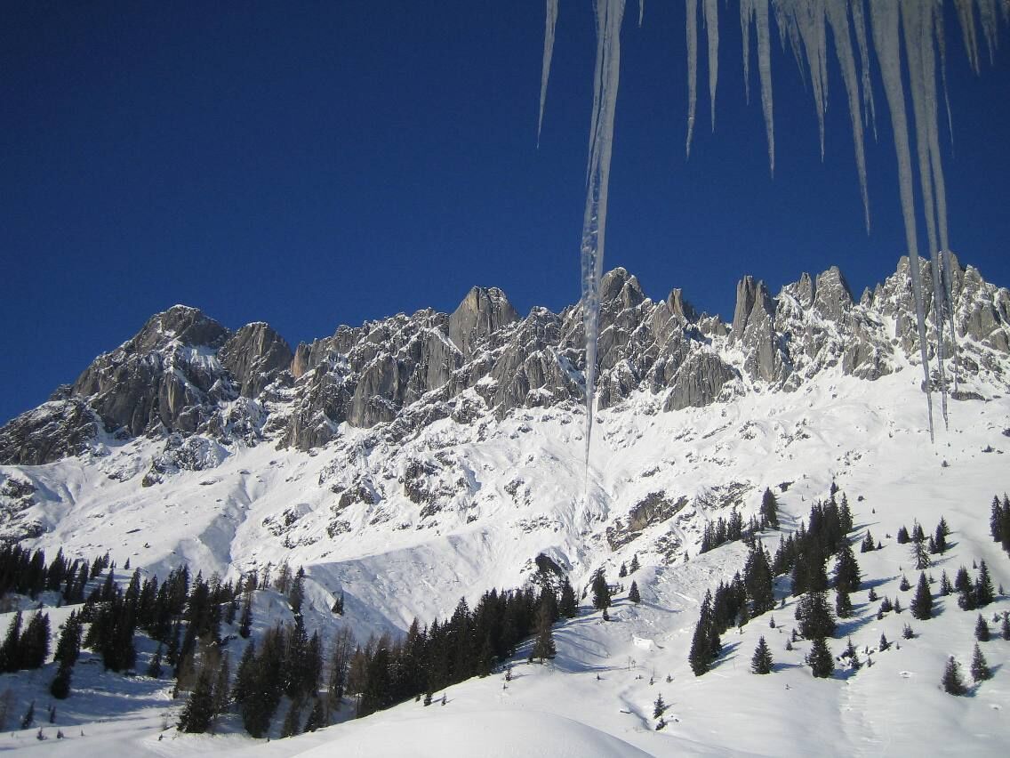
Before you start, make sure you have your winter hiking boots, warm clothing and possibly hiking poles with you. Leave the Berghotel Arthurhaus and head towards the ski slope. Make sure to stay on the designated path. Follow the path until you reach the entry point at the plate lift. Here begins the marked winter hiking trail. Continue along the path, which leads you between the lift hut and the cozy wooden hut. Enjoy the view of the surrounding mountains and the snowy landscape. The winter hiking trail takes you through the idyllic, snowy landscape. Pay attention to the markings that show you the way. While hiking, take time to breathe in the fresh mountain air and hear the crunching of the snow under your feet. Stop at several points to enjoy the picturesque winter landscape. You will be rewarded with breathtaking views of the surrounding mountains. After an extensive hike, you can take the same path back to Berghotel Arthurhaus or, depending on your fitness, continue to the valley station of the plate lift and choose the descent there. If you wish, you can stop at Berghotel Arthurhaus after the hike and refresh yourself with regional delicacies.
Ano
Clothing: warm, layered clothing, hat, gloves, non-slip boots
Equipment: daypack, hiking poles, headlamp, possibly crampons or snowshoes
Safety & navigation: mobile phone, map/GPS, first aid kit, whistle
Food and drink: water, snacks, thermos flask
Optional: sunglasses, sun cream, seat pad
Check the weather: Obtain the latest weather and avalanche reports before setting off.
Wear the right clothing: Layers, waterproof, warm, with a hat, gloves and non-slip boots.
Equipment: Walking sticks, head torch, map/GPS, mobile phone, first aid kit. In case of ice or snow, possibly snowshoes or crampons.
Consider your fitness level: Adjust your pace to suit your fitness level.
Make use of daylight: Winter days are short – allow enough time.
Avoid slipping: Walk carefully, use poles and non-slip soles.
Food and drink: Take water, warm drinks and snacks with you.
Emergency plan: Tell someone your route and have emergency numbers to hand.
Respect nature: stay on the paths, avoid avalanche and wildlife protection areas.
Arrival from Salzburg: On the A10 motorway to the Bischofshofen exit, then on the B311 towards Bischofshofen. Follow the Hochkönig federal road/B164 to Mühlbach.
Arrival from Innsbruck/Kufstein: On the Lofer road/B178 towards St. Johann i.T., then via the Hochkönig federal road/B164 via Saalfelden and Maria Alm to Mühlbach.
Then continue along Mandlwandstraße to Arthurhaus
Train: Bischofshofen station - ÖBB Scotty
Bus: Line 591 to Mühlbach - schedule information
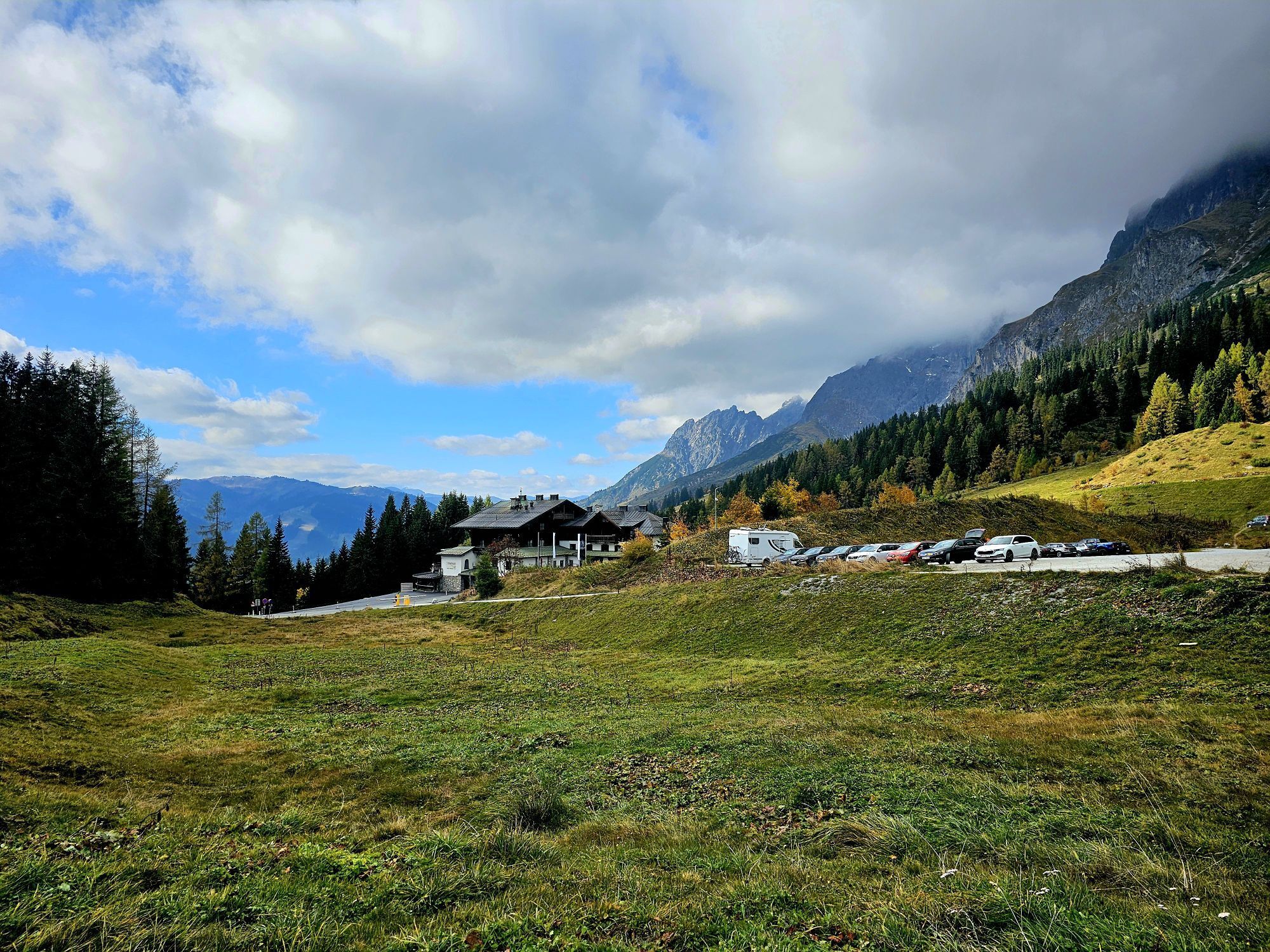
Parking lot directly at Berghotel Arthurhaus.
1
Further information on winter hikes and activities in the Hochkönig region:
For detailed information on hiking maps, the opening hours of the mountain railways and the huts and alpine pastures in winter, we recommend visiting the local service centre. There you will not only receive a hiking map, but also valuable tips on the best winter hiking routes and current conditions.
Opening hours of the mountain railways in winter: The mountain railways offer different opening hours during the winter months, which can vary depending on weather conditions and the season. Please check the current operating hours in advance.
Opening hours of huts and alpine pastures in winter: The huts and alpine pastures in the region are ideal rest stops for hikers. Here, too, opening hours may vary depending on the season and day of the week. Ask the friendly hosts for advice on what's on offer and local specialities.
For further information, please visit our website: www.hochkoenig.at.
If you have any questions or would like specific information, please feel free to contact us:
Email: region@hochkoenig.at
Telephone: +43 (0)6584 20388
We look forward to helping you and hope you enjoy exploring the beautiful Hochkönig winter region!
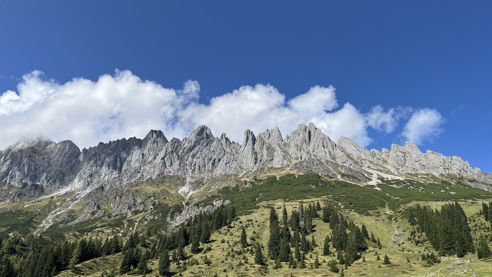
Experience the fascination of the Mandl walls and the Hochkönig massif!
Oblíbené prohlídky v okolí
-
4.8
Summit stormer route Lauskopf
heavyTuristika 8.16 km -
4.8
Summit storming route Taghaube
heavyTuristika 6.25 km -
4.7
About the "Four Huts circular route" to Windraucheggalm
středníTuristika 10.1 km -
4.7
Panorama hike to the Hochkeil
středníTuristika 6.07 km -
3.6
Wanderung zur Ostpreußenhütte in Werfen (1.630 m)
středníTuristika 11.2 km -
4.9
Werfenweng Mountainbikerunde Söldenhütte
středníMountainbike 18.8 km -
4.8
Hochkönig - Gipfel der Gefühle - Matrashaus
heavyTuristika 20.9 km -
4.4
Alpine and hut hike "Hochmaisalm & Steinbockalm"
středníTuristika 8.10 km -
4.6
Königsjodler Klettersteig (C/D) Hochkönig
heavyVia ferrata 25.8 km -
4.8
Circular route Arthurhaus - Mitterfeldalm
středníTuristika 4.97 km

Pěší turistika a stopování


Nenechte si ujít nabídky a inspiraci pro vaši příští dovolenou
Vaše e-mailová adresa byl přidán do poštovního seznamu.