







Winter hiking trail Wengerau in Werfenweng

Úroveň obtížnosti: 1

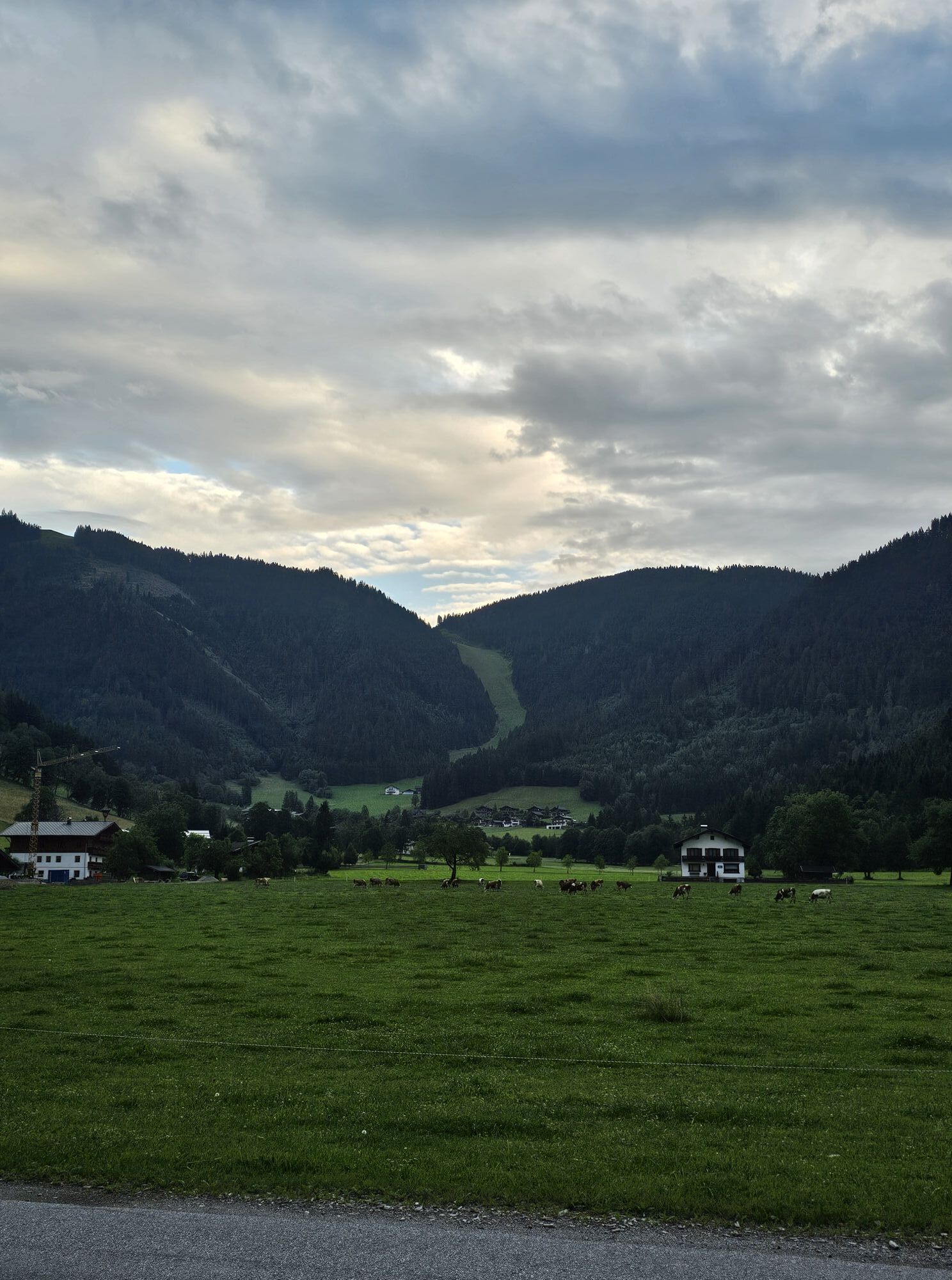
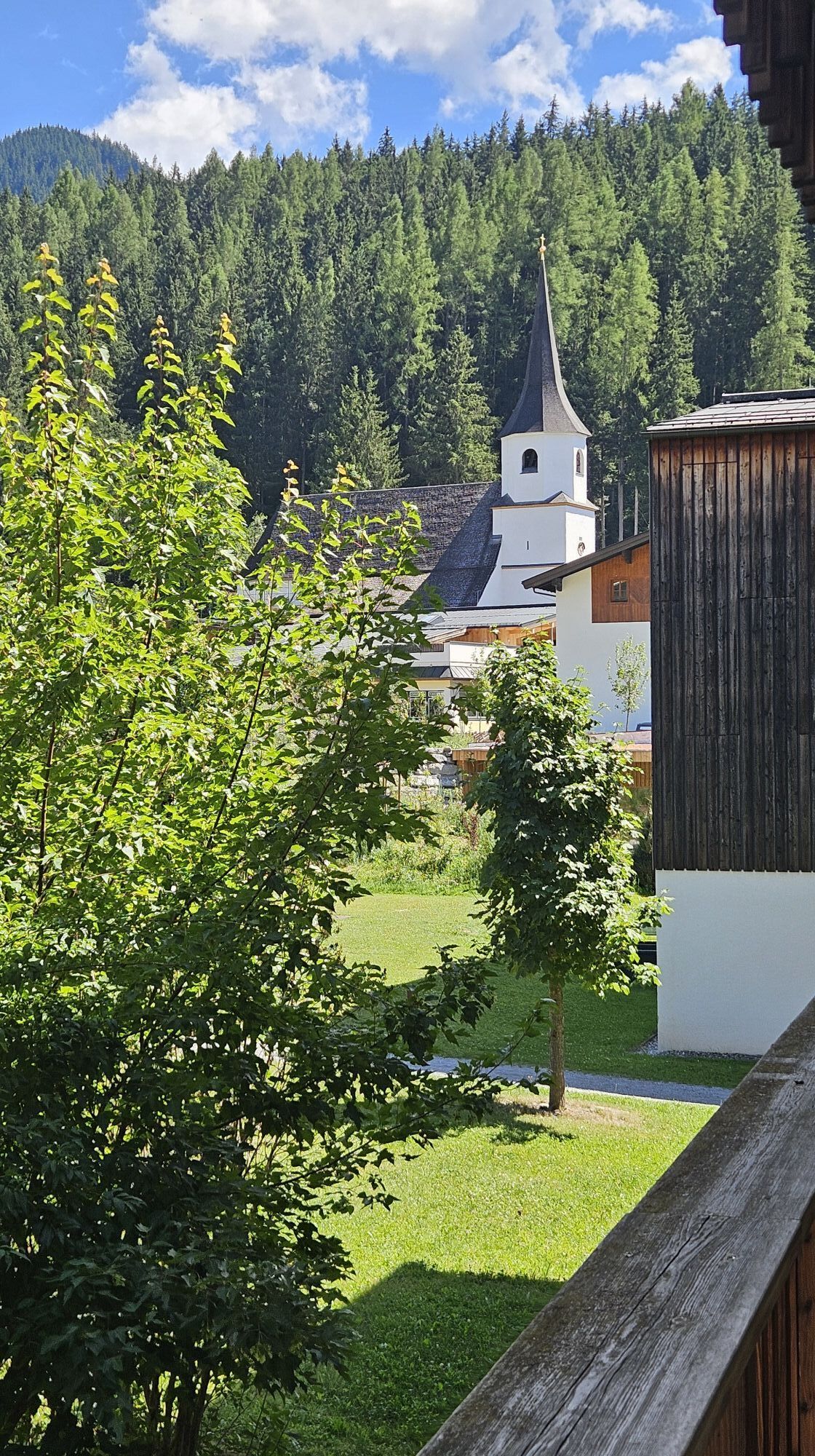
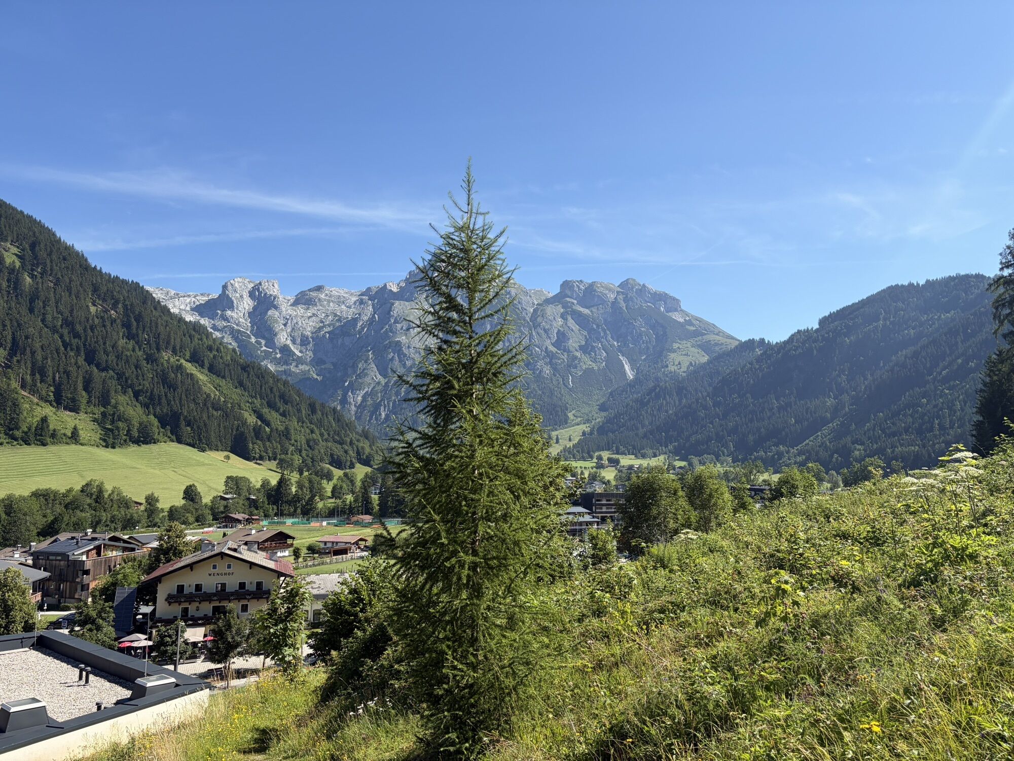
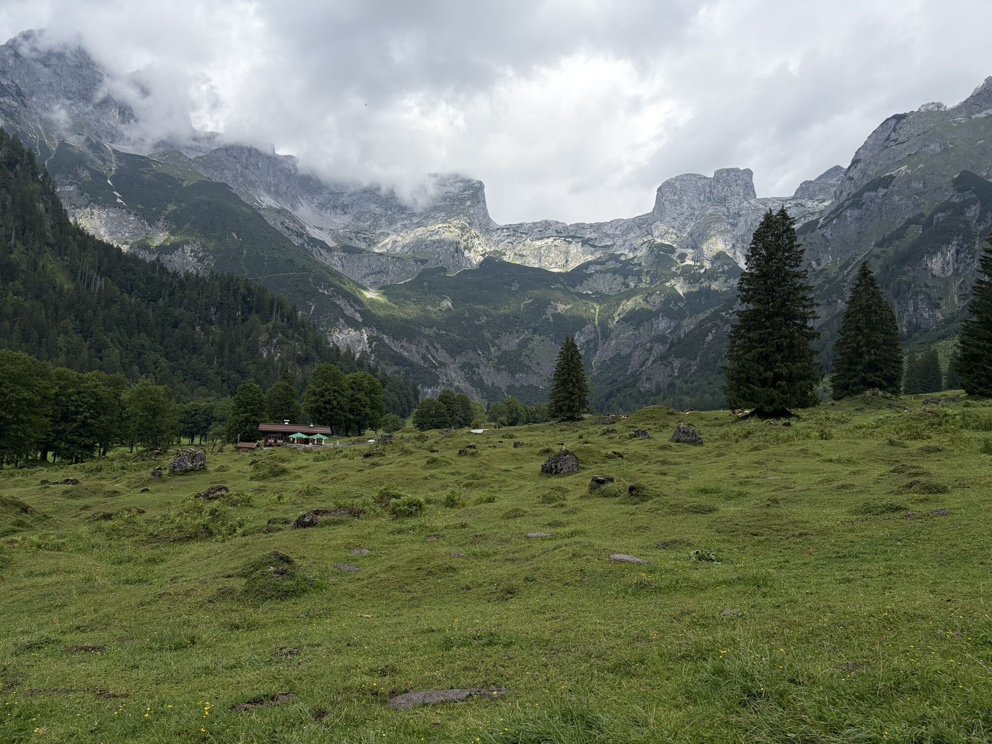
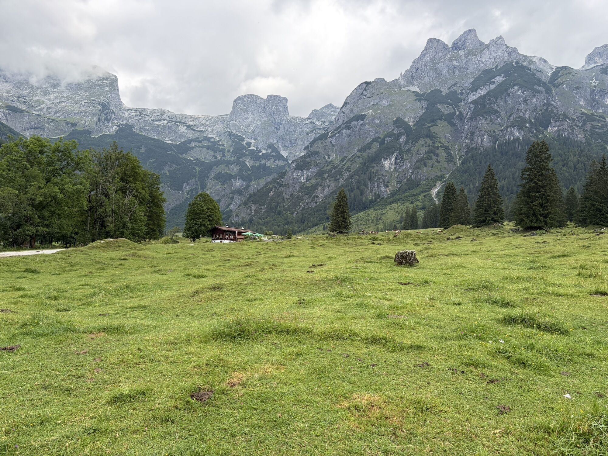
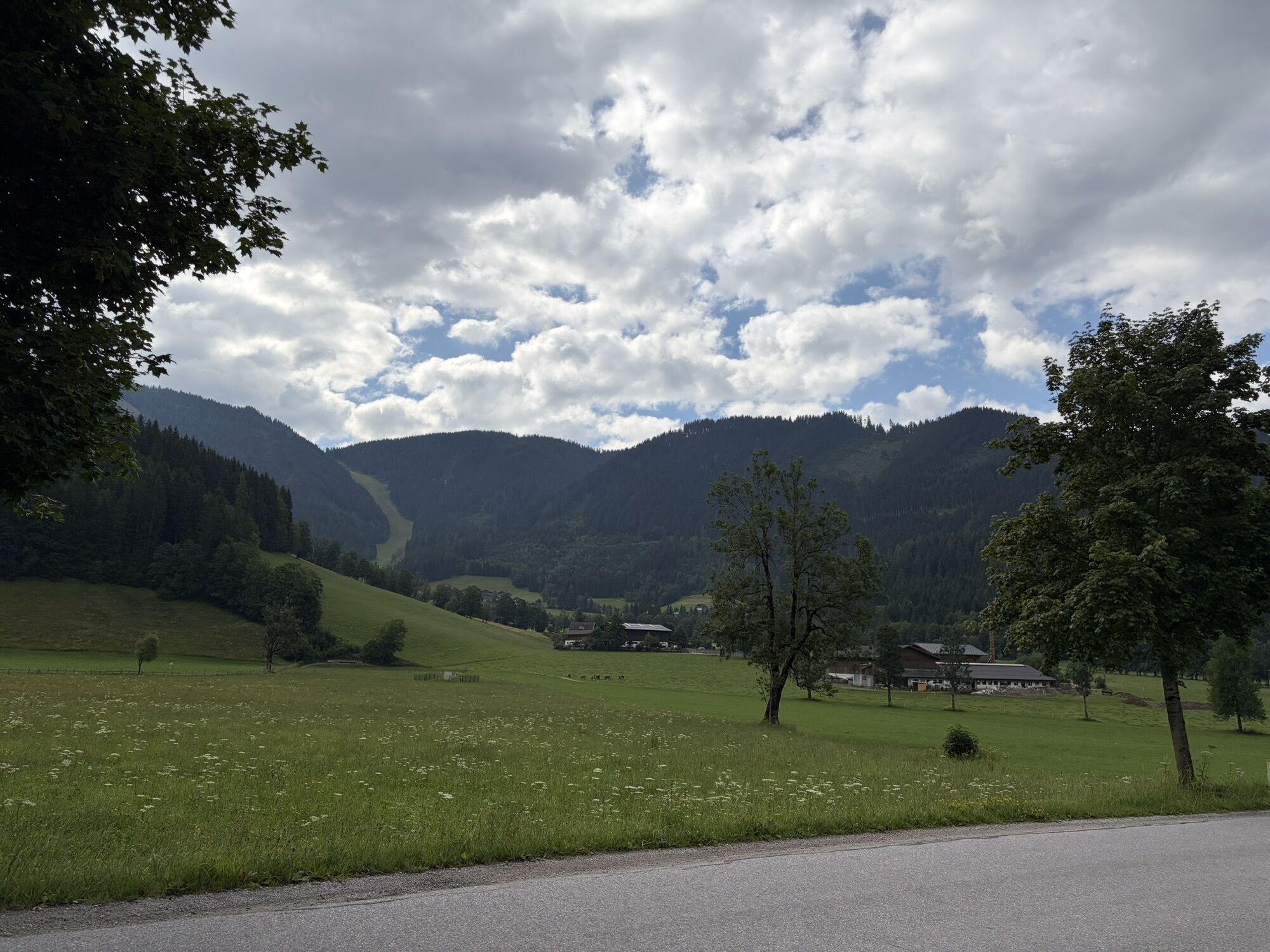
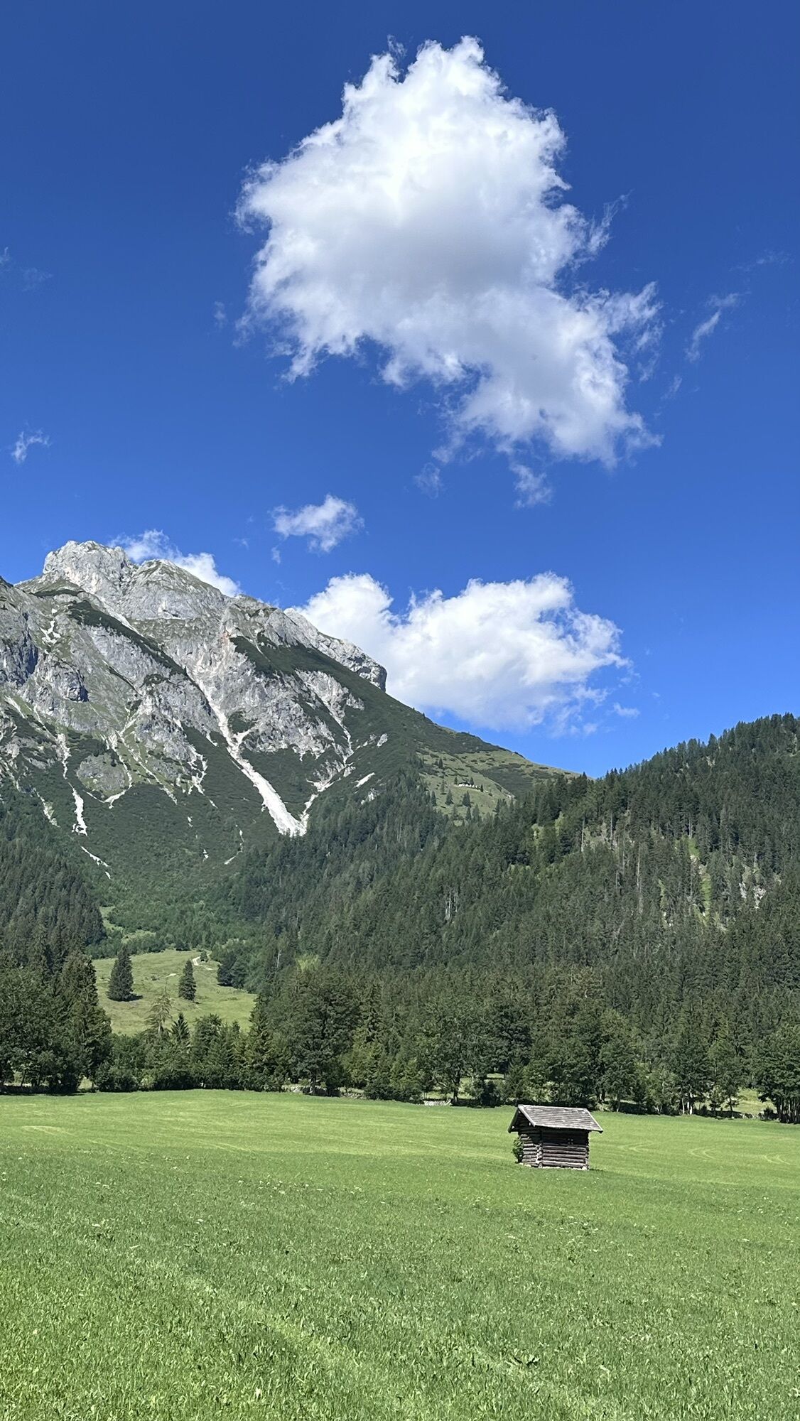
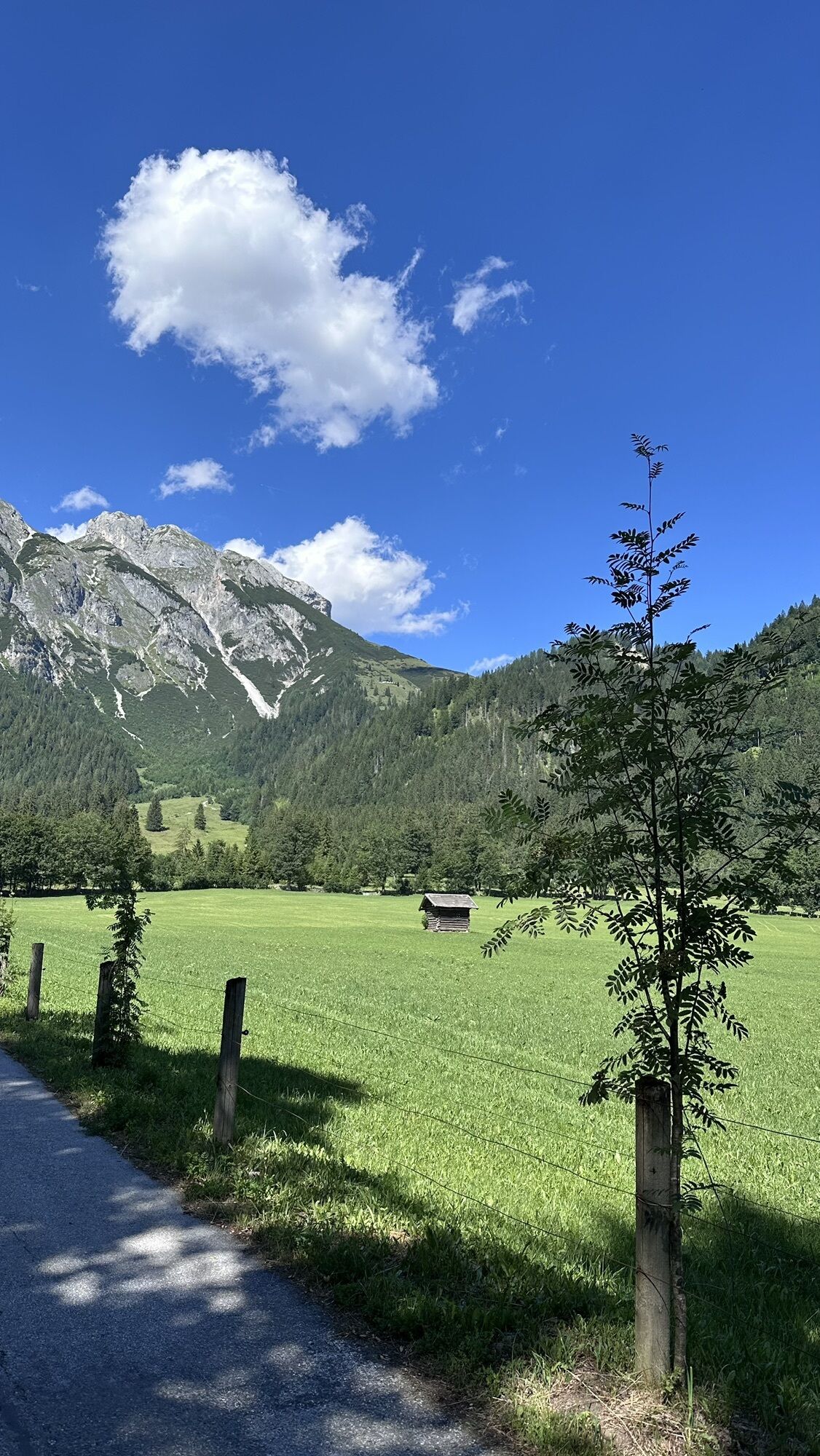
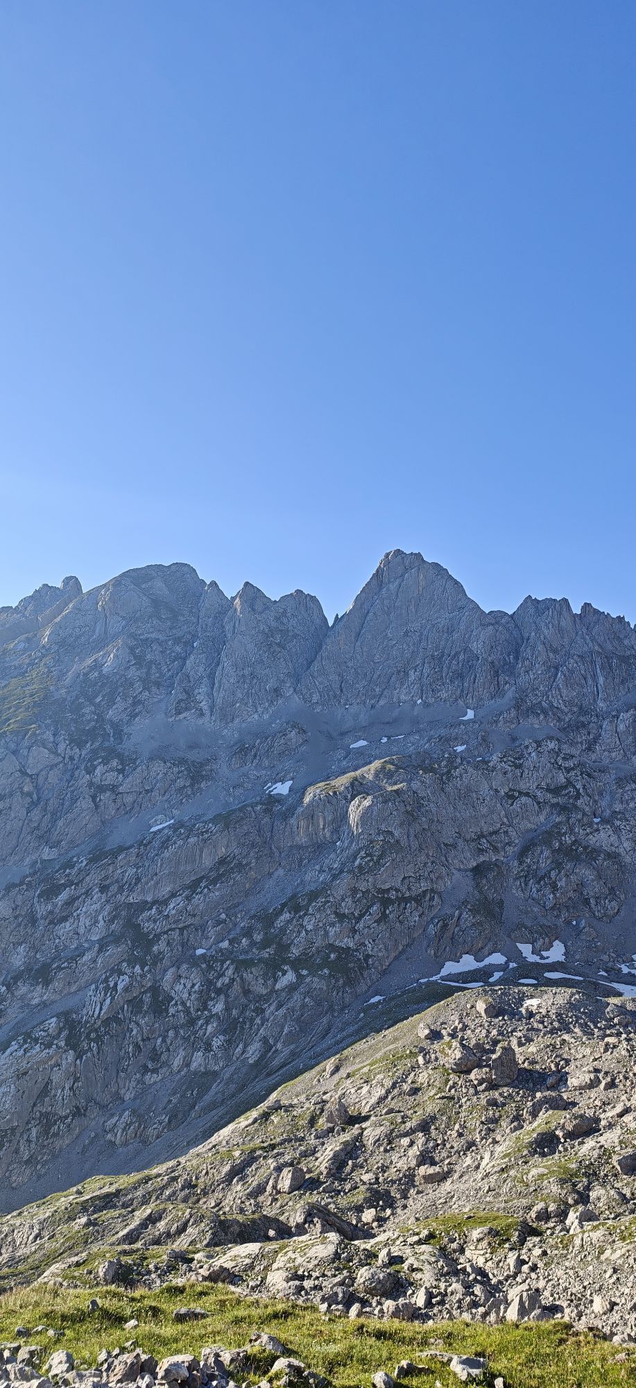
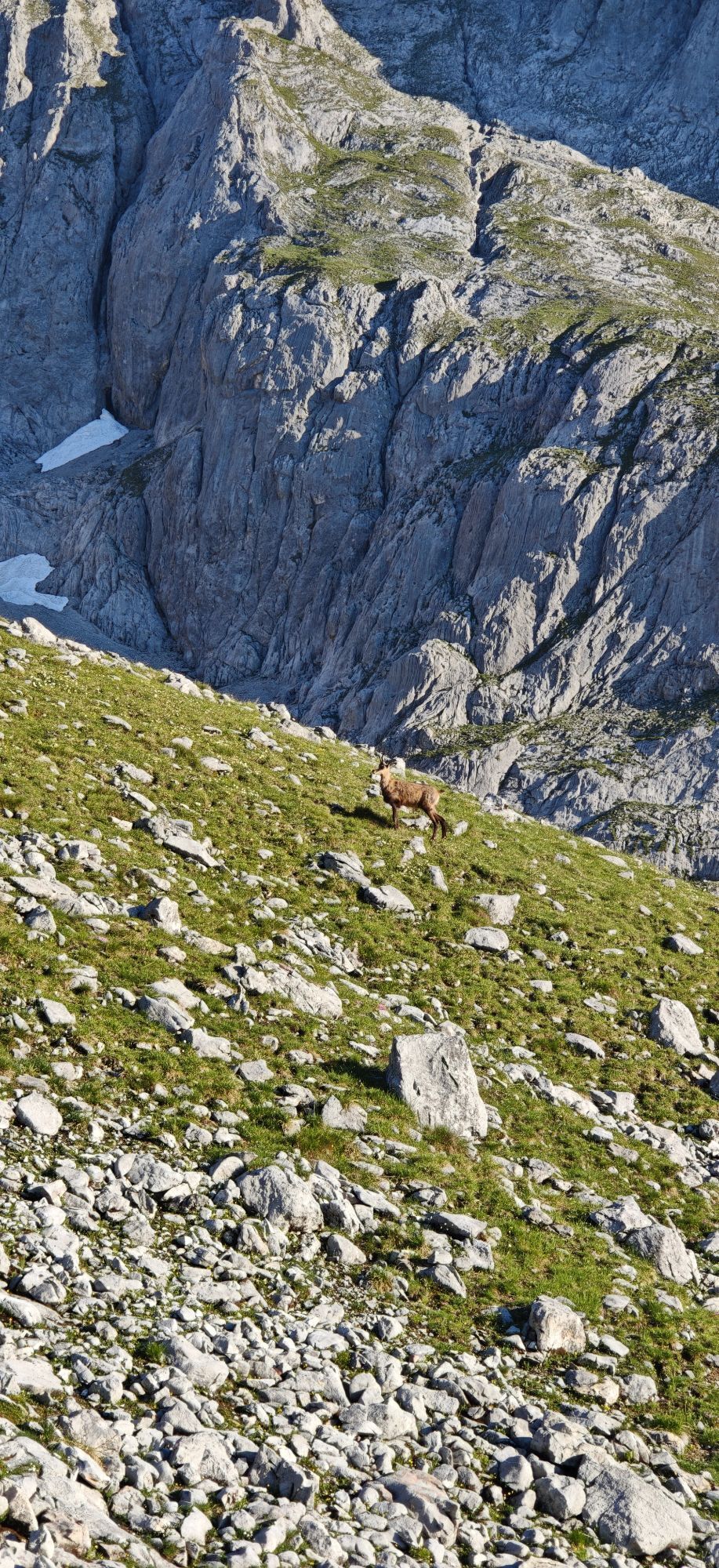
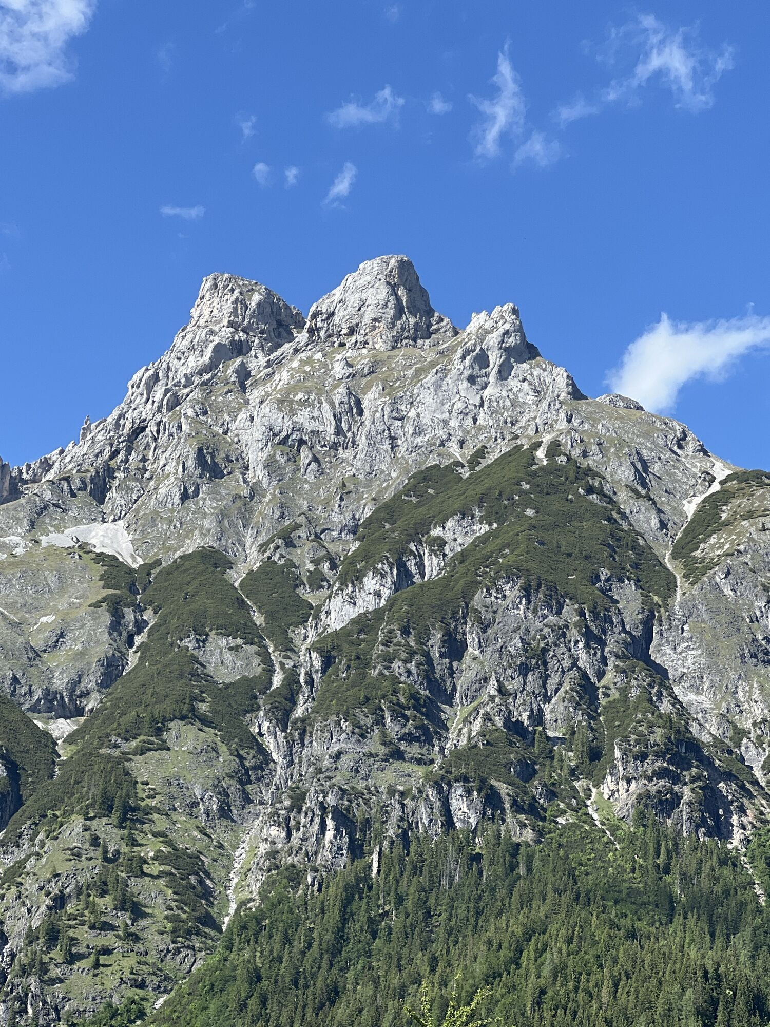
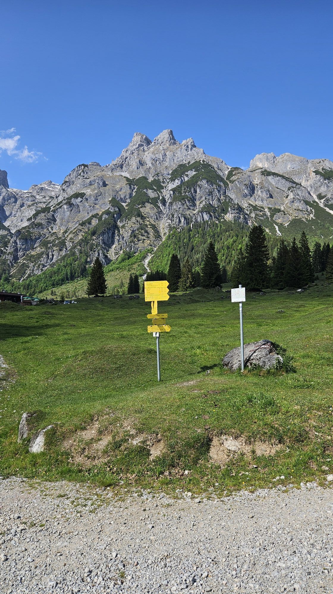
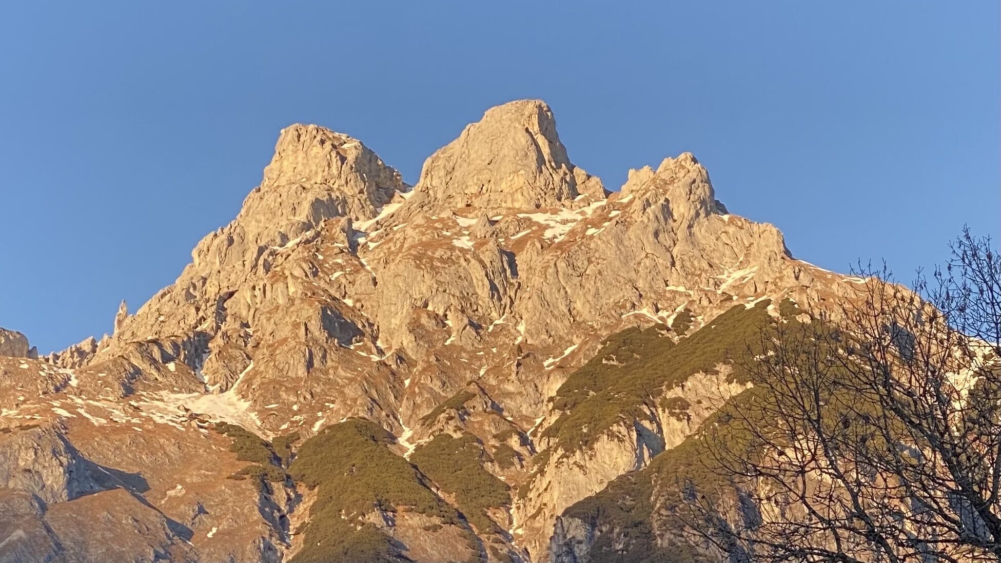
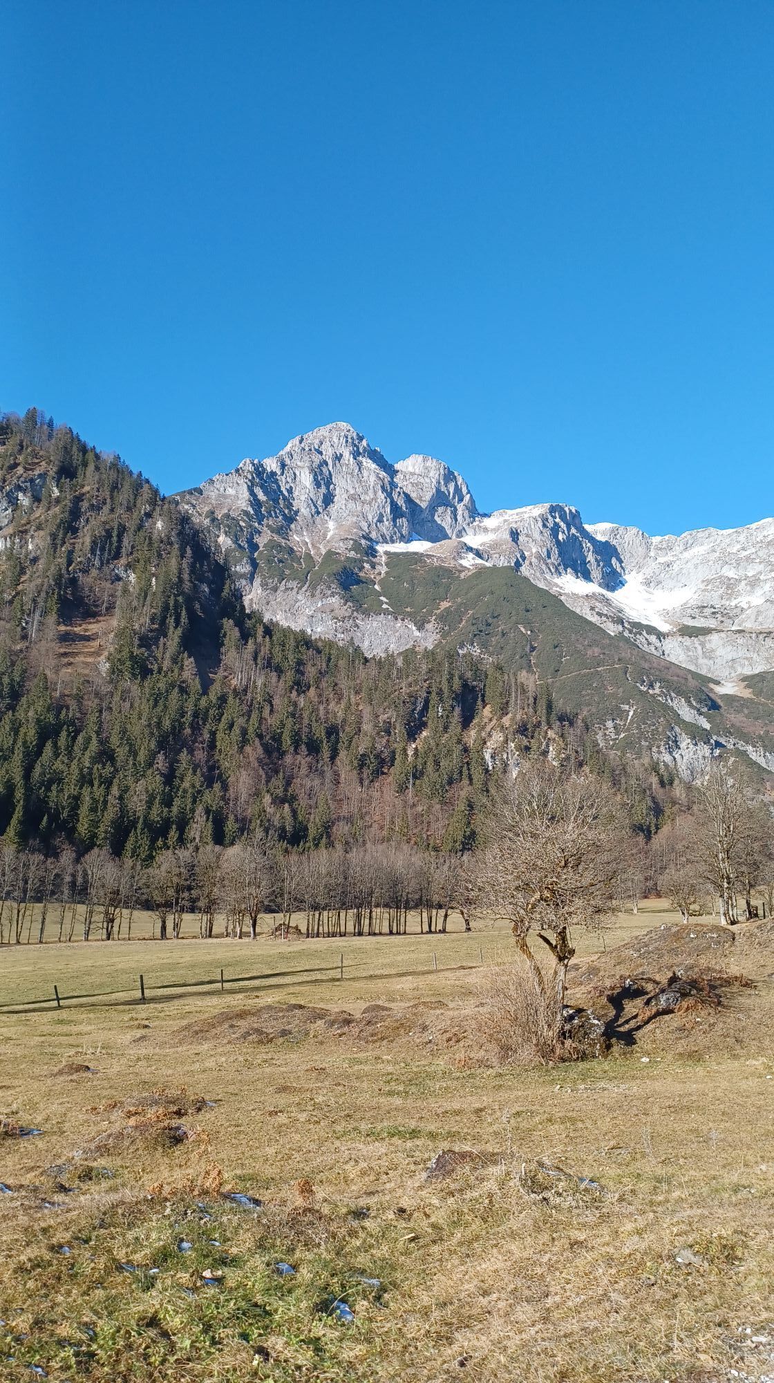
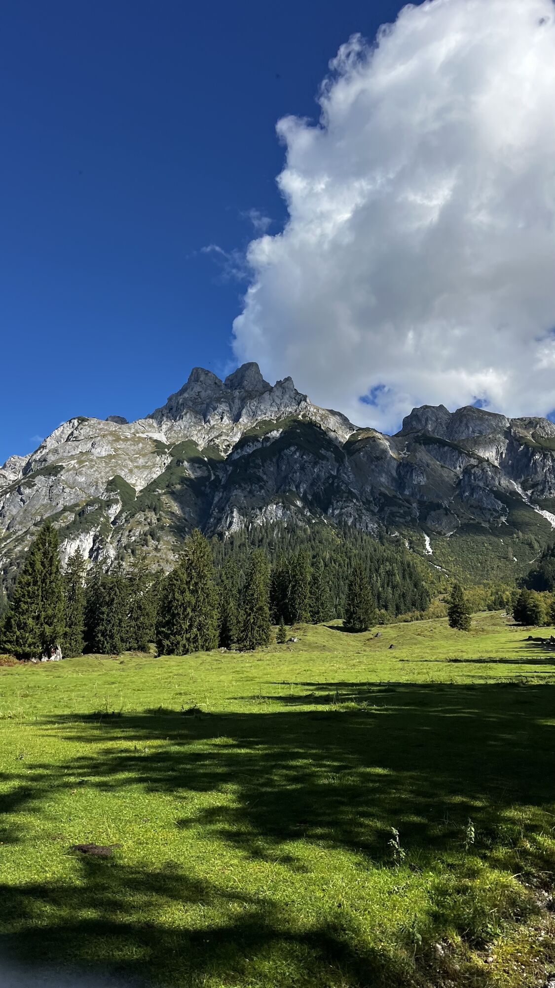
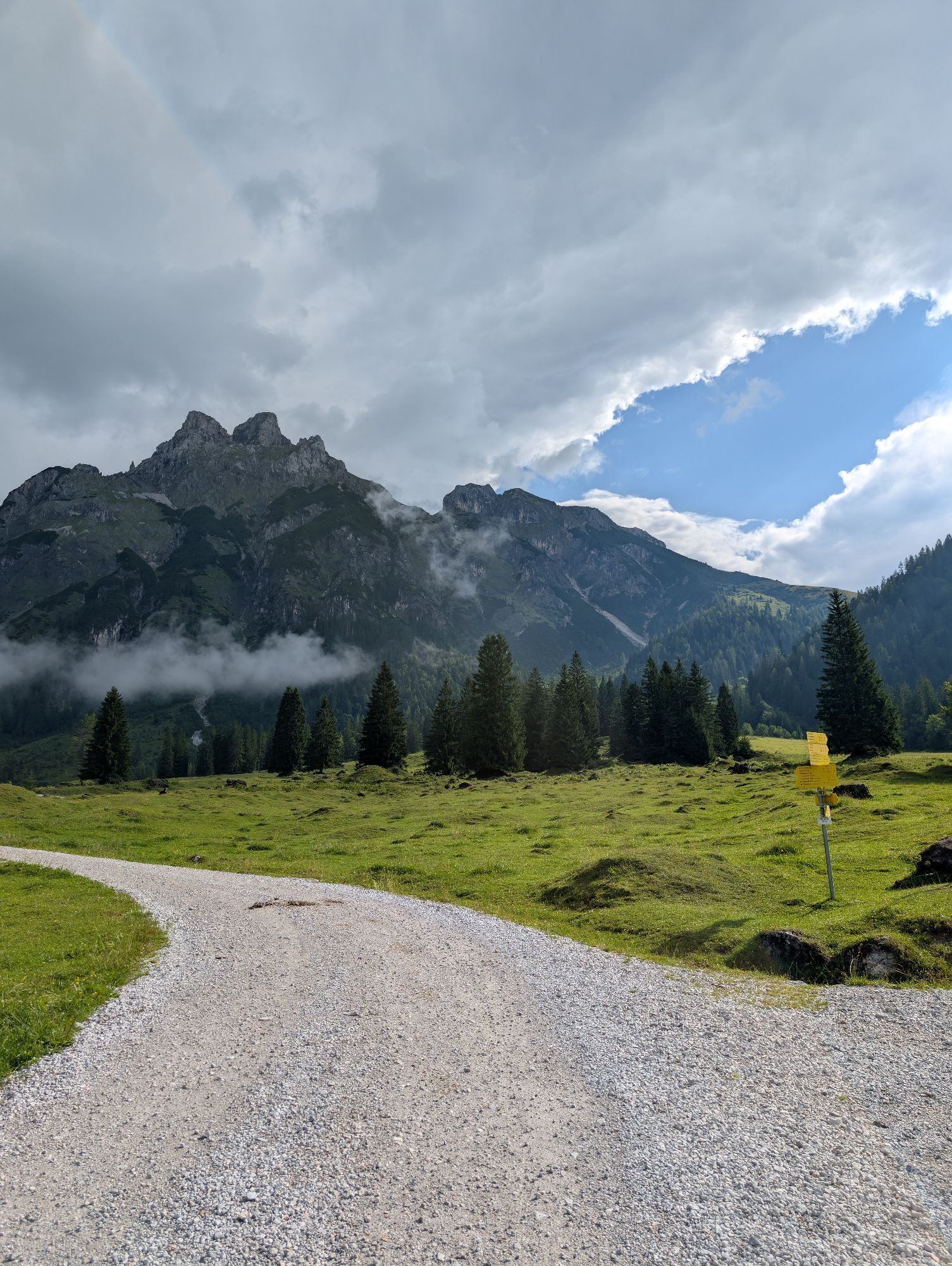
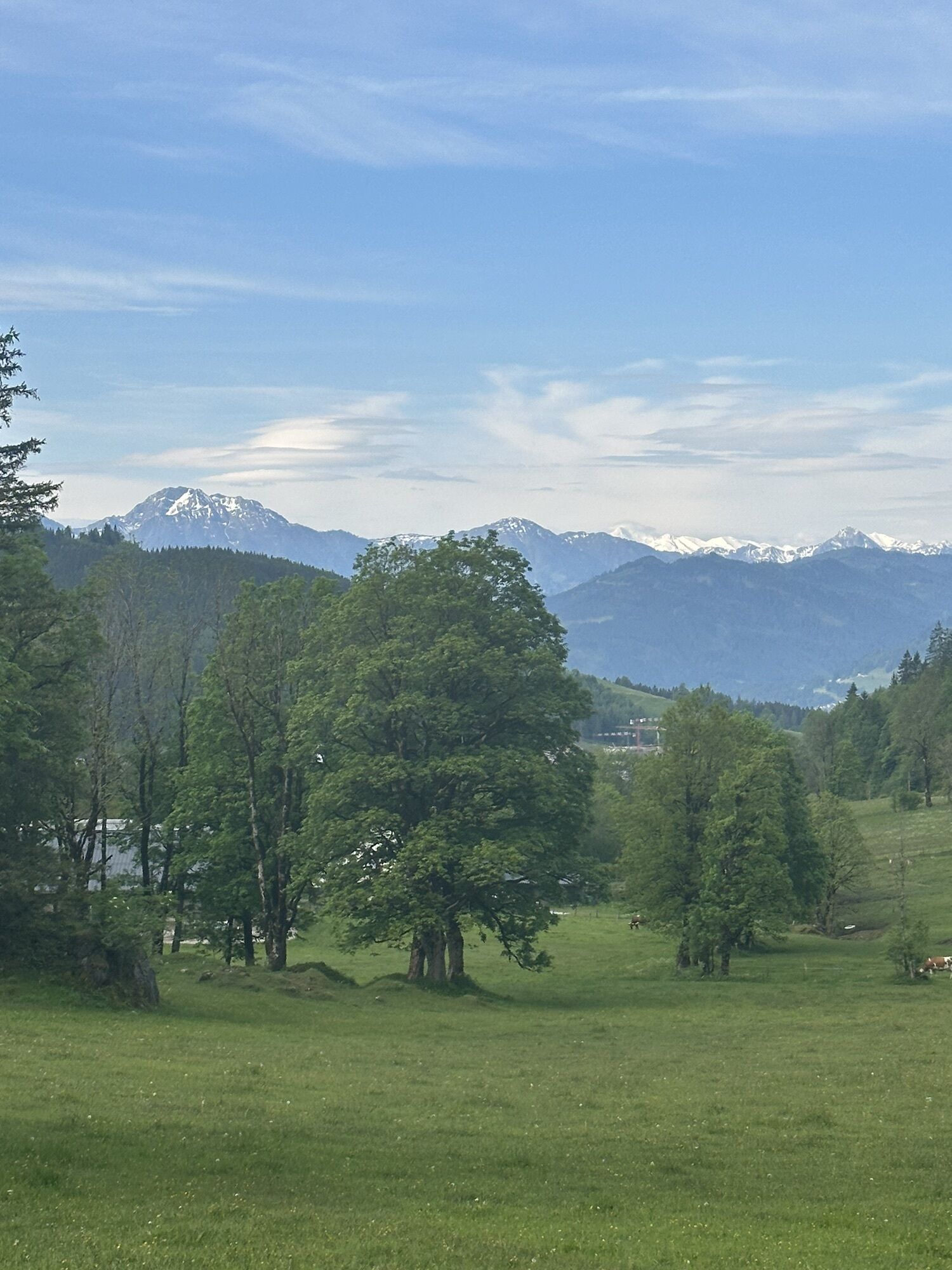
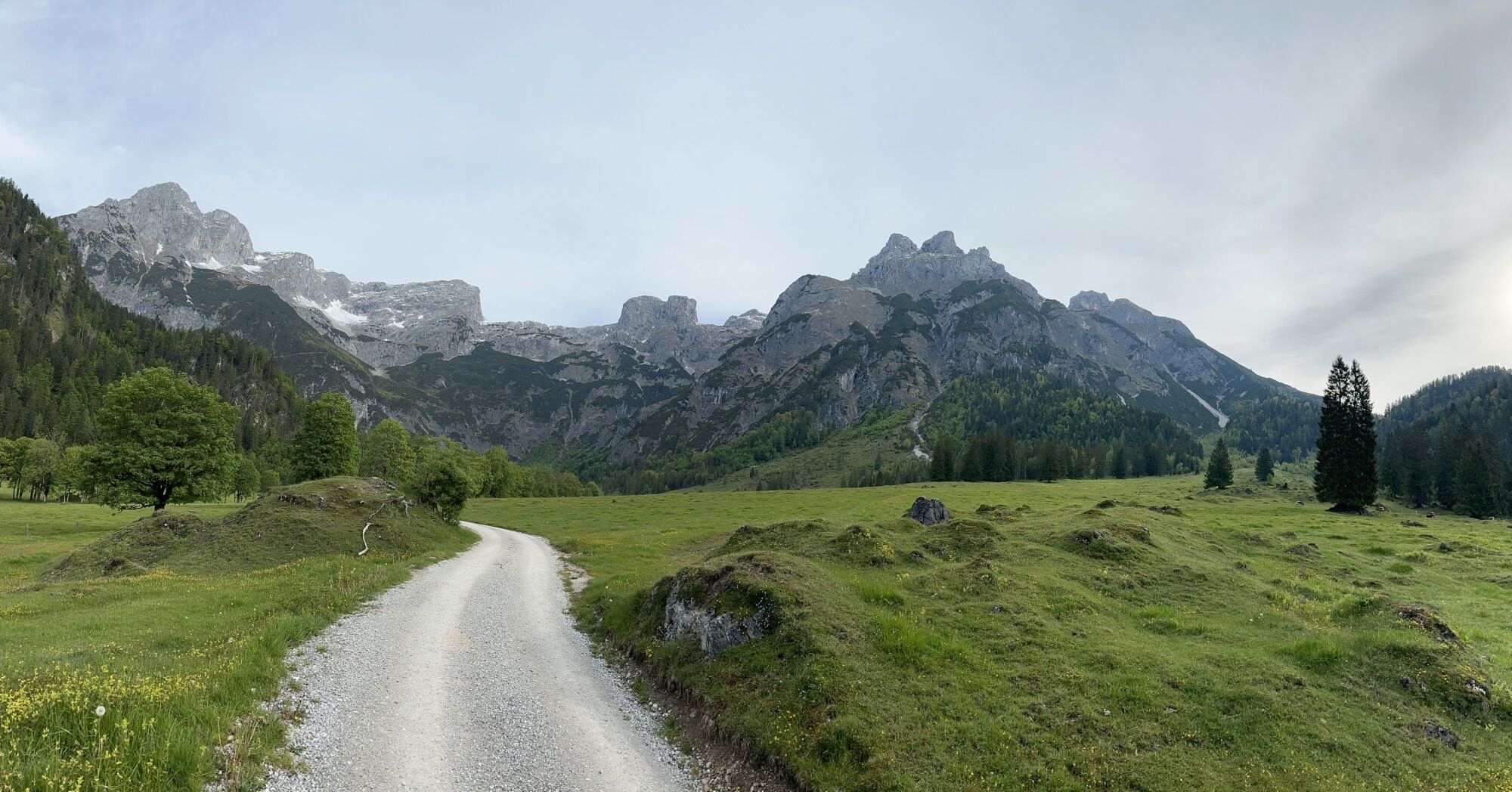
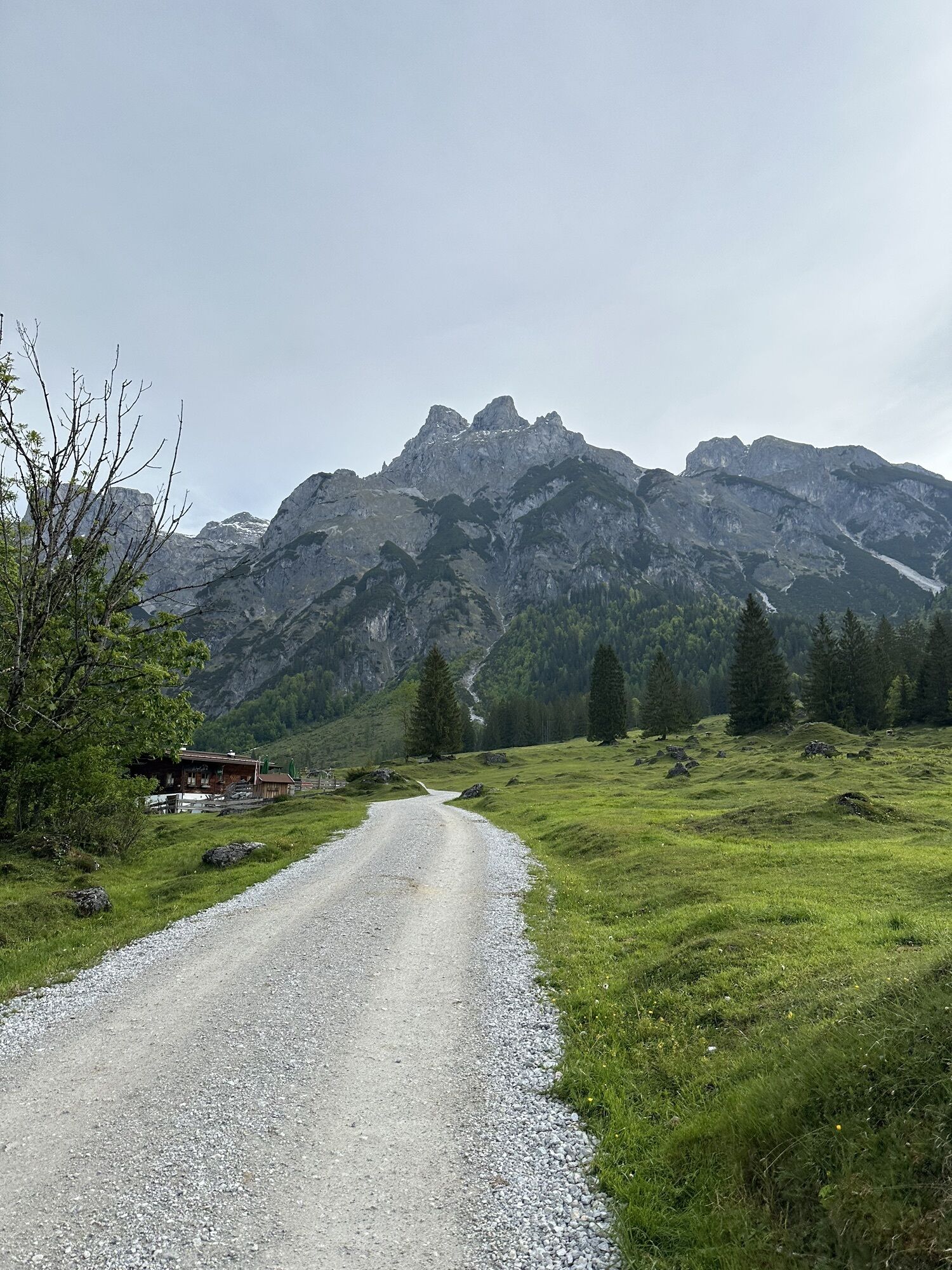
The municipality of Werfenweng has successfully relied on gentle tourism concepts for years. This logically begins with the arrival. The W³ shuttle is available at the station after at least one hour's...
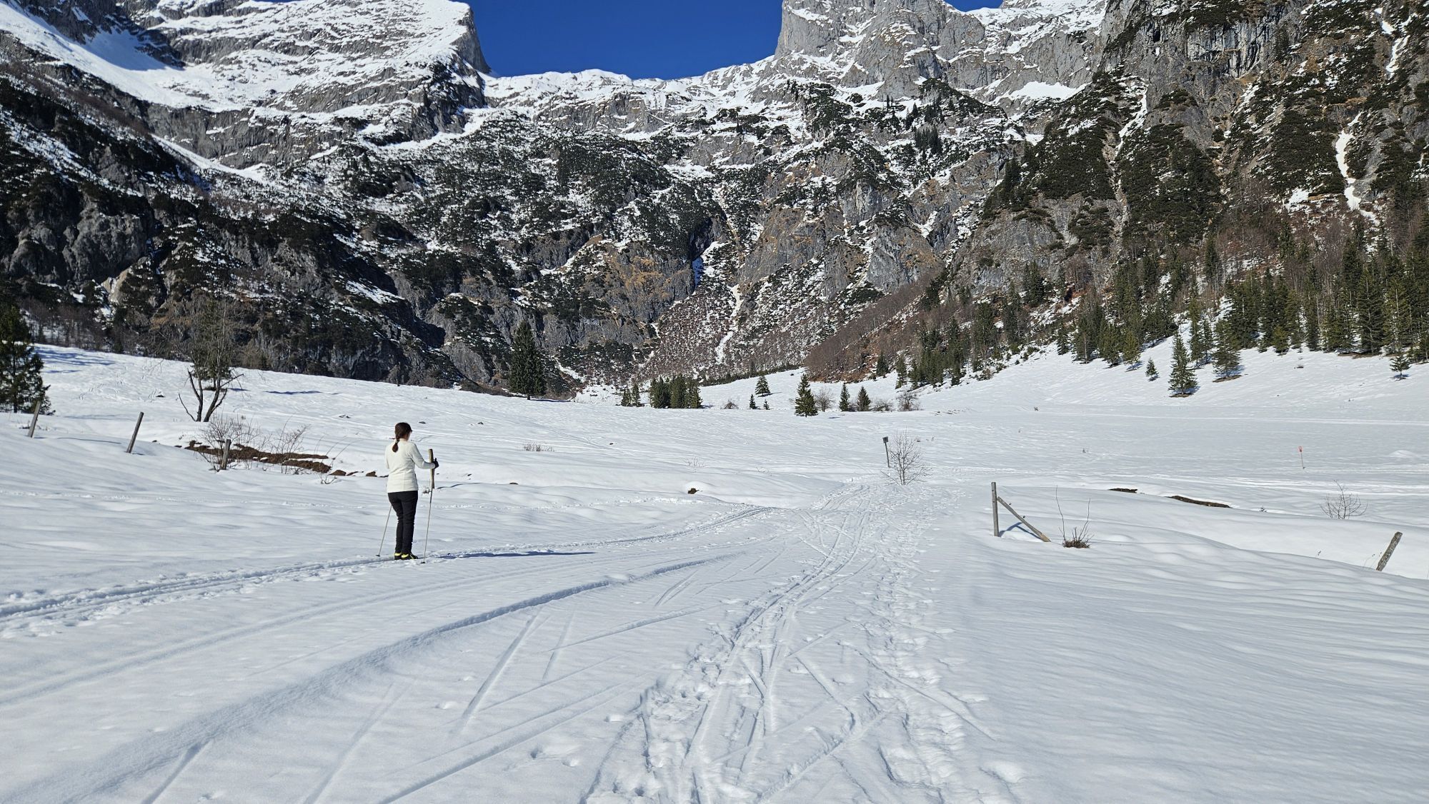
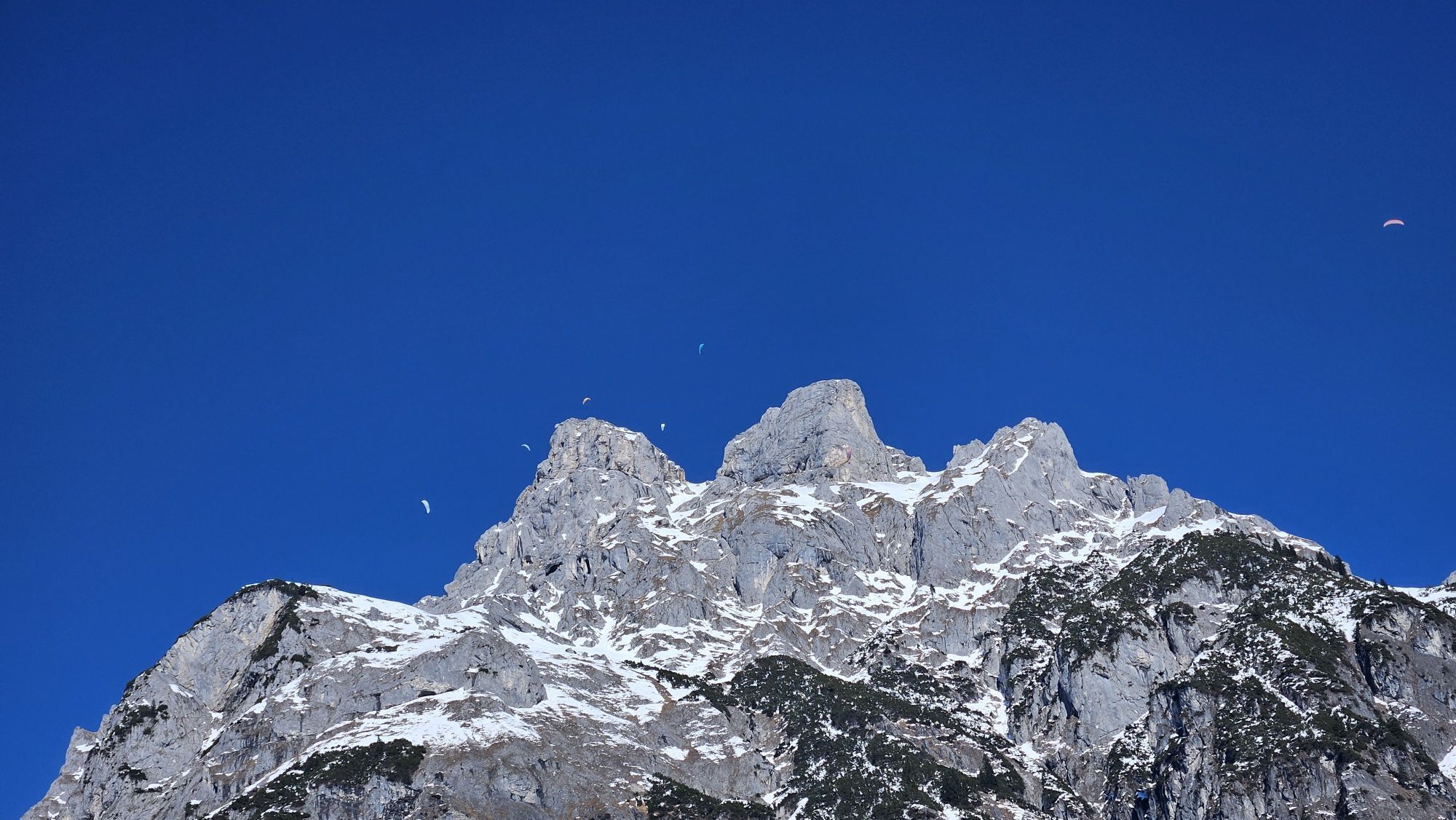
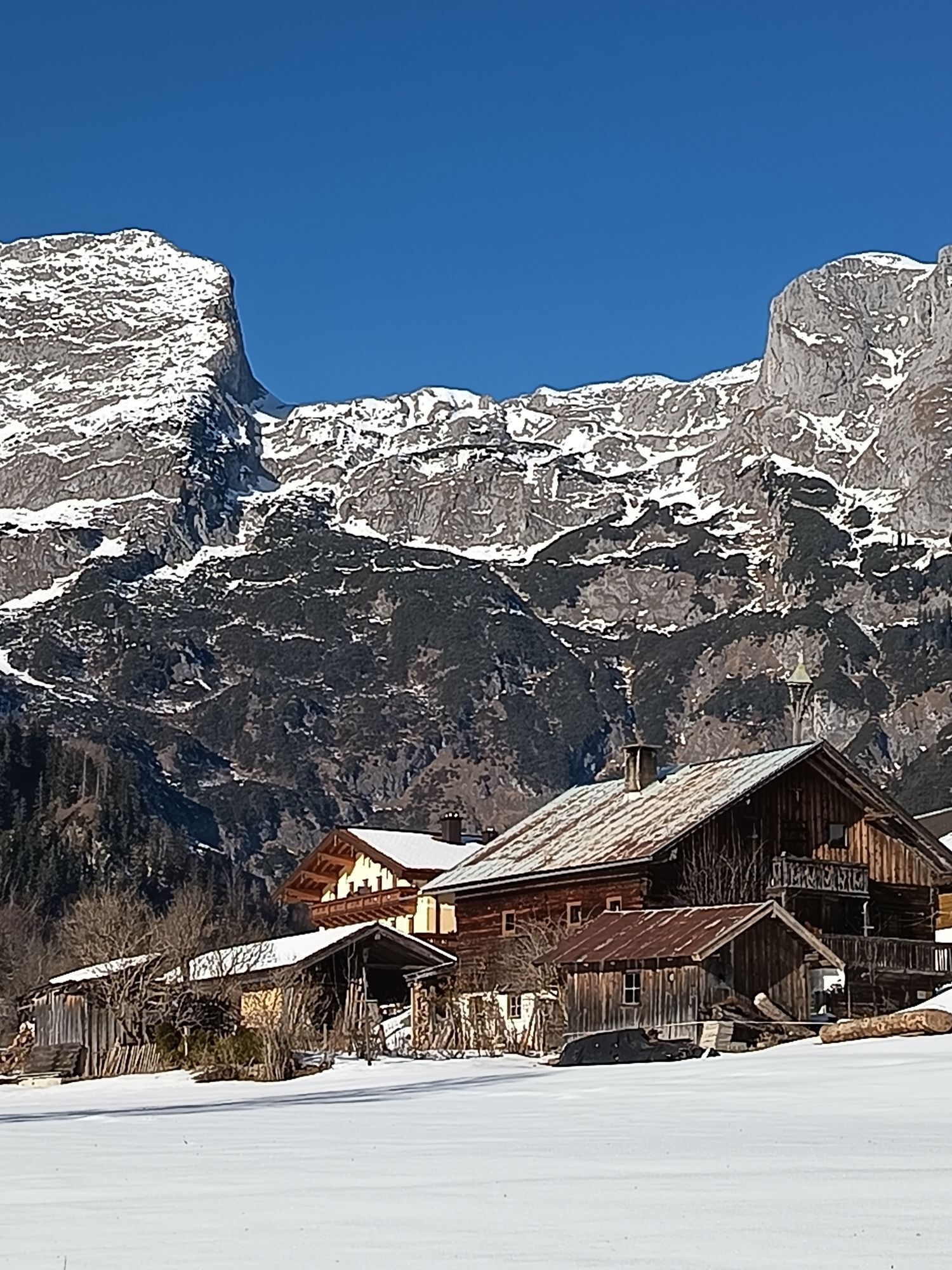
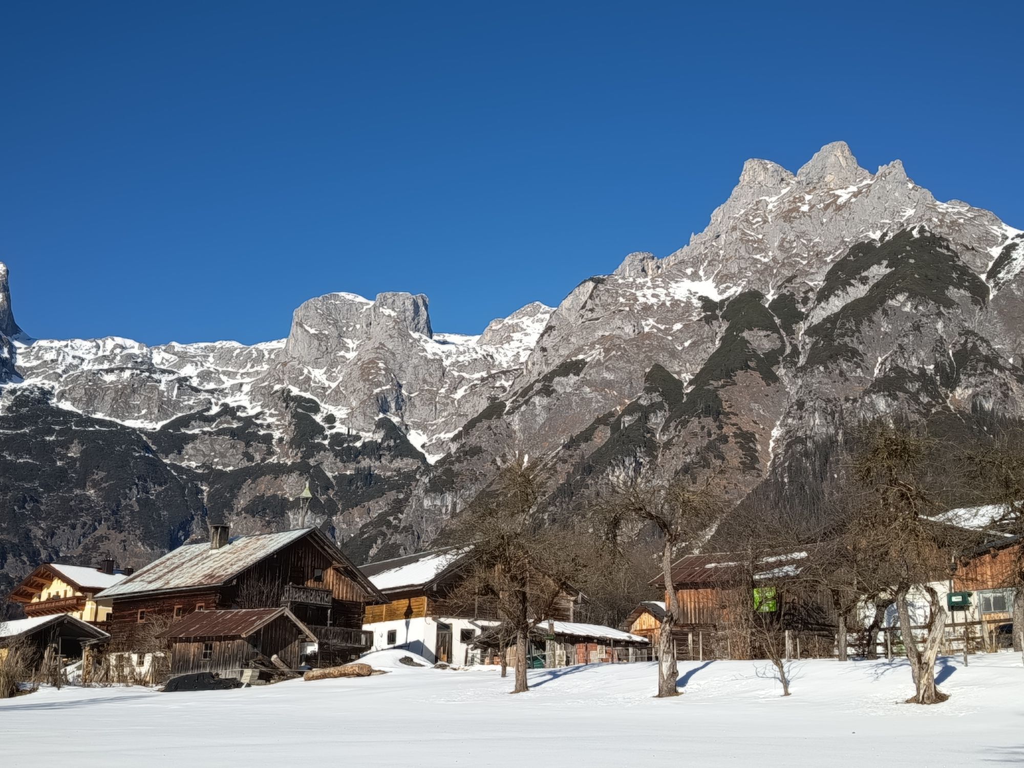
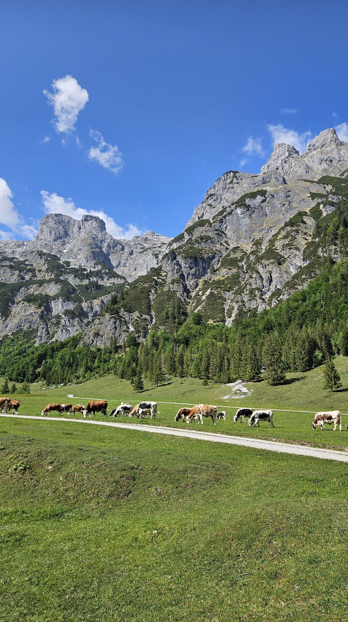
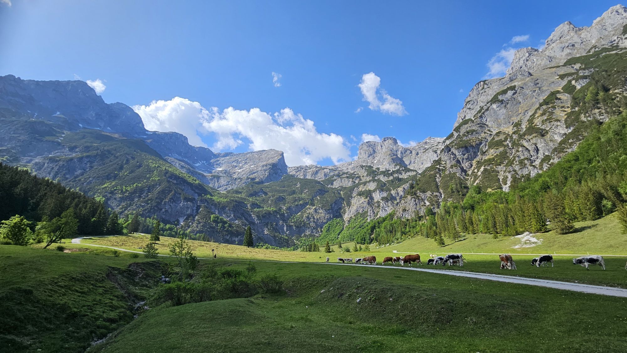
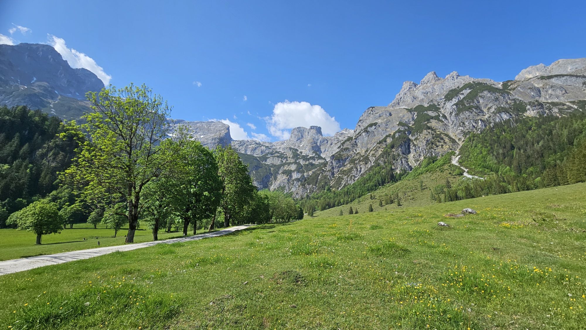
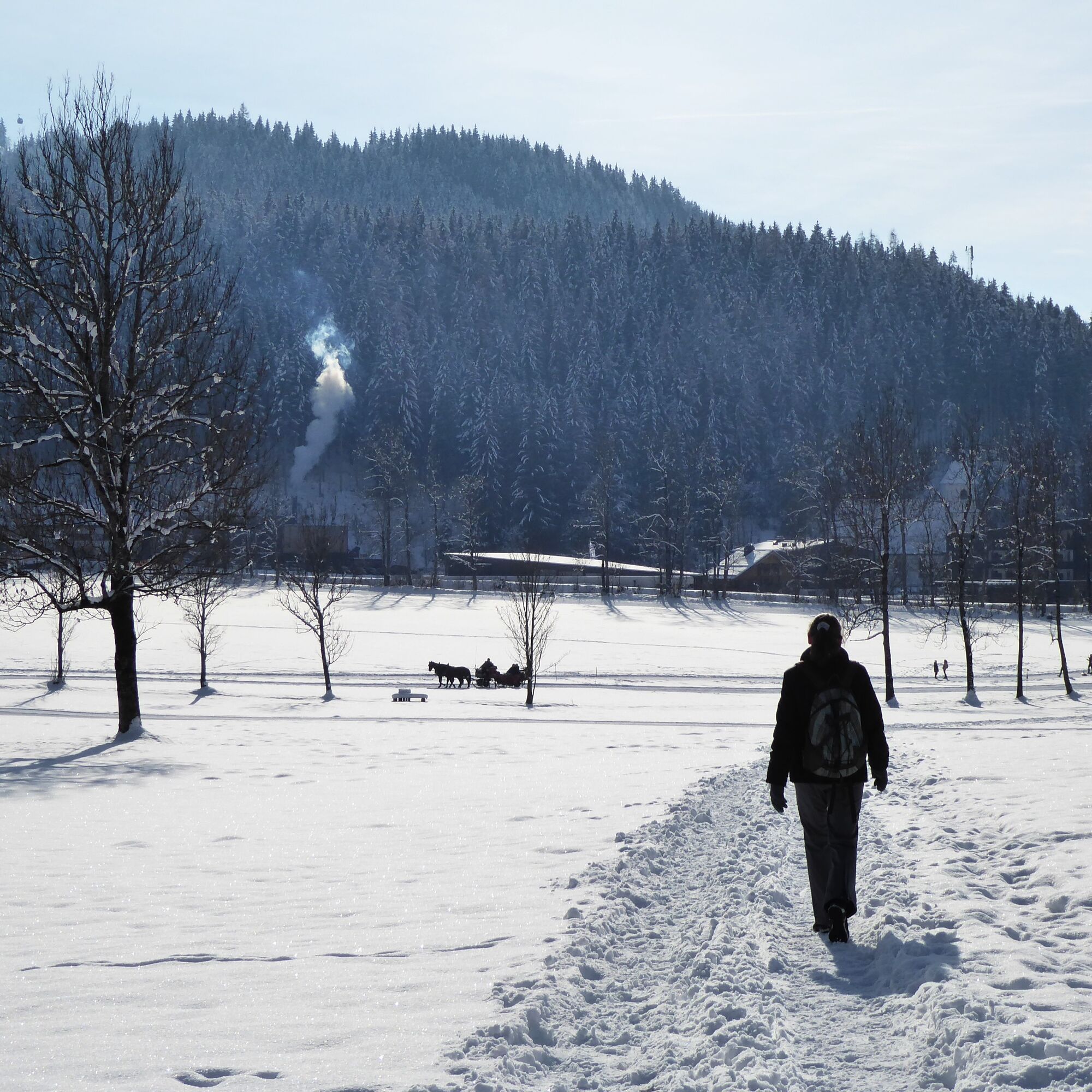
The municipality of Werfenweng has successfully relied on gentle tourism concepts for years. This logically begins with the arrival. The W³ shuttle is available at the station after at least one hour's prior booking and according to the timetable and brings guests in a few minutes up to the sunny paradise at the foot of the Tennengebirge. According to preferences, a wide range of eco-friendly activities awaits there: children enjoy the wide, unmistakable toboggan slope, cross-country skiers use the well-prepared trails towards Zaglau (5 km) or Wengerau (9 km) (day ticket €4.50; available at the TVB, selected shops, and online at www.mywerfenweng.eu), the large group of winter hikers head out on the fantastic, maximally sunny route back into the Wengerau valley, and the very relaxed simply wait for the horse-drawn carriage at the Oberegg or Vorderoberlehen farms.

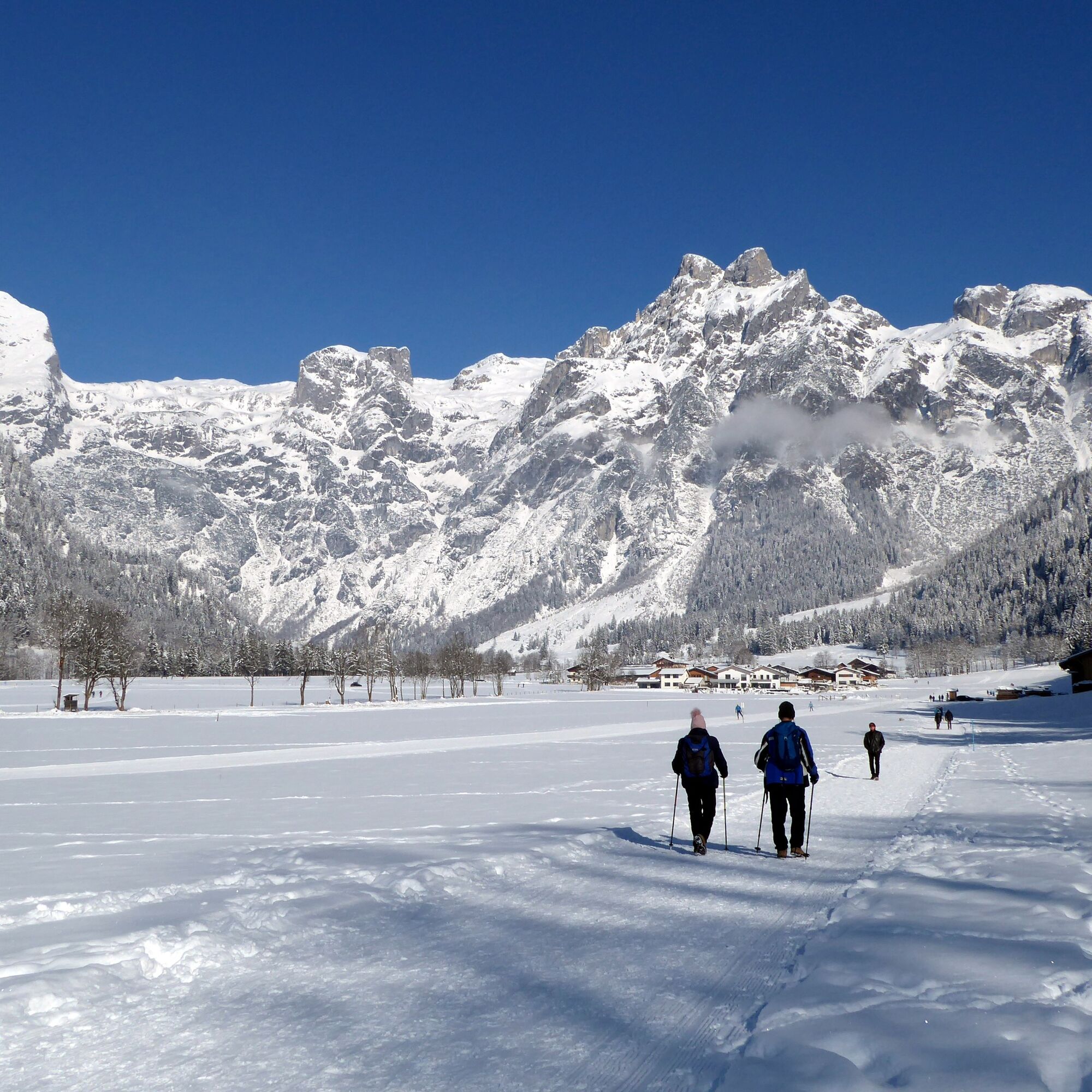
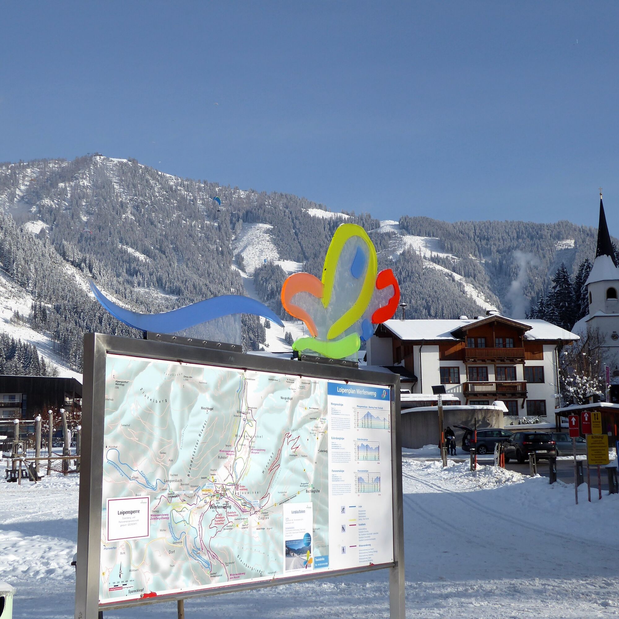
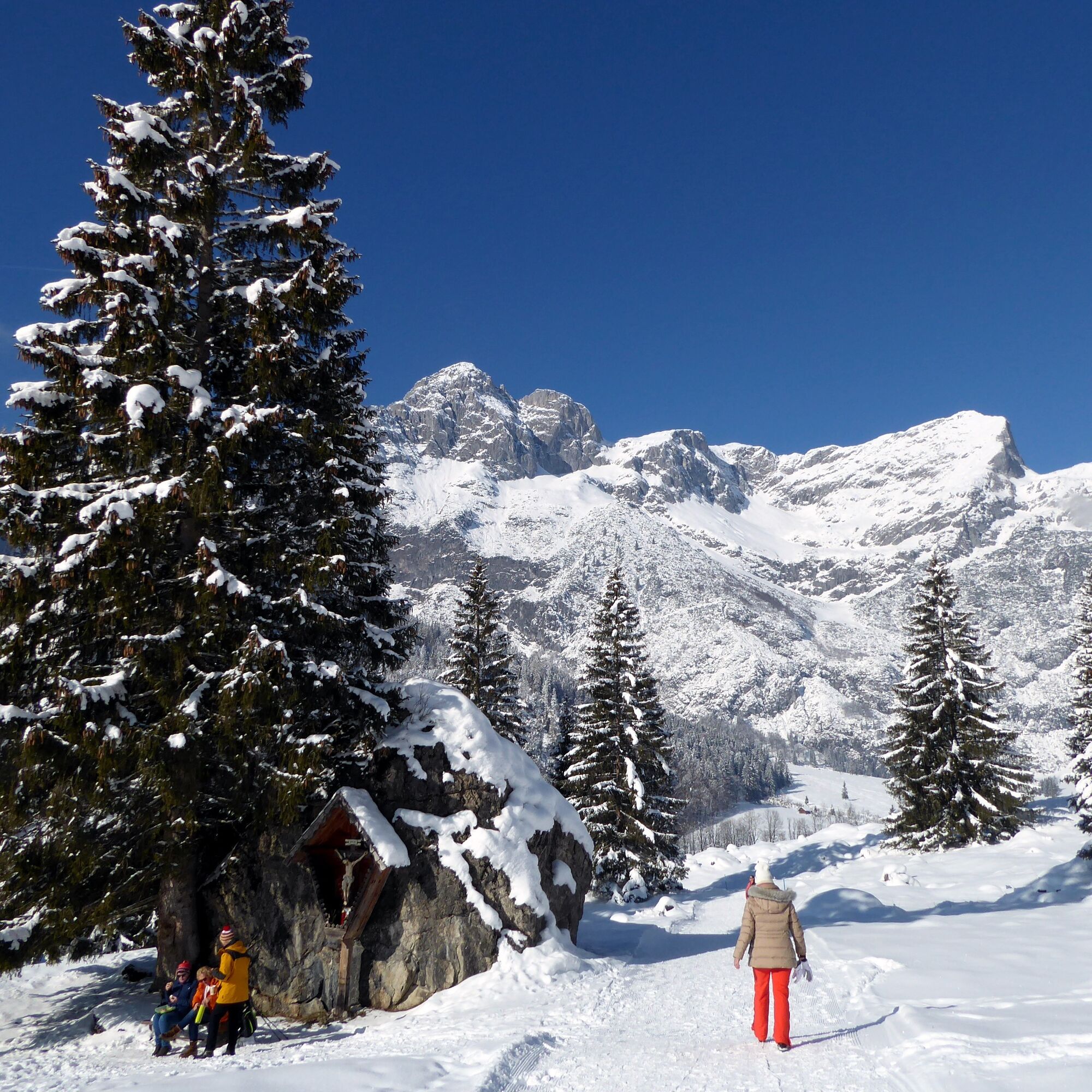

The starting point of the large winter hiking loop into the Wengerau is the village square in Werfenweng (Werfenweng town center stop). The path leads past the Travel Charme Bergresort on the left, briefly follows the road into Wengerau, and after the small bridge turns right towards the toboggan slope. Before the toboggan meadow, the leveled winter hiking trail makes a left curve and runs cross-country to the organic farm Vorderoberlehen. Shortly after, a vending machine offers various agricultural products from the region, and the coffee to go with it is even free. The path gently ascends; a romantic spot next to the wayside cross invites to a quiet moment, the soon-following Wengerau Alm invites to a culinary rest. After another kilometer going downhill, the highest point of the loop (1,037 m) is reached with the snack station Gamsblick (temporarily closed). The return path turns right, runs parallel to the large parking lot, briefly follows the road, and then once again runs cross-country on the left back into the town center.
Ano
Ano
Ano
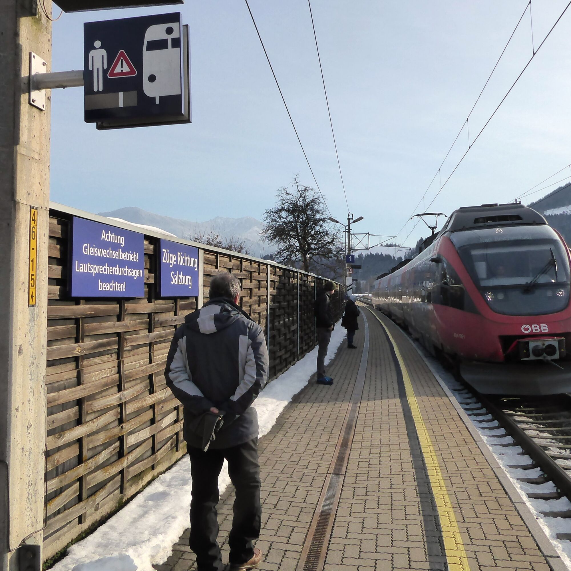
Take the S3 to Pfarrwerfen station, or the Rex to Werfen station. Then take the W3 shuttle taxi (tel. +43 664 1266700, book at least 60 minutes before departure; free with KlimaTicket, as well as for holders of the Super s`COOL Card, the Edelweiß ticket, and myregio) to Werfenweng town center. Please also observe the W3 shuttle timetable (www.werfenweng.eu/service/anreise/transfer-shuttle). The shuttle runs 365 days a year.
Timetable information and downloads: Online at www.salzburg-verkehr.at or on your smartphone via the free Salzburg Verkehr app for Android and iOS.
1
Mag. Christian Heugl
5400 Hallein
christian.heugl@gmail.com
Photo credit: Christian Heugl
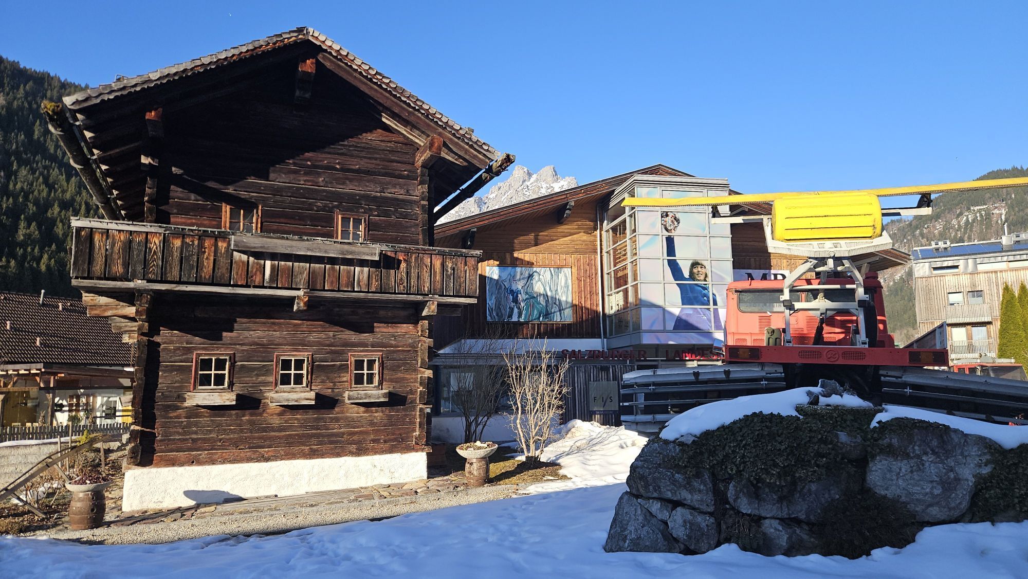
Tip 1: Visit the Ski Museum: www.skimuseum.at
Tip 2: Travel by horse-drawn carriage: https://www.werfenweng.eu/urlaub/winter-fruehling/pferdeschlitten/

Webové kamery z prohlídky

Oblíbené prohlídky v okolí
-
4.7
Schwarzer Berg / Golling
středníTuristika 2.54 km -
4.7
Werfenweng Mountainbikerunde Söldenhütte
středníMountainbike 18.8 km -
3.7
Wanderung zur Ostpreußenhütte in Werfen (1.630 m)
středníTuristika 11.2 km -
4.7
About the "Four Huts circular route" to Windraucheggalm
středníTuristika 10.1 km -
4.6
Panorama hike to the Hochkeil
středníTuristika 6.07 km -
4.8
Gerzkopf
středníTuristika 8.43 km -
4.7
Königsjodler Klettersteig (C/D) Hochkönig
heavyVia ferrata 25.8 km -
4.7
Mühlenweg und Winnerfall Scheffau am Tennengebirge
středníTuristika 4.79 km -
4.7
Wengerau - Tauernkogel - Eiskogel - Napf - Wengerau
středníVysokohorská turistika 15.5 km -
4.0
To the Ostpreussenhütte
středníTuristika 16.6 km

Pěší turistika a stopování


Nenechte si ujít nabídky a inspiraci pro vaši příští dovolenou
Vaše e-mailová adresa byl přidán do poštovního seznamu.





