


Winter hiking Natrun circular route
Úroveň obtížnosti: 3
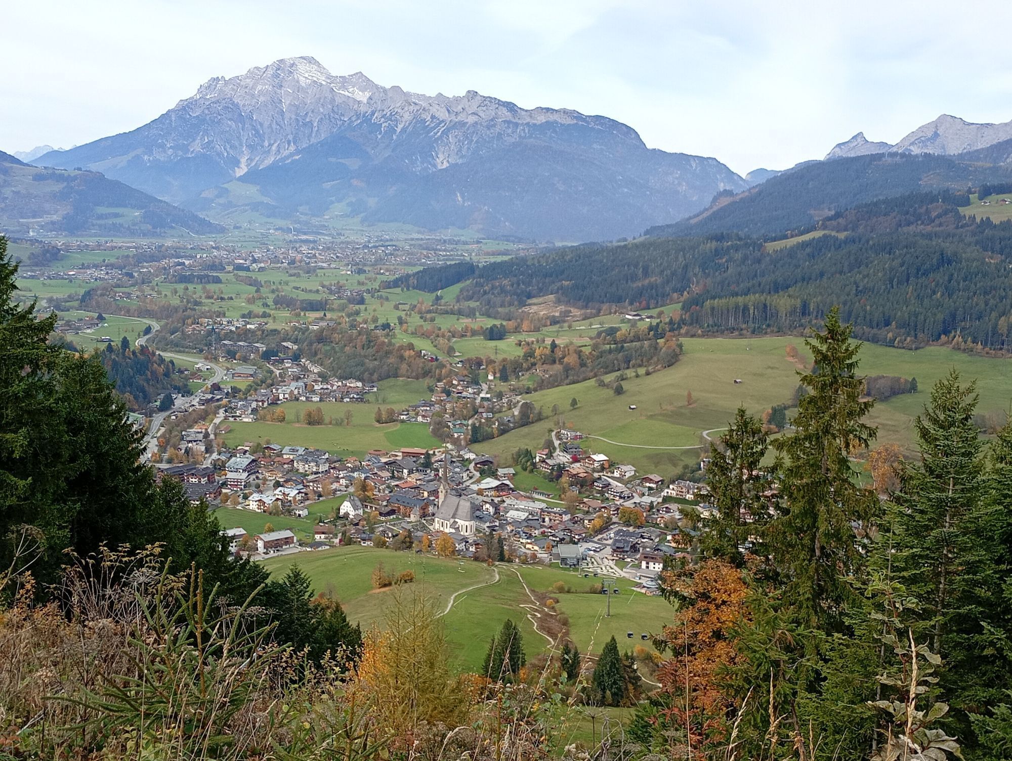
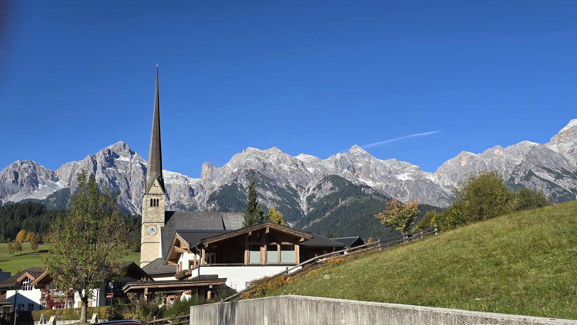
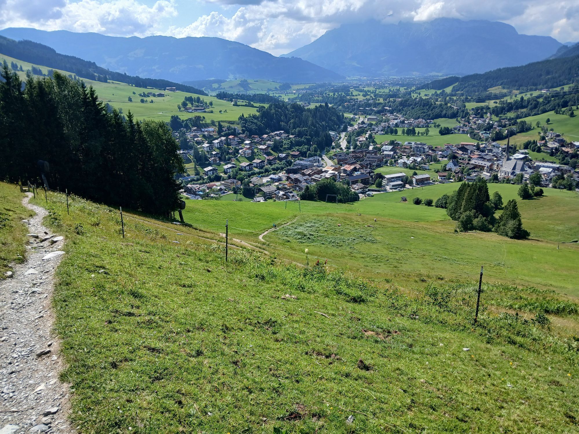

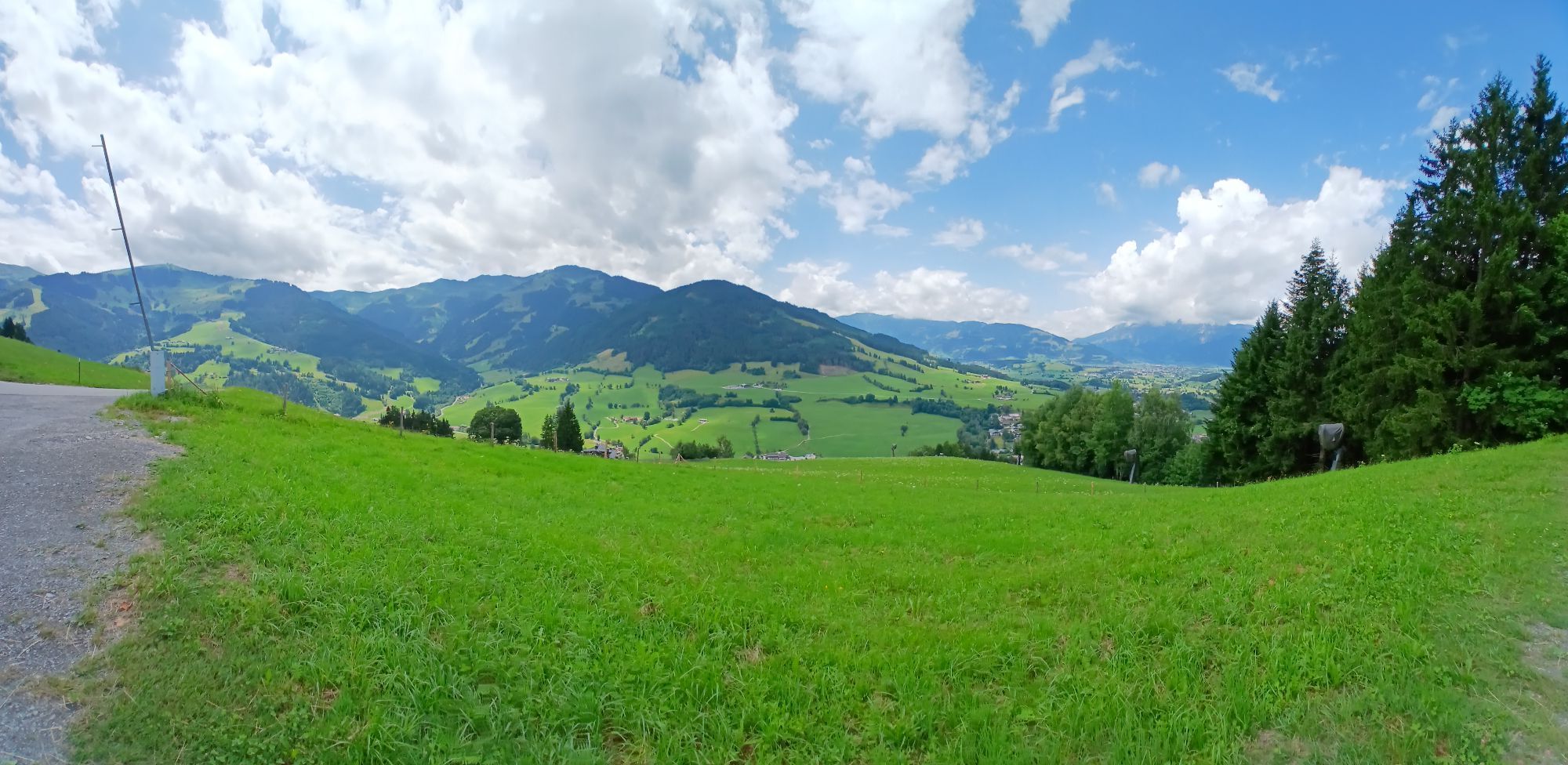
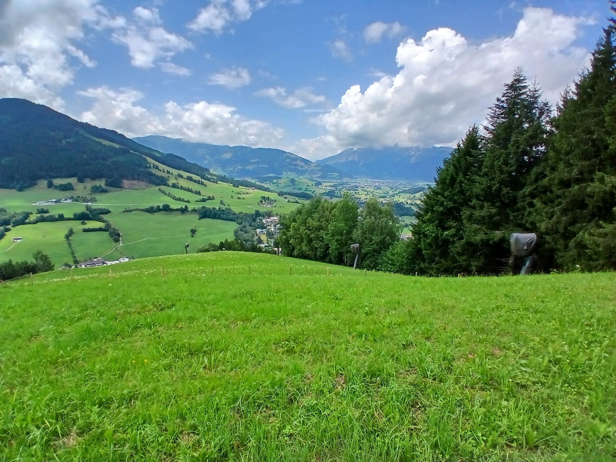
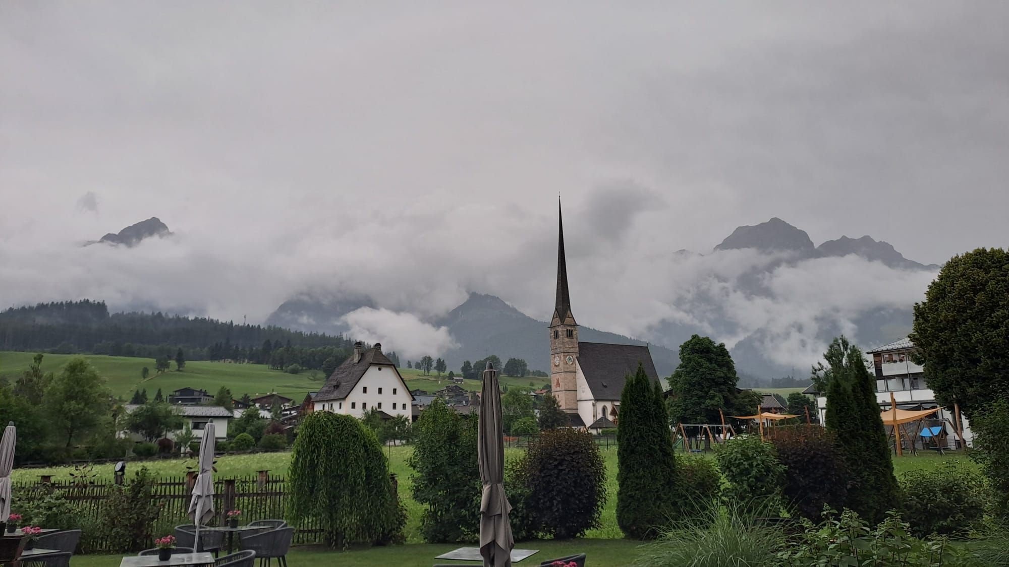
Start your winter hike at the service center in Maria Alm, where you take your first steps on one of the most beautiful winter hiking trails in the region. The path leads you past the valley station of...
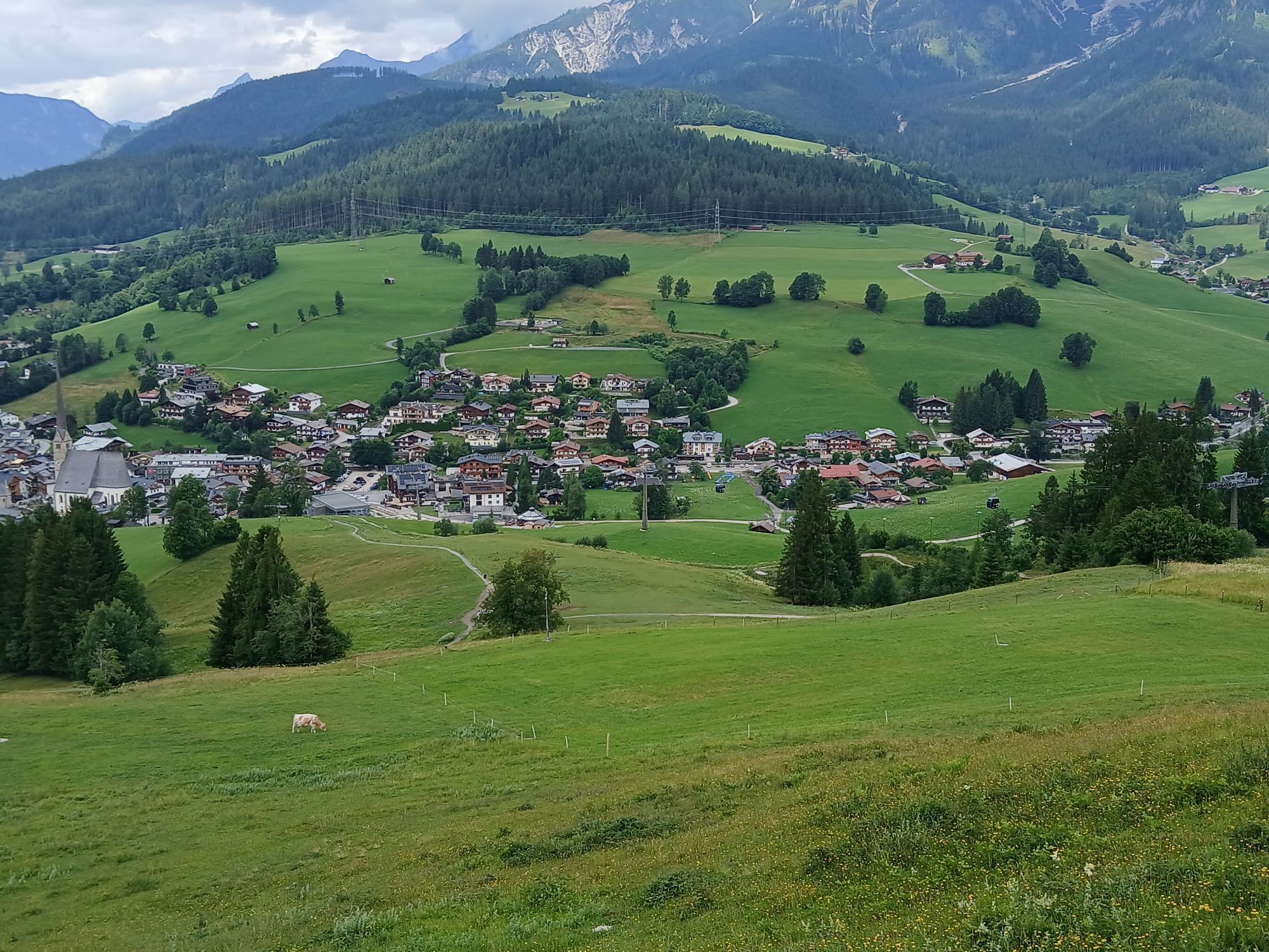
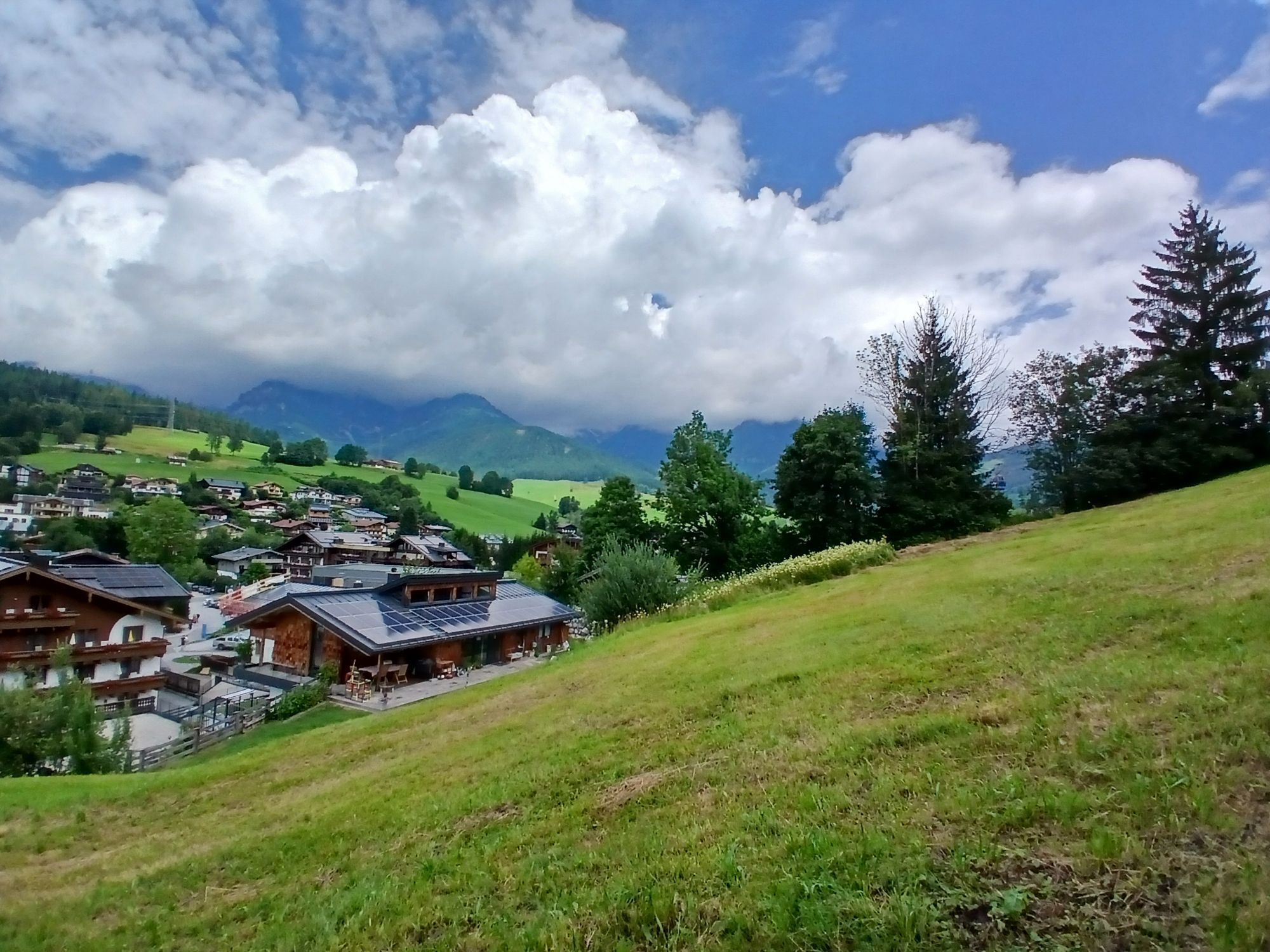
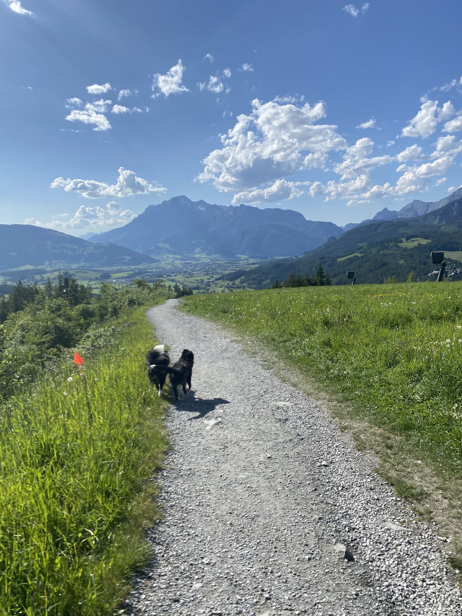
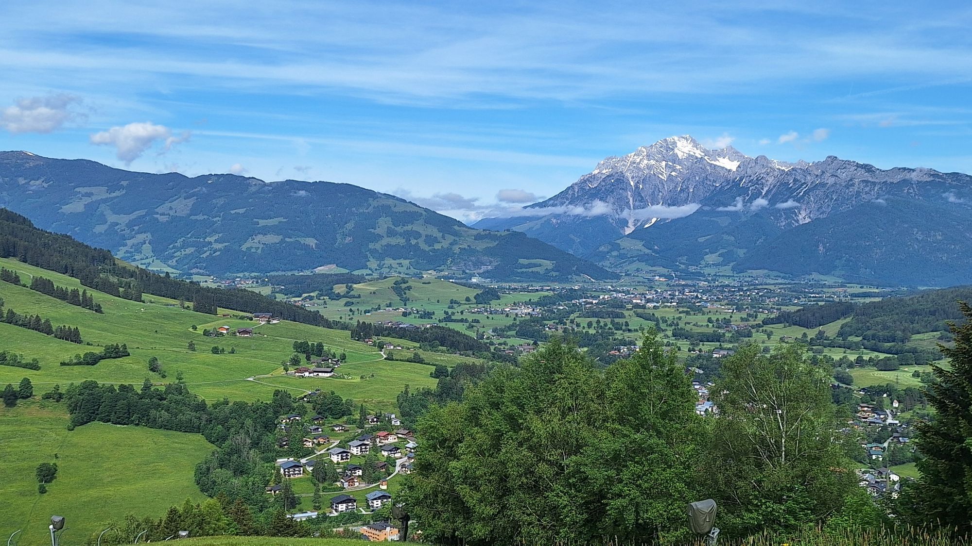
Start your winter hike at the service center in Maria Alm, where you take your first steps on one of the most beautiful winter hiking trails in the region. The path leads you past the valley station of the Natrun cable car and further into the Oberdorf (trail no. 104A). After the Waldhaus guesthouse, turn right and follow the signed winter hiking trail no. 25 to the Jufenalm. While walking along the path, you can enjoy the impressive view of the surrounding mountains. Pause now and then to let the calm of nature have its effect - winter has a very special magic! Once at the Jufenalm, you have earned a well-deserved break in the cozy inn. Treat yourself to regional delicacies and enjoy the warm atmosphere of the guesthouse. A visit to the nearby wildlife enclosure is also a highlight - maybe you will have the luck to observe the majestic red deer up close! Well refreshed, continue your hike and follow the path to the Grammleralm snack station. The path leads you through picturesque forests and over gentle hills while you fully enjoy the winter landscape. From the mountain station of the Natrun cable car, it finally goes quickly downhill back to Maria Alm. The descent not only offers a sportive end to your hike but also the opportunity to experience the beauty of the surroundings from a different perspective.

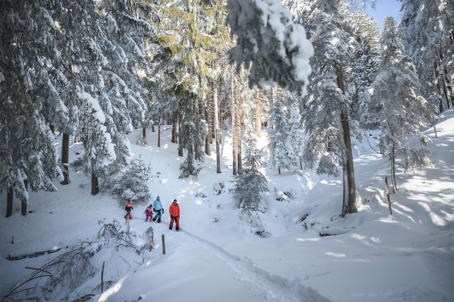
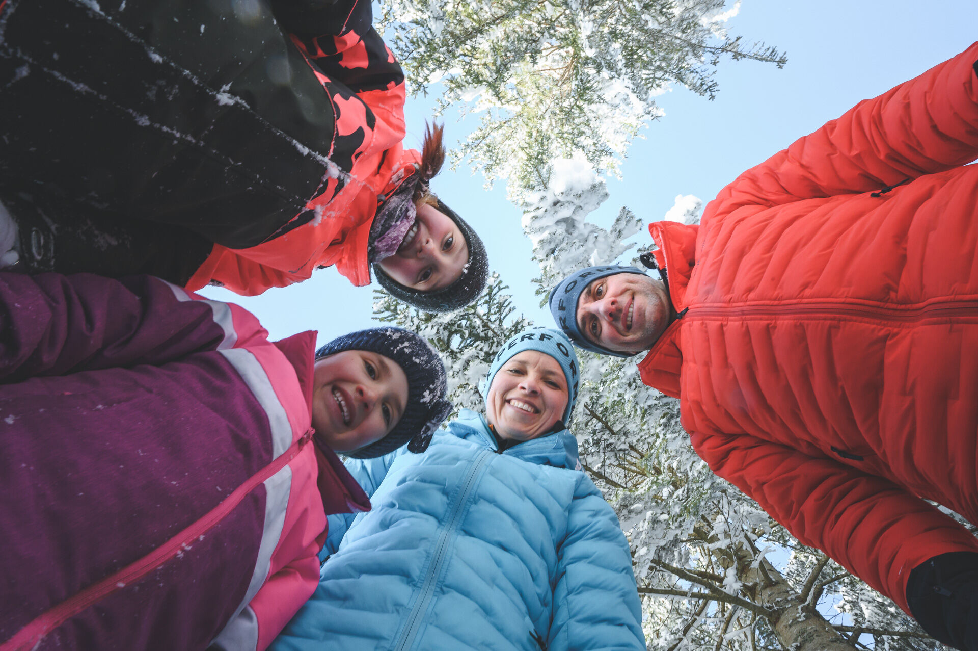
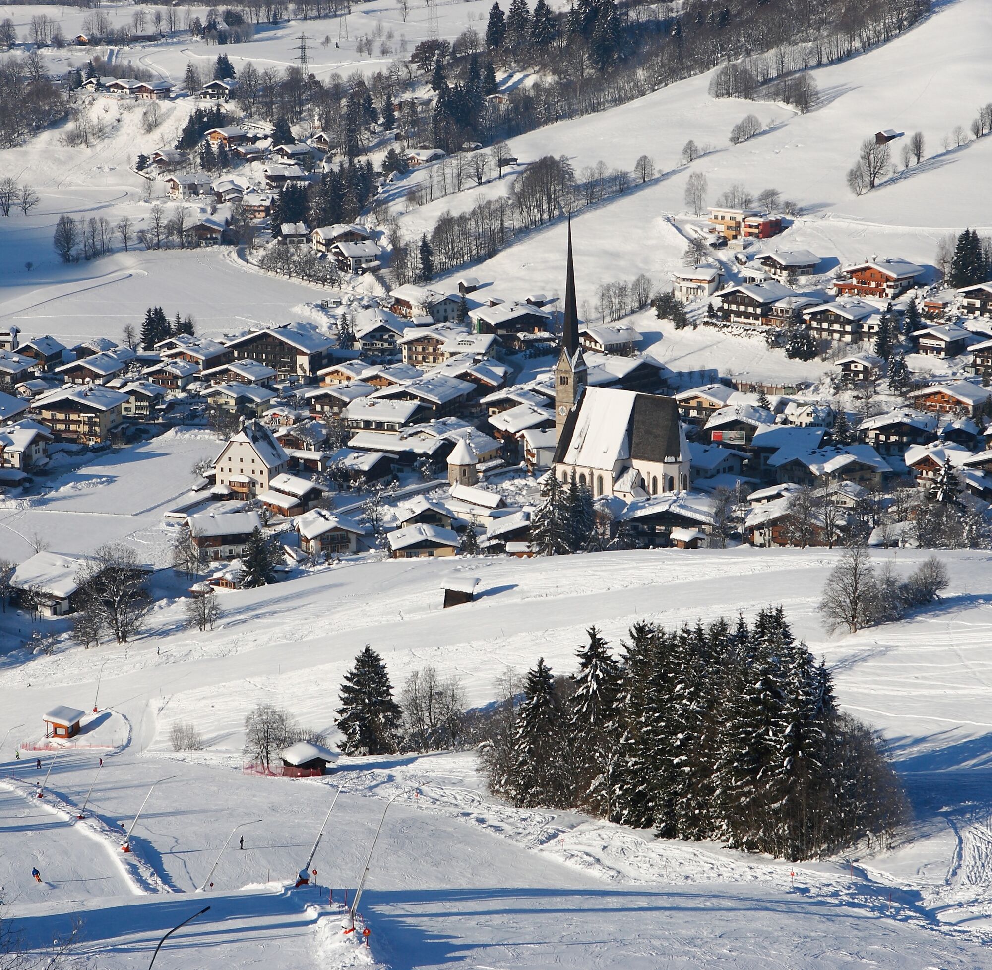
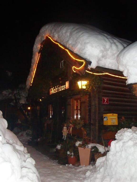
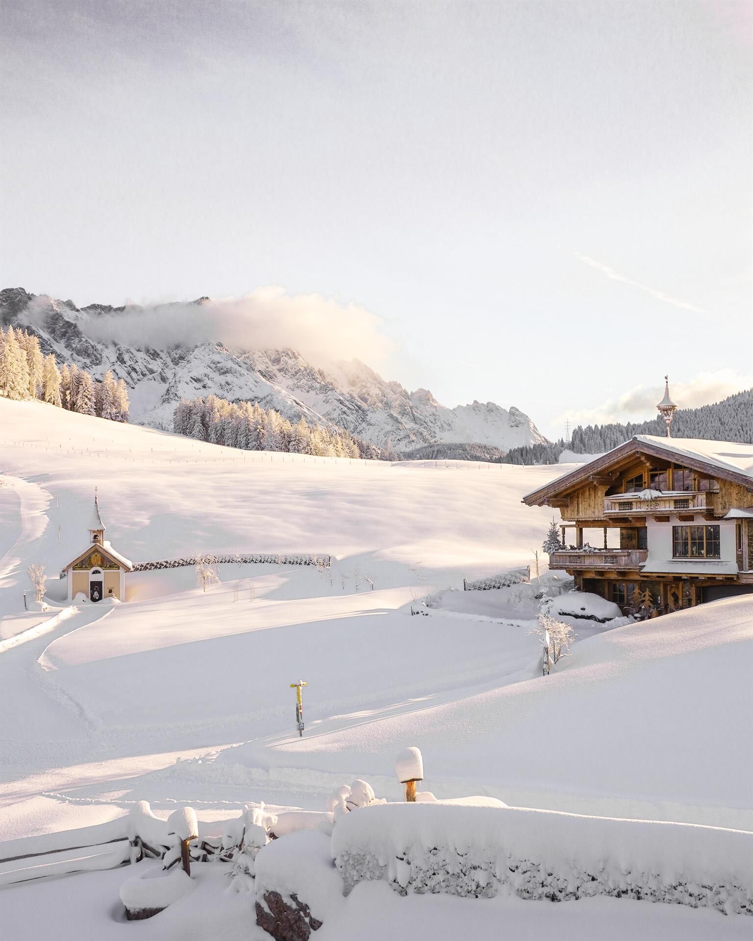
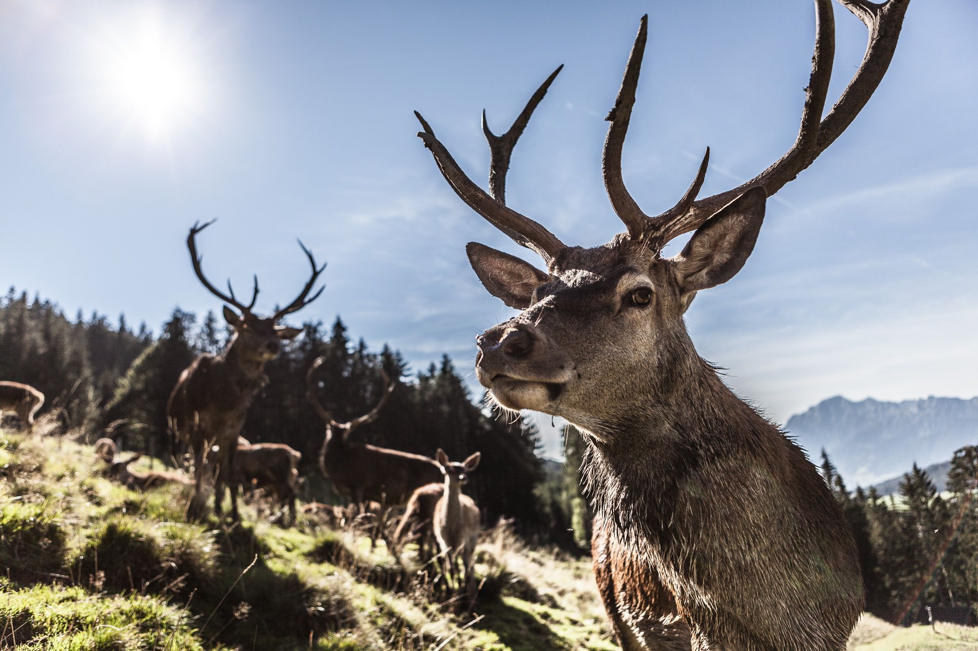
Start your hike at the Maria Alm Service Center. Here you can get information about the current condition of the trails and possibly pick up a map. Walk past the valley station of the Natrun cable car. The path leads you directly to the Oberdorf. Watch for the sign for trail no. 104A. After passing the Waldhaus guesthouse, turn right. Here you will find the signed winter hiking trail no. 25. Follow this trail to the Jufenalm. Take your time to enjoy the winter landscape! Treat yourself to a cozy stop at the Jufenalm. Here you can refresh yourself and enjoy the regional cuisine. If you like, visit the nearby wildlife enclosure. You might be lucky enough to observe the red deer up close. Well refreshed, follow the trail to the Grammlergut snack station. The path takes you through picturesque forests and over gentle hills. Continue your hike to the mountain station of the Natrun cable car. Here you have a wonderful view of the surroundings. From the mountain station, it goes quickly downhill back to Maria Alm. Enjoy the descent and the view of the winter landscape.
Ano
Clothing: warm, layered clothing, hat, gloves, non-slip boots
Equipment: daypack, hiking poles, headlamp, possibly crampons or snowshoes
Safety & navigation: mobile phone, map/GPS, first aid kit, whistle
Food and drink: water, snacks, thermos flask
Optional: sunglasses, sun cream, seat pad
Check the weather: Obtain the latest weather and avalanche reports before setting off.
Wear the right clothing: Layers, waterproof, warm, with a hat, gloves and non-slip boots.
Equipment: Walking sticks, head torch, map/GPS, mobile phone, first aid kit. In case of ice or snow, possibly snowshoes or crampons.
Consider your fitness level: Adjust your pace to suit your fitness level.
Make use of daylight: Winter days are short – allow enough time.
Avoid slipping: Walk carefully, use poles and non-slip soles.
Food and drink: Take water, warm drinks and snacks with you.
Emergency plan: Tell someone your route and have emergency numbers to hand.
Respect nature: stay on the paths, avoid avalanche and wildlife protection areas.
Arrival from Salzburg: On the A10 motorway to the Bischofshofen exit, then on the B311 towards Bischofshofen. Follow the Hochkönig federal road/B164 to Maria Alm.
Arrival from Innsbruck/Kufstein: On the Loferer Straße/B178 towards St. Johann i.T., then via the Hochkönig federal road/B164 via Saalfelden to Maria Alm.
A valid vignette is required to use the Austrian motorway and expressway network. You are also required to carry a first aid kit, warning triangle, and safety vest. More information at Asfinag.
ÖBB-Scotty: timetable information
Bus line 620: timetable information
Ski bus: timetable information
Free parking options at the entrance and in the center of Maria Alm
3
Further information on winter hikes and activities in the Hochkönig region:
For detailed information on hiking maps, the opening hours of the mountain railways and the huts and alpine pastures in winter, we recommend visiting the local service centre. There you will not only receive a hiking map, but also valuable tips on the best winter hiking routes and current conditions.
Opening hours of the mountain railways in winter:The mountain railways offer different opening hours during the winter months, which can vary depending on weather conditions and the season. Please check the current operating hours in advance.
Opening hours of huts and alpine pastures in winter: The huts and alpine pastures in the region are ideal rest stops for hikers. Here, too, opening hours may vary depending on the season and day of the week. Ask the friendly hosts for advice on what's on offer and local specialities.
For further information, please visit our website: www.hochkoenig.at.
If you have any questions or would like specific information, please feel free to contact us:
Email: region@hochkoenig.at
Telephone: +43 (0)6584 20388
We look forward to helping you and hope you enjoy exploring the beautiful Hochkönig winter region!
The ascent or descent by the Natrun cable car shortens the route by 30 minutes.
If you take the Natrun cable car up and hike from the TOM alpine hut to the Jufenalm, you can enjoy an extra winter fun: You can try out the sleigh run at the Jufenalm and enjoy a thrilling ride downhill!

Oblíbené prohlídky v okolí
- 5,0
Königssee - Kärlinger-Haus
Turistika 10,1 km - 4,8
Summit stormer route Lauskopf
heavyTuristika 8,16 km - 4,2
Maria Alm - Riemannhaus
Turistika 3,99 km - 4,8
Summit storming route Taghaube
heavyTuristika 6,25 km - 4,7
About the "Four Huts circular route" to Windraucheggalm
středníTuristika 10,1 km - 4,6
Steinalm
světloTuristika 2,71 km - 4,2
Schwalbenwand Nr. 80, 81, 82
středníTuristika 13,0 km - 4,3
Peter-Wiechenthaler Hut
středníTuristika 4,32 km - 4,8
Hochkönig - Gipfel der Gefühle - Matrashaus
heavyTuristika 20,9 km - 4,4
Alpine and hut hike "Hochmaisalm & Steinbockalm"
středníTuristika 8,10 km

Pěší turistika a stopování


Nenechte si ujít nabídky a inspiraci pro vaši příští dovolenou
Vaše e-mailová adresa byl přidán do poštovního seznamu.