






Annaberg: Winter hike high route


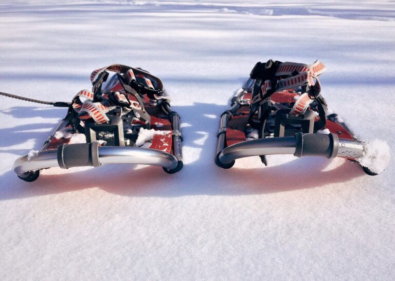

From the parking lot at Kopfbergbahn (free parking) at Elektro Krallinger, walk over the bridge and then right towards the village along the Lammer to the Ledering bridge (just before the sports field) - from there it goes uphill, past the idyllic Bäcker chapel and then left at the junction towards Lederingbauer and Sillbauer. Here the cleared road ends; in mid-winter snowshoes are recommended for this section. From the end of March/beginning of April, this section can be managed well with normal (winter) footwear when there is little snow. From Kreilbauer, back onto the cleared road and then left downhill again to Annaberg.
If there is no snow, there is the possibility to continue hiking the high route from Kreilbauer to Lungötz and then return (along the same path or down in the valley on the sidewalk) or to take the public bus (free with guest card) back to Annaberg. However, if there is snow, the hiking path from here towards Lungötz is absolutely not to be used due to avalanche danger, and only the loop in Annaberg is possible.
Ano
Good winter footwear - possibly take snowshoes if there is good snow coverage
In snow, ONLY the indicated loop in Annaberg is to be walked on the high route. Under no circumstances continue hiking towards Lungötz - there is avalanche danger along the path.
From the A 10 Tauern motorway exit Hüttau, then left into the Lammertal - via St. Martin - Lungötz - Annaberg village center.
Parking at the Kopfbergbahn (winter operation only) is free of charge.

Oblíbené prohlídky v okolí
-
4.4
Filzmoos: Rötelstein (Rettenstein)
Turistika 9.50 km -
4.7
Werfenweng Mountainbikerunde Söldenhütte
středníMountainbike 18.8 km -
4.9
From Rußbach over the Gamsfeld
heavyTuristika 11.5 km -
4.8
Tour around the Gosaukamm
středníTuristika 20.9 km -
4.8
Tor-Wanderung
heavyTuristika 14.2 km -
4.7
Tour around the Lake Gosau
světloTuristika 4.43 km -
4.6
Adamekhütte vom Vorderen Gosausee
středníTuristika 23.2 km -
4.7
Sulzenschneid via Rinderfeld
středníTuristika 9.51 km -
4.8
Gerzkopf
středníTuristika 8.43 km -
4.8
Rossbrand über Bürgerbergalm (462)
Turistika 10.8 km
Pěší turistika a stopování


Nenechte si ujít nabídky a inspiraci pro vaši příští dovolenou
Vaše e-mailová adresa byl přidán do poštovního seznamu.





