


Großer Hundstod


The challenging mountain route to the 'Großer Hundstod' promises an incomparable adventure amidst the impressive mountains and breathtaking natural beauty of the region. This demanding route leads you...
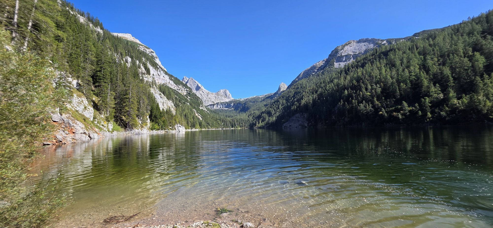
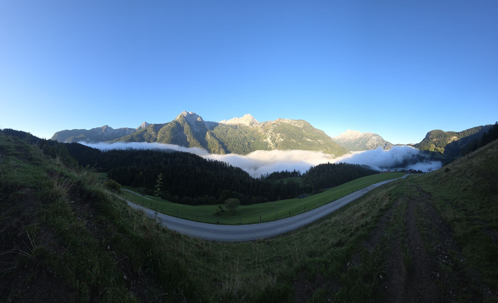
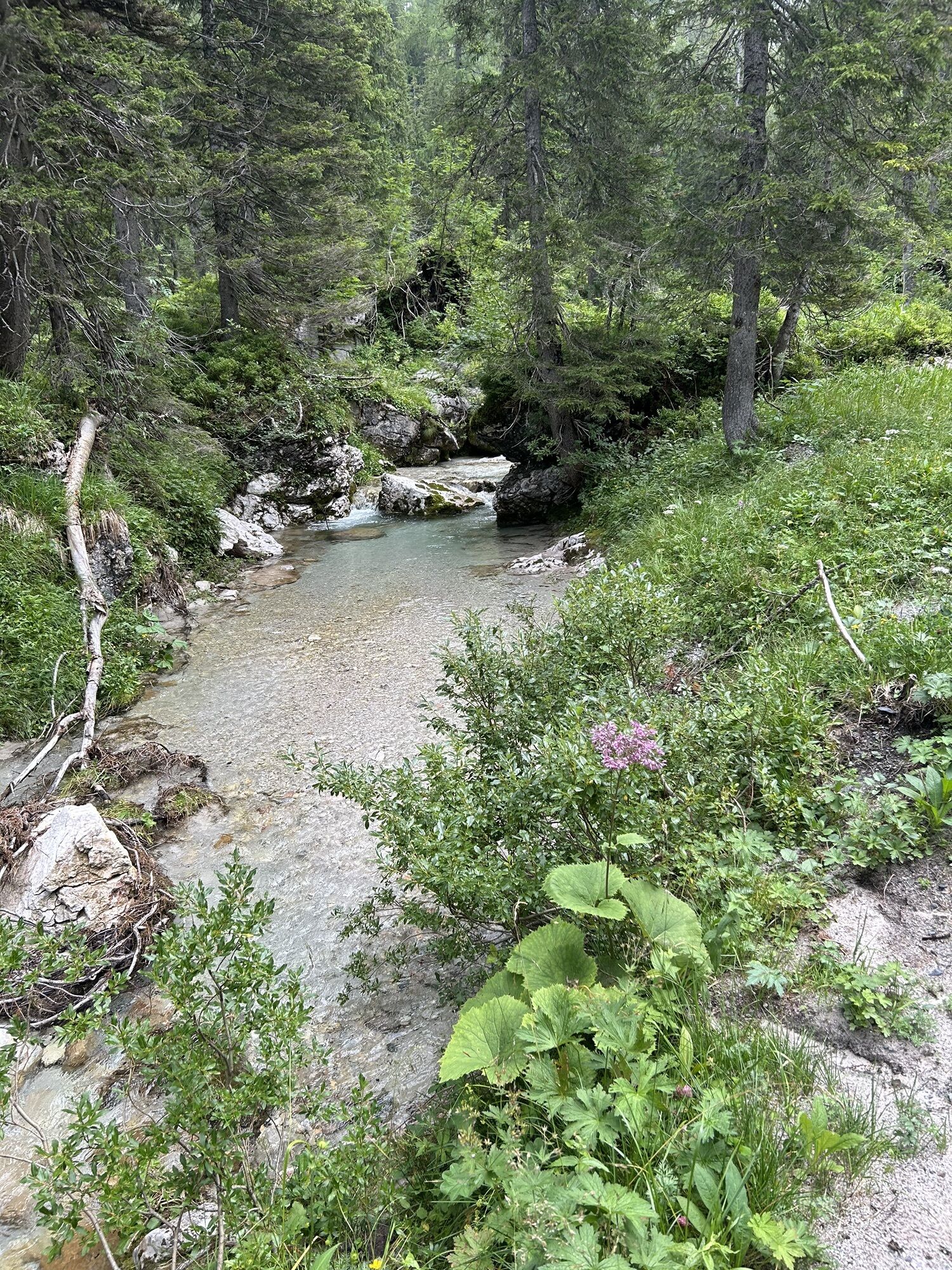
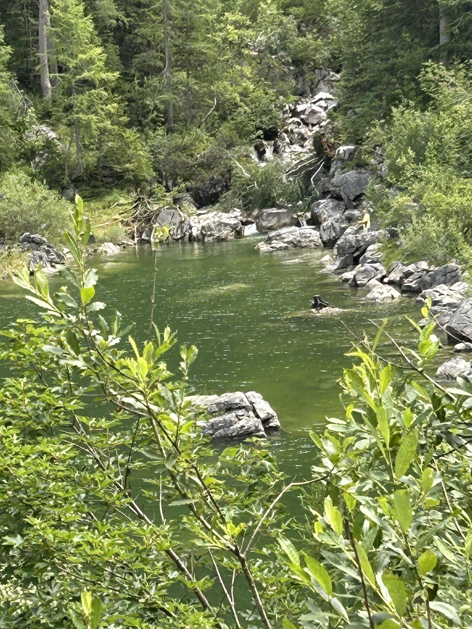
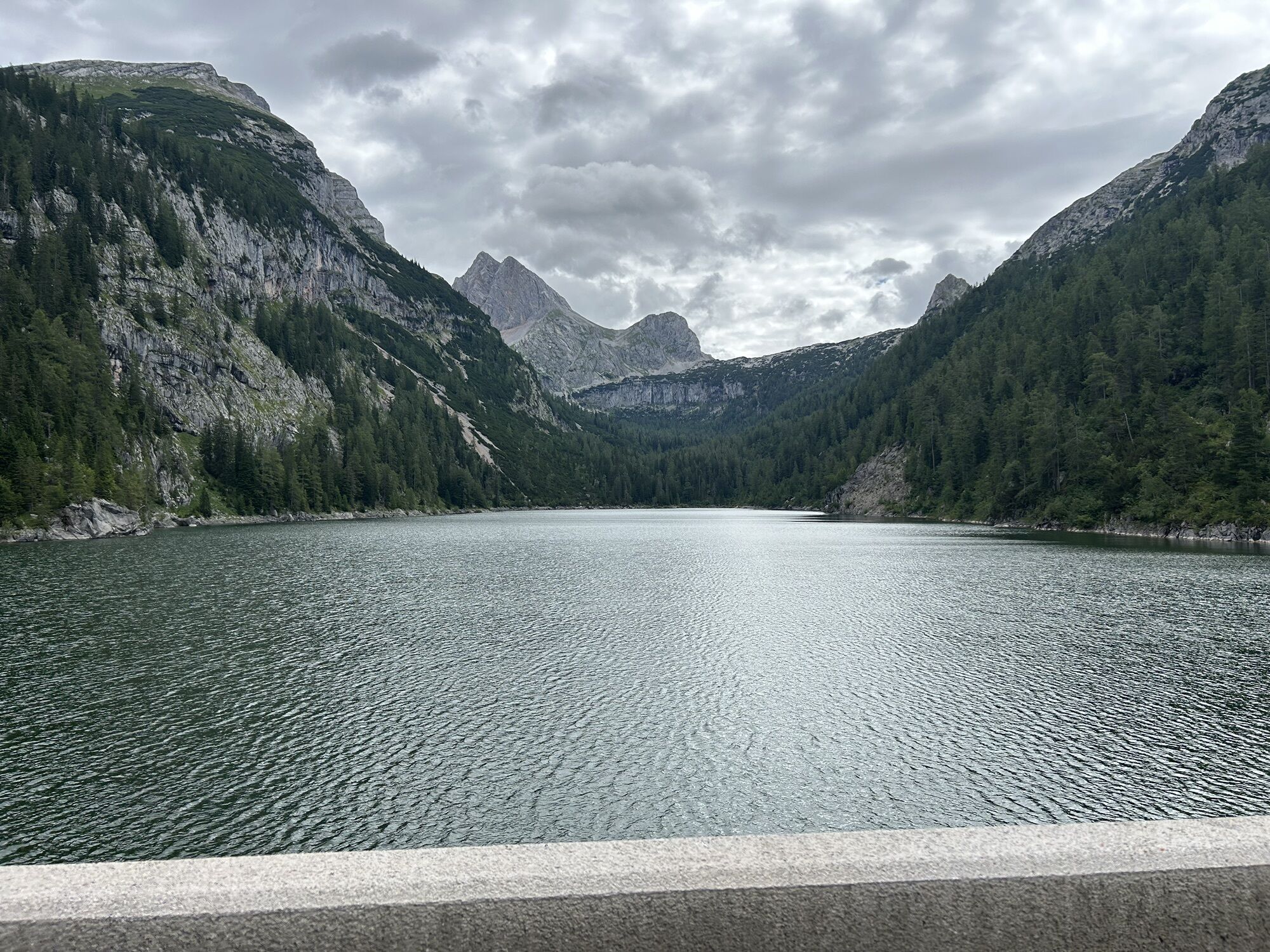
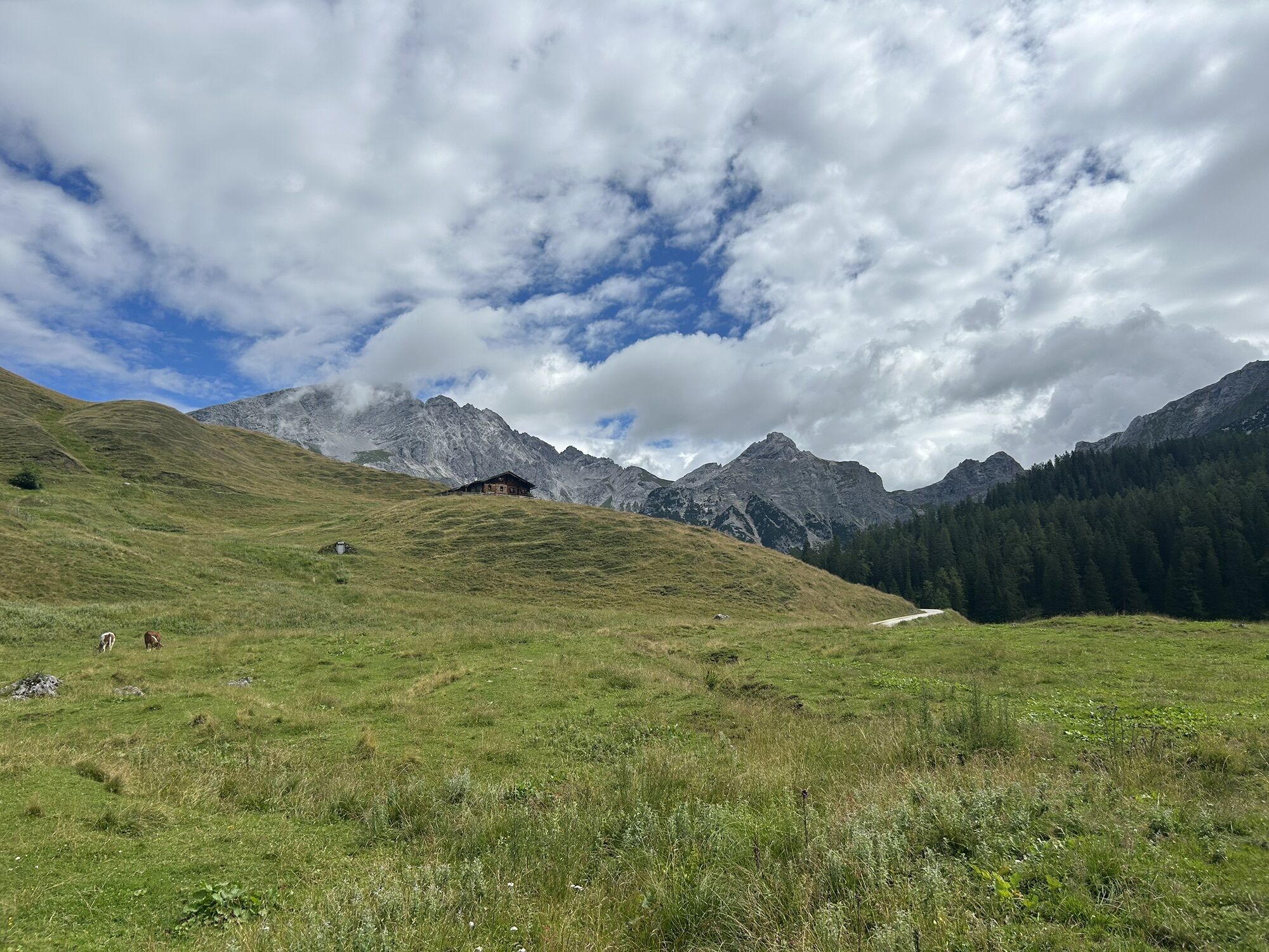
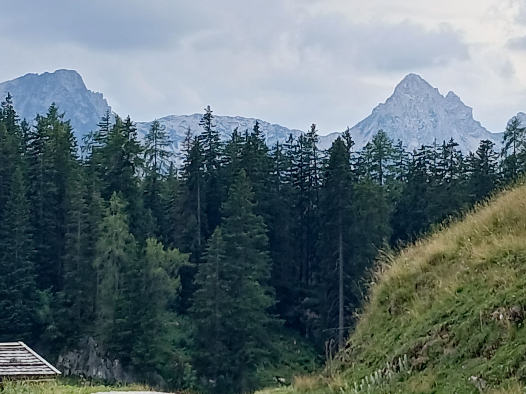
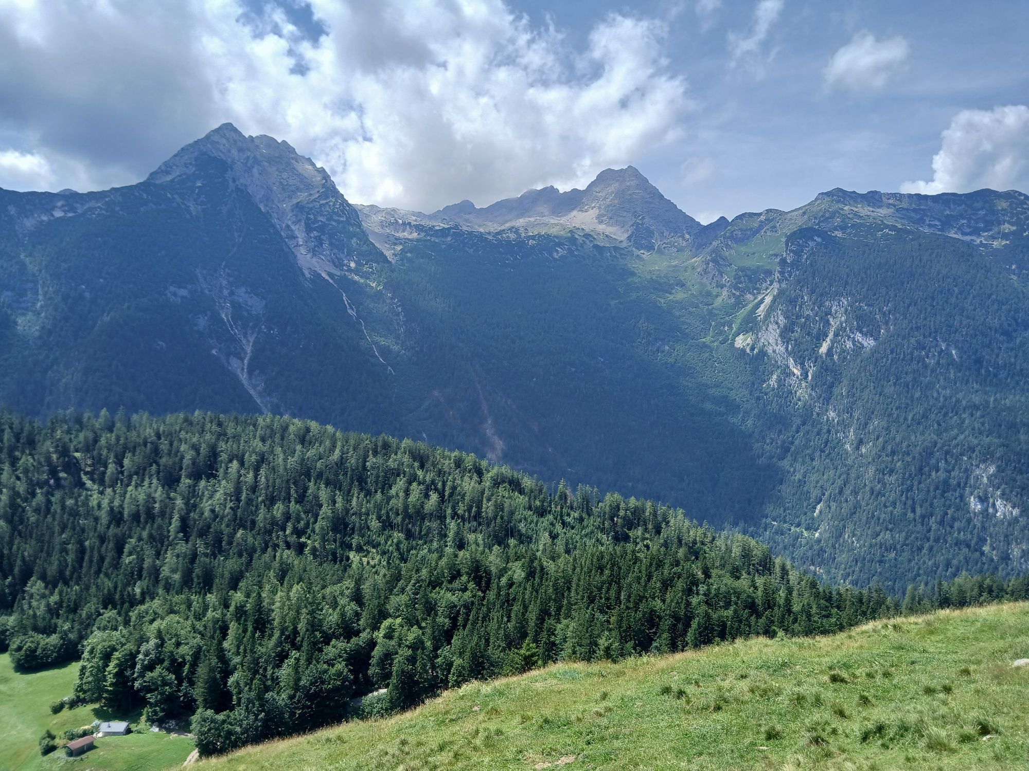
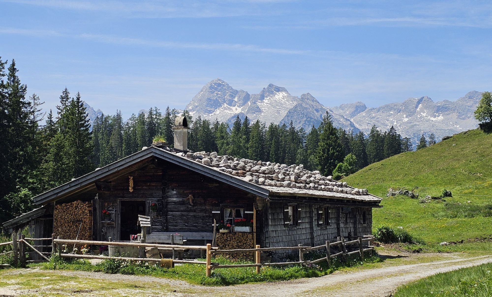
The challenging mountain route to the 'Großer Hundstod' promises an incomparable adventure amidst the impressive mountains and breathtaking natural beauty of the region. This demanding route leads you over Pürzlbach and along the Dießbach reservoir to the summit of Großer Hundstod.
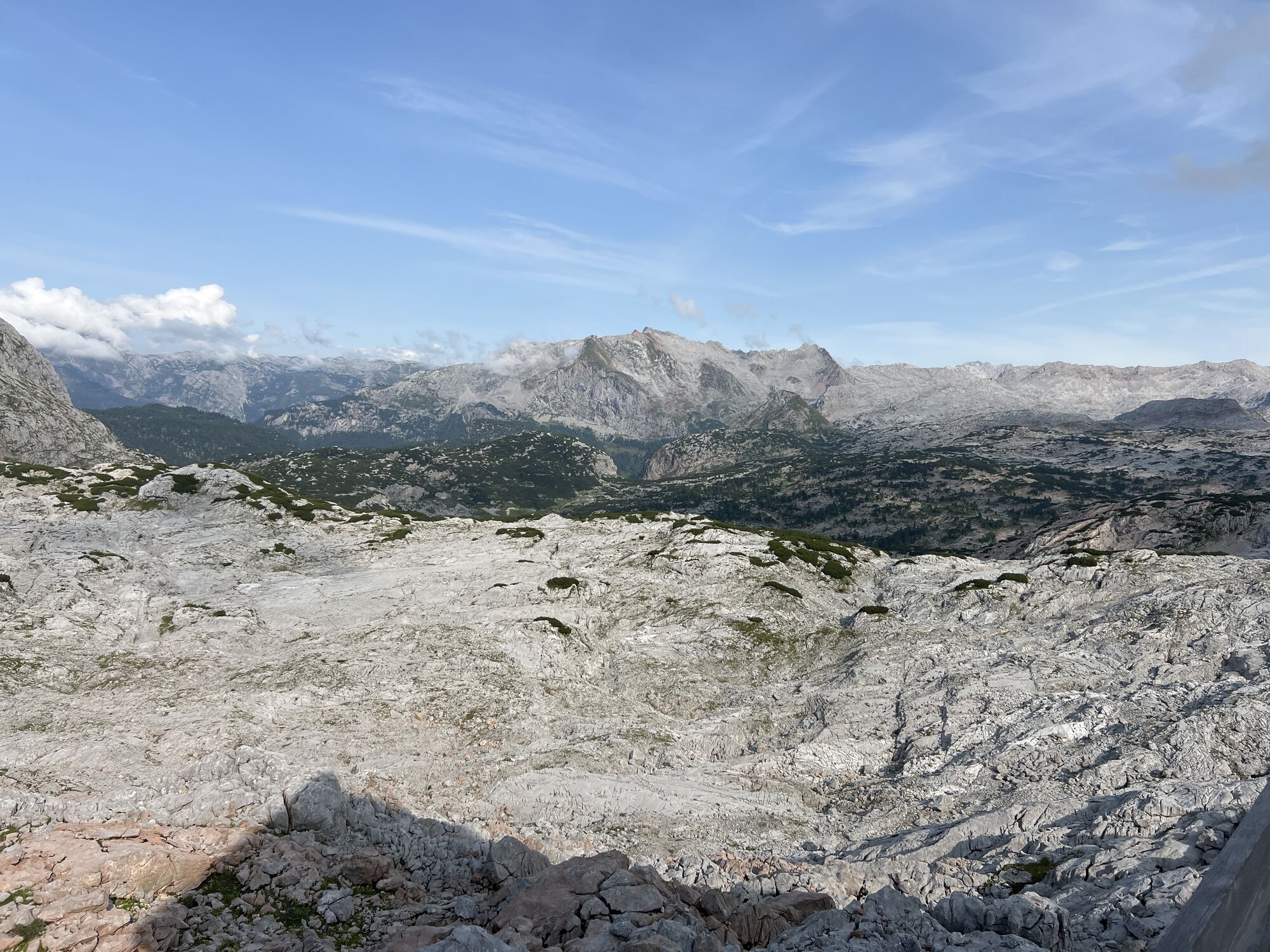
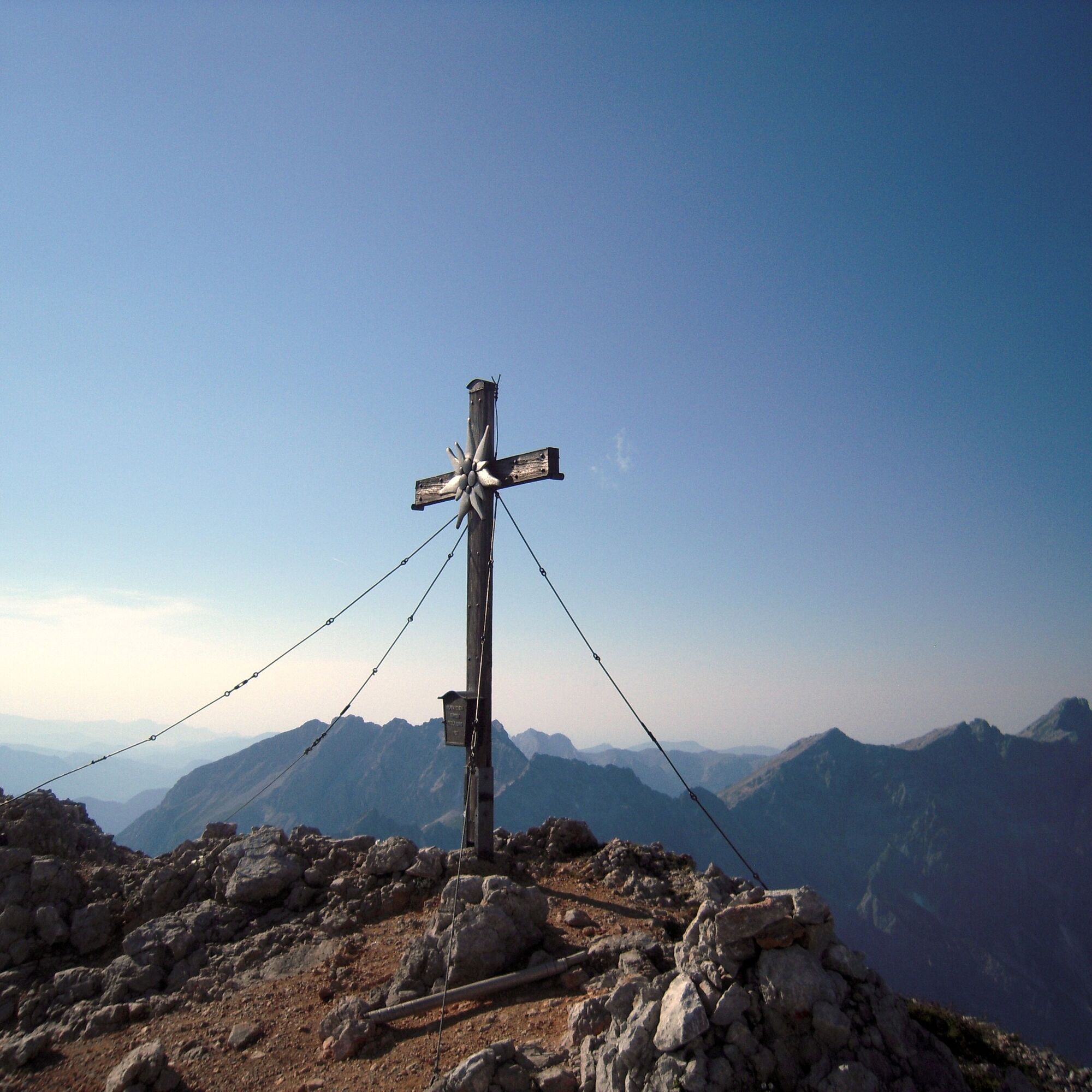
The highlight of your route is undoubtedly the summit of Großer Hundstod. This majestic mountain peak rewards your efforts with a panoramic view that is second to none. From here you have an incomparable view of the surrounding mountain landscape and the extensive valley.

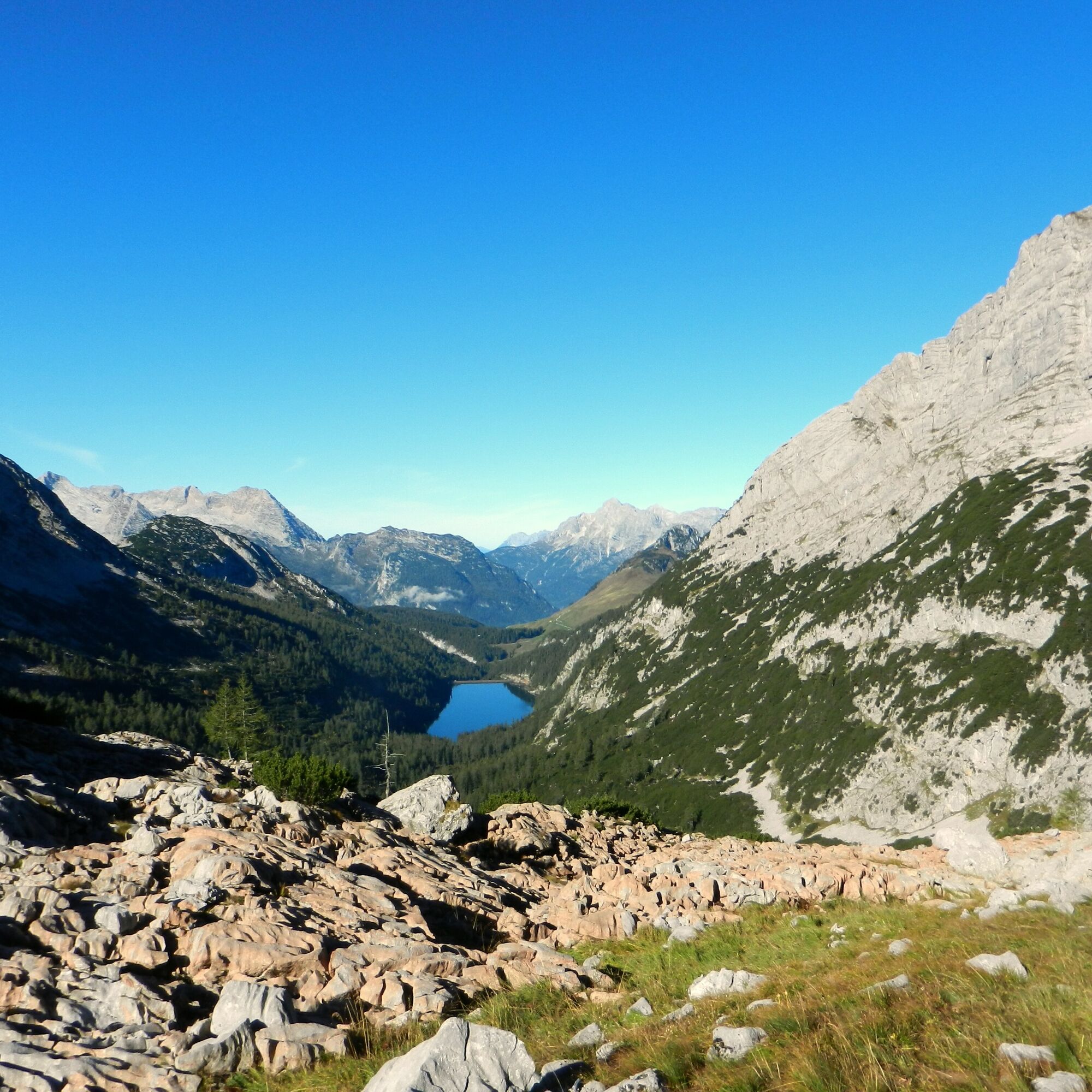
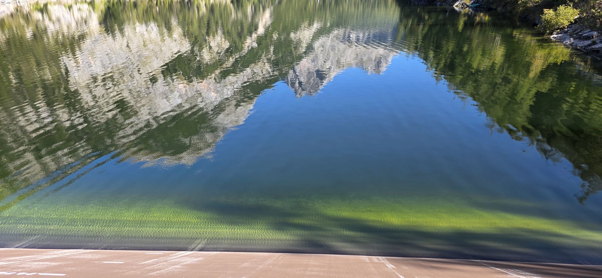
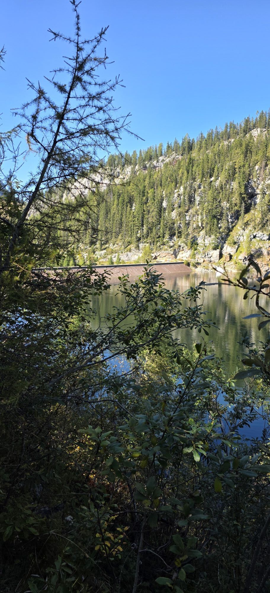
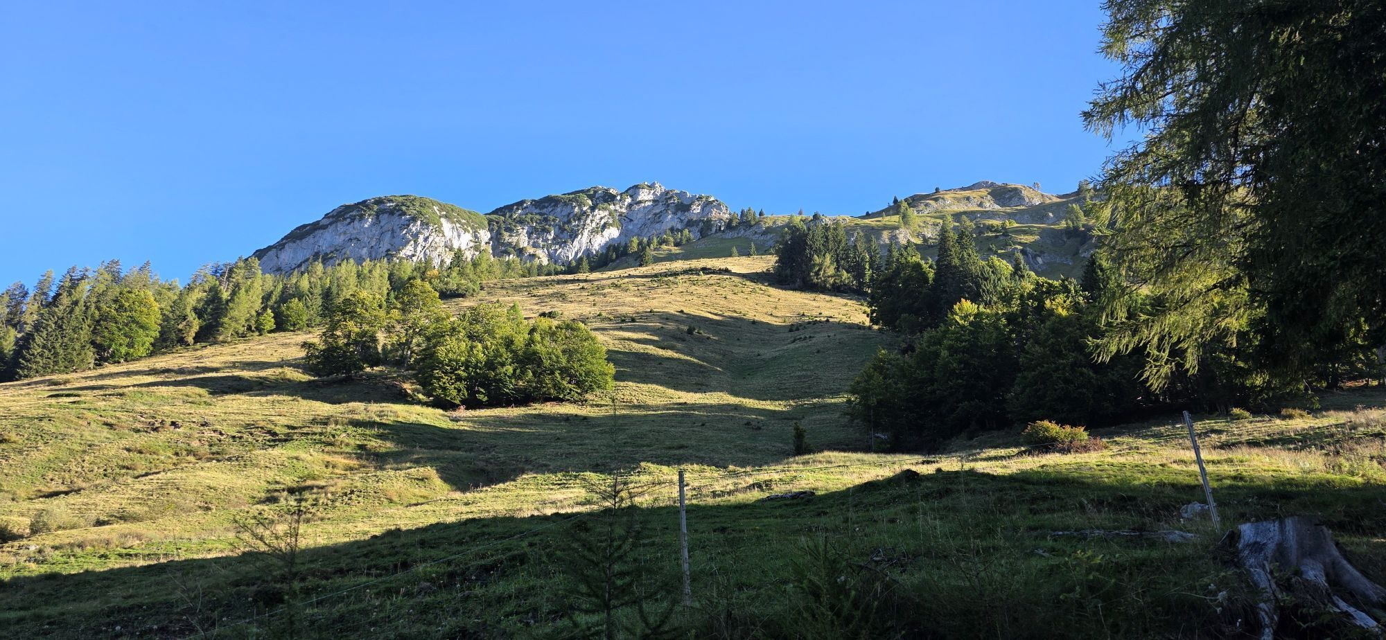
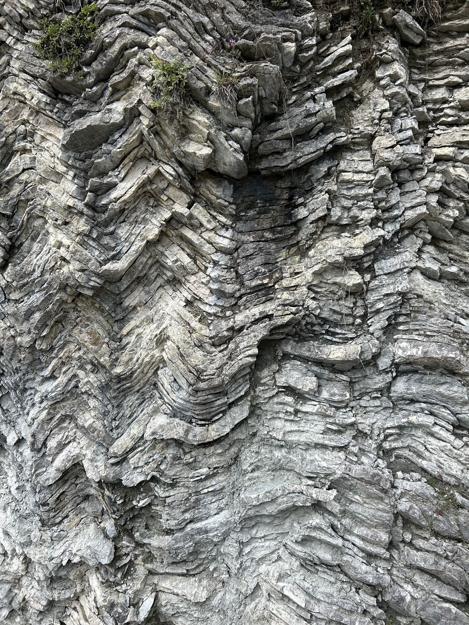
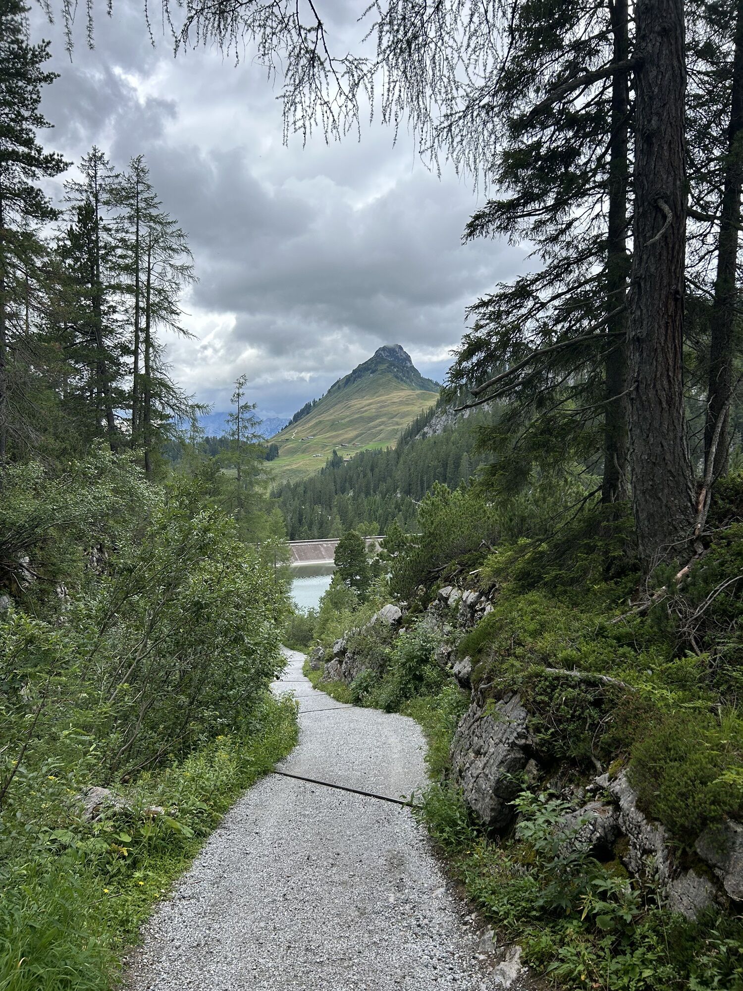
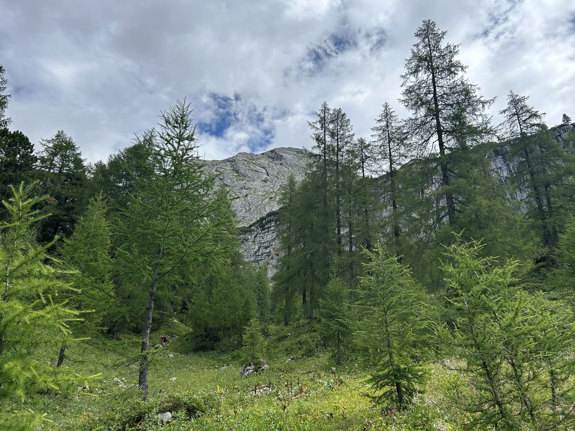
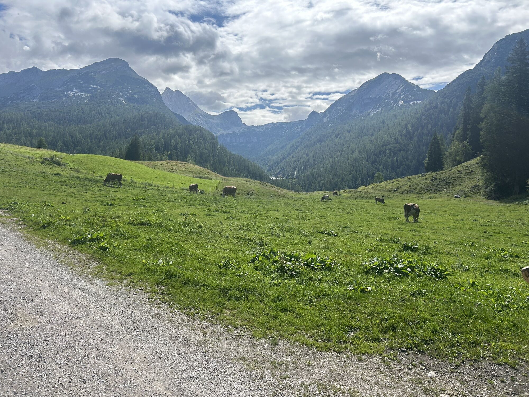
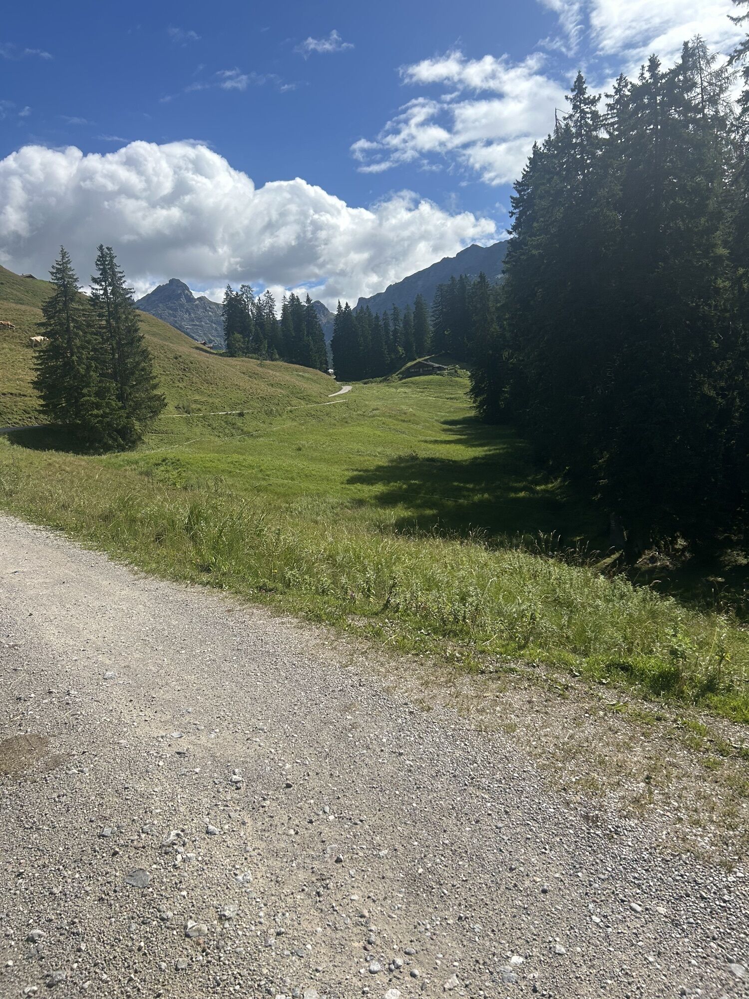
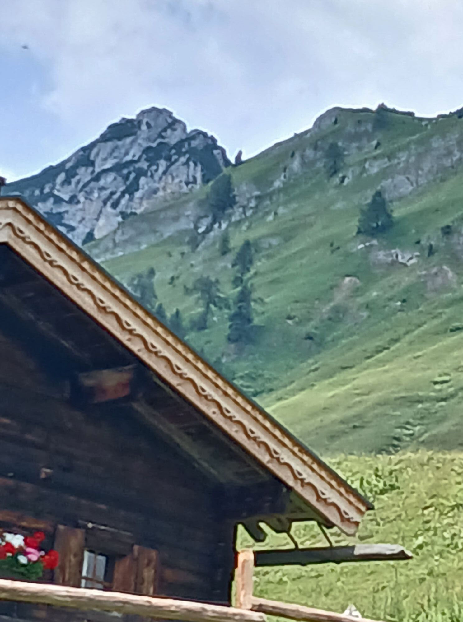
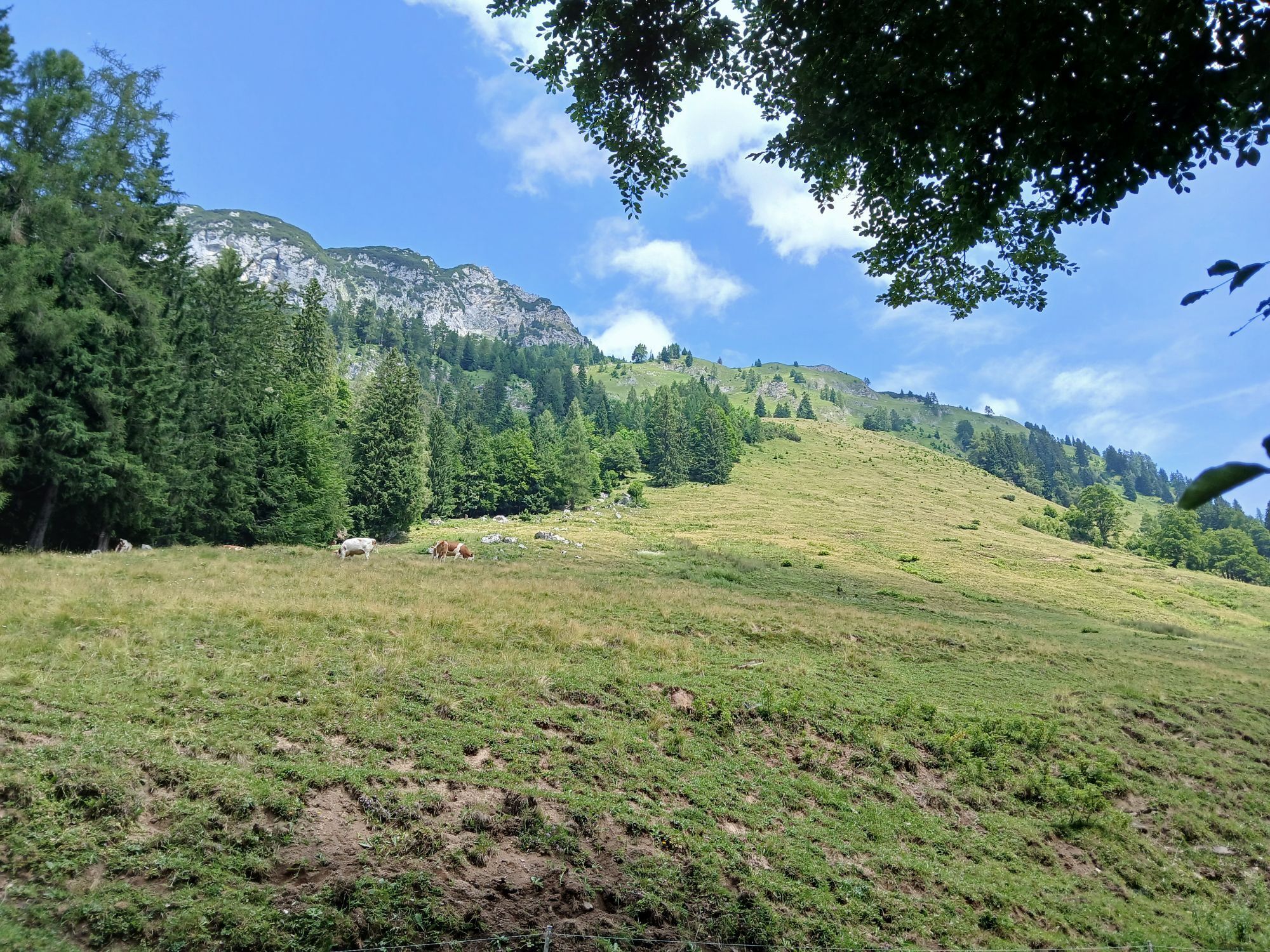
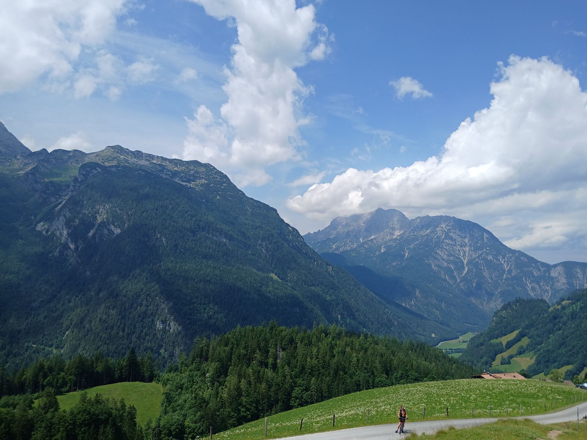
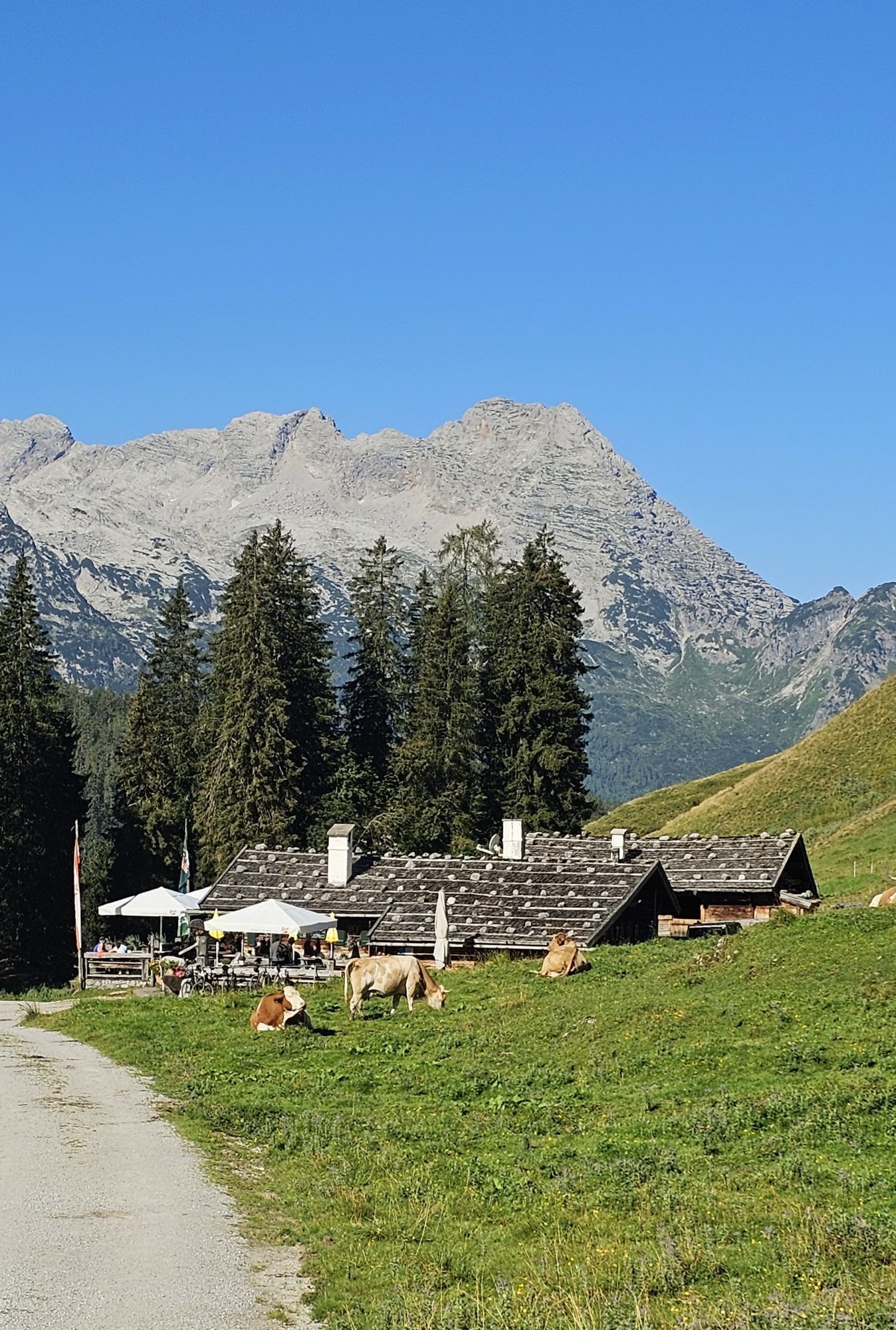
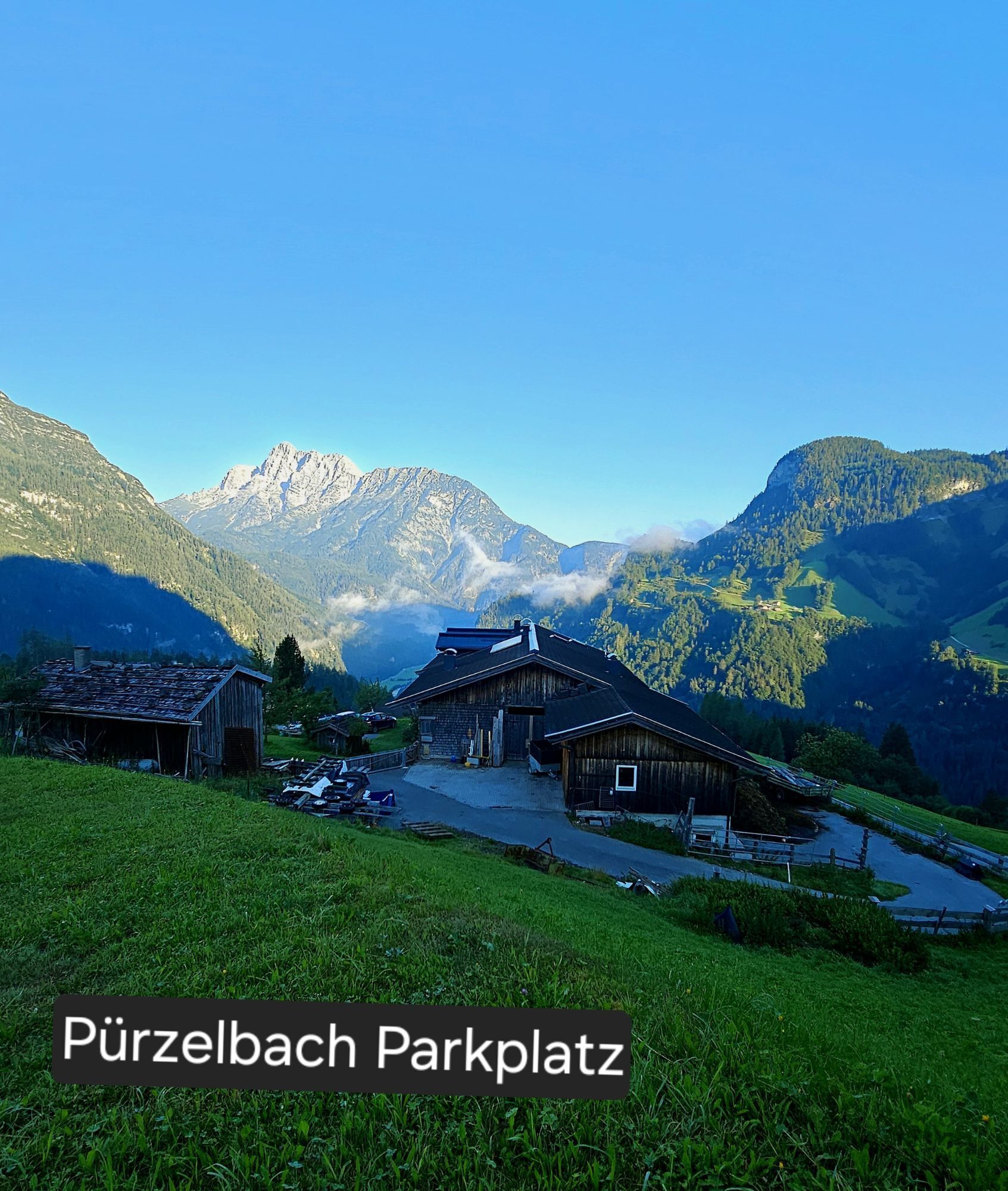
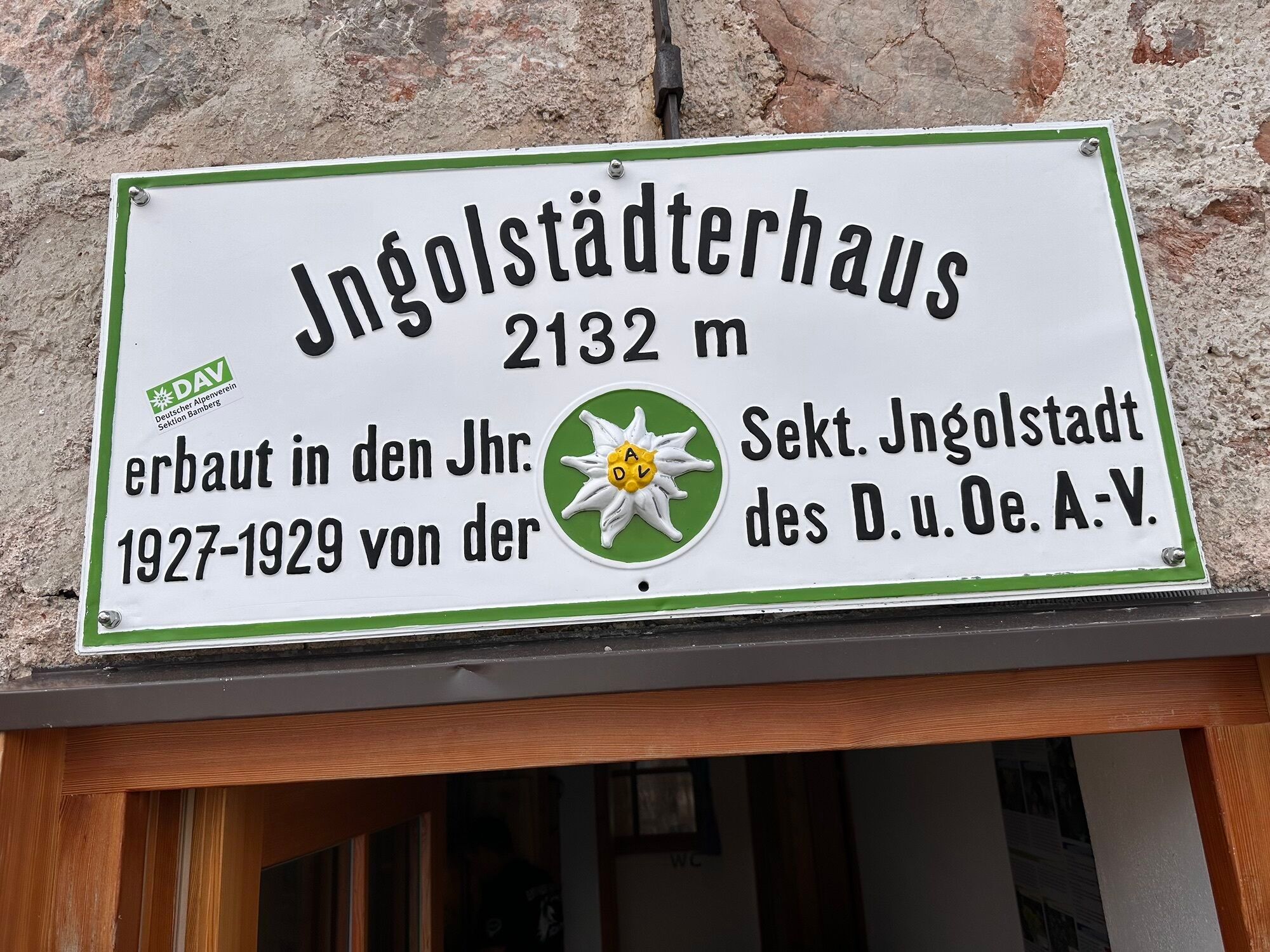
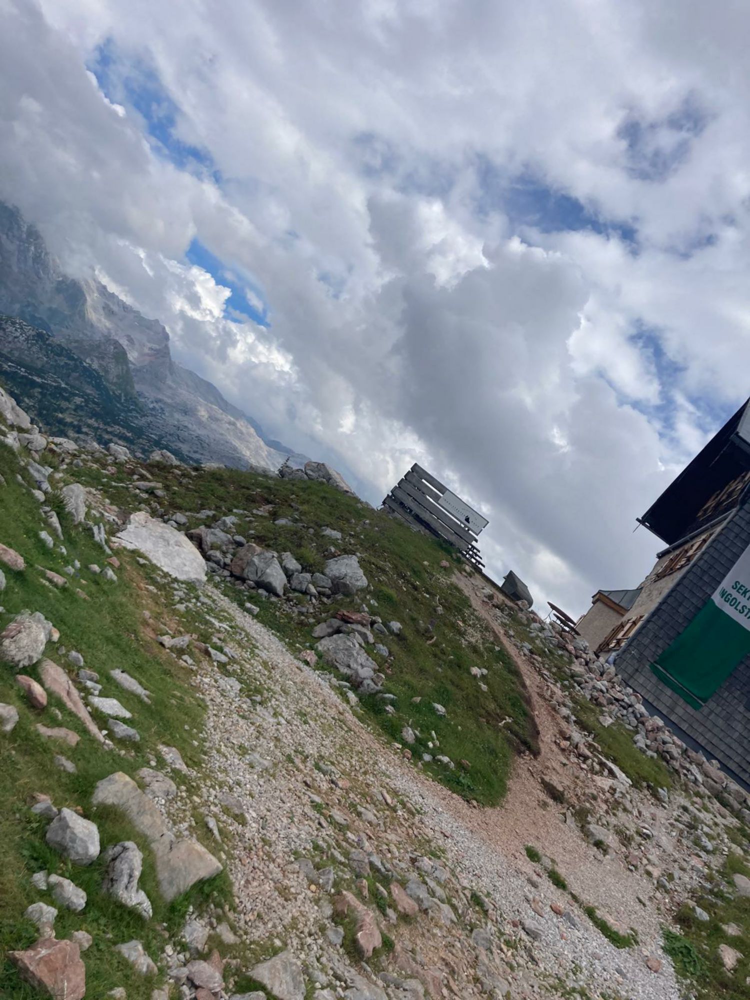
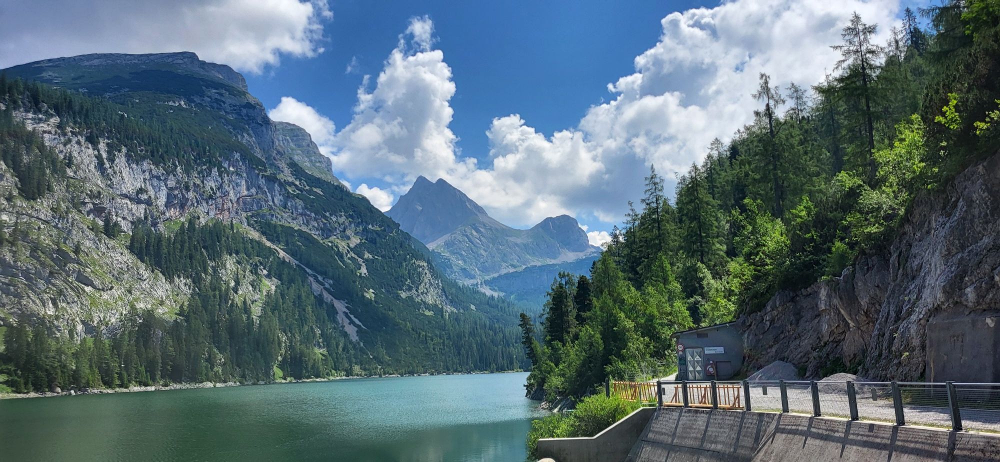
From the Pürzlbach parking lot (maintenance fee € 2.00) you go up to the Dießbach reservoir. On the dam, you walk along the right side of the lake and follow the wide path No. 401 along the lake. Here begins the Mitterkaser Nature Park with the magnificent stone pines and beautiful flora. Along the Dießbach, you walk slightly uphill to the valley station of the material cableway. Now begins the trail, which leads you steeply upwards in switchbacks into the Stone Sea. Along the south faces of the Dießbacheck and the little Hundstod, you reach the Ingolstädter Haus.
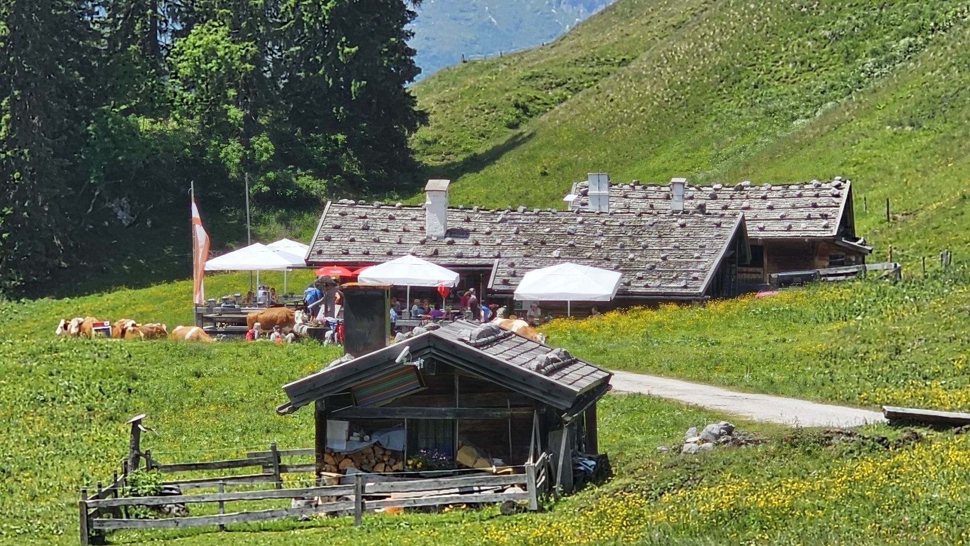
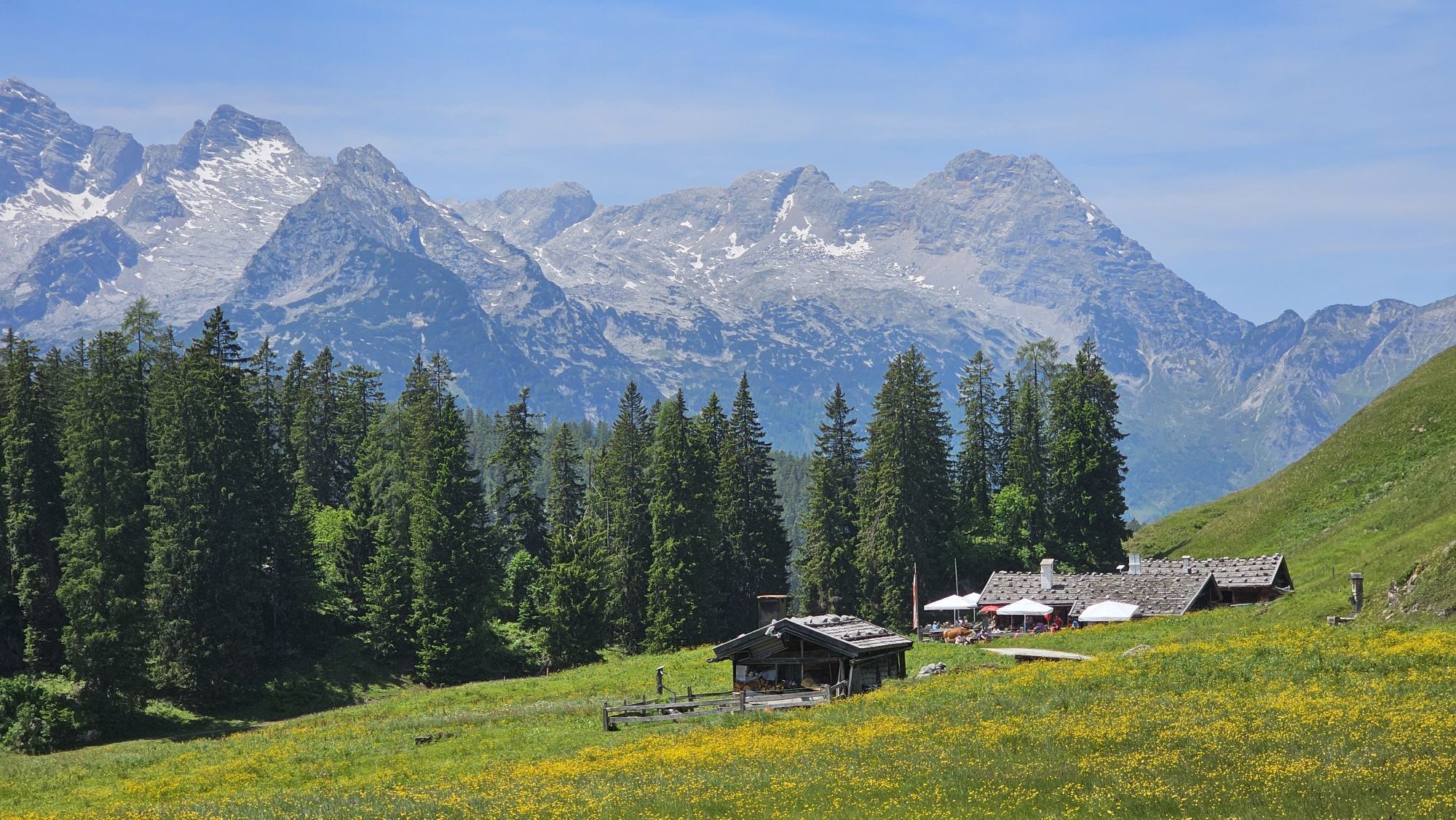
If you stay overnight at the Ingolstädter Haus, ascending the Hunstod (2,594 m) is possible the next day for experienced mountaineers in 1.5 to 2 hours.
Ano
Ano
Clothing: Comfortable hiking shoes, breathable clothing depending on the weather (T-shirt, light pants).
Equipment: Small backpack, sunscreen, hat or cap, first aid kit, mobile phone.
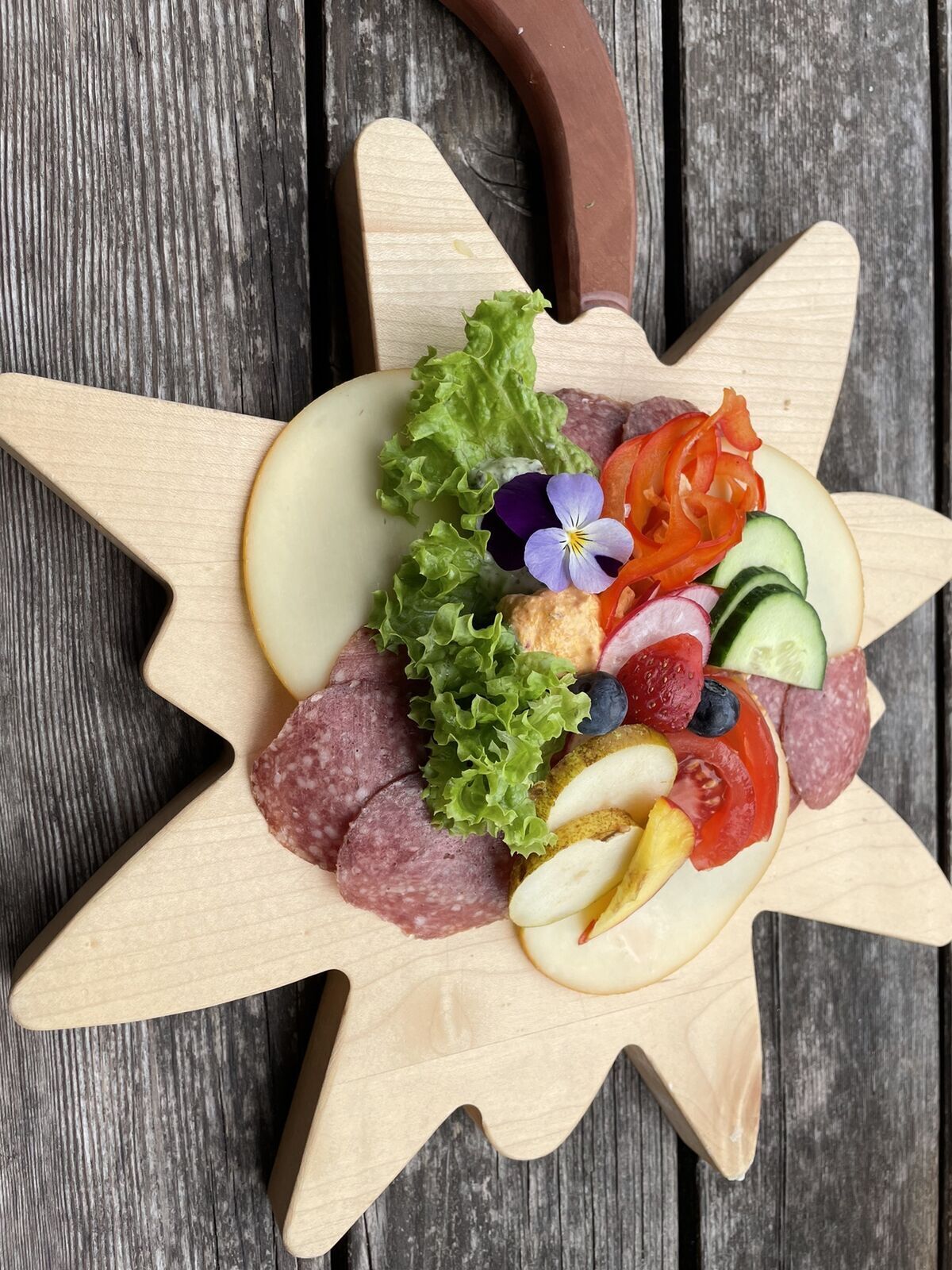
Provision: Sufficient water, snacks (energy bars, nuts, dried fruits).
Navigation aids: Map or hiking app, compass (optional).
Others: Light pocket knife or multitool, insect repellent (if needed).
As needed: Rain jacket, sunglasses.
Make sure you prepare yourself according to the length of the hike, weather conditions, and your personal comfort.
Good fitness and surefootedness necessary.
By car via the B311 to Weißbach. Here we turn towards the mountain and drive towards Pürzlbach. There we find a hiking parking lot (fee € 3.00).
By bus line 260 to Weißbach near Lofer. (Timetable)
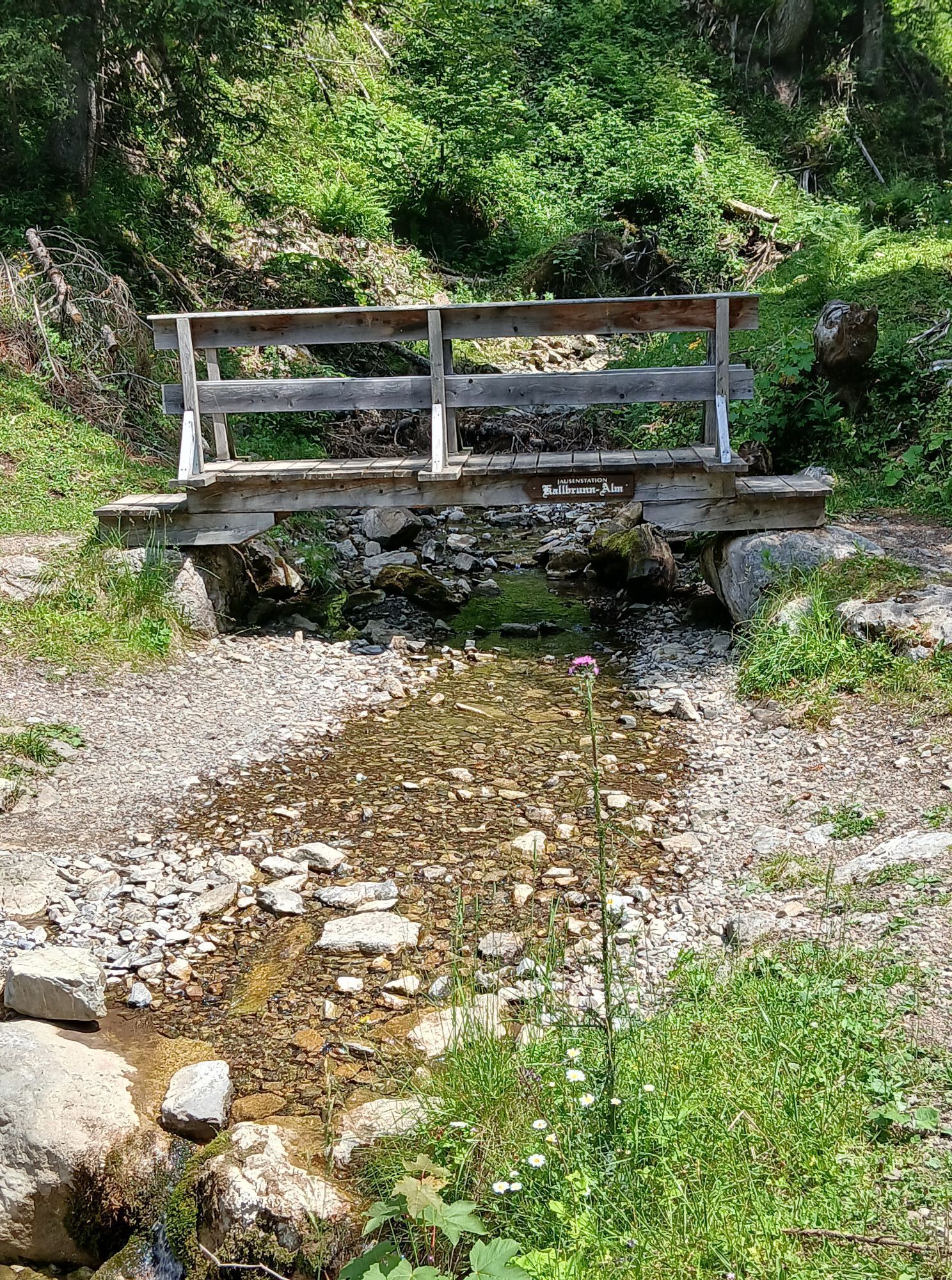
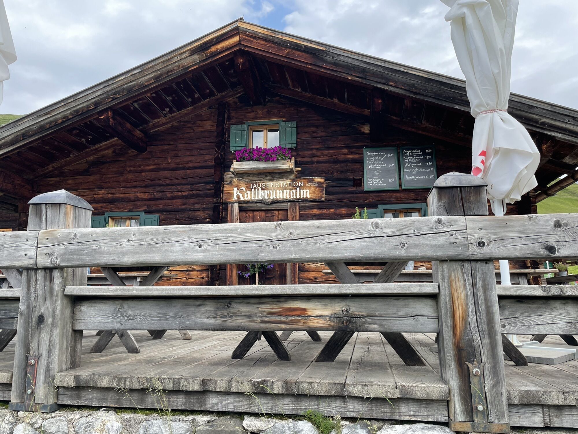
AlmWanderTaxi shortens the way to the Kallbrunnalm.
Parking lot Pürzlbach (fee € 3.00)
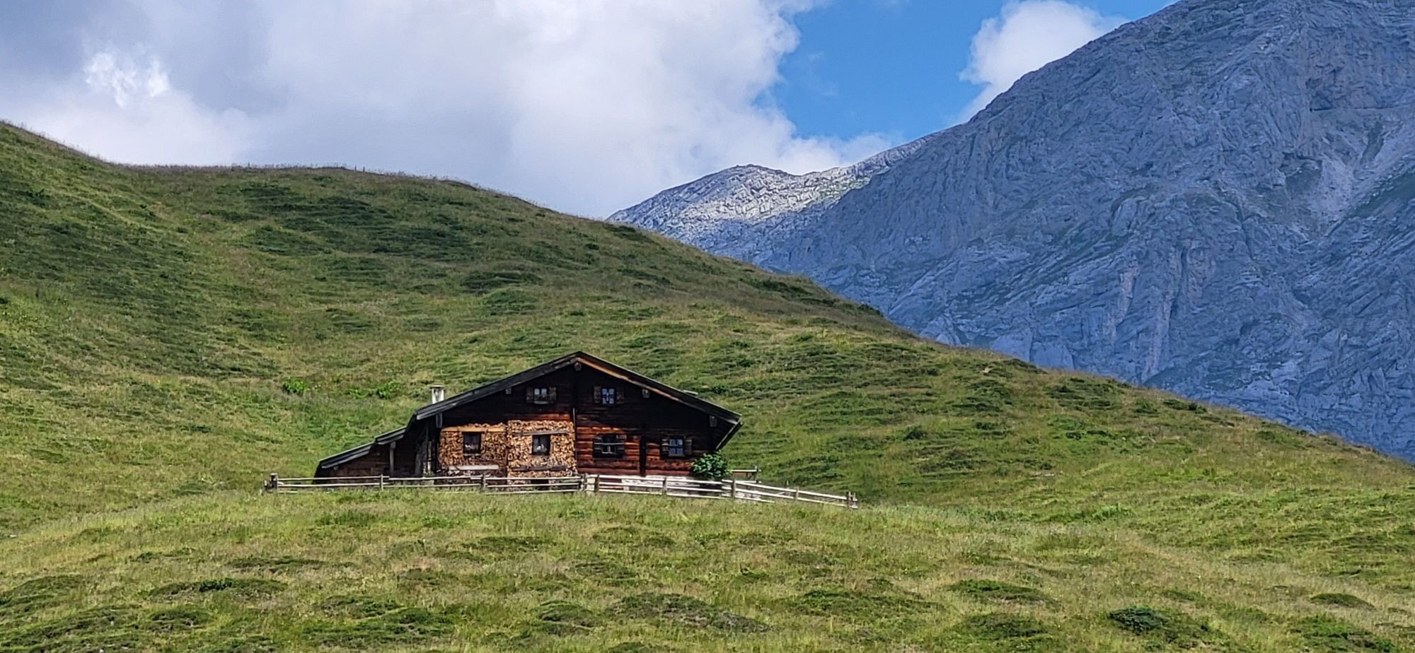
An overnight stay at the Ingolstädter Haus shortens the mountain route.


Oblíbené prohlídky v okolí
- 5.0
Königssee - Kärlinger-Haus
Turistika 10.1 km - 4.4
Wimbachgrieshütte
Turistika 8.30 km - 4.6
Grünstein
světloTuristika 2.57 km - 3.9
Malerwinkel Rundwanderweg
světloTuristika 3.60 km - 4.2
Maria Alm - Riemannhaus
Turistika 3.99 km - 4.3
Halsalm
Turistika 6.43 km - 4.6
Steinalm
světloTuristika 2.71 km - 5.0
Watzmann Überschreitung an einem Tag
heavyTuristika 23.9 km - 4.9
Ramsau/Hintersee-Runde
světloTuristika 9.44 km - 4.3
Peter-Wiechenthaler Hut
středníTuristika 4.32 km
Pěší turistika a stopování


Nenechte si ujít nabídky a inspiraci pro vaši příští dovolenou
Vaše e-mailová adresa byl přidán do poštovního seznamu.