







"Alm ahoi" - route to the Schwarzeck viewing tower





Fitness: Strength for about 1.5 hours of uphill hiking with 280 meters of elevation gain. Total walking time about 2.5 hours.
Brief & Clear: The entire route runs on well-developed hiking trails or forest...
Fitness: Strength for about 1.5 hours of uphill hiking with 280 meters of elevation gain. Total walking time about 2.5 hours.
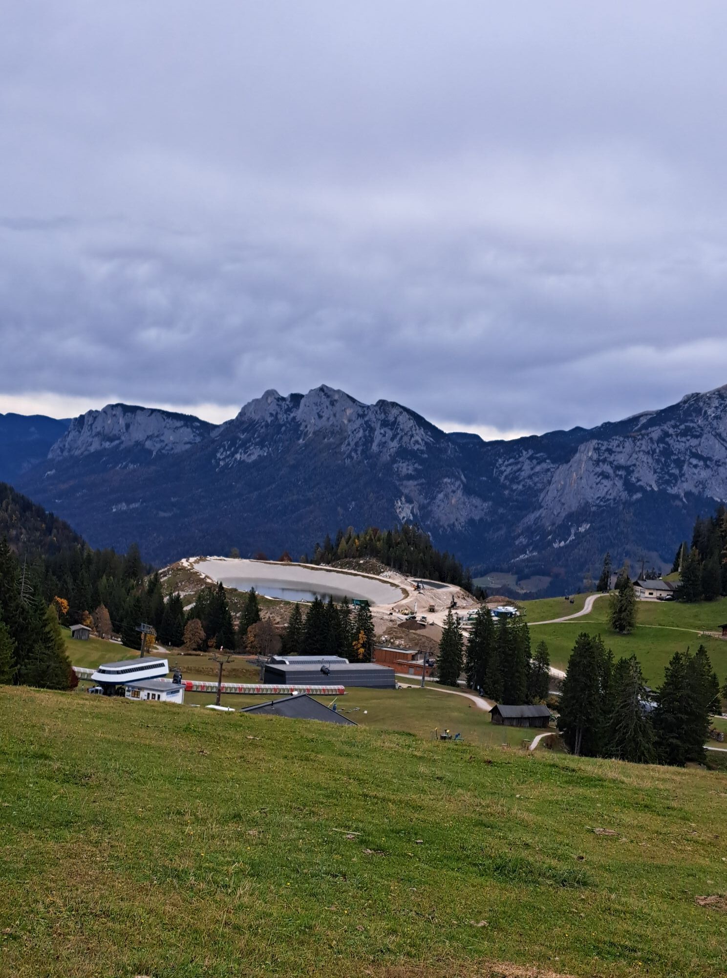
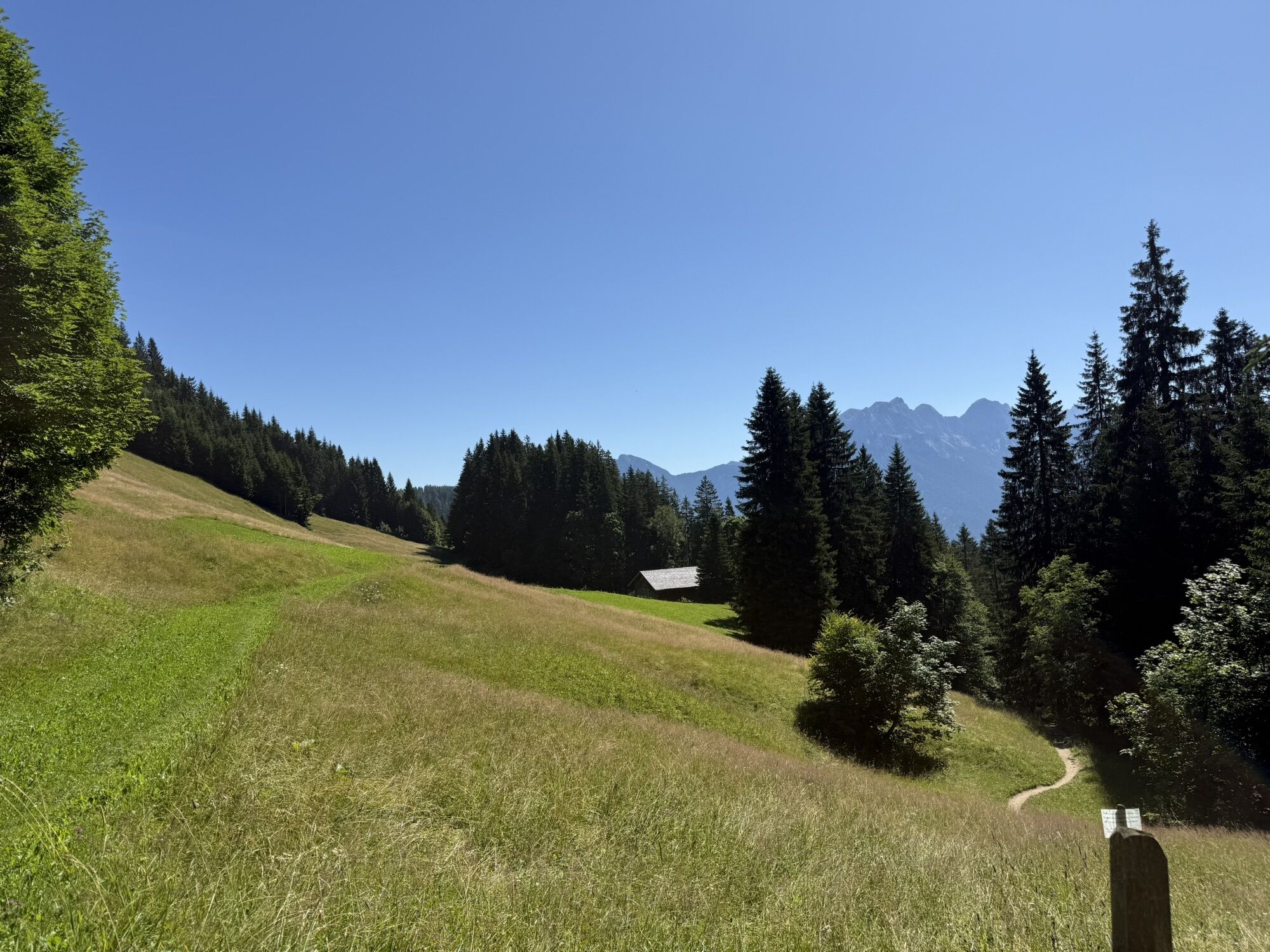
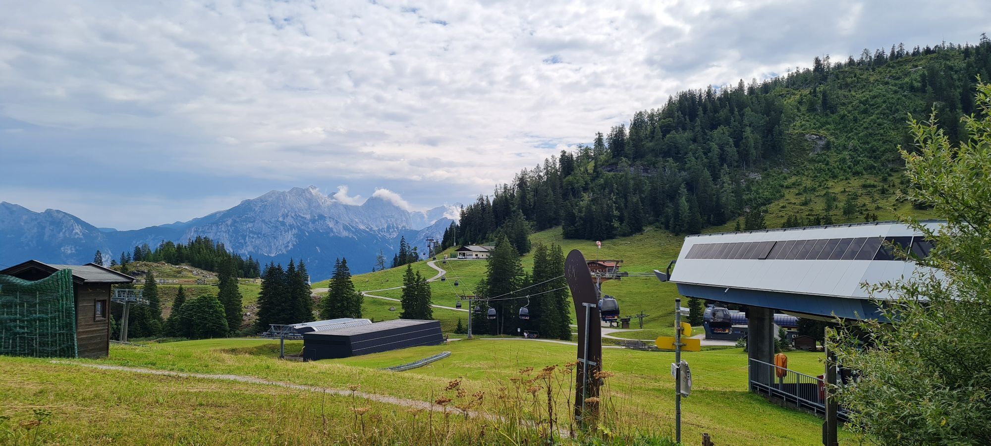
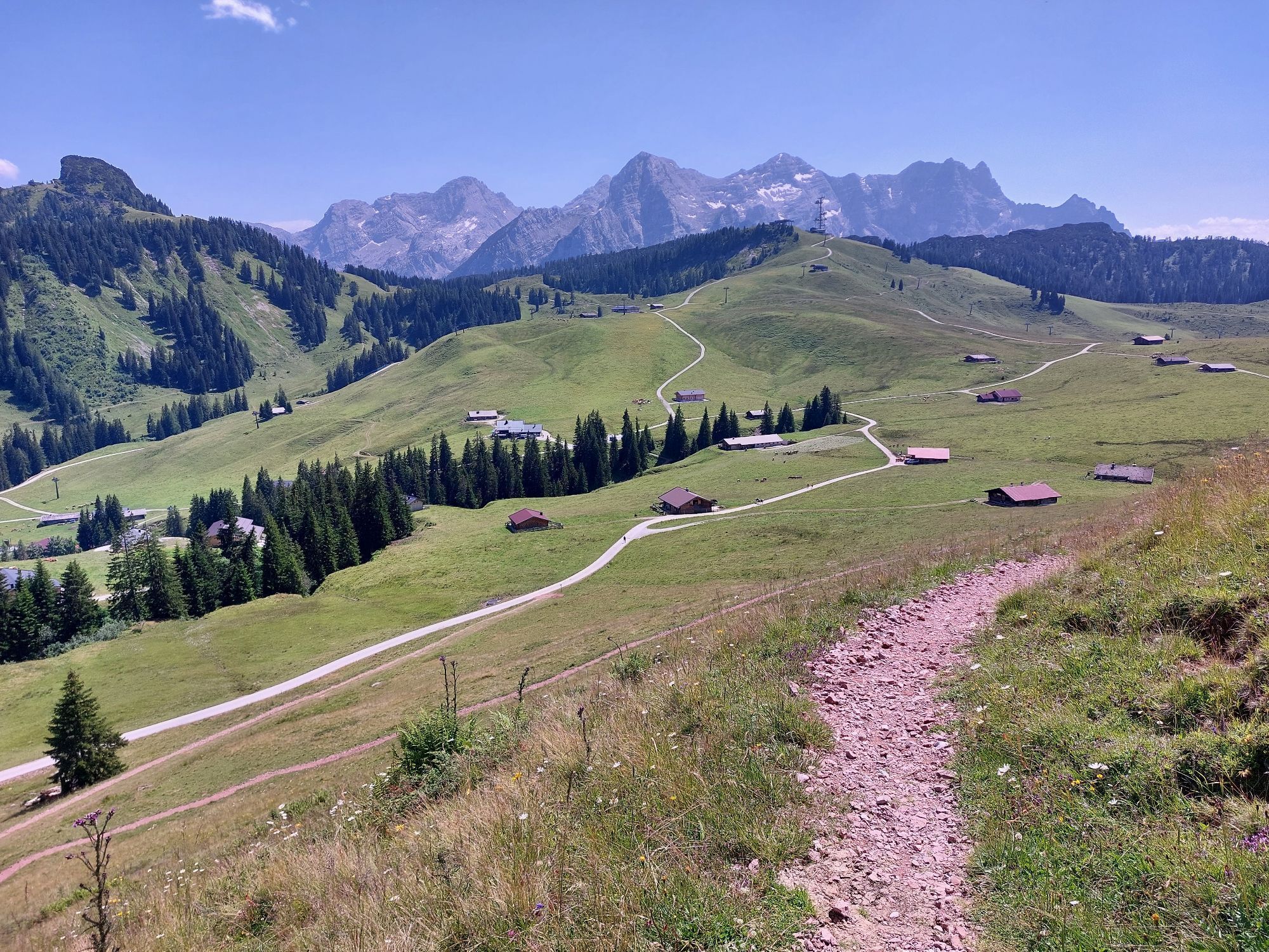
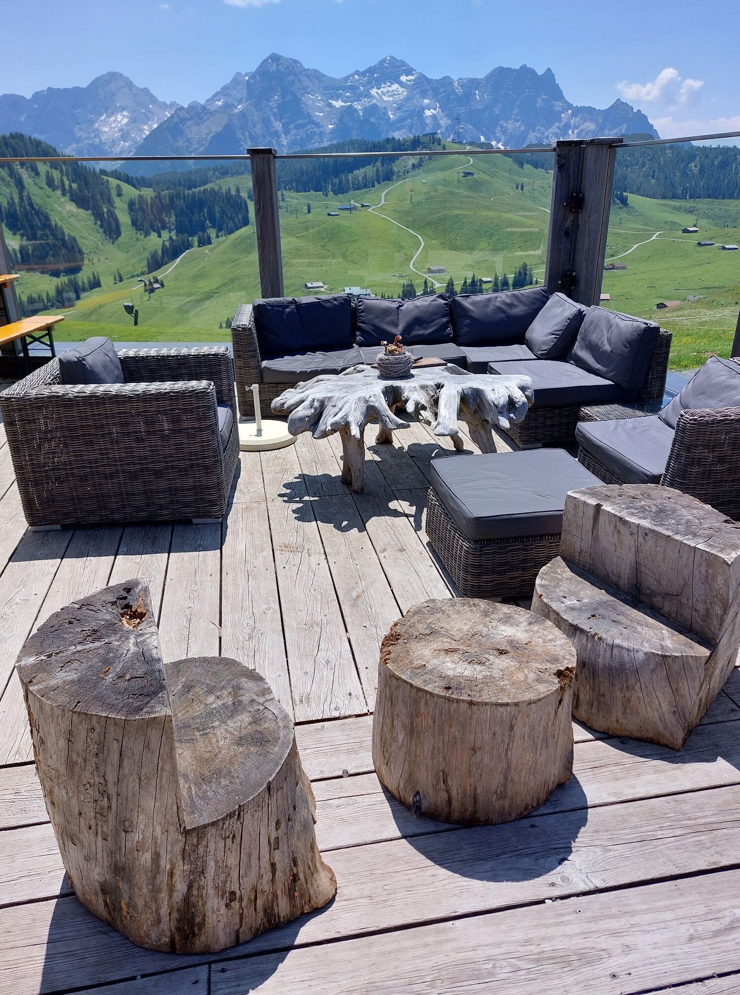
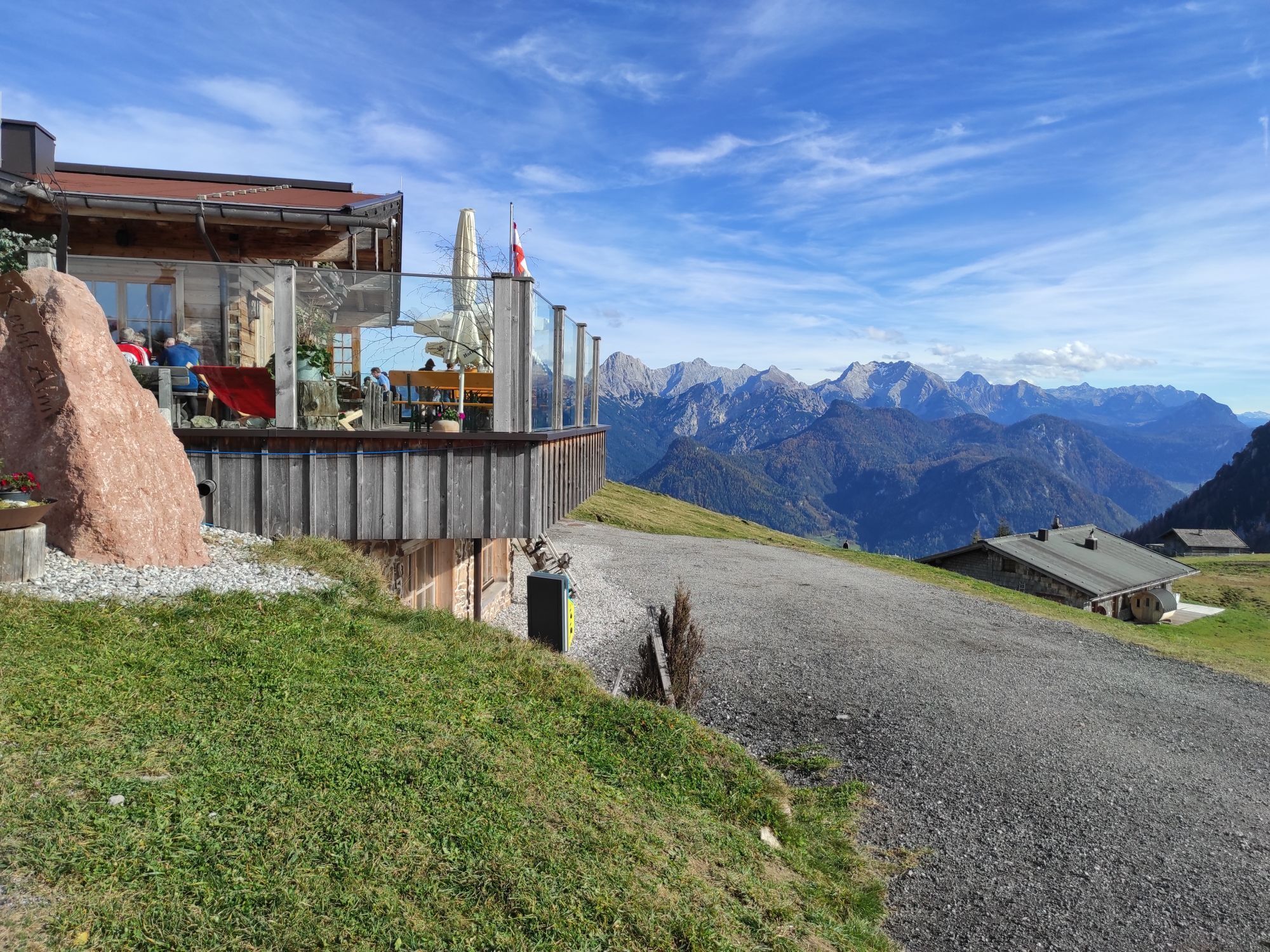
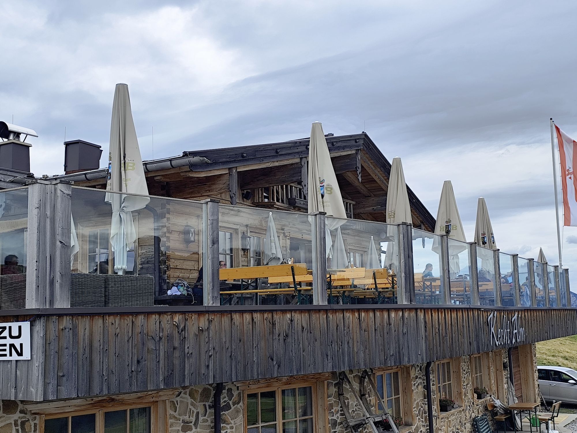
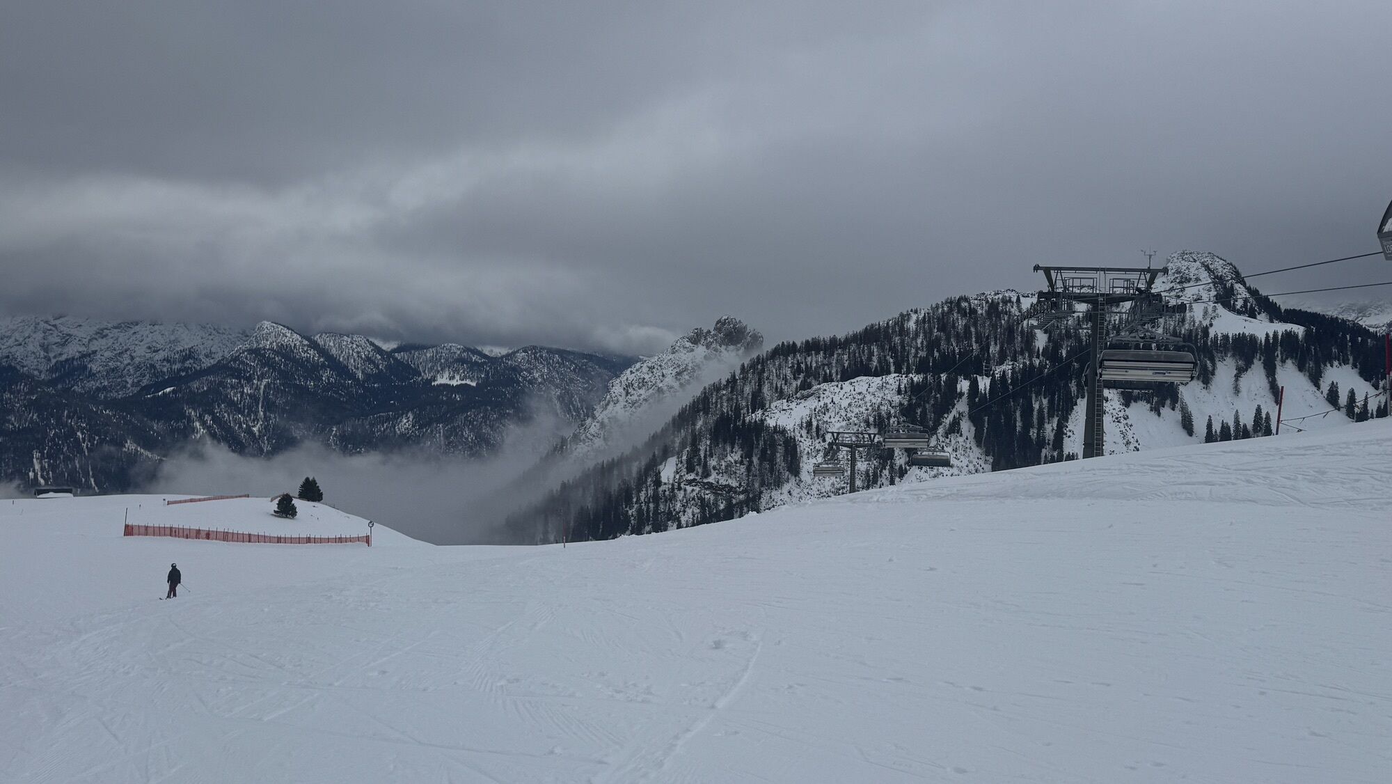
Brief & Clear: The entire route runs on well-developed hiking trails or forest roads through the alpine area of Almenwelt Lofer. The section Bimalm - Schwarzeckalm is a well-walkable meadow path. There are opportunities to stop at Kechtalm at halfway through the route or at Haus Schönblick and Restaurant Soderkaser at the mountain station Almenwelt II.
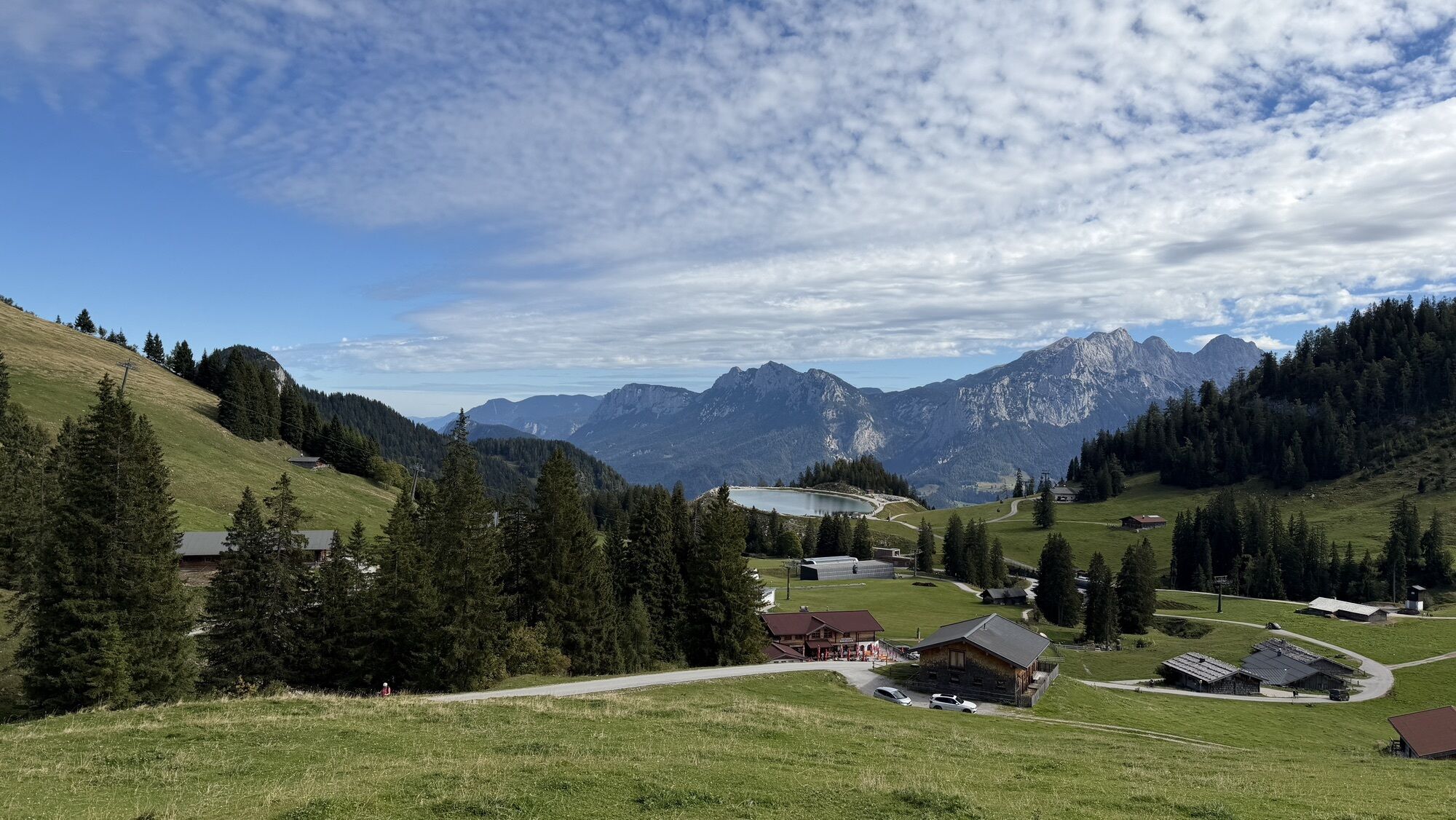
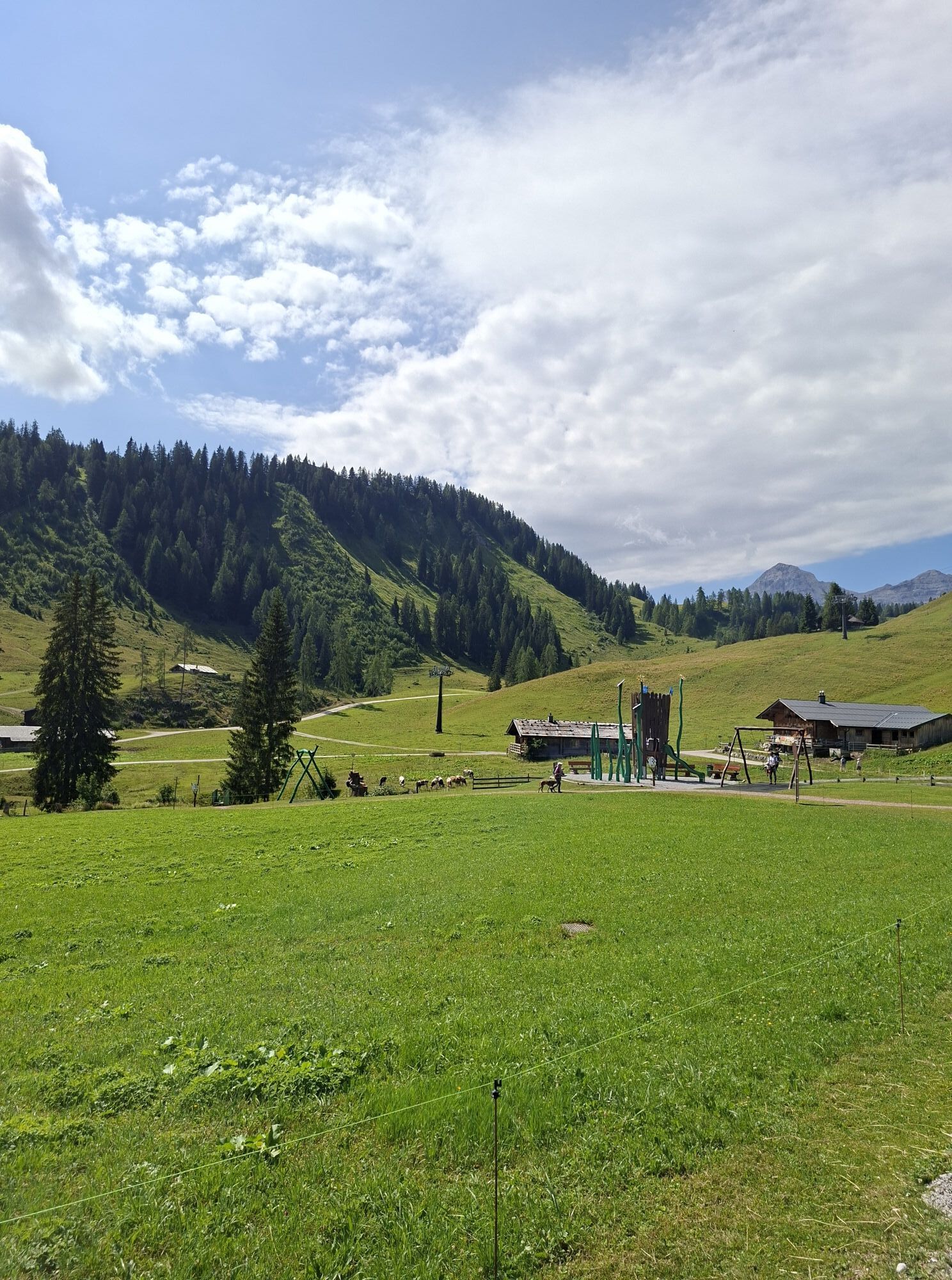
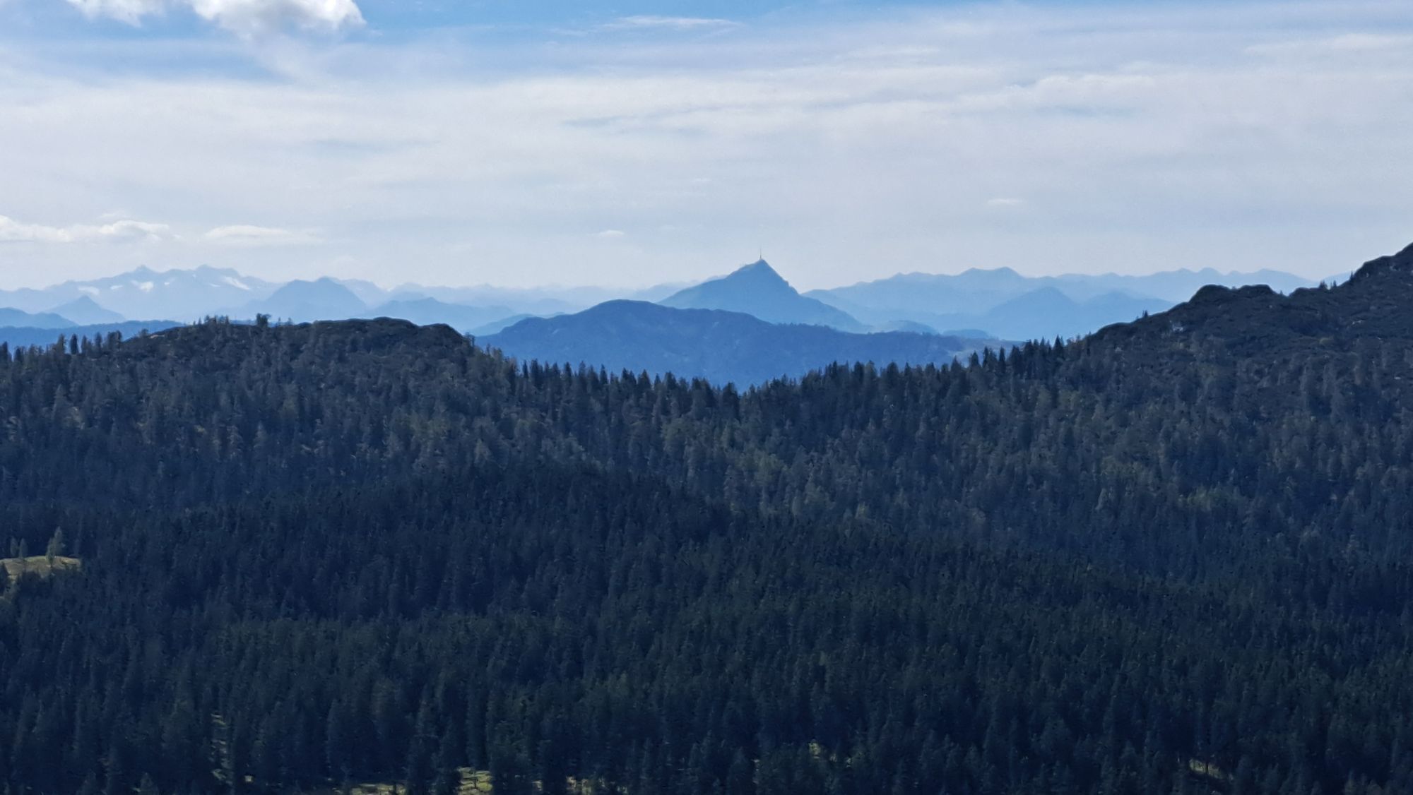
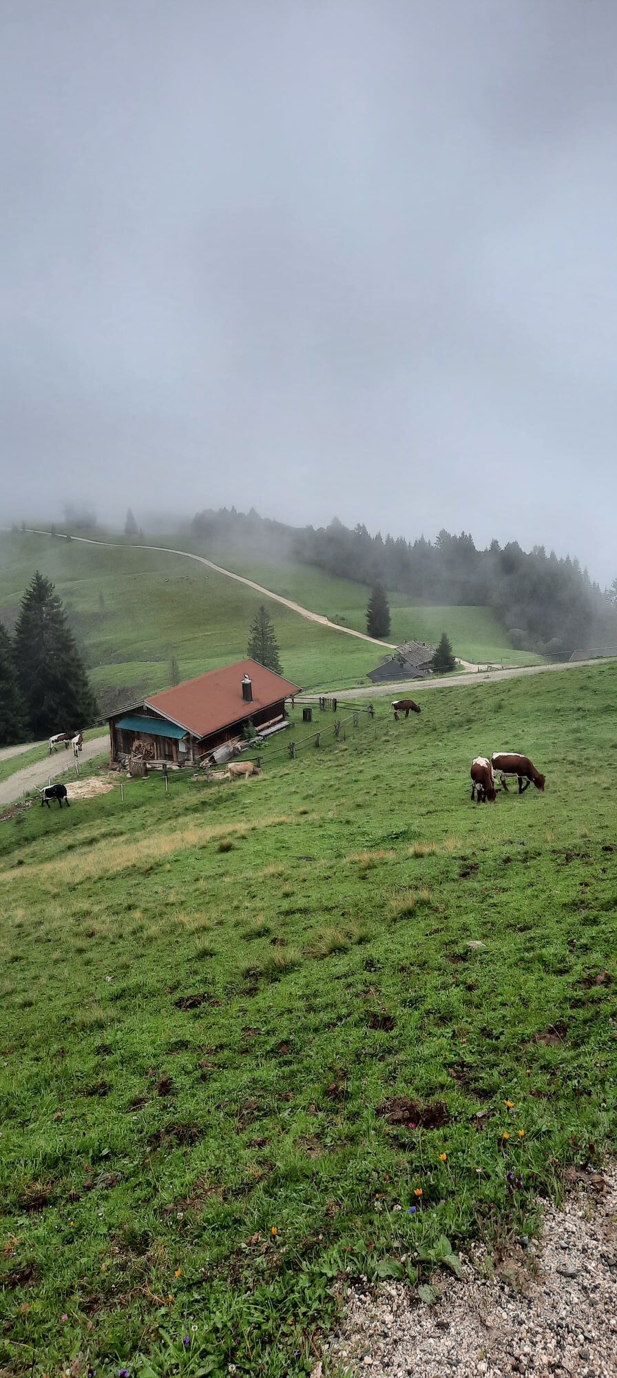
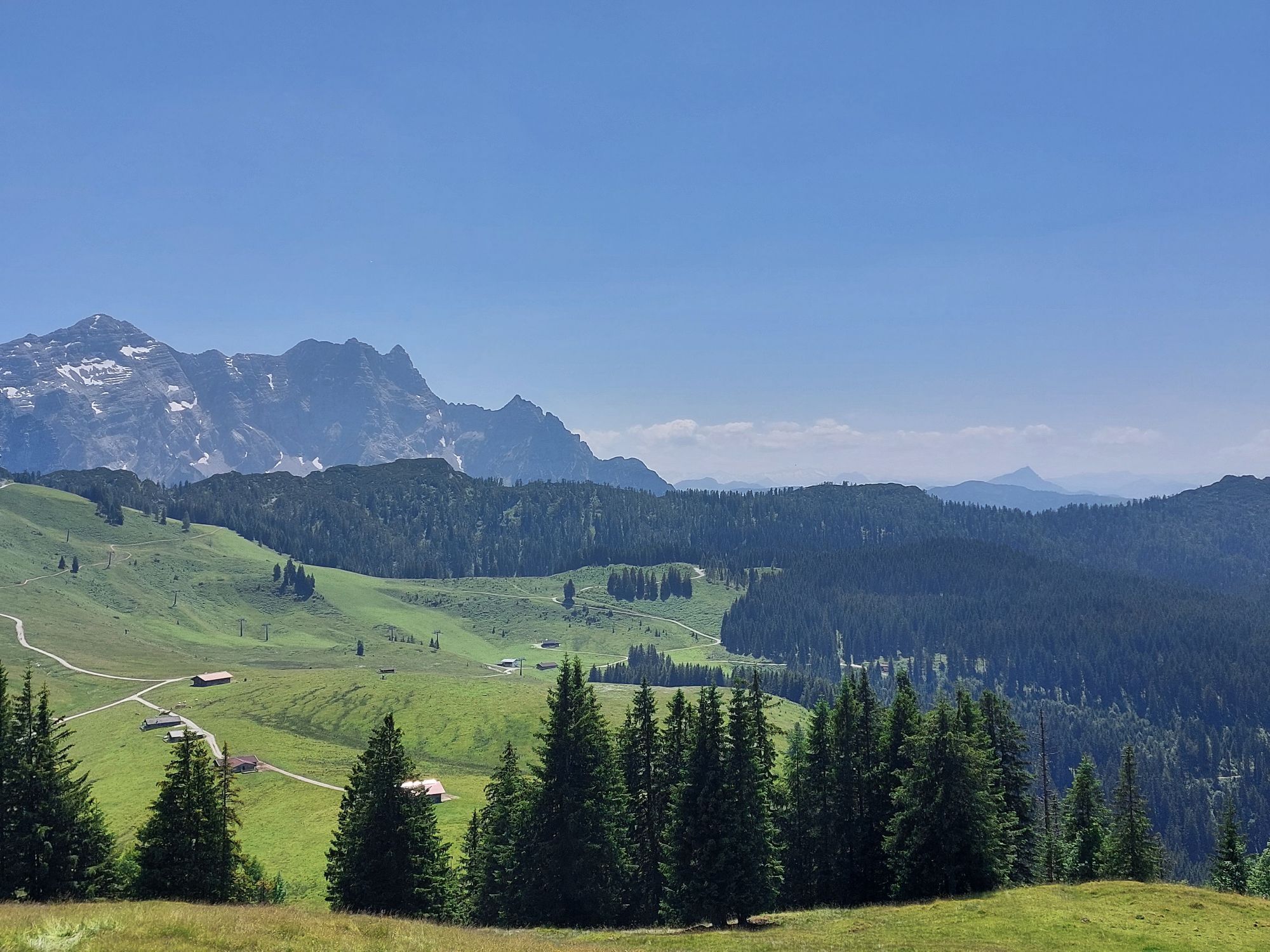
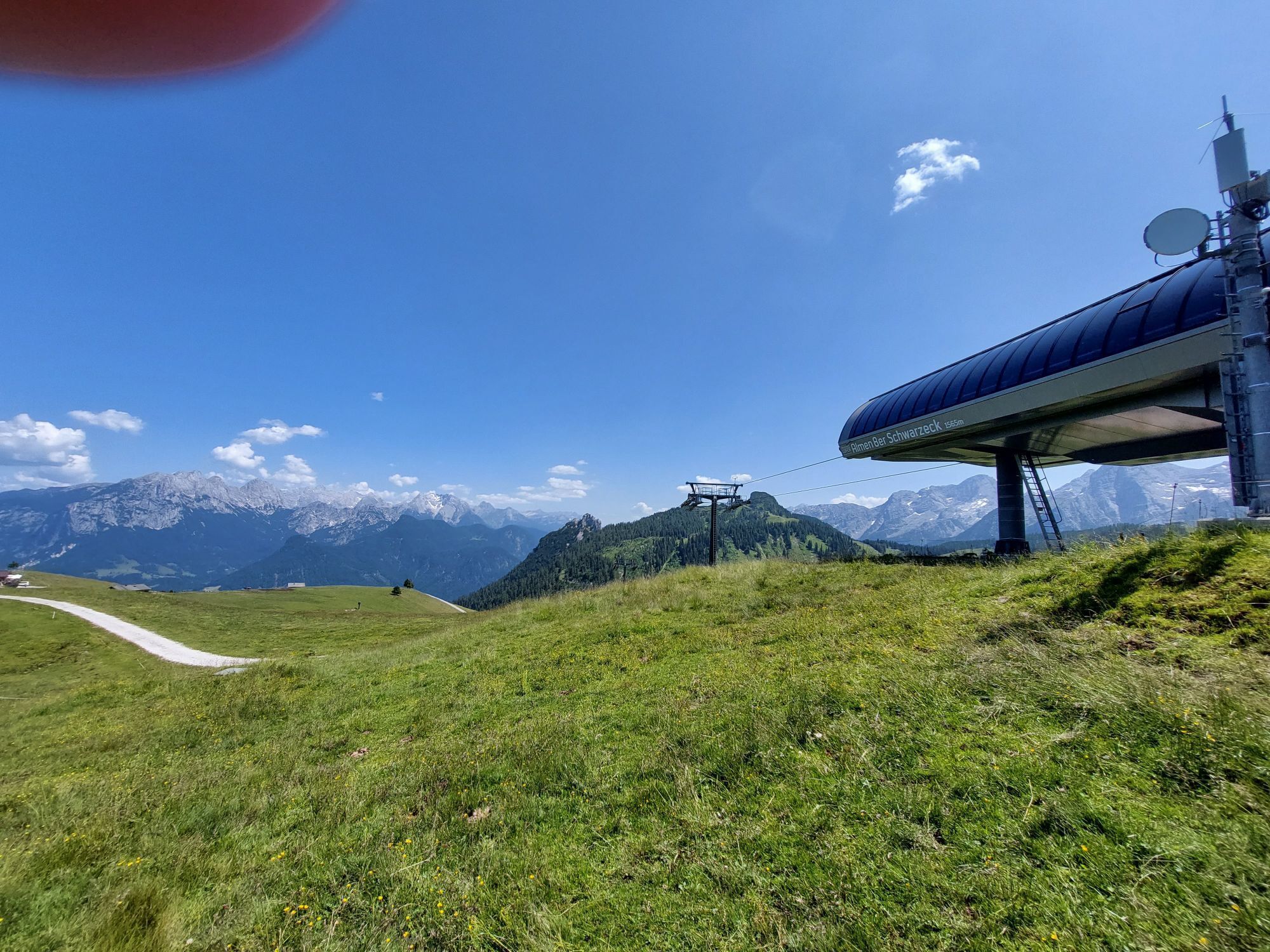
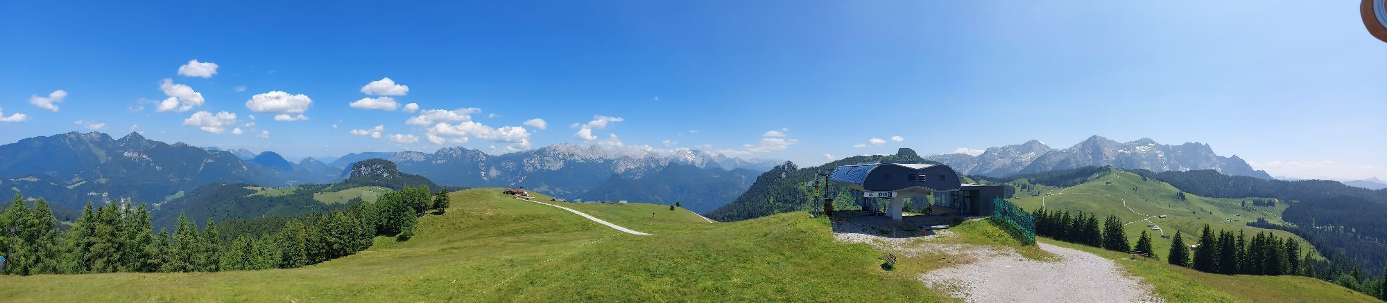
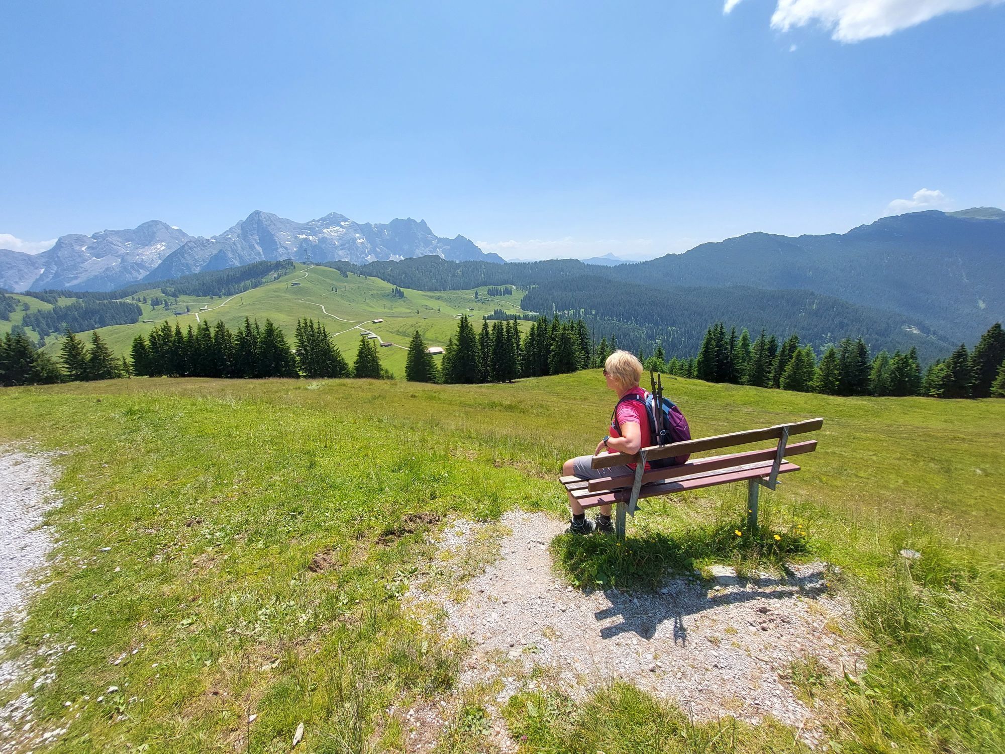
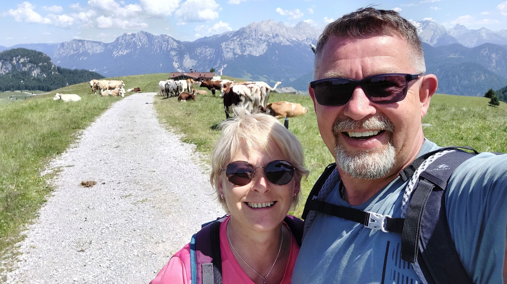
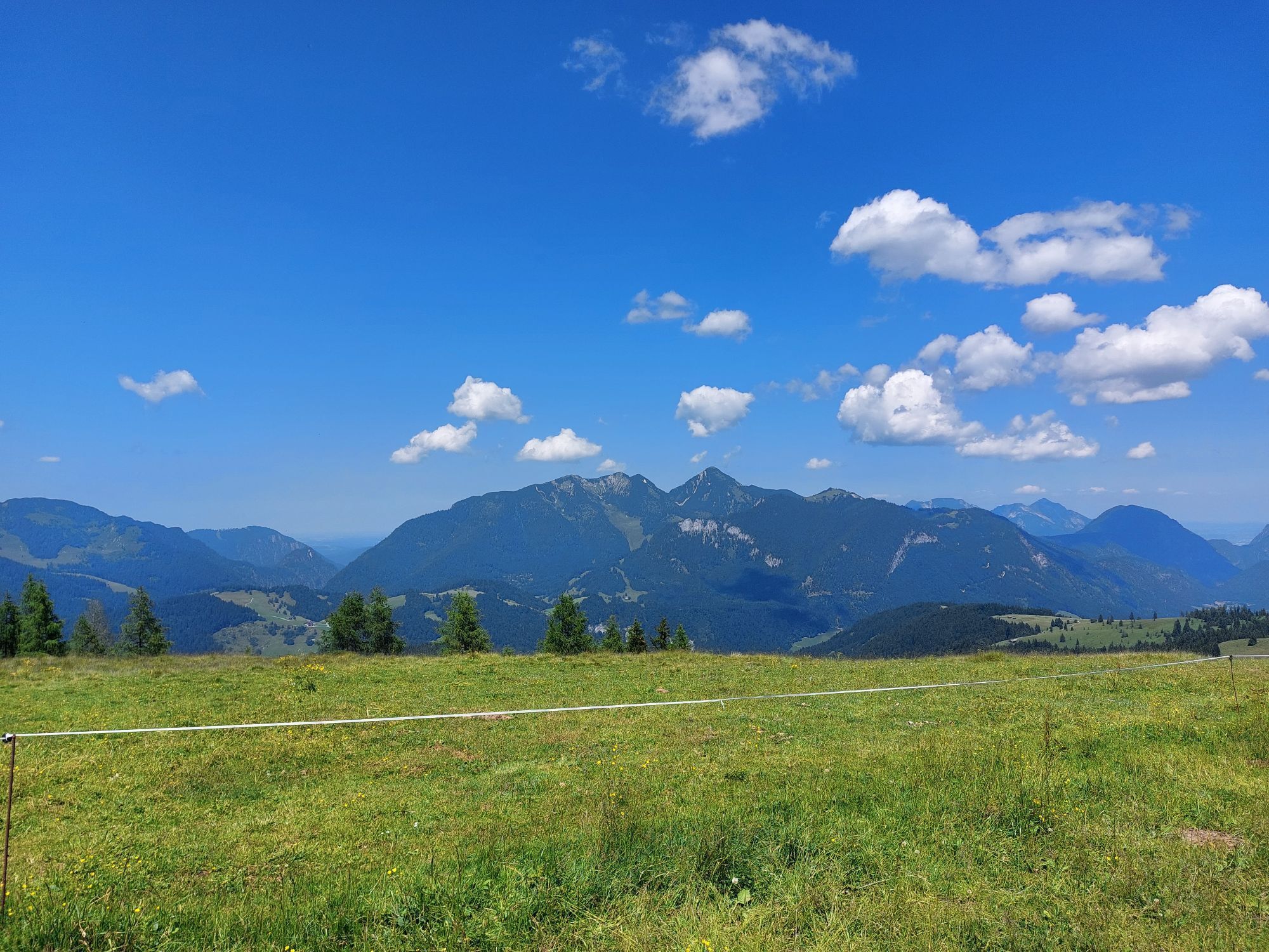
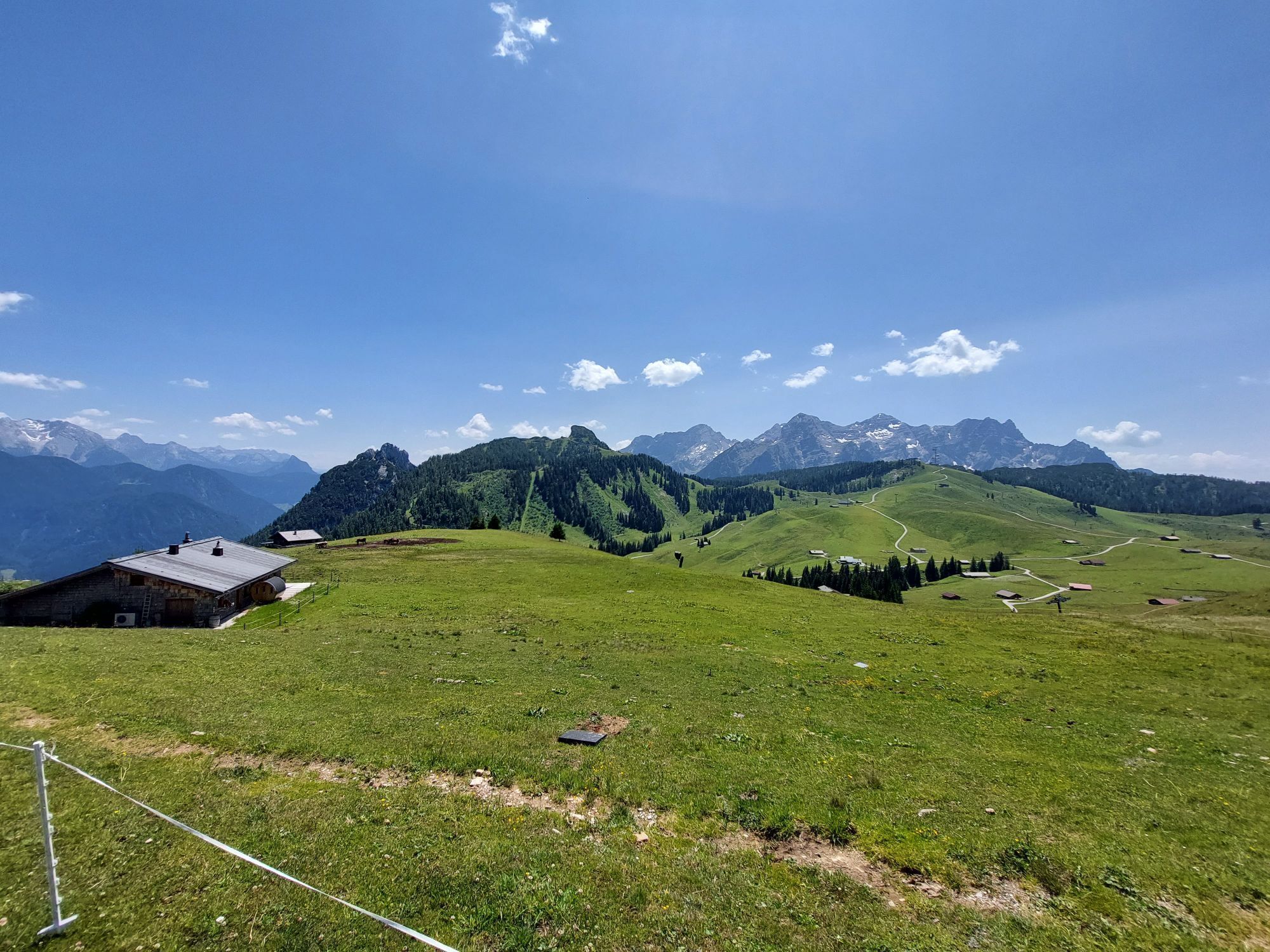
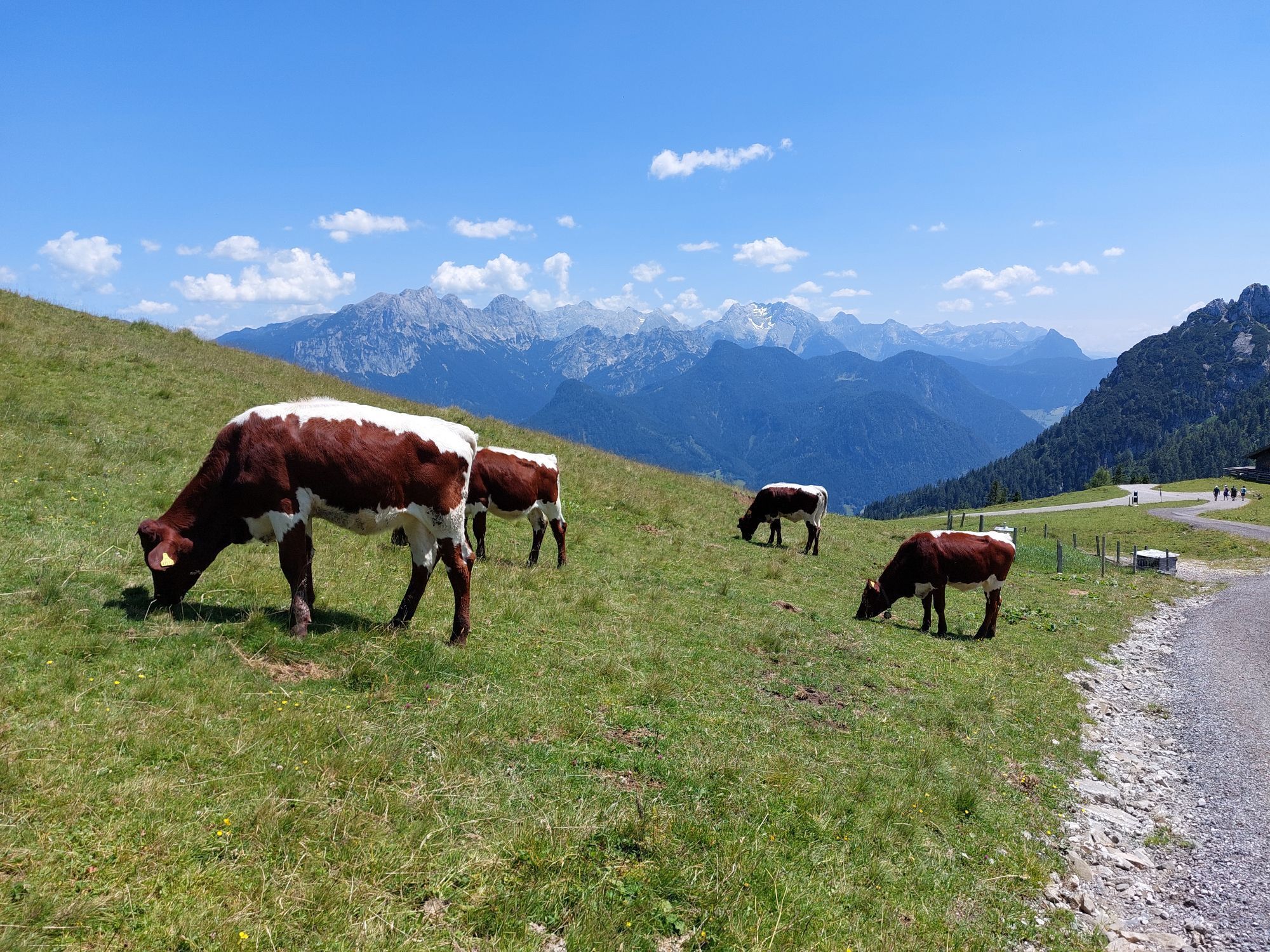
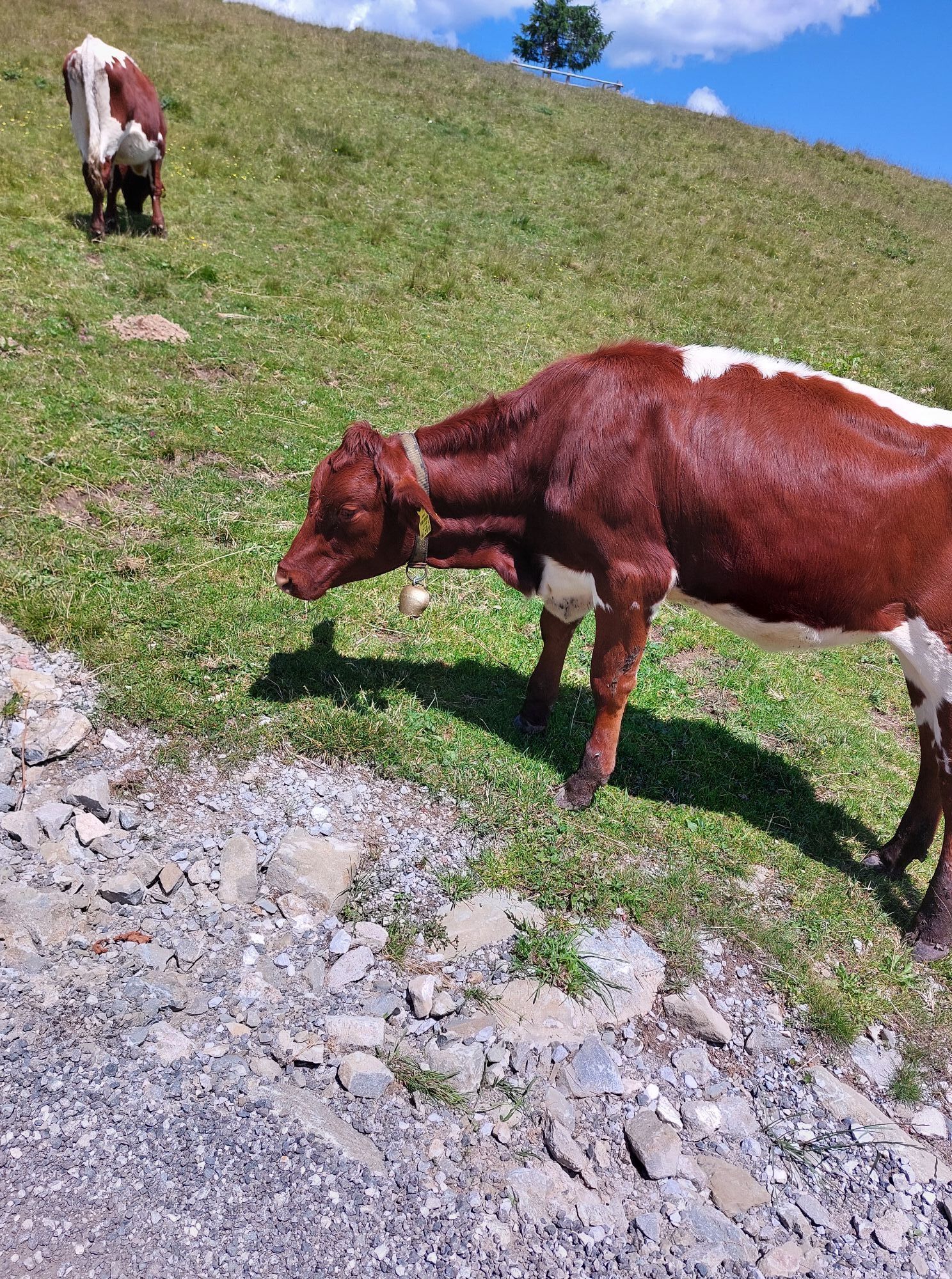
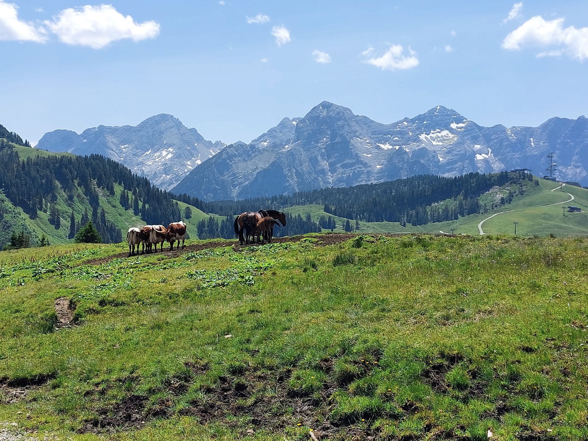
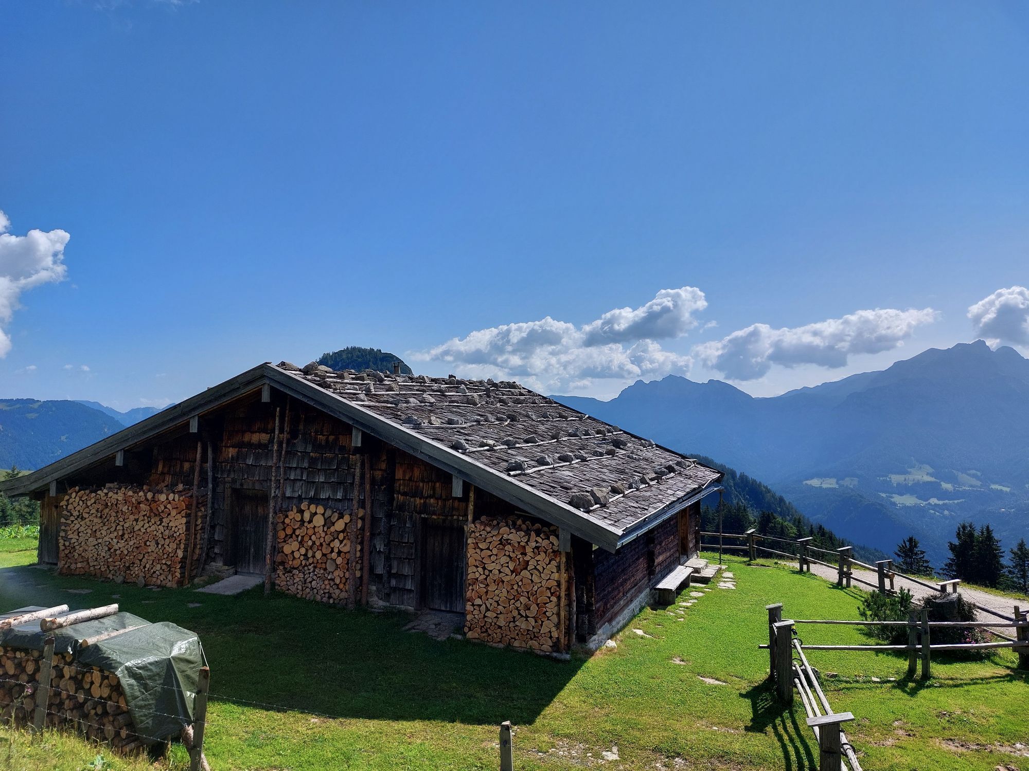
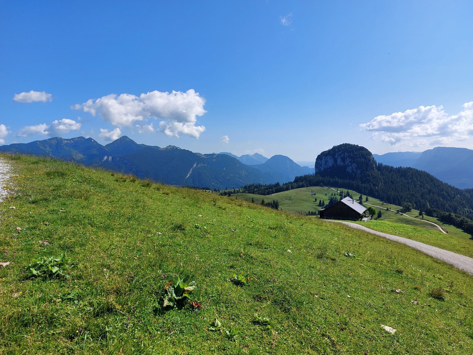
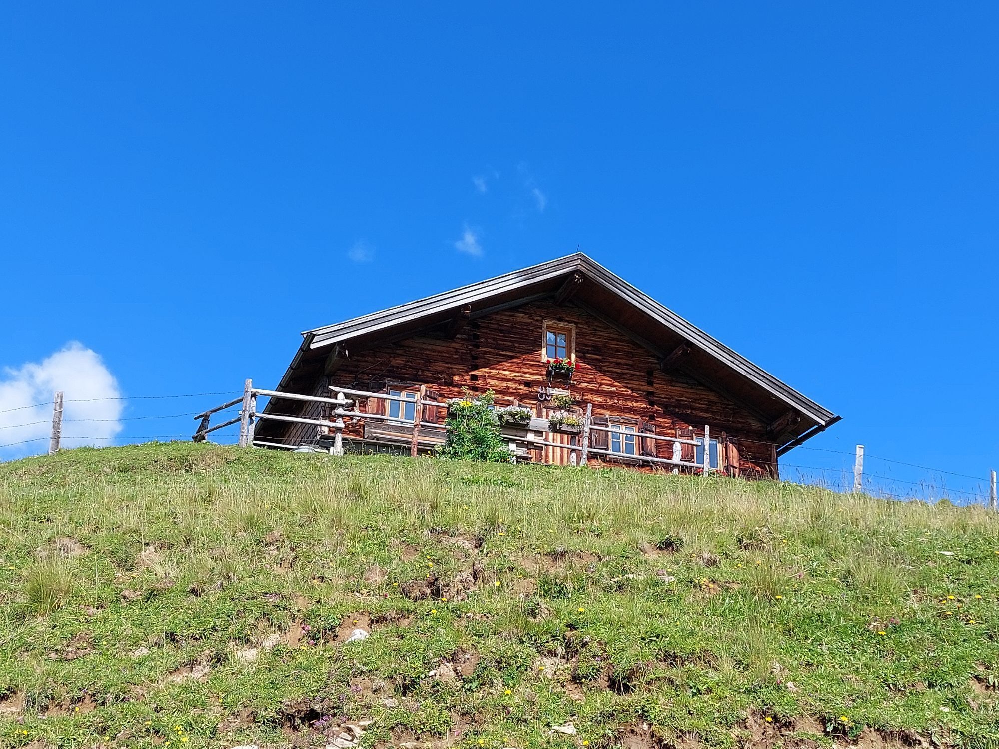
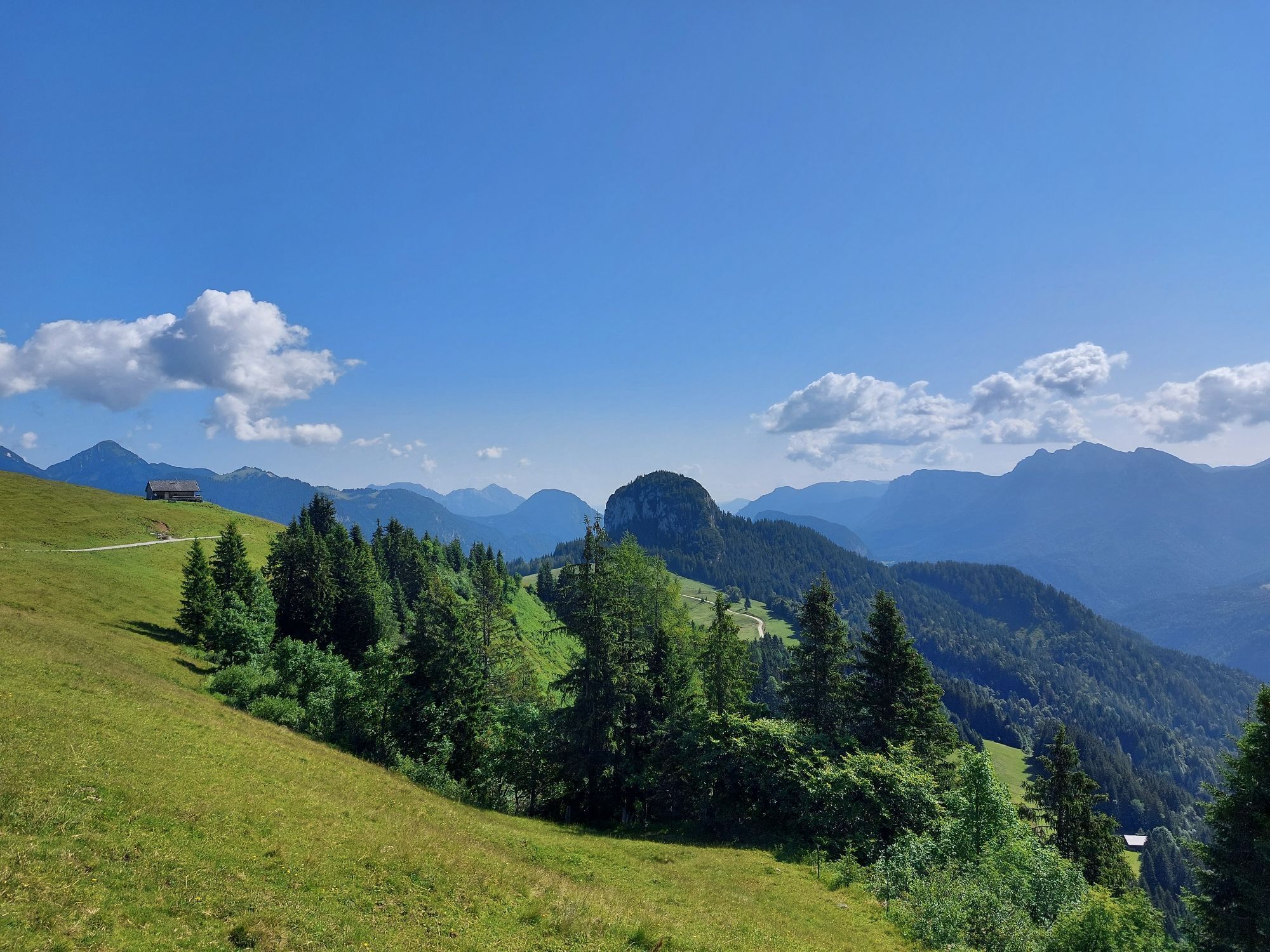
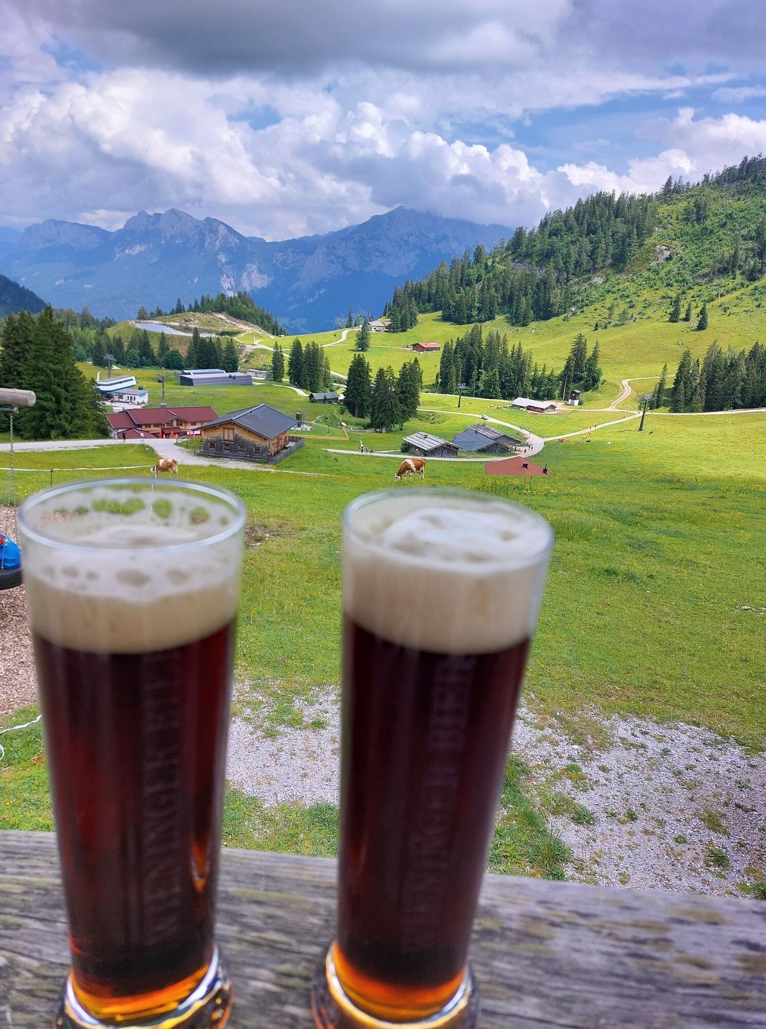
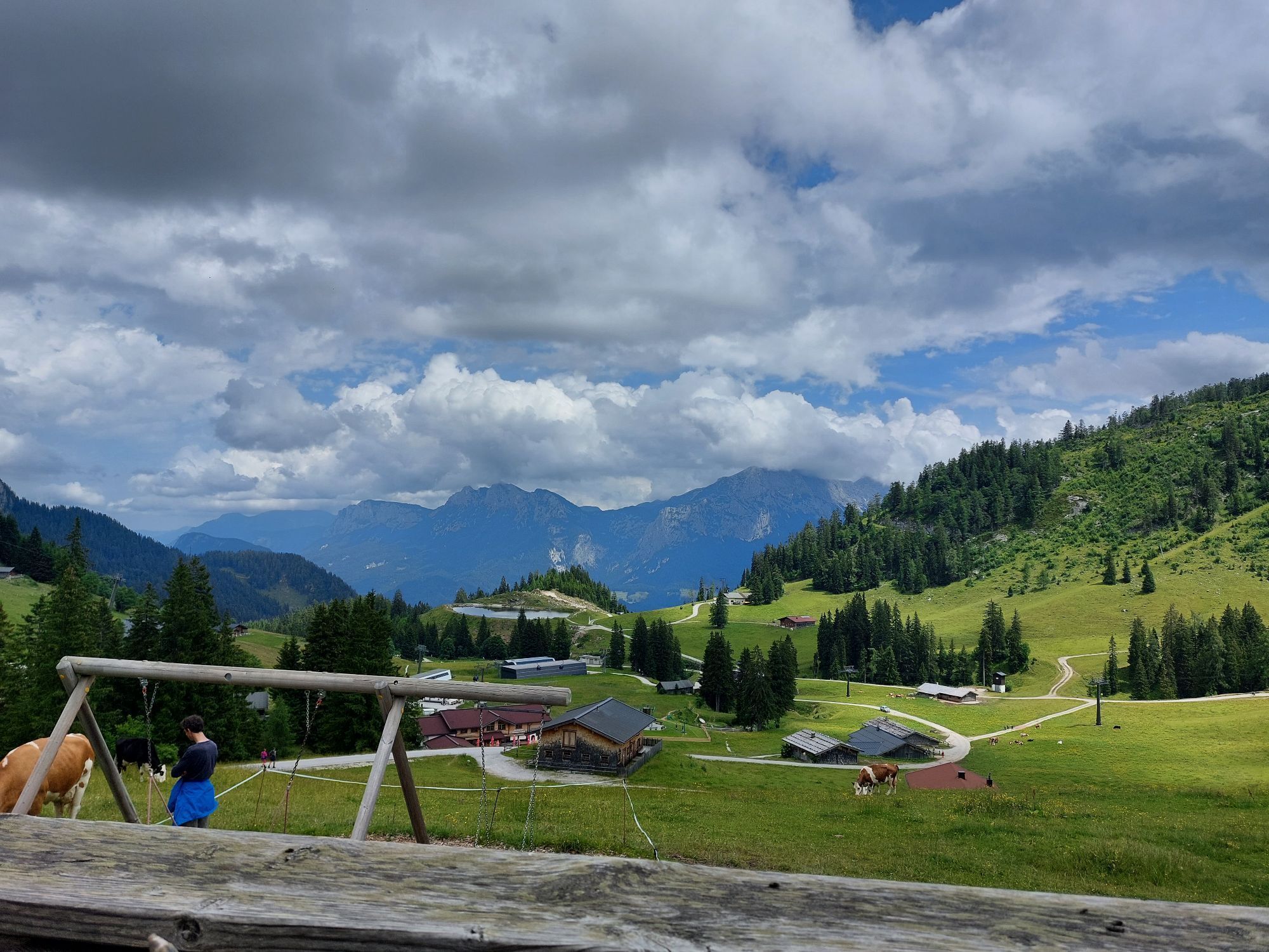
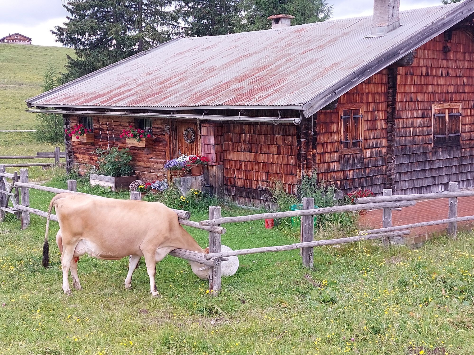
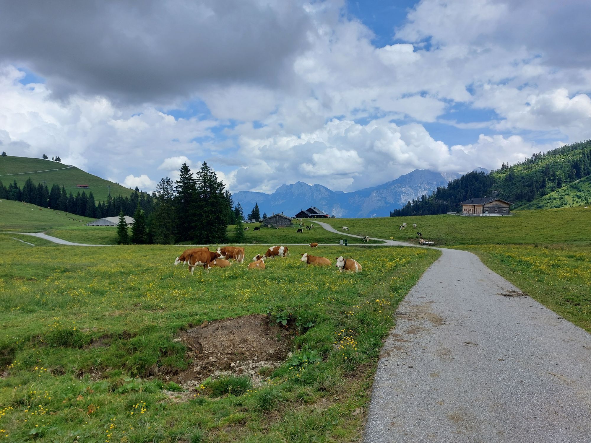
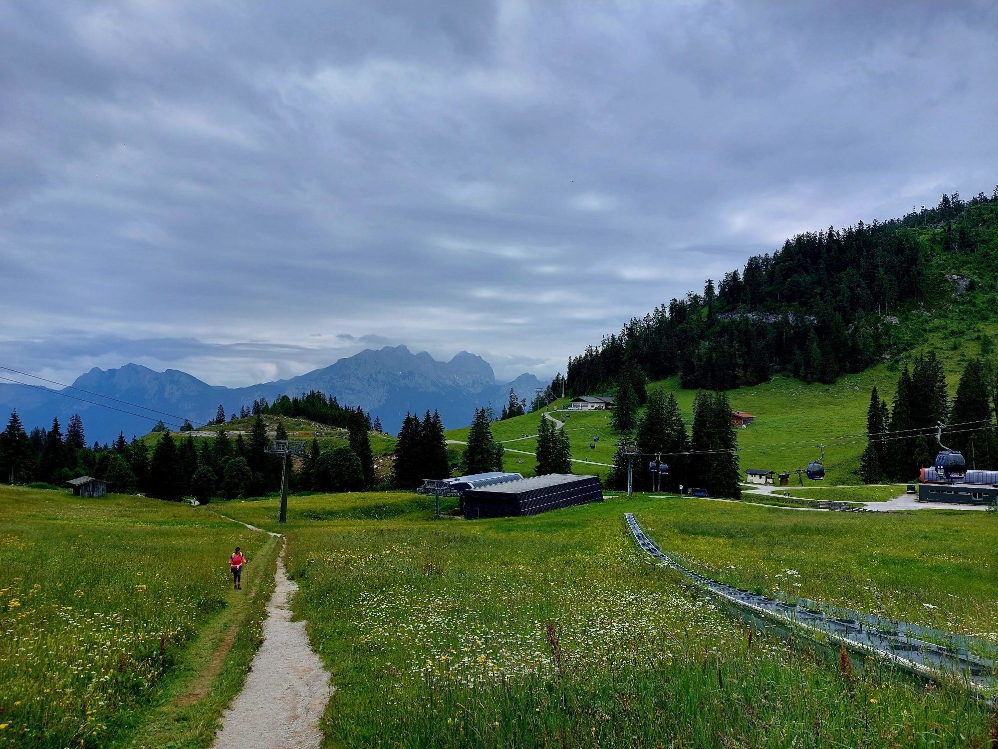
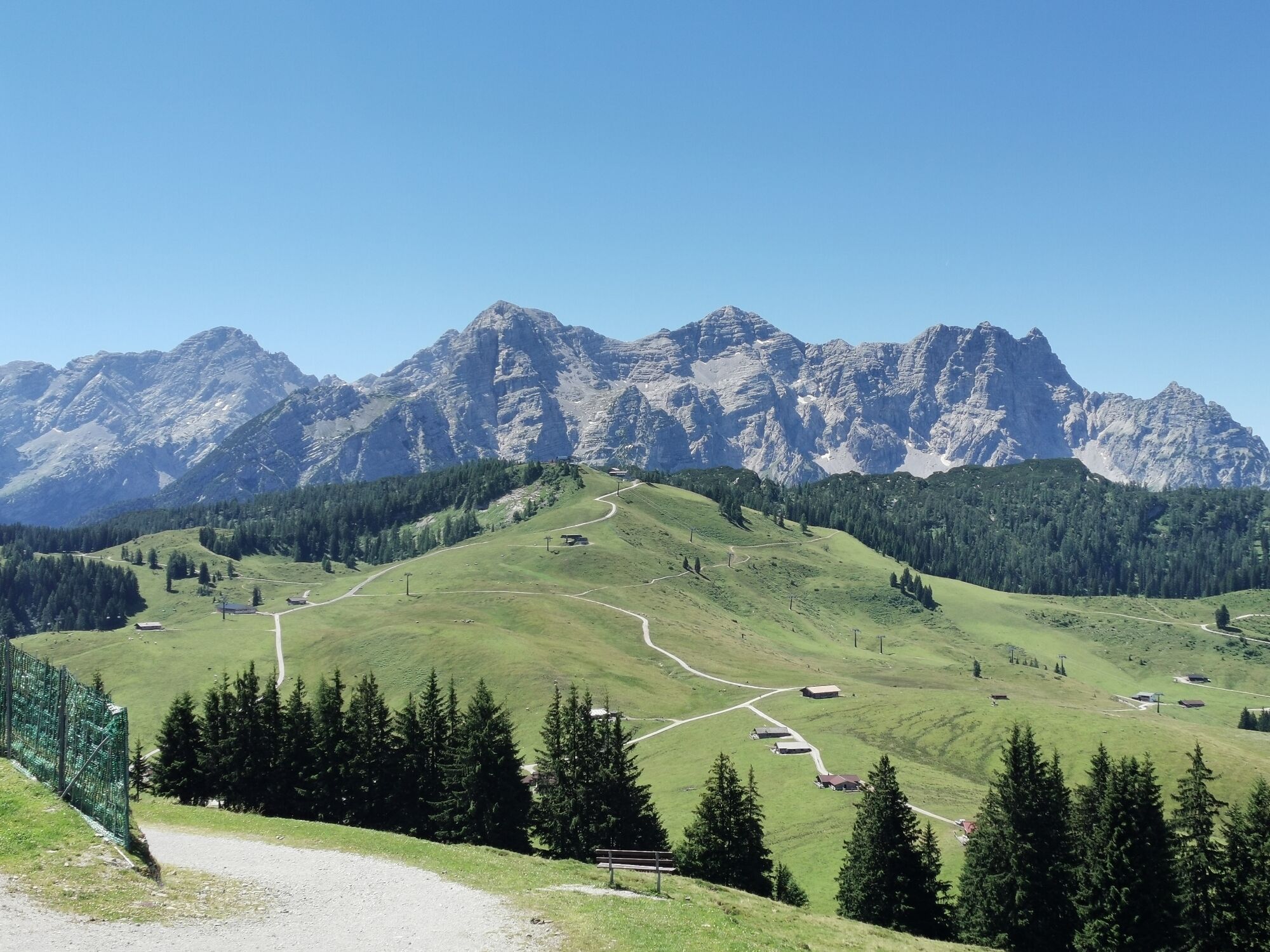
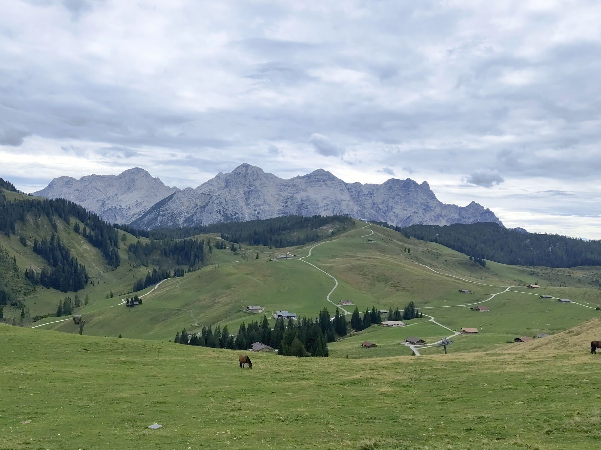
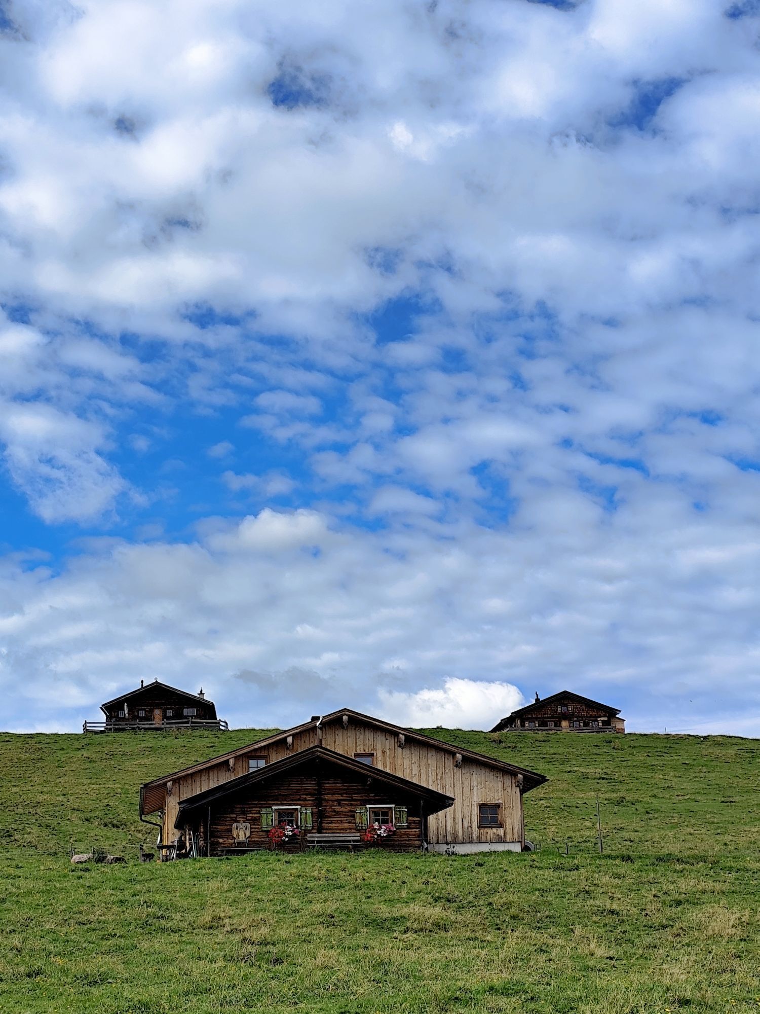
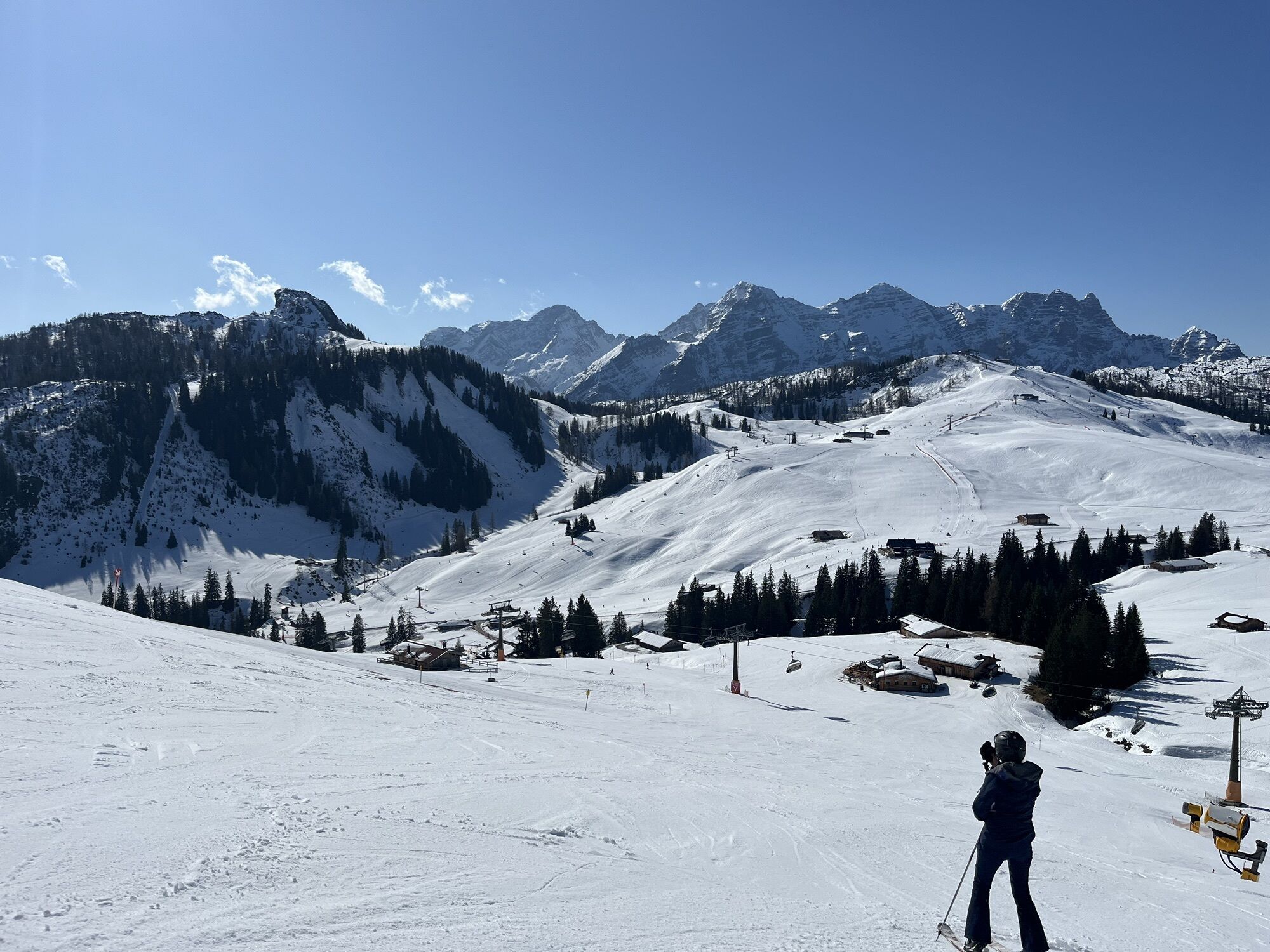
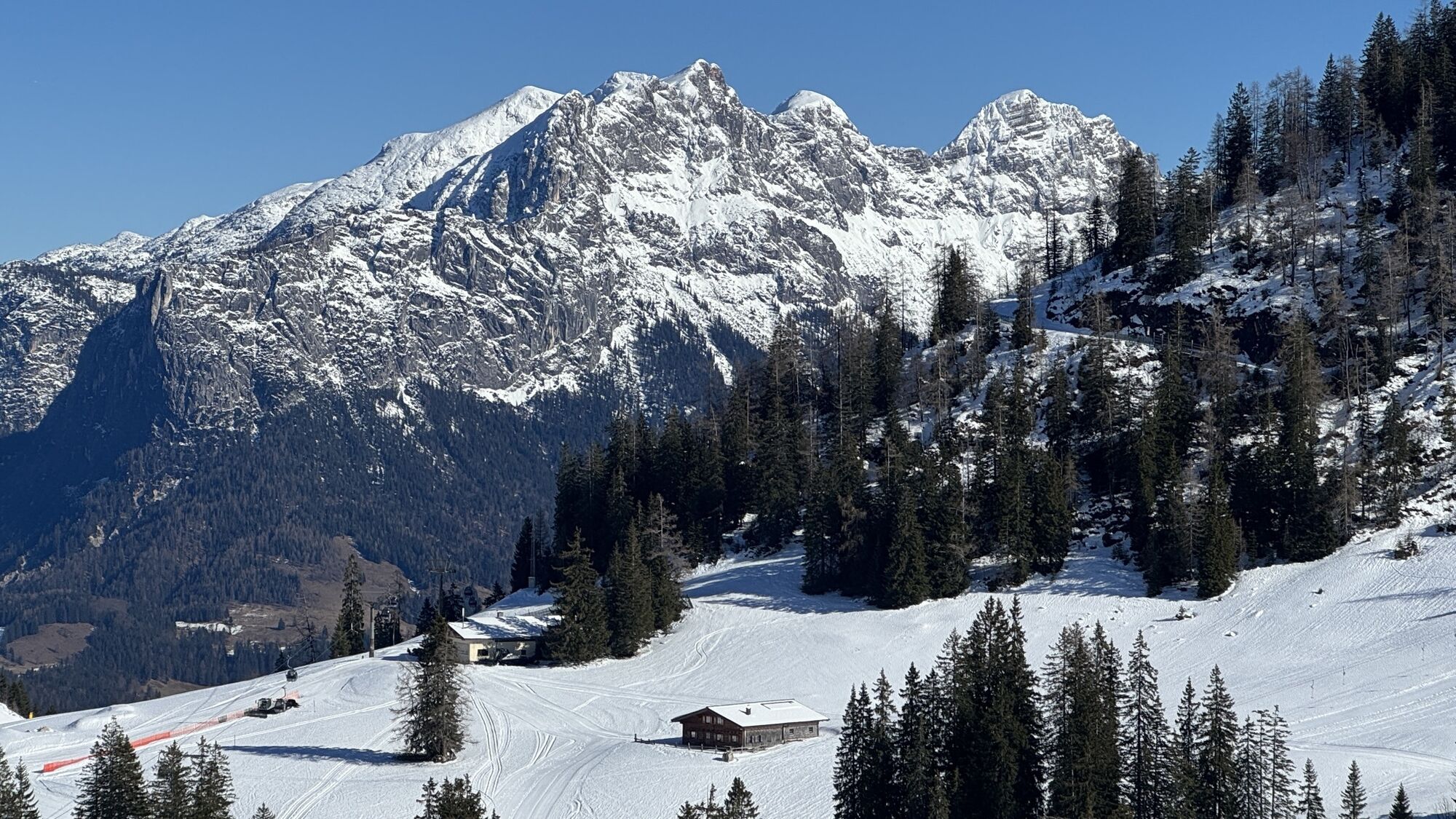
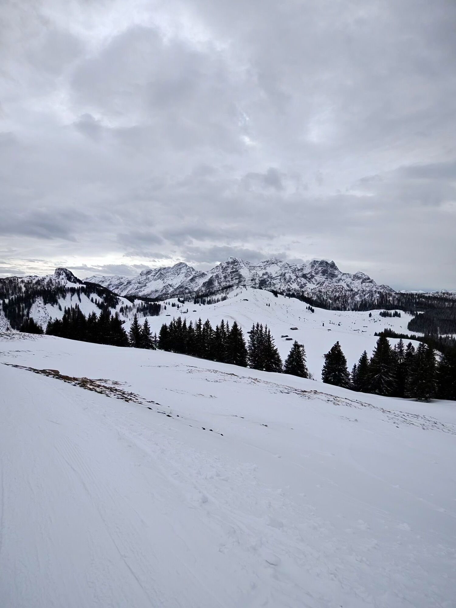
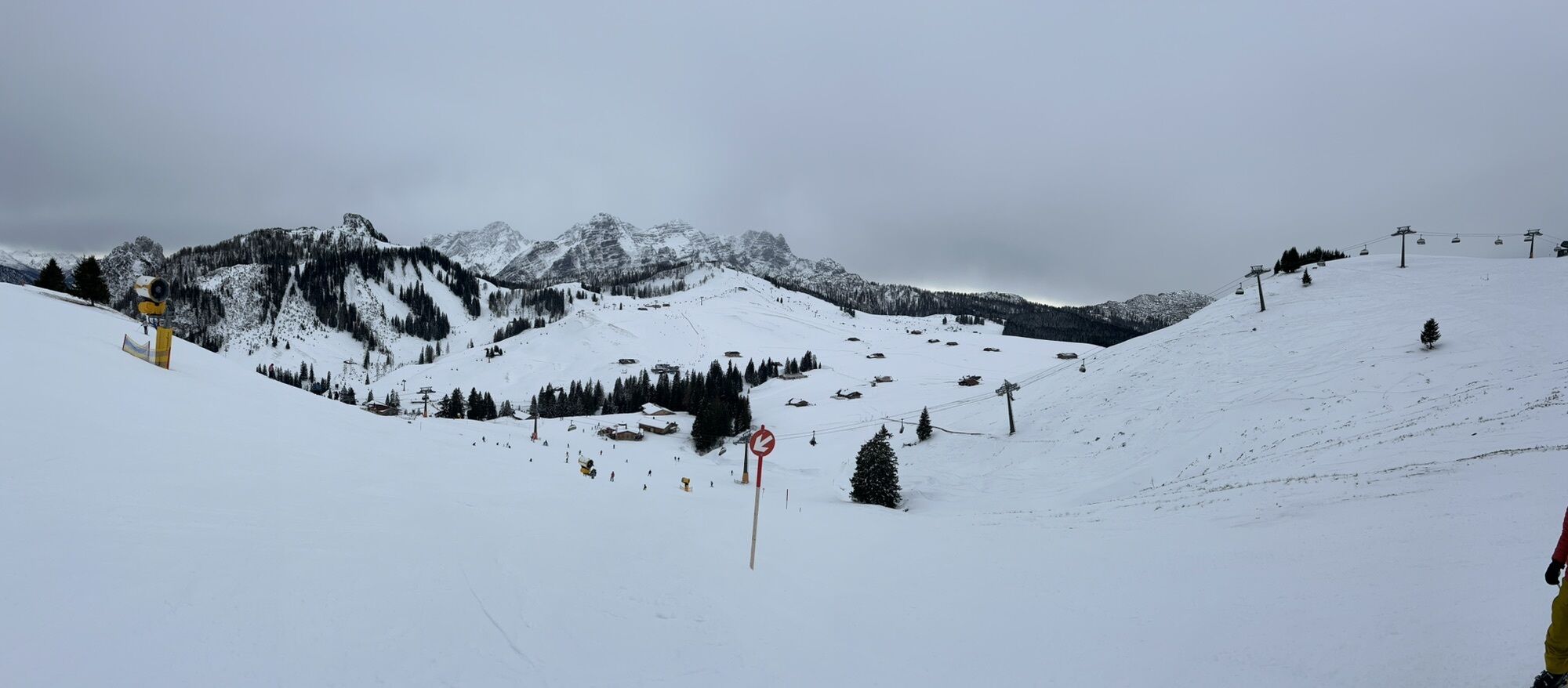
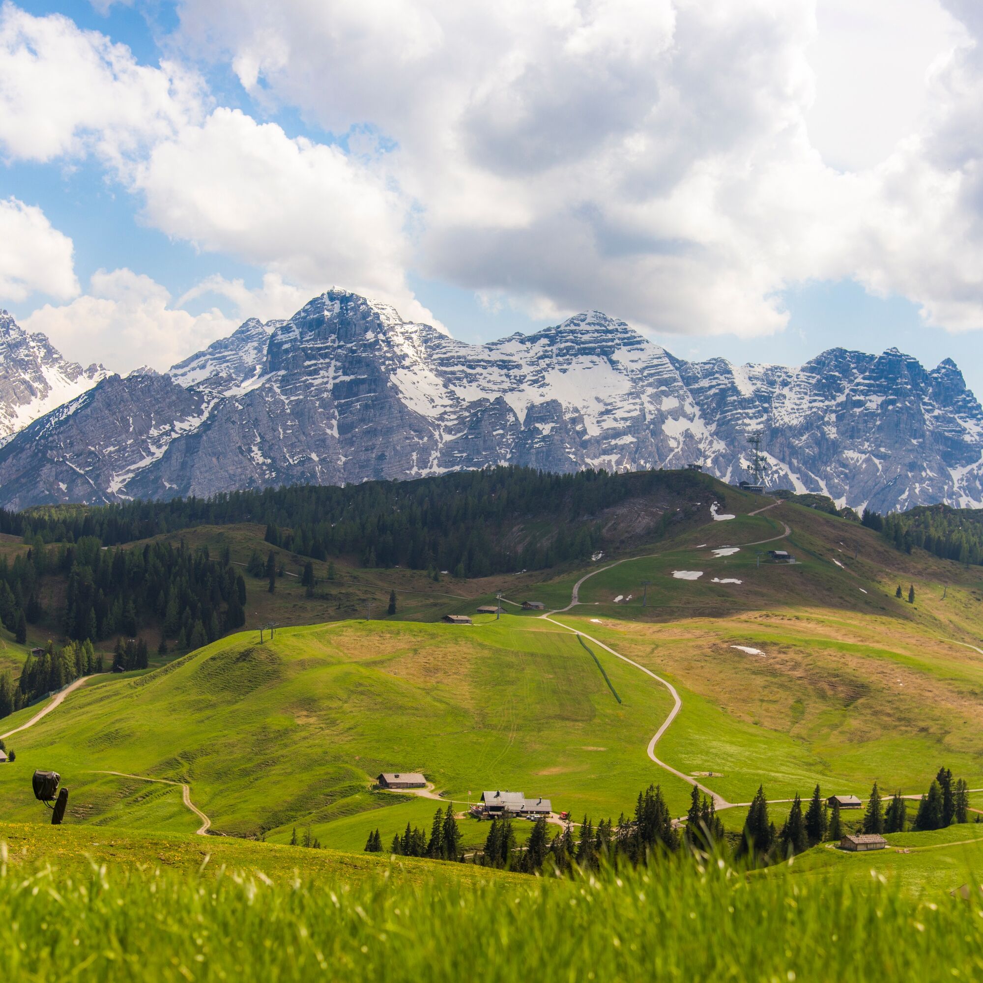
Route Highlights: At the highest point of the route awaits the Schwarzeck viewing tower with its magnificent view over the alpine landscape and further to Tyrol and Germany. Another highlight are naturally the numerous alpine huts and cows in the Almenwelt Lofer.
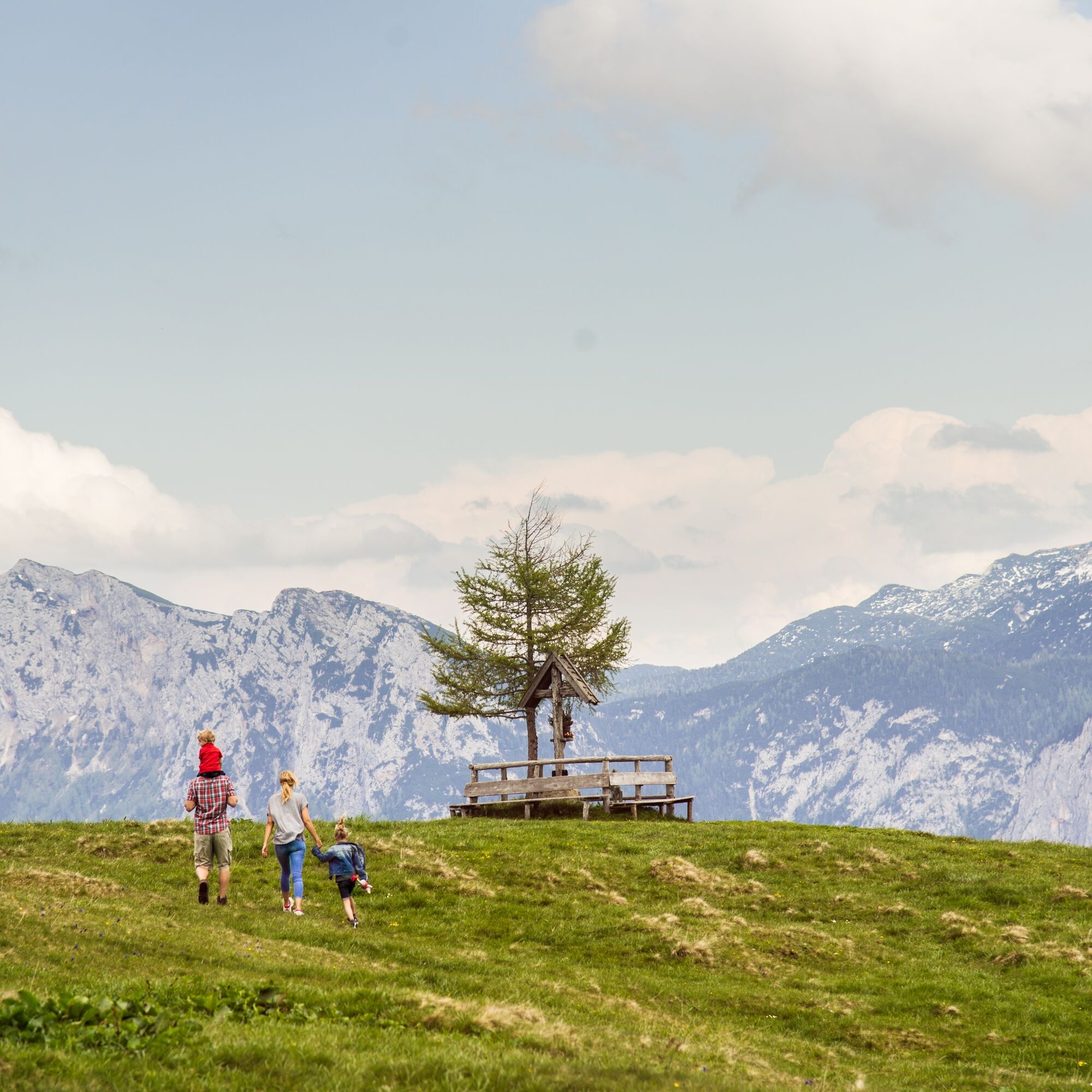
The route is part of the "Hiking with Kids" in the Salzburger Saalachtal. Duration and difficulty level are designed for children/families.

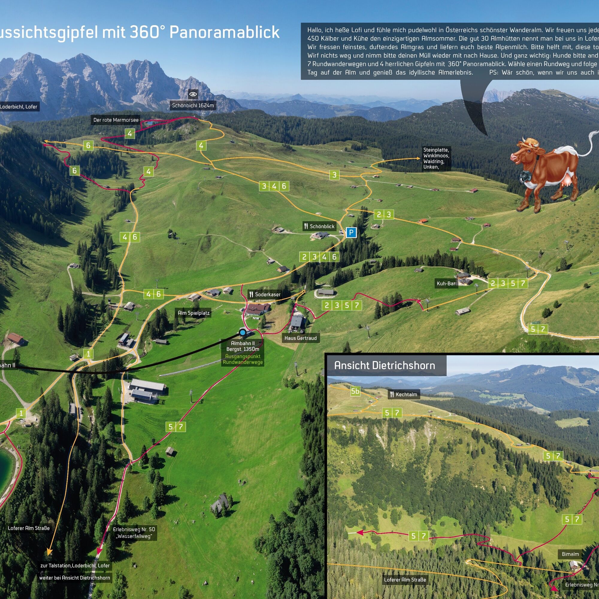

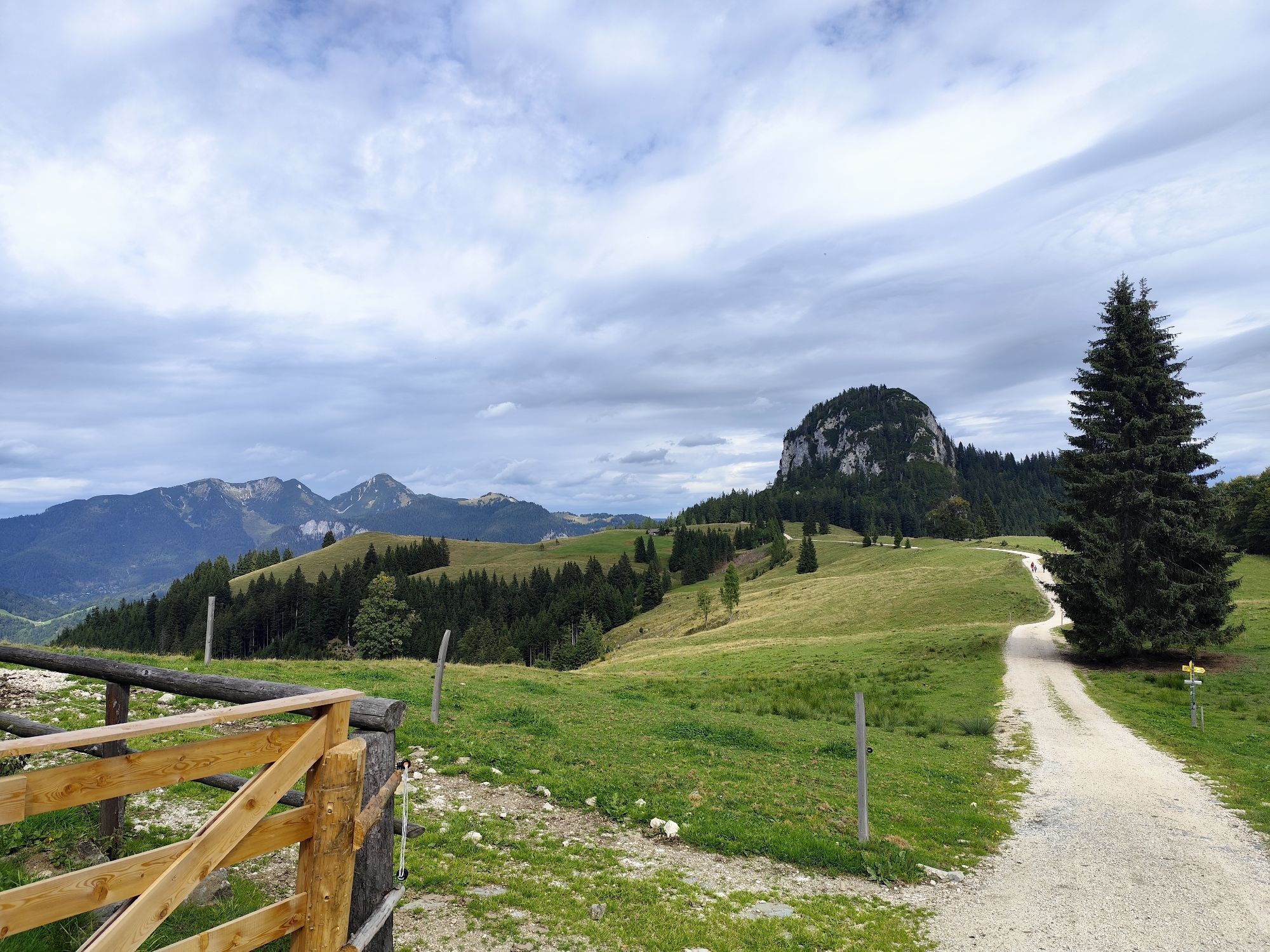
From the mountain station Almbahn II initially slightly downhill follow the waterfall path (hiking trail no. 50) to Bimalm. There cross uphill via the meadow path to the high plateau and then turn left towards Schwarzeckalm. Continue in switchbacks uphill to the restaurant Kechtalm and to Schwarzeck with the viewing tower. Over the hiking trail below the Schwarzeck chairlift to the forest road and over the Loferer Alm, past the cow bar and Haus Schönblick to the mountain station, the start and end point of the route.
Ano
Ano
In addition to a water bottle, we recommend sturdy footwear, warm clothing and rain protection, mobile phone, sunglasses and sun protection (e.g. cap) as well as a small snack.
By car via B 311 or B 178 to the roundabout in the center of Lofer. From here continue towards Salzburg. After about 500 meters to the large car park on the federal road or drive into the town of Lofer. Here you will find limited parking spaces at the valley station of Almenwelt Lofer.
You can park directly at Almbahn I or at the large car park at the Salzburger Saalachtal tourism board.
Viewing tower with 360° panoramic view at Schwarzeck.

Webové kamery z prohlídky

Oblíbené prohlídky v okolí
-
4.4
Erpfendorf: Griesbachklamm
středníTuristika 10 km -
4.4
Halsalm
Turistika 6.43 km -
4.7
Over the waterfall trail into the Almenwelt Lofer
středníTuristika 3.29 km -
4.6
Seisenberg Gorge
světloTuristika 2.41 km -
5.0
Sonntagshorn über Hochalm (Unken, Heutalbauer)
středníTuristika 11.2 km -
4.9
Ramsau/Hintersee-Runde
světloTuristika 9.44 km -
4.8
Loferer Steinberge, zum Hinterhorn über die Schmid-Zabierow Hütte, 19.06.22
heavyTuristika 14.0 km -
4.8
Atemberaubende Aussicht auf dem Dürrnbachhorn
středníTuristika 8.44 km -
4.7
CHIEMGAU: Hörndlwand (1684m), Gurnwandkopf (1691m)
světloTuristika 12.6 km -
4.4
Unternberg
světloTuristika 9.20 km
Pěší turistika a stopování


Nenechte si ujít nabídky a inspiraci pro vaši příští dovolenou
Vaše e-mailová adresa byl přidán do poštovního seznamu.





