







Krimmler Tauernhaus - Birnlücke - Krimmler Tauern (circular route)

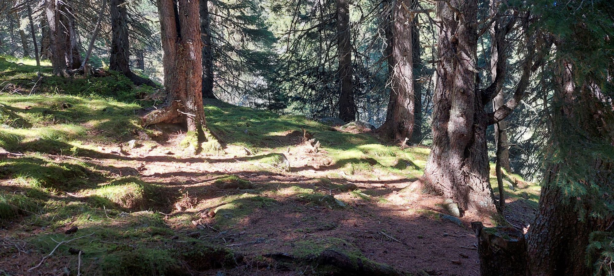
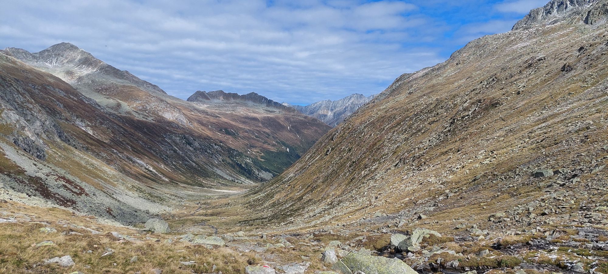
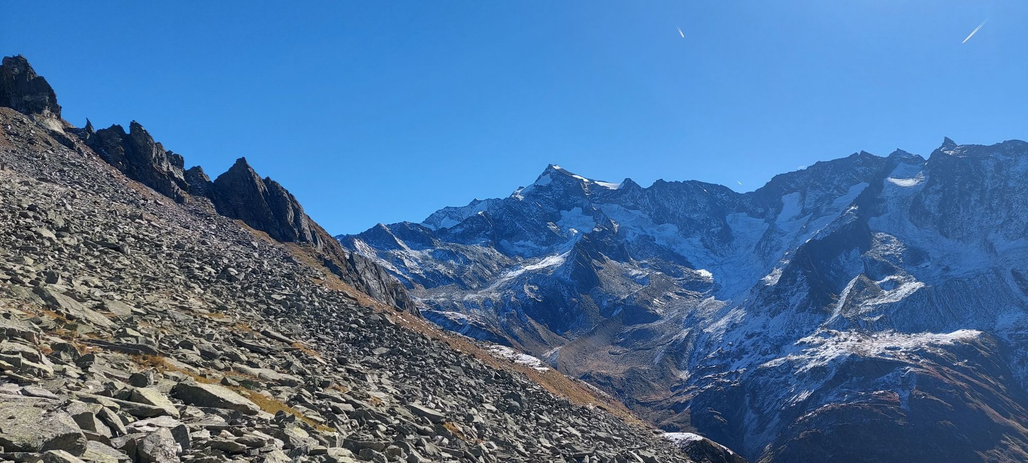
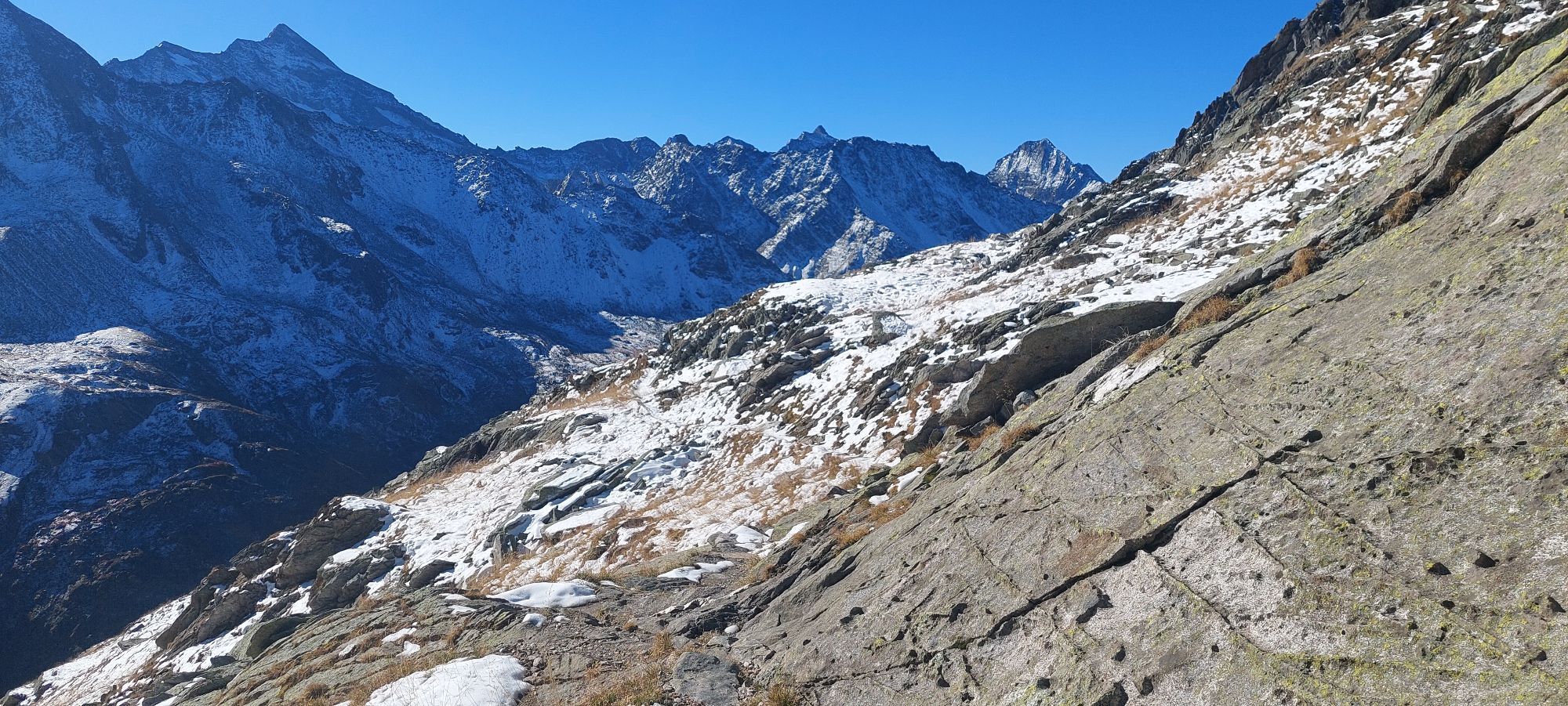
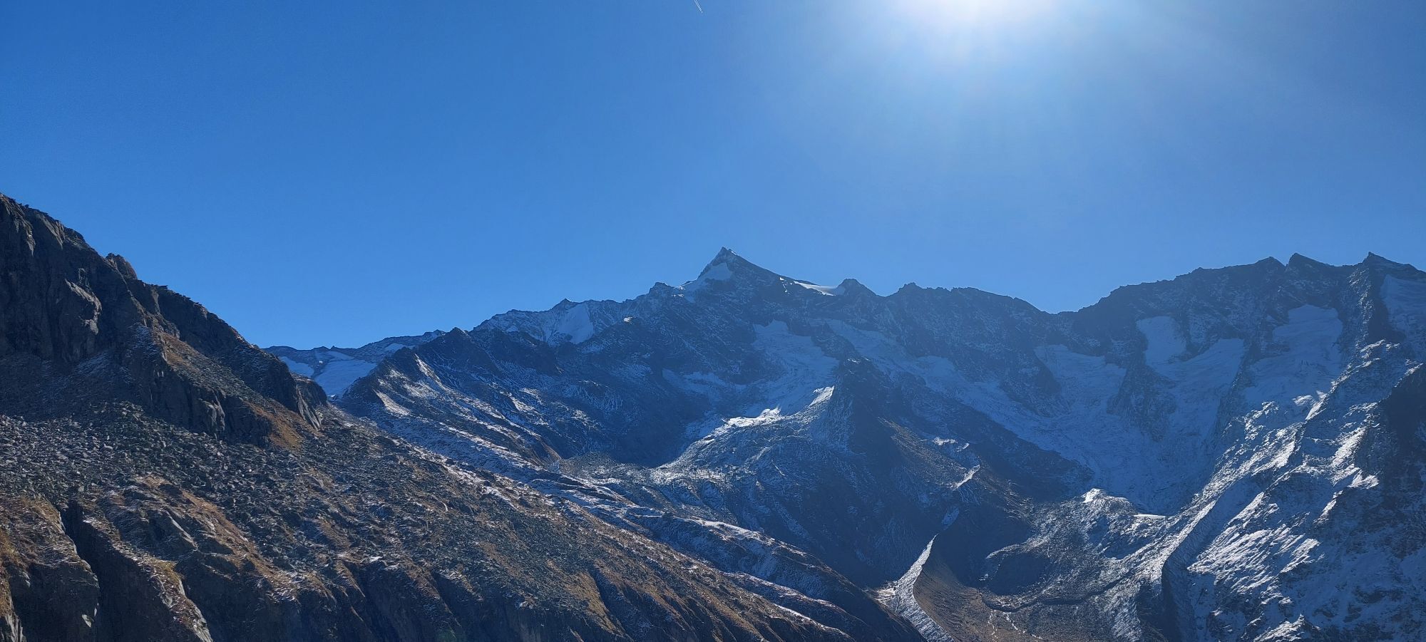
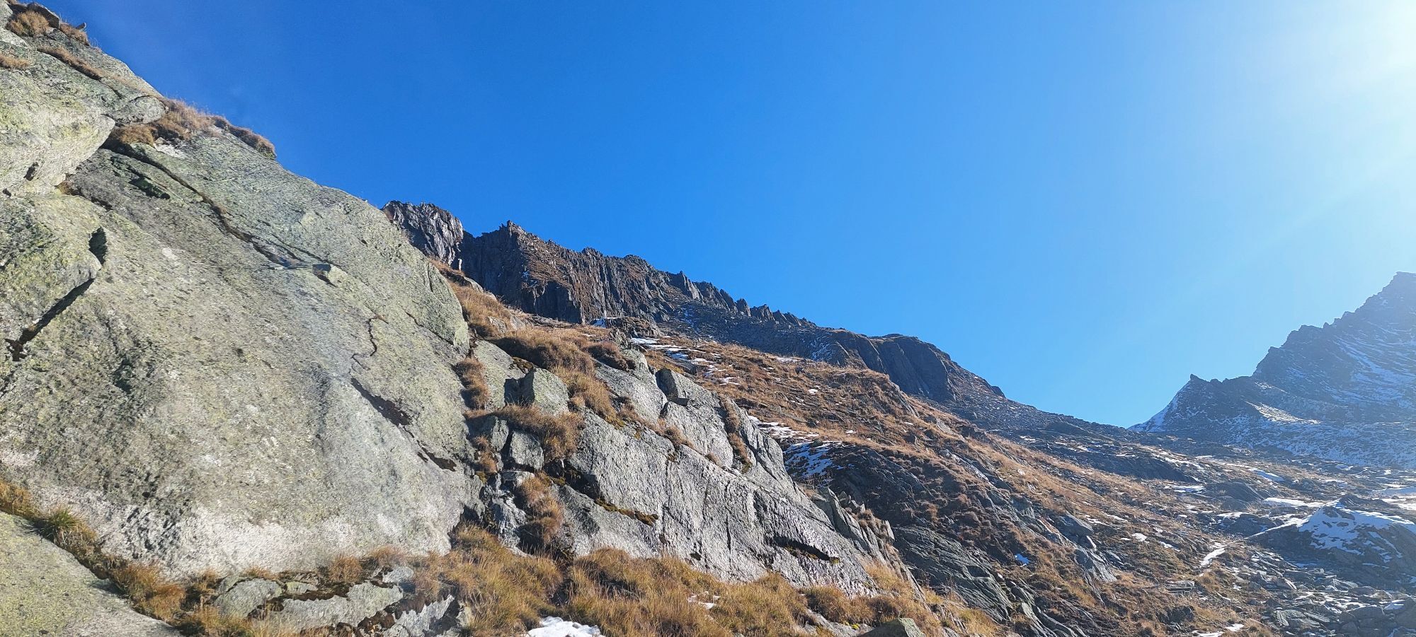
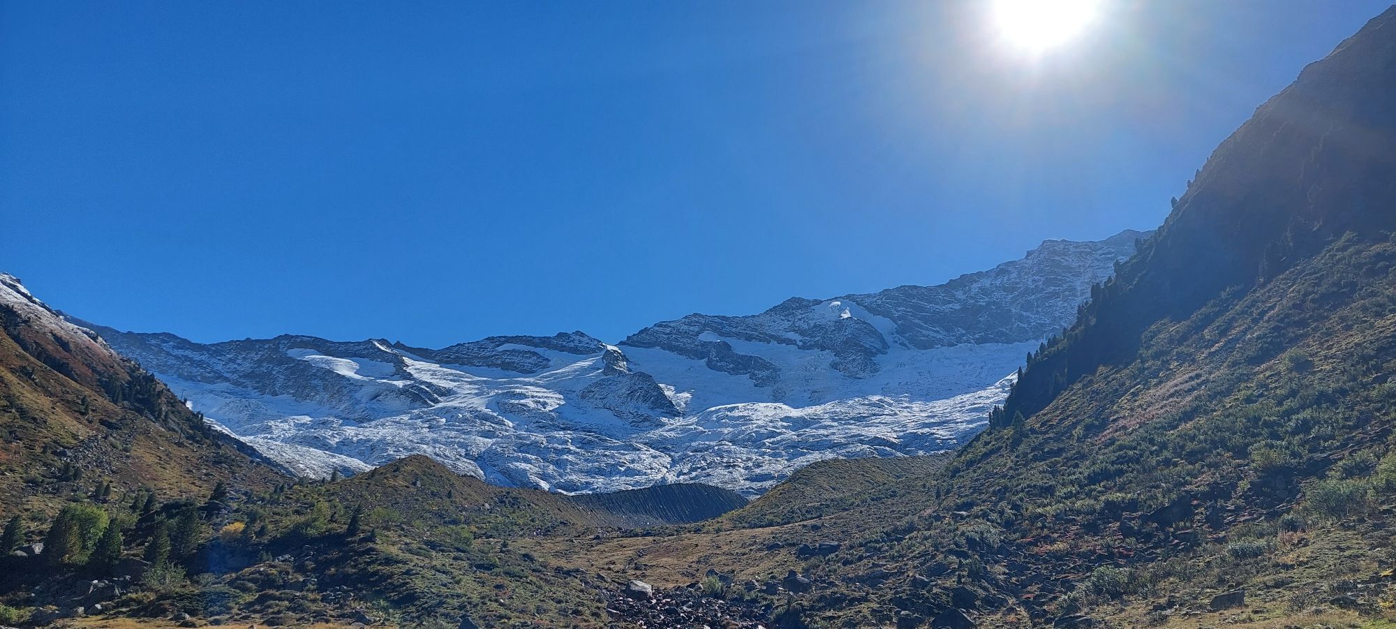
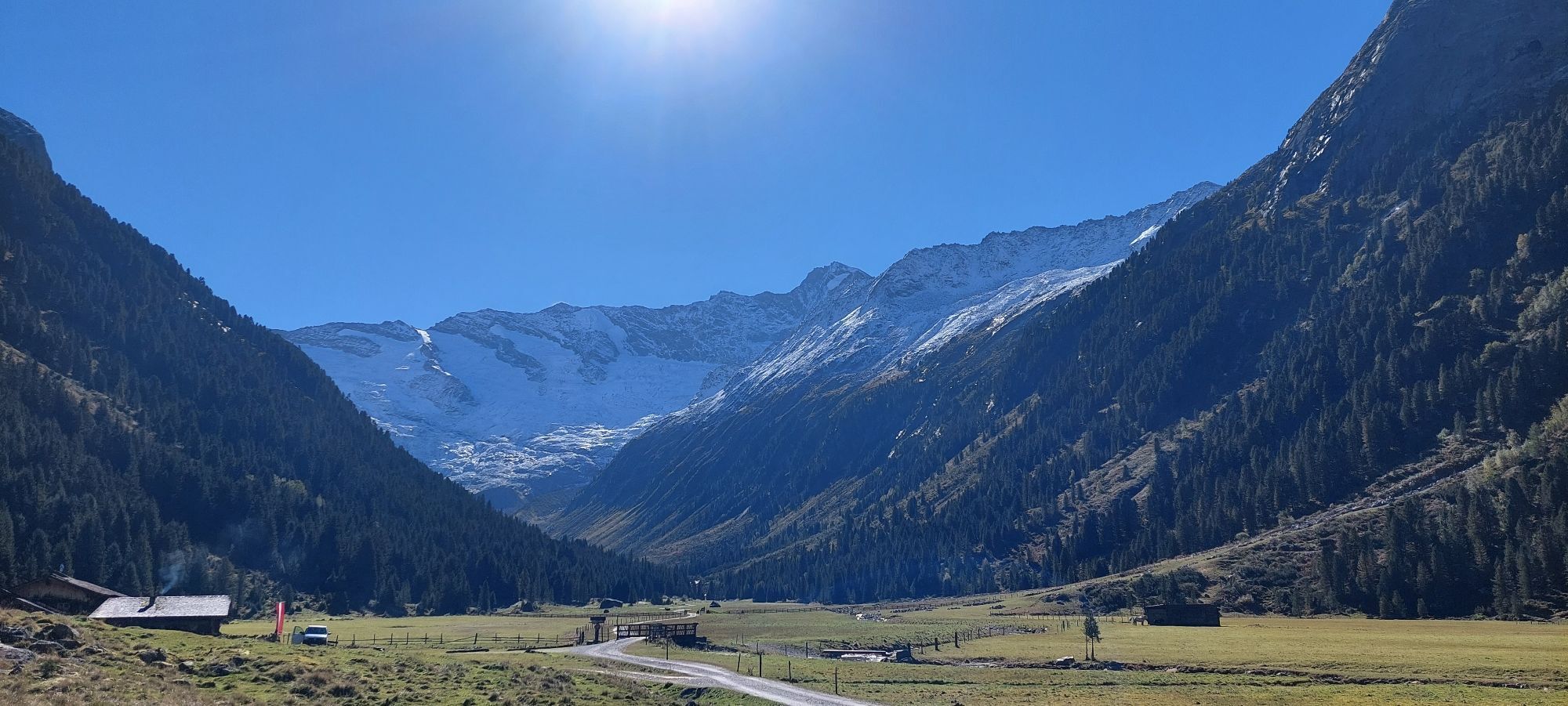
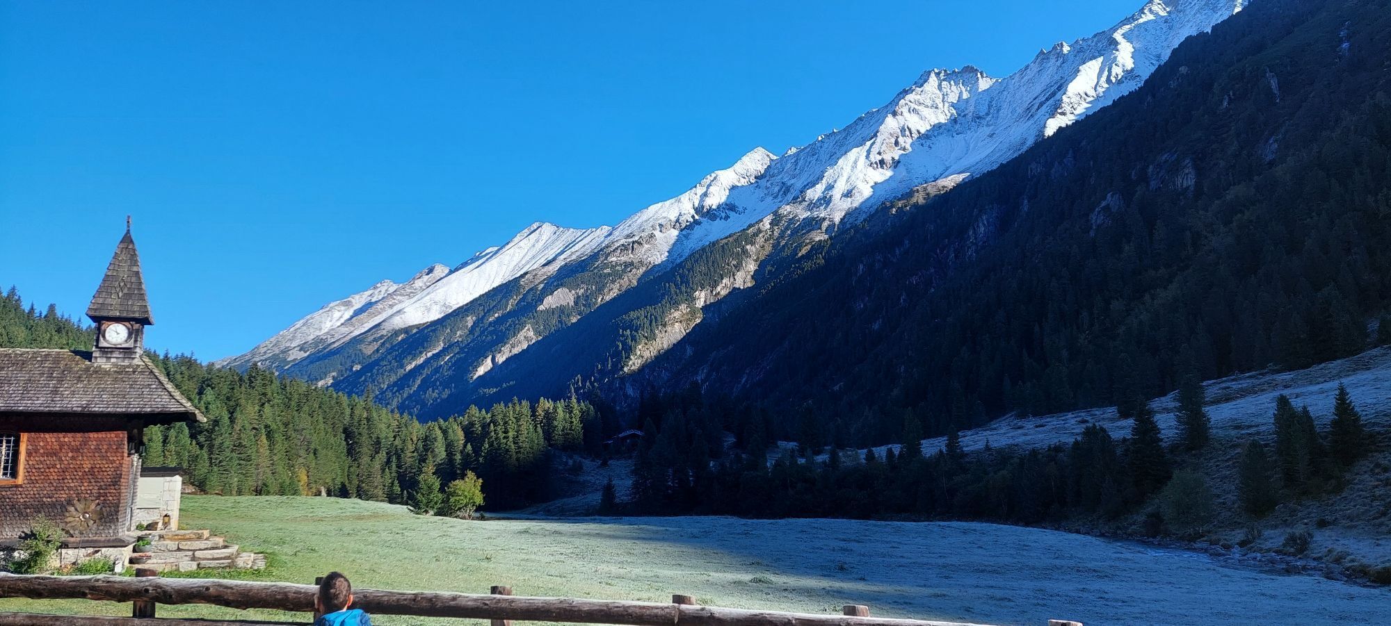
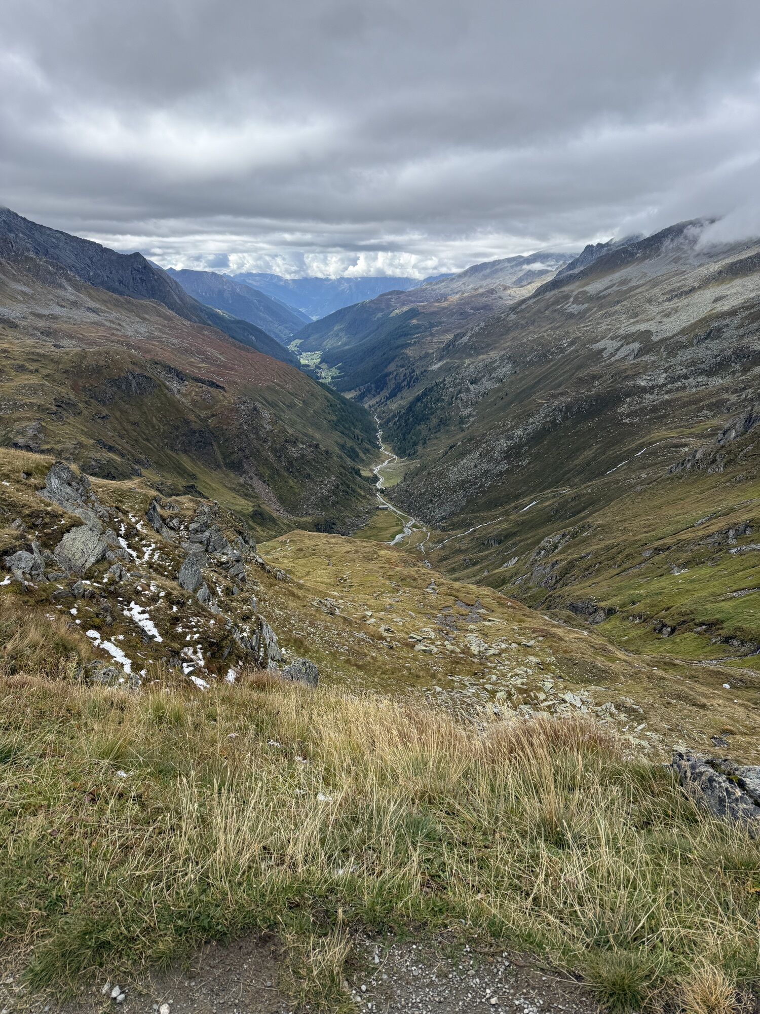
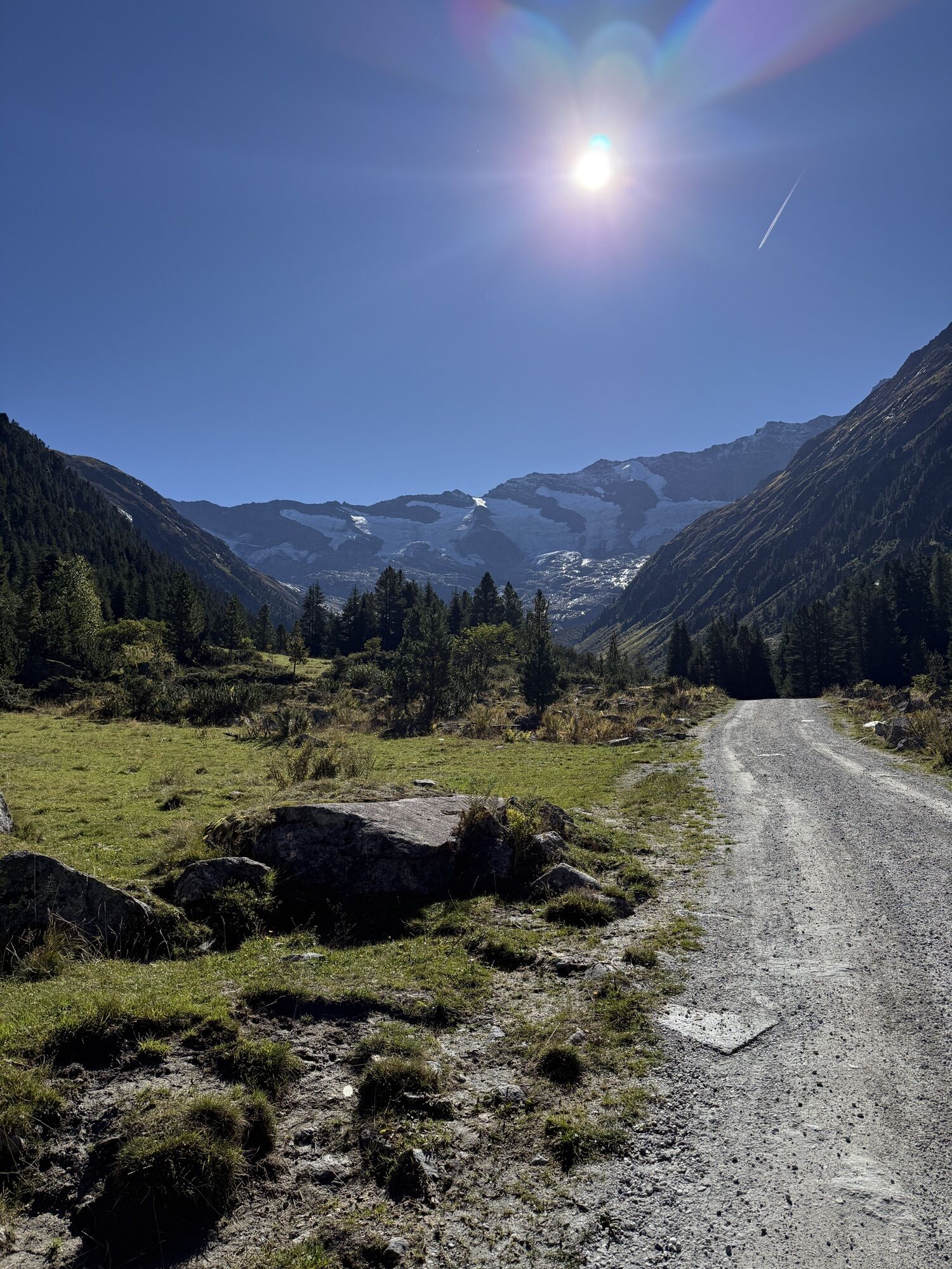
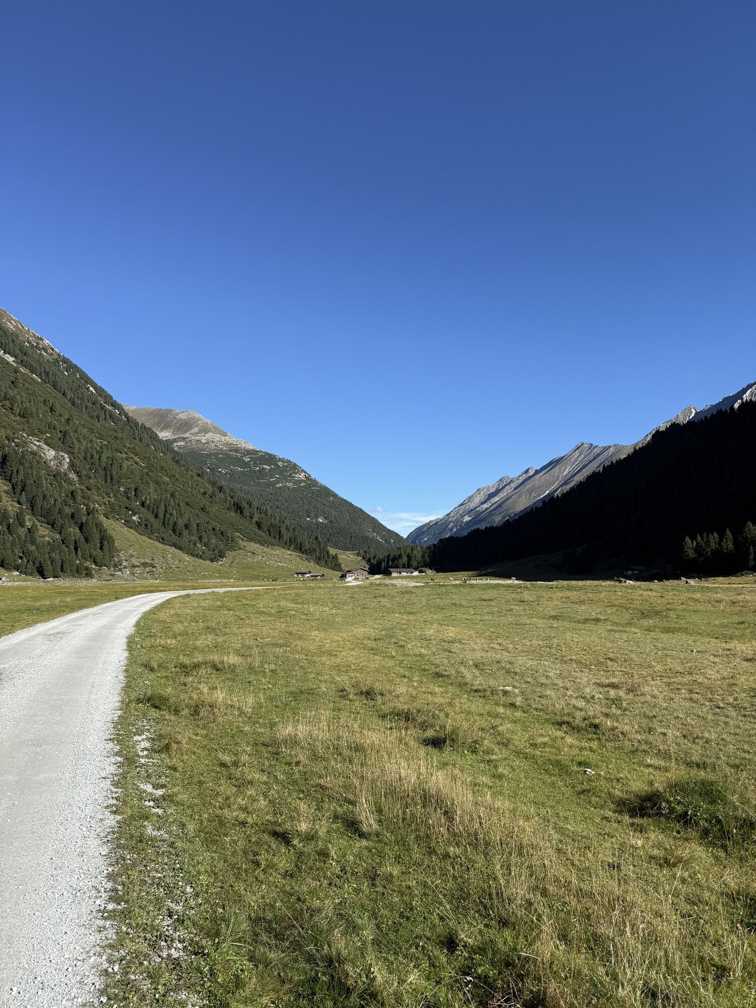
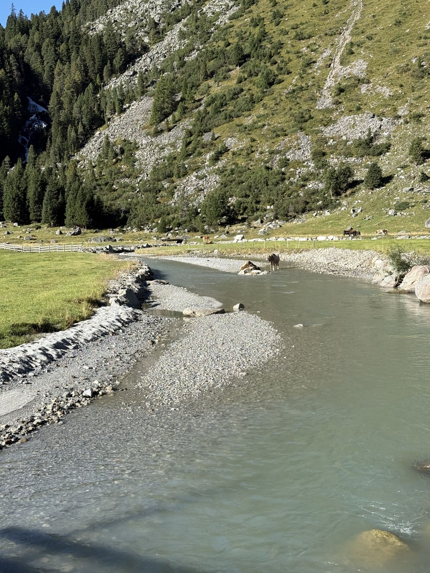
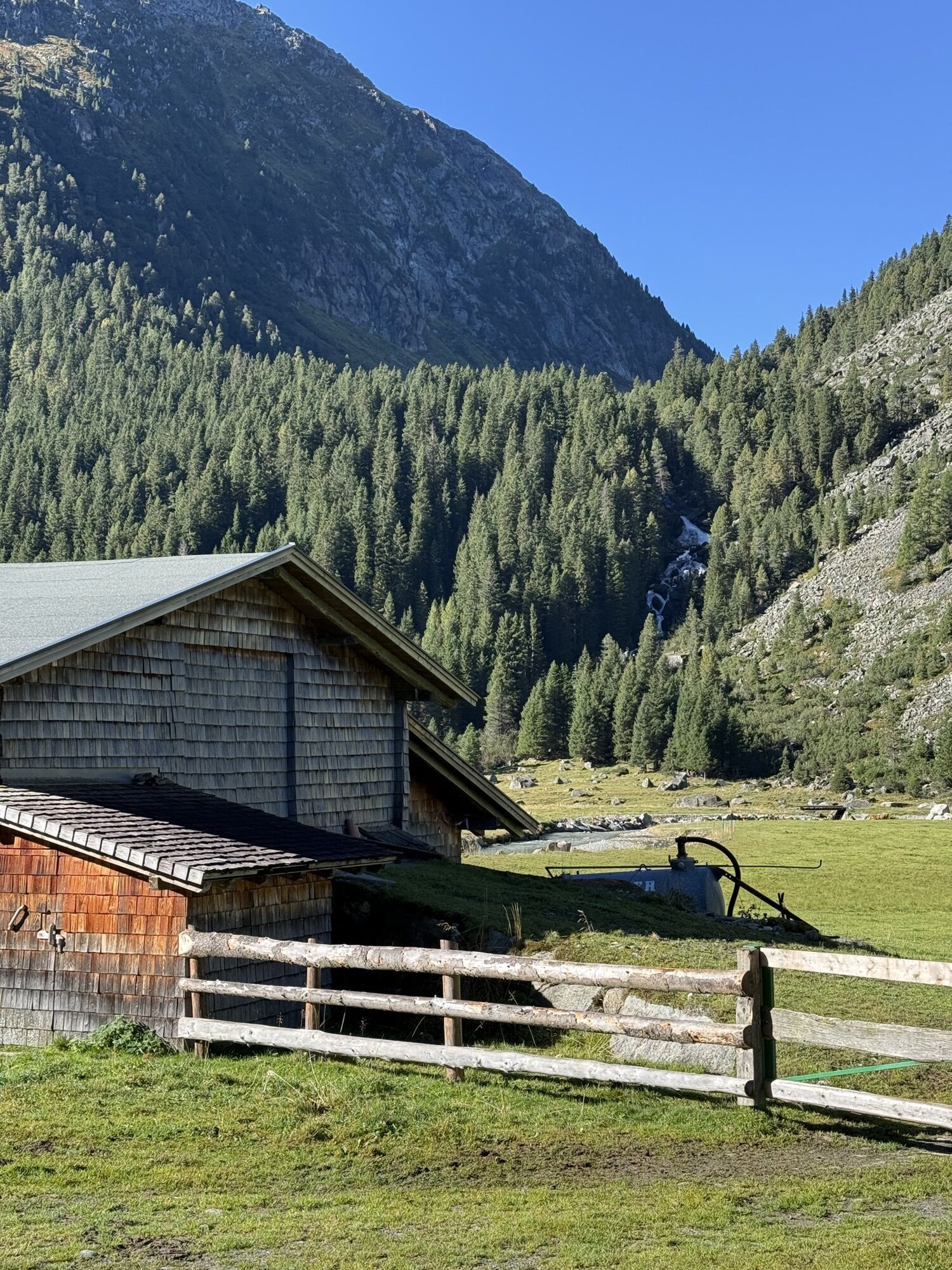
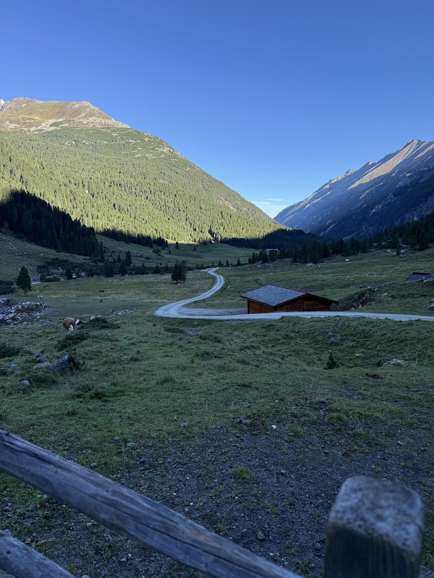
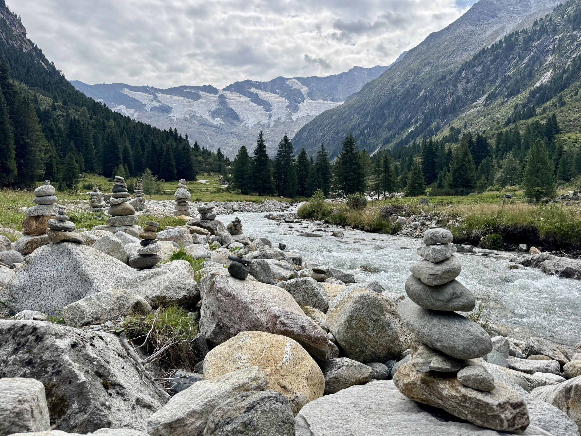
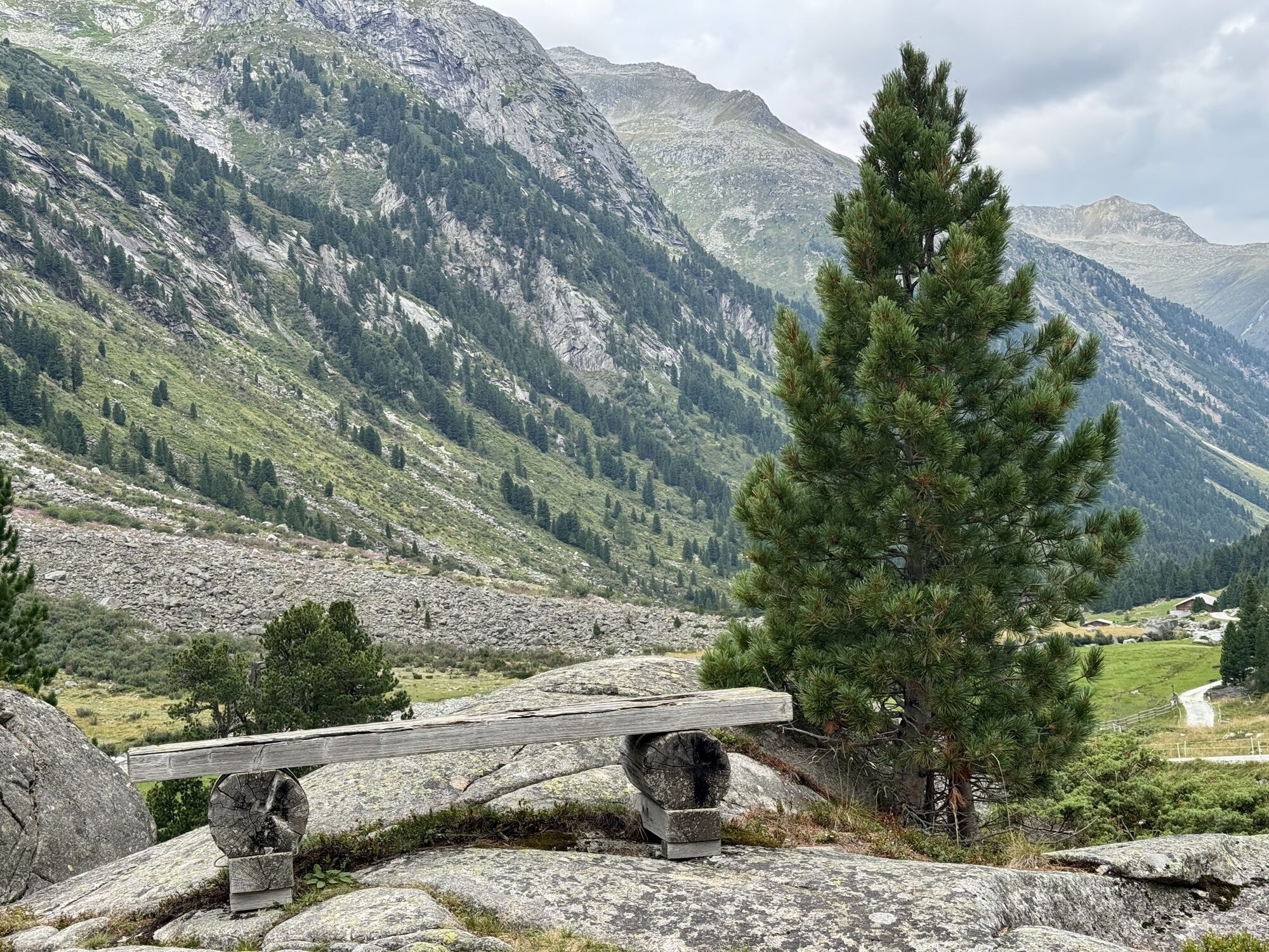
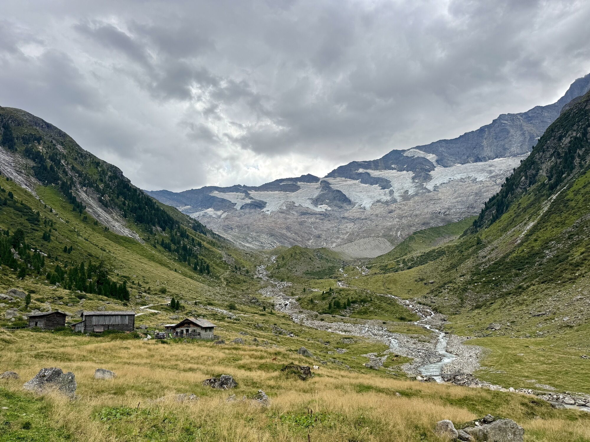
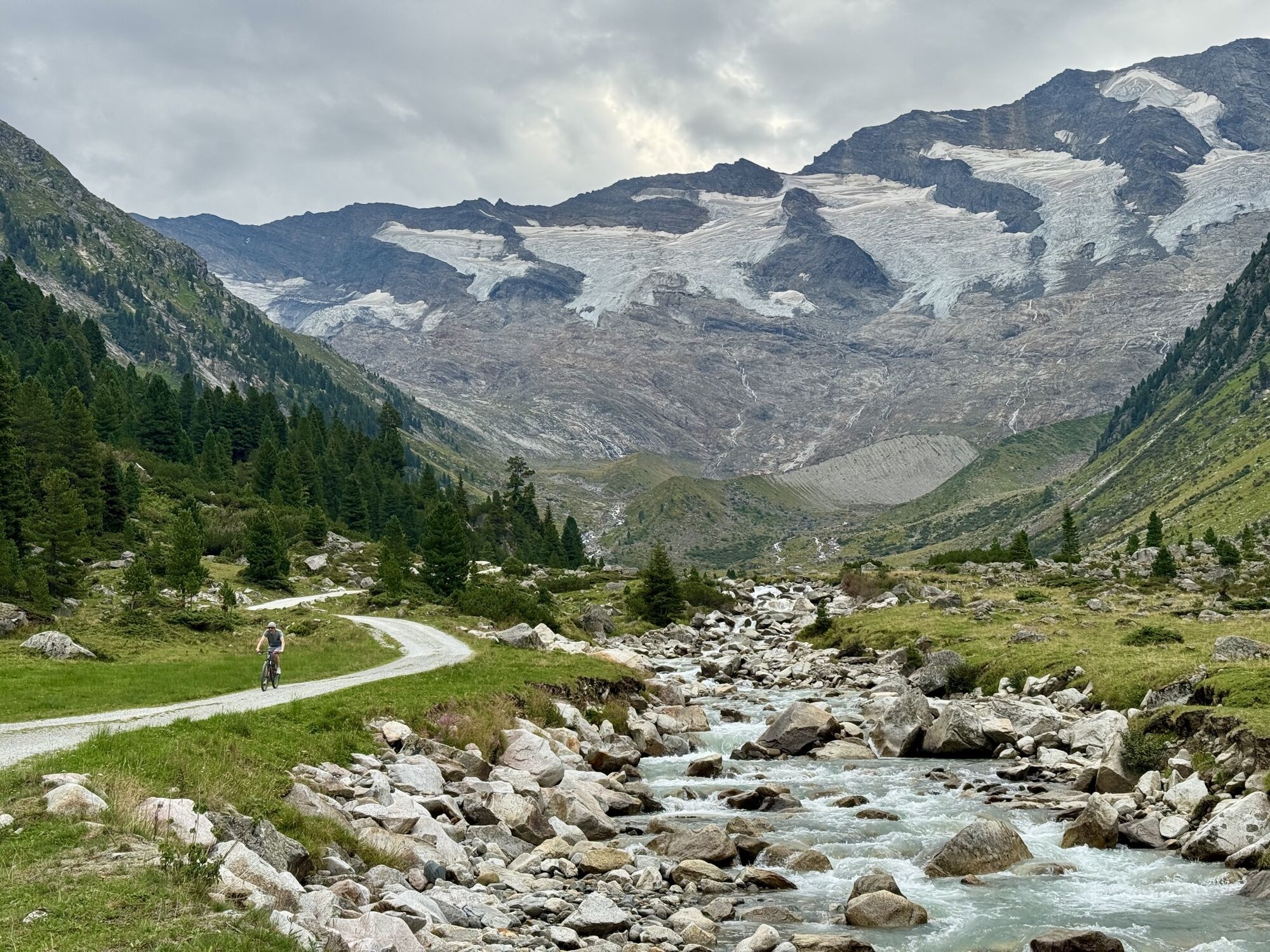
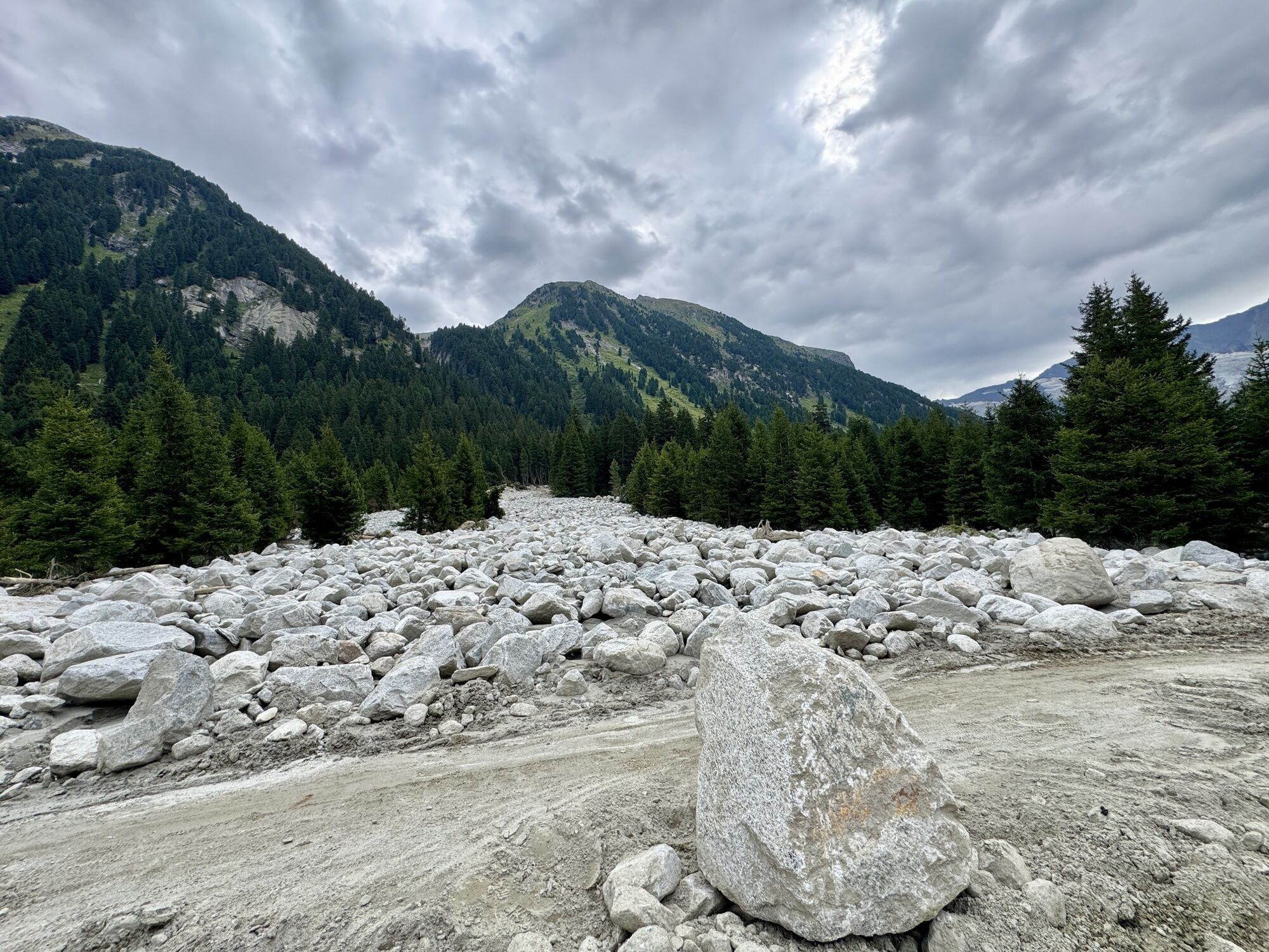
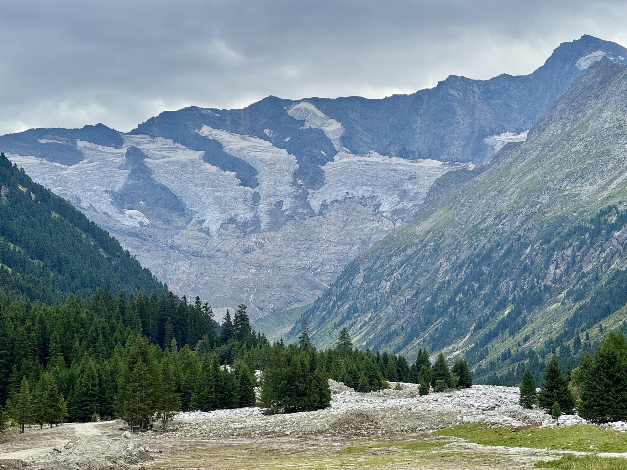
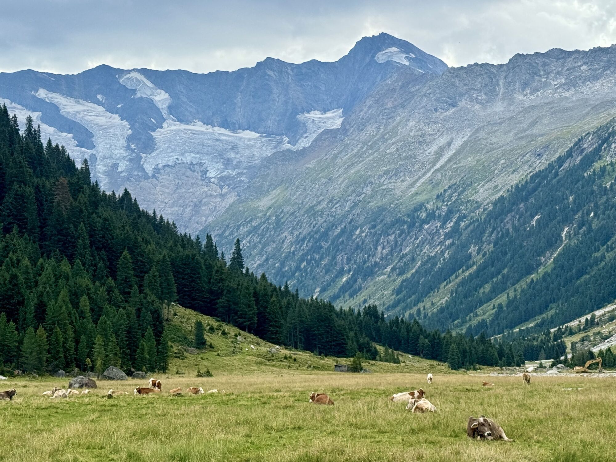
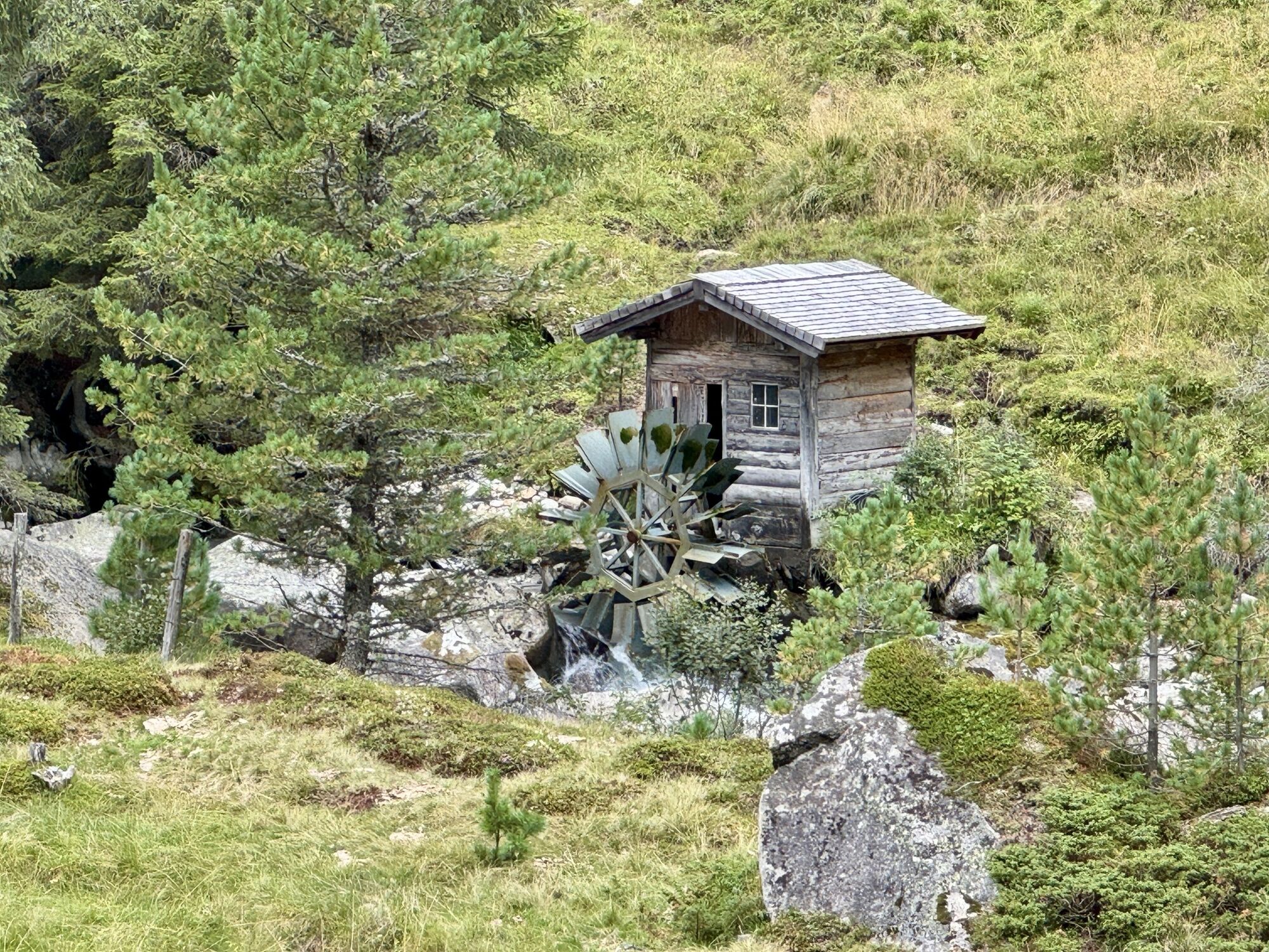
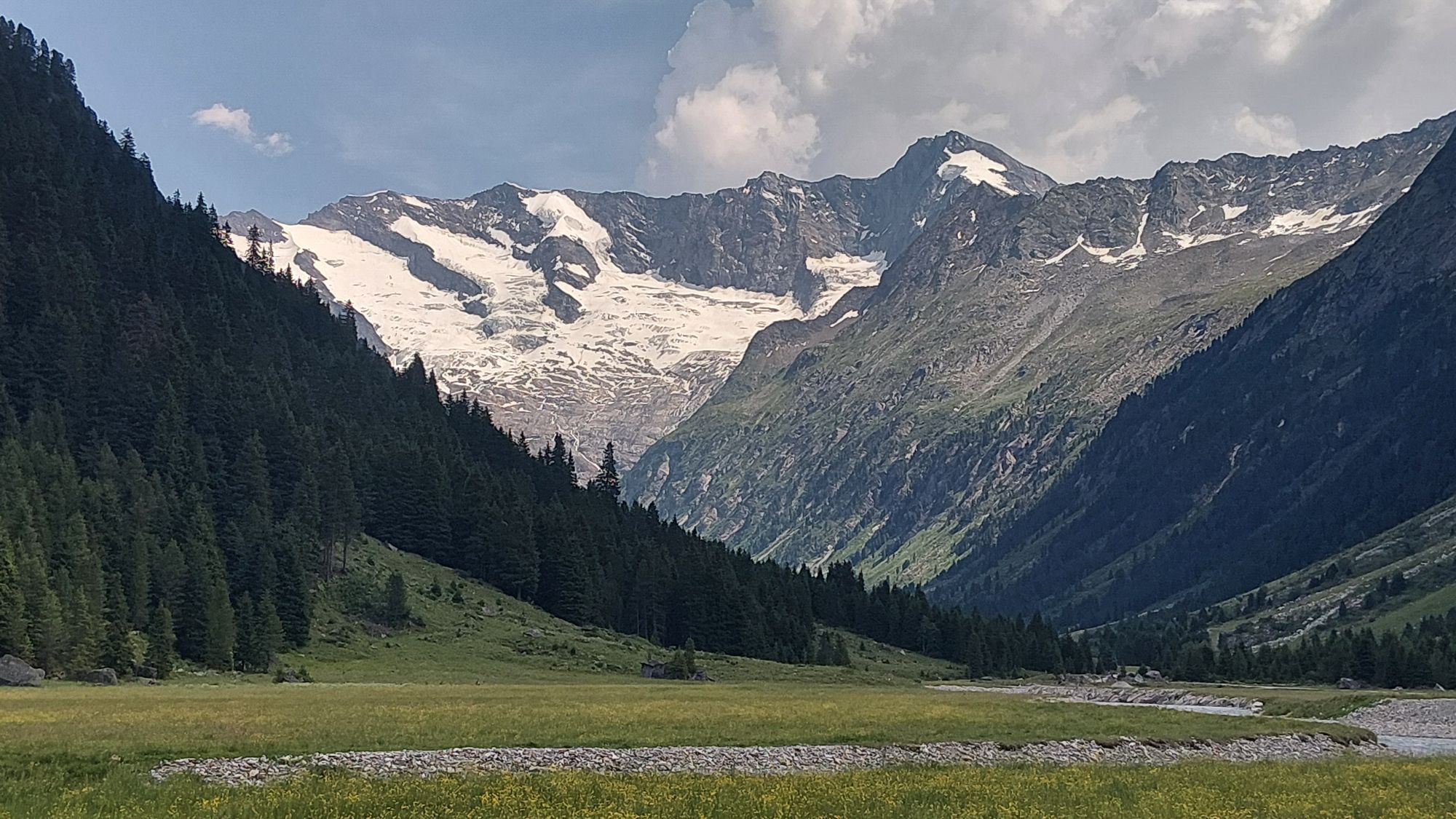
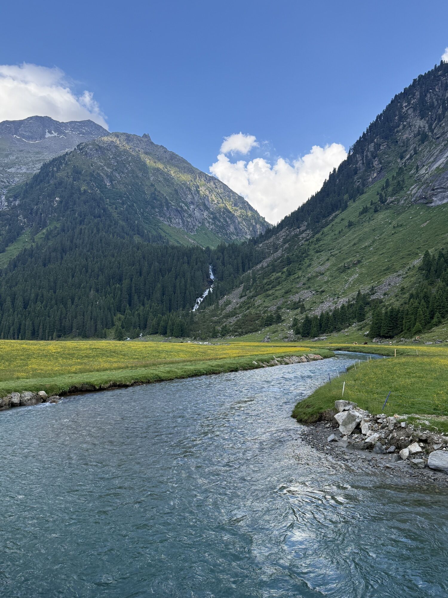
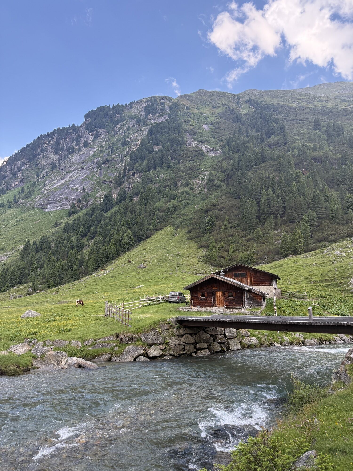
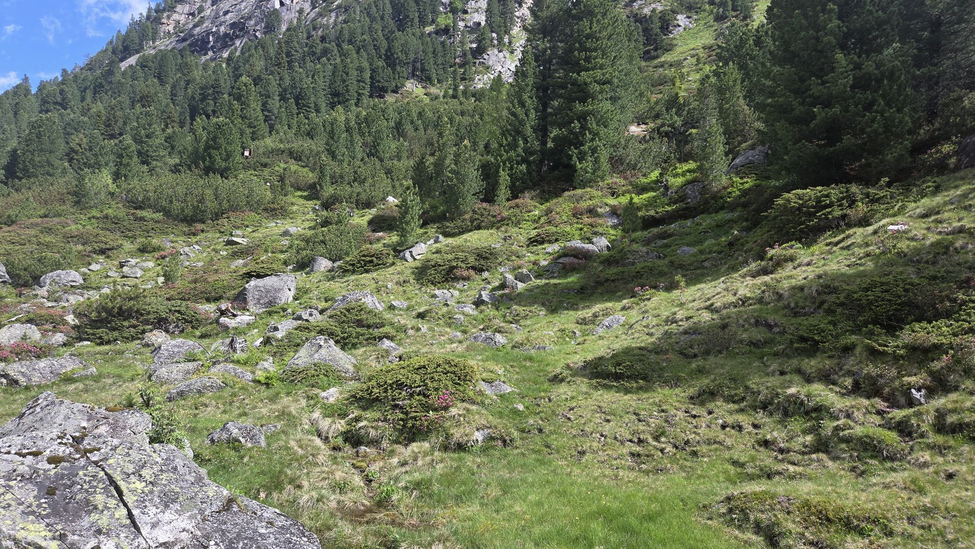
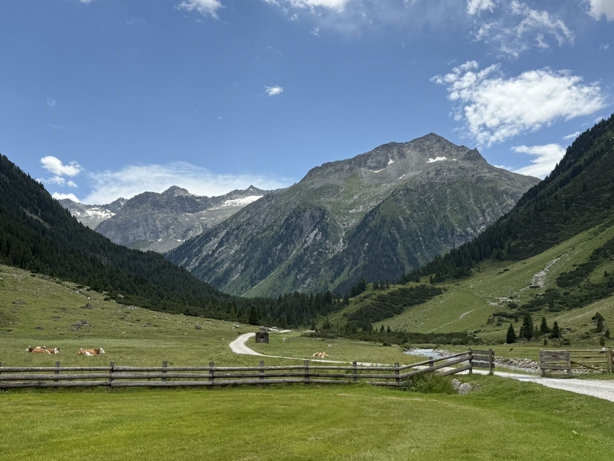
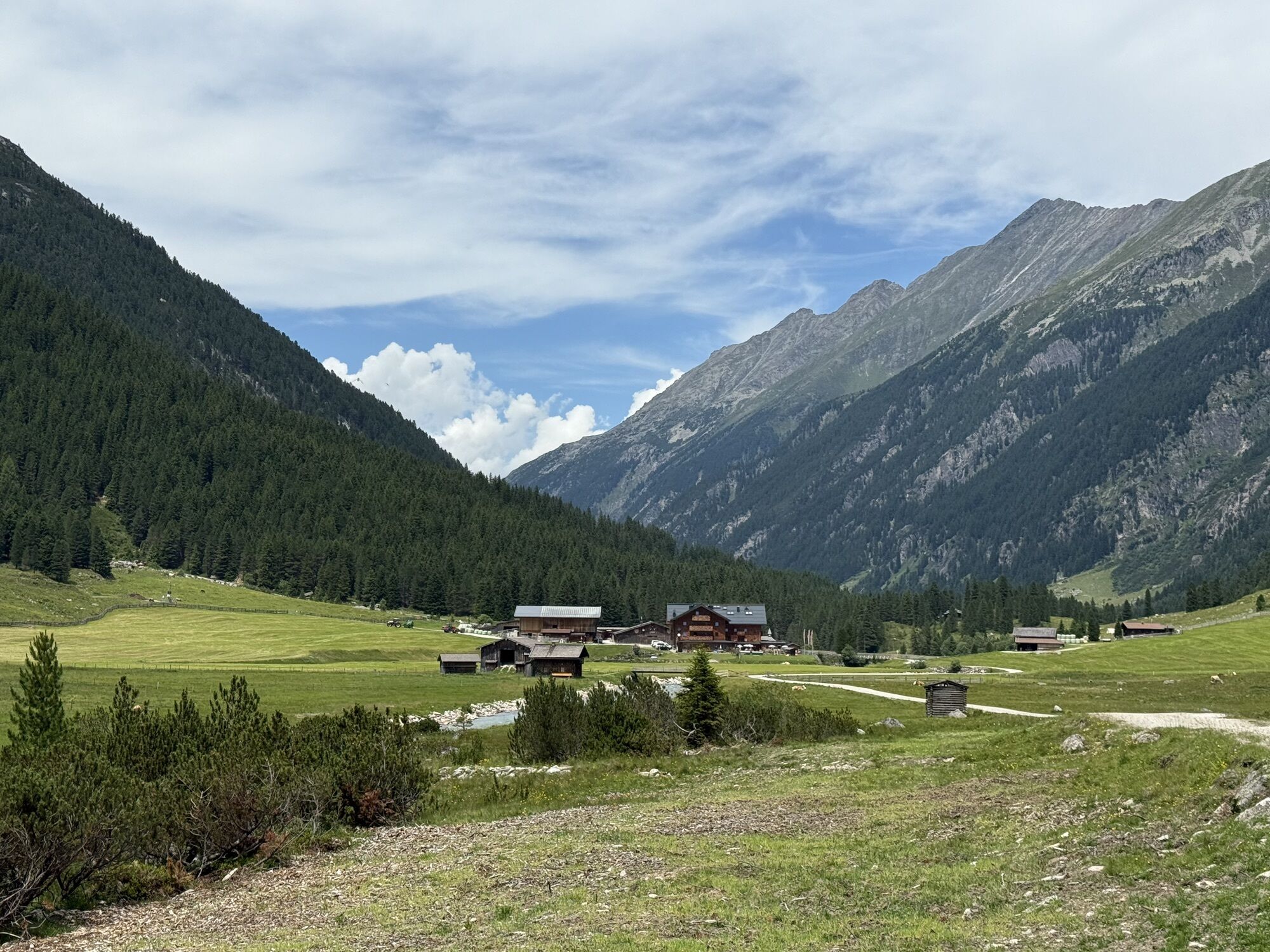
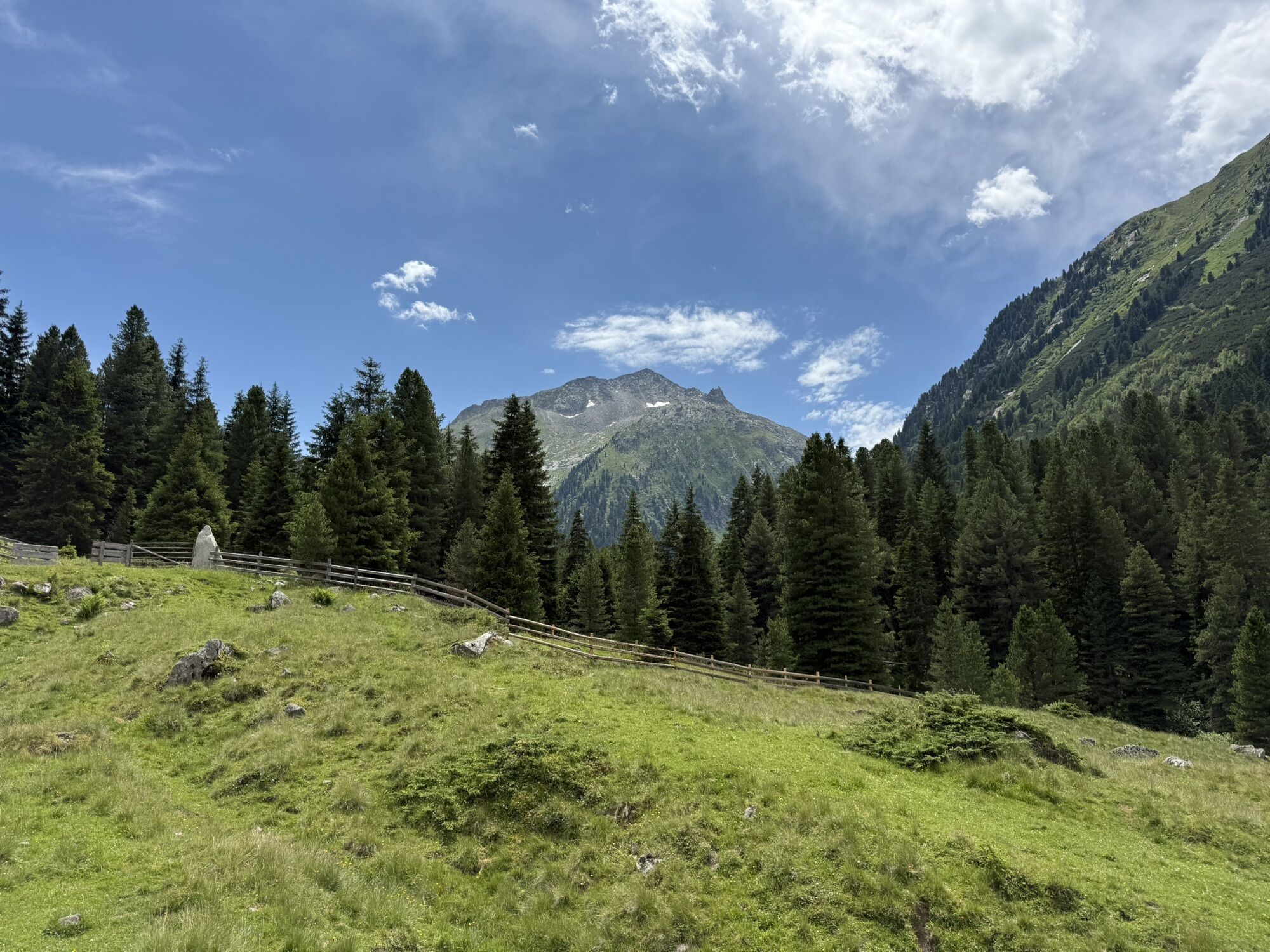
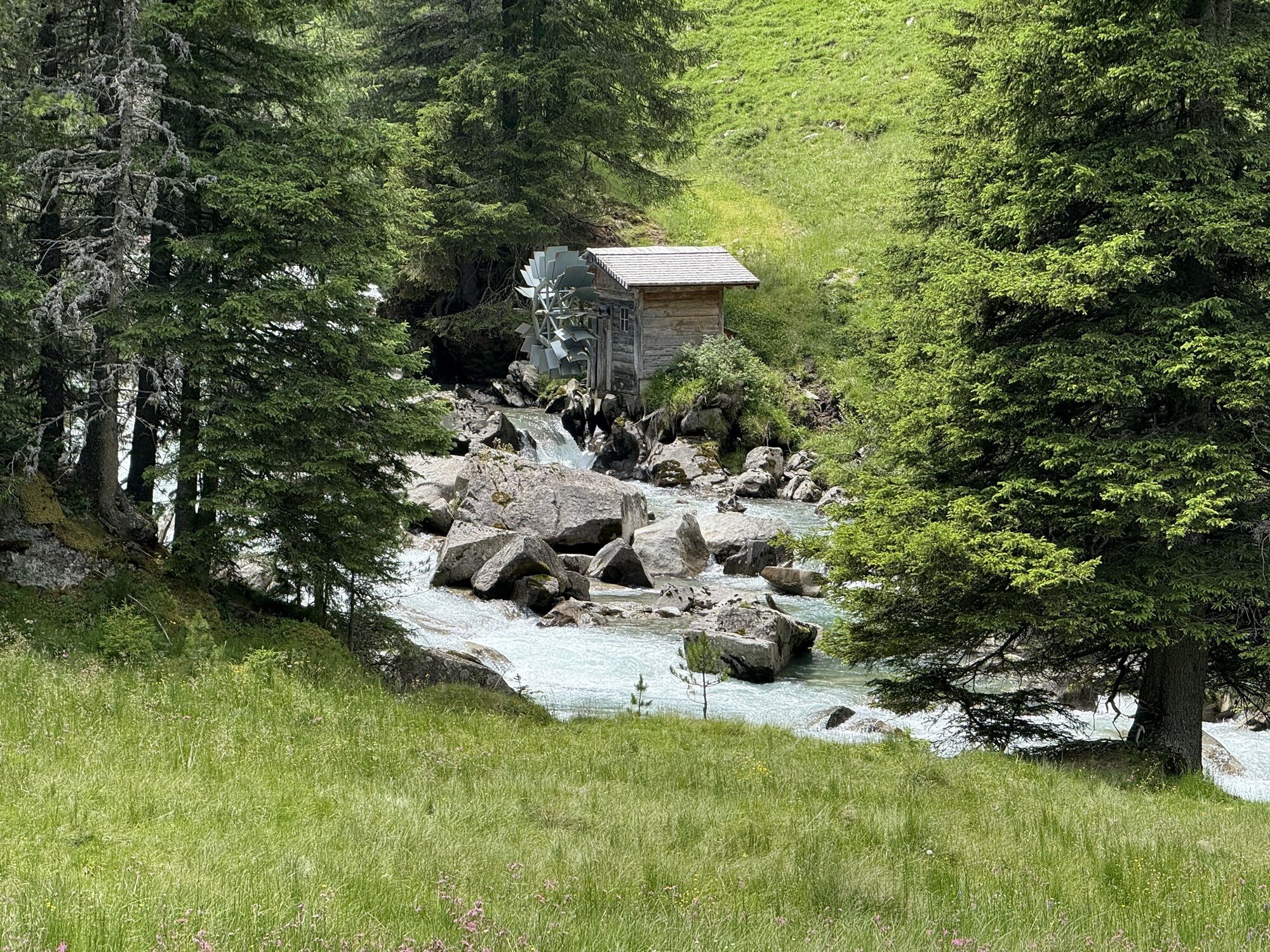
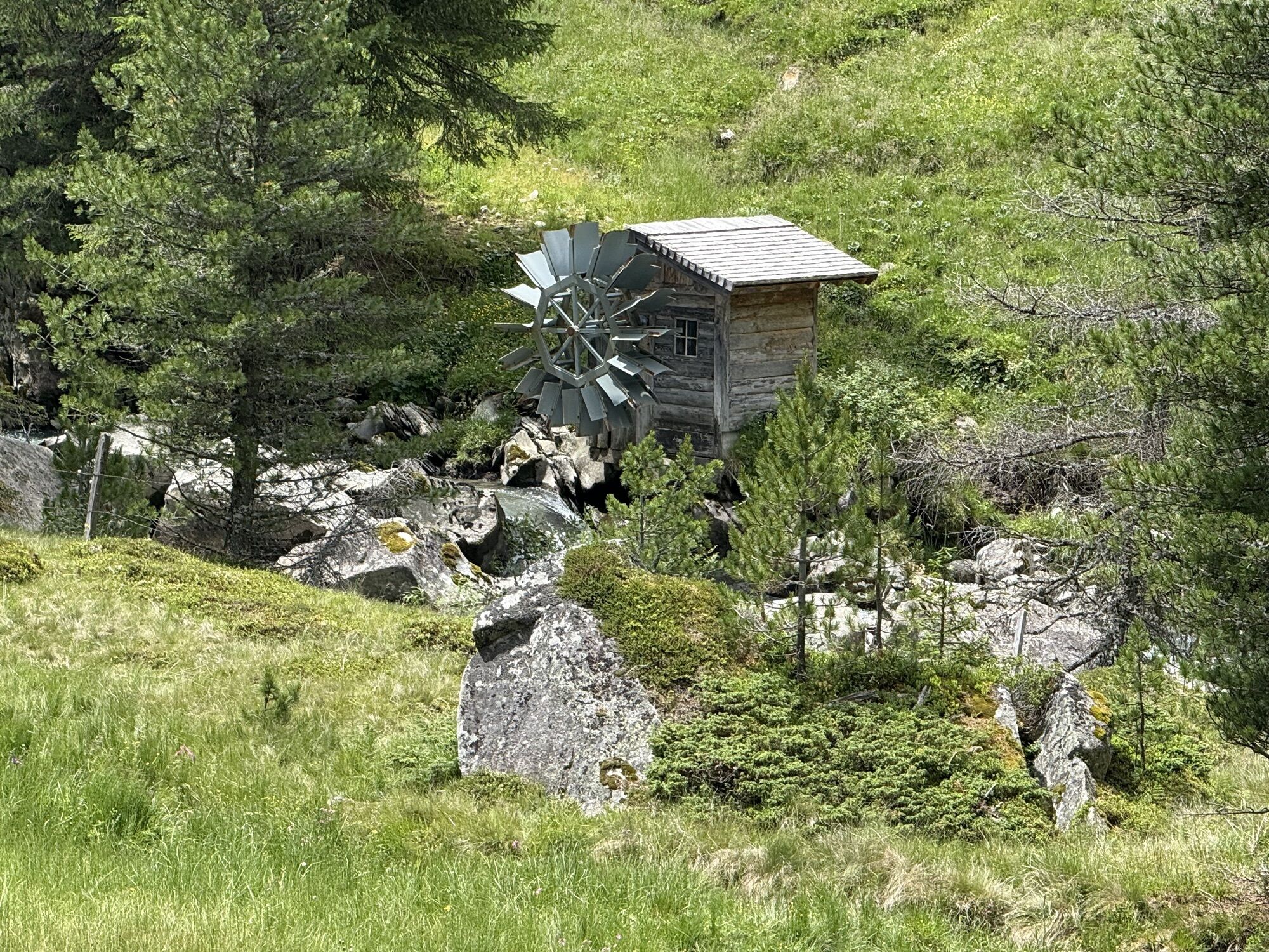
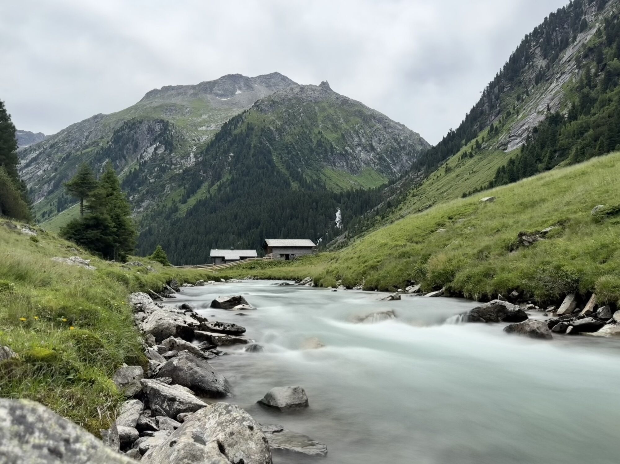
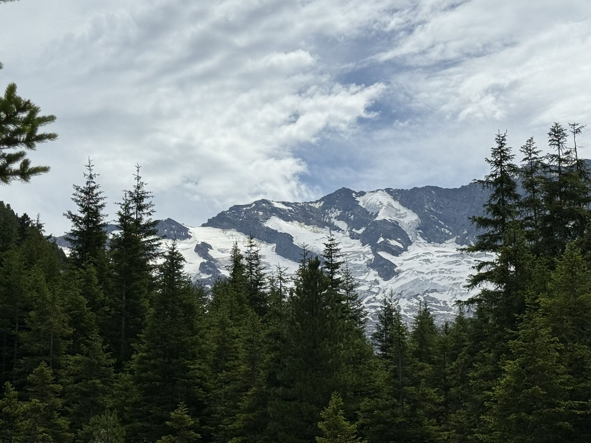
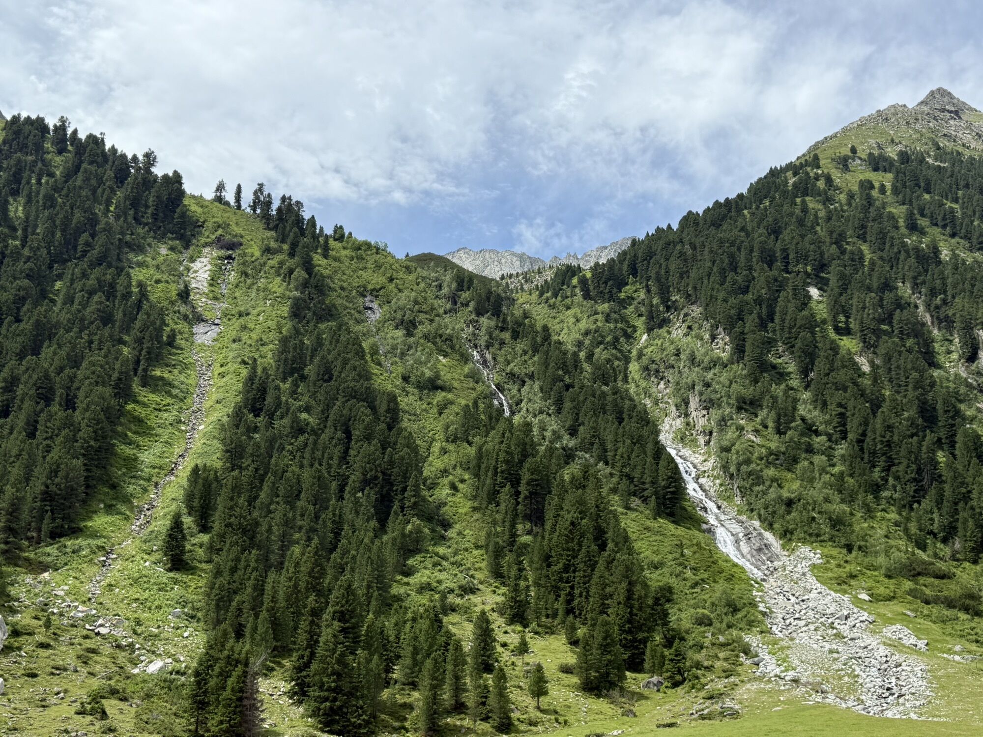
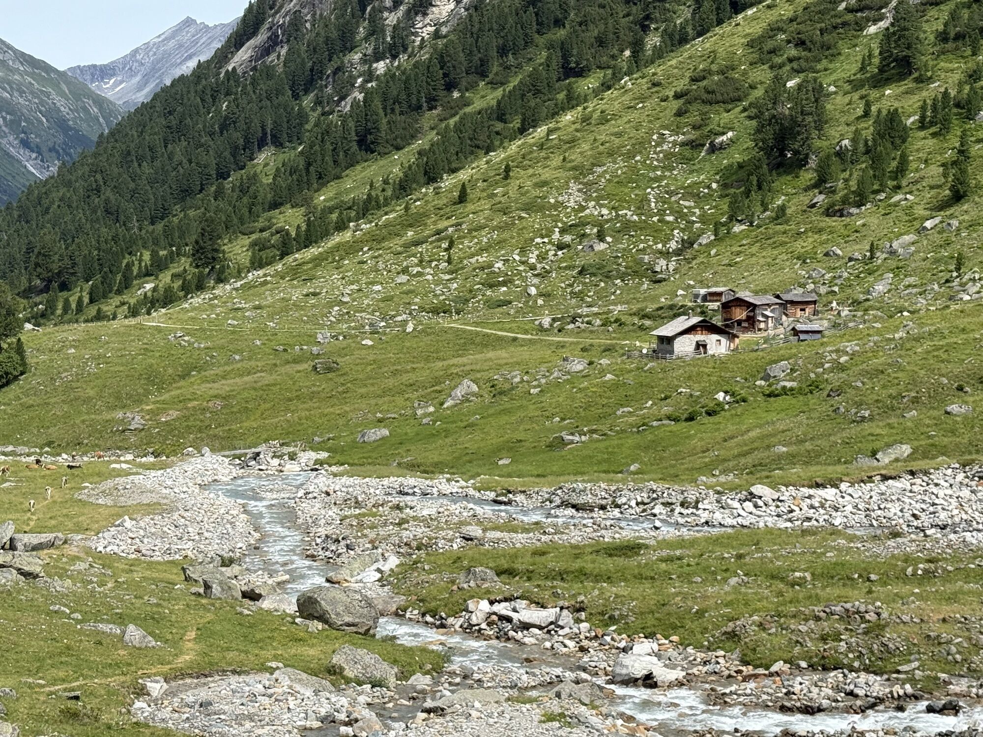
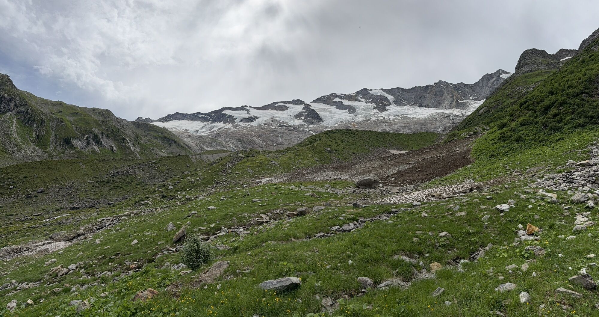
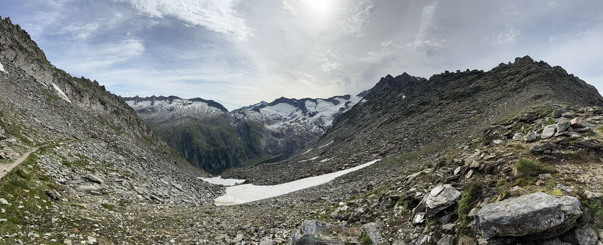
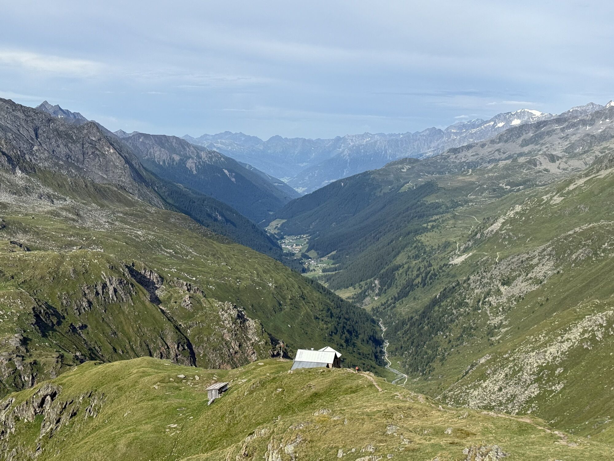
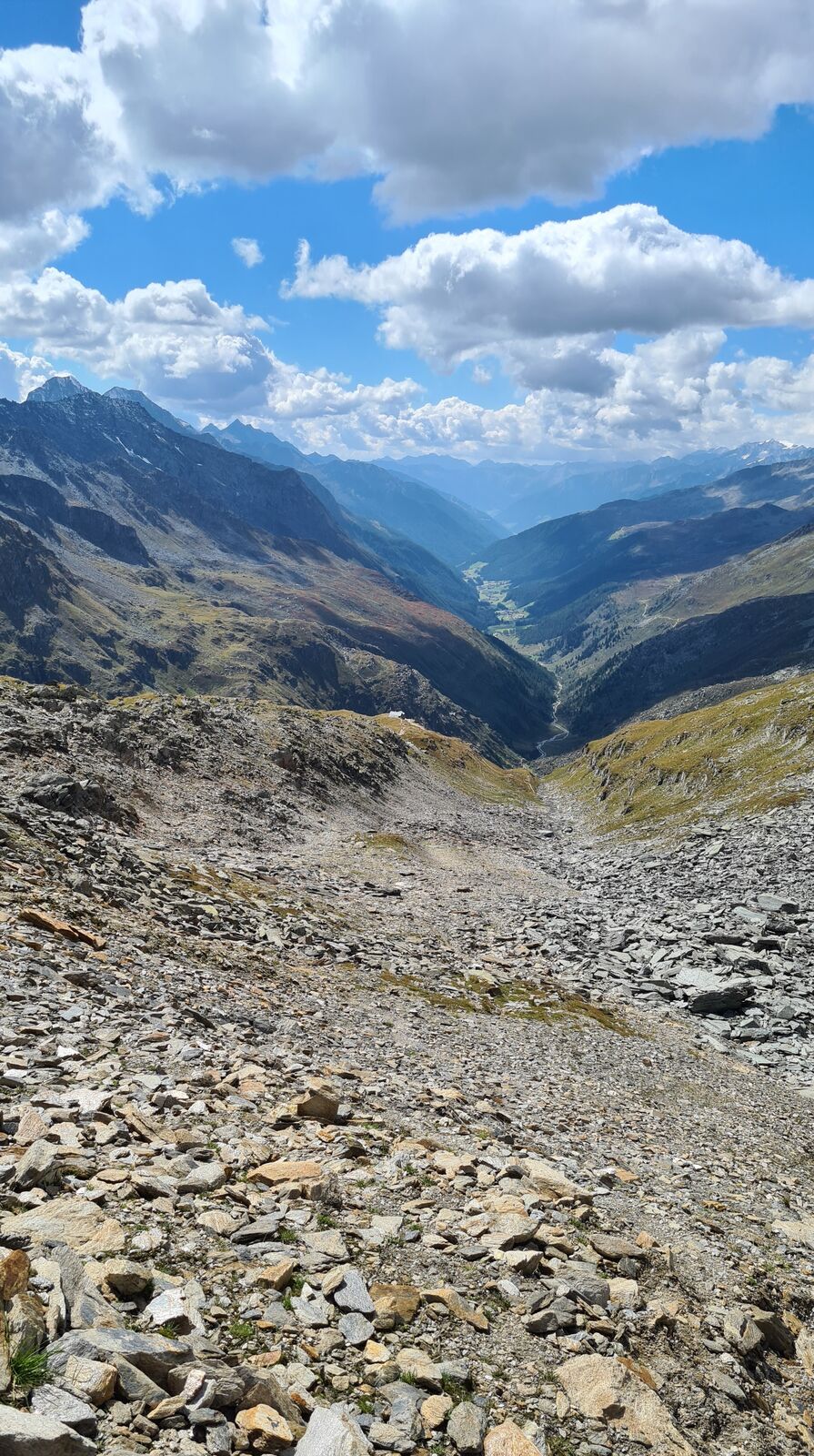
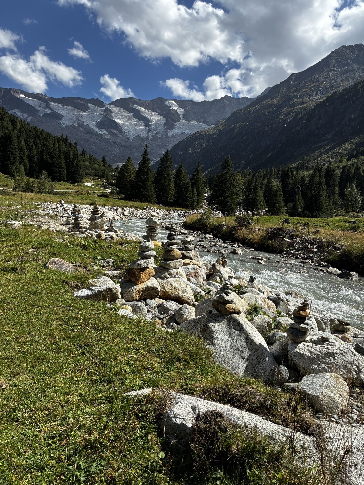
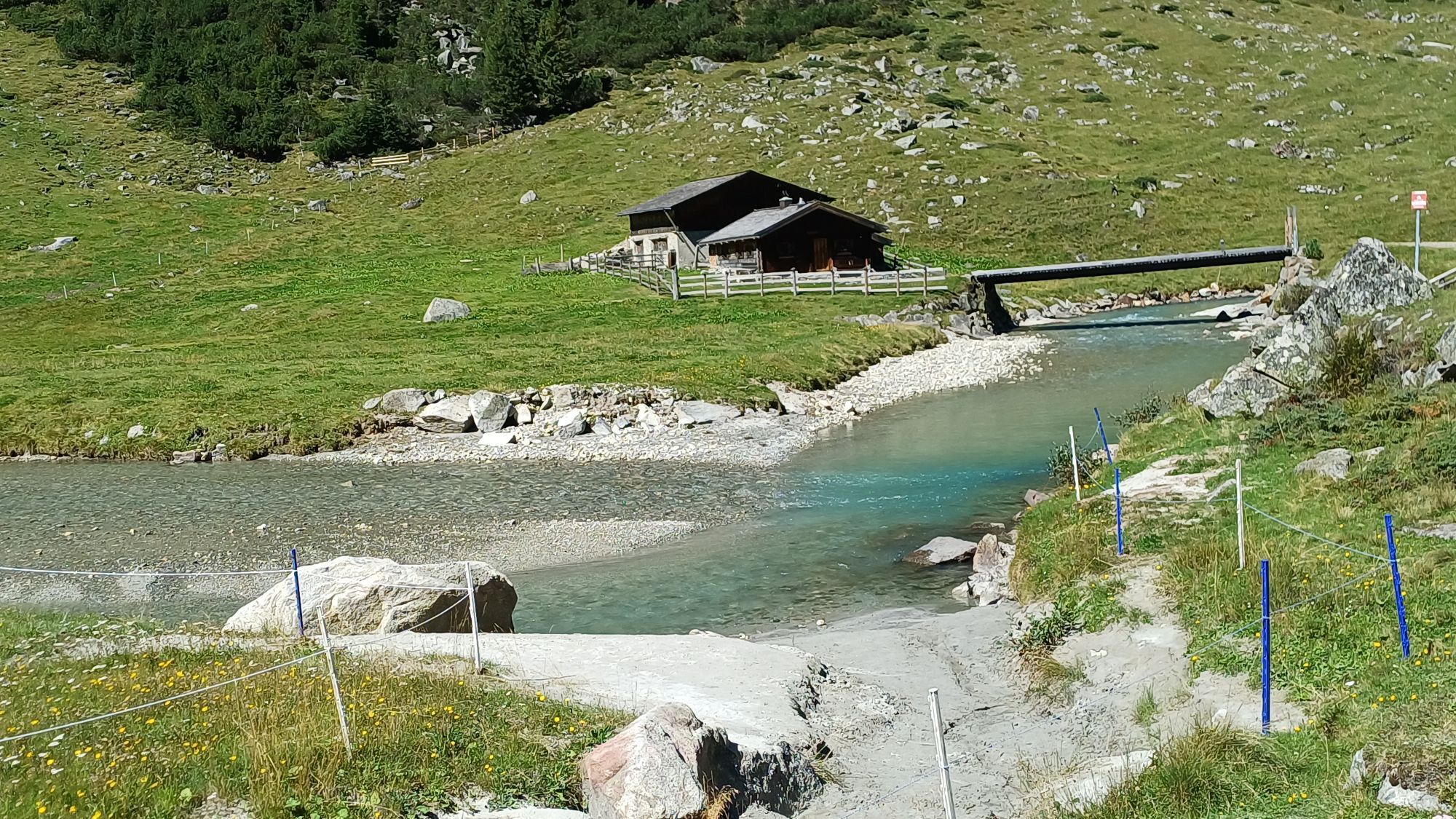
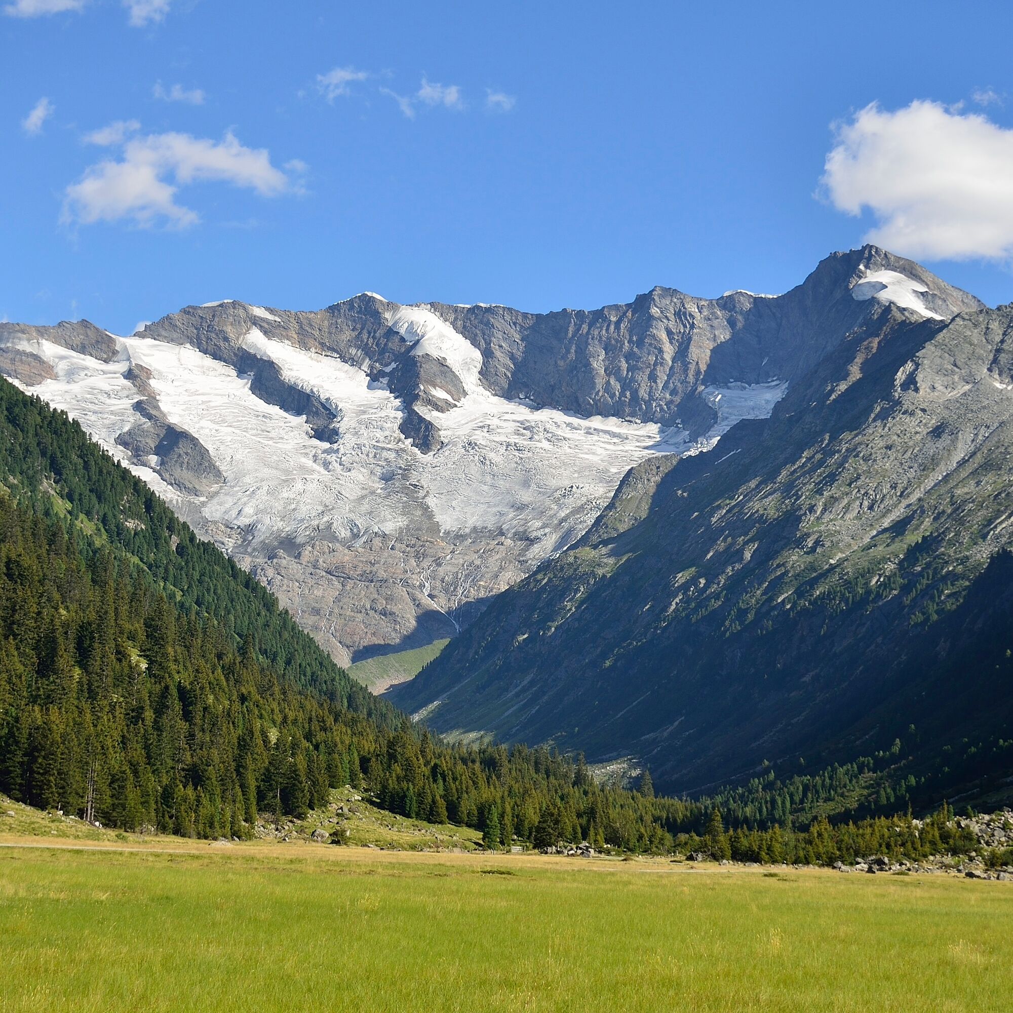
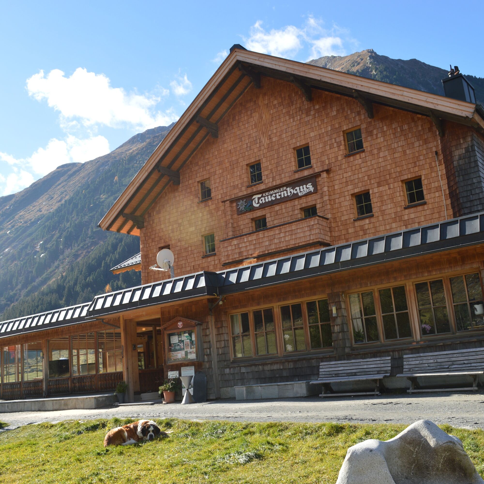
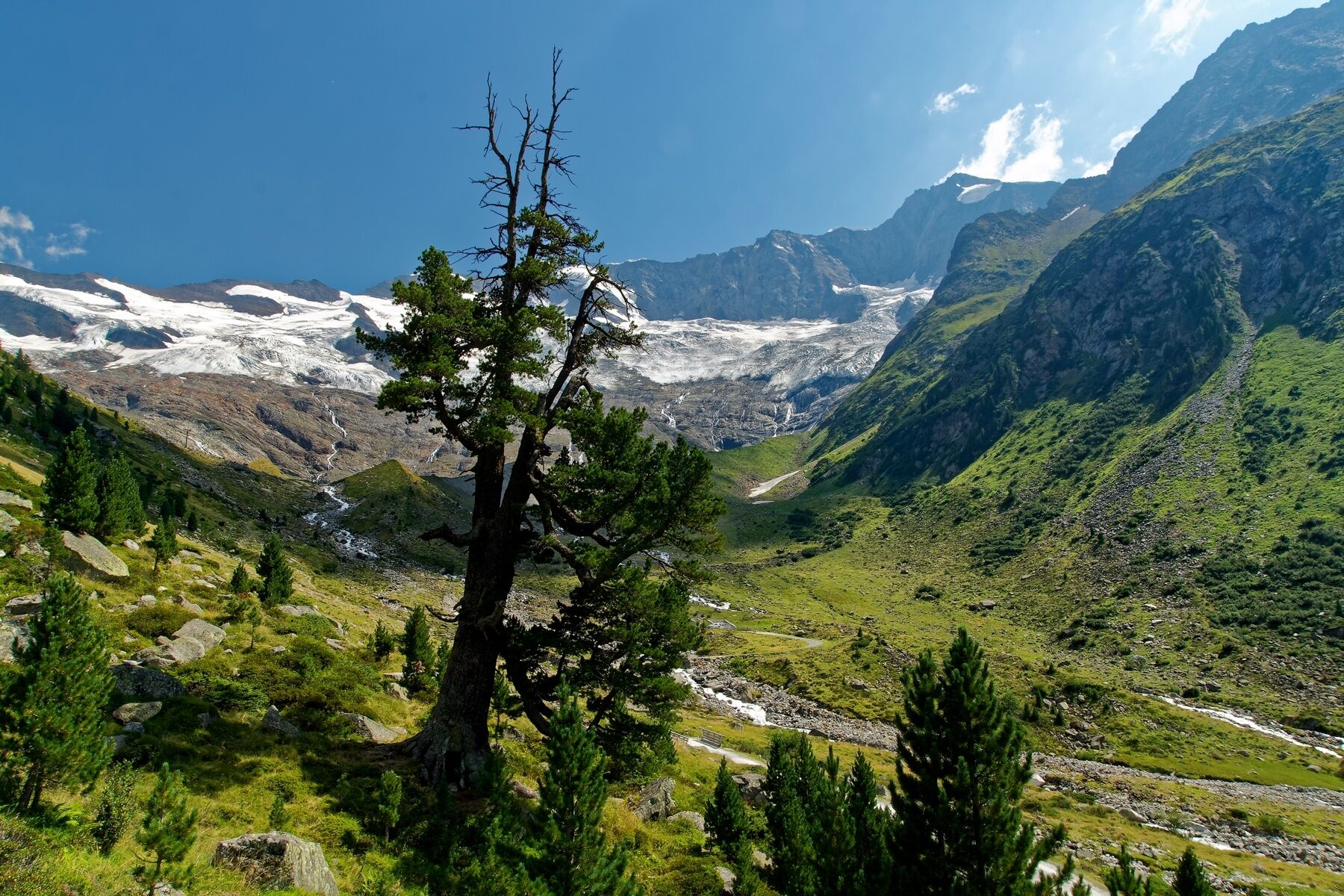
From the Krimmler Tauernhaus you hike to the end of the valley of the Krimmler Achental. On this path you pass several alpine pastures. Directly at the Innerkeesalm, the hiking trail to Birnlücke branches...
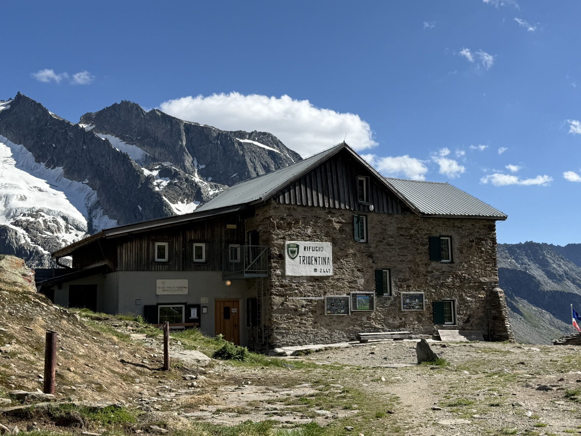
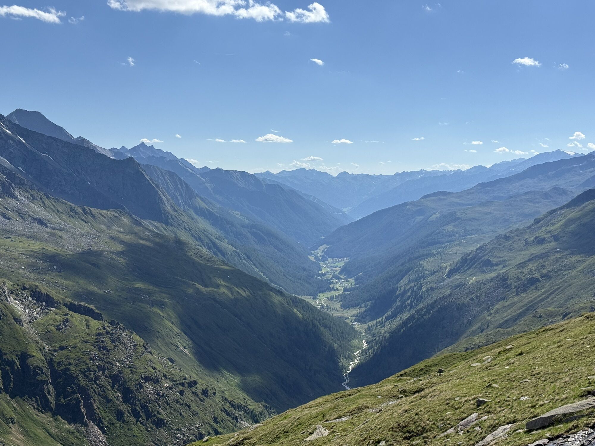
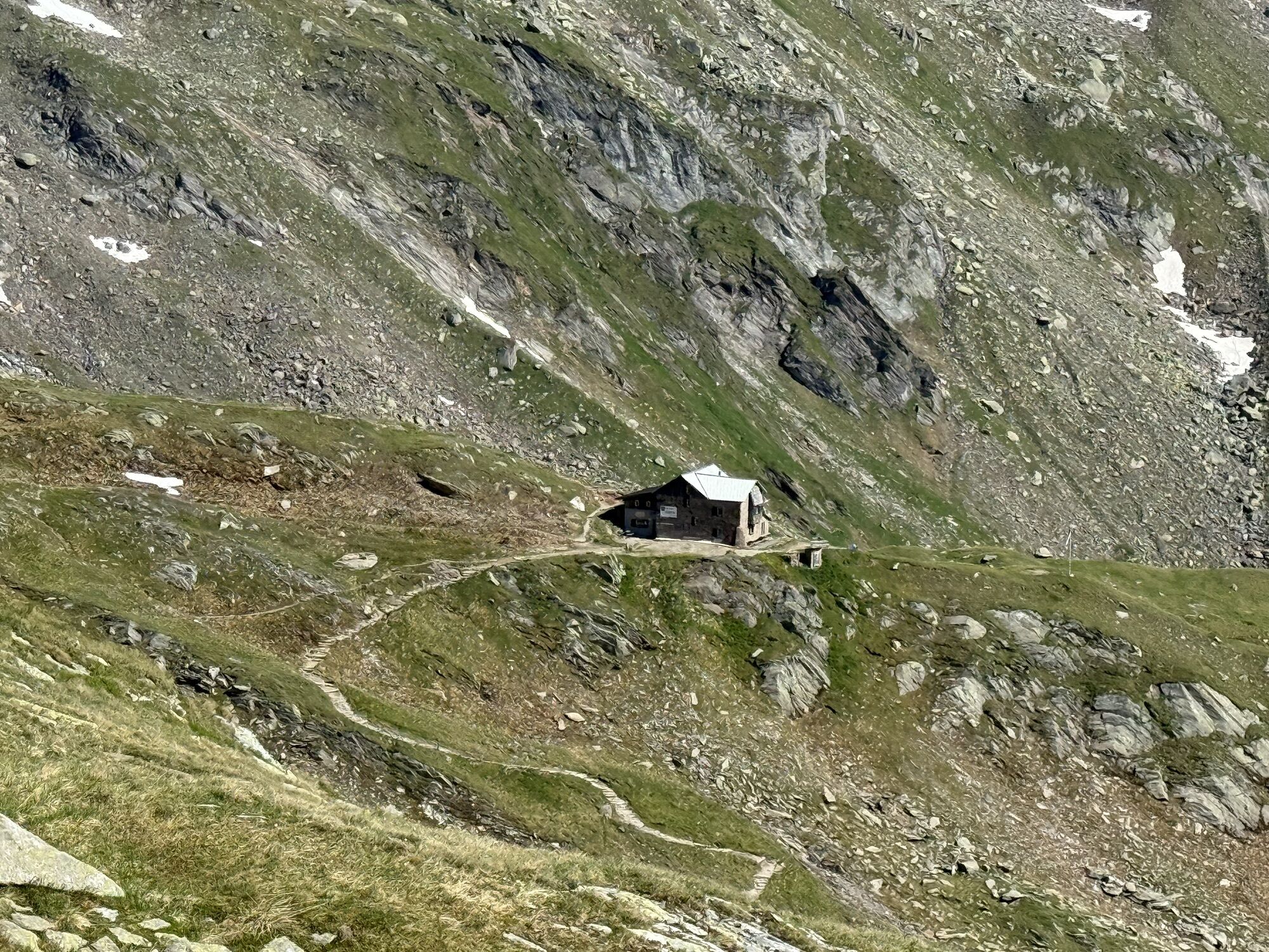
From the Krimmler Tauernhaus you hike to the end of the valley of the Krimmler Achental. On this path you pass several alpine pastures. Directly at the Innerkeesalm, the hiking trail to Birnlücke branches off to the right, where you cross the Krimmler Ache in the area of the pasture. Then you climb up a steep section in switchbacks and continue over the grassy slopes to Birnlücke. Here is the Austrian-Italian state border. If you descend on the south side for about 45 minutes, you reach the Birnlücken Hut, which offers a good place to stop for refreshments. From there, you continue on the Lausitzerweg heading west, staying at about the same elevation. On this path, there is a short section where you descend steeply via rope-secured stairs - the so-called Devil's Staircase. Shortly before the Krimmler Tauern, you pass an Italian customs hut, the Neugersdorfer Hut. From the Krimmler Tauern onwards, you are back on Austrian territory. You descend via the Tauernleiten into the Windbachtal. In the area of the Außerunlaß Alm, you come back onto the wide alpine pasture road that leads back to the Tauernhaus.
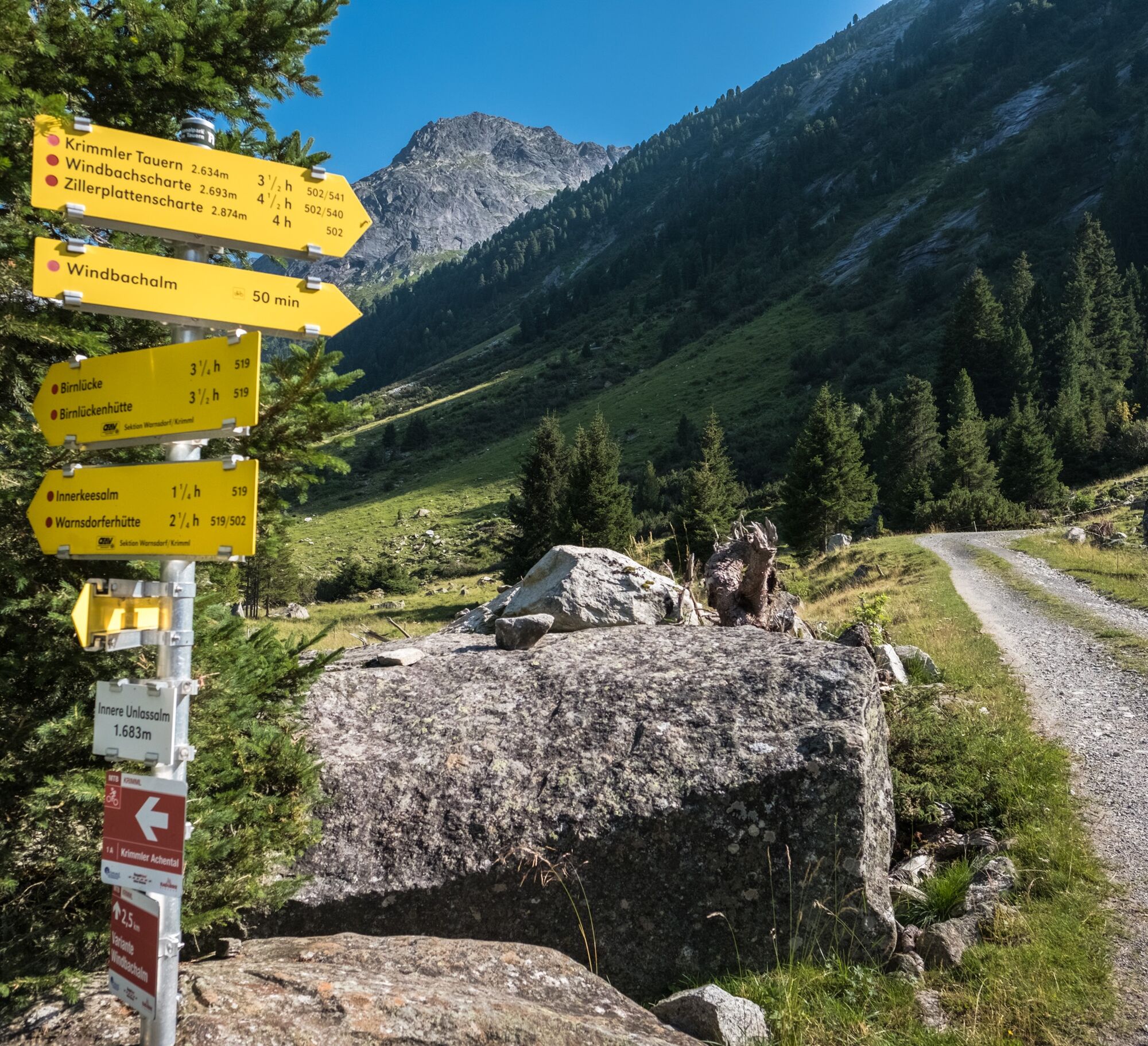

Path no.: 519, 502, 13, 541
Krimmler Tauernhaus - Achental - Birnlücke - Birnlücken Hut (South Tyrol) - Krimmler Tauern (Austria) - Windbachtal - Krimmler Tauernhaus
Mountain boots, weatherproof clothing, water bottle, hiking poles recommended
Mountain experience, stamina and sure-footedness required!
Coming from Tyrol via the Gerlos Alpine Road, from the east via B165 from the direction of Mittersill.
By Postbus to the stop "Krimml Waterfalls" or "Krimml town centre".
For arrival with the Pinzgau local railway, a rail replacement service has been set up between the stops "Niedernsill" and "Krimml station".
Affordable long-term parking in Krimml town.
Krimmler Tauernhaus: Tel.: +43 (0)6564/21200 or www.krimmler-tauernhaus.at
Birnlücken Hut: Tel.: +39 (0)474654140 or http://www.pension-knappenhof.com/dt-birnlueckenhuette.htm
Tourism Association Krimml/Hochkrimml: Tel.: +43 (0)6564/7239-0 or www.krimml.at
A transfer with the national park taxi is possible to Krimmler Tauernhaus or the material cable car of the Warnsdorfer Hut (reservation required!).
Overnight stays are possible at the Birnlücken Hut (reservation recommended!).


Aktivity na trase
-

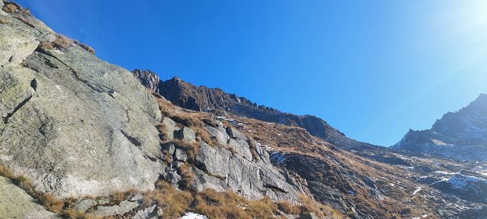
Prettau, Trentino-Südtirol/Italien
26.09.2026 – Horská turistika -
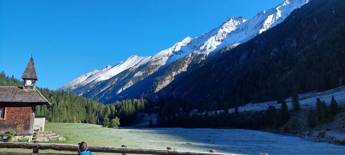
Krimml, Salzburg/Österreich
25.09.2026 – Horská turistika -

Birnlücknhütte - Krimmler Tauernhaus
20.08.2026 – Turistika -

Prettau, Trentino-Südtirol/Italien
31.07.2026 – Turistika -

Prettau, Trentino-Südtirol/Italien
11.07.2026 – Zimní turistika
Oblíbené prohlídky v okolí
-
4.8
NaturKraftWeg Umbalfälle
světloTematická stezka 5.99 km -
4.8
Zittauer Hut
středníTuristika 6.85 km -
4.4
Krimml Waterfall Path - Panorama Viewing Path
středníTuristika 5.71 km -
4.4
Krimmler Tauernhaus
středníTuristika 10.4 km -
4.8
Stoden - Clarahütte
středníTuristika 7.12 km -
4.9
Krimmler Achental
středníElektrokola 18.4 km -
4.6
Krimmlerwasserfälle
středníTuristika 10.5 km -
4.9
Oberhausalm - Jagdhaushütte
světloTuristika 14.0 km -
5.0
Krimml: Zum Krimmler Tauernhaus
Mountainbike 12.4 km -
4.4
Krimml Waterfalls
středníTuristika 12.4 km
Pěší turistika a stopování


Nenechte si ujít nabídky a inspiraci pro vaši příští dovolenou
Vaše e-mailová adresa byl přidán do poštovního seznamu.





