







From St. Gilgen on Wolfgangsee to Fürbergbucht
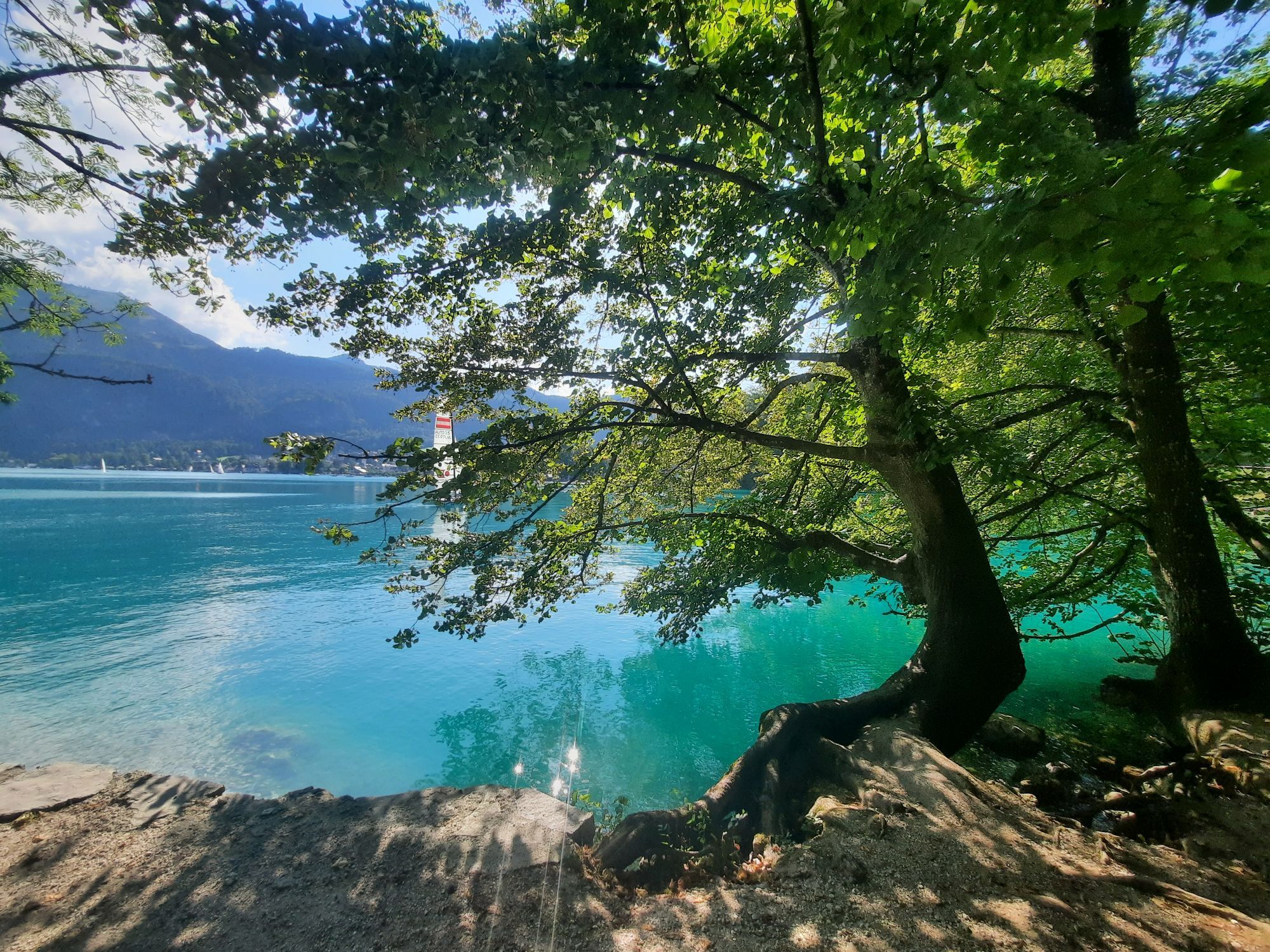
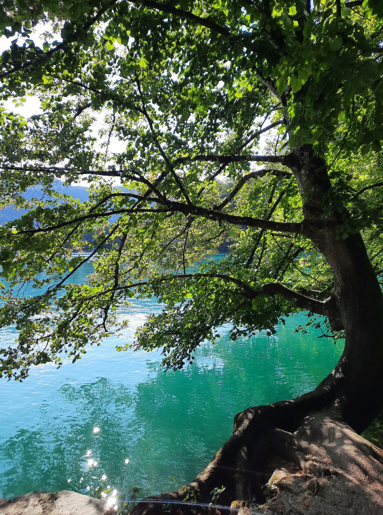
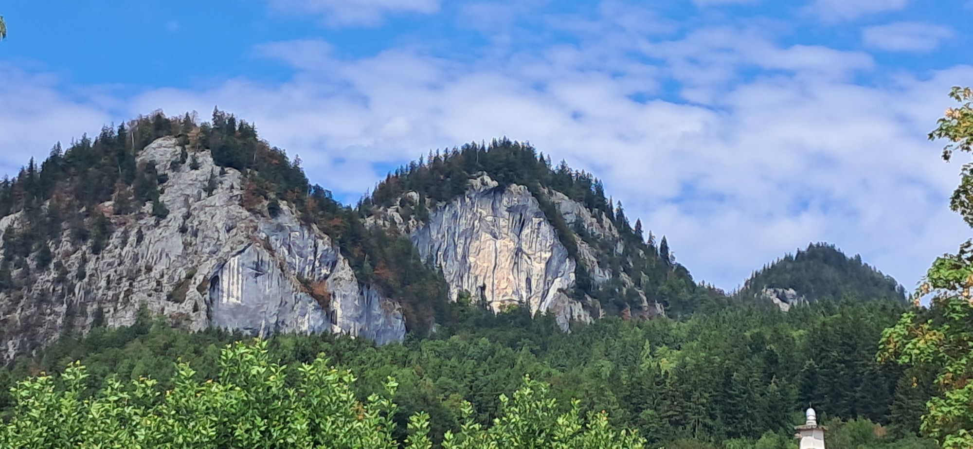
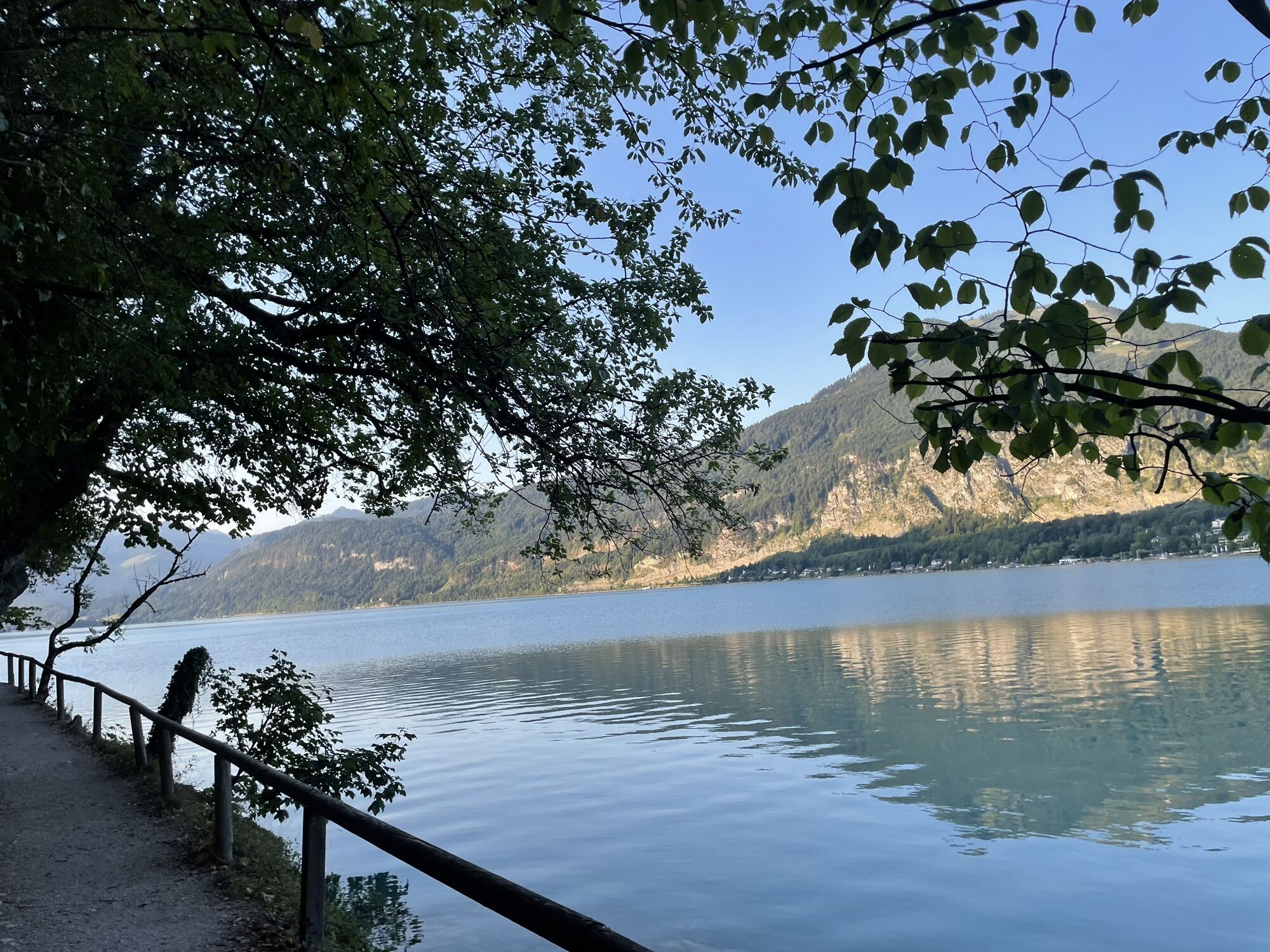
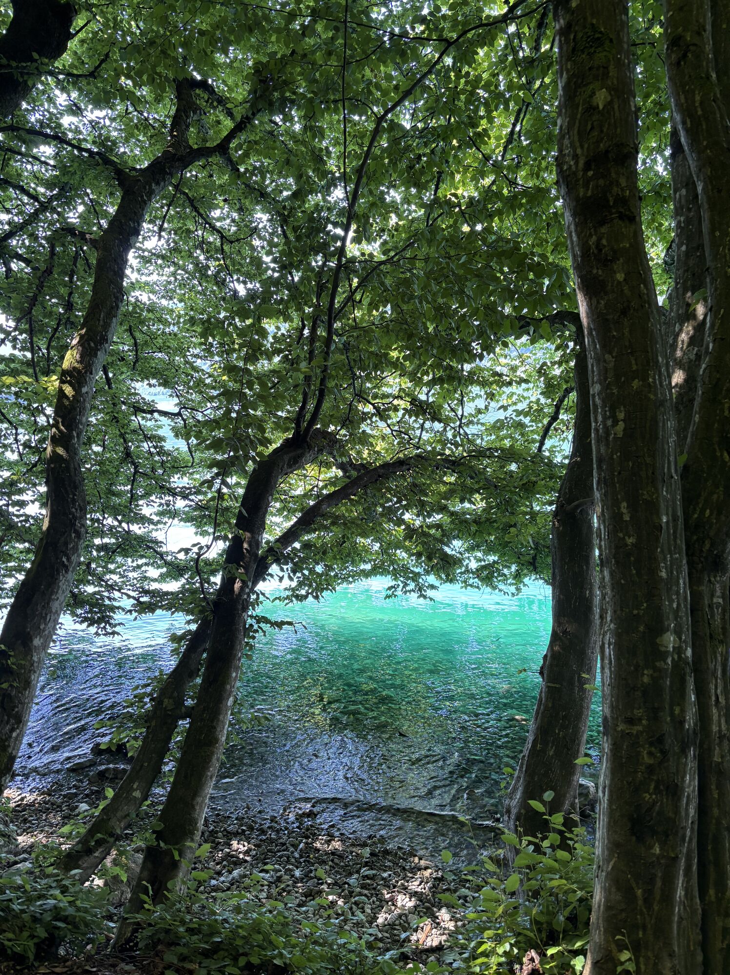
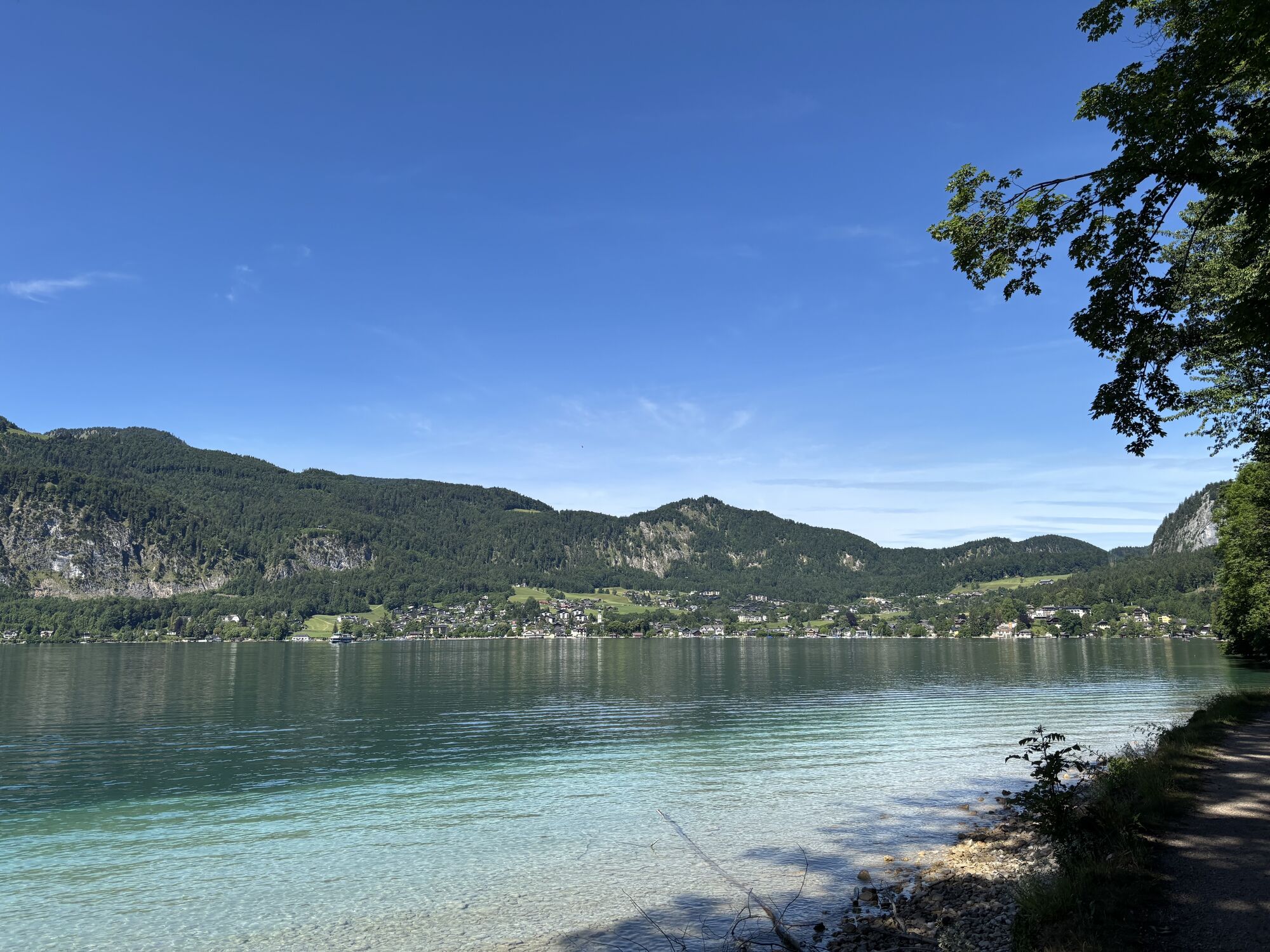
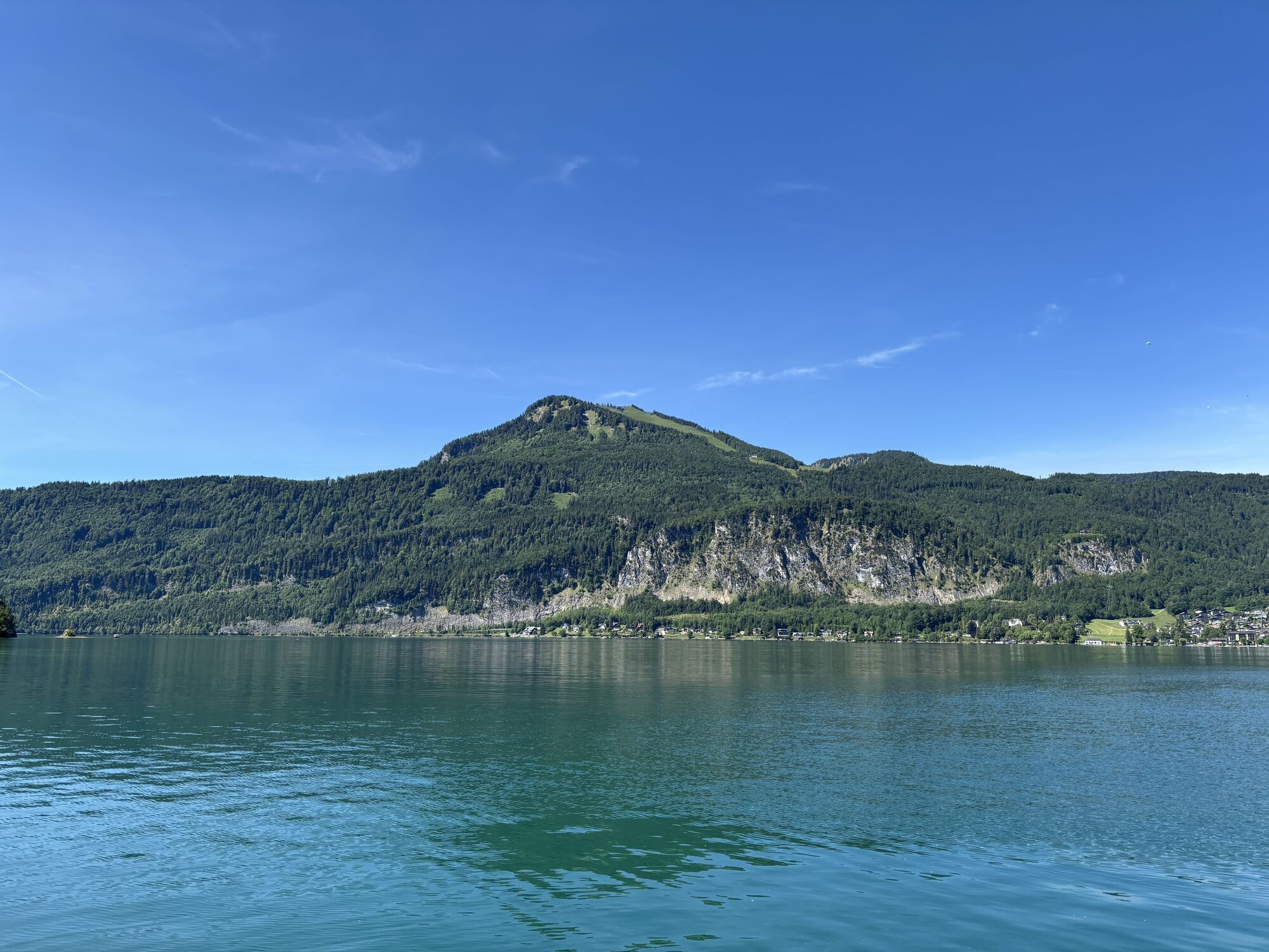
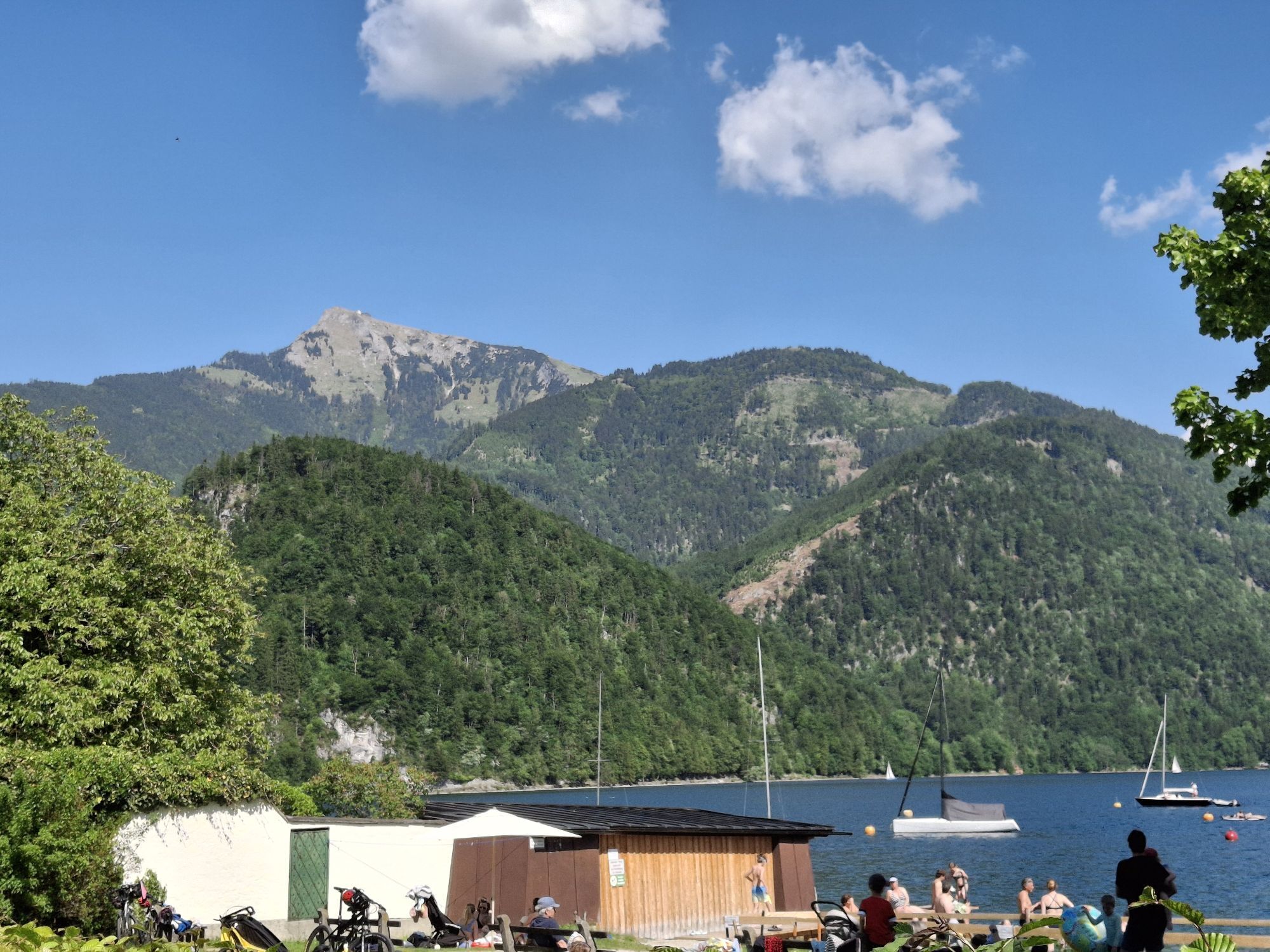
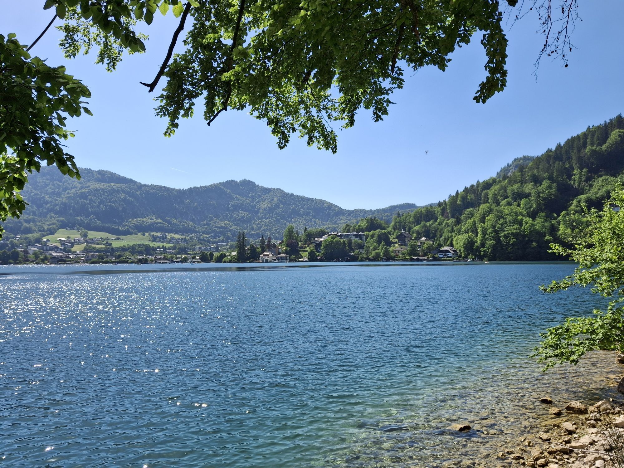
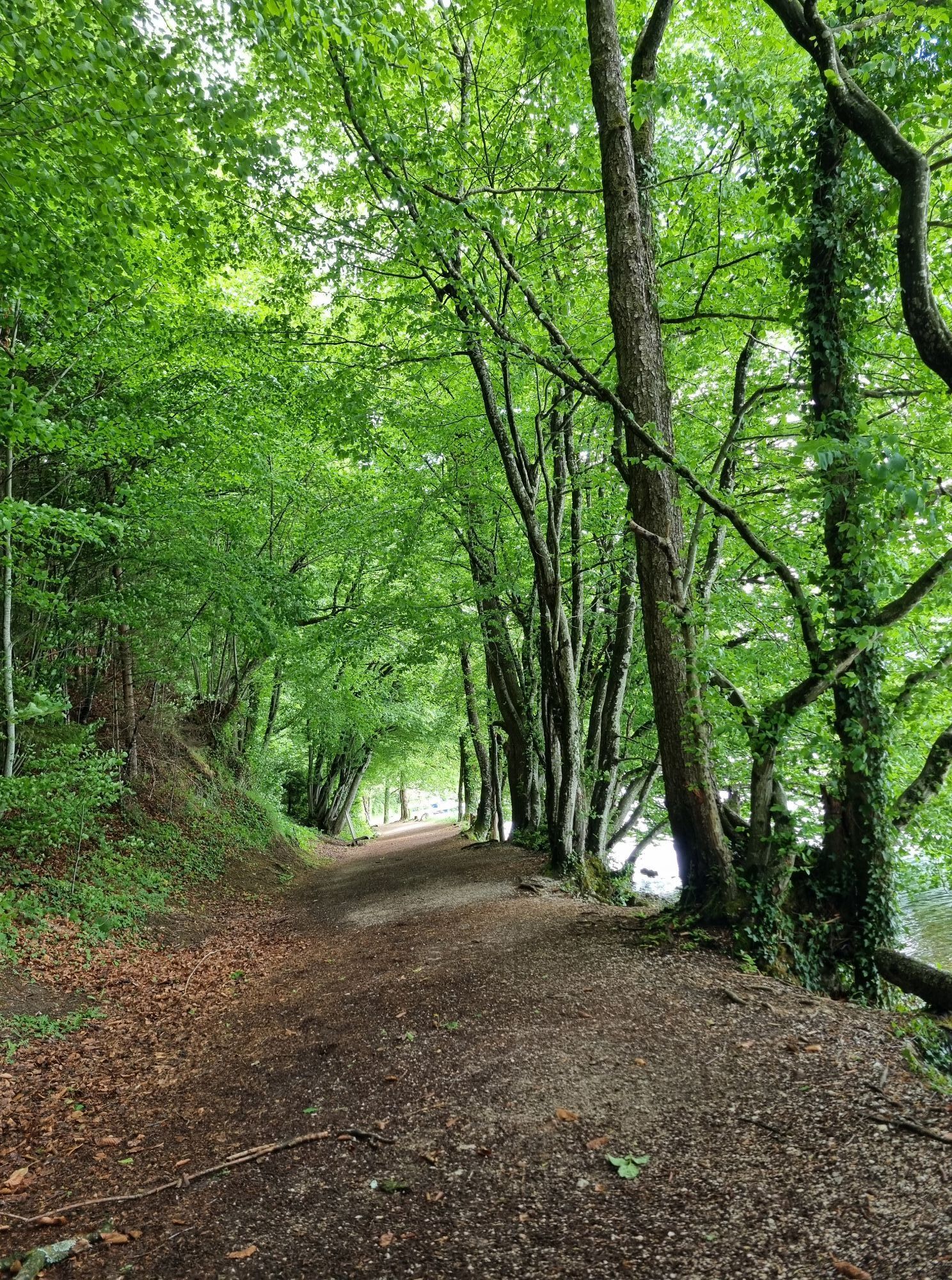
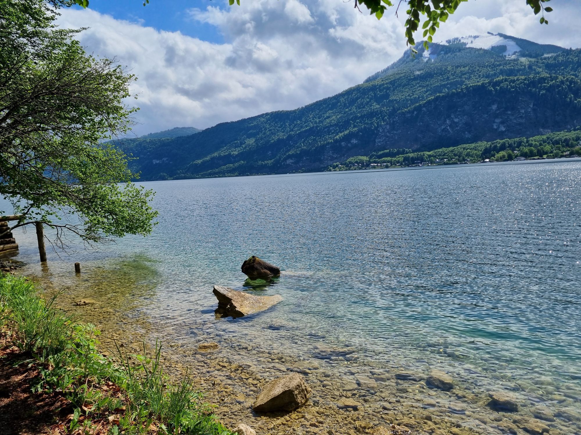
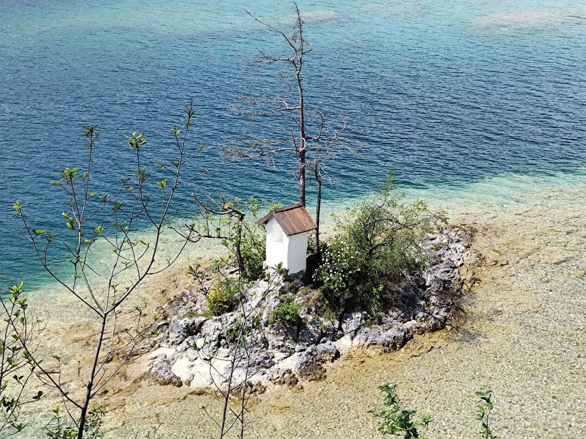
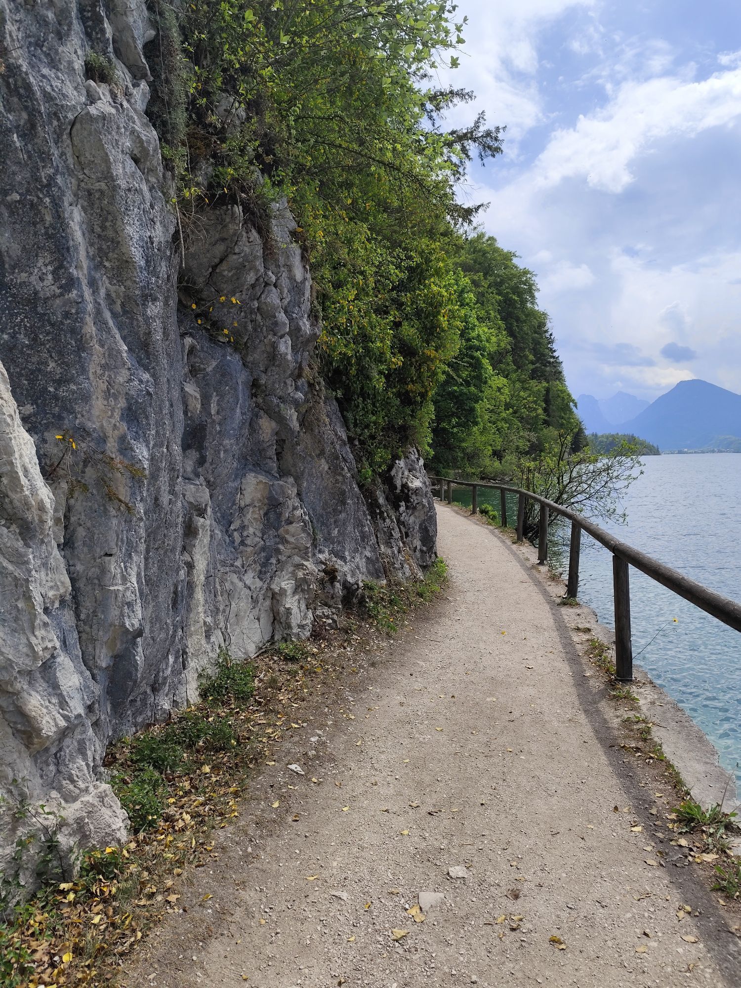
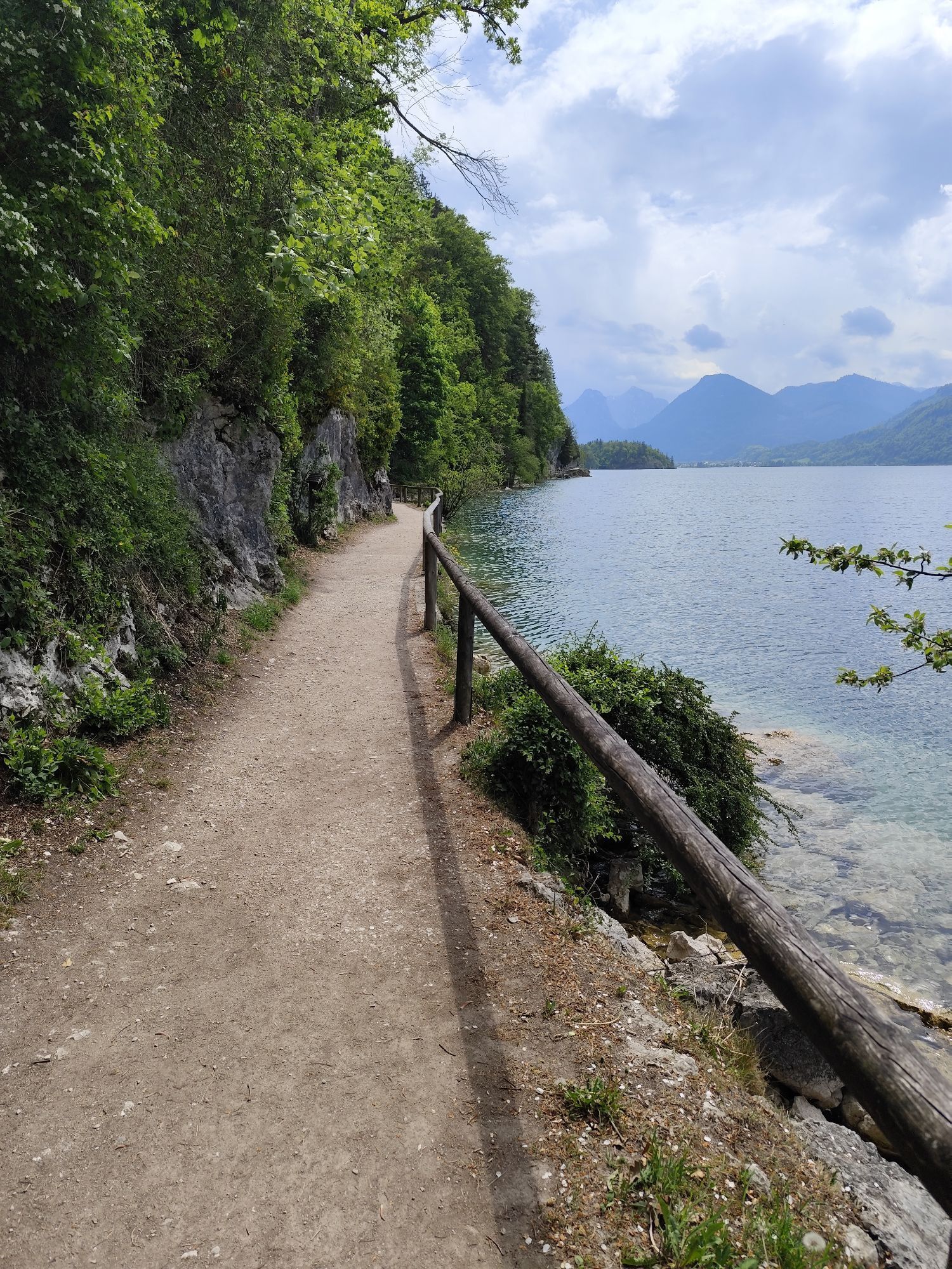
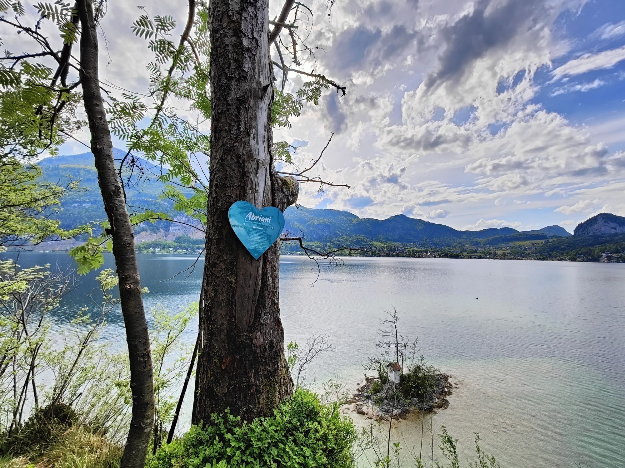
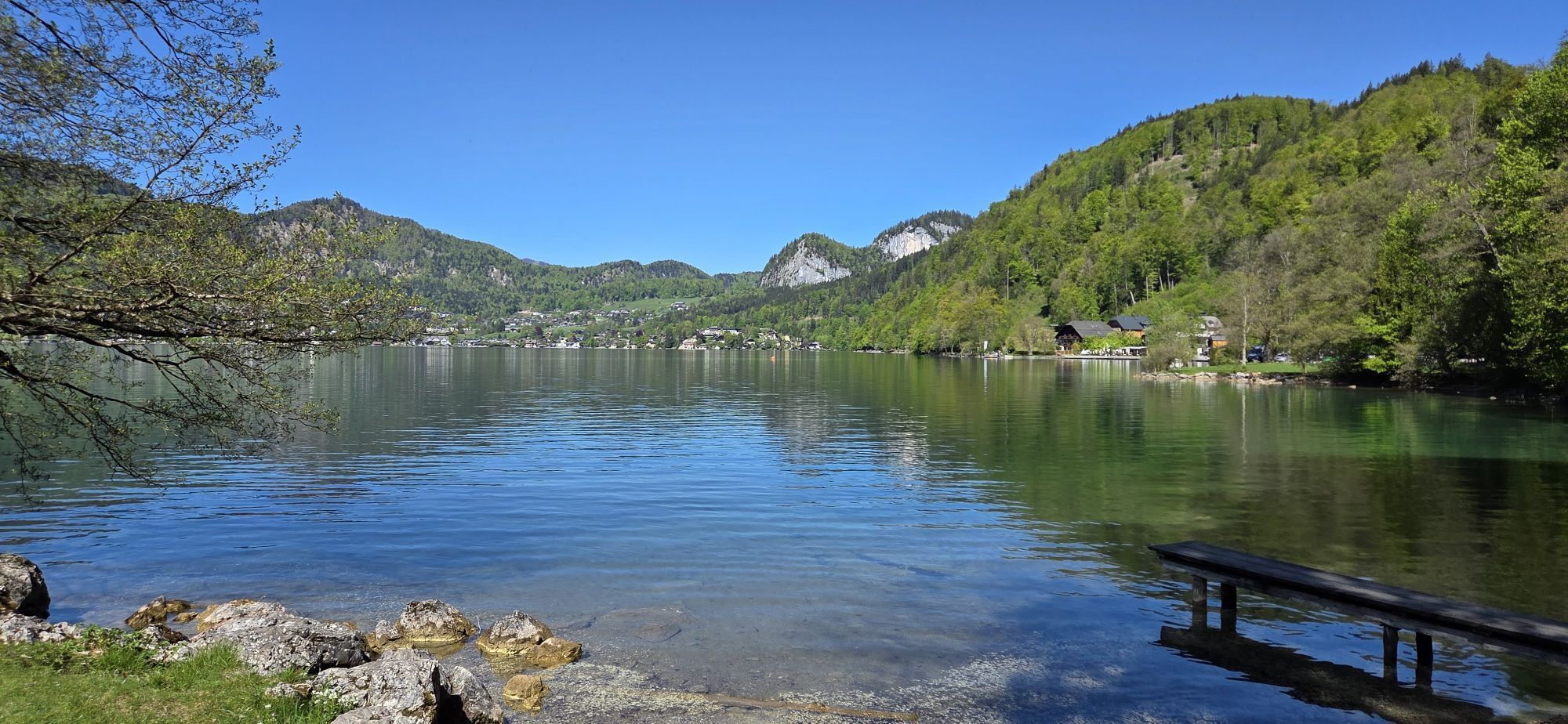
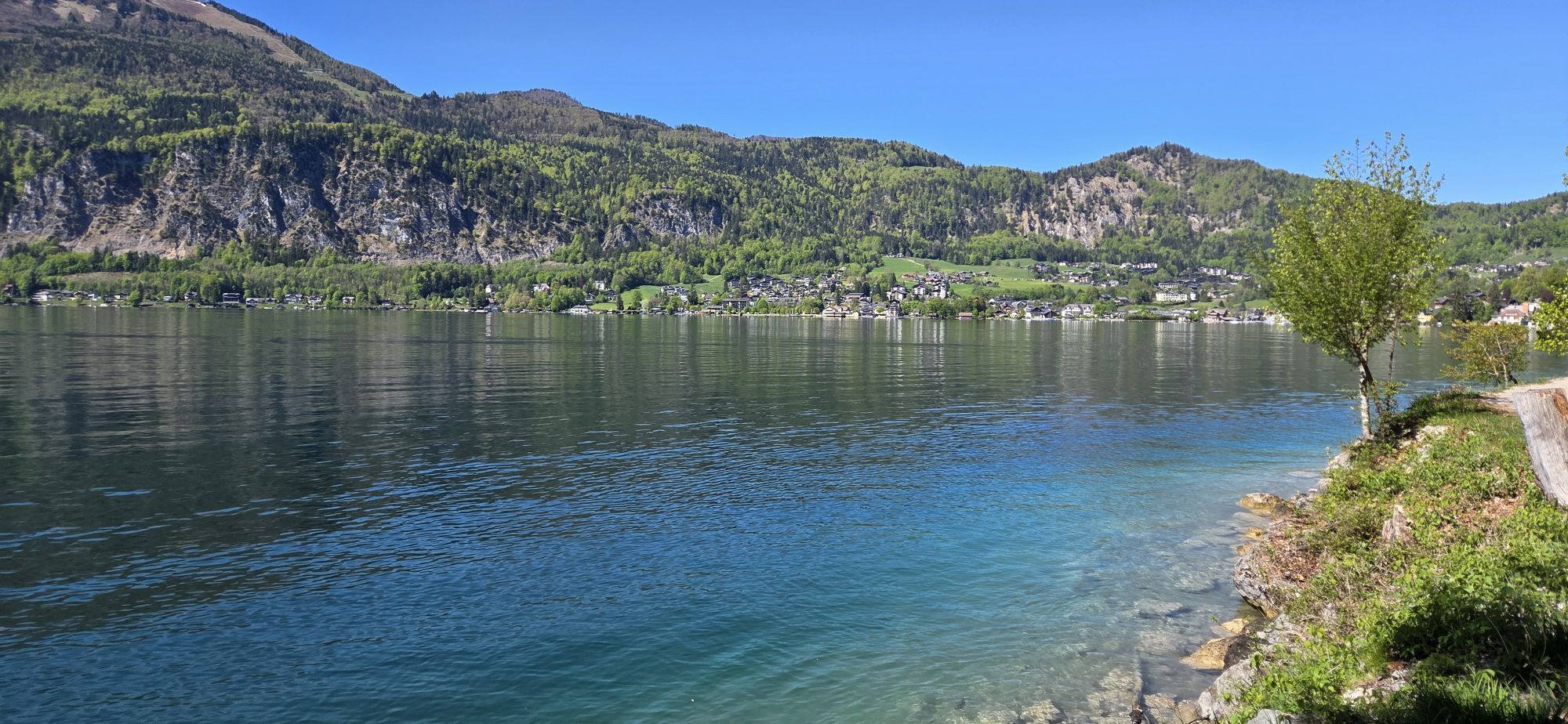
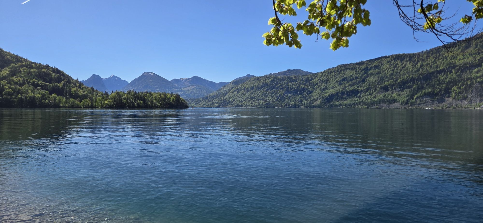
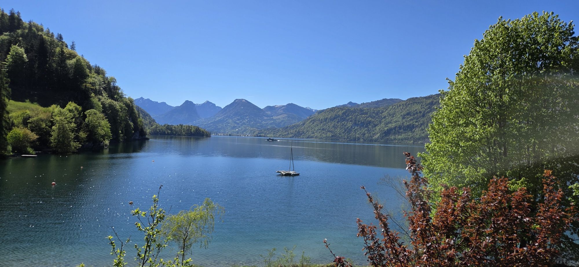
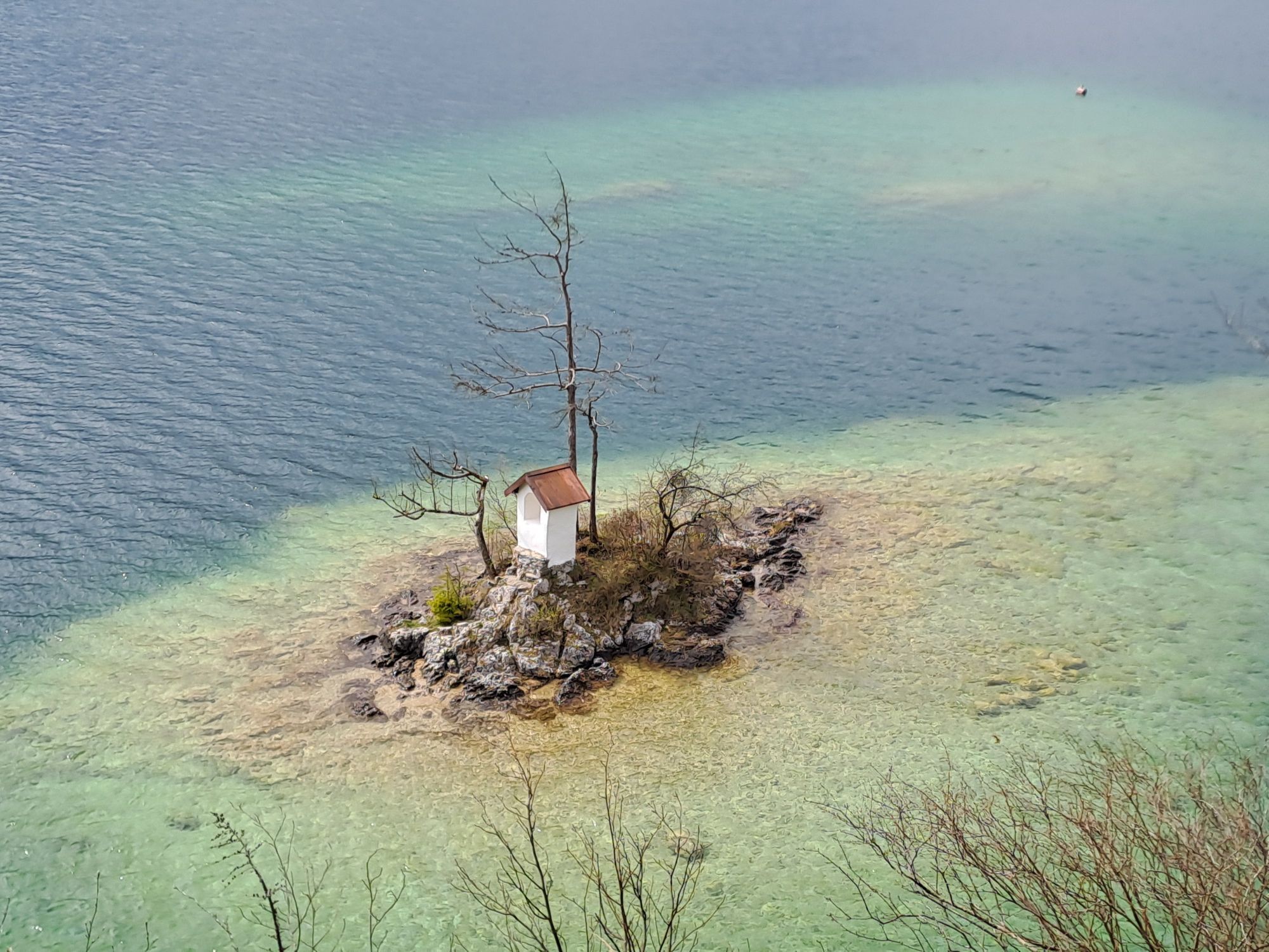
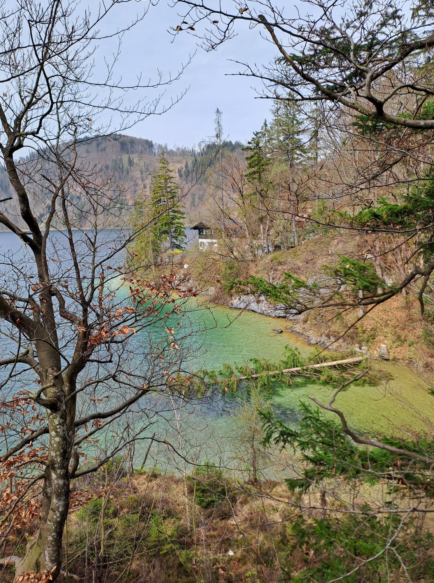
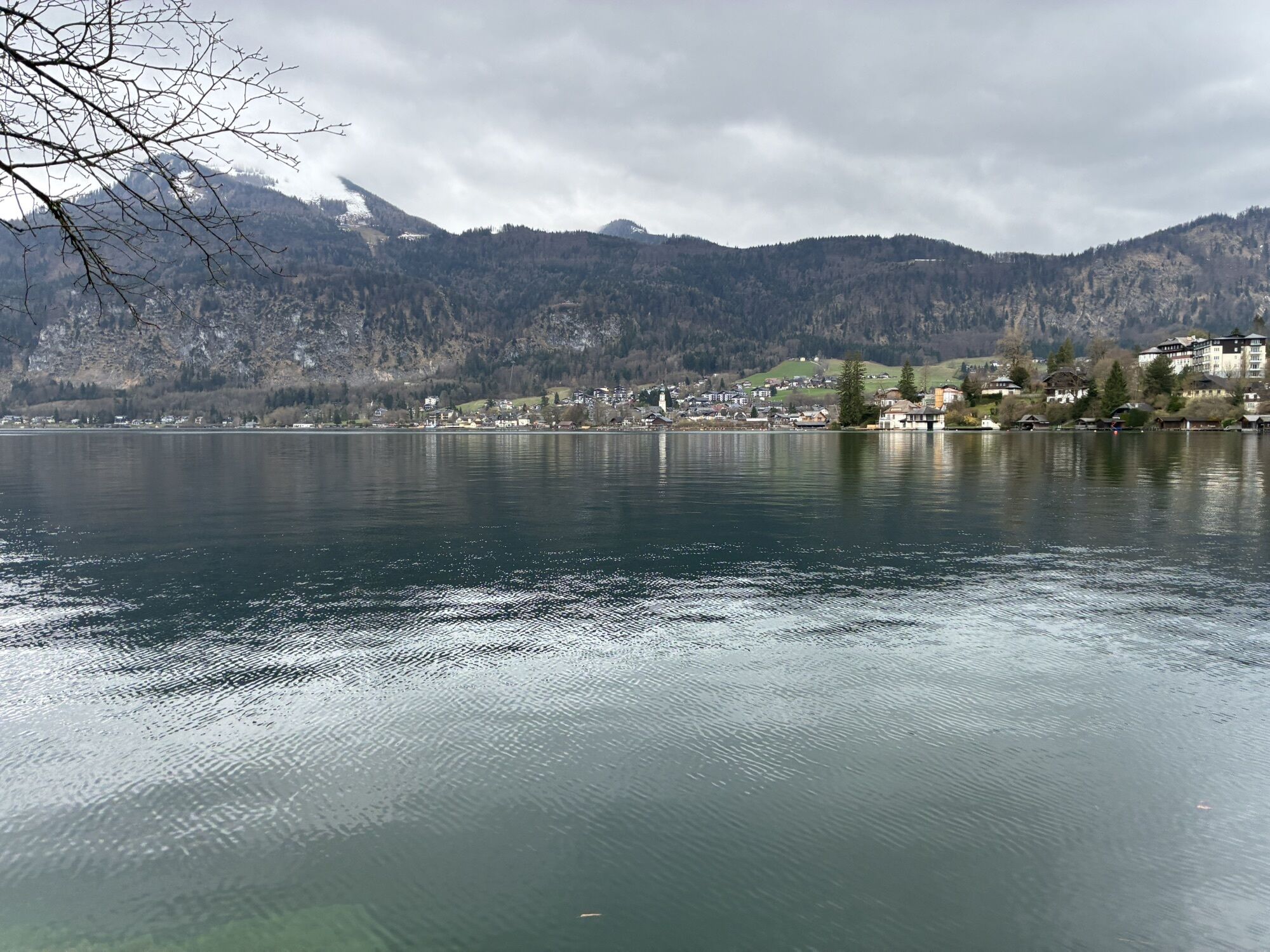
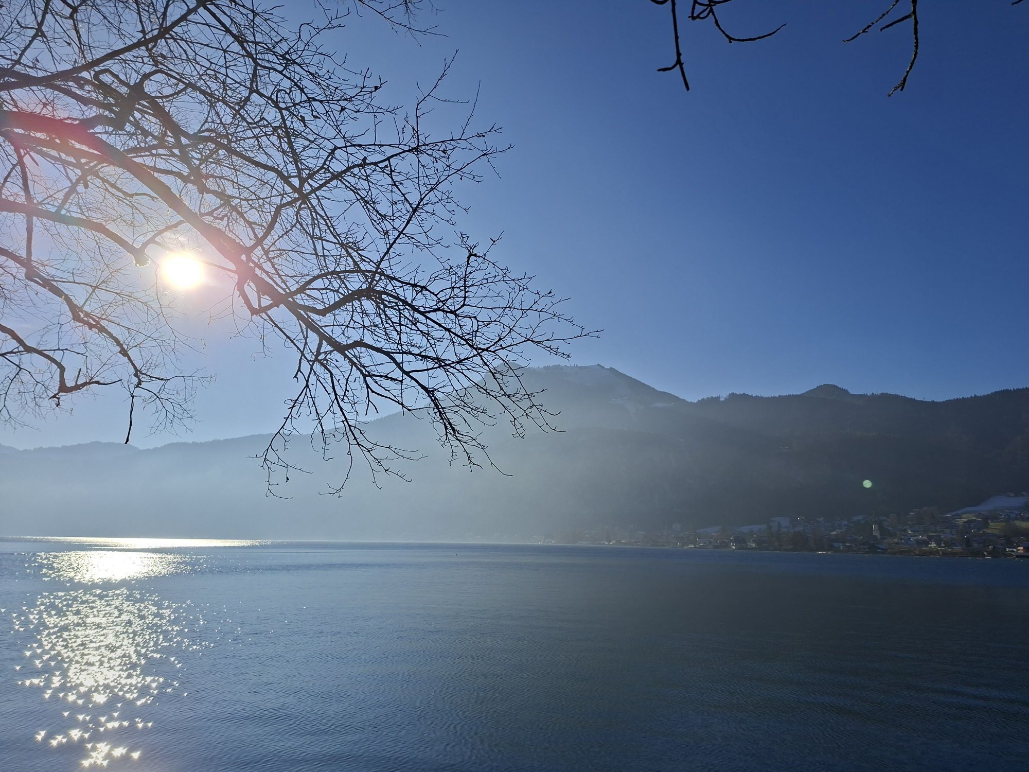

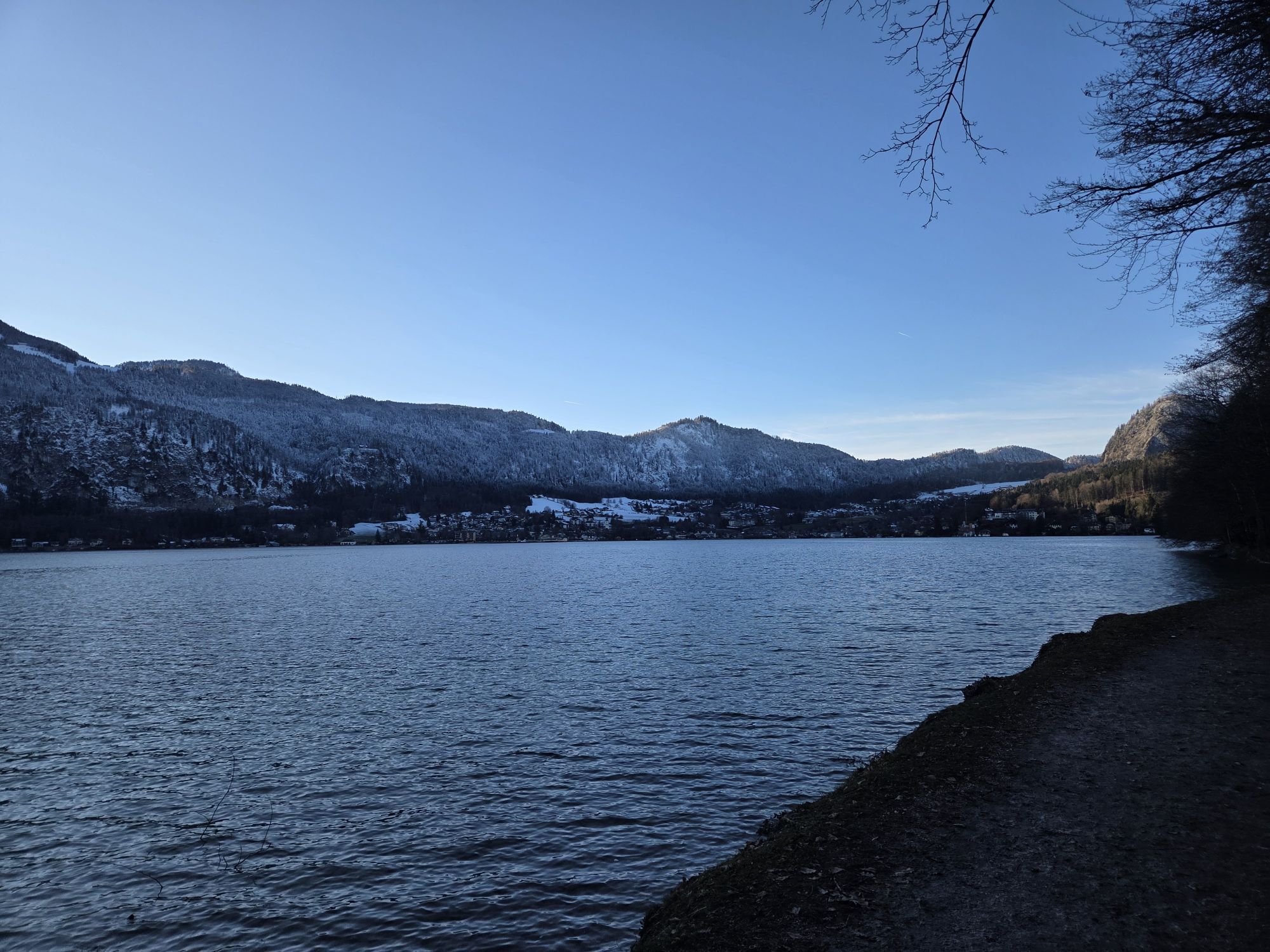
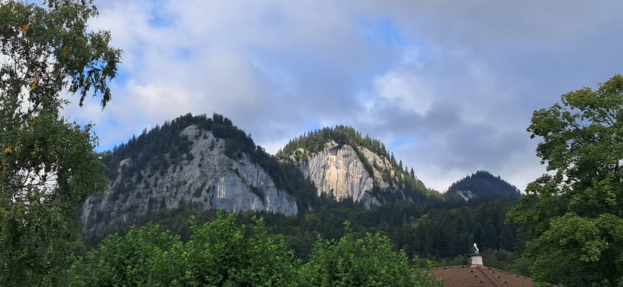
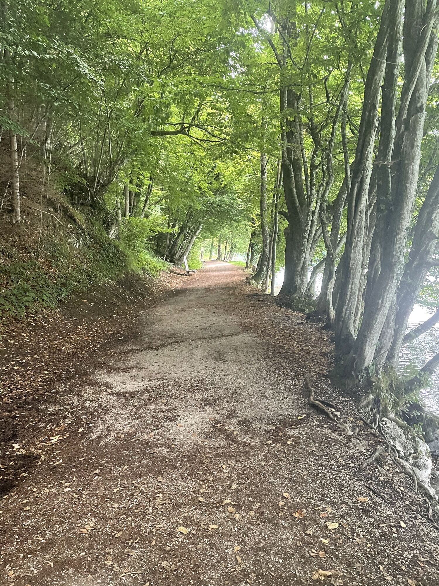
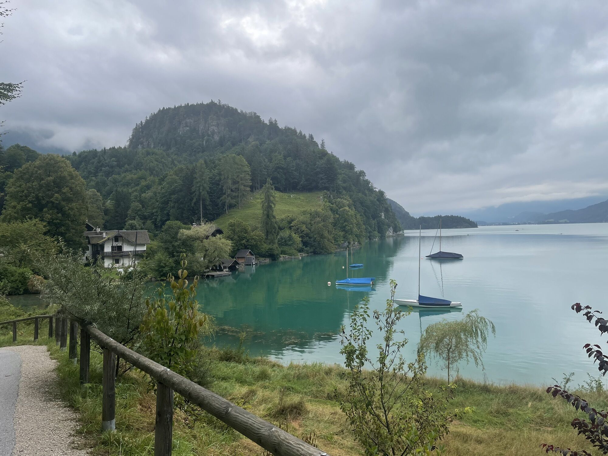
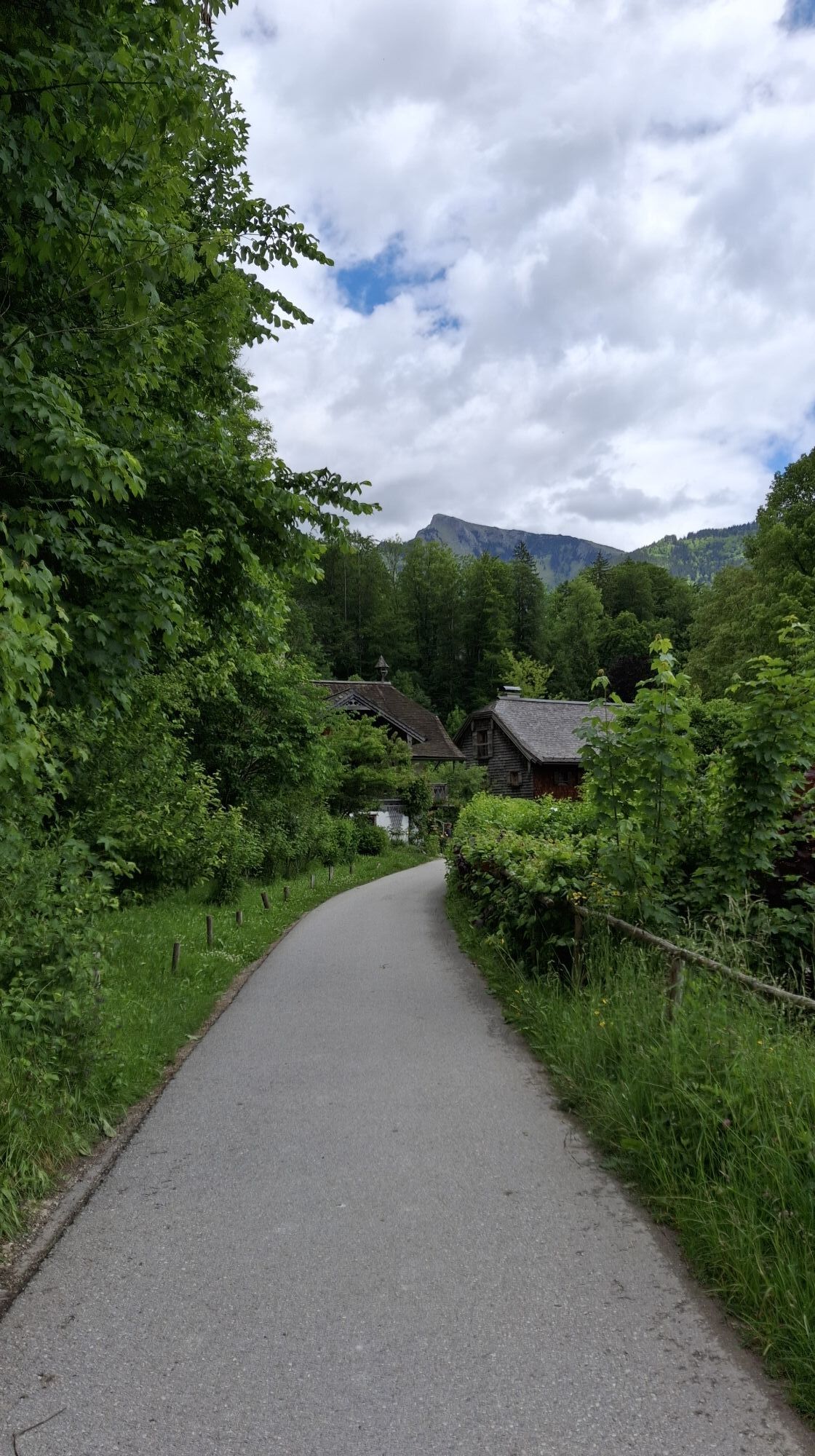
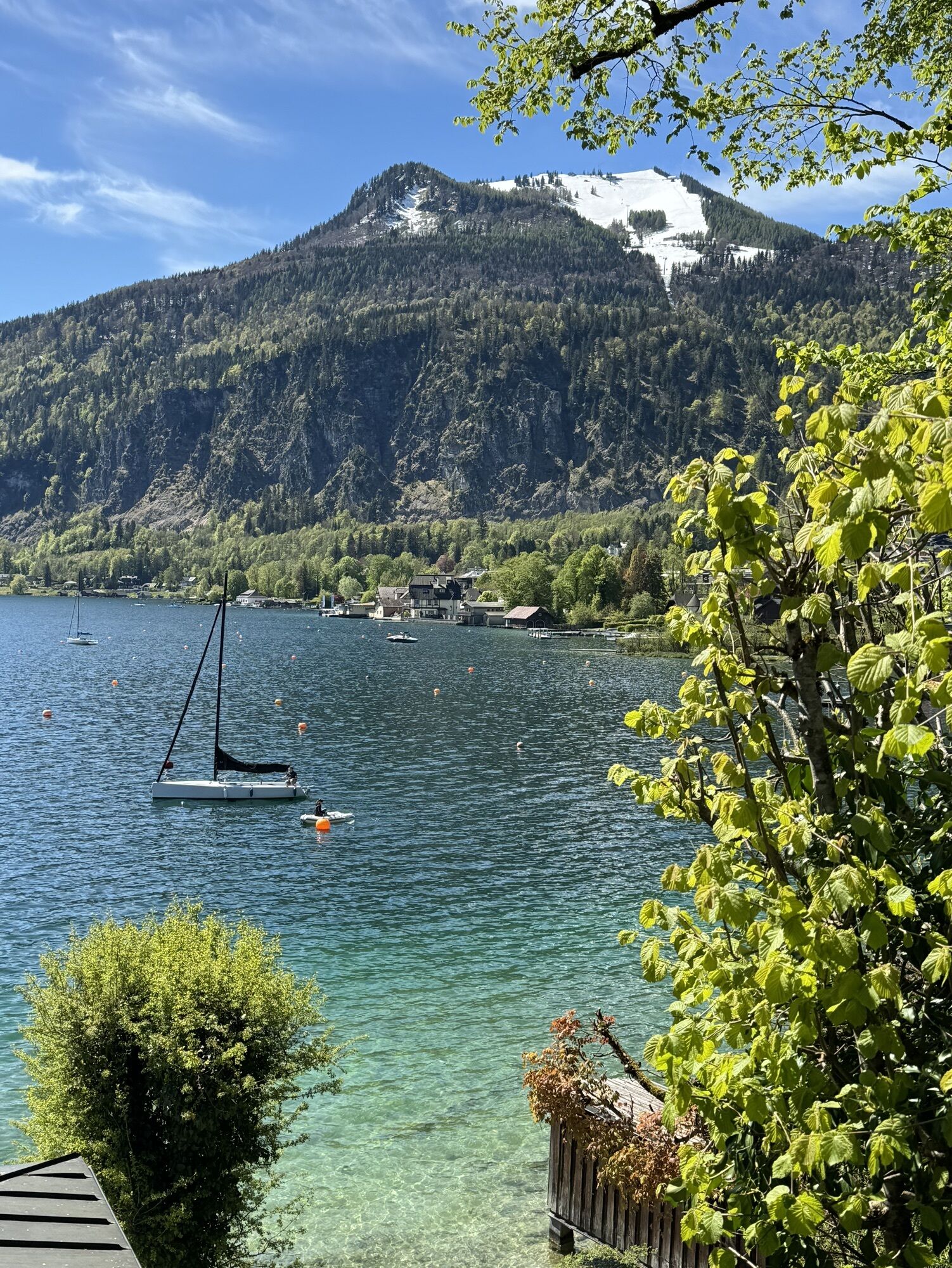
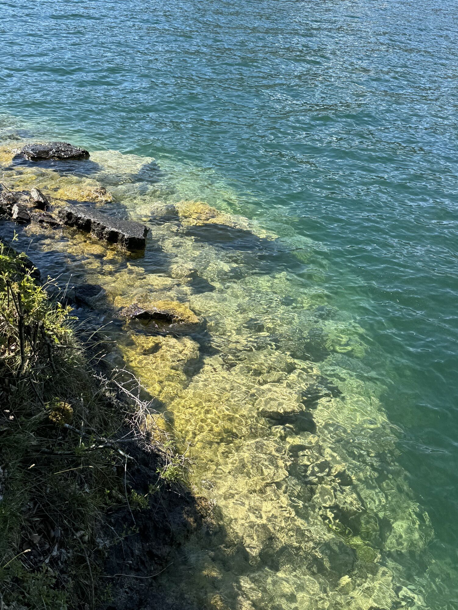
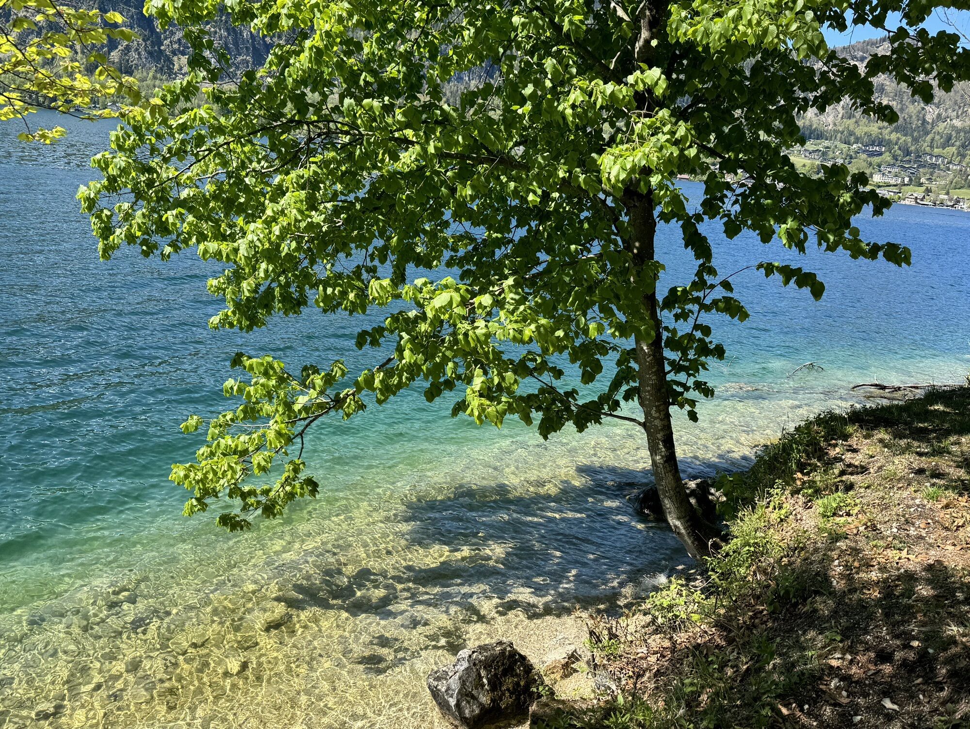
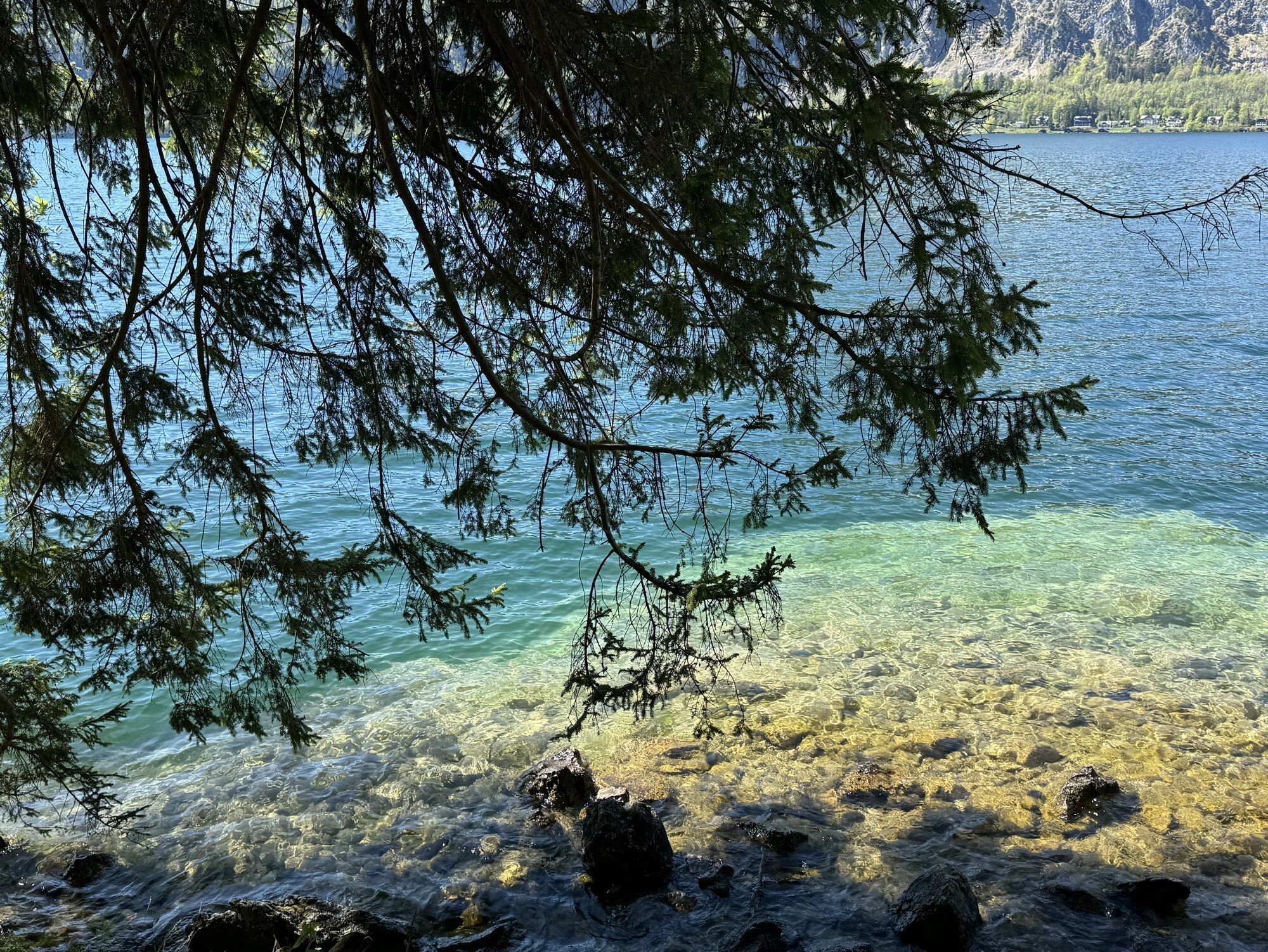
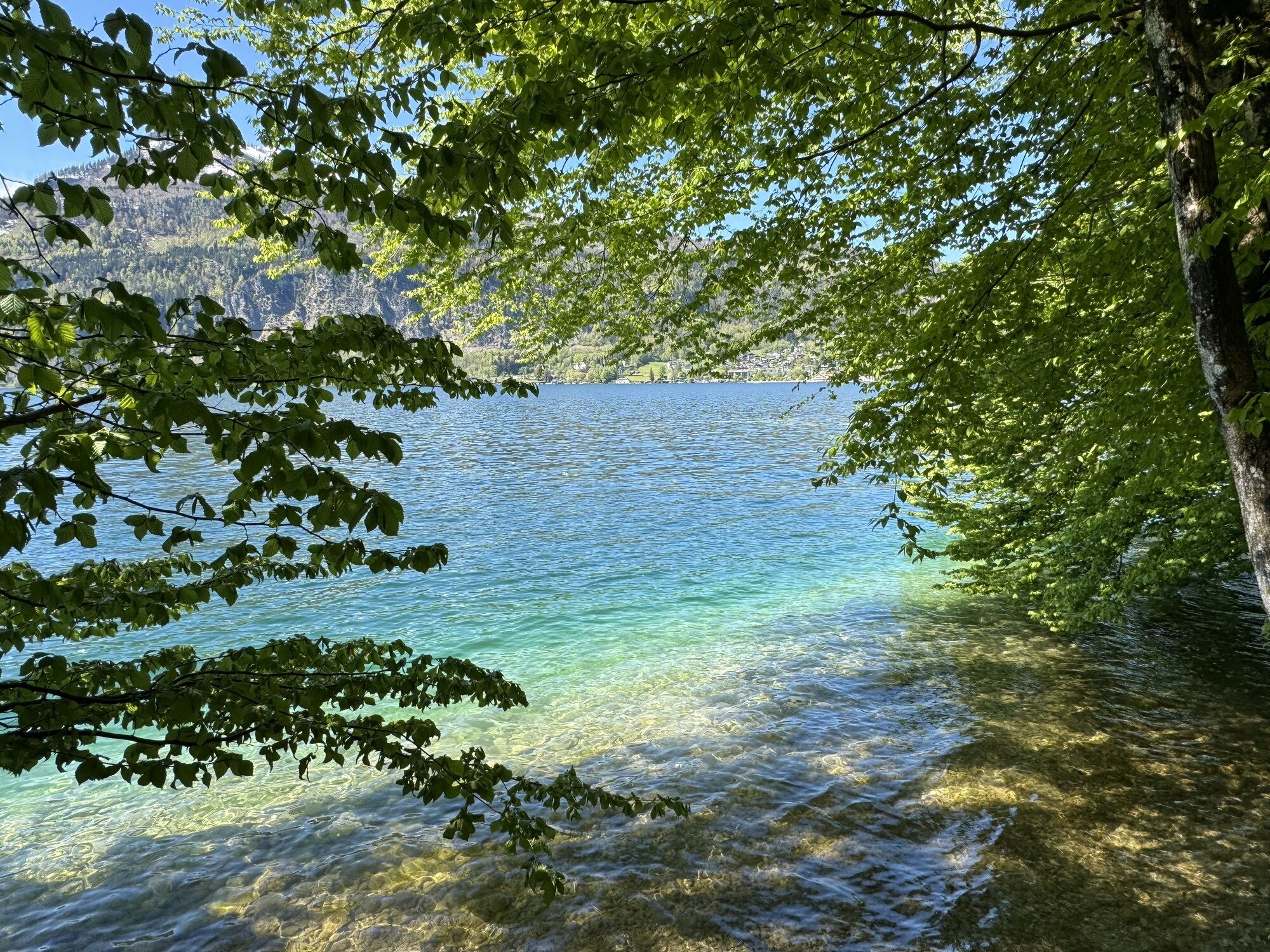
The clear water of Wolfgangsee immediately lifts your spirits. Sometimes it shines in a deep blue, then again a bright turquoise competes with the South Sea. As calm as its surface appears, it is lively...
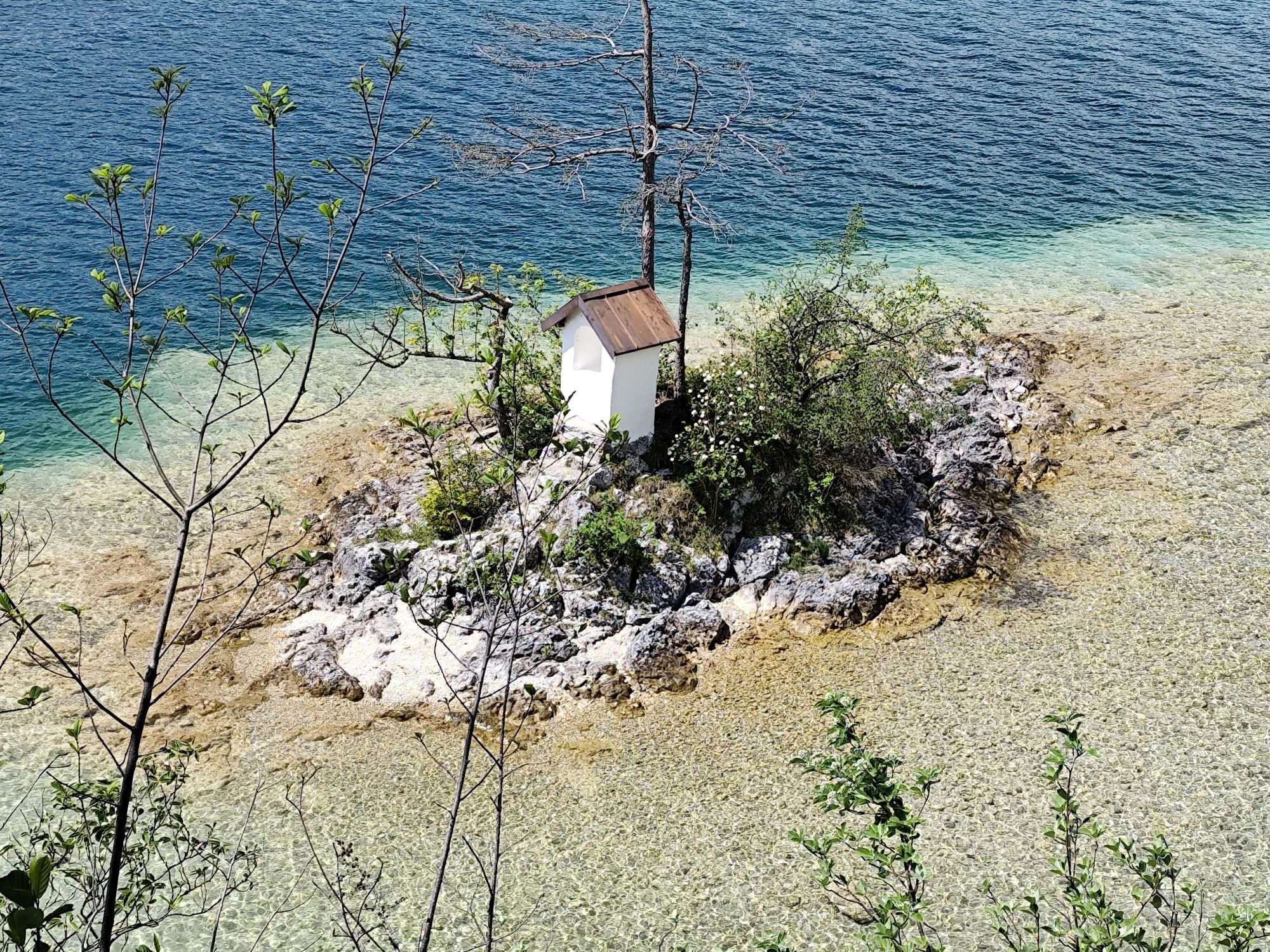
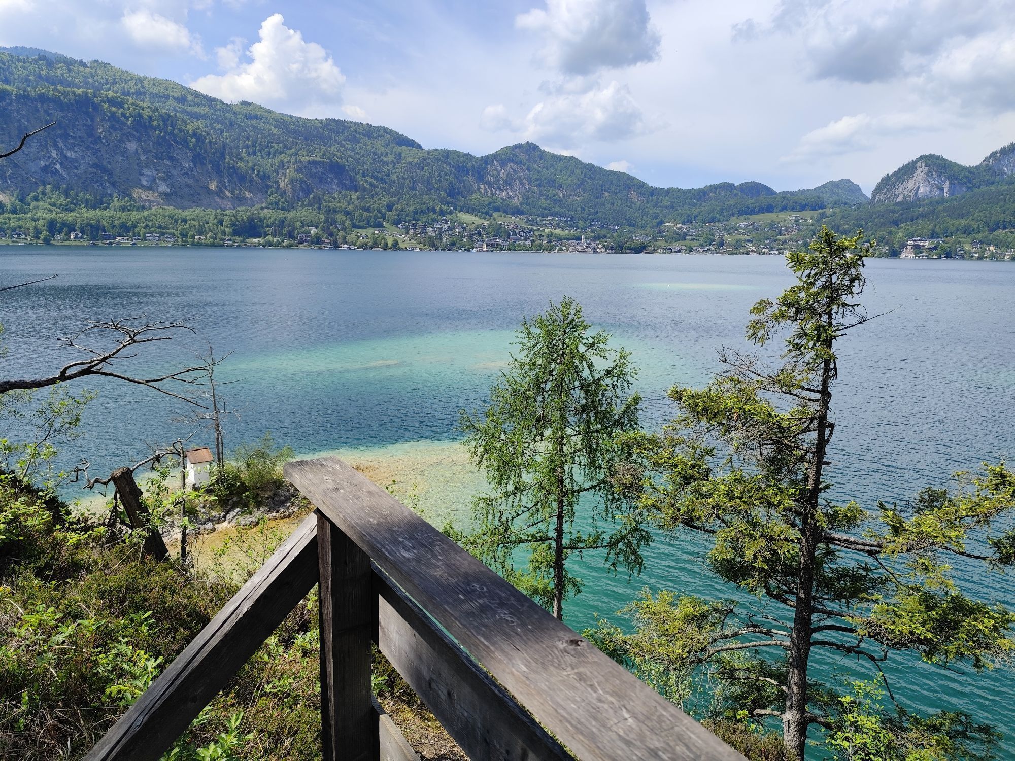
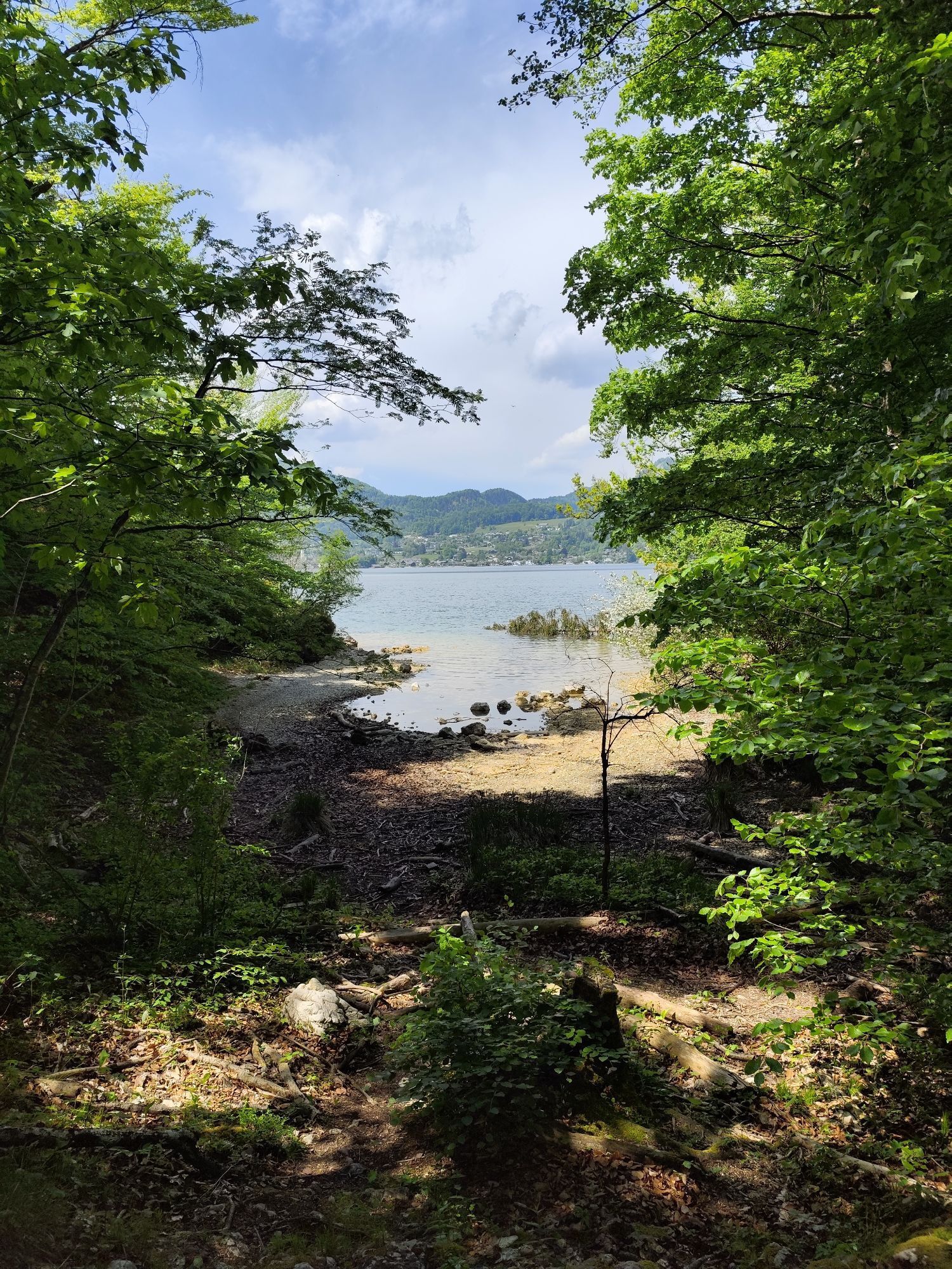
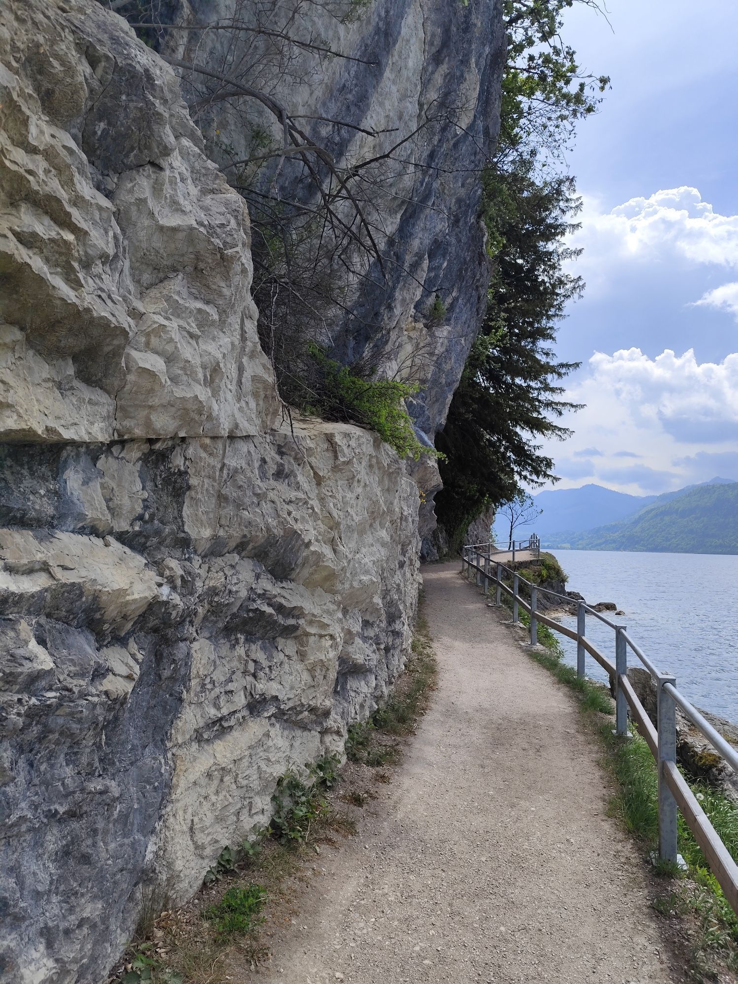
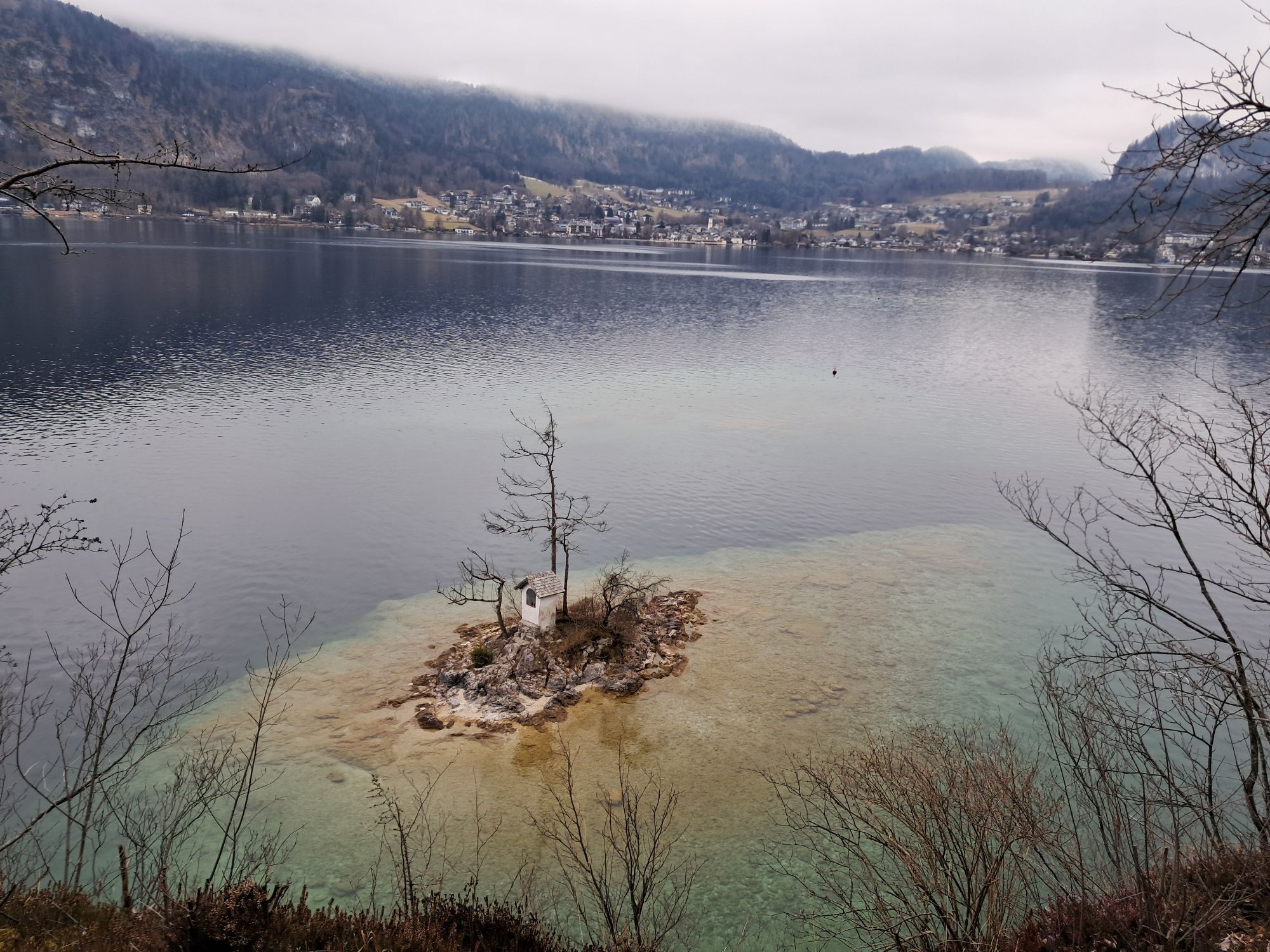
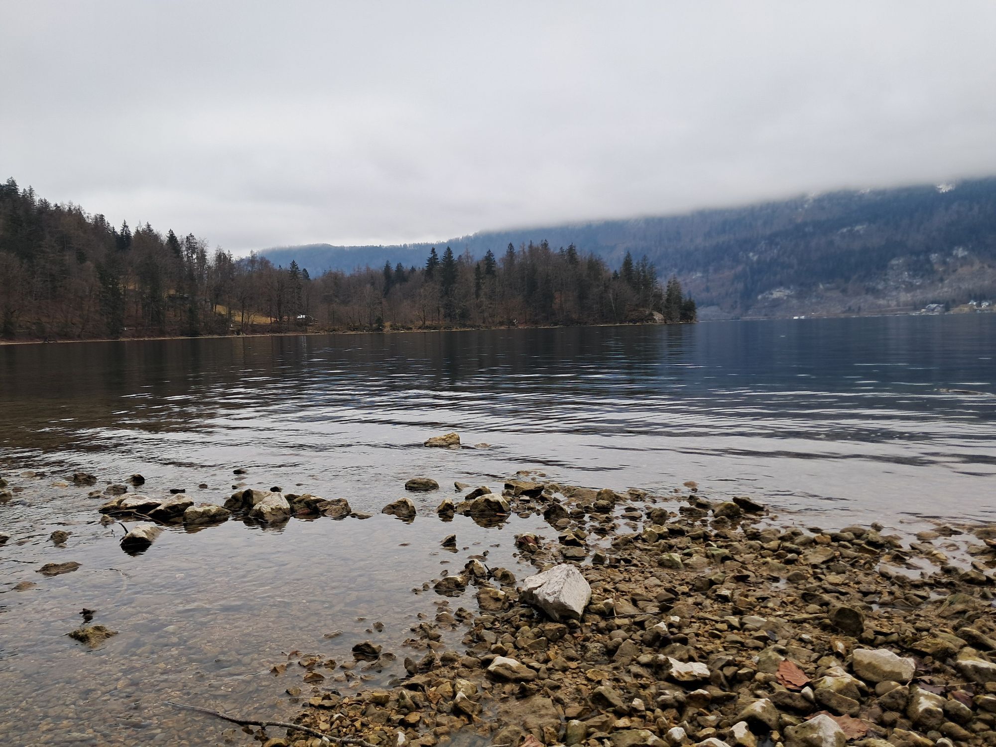
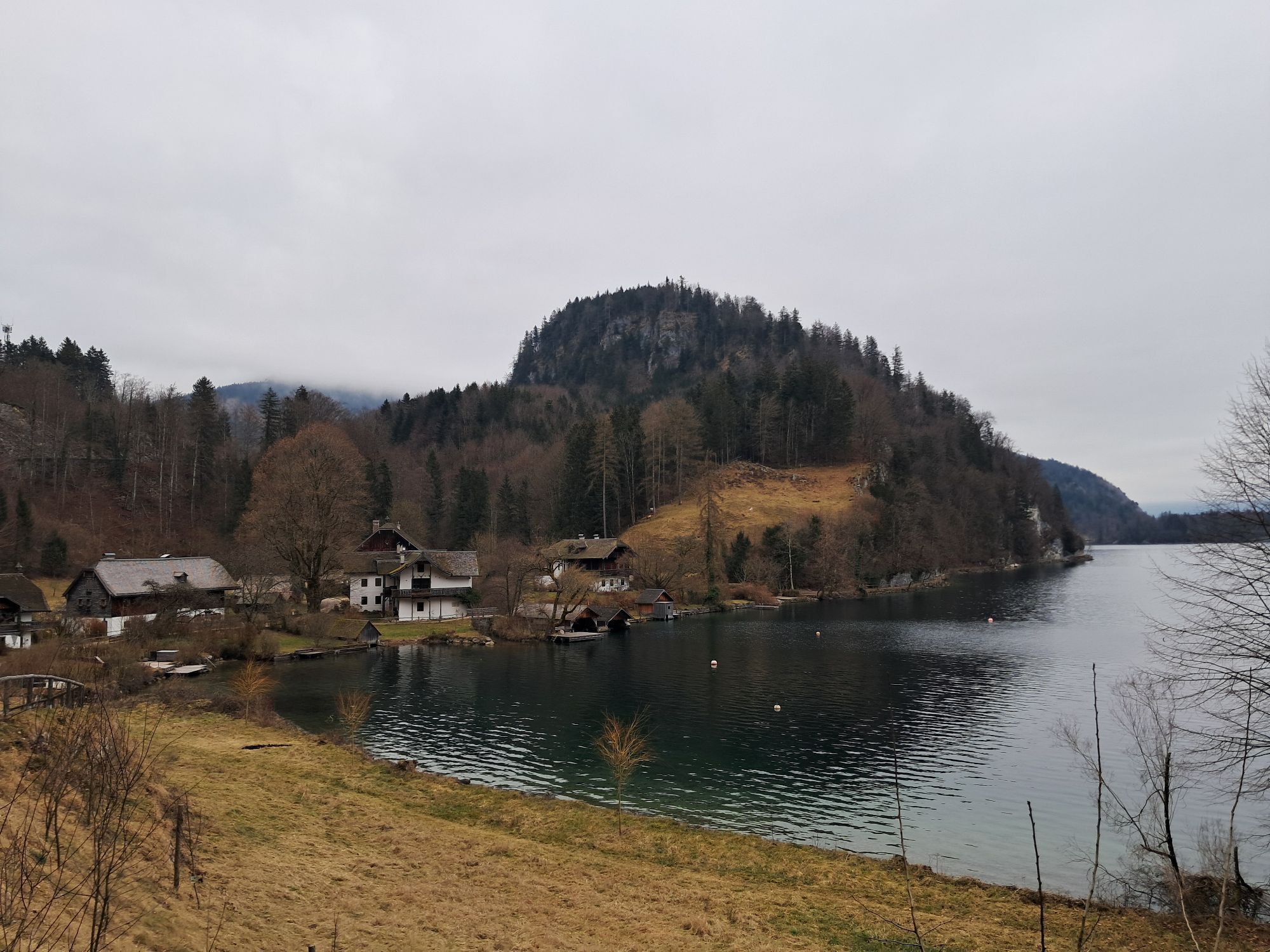
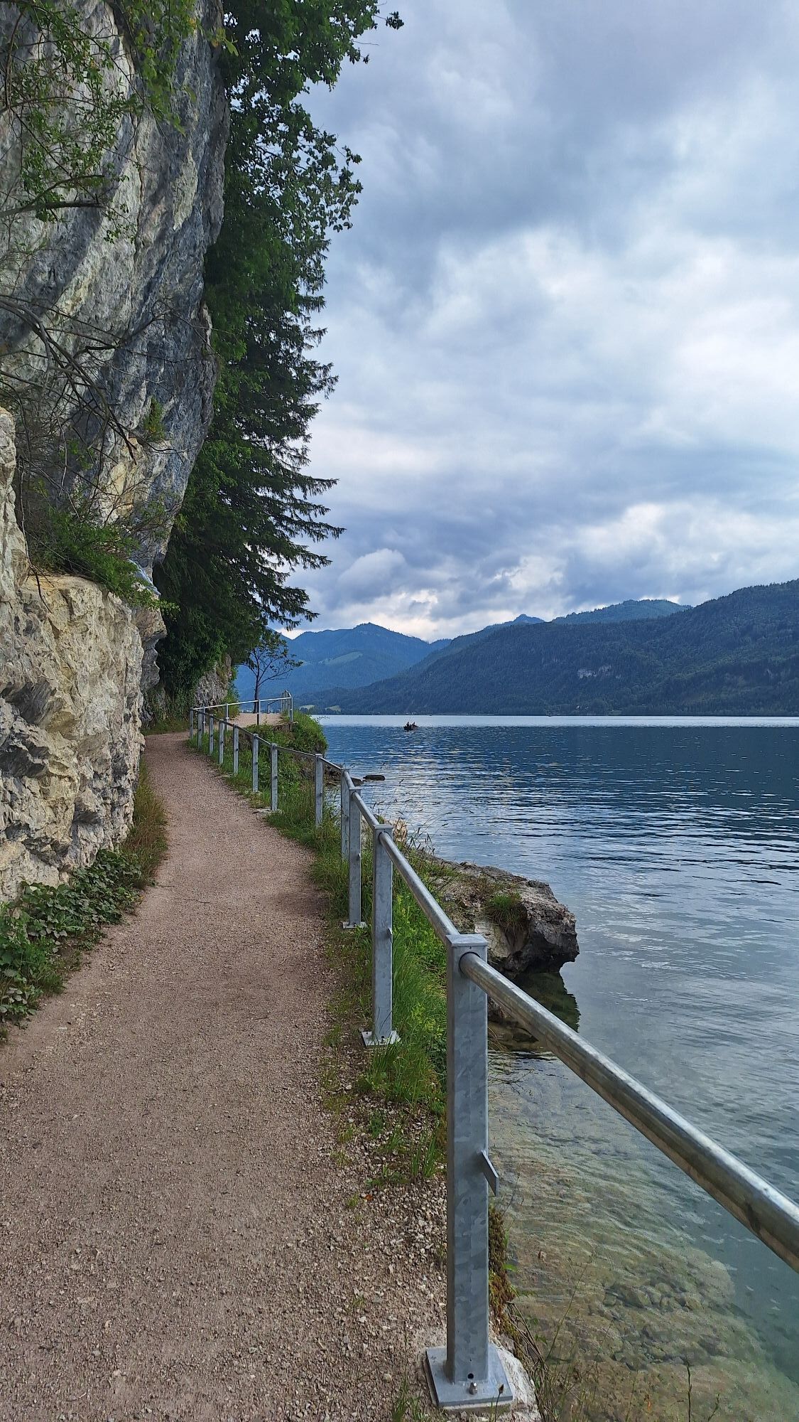
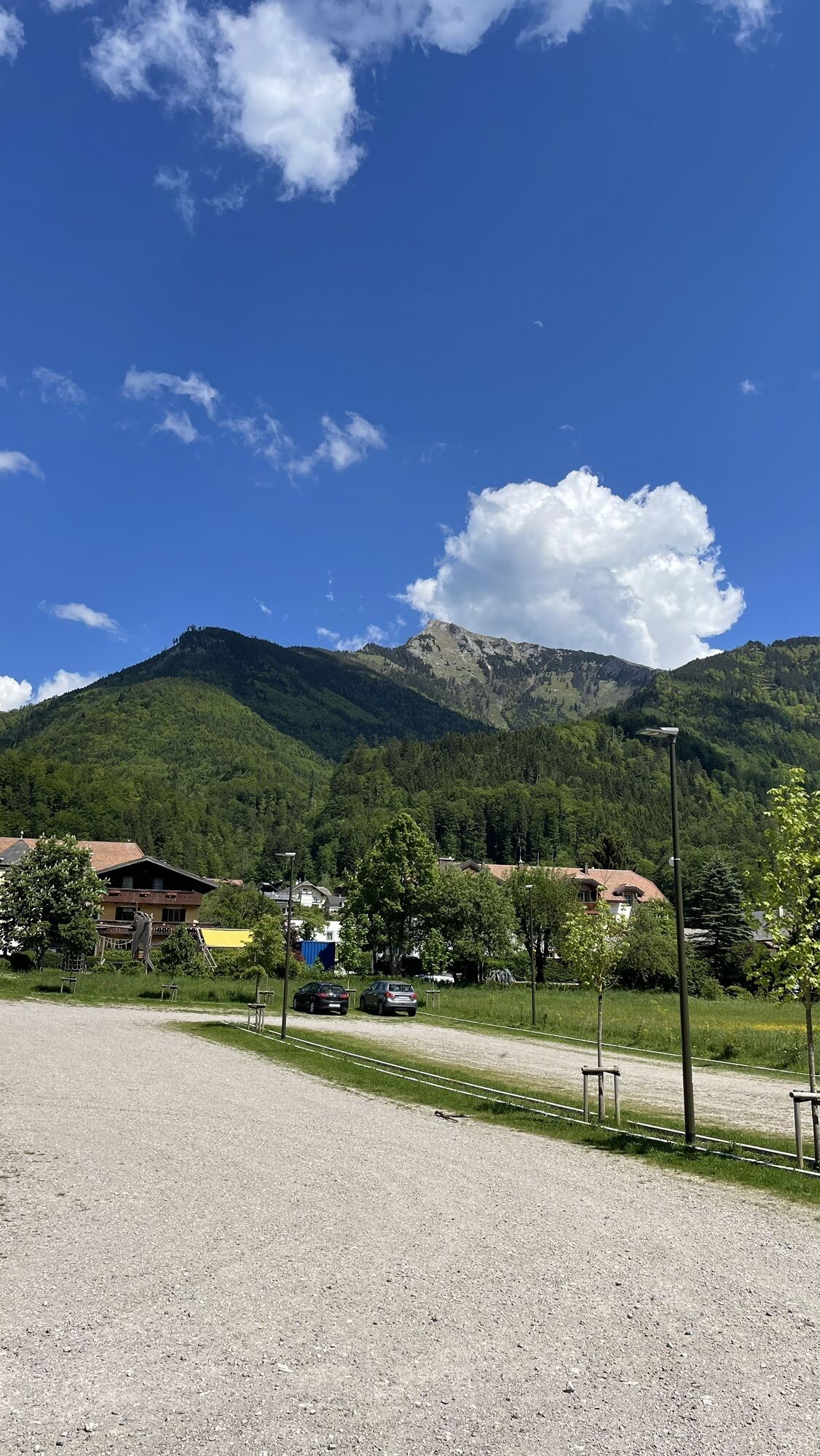
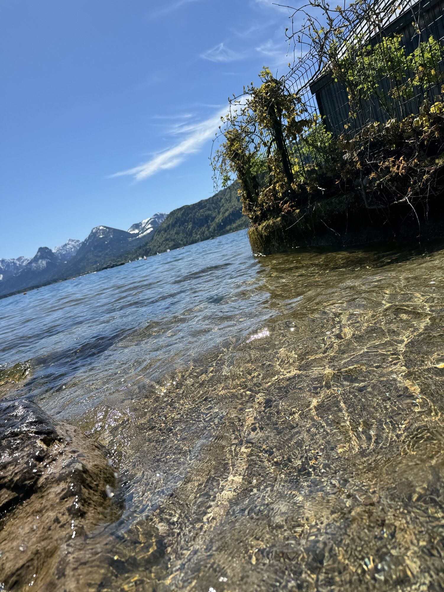
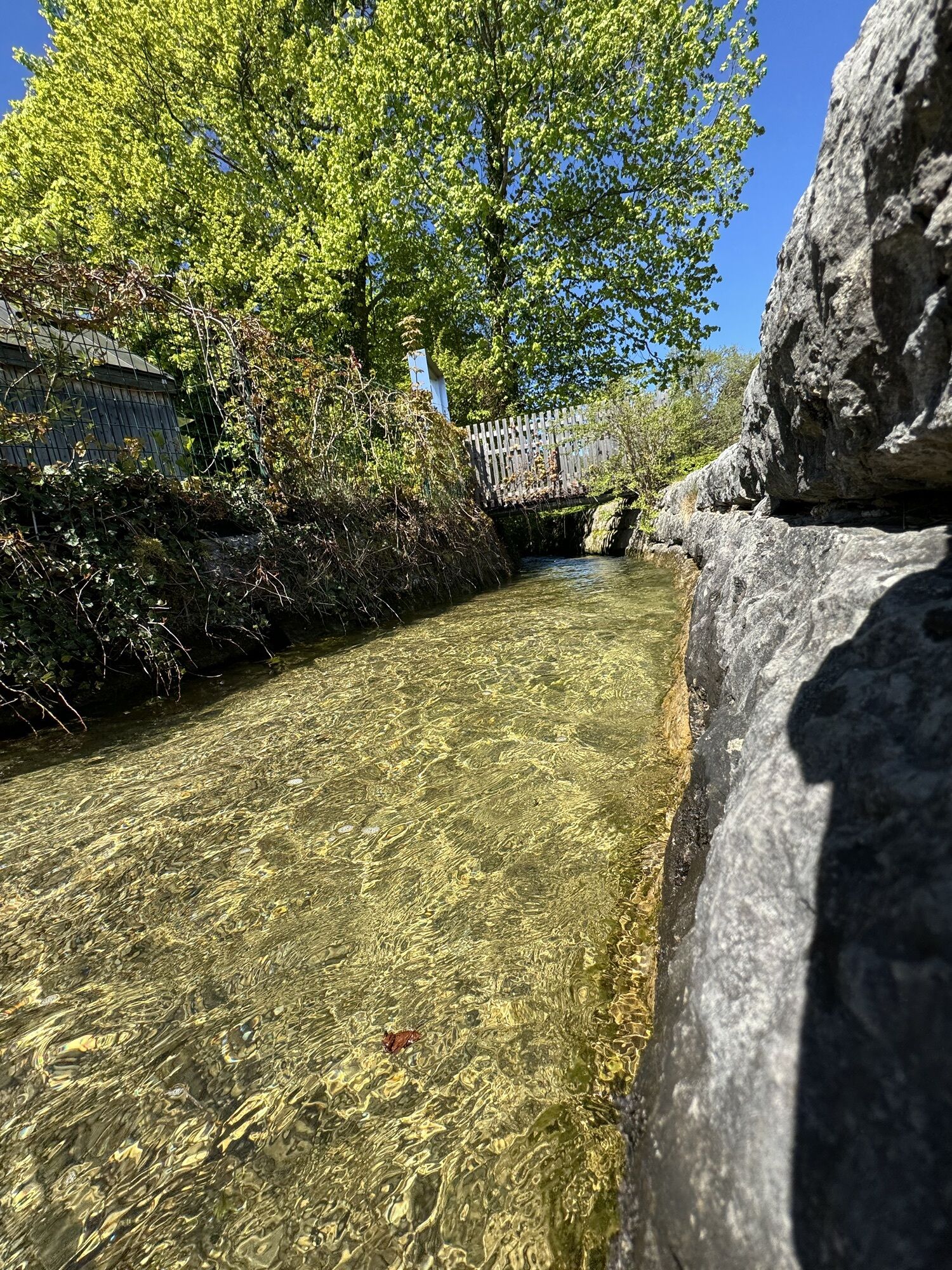
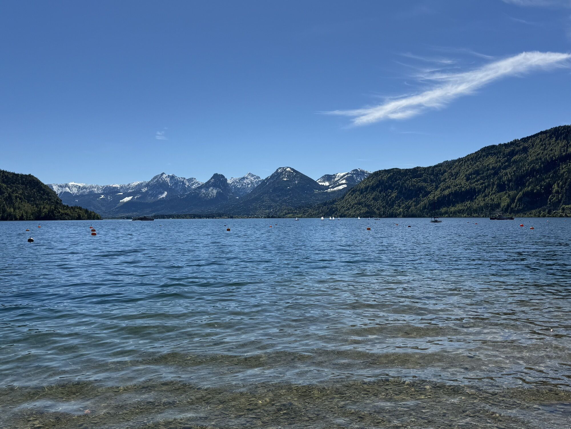
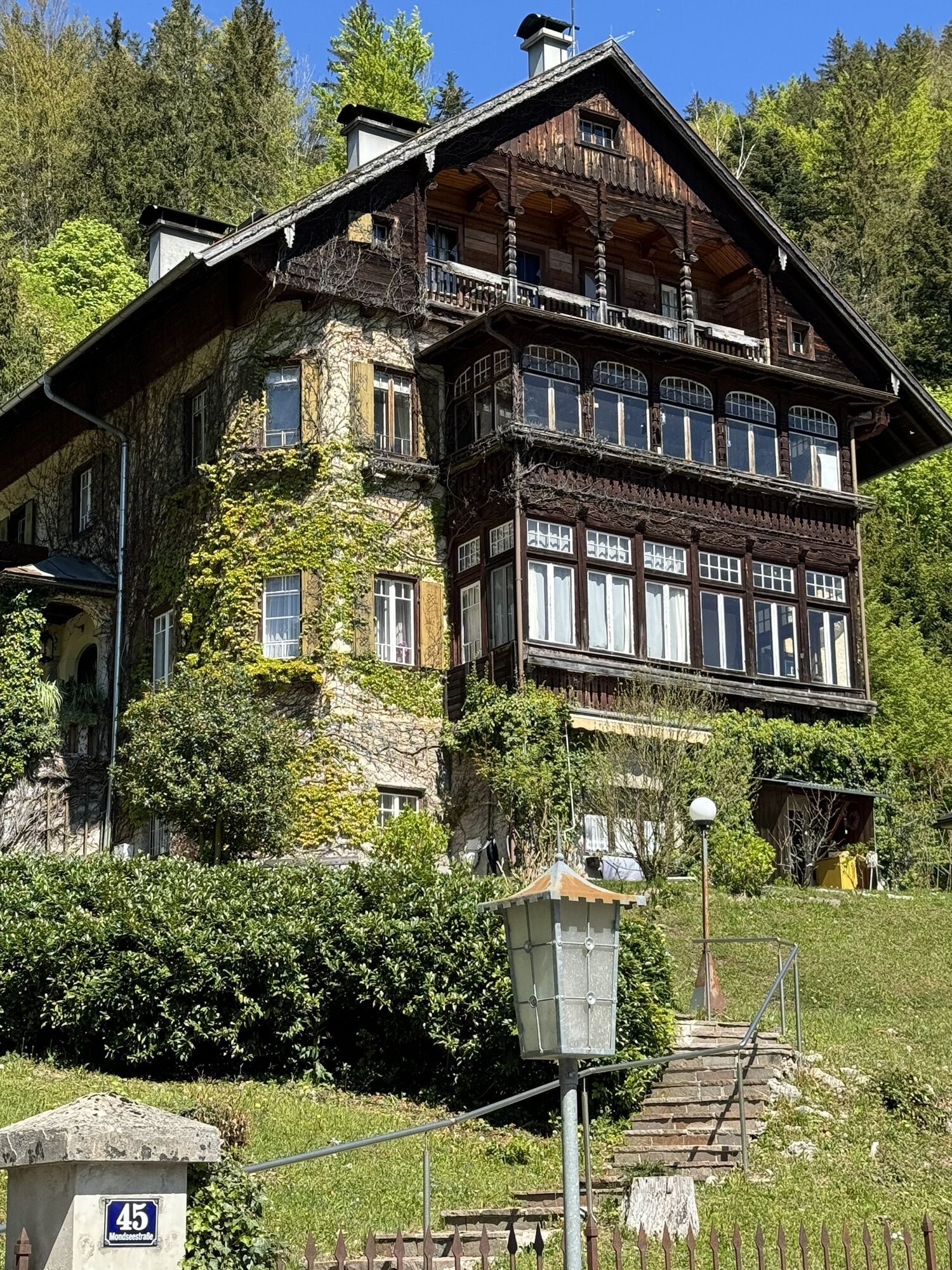
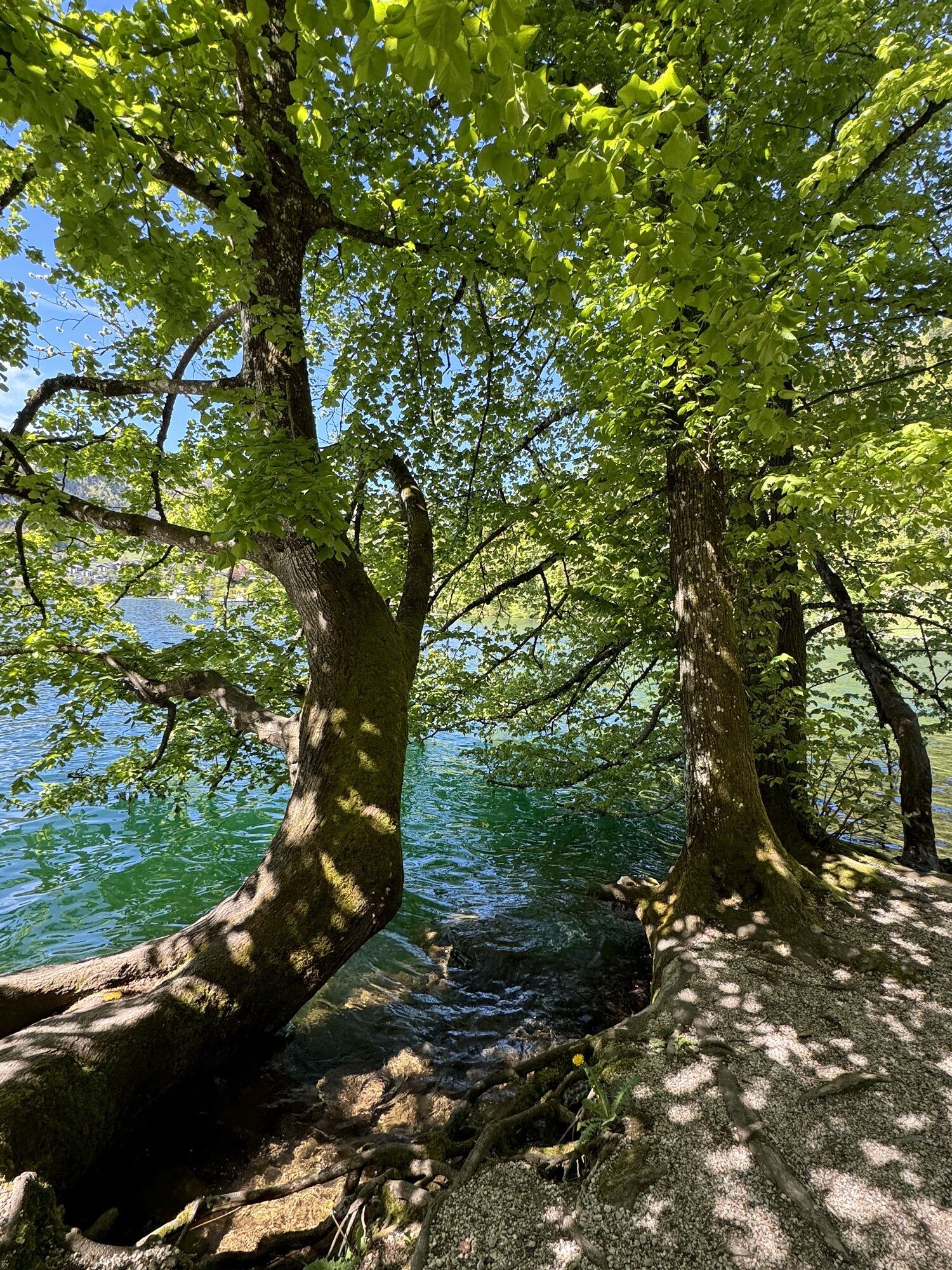
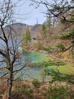
The clear water of Wolfgangsee immediately lifts your spirits. Sometimes it shines in a deep blue, then again a bright turquoise competes with the South Sea. As calm as its surface appears, it is lively in the depths. Wolfgangsee is known for its abundance of fish; the whitefish only exists in the Salzkammergut. Join us on an excursion to the inn and hotel Fürberg, where the fishing rights for the upper Wolfgangsee have been held for 400 years. It starts in St. Gilgen and then proceeds clockwise along the shore. On your way, you can discover a lot: There is the picturesque Brunnwinkl, whose historical buildings are hidden in a small bay on the lake. There, Prof. Karl von Frisch (1886–1982) researched the "dance language of bees." In 1973, he was awarded the Nobel Prize for Medicine and Physiology for this. A room in the local history museum St. Gilgen is dedicated to him. Or you can make a detour to the Klostergut Aich. Benedictine monks have created an oasis of spiritual encounter and an important institution for herbal medicine here. From the inn Fürberg, an old pilgrimage path leads over the Falkenstein to Ried and St. Wolfgang, from where you can return to St. Gilgen by the Wolfgangsee boat service.
Direct arrival and details at: salzburg-erfahren.at

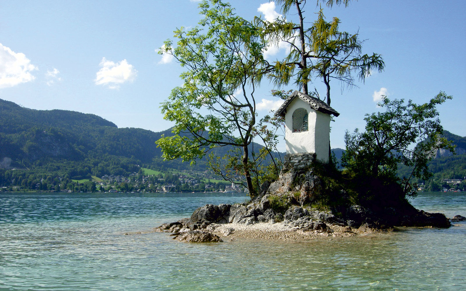

From the St. Gilgen bus station, you go directly to Wolfgangsee; the path is signposted there. For the 7 km long walk to the lakeside guesthouse Fürberg, you should plan about 2 hours round trip.
Ano
Ano
From Salzburg, regional bus 150 takes about 45 minutes to St. Gilgen.
Timetable information and download: Online at www.salzburg-verkehr.at or on your smartphone via the free Salzburg Verkehr app for Android and iOS.
Direct arrival and details at: salzburg-erfahren.at
Wolfgangsee Tourist Office St. Gilgen
Mondsee Bundesstr. 1a
5340 St. Gilgen
Tel.: +43 (0)6227 2348
Image credit: Wolfgangsee Tourism
The Schafberg Railway, Austria's steepest cog railway, leads from St. Wolfgang up to the 1,783-meter-high Schafberg. Or you can entrust yourself to the old paddle steamer "Kaiser Franz Josef." The Wolfgangsee fleet stops at seven piers around the lake.
 Získejte přehled
Vždy živě na místě s více než 9 500 webkamerami. bergfex Jako uživatel Pro si nyní můžete zobrazit odpovídající webové kamery pro mnoho prohlídek v aplikaci prohlídky z. Můžete si tak přímo prohlédnout aktuální podmínky.
Získejte přehled
Vždy živě na místě s více než 9 500 webkamerami. bergfex Jako uživatel Pro si nyní můžete zobrazit odpovídající webové kamery pro mnoho prohlídek v aplikaci prohlídky z. Můžete si tak přímo prohlédnout aktuální podmínky.
Aktivity na trase
-

Sankt Gilgen, Salzburg/Österreich
28.07.2026 – Elektrokola -
Sankt Gilgen, Salzburg/Österreich
27.07.2026 – Turistika -

Sankt Gilgen, Salzburg/Österreich
12.04.2026 – Turistika -
Sankt Gilgen, Salzburg/Österreich
05.04.2026 – Turistika -
Sankt Gilgen, Salzburg/Austria
04.04.2026 – Turistika -
Sankt Gilgen, Salzburg/Österreich
12.10.2025 – Běh -

Sankt Gilgen, Salzburg/Österreich
24.08.2025 – Turistika
Oblíbené prohlídky v okolí
-
4.0
Bärenweg am Lidaun
světloTuristika 9.05 km -
4.8
Fuschl: Ruine Wartenfels - Schober - Frauenkopf
středníTuristika 7.62 km -
4.4
Fuschlseewanderung
světloTuristika 11 km -
4.5
Weißenbach am Attersee - Schoberstein
středníTuristika 3.31 km -
4.2
Pillstein Panorama Rundweg
světloTuristika 3.40 km -
4.7
Pleasure hike over the Falkenstein
středníTuristika 9.81 km -
3.7
Mondsee: Rund um den Mondsee
světloJízda na kole 26.3 km -
3.6
Unterach am Attersee: Hochplettspitz
Turistika 4.25 km -
4.6
The Plombergstein: Adventure and summit panorama
světloTuristika 4.12 km -
4.8
Abtenau: Postalm circular route 2 - Labenberg & Pitscherberg alms - (IVV circular hiking trail)
světloTuristika 10.1 km
Pěší turistika a stopování


Nenechte si ujít nabídky a inspiraci pro vaši příští dovolenou
Vaše e-mailová adresa byl přidán do poštovního seznamu.





