


Fortress Pass Strub round
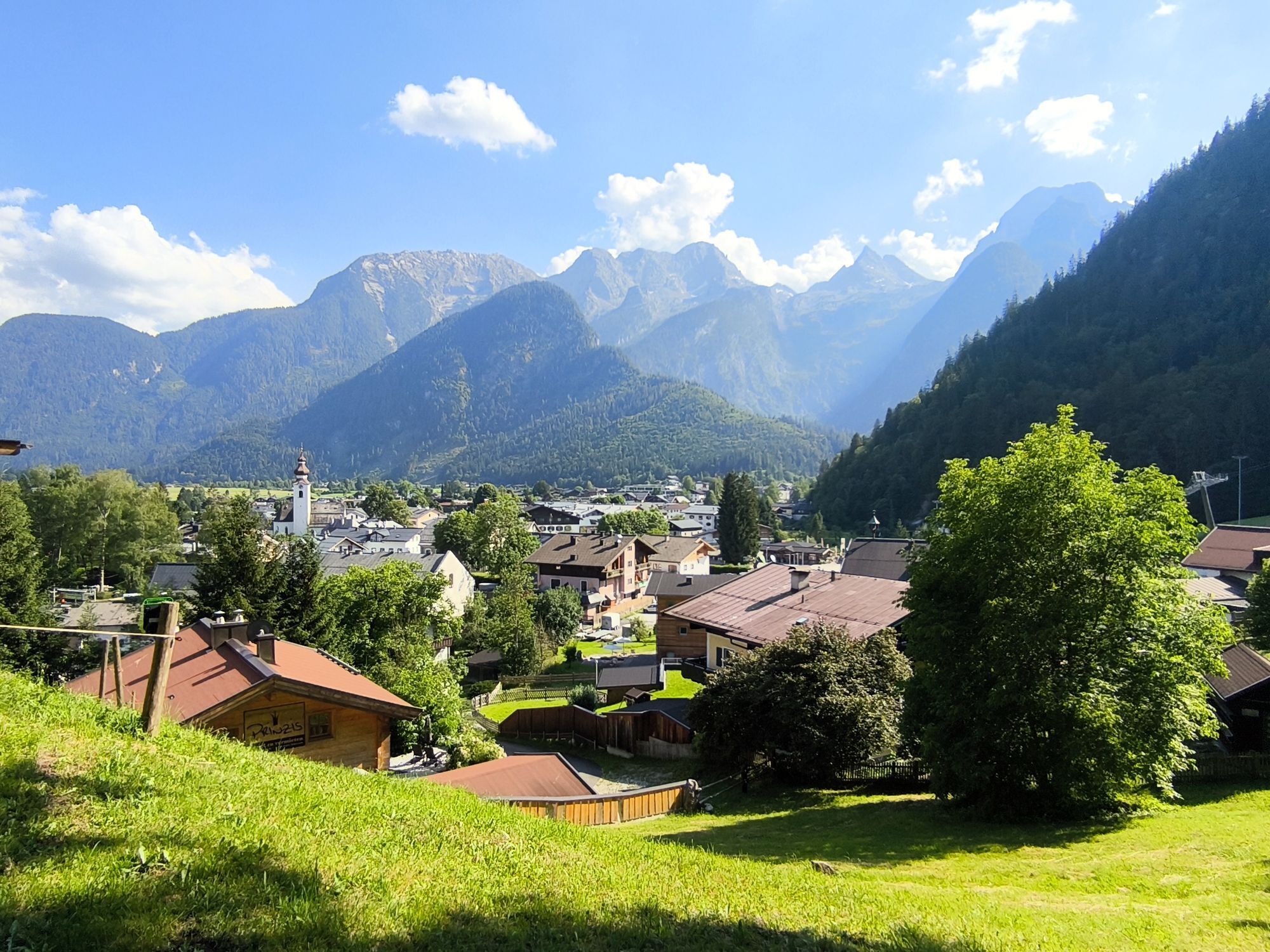
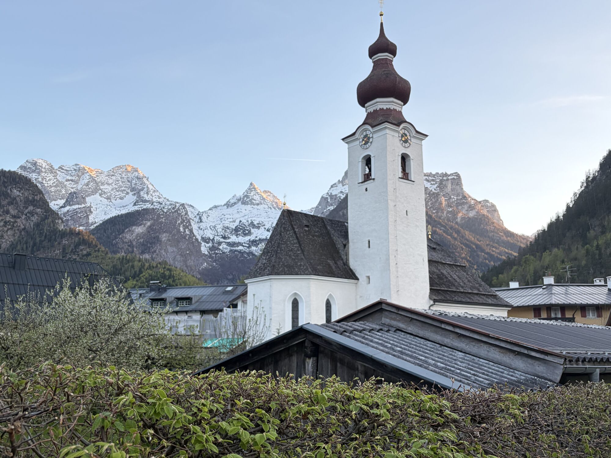
Starting from the town center for the half-day hike over the Kalvarienberg to the fortress ruins of Pass Strub and further via the Kneipp facility to Hotel Lintner. Return to the starting point via the...
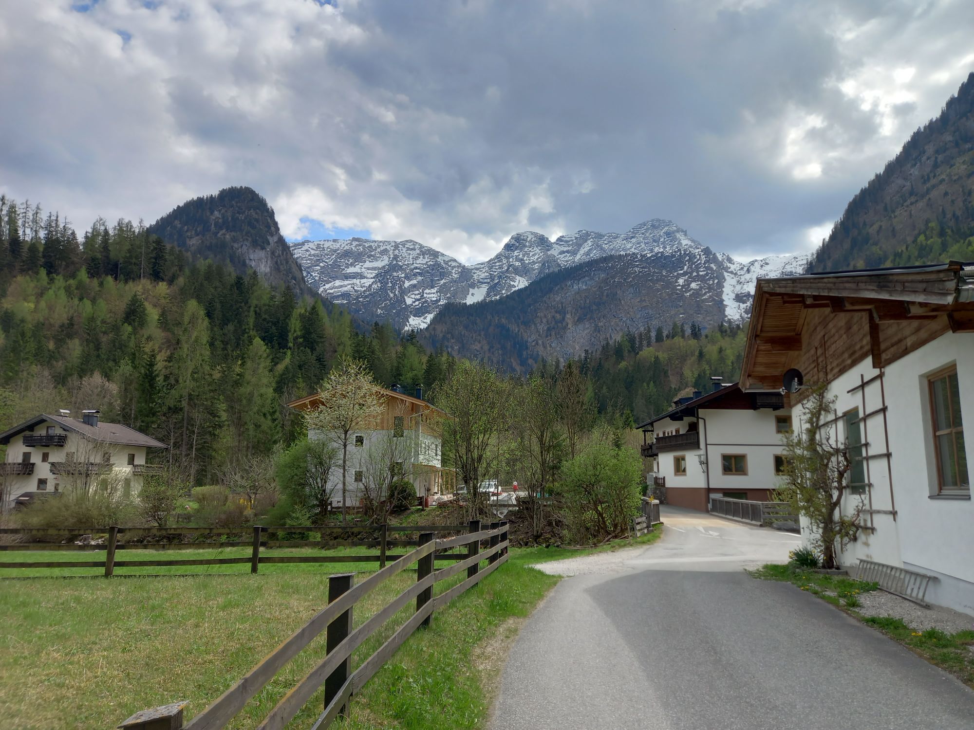
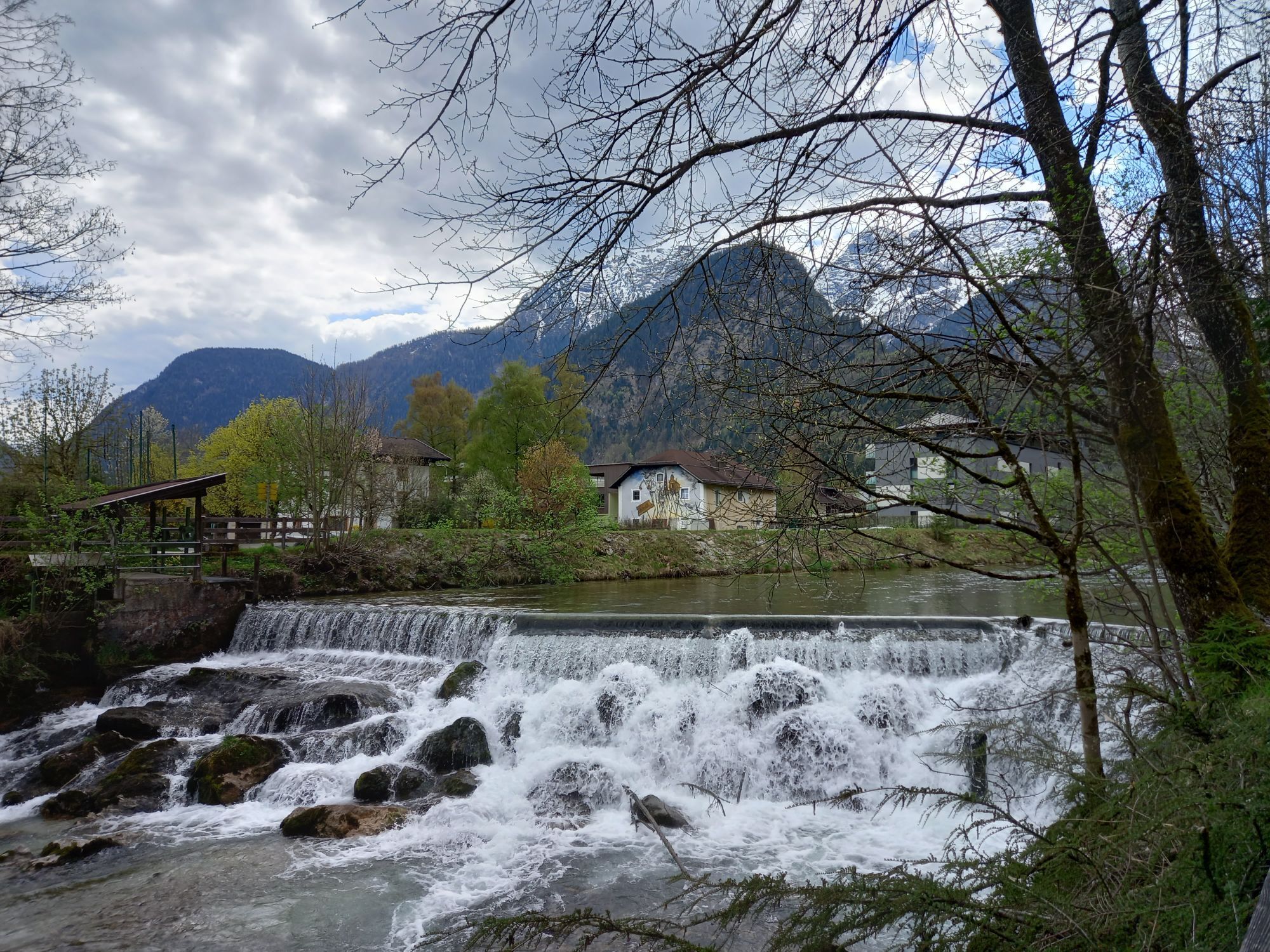
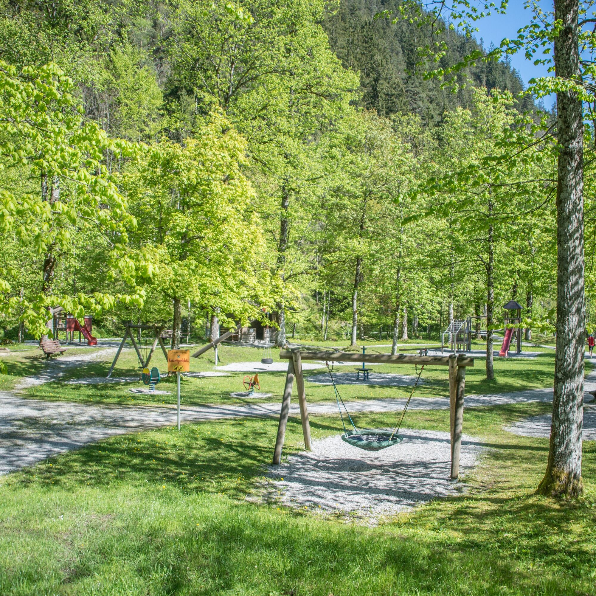
Starting from the town center for the half-day hike over the Kalvarienberg to the fortress ruins of Pass Strub and further via the Kneipp facility to Hotel Lintner. Return to the starting point via the football field and playground along the Loferbach.

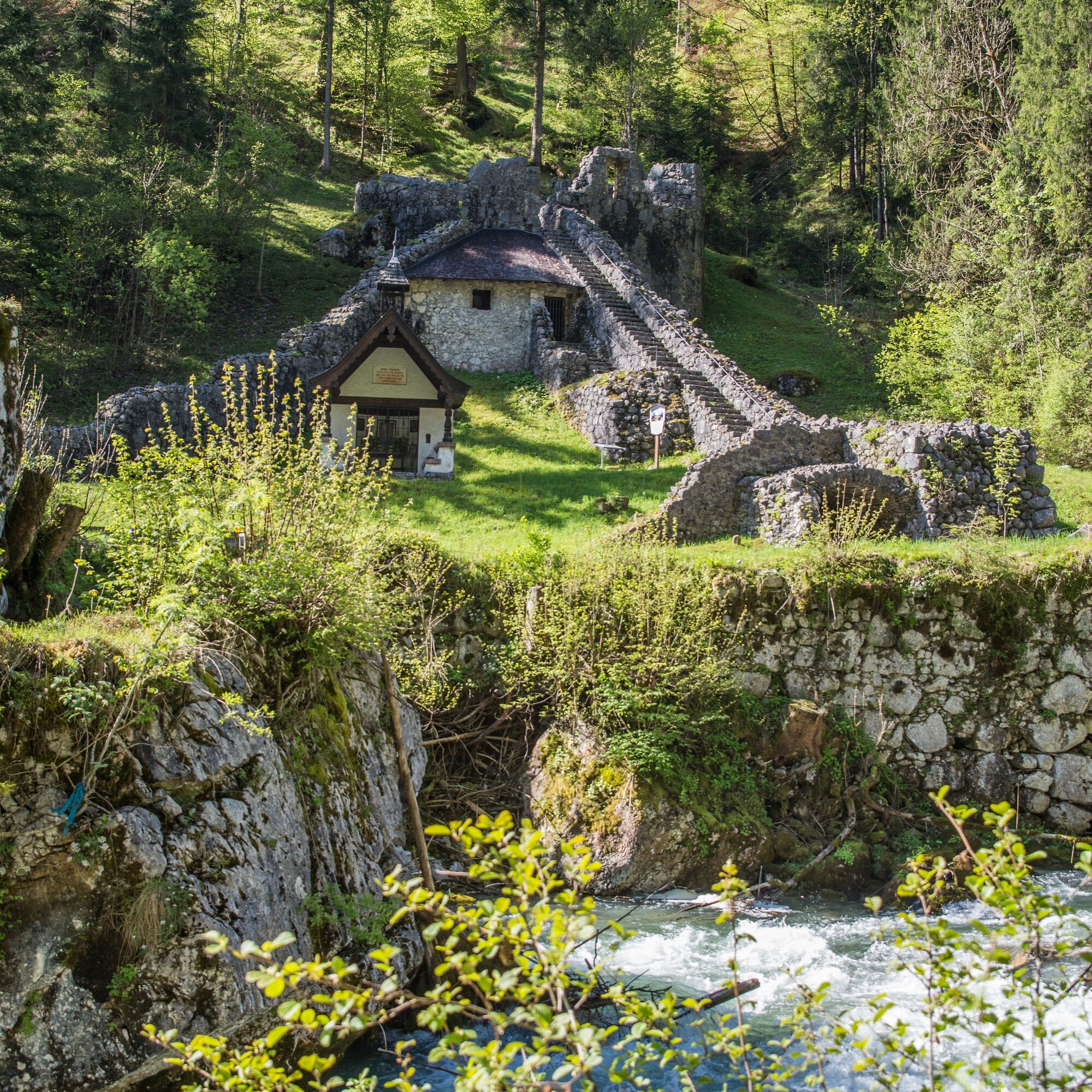
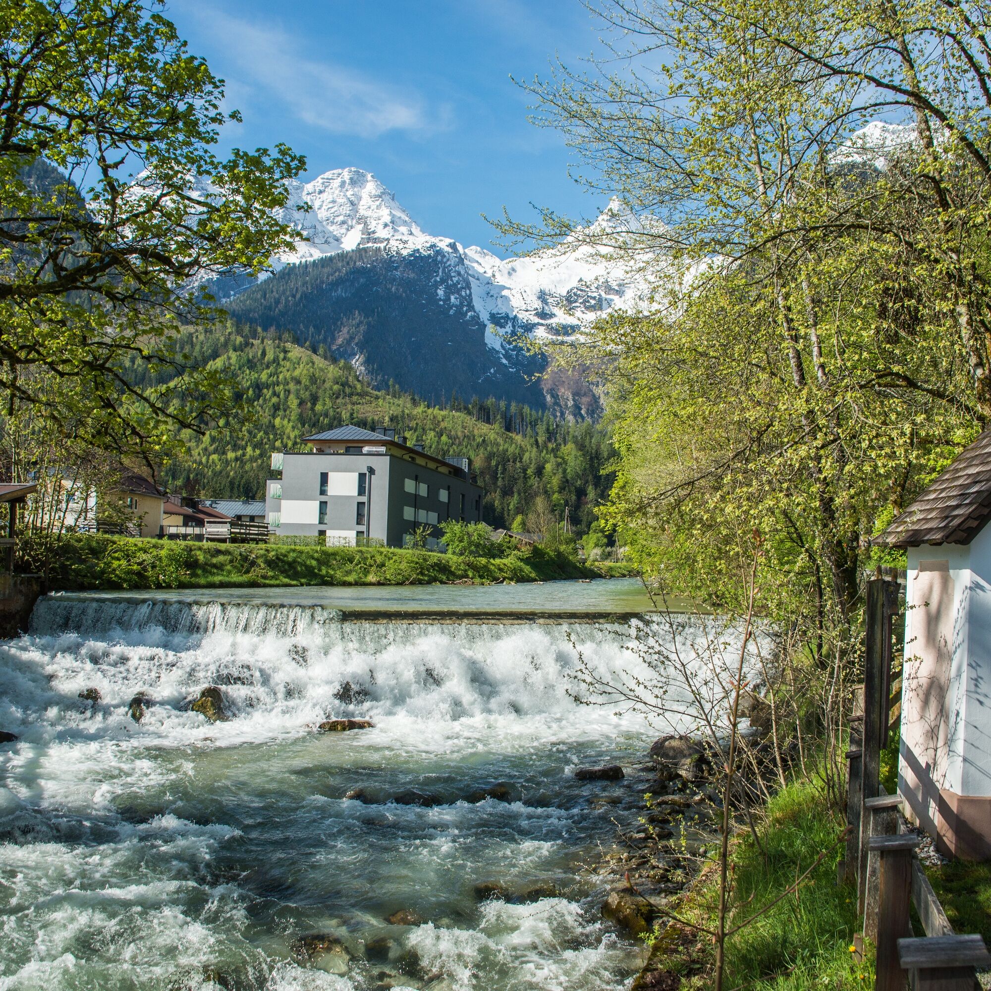
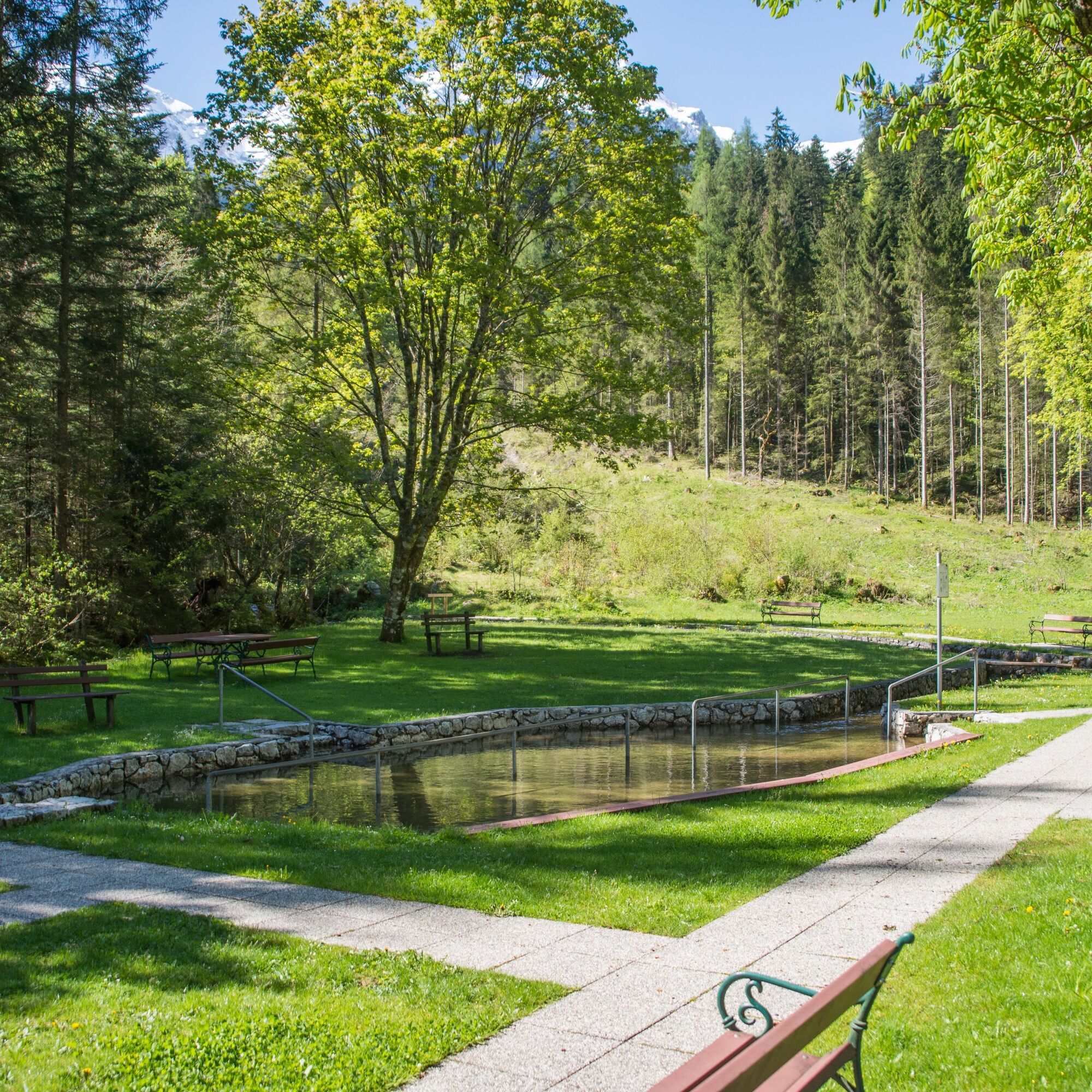
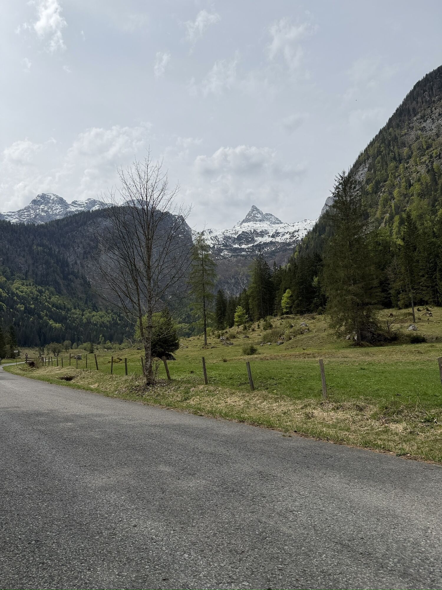
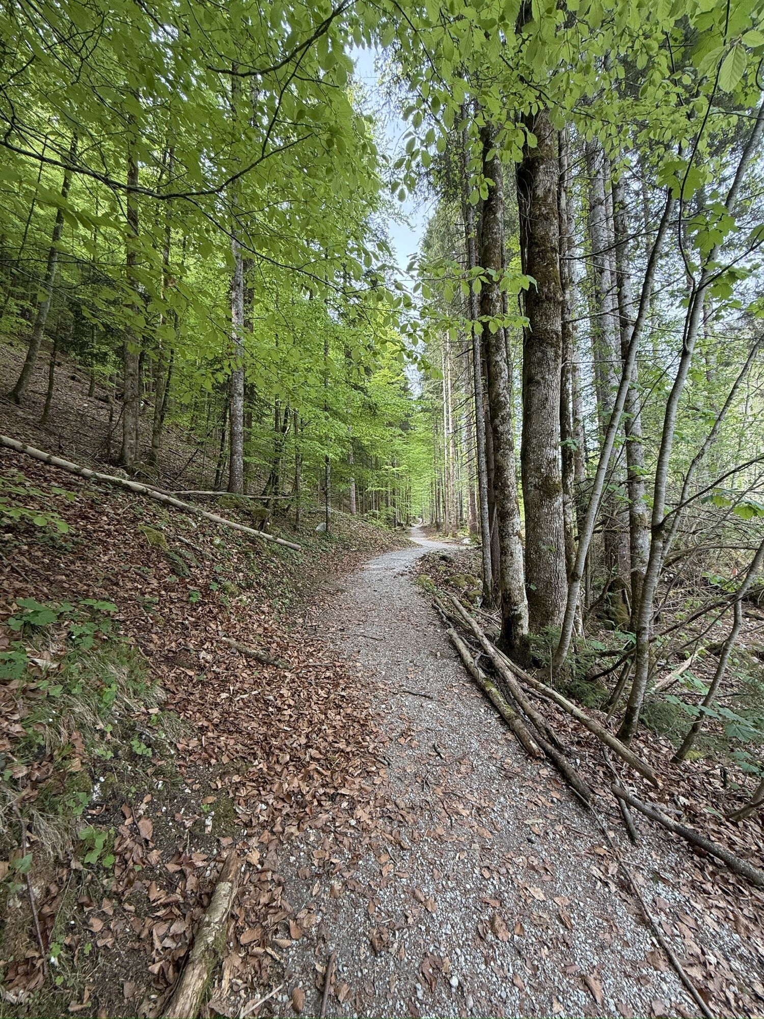
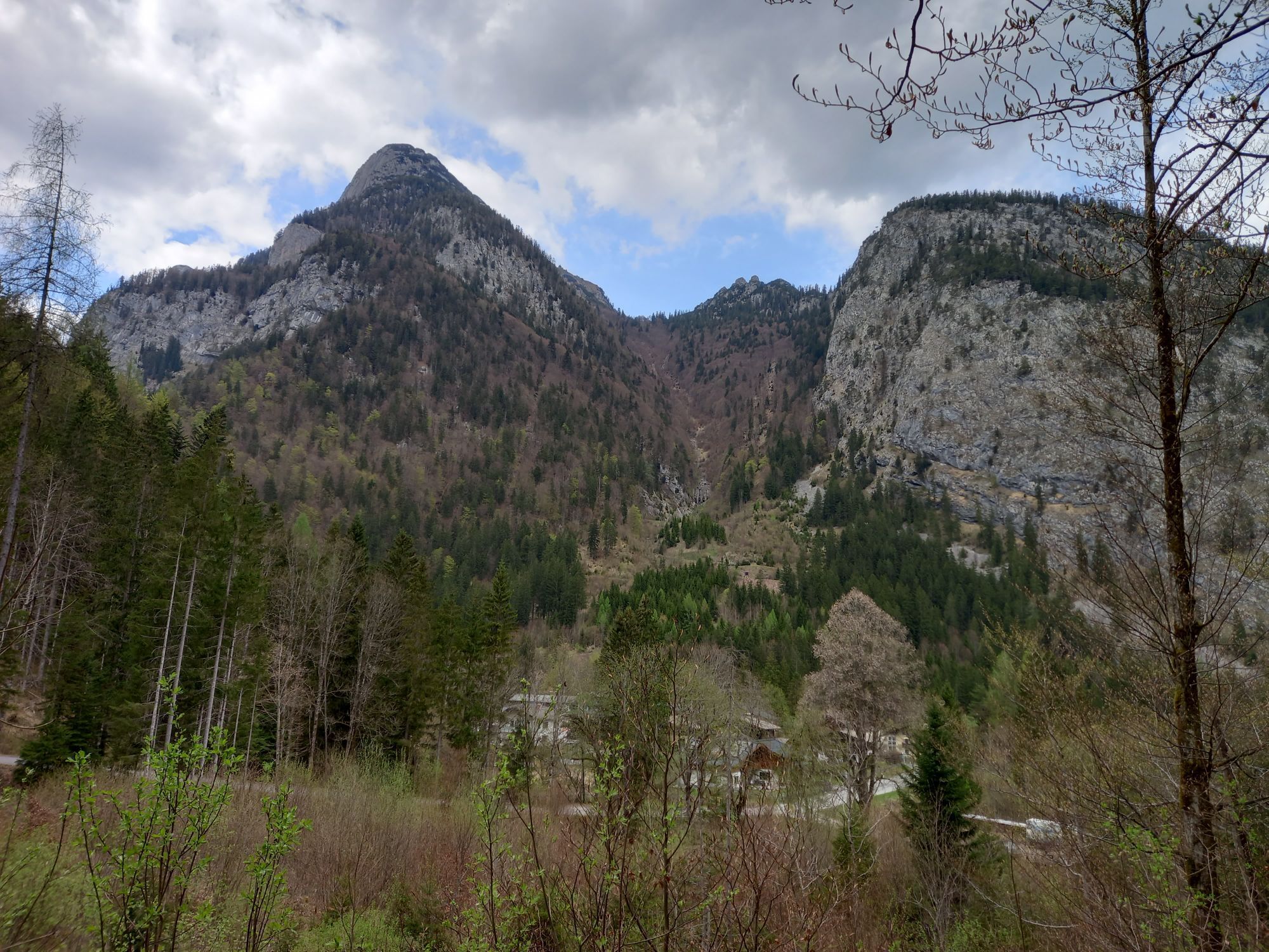
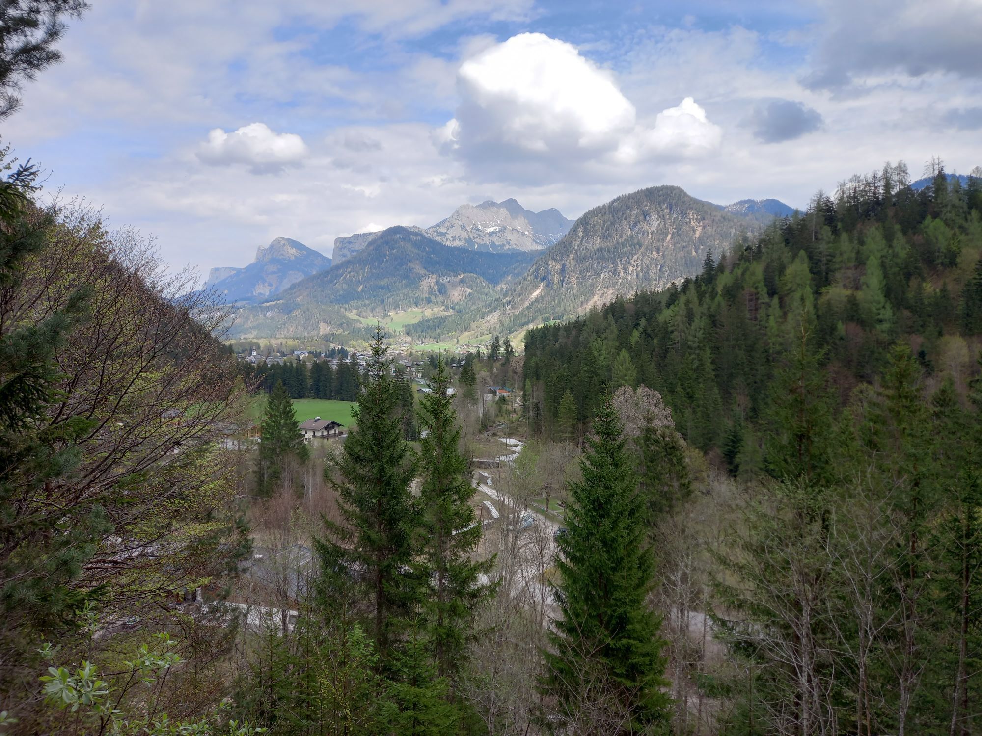
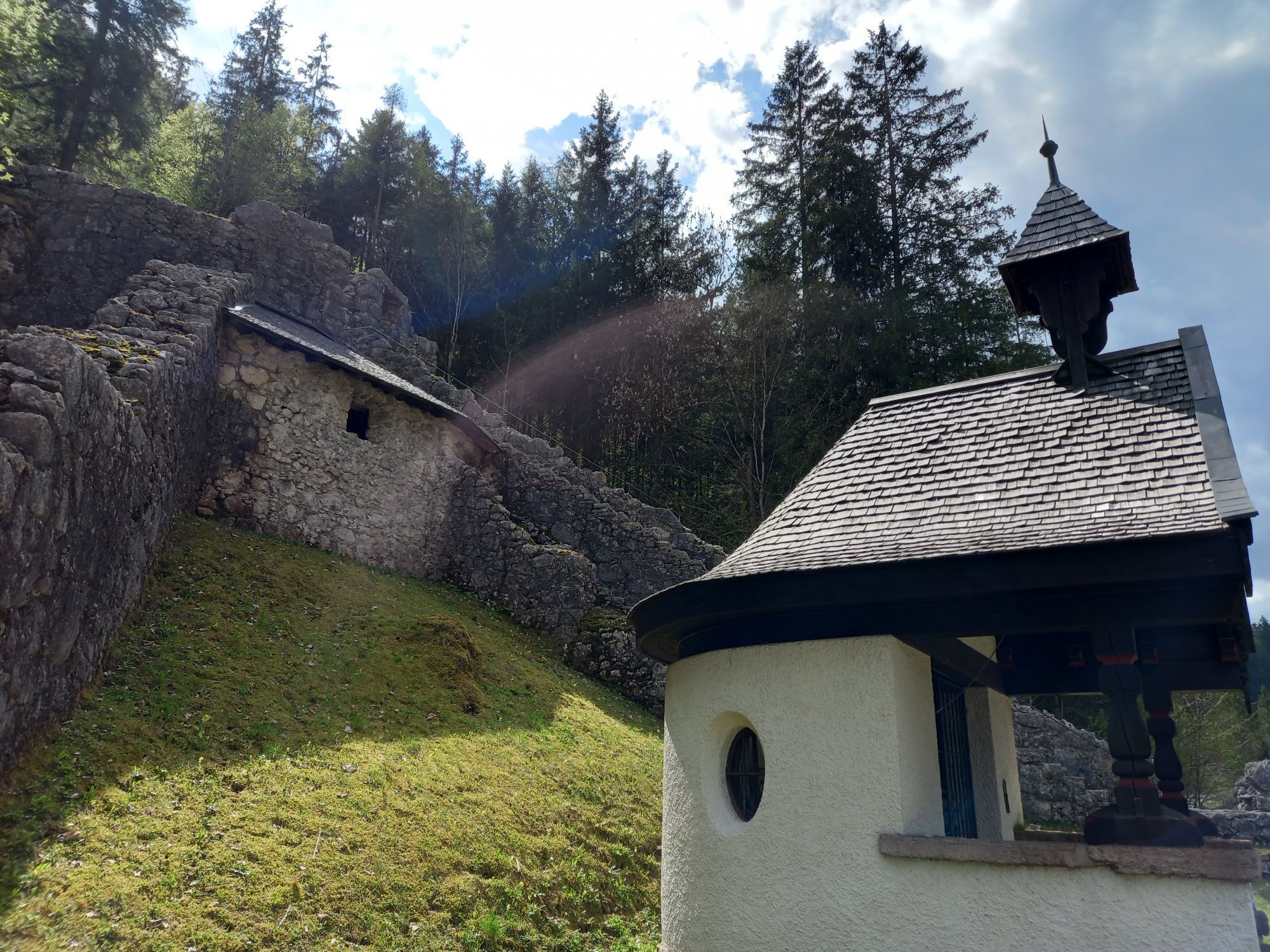
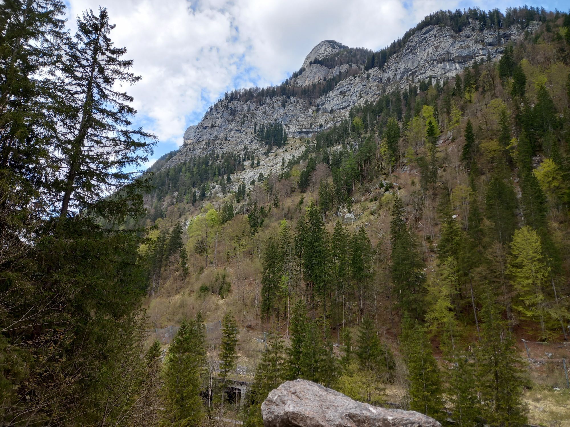
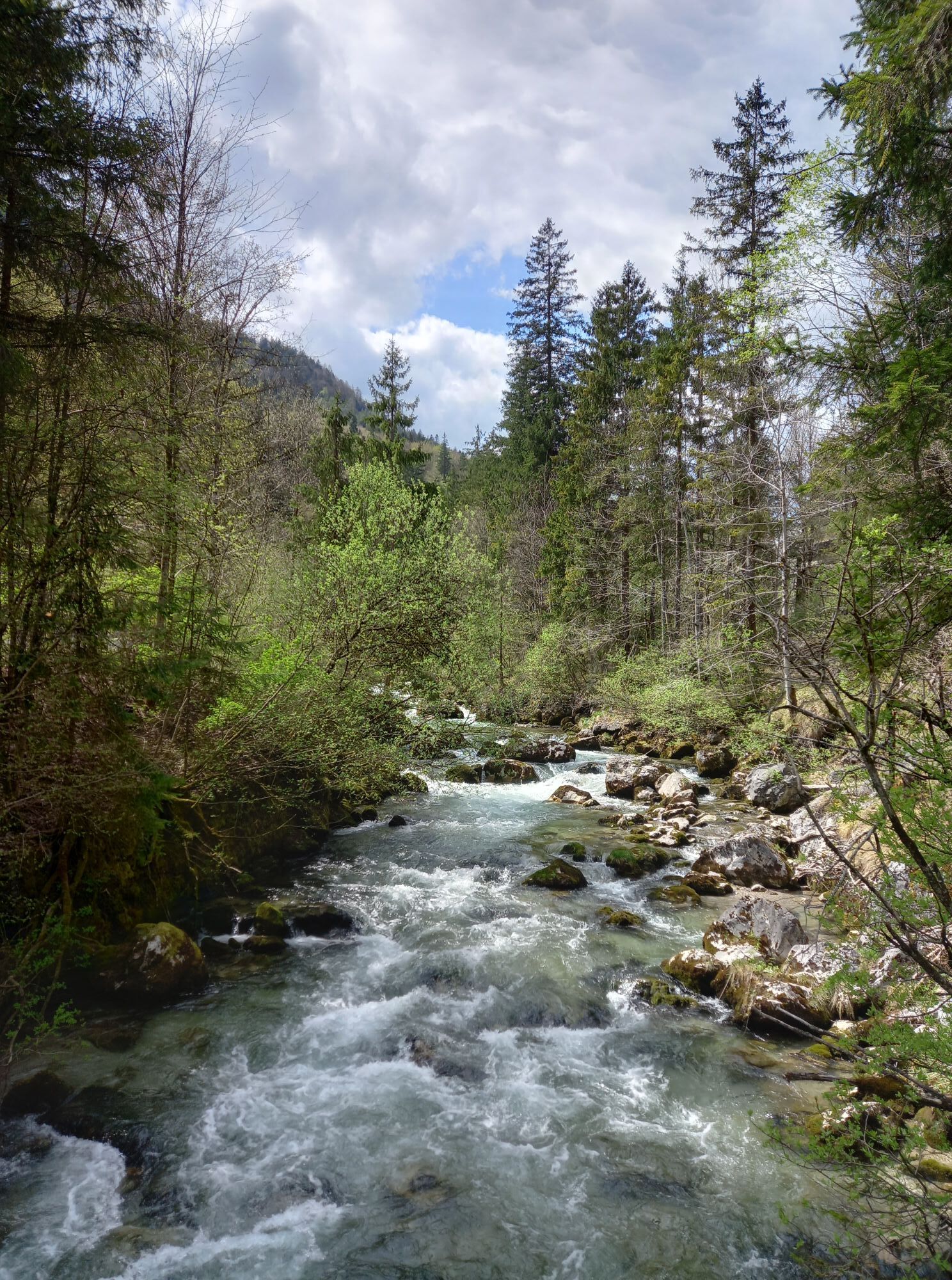
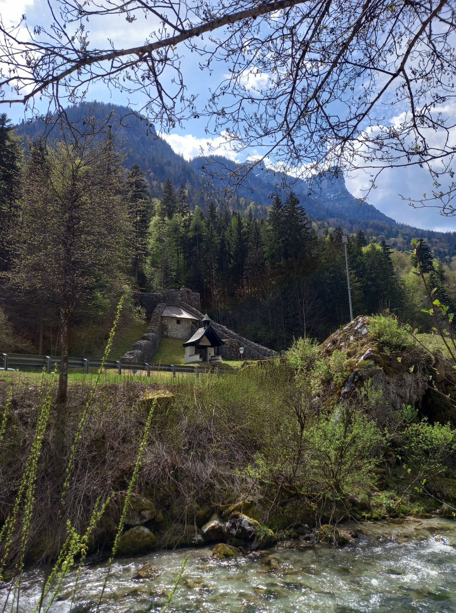
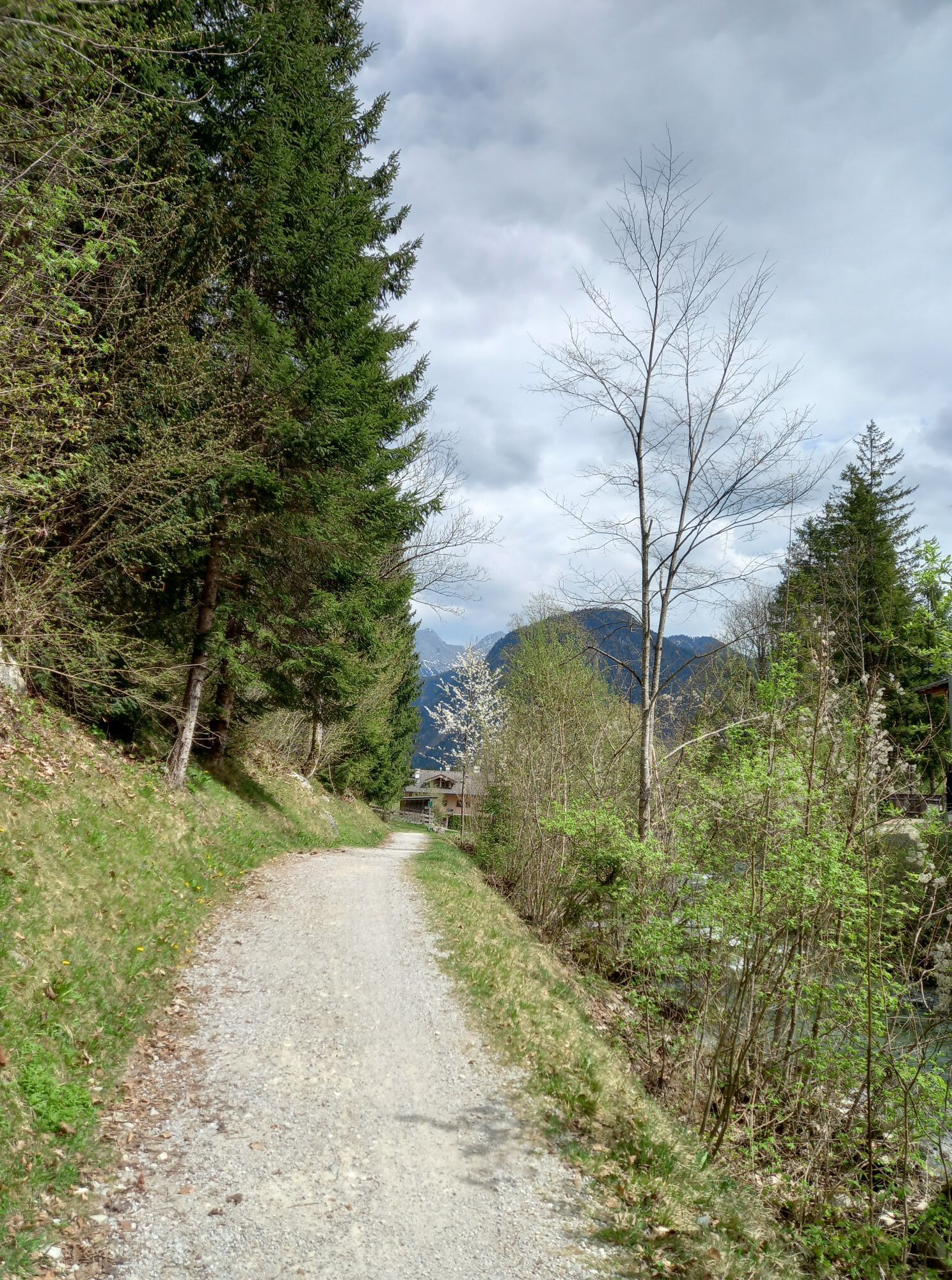
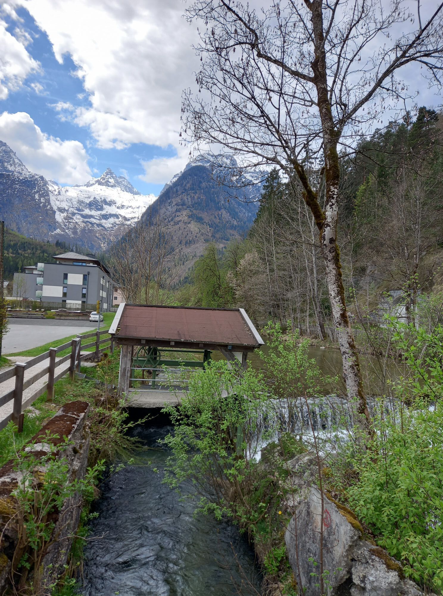
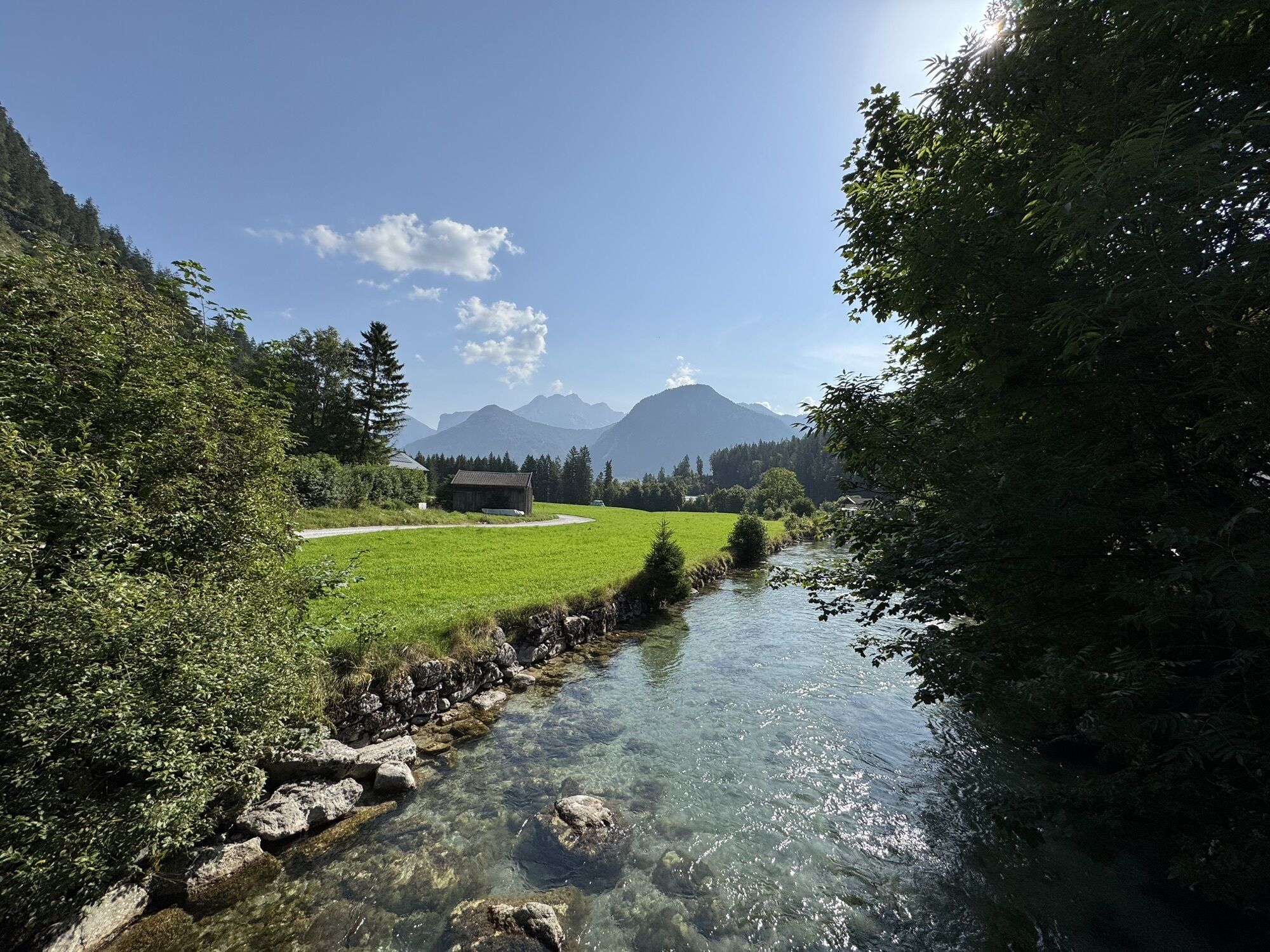
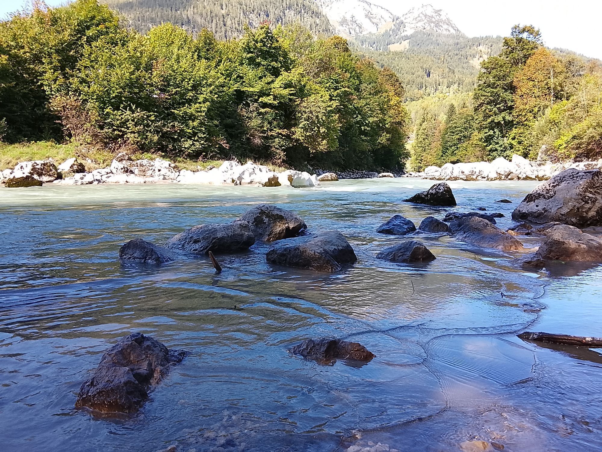
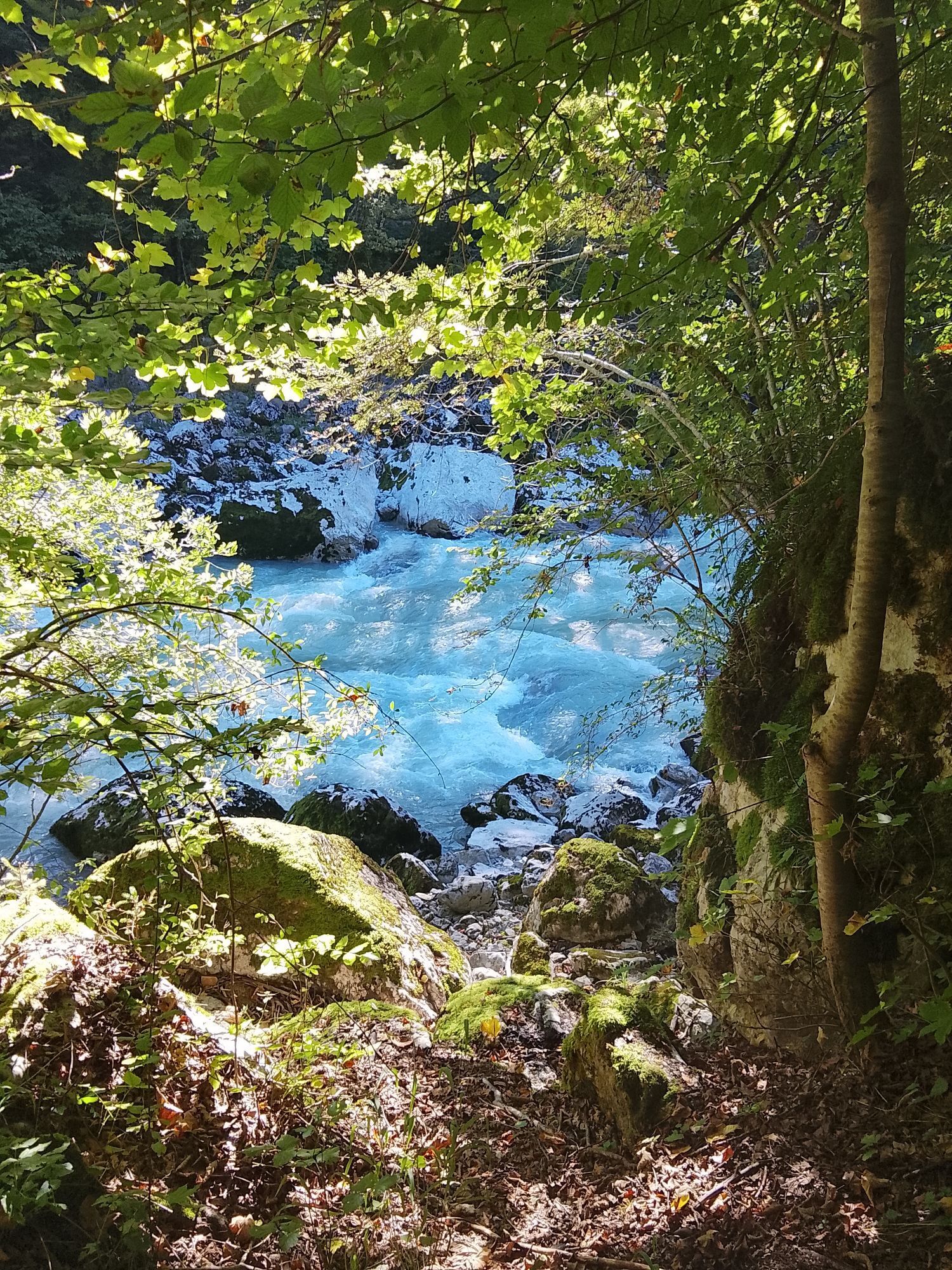
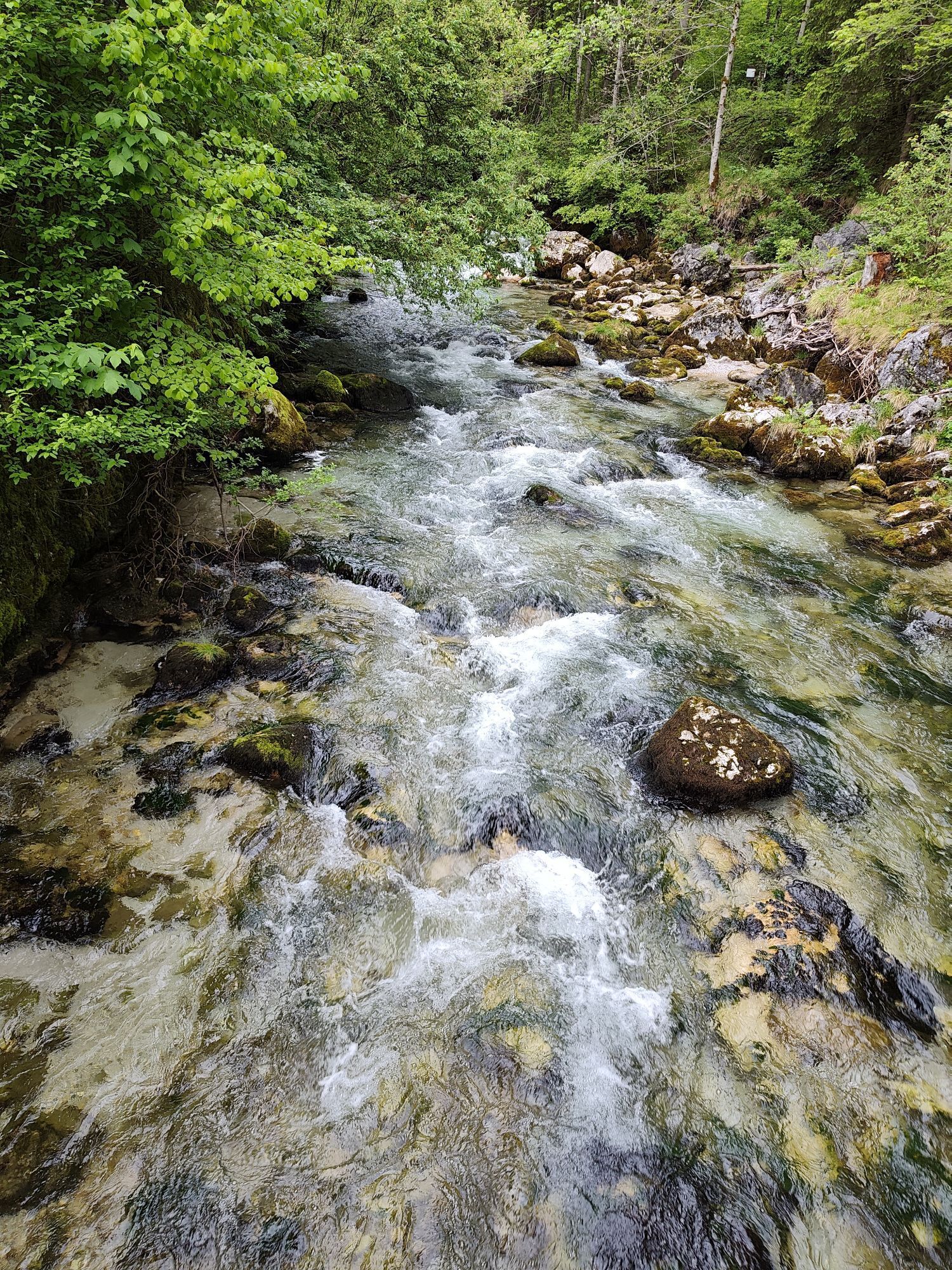
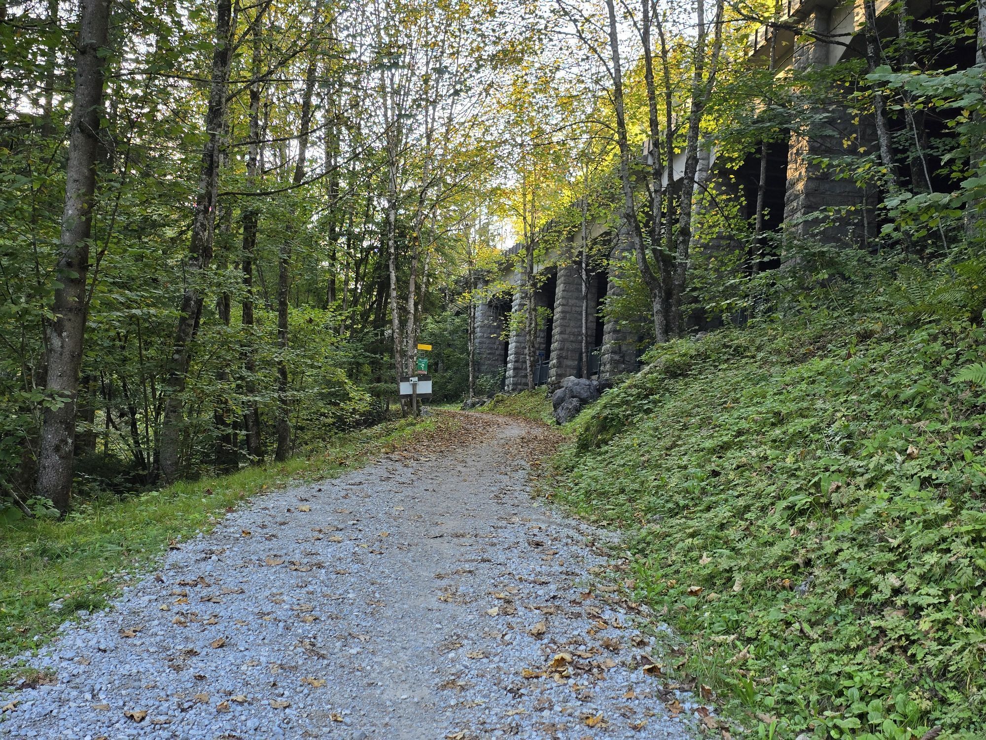
From the town center in Lofer, we follow the Höhenstraße Loferer Alm uphill at the post office. We turn left from the Luisenpavillon onto the Berta promenade and hike towards Kalvarienberg. From there, several switchbacks lead down to the Konradsweg and further down to the valley to the Augustenpromenade. We follow the Augustenpromenade upstream (Loferbach) path no. 56 to the footbridge opposite the fortress ruins of Pass Strub. Here we cross the Loferbach and the federal road. After visiting the fortress, we go via the Paulinenweg (path 70) into the Lofer high valley. A few meters further downhill, we reach the Exenbach spring on the right. Here begins the Wilhelm promenade, which leads us past the Kneipp facility to the parking lot at Hotel Lintner, where we cross the federal road and return from the sports field and playground back to the Augustenpromenade to Lofer.
Ano
Hiking boots: sturdy, waterproof hiking boots with a good tread.
Hiking clothing: breathable, weather-resistant clothing in layers (e.g. functional shirt, fleece jacket, weatherproof jacket).
Backpack: lightweight, ergonomic backpack with sufficient storage space and hydration system.
Water and food: enough water (at least 2 liters) and energy-rich snacks such as nuts, fruit, and muesli bars.
Sun protection: sunscreen, sunglasses, and hat.
Via the B311 or B178 to the center of Lofer (ARRIVAL)
Free parking at the large parking lot in Lofer (next to the tourist office).
On hot summer days, a short stop for cooling off at the Kneipp facility is worthwhile.
Oblíbené prohlídky v okolí
- 4,2
Erpfendorf: Griesbachklamm
středníTuristika 10 km - 4,3
Halsalm
Turistika 6,43 km - 4,9
Ramsau/Hintersee-Runde
světloTuristika 9,44 km - 4,8
Atemberaubende Aussicht auf dem Dürrnbachhorn
středníTuristika 8,44 km - 4,7
Loferer Steinberge, zum Hinterhorn über die Schmid-Zabierow Hütte, 19.06.22
heavyTuristika 14,0 km - 4,2
Passauer Hütte
heavyTuristika 4,14 km - 4,5
Seisenberg Gorge
světloTuristika 2,41 km - 4,7
Over the waterfall trail into the Almenwelt Lofer
středníTuristika 3,29 km - 4,6
Birnbachloch Leogang, Österreich
středníTuristika 5,18 km - 4,5
Rundweg vom Hintersee zur Halsalm
středníTuristika 9,53 km
Pěší turistika a stopování


Nenechte si ujít nabídky a inspiraci pro vaši příští dovolenou
Vaše e-mailová adresa byl přidán do poštovního seznamu.