



Abtenau to Annaberg via Breitenberg


From the Fischbach bus stop, turn left next to the Fischbachstube inn and follow the asphalt road (25). Then change to the forest road and hike in the direction of "Eggenreith" (956m). Walk steadily uphill (approx. 250 m) along the St. Rupert Pilgrims' Path. Here you cross the Breitenberg. Now walk along the path to the "Quehenberg" farmer (852m), still following the pilgrims' path. Once in the valley, continue on the pilgrims' path (56) in a southerly direction along the tree trail. After about 4 km you reach Annaberg-Lungötz from where you can take the bus back to Abtenau.
Sturdy shoes, appropriate hiking equipment, food and drink, as the first refreshment stop is in Annaberg.
Via Tauernautobahn A10 exit Golling direction Abtenau. To Abtenau to the free public car park east. Local bus stop 3 min walk.
Get on the Postbus 470 at Abtenau centre - get off at the Fischbach stop.
Free parking at car park east.
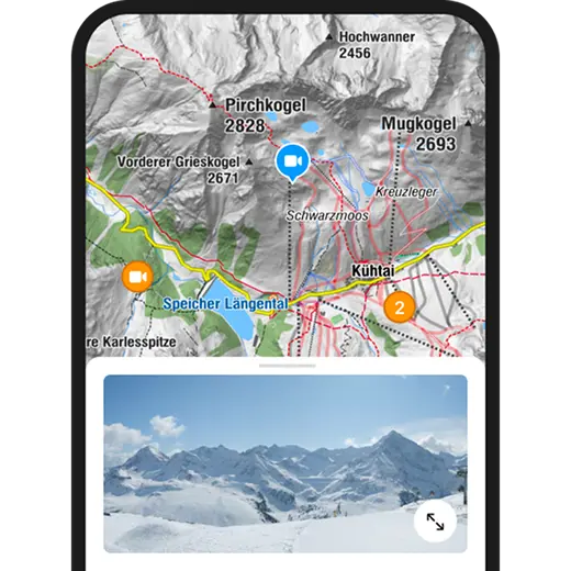
Webové kamery z prohlídky
Oblíbené prohlídky v okolí
-
4.4
Filzmoos: Rötelstein (Rettenstein)
Turistika 9.50 km -
4.7
Werfenweng Mountainbikerunde Söldenhütte
středníMountainbike 18.8 km -
4.9
From Rußbach over the Gamsfeld
heavyTuristika 11.5 km -
4.8
Abtenau: Postalm circular route 2 - Labenberg & Pitscherberg alms - (IVV circular hiking trail)
světloTuristika 10.1 km -
4.8
Tour around the Gosaukamm
středníTuristika 20.9 km -
4.8
Tor-Wanderung
heavyTuristika 14.2 km -
4.8
Rossbrand über Bürgerbergalm (462)
Turistika 10.8 km -
4.7
Tour around the Lake Gosau
světloTuristika 4.43 km -
4.6
Adamekhütte vom Vorderen Gosausee
středníTuristika 23.2 km -
4.8
Gerzkopf
středníTuristika 8.43 km
Pěší turistika a stopování


Nenechte si ujít nabídky a inspiraci pro vaši příští dovolenou
Vaše e-mailová adresa byl přidán do poštovního seznamu.


