






SalzAlpenTour Annaberg: Stuhlalm - Stuhlloch - Loseggalmen (30 points)
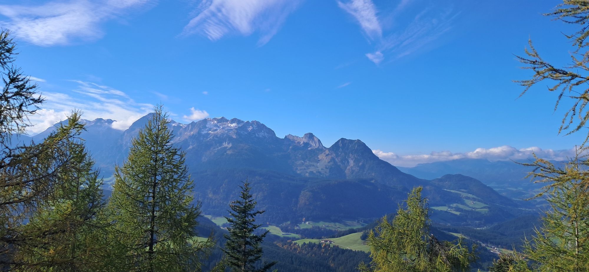
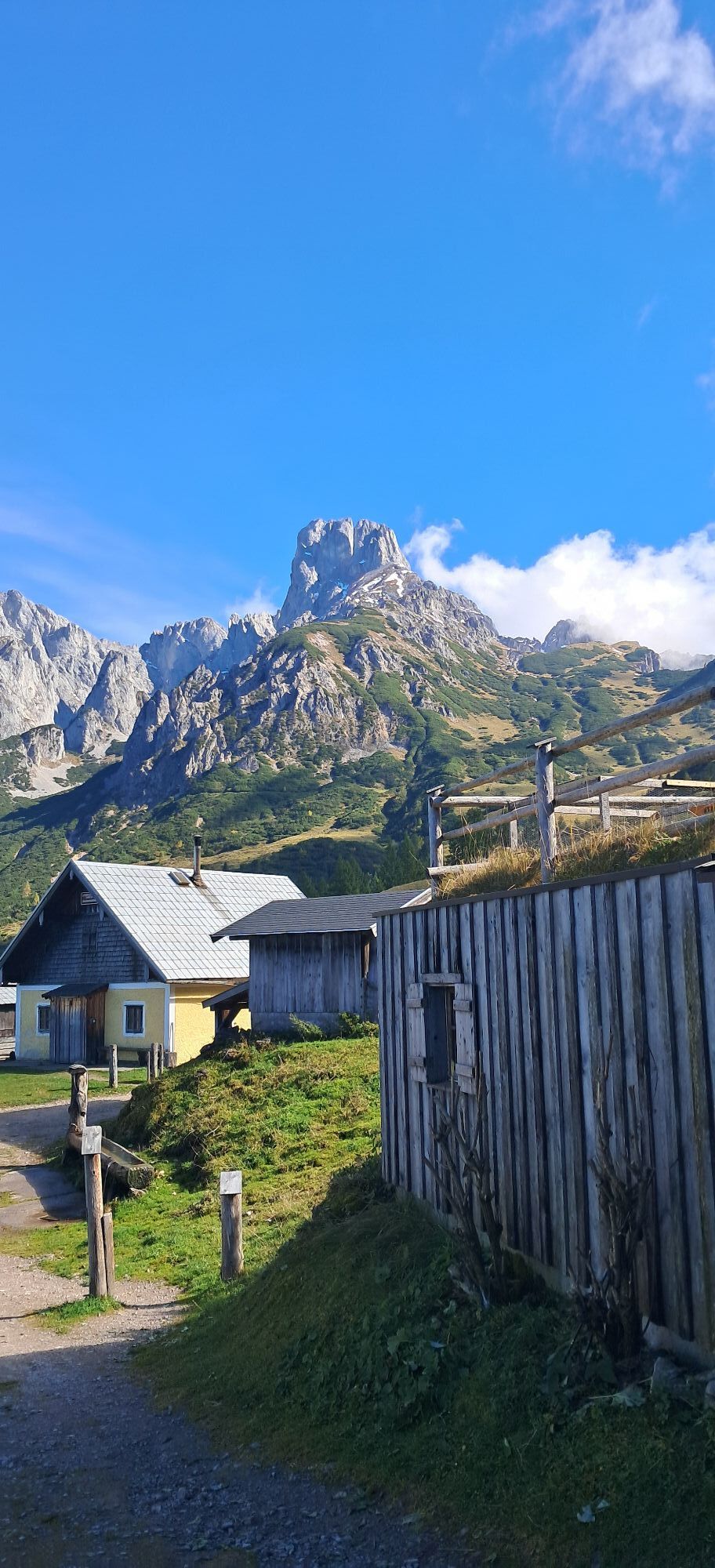

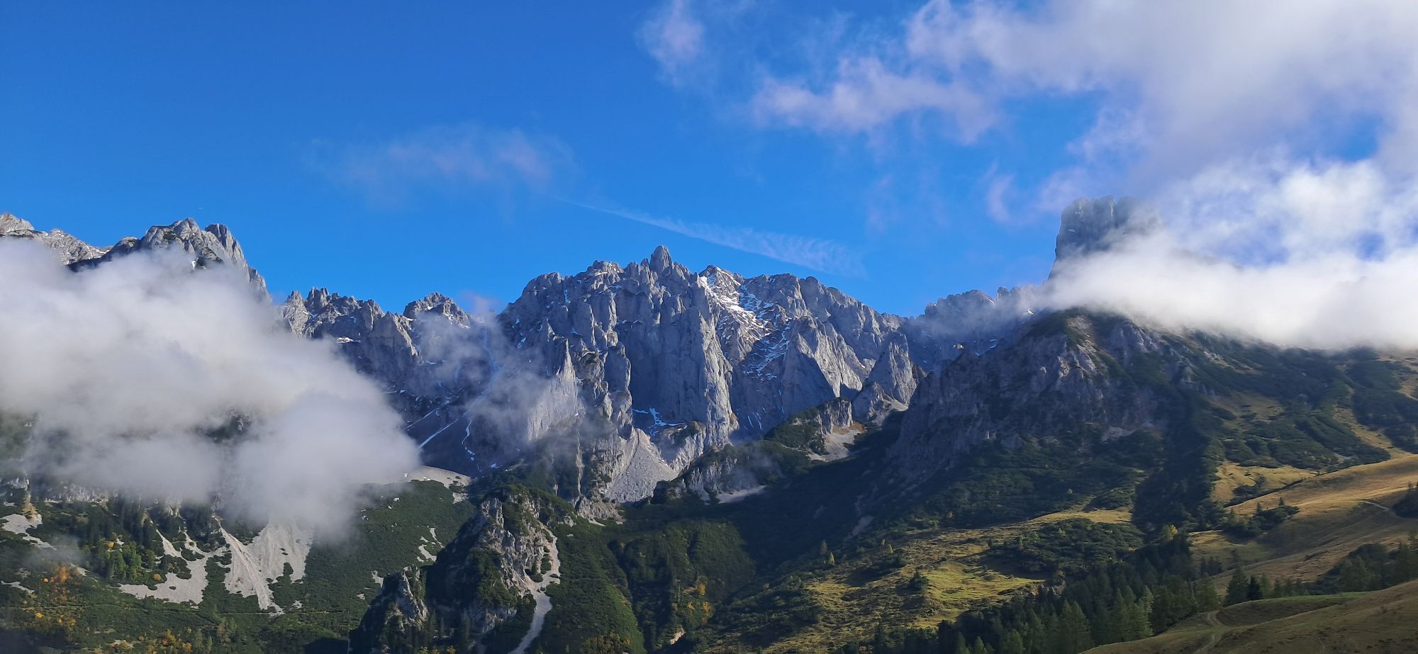
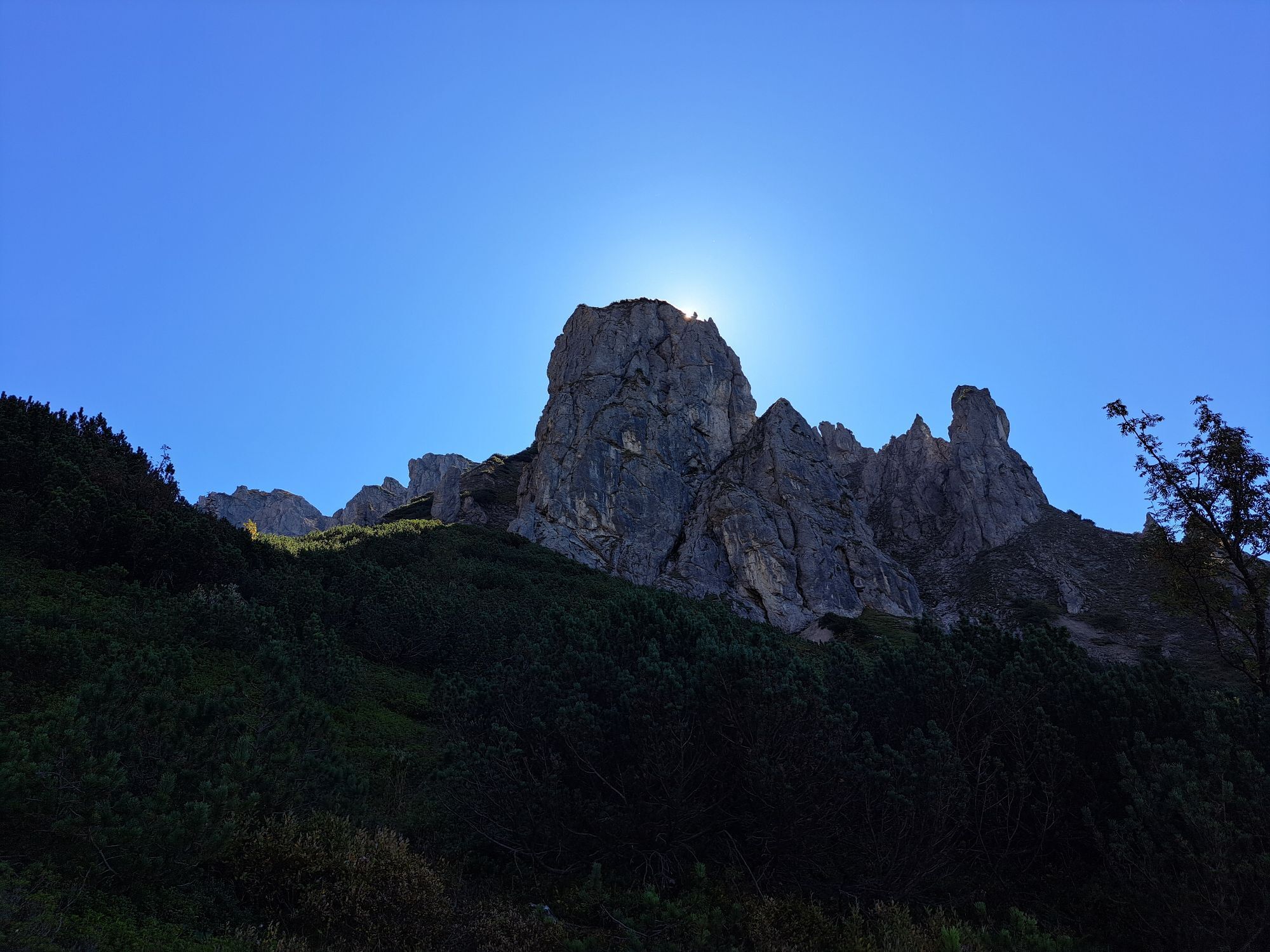
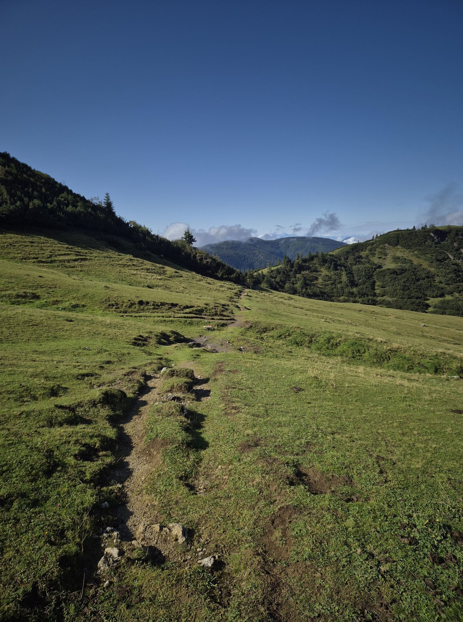
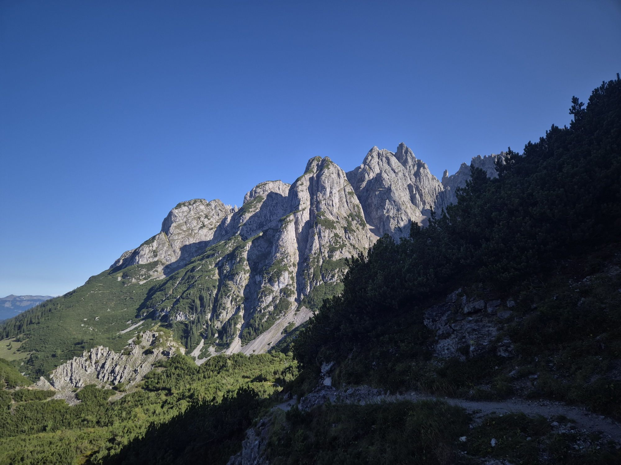
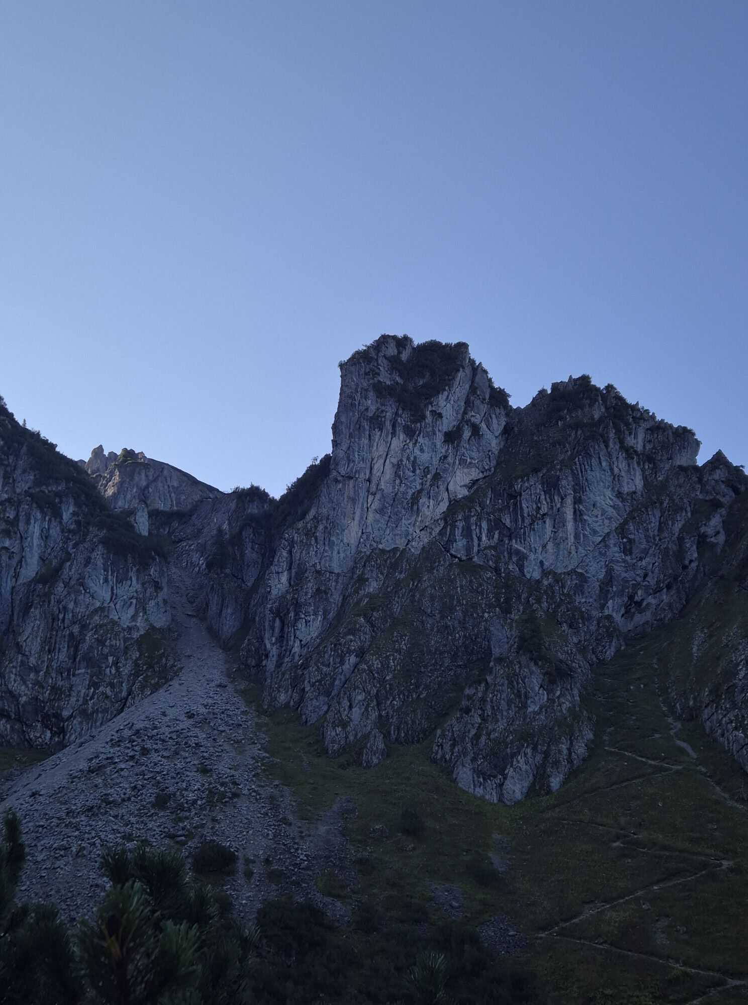
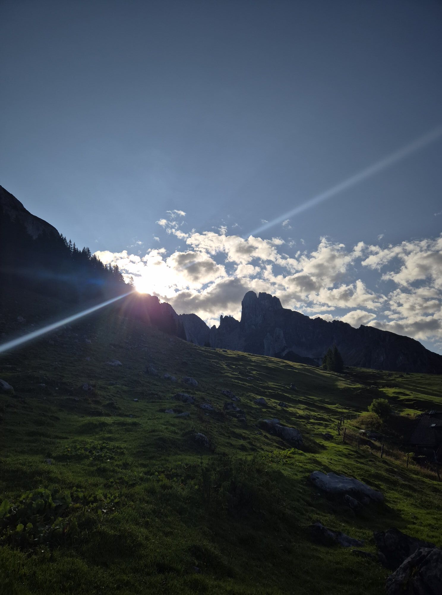
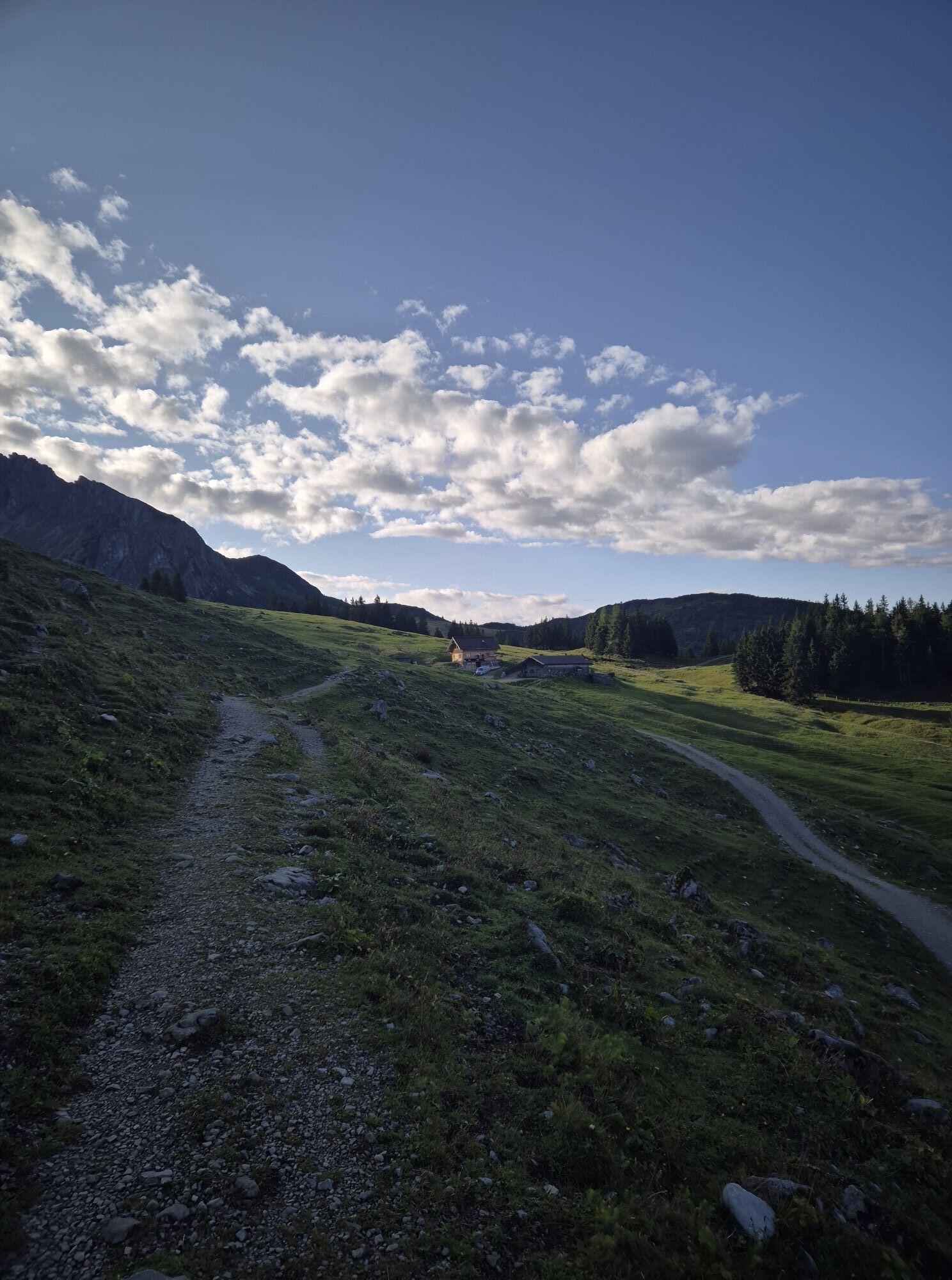
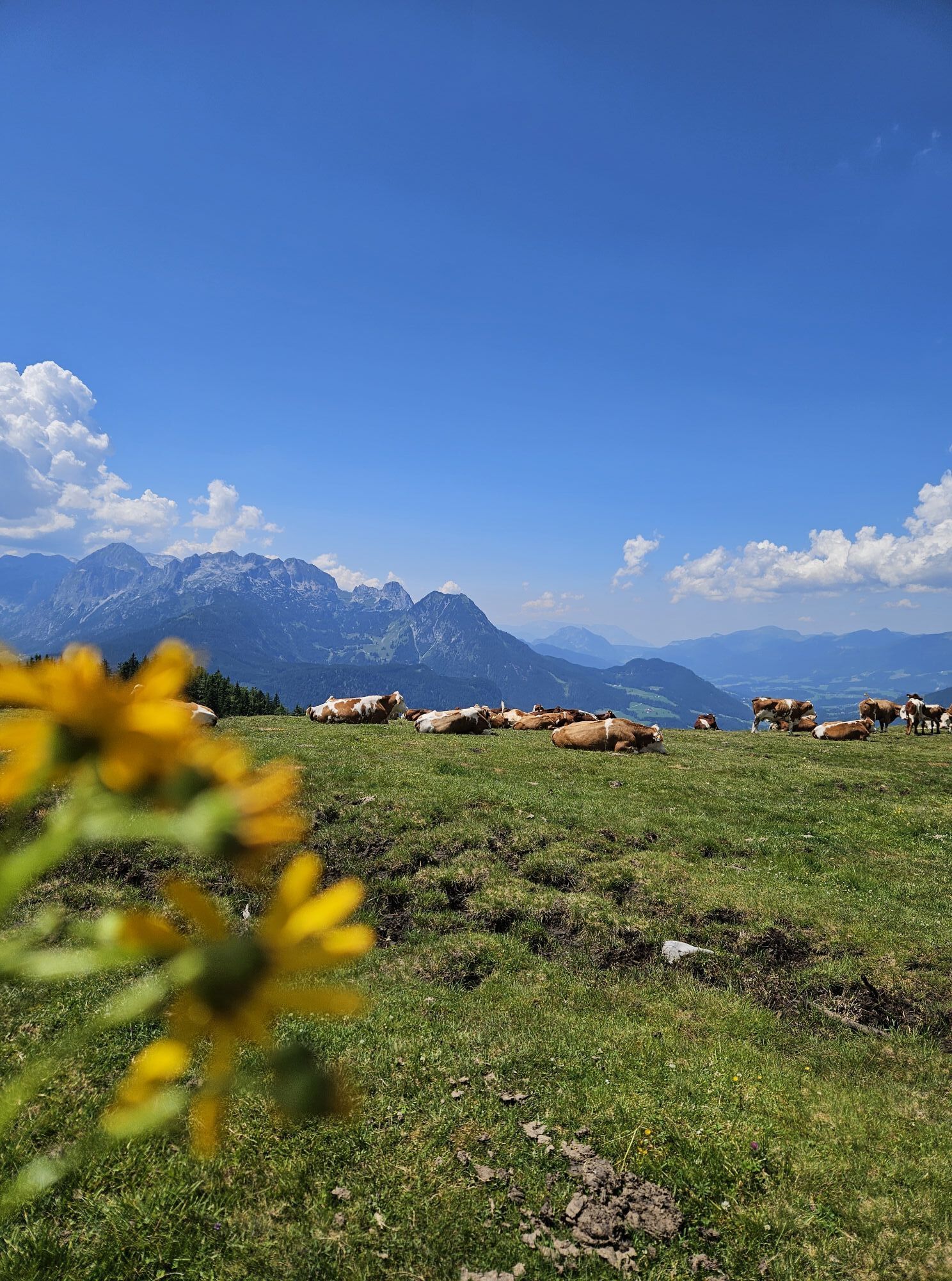
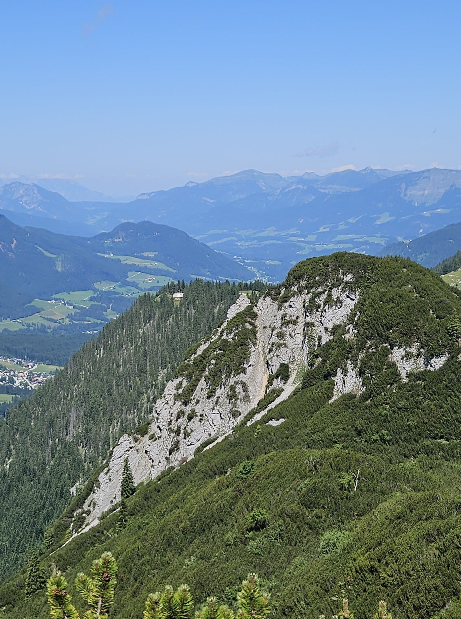
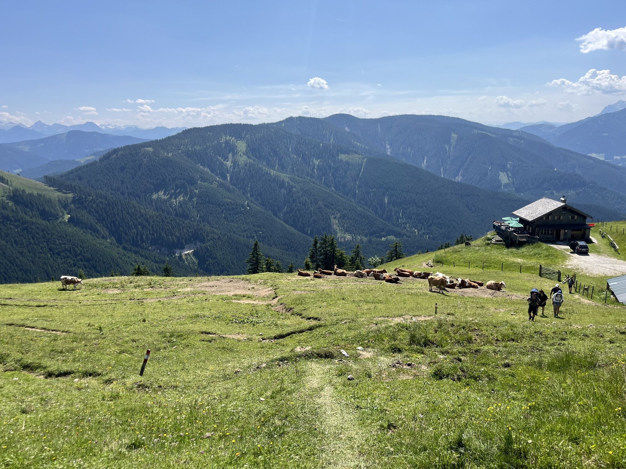
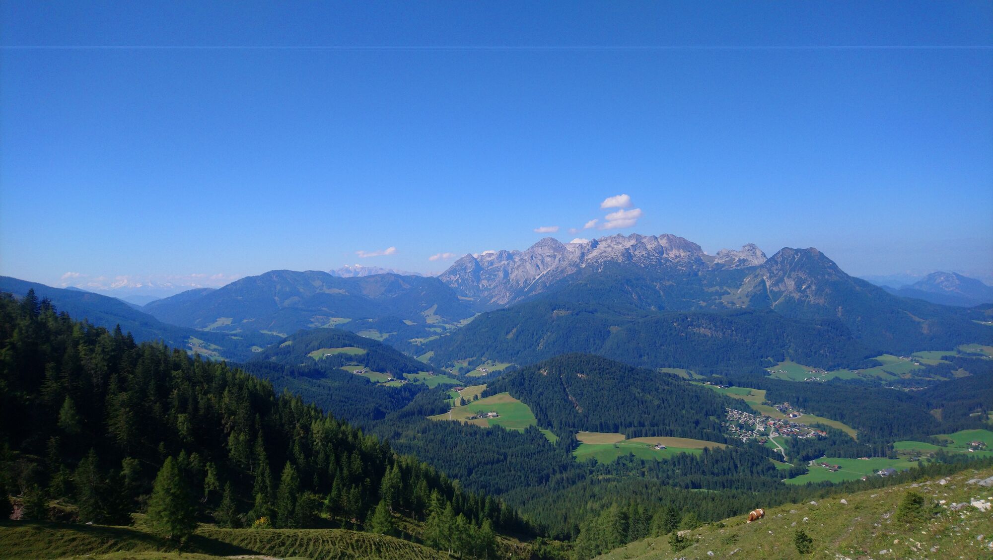
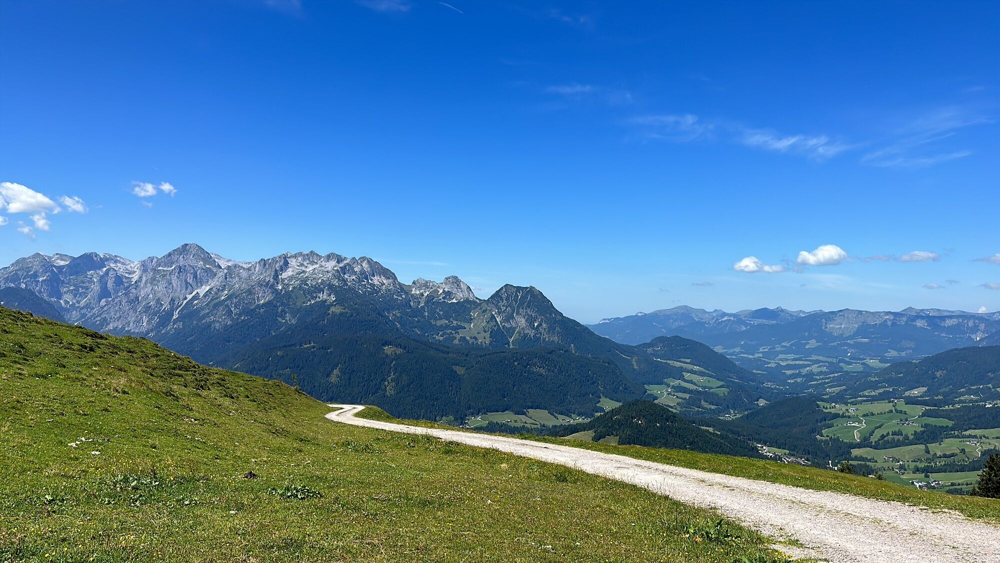

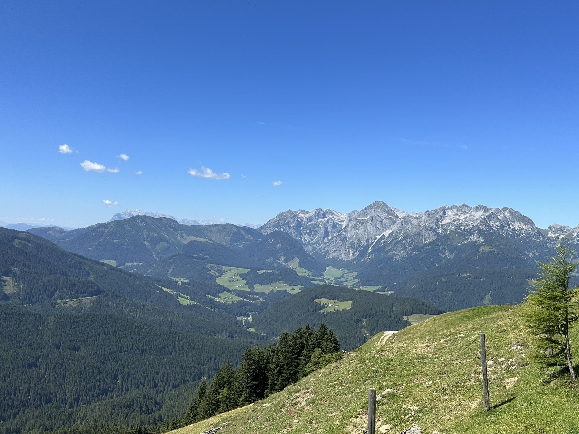
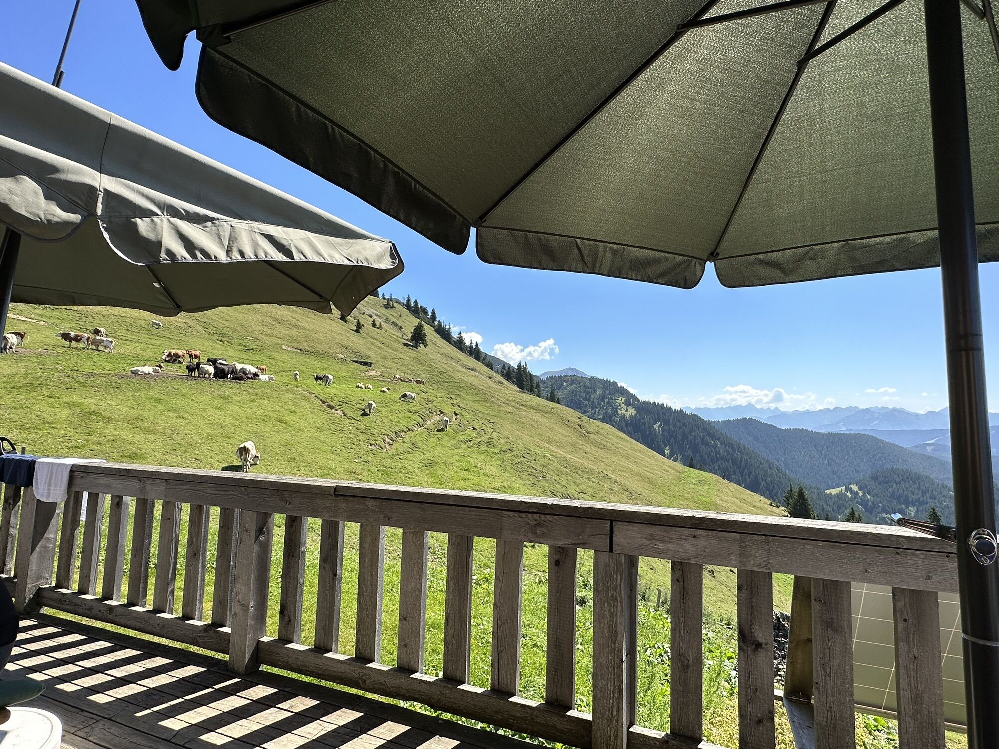
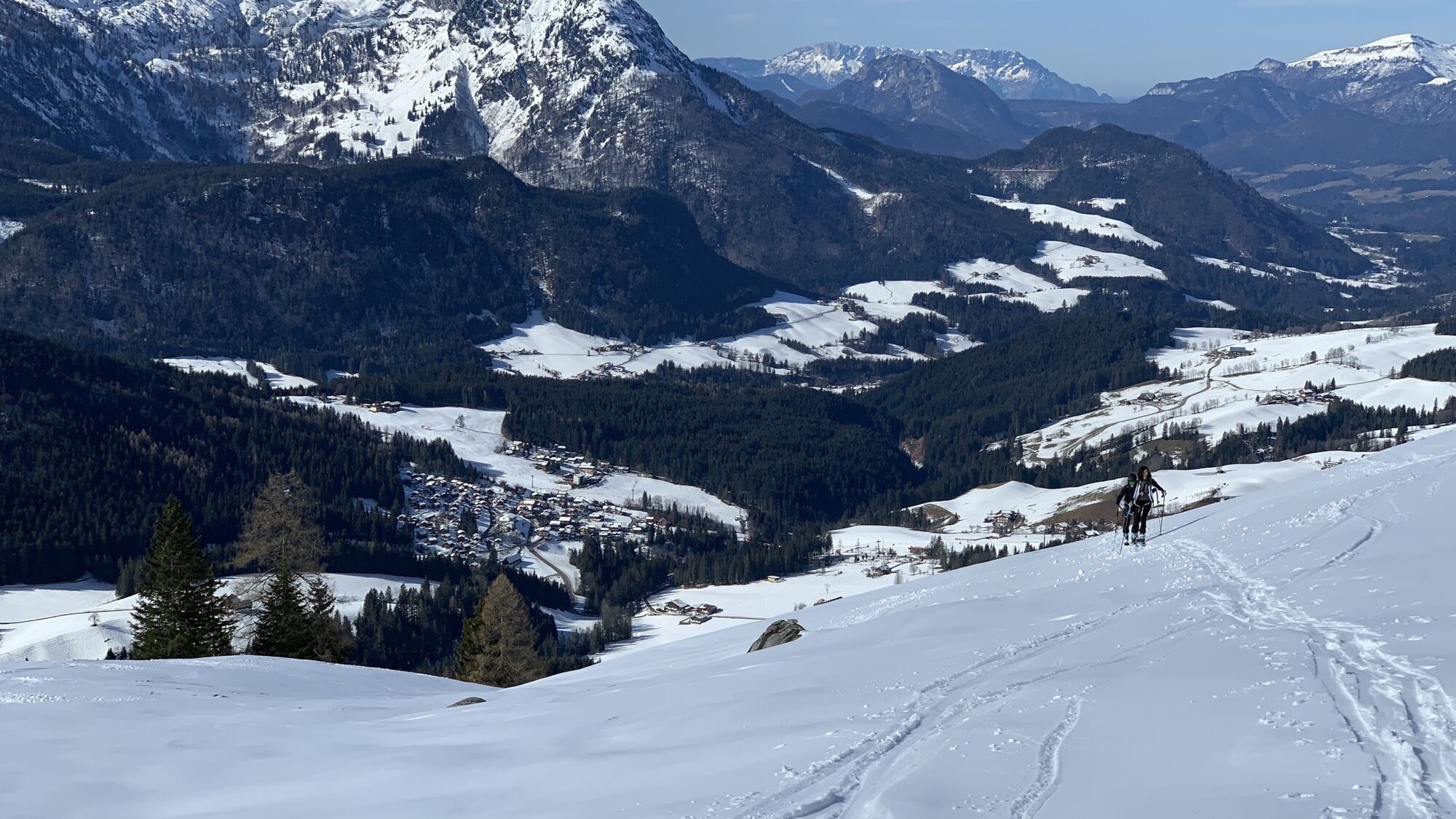
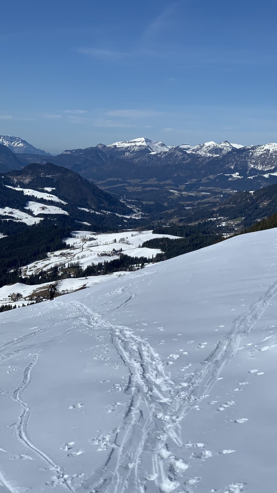
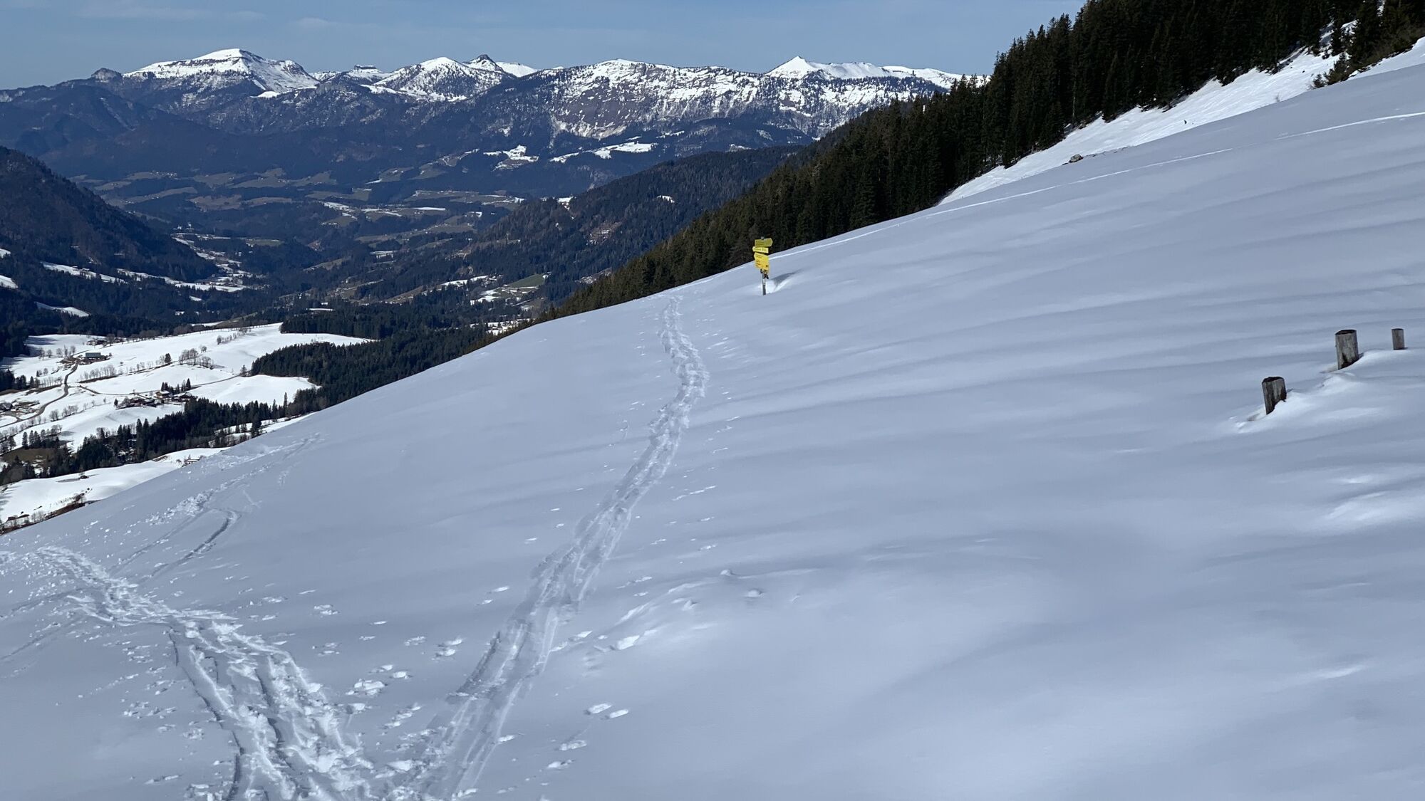
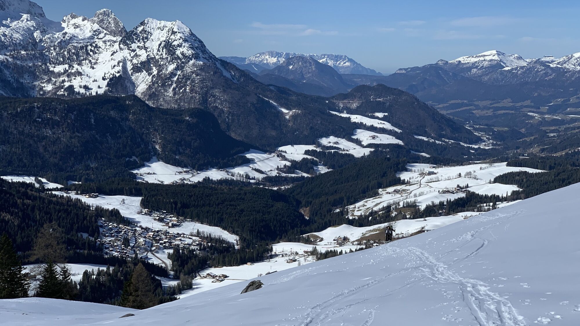
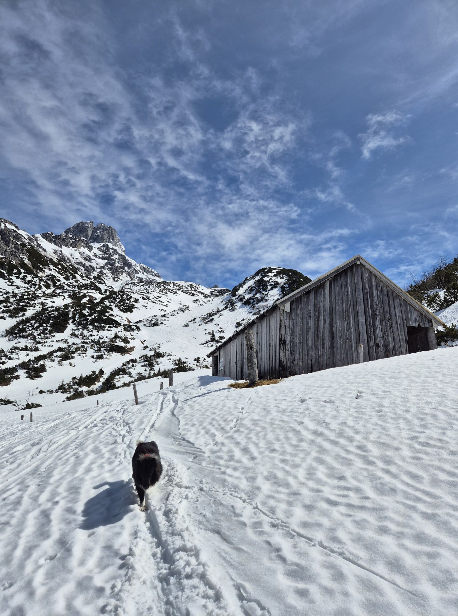
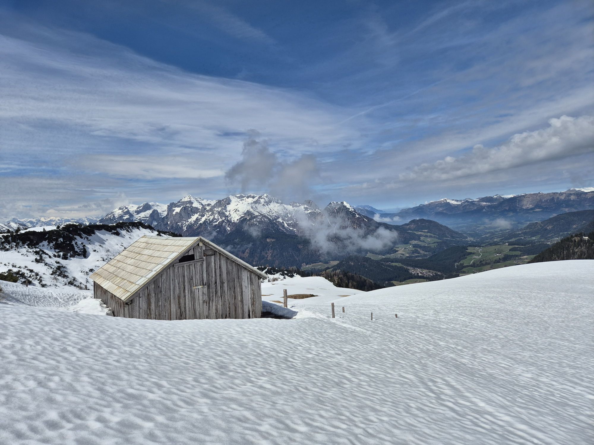
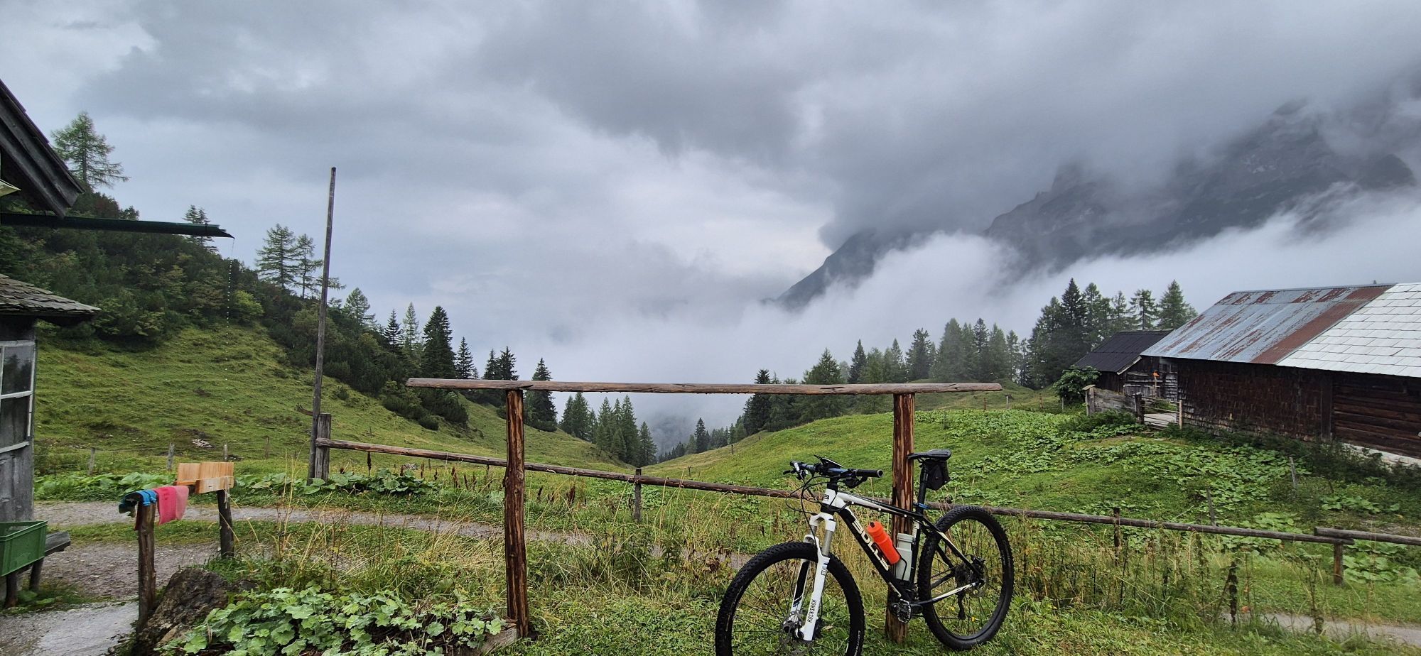
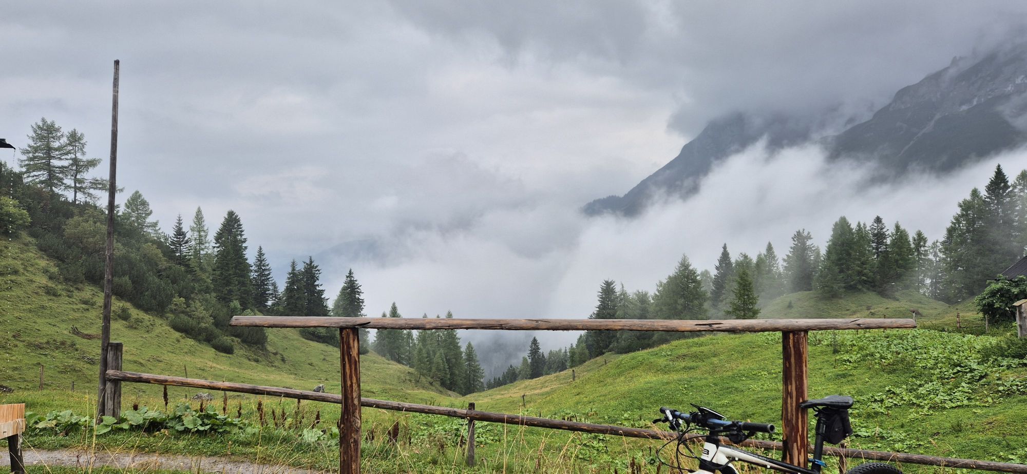

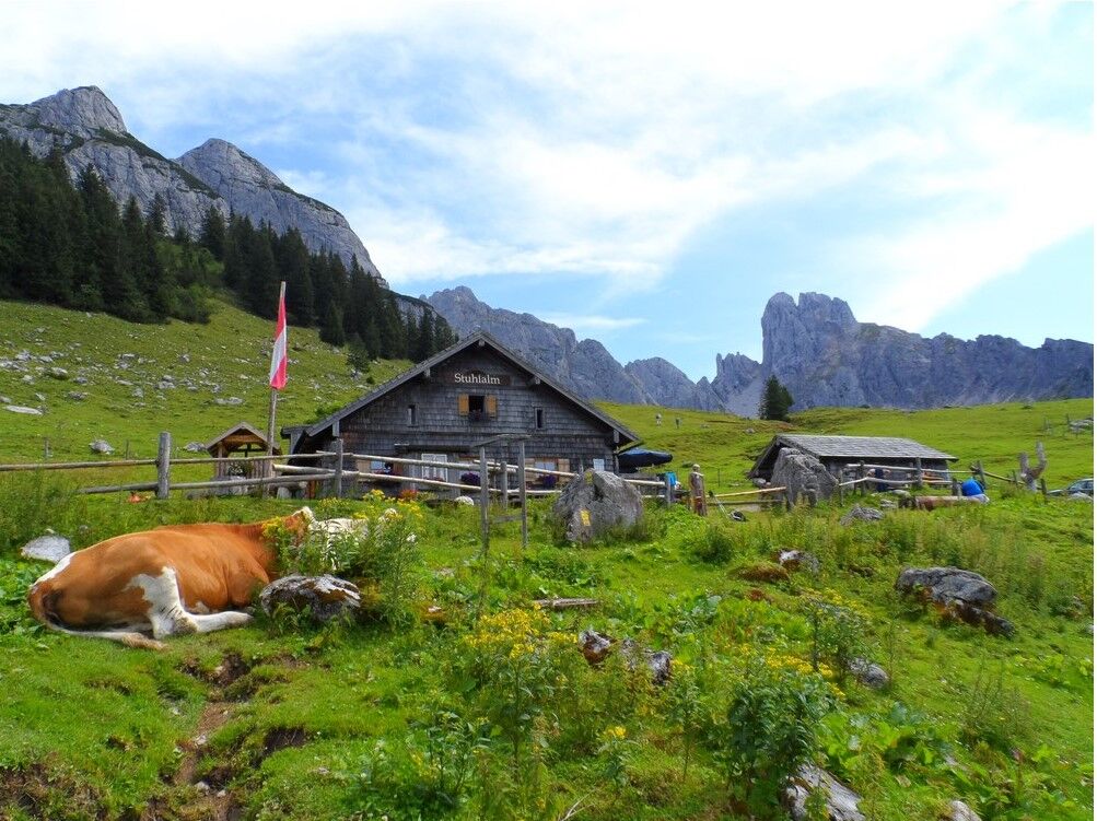

The scenic hike starts at the Pommerbauer parking lot in the Annaberg district of Astauwinkel, heading towards the Stuhlalm with a fairly sweat-inducing ascent. However, most of the elevation of this route is already overcome at the Stuhlalm, where you can take a break with great food and wonderful views of the Tennengebirge to the west. Behind the Stuhlalm, the path passes for some time over lush mountain meadows and later through dwarf pine fields towards the Bischofsmütze. Then it continues south and the pass called “Stuhlloch” is crossed on steep switchbacks. From there, the path leads over alpine meadows to Losegg (1647m), where you can enjoy the magnificent 360° panoramic view of the surrounding mountain groups such as the Pongauer Grass Mountains to the south, the Tennengebirge to the west, and the Gosaukamm to the east at an inviting rest area called Mahdriedl. A detour to the cozy Mahdalm or to the Loseggalmen should definitely be planned before starting the return journey – behind the Loseggalmen – through dense forests at the foot of the Gosaukamm and back to the Pommer hiking parking lot.
Variant: From the Stuhlalm, it is possible to reach the Rottenhofhütte in the Zwieselalm hiking area via the Austriaweg.
Variant: From the Loseggalmen, you can also reach the Mauerreit hiking parking lot and from there either continue right towards the Pommer parking lot or directly on an alpine path to the center of Annaberg.
Good fitness is required, as well as surefootedness and a head for heights when crossing the Stuhlloch.
From the village of Annaberg, the path leads to Astauwinkel, past the Donnerkogelbahn parking lot and following the road to the left up to the parking lot.
Hiking parking lot Pommerbauer Annaberg, Astauwinkel
Ano
Certified with the "Hiking Seal for Premium Trails"
If you are on the SalzAlpenSteig, it is definitely worth reserving a day for this route in Annaberg.

Webové kamery z prohlídky
Získejte přehled
Vždy živě na místě s více než 9 500 webkamerami. bergfex Jako uživatel Pro si nyní můžete zobrazit odpovídající webové kamery pro mnoho prohlídek v aplikaci prohlídky z. Můžete si tak přímo prohlédnout aktuální podmínky.
Oblíbené prohlídky v okolí
-
4.3
Filzmoos: Rötelstein (Rettenstein)
Turistika 9.50 km -
4.7
Tour around the Gosaukamm
středníTuristika 20.9 km -
4.7
Tour around the Lake Gosau
světloTuristika 4.43 km -
4.7
Tor-Wanderung
heavyTuristika 14.2 km -
4.5
Adamekhütte vom Vorderen Gosausee
středníTuristika 23.2 km -
4.4
Ramsau am Dachstein: Steinerne Jungfrauen
Turistika 8.11 km -
4.9
Werfenweng Mountainbikerunde Söldenhütte
středníMountainbike 18.8 km -
4.7
Bachlalm-Murmeltiere Rundwanderweg
světloTuristika 10.2 km -
4.6
Donnerkogel vom Gosausee mit Intersport Klettersteig C/D und Himmelsleiter
heavyVia ferrata 7.70 km -
4.6
Rittispanoramaweg
světloTuristika 5.30 km
Pěší turistika a stopování


Nenechte si ujít nabídky a inspiraci pro vaši příští dovolenou
Vaše e-mailová adresa byl přidán do poštovního seznamu.





