


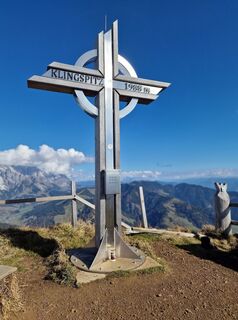
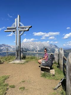
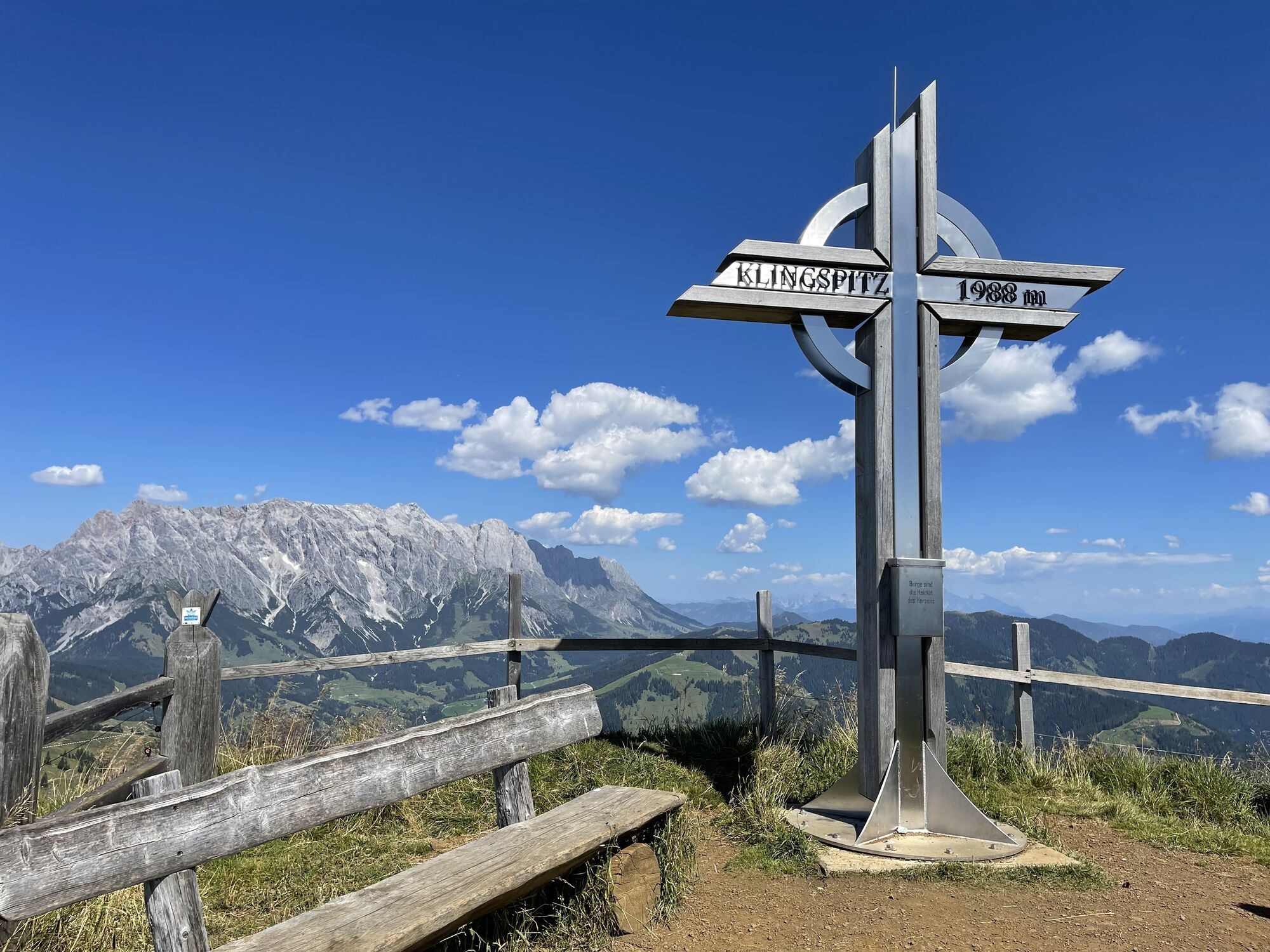
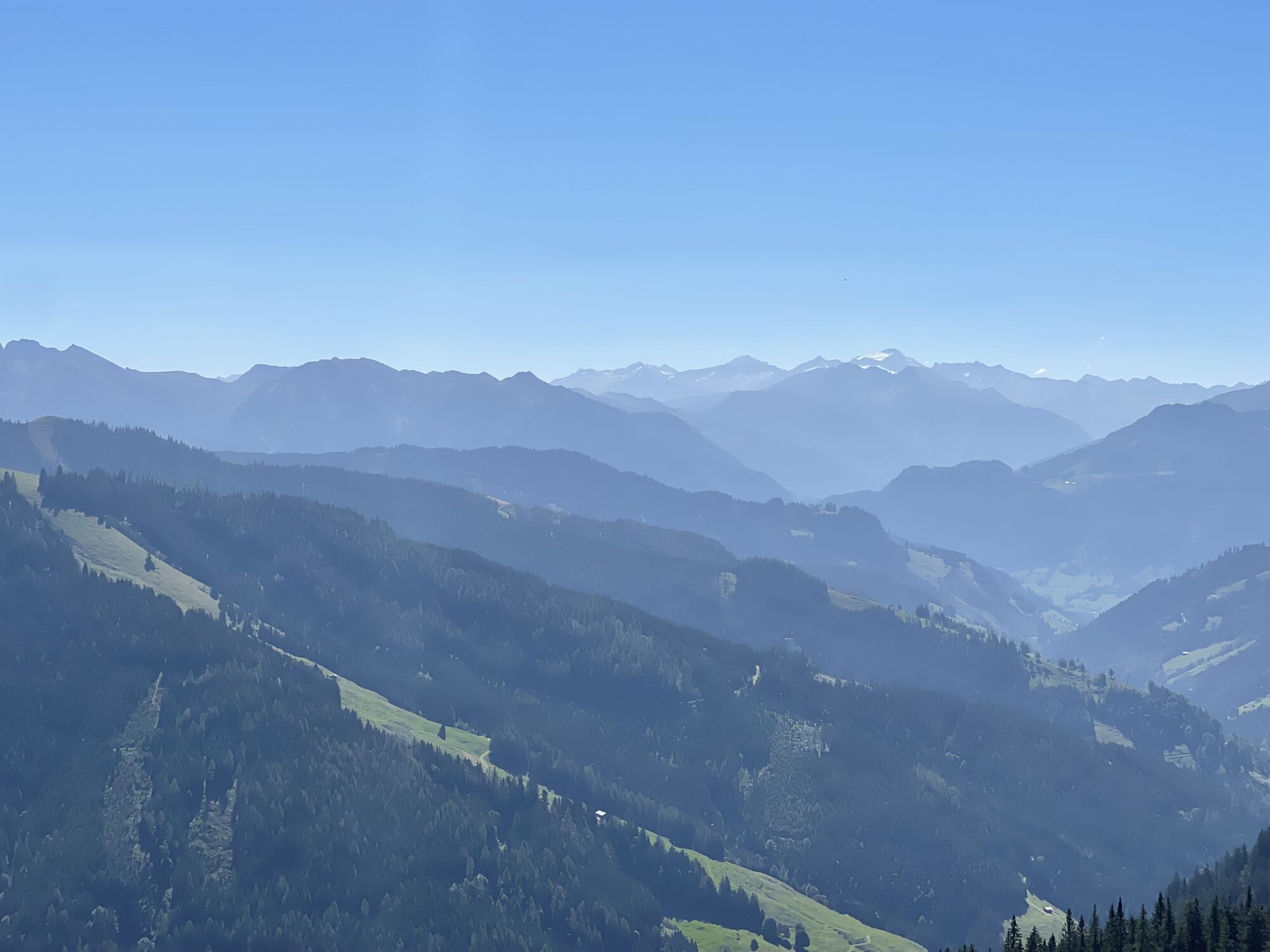
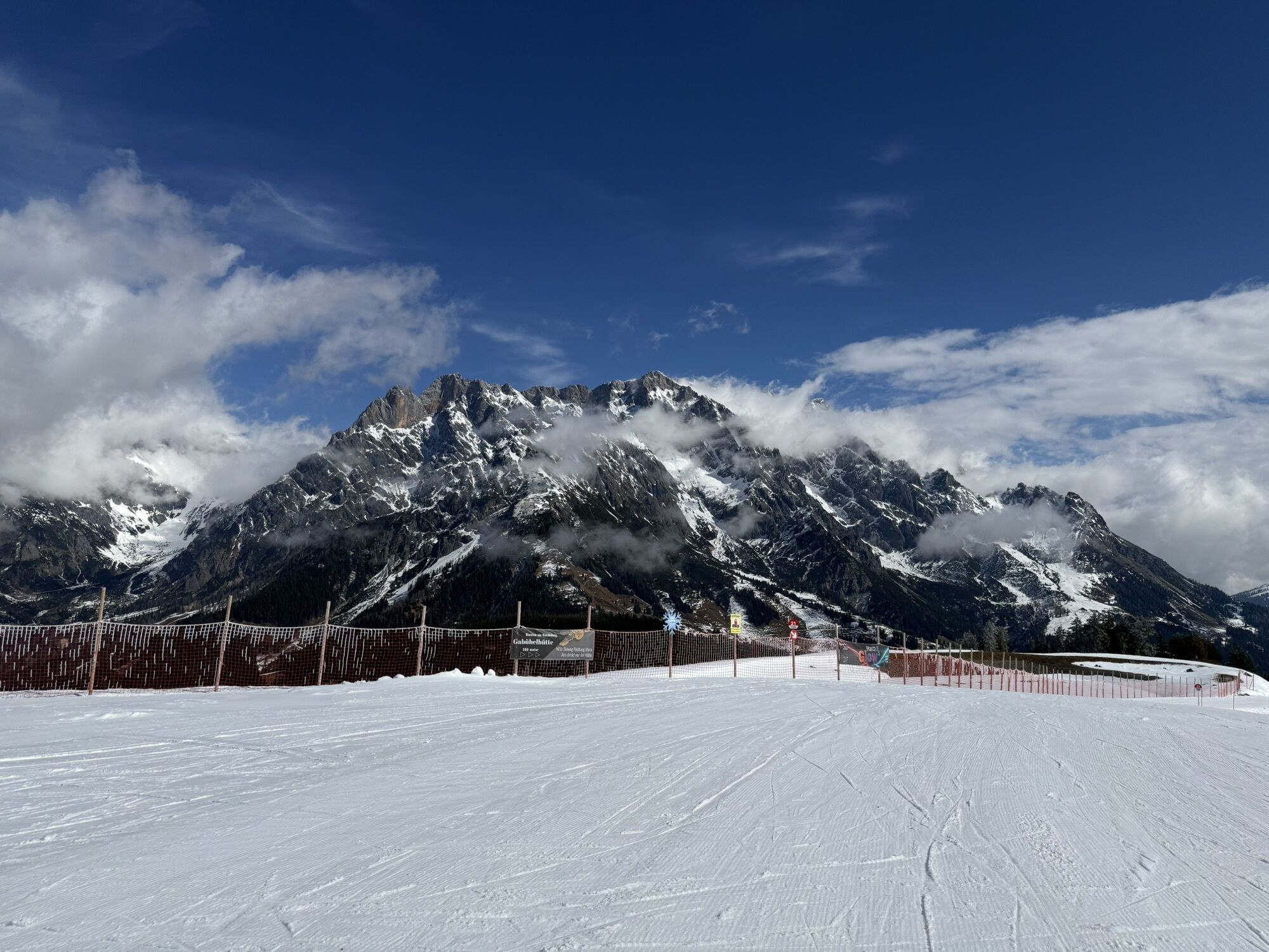
Summit storming route to Klingspitz
Úroveň obtížnosti: T2
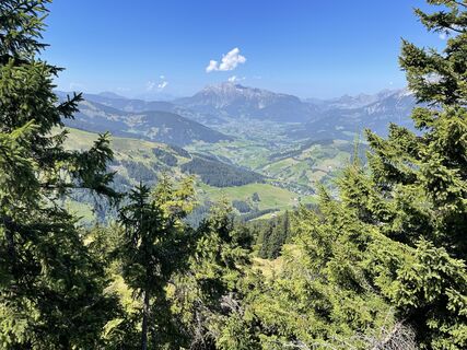
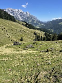
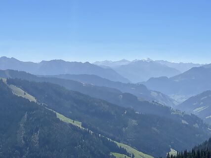
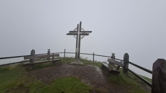
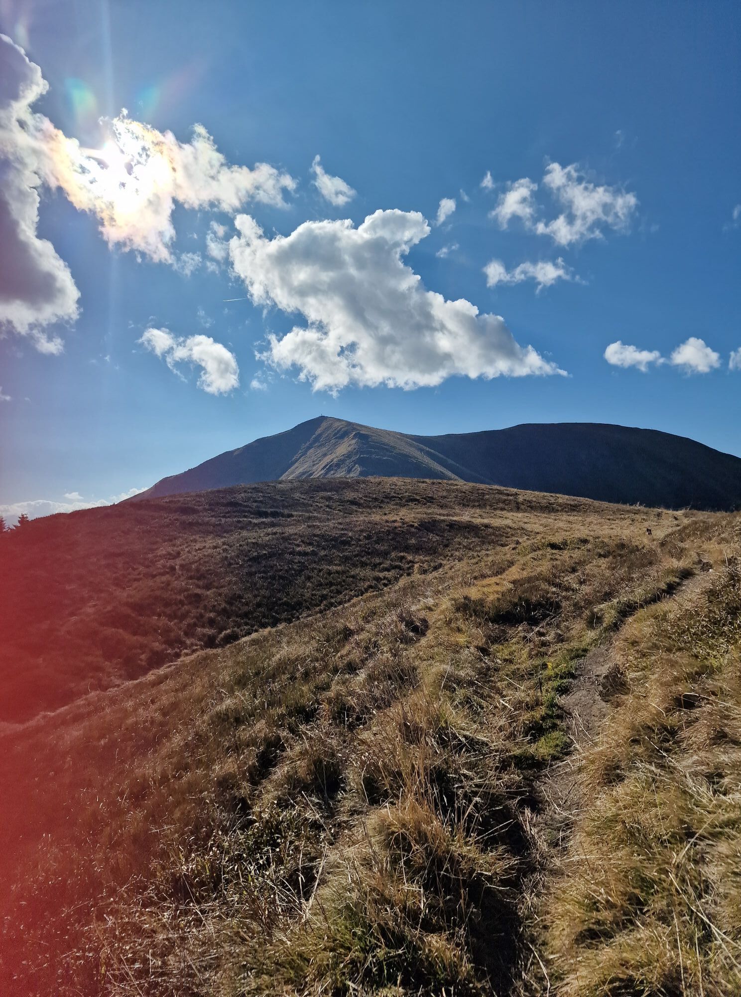
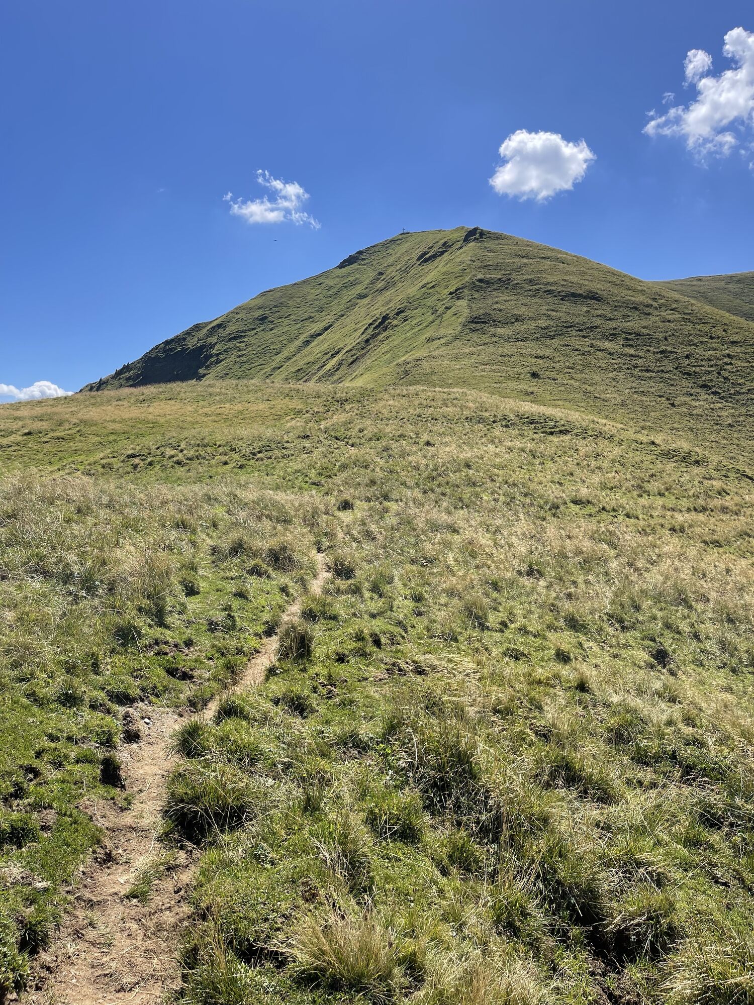
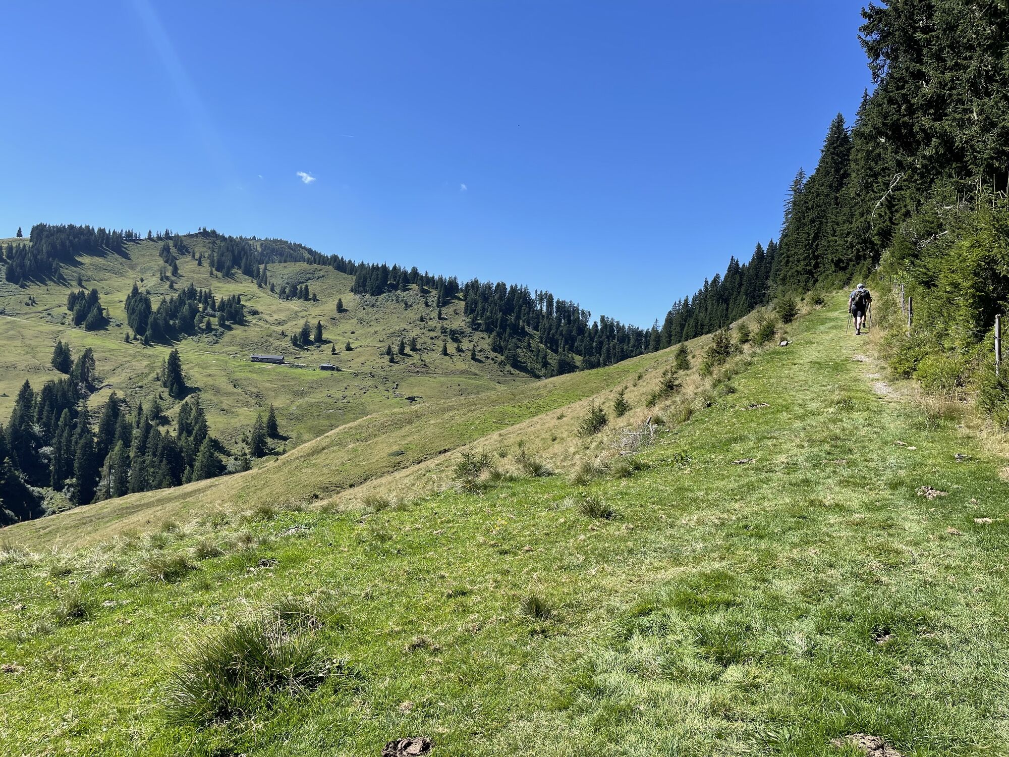
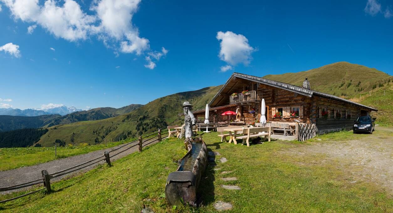
Fotografie našich uživatelů
-

 © JordyVytvořeno dne 14.07.2025
 -
 © Jakob KVytvořeno dne 03.07.2025
 -
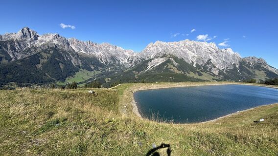
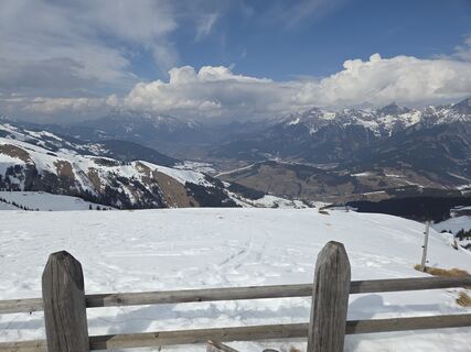
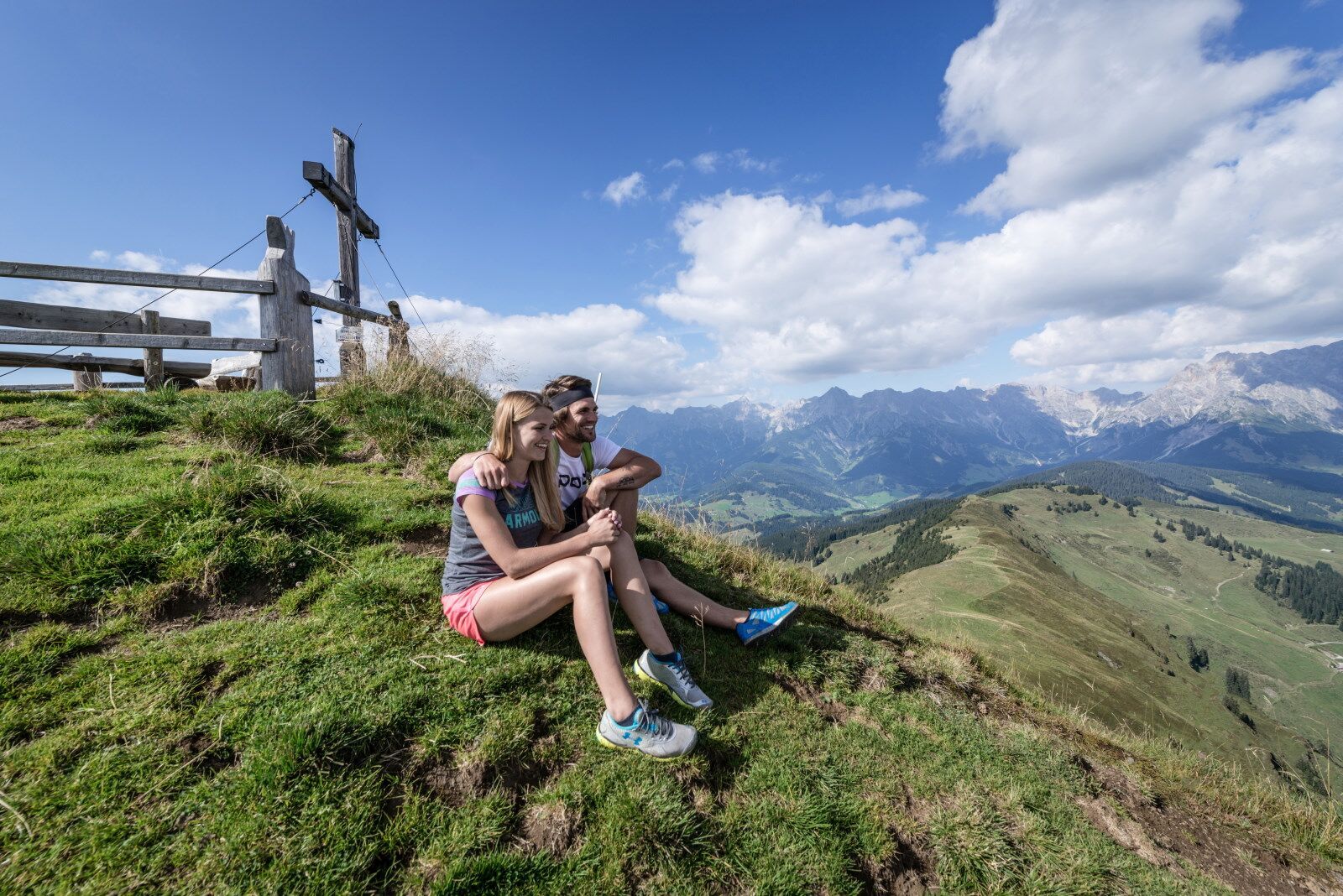
 © Daniela HacklVytvořeno dne 29.09.2025
 -
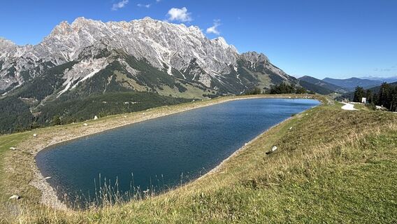
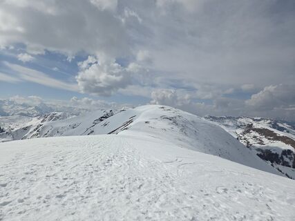
 © Daniela HacklVytvořeno dne 29.09.2025
 -
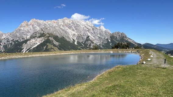
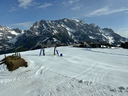
 © Daniela HacklVytvořeno dne 29.09.2025
 -
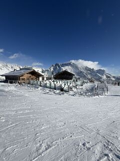
 © Daniela HacklVytvořeno dne 29.09.2025
 -
 © Simone RatasichVytvořeno dne 15.09.2025
 -
 © Simone RatasichVytvořeno dne 15.09.2025
 -
 © Simone RatasichVytvořeno dne 15.09.2025
 -
 © GeraldVytvořeno dne 13.08.2025
 -
 © GeraldVytvořeno dne 13.08.2025
 -
 © GeraldVytvořeno dne 13.08.2025
 -
 © Maria LattacherVytvořeno dne 28.06.2025
 -
 © Maria LattacherVytvořeno dne 28.06.2025
 -
 © Isabella Schwaiger-MoserVytvořeno dne 30.10.2024
 -
 © Isabella Schwaiger-MoserVytvořeno dne 30.10.2024
 -
 © Marina IVytvořeno dne 21.08.2023
 -
 © Marina IVytvořeno dne 21.08.2023
 -
 © Marina IVytvořeno dne 21.08.2023
 -
 © Marina IVytvořeno dne 21.08.2023
 -
 © Marina IVytvořeno dne 21.08.2023
 -
 © Marina IVytvořeno dne 21.08.2023
 -
 © Marina IVytvořeno dne 21.08.2023
 -
 © Marina IVytvořeno dne 21.08.2023
 -
 © Marina IVytvořeno dne 21.08.2023
 -
 © Marina IVytvořeno dne 21.08.2023
 -
 © Marina IVytvořeno dne 21.08.2023
 -
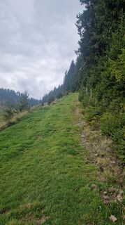
 © JordyVytvořeno dne 14.07.2025
 -
 © AdeptorixVytvořeno dne 11.07.2024
 -

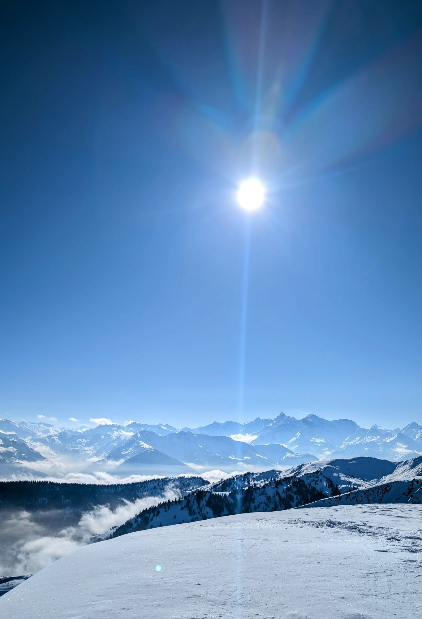
 © annnaa0801Vytvořeno dne 03.04.2026
 -
 © annnaa0801Vytvořeno dne 03.04.2026
 -
 © annnaa0801Vytvořeno dne 03.04.2026
 -

 © FranzVytvořeno dne 16.03.2026
 -

 © Gerhard Mild 1Vytvořeno dne 11.03.2026
 -
 © Gerhard Mild 1Vytvořeno dne 11.03.2026
 -
 © Gerhard Mild 1Vytvořeno dne 11.03.2026
 -
 © Gerhard Mild 1Vytvořeno dne 11.03.2026
 -
 © Gerhard Mild 1Vytvořeno dne 11.03.2026
 -

 © Markus Vogl 4Vytvořeno dne 11.03.2026
 -
 © Markus Vogl 4Vytvořeno dne 11.03.2026
 -

 © Gauthier LafondVytvořeno dne 28.02.2026
 -
 © Lars TscheschkeVytvořeno dne 18.02.2026
 -
 © Kateřina MagnuskováVytvořeno dne 01.02.2026
 -
 © Philipp ObermüllerVytvořeno dne 17.01.2026
 -

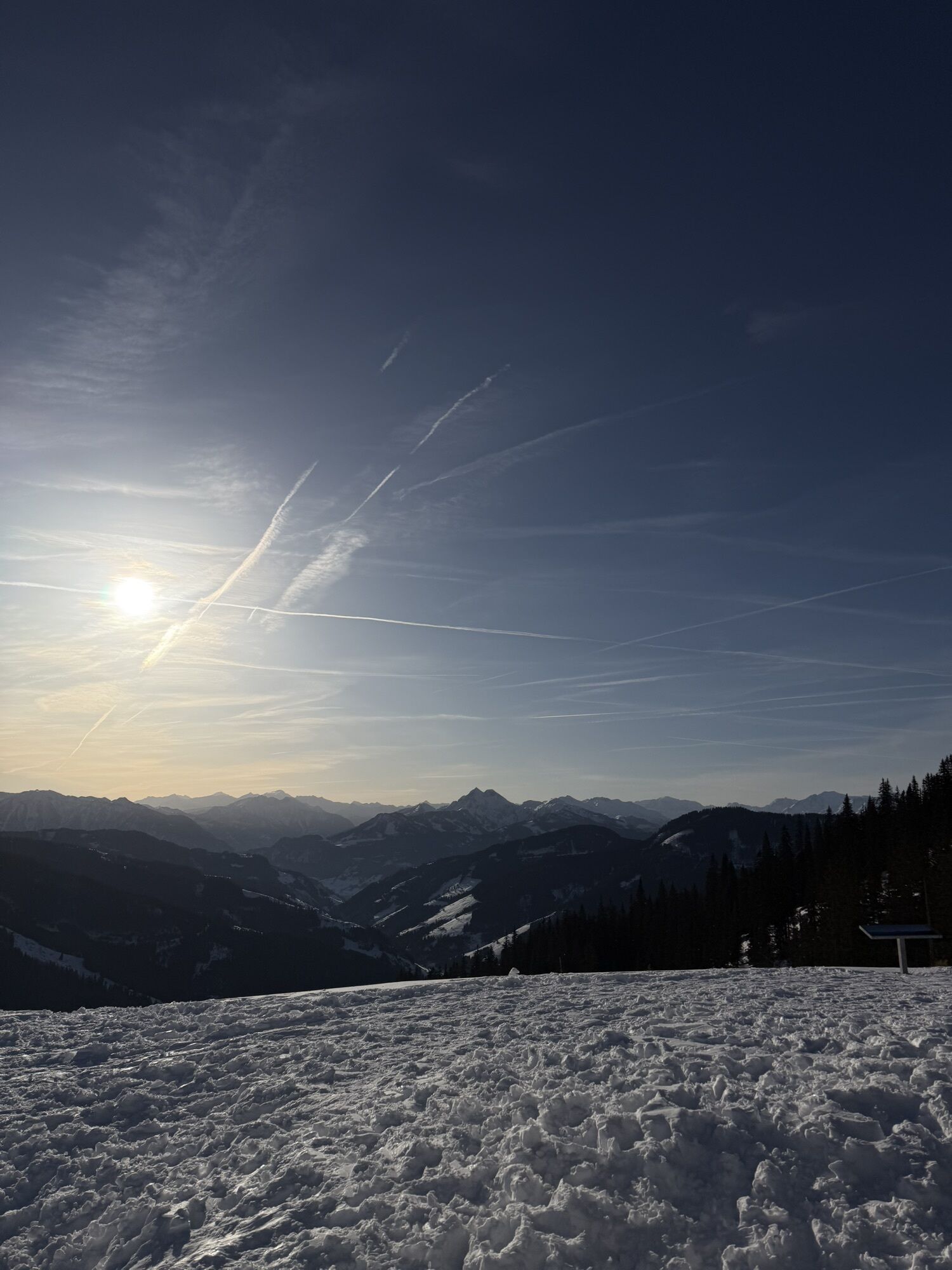
 © Klaus LehnerVytvořeno dne 18.02.2025
 -
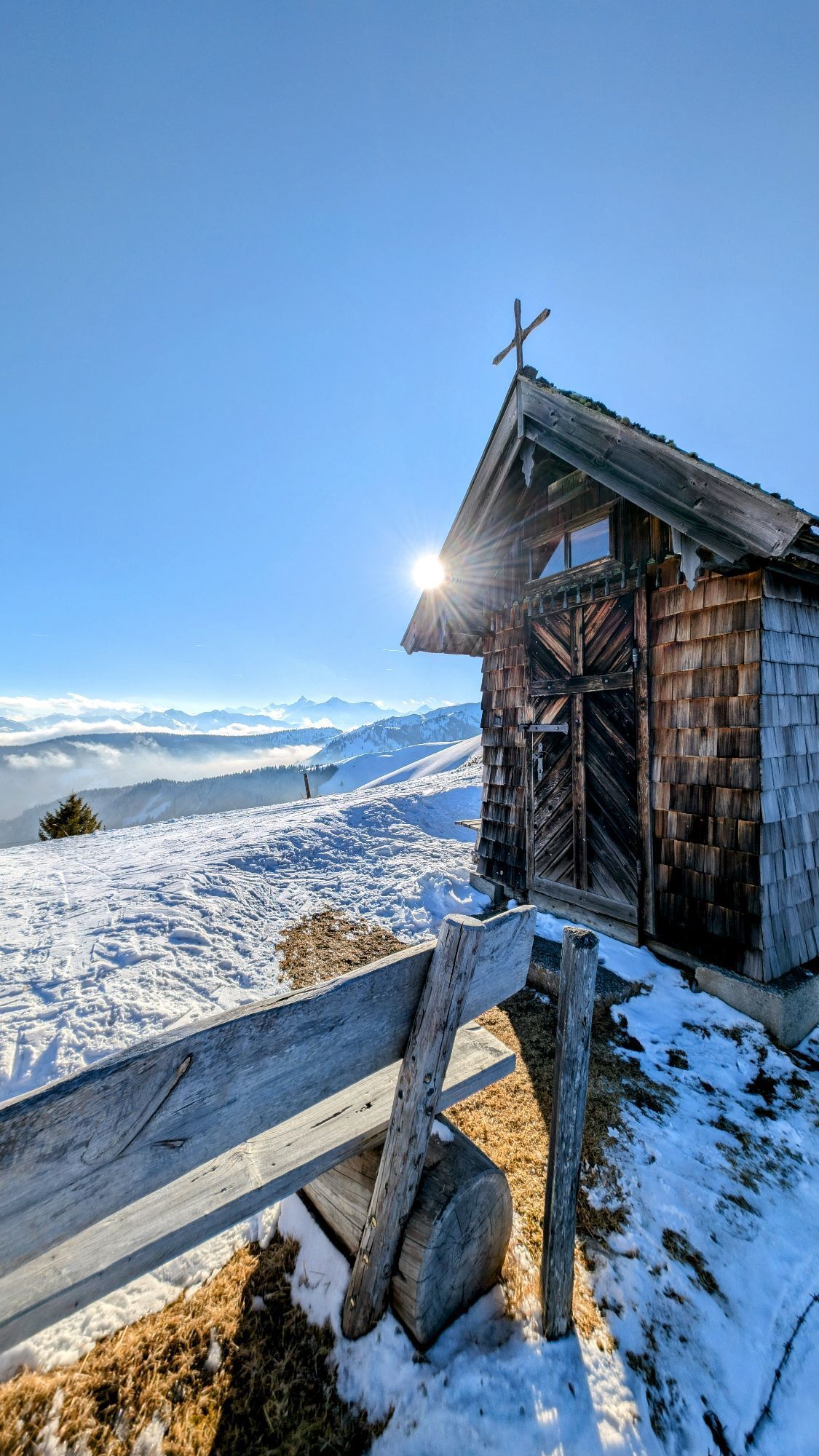
 © Klaus LehnerVytvořeno dne 18.02.2025
 -
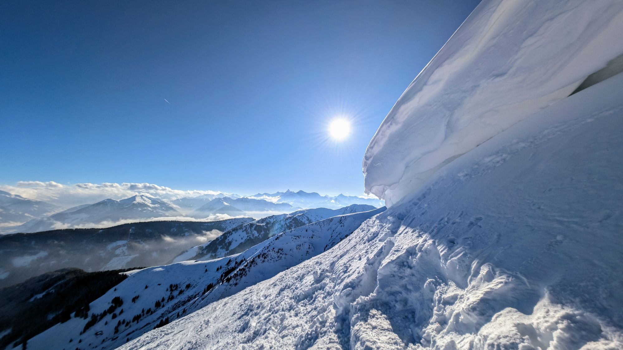
 © Klaus LehnerVytvořeno dne 18.02.2025
 -
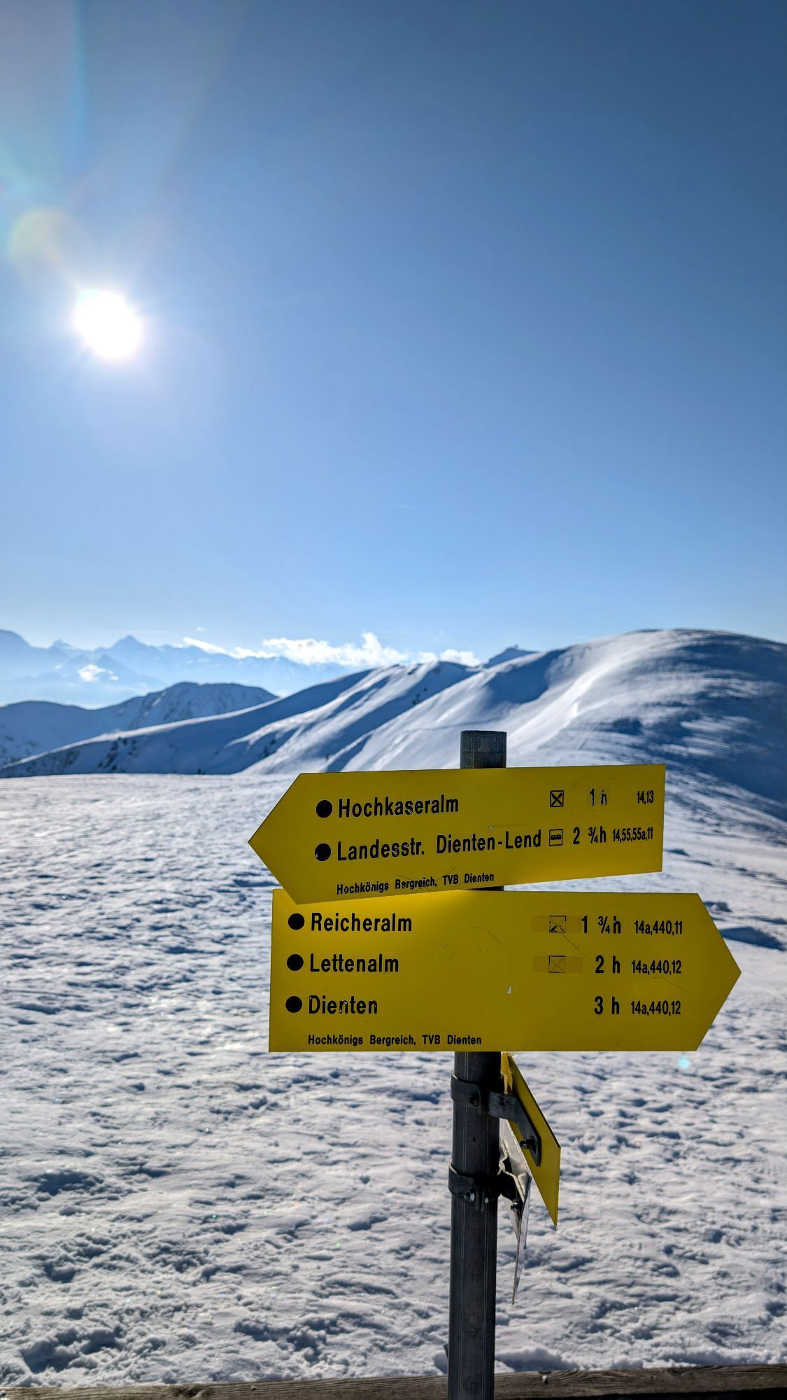
 © Klaus LehnerVytvořeno dne 18.02.2025


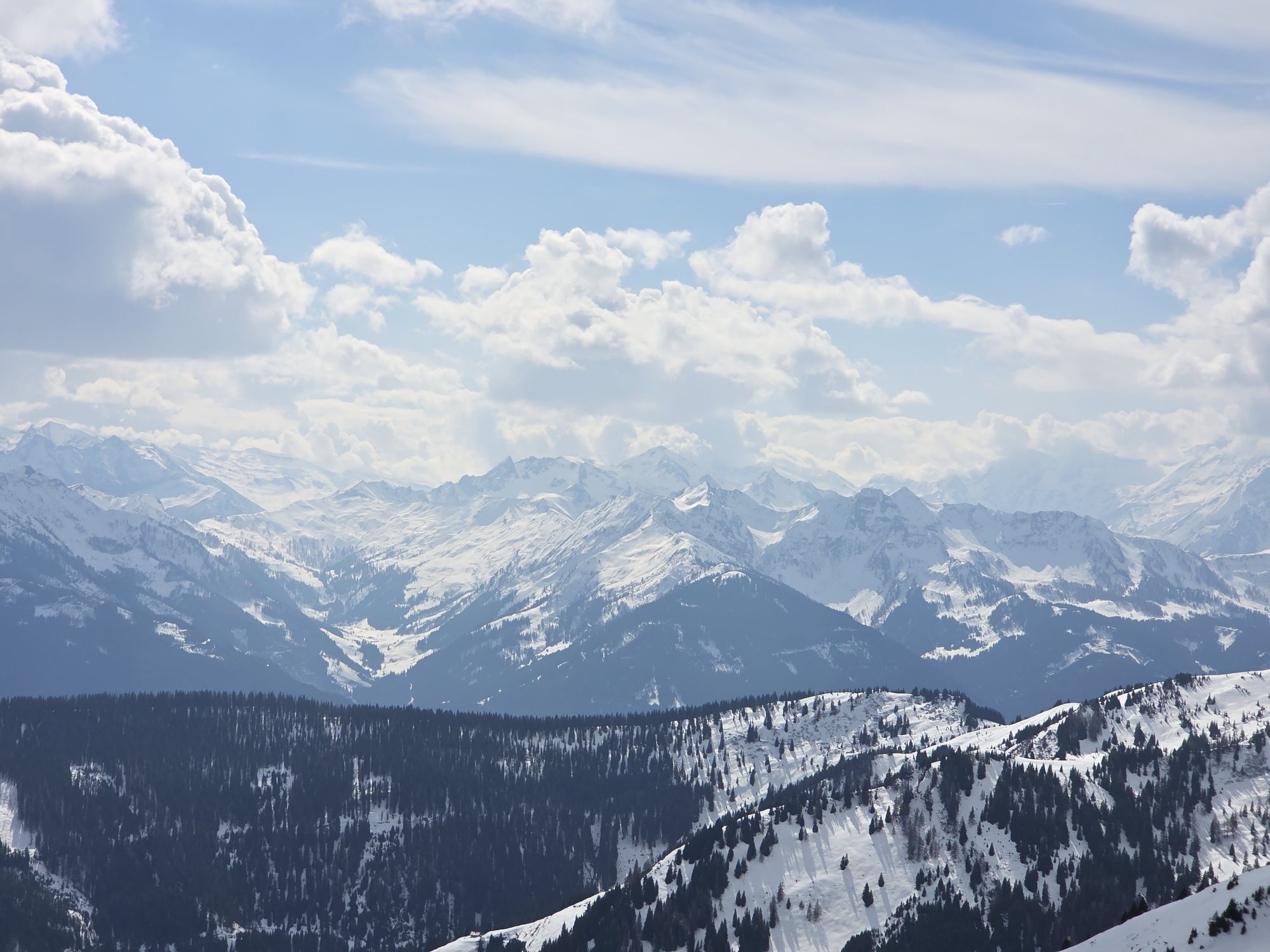
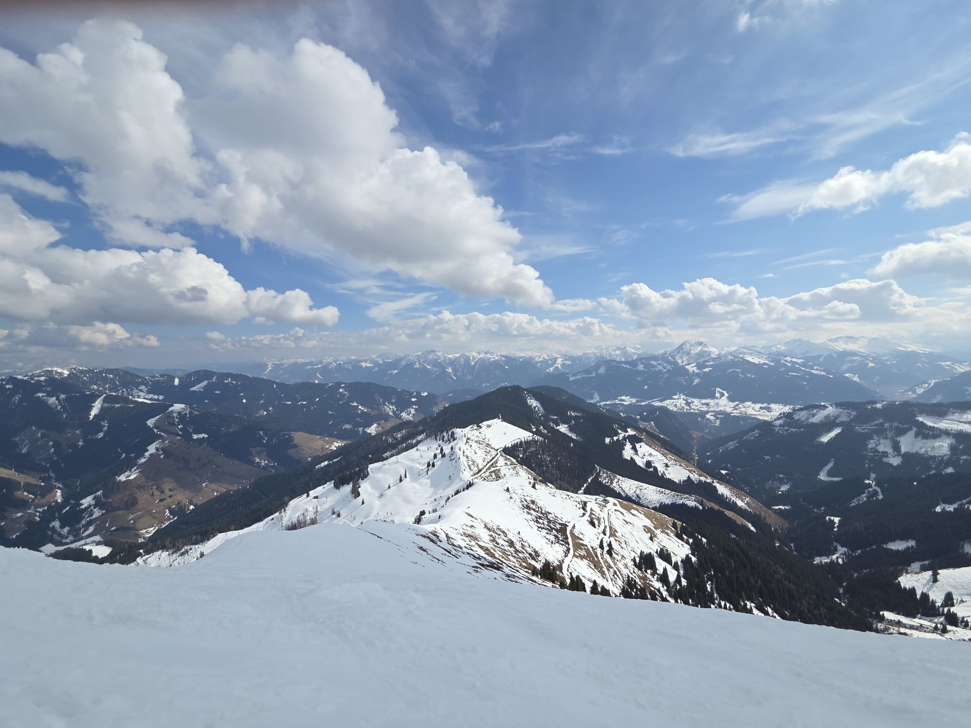

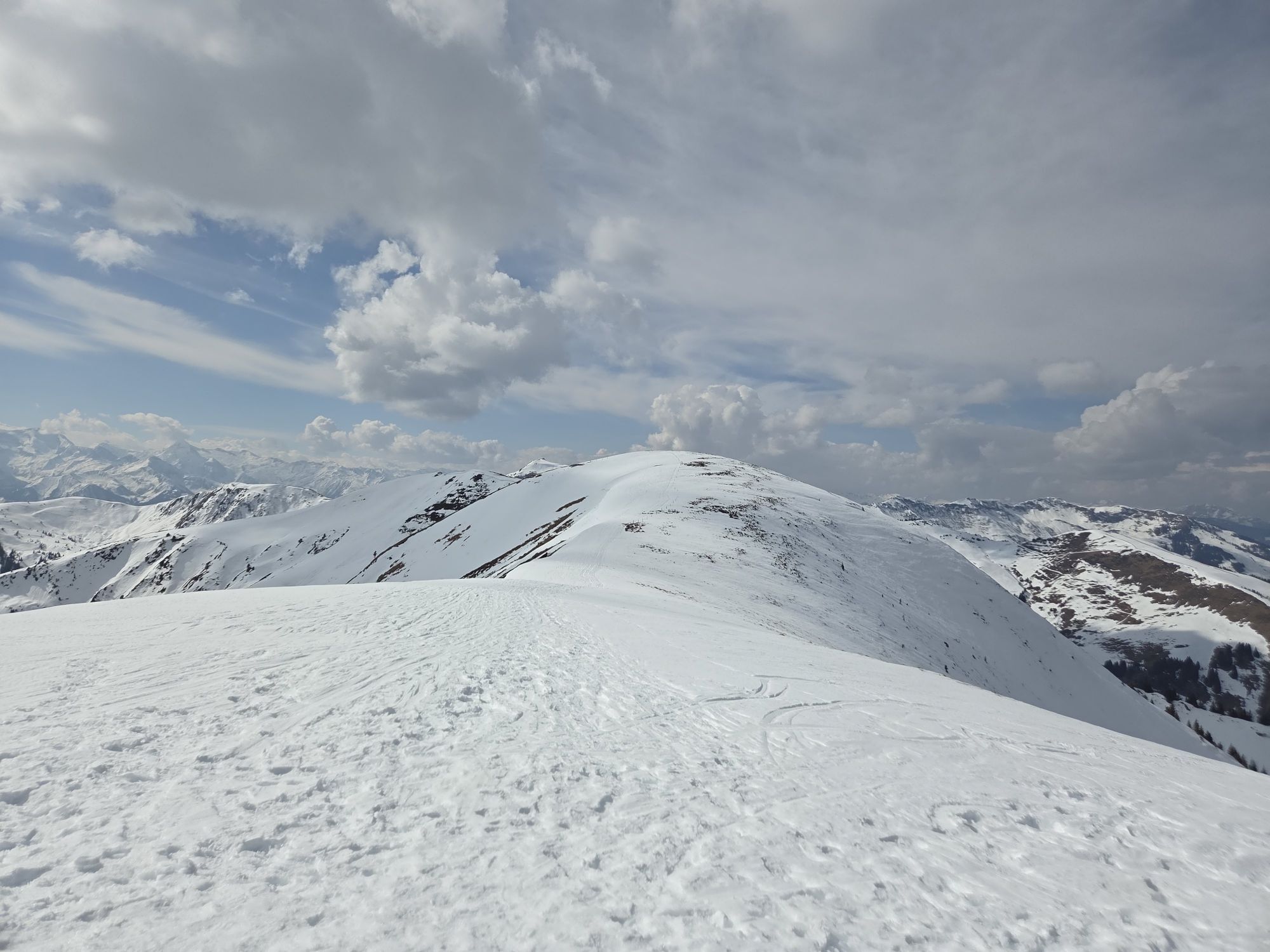
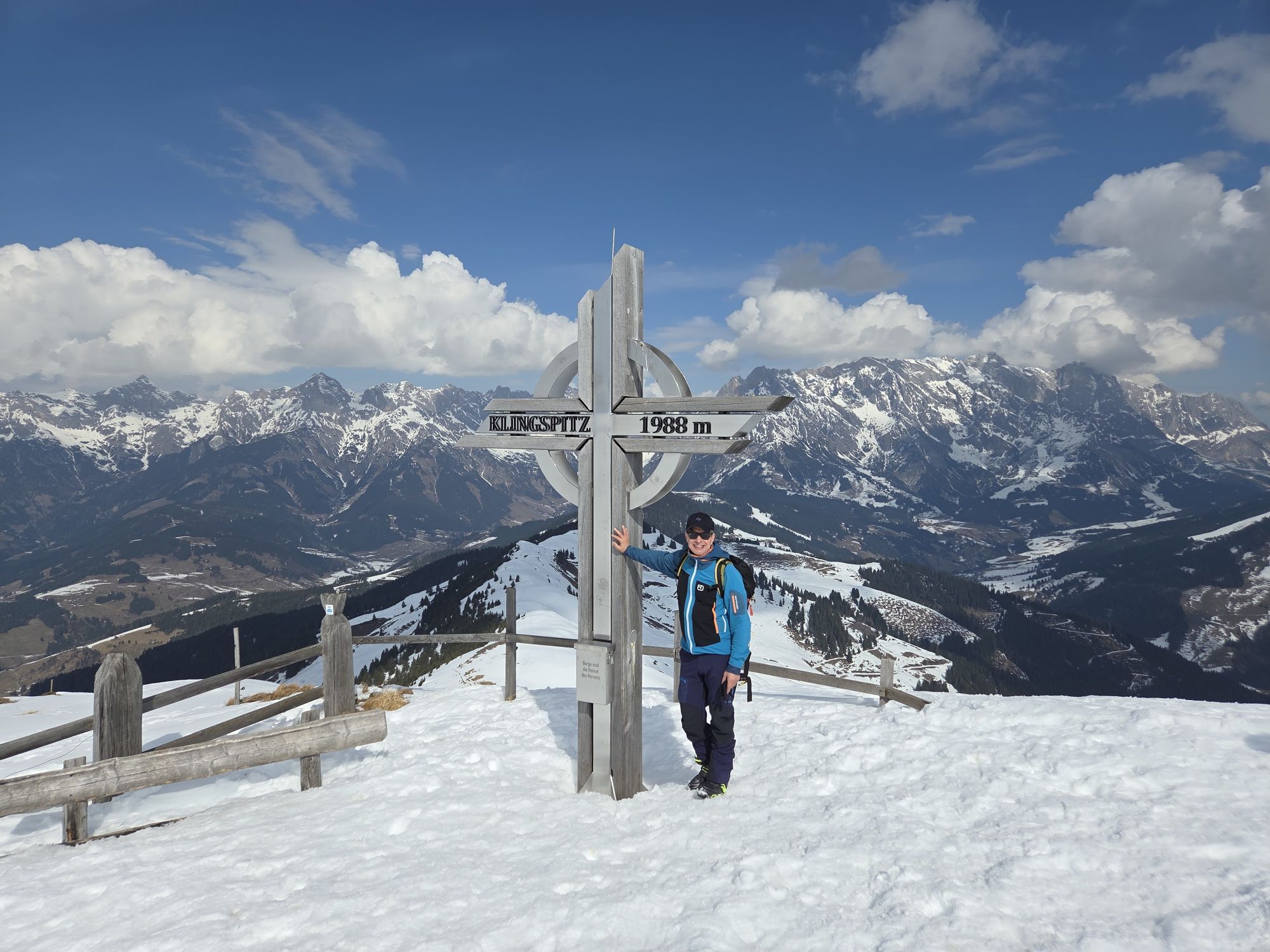

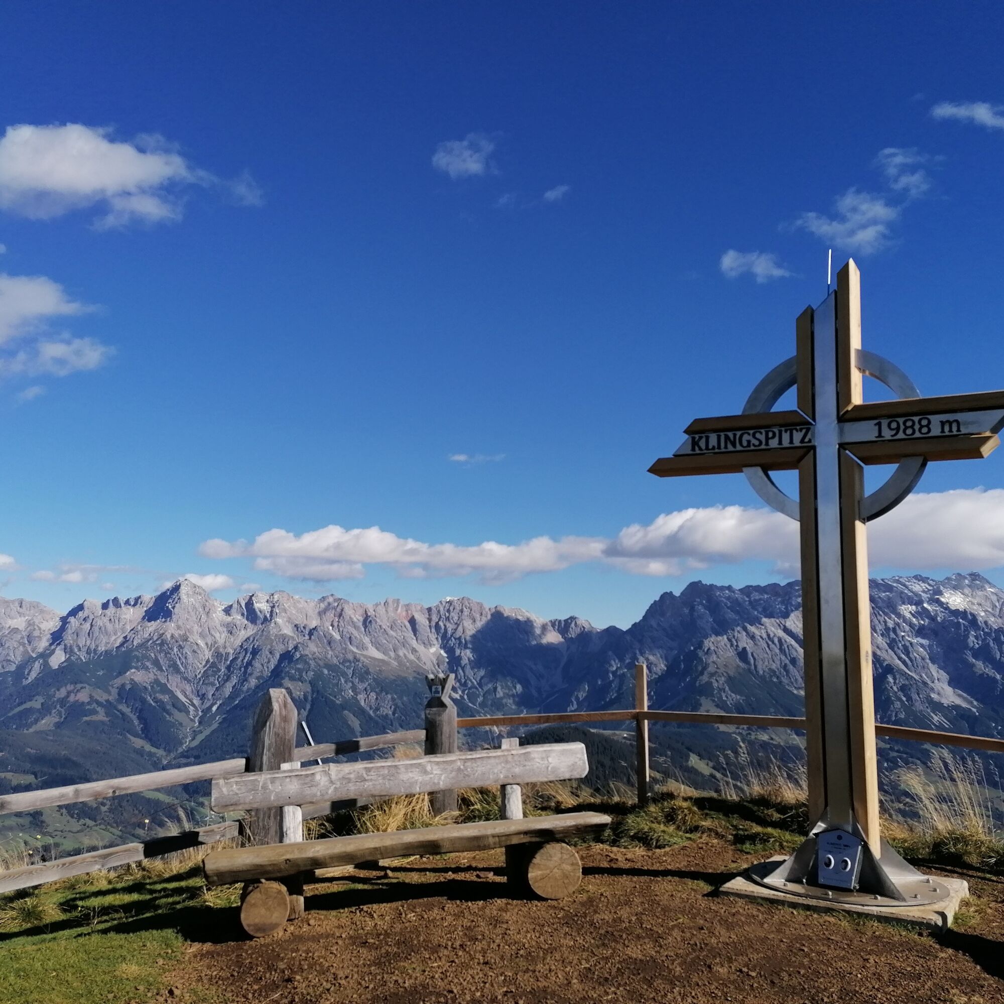
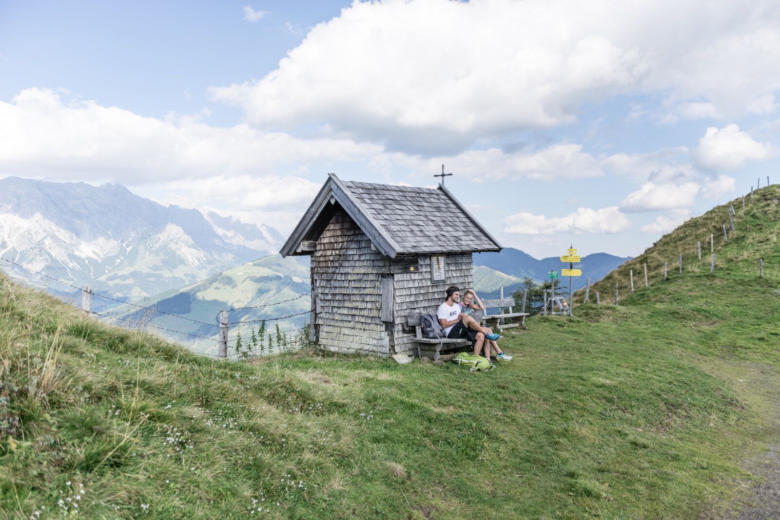
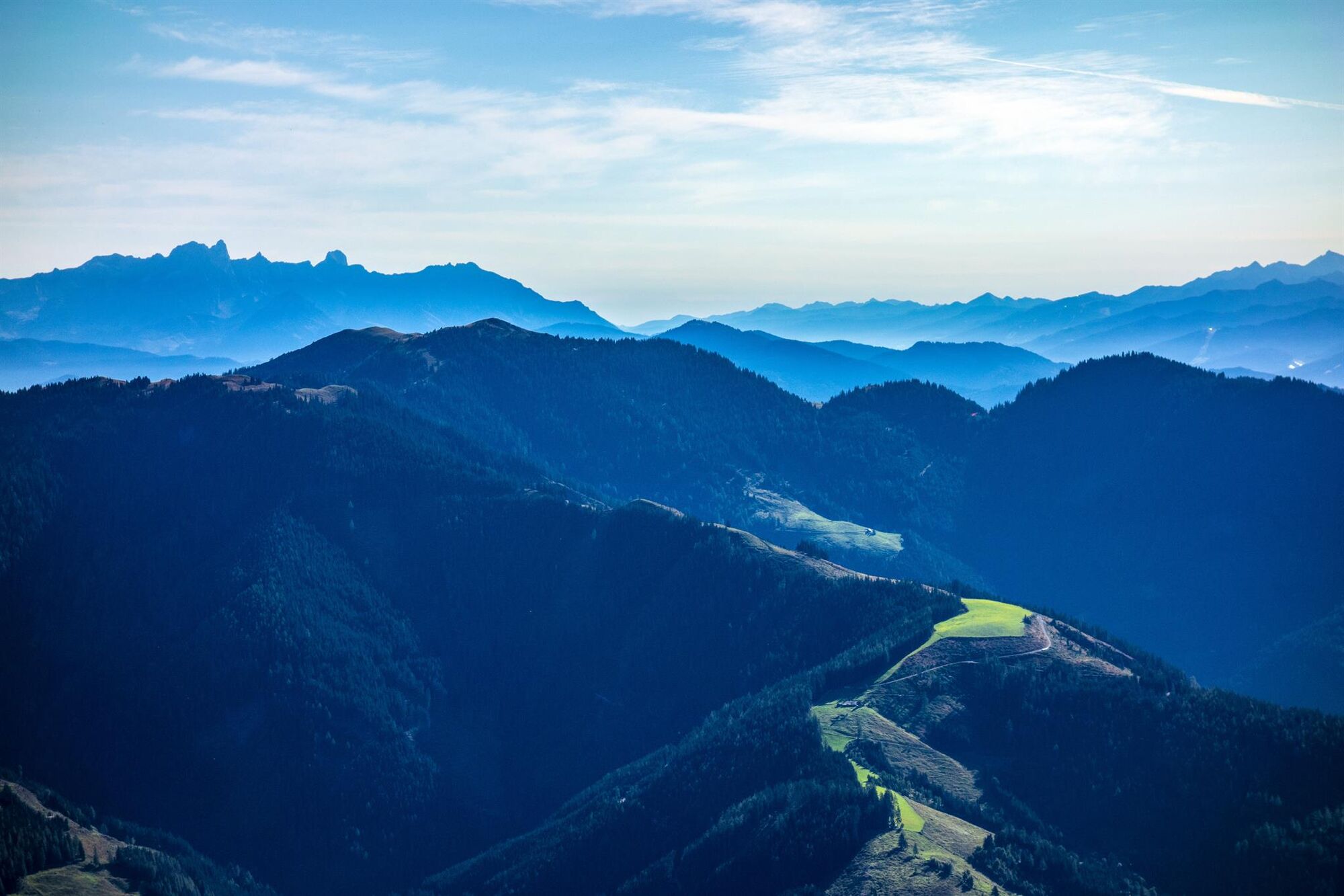
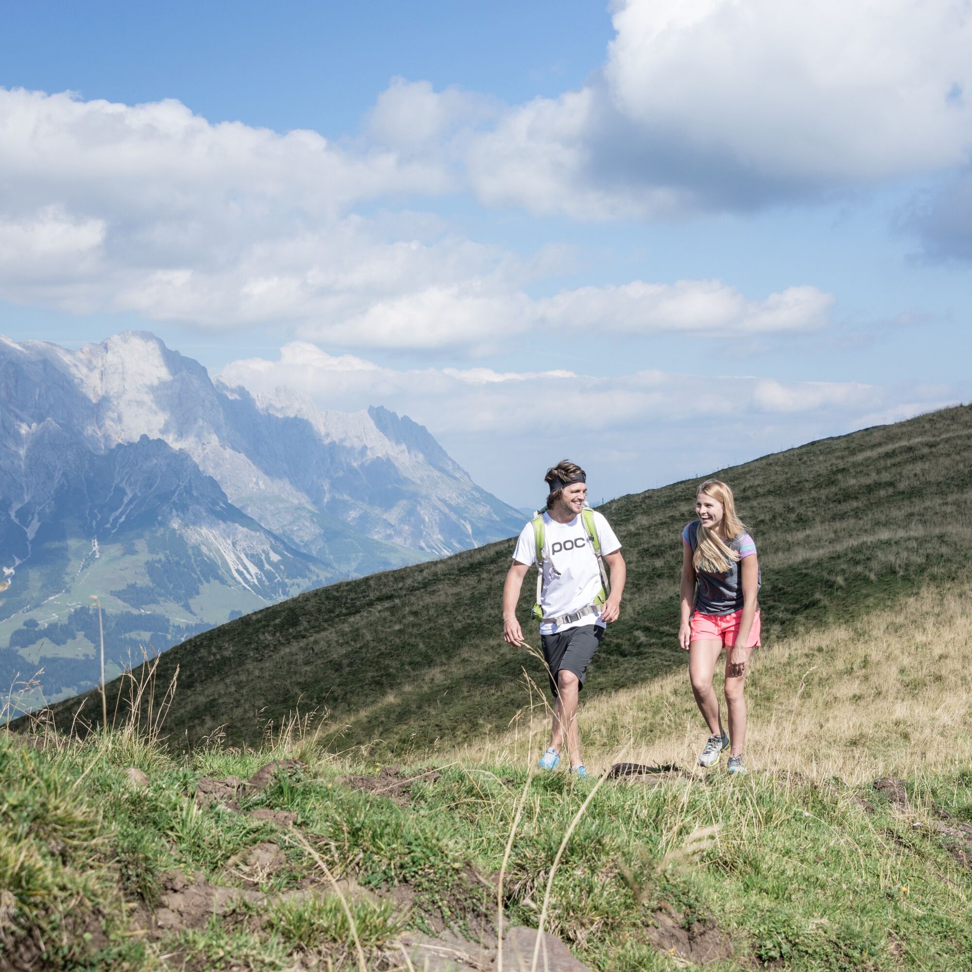
Ascent with the Gabühelbahn (L10) or the Hochmaisbahn (J7) - on operating days. From the mountain station, the hiking trail No. 51 leads left towards Lettenalm. From Lettenalm, continue following path...
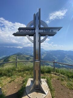
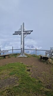
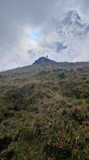
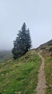
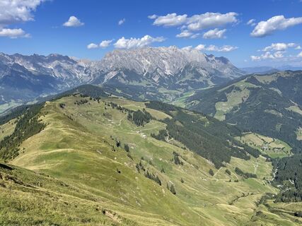
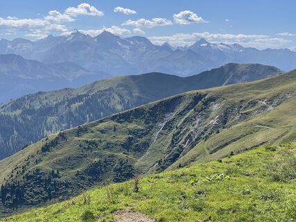
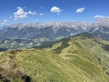
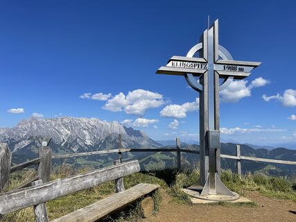
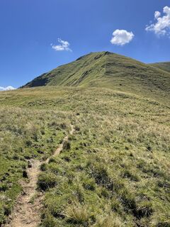
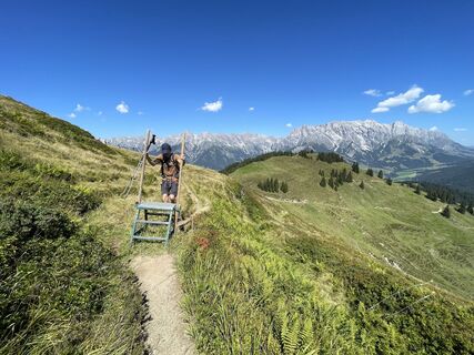
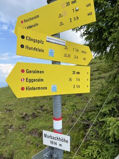
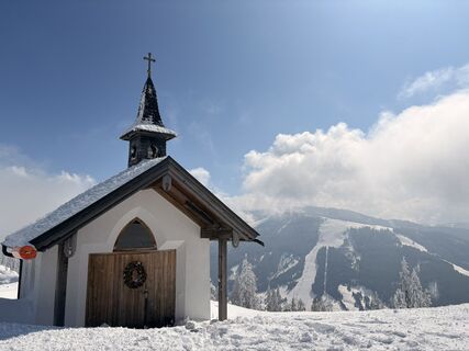
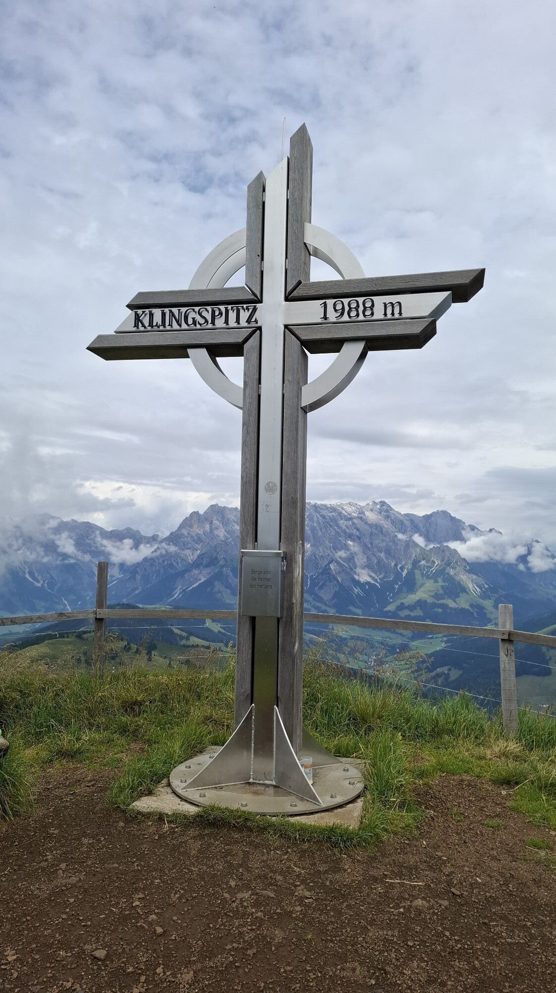
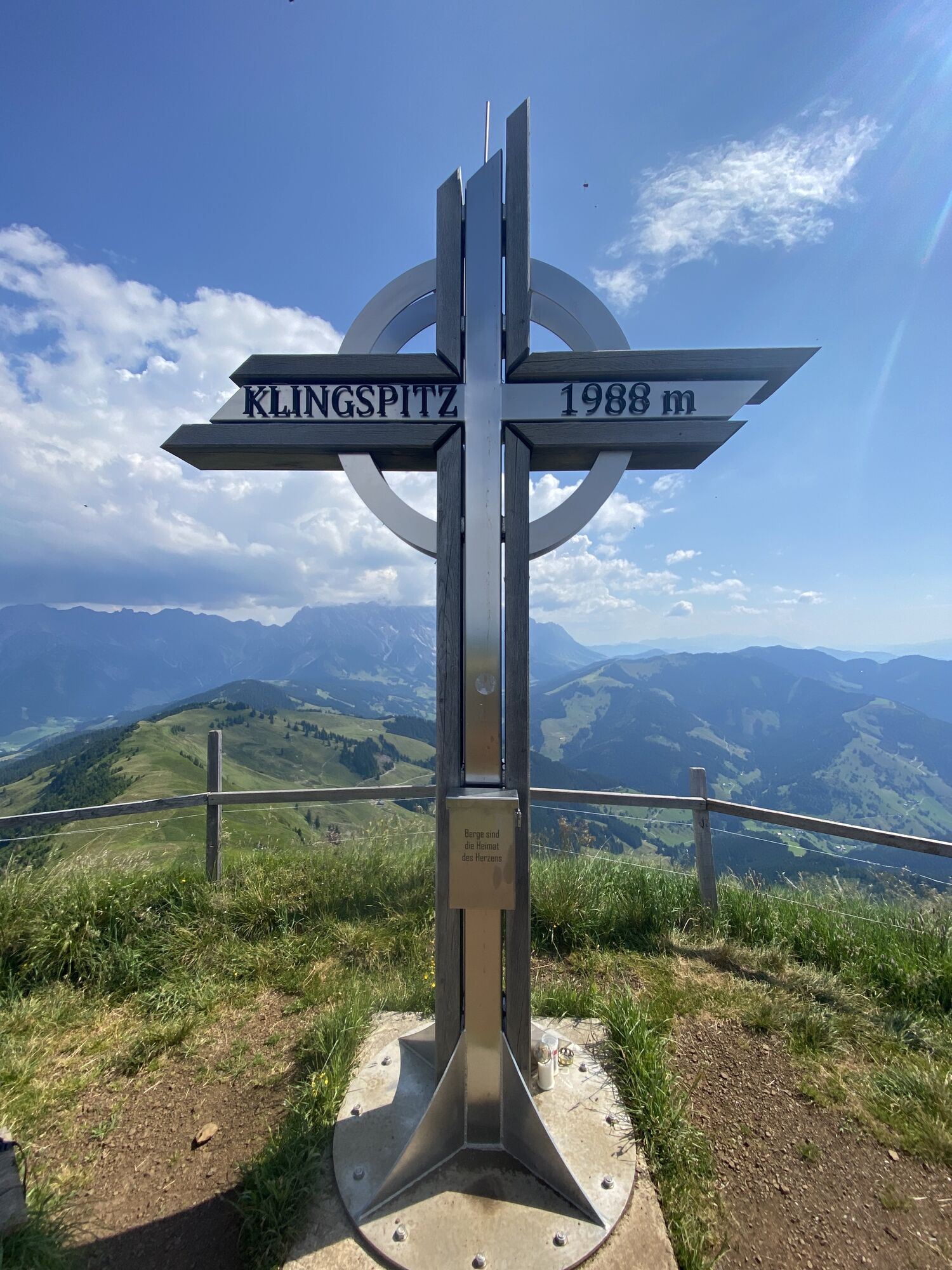
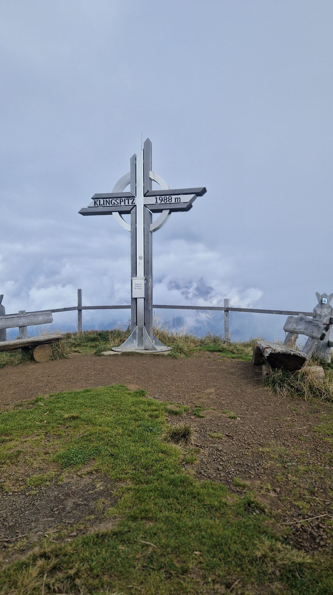
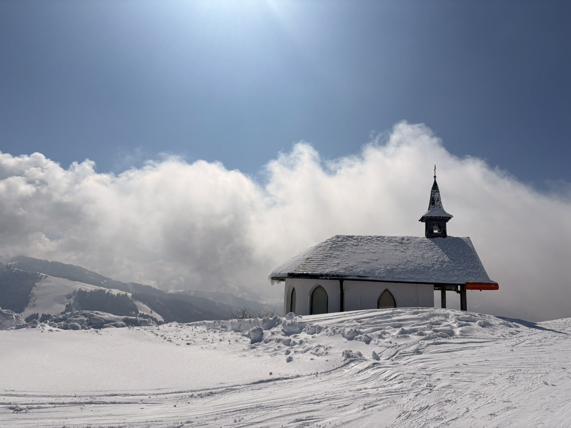
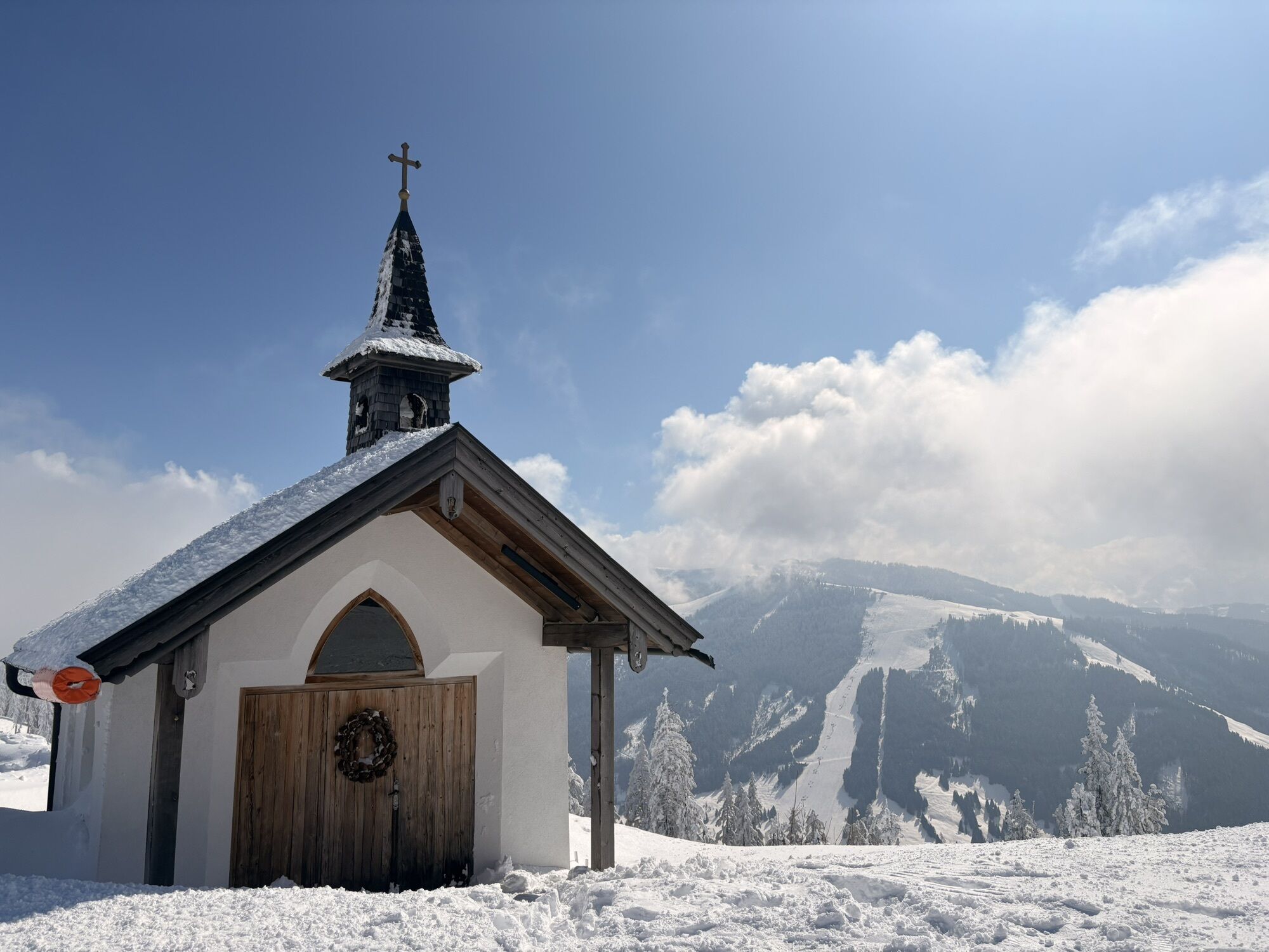
Ascent with the Gabühelbahn (L10) or the Hochmaisbahn (J7) - on operating days. From the mountain station, the hiking trail No. 51 leads left towards Lettenalm. From Lettenalm, continue following path No. 12 and No. 440 to Marbachhöhe (1,814 m). Then follows the slightly steeper climb to Klingspitz (1,988 m) path No. 14a. From Klingspitz, a steep descent via path No. 14 to Hochkaserkapelle (Hochkaseralm). The further descent leads via path No. 55 to Oberdachebenbauer and onwards on the freight road to Keilbrücke (hiking bus stop). You can also walk back to the village instead of taking the hiking bus. (+ approx. 3 km/about half an hour longer walking time)

Ascent with the Gabühelbahn (L10) or the Hochmaisbahn (J7) - on operating days. From the mountain station, the hiking trail No. 51 leads left towards Lettenalm. From Lettenalm, continue following path No. 12 and No. 440 to Marbachhöhe (1,814m). Then follows the slightly steeper climb to Klingspitz (1,988m) path No. 14a. From Klingspitz, a steep descent via path No. 14 to Hochkaserkapelle (Hochkaseralm). The further descent leads via path No. 55 to Oberdachebenbauer and onwards on the freight road to Keilbrücke (hiking bus stop). You can also walk back to the village instead of taking the hiking bus. (+ approx. 3km/about half an hour longer walking time)
Ano
Sturdy, ankle-high footwear
Hiking clothing
Hiking poles
Headwear
Sunscreen and sunglasses with UV protection
Rain protection
Drinks and a small snack
Necessary medication
First aid kit
Hiking map
Self-assessment: Before every mountain hike, check your physical fitness and correctly assess your strength as well as that of your companions – especially your children! Surefootedness and being free from dizziness are often very important!
Planning and preparation: Plan every intended mountain hike carefully beforehand. Hiking maps and guides as well as information from alpine clubs and locals such as mountain guides and hut keepers can be helpful for this.
Equipment: On the mountain you need appropriate equipment and clothing, especially sturdy, high footwear with grippy soles. Weather and cold protection are essential; the weather can often change unexpectedly.
Weather forecasts: Pay attention to the current weather conditions at: zamg.at or www.uwz.at.
Togetherness: Observe the 10 rules for proper behavior with grazing animals and do not leave any rubbish in nature!
Do not dislodge stones: Do not dislodge stones, as this can seriously endanger other hikers. Marked areas with risk of rockfall should be crossed as quickly as possible and with attention and caution.
Turn back in time: This is not a shame but a sign of common sense. It becomes necessary if the weather changes, fog sets in, or the path is too difficult or in poor condition.
Emergency numbers: Alpine emergency: 140, International emergency: 112, Rescue: 144
Arrival coming from Salzburg: Take the A10 motorway to the Bischofshofen exit, then take the B311 towards Bischofshofen. Follow the Hochkönig federal road/B164 to Mühlbach and further to Dienten.
Arrival coming from Innsbruck/Kufstein: Take the Loferer Straße/B178 towards St. Johann i.T., then via the Hochkönig federal road/B164 via Saalfelden and Maria Alm to Dienten or to the Filzensattel.
A valid vignette is required for using the Austrian motorway and expressway network. Carrying a first aid kit, warning triangle, and safety vest is also mandatory. More info at Asfinag.
ÖBB-Scotty: timetable information
Bus line 620: timetable information
Bus line 631: timetable information
Hiking bus: timetable information
Free parking at the Dienten ski center or the Hochmaisbahn parking lot
T2
Further information about hikes and activities in the Hochkönig region
For detailed information about hiking maps, operating hours of mountain railways as well as huts and alpine pastures in summer, we recommend visiting the service center on site. There, you will receive not only the hiking map but also valuable tips about the best hiking routes and current conditions.
Mountain railway opening times in summer: The mountain railways offer different opening times during the summer months, which can vary depending on weather conditions and season. Please find out about the current operating times in advance.
Opening times of huts & alpine pastures in summer: The huts and alpine pastures in the region are ideal resting places for hikers. Here too, opening times can vary depending on the season and day of the week. Let the friendly hosts advise you about offers and specialties on site.
For more information, please visit our website: www.hochkoenig.at.
If you have questions or want to receive specific information, feel free to contact us:
Email: region@hochkoenig.at
Phone: +43 (0)6584 20388
We look forward to helping you and wish you lots of fun exploring the beautiful Hochkönig hiking region!
Webové kamery z prohlídky
Oblíbené prohlídky v okolí
-
4.8
Summit storming route Taghaube
heavyTuristika 6.25 km -
4.9
Hochkönig - Gipfel der Gefühle - Matrashaus
heavyTuristika 20.9 km -
4.7
Panorama hike to the Hochkeil
středníTuristika 6.07 km -
4.8
Summit stormer route Lauskopf
heavyTuristika 8.16 km -
4.7
About the "Four Huts circular route" to Windraucheggalm
středníTuristika 10.1 km -
3.0
Alpine hike to Erichhütte
světloTuristika 4.02 km -
3.9
Mühlbacher Höhenweg
středníTuristika 11.2 km -
4.3
Peter-Wiechenthaler Hut
středníTuristika 4.32 km -
4.6
Steinalm
světloTuristika 2.71 km -
4.3
Bruck: 732+736+730 | Drei Brüder
heavyTuristika 16.1 km

Pěší turistika a stopování


Nenechte si ujít nabídky a inspiraci pro vaši příští dovolenou
Vaše e-mailová adresa byl přidán do poštovního seznamu.