







Energy Spot "The Place of Fusion" (Spot 17)
Úroveň obtížnosti: T1
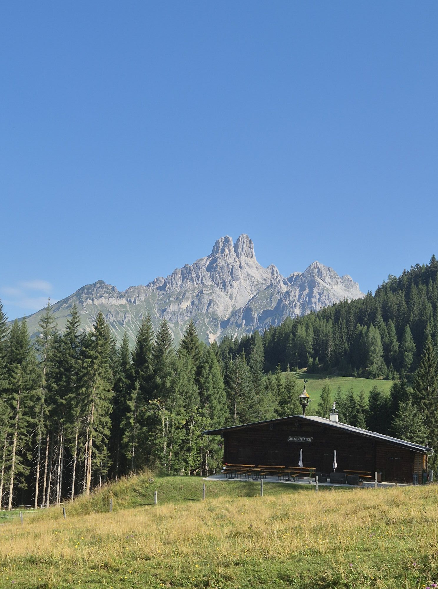
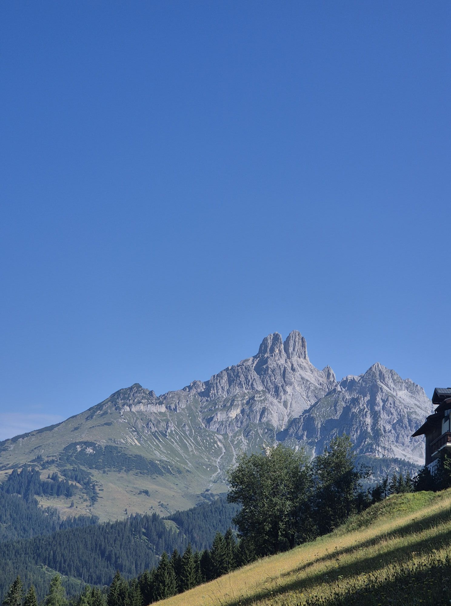
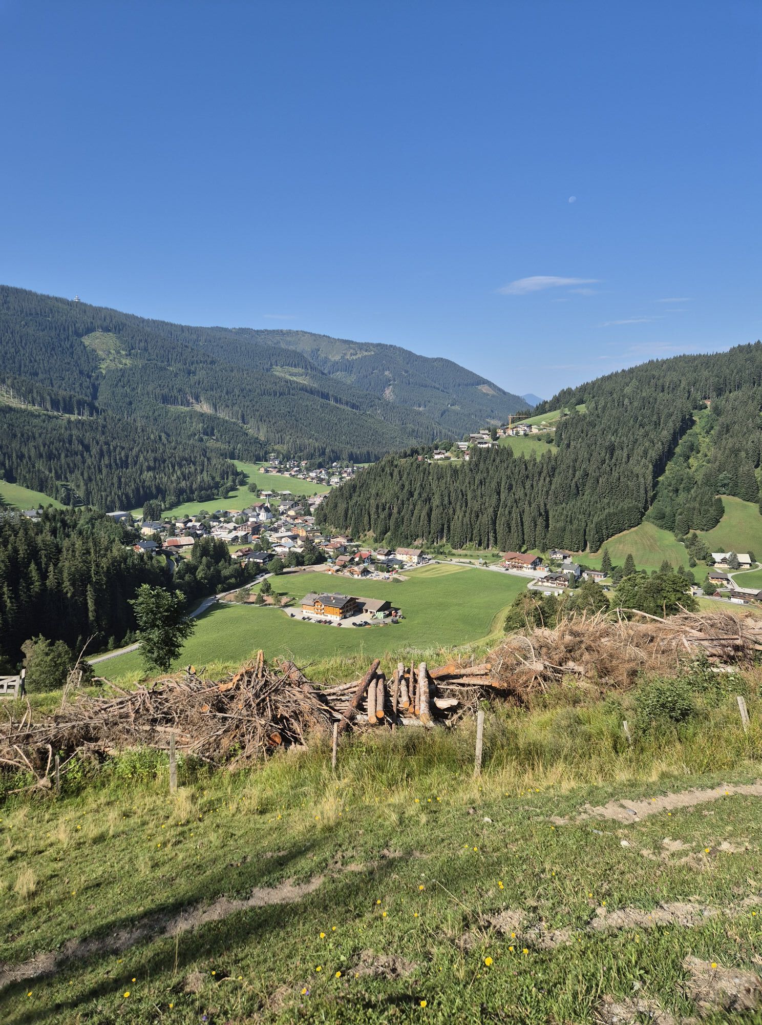
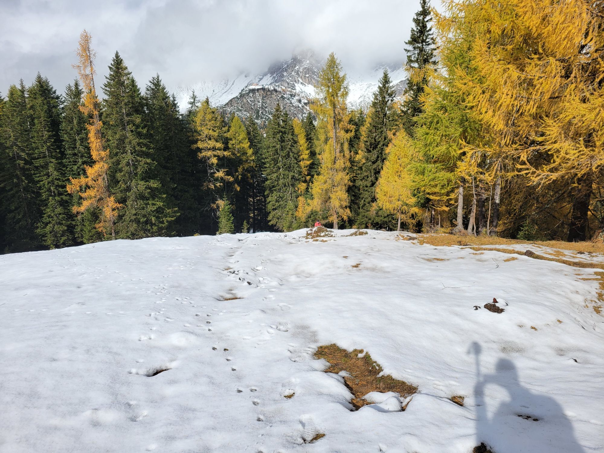
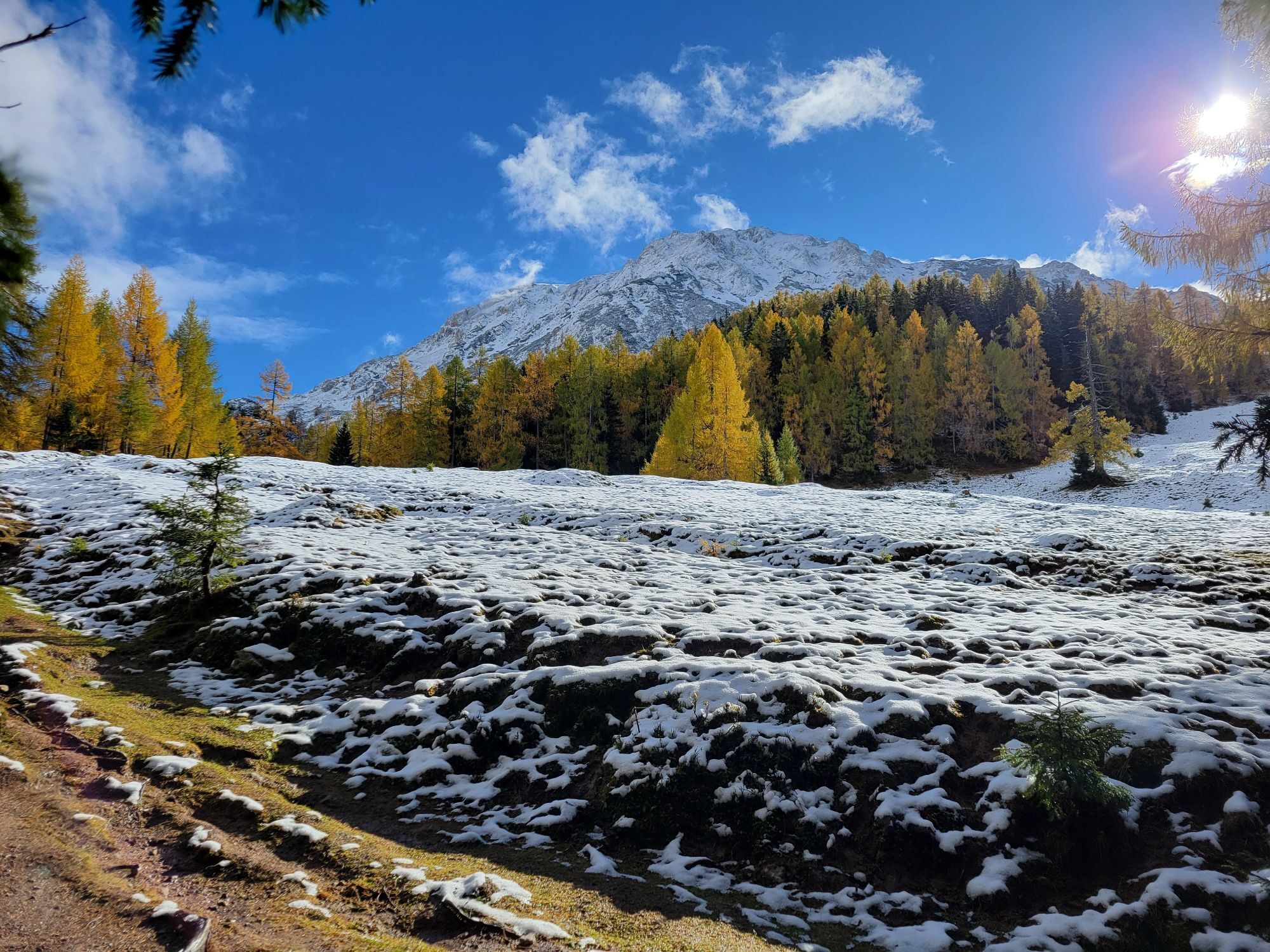

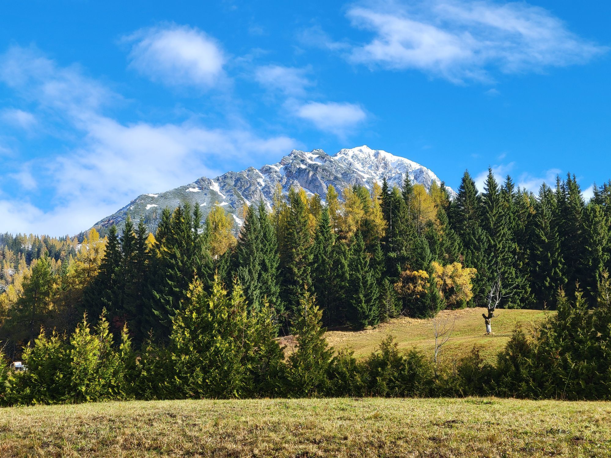
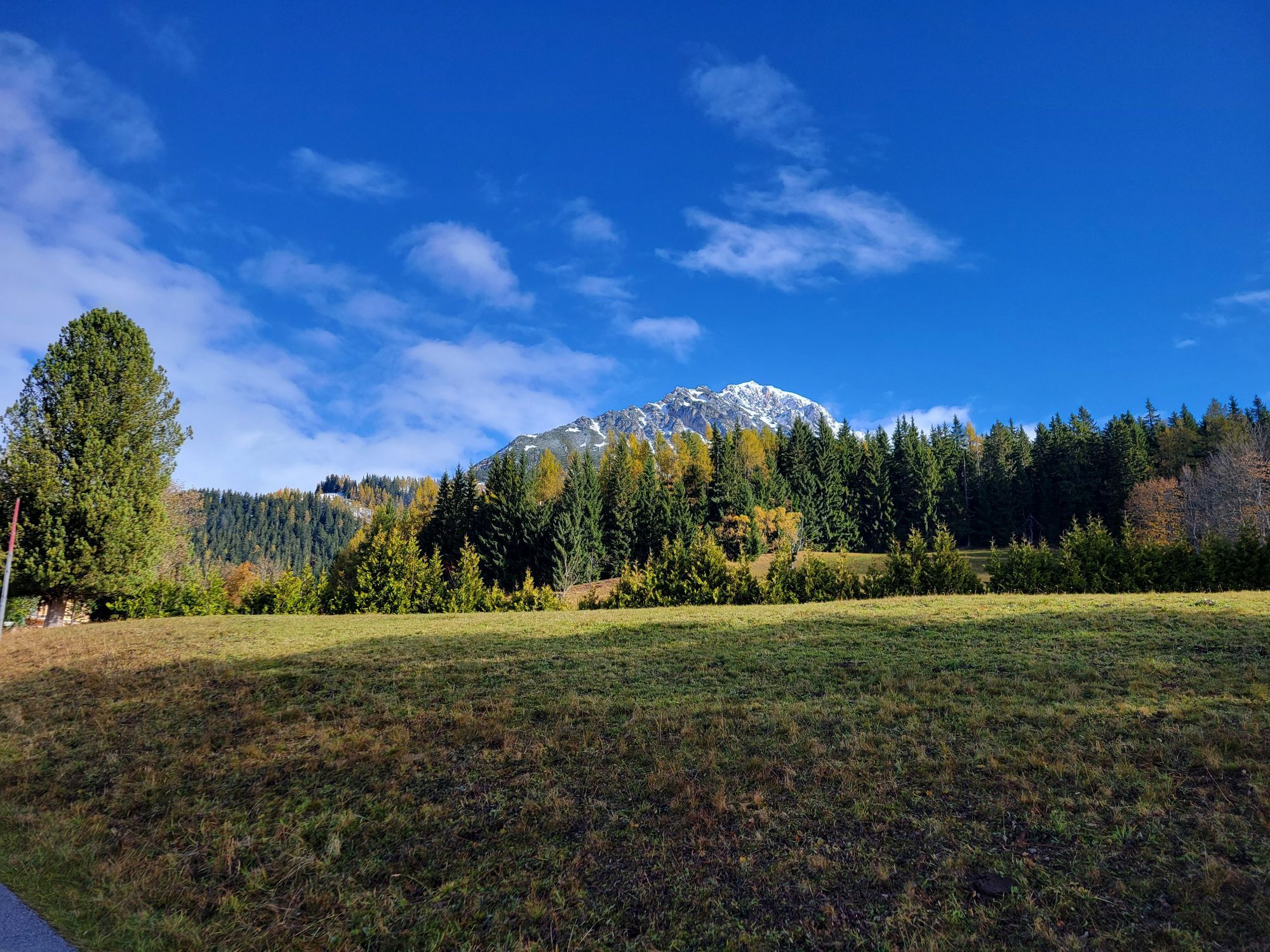
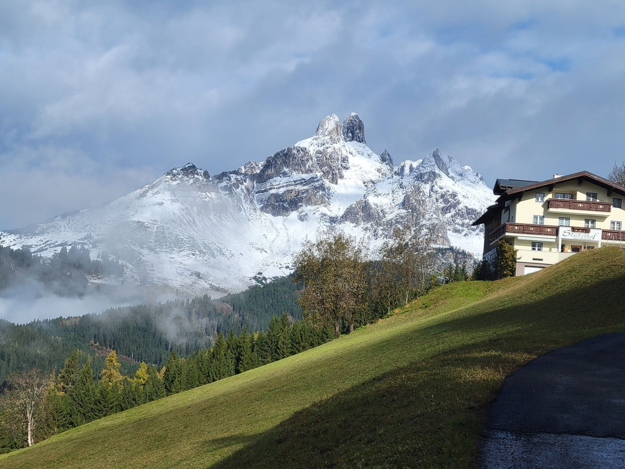
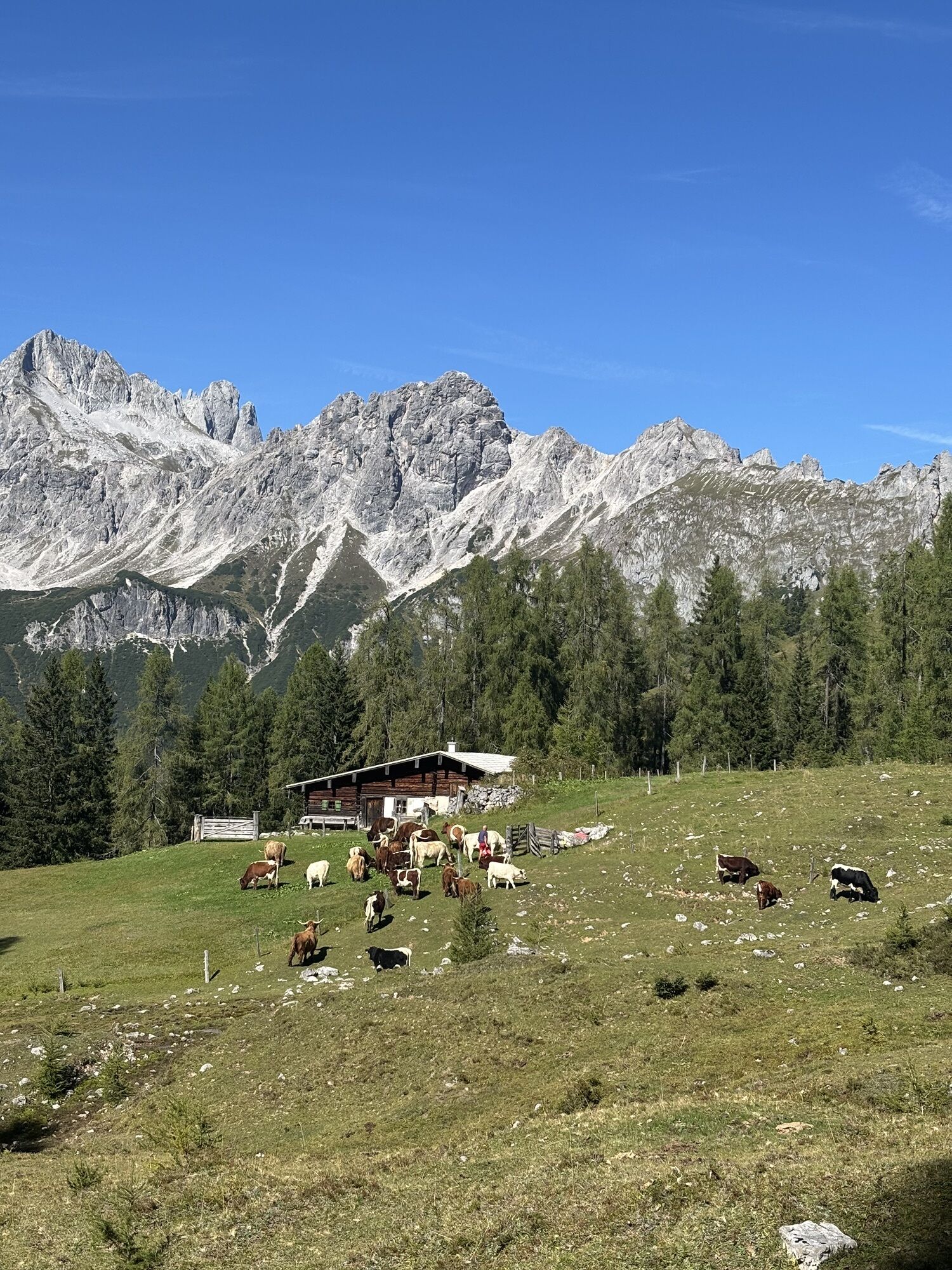
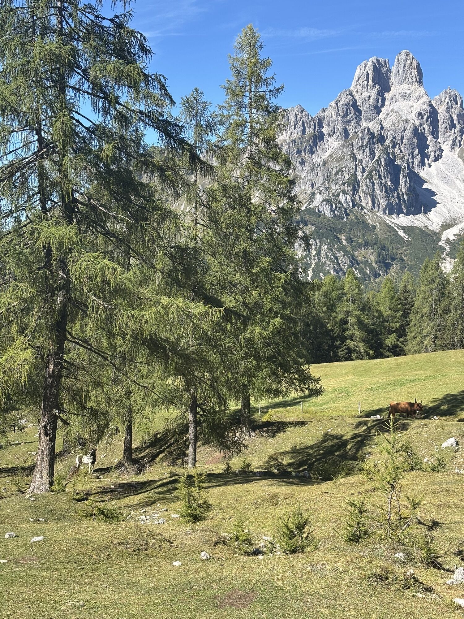
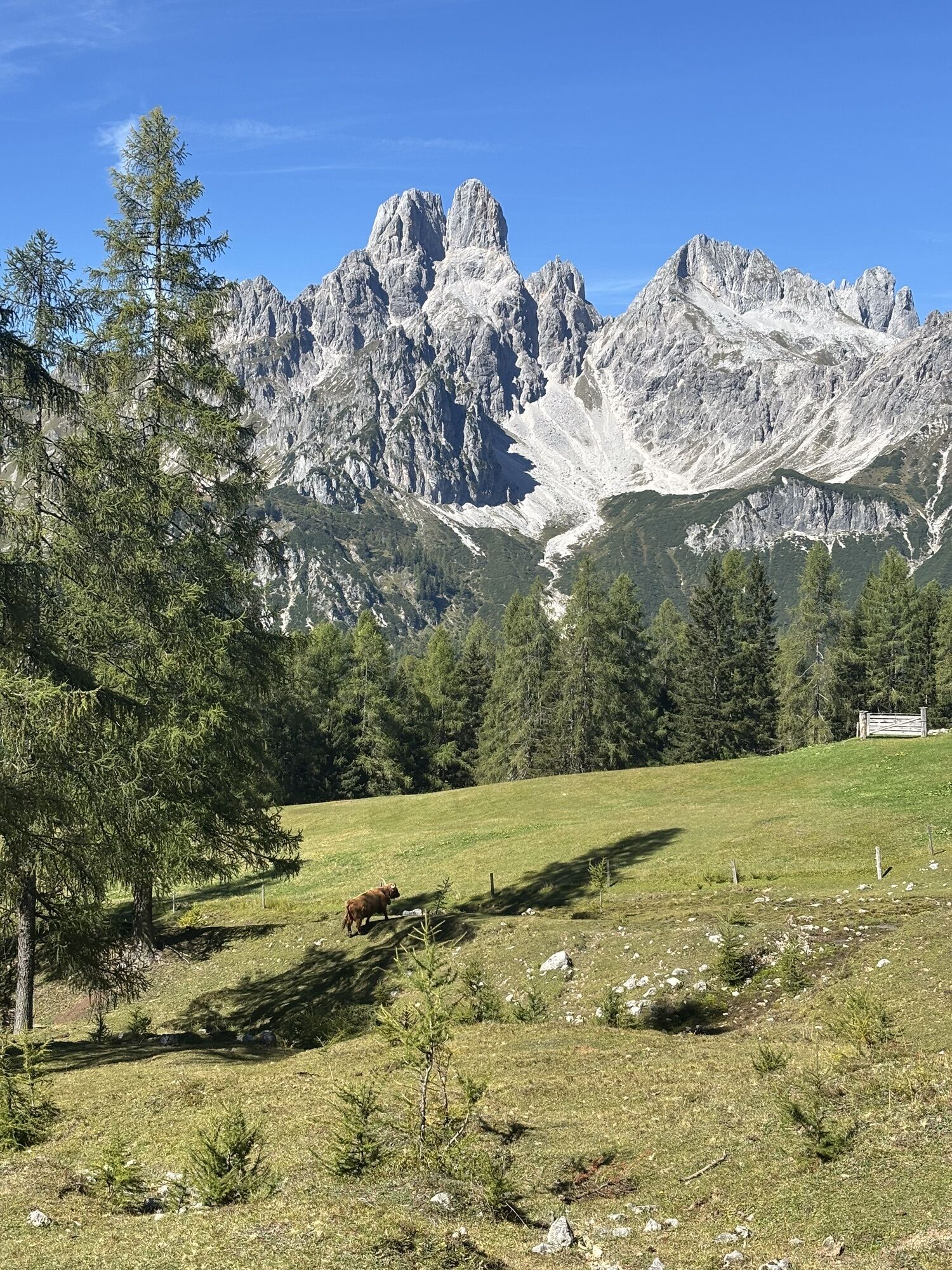
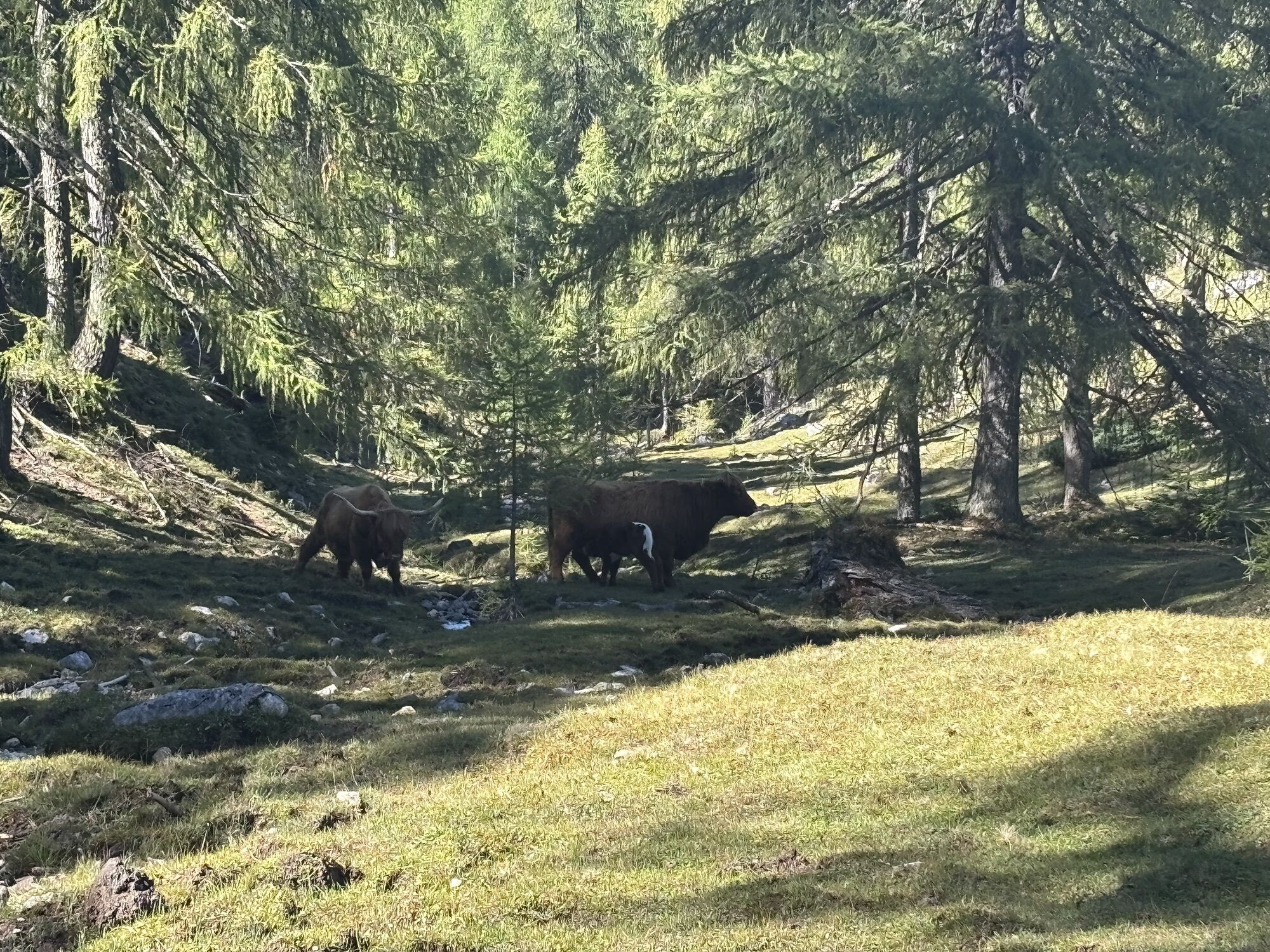
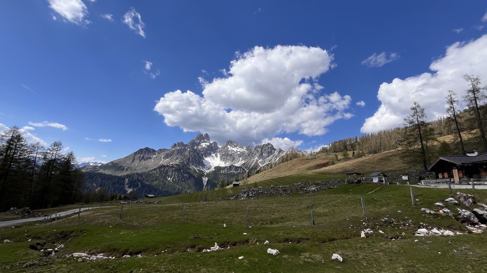
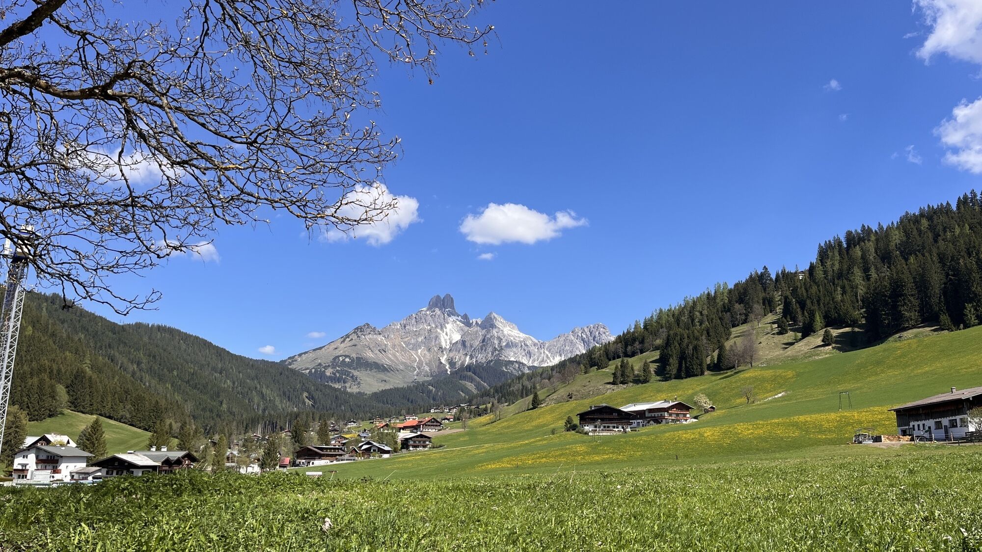
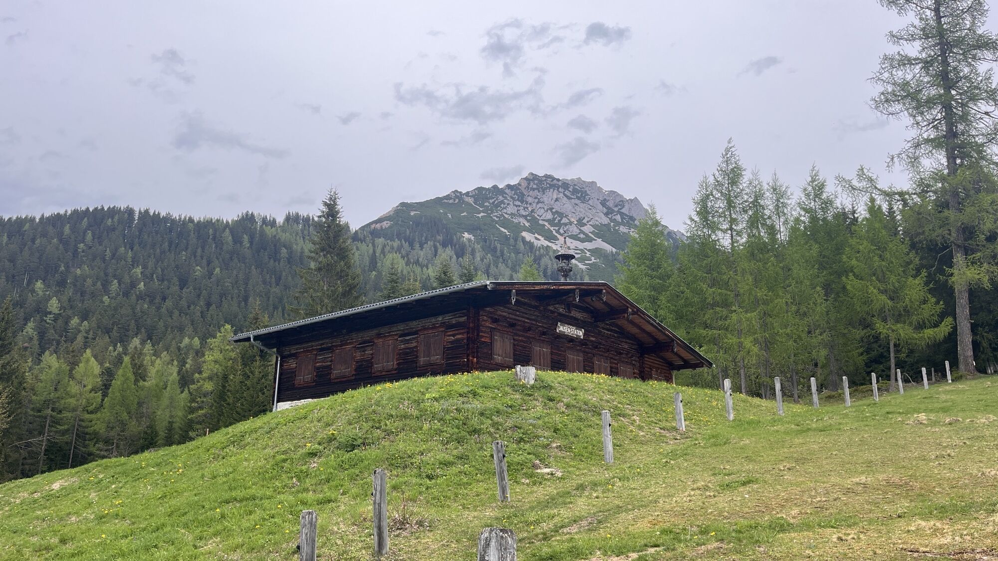
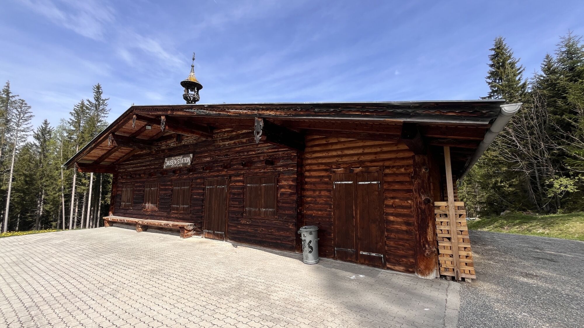
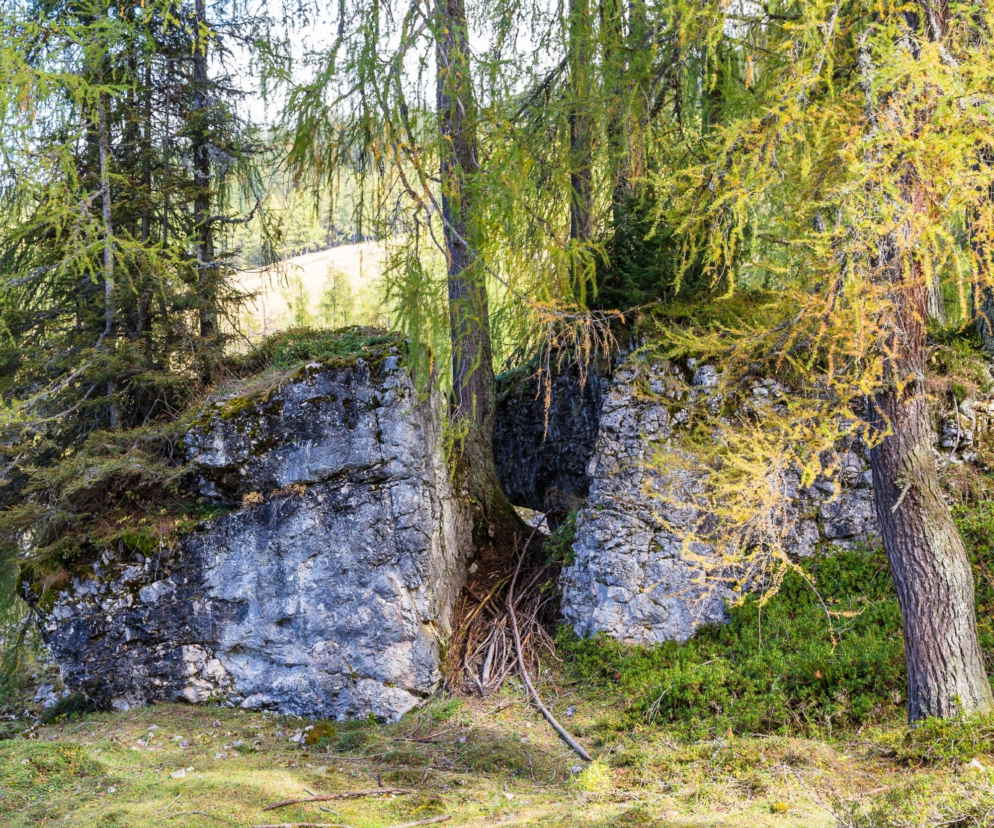
Nestled in the stunning mountain landscape,Energy Spot 17 – "The Place of Fusion" invites visitors to pause, connect with nature and recharge their energy. The striking rock formation, featuring a natural...


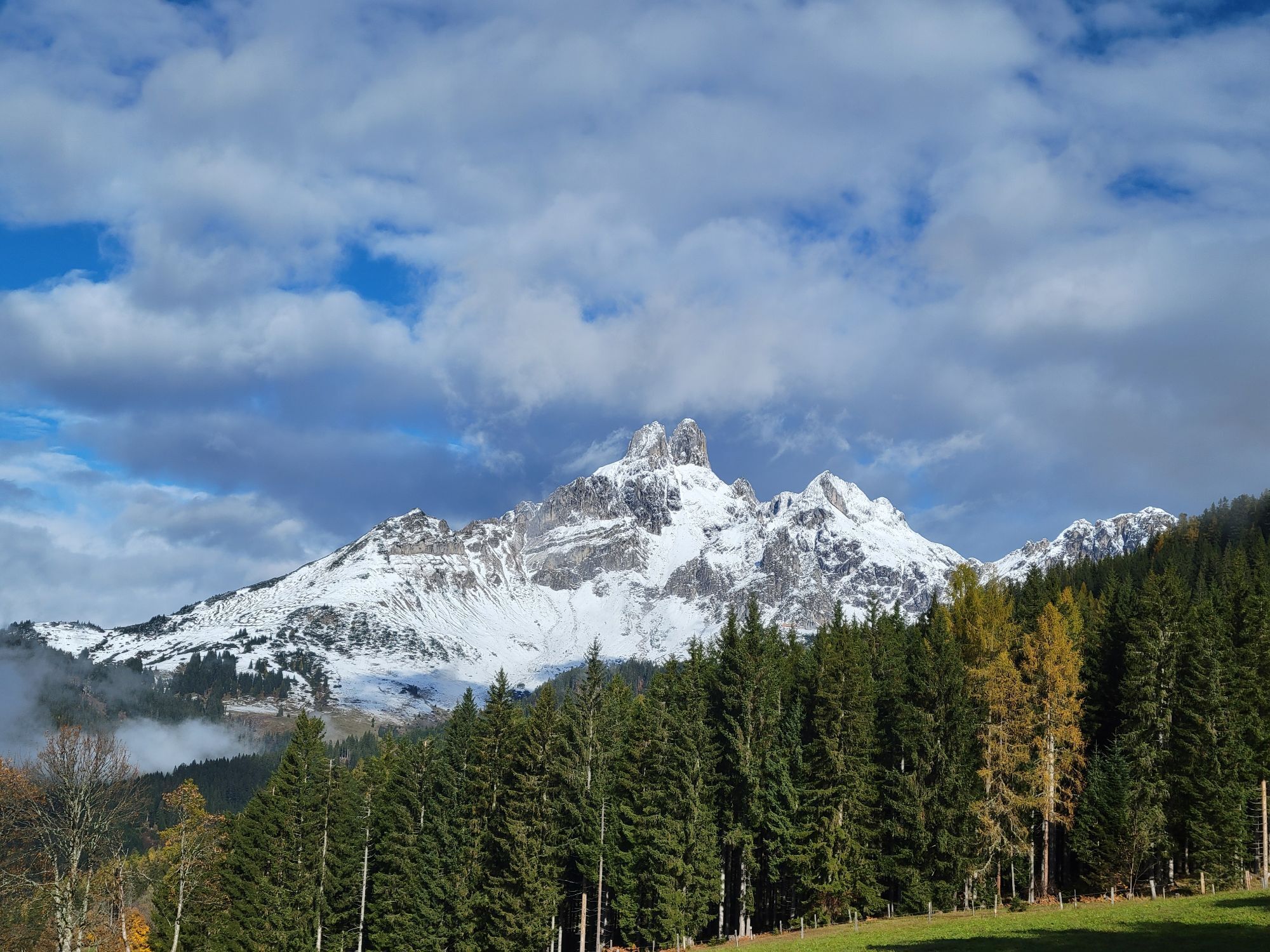
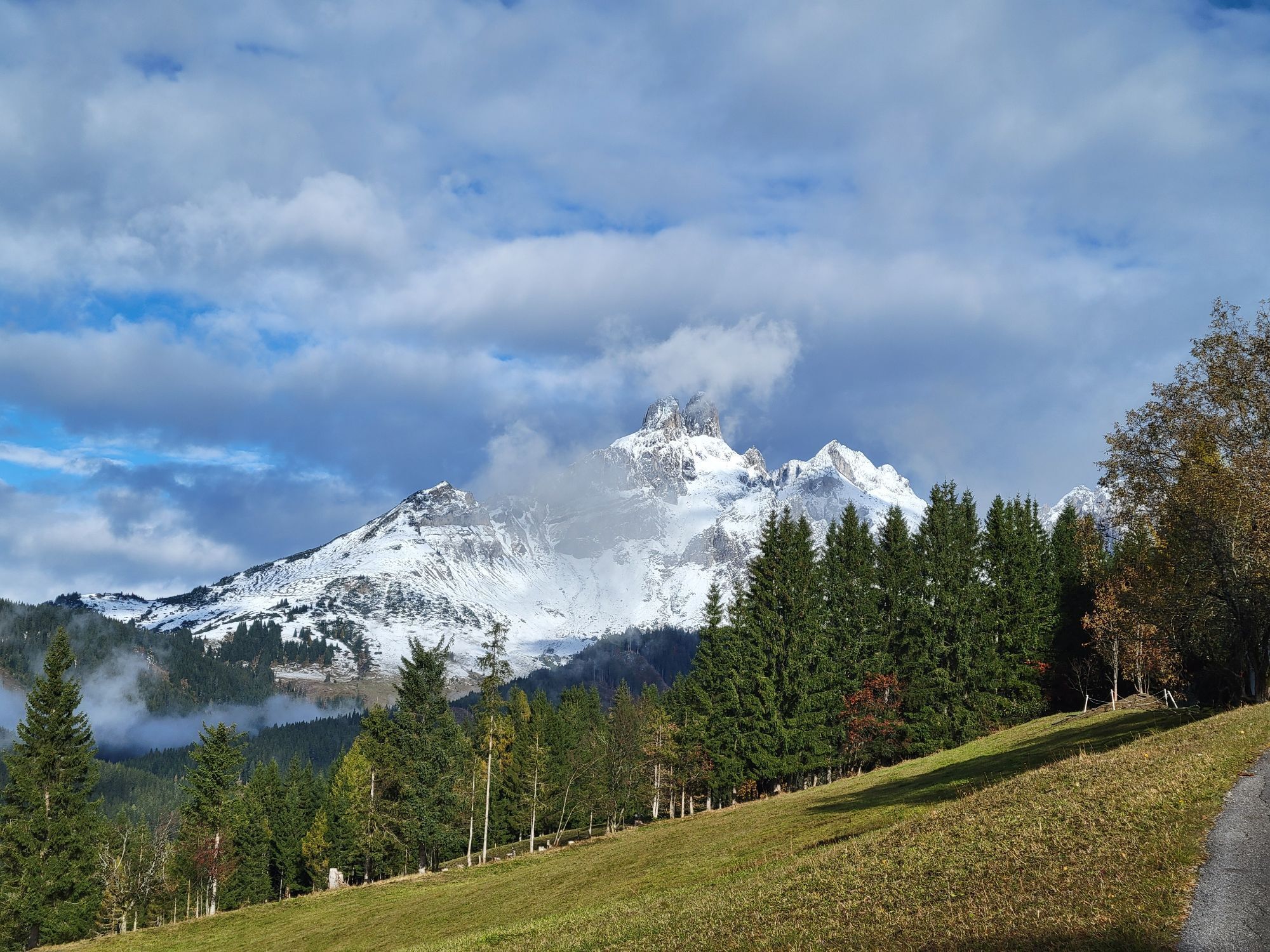
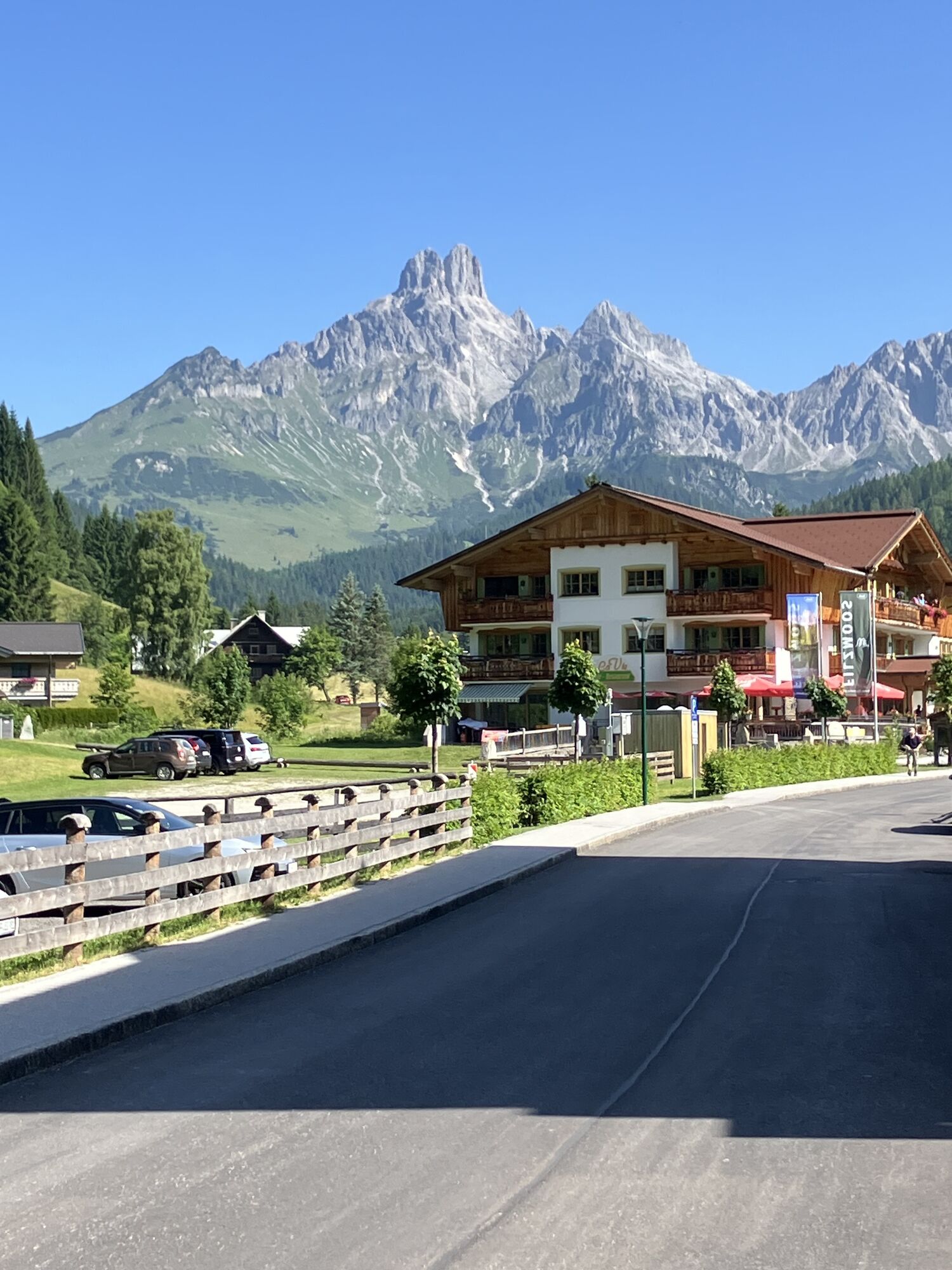
Tip: Haidegghof was the former home of the well-known Filzmoos author Barbara Passrugger-Hofer. From here, you can enjoy impressive views of the Bischofsmütze mountain.
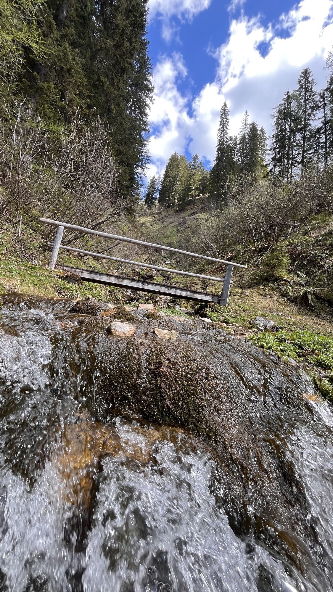
Continue along the road, passing Rettensteinhütte and on to Ahornegghof. During the main summer season, Rettensteinhütte can also be reached by the Fidibus Summer (hiking bus) "Route 2", which departs once every morning at 9.00 am from the "Filzmoos Info" bus stop. Shortly after Ahornegghof, pass through a gate (please make sure to close it behind you) and follow the forest road through the woods until you reach a clearing. Here, a trail branches off to the right leading to the unmanaged Reitalm mountain hut. Stay on Austrian Alpine Club Trail No. 638 towards Sulzenalm. After crossing the Kaltenbach stream, the trail becomes steeper until you reach the open alpine meadows. Follow the trail as it climbs gently to the right through a small wooded area and continues across the alpine pastures. On your left, you will see the unmanaged Mandlingalm. The trail then continues to the right across a slightly marshy section, through a gate in the fence, and on to just before Krahlehenhütte. On the right-hand side, you will find Energy Spot No. 17, "The Place of Fusion." A short distance further on, you can either cross the road to reach Krahlehenhütte or continue along the narrow footpath to Wallehenhütte.
Return either via the same route (if you parked your car at Rettensteinhütte) or complete the hike as a circular tour. Walk back until just before Leopichlhof, where the "Old Sulzenalmen Trail" branches off to the right. Follow the signs towards Filzmoos and continue along the Nature and Hiking Educational Trail back to the starting point at the Experience Portal Filzmoos in the village centre.
Ano
In case of thunderstorms: Avoid summits, ridgelines, and fixed-rope sections at all costs.
A good backpack is helpful, and for routes in alpine terrain, a hat, gloves, a good jacket, and pants are essential basic equipment. Sturdy, waterproof footwear, sunglasses, sun protection, and plenty of fluids are also crucial. A flashlight, map material, knife, and a small first aid kit should always be part of your gear.
Verfügbare GPS-Daten sind – wie auch Wanderkarten – nur eine Orientierungshilfe, da diese nie ein genaues Abbild oder den Detailreichtum eines Weges in der Wirklichkeit darstellen können. Gerade bei Gefahrenstellen muss deshalb am Ende immer anhand der Gegebenheiten vor Ort entschieden werden, ob und wie der weitere Wegverlauf aussieht.
Im Notfall bitte folgende Notrufe wählen:
140 - für alpine Notfälle - österreichweit 112 - Euro Notruf GSM NotrufserviceTauern Motorway A10 – Take the exit for Eben and turn left towards Filzmoos. After approximately 11 km, you will reach the roundabout in Filzmoos. Take the third exit in the direction of Hofalmen. Continue straight ahead, following the road. Pass the Hofalm toll station (€ 5.50 per car) and continue along the road until just before Bögrainalm. Before reaching Bögrainalm, turn right and follow the forest road to Krahlehenhütte–Sulzenalm.
Coming from Ramsau am Dachstein:
At the roundabout, take the exit towards Hofalmen. Follow the road until you reach the turn-off for Hotel Hammerhof. Turn right there and continue straight ahead following the road until you reach the Rettensteinhütte car park. At the roundabout, take the exit towards Neuberg. Follow the road straight ahead. There are public paid parking spaces opposite Hotel Happy Filzmoos/Aparthotel Das Filzmoos. At the roundabout, take the exit towards Neuberg. Turn left immediately after the petrol station. A public paid car park is located opposite the petrol station. At the roundabout, take the exit Hofalmen. Continue straight ahead, following the road. Pass the Hofalm toll station (€5.50 per car) and continue along the road until just before Bögrainalm. Before reaching Bögrainalm, turn right and follow the forest road to Krahlehenhütte–Sulzenalm.Continue by bus or taxi: From Eben im Pongau or Radstadt, bus line 521 runs directly to Filzmoos, stop Neuberg (journey time approx. 20–30 minutes). Alternatively, taxis are available at the train stations.Tip: Buses do not run very frequently – please check the timetable in advance at ÖBB timetable.
With the Fidibus Summer (hiking bus): From the Hotel Neubergerhof stop, the Fidibus Summer (hiking bus) takes you from Neuberg to Filzmoos, stopping at “Filzmoos Info”. Please change once to the Fidibus Summer “2”, which takes you from the “Filzmoos Info” stop to the “Rettensteinhütte”. The timetable can be found here.
Free parking is available at the Rettensteinhütte.
At the Experience Portal Filzmoos (located in the center of Filzmoos), there is a public paid parking lot opposite the gas station.
Free parking is available at the Krahlehenhütte-Sulzenalm.
T1
Take a moment to pause, enjoy the unique atmosphere and admire the breathtaking views of the Filzmoos mountain landscape.
Získejte přehled Vždy živě na místě s více než 9 500 webkamerami. bergfex Jako uživatel Pro si nyní můžete zobrazit odpovídající webové kamery pro mnoho prohlídek v aplikaci prohlídky z. Můžete si tak přímo prohlédnout aktuální podmínky. Oblíbené prohlídky v okolí
- 4.4
Ramsau am Dachstein: Steinerne Jungfrauen
Turistika 8.11 km - 4.4
Heilbronner Rundwanderweg
světloTuristika 9.04 km - 4.3
Filzmoos: Rötelstein (Rettenstein)
Turistika 9.50 km - 4.8
Tour around the Gosaukamm
středníTuristika 20.9 km - 4.8
4-Jahreszeiten Wanderweg
středníZimní turistika 5.94 km - 4.7
Tor-Wanderung
heavyTuristika 14.2 km - 4.7
Tour around the Lake Gosau
světloTuristika 4.43 km - 4.5
Adamekhütte vom Vorderen Gosausee
středníTuristika 23.2 km - 4.7
Ramsau am Dachstein: Bergstation Dachstein-Seilbahn - Guttenberghaus - Ramsau
středníTuristika 14.4 km - 4.9
Das Trippel in der Silberkarklamm
středníVia ferrata 6.70 km
Pěší turistika a stopování


Nenechte si ujít nabídky a inspiraci pro vaši příští dovolenou
Vaše e-mailová adresa byl přidán do poštovního seznamu.





