







Alm hiking from Grödig into the city of Salzburg
Úroveň obtížnosti: T1
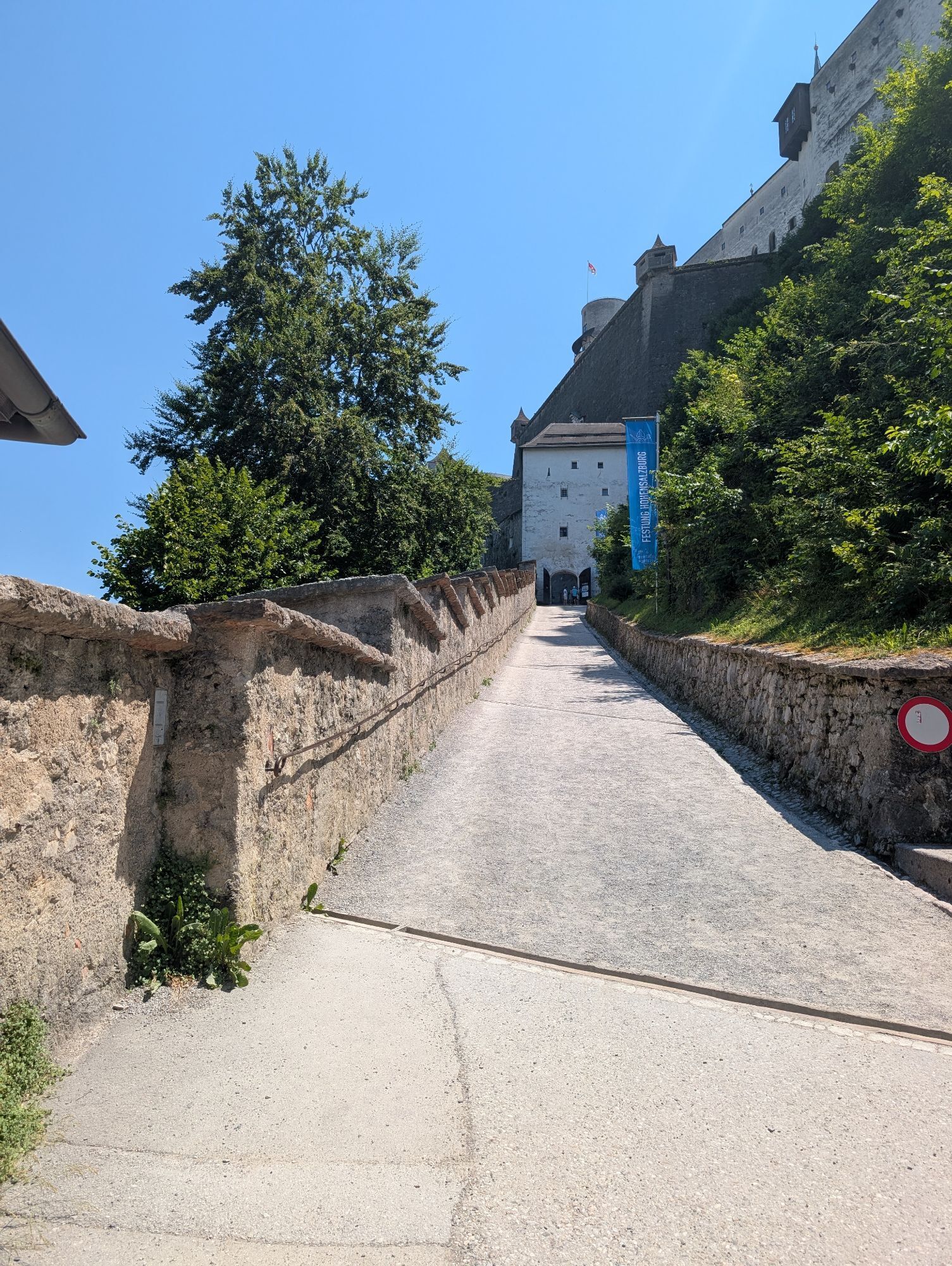
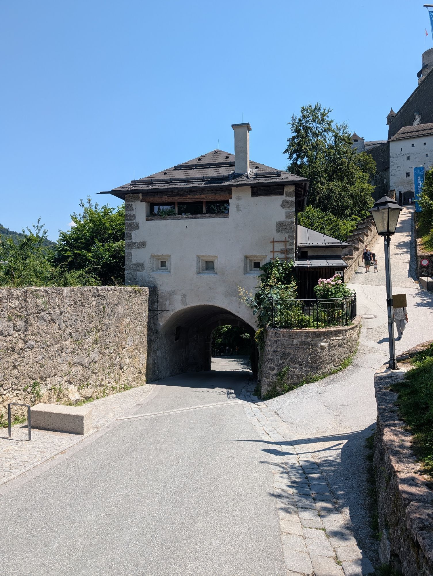
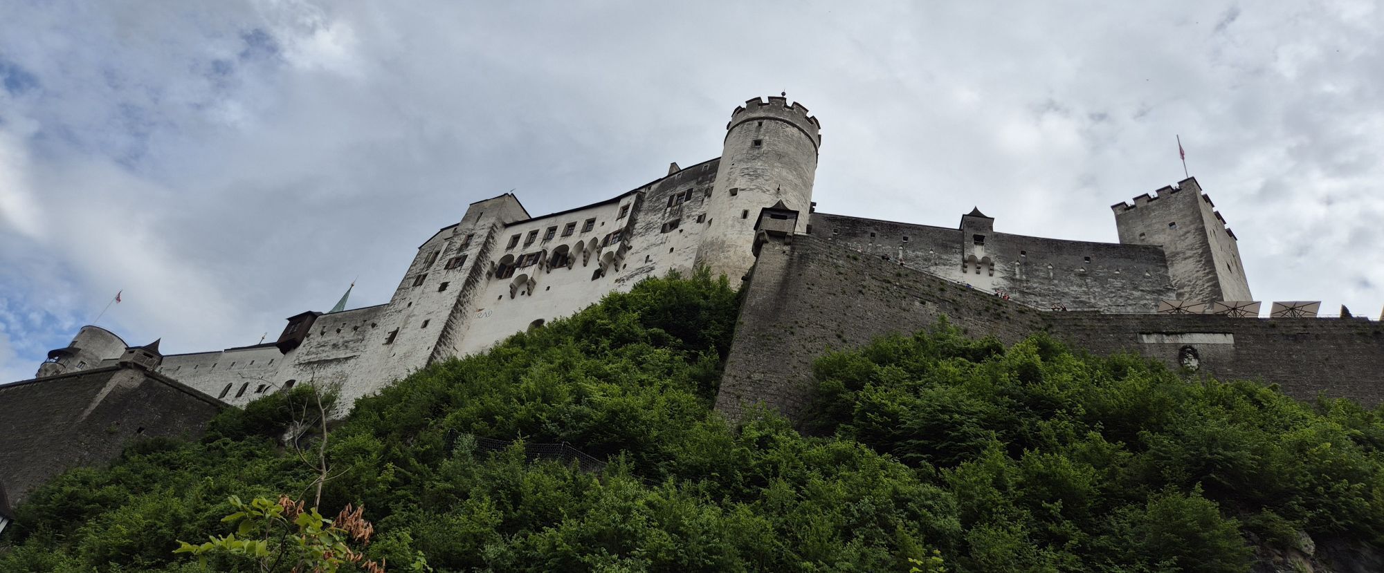
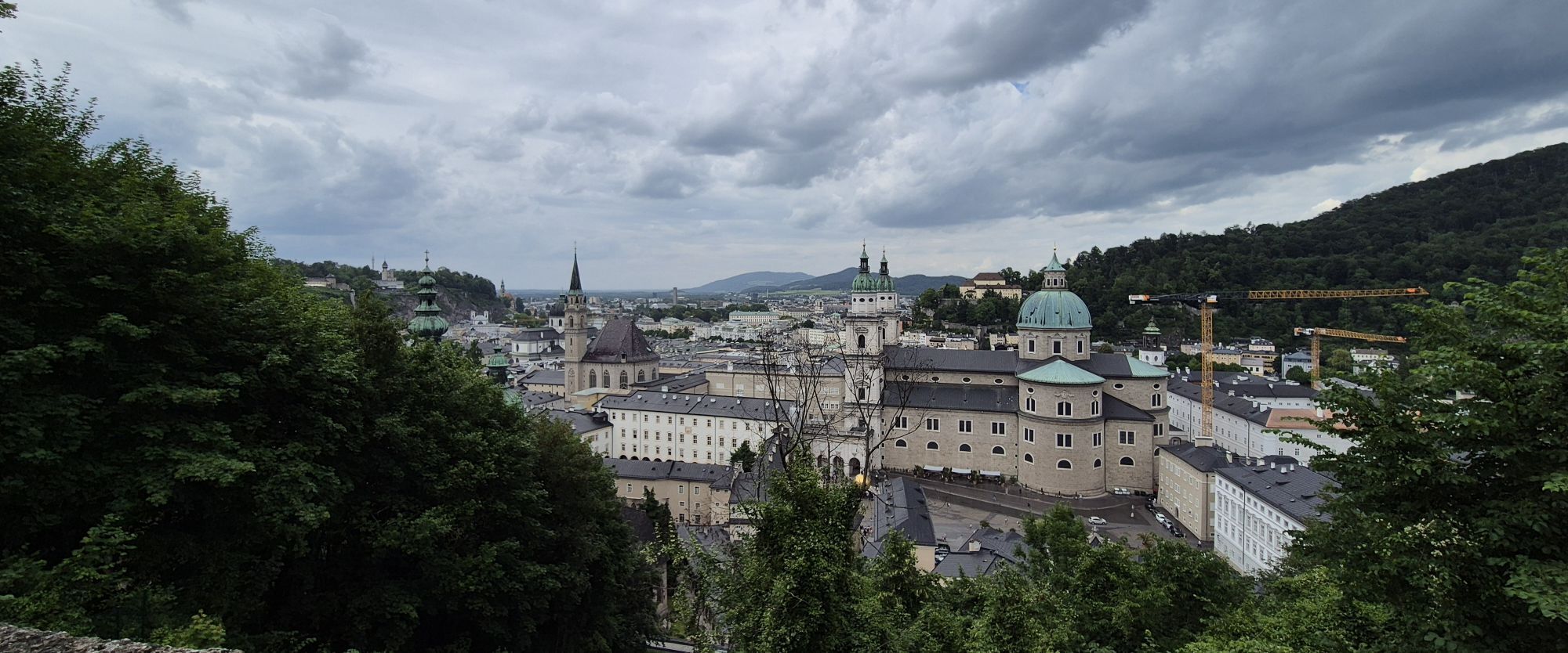
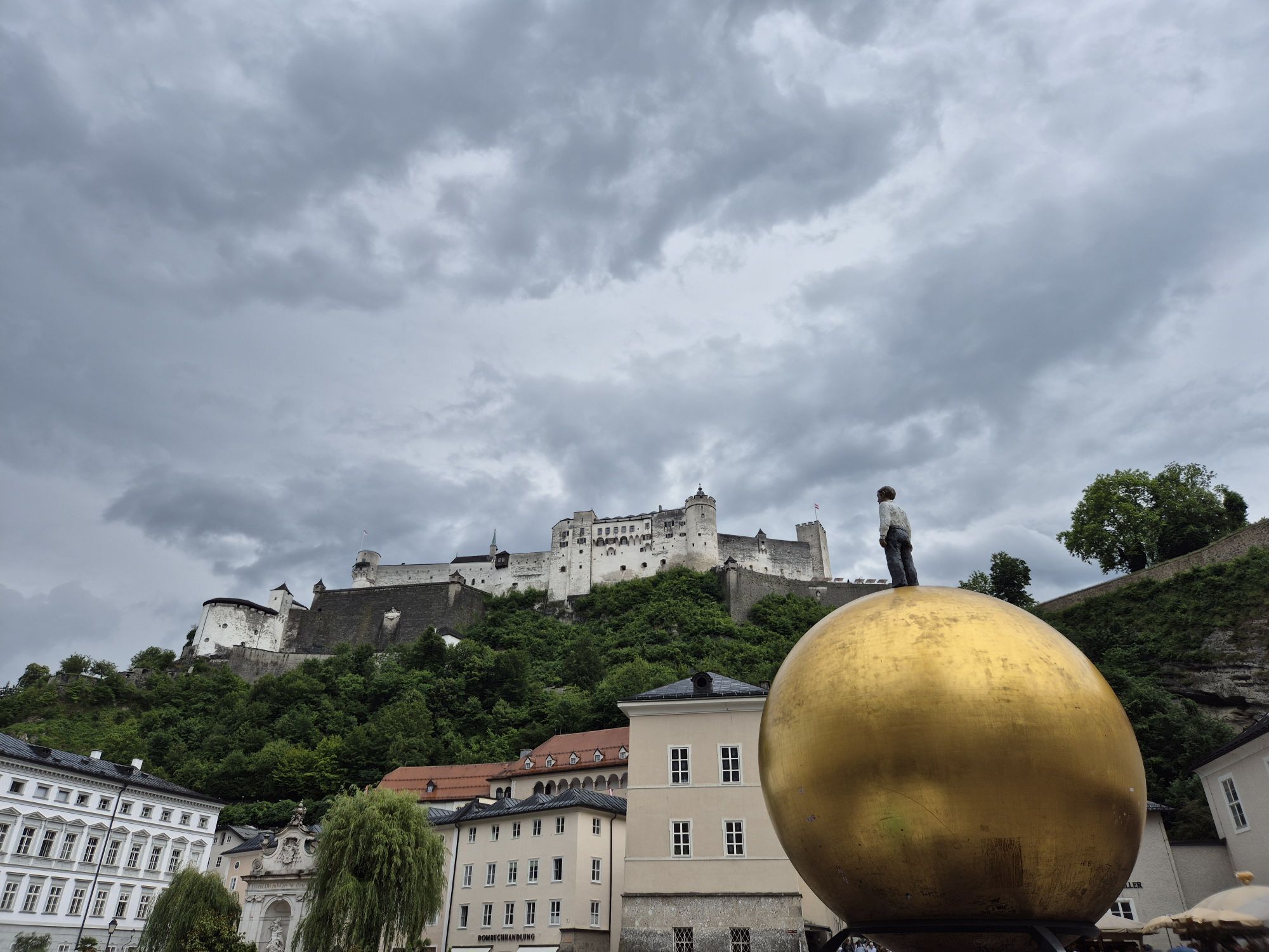
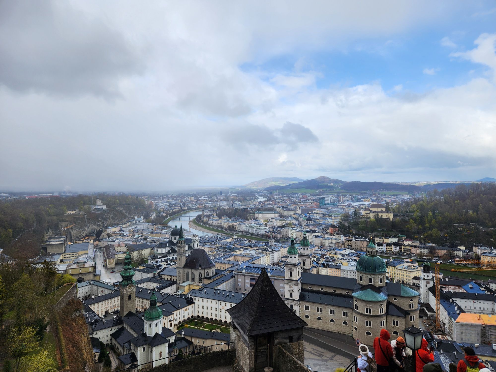
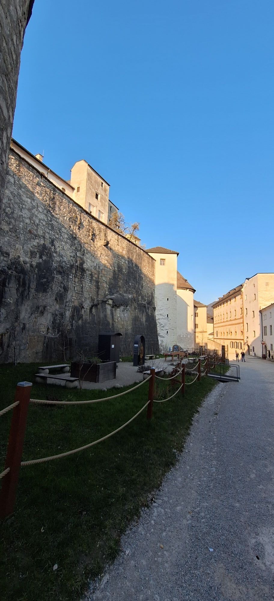
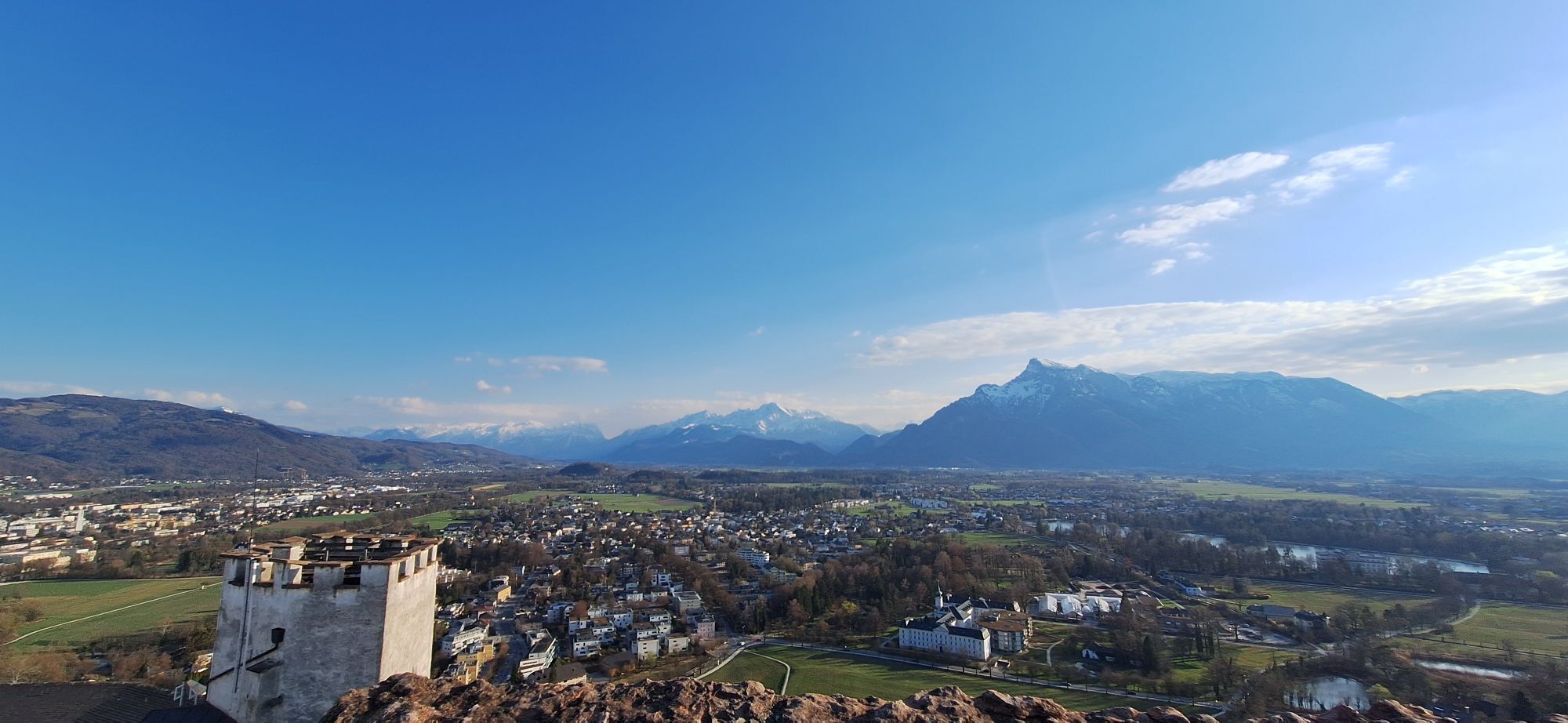
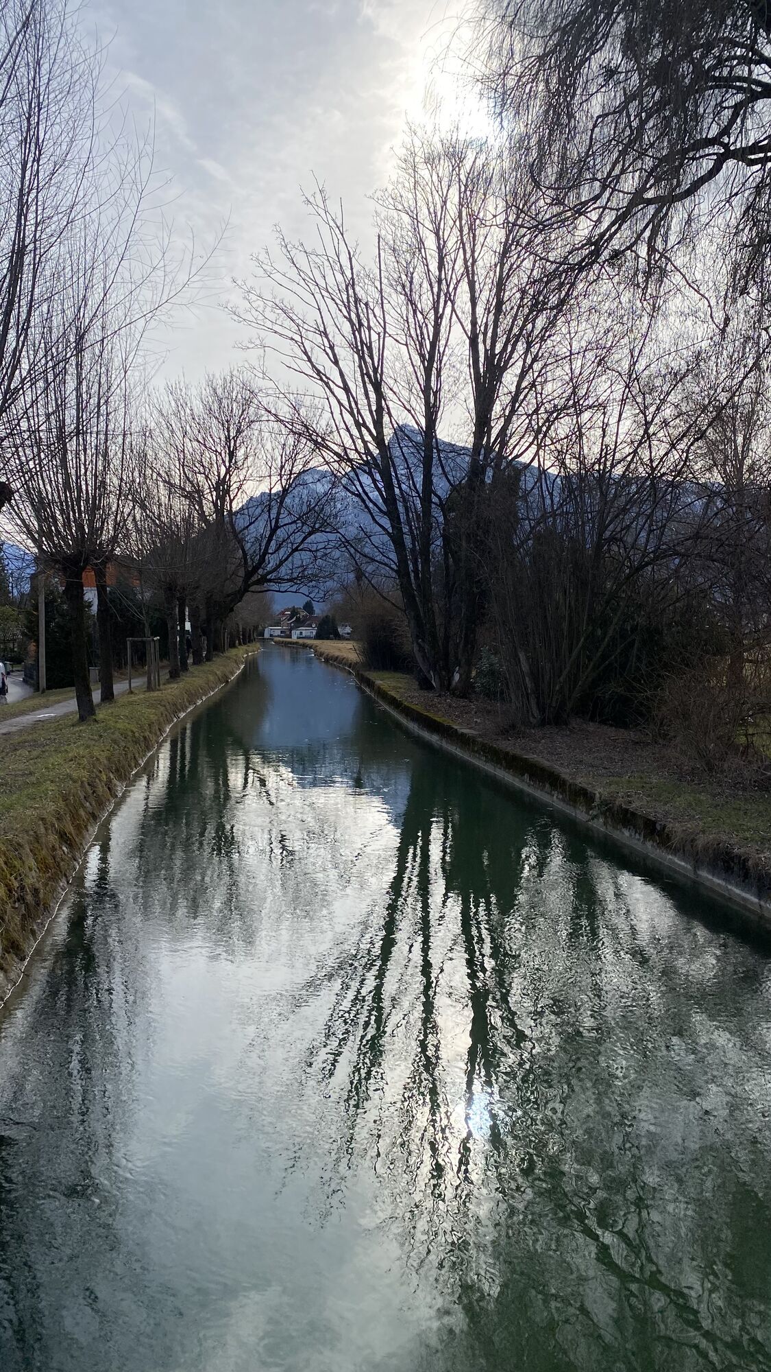
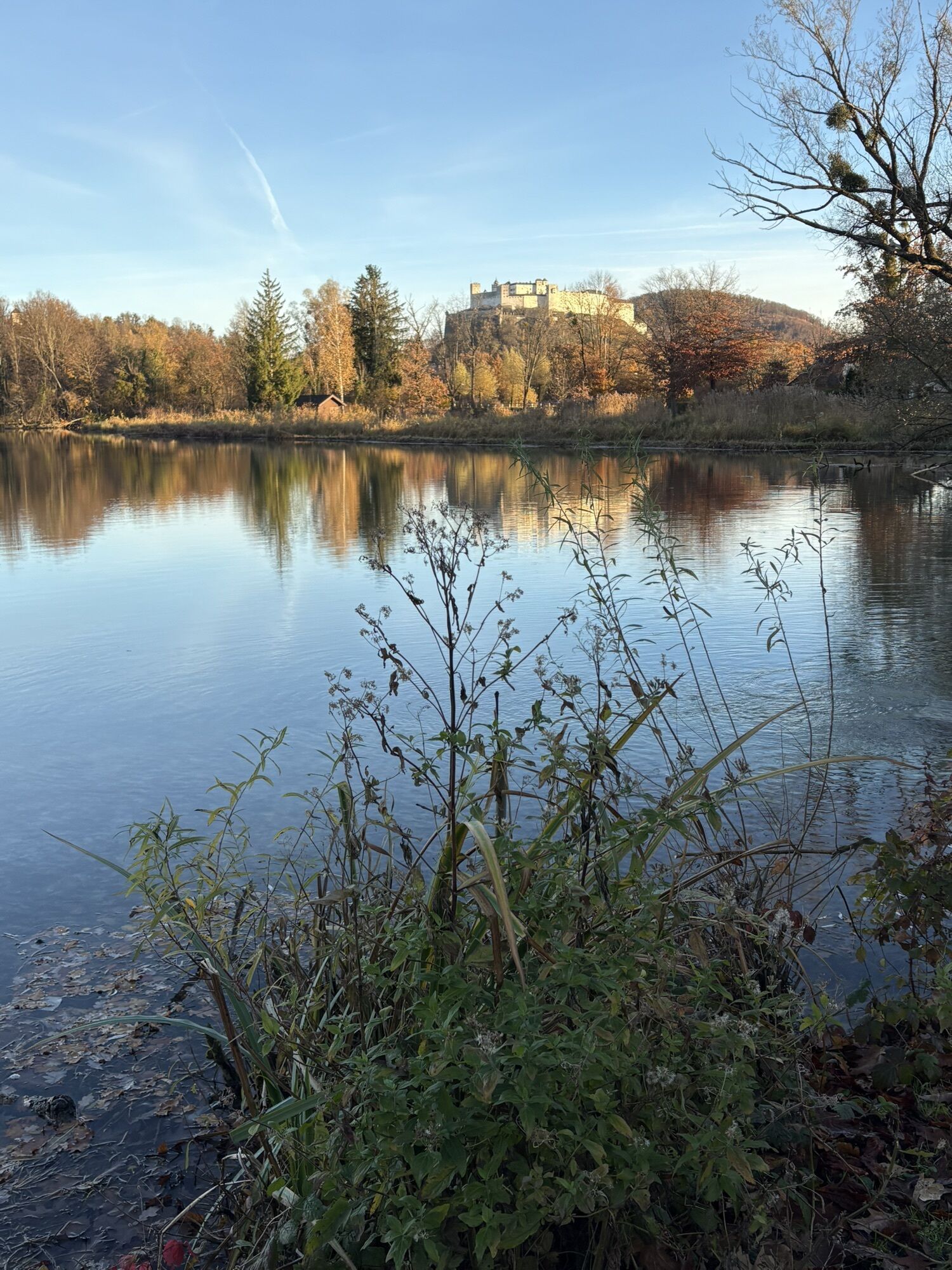
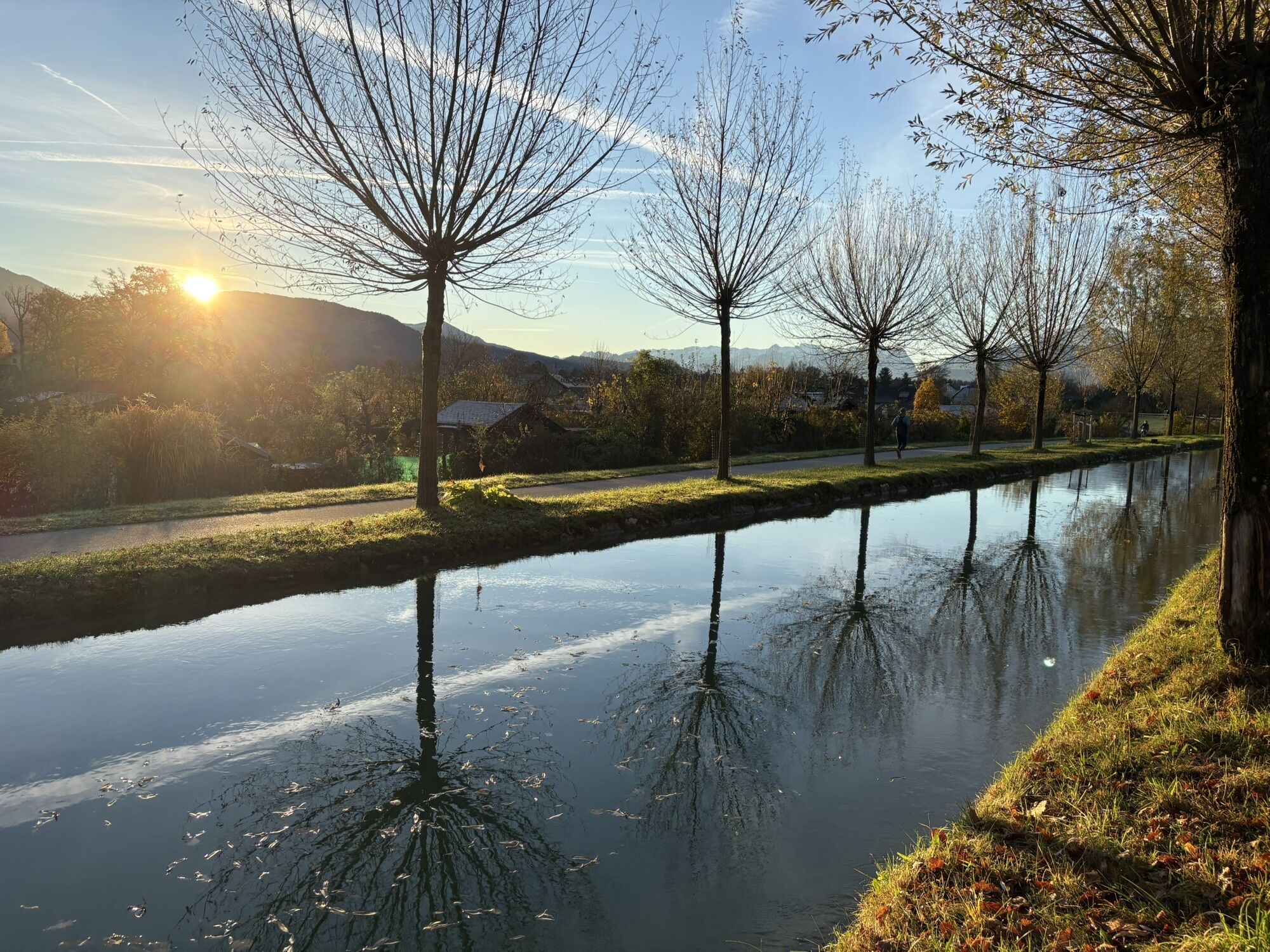
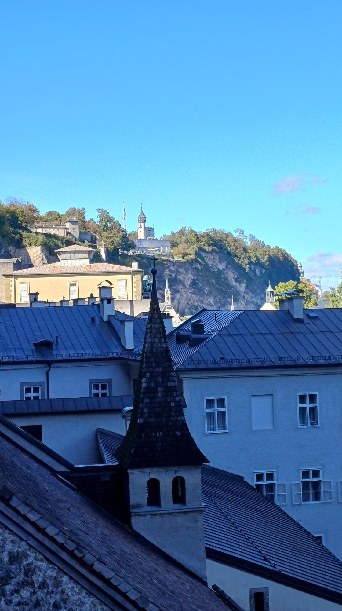
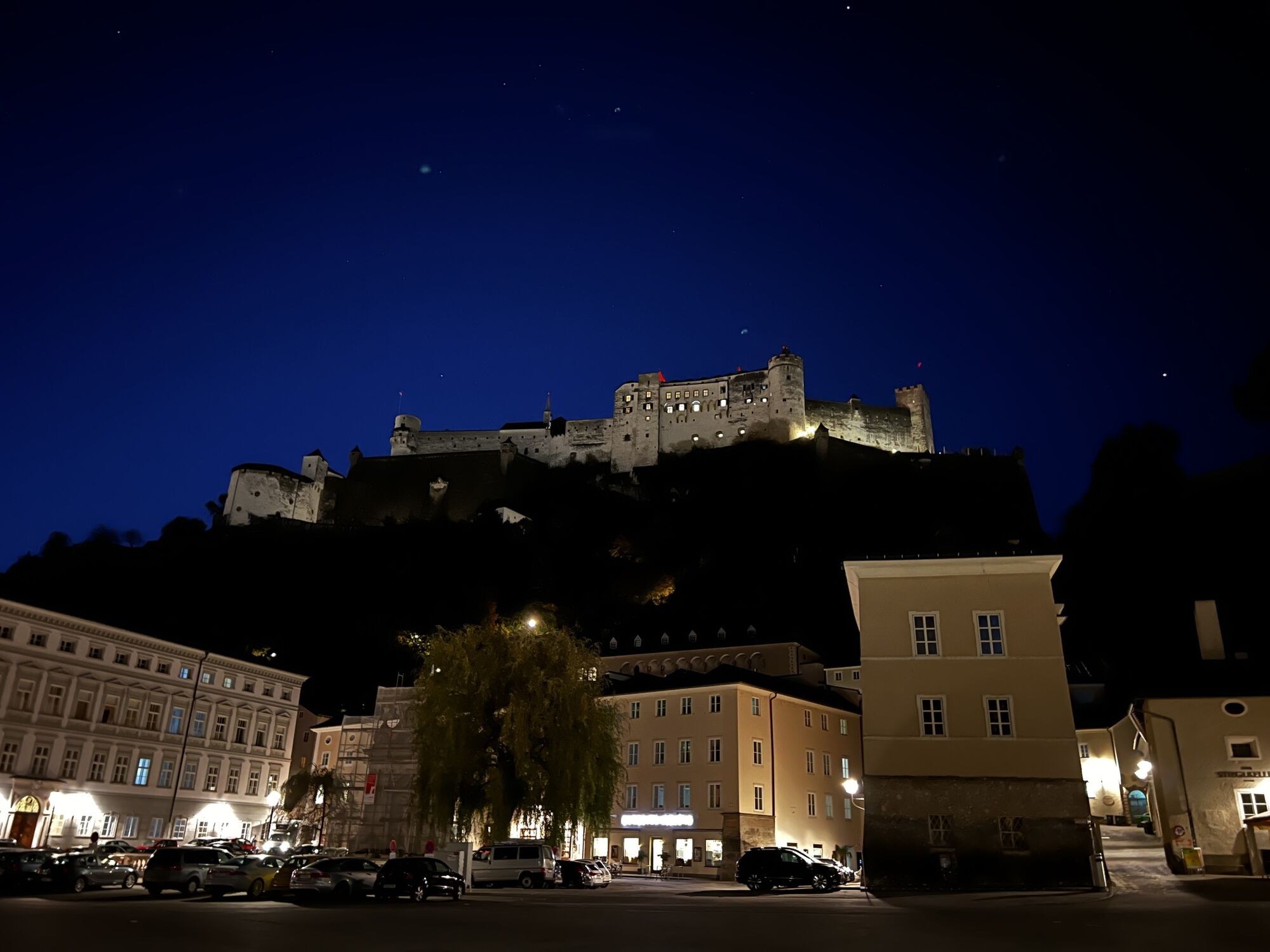
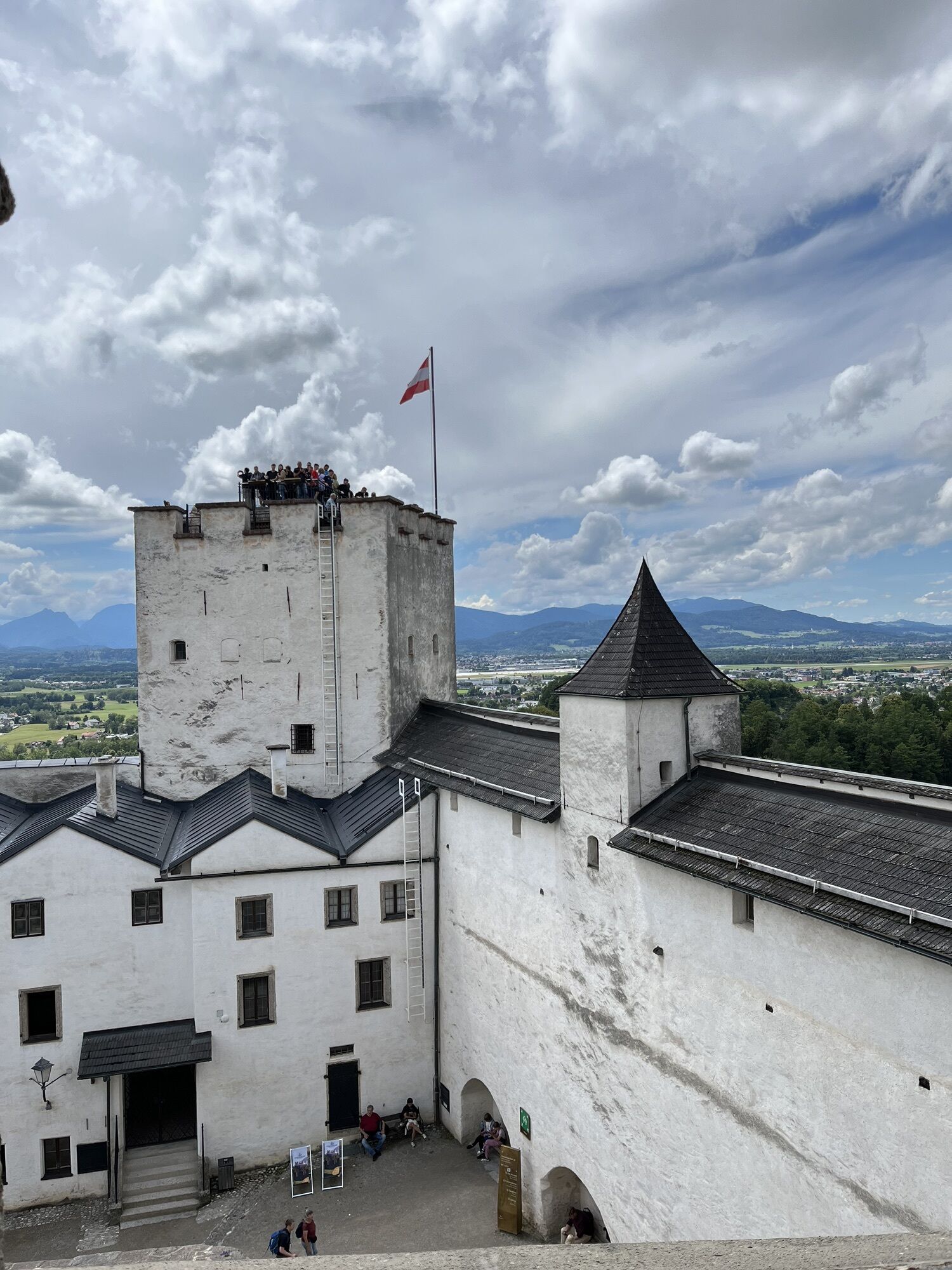
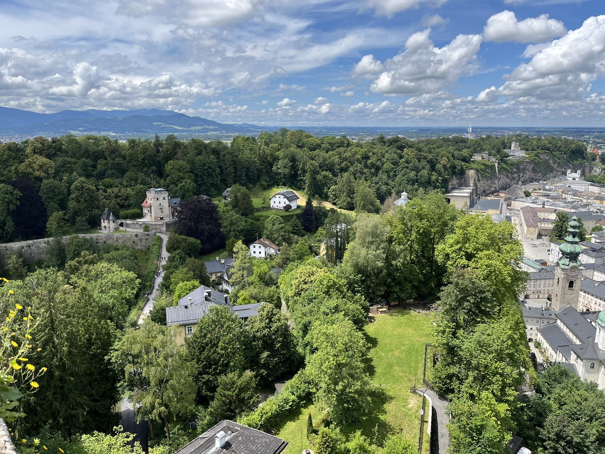
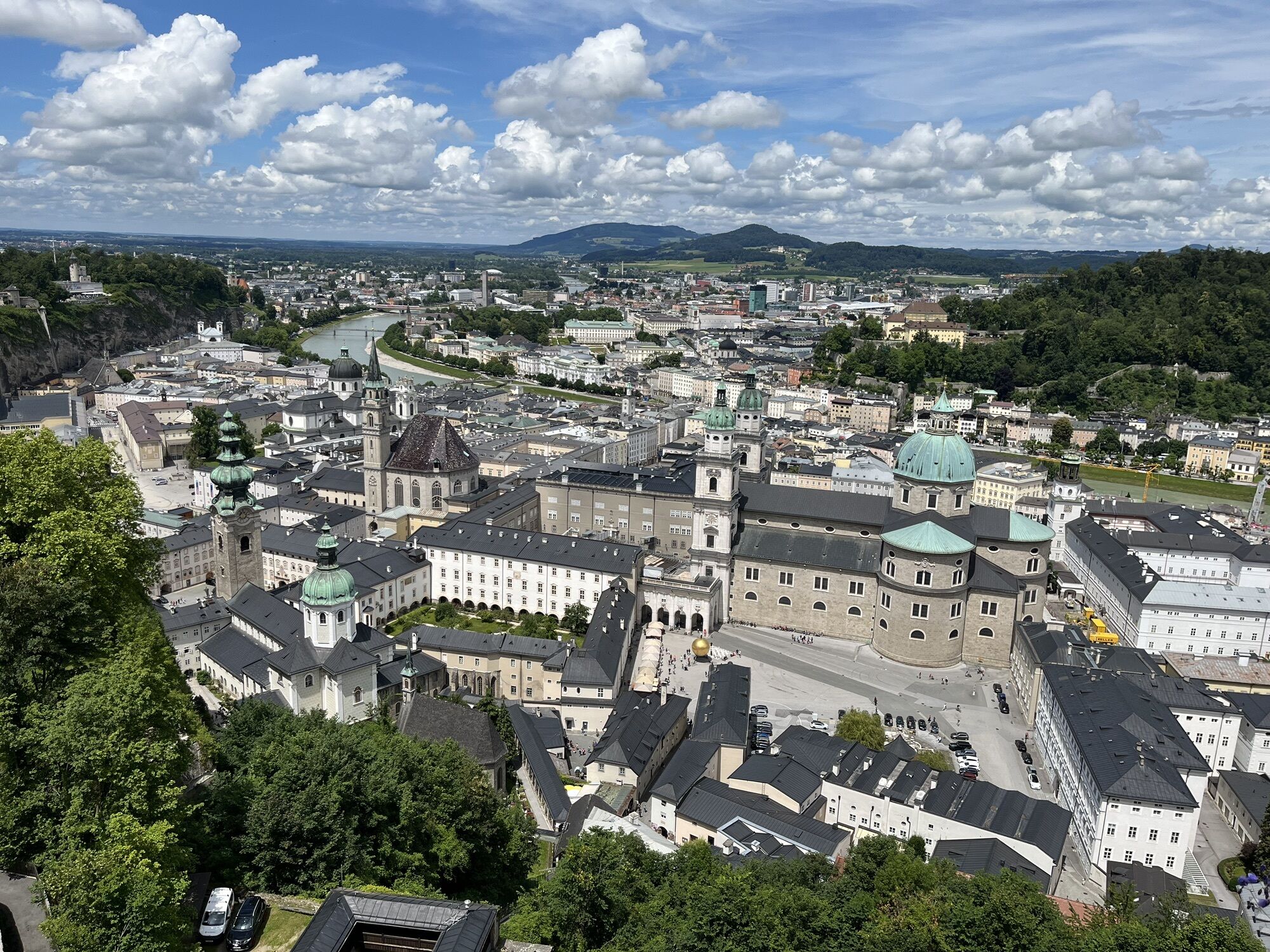
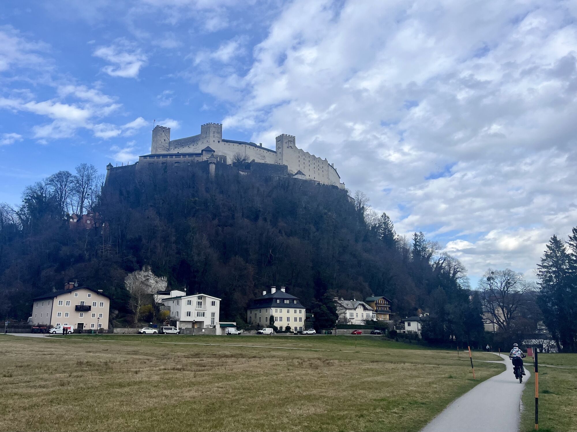
When "the Alm" is mentioned, the people of Salzburg usually mean less an alpine agriculture and more the (tributary) river that connects the city with the Königssee. In the late Middle Ages, this artificial...
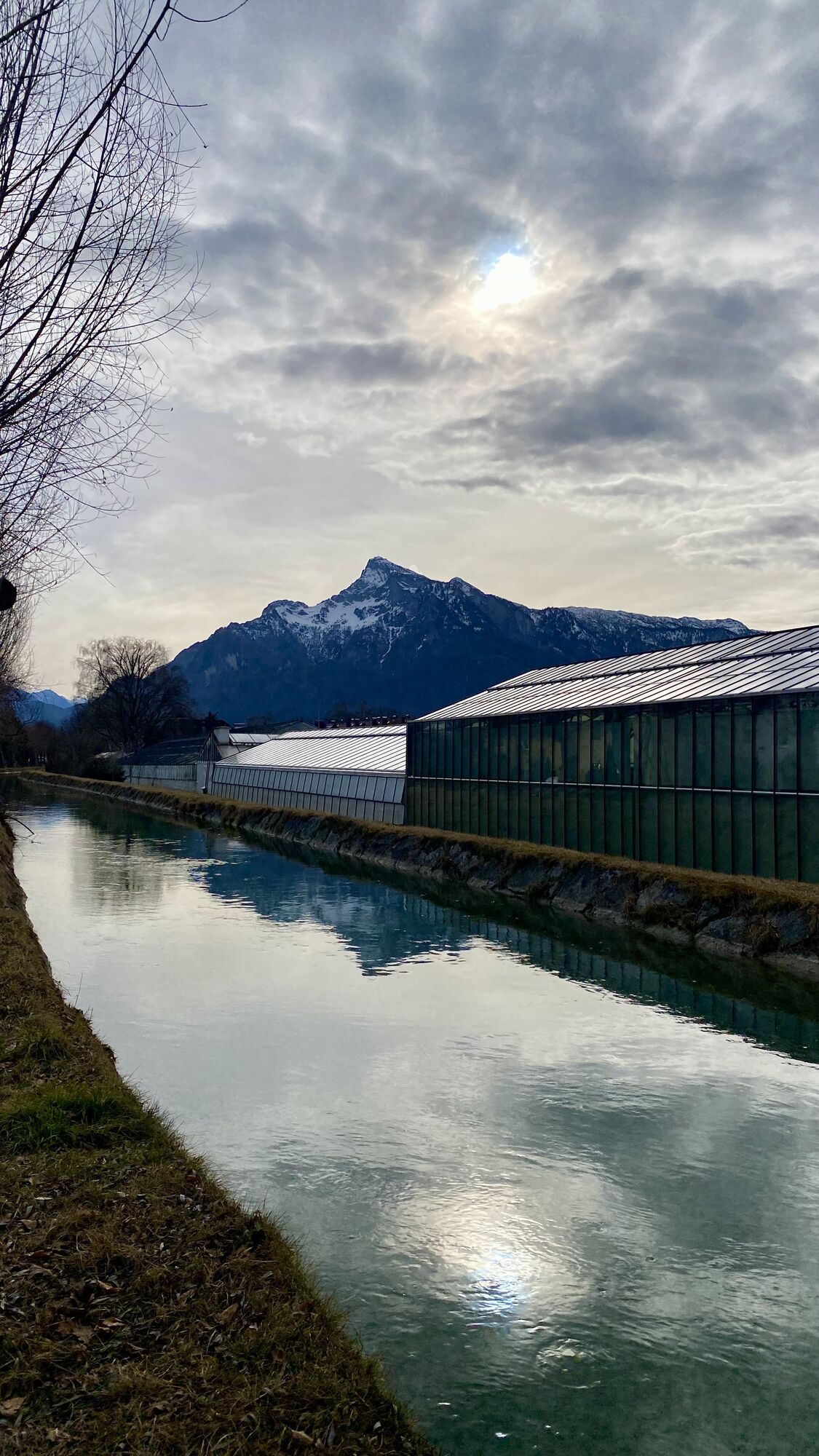
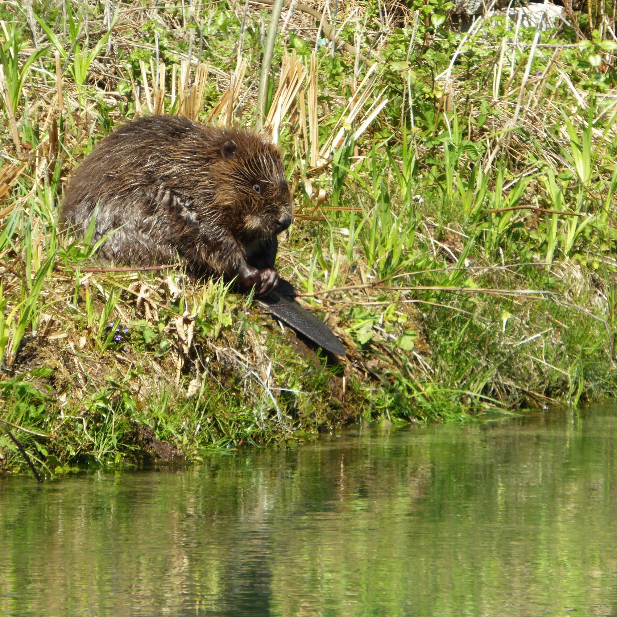
When "the Alm" is mentioned, the people of Salzburg usually mean less an alpine agriculture and more the (tributary) river that connects the city with the Königssee. In the late Middle Ages, this artificial water connection was vital for the city's inhabitants and an economic stroke of luck for the water-dependent riverside businesses along the 11.8 km long course. On the riverside walk along the Alm from the Pflegerbrücke in Grödig to the Salzburg old town, many beneficiaries still line up one after another today. These include not only mills or power plants, but the Alm canal wave also brings maximum fun to river surfers. Finally, hundreds of pollarded willows and with them extremely rare beetle species dependent precisely on this environment also benefit from "the Alm." But above all, the Alm conveys one thing to walkers in abundance: harmony and inner peace.

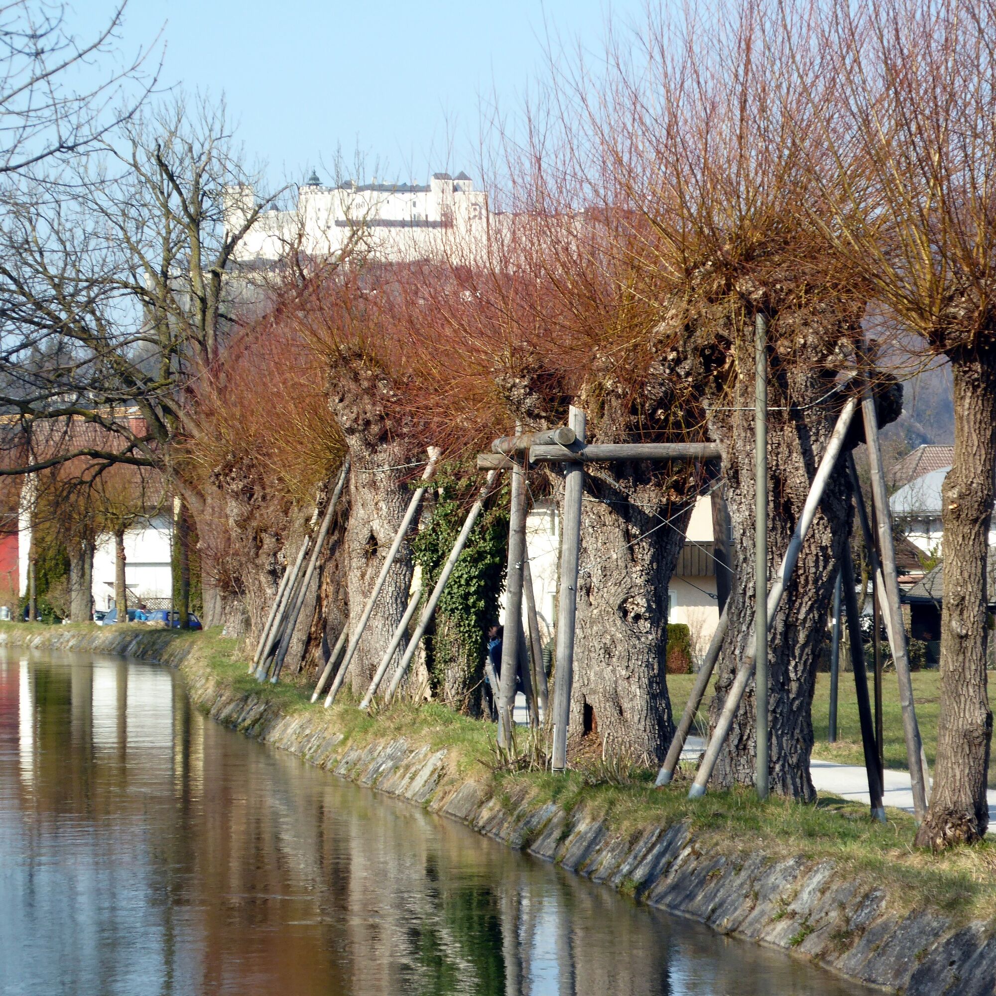
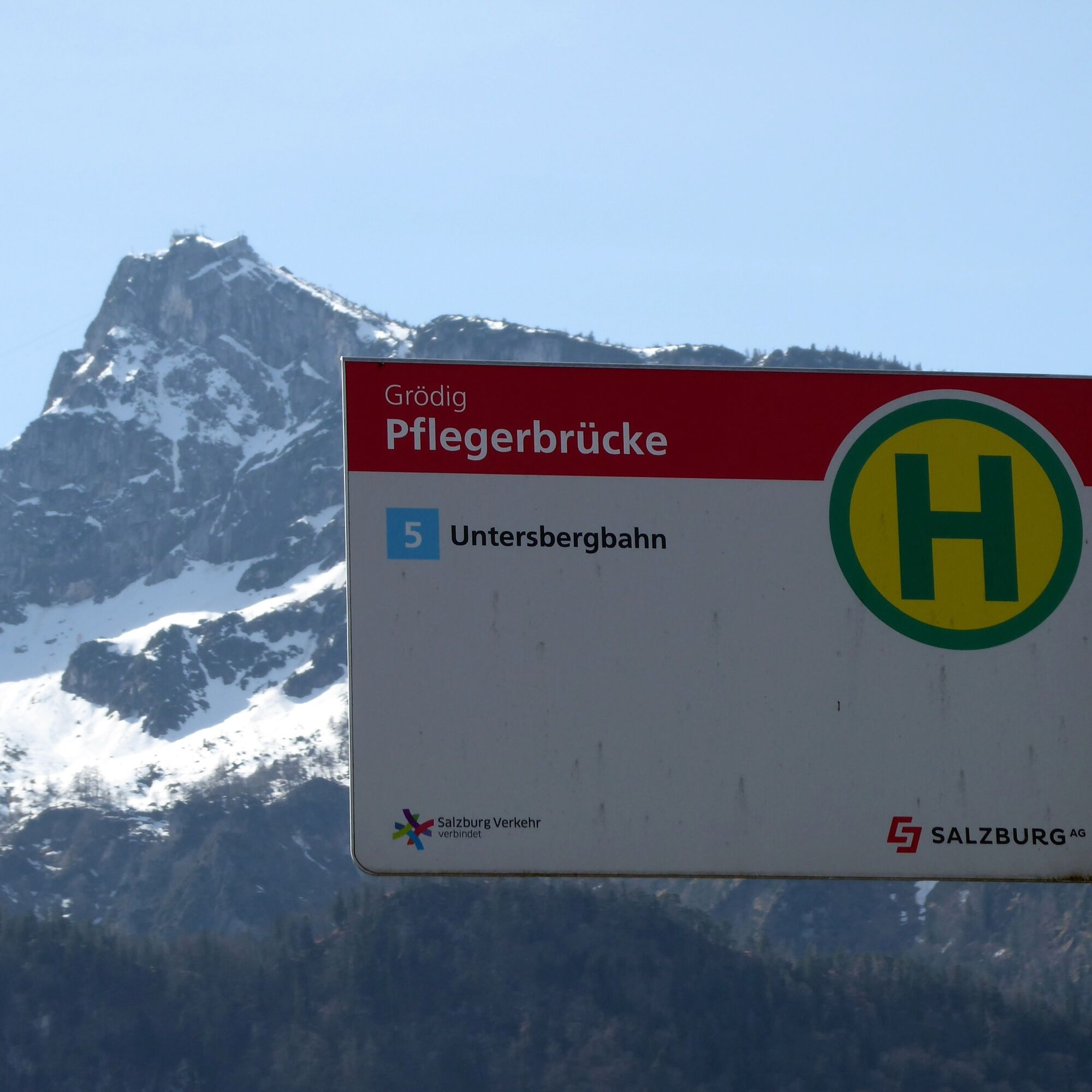
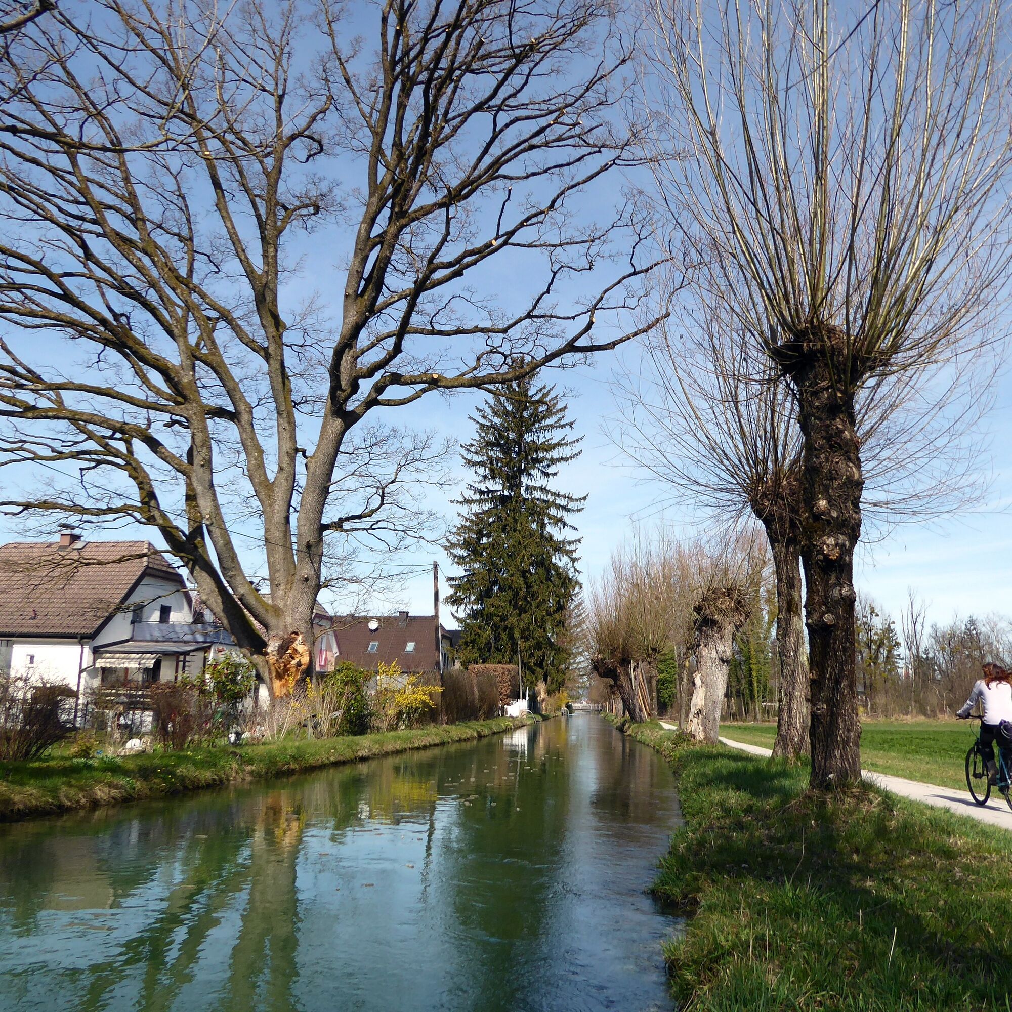
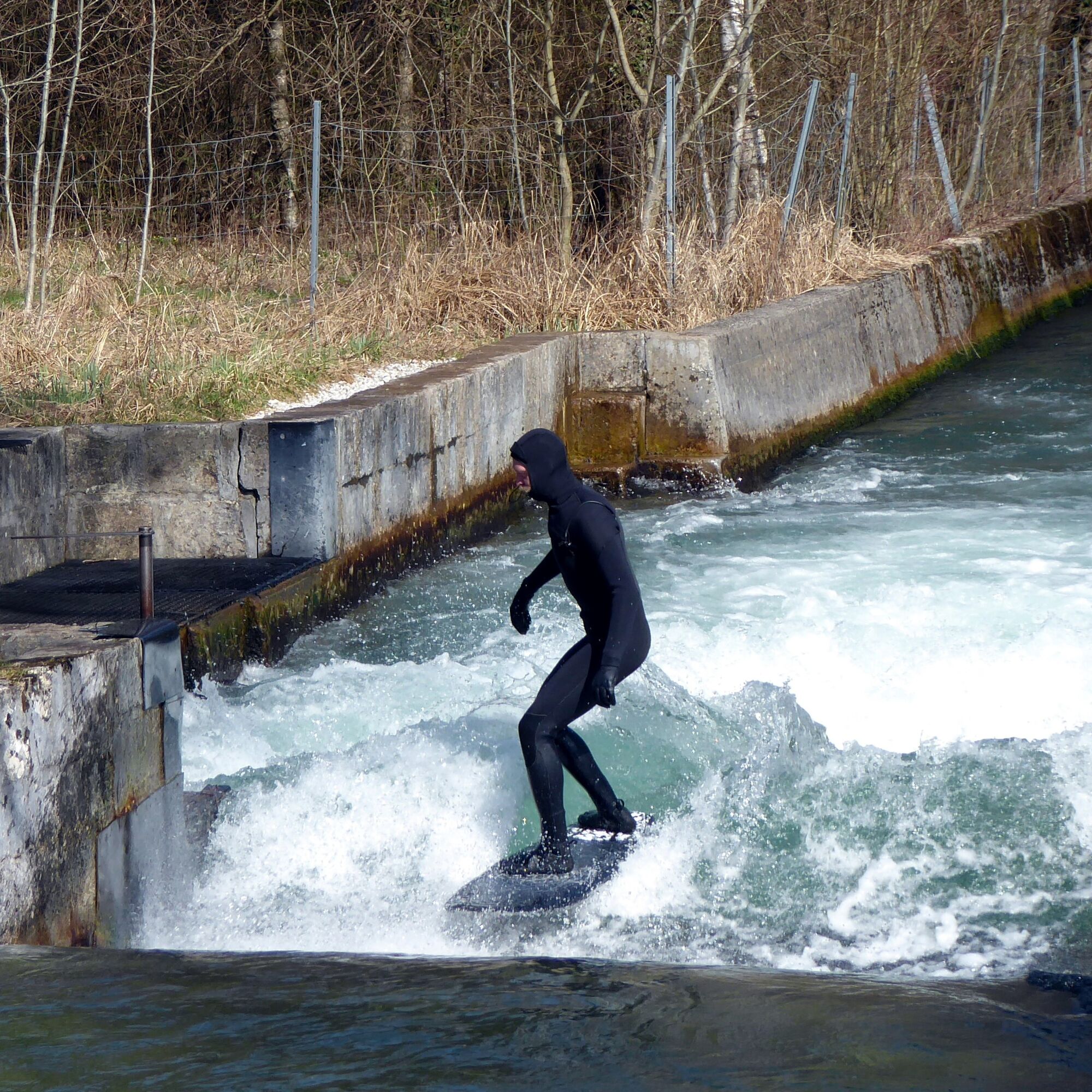
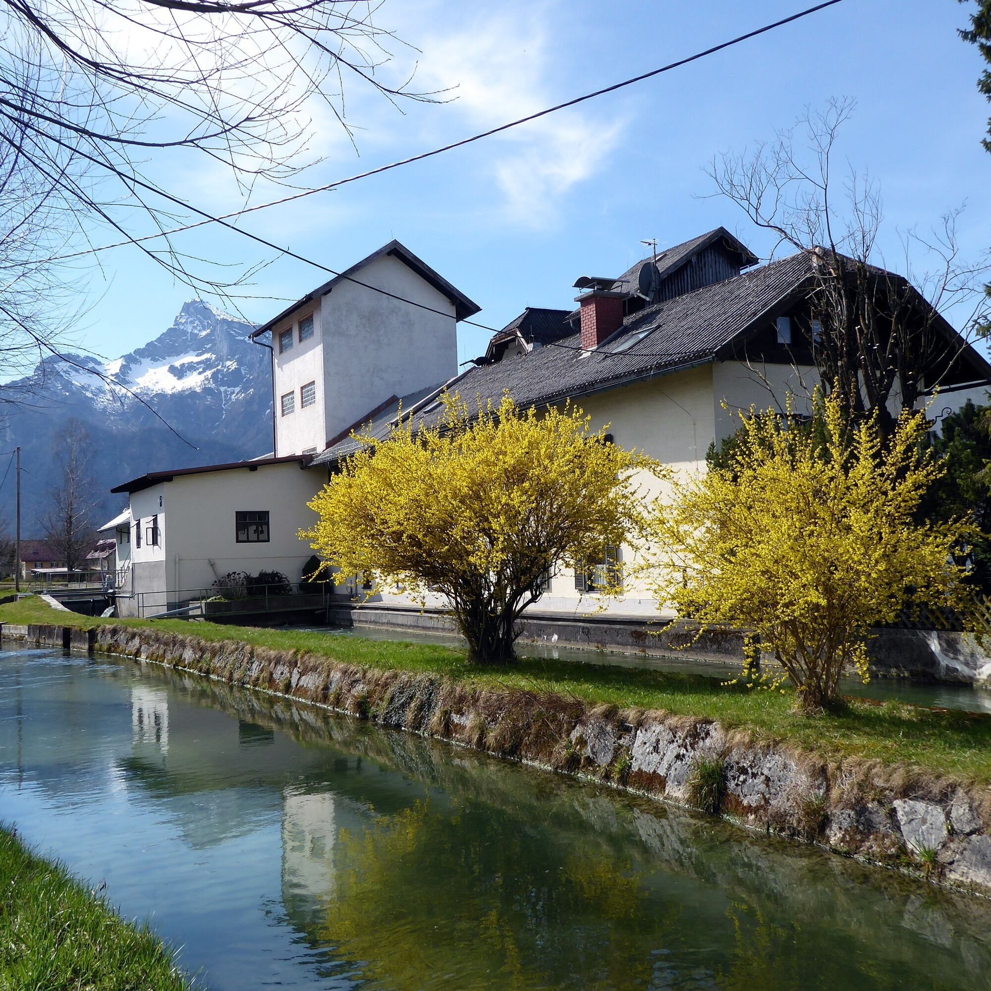
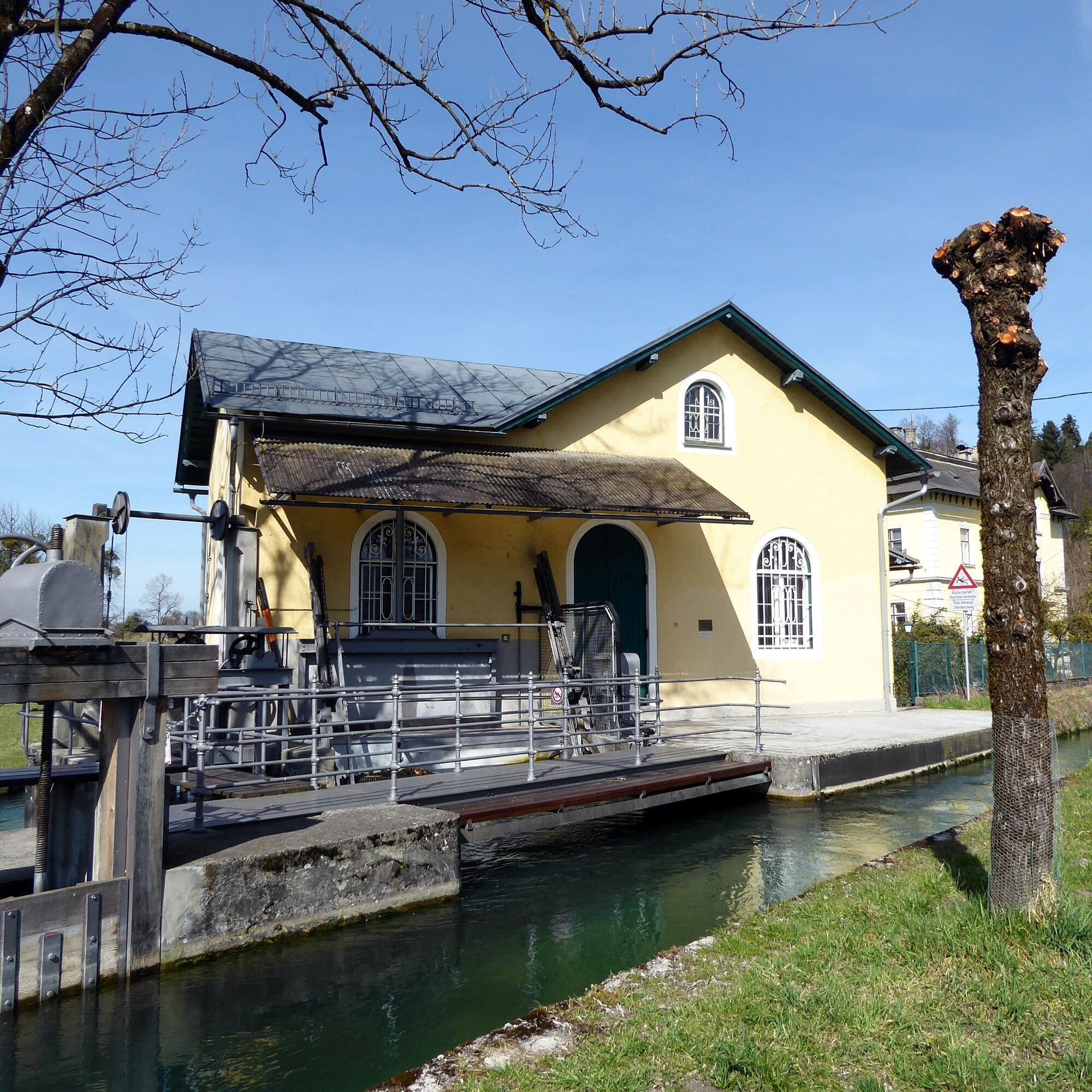

The starting point is the Grödig Pflegerbrücke stop (Obus line 5). The path continues a few meters along Berchtesgadener Straße towards the city and then turns left onto the Alm canal route. After 300 m, the Rosittenbach coming from the Untersberg strengthens the Alm canal and delights many surf fans another 300 m downstream with the concentrated power needed for the artificial Alm canal wave. The power of the water is also important for the soon following Praxmayermühle, which at one time also housed a fig coffee factory. A particularly beautiful section opens the view of Schloss Leopoldskron and leads past the "Pulvermühle" power plant owned by the Stiegl brewery, before the Alm canal disappears under the "Bürgermeisterloch" in the Festungsberg and then drives the huge wheel of the Stiftsmühle St. Peter on the old town side. Alm canal hikers can stock up with freshly baked Peterer bread there and then walk freshly energized to the next bus stop, for example at Rudolfskai.
Ano
Ano
By Obus 5 from Salzburg main station (Südtiroler Platz) to Grödig Pflegerbrücke.
Return from stops in Salzburg city center (Ferd. Hanusch Platz, Rathaus, Mozartsteg …)
Timetable information and download: online at www.salzburg-verkehr.at or on your smartphone via the free Salzburg Verkehr app for Android and iOS.
T1
www.almkanal.at , www.unsergneis.at/2018/07/21/gneiser-kultur-und-radweg
Mag. Christian Heugl
5400 Hallein
christian.heugl@gmail.com
Photo credit: Christian Heugl
Tip 1: During the 3-week Almabkehr in September, the Stiftsarmstollen (entry Krauthügel) can be walked. Information at www.stiftsarm.at
Tip 2: fresh bread from the St. Peter monastery bakery (mid. closed)
Získejte přehled Vždy živě na místě s více než 9 500 webkamerami. bergfex Jako uživatel Pro si nyní můžete zobrazit odpovídající webové kamery pro mnoho prohlídek v aplikaci prohlídky z. Můžete si tak přímo prohlédnout aktuální podmínky. 
Oblíbené prohlídky v okolí
- 4.0
Bärenweg am Lidaun
světloTuristika 9.05 km - 4.6
Kneifelspitze
Turistika 2.53 km - 4.5
Staufen-Bergtour
středníTuristika 14.1 km - 4.5
Alpgarten-Rundweg
Turistika 2.93 km - 4.1
Durch die Almbachklamm nach Ettenberg
Turistika 7.54 km - 4.2
Untersberg, Toni-Lenz-Hütte
Turistika 4.86 km - 4.8
Great and Small Barmstein, the landmarks of Hallein
heavyTuristika 6.58 km - 3.9
Rundwanderweg zur Steinernen Agnes
Turistika 9 km - 4.4
From Koppl to the Gaisberg summit
středníTuristika 9.86 km - 4.4
Hike to the Kleiner Barmstein via the Thürndl ruin
středníTuristika 4.20 km

Pěší turistika a stopování


Nenechte si ujít nabídky a inspiraci pro vaši příští dovolenou
Vaše e-mailová adresa byl přidán do poštovního seznamu.





