







Abtenau: Edtalm - Zwieselalm (15 points)
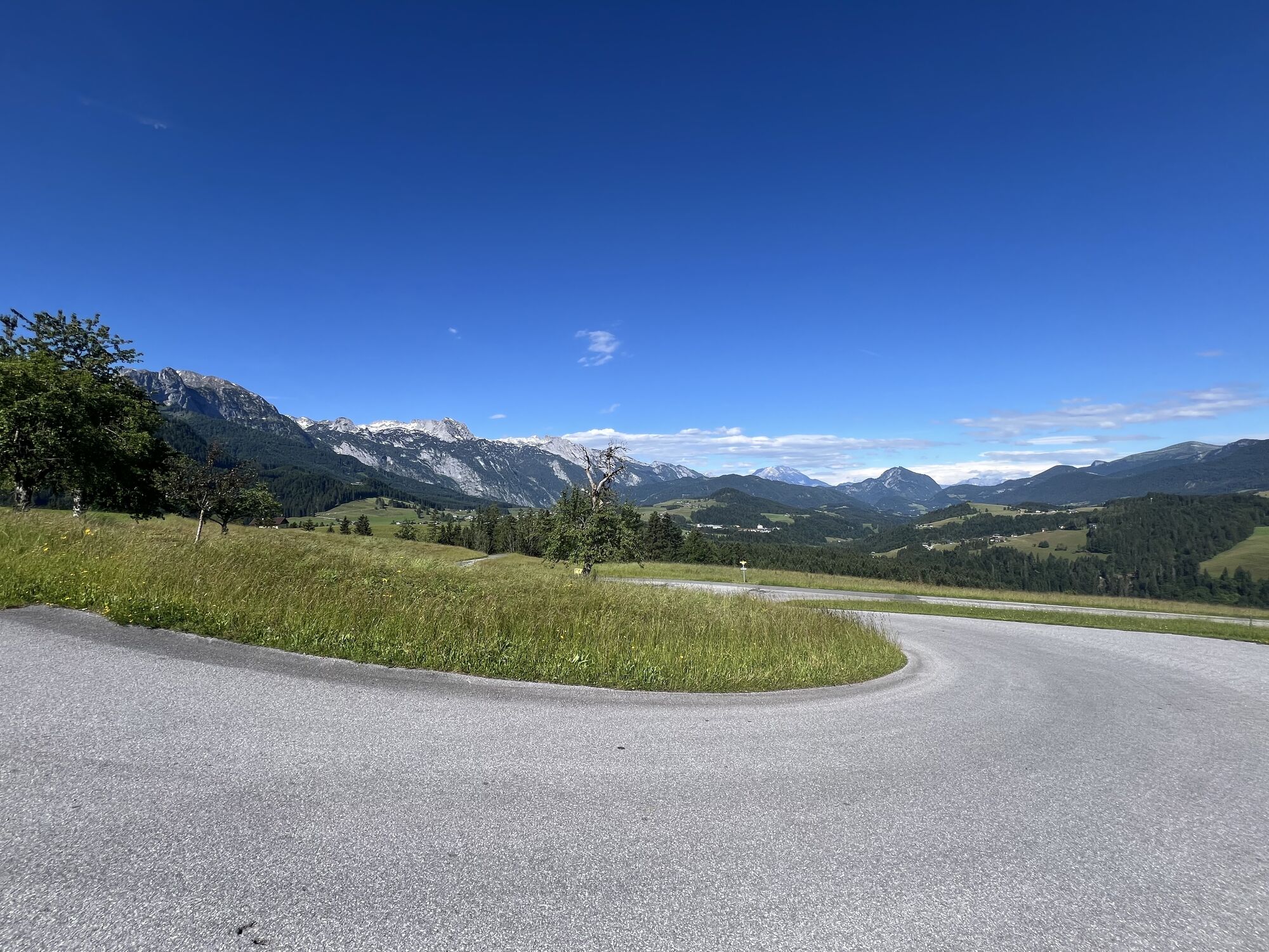
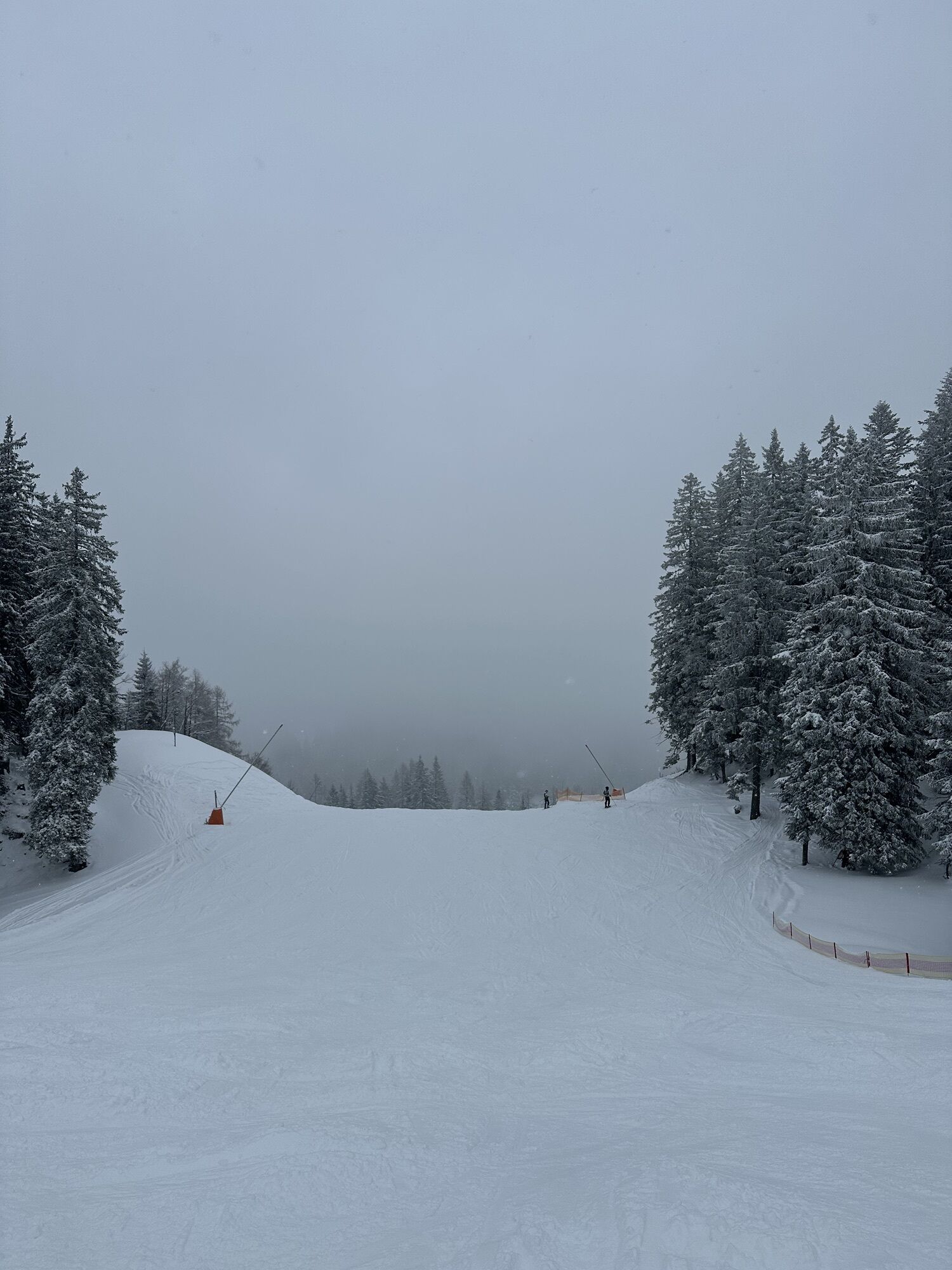
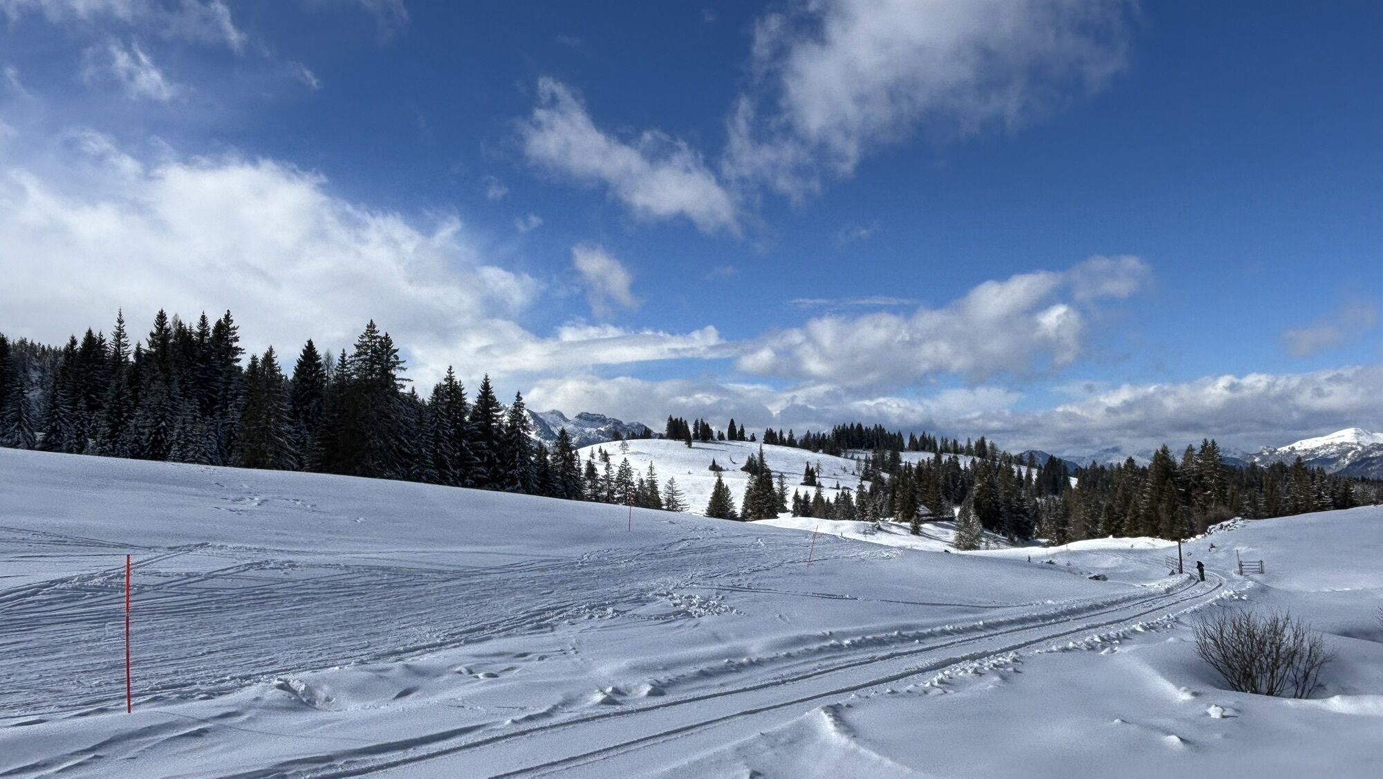
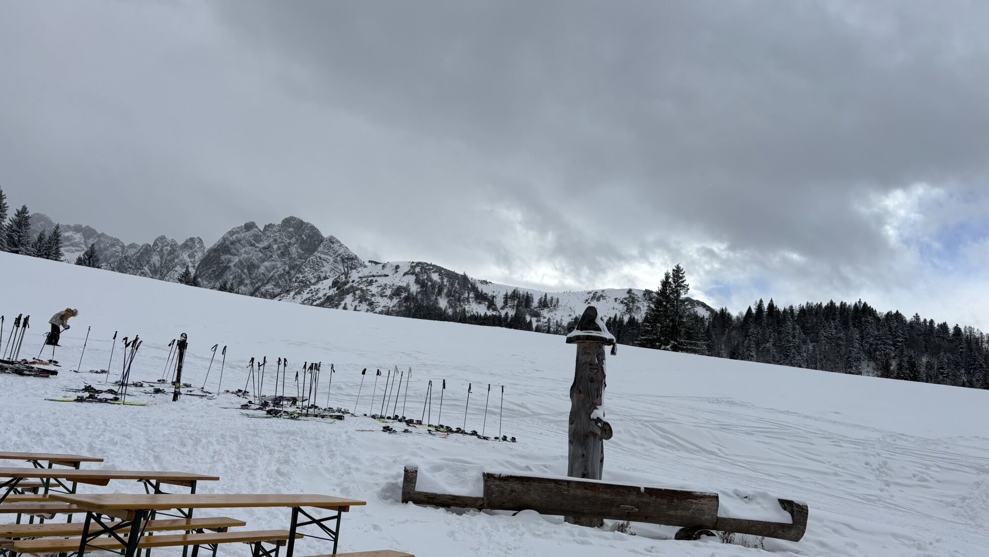
An extensive circular hike around Buchbergriedel to Edtalm and Zwieselalm with magnificent panorama.

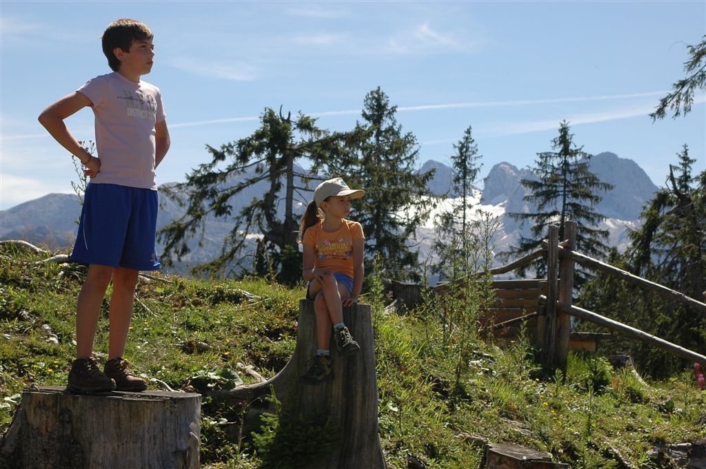
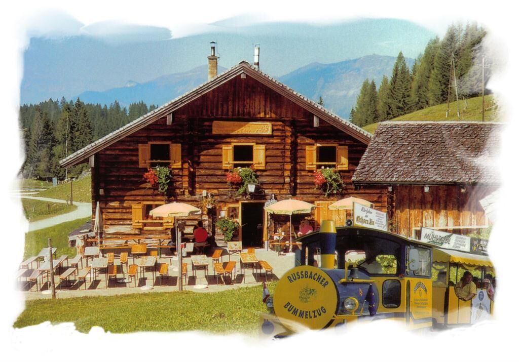
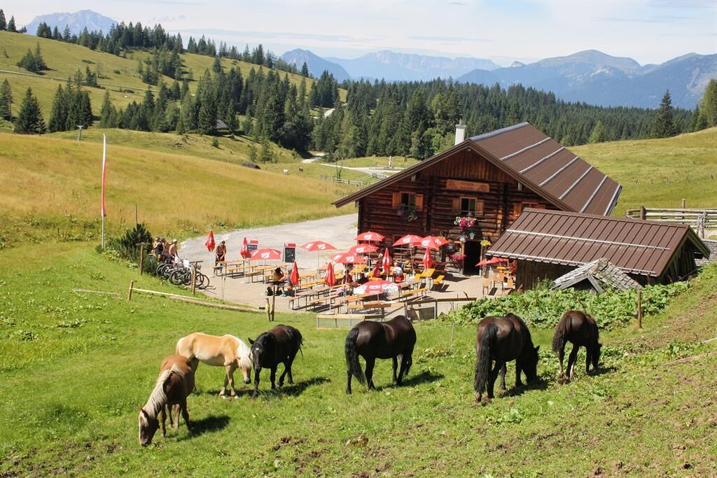

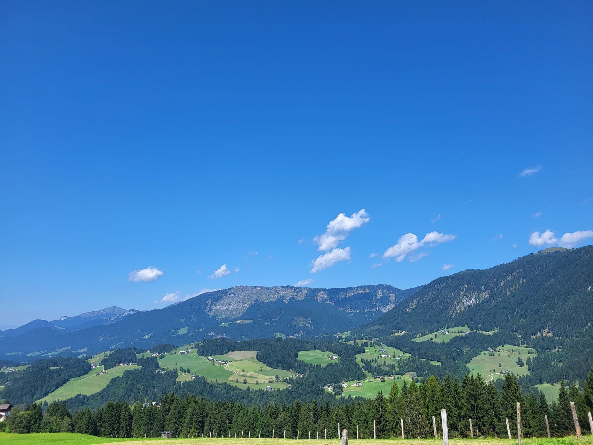
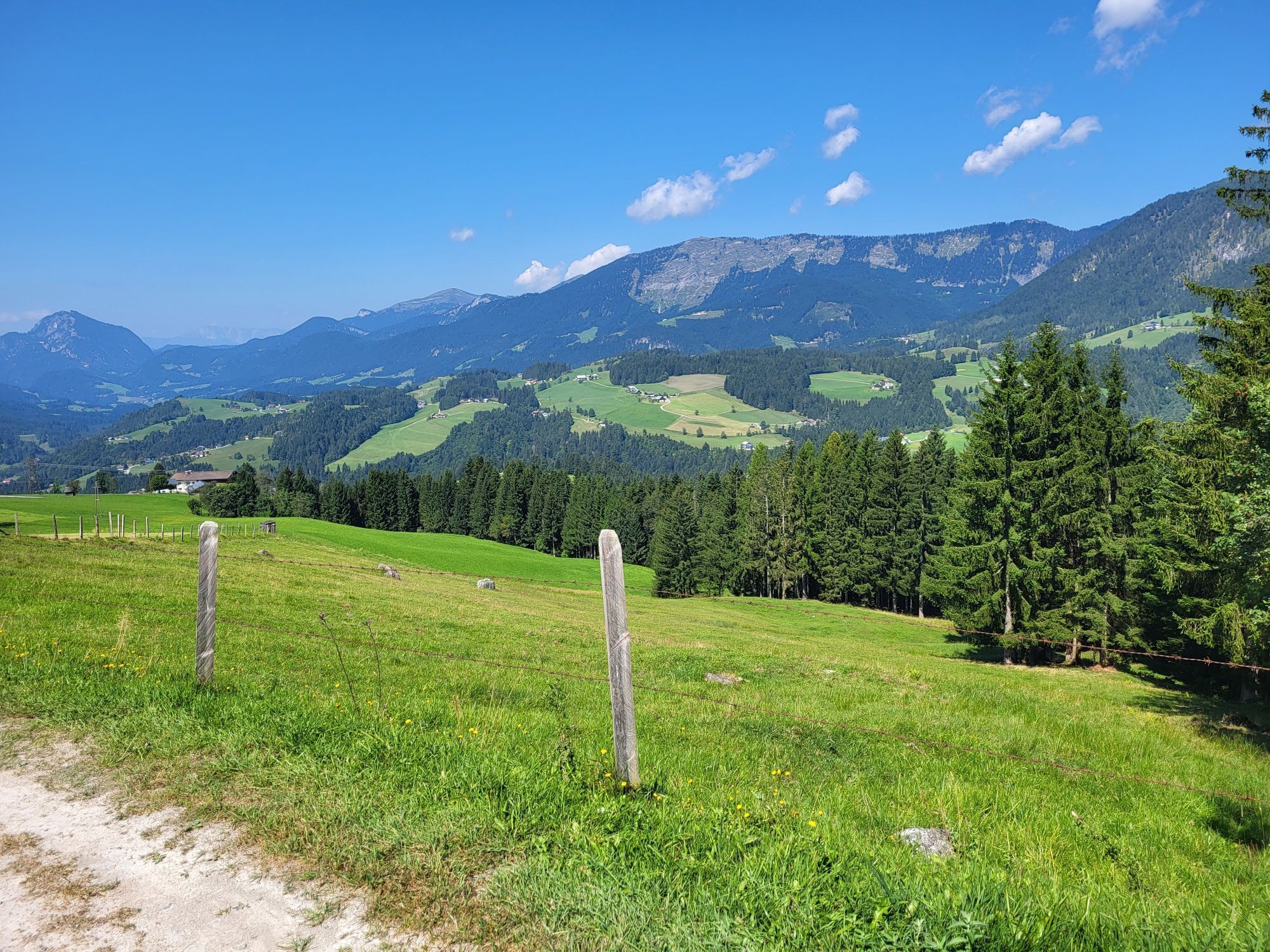
Starting from the parking lot, follow the winding forest road first through dense forest uphill until the view opens up again in the "Gschwandt" district. Gently uphill, you pass the farms Niedergschwandt and Seehof (slightly off the road to the right) until you reach the farm "Reit"; turn right here, then the next left again (always towards Zwieselalm) and continue uphill until you finally leave behind the highest farms "Hochfeld" and "Gschwandt." From now on, continue gently ascending on a gravel forest road. After about 2 hours of walking (approx. 6 km), you pass the free-standing "Klockaualmhütte" (unmanaged) in a wide, flat left curve and then the fork (5 points) where you turn left towards Edtalm. Passing the turnoff to Zwieselalm and the "Ameisensee" (a natural monument slightly off the path to the left), you gain only moderate altitude. Shortly afterward, the open area of Edtalm with typical alpine pastures widens. With a view of the Dachstein, continue until you reach the managed "Großedtalm" (snack station, 3 points). Across alpine pastures, you finally reach Zwieselalm (1436 m, snack station, 3 points). The onward hike continues for about 1.8 km over a new alpine and forest path towards Abtenau until it finally merges back into the previously walked main forest road. Follow the main forest road downhill for about 400 m (4 points) and at a sharp right curve turn left onto "Buchbergriedlweg." After a short gentle ascent at the beginning, the forest road leads through wooded hillside terrain along the "Buchbergriedel," steadily descending gently until the farm "Obersalfelden" is reached. At the fork below Obersalfelden keep right and continue on the forest road Weiklreith towards the Wolfram transmitter or farm Gschwandtlahn. From the transmitter, follow the forest road downhill until you reach the "Lammerweg," turn right here again and return to the starting point.
suitable hiking clothes, hiking boots
There are no special safety instructions to observe.
Directions from the town center:
Drive by car to the riding and tennis hall or take the bus to the stop Schwaighofbrücke. From the stop, walk 150 m towards Rußbach, turn right onto Lammerweg, then another 100 m to the parking lot at the riding and tennis hall.
By post bus to "Schweighofbrücke" (Abtenau). From the stop, walk 150 m towards Rußbach and turn right onto Lammerweg, then 100 m to the parking lot at the riding and tennis hall.
Parking lot at the riding and tennis hall
Snack station Edtalm: early June to end of September, Tel. 0664/9060183
Zwieselalmhütte: mid-June to early October, overnight stay possible, Tel. 06136/8389 and 0676/7548470
Webové kamery z prohlídky
Annaberg-Lungötz
Karkogel - Abtenau
Sonnleiten - Abtenau
Hornspitz Talstation
Zwieselalm Bergstation
Snowpark Dachstein West
Edtalm
Feriendorf Annaberg
Bergstation Hornbahn - Hornspitz
Dachstein West - Donnerkogelbahn
Zwieselalm Talstation - Dachstein West
Dachstein West - Donnerkogelbahn
Gasthaus Gosausee
Marktplatz Abtenau
Získejte přehled Vždy živě na místě s více než 9 500 webkamerami. bergfex Jako uživatel Pro si nyní můžete zobrazit odpovídající webové kamery pro mnoho prohlídek v aplikaci prohlídky z. Můžete si tak přímo prohlédnout aktuální podmínky. 
Oblíbené prohlídky v okolí
- 4.3
Filzmoos: Rötelstein (Rettenstein)
Turistika 9.50 km - 4.8
Tour around the Gosaukamm
středníTuristika 20.9 km - 4.9
From Rußbach over the Gamsfeld
heavyTuristika 11.5 km - 4.7
Tor-Wanderung
heavyTuristika 14.2 km - 4.7
Tour around the Lake Gosau
světloTuristika 4.43 km - 4.5
Adamekhütte vom Vorderen Gosausee
středníTuristika 23.2 km - 4.8
Abtenau: Postalm circular route 2 - Labenberg & Pitscherberg alms - (IVV circular hiking trail)
světloTuristika 10.1 km - 4.8
Hoher Dachstein
středníVysokohorská turistika 6.49 km - 4.6
Sulzenschneid via Rinderfeld
středníTuristika 9.51 km - 4.6
Donnerkogel vom Gosausee mit Intersport Klettersteig C/D und Himmelsleiter
heavyVia ferrata 7.70 km
Pěší turistika a stopování


Nenechte si ujít nabídky a inspiraci pro vaši příští dovolenou
Vaše e-mailová adresa byl přidán do poštovního seznamu.





