







Salzkammergut BergeSeen Trail stage 7: Hintersee - Postalm
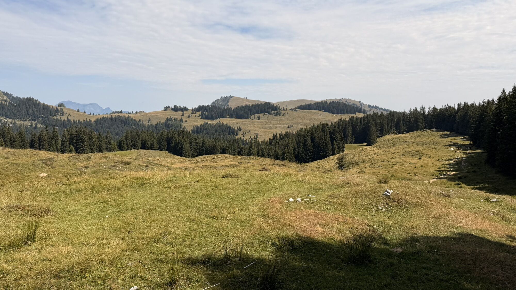
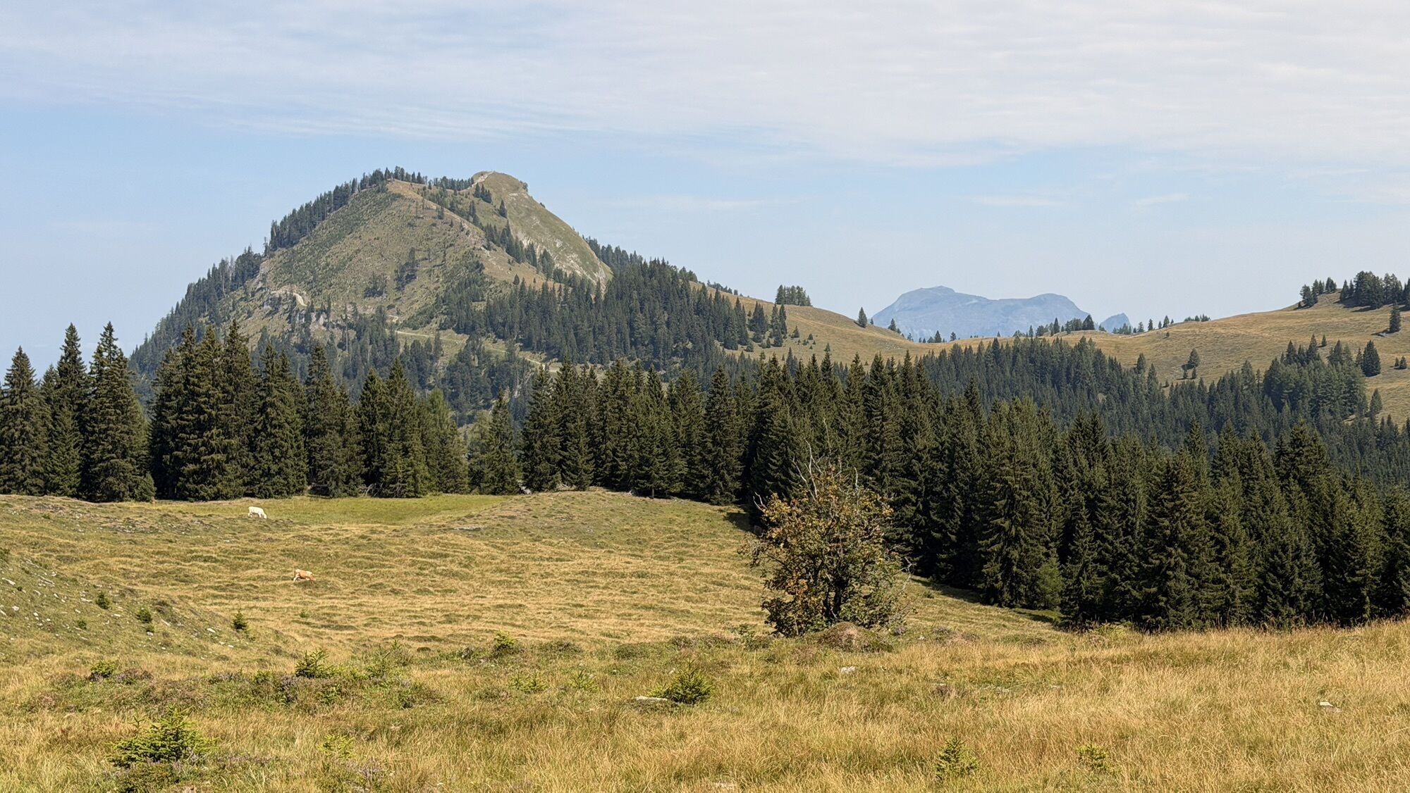
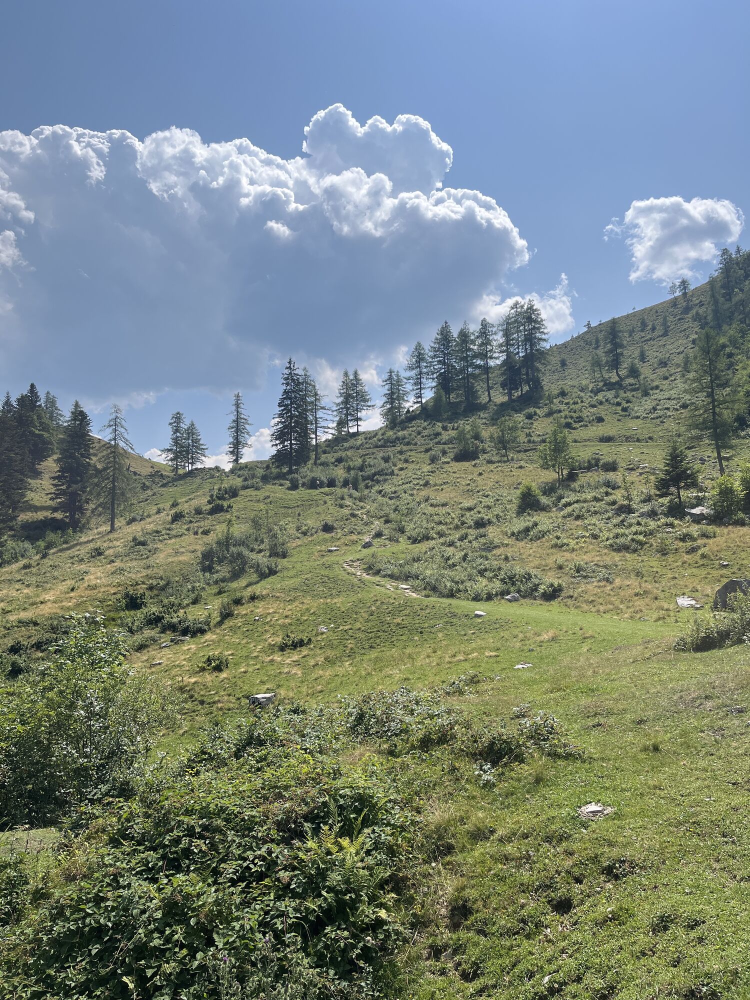
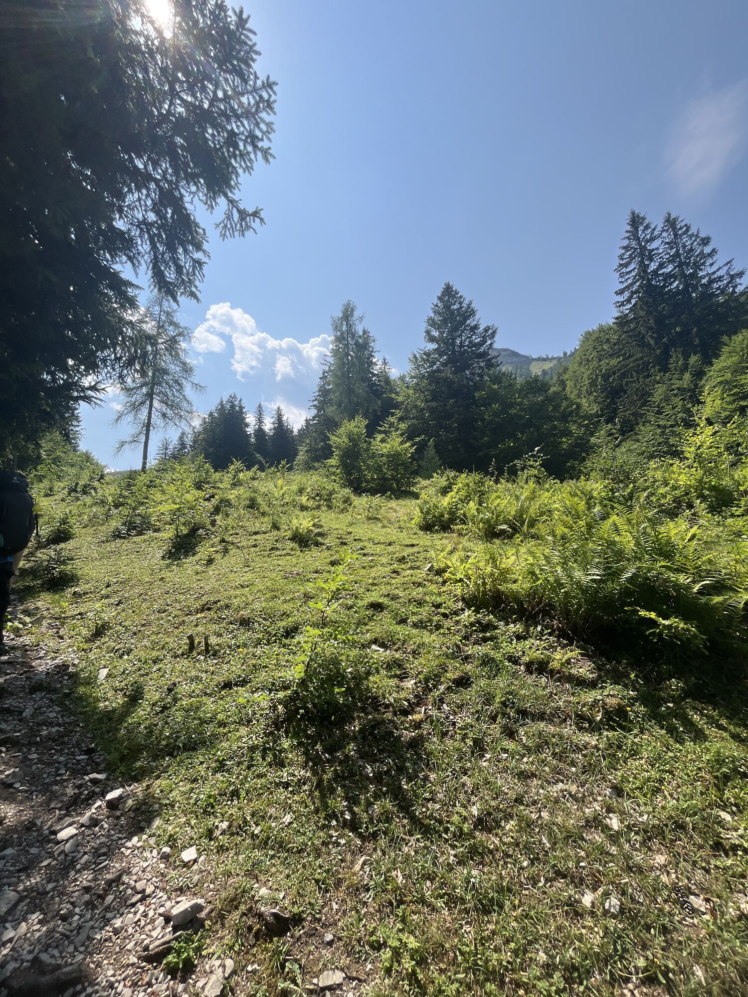
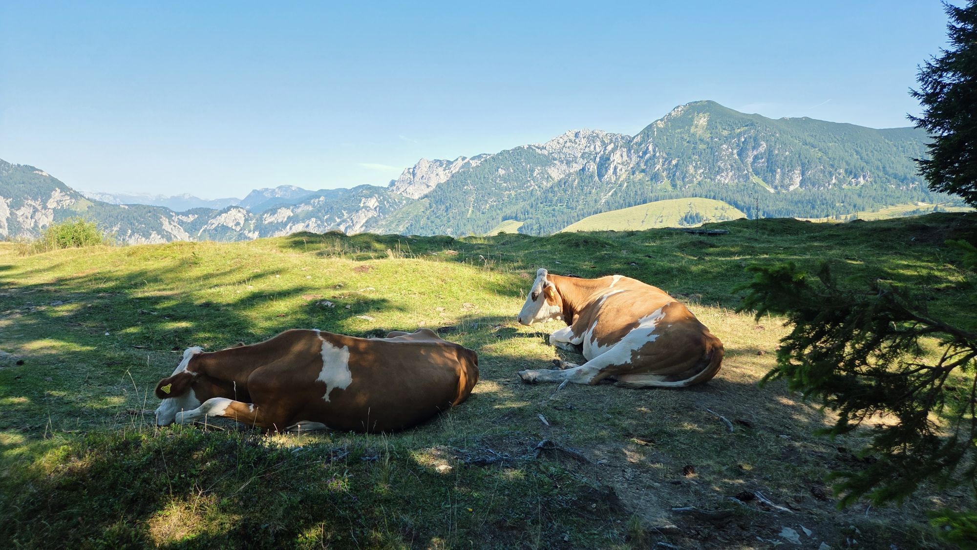
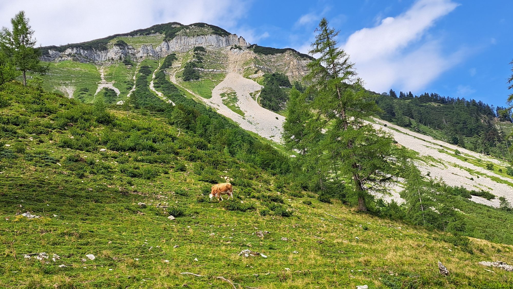
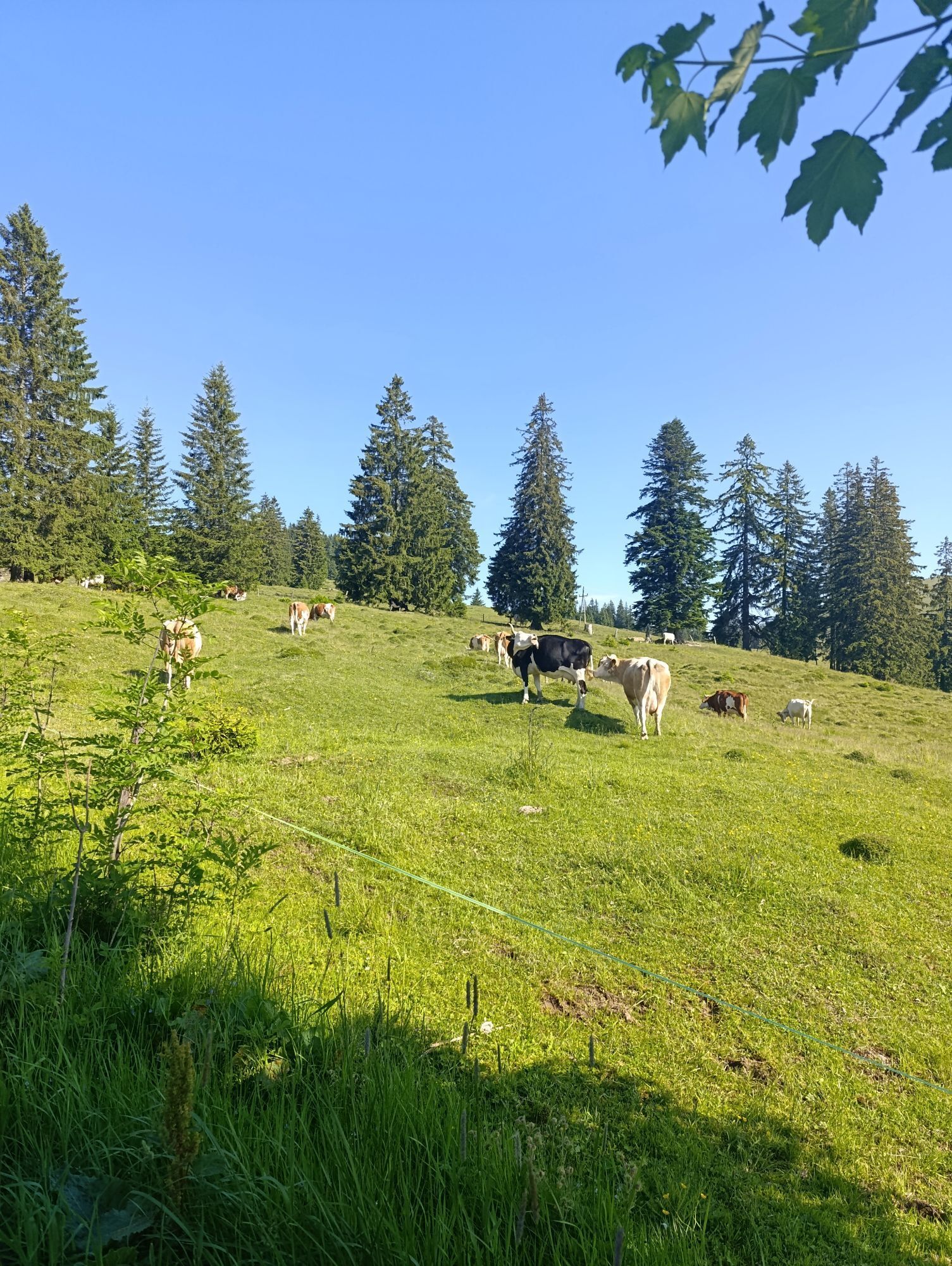
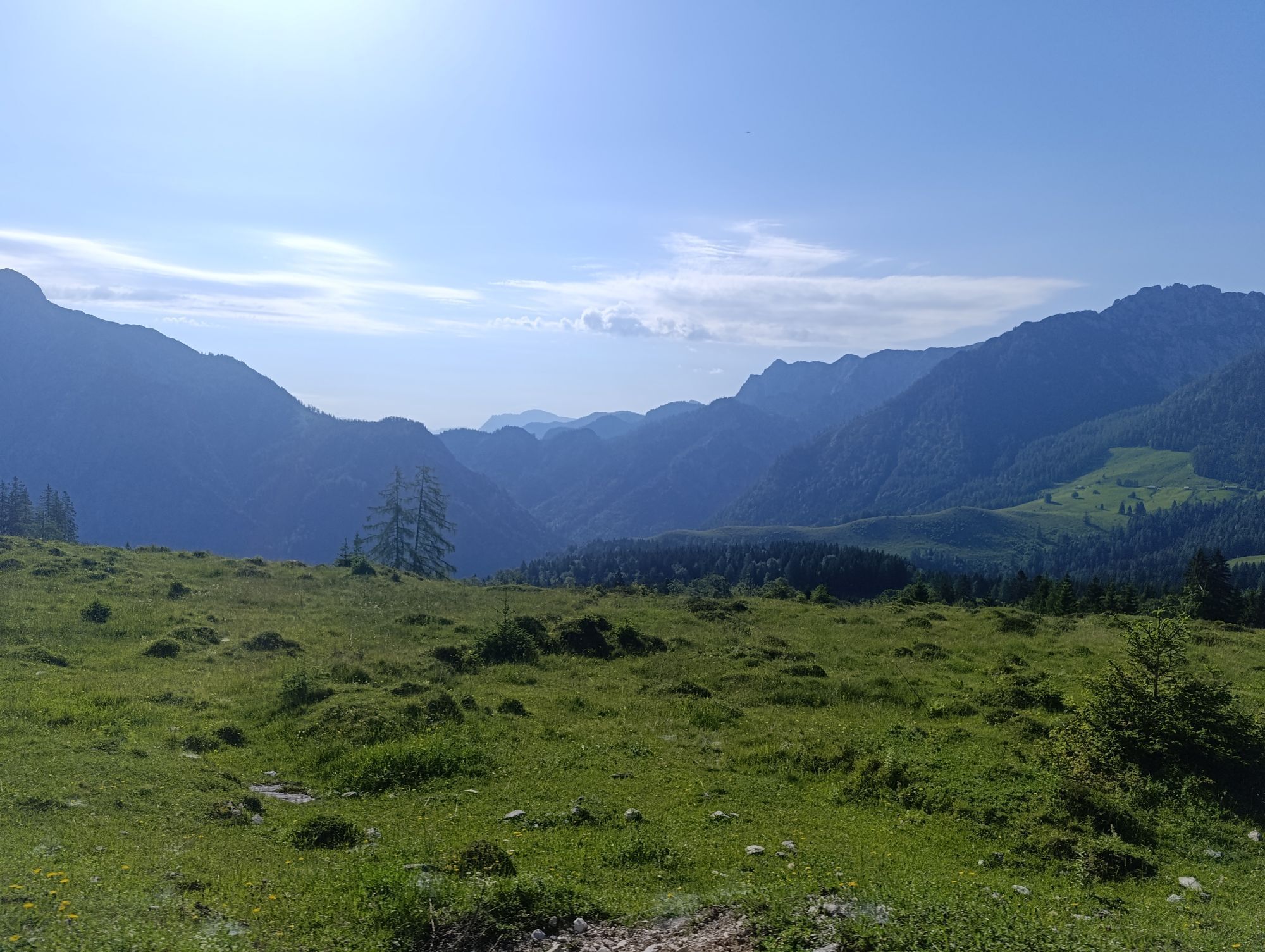
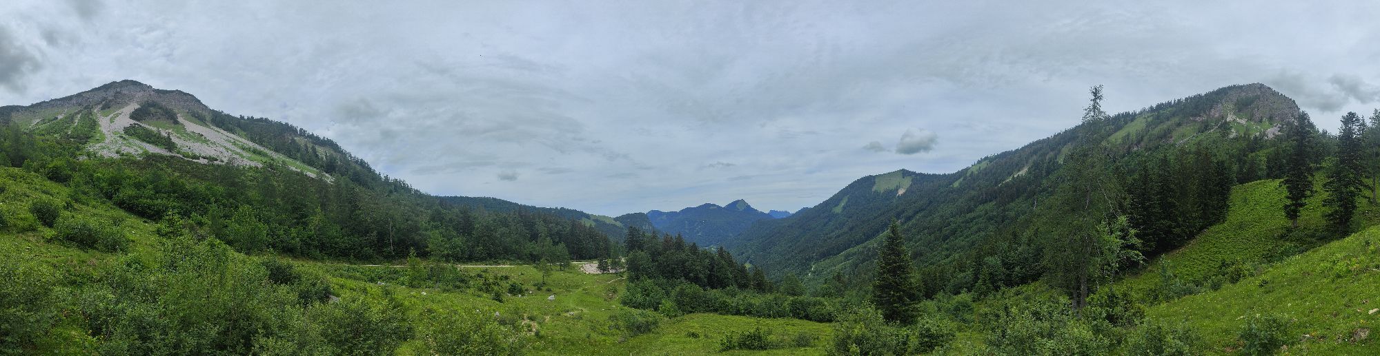
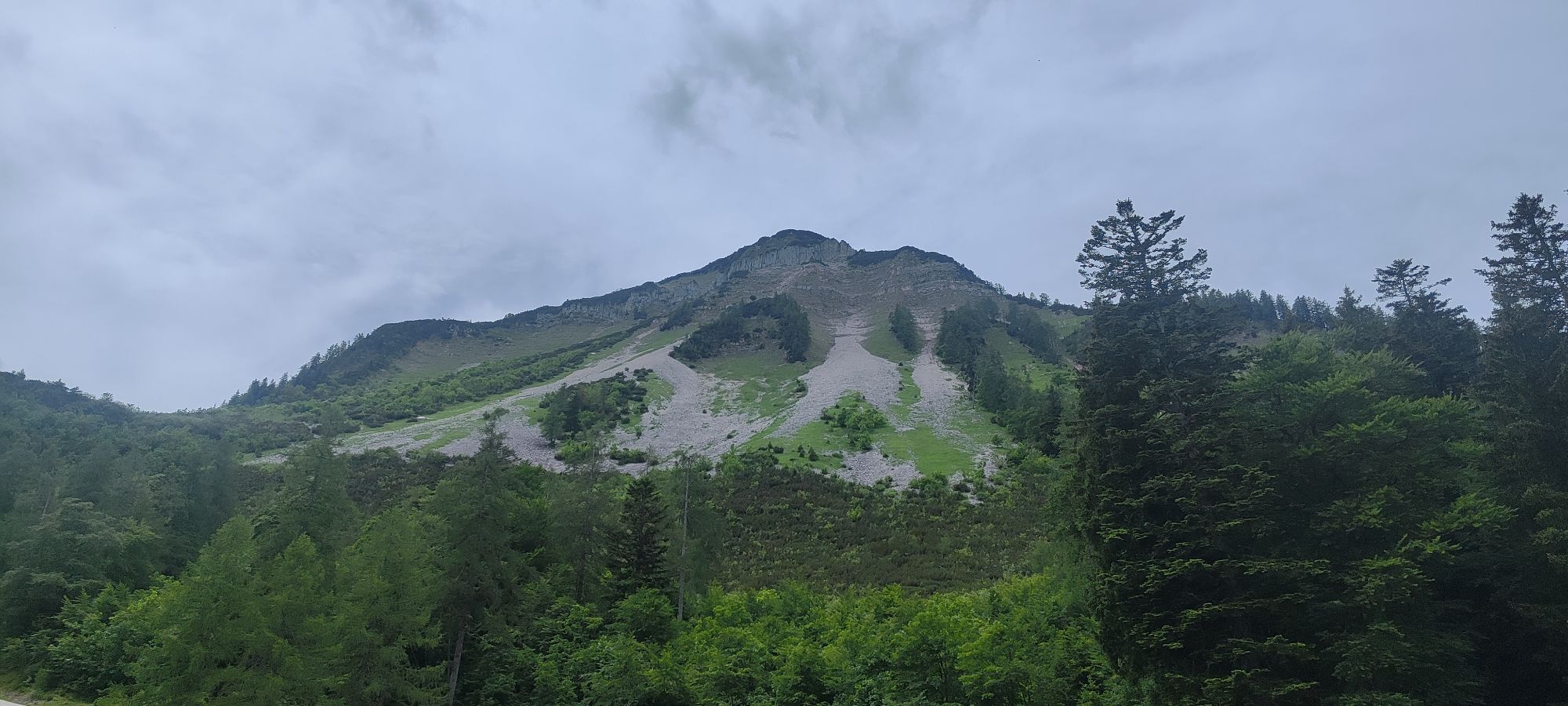
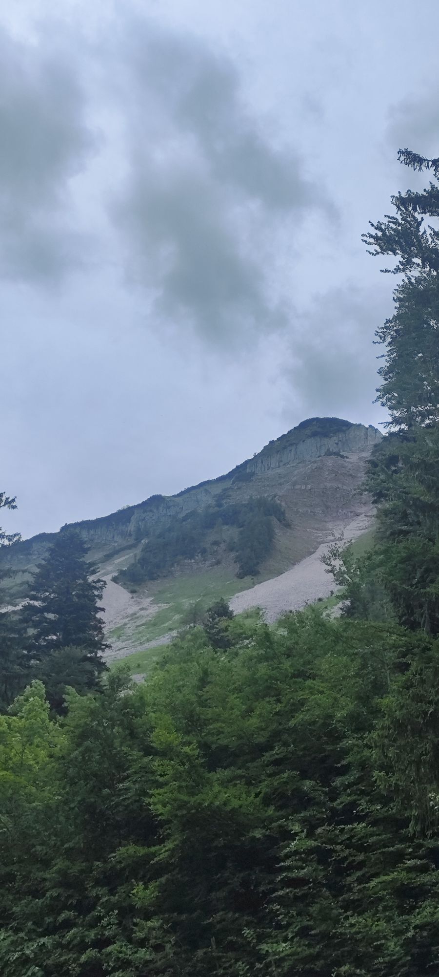
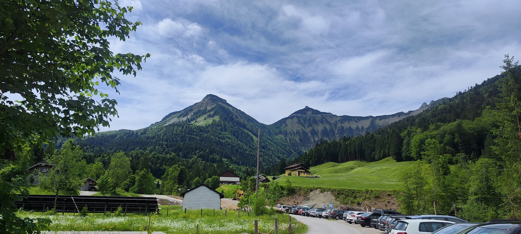

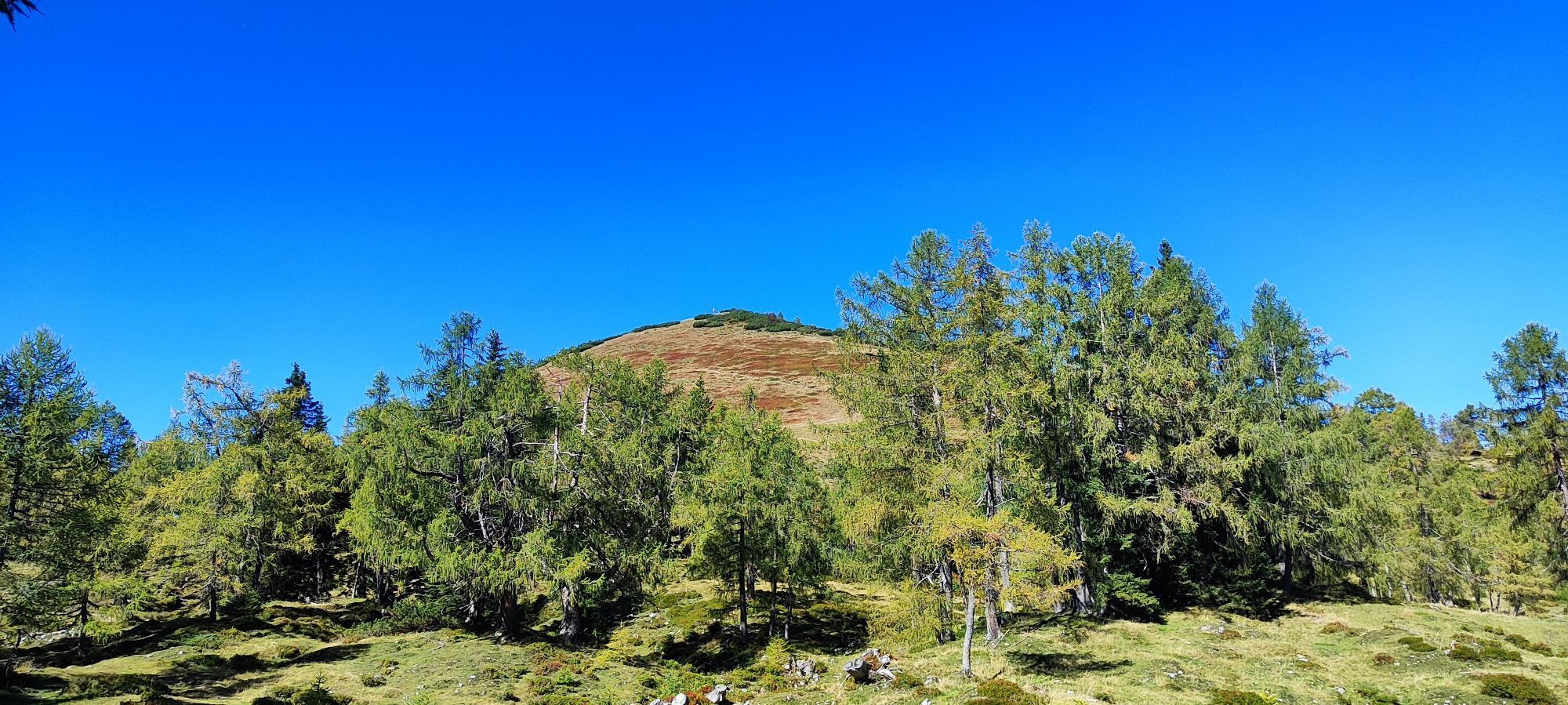
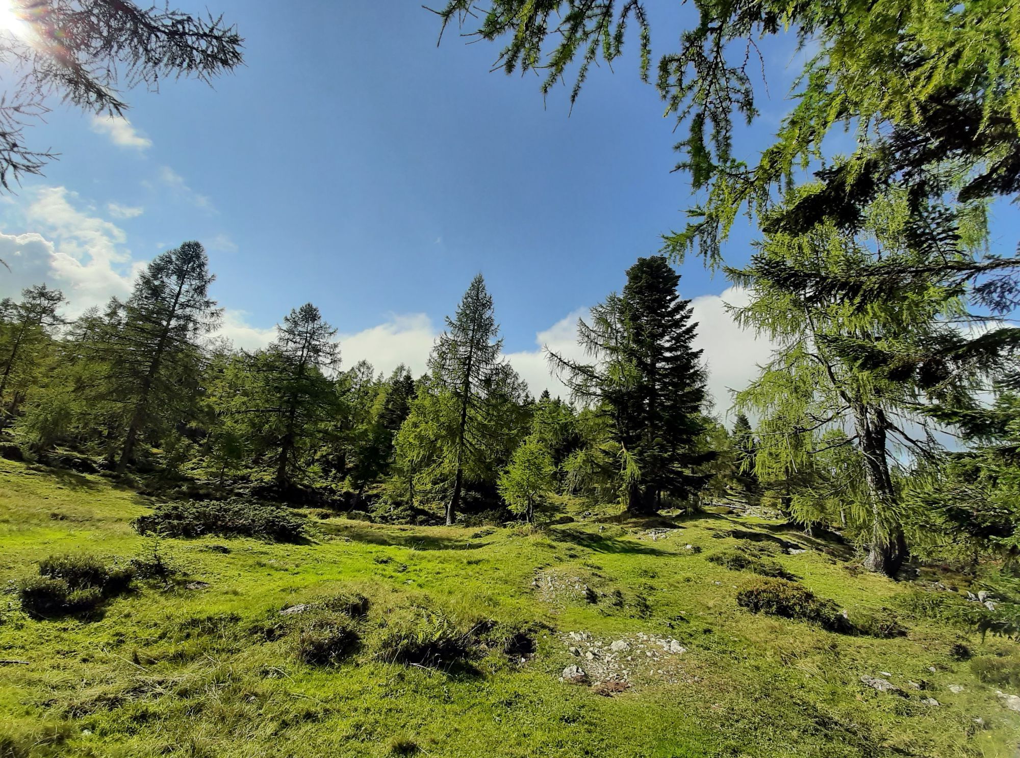
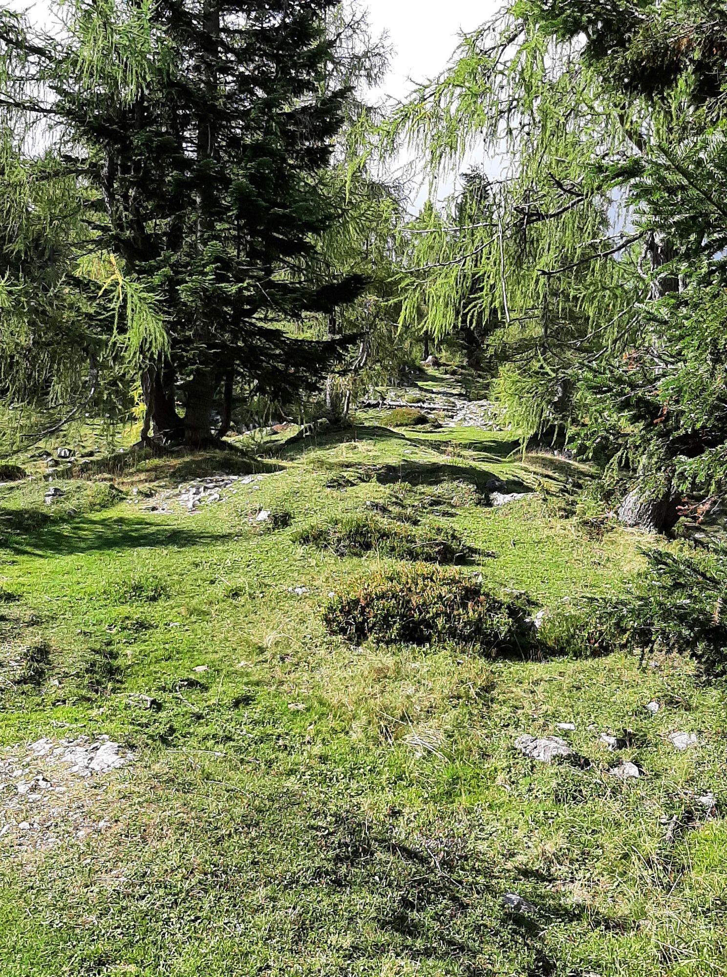
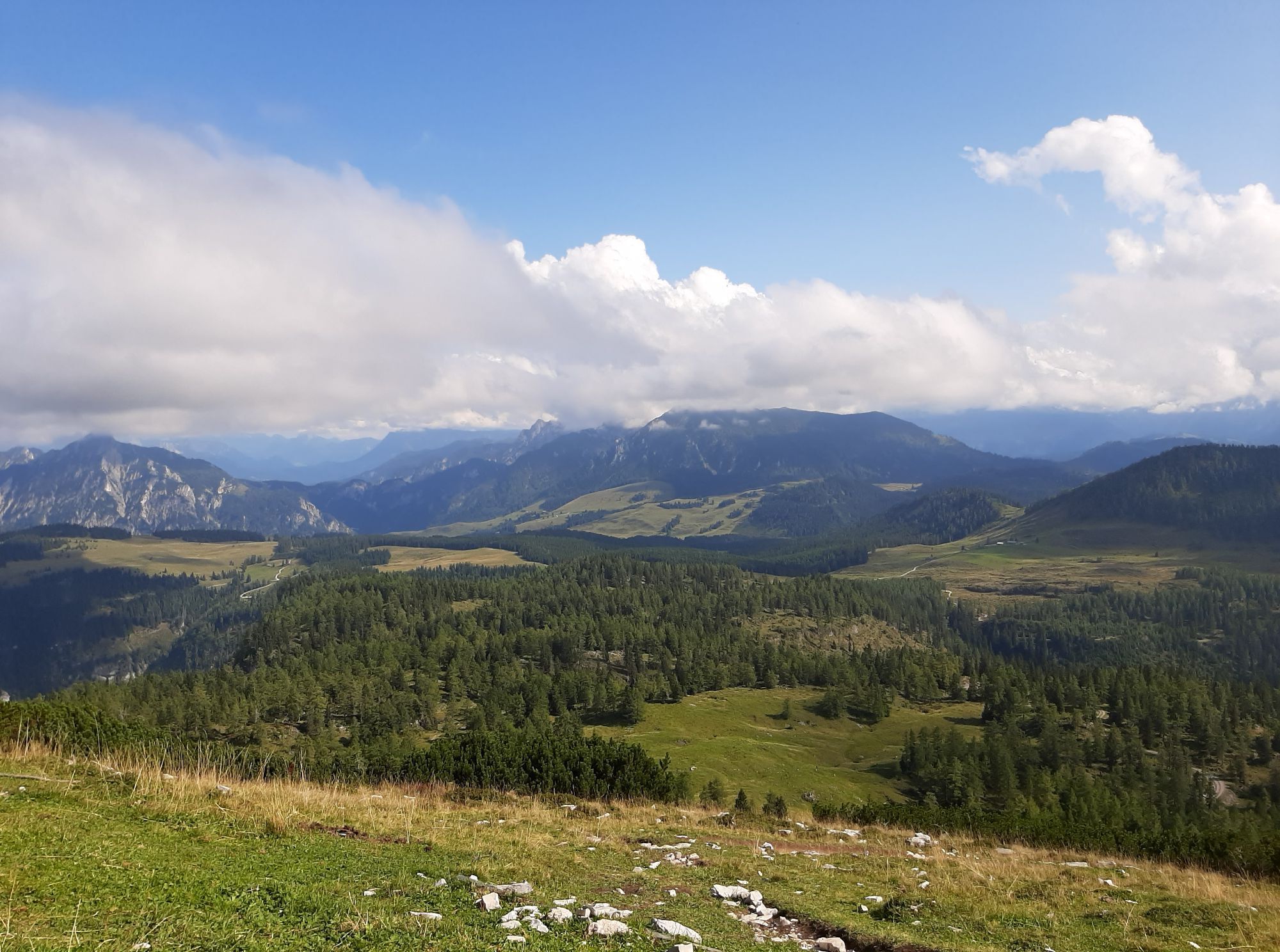
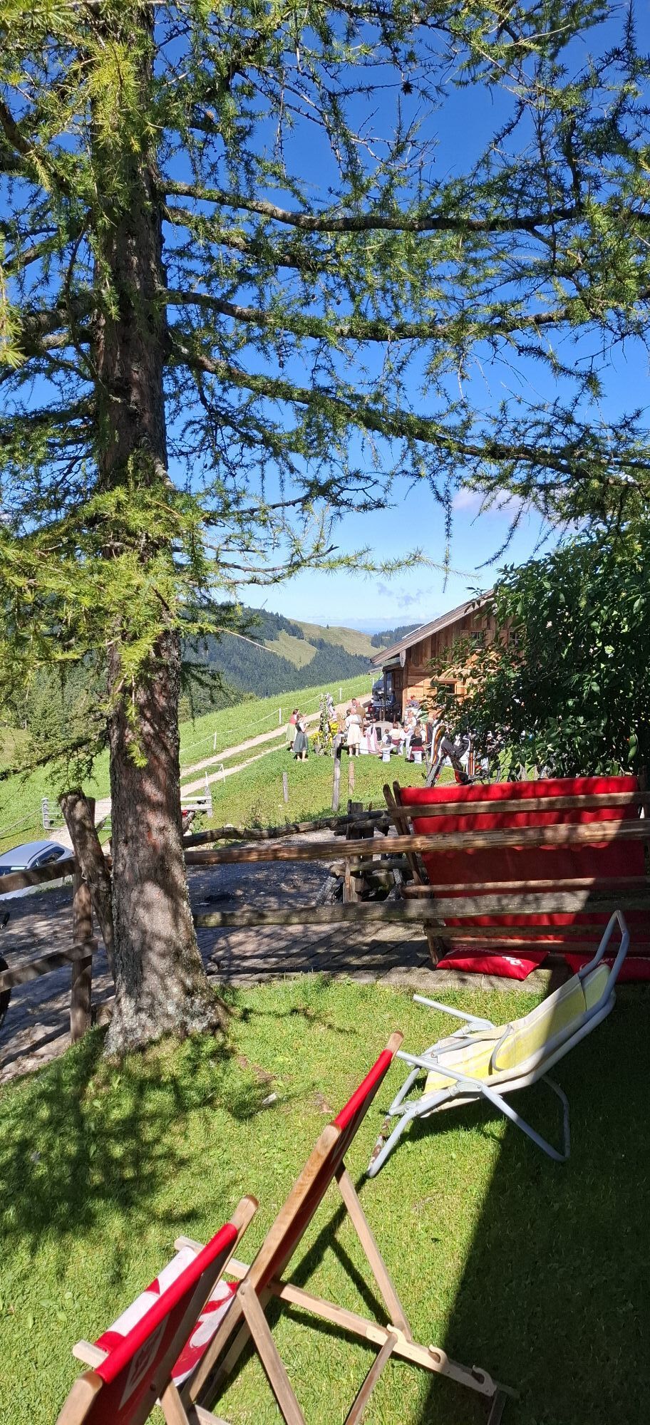
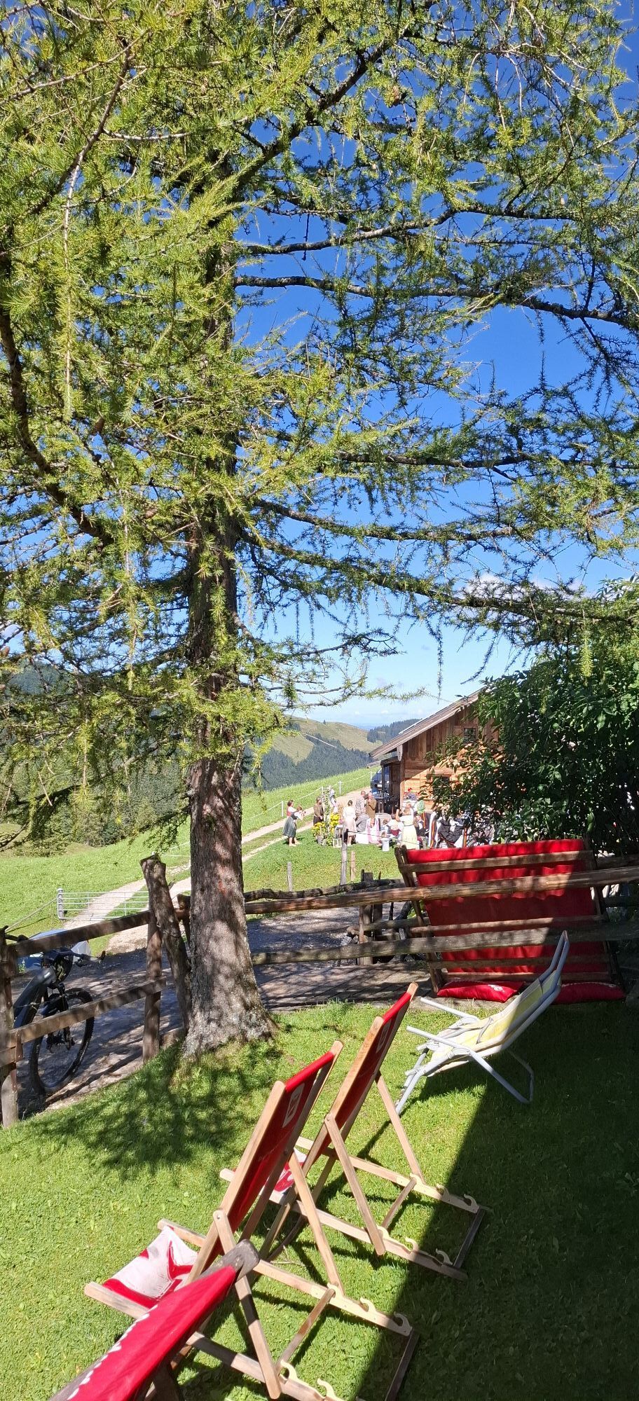
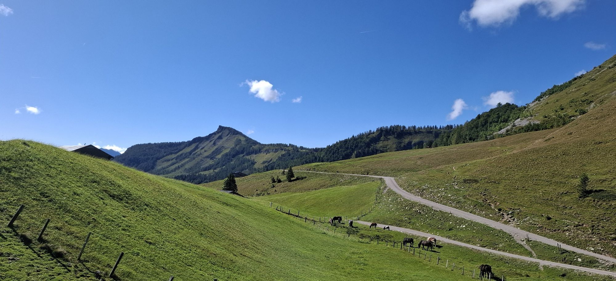
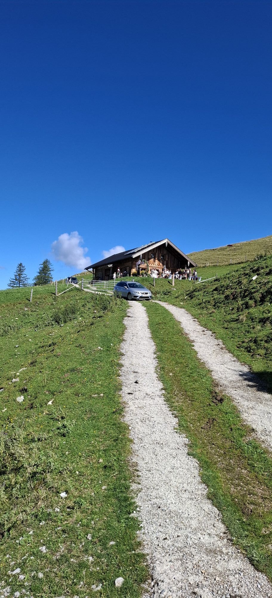
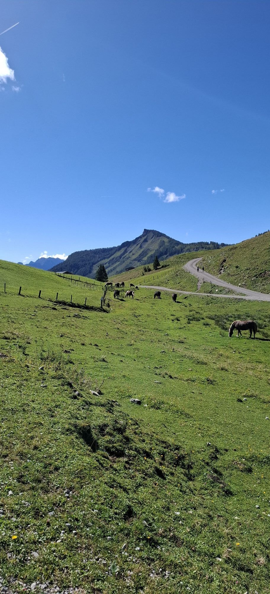
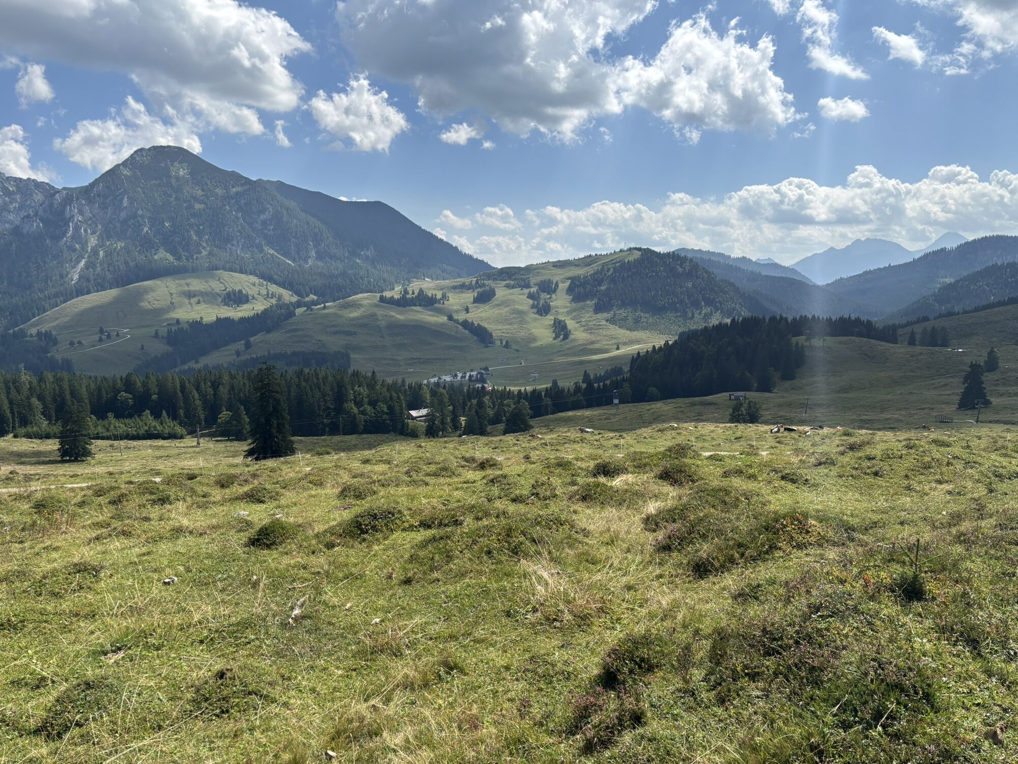
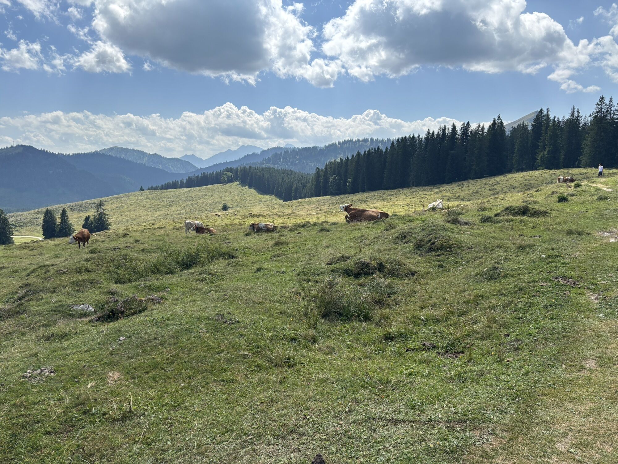
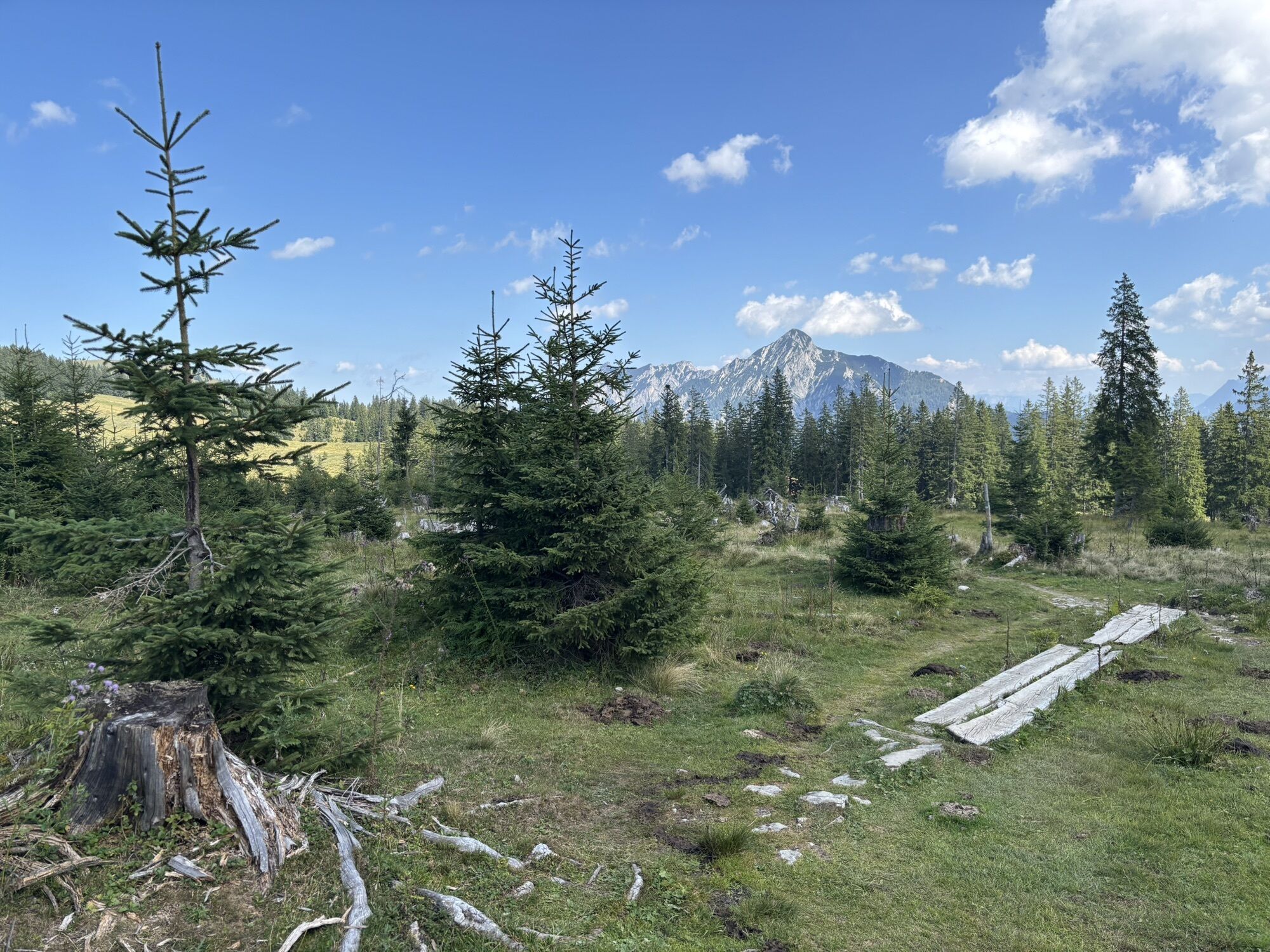
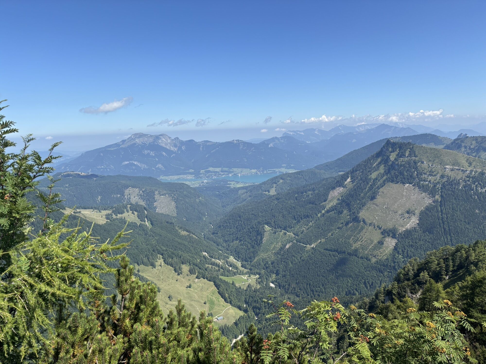
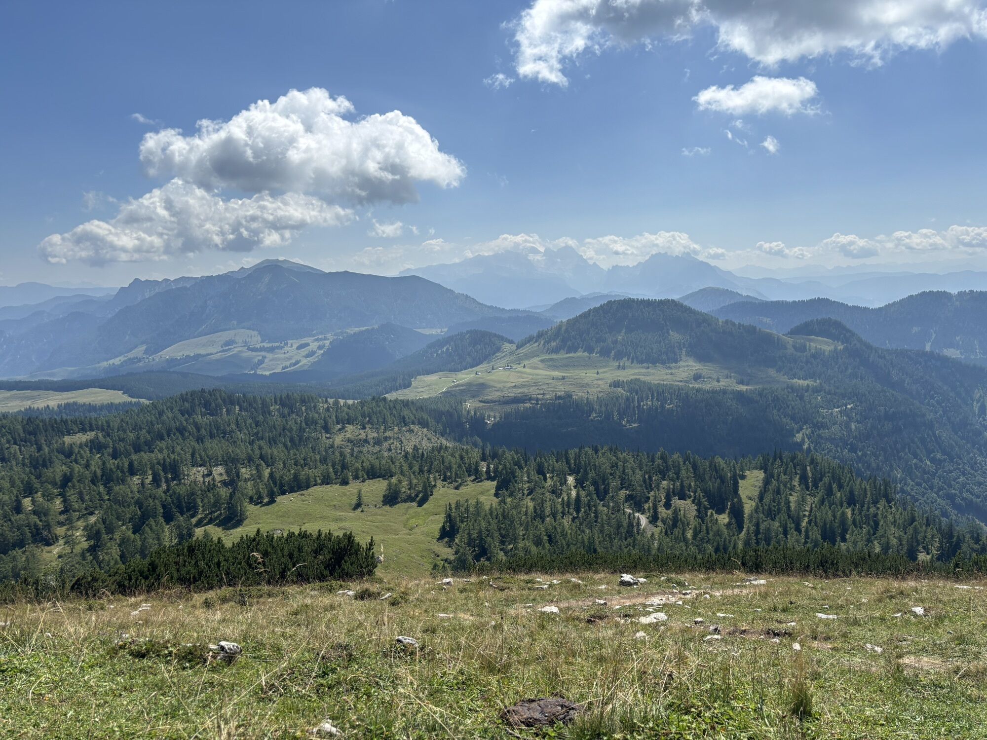
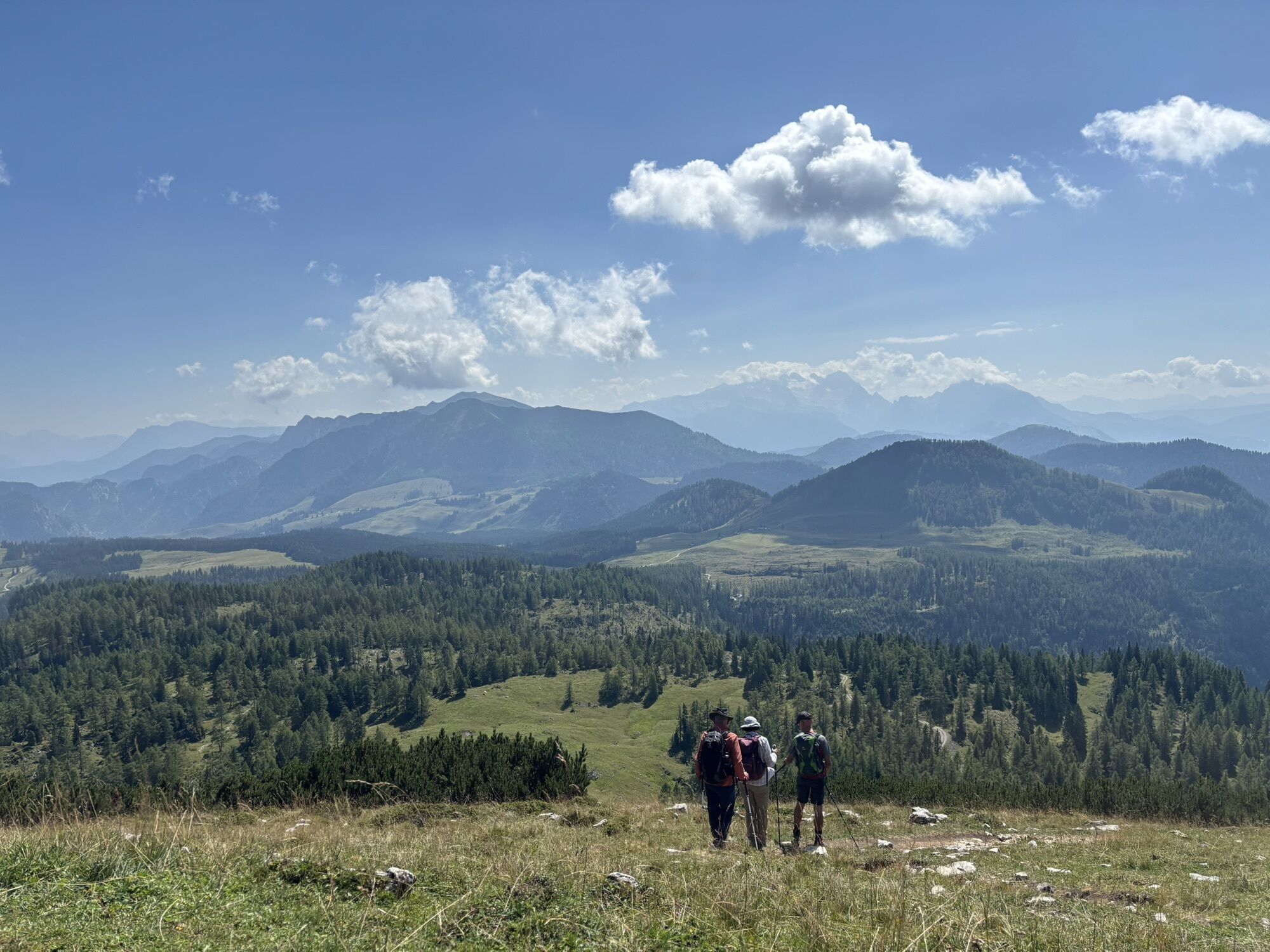
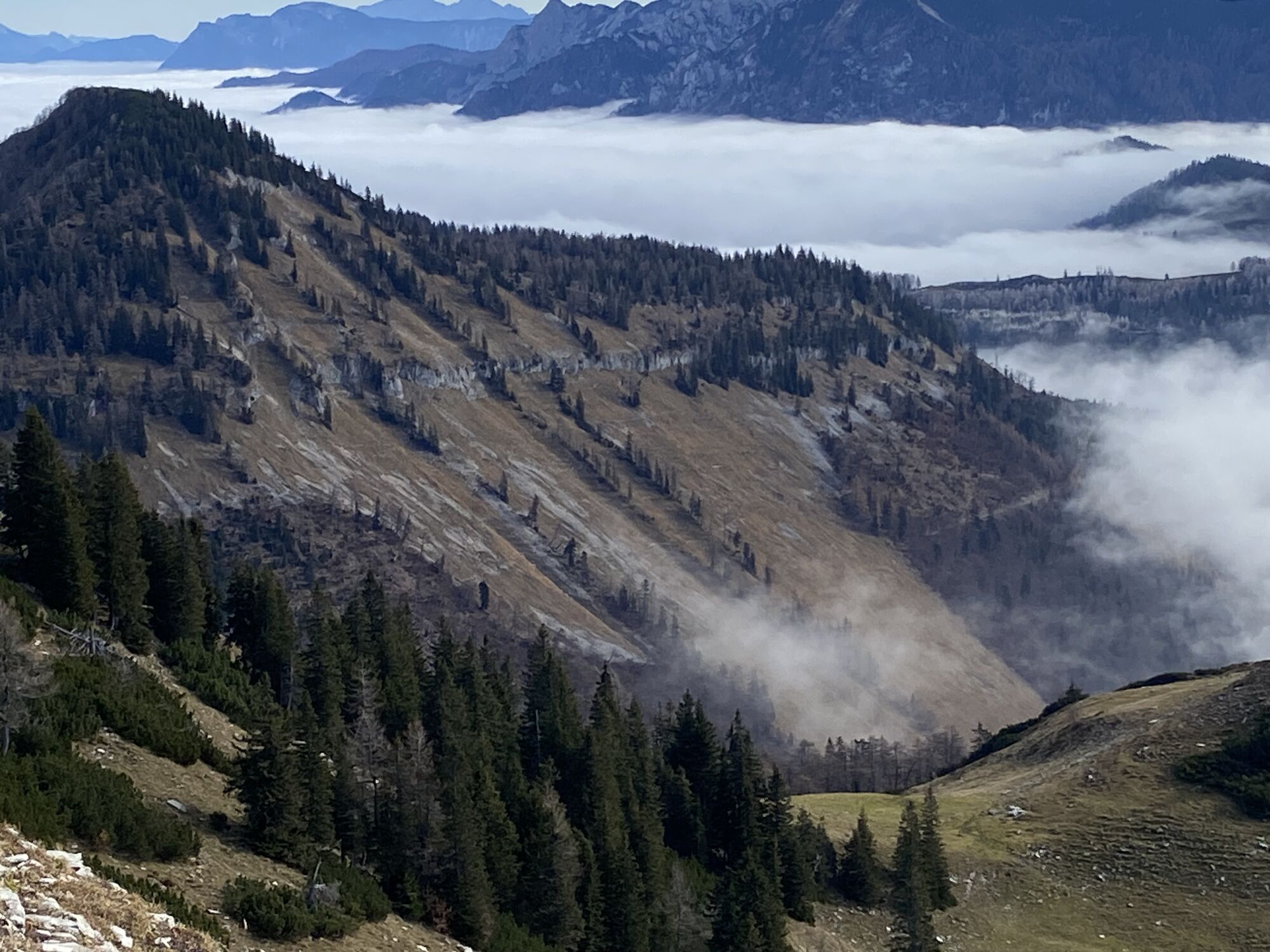
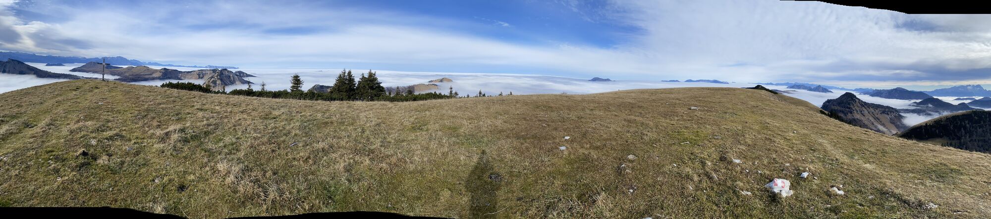
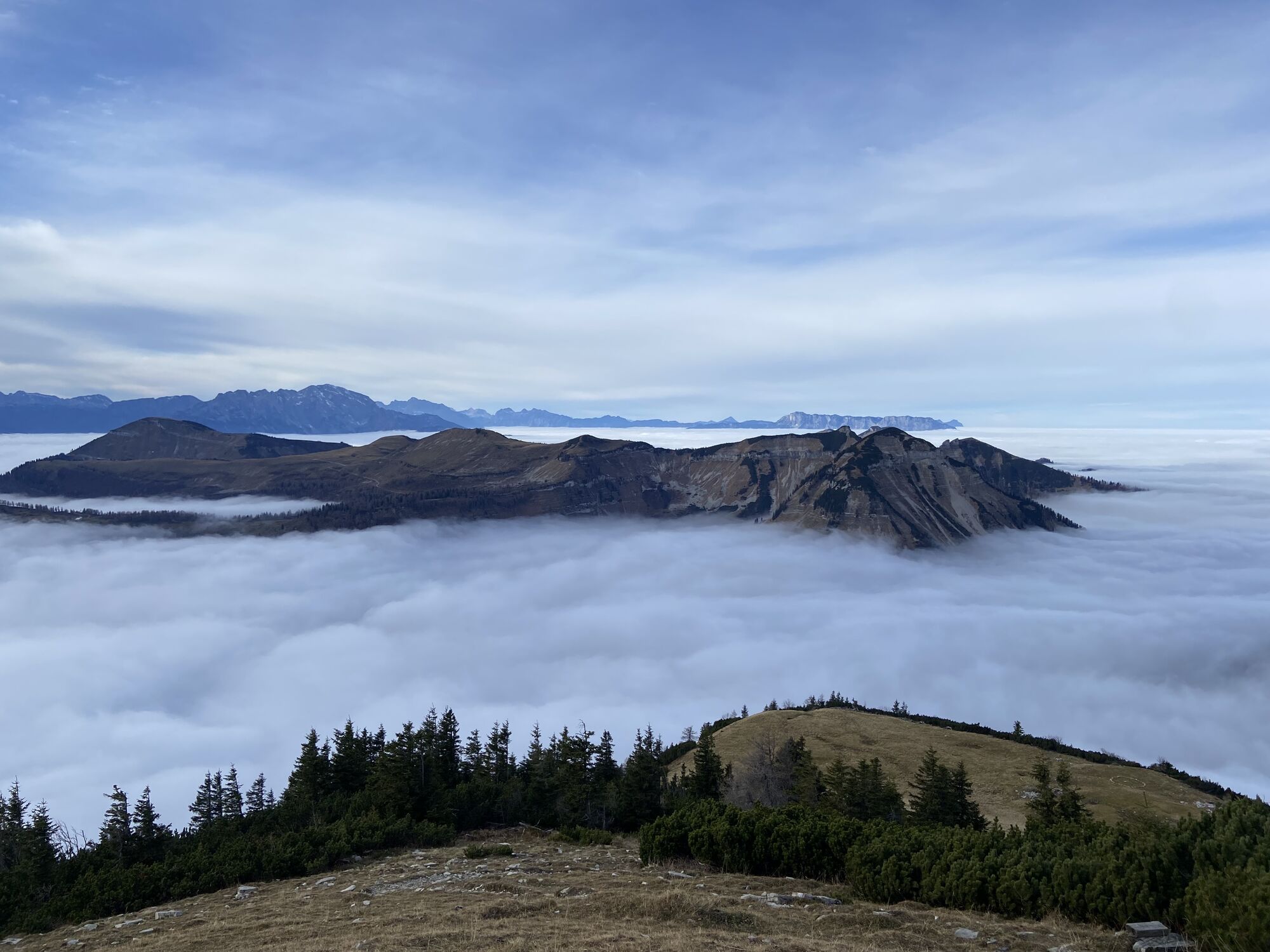
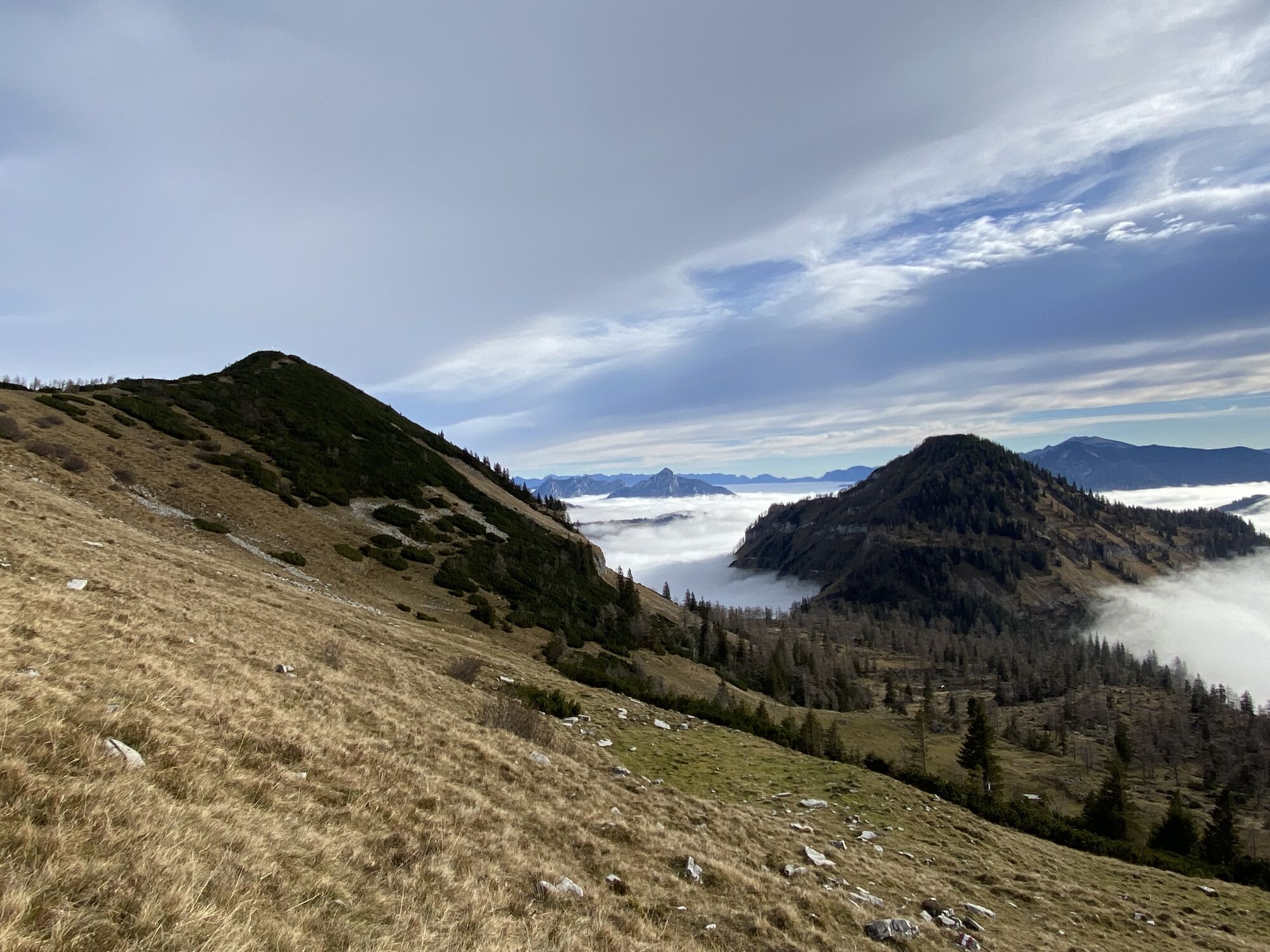
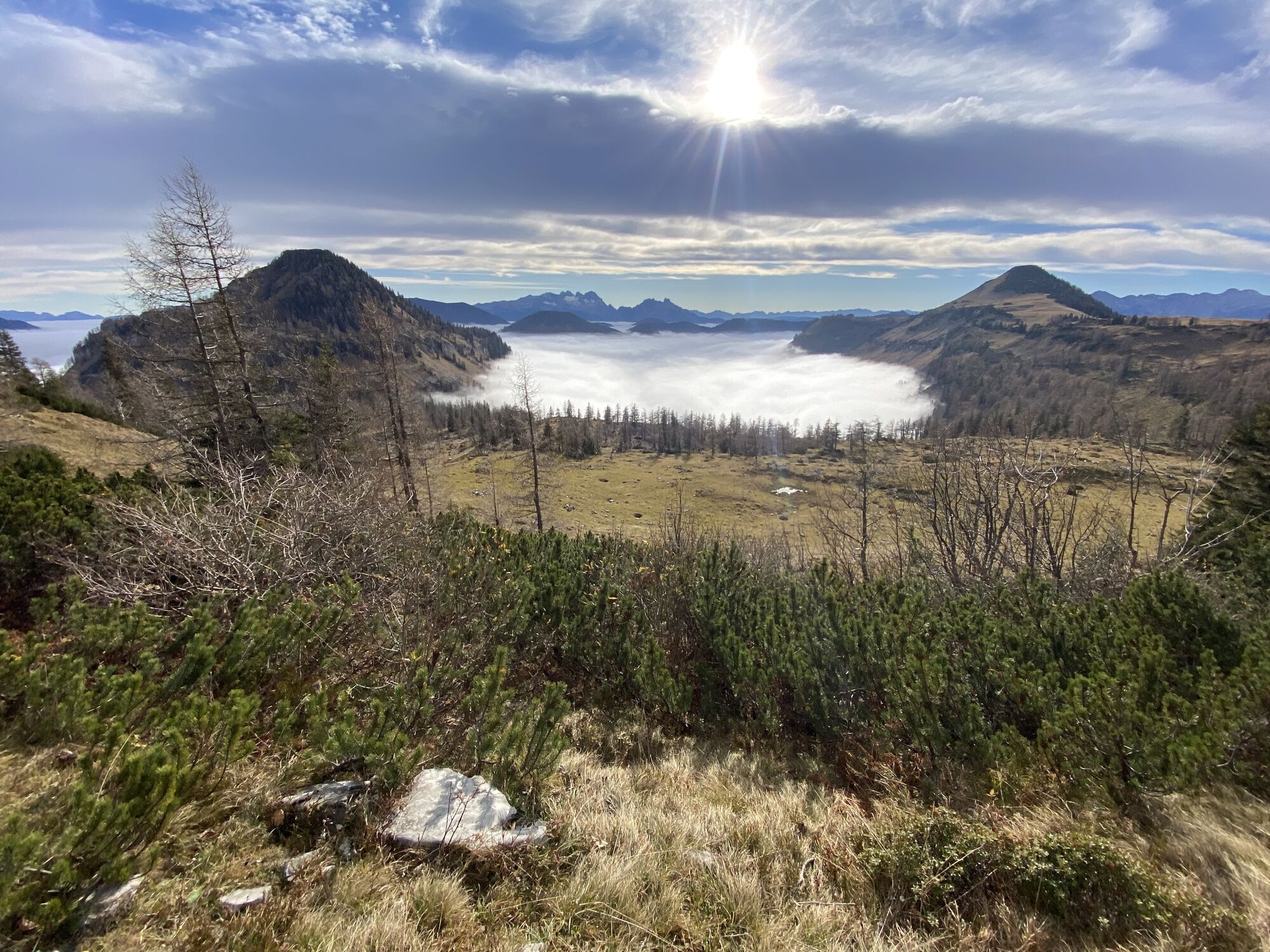
This hiking stage leads through the Osterhorn group along numerous peaks such as Gruberhorn, Gennerhorn, Königsberghorn, Hoher Zinken, and Osterhorn. Between the mountains, wide alpine meadows spread out,...
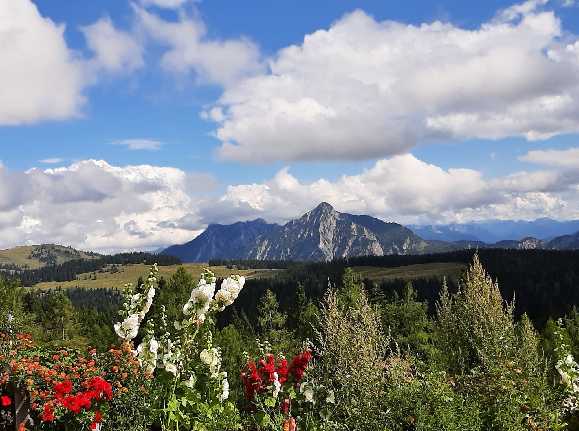
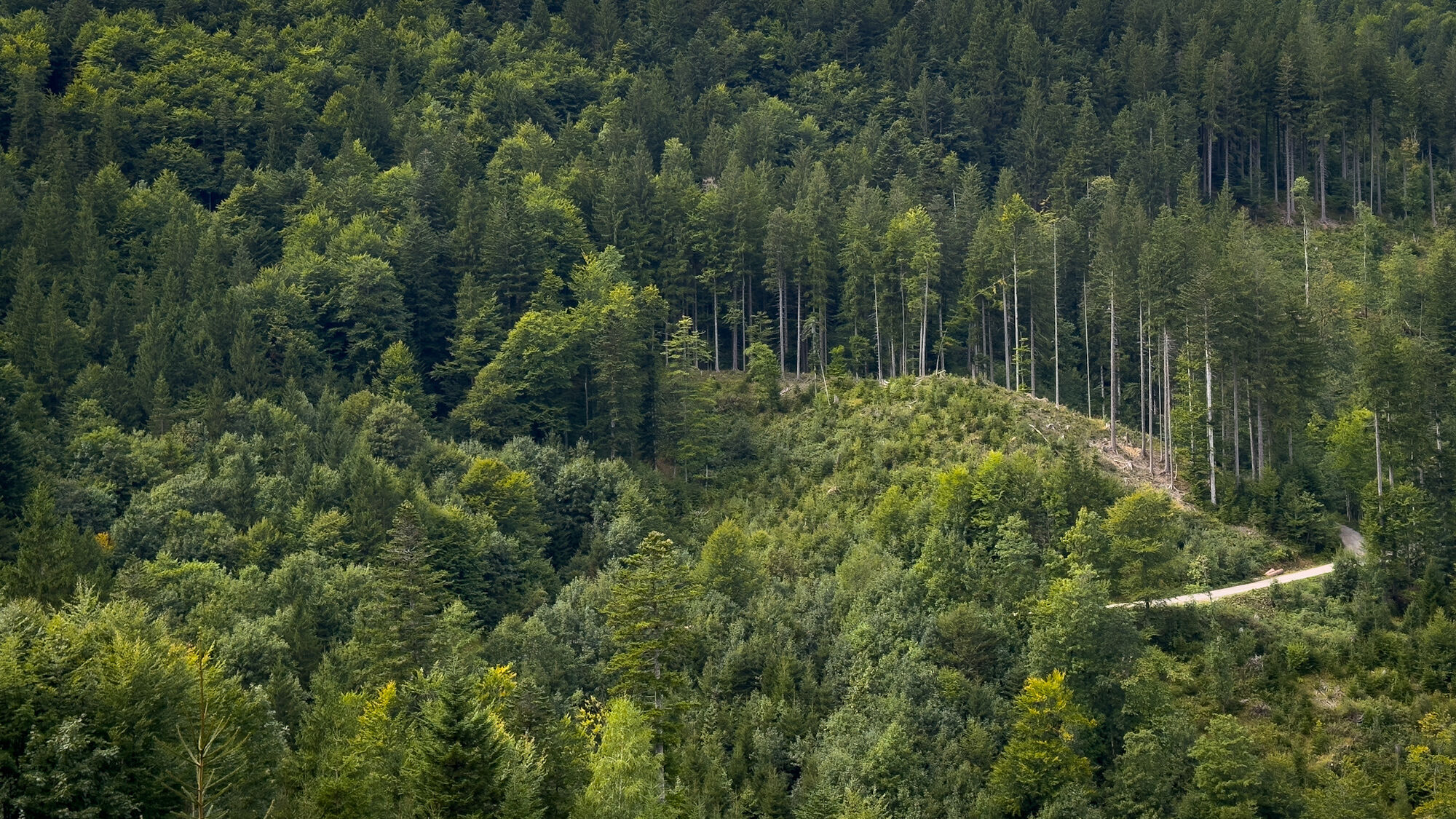
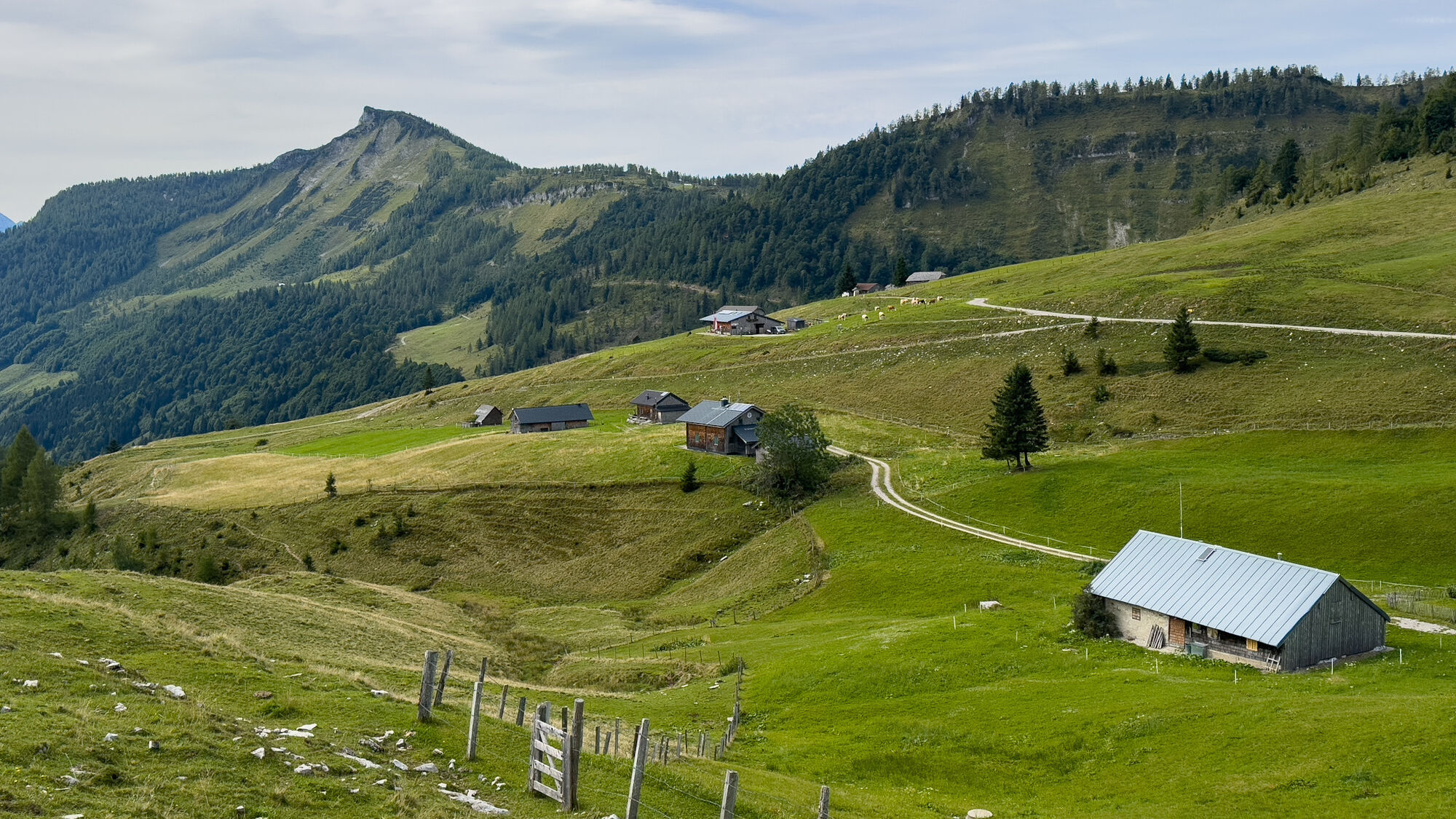
This hiking stage leads through the Osterhorn group along numerous peaks such as Gruberhorn, Gennerhorn, Königsberghorn, Hoher Zinken, and Osterhorn. Between the mountains, wide alpine meadows spread out, giving this alpine hiking stage a unique charm.
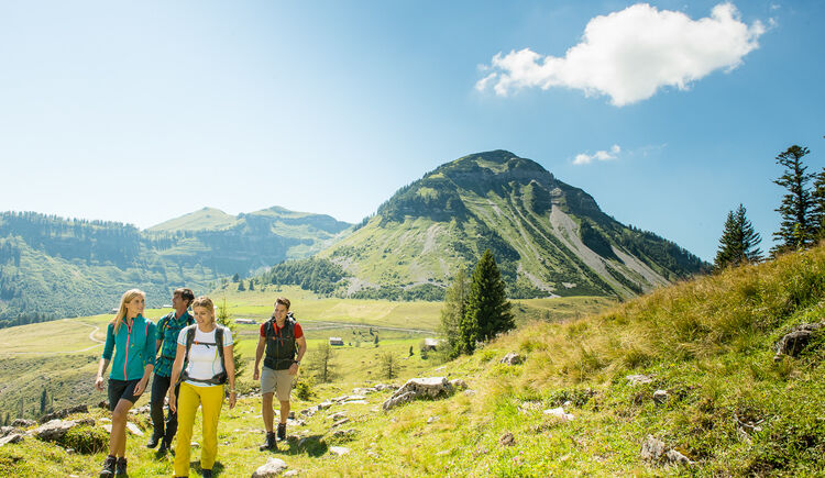

From Hintersee to Genneralm (2 hours)
From the village center of Hintersee (by the church) you walk on the road southeast towards the village of Lämmerbach and to a parking lot where the toll road to Genneralm begins.
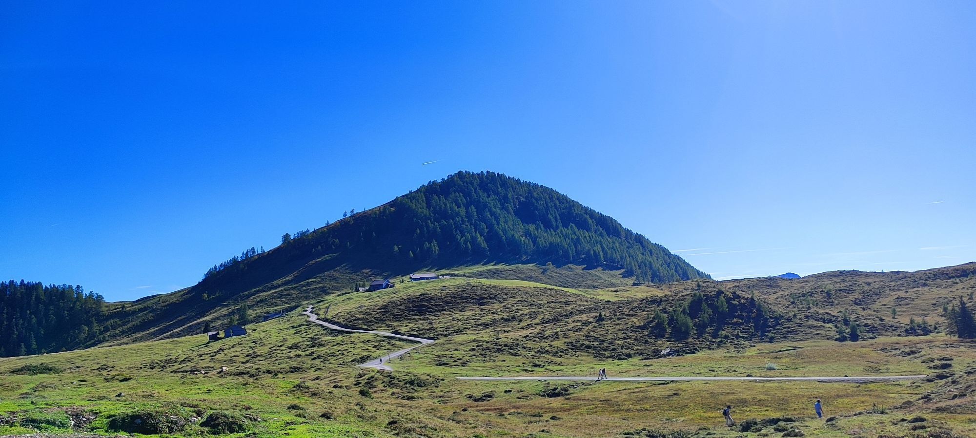
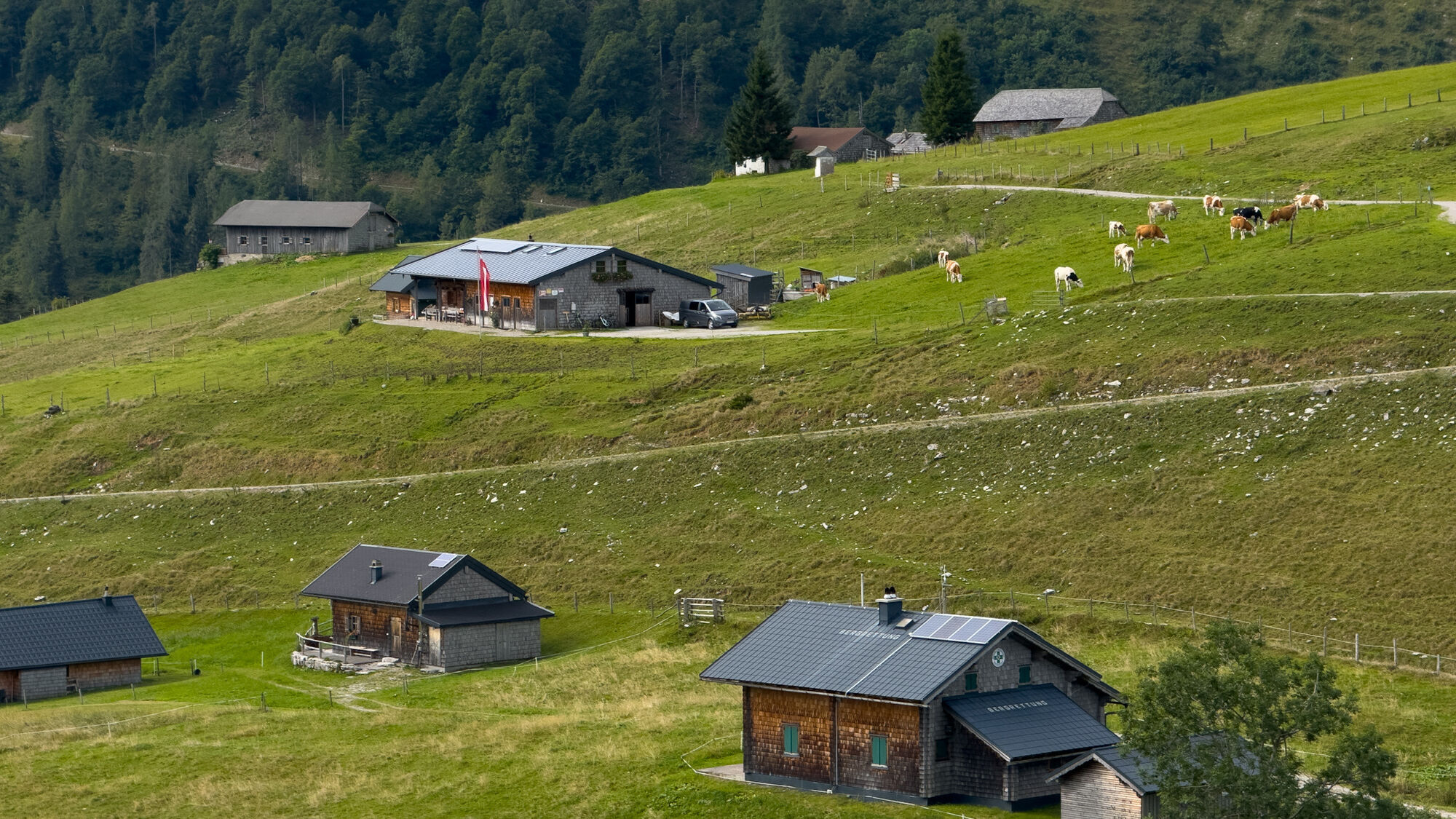
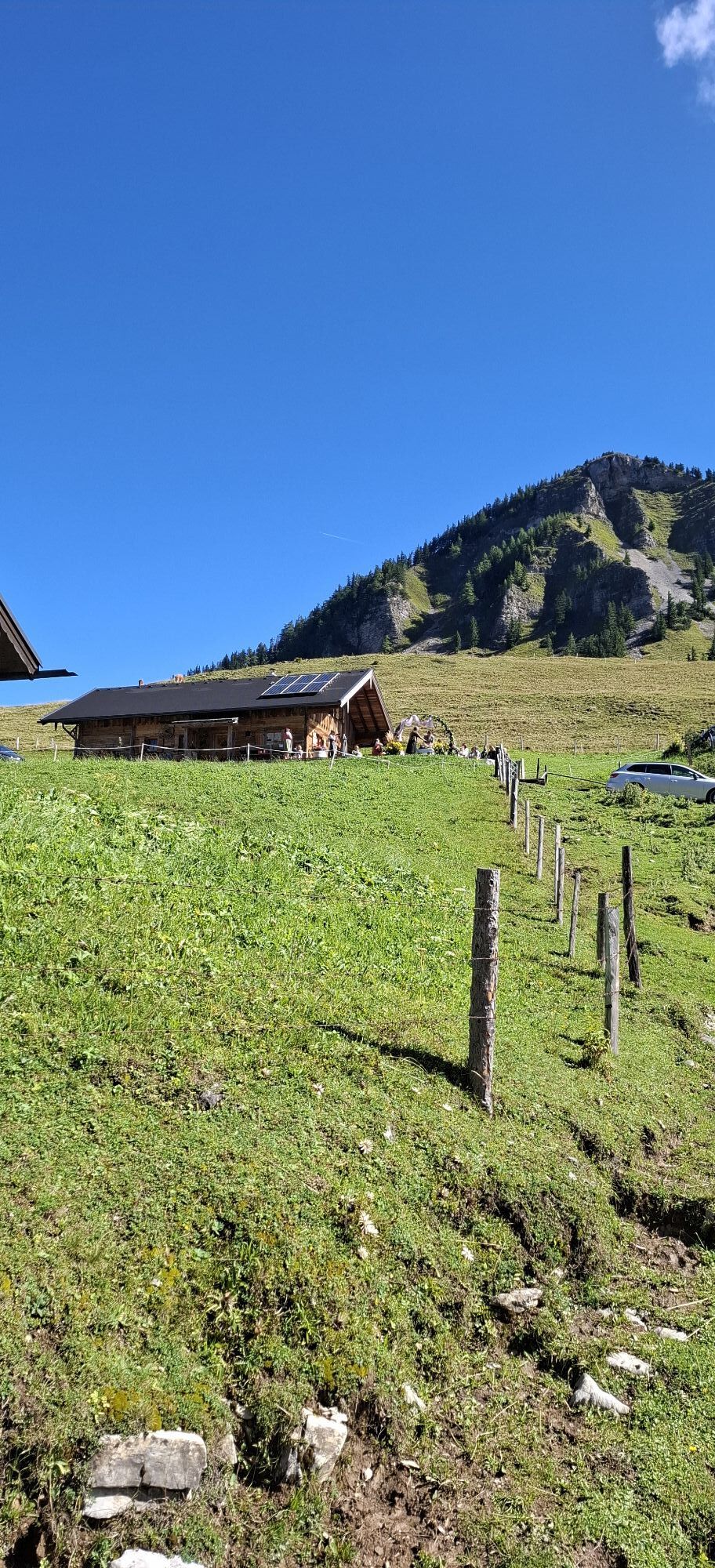
Now uphill on the gravel road, some hairpin bends can be shortened via a path, to the wide area of Genneralm with many huts, located at about 1,300 m. Two of the huts (Posch'n Hütte and Reith Hütte) are run commercially and invite you to stop for a break.
From Genneralm to Hoher Zinken (1 ½ hours)
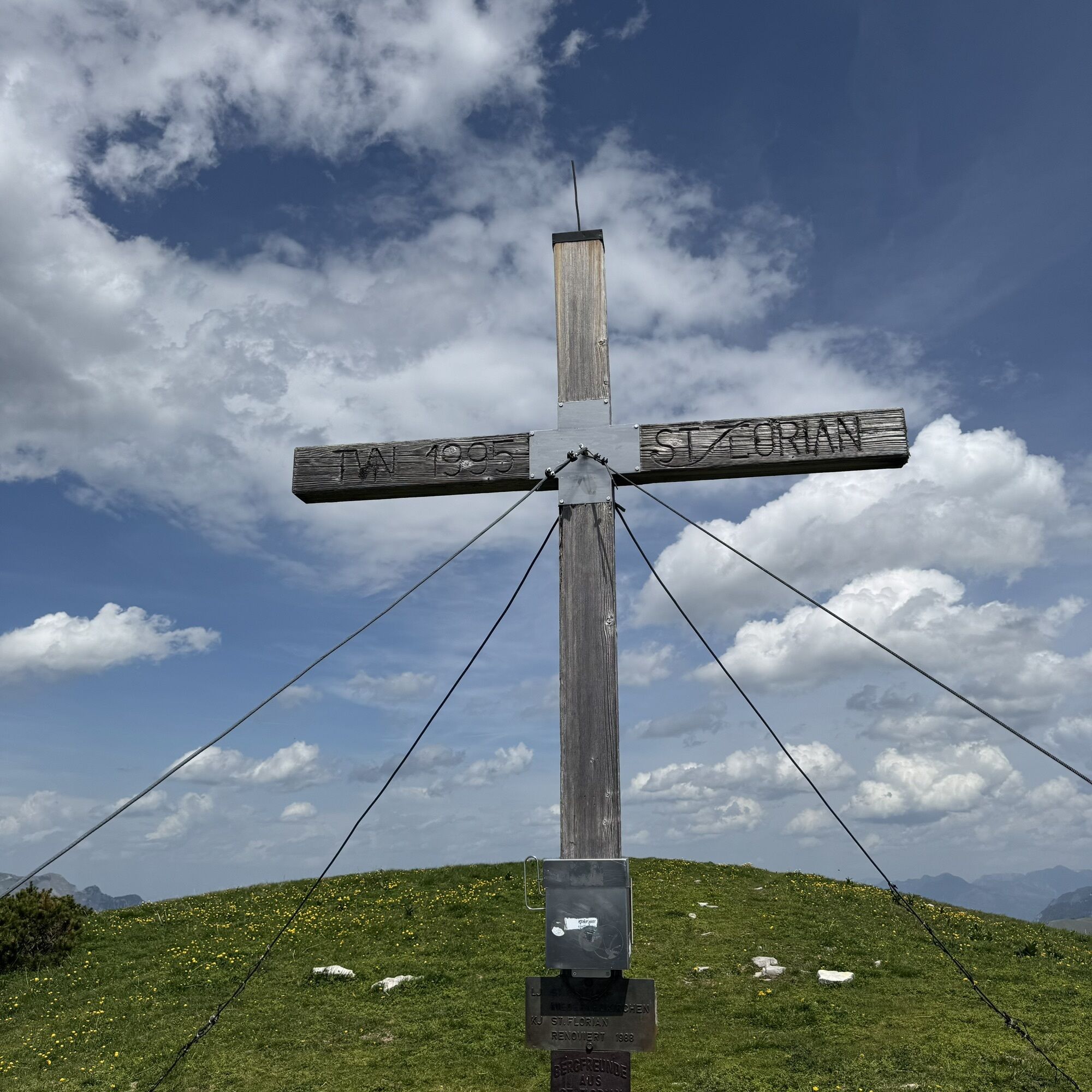
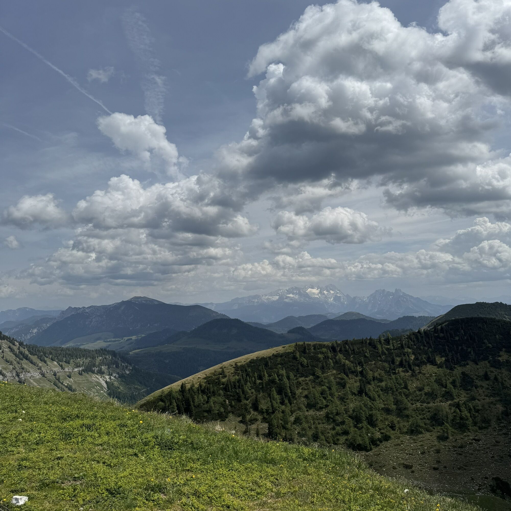
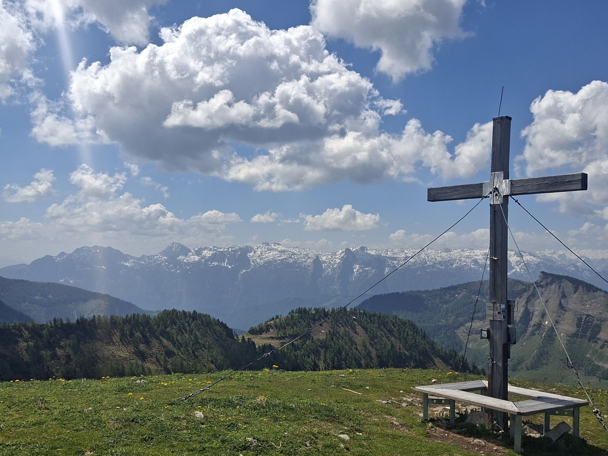
From the managed alpine huts, continue on an alpine path now heading east - first slightly uphill, then downhill into the Gennersattel. Now begins a narrow and steep path that winds up the west flank in several hairpin bends to the summit cross at Hoher Zinken (1,764 m). There you are rewarded with a magnificent view of the nearby mountains of the Osterhorn group as well as the Tennengebirge, Hochkönig, and Dachstein.
From Hoher Zinken to Postalm (3 ½ hours)
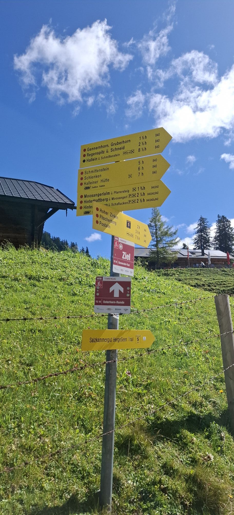
Now the path continues over the flat ridge towards the northeast, until after 700 meters you reach a junction with a signpost. If you continue along the ridge, you can reach another beautiful summit, the Osterhorn (1,746 m), within a few minutes. The round trip takes about 20 minutes.
From the junction, go down a steep grassy slope into a wide cirque called “Goldenes Schüsserl”. To the right of the path, you can see an alpine hut and a hunting hut. From the alpine hut, a small stream springs from a cave. It then continues east into the saddle between Osterhorn (on the left) and Pitscherberg. A narrow path now leads uphill again through beautiful mountain forest and you reach a signpost just below the summit of Pitscherberg.
Now it goes downhill over grassy slopes, then through the sparse larch forest and you reach the beautifully situated Pitschenbergalm (snack station, beautiful view of the Dachstein).
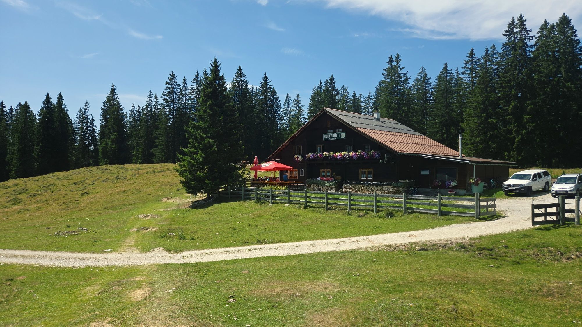
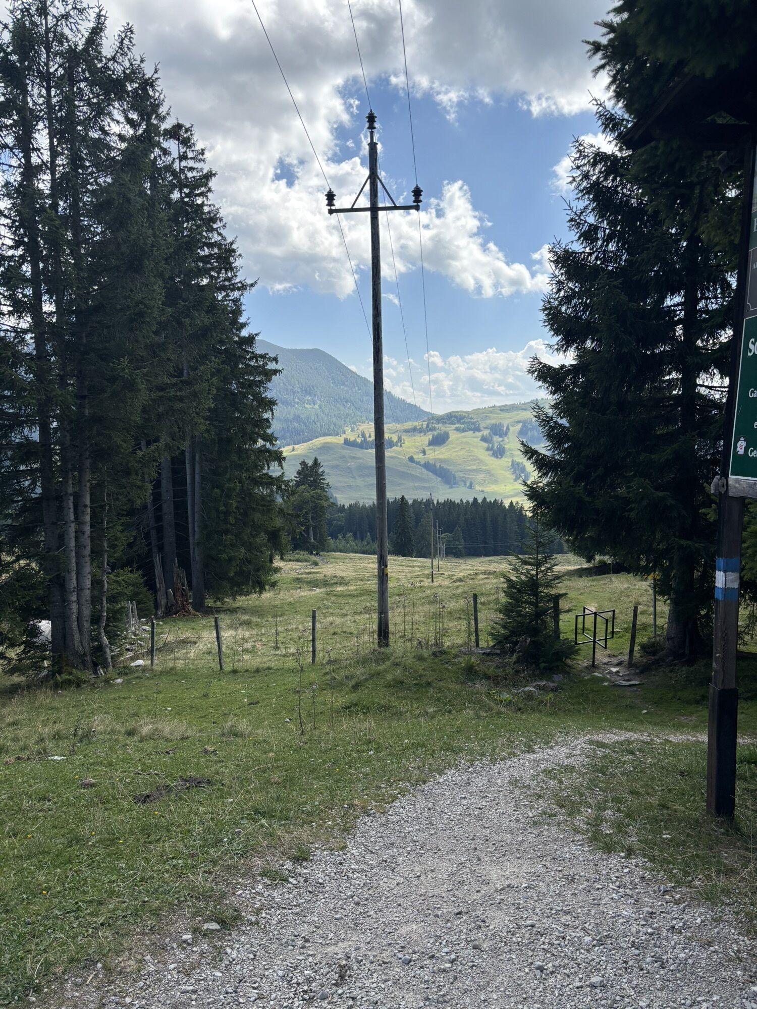
It continues downhill to a pasture gate, then straight on an alpine path to a road. Now left along a blue marking (circular route 2) towards the northeast slightly uphill and downhill over a long ridge to the first hut on Postalm, the Berggasthaus Huber. Continuing in the same direction, after ten minutes you reach the high parking lot on Postalm, near the famous Postalm chapel - you have reached the destination of this hiking stage.
Ano
Sturdy footwear and hiking poles are recommended.
Arrival via the A1 West Motorway - Thalgau exit
Follow the state road towards Hof near Salzburg. At the first roundabout, take the second exit onto the Wolfgangsee federal road (B 158) and follow it to the second roundabout. Here take the first exit and follow the Hintersee state road to Lämmerbach.
By bus
Hintersee is accessible by the public lines of the Salzburger Verkehrsverbund from Salzburg.
Salzburger Verkehrsverbund, Line 150, 155
By train
Info about train connections can be found at www.oebb.at or www.bahn.de
By plane
The Salzburg Airport W.A. Mozart is located very close to the city of Salzburg. Bus lines 2 or 27 take you to the main train station where you can change to bus No. 150.
Free parking in Lämmerbach!
Získejte přehled
Vždy živě na místě s více než 9 500 webkamerami. bergfex Jako uživatel Pro si nyní můžete zobrazit odpovídající webové kamery pro mnoho prohlídek v aplikaci prohlídky z. Můžete si tak přímo prohlédnout aktuální podmínky.
Aktivity na trase
-

Hintersee, Salzburg/Österreich
08.08.2026 – Horská turistika -

Hintersee, Salzburg/Österreich
25.07.2026 – Mountainbike -

Hintersee, Salzburg/Österreich
01.11.2025 – Turistika -

Hintersee, Genneralm Salzburg/Österreich
17.09.2025 – Turistika -

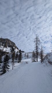
Hintersee, Salzburg/Österreich
14.01.2025 – Lyžařská trasa -

Hoher Zinken (abgebrochen)
28.04.2024 – Horská turistika
Oblíbené prohlídky v okolí
-
4.7
Schwarzer Berg / Golling
středníTuristika 2.54 km -
4.2
Pillstein Panorama Rundweg
světloTuristika 3.40 km -
4.9
From Rußbach over the Gamsfeld
heavyTuristika 11.5 km -
4.7
Pleasure hike over the Falkenstein
středníTuristika 9.81 km -
4.6
The Plombergstein: Adventure and summit panorama
světloTuristika 4.12 km -
4.9
Schwarzeneckalm-Bleckwand
světloTuristika 5.94 km -
4.8
Eisenaualm
středníMountainbike 37 km -
4.3
Abtenau: Postalm circular route 3 - Wiesleralm and Postalm hut
středníTuristika 9.09 km -
4.8
/\ Schafberg von Winkl
středníTuristika 12.9 km -
4.8
Schafberg ab Winkl nahe Sankt Gilgen, Österreich
středníTrailrunning 6.12 km
Pěší turistika a stopování


Nenechte si ujít nabídky a inspiraci pro vaši příští dovolenou
Vaše e-mailová adresa byl přidán do poštovního seznamu.





