







Kronreith Circular Trail
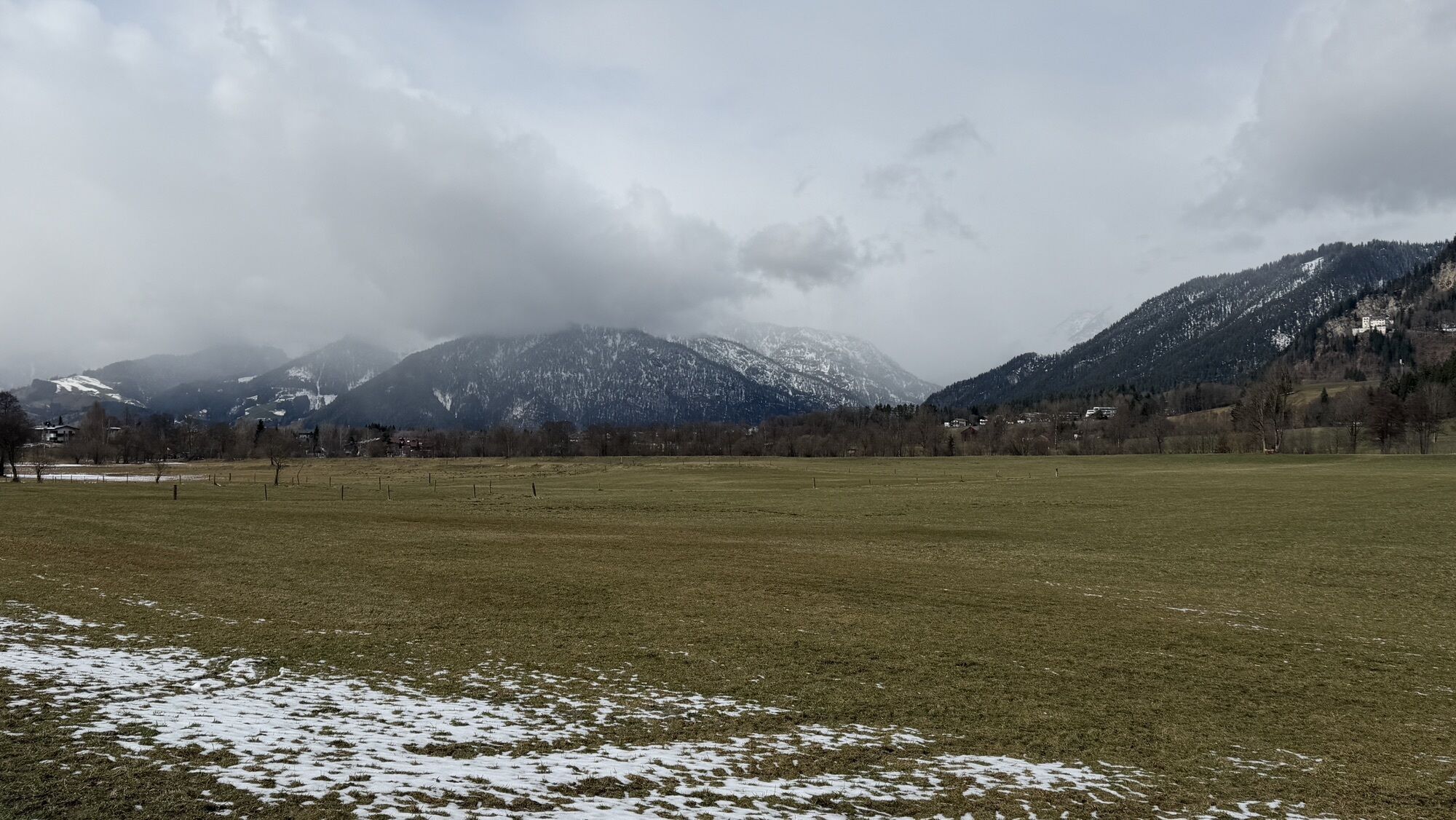
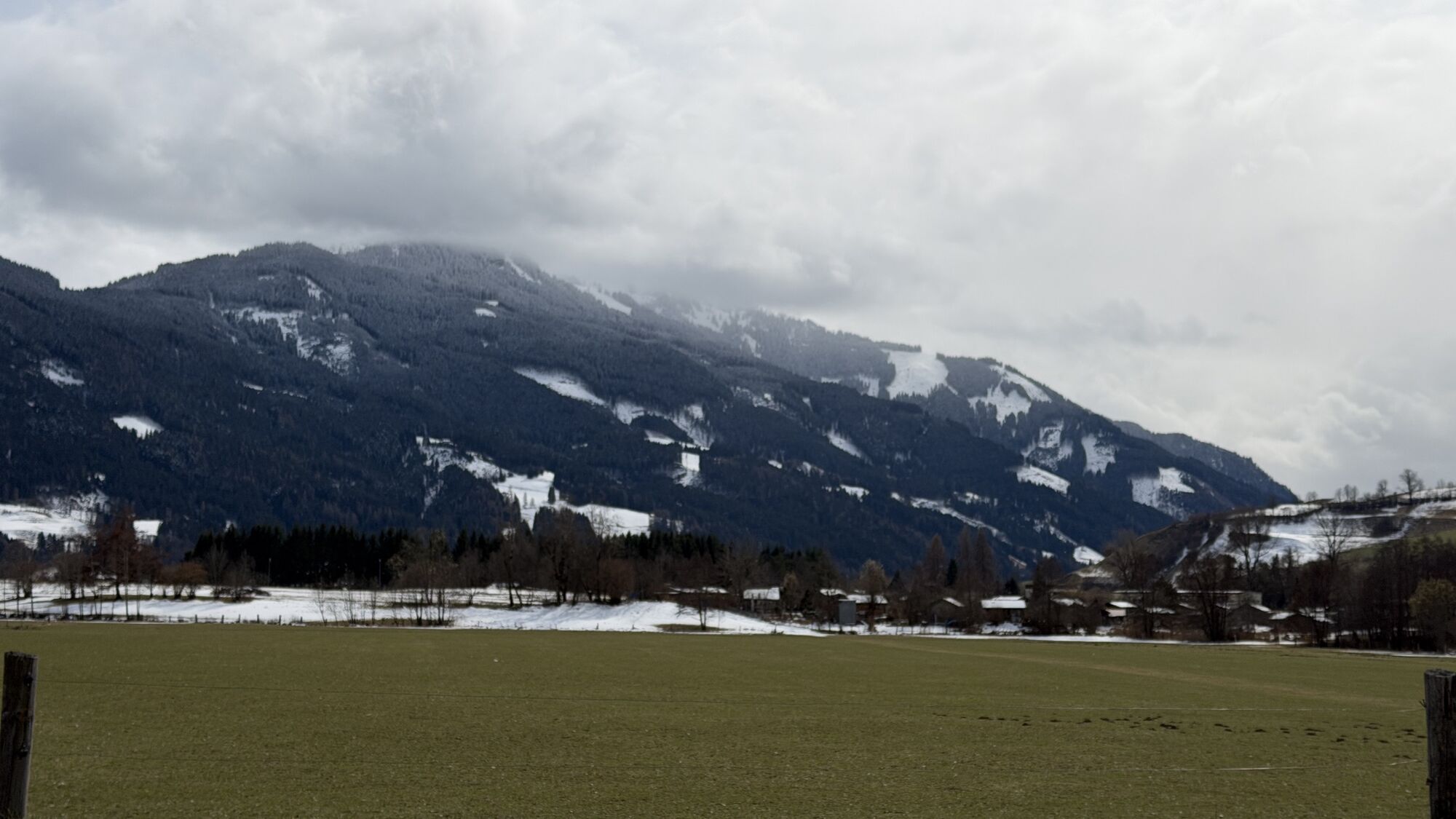
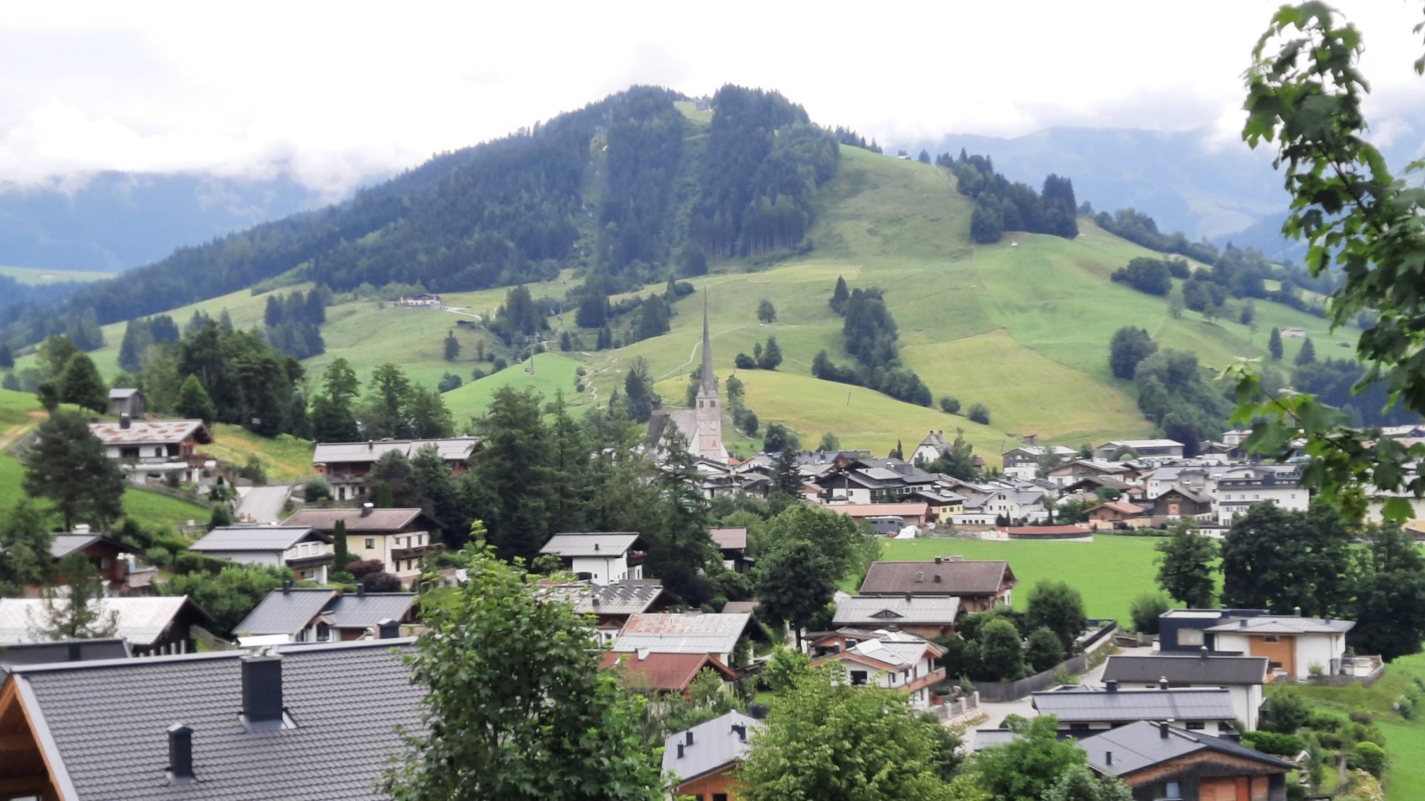
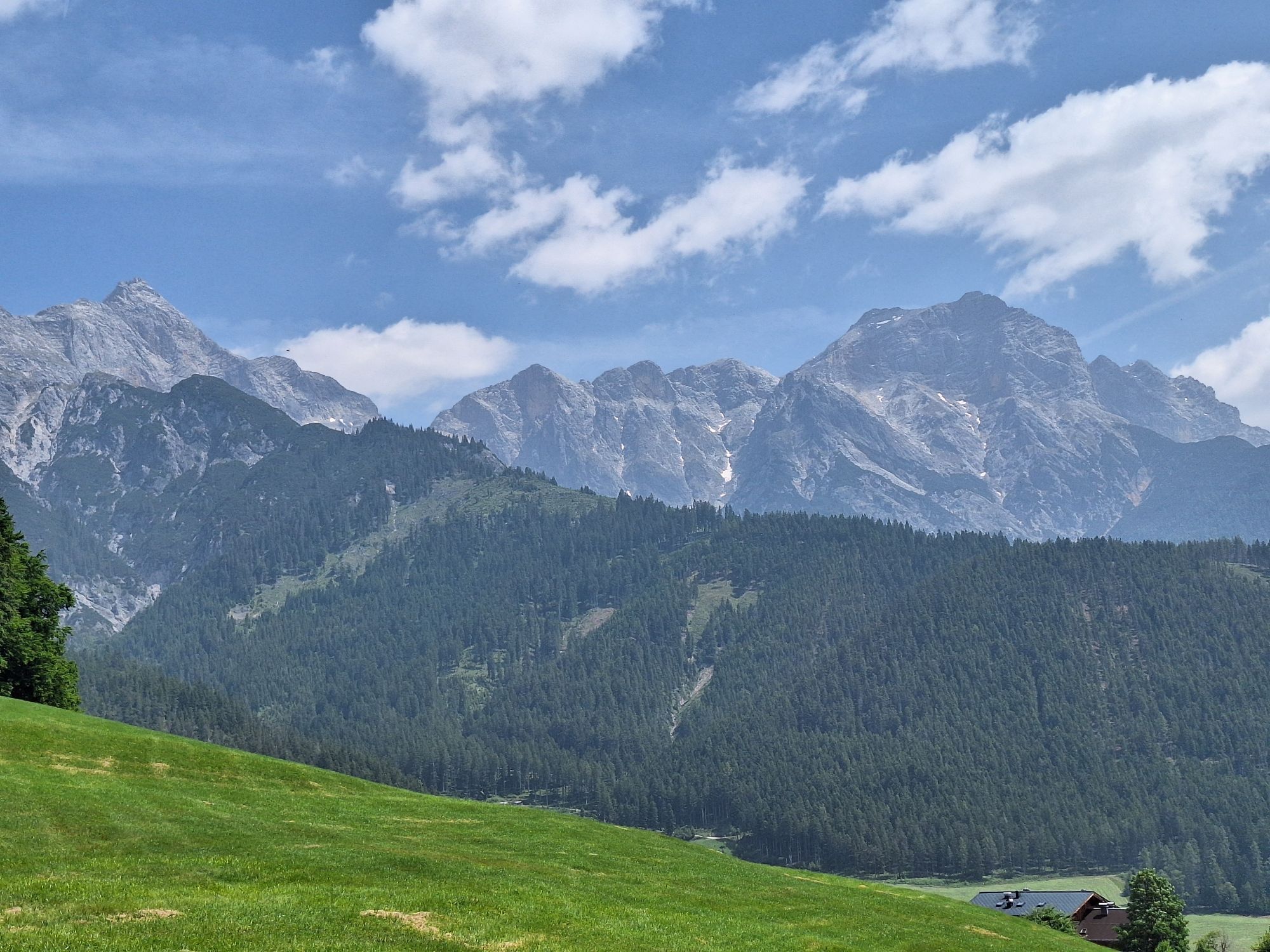
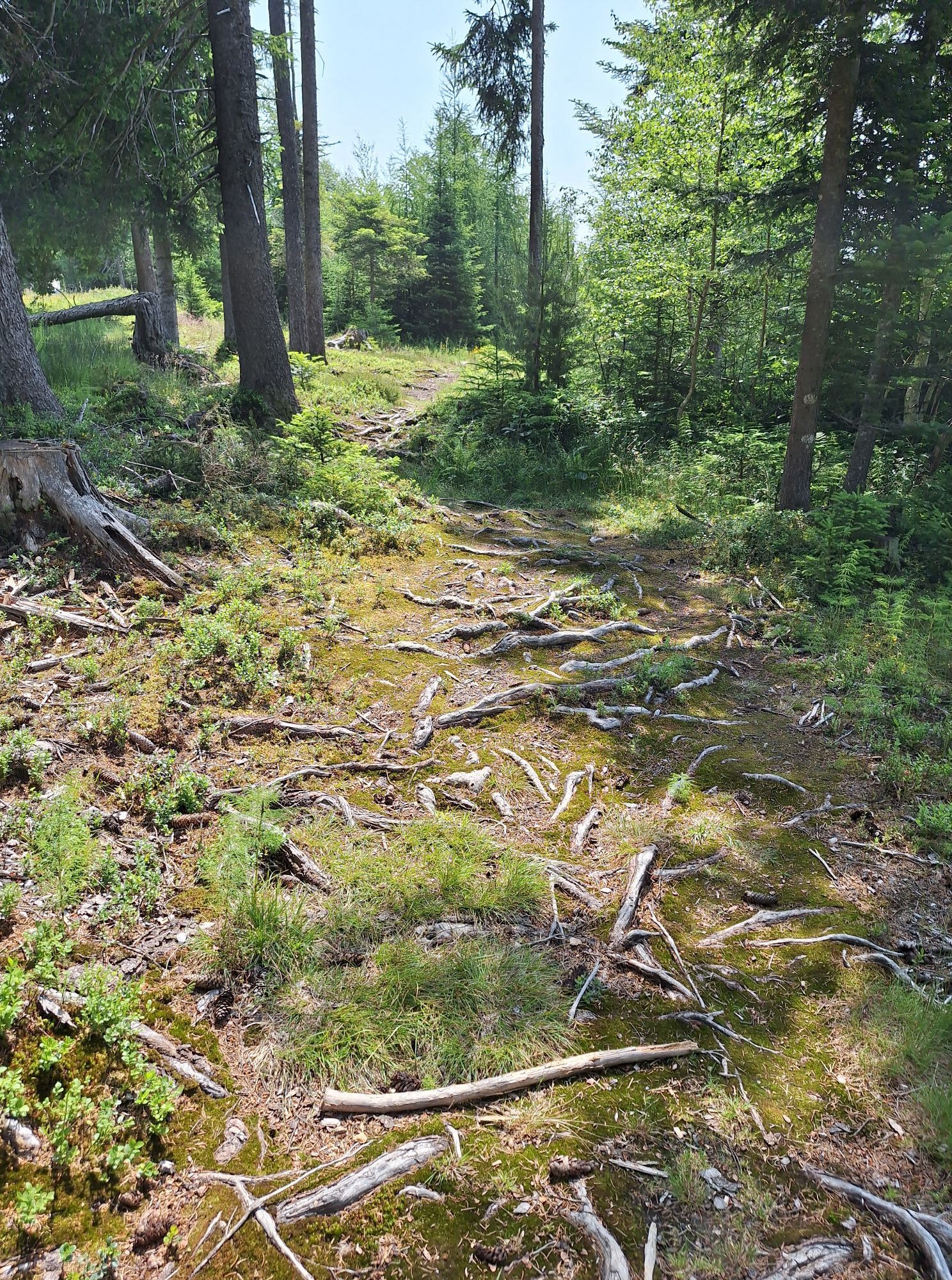
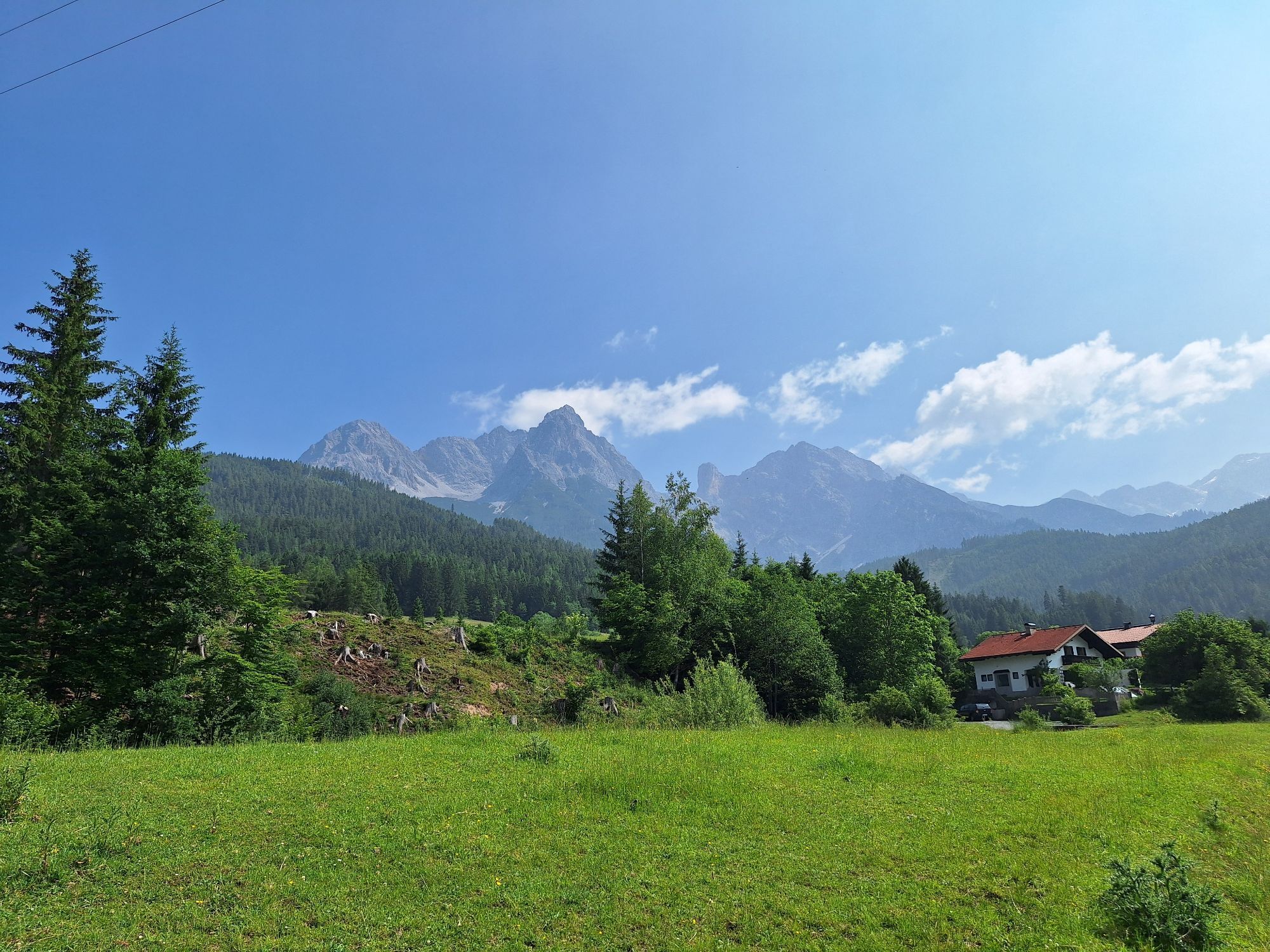
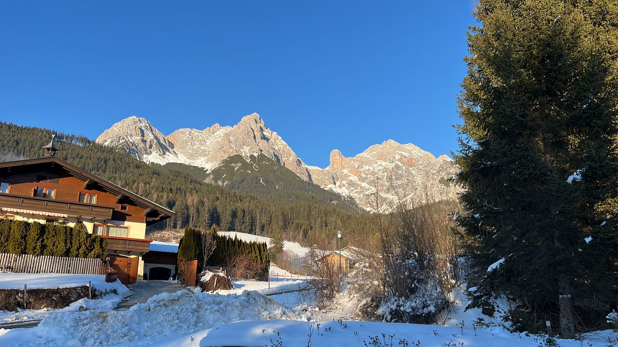
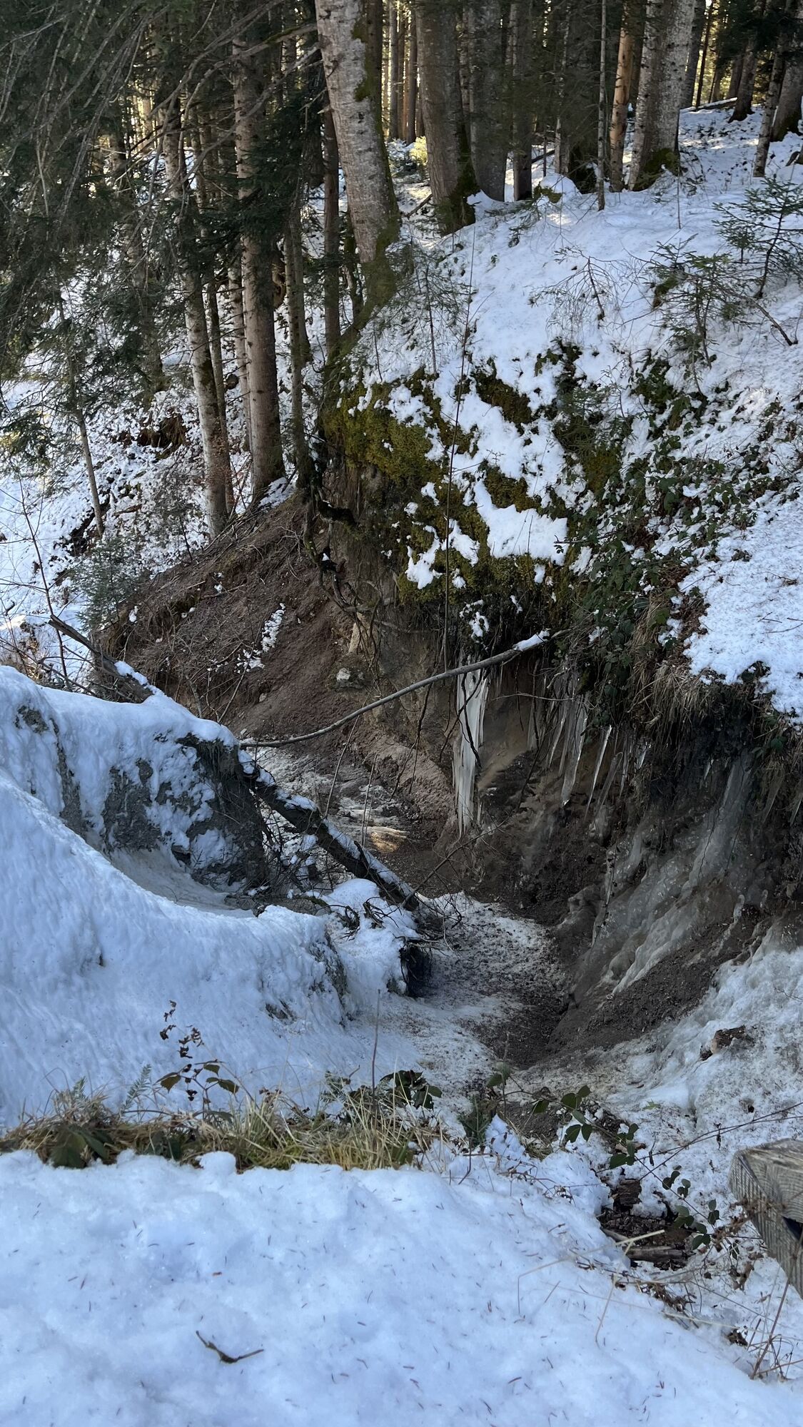
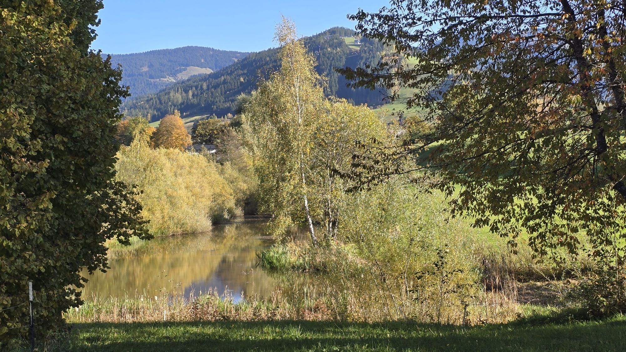
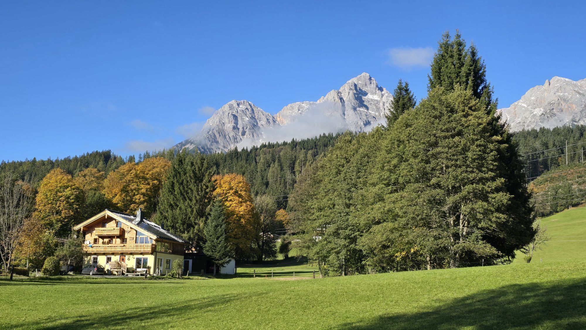
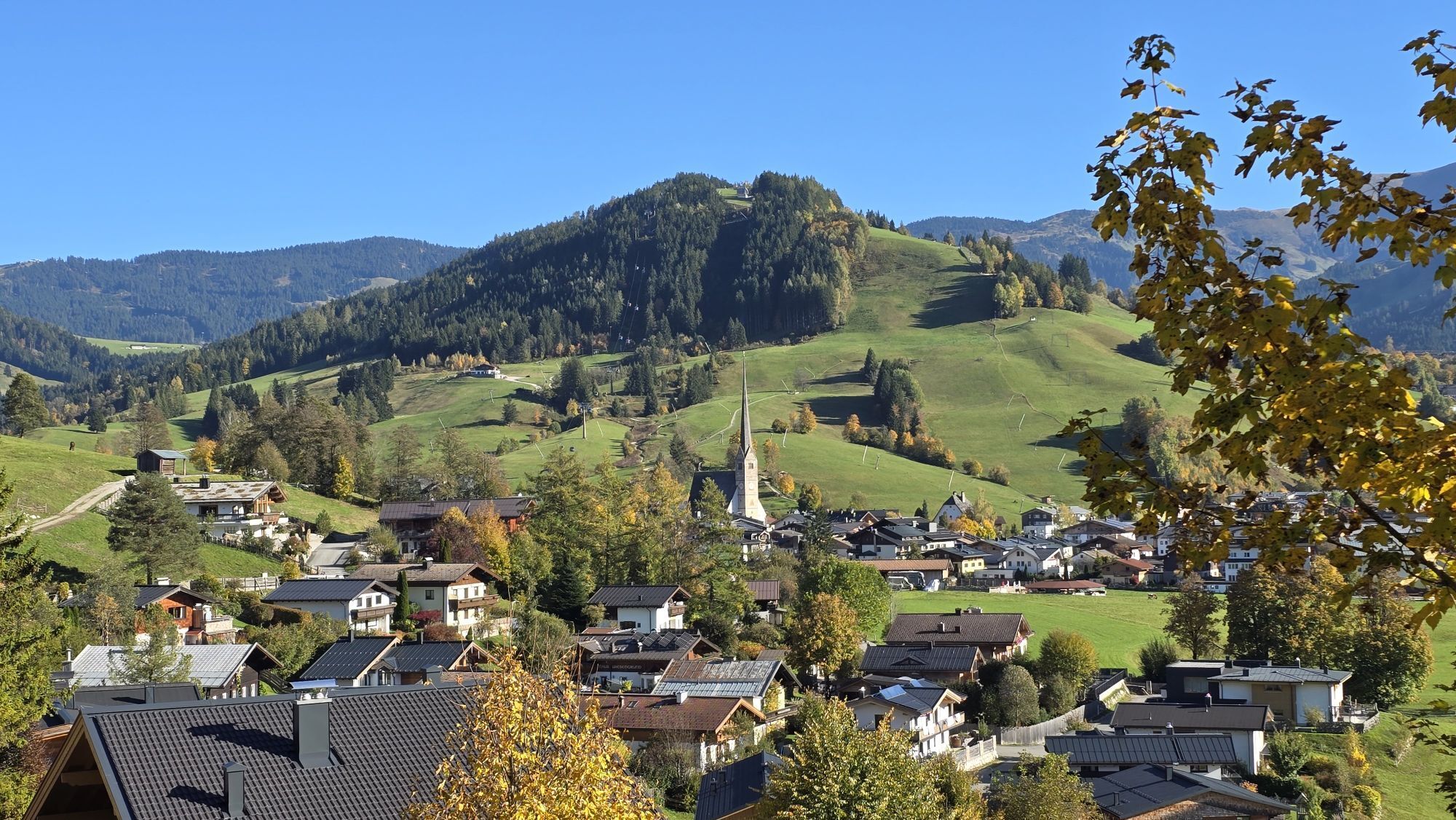
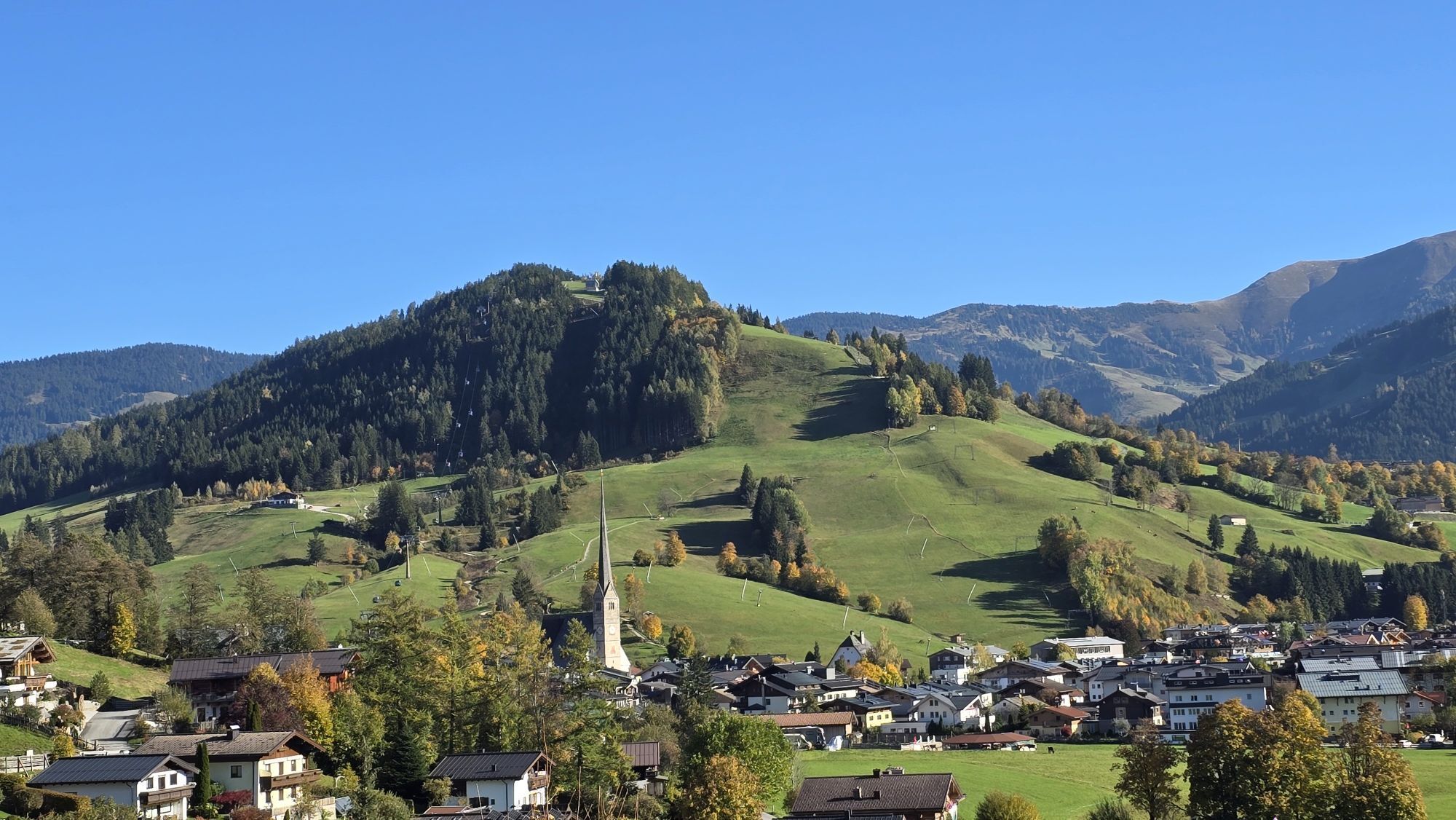

The Kronreith circular trail guides hikers along the bottom of the mountains of Steinernes Meer in the direction of Maria Alm. This tour offers only little ascents, making it ideal for families. You can...
The Kronreith circular trail guides hikers along the bottom of the mountains of Steinernes Meer in the direction of Maria Alm. This tour offers only little ascents, making it ideal for families. You can not only hike through the picturesque district of Ramseiden, but you also have a beautiful view of the surrounding mountains. The Kronreith restaurant awaits you with refreshments and tasty meals.


This hike starts at the Recycling depot in Saalfelden (Ramseiden 211, 5760 Saalfelden). From here you walk along the road "Ramseiderstraße" to Saalfelden-Ramseiden. On the left side of the road you will find a small chapel. Right after the chapel the road splits up. Keep left and follow the road for about 1 km. Turn right into the hiking path in the direction of Gasthof Kronreith restaurant. On the way back, hike from the Kronreith restaurant to Saalfelden-Schinking, along the golf course and past the restaurant Theurerhof back to the starting point.
Ano
BY CAR
Drive on the Pinzgauer federal highway B311 from Saalfelden in the direction of Lofer. About 500 m after the roundabout at the Interspar supermarket, take a turn right into 'Anton-Wallner-Straße'. Follow the road until the intersection at the "Anton-Wallner-Kaserne" barracks. Take a turn left into the Ramseiderstraße. Follow the road for about 200m until you reach the starting point at the recycling depot Saalfelden (Ramseiderstraße 211, 5760 Saalfelden) on the righthand side.
Take the train and start to enjoy your vacation as soon as you leave home. Relax and enjoy the view as you travel to Saalfelden Leogang with no traffic to slow you down. Visit the website of the Austrian railway (ÖBB) for schedules and tickets to Saalfelden station: www.oebb.at
BY BUS
The starting point at the recycling depot Saalfelden can be reached by bus from the city center of Saalfelden. The bus stop "Saalfelden Wirtschaftshof" is located directly at the starting point of the hike. Further information can be found at https://fahrplan.salzburg-verkehr.at/
Parking spaces are available at the recycling depot Saalfelden (Ramseiderstraße 211, 5760 Saalfelden).
Golf with a view
Try the two 18-hole golf courses GC Urslautal und GC Brandlhof. Both offer stunning views of the Steinernes Meer mountain range and extraordinary golf bliss.

 Získejte přehled Vždy živě na místě s více než 9 500 webkamerami. bergfex Jako uživatel Pro si nyní můžete zobrazit odpovídající webové kamery pro mnoho prohlídek v aplikaci prohlídky z. Můžete si tak přímo prohlédnout aktuální podmínky.
Oblíbené prohlídky v okolí
- 5.0
Königssee - Kärlinger-Haus
Turistika 10.1 km - 4.4
Maria Alm - Riemannhaus
Turistika 3.99 km - 4.8
Summit stormer route Lauskopf
heavyTuristika 8.16 km - 4.8
Summit storming route Taghaube
heavyTuristika 6.25 km - 4.6
Steinalm
světloTuristika 2.71 km - 4.3
Schwalbenwand Nr. 80, 81, 82
středníTuristika 13.0 km - 4.4
Peter-Wiechenthaler Hut
středníTuristika 4.32 km - 4.9
Breithorn
středníTuristika 10.0 km - 4.4
Alpine and hut hike "Hochmaisalm & Steinbockalm"
středníTuristika 8.10 km - 4.5
Seisenberg Gorge
světloTuristika 2.41 km
Pěší turistika a stopování


Nenechte si ujít nabídky a inspiraci pro vaši příští dovolenou
Vaše e-mailová adresa byl přidán do poštovního seznamu.





