







Hofpürglhütte
Úroveň obtížnosti: T2
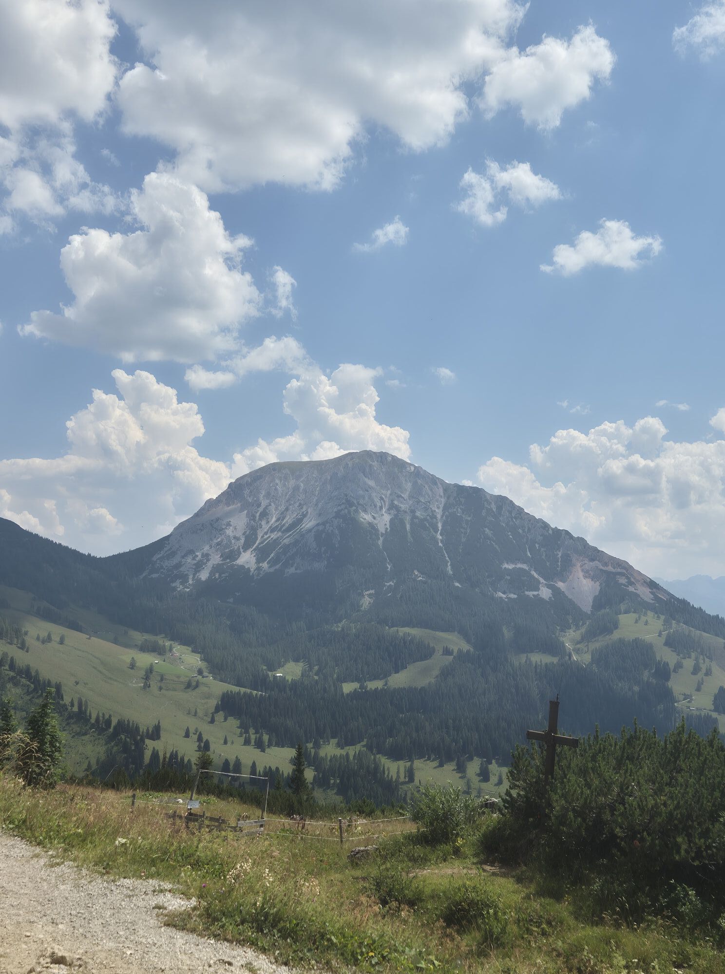
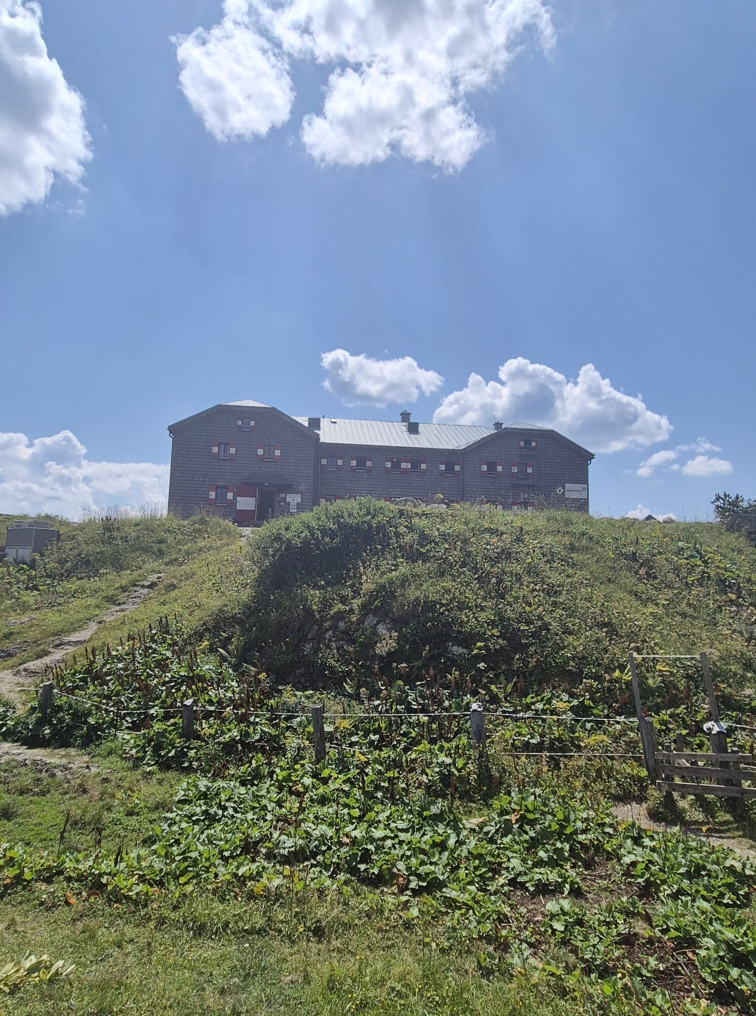
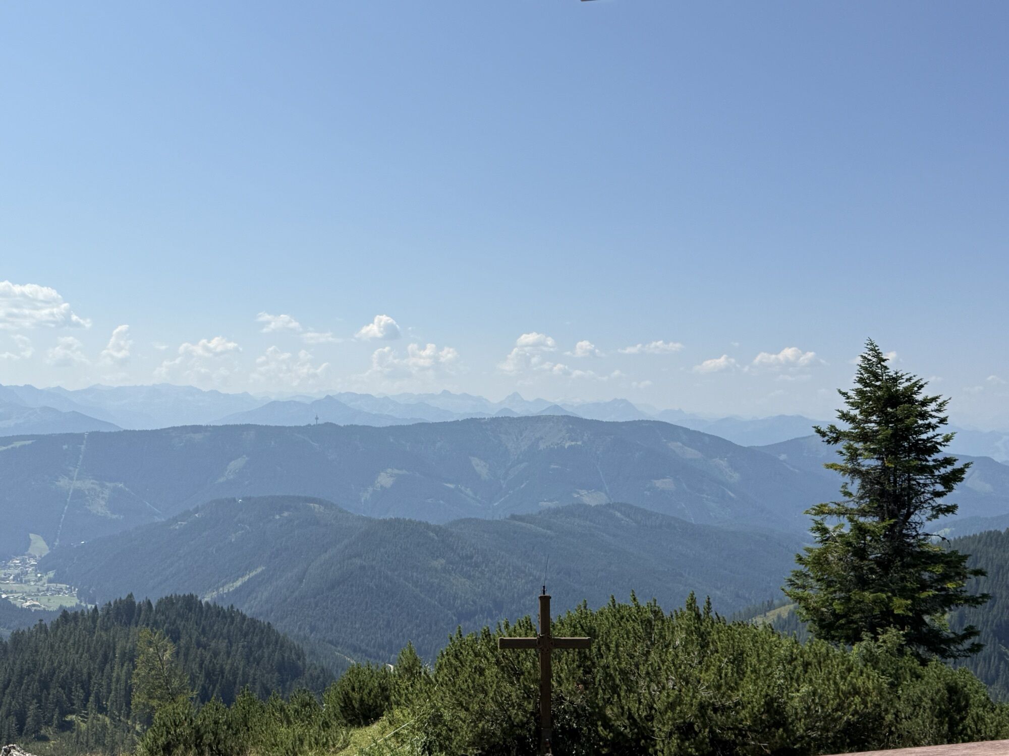
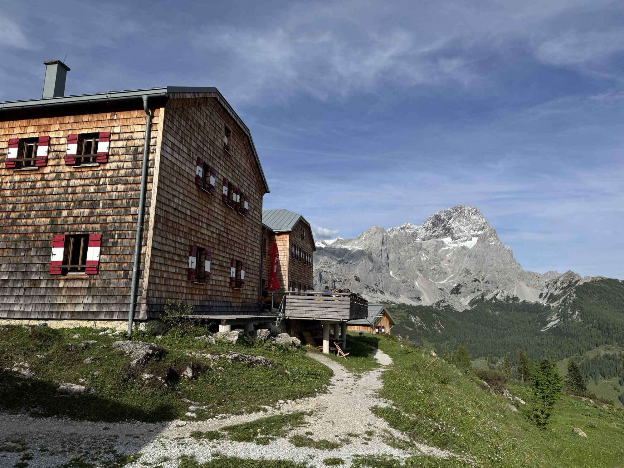
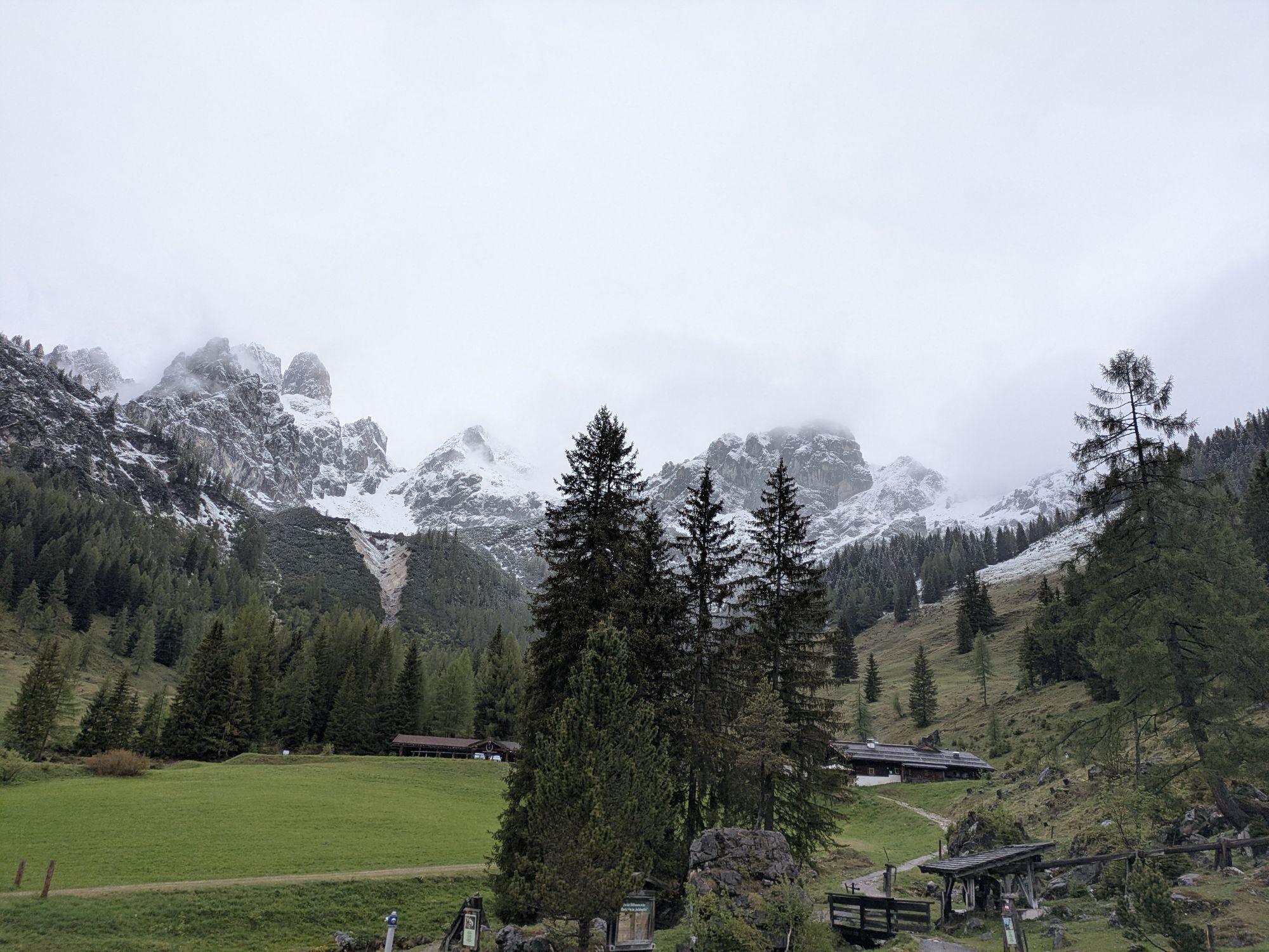
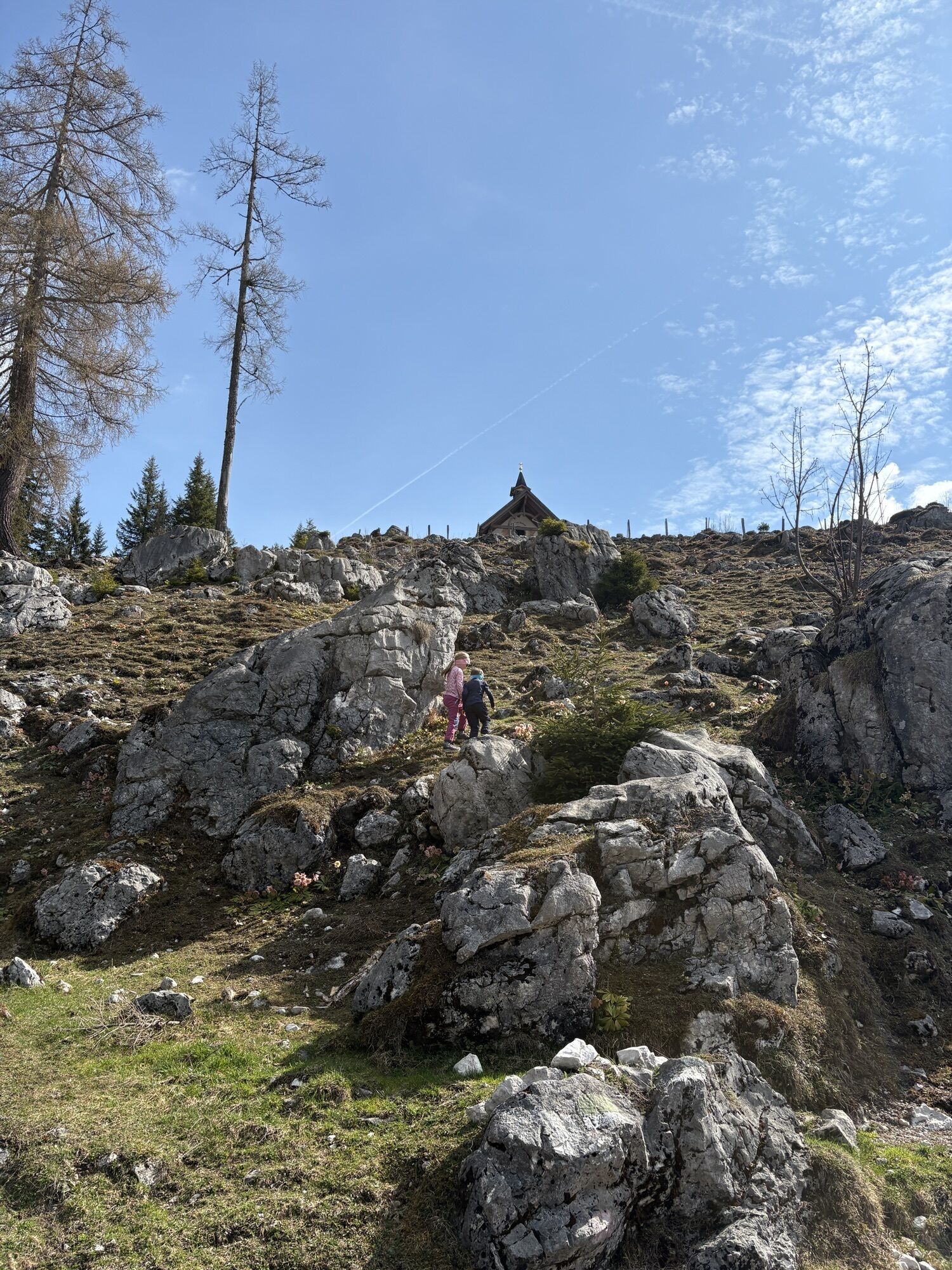
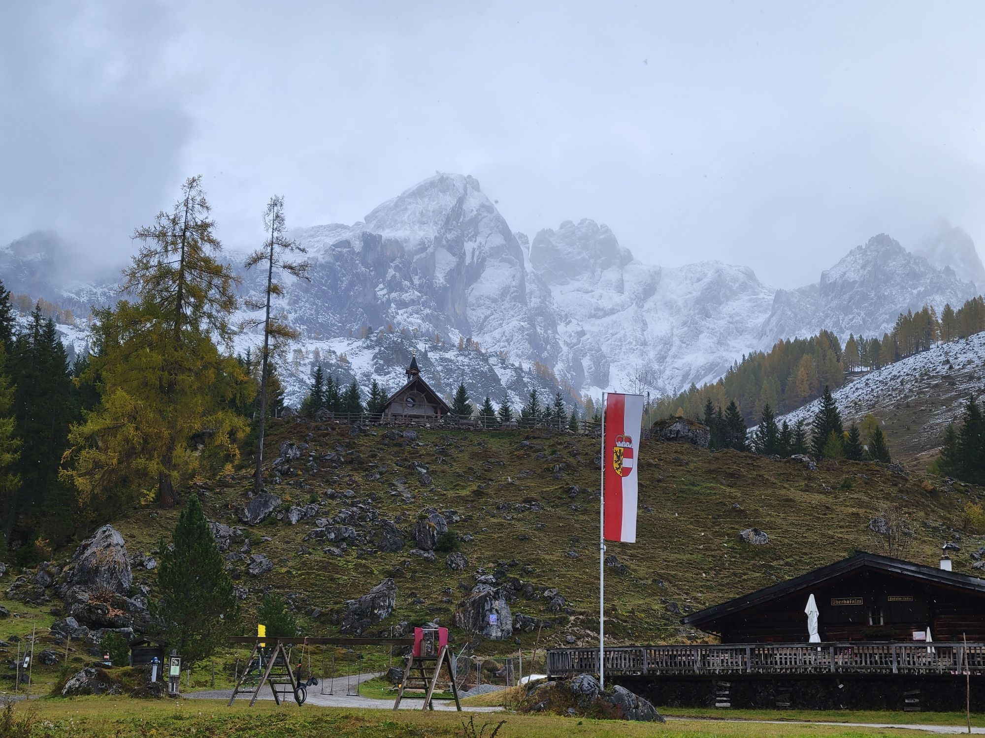
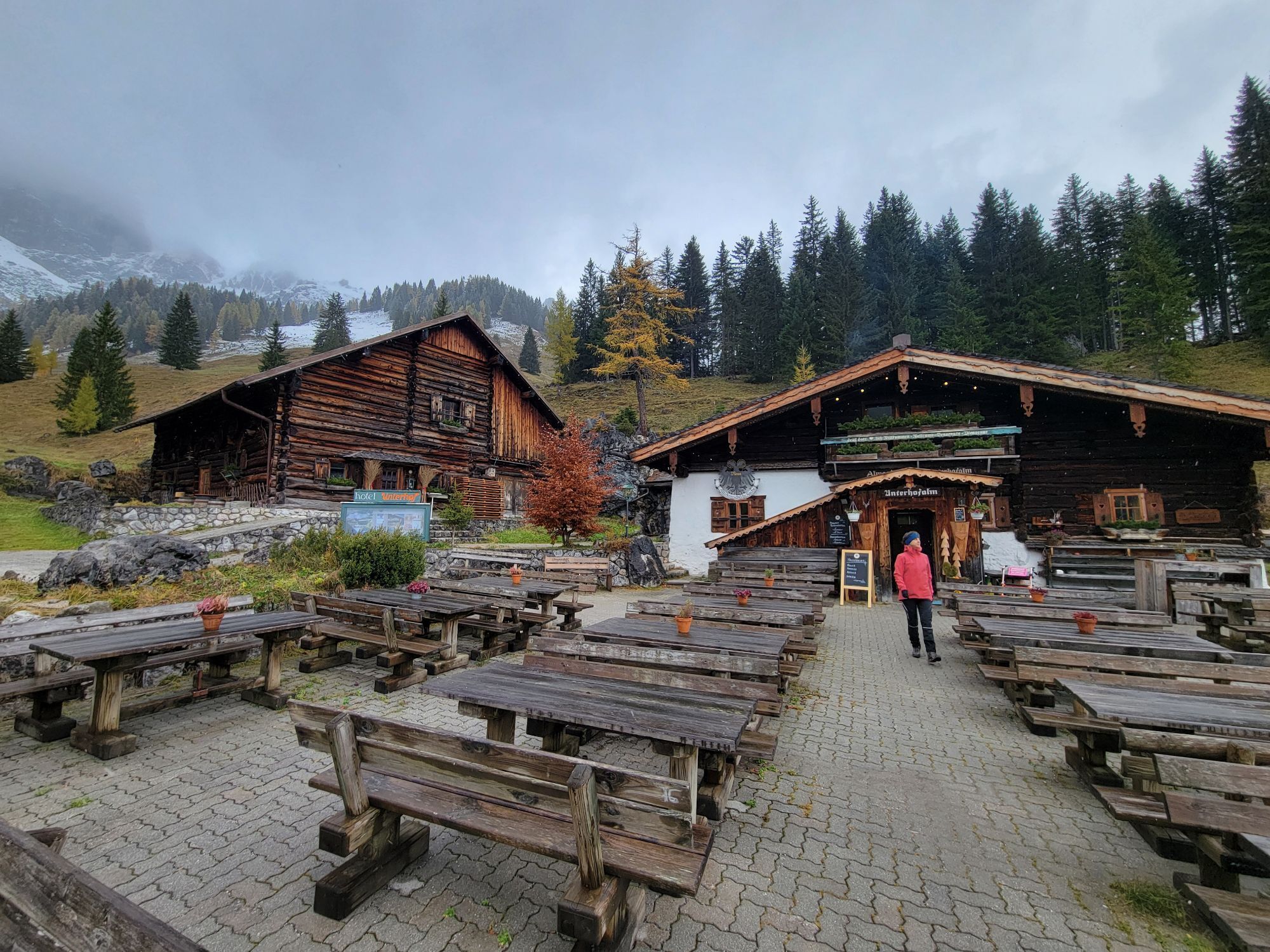
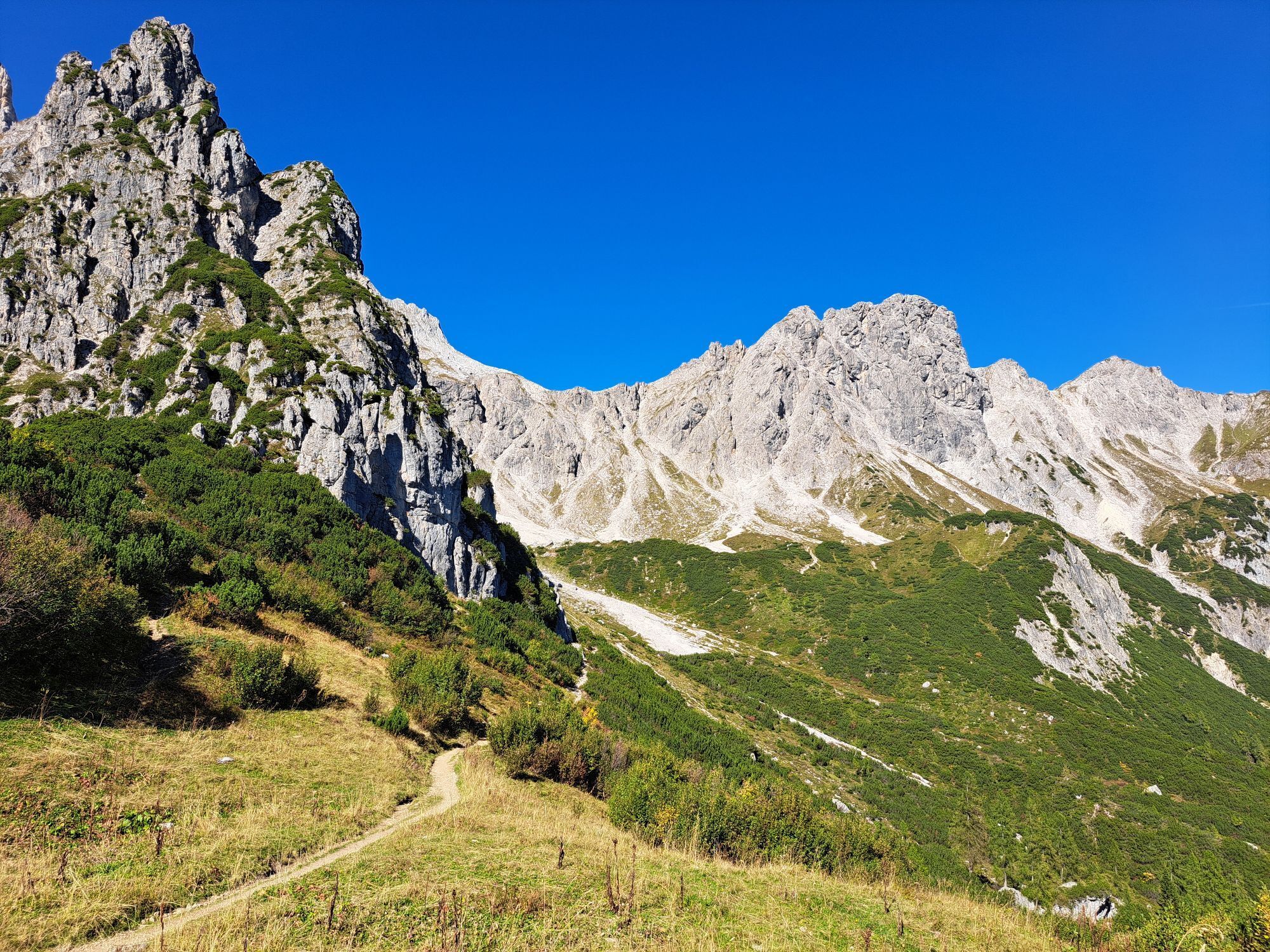
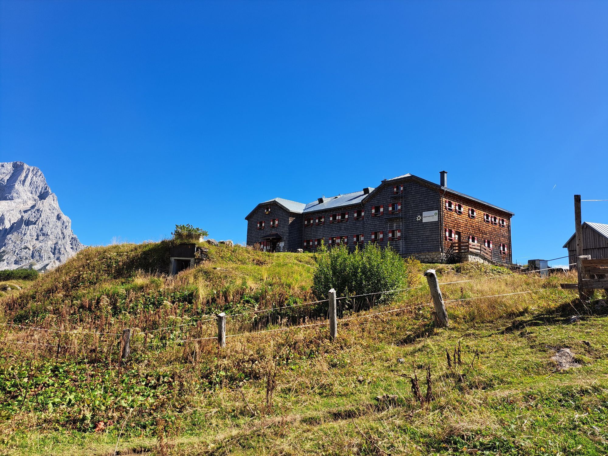
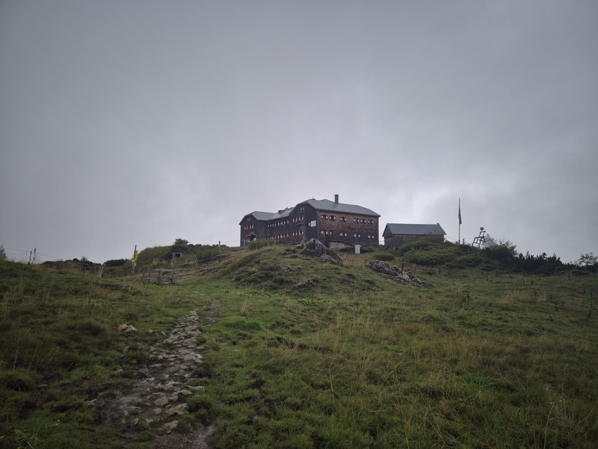
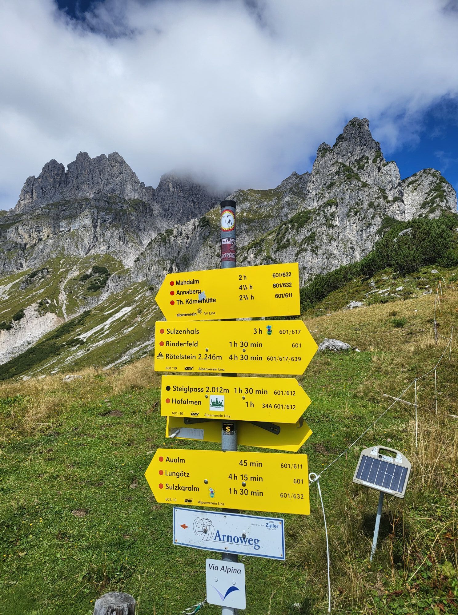

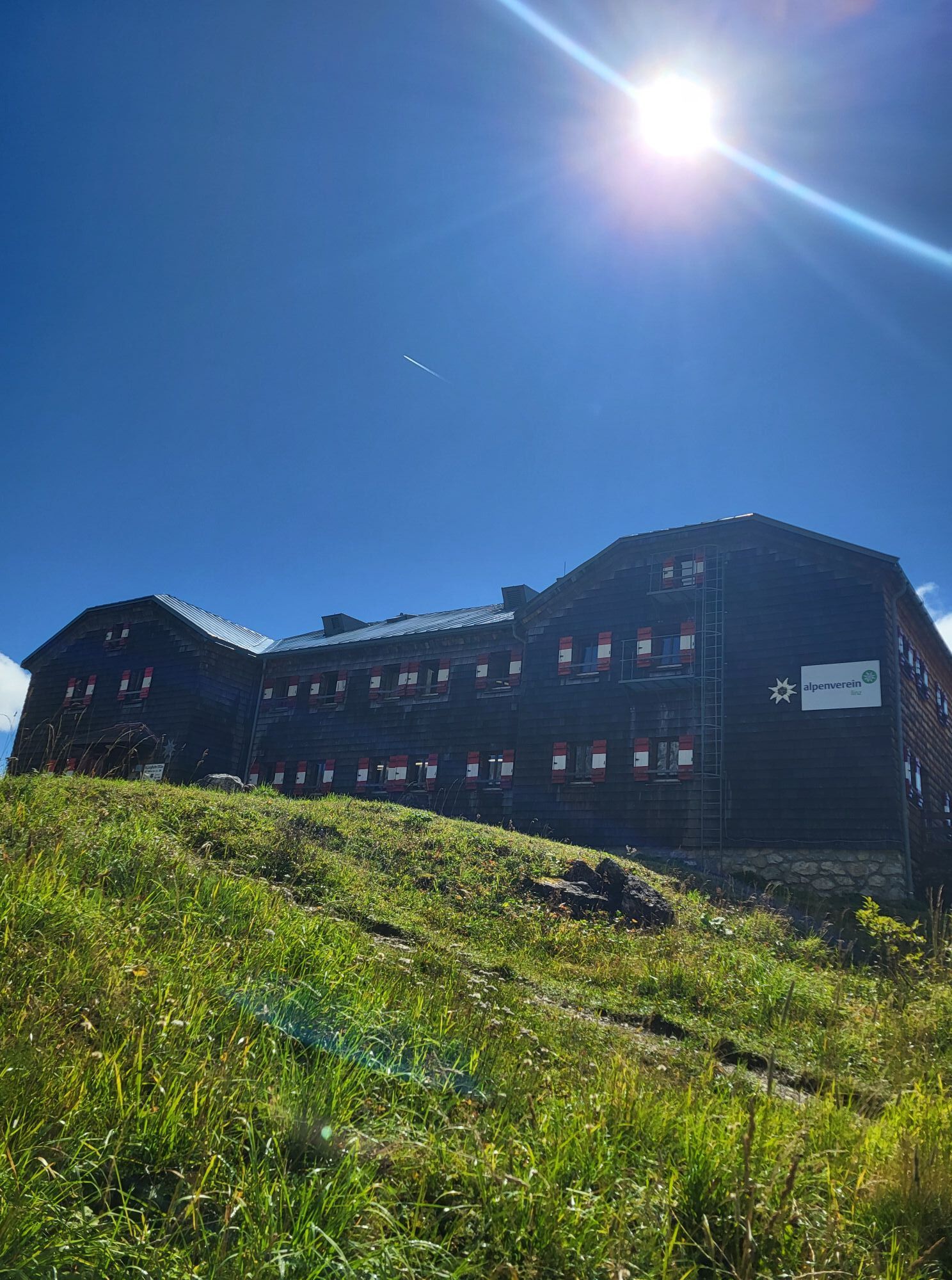
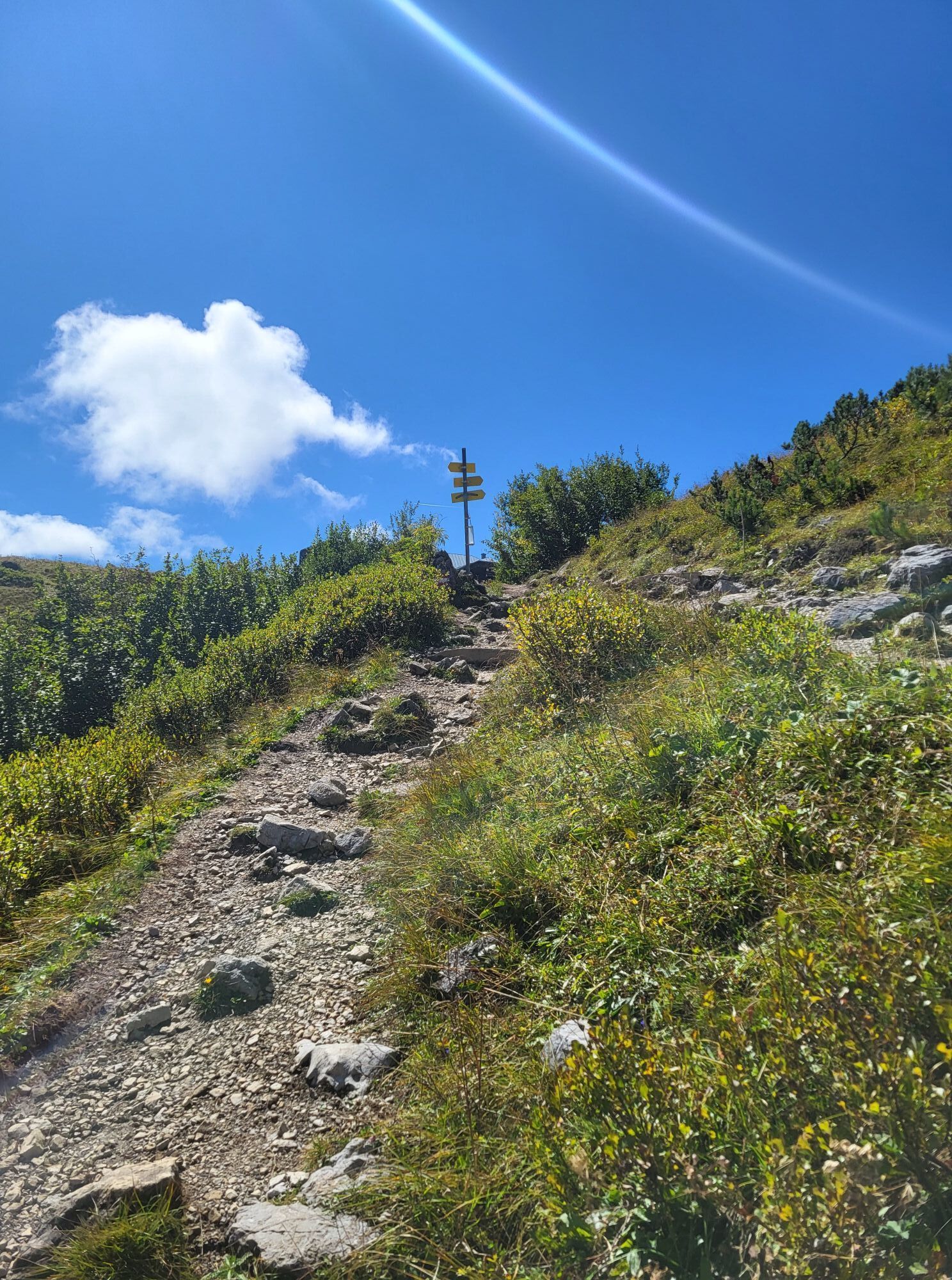
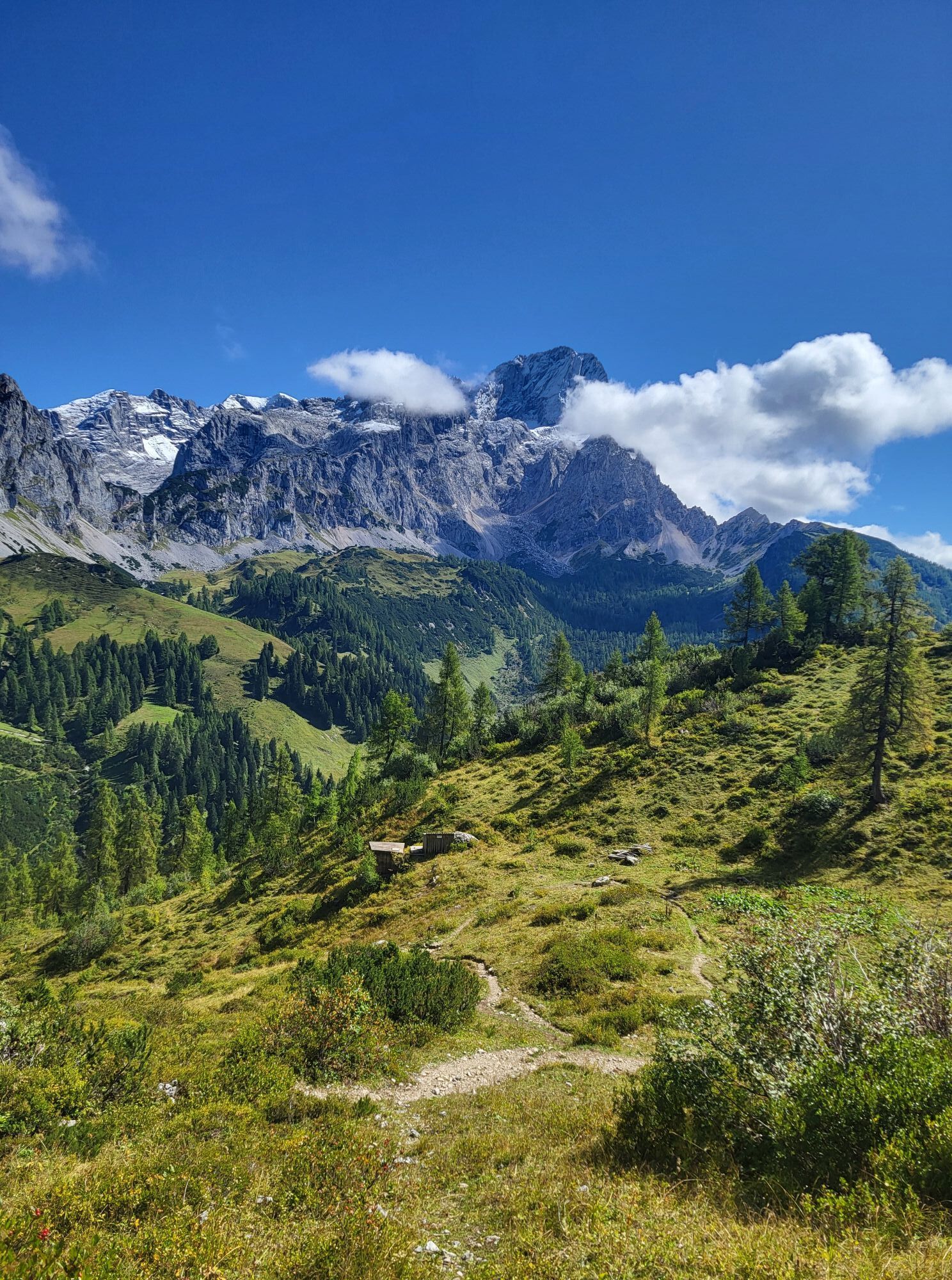
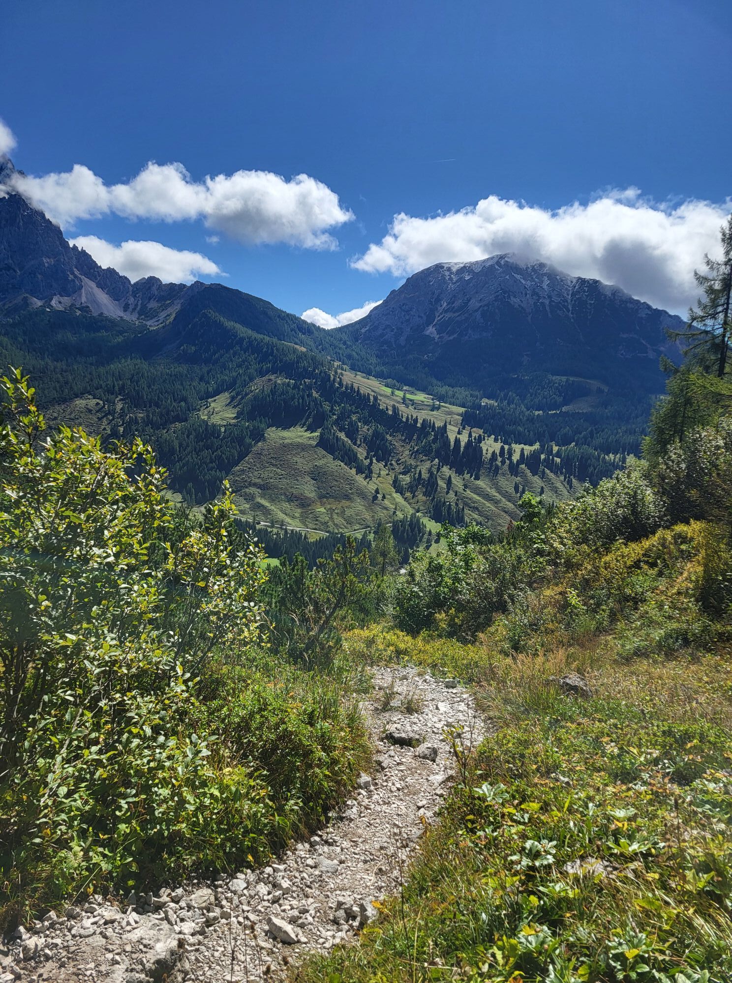
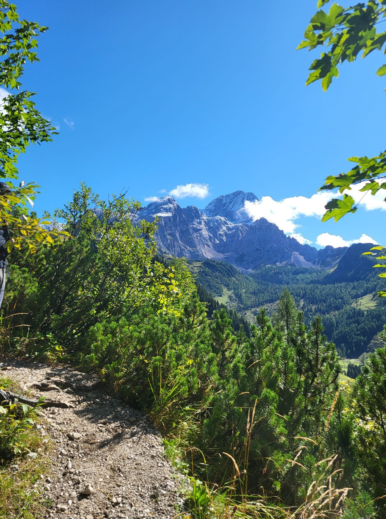
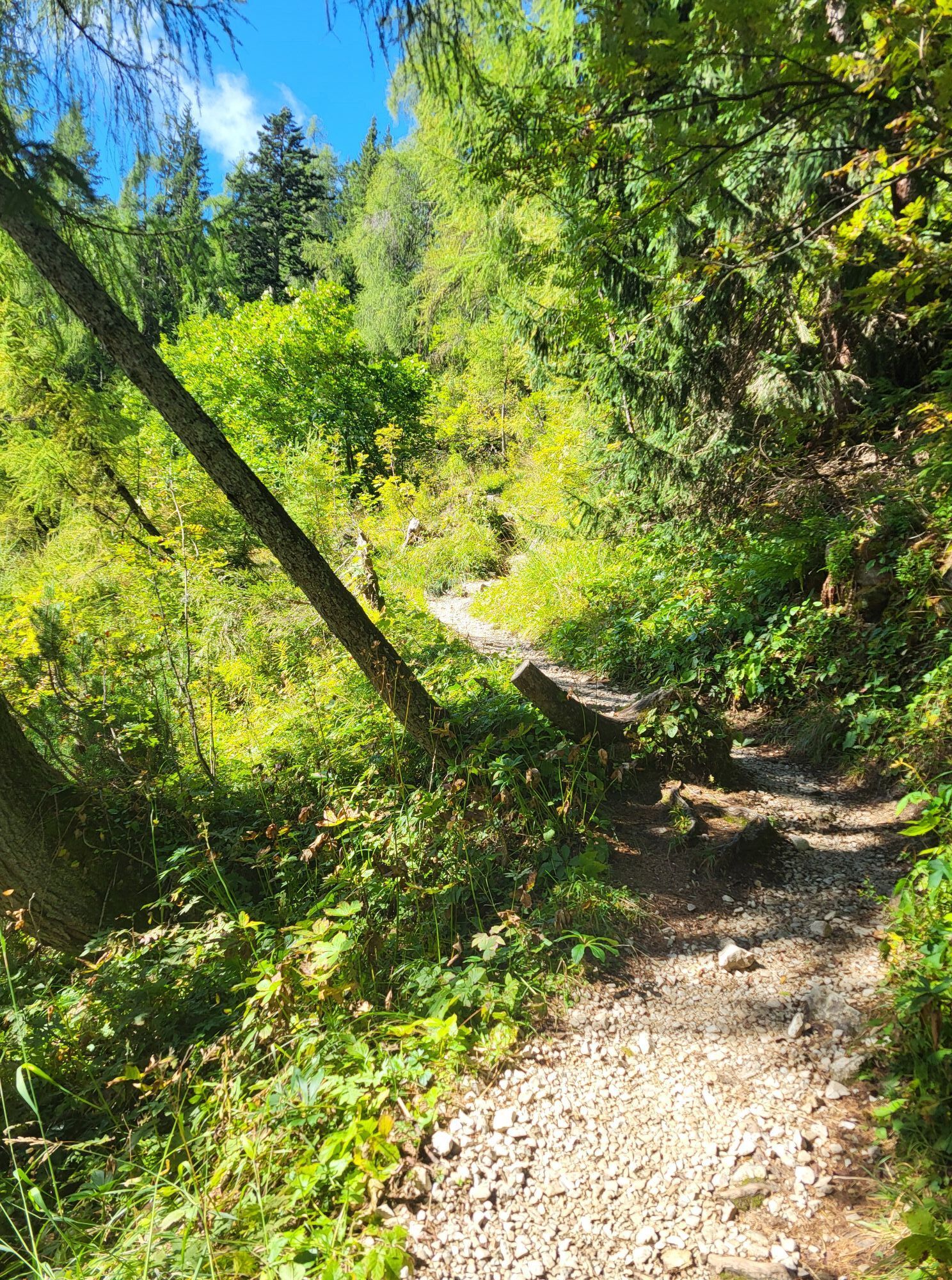
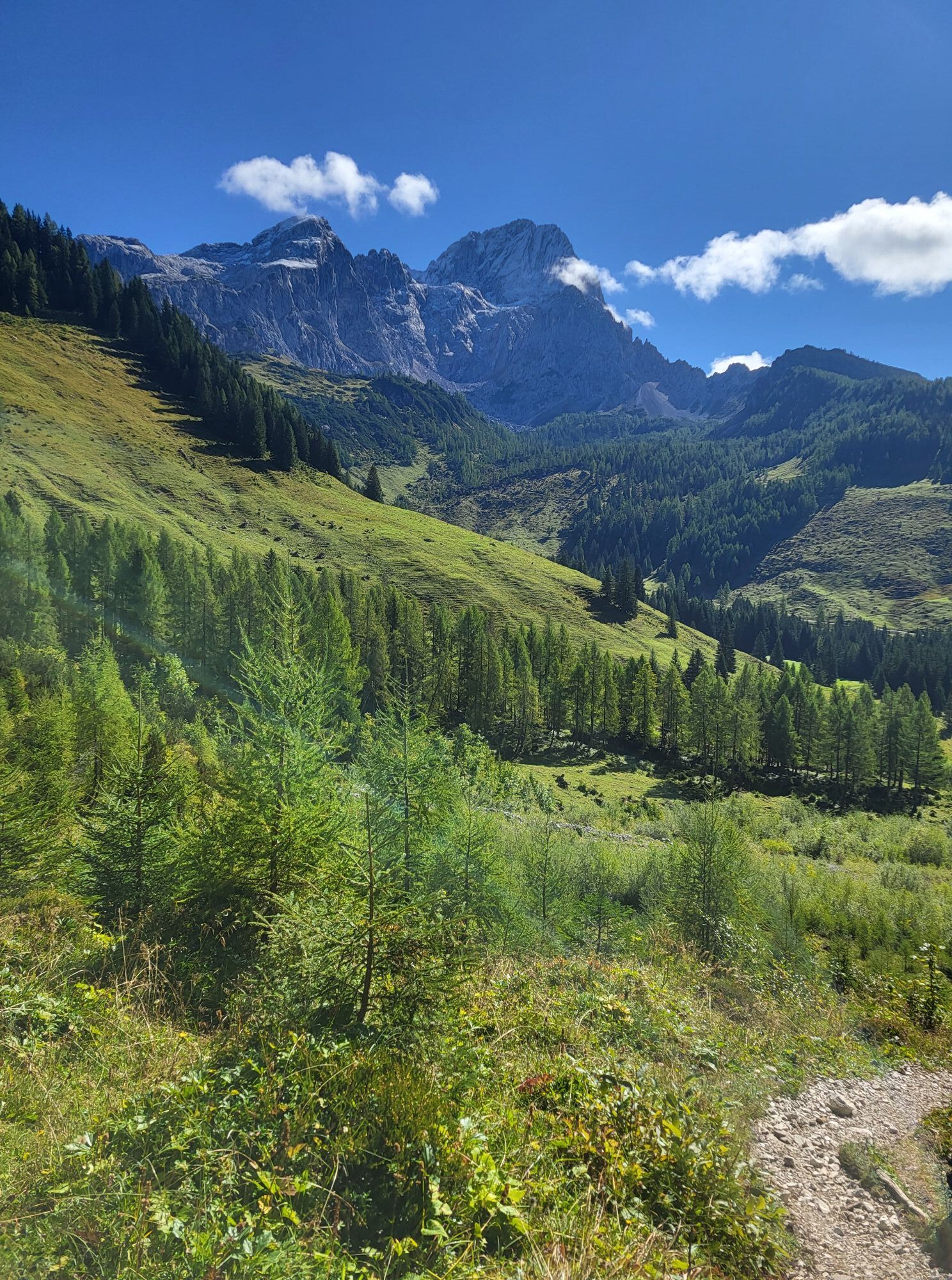
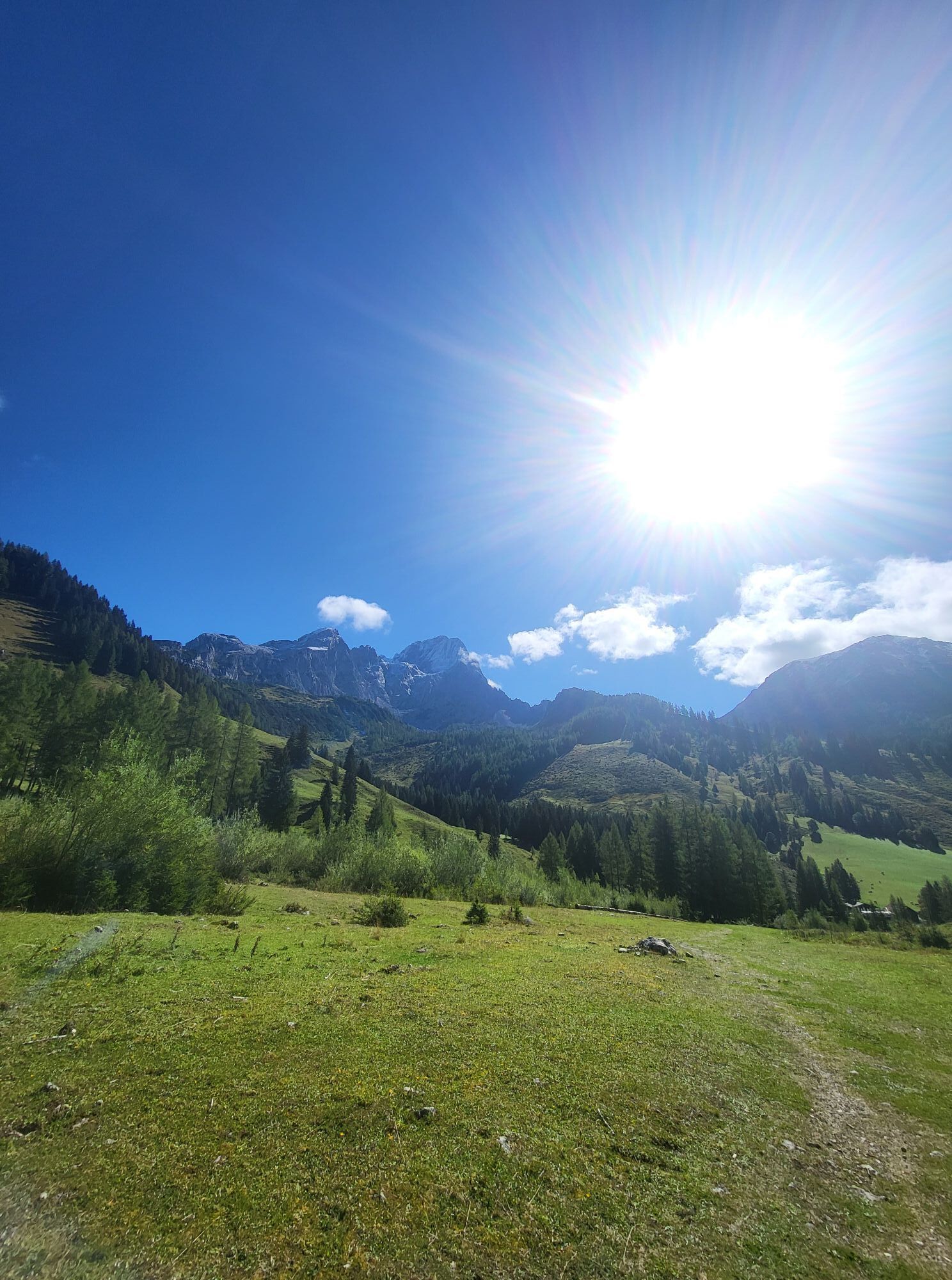
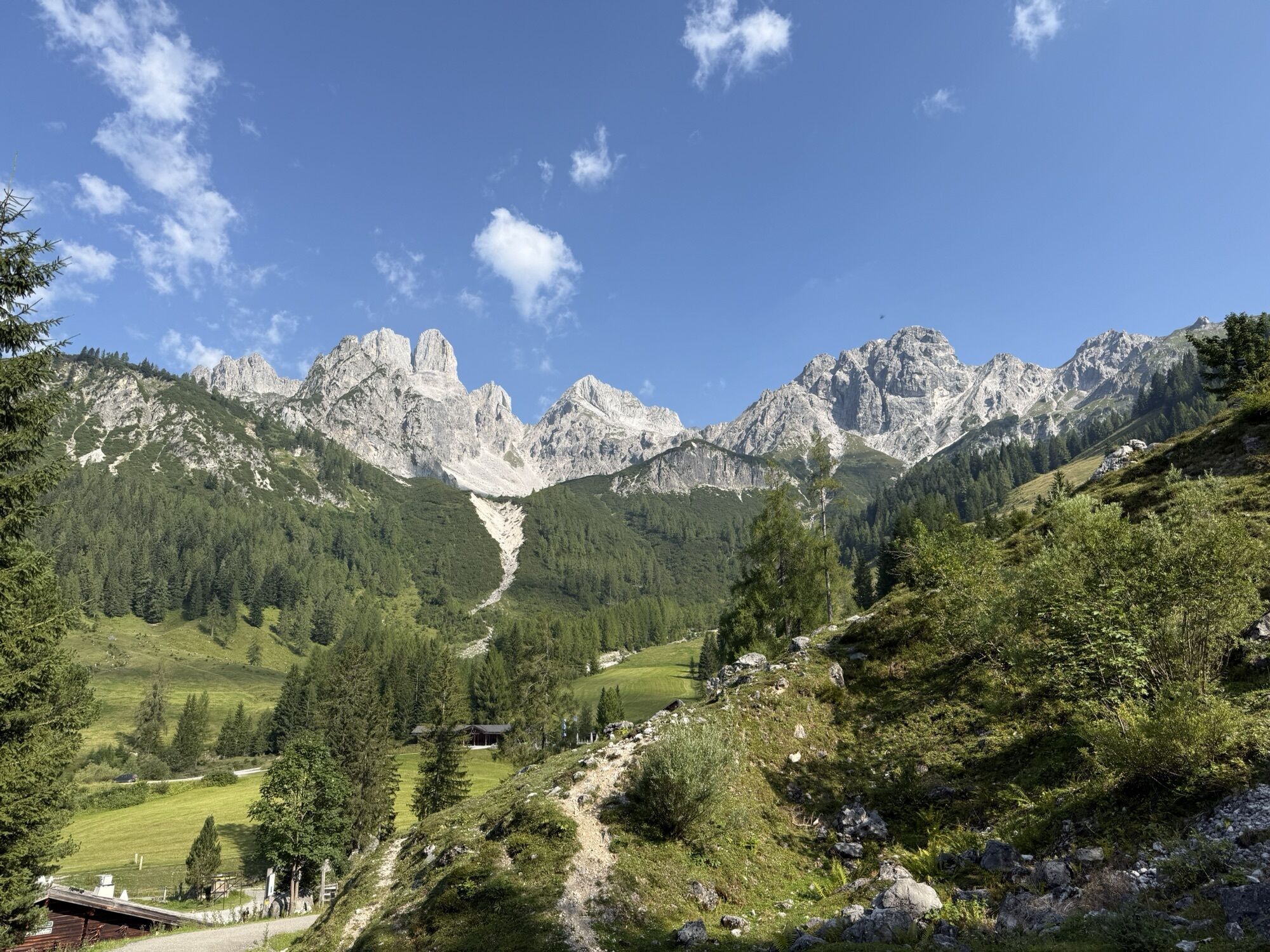
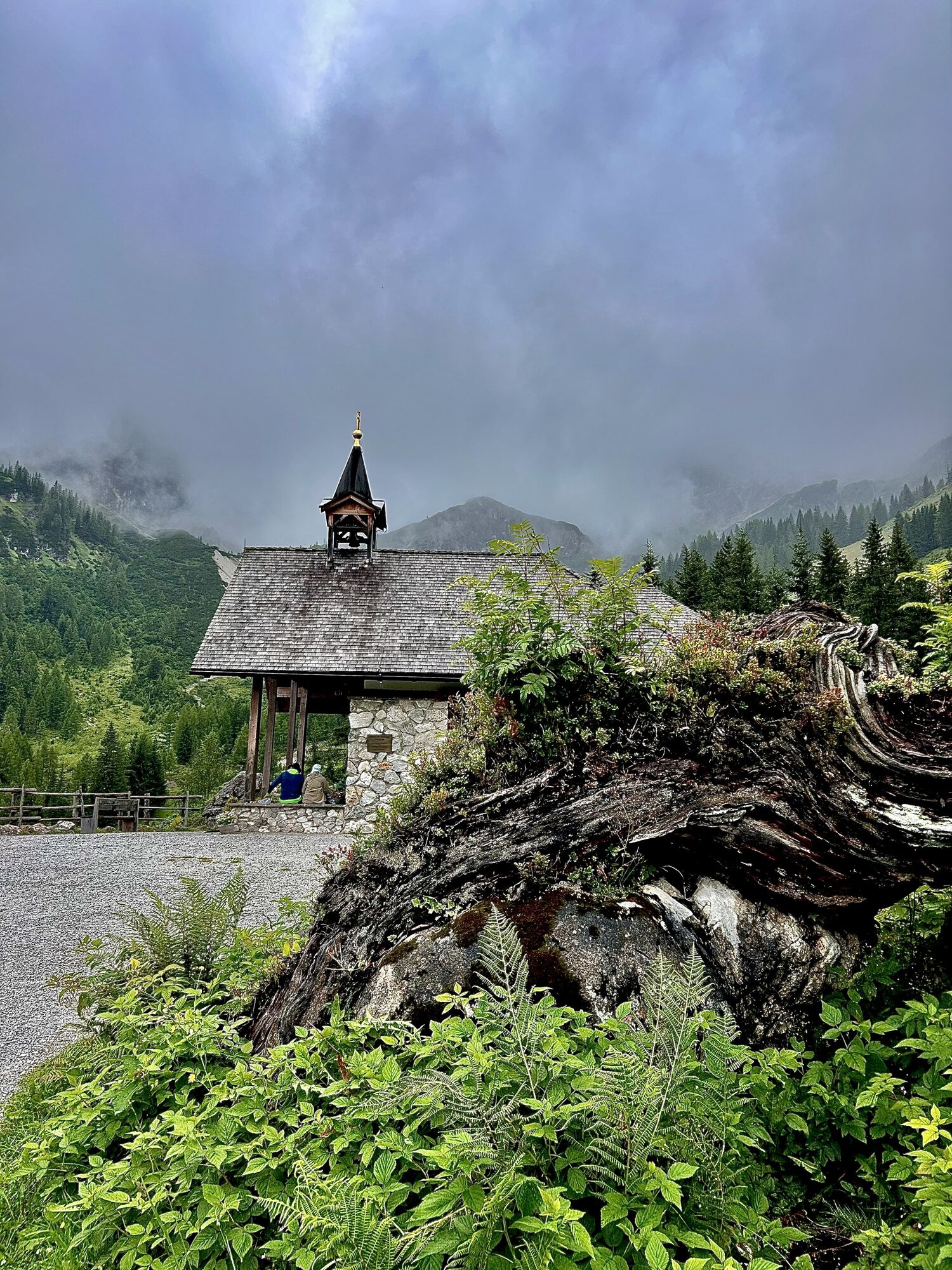
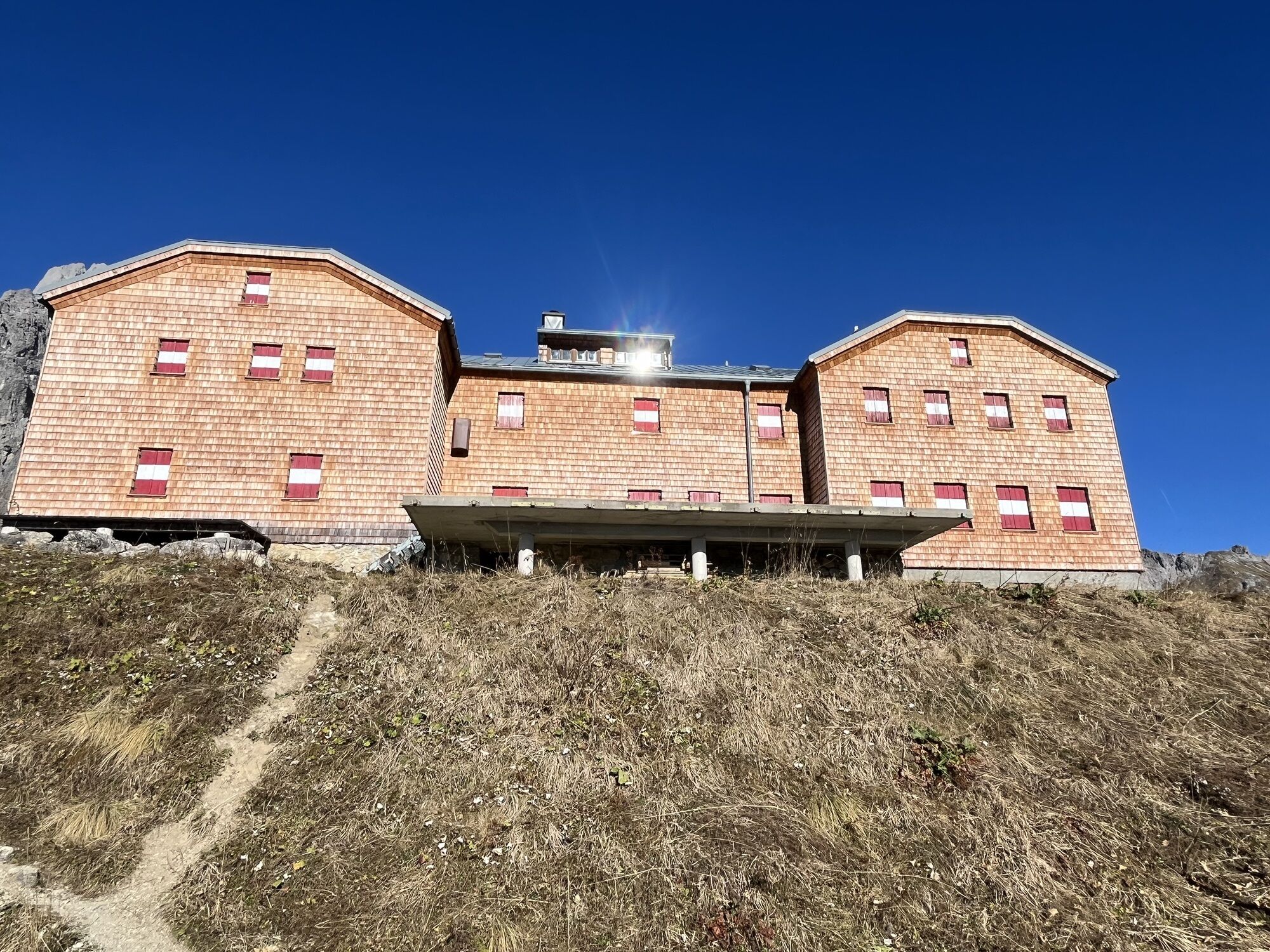
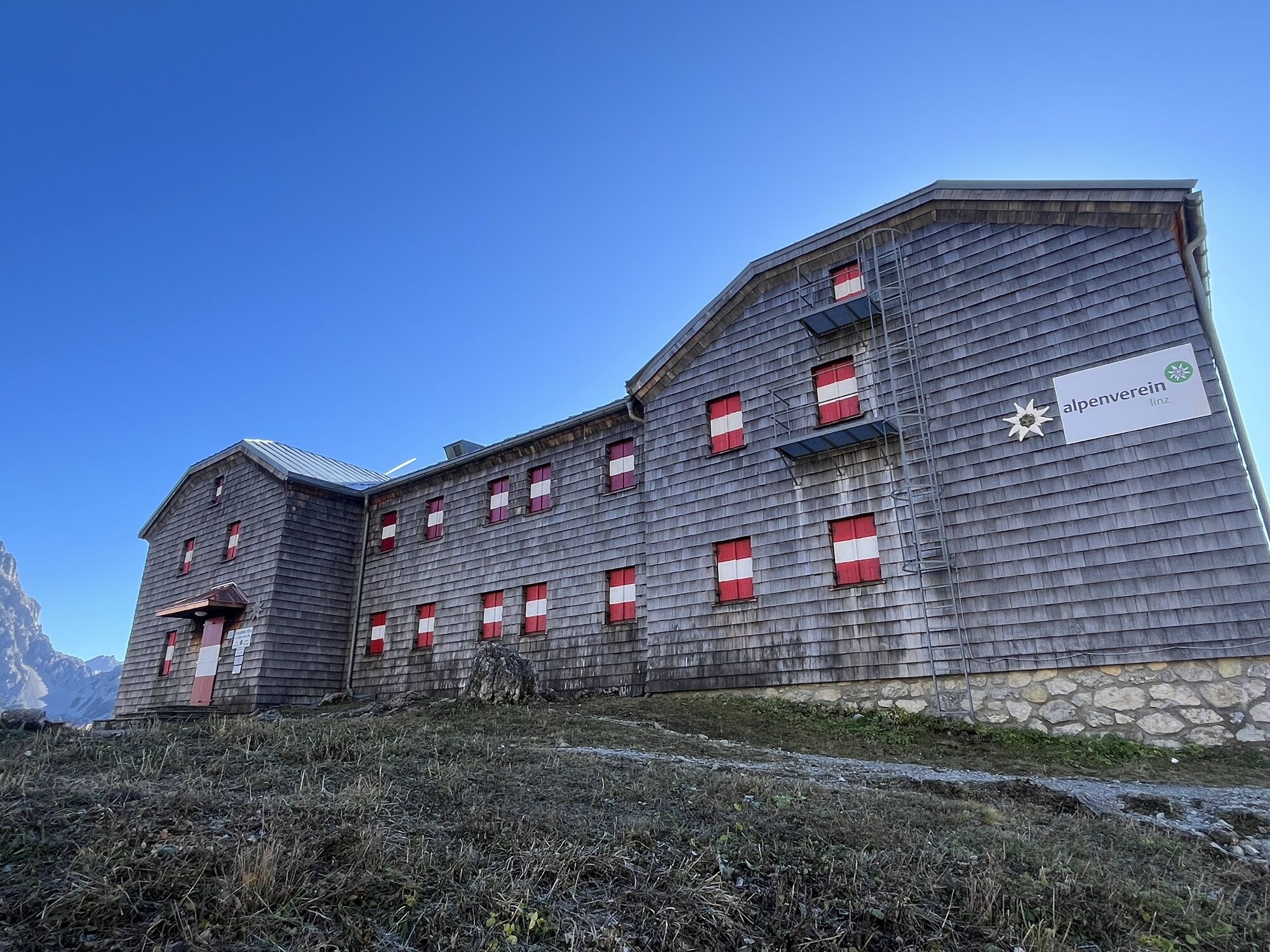
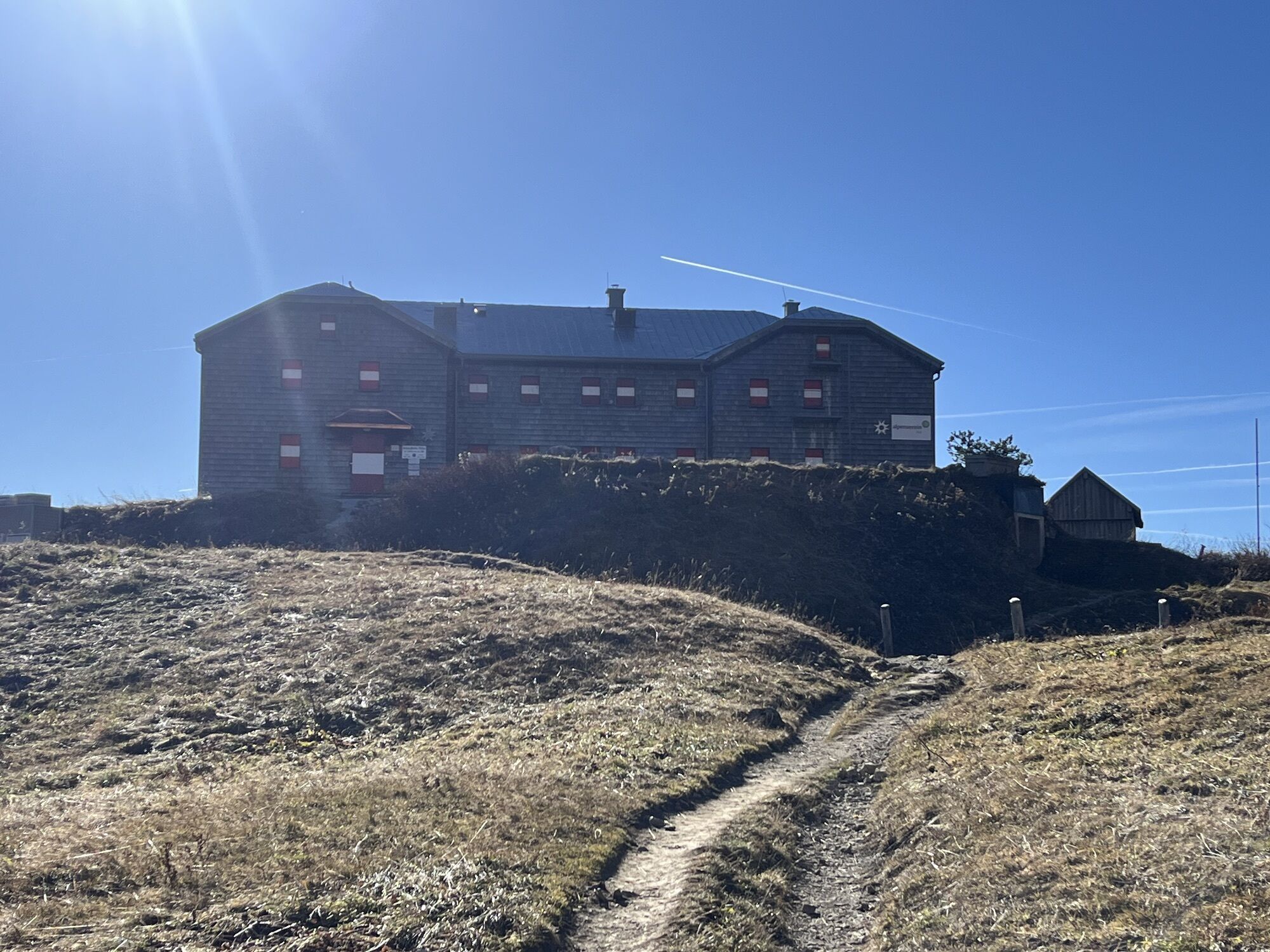
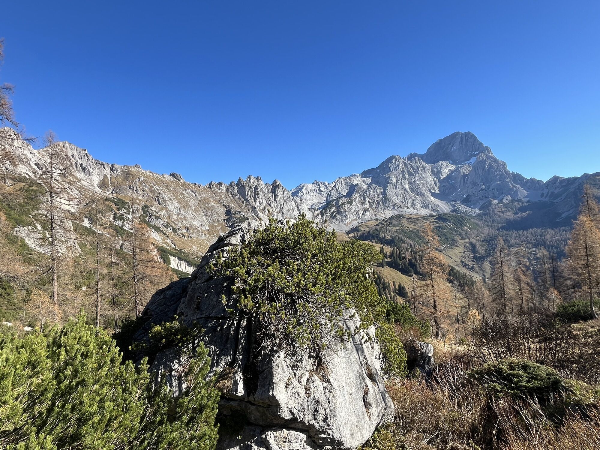
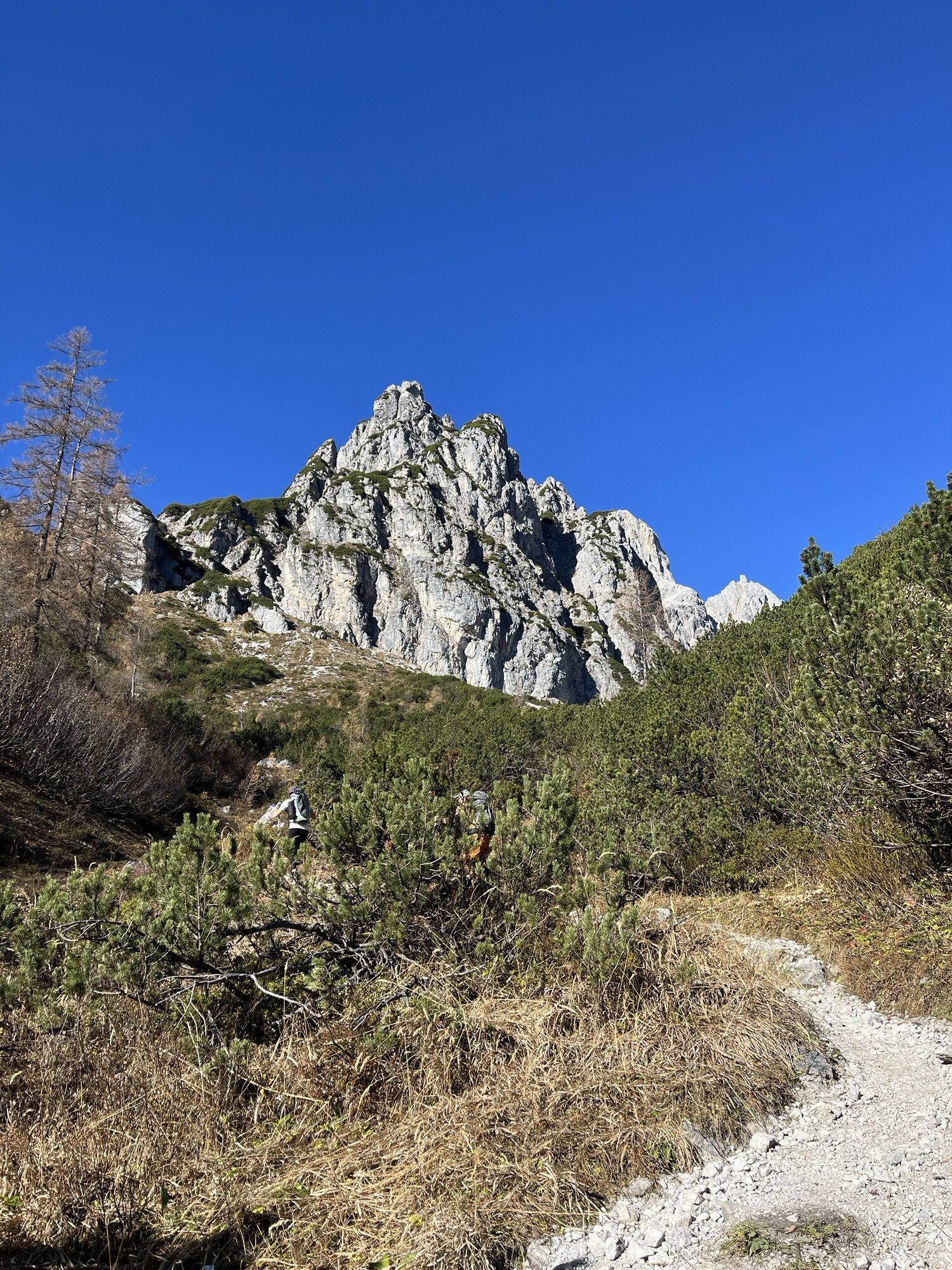
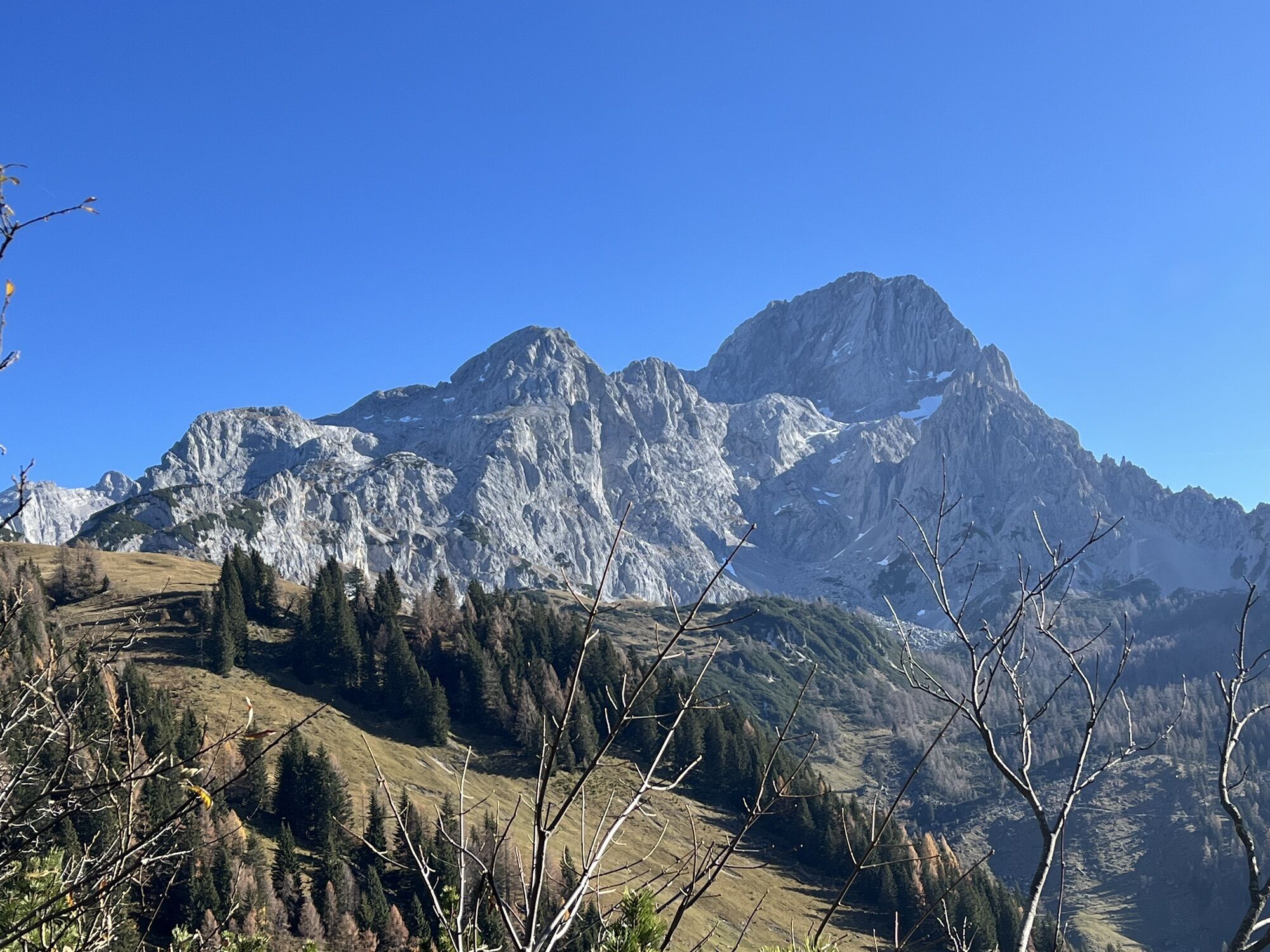
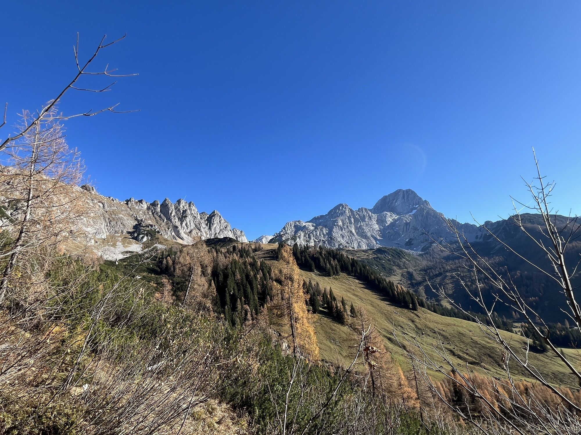
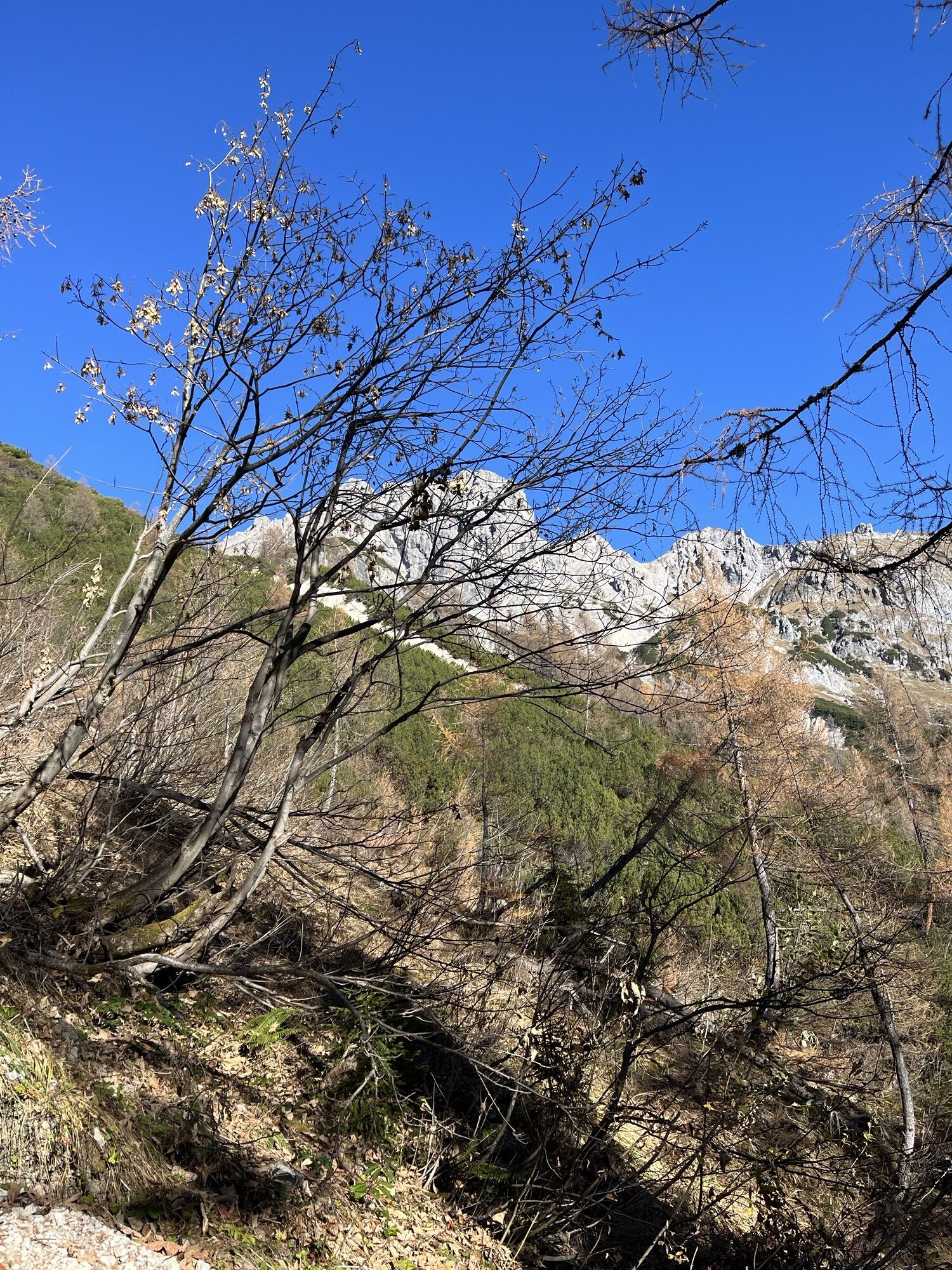
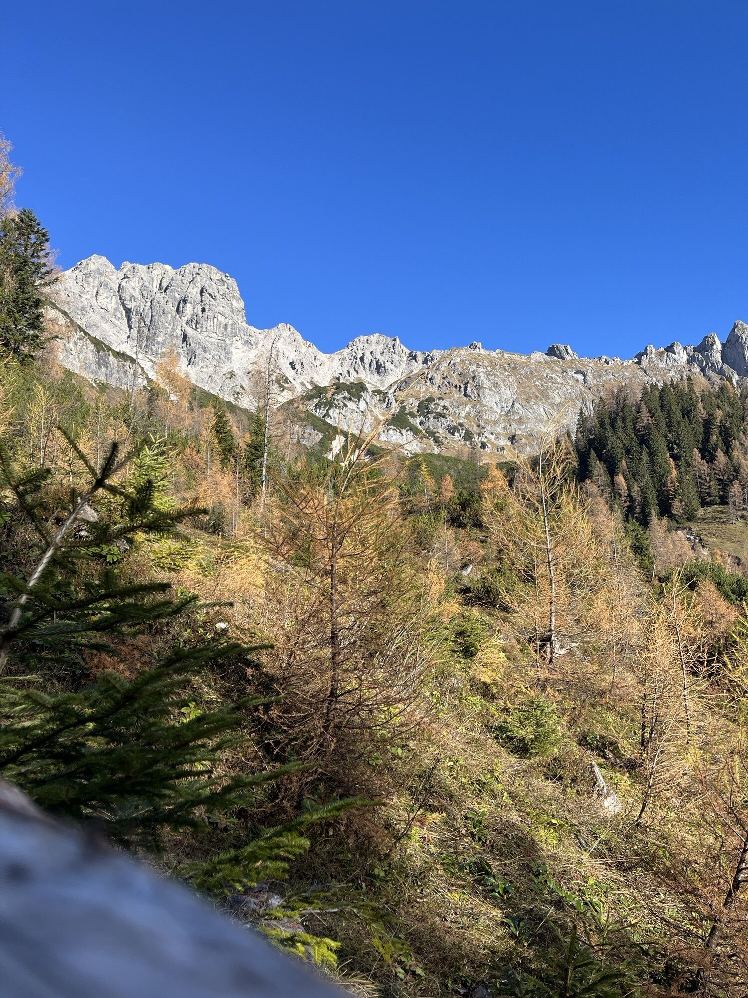
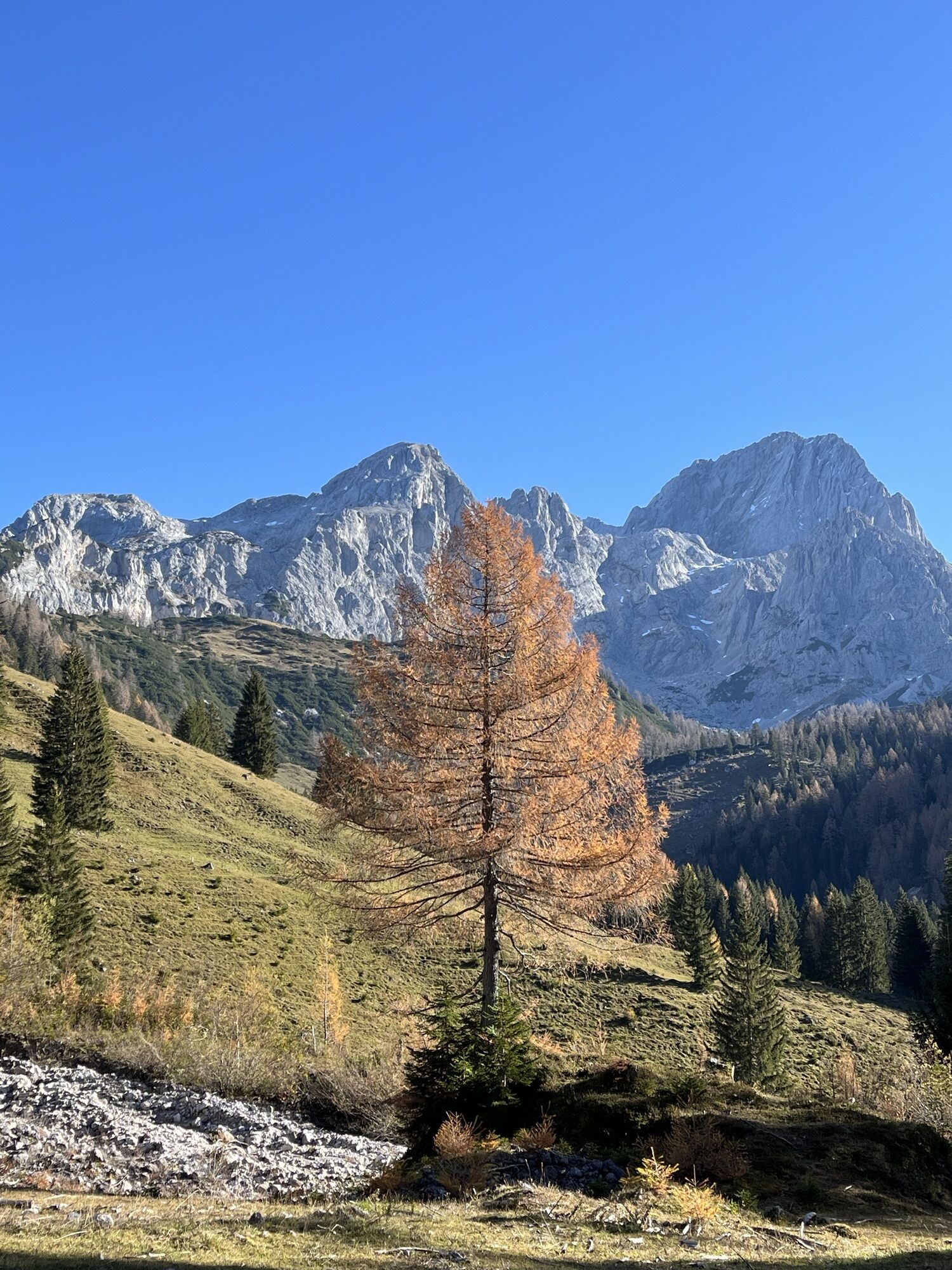
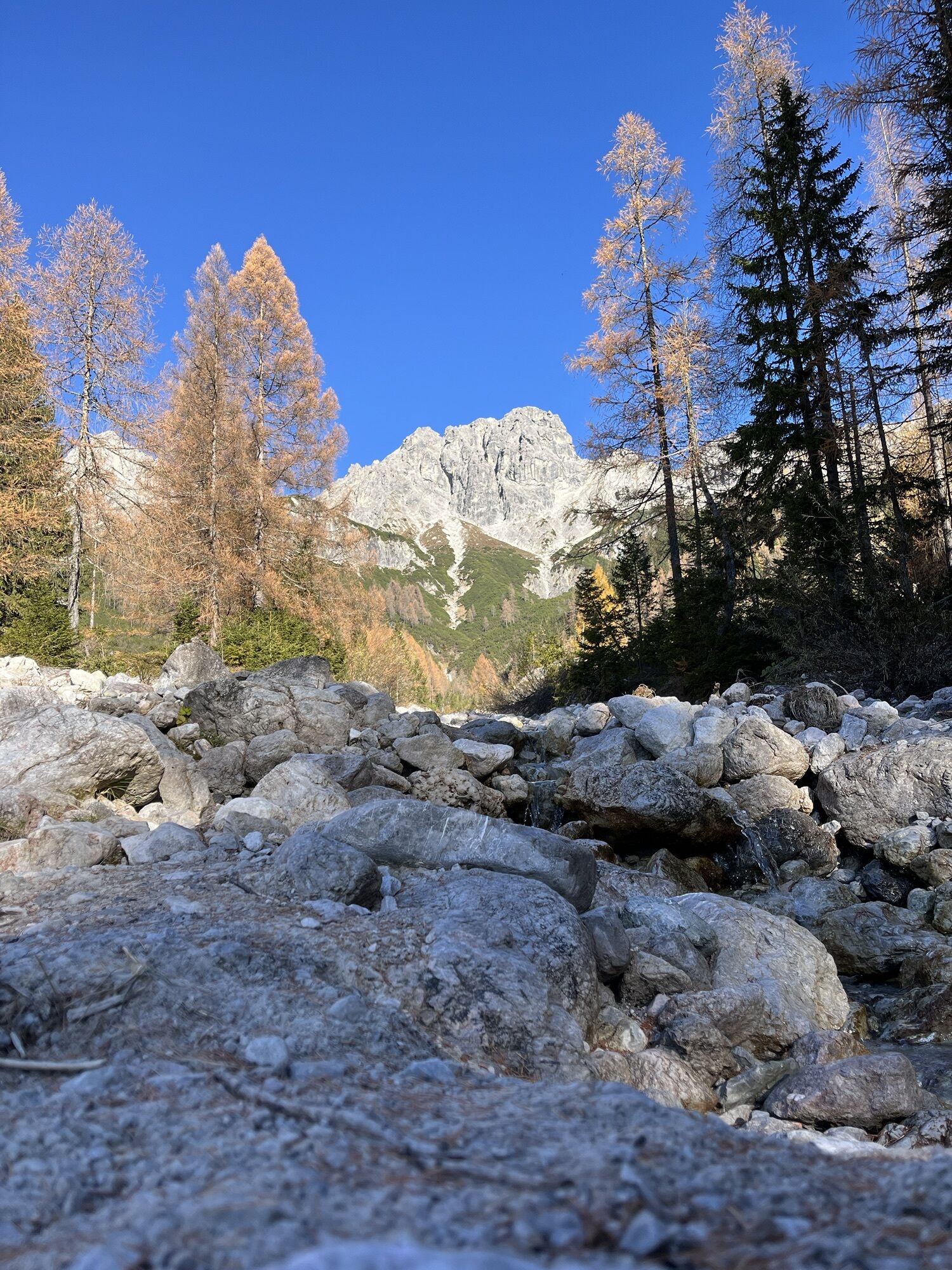
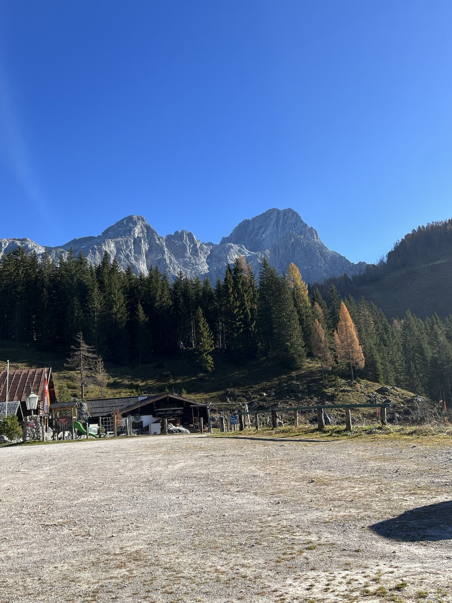
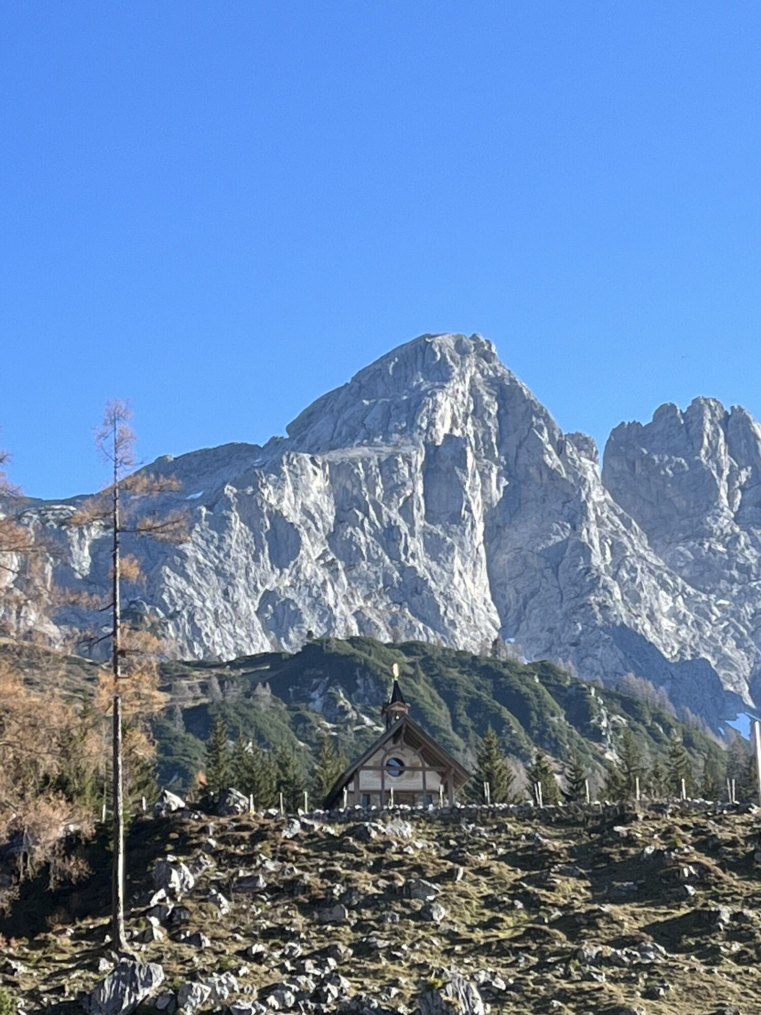
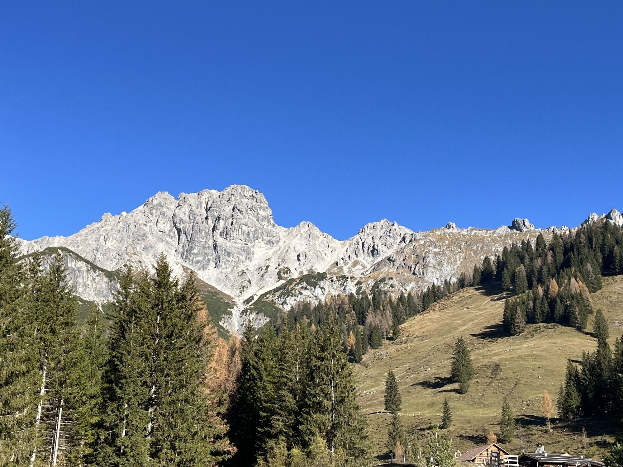
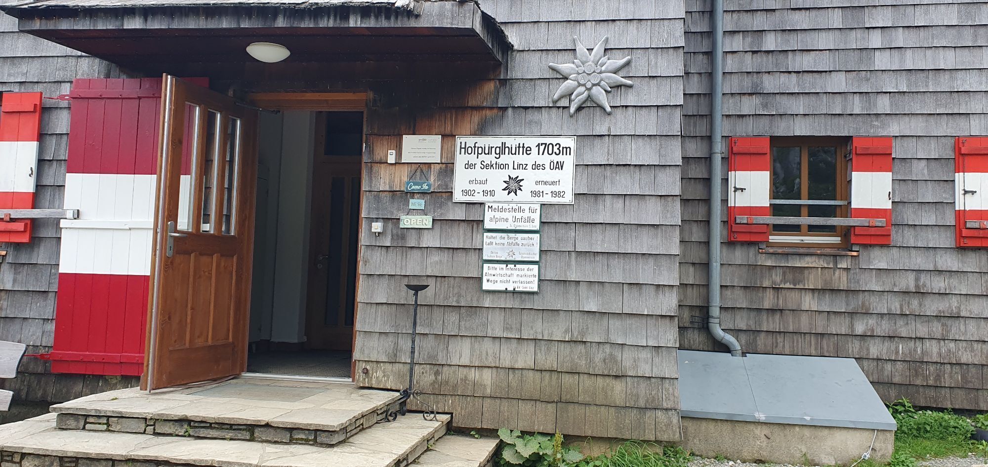
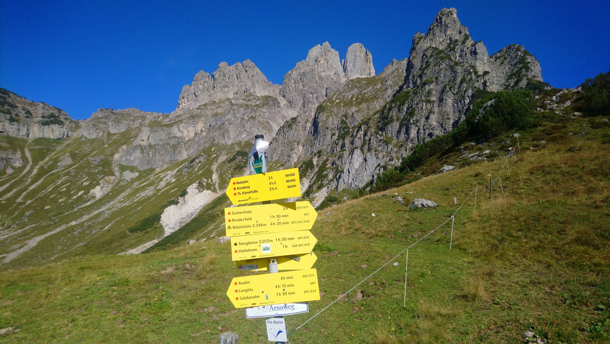
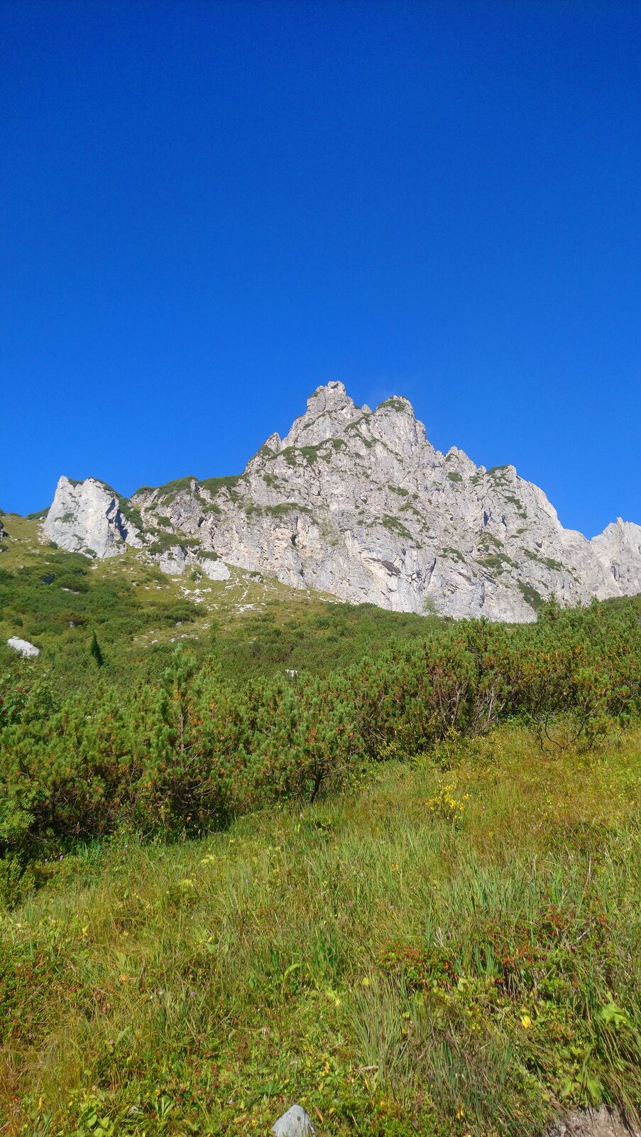
The Hofpürglhütte is a rewarding destination for hikers, mountaineers and climbing enthusiasts, offering a unique alpine atmosphere. Nestled in the spectacular landscape at the foot of the Bischofsmütze...
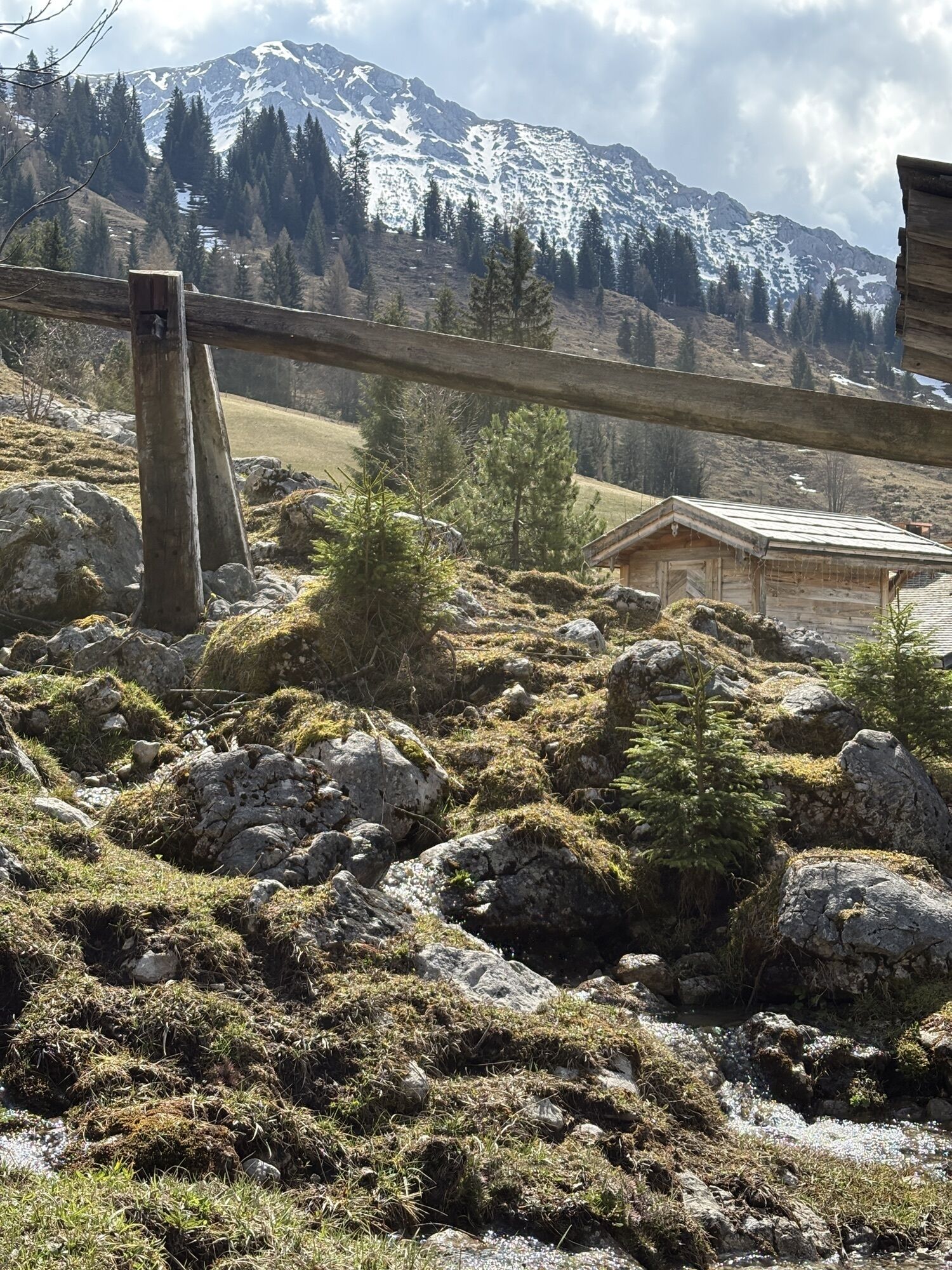
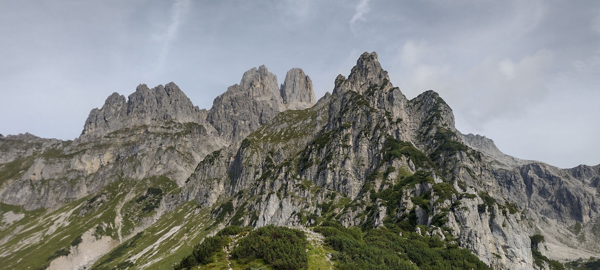
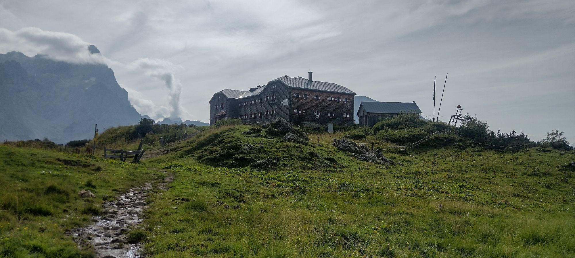
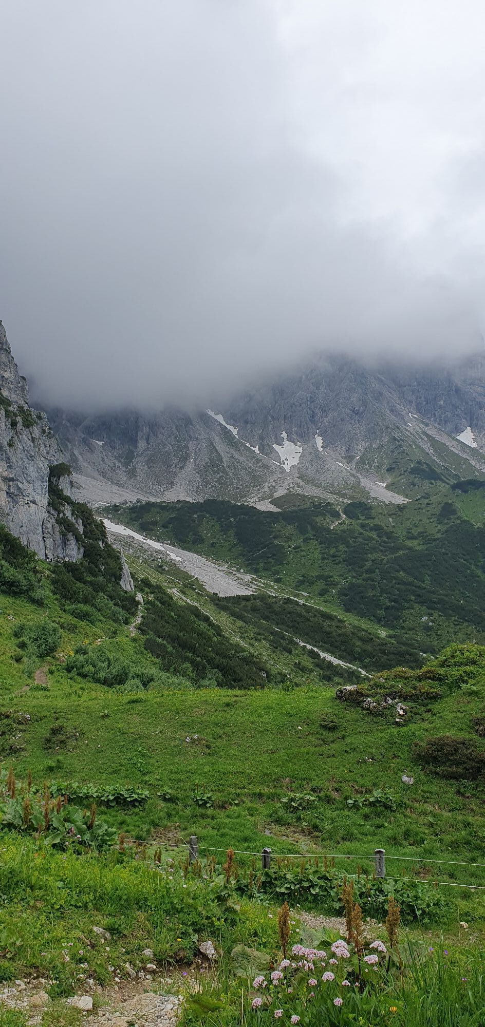
The Hofpürglhütte is a rewarding destination for hikers, mountaineers and climbing enthusiasts, offering a unique alpine atmosphere. Nestled in the spectacular landscape at the foot of the Bischofsmütze mountain, the mountain hut provides a magnificent panoramic view of the surrounding peaks and valleys. The varied approaches lead through unspoilt nature, across alpine meadows and through impressive mountain scenery. Whether as a hiking destination, a starting point for mountain tours or simply a place to relax and enjoy the views – the Hofpürglhütte combines traditional alpine hospitality with unforgettable experiences for all visitors. Located directly near the hut is a natural climbing garden, offering ideal conditions for climbing enthusiasts. With Salzburg’s largest climbing area, the region is one of the most important climbing destinations in the province. In addition, the hut features its own bouldering room, which can be used for training or climbing sessions even in changing weather conditions. The Hofpürglhütte is therefore a special place for everyone who wants to combine the fascination of the mountains, sporting challenges and the cosy atmosphere of a traditional alpine hut.

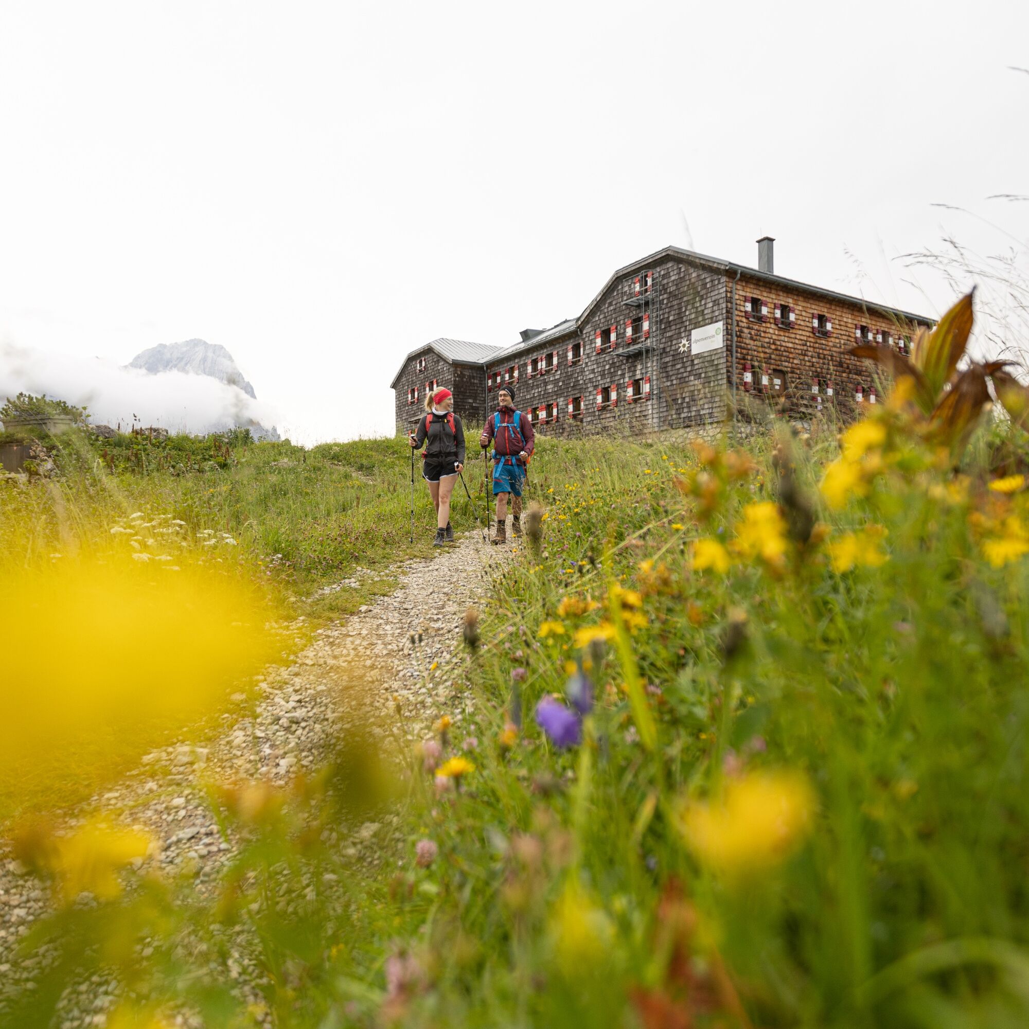
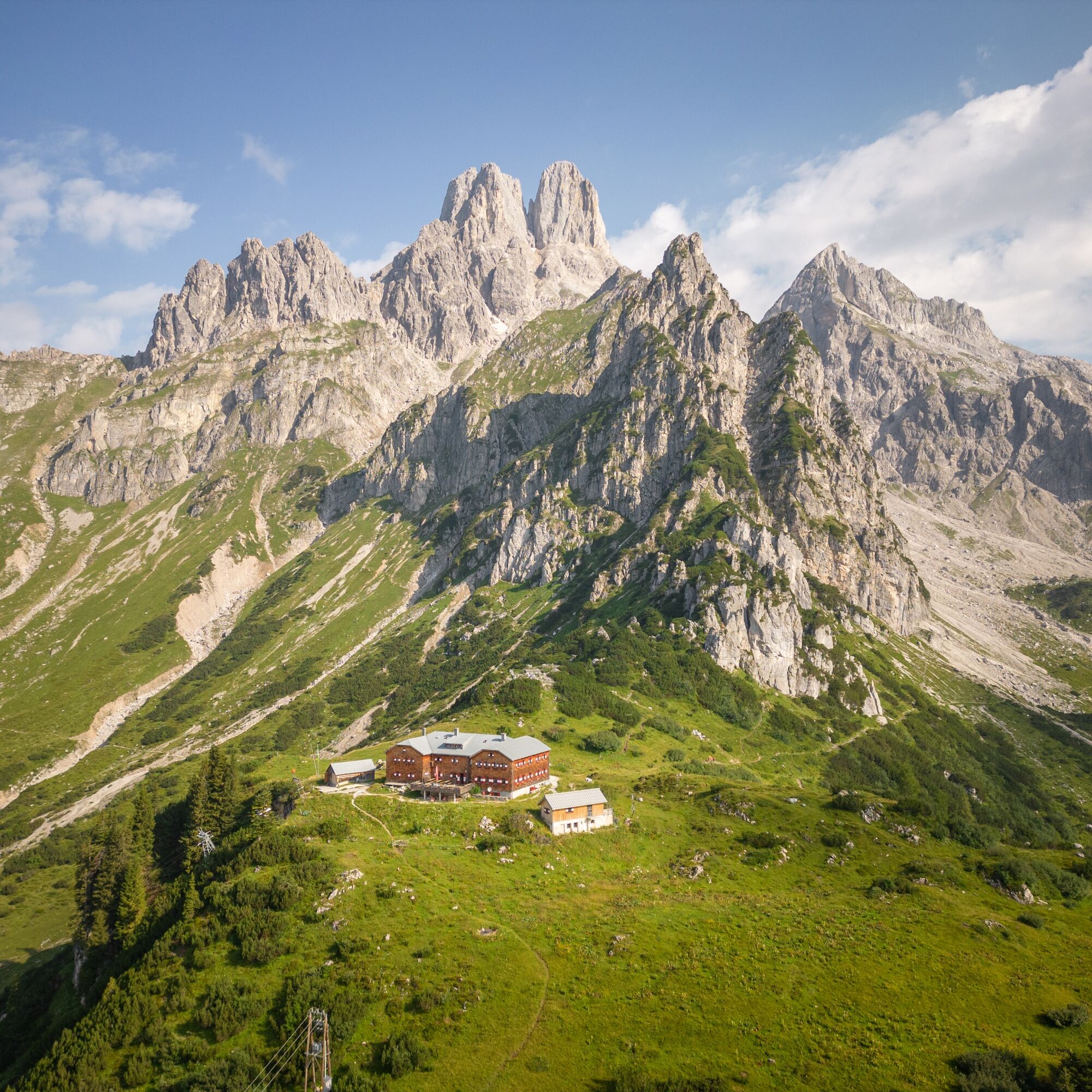
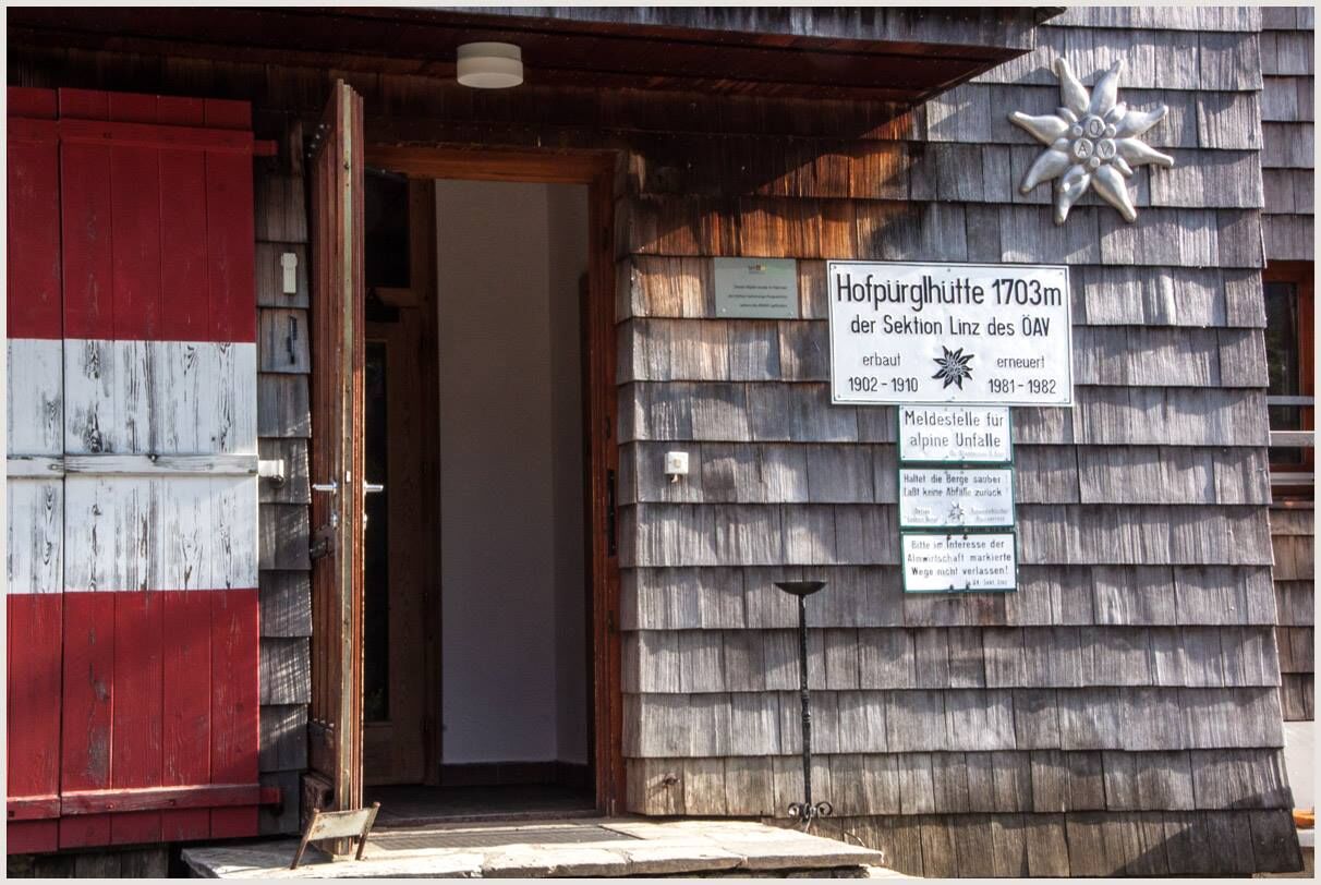

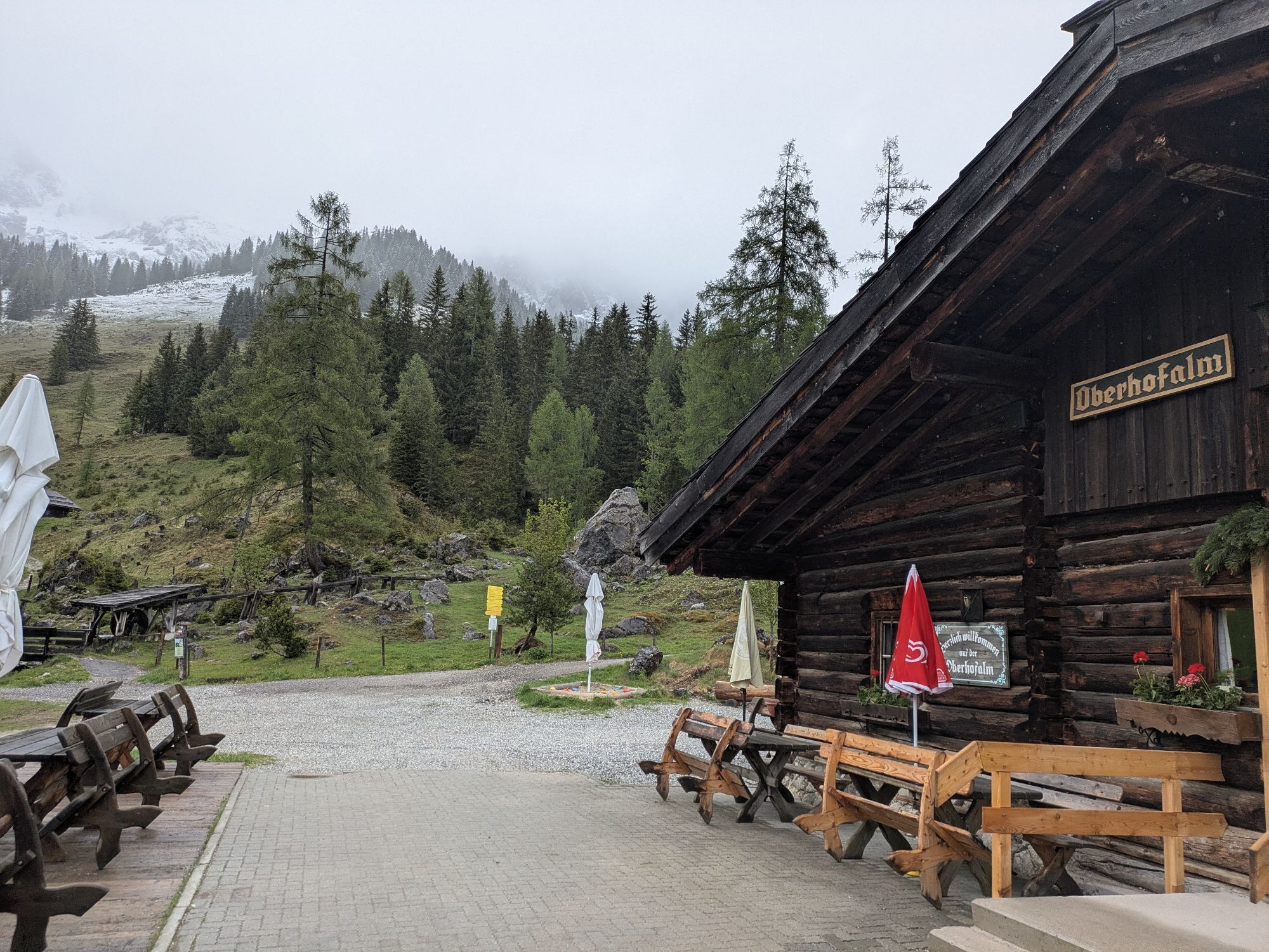
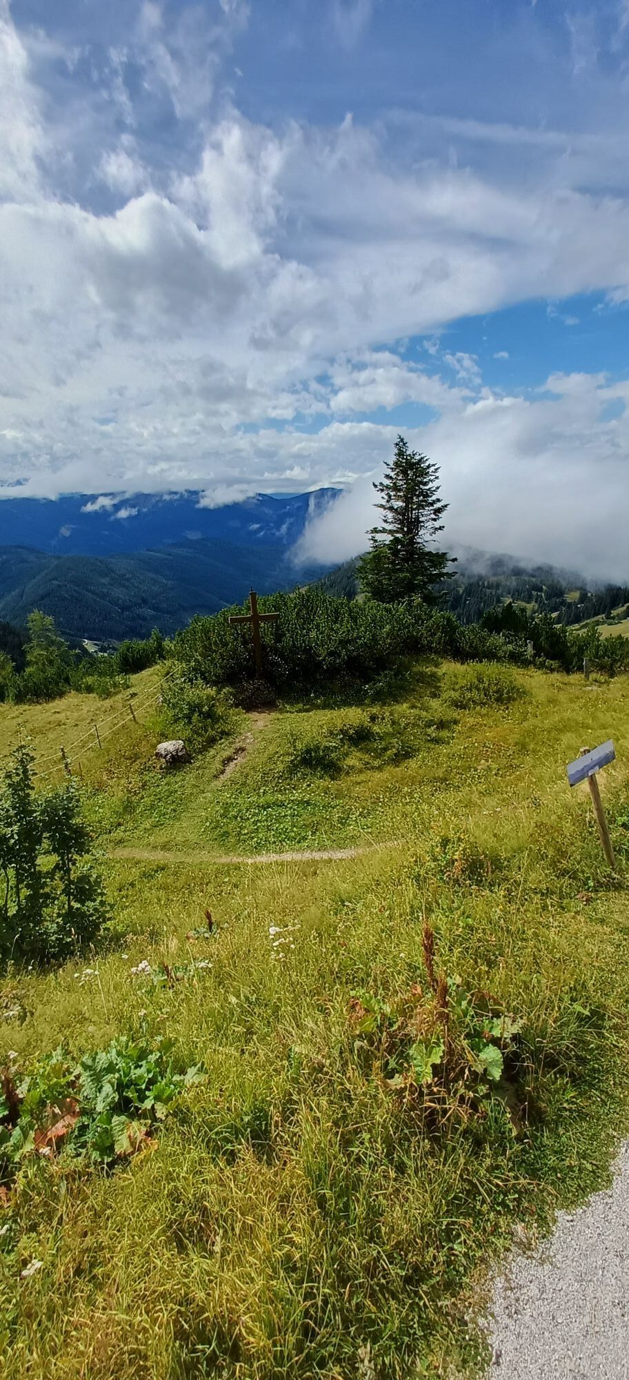
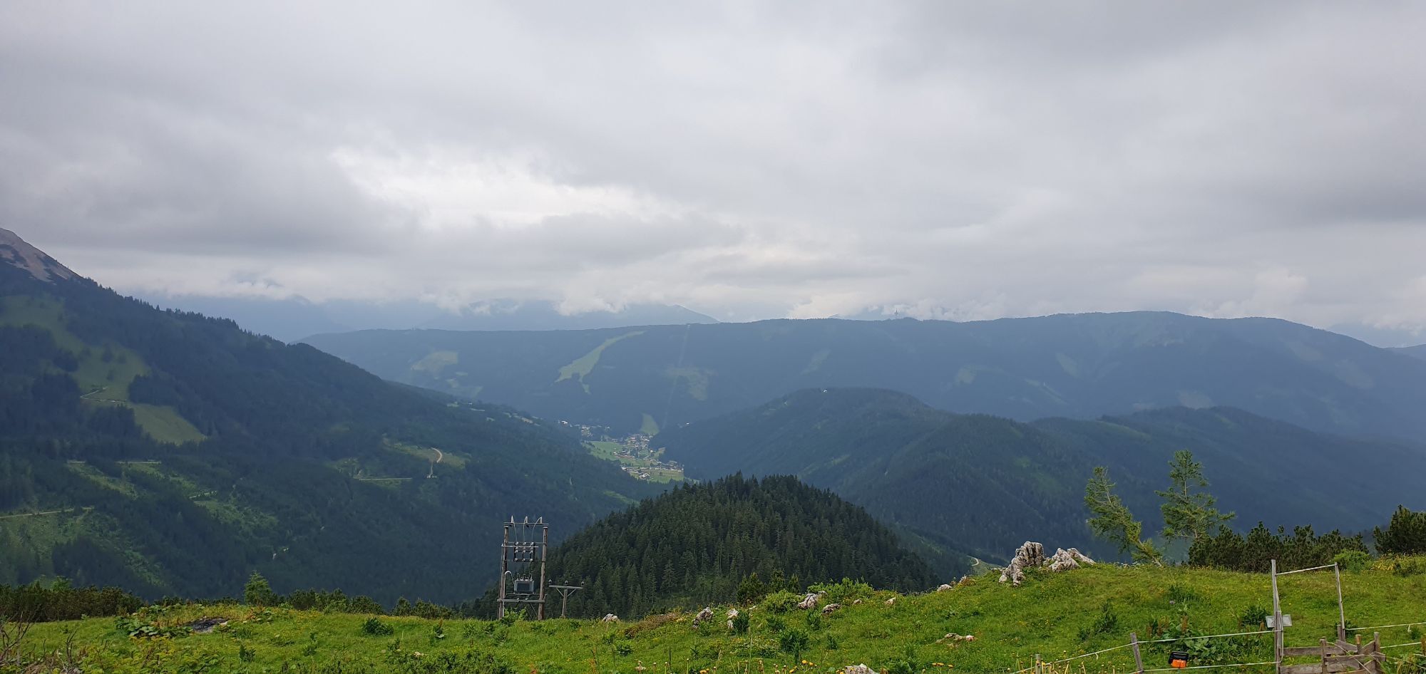
Tip: Shortly before reaching the Hofpürglhütte, it is worth making a short detour to a small saddle with an impressive panoramic view. From here, you can enjoy a magnificent vista of the Aualm, the Hofalmen pastures, the Almsee lake, the imposing Bischofsmütze mountain and the Rettenstein. For the return journey from the Hofpürglhütte, take the Wastl-Lackner Trail (Austrian Alpine Club Trail No. 612). This trail is named after the Filzmoos local Wastl Lackner, who served as the hut keeper of the Hofpürglhütte for many years and played an important role in shaping the character of the hut. The trail initially leads from the Hofpürglhütte through dense mountain pine fields and descends steadily in numerous switchbacks. Afterwards, you continue downhill across open alpine meadows, where you can enjoy the impressive scenery of the Hofalmen region. After the descent, you reach the parking area at the Unterhofalm. On the left, near the horse-drawn carriage shelters, you will find direct access to the parking area. From here, follow the signposts onwards to the Oberhofalm. For your return to the valley, several options are available: you can take the Fidibus Sommer hiking bus for a comfortable transfer back to Filzmoos, or enjoy a leisurely walk back towards the village centre via the Hofalmen Nature and Hiking Educational Trail. The route through the Hofalmen provides wonderful final impressions of the Filzmoos mountain landscape and brings this varied hiking experience to a memorable conclusion.
In case of thunderstorms: Avoid summits, ridgelines, and fixed-rope sections at all costs.
A good backpack is helpful, and for routes in alpine terrain, a hat, gloves, a good jacket, and pants are essential basic equipment. Sturdy, waterproof footwear, sunglasses, sun protection, and plenty of fluids are also crucial. A flashlight, map material, knife, and a small first aid kit should always be part of your gear.
Available GPS data – like hiking maps – are only intended as orientation aids, as they can never fully represent the exact layout or detail of a trail in reality. Especially in potentially dangerous areas, it is essential to make decisions based on the actual conditions on site regarding whether and how to proceed.
In case of emergency, please call:
140 – for alpine emergencies – valid throughout Austria 112 – European emergency number / GSM emergency serviceComing from Ramsau am Dachstein:
At the roundabout, take the exit towards Neuberg – shortly after the gas station, turn left. There is a public paid parking lot opposite the gas station. Roundabout – take the exit towards Neuberg – continue straight ahead following the road. Opposite Hotel Happy Filzmoos/Aparthotel Das Filzmoos, there are public paid parking spaces available. Roundabout - take the exit towards Hofalmen - paid parking spaces in the Hammerau area or just before the toll station there is a parking lot (beware of grazing cattle). Roundabout – take the exit towards Hofalmen – free parking spaces are available in the Marcheggsattel junction area (please note: a toll fee must be paid).Continue by bus or taxi: From Eben im Pongau or Radstadt, bus line 521 runs directly to Filzmoos, stop “Ortsmitte” (travel time approx. 20–30 minutes). Alternatively, taxis are available at the train stations.Tip: Buses do not run very frequently – please check the timetable in advance at ÖBB timetable
With the Fidibus Summer: From Hotel Neubergerhof, the Fidibus Summer (hiking bus) takes you from Neuberg to Filzmoos, stop "Tankstelle" or “Marcheggsattel”. From there, continue on foot to Marcheggsattel. The timetable is available here.
By taxi: Local taxi companies are authorised to drive directly to the Kirchgasshütte-Aualm.
With the Almi: From the "Grossberg" or "Filzmoos Info" bus stop, the Almi (a tractor with a covered alpine wagon) takes you up to the Kirchgasshütte–Aualm. From there, it is approximately a 45-minute walk to the Hofpürglhütte. The Almi service is available by online reservation only.
In the area opposite Hotel Happy Filzmoos/Aparthotel Filzmoos, there are paid public parking spaces available (close to the bus stop for the Almi shuttle).
There is a public paid parking lot opposite the gas station.
There are paid parking spaces at the parking lot Hammerau (before Café & Restaurant La Vie).
Free parking is available before the Hofalm toll station from 1st June to 30th September (please note: grazing livestock in the area). Outside this period, parking is subject to a fee.
Shortly after the Hofalm toll station, there are free parking spaces in the Sattei Bridge area (however, a toll fee of €5.50 per car must be paid).
T2
Enjoy the breathtaking panoramic views from the Hofpürglhütte and discover Salzburg’s largest climbing area right at the hut’s doorstep.
 Získejte přehled Vždy živě na místě s více než 9 500 webkamerami. bergfex Jako uživatel Pro si nyní můžete zobrazit odpovídající webové kamery pro mnoho prohlídek v aplikaci prohlídky z. Můžete si tak přímo prohlédnout aktuální podmínky.
Oblíbené prohlídky v okolí
- 4.5
Ramsau am Dachstein: Steinerne Jungfrauen
Turistika 8.11 km - 4.4
Heilbronner Rundwanderweg
světloTuristika 9.04 km - 4.3
Filzmoos: Rötelstein (Rettenstein)
Turistika 9.50 km - 4.8
Tour around the Gosaukamm
středníTuristika 20.9 km - 4.7
Tor-Wanderung
heavyTuristika 14.2 km - 4.7
Tour around the Lake Gosau
světloTuristika 4.43 km - 4.5
Adamekhütte vom Vorderen Gosausee
středníTuristika 23.2 km - 4.7
Ramsau am Dachstein: Bergstation Dachstein-Seilbahn - Guttenberghaus - Ramsau
středníTuristika 14.4 km - 4.8
Hoher Dachstein
středníVysokohorská turistika 6.49 km - 4.5
Rittispanoramaweg
světloTuristika 5.30 km

Pěší turistika a stopování


Nenechte si ujít nabídky a inspiraci pro vaši příští dovolenou
Vaše e-mailová adresa byl přidán do poštovního seznamu.





