







Hike through the Strubklamm on the Metzgersteig
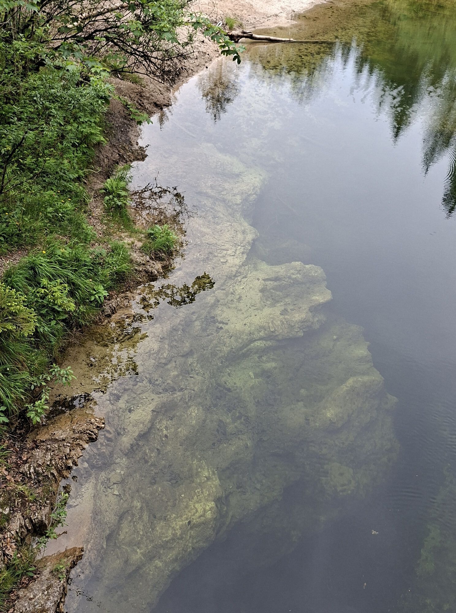
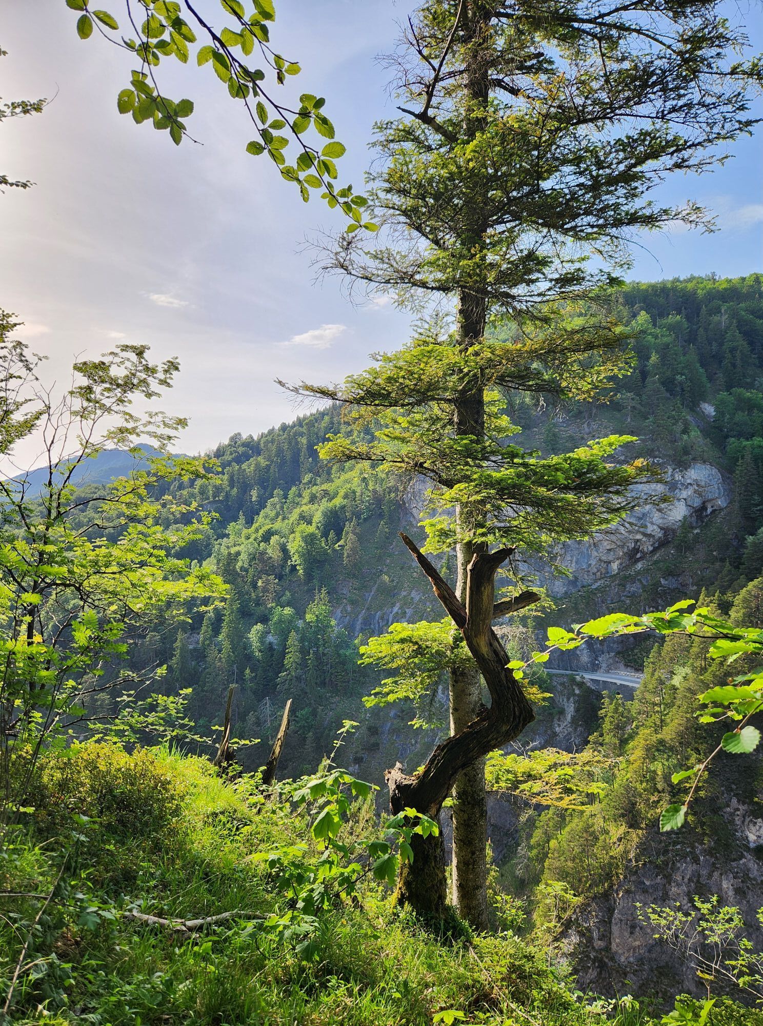
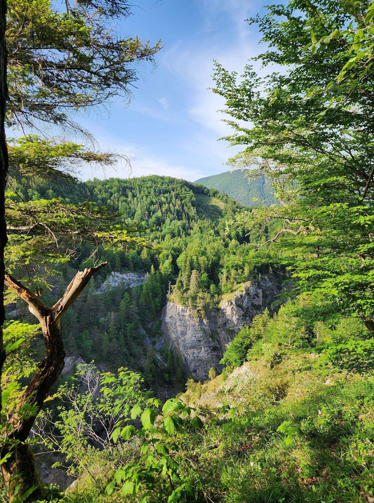
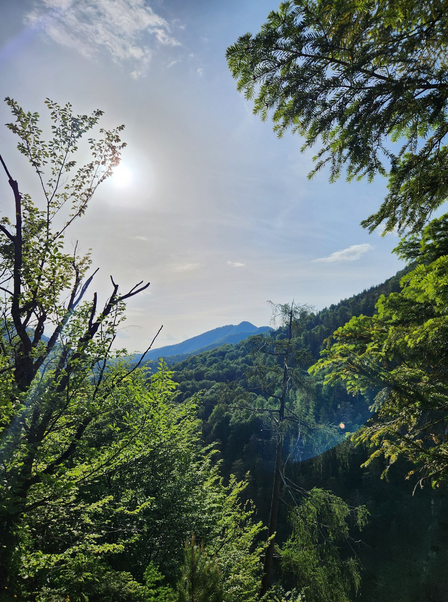
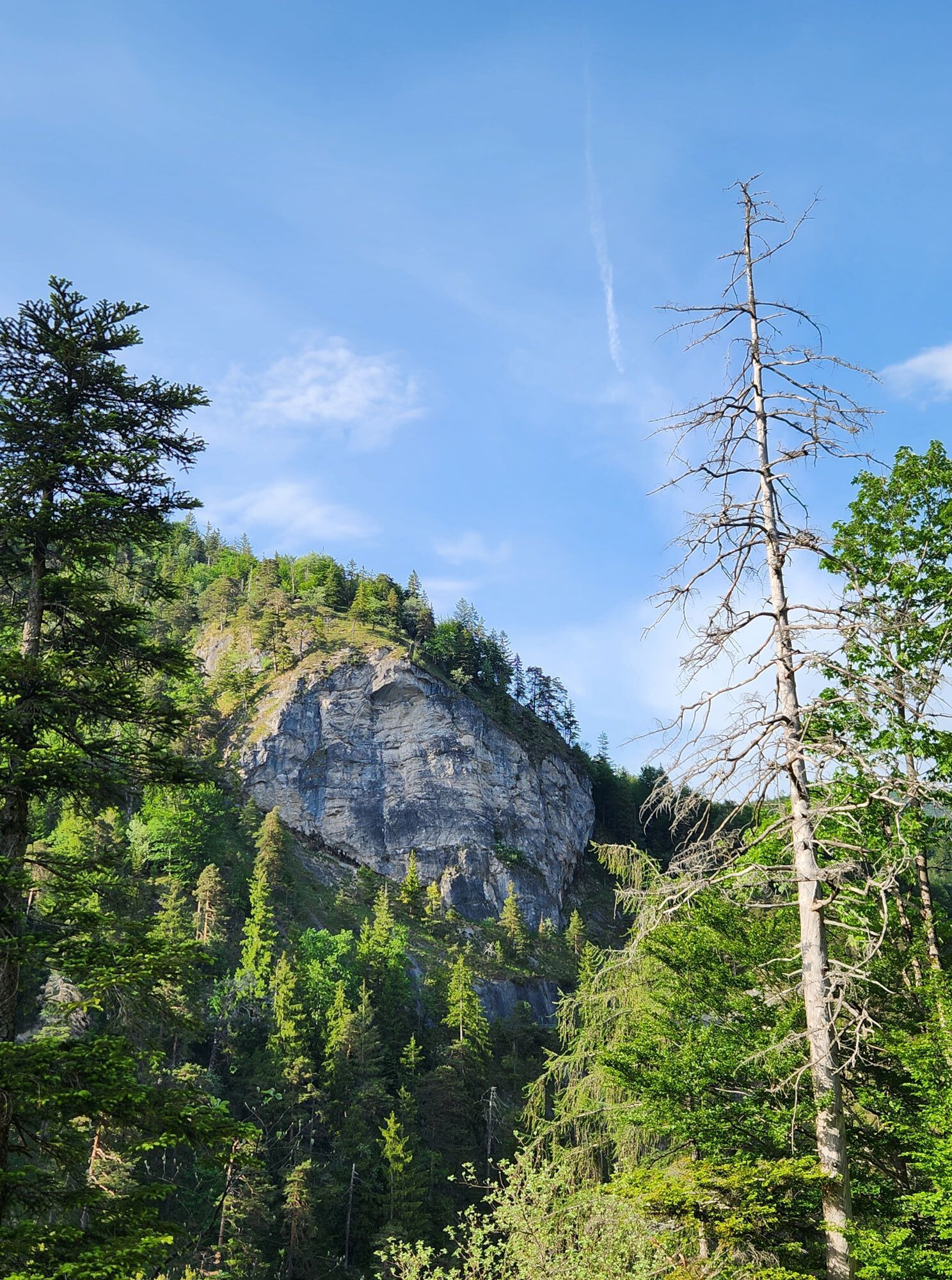
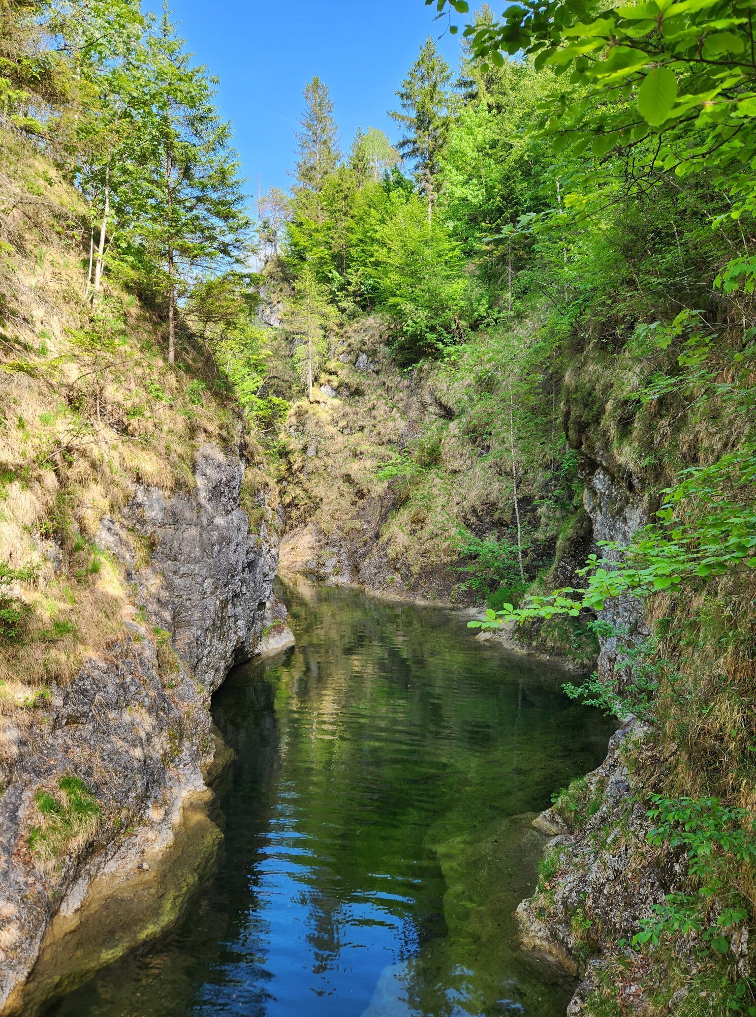

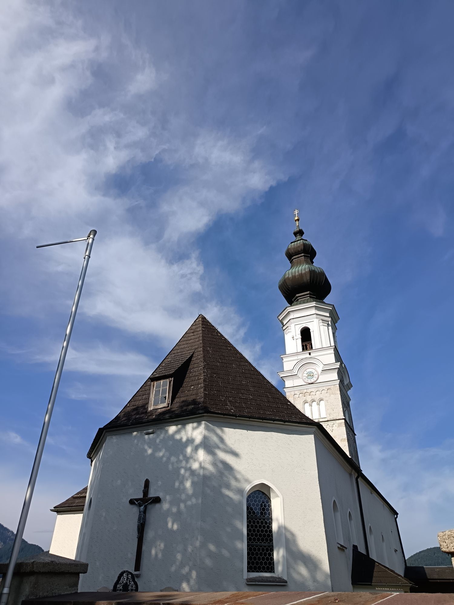
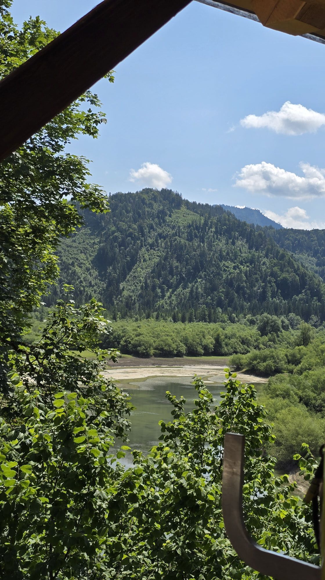
Between the Vordersee reservoir and the Wiestal, the Almbach squeezes through enormous rock narrows. The gorge-like valley incised by erosion, several kilometers long, forms the so-called Strubklamm. The...
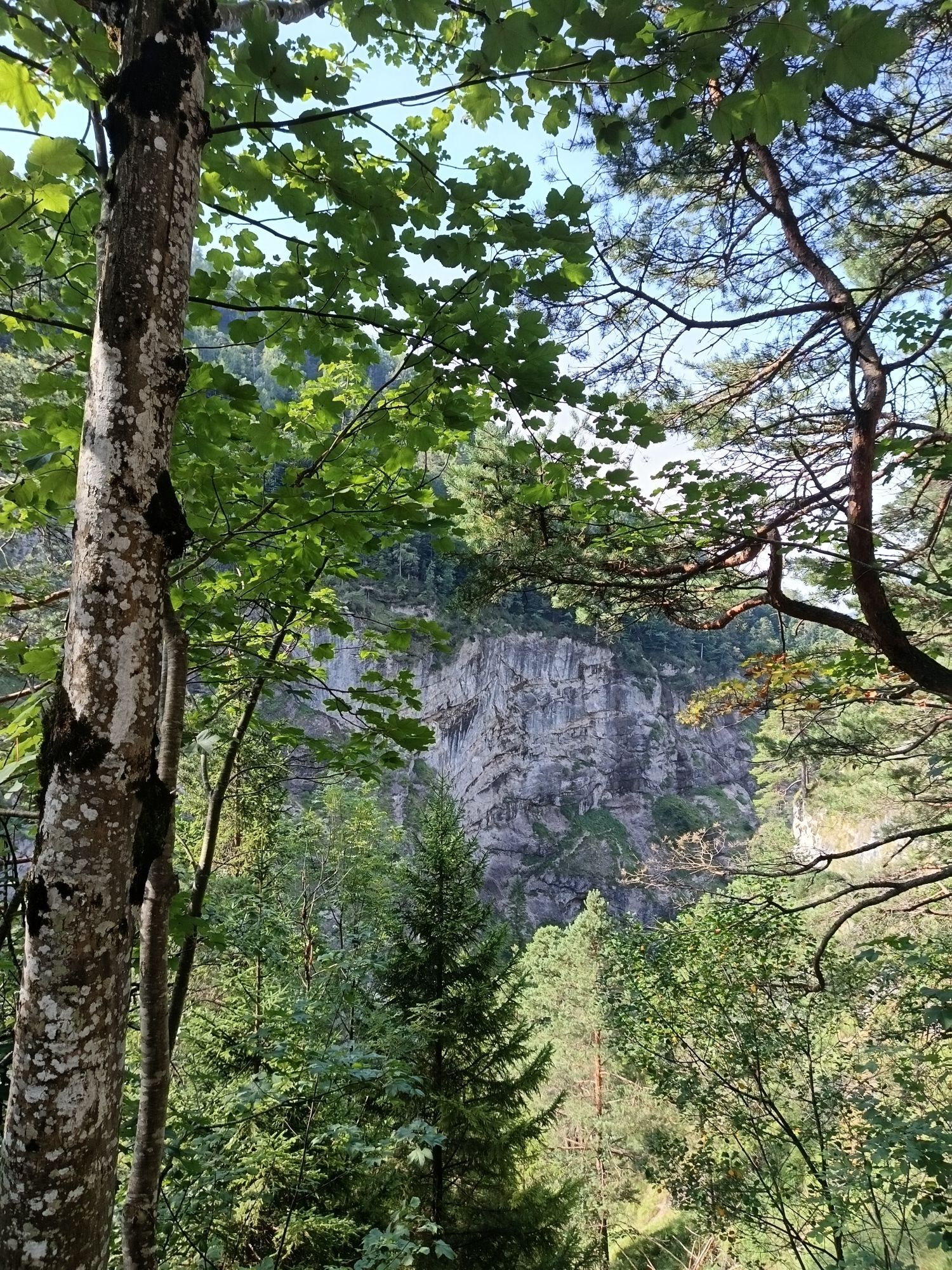
Between the Vordersee reservoir and the Wiestal, the Almbach squeezes through enormous rock narrows. The gorge-like valley incised by erosion, several kilometers long, forms the so-called Strubklamm. The hiking trail runs along the southern ledge above the gorge on the Metzgersteig, named after a legend.
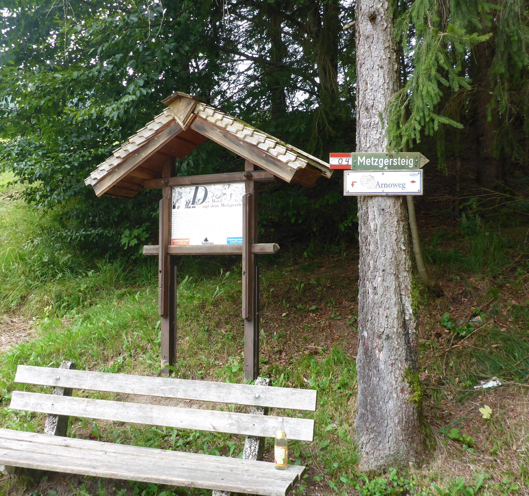

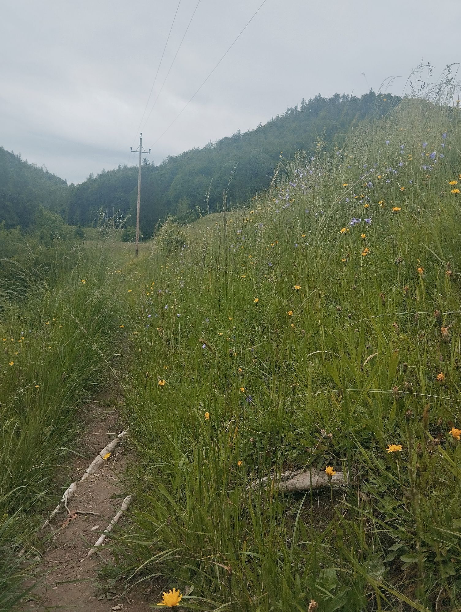
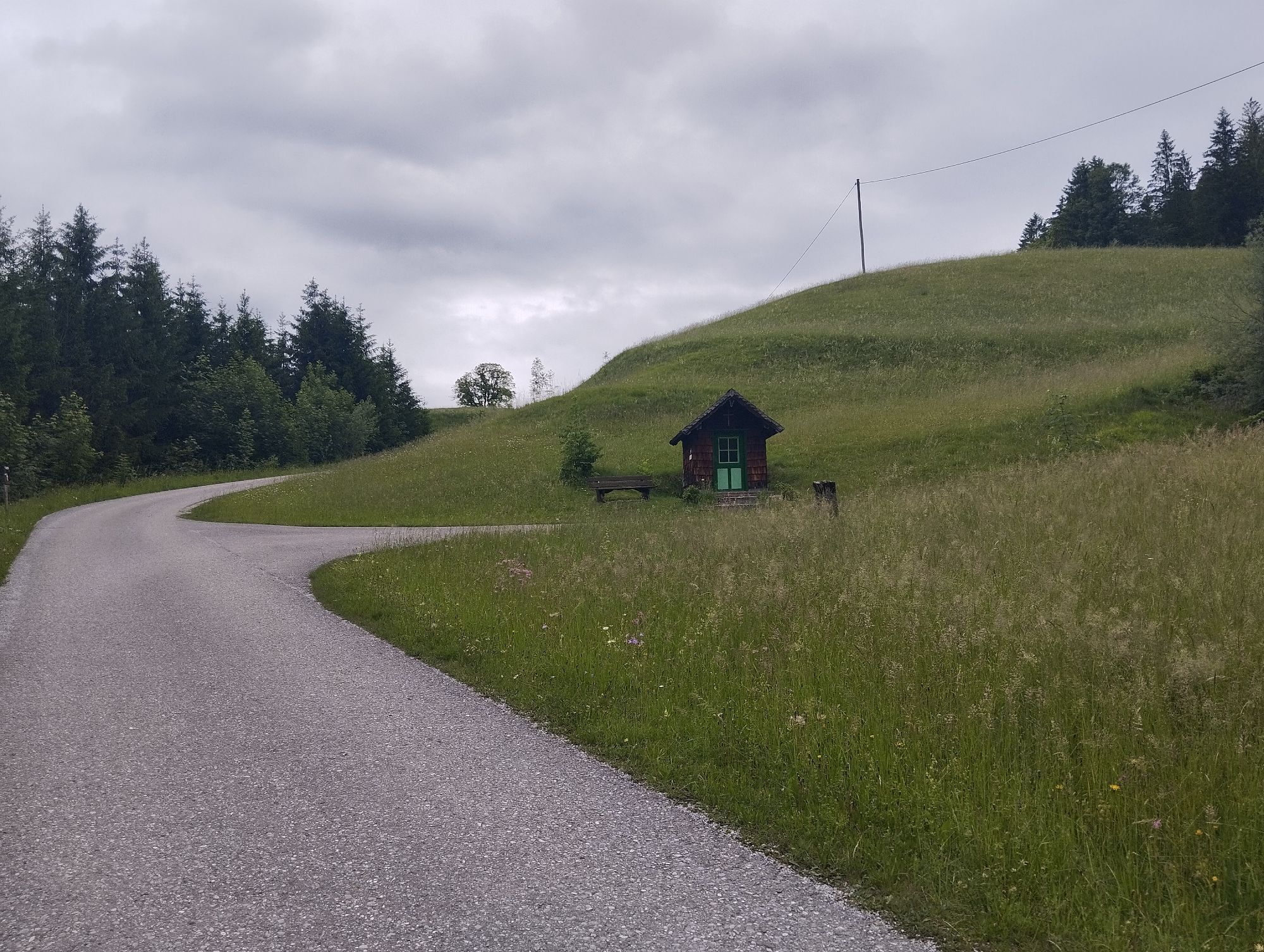
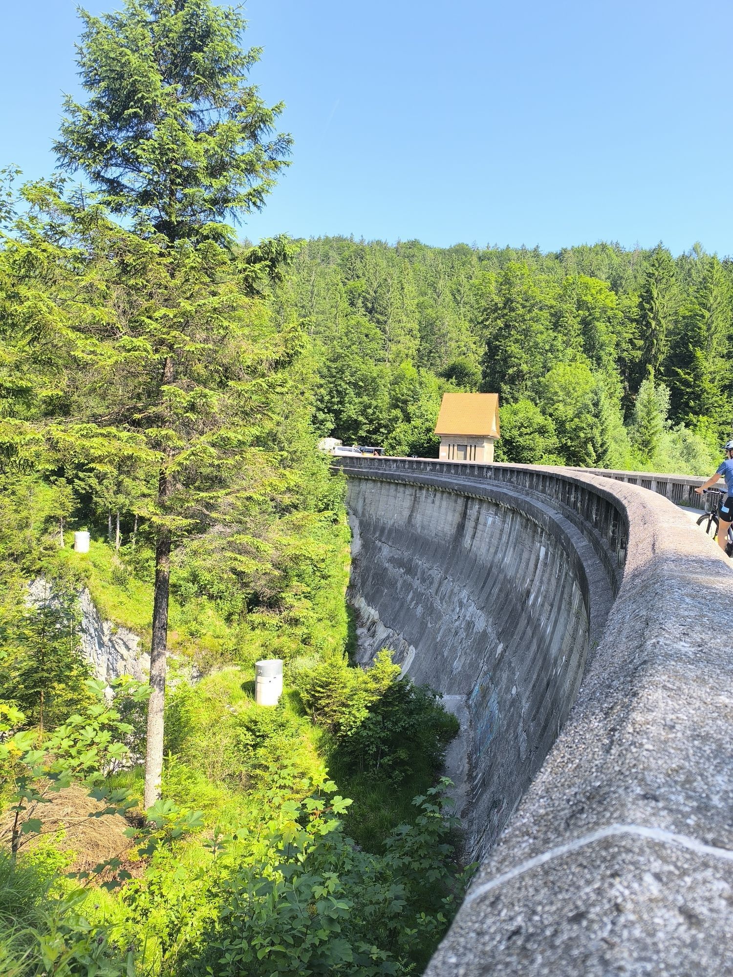
We start our hike in the village center of Faistenau at the car park by the sports middle school. On the road towards Hallein, we pass the football field, continue through a wooded area until we reach the Almstraße. Here we turn right and stay on this road until the junction after the Seewirt. To the left, the path now leads downhill to a dam. After this, the Metzgersteig (hiking trail no. 60) begins on the right. Along the breathtaking gorge, the Strubklamm, surefootedness is required in some sections. We now leave the forest and continue hiking along the outer edge of a field around a farmhouse until, following the signs, we turn right onto a road again. After a small quarry and some houses, a small path leads right to the Almbach. On the opposite side of the stream, the path slowly ascends, and after about 1 km, we reach a road again. We follow it on the right for 2 km along the Strubklamm back towards Faistenau. After the Seewirt, we immediately turn onto hiking trail 48 to the Grabenhäuser after a bridge. At the first farmhouse, we keep right again and walk along the field path to the first trees. Now we descend on a small trail to the stream, cross the bridge, and climb up the other side of the ditch again to the forest climbing path. The last 500 m to the car park and our starting point are paved again.
Ano
Sturdy footwear, otherwise no special equipment required.
Path conditions
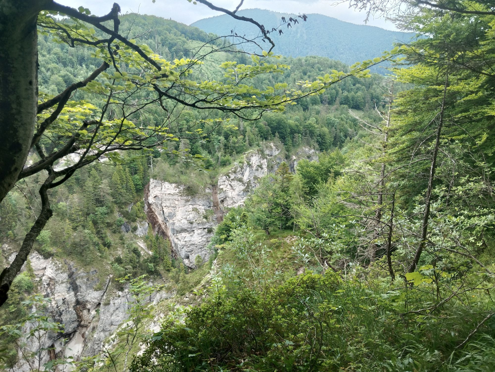
After the dam, the terrain falls very steeply, partly vertically, into the Strubklamm on the right side of the path. Be sure to stay on the path; surefootedness is required.
Information from the Faistenau Riding and Horse Breeding Association
Part of the path is also used by riders. A major concern of the Faistenau Riding Association is harmonious coexistence between riders and hikers. Mutual respectful behavior is especially important. Therefore, please observe the leash obligation, keep a safe distance from horses, and avoid loud noises and sudden/fast movements.
Leash obligation for dogs
The entire municipality of Faistenau has had a dog leash and dog waste disposal ordinance in force since 2009. This also applies to all hiking trails.
Arrival via the A1 West Motorway – Thalgau exit
Follow the federal road (B 158) in Hof near Salzburg to the Baderluck roundabout. Take the 1st exit into Hinterseestraße and after a few kilometers you will reach your holiday destination Faistenau.
There are sufficient parking spaces at the starting point.
By bus
From Salzburg main station, there are excellent Postbus connections to the Fuschlsee region or to Faistenau. All bus connections can be found online at www.svv-info.at.
By train
Information about train connections can be found at www.oebb.at or www.bahn.de
By plane
Salzburg W.A. Mozart Airport is located very close to the city of Salzburg. Bus lines 2 or 27 take you to the main station, where you can change to the Postbus.
Free parking in the village center opposite the New Middle School


Webové kamery z prohlídky
Získejte přehled
Vždy živě na místě s více než 9 500 webkamerami. bergfex Jako uživatel Pro si nyní můžete zobrazit odpovídající webové kamery pro mnoho prohlídek v aplikaci prohlídky z. Můžete si tak přímo prohlédnout aktuální podmínky.

Oblíbené prohlídky v okolí
-
4.8
Fuschl: Ruine Wartenfels - Schober - Frauenkopf
středníTuristika 7.62 km -
4.4
Fuschlseewanderung
světloTuristika 11 km -
4.2
Pillstein Panorama Rundweg
světloTuristika 3.40 km -
4.7
Pleasure hike over the Falkenstein
středníTuristika 9.81 km -
3.7
Mondsee: Rund um den Mondsee
světloJízda na kole 26.3 km -
4.6
The Plombergstein: Adventure and summit panorama
světloTuristika 4.12 km -
4.8
Great and Small Barmstein, the landmarks of Hallein
heavyTuristika 6.58 km -
4.0
Bärenweg am Lidaun
světloTuristika 9.05 km -
4.4
From Koppl to the Gaisberg summit
středníTuristika 9.86 km -
4.9
Salzkammergut: Die Drachenwand
heavyVia ferrata 4.32 km
Pěší turistika a stopování


Nenechte si ujít nabídky a inspiraci pro vaši příští dovolenou
Vaše e-mailová adresa byl přidán do poštovního seznamu.





