
Stage 4
světlo
Pořiďte si tuto prohlídku do mobilního telefonu
Stage 4
světlo
Turistika
15.98
km
Naskenujte QR kód a spusťte navigaci v aplikaci bergfex.


Pěší turistika a stopování





Stage 4
světlo
Vzdálenost
16.0
km
Doba trvání
03:59
h
Ascent
1269
hm
Hladina moře
1278 -
2444
m

Navigujte po trase v aplikaci
Nainstalujte si aplikaci zdarma a mějte trasu vždy na očích díky GPS navigaci a sledování polohy.
Využijte nyní službu „ bergfex “ v aplikaci
Naskenuj QR kód pomocí fotoaparátu
Jakmile je aplikace nainstalována, obsah se otevře přímo. Pokud aplikaci ještě nemáš, budeš přesměrován na stránku, kde si ji můžeš zdarma stáhnout.
Stažení skladby
Stage 4
světlo
Turistika
15.98
km
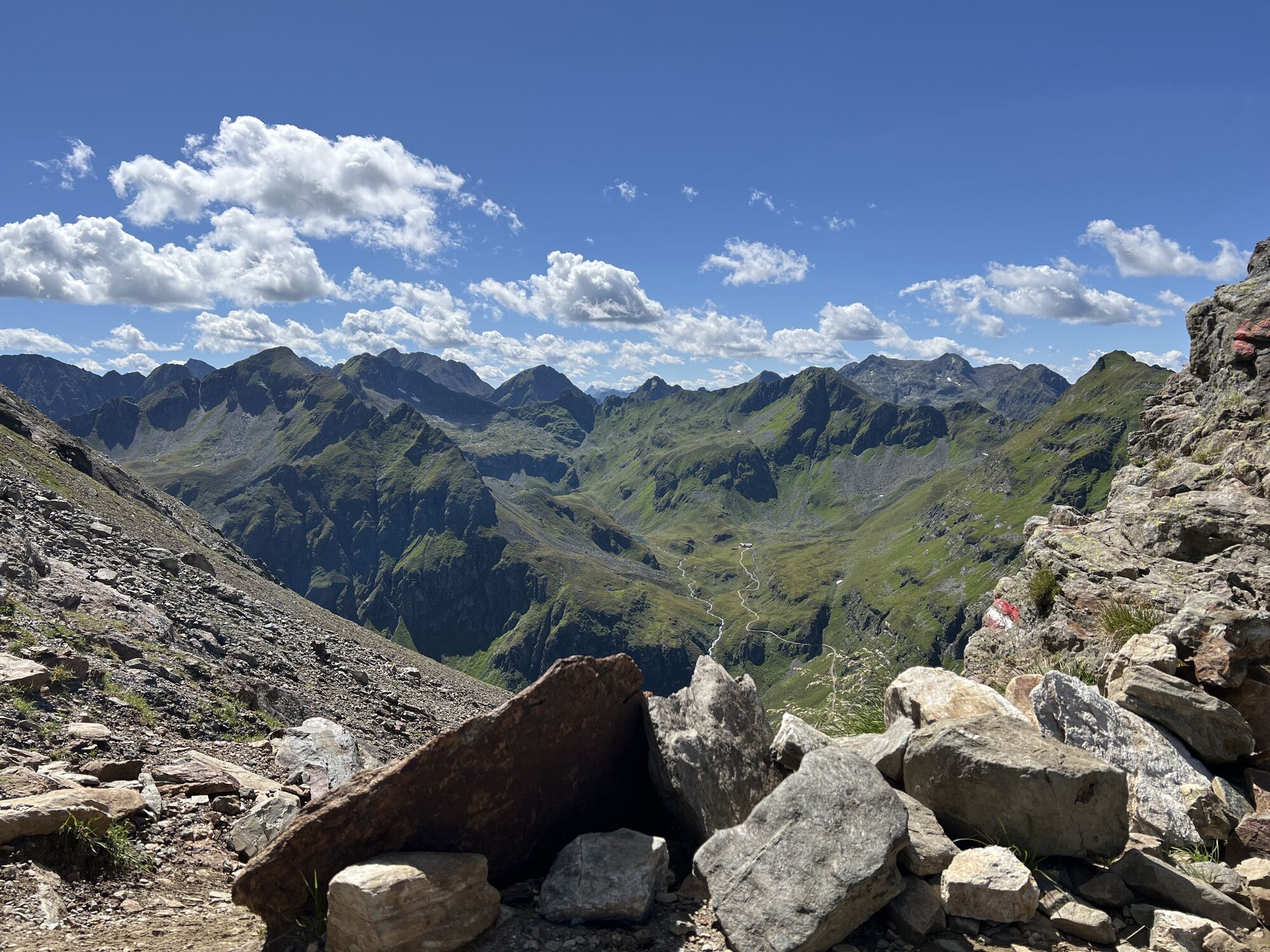
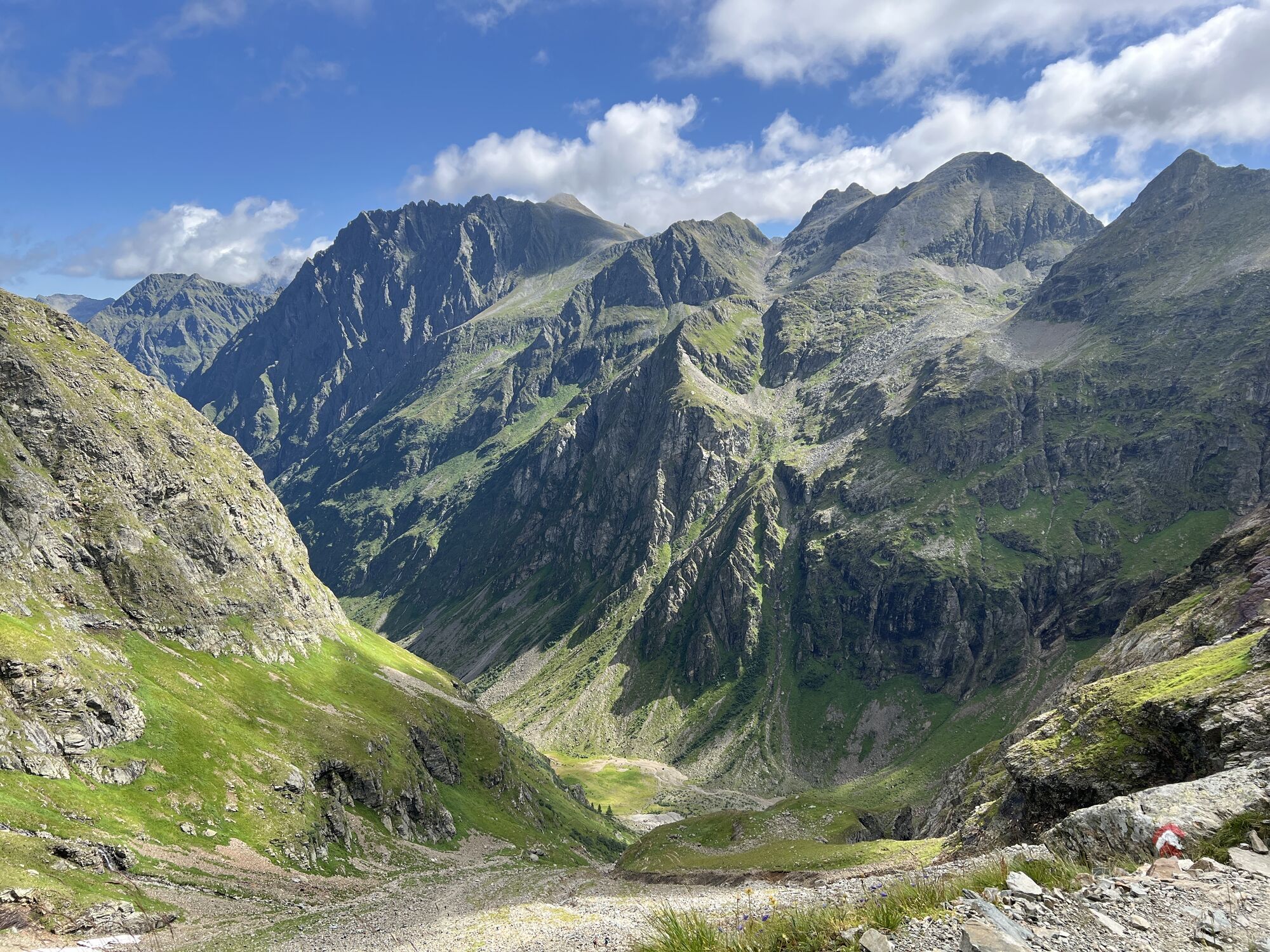
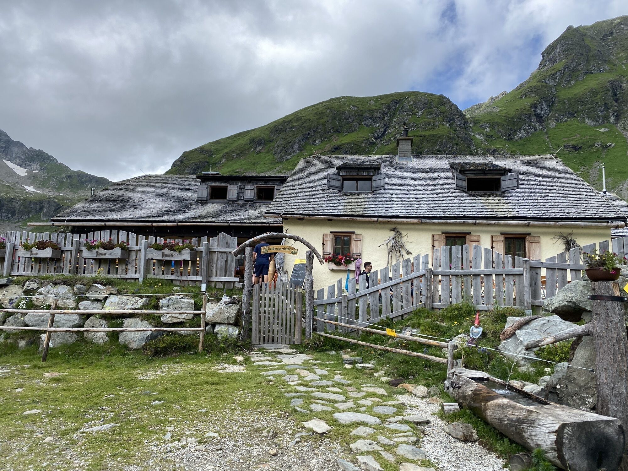
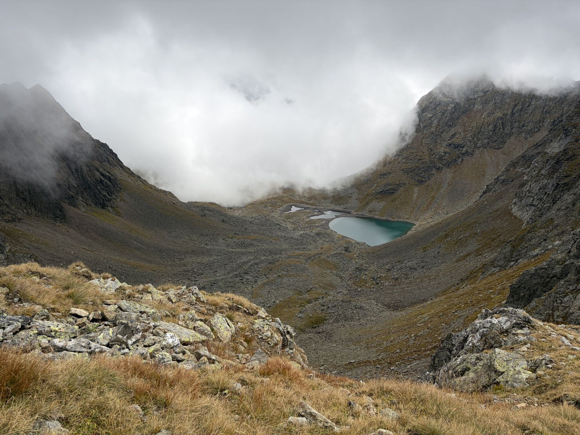
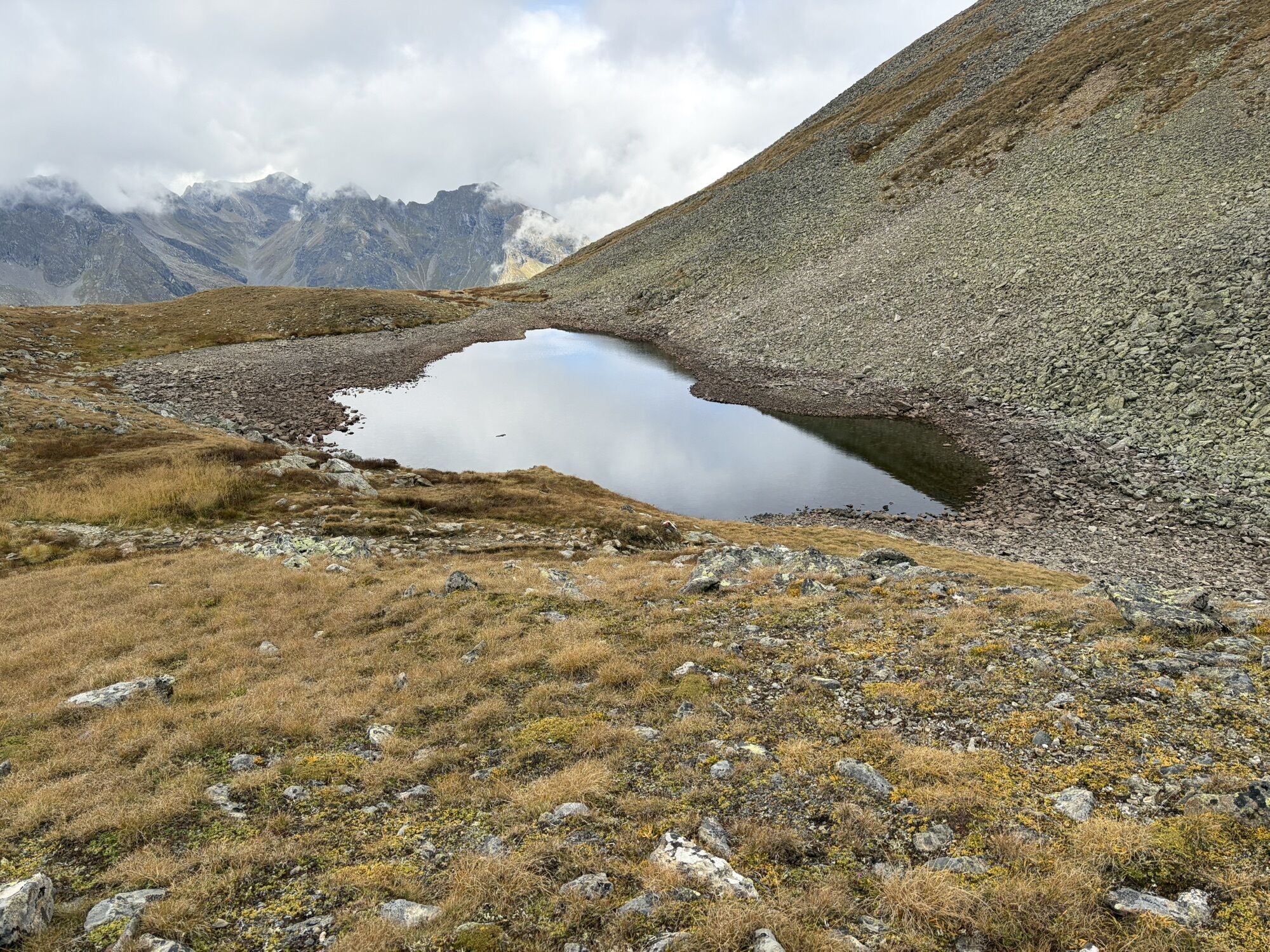
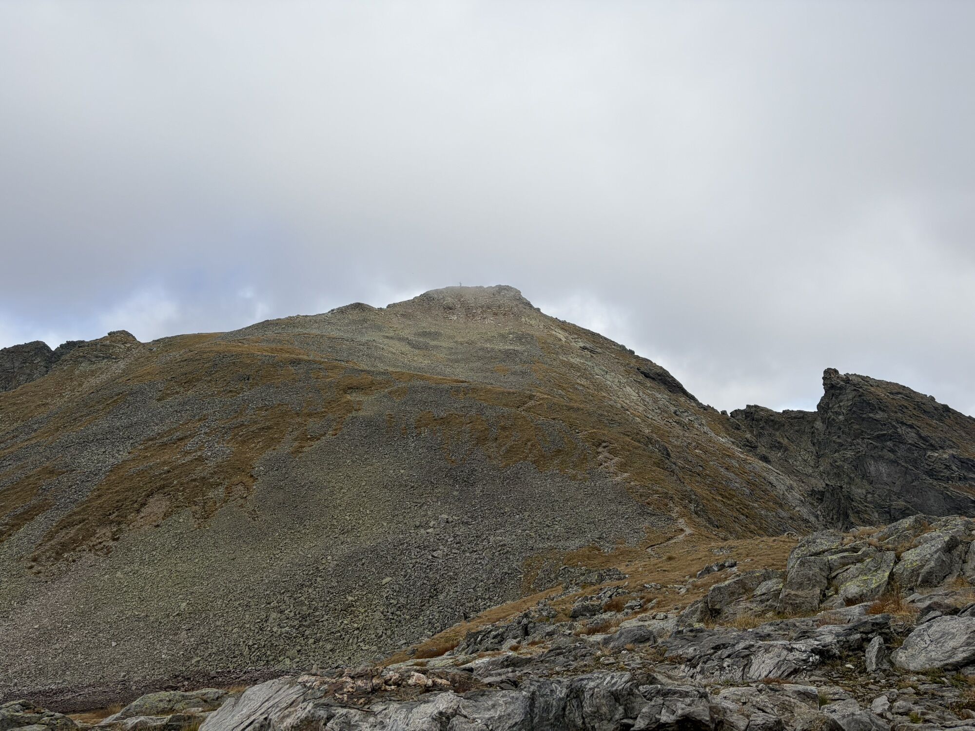
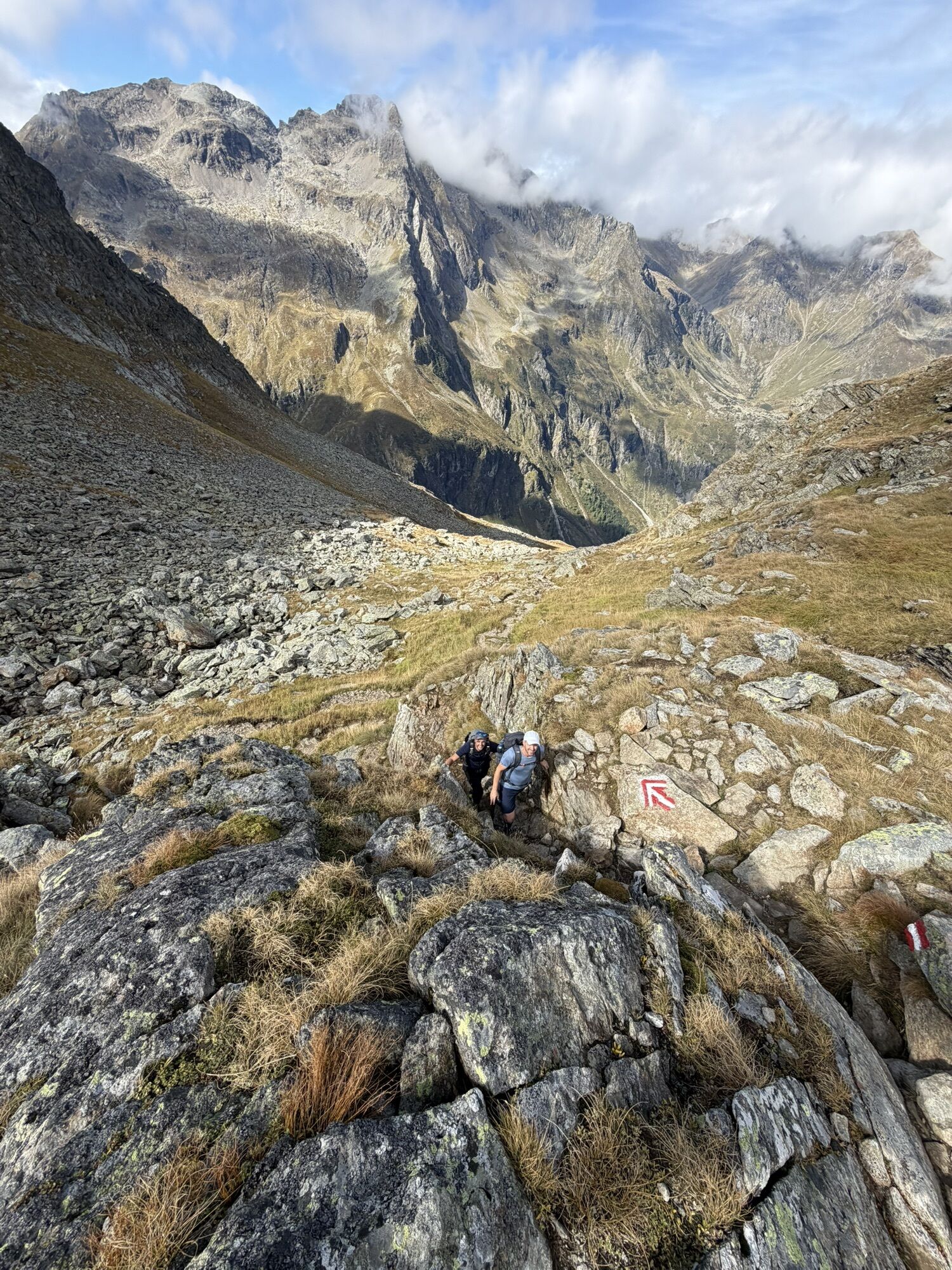
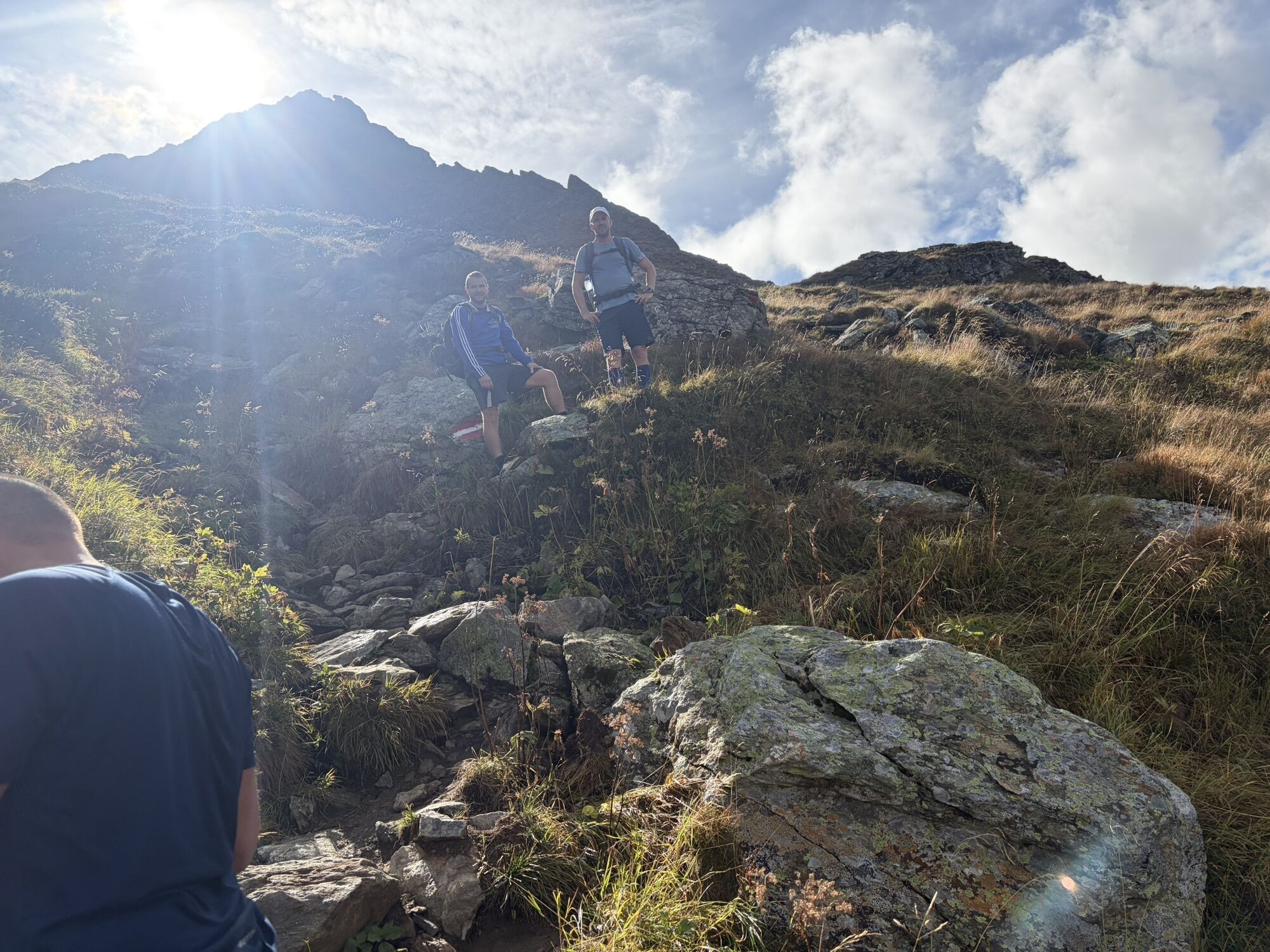
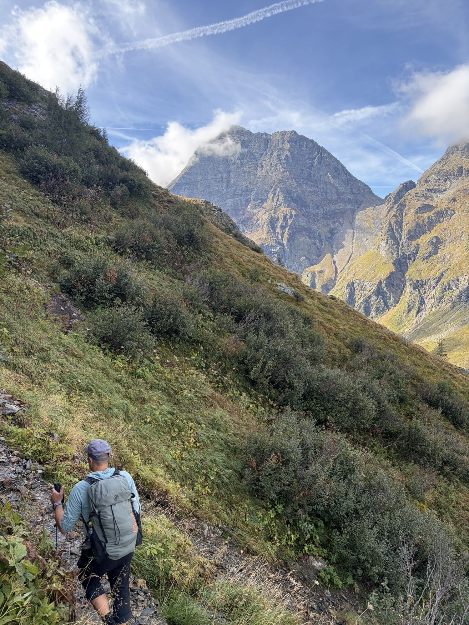
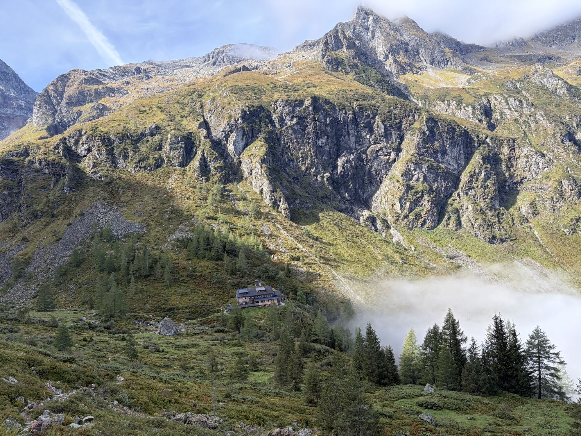
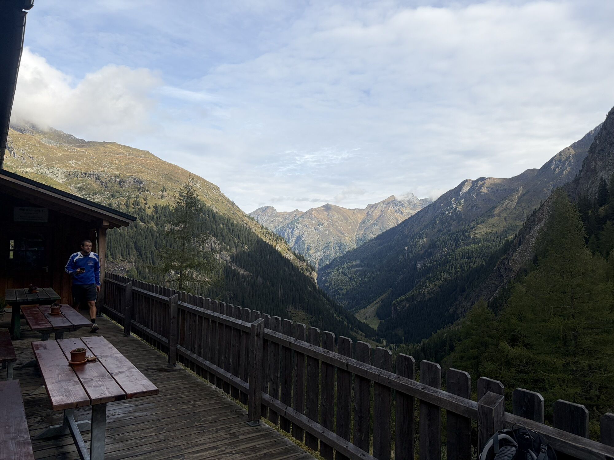
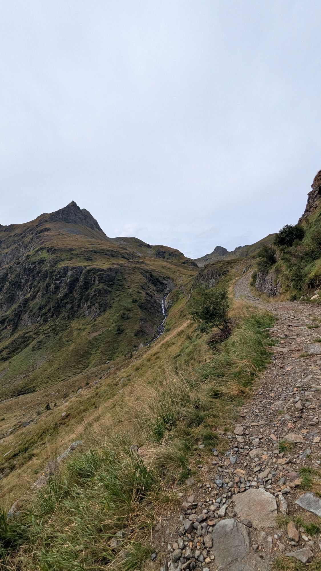
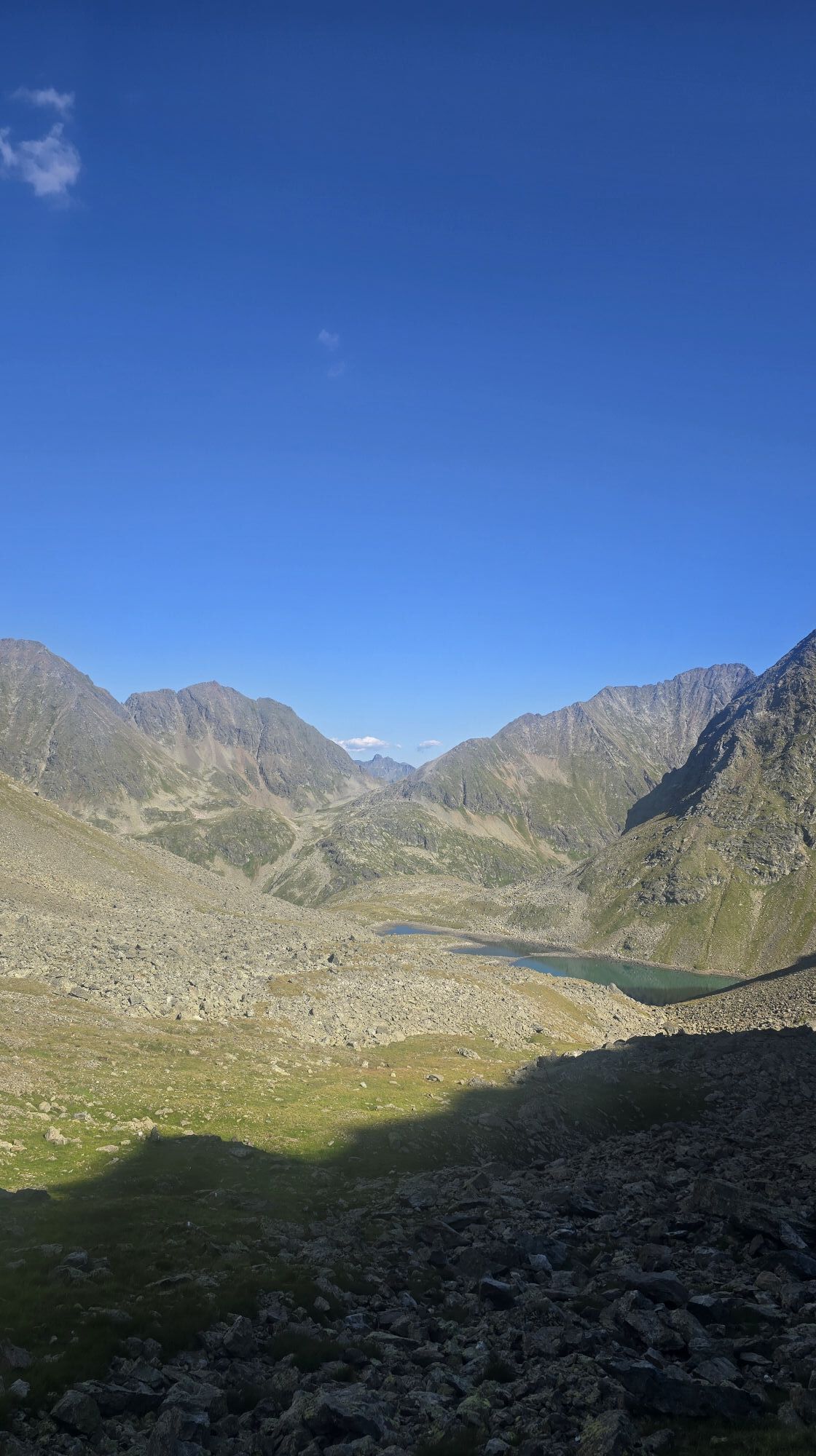
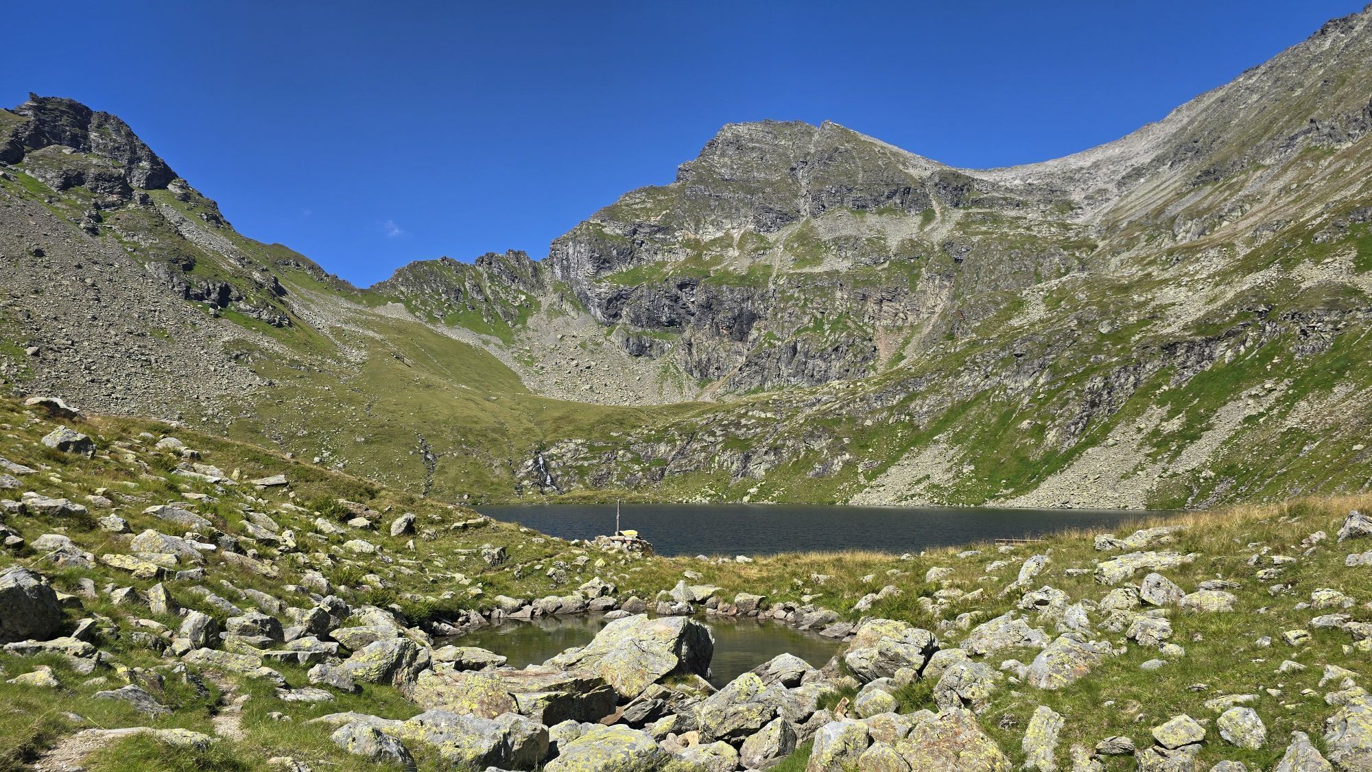
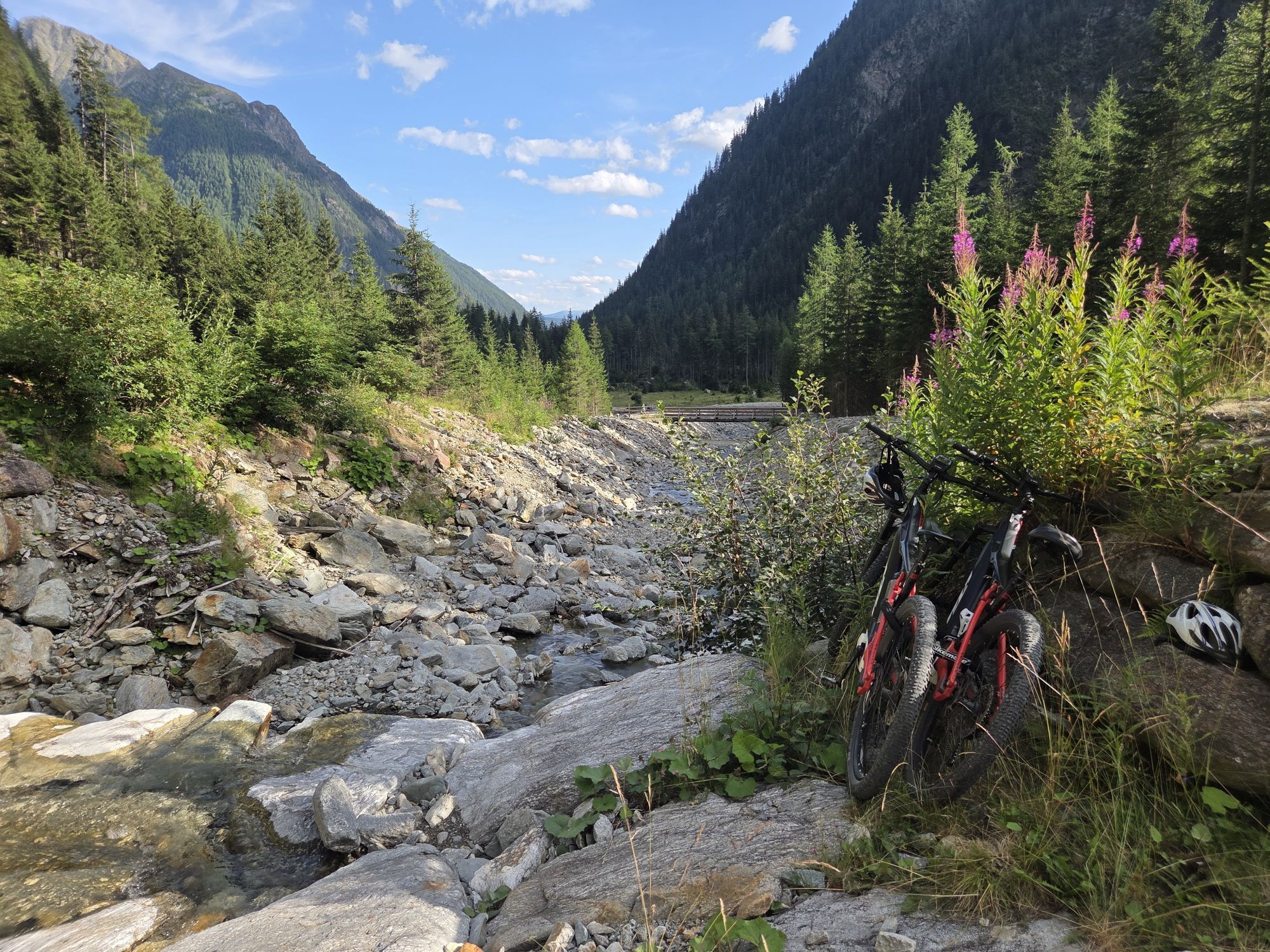
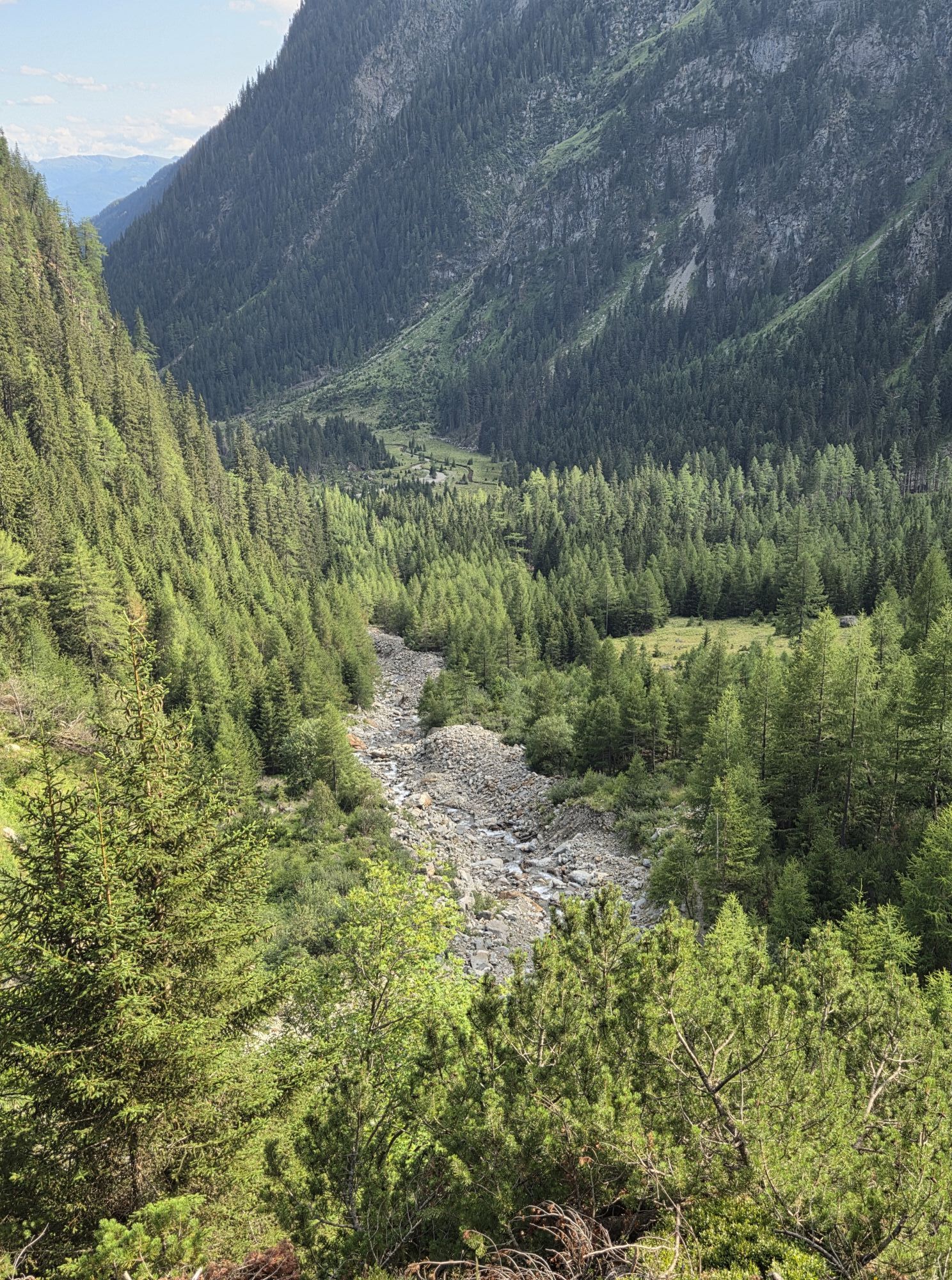
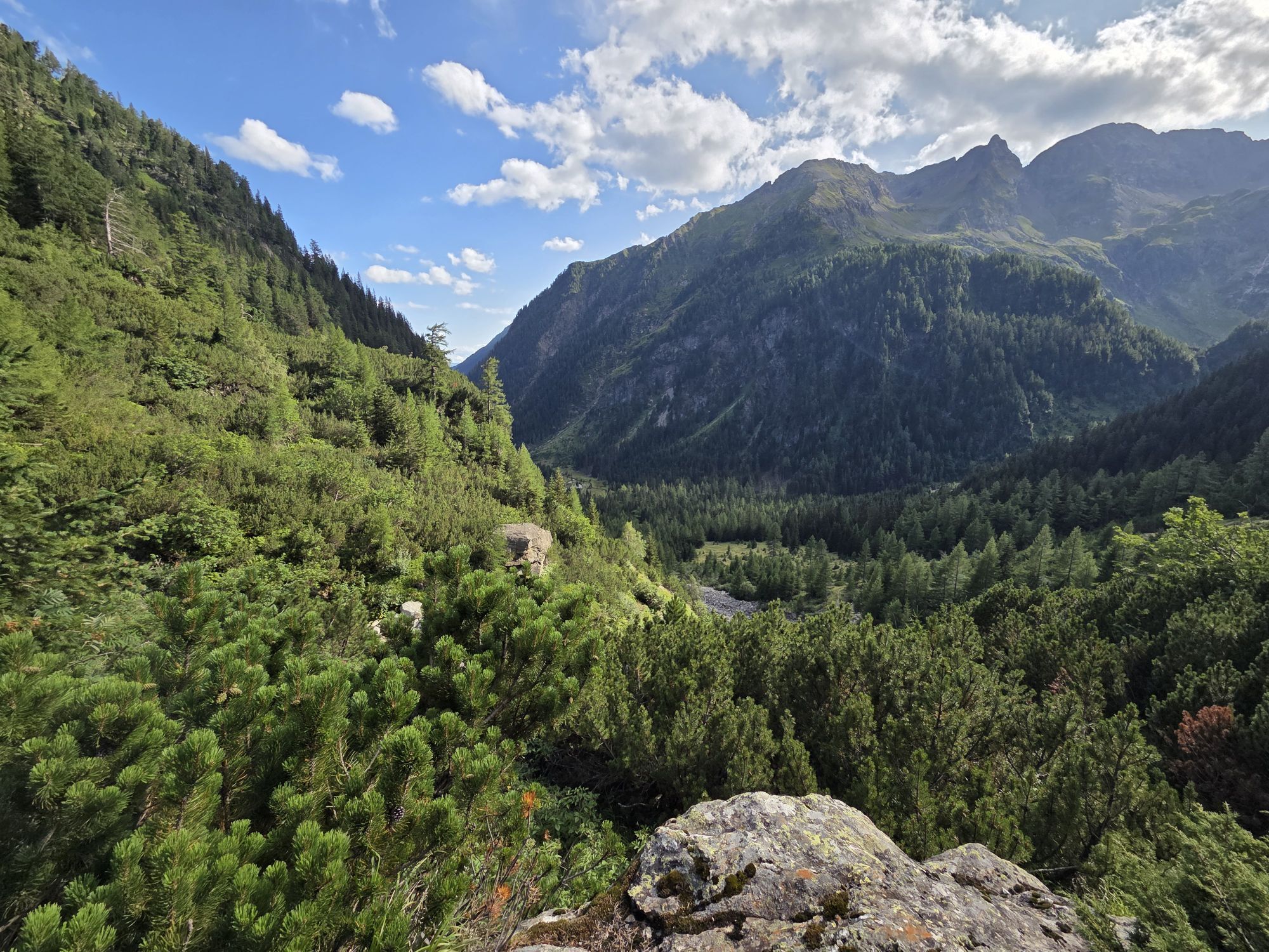
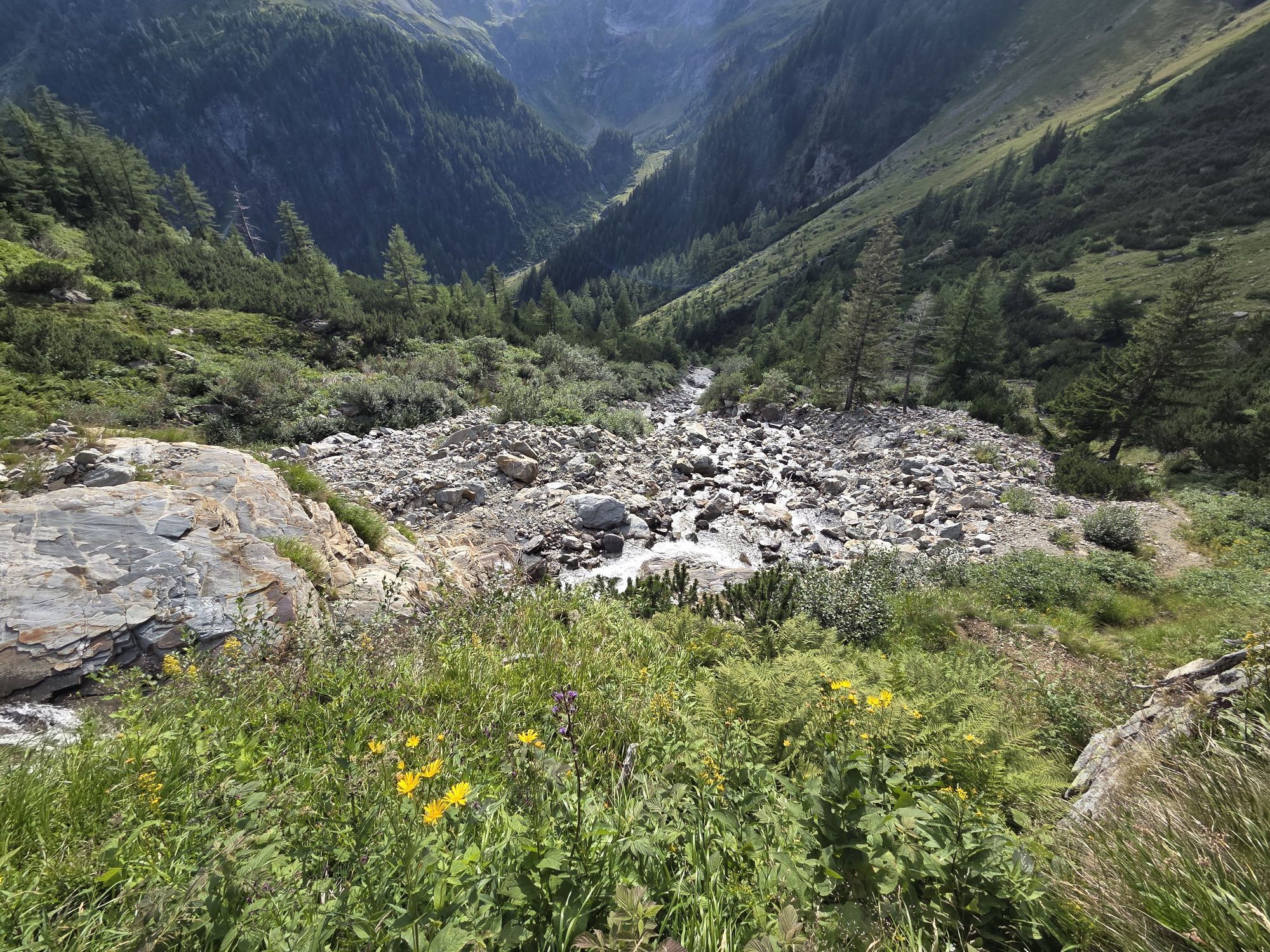
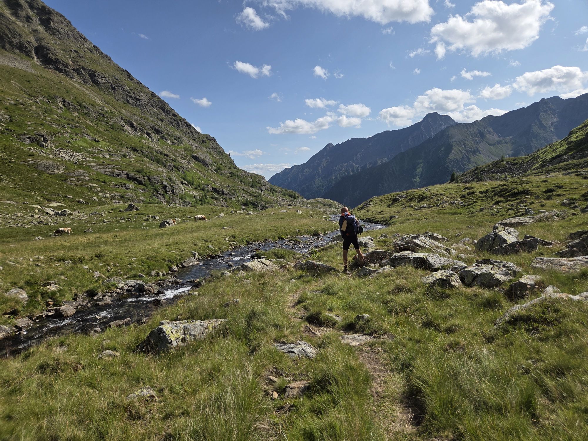
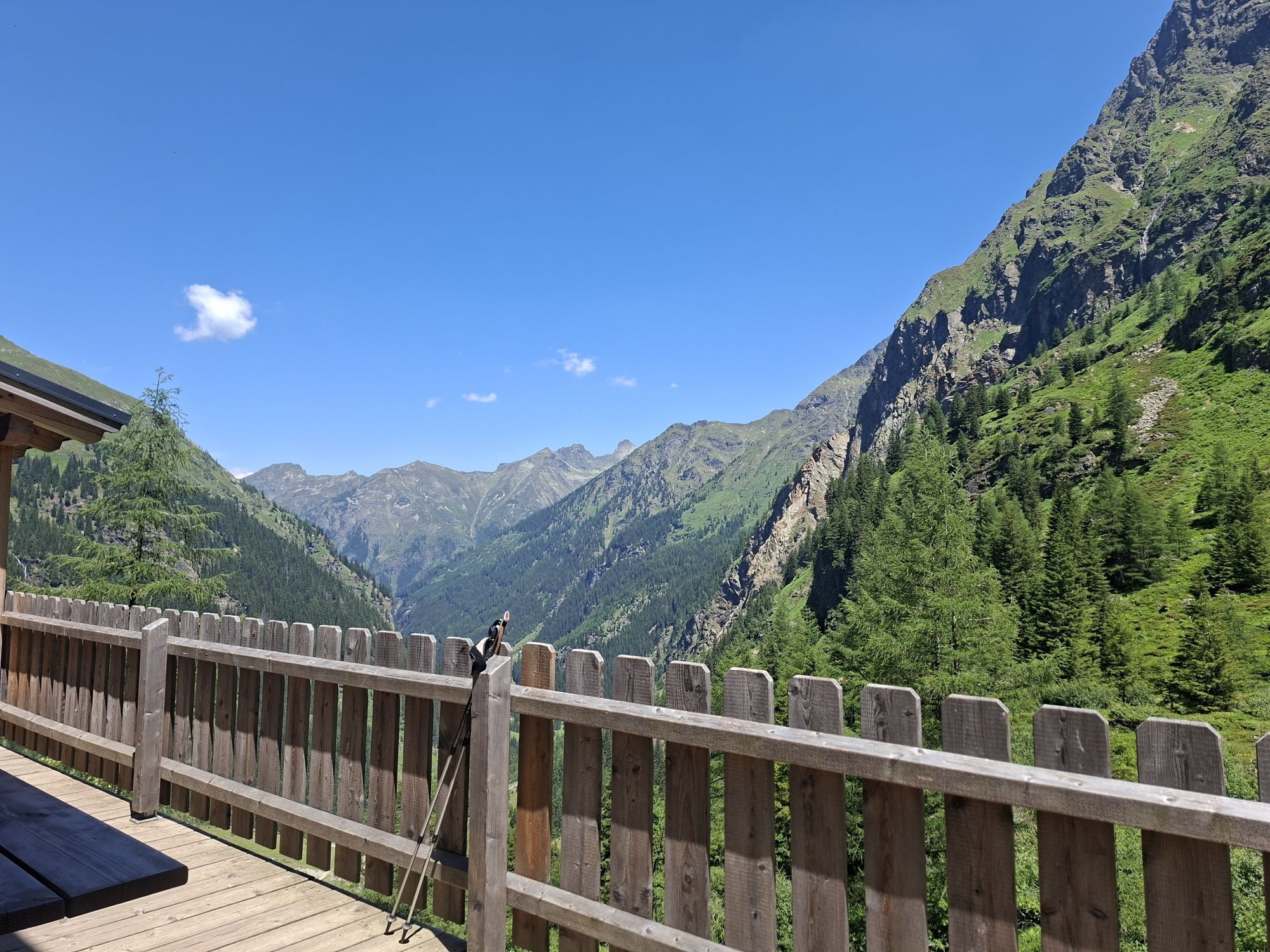
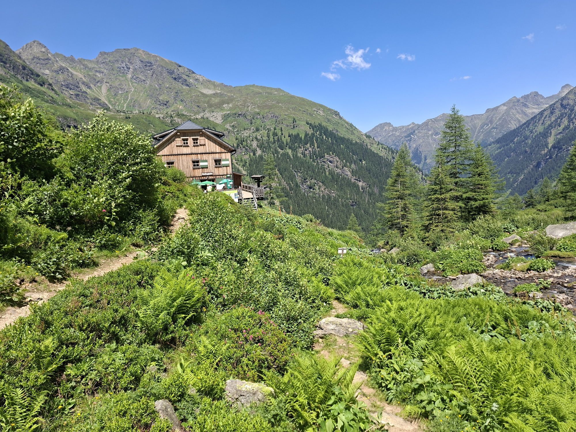
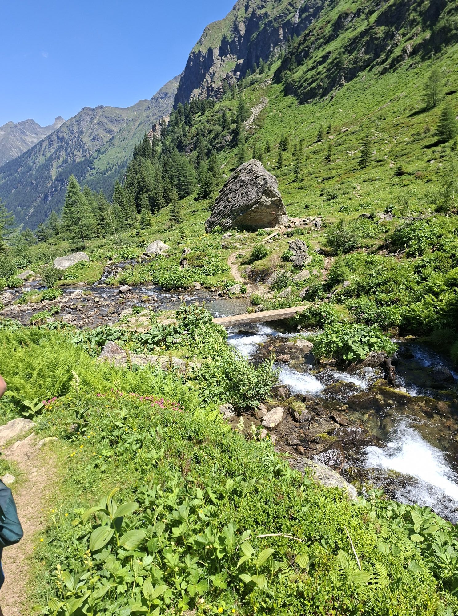
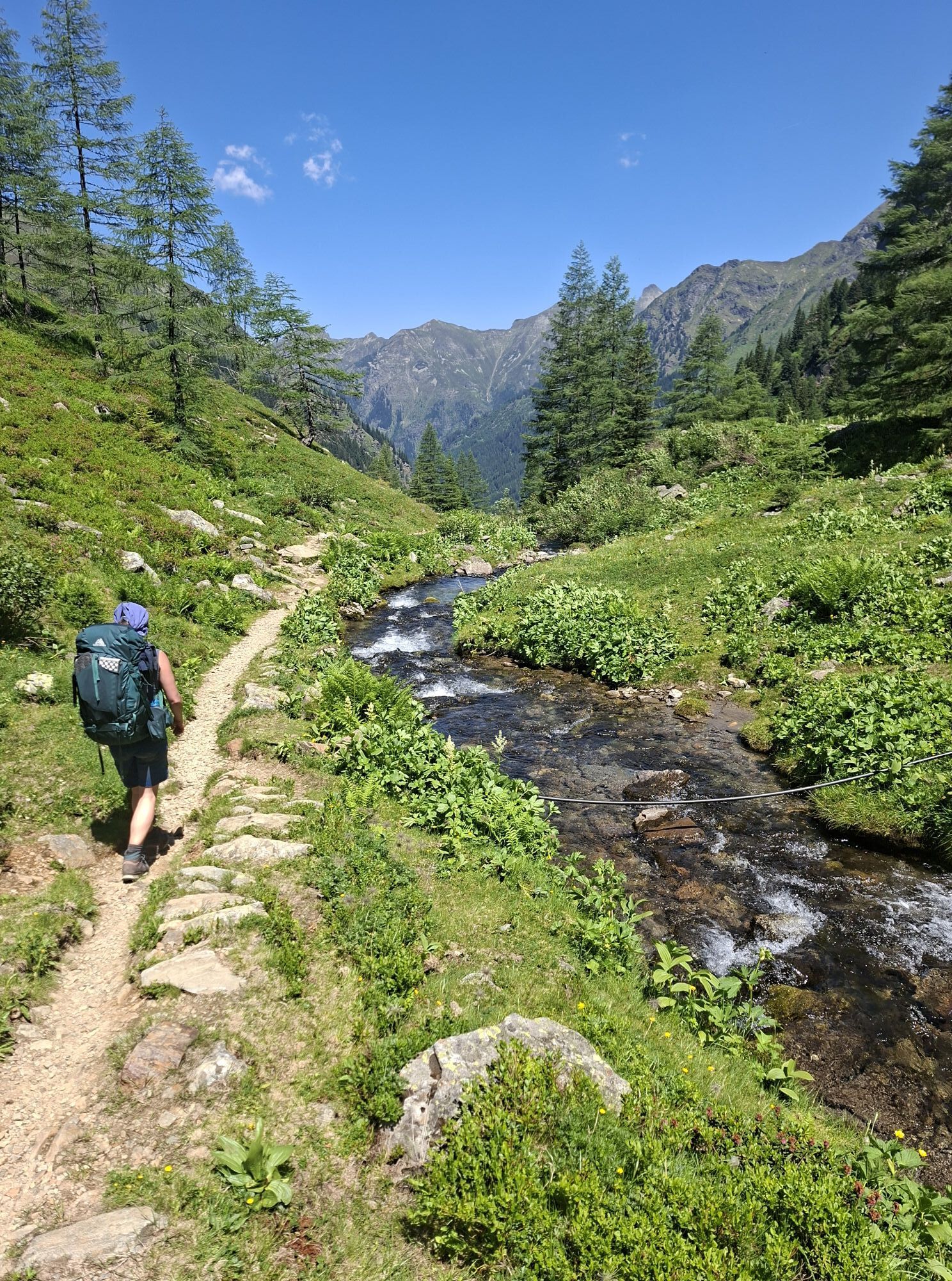
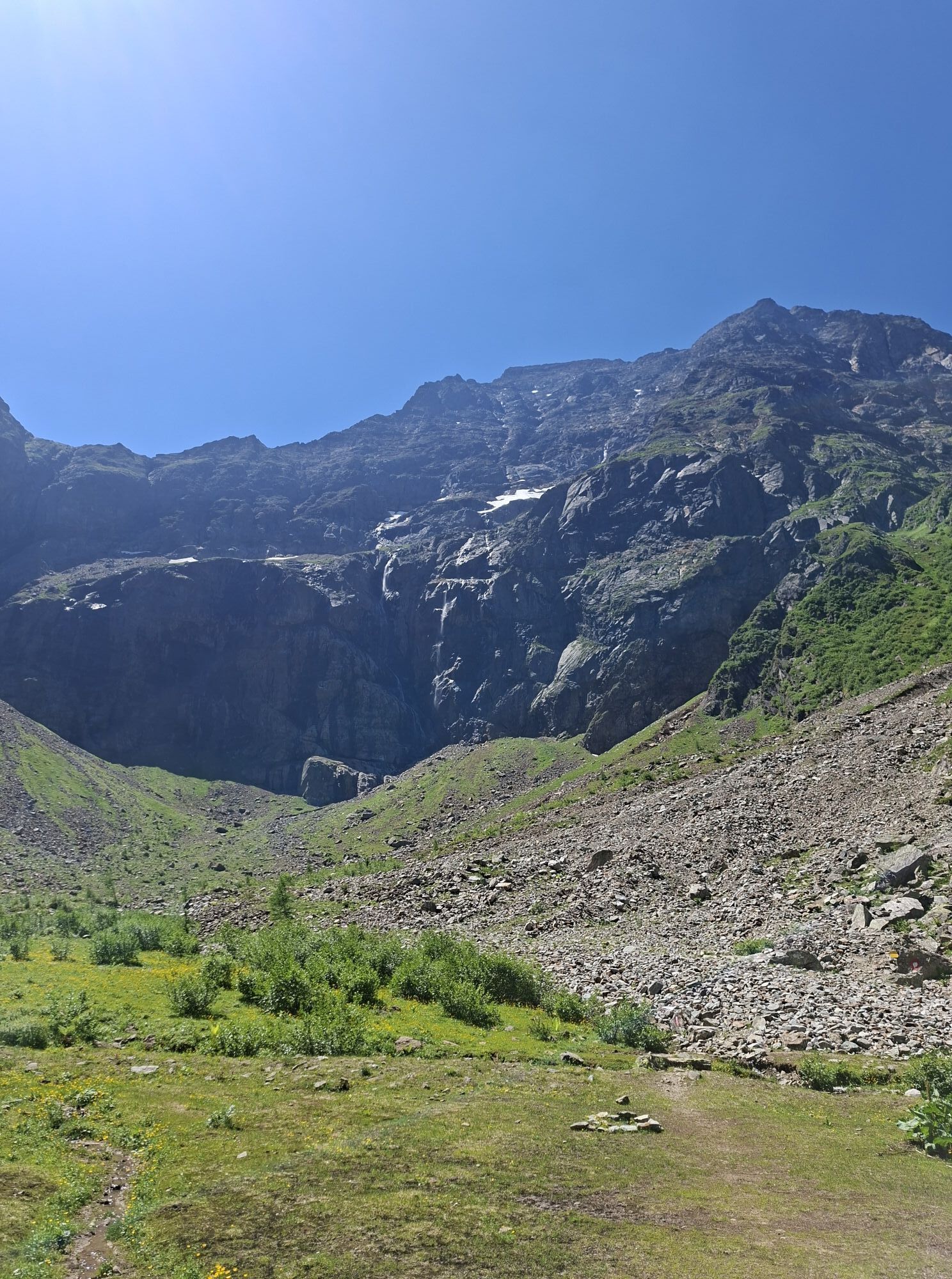

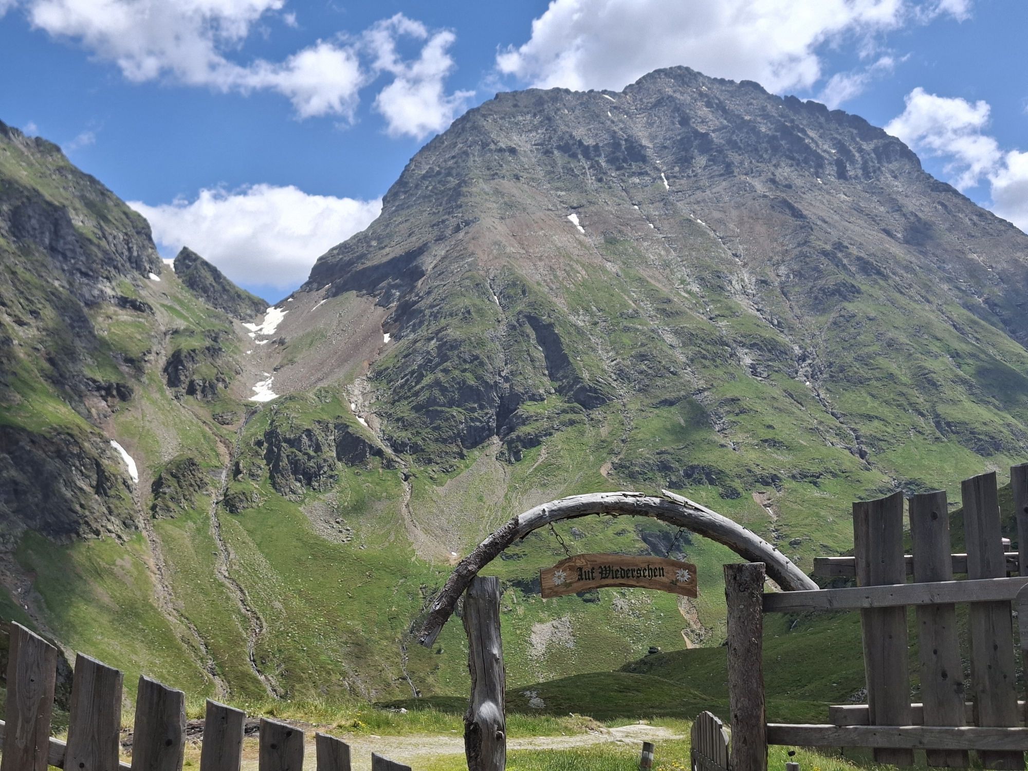
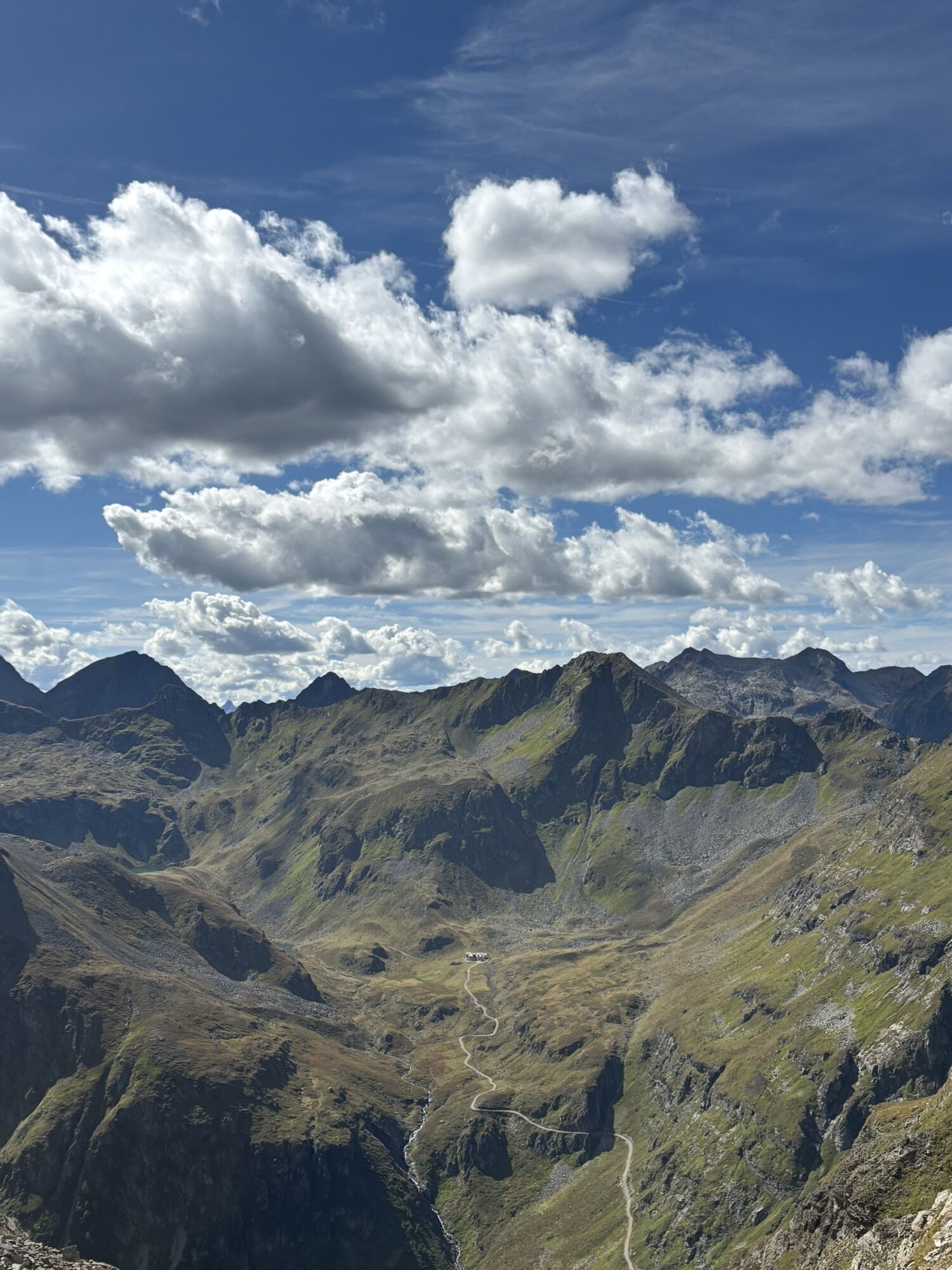
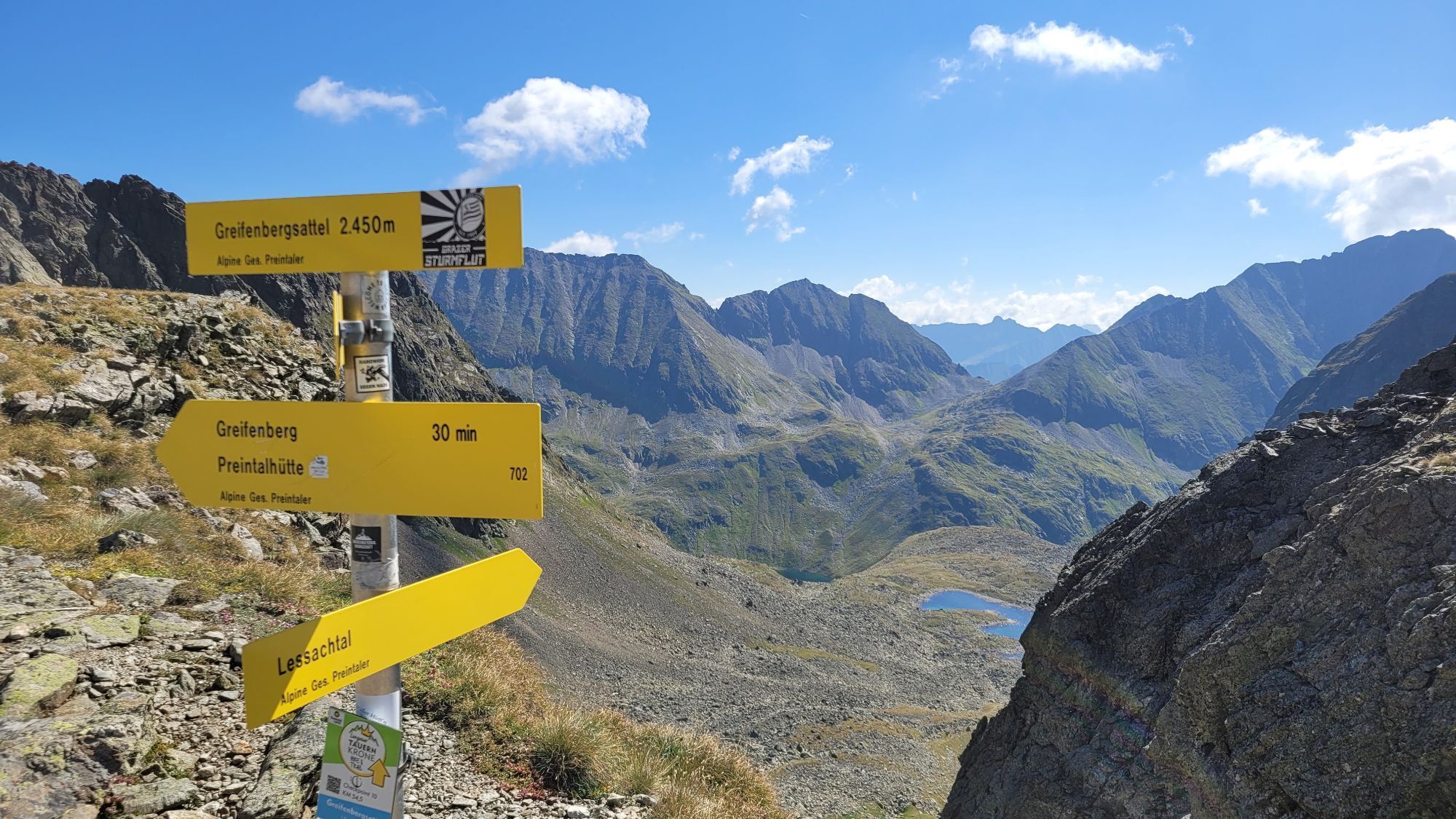
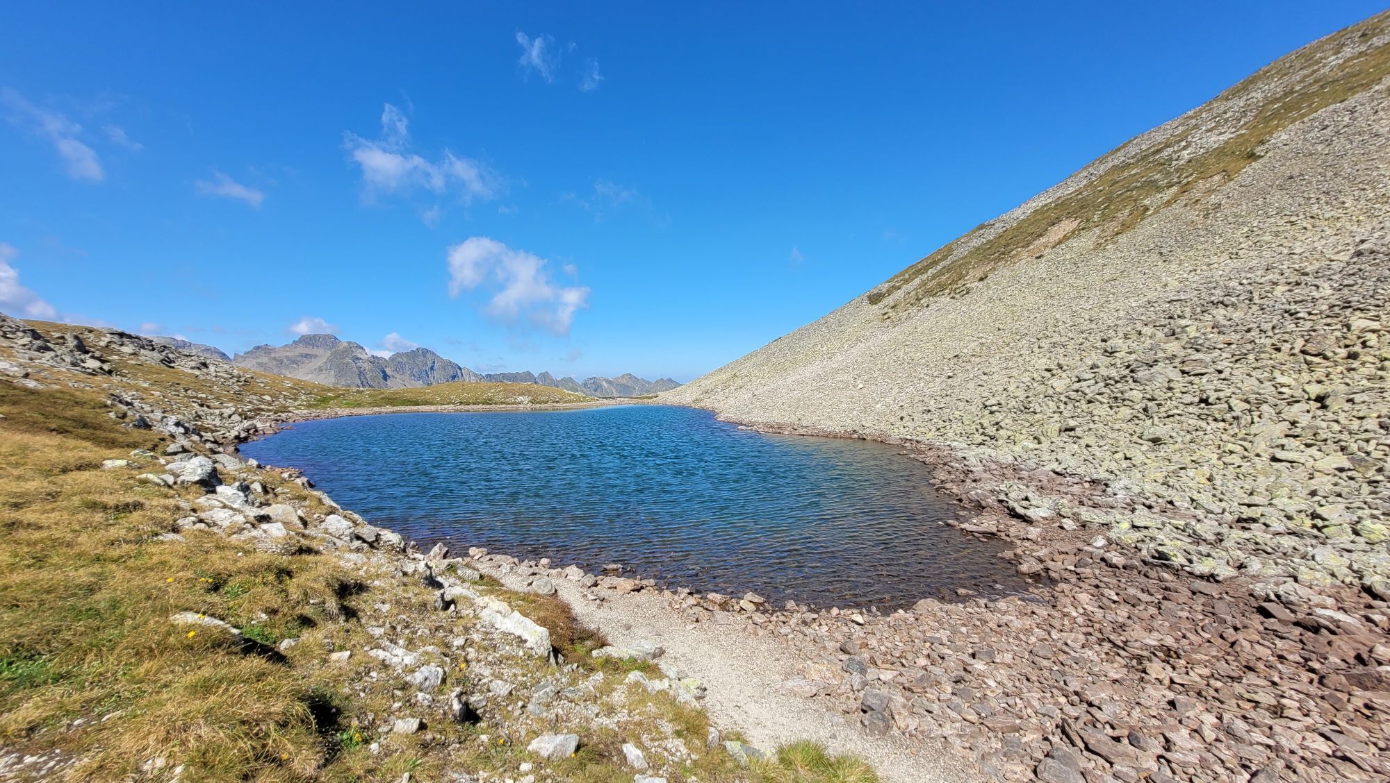
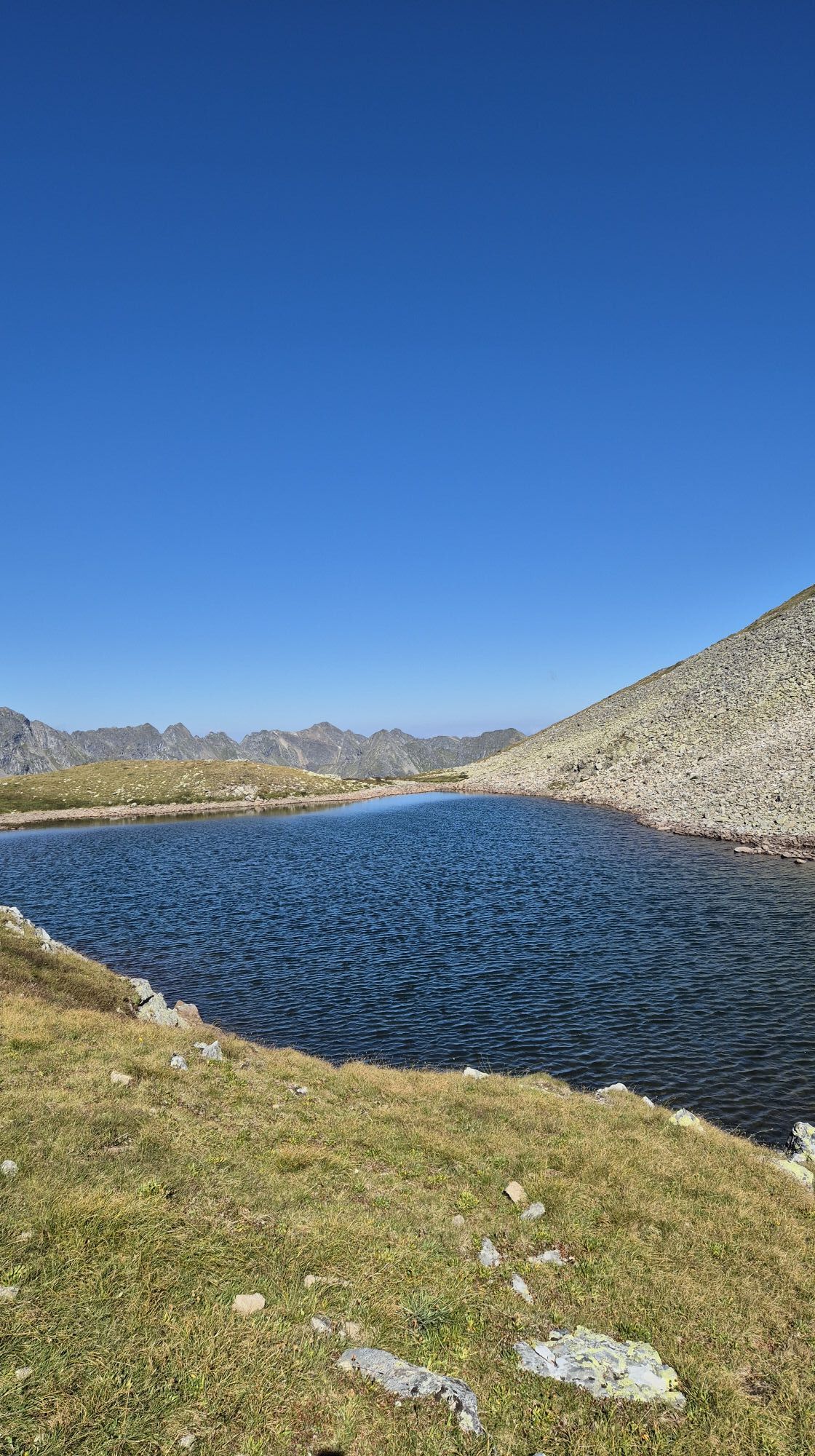
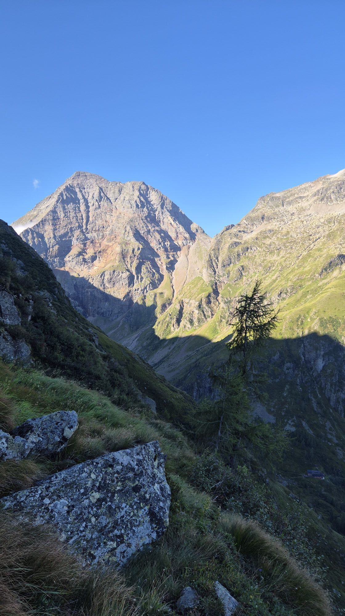
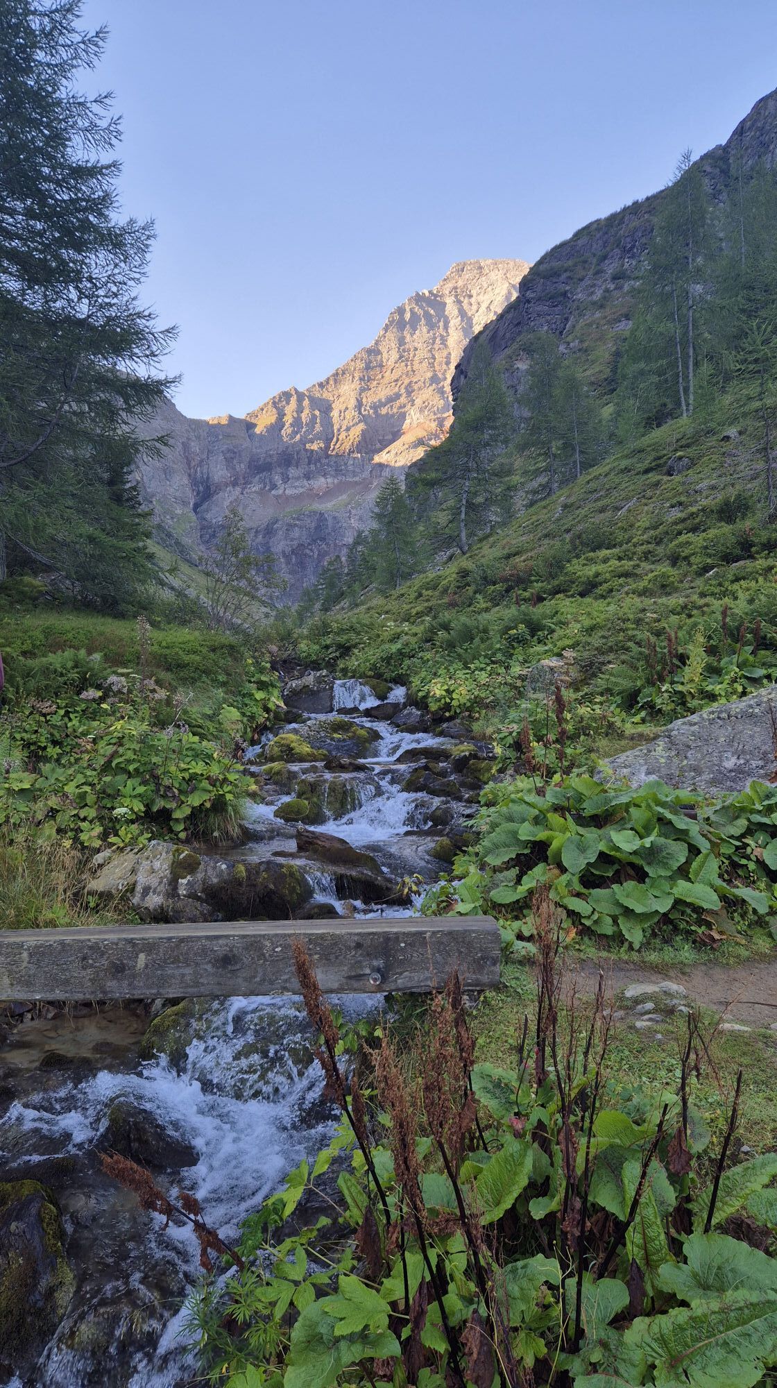
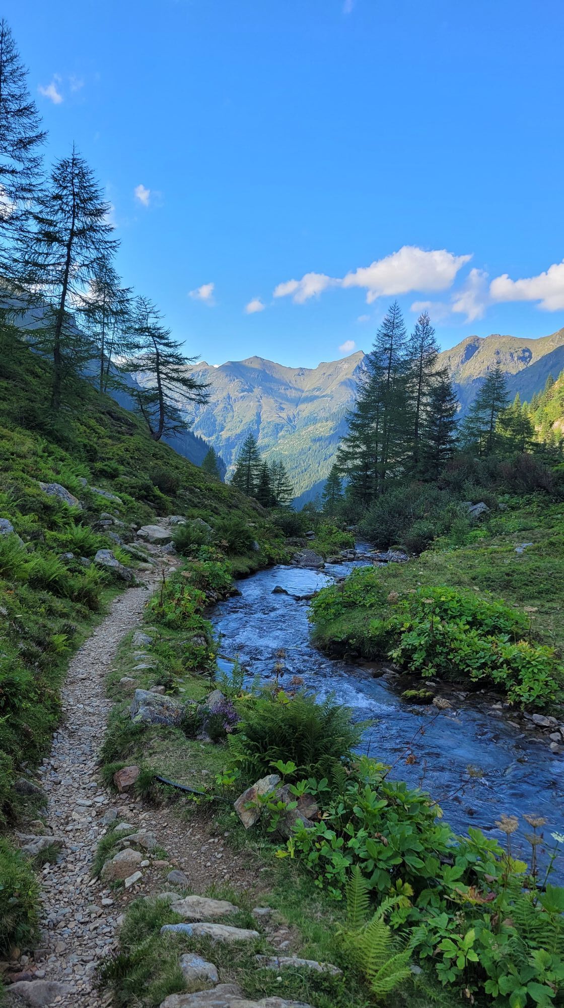
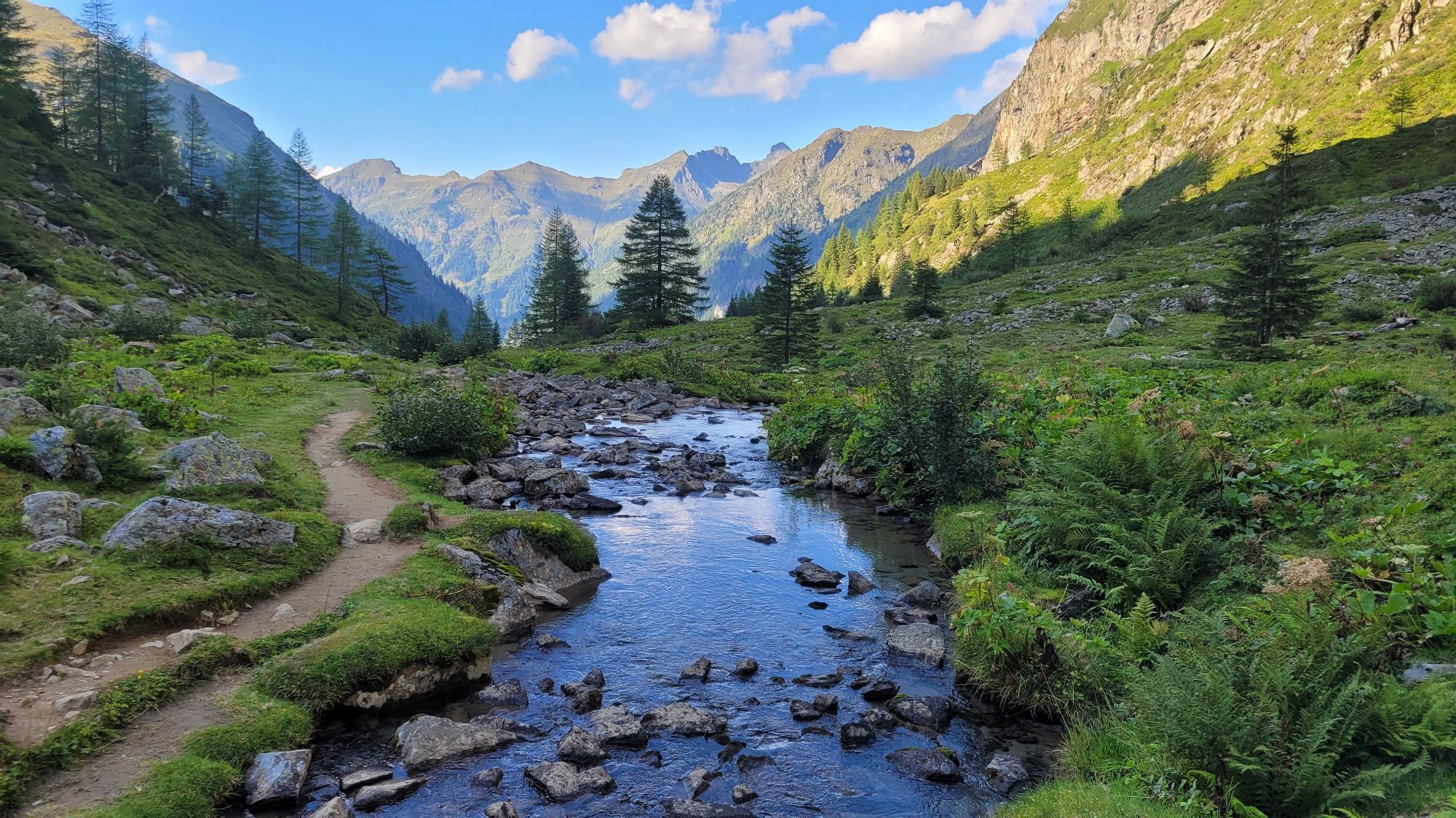
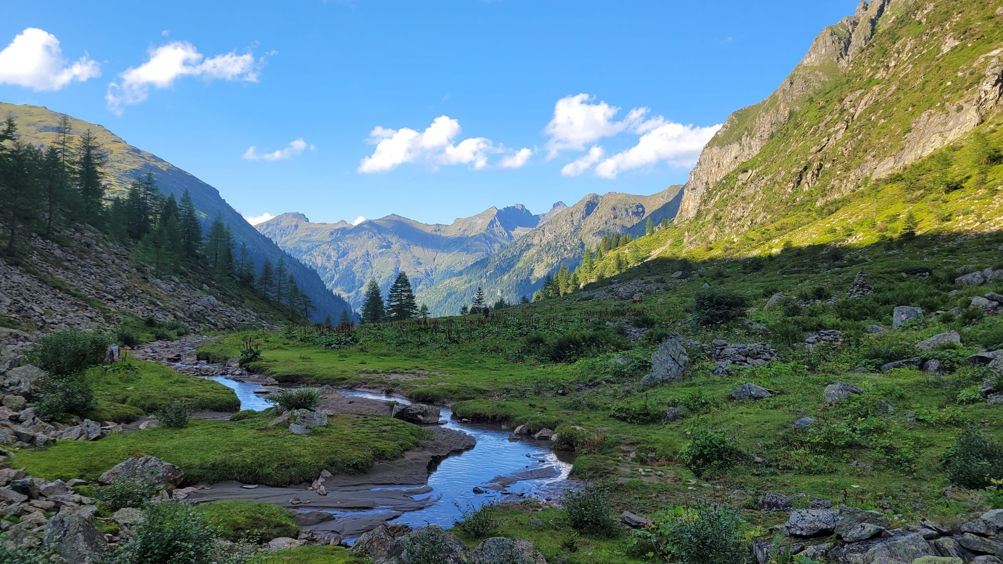
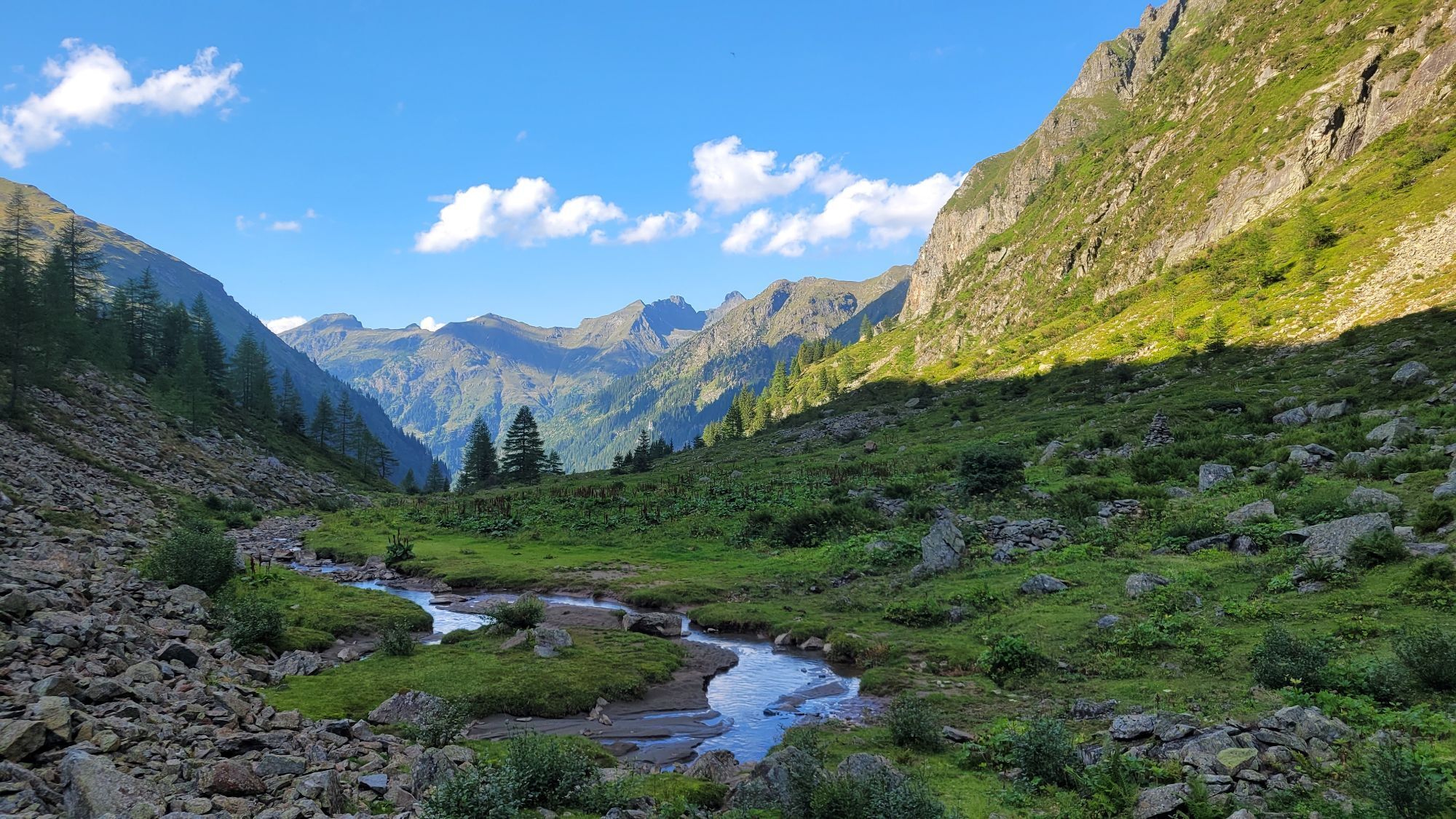
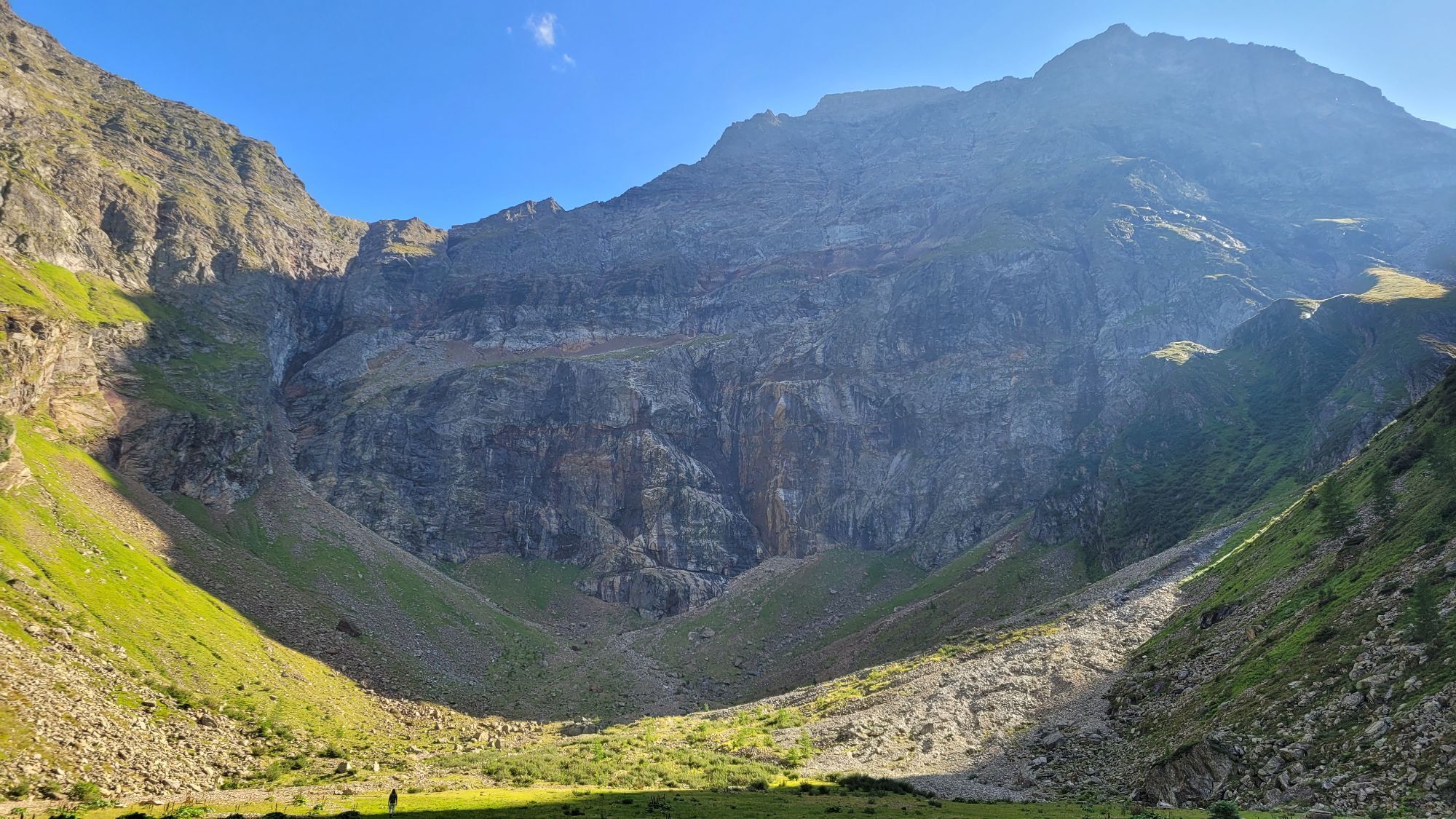
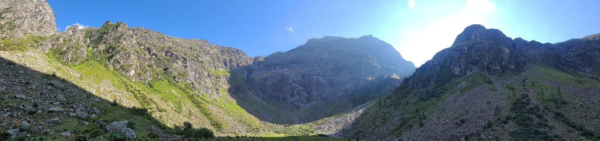
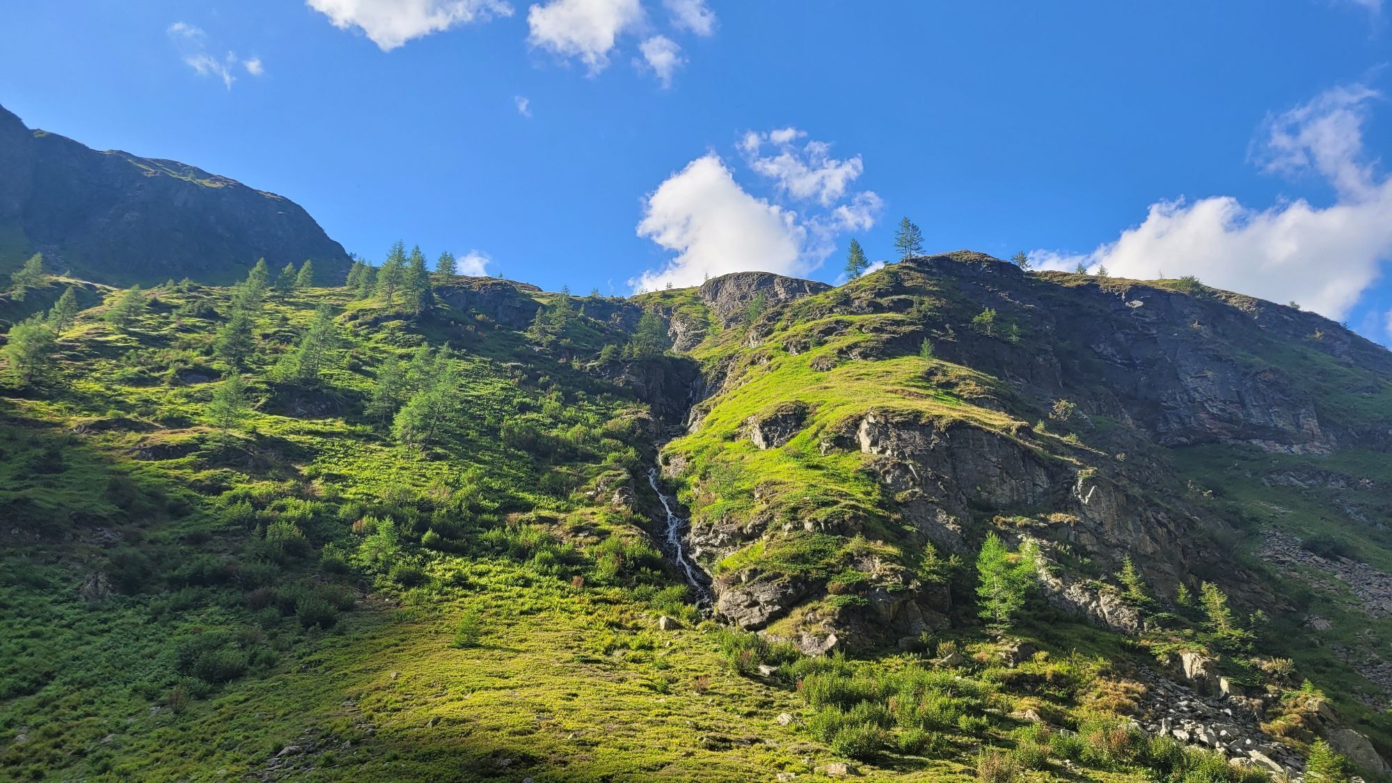
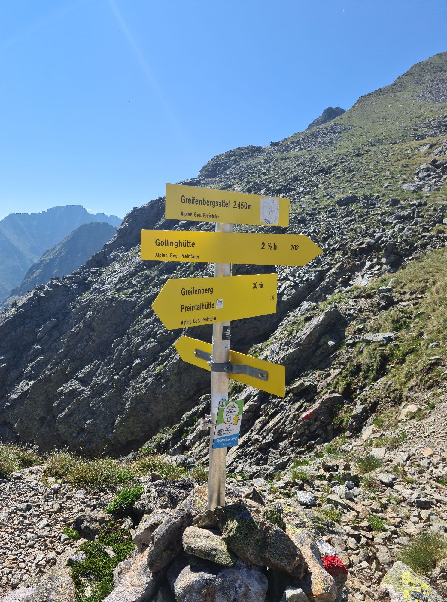
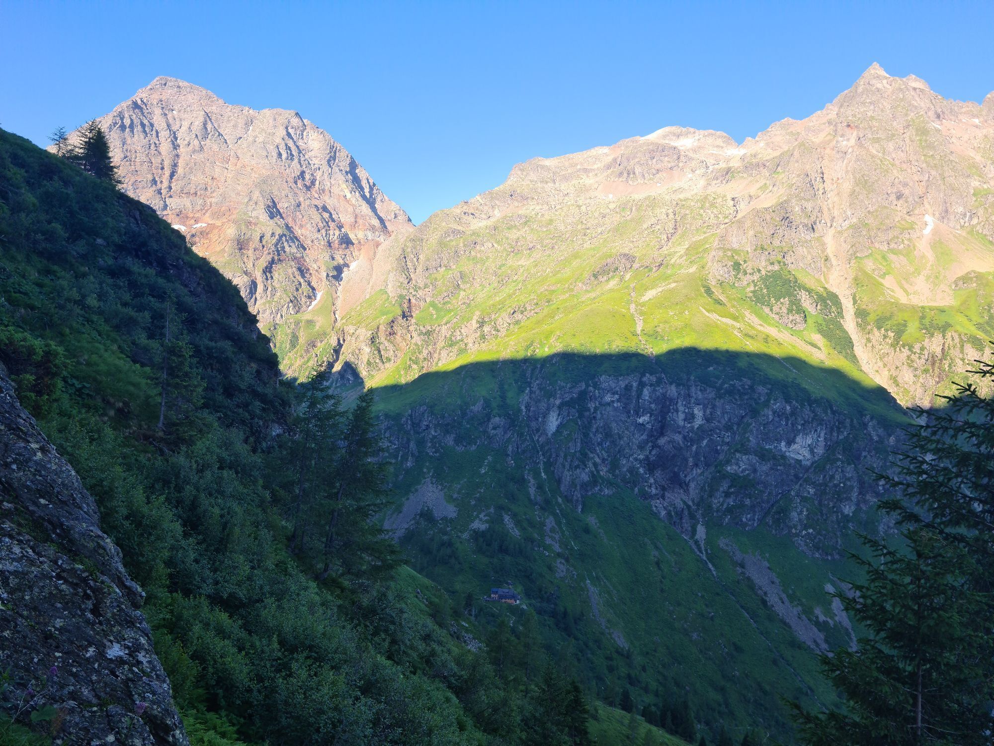
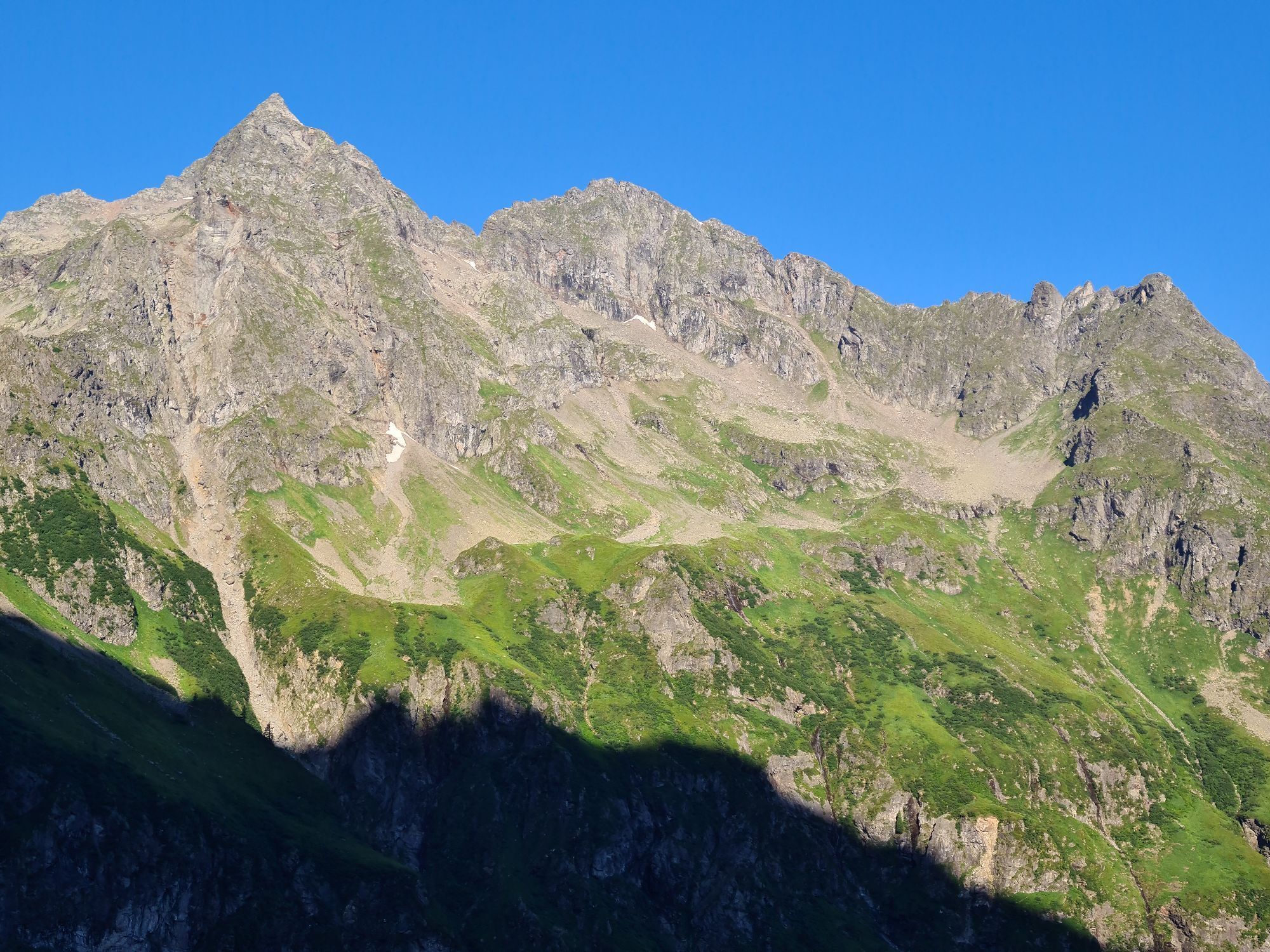
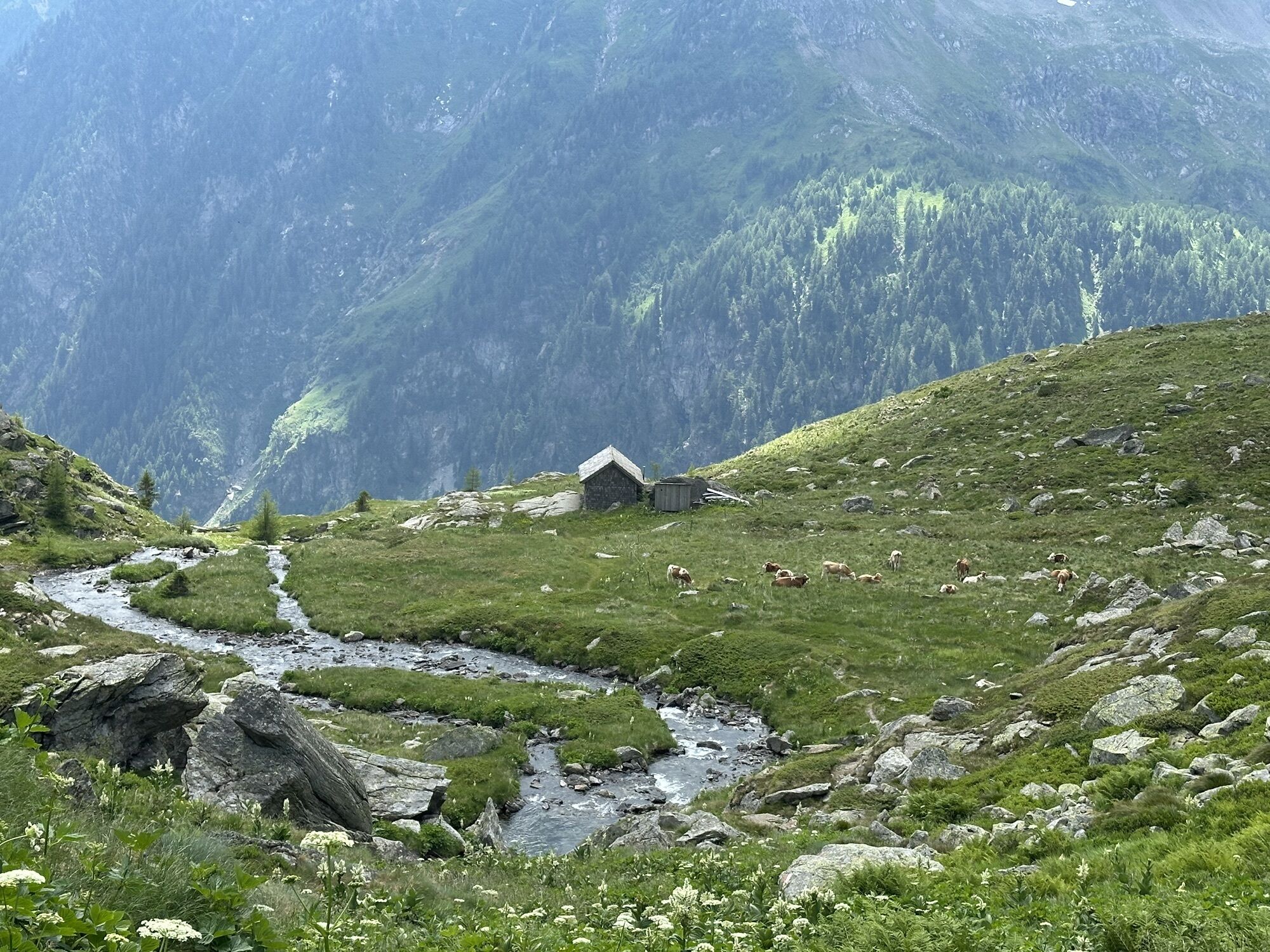
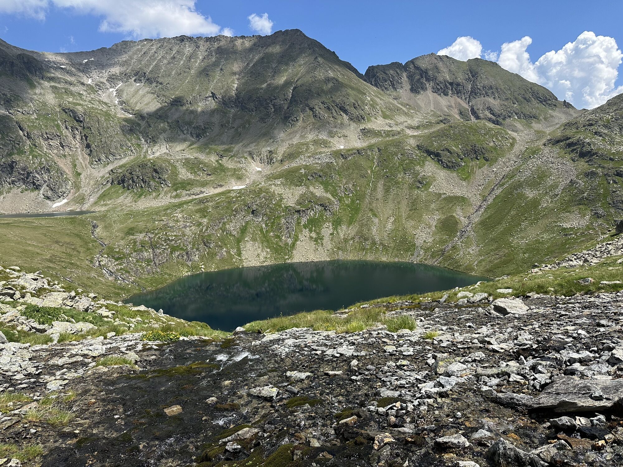
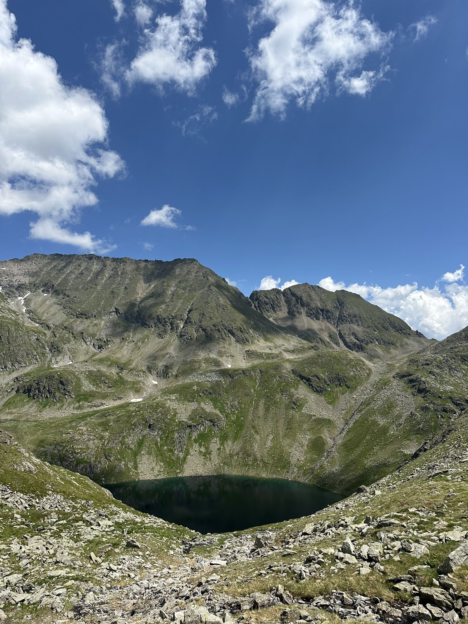
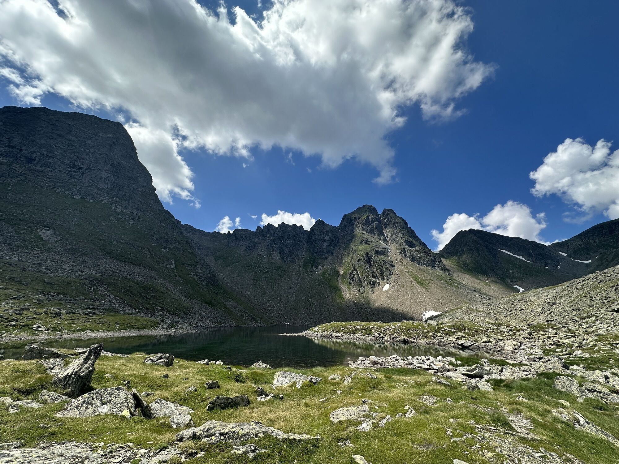
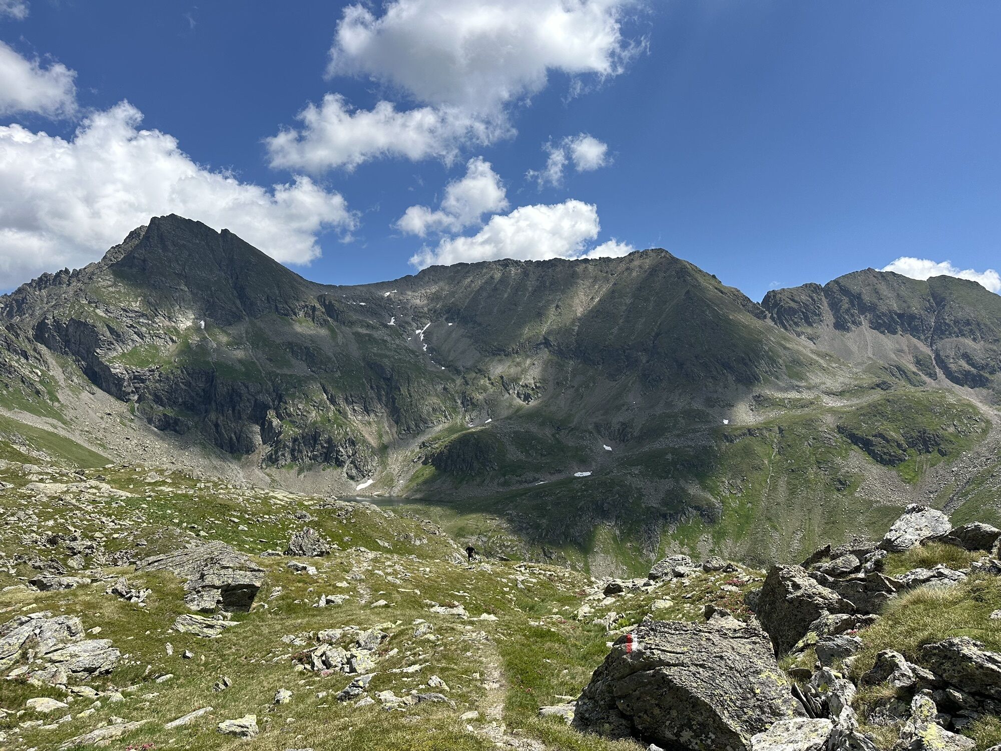
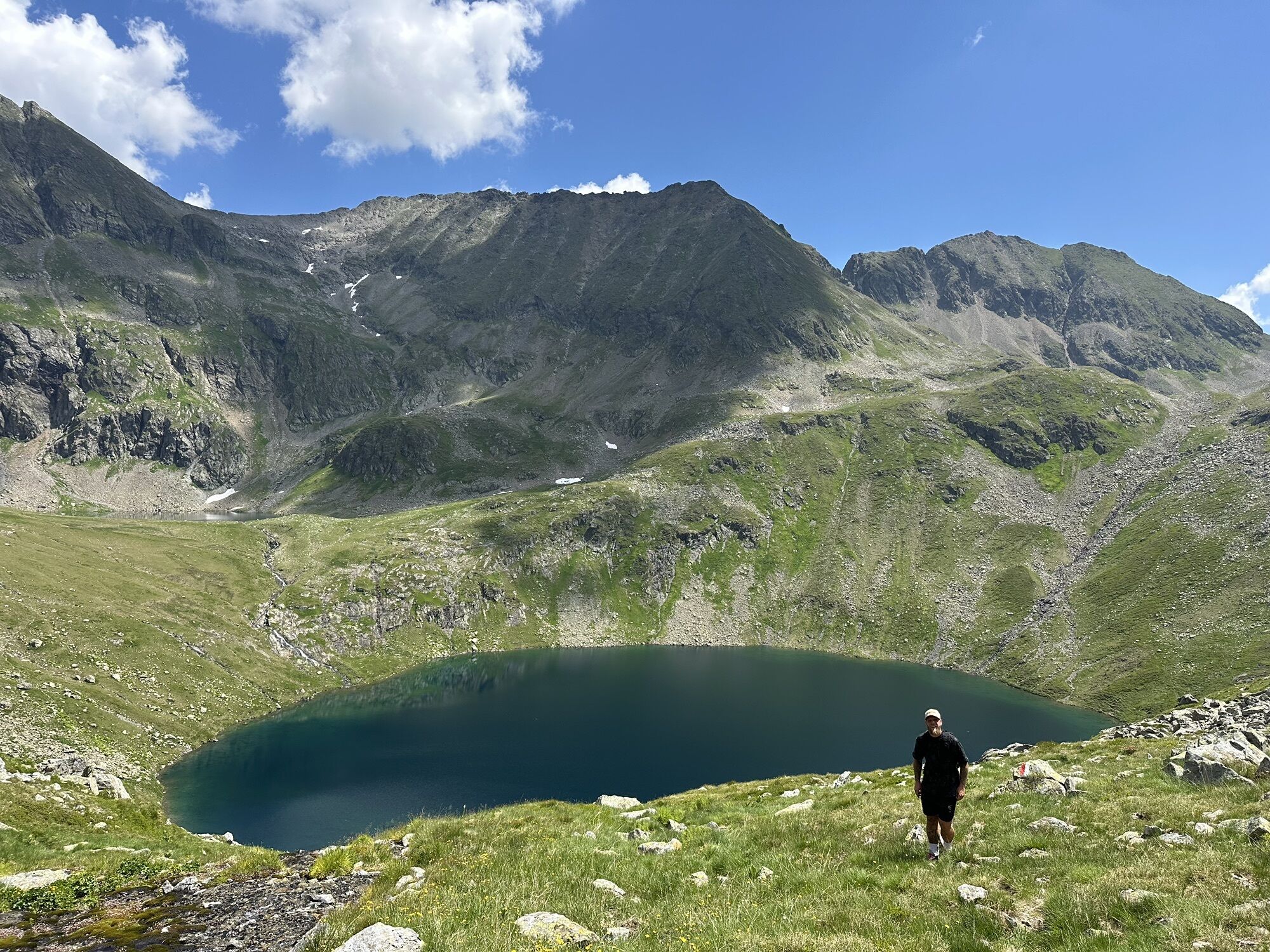
The fourth stage leads steeply up to the Gollingscharte, via the Gollingwinkel, where a secure footing is required on both sides.
The path from the rear valley floor to the Gollinghütte is easy, but a long...
Popis
The fourth stage leads steeply up to the Gollingscharte, via the Gollingwinkel, where a secure footing is required on both sides.
The path from the rear valley floor to the Gollinghütte is easy, but a long rest is recommended before the next ascent. From the Gollinghütte, a partly steep ascent of almost 1,000 meters in elevation up to the Greifenbergsattel is waiting. The detour to the Greifenberg is short and rewarding. The path down into the lower Lessachtal valley initially leads past the Lungauer Klaffersee and Zwerfenbergsee lakes, which are also perfect for a refreshing swim. Once you reach the lower Lessachtal, you have to plan another 3 kilometers to the Laßhoferalm. Please note that the Laßhoferalm does not offer overnight accommodation. Until September 10th you can use the hiking bus. This is a bus, which must be informed 2 hours before departure if it is needed, departure is at 15:55.
The path from the rear valley floor to the Gollinghütte is easy, but a long rest is recommended before the next ascent. From the Gollinghütte, a partly steep ascent of almost 1,000 meters in elevation up to the Greifenbergsattel is waiting. The detour to the Greifenberg is short and rewarding. The path down into the lower Lessachtal valley initially leads past the Lungauer Klaffersee and Zwerfenbergsee lakes, which are also perfect for a refreshing swim. Once you reach the lower Lessachtal, you have to plan another 3 kilometers to the Laßhoferalm. Please note that the Laßhoferalm does not offer overnight accommodation. Until September 10th you can use the hiking bus. This is a bus, which must be informed 2 hours before departure if it is needed, departure is at 15:55.
Trasa
Landawirseehütte
(1985 m)
Úkryt
0.0 km
Gollingwinkel
(1710 m)
Koridor/terén
4.2 km
Obere Steinwenderalm
(1706 m)
Koridor/terén
4.3 km
Zwerfenbergalm
(1906 m)
Koridor/terén
11.4 km
Jausenstation Laßhoferalm
(1270 m)
Úkryt
15.8 km
Trasa
Stage 4
světlo
Turistika
15.98
km
Landawirseehütte
(1985 m)
Úkryt
0.0 km
Gollingwinkel
(1710 m)
Koridor/terén
4.2 km
Obere Steinwenderalm
(1706 m)
Koridor/terén
4.3 km
Zwerfenbergalm
(1906 m)
Koridor/terén
11.4 km
Jausenstation Laßhoferalm
(1270 m)
Úkryt
15.8 km


Naposledy sledované
před 5 dny

Zatím žádné recenze
Aktivity na trase
-

Schladming, Steiermark/Österreich
26.08.2026 – Turistika -

Lessach, Salzburg/Österreich
13.08.2026 – Turistika -

Lessach, Salzburg/Österreich
13.08.2026 – Turistika -

Schladming, Steiermark/Österreich
27.06.2026 – Turistika -

Göriach, Salzburg/Austria
18.09.2025 – Turistika -

Zwerfenbergsee
19.08.2025 – Turistika -

Lessach Wandern
30.08.2024 – Horská turistika -

Göriach, Salzburg/Österreich
10.08.2024 – Turistika -
Zwerfenbergsee
15.08.2023 – Další -
Lessach Wandern
30.08.2022 – Další -
Lessach Wandern
12.08.2020 – Další
Oblíbené prohlídky v okolí
-
4.4
Landawirseehütte (1.985 m)
středníTuristika 5.39 km -
4.2
Drei-Seen-Wanderung (Steirischer Bodensee - Hüttensee - Obersee)
středníTuristika 4.29 km -
4.2
Preber summit hike
středníTuristika 14.9 km -
4.8
Steirische und Lungauer Kalkspitze über das Kranzl
heavyTuristika 11.2 km -
4.8
Planai Runde | 304
středníMountainbike 34.1 km -
4.8
4-Jahreszeiten Wanderweg
středníZimní turistika 5.94 km -
4.7
Pleschnitzzinken
středníTuristika 5.55 km -
4.7
Preintalerhütte über den Alpinsteig Höll
středníTuristika 13.8 km -
4.6
Krahbergzinken - Gipfelglück auf 2.134 m
středníTuristika 5.92 km -
4.7
WM-Pfad Planai
světloTuristika 6.84 km

Pěší turistika a stopování

Více než 550.000 návrhů výletů, podrobné mapy a intuitivní plánovač tras dělají z aplikace nezbytnou výbavu pro všechny milovníky přírody.

Nenechte si ujít nabídky a inspiraci pro vaši příští dovolenou
Přihlaste se k odběru newsletteru
Chyba
Došlo k chybě. Zkuste to prosím znovu.
Děkujeme za vaši registraci
Vaše e-mailová adresa byl přidán do poštovního seznamu.
Zájezdy po celé Evropě
Rakousko
Švýcarsko
Německo
Itálie
Slovenia
Francie
Nizozemsko
Belgie
Polsko
Lichtenštejnsko
Česko
Slovensko
Španělsko
Chorvatsko
Bosna a Hercegovina
Lucembursko
Andorra
Portugal
Iceland
United Kingdom
Ireland
Greece
Albania
North Macedonia
Malta
Norway
Montenegro
Moldova
Kosovo
Hungary
San Marino
Romania
Estonia
Latvia
Belarus
Cyprus
Lithuania
Serbia
Bulgaria
Monaco
Denmark
Sweden
Finland





