
Großes Gurpitscheck (2.526 m)
heavy
Pořiďte si tuto prohlídku do mobilního telefonu
Großes Gurpitscheck (2.526 m)
heavy
Turistika
11.93
km
Naskenujte QR kód a spusťte navigaci v aplikaci bergfex.


Pěší turistika a stopování





Großes Gurpitscheck (2.526 m)
heavy
Vzdálenost
11.9
km
Doba trvání
-
h
Ascent
1120
hm
Hladina moře
1280 -
2510
m
Stažení skladby
Großes Gurpitscheck (2.526 m)
heavy
Turistika
11.93
km
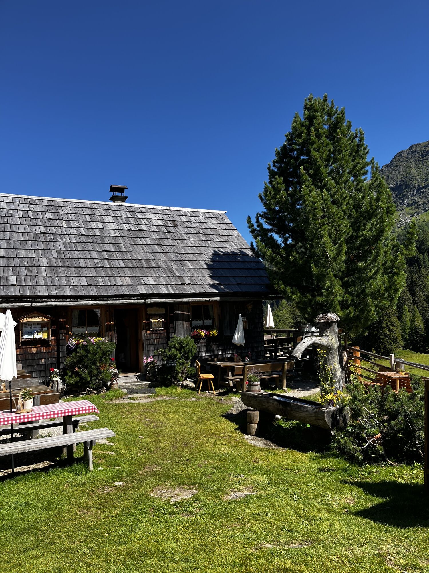
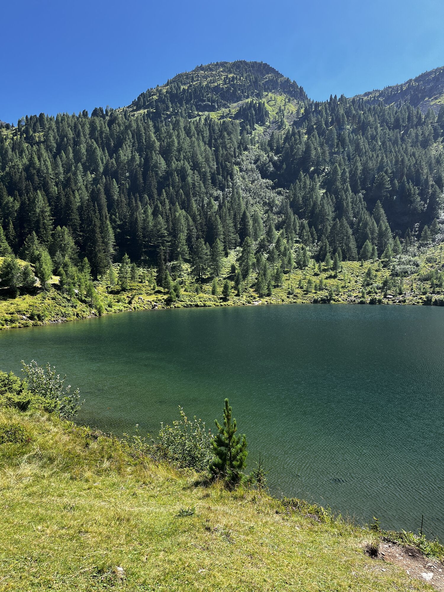
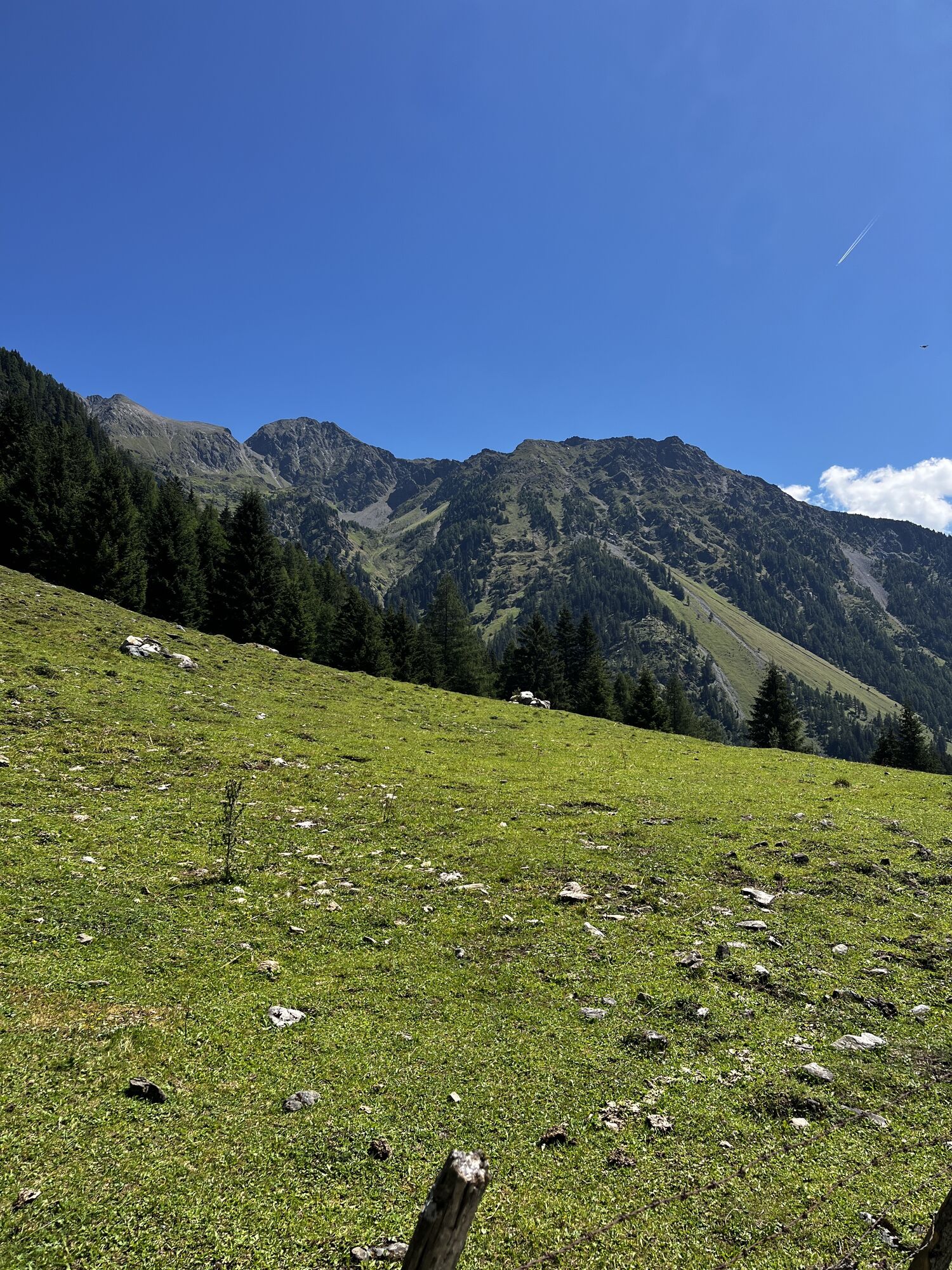
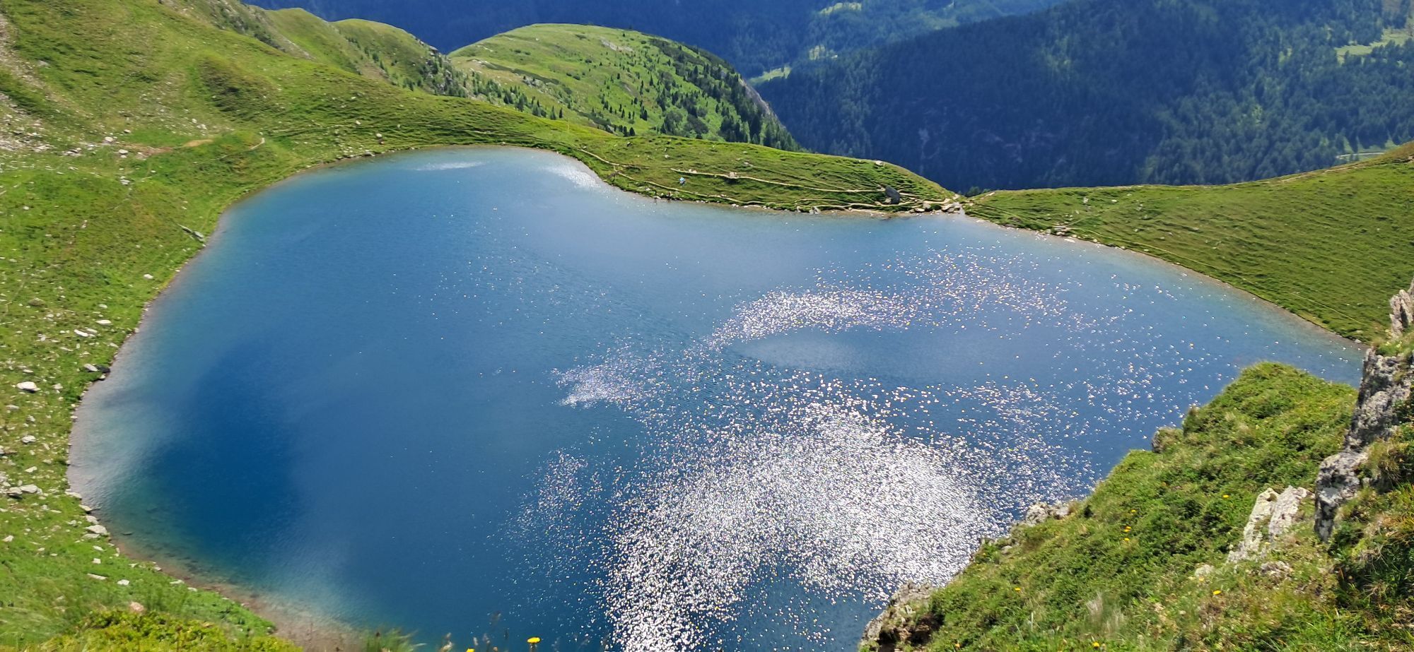
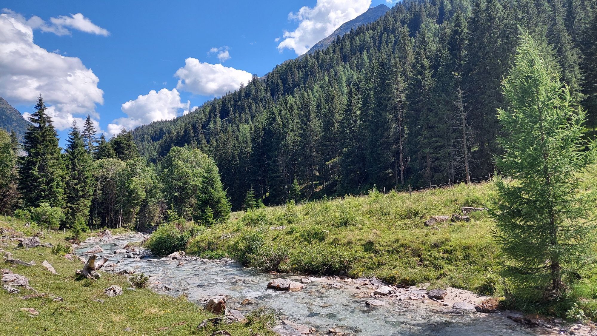
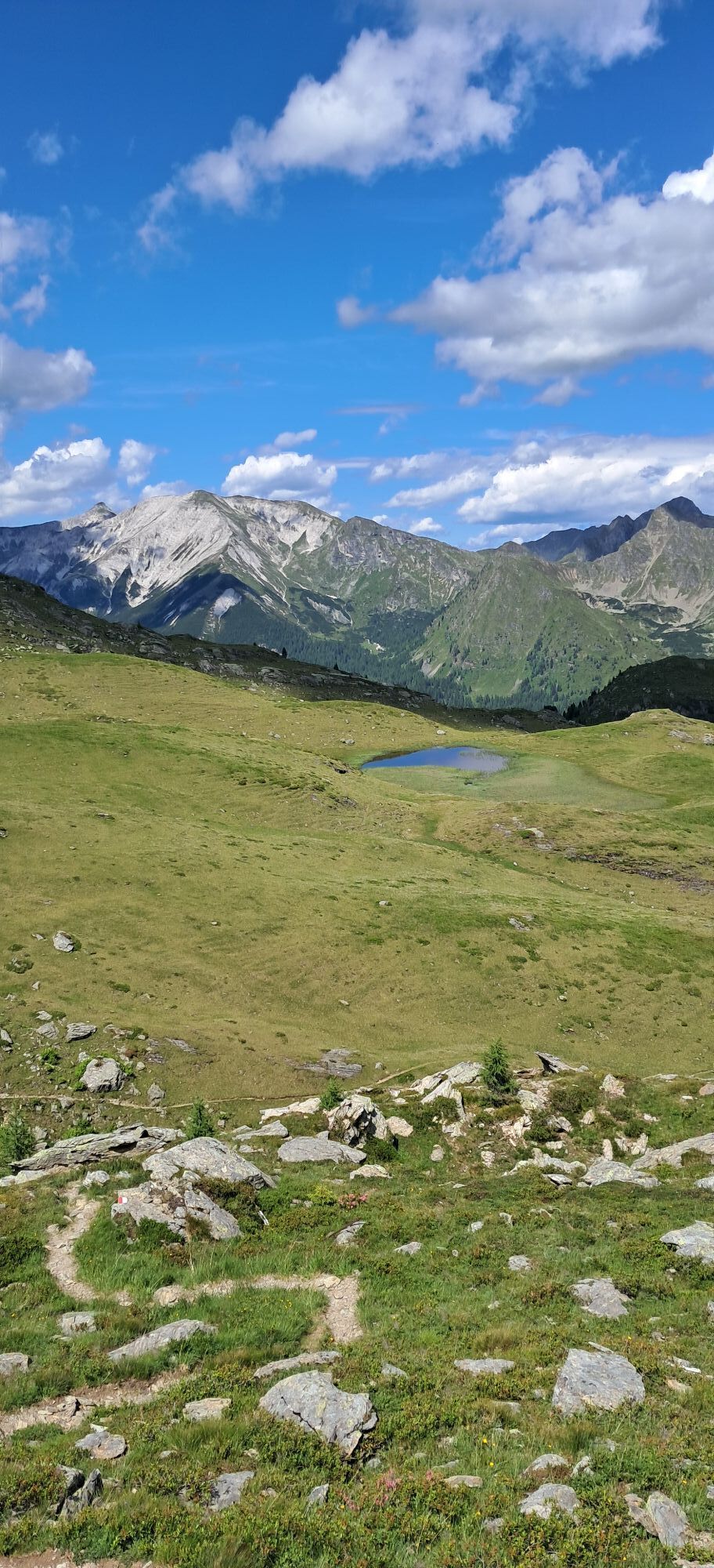
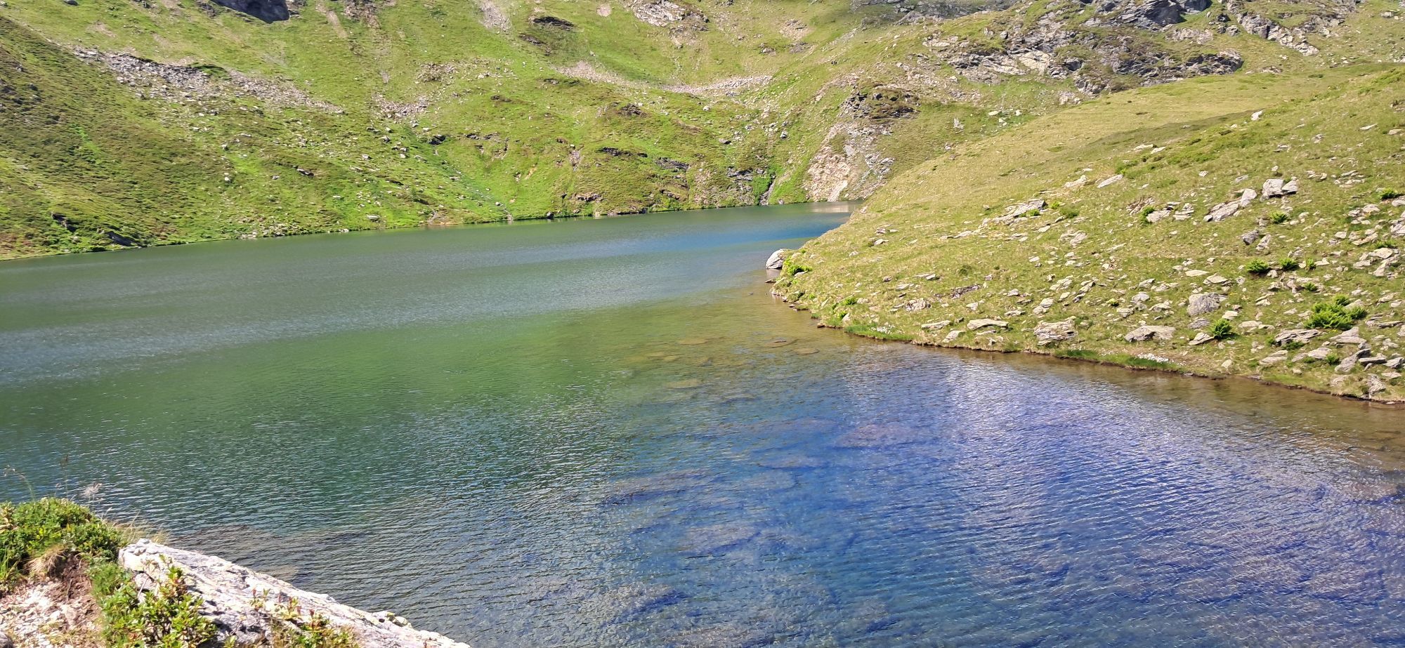
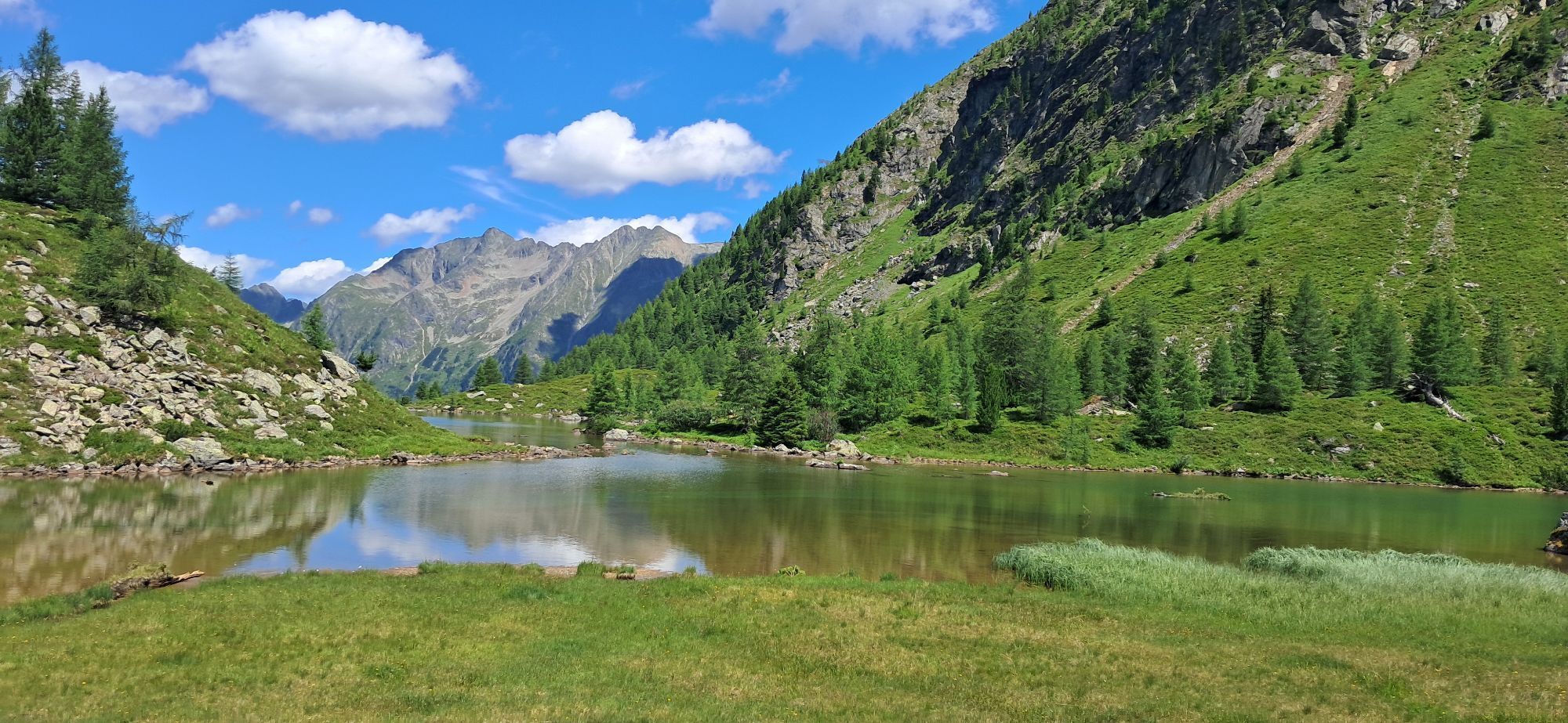
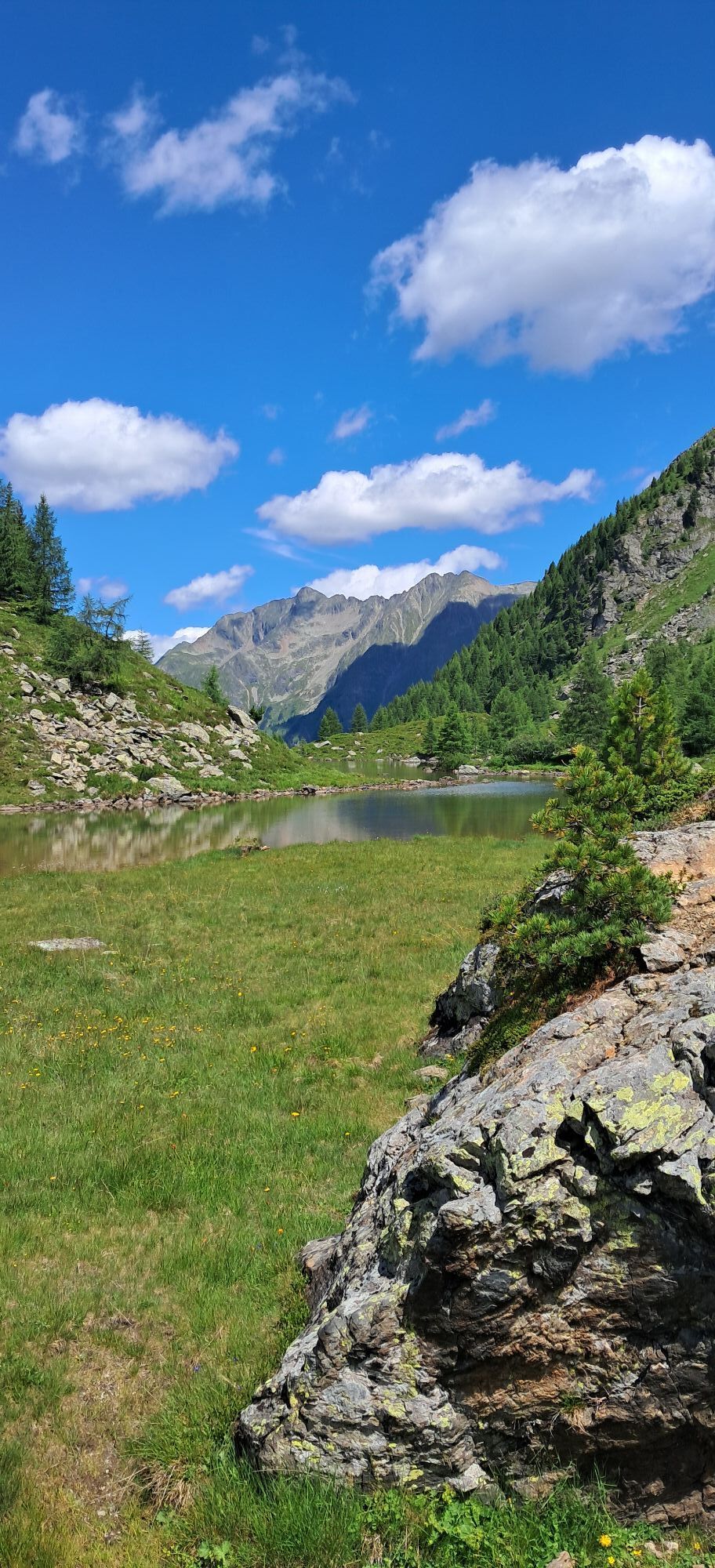
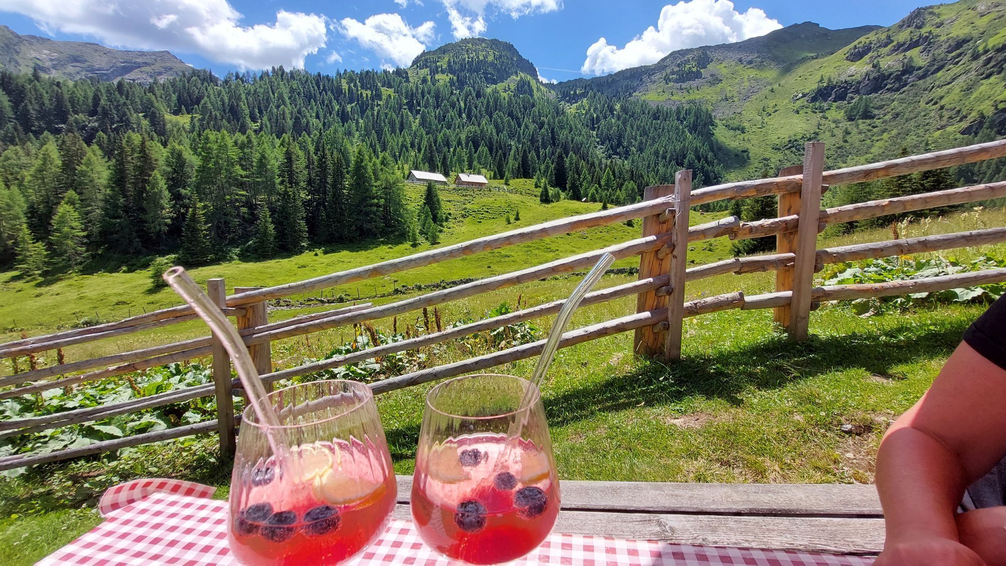
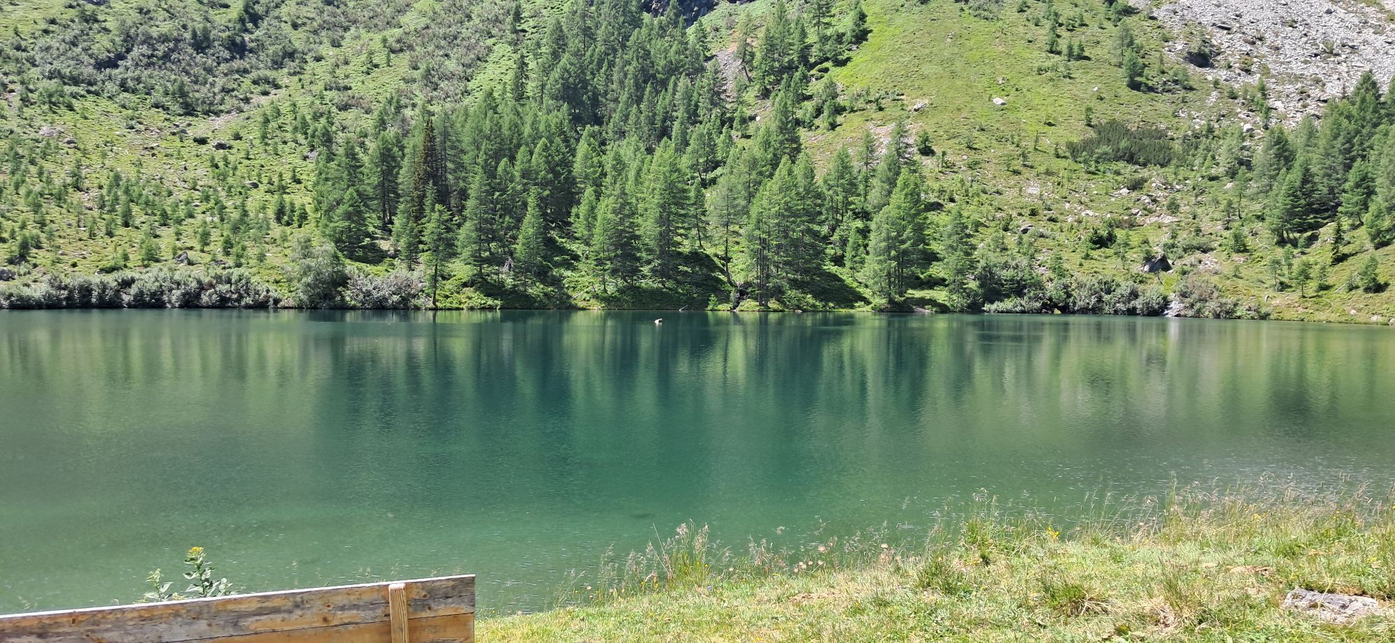
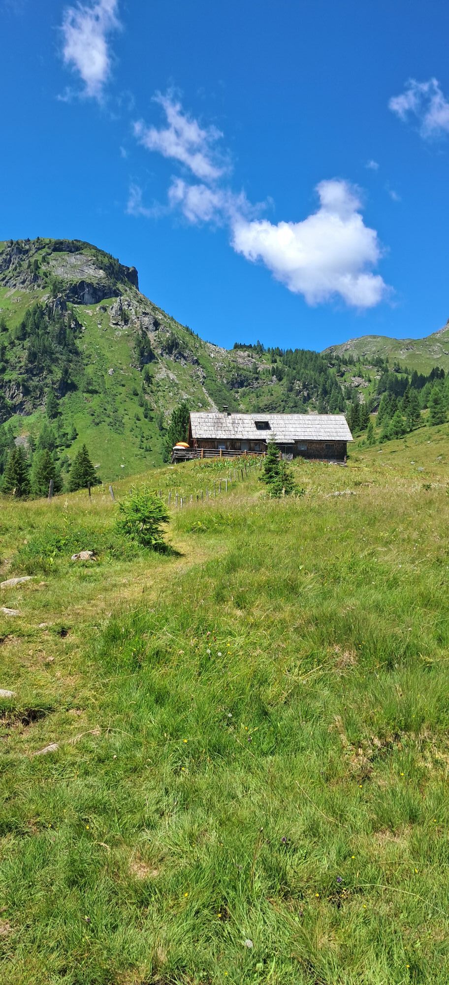
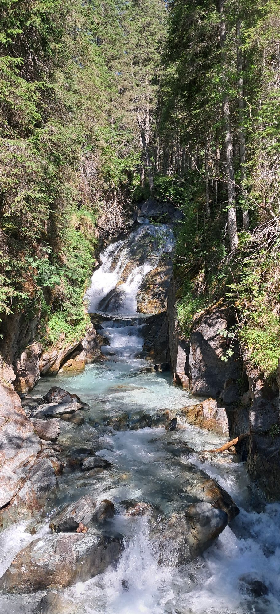
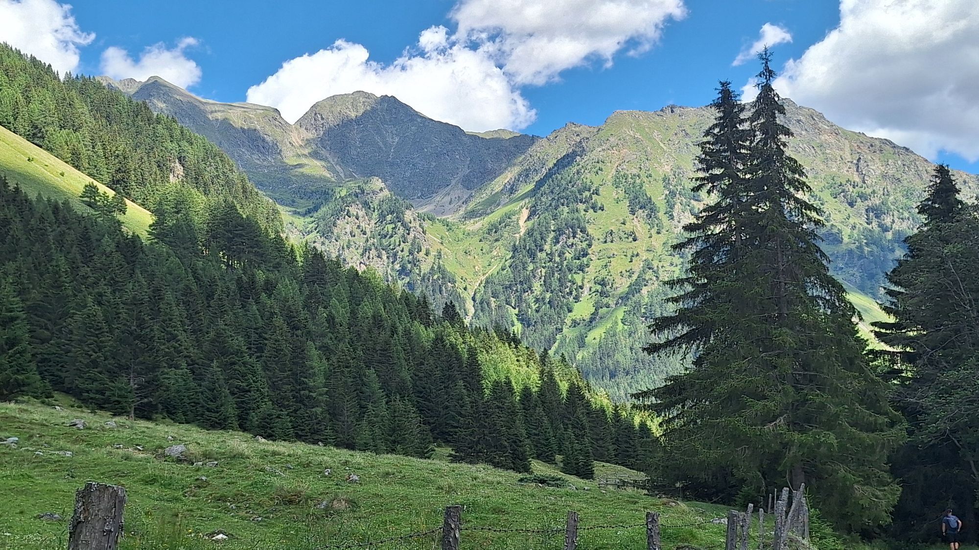
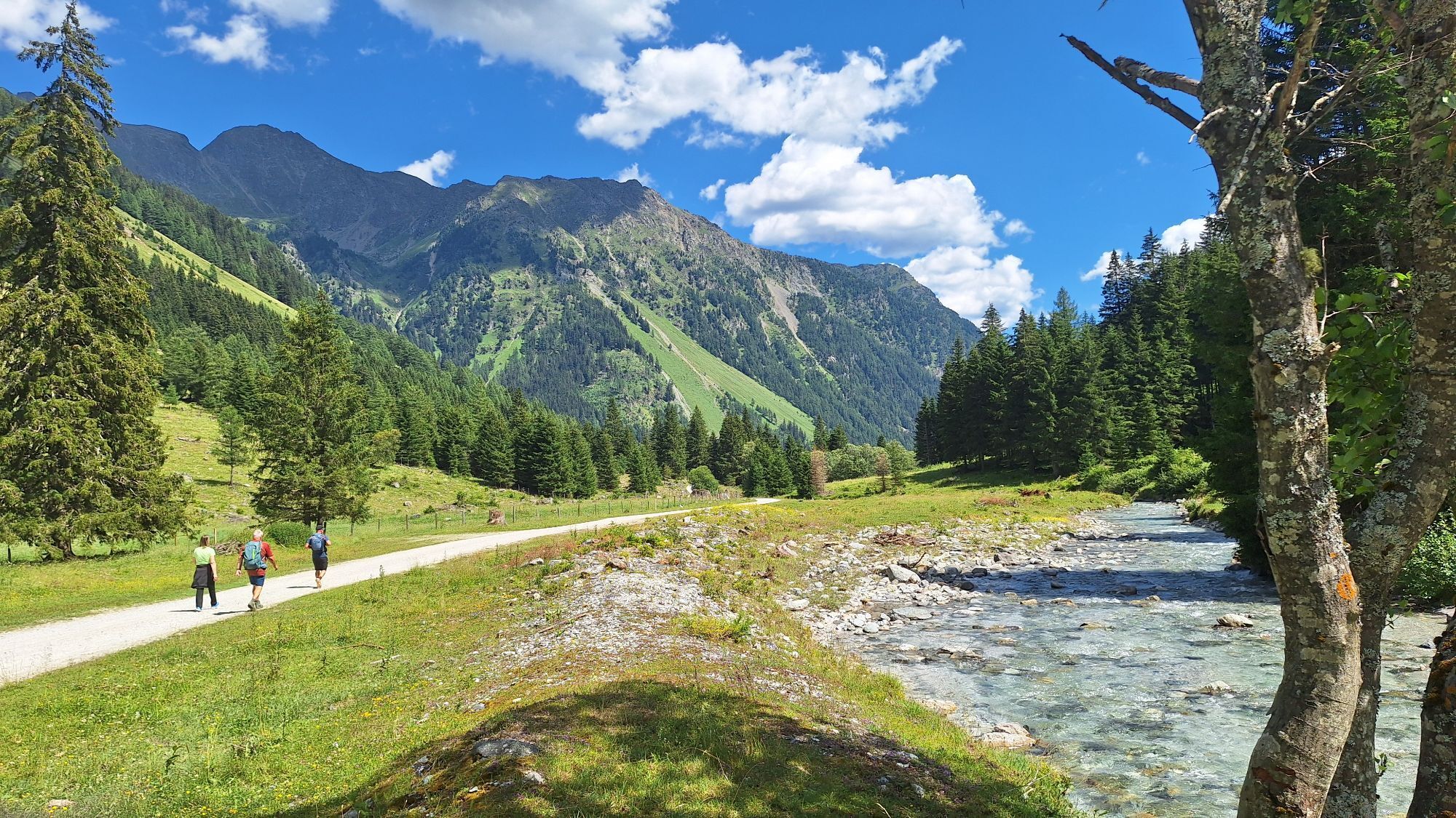
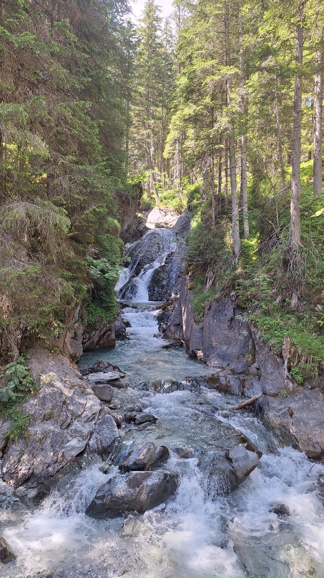
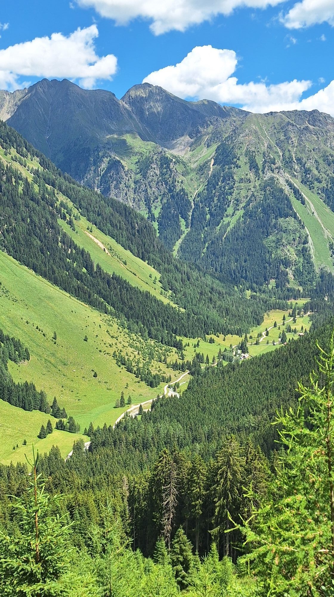
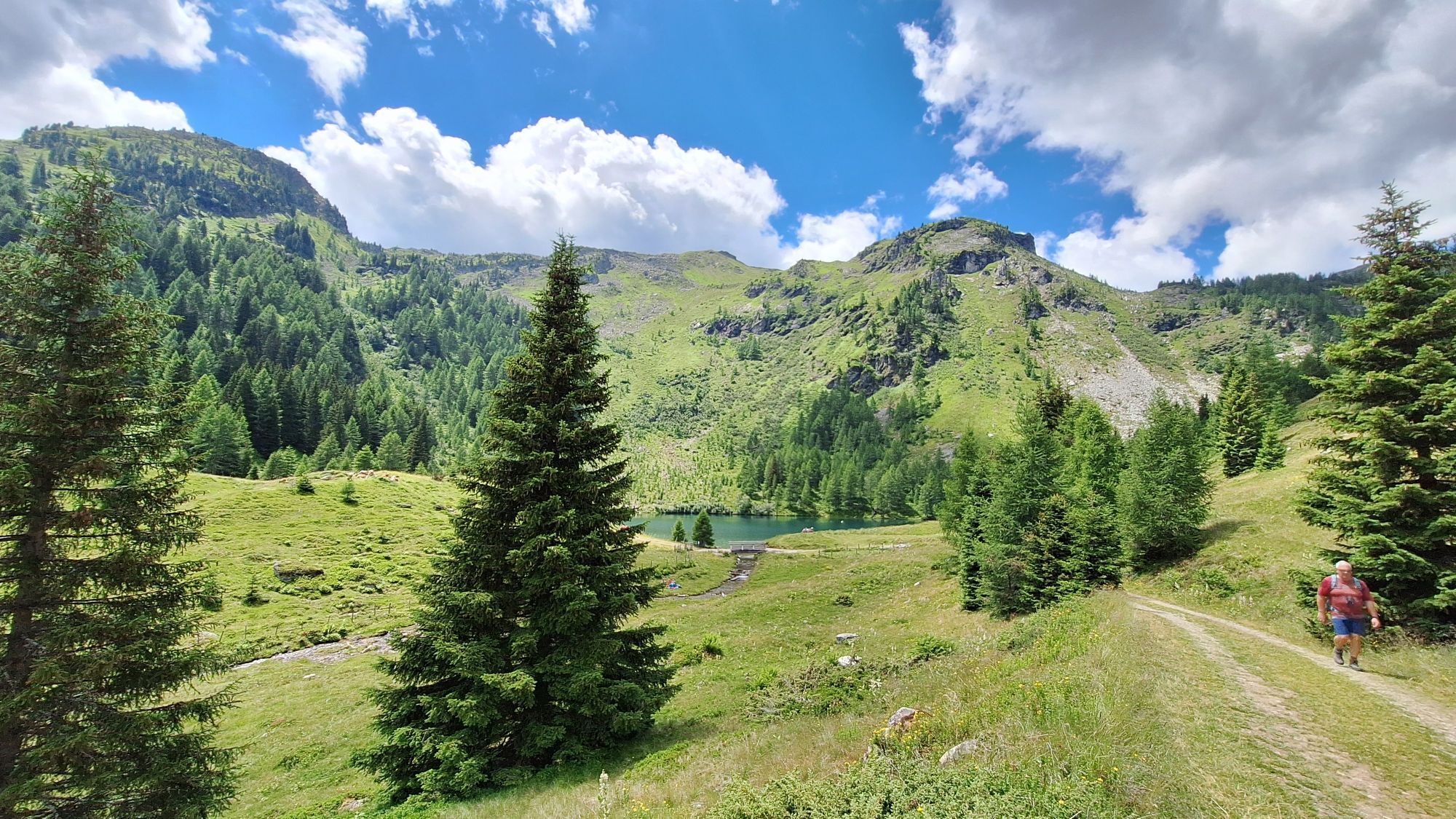
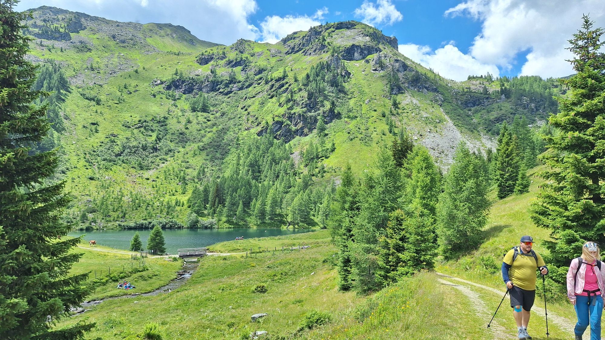
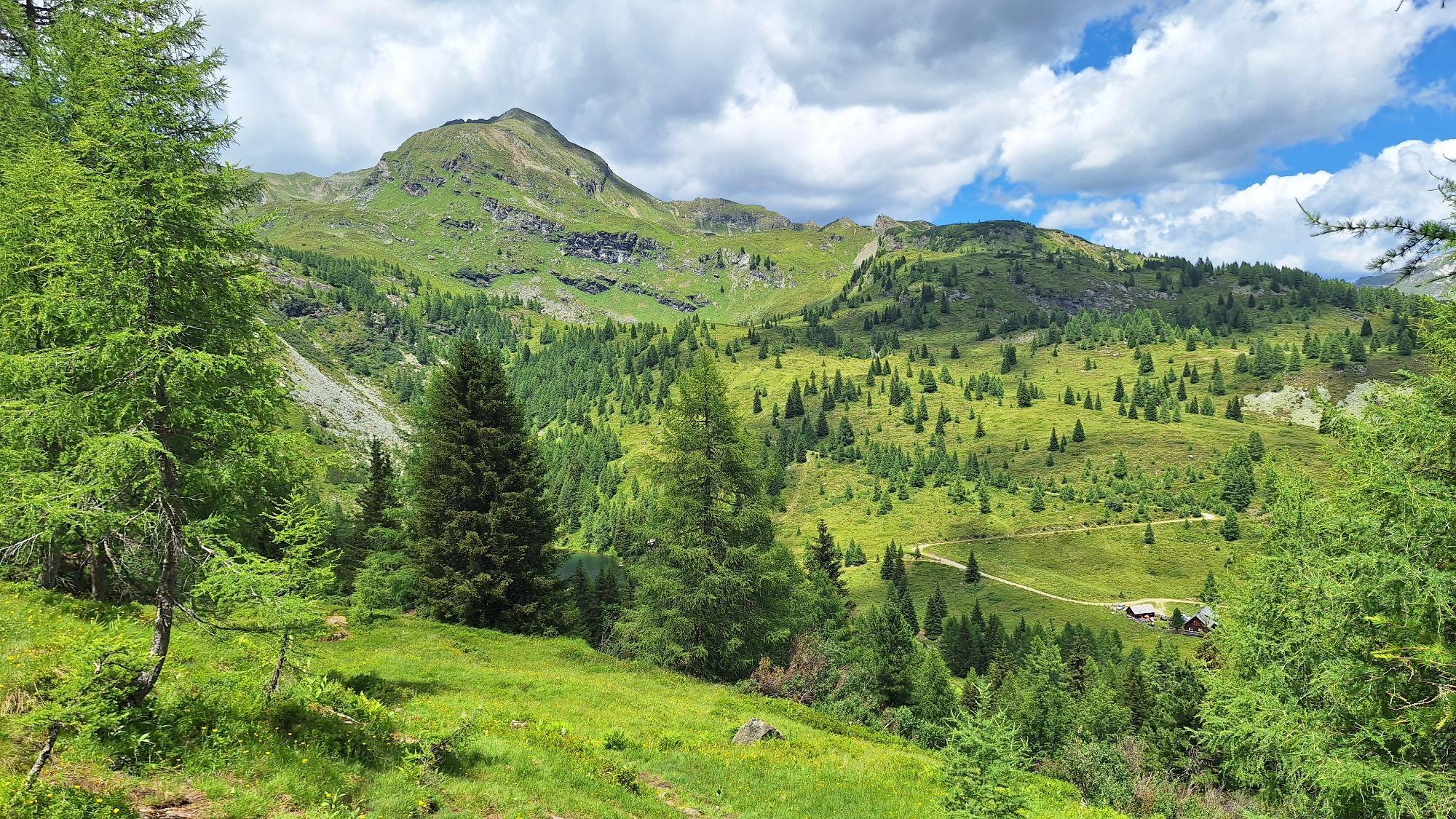
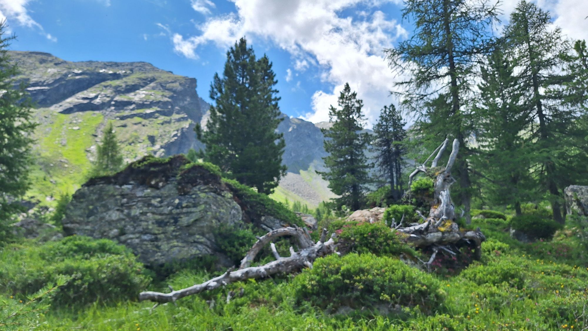
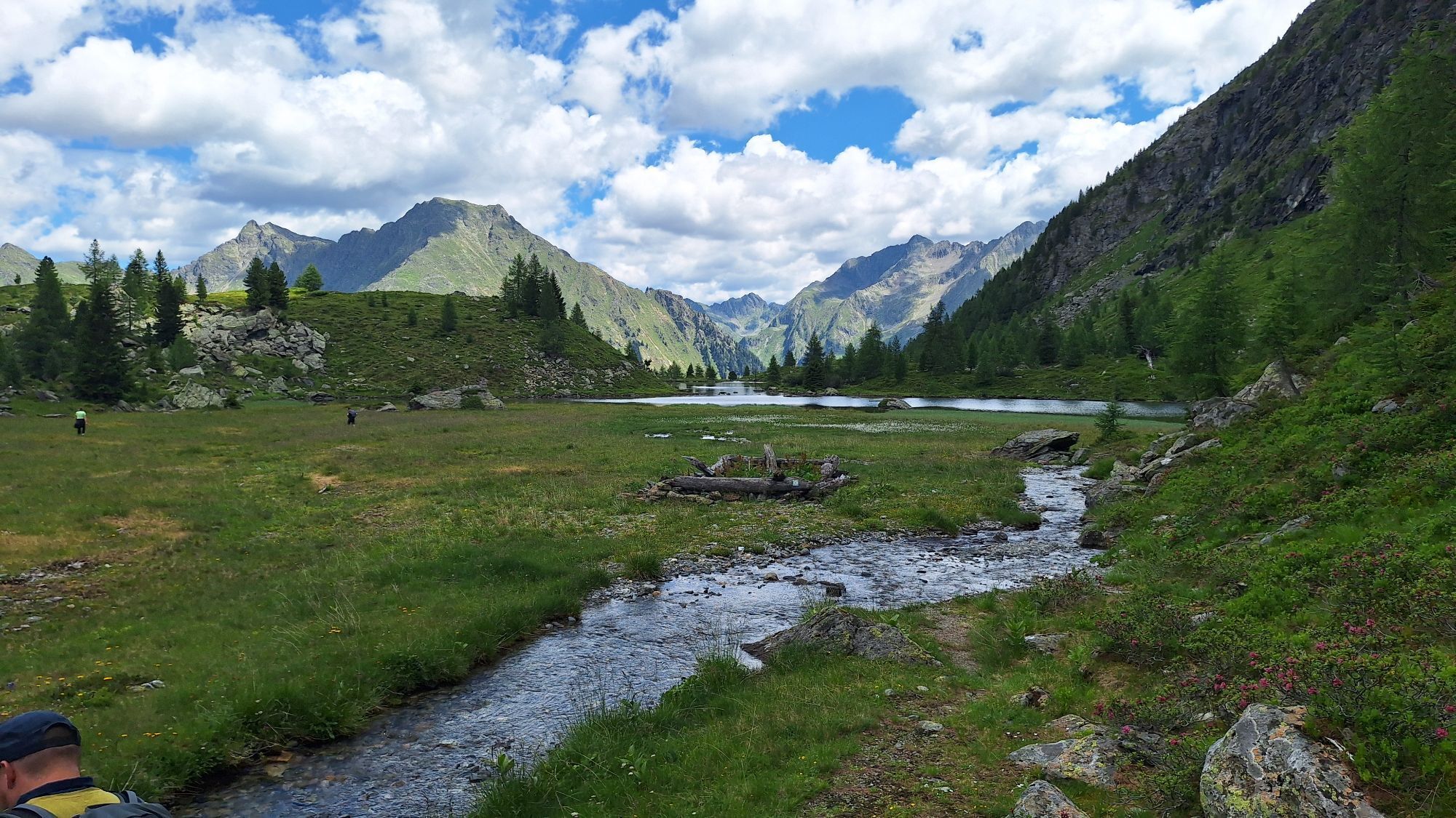
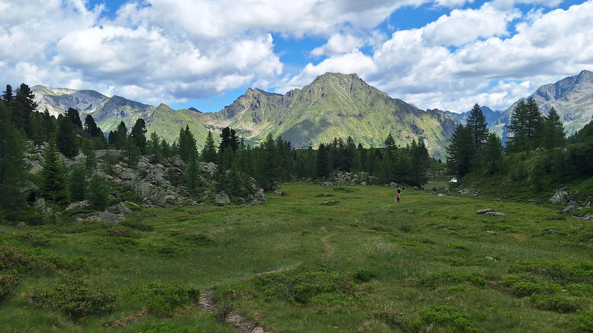
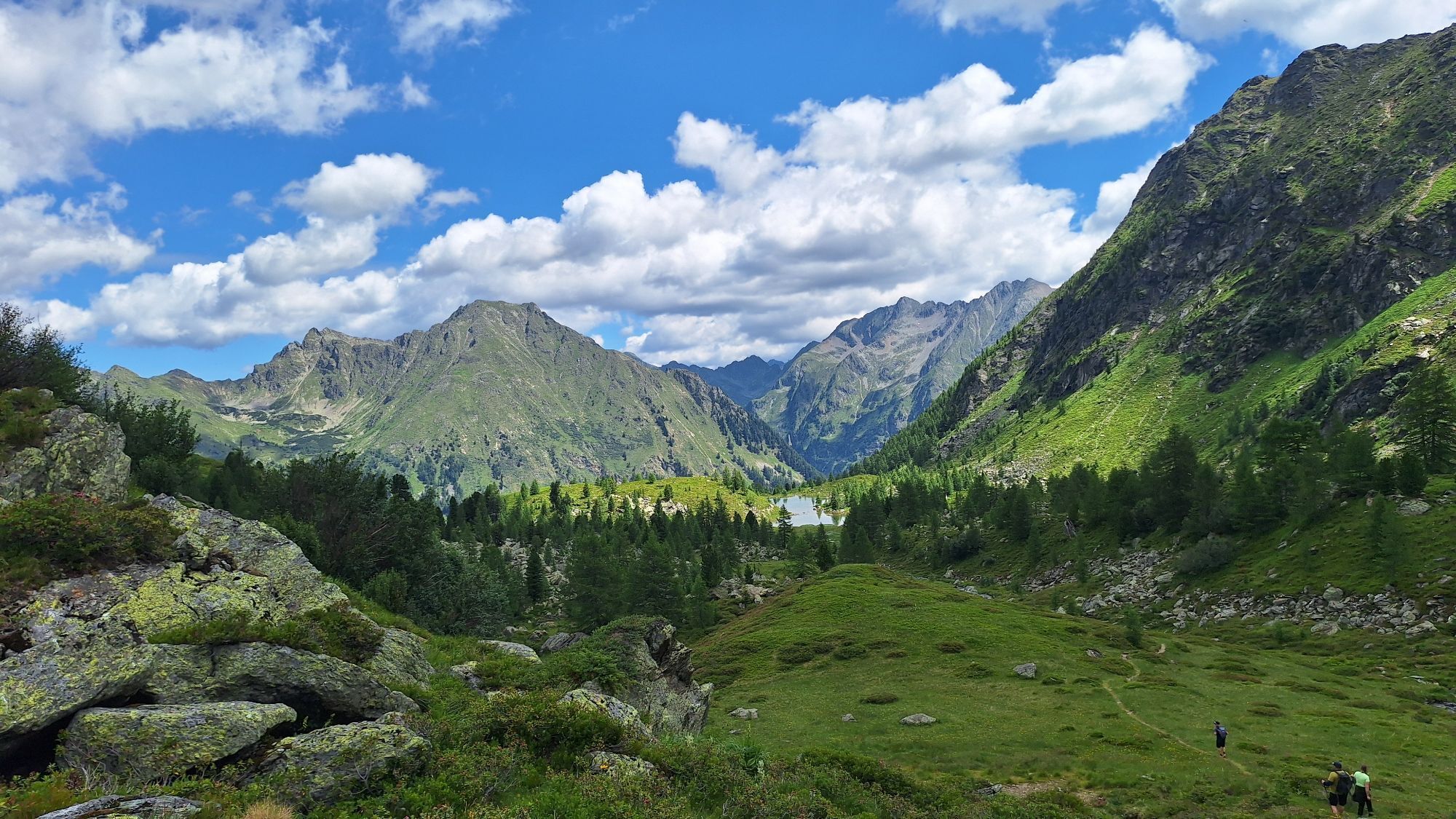
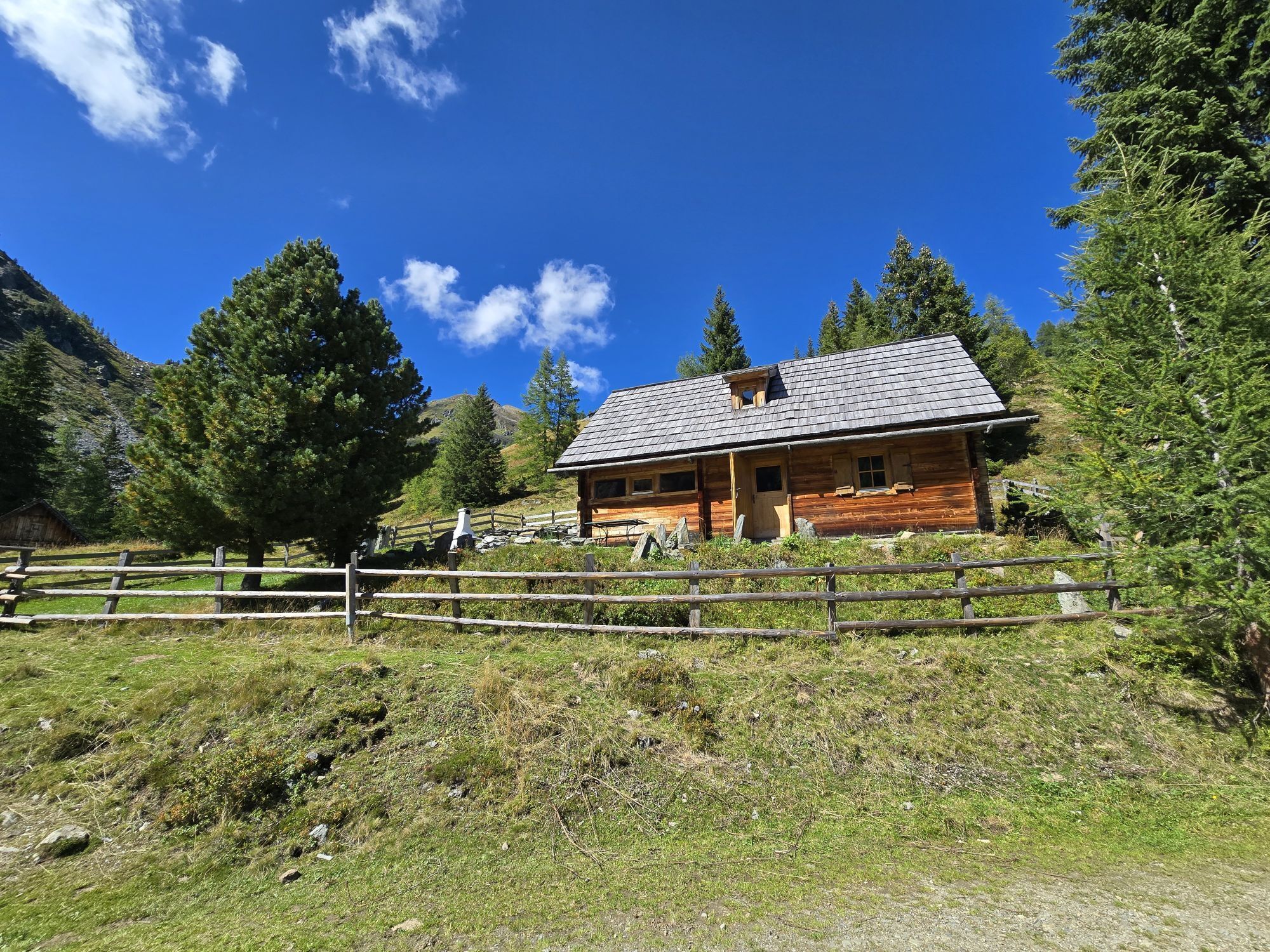
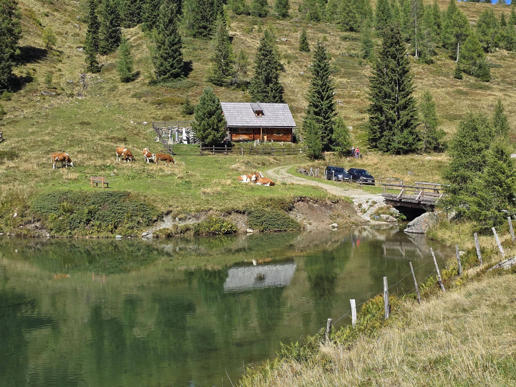
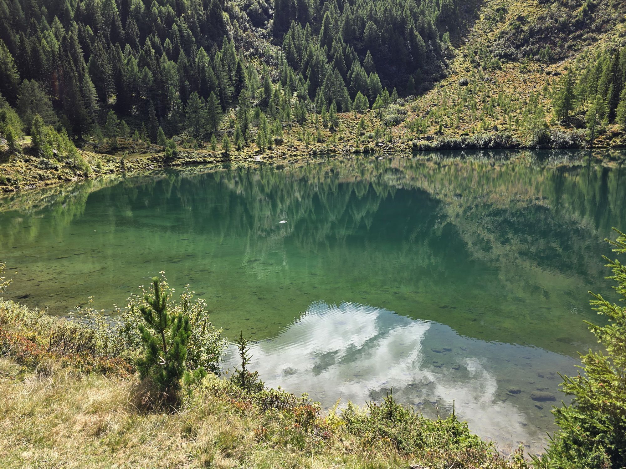
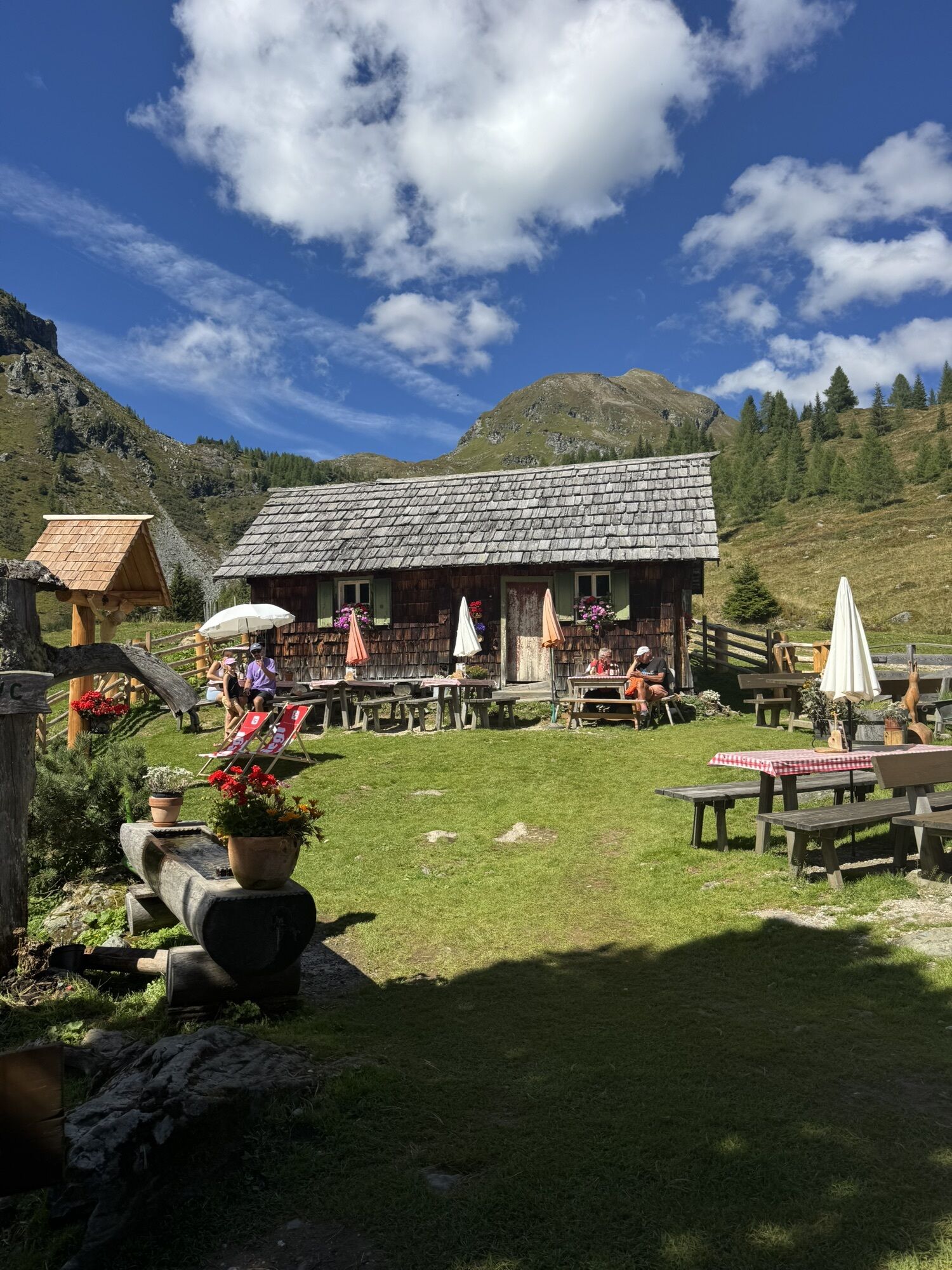
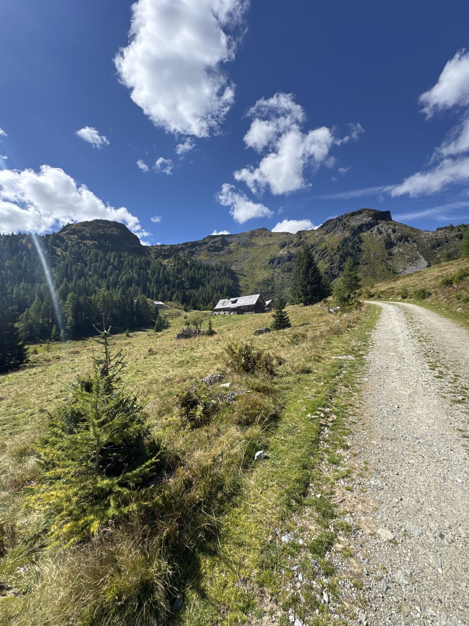

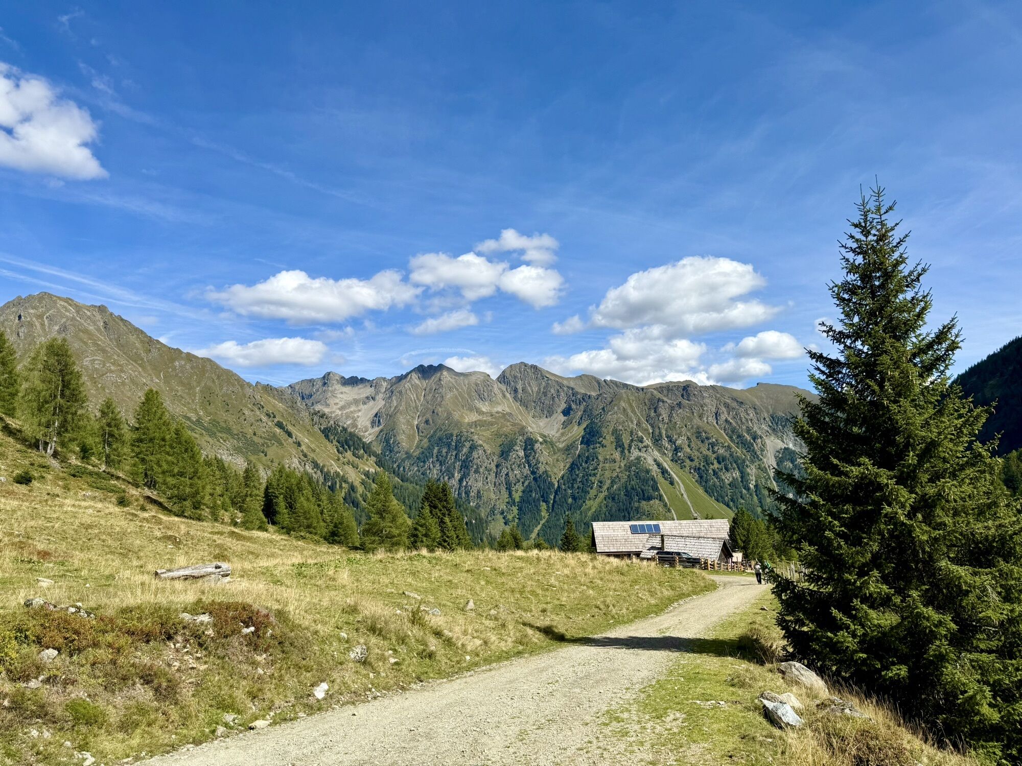
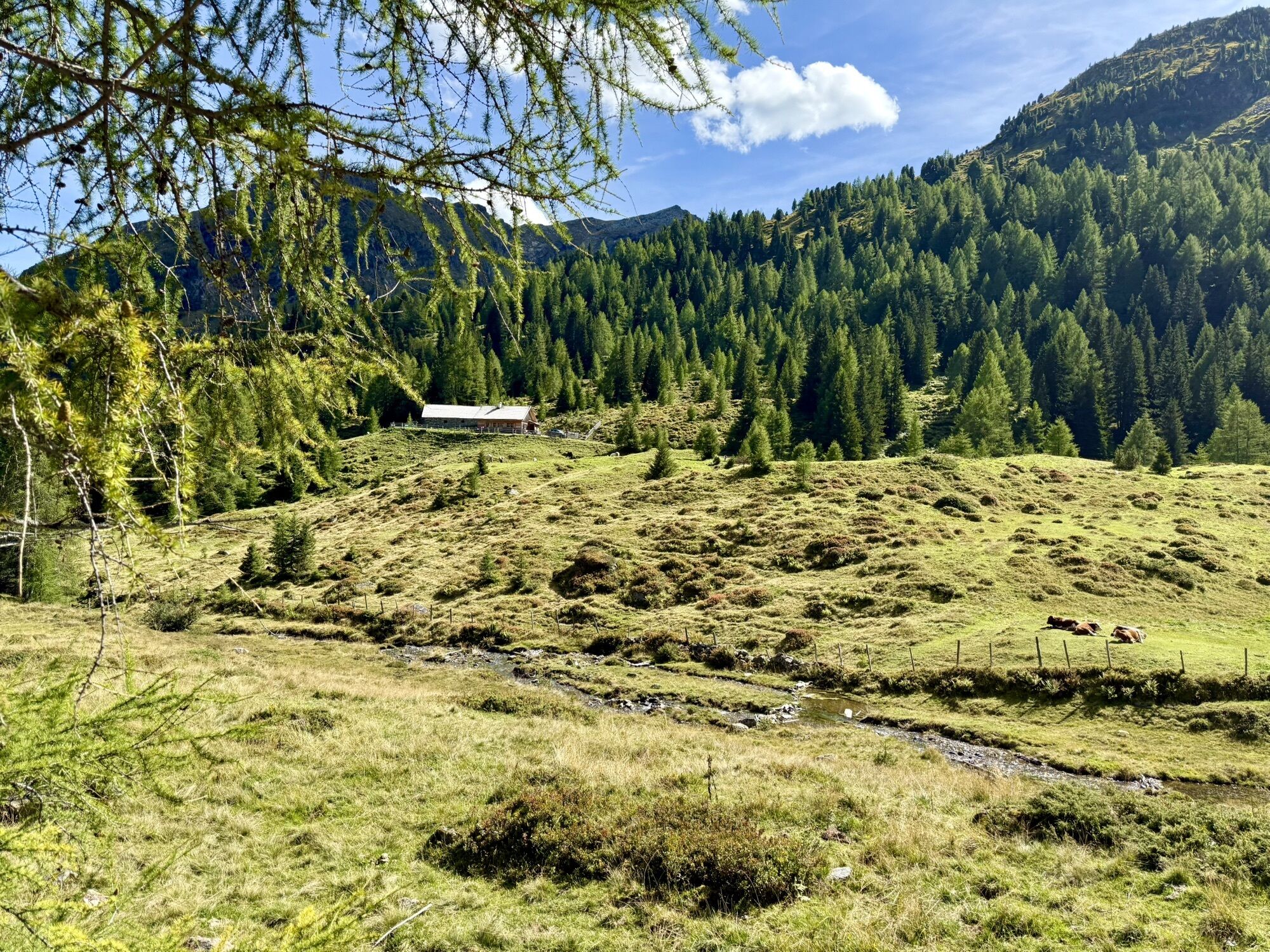
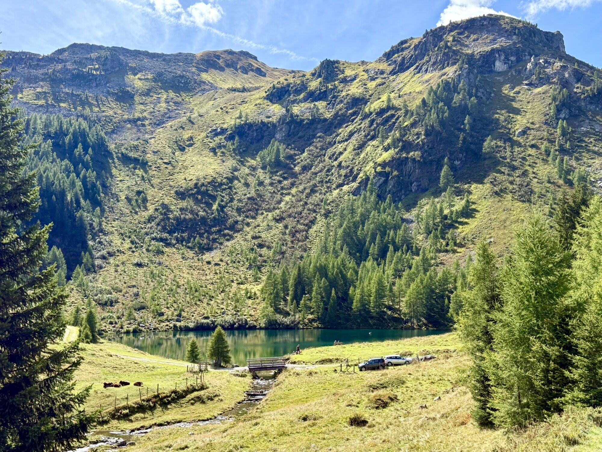
From car park P5,
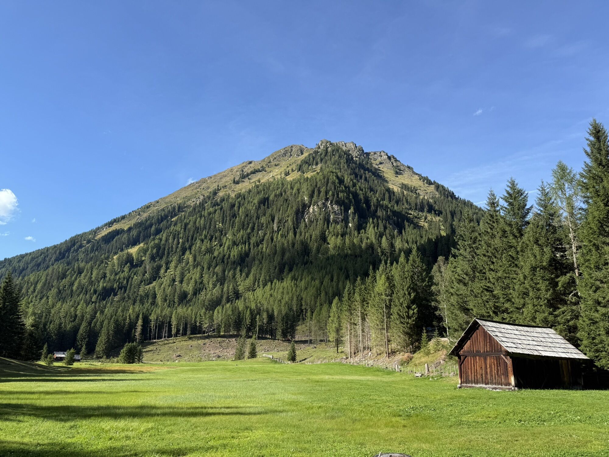
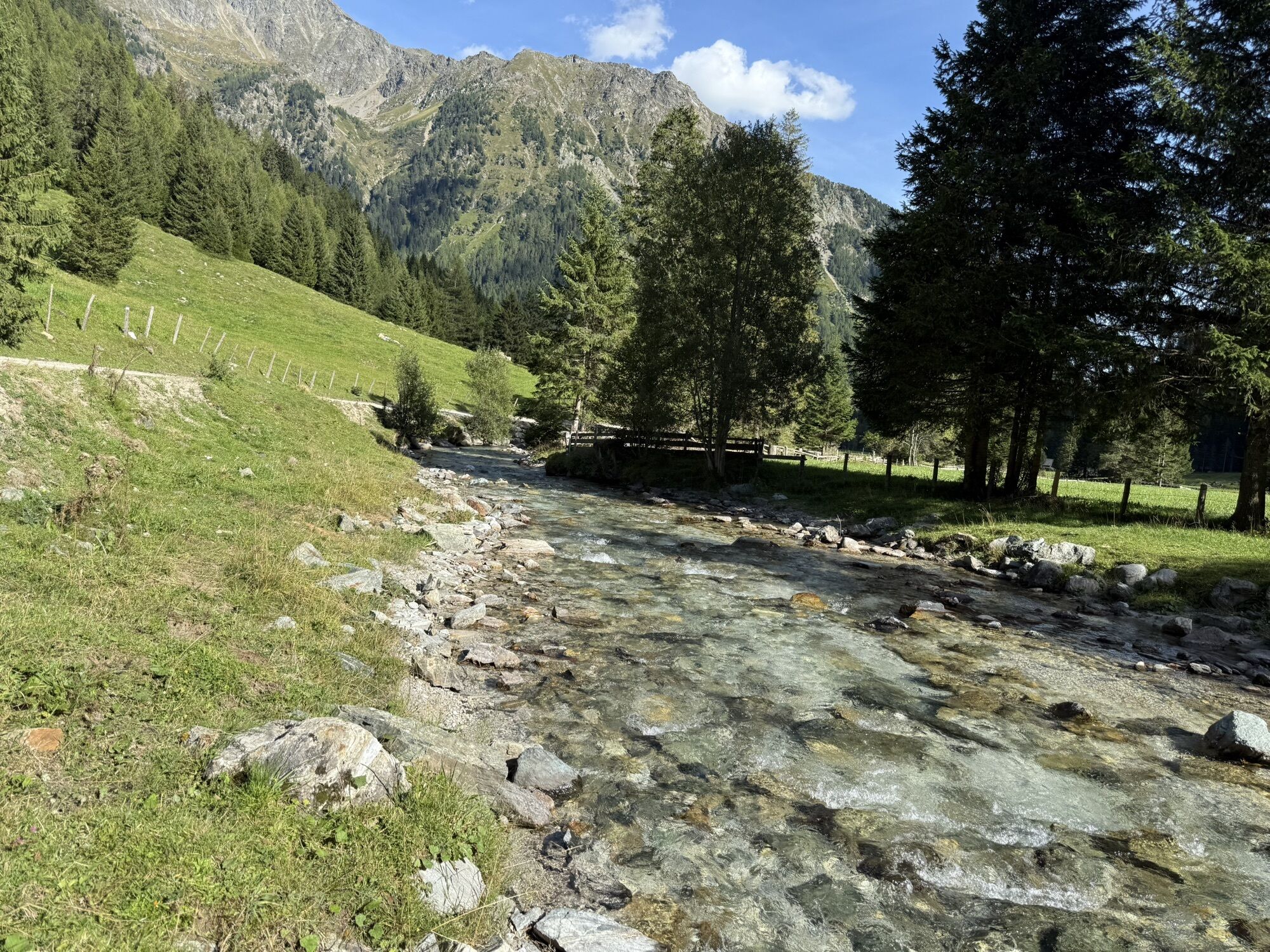
take the gravel road past the Raderhütte and
Granglerhütte huts, continuing on a slightly steeper path towards Wirpitschsee lake /
Tonimörtlhütte hut.
After the Tonimörtlhütte hut, keep...
Popis
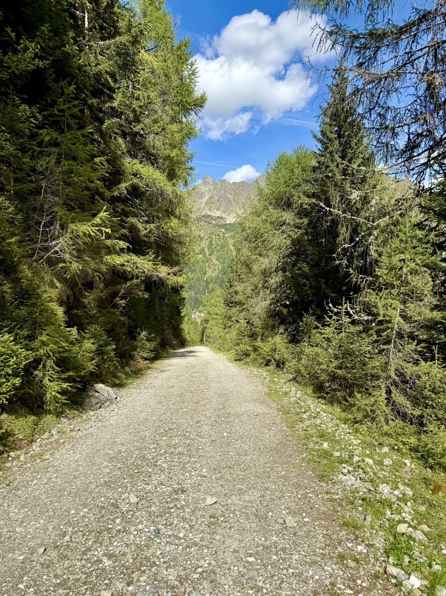
From car park P5,
take the gravel road past the Raderhütte and
Granglerhütte huts, continuing on a slightly steeper path towards Wirpitschsee lake /
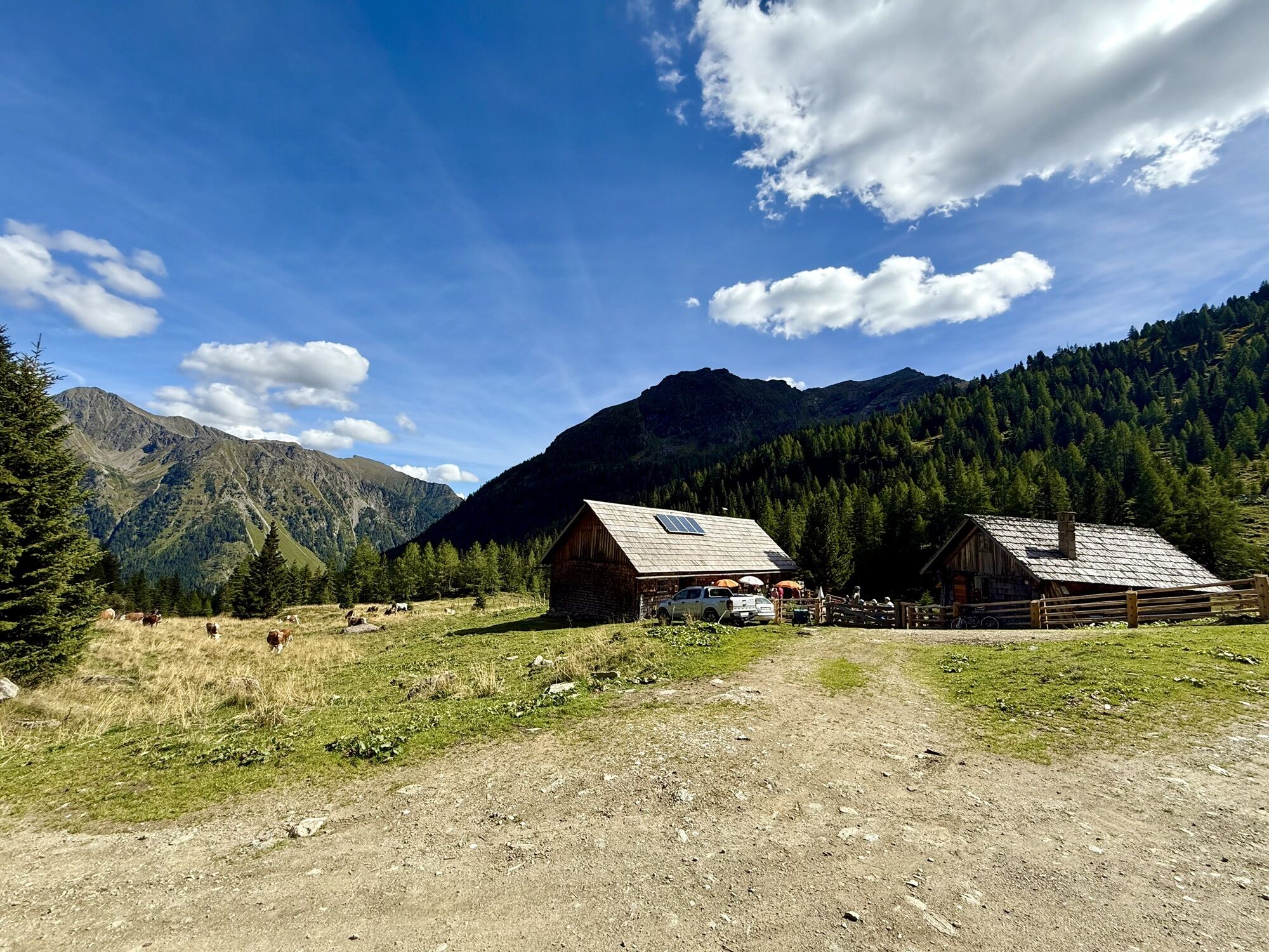
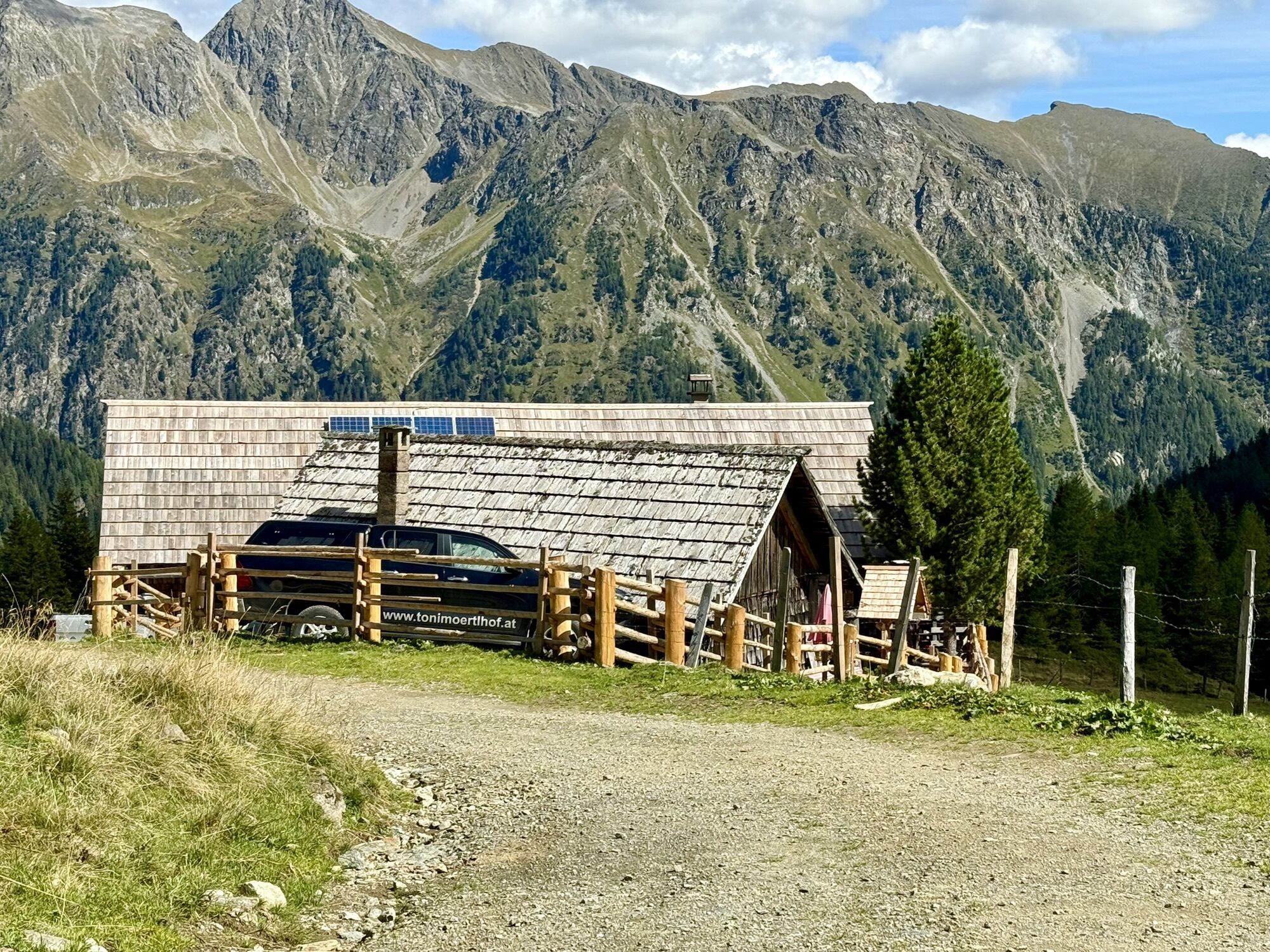
Tonimörtlhütte hut.
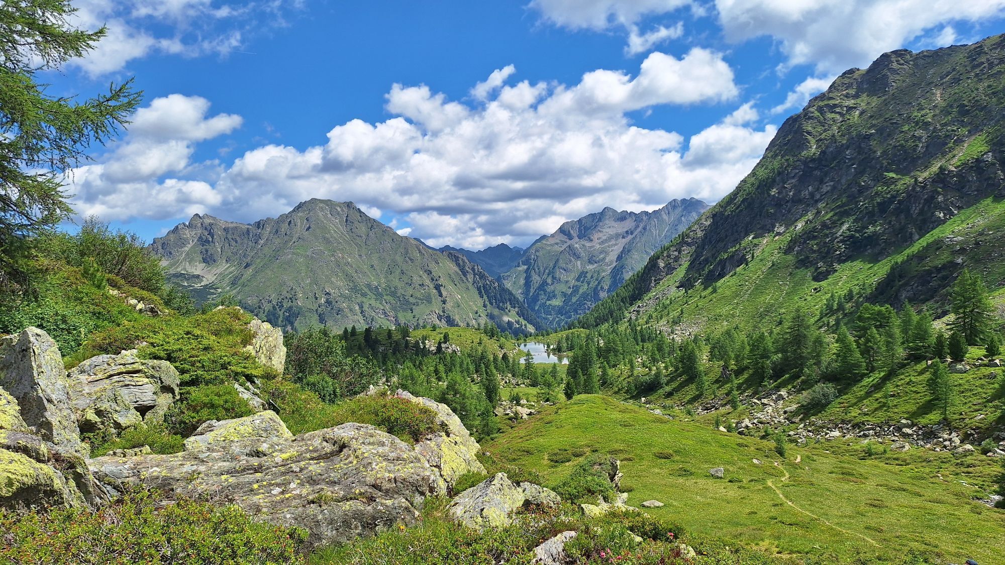
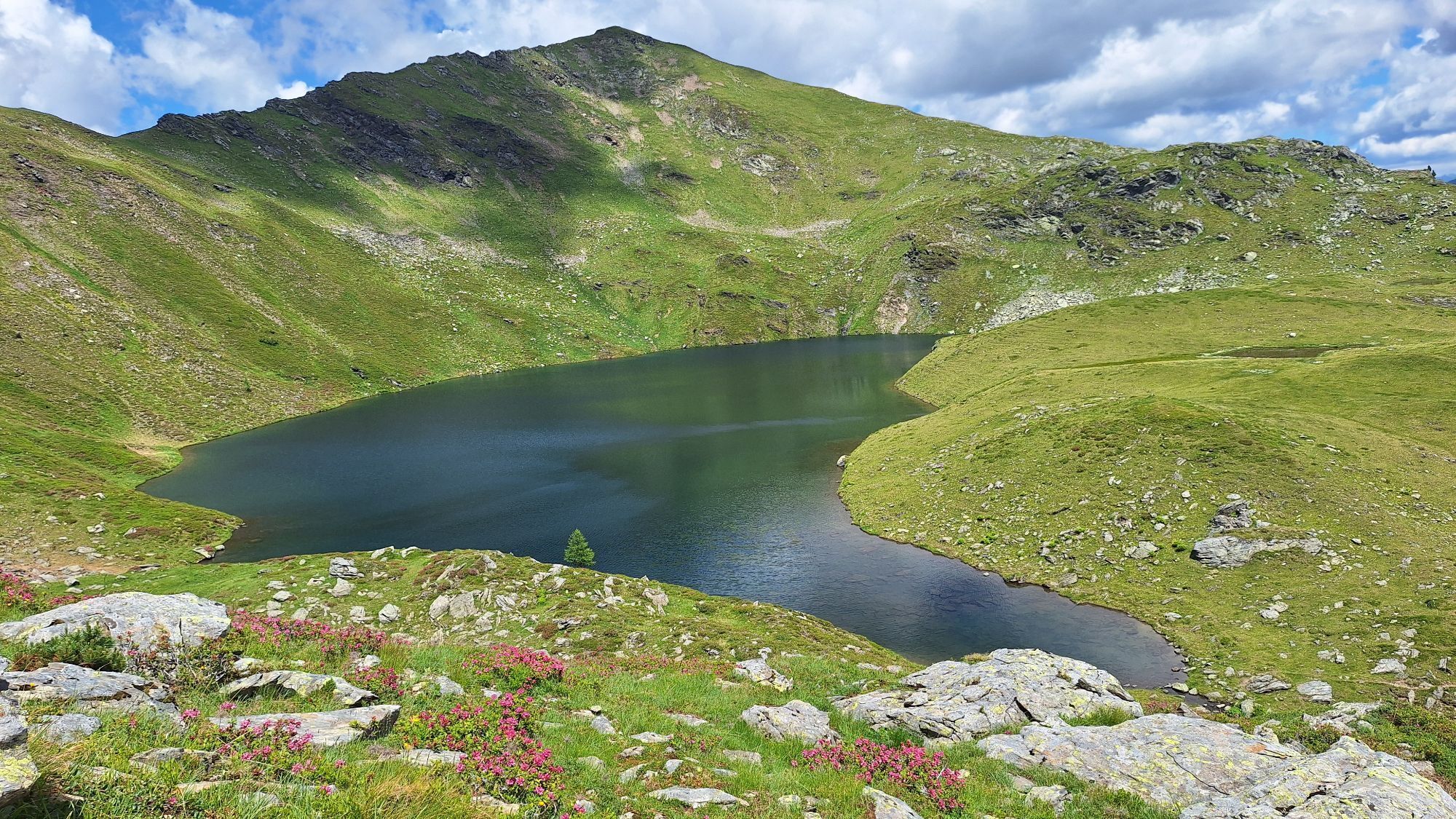
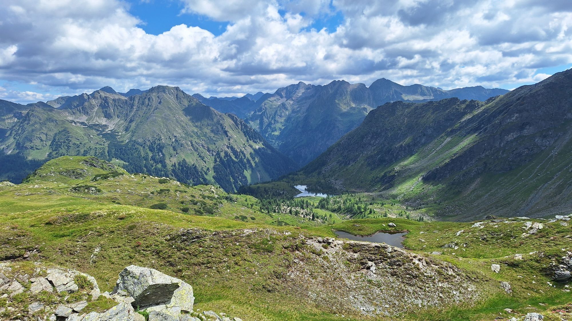
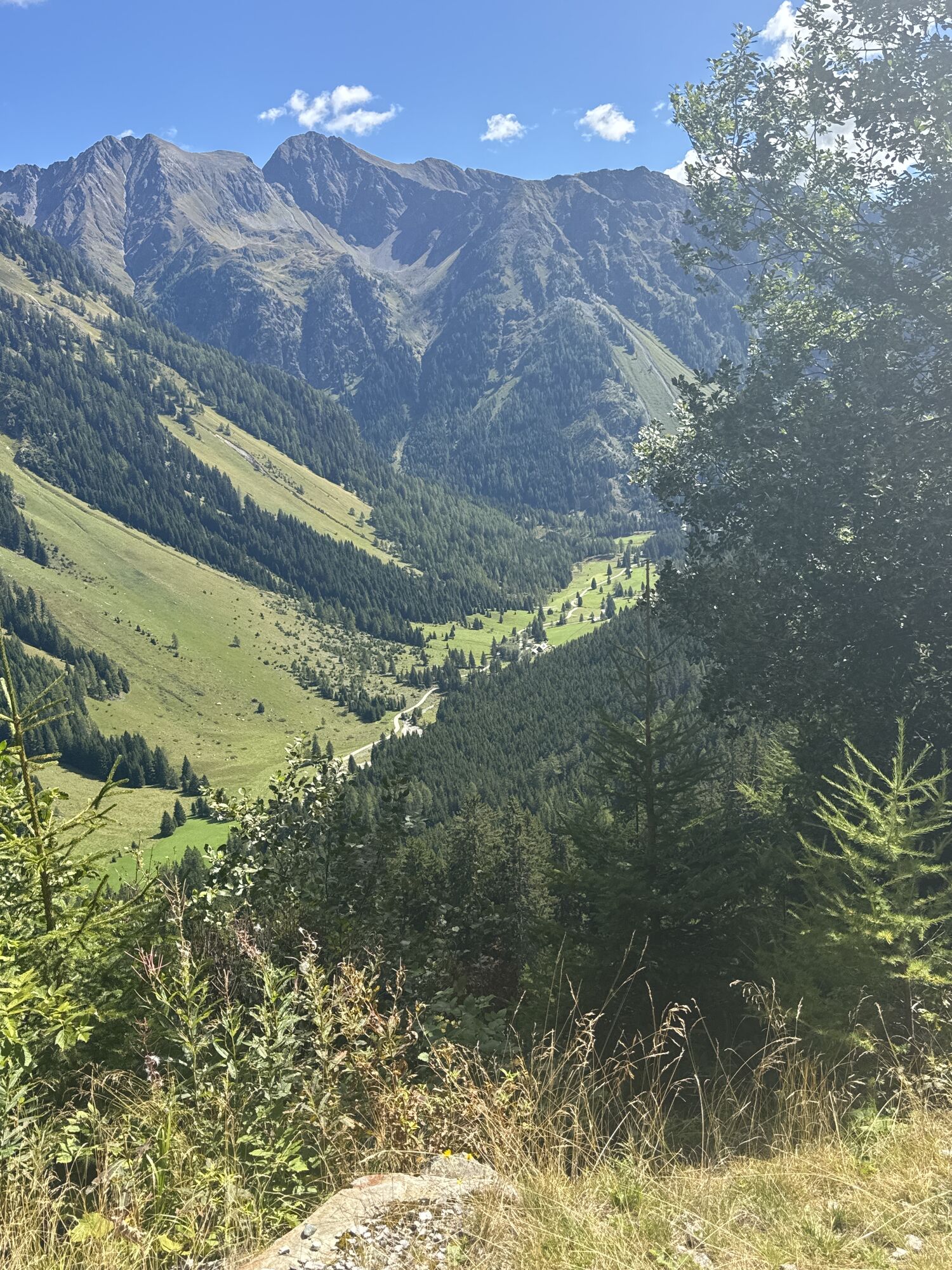
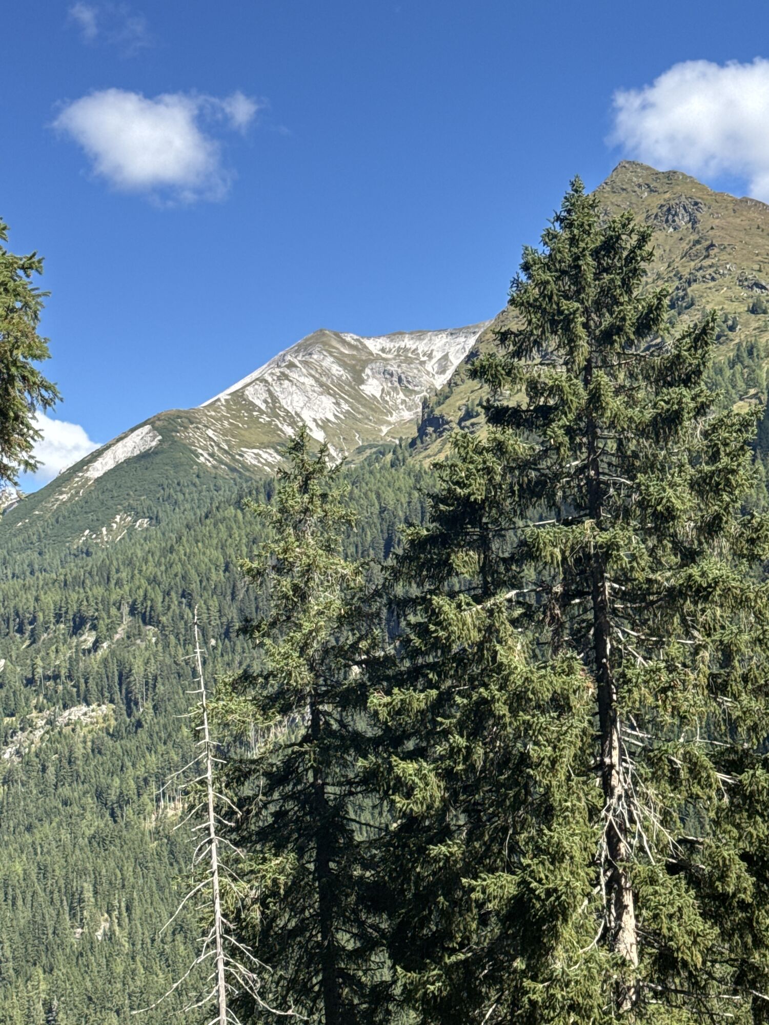
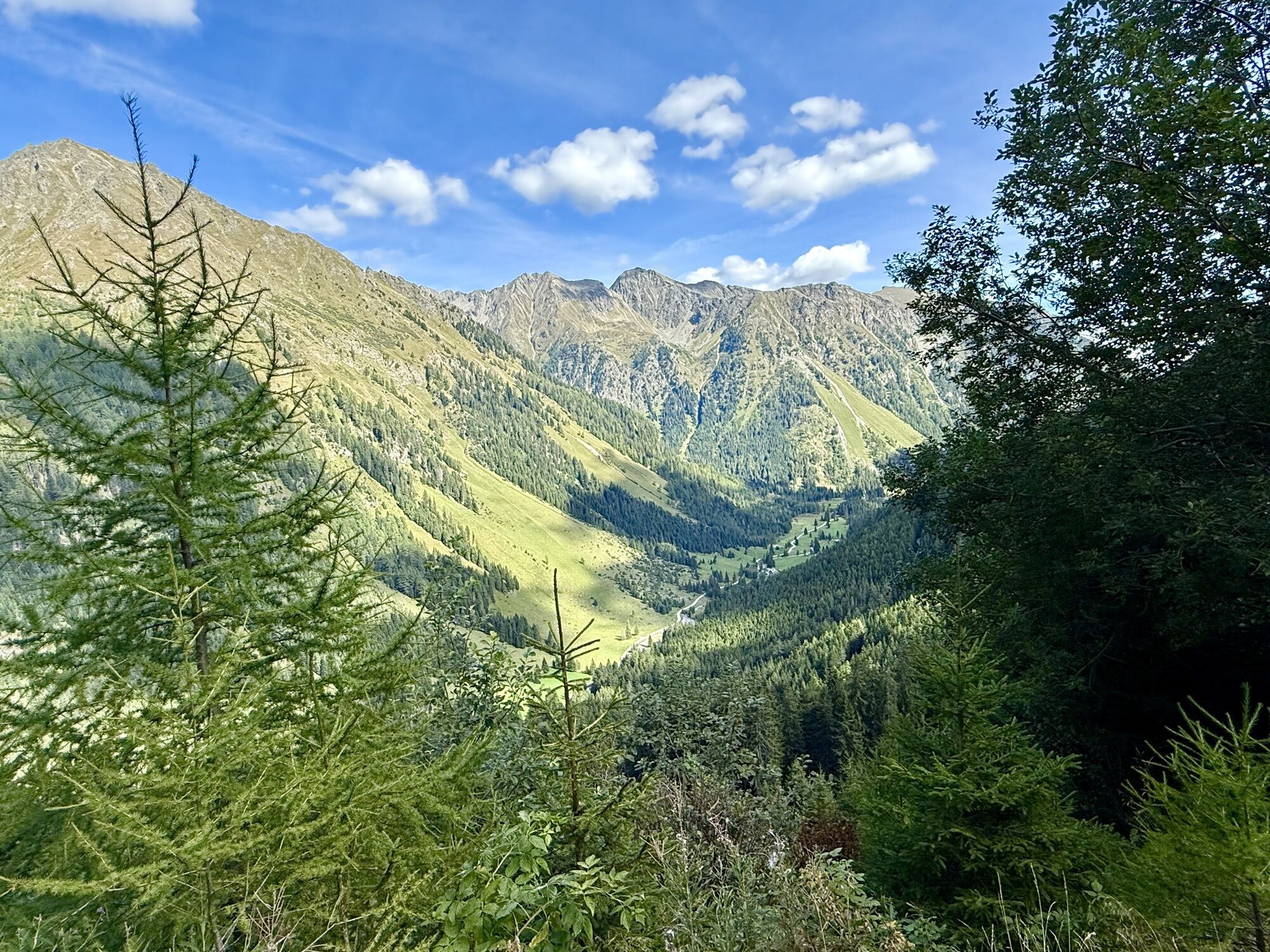
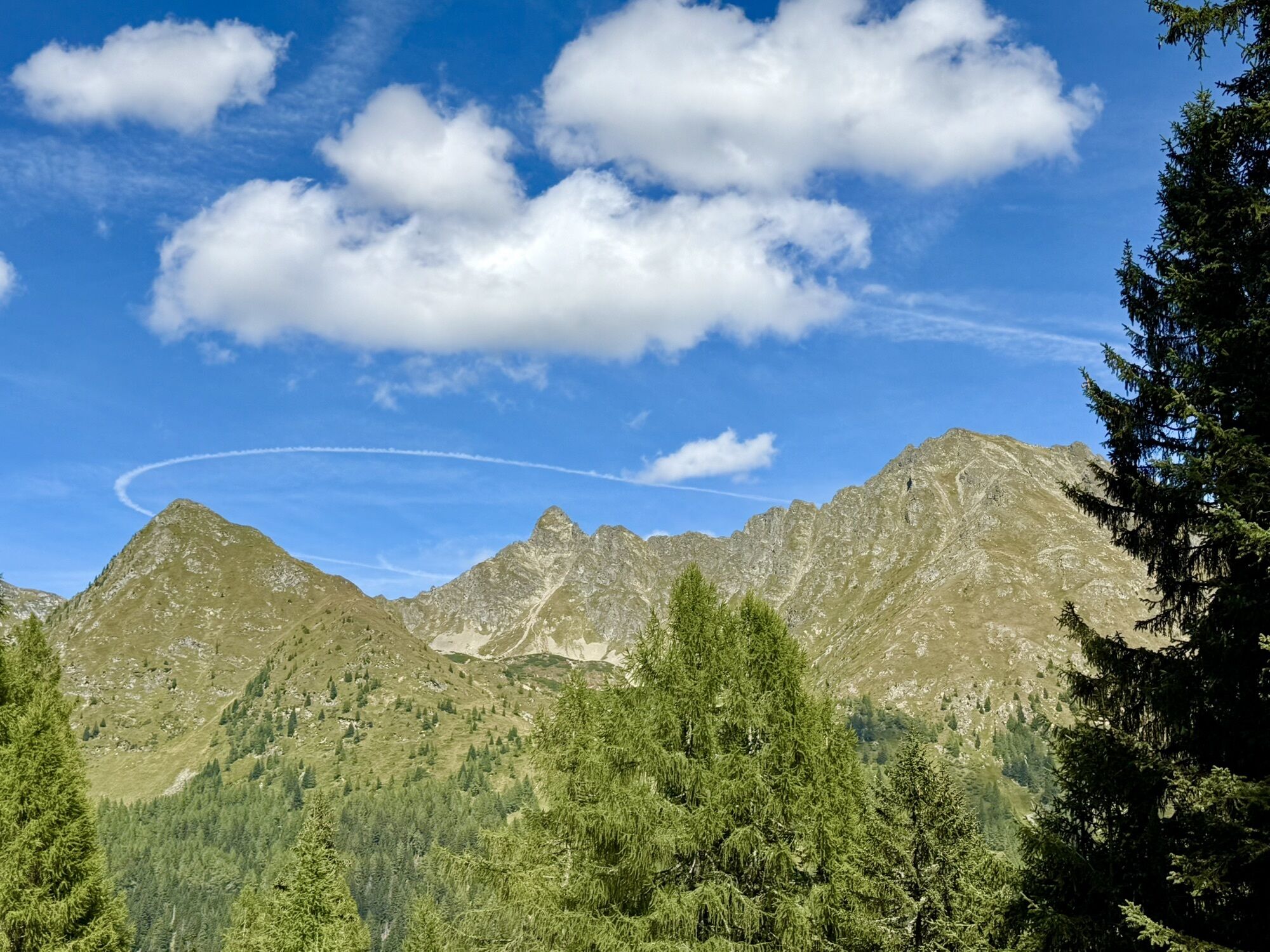
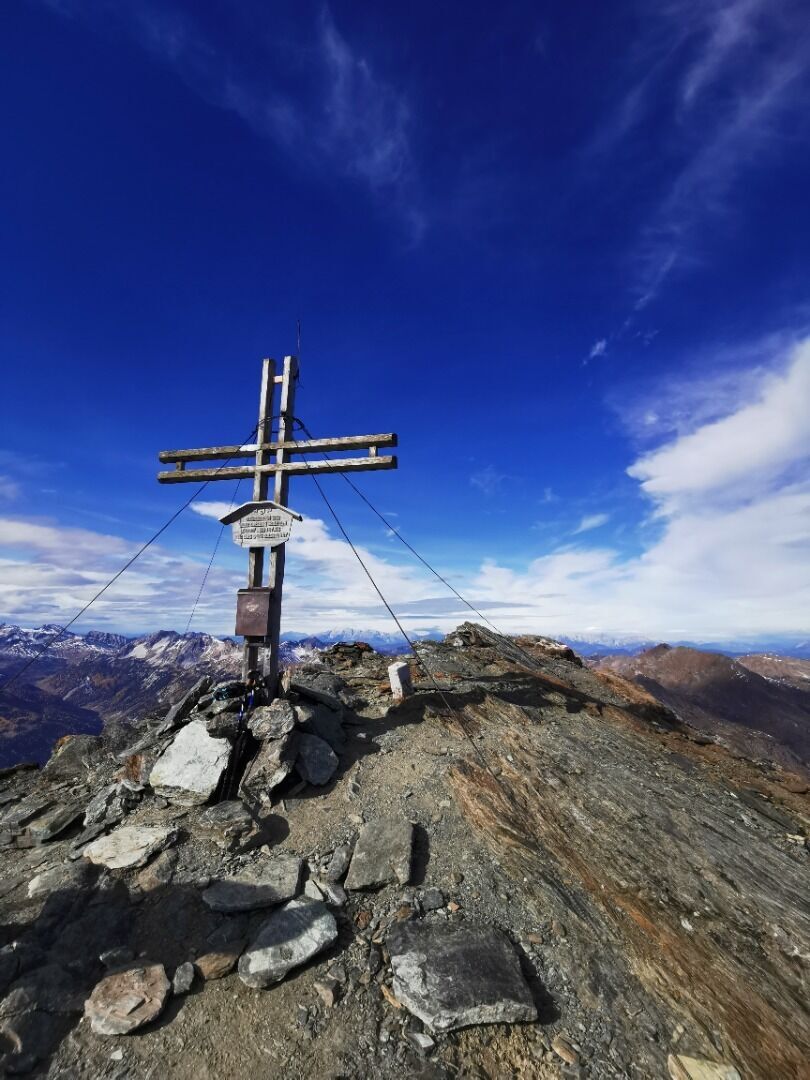
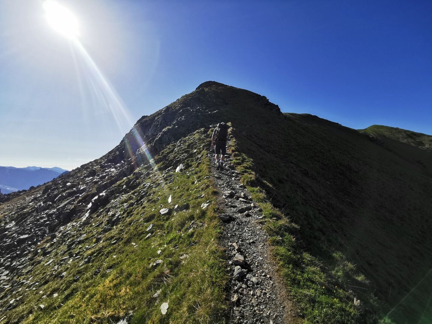
After the Tonimörtlhütte hut, keep left towards Schönalmsee and Twenger Almsee lakes. The path then becomes steeper as it climbs up to the saddle. The terrain now becomes more difficult and requires good footwear and sure-footedness. Shortly before the summit, you reach the summit cross at 2526 m via a rope-secured section.
Equipment: Sturdy footwear, sure-footedness
Safety information: 2 rope-secured sections must be negotiated! Sure-footedness required.
take the gravel road past the Raderhütte and
Granglerhütte huts, continuing on a slightly steeper path towards Wirpitschsee lake /
Tonimörtlhütte hut.
After the Tonimörtlhütte hut, keep left towards Schönalmsee and Twenger Almsee lakes. The path then becomes steeper as it climbs up to the saddle. The terrain now becomes more difficult and requires good footwear and sure-footedness. Shortly before the summit, you reach the summit cross at 2526 m via a rope-secured section.
Equipment: Sturdy footwear, sure-footedness
Safety information: 2 rope-secured sections must be negotiated! Sure-footedness required.
Trasa
Hinterlahn
(1277 m)
Vypořádání
0.2 km
Untere Raderhütte
(1283 m)
Restaurace
0.5 km
Granglerhütte
(1299 m)
Úkryt
1.4 km
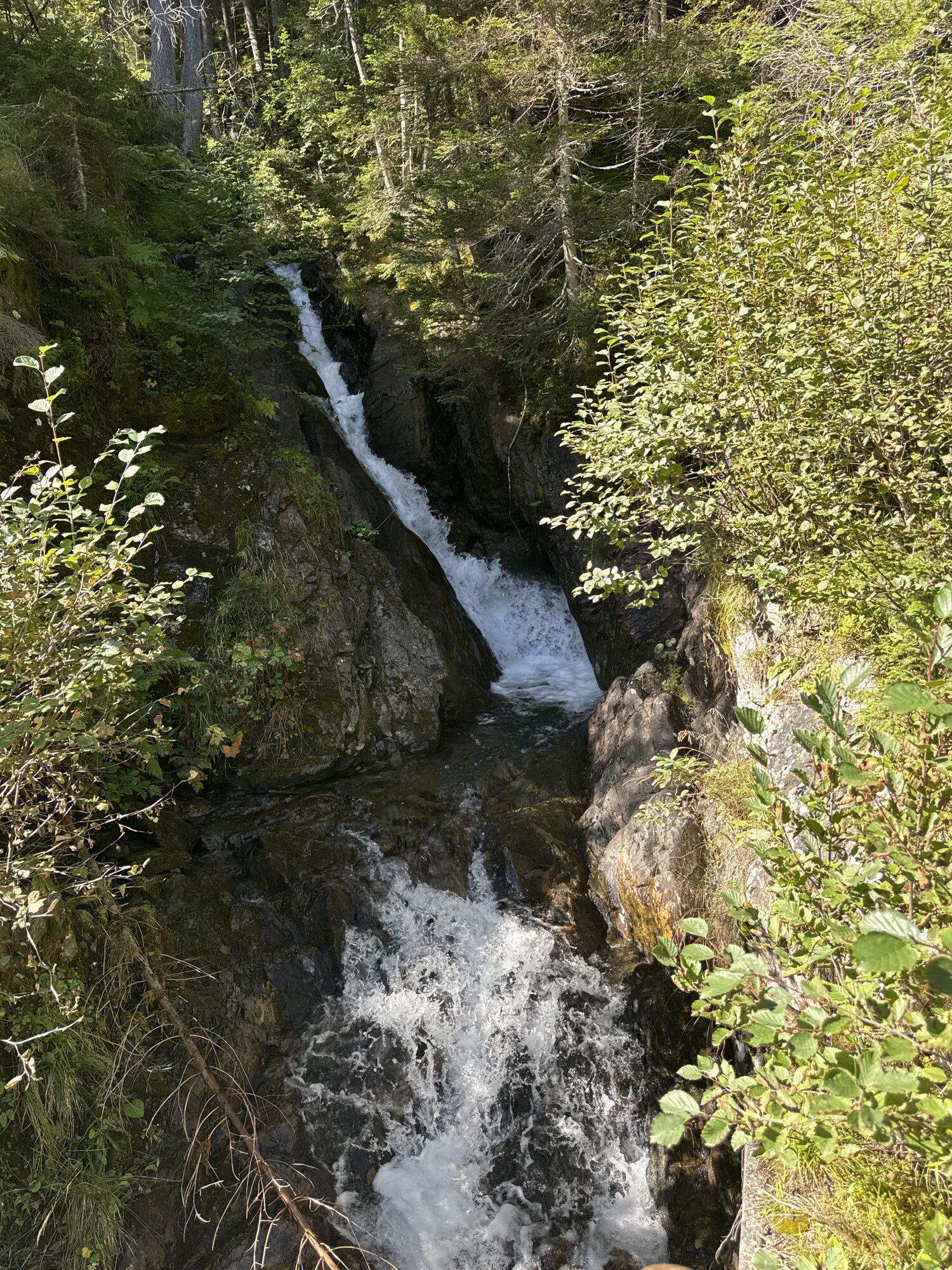
Wasserfall Ulnhütten
(1326 m)
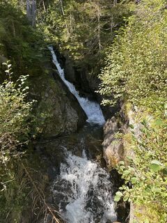
Vodopád
2.3 km
Tonimörtlhütte
(1700 m)
Restaurace
6.8 km
Großes Gurpitscheck
(2526 m)
Summit
11.9 km
Trasa
Großes Gurpitscheck (2.526 m)
heavy
Turistika
11.93
km
Hinterlahn
(1277 m)
Vypořádání
0.2 km
Untere Raderhütte
(1283 m)
Restaurace
0.5 km
Granglerhütte
(1299 m)
Úkryt
1.4 km
Wasserfall Ulnhütten
(1326 m)
Vodopád
2.3 km
Tonimörtlhütte
(1700 m)
Restaurace
6.8 km
Großes Gurpitscheck
(2526 m)
Summit
11.9 km

Naposledy sledované
před 2 dny

Zatím žádné recenze
Získejte přehled
Vždy živě na místě s více než 9 500 webkamerami. bergfex Jako uživatel Pro si nyní můžete zobrazit odpovídající webové kamery pro mnoho prohlídek v aplikaci prohlídky z. Můžete si tak přímo prohlédnout aktuální podmínky.
Aktivity na trase
-

Weißpriach Toni Mörtlhütte
27.06.2026 – Turistika -
Weißpriach, Salzburg/Österreich
06.06.2026 – Turistika -

Weißpriach, Salzburg/Österreich
04.06.2026 – Turistika -
Weißpriach, Salzburg/Österreich
19.09.2025 – Turistika -

Weißpriach, Salzburg/Österreich
04.09.2025 – Turistika -

Weißpriach, Salzburg/Österreich
03.09.2025 – Turistika -
Weißpriach, Salzburg/Österreich
26.08.2025 – Turistika -

Weißpriach, Salzburg/Österreich
12.06.2025 – Turistika
Oblíbené prohlídky v okolí
-
4.2
Landawirseehütte (1.985 m)
středníTuristika 5.39 km -
4.8
Rundwanderweg von der Fallhausalm und Vögeialm übers Klamml zur Oberhütte am See
středníTuristika 10 km -
5.0
4-Gipfel-Tour
středníHorská turistika 6.40 km -
4.8
4-Jahreszeiten Wanderweg
středníZimní turistika 5.94 km -
4.7
Steirische und Lungauer Kalkspitze über das Kranzl
heavyTuristika 11.2 km -
4.8
Obertauern to the Johannes Waterfall
středníTuristika 9.39 km -
5.0
Twengsee
středníTuristika 9.66 km -
5.0
„Top of Niedere Tauern“- 2 tages Tour - Wilde Wasser - Greifenberg 2618m - Hochgolling 2862m
středníTuristika 35.5 km -
5.0
Doggotour von Hochwurzen zur Ursprungsalm
heavyTuristika 16.0 km -
4.7
Reiteralmrunde
světloTuristika 5.71 km
Pěší turistika a stopování

Více než 550.000 návrhů výletů, podrobné mapy a intuitivní plánovač tras dělají z aplikace nezbytnou výbavu pro všechny milovníky přírody.

Nenechte si ujít nabídky a inspiraci pro vaši příští dovolenou
Přihlaste se k odběru newsletteru
Chyba
Došlo k chybě. Zkuste to prosím znovu.
Děkujeme za vaši registraci
Vaše e-mailová adresa byl přidán do poštovního seznamu.
Zájezdy po celé Evropě
Rakousko
Švýcarsko
Německo
Itálie
Slovenia
Francie
Nizozemsko
Belgie
Polsko
Lichtenštejnsko
Česko
Slovensko
Španělsko
Chorvatsko
Bosna a Hercegovina
Lucembursko
Andorra
Portugal
Iceland
United Kingdom
Ireland
Greece
Albania
North Macedonia
Malta
Norway
Montenegro
Moldova
Kosovo
Hungary
San Marino
Romania
Estonia
Latvia
Belarus
Cyprus
Lithuania
Serbia
Bulgaria
Monaco
Denmark
Sweden
Finland





