


Through the Riedingtal to Mühlbach
Fotografie našich uživatelů
-
 © Lorenz WeissacherVytvořeno dne 01.05.2026
 -

 © liam van de wielVytvořeno dne 27.12.2025
 -
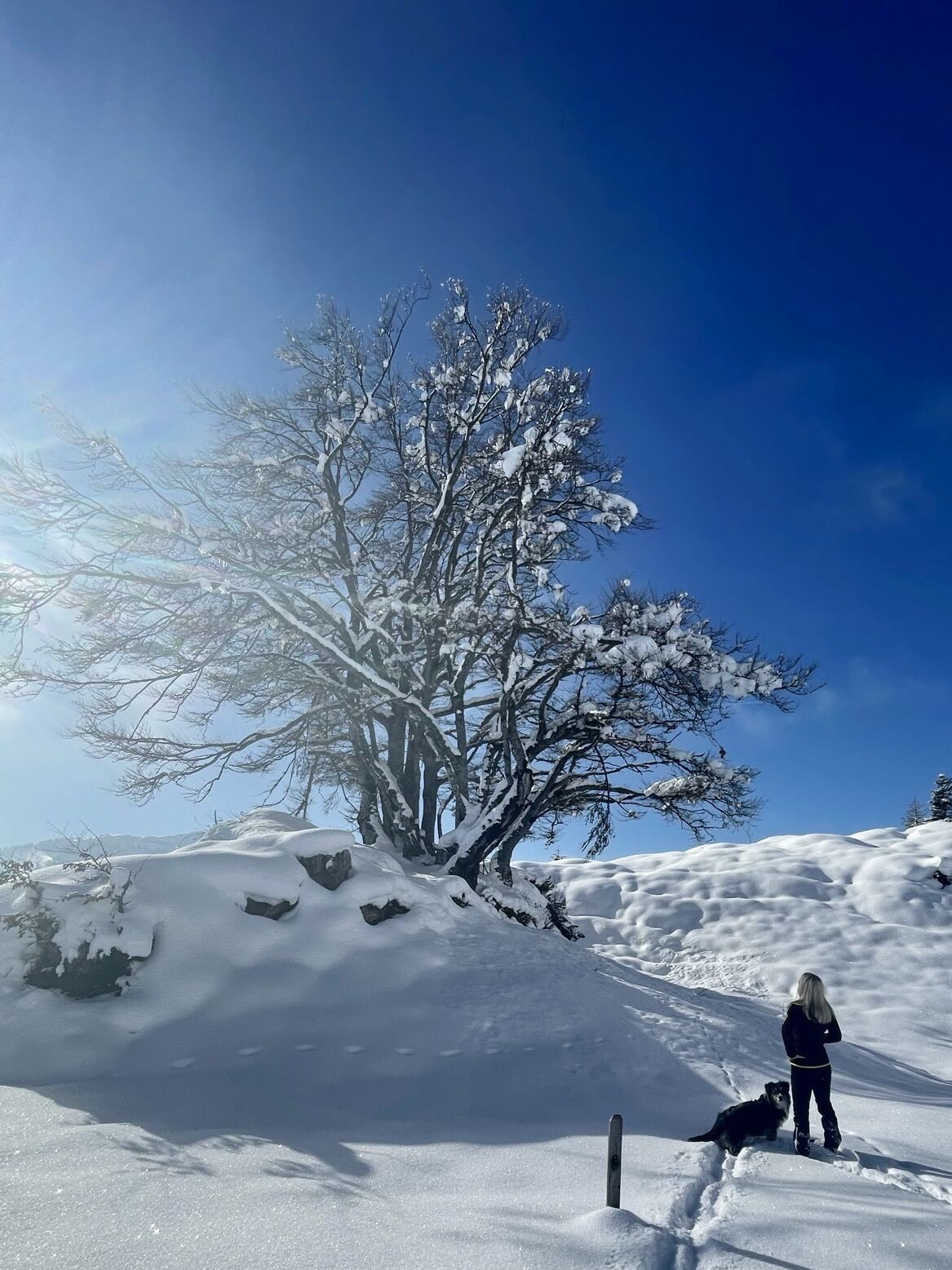
 © Monika JeskovaVytvořeno dne 18.10.2025
 -
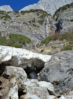
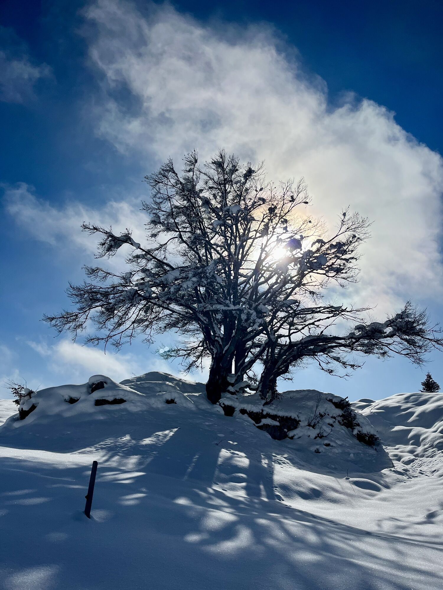
 © Monika JeskovaVytvořeno dne 18.10.2025
 -
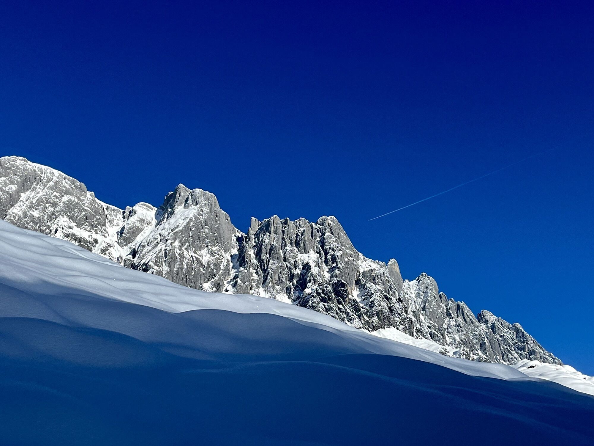
 © Ralf MährVytvořeno dne 11.09.2025
 -
 © Ralf MährVytvořeno dne 11.09.2025
 -
 © Ralf MährVytvořeno dne 11.09.2025
 -
 © Ralf MährVytvořeno dne 11.09.2025
 -
 © Ralf MährVytvořeno dne 11.09.2025
 -

 © Dirk VollbrechtVytvořeno dne 30.07.2025
 -
 © Dirk VollbrechtVytvořeno dne 30.07.2025
 -
 © Dirk VollbrechtVytvořeno dne 30.07.2025
 -
 © Dirk VollbrechtVytvořeno dne 30.07.2025
 -
 © Erich MatheisVytvořeno dne 09.08.2025
 -

 © Daniel PunzVytvořeno dne 29.01.2023
 -
 © Daniel PunzVytvořeno dne 29.01.2023
 -
 © Daniel PunzVytvořeno dne 29.01.2023
 -
 © Daniel PunzVytvořeno dne 29.01.2023


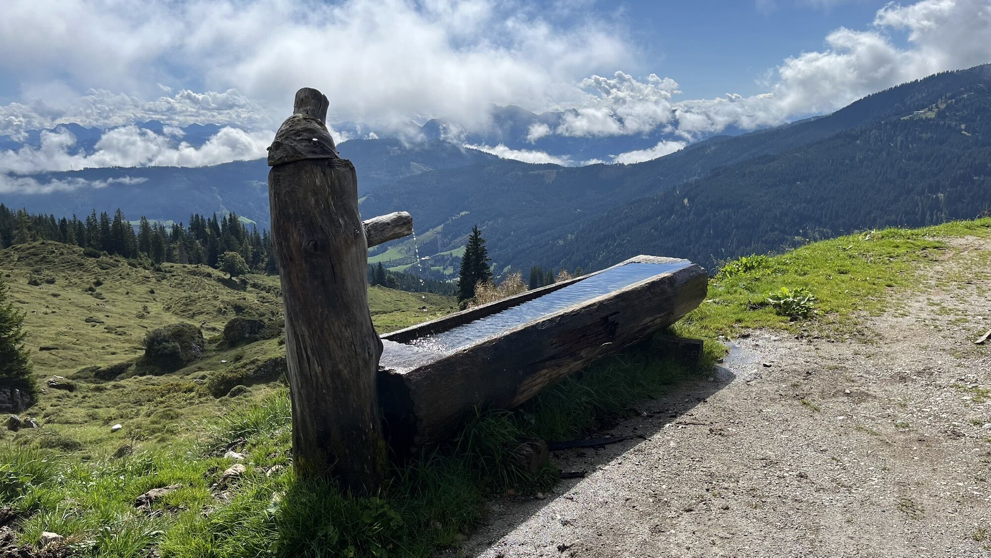
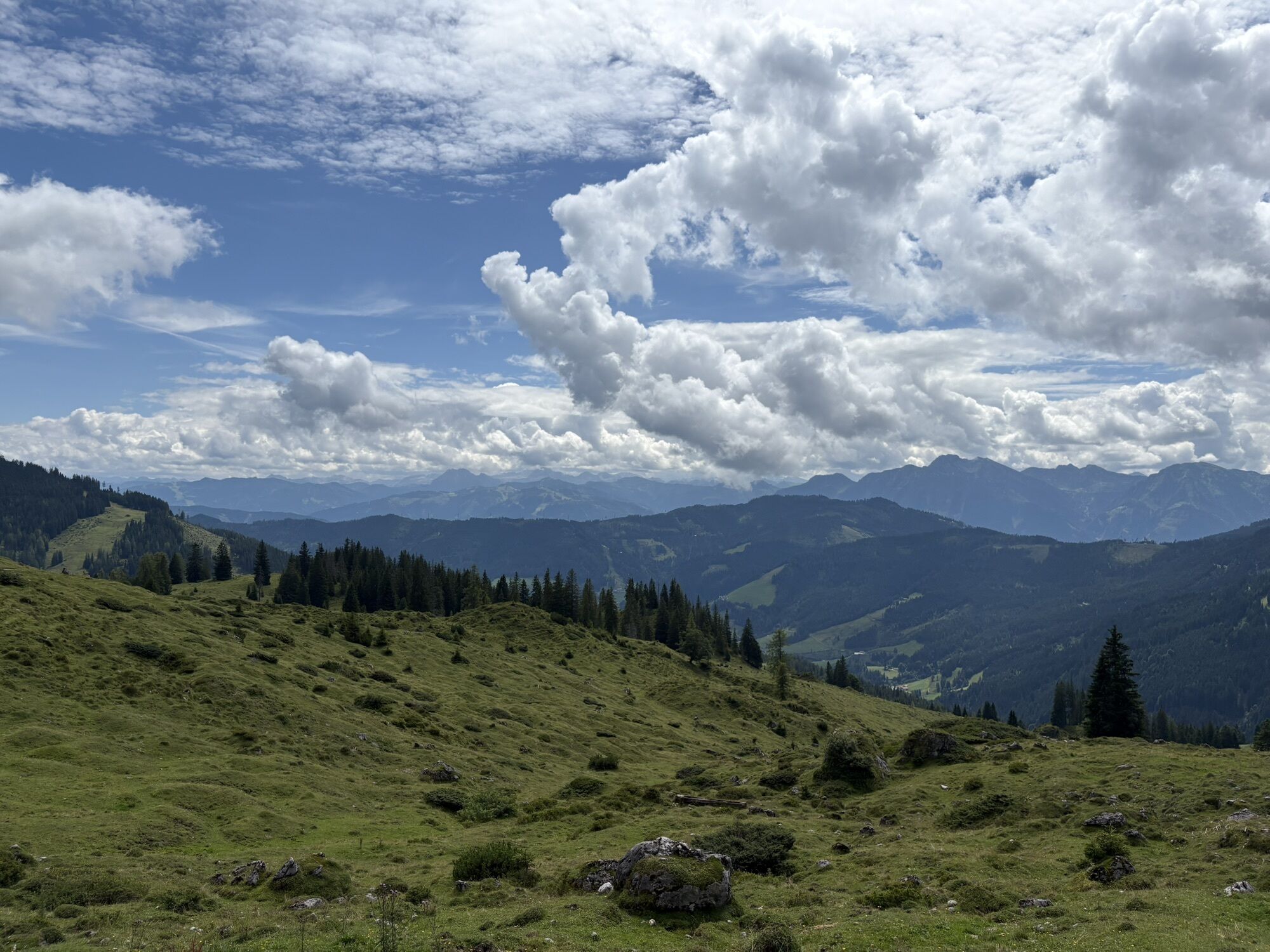

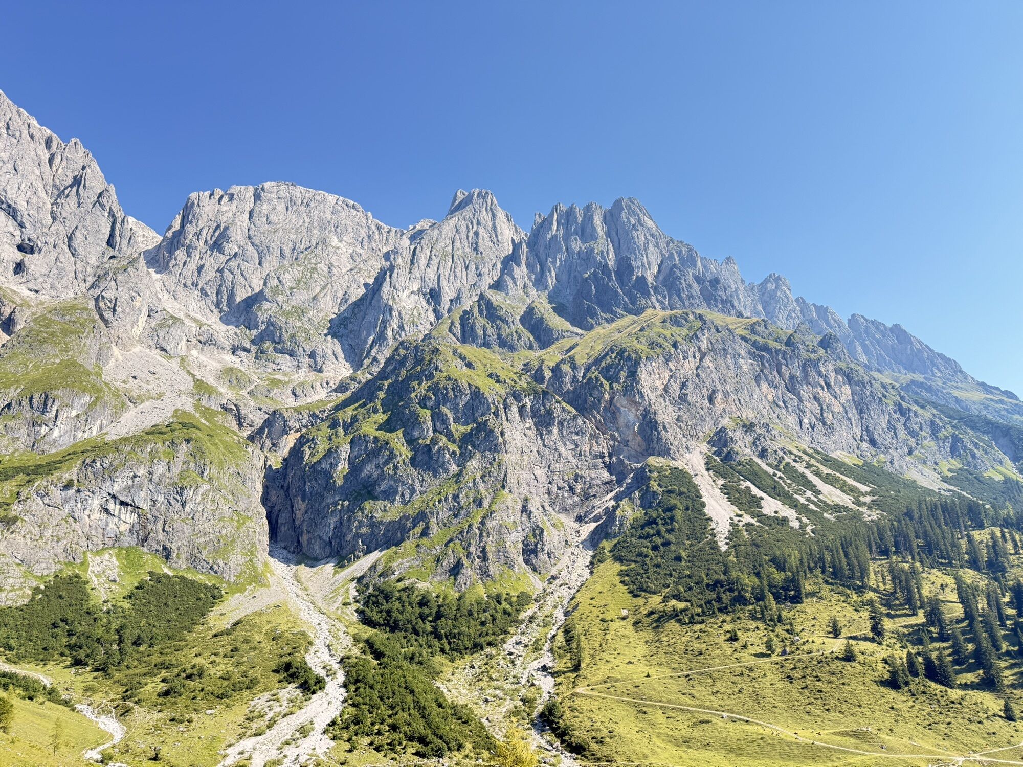
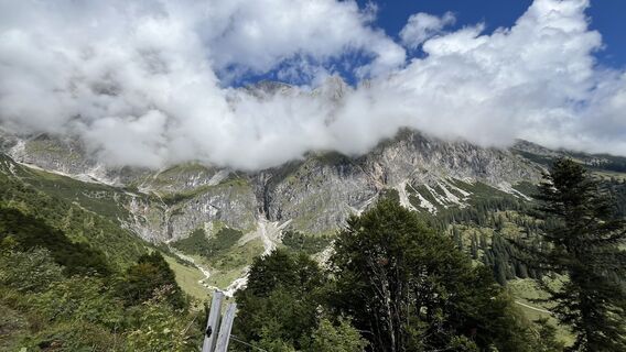
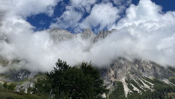
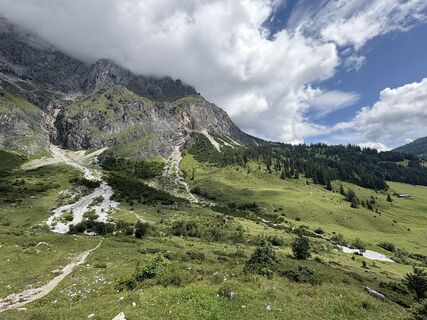
You can hardly find sunnier conditions! The path from the foothill of the mighty Birgkar over to the picturesque “Four Huts” below the Bratschenkopf, then the descent into the Riedingtal to the waterfalls...
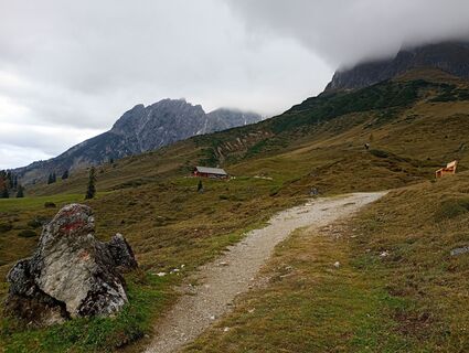
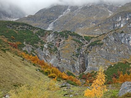
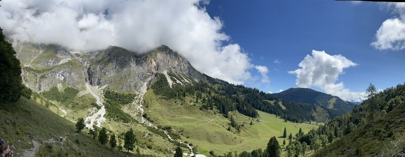
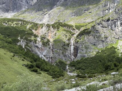
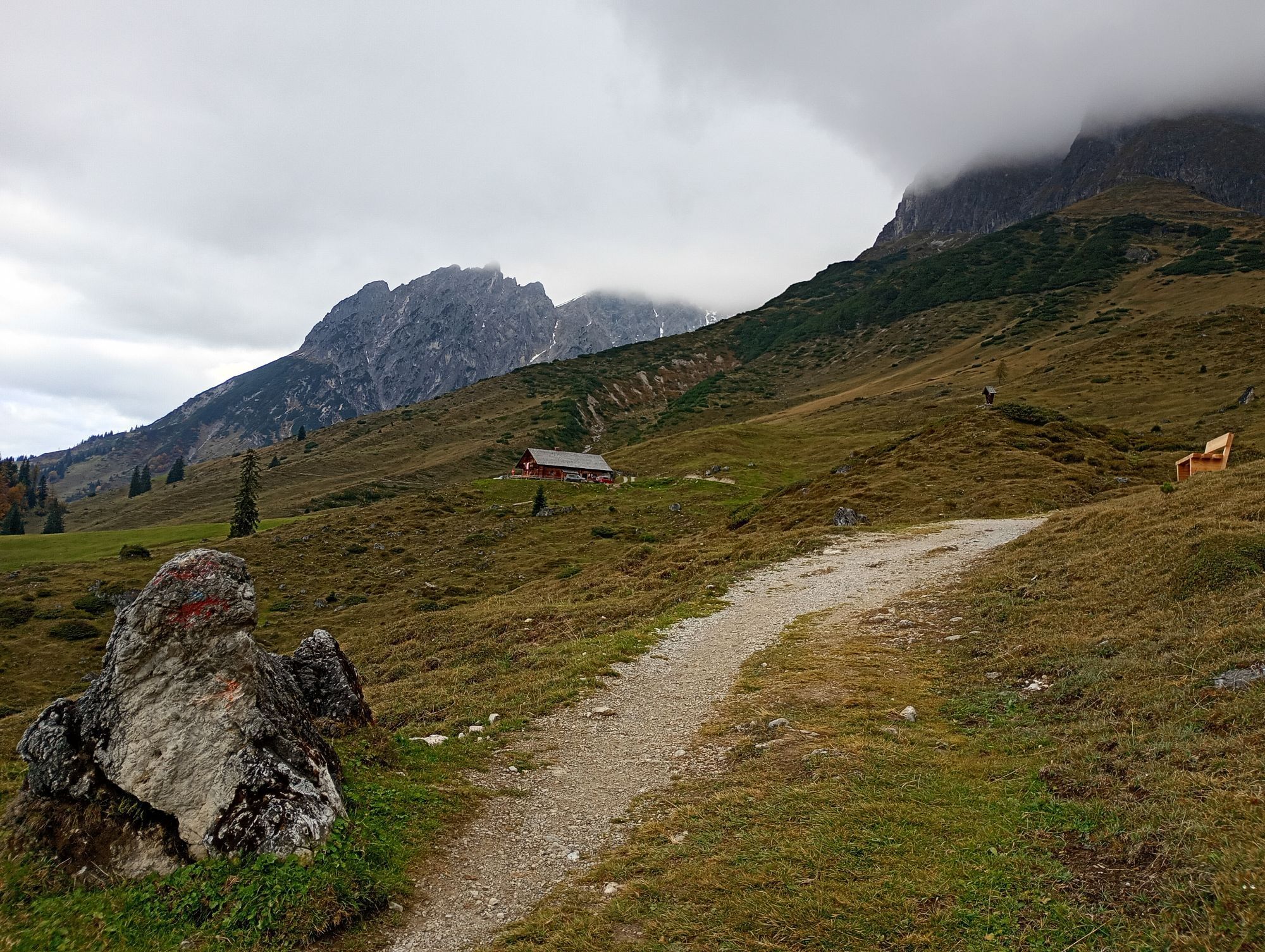
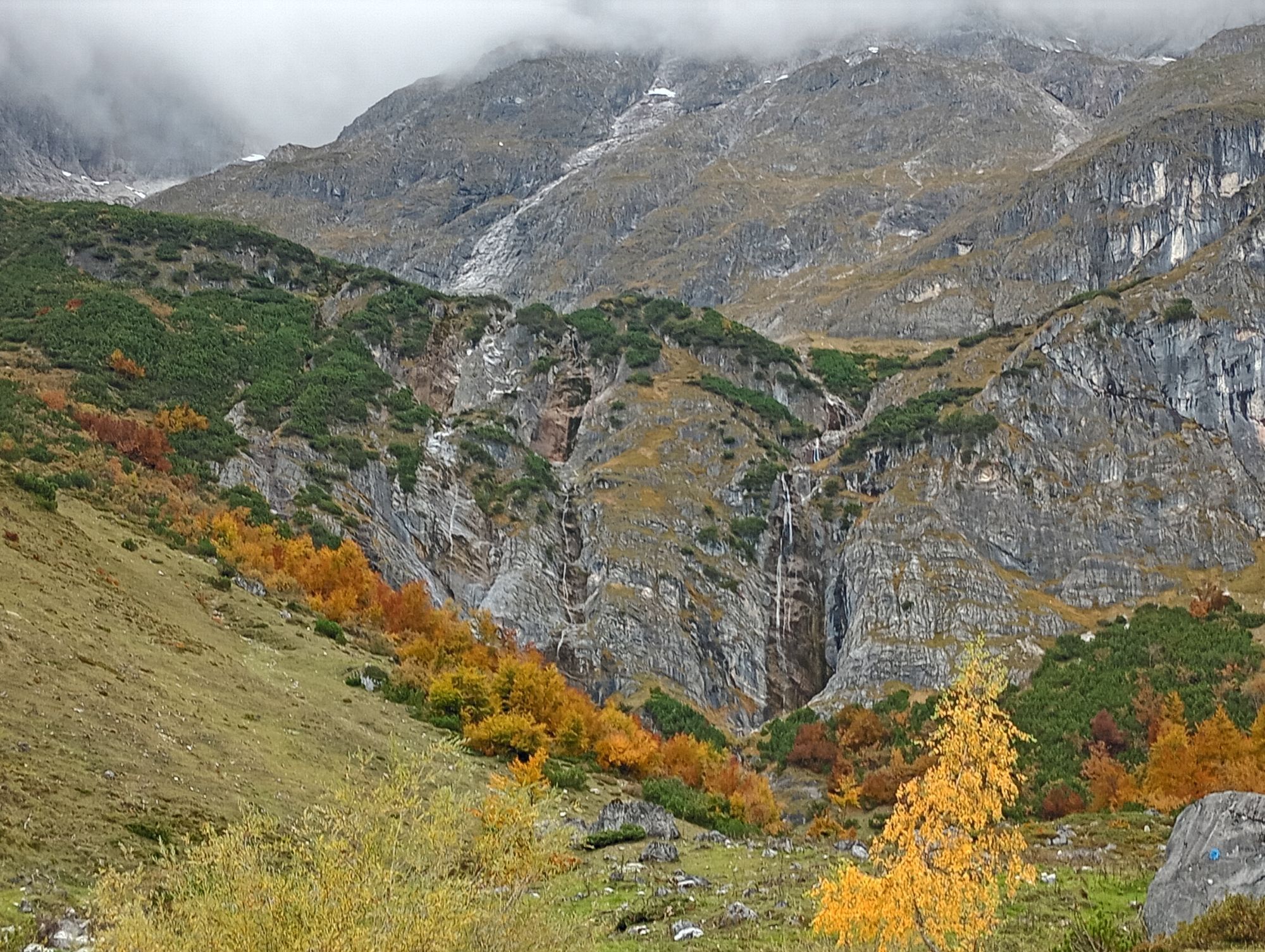
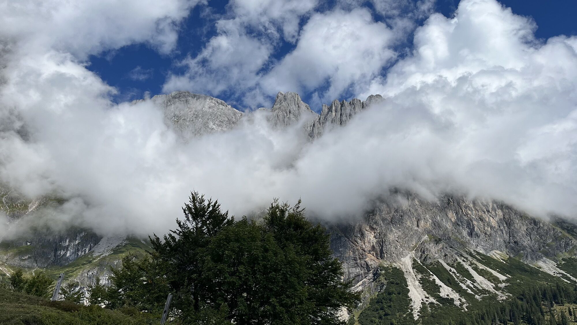
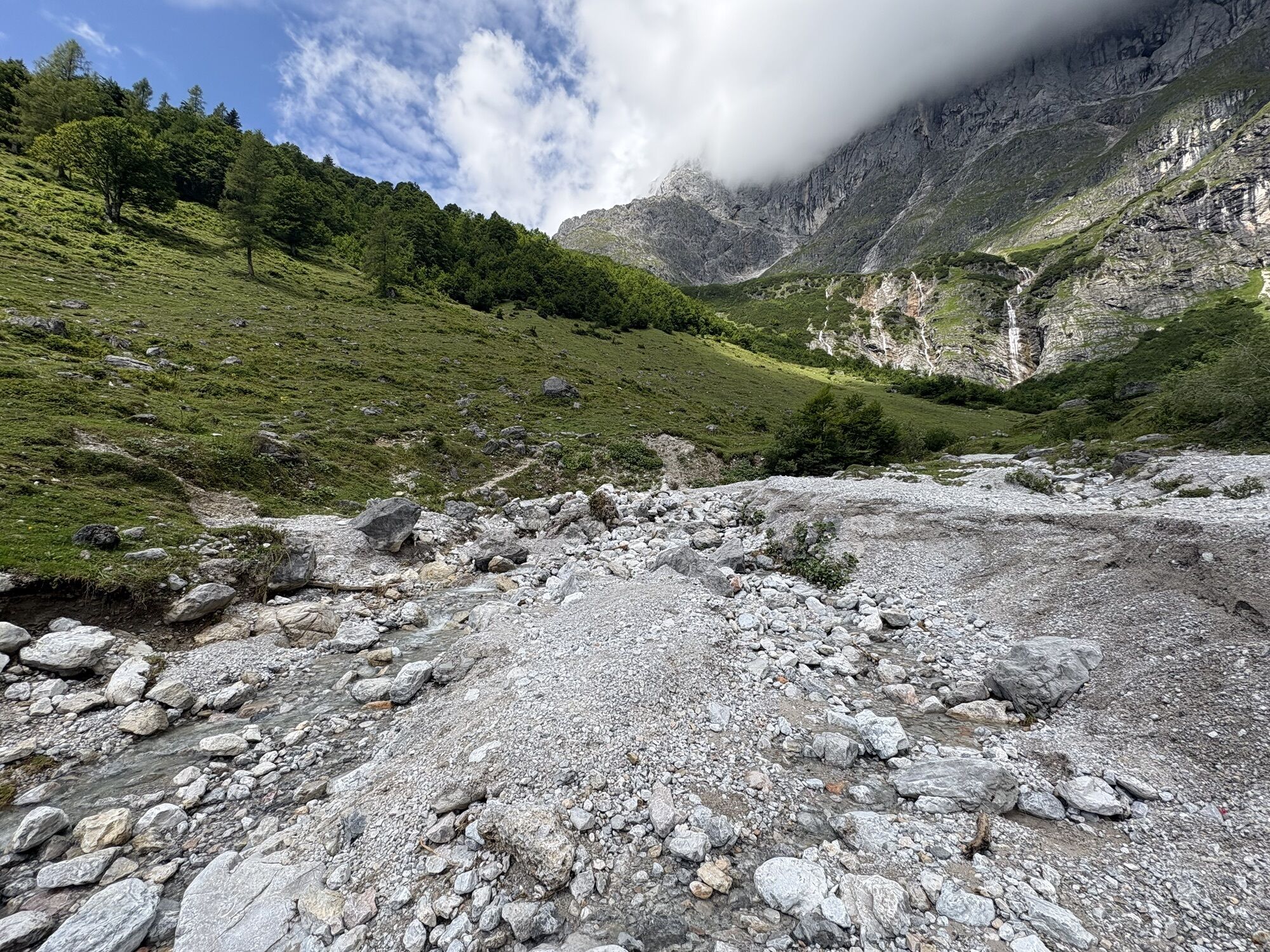
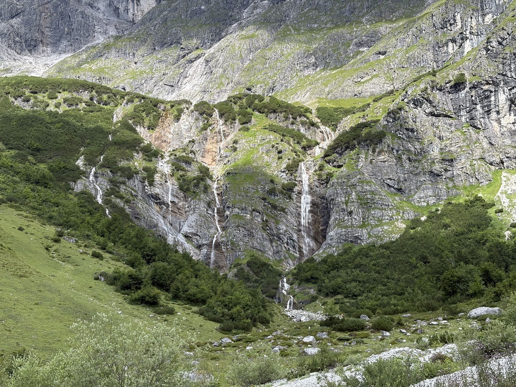
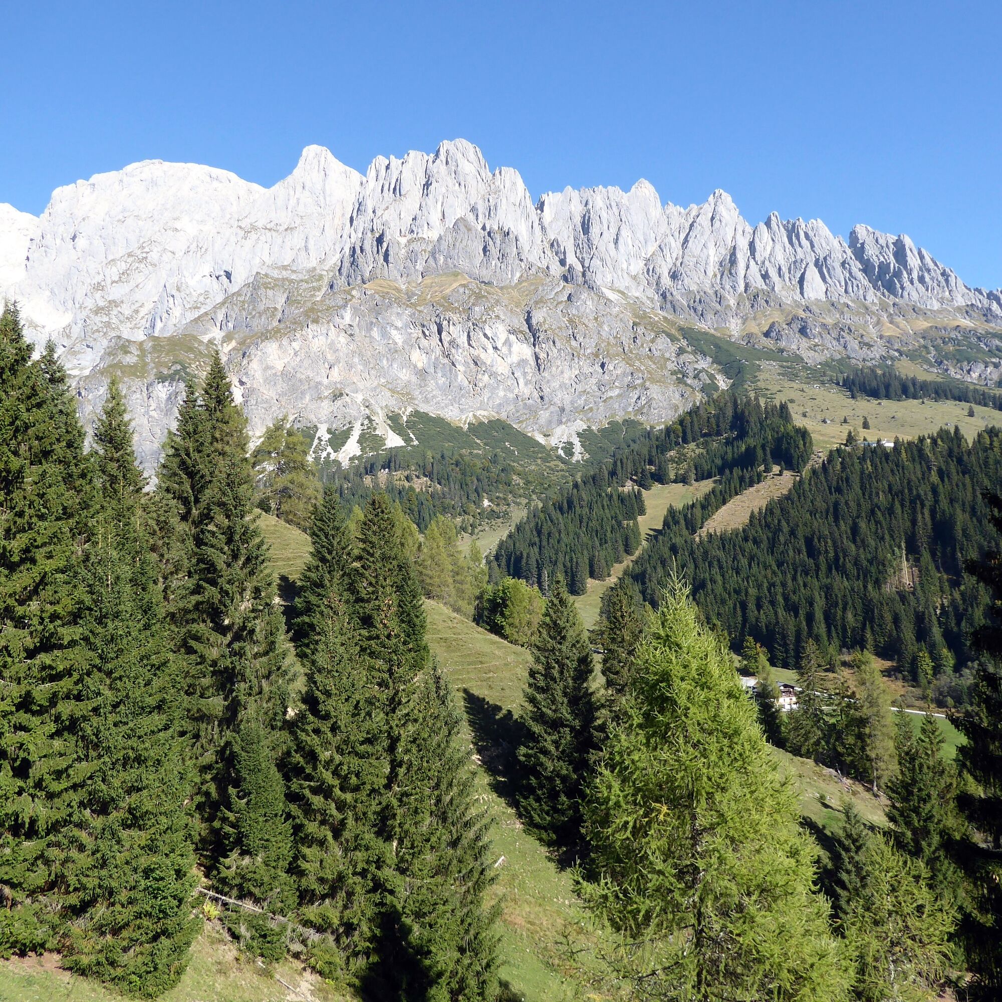
You can hardly find sunnier conditions! The path from the foothill of the mighty Birgkar over to the picturesque “Four Huts” below the Bratschenkopf, then the descent into the Riedingtal to the waterfalls and finally the last section past the Kopphütte to the village of Mühlbach is therefore best experienced late in the season when the soft autumn sun is especially welcome. A highlight are the two waterfalls in the Riedingtal, which, although not reached by a marked path, are easy to locate due to their distinctive position. Nearby was a ski jumping center designed by “Buwi” Pradl with three hills, which are now barely visible in the terrain. The hill record of 96.5 meters was set in 1982 by Ernst Vettori, shortly before the facility was closed. Mining in Mühlbach, the most important copper center of the Eastern Alps, was first discontinued around 300 BC, rediscovered by chance in 1827, before final closure in 1977.

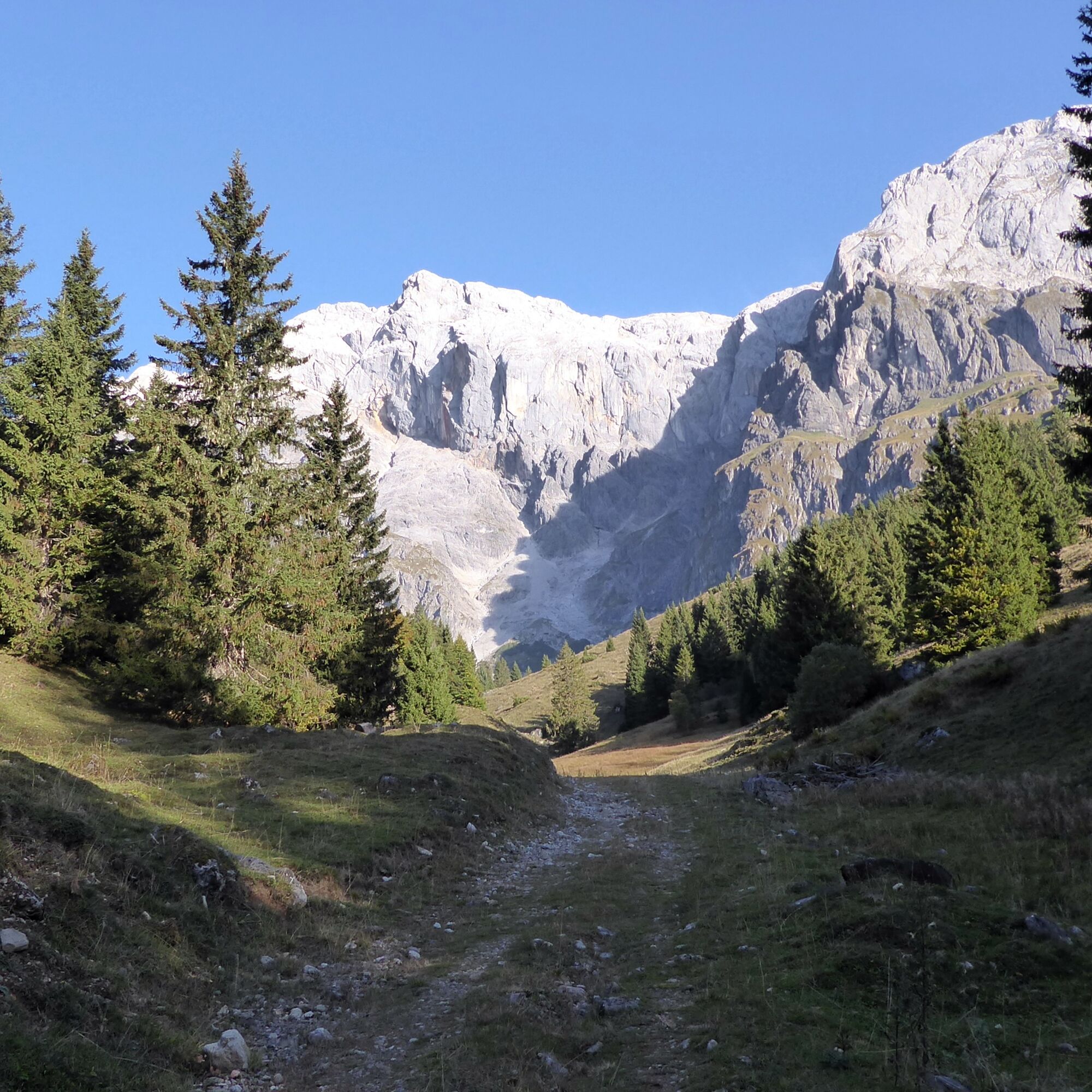
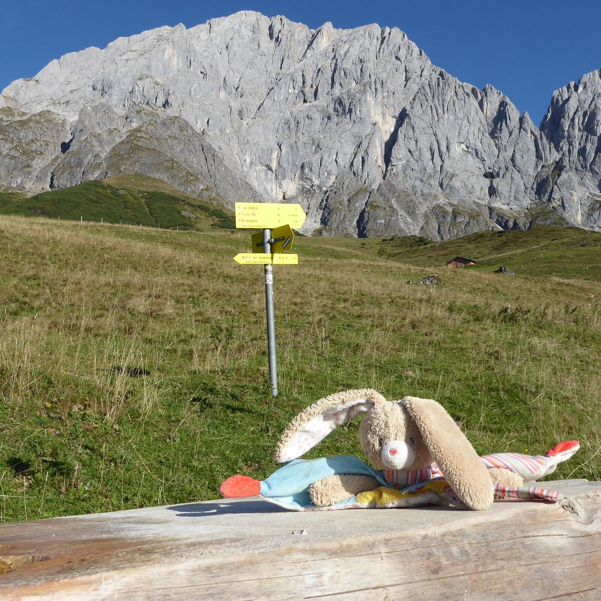
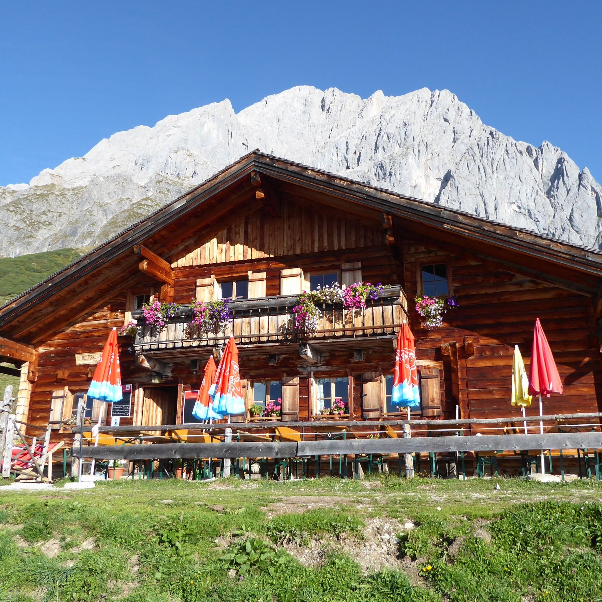
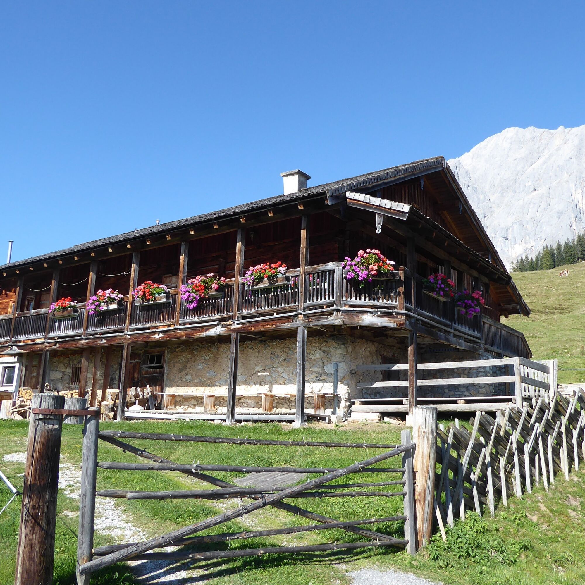
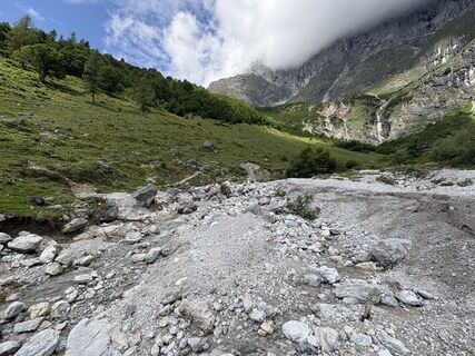
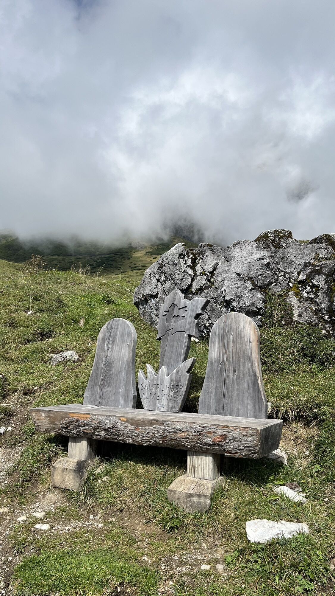
The starting point is the stop “Mühlbach Trockenbach.” For a short section, trail 89 follows the asphalted private road that begins here, but soon the route switches to the forest road and reaches after a total of one hour the Molterauhütte as well as the neighboring Schartenhütte (1,535 m). The highest point of the hike below the mighty Bratschenkopf has thus already been passed, continuing along the ridge to the junction that leads slightly below to the left into the Riedingtal (trail 436). At the fork in the valley floor, an unmarked 20-minute detour leads to the unmistakable waterfalls up-valley into the Gamskarl, but the further descent runs down-valley past the barely visible ski jumping hills to the Kopphütte (1,307 m). At this alpine inn, trail 87 branches off to the left towards Mühlbach. Partly on narrow forest paths, partly on the forest roads used as toboggan runs in winter, the path leads through the beautiful beech forest to the Aldiana Hotel. Now either steeply uphill on the forest trail to the left or comfortably further on the toboggan run (trail 87a) in 20 minutes into the village. The Mühlbach town center stop is located opposite the tourist information office.
Ano
Ano
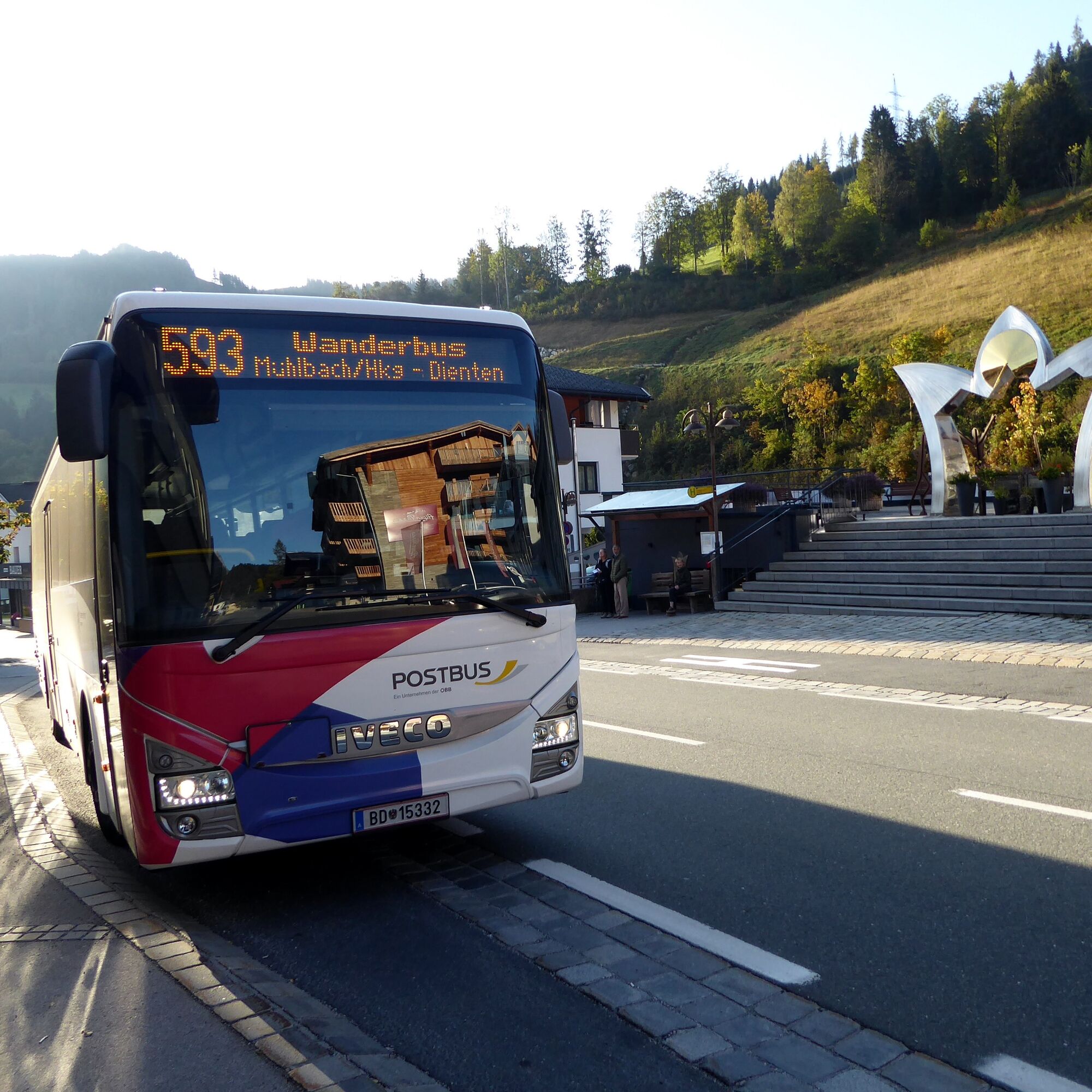
From Bischofshofen station (forecourt) by bus 590 to Mühlbach municipal office and by bus 593 to Mühlbach Trockenbach.
Return from Mühlbach town center by bus 590 to Bischofshofen station (forecourt).
Frequency: good service also on weekends. Hiking bus 593 runs until early November!
Timetable information and download: online at www.salzburg-verkehr.at or on your smartphone via the free Salzburg Verkehr app for Android and iOS.
www.hochkoenig.at, www.molteraugut.at, www.kopphuette.at
Mag. Christian Heugl
5400 Hallein
Photo credit: Christian Heugl
Mining museum in Mühlbach with permanent exhibition “Buwi Pradl”:
www.museum-hochkoenig.com
www.hochkoenig.at/de/infrastruktur/muehlbach-bergbaumuseum-schaustollen.html
Oblíbené prohlídky v okolí
-
4.8
Summit stormer route Lauskopf
heavyTuristika 8.16 km -
4.8
Summit storming route Taghaube
heavyTuristika 6.25 km -
4.7
About the "Four Huts circular route" to Windraucheggalm
středníTuristika 10.1 km -
4.7
Panorama hike to the Hochkeil
středníTuristika 6.07 km -
3.6
Wanderung zur Ostpreußenhütte in Werfen (1.630 m)
středníTuristika 11.2 km -
4.8
Großarl: Mooslehenalm – Niggeltalalm – Viehhausalm
středníTuristika 5.44 km -
4.8
Hochkönig - Gipfel der Gefühle - Matrashaus
heavyTuristika 20.9 km -
4.4
Alpine and hut hike "Hochmaisalm & Steinbockalm"
středníTuristika 8.10 km -
4.6
Königsjodler Klettersteig (C/D) Hochkönig
heavyVia ferrata 25.8 km -
4.8
Circular route Arthurhaus - Mitterfeldalm
středníTuristika 4.97 km

Pěší turistika a stopování


Nenechte si ujít nabídky a inspiraci pro vaši příští dovolenou
Vaše e-mailová adresa byl přidán do poštovního seznamu.