



Obermayrberg via Loferersteig to the Neue Traunsteiner Hütte

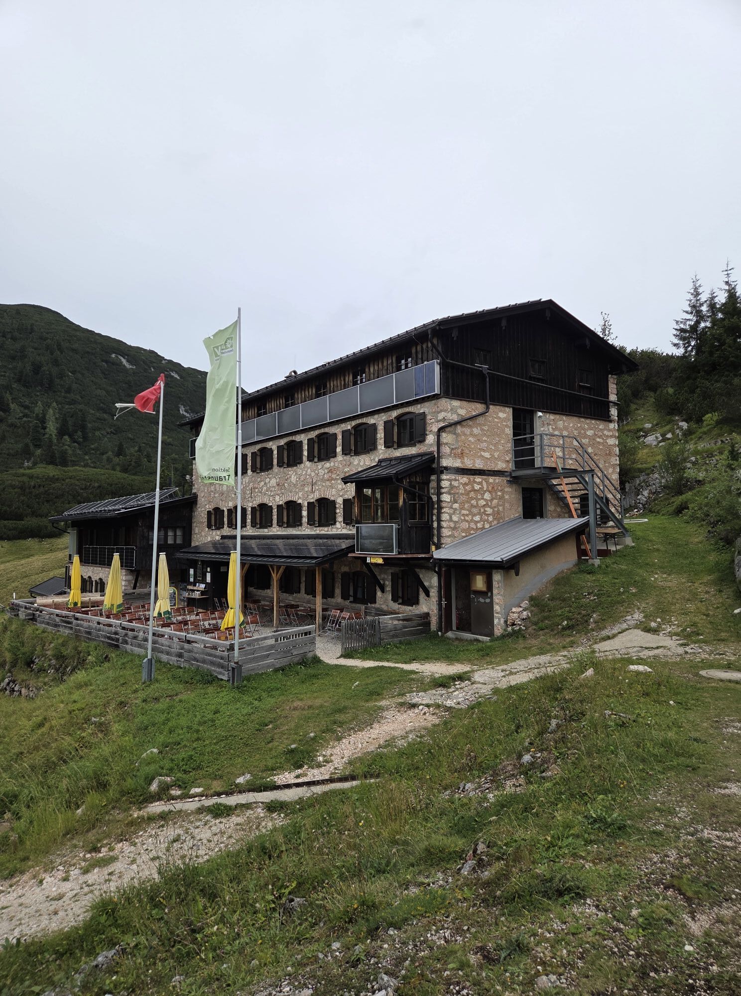
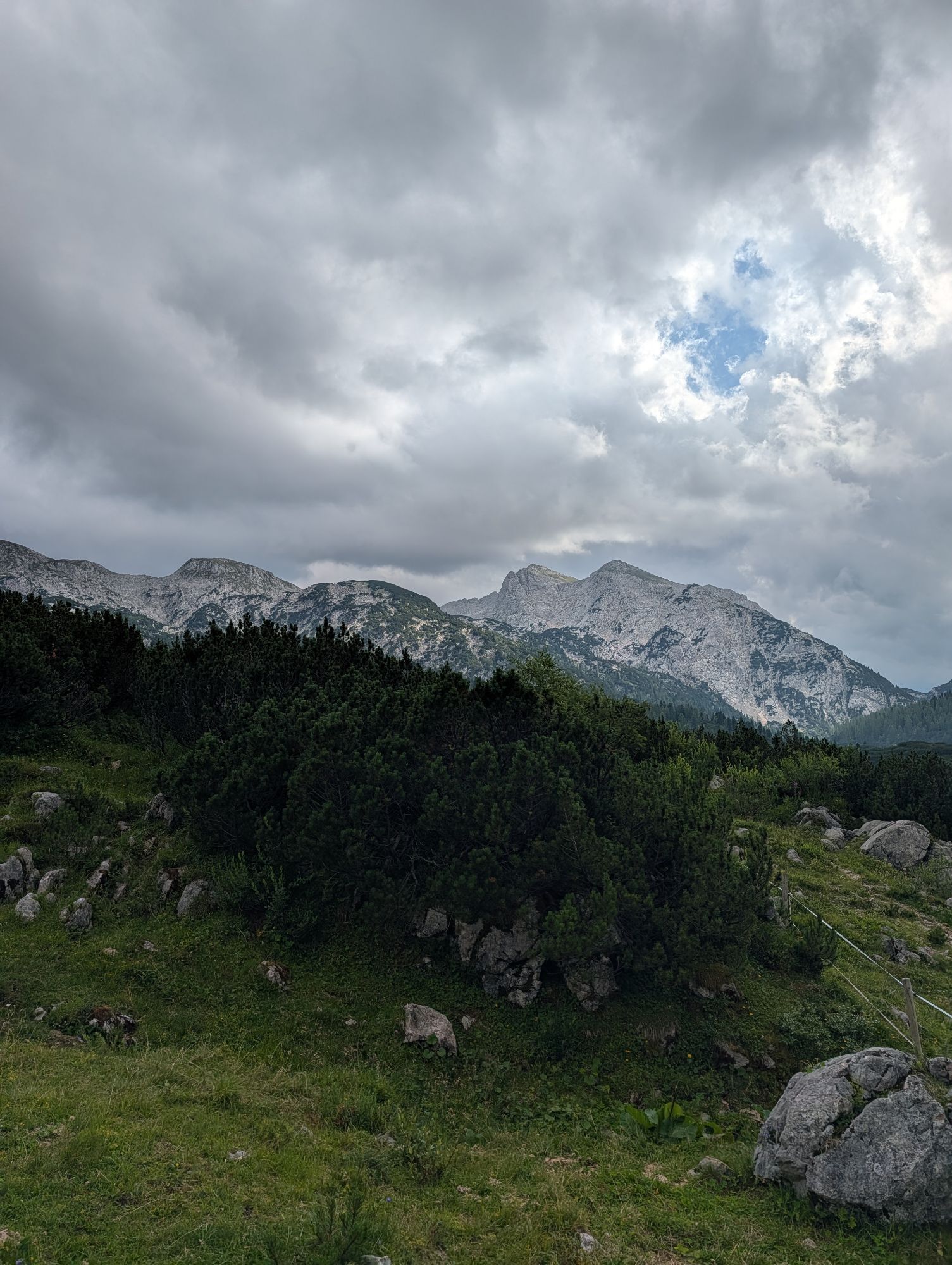
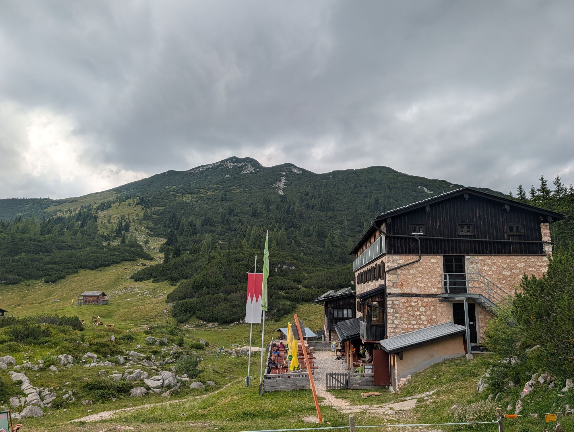
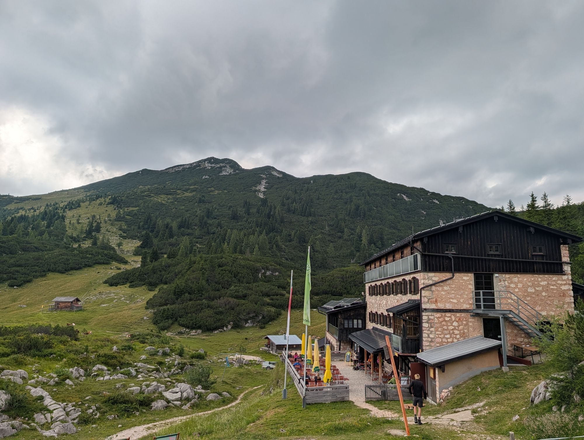
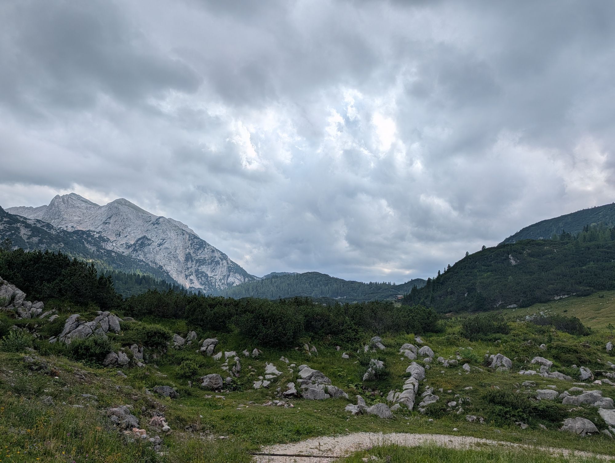


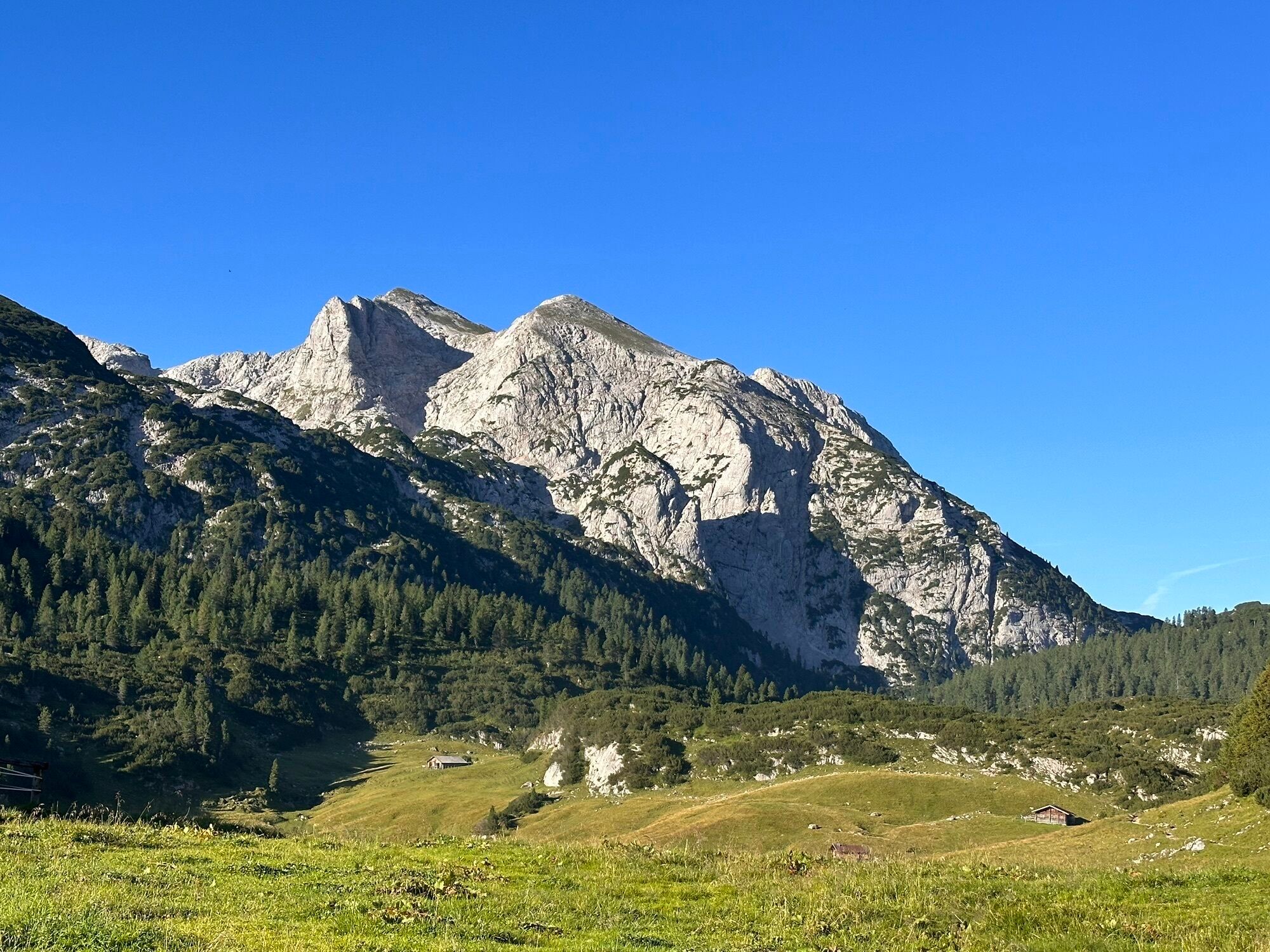
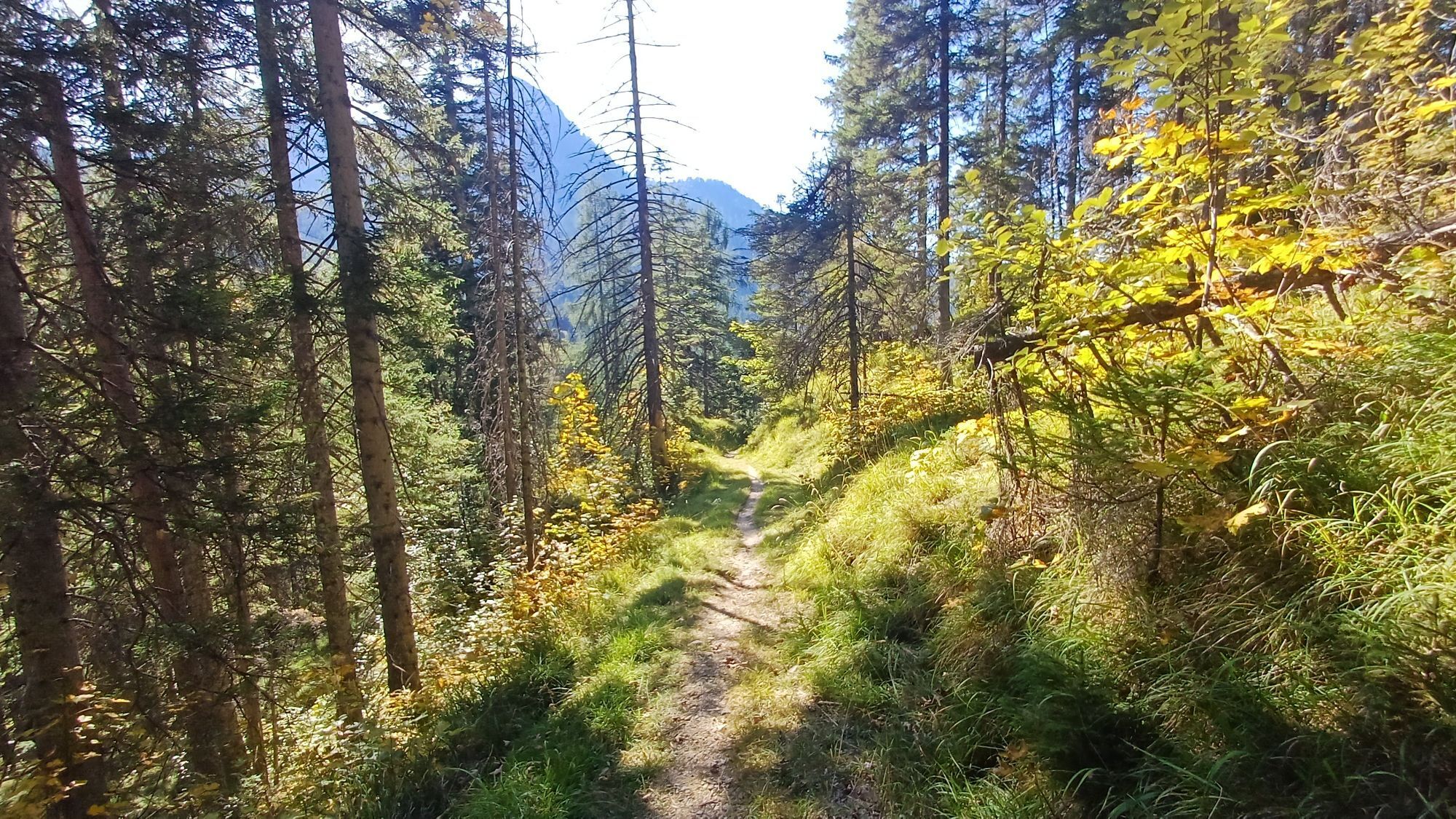
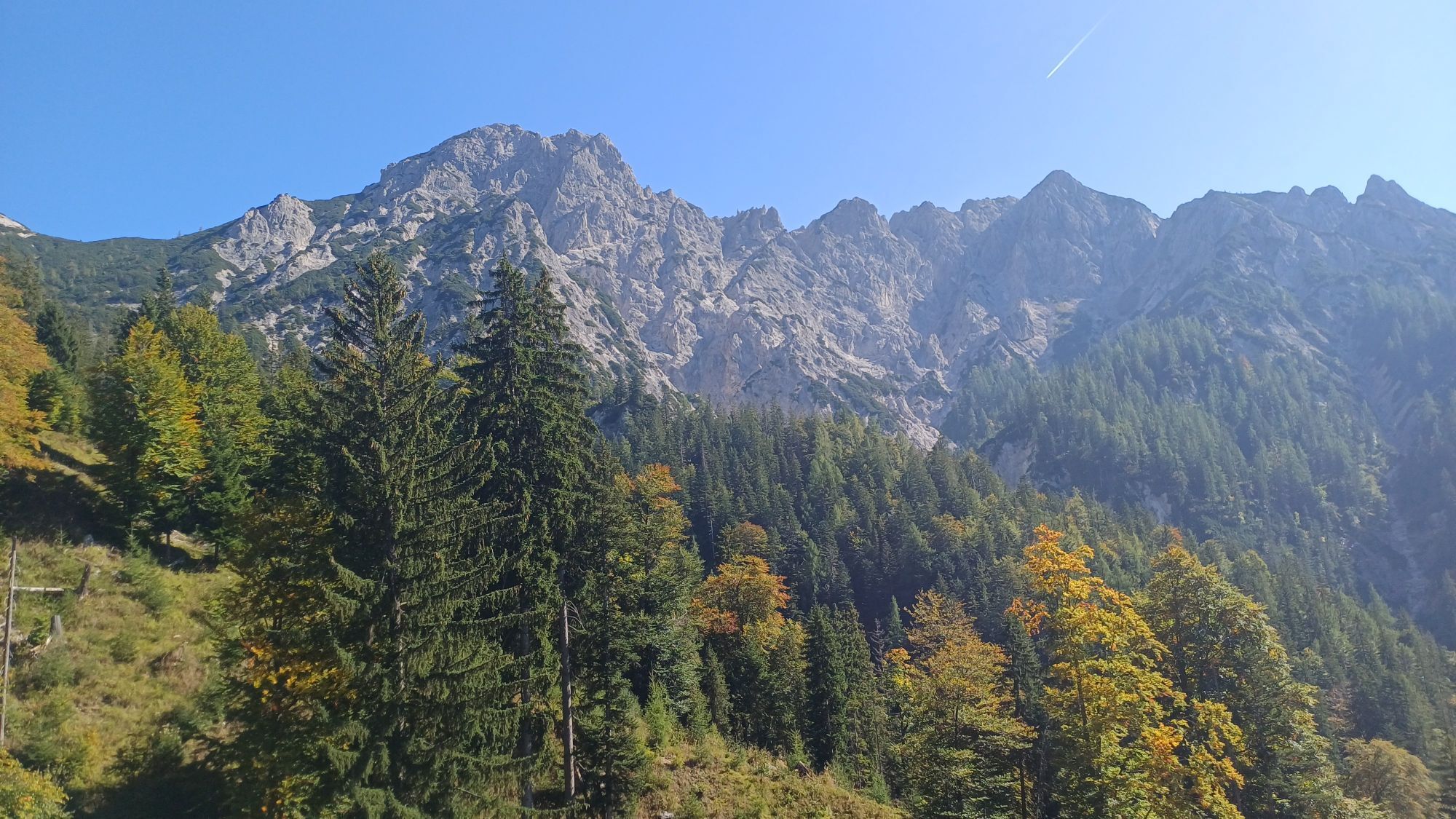
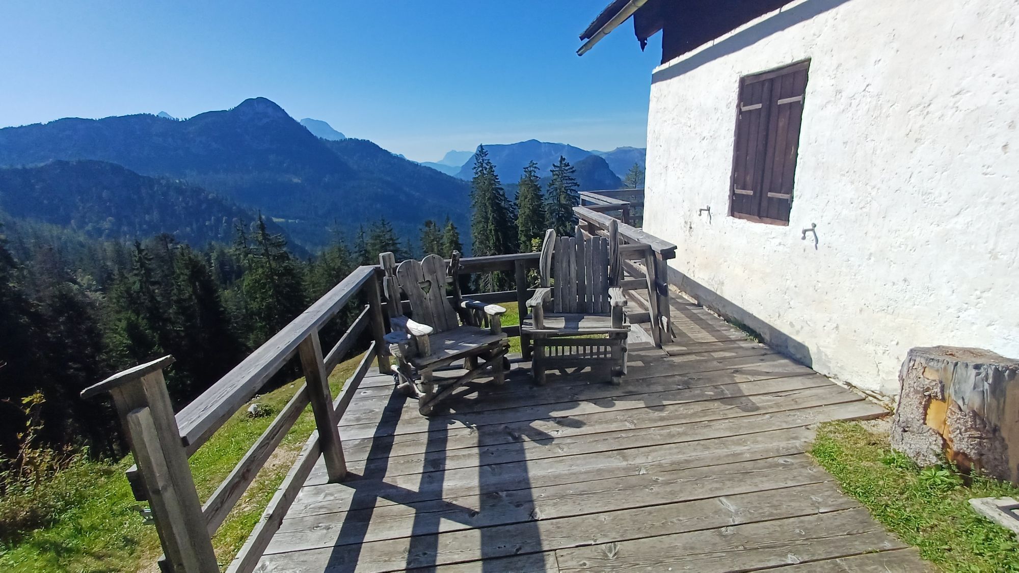
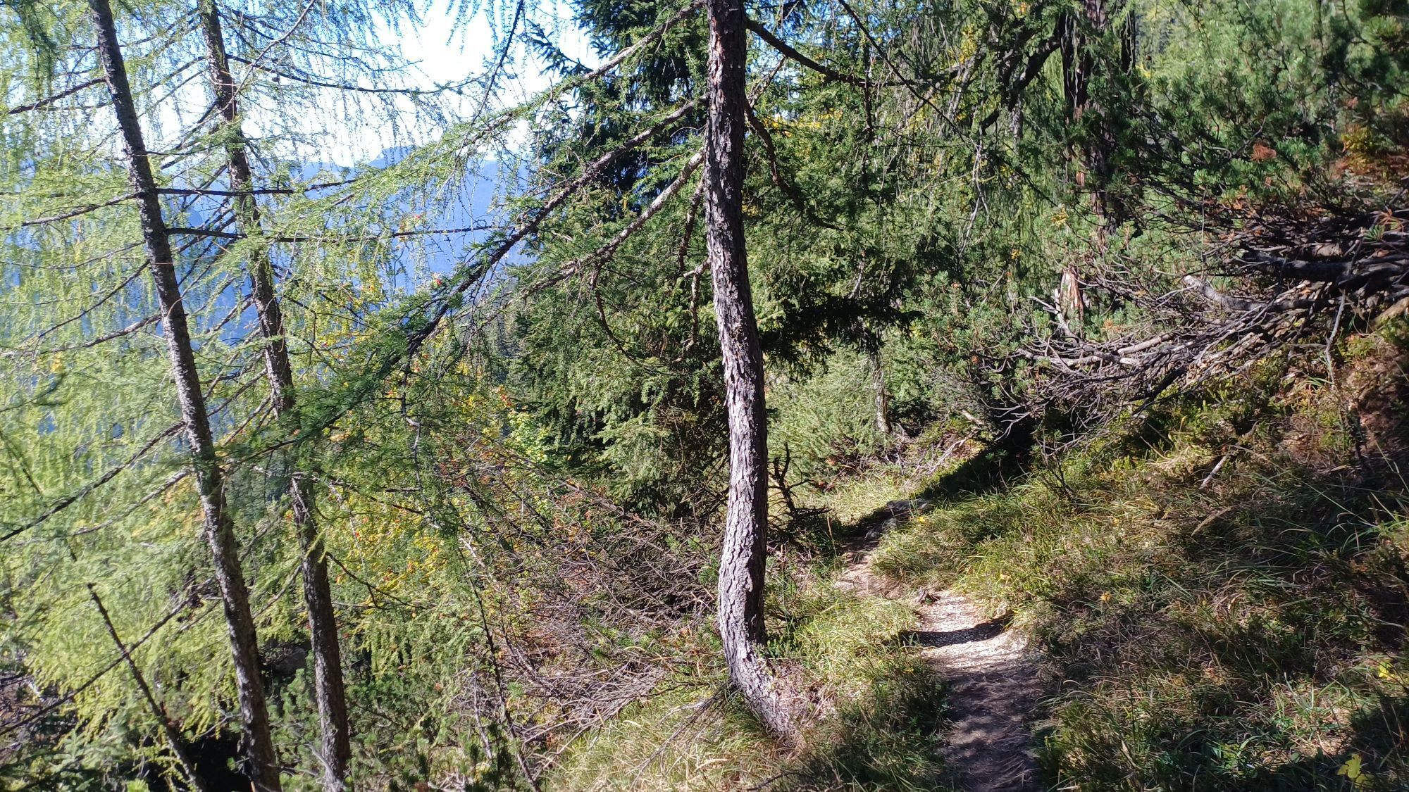
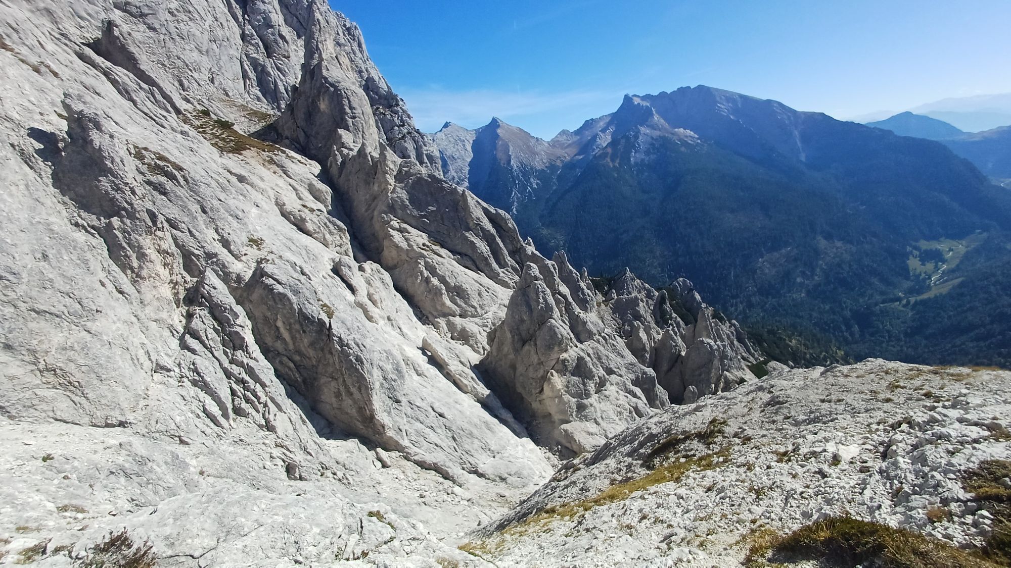
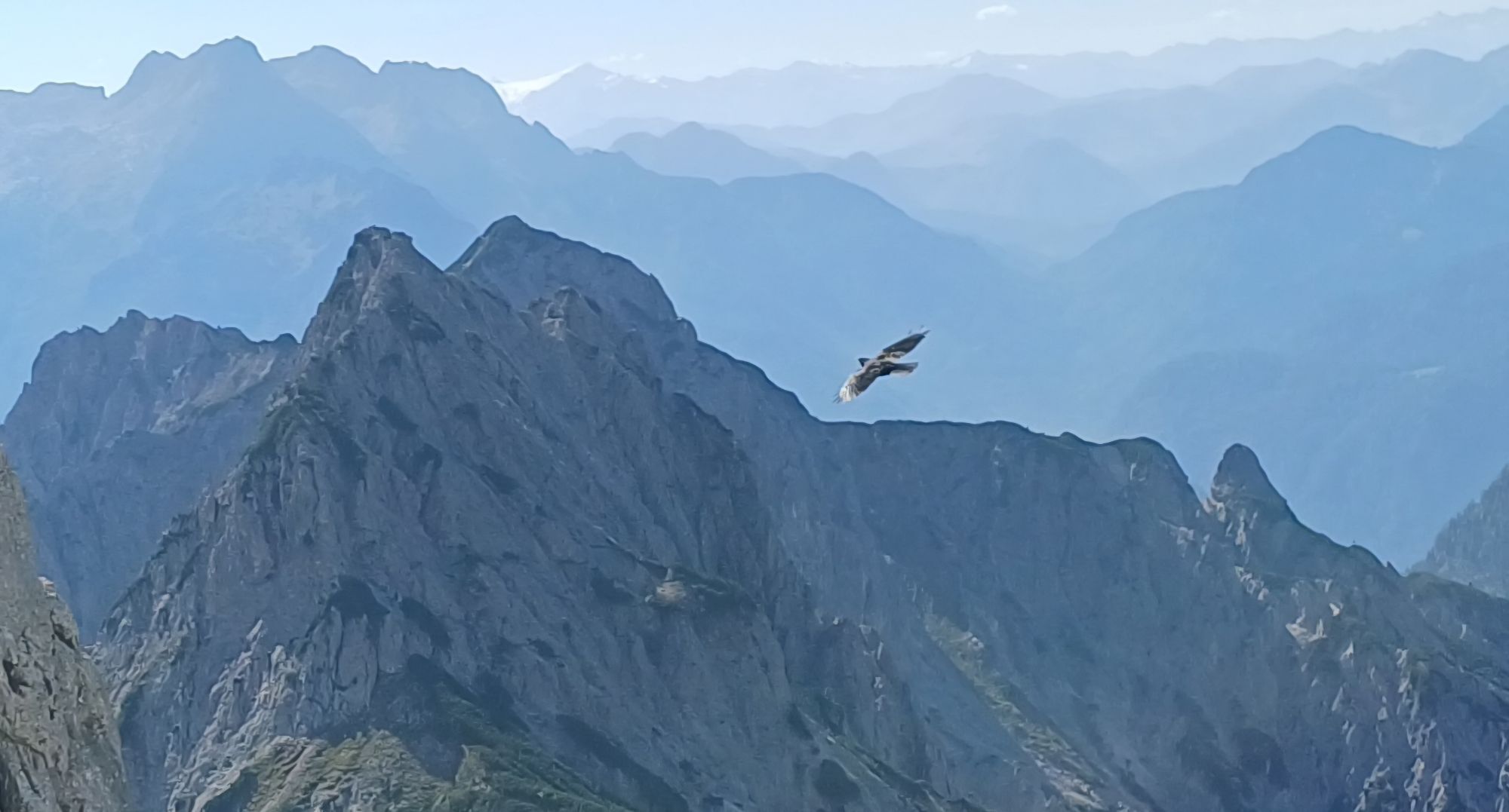
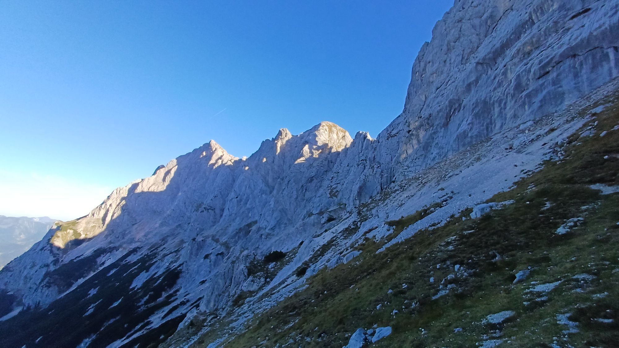
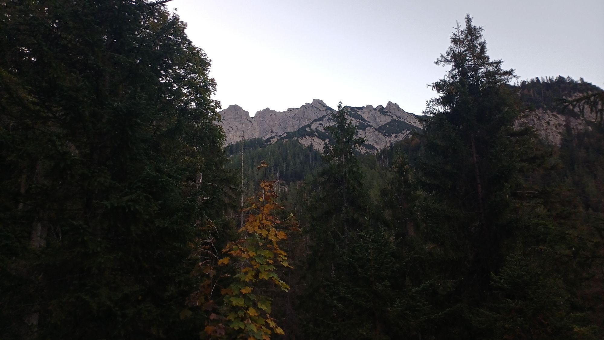
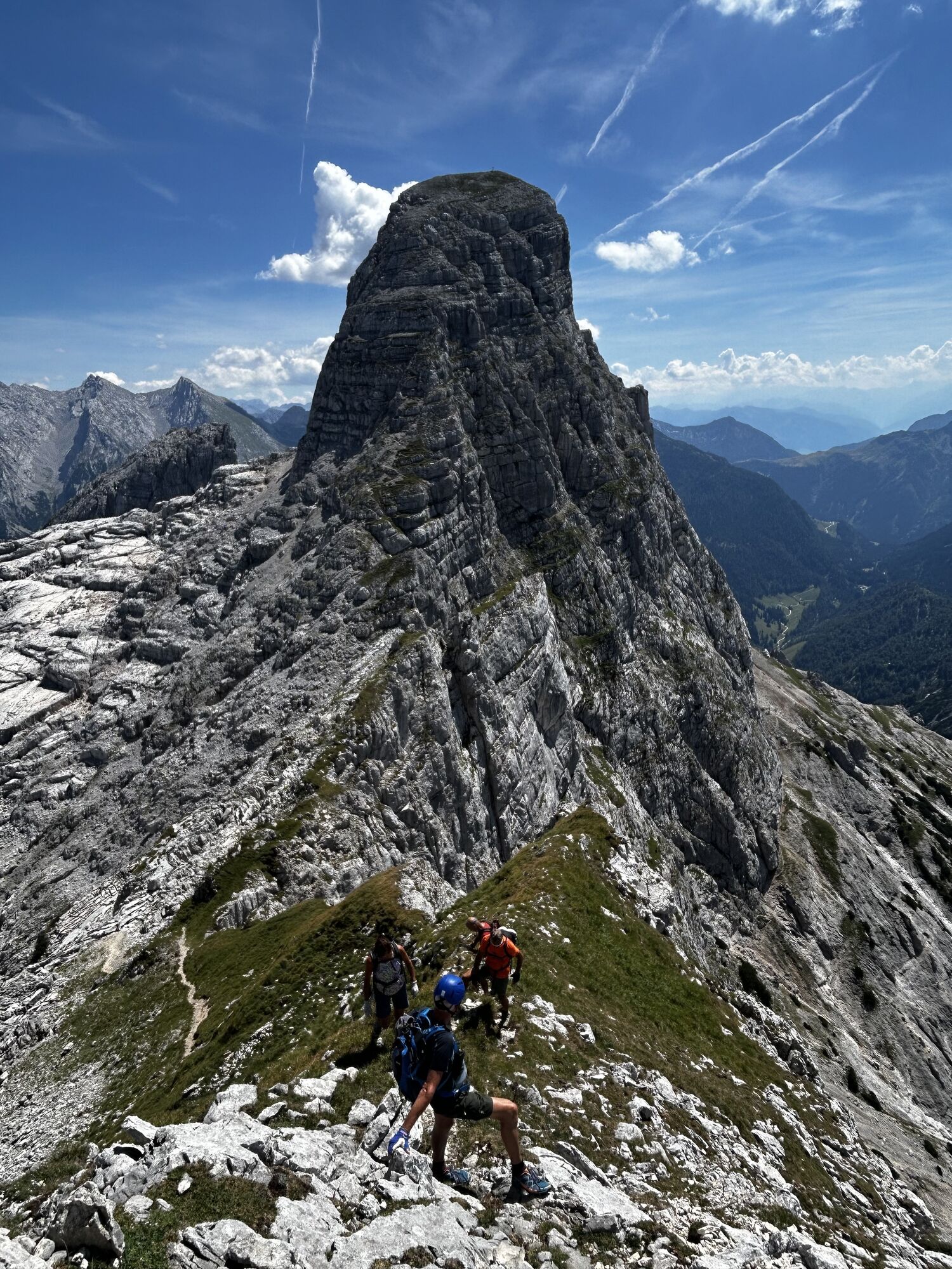
From the Obermayrberg guesthouse, take the forest road past hunting huts up to the Hochgscheidsattel, where you meet the Schaflsteig. Great views of peaks like the Stadelhorn. Finally, it goes down to...
From the Obermayrberg guesthouse, take the forest road past hunting huts up to the Hochgscheidsattel, where you meet the Schaflsteig. Great views of peaks like the Stadelhorn. Finally, it goes down to the alpine meadows of the Reitertretts to the Neue Traunsteiner Hütte.

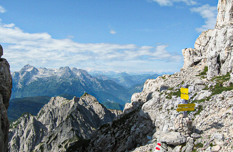
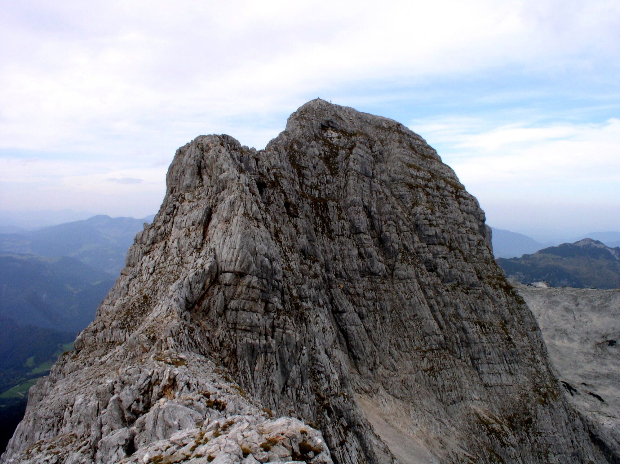
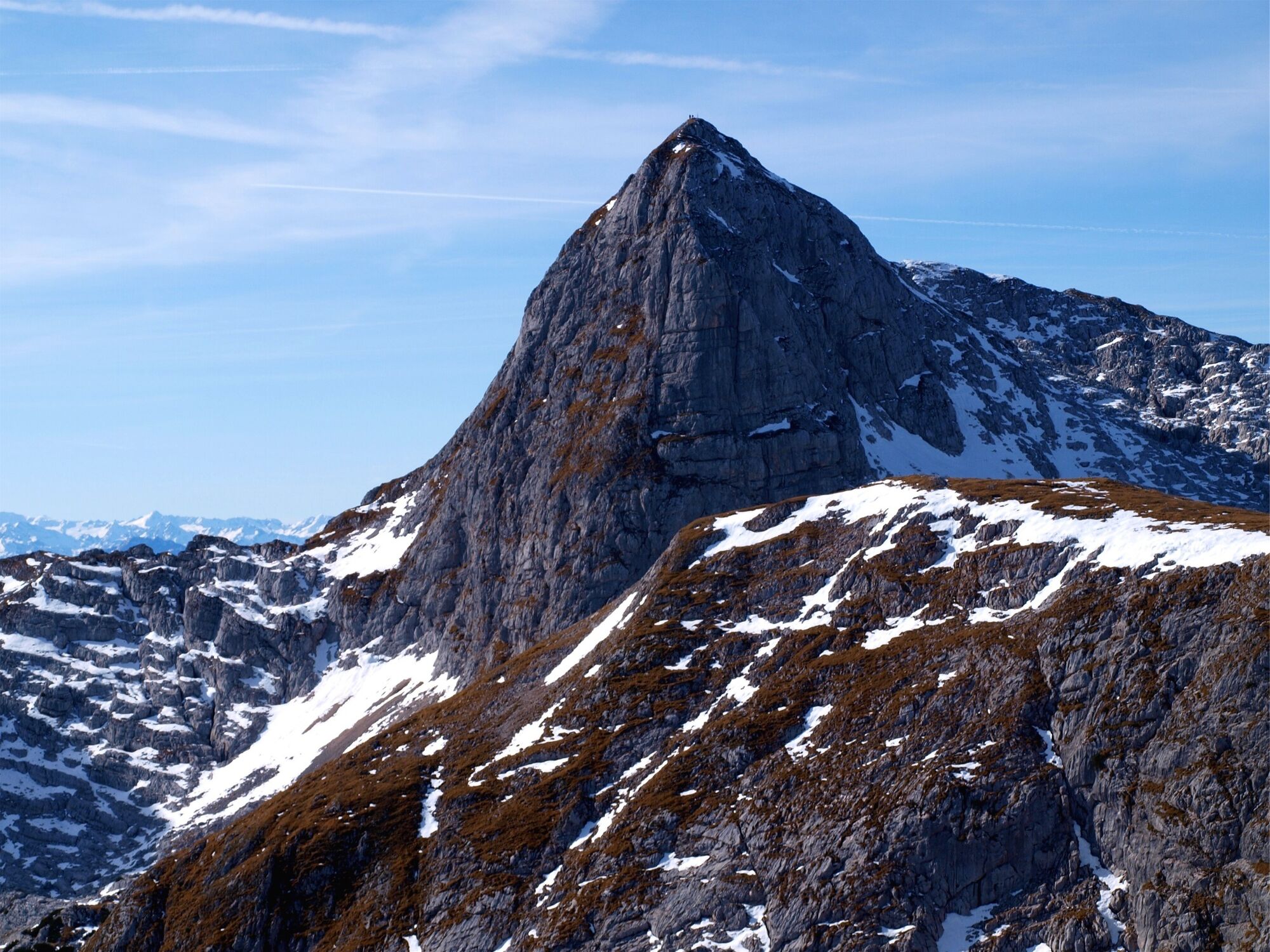

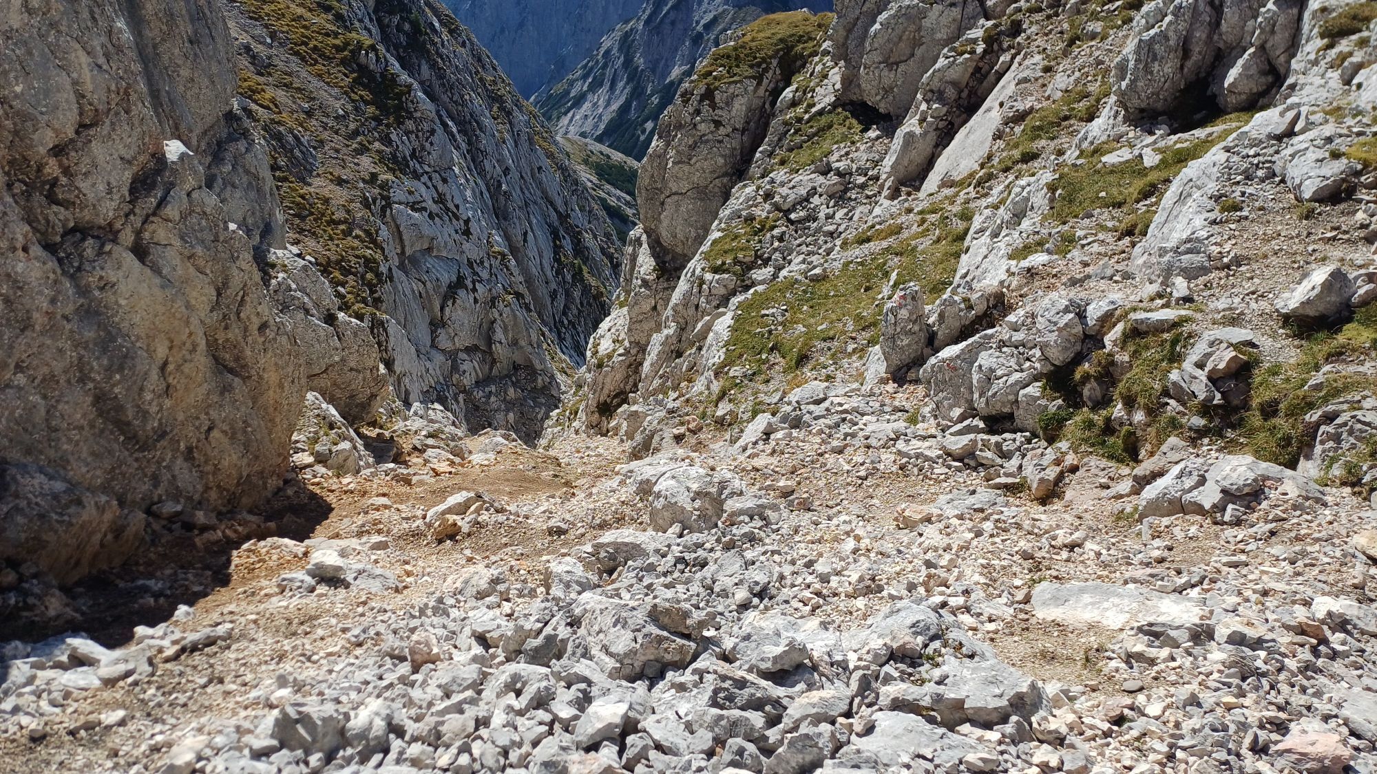
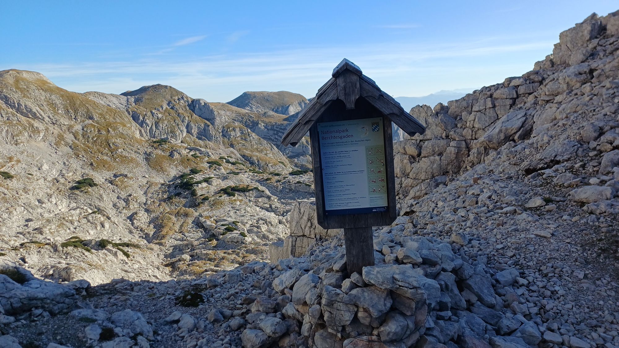
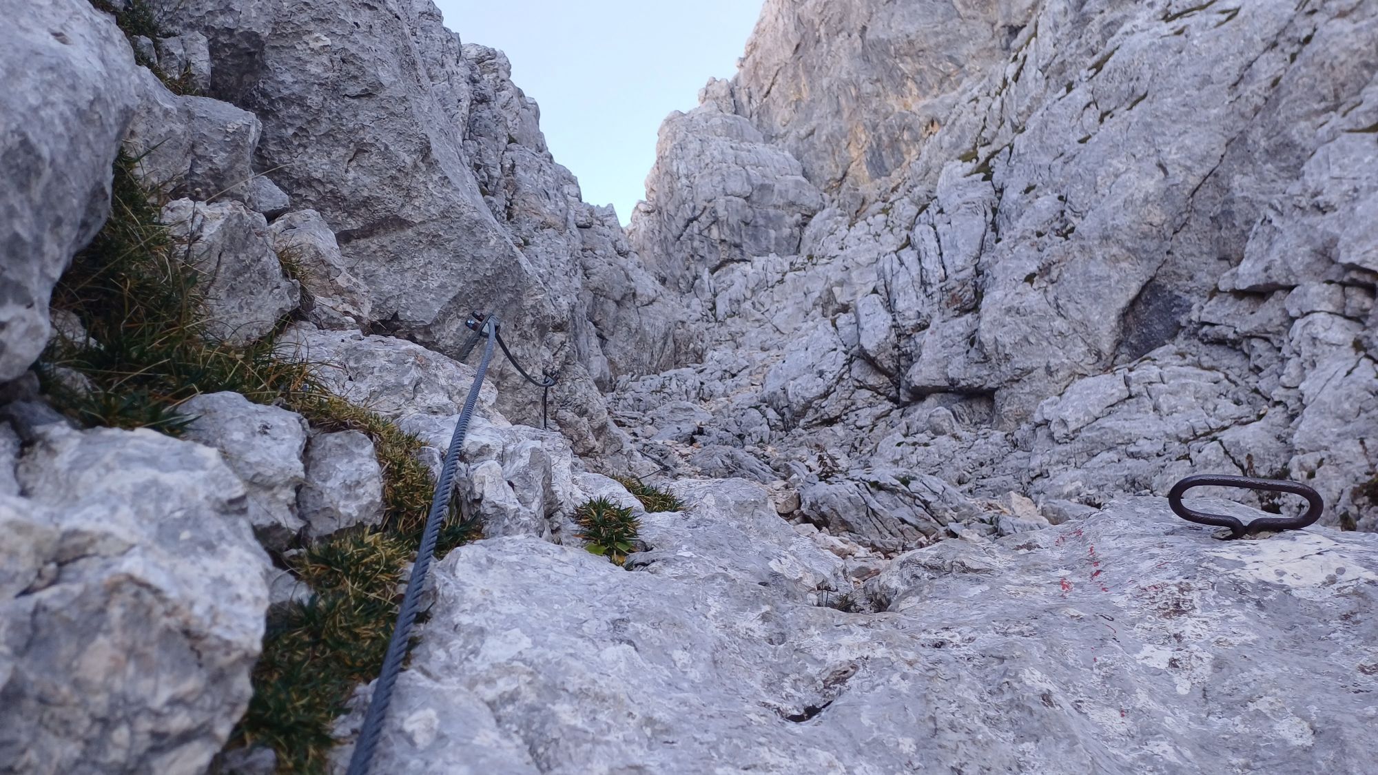
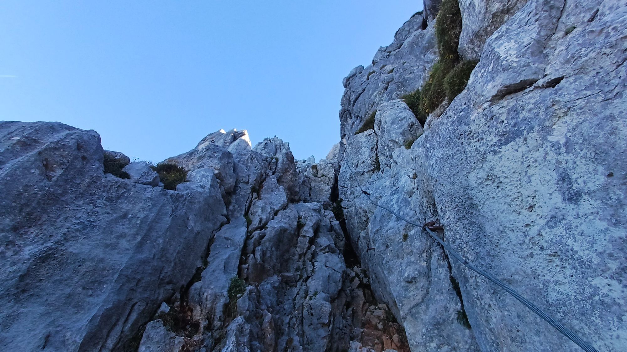
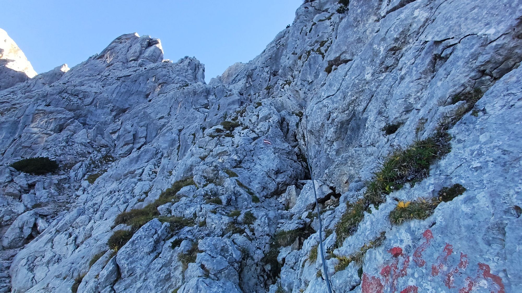
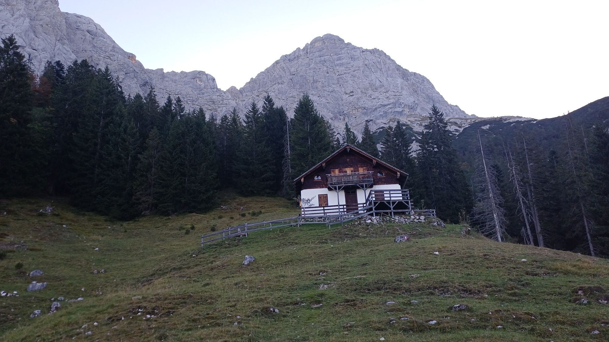
From the Obermayrberg guesthouse (895 m) first take the red-marked forest road (trail no. 473) gently uphill to the Daxstein hunting hut. From there a red-marked path (Loferersteig / trail no. 473) leads in switchbacks to the Hochgscheid hunting hut (1,386 m). Continue on the Loferersteig fairly steeply up to the Hochgscheidsattel (1,750 m), where you have a magnificent panoramic view to the south. Here you meet the Schaflsteig, which you now follow. On the other side of the saddle awaits the crossing under the Stadelhorn west face and you ascend via a secured steep climb (via ferrata A/B) to the Mayrbergscharte (2,055 m) between the Wagendrischelhorn (2,252 m) and the Stadelhorn (2,286 m). Beyond the notch it continues to the Upper and Lower Plattelkopf (approx. 2,100 m), before descending through the Steinberggasse (trail no. 472) to the alpine meadows of the Reitertretts. Finally, you walk almost flat over alpine meadows, pass the Alte Traunsteiner Hütte (1,579 m), until you reach the Neue Traunsteiner Hütte (1,560 m).
Via ferrata set, climbing helmet, climbing harness, via ferrata gloves, backpack, mountaineering boots, weatherproof clothing, sun protection (sunglasses, sunscreen, cap), food and water, navigation aids (maps, compass or GPS device).
Warning! Until early summer there is old snow along the walls and up to the notch, there is a risk of falling!
Coming from Bad Reichenhall towards Schneizlreuth: Follow the B21 towards Innsbruck/Lofer, past the Saalachsee and Schneitzlreuth to the border. On the Austrian side, take the B178 via Unken to Au. Drive through the village, turn right 50 meters before the Auerkirchlein and drive via Untermayrberg to Obermayrberg.
Coming from Berchtesgaden via Ramsau: Leave Berchtesgaden towards Ramsau and drive through the town of Engedey. After about 6 km at the football pitch on the left side in Ramsau, follow the German Alpine Road (B305) straight ahead via Ramsau-Schwarzbachwacht to Unterjettenberg. From there follow the B21 towards Innsbruck/Lofer, past Schneitzlreuth to the border. On the Austrian side, take the B178 via Unken to Au. Drive through the village, turn right 50 meters before the Auerkirchlein and drive via Untermayrberg to Obermayrberg.
Coming from Zell am See take the B311 towards Salzburg, past Schneitzlreuth to the border. Take the B178 via Unken to Au, driving through the village.
By train from Munich to Bad Reichenhall. From there continue by bus (Line 260) to the stop "Lofer Reit" or "Lofer Antonikapelle" – from there it is about 5 km on foot to Obermayrberg.
From Berchtesgaden by train or bus (Line 841) to Bad Reichenhall. From there continue by bus (Line 260) to the stop "Lofer Reit" or "Lofer Antonikapelle" – from there it is about 5 km on foot to Obermayrberg.
From Zell am See by bus (Line 260) towards Salzburg to the stop "Lofer Reith" or "Lofer Antonikapelle".
Attention: Parking is not allowed at the Obermayrberg guesthouse or at the roadside.
From the Mayrbergscharte there is still the possibility to climb the Wagendrischelhorn via the via ferrata (A/B) with descent via the north-side normal route, as well as the Stadelhorn (I slightly exposed – same ascent and descent).



Oblíbené prohlídky v okolí
- 4.5
Alpgarten-Rundweg
Turistika 2.93 km - 4.8
Königssee - Kärlinger-Haus
Turistika 10.1 km - 4.5
Wimbachgrieshütte
Turistika 8.30 km - 4.5
Grünstein
světloTuristika 2.57 km - 4.4
Halsalm
Turistika 6.43 km - 4.7
Over the waterfall trail into the Almenwelt Lofer
středníTuristika 3.29 km - 4.1
Blaueis - Schärtenspitze
Turistika 7.29 km - 4.6
Seisenberg Gorge
světloTuristika 2.41 km - 4.0
Rundwanderweg zur Steinernen Agnes
Turistika 9 km - 5.0
Sonntagshorn über Hochalm (Unken, Heutalbauer)
středníTuristika 11.2 km
Pěší turistika a stopování


Nenechte si ujít nabídky a inspiraci pro vaši příští dovolenou
Vaše e-mailová adresa byl přidán do poštovního seznamu.


