


Schneeberg enjoyment route


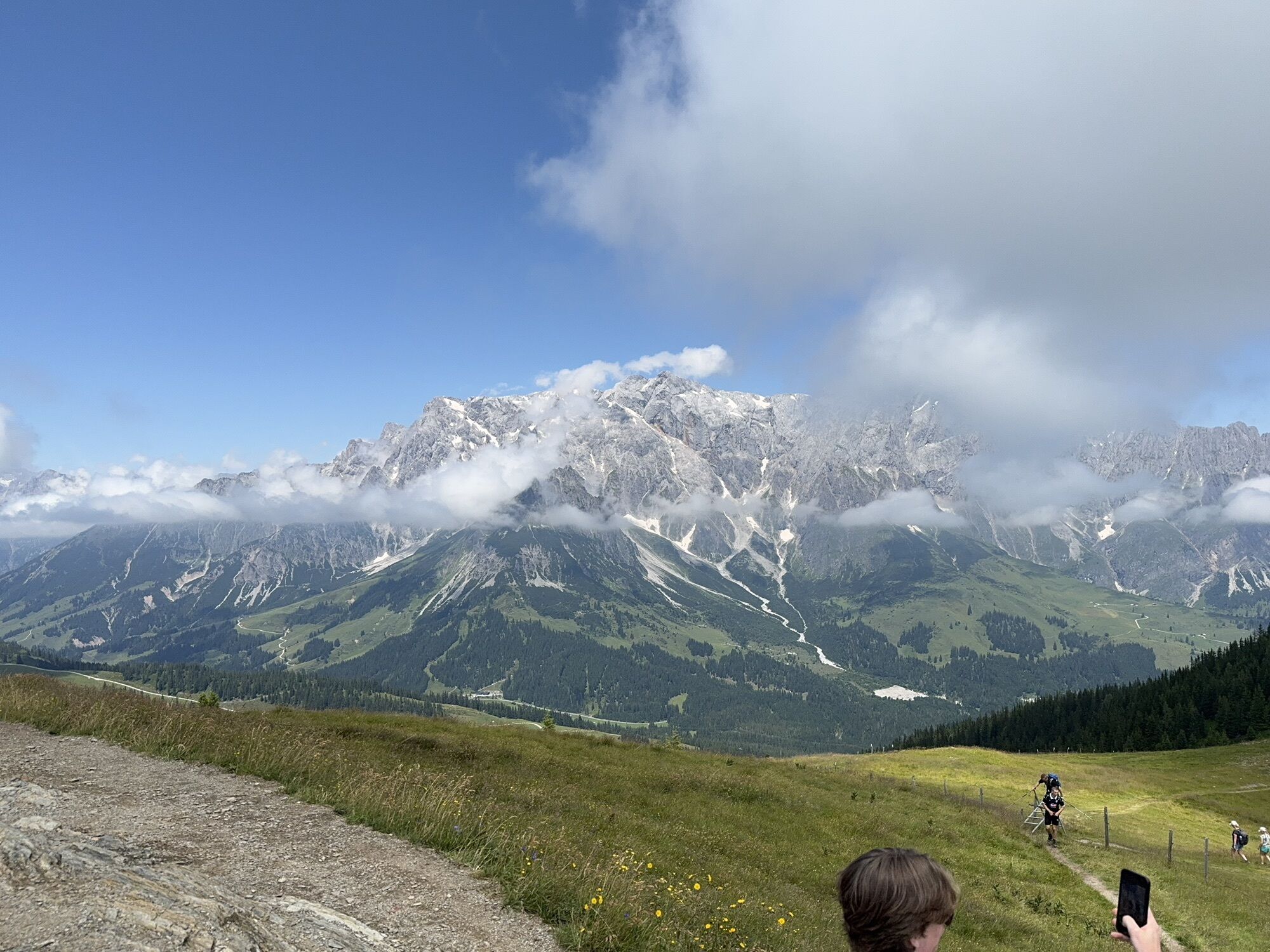
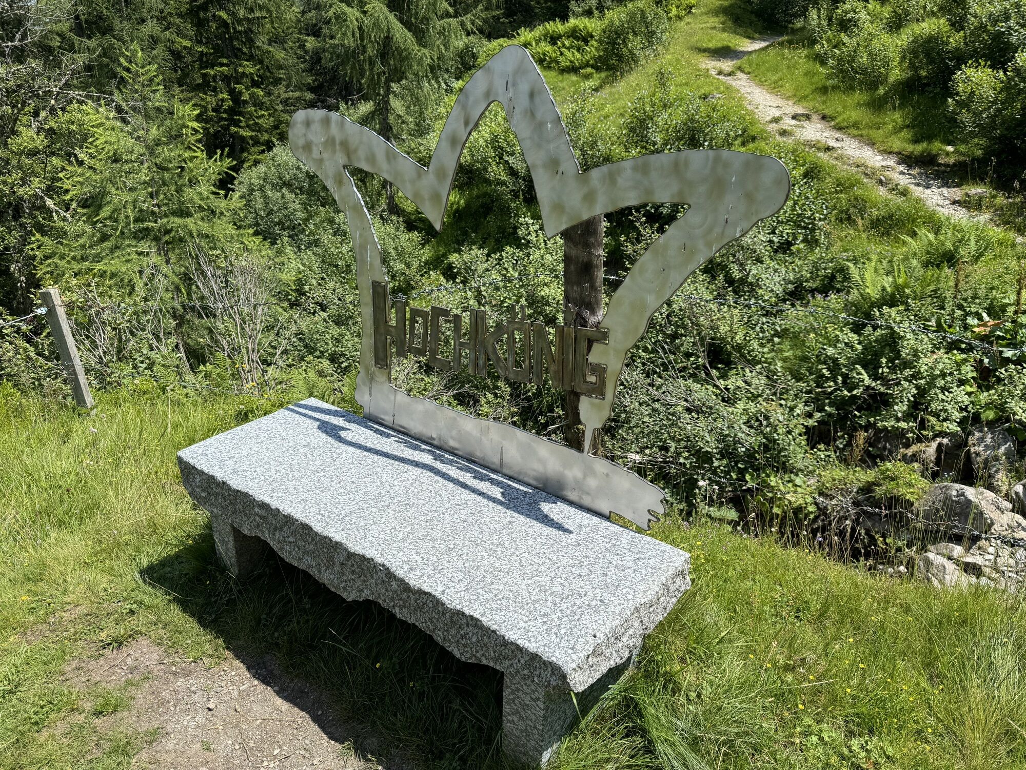
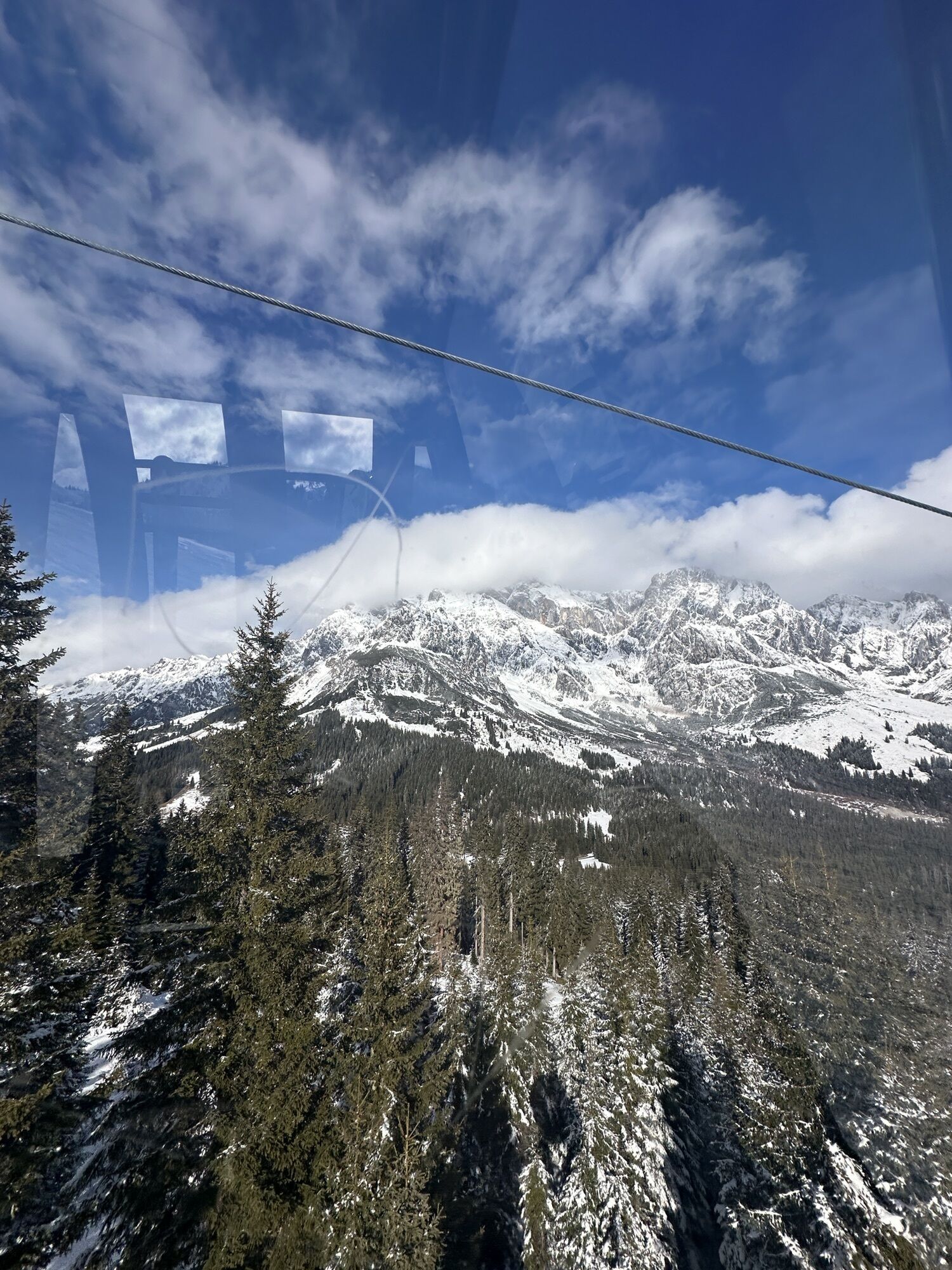
The hike to the 1,921 meter-high Schneeberg promises a wealth of moments of enjoyment and adventure. With the Karbachalm cable car, you can comfortably overcome the first altitude meters of your hike....
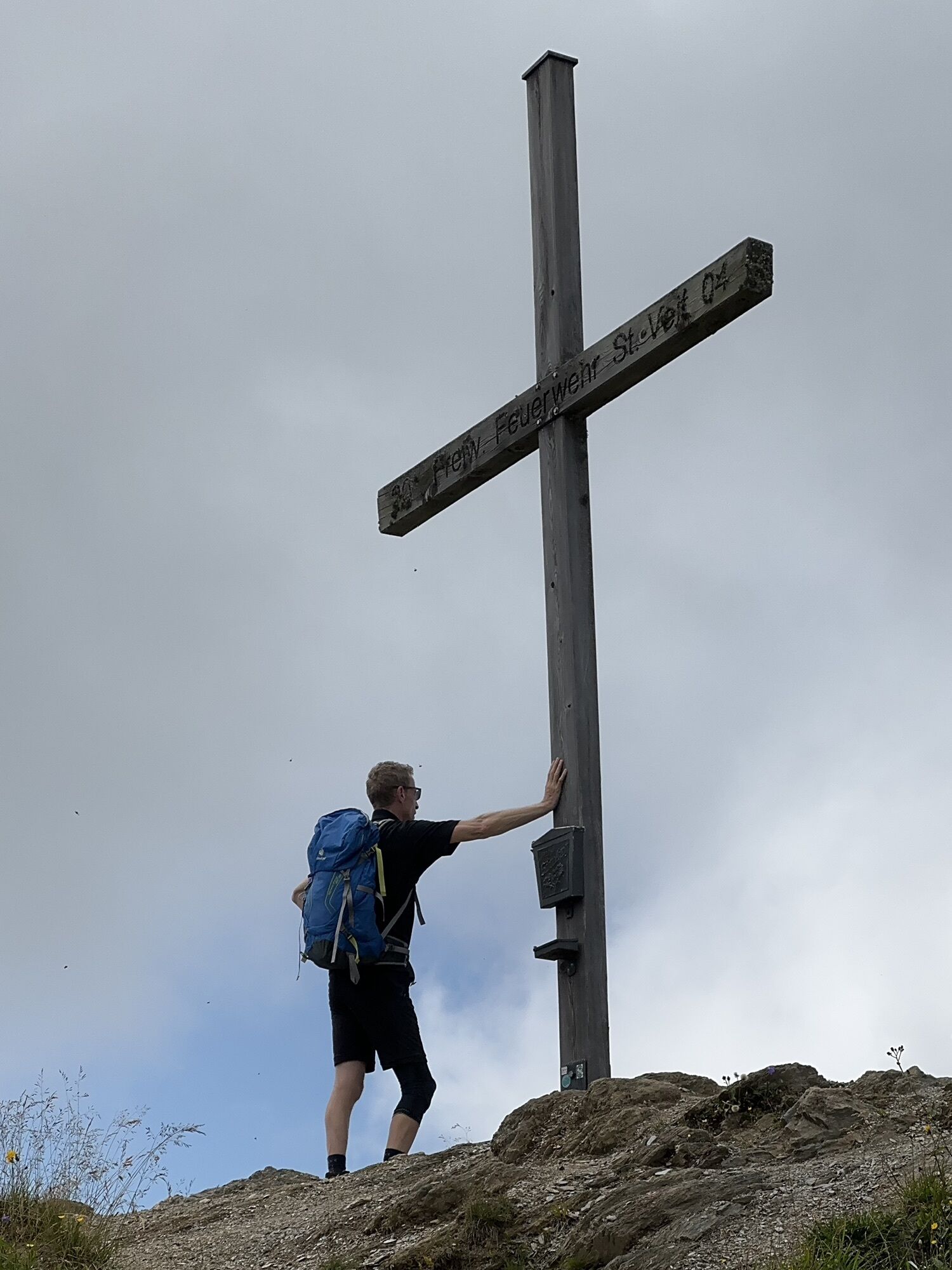
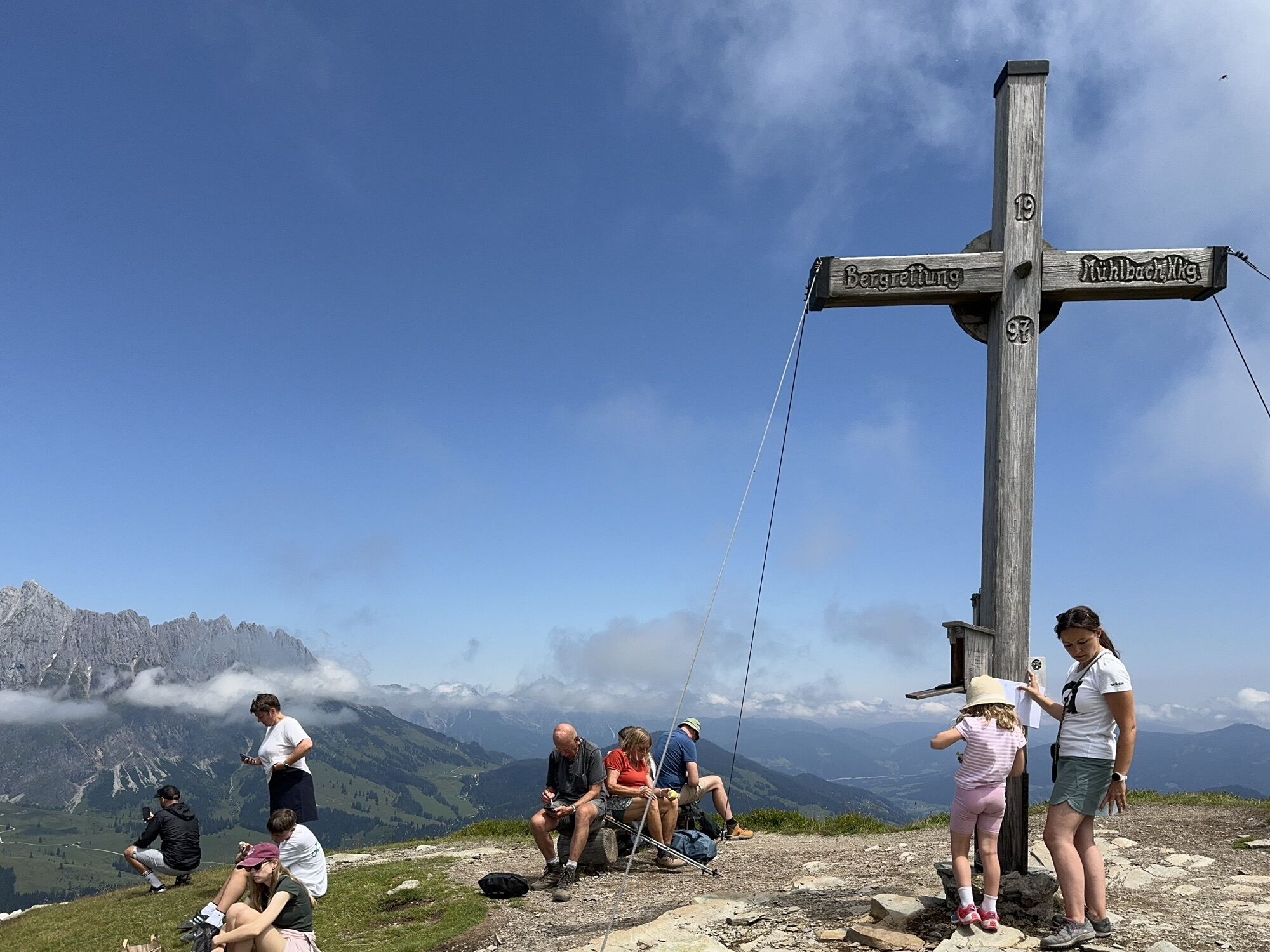
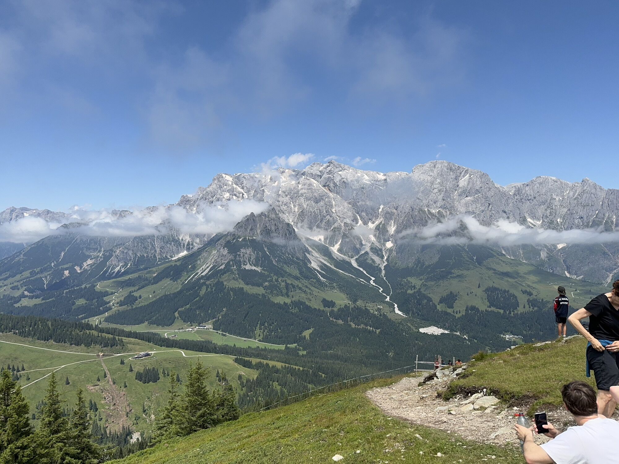
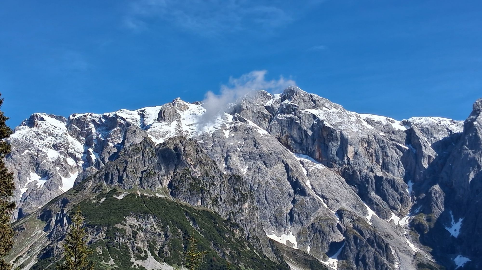
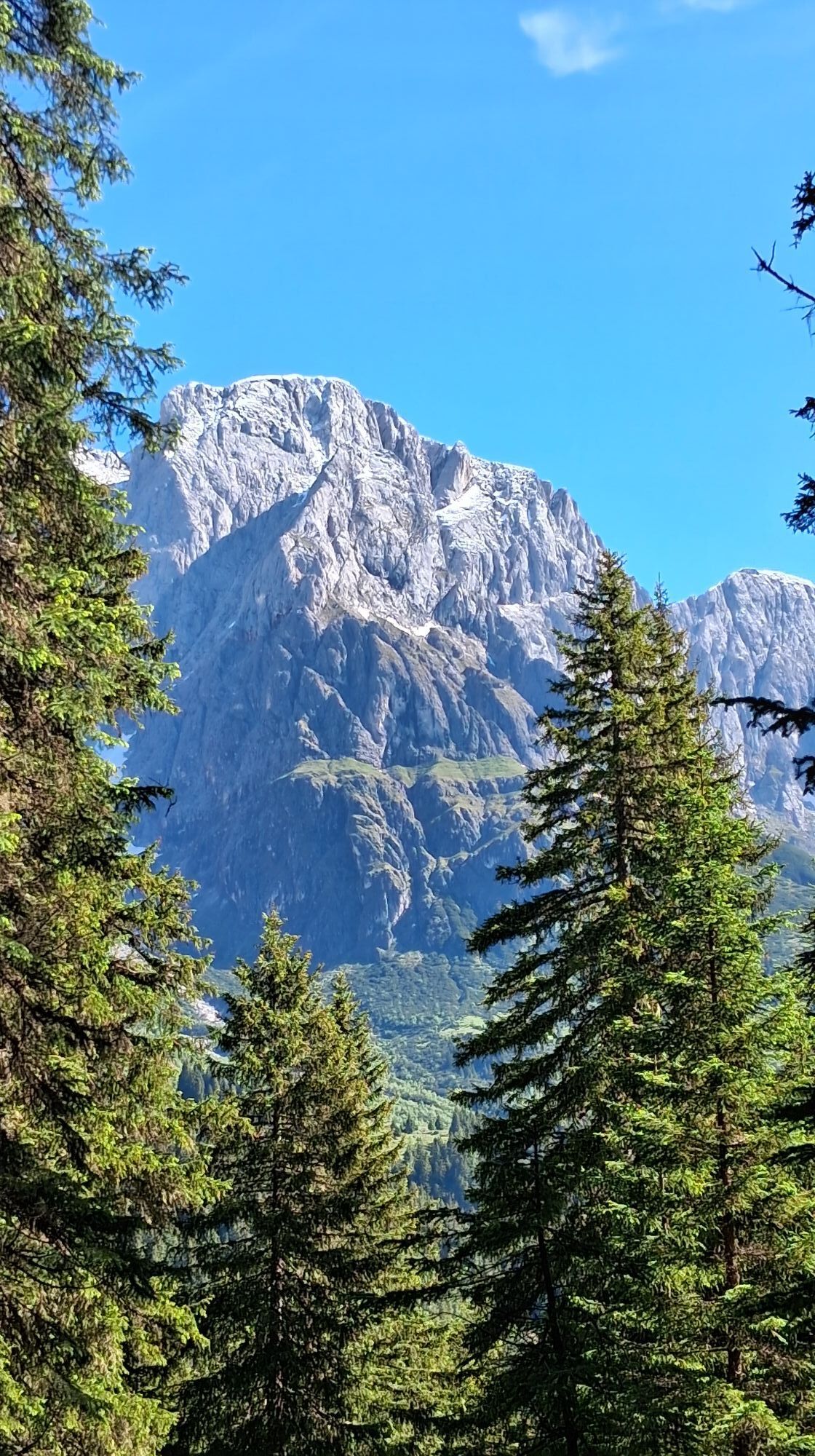
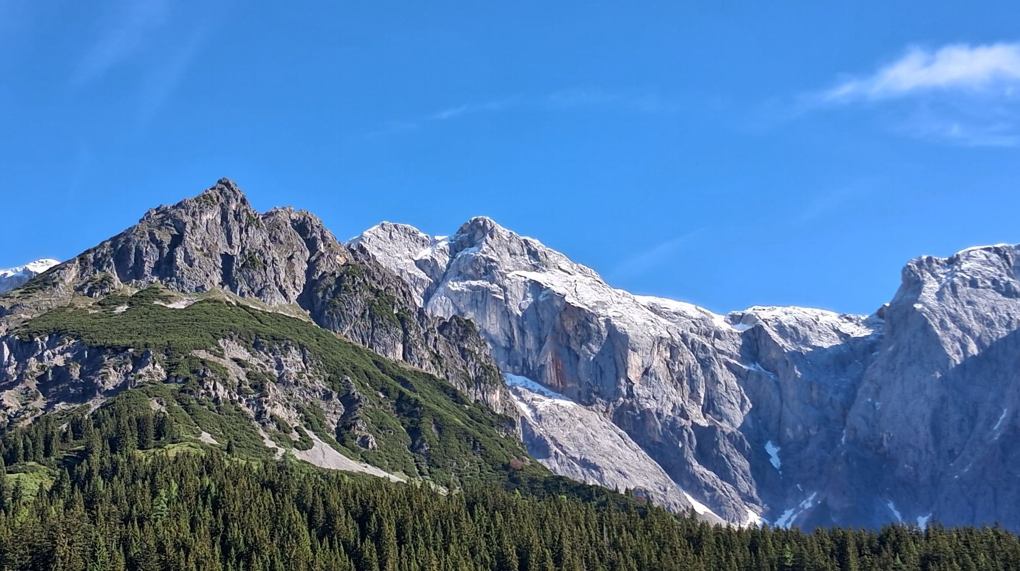
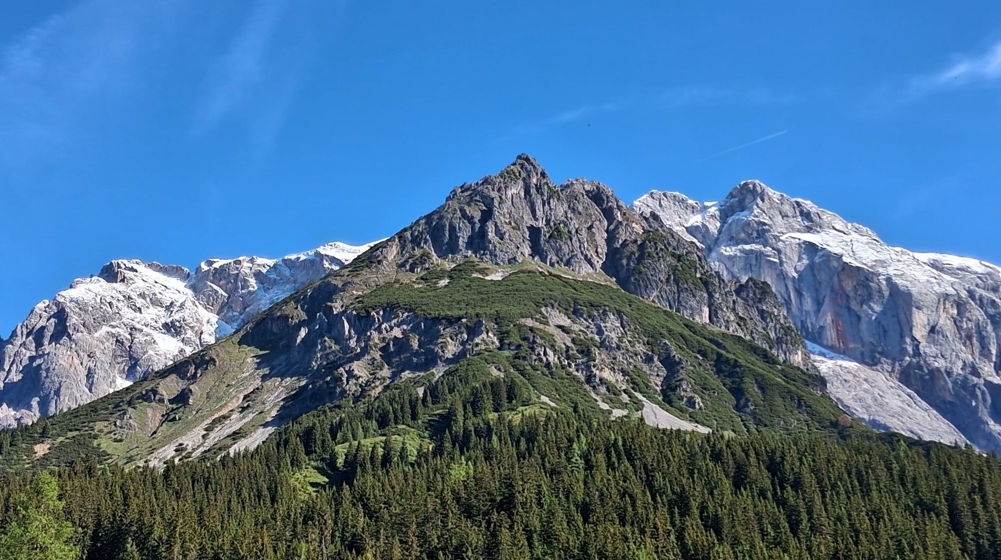
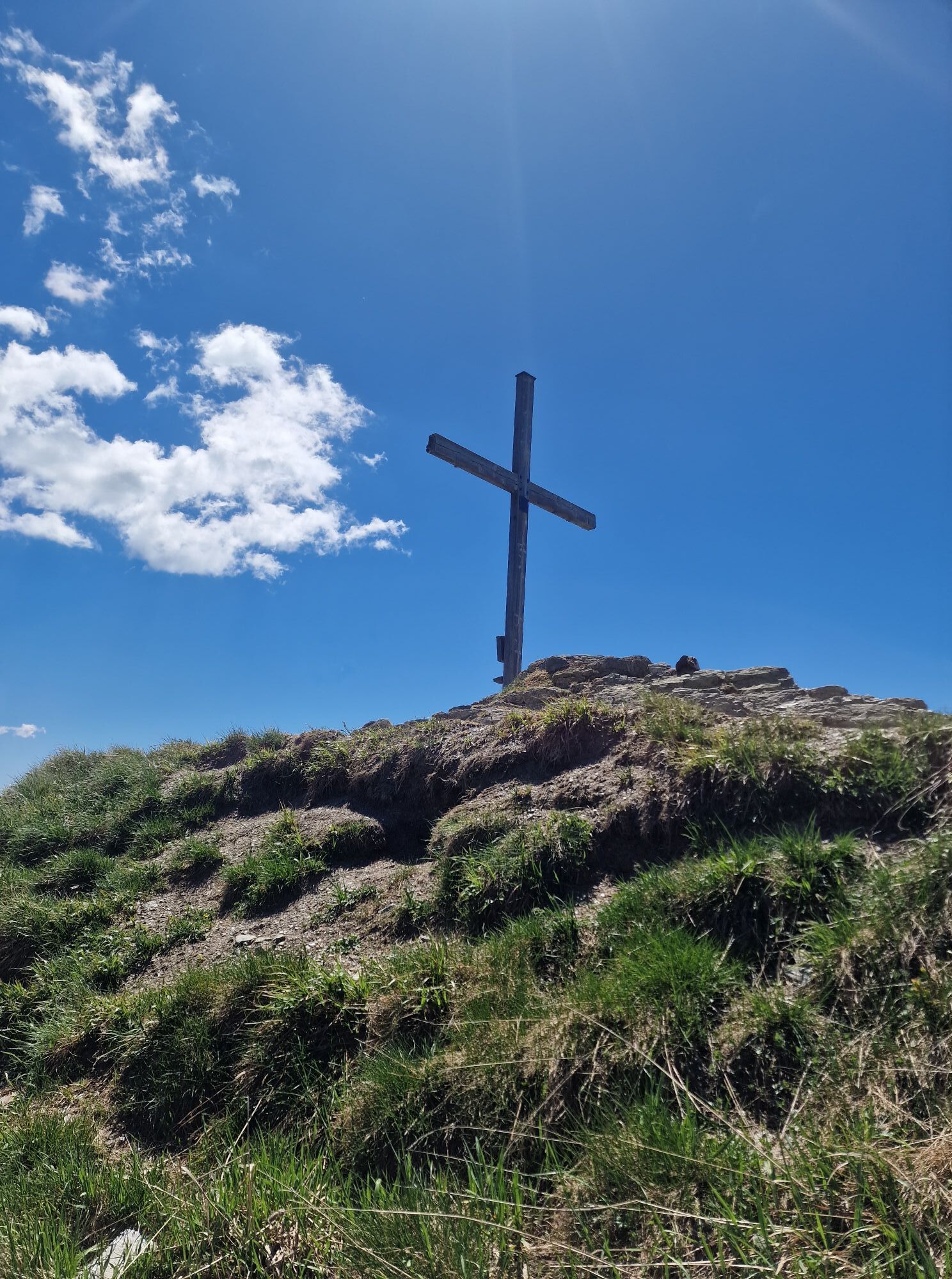
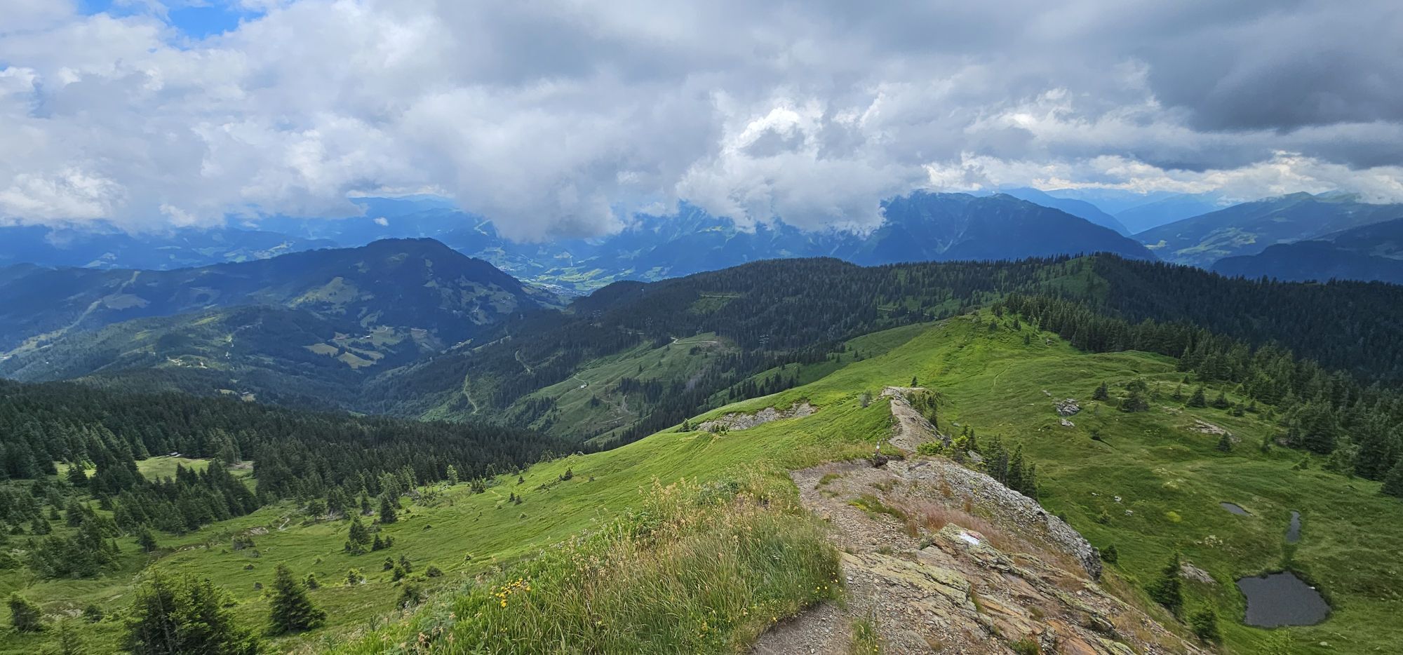
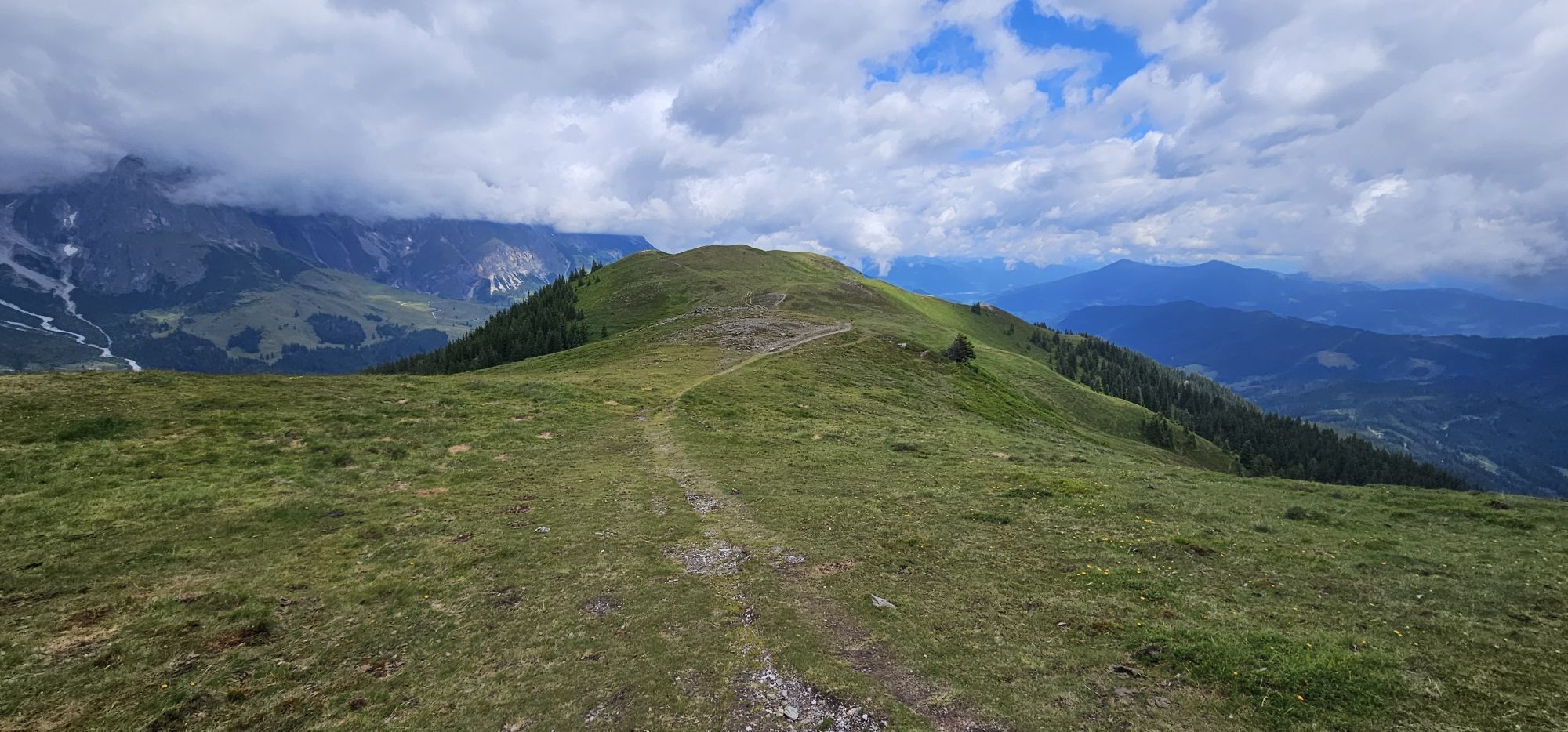
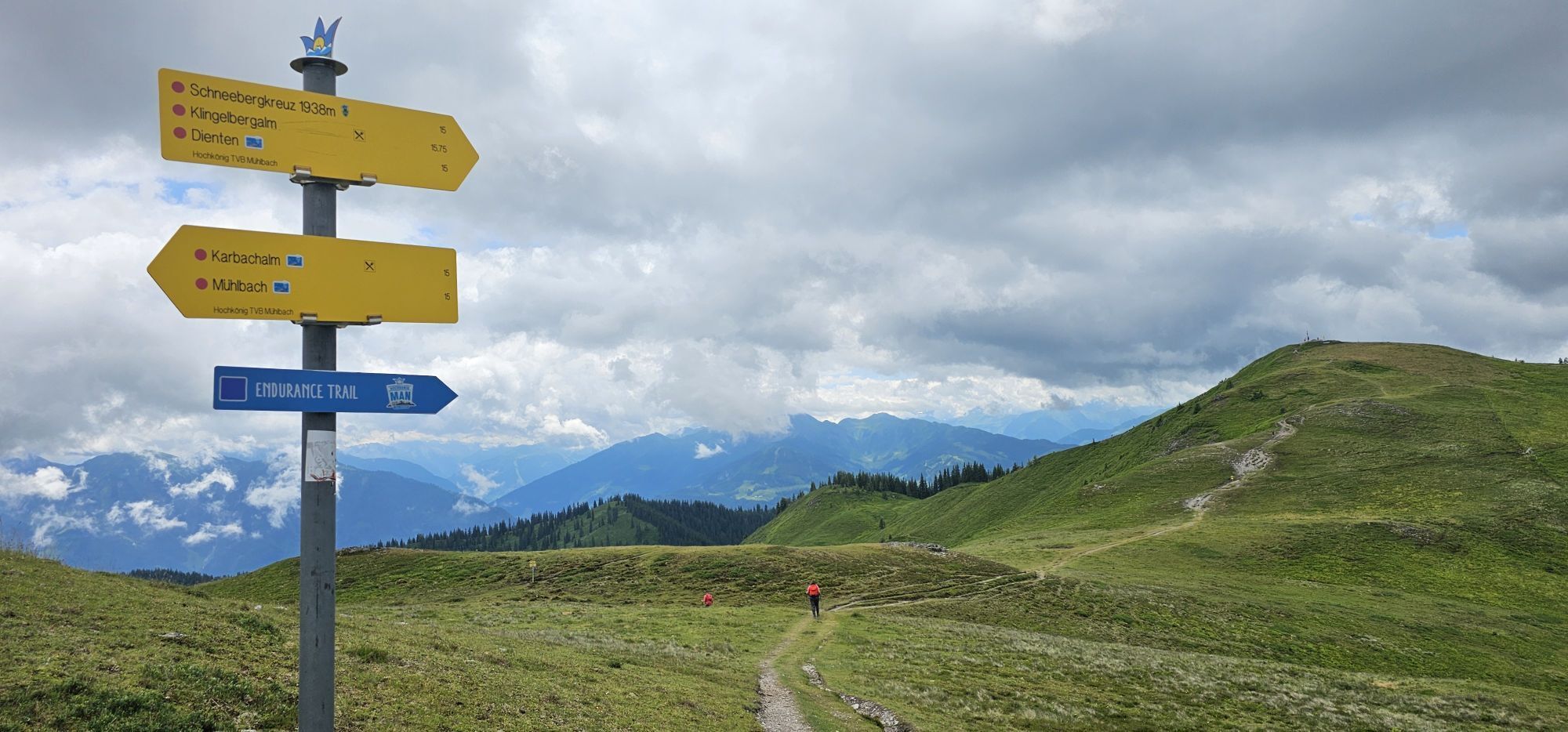
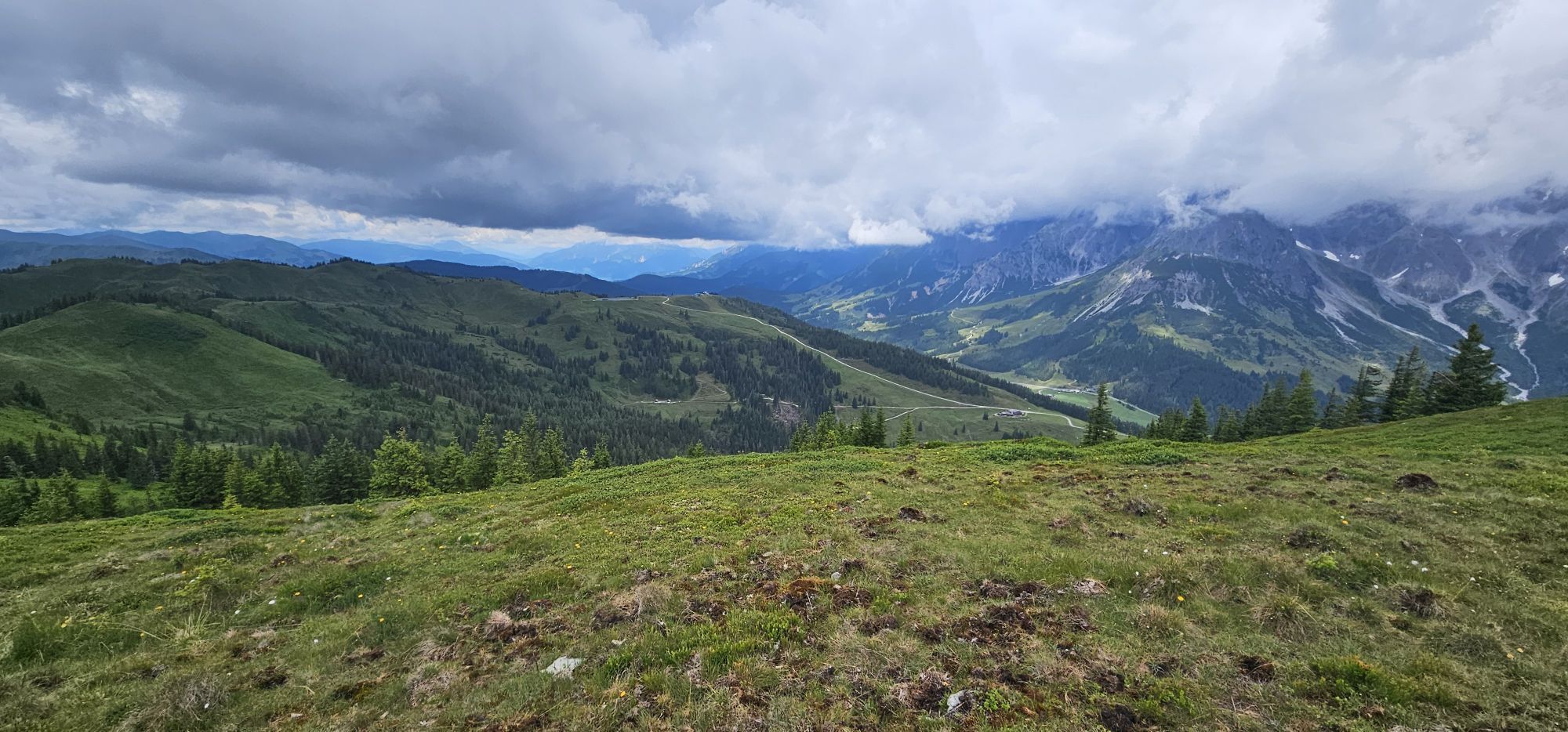
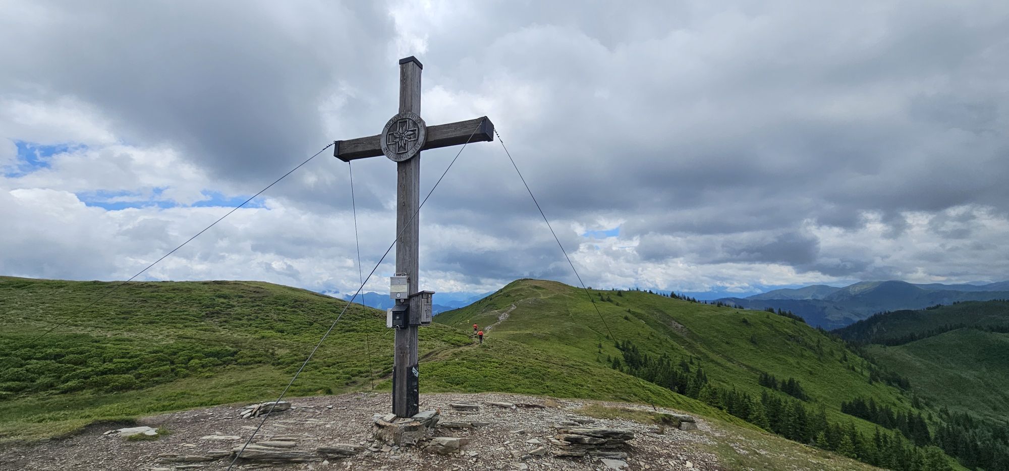
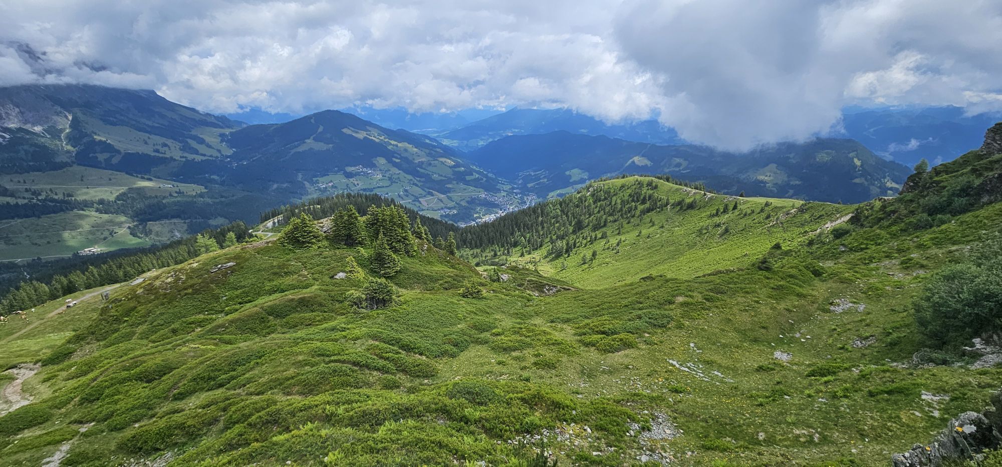
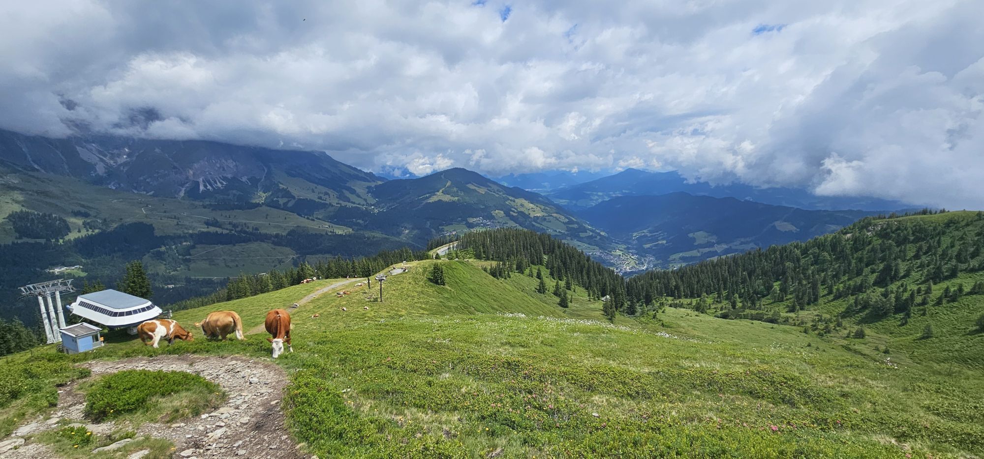
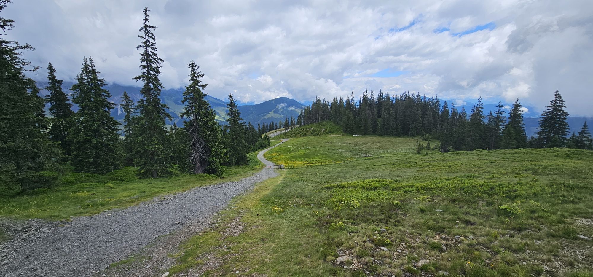
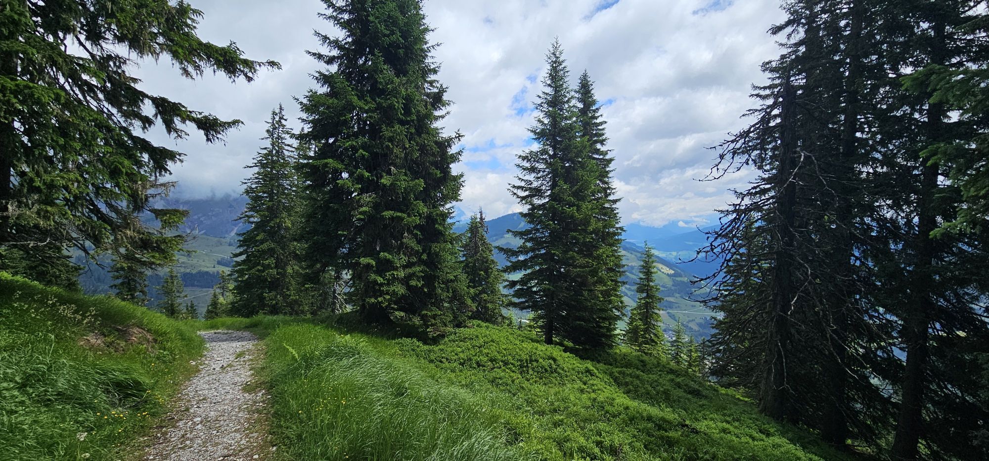
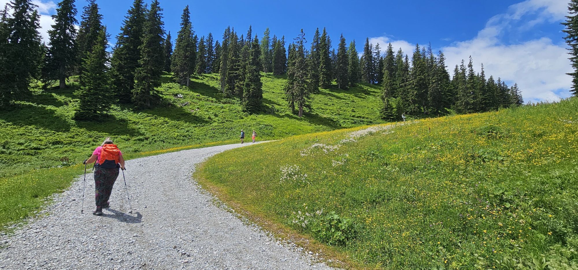
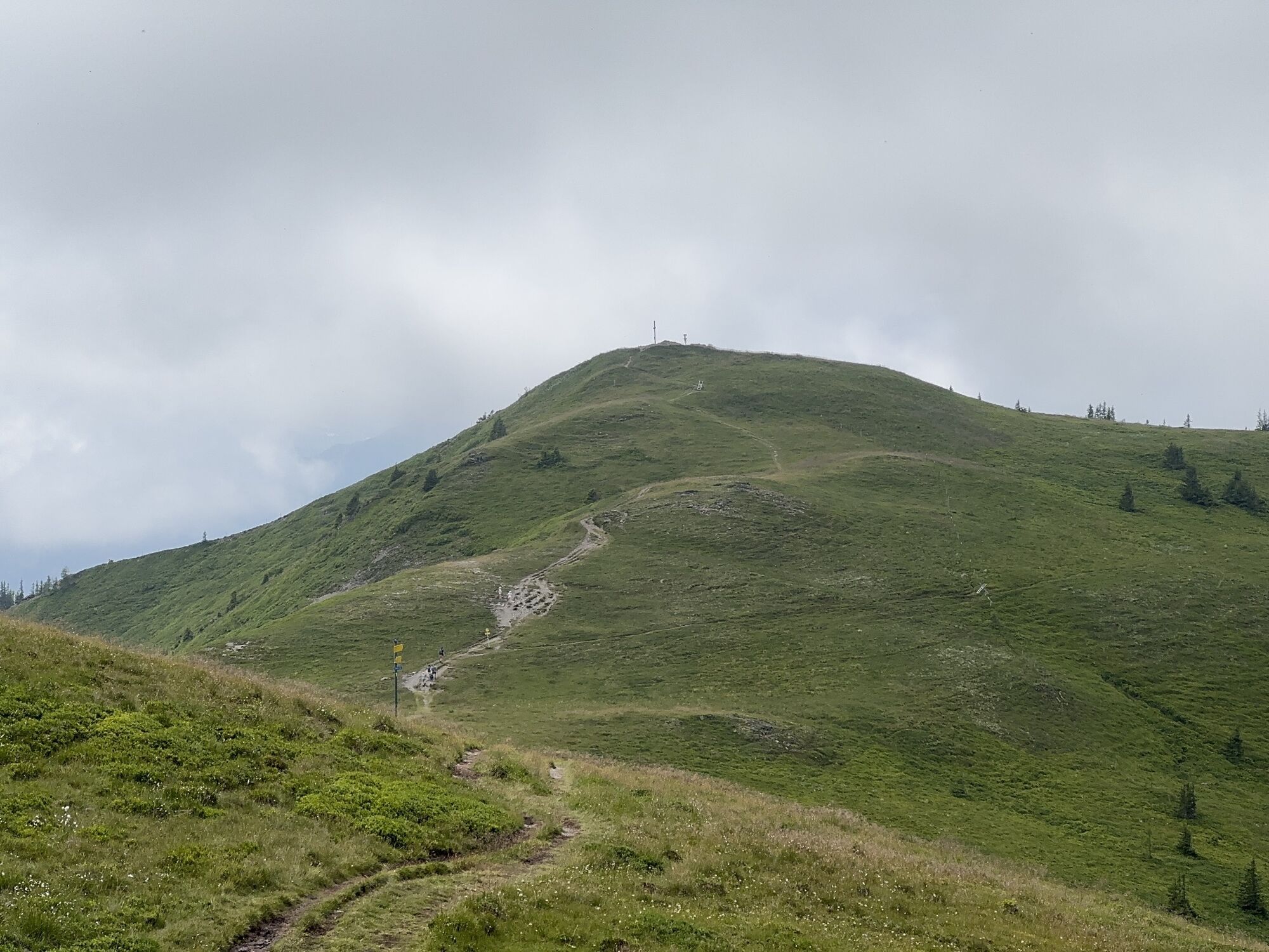
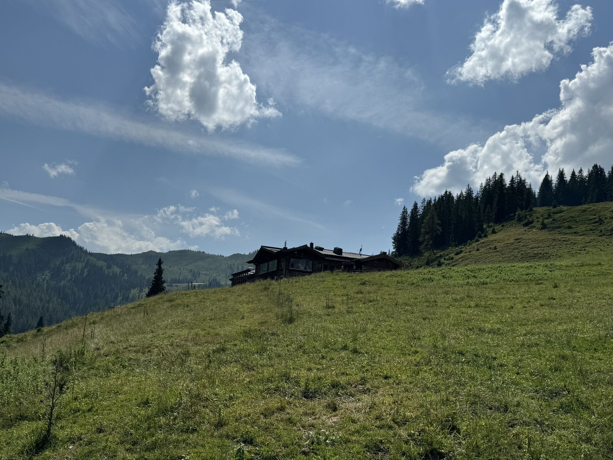
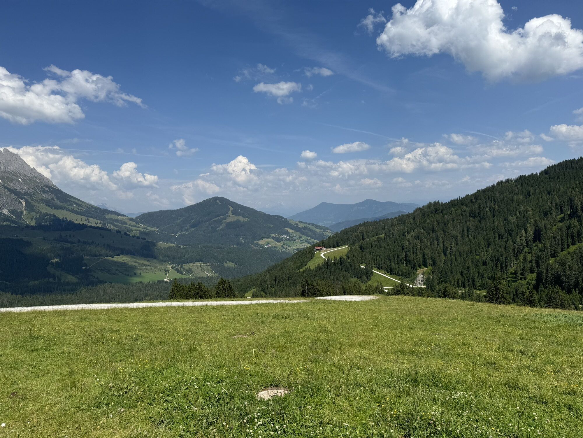
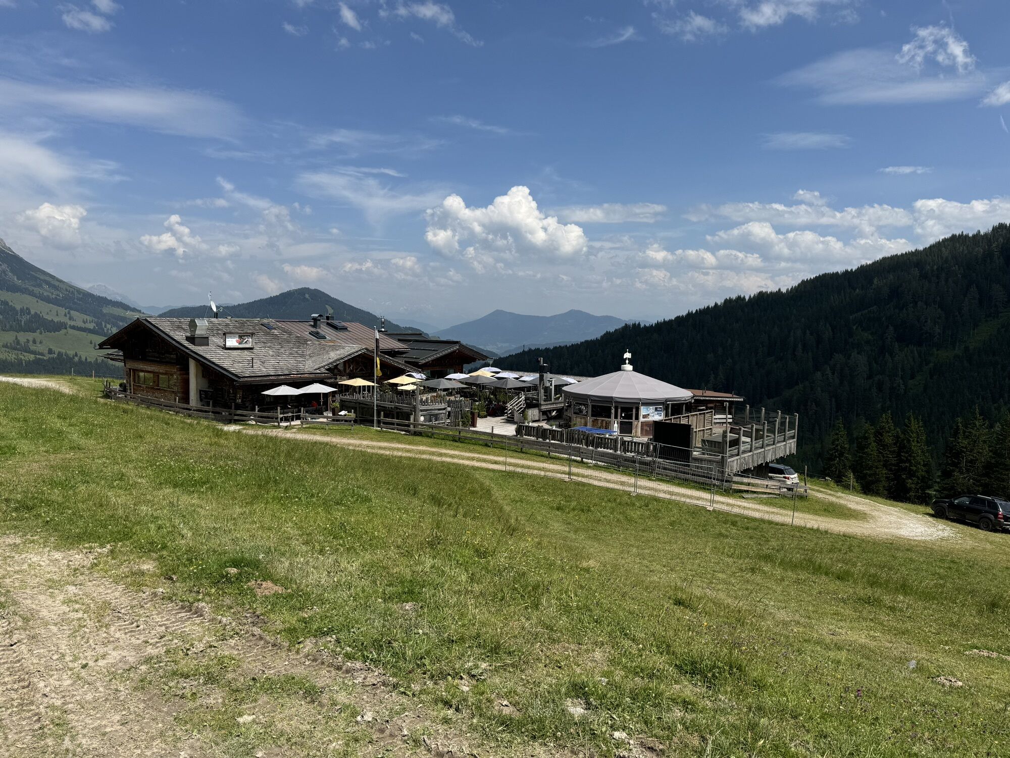
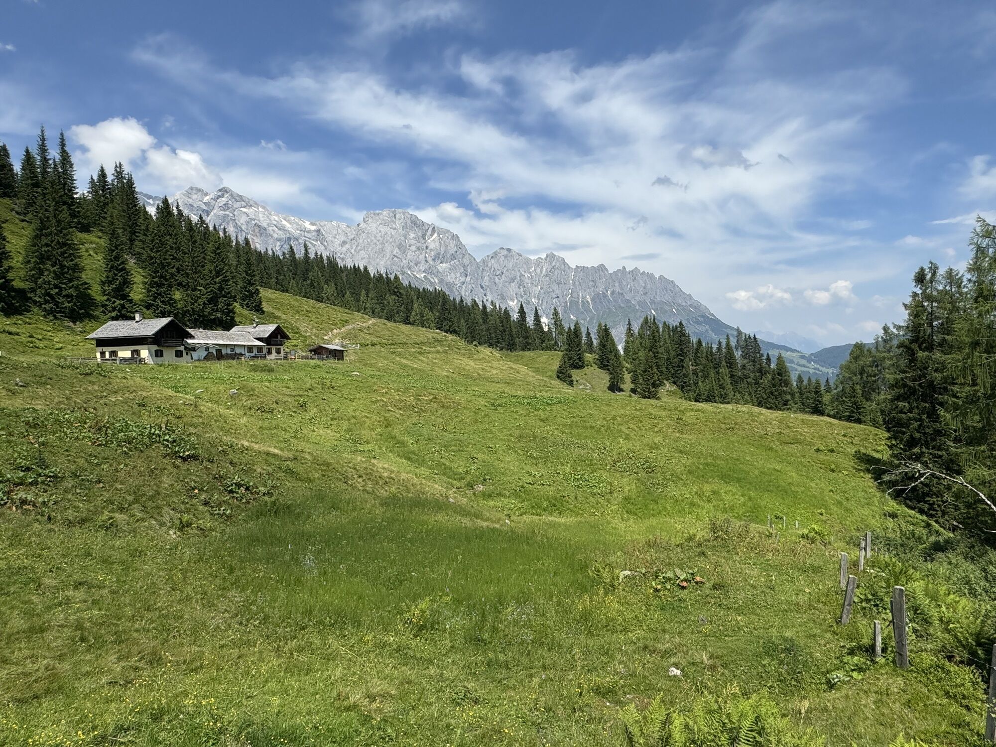
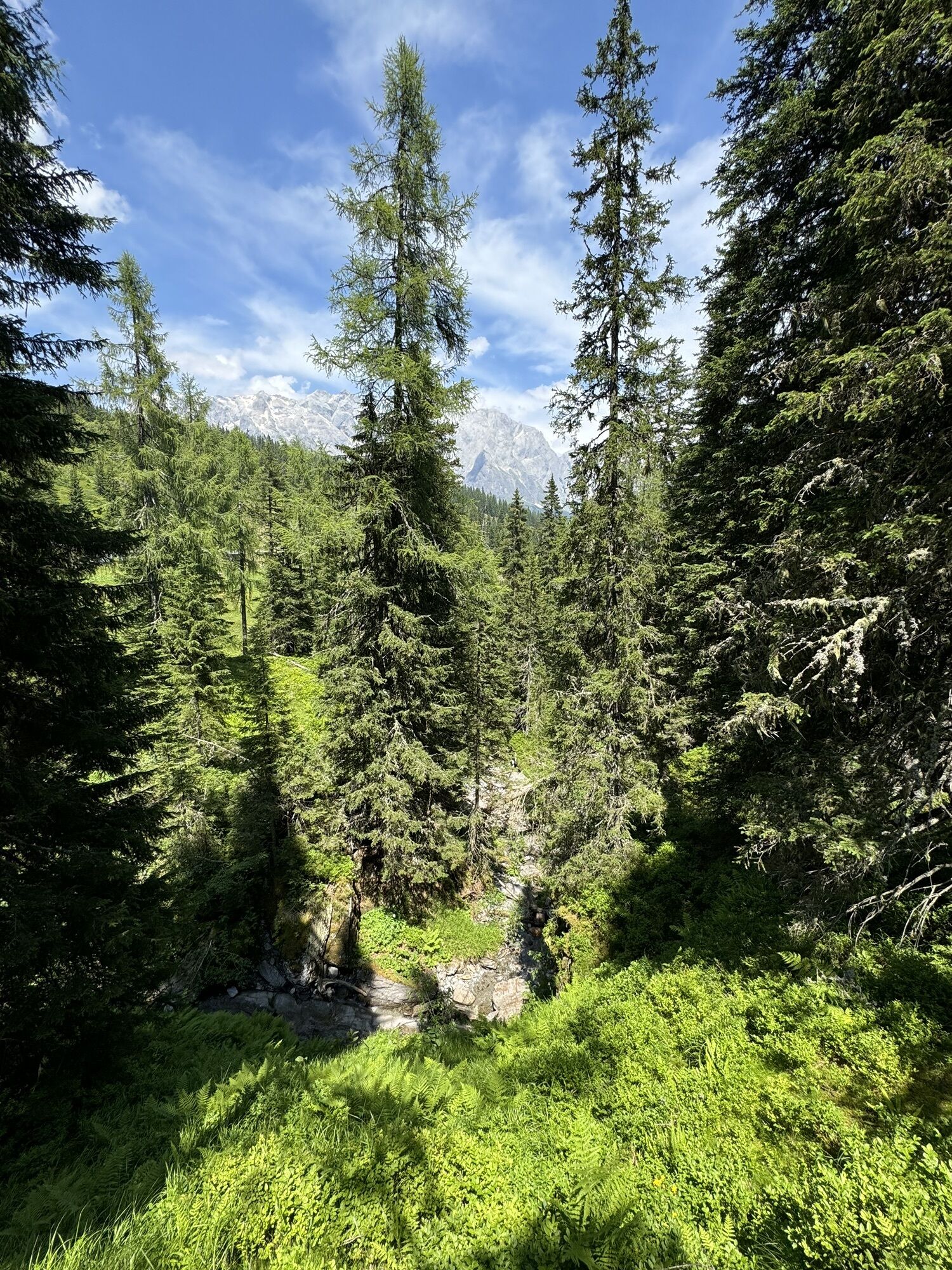
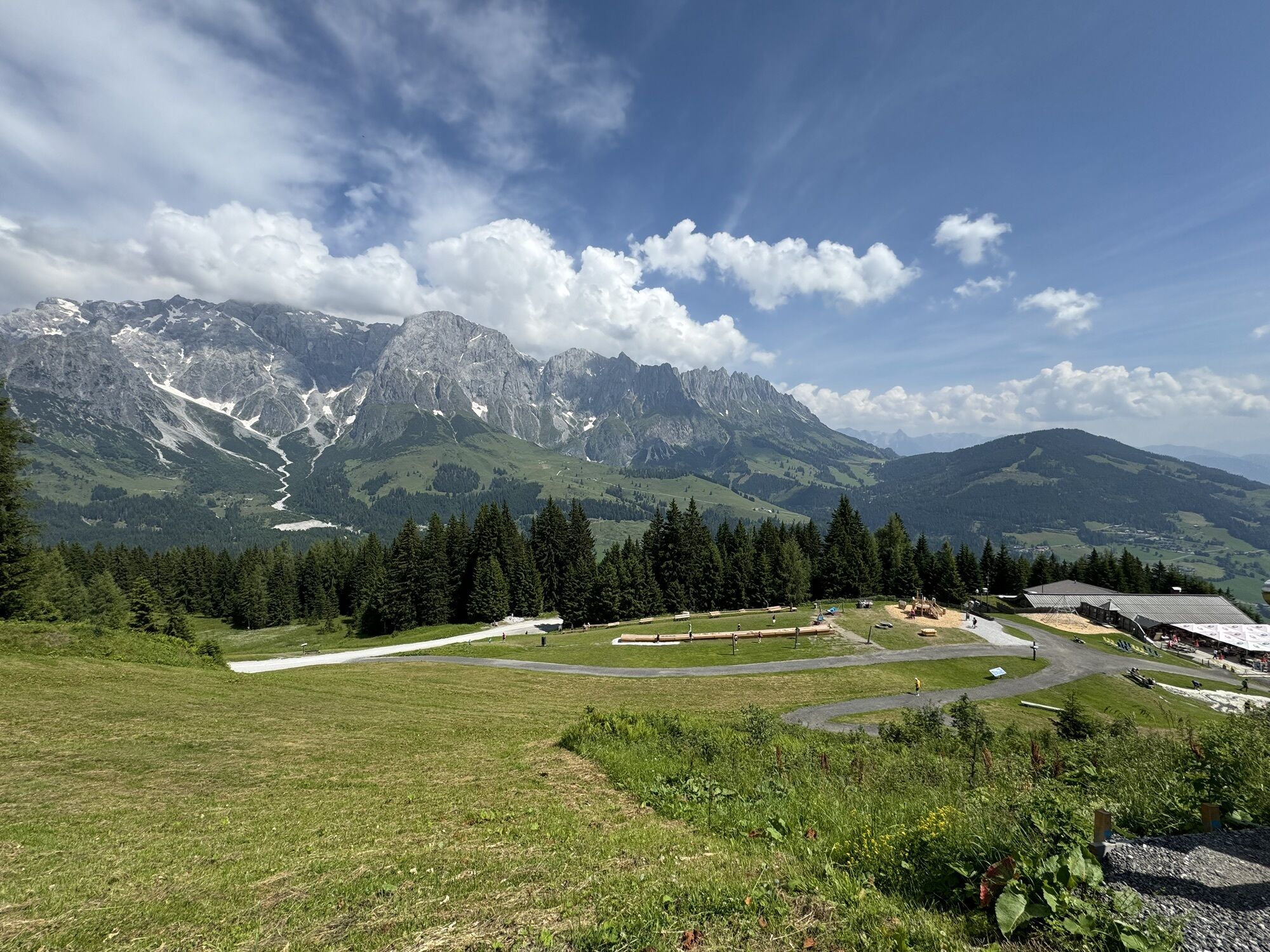
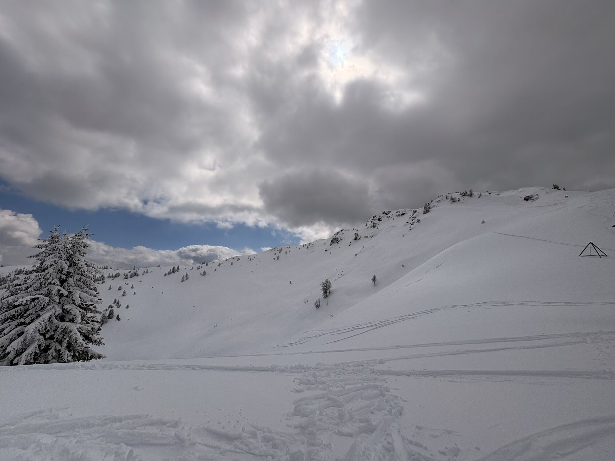
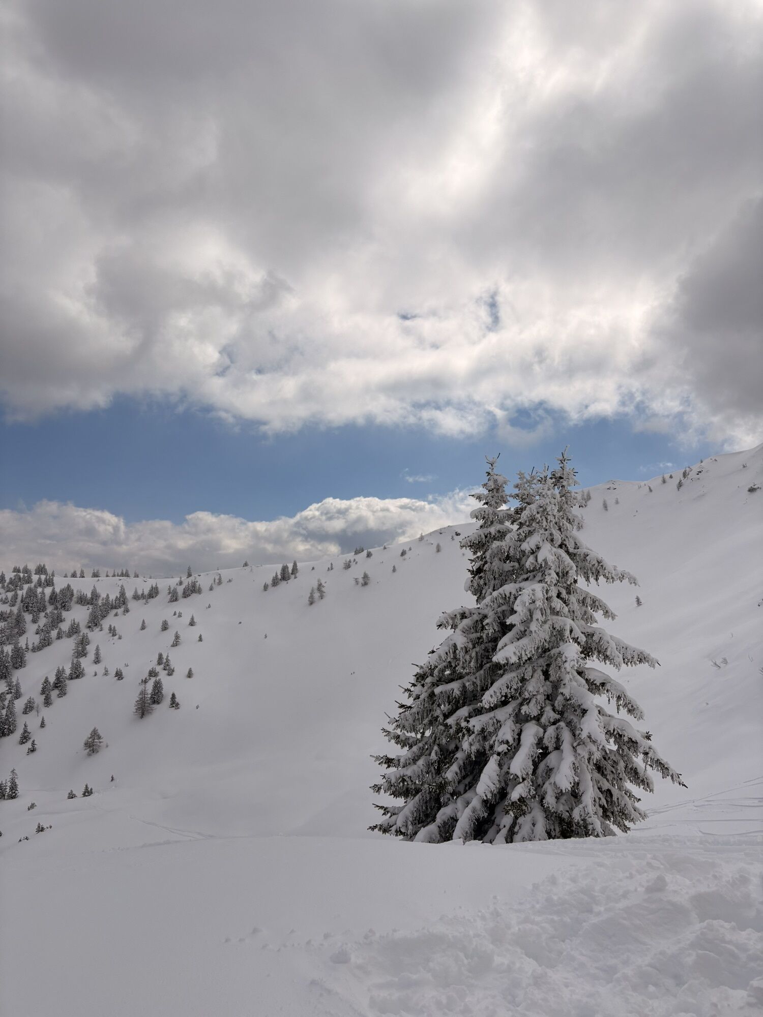
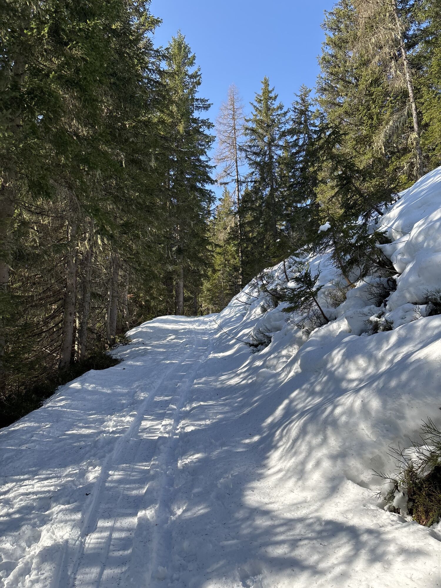
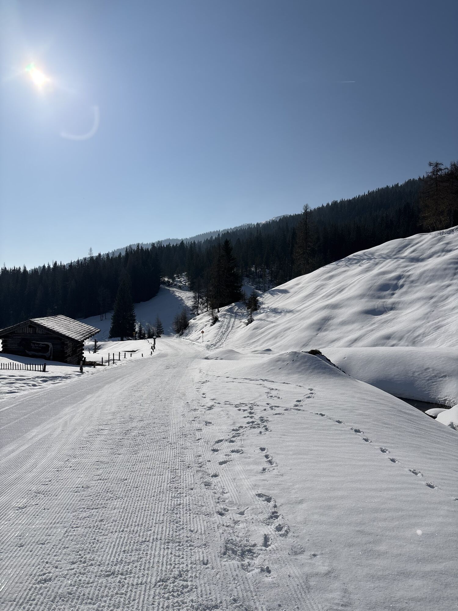
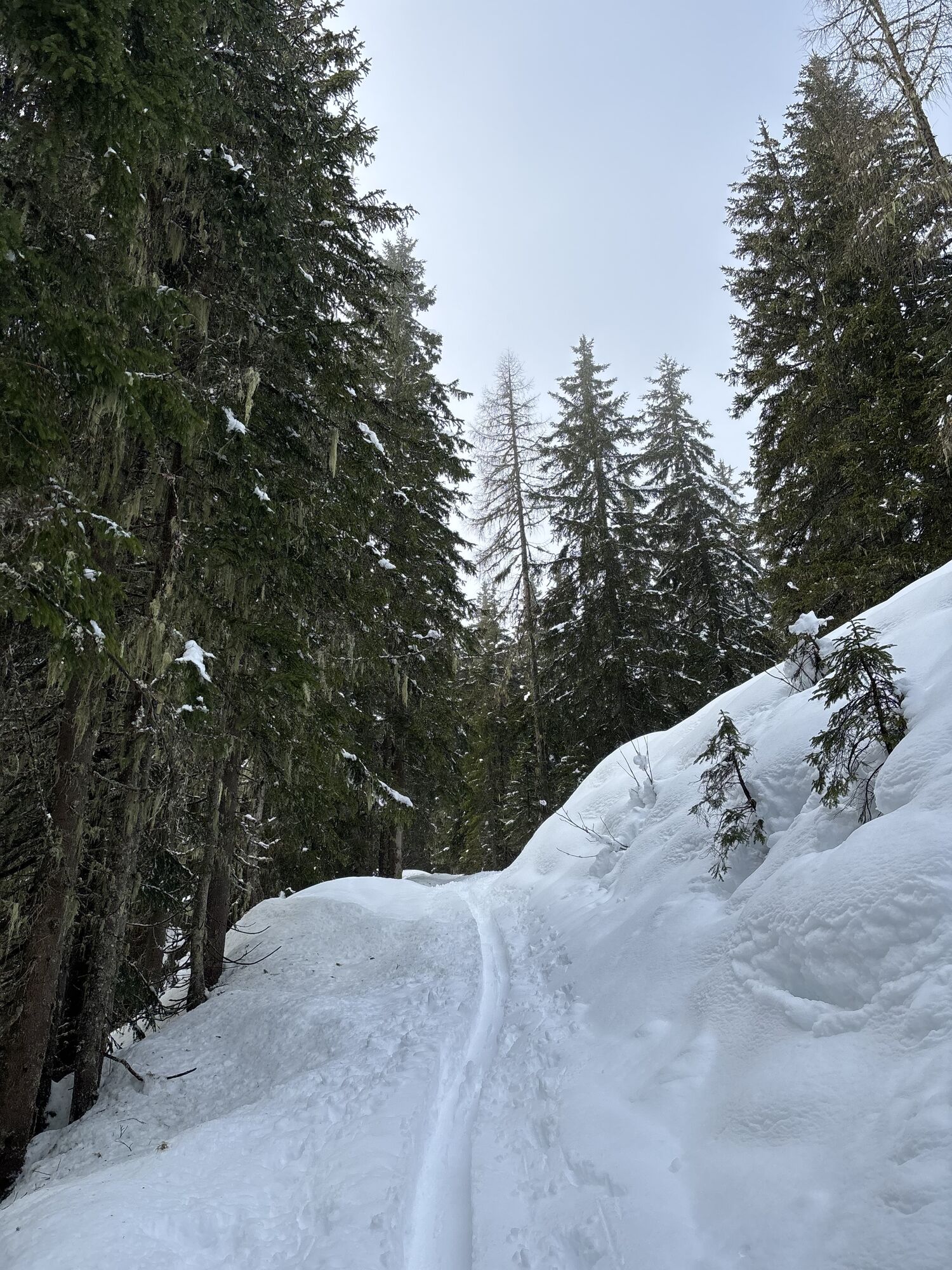
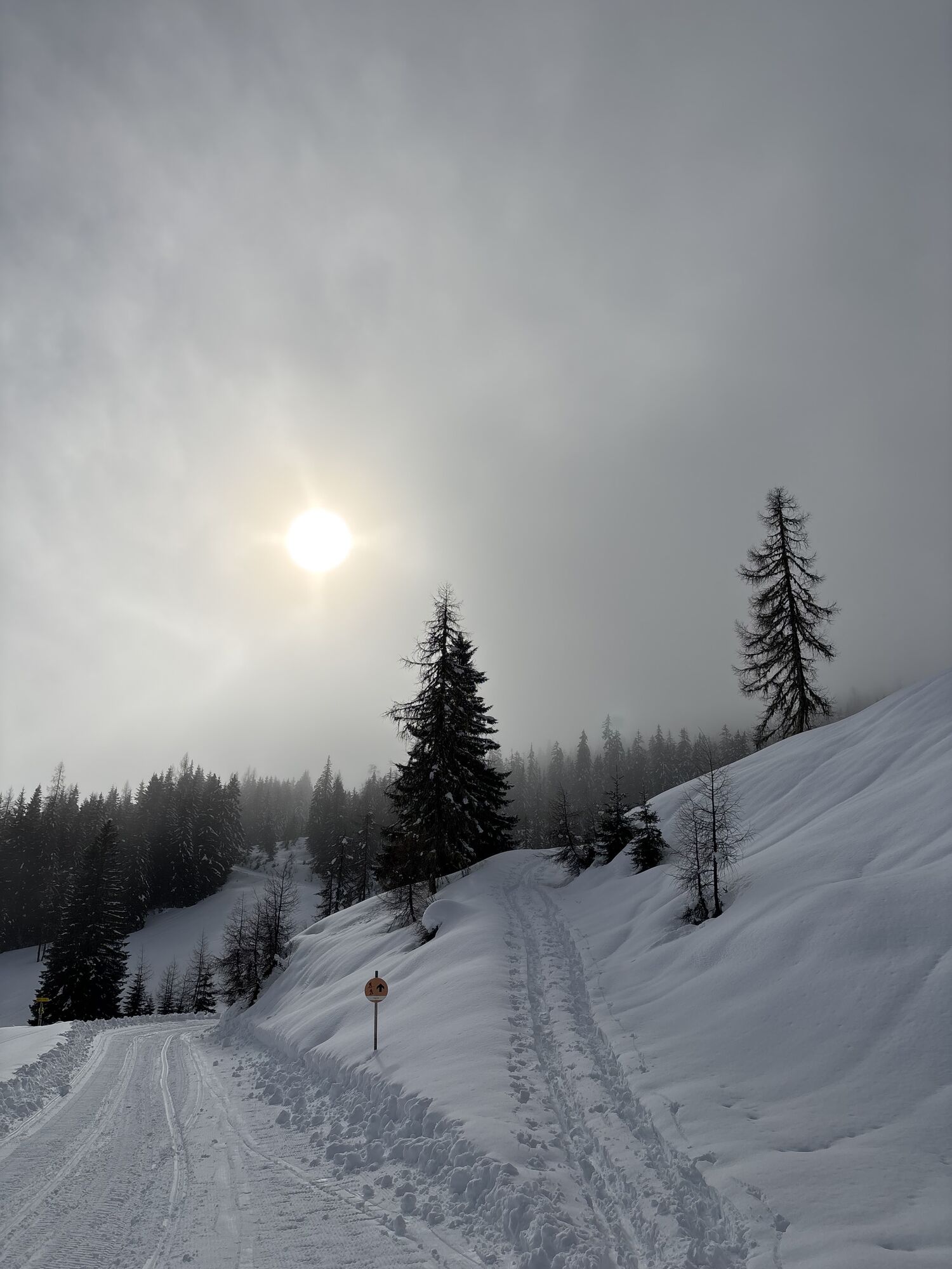
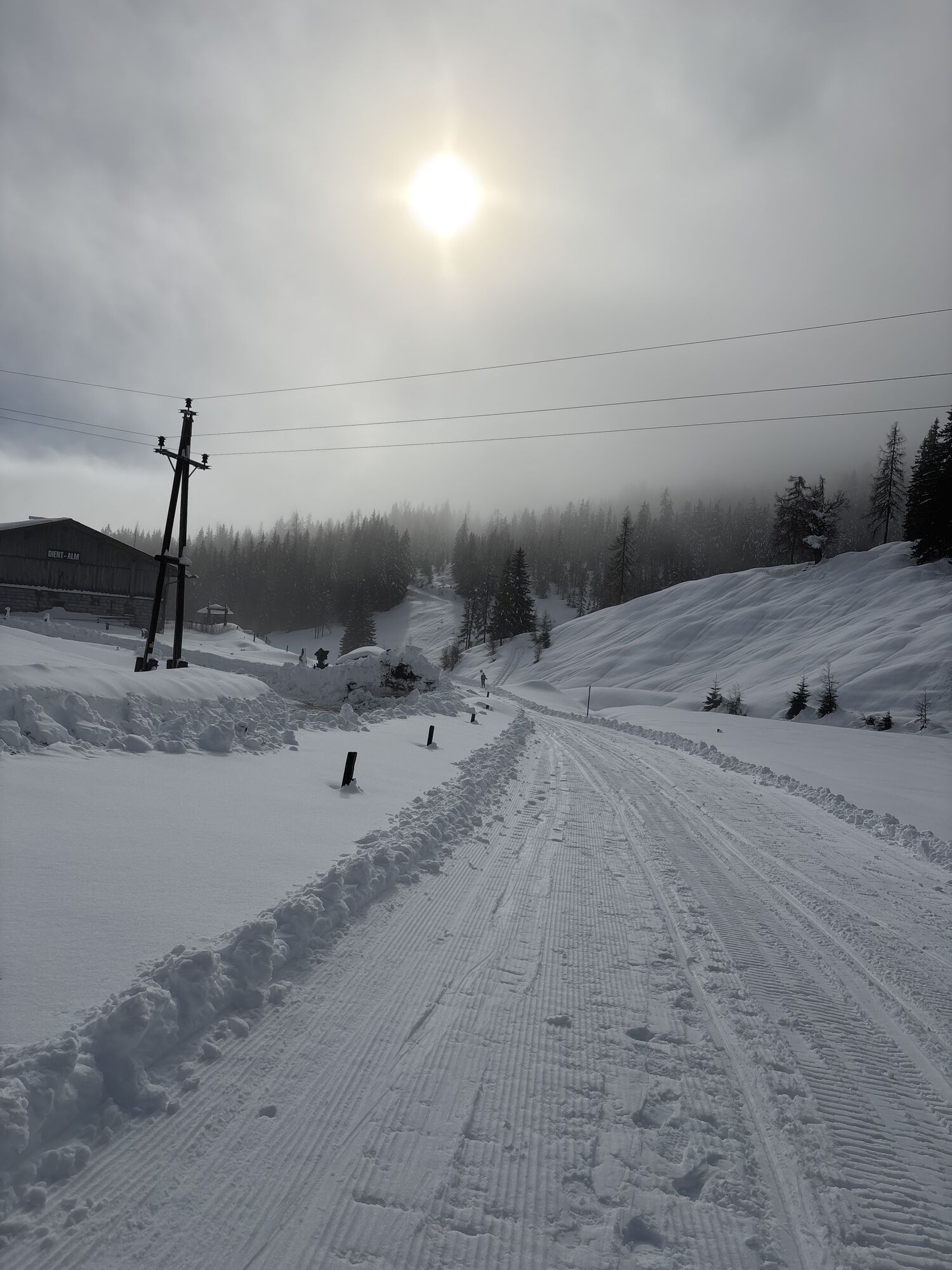
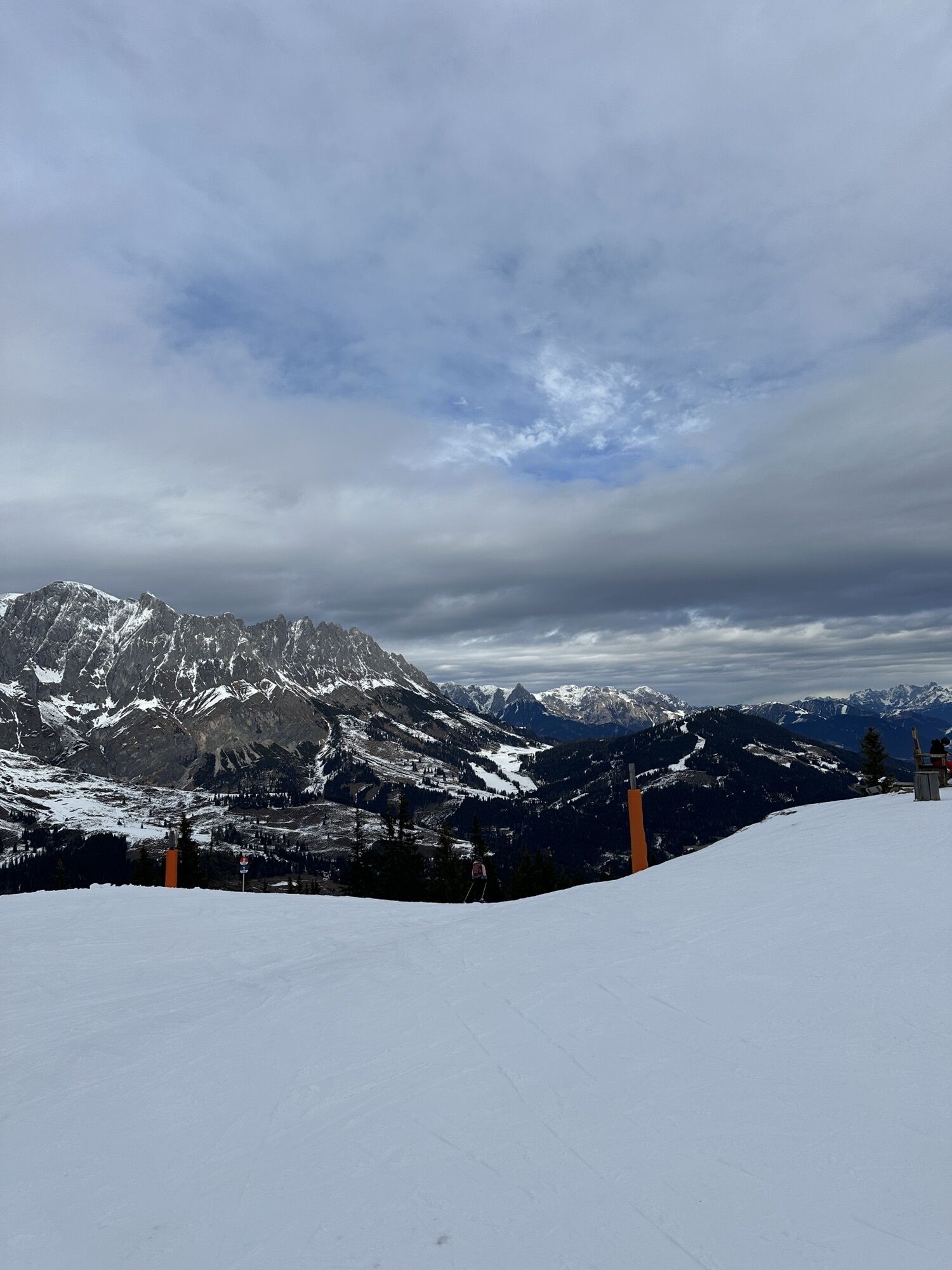
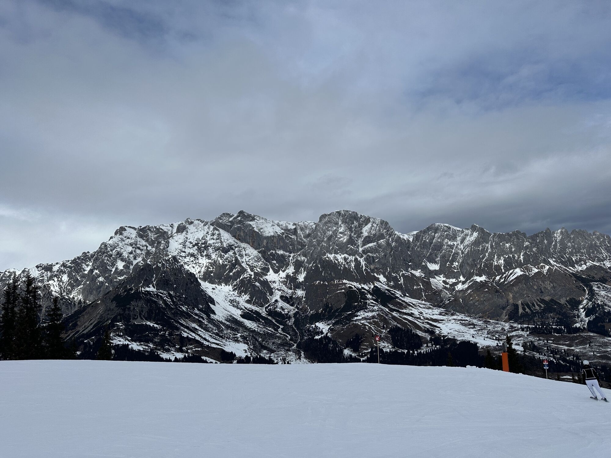
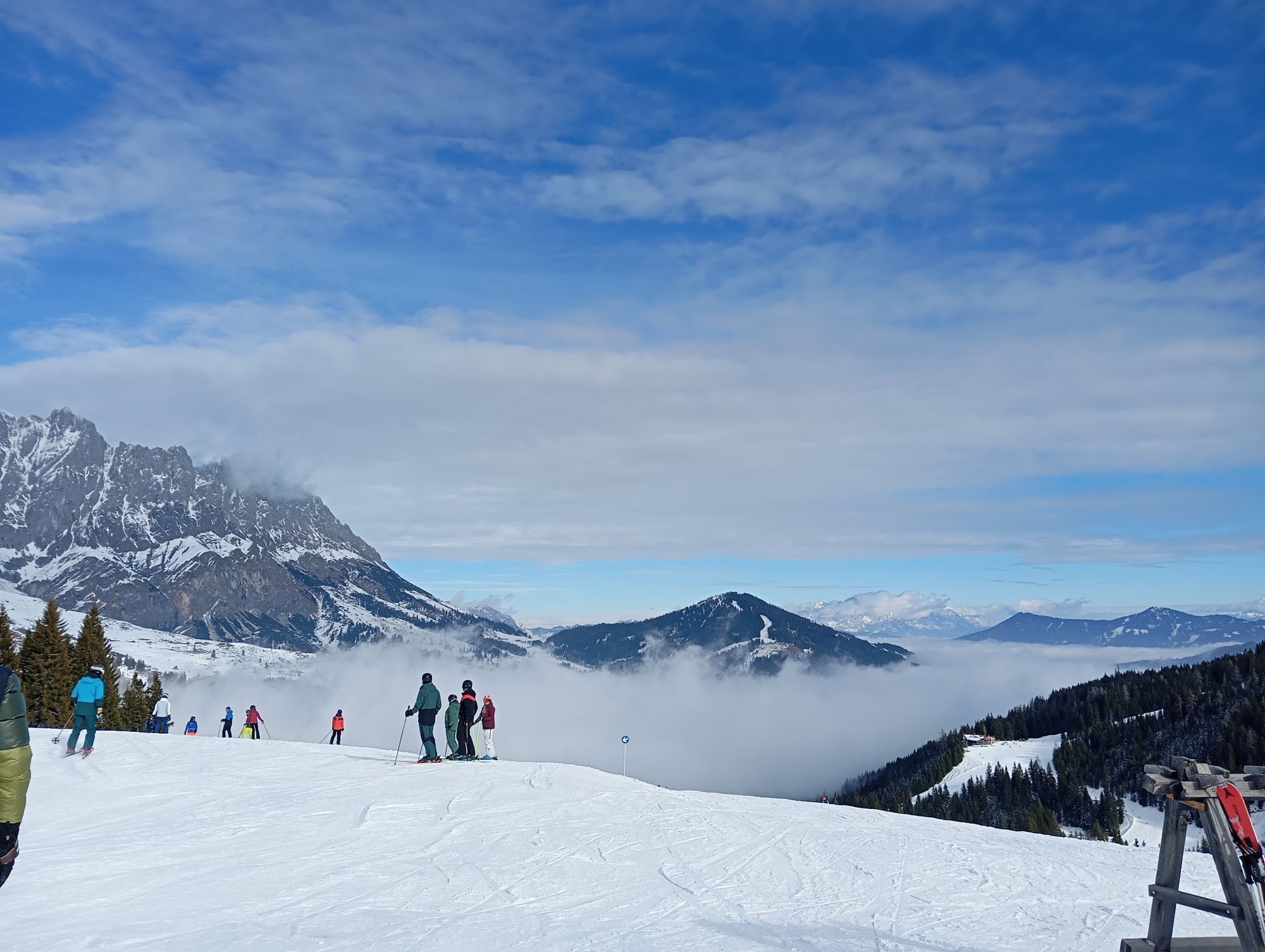
The hike to the 1,921 meter-high Schneeberg promises a wealth of moments of enjoyment and adventure. With the Karbachalm cable car, you can comfortably overcome the first altitude meters of your hike. At the top, enjoy the magnificent view of the Hochkönig massif before you start the ascent to Schneeberg. Upon reaching the highest point, first take a break. While enjoying the panoramic view of the local mountains, you might still find a little snow for a playful snowball fight in summer. The path then leads always downhill through bilberry bushes and heather, past wind-swept trees to a prominent junction. Always with a view of Hochkönig, this path leads to the Klinglbergalm and then further to the Tiergartenalm, where you can indulge yourself gastronomically. Now you reach the Dientner Sattel and the Dientalm via a forest road.

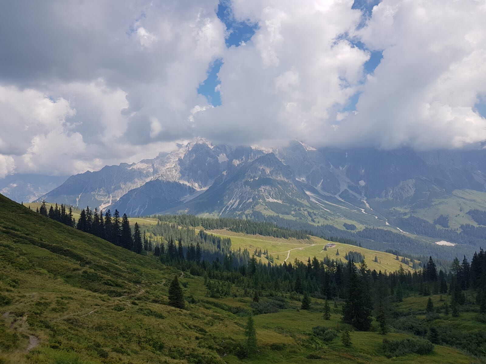
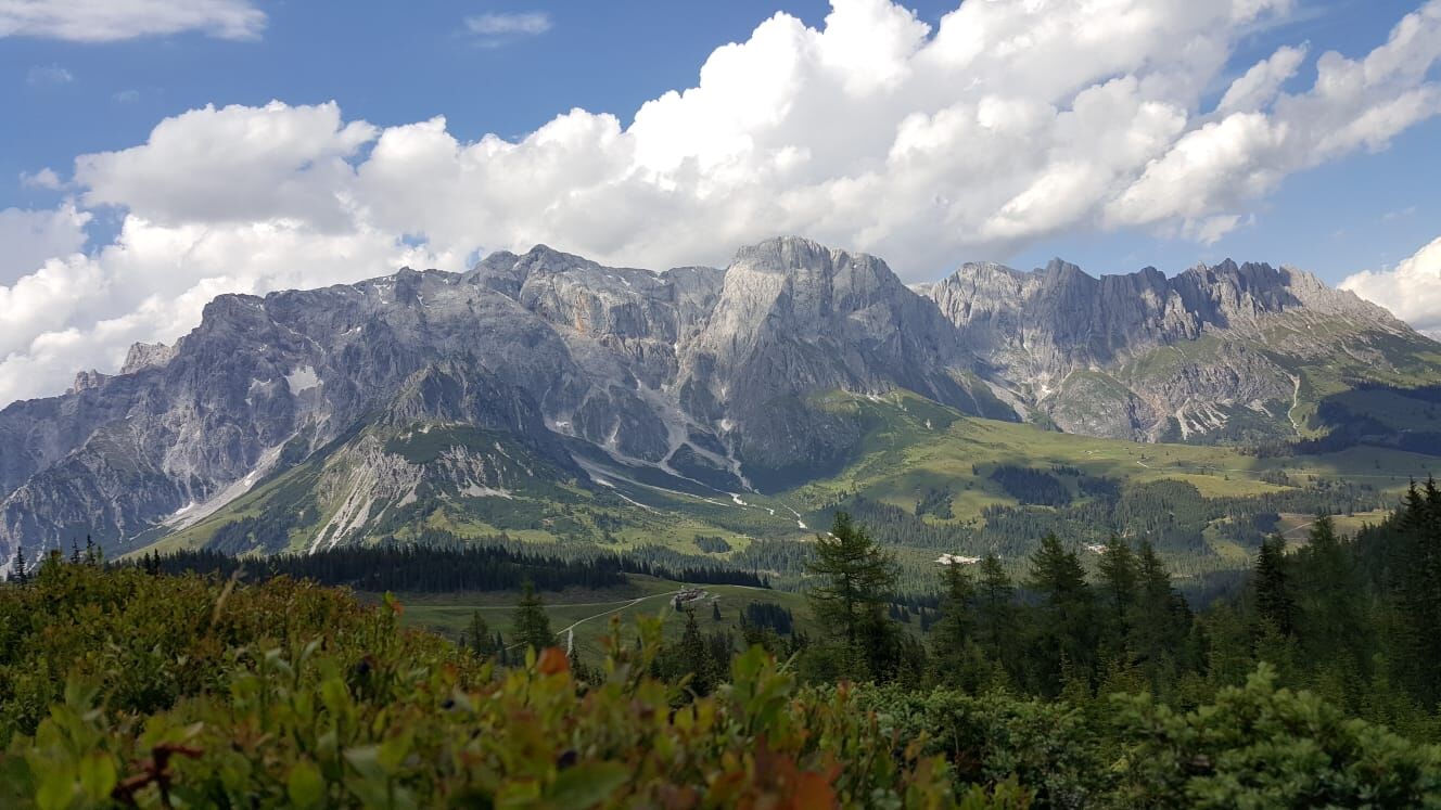
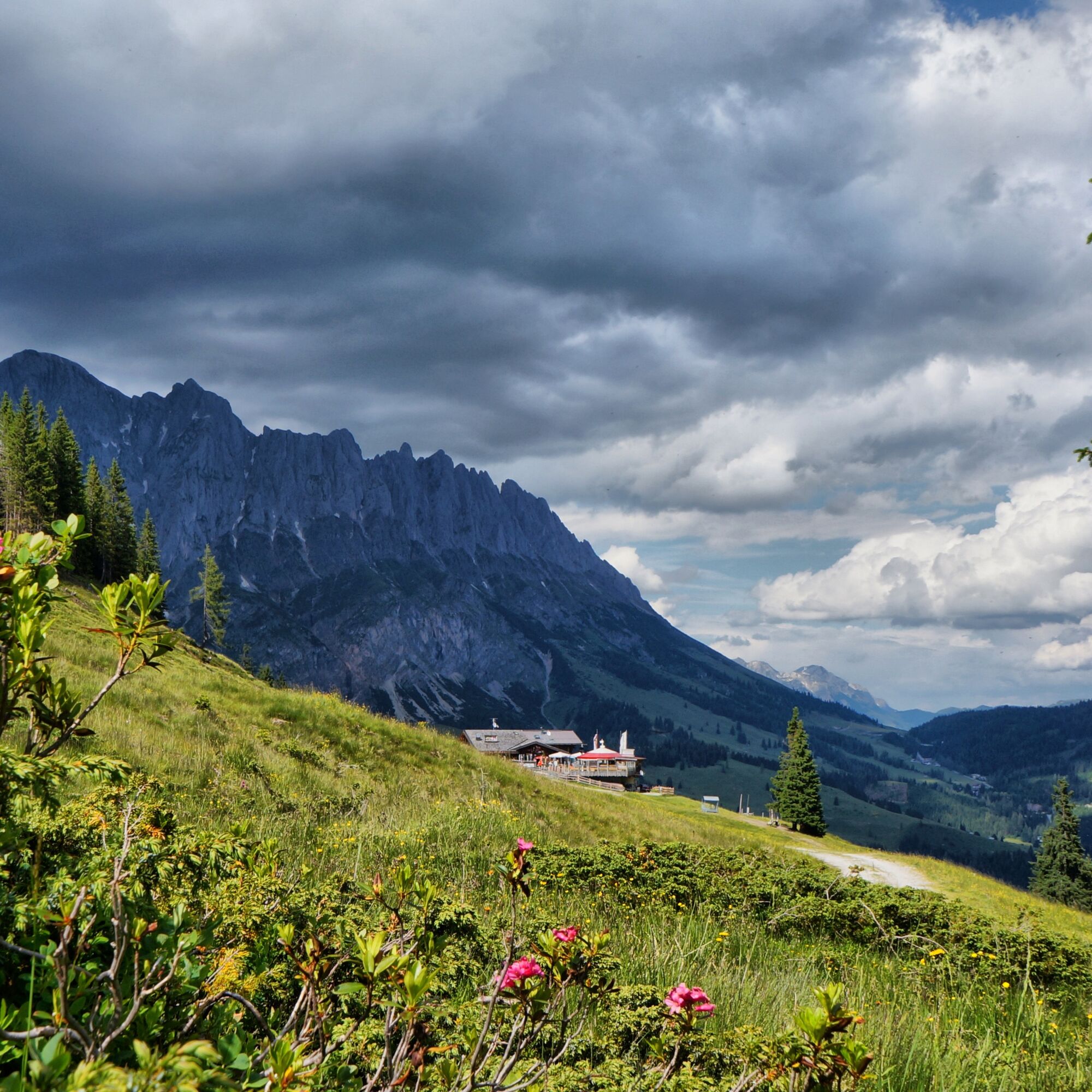
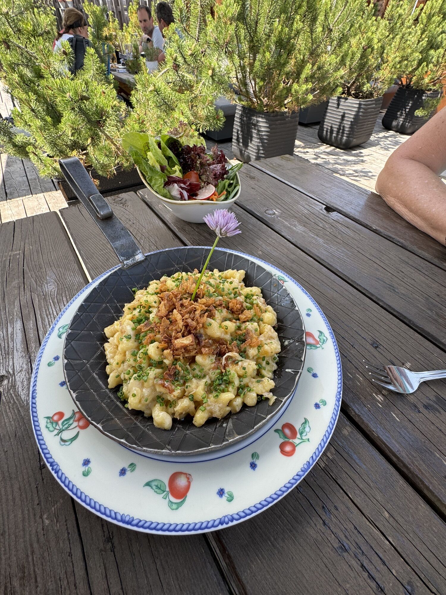
The hike to the 1,921 meter-high Schneeberg promises you a wealth of moments of enjoyment and adventure. One of these moments is undoubtedly the overwhelming feeling of fulfillment when you reach the summit. Start your ascent comfortably with the Karbachalm cable car, which gently takes you up. Once at the top, look out for path no. 15, which leads you directly to the summit of Schneeberg. Who knows, maybe there are still enough snow remnants up there for a playful snowball fight in summer? From there, continue gently downhill through bilberry bushes and heather, past wind-swept trees, until you reach a junction where you can turn onto path no. 75. Always with a view of the Hochkönig, the path leads to the Klinglbergalm and then further to the Tiergartenalm. Via a forest road, you finally reach the Dientner Sattel. Now it's time for a well-deserved refreshment at the cozy Dientalm. The hiking bus will then take you back to the valley station of the Karbachalm cable car in Mühlbach.
Ano
Ano
Ano
Sturdy, ankle-high hiking boots with a grippy sole
Hiking poles
Long- and short-sleeved breathable clothing
Wind and rain protection
Headgear
Sun protection
Sunglasses
Sunscreen
Water bottle
Energy bars
Hiking map
Binoculars
Camera
First aid kit
Self-assessment: Before every mountain hike, check your physical fitness and correctly estimate your strength as well as that of your companions – especially your children! Surefootedness and a head for heights are often very important!
Planning and preparation: Plan every intended mountain hike carefully beforehand. Hiking maps and guides as well as information from alpine clubs and locals such as mountain guides and hut hosts can be helpful.
Equipment: In the mountains, you need appropriate equipment and clothing, especially sturdy, high footwear with a grippy sole. Weather and cold protection are essential, as the weather can often change unexpectedly.
Weather forecasts: Check current weather conditions at: zamg.at or www.uwz.at/.
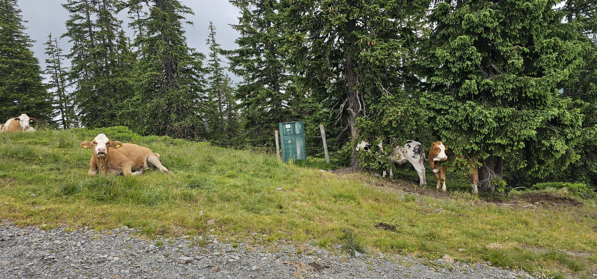
Togetherness: Observe the 10 rules for the proper handling of grazing animals and do not leave any waste in nature!
Do not kick stones: Do not kick stones as this can seriously endanger other hikers. Marked places with stonefall hazard should be crossed as quickly and attentively and cautiously as possible.
Turn back in time: This is no shame but a sign of common sense. It becomes necessary if the weather changes, fog sets in, or the path is too difficult or in poor condition.
Emergency numbers: Alpine emergency: 140, International emergency: 112, Rescue: 144
Arrival coming from Salzburg: Take the A10 motorway to the Bischofshofen exit, then on the B311 towards Bischofshofen. Follow the Hochkönig federal road/B164 to Mühlbach. At the end of Mühlbach, the Karbachalm cable car is located on the left side.
Free parking lot at the Hochkönig cable cars
Further information about hikes and activities in the Hochkönig region:
For detailed information about hiking maps, the opening hours of the cable cars as well as huts and alm huts in summer, we recommend you visit the local service center. There you will not only get the hiking map but also valuable tips on the best hiking routes and current conditions.
Summer opening hours of the cable cars: The cable cars offer different opening hours during the summer months, which can vary depending on the weather and season. Please check the current operating times in advance.
Opening hours of huts & alm huts in summer: The huts and alm huts in the region are ideal resting places for hikers. Here too, the opening hours can vary depending on the season and weekday. Let yourself be advised by the friendly hosts about the offers and specialties on site.
For more information please visit our website: www.hochkoenig.at.
If you have questions or want specific information, feel free to contact us:
Email: region@hochkoenig.at
Phone: +43 (0)6584 20388
We look forward to helping you and wish you lots of fun exploring the beautiful hiking region Hochkönig!
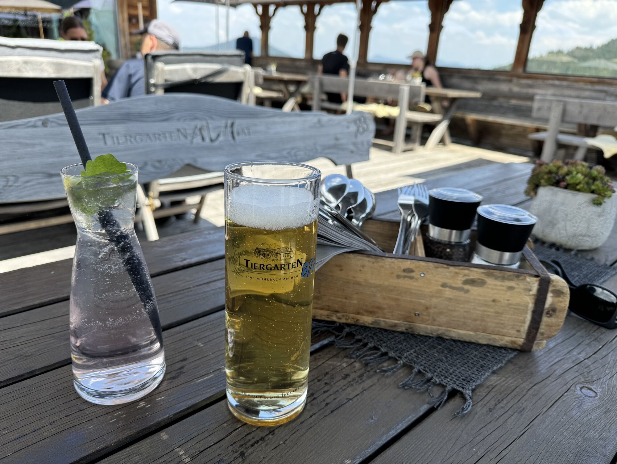
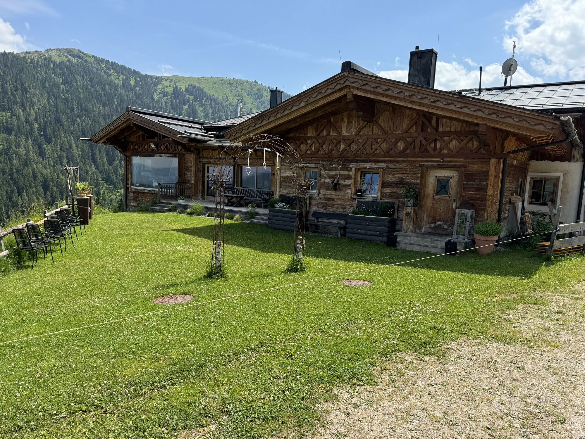
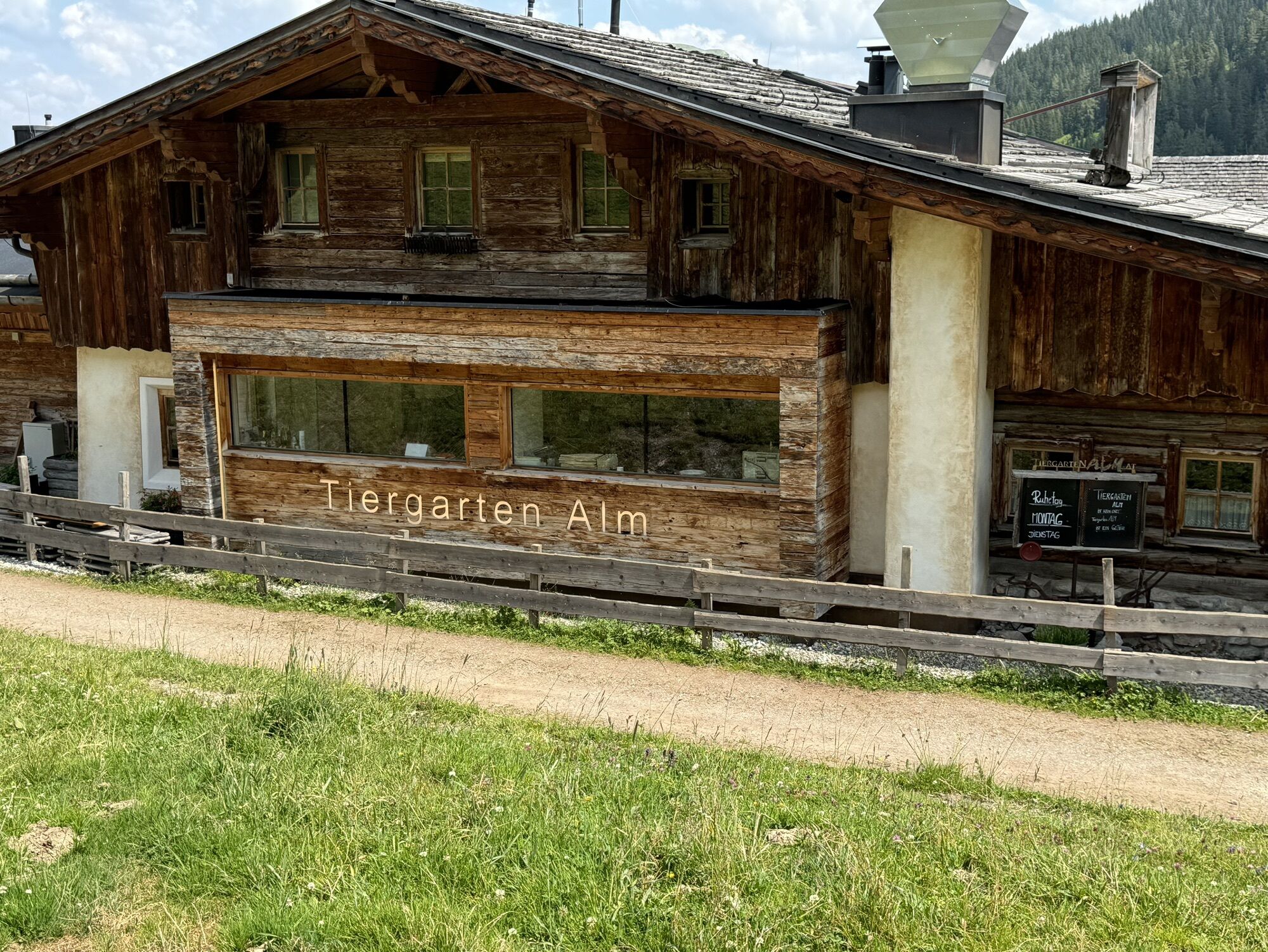
Discover natural herbal delicacies at the Tiergartenalm
Cheese enjoyment in perfection: The art of cheese-making at the Dientalm
Webové kamery z prohlídky
Mühlbach am Hochkönig
Bürglalmlift - Dienten
Mühlbach am Hochkönig - Hotel Bergheimat
Bergstation Kings Cab
Matrashaus am Hochkönig
Grünegg Alm & Edelbrennerei
Dienten - Übergossene Alm Resort
Dienten - Almsee
Dienten - Übergossene Alm Resort
Dienten, Bürglalmabfahrt
Bergstation Kings Cab
Bergstation Kings Cab
Bergstation Kings Cab
Bergstation Kings Cab
Bergstation Kings Cab
Bergstation Kings Cab
Bergstation Kings Cab
Bürglalmbahn Abfahrt
Hochkönigblick
Oblíbené prohlídky v okolí
- 4,9
Großarl: Aualm - Liechtensteinkopf - Aukopf - Schuhflicker - Schuhflickersee
středníTuristika 5,84 km - 4,2
Maria Alm - Riemannhaus
Turistika 3,99 km - 4,8
Summit stormer route Lauskopf
heavyTuristika 8,16 km - 4,8
Summit storming route Taghaube
heavyTuristika 6,25 km - 4,7
Großarl: Mooslehenalm – Niggeltalalm – Viehhausalm
středníTuristika 5,44 km - 4,7
Panorama hike to the Hochkeil
středníTuristika 6,07 km - 4,6
About the "Four Huts circular route" to Windraucheggalm
středníTuristika 10,1 km - 3,6
Wanderung zur Ostpreußenhütte in Werfen (1.630 m)
středníTuristika 11,2 km - 4,8
Hochkönig - Gipfel der Gefühle - Matrashaus
heavyTuristika 20,9 km - 4,4
Alpine and hut hike "Hochmaisalm & Steinbockalm"
středníTuristika 8,10 km
Pěší turistika a stopování


Nenechte si ujít nabídky a inspiraci pro vaši příští dovolenou
Vaše e-mailová adresa byl přidán do poštovního seznamu.