


Hike to the Ingolstädter Haus 2,119 m
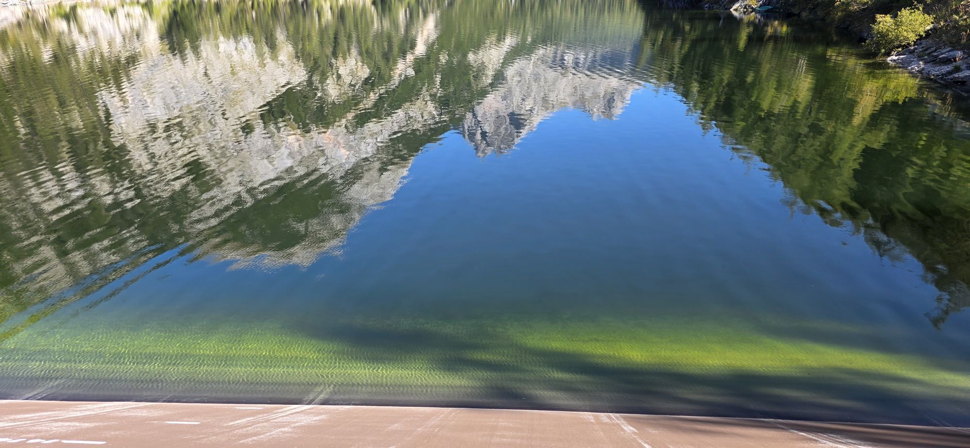


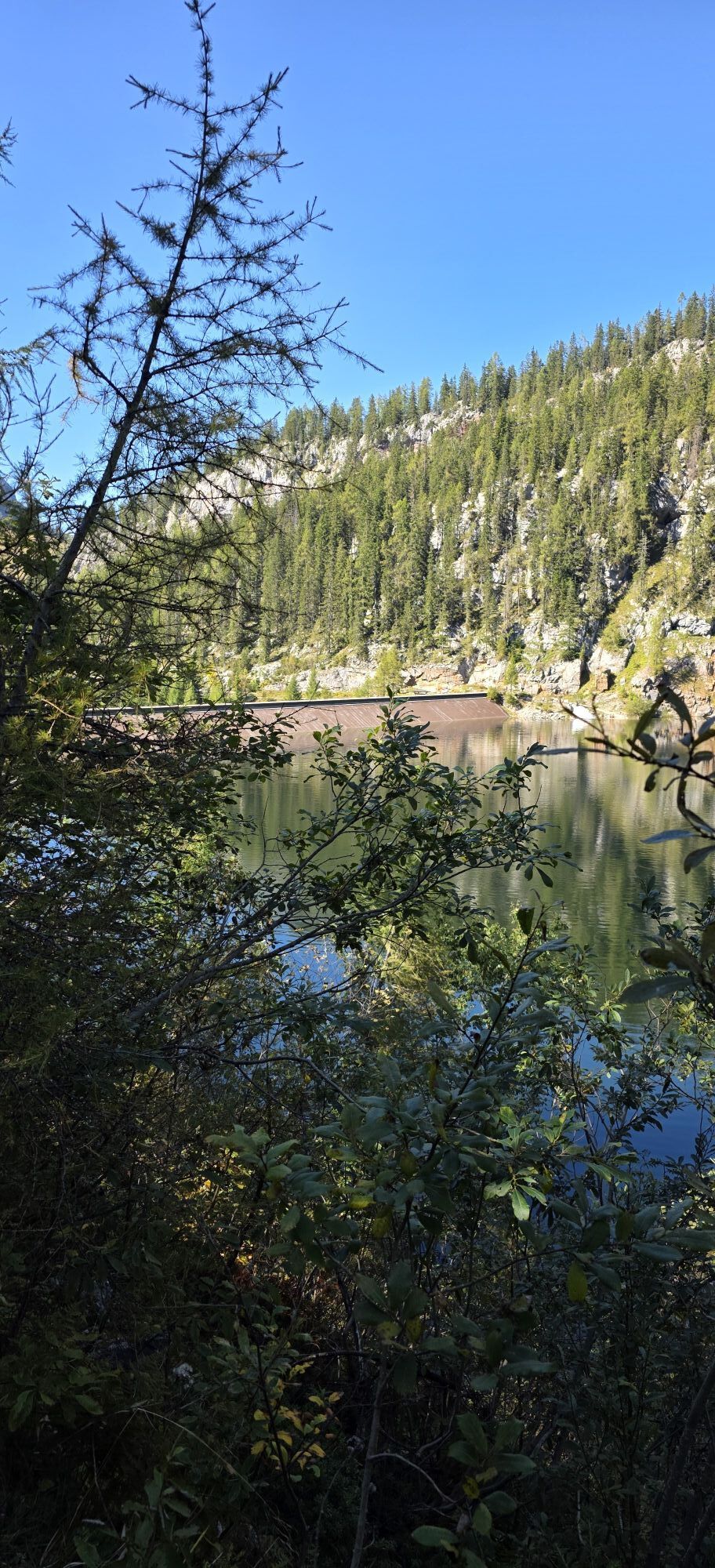

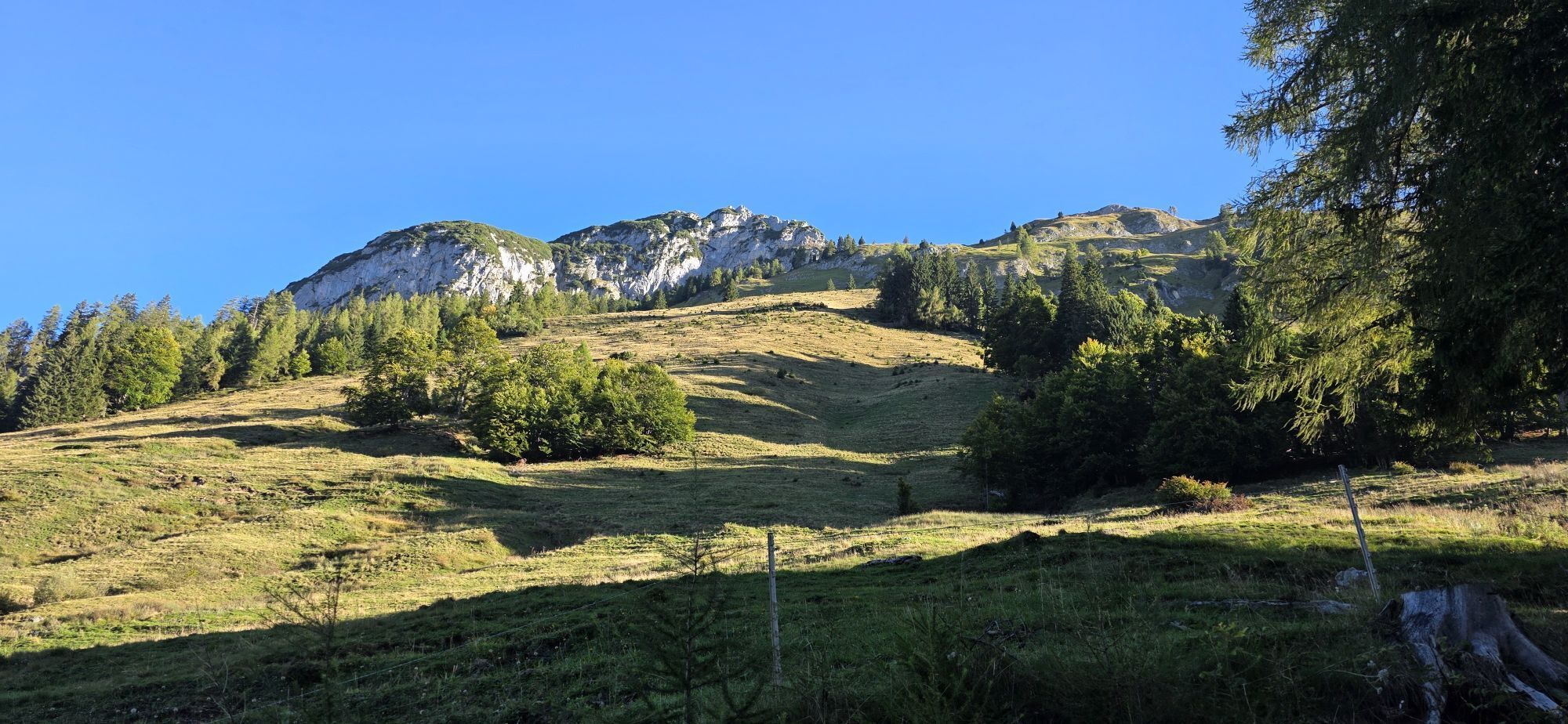
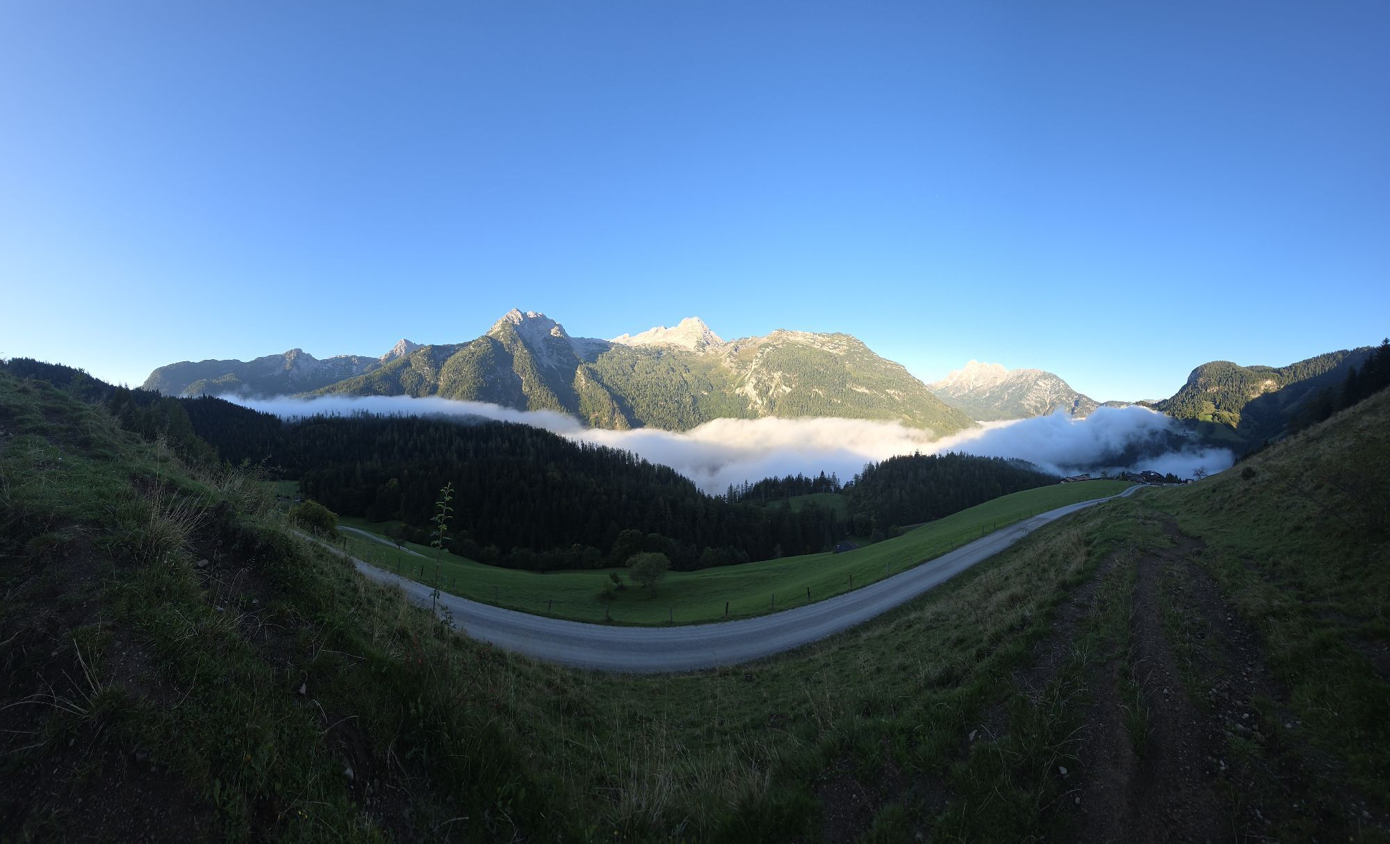
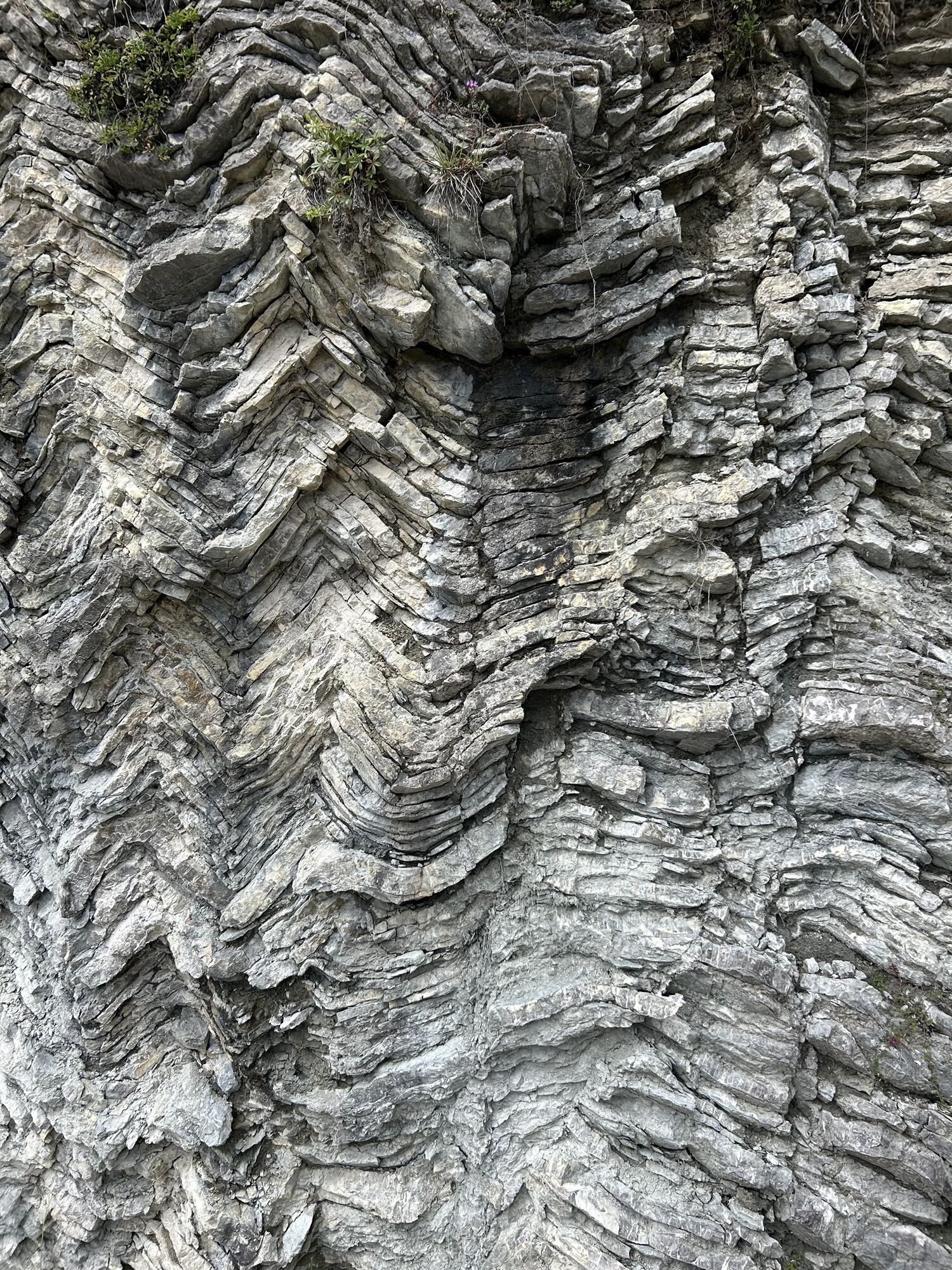
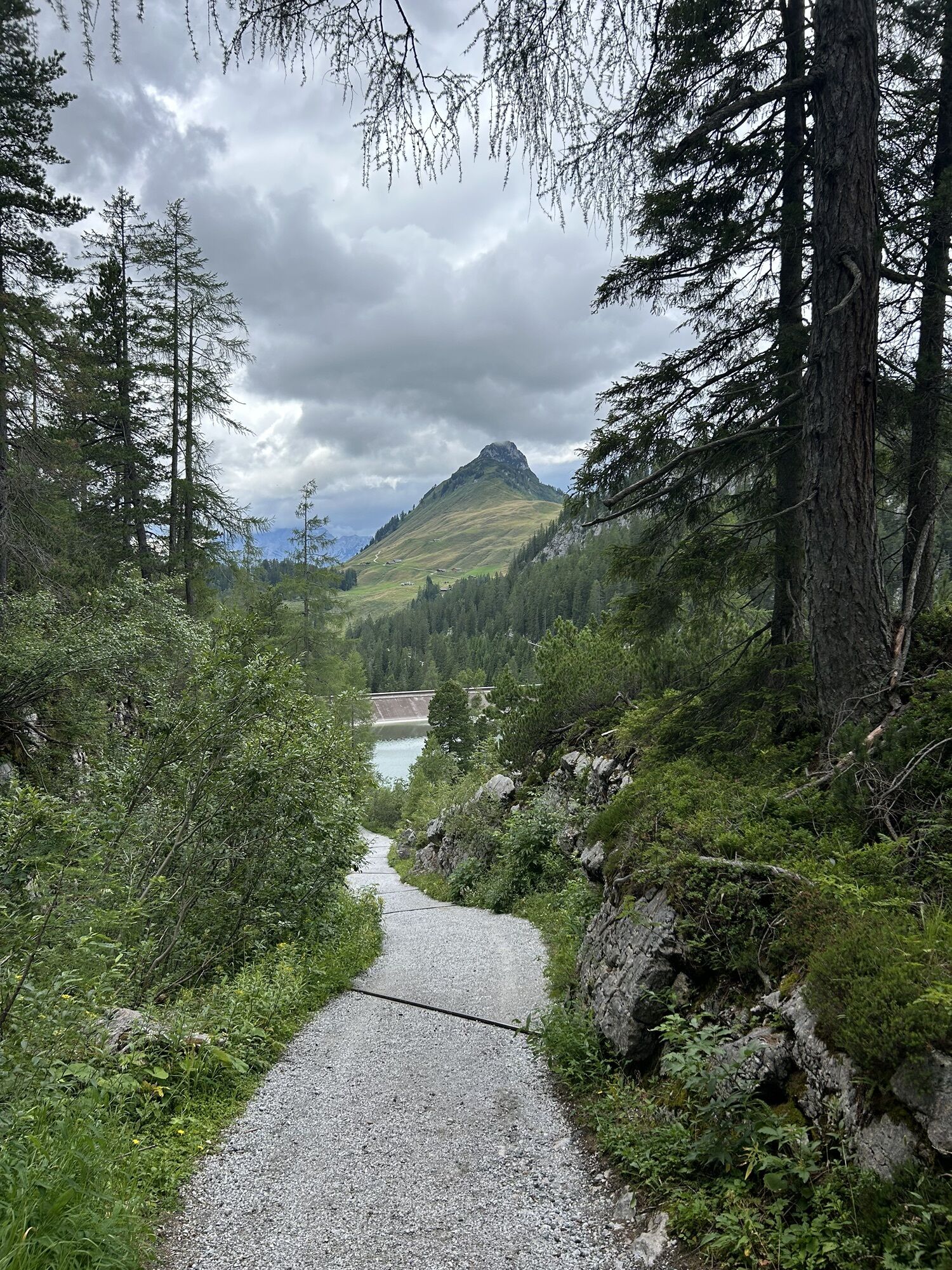
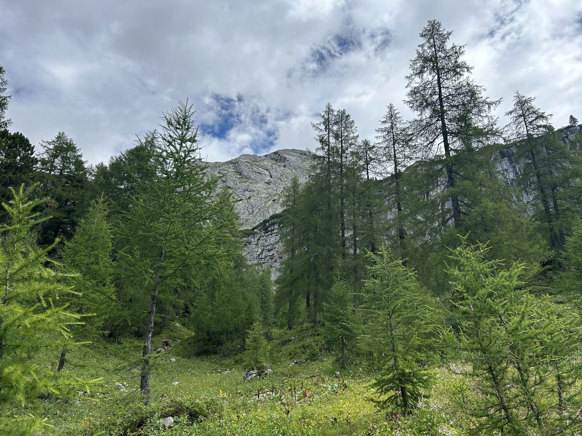
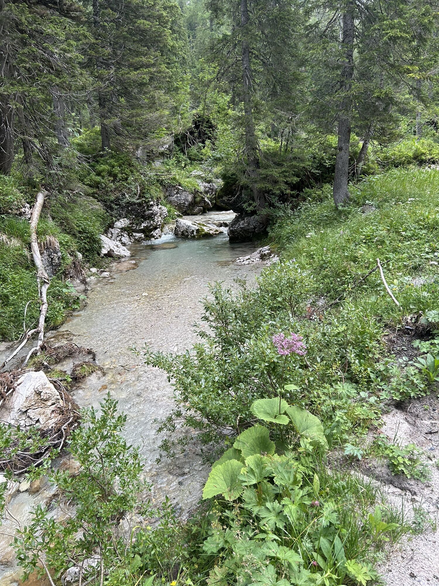
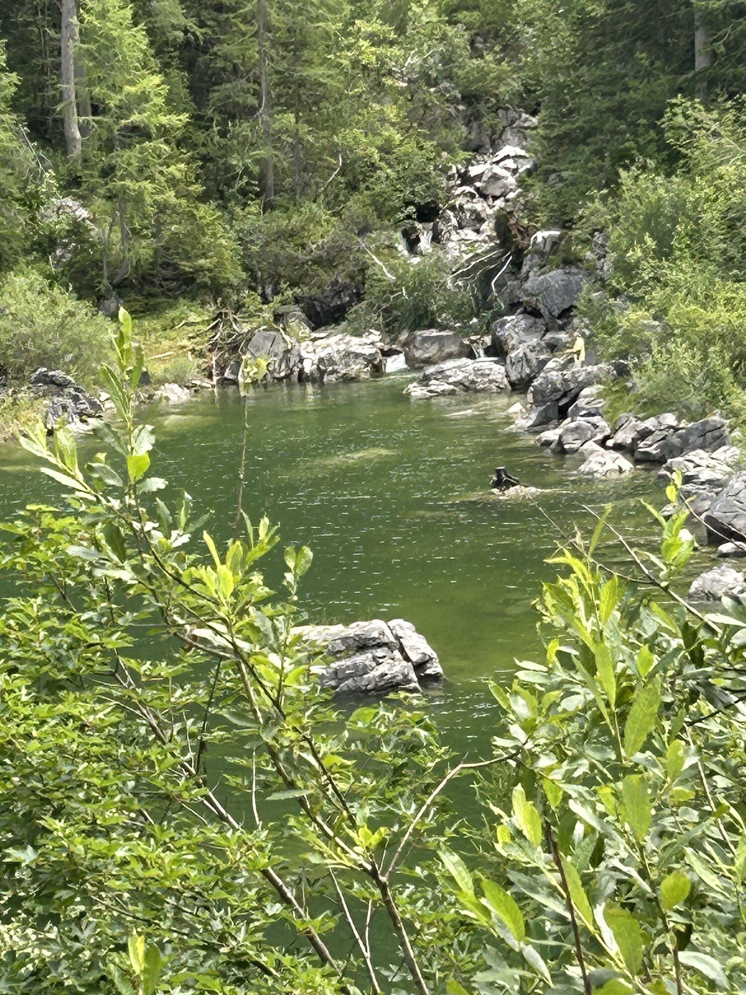
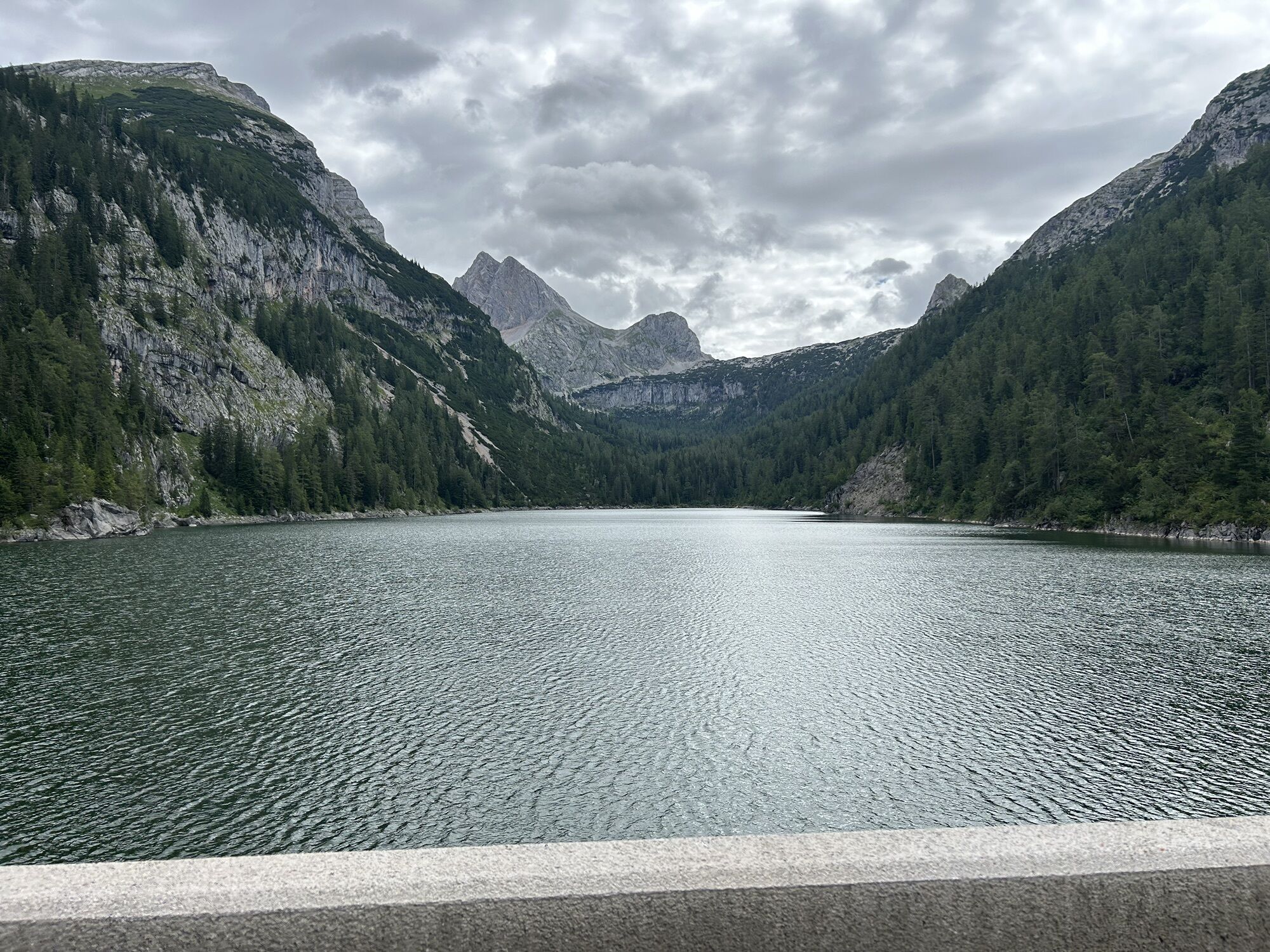
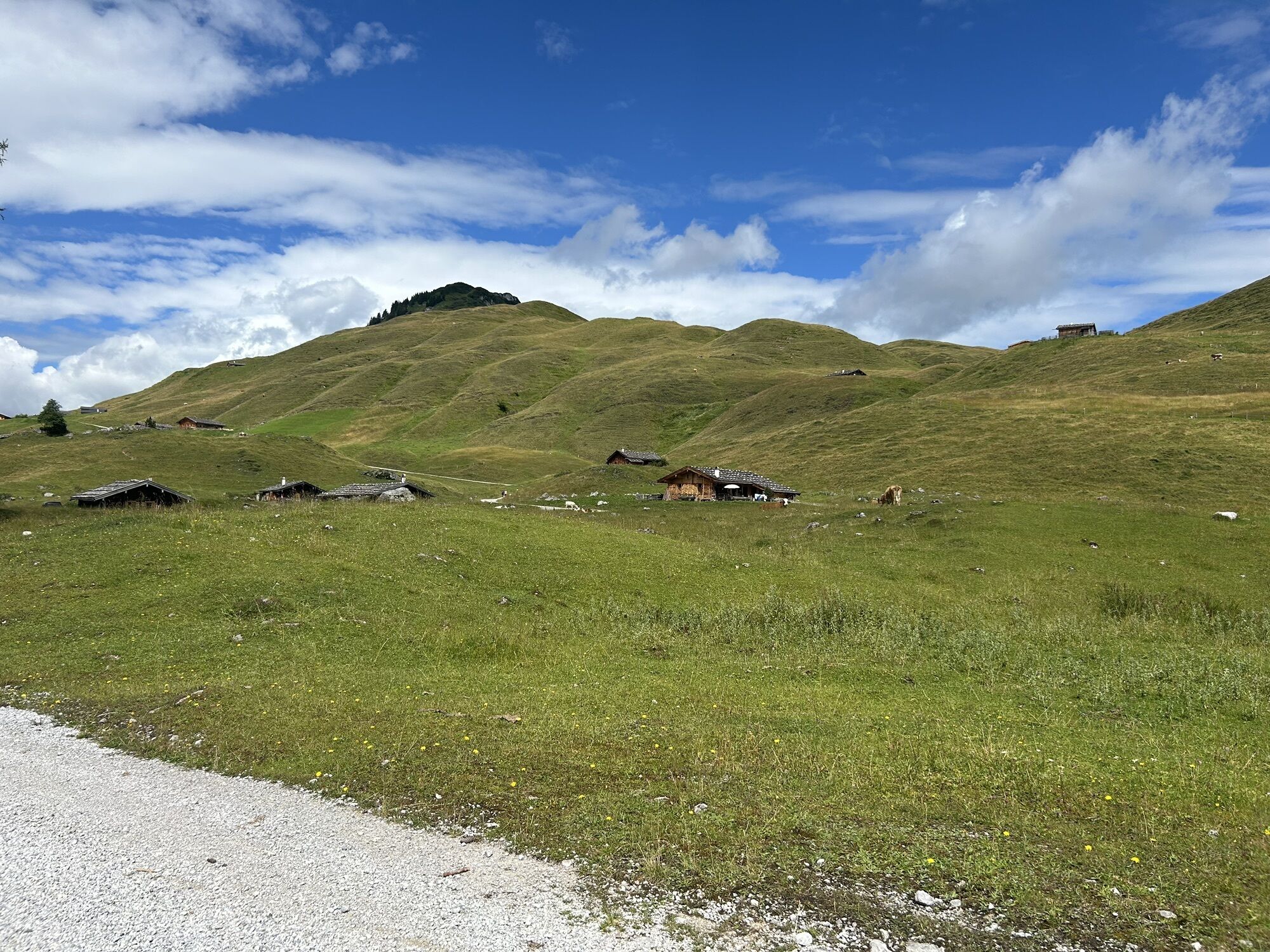
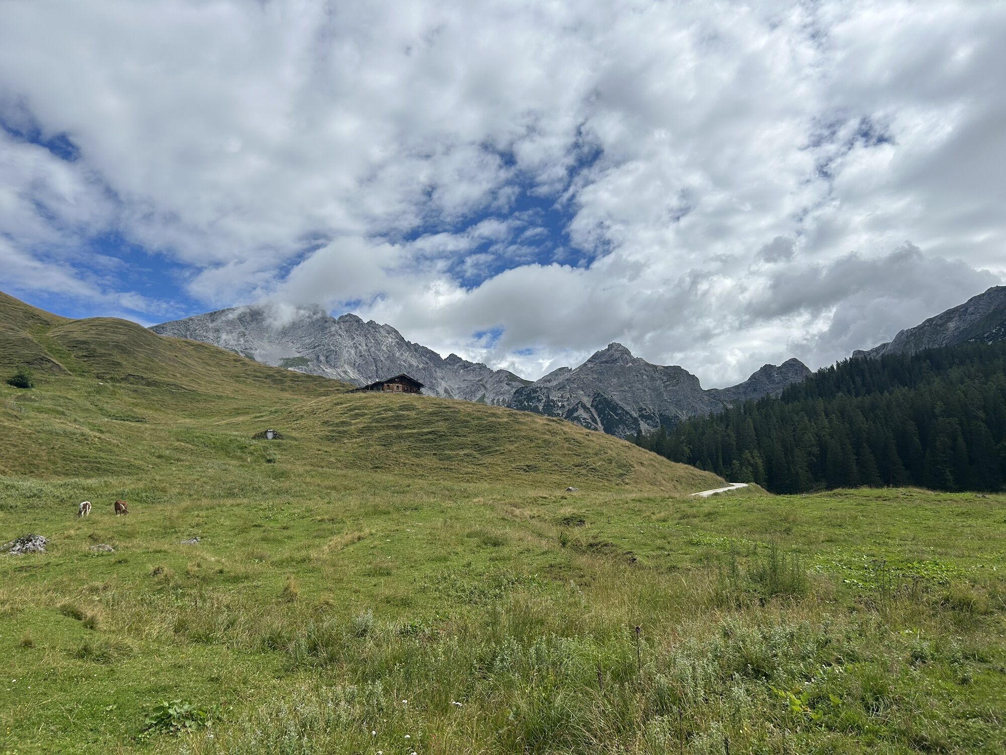
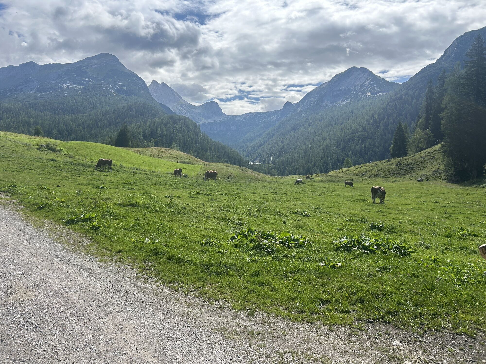
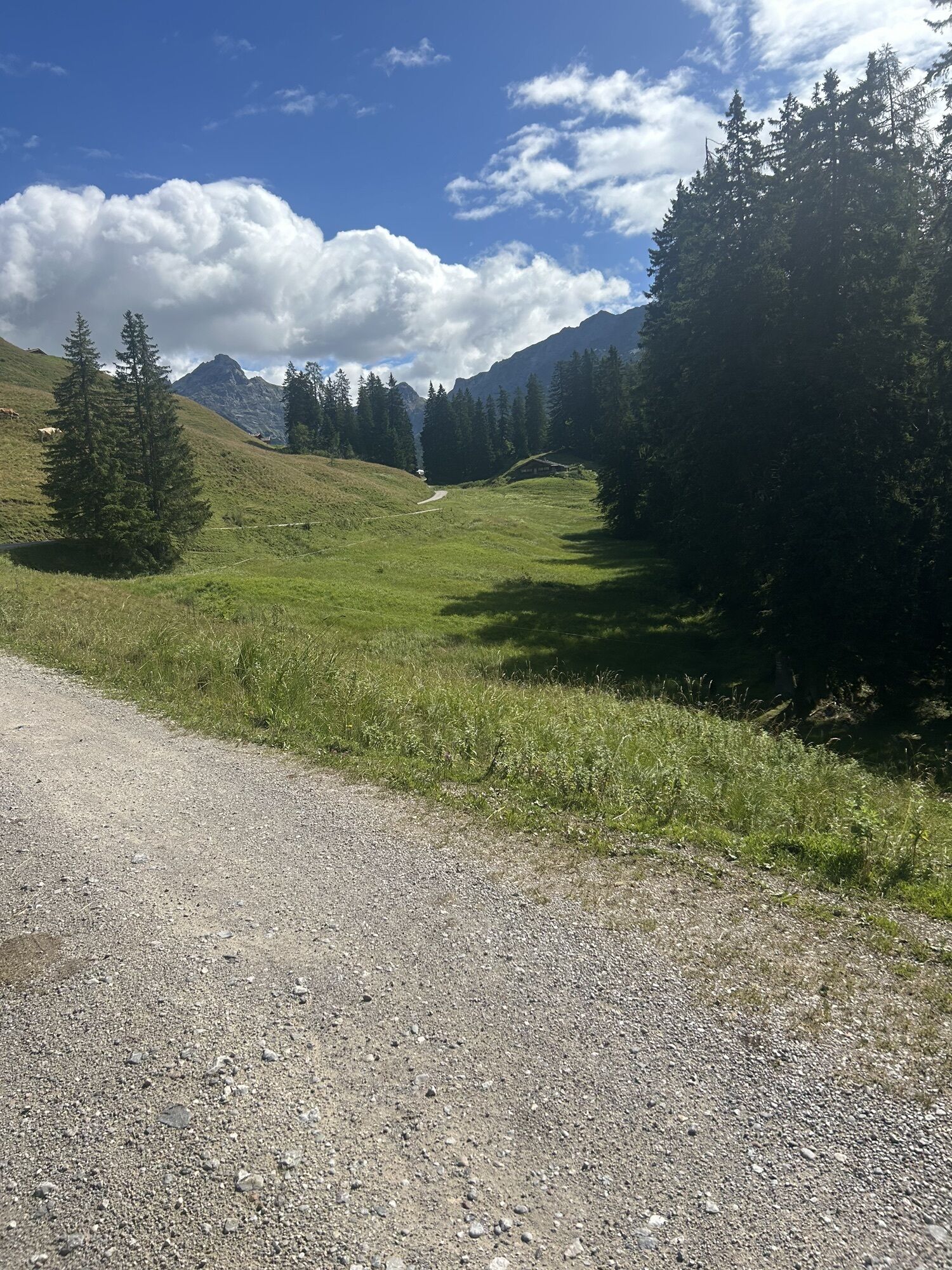
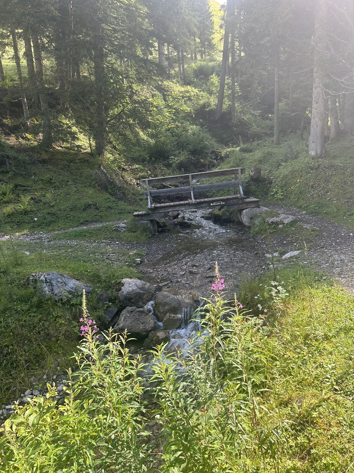


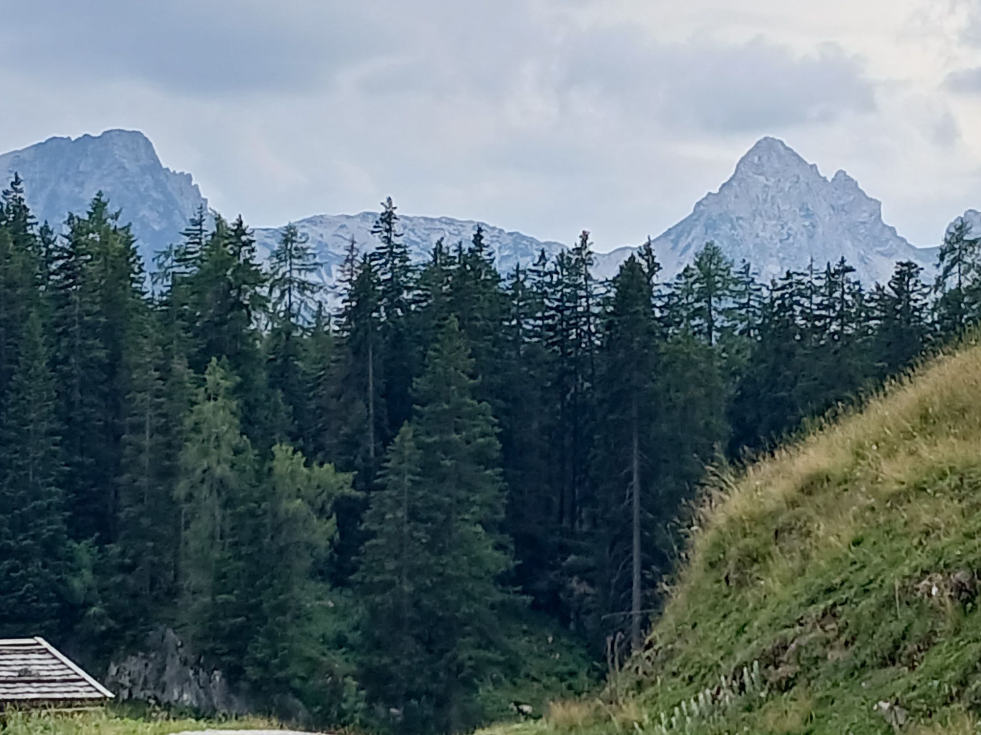
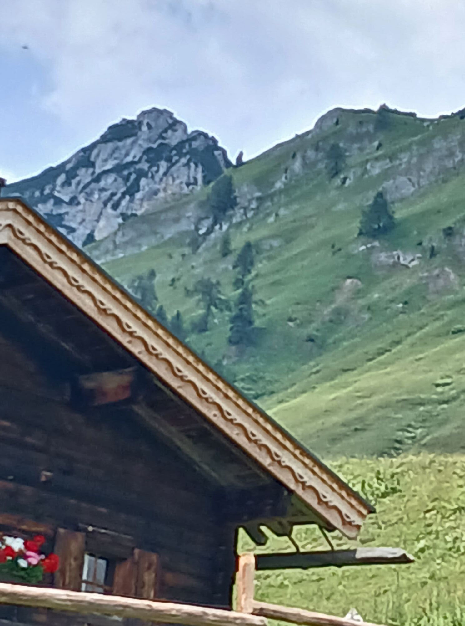
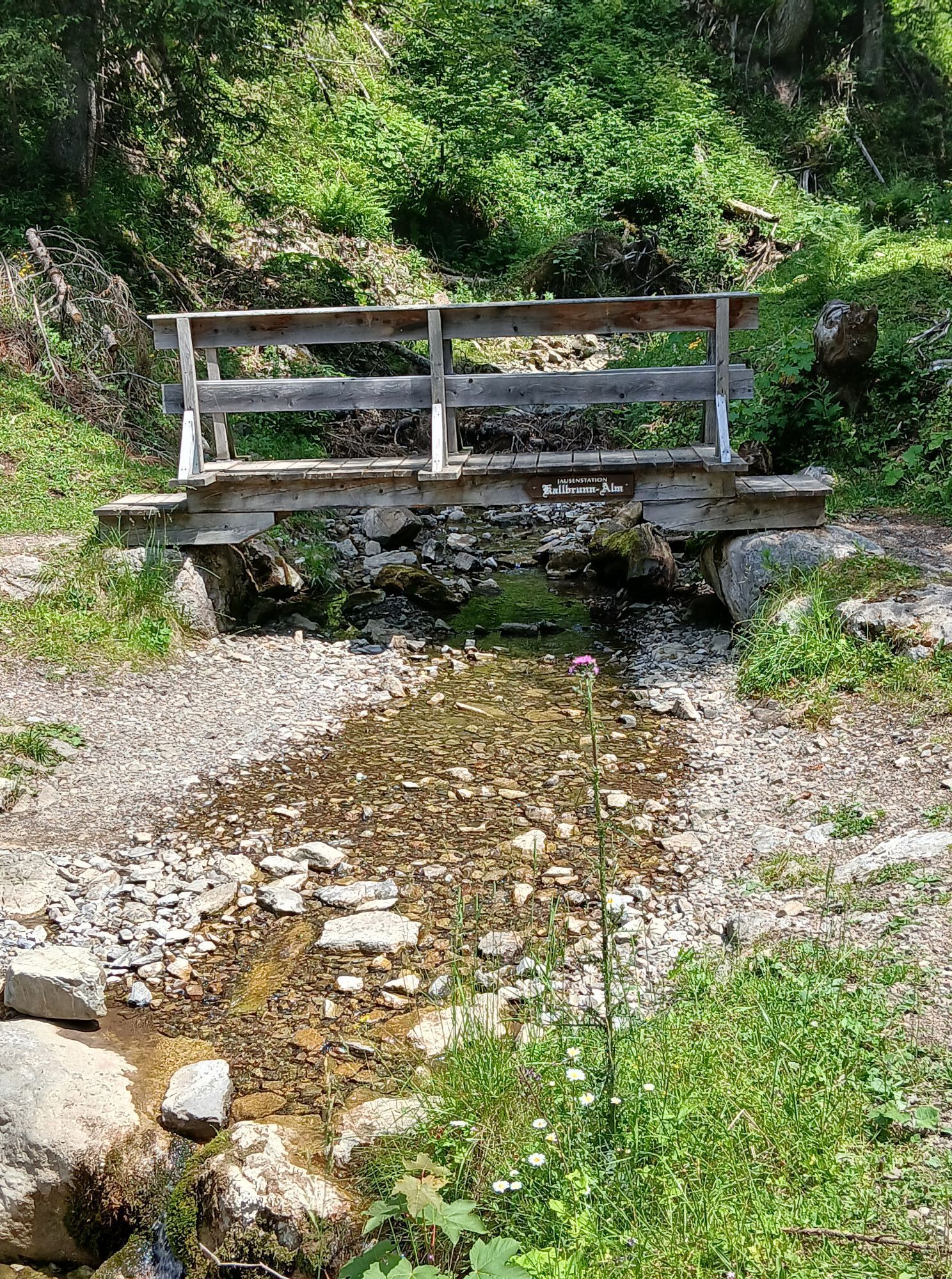
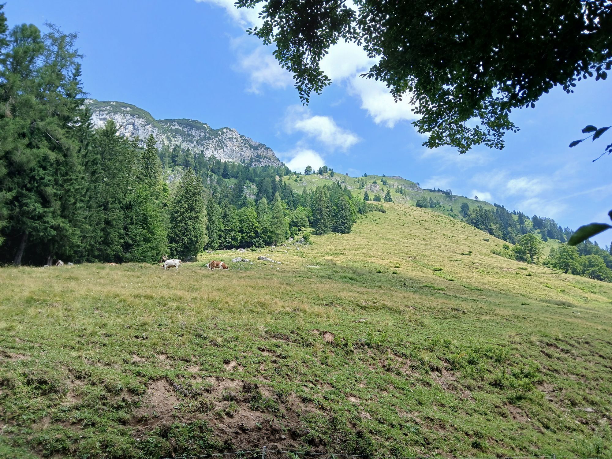
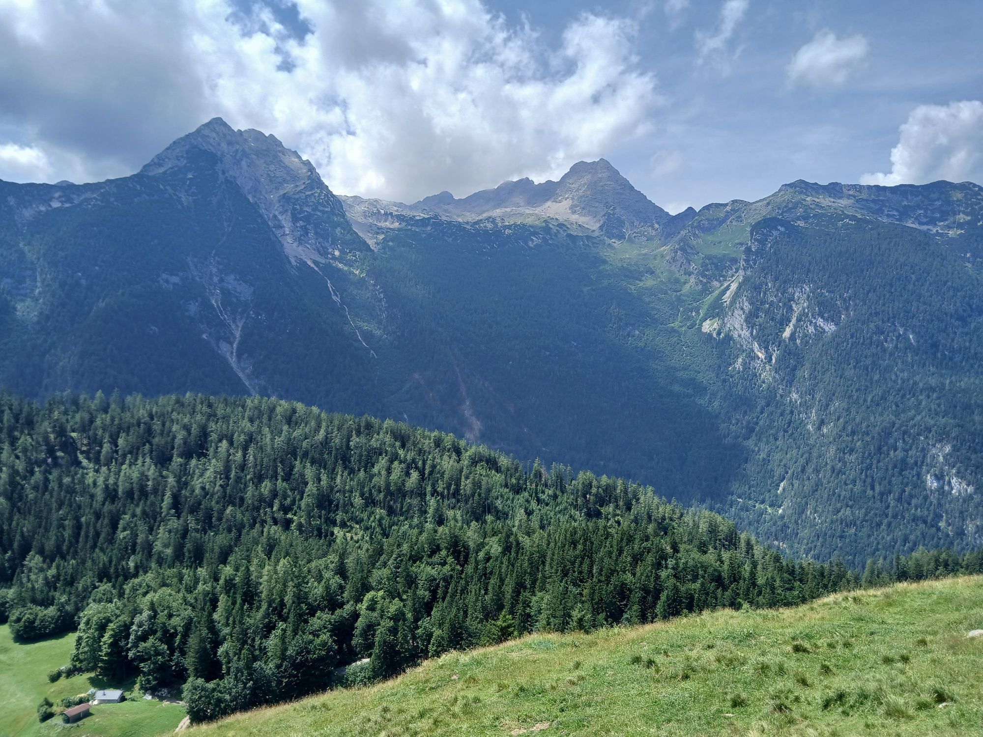
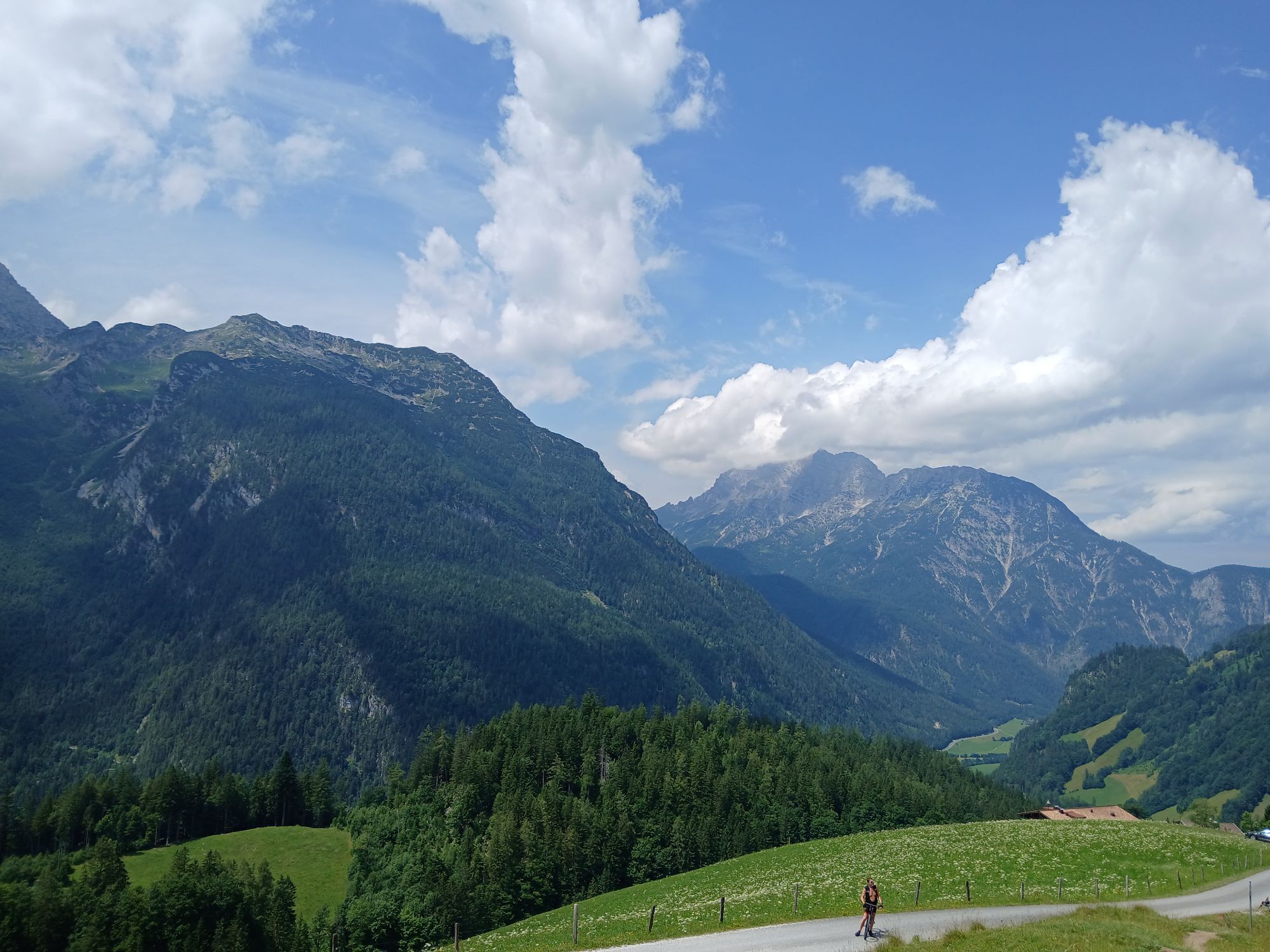
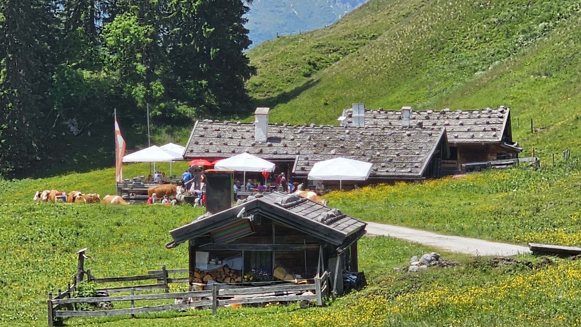
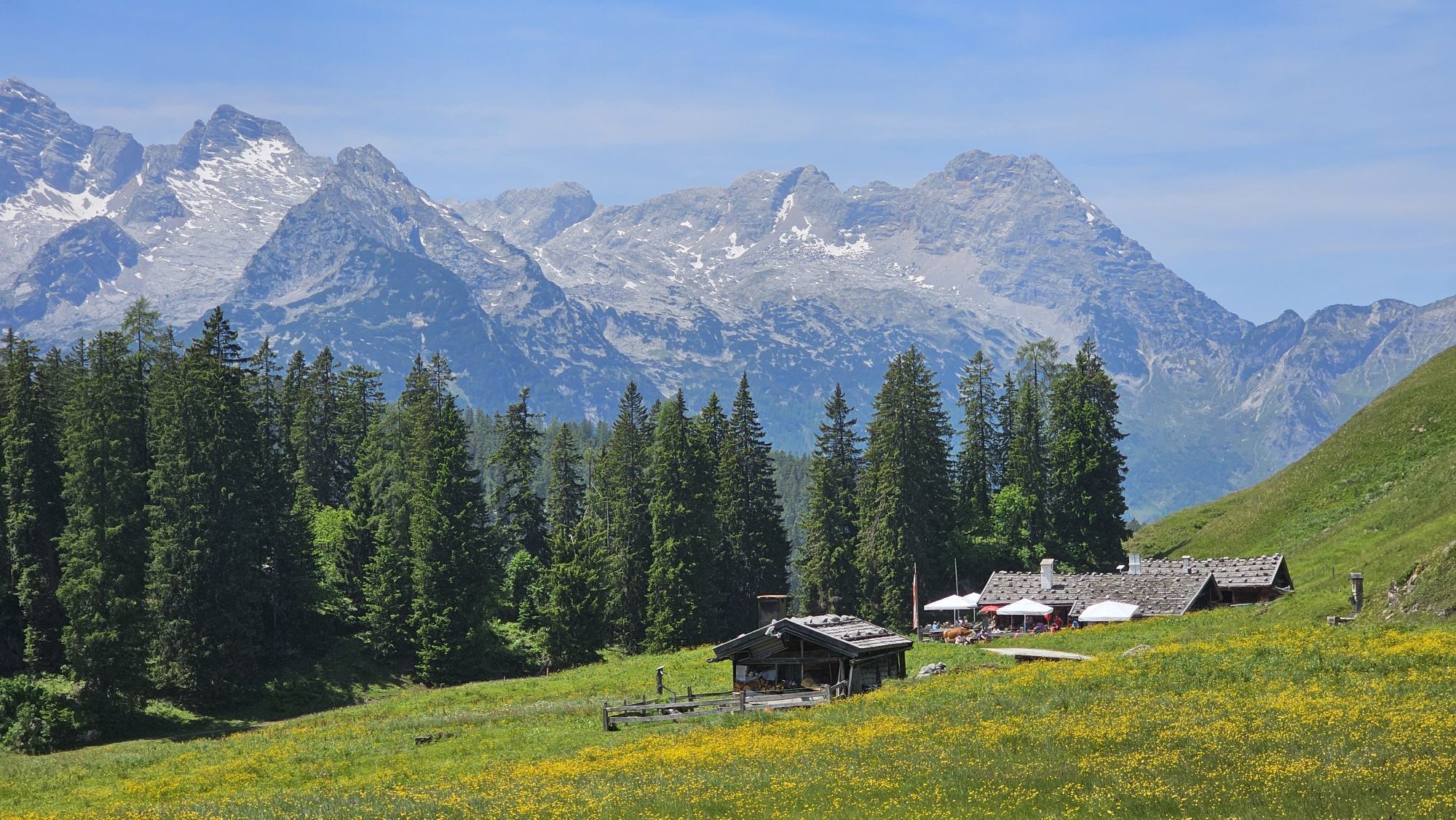
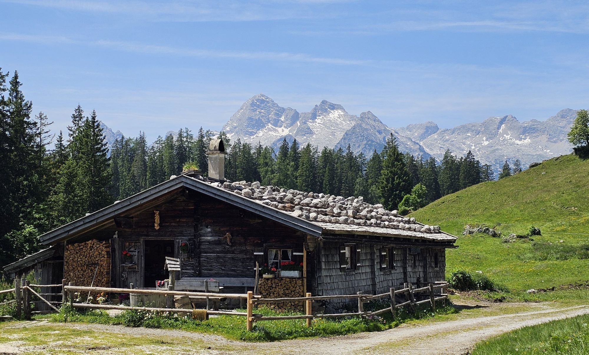

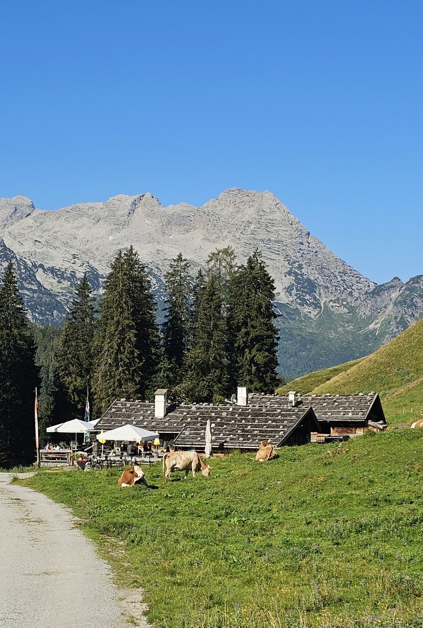
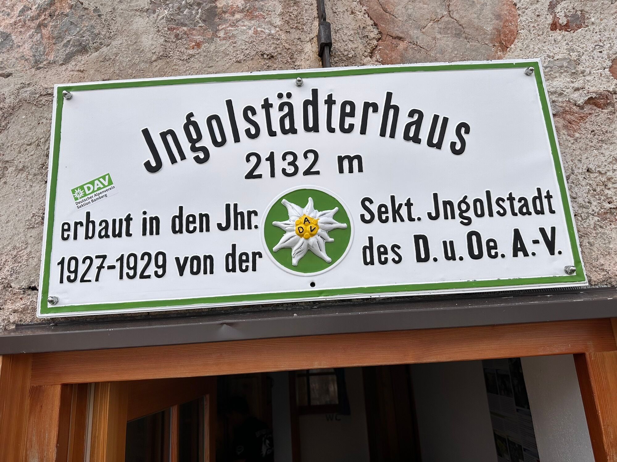

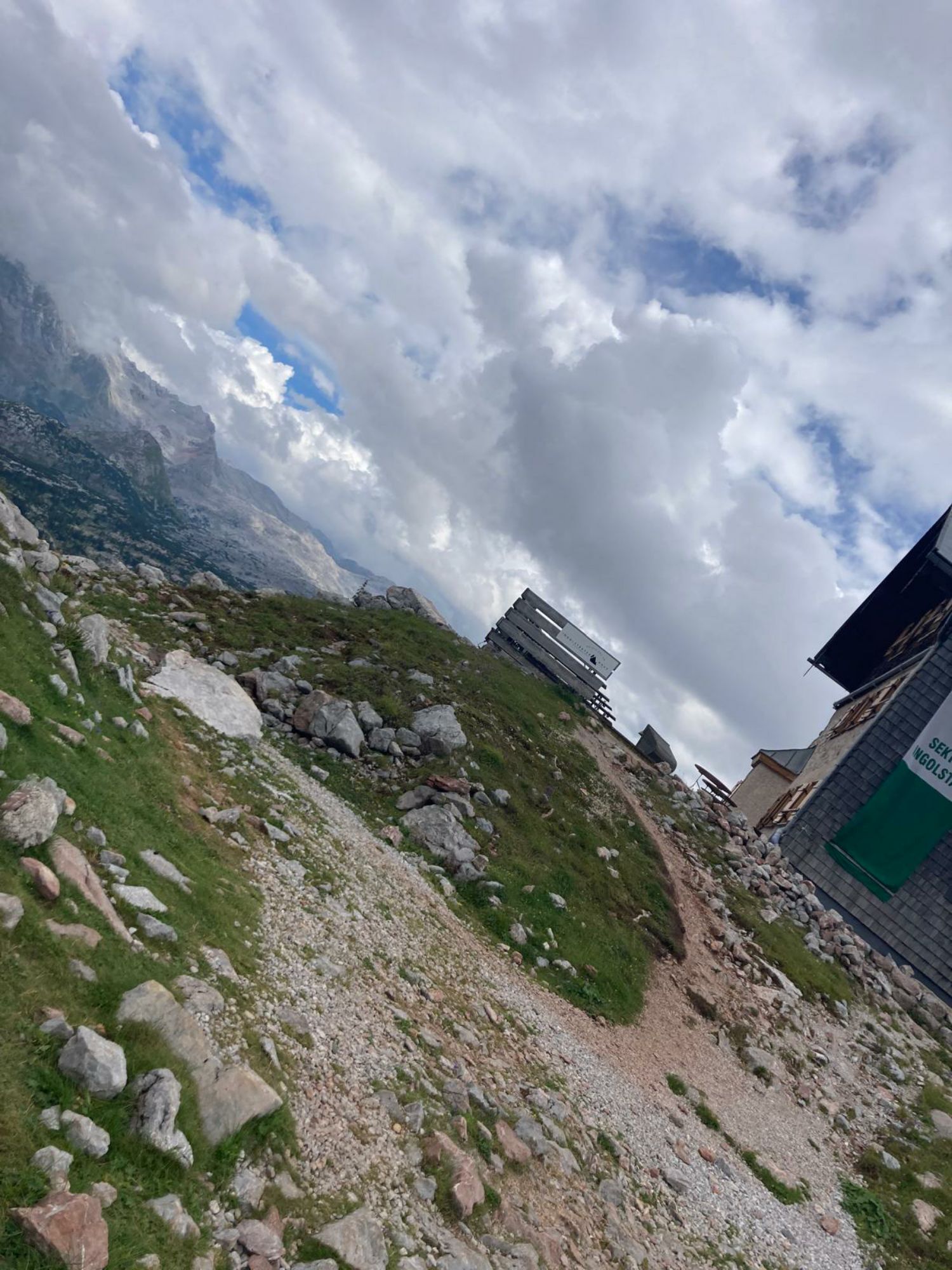
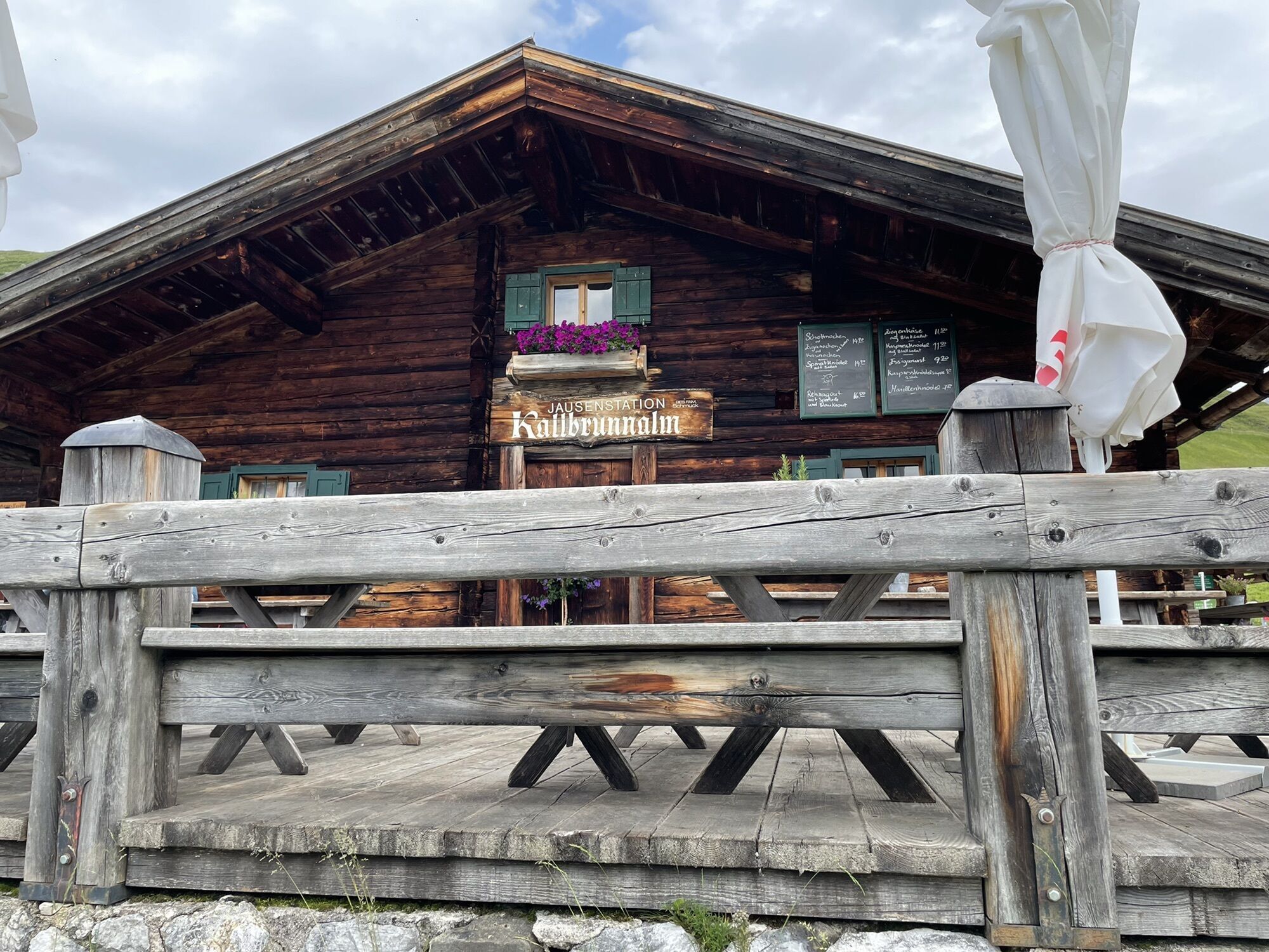
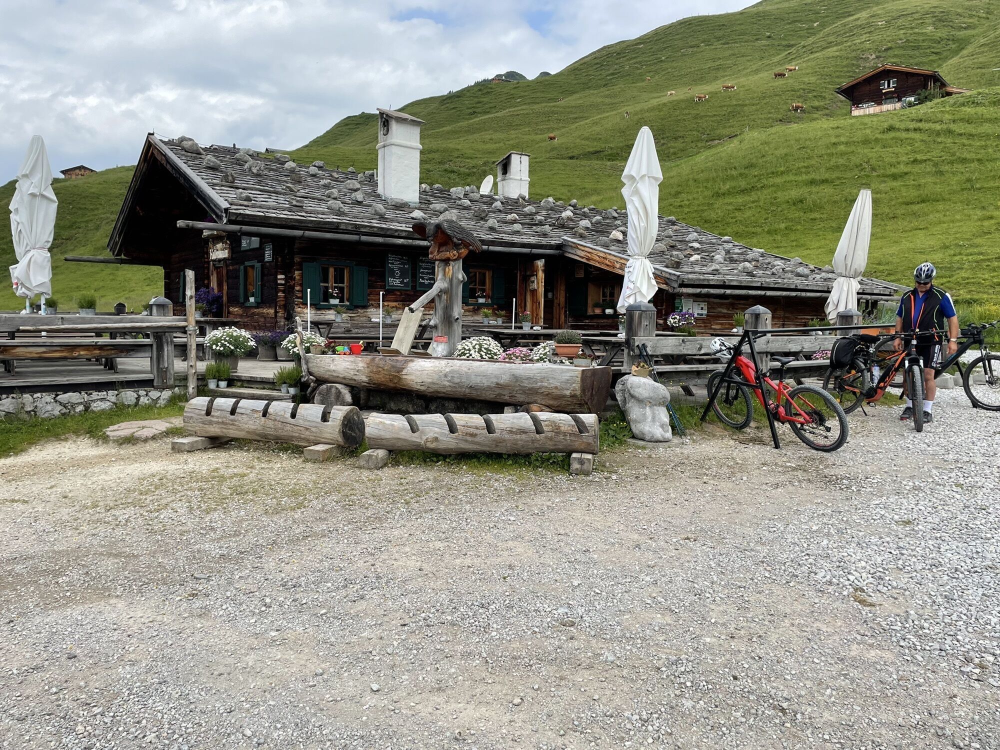
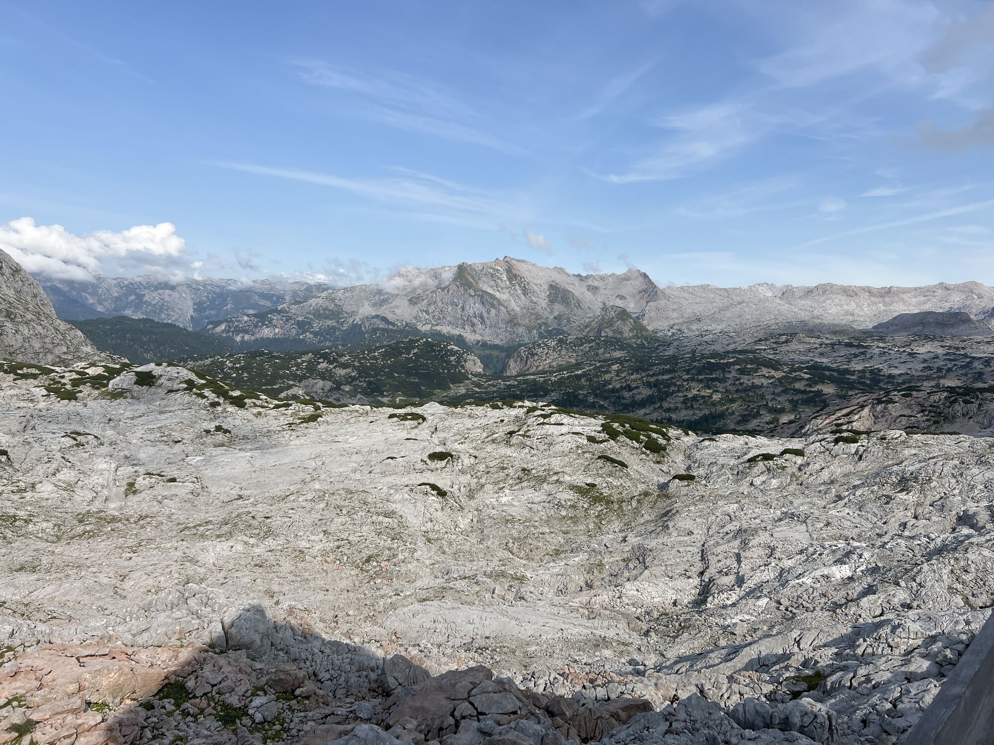

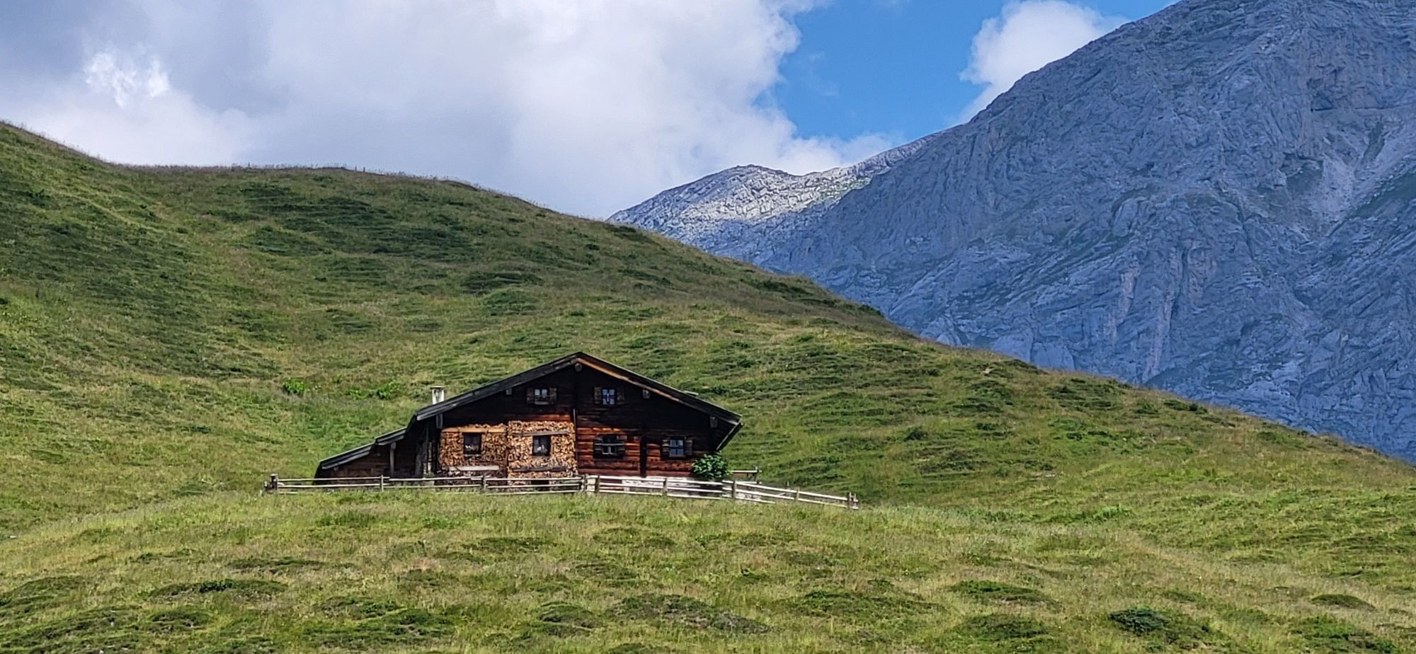
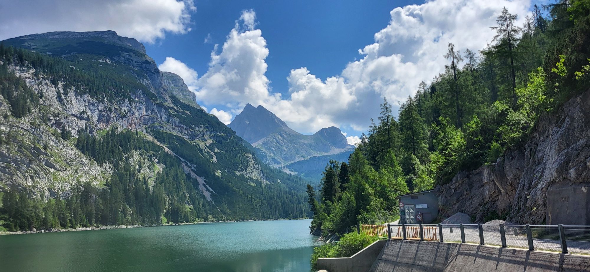
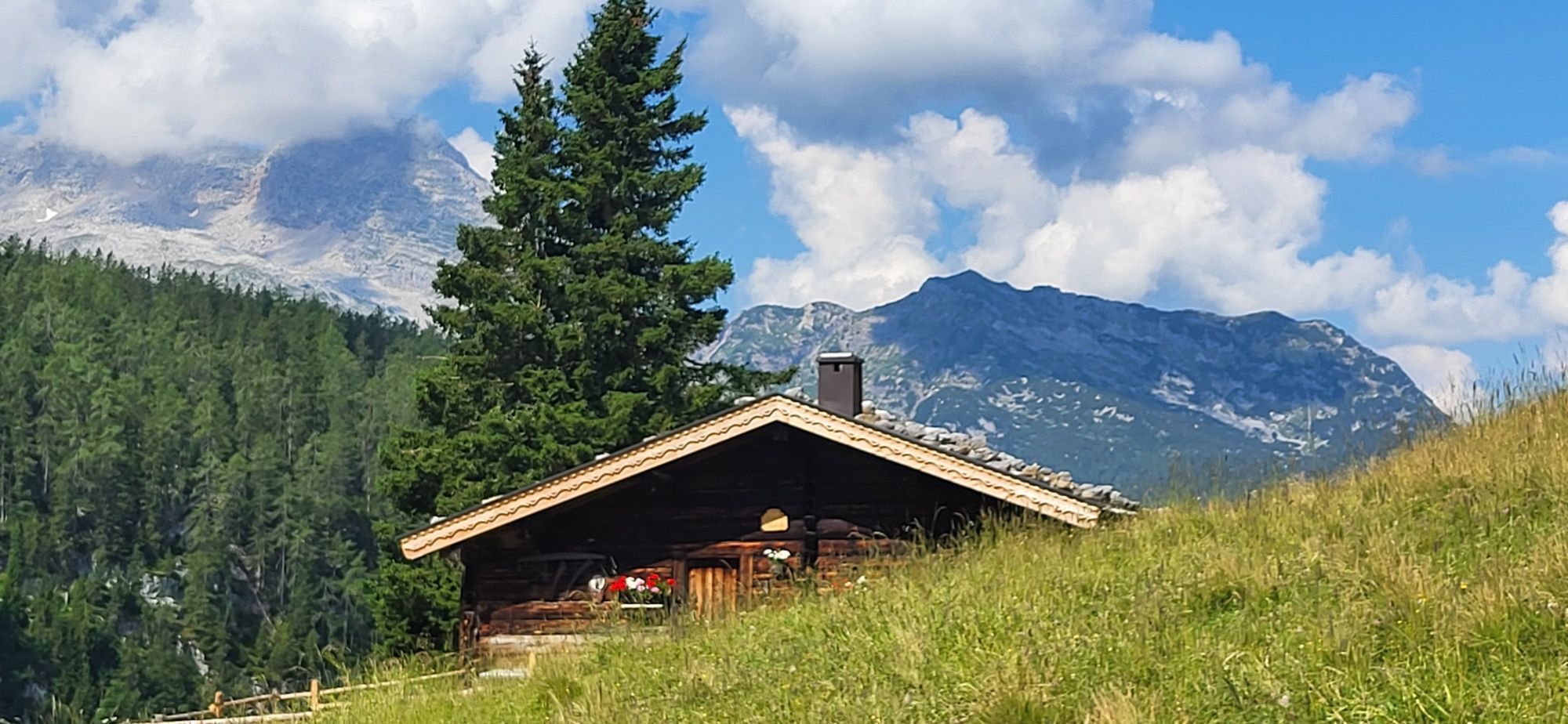

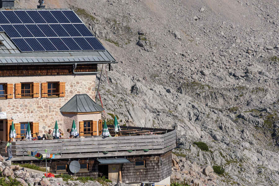
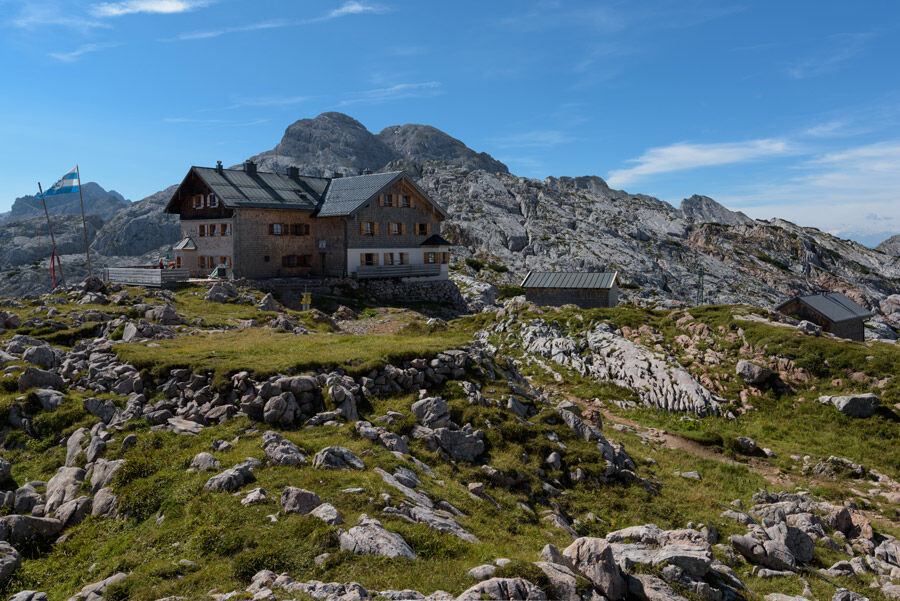
On the alpine and forest road, you walk for about 1.5 hours to the Kallbrunnalm. From here, continue over the dam of the Diessbach reservoir. After an ascent and descent, you reach the end of the lake. Here begins the Mitterkaser Nature Park with magnificent stone pines and beautiful flora. Along the Diesbach, you hike gently uphill to the valley station of the material cable car. Now begins the path that leads you steeply upwards in switchbacks into the Steinernes Meer. Along the southern walls of the Dießbacheck and the Kleine Hundstod, you reach the Ingolstädter Haus at 2,119 m.
Ano
Clothing: Comfortable hiking shoes, breathable clothing depending on the weather (t-shirt, light trousers).
Equipment: Small backpack, sunscreen, hat or cap, first aid kit, mobile phone.
Provision: Sufficient water, snacks (energy bars, nuts, dried fruit).
Navigation aids: Map or hiking app, compass (optional).
Others: Light pocket knife or multitool, insect repellent (if needed).
As needed: Rain jacket, sunglasses.
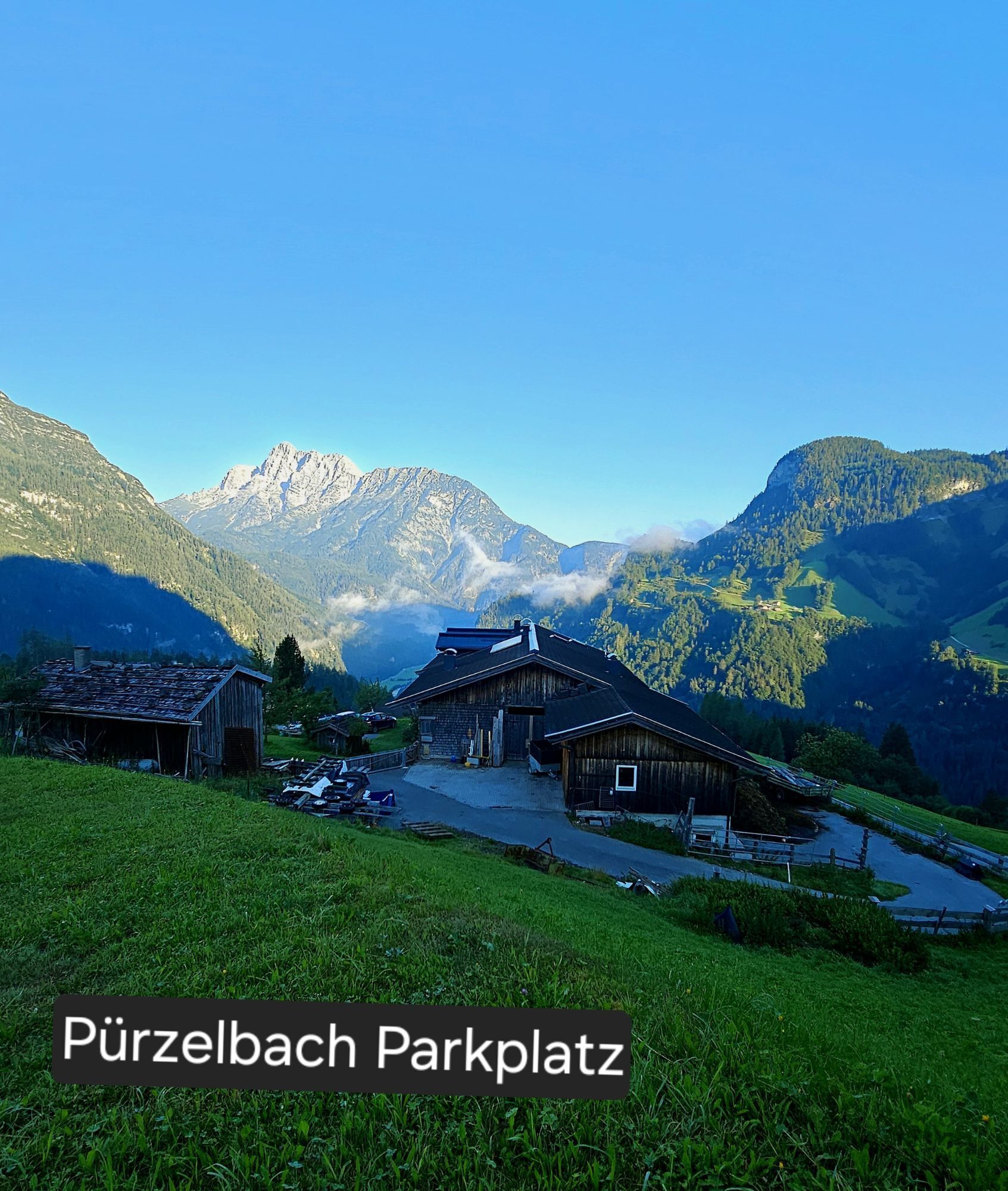
Parking in Pürzlbach is subject to a fee!
Follow the 311 to Weißbach near Lofer and turn left in the middle of the village, then follow the signs to the Pürzlbach district. Arrival
By regional bus 260 (schedule) from Salzburg/Lofer or Zell am See/Saalfelden to the Weißbach Gemeindeamt stop and further with the mountaineer taxi to the Kallbrunnalm
Hiking car park in Pürzlbach (€4.00 per day)
Take the alpine hiking taxi to the Kallbrunnalm to significantly shorten the route.
Aktivity na trase

Saalfelden am Steinernen Meer, Salzburg/Österreich
07.06.2026 – Horská turistikaWeißbach bei Lofer, Salzburg/Österreich
06.06.2026 – Horská turistika
Saalfelden am Steinernen Meer, Salzburg/Österreich
06.06.2026 – Turistika
Saalfelden am Steinernen Meer, Salzburg/Österreich
19.10.2025 – Turistika
Weißbach bei Lofer, Salzburg/Österreich
03.10.2025 – Vysokohorská turistikaWeißbach bei Lofer, Salzburg/Österreich
02.10.2025 – Turistika
Oblíbené prohlídky v okolí
- 5,0
Königssee - Kärlinger-Haus
Turistika 10,1 km - 4,5
Wimbachgrieshütte
Turistika 8,30 km - 4,6
Grünstein
světloTuristika 2,57 km - 4,0
Malerwinkel Rundwanderweg
světloTuristika 3,60 km - 4,2
Maria Alm - Riemannhaus
Turistika 3,99 km - 4,3
Halsalm
Turistika 6,43 km - 4,6
Steinalm
světloTuristika 2,71 km - 5,0
Watzmann Überschreitung an einem Tag
heavyTuristika 23,9 km - 4,4
Peter-Wiechenthaler Hut
středníTuristika 4,32 km - 4,9
Ramsau/Hintersee-Runde
světloTuristika 9,44 km
Pěší turistika a stopování


Nenechte si ujít nabídky a inspiraci pro vaši příští dovolenou
Vaše e-mailová adresa byl přidán do poštovního seznamu.