







Hagenerhütte starting from the Gasteiner Nassfeld

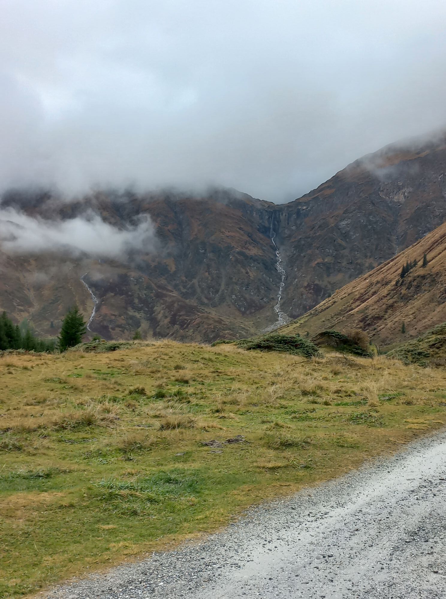
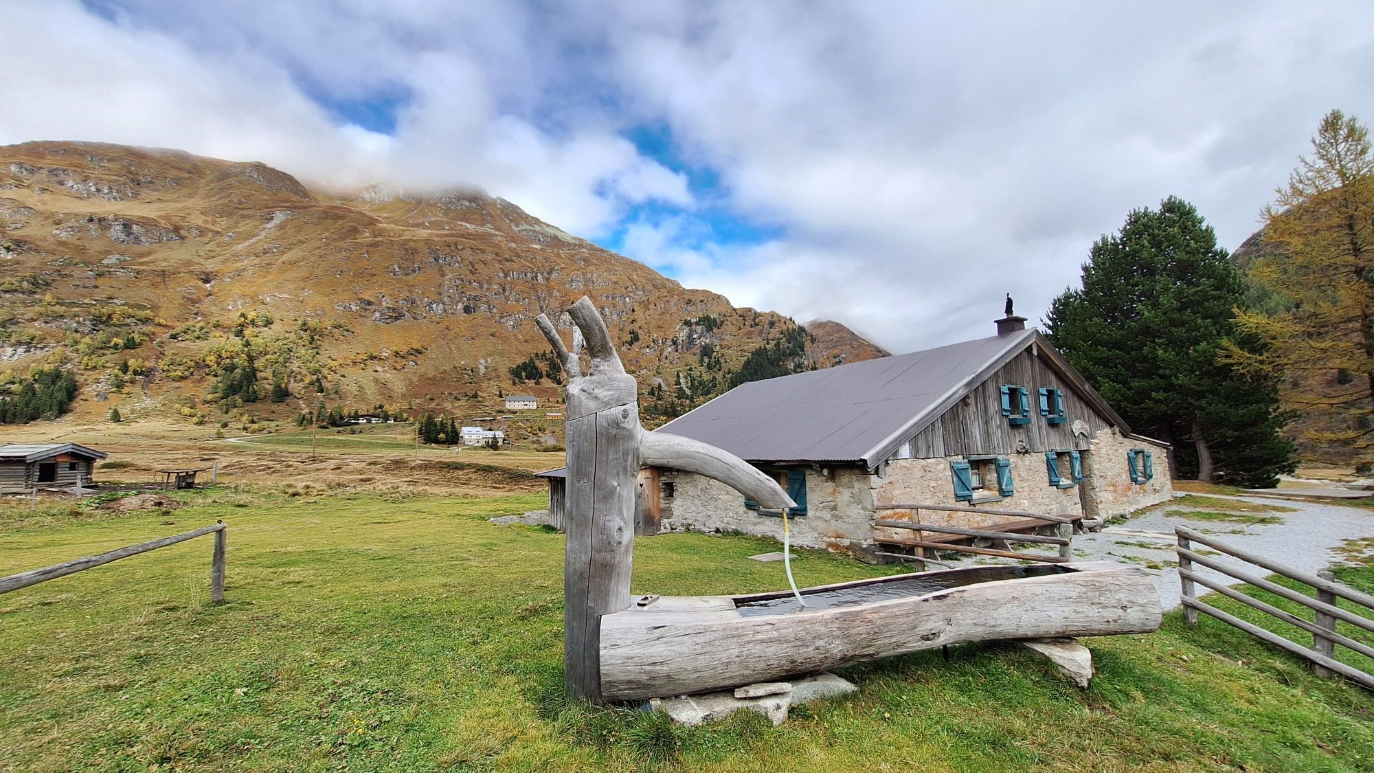
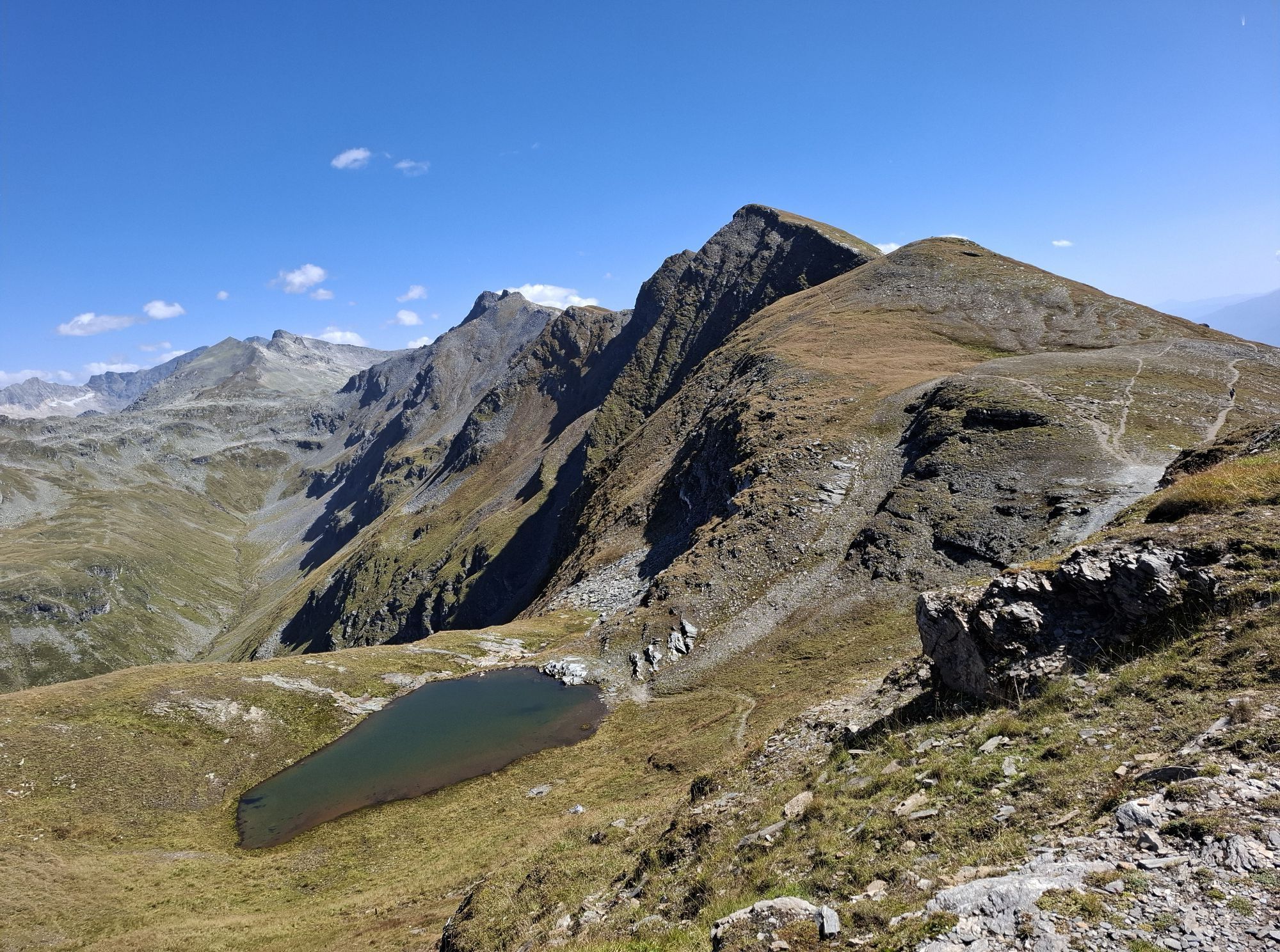
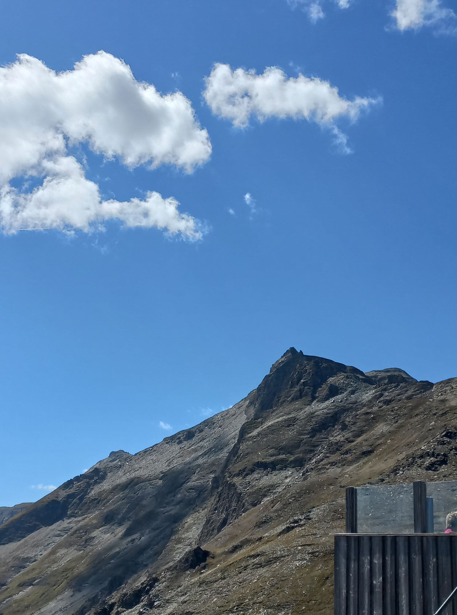
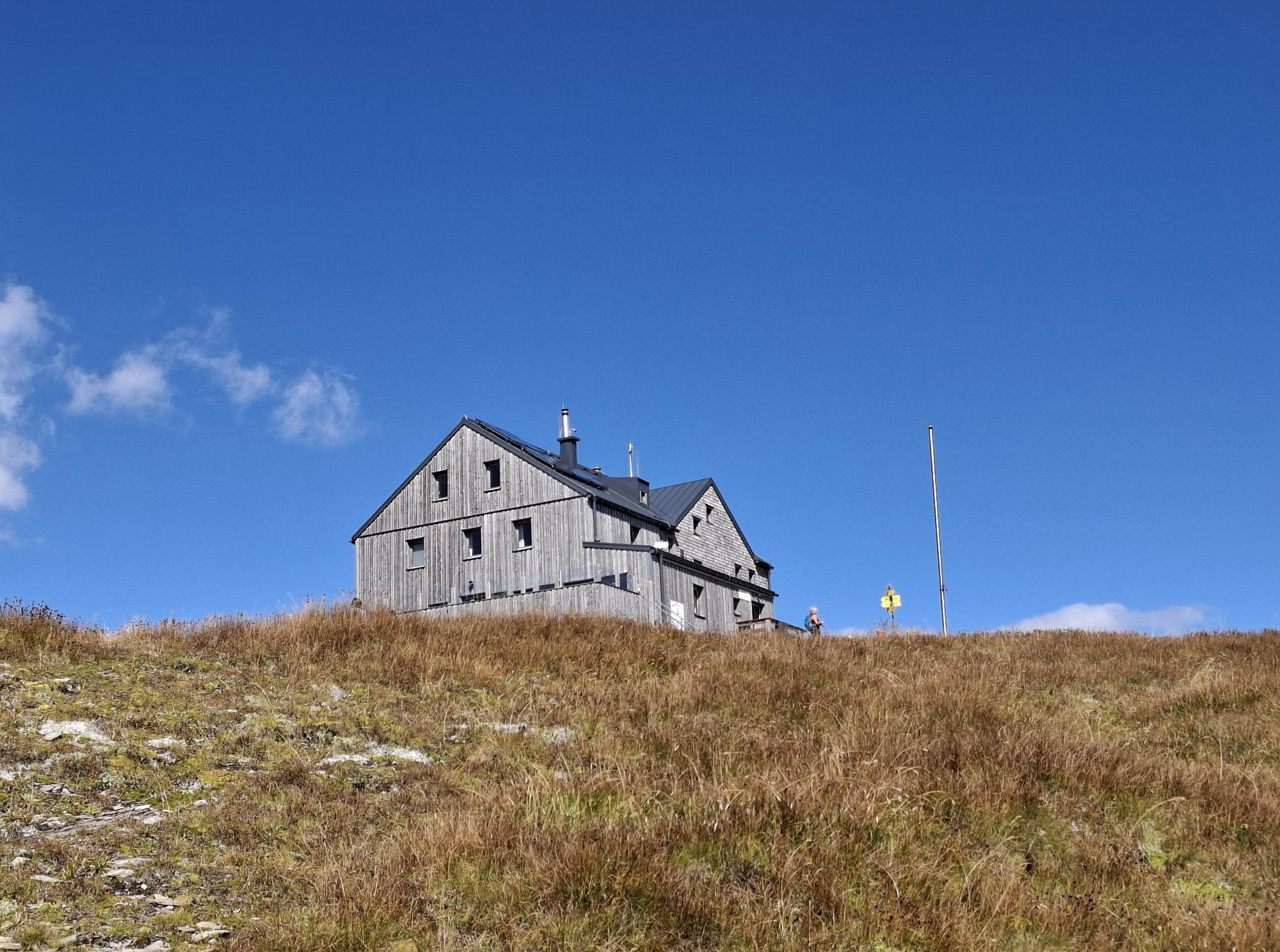
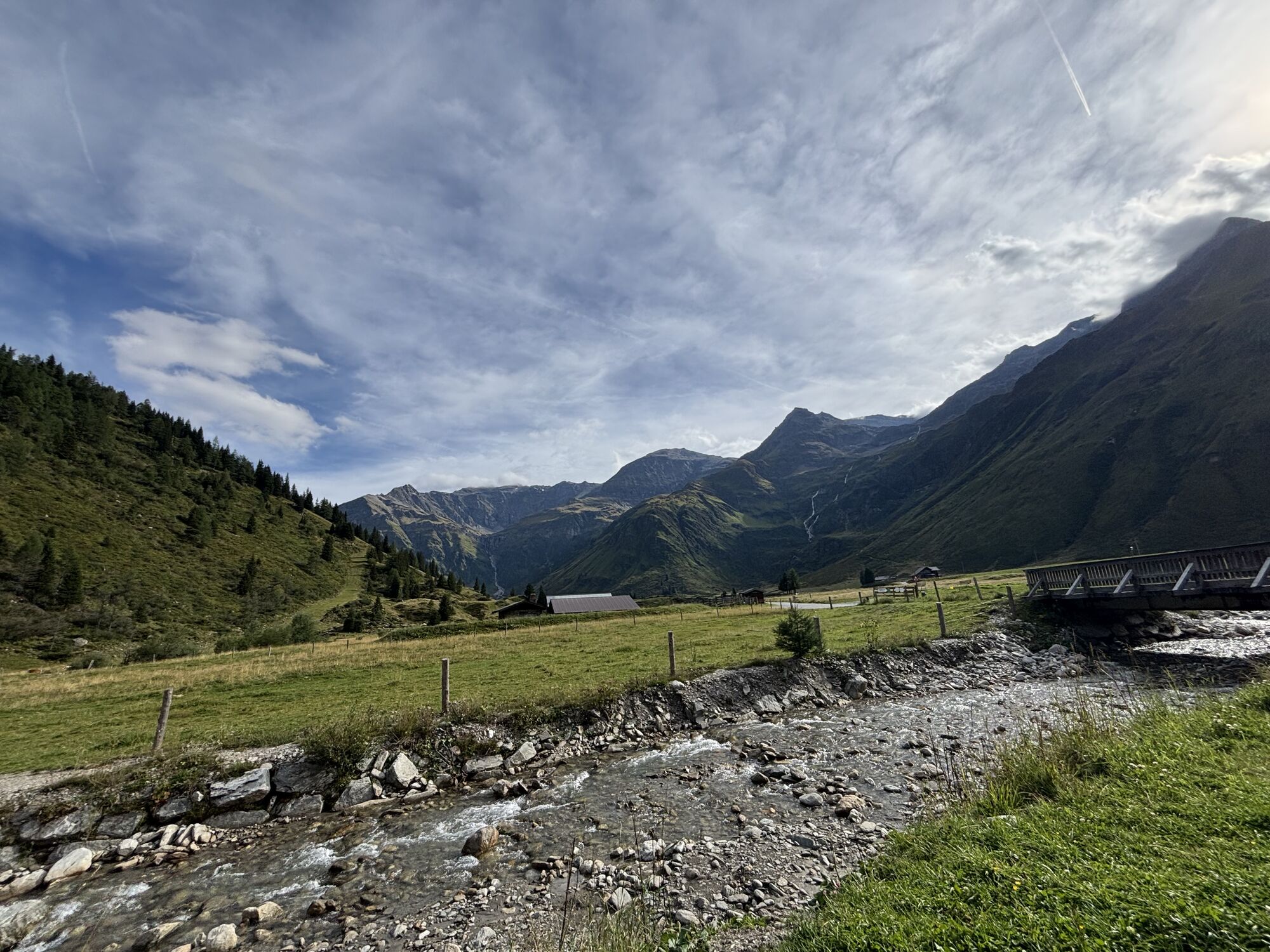
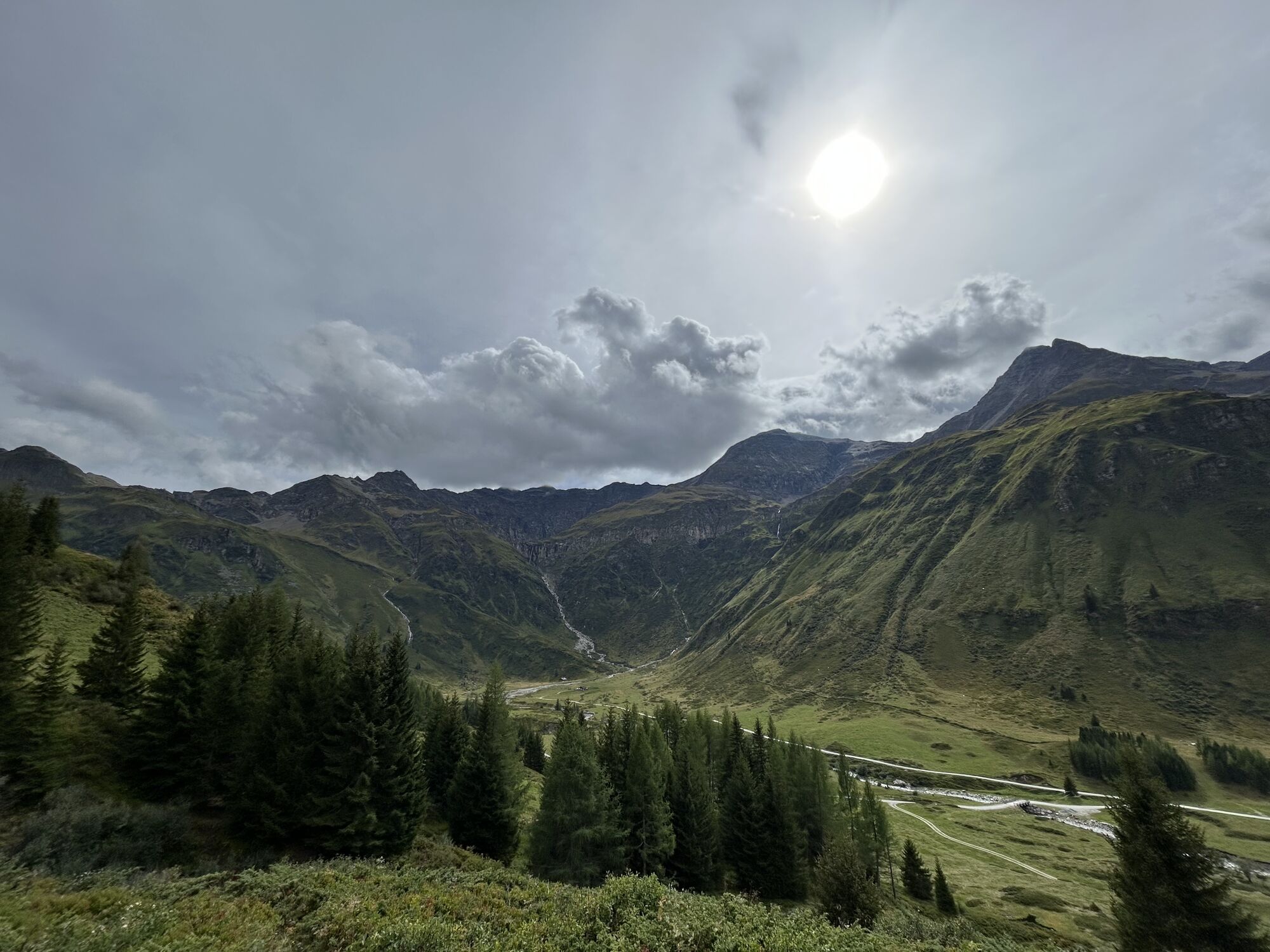
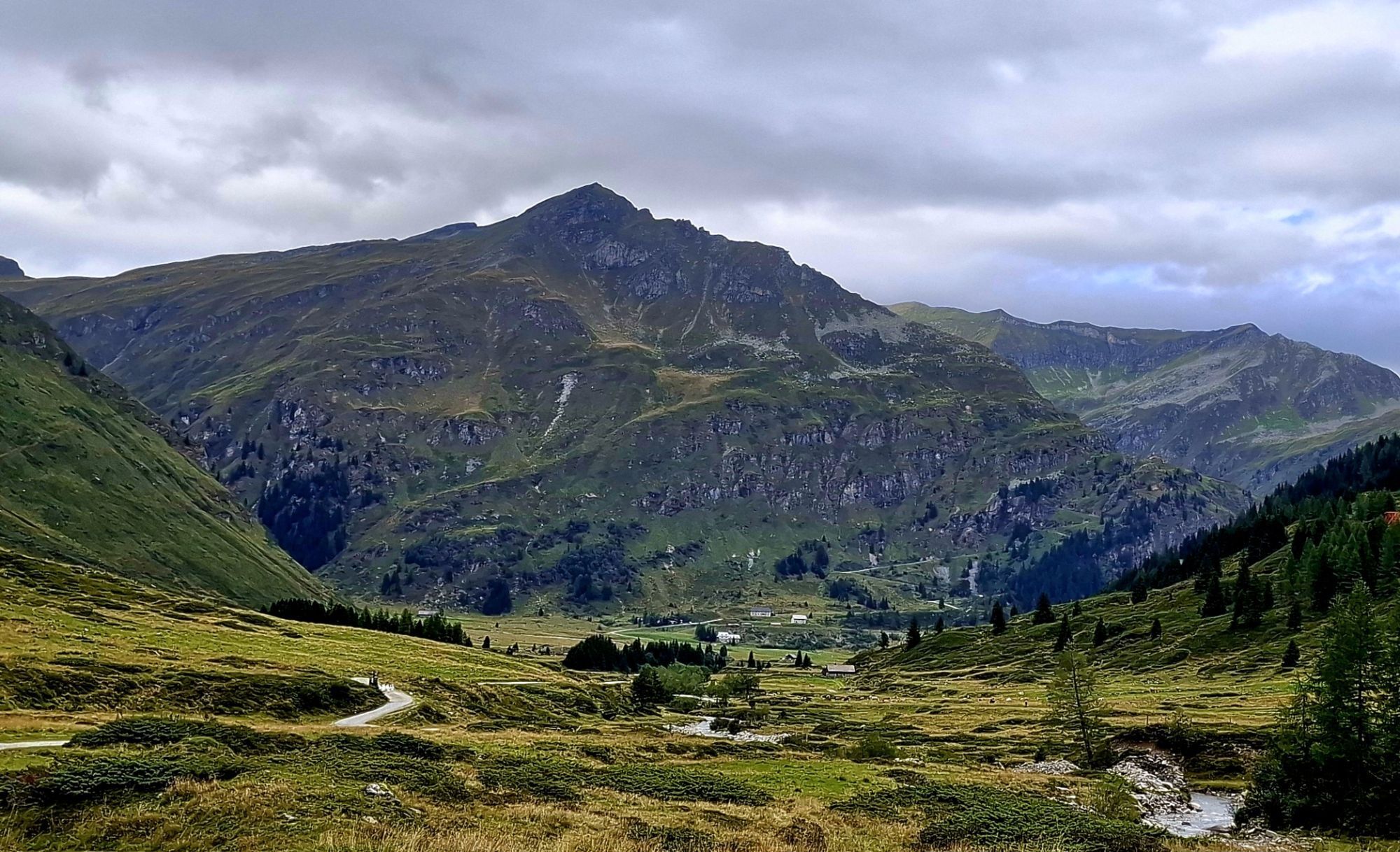
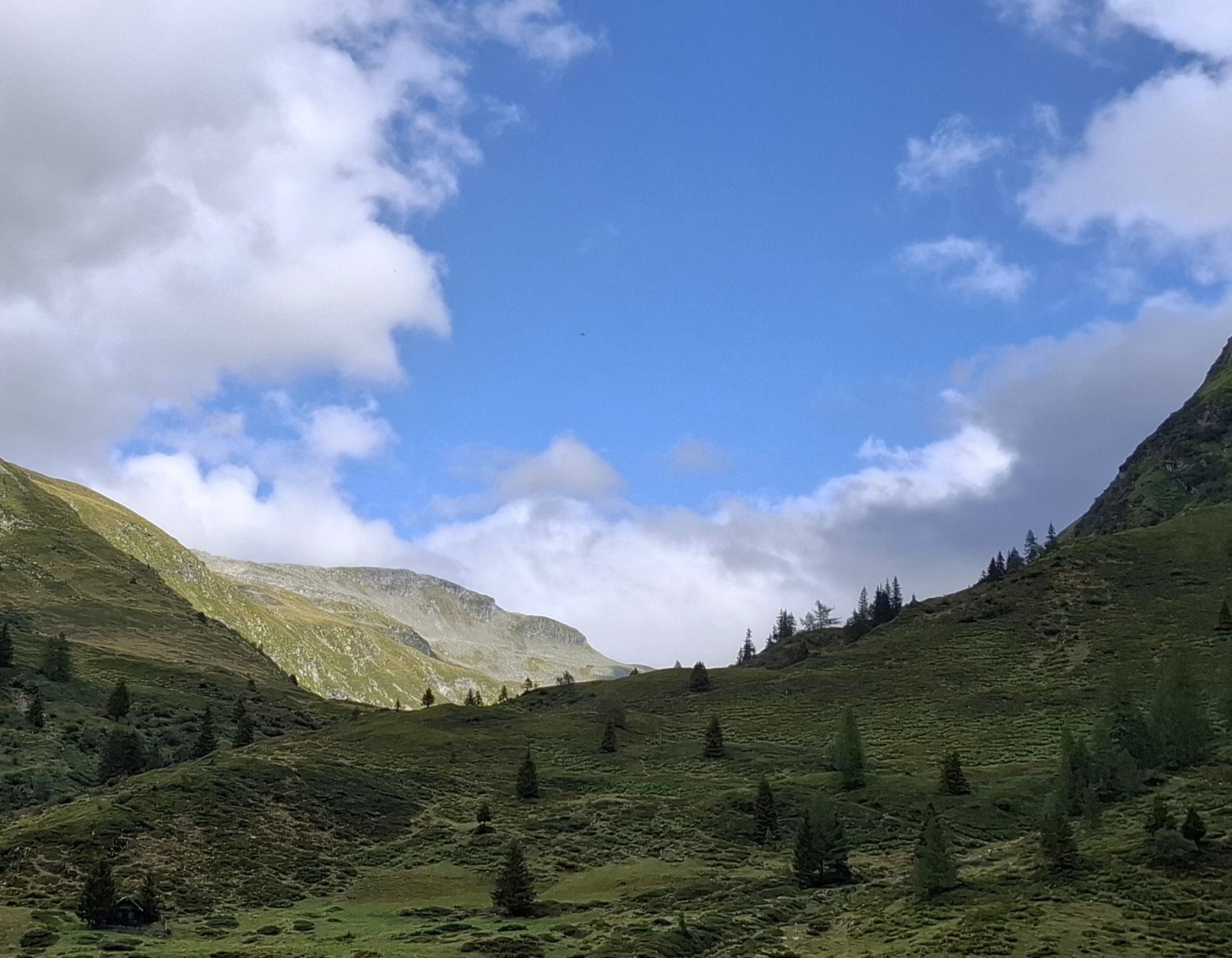
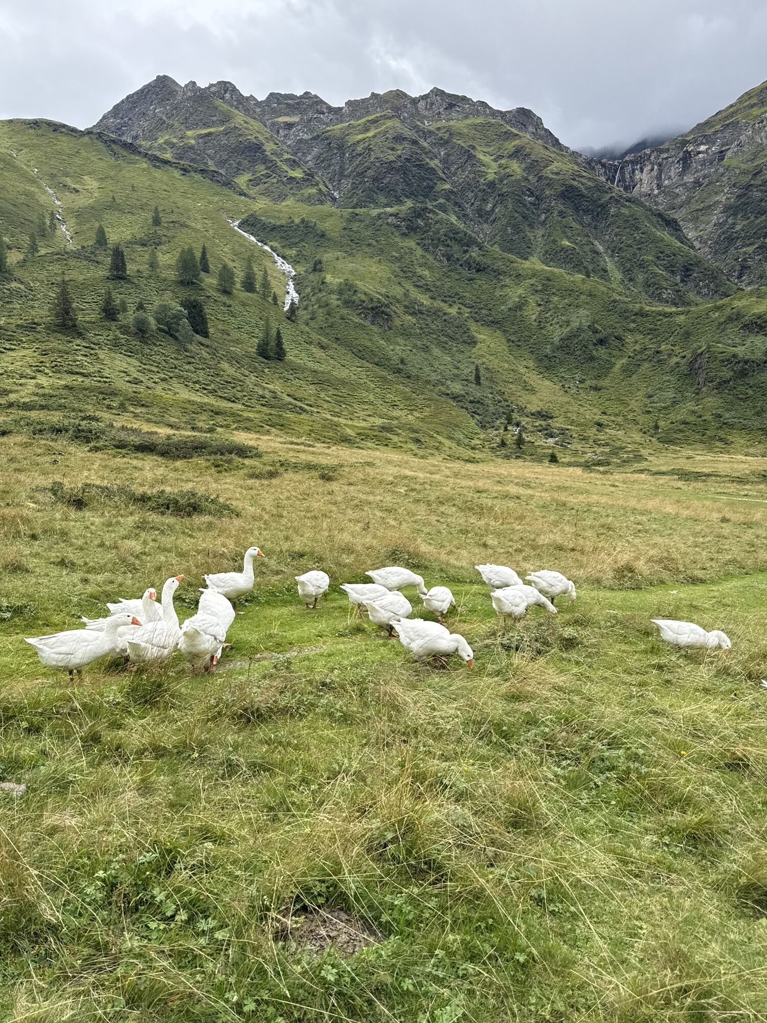
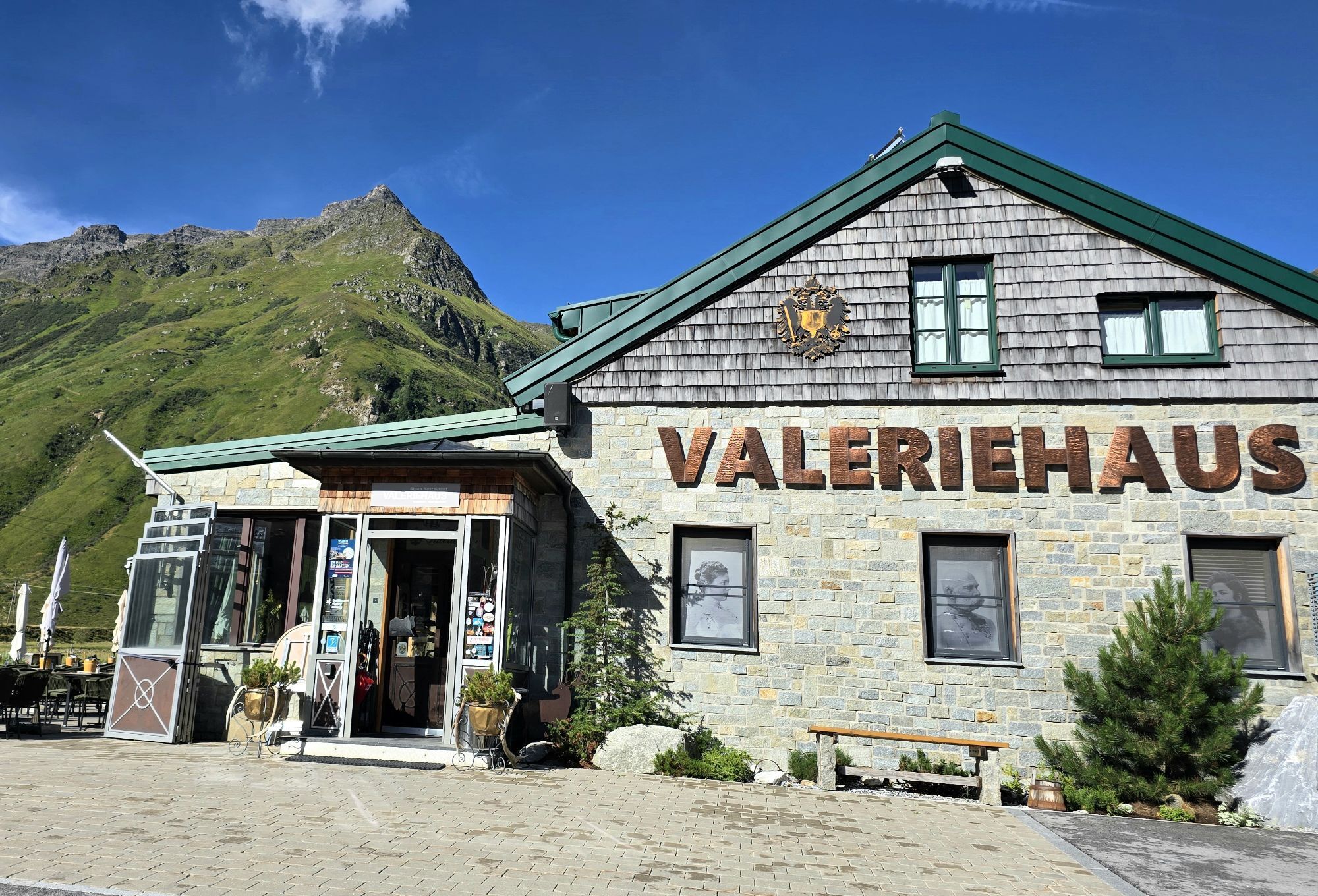
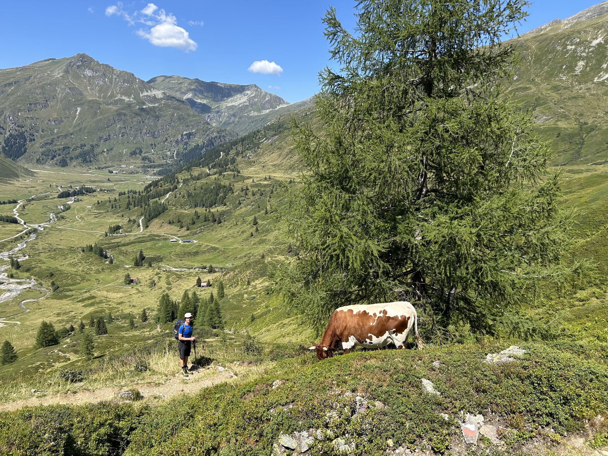
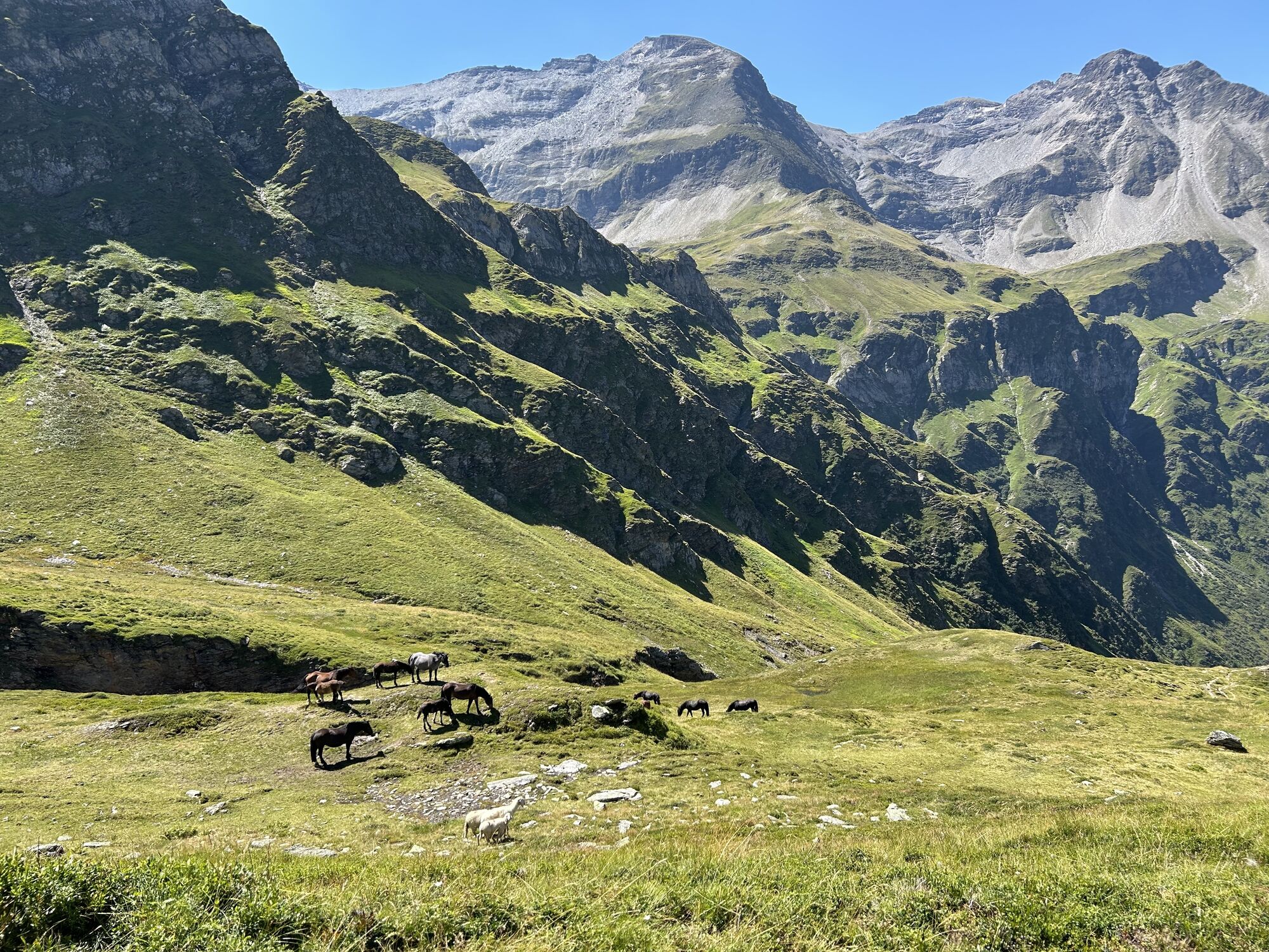
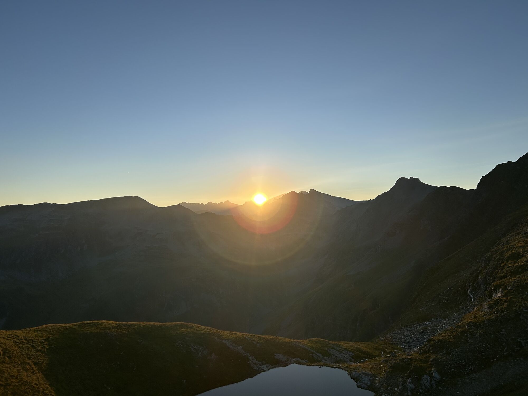
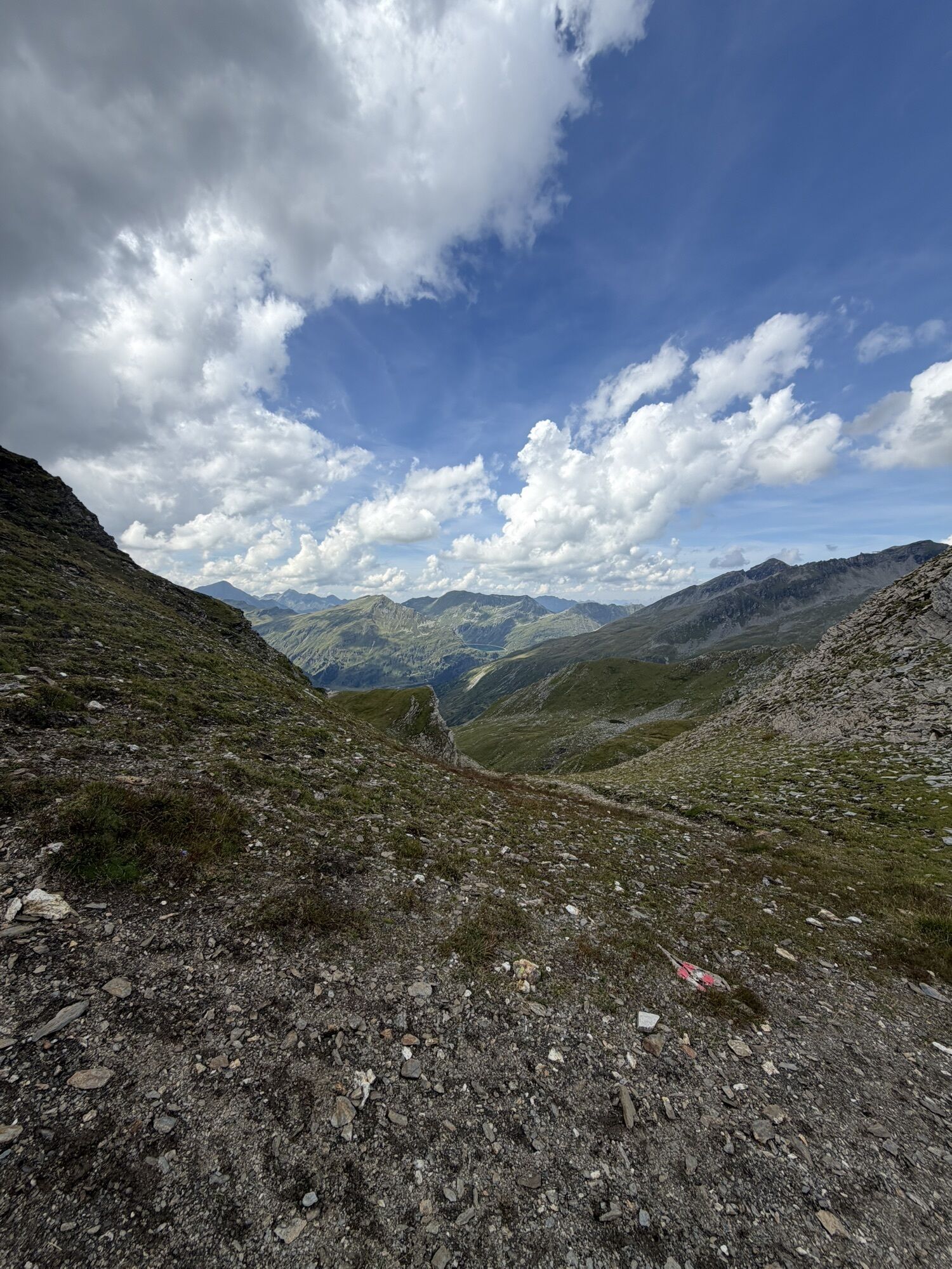
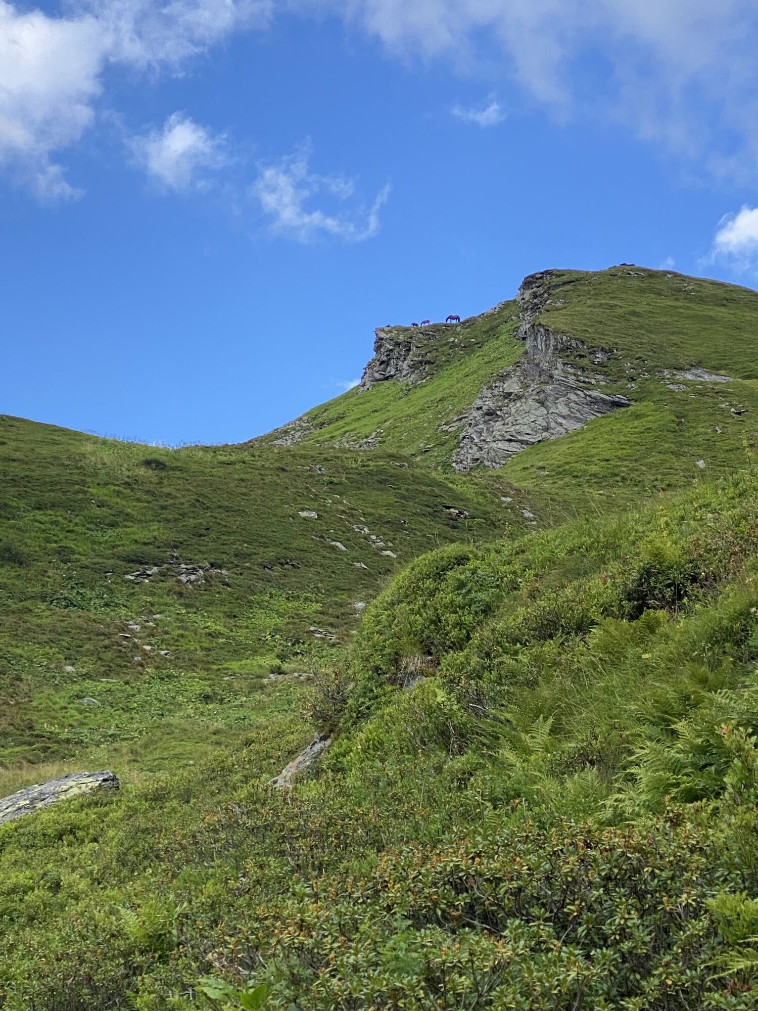
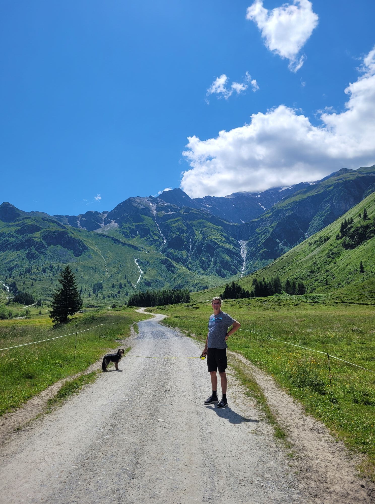
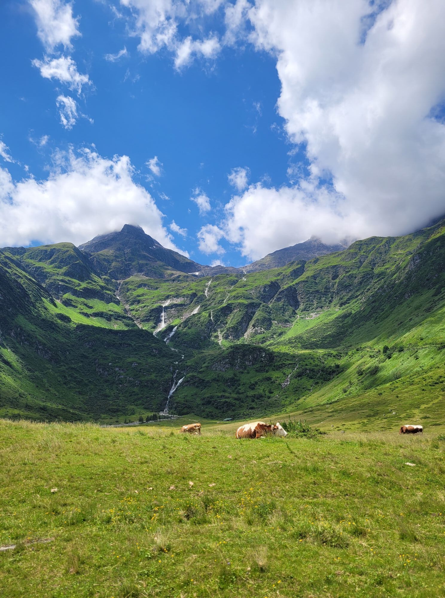
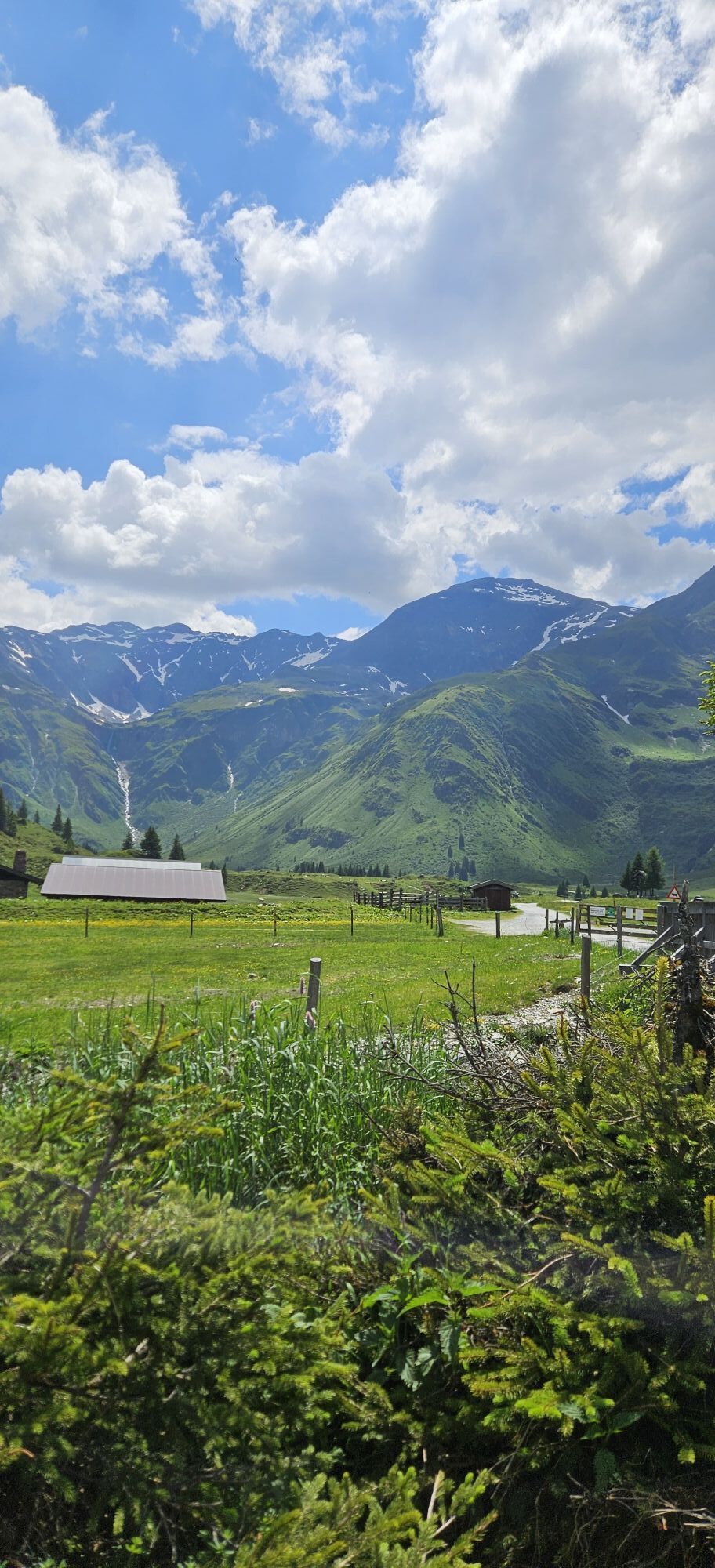
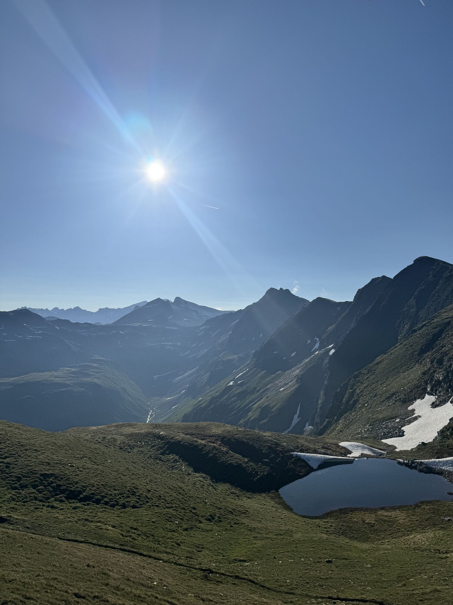
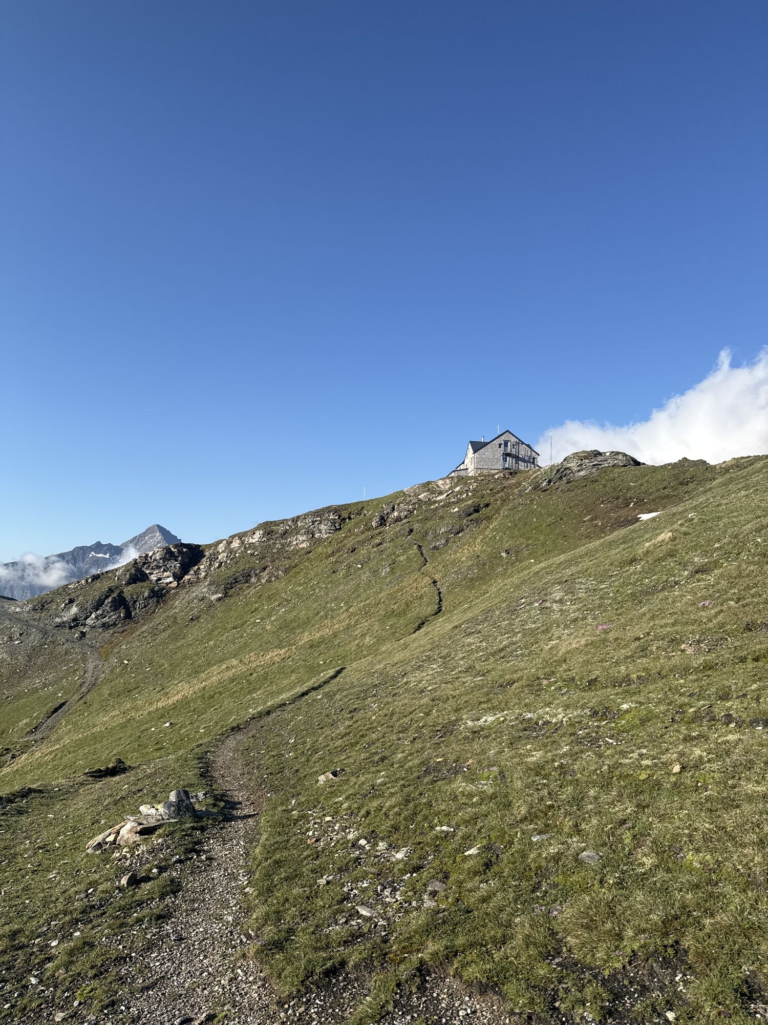
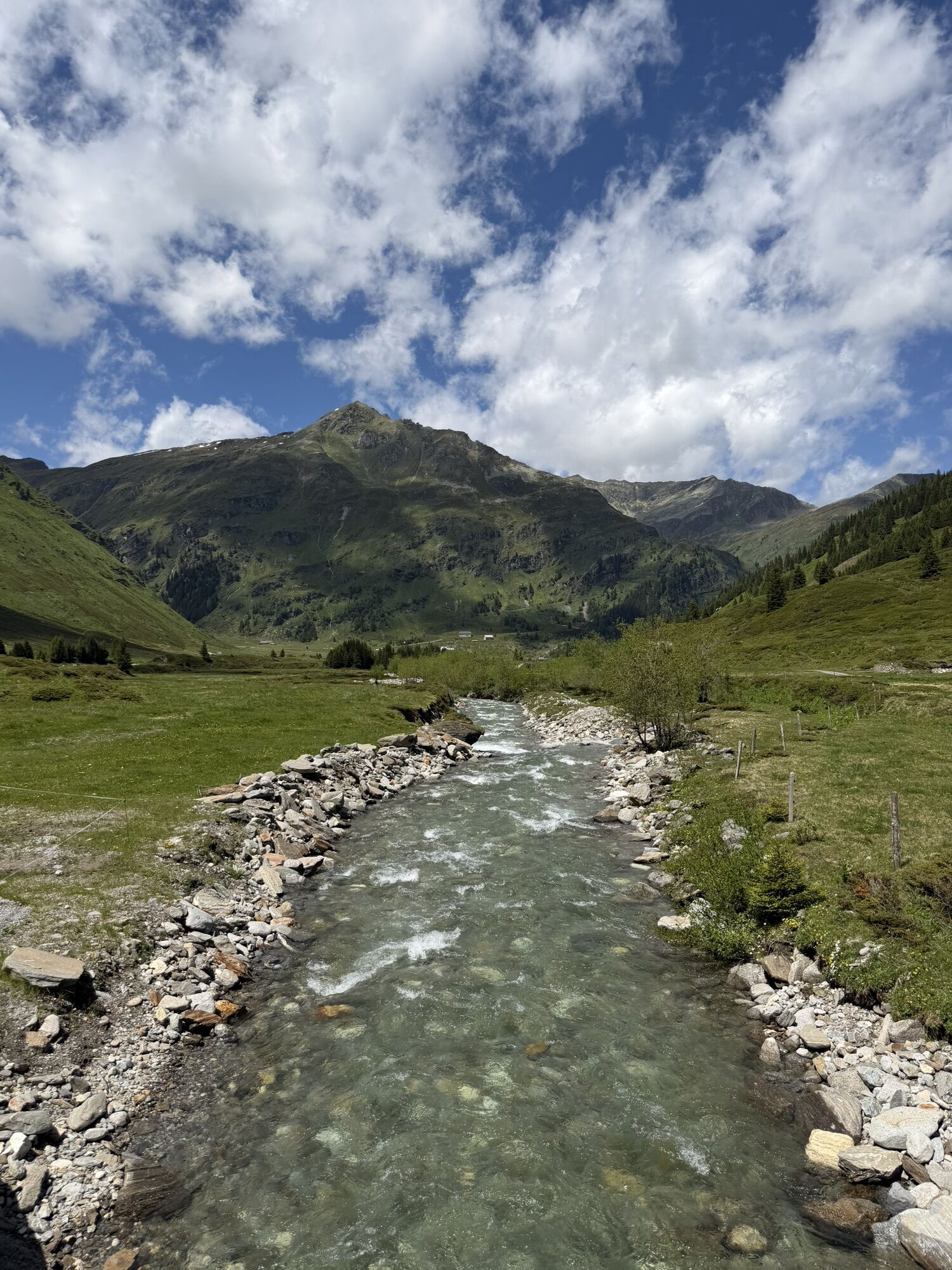
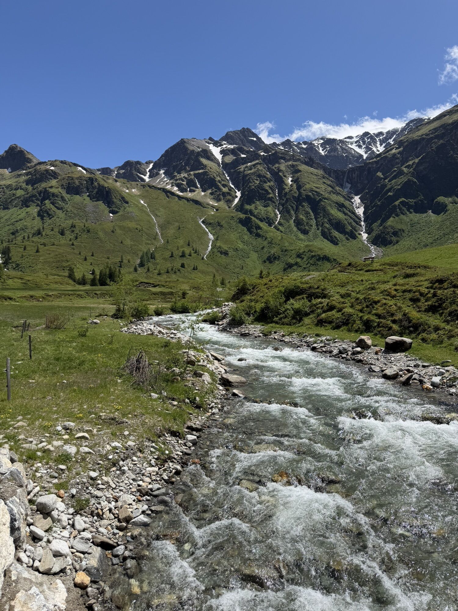
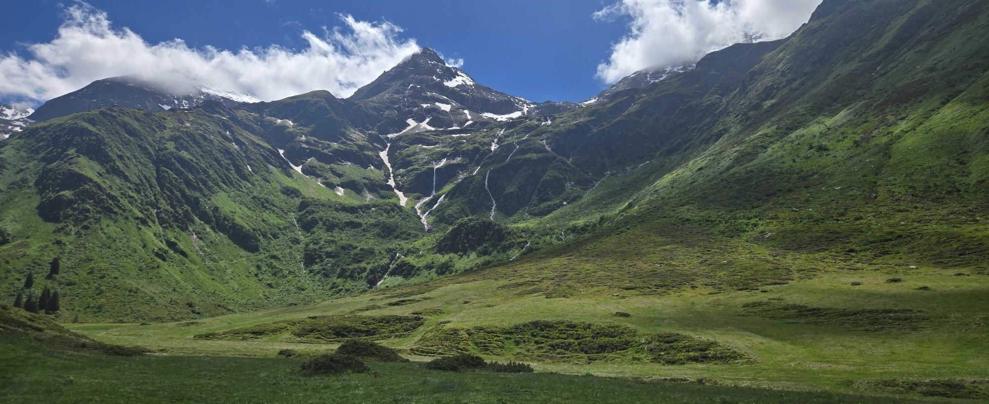
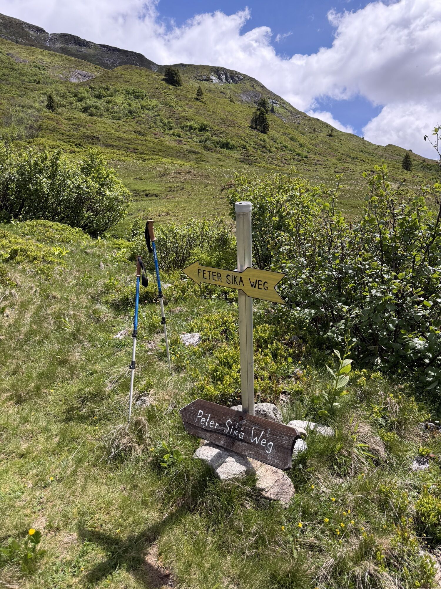
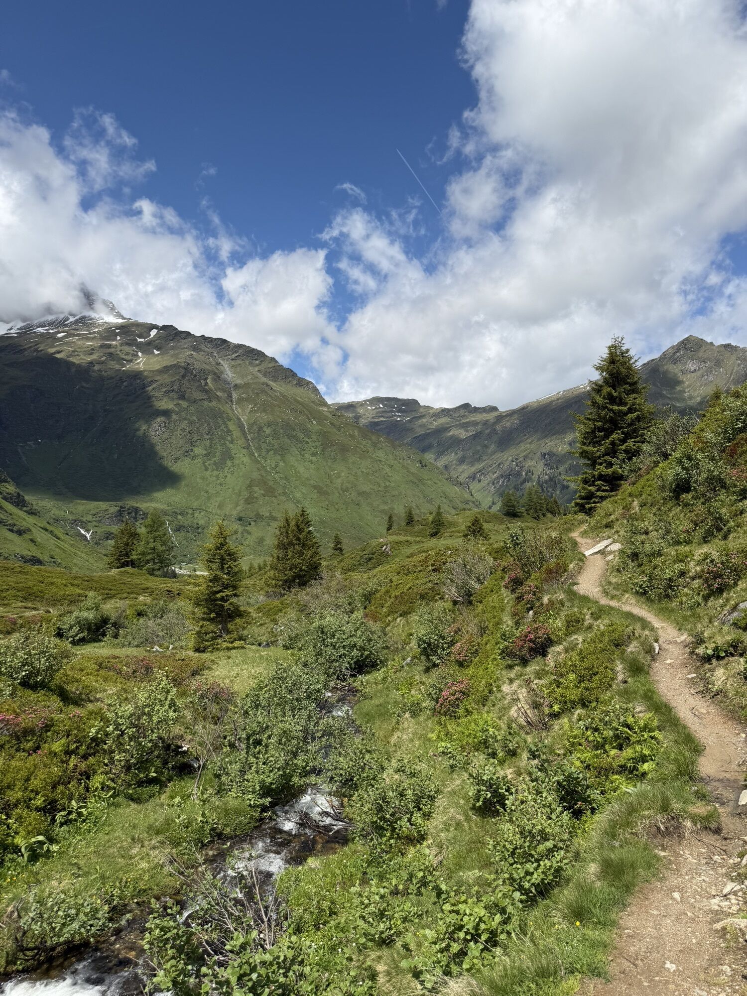
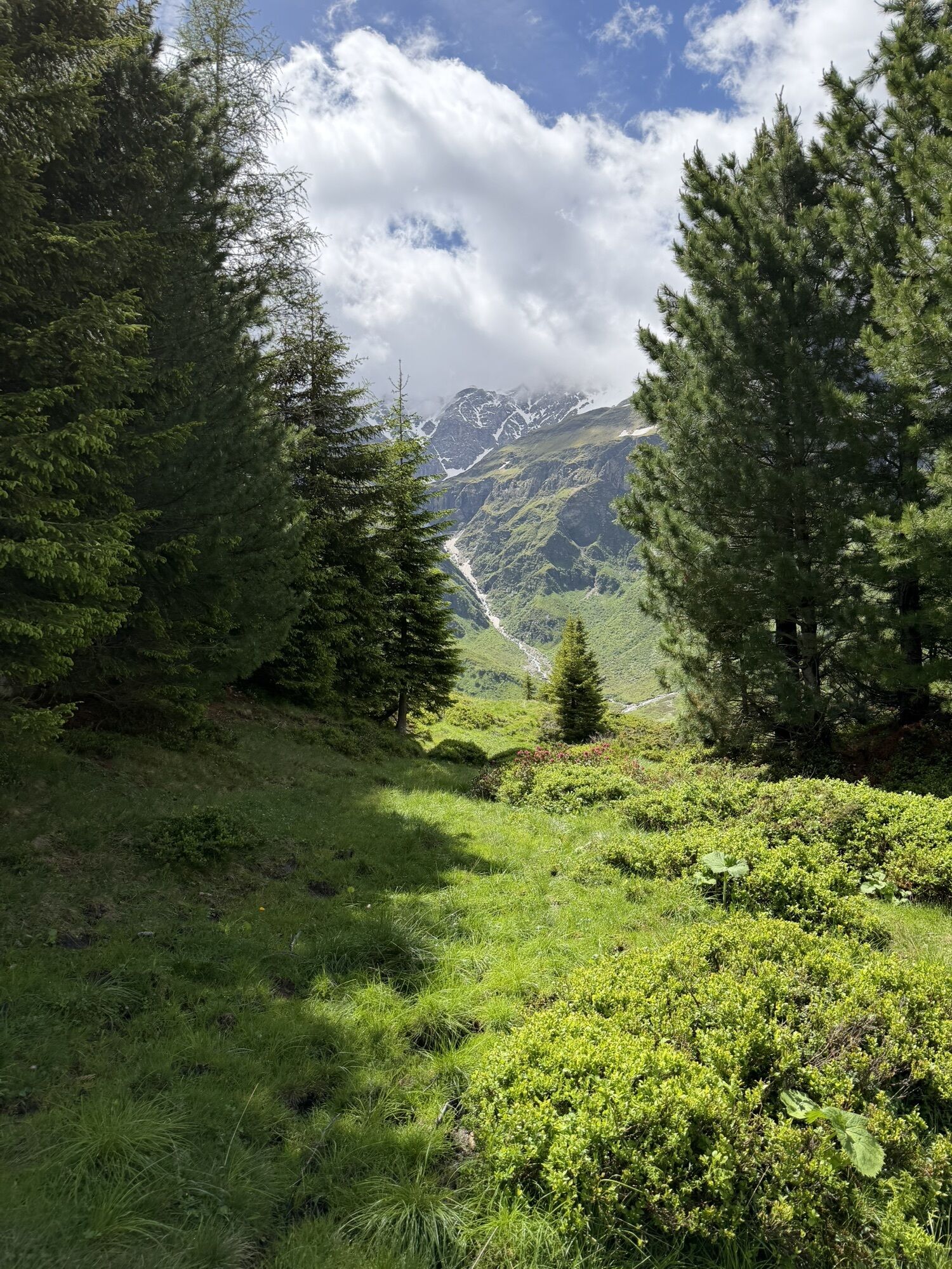
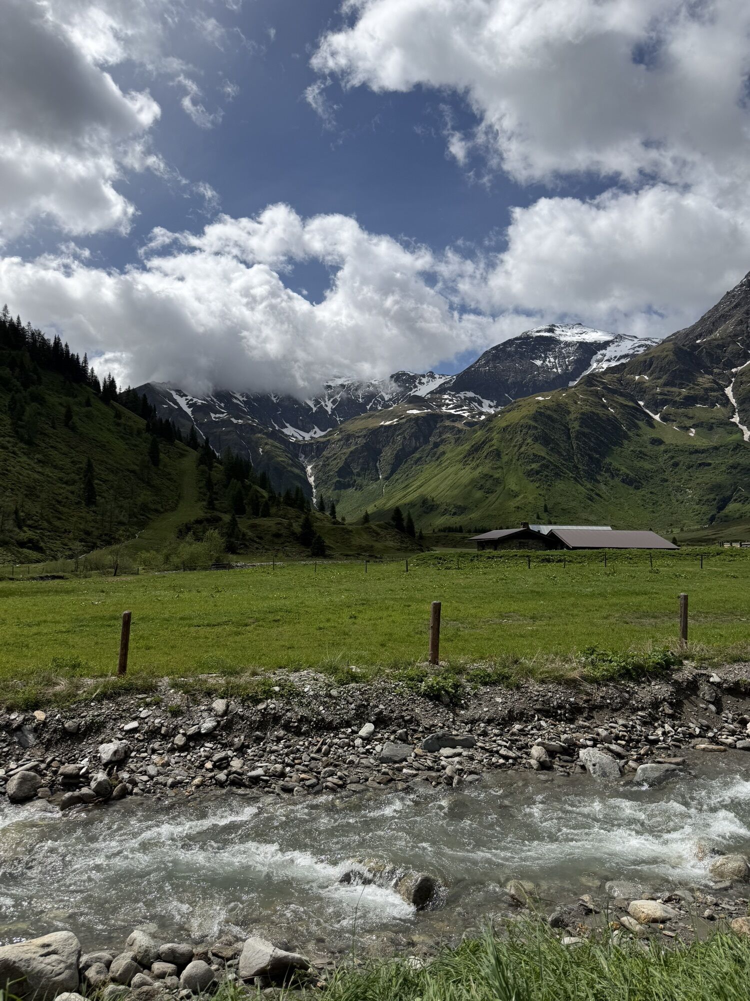
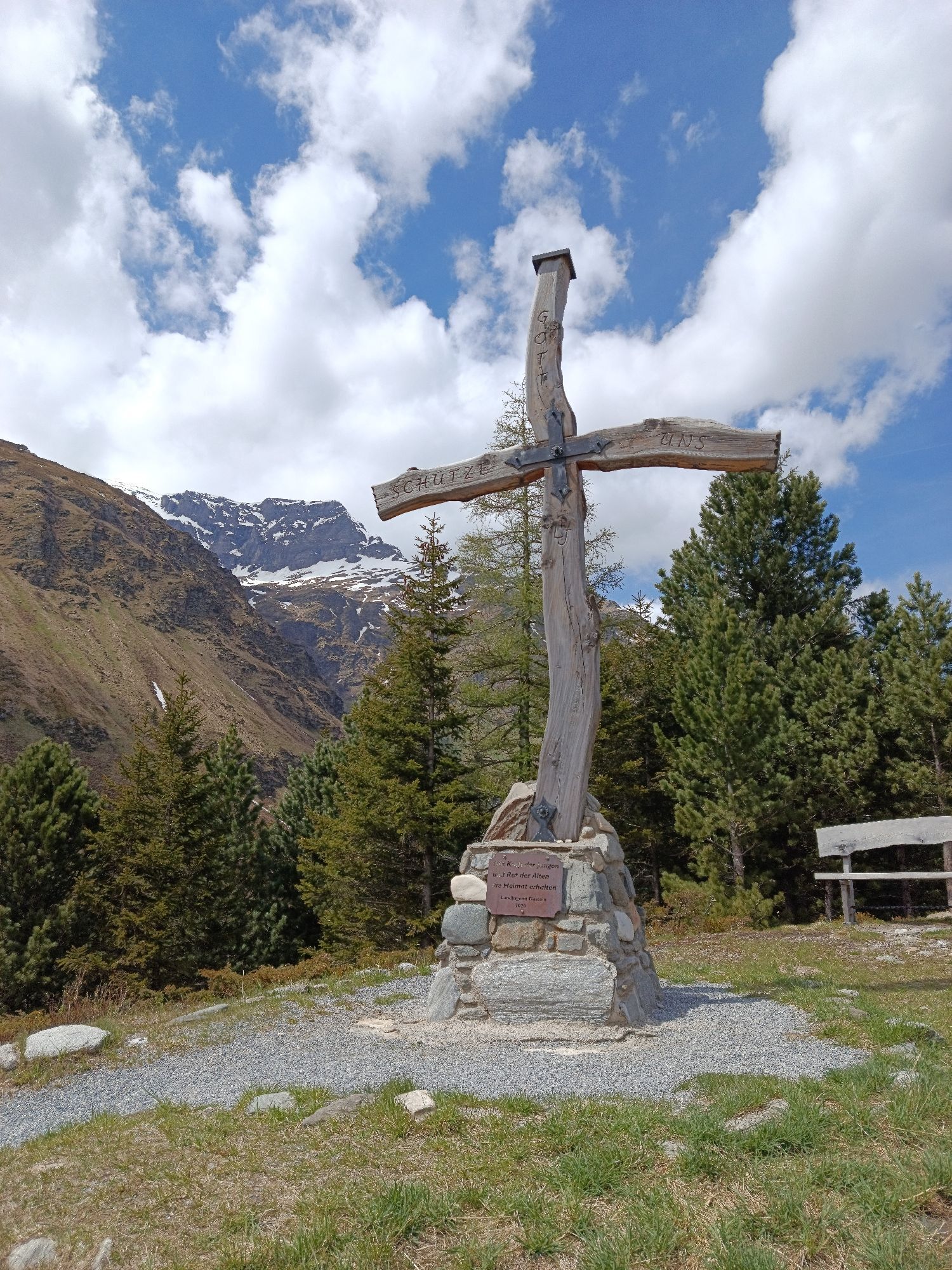
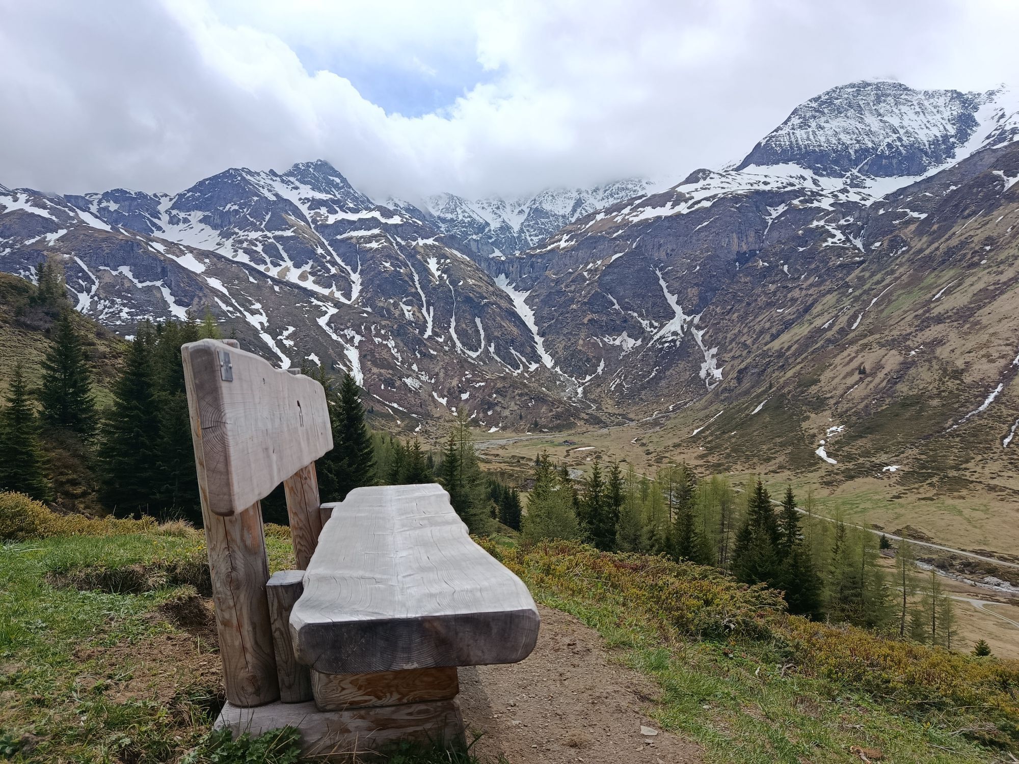
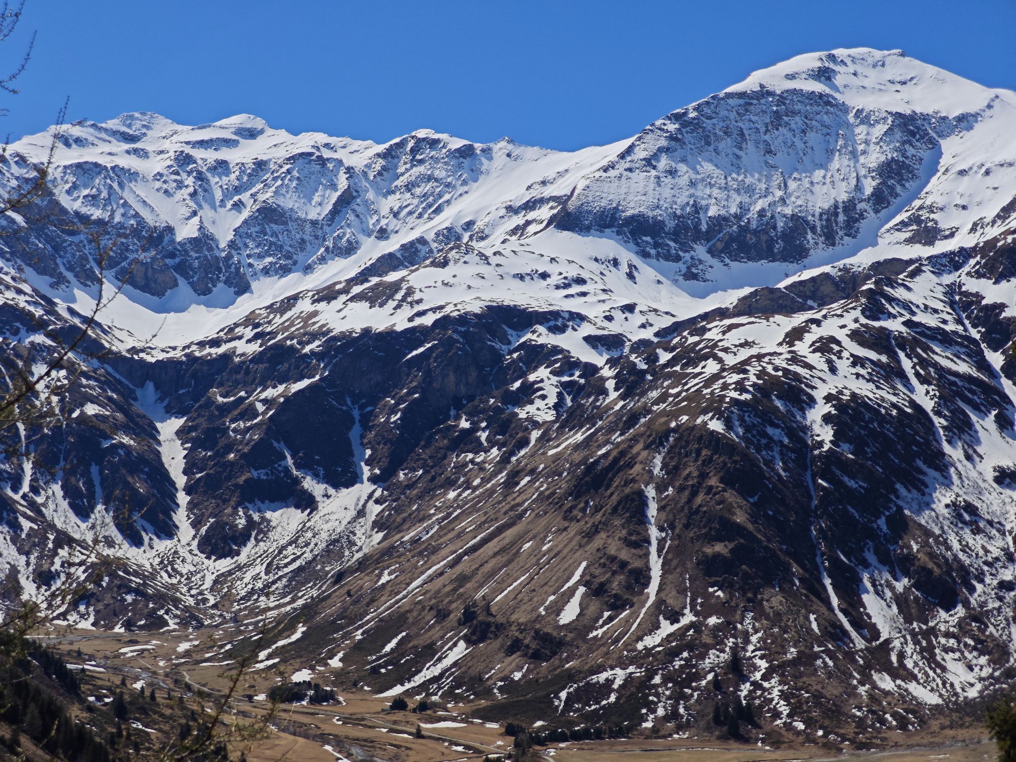
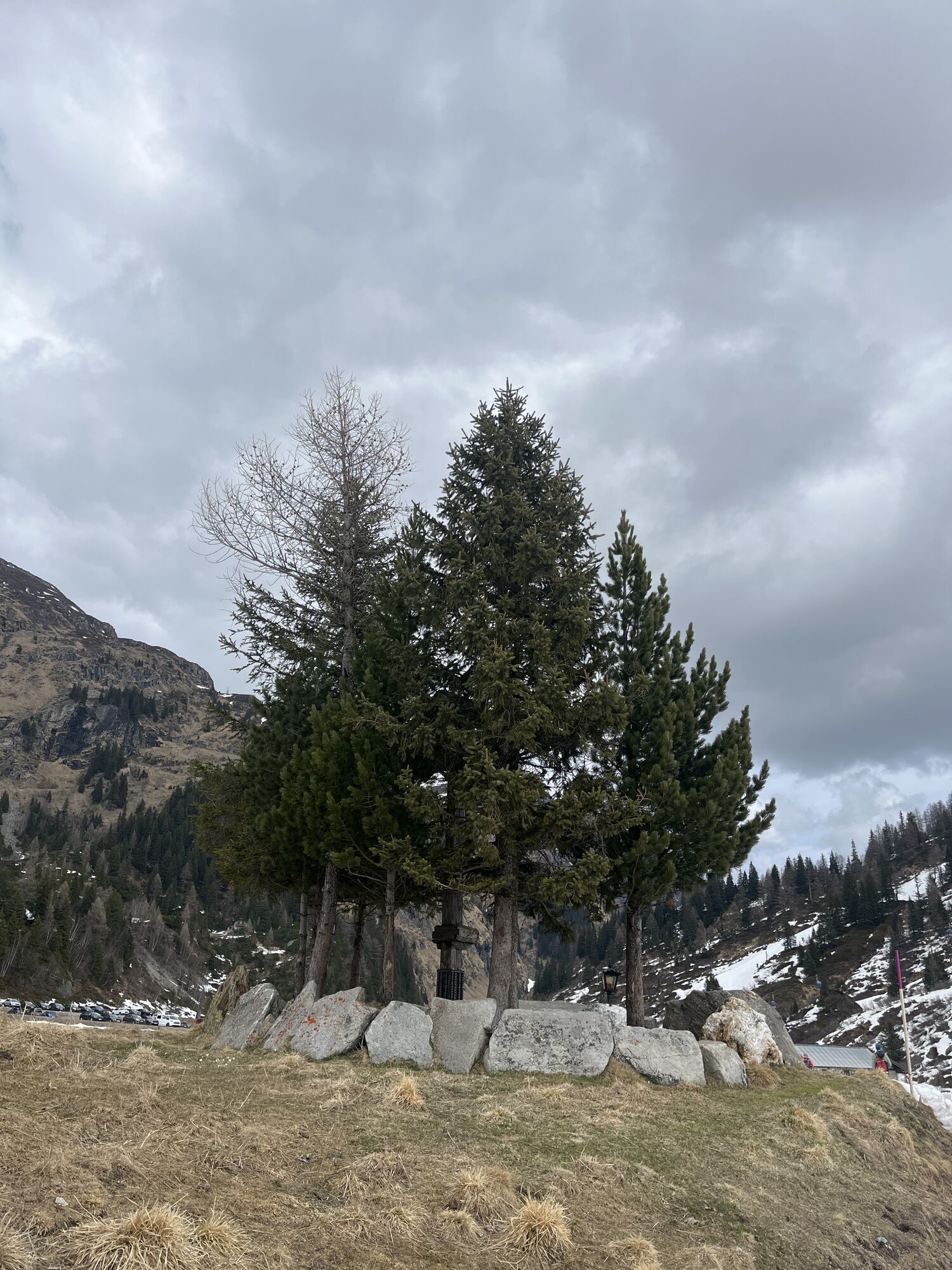

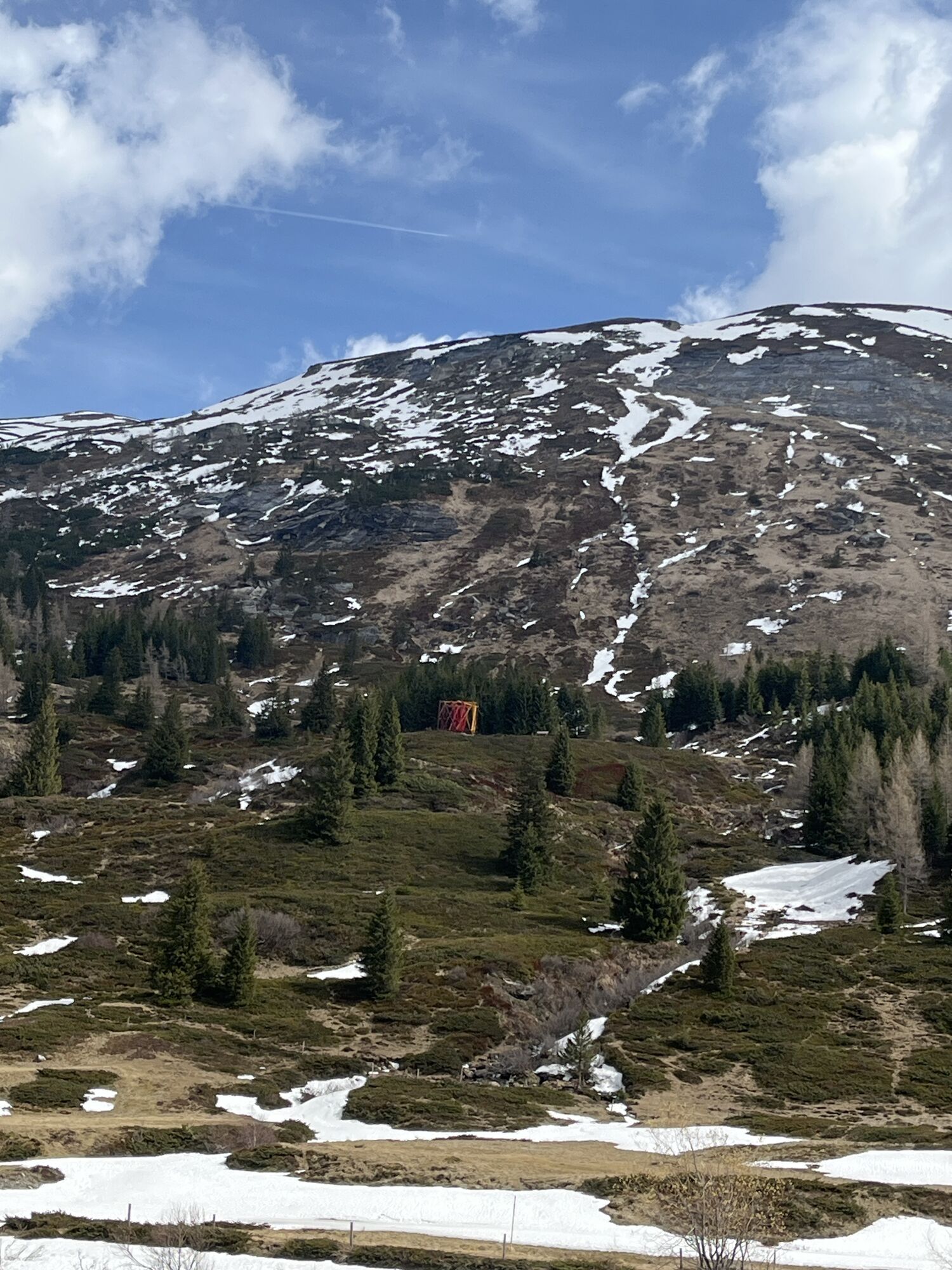
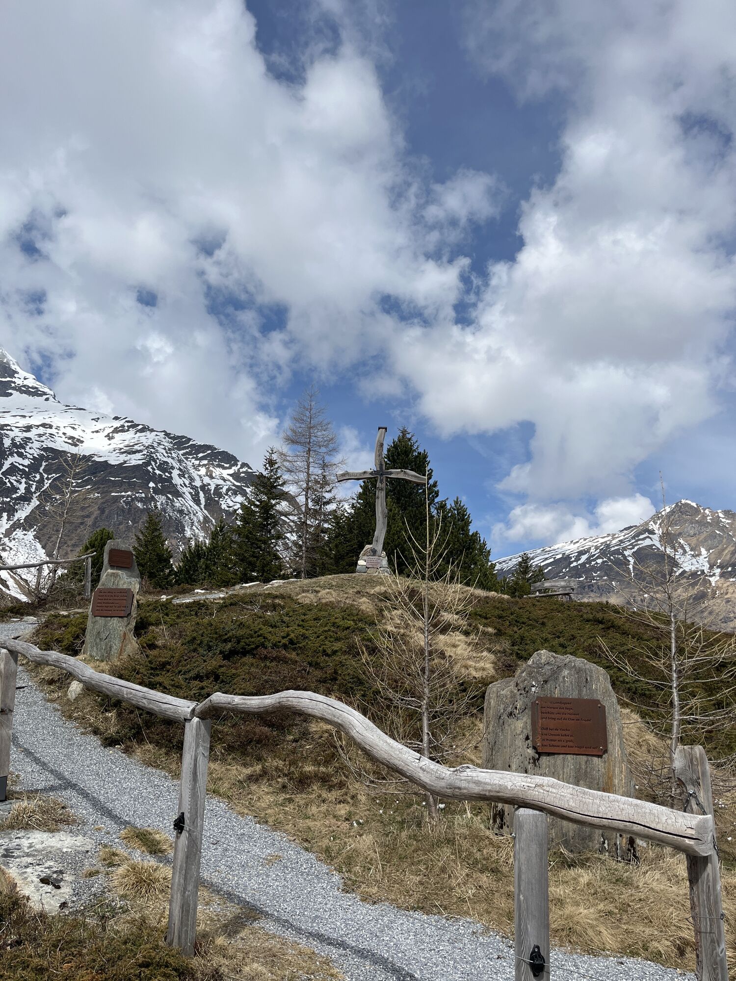
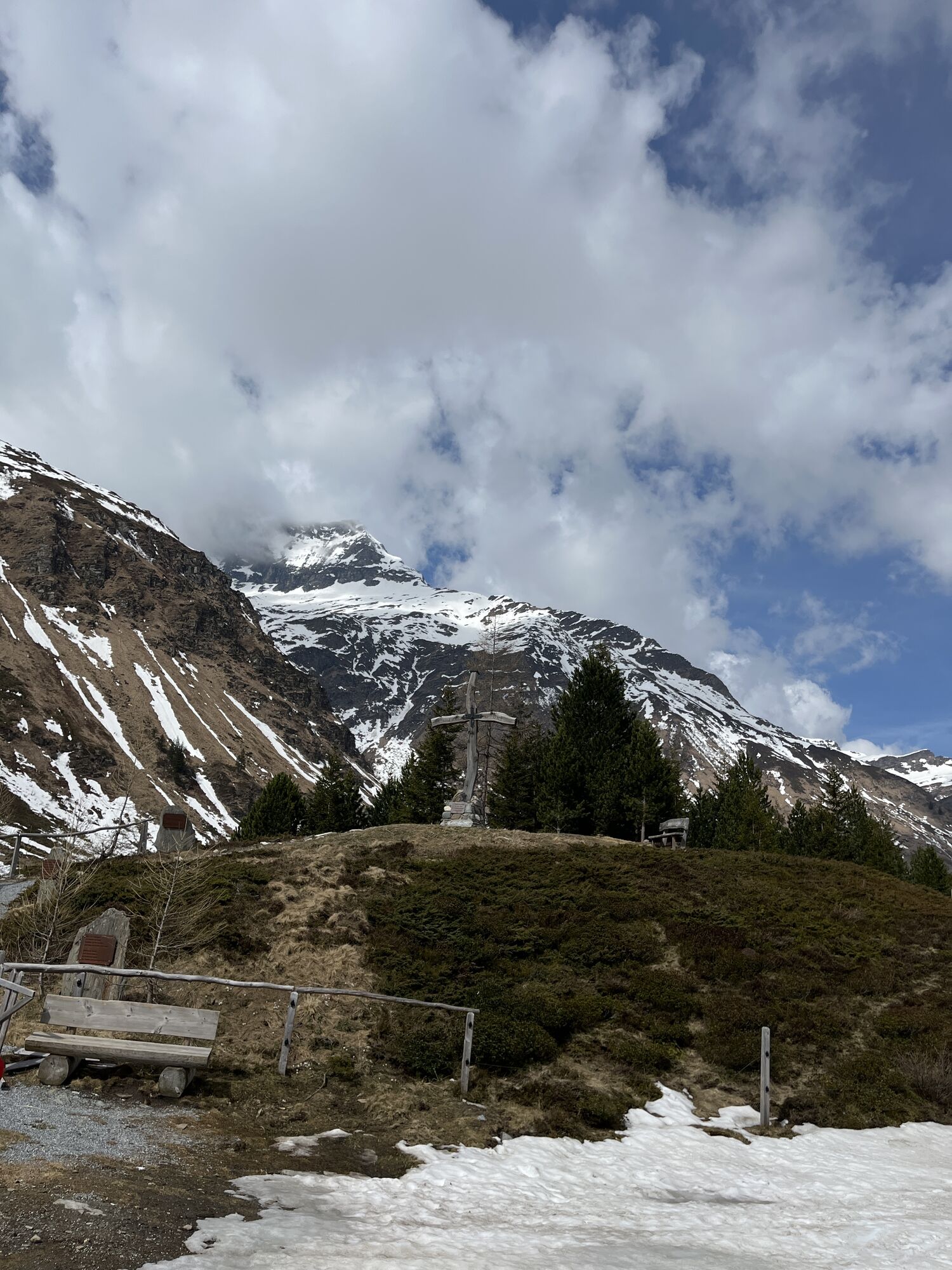
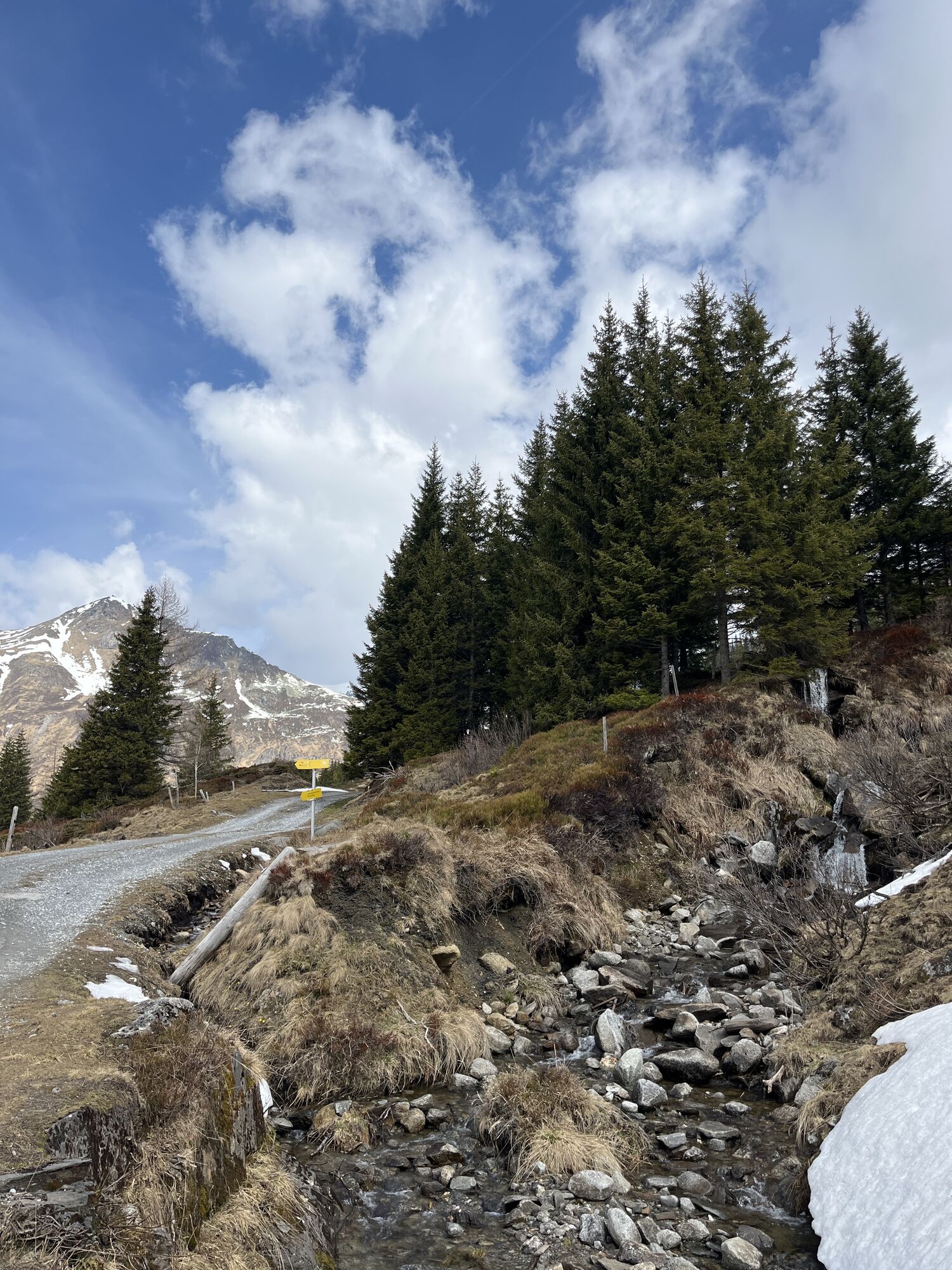
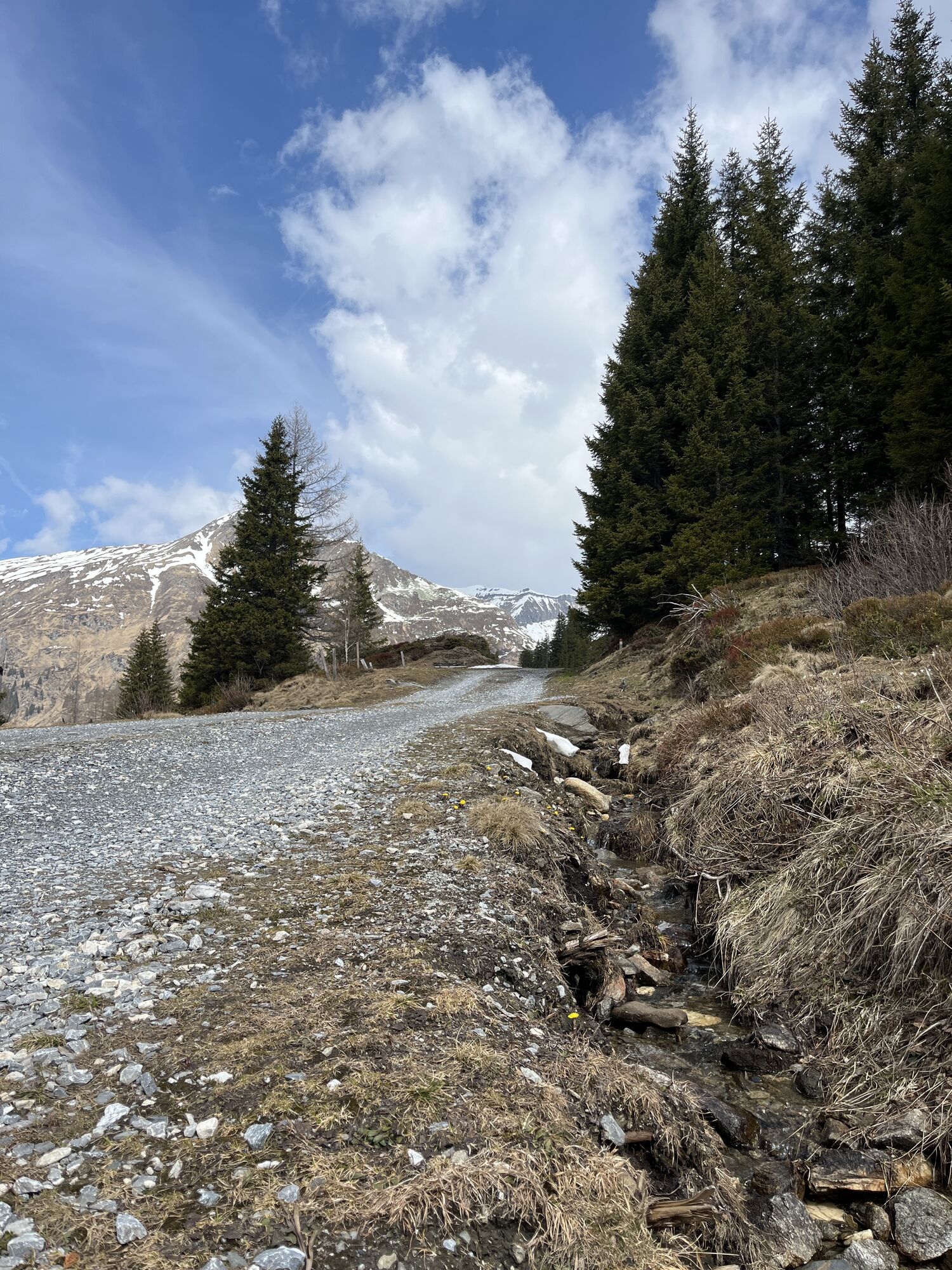
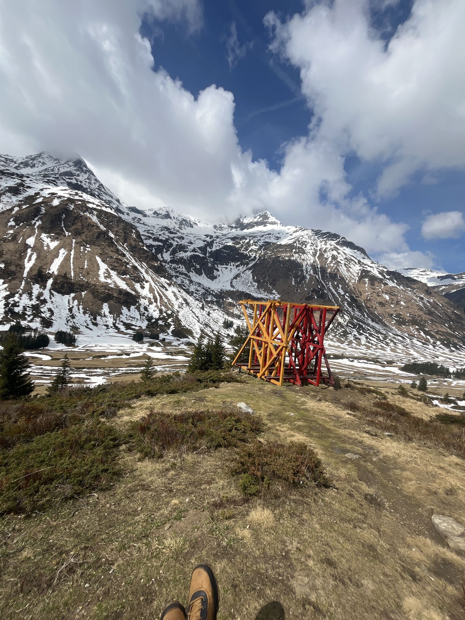
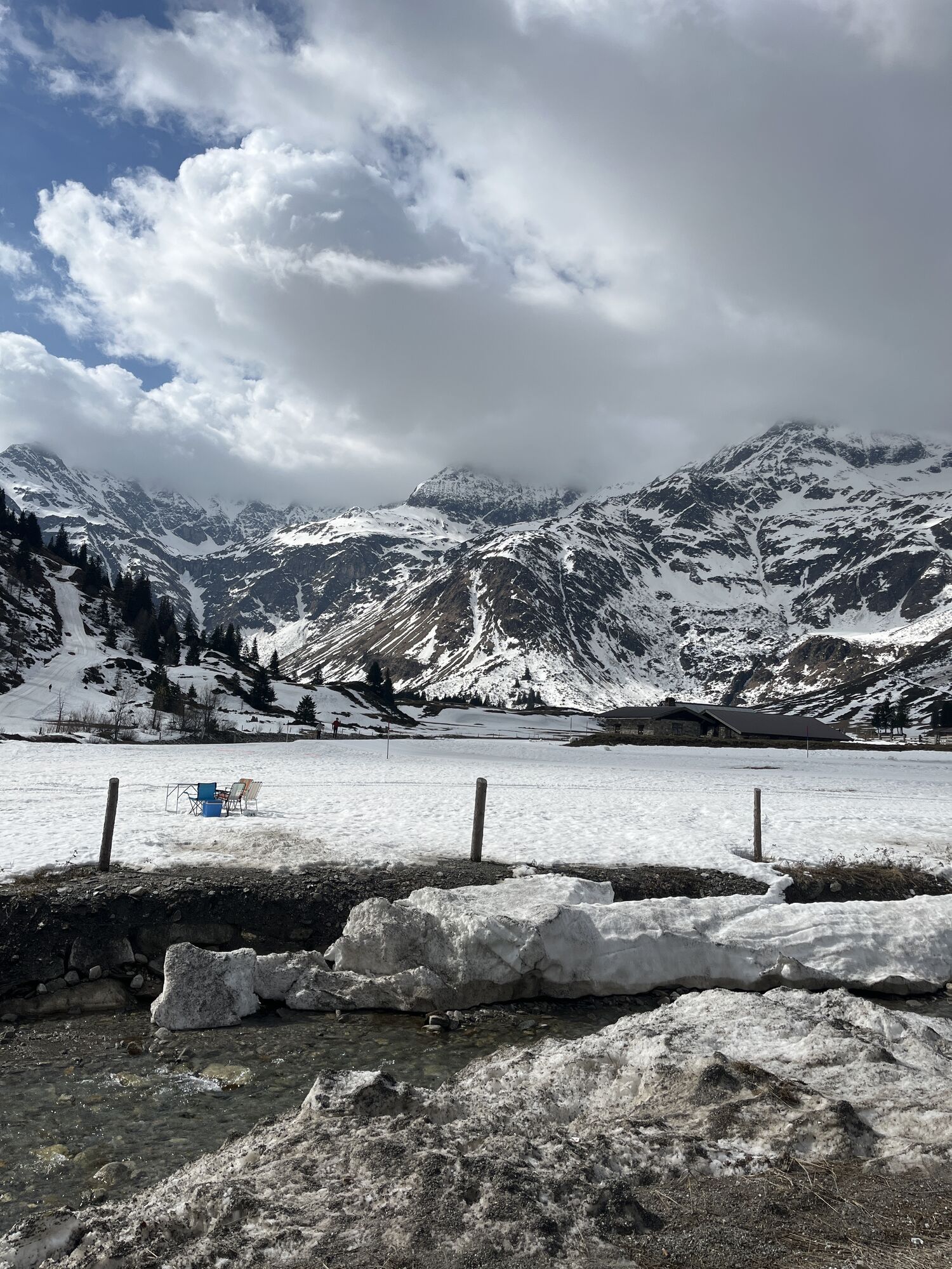
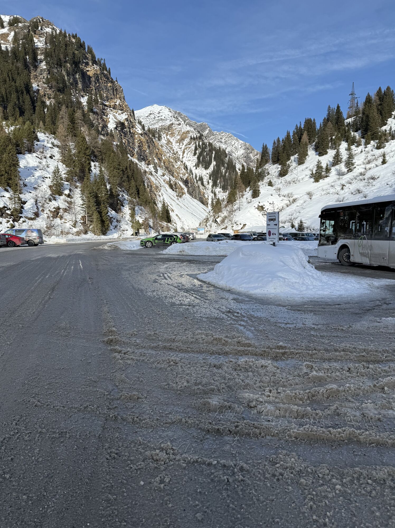
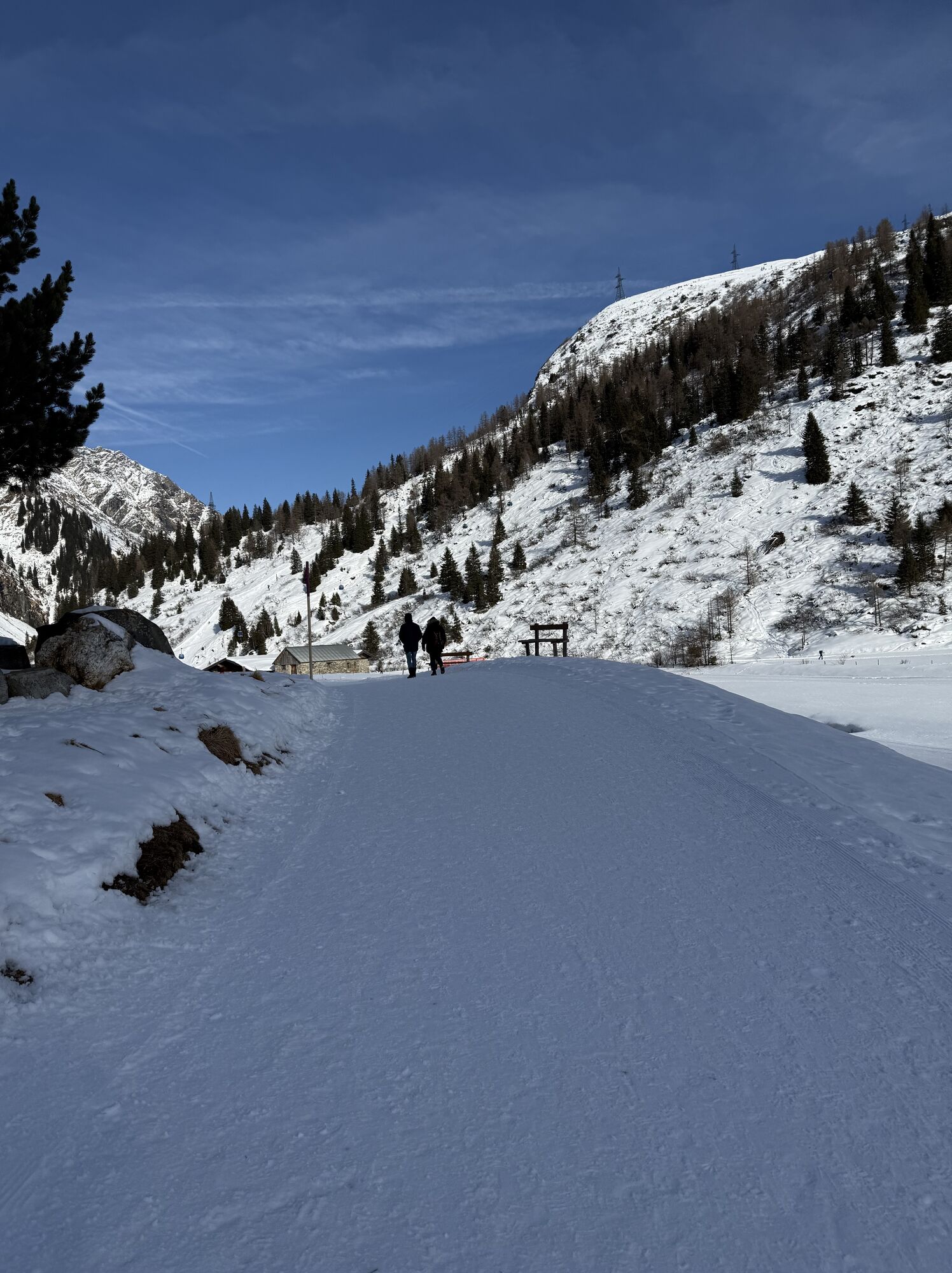
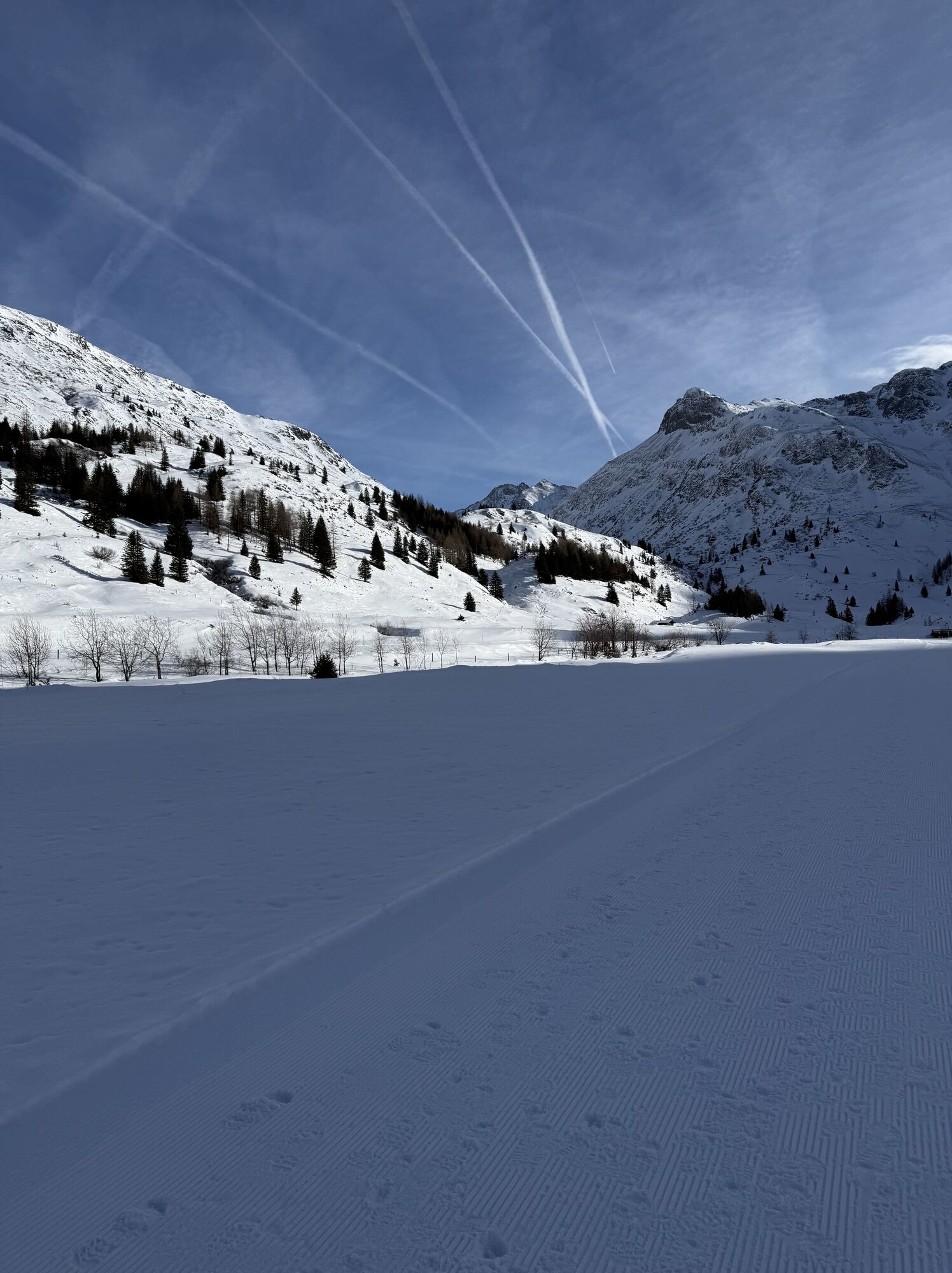
Starting from the parking lot in Sportgastein/Nassfeld, the flat trail leads to the Veitbauernalm at the end of the valley floor. From here, a well-maintained, steep hiking trail runs up to the managed...
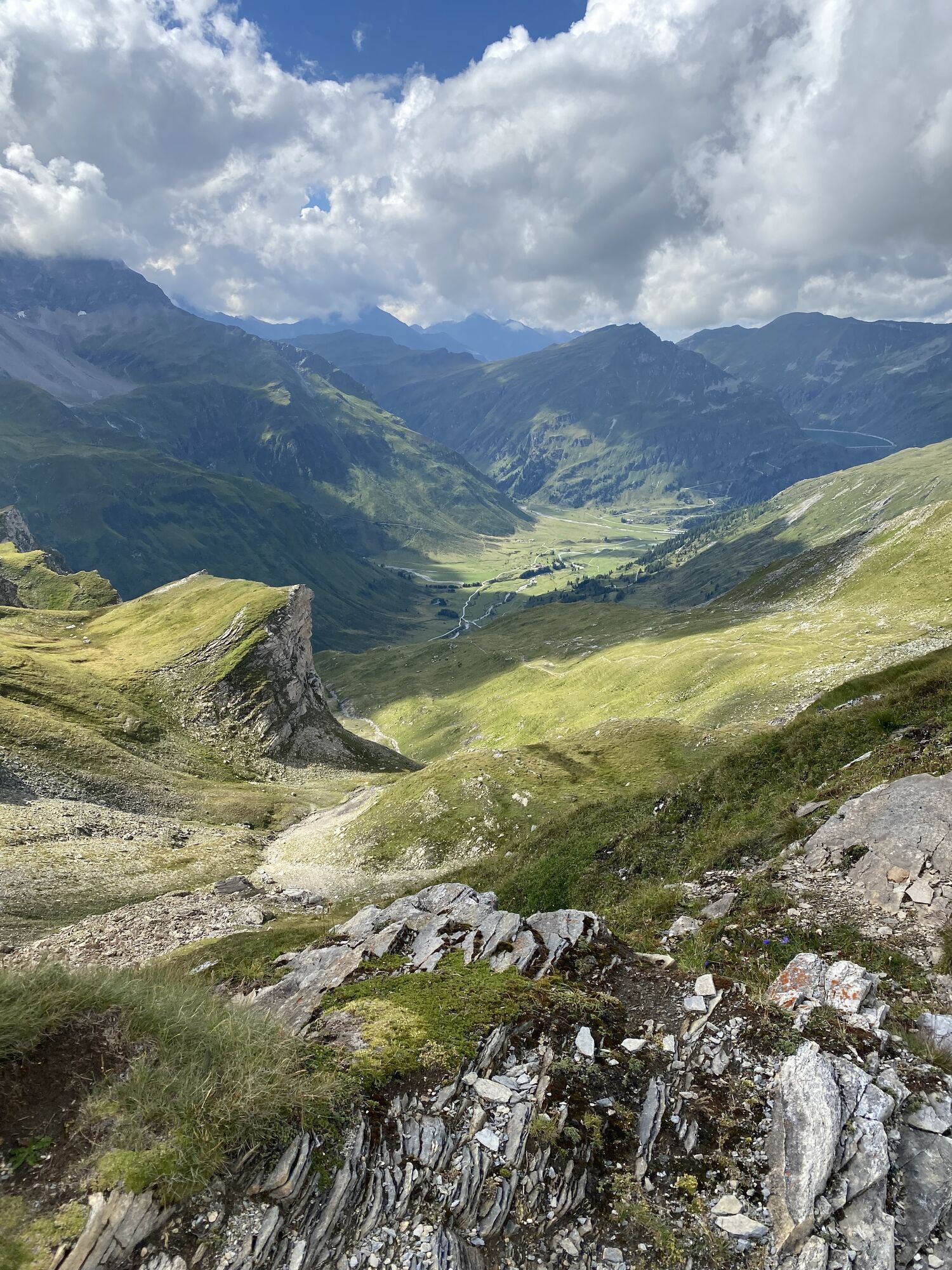
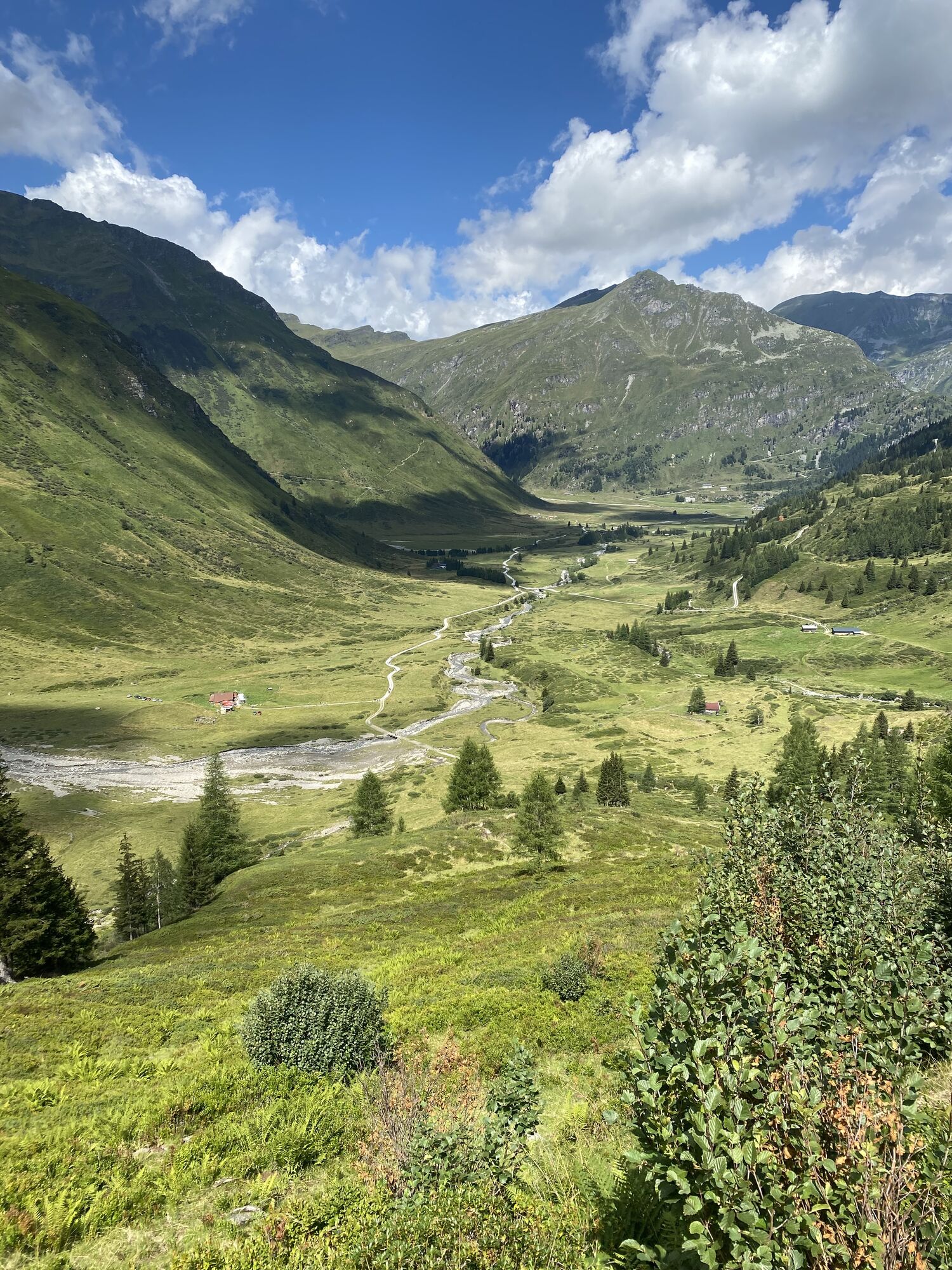
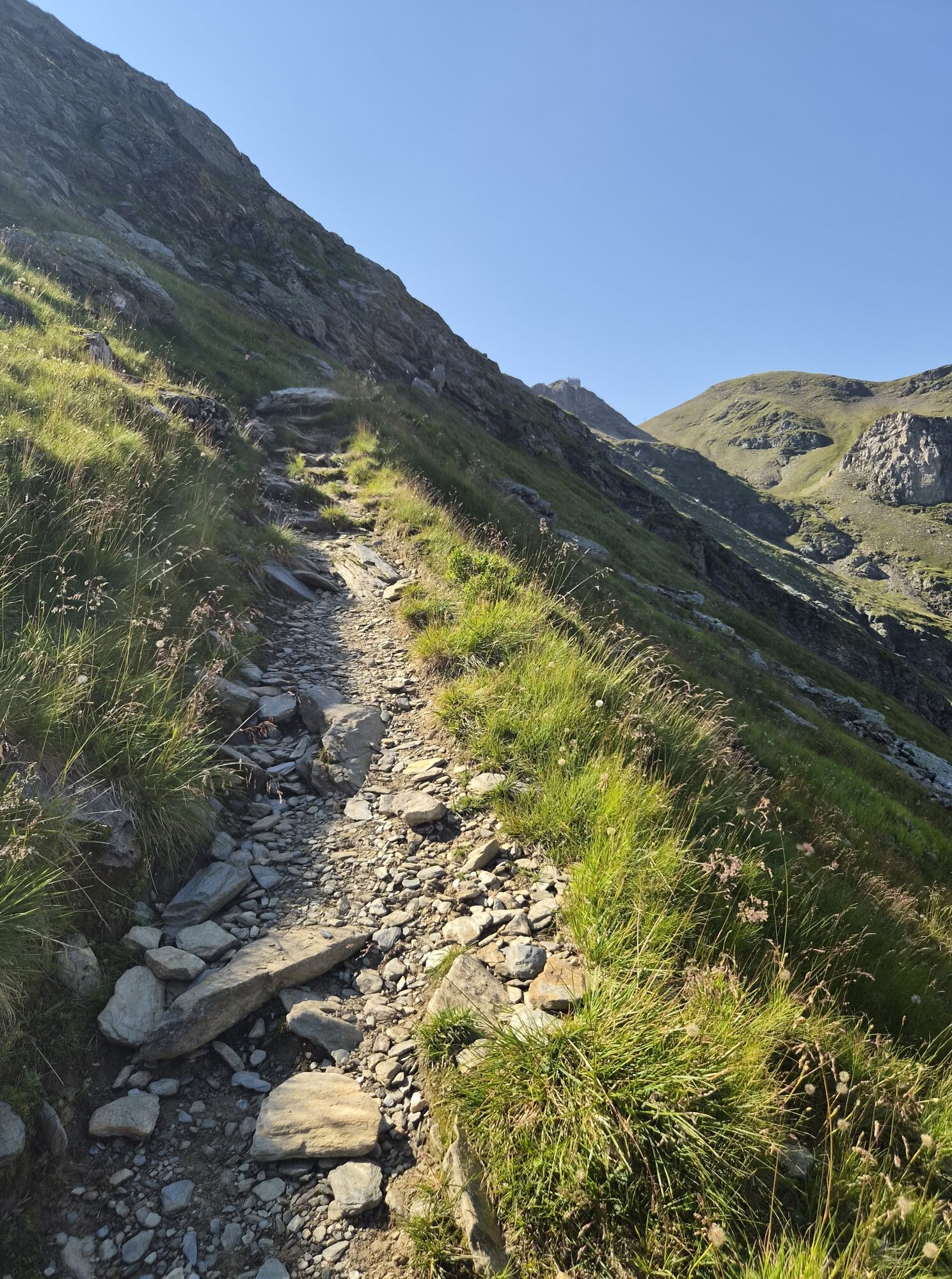
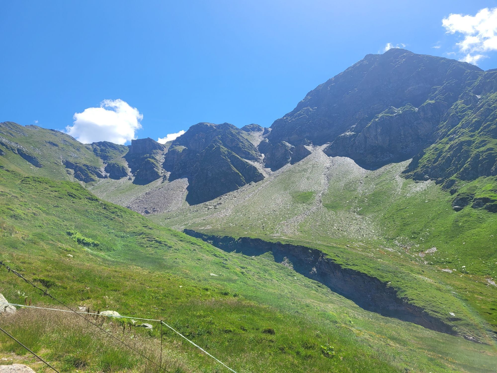
Starting from the parking lot in Sportgastein/Nassfeld, the flat trail leads to the Veitbauernalm at the end of the valley floor. From here, a well-maintained, steep hiking trail runs up to the managed Hagenerhütte, which is located between the Goldberg and Ankogel groups. The three-hour hiking route is certainly worth it, especially for the exceptional panoramic view you can enjoy from the hut.

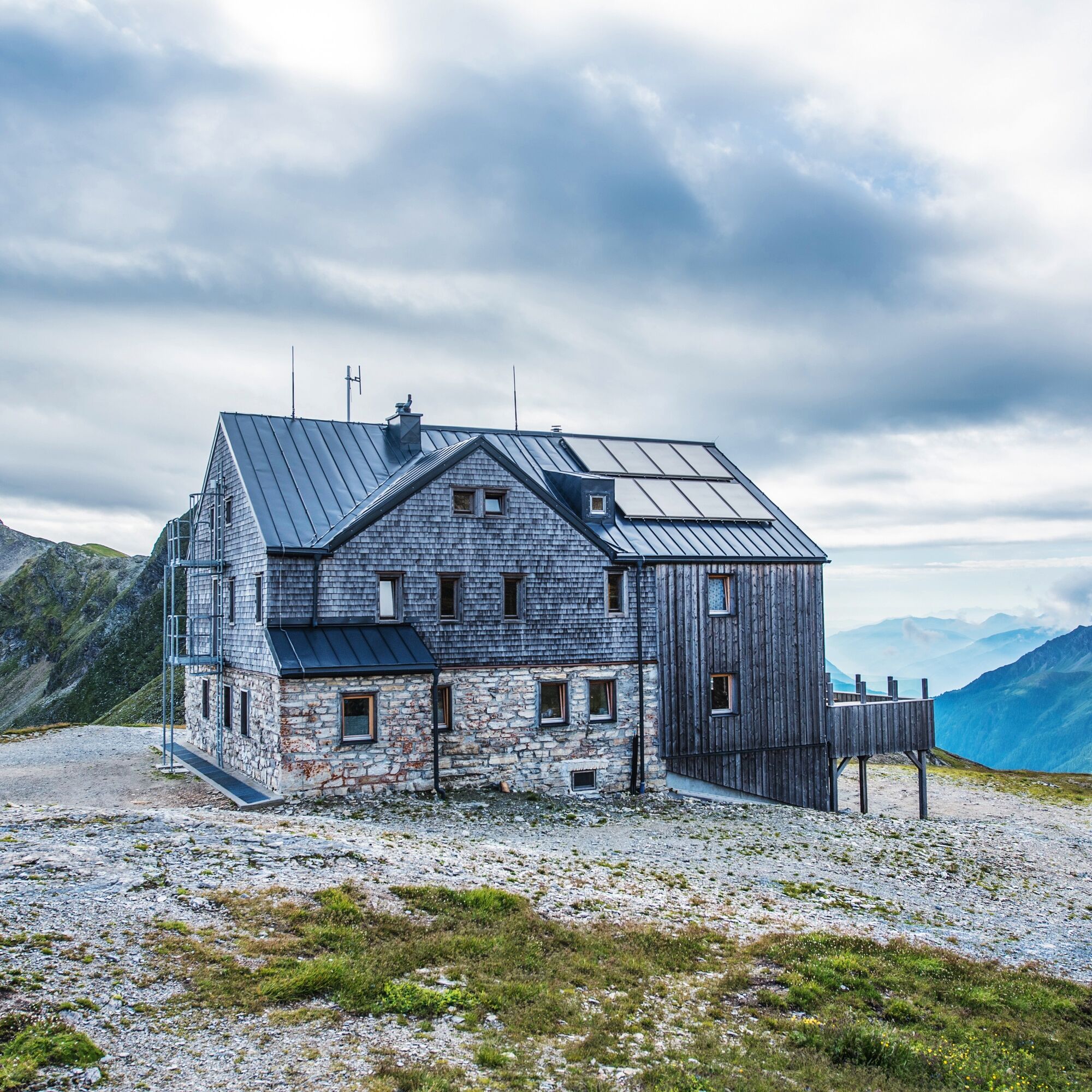

Sturdy footwear, rain gear, and a well-packed backpack are recommended.
From the hut, you can reach the Tauern crossing to Malnitz within 1 1/2 hours. Here, a hiking bus goes to Mallnitz and then the Tauern train returns you back to the Gastein valley.
Webové kamery z prohlídky


Oblíbené prohlídky v okolí
-
4.5
Groppenstein Gorge Obervellach
středníTuristika 2.99 km -
5.0
Silberpfennig, Salzburger Land/Österreich
středníTuristika 13.8 km -
4.5
Gastein high path from Bad Gastein to Bad Hofgastein
světloTuristika 8.58 km -
4.9
Astental: Mohar, Moharkreuz
středníTuristika 9 km -
4.4
Mountain route from the Kötschachtal to the natural jewel Reedsee
středníTuristika 12.5 km -
4.8
Türchlwand von der Bergstation Schlossalmbahn Bad Hofgastein, Österreich
středníHorská turistika 7.05 km -
4.8
Wanderung zur Schwussner Hütte
světloTuristika 8.07 km -
4.8
Hohe Sonnblick Up
heavyTuristika 9.14 km -
4.8
Rifflscharte - Kolmkarscharte - Bockhartscharte - Sportgastein
středníTuristika 13.5 km -
4.7
Bad Gastein Stubnerkogel-Zittrauer Tisch Rundwanderung
středníTuristika 18.6 km
Pěší turistika a stopování


Nenechte si ujít nabídky a inspiraci pro vaši příští dovolenou
Vaše e-mailová adresa byl přidán do poštovního seznamu.





